It’s been a wet and dreary winter in the Pacific Northwest so when a halfway decent forecast came along we jumped on it and headed out for our March hike. Our destination was a pair of Clark County, WA parks along NE Lucia Falls Road and the North Fork Lewis River.
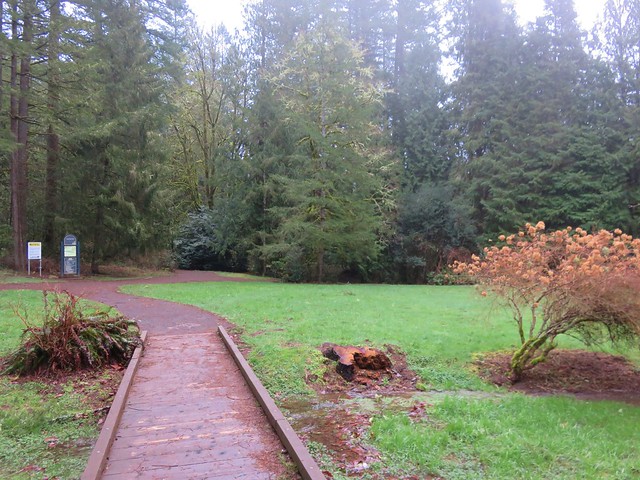
We began our day with 1 mile warm-up hike at Lucia Falls Regional Park. A loop passes through the park and along the river past viewpoints of the modest Lucia Falls.


After our warm-up we hopped back into the car and continued east on Lucia Falls Rd for .3 miles where we veered right onto Hantwick Rd. We followed this road for half a mile to the Hantwick Road Trailhead.
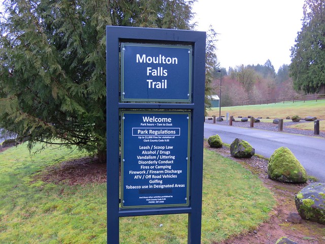
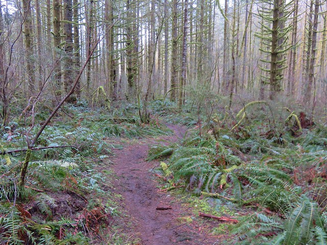
From the trailhead the Moulton Falls Trail follows an old railroad grade 2.6 miles to Moulton Falls Park.

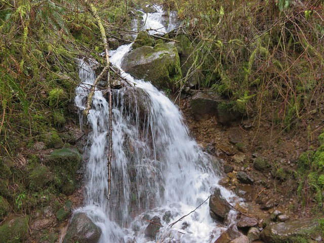
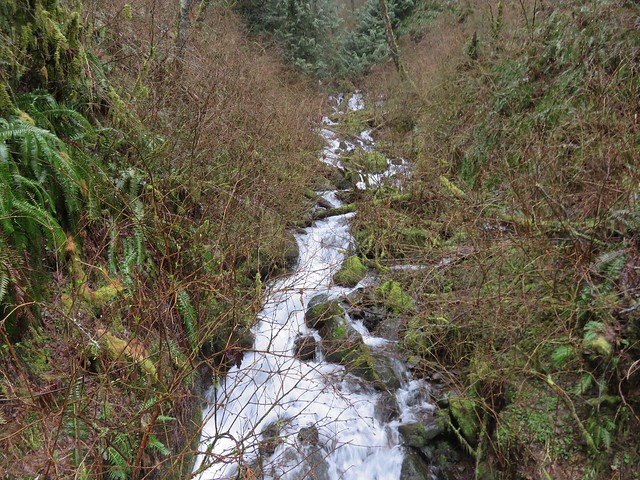
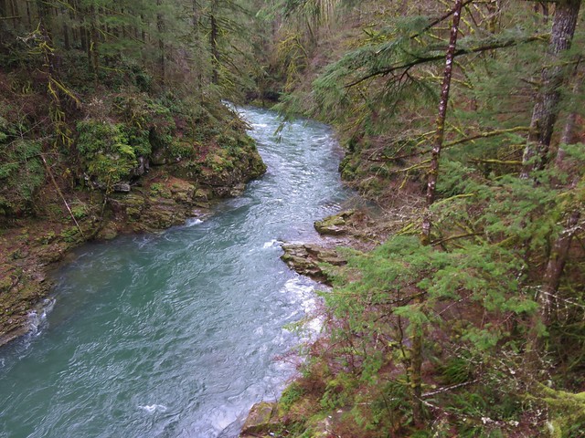
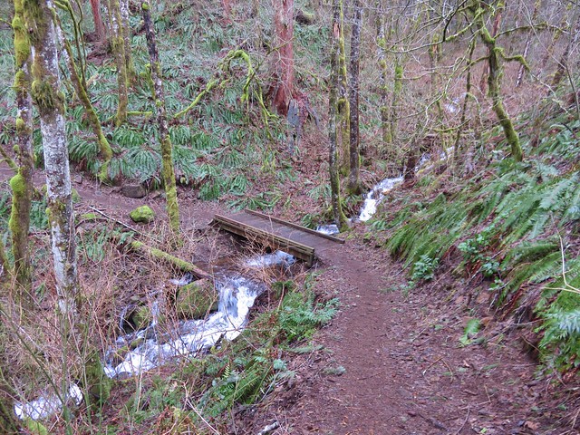
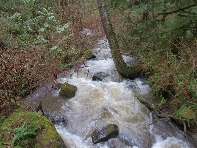
The trail crossed several streams which were flowing nicely and also passed a long pond.
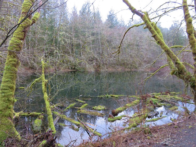
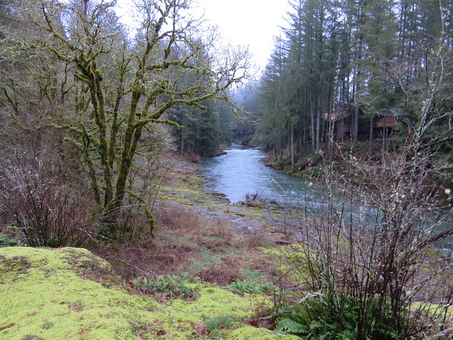
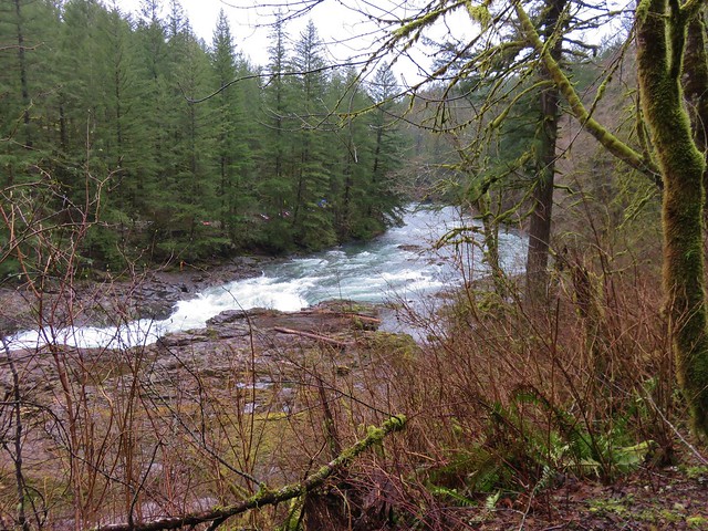
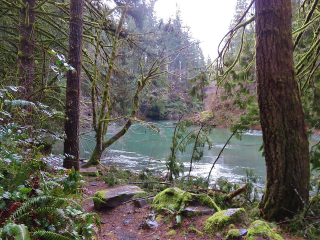
Beyond the pond the trail neared the East Fork Lewis River.

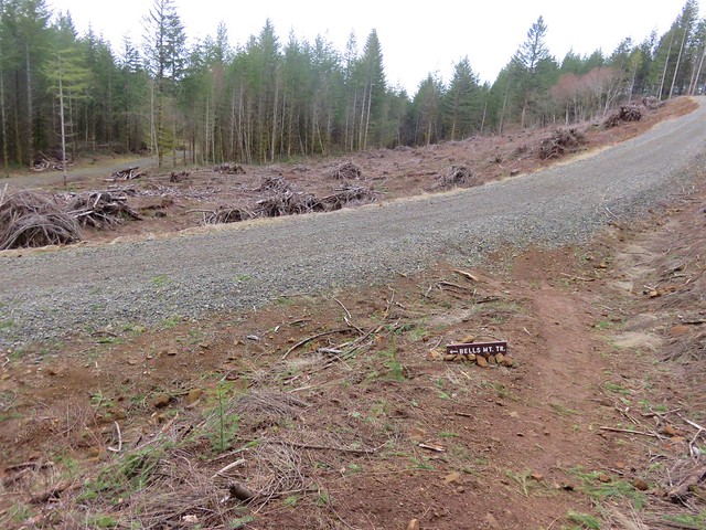
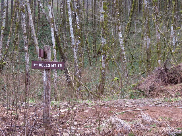
Just beyond the 2 mile mark we came to the Bells Mountain Trail junction. We planned on heading up the trail a ways after visiting Moulton Falls Park so for now we took a photo of the sign and continued on.

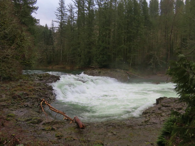
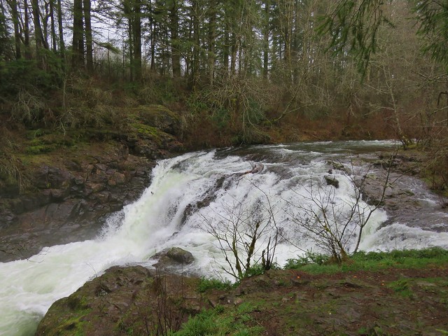
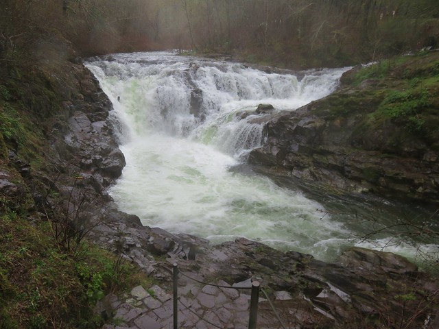
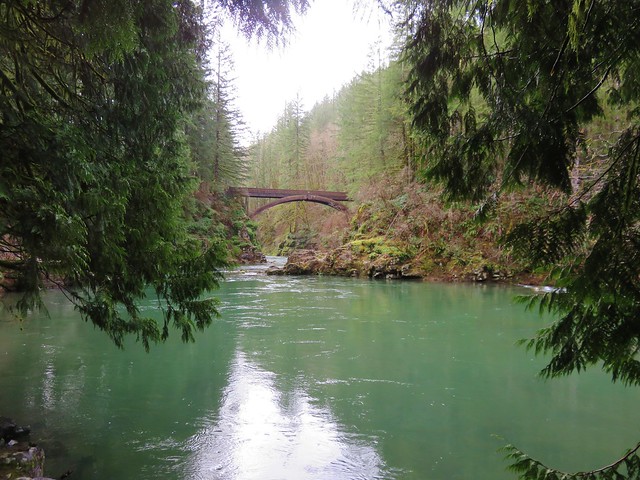
A little further along the trail we spotted cars on the far side of the river in the park’s parking lot. Moulton Falls was visible below, a small 10′ cascade.
We crossed the river on a scenic footbridge.

The trail split on the far side of the bridge and we forked right heading uphill toward Yacolt Creek Falls. The trail climbed to an upper parking lot which appeared to still be closed for the winter before dropping back down to a crossing of Lucia Falls Rd. On the far side of the road were a couple of picnic tables and a small pullout above Yacolt Creek Falls. The trail continued down some stairs to a seasonal footbridge.
The footbridge pivots and was still in its winter position making it impossible to complete the loop shown on the park map.

We were a little confused by this as well as by the placement of the falls on the map. The star marking the location appeared to be further up the creek along a spur trail that extended north off the loop on the other side of Big Tree Creek. The fact that the falls at the footbridge were on Big Tree Creek and not Yacolt Creek also made us question whether or not this was actually Yacolt Creek Falls. We decided to walk down Lucia Falls Road and pick up the other side of the loop where it crossed the road. We turned back uphill on the loop trail on the east side of Big Tree Creek and quickly arrived at a viewpoint of the falls and bridge.
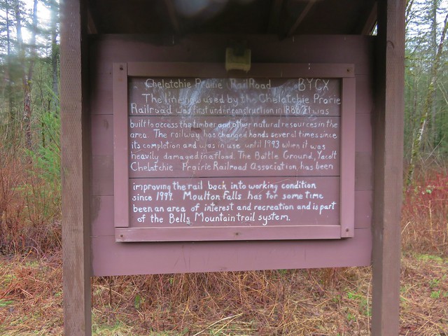
We found the spur trail shown on the map leading up and away from the viewpoint. We followed this path less than 100 yards past a sign for Yacolt Creek Falls to the Chelatchie Prairie Railroad and Moulton Station.
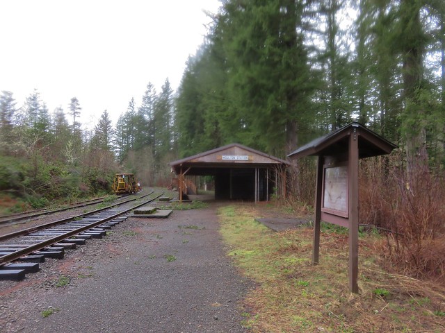
Despite the fact that the Yacolt Creek Falls sign seemed to support the falls we’d just come from as being the correct ones we were still unsure based on how we were reading the park map.

We passed through Moulton Station and continued along the tracks for a bit before deciding that we were on a wild goose chase. We had failed to take into account the scale of the map and just how short the distances reflected on the map were. It was a good early season reminder to pay attention to the map scale. We turned around and headed back past Yacolt Creek Falls and descended to Lucia Falls Road which we crossed.
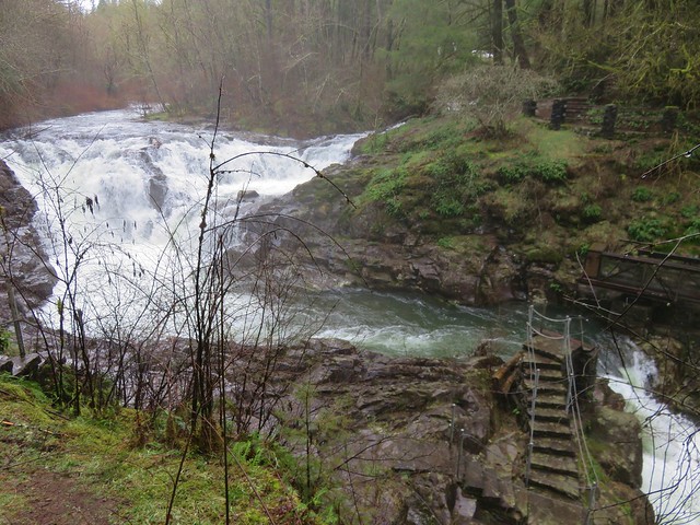
To the right was the parking lot at Moulton Falls which was filling up pretty quickly and to the left was the continuation of the loop. If we’d have gone right a short distance we would have come to a viewpoint with a close up of Moulton Falls, but we’d seen them from the other side of the river already so we turned left. The trail crossed Big Tree Creek on a footbridge then led to a nice viewpoint of the bridge over the East Fork Lewis River.
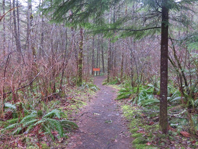
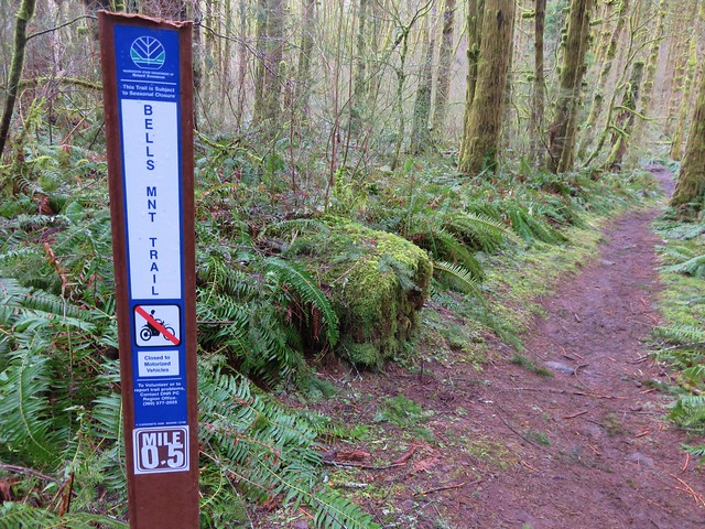
Beyond the viewpoint the trail climbed up away from the river completing the loop. We recrossed the footbridge and headed back toward the Bells Mountain Trail. This trail provides access to Silver Star Mountain. We weren’t going to be going anywhere near that far on this day though, instead we decided to pick a turn around time based on when we started on the trail.
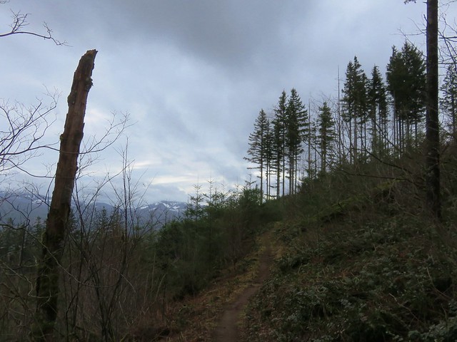
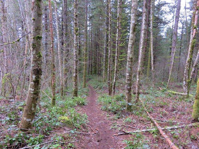
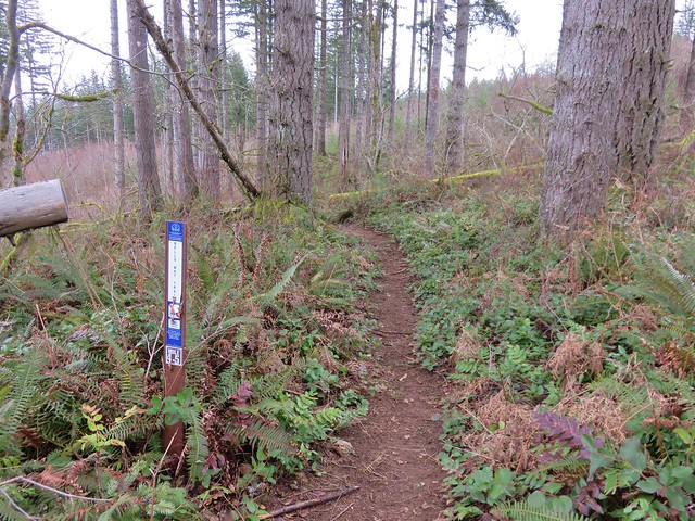
It was 10:25am when we started up the Bells Mountain Trail so we gave ourselves until 12:30pm and then we’d turn around hoping that would get us home around 5pm. The trail climbed fairly steeply at first but soon leveled off in a young forest.
After the initial climb the trail did a series of ups and downs crossing several streams and logging roads as it passed through alternating sections of clear cuts and trees.
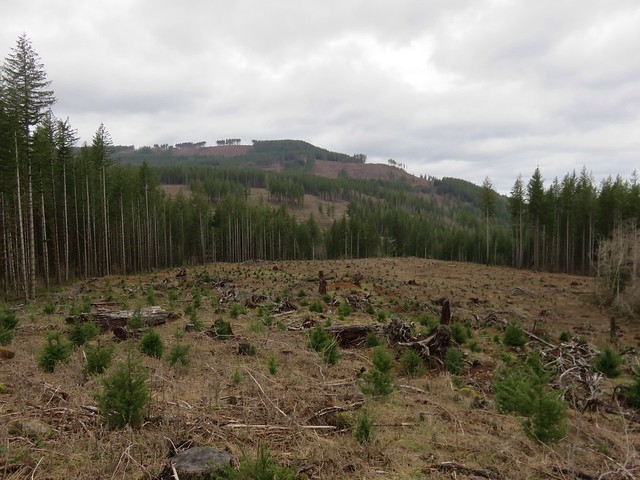
Due to the amount of logging activity in the area the trail is subject to periodic closures so make sure to check ahead if you’re planning on visiting.
The trail was in really good shape and there was good signage at the road crossings as well as mile markers every half mile.
The mile posts actually played into our turnaround point as we arrived at the 4.5 mile marker at 12:25 which was exactly 2 hours after having set off on the Bells Mountain Trail.
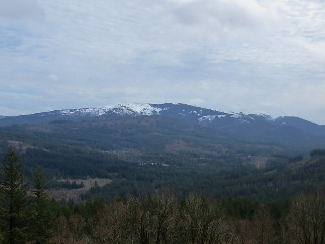
Despite setting 12:30 as our turn around time being at the mile marker exactly 2 hours after having started out seemed to demand our calling it so we tapped the post and headed back. On the way back the clouds lifted enough to reveal Silver Star Mountain.


We were really feeling the effects of not hiking regularly on the way back. We hadn’t really been paying that much attention to how far we’d gone but our feet knew it was a lot further than the 10 miles I’d originally planned on for the day. By the time we’d made it back to the Hantwick Road Trailhead we’d gone 17.8 miles, but we’d finished a little before three so we were on track to be home by five. Happy Trails!
Flickr: Lucia & Moulton Falls

3 replies on “Lucia & Moulton Falls Parks”
Great narrative with supporting pics. Very helpful! Can’t imagine hiking 17 miles in a day.
[…] Moulton Falls – Hiked 3/1/2017 (This is Yacolt not Moulton […]
Great pictures, the top of Bells mountain is very flat and has a big meadow with all abandoned house and 3 sorta creepy ponds. I wish I knew the history of the house and who lived up there.