Several years ago we set a goal for ourselves to hike all 500 featured hikes in William L. Sullivan’s “100 Hikes…” series of guidebooks (post). In 2020 we completed the first of these books covering the Central Oregon Cascades (post). We followed that up by completing a pair of books in 2021 starting with Sullivan’s “100 Hikes/Travel Guide Oregon Coast and Coast Range” 3rd edition (post) followed up by “100 HIkes/Travel Guide Northwest Oregon & Southwest Washington” 4th edition (post).
Generally speaking in order to check a hike off our list we need to have hiked a substantial portion of Sullivan’s described hike or visited the main attraction(s) he identifies for the hike. For 66 of the hikes we followed the books described route. For the other 34 hikes various factors contributed to us not completing all of each featured hike. For some we started at a different trailhead, others had portions of trail(s) closed when we visited, and several had longer options that would have required multiple days to complete. In some other cases we did slightly different routes, sometimes by accident.
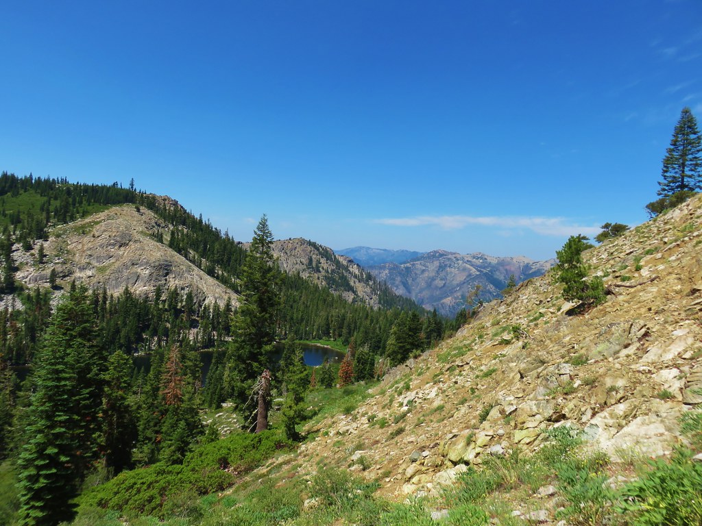
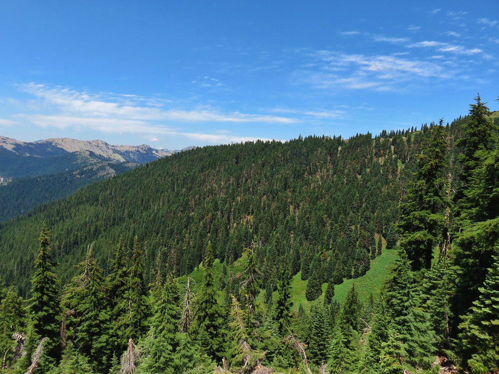
The area covered by Sullivan in this book, as the title suggests includes parts of Southern Oregon and Northern California. It contains his southernmost featured hike, Caribou Lakes. In general the area covered in Oregon begins just North of Roseburg extending East to Highway 97 (with the exception being Klamath Falls which is included in his Eastern Oregon book), South to California, and West to Marial on the Rogue River. In California the area extends south to the Trinity Alps Wilderness, West to the Siskiyou Wilderness, and East to the Mount Shasta Wilderness.


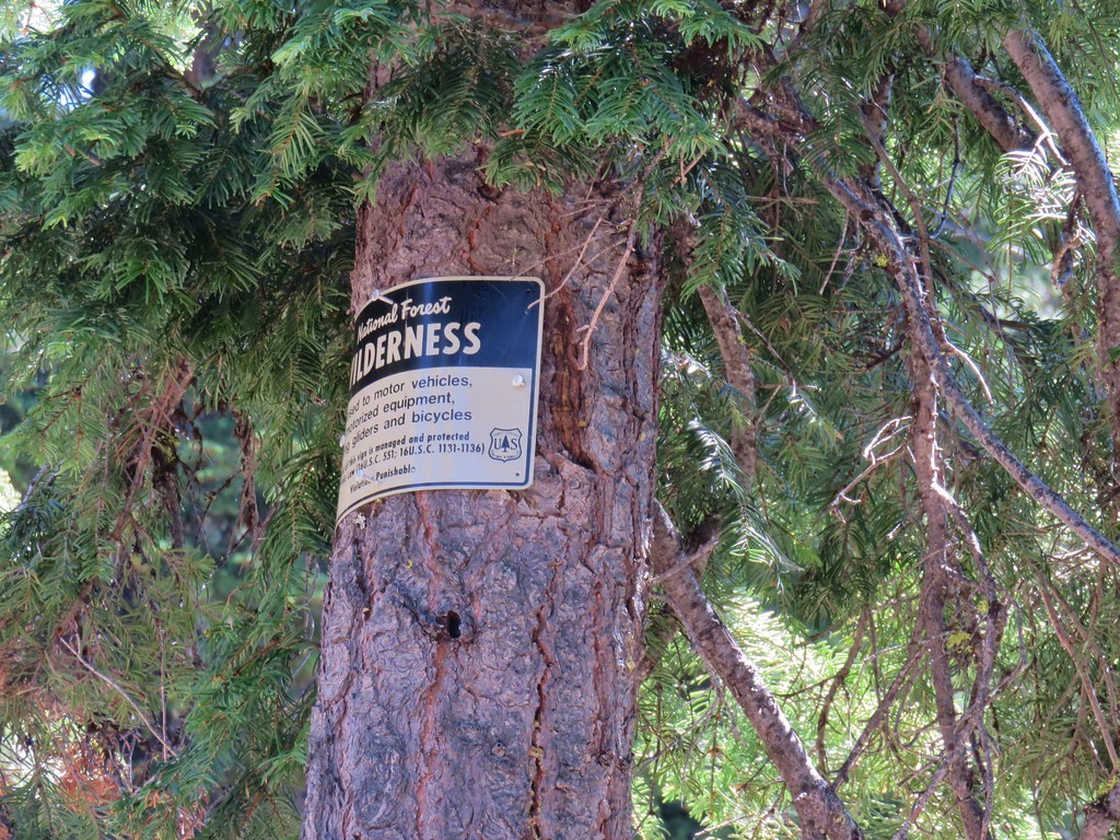
In addition to the three wilderness areas in California mentioned above the featured hikes included visits to the Marble Mountain, Castle Crags, Russian, and Red Buttes Wilderness areas in California. Wilderness areas in Oregon included the Red Buttes (OR & CA share this wilderness), Kalmiopsis, Wild Rogue, Soda Mountain, Mountain Lakes, Sky Lakes, Rogue-Umpqua Divide, Boulder Creek, and Mt. Thielsen.
In addition to the 15 designated wilderness areas there were hikes in two National Monuments – Oregon Caves & Cascade-Siskiyou, and Crater Lake National Park.
#1 North Bank Ranch-Hiked 6/5/2015 6/25/2023

#2 Fall Creek Falls-Hiked 6/13/2022 8/7/2022 6/25/2023
 Fall Creek Falls
#3 Little River Waterfalls-Hiked 8/7/2022
 Yasko Falls
#4 Boulder Creek-Hiked 9/7/2020

#5 Twin Lakes-Hiked 6/14/2022

#6 Fish Lake-Hiked 9/3/2022

#7 Buckey and Cliff Lakes-Hiked 9/3/2022

#8 Umpqua Hot Springs-Hiked 6/13/2022

#9 Toketee and Watson Falls-Hiked 6/13/2022

#10 Lemolo Falls-Hiked 6/13/2022

#11 Cowhorn Mountain-Hiked 9/15/2016

#12 Miller and Maidu Lakes-Hiked 8/1/2012

#13 Tipsoo Peak-Hiked 10/2/2014

#14 Thielsen Creek-Hiked 8/8/2020

#15 Mount Thielsen-Hiked 9/23/2012

#16 Diamond Lake-Hiked 9/5/2020

#17 Mount Bailey-Hiked 8/12/2012

#18 Boundary Springs-Hiked 6/13/2014

#19 Park Headquarters-Hiked 7/31/2023

#20 Garfield Peak-Hiked 7/31/2023

#21 Discovery Point-Hiked 9/19/2022

#22 The Watchman-Hiked 8/12/2012 7/31/2023

#23 Wizard Island-Hiked 8/1/2023

#24 Mount Scott-Hiked 10/2/2014

#25 Plaikni Falls and The Pinnacles-Hiked 7/30/2023

#26 Crater Peak-Hiked 7/30/2023

#27 Annie Creek & Godfrey Glen-Hiked 7/30/2023 7/31/2023

#28 Union Peak-Hiked 9/17/2022

#29 Upper and Lower Table Rocks-Hiked 6/9/2017 (Lower) & 5/26/2022 (Upper)
 Lower Table Rock
 View from Upper Table Rock
#30 Lost Creek Lake-Hiked 6/9/2017

#31 Takelma Gorge-Hiked 10/15/2020

#32 Natural Bridge-Hiked 10/16/2020

#33 Union Creek-Hiked 10/17/2020 9/20/2022

#34 Abbott Butte-Hiked 10/17/2020

#35 Hershberger Mountain-Hiked 10/16/2020

#36 Muir Creek-Hiked 5/27/2018

#37 Rattlesnake Mountain-Hiked 9/6/2020

#38 Seven Lakes West-Hiked 9/9/2023

#39 Seven Lakes East-Hiked 9/9/2023

#40 Blue Lake Basin-Hiked 9/18/2022

#41 Mount McLoughlin-Hiked 8/27/2016

#42 Fourmile Lake-Hiked 8/26/2016

#43 Sky Lakes via Cold Springs-Hiked 9/24/2022

#44 Sky Lakes via Nannie Creek-Hiked 9/24/2022

#45 Fish Lake-Hiked 10/7/2018

#46 Brown Mountain Lava Flow-Hiked 8/28/2016

#47 Lake of the Woods-Hiked 10/7/2018

#48 Mountain Lakes-Hiked 8/25/2016

#49 Soda Mountain-Hiked 6/3/2015

#50 Pilot Rock-Hiked 7/29/2017

#51 Mount Ashland Meadows-Hiked 6/3/2015

#52 Lithia Park-Hiked 6/2/2015

#53 Bandersnatch Trail-Hiked 6/17/2022

#54 White Rabbit Trail-Hiked 6/17/2022

#55 Grizzly Peak-Hiked 6/5/2015

#56 Roxy Ann Peak-Hiked 5/30/2022

#57 Wagner Butte-Hiked 6/4/2015

#58 Siskiyou Gap-Hiked 6/16/2022

#59 Jack-Ash Trail-Hiked 5/27/2022

#60 Sterling Ditch Tunnel-Hiked 6/10/2017 5/2/2023

#61 Jacksonville-Hiked 6/8/2017

#62 Enchanted Forest-Hiked 6/11/2017

#63 Observation Peak-Hiked 6/15/2022

#64 Collings Mountain-Hiked 6/8/2017

#65 Applegate Lake-Hiked 6/8/2017 5/29/2022

#66 Red Buttes-Hiked 10/27/2015

#67 Frog Pond-Hiked 6/18/2022

#68 Azalea Lake-Hiked 10/26/2015

#69 Sturgis Fork-Hiked 10/7/2023

#70 Grayback Mountain-Hiked 10/9/2023

#71 Oregon Caves-Hiked 10/30/2015

#72 Mount Elijah-Hiked 10/7/2023

#73 Sucker Creek-Hiked 10/26/2015

#74 Tanner Lakes-Hiked 10/8/2023

#75 Bolan Lake-Hiked 10/8/2023

#76 Polar Bear Gap-Hiked 7/1/2022

#77 Raspberry Lake-Hiked 7/3/2022

#78 Devils Punchbowl-Hiked 7/2/2022

#79 Rough and Ready Creeks-Hiked 5/12/2017

#80 Babyfoot Lake-Hiked 10/9/2023

#81 Eight Dollar Mountain-Hiked 5/4/2023

#82 Illinois River Beaches-Hiked 5/4/2023

#83 Grants Pass Nature Trails 5/3/2023

#84 Rouge River Trail East-Hiked 5/1/2023

#85 Rogue River Trail West-Hiked 6/24/2023

#86 Paradise Lake-Hiked 6/28/2016

#87 Sky High Lakes-Hiked 6/29/2016

#88 Campbell Lake-Hiked 6/27/2016

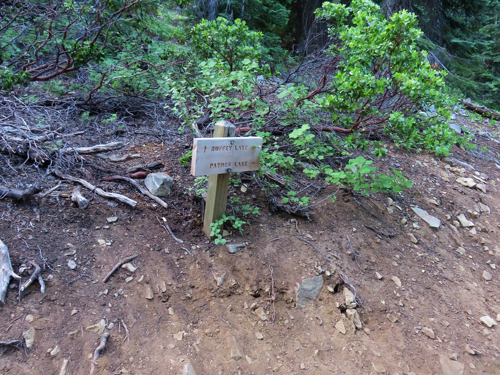
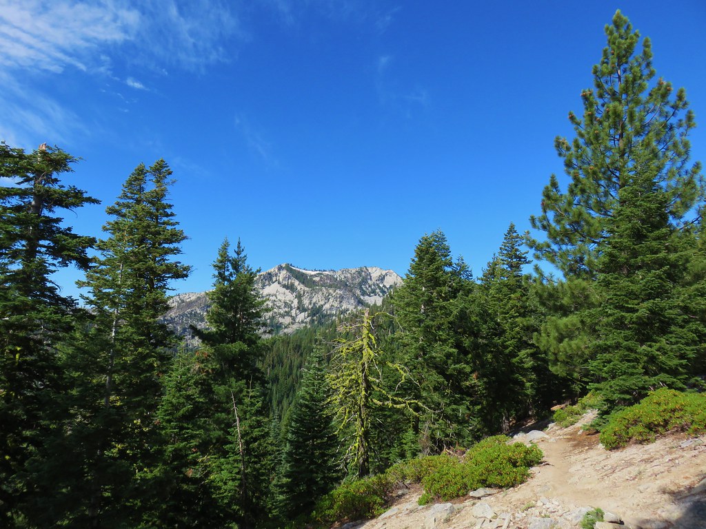
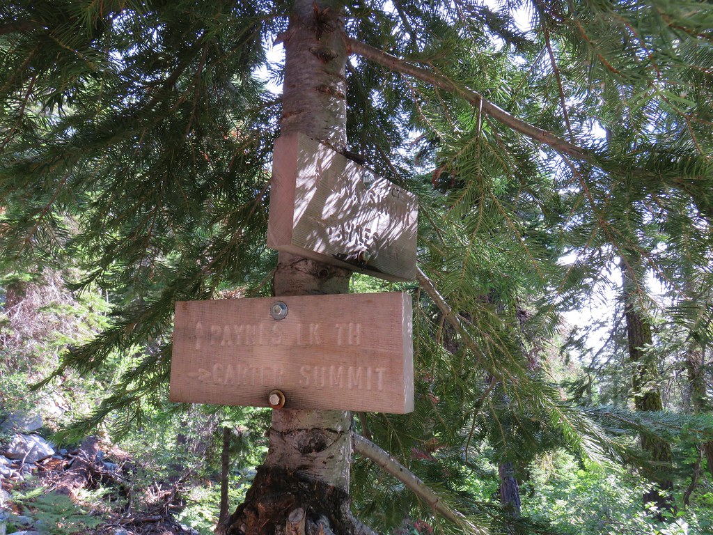
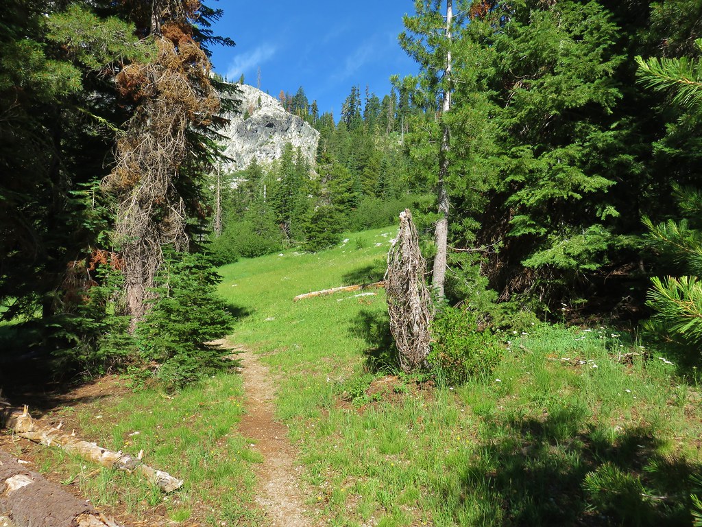
#89 Paynes Lake-Hiked 7/24/2017

#90 Russian Lake-Hiked 8/24/2022

#91 Hidden & South Fork Lakes-Hiked 8/26/2022

#92 Trail Gulch Lake-Hiked 8/25/2022

#93 East Boulder Lake-Hiked 8/23/2022

#94 Kangaroo Lake-Hiked 7/23/2017

#95 Deadfall Lakes-Hiked 7/25/2017

#96 Caribou Lake-Hiked 7/27/2017

#97 Castle Lake-Hiked 7/26/2017

#98 Castle Crags-Hiked 7/26/2017

#99 Black Butte-Hiked 7/28/2017

#100 Mount Shasta Meadows-Hiked 8/22/2022

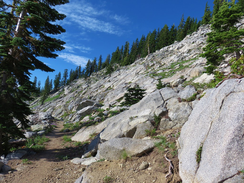
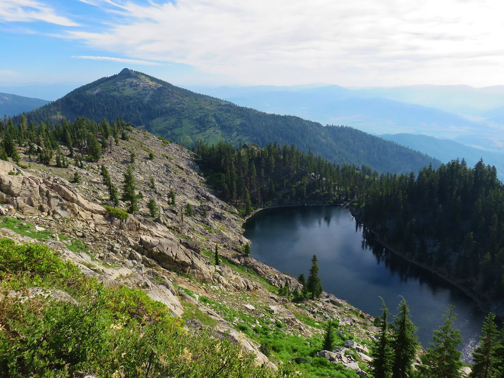
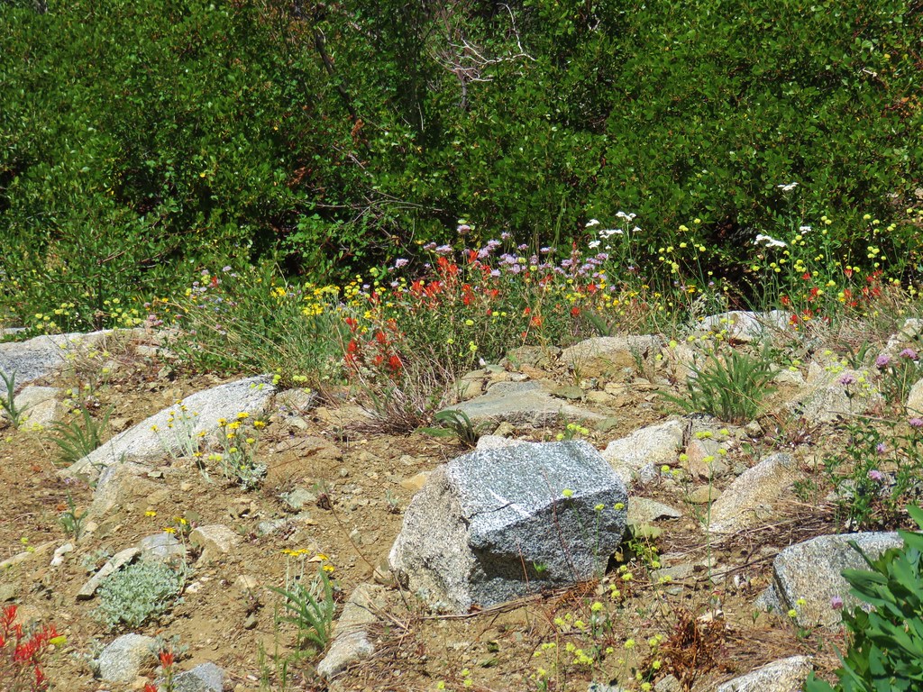
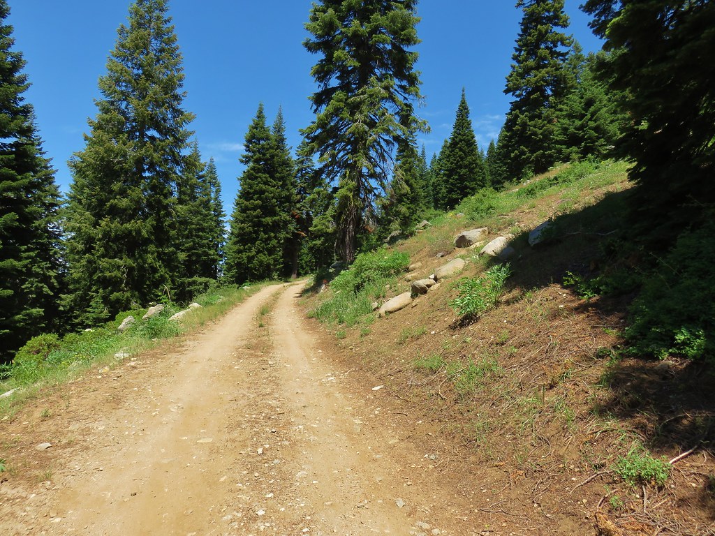
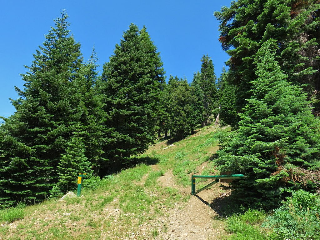
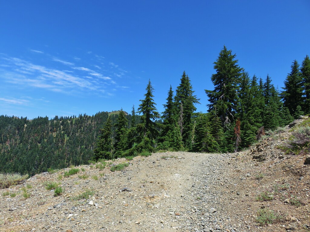
In our minds this was by far the most challenging area to finish even though we did so before completing Eastern Oregon. The difficulty with Eastern Oregon mostly revolves around distance from Salem and the size of the area covered. The Southern Oregon-Northern California area is smaller and the hikes not as far away, but it involved a lot of trails that frankly don’t see the level of maintenance that most of the other areas receive. While we’ve encountered rough trails, all over poison oak is much more prevalent down south which doesn’t invite pushing through overgrown tread or bushwacking around obstacles. This area has also been hit harder by fires over the last couple of decades leaving extra work to reopen them as well as remove additional blowdown as the dead trees fall over. When the conditions were good though the scenery and diverse plant and wildlife made for some spectacular hikes. There are many that we’d love to do again and several non-featured hikes that we have in our future plans, so we aren’t done with area yet. Happy Trails!

 Ants dropping sawdust from a log along the Catherine Creek Trail. We sat and watched these busy ants for quite a while. They had created a good-sized pile on the ground below.
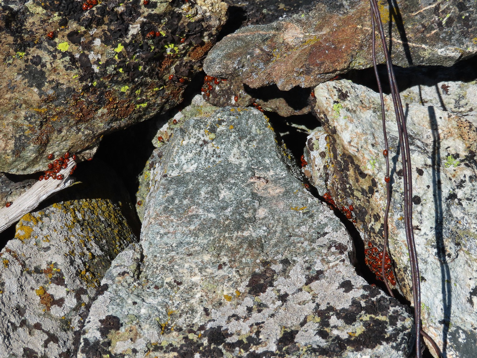 We see a lot of beetles but usually not all at once like these lady bugs on Observation Peak.
 Lady bug – Upper Table Rock
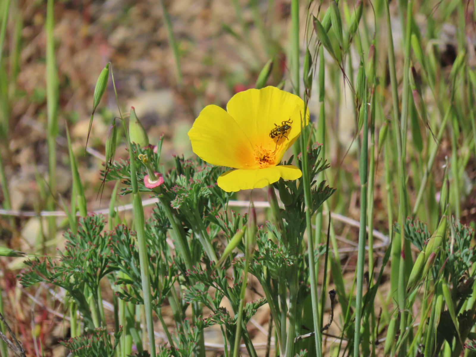 Yellow & black beetle – Mule Mountain
 Redish brown beetle – Siskiyou Wilderness
 Green beetle – Siskiyou Wilderness
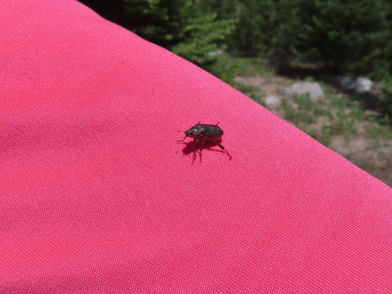 Hitchhiker – Mt. Ireland
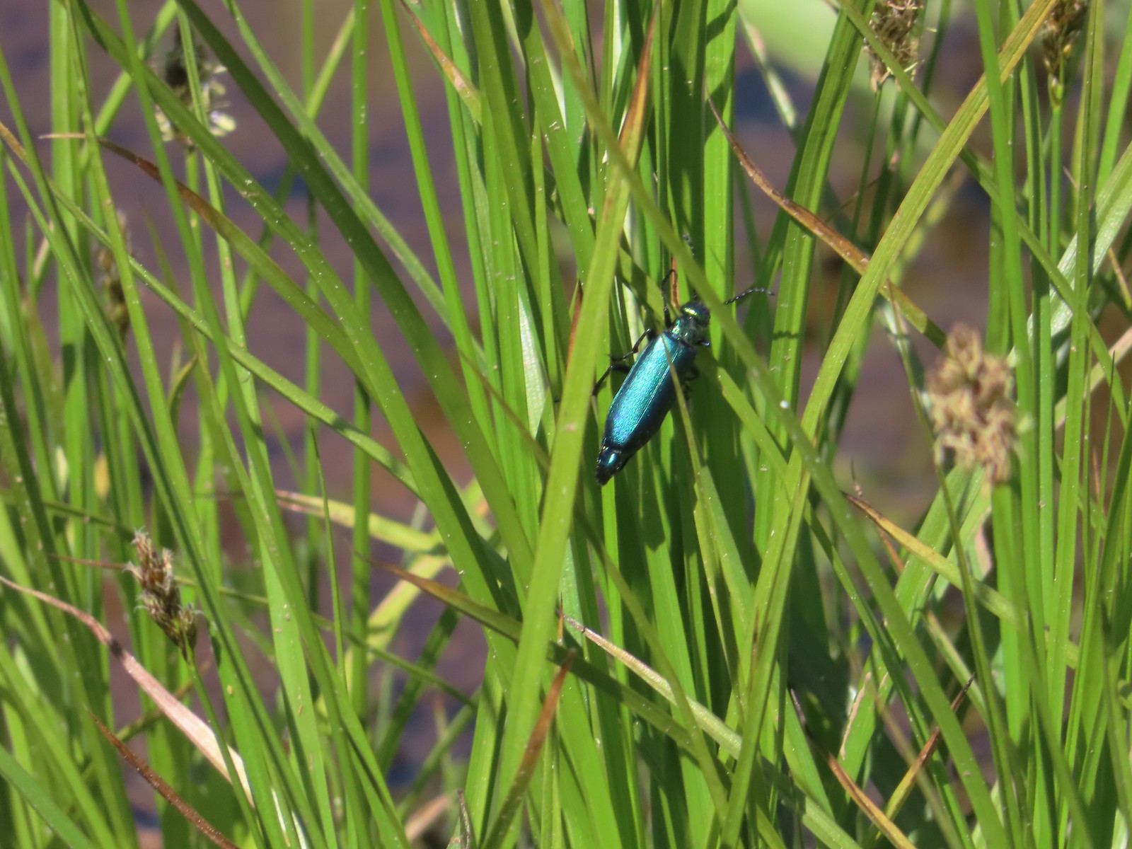 Blueish green beetle – Catherine Creek Meadows
 Small beetle – Catherine Creek Meadows
 Green beetle on a geranium – Eagle Cap Wilderness
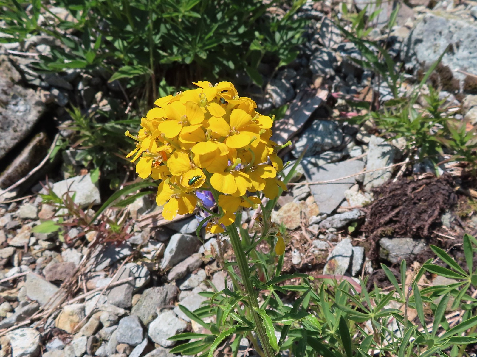 Green beetle on a wallflower – Silver Star Mountain
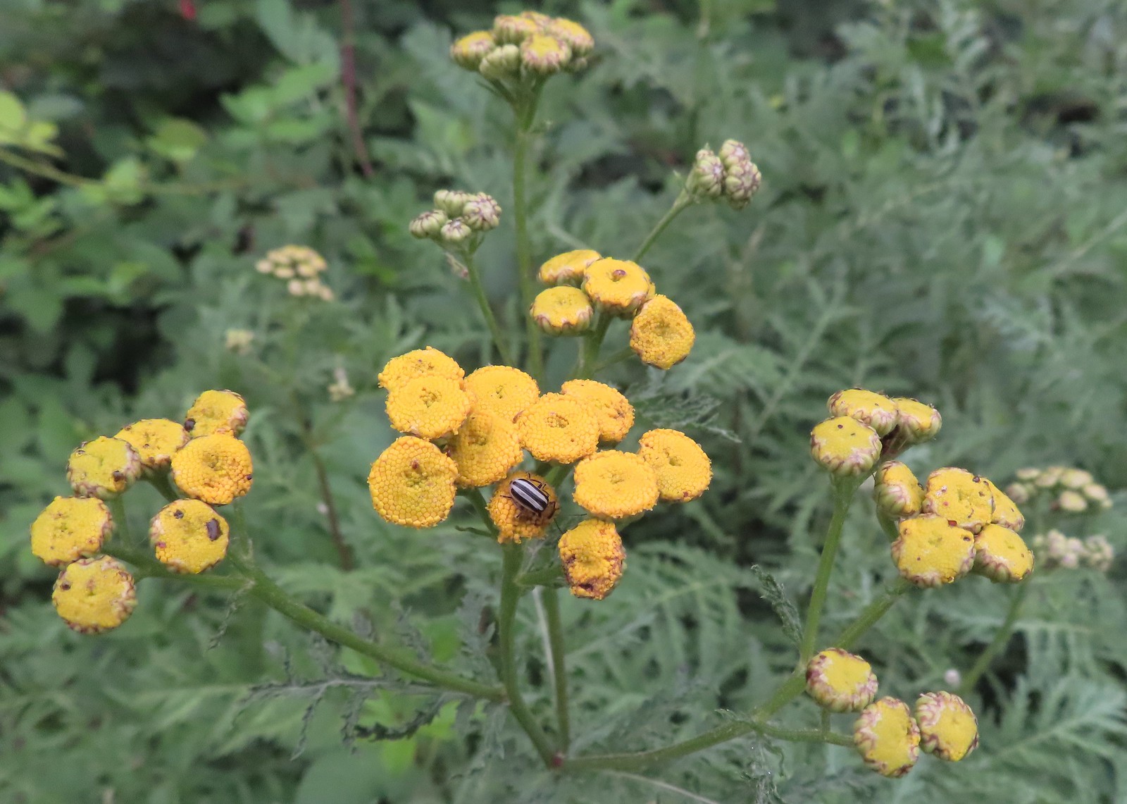 Stripped beetle – Spring Valley Greenway
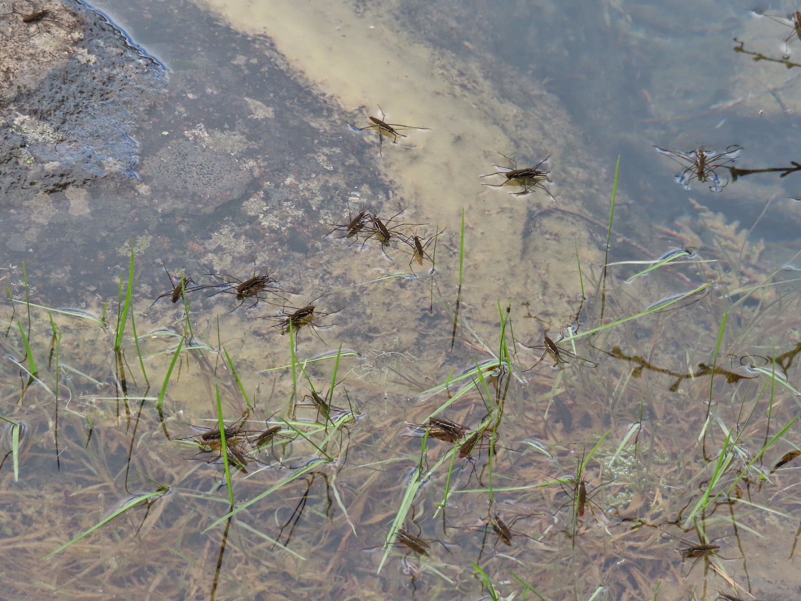 Water skippers – Big Twin Lake
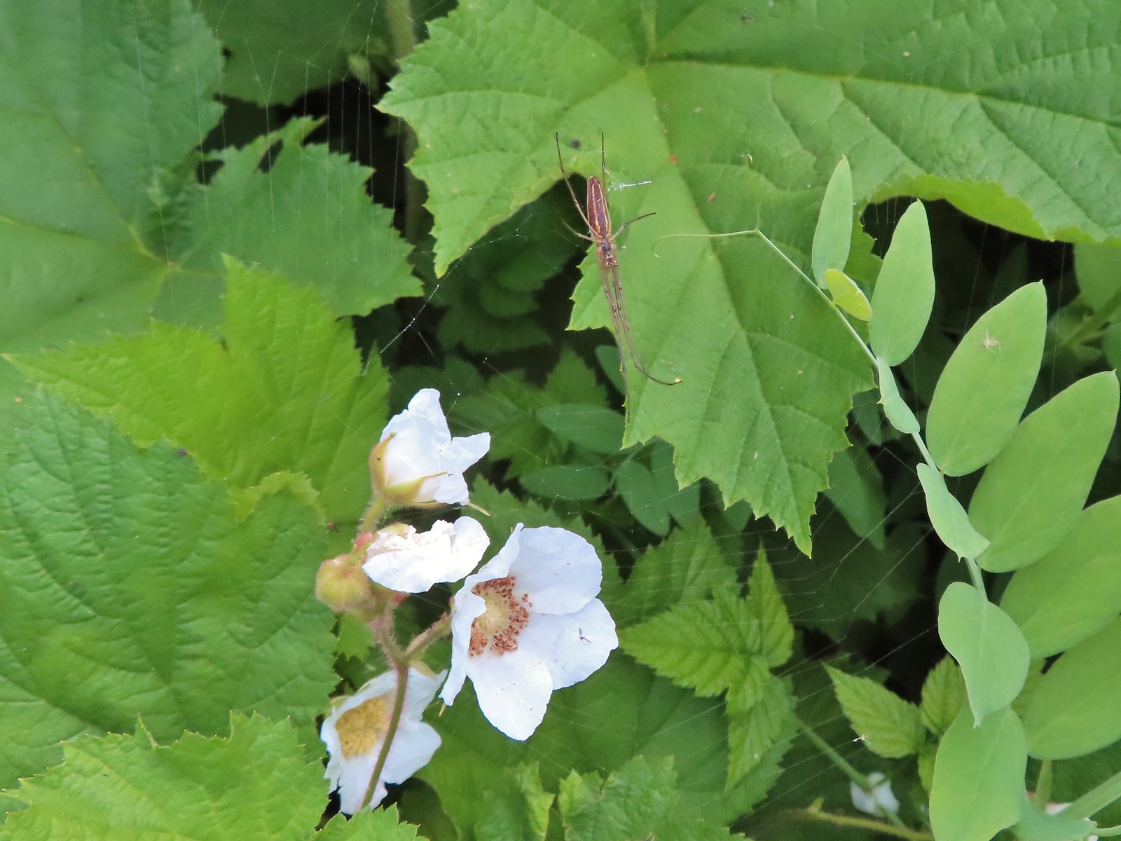 Spider on thimbleberry – Siskiyou Wilderness
 Crab spider – Eagle Cap Wilderness
 Another crab spider – Eagle Cap Wilderness
 Cricket – Pacific Crest Trail
 We are often literally struck by grasshoppers as we hike. Sometimes they stick when they hit us such as this one along the PCT.
 Bee on phacelia – Mule Mountain
 Wet bee on lupine – Julia Butler Hanson Wildlife Refuge
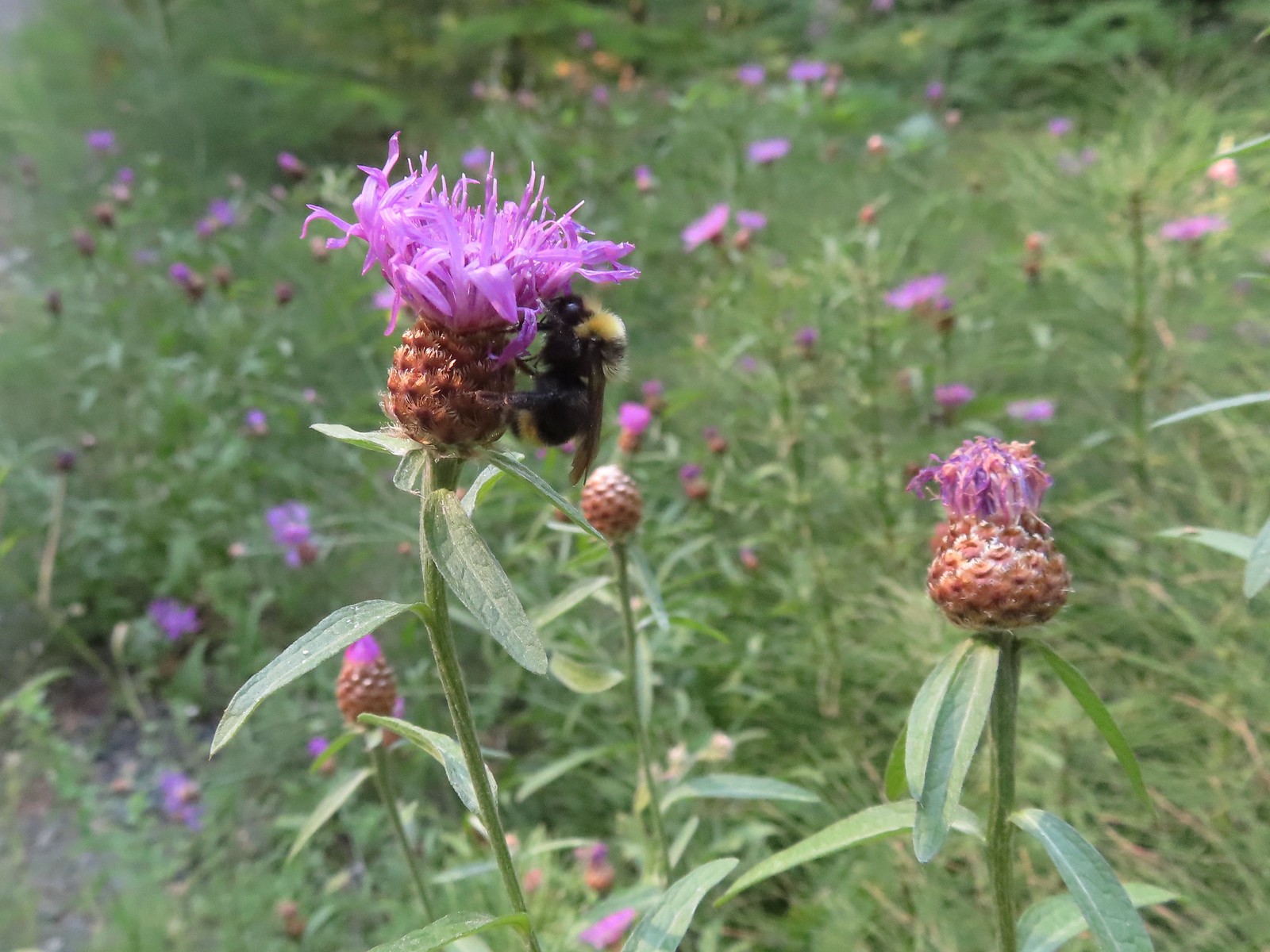 Bumble bee – Hemlock Creek Trail
 Lots of pollen – Mt. Adams Wilderness
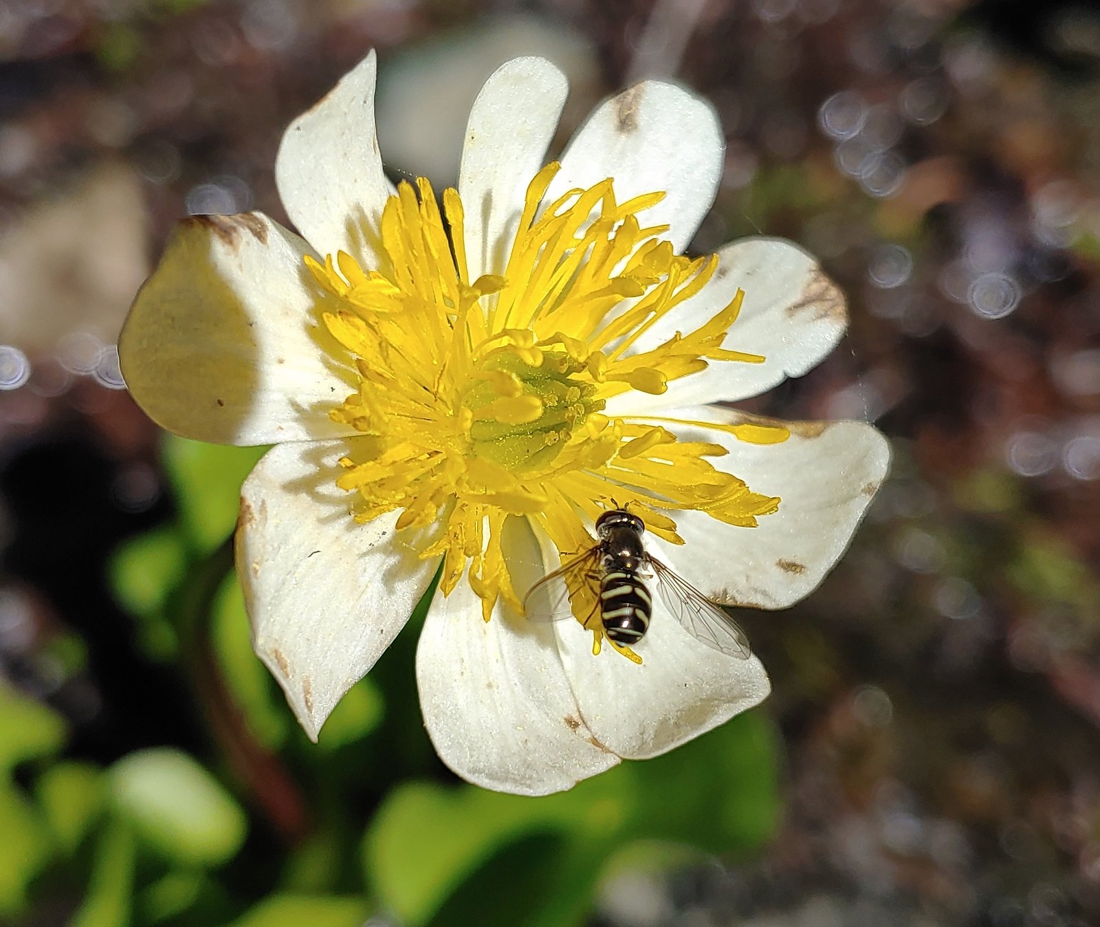 Bee landing on a marsh marigold along the PCT
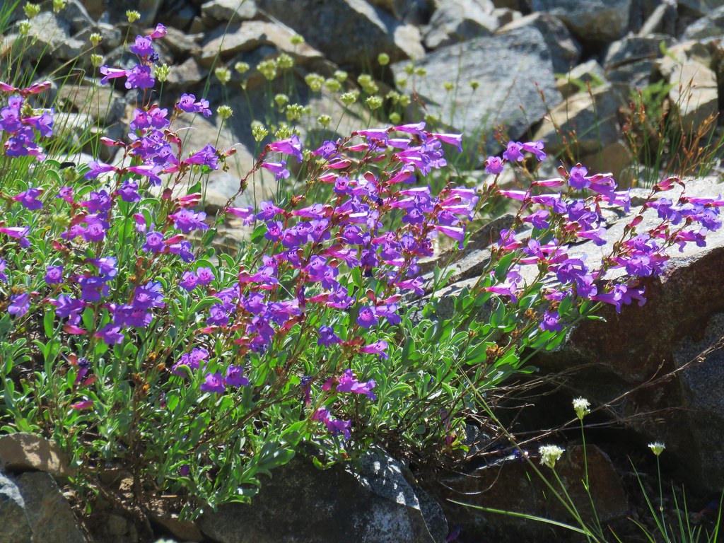
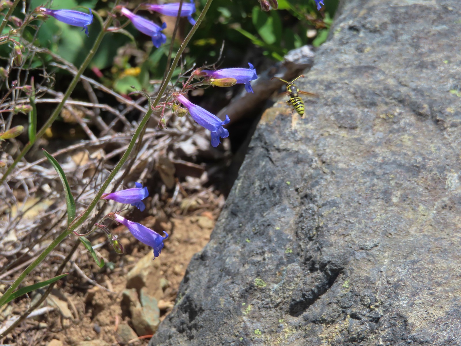 Bee approaching penstemon – Siskiyou Wilderness
 Bee and a tiny ant in a bindweed – Siskiyou Wilderness
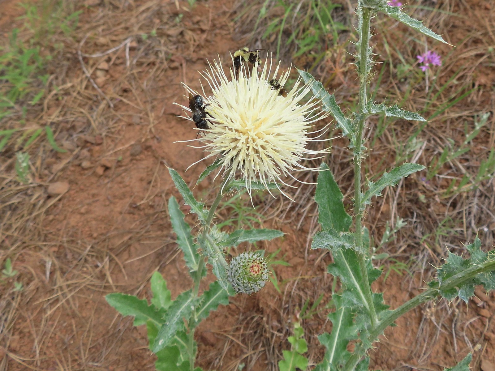 Insects on thistle – Eagle Cap Wilderness
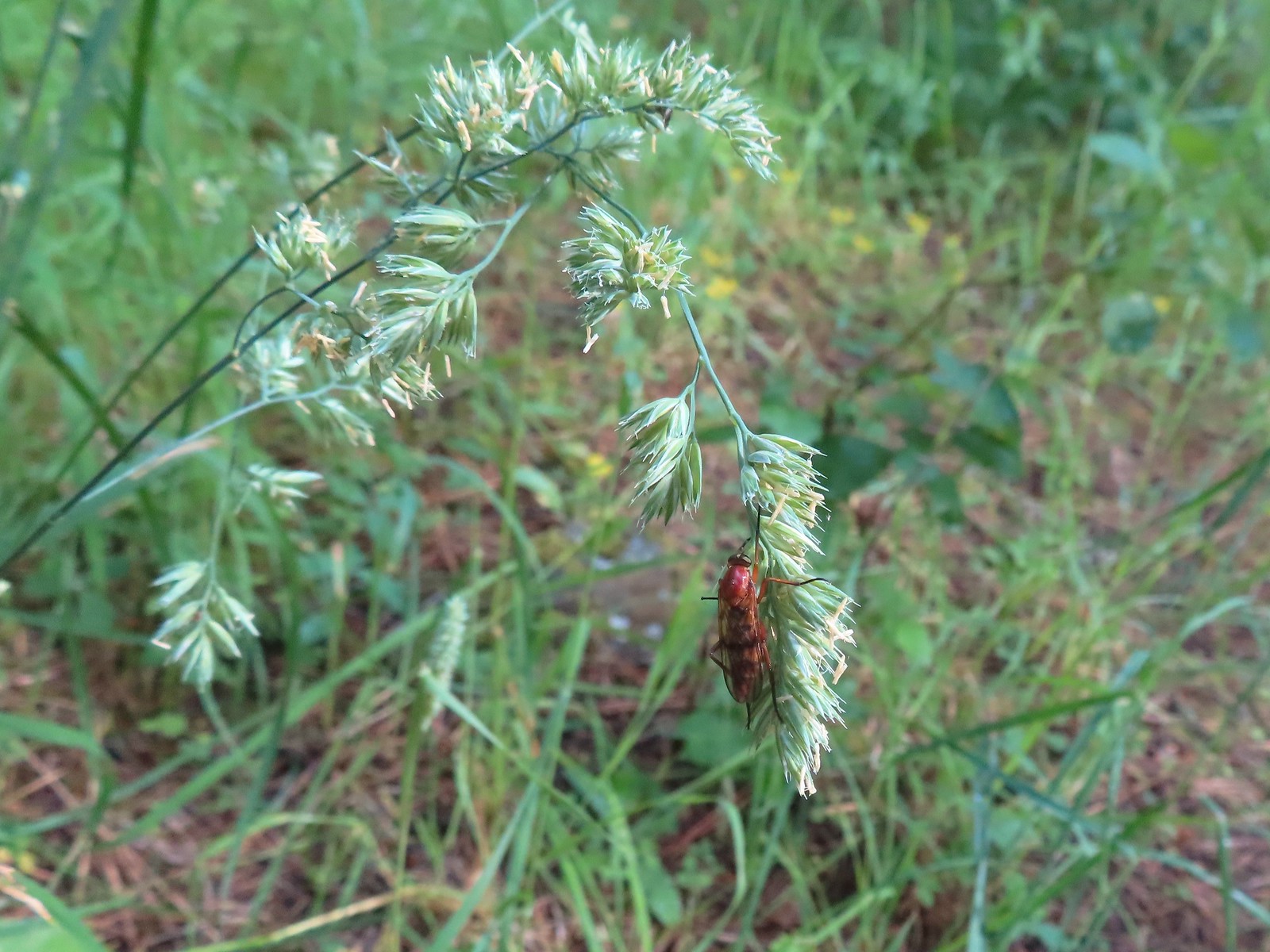 Wasp? – Eagle Cap Wilderness
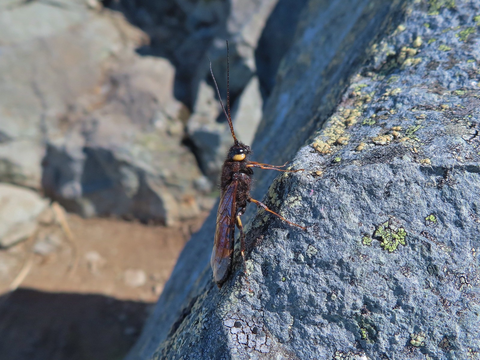 Some sort of wasp – Silver Star Mountain
 Insect along Bear Creek – Eagle Cap Wilderness
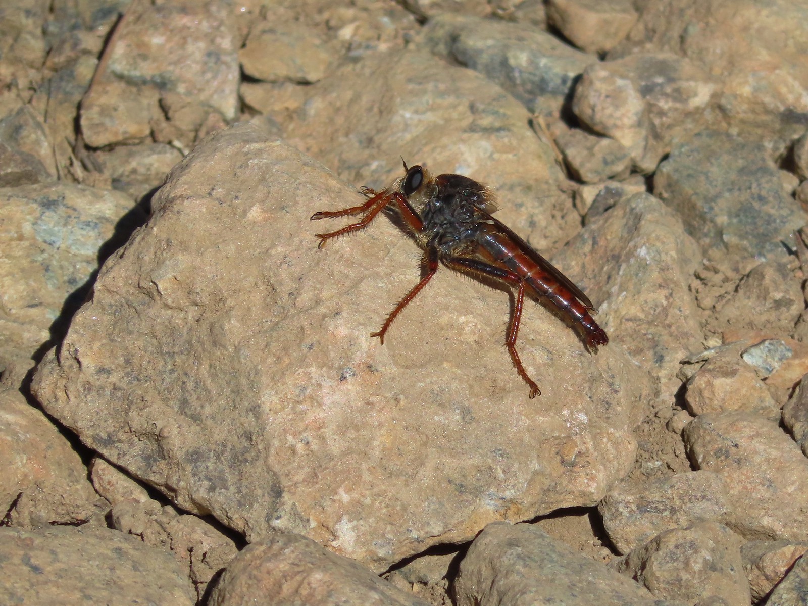 My brother and I used to call these “weird things”; I have no idea what it actually is – Trinity Alps Wilderness
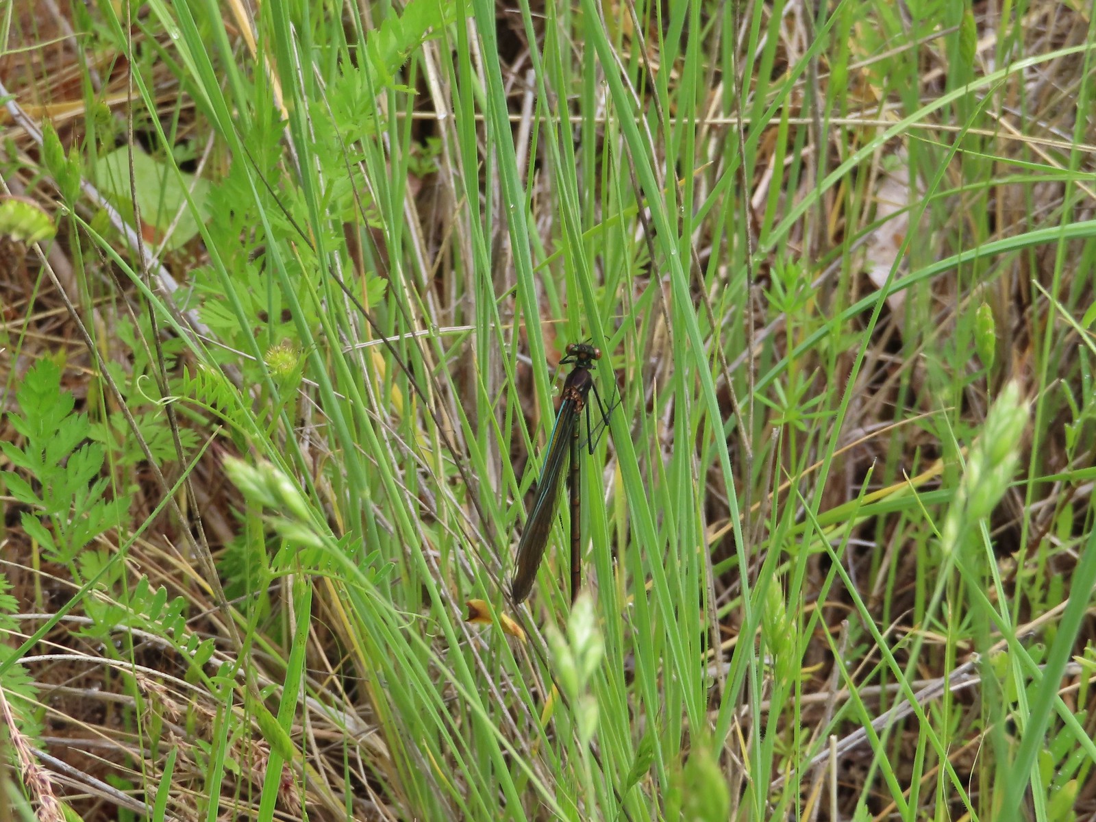 Damsel fly – Denman Wildlife Area
 Damsel fly – Hemlock Lake
 Dragon fly – Goat Marsh Lake
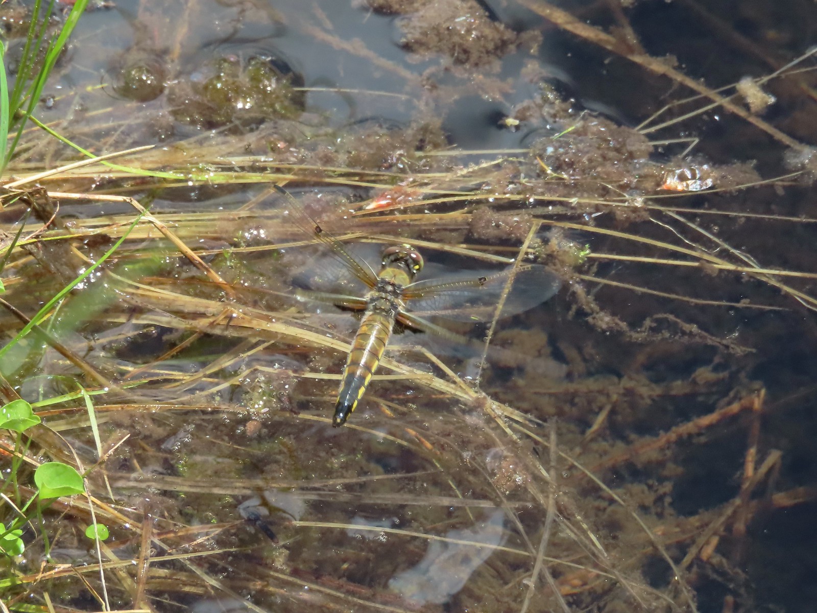 Dragon fly – Siskiyou Wilderness
 Dragon fly – Siskiyou Wilderness
 Dragon fly – Eagle Cap Wilderness
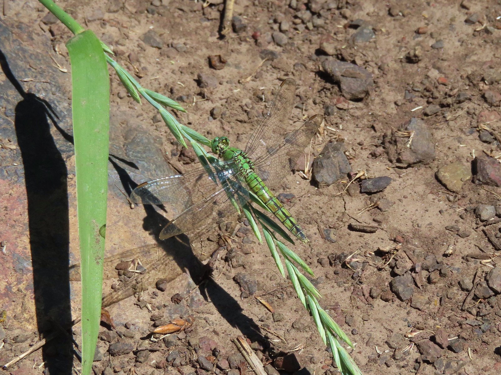 Dragon fly along the Wallowa River – Wallowa Homeland
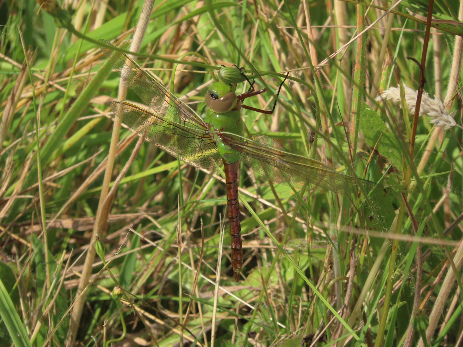 Dragon fly – E.E. Wilson Wildlife Area
 Dragon fly – Hemlock Lake
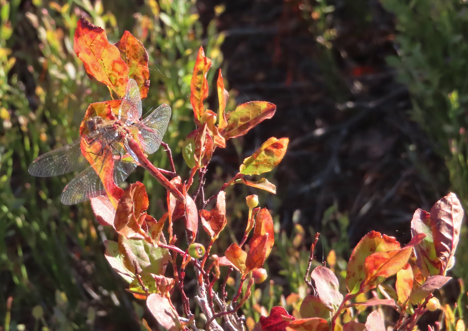 Dragon fly – Sky Lakes Wilderness
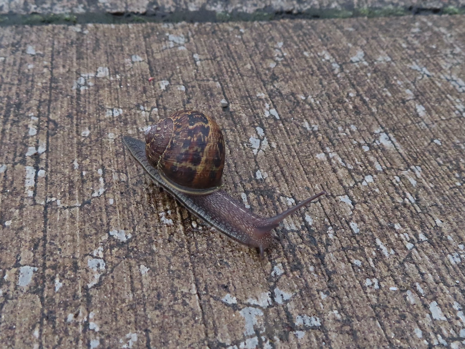 Snail – Rock Creek Trail
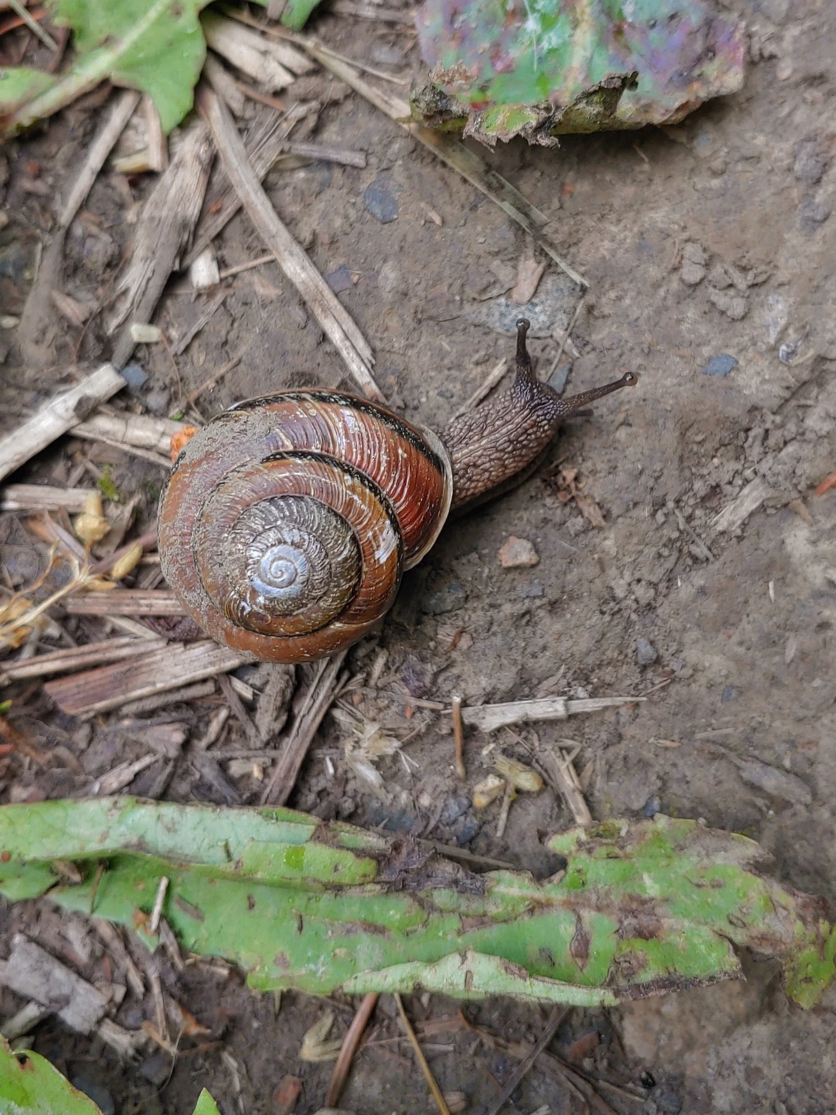 Snail – Applegate Lake
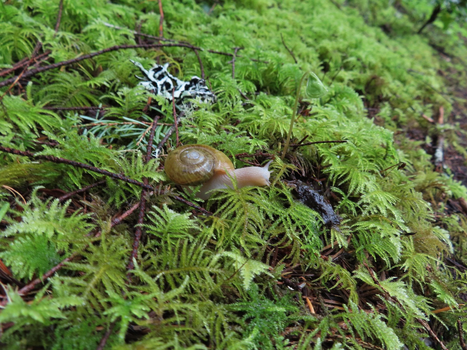 Snail – North Siouxon Trail
 Snail – Julia Hansen Butler Wildlife Refuge
 Snail – Siskiyou Wilderness
 Snail – Cascade Head
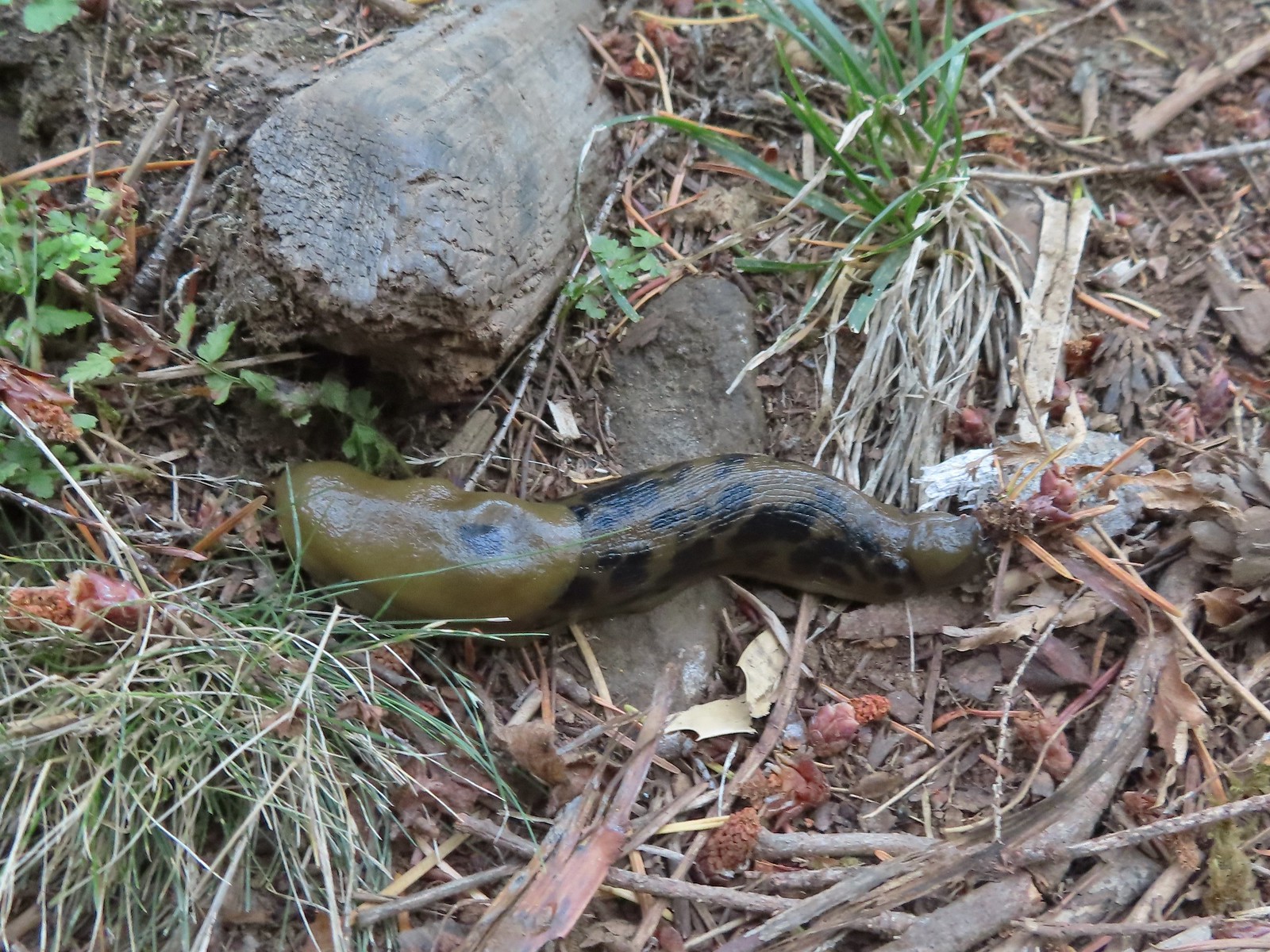 Slug – Larch Mountain Trail
 Slug (and a fly) – Susan Creek Trail
 Slug – Fish Lake
 Slug on lupine – Julia Butler Hansen Wildlife Refuge
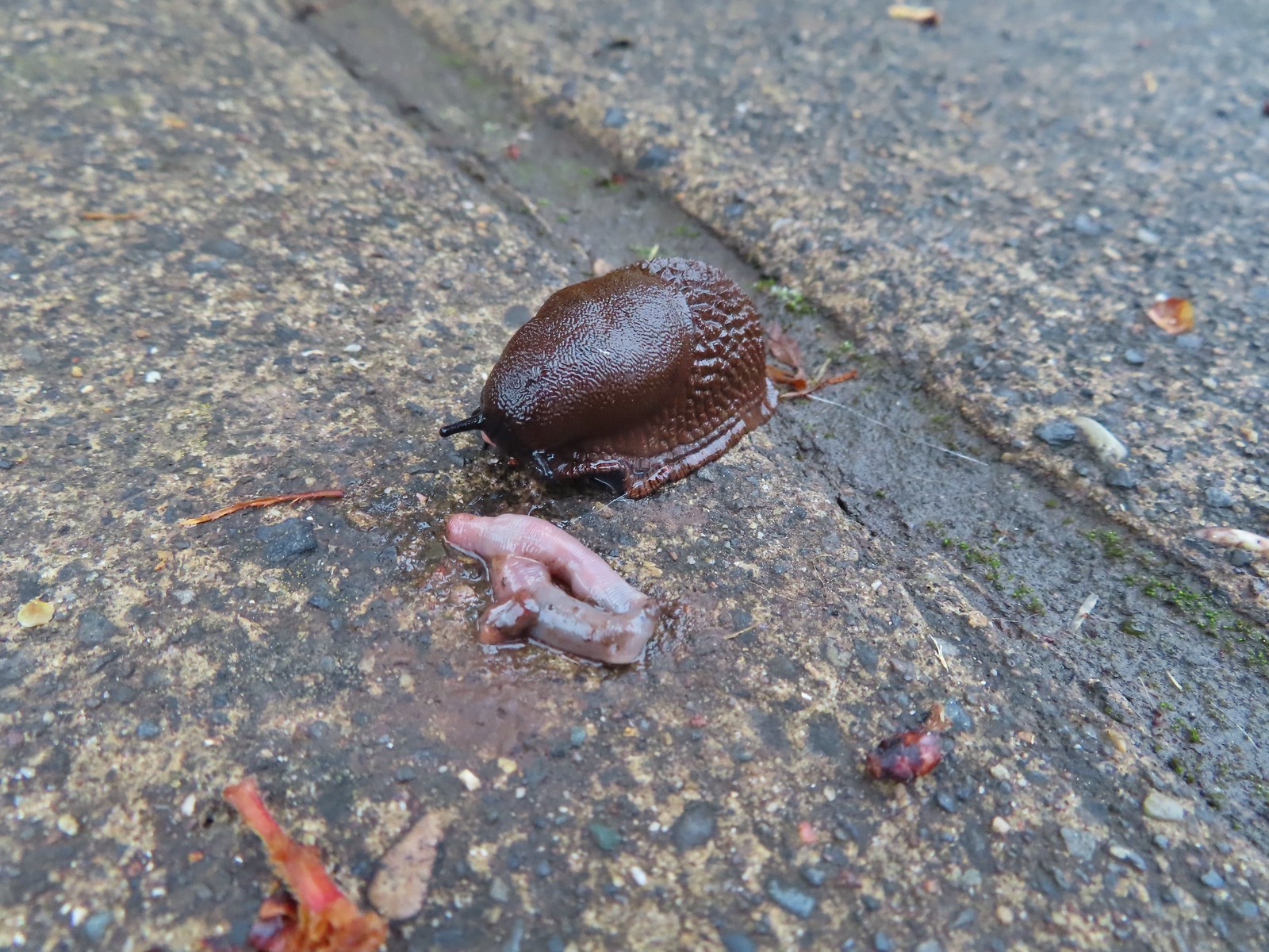 Slug and an unfortunate earth worm – Rock Creek Trail
 Worms – Chehalem Ridge Nature Park
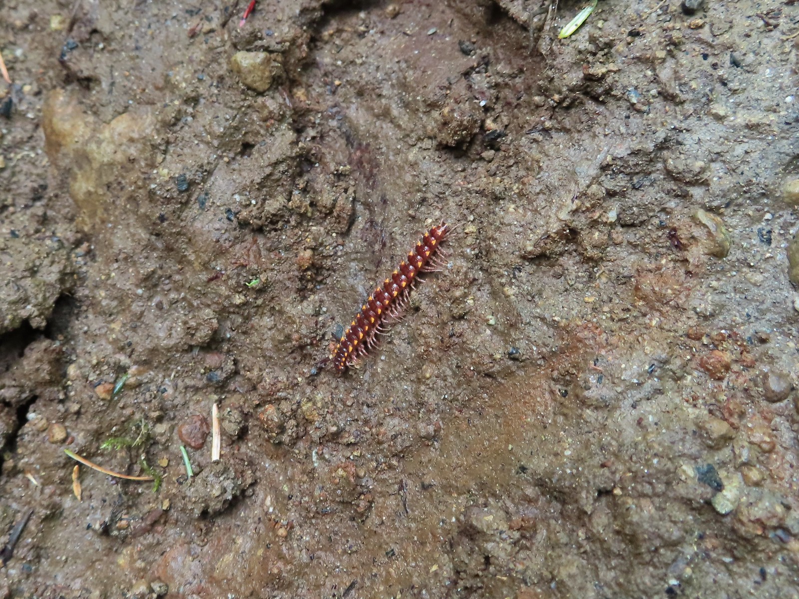 Millipede – North Siouxon Trail
 Millipede – Rock Creek Trail
 Millipede – Illahee Rock
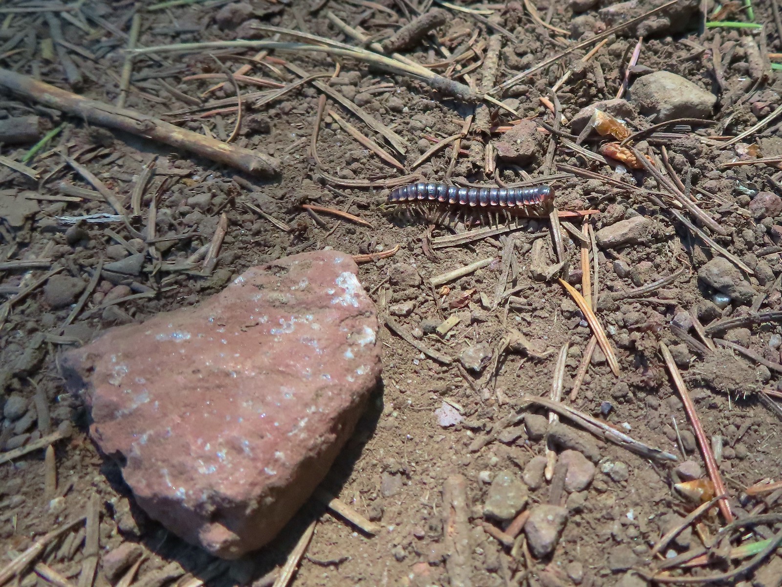 Millipede – Eagle Cap Wilderness
 Wet caterpillar – Yakona Nature Preserve
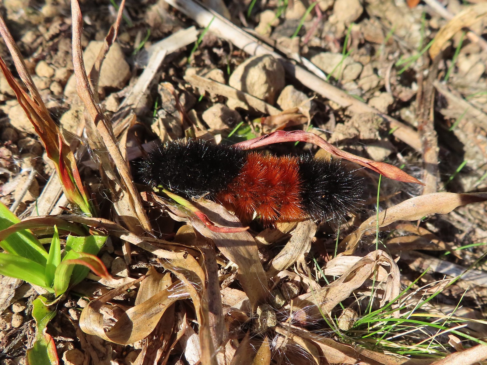 Dry version – Larch Mountain Trail
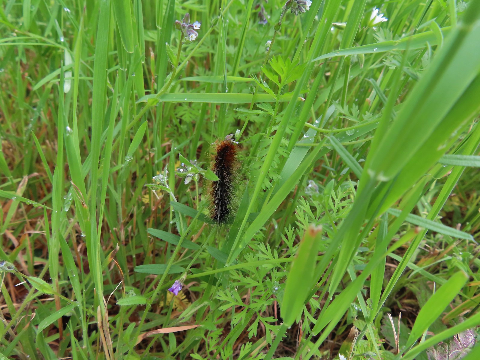 Caterpillar – Julia Butler Hansen Wildlife Refuge
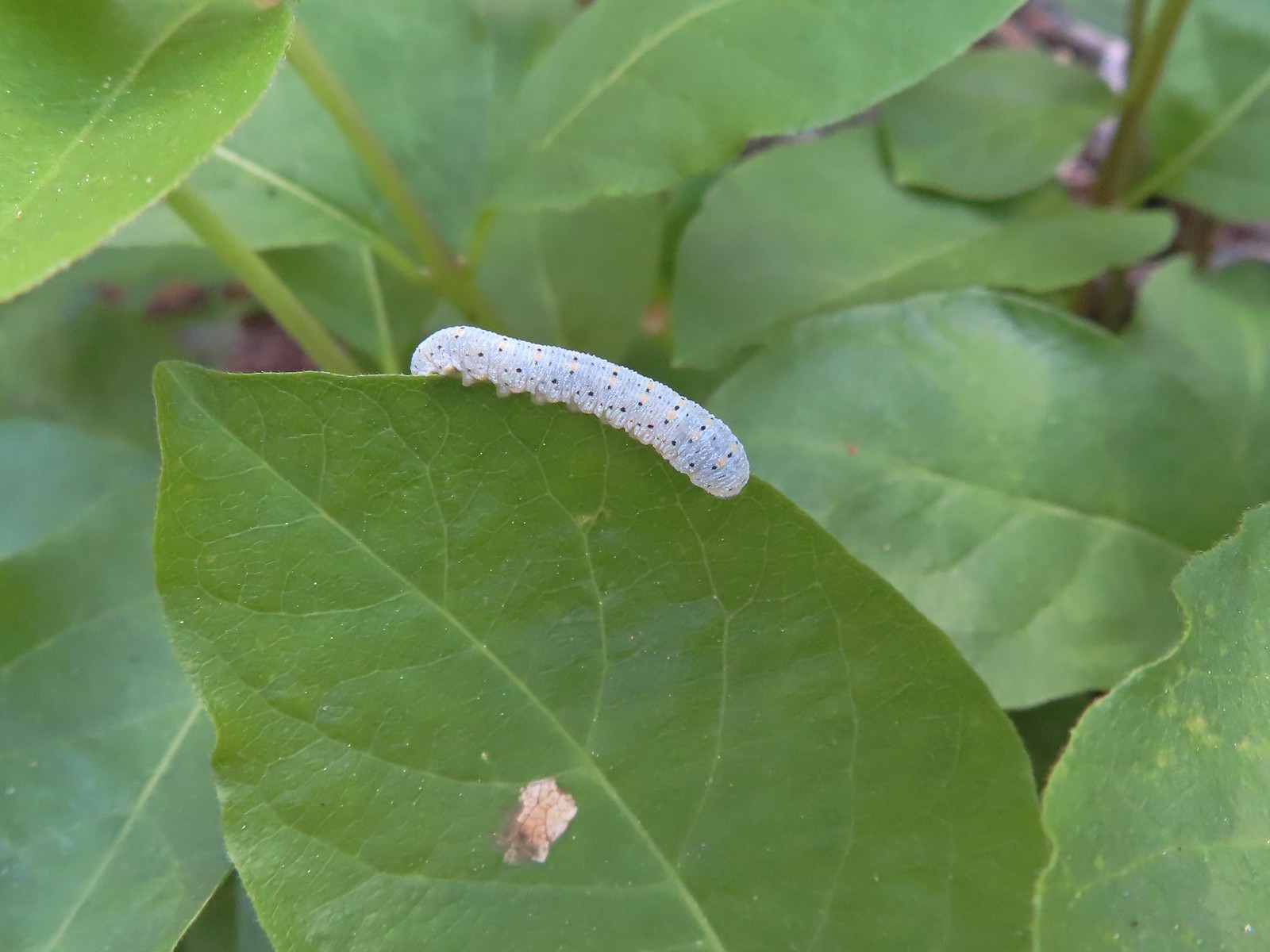 Caterpillar – Siskiyou Wilderness
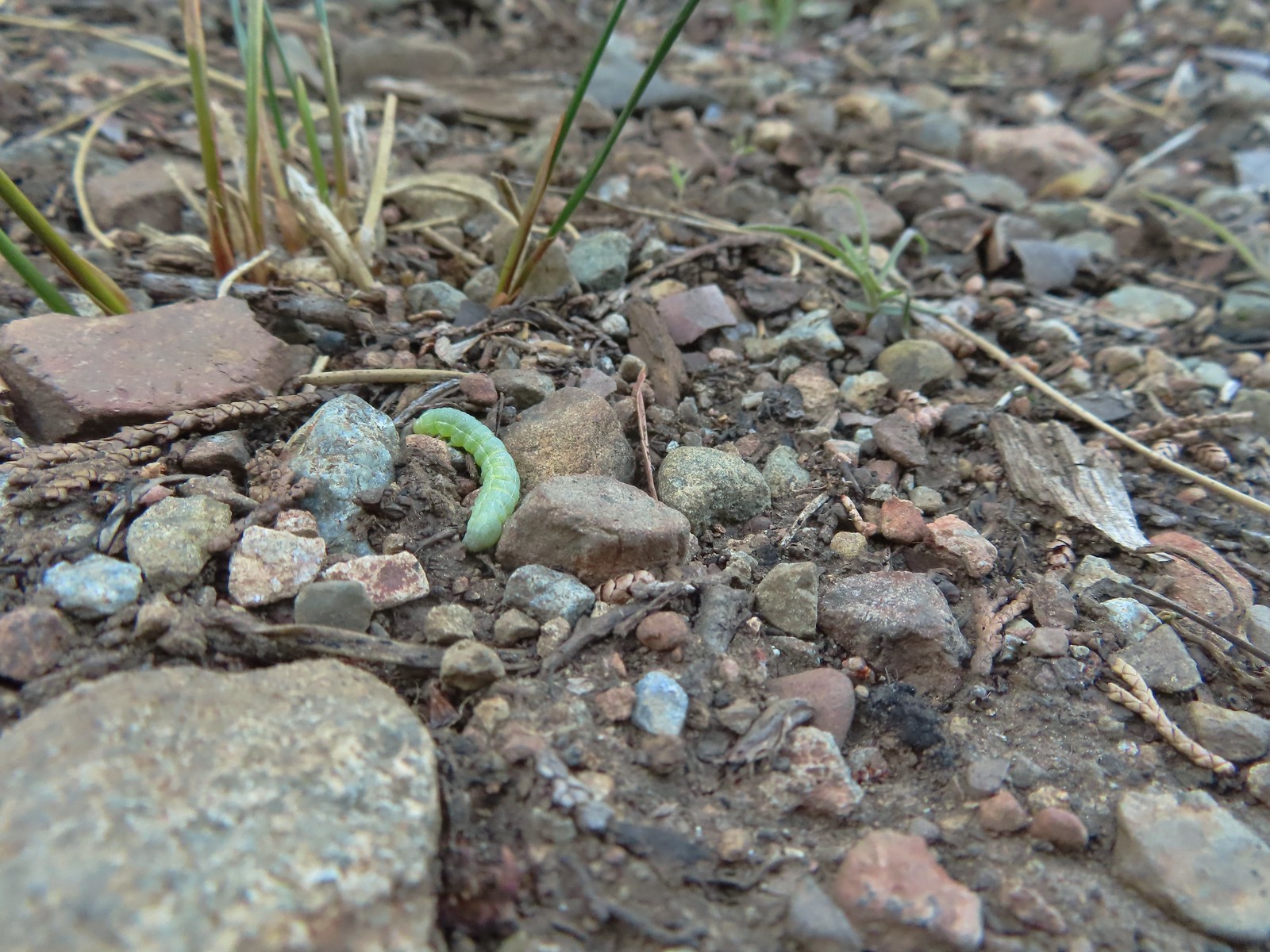 Caterpillar – Siskiyou Wilderness
 Caterpillar – Larch Mountain Trail
 Caterpillar – Larch Mountain Trail
 Caterpillar – Larch Mountain Trail
 Moth – Klickitat Trail
 Moth -Eagle Cap Wilderness
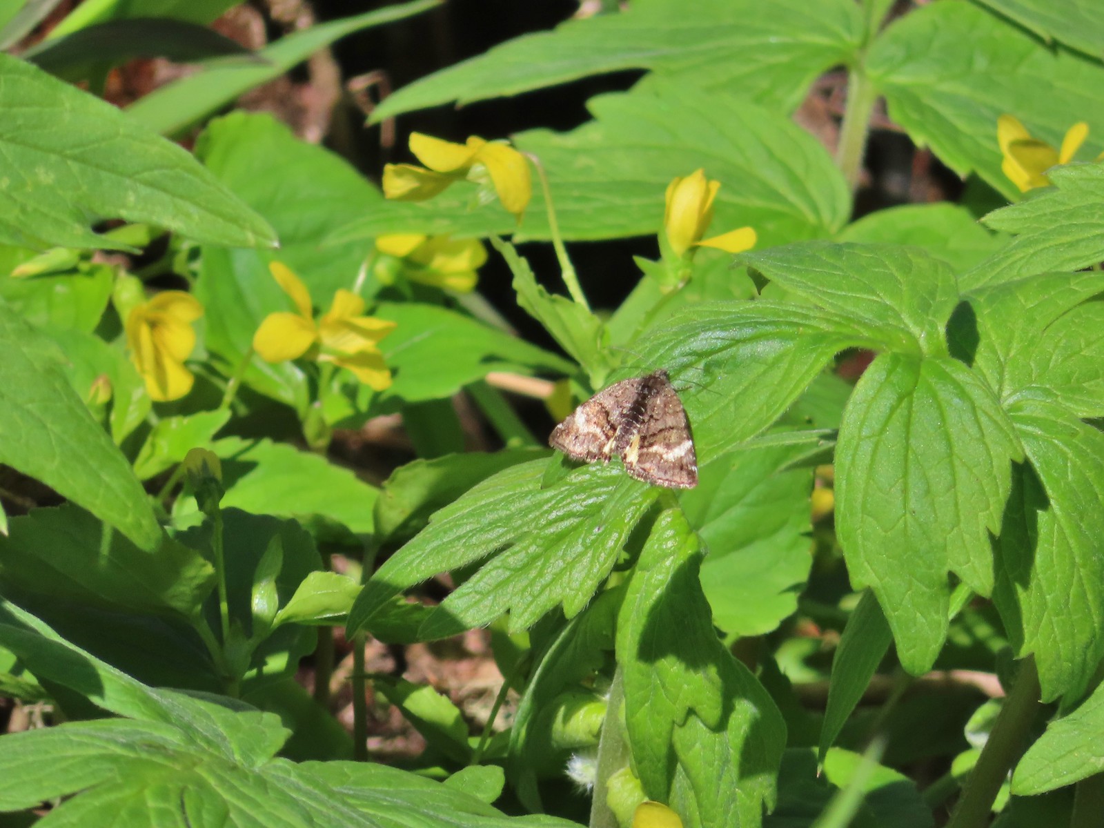 Moth – Twin Lakes
 Moth – Eagle Cap Wilderness
 Moth – Eagle Cap Wilderness
 Moth – Eagle Cap Wilderness
 Moth – Wolf Creek Falls Trail
 Moth – Cascade Head
 Propertius duskywing (Erynnis propertius) – Klickitat Trail
 Duskywing – Siskiyou Wilderness
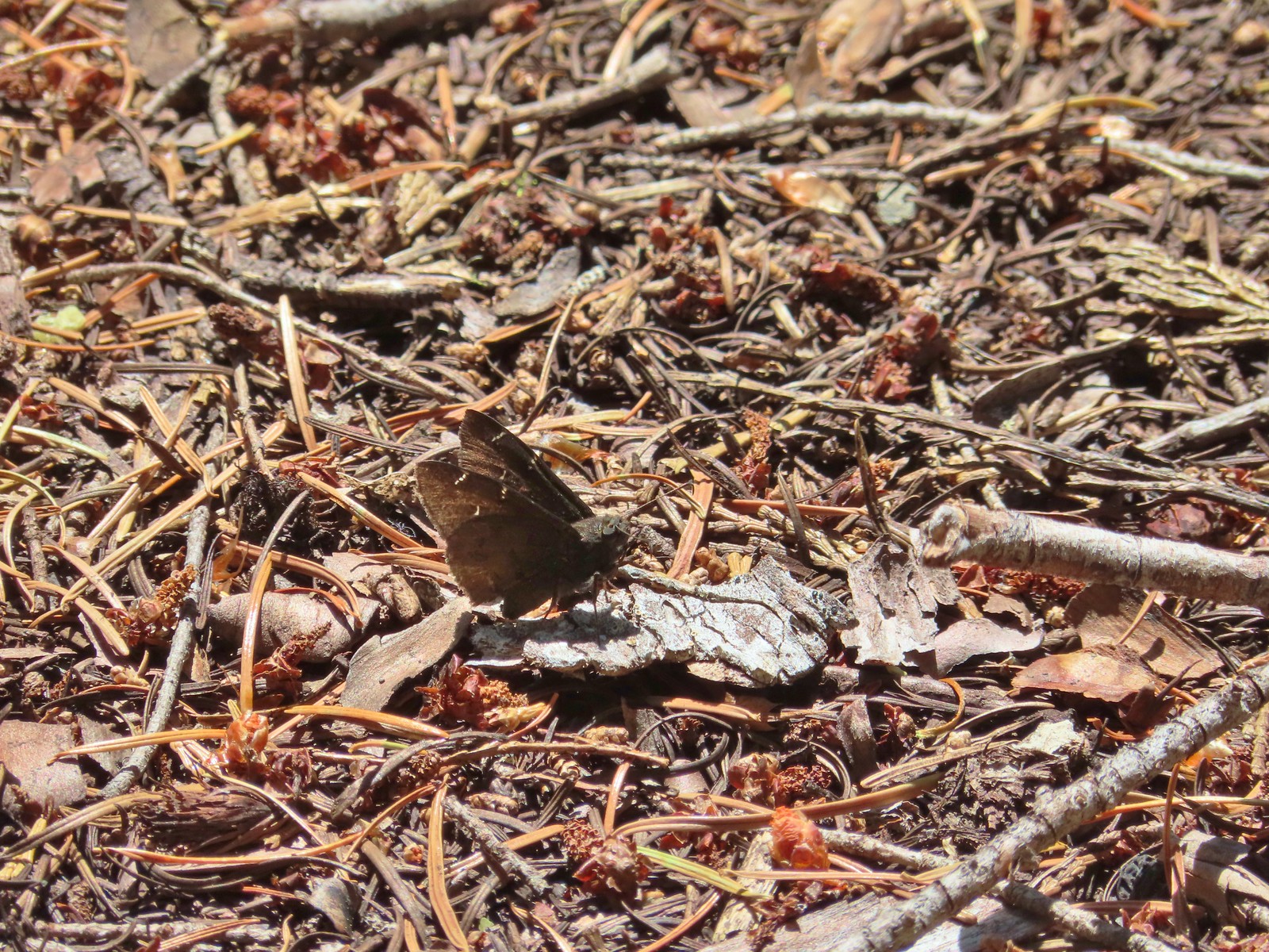 Northern Cloudywing? – Siskiyou Wilderness
 Silver-spotted skipper – Siskiyou Wilderness
 Skipper – Grizzly Peak
 Skipper – Rogue-Umpqua Divide Wilderness
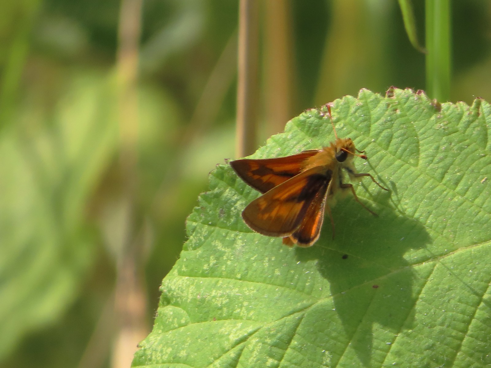 Skipper – E. E. Wilson Wildlife Area
 Hairstreak (bramble?) – Siskiyou Mountains
 Cedar hairstreak – Siskiyou Wilderness
 Hairstreak (possibly thicket) – Eagle Cap Wilderness
 Ochre ringlet – Jack Ash Trail
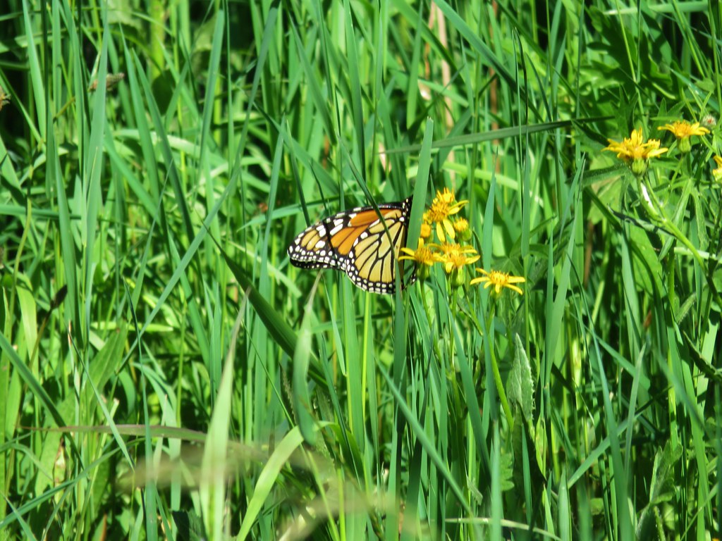
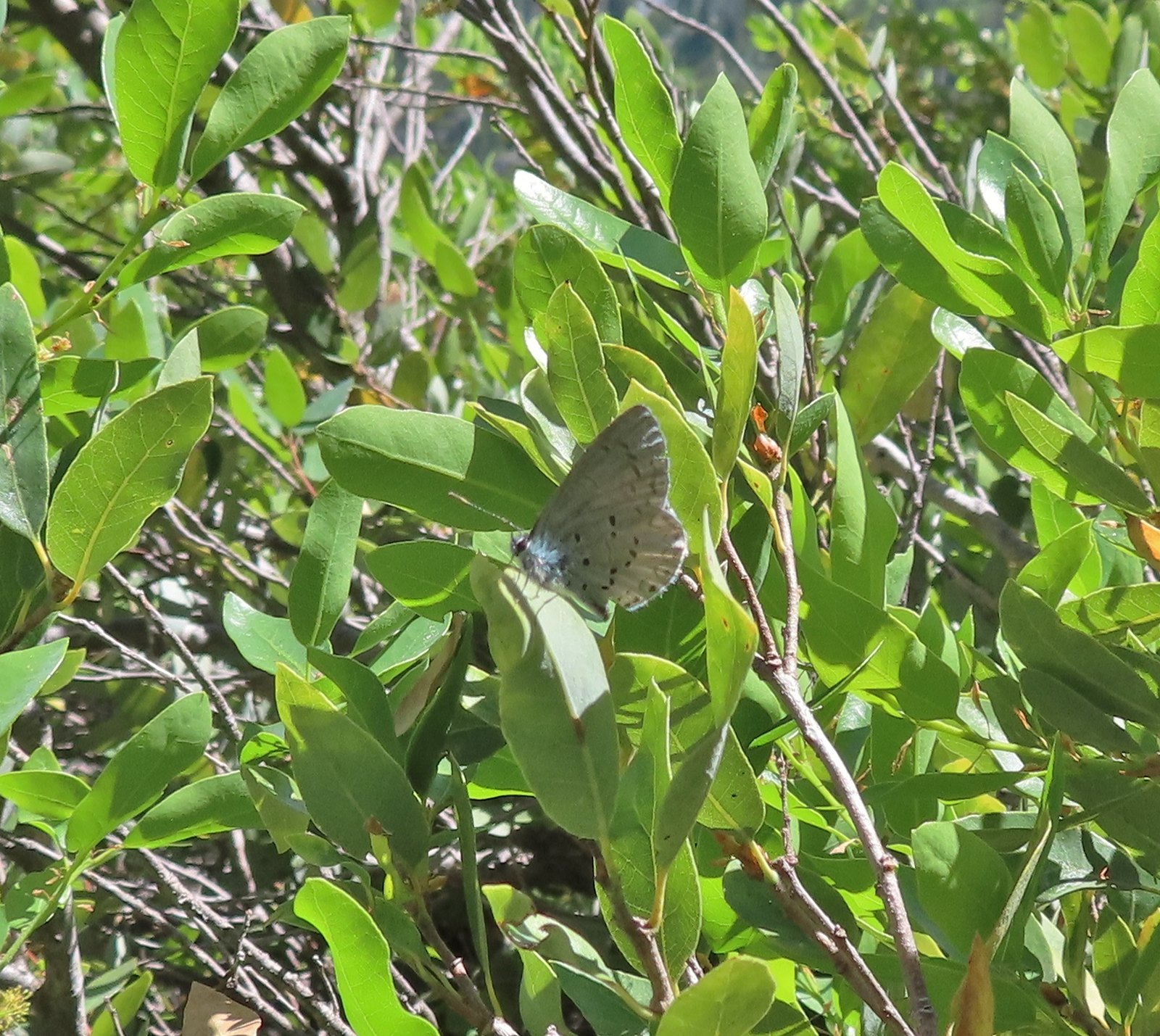 Butterfly – Siskiyou Wilderness
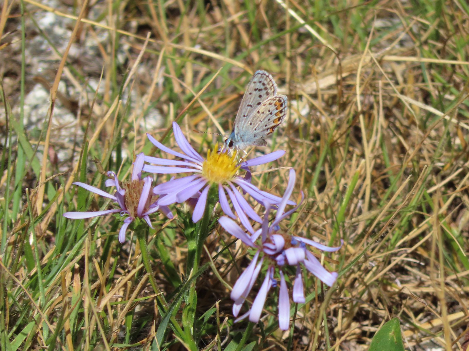 Butterfly – Trinity Alps Wilderness
 Butterfly – Trinity Alps Wilderness
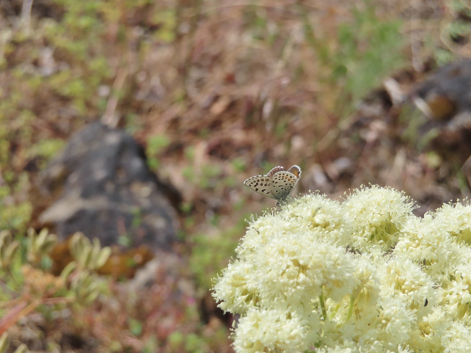 Butterfly – Upper Table Rock
 Butterfly – Mule Mountain
 Butterfly – Eagle Cap Wilderness
 Butterfly – Eagle Cap Wilderness
 Butterfly – Mt. Adams Wilderness
 Butterfly – Mt. Adams Wilderness
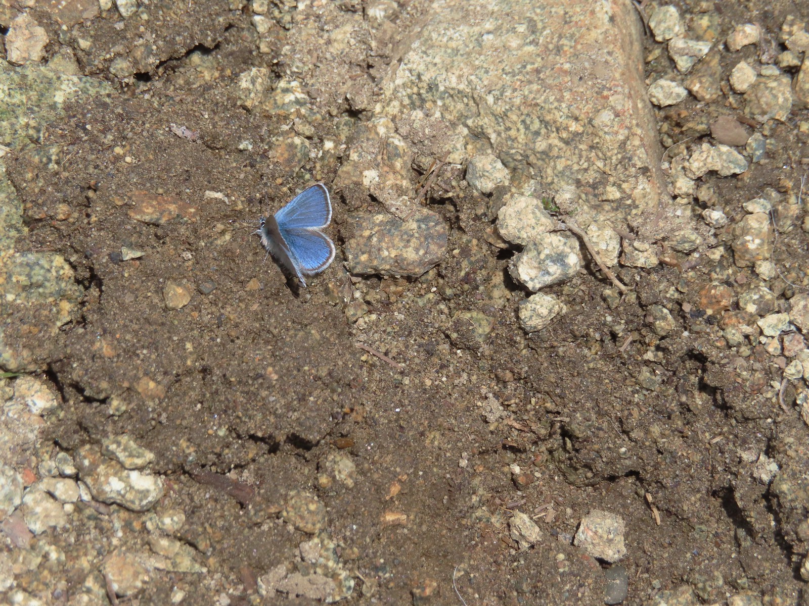 Butterfly – Mt. Ireland
 Butterfly – Trinity Alps Wilderness
 Butterfly – Silver Star Mountain
 Butterfly – Russian Wilderness
 Butterfly – Trinity Alps Wilderness
 Sara’s orangetip – Klickitat Trail
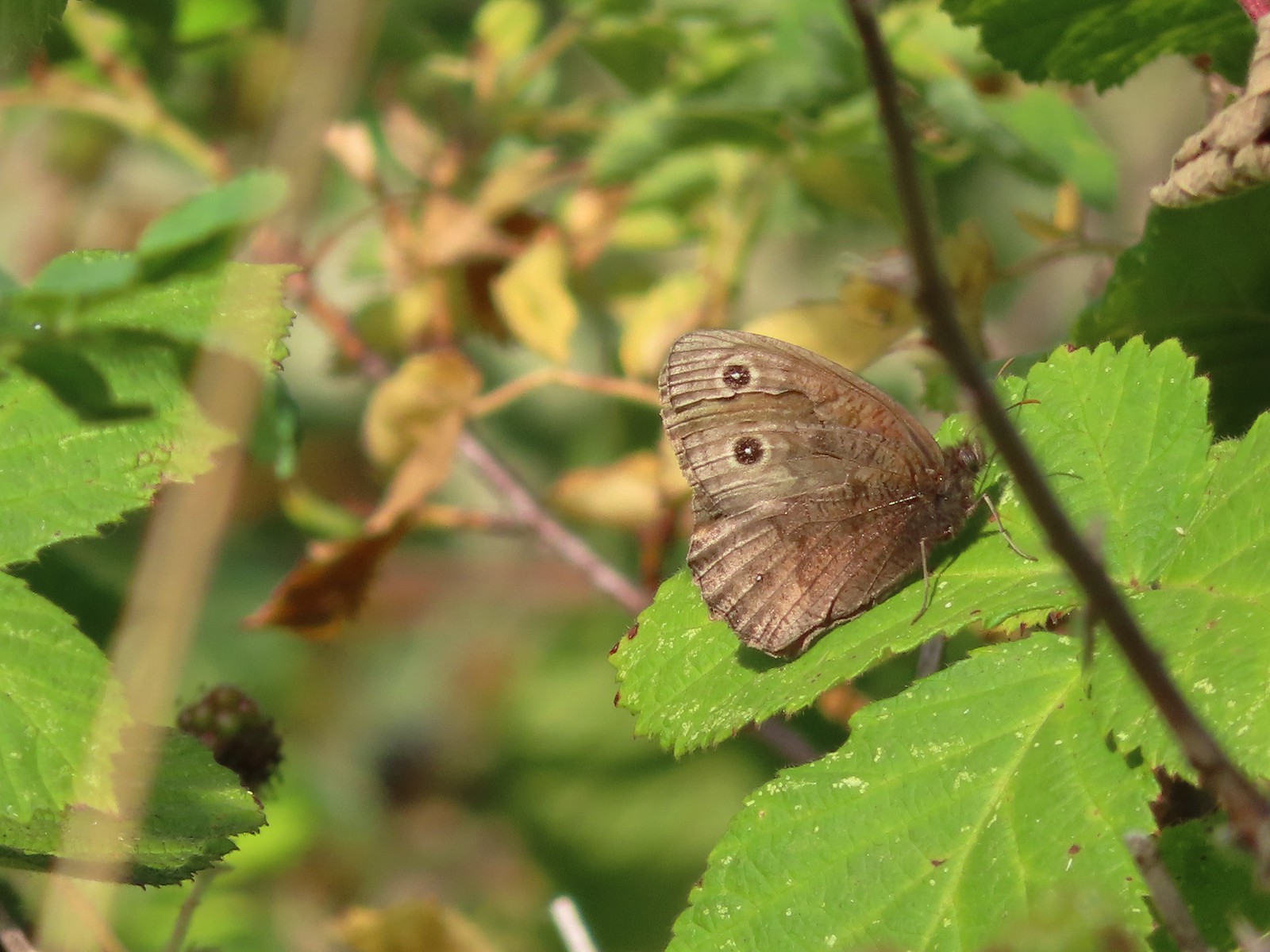 Common woodnymph – E. E. Wilson Wildlife Area
 Another woodnymph – Rogue-Umpqua Divide Wilderness
 Orange sulphur – Siskiyou Wilderness
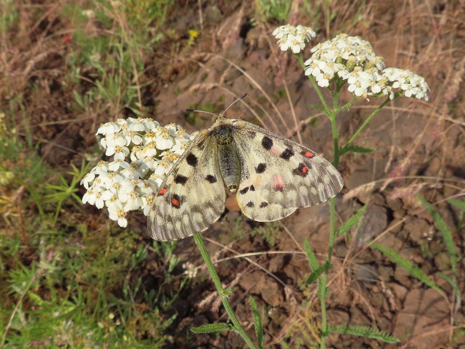 Mountain parnassian – Eagle Cap Wilderness
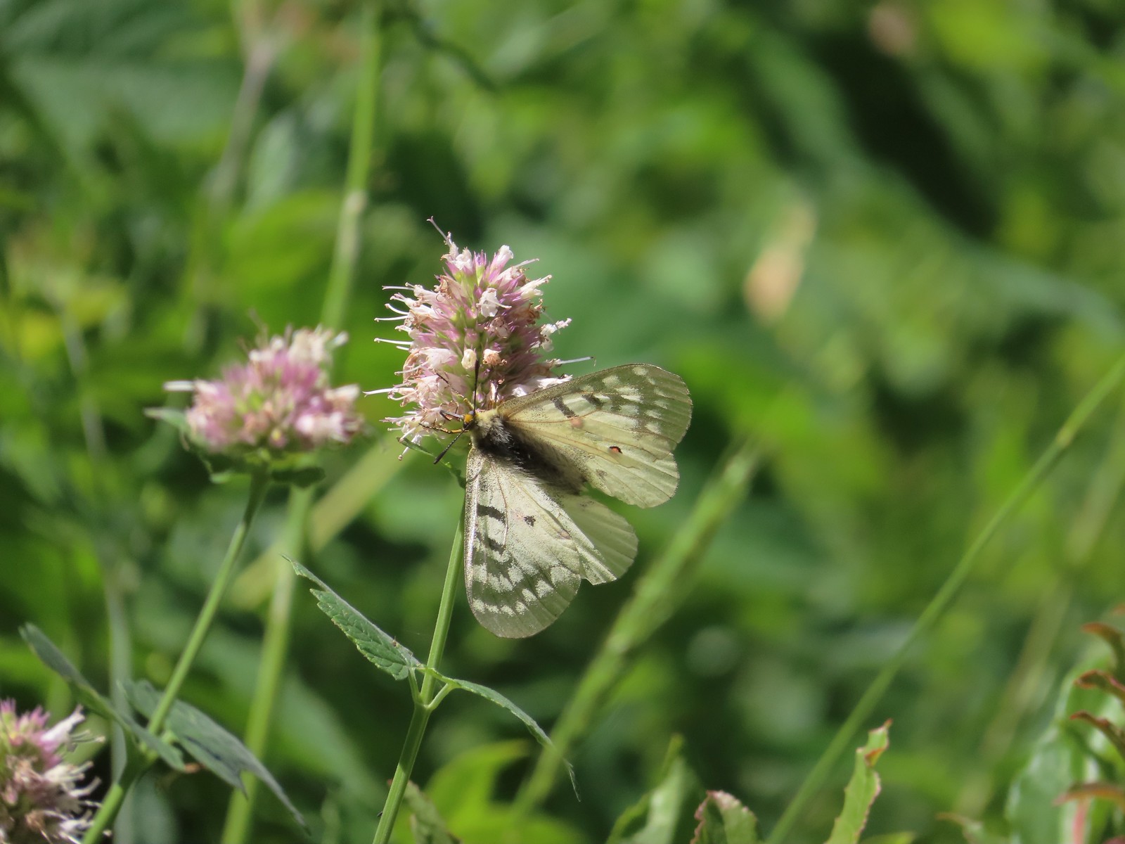 Clodius parnassian – Hemlock Lake
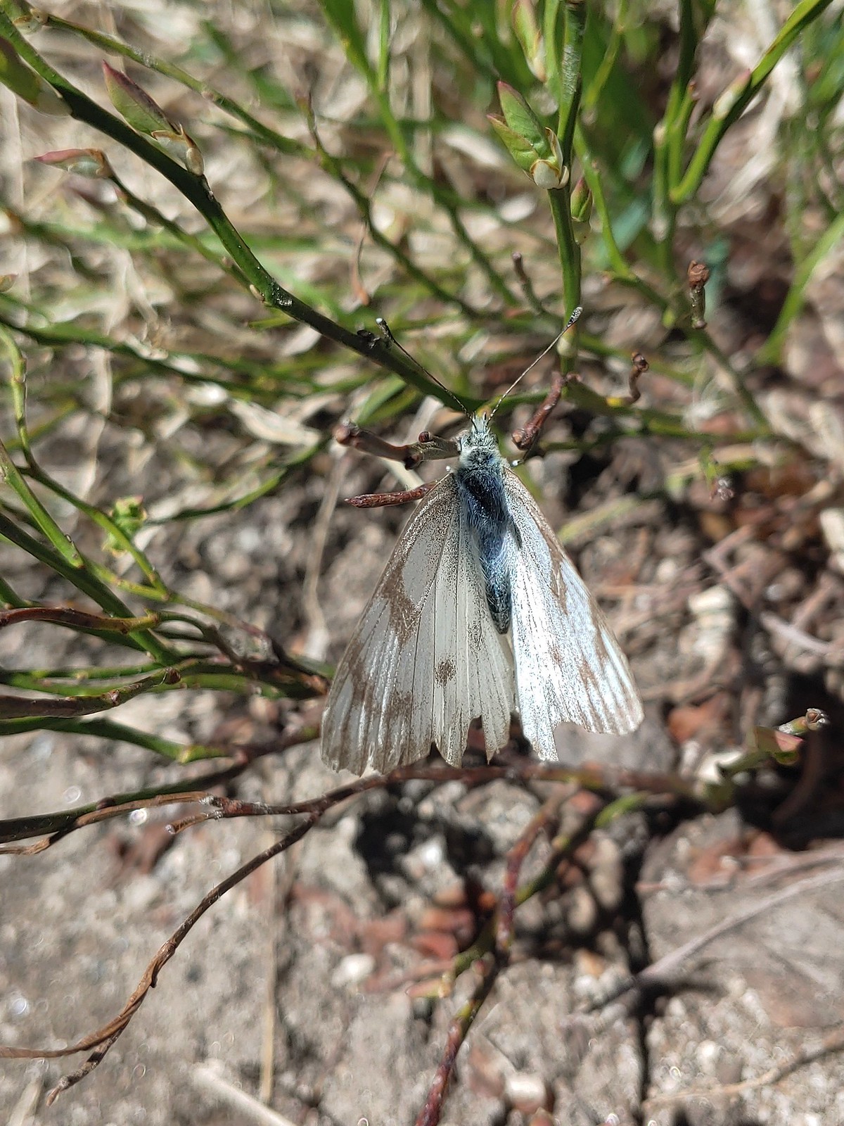 Western white? – Eagle Cap Wilderness
 Western white – Trinty Alps Wilderness
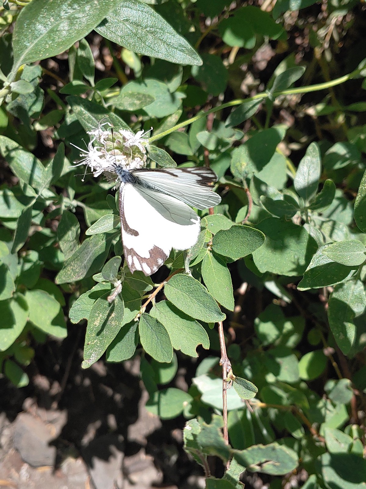 Pine white – Russian Wilderness
 Butterfly – Eagle Cap Wilderness
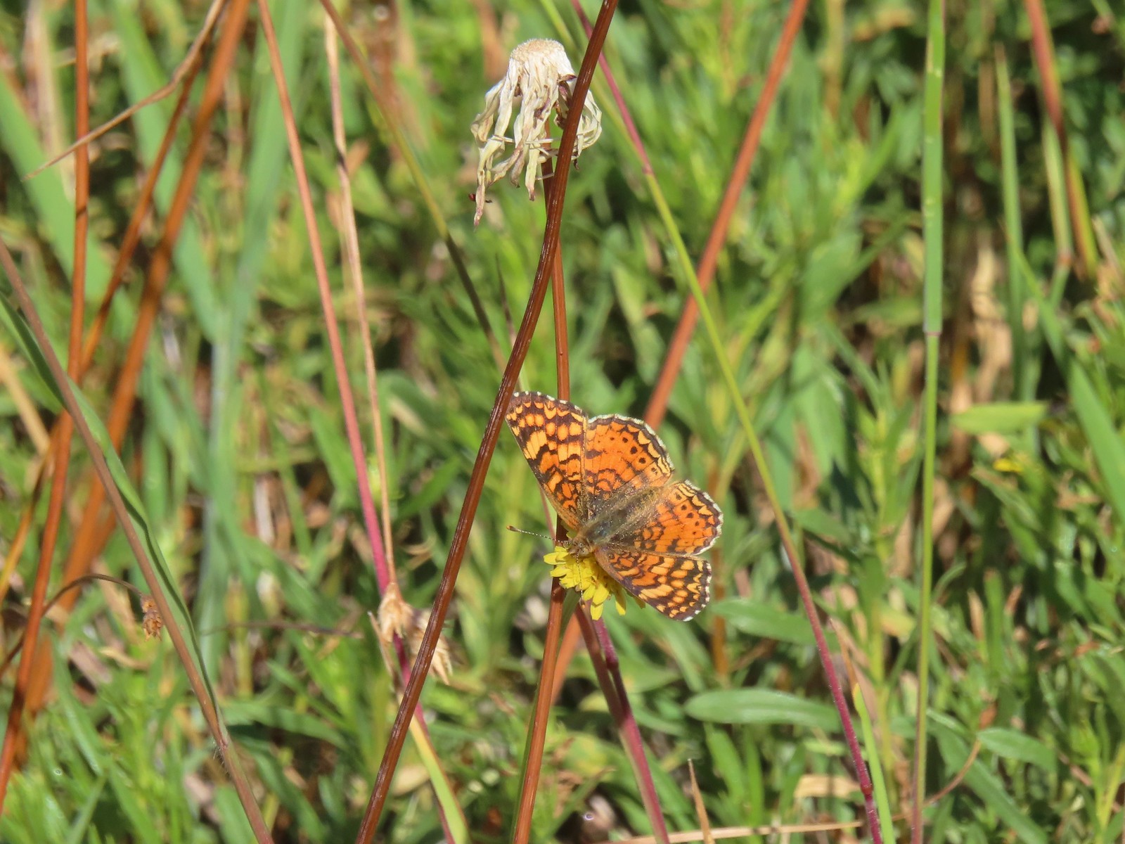 Butterfly – Russian Wilderness
 Butterfly – Mt. Adams Wilderness
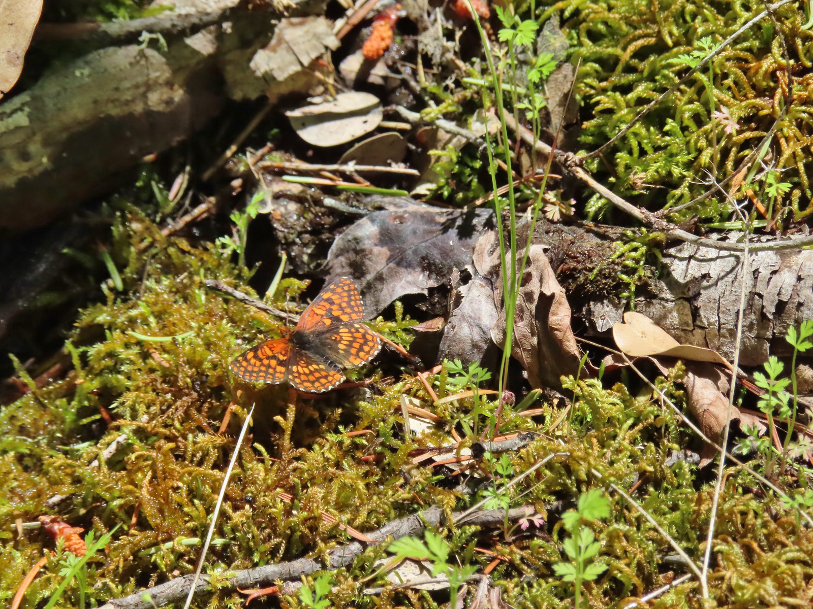 Butterfly – Mule Mountain
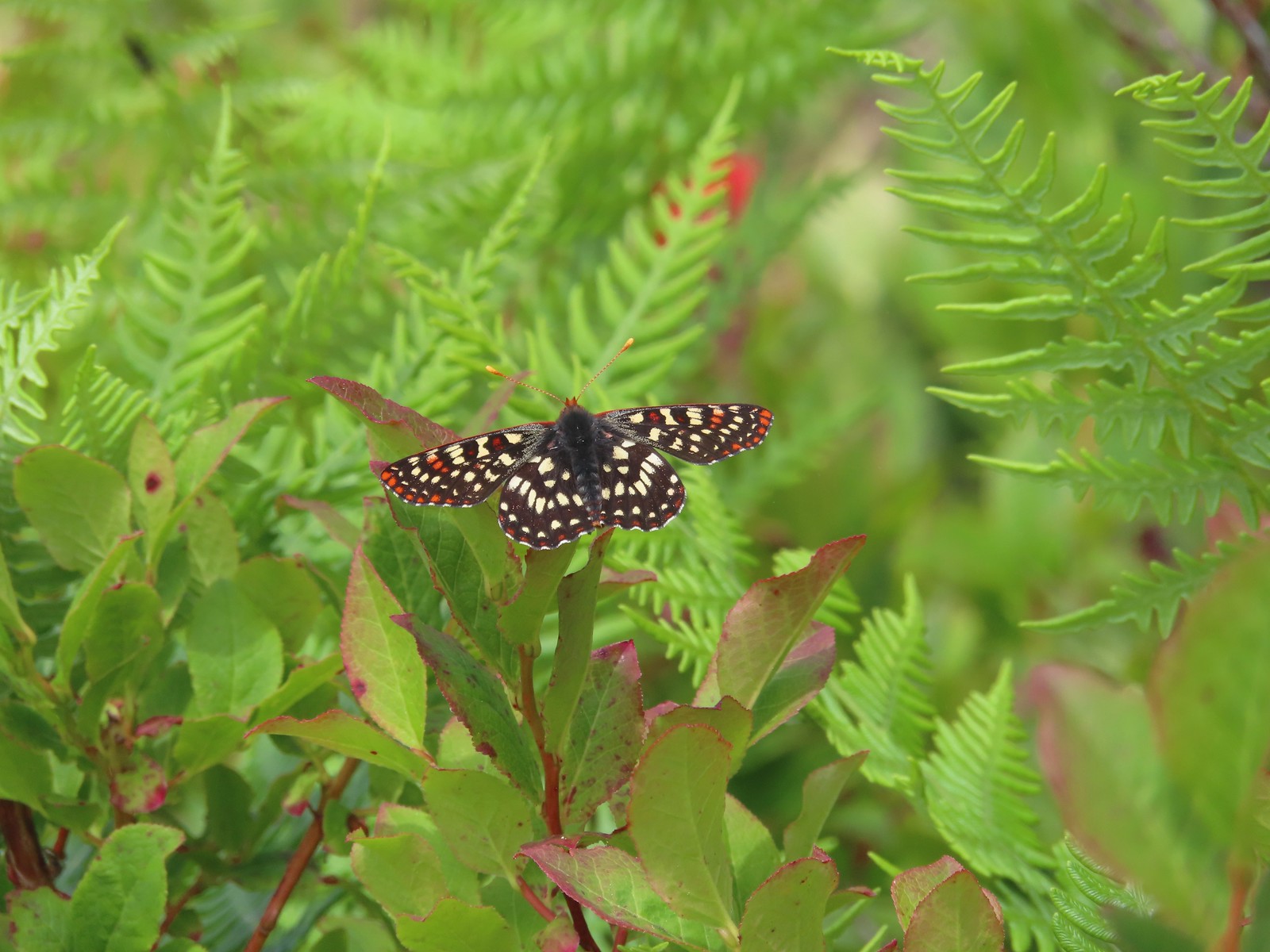 Butterfly – Silver Star Mountain
 Butterfly – Silver Star Mountain
 Butterfly – Silver Star Mountain
 Western meadow fritillary? – Silver Star Mountain
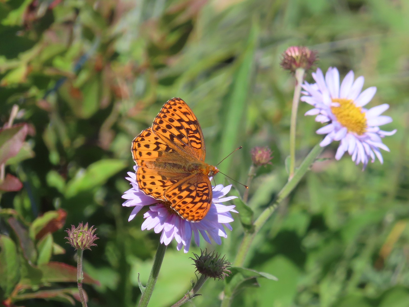 A fritillary – Silver Star Mountain
 A fritillary – Trinity Alps Wilderness
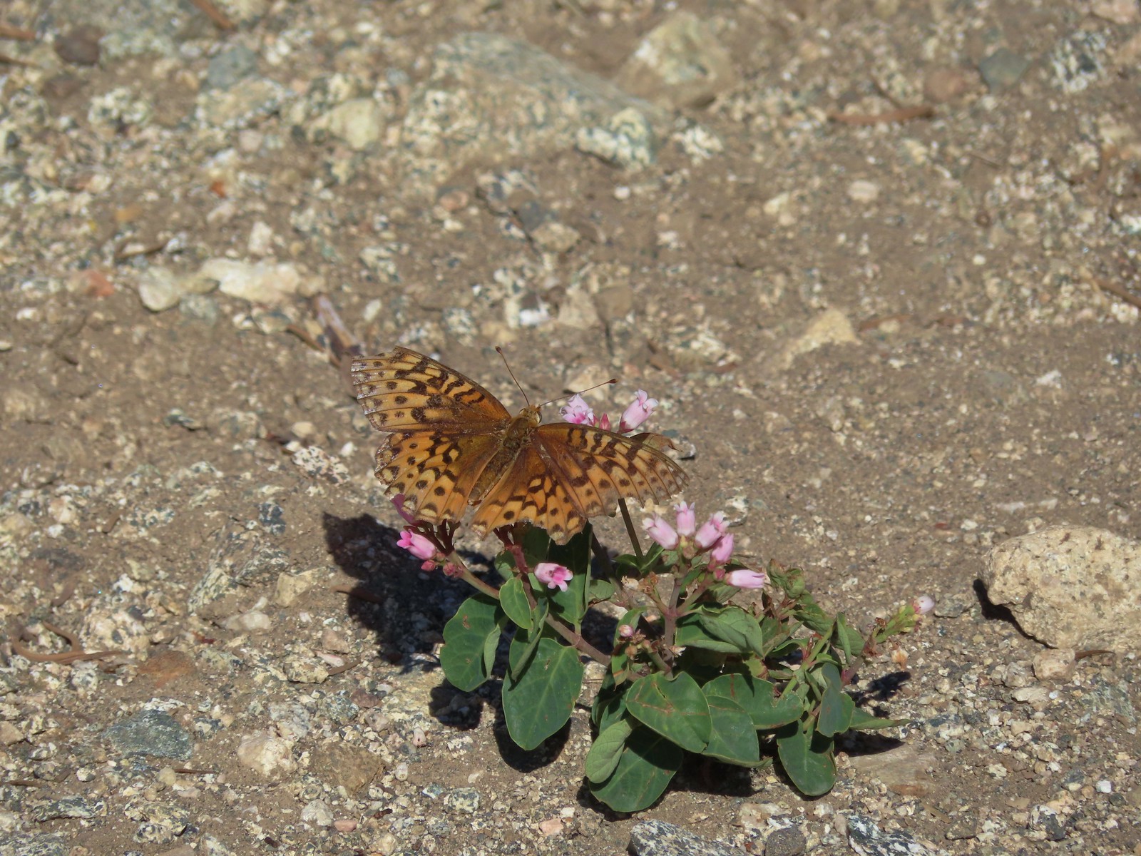 A fritillary -Russian Wilderness
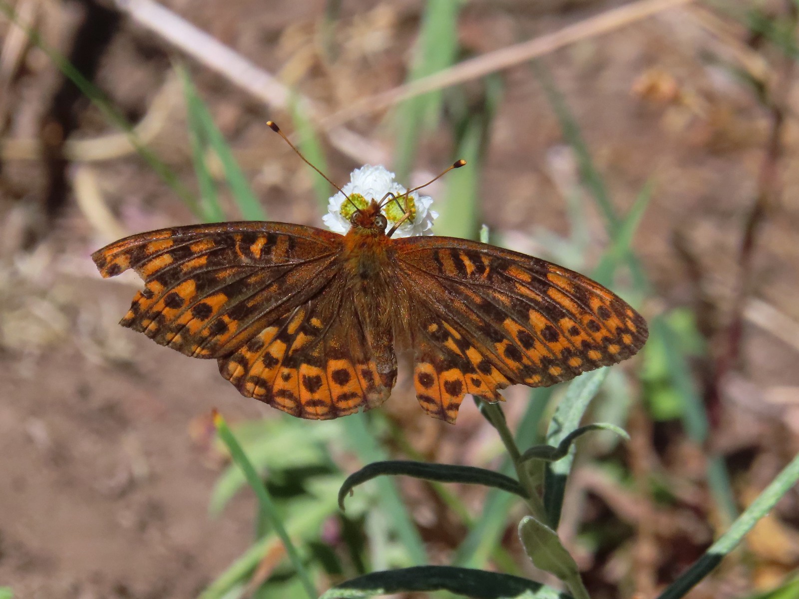 A fritillary – Rogue-Umpqua Divide Wilderness
 Mourning cloak – Klickitat Trail
 California tortoiseshell – Siskiyou Wilderness
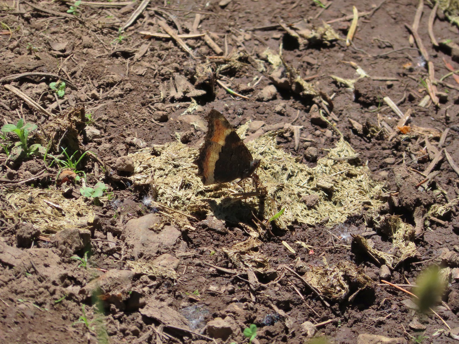 Milbert’s tortoiseshell – Eagle Cap Wilderness
 Lorquin’s admiral – Eagle Cap Wilderness
 Common buckeye – Mt. Shasta Wilderness
 Hoary comma – Sky Lakes Wilderness
 Green comma? – Eagle Cap Wilderness
 Klickitat Trail
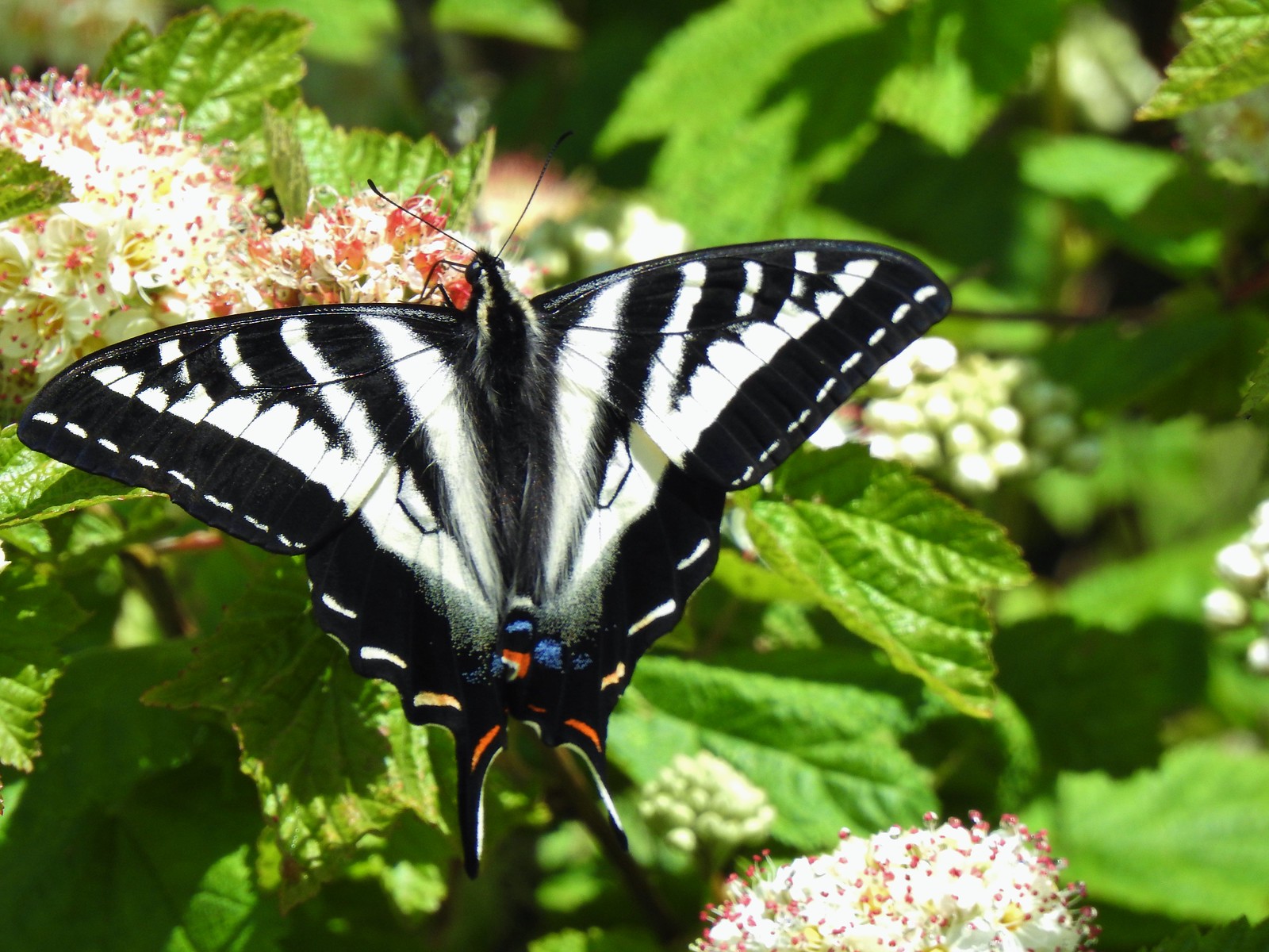 Julia Butler Hanson Wildlife Refuge
 Eagle Cap Wilderness
 Tadpoles – Russian Wilderness
 Tadpole transforming – Mt. Adams Wilderness
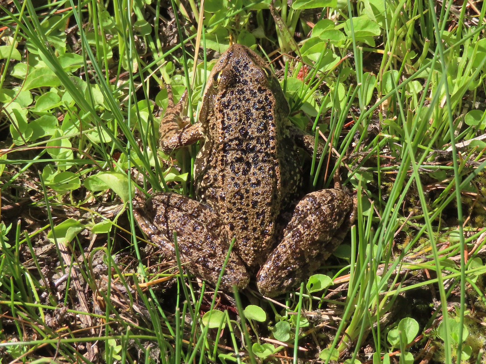 Frog – Russian Wilderness
 Frog – Goat Marsh Lake
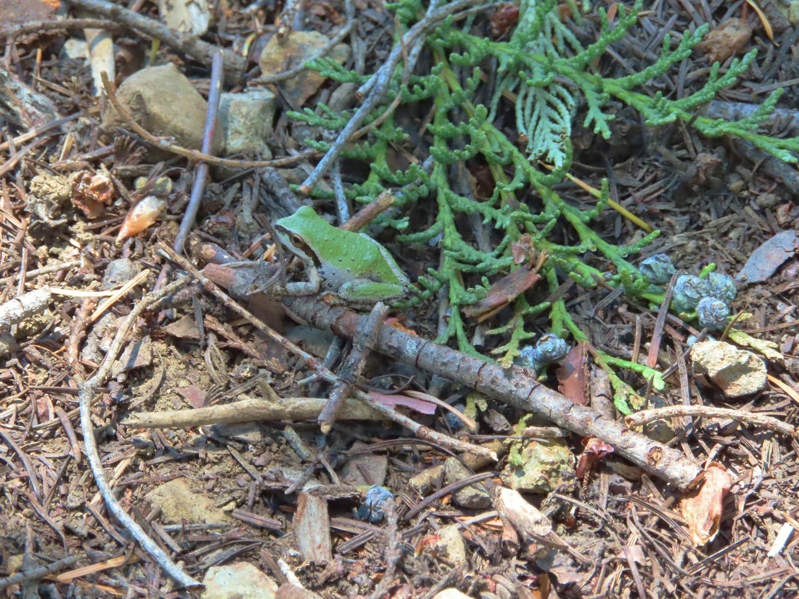 Tree frog – Siskiyou Wilderness
 Frog – Trinity Alps Wilderness
 Toad – Trinity Alps Wilderness
 Toad – Mt. Jefferson Wilderness
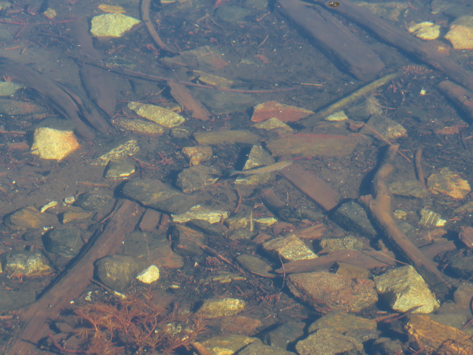 Fish – Siphon Lake
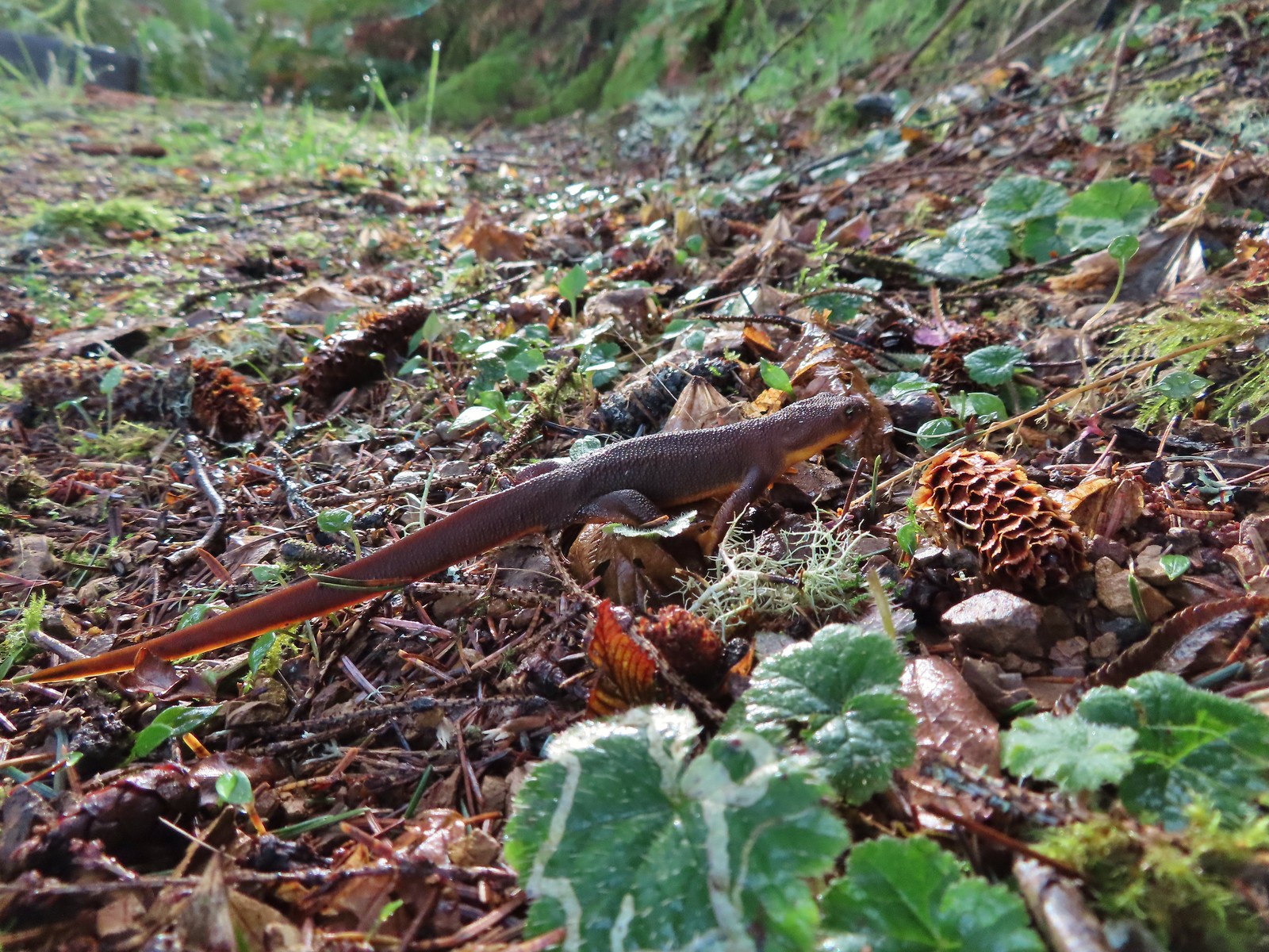 Rough skinned newt – Yakona Nature Preserve
 Western painted turtle – Julia Hansen Butler Wildlife Refuge
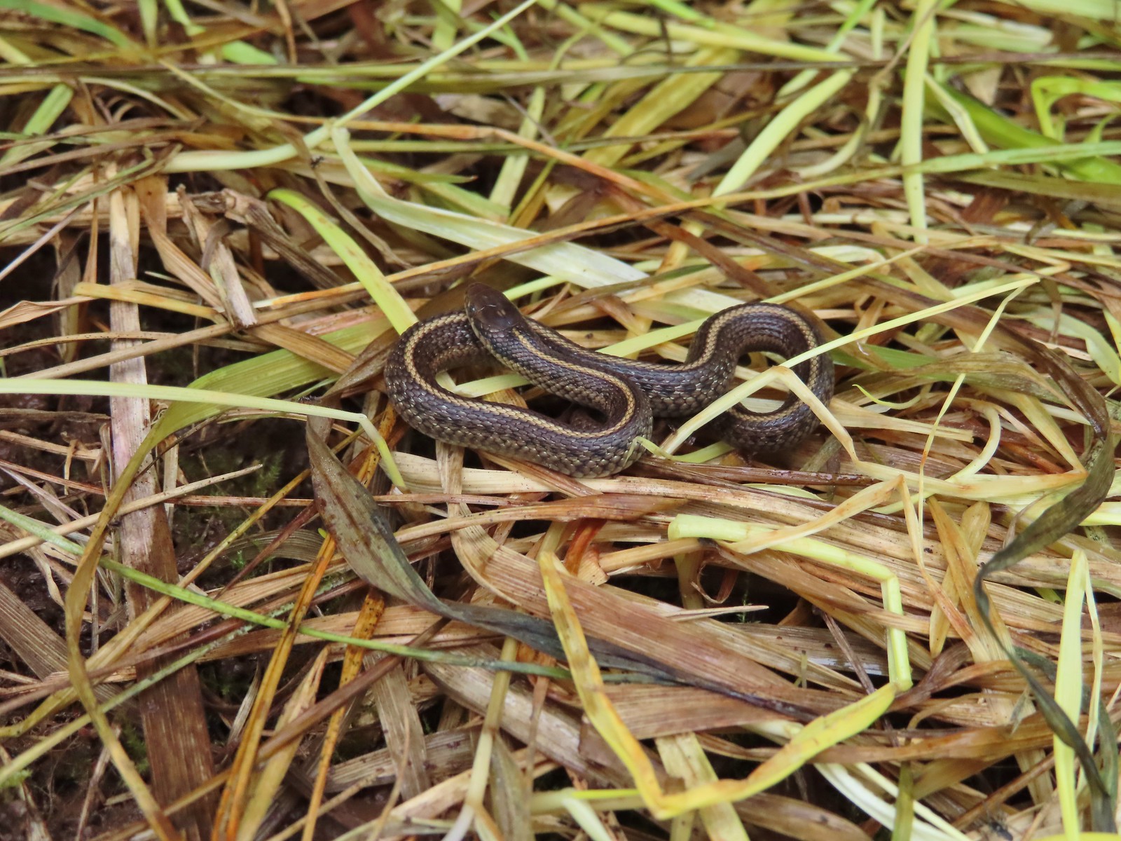 Baby snake – Miller Woods
 Garter snake – Julia Hansen Butler Wildlife Refuge
 Lizard – Mule Mountain
 Lizard – Upper Table Rock
 Lizard – Russian Wilderness
 Lizard – Siskiyou Wilderness
 Lizard – Klickitat Trail
 Lizard – Upper Table Rock
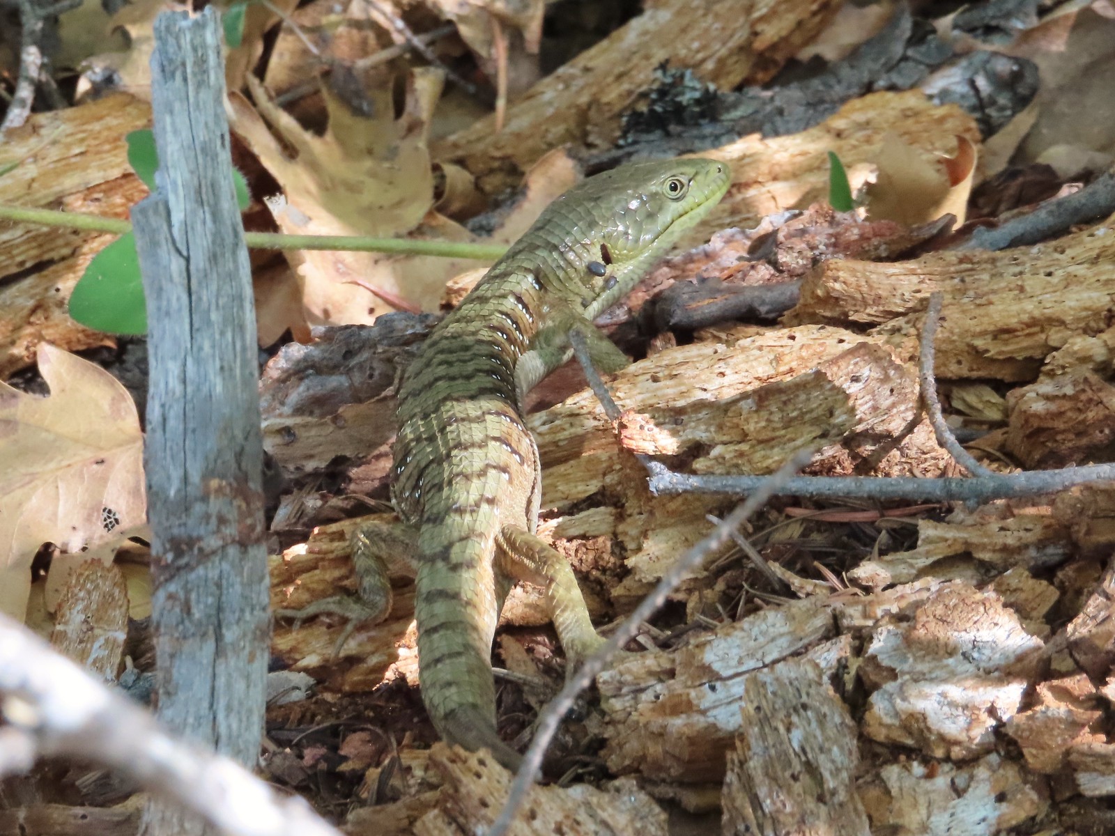 Alligator lizard – Mule Mountain
 Chipmunk – Observation Peak
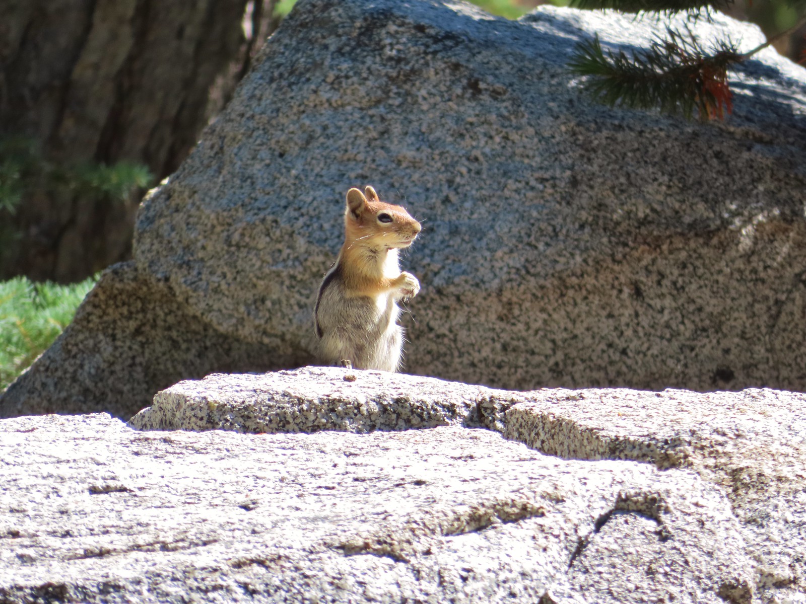 Ground squirrel – Russian Wilderness
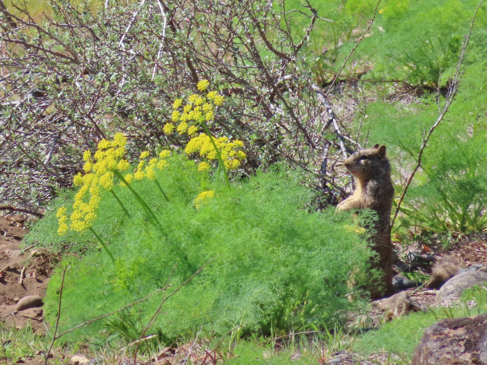 Ground squirrel – Klickitat Trail
 Ground squirrel – Eagle Cap Wilderness
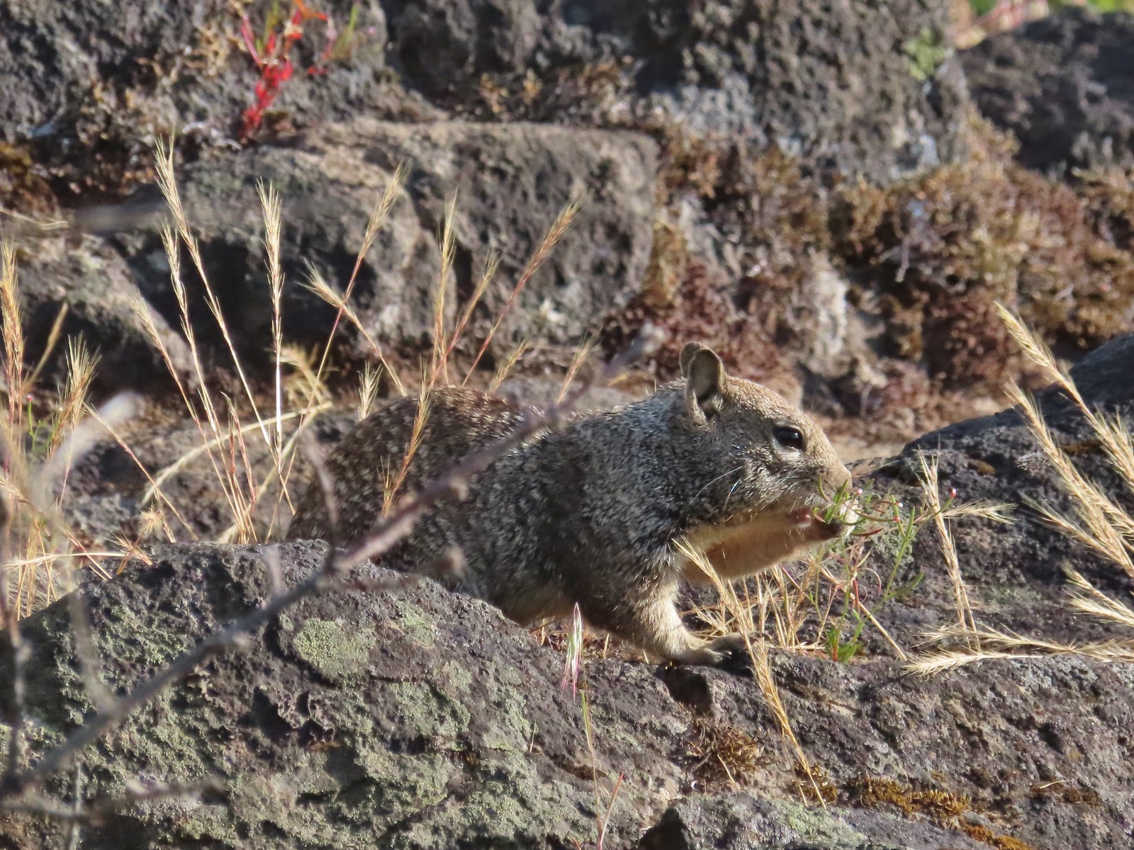 Ground squirrel – Upper Table Rock
 Squirrel – Rock Creek Trail
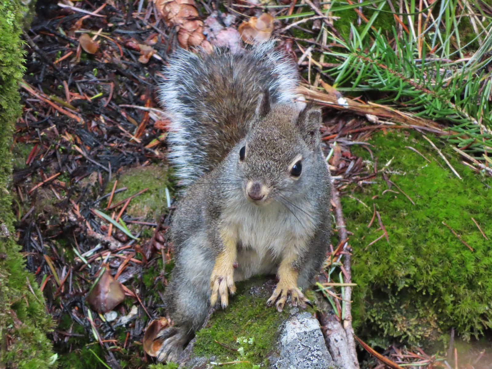 Squirrel – Twin Lakes
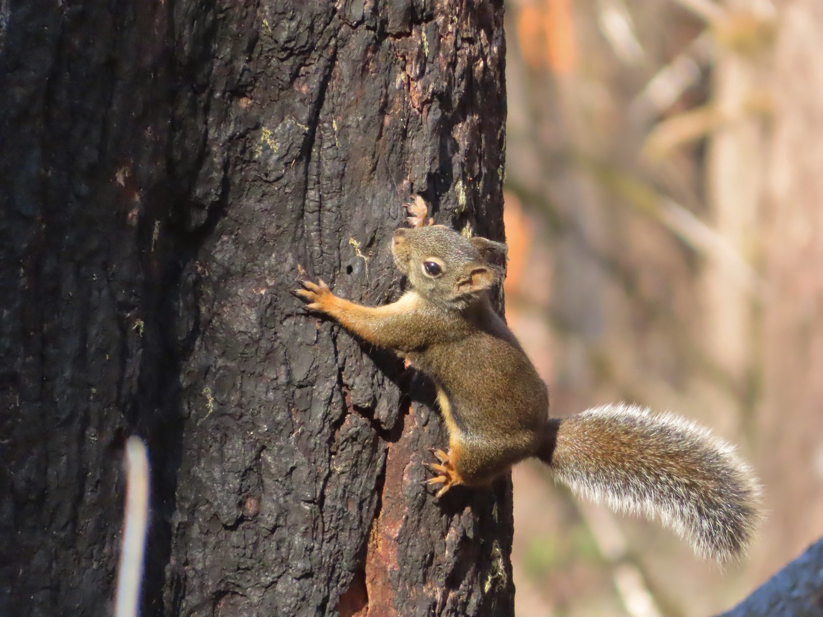 Squirrel – Larch Mountain Trail
 Marmot – Wallowa Homeland
 Jack rabbit – Denman Wildlife Area
 Rabbit – E. E. Wilson Wildlife Area
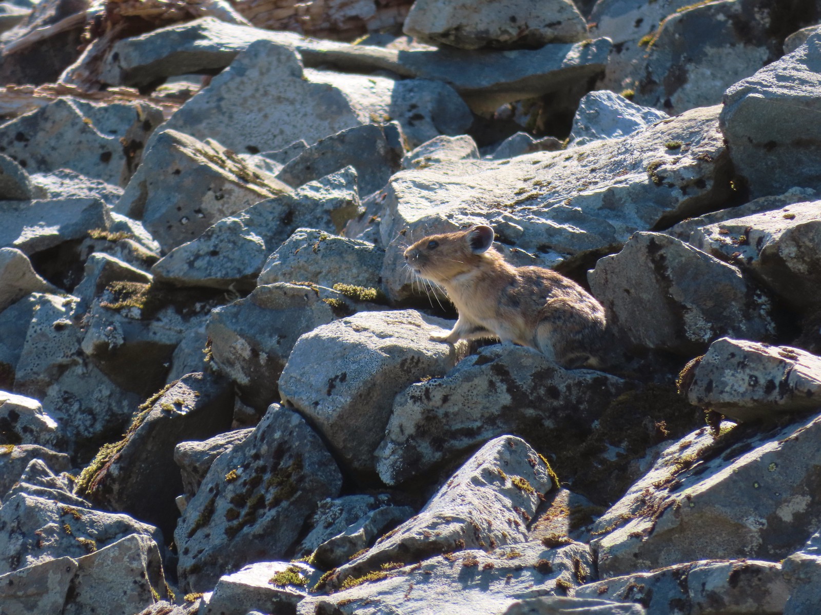 Pika – Silver Star Mountain
 Muskrat – Julia Butler Hansen – Wildlife Refuge
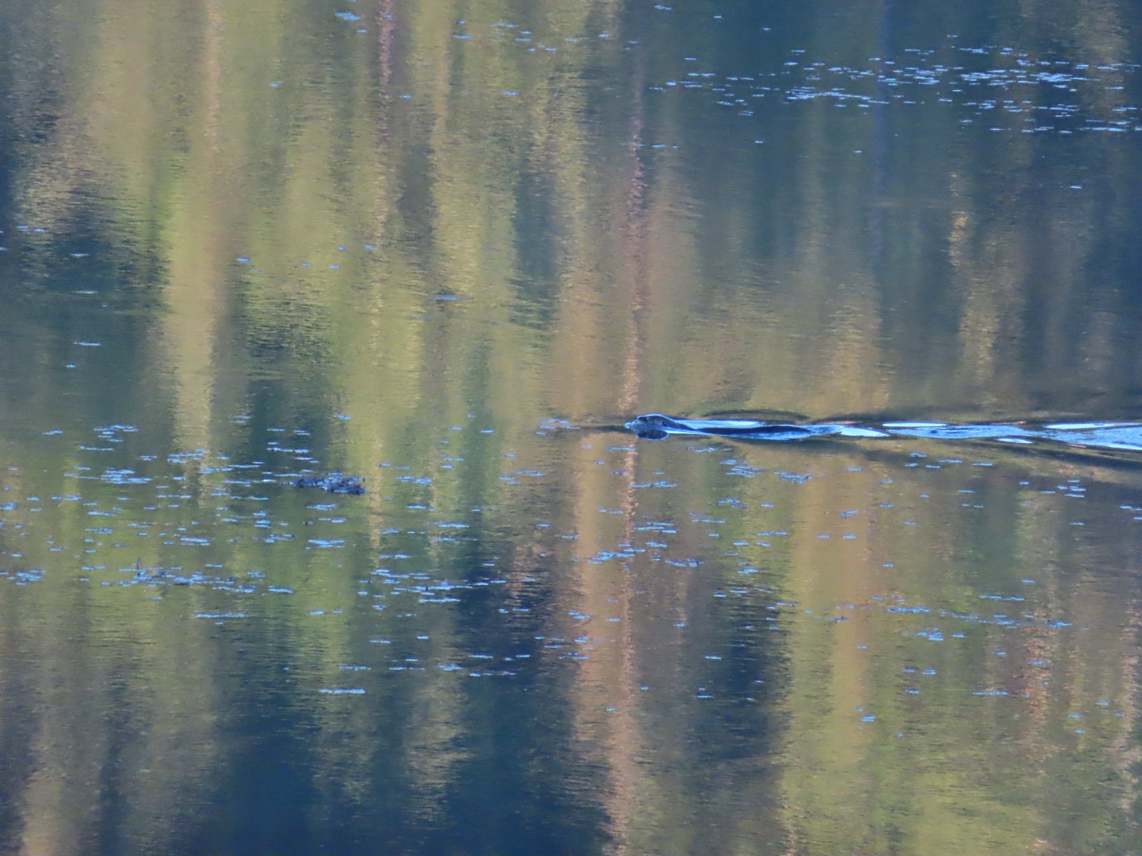 Otter – Killin Wetlands
 Sea lion – Hart’s Cove
 Deer – Memaloose Hills
 Doe – Miller Woods
 Mamma – Roxy Ann Peak
 Fawn – Roxy Ann Peak
 Columbian white-tailed buck – Julia Butler Hansen Wildlife Refuge
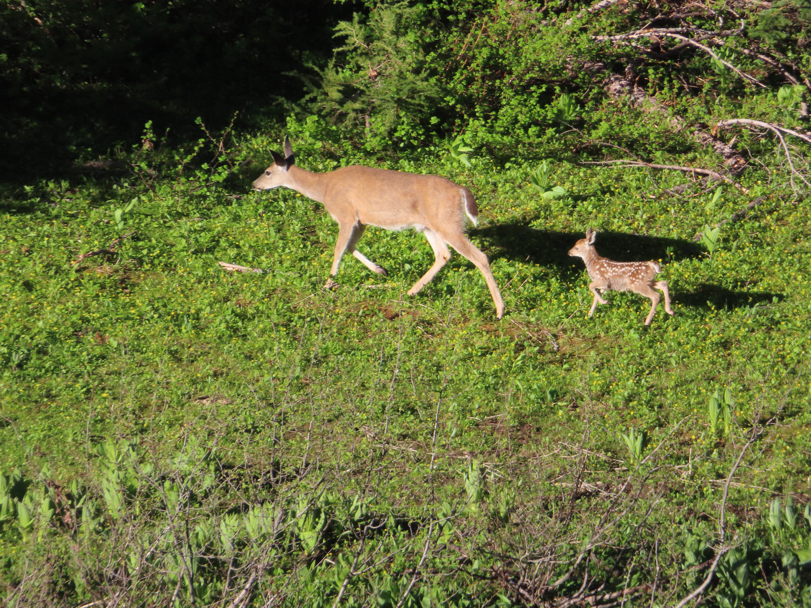 Doe & fawn – Donomore Meadows
 Three bucks – Siskiyou Wilderness
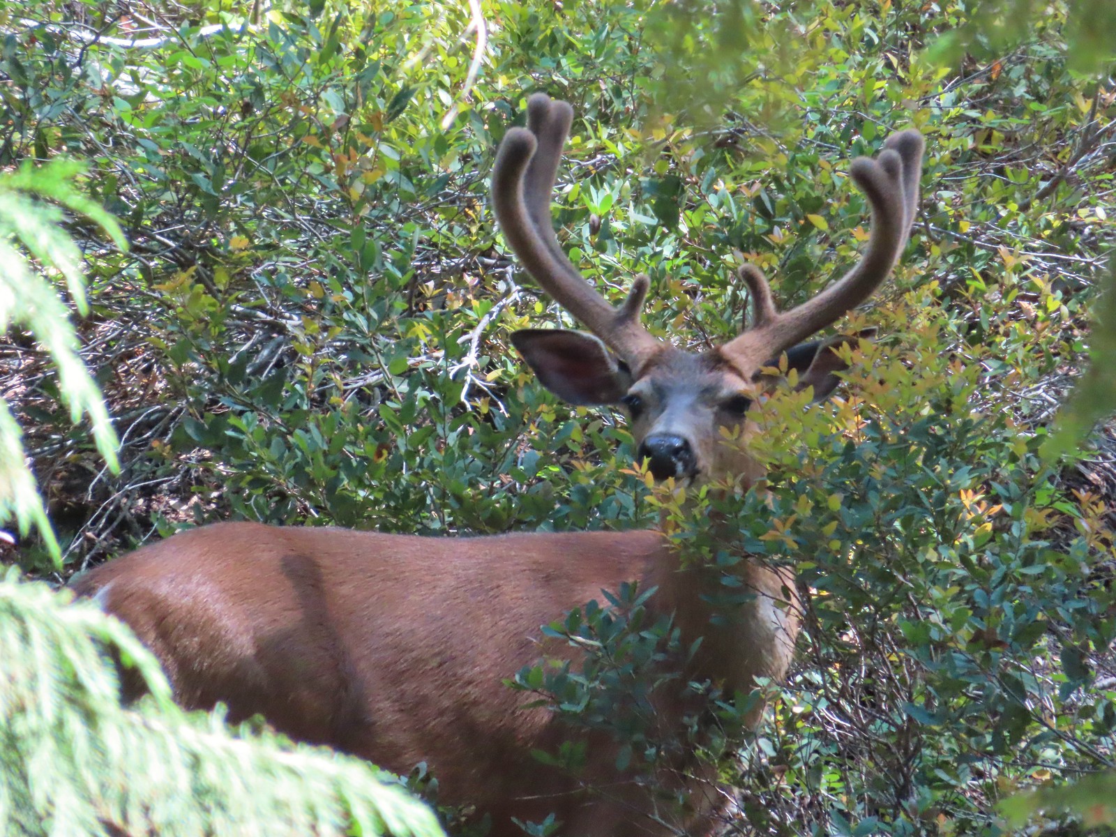 Buck – Siskiyou Wilderness
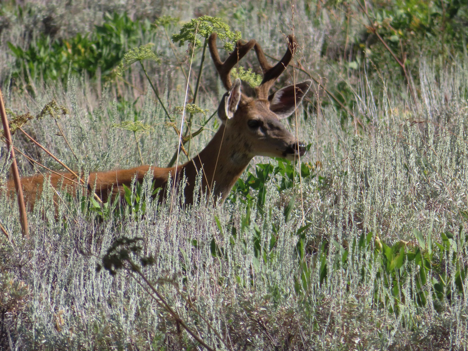 Buck – Trinity Alps Wilderness
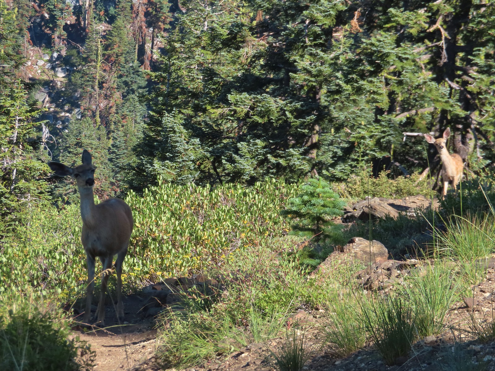 Doe & fawn – Russian Wilderness
 Buck and does – Russian Wilderness
 Two bucks – Crater Lake National Park
 Elk – Yakona Nature Preserve
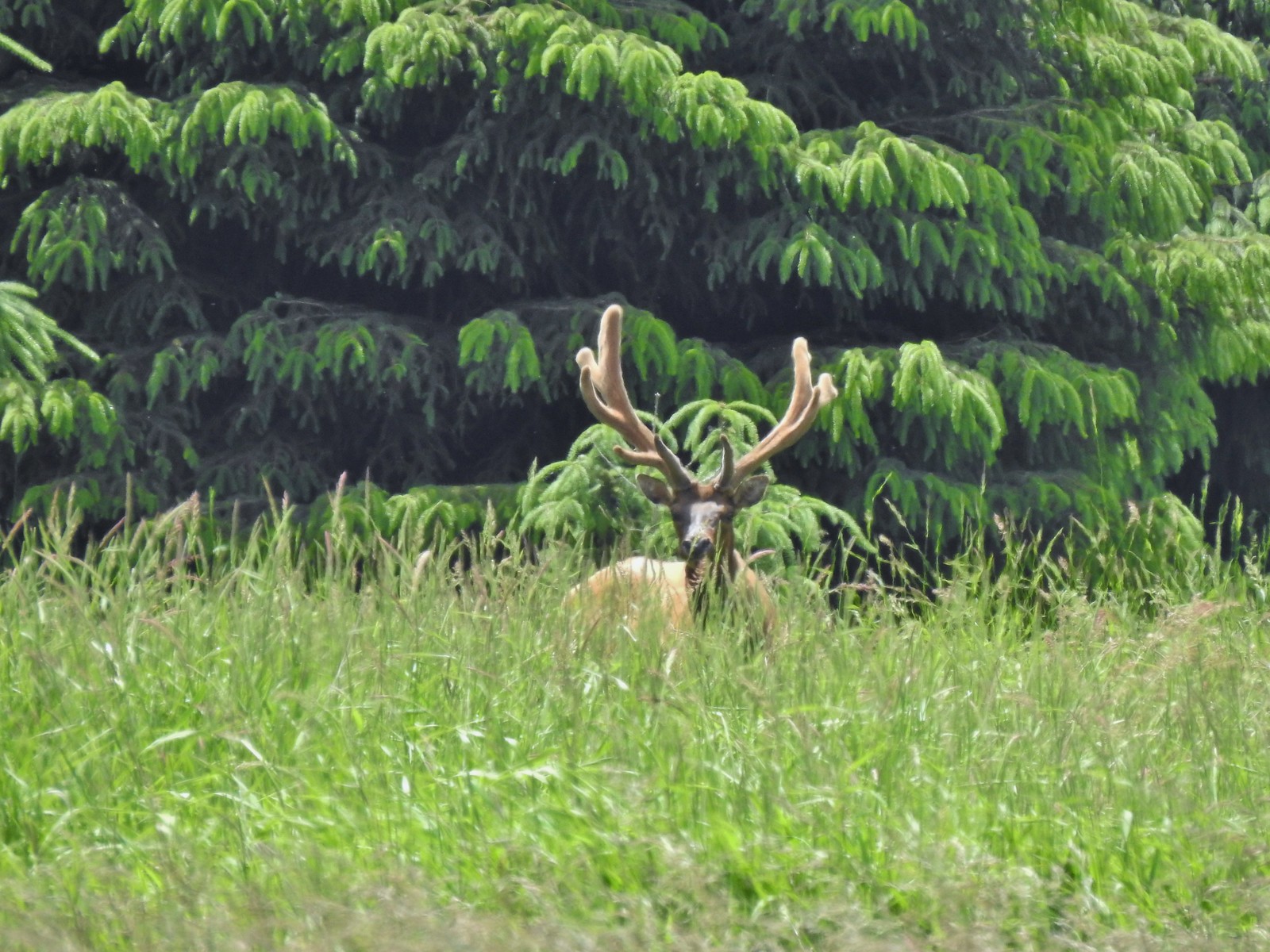 Bull elk – Julia Butler Hansen Wildlife Refuge
 Mountain goat below the Mt. Ireland Lookout – Mt. Ireland
 Domestic goat – Near the Julia Butler Hansen Wildlife Refuge
 Black bear – Siskiyou Wilderness
 The same black bear making eye contact the day before.
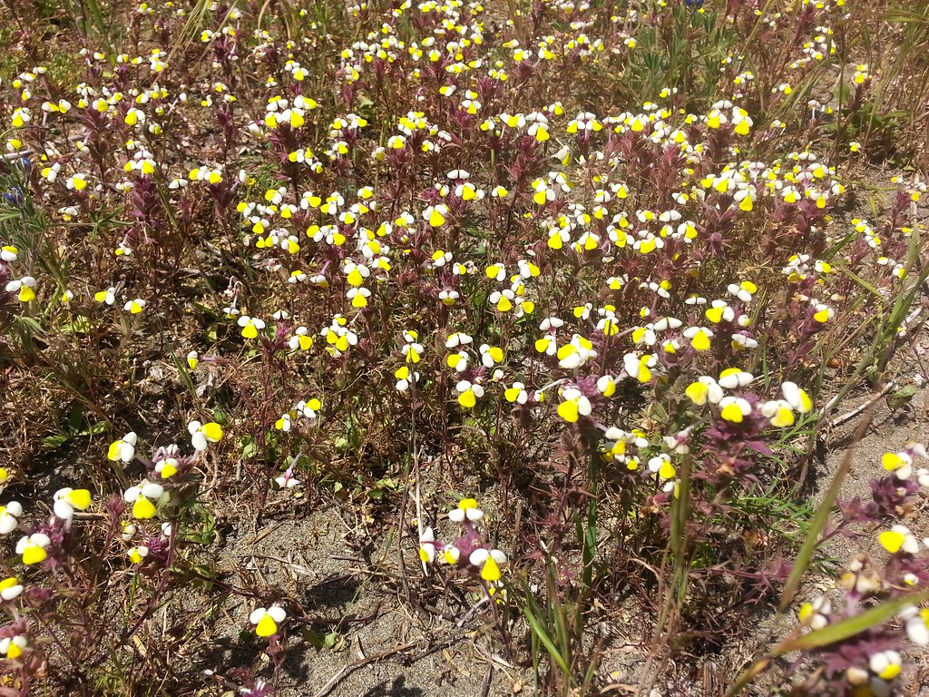 Butter and eggs – Yontocket
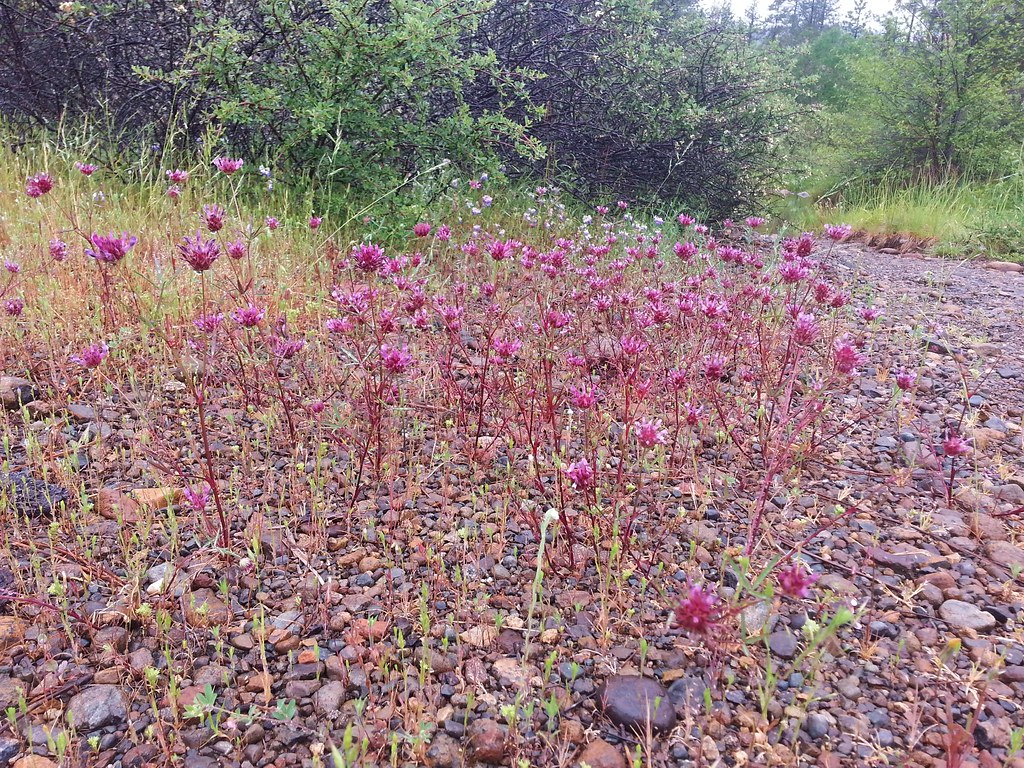 Tomcat clover – Rough and Ready Botanical Wayside
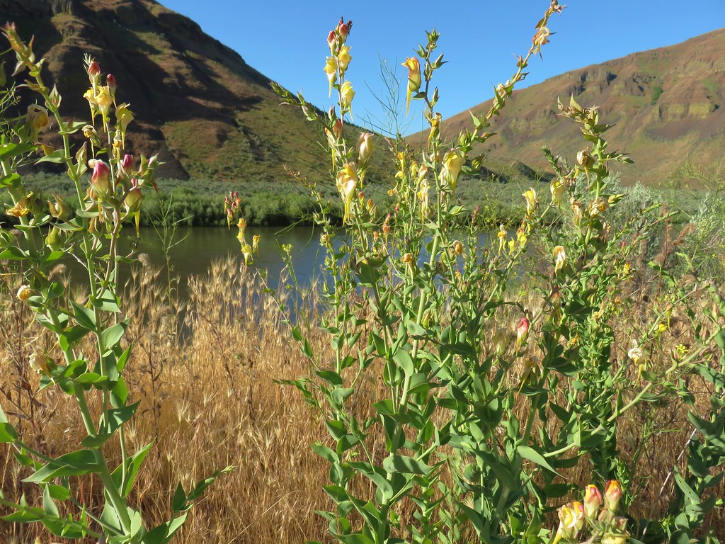 Dalmation toadflax – Cottonwood Canyon State Park
 Heart-leafed milkweed – Applegate Lake
 California groundcones – Jacksonville
 Geranium – Lost Creek Lake
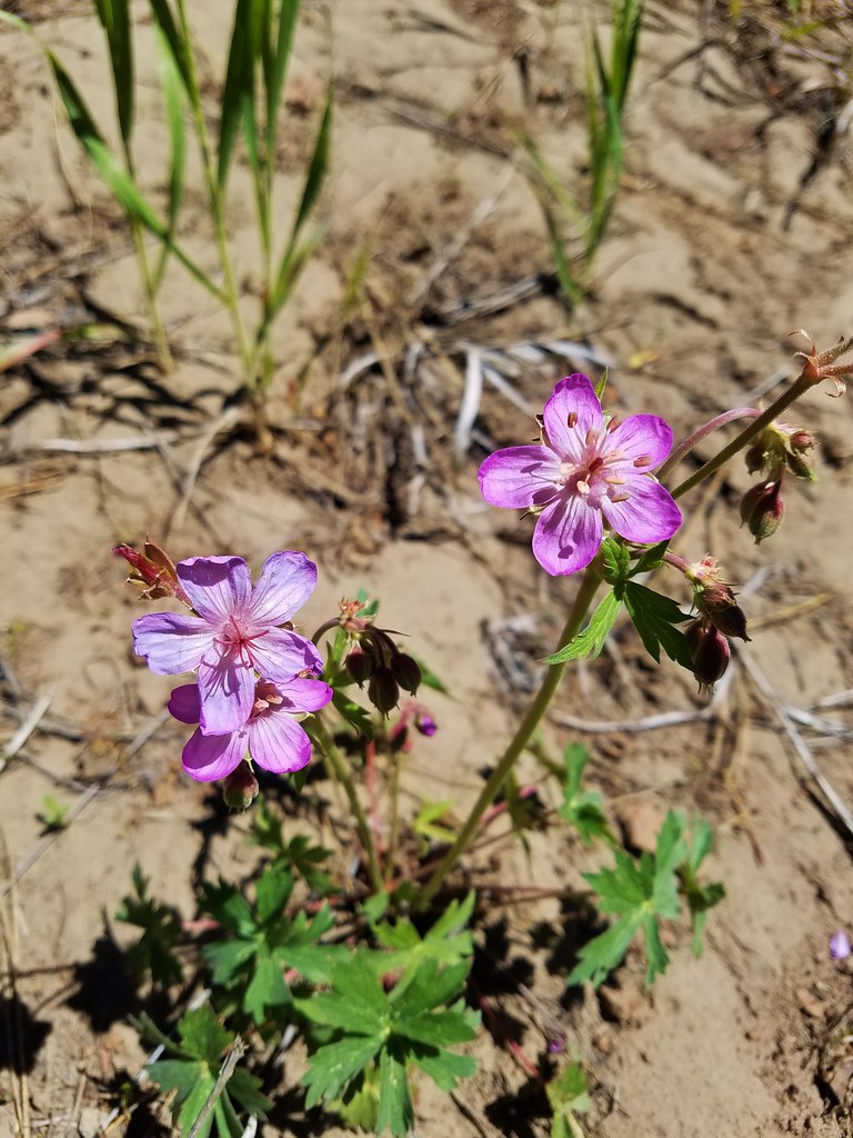 Geranium – Round Mountain
 Rockfringe willowherb – Mt. Eddy
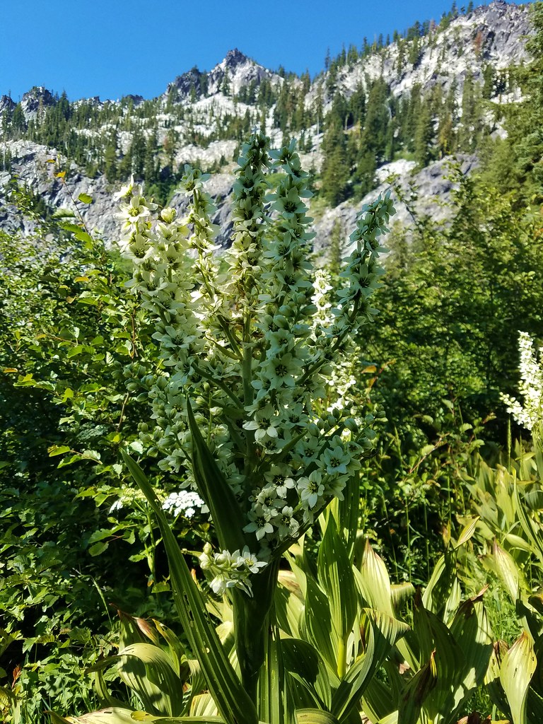
 Leopard Lily – Trinity Alps Wilderness
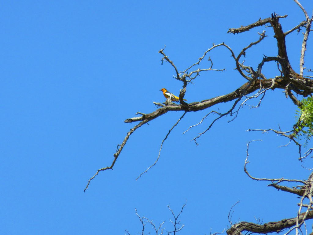 Bullock’s Oriole – Cottonwood Canyon State Park
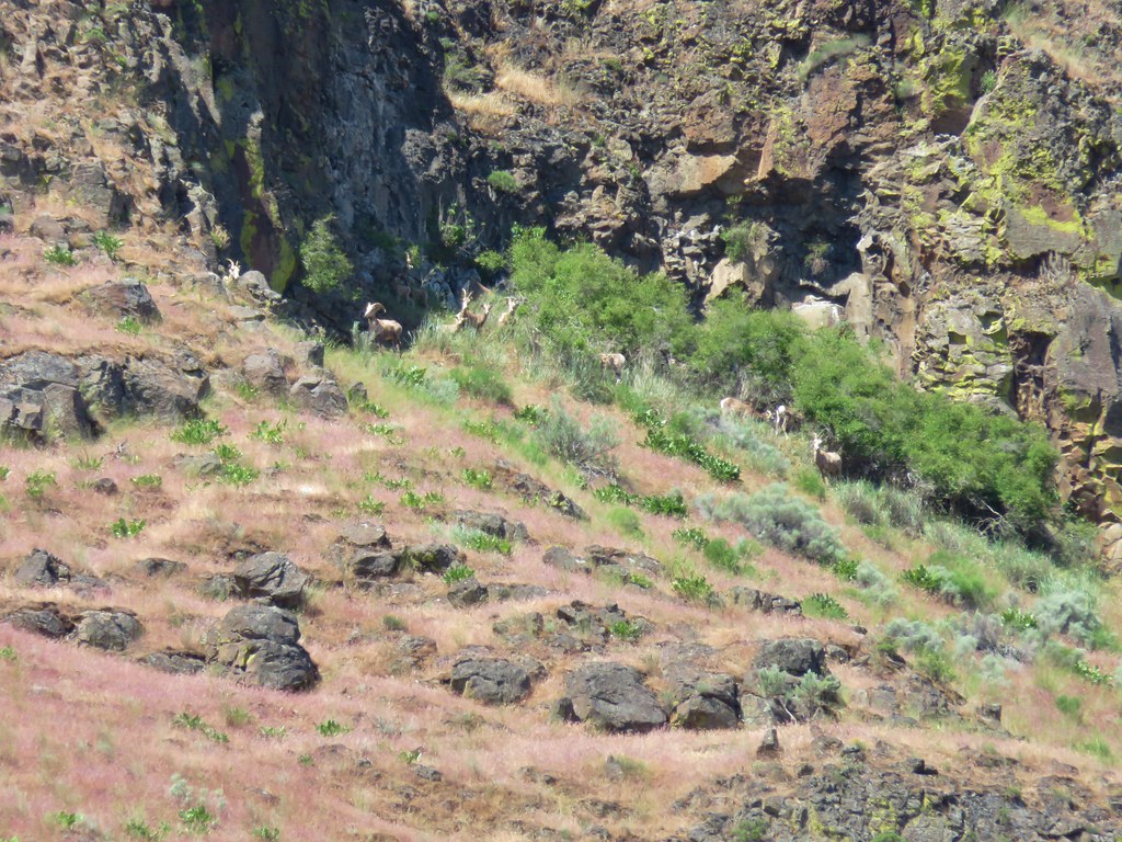 Big horn sheep – Cottonwood Canyon State Park
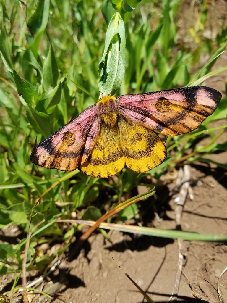 Sheep moth – Grasshopper Meadow
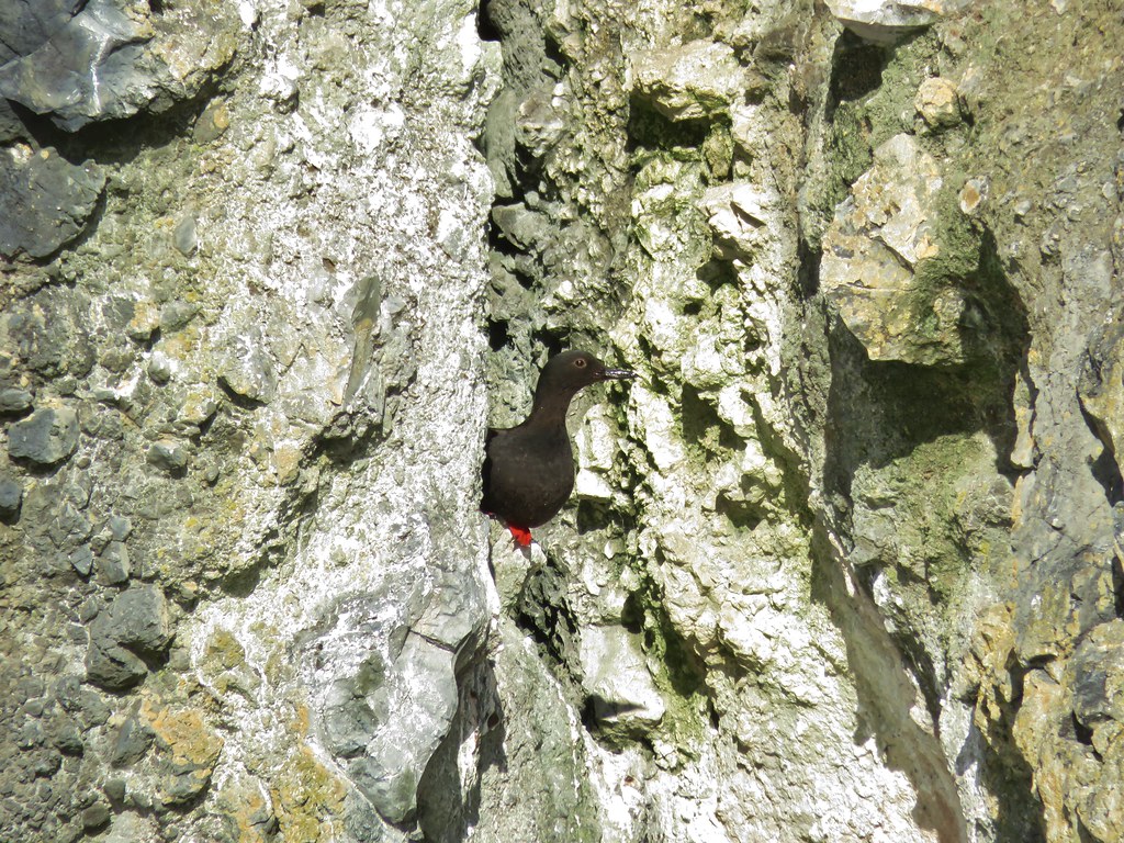 Pigeon guillemot – Yaquina Bay
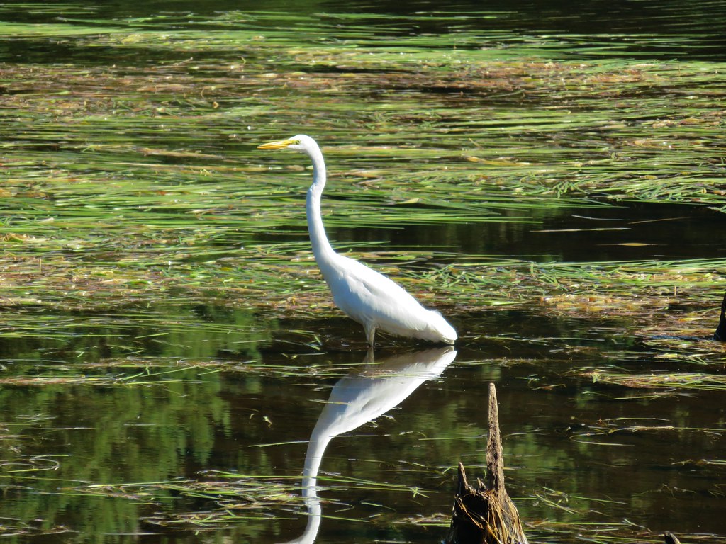 Egret – Cape Disappointment State Park
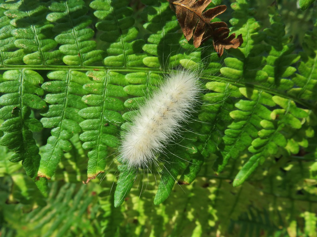 Caterpillar – Cape Disappointment State Park
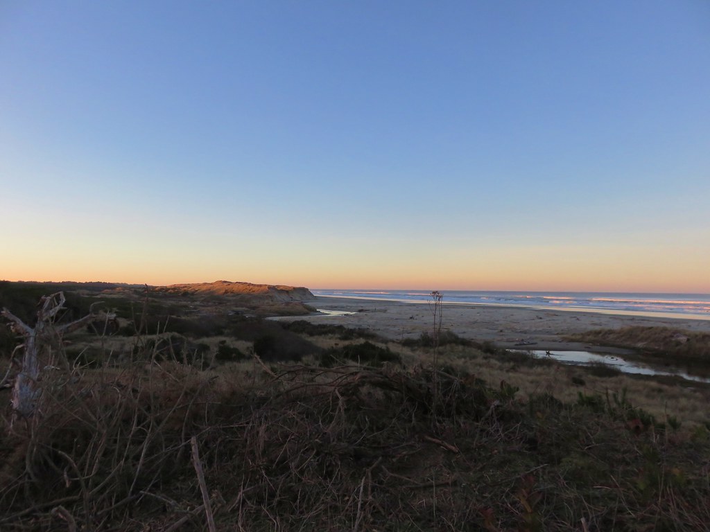 Baker Beach in January
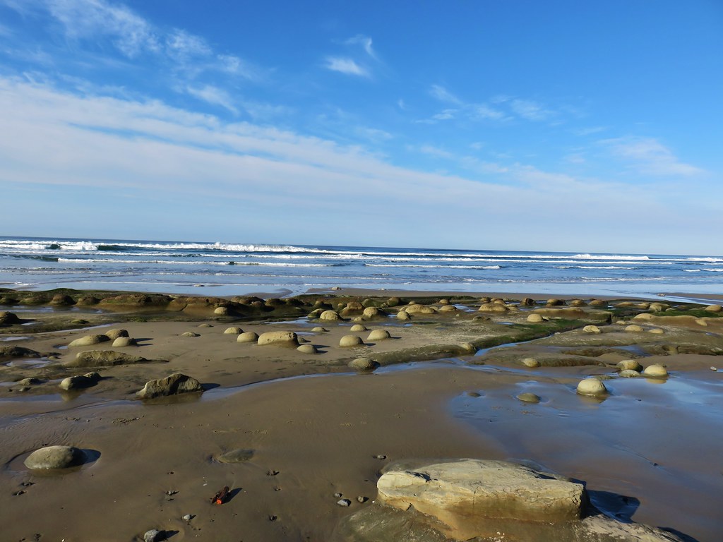 Ona Beach in December
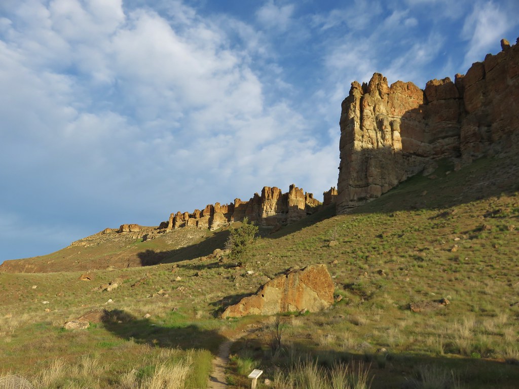 Palisades – Clarno Unit, John Day Fossil Beds, April
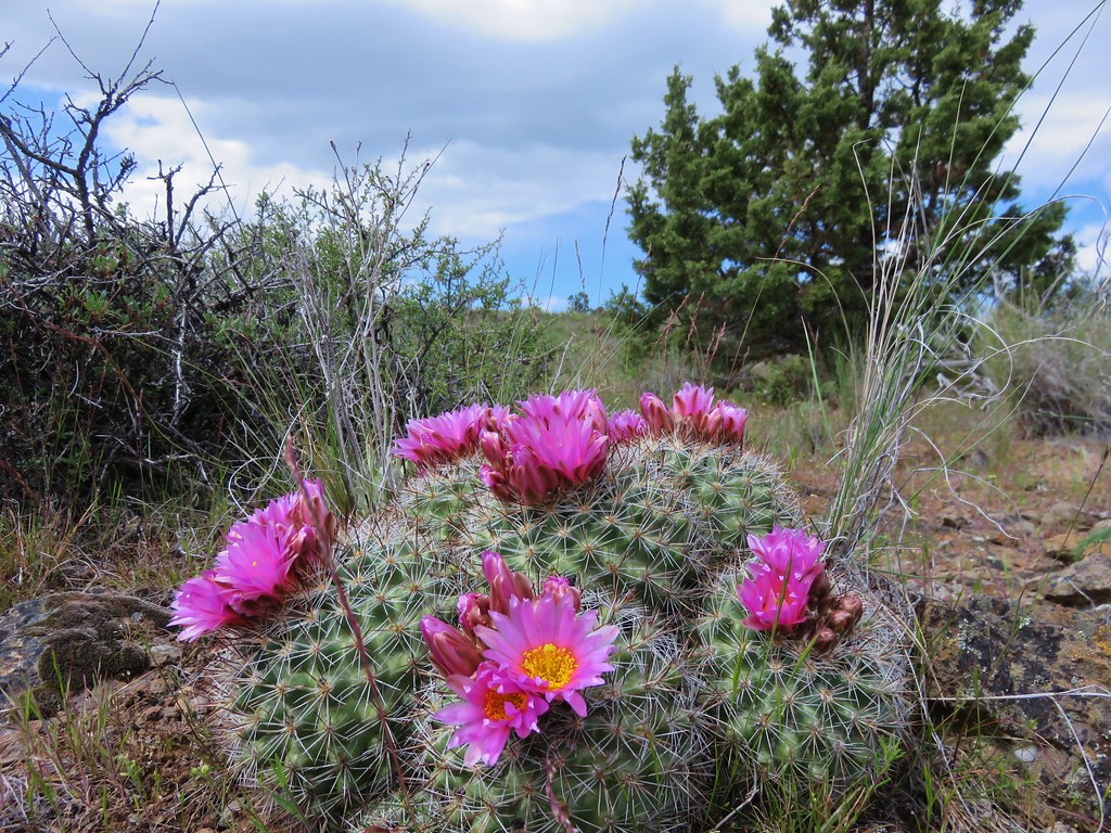 Hedgehog Cactus – Spring Basin Wilderness, April
 Fern Canyon – Prairie Creek State Park, May
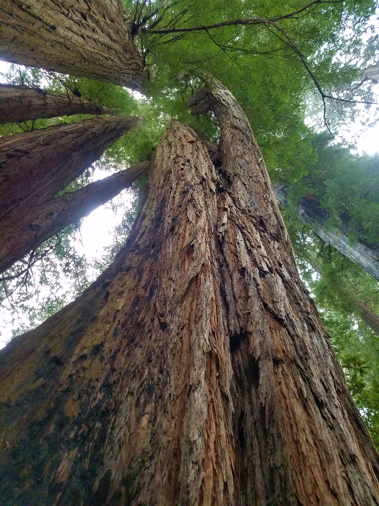 Tall Trees Grove – Redwoods National Park, May
 Crack in the Ground, Christmas Valley, May
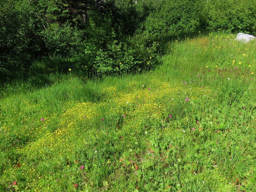
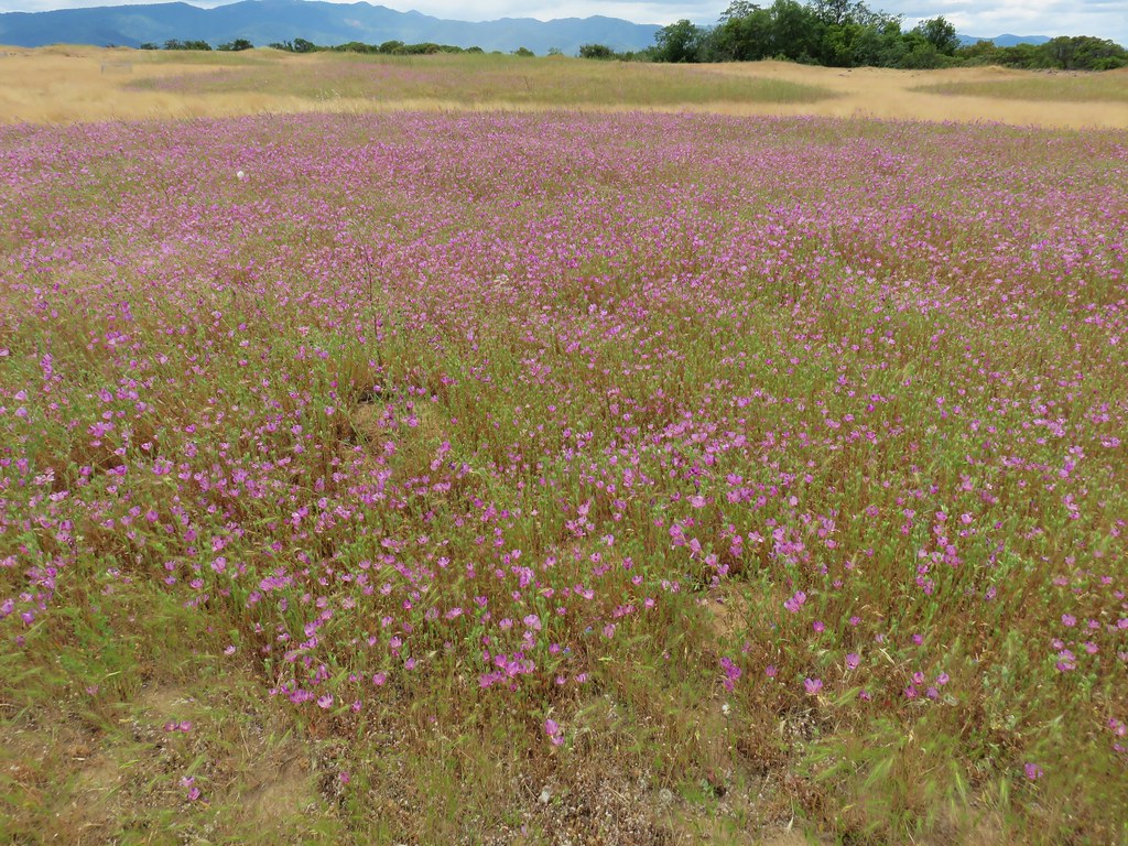 Wildflowers on Lower Table Rock, Medford, June
 North Point – Bridge Creek Wilderness, June
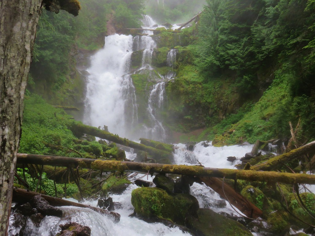 Upper Linton Falls – Three Sisters Wilderness, July
 View from the Summit of Mt. Eddy, July
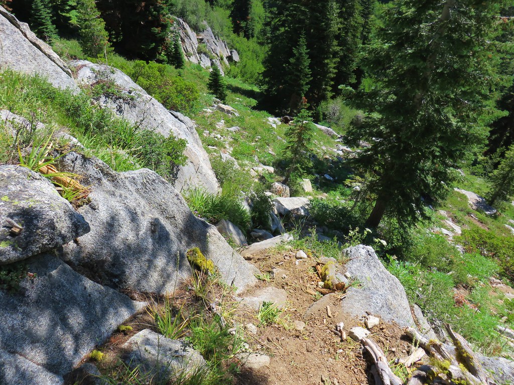
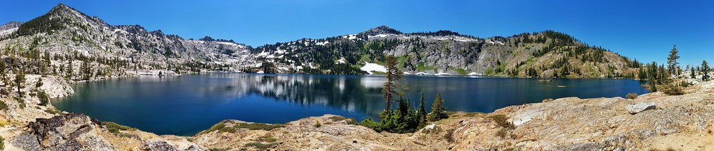 Caribou Lake – Trinity Alps Wilderness, July
 Fireweed along the Vista Ridge Trail – Mt. Hood Wilderness, August
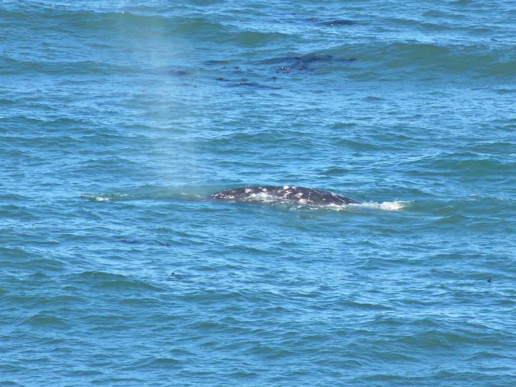 Whale – Yaquina Head, August
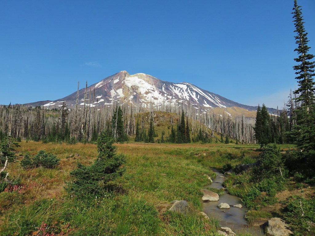 Horseshoe Meadow – Mt. Adams Wilderness, September
 Bull elk – Clatsop Spit, September
 Blue Basin – John Day Fossil Beds, September
 Baldy Lake – North Fork John Day Wilderness, September
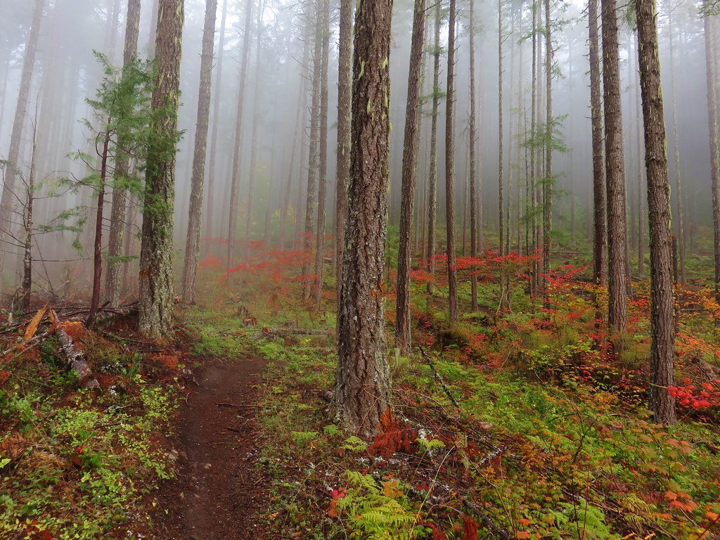 Dead Mountain Trail – Willamette National Forest – October
 Mt. Hood from Tom Dick and Harry Mountain – Salmon-Huckleberry Wilderness, October
 Cummins Creek Wilderness, November