For the Fourth of July we typically pick a hike in the Old Cascades but this year we aimed higher and headed for the Three Sisters Wilderness in the High Cascades. We had two stops planned, a short hike on the Rainbow Falls Trail to the viewpoint of distant Rainbow Falls and a longer hike on the Foley Ridge Trail to Substitute Point. We stopped first at the Rainbow Falls Trailhead since it is right off Foley Ridge Road (FR 2643) on the way to the Foley Ridge Trailhead. Neither of these trailheads currently require a Central Cascades Wilderness Permit for day hikes (you are required to fill out a free self-issued permit at each TH though).

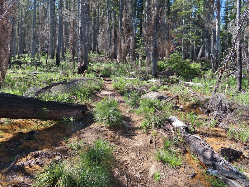
The first half mile of the trail follows an old road bed to a former trailhead.


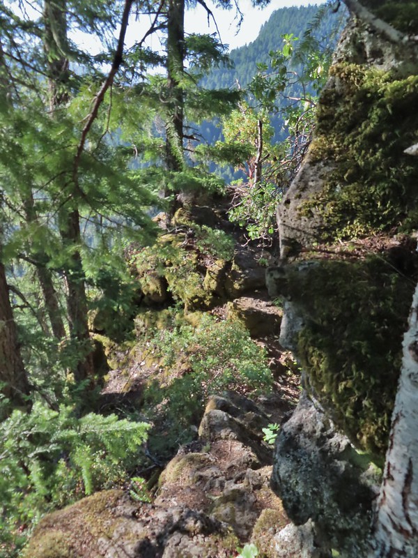
We continued along the trail entering the Three Sisters Wilderness before turning along the edge of the steep hillside high above Separation Creek (post)

 One of two phantom orchids we saw along the trail.
 Newish looking wilderness sign.
 Maples overhanging the trail.

 Madrone trunks
A little under 1.5 miles from the TH we arrived at a rock fin where a short scramble led to a view of distant Rainbow Falls. It was just after 8am which wasn’t an ideal time due to the falls being to the east with the Sun directly behind and still low in the sky.
 It’s a pretty narrow scramble so probably not for kids or those uncomfortable with heights.
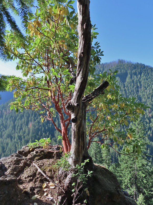 A lone madrone at the end of the fin.
 Looking toward the falls. (The North Sister is back there too but not visible due to the lighting.)
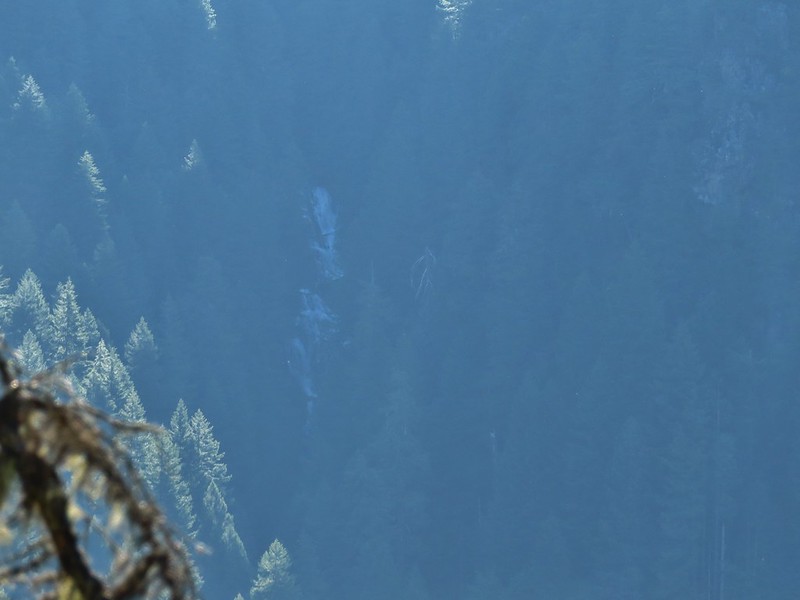 Rainbow Falls on Rainbow Creek
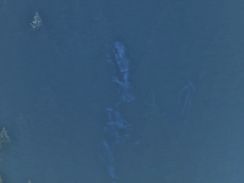 The best I could do with the lighting.
 Looking up Separation Creek.
 Looking back up along the rocks.
A use trail continued toward the falls, but as far as I know it’s not possible to reach them or to get a better view so we returned the way we’d come. From the Rainbow Falls Trailhead we then drove another 5 miles up FR 2643 to its end at the Foley Ridge Trailhead.

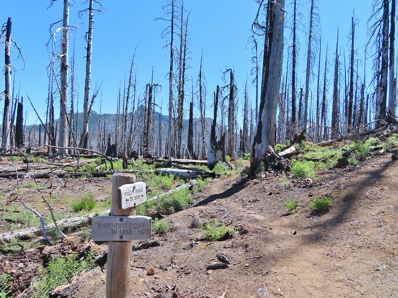
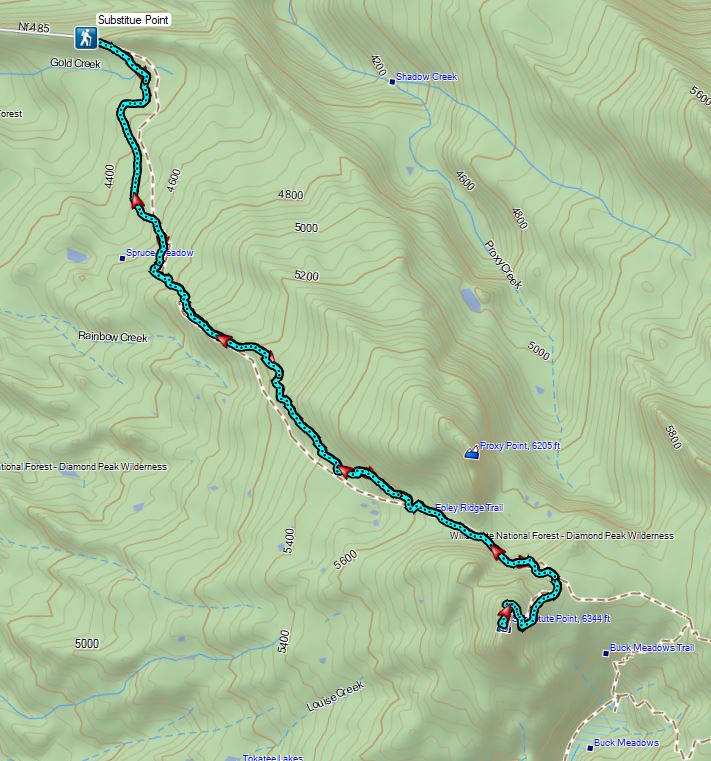
The 8 mile long Foley Ridge Trail begins at the trailhead and leads into the Three Sisters Wilderness were it eventually ends at the Pacific Crest Trail. We had been on the upper end of the trail twice, once on a backpacking trip around the South Sister (post) and the other another backpacking trip where we explored some of the areas waterfalls (post). Today’s plan was to hike the first 4.5 or so miles of the trail to the Substitute Point Trail and then follow that 0.7 mile trail to a former lookout site atop Substitute Point. We were looking forward to the view atop the point but also interested to see what the area looked like after being hit hard by wildfires in 2017.
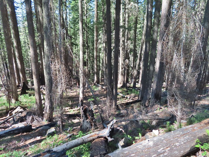
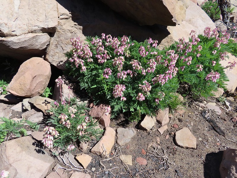
The first mile and half of the trail was unaffected by the fire and hosted a few blooming rhododendron and other woodland flowers.

 Pink pyrola
 Crossing of Gold Creek which was nearly dry but it hosted a fair number of mosquitos.
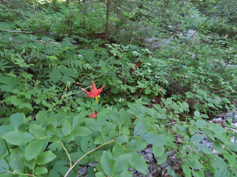 Columbine, bunchberry, and wild roses.
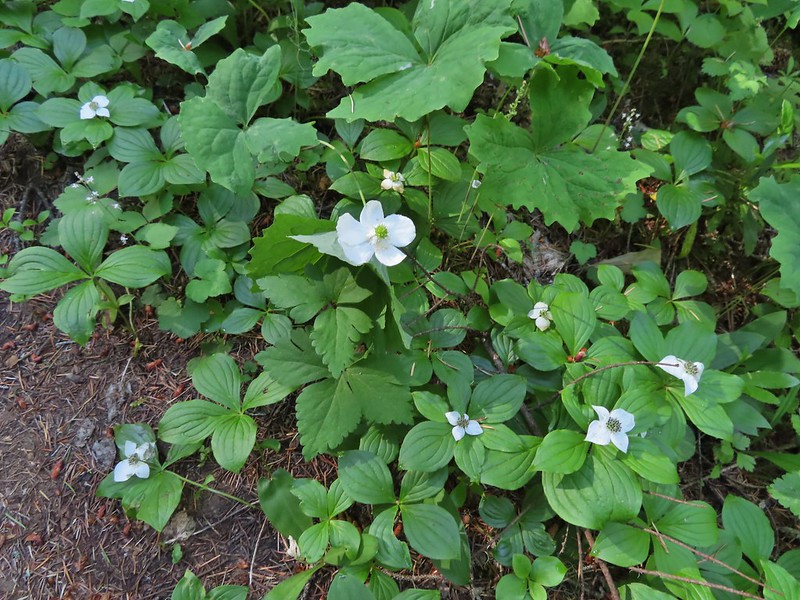 An anemone with some bunchberries
 Entering the Three Sisters Wilderness
 Queen’s cup
 Beargrass
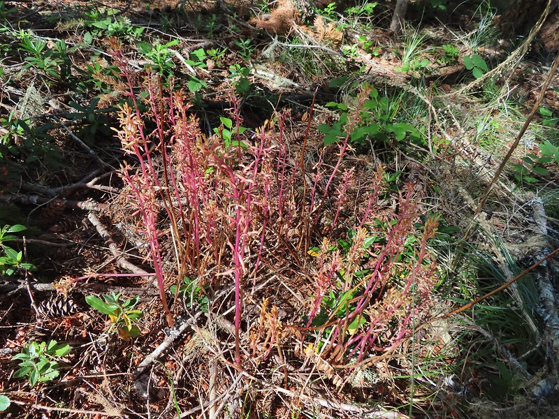
 Candy sticks
 Rhododendron
 Pacific coralroot
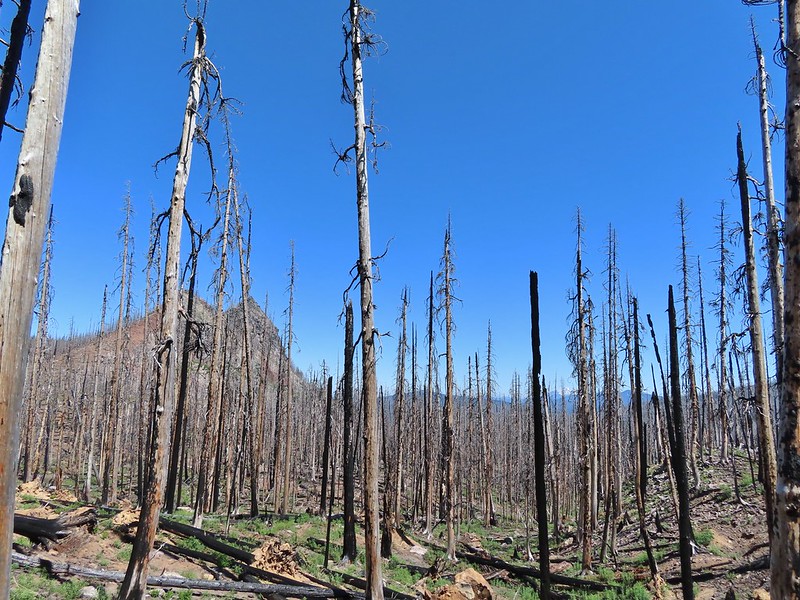
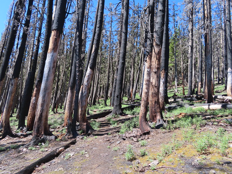
We soon found ourselves in the fire scar which at least lessened the number of mosquitos greatly.

The 2017 Separation Fire was started by lighting in August along with dozens of others. The fire became part of the Horse Creek Complex which burned something in the neighborhood of 30,000 acres. It was the same year as the Eagle Creek and Whitewater fires making 2017 a really bad year for great hiking areas. Nearly four years later signs of the slow recovery could be seen in the form of wildflowers and small trees.
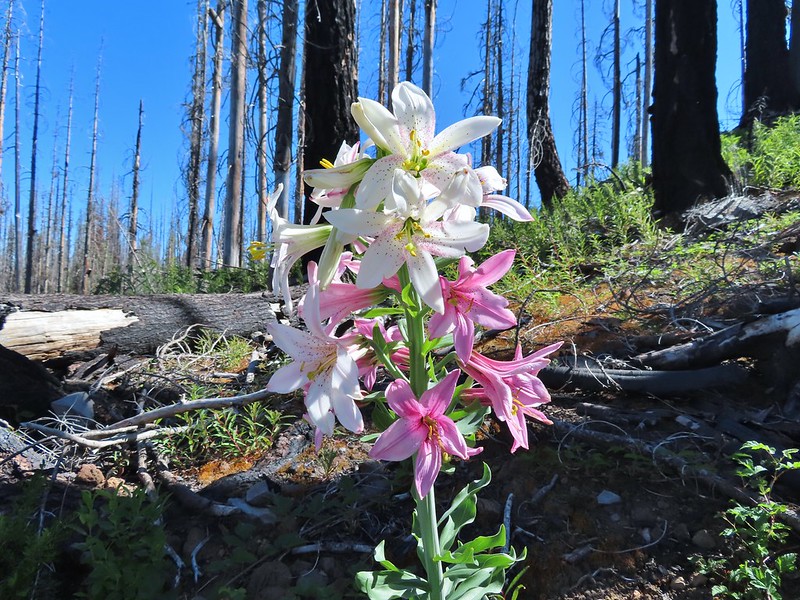
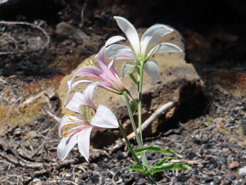
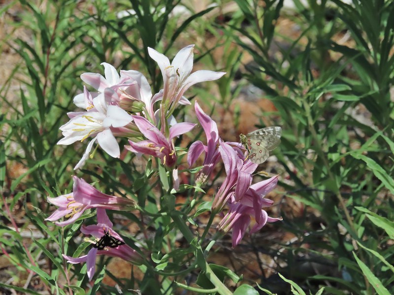
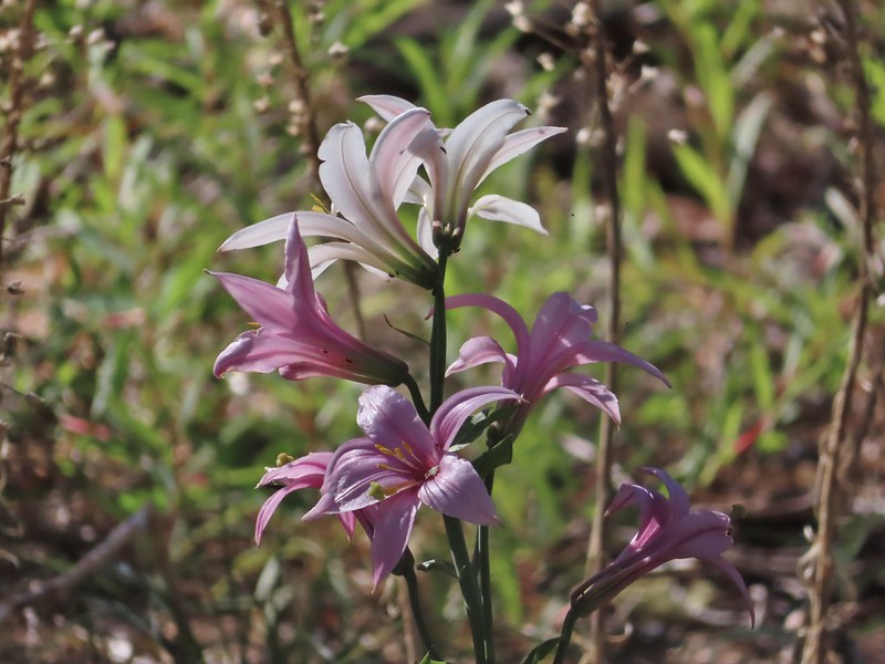 Washington lily
 Lupine
 Squirrel
 Tiger lily
The trail briefly entered an area of older trees that had fared a little better during the fire.
 Twinflower
 Leaving the green trees behind.
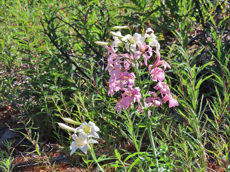
The trail climbed gently which allowed us to fully appreciate the wildlife and wildflowers, in particular some really impressive Washington lilies.
 Washington lilies

 They smell as good as they look too!
 This one was a monster.
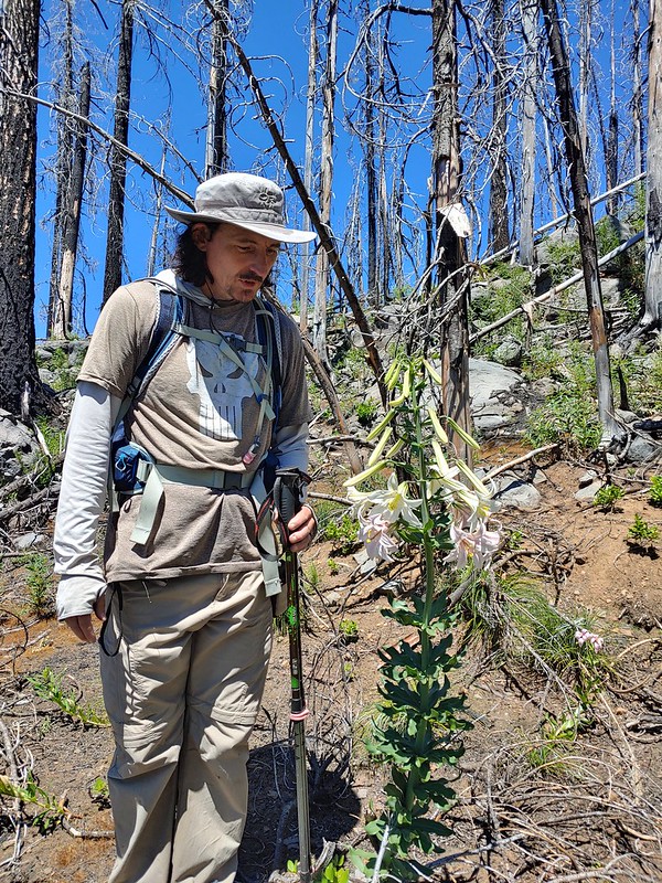 Chest high
 Crab spider on the lower left petal.
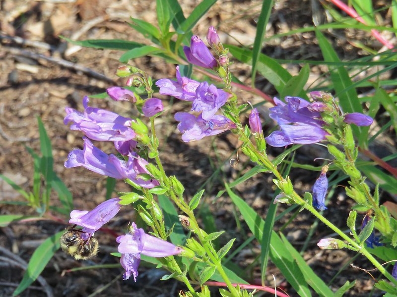
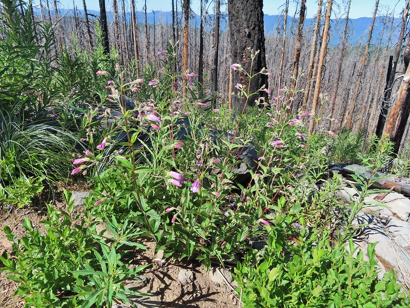 Penstemon
 Earlier in the week I had been reading that the blossoms turn pink after being pollinated.
 Clodius parnassian
 Pretty moth
 Penstemon
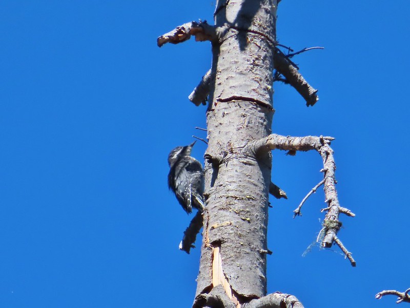 Woodpecker
 Pond along the trail.
 Water lilies
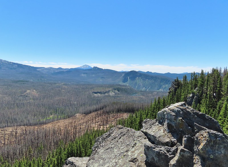
The trail began to level off as it passed between Proxy Point on the left and Substitute Point on the right. With the trees being burnt we had a good view of the rocky Proxy Point but the angle of the hillside below Substitute Point kept it hidden. Also visible was The Husband further ahead to the East.
 Looking toward Proxy Point
 The Husband, South Sister, and the shoulder of Substitute Point.
 Frog along the trail.
The trail curved around the base of Substitute Point where we got a view of Three Fingered Jack and Mt. Jefferson.
 Proxy Point, Scott Mountain (post), Three Fingered Jack and Mt. Jefferson
 Bleeding heart
We came to the junction with the Substitute Point on its NE side.
 The Husband from the junction.
The Substitute Point Trail didn’t appear to have been maintained, possibly since the fire, but it was easy enough to follow as it headed uphill.

 This was sort of a mean trick, the trail entered these green trees then almost immediately switched back into the burn.

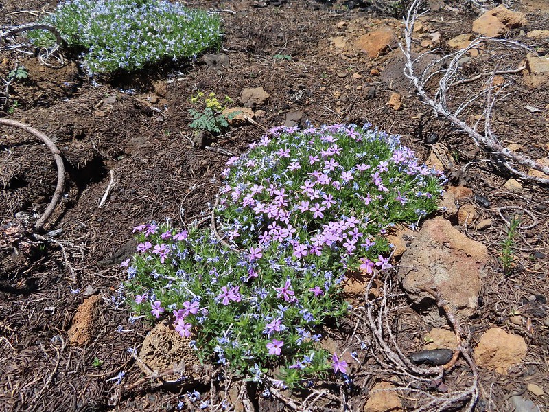 Phlox
Phlox
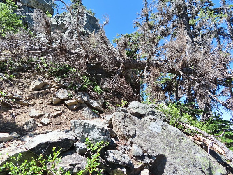
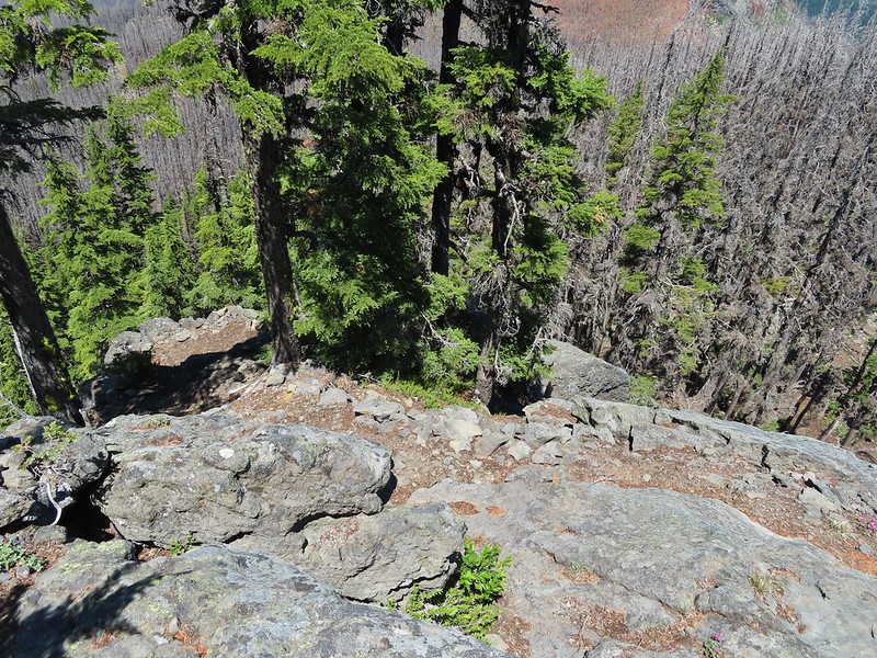
The climb wasn’t particularly steep until the end as it approached the rocky spire where a lookout once sat. As we approached it was hard to believe there was a trail to the top.

There was in fact a nice trail that wound up the west side, although a single downed tree did require a hands and knees crawl along the way.
 Mt. Bachelor from the trail.
 Proxy Point
 Some unburned forest and a view of Diamond Peak.
 Diamond Peak (post)
 The Little Brother and North & Middle Sister behind The Husband with South Sister to the right.
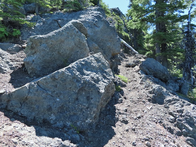
 The trail leading up.
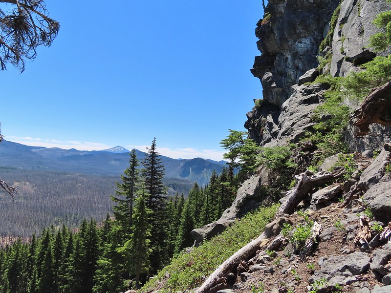
The view at the top was at the same time spectacular and sad. We could see that much of the area that we’d explored on our previous backpacking trips had been burned badly by the fires.
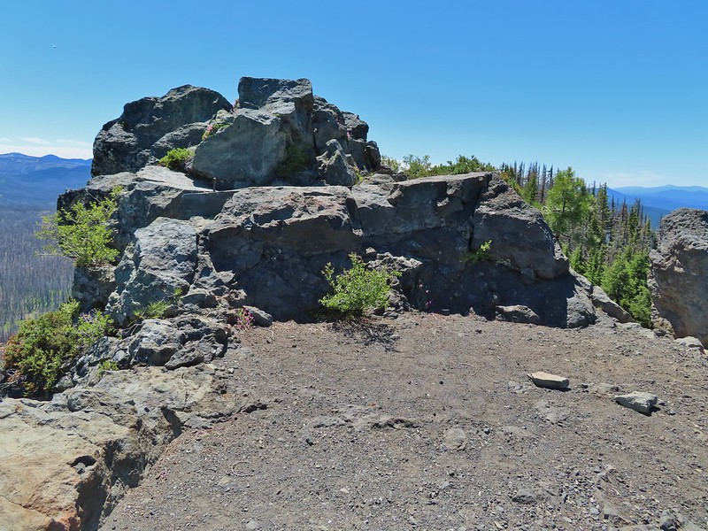 The summit of Substitute Point
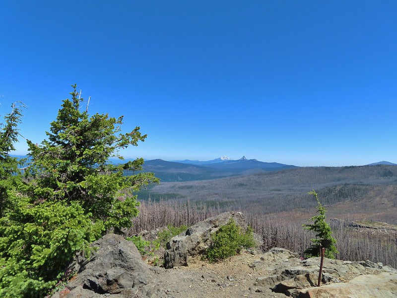 Scott Mountain, Three Fingered Jack, Mt. Jefferson, Mt. Washington, and Belknap Crater (post).
 Proxy Point and Scott Mountain.
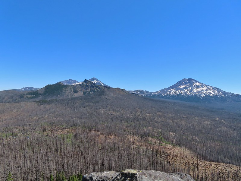 The Three Sisters, Little Brother and The Husband
 Mt. Bachelor, The Wife, and Sphinx Butte.
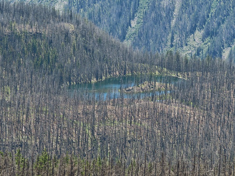 Kidney Lake
img src=”https://live.staticflickr.com/65535/51292219058_ec3f2f67bc_c.jpg” width=”800″ height=”600″ alt=”IMG_9866″>South Sister
 Mt. Bachelor and The Wife
 North and Middle Sister behind The Husband
 Three Fingered Jack, Mt. Jefferson and Mt. Washington
We took a nice long break at the top watching butterflies soar around us.
 A swallowtail and two whites (maybe clodius parnassians) in flight.
After our break we headed back. We’d had the hike to ourselves but were now passing a handful of hikers heading up the trail. We stopped a few times to watch butterflies (in hopes they would land) and to smell the occasional lily.
 Clodius parnassian in a blossom.
 Moth and a parnassian.
The hike here came to 10.3 miles with 2000′ of relatively gentle elevation gain. With the 2.8 miles we did at Rainbow Falls it came to a 13.1 mile day and a great way to spend the 4th of July.
While we were sorry to see how badly much of the area was burned it was encouraging to see the trails were in relatively good shape and that there was new growth coming. We fear that hiking in recently burned forest is only going to become more common in the years to come but hike we will. Happy Trails!

One reply on “Rainbow Falls and Substitute Point – 07/04/2021”
[…] Three Sisters is The Husband (with snow). To the right of that in the distance is Substitute Point (post) and Proxy Point. The hump with a little snow on it closer to the right is Scott Mountain […]