With our hiking season starting to wind down we took advantage of a decent weather forecast for one final overnight trip. Our plan was to begin at the Robinson Lake Trailhead and take the Deer Butte Trail to the Benson Trail then follow that trail up into the Mt. Washington Wilderness where we would set up camp in the Tenas Lakes area. After setting up camp we’d visit the summit of Scott Mountain and Benson Lake to fill out the afternoon/evening. This would be our third attempt at getting a decent view on Scott Mountain. We never made it to Scott Mountain on our first attempt in 2012 due to not being prepared for the amount of snow covering the trail, and although we reached the summit on our second attempt in October 2014 we found ourselves in a cloud with no views whatsoever.
We began both of our previous visits to the area from the Benson/Tenas Trailhead near Scott Lake off of the McKenzie Highway (242). In order to do something a little different and see some new lakes we started on the other side of the wilderness at the Robinson Lake Trailhead. This trailhead is located at the end of Robinson Lake Road (2664) off of Highway 126 4.7 miles south of the Clear Lake Resort.

The short half mile hike to Robinson Lake is included in William L. Sullivan’s 100 Hikes in the Central Oregon Cascades guide books as a non-featured hike in the more hikes section in the back of the books. The hike is also included in another of our guide books, Bend, Overall 2nd Edition (Hiking and Exploring Central Oregon)written by Scott Cook. The Robinson Lake Trail actually begins .4 miles from the trailhead where it splits from the Deer Butte Trail which is the trail that leaves from the trailhead.

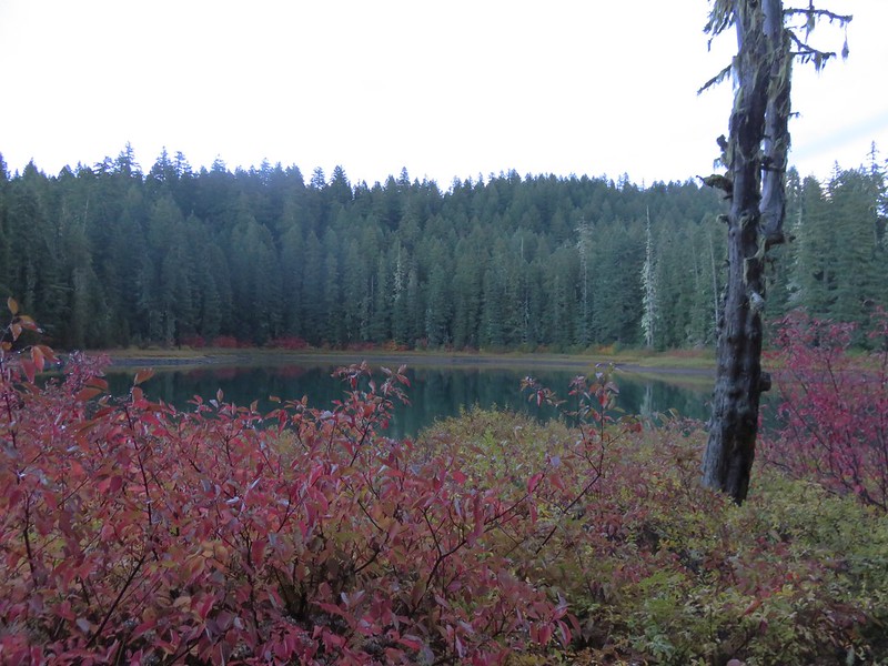
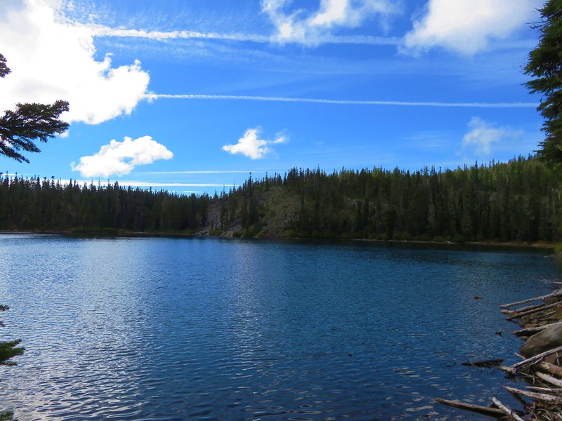
The Robinson Lake Trail leads a tenth of a mile to a campsite near the little lake.
After visiting Robinson Lake we returned to the Deer Butte Trail and continued another 1.2 forested miles to an unsigned junction with an unofficial trail to Kuitan Lake.

Unofficial trail to Kuitan Lake to the left:


From Kuitan Lake we followed the Deer Butte Trail another .8 miles to a junction with the Hand Lake Trail.
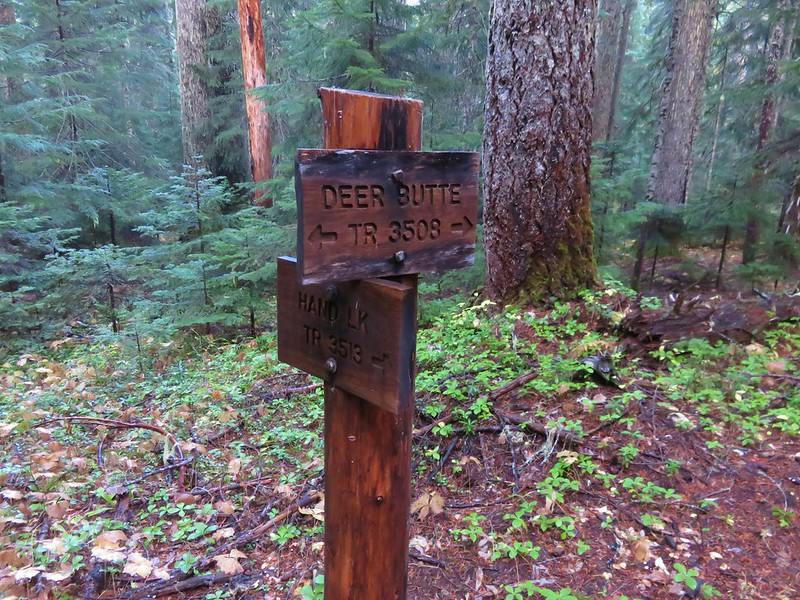
Originally we were going to take this trail and do our loop around Scott Mountain clockwise but after doing some distance calculations it appeared that doing the loop counter-clockwise would leave us with a slightly shorter hike out on the second day so we stuck to the Deer Butte Trail and continued south skirting the Mt. Washington Wilderness.

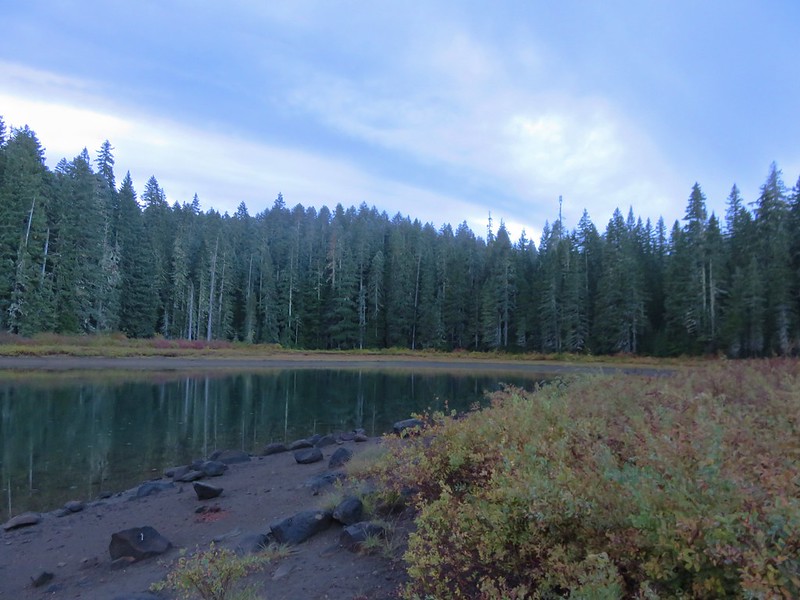
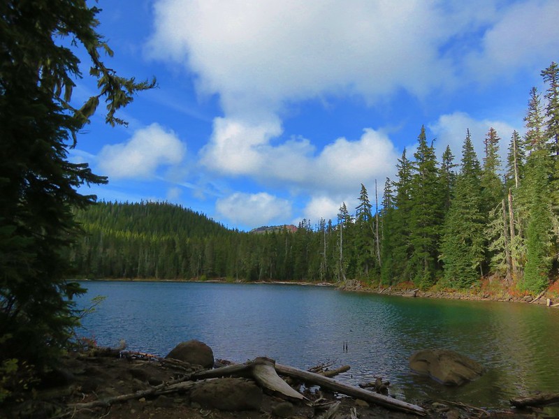
Just under 1.5 miles from the Hand Lake Trail junction the Deer Butte Trail passed a small unnamed lake.

Another 2.5 fairly level miles beyond the unnamed lake we a arrived at a 4-way junction with the Benson Trail.
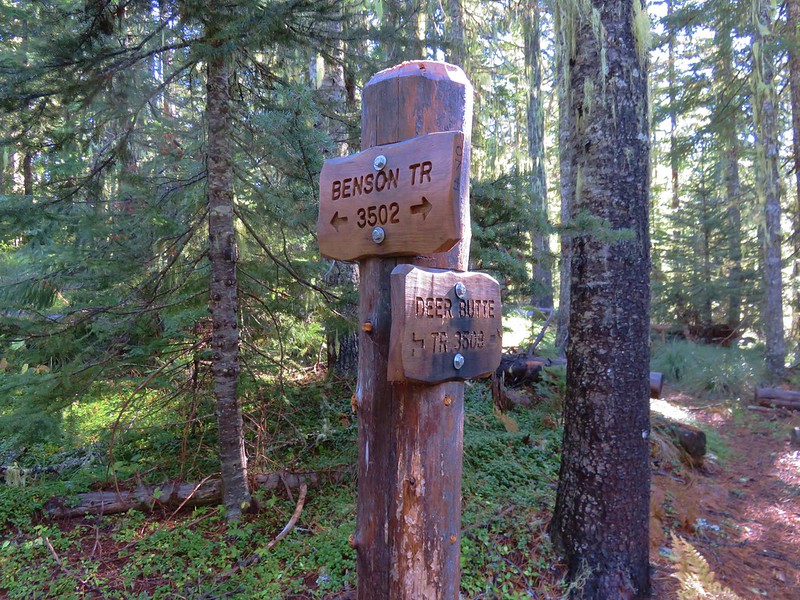
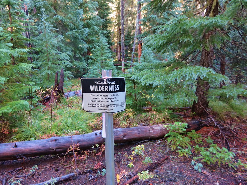
Here we turned left and began climbing into the Mt. Washington Wilderness.

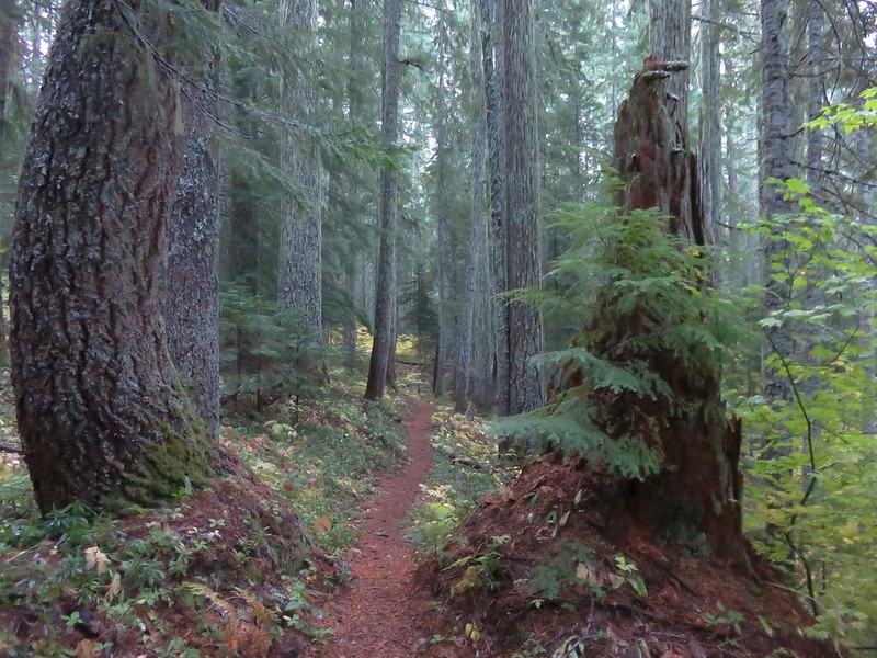
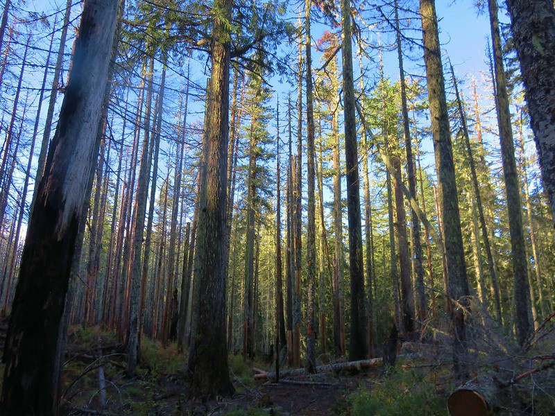
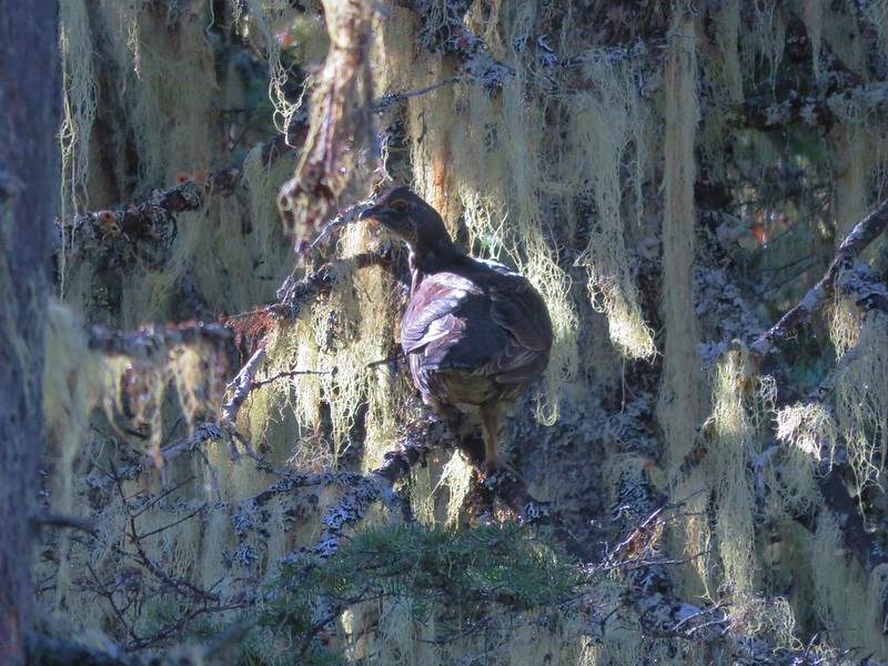
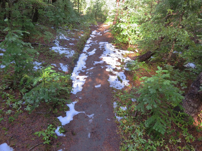
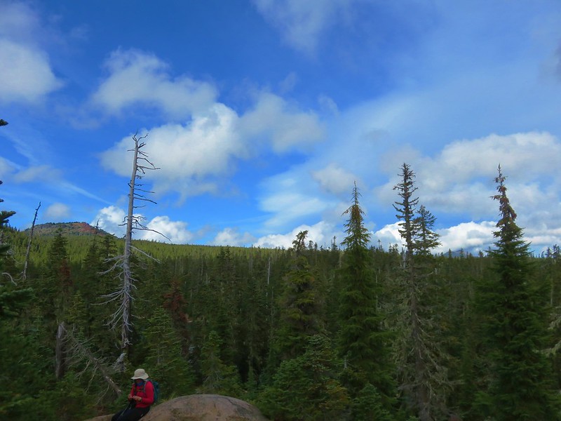
This section of the Benson Trail was in pretty good shape but it was a bit overgrown and the recent wet weather made it a wet 2.6 mile, 1200′ climb to our next junction. The forest was nice but there were no views or wow scenery along the way, but we did startle a grouse out of the underbrush.
When we arrived at the junction with the Scott Mountain Trail we stayed on the Benson Trail and headed for the Tenas Lakes area.

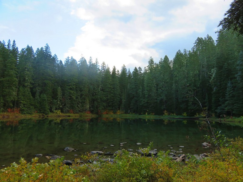
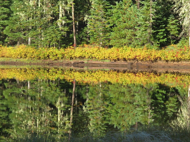
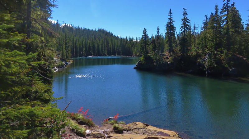
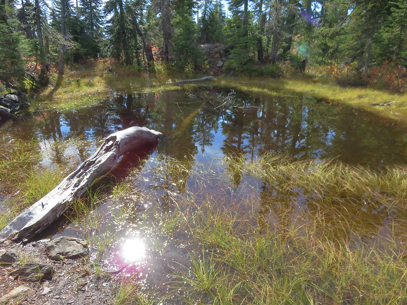
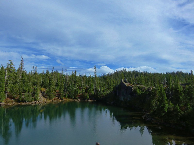
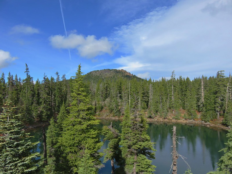
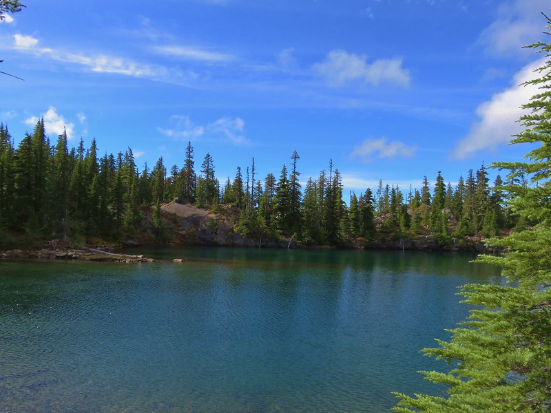
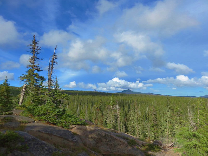
The Tenas Lakes area is home to a number of lakes and smaller ponds filling glacier carved bowls. We headed cross country past one of the smaller lakes/ponds to find a campsite near the largest of the Tenas Lakes.


We didn’t see any other tents set up anywhere in the area and chose a spot following Leave No Trace Principles.

After setting up camp we had a choice between heading north to Scott Mountain or south to Benson Lake. We had decided to base the timing of our visit to Scott Mountain on the weather conditions. The sky seemed fairly clear so we decided to go to Scott Mountain first and then to Benson Lake later in the day in case more clouds moved in. We took the Tenas Lakes Trail .1 miles from the largest lake to the Benson Trail and turned left for .2 more miles back to the Scott Mountain Trail junction.

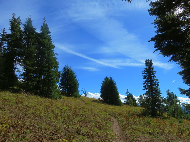
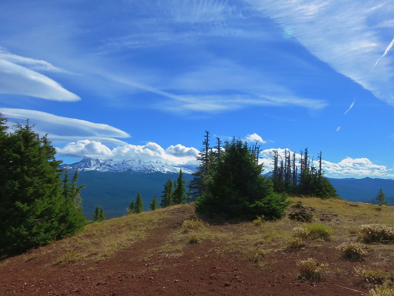
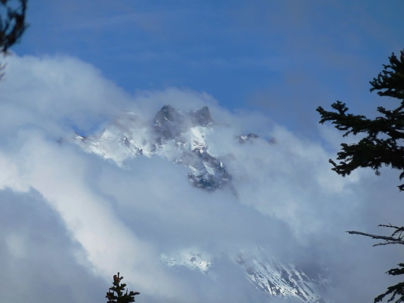
We followed the Scott Mountain trail for a mile to yet another trail junction getting a nice view of the cloud free summit along the way.

We would be taking the Scotty Way Trail the next day on our hike out, but for now we stuck to the Scott Mountain Trail and headed up toward the summit. Heather had remembered that .7 mile climb to the summit was on the steeper side, but I hadn’t. She had remembered it correctly (no surprise there). On the way up we passed some small patches of snow presumably left over from the week before when we had been hiking in snow on Black Crater.
Near the summit the trail began passing through open meadows where the snow gave way to butterflies and few left over flowers.

As the trail wound its way up to the former lookout site atop the mountain The Husband come into view.
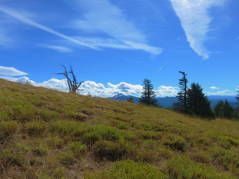
Just a bit further the snow covered lower portions of the Three Sisters joined the view.
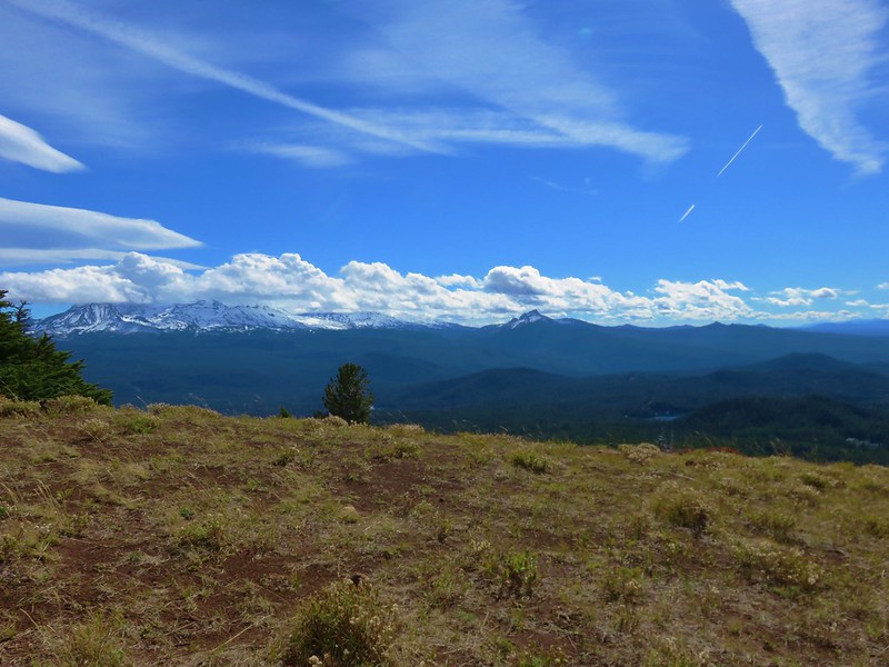
At the summit the view to the north opened up.

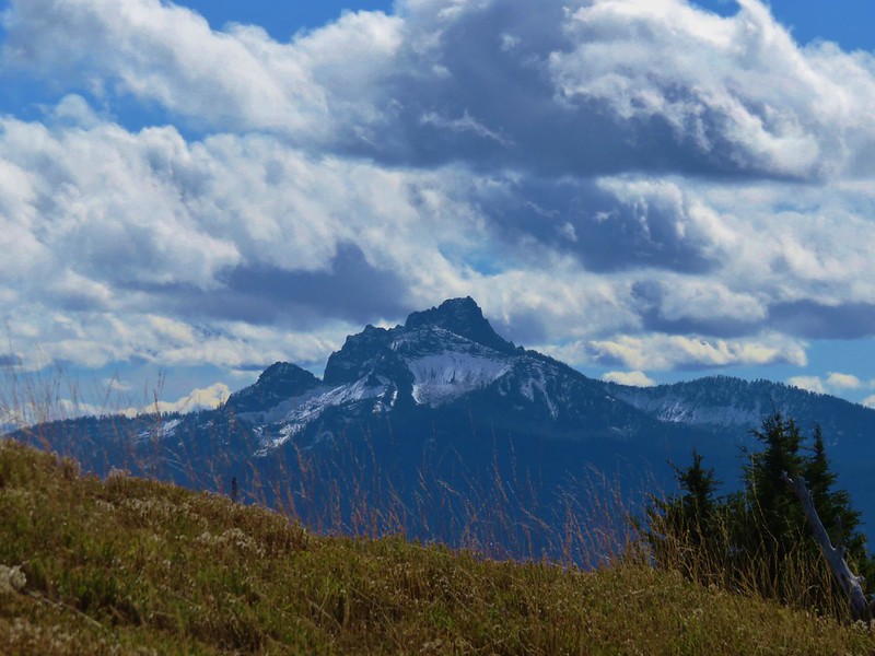
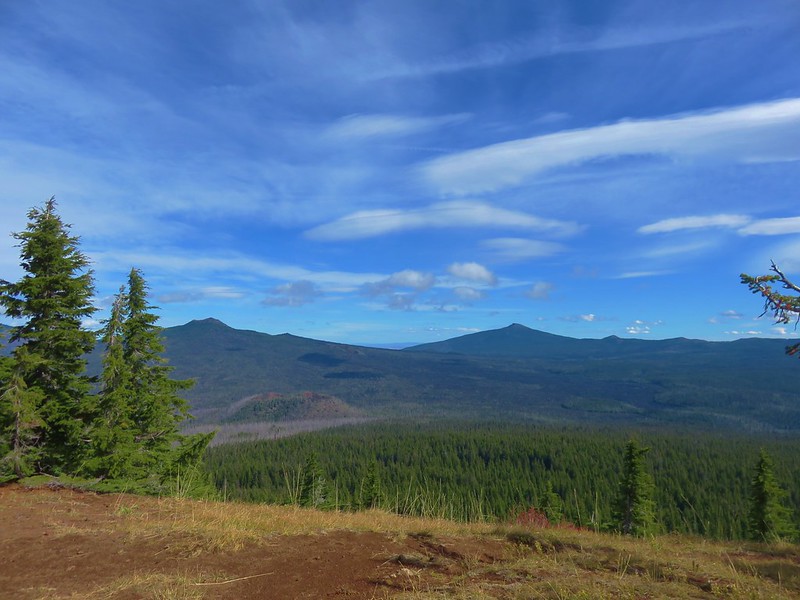
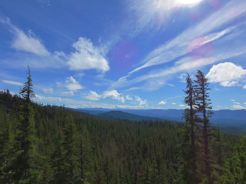
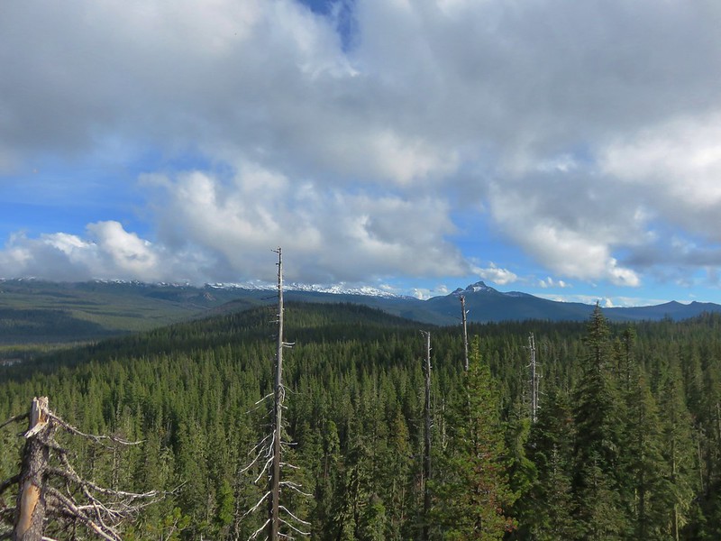
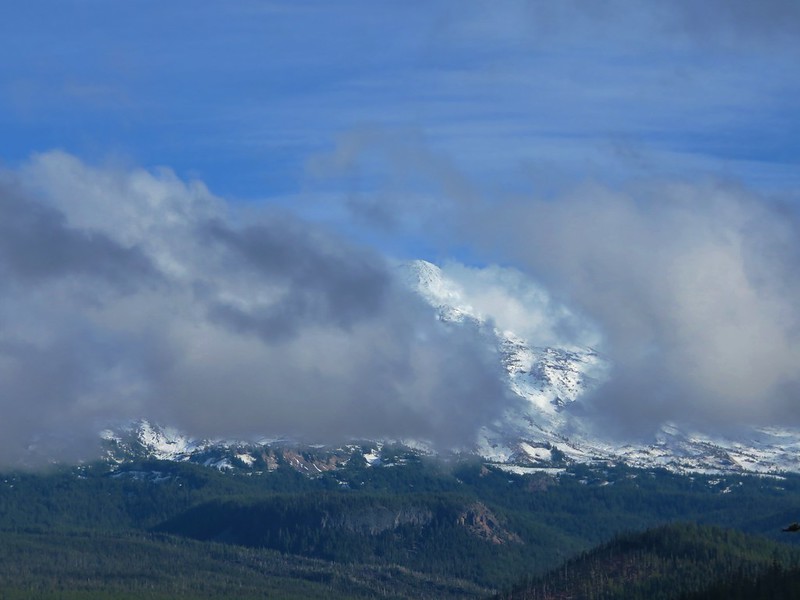
It was interesting watching the clouds. There were two lines of clouds that seemed to be headed for one another in the gap between Mt. Washington to the north and the Three Sisters to the south. We had brought our Alite Mayfly chairs with us and set them up on the summit watching the clouds move, yet not appear to get anywhere. Occasionally more of a mountain would appear but every time we thought we might get a clear view of one of the major cascade peaks more clouds would arrive.
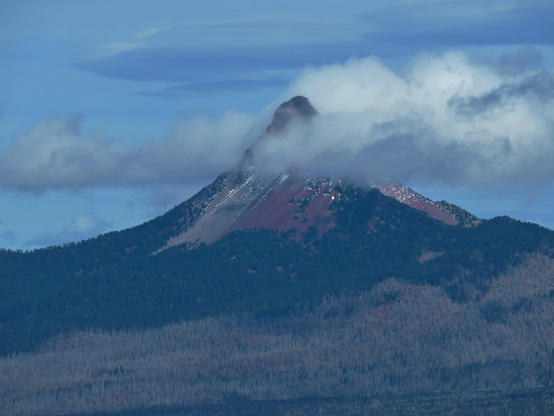
Double, Belknap, Little Belknap, and Black Craters
Mt. Jefferson and the lower portion of Three Fingered Jack

Mt. Washington
The Three Sisters
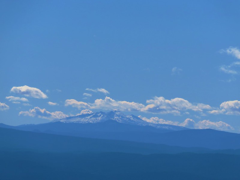
The clearest major cascade peak was actually the furthest away – Diamond Peak to the south.
Despite the pesky clouds the view was infinitely better than it had been in 2014.

After making good use of our chairs we packed them up and headed back to our campsite where we grabbed a couple of extra clothing items and then began exploring the Tenas Lakes area passing a half dozen lakes and ponds.

We had seen a number of empty campsites as we looped around, but when we arrived back at the Tenas Lakes Trail we noticed that a small group of people were setting up tents along the big lake not 20 yards from our site. We prefer to have as much privacy as possible when we’re out, but more disappointing was they were setting up right between our site and its view of the lake. We discussed whether or not to move our campsite as we returned to the Benson Trail and headed toward Benson Lake.
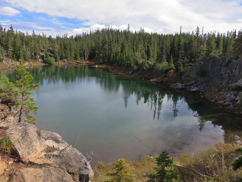
It was just under a mile from the Tenas Lakes Trail to Benson Lake. We hoped to be able to hike around the lake, something we had not tried to do on either of our previous visits. We had followed a fisherman’s path a short distance along the southern end of the lake and seen people camped on the far side in 2014 so we knew that we should at least be able to get part way around the west side of the lake. The issue with going all the way around appeared to be a rocky outcrop jutting out into the water on the NW side.
We started around the lake clockwise crossing the dry outlet creek then climbing up onto glacially scarred rocks with a nice view down to the lake.

We climbed up to the top of the rocks which provided some great views but not a path around the lake.
Scott Mountain
 <
<
The Three Sisters and The Husband
North Sister
Middle Sister
South Sister

Mt. Washington, Belknap and Little Belknap Craters
Mt. Washington

Heather had seen another possible route as we were heading up the rocks so we backtracked a bit and found the trail she’d seen which did indeed lead us further around the lake.

The trail petered out at a rock slide near the outcrop that we had seen from the far side of the lake. We rock hopped across the slide then picked up a faint trail before coming to a very short but steep section where we were forced to scramble along a rock face. We both wondered if it would have been better to have tried to get up on top of the outcrop which it turns out is a sacred prayer site for Native Americans. Statesman Journal article
On the other side of the outcrop we picked up the user trail again and followed it back to complete our loop.
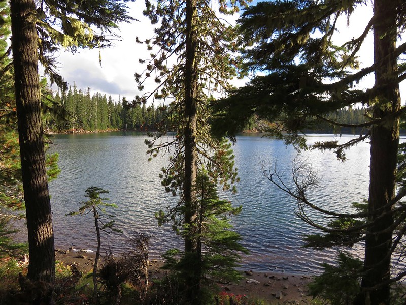
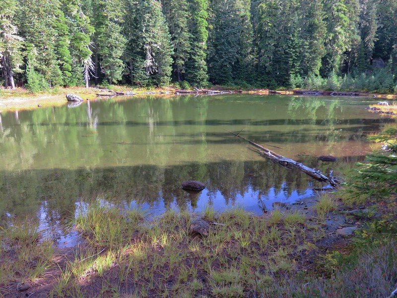
We returned to camp having decided that we would indeed change our campsite. We had our pick since there still wasn’t anyone else camped in the area save us and the group that had set up next door. We chose a spot about 100 yards away near a smaller lake. We were able to carry our tent there without having to take it down making the move pretty simple.


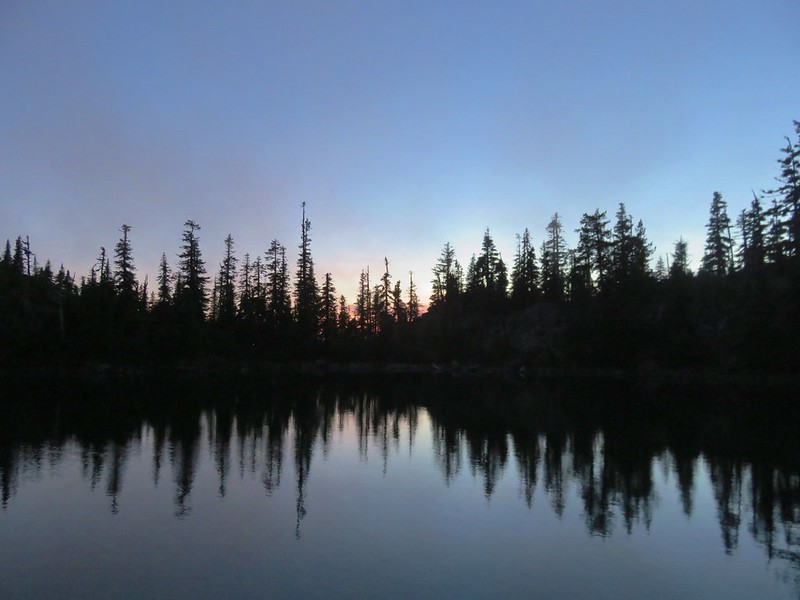
We ate dinner by the lake, went to one of the larger lakes to pump water, and watched the sunset before turning in for the night.
With all the side trips and exploring our distance for the day wound up being a little over 18 miles which was more than planned but we’d gotten to see a lot and finally gotten some views from Scott Mountain. Happy Trails!
Flickr (both days): https://www.flickr.com/photos/9319235@N02/albums/72157674905089576

13 replies on “Scott Mountain Loop Day 1 – Mt. Washington Wilderness”
[…] end. The McDonald-Dunn Research Forest consists of approximately 11,250 acres largely used by Oregon State University for instruction and […]
[…] These included the North and Middle Sister, Belknap Crater, the Husband, Diamond Peak, and Scott Mountain. […]
[…] Washington – 2011, 12, 14, 15, 16, […]
[…] Mountain (post) and a snowy Maiden Peak (post) in the […]
[…] Mountain (post) beyond the lava flows of Four-In-One […]
[…] Point where we got a view of Three Fingered Jack and Mt. Jefferson. Proxy Point, Scott Mountain (post), Three Fingered Jack and Mt. […]
[…] Crater, the Three Sisters, The Husband, Scott Mountain (post), and Diamond Peak (post) in the […]
[…] Mt. Hood, Mt. Jefferson, Three Fingered Jack, Mt. Washington, and Scott Mountain (post). […]
[…] Mountain (post) on the […]
[…] Shortly after entering the wilderness the trail arrived at the saddle between the peaks where it began a mile long descent. It was on this descent that the difference in views was most evident. The Three Sisters, The Husband, and Scott Mountain (post). […]
[…] Mountain (post) on the left and Diamond Peak (post) in the distance to the […]
[…] Flat topped Hayrick Butte and Hoodoo Butte in front of the above-mentioned peaks. To the right of the Three Sisters is The Husband (with snow). To the right of that in the distance is Substitute Point (post) and Proxy Point. The hump with a little snow on it closer to the right is Scott Mountain (post). […]
[…] Lake and arrived at a bench with a view across the lake of the Three Sisters. Scott Mountain (post) across the […]