Categories
High Cascades Hiking Mt. Jefferson Area Oregon Trip report

Hunts Cove

There isn’t much like a midweek hike in September, the crowds have thinned out but the weather can still be great. When I was putting together our hiking plans at the beginning of the year one of the hikes I really wanted to do was Hunts Cove. The hike starts at the very popular Pamelia Lake Trail in the Mt. Jefferson Wilderness which is one of only two areas in the Oregon Cascades (not counting Crater Lake NP) that requires you purchase a permit in order to enter them. Due to the popularity I decided to purchase our permit for a weekday after school started to hopefully minimize the number of other people we’d run into.

Having purchased our permit over four months in advance I was gambling on the conditions. Last year we had gotten permits for the other fee area along the Obsidian Trail in the Three Sisters Wilderness, only to spend the entire 18.6 mile hike in wet and view less low clouds. We lucked out this time though. The forecast had started out as cloudy with a chance of rain but by the time the big day arrived the outlook had greatly improved to clear skies and a high in the low 70s. As a bonus the snow level had dropped down to between 6500-7000′ meaning there would likely be some new snow on Mt. Jefferson. As an added bonus a friend of ours, one of Heather’s running buddies, Jessie, was able to get the day off and join us.

We set off on the Pamelia Lake trail in the soft light of morning through a peaceful forest along side Pamelia Creek. Soon we were surrounded by the sound of rushing water with Milk Creek to our left and Pamelia to our right. Milk Creek comes from glaciers up on Mt. Jefferson and evidence of a 2006 mudslide littered the forest floor. Just over 2 miles in on the trail we reached a T shaped junction at the edge of Pamelia Lake. To the right was a 3 mile trail up Grizzly Peak and to the right lay the path to our loop into Hunts Cove and then back on the Pacific Crest Trail. Before turning right though we headed down to the lake for a photo op.

Mt. Jefferson from Pamelia Lake

There was a good deal of wildlife present on the lake. A great blue heron flew from a log in the center of the lake into the far grassy shore and a family of ducks glided silently into the reeds. Several canada geese could be seen at the far end of the lake near the lakes inlet.
030

We made our way around the lake to a second junction. Here we had to decide if we would do the loop clockwise or counterclockwise. We decided to stick to the lake shore and go counterclockwise first to Hunts Cove and then to the PCT. The trail crossed several streams that seemed to be flowing very well given the time of year. We assumed the recent rain/snow had helped rejuvenate them. Our favorite crossing was on a footbridge over a small scenic falls.

Footbridge & falls
Footbridge & falls

The trail began climbing gently as we passed the far end of Pamelia Lake. The path traveled along Hunts Creek, crossed over it, and then climbed up above it on the side of a ridge. As we climbed we began getting glimpses of Mt. Jefferson across the valley with it’s dusting of new snow.
057
At a sharp switchback we could hear what sounded like a waterfall a short distance away so we took a faint side trail in the direction of the sound and discovered a beautiful waterfall on Hunts Creek.
063

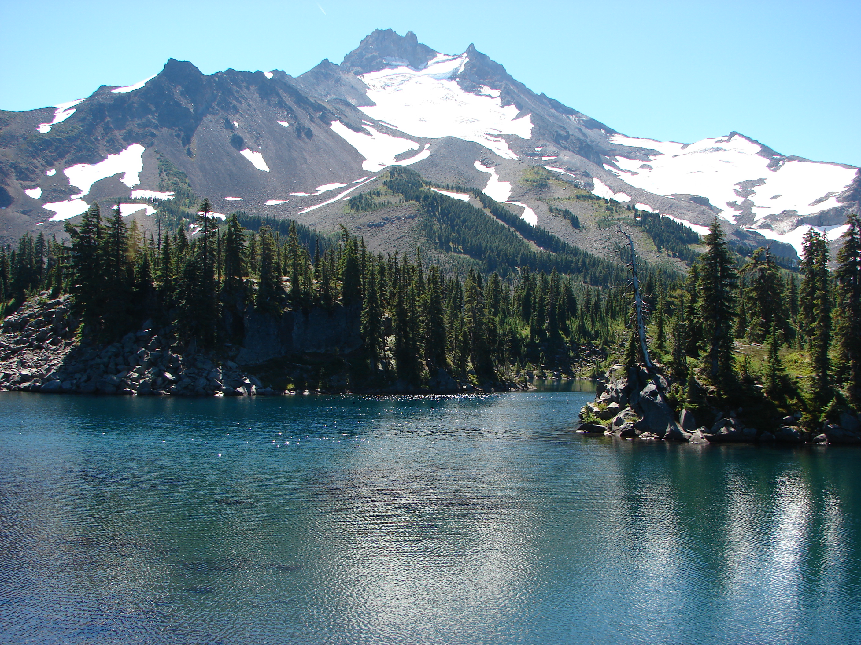
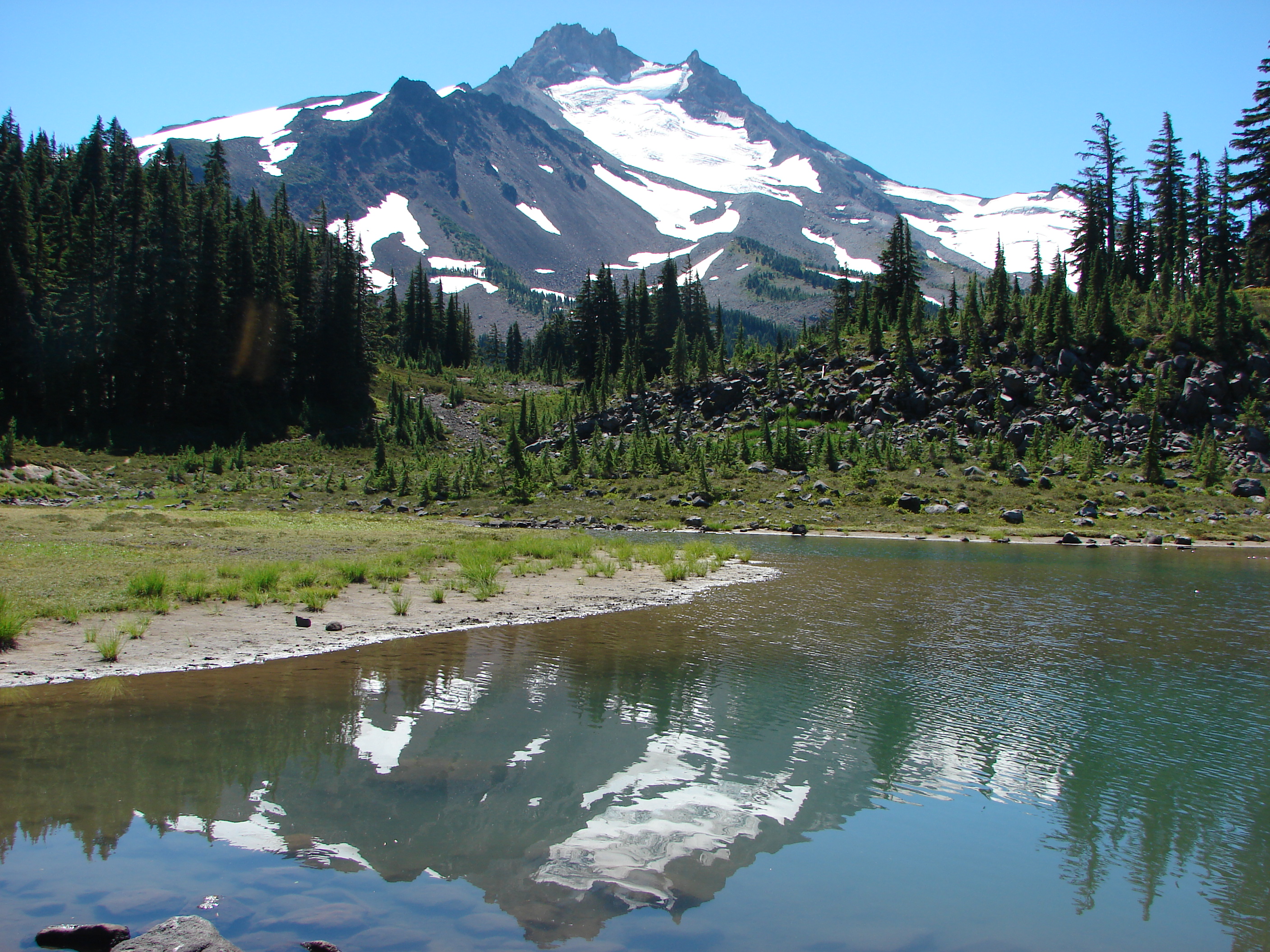
Just a short distance from the falls we found the signs marking the trail to Hunts Cove where we took the left fork travelling above a pretty meadow with a view across to the mountain. A half mile later we arrived at the first of the two lakes that call the cove home. Hanks Lake was up first. It was a lovely lake lined with meadows and a view of Mt. Jefferson.

Mt. Jefferson from Hanks Lake

Some of the biggest huckleberries and blueberries we’d seen were growing in large patches around the shore and we stumbled up a pair of sooty grouse in one of the thickets.

Sooty grouse on a downed tree

After a refreshing rest on the shore of Hanks Lake we continued on to Hunts Lake. Although Hunts Lake has no view of Mt. Jefferson it offered it’s own attractions. Heather spotted several fish in the clear water and over the lake loomed Cathedral Rock where we would eventually find the PCT.

Hunts Lake and Cathedral Rocks

We left Hunts Lake and returned to Hanks Lake to begin the real adventure. From Hanks Lake we could have returned to the trail junction and continued 3 miles to the PCT on the official trail or we could look for a former trail that lead from the far end of Hanks Lake up to the PCT shaving off a mile or more from the hike. We opted for the off trail adventure and set off around Hanks Lake in search of the old path. Using a Green Trails map I knew the old trail followed an inlet creek up to the PCT below Cathedral Rocks so we worked our way to an inlet creek and began working our way up along it. The map only showed one creek so despite not being able to find a convincing former trail we sallied forth through the brush.

Inlet creek we followed from Hanks Lake

The map indicated that the trail had eventually crossed the stream and continued on the far side so when I spotted a decent place to cross we hopped over to the other side. We found several sections of what could have once been a trail, but they could have been game trails as well and never saw any blazes or other indications of an official trail. Next we stumbled on a lovely meadow with a small pond in the center. At that point I decided to consult the Garmin. I knew we were headed in the right direction for the PCT but it wasn’t until I looked at the Garmin that I realized we had followed the wrong creek up. The Garmin clearly showed the additional stream that wasn’t on our other maps so that mystery was solved. Now it was a matter of finding the least steep climb up to the PCT. Using the GPS I headed to what looked like the most gradual ascent passing through a pair of small heather meadows.

Heather & Jessie in one of the small meadows

Leaving the second little meadow we climbed one last steep section and suddenly popped out on the PCT. We were probably about a half mile further down the PCT than where I had expected to meet up with it, but that just meant a little shorter hike. After celebrating our find we turned left and headed north. After just a couple hundred yards the PCT dipped a bit and passed right along the edge of the meadow we had just left. That was good for a laugh or two :). This section of the PCT was great as it traveled between Cathedral Rocks on the right and Hunts Cove below to the left. Views extended across Hunts Cove to the far ridge and Three Fingered Jack beyond.

Three Fingered Jack from the PCT


Hanks and Hunts Lakes from the PCT

The PCT then reaches a plateau below Mt. Jefferson that is dotted with lakes and ponds. The first pond we arrived at was a strange red color. As I approached the water a frog swam from the shore and floated in the colored water.
168
Next up was Shale Lake and a wonderful view of the mountain.

Mt. Jefferson from Shale Lake

Shale Lake had some great looking tent sites and next to it was nearly dry Mud Hole Lake. Across the trail lay Coyote Lake and several other small ponds.

Leaving the plateau we began descending down toward Milk Creek with views of Pamelia Lake below. Just before reaching Milk Creek we reached the turn off for the return trail to Pamelia Lake. Before heading back I went down to the Milk Creek crossing to get a picture of Mt. Jefferson.
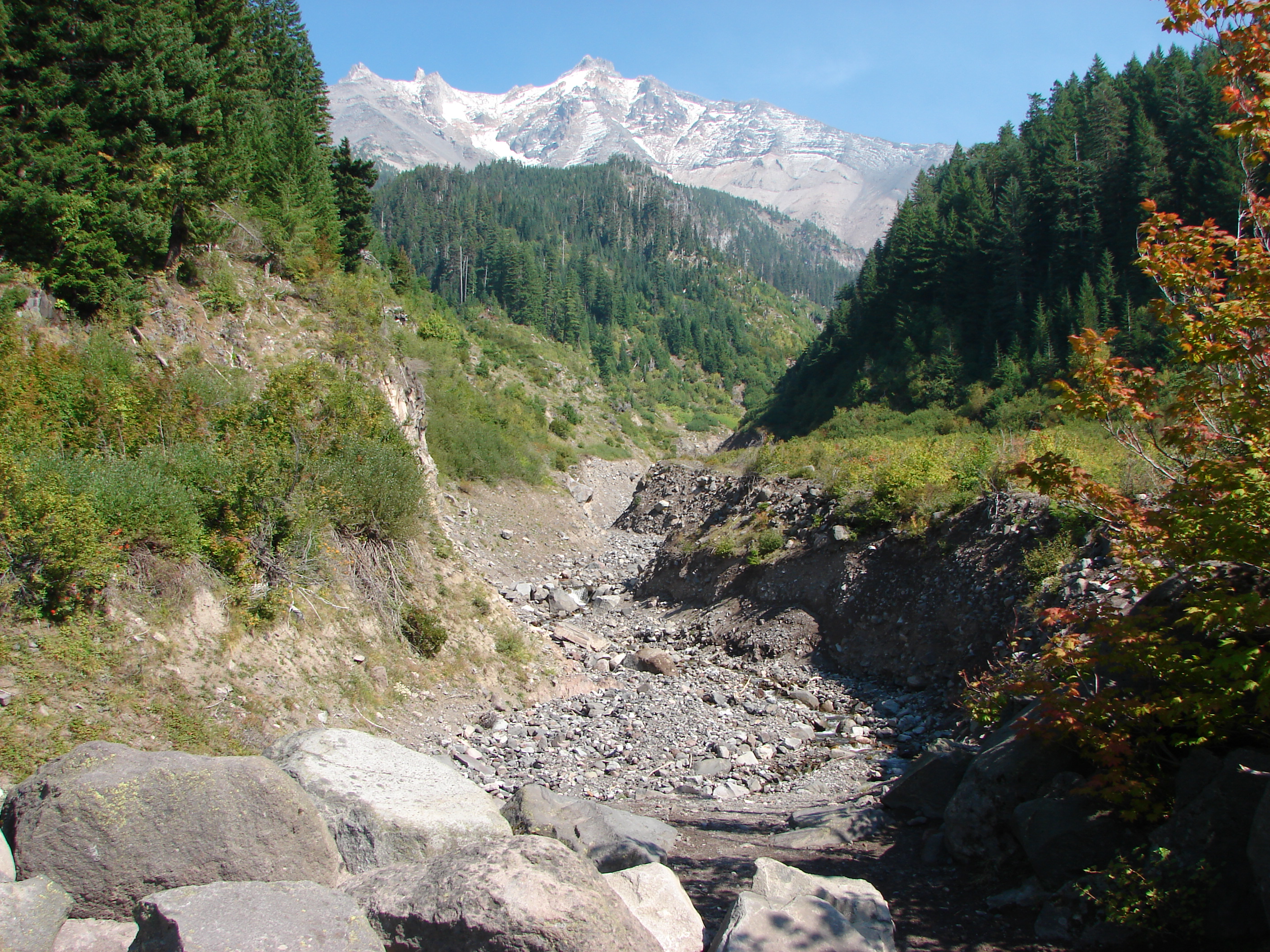
Mt. Jefferson from Milk Creek

We started smelling smoke while I was getting the picture at Milk Creek and when I turned around the sky behind us was filled with smoke. Then I notice that there was smoke drifting in front of Mt. Jefferson as well. When we got back to Pamelia Lake the scene was quite different than it had been in the morning.

Smoke over Pamelia Lake

Smoke had settled in the valley but we had no idea what the source was. On the way out there was just a bit of smoke in the forest but it didn’t detract from the beauty. Green moss covered much of the ground and dozens of varieties of mushrooms and fungus added character to the view.
227

239

244

246

We had a blast on this hike. For the most part we had the trails to ourselves the whole day and the weather had been perfect. Aside from the bit of smoke at the end of the day (which was apparently due to a controlled burn being done by the Forest Service near Sisters, OR) it couldn’t have been better. We’d knocked out 18.2 miles in just over 9hrs. It was really fun having Jessie join us on the hike. It was great having someone that didn’t even blink at the 5am departure time or the distance/time we were planning on doing. What a way great to spend a Thursday in September 😀 Happy Trails!

Facebook photos:https://www.facebook.com/deryl.yunck/media_set?set=a.10202196386858309.1073741857.1448521051&type=3
Flickr: http://www.flickr.com/photos/9319235@N02/sets/72157635671937895/
Categories
High Cascades Hiking Mt. Jefferson Area Oregon Trip report

Jefferson Park via South Breitenbush Trail

**Note the 2020 Lionshead Fire burned the area covered by this hike.**

Our hike this week brought us back to what is my personal favorite destination – Jefferson Park. I can’t really say what it is about the area that makes it my favorite, but I think it is a case where the sum of the parts is greater than the whole. Jefferson Park is home to several lakes, wildflower meadows, berry patches, snow melt ponds, creeks, and the beginnings of the South Fork Breitenbush River. Oh yeah, the back drop to all of this is Mt. Jefferson, Oregon’s 2nd tallest peak at 10,497′. Our first visit came late in September 2011 when we took the Whitewater Trail and entered the park from the south. In October 2012 we took the Pacific Crest Trail from the north up Park Ridge and down into Jefferson Park. This year we would be coming from the west on the South Breitenbush Trail.

This wasn’t our first time on the South Breitenbush Trail. Earlier this year we had hiked a lower portion of the trail along the South Breitenbush Gorge. https://wanderingyuncks.wordpress.com/2013/05/12/south-breitenbush-gorge-trail/ For this hike we drove past that portion of trail to the third trail head 5 miles up road 4685. We set off from the large parking area just as the Sun was beginning to shine on the top of the ridge across the South Fork Breitenbush River’s valley. The forest was dense and quite dark as the Sun was hidden behind the ridge we were climbing. The trail climbed steadily far enough from the river to hide it’s existence. The trees also hid Mt. Jefferson as we crossed several small streams before the forest began thinning as it became drier. I noticed what appeared to be a brushy clearing that might offer a view so I started looking for a side trail. Sure enough I spotted a pair of rocks oddly placed on a small log which signaled a faint path out through the manzanita. A short distance later Mt. Jefferson came into view giving us our first good view of the mountain.077

Onward and upward we trudged as the forest became sparser offering more frequent views of the mountain. We started noticing more and more ripe huckleberries as we entered the areas that got more sunlight and made sure we took a good sampling. The trail finally flattened out on a plateau where we encountered our first snow melt pond.
111
It seemed to belong in Jefferson Park which made us feel like we must be close which turned out to not exactly be the case. We passed through heather meadows that must have been quite a display when they were in bloom and also found some nice patches of wild blueberry bushes where the ripe berries in the sun smelled just like a freshly baked pie. We finally switchbacked down along the edge of a rock slide and followed a flower lined creek toward the South Fork Breitenbush River.

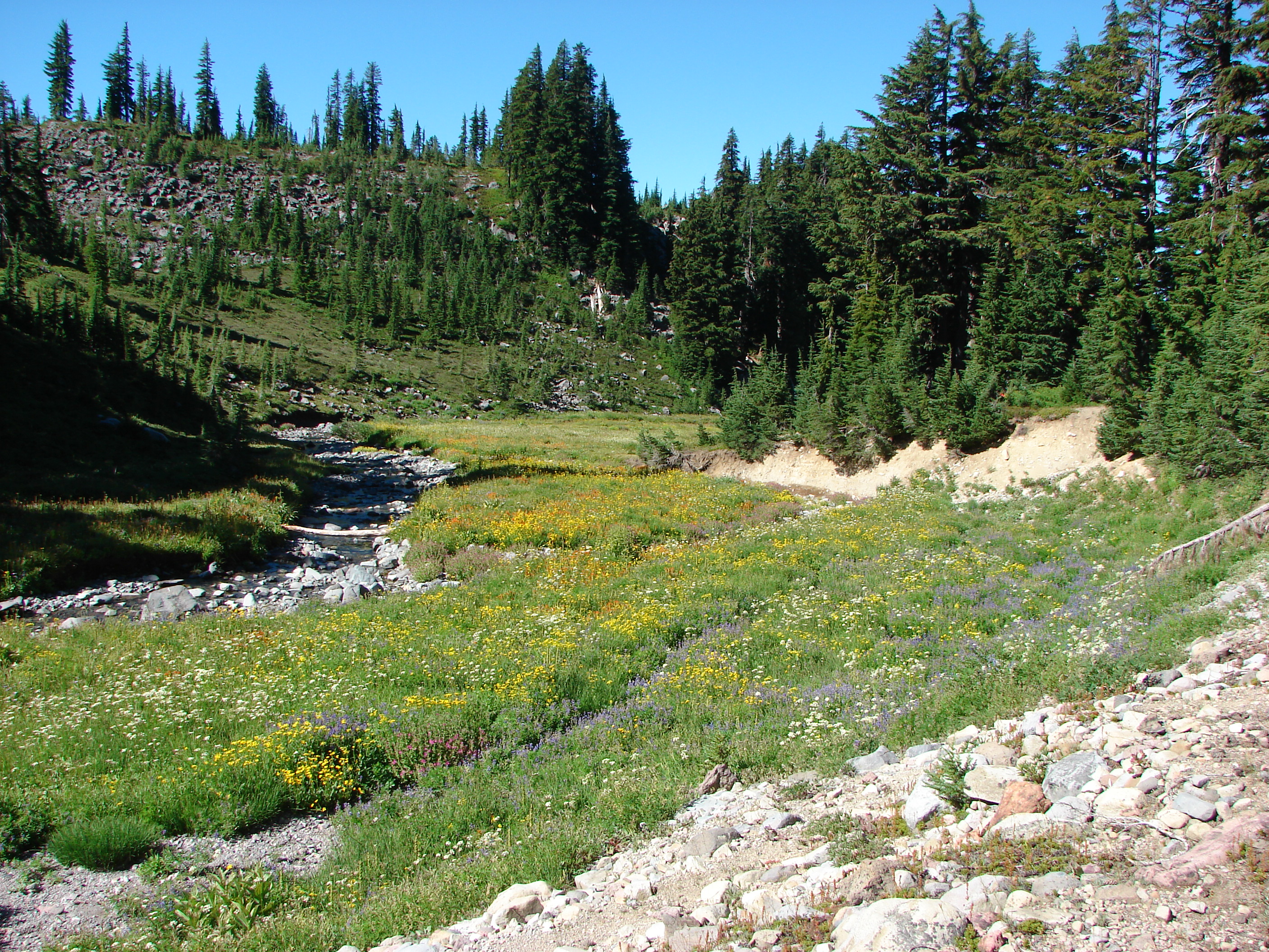
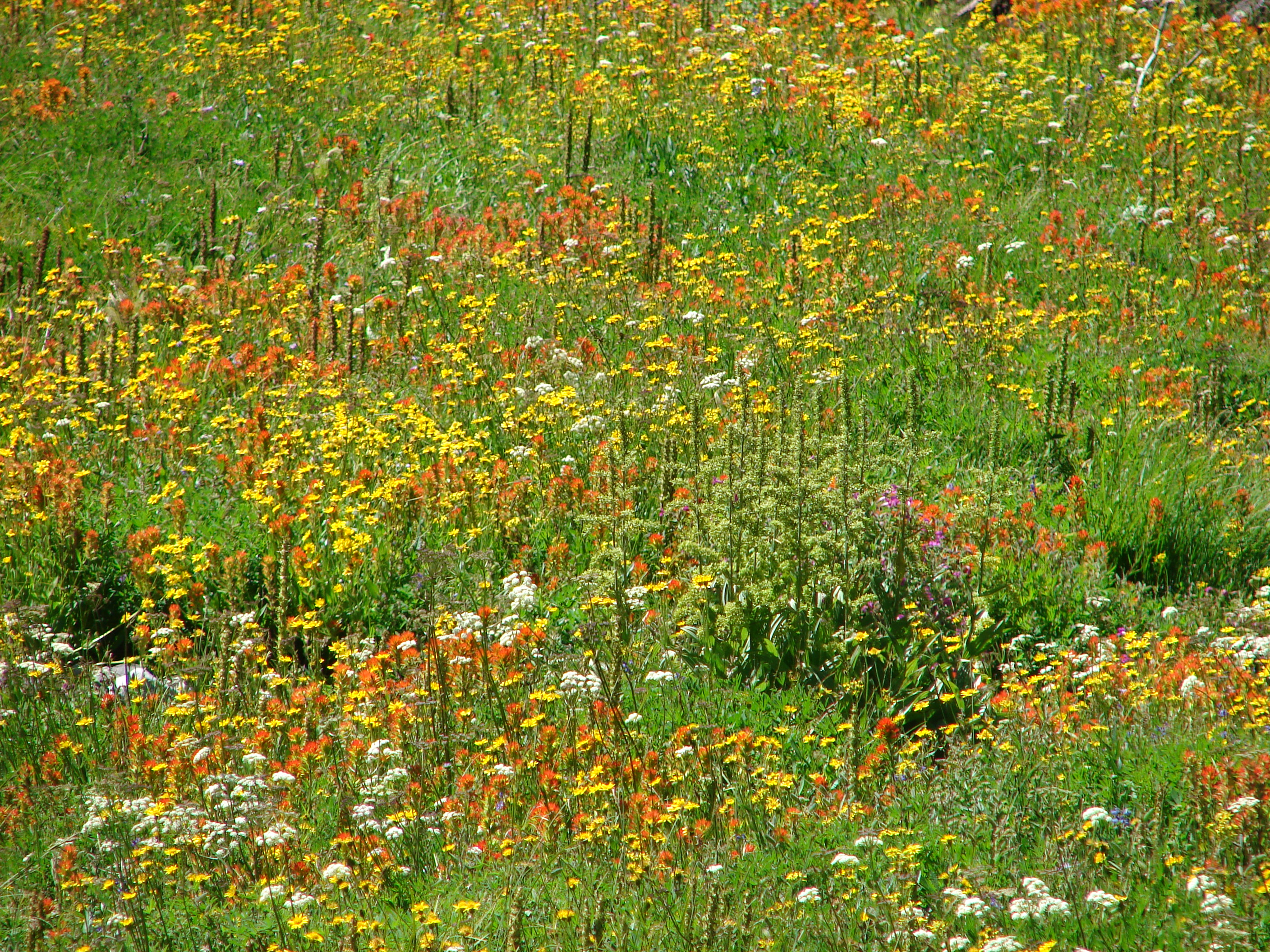
I had begun to think that we might have missed out on most of the wildflowers despite the fact we had come much earlier than in previous years. As usual I was worrying for nothing. Beginning with the creek the number of flowers began to increase and by the time we had traveled a short distance along the river we found the bank was ablaze in yellow and orange.
181
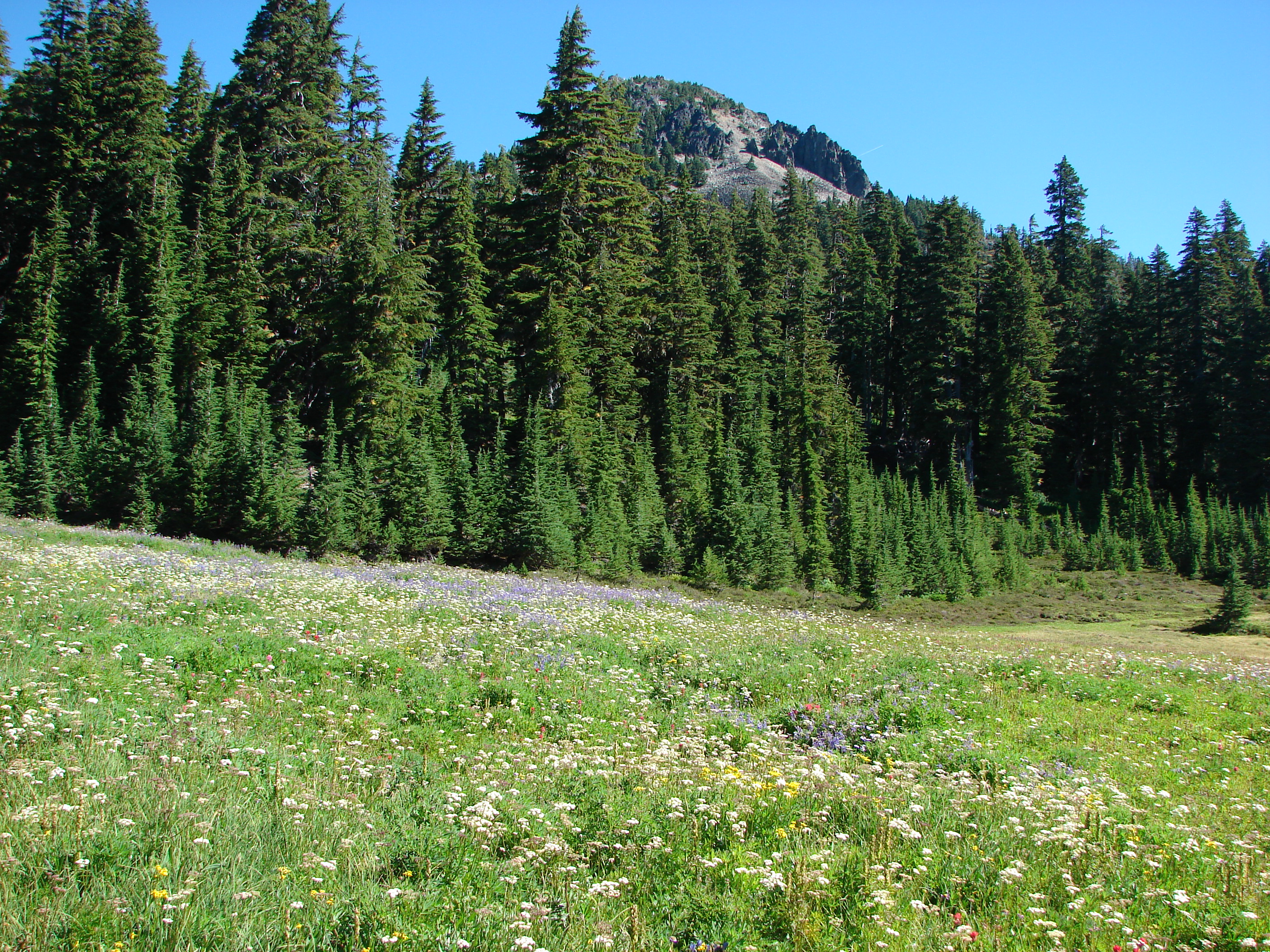
On the other side of the trail was a field of purple and white below the rock summit of Park Butte.
184
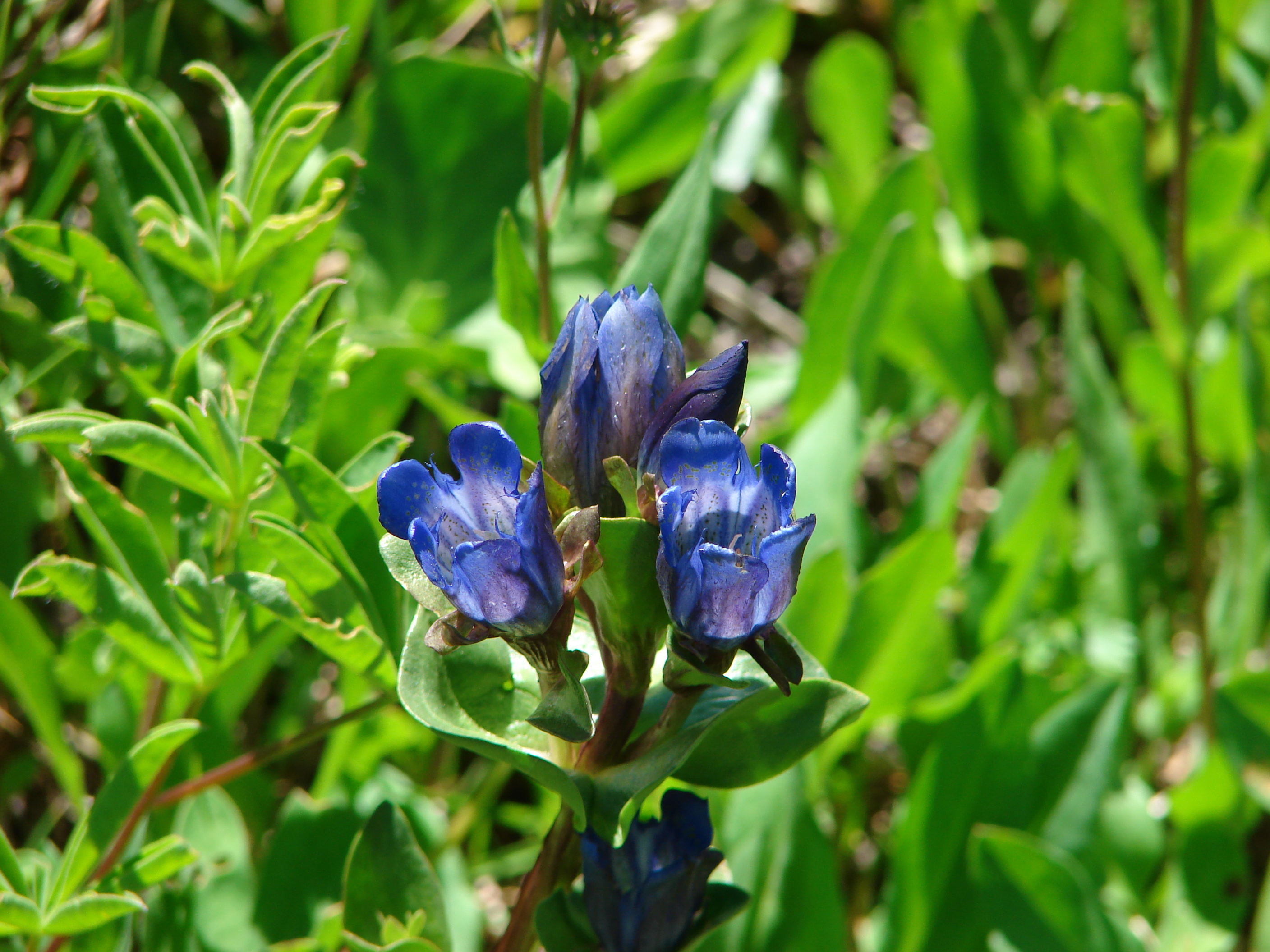
We had managed to come at a great time when many of the earlier flowers were still in bloom, but there were also later flowers such as gentians on display. To top it off the mosquitoes were no longer a nuisance.

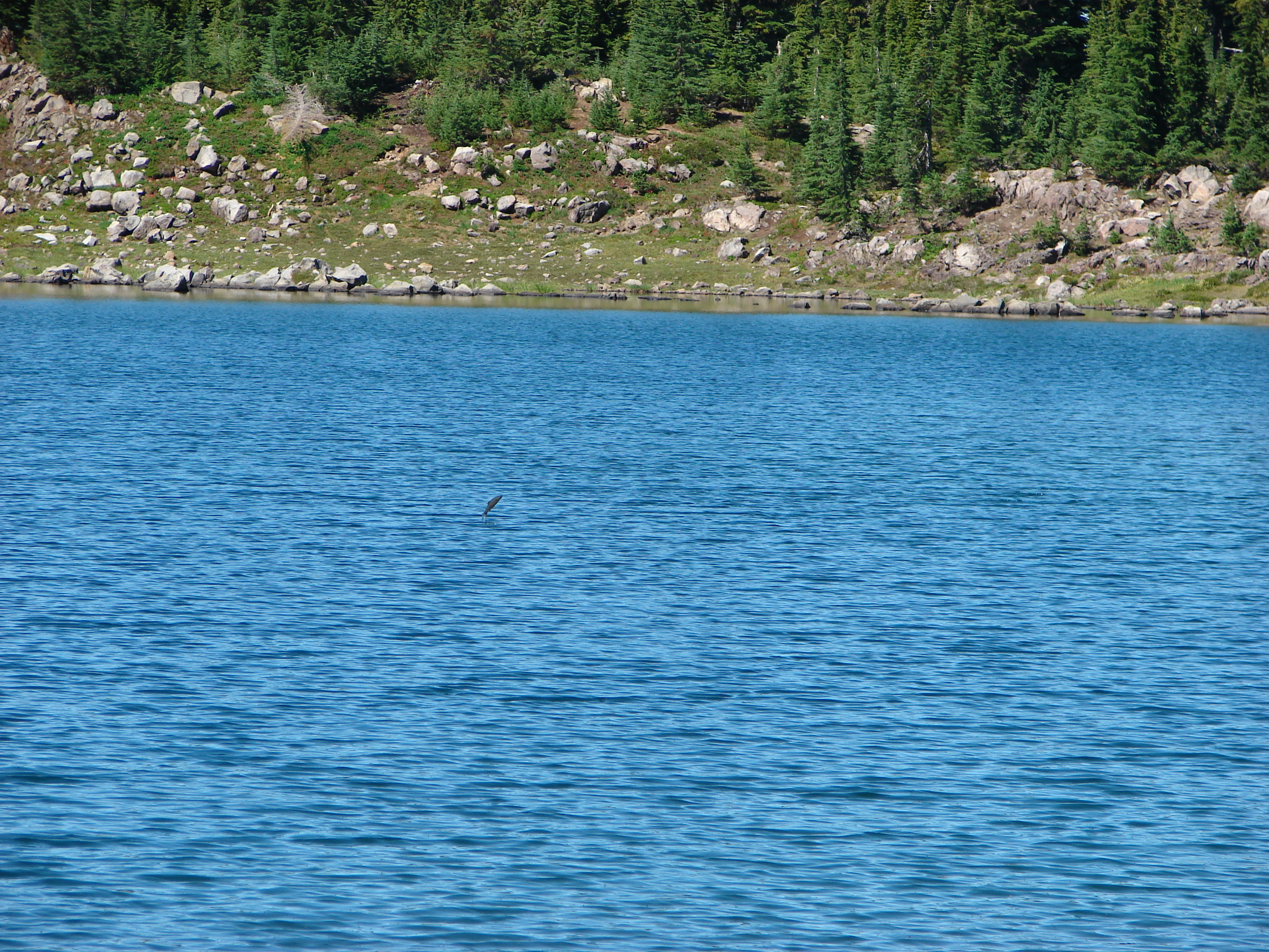
We crossed the river and climbed a small ridge to the junction with the Pacific Crest Trail and turned north (left) toward Russell Lake. The outlet of Russell Lake is one of the sources of the river and its location between Park Butte and Mt. Jefferson makes it an ideal lunch spot. We ate our lunch (and a few more berries) while we watched a plethora of fish jumping in the lake. It seemed like there was one jumping everywhere you looked, and I even managed to get a picture of one.
225

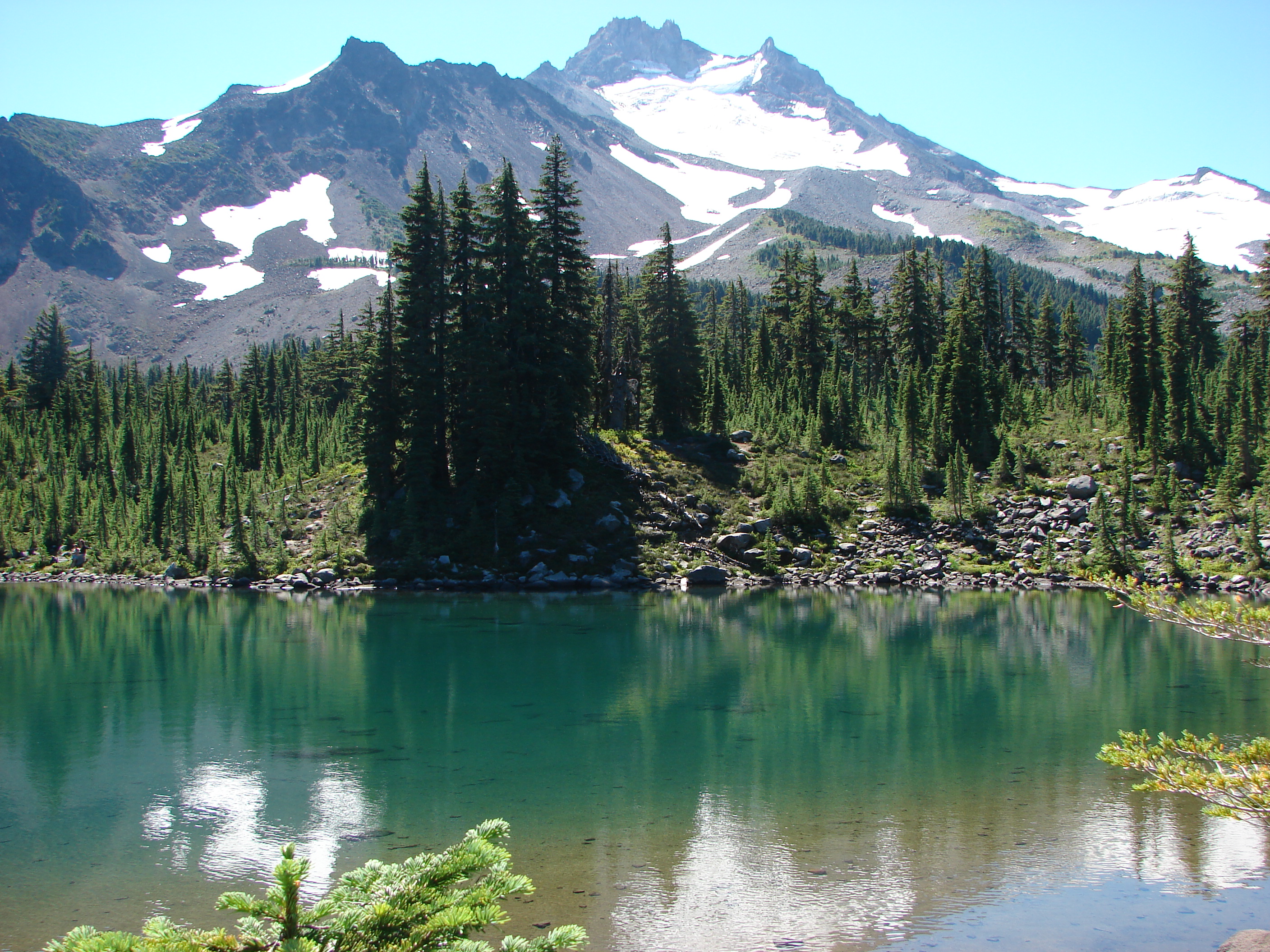
After lunch we headed south along the PCT through the meadows of Jefferson Park eventually taking one of the many side trails toward the other lakes of the park. We started at Scout Lake and worked our way around the shore so we were across from Mt. Jefferson.
250
We then headed west over a small hill and down to blue Bays Lake with its rocky peninsulas.

Bays Lake
Bays Lake

From Bays Lake we made our way north past small Rock Lake to Park Lake and another great view.

Park Lake
Park Lake

A trail following the outlet of Park Lake led us back to the South Breitenbush Trail near the river crossing.

The wildflowers were even more impressive on the way out as the Sun was now overhead and many of the flowers such as the gentians were opening.

Gentians
Gentians

290
Butterflies had also come out to play.
369

After having taken all three of the main approaches to Jefferson Park my favorite would be coming in from the north on the PCT over Park Ridge. The view from the ridge is second to none, but the awful road to the trail head also has few rivals. The Whitewater trail was the easiest and offered nice views, but the entrance to Jefferson Park is not as impressive as the others. The South Breitenbush Trail was the longest (6.2miles one way compared to 5.6 & 5.1 respectively) and gained the most elevation but it offered a great variety of scenery and is the least visited of the trails. In reality you can’t go wrong by picking any of these trails as Jefferson Park is well worth the trip. Happy Trails.

Facebook photos: https://www.facebook.com/media/set/?set=a.10201909424804437.1073741850.1448521051&type=1
Flickr: http://www.flickr.com/photos/9319235@N02/sets/72157635134756828/

Categories
High Cascades Hiking Mt. Jefferson Area Oregon Trip report

Canyon Creek Meadows

Canyon Creek Meadows had been a monkey on our backs, or is it packs for hikers? We had tried several times in the past two years to get this hike in and either snow or forest fires forced us to change our plans. We had put it back on our schedule for August 2nd this year hoping this year would be different. Thanks to a very helpful trip report on 7/26 by pdxgene via portlandhikers.org we learned that the meadows were not only snow free but the flowers were in bloom. We were now in danger of being too late for the full flower display so we moved the hike up in the rotation and off we went.

It was a beautiful morning at the Jack Lake trail head and after a minor detour around the wrong side of the lake we were headed for the lower Canyon Creek meadow. The trail alternated between burned and unburned forest as it climbed to the first meadow. The flowers here were still in bloom despite some already feeling the effects of a warm and dry late Spring and early Summer.
295
Beyond the meadow Three Fingered Jack filled the horizon beneath a blue sky.
065

As we continued on toward the upper meadow the views of the mountain got better and better. A near full moon hovered above the summit all morning shifting positions as time passed. We skirted the edge of the upper meadow and headed up toward a saddle with a view of a cirque lake below a glacier on the flank of Three Fingered Jack. The path was steep with a lot of loose rock but the views were more than worth it, and a healthy wind quickly cooled us off on top of the saddle.
154

Looking south from the saddle

We had some food and explored the ridge along the saddle where we found a less steep trail down from the east. In the post on portlandhikers Gene had mentioned that after 12:00 the shadows from the mountain causes issues with picture quality from the upper meadow so we wanted to get back down before we ran out of time. Canyon Creek flows out of the cirque lake through the upper meadow creating a wonderful wildflower display. The lupine was especially thick here.
271

After exploring the upper meadow we followed Canyon Creek down to the lower meadow and began the loop back to the car. (To help control the foot traffic on this popular hike there is a loop that you are asked to hike in a clockwise direction.) Before we got back we took a short side trip to Wasco Lake for no particular reason. It was pretty and quite but we were ready to get back to the car so we took a quick break and finished the hike and removed the monkey from our packs. Happy Trails.

Facebook photos: https://www.facebook.com/media/set/?set=a.10201704844290052.1073741844.1448521051&type=1
Flickr: http://www.flickr.com/photos/9319235@N02/sets/72157634839391624/