The end of September/beginning of October brings us a pair of birthday celebrations, my Grandma on 9/30 and our Son on 10/1. We planned a joint celebration dinner in Portland but before the festivities we headed out on a hike to work up an appetite.
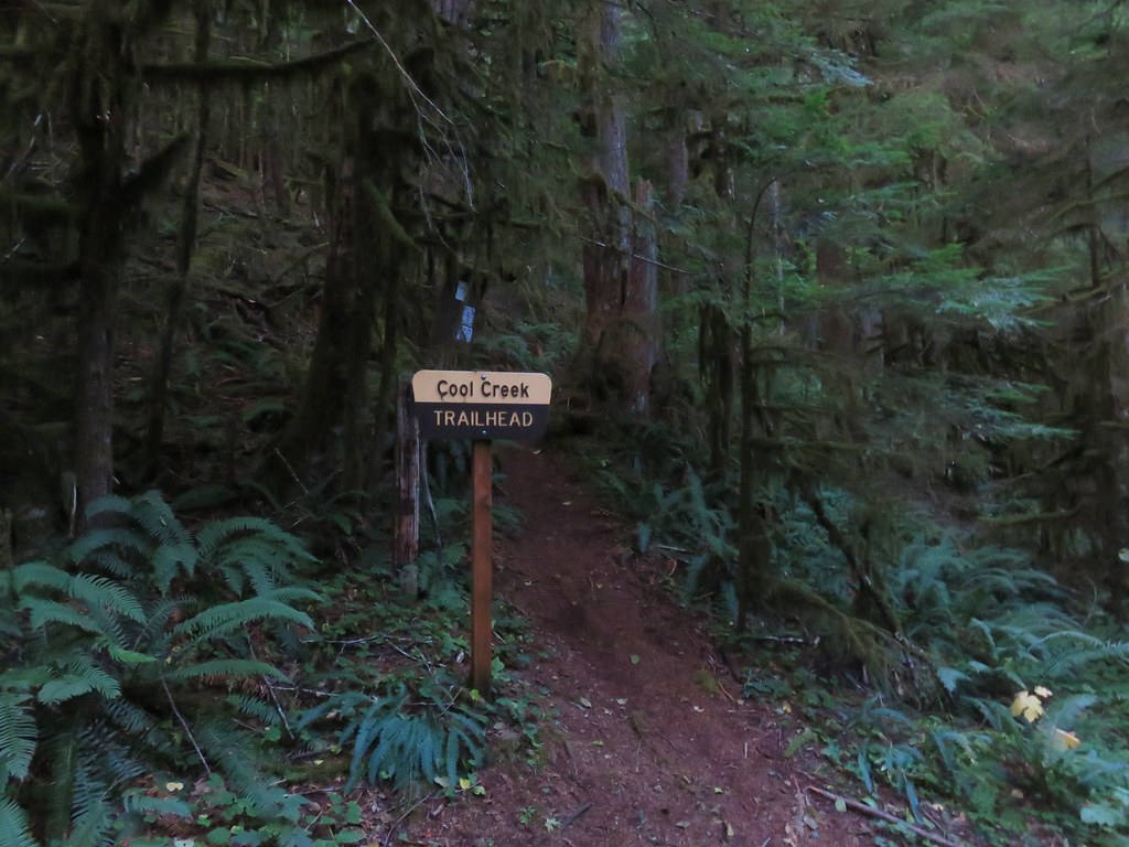
Due to the plans we needed a hike near Portland in the 8 to 10 mile range and hiking up the Cool Creek Trail to the Devil’s Peak Lookout fit the bill perfectly. We headed out early to the Cool Creek Trailhead. Oddly our guidebook had us turn on Road 20 at the east end of Rhododendron, OR instead of west of Rohododendron on Still Creek Road which is how the Forest Service directions have you go. We followed the guidebook directions only to be turned back by a closed bridge and had to go back to Still Creek Road. After finding the open route to the trailhead we parked along the shoulder of the road and set off on the Cool Creek Trail.
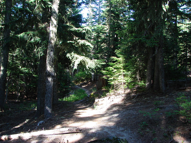
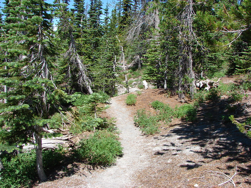
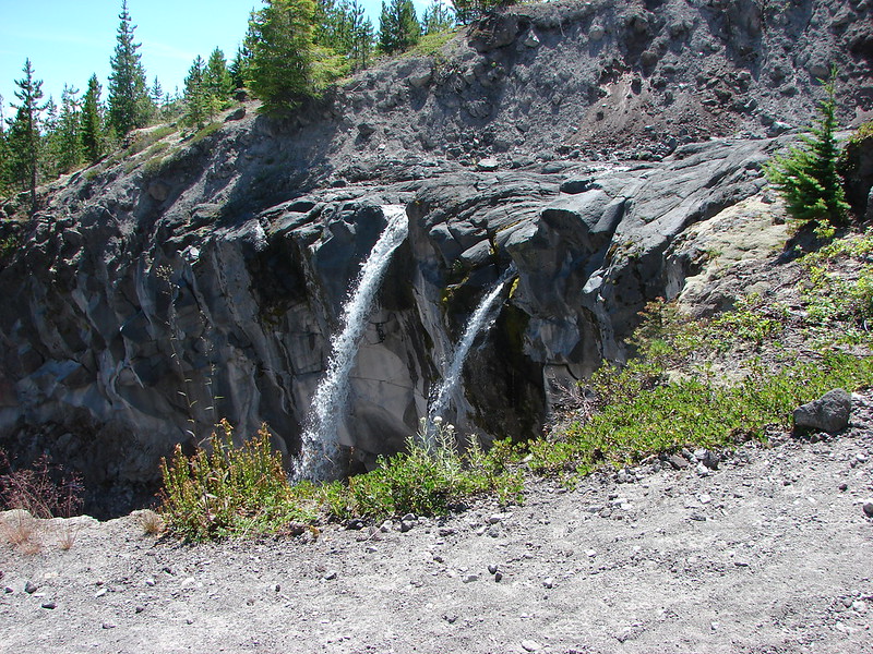
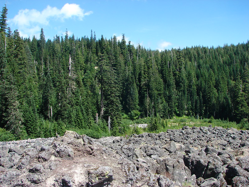
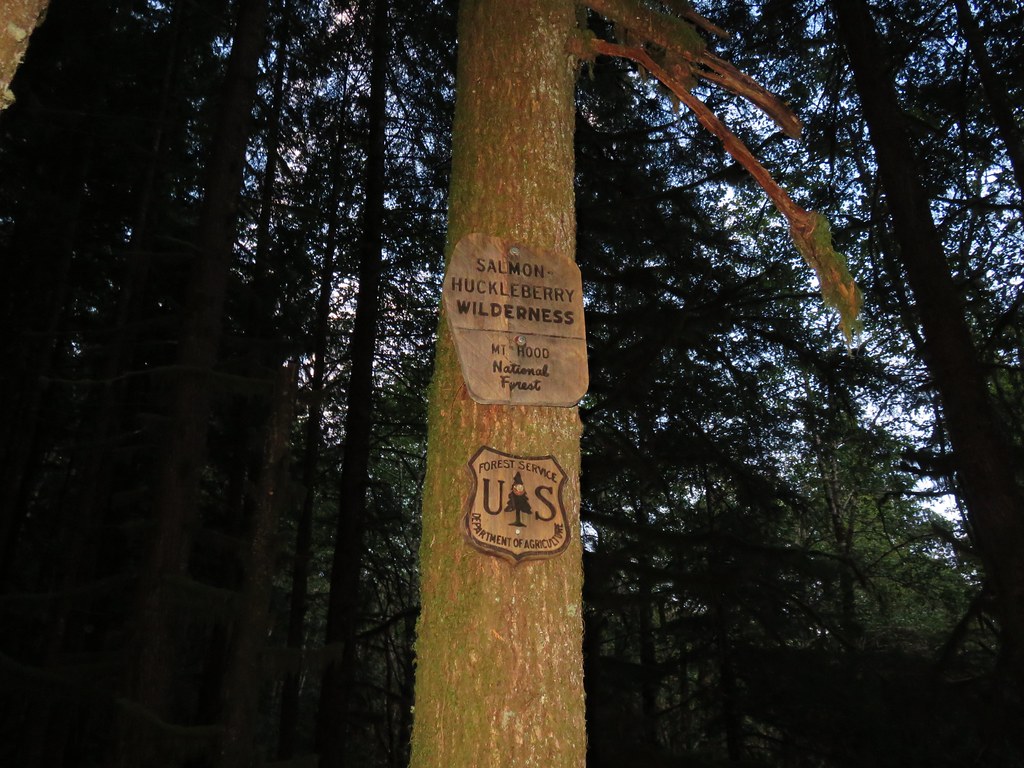
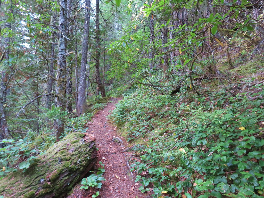
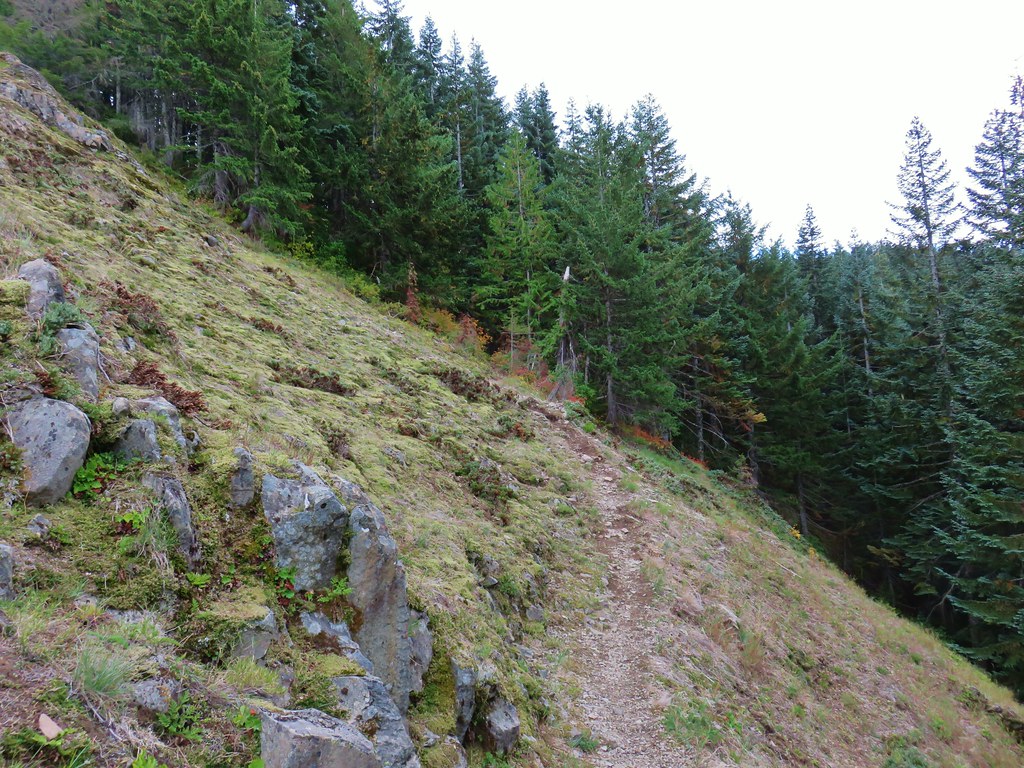
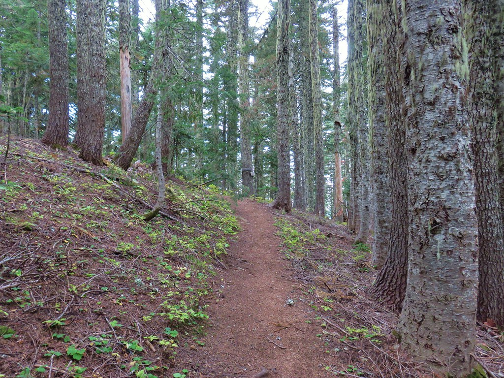
The trail started with a steep incline, a reminder that it needed to gain over 3000′ over the next 4 miles. Not far from the trailhead we entered the Salmon-Huckleberry Wilderness.
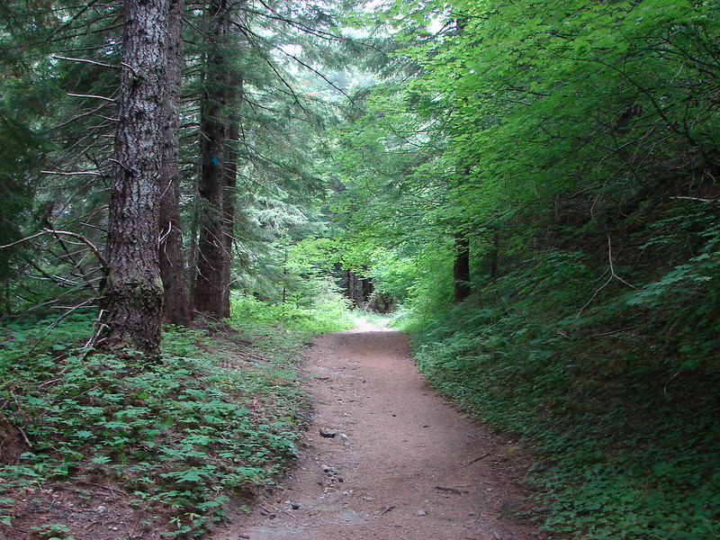
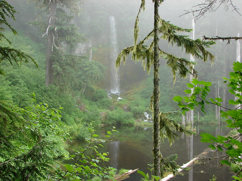
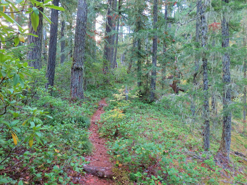
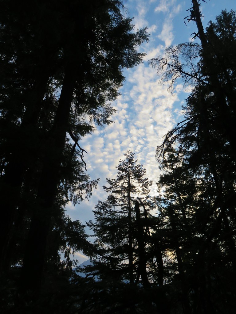
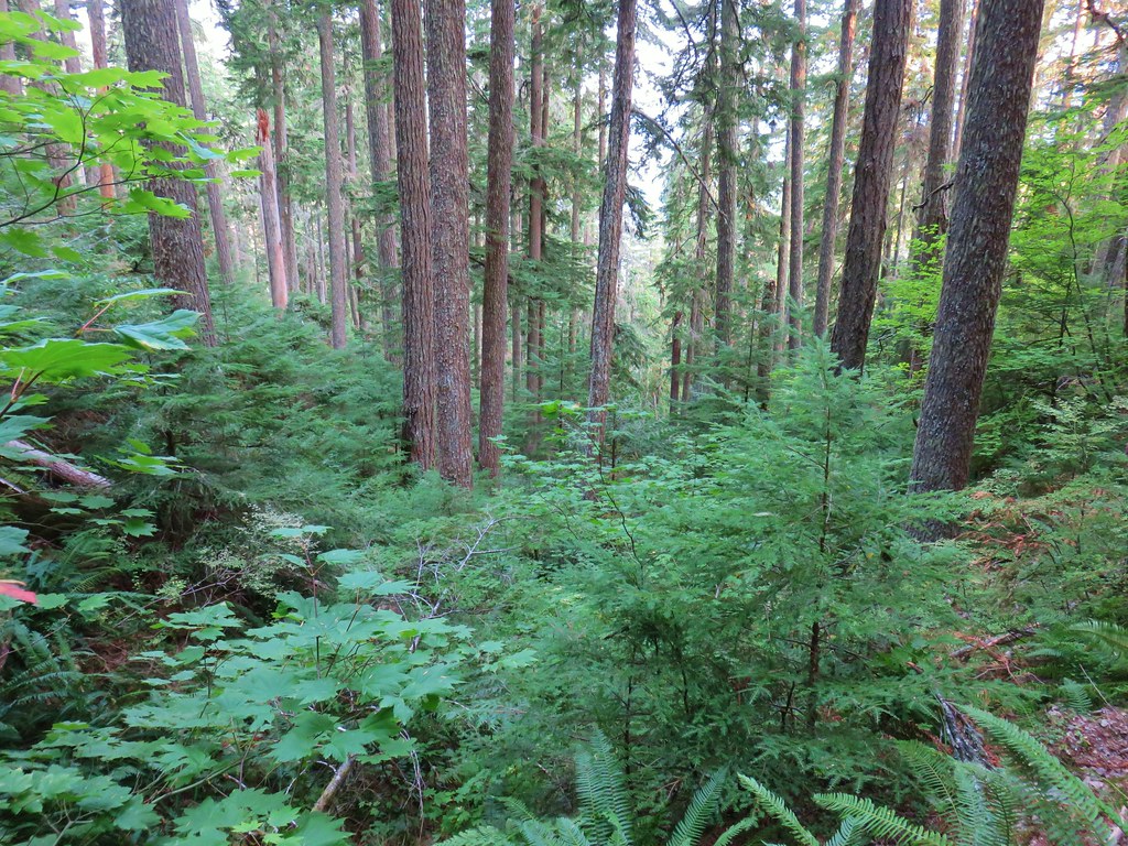
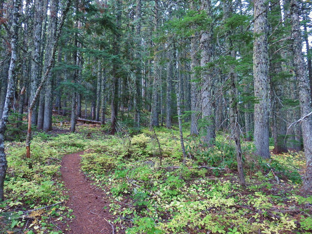
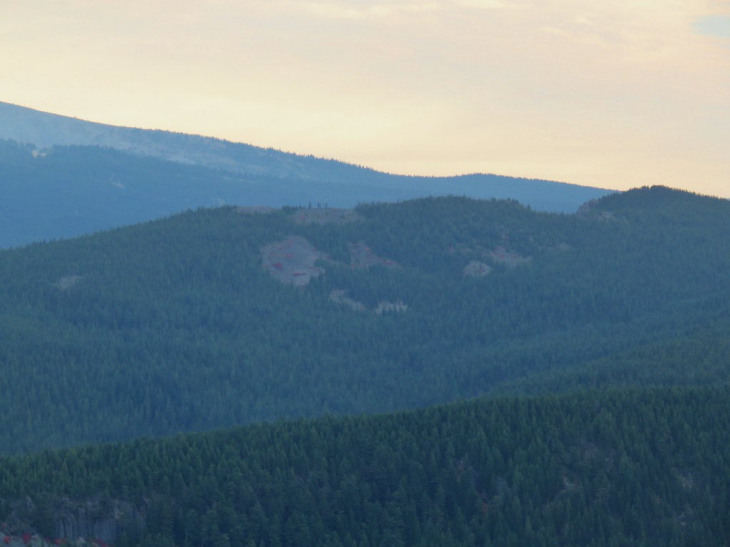
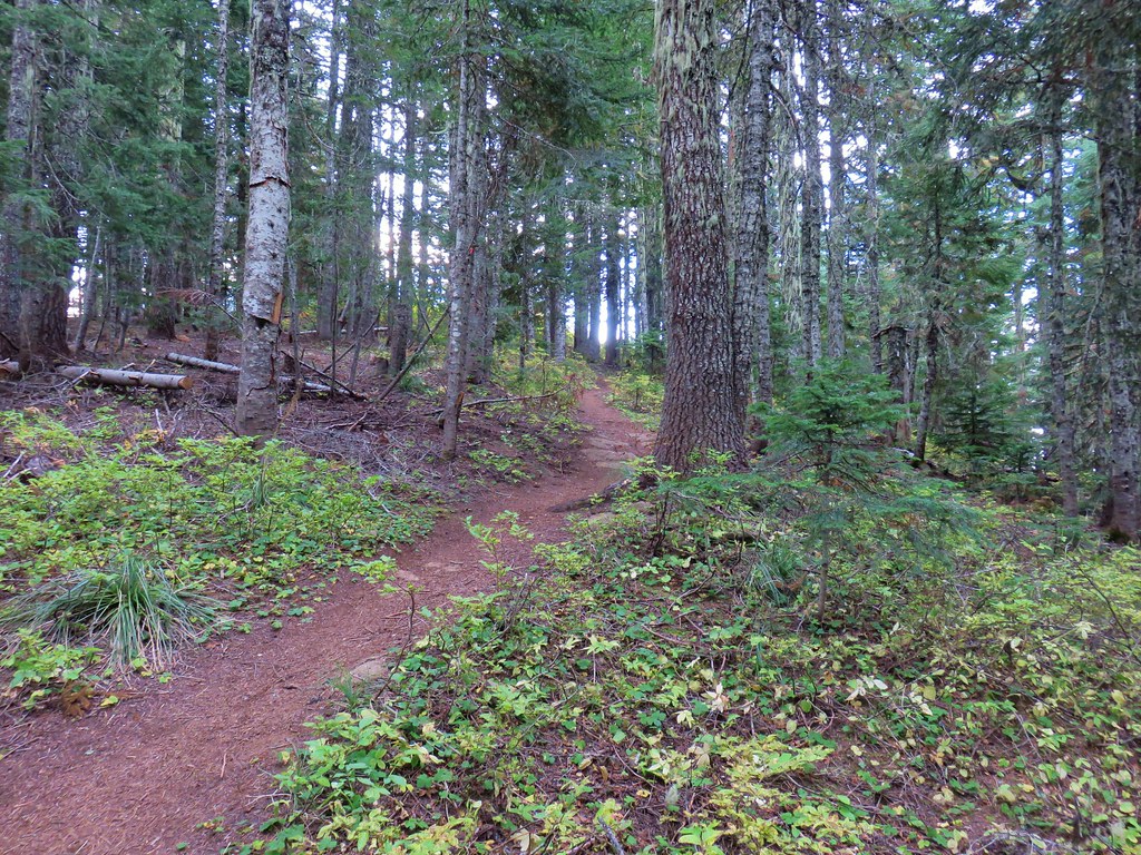
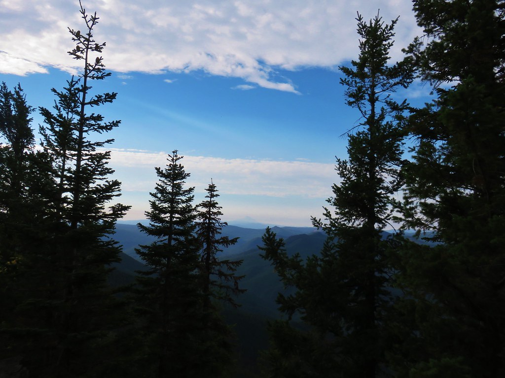
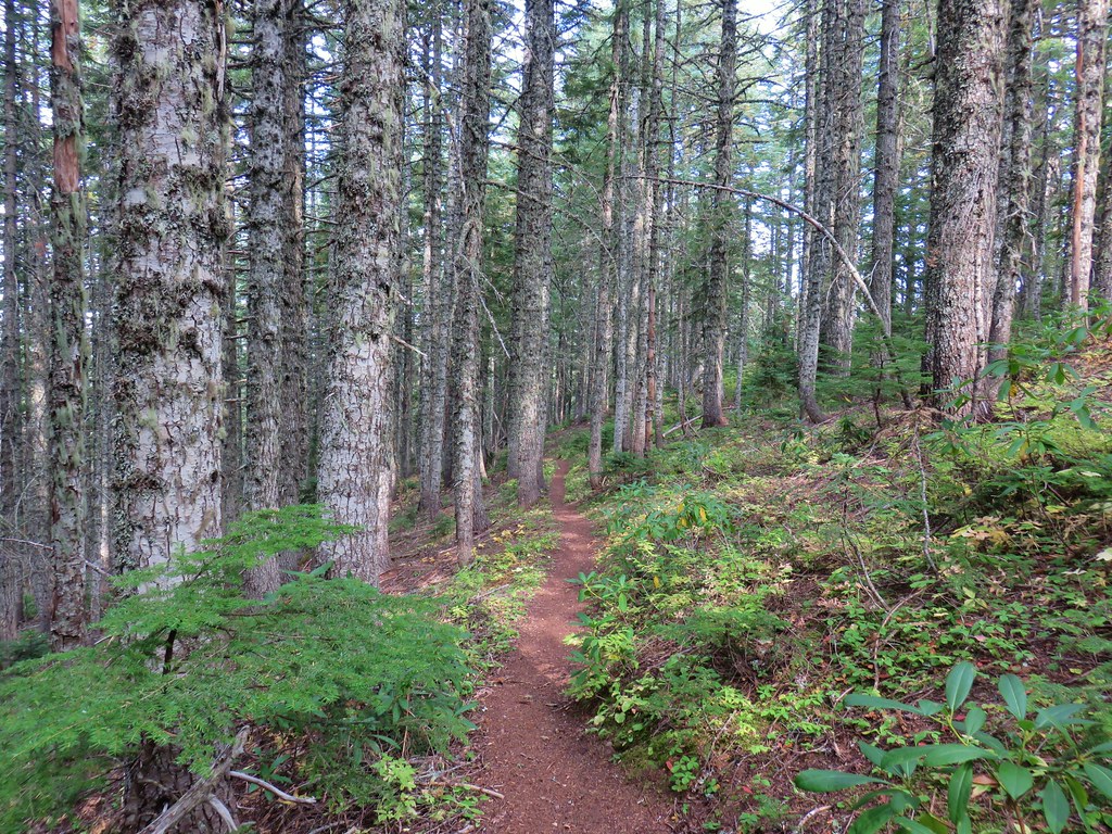
The trail is mostly forested with a few glimpses of Mt. Hood through the trees.
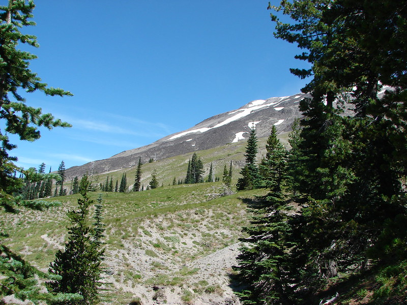
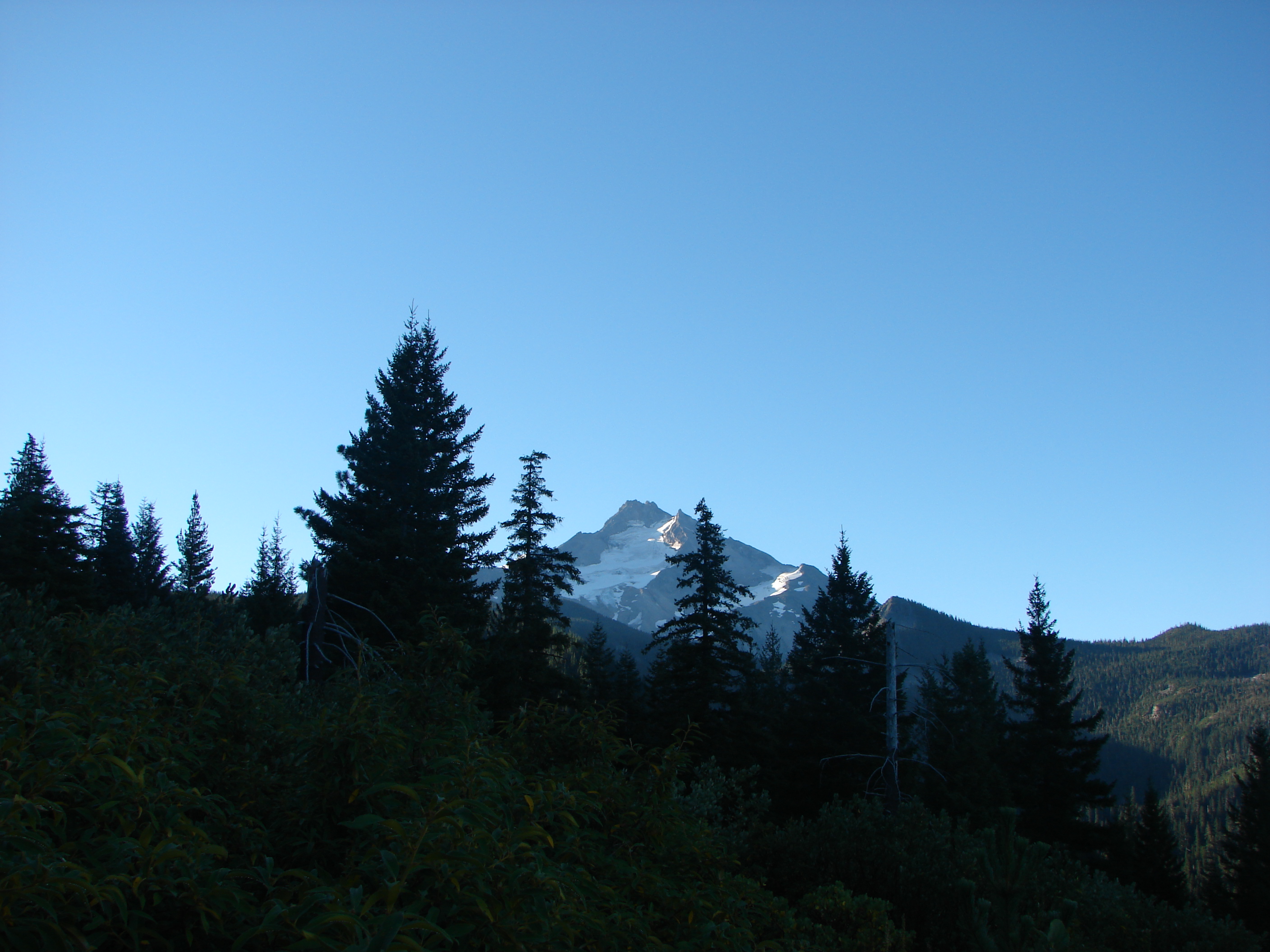
The best early view came just over a mile along the trail. For about two tenths of a mile the trail passed along an open hillside with a view across the valley to Mt. Hood.

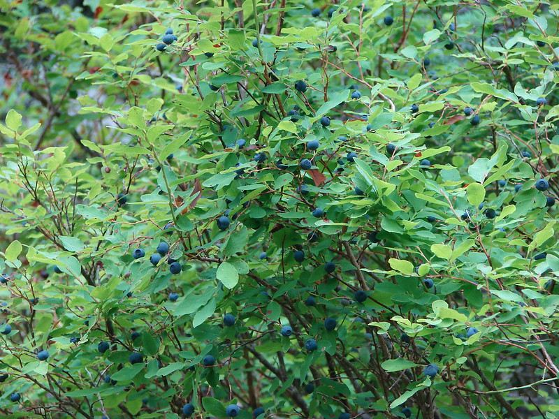
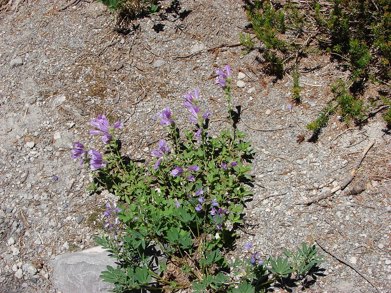
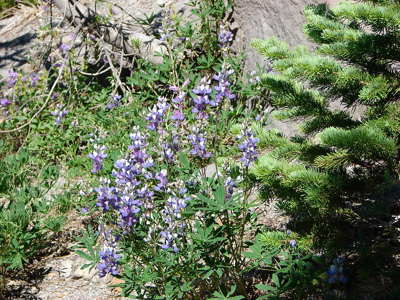
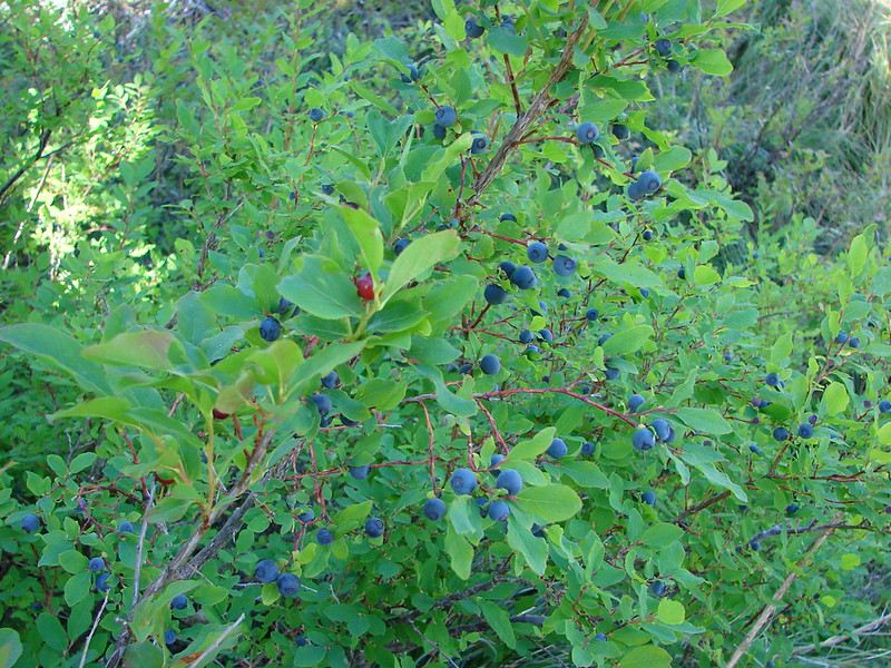
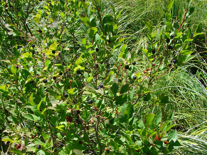
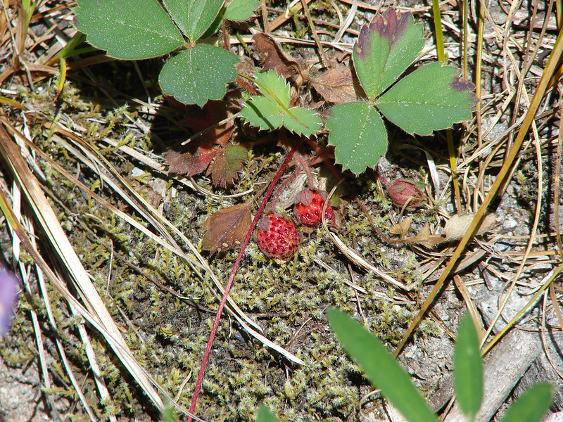
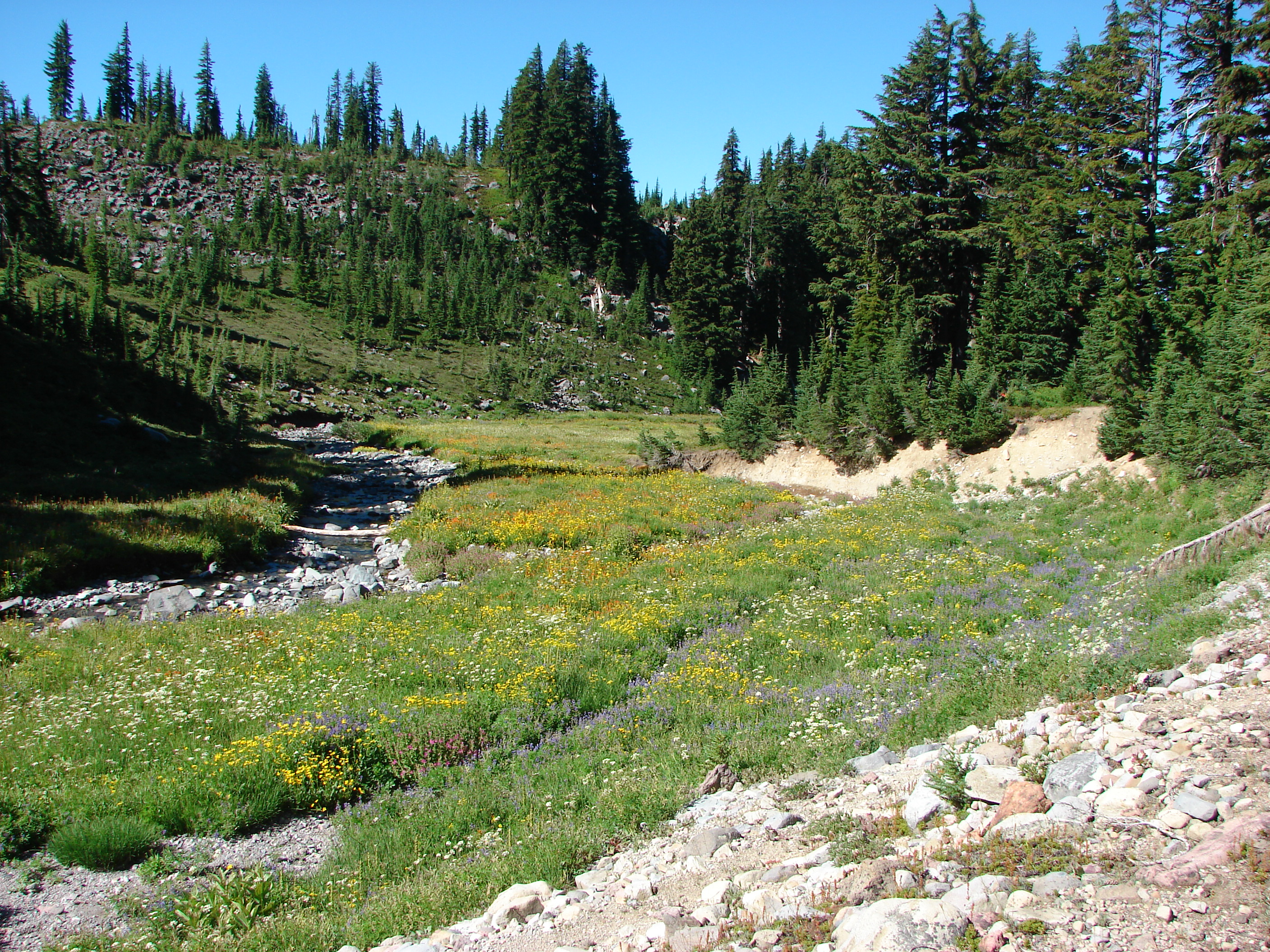
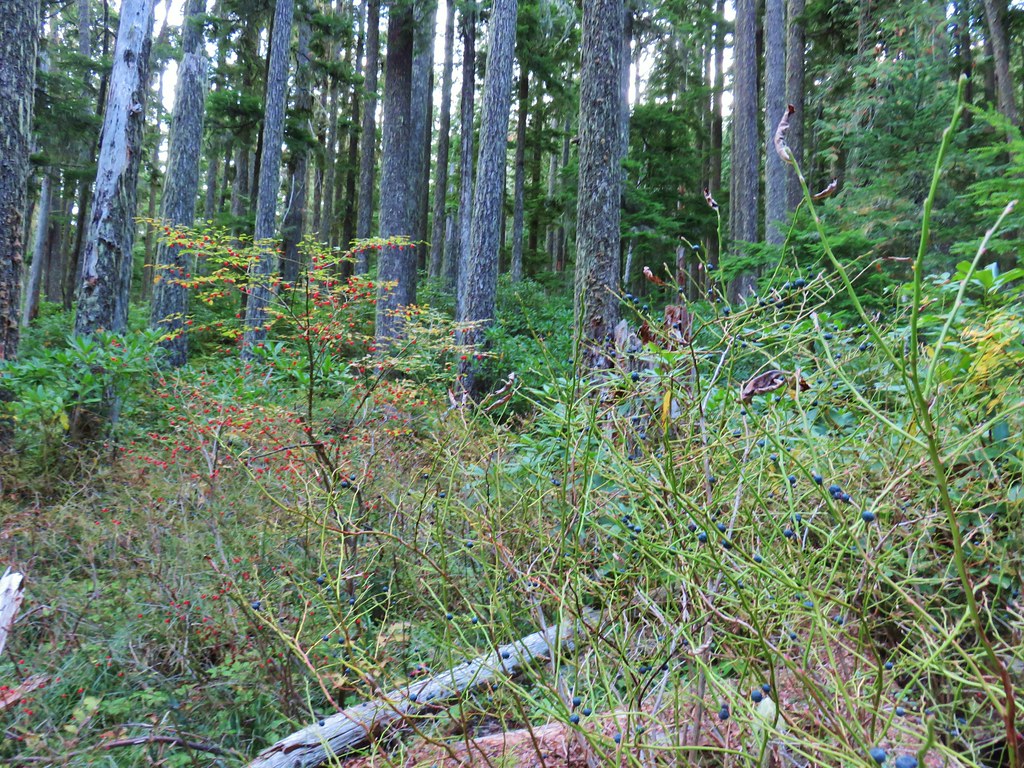
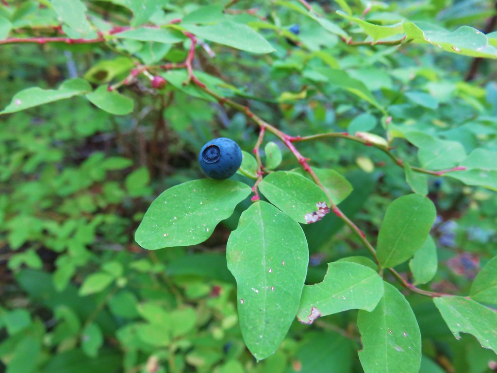
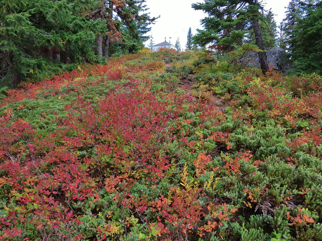
The trail then passed around to the other side of a ridge where it pretty much remained for the next two miles. The forest here still housed a good number of red and blue huckleberries.
 <
<

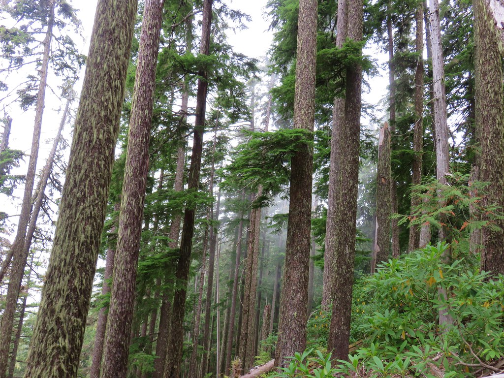
There were sections of more level trail in the forest which gave a nice break from the climbing, but also meant that the elevation would need to be made up on the sections of uphill.
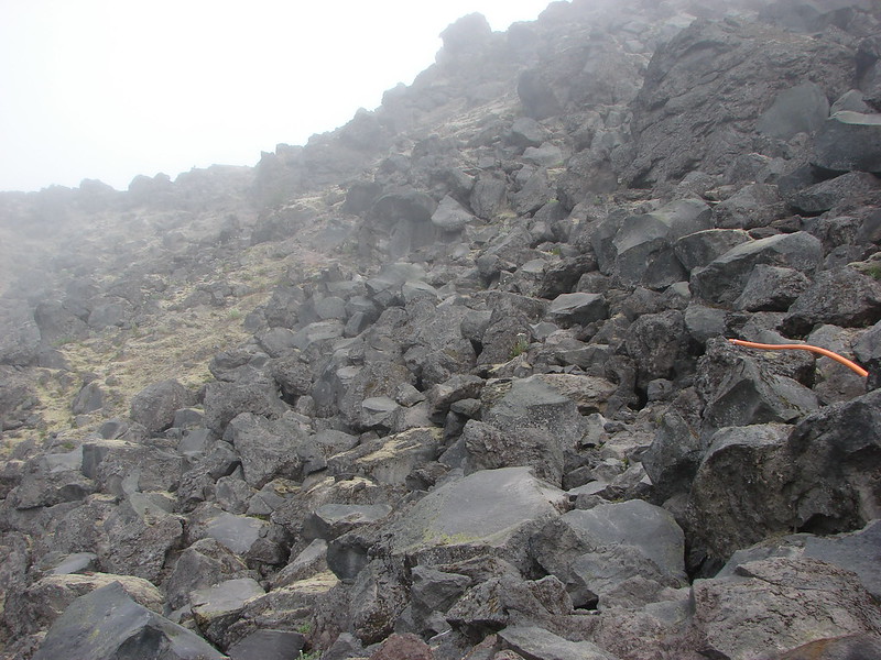
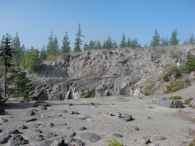
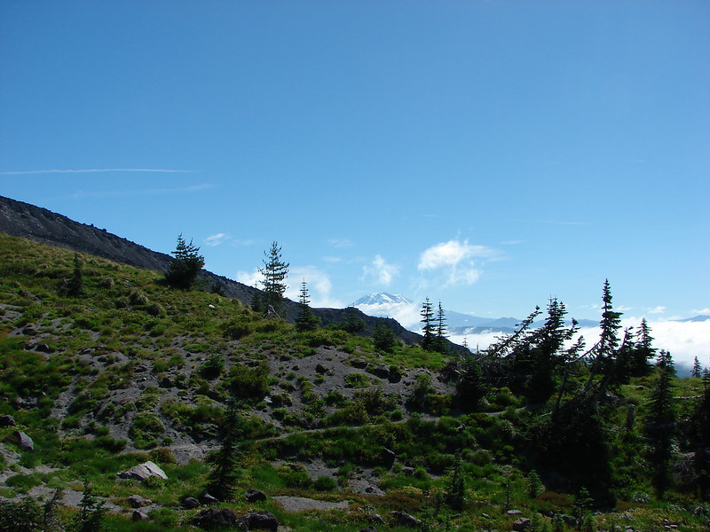
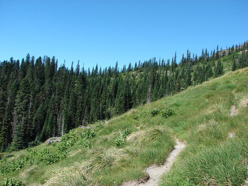
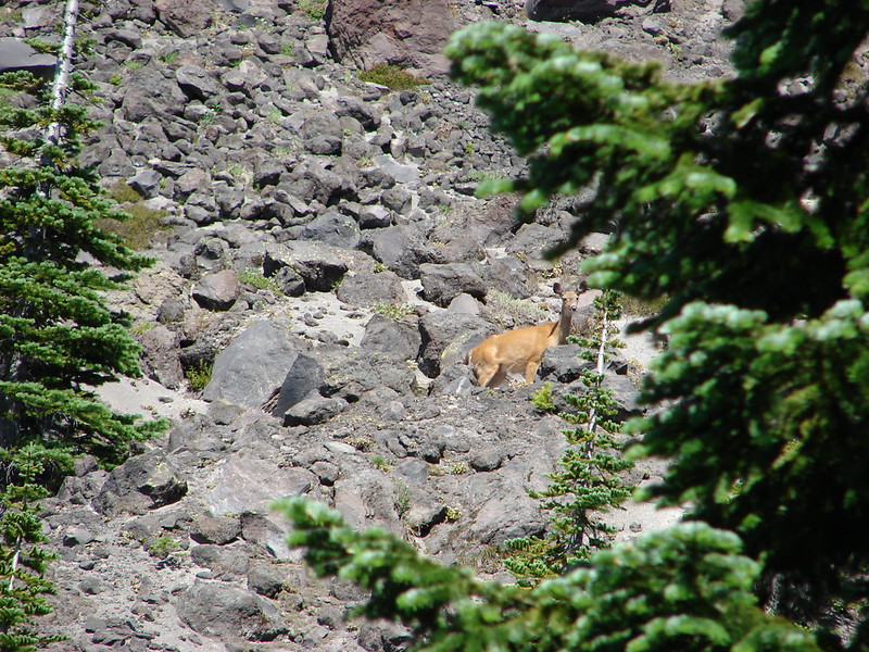
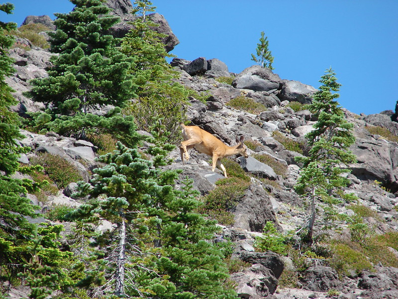
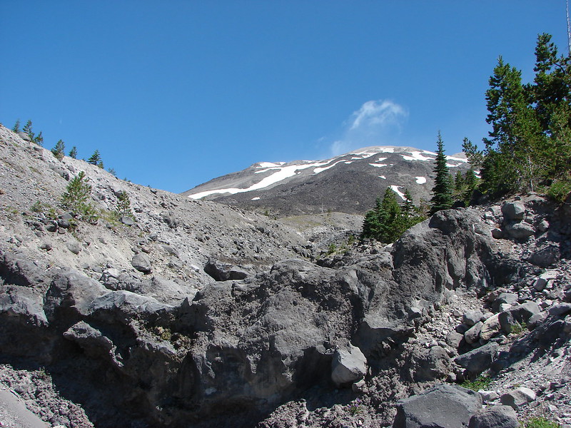
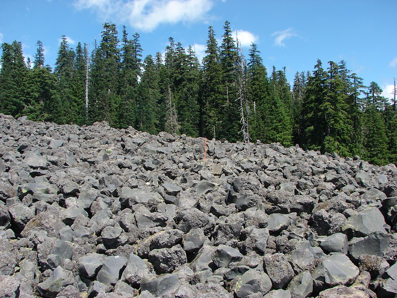
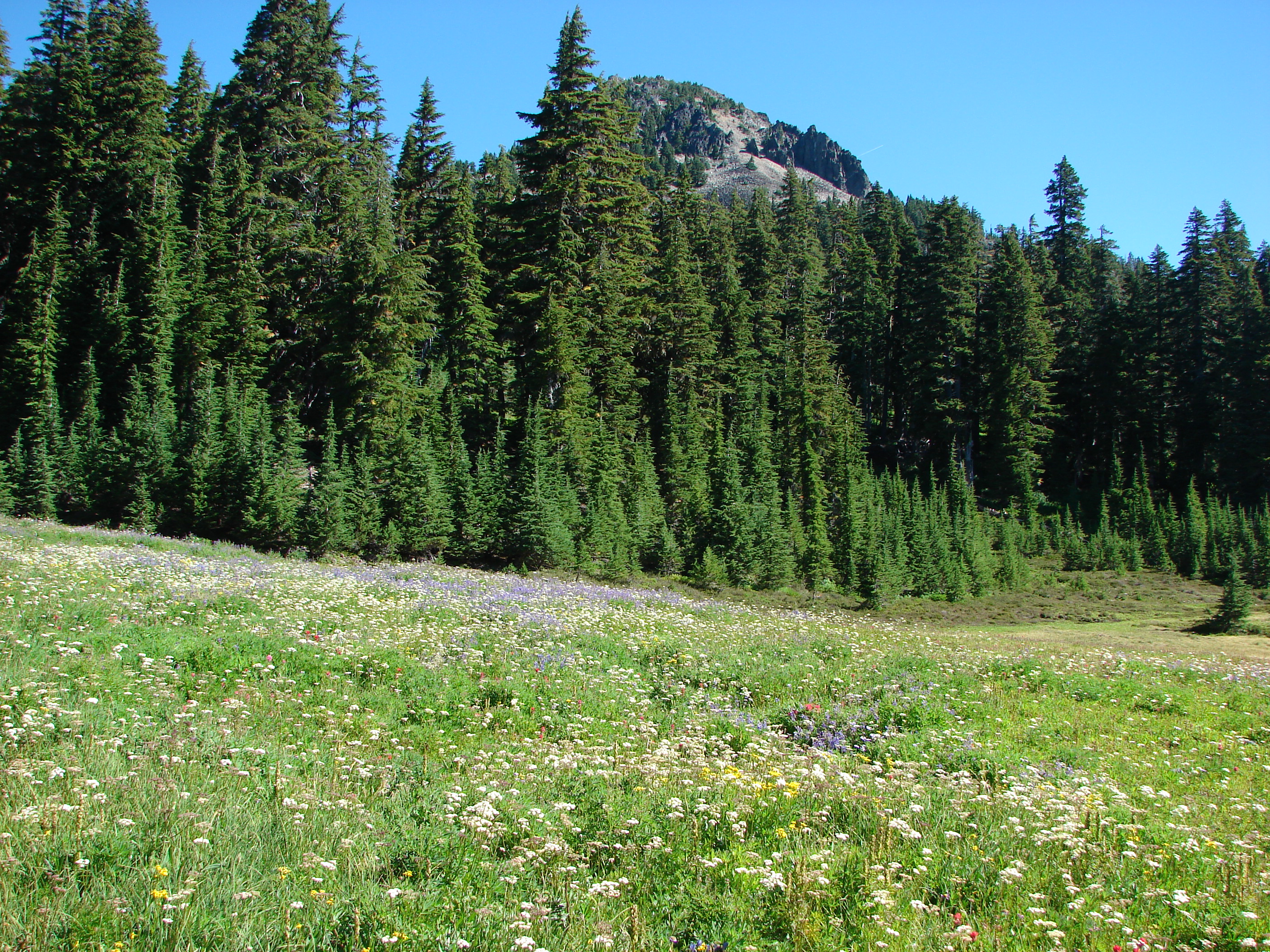
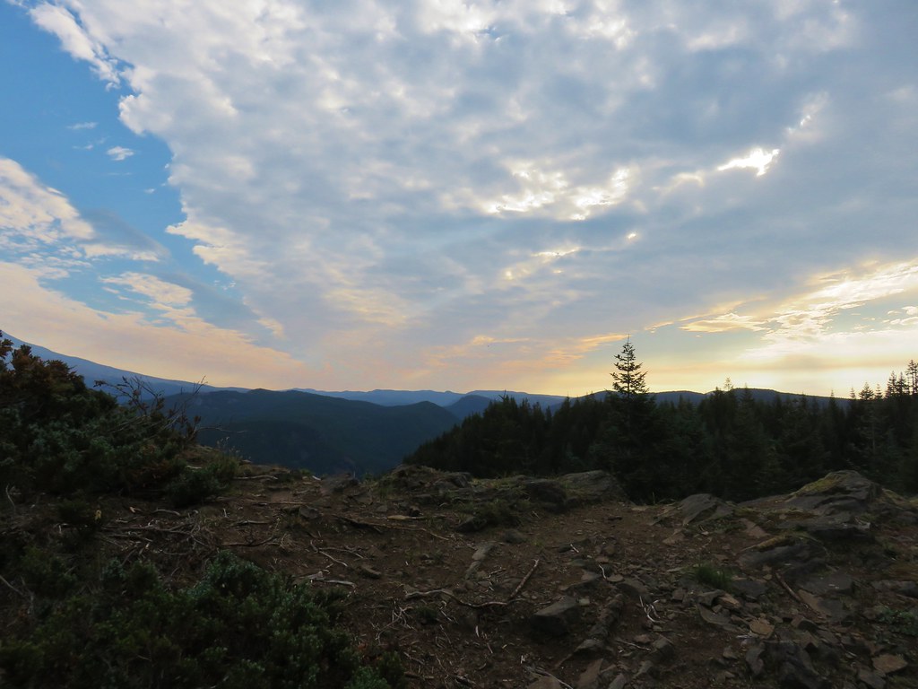
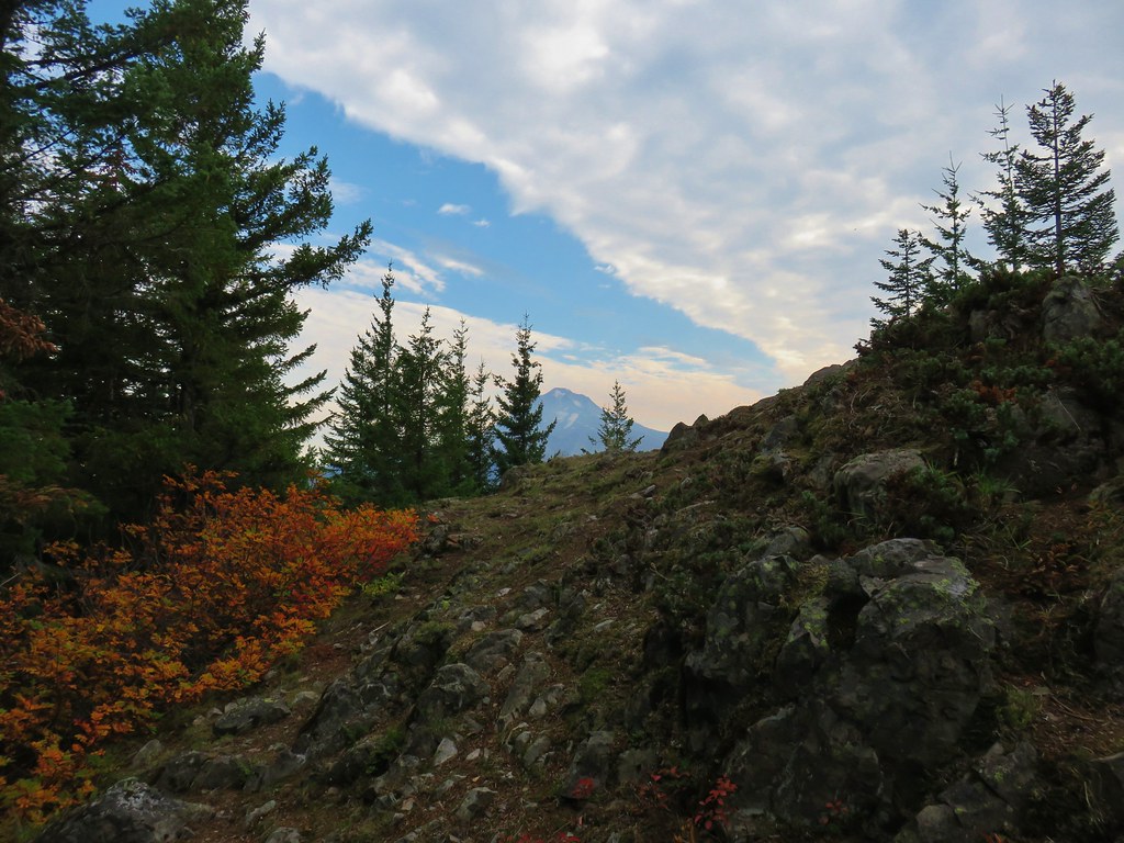
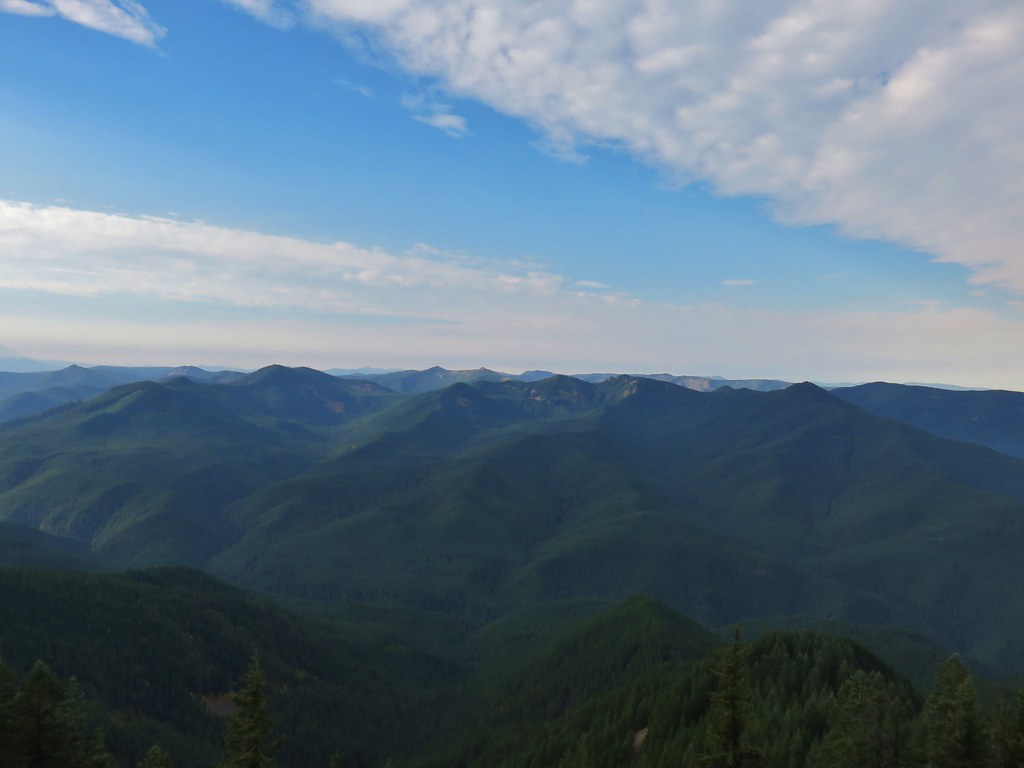
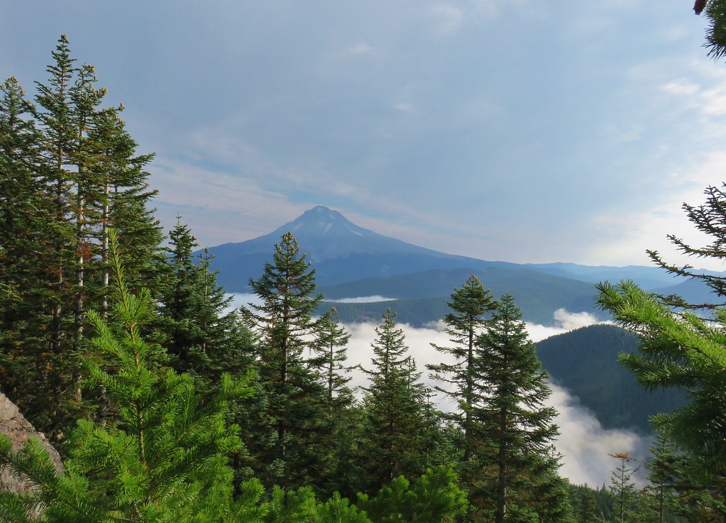
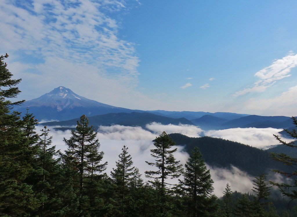
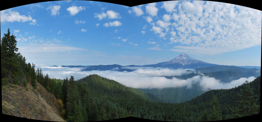
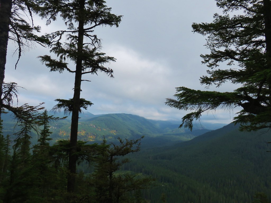
Approximately 3.25 miles from the trailhead a spur to the left led to a rocky ridge top which provided what turned out to be the best viewpoint of the day.
 The rocky ridge

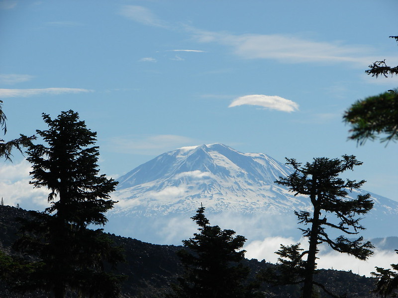
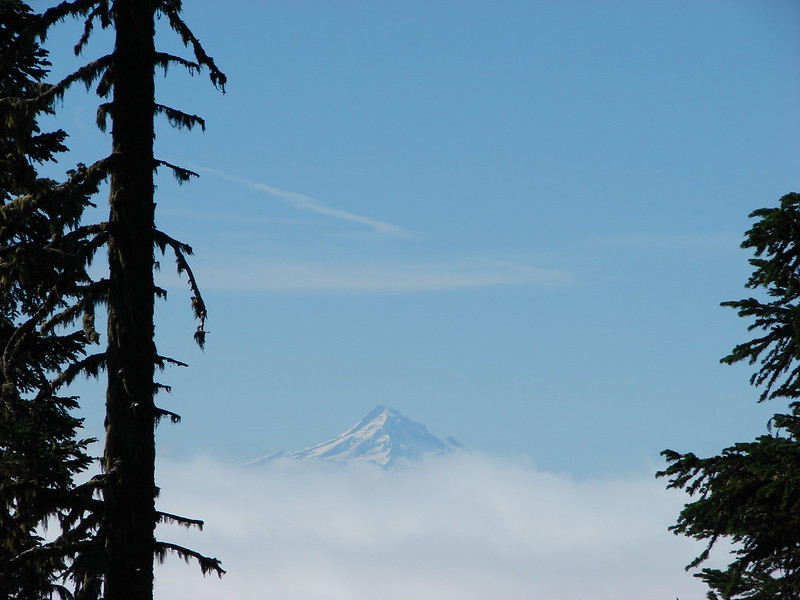
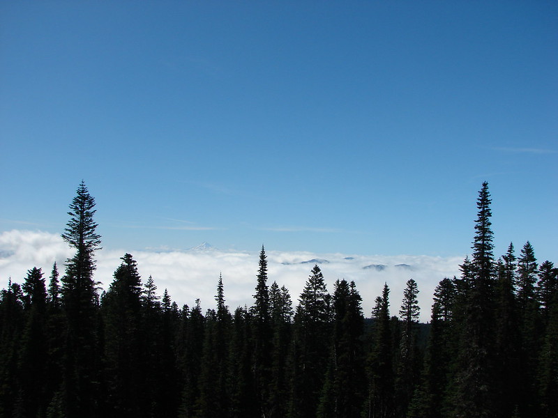
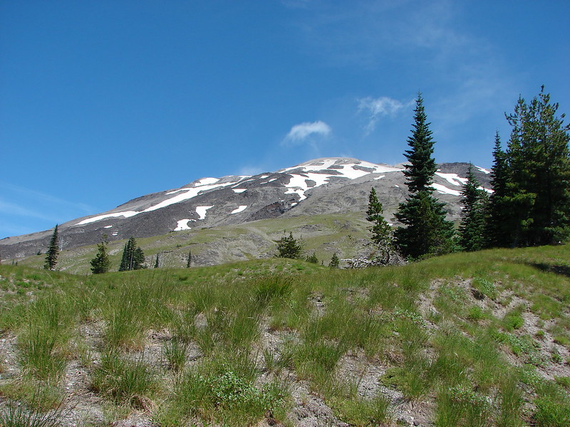
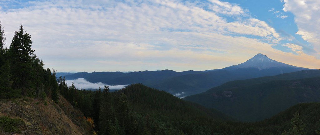
From this point four Cascades were visible, Mt. St. Helens, Mt. Rainier, Mt. Adams, and Mt. Hood.
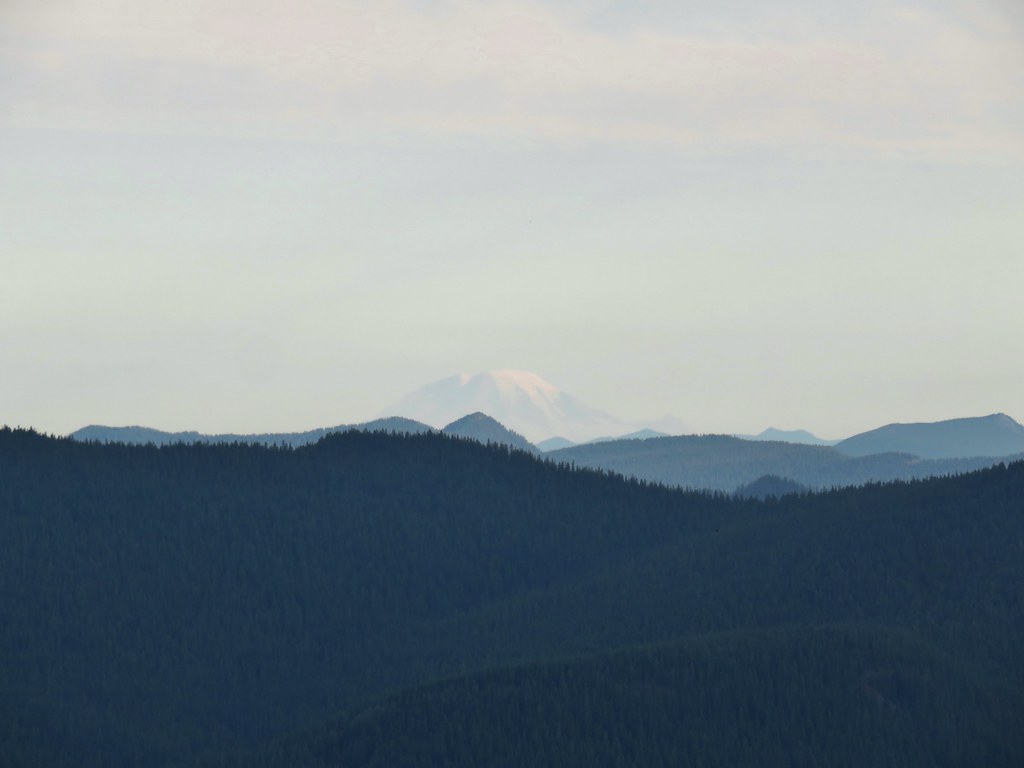
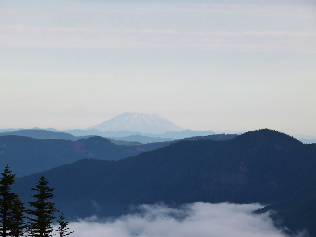 Mt. St. Helens
 Mt. Rainier
 Mt. Adams
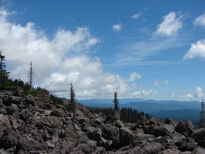
Tom Dick and Harry Mountain (post) was also clearly visible to the NE.
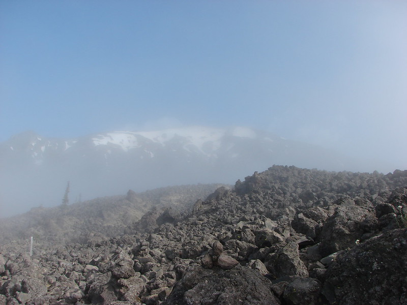
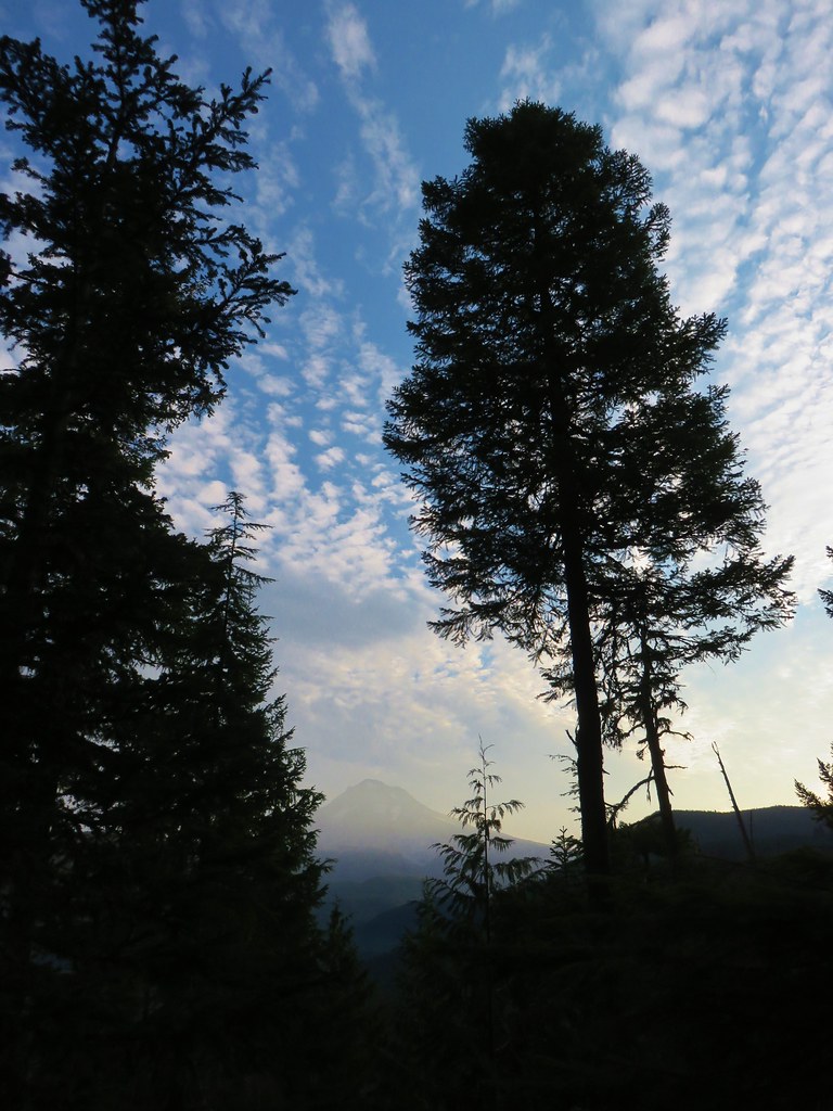
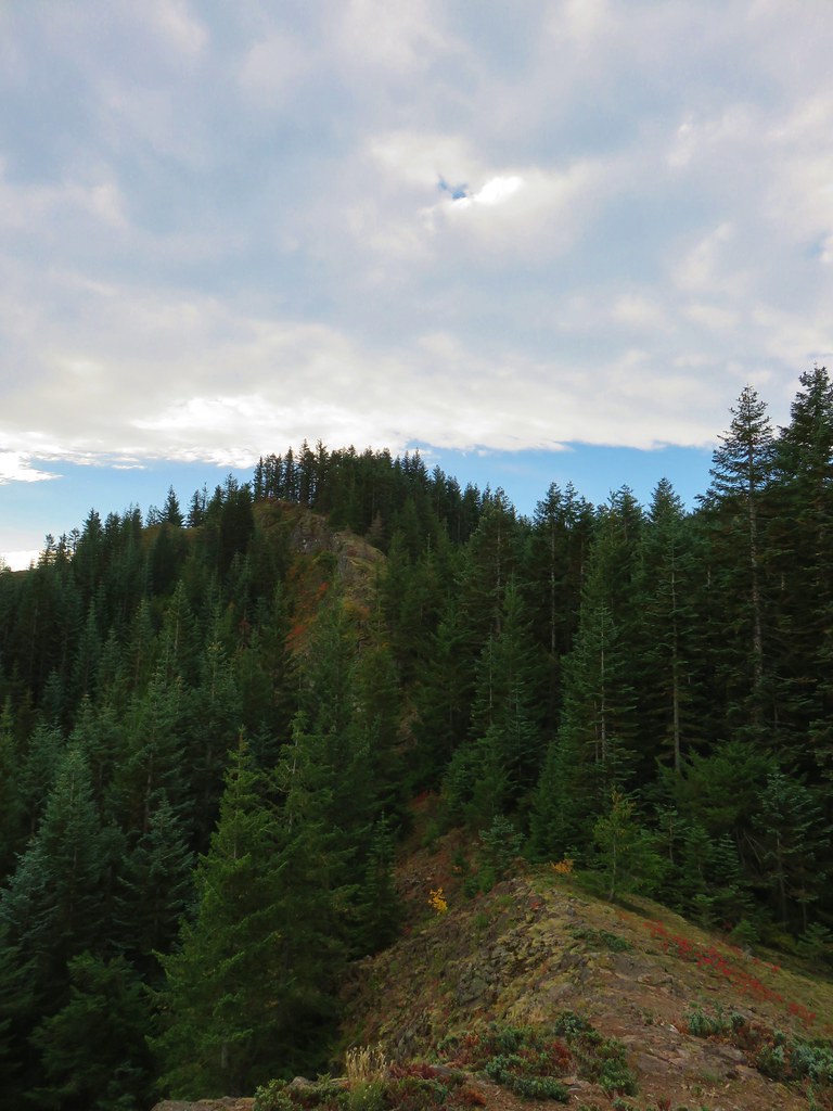
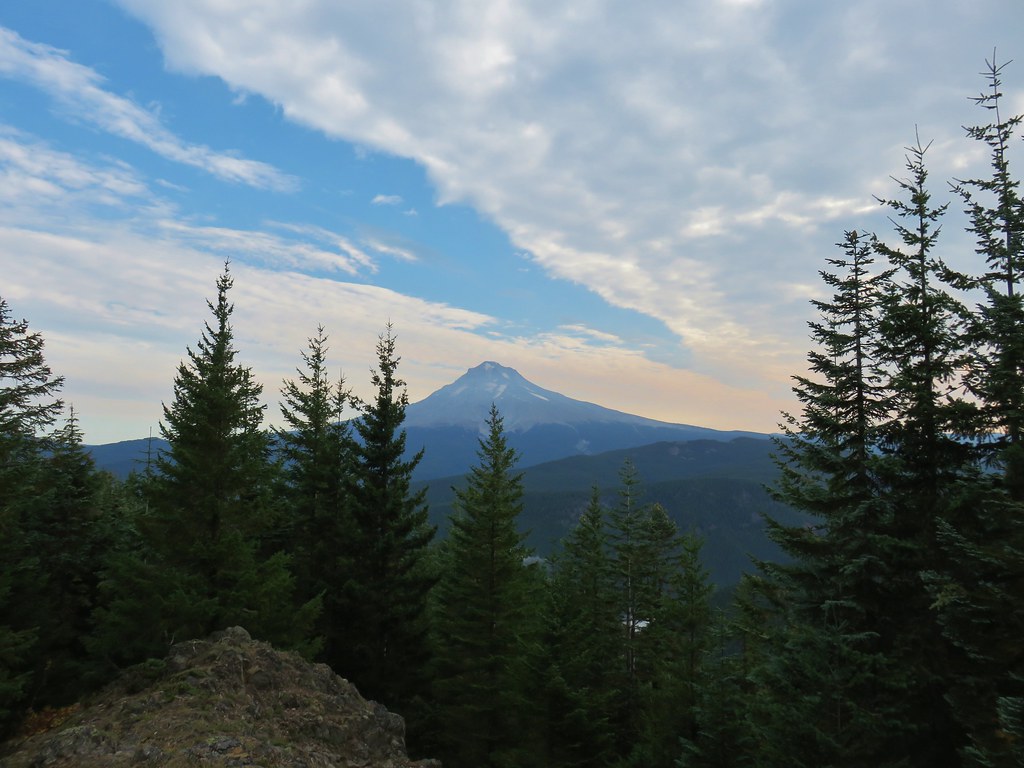
Beyond the ridge viewpoint the trail traversed the hillside on the west side of the ridge climbing for another quarter mile past one more viewpoint of Mt. Hood to its end at the Hunchback Trail.
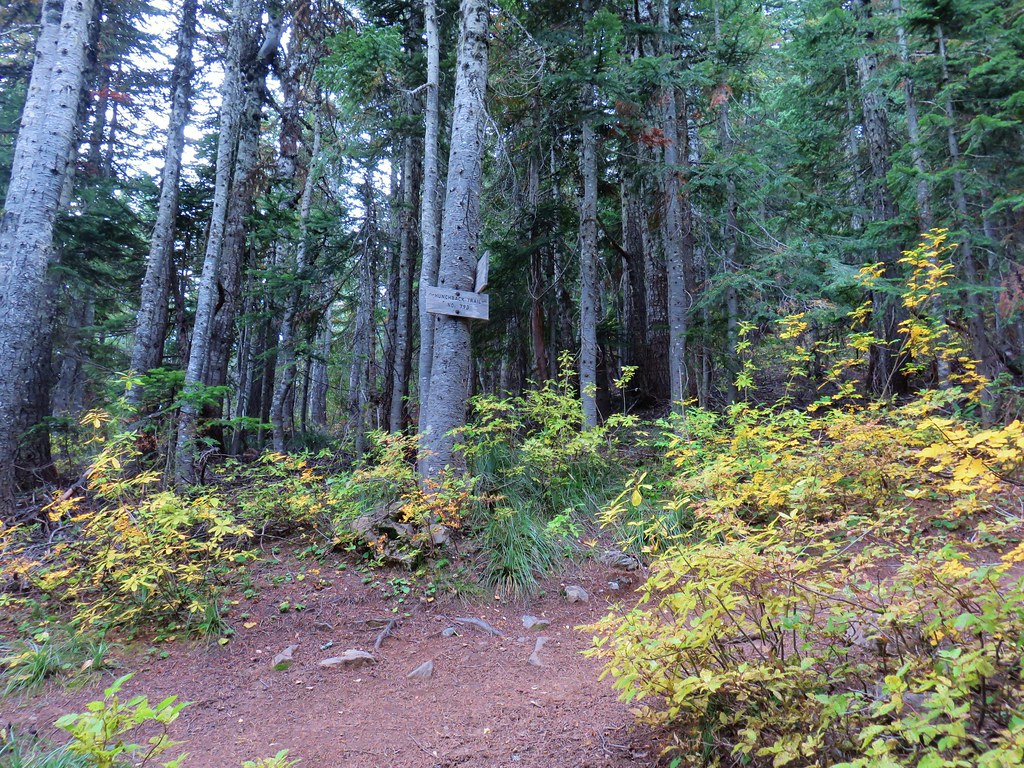
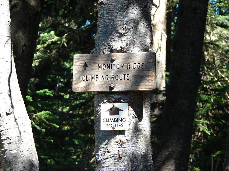
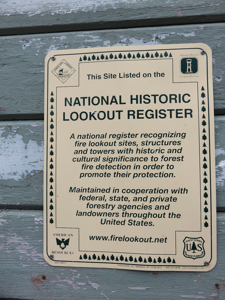
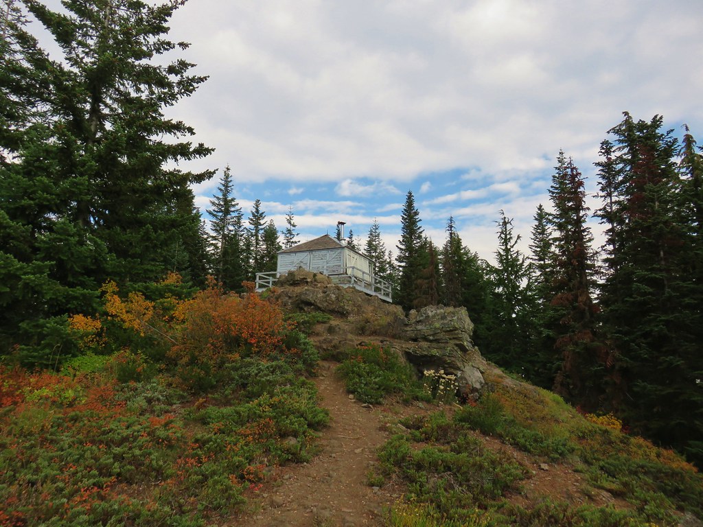
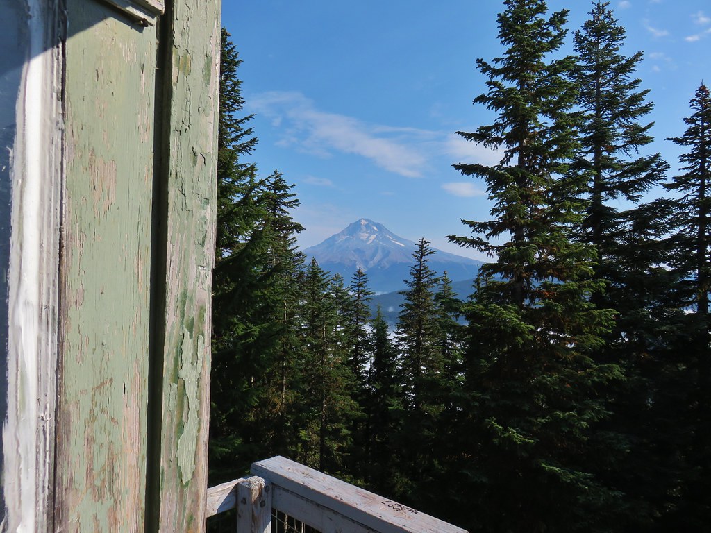
A spur trail to the Devil’s Peak Lookout is just 500 feet after turning right onto the Hunchback Trail.
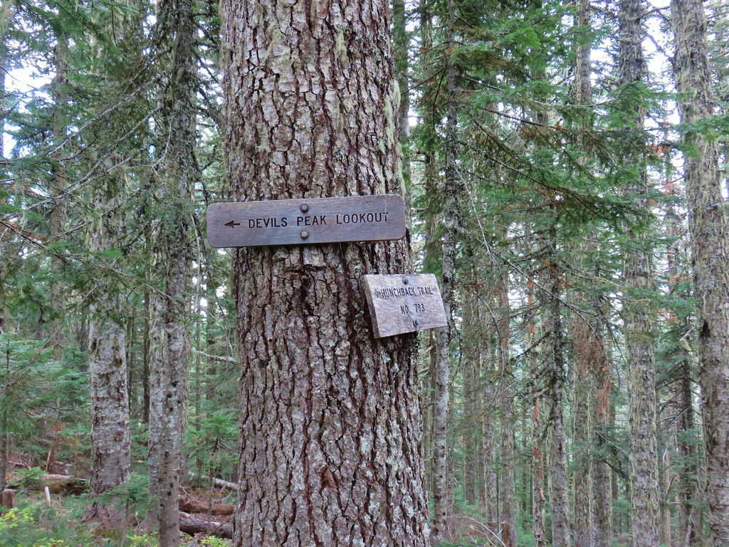
The lookout is a little over 200 feet up this spur.
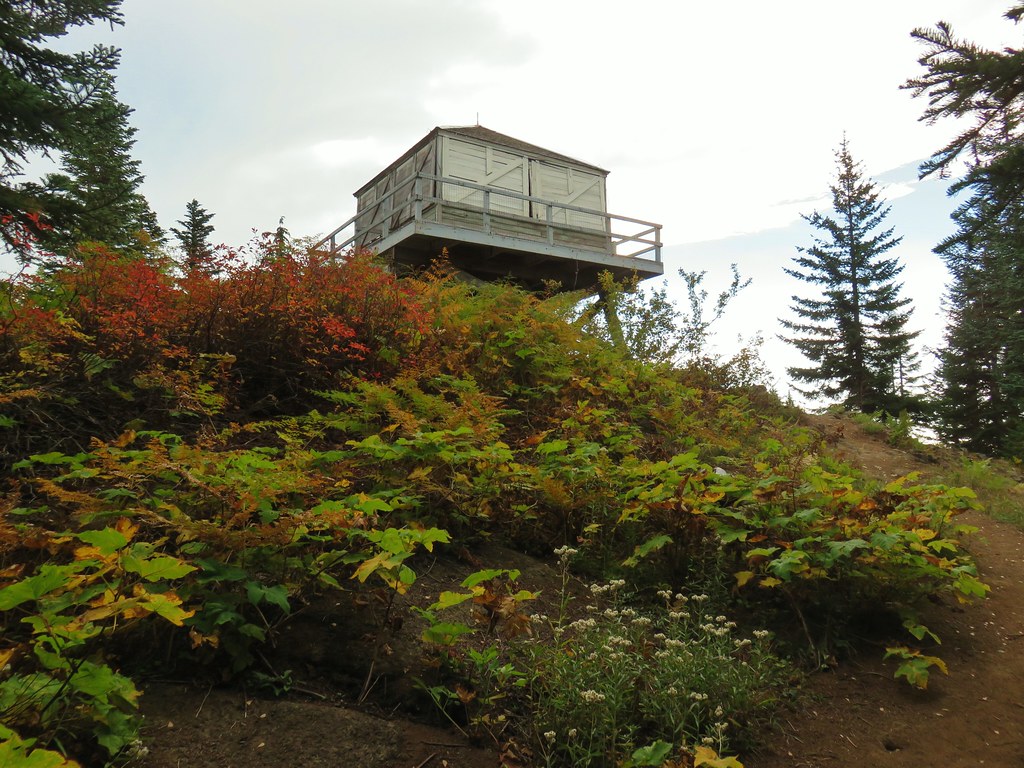
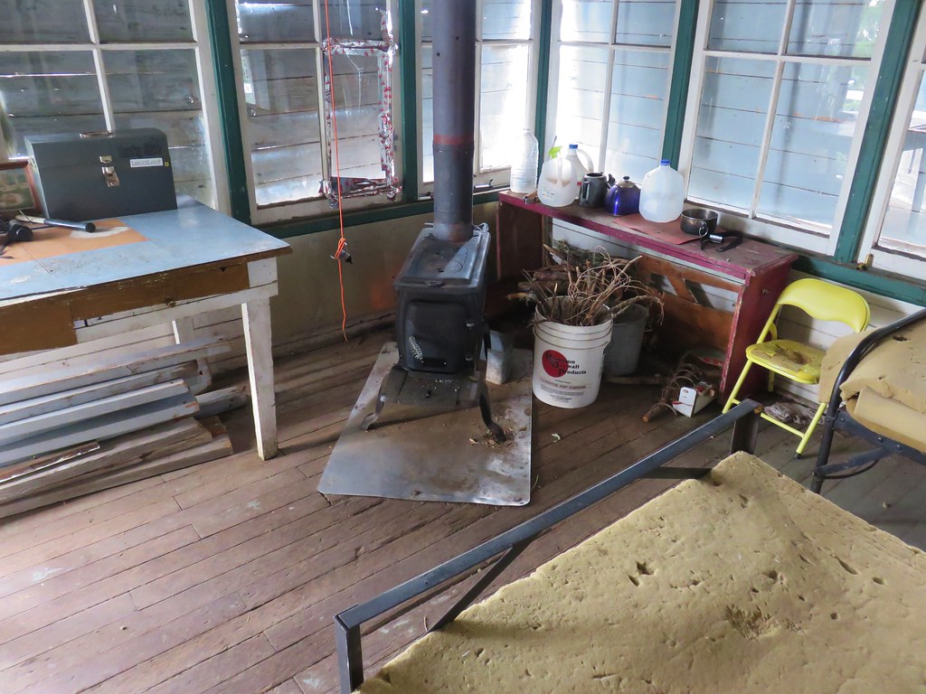
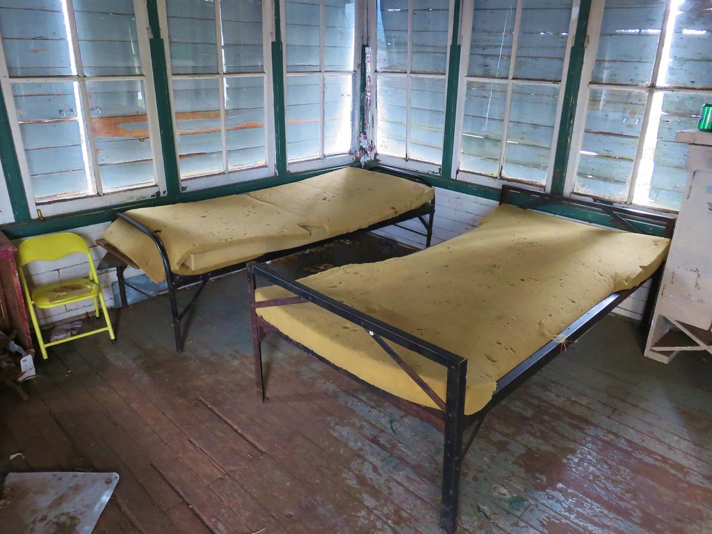
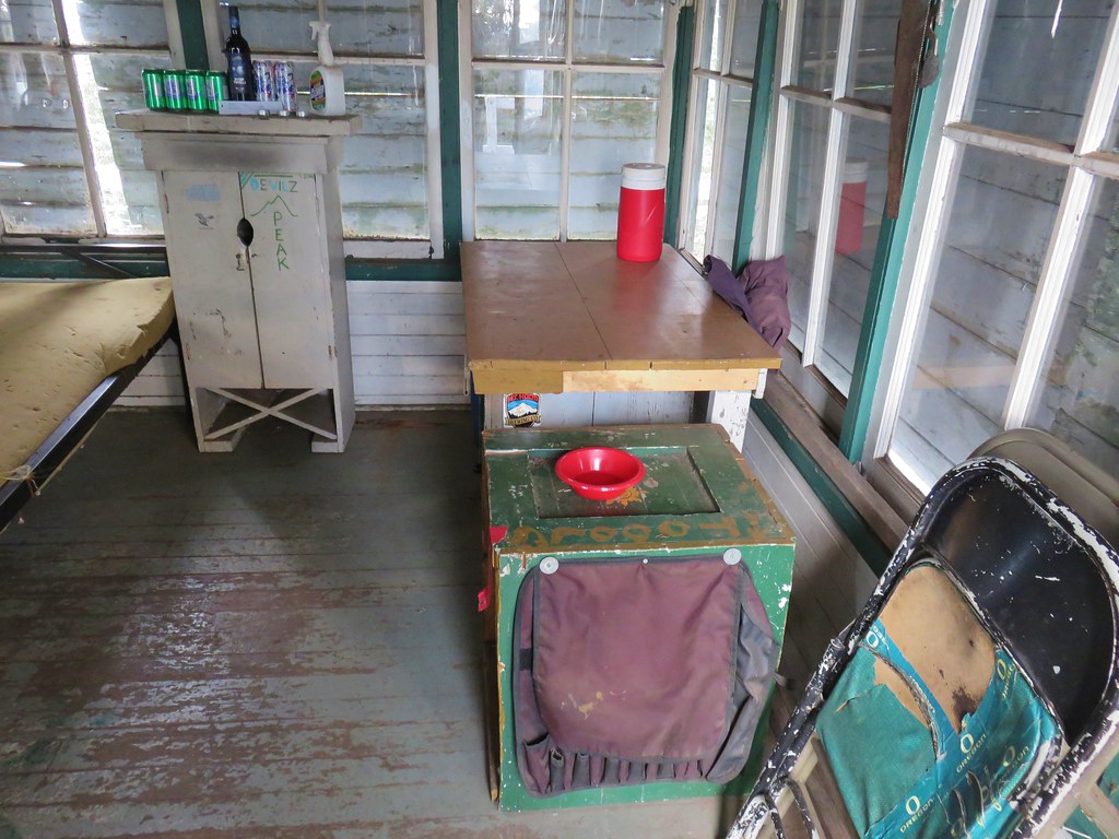
The tower is available for use on a first come, first serve basis so there was a possibility that it was occupied but it turned out to be empty.
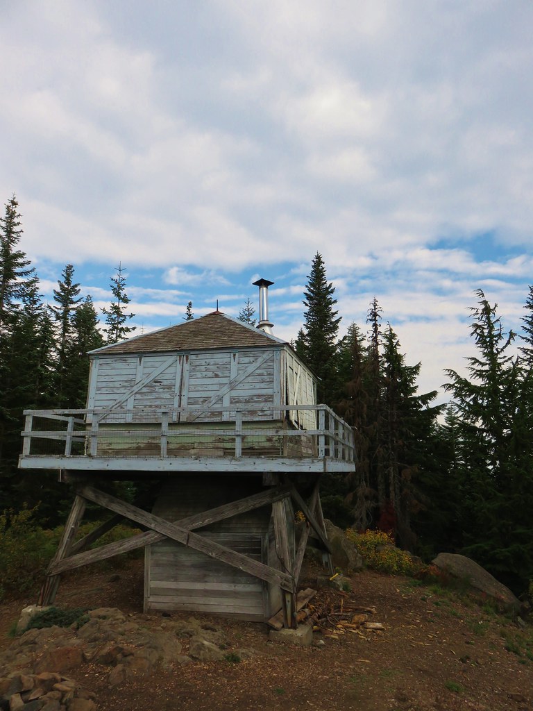
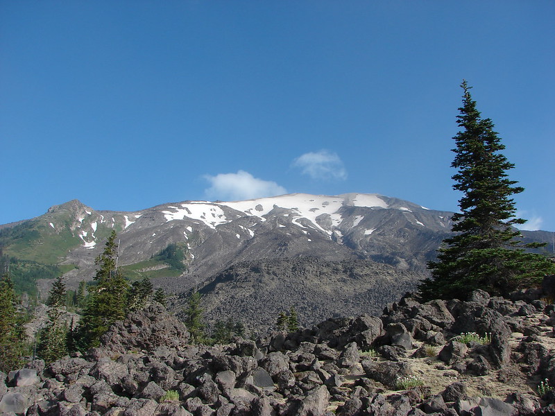
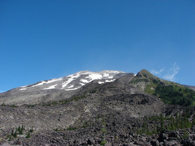
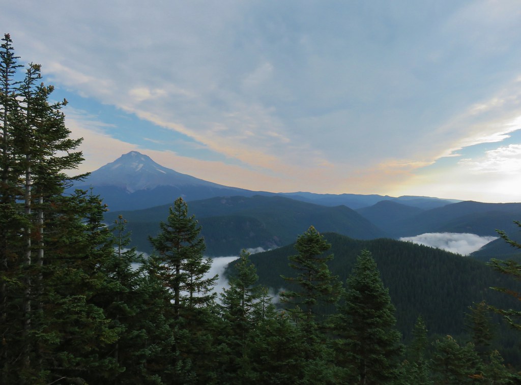
Mt. Hood was visible from the lookout.

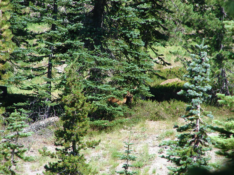
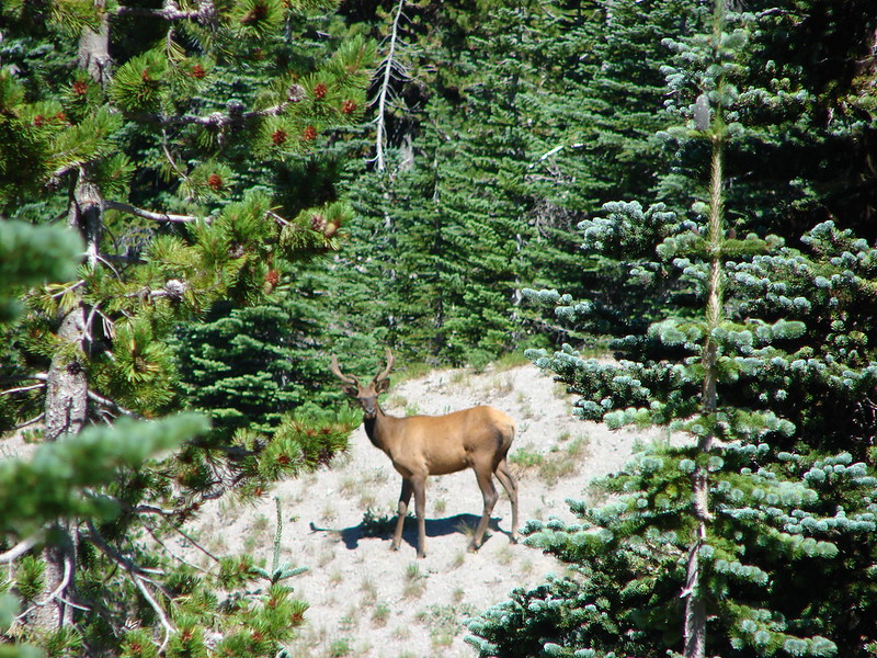
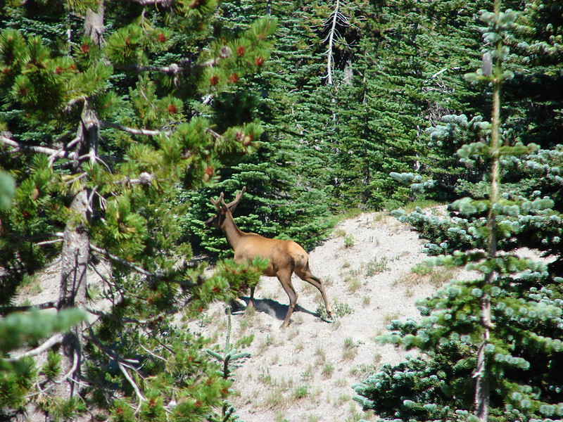
I had gone ahead of Heather and Dominique who had joined us for the hike so I explored Devil’s Peak while I waited for them to arrive.
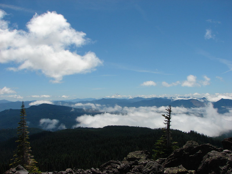
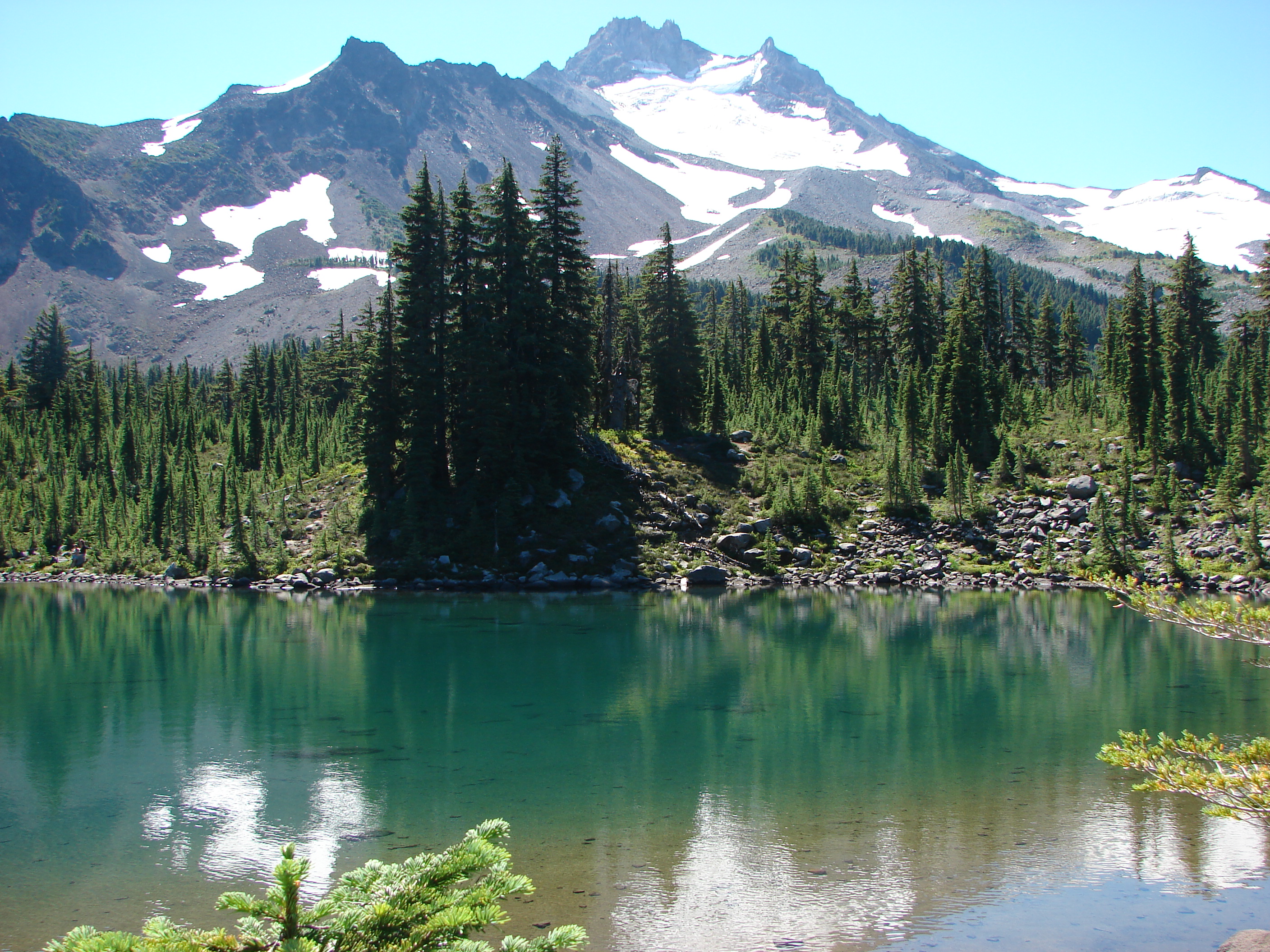
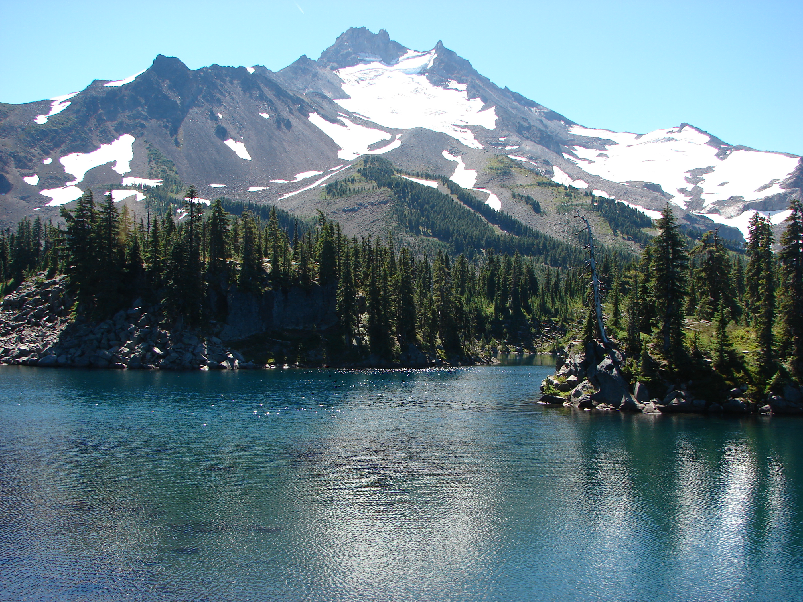
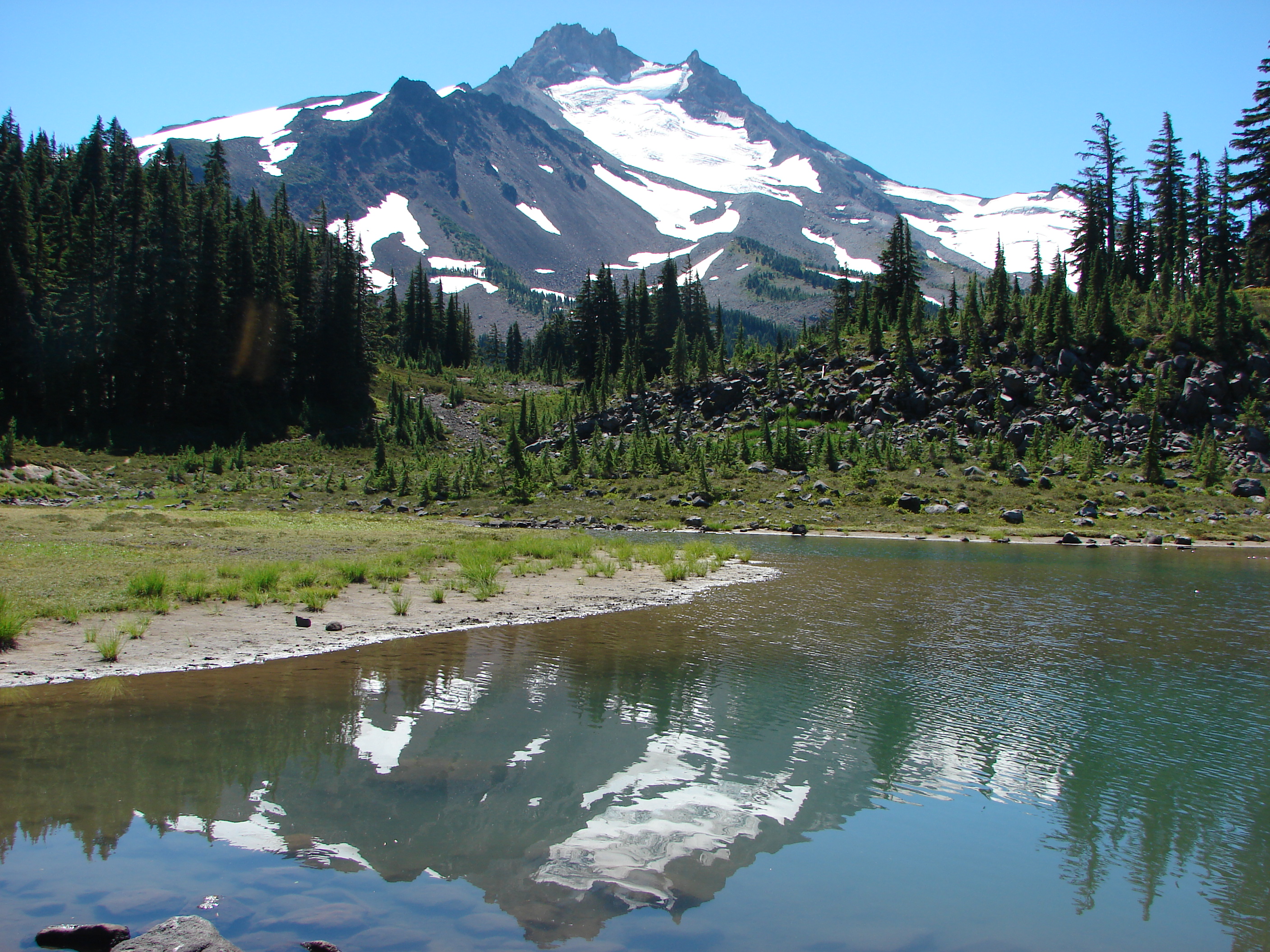
 Mt. Jefferson in some haze to the south.
 Mt. Hood
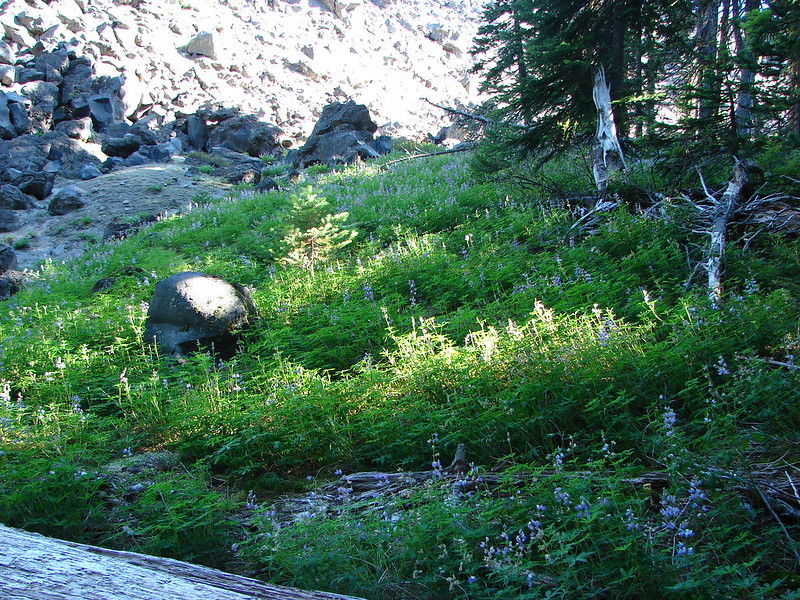
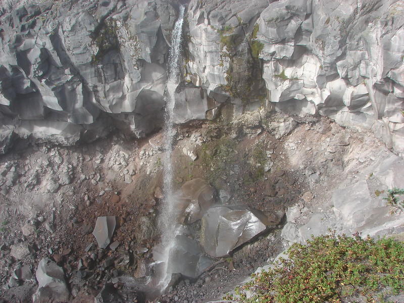
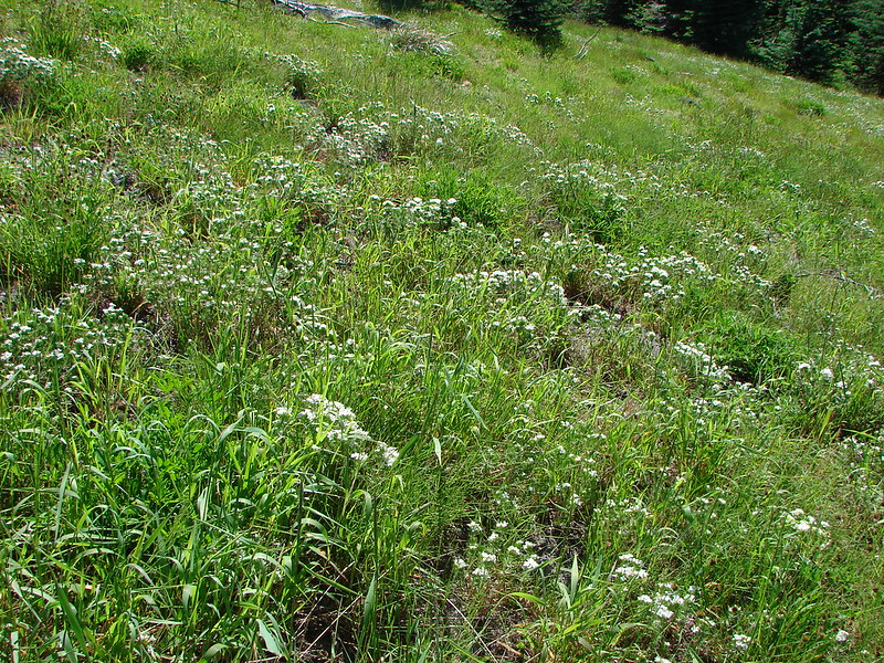
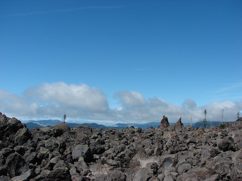
 Salmon-Huckleberry Wilderness
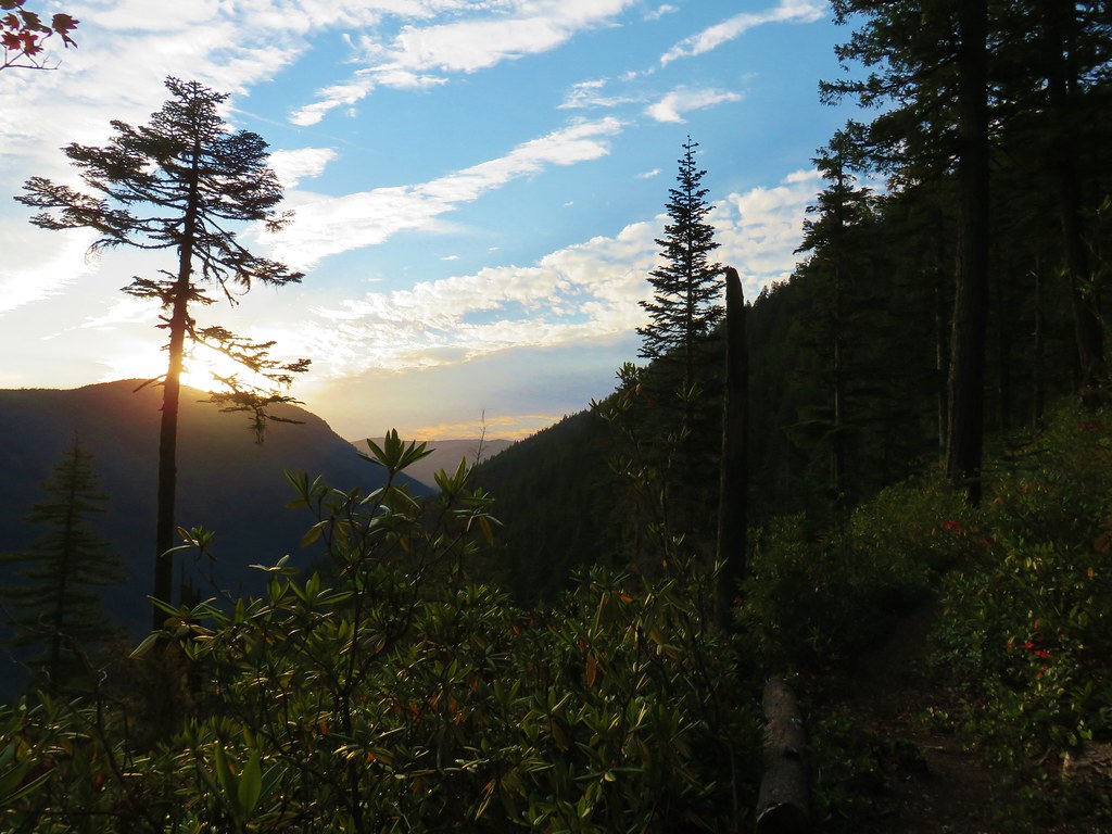
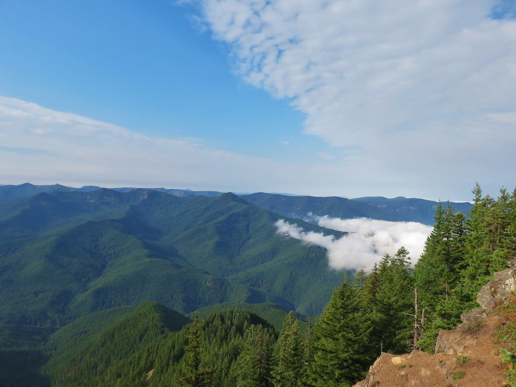 Clouds coming up the Salmon River Valley
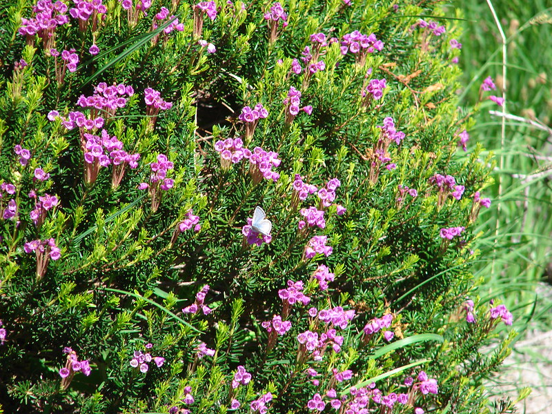
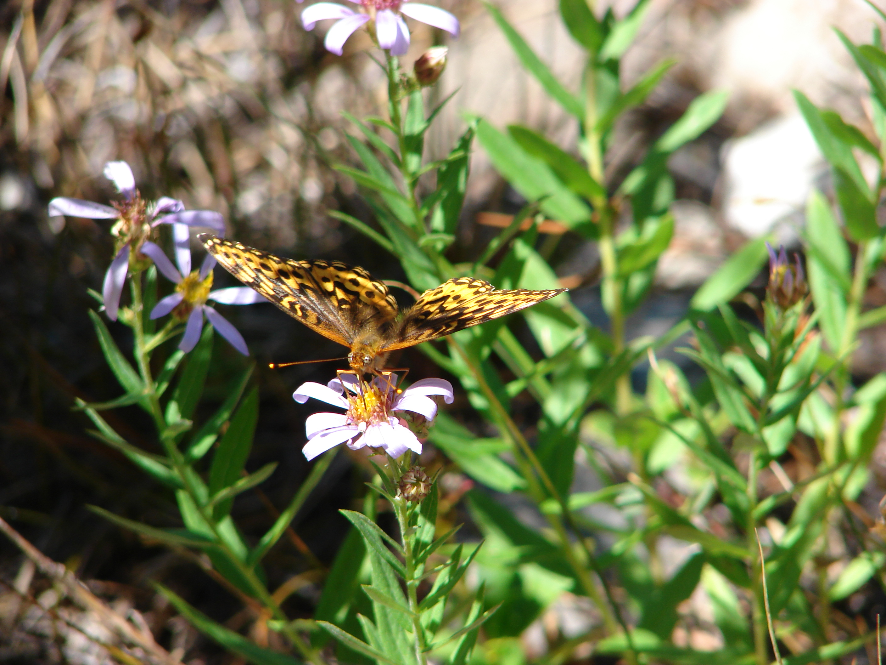
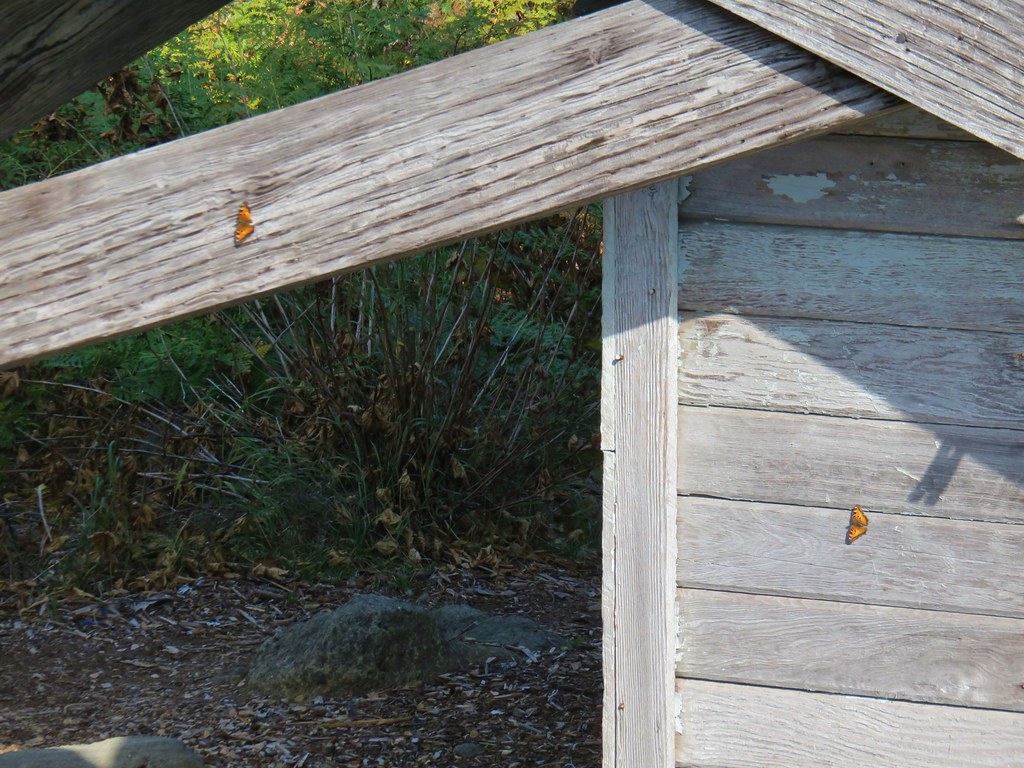 Butterflies on the lookout.
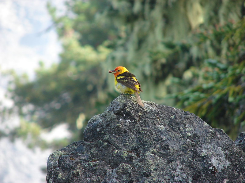
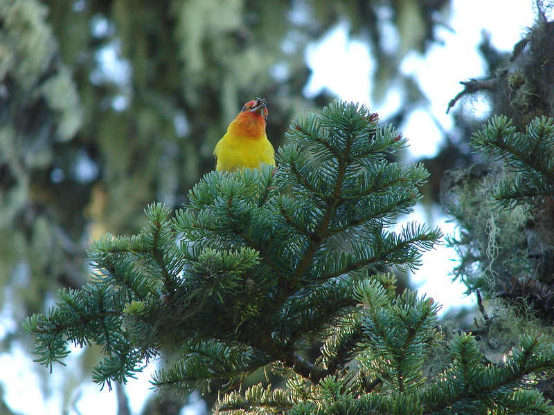
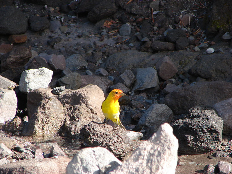
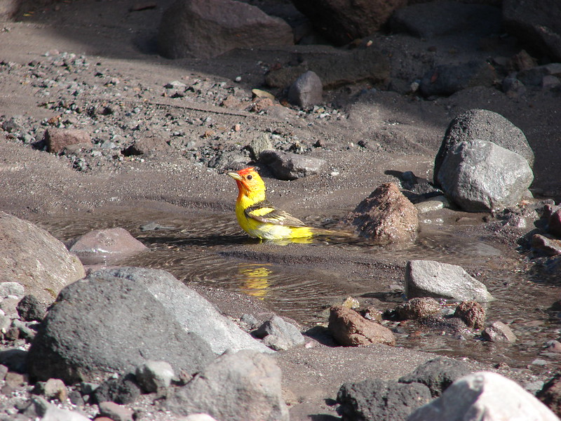
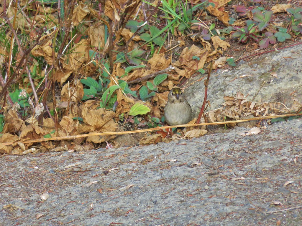 One of several birds foraging in the bushes near the lookout.
It turned out that I had gotten quite a bit ahead and wound up spending about an hour and a half at the tower watching the clouds break up above while they also moved in below.
After they joined me at the lookout they took a break as well then we headed back down. At the ridge viewpoint the view of Mt. Hood was better than it had been earlier, but not for the other Cascades.
We continued back down stopping to gather some huckleberries to take to my Grandmas house. We wound up passing beneath the clouds losing Mt. Hood for the last mile and a half.

It was a tough 8 mile hike given the elevation gain but the views were well worth the effort. That effort was also rewarded with a nice birthday dinner and a tasty piece of cake. Happy Trails!
Flickr: Devil’s Peak