Categories
Diamond Peak Area High Cascades Hiking Oregon Trip report

Salt Creek Falls

It’s July and that means mosquito season in the Cascades. We had our first real run in with the pests on our 4th of July hike at Salt Creek Falls. Through June I had seen only one mosquito which managed to get me on top of Salmon Butte. For the next month or so we will be faced with a dilemma, brave the hoards of bloodsuckers in order to see some of the best wildflower displays of the year, or play it safe and wait them out missing the best of the flowers.

We chose to brave the danger (annoyance at the very least) for this waterfall hike. At 286′ Salt Creek Falls is Oregon’s second tallest and is conviniently close to Hwy 58 making it easy to make a quick stop. We tend to avoid quick and easy but trails leading past Salt Creek Falls head up into the Diamond Peak Wilderness passing a couple of lakes and two additional waterfalls giving us a good excuse for a visit.

We were the first car in the parking lot and apparently the mosquitoes were waiting because I had one land on me almost immediately after I got out of the car. Luckily we had come prepared. We were all wearing long pants/sleeves and sported less than fashionable bug net hats. After a good dousing in DEET (a necessary evil) we headed down the short path to the Salt Creek Falls viewpoint.
008

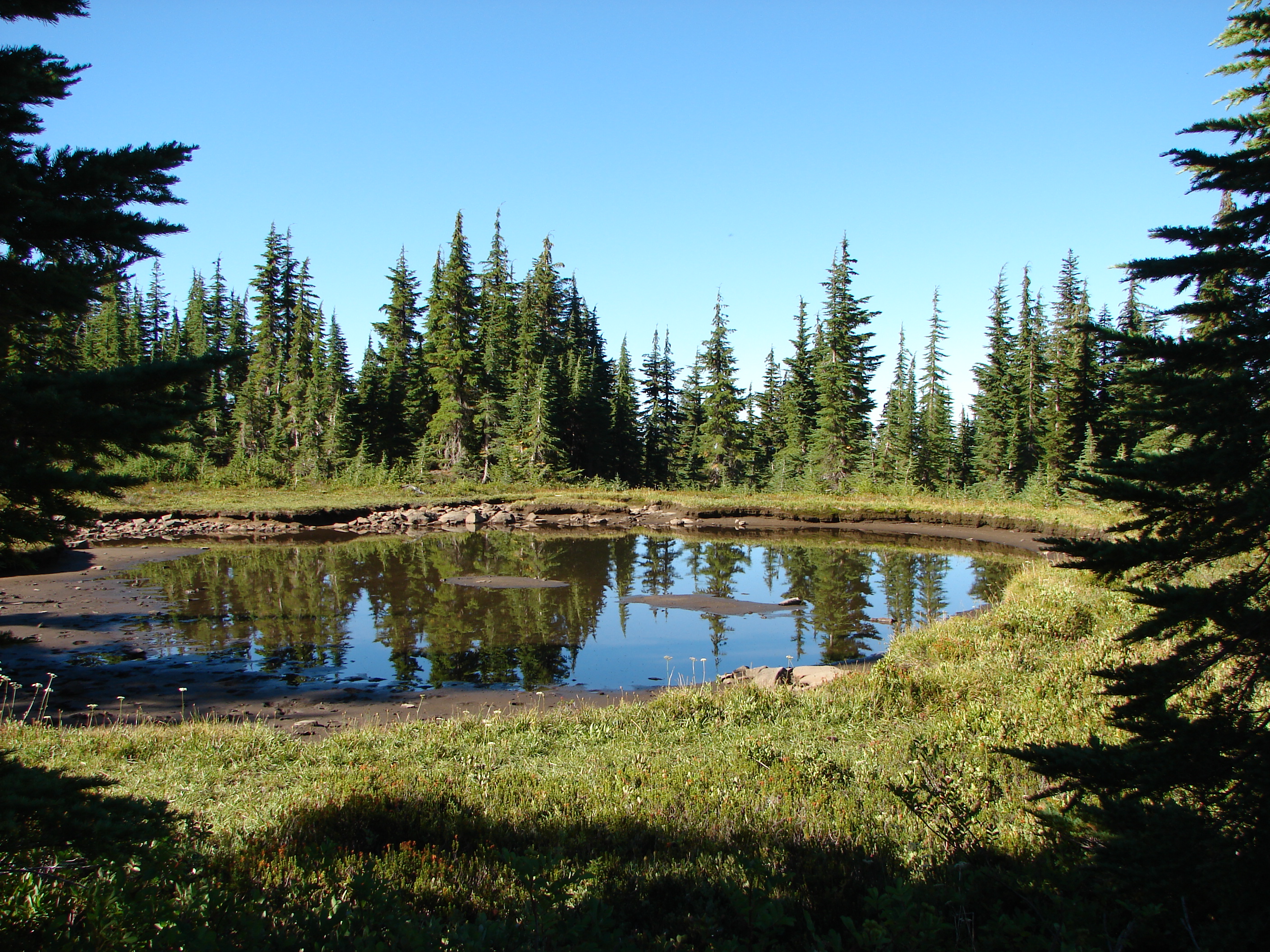
After viewing the falls we headed for the Vivian Lake which was 4 3/4mi away and our turnaround point. Shortly after crossing Salt Creek the trail split making a loop to Diamond Creek Falls possible. We headed right and soon came to Too Much Bear Lake. Despite the name we saw no sign of bears but the pretty lake was lined with blooming rhododendrons and reflecting the surrounding trees.
032

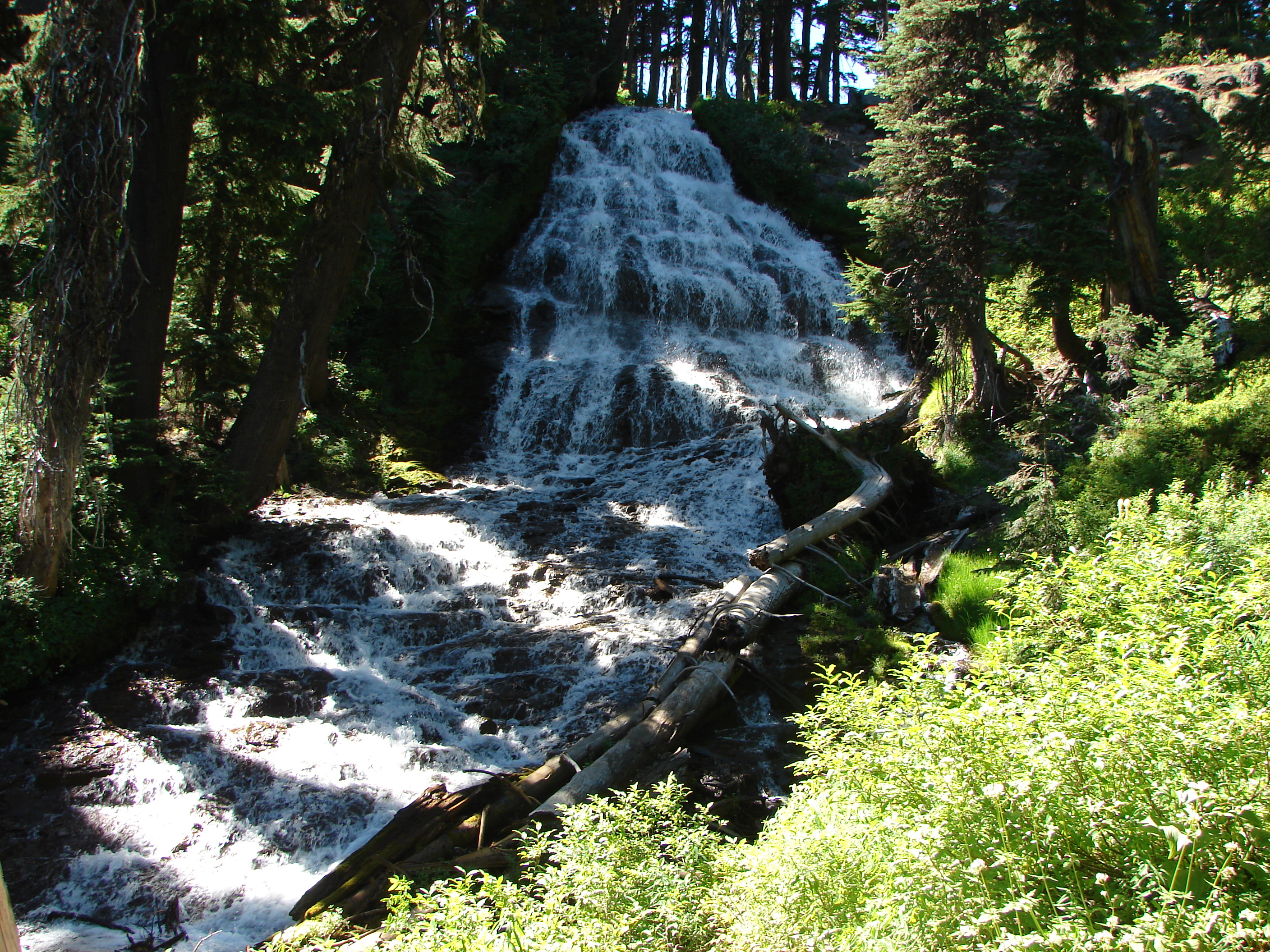
As we continued toward Diamond Creek Falls several signs announced viewpoints. Perhaps we had been spoiled by the views on our last few hikes, but the view from these viewpoints was a bit of a let down. Diamond Creek Falls on the other hand was lovely. A short side path led down into a narrow canyon and across Diamond Creek on a footbridge. Not long after the crossing Diamond Creek Falls came into view through the trees. It was an impressively sized 100′ cascade that fanned out over the rocks as it fell into a cozy grotto.
046

We returned to the main trail and continued past an upper viewpoint of Diamond Creek Falls to a second fork in the trail. The left fork would take us back to the parking area while the right continued on toward the wilderness and Vivian Lake. Before we made it to the wilderness we crossed Diamond Creek on a road bridge and passed over the Southern Pacific Railroad tracks. When we reached the sign board announcing the start of the Diamond Peak Wilderness we found that there were no self-serve entry permits left in the box, but there were plenty of mosquitoes buzzing around. The forest was full of white flowers, bunchberry, anemone, and queens-cup with an occasional beargrass thrown in. Many of the rhododendron were in bloom as well. The trail followed Fall Creek up to a viewpoint of Fall Creek Falls, a smaller 40′ cascade lined at the top with pink rhododendron blooms. The viewpoint proved a good place for a brief rest as it was an exposed rocky outcrop and almost devoid of mosquitoes.

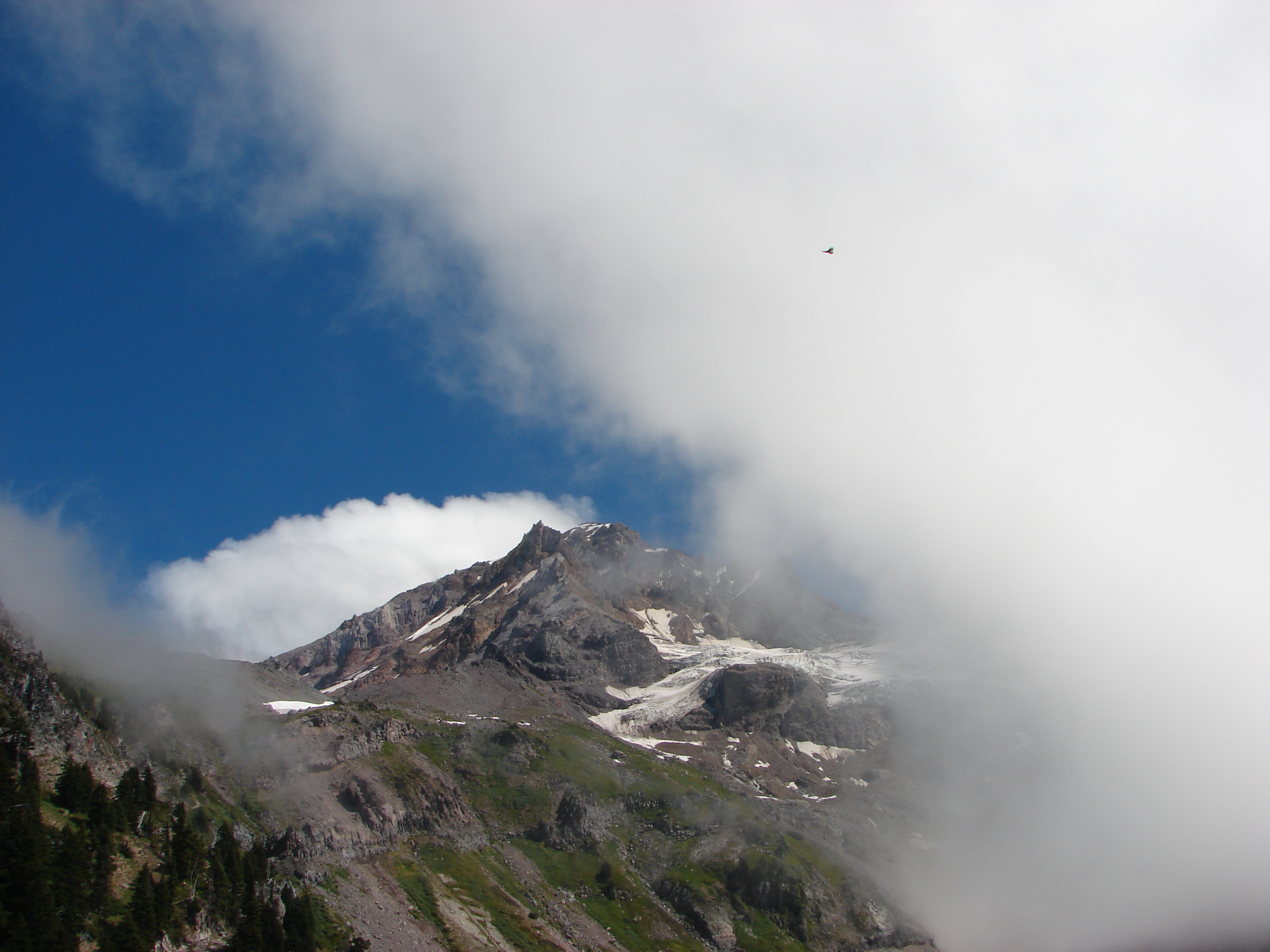
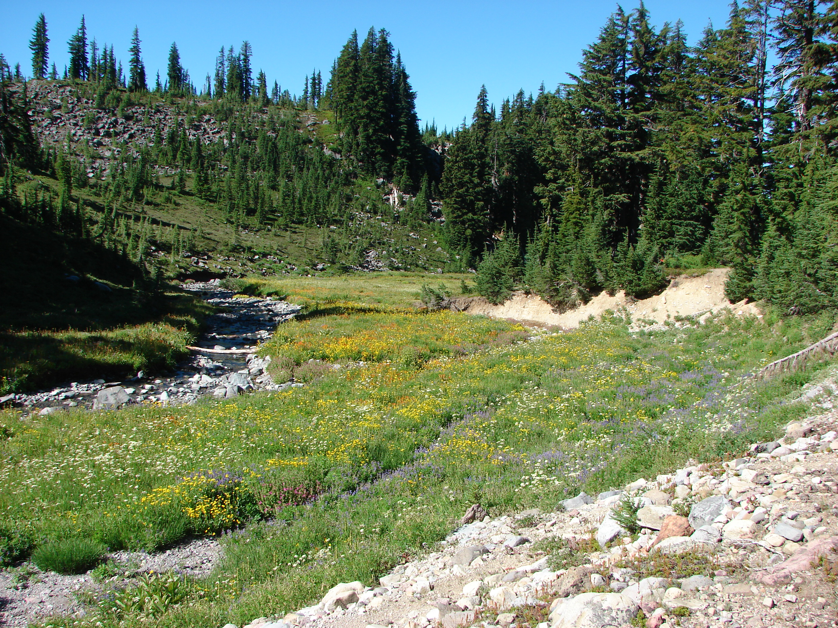
Another mile of climbing brought us to Vivian Lake but before we would reach the lake shore we had to cross a “meadow”. The meadow was still quite damp from recent snow melt but we did our best to stay on the driest part of the trail. Shooting star and heather blooms dotted the green meadow while frogs hopped toward the water where they joined tadpoles that had not yet emerged. Unfortunately it was also a perfect spot for mosquitoes and a large number of them swarmed the air just waiting for us to stop so we quickly made our way across to drier ground and followed the trail to the shore of Vivian Lake. We worked our way around the shore until we got a good view of the top of Mt. Yoran which reflected in the water. This would have been a wonderful spot for lunch if we hadn’t been on the menu. We stayed long enough to snap a couple pictures then headed back to the viewpoint above Fall Creek Falls where we had a better chance of a mosquito free lunch.
138

We made great time on the way back to the car as we tried to stave off the skeeters but we did stop when we spotted a golden mantled squirrel and later a cascade frog. We saw only one other hiker on the trail but the parking area was full of people and cars when we got back. Heather got the worst of the bites but still only about a half dozen, Dominique had a couple and I miraculously escaped with only one. Hopefully our next few hikes will have less mosquito activity, but we’ll be ready for the little buggers if need be. Happy Trails

Facebook photos: https://www.facebook.com/media/set/?set=a.10201511921867112.1073741840.1448521051&type=1
Flickr photos: http://www.flickr.com/photos/9319235@N02/sets/72157634489510254/

Categories
High Cascades Hiking Mt. Hood Area Oregon Trip report

Wildcat Mountain

Greetings, I’m back again with another trip report from the Salmon-Huckleberry Wilderness. We were making a second attempt at Wildcat Mountain; which we had tried to do in May but had run into fresh snow on the road to the trail head. I’d seen a trip report on portlandhikers.org from 6/09/13 saying that the trail head was open and that in a couple of weeks the flower show should be going strong.

We were aware that there have been issues in this area with illegal shooting & off highway vehicle operation but the forest service and volunteers have been attempting to limit access and discourage the bad behavior. Evidence of this battle was everywhere on the drive to the trail head. Numerous “No Shooting” signs lined the road and almost every spur road was barricaded to block access. Unfortunately litter (mostly beer cans and empty shell casings) was visible in many areas as well. When we reached the new McIntyer Ridge trail head the parking area was covered in more of the same. It was a shame because the surrounding forest was beautiful.

We had a little difficulty finding the correct path due to our not noticing the small temporary trail sign at first. The OHV use was obvious given the width and condition of the trail. We followed this wide path for a mile to an opening which provided the first view of Mt. Hood. Shortly after the opening the tail narrowed leaving the OHV damage behind.

Rhododendrons bloomed in mass along the trail and we spotted several patches of avalanche lilies proving that snow had melted not too long before.

Avalanche lilies
Avalanche lilies

Next the trail entered a meadow of beargrass which was still, for the most part, not in bloom. I hoped that this would not be the case when we reached the next viewpoint in a meadow with a memorial bench.

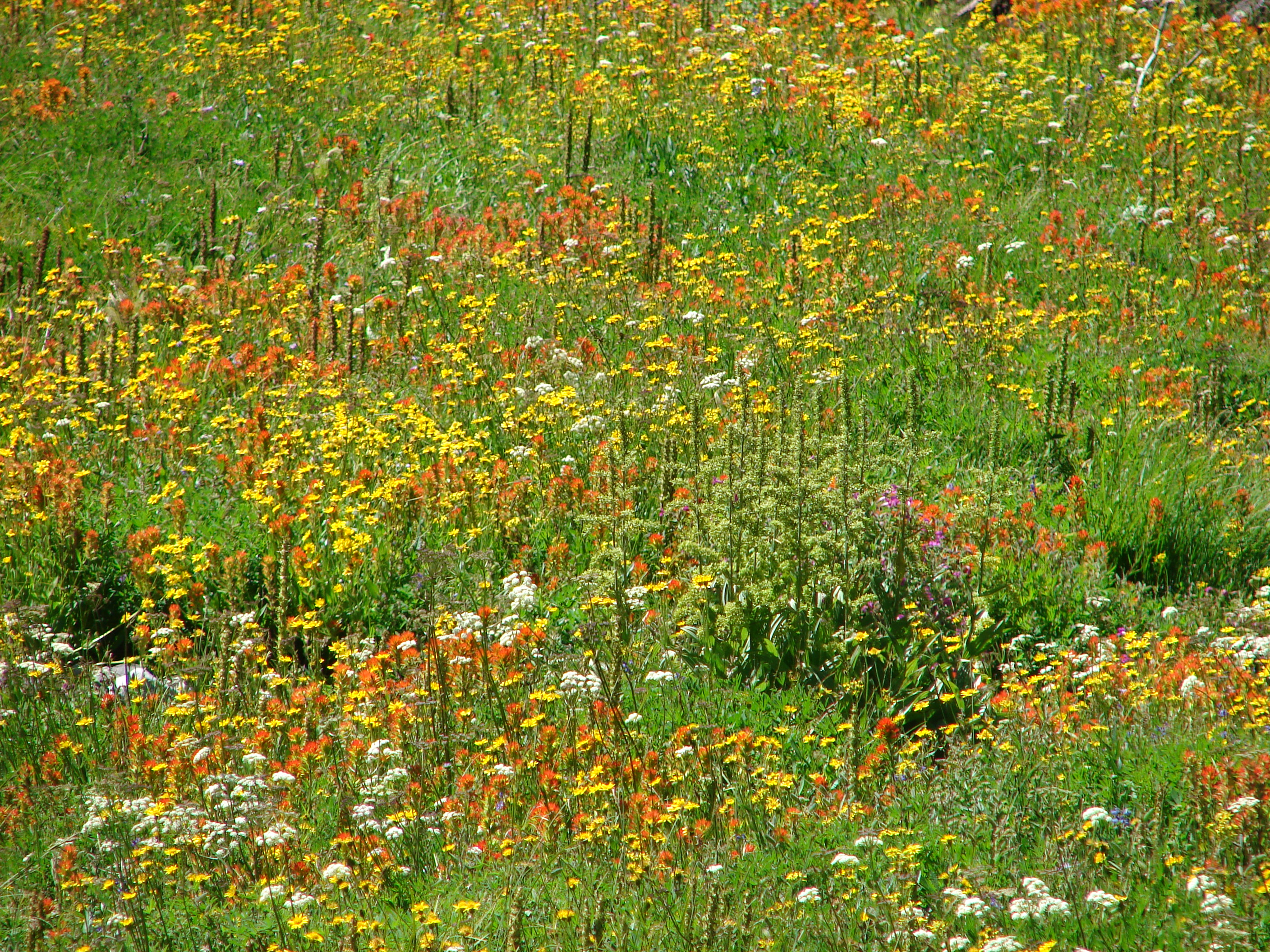
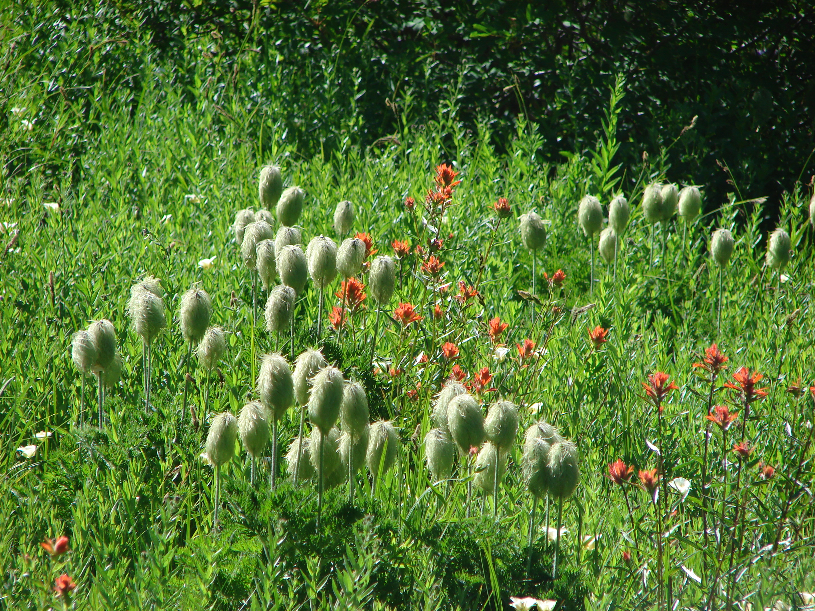
The bench meadow did not disappoint. A good number of beargrass plumes rose up while paintbrush and penstemon added red and purple to the ground. The view of Mt. Hood was great and a pair of hummingbirds zoomed about visiting the flowers. One of them even landed long enough for me to get a couple of pictures.

Mt. Hood from the bench meadow

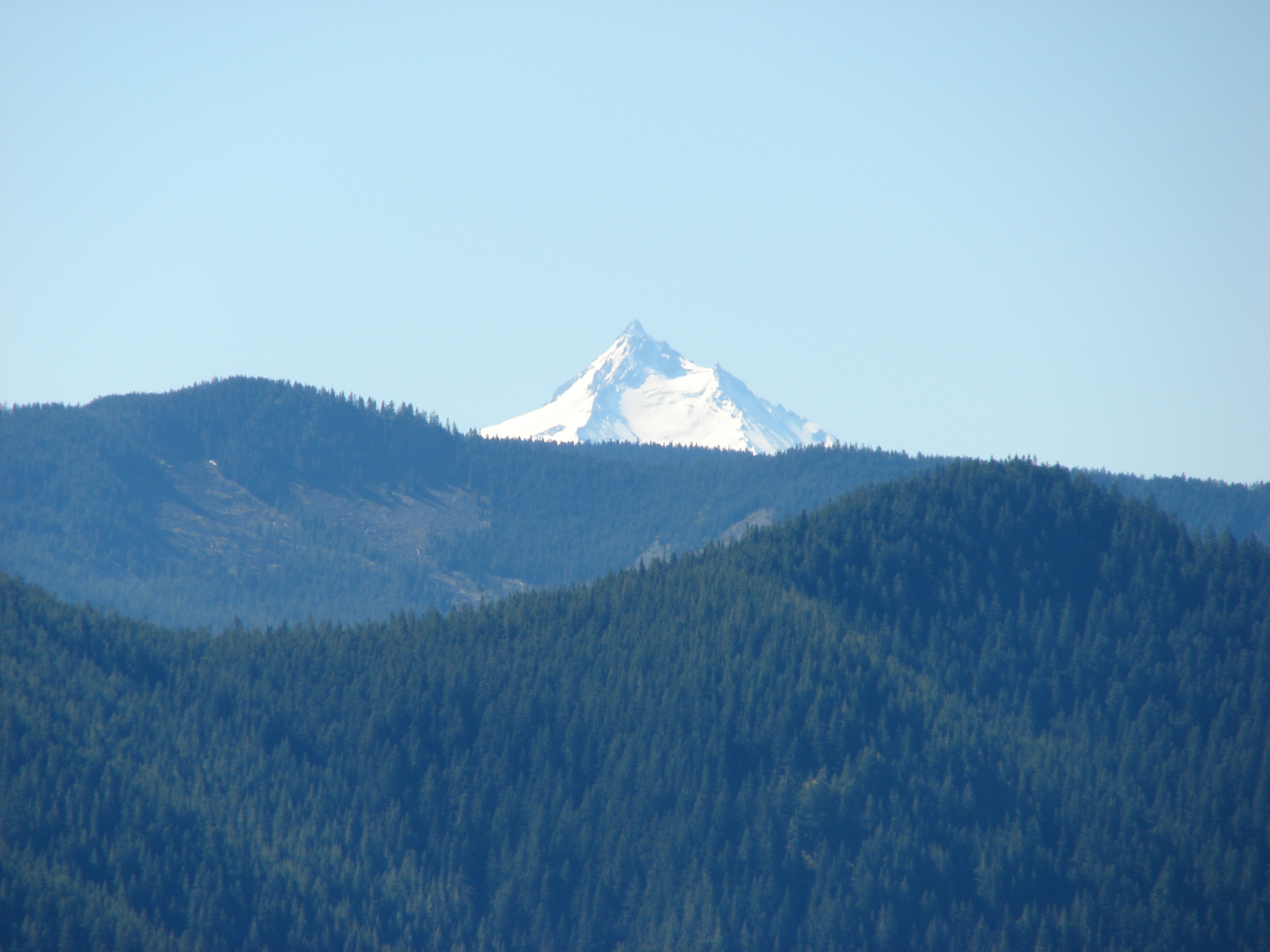
Continuing along the path we reached a junction with the Douglas Trail and turned SE along it toward Wildcat Mountain. A short side trail led up to the summit where an old lookout tower once stood. In order to get a decent view we had to follow a very faint trail through rhododendrons toward Mt. Hood. When we reached an opening not only did we have a view of Mt. Hood but Mt. Adams and Mt. Rainier now appeared to the NW. After returning to the Douglas trail we continued SE to another viewpoint on a rocky section of the ridge. More wildflowers covered this area and Mt. St. Helens and the top of Mt. Jefferson now joined the views.

Mt. Jefferson from the rock garden

We continued on the Douglas trail to it’s end at the Plaza trail and turned around. Clouds had begun forming around the mountains changing the views on the way back. We stopped again at the bench (I don’t think you could not stop here) where I took a few more pictures.
288
We heard a few gunshots on the way back which sounded like they may have been coming from the Douglas trail head, and learned from a couple of hikers that they had run into a pair of OHVs (illegally) on the trail. We hadn’t heard them, but the presence was easy to see. The trail had been torn up and fresh damage done to several trees and plants along the path.

It’s hard to understand why some people just can’t follow the rules or how they could possibly leave such a mess without regard to anyone or anything else. If you were able to bring it in you can certainly pack it back out. That’s enough of a rant from me 🙂 Despite the depressing state of the trail head and OHV damage it was a great hike with wonderful views. The best thing that could happen to this area is to have more responsible/legal users. Maybe that would discourage the bad seeds and give the area a chance to recover from their damage. Happy (clean) Trails

Categories
High Cascades Hiking Mt. Hood Area Oregon Trip report

Salmon Butte

It’s raining mice! We’ve all heard the saying “It’s raining cats and dogs” but on our last hike it rained mice (well a mouse anyway). I’ll explain that later, but for now let me tell you where we were. For Father’s Day we headed toward Mt. Hood and the Salmon-Huckleberry Wilderness. Our plan was to head to the top of 4877′ Salmon Butte where we hoped to have a view of about a half dozen Cascade peaks.

The trail head is located next to the Salmon River, a fork of which it quickly crosses on a old bridge. The river is left for good here as the path follows an abandoned road up toward a former trail head. The road was closed down due to repeated washouts which we could see evidence of as we passed over numerous small creeks. The roadbed was fairly overgrown with green grasses and many small flowers. After travelling on the road for a little over a mile we reached the former trail head and turned into the forest. Not long after entering the forest a we came to a sign announcing the boundary of the wilderness. This was our first visit to the 62,455 acre Salmon-Huckleberry Wilderness which is part of the Mt. Hood National Forest.

The trail offered no real views for the first 2.5 miles as it steadily climbed up through the forest. Rhododendrons lined the trail, many of which were in bloom adding a splash of pink amid the green. Although the total elevation gain for the trail is almost 3200′ it was rarely steep and never for very long which was a welcome change to last week’s trudge up Heartbreak Ridge. At the 2.6 mile mark a viewpoint at a rocky ridge end opens across the Mack Hall Creek Valley and to Salmon Butte itself. The ridge end was home to a small but diverse number of flowers. There were a couple red paintbrush, a single lupine, a lone cats ear, a couple of yellow flowers, and a blue filed gilia which was a first for us.
290

Leaving the viewpoint the trail reentered the forest and climbed along the west side of a ridge for 2 miles before we would reach the next viewpoint. Still there was plenty to keep us entertained which is where the mouse rain incident occurred. As we were walking along I saw something out of the corner of my eye and heard a “thump” on the hillside just to the left of us. My first thought was pine cone, but the thump was too loud and the color wrong for a cone so my next thought was that someone had thrown a rock at us. It nearly rolled into Heather. As she attempted to avoid it we realized it was an animal. The poor mouse got its bearings and scurried off the side of the trail and disappeared into the brush. We have no idea where it came from, if it just slipped or possibly escaped from a bird in the trees above, but we certainly won’t forget our first encounter with mouse rain.

At a switchback near the 3.9 mile mark a short side path extended out to a small but amazing hillside meadow. There was no view to speak of but the hill side was carpeted with plectritis, larkspur, and little yellow monkeyflowers.
109

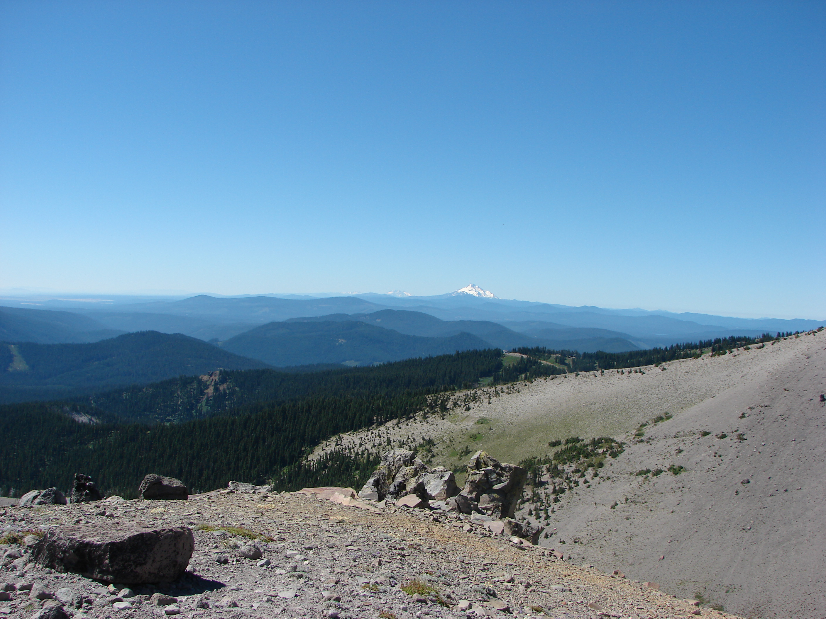
The trail eventually moved from the west side of the ridge to the east and shortly after reached a viewpoint with the first view of Mt. Hood. Here beargrass and rhododendrons lined the trail in various states of bloom. For the next half mile the trail climbedd gently along the top of the ridge before a couple of steep switchbacks reached a second abandoned road. This was the road to the former lookout tower that no longer exists on Salmon Butte. As the road curved up around the summit Mt. Jefferson came into view to the south followed by Mt. Hood to the north. After .3 miles we reached the summit and sweeping across the Salmon-Huckleberry Wilderness to the north, south, and east.

Although there were a few clouds in the sky we had an excellent views of Mt. Hood and Mt. Jefferson.

Mt. Hood
Mt. Hood

Mt. Adams and Mt. St. Helens were clearly visible in Washington and the North Sister was peaking over the shoulder of Mt. Jefferson to the south. With an assist from the binoculars we were finally able to identify Mt. Rainier as well. We enjoyed a peaceful lunch as the only people on the summit. We were not alone though. A couple of swallowtail butterflies flitted around the summit and a gray jay flew up to check us out. There was also a chipmunk busy eating seed on a tree trunk, obviously knowing this was a perfect spot for lunch.

We passed several hikers on our way back down but no more falling mice. When we rejoined the old road near for the final 1.2 miles the scenery had changed. Scores of white candy flowers had opened to the sun and now dotted the green grass along the path. This was a really nice hike and in the end didn’t feel like we’d gone 3170′ in 11.2 miles. Until next time – Happy Trails (and watch out for falling mice :))