The final outing of Wildlife Week fell on Saturday, so Heather was able to join me. I’d picked the Fern Ridge Wildlife Area west of Eugene, OR for this final outing, in part because it gave us an excuse to check out a pair of waterfalls SW of Eugene between Reedsport and Drain.
The forecast called a chance of showers through early afternoon, and we drove through several along Interstate 5 before exiting the freeway on Highway 38 south of Cottage Grove. As we headed west on Hwy 38 the showers eased and we even had some blue sky by the time we parked at the gated entrance to Loon Lake Recreation Site.

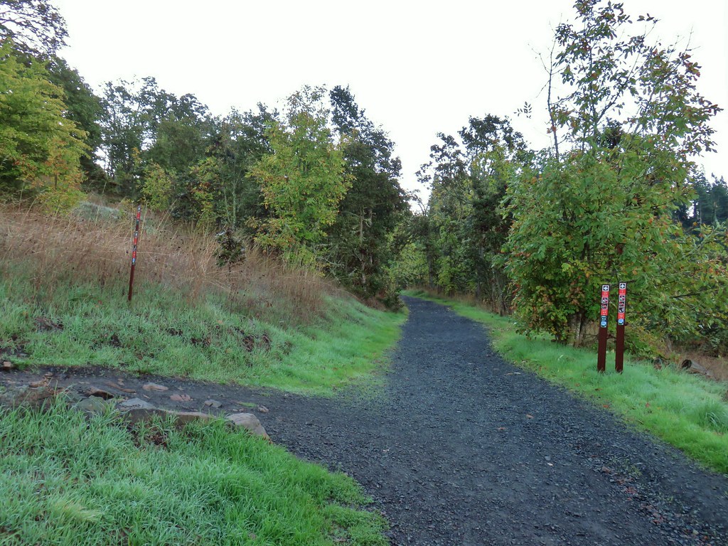
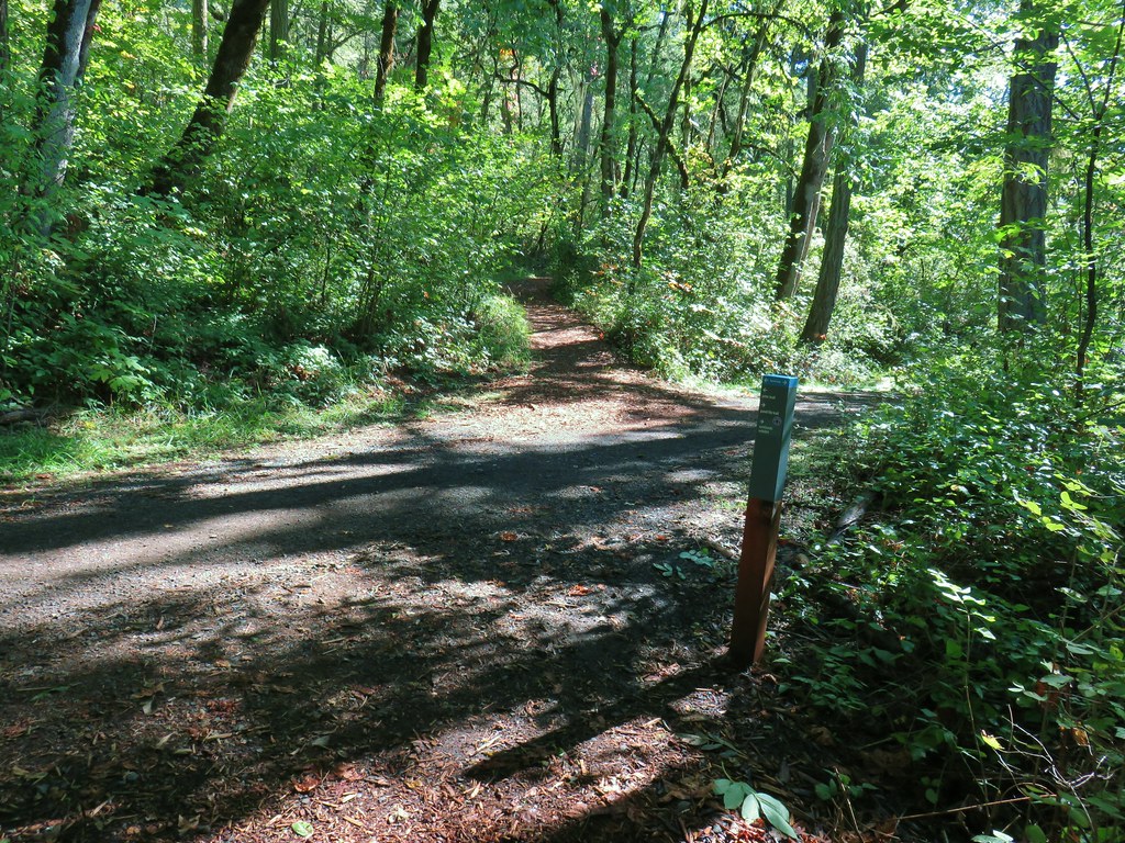
With the campground still closed for the season we parked at a pullout next to a bridge over Mill Creek and then hiked past the gate to the day use area.
 Mill Creek from the bridge.

 Stellar’s jay
 Chipmunk
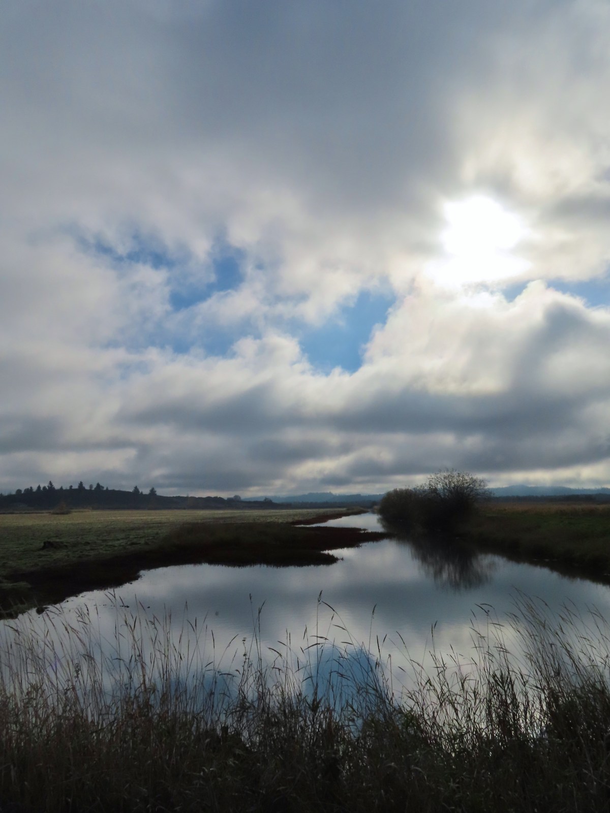
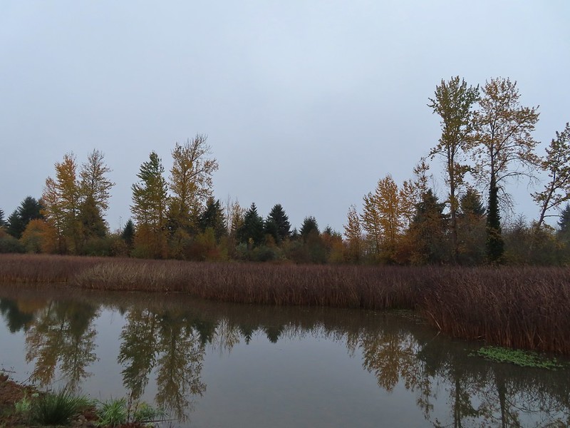
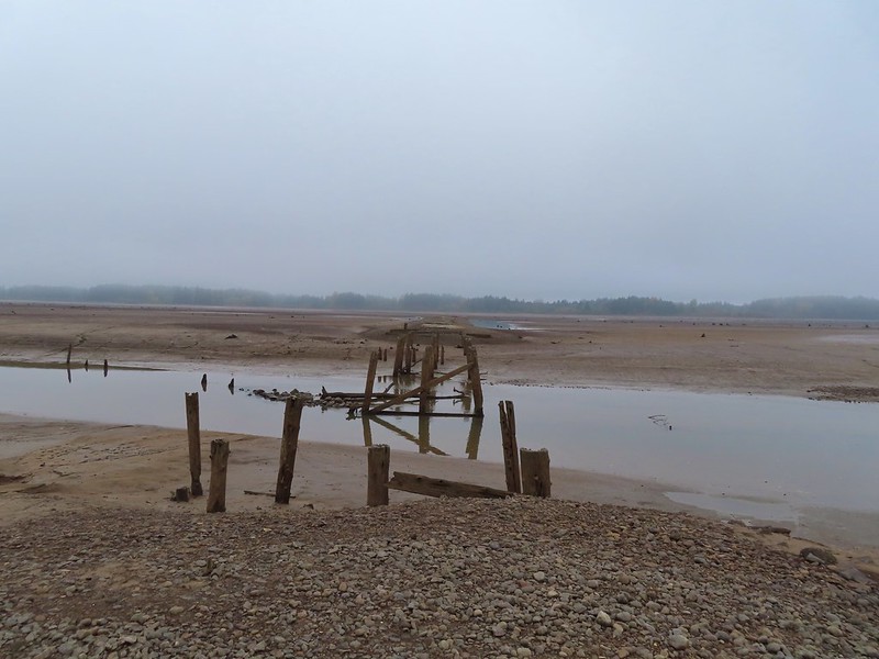
 Loon Lake
 The lake was formed by a landslide. The boulders in the Mill Creek picture above were part of that landslide.
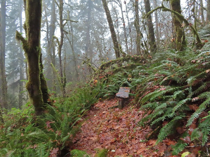
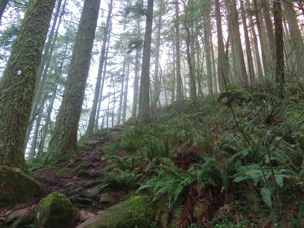
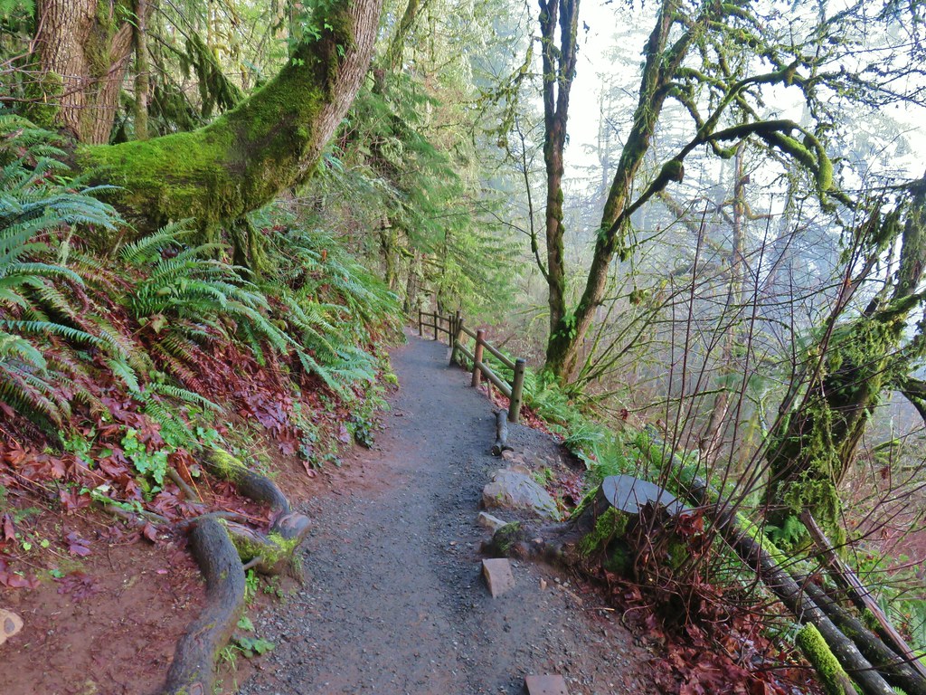
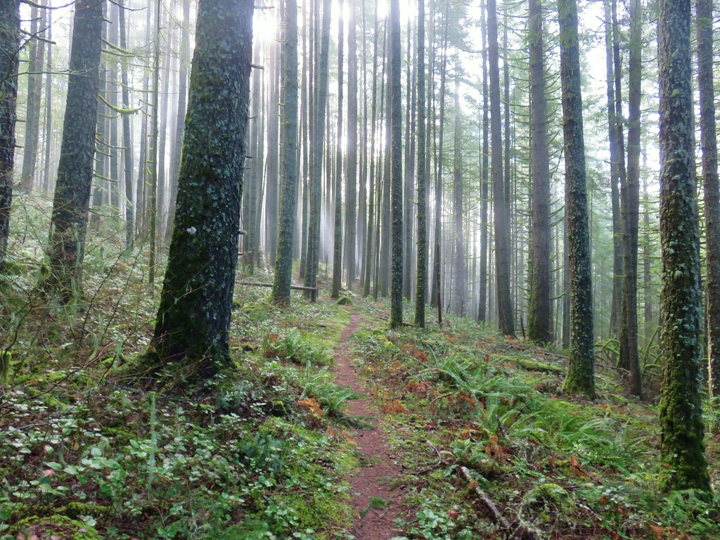
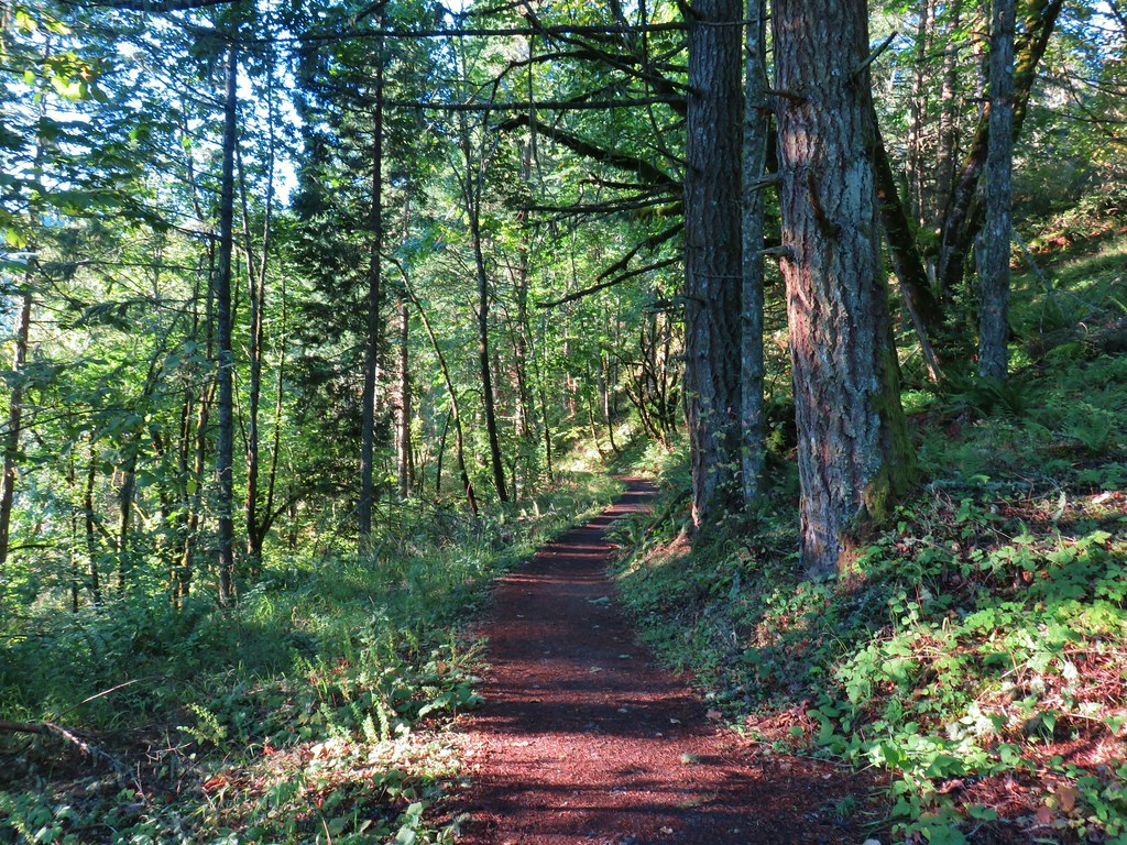
At the end of the day use area we picked up a paved path that led into the forest.

 Trillium

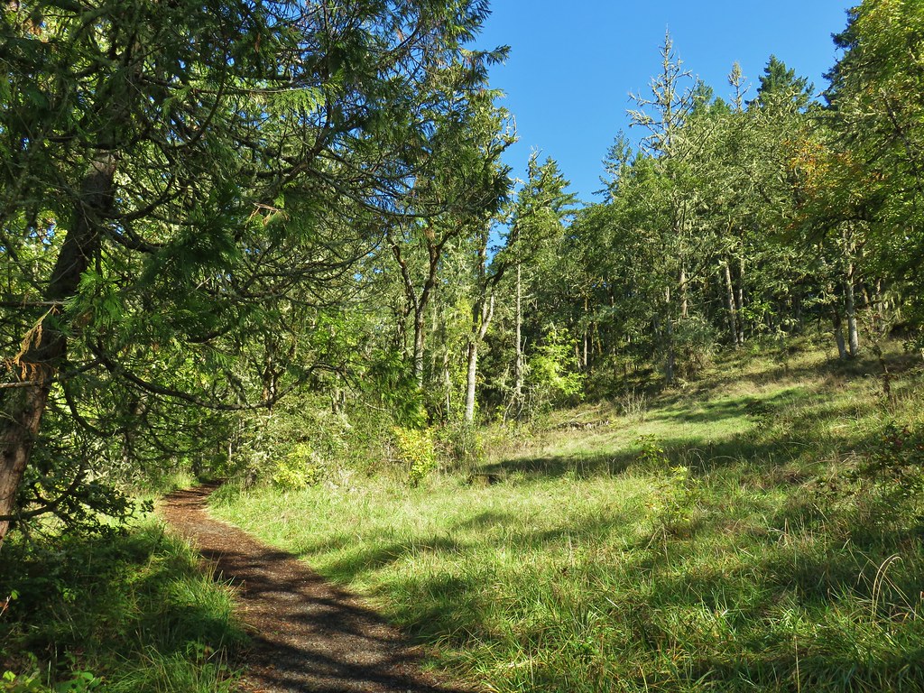
We veered right at a hiker symbol onto a short path (about a quarter mile) that led into the Elliott State Research Forest and ended at Loon Lake Falls.
 This was our first hike in the Elliott State Forest and possibly only hike given the forest webpage states under “There are no established trails, restrooms, or trash receptacles.”

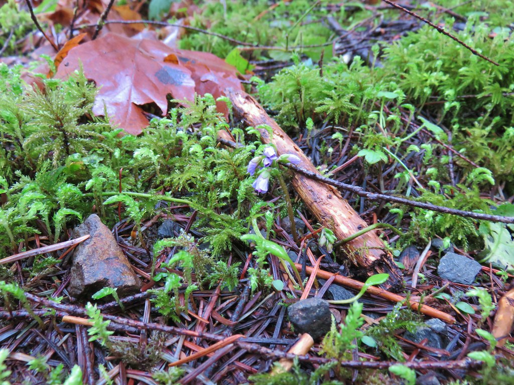
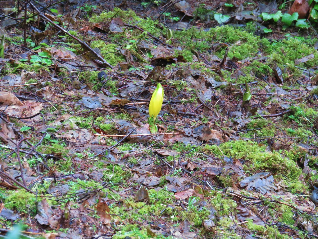
 Fairy lanterns

 Given that the unnamed stream that feeds the waterfall appears to start just a bit further uphill I suspect it doesn’t often have much of a flow, but it was a decent waterfall in a lovely setting.
After admiring the waterfall we hiked back to the car. This stop was just 1.5-miles with 200′ of elevation gain.

Quite a bit of the distance was walking from the road to the day use area.
The next waterfall we visited was Camp Creek Falls. This waterfall is on private timberland just off of a BLM road. The timberland company’s public access map available online currently shows the area as open to the public but that could change at any time. Because of this I am not going to go into detail for the location but there is information online from other sources. If you do plan on trying to visit the waterfall, I highly suggest looking up the current land ownership through the Douglas County Assessor (Douglas County GIS| County Map) and then looking up the current owner online to find out about public access.
 A very short path led down to the waterfall.
 Camp Creek Falls. The rock here is sandstone which creates the 31′ stairstep cascade.

 Snail
Snail
This was a very pretty waterfall. There were however a few beer cans and bottles around and a fire pit along the creek which were disappointing. We’ll never understand why someone would take the time to visit such a beautiful location and mar it.
With the waterfall visits checked off we headed back to Highway 38 then made our way north to the Fern Ridge Wildlife Area.
 Before reaching Highway 38 I had to pull over to get a couple of photos of an elk herd.

We started our hikes at Fern Ridge WLA by parking along Cantrell Road at a pullout for the West Coyote Unit.

The wildlife area maps showed loops on both sides of Coyote Creek. We set off on a trail leading off from the pullout which followed an old roadbed.

 Camas
Camas
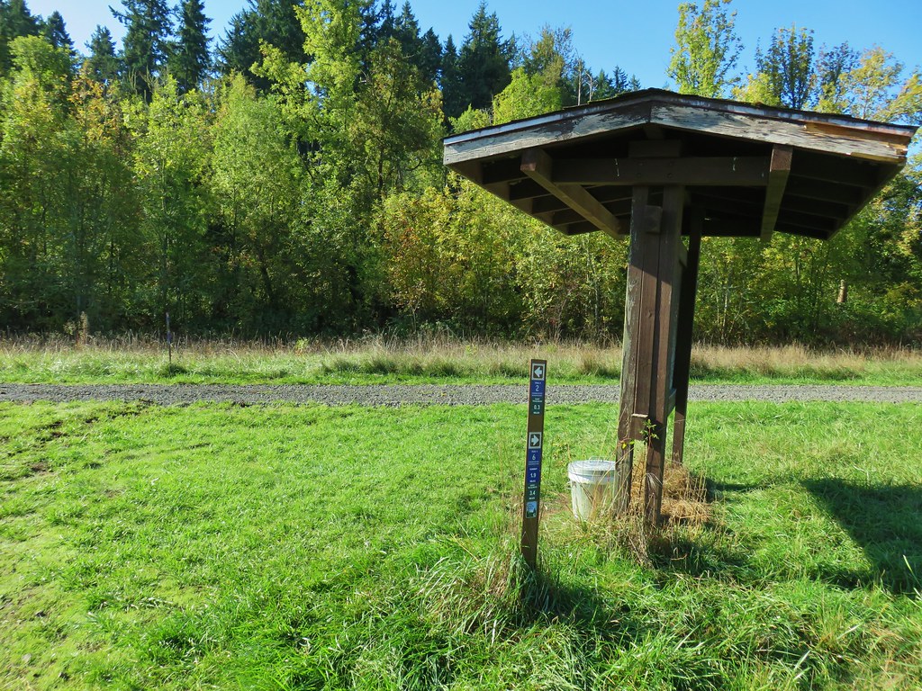
 Not sure why this was lying on the side of the trail away from the trailhead, but it provides information on the seasonal allowed usage of the units.
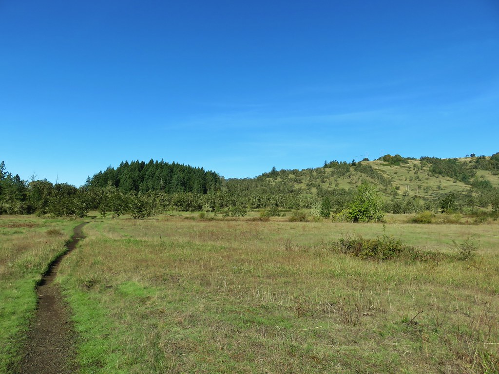
The trail led to a grassy track along Coyote Creek.

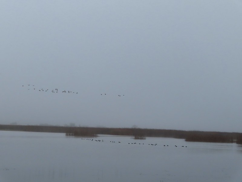
 Geese
Geese

The maps showed the trail then looping back closer to the creek and returning to Cantrell Road at the Coyote Creek Canoe Access. There was a bench right next to the creek near the mowed track but we didn’t see any sign of a trail here, so we continued another 0.2-miles on the grassy tack before deciding we’d for sure missed the return trail, if it even still existed.
 Roses
Roses
 Channel along the dikes.
We turned around and returned to the bench where, coming from this direction, we could make out a faint trail leading into the woods.


This trail was muddy with vegetation encroaching on it, including an alarming amount of poison oak.


 Rough-skinned newt
 Slug
Slug
 Snail
Snail
 Made it out.
Dodging poison oak isn’t either of our favorite pastimes so we were hesitant about the trail in the Coyote East Unit. Nevertheless we crossed Coyote Creek on Cantrell Road where large signboards announced the Nature Trail. (FYI there are no parking pullouts on this side of the creek.

We walked up the trail a short distance to the start of the loop where Heather said thanks but no thanks and headed back to the car.

I opted to give it a try and set off to the right on the more obvious trail. There was a bit of poison oak but on this trail it wasn’t encroaching as much as it had in the Coyote West Unit.

Western meadowrue
 Bench along Coyote Creek

The Nature Tail also emerged onto a mowed track where I messed up the route.

If I had consulted the map I would have realized the trail continued left on the grass for a short distance before returning to the woods and looping back around to mowed tracks. The trail then sticks to the grass as it heads south before turning back to the west. I turned right mistakenly thinking I was further along the route and having not paid attention to the mix of grass tracks and woods.
 I should have gone this direction. The presence of the bench should have tipped me off.
I kept my eyes out for a trail on my right and after 0.2-miles I spotted a possibility.
 Overgrown but in the right spot.
I was now paying closer attention to the map compared to the GPS and realized my mistake of turning right, but I could also see that this overgrown path must be the continuation of the loop. It was muddy and overgrown but in just 370′ I was back at the start of the loop.

After completing my “modified” loop I road walked back to Heather and the car. This hike wound up being two miles with no elevation gain.
 The orange section is where I turned right instead of left as I should have. I estimate that going the correct way would have added approximately 0.75-miles. I don’t know what type of condition the other section of trail through the woods is in.
These were an odd couple of trails, possibly more useful for hunters during hunting seasons. We had one more stop at planned at Fern Ridge WLA at the https://myodfw.com/sites/default/files/2019-02/Fisher%20Butte.pdf. We parked at the large trailhead off Highway 126 and set off past a large signboard.

We’d spent time in this unit in November 2021 when we started from a different trailhead along Royal Avenue (post). The “trails” here are a series of dikes through the wetlands creating multiple route opportunities. We wound up with a 4.3-mile hike consisting of two loops.

 Road to Fisher Butte,
We spotted quite a few different species of birds and heard a lot of bull frogs. There were also some impressive camas fields in some of the wetlands.
 Camas
Camas
 Bird viewing platfrom.
 Red-winged blackbird
 Bullfrog. They were everywhere and continuously startled us when they would make a loud “alarm” sound before jumping into the water.
 We turned left at the platform onto this dike.
 Sparrow
 Blue-winged teals. This was the first time seeing this species during Wildlife Week. We had seen a couple of these ducks back in 2021 at Cold Springs National Wildlife Refuge in Eastern Oregon (post).
 Another big field of camas.
 Fisher Butte at the end of another dike.
 Geese in formation.
 Checkerbloom
 Blue sky, a far cry from the low clouds and showers we’d driven through in the Eugene area earlier in the morning.
 Geese and cinnamon teals.
 I needed a more powerful camera to make out the various ducks and other birds we were seeing in the distance.
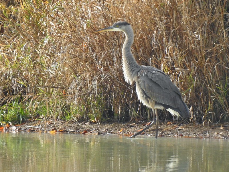
 There were a number of great blue herons hunting in the wetlands.
 Another viewing platfrom.

 Looking toward the Royal Avenue Unit.
 Pelicans. Another species that I hadn’t seen at any other wildlife area this week.

 Purple martin
 One of at least a half dozen American bitterns that we saw in flight. We were unable to spot any before or after they were in flight.
 Swallows in flight
 There was a lot happening in this part of the unit.
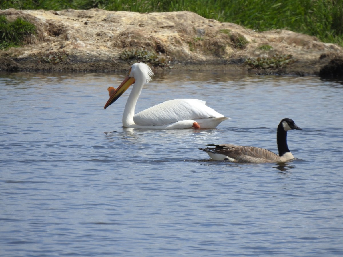
 White pelicans and a mute swan (non-native)
 Geese
Geese
 Another first this week – greater white fronted geese. It’s a blurry photo but it was the best I could do given their distance.
 Goose passing the swan.
 Same goose passing a pelican.
 Northern shoveler
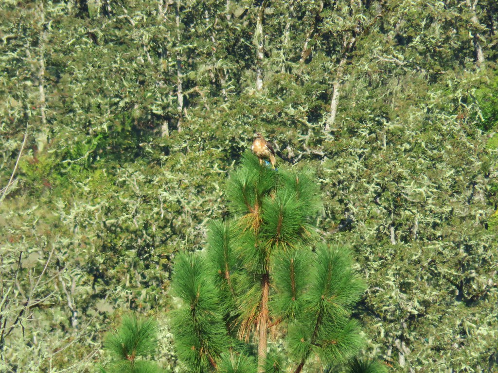
 Hawk
Hawk
 Another large group of various ducks and other birds.
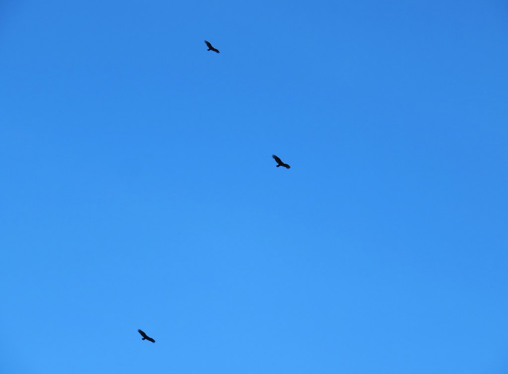
 Bald eagles
 Two types of camas
 Heading back to the trailhead along the side of Fisher Butte.
 Flax
Flax
 The final stretch of Wildlife Week.
The showers never materialized, and the wildlife was abundant making this a great end to Wildlife Week. Over the seven days I visited five national wildlife refuges, two state wildlife areas, and two wetlands covering nearly 60-miles of hiking. I got to see a great variety of wildlife and know I missed so much more. Happy Trails!
Flickr: Fern Ridge WLA plus waterfalls


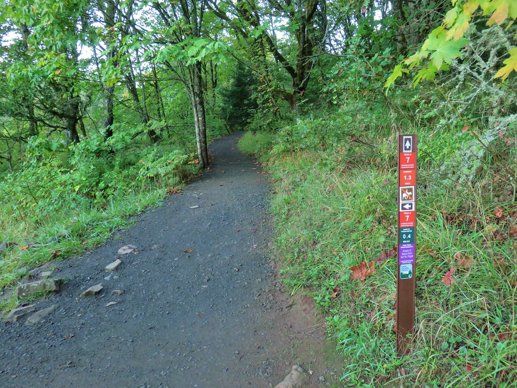
 The trails were well marked with plenty of reminders which users were allowed on them.
 Giant white wakerobin (Trillium albidum)
 The only columbine we spotted.
 Fairy lanterns
 In addition to identifying the trails by name, several had mile markers.
 Trillium

 Solomon’s seal
 Toothwort
 Largeleaf sandwort
 Bleeding heart

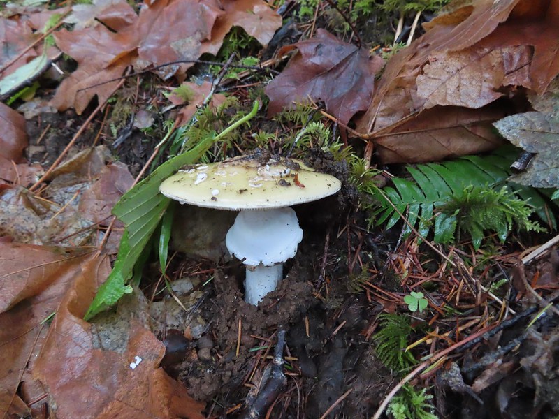
 Old fungus
 Oregon grape
 The 2.5-mile marker on the Mossy Maple Trail.
 Seasonal closure sign and map at the upper junction with the bike only Yee-Haw Trail.
 Pacific hound’s tongue
 Fairy slippers
 Star flowered solomon’s seal
 Iris
Iris Vetch
Vetch
 Fringecup
 Strawberry
 Shooting star
 Spotted towhee

 Small-flowered woodland-stars
 Checker lily and baby blue eyes (Nemophila menziesii)
 Manroot
 Red-flowering currant
 Dogwood
 On the Cervus Road passing an old quarry on the right.
 The Basalt Rim Trail.
 The lupine is still a week or so away from blooming.
 Basalt columns


 Fawn lily
 Springfield from the trail.
 There is a short one-way loop at the top.
 Looking down from one of the viewpoints.
 The highest peak to the left in the distance is Mount June (
 Mt. Pisgah (
 Biscuitroot
 Another viewpoint along the loop.
 The peak with two humps is Mount Nebo. With the naked eye we could just make out Tidbits Mountain (
 Camas (and poison oak) near the viewpoint.
 Finishing the loop.
 Stripped coralroot.
 Switchbacks leading down to the Basalt Rim Trail.
 Wren
Wren Violets
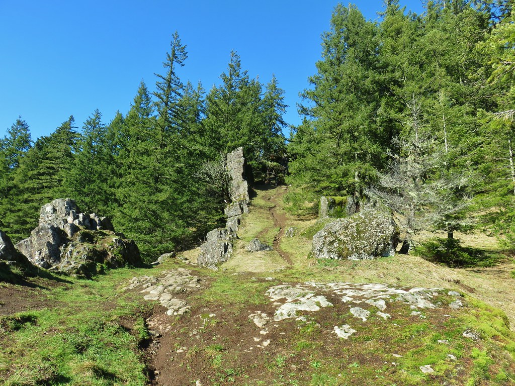
 Basalt outcrops
 Ginger
 Arriving back at the Mossy Maple Trail.
 Starflower
 Dunn’s salamander
 Mossy Maple Connector Trail (left).
 The Yee-Haw Trail coming down from the left to the Mossy Maple Connector Trail.
 Buttercups
 Fairy bells
 Meadow near the trailhead.


 Menzies’ larkspur
 Western meadowrue
 Bleeding heart and purple deadnettle
 Completing the loop.
 Faint grassy path.
 Golden crowned sparrow
 A section of obvious trail.
 The faint path disappeared near the fenced off-leash dog area. The AllTrails loop appeared to turn around here, but since we couldn’t see even a faint path leading back around closer to the parking areas we turned around and followed the river back.
 We did find this short section of what appears to have been a paved path in the grass.


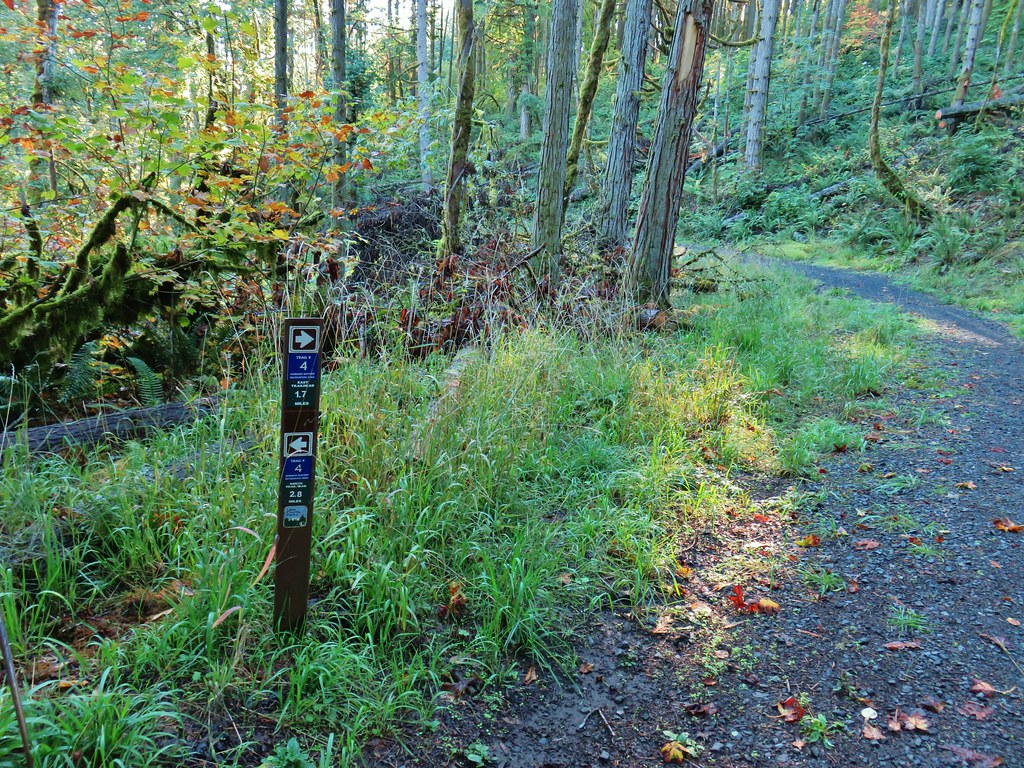
 An example of the posts. Every directional arrow, including the far side that you can’t see, was for the “Elk Trail”.
 Cedar along the Elk Trail.
 Candy flower and woodland buttercups
 Picnic tables near Lost Creek.
 Lost Creek
 Not a signed junction so this is the one time we veered right.
 Middle Fork Willamette River.
 I was hoping that there might be a turtle hiding in this photo but alas it does not appear that is the case.
 We veered left here leaving the River Trail briefly to actually get a view of the river.
 We hadn’t noticed the goslings in the grass until seeing the picture of the parents.
 Another look at the river shortly before the River Trail turned away.
 Barrow’s goldeneye
 Left here as right led to a picnic area at the end of the entrance road.
 Signpost at the second junction where we kept right.
 The clouds had been stubborn all morning but by early afternoon they had mostly burned off.
 We stayed left on the trail near the entrance road (across from the

 ADA accessible path to a brushy wildlife viewing spot along a backwater channel.
 Bufflehead and at least three turtles on the logs behind.
 The Lost Creek Trailhead on the far side of the entrance road.


 This trail would eventually end at the LoneWolf/Patterson Mountain Trail (
 The small trailhead along Highway 58.
 Wrong way dummy.
 The South Willamette Trail to the right.

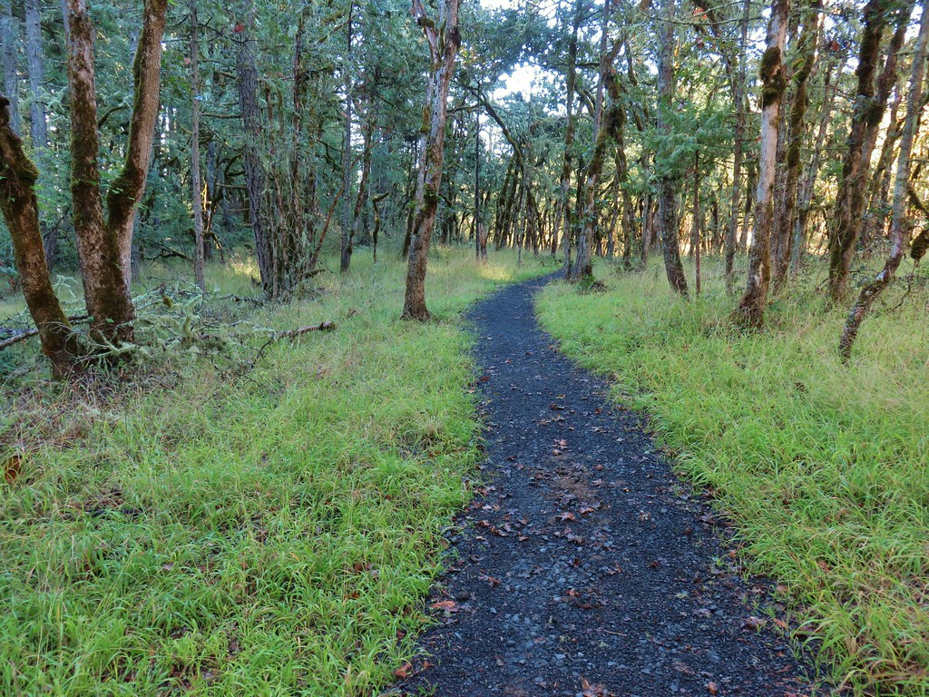
 It was clear that mountain bikers use this trail regularly.


 I actually waited until I was on my way down to step off trail and look at the arch.
 Eula Ridge Trail sign at the Hardesty Trail junction.
 The lefthand fork leads to the viewless summit while the right is the Hardesty Cutoff Trail which bypasses the summit.
 Forest below the Hardesty Cutoff Trail.
 The Sawtooth Trail dropping to the right.
 I was not looking forward to climbing back up some of these sections later.
 Another saddle.
 A view through the trees.
 I passed the Hardesty Way Trail 1.5-miles from the Hardesty Cutoff Trail.
 Mount June from the hillside.
 Wallflower
 Junction with the Lost Creek Trail.
 The pointer for Eagles Rest (
 I called this section “rhododendron ridge”.
 The Mt. June Trail coming up from the right.


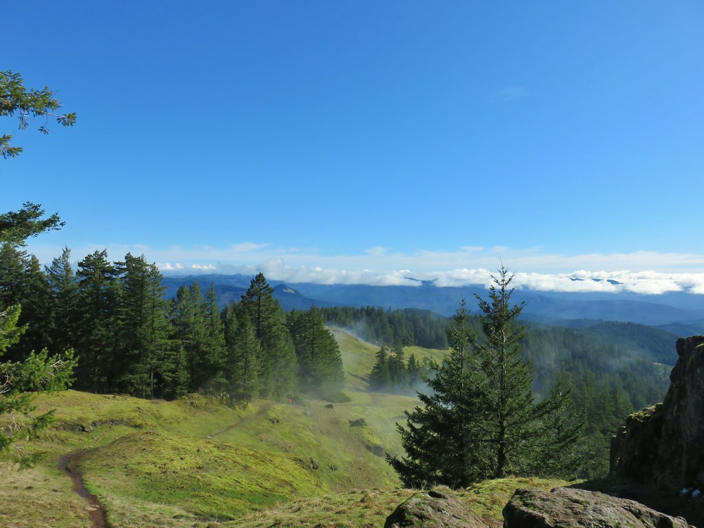
 If you look closely, you can see the tops of the Three Sisters poking up over the smoke in the distance. The open hillside in the foreground is the meadow below Sawtooth Rock and the hump just behind is Hardesty Mountain.
 Heading down from the summit.
 Climbing the hillside below Sawtooth Rock.
 Sawtooth Rock
 There was just a little smoke now and then in the forest.
 The Eula Ridge Trail coming into view.
 There wasn’t much in the way of Fall colors along the trail, but these leaves really stood out.
 Lookout Point Lake (Middle Fork Willamette River) from the trail.
 There was one more small uphill on the far side of South Creek before dropping to the trailhead.
 South Creek


 Signboard at the trailhead.
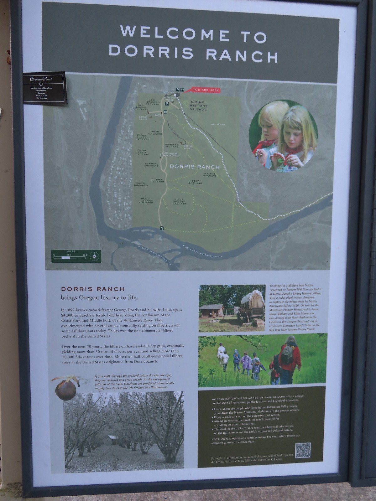 Map of the trails at Dorris Ranch.
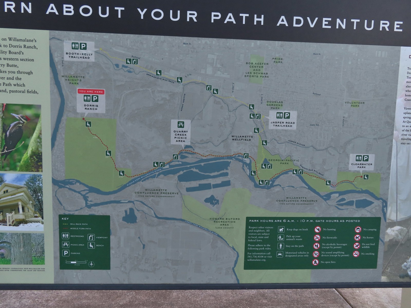 Map of the Middle Fork Path (red) and
 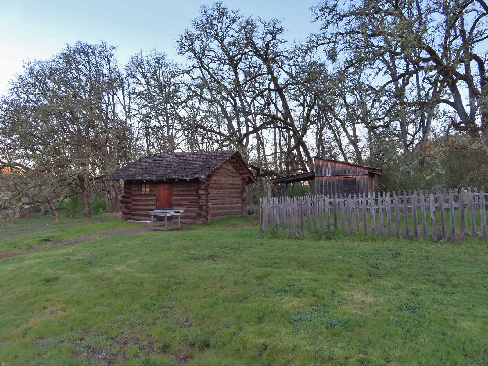 The Masterson cabin replica. They were a family of ten when they moved out.
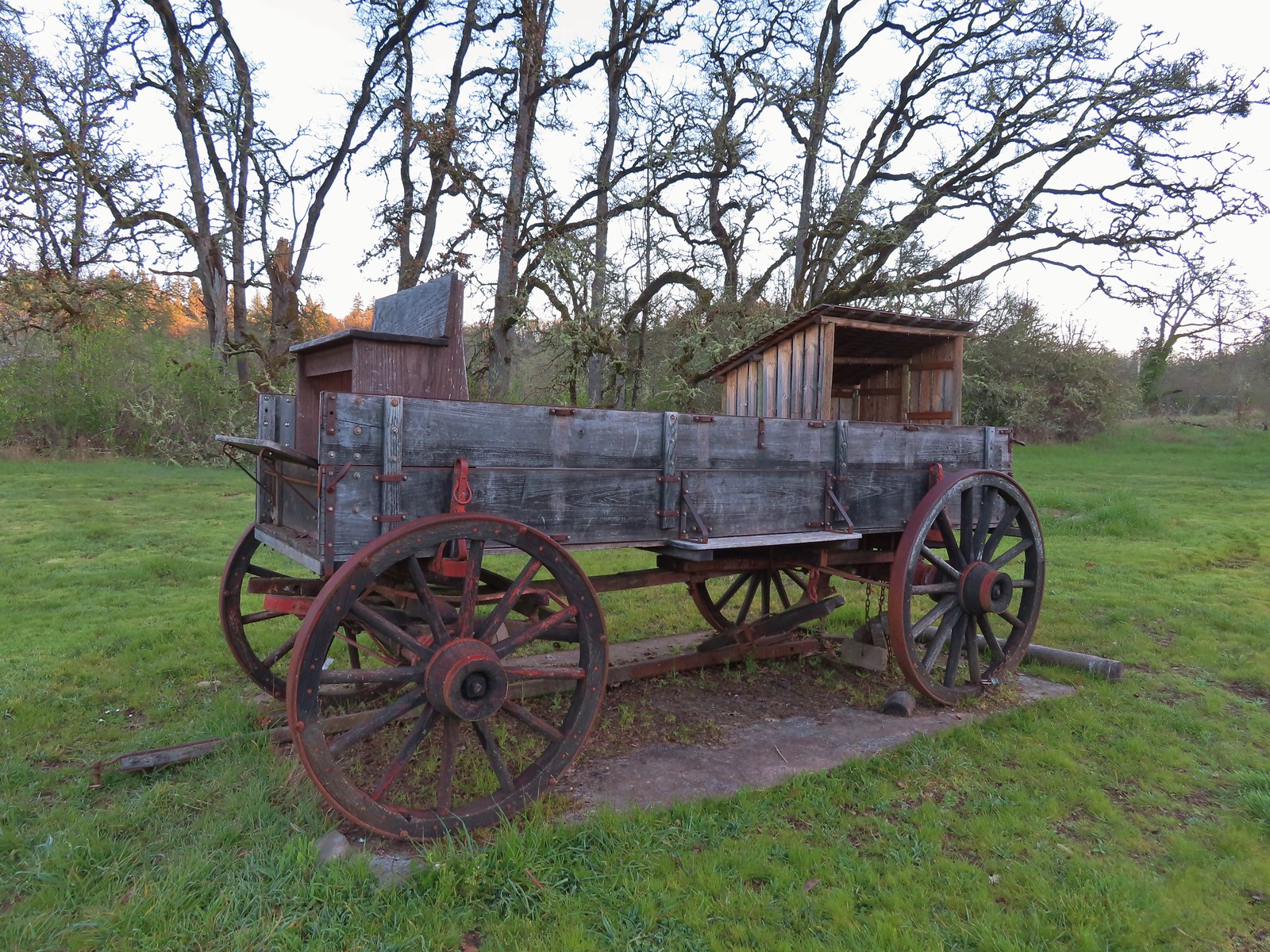
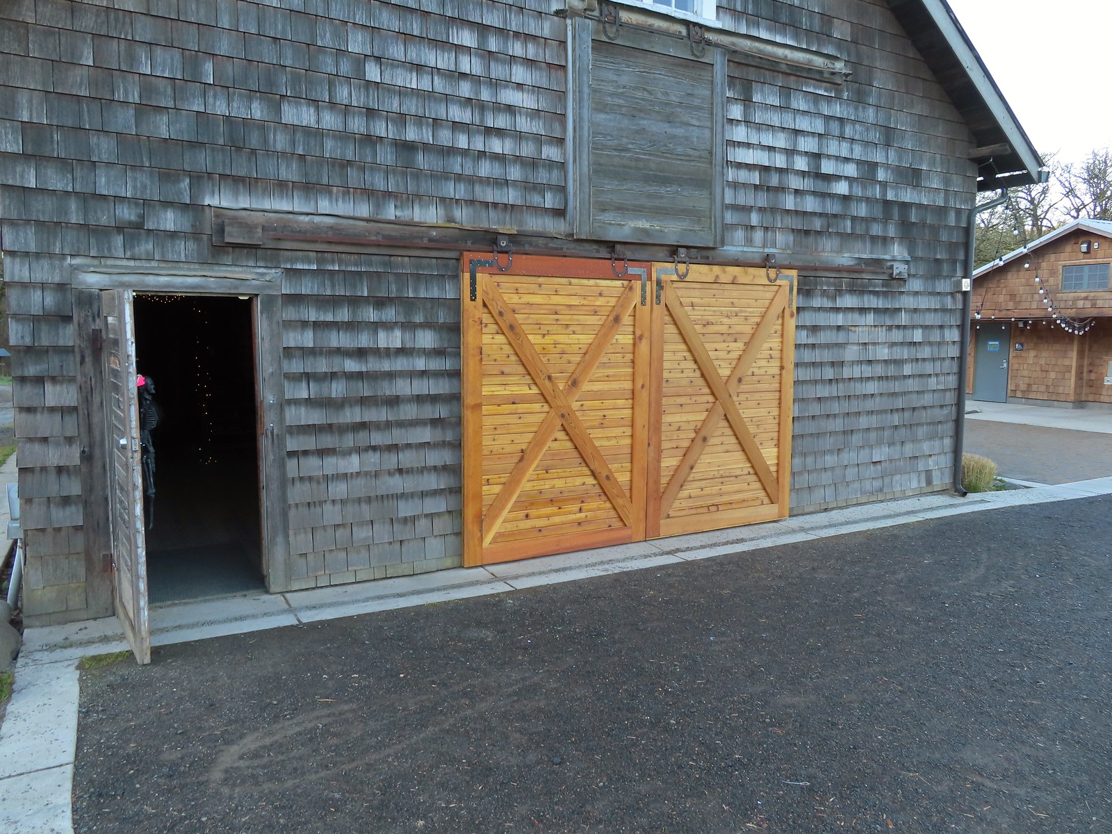 These cedar doors were installed earlier this month replacing a broken door.
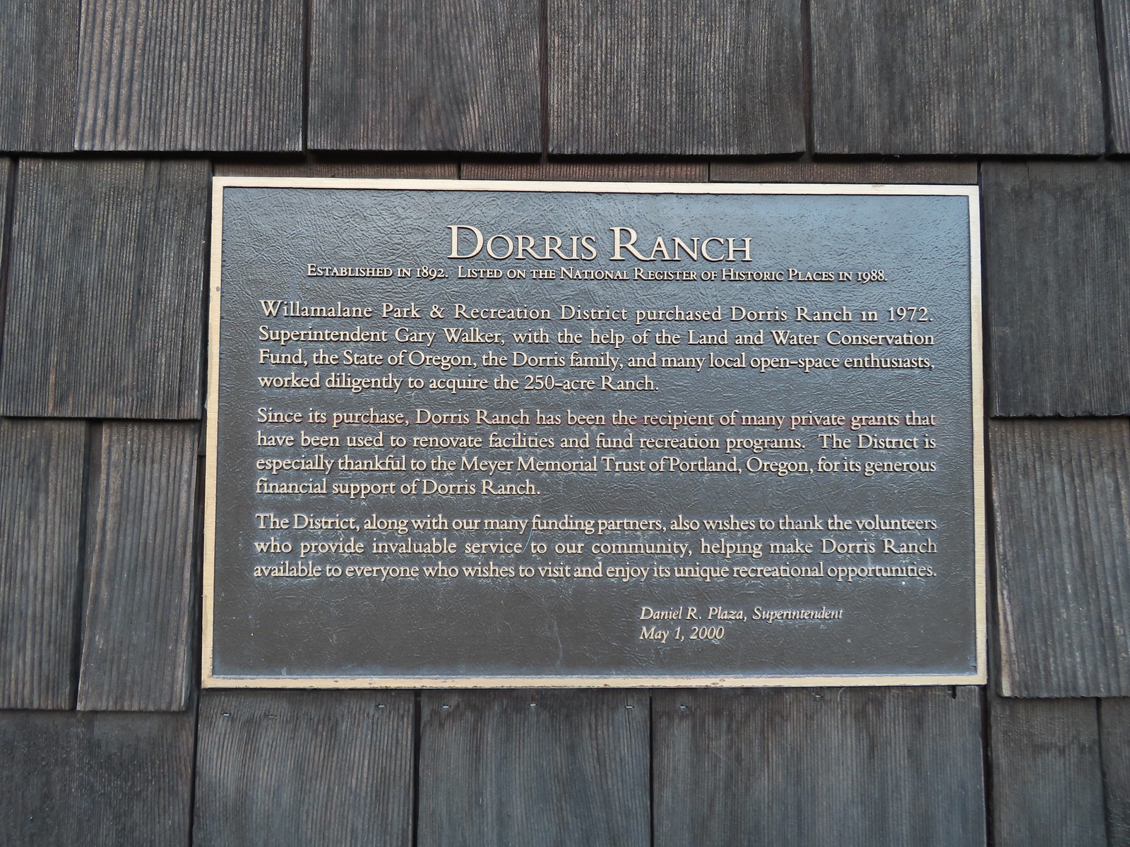 Plaque on the barn.
 A January 16th ice storm hit the area hard and damaged a number of trees at the ranch and along the Middle Fork Path.
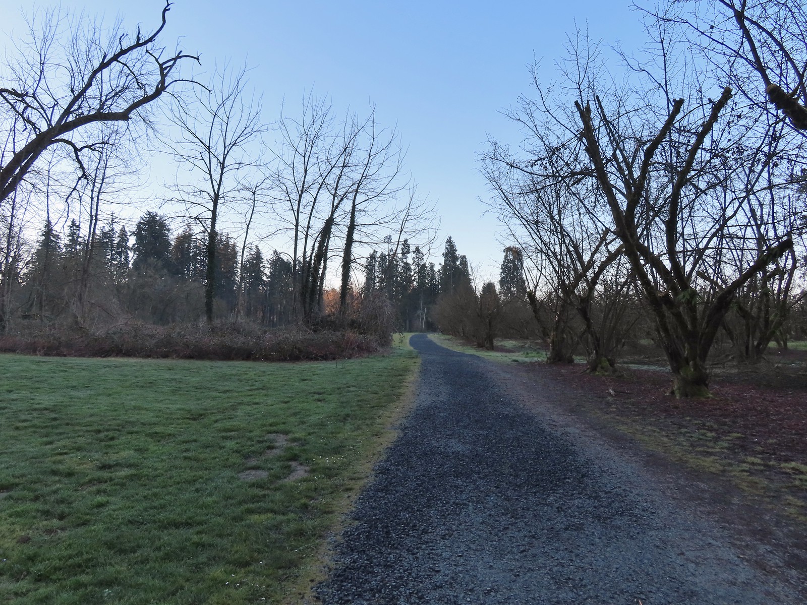
 Some signs of the ice storm damage.
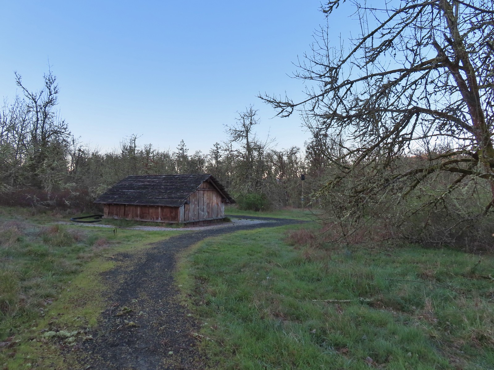
 Large trees around the pump house and packing shed.
 An American kestrel with an unlucky frog atop a tall tree.
 Oregon grape near the packing shed.
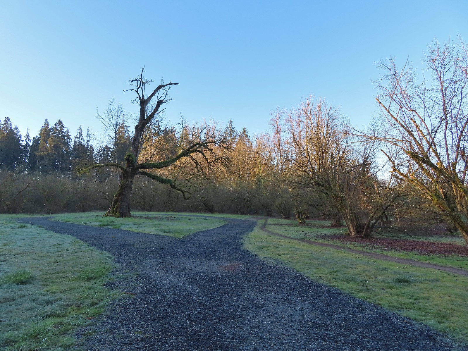 Old oak tree along the path.
 Purple deadnettle beneath the old oak.
 Black walnut orchard just past the oak tree.
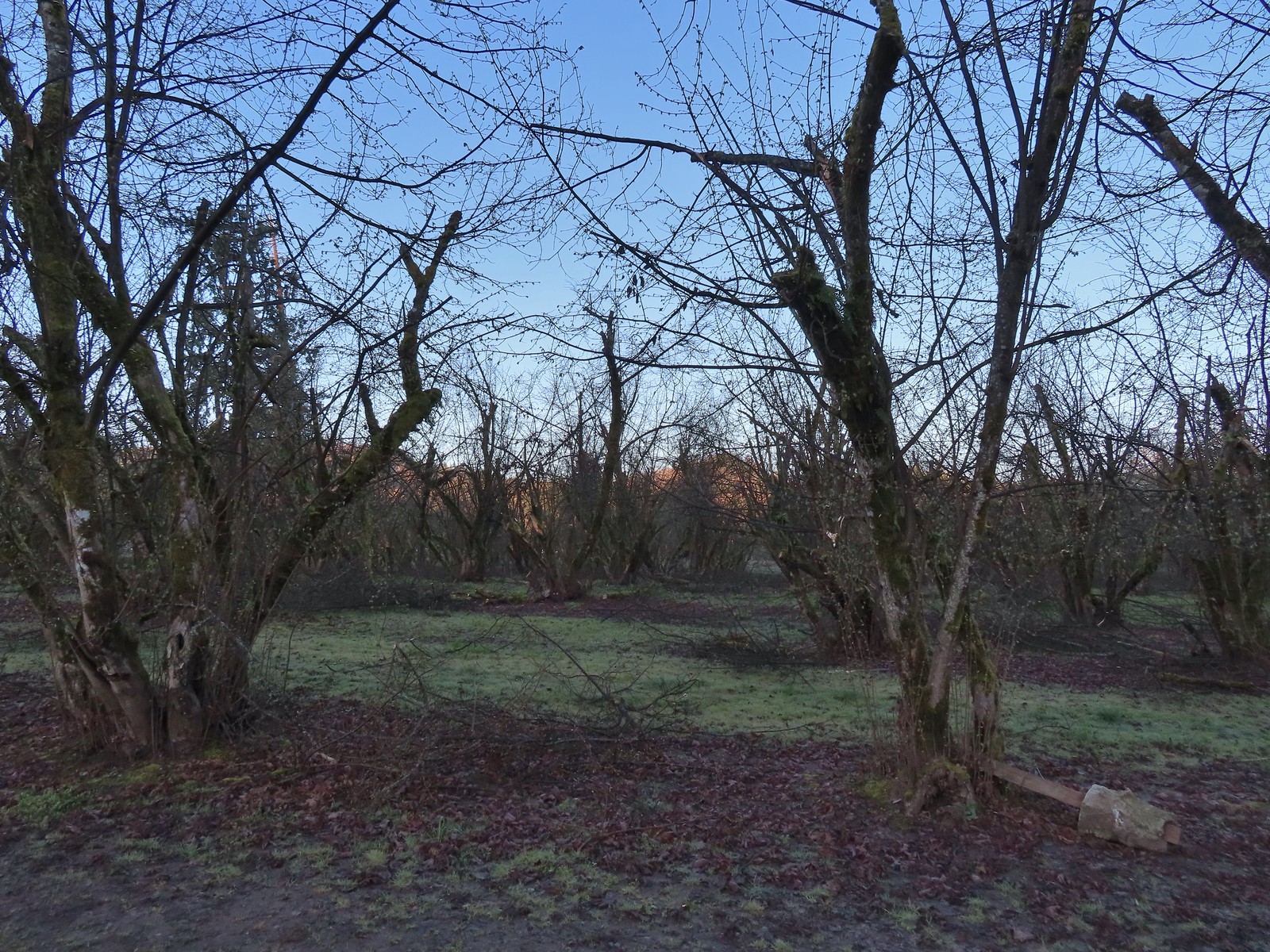
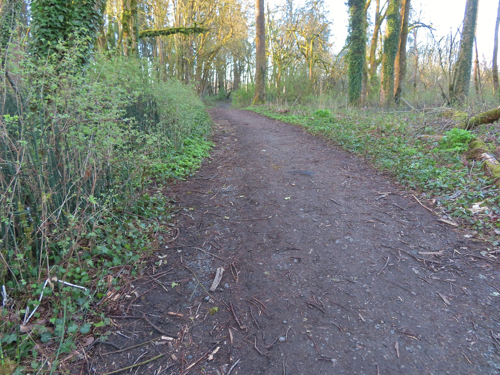
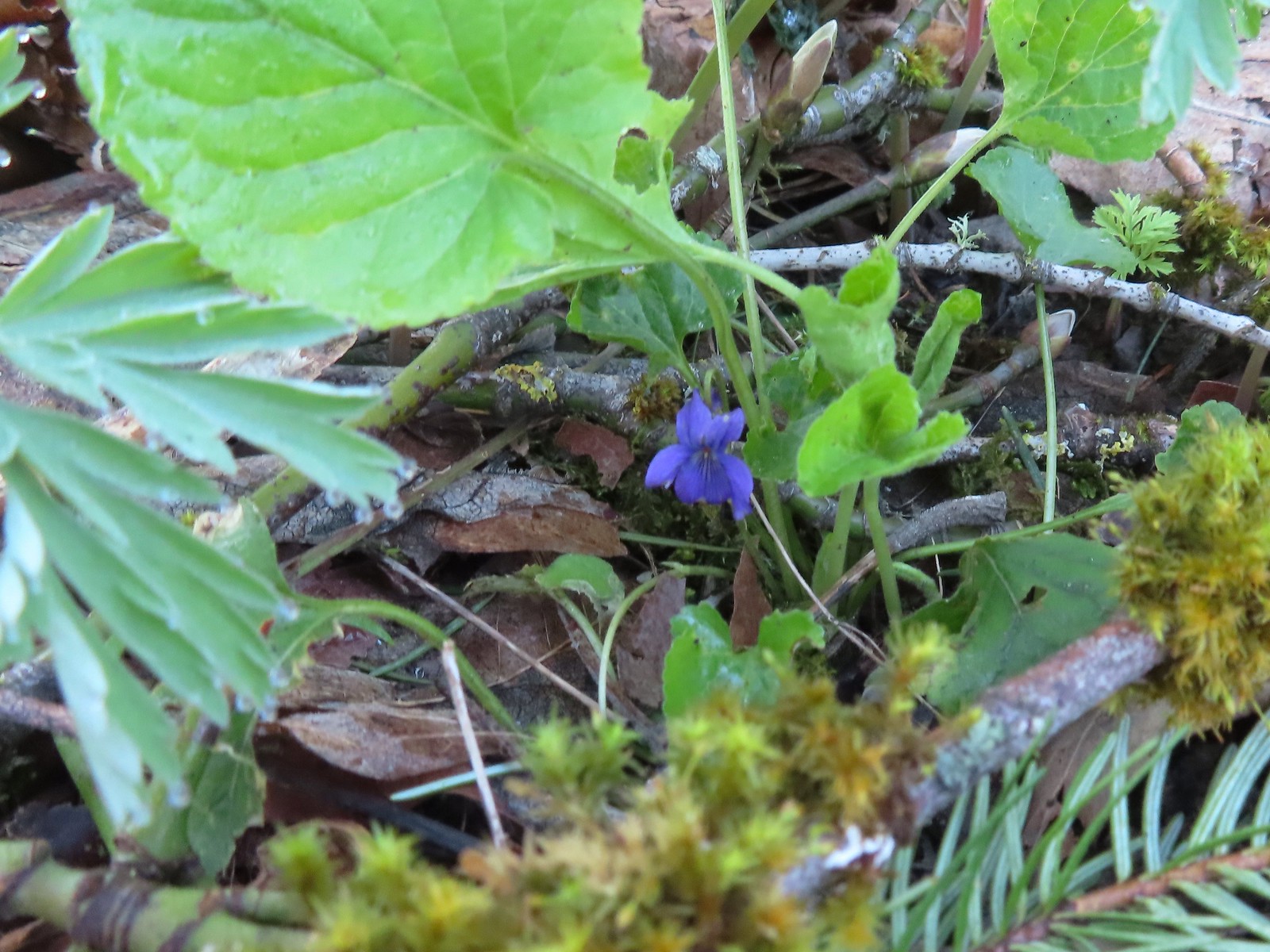 Violet
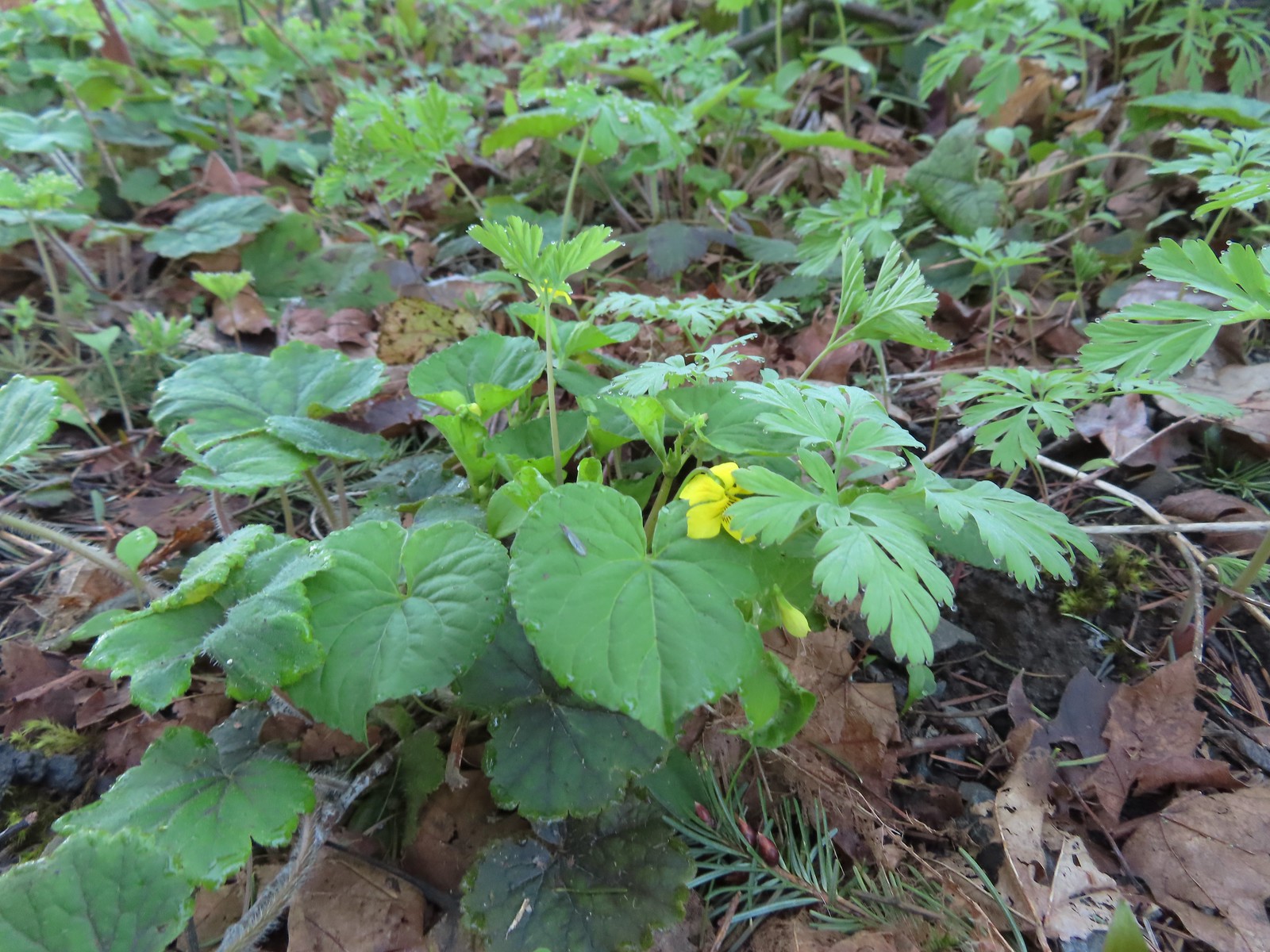 Violet
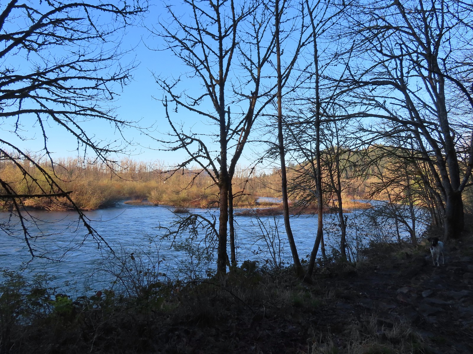 The confluence.
 Middle Fork Willamette River
 Mallards
 Hooded mergansers
 Slender toothwort
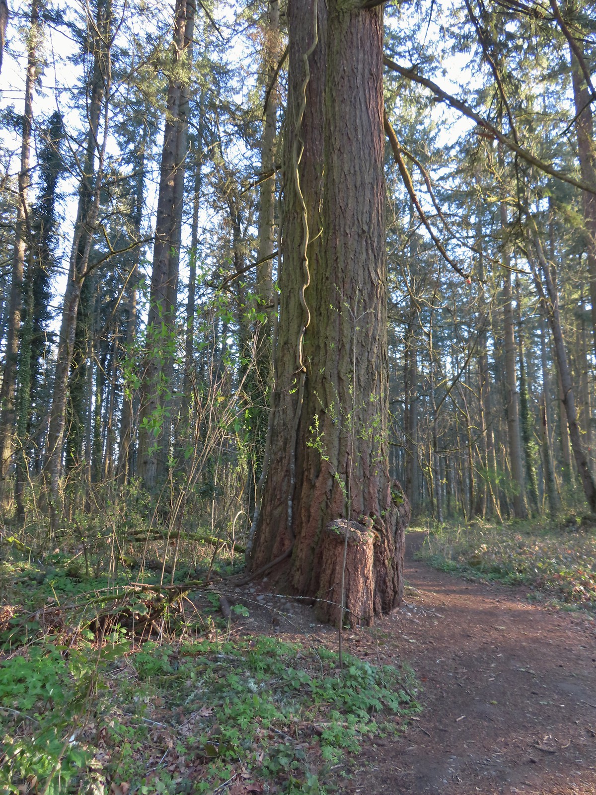 Someone had left some seeds and nuts on this tree. While it’s not LNT compliant it was attracting a variety of wildlife.
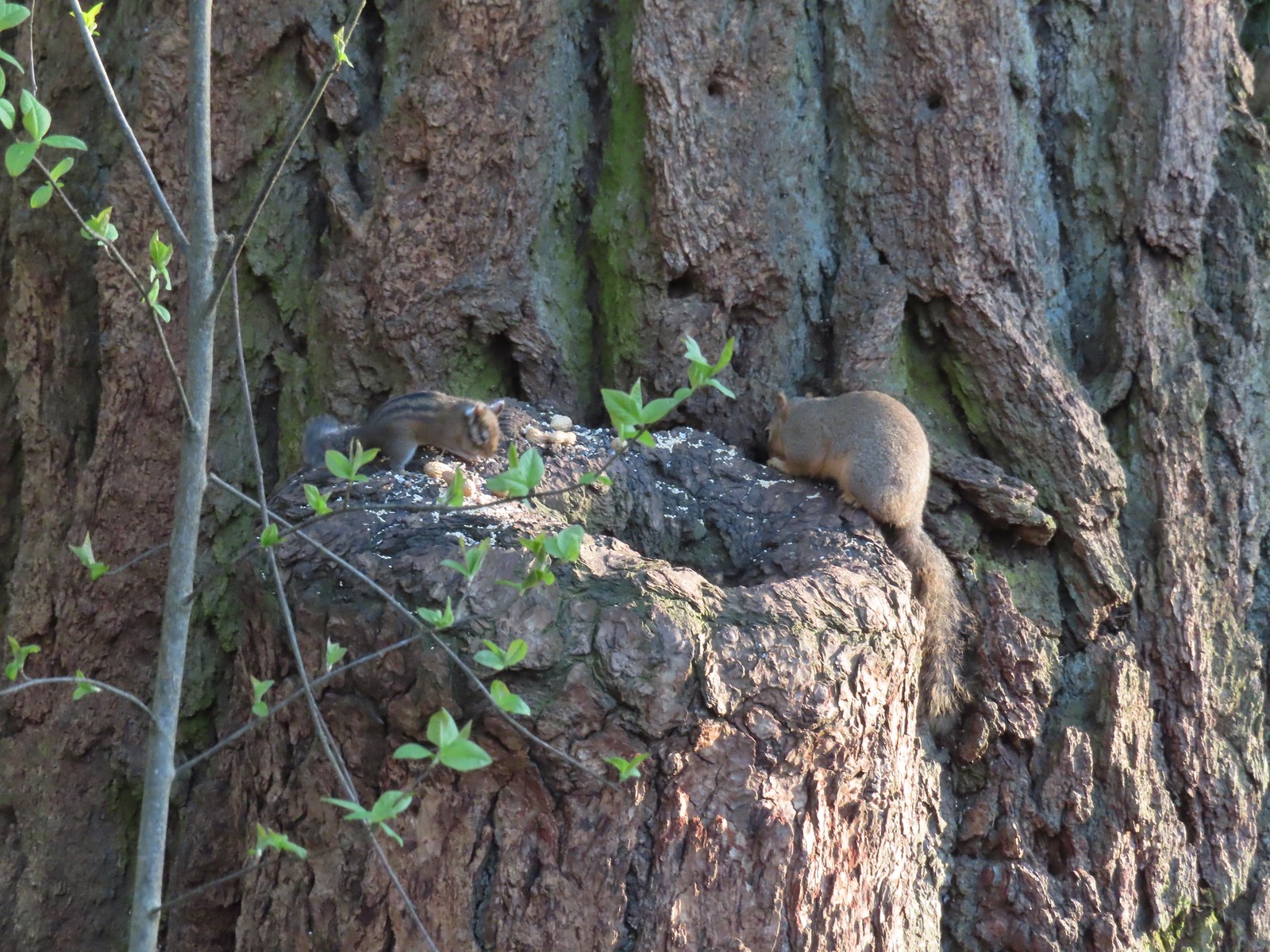 Chipmunk and squirrel
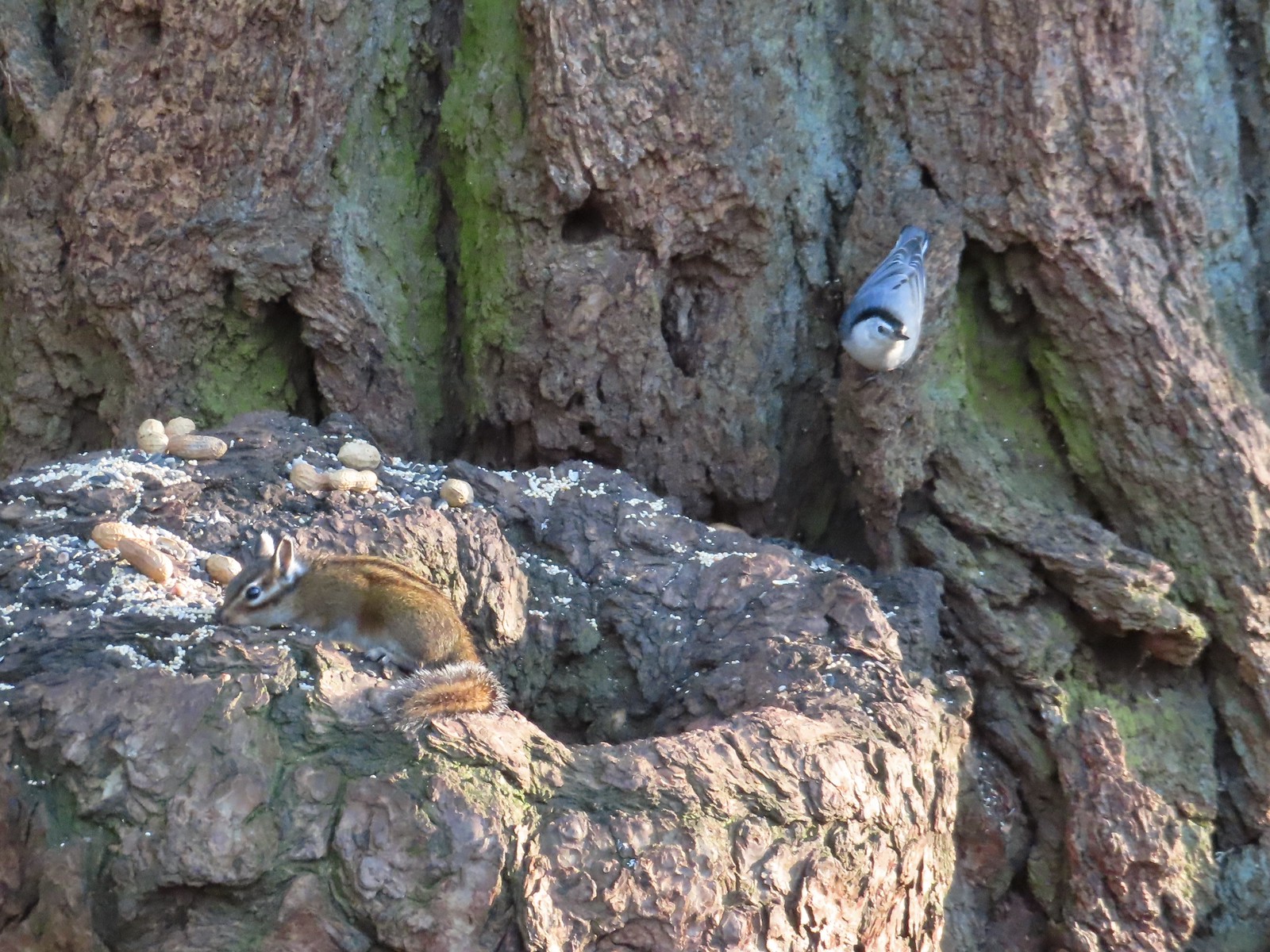 Chipmunk and white-breasted nuthatch
 Giant White Wakerobin, Trillium albidum
 The paved Middle Fork Path dead ahead.
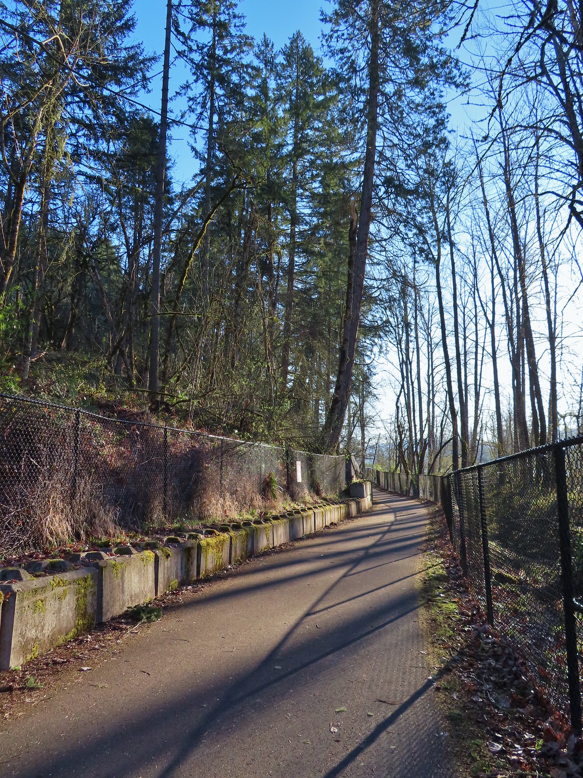
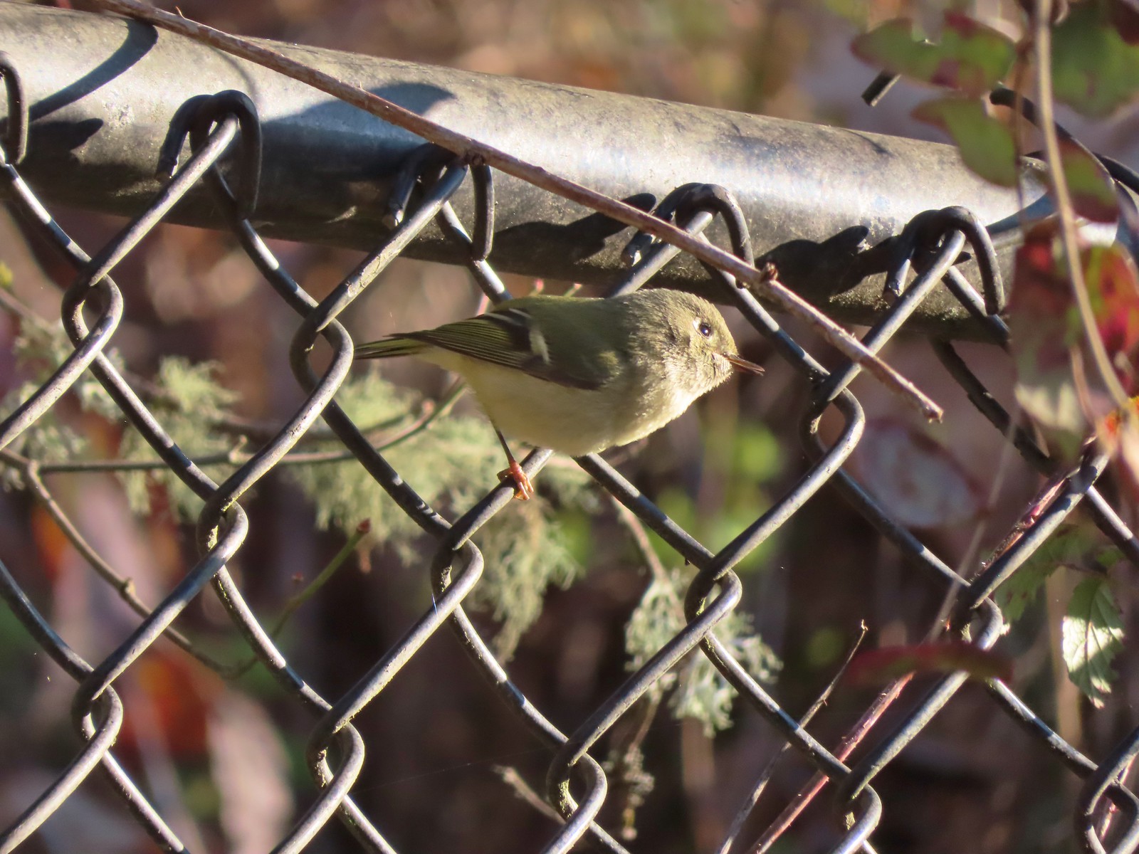 Ruby-crowned kinglet
 Wren
Wren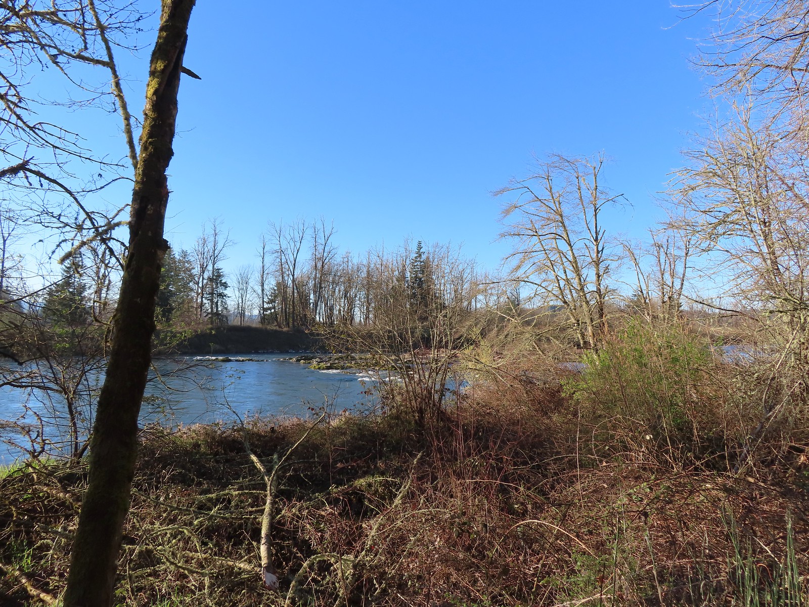 Middle Fork Willamette River
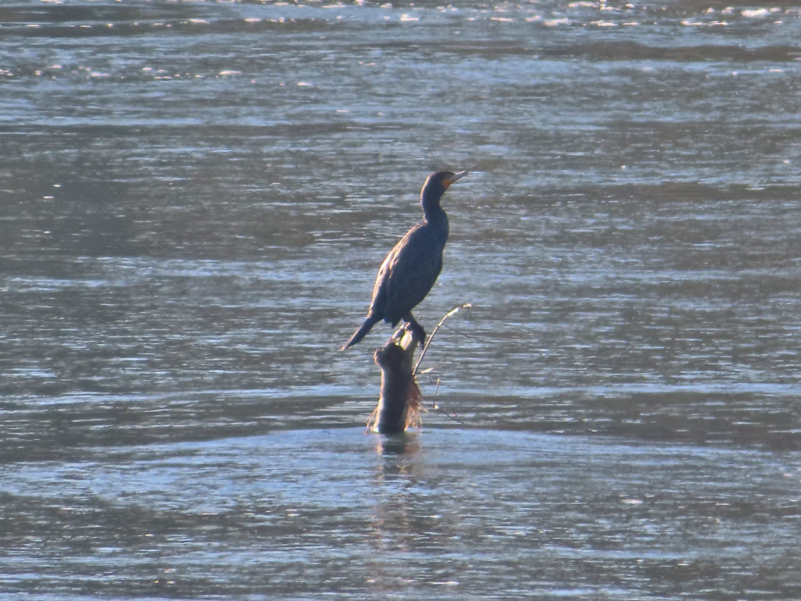 Double-breasted cormorant
 Pacific hound’s tongue
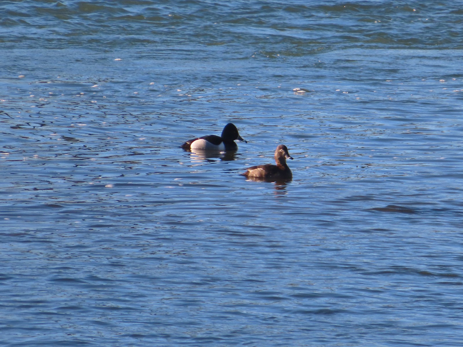 Ring-necked ducks
 Goose
Goose Arriving at the Quarry Creek picnic area.
 Looking back at Spencer Butte (
 A goose and a couple of common mergansers in the river.
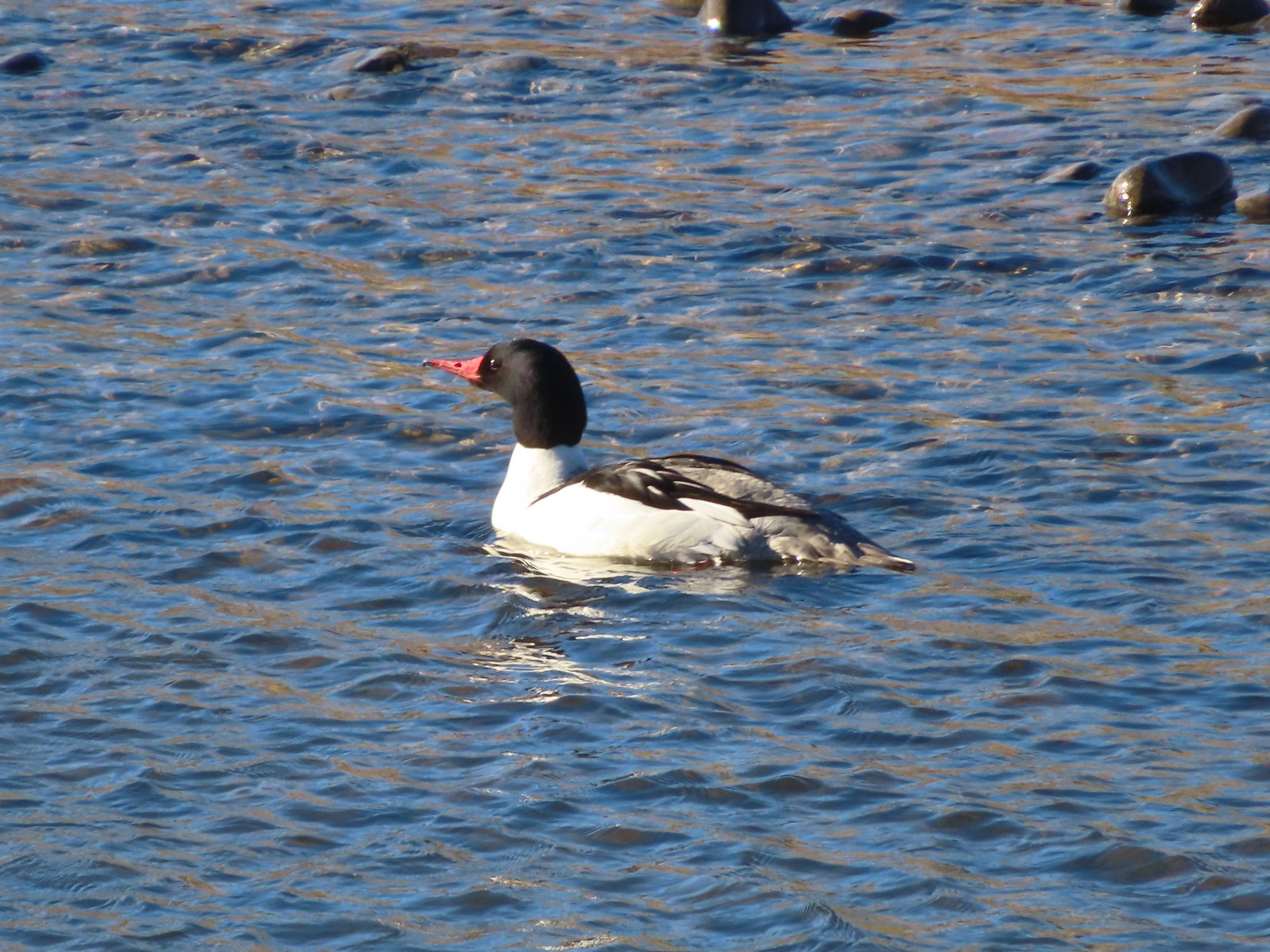 Common merganser drake
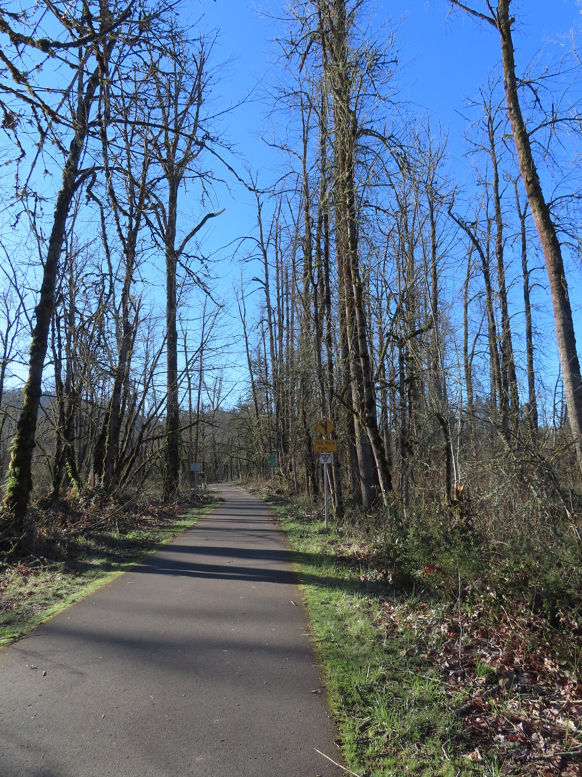 Approximately 2.75-miles from Dorris Ranch we came to the junction with the 3-mile-long Mill Race Path. An adventure for another day.
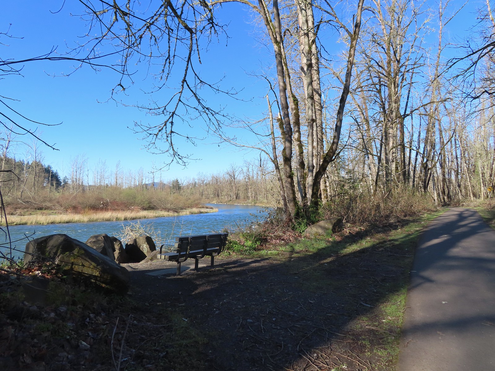 There were plenty of benches along the path.
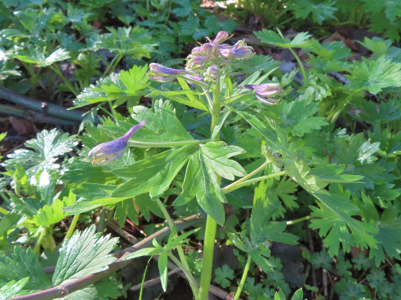 Larkspur starting to bloom.
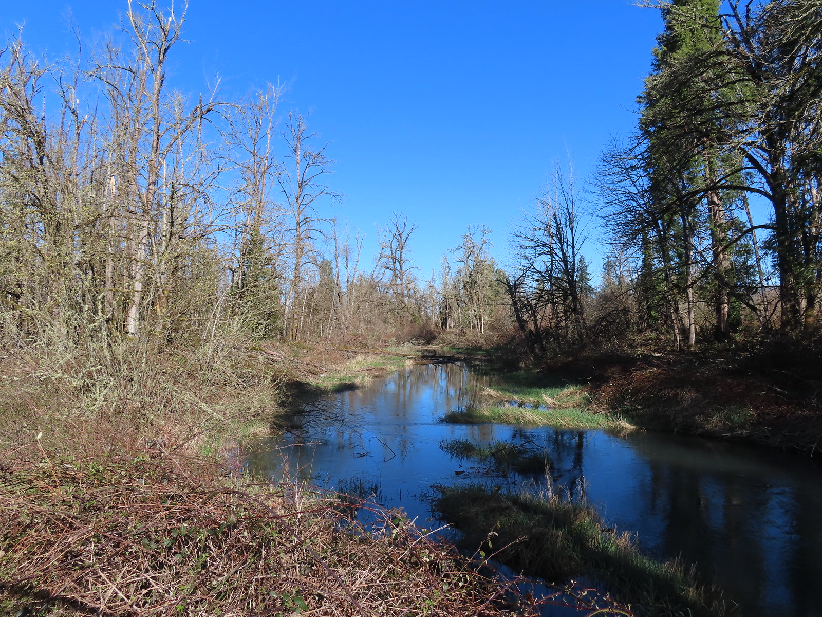 Springfield Mill Race
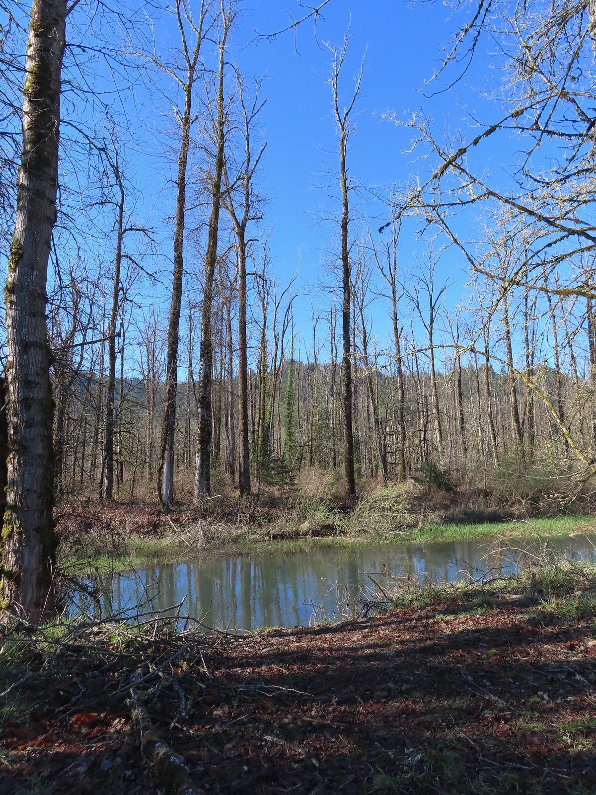 Mt. Pisgah (
 Disc golf course at Clearwater Park.
 Nearing the parking lot at Clearwater Park.
 Map of the trails at Clearwater Park.
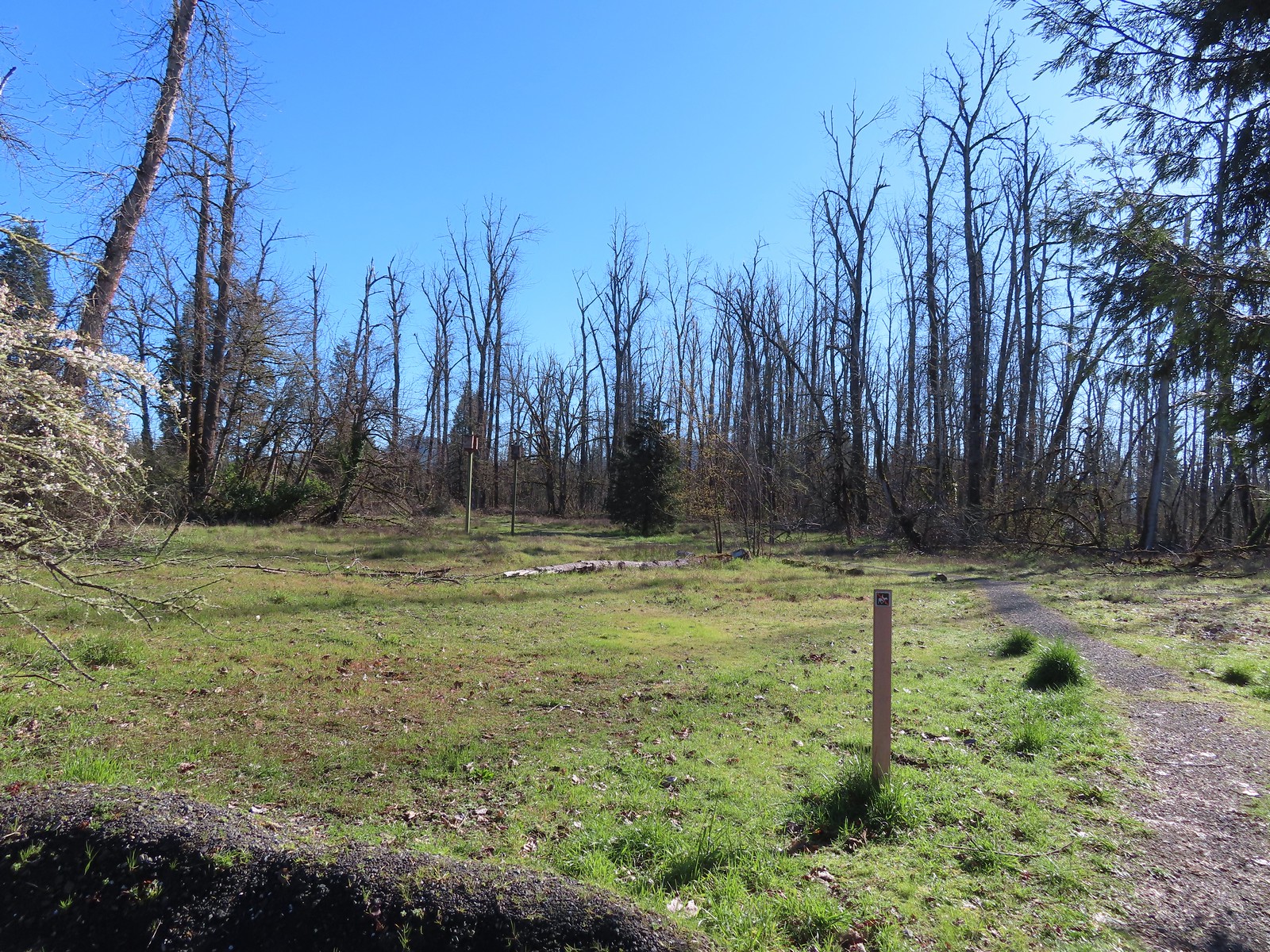
 Turkey vultures. We’d seen our first turkey vulture of the year a little earlier on the Middle Fork Path. I’d been on the lookout for one of these scavengers for the last couple of weeks knowing that their arrival in the Willamette Valley coincides with the onset of Spring.
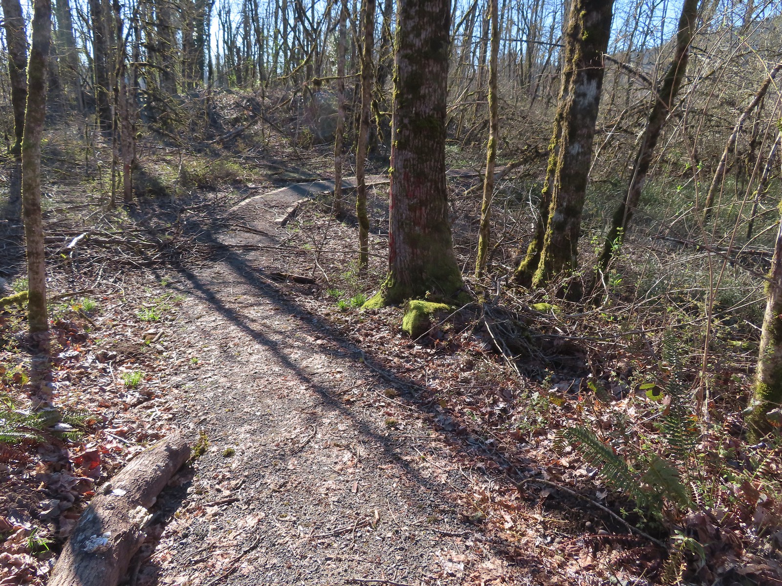

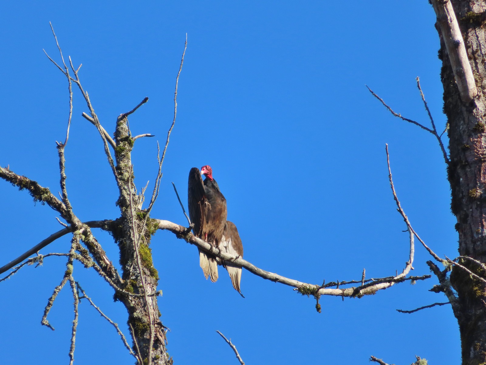 Turkey vulture enjoying the sunshine.
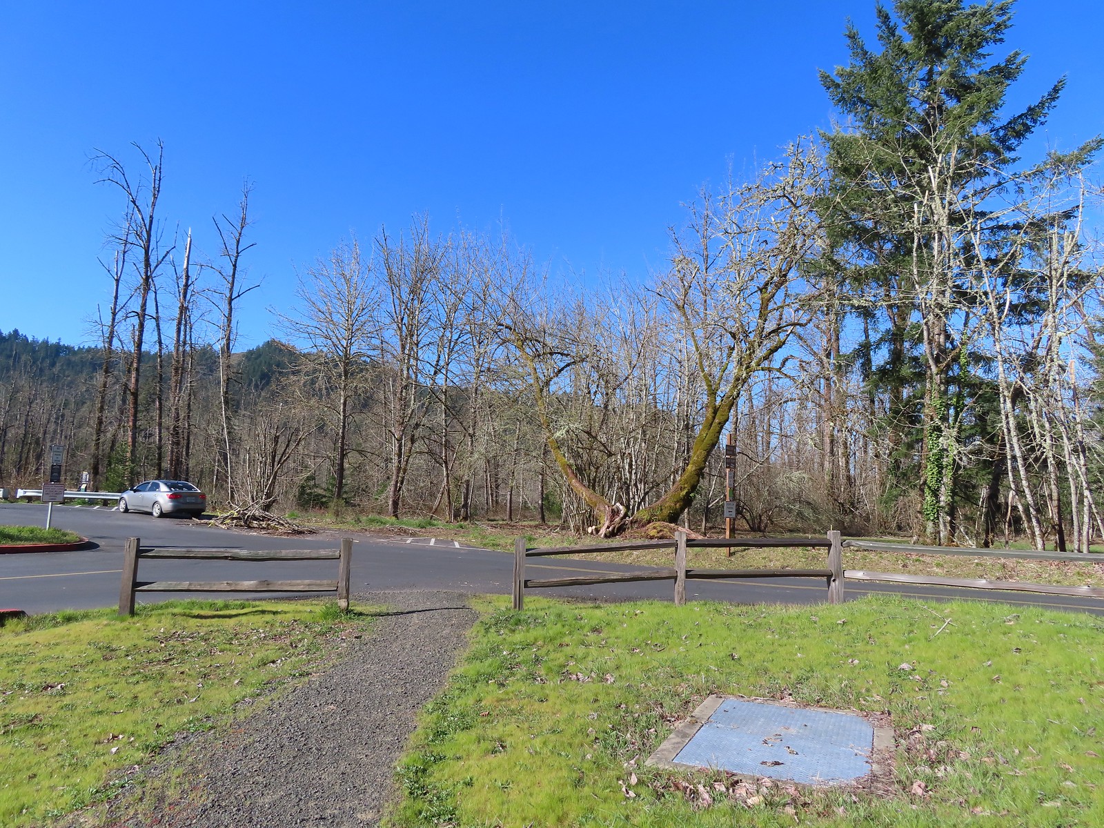 Arriving at the boat launch area.
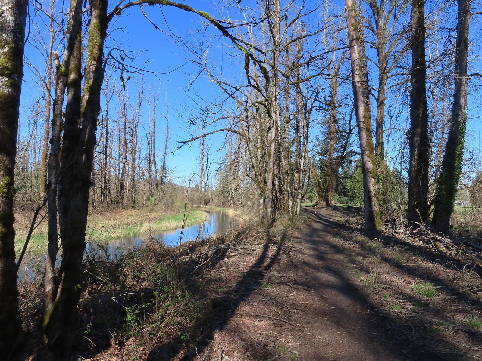 Heading back to the Middle Fork Path.
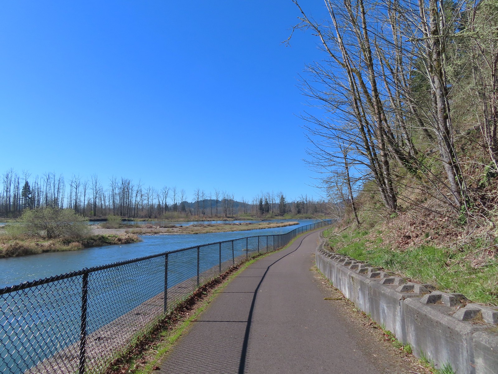
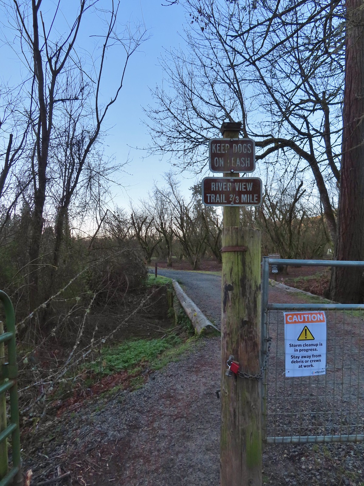
 Back at Dorris Ranch. The trail we’d taken earlier that morning is to the left just before the bench.
 Western bluebirds
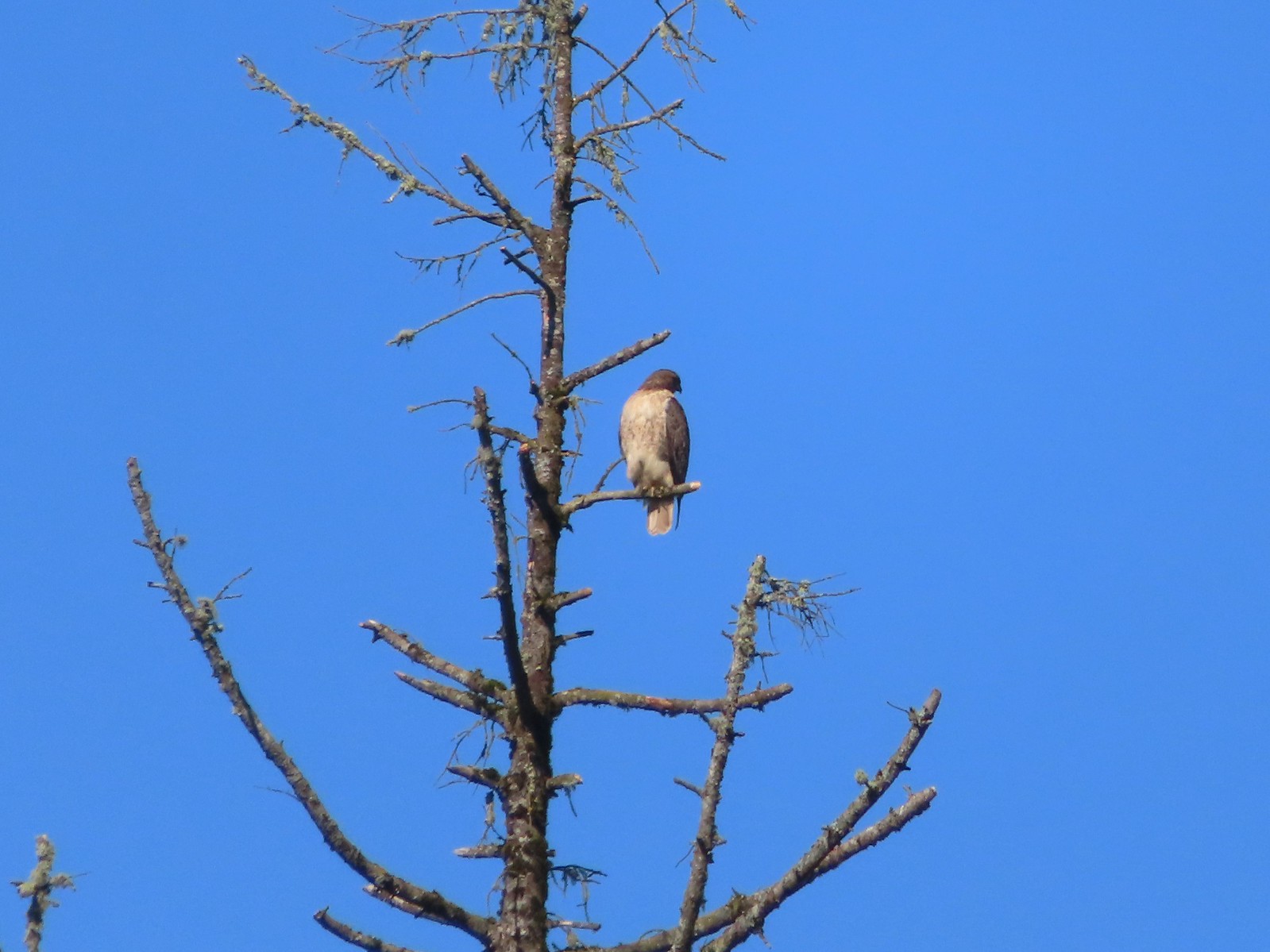 I believe this is a Cooper’s hawk.
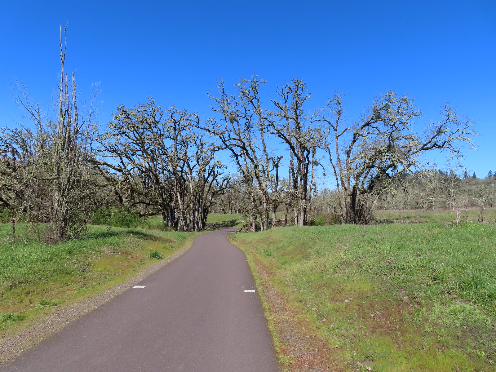
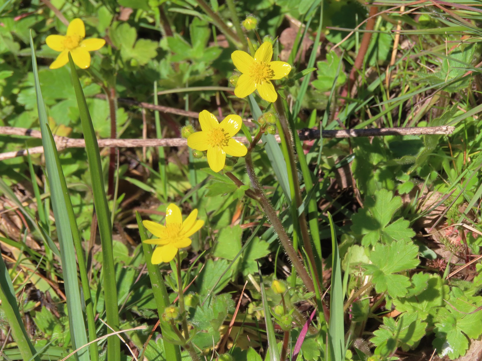 Western buttercups
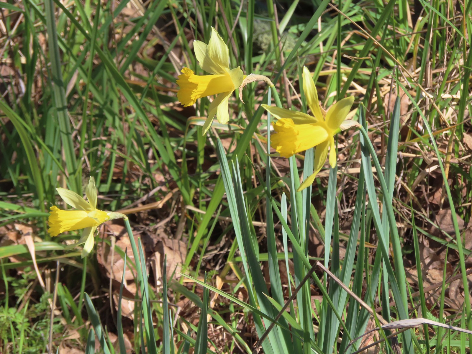 Daffodils
 The trailhead sign for the Clay Creek Trail is ahead on the opposite side of the road.
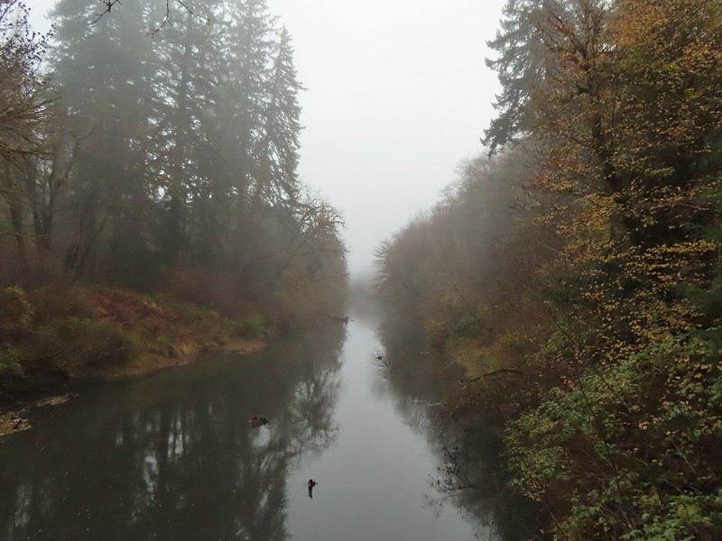 Siuslaw River
 Clay Creek on the left emptying into the Siuslaw.
 Stairs at the Clay Creek Recreation Area across the river.

 The Clay Creek Trail climbing above Clay Creek.
 It’s hard to tell size here but the diameter of this tree was well over 5′.
 The junction for the loop.
 One of several reroutes we encountered.
 On the ridge top.
 Madrone trunk and bark, always fascinating.
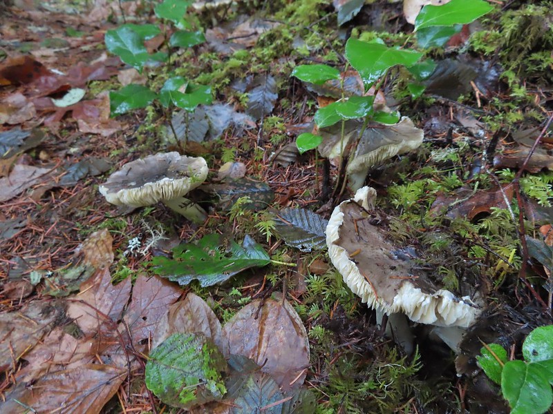 Lots of mushrooms pushing up through the forest floor.
 Good sized trees near the high point.
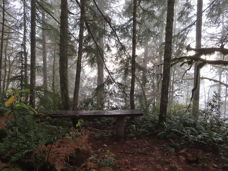 No idea what you might see on a clear day.

 The viewpoint.

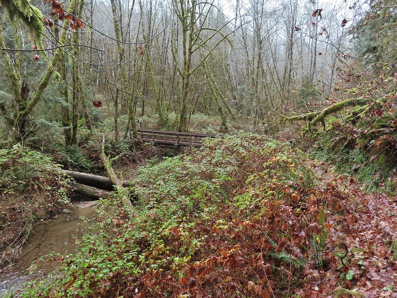 Nearing the footbridge.
 The fog had lifted off the river at least.
 Note that Royal Ave and the trail to the viewing platform are open year around with the other restrictions listed below.
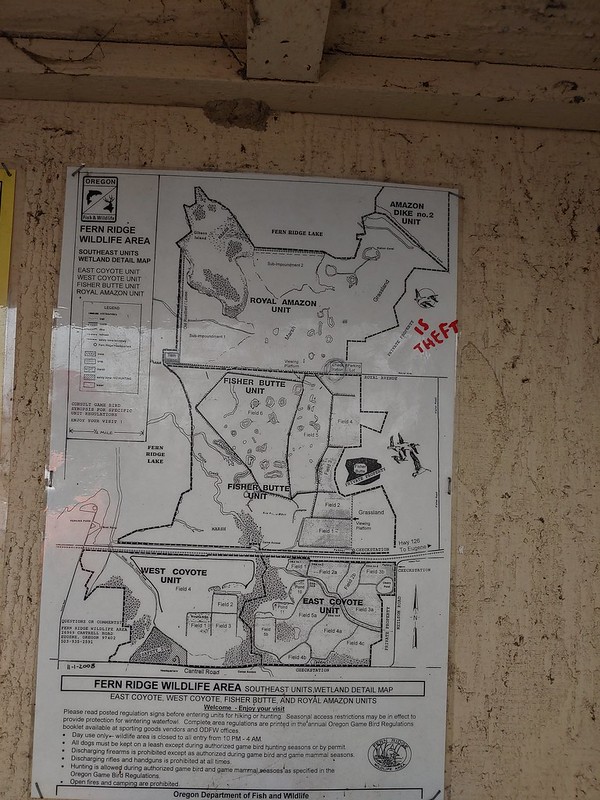 We took a picture of this map to assist us with our route.

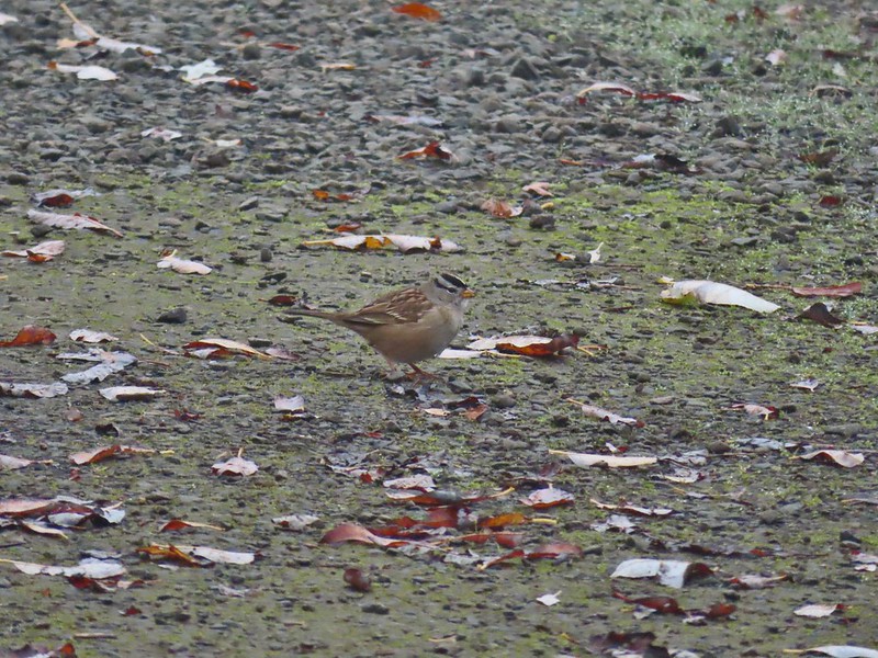 White crowned sparrow
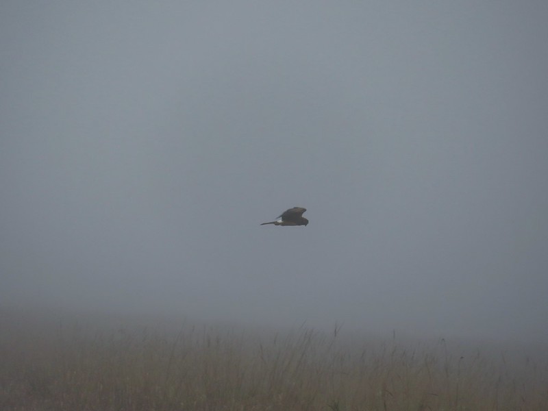 Northern harrier on the hunt.
 Wetlands in the Royal Amazon unit.
 The bittern taking off.
 Not the greatest photo but enough to identify it.
 A hawk on a stump.
 American coots
 Gibson Island (with the eagles in the snag to the far left)
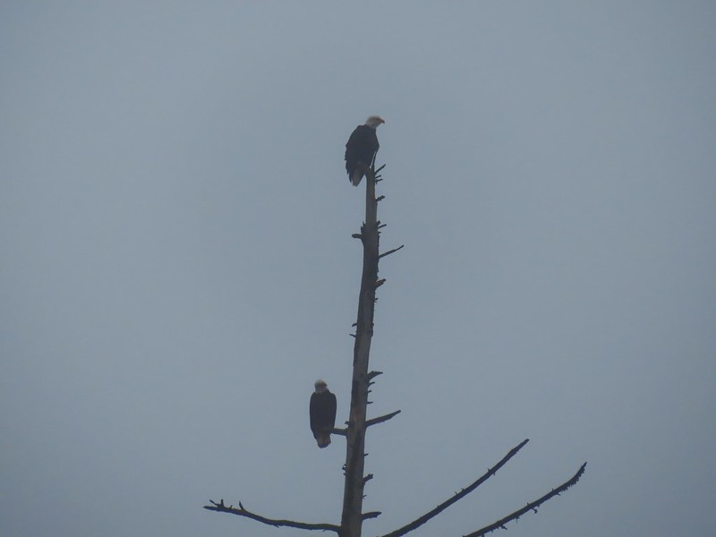


 A flock of geese above the coots.
 There were a number of these small birds pecking around in the mud which, with some help from Molly in the comments, are American pipits.
 Continuing west.
 We used the stones to the right to cross the water here.
 Great blue heron (with Highway 126 in the background).
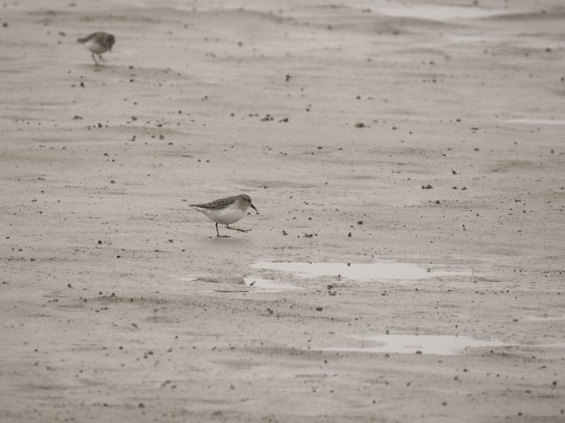
 Sandpiper in the roadway.
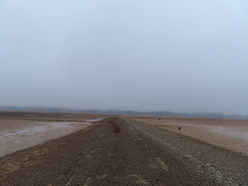
 End of the line.

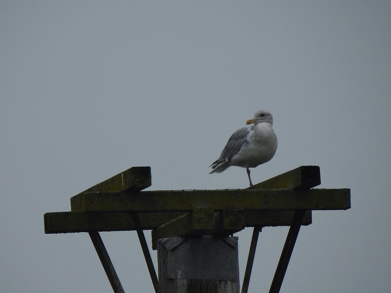 Seagull
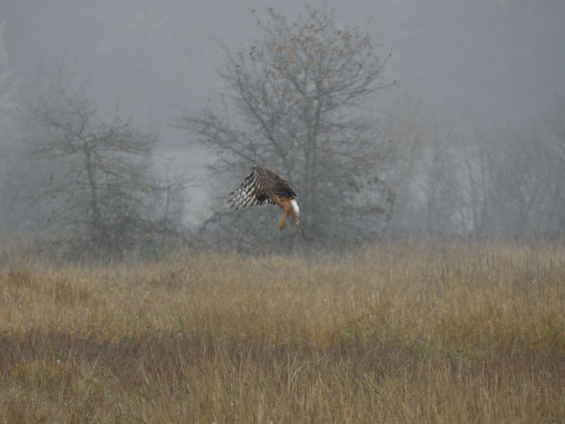 Perhaps the same northern harrier.
 The harrier taking a break.
 The path to the platform.
 Dunlins (thanks again to Molly)
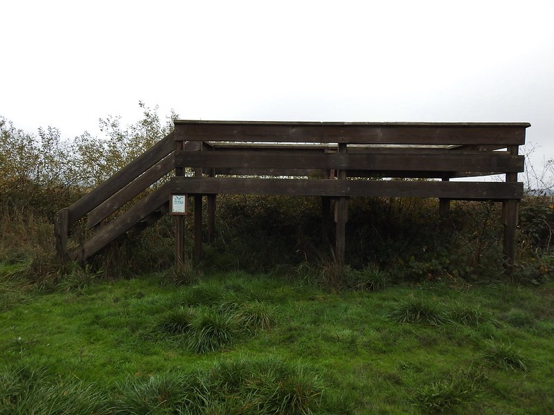 The platform.
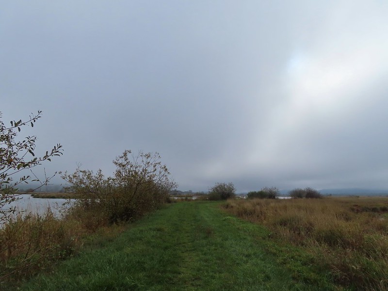
 The first signs that the fog/clouds might be breaking up.
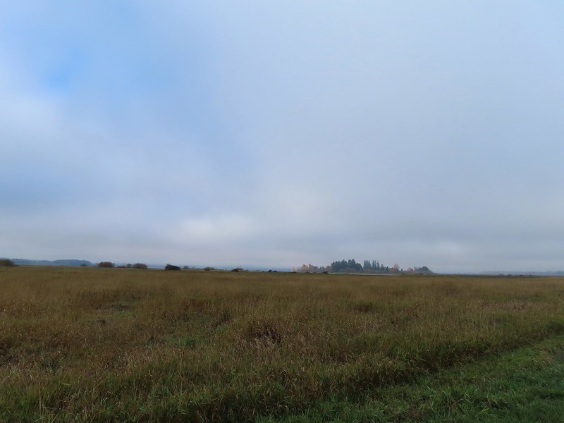 Looking back at a little blue sky and a visible Gibson Island


 Fisher Butte is the low hill ahead to the right.
 Gibson Island was now lit by direct sunlight.
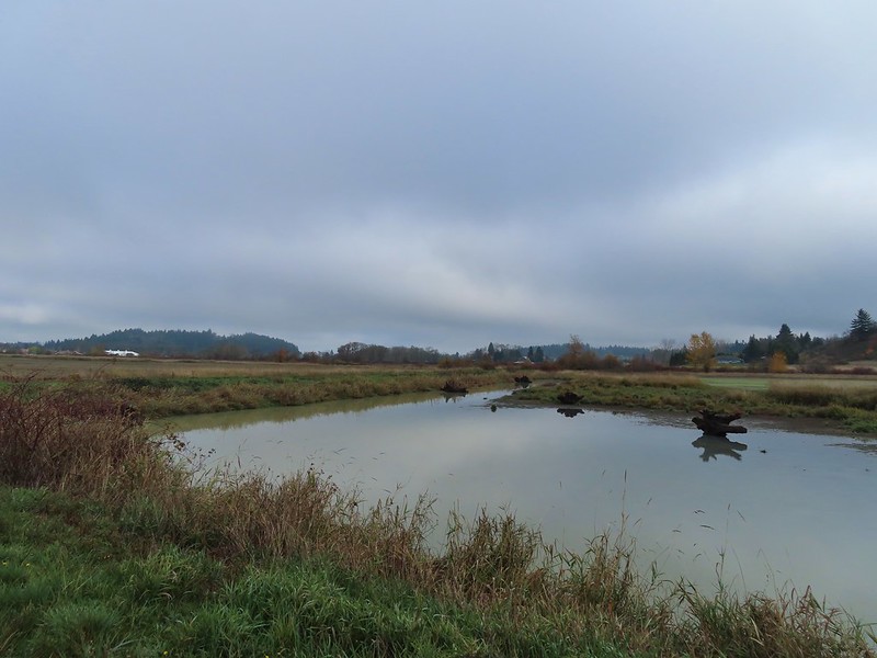 The dike running between Fields 3 & 4.
 Looking back over the ditch.
 California scrub jay
 Northern shovelers and a bufflehead.
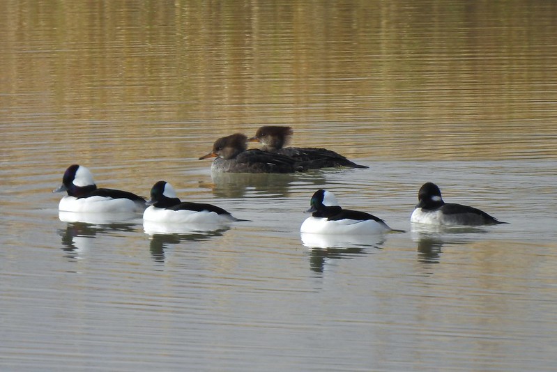 Buffleheads and two hooded merganser females.
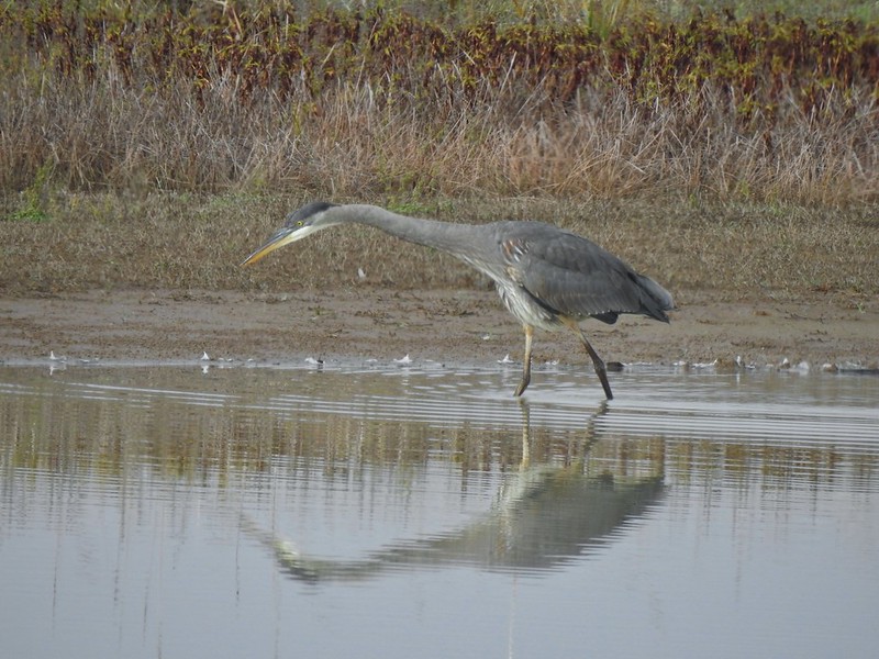
 Kingfisher
 American robin
 The gravel road and another small portion of the wildlife area on the other side.
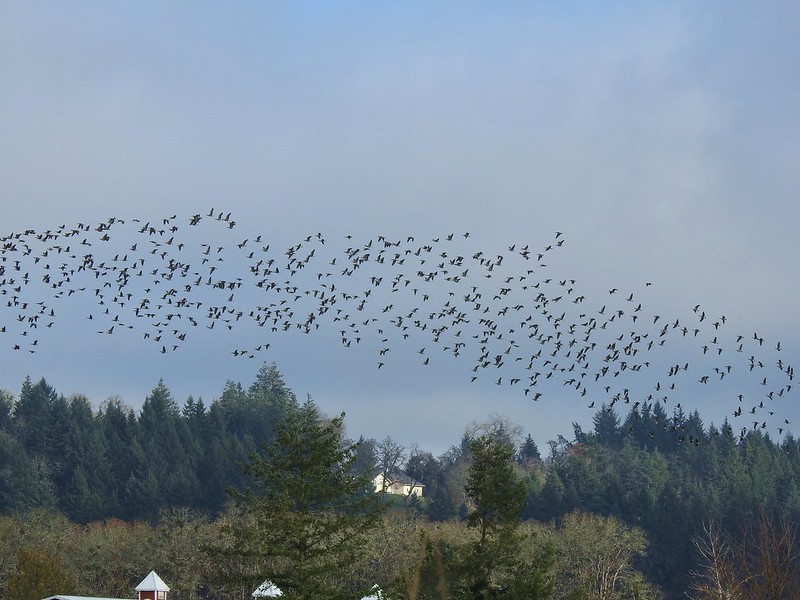 Noisy geese.
 Back on the mowed track.
 A sparrow
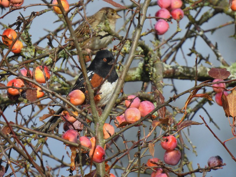 Spotted towhee and friend.
 Finch
Finch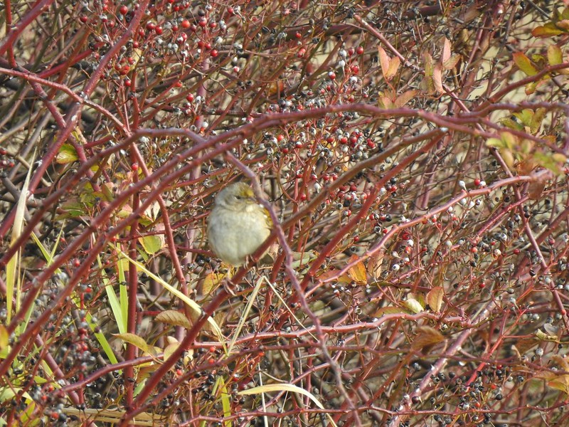 As of yet unidentified little bird.
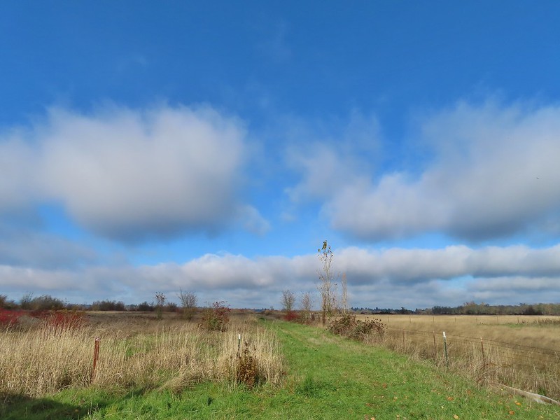 This path headed north from the trailhead, something to explore on our next visit.


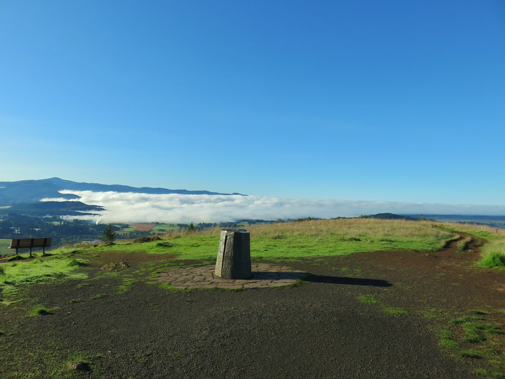
 Spencer Butte’s summit high point.
 View north from the high point towards Mary’s Peak (


 An older tree along the trail.
 Mushrooms on a trunk near the clear cut view.
 Violet


 Heather emerging from behind the outcrop.


 Trail 17 to the left with Trail 1 straight ahead.
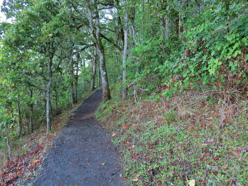


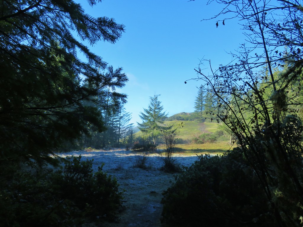
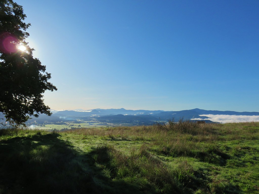
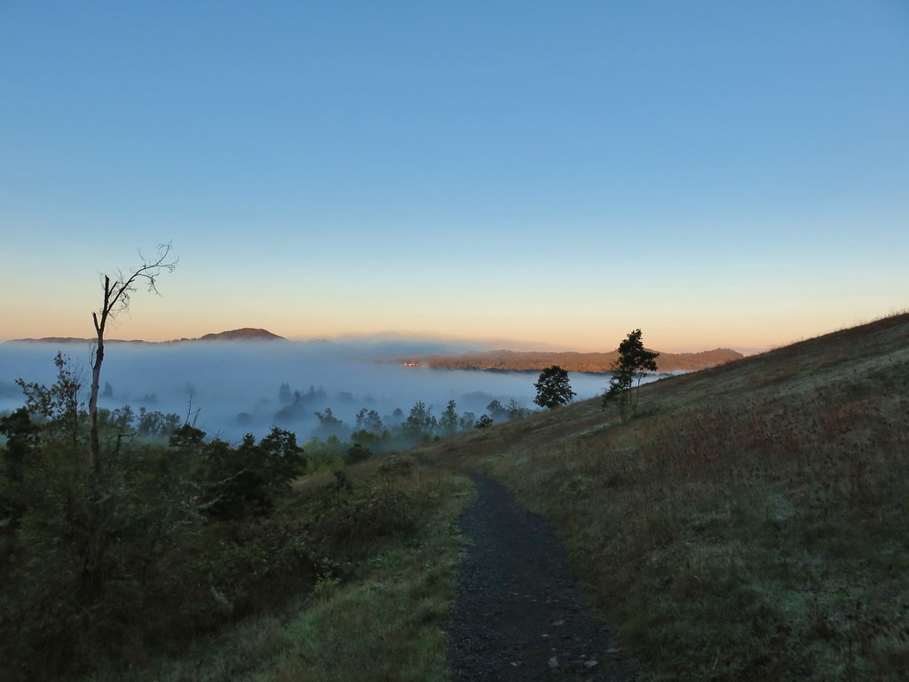 Some of the patchy fog in the valley over Eugene.
 Swing Hill
 Deer high up on the side of Swing Hill.
 Geese flying in front of the fog.
 There were a lot of wet spider webs shining in the brush.
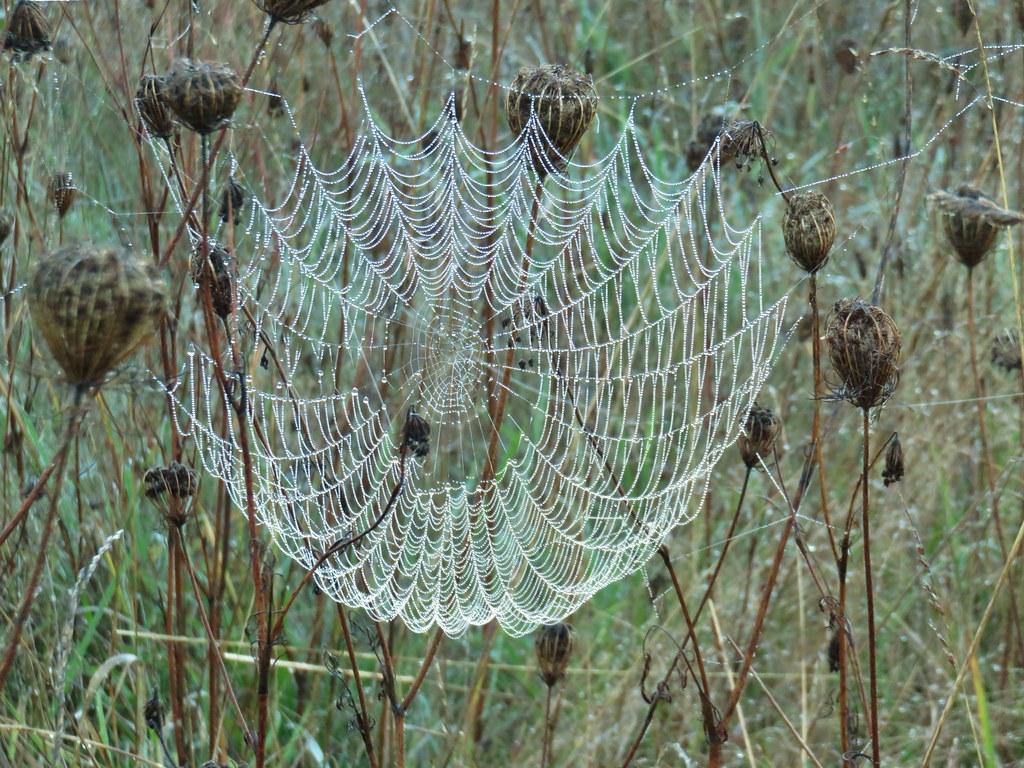


 The north side of Swing Hill was very forested.
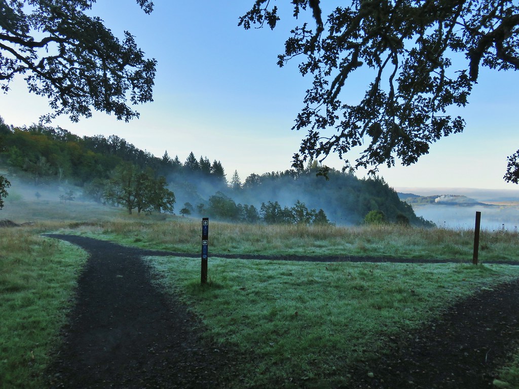 Saddle below Swing Hill
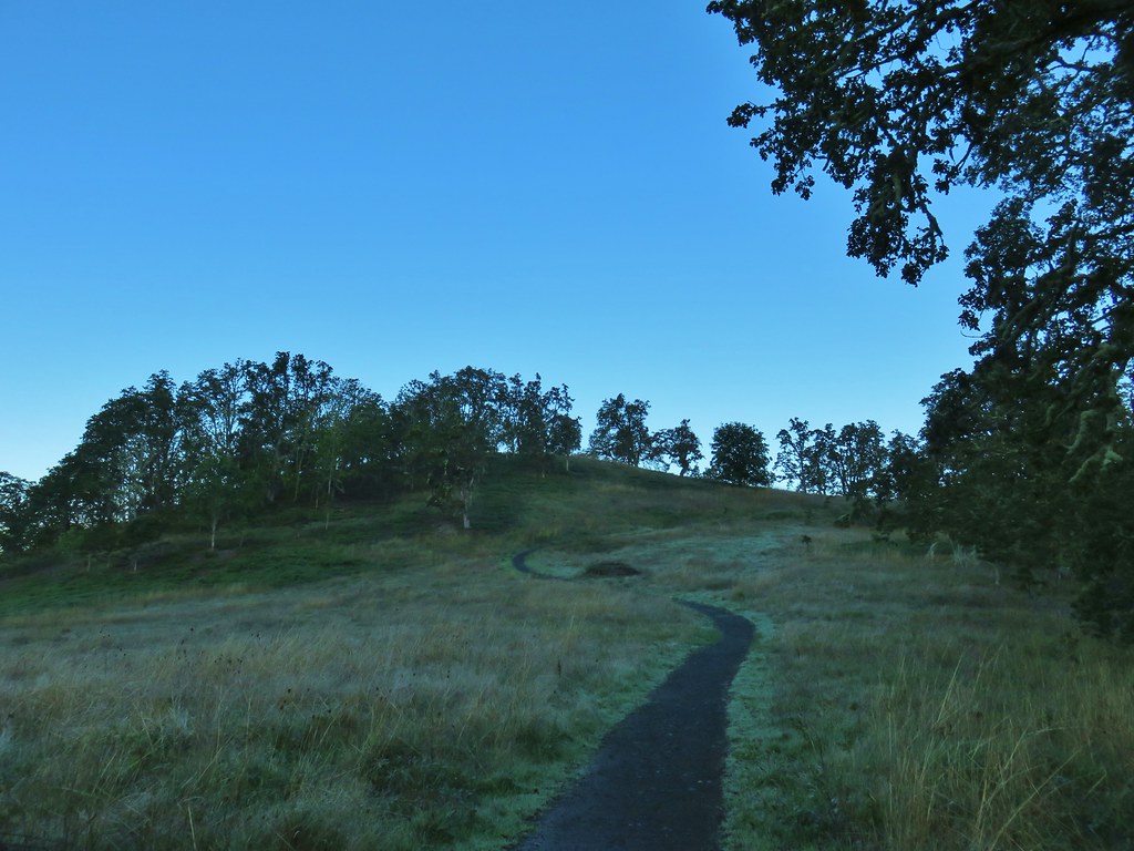

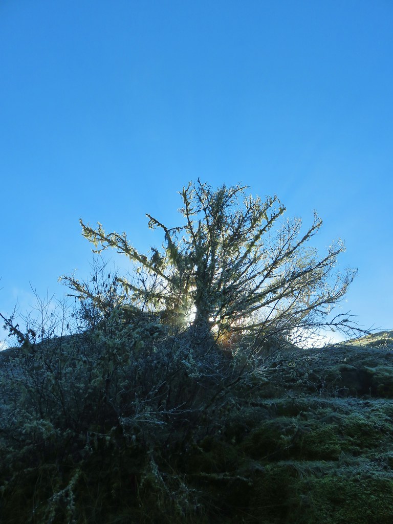
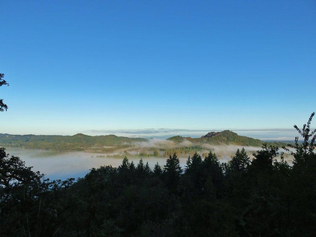 View from Swing Hill


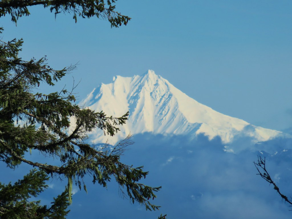
 Diamond Peak on the horizon.
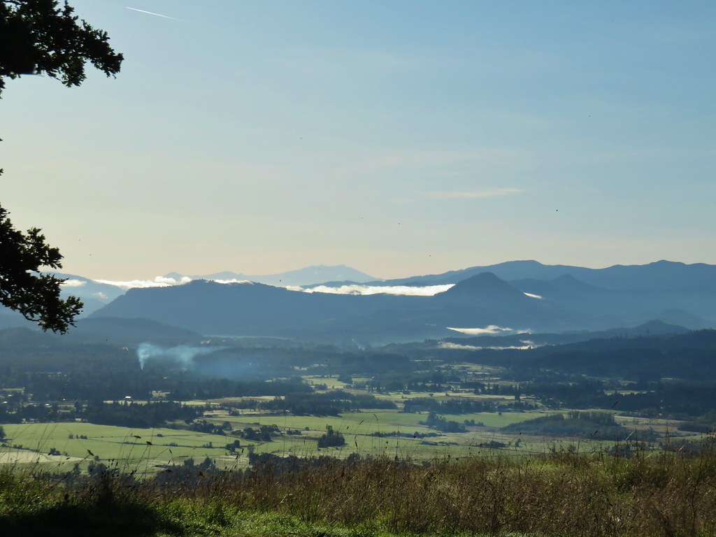 Diamond Peak
 Diamond Peak
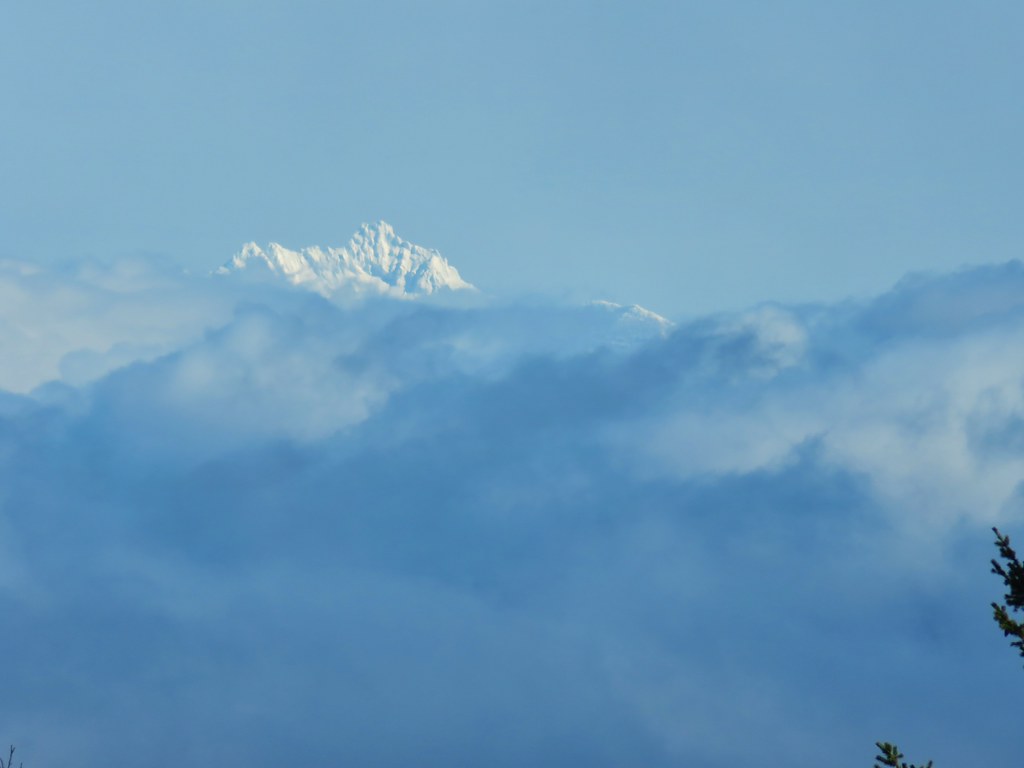
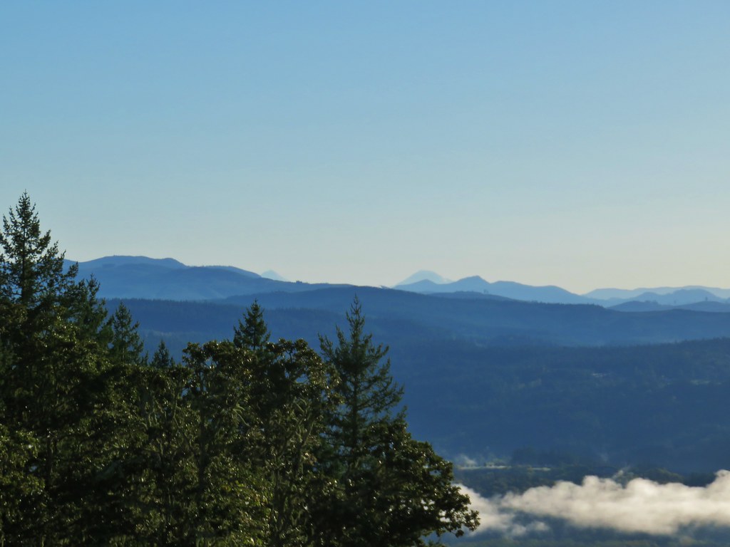 Middle and South Sister.
 Middle Sister
 South Sister photobomb by swallows
 South Sister without swallows.
 Spencer Butte to the west.
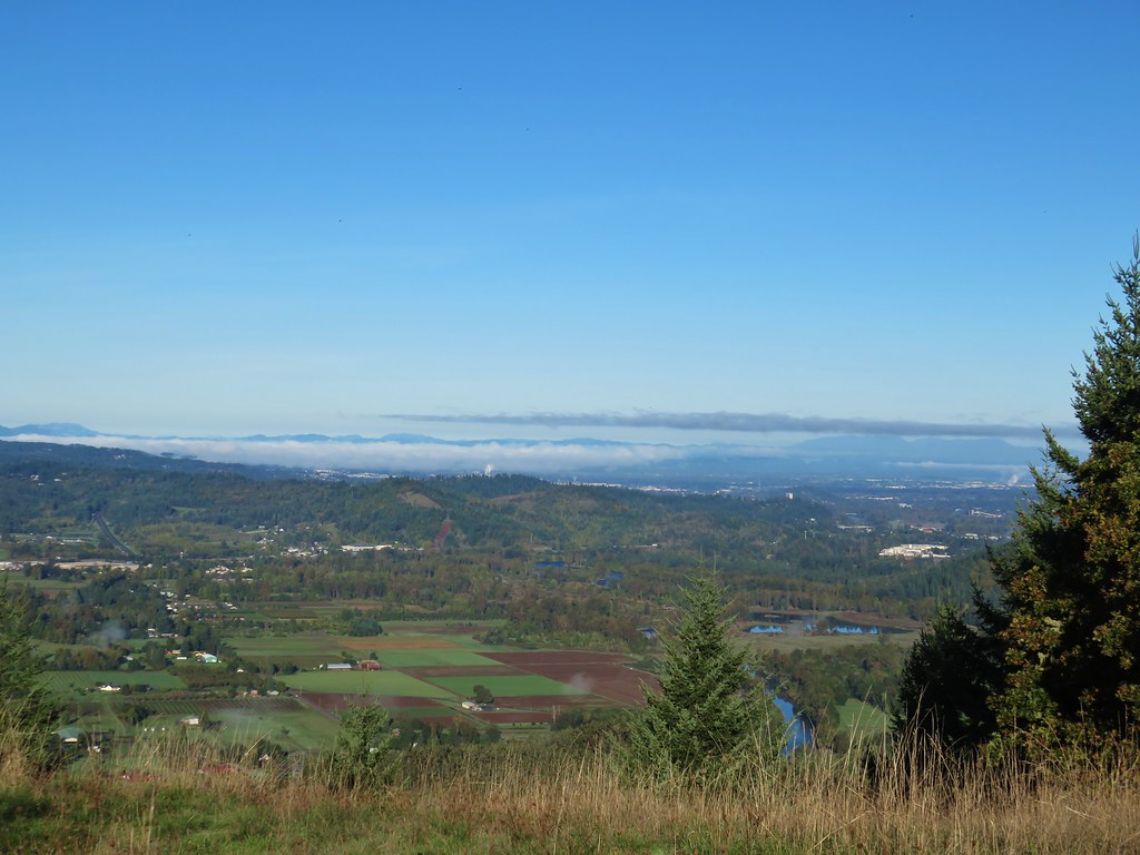 Eugene and the Coast and Middle Fork Willamette Rivers.
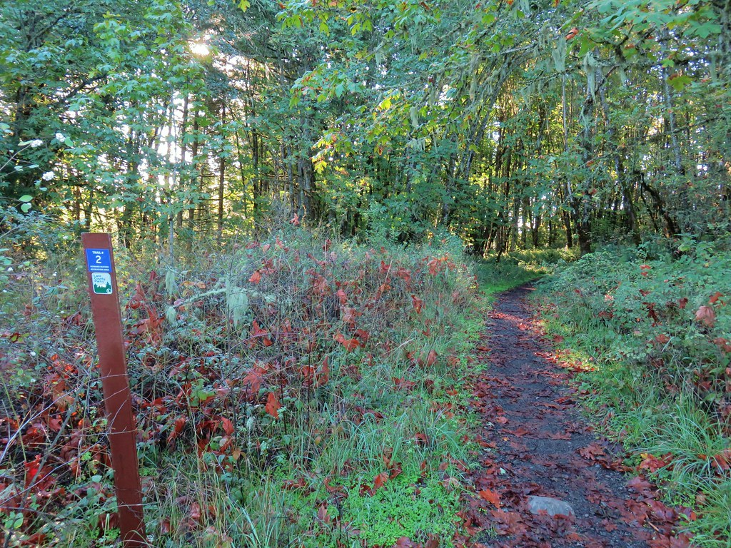
 Looking back uphill.
 Sun still causing problems with the view.
 Some red leaves of poison oak along Trail 24.


 More poison oak
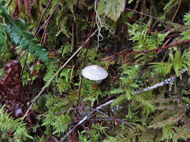
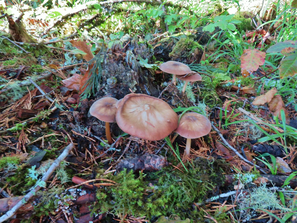 Mushrooms
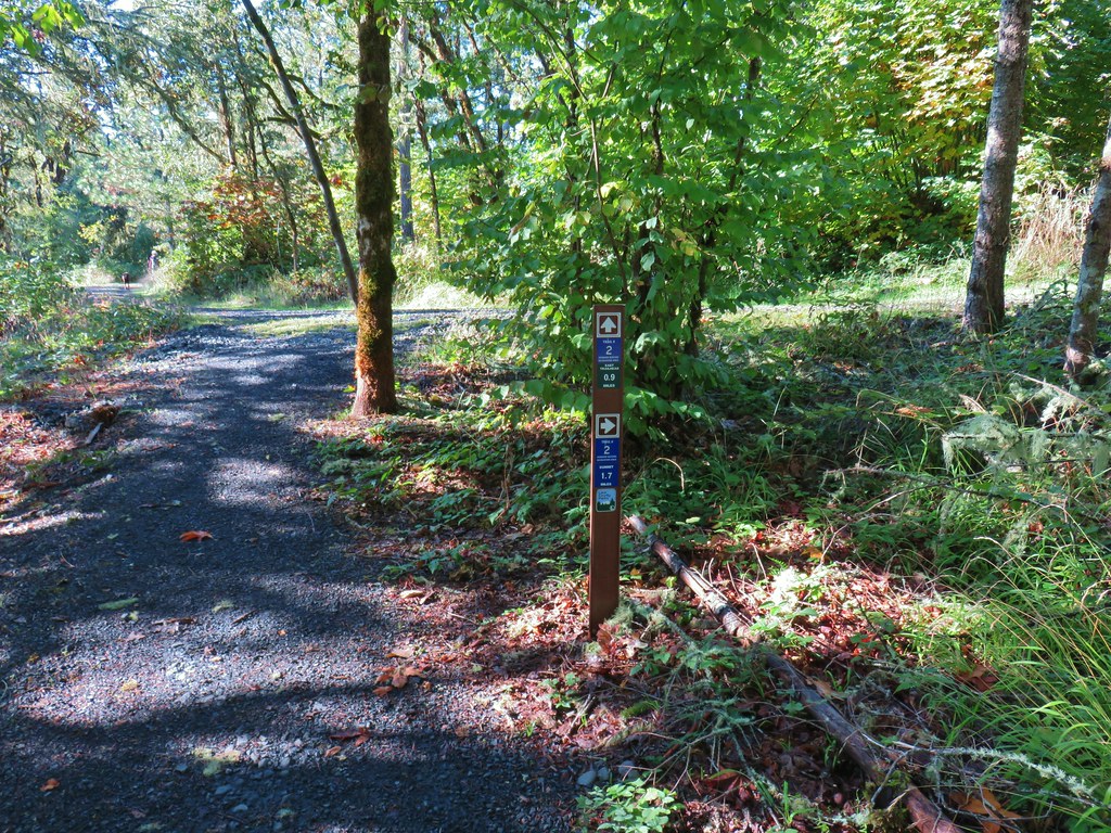

 Bright red tree at a nearby farm from Trail 2.


 Ladybug
 A few late bloomers.


 Cedar Trail to the left.


 Mount Pisgah from the Lower Plateau Trail.


