It has been an interesting couple of months where the weather is concerned. We have spent a lot of time checking forecasts trying to find the most favorable hiking conditions. It seems that in years past when the forecast hasn’t been good it hasn’t been good anywhere within our driving range but this year has been different. For the most part we have been able to find at least one location with the possibility of “partly sunny” conditions. For our most recent hike that location was Grassy Knoll in Washington.
A quick scan of forecasts the night before our hike showed that the forecast for Grassy Knoll was partly sunny skies moving to mostly sunny later in the day. Nearby Big Huckleberry Mountain, which was to be our turn around point, was a little less favorable but mostly cloudy to partly sunny didn’t sound too bad.
We followed the directions to the Grassy Knoll Trailhead from the Oregonhikers.org field guide. While the forecast had been good the roads were not. The roads weren’t the worst we’d been on, but they did take home the award for most unavoidable potholes. High clearance was helpful and driving was slow at times but we arrived at the trailhead in one piece.
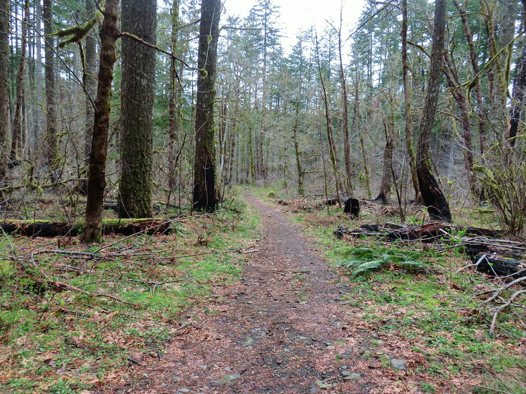
We had driven through quite a bit of drizzle between Portland and Cascade Locks but had been encouraged by the sight of the edge of the cloud cover to the east. Unfortunately the break was further east than we were so we set off on the trail under a full cover of clouds.

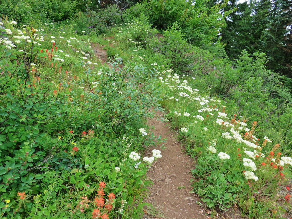
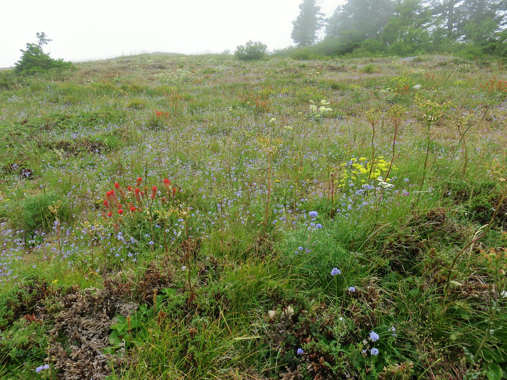
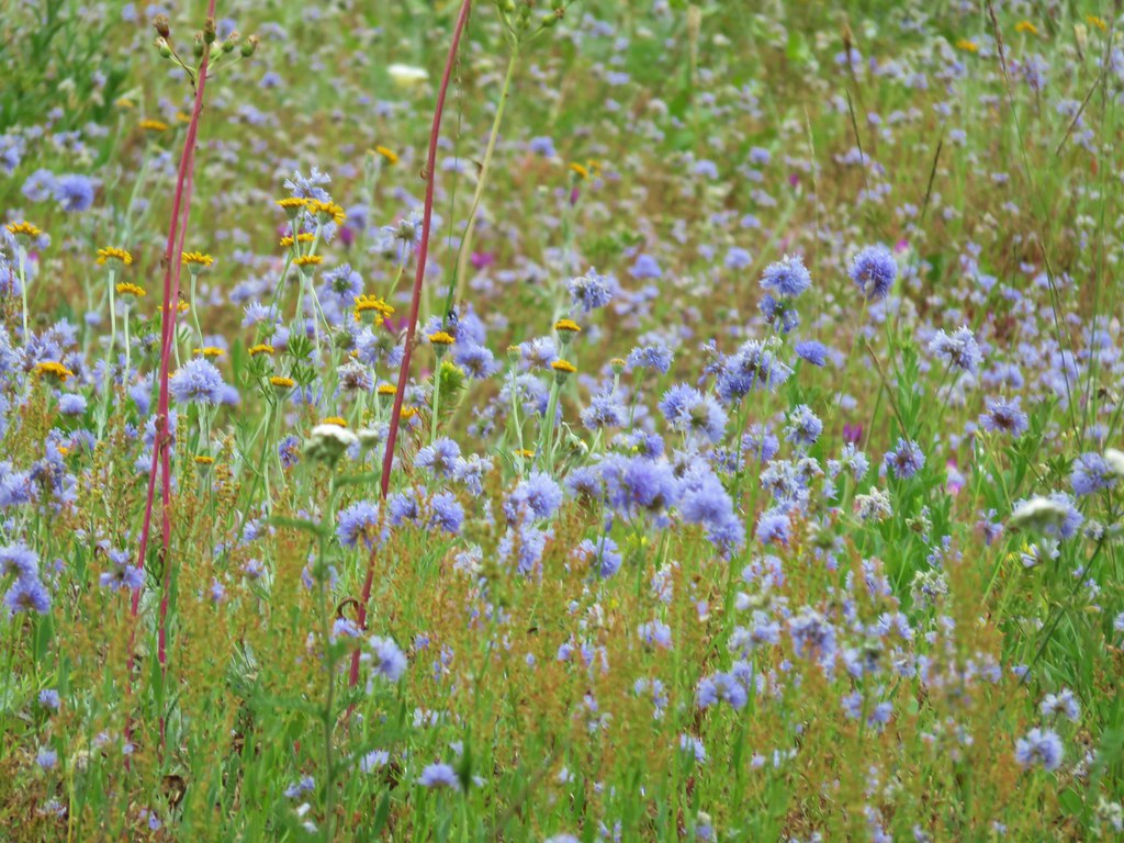
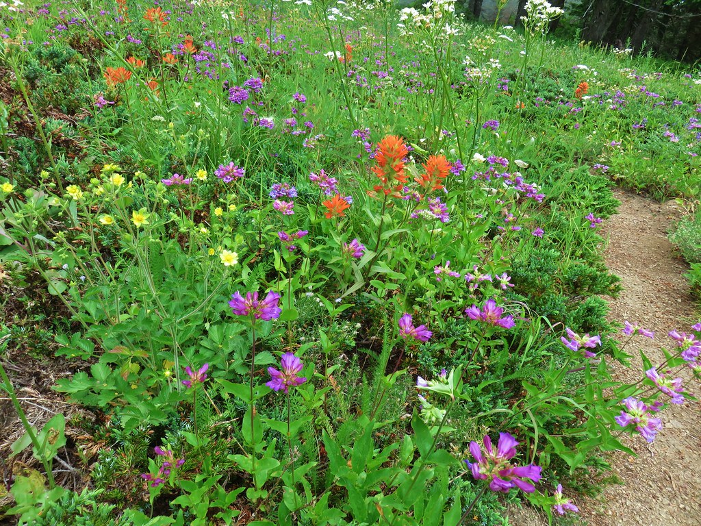
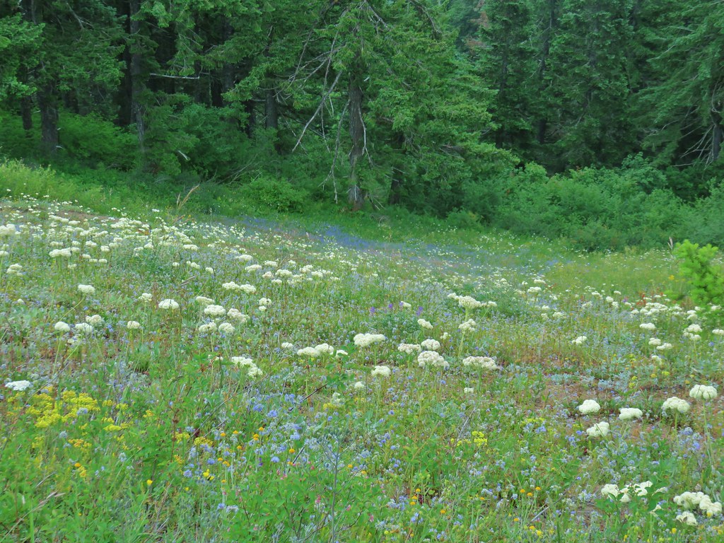
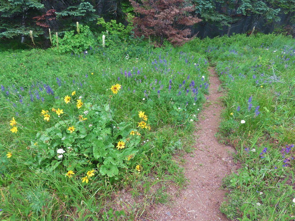
The trail started off in a past peak wildflower meadow but there were still a few flowers blooming.
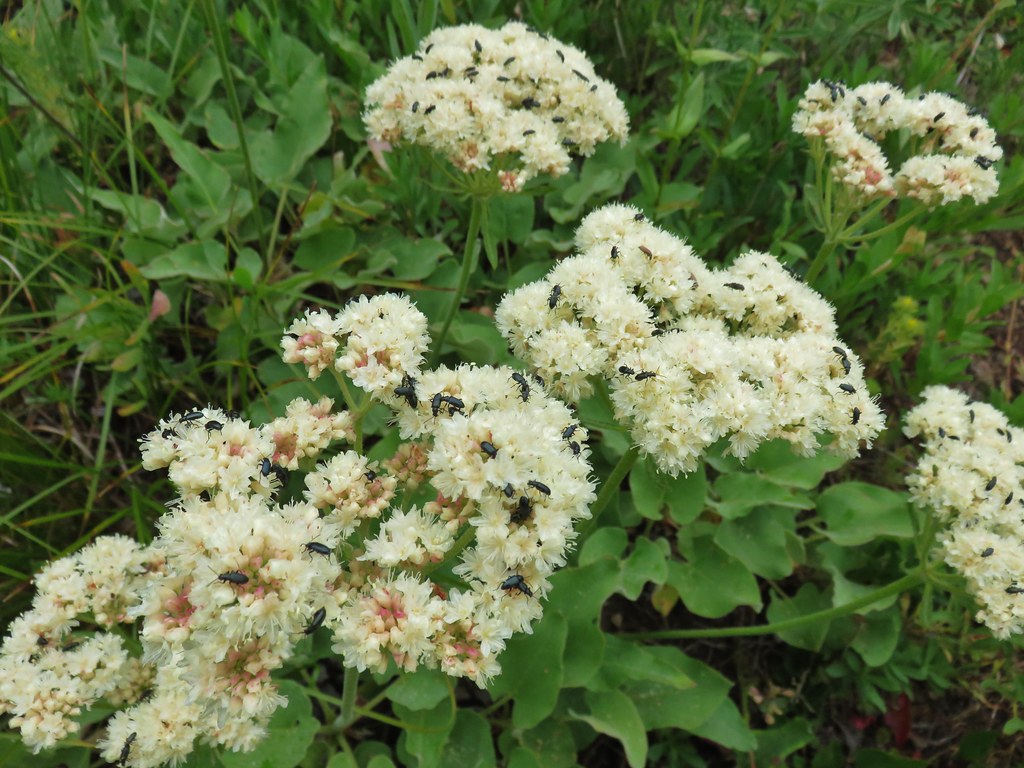
 Arrow leaf buckwheat
 Blue-head gilia, stonecrop, wild onion, and arrow leaf buckwheat
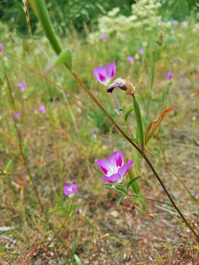
 Farewell-to-spring waiting for the Sun (just like us)
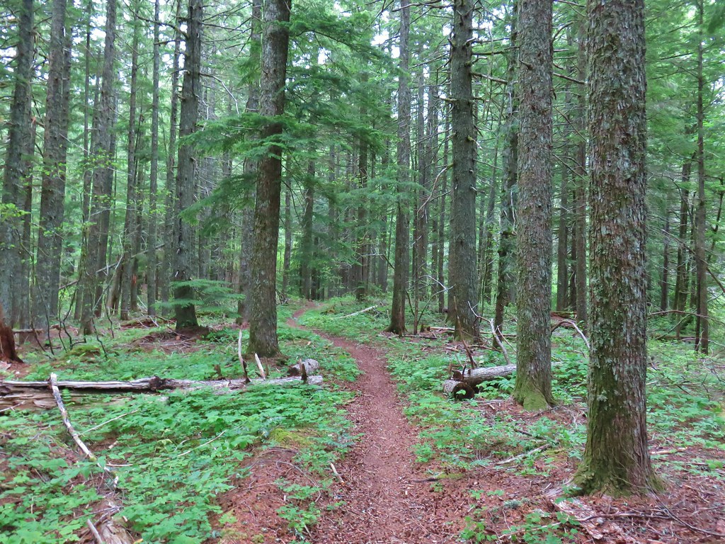
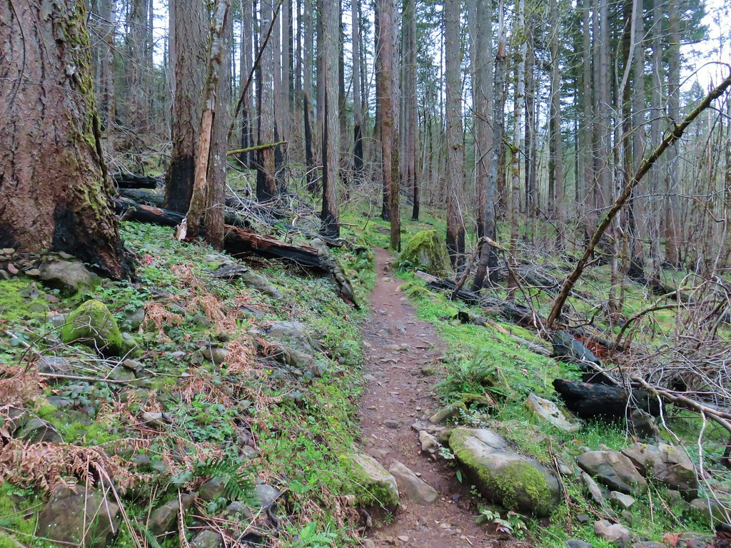
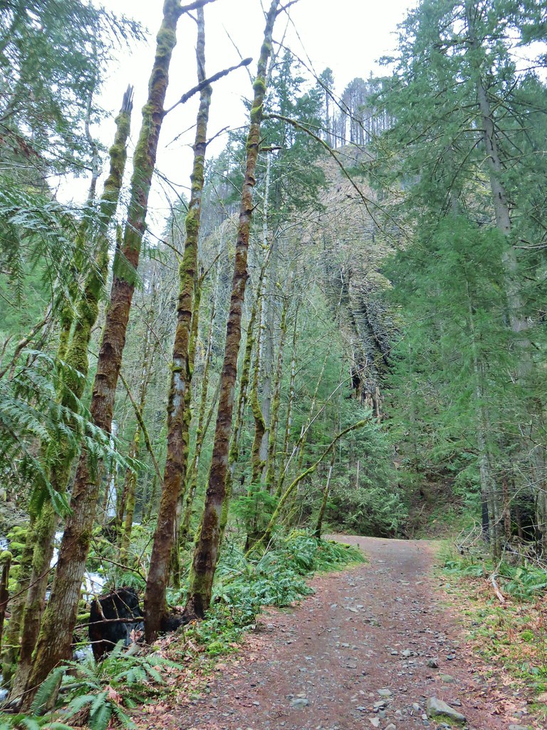
After climbing through the meadow the trail entered the forest and continued to climb fairly steeply at first.
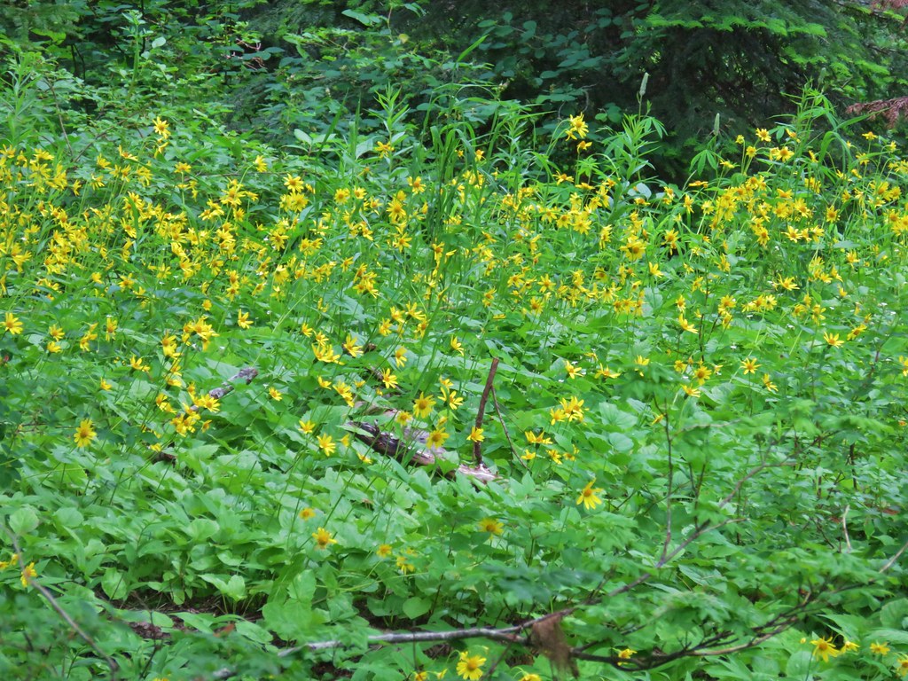
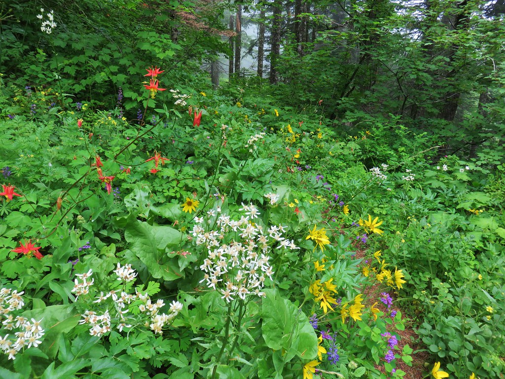
There were a surprising number of flowers blooming amid the bushes and trees along the forested ridge.
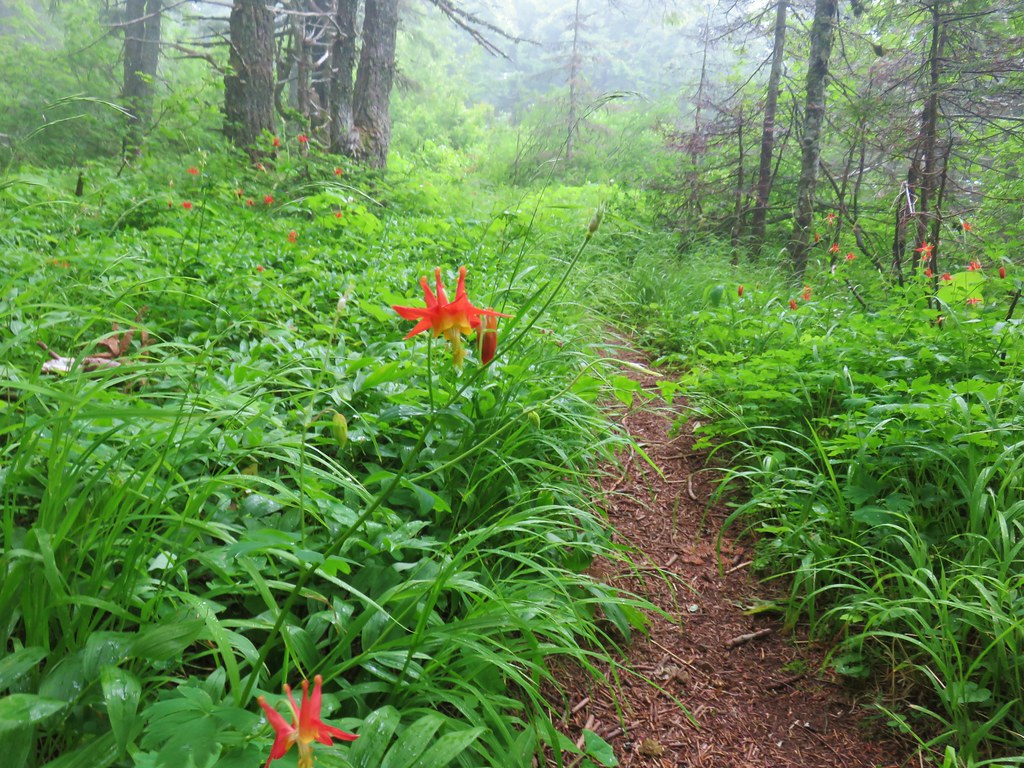
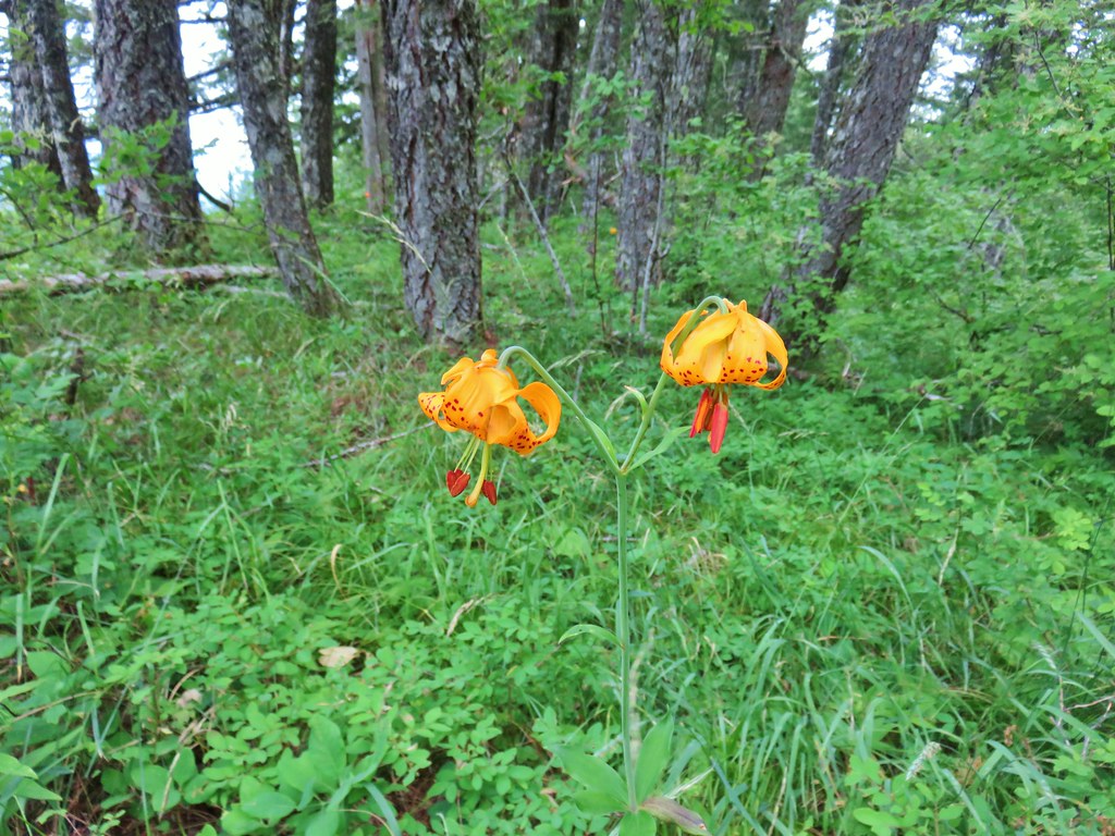 Tiger lily
 Twin flower
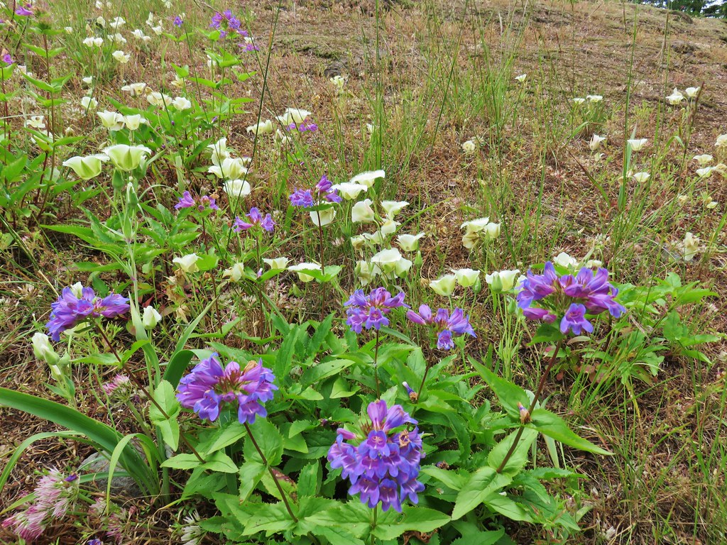
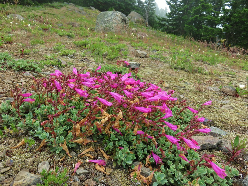
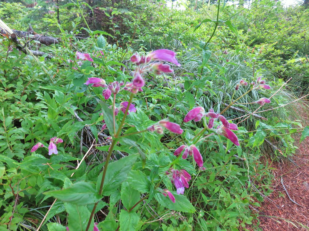 Penstemon
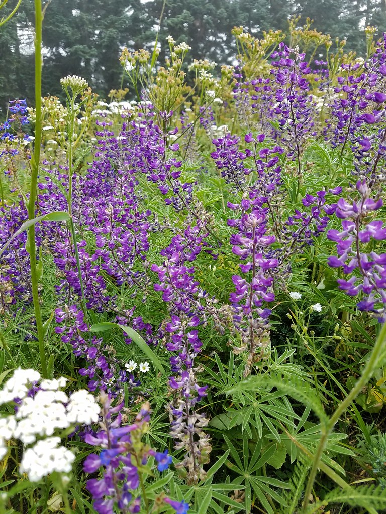
 Lupine
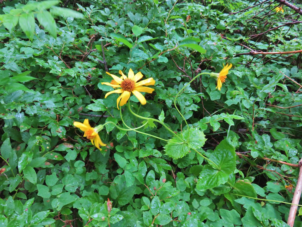 Arnica?
 Patinbrush and penstemon
 Columbine
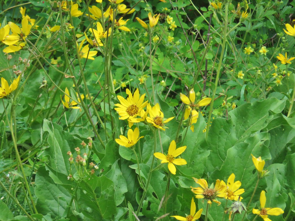
 Lots of arnica
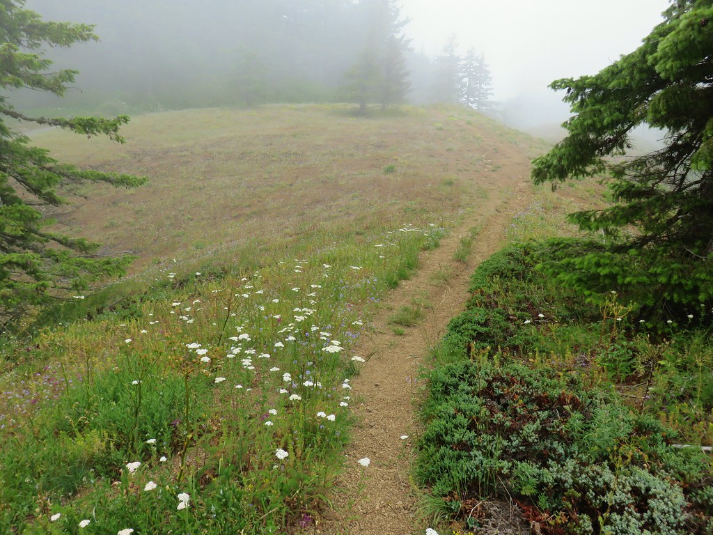
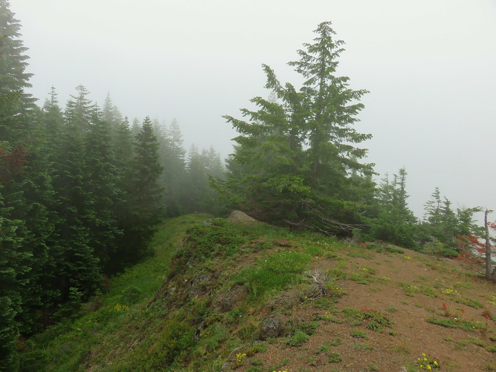
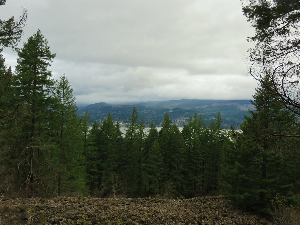
The trail passed what we took for two viewpoints, but with the cloudy conditions we couldn’t tell what the view should have been.
 First viewpoint approximately 1 mile in.
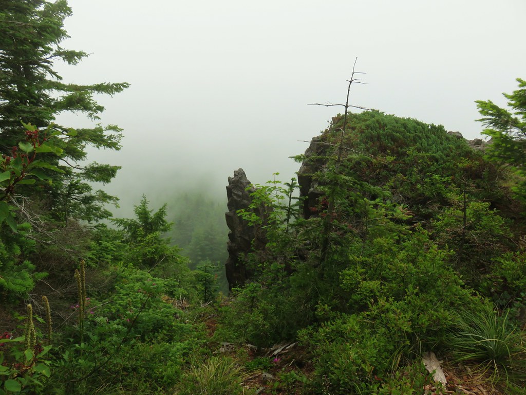 First viewpoint
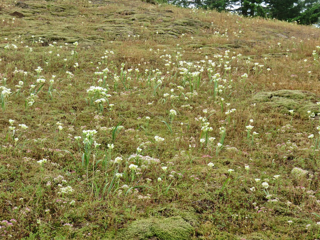
 Second viewpoint, about 1.5 miles in. The hillside was covered in cat’s ear lilies.

 Penstemon and cat’s ears
 Cat’s ears and wild onion
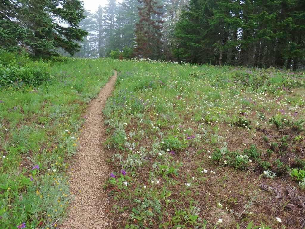
Beyond the second viewpoint the trail alternated between forest and wildflower meadow for a quarter mile before starting a fairly steep climb up the open hillside of Grassy Knoll.


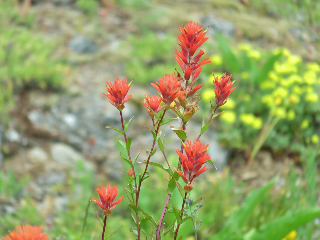
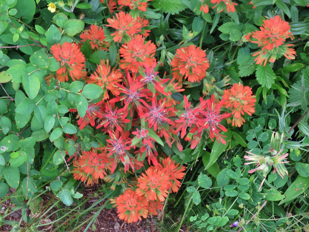 Two kinds of paintbrush
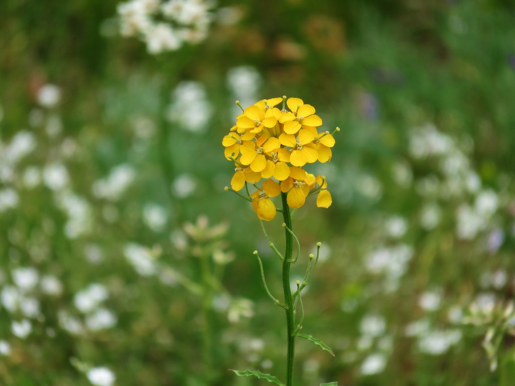
 Onion
Onion
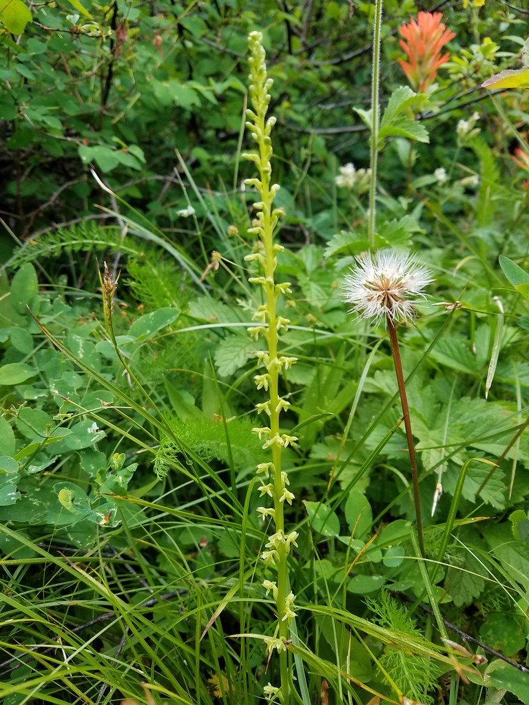 Looks to be some sort of orchid
 Blue-head gilia and an unknown yellow flower.
 Arrow leaf buckwheat and blue-head gilia
 A bunch of flowers
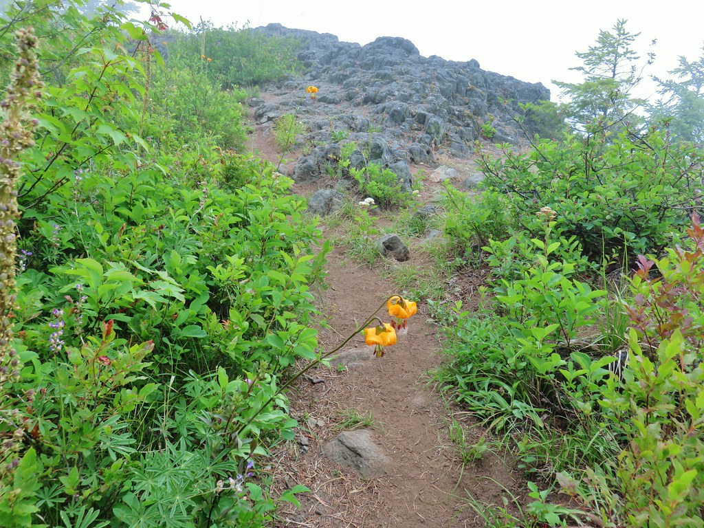
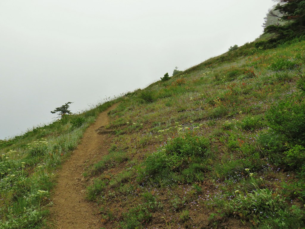 Starting up Grassy Knoll
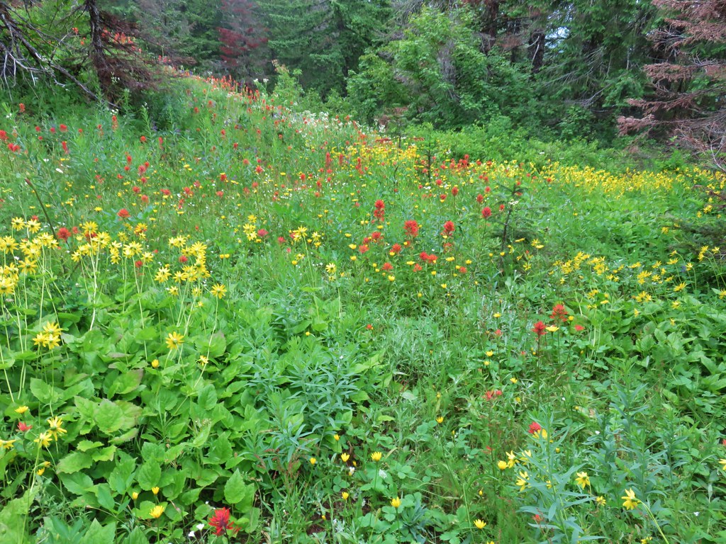
We were a little late for peak flowers but the hillside still had a lot to show us.

 Balsamroot
 Catchfly
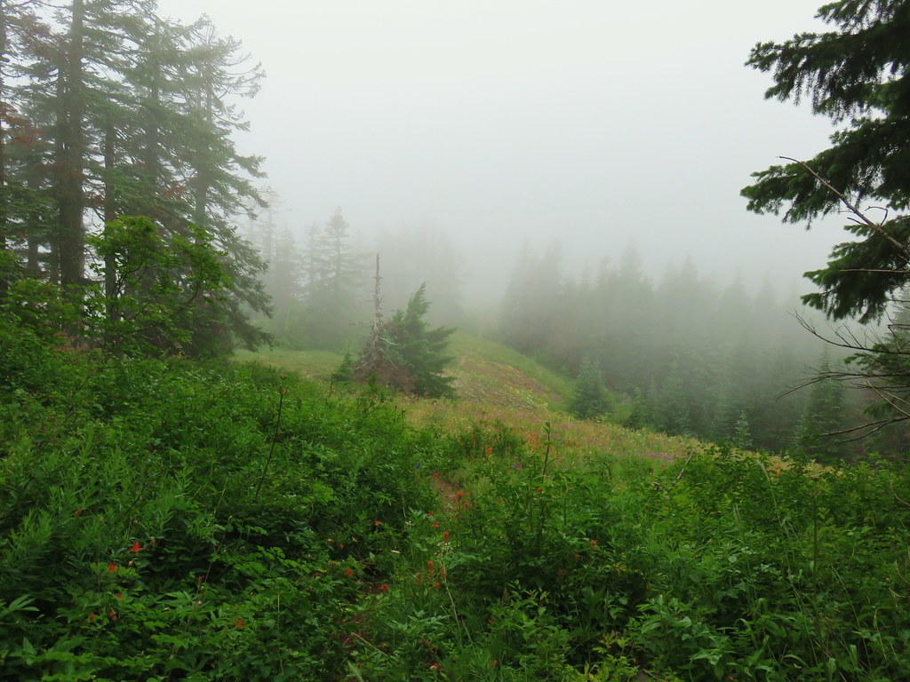
After just two miles of hiking we came to the site of the former lookout tower atop Grassy Knoll. It wasn’t even close to partly sunny by the way.

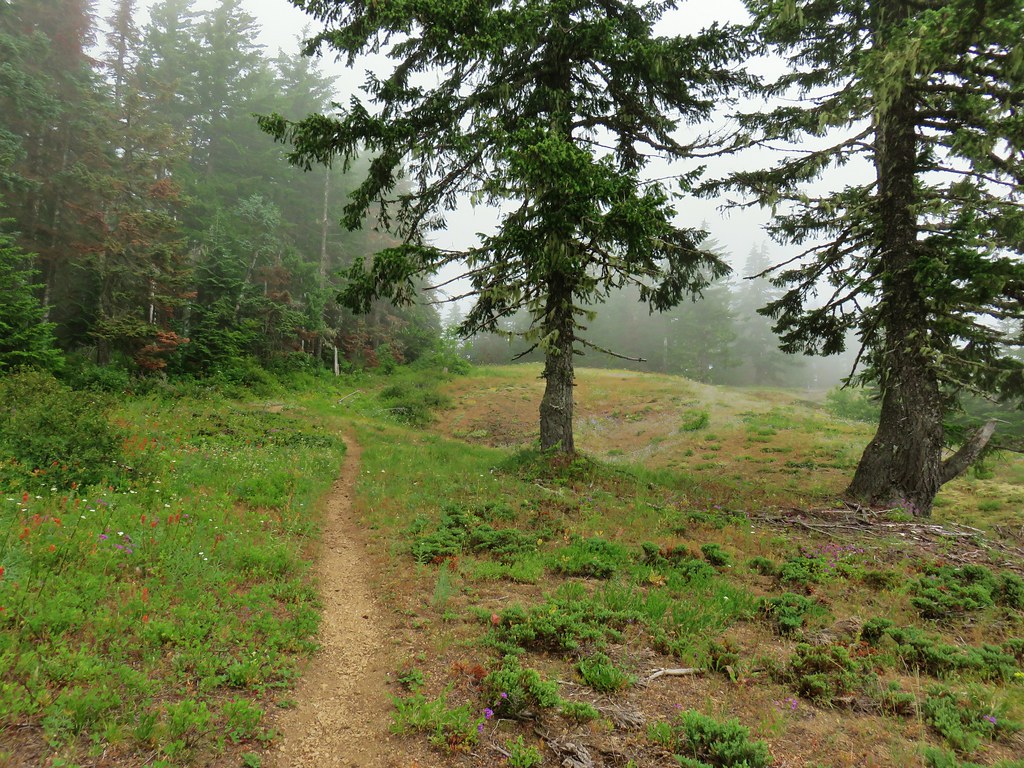
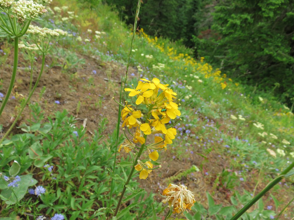
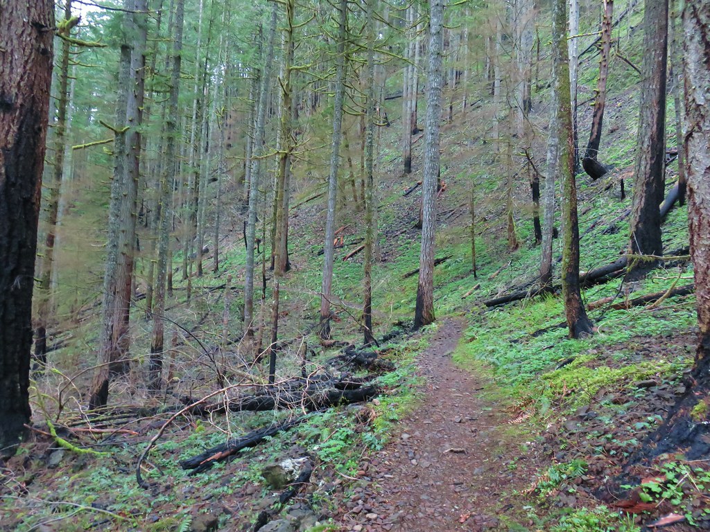
With no view to speak of we continued on hoping that the clouds would start breaking up soon, or at least by the time we were passing back by. The trail leaving Grassy Knoll was a bit brushy at first but then cleared up. There were plenty more flowers to see as we continued along a somewhat level ridge.


 A little better view down for a moment.


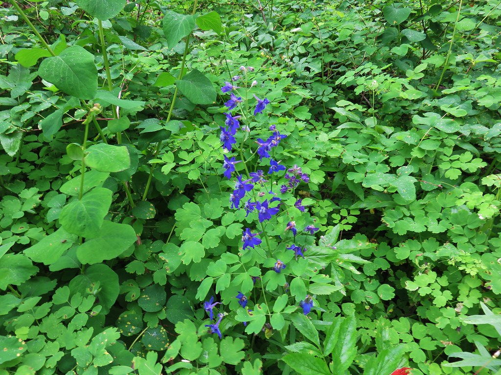 Larkspur
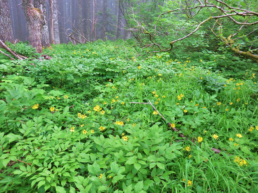
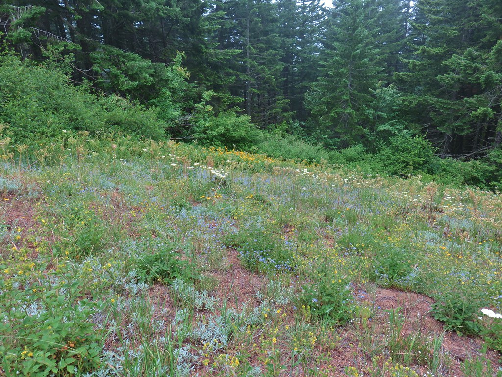
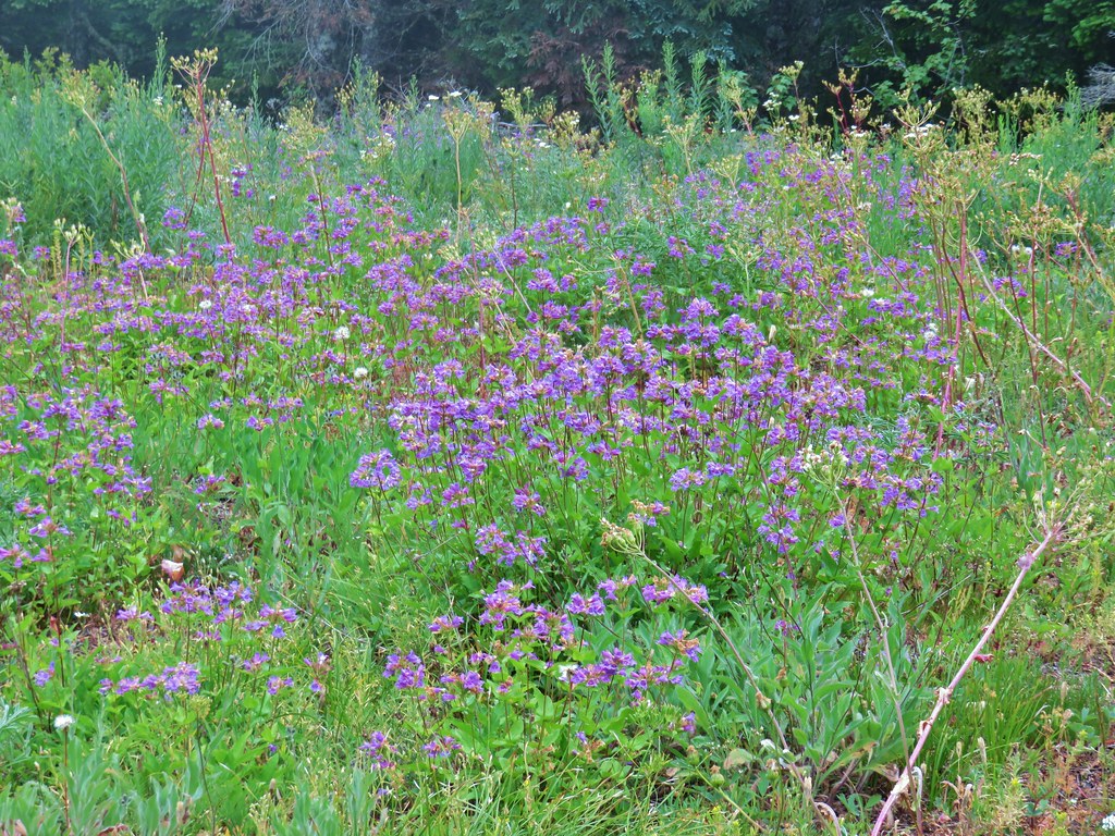
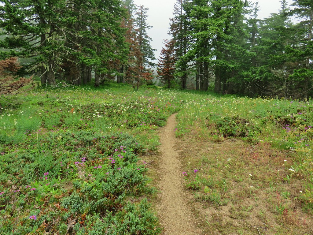
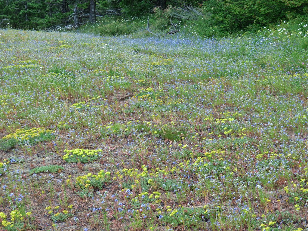
A little under a quarter mile from the lookout site we entered the first in a series of impressive wildflower meadows along the ridge.
This first meadow had a bit of a beetle infestation.


 Phlox and a cat’s ear lily


 Another type of penstemon
 Beargrass


 Not sure what this is either, it’s the first time we recall seeing it.


Finally, after nearly one and a quarter miles of wildflower bliss the trail veered off the ridge to the left and entered the forest.


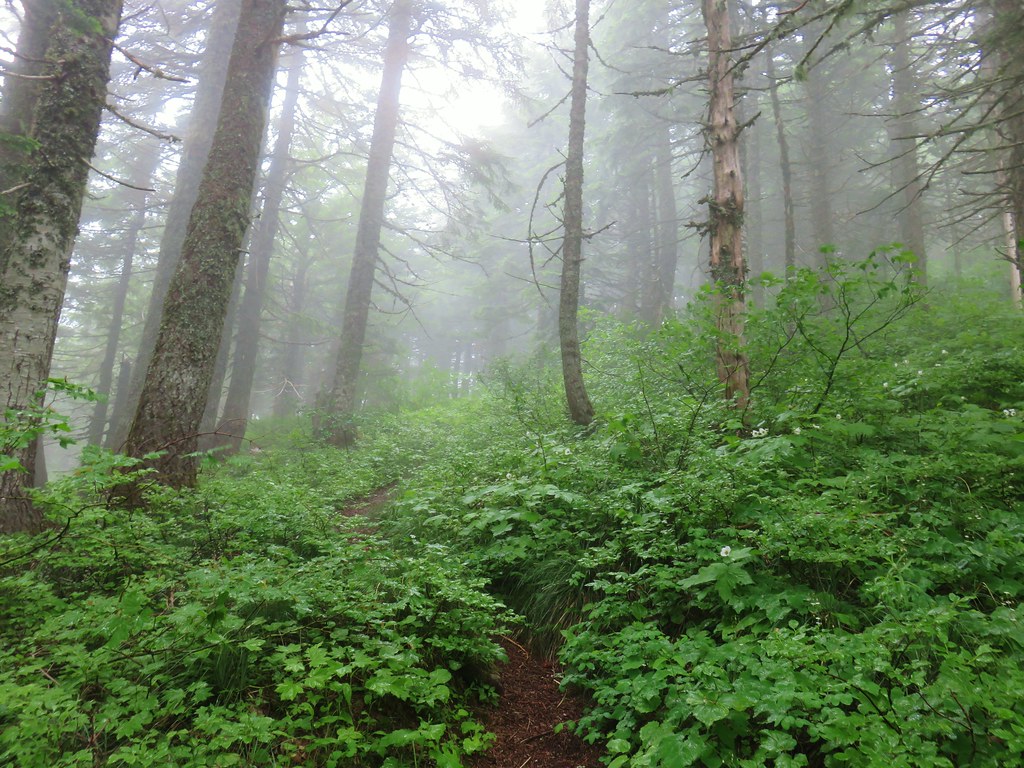
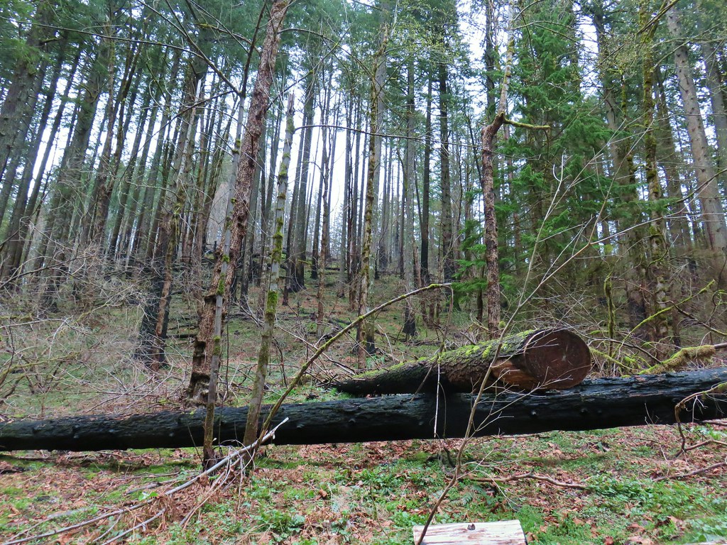
It was a nice forest with a bright green understory.


Around the 3.75 mile mark we arrived at Cold Springs Camp
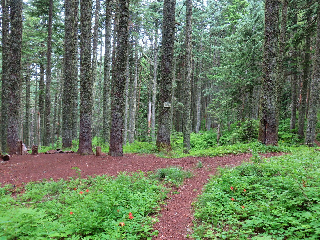

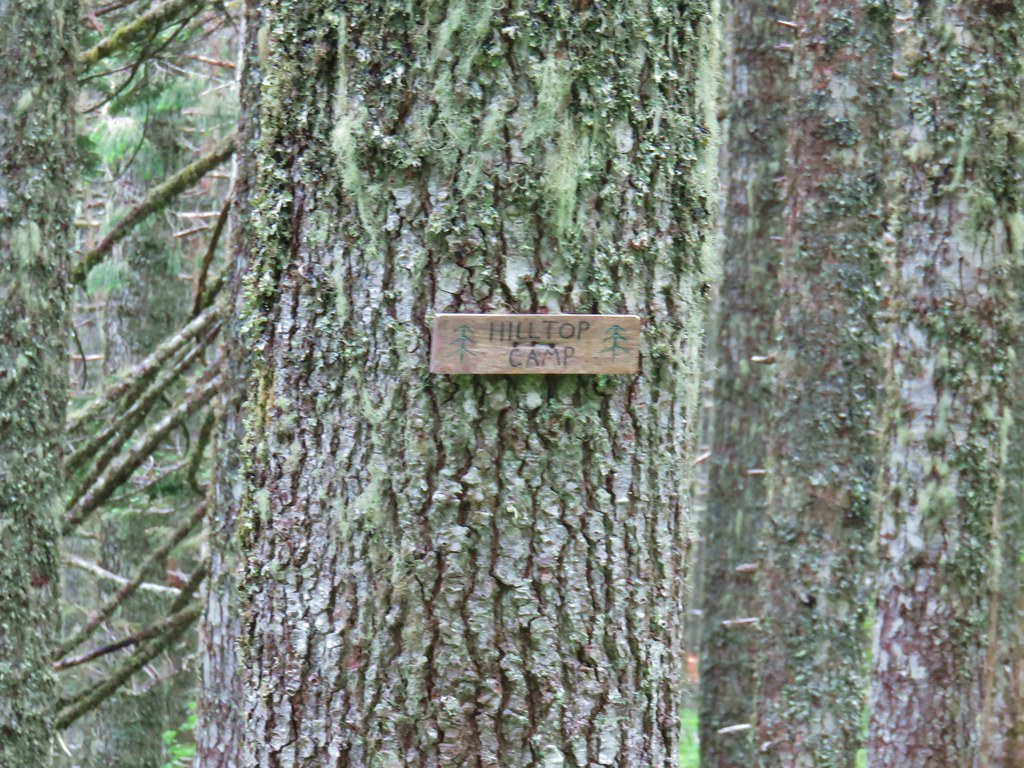
A spur trail led down to what we presume was Cold Spring but it was hidden in brush. The unofficial (but signed) Alway Trail led downhill on a faint path to FR 68 from the camp as well. Just beyond this camp was another sign for Hilltop Camp, but unlike Cold Springs Camp this one looked to no longer be used.

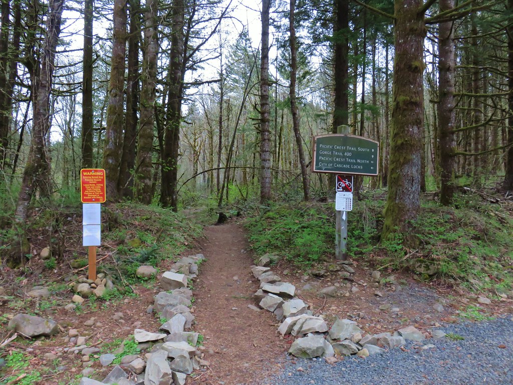
The trail was part of the Cascade Crest Trail which was the precursor to the Pacific Crest Trail. The current route of the PCT is further to the west but it does pass Big Huckleberry Mountain and we would briefly be on it later.
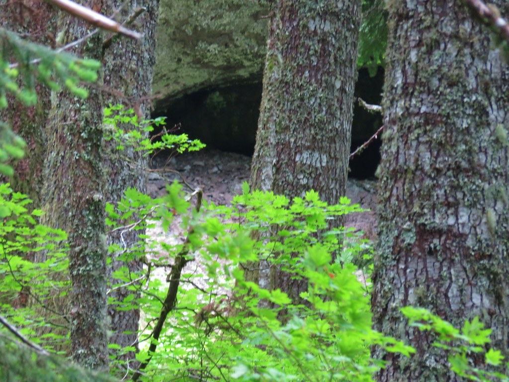
From the camps the trail lost some elevation as it passed beneath a rock outcrop which looked to have a pretty good sized cave or at least a big overhang at its base.

We arrived at the PCT five and a quarter miles from the trailhead.
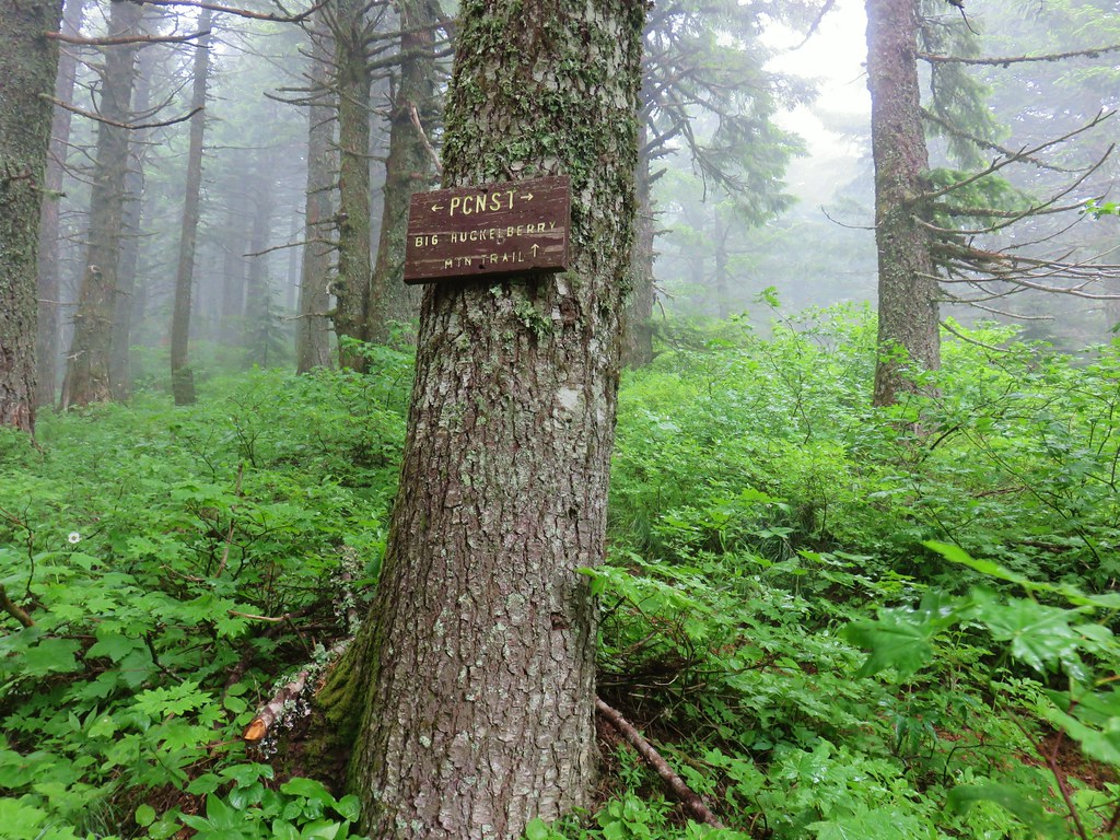

From here we were about five miles south of the trailhead where we had set off on the PCT on our 2018 hike to Indian Racetrack in the Indian Heaven Wilderness (post). We turned right, took a couple of steps, and veered right again following the pointer for Big Huckleberry Mountain. A .2 mile climb brought us to the open summit where the forecast was right for the first time today, it was mostly cloudy.

Big Huckleberry Mountain was also home to a lookout at one time but now aside from a few remains the summit was just occupied by wildflowers.
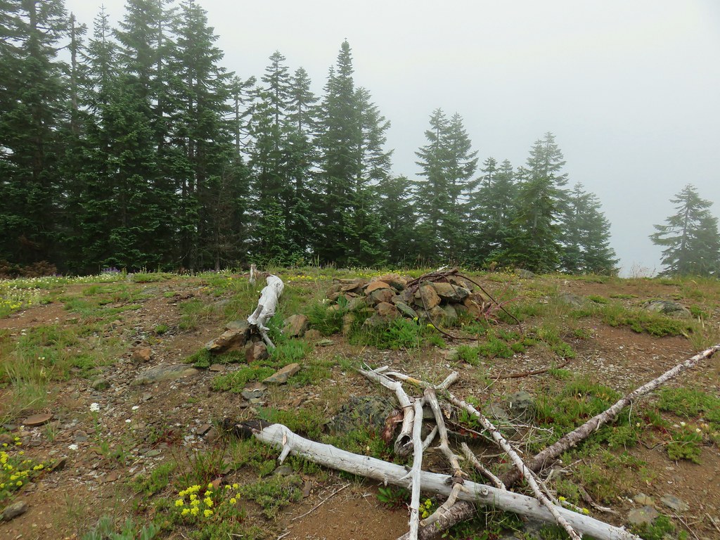


A fairly long rocky spine extended east from the former lookout site with a couple of pockets of trees separating the open areas where the flowers were prevalent.


The slope eventually steepened enough to make for a good stopping point.

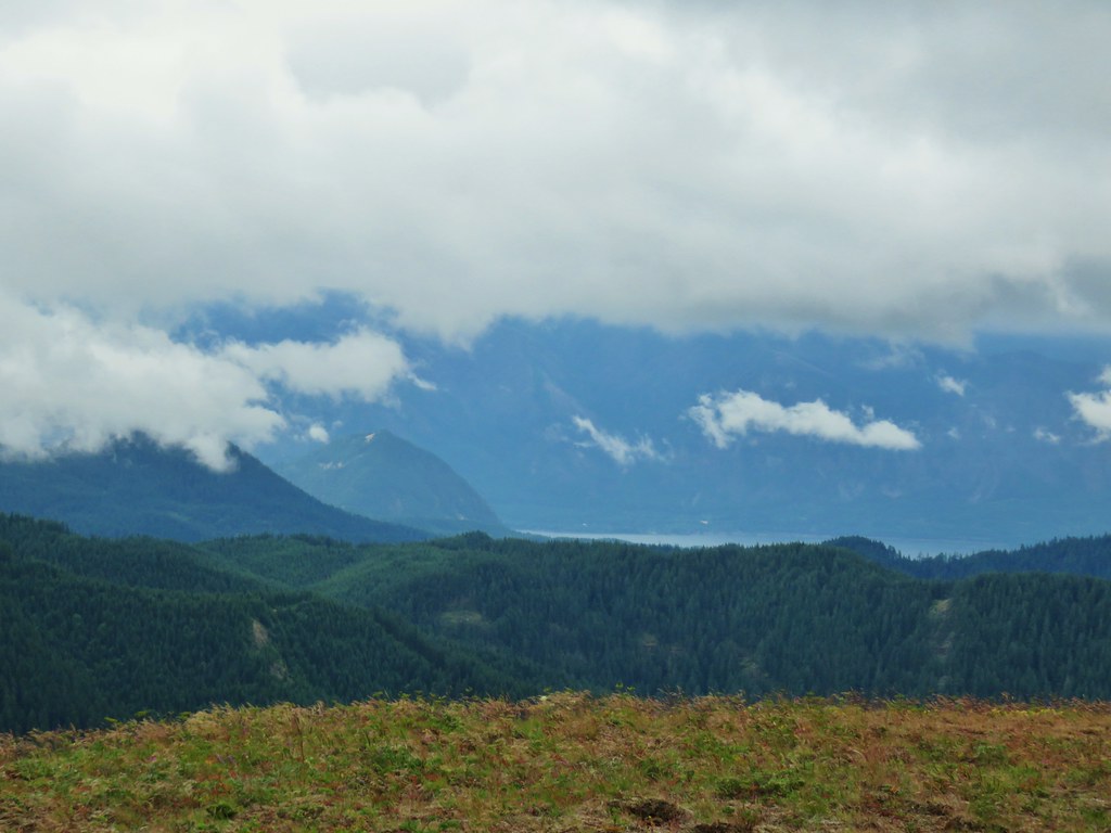
The end here was just a little further beneath the clouds which allowed for a good view of the Big Lava Bed which lay between Big Huckleberry Mountain and Mt. Adams but not for much else.

There was also a view south where the Bridge of the Gods could be seen (barely) spanning the Columbia River.


After exploring the summit and also resting a bit we headed back. There were some encouraging signs that the clouds might actually move on as we made our way back through the wildflower meadows.


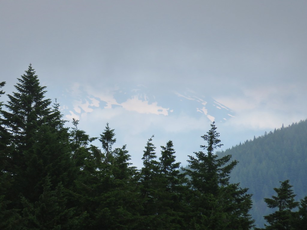 Snowy flank of Mt. Adams through the clouds.

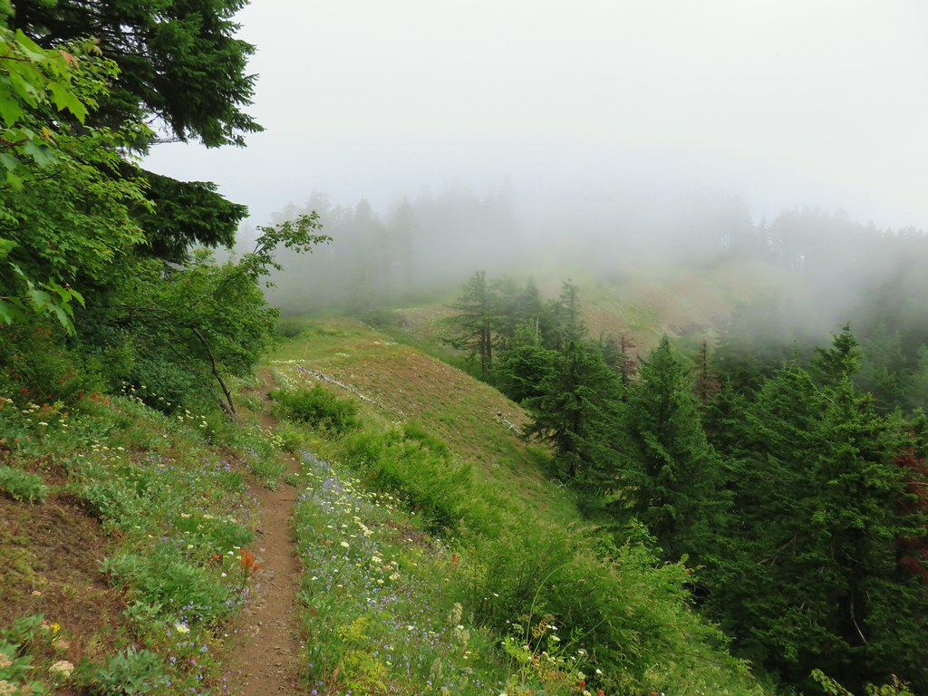
Back at Grassy Knoll the conditions were better than they had been earlier in the morning but they still weren’t great.


 Wind Mountain and the Columbia River
The same was true for the other viewpoints.
 Little Huckleberry Mountain and Big Lava Bed
 A bit of Mt. Adams again.
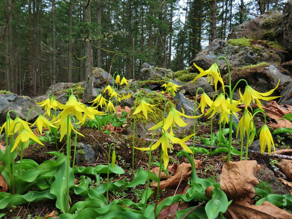
It was a little frustrating to be able to see clear blue sky beyond the edge of the clouds, but what can you do. The flower show had been more than entertaining and to cap the hike off the farewell-to-spring near the trailhead had started to open up despite the lack of sunshine.

Missing out on the view will put this 11.8 mile hike toward the front of the list for a revisit, although the roads might hold it back just a bit. Happy Trails!


 Snow queen and violets
 Trillium


 October 2015
 April 2019