Our hike this week took second fiddle to our son’s birthday which we planned to celebrate by taking him out to lunch/dinner in Eugene. We still wanted to get a hike in that morning, so we looked for something in the general direction of Eugene. Our original plan had been to visit Vivian Lake near Diamond Peak, but a forecast of rain, followed by snow, then more rain had us look elsewhere. Looking at my list of future hikes a couple of hikes between Corvallis and Newport caught my eye. They were more or less on the way to Eugene and the weather forecast looked good. The two hikes had been Strom Boulder Ridge and Olalla Reservoir. Double checking the status of the hikes revealed that Georgia Pacific, who manages Olalla Reservoir, had closed access due to low water at the beginning of September so that hike was out. I then turned to the Oregon Hikers Field Guide to look for another short hike in the area and found the Big Creek-Forest Park Hike in Newport.
We began with the Big Creek hike parking at the Agate Beach State Recreation Site.

A trail begins near the restrooms at a footbridge over Big Creek.

 Big Creek in the morning.
The trail follows Big Creek toward Highway 101 then recrosses it leading to a tunnel under the highway.
 A short section of the trail was paved.
 At the eastern end of the parking area we came to this new kiosk that is being installed marking the start of the Agate Beach TRACK Trail. There was also a path directly to the parking lot from the kiosk which we used upon our return.

 The tunnel under Highway 101. The stairs at the far end lead up to a city street while the trail makes a hard right to briefly follow the highway back across Big Creek.

 A series of boardwalks crosses the marshy bottomlands of Big Creek.
 While the kiosk was a new work in process there were a number of older looking interpretive signposts. This was one of only a handful that still contained an interpretive sign.
 The bottomlands.


 There were no signs at junctions but for the TRACK Trail stick to the level fork and ignore anything going uphill.
 Further along the trail Big Creek could actually be seen flowing.
 A non-boardwalk section along Big Creek.

 Approximately three quarters of a mile from the kiosk the trail arrived at Big Creek Road at another new signboard.
 The signboard at Big Creek Road didn’t have any information on it yet.
We turned right on Big Creek Road passing a large overflow parking lot for Big Creek Park and Reservoir, crossed Big Creek, and then turned left into Big Creek Park.

 Stellar’s Jay
 Northern flickers on the picnic shelter.
A signboard near the picnic shelter marked the start of the Forest Park Trail.
 Map on the signboard.
Don’t be fooled by the footbridge over Anderson Creek to the right of the signboard, the Forest Park Trail follows an old gravel roadbed steeply uphill to the left of the sign.
 Anderson Creek, the footbridge, and signboard from the roadbed.
 The Forest Park Trail
While the Track Trail had gained almost no elevation the Forest Park Trail climbed over 200′ in its first half mile to a pair of water towers.
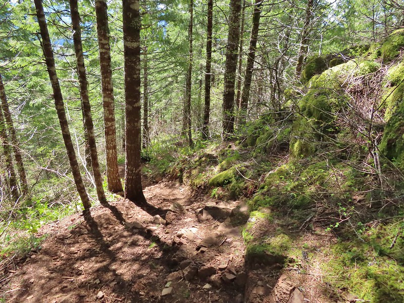
 A nice sitka spruce forest lined the old roadbed.
 Mushrooms
 Sunlight hitting the trees.
 The Pacific Ocean through the trees near the water towers.
 Passing the water towers.
Beyond the towers the trail dropped 160′ to wetlands along Jeffries Creek then climbed nearly another 90′ to a gate at the Fogarty Street Trailhead.

 The drop to Jeffries Creek.
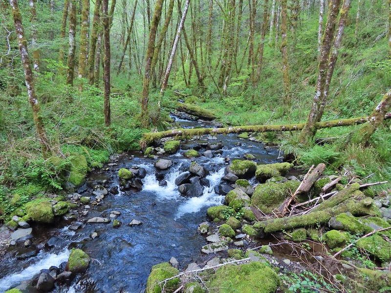
 Jeffries Creek
 Wood ducks in the wetlands.
 The gate near Fogarty Street.
 The Forest Park Trail from the other side of the gate.
We returned to the kiosk at the start of the TRACK Trail the way we’d come then cut to parking lot and returned to our car. The hike came to 4.0 miles with just over 550′ of elevation gain, nearly all of which was on the Forest Park Trail. The TRACK Trail seems like a good option for kids with the Forest Park Trail adding some short, steep climbs for those looking for more of a workout. The ability to visit Agate Beach from the parking lot is a huge bonus. We didn’t have time today to visit the beach but had in 2018 during our Yaquina Bay hike (post).

For our next stop at Strom Boulder Ridge we drove East on Highway 20 from Newport to Burnt Woods and turned right onto Harlan-Burnt Woods Road. We followed this road for 2 miles then turned right onto the unsigned gravel Burnt Woods Forest Road. I found this hike on Alltrails which I have somewhat reluctantly been looking at more frequently, mostly to check for recent trip reports but there are also some obscure “hikes” that don’t appear in any of our guidebooks or in the Oregon Hikers Field Guide. Strom Boulder Ridge is one such “hike” which is really just a 7.5-mile loop on drivable gravel logging roads on Oregon Department of Forestry managed lands. As such there is no official trailhead (although Google Maps seems think there is). The loop begins 0.7-miles up the forest road but we decided to park at a pullout next to a gravel pile halfway to the start of the loop.

 Morning fog was still burning off at 9:30am.
One thing to note is that there isn’t any signage and because the area is actively logged roads may be added or closed depending on operations. I had downloaded the Alltrails track and we had our GPS units with us. Almost immediately we passed a logging road coming downhill on the left that was not shown on either the Alltrails or Garmin maps.
 A car by the gravel pile to the left with the road coming down the hillside to the right. Interestingly Google Maps labels this as “Burnt Woods Ridge Road” which both Alltrails & Garmin showed as the left-hand fork where our loop would begin. (Google doesn’t show a road there at all but you can see the road in the trees by looking at the aerial view.) Numerous times throughout the hike we relied on comparing the Alltrails Track to the GPS map and our track to that point to determine where we were and which road(s) to take.
The trip reports on Alltrails had all mentioned how quite this hike was and it was (we saw no other hikers and only passed one pickup truck on the loop) other than the gunfire that we heard almost immediately and then off and on throughout the majority of the hike. We followed the road uphill to a saddle then dropped slightly to a fork marking the start of the loop.

 There was some room to park here at the start of the loop (this is not where Google marks the TH) as well as many pullouts along the loop where one could choose to start.
We forked right following the suggested direction shown on the Alltrails track sticking to the Burnt Woods Forest Road. Over the next three and a half miles the road swung out and around several ridges in a series of ups and downs resulting losing a cumulative 580′ but regaining over 400′ along the way. As we descended we found ourselves back in the fog for a while before it finally burned off.


 Heading down into the fog.
 One positive to the fog is that it can create some dramatic Sun rays.
 Vine maple
 Blue sky in the upper left hand corner.

 The road to the right is an example of a road that wasn’t labeled on any map we had.
 Emerging from the fog.
 Looking back through the fog to blue sky and the Sun.
 The only other “hiker” we saw on the loop.
 We couldn’t see it but just over three miles from the start of the loop the road crossed Cline Creek which was the first time we heard what sounded like a decent amount of flowing water.
 A little over a tenth of a mile beyond Cline Creek we left Burnt Woods Forest Road and forked uphill to the left onto Cline Creek Road.
Cline Creek Road climbed gradually for approximately a half mile at which point it steepened and climbed for another mile to a junction with Burnt Ridge Road.
 Arriving at a clearcut. Much of Cline Creek Road was along different clearcuts.

 Mylitta crescent
 Red-tailed hawk soaring over the clearcut.
 Trying to get the red-tailed hawk in flight.
 Lots of Fall colors starting to pop.
 The first signs we’d seen (noticed anyway) were at the Cline Creek/Burnt Woods Ridge Road junction.

We turned onto Burnt Ridge Road and climbed some more gaining just over 150′ in the next 0.3-miles to the loop’s highpoint along the ridge (1558′). From there the road followed the ridge in a series of ups and downs for another mile and a half before making a sharp left and beginning a steeper descent back to the Burnt Woods Forest Road.

 Arriving at the high point which was actually the first good viewpoint being above one of the clearcuts.
 Looking North at more of the Coast Range.
 Theoretically we should have been able to see both Mt. Hood and Mt. Jefferson from here but between haze from the fog and clouds we couldn’t make either out.
 Mt. Jefferson is out there somewhere. The fact that the Cascades have some snow again doesn’t help them stand out in the haze and clouds.
 Yet another unsigned road junction. Sticking to the ridge is the key.
 After crossing a saddle we gained views SE to Mary’s Peak (post)
 The tower and summit meadow of Mary’s Peak.
 The hard left prior to the steep descent. The road on the far hillside in the clearcut is part of the road Google Maps has labeled as Burnt Ridge Road but doesn’t show on Alltrails or the Garmin maps.
We followed the ridge downhill for a little over a mile to complete the loop then followed the Burnt Woods Forest Road back to our car.

 The end of the loop at the bottom of the hill.
Due to where we parked our hike came in at 8.5-miles with a little over 1200′ of cumulative elevation gain.

While it wasn’t the most exciting hike there was enough variety for it to be pleasant and aside from the gunfire it was quiet. It’s a decent option for a moderate workout, especially after rains when the road walk would be less wet/muddy than many trails. I would probably avoid weekdays if there is active logging occurring though. One other thing of note – Alltrails entry for the hike mentions the Siuslaw National Forest requiring a recreation pass but this is not National Forest land (and there is no developed trailhead) so no passes are currently needed.
After the hike we drove to Eugene and met Dominique at Ubon Thai for a late lunch/early dinner for his birthday. Good food and as someone who enjoys spicy foods, they didn’t disappoint with their heat scale. We followed the meal up with a slice of cake we’d brought down from Gerry Frank’s Konditorei. A great way to end a nice day. Happy Trails!


 Peat Swamp Trail.

 One of the two otters that were swimming in the wetlands.
 Mallard
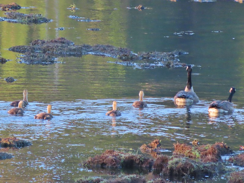
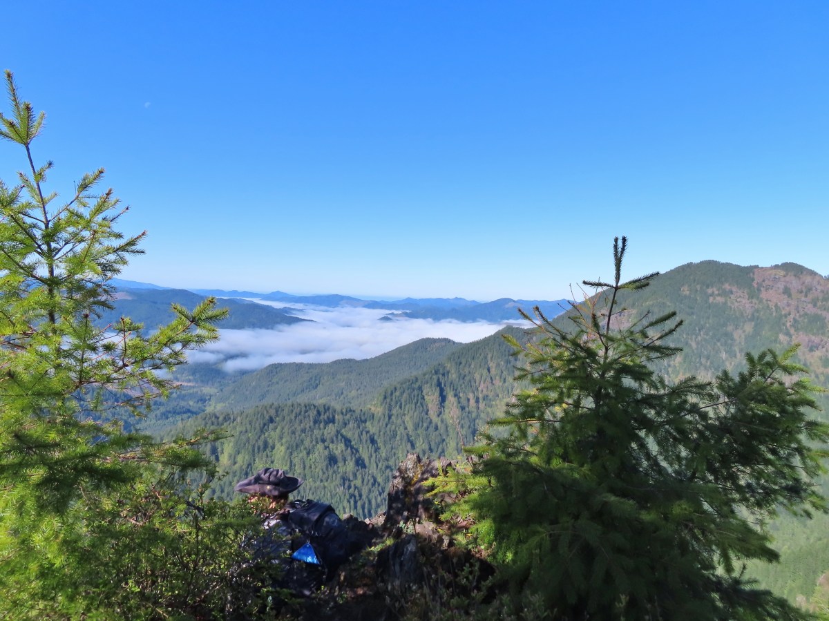
 The gadwall amid a family of Canada geese. When we got home and looked closer at the picture we realized that one of the round shapes we took for a clump of mud was actually an animal. We can’t make out the tail to know for sure whether it was a beaver or a nutria but we’d like to think it was another beaver.
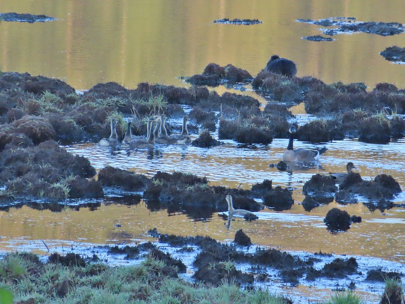 The beaver? turned a bit in this photo but we still couldn’t make out the tail. It does appear relatively large when compared to the adult goose though.


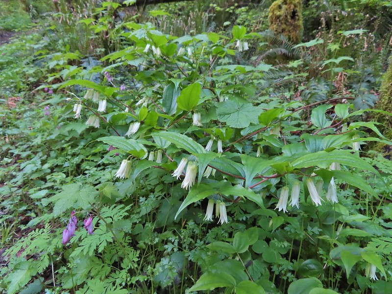 Fairy bells and bleeding heart.
 Elk Creek below the trail.
 Junction with the Elk Mountain Trail


 Paintbrush
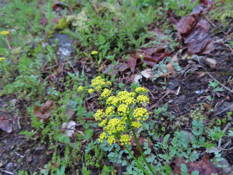 Parsley
 Blue-eyed Mary
 Viewpoint along the Elk Mountain Trail.
 The blue sky is up there.
 Snow queen
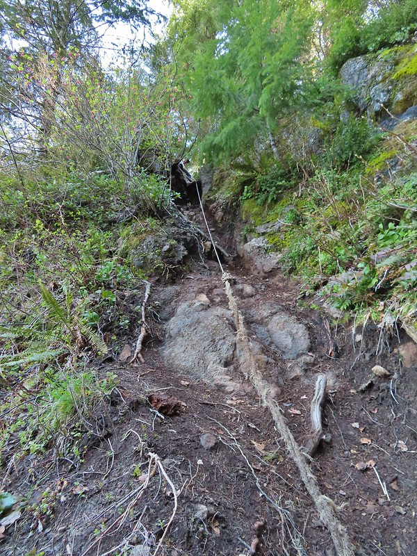
 The trail was as steep and rough as we’d remembered.

 White service berry blossoms and a huckleberry plant.
 Violet
 Red-flowering currant
 Trillium
 Anemone
 Monkeyflower
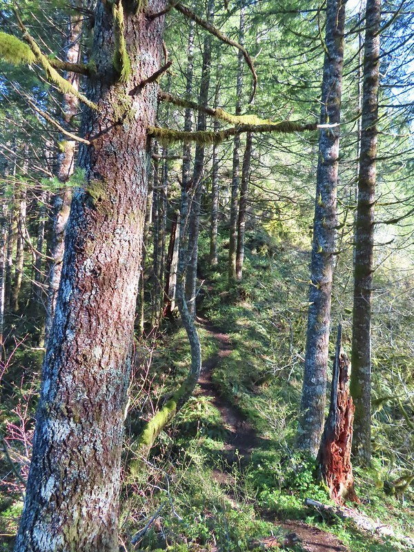 One of the saddles.
 Chocolate lily
 Elk Mountain summit.
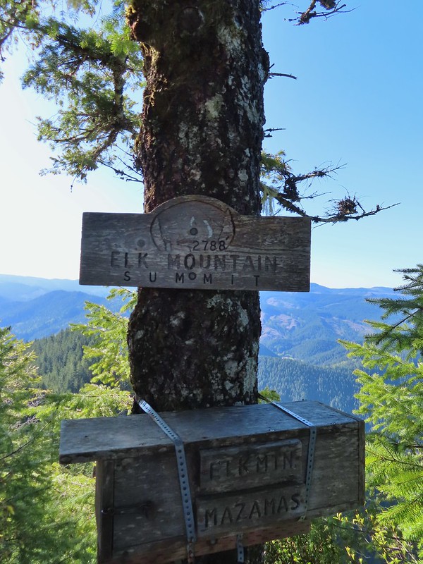
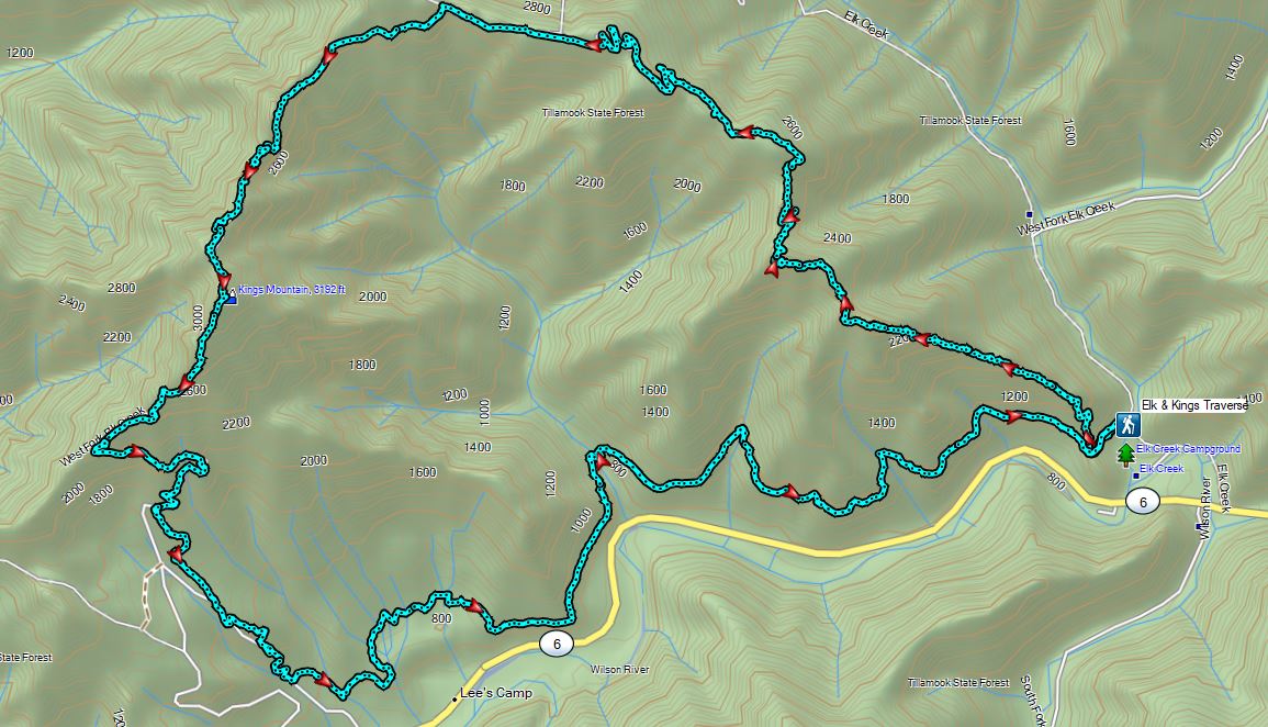
 Kings Mountain from Elk Mountain.
 Wilson River
 Pacific Ocean
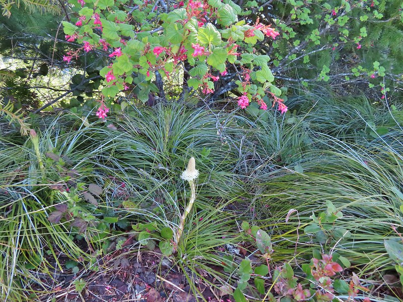 The blooming beargrass below some red-flowering currant.
 Beargrass
 Looking down the trail.
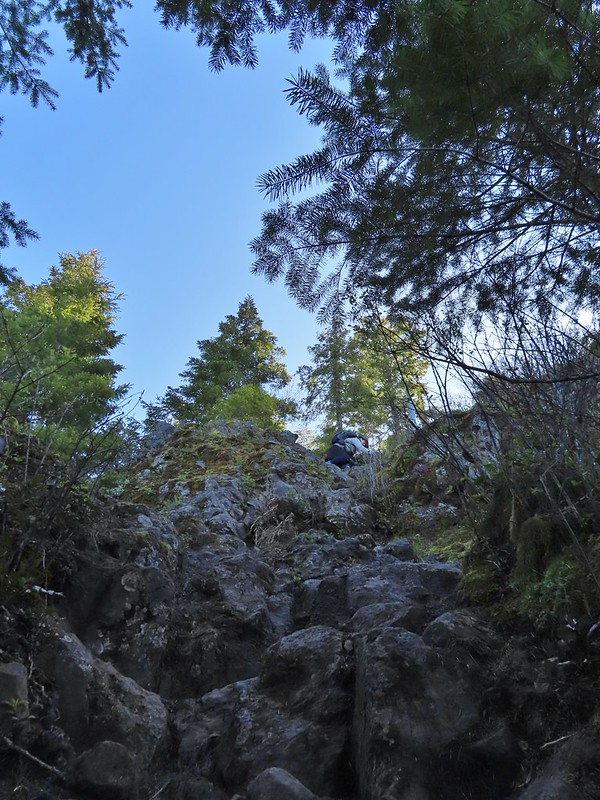 Heather on her way down.
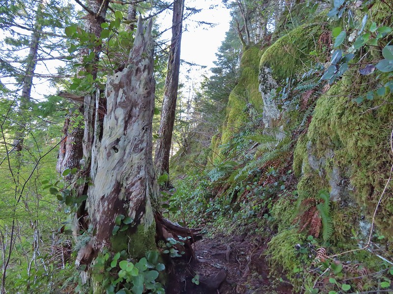
 On the ridge.
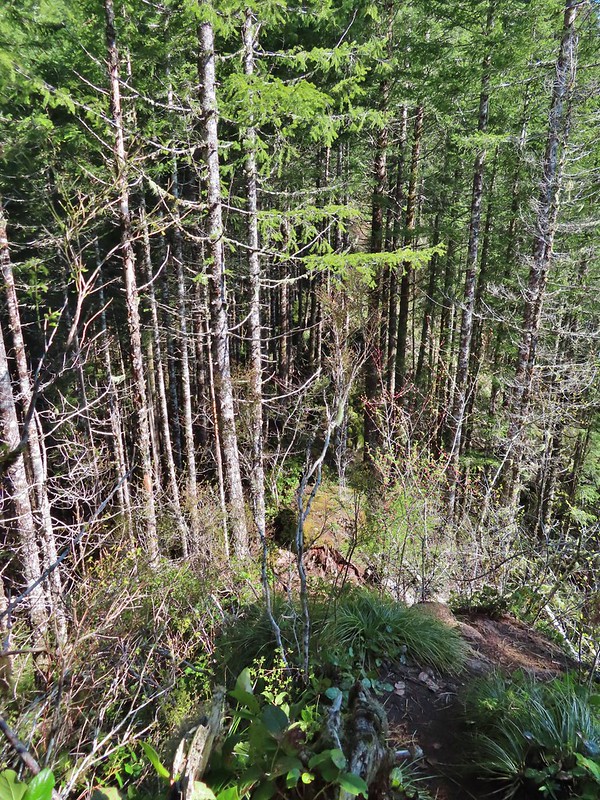 Dropping down to a saddle along the ridge.
 Mercifully on the old roadbed.
 A clump of trillium.
 Little moth.
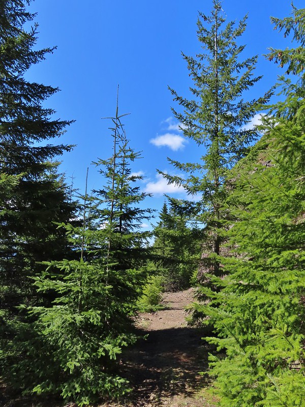
 Getting closer to Kings Mountain.
 Paintbrush
 Coming up to the junction.
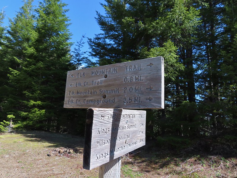
 Phlox, paintbrush, and chickweed.
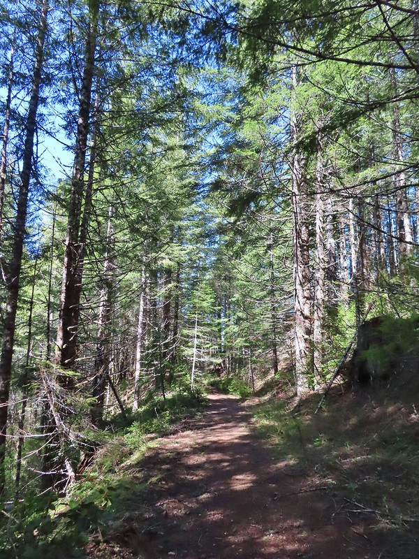 Still on the old road.
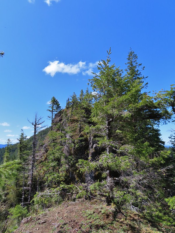 At the ridge end above the saddle, the trail dropped down to the left then through the saddle.
 Below the outcrop headed to the saddle.
 Heather getting ready to start down.
 The chute in 2010.
 The trail is down there somewhere.
 Trillium
 Bleeding heart
 Fringed kitten-tails
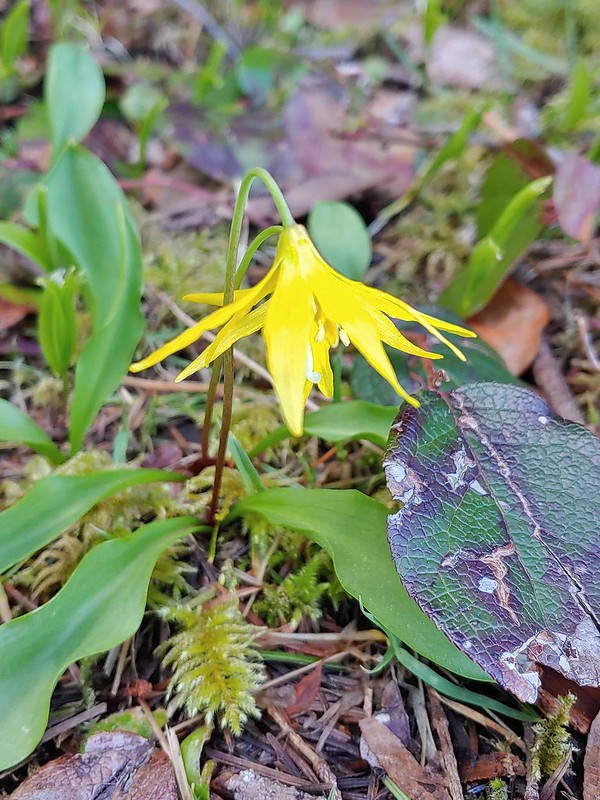 Glacier lily
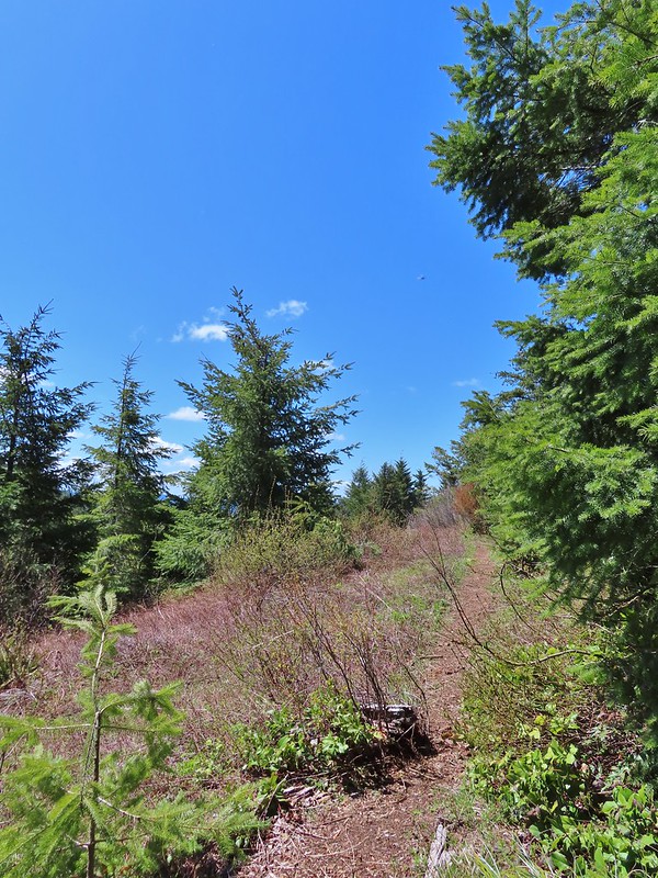 Coming up to the high point.
 Kings Mountain
 View SE from the high point.
 Dropping to the last saddle.
 Summit register at Kings Mountain.
 Pacific Ocean in the distance.
 View north.
 Other hikers at the summit.
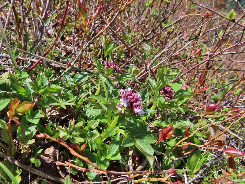 Valerian
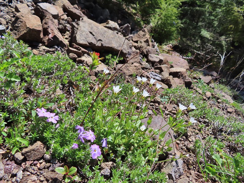
 Saxifrage, possibly Saddle Mountain saxifrage.
 Phlox, paintbrush, parsley, blue-eyed Mary, and chickweed.
 One of the rougher sections.
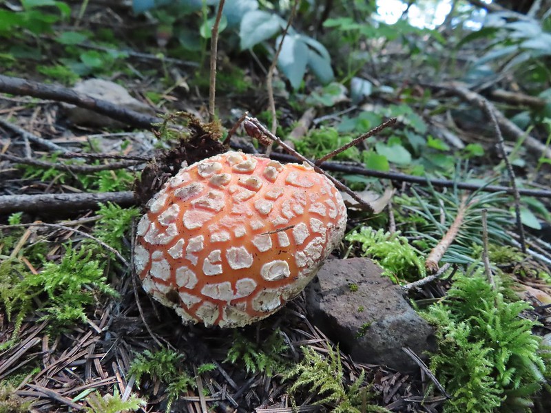

 Wood sorrel
 Woodland buttercup and candy flower.
 The 4-way junction.
 Dog Creek
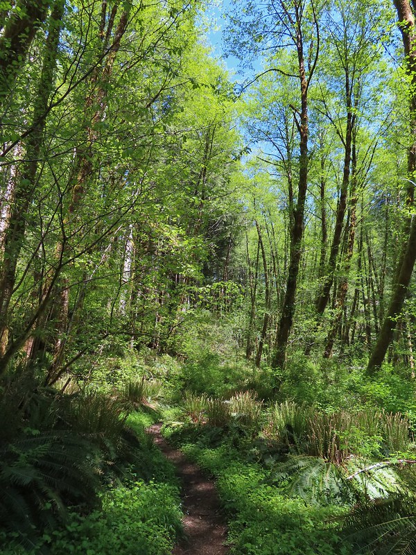


 One of the smaller streams.
 Monkey flower
 Lily that will bloom in a few weeks.
 Fringecup
 Coming up on a footbridge across Big Creek.
 Big Creek
 Pacific waterleaf
 Steadily climbing.
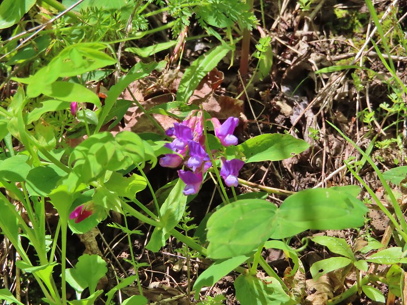 A pea or vetch.
 Unnamed stream crossing.
 Miterwort
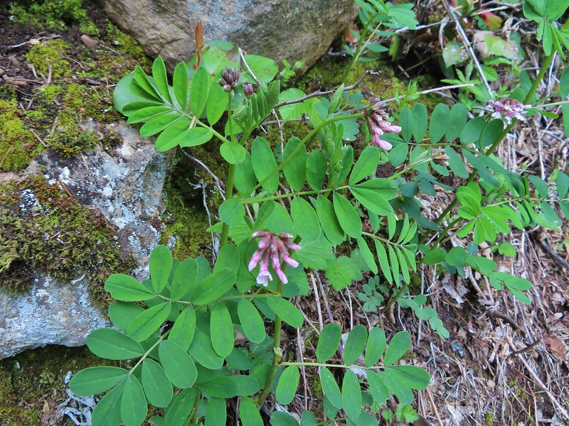 Rosy Birdsfoot Trefoil
 The third type of monkey flower we saw on the day.
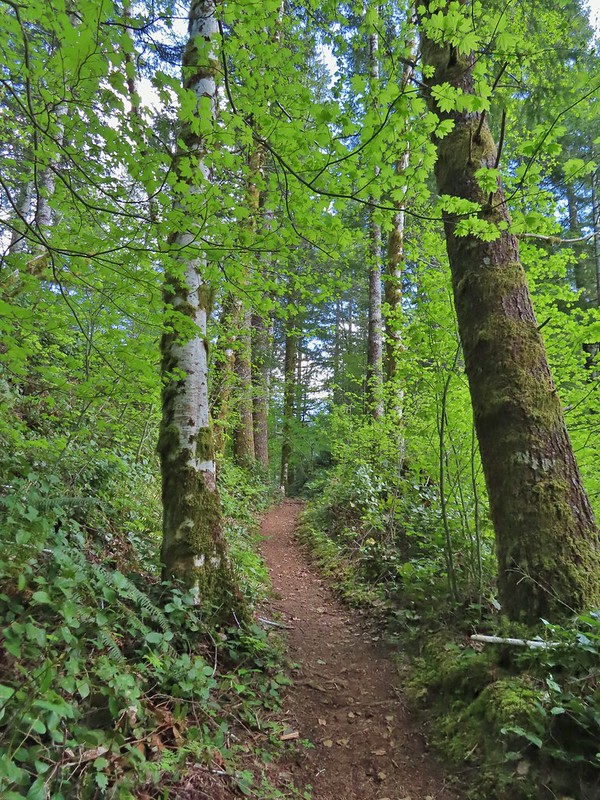 The junction is on the saddle ahead.
 Cars to the left through the trees, we made it.