There are a few hikes we’ve done where either fog, clouds, or smoke have left us without a view from our destination. When that happens, we add them to the list of destinations to revisit. Big Huckleberry Mountain was one such destination. Located in SW Washington in the Gifford-Pinchot National Forest we had visited this former lookout site in 2019 (post). For that hike we started from the Grassy Knoll Trailhead. That was an 11.4-mile hike gaining 1800′ of elevation with lots of wildflowers.
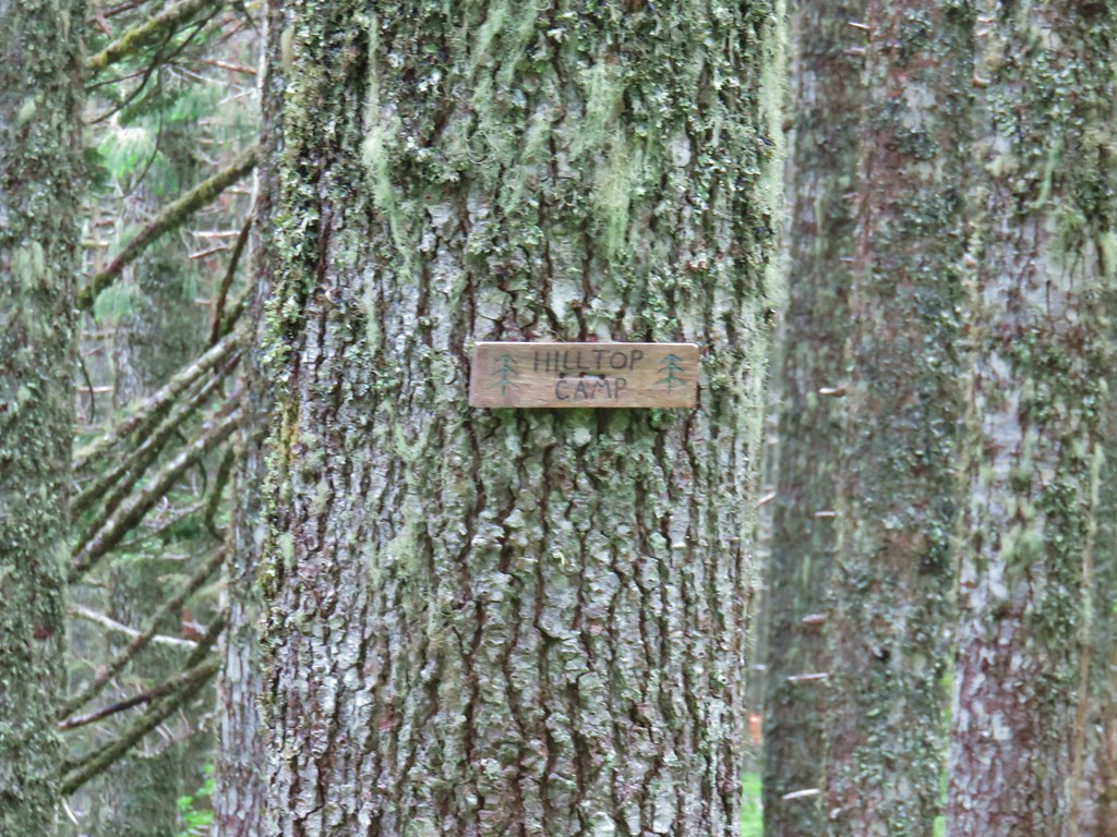
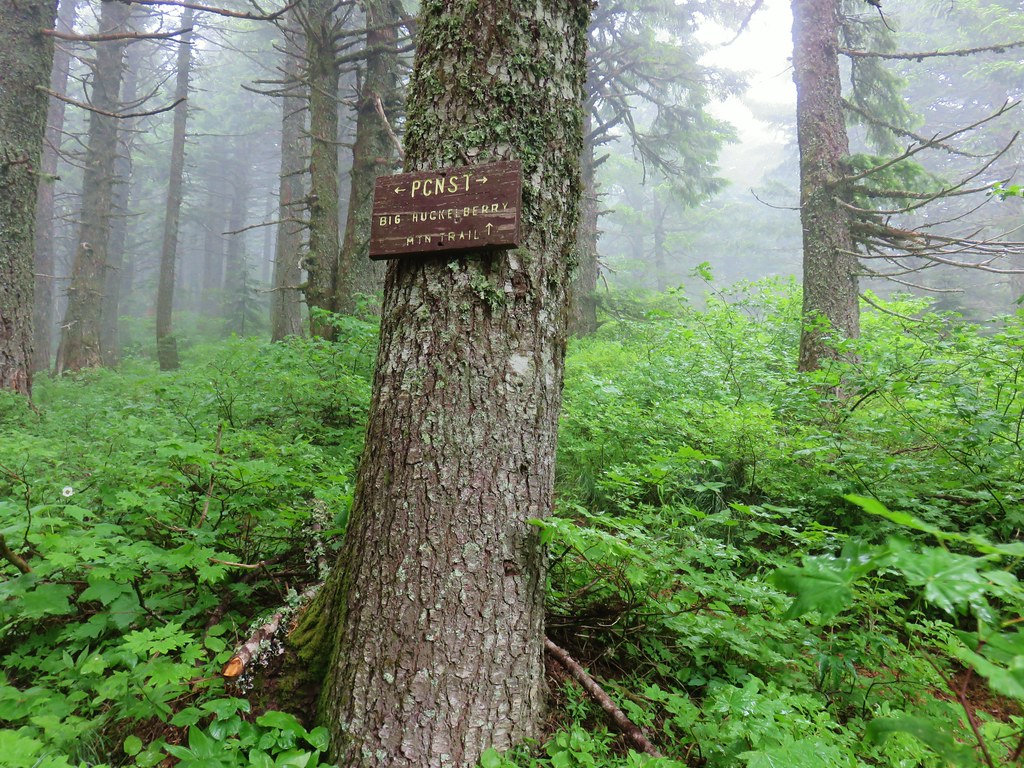
While the Grassy Knoll approach was great there are other ways to reach Big Huckleberry Mountain. Two of them are by starting at trailheads along the Pacific Crest Trail from either the north or south. We chose the southern trailhead based on it being the starting point of William L. Sullivan’s featured hike in his “100 Hikes Northwest Oregon” guidebook. An unofficial trailhead, it isn’t shown on Forest Service or Google maps, but a large pullout along Forest Road 68 where the Pacific Crest Trail crosses serves the purpose.
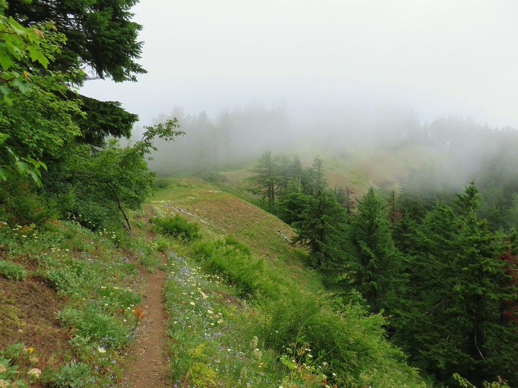
 Looking down at the pullout from the PCT on the way back.
Be aware that FR68 is rough with numerous good-sized potholes and one large, steep drop that would be difficult for low clearance vehicles.
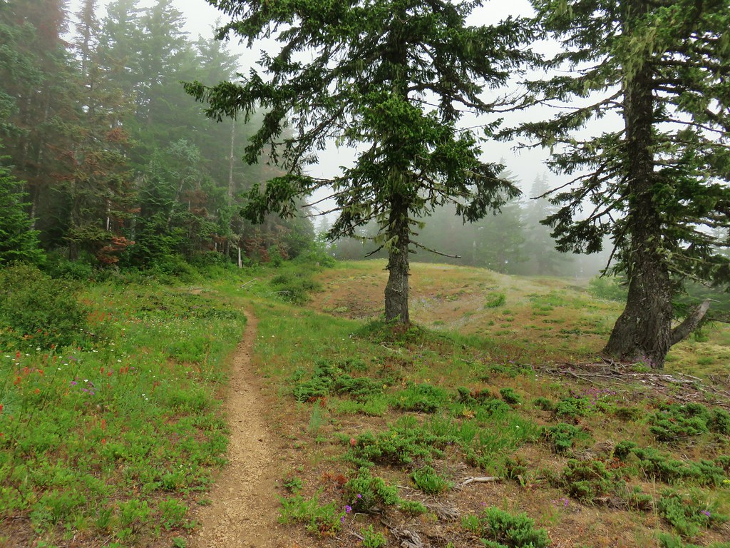
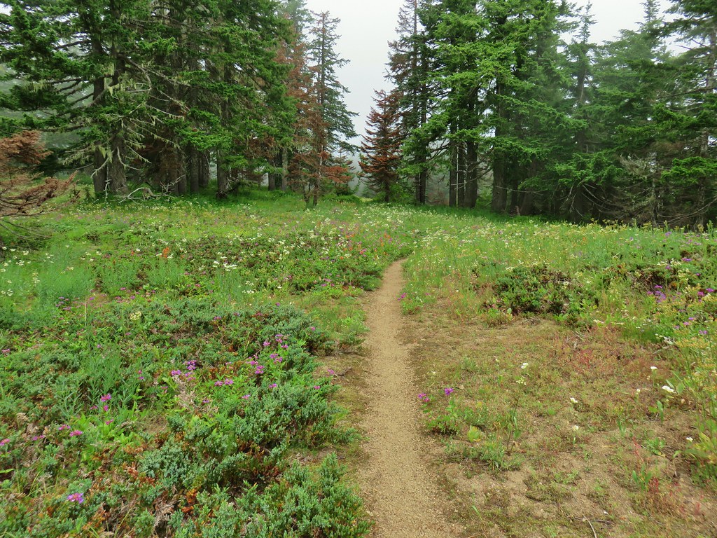
From the pullout we crossed the road at a large sign for the Wind River Experimental Forest and headed uphill on the PCT.


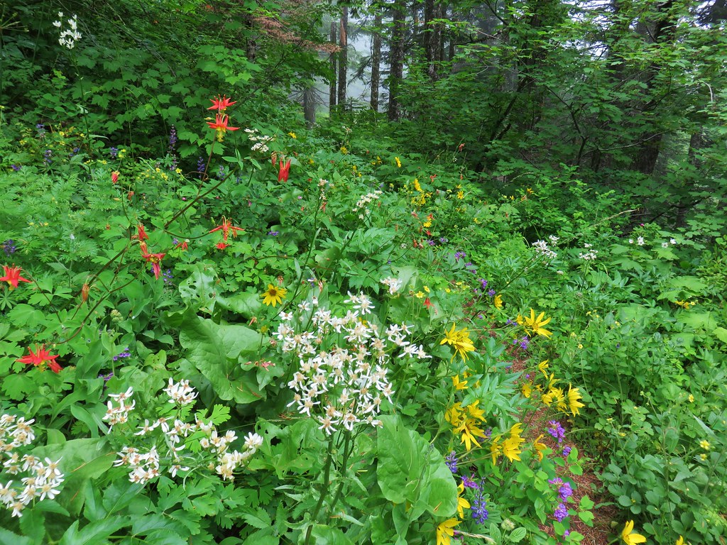
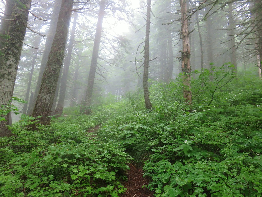
The PCT gradually climbed through a nice forest where a good number of wildflowers were blooming. There were also some glimpses of Mt. Hood through the trees. At the 1.3-mile mark the views to the south opened up where a large landslide at some point in the distant past had removed much of the forested hillside.

 Phantom orchid
 Spotted coralroot
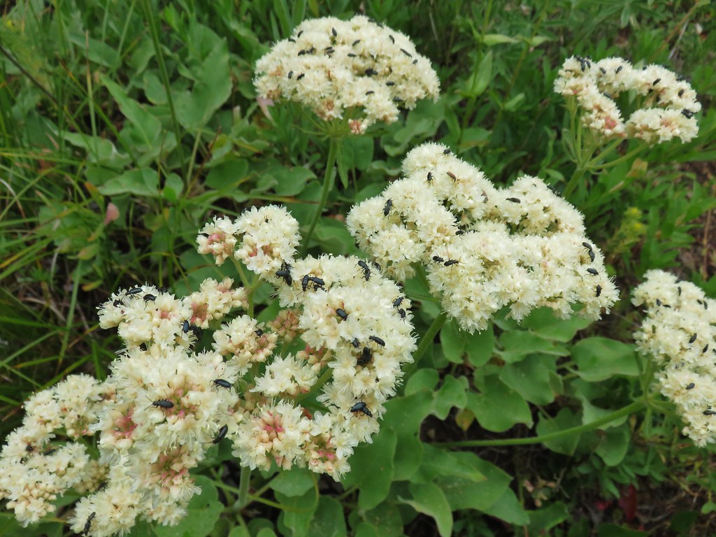
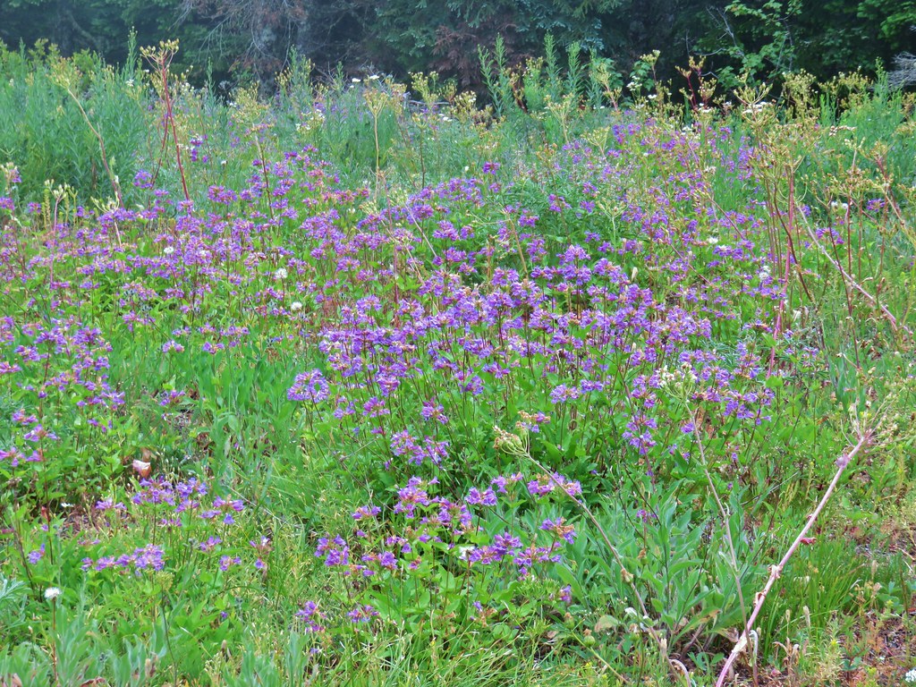
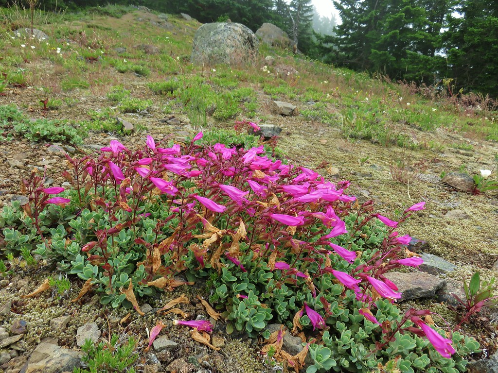
 Finetooth beardtongue
 Mt. Hood through a window in the trees.
 Finetooth beardtongue along the trail.
 White spiraea
 Bluehead gilia
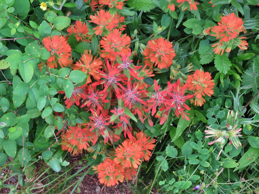
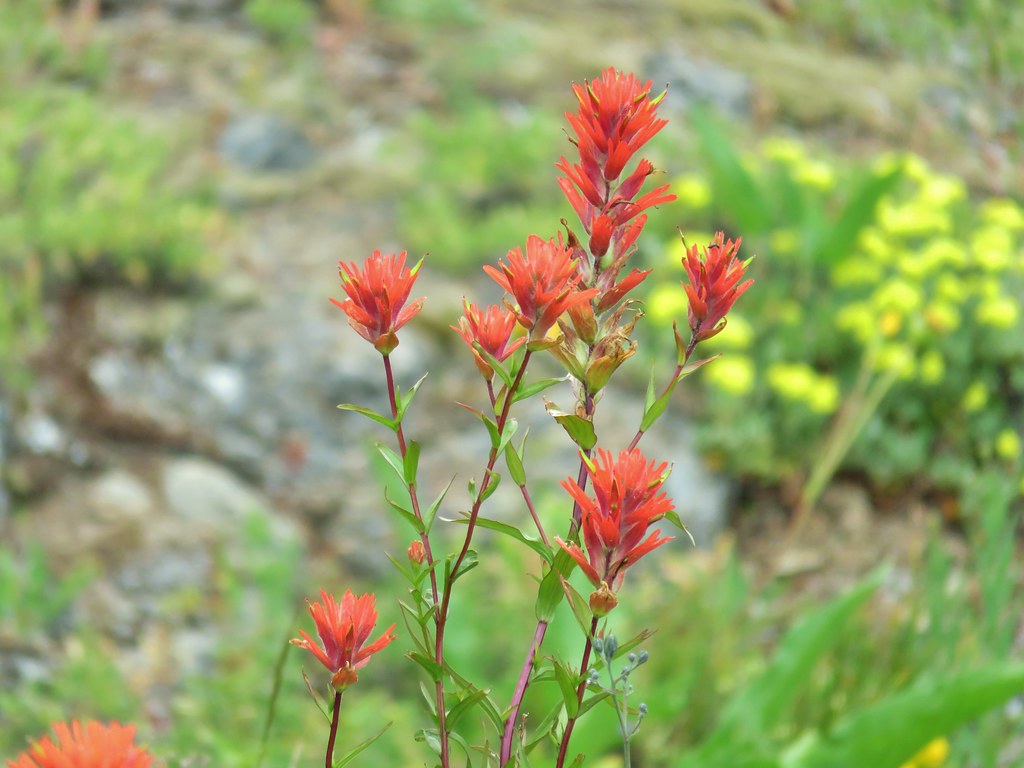
 Paintbrush
 Some yellow balsamroot along the trail.

 Columbine
 Inside-out flower
 Queen’s cup

 Bunchberry
 Vanilla leaf
 Arnica
 Approaching the landslide area.

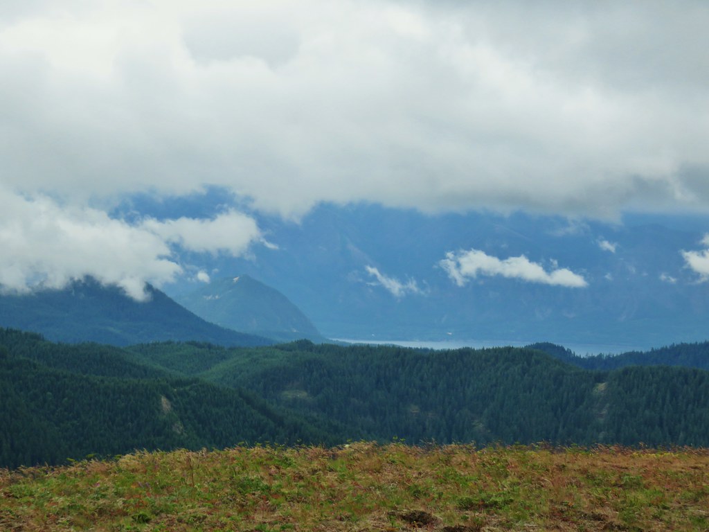
 Starting at the green up to the left is Augspurger Mountain (post) and Dog Mountain (post) on the Washington side of the Columbia River Gorge. Mt. Defiance (post) is the high point on the Oregon side with Mt. Hood to the right. The three lower peaks to the right of Mt. Hood are Tomlike, Chinidere, and Indian Mountain (post).
 Mt. Hood from the viewpoint.
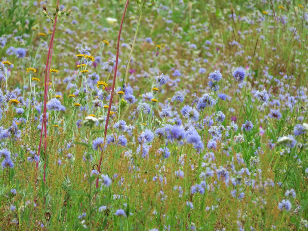
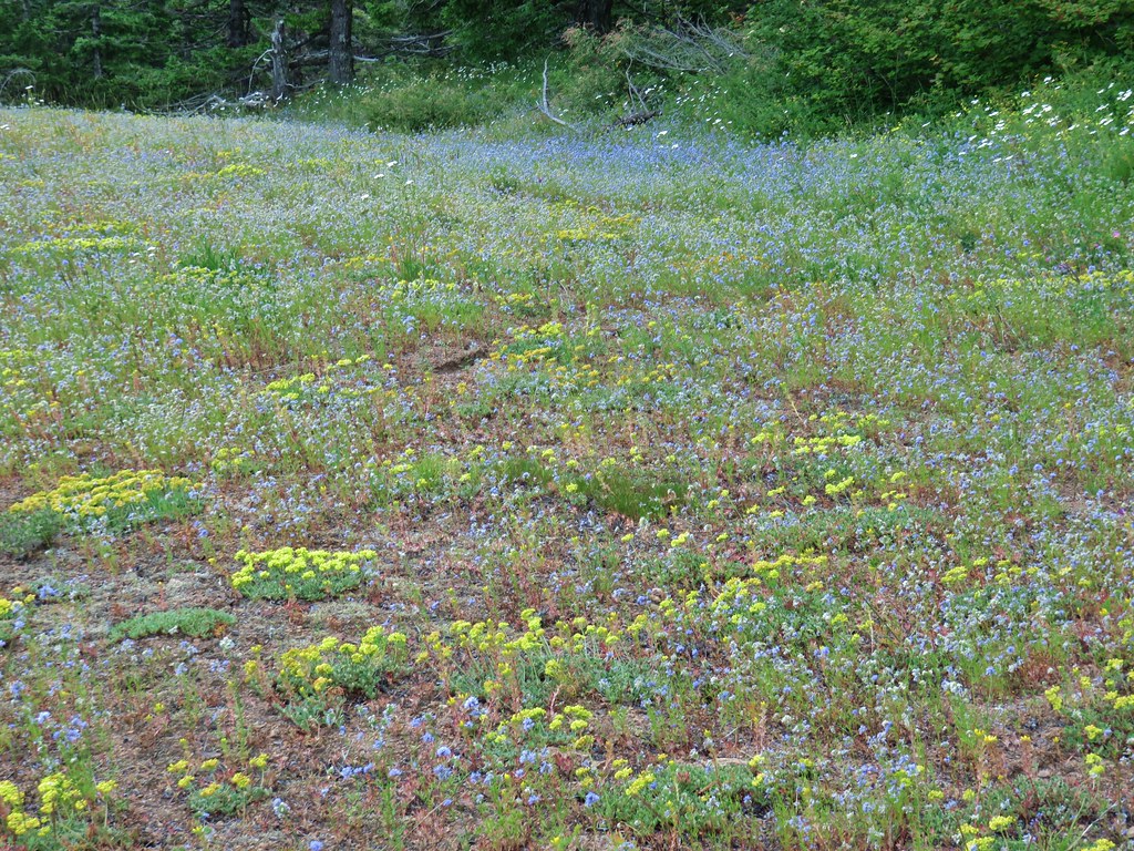
 Lomatium, bluehead gilia, and arrowleaf buckwheat in the bowl.
The trail continued along above the landslide before veering left to pass around a rise along the ridge.

 Honeysuckle

On the far side of the rise a spur trail led right to a small wildflower meadow along the side of the landslide.


 Wild onion mixed in with bluehead gilia.
 Bluehead gilia
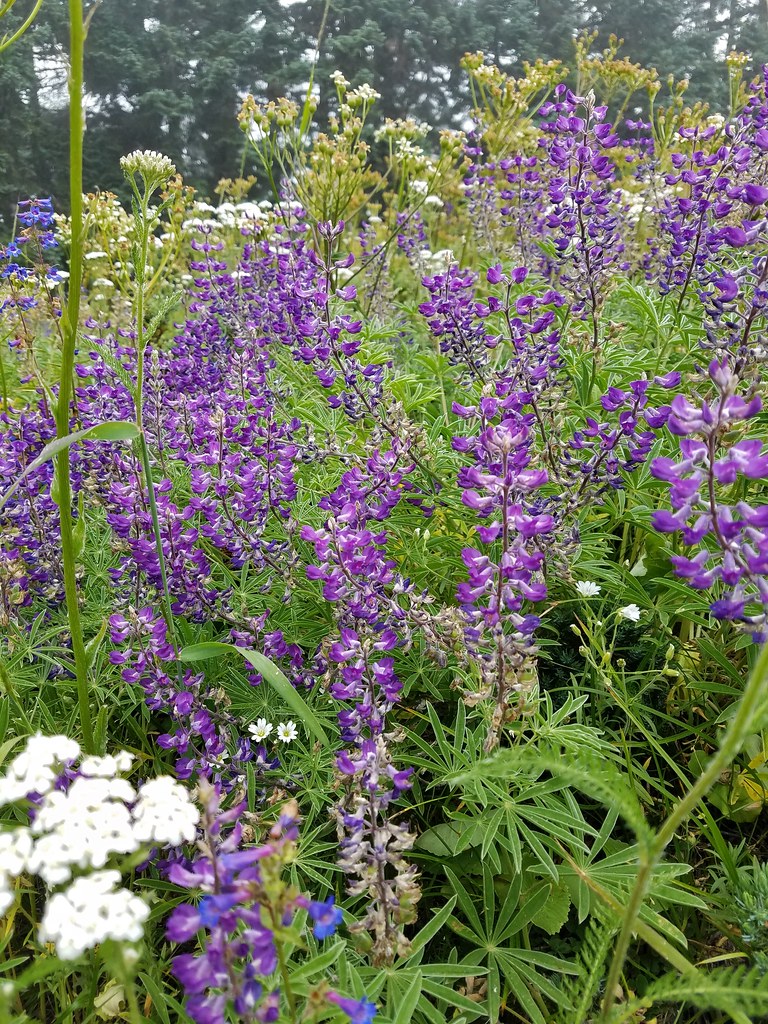
 Lupine
 Catchfly
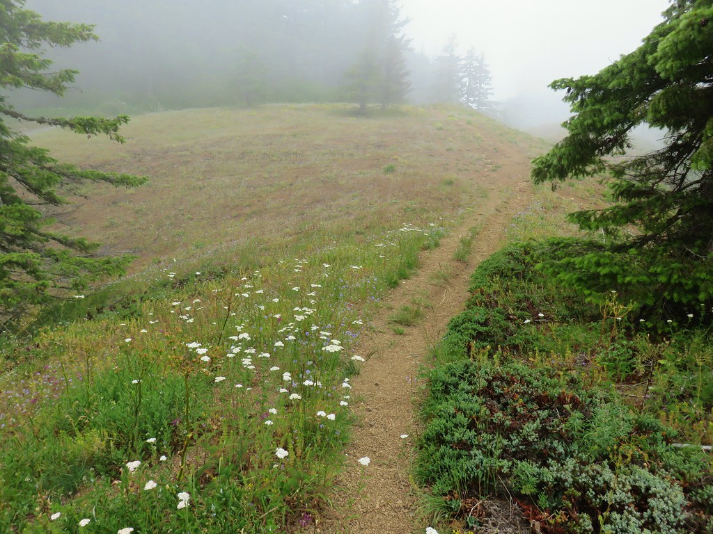
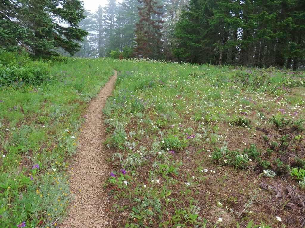
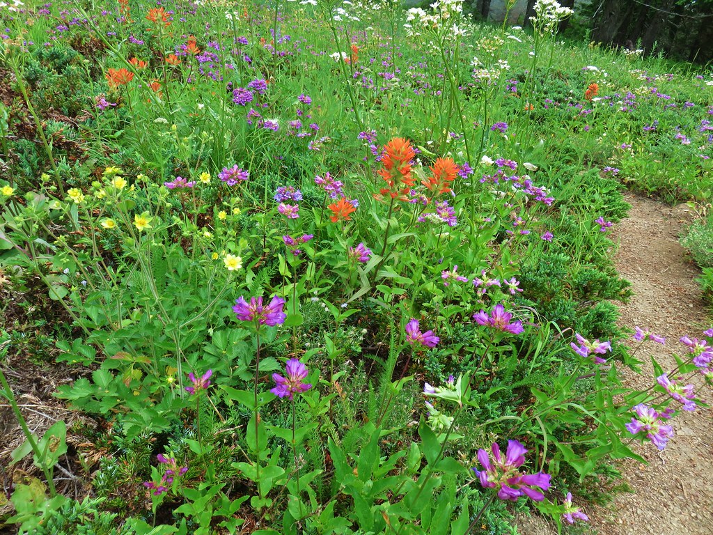
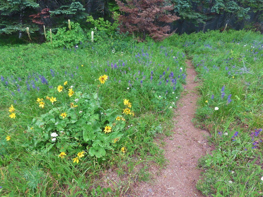
Beyond the viewpoint the trail dropped to a saddle then resumed its gradual climb following the forested ridge. Just before the 3-mile mark we passed the Cedar Creek Trail coming up from the right. Along the way we passed through a couple more small meadows with nice wildflowers.
 Arnica and beargrass in the forest.
 Nearing one of the little meadows.


 Sub-alpine mariposa lilies
 Bluehead gilia
 Sub-alpine mariposa lilies
 A closer look shows why these are also known as cat’s ear lilies.
 Buckwheat
 Onion
Onion

 Bastard toadflax behind a cat’s ear lily.
 Rosy pussytoes
 Yarrow
 Looking back from the meadow.

 I believe these are some type of microseris.

 Boundary sign for the Wind River Experimental Forest.
 Broadleaf arnica
 Star-flowered false solomonseal
 The Cedar Creek Trail coming up from the right.

 Anemones
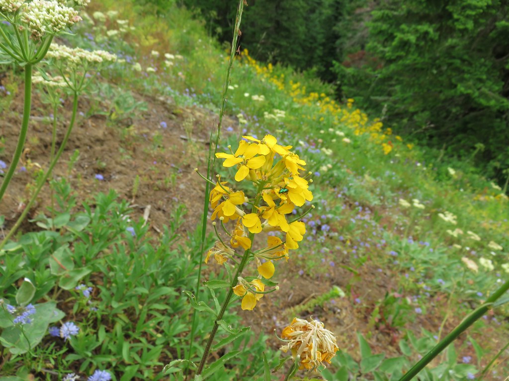
A third of a mile beyond the Cedar Creek Trail junction the PCT passed by a rocky outcrop. On the far side we took a path to the left leading to the top of the outcrop which had a great view of Mt. Hood and more wildflowers.

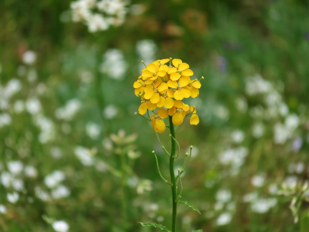
 Wallflower
 White groundsel

 Cliff beardtongue
 Cliff beardtongue
 Wild rose
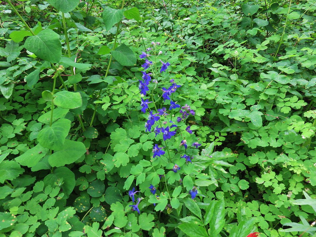
 Larkspur
 Mt. Hood from the viewpoint.
 Spotted coralroot
 Oregon sunshine and wild onions
 Chickweed
While we were taking a break at the viewpoint another pair of hikers arrived (the only others we would see all day). We left the viewpoint to them and continued on.
 Arriving at another small clearing with flowers.
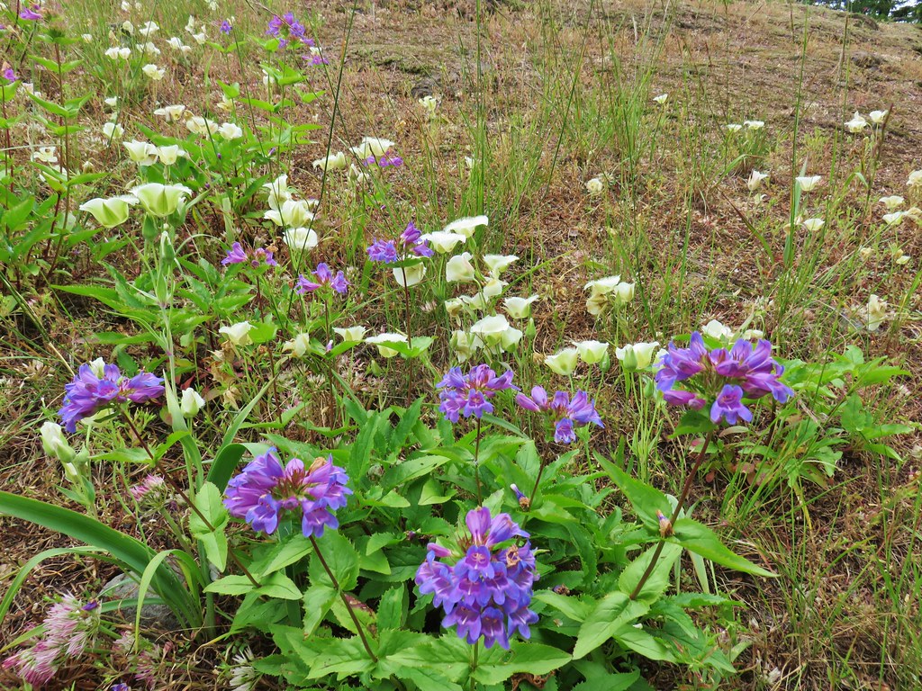
 Phlox, penstemon, lomatium, onion, and mariposa lilies.

 Another little meadow.
 Larkspur and balsamroot
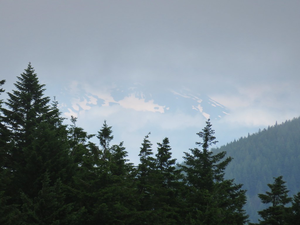
 This was the only time we spotted Mt. St. Helens on the hike.
At the 4-mile mark (0.7 from the rock outcrop viewpoint) we arrived at the junction with the Grassy Knoll Trail.

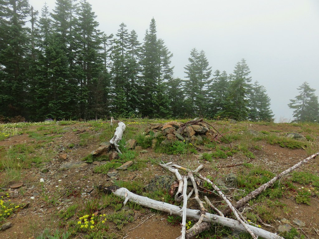
Almost immediately after passing this trail the Big Huckleberry Mountain Trail led uphill to the right.


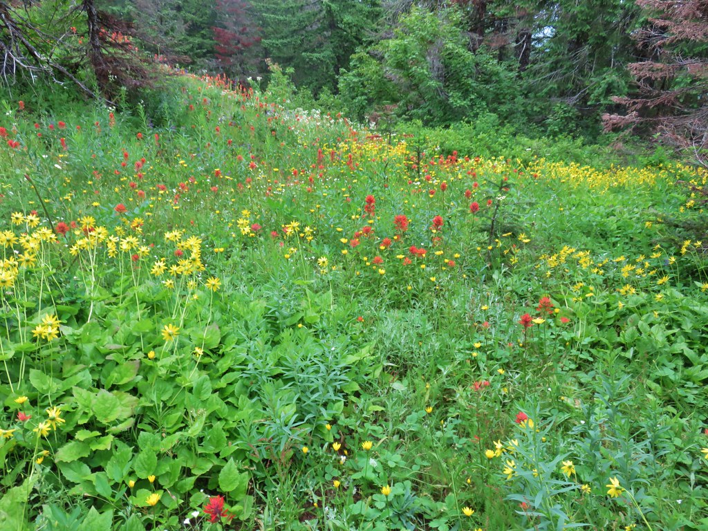
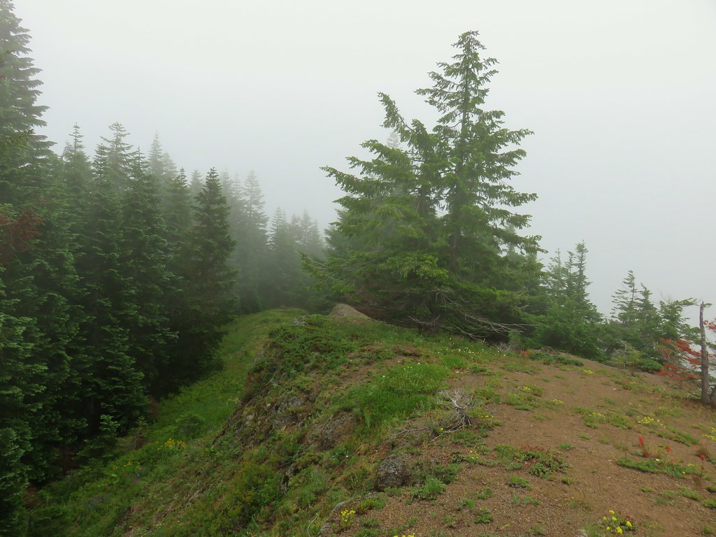
We had forgotten how steep the 0.2-mile trail to the former lookout site was compared to the PCT, but the wildflowers and views from the long summit were worth it.


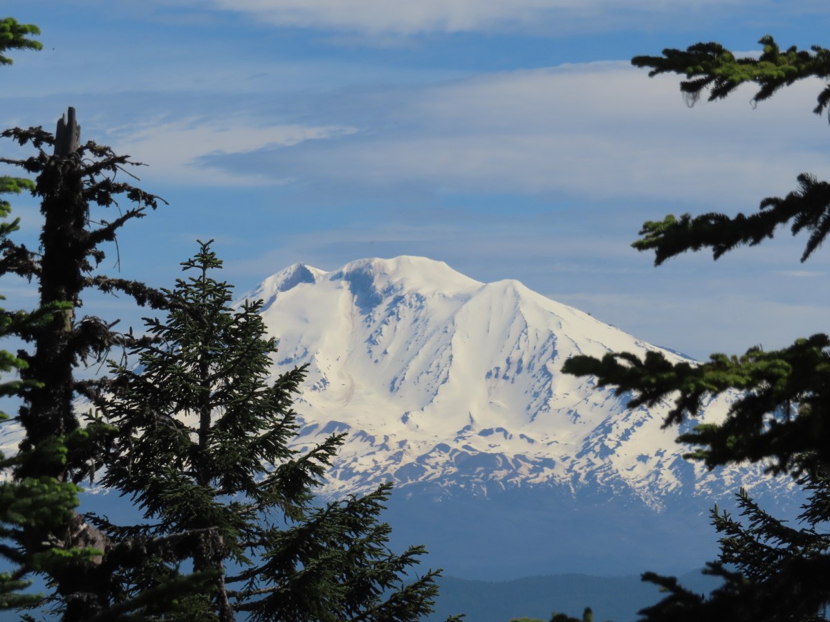
 Mt. Adams from the former lookout site.
 There was a lot of phlox in bloom.
 Table Mountain (post) and Greenleaf Peak (post)
 Mt. Hood
 Mt. Hood with Mt. Jefferson behind to the right.
We walked west from the summit down the wildflower covered ridge to get some additional views.

 Balsamroot and groundsel
 Mt. Adams
 Phlox
Phlox

 Paintbrush and cliff beardtongue
 Another view of Mt. Hood.


 Sandwort
 Chickweed
 Balsamroot
 Some of the smaller flowers present on the summit.
 Finetooth beardtongue
 Wallflower
 Wild onion
 The end of the ridge is about three quarters of a mile from the lookout site.
We took a break on a small rock outcrop to enjoy the scenery and the gentle breeze that was keeping things from being too warm.
 Heather on the outcrop.
 Painted lady
When we finally started back we heard voices which turned out to be the two hikers that we’d seen at the lower viewpoint. They had set up their amateur radio and had just been communicating with someone in Pennsylvania. We passed by and made our way back past the lookout site and down to the PCT.

 Larkspur
 Swallowtail
 Chickweed in some phlox.
We returned the way we’d come on the PCT enjoying the wildflowers the second time as much as we had the first.


 Wallflower
 Colubmine
 Bluehead gilia
 Beargrass along the PCT.

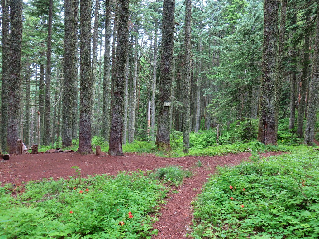
 Heading down to the trailhead.
The hike ended up being 9.3 miles with approximately 1460′ of elevation gain.

This was a great hike with good views, lots of wildflowers, and plenty of solitude. The only downside at all was the rough drive up FR 68. Happy Trails!
Flickr: Big Huckleberry Mountain

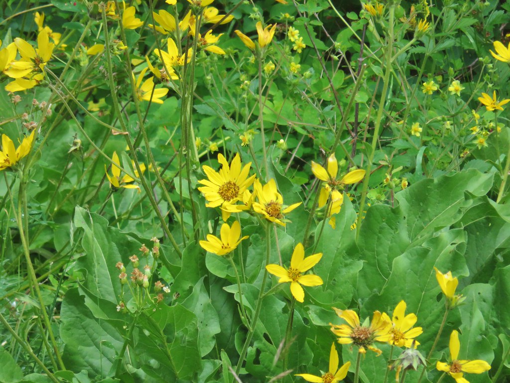
 Arrow leaf buckwheat
 Blue-head gilia, stonecrop, wild onion, and arrow leaf buckwheat
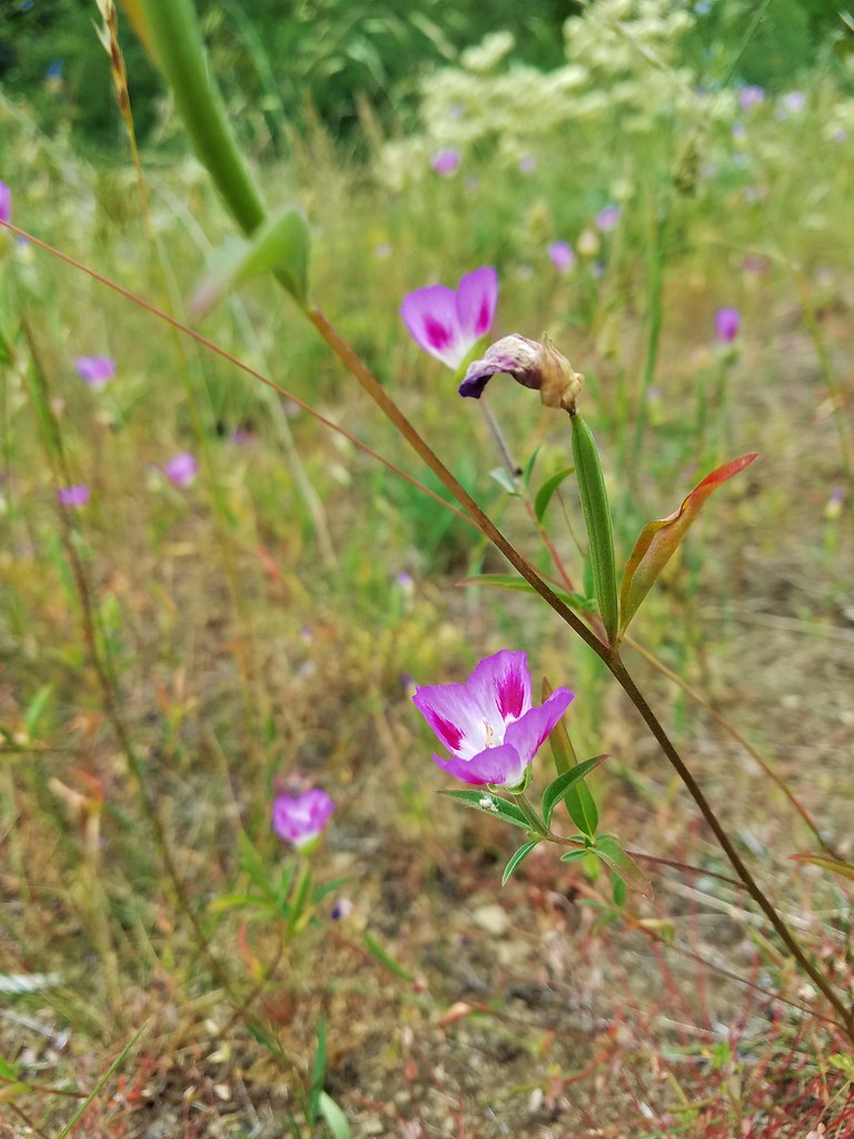
 Farewell-to-spring waiting for the Sun (just like us)
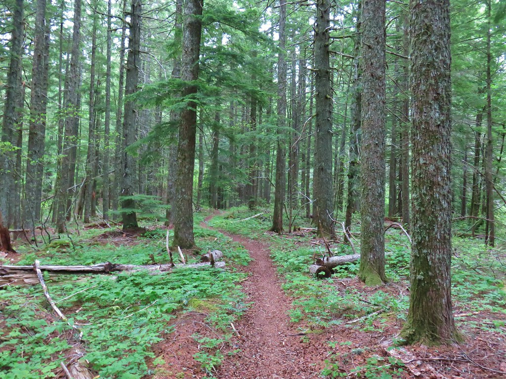
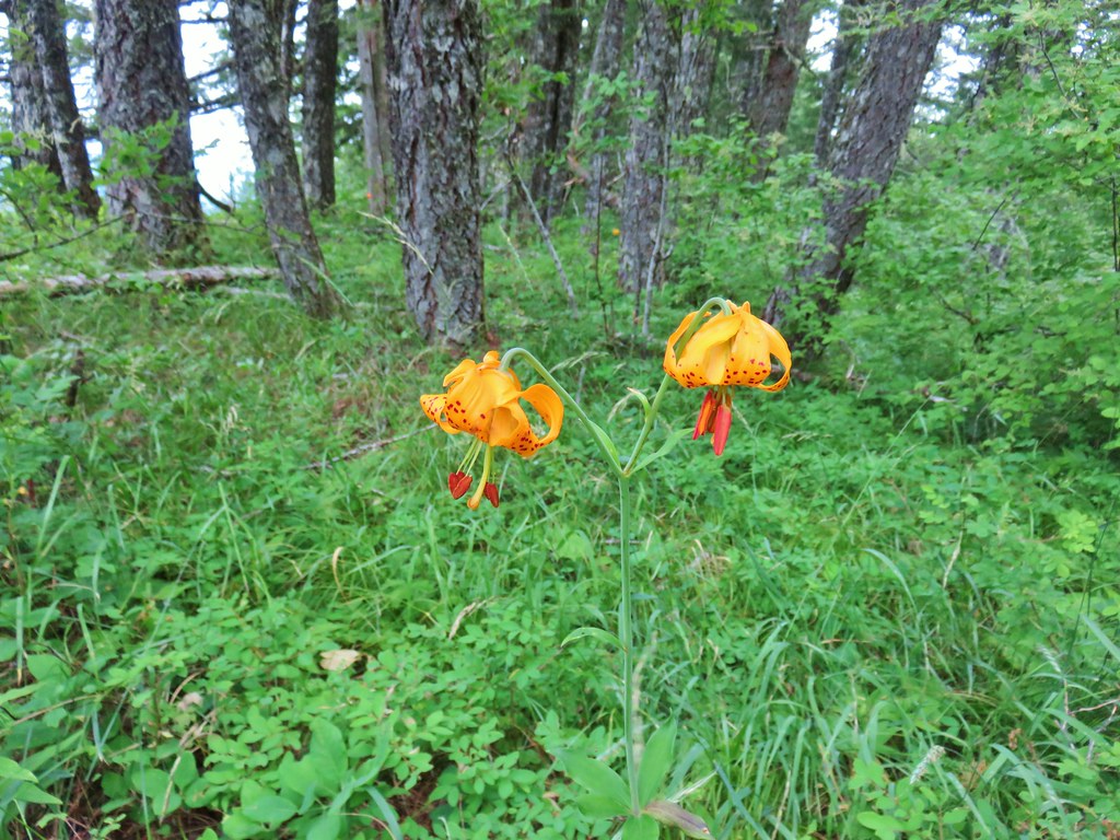 Tiger lily
 Twin flower
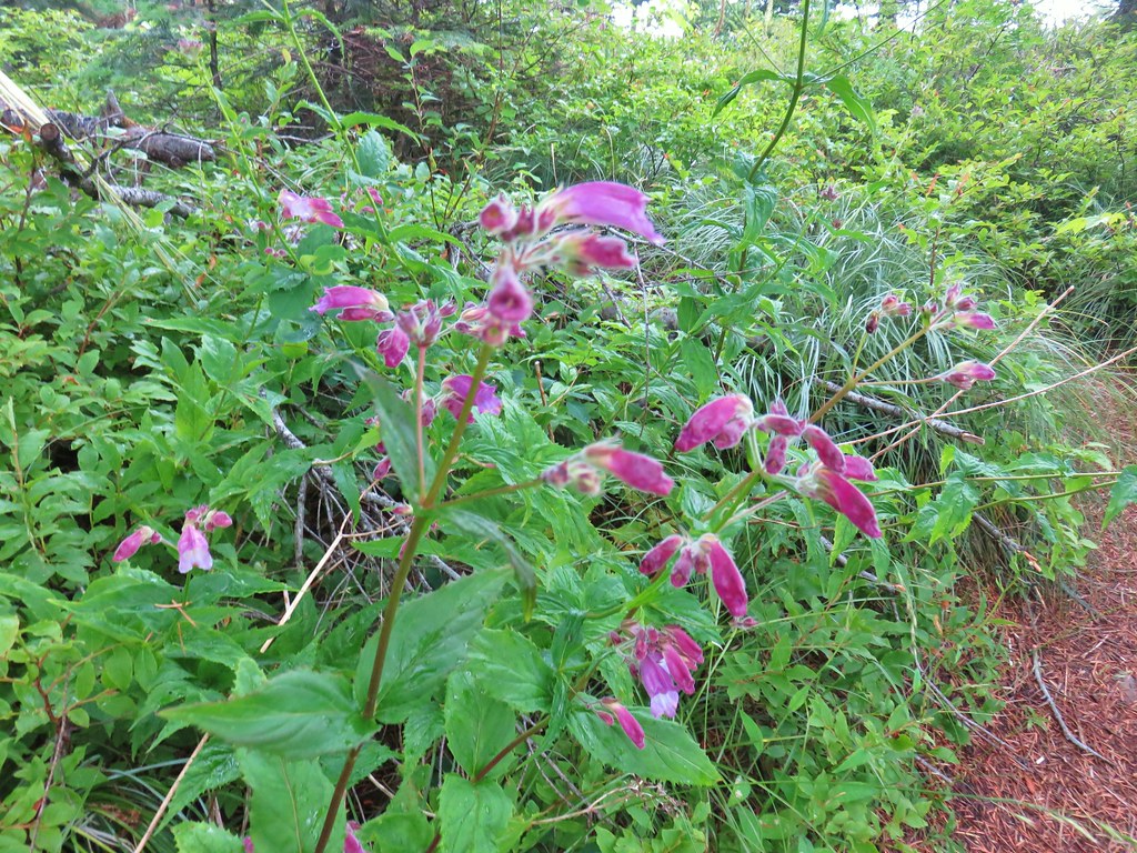 Penstemon
 Lupine
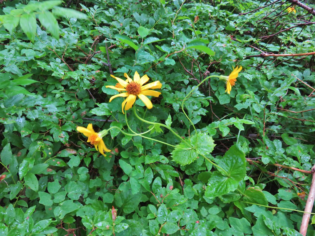 Arnica?
 Patinbrush and penstemon
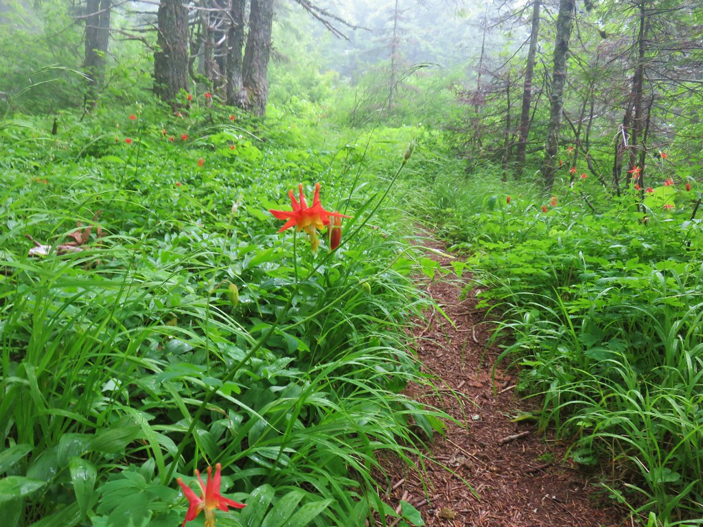 Columbine
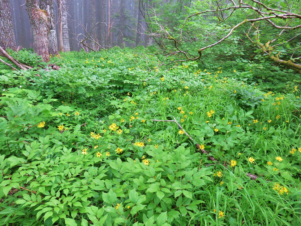 Lots of arnica
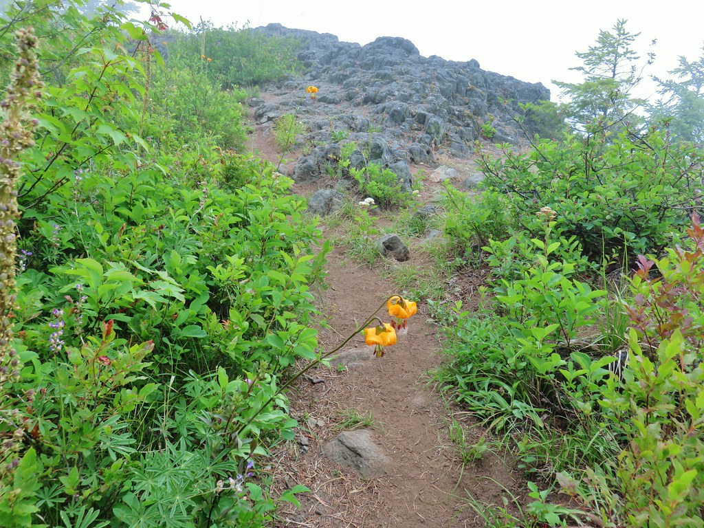 First viewpoint approximately 1 mile in.
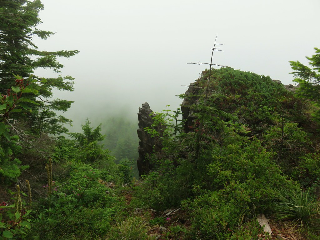 First viewpoint
 Second viewpoint, about 1.5 miles in. The hillside was covered in cat’s ear lilies.
 Penstemon and cat’s ears
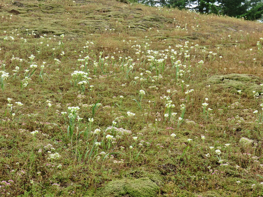 Cat’s ears and wild onion

 Two kinds of paintbrush
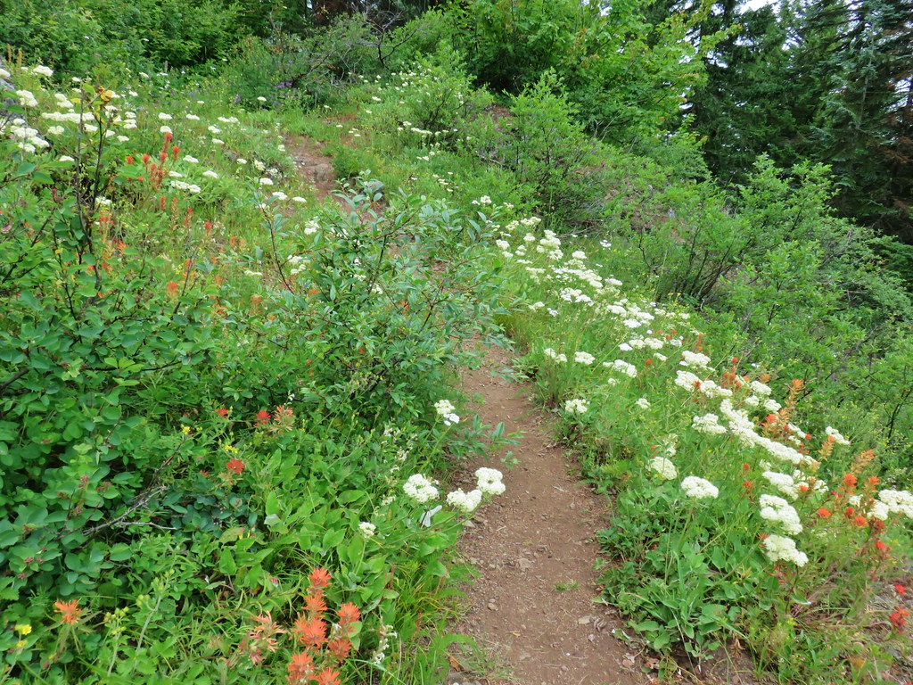
 Onion
Onion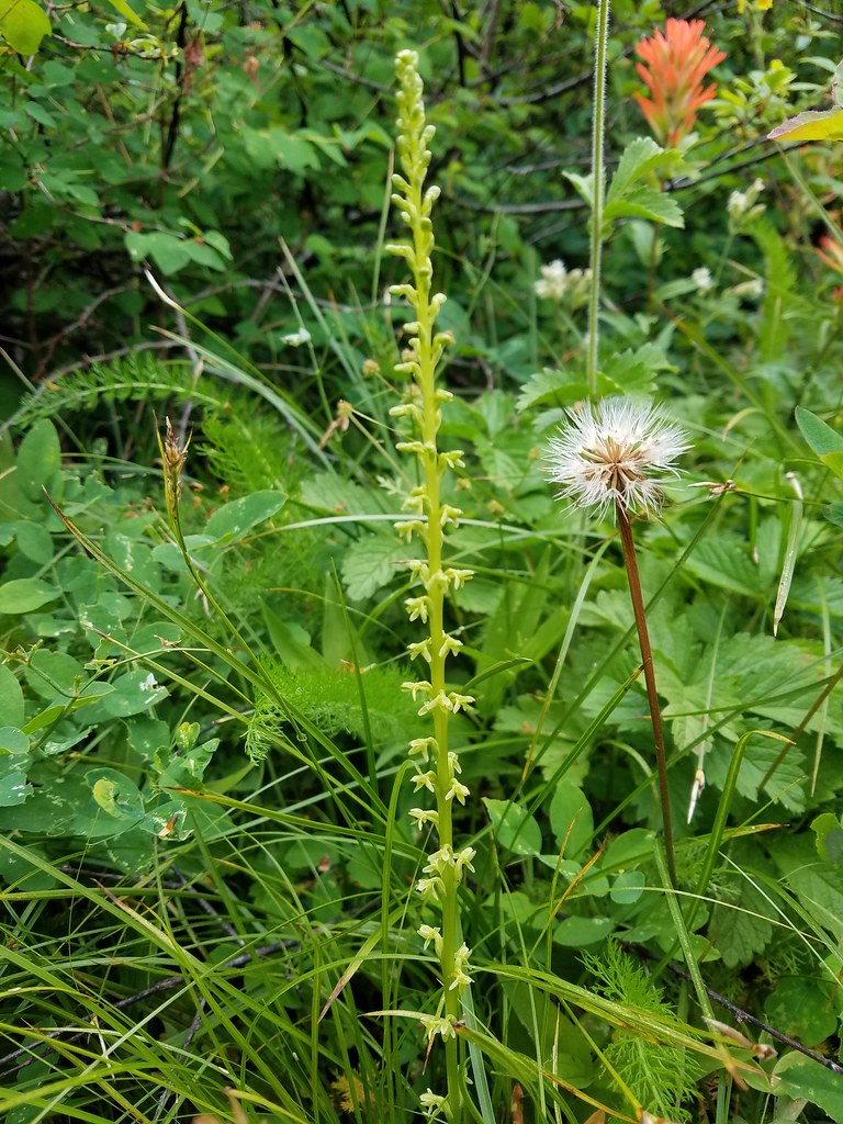 Looks to be some sort of orchid
 Blue-head gilia and an unknown yellow flower.
 Arrow leaf buckwheat and blue-head gilia
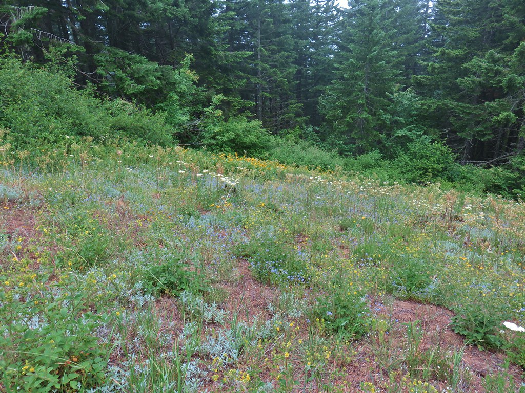 A bunch of flowers
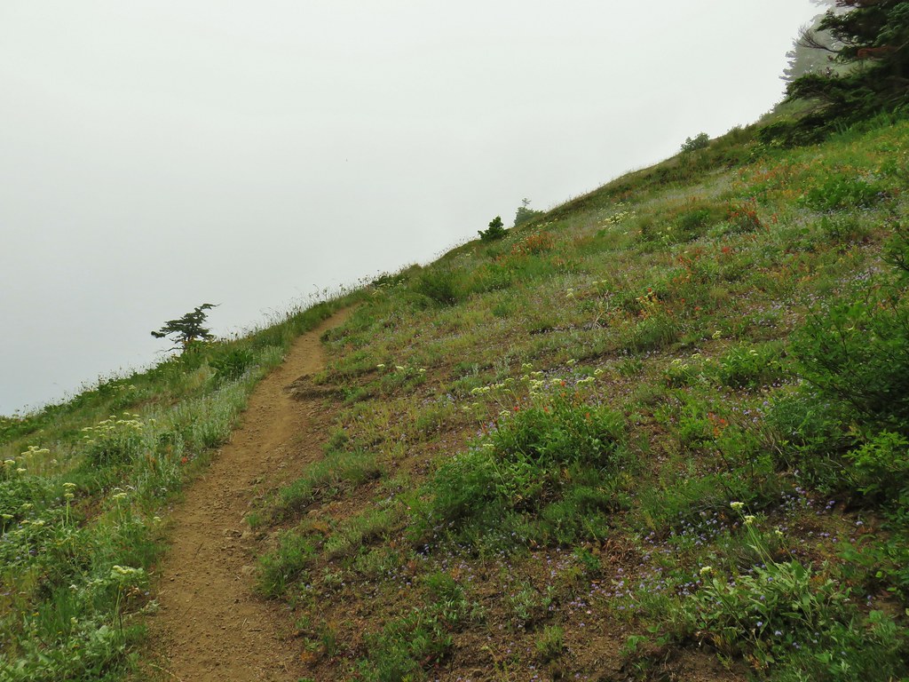 Starting up Grassy Knoll
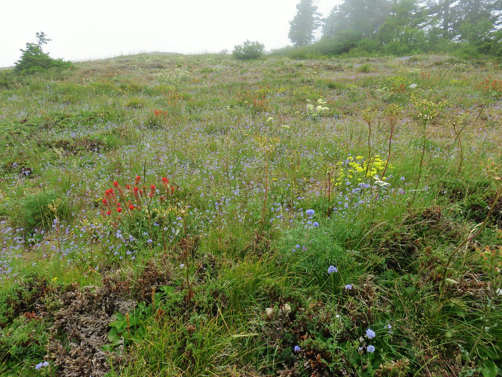

 Balsamroot
 Catchfly


 A little better view down for a moment.

 Larkspur
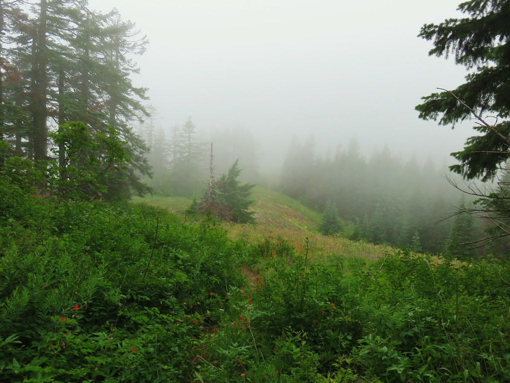


 Phlox and a cat’s ear lily


 Another type of penstemon
 Beargrass


 Not sure what this is either, it’s the first time we recall seeing it.
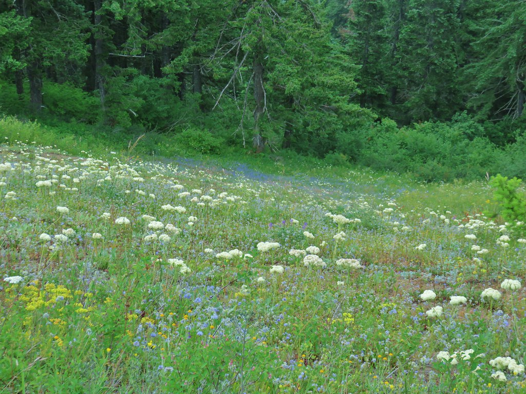


 Snowy flank of Mt. Adams through the clouds.


 Wind Mountain and the Columbia River
 Little Huckleberry Mountain and Big Lava Bed
 A bit of Mt. Adams again.