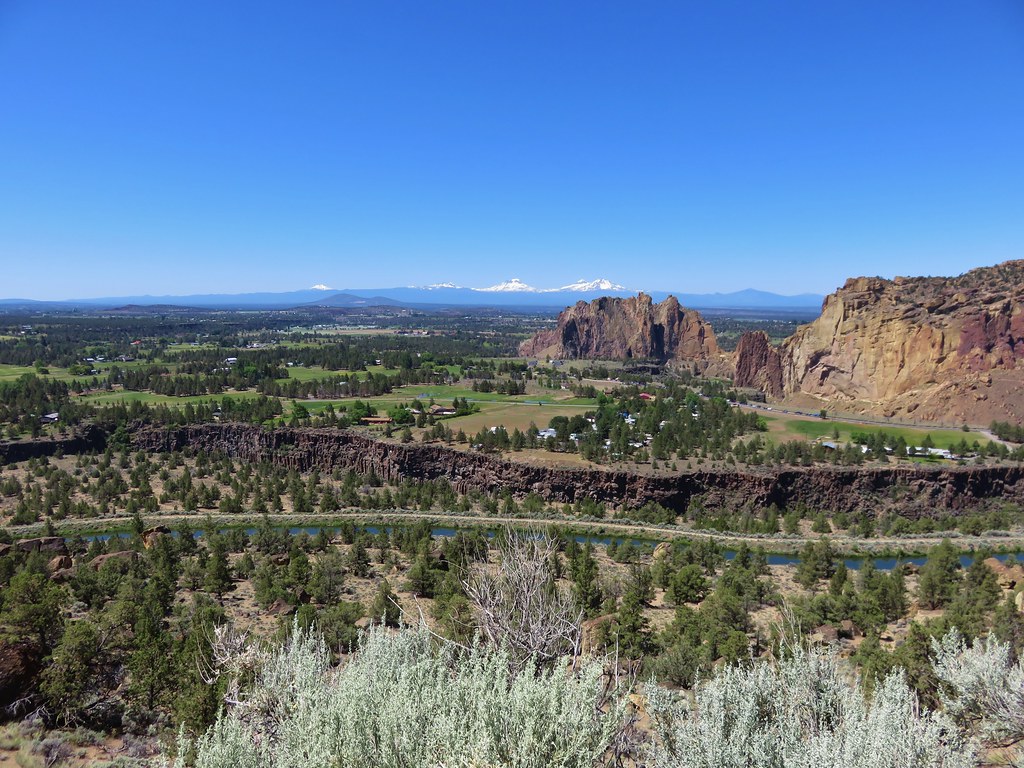
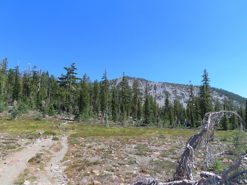
We had planned a five day backpacking trip in the Wallowas but then a red flag warning for the possibility of abundant lightning the first day followed by more chances of thunderstorms over then next two derailed those plans. That trip would have checked three more featured hikes from the remaining twenty one hikes on our to-do list from the Eastern Oregon area. With all twenty one of the those hikes being located in the NE corner of Oregon (15 in the Wallowas and 6 along Hells Canyon) there were no alternate plans we could look to in that area to continue making progress toward or 500 featured hikes goal (post) so we turned to the Southern Oregon & Northern California book instead. For that area we still had thirty one featured hikes left including five hikes in Northern California, one at Mt. Shasta and four near Carter Meadows Summit west of Callahan, CA. A clear forecast and no wildfire closures provided a green light so we booked a last minute room at the Etna Motel in Etna, CA and once again headed south this year.
When we reached Yreka, CA instead of taking Highway 3 to Etna we stayed on Interstate 5 and continued south to Mt. Shasta and made our way to the Upper Panther Meadows Trailhead. We had tried to do the hike here in late July 2017 but a late snow melt that year had kept the gate to this trailhead closed so we had hiked from Bunny Flat instead (post).

 Lupine at the trailhead.
 A line of smoke over the Castle Crags (post) and Mt. Eddy (post).
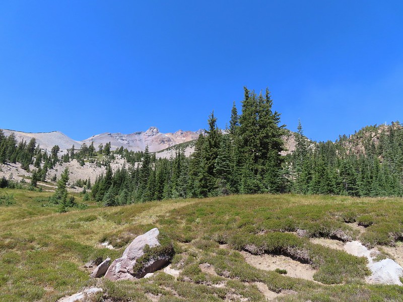
 Castle Crags
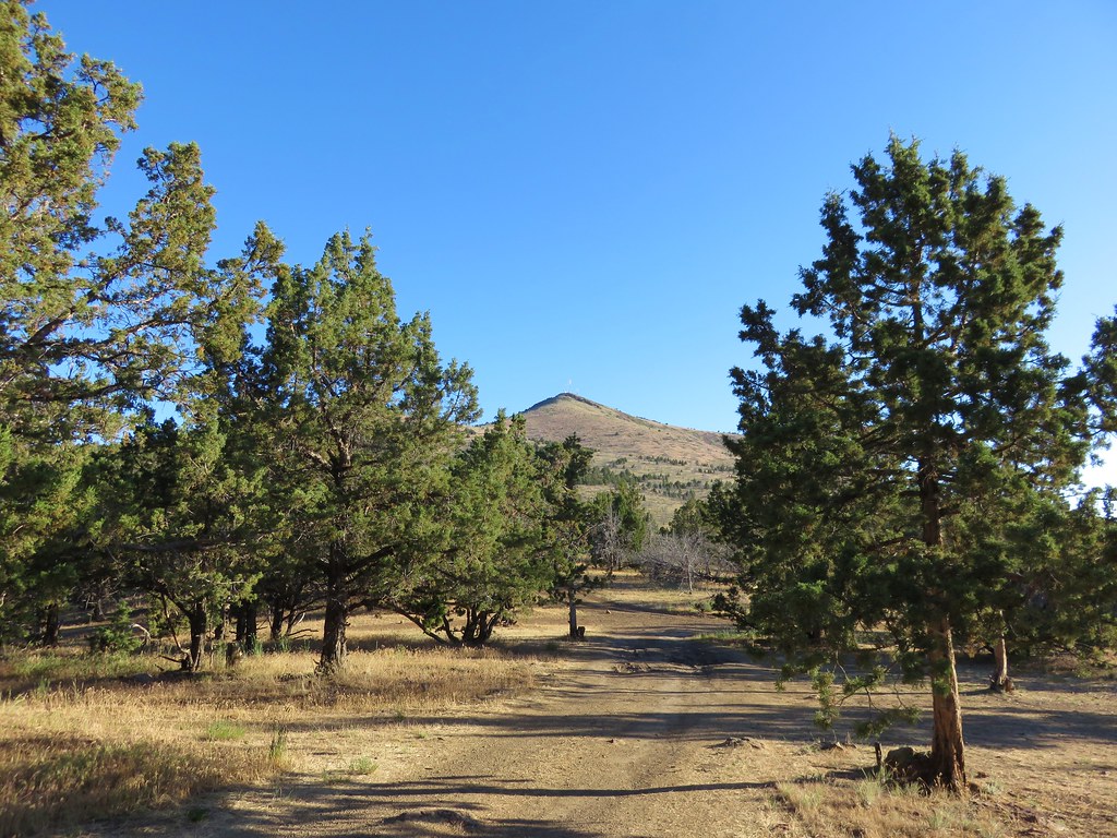
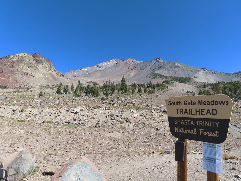
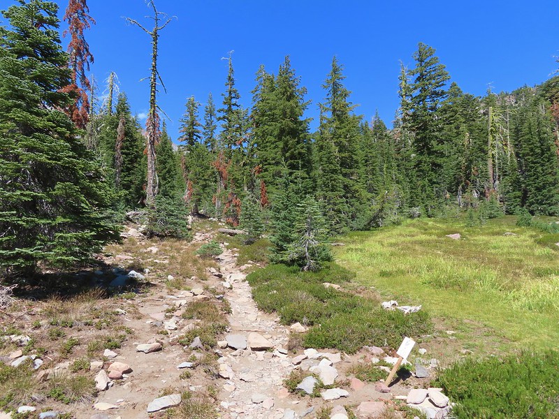
From this trailhead we followed the Everitt Memorial Highway uphill a quarter mile to the South Gate Meadows Trailhead.
 Green Butte and Mt. Shasta
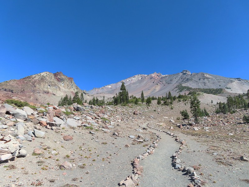
Here we hopped onto a rock lined trail and climbed a half mile to a pass where we entered the Mt. Shasta Wilderness.
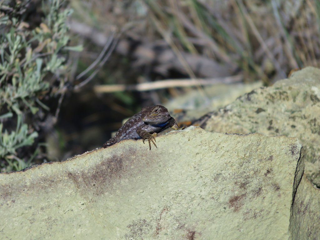
 Common buckeye


 Red Butte from the pass.
 Mount Eddy from the pass.
 Heather standing at the wilderness boundary.
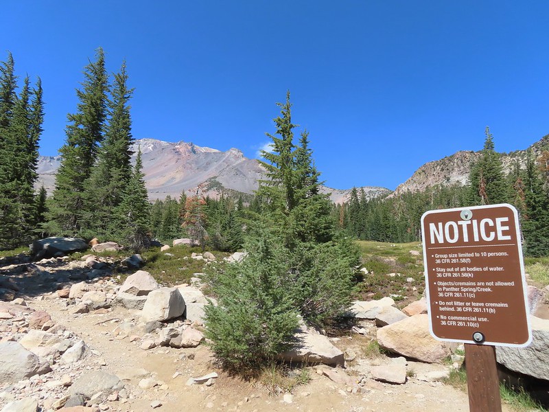
From the pass the trail descended 0.6 miles to a signed trail junction at The Gate below Red Butte.
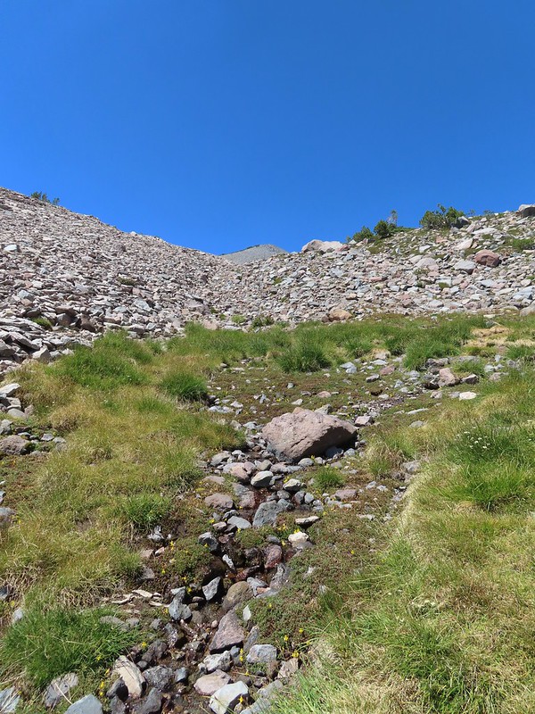
 A dry spring along the trail. Ideally we would have been doing this hike (and trip) in late July for more wildflowers but sometimes the circumstances dictate when and where we wind up.
 Approaching The Gate.
 Shastarama Point and Thumb Rock
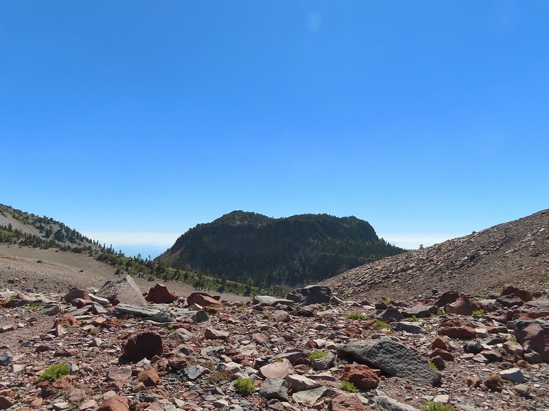
 Gray Butte
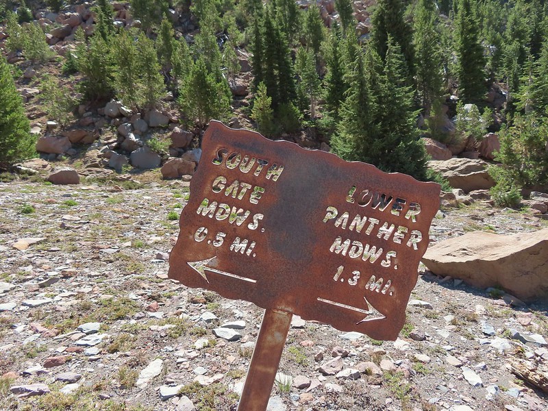
 The trail junction near The Gate. The trail to the right would be our return route to make a loop through Panther Meadows, but for now we went left following the pointer for South Gate Meadows.
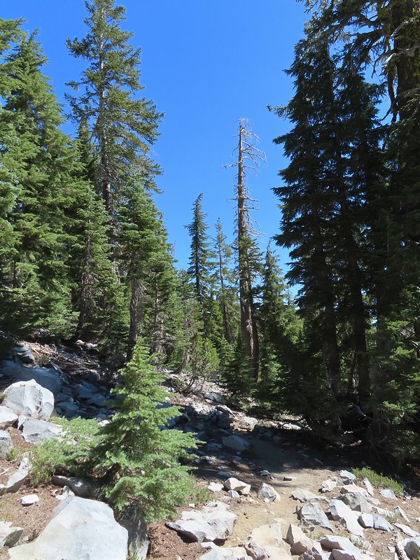
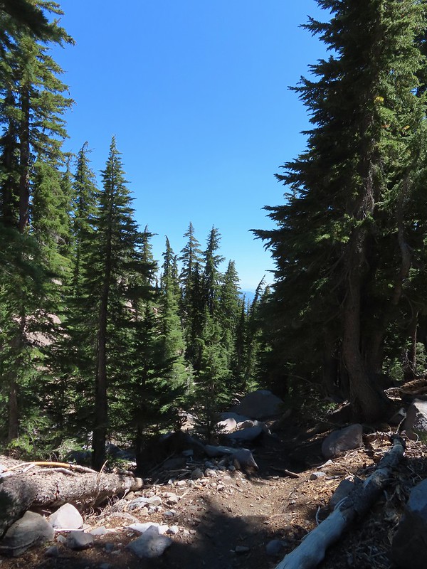
We followed the trail downhill through boulders from Red Butte then into a forest that provided the first real shade of the hike.


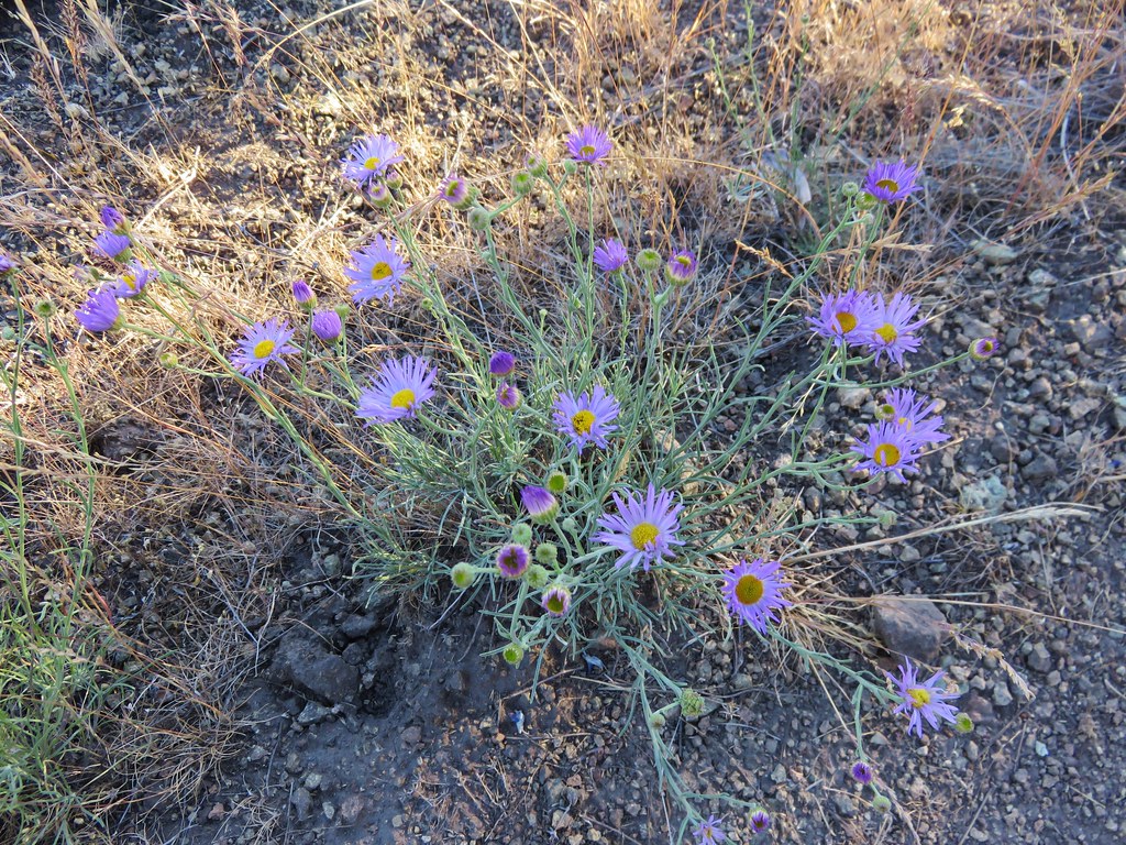
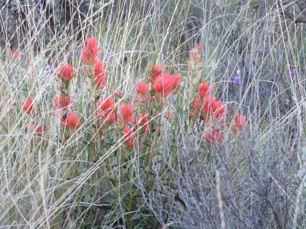
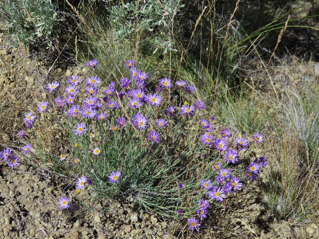
 A paintbrush and aster.
 Penstemon
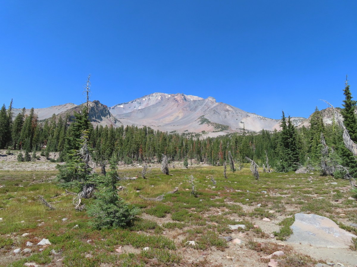
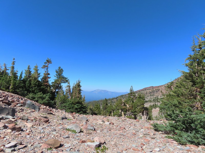
 Some haze to the south but we could make out Lassen Peak which is one we rarely ever get to see.
 Lassen Peak
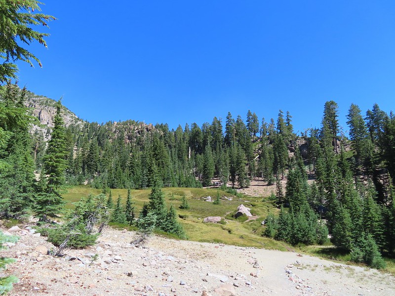
Just under three quarters of a mile from The Gate we arrived at South Gate Meadows.

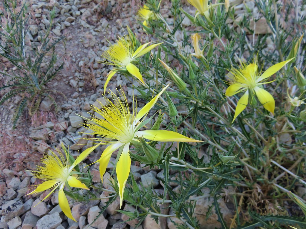
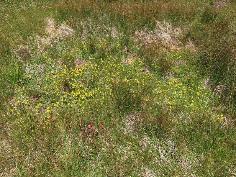
 Primrose monkeyflower

From the meadows use trails head both up and downhill along South Gate Creek (aka Squaw Valley Creek). Sullivan showed a “monkeyflower spring” a half mile uphill and a “circular meadow” four tenths of a mile downhill. Not knowing when we might be back we decided to do both starting with the downhill first.
 The use trail crossing the creek.

 In sight of the circular meadow.
 Marsh grass-of-Parnassus
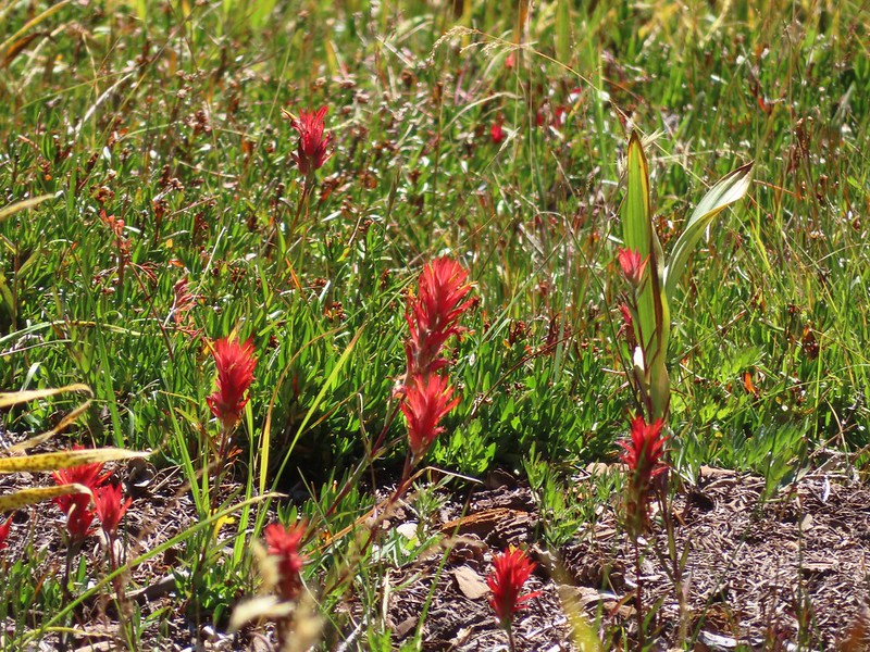 Paintbrush
After a quick visit we headed back up to South Gate Meadows.

 Back at the meadows.
We then took a use trail up along the eastern side of the creek which brought us to the spring.

 A pair of common buckeyes.
 Primrose monkeyflowers and paintbrush
 Not the “monkeyflower” spring but a smaller one along the way up.
 The “monkeyflower” spring.
 A couple of monkeyflowers and a buckeye.
 I climbed a bit above the spring to check out the view.
 Heather arriving at the spring.
We took a break here and one at the little spring we’d passed on the way up and then headed back toward The Gate.
 A Clark’s nutcracker also taking a break.
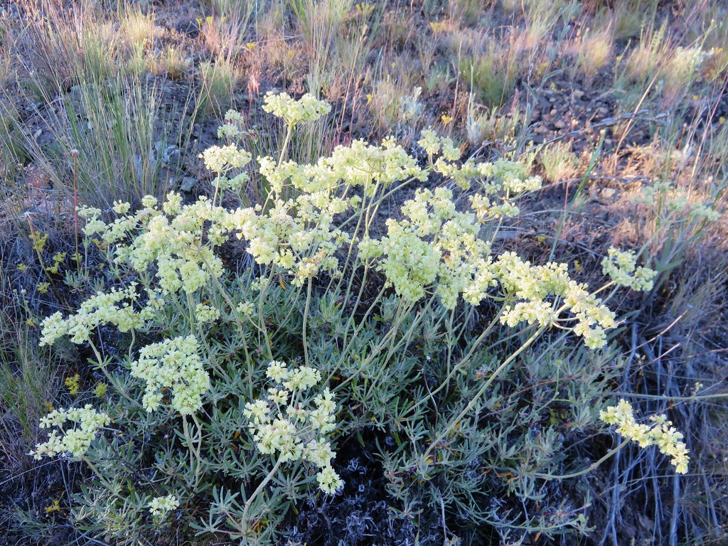
 Two types of monkeyflower and bog St. John’s wort,
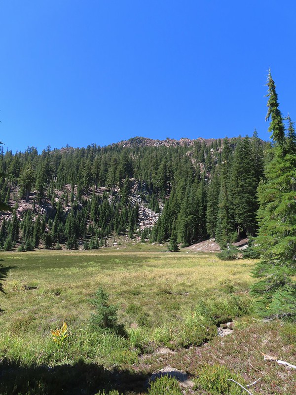
 One last pass through South Gate Meadows.
 Red Butte
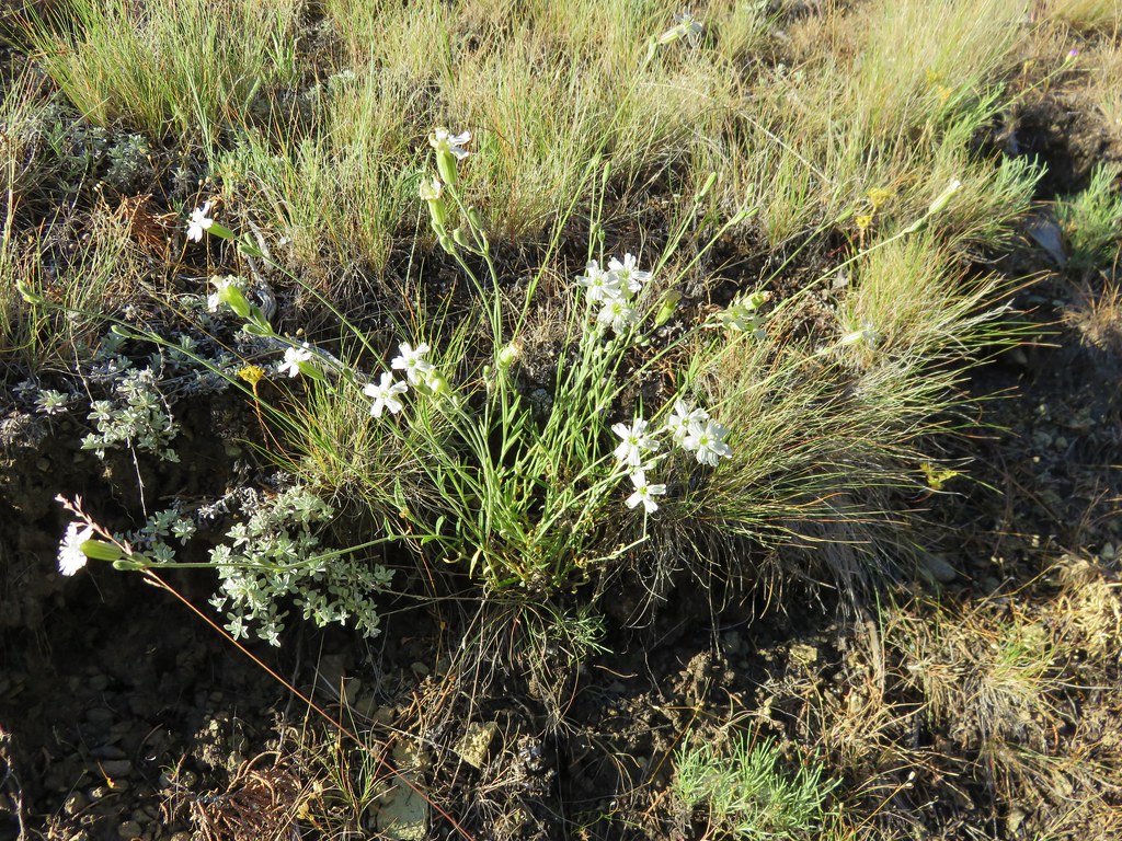
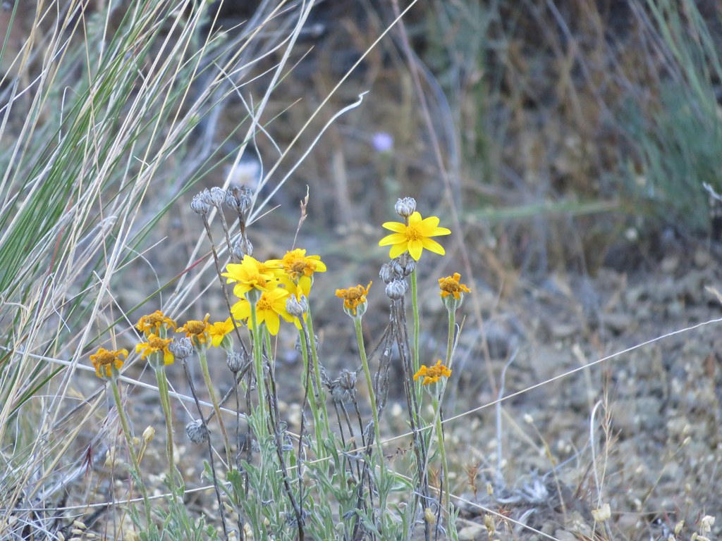
 Shasta knotweed
 Back at The Gate.
From The Gate we followed the pointer for Panther Meadows. This trail brought us through a barren landscape before climbing over some glaciated rock and entering a forest.
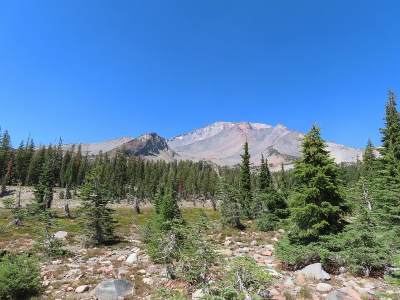
 Mt. Shasta from the trail.
 Red Butte

 Glaciated rock.
 Mt. Shasta and Sargents Ridge.
 Into the forest.
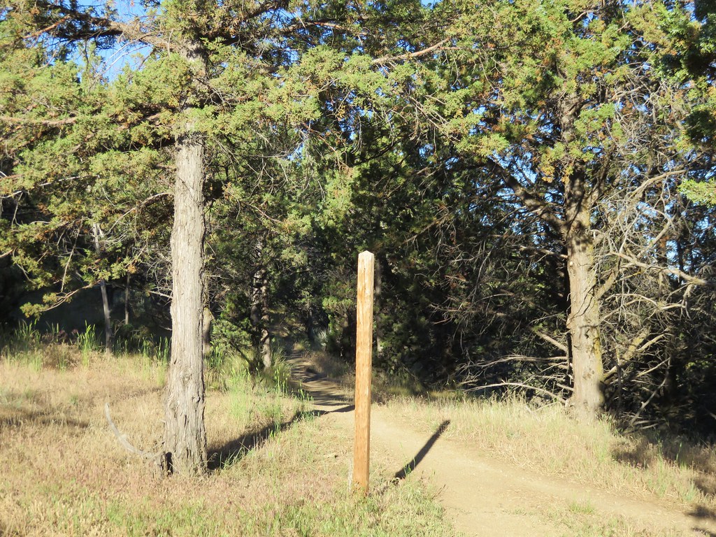
 The trail left the wilderness along the way.
Just over three quarters of a mile from The Gate we arrived at a junction with the Gray Butte Trail. We had considered taking this 0.9 mile detour but it was already 2:20pm and it was also fairly warm so we decided to skip it this time around.
 The junction with Gray Butte behind the trees.

From the junction the trail gradually descended a half mile to Panther Meadows.
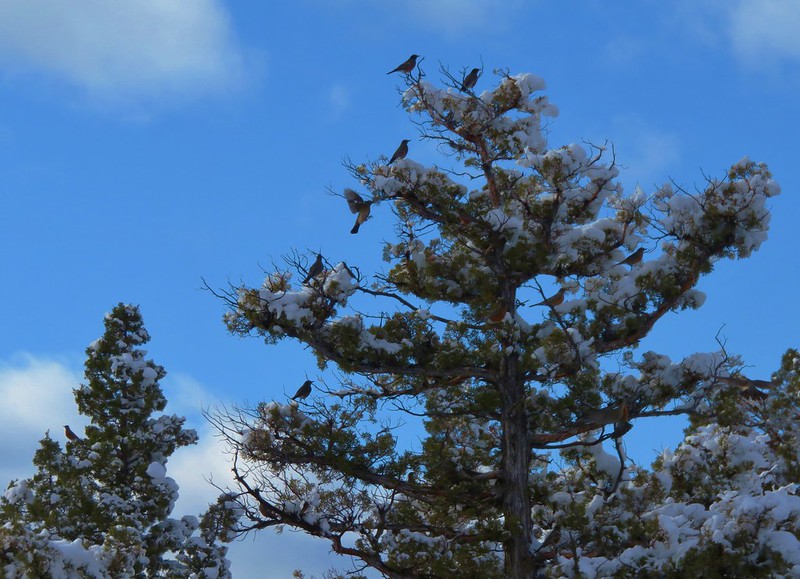
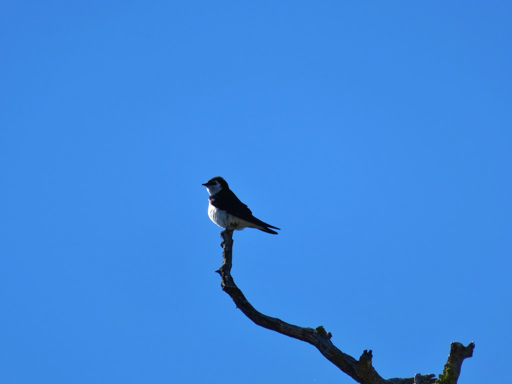
 Another Clark’s nutcracker. They are boisterous birds and other than first thing in the morning we get a kick out of listening to them.
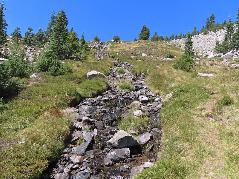
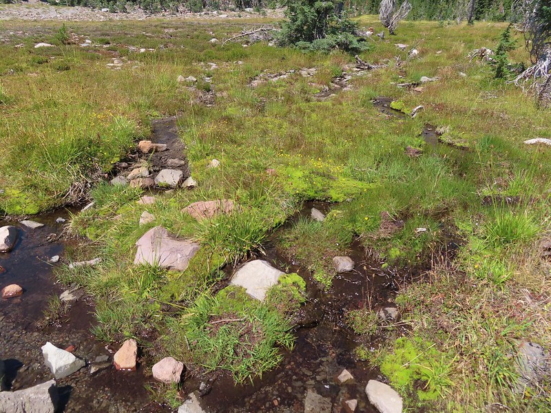 Stream flowing through the meadows.

 Gray Butte from Panther Meadows.
At a junction on the west side of the meadow near Panther Meadows Campground we followed a pointer for Upper Panther Meadow.

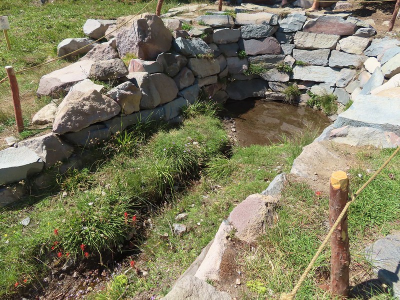
We followed this trail just over a third of a mile uphill to another junction where we turned right and followed a path across the creek.

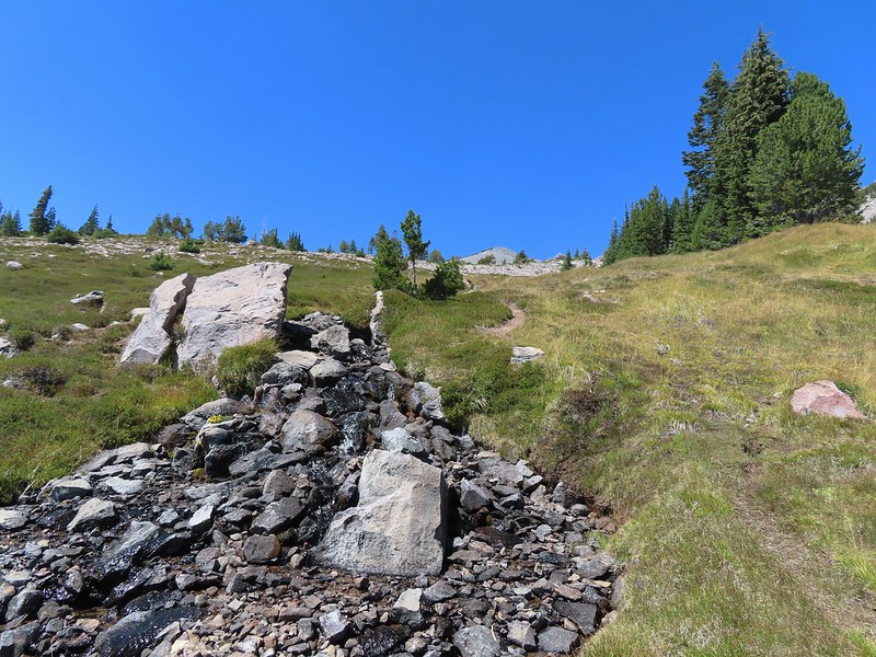
We kept right for 0.2 miles to reach Panther Spring.


After visiting the spring we backtracked a tenth of a mile and turned right for a third of a mile back to the Panther Meadows Trailhead to complete the loop.

 Picnic tables at the trailhead.
With the two side trips at South Gate Meadows and some other wandering the hike came to 7.4 miles with approximately 1900′ of elevation gain.

From the trailhead we drove to Etna and checked into our motel then made a quick run to Ray’s Food Place for some food for the week. It was a nice start to the vacation made even better when we saw that the Callahan Fire which had started on 20th just 6 miles east of Callahan had been fully contained at less than 10 acres. That one had the potential to do a lot of damage (and put a nix on the rest of our hikes). Our plan for the next day was to hike to East Boulder Lake as that was the closest to where the Callahan Fire was and therefore most likely to be closed if that fire were to spread but thankfully it sounded like that wasn’t going to happen. Happy Trails!
Flickr: Mount Shasta Meadows