The third day of our Central Oregon visit had us returning to a hike we had done last July 31st – Hager Mountian. https://wanderingyuncks.wordpress.com/2013/07/31/hager-mountain/
Smoke from a wildfire had prevented us from having any views from the 7185′ summit that day but we had enjoyed the hike and seen signs of what seemed like it might be a decent amount of flowers if we had visited a bit earlier. We were hoping to get the views and to see some more flowers this time around and we also planned to stop at Fort Rock State Park on the way back to Bend, OR.
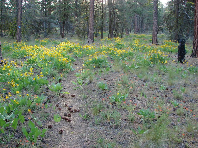
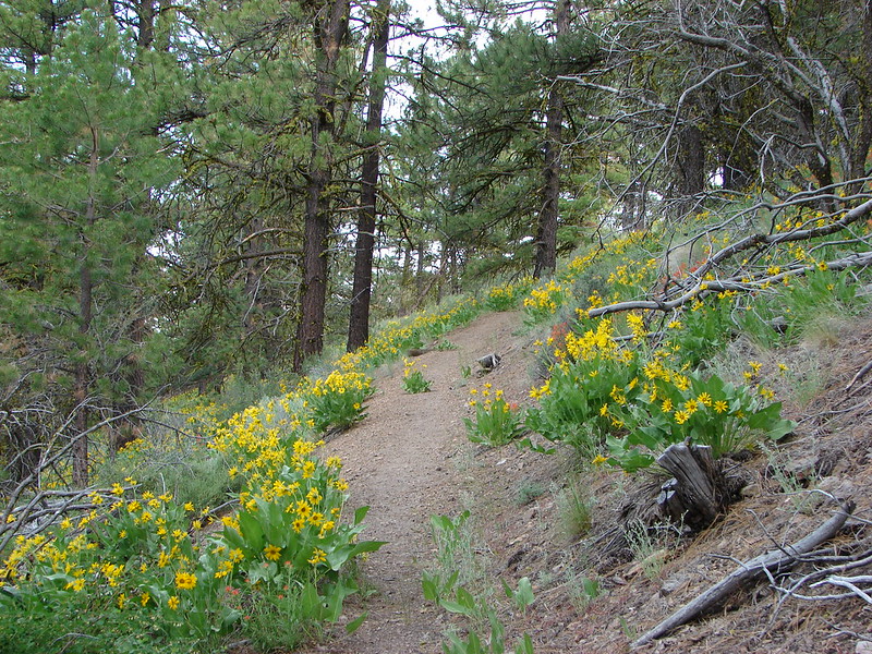
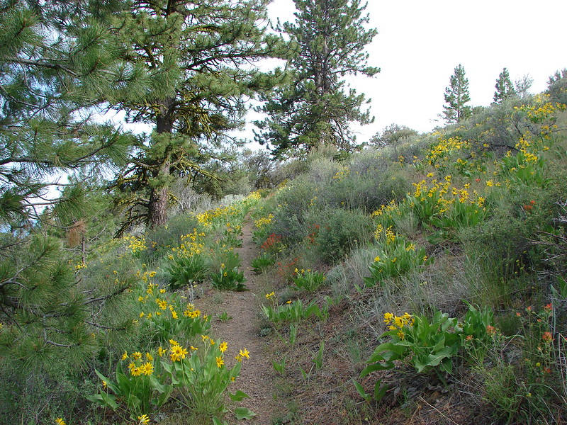
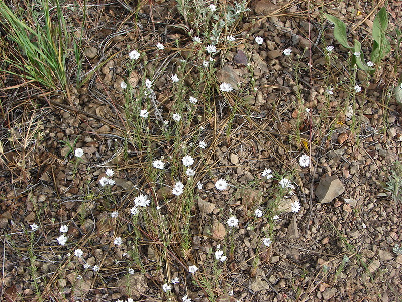
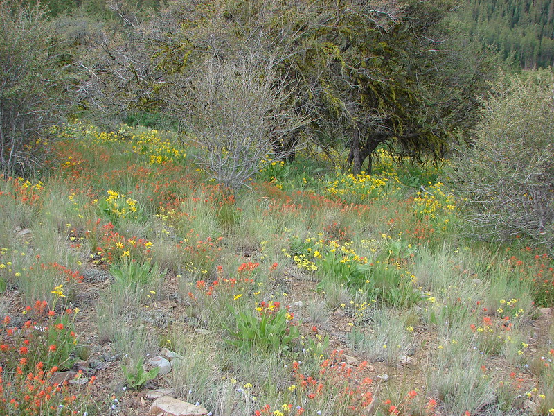
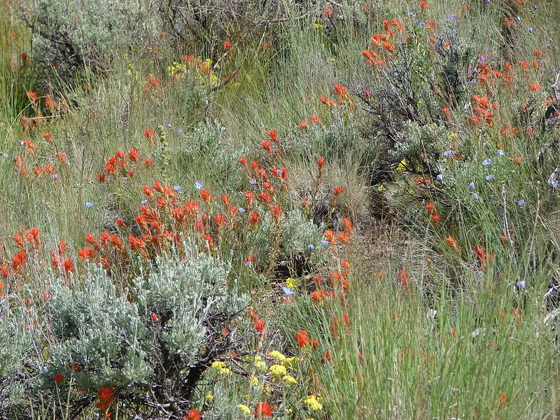
As we did on our previous visit we started at the lowest trail head located on road 28 just over 9 miles south of Silver Lake, OR. It wasn’t long before we began seeing wildflowers. Paint, lupine, death camas, and some balsamroot was scattered amid the ponderosa pines. We were thinking it was pretty good and then we looked ahead and saw a completely unexpected sight. The amount of paint and blasamroot that covered the forest floor was beyond anything we’d imagined. The flowers were spread out in every direction.

By the 1.5 mile mark the trail had left the ponderosa forest. The flowers had decreased here but there were still some to be found.
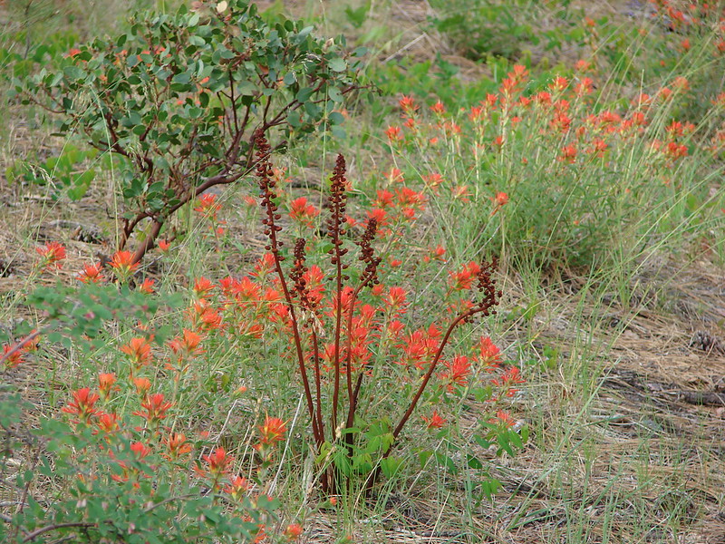

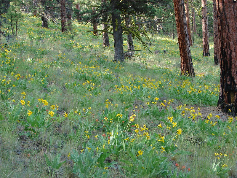
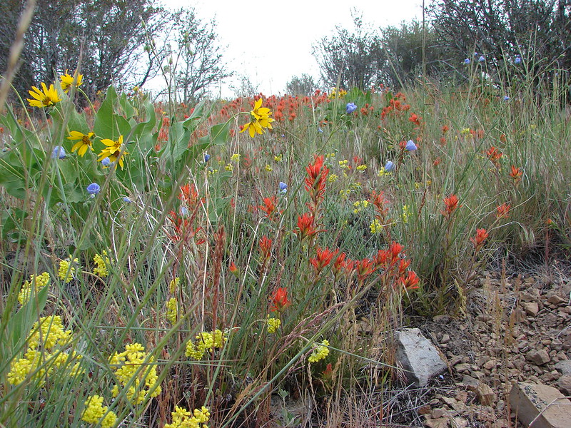
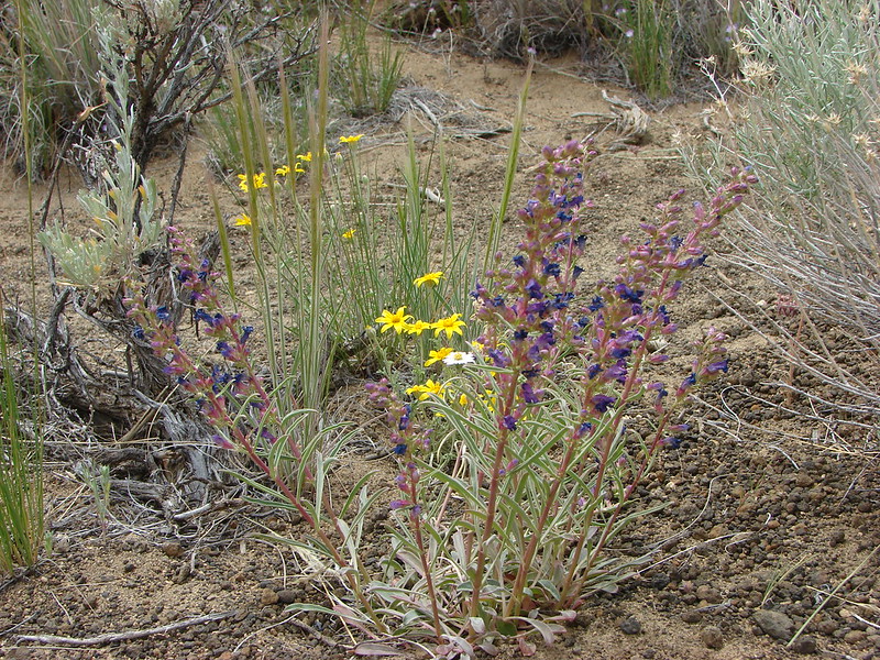
We passed Hager Spring which was as dry as it was on our last visit and began climbing to the lower meadow. We weren’t sure what to expect for flowers in the meadow. We had gotten a couple of glimpses of it from the lower trail and we thought we could see some yellow which we assumed was balsamroot. As we got closer to the meadow our suspicions were confirmed. The balsamroot was back with a vengeance along with paint and some additional flowers.
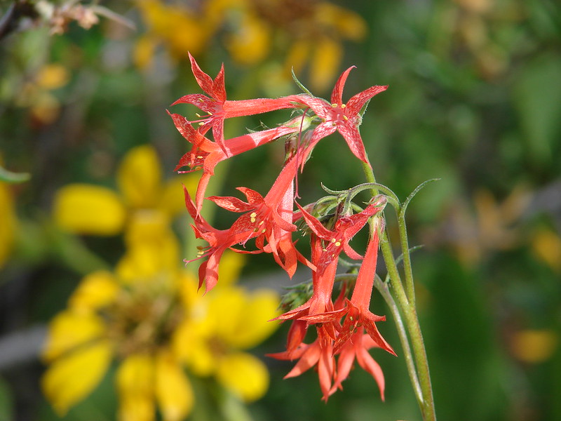
Scarlet Gilia
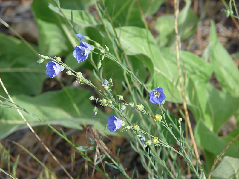
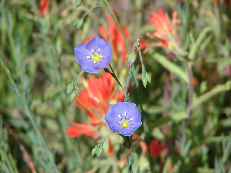
Lewis Flax
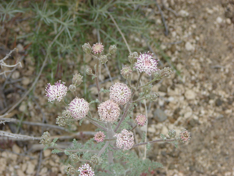
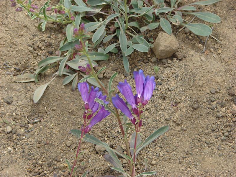
Prairie Star
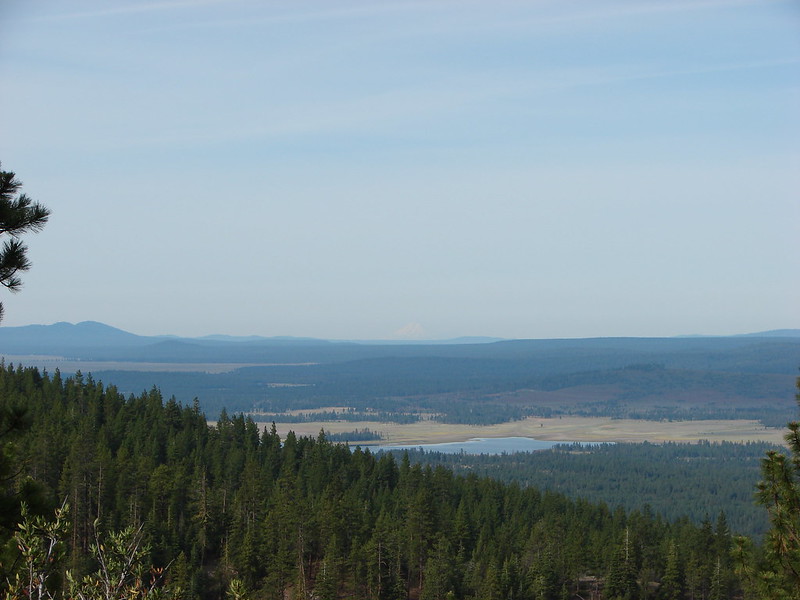
Not only were the flowers amazing but we had a view as we passed through the meadow. For the first time on a hike we could see Mt. Shasta in California beyond Thompson Reservoir.
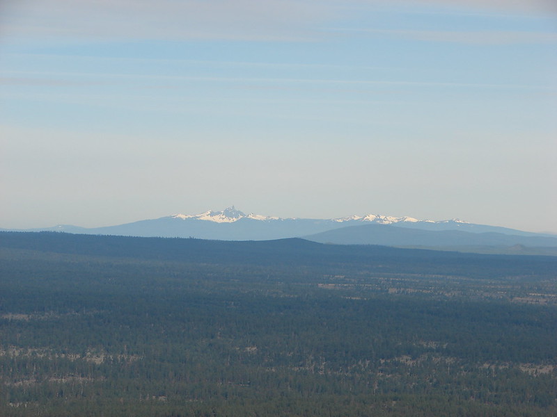
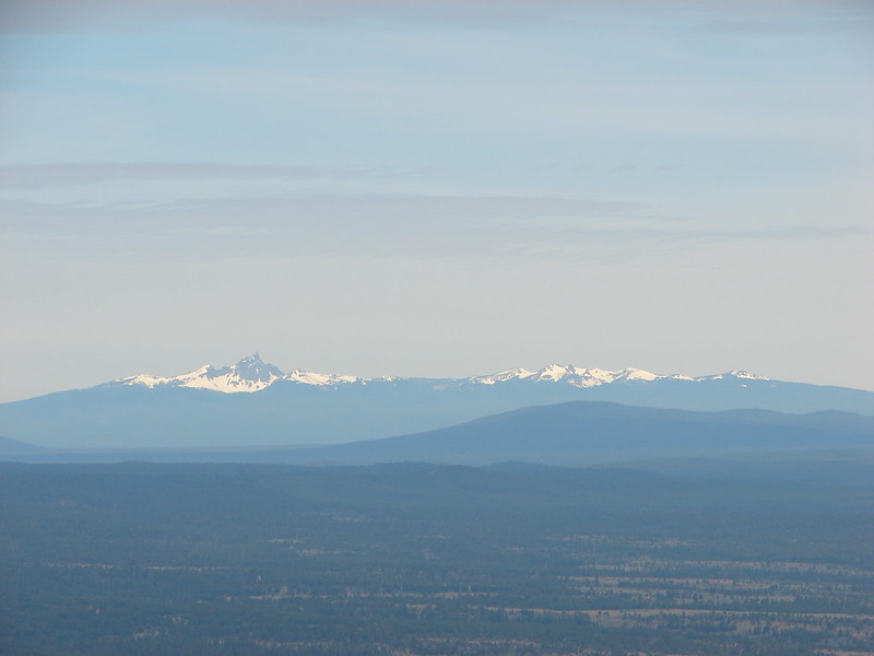
Along with Mt. Thielsen, Howlock Mt. & Tipsoo Peak
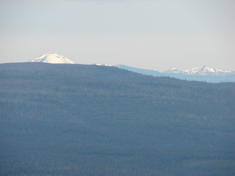
and Mt. Bachelor, The Three Sisters, & Broken Top
We made a switchback in the meadow and could see the summit as we continued up through the meadow. The flowers remained the star of the show.

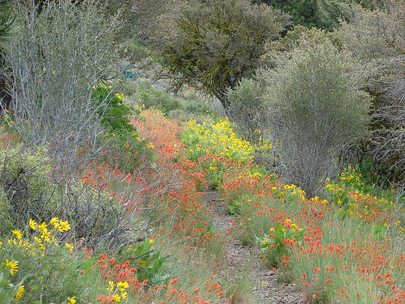

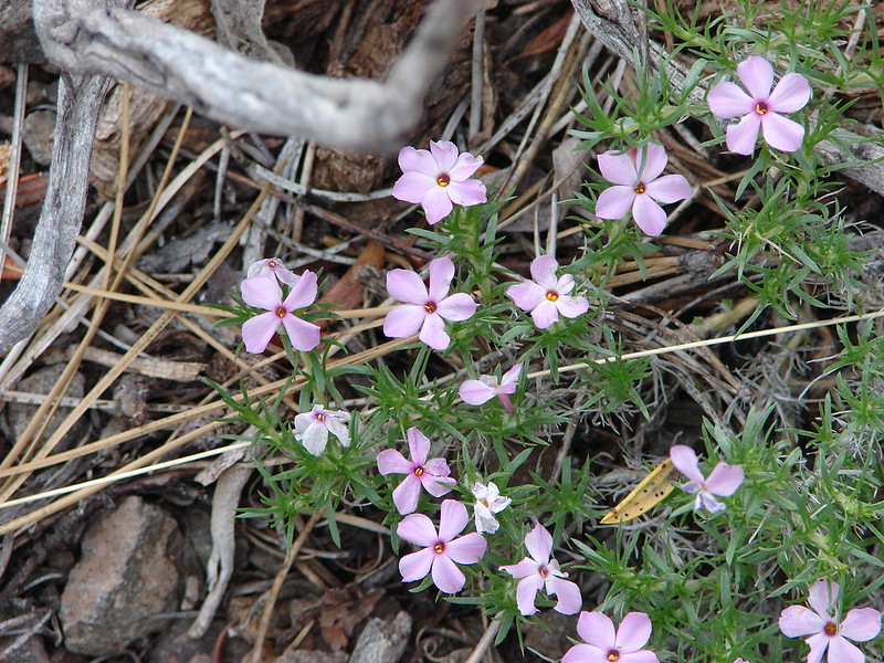
We left the lower meadow and entered another section of forest. The flowers decreased in this section but there were some arnica starting to bloom and a lot of fireweed just starting to grow. The trail climbed stiffly through the trees making this the most difficult section of the trail before leveling out briefly and then launching up again into the upper meadow. Here we found some more balsamroot and some phlox.
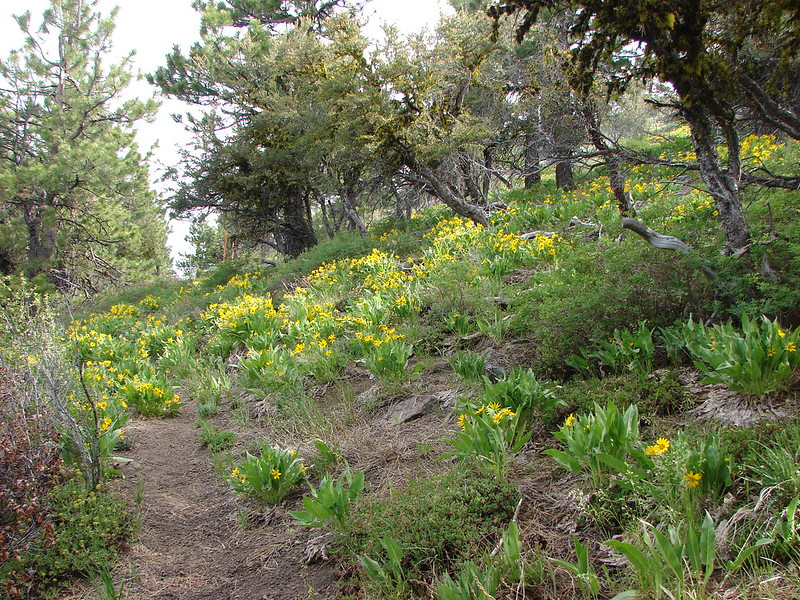
It was in this section that we were looking for the rare green paintbrush that grows on Hager Mountain. We had seen some on our previous visit but it was drying out that day. Now we found some lush versions growing near the trail.

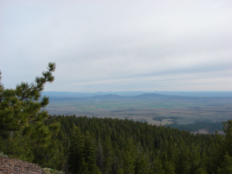
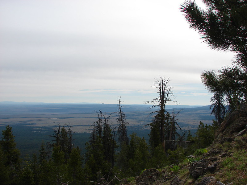
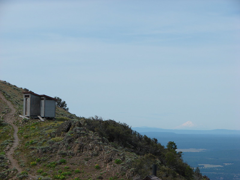
It was exciting to reach the summit to see what views we had missed on the previous hike. The day wasn’t entirely clear but it was a monumental improvement over the last time. We spent about 45 minutes studying the horizon and taking pictures. There are some very interesting geologic formation in that part of Oregon and we were intrigued by some of the odd features.
Warner Peak in the distance to the right:
Gearhart Mountain with a bit of snow:

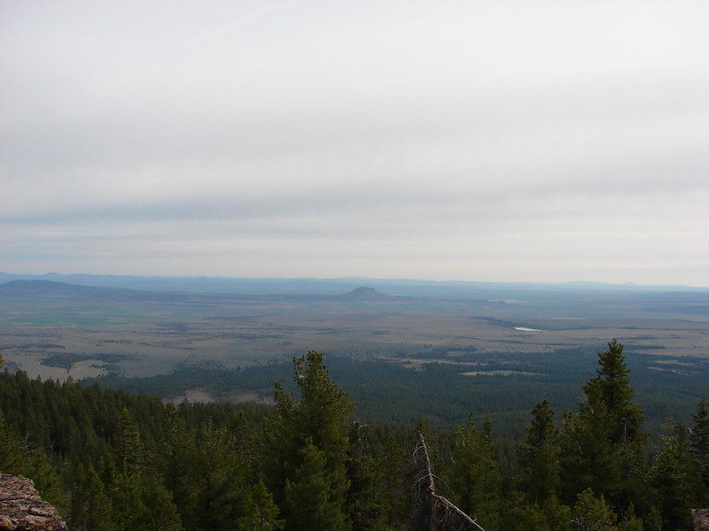
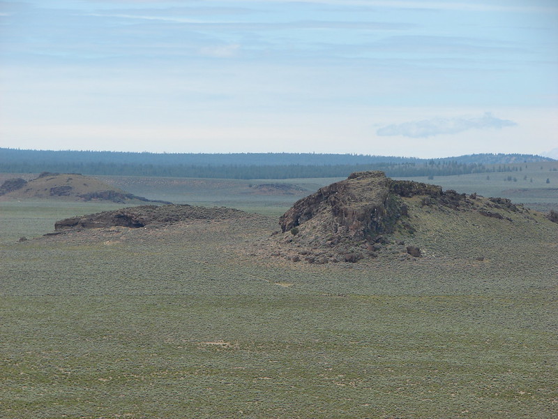
Fort Rock in the center of the flat area with Paulina Peak, China Hat & East Butte behind from left to right.

From the northwest to the southwest the horizon was dotted with snowy Cascade peaks. It was too cloudy to see Mt. Hood and Mt. Jefferson appeared like a ghost in the clouds but we had good views starting with the Broken Top, Three Sisters and Mt. Bachelor:

Followed by Diamond Peak to their south:
Then Mt. Thielsen, Howlock Mt. & Tipsoo Peak:
Crater Lake had emerged from the previous days clouds as we could easily make out Mt. Scott, The Watchman, and Hillman Peak:
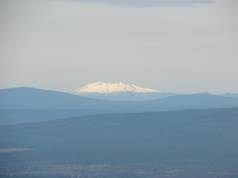
Mt. McGloughlin barely rose above the broad shoulder of Yamsay Mountain:

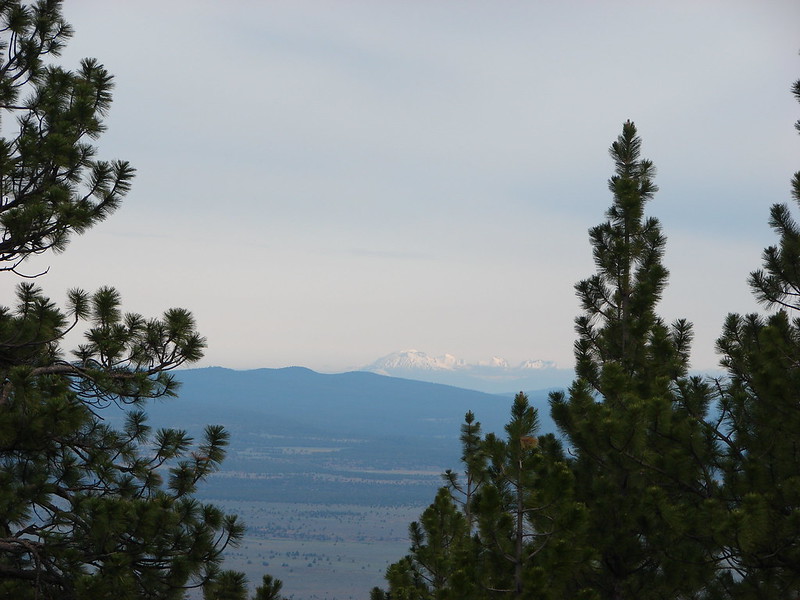
And finally Mt. Shasta looming large far to the south:
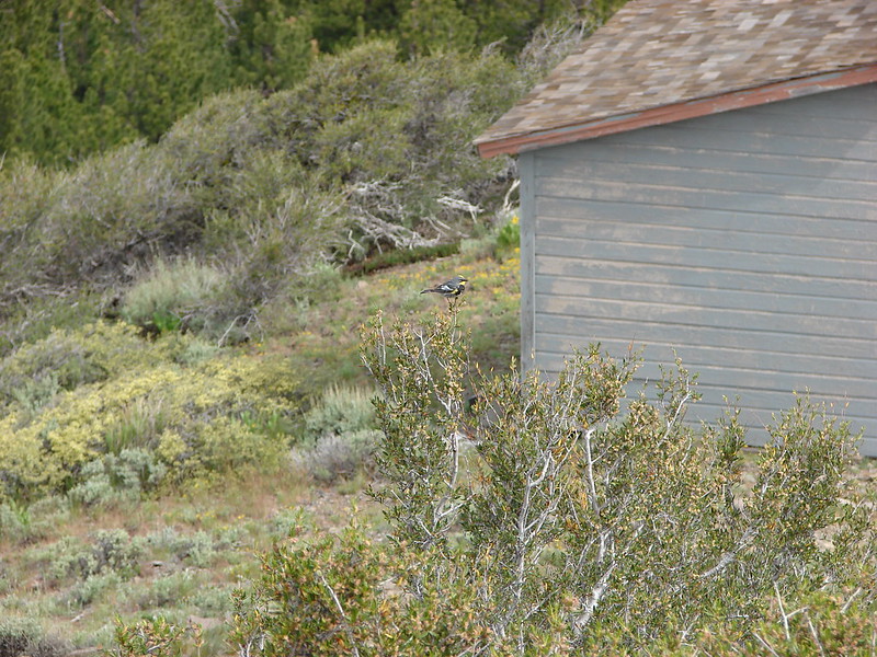
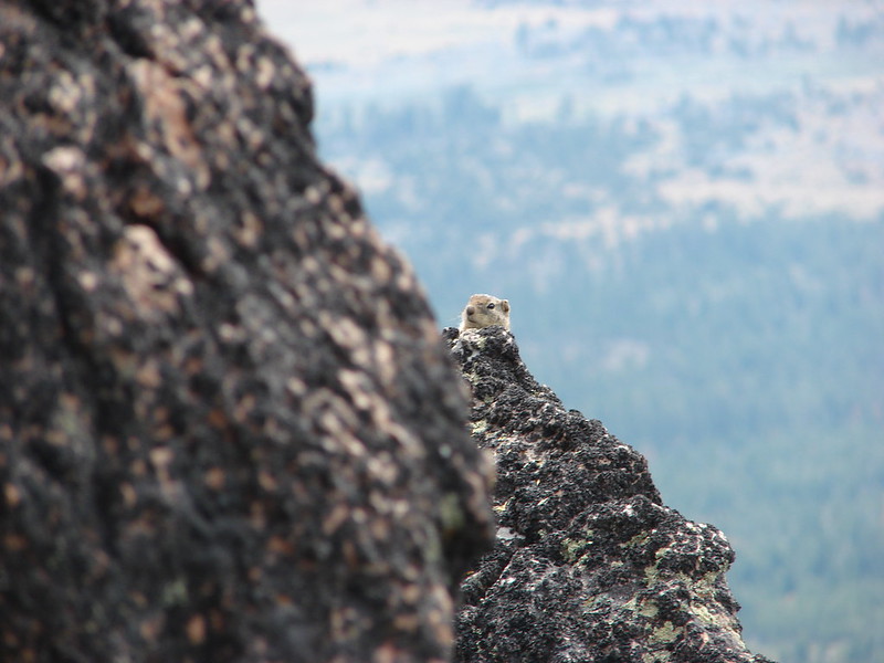
We were joined on the summit by some of the local wildlife.


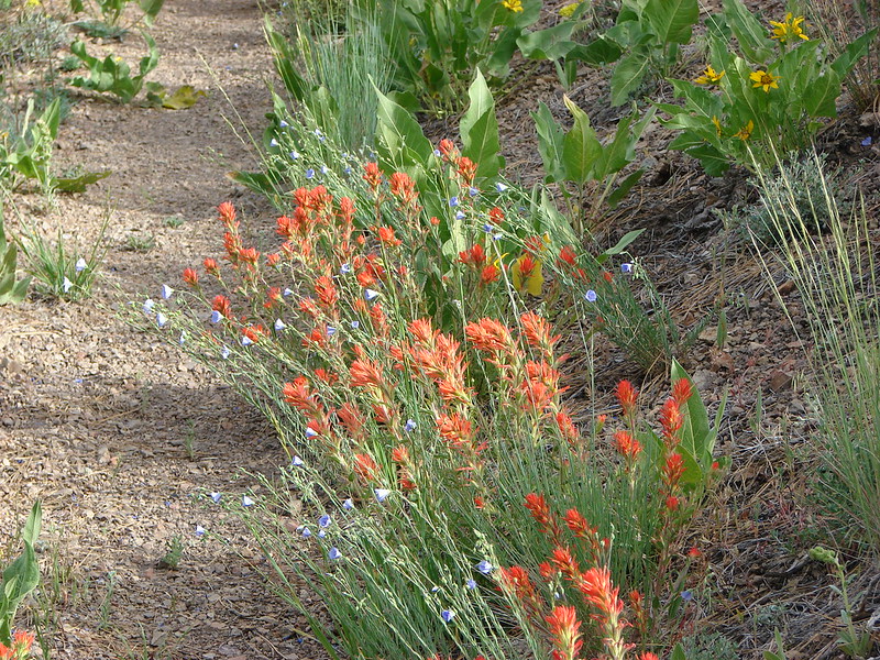
By the time we were on our way back down the flower display had actually gotten better. The lewis flax was opening to the sunlight.

We passed four other hikers on our way back to the car as well as a noisy nuthatch and a couple of sagebrush lizards.


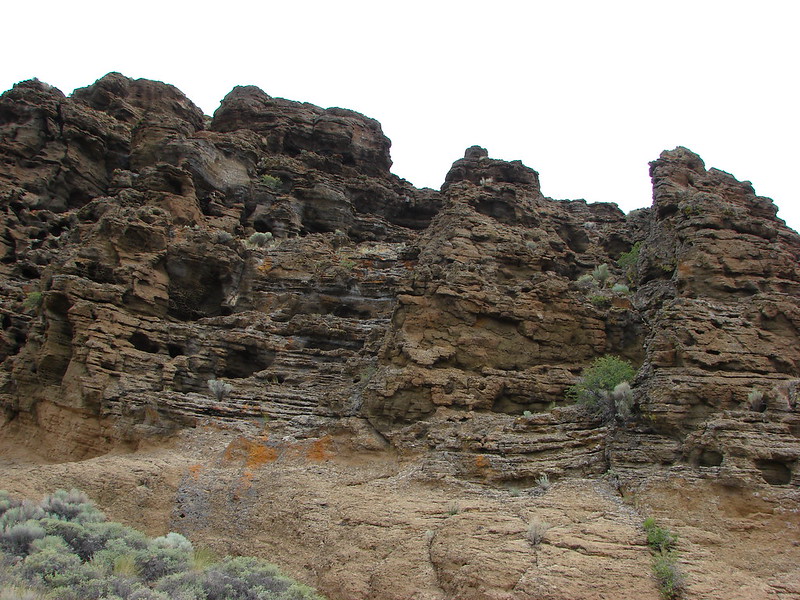
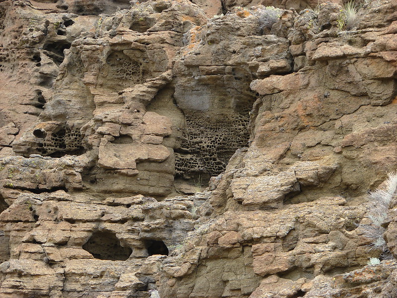
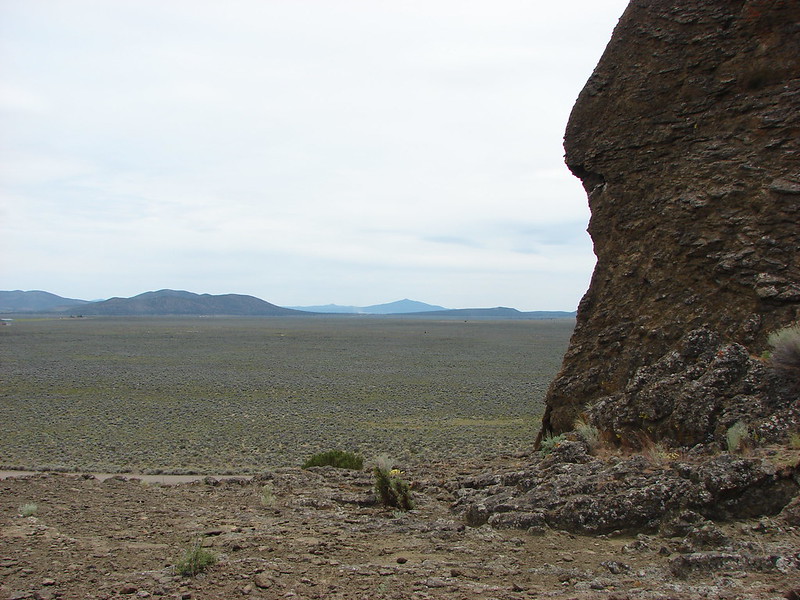
Once we were back on the road we returned to Highway 31 and headed north to Fort Rock State Park. Neither of us had been there before but it had piqued our interest on the way past the year before. The rocks are said to be the remainder of an ancient volcanic crater that was worn down by an ice age lake. Whatever the origin the result was an interesting crescent formation full of textured rocks angled this way and that.
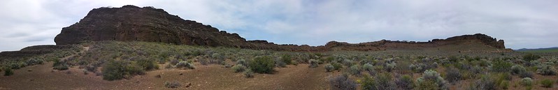

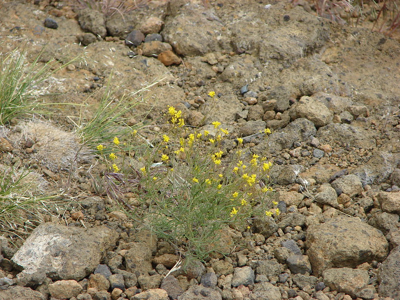
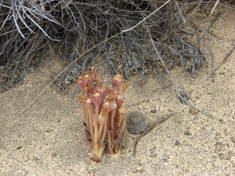
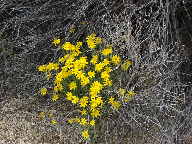
Inside the crescent the ground appeared to be covered in sagebrush, but as we hiked along the loop inside the rocks we noticed a good number of wildflowers that had sprung up amongst the sage.


A short side path led to a notch in the rocks where you could see the Fort Rock Cave:
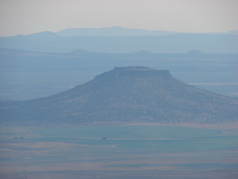
To the south we could see Hager Mountain where we had been just a couple hours earlier:
It had been a great day of hiking with some really interesting and beautiful scenery. One note of caution though. We both had to knock ticks off, Heather during the Hager Mountain hike and myself back at the car after being on the Fort Rock trails. Happy Trails!
flickr: https://www.flickr.com/photos/9319235@N02/sets/72157644765557647/
Facebook – Hager Mt.: https://www.facebook.com/media/set/?set=a.10204238532710679.1073741885.1448521051&type=1
Fprt Rock: https://www.facebook.com/media/set/?set=a.10204238985722004.1073741886.1448521051&type=1


