Categories
High Cascades Hiking Mt. Washington Area Oregon Throwback Thursday Trip report

Throwback Thursday – Patjens Lakes

On 8/2/2012, a day after our mosquito filled visit to Miller & Maidu Lakes, we were heading home. I had injured my right knee running down the trail to Miller Lake in an attempt to thwart the mosquitoes and it was feeling a little off, but I wanted to give a hike a try on the way over Santiam Pass.

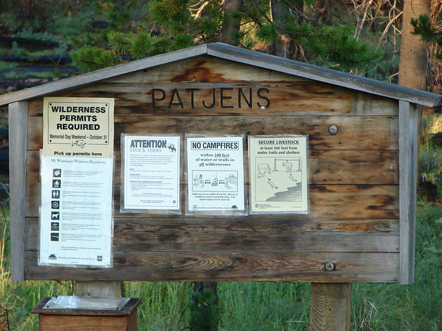
We decided to try Patjens Lakes due to it being relatively short, right around 6 miles, with only 400′ of cumulative elevation gain. The trailhead is located on the NW side of Big Lake off of Forest Road 2690 which is also the entrance road to the Hoodoo Ski Area.
Patjens Lake Trailhead

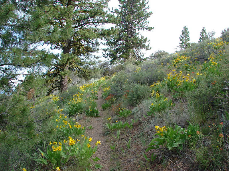
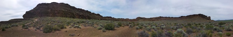
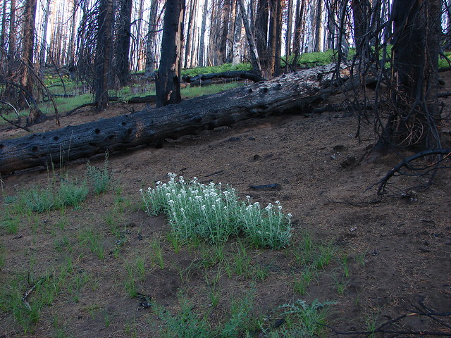
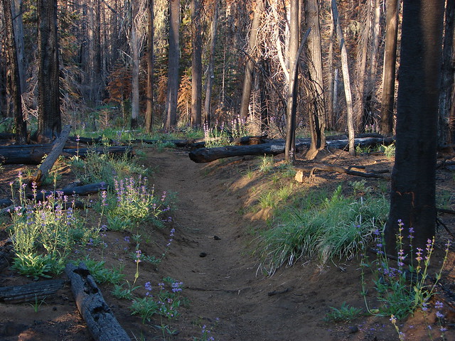
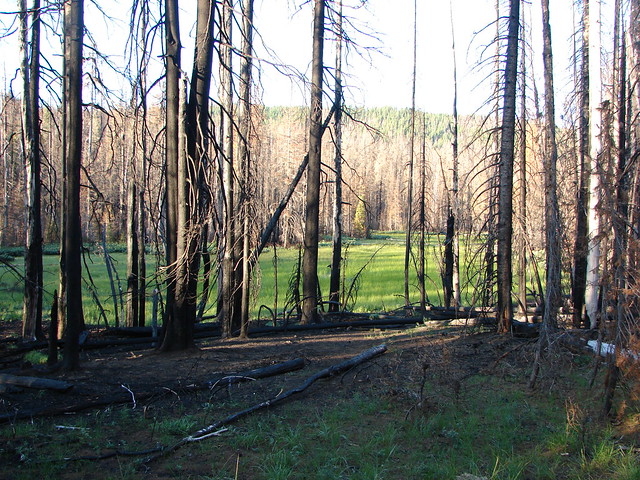
We stayed right at a fork near the trailhead planning on doing a counter-clockwise loop. A 2011 wildfire had burnt much of the forest along the loop but signs of life were already returning.
Patjens Lake Trail

Goldenrod, penstemon and aster

Pearly everlasting

Patjens Lake Trail

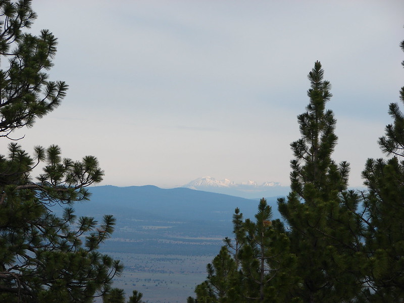
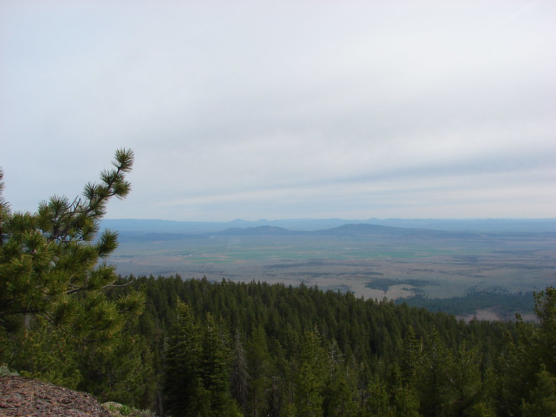
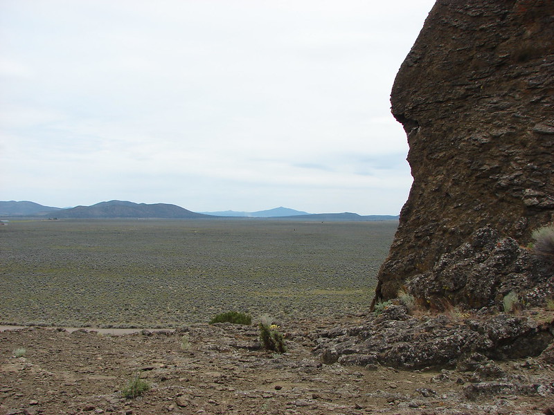
Mt. Washington and Big Lake were visible along the first portion of the trail.
Mt. Washington

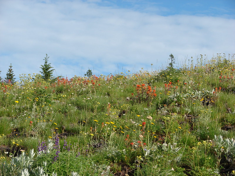
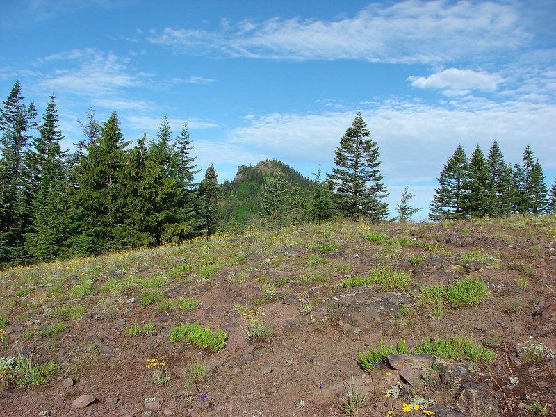
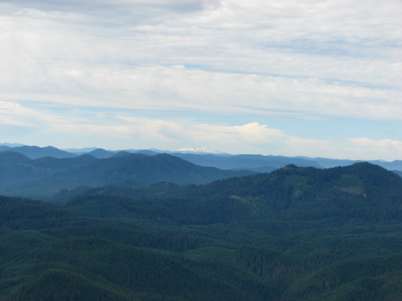
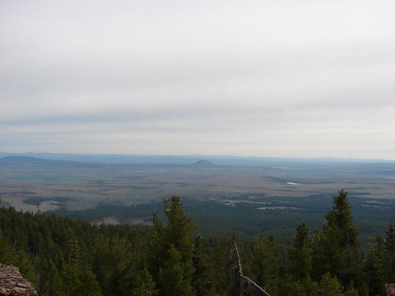
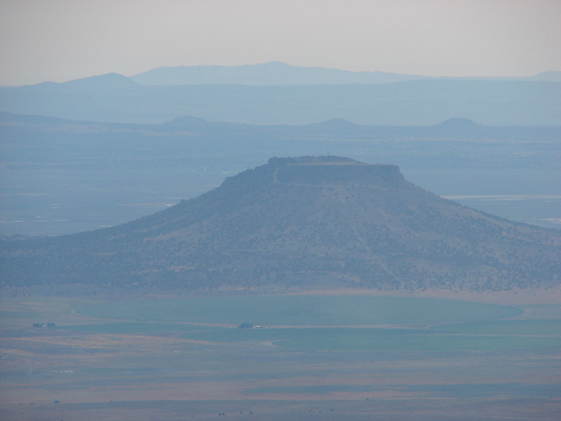
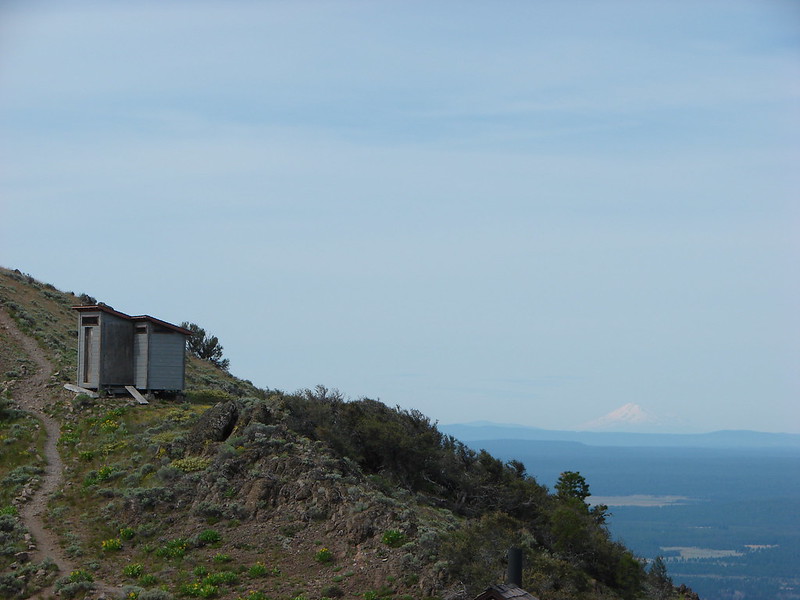
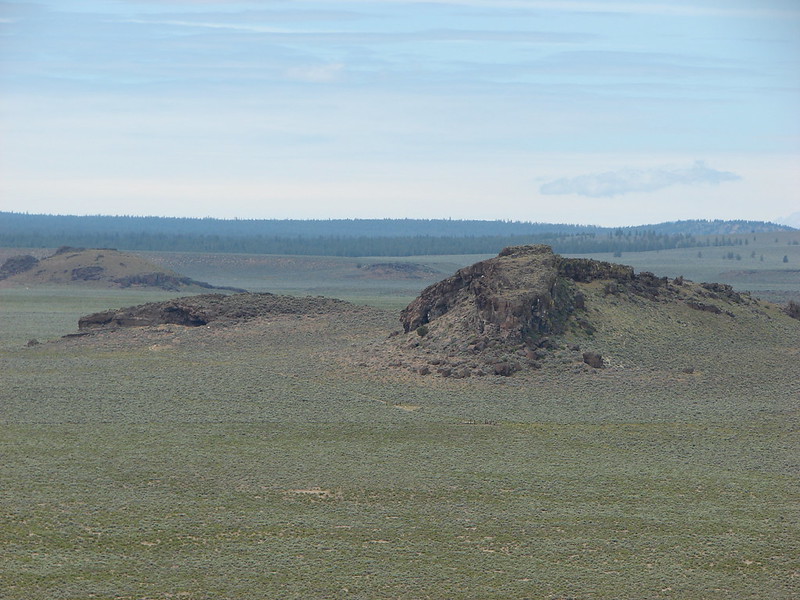
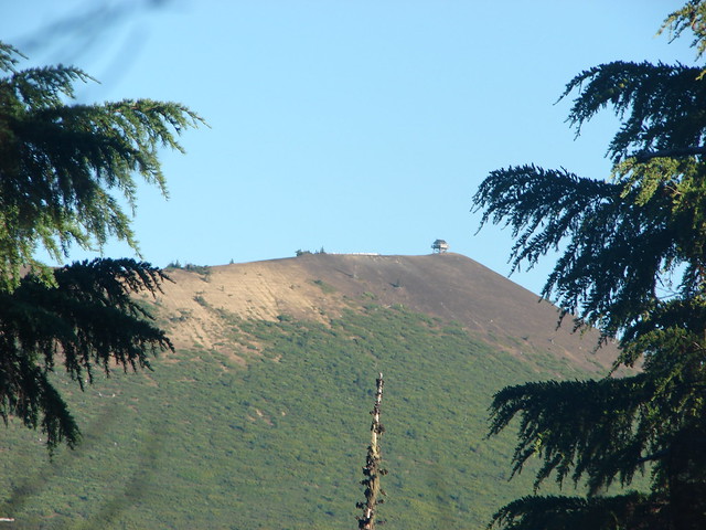
The trail looped around a small butte passing a series of meadows and view to the NW of the Sand Mountain Lookout.
Meadow along the Patjens Lake Trail

Lupine

Sand Mountain Lookout

Shortly after passing a horse trail joining on the right the we entered the Mt. Washington Wilderness and began the only real significant climb of the hike.
Wt. Washington Wilderness sign

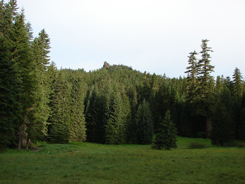
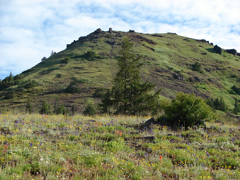
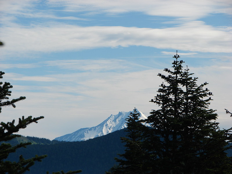
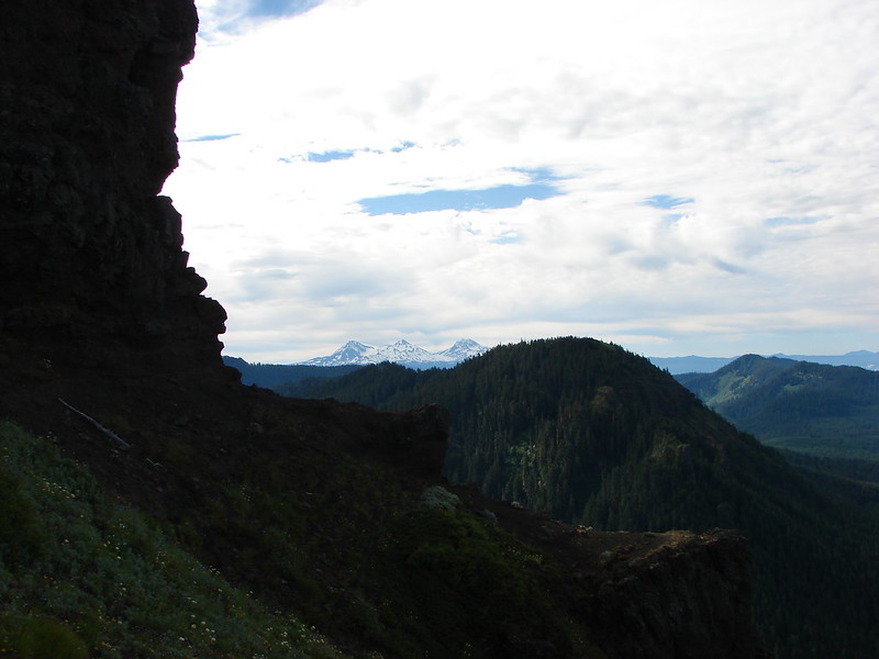
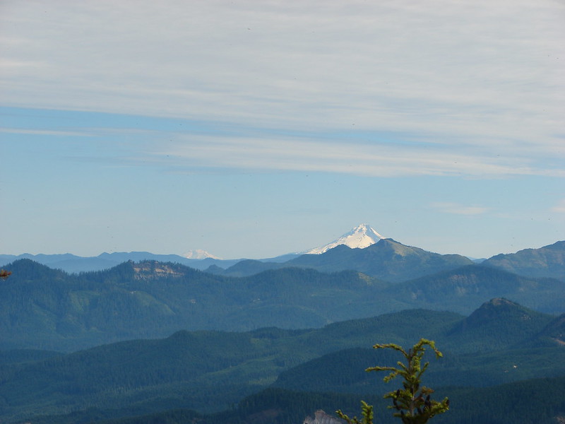
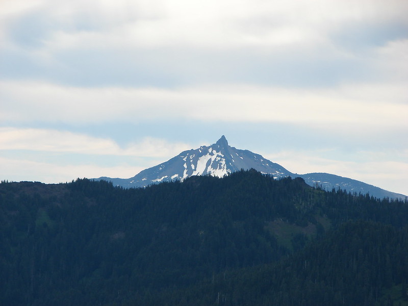
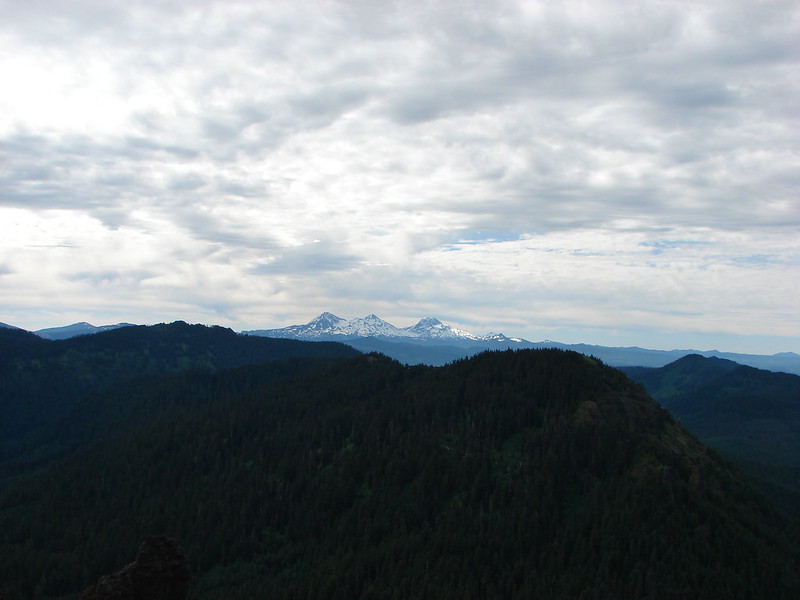
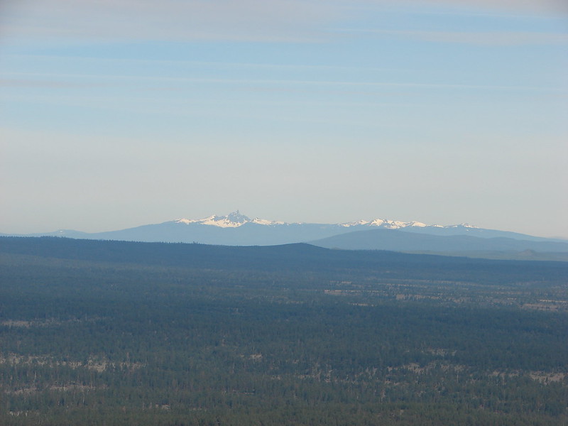
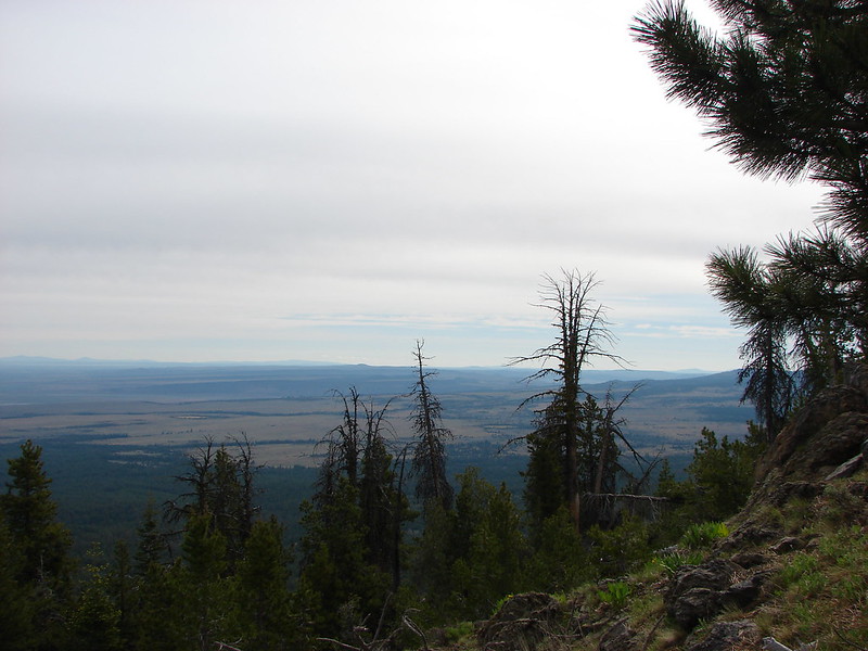
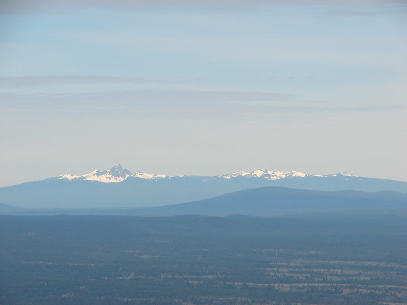
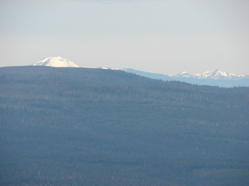
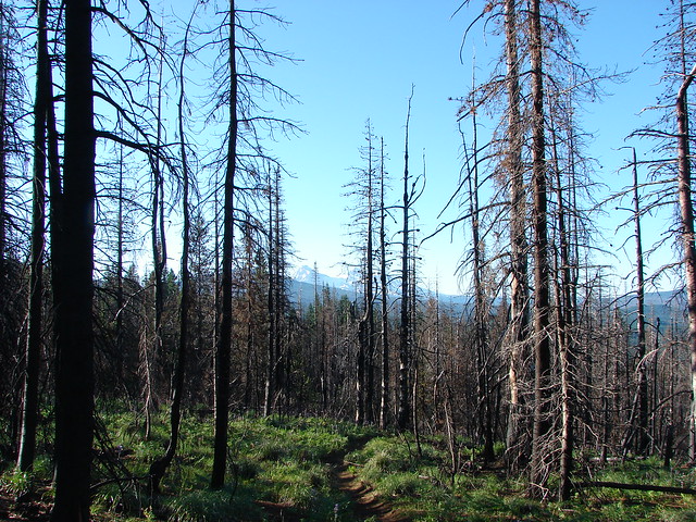
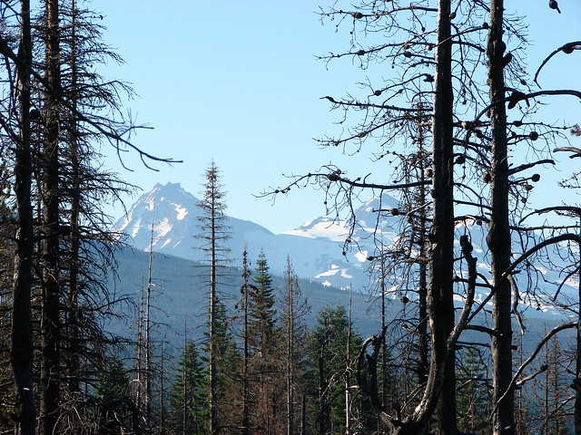
The trail climbed to a saddle between the butte and a small hill. At the saddle the Three Sisters were visible to the south.
Forest along the Patjens Lake Trail
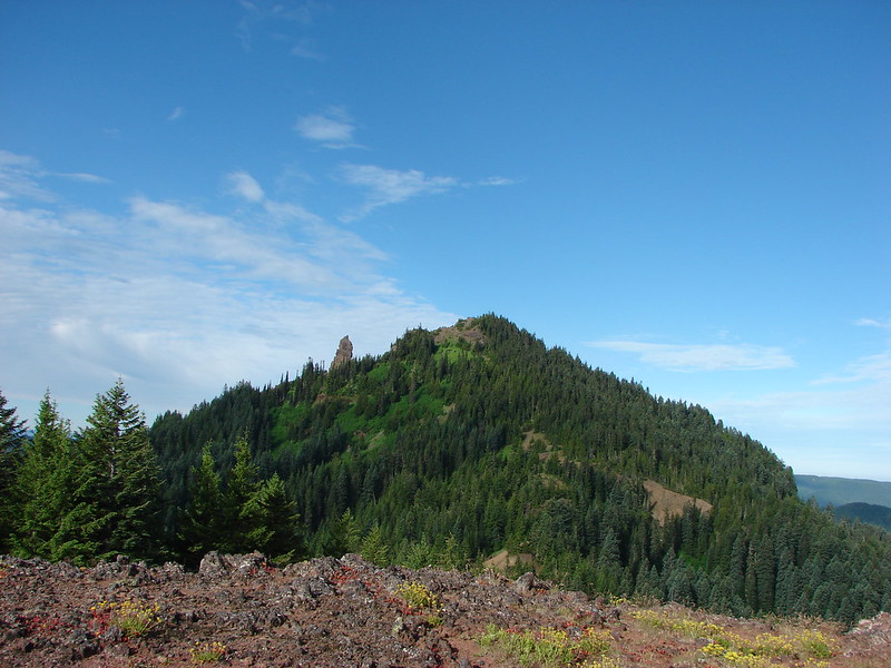
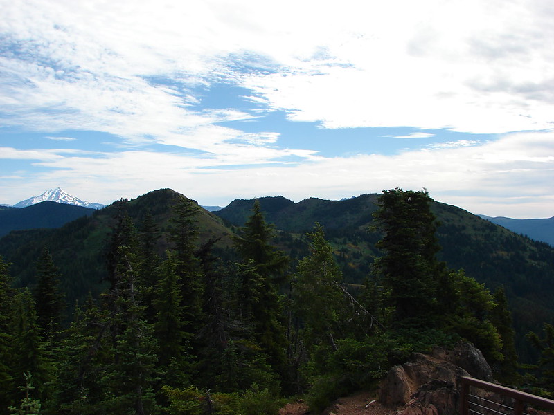
Small hill from the saddle.

Patjens Lake Trail

The Three Sisters

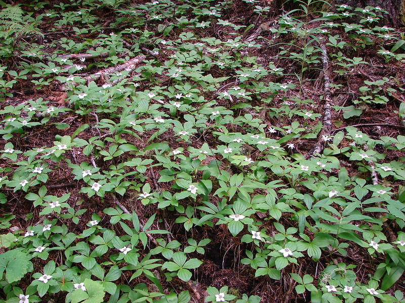
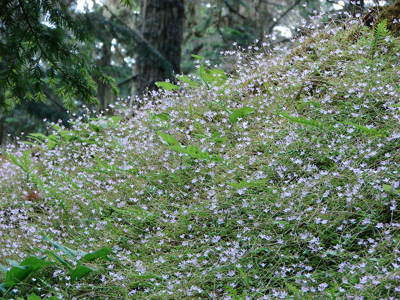
As the trail descended from the saddle it entered forest that had been spared by the fire.
Patjens Lake Trail

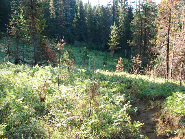
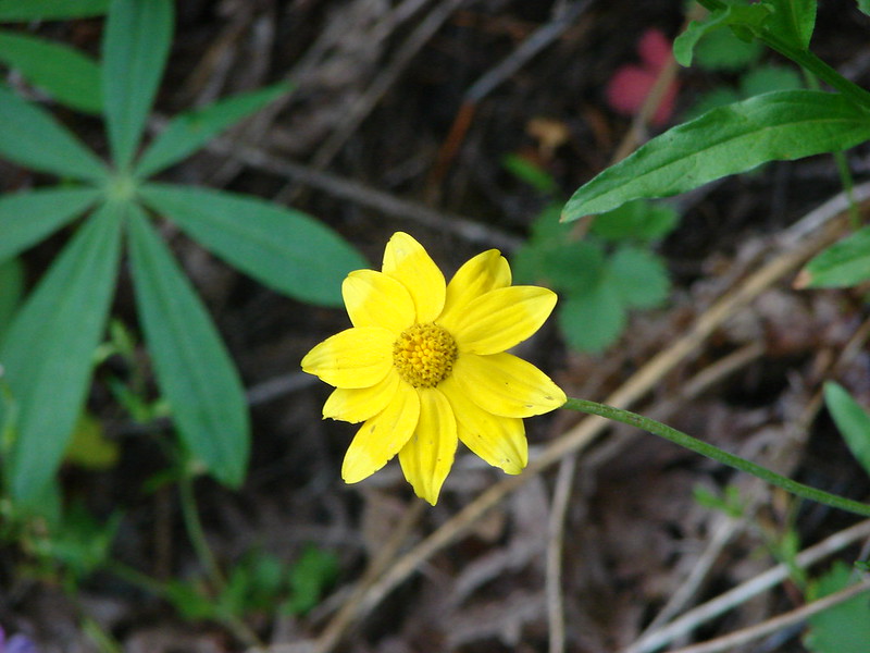
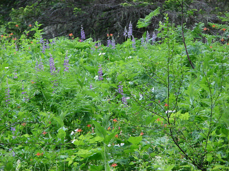
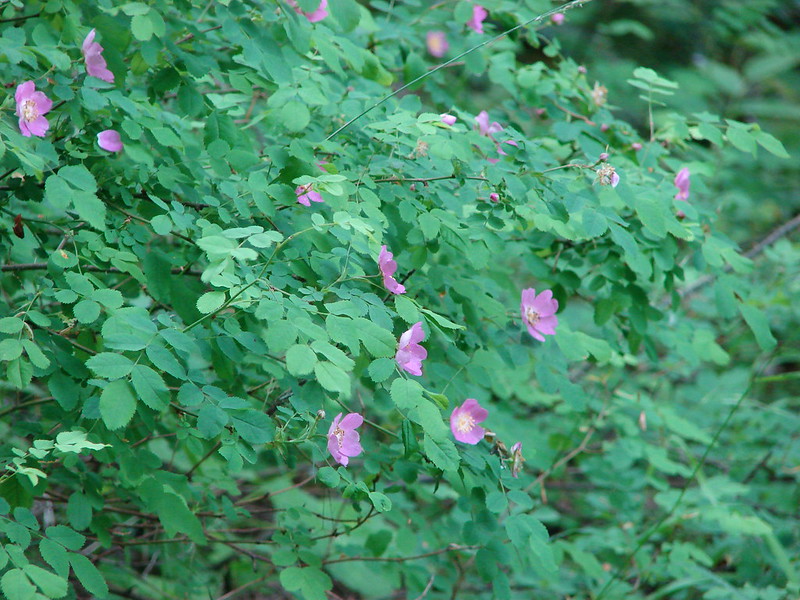
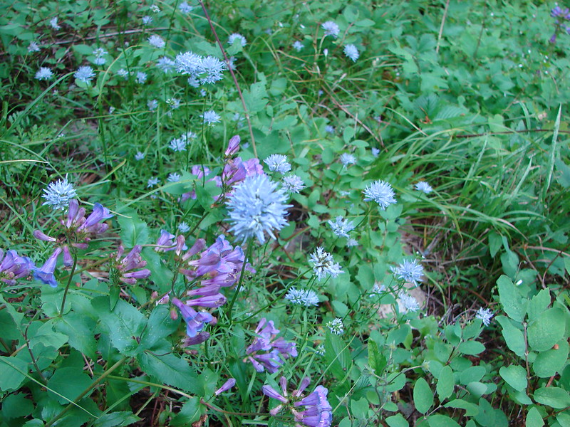
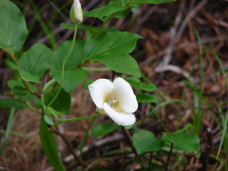
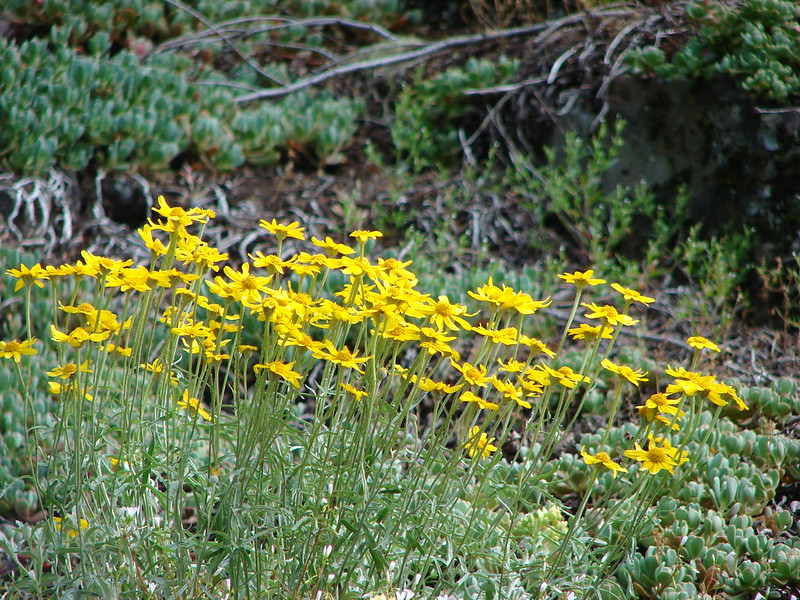
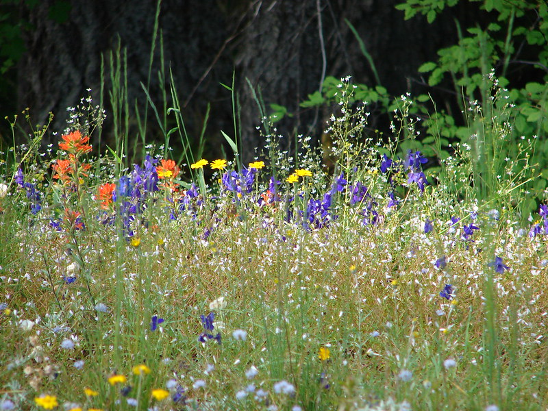
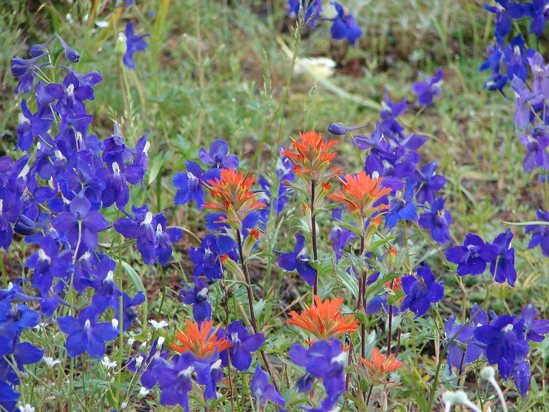
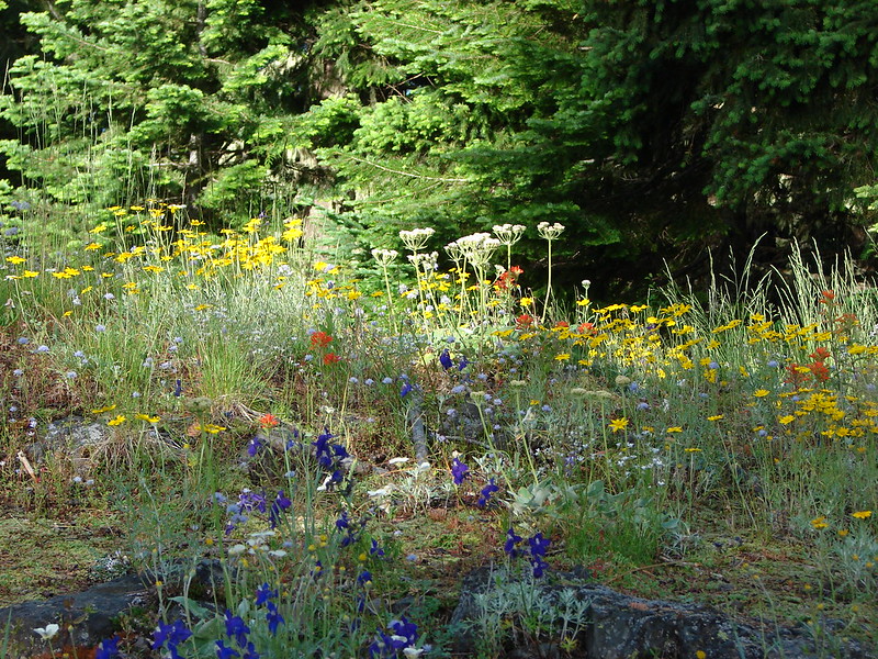
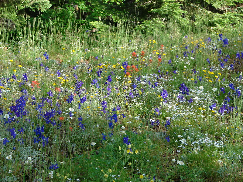
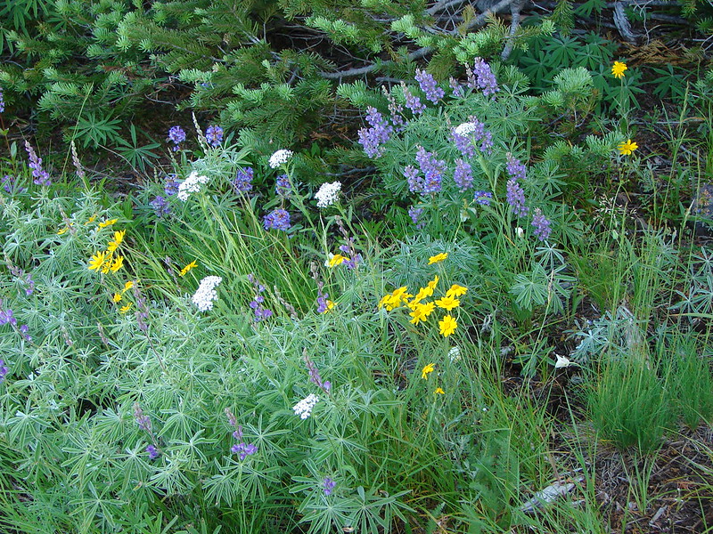
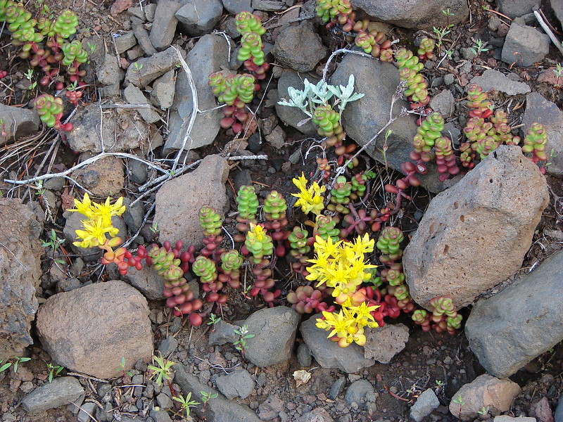
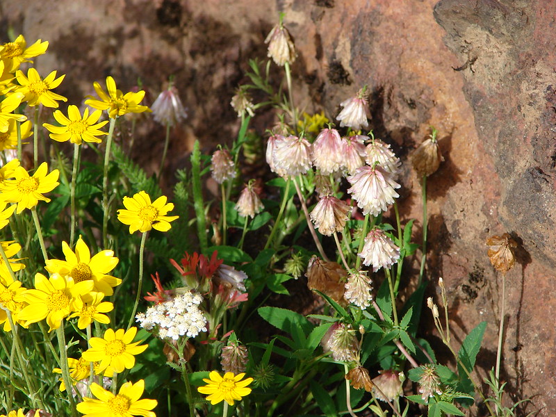
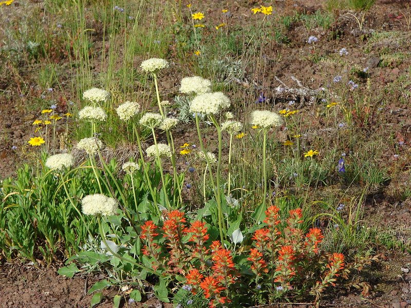
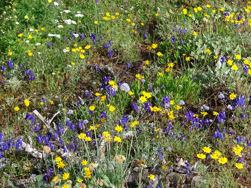
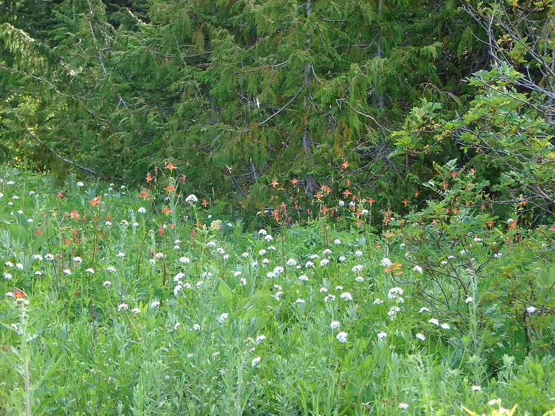
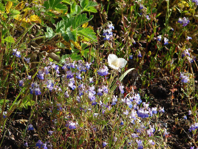
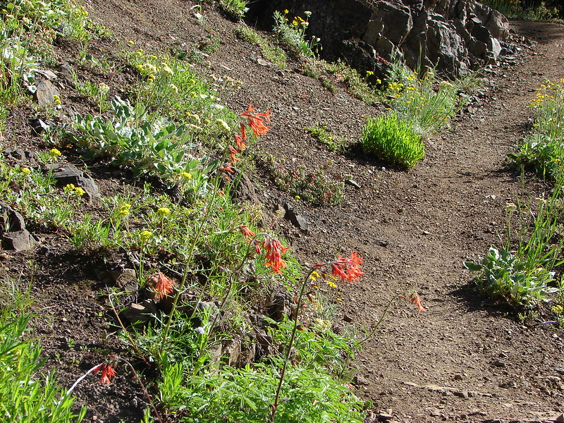
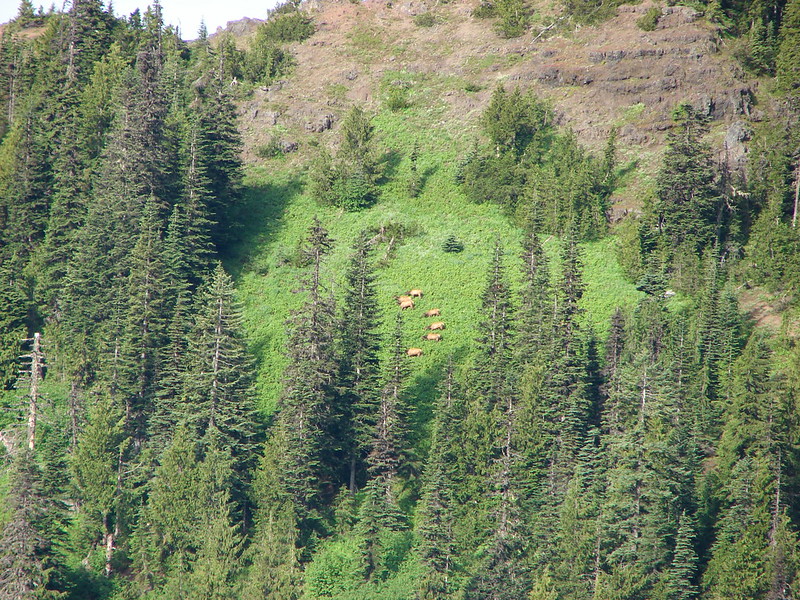
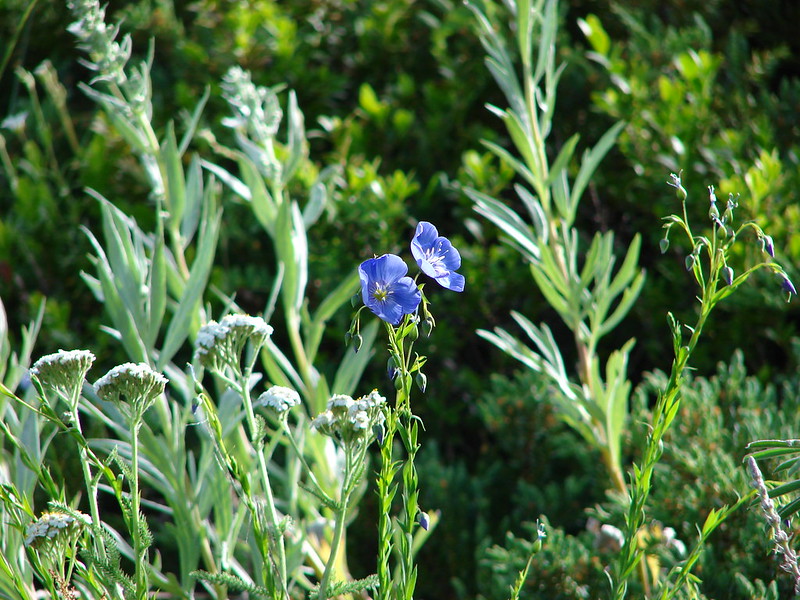
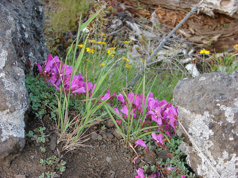
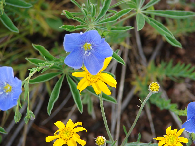
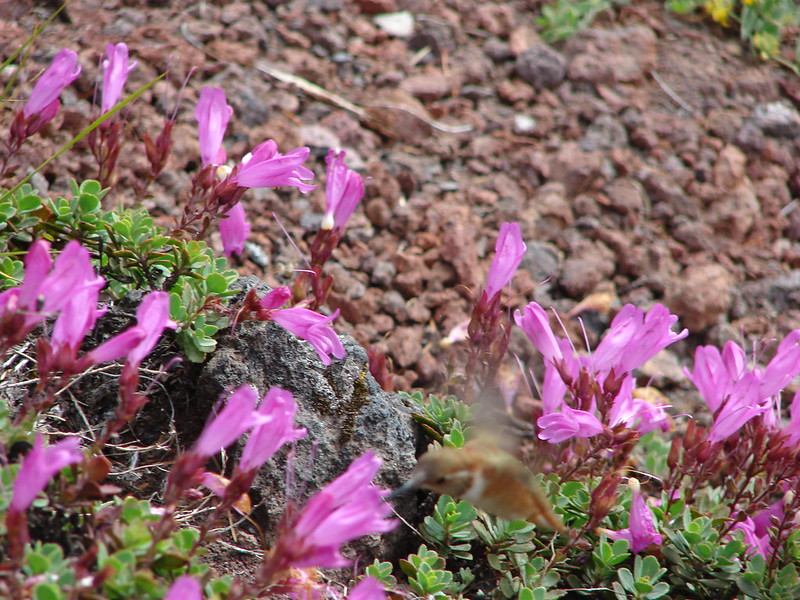
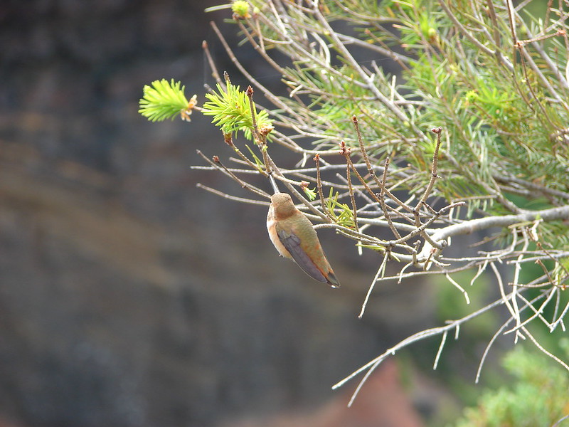
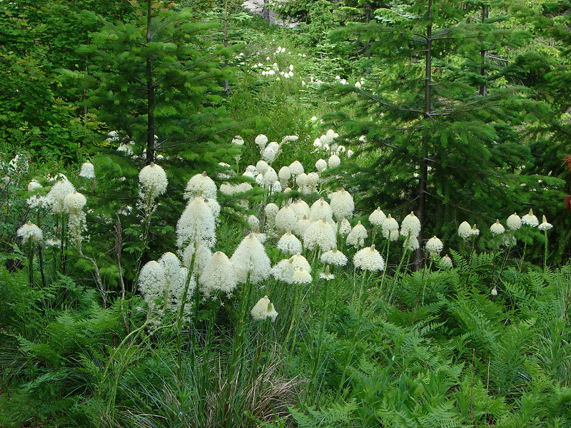
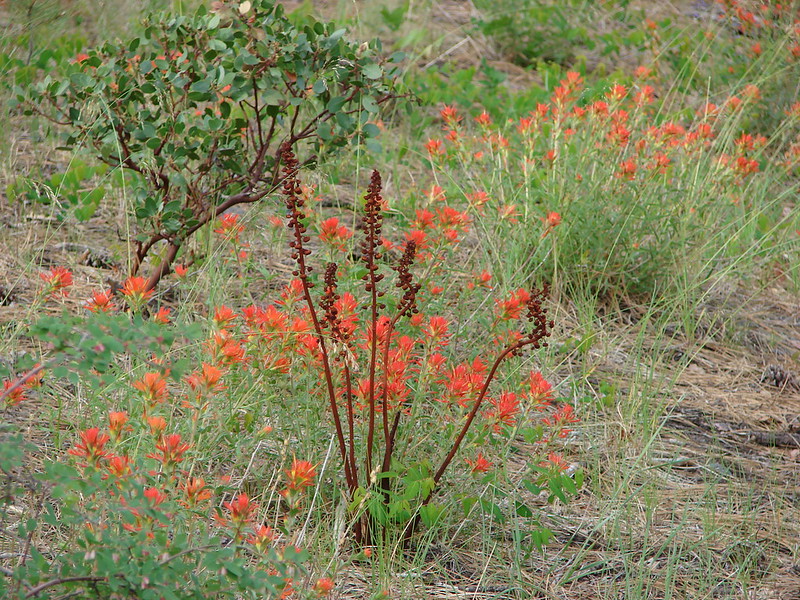
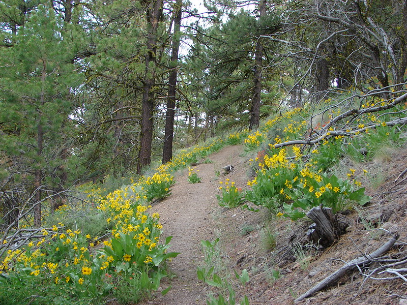
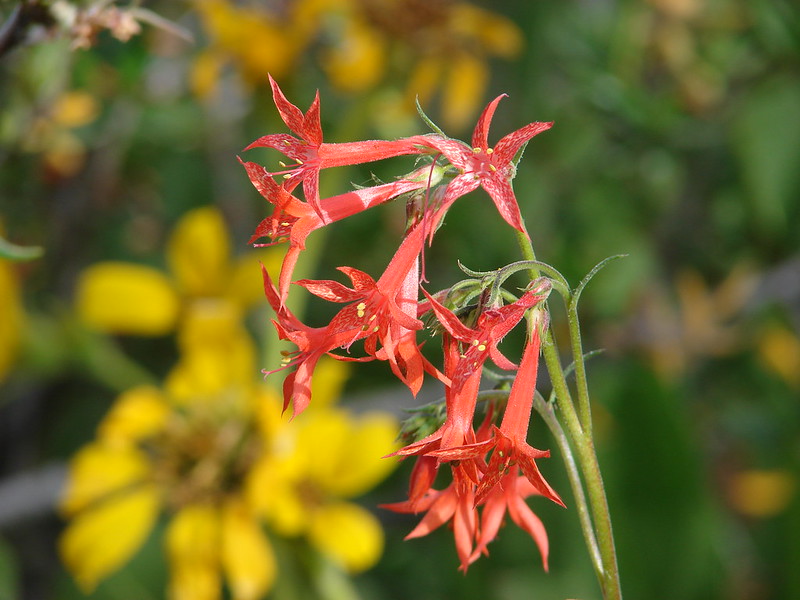
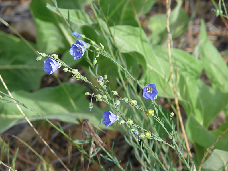
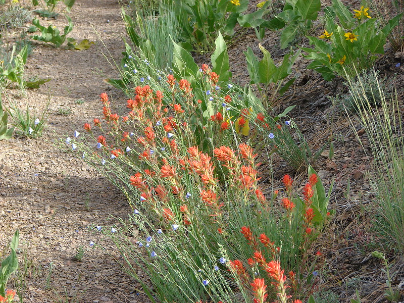
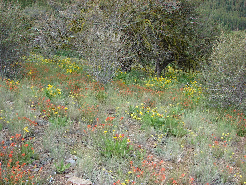
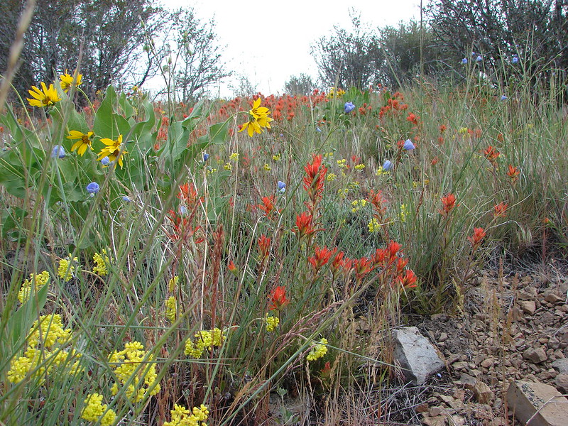
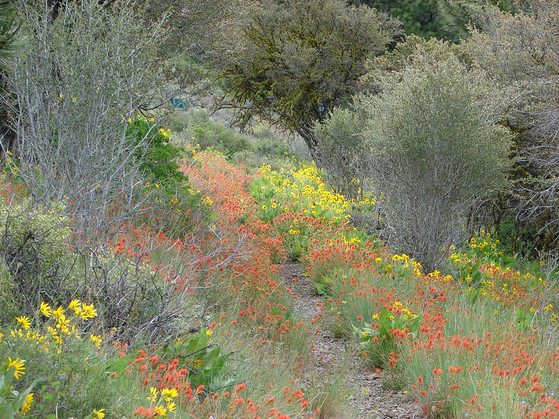
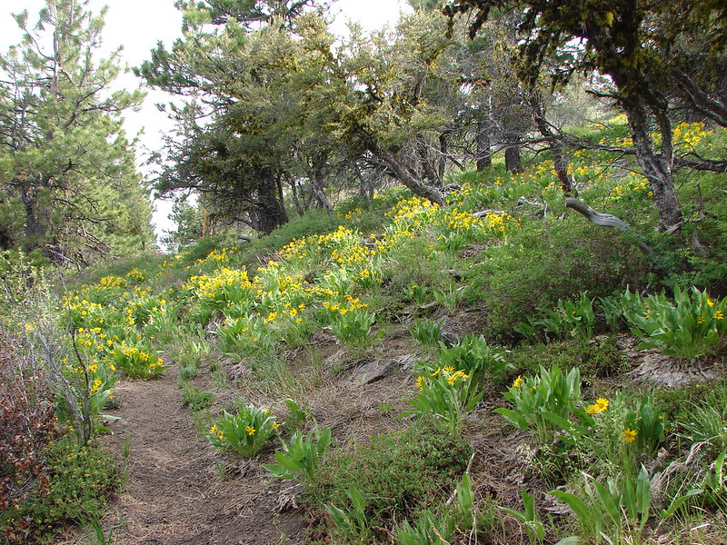
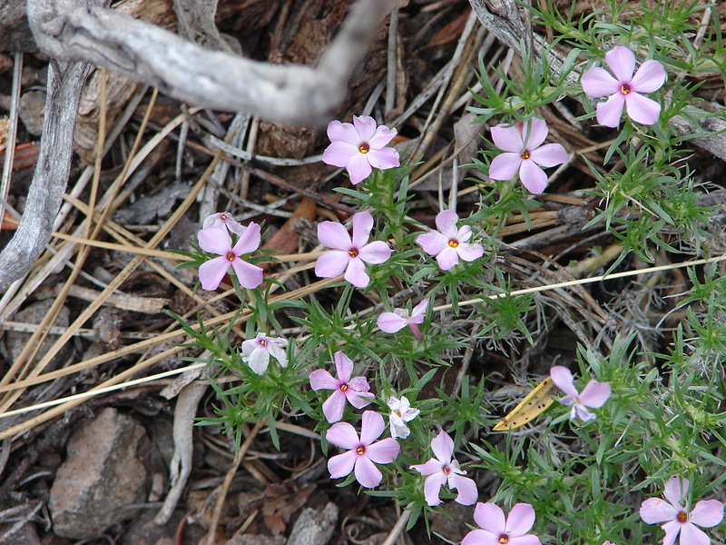
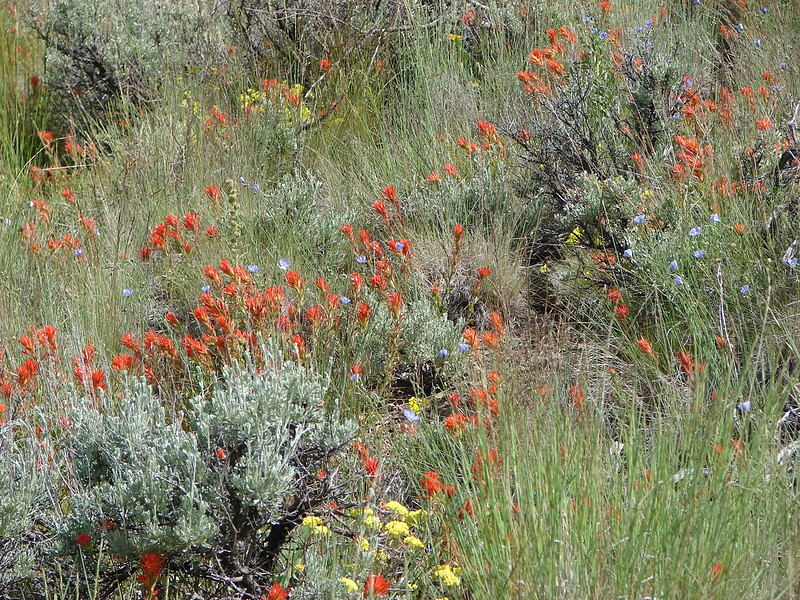
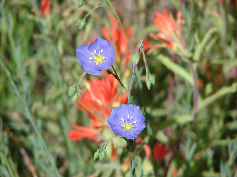
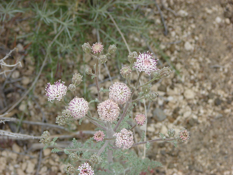
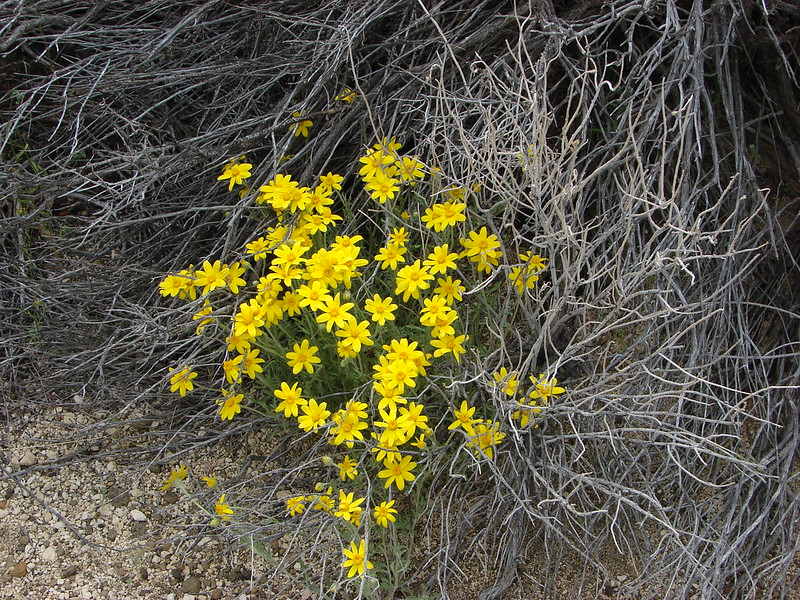
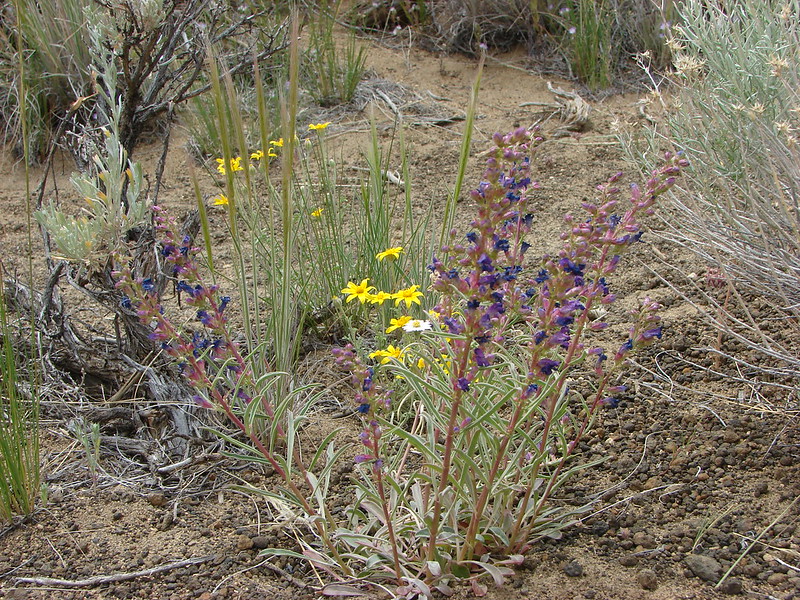
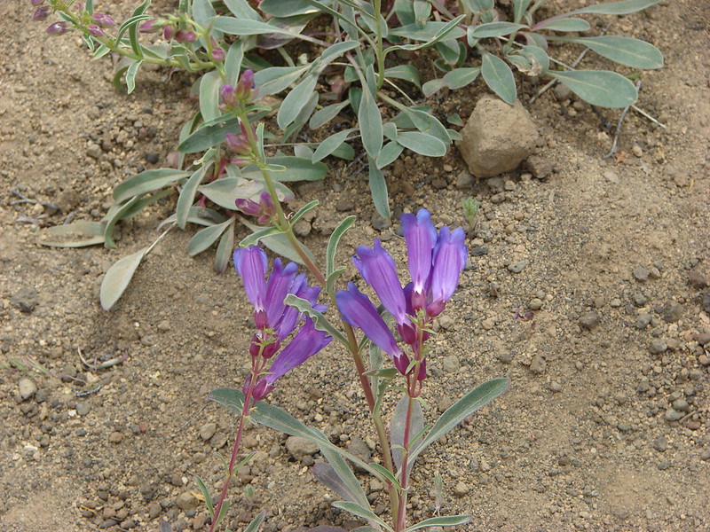
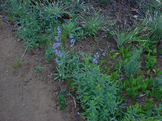
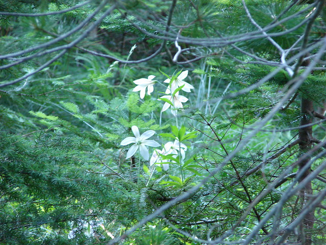
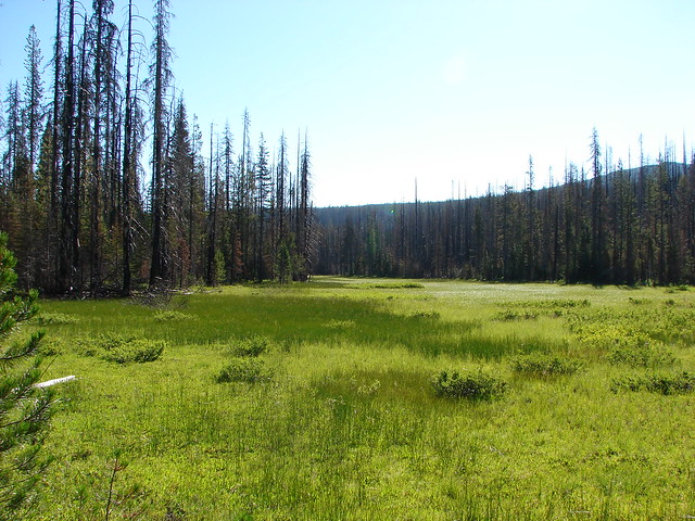
We passed through a series of meadows full of ferns and scarlet gilia.
Patjens Lake Trail

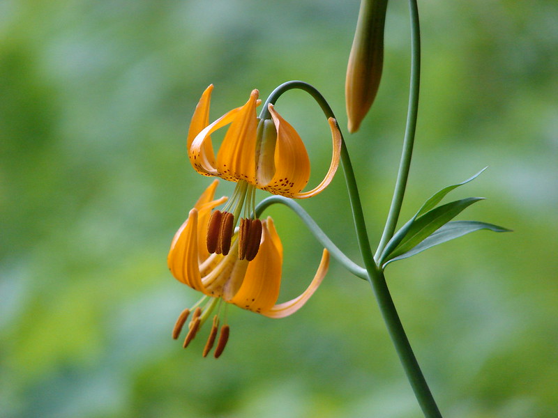
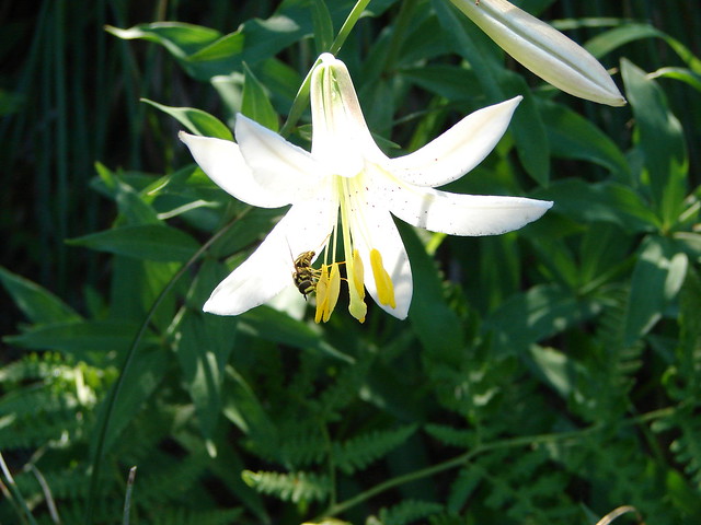
Tall cascade lilies rose above the ferns.
Cascade Lilies

Cascade lilies

Cascade Lily

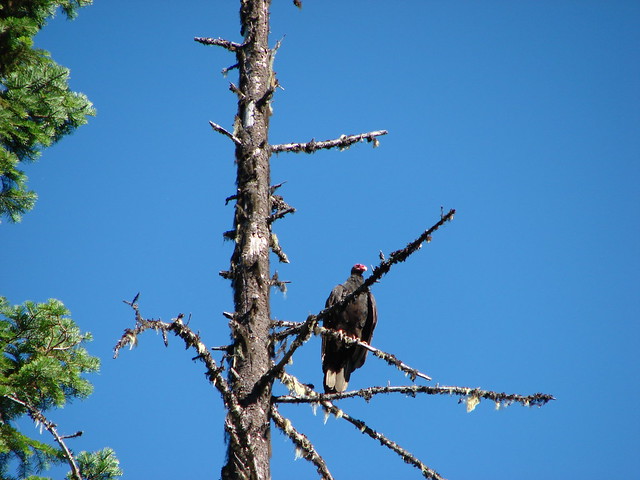
As we were passing through one of these meadows we encountered a foul reek. There was obviously some sort of rotting carcass out in the brush but we couldn’t see anything. We were a little concerned that it might have been a mountain lion kill or that a bear might be feeding on it so when we heard a ruckus off to our right we were on high alert. The noise turned out to be a pair of turkey vultures who had apparently located the dead animal.
Turkey Vulture

Turkey vulture

We left well enough alone and continued on our way paying extra attention for any large predators that might have been attracted by the smell. Around a mile from the saddle we came to a small body of water on the right side of the trail.
Patjens Lake #1

The first Patjens Lake was approximately .7 miles from the pond on our left.
A Patjens Lake

The trail then passed a large meadow reentering the burn area before reaching the second Patjens Lake.
Meadow along the Patjens Lake Trail

Patjens Lake #2

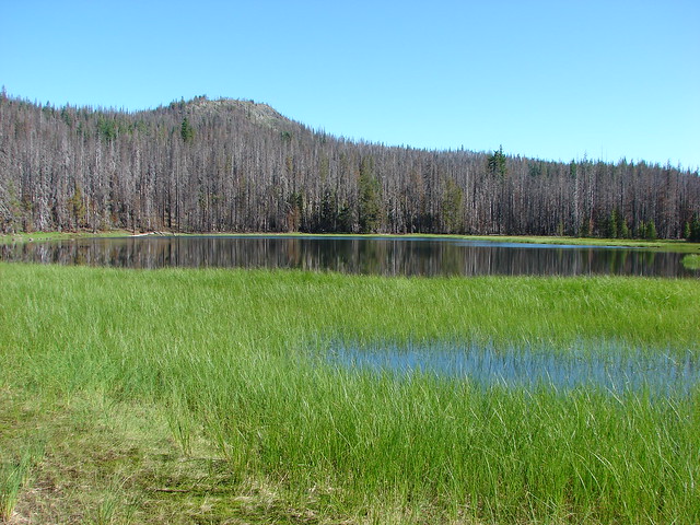
The third lake was just beyond the second and it looked like they were probably connected for a brief times during high water. We left the trail and began to loop around the third lake in a clockwise direction.
A Patjens Lake

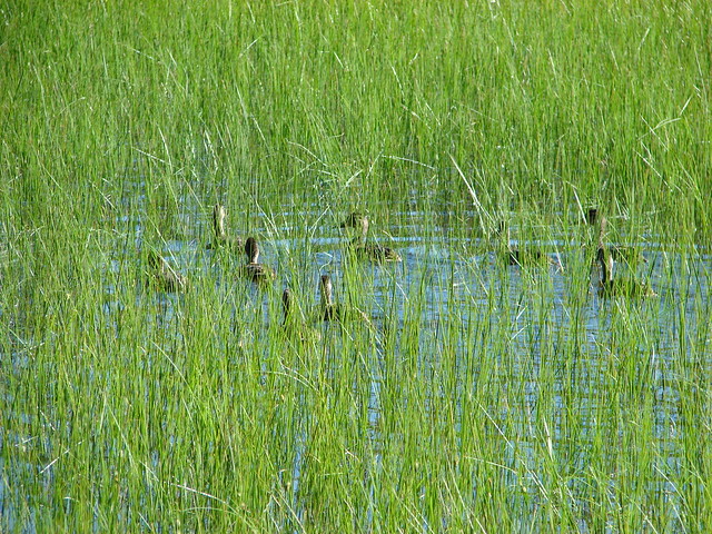
A number of ducks could be seen in the reeds.
Ducks on a Patjens Lake

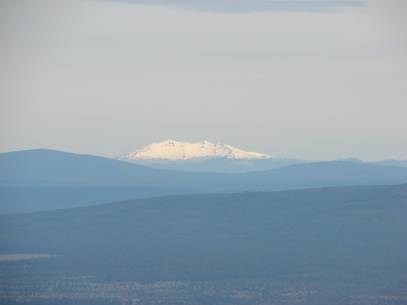
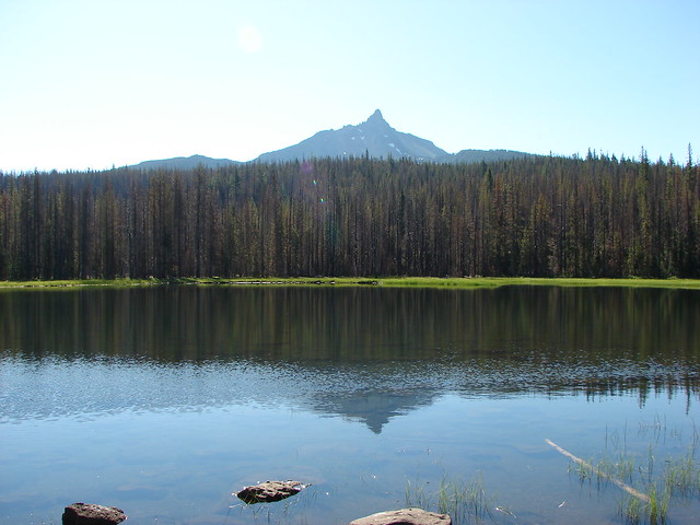
From the north end of the lake there was a nice view of Mt. Washington rising over the forest to the south.
Mt. Washington from a Patjens Lake

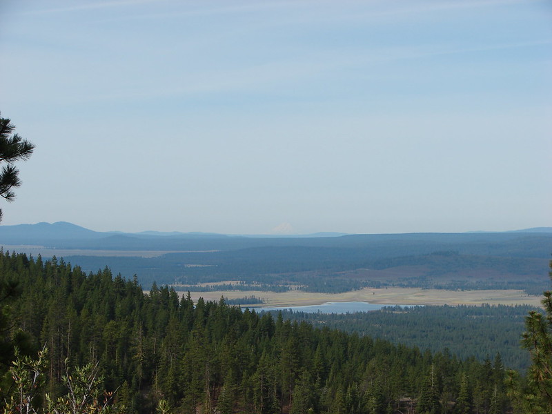
We took a break here watching the ducks and admiring the mountain then continued around the lake back to the trail. A mile and a half from the last lake we came to a junction near Big Lake where we turned left following the lake shore back toward the trailhead. Flat Hayrick Butte and round Hoodoo Butte rose above the blue waters of Big Lake.
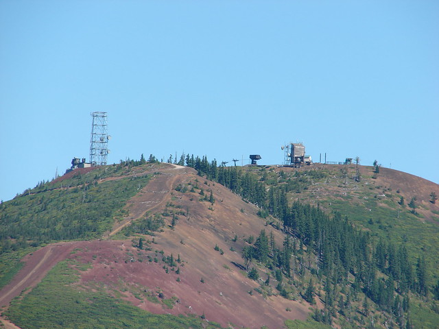
Hoodoo and Hayrick Buttes from Big Lake

Hoodoo Butte
Hoodoo Ski Area

Looking back over our shoulders provided big views of Mt. Washington.
Mt. Washington and Big Lake

A mile from the junction at Big Lake we were back at the trailhead. Despite a little discomfort going downhill my knee had held up which was encouraging. The hike had been a good choice for it and it had been a really nice hike even with the burned forest. Happy Trails!

Flickr: Patjens Lakes

Categories
Hiking Middle Santiam Old Cascades Oregon Trip report

Iron Mountain and the Meadows of Cone Peak

July means wildflowers in the Old Cascades, the eroded peaks that are now the western foothills of the Cascade Mountains. We were headed over to Bend, OR for the 4th of July weekend so we seized the opportunity to check out a couple of the hikes on the way over and back. On the way over to Bend we decided to revisit Iron Mountain, a hike we had done in 2010 during the final week of July. We missed the wildflower peak that year by a couple of weeks so we hoped we would be hitting the area at a better time this visit.

On our previous visit we did the loop clockwise by starting at the trailhead located on road 15 and heading up Iron Mountain first then through the meadows on Cone Peak. This time around we parked at Tombstone Pass and headed counter-clockwise in order to hopefully have the meadows to ourselves before the trail got crowded.
DSC00001
We took a short detour on the Tombstone Nature Trail that circled around a meadow with flowers and a view of Iron Mountain.
DSC00010
DSC00013
DSC00017
DSC00034

After finishing the nature trail we crossed Highway 20 and started climbing up the Cone Peak Trail. We started seeing flowers almost immediately. It seemed every open area had an assortment of different flowers.
Lupine, Columbine & Thimbleberry
DSC00053
Wild Rose
DSC00055
Columbine
DSC00049
Larkspur
DSC00056
Penstemon & Blue Gilia
DSC00061
Cat’s Ear Lily
DSC00067
Woolly Sunflower
DSC00079
Flower variety
DSC00085
DSC00103
Columbia Windflower
DSC00046
Wallflower
DSC00132
Paintbrush & Larkspur
DSC00136
More variety packs
DSC00137
DSC00138
DSC00195
DSC00214
DSC00234

We’d already lost count of the number of different flower types we’d seen by the time we got to the main meadow 1.2 miles from the highway crossing. In the meadow we found even more types of flowers as well as views of Cone Peak and Iron Mountain.
DSC00150
Cone Peak
DSC00151
DSC00156
DSC00172
DSC00173
DSC00175
DSC00180
Cone Flower
DSC00182
Giant Blue-eyed Mary
DSC00187
DSC00191
Iron Mountain
DSC00158
Scarlet Gilia
DSC00250

We’d been hearing some elk off and on while we were in the meadow and as we were exploring a rocky outcrop Dominique noticed some brown spots in a meadow up on Iron Mountain. There were 7 elk moving through the brush grazing on the vegetation as they went.
DSC00220
DSC00221

We left the meadow and reentered the forest as we wound our way around Iron Mountain to the junction with the Iron Mountain Lookout Trail. There were still flowers everywhere and now we were starting to get views of the snowy Cascade Mountains.
DSC00300
DSC00312
Mt. Hood
DSC00313
Mt. Jefferson
DSC00314
The Three Sisters
DSC00319
DSC00321
DSC00331

At the site of the former lookout is a railed observation deck and bench which allowed for a relaxing rest as we took in the 360 degree view which spanned from Mt. Adams to Diamond Peak.
Mt. Adams & Mt. Hood
DSC00379
Mt. Jefferson beyond Cone Peak and the top of Three Fingered Jack behind Crescent Mountain
DSC00388
Mt. Washington
DSC00377
The Three Sisters, Mt. Bachelor & The Husband
DSC00382
Diamond Peak
DSC00375

The view was so good even a hummingbird took a break from the penstemon to take it in.
DSC00361
DSC00367

We headed back down to the trail junction and continued on our loop passing more flowers, recrossing Highway 20, and returning to Tombstone Pass on the Old Santiam Wagon Road.
Beargrass
DSC00409
Bunchberry & Queens Cup
DSC00414
DSC00416
DSC00422

The flowers had certainly been better than on our previous visit and it looked like they would be pristine for another week or two. It was a great way to start a holiday weekend. Happy Trails!

flickr:https://www.flickr.com/photos/9319235@N02/sets/72157645515763015/
Facebook:https://www.facebook.com/deryl.yunck/media_set?set=a.10204403291949557.1073741891.1448521051&type=3

Categories
Central Oregon Fort Rock Hiking Oregon Trip report

Hager Mountain Part Deux & Fort Rock

The third day of our Central Oregon visit had us returning to a hike we had done last July 31st – Hager Mountian. https://wanderingyuncks.wordpress.com/2013/07/31/hager-mountain/
Smoke from a wildfire had prevented us from having any views from the 7185′ summit that day but we had enjoyed the hike and seen signs of what seemed like it might be a decent amount of flowers if we had visited a bit earlier. We were hoping to get the views and to see some more flowers this time around and we also planned to stop at Fort Rock State Park on the way back to Bend, OR.

As we did on our previous visit we started at the lowest trail head located on road 28 just over 9 miles south of Silver Lake, OR. It wasn’t long before we began seeing wildflowers. Paint, lupine, death camas, and some balsamroot was scattered amid the ponderosa pines. We were thinking it was pretty good and then we looked ahead and saw a completely unexpected sight. The amount of paint and blasamroot that covered the forest floor was beyond anything we’d imagined. The flowers were spread out in every direction.
DSC08412
DSC08432
DSC08434

By the 1.5 mile mark the trail had left the ponderosa forest. The flowers had decreased here but there were still some to be found.
DSC08470
DSC08465

We passed Hager Spring which was as dry as it was on our last visit and began climbing to the lower meadow. We weren’t sure what to expect for flowers in the meadow. We had gotten a couple of glimpses of it from the lower trail and we thought we could see some yellow which we assumed was balsamroot. As we got closer to the meadow our suspicions were confirmed. The balsamroot was back with a vengeance along with paint and some additional flowers.
DSC08478
Scarlet Gilia
DSC08529
DSC08502
Lewis Flax
DSC08519
DSC08521
Prairie Star
DSC08538

Not only were the flowers amazing but we had a view as we passed through the meadow. For the first time on a hike we could see Mt. Shasta in California beyond Thompson Reservoir.
DSC08531
Along with Mt. Thielsen, Howlock Mt. & Tipsoo Peak
DSC08523
and Mt. Bachelor, The Three Sisters, & Broken Top
DSC08562

We made a switchback in the meadow and could see the summit as we continued up through the meadow. The flowers remained the star of the show.
DSC08581
DSC08585
DSC08589
DSC08598
DSC08600

We left the lower meadow and entered another section of forest. The flowers decreased in this section but there were some arnica starting to bloom and a lot of fireweed just starting to grow. The trail climbed stiffly through the trees making this the most difficult section of the trail before leveling out briefly and then launching up again into the upper meadow. Here we found some more balsamroot and some phlox.
DSC08616
DSC08620
It was in this section that we were looking for the rare green paintbrush that grows on Hager Mountain. We had seen some on our previous visit but it was drying out that day. Now we found some lush versions growing near the trail.
DSC08654

It was exciting to reach the summit to see what views we had missed on the previous hike. The day wasn’t entirely clear but it was a monumental improvement over the last time. We spent about 45 minutes studying the horizon and taking pictures. There are some very interesting geologic formation in that part of Oregon and we were intrigued by some of the odd features.
DSC08644
DSC08646
DSC08648

Warner Peak in the distance to the right:
DSC08649
Gearhart Mountain with a bit of snow:
Gearhart Mountain from Hager Mountain
Fort Rock in the center of the flat area with Paulina Peak, China Hat & East Butte behind from left to right.
DSC08701
From the northwest to the southwest the horizon was dotted with snowy Cascade peaks. It was too cloudy to see Mt. Hood and Mt. Jefferson appeared like a ghost in the clouds but we had good views starting with the Broken Top, Three Sisters and Mt. Bachelor:
DSC08699
Followed by Diamond Peak to their south:
DSC08698
Then Mt. Thielsen, Howlock Mt. & Tipsoo Peak:
DSC08695
Crater Lake had emerged from the previous days clouds as we could easily make out Mt. Scott, The Watchman, and Hillman Peak:
DSC08756
Mt. McGloughlin barely rose above the broad shoulder of Yamsay Mountain:
DSC08757
And finally Mt. Shasta looming large far to the south:
Mt. Shasta fro m Hager Mountain

We were joined on the summit by some of the local wildlife.
DSC08789
DSC08831
DSC08815
DSC08839

By the time we were on our way back down the flower display had actually gotten better. The lewis flax was opening to the sunlight.
DSC08855
DSC08875
DSC08866

We passed four other hikers on our way back to the car as well as a noisy nuthatch and a couple of sagebrush lizards.
DSC08938
DSC08956

Once we were back on the road we returned to Highway 31 and headed north to Fort Rock State Park. Neither of us had been there before but it had piqued our interest on the way past the year before. The rocks are said to be the remainder of an ancient volcanic crater that was worn down by an ice age lake. Whatever the origin the result was an interesting crescent formation full of textured rocks angled this way and that.
2014-06-14 13.45.55
DSC09004
DSC09014
DSC09012

Inside the crescent the ground appeared to be covered in sagebrush, but as we hiked along the loop inside the rocks we noticed a good number of wildflowers that had sprung up amongst the sage.
DSC08987
DSC09003
DSC09032
DSC09034
DSC09049
DSC09085
DSC09110
DSC09115

A short side path led to a notch in the rocks where you could see the Fort Rock Cave:
DSC09060
To the south we could see Hager Mountain where we had been just a couple hours earlier:
DSC09088

It had been a great day of hiking with some really interesting and beautiful scenery. One note of caution though. We both had to knock ticks off, Heather during the Hager Mountain hike and myself back at the car after being on the Fort Rock trails. Happy Trails!

flickr: https://www.flickr.com/photos/9319235@N02/sets/72157644765557647/
Facebook – Hager Mt.: https://www.facebook.com/media/set/?set=a.10204238532710679.1073741885.1448521051&type=1
Fprt Rock: https://www.facebook.com/media/set/?set=a.10204238985722004.1073741886.1448521051&type=1