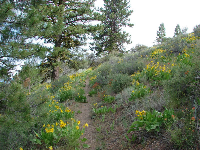
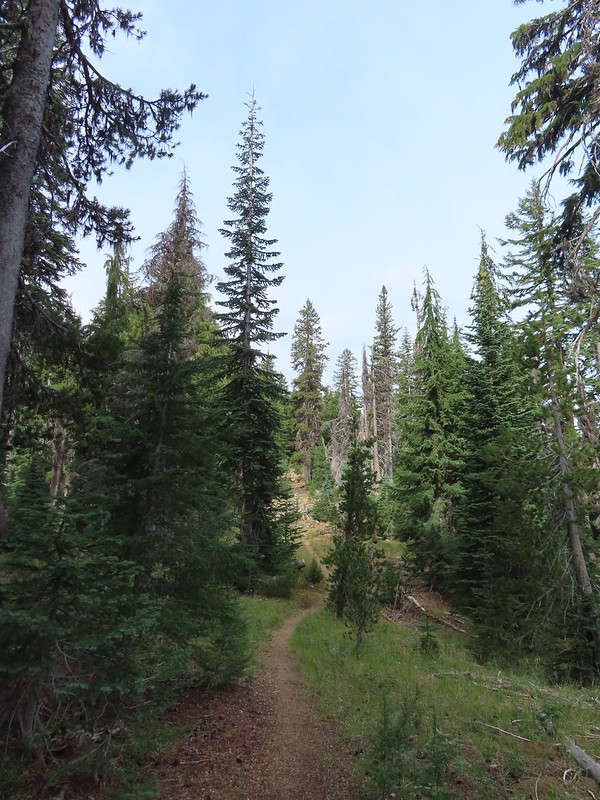
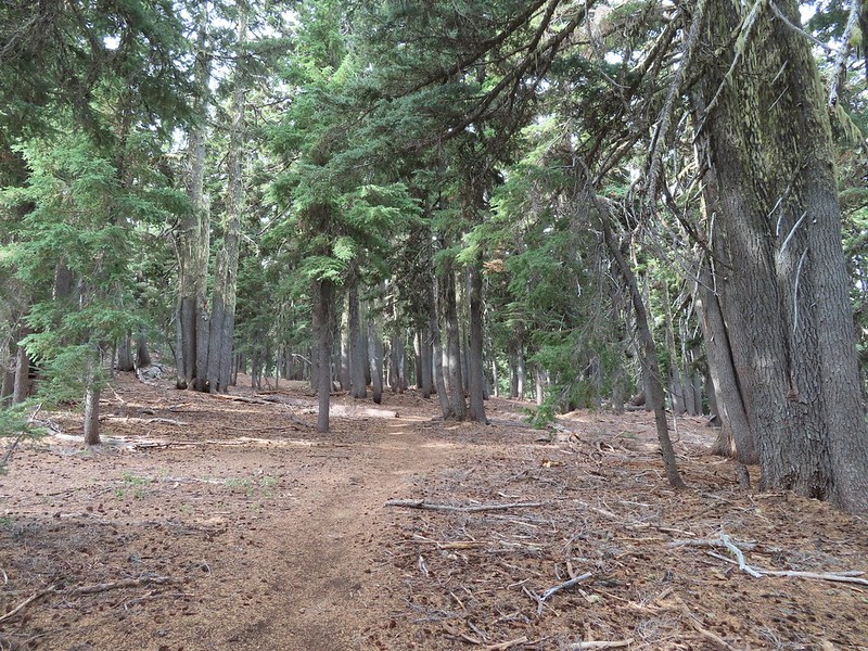
When we decided to try and hike all 100 featured hikes in a single edition of each of the five areas covered in William L. Sullivan’s 100 Hikes books (post) we decided that the criteria for being able to check off a hike was doing (or attempting to do) at least a portion of the hike. Sullivan often provides multiple options for each featured hike with some options being 20+ mile one-way trips or nearly 30-mile loops. Doing every option in their entirety just wasn’t feasible when you also factor in having to deal with trail closures due to fires, damage, or restricted access.
In 2023 we completed the southern Oregon & northern California area (post), but missed out on a portion of three hikes in Crater Lake National Park. On Saturday we’d finished up two of the hikes, The Pinnacles and Lady of the Woods (post). The third hike that we’d been unable to do in its entirety was on Wizard Island which requires taking a boat from Cleetwood Cove (post). The boats did not operate in 2023, an issue caused by the previous contracted concessionaire, so we were only able to hike down to the docks at the cove on that trip.
We reserved tickets ahead of time for the Wizard Island shuttle which is a 15-minute boat ride from Cleetwood Cove to Wizard Island. There were two other tours available, one a trip around the lake, and the other stops at Wizard Island on its way around the lake. Had we not needed to get home the same day we would have opted for the latter, but a tour around the lake would need to wait for another time. We nearly blew the whole thing though.
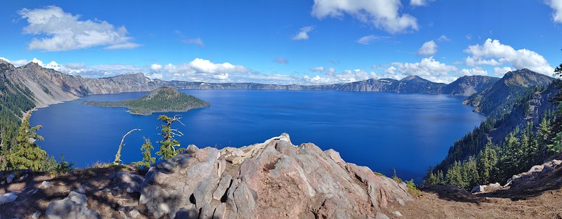
Somehow we got it into our heads that our shuttle left Cleetwood Cove at 12:30pm. We slept in and left our room so that we’d arrive at Beckie’s Cafe in Union Creek when it opened at 8am. After eating, and buying a whole blackberry pie to share with my parents, we made our way to the park and stopped at several viewpoints along the rim to admire the views. The overcast and smokey skies from the day before had given way to big fluffy white clouds and relatively blue sky.
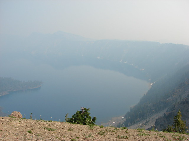
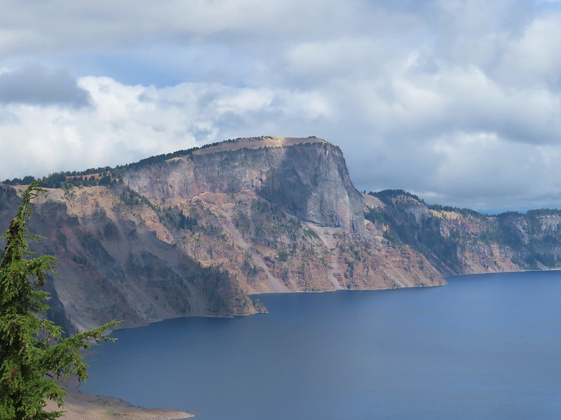
 Llao Rock and Wizard Island
 The docks on Wizard Island.
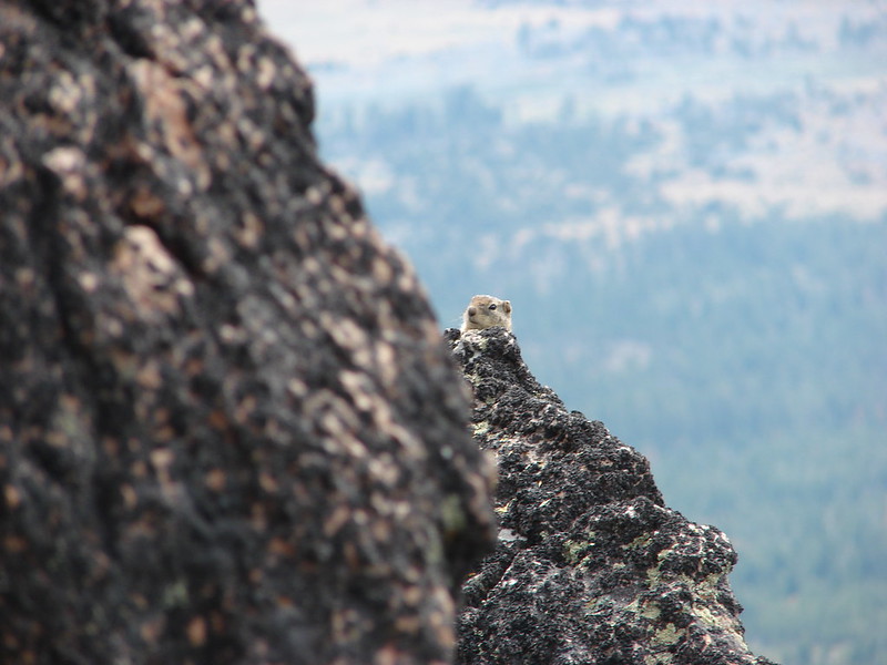
 The views were so good even the golden-mantled ground squirrels were taking them in.
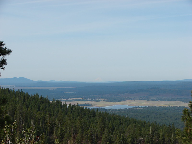
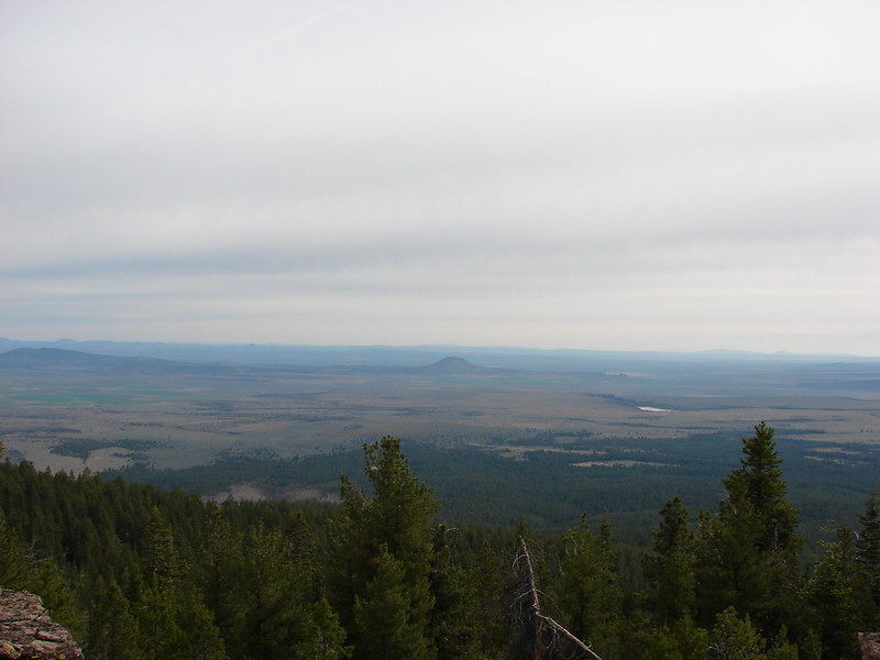
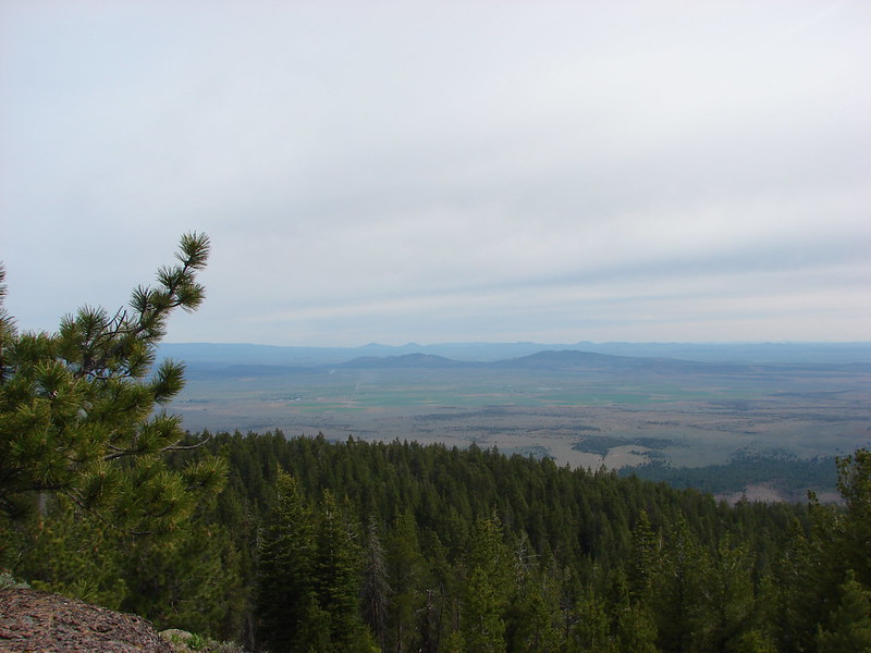
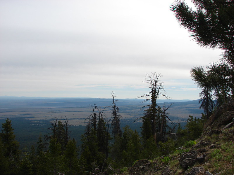
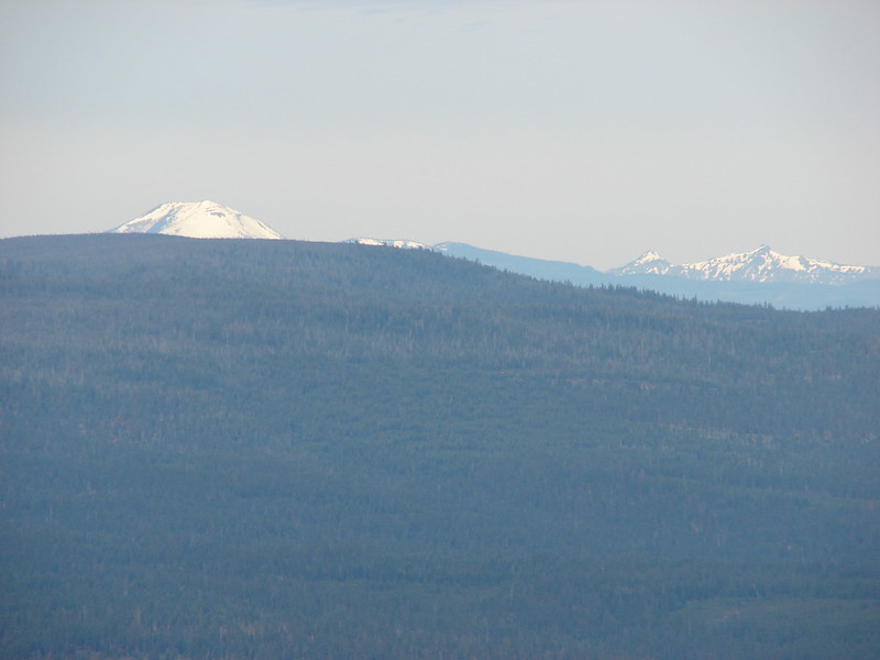
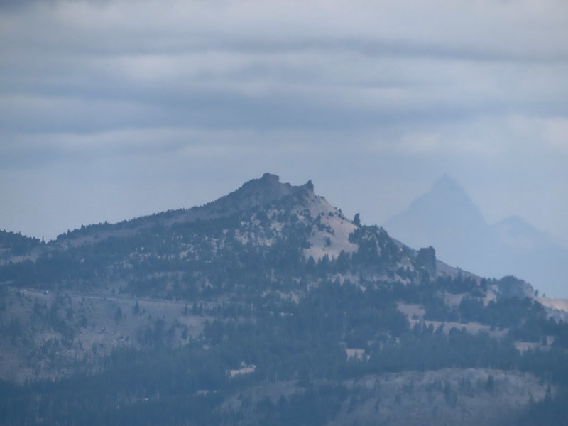
 Mt. McLoughlin (post) and Union Peak (post).
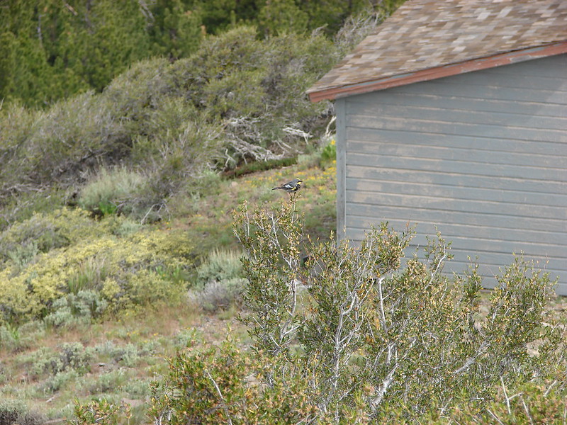
 Cassin’s finches
 Mount Scott (post) across the lake.
 Wizard Island’s Fumarole Bay
 The Watchman (post)
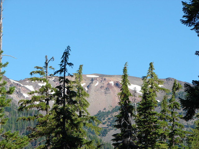
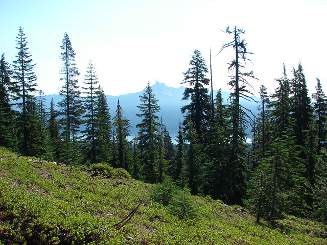
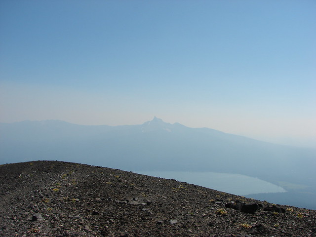
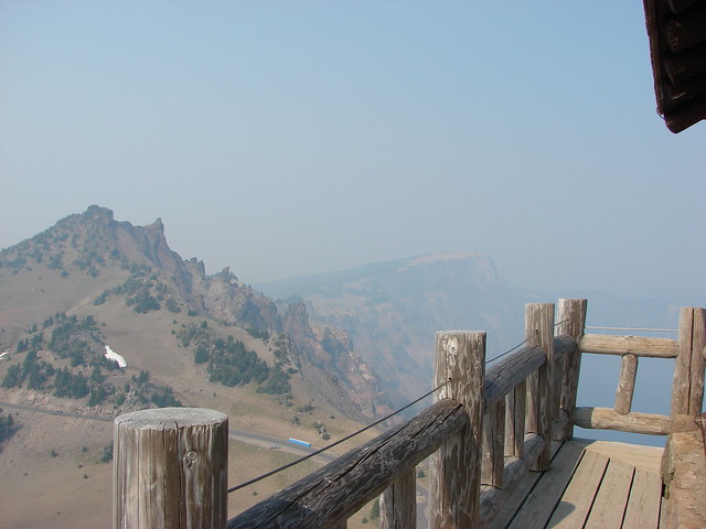
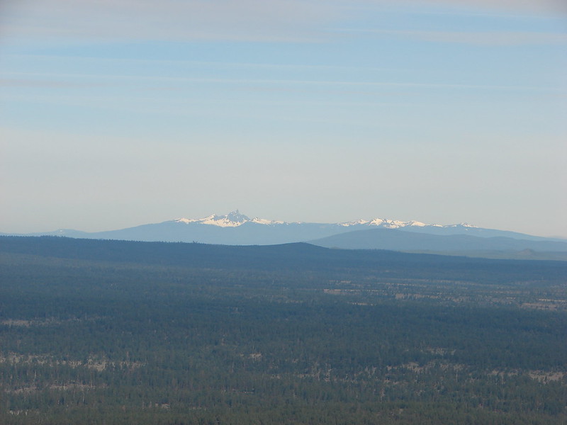
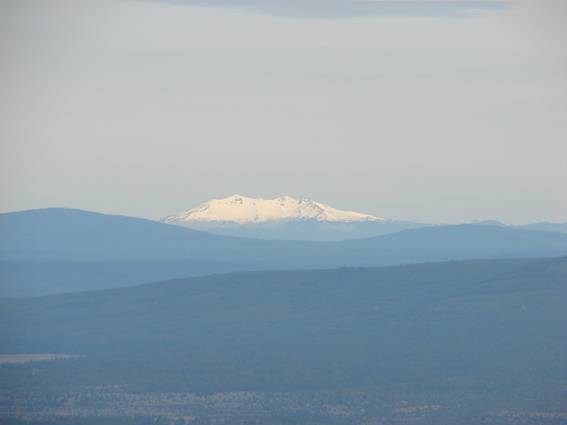
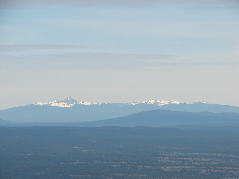
 Mt. Bailey on the left and Mt. Thielsen (post) on the right. You can’t really make it out in the photo but with the naked eye we could see Diamond Peak (post) in between the two in the distance.
 Smoke from the Middle Fork Fire burning inside the park boundary.

Fire information at one of the viewpoints.
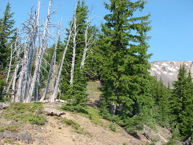
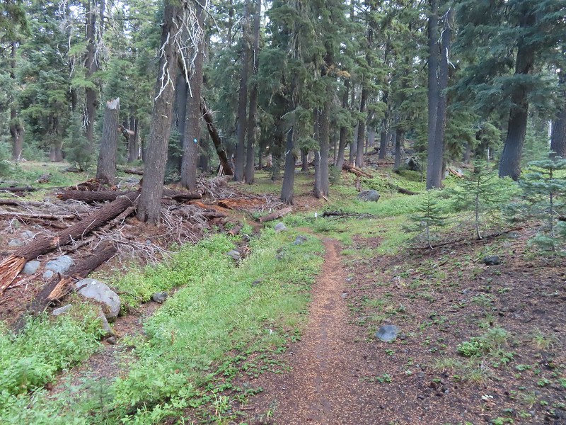
 At this pull out we got out and hiked a little of the Rim Trail. I decided to just continue on to Merriam Point while Heather was nice enough to drive the car down and meet me.
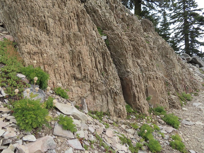
 Western pasqueflower seed heads.
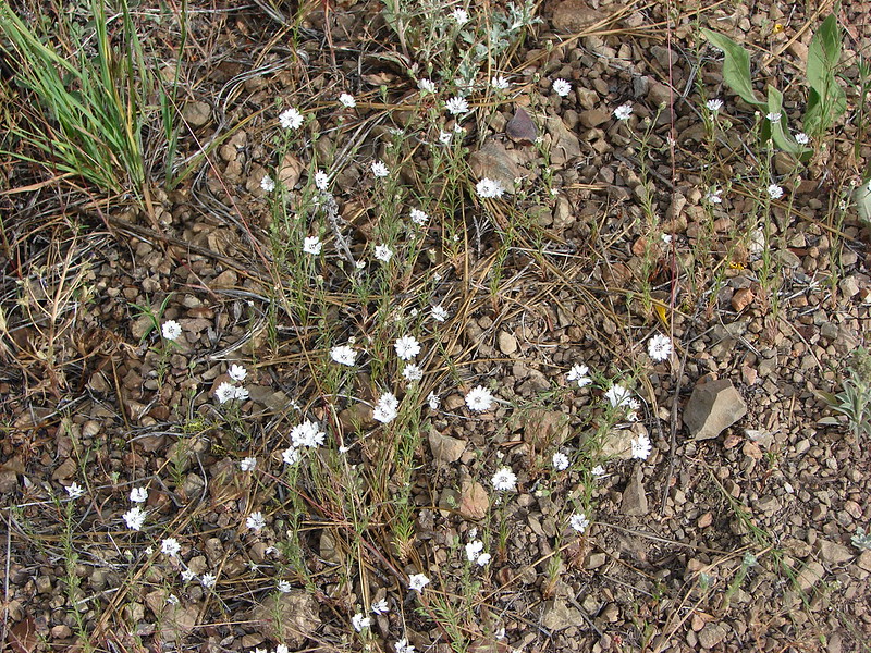
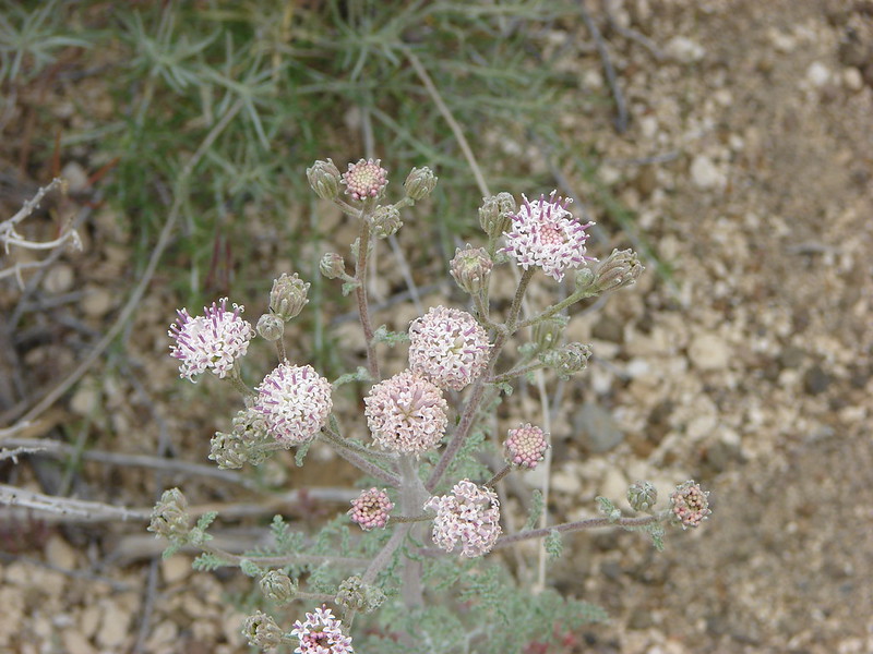
 Silvery raillardella
 Hillman Peak (post)
 The Watchman and Hillman Peak
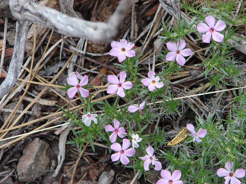
 Dwarf lupine

We were intentionally taking our time so we wouldn’t arrive way too early for our boat tour. We had been targeting 11am to give us an hour and a half but wound up arriving a little before 10:30. That wound up being a good thing because when we went to check in we noticed that there were two shuttle times listed, 9am and 11:30. After some confusion with our tickets, Heather inadvertently pulled up our Wallow Lake Tram (post) tickets from 7/26 (issued by the same online company Fareharbor), the attendant was able to find our reservation. It had been for the 9am shuttle and there was never a 12:30 shuttle. We’d messed up pretty good. The young man was very understanding and let us know that they still had three openings on the 11:30 shuttle and that he could move us to two of those spots. We were very thankful and quickly headed down the 1.1-mile Cleetwood Cove Trail to the check in at the dock there.

 From left to right: Dutton Cliff, Applegate Peak, and Garfield Peak (post).
 Our shuttle arriving at the docks below.
We checked in and got our boarding instruction then spent some time watching people jump into the lake from the rocks.


When it was time we boarded the boat which zipped us over to the island.

 The boat traveled at about 35mph so I didn’t have too many chances to take photos. The exception was when we had to briefly circle back to retrieve someone’s hat that had flown off into the lake.
 Nearing the island.
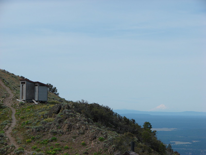
There are two short trails on the island, one leads to Fumarole Bay and the other to the top of Wizard Island’s cone. Most of the people in our group headed for the cone with a few heading to the bay to either fish or swim. We were also going to head up the cone first and had decided to split up and do our own thing then meet back up at the docks later.
 The trails shared tread for the first tenth of a mile. (Toilets were to the right.)


In the line heading up to the cone.
Part of the reason we’d decided to hike our own hikes is because I have a slight competitive streak and tend to speed up when there are people ahead of us. It wasn’t long before I’d passed most of the other hikers and was just following a pair of younger guys from San Diego.

Looking up the cone.
 The Watchman and Hillman Peak from the trail.
 These two were setting a crisp pace and the only reason I was able to keep up was because they would occasionally stop for pictures and to admire the views.

Mount Scott
 The trail was well graded keeping the 750′ climb from ever feeling too steep.

Prince’s pine
 Buckwheat
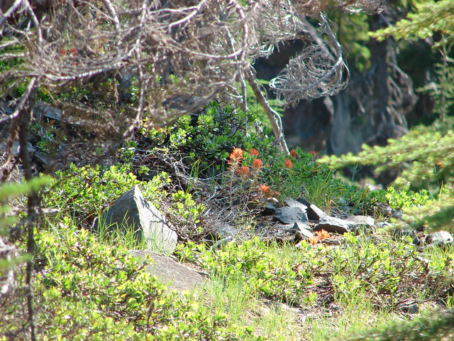
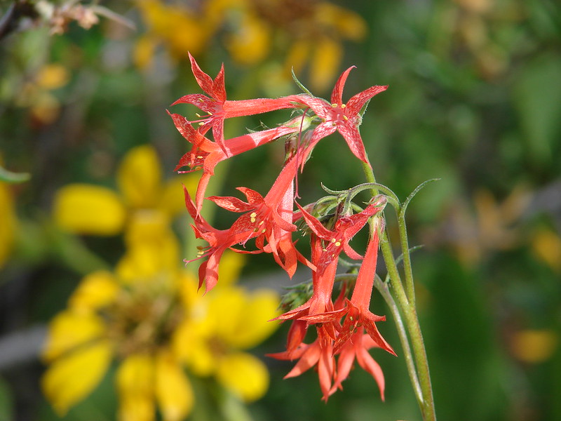
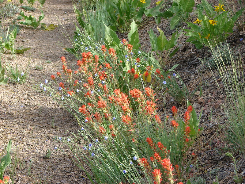
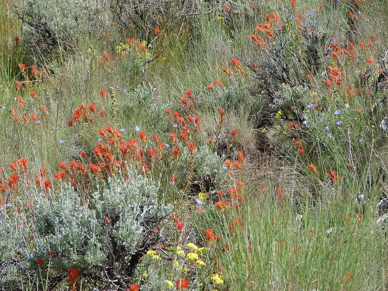
 Paintbrush

I managed to pass the Sandiegans shortly below the summit while they were taking a few more photos. Just before the summit a hiker from a different tour passed me as she was descending and mentioned that there wasn’t anyone left at the summit.
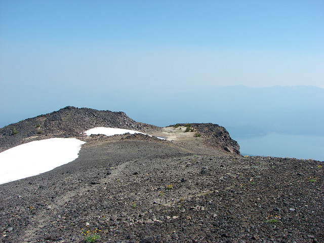
 The summit crater also known as the Witches Cauldron.
A 0.3-mile loop circles the crater so I headed clockwise around the loop. The pair from San Diego caught up while I was taking photos and asked if I could take one of them before continuing on.
 Mt. Scott from the loop.
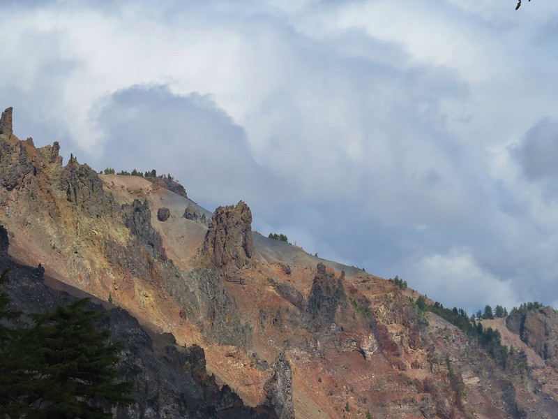
 Llao Rock
 Dutton Cliff, Applegate Peak, and Garfield Peak

 Crater Lake lodge on the rim to the right of Garfield Peak.
 Crater Lake lodge.
 Hikers across the crater starting the loop.

 Looking down toward the dock area.
 The Watchman and Hillman Peak.
 Looking toward Cleetwood Cove.

Fumarole Bay is to the left of lava flow.
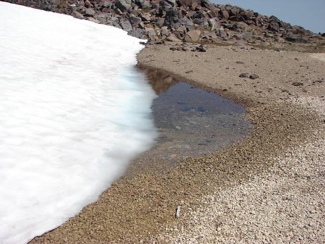
 Pool in the lava flow.
After completing the loop I headed down for the Fumarole Bay Trail.

 Dwarf alpinegold
 Another boat tour heading around the island.


I had passed Heather on her way up and we spoke for a moment before going our separate ways.


 Heading toward Fumarole Bay.
It’s approximately a half mile to Fumarole Bay on a very rocky trail due to it being in a lava flow.


The Watchman from the trail.
 Fumarole Bay. Note the person fishing on the rocks to the right.
 Fumarole Bay
 Stream flowing into Crater Lake.
 Hillman Peak
The trail continued around the bay for almost another half mile.


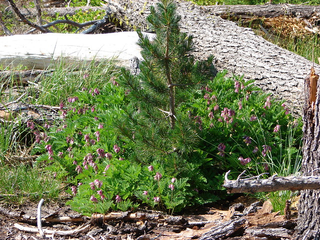
 Bleeding heart

The Watchman

I believe this may be Felt-leaf everlasting.

An even fainter, rockier, trail continued beyond the sign marking the end of the maintained trail. I followed it for just a bit before losing it in the lava where I decided to turn around.

I made my way back around the bay and returned to the dock where I found Heather soaking her feet in the water.


Heather below at the edge of the lake. She had opted not to visit the bay.
I joined Heather as we waited for our return shuttle. In the meantime she took a quick dip in the lake to cool off.

 Here comes our ride.
Once they herded everyone back to the dock we boarded the boat and rode back to Cleetwood Cove.
 Arriving back at the cove.
We split up again on our way up the busy Cleetwood Cove Trail.


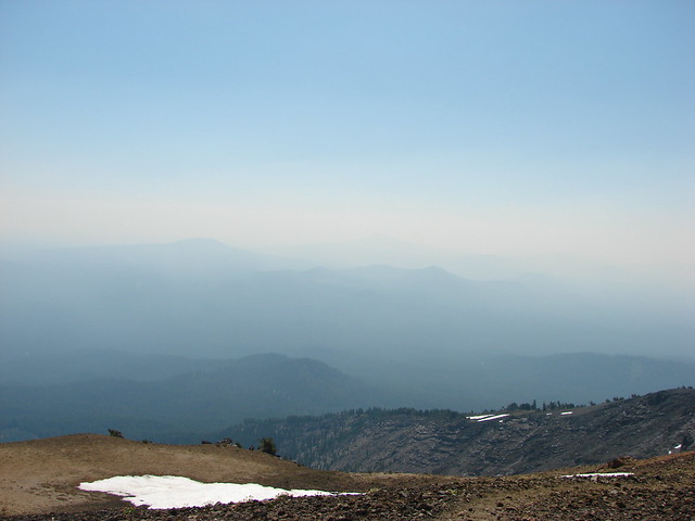
It got a little hazier as the day went on.
I was glad to make it back to the parking area where I changed into cooler clothes before using the restroom.

I ran into Heather as I came out of the restrooms so we walked back to the car together and prepared for our drive home. My Wizard Island hike came to 6.6 miles including 2.2 miles to and from Cleetwood Cove. Total elevation gain was a little over 1450′. Seven hundred of that was up from Cleetwood Cove which was steeper in sections than anything on Wizard Island had been.
 Track including the boat rides.
 My Wizard Island track.
It had been a beautiful day and a lot of fun to see the lake and surrounding peaks from the island. The smoke had somehow stayed away and so had the thunderstorms. Unfortunately storms did hit other parts of the Cascades along with central and eastern Oregon igniting more wildfires. We hit heavy smoke on our drive home between Odell Lake and Oakridge reminding us of just how bad this fire season has been. A big thank you to all the firefighters working hard to try and minimize the damage. Hopefully conditions will improve sooner rather than later. Happy Trails!
Flickr: Merriam Point and Wizard Island


 Bog Orchid
 Bistort and monkeyflower

 Some sort of orchid?
 Yellow monkeyflower
 Monkshood


 Bistort
 Not sure if this is a robin or ?
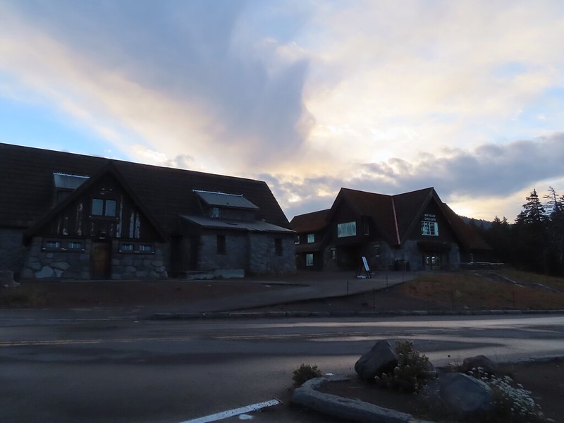
 Crater Lake Lodge

 Garfield Peak from behind the lodge.
 The Watchman and Hillman Peak
 Golden-mantled ground squirrel with a mouth full.


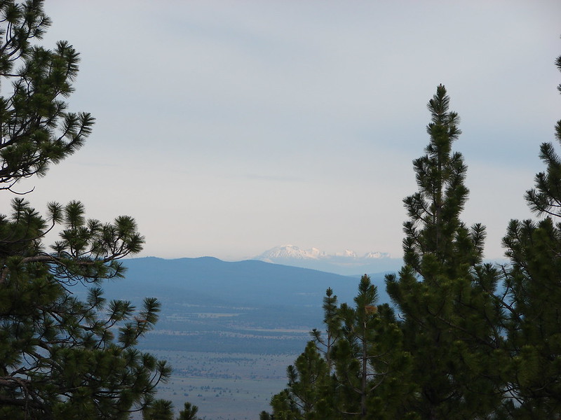
 Mt. McLoughlin (
 Mt. McLoughlin
 Union Peak
 Paintbrush
 Reservoir structure (built 1931).
 Mt. Bailey (
 Mt. Bailey
 Deer below the trail.
 Western pasque flowers
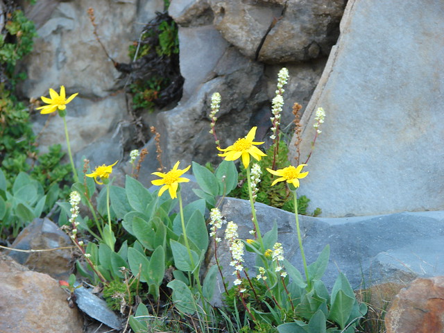
 Arnica
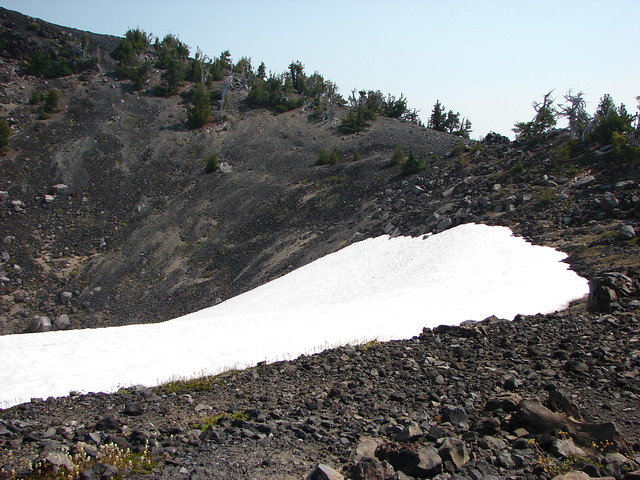
 One of several patches of snow at the higher elevations.
 Crater Lake Lodge below to the left.
 Mt. Scott (
 Clark’s nutcracker
 Buckwheat
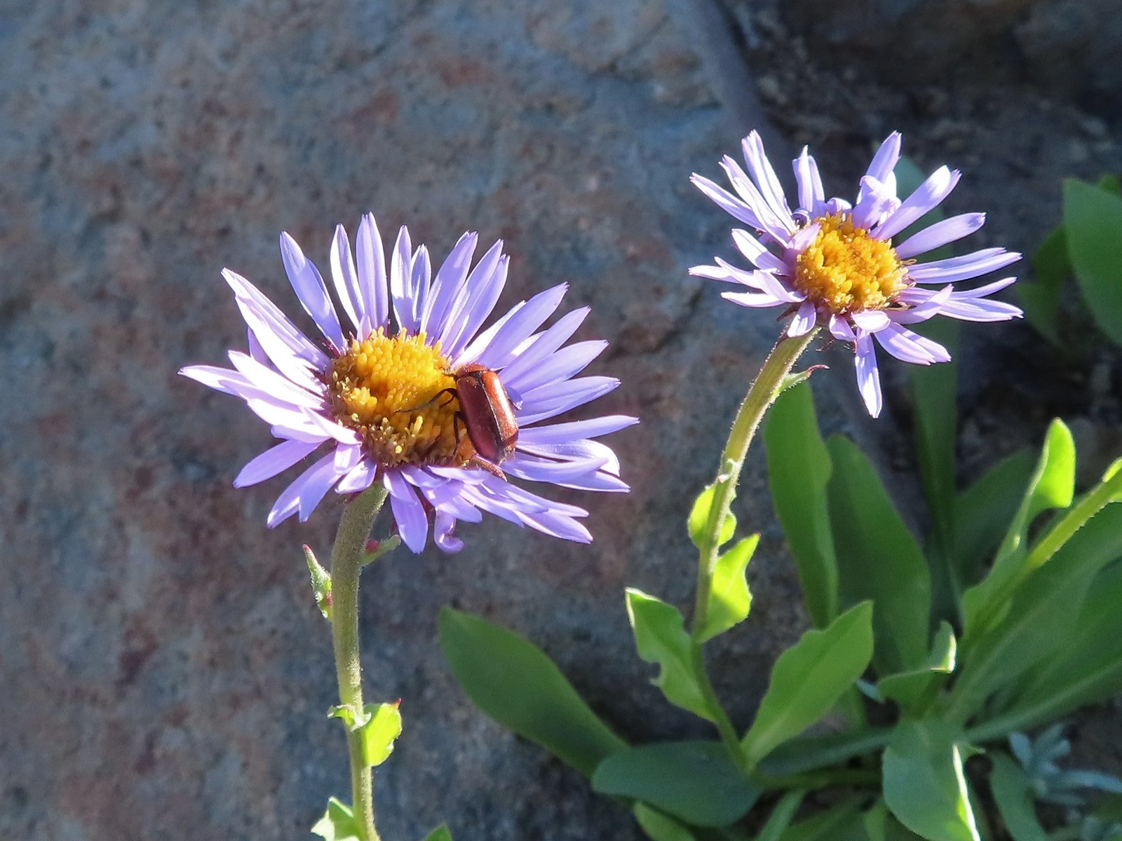 Beetle on sub-alpine fleabane.
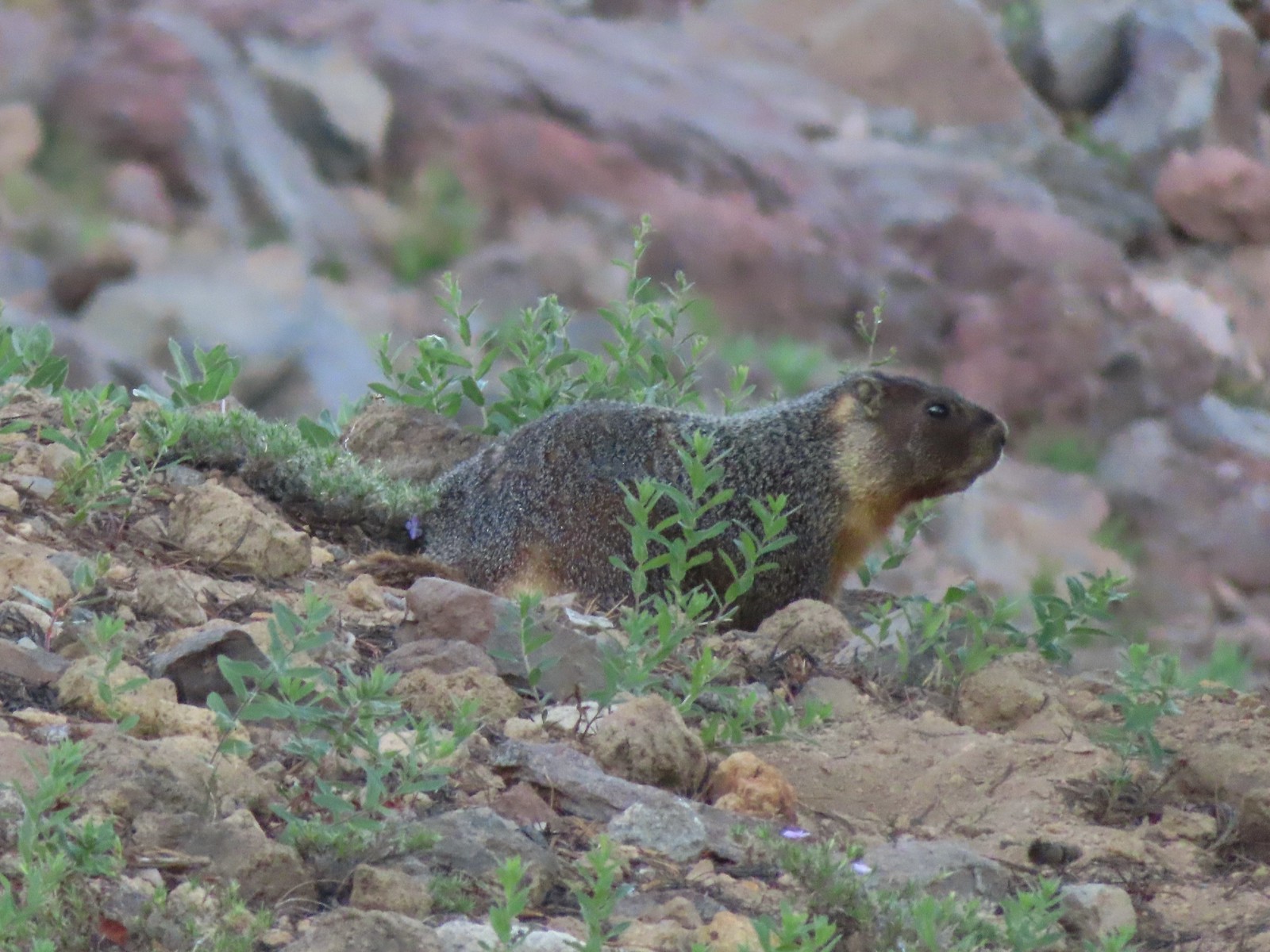 Yellow-bellied marmot
 Bench below the summit of Garfield Peak.
 Partridge foot
 Applegate Peak to the left and Crater Peak (
 Arriving at the summit.
 Mt. Scott above the Phantom Ship.

 It was a bit hard to make out but Mt. Shasta was visible to the south.
 Cowhorn Mountain (
 Crater Lake from the summit of Garfield Peak.
 Blurry photo due to the sheer distance away it was but it looked big.
 Union Peak behind a marmot.
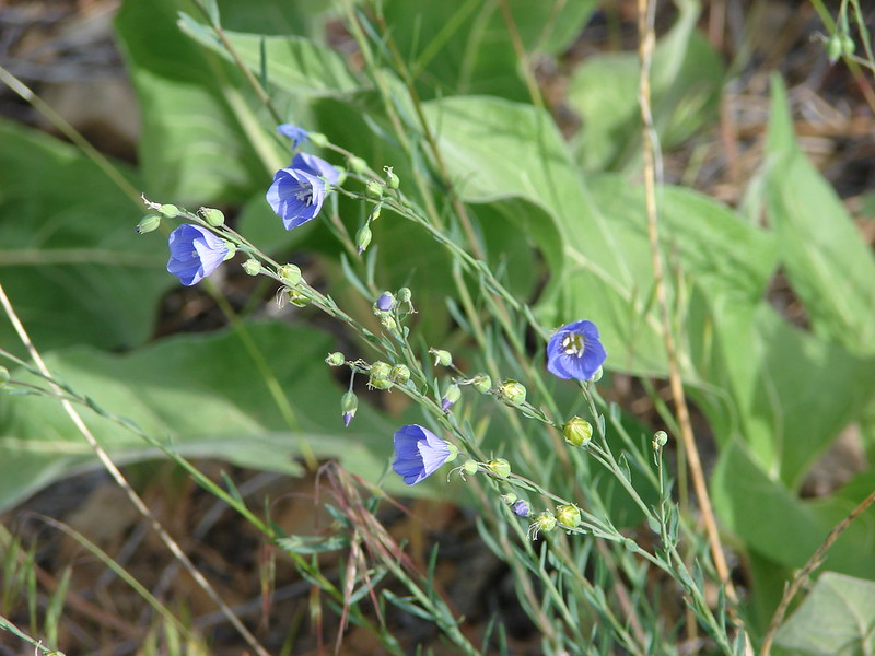
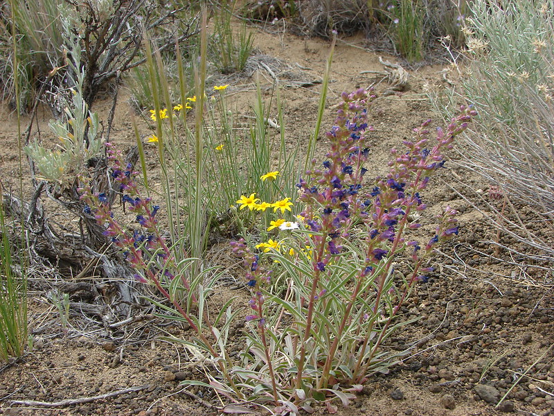
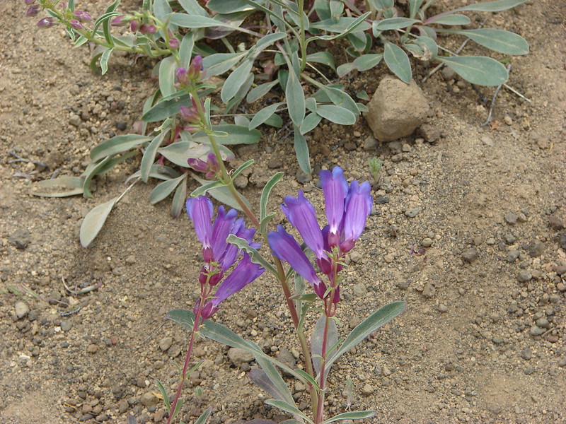
 Penstemon
 Painted lady
 There were a lot of marmots out.
 Paintbrush, phlox and buckwheat.
 Stonecrop, paintbrush and pearly everlasting.
 The clear blue water of the deepest lake in the United States.
 Yellow-rumped warbler

 False hellebore
 Viewpoint and The Watchman from the trailhead.
 Western pasque flowers above Crater Lake.
 Hillman Peak ahead.


 Lounging on a rock.
 Shasta knotweed
 Rim Drive below the Rim Trail.
 Mt. Bailey and Diamond Peak with Diamond Lake (
 Red Cone with Sawtooth Mountain (
 Silvery Raillardella
 Snow patch on Hillman Peak.
 Penstemon
 Llao Rock
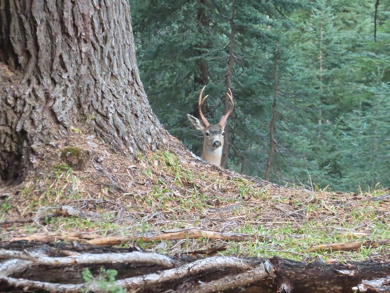
 It took us a moment to notice the two deer ahead along the tree line.
 We spotted the doe but she also had a pair of fawns nearby that bounded off.
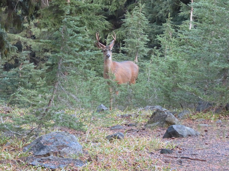
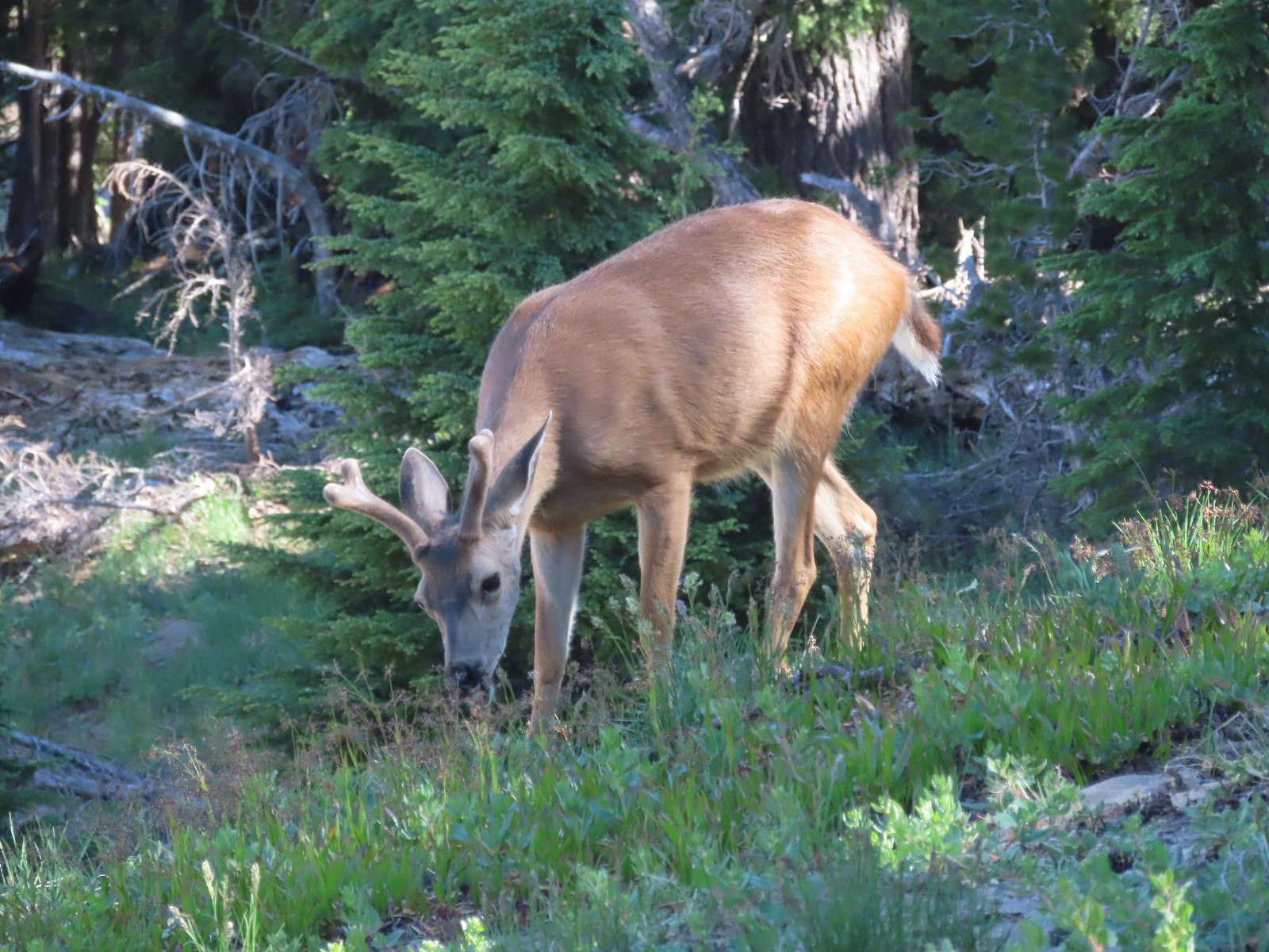 This buck had zero concern with us as we passed by.
 Phlox
Phlox Dwarf lupine
 Devil’s Backbone with Mt. Scott behind.
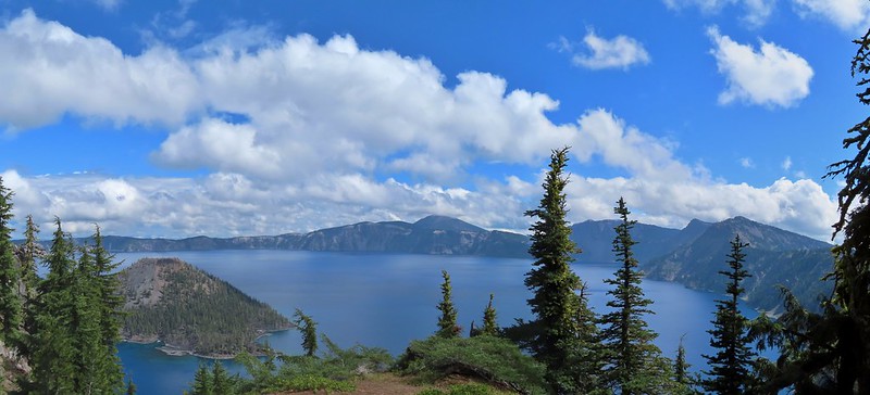
 Wizard Island
 Devil’s Backbone
 Hillman Peak from Devil’s Backbone.
 Garfield Peak across Crater Lake.

 Saxifrage
 The Watchman
 If I stand perfectly still, they won’t see me.
 Hillman Peak and Llao Rock from the viewpoint at The Watchman Trailhead.
 Rock formations below Hillman Peak.
 Godfrey Glen Trailhead
 The ADA accessible trail made for a nice easy walk.
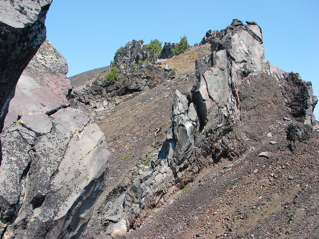
 Super-heated volcanic gas fused ash creating these pinnacles.

 First viewpoint of Godfrey Glen above Munson Creek.
 Godfrey Glen
 Another viewpoint.
 We could hear Munson Creek but it wasn’t visible in the canyon below.
 One waterfall.
 Another waterfall in the canyon.
 The end of the loop.
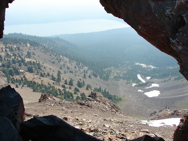
 Sinnott Memorial Overlook on the rim to the left.
 View from the overlook.
 Mt. Scott and Garfield Peak from the overlook.
 These numbers blew our minds.

 Swallowtail and a painted lady on penstemon.


 Mt. Scott (
 Raven making a landing atop a mountain hemlock.
 The Watchman (
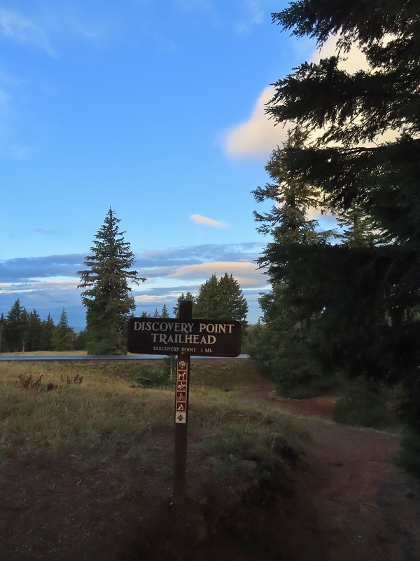
 It was by far the most scenic mistake we’ve made while hiking.
 Wizard Island and Llao Rock
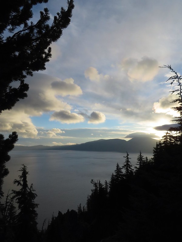 Mount Scott
 We joked that views had been so good maybe we should just end the hike now.


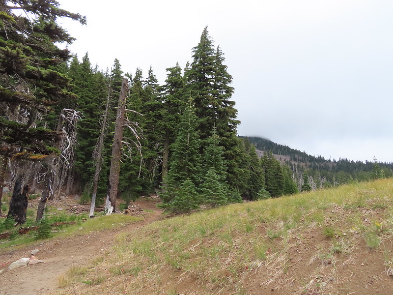
 Dutton Creek was dry.
 Blue sky ahead.
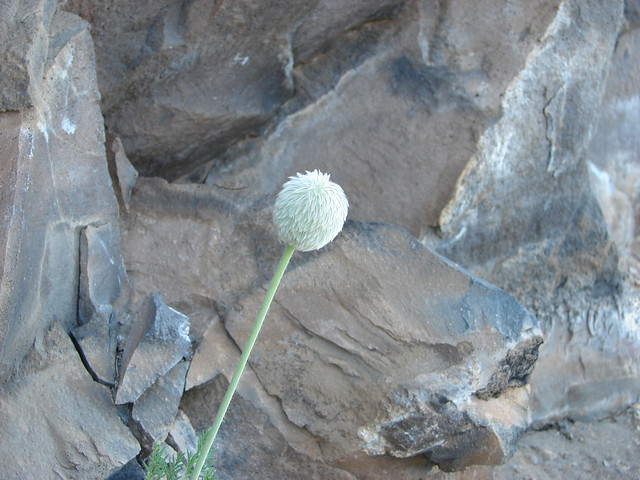
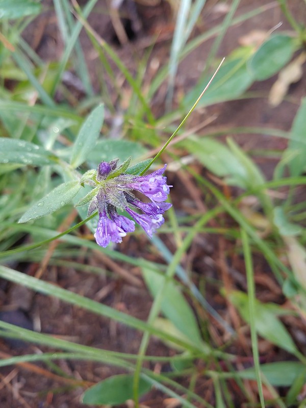 Not much left for flowers, this could be a Crater Lake collomia although it’s a little late in the season.
 Castle Creek still had some water flowing.
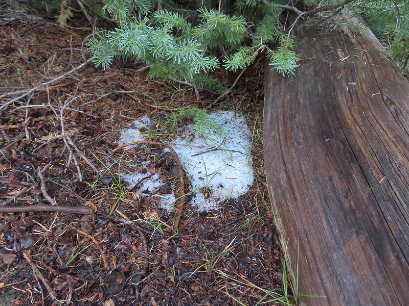 We spotted several piles of hail, possibly from the severe thunderstorms that had been forecast for Saturday night?
 Arriving at the PCT.
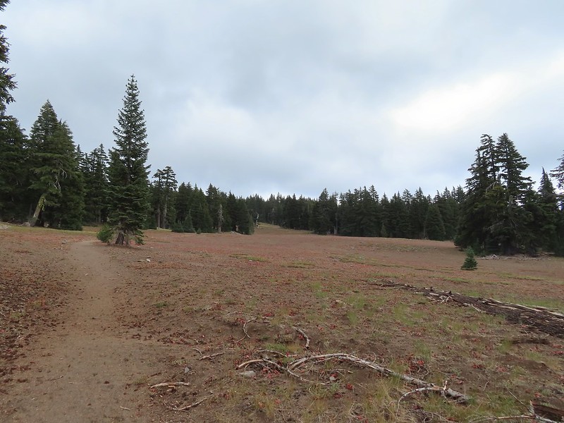
 The campsite at the junction was closed due to hazard trees.
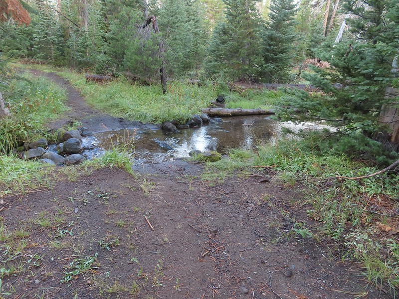 Recrossing Castle Creek.
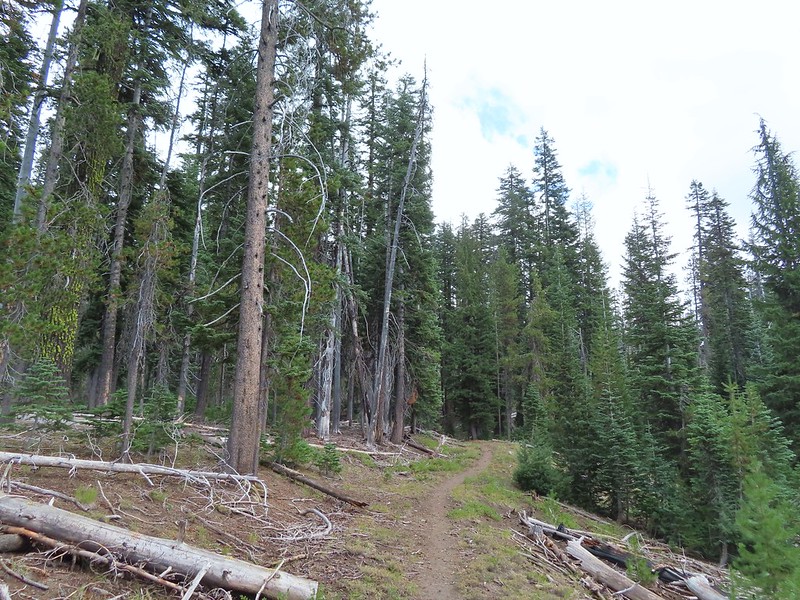
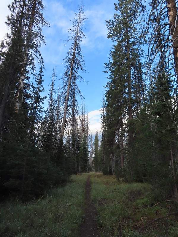 The PCT appeared to be following an old road bed through the park.
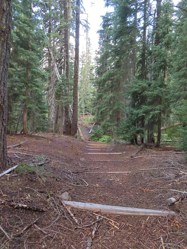 Dropping down to Trapper Creek.
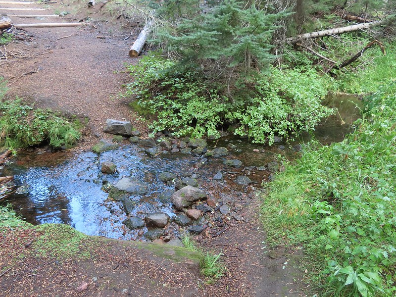 PCT crossing of Trapper Creek.
 A red-breasted nuthatch that was toying with me as I tried to get a photo.
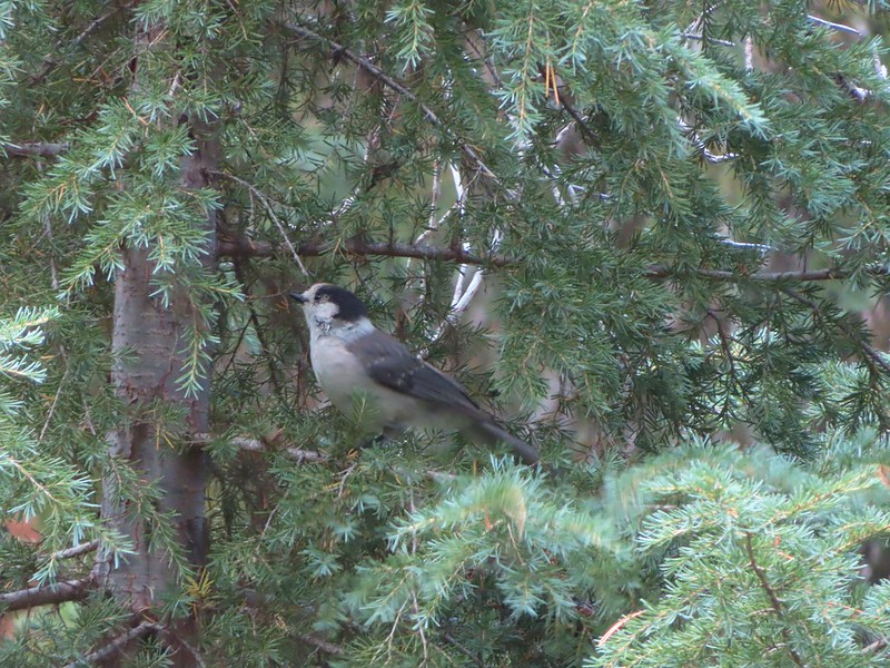 Canada jay (grey jay)
 Blue sky to the north ahead.
 Some blue sky south too with a glimpse of Union Peak (
 Union Peak
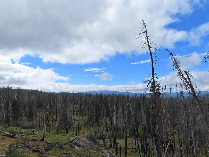
 Entering the 2006 Bybee Complex fire scar.
 The Watchman. The lookout tower on top was in a cloud after having been clearly visible from rim earlier. We wondered what that might mean for our views when we finally made it back to the rim.
 Chipmunk checking us out.
 Coneflower remains
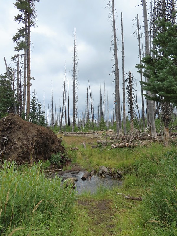 Another creek crossing.
 Red crossbills at the creek crossing.
 There were some pretty ominous looking clouds behind us but no showers yet.
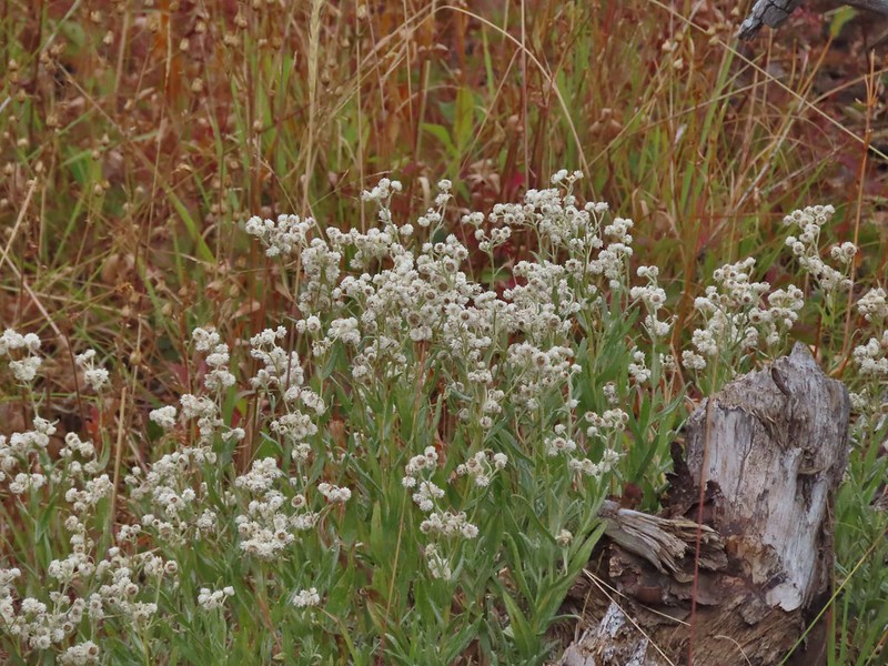
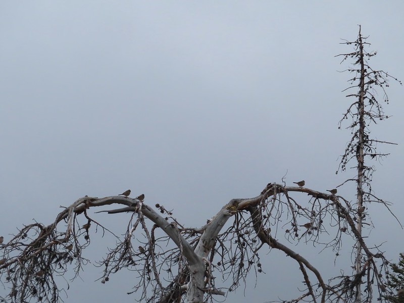 Several white crowned sparrows and at least one junco. We could also hear chickadee calls but I couldn’t find one in this capture.
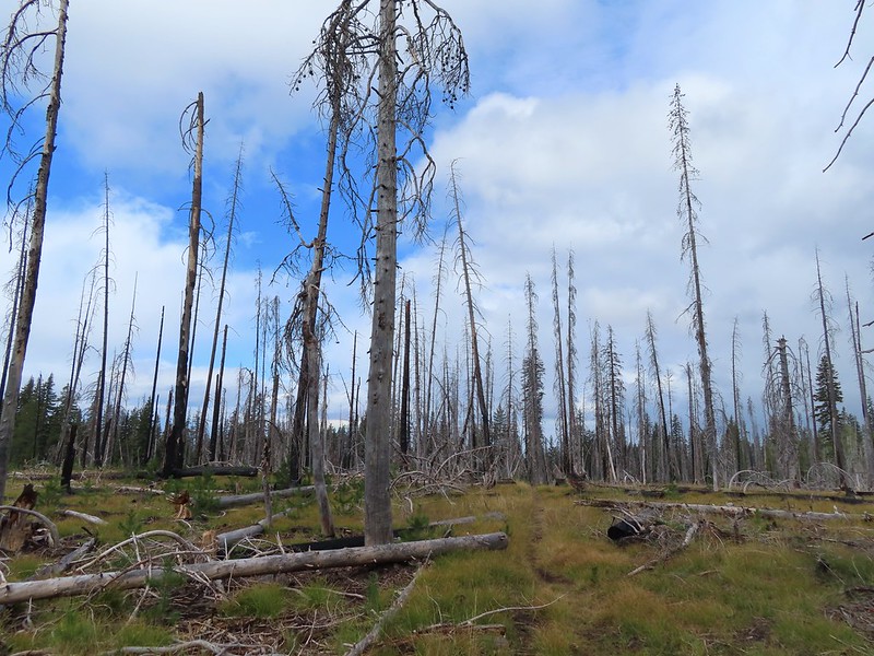 Despite the ugly clouds behind us there was almost always blue sky ahead.
 North Fork Castle Creek
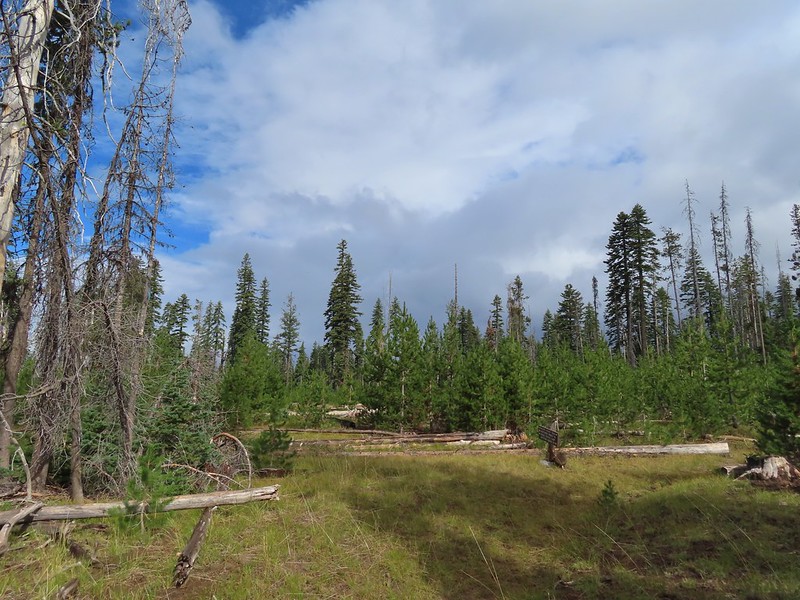 Approaching the junction with the Lightning Springs Trail.

 Townsend’s solitaire
 Union Peak had been swallowed by clouds.
 The Watchman with a cloud still hanging on.
 Hawk
Hawk
 The base of Union Peak with lots of blue sky around.
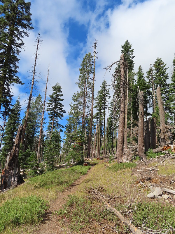 A brief stint in full sunlight.
 Robin
Robin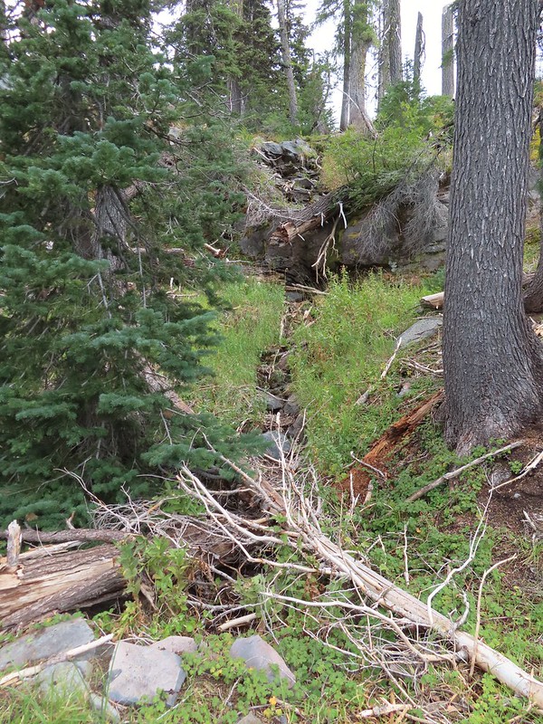
 Union Peak nearly free of clouds.
 The Watchman still not free.

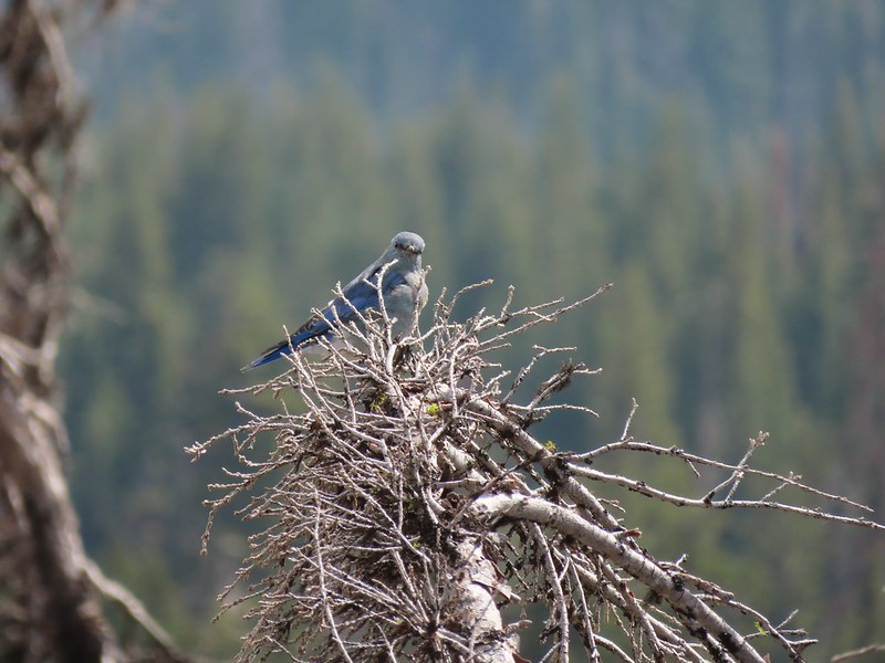
 Mountain bluebird

 Full view of Union Peak.
 And finally a full view of The Watchman.
 Conditions were changing quickly and now there was blue sky above The Watchman.
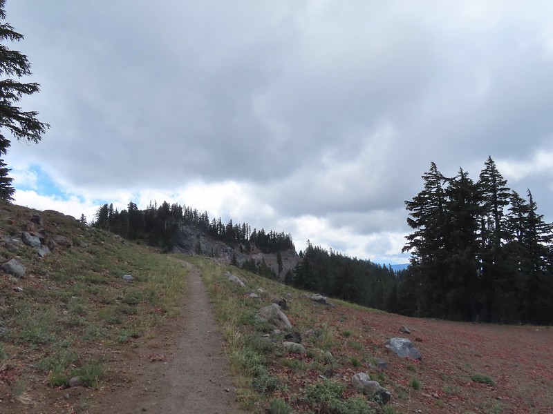 West Rim Drive ahead with the lower portion of Mt. McLoughlin (
 Mt. McLoughlin
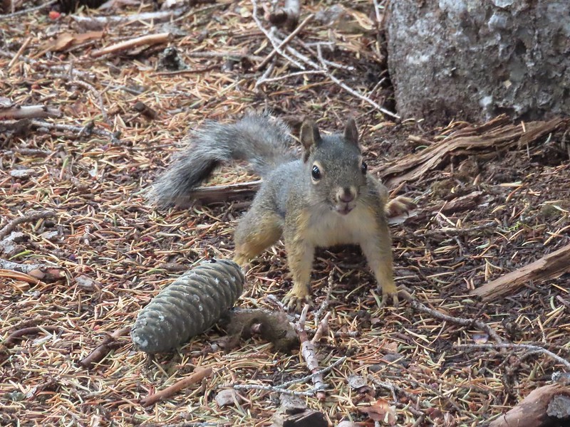 This squirrel put its cone down in case I had something better for it, but we don’t feed the wild animals per Park rules (and


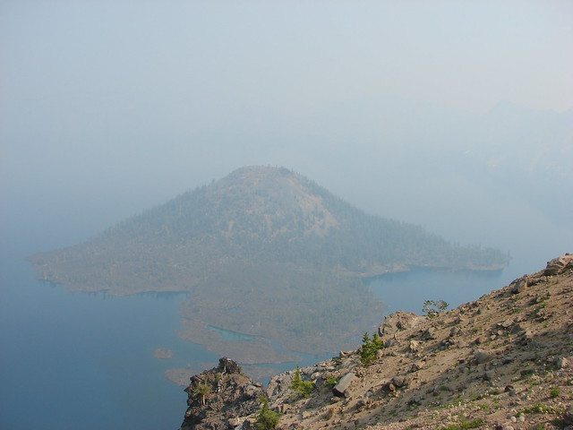
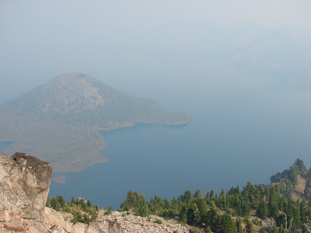
 Wizard Island’s cone
 Llao Rock
 Dock along Wizard Island
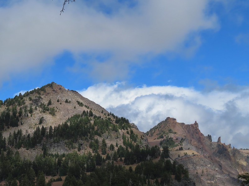 The Watchman and Hillman Peak
 Garfield Peak to the left with Union Peak to the far right.

 Phantom Ship
 Mount Scott
 Clark’s nutcracker
 That blue though!
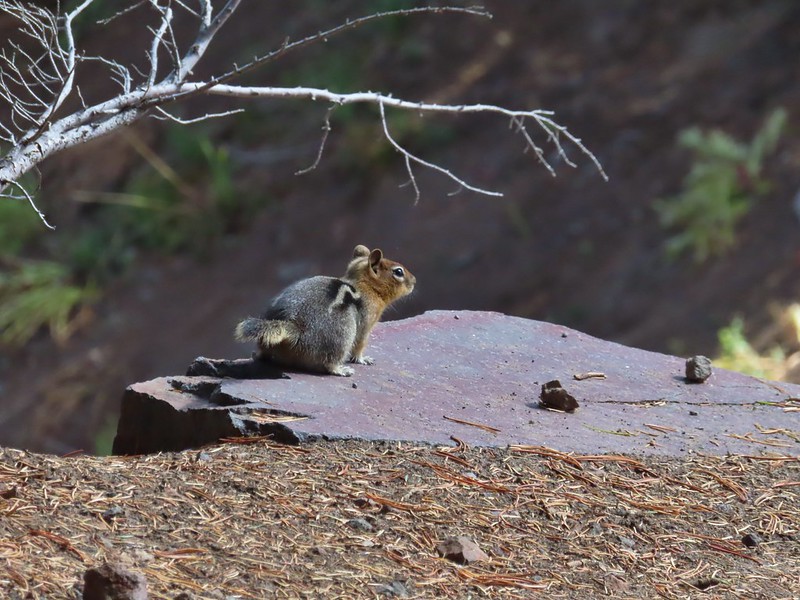 Golden-mantled ground squirrel
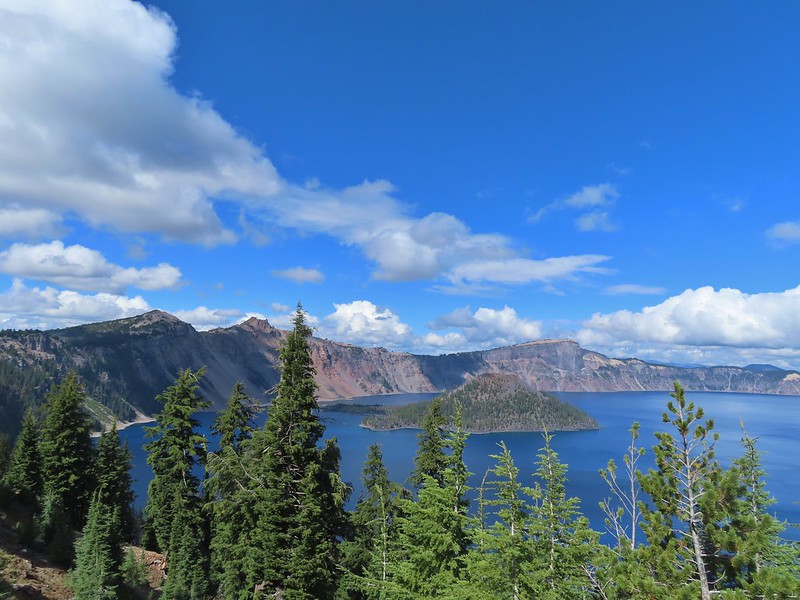 Back to where we’d been that morning.
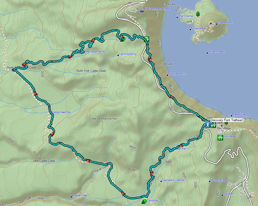

 Wizard Island
 The Watchman (
 Hillman Peak and Llao Rock
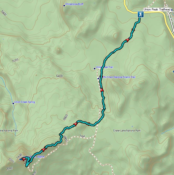
 The sign calls this the “steepest” hike in Southern Oregon. We wondered what criteria that was based on?
 There were a large number of big mushrooms along this section of trail as seen to the lower right.
 One of the big shrooms.
 A Stellar’s jay.
 More of the big mushrooms.
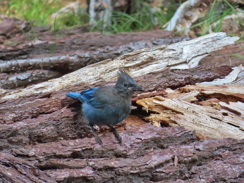 Another Stellar’s jay.
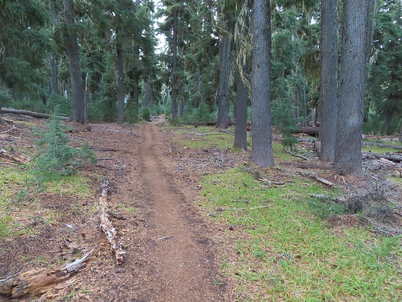
 Nearing the trail junction.
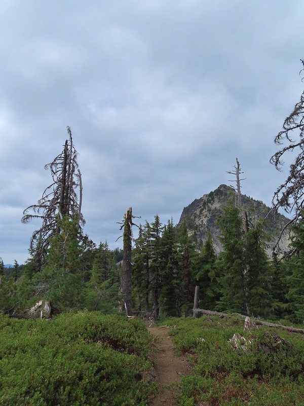
 First glimpse of Union Peak through the trees.
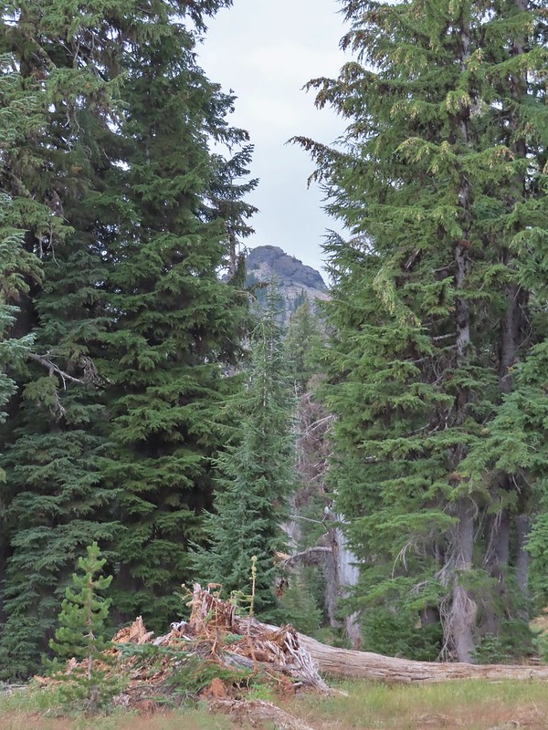
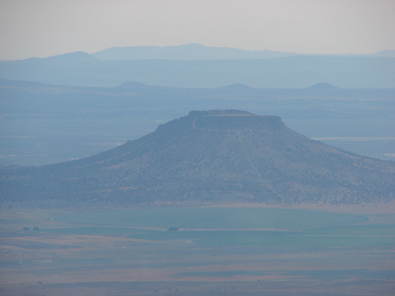
 Gardner Peak behind Goose Egg (center) to the SE.
 Fireweed
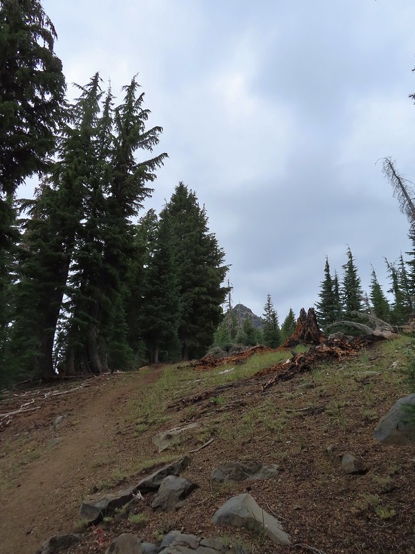
 It was cloudy but no showers so far and the clouds appeared to be well above the summit.
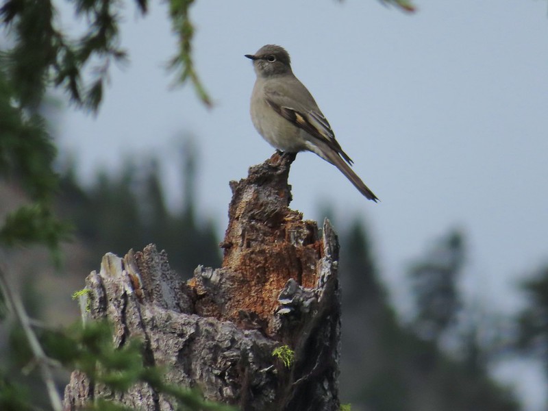 Townsend’s solitaire

 Mount Bailey in the distance to the right of the outcrop.
 The last doe keeping watch as the rest of the deer disappeared into the forest.
 Golden-mantled ground squirrel
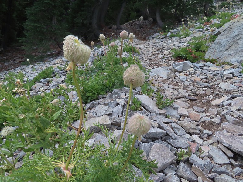 Western pasque flower seed-heads along the trail.
 Looking up at Union Peak and wondering how the trail got up there.
 Nearing the cinder field.
 Mount Scott (
 It’s always interesting to see the various rock that make up these volcanic peaks.
 The Watchman and Llao Rock with Mt. Thielsen in between in the background.
 That’s the trail on the right side of the photo.
 Looking down at the trail below.
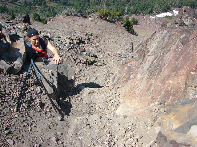
 The trail was fairly easy to follow as it switchbacked up through the rocks. It was narrow in places which might be hard for those with a fear of heights.
 While there were no people at the summit the brush had attracted a fairly large number of yellow jackets.
 Looking west toward the Rogue-Umpqua Divide.
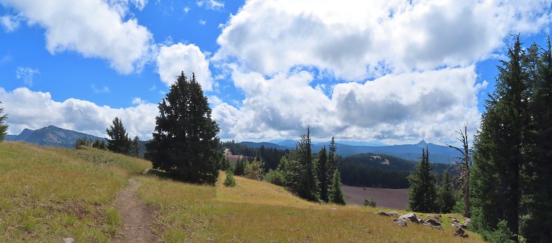
 The trail along the ridge below Union Peak.
 Lost Creek Lake (
 Mount Bailey, Diamond Peak (
 The rim of Crater Lake.
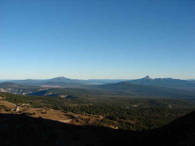
 Mt. McLoughlin is to the far right with some clouds over the top. Starting from the left is Goose Nest, Goose Egg (with Gardner Peak behind), Maude Mountain (with a faint Pelican Butte behind to the right), Lee, Devil’s, & Lucifur Peaks (Mt. Shasta is behind those three.) followed by Mt. McLoughlin.
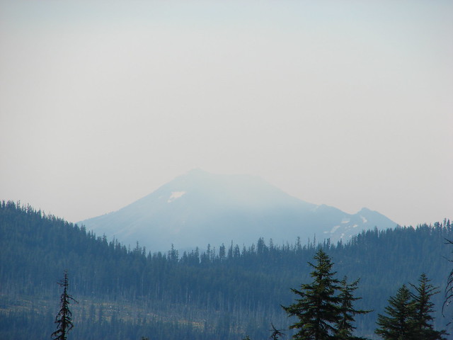
 Mt. Bailey
 The Watchman and Hillman Peak directly behind with Mt. Thielsen further in the distance.
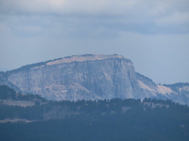 Llao Rock
 Applegate Peak
 Looking back up from the rock field.
 Mount Shasta arnica
 Bleeding heart

 One of several mountain bluebirds we spotted.
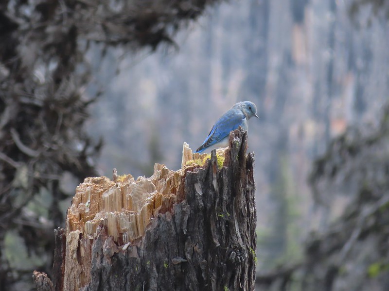
 Bumblebees on a few remaining aster.
 Sunshine
 A sulphur butterfly.
 Arriving back at the trailhead.