On May 14, 2023 a washout along Washington’s SR504 below the Johnston Ridge Observatory closed vehicle access for the foreseeable future. We’d visited the observatory in August 2013 (post) and had planned on revisiting this July. While the washout made driving to the observatory impossible the trails in the area were not impacted. The shortest route was to start at the Hummocks Trailhead and take the Boundary Trail from its intersection with the Hummocks Trail to the observatory. We actually had this hike on our 2024 schedule for July so we swapped those (hoping that the road is repaired before then).
This would also be our second visit to The Hummocks having hiked the 2.5-mile loop in May of 2014 (post) before hiking a longer loop around Coldwater Lake. From the trailhead we set off on the left most trail (next to the large signboards).

 While the loop did come in at 2.5-miles it was a little over 3/4 of a mile to the Boundary Trail.
There were a lot more flowers (and green vegetation) along the trail than there had been during our May hike.
 Lupine

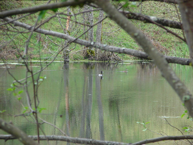
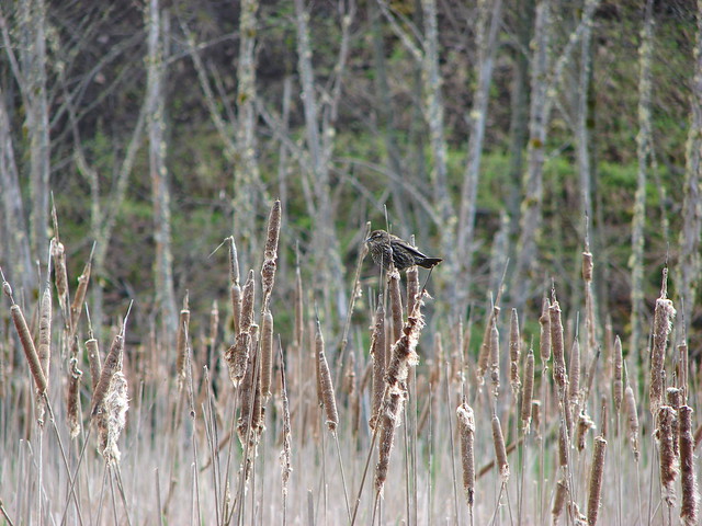
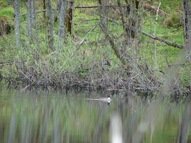
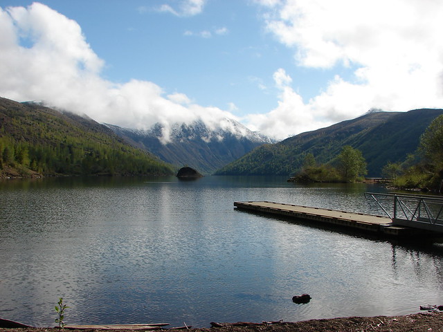
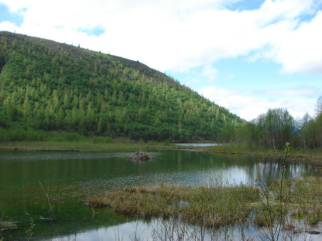
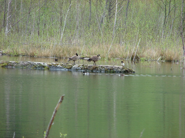
 One of several ponds along the trail.
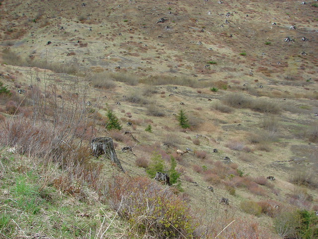
Interpretive signs, trail guide markers, and “Student Stops” are located throughout the loop.
 A “Student Stop” marker surrounded by dwarf lupine. We aren’t sure what the these meant or what program they are related to.
 An interpretive sign along the trail facing some of the hummocks.
 Penstemon
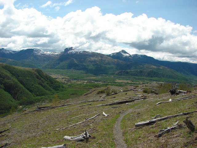
 Mt. St. Helens as we neared the Boundary Trail junction.
 Trail guide marker #3 and an interpretive sign at the junction.
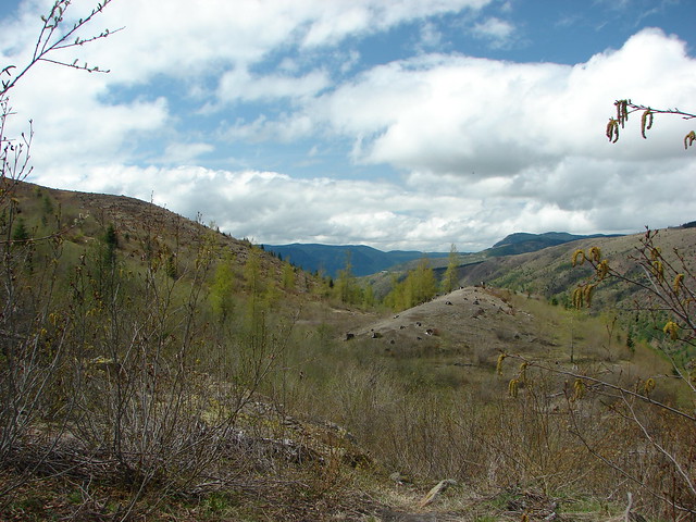
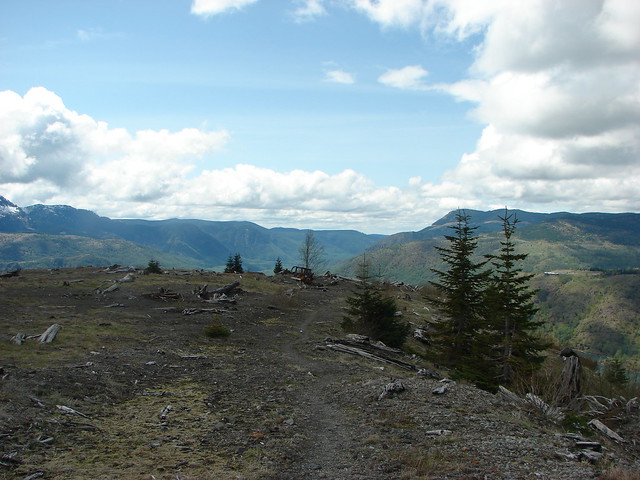
We turned left onto the Boundary Trail which began as a level path passing by more hummocks.
 The lower left map shows the current closure area and open trails. In a nutshell, all the trails are open but everything off-trail to the side facing SR504 is currently closed.
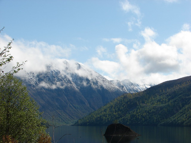
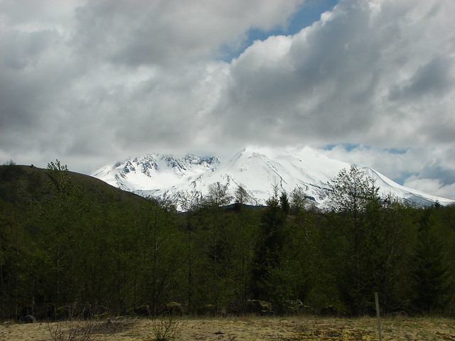
 The views of Mt. St. Helens were great.
 The trail began to climb as it squeezed between a gap in the hillsides ahead.
 View back to the hummocks from the gap.
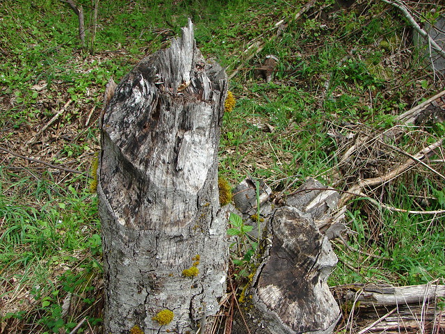
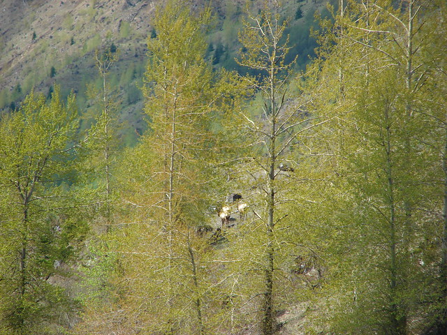
 Trees in the gap.
 After exiting the gap we got another good view of the mountain before the trail veered left turning away from the mountain.
After another short level stretch the trail began to climb in earnest. While the climb never felt very steep the trail netted 1400′ of elevation gain over the next 3 miles to reach the parking lot at Johnston Ridge.
 Heading away from Mt. St. Helens to start the climb.
 Dwarf lupine was profuse below the ridge.
 Scouler’s bluebell

 Thimbleberry blossoms
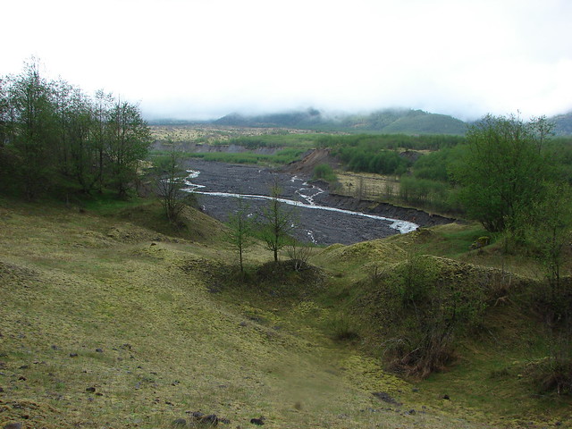
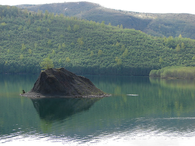
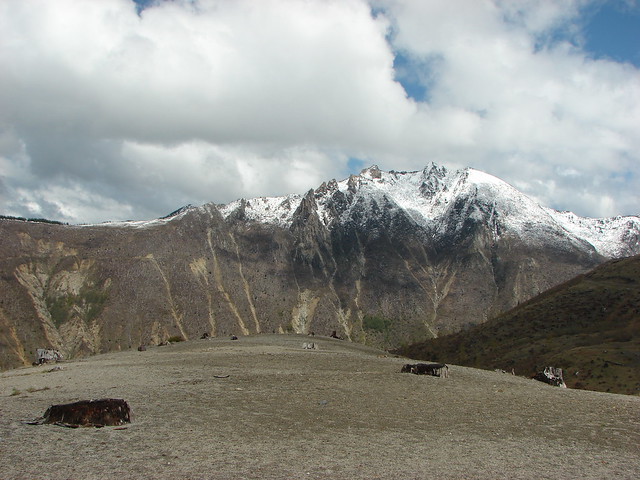
 Castle Peak above Castle Lake with Spud Mountain to the right and the North Fork Toutle River below.
 Horned lark
 Tiger lily
 Savannah sparrow
 Heading back toward Mt. St. Helens.
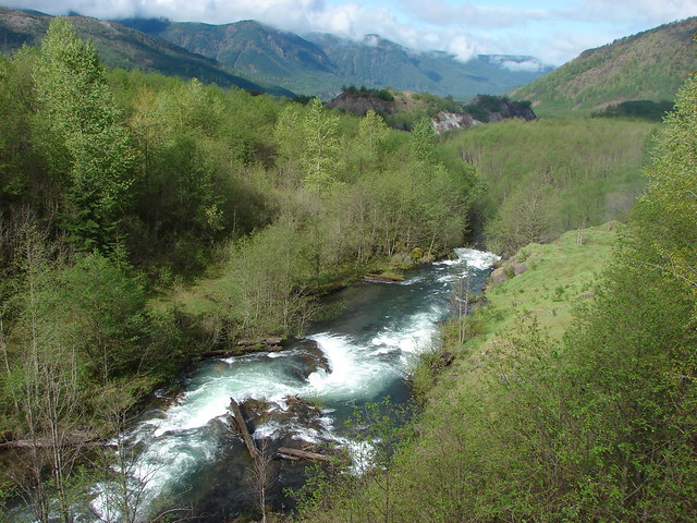
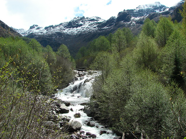
 The North Fork Toutle River flowing between Spud Mountain (left) and Elk Rock (right).
 Castle Peak and Castle Lake
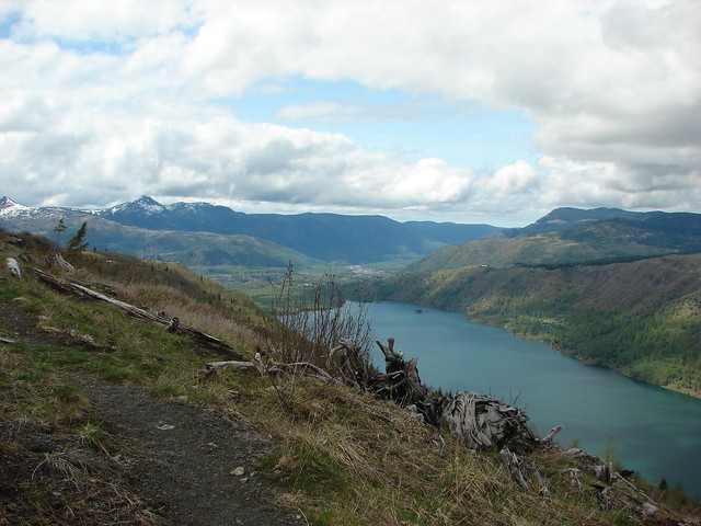
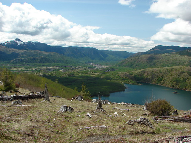
 Elk Rock on the left and Coldwater Lake on the right.
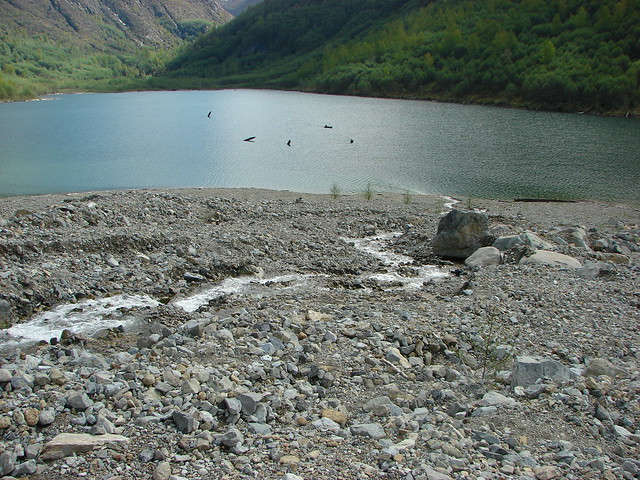
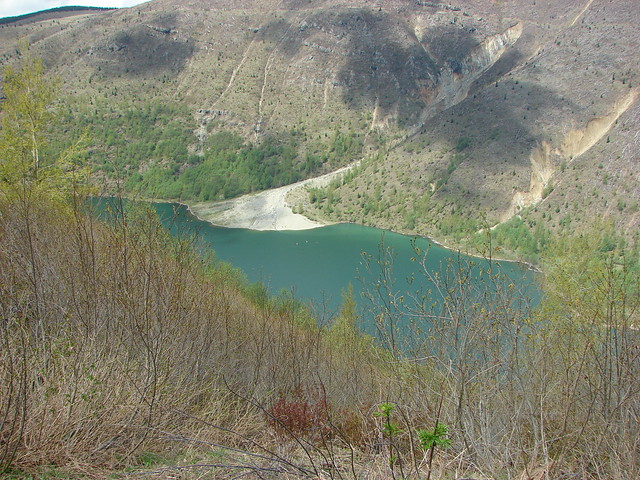
 Coldwater Lake
 Mountain bluebird.

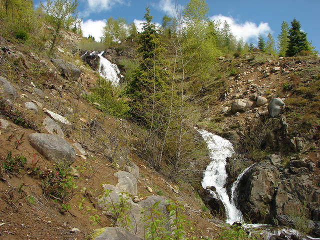
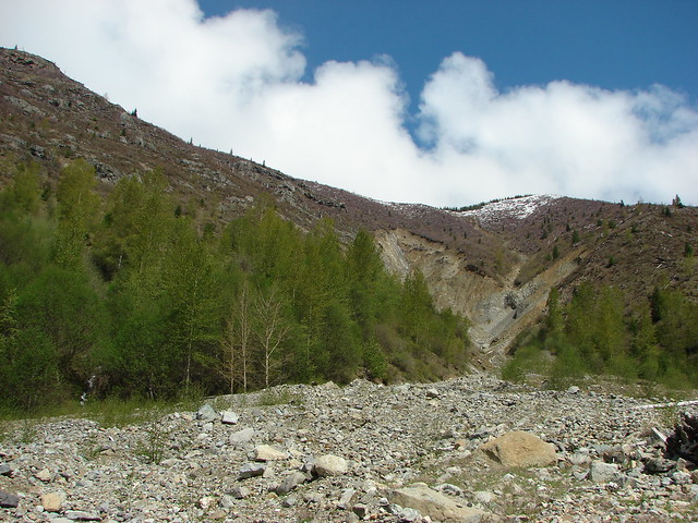
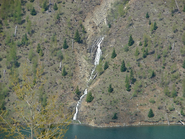
 At one point quite a bit of dust? kicked up from the South Fork Toutle River canyon.
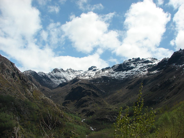
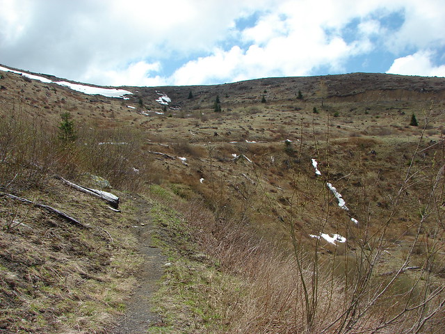
The trail contoured along the hillside, occasionally entering a stand of trees or losing sight of the mountain behind a ridge.

 Cardwell’s penstemon


A little over 2 3/4-miles from the Hummocks-Boundary Trail junction we came to a viewpoint at a ridge end where we could see Coldwater Peak and the top of Mt. Adams.
 Coldwater Peak with Mt. Adams to the far right of the photo. The hiker ahead to the left of Coldwater Peak was from Belgium. He was here on work but using the weekends to explore the area. We would see him two more times, once from the observatory as he continued on the Boundary Trail and then as we were exiting the trailhead. He had done a loop using the Coldwater Trail (post) which by our calculations would have been at least 16-miles and that is assuming he didn’t detour to Coldwater Peak.
 Mt. Adams from the viewpoint on our way back. The angle of the Sun earlier caused the mountain to look pretty washed out.
 Mt. St. Helens from the viewpoint.
 Variable-leaf collomia
 The Loowit Viewpoint on the ridge ahead.
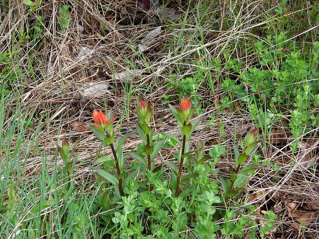
 Paintbrush covered hillside.
The Loowit Viewpoint is located along SR504. The Boundary Trail passes by the viewpoint 3/4 of a mile from the Johnston Ridge Observatory.
 Mt. St. Helens from the Loowit Viewpoint.
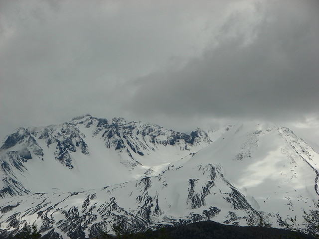
 Mt. St. Helens crater.
As we continued on from the viewpoint we were under the watchful eye of some nosey locals.

 Golden mantled-ground squirrel. These brazen con-artists often convince visitors they would starve without humans help. While this is definitely not the case and wildlife really shouldn’t be fed it happens all too frequently. (They are awfully cute though.)
The closer we came to the observatory the more paintbrush we began seeing.
 A single plant.
 A lot of paintbrush.


 Daisies and paintbrush
 Penstemon, yarrow, and Scouler’s woolyweed along with the paintbrush.
 Paintbrush and penstemon along the trail.
The Boundary Trail turns to a paved path across from the parking lot for the observatory following the parking entrance road for approximately 450′.


 Passing by the Johnston Ridge Observatory.

 Before and after photos of the 1980 eruption.
We followed the Eruption Trail uphill to a mountain identifier then down the other side to rejoin the Boundary Trail.

 Mt. Adams peaking over the ridges with Spirit Lake also visible (center).
 Spirit Lake
 The mountain identifier ahead on the left.

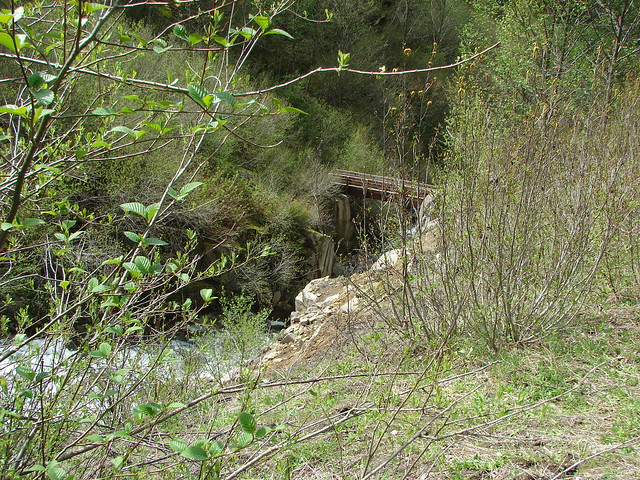
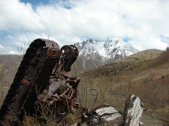
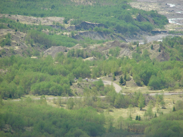
 We could see where the repair work was happening on SR504 from this trail.
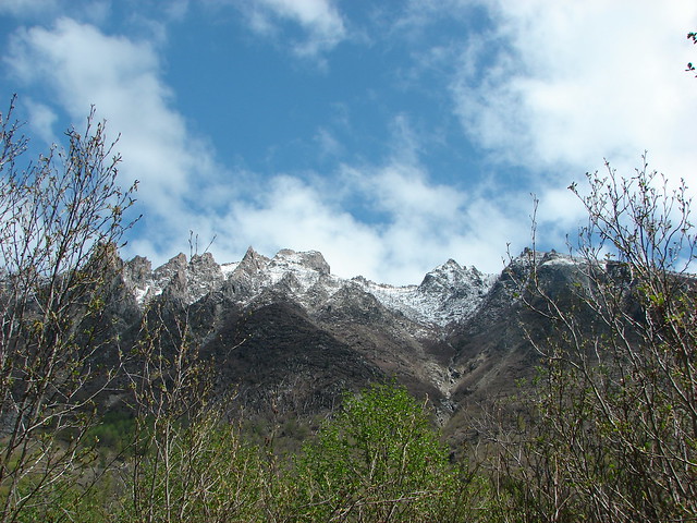
 The rounded peak to the right is Goat Mountain (post).
 Goat Mountain with a few patches of snow still showing up.
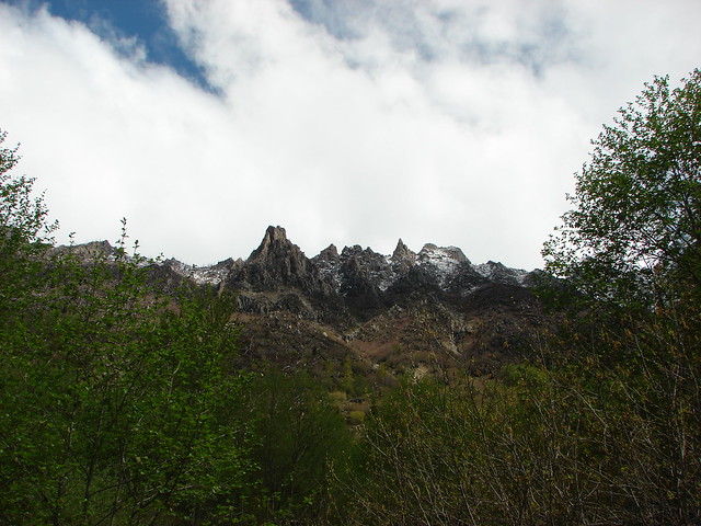
 Rock Arch near Coldwater Peak.
 Memorial for the lives lost in the 1980 eruption.
 Junction with the Boundary Trail.
The views and flowers were so nice that we decided to continue on the Boundary Trail for a bit. The trail had been slowly losing elevation and after a little over a half mile neared a saddle where more elevation would have been lost. We decided to turn around there since shortly after climbing up from the saddle on the far side the trail would lose sight of Mt. St. Helens as it passed behind the ridge for a bit.

 Pussypaws


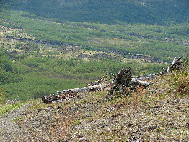
 Another view of the washout.


 Our turn around spot. You can see the trail on far side of the saddle veering left behind the ridge.
 Coldwater Peak from our turnaround spot.
We headed back to the Hummocks Trail, sticking to the Boundary Trail the entire way.
 The Johnston Ridge Observatory from the trail. We hadn’t realized how much elevation we’d lost until we turned around.
 Castle Peak and Spud Mountain on the left and the observatory above some colorful cliffs.

 Penstemon
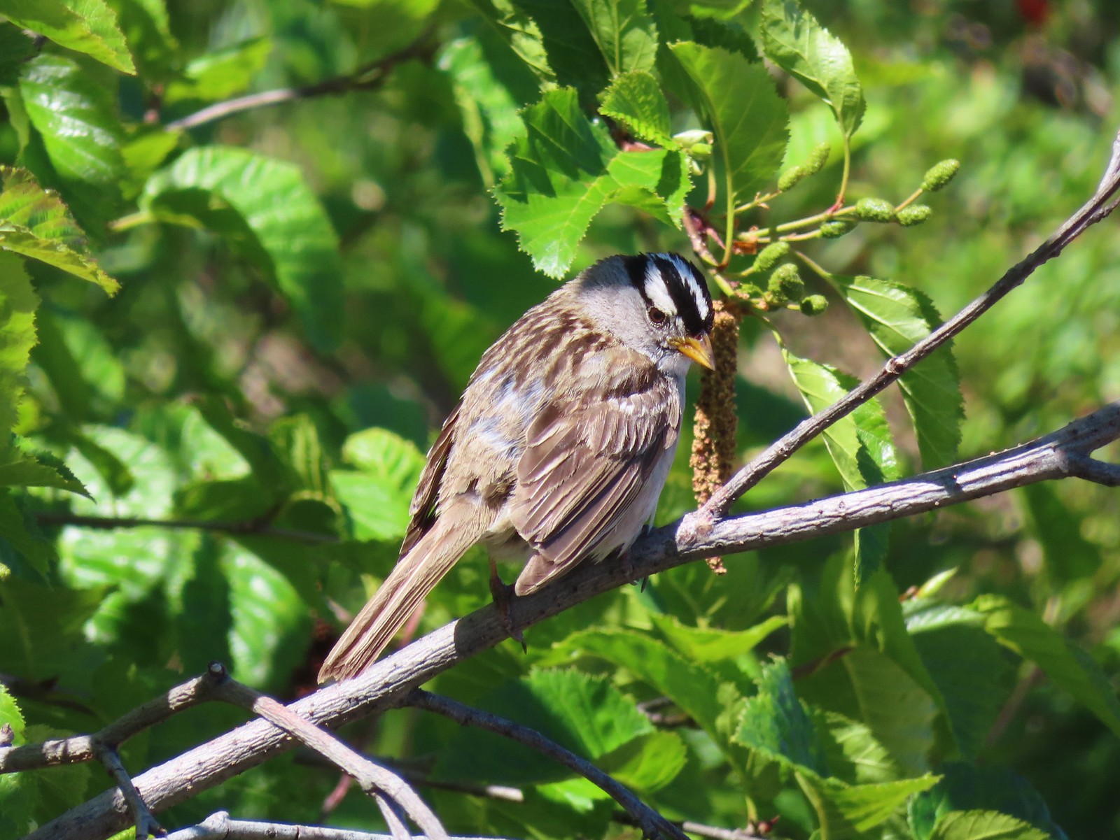 White crowned sparrow
 Boundary Trail leaving the Loowit Viewpoint.
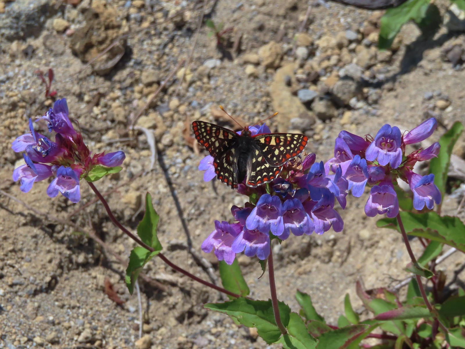 Snowberry checkerspot on penstemon.

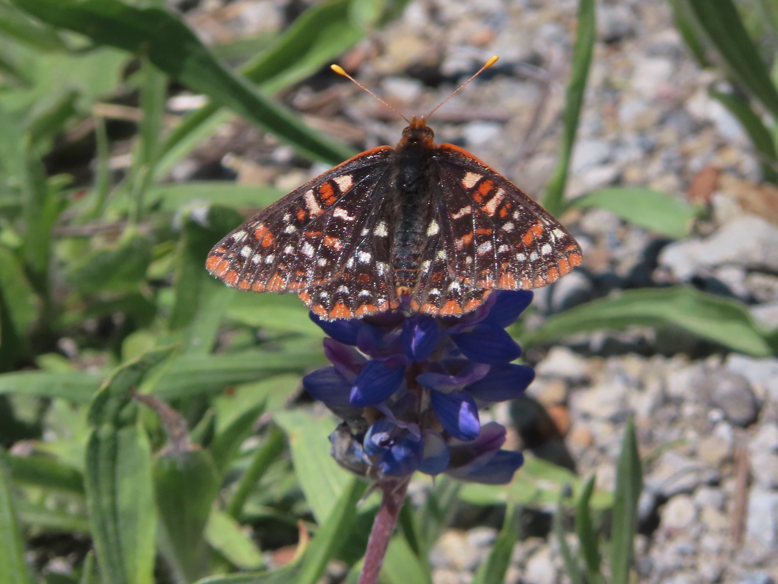 Another checkerspot, this time on lupine.

 Cedar waxwings
When we arrived back at the Hummocks Trail we turned left to finish that loop.


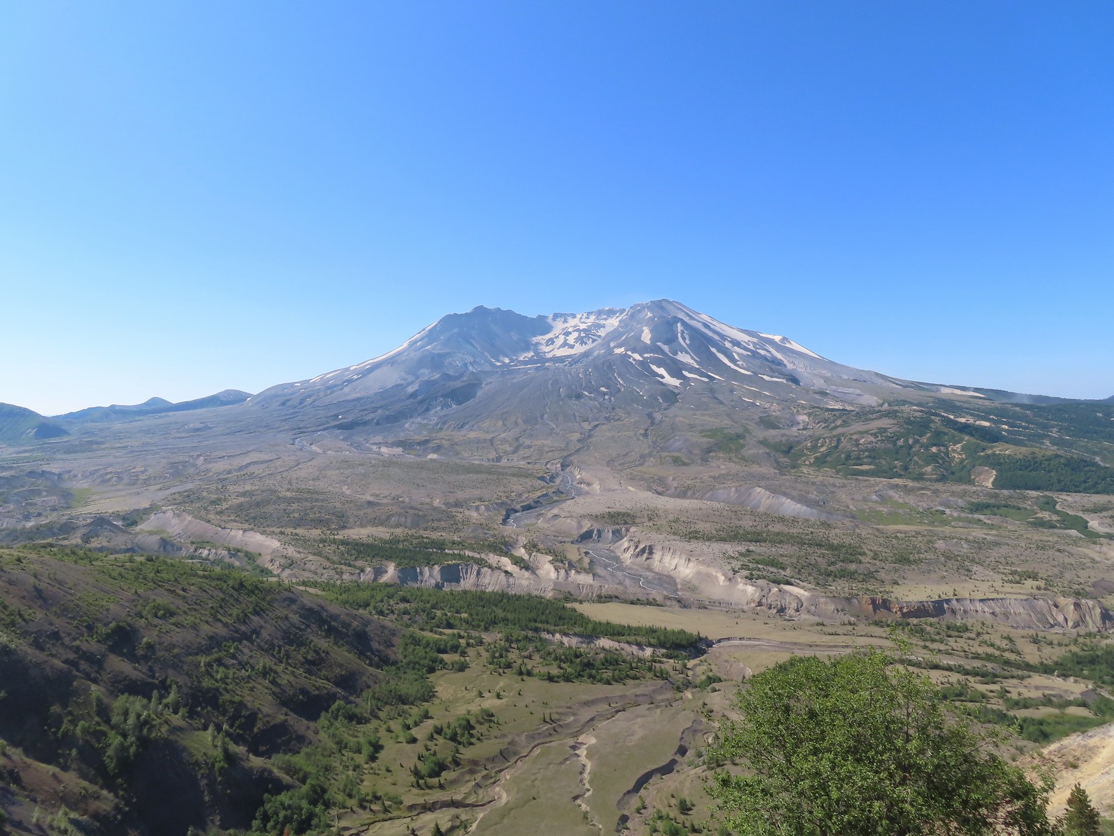
 Mt. St. Helens and the North Fork Toutle River.
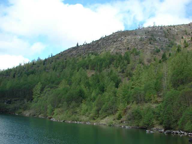
Between it having been 9 years since we’d hiked this trail and the difference in the time of year the scenery was very different.

 The same view in May 2014.

 Same spot, different angle 2014.
 Monkeyflower
 Maybe a yellow-rumped warbler.
 Caterpillar

 Dragonfly
 Pearly everlasting
 Arriving back at the Hummocks Trailhead.
The hike came in at 12.5 miles with just under 2000′ of cumulative elevation gain.

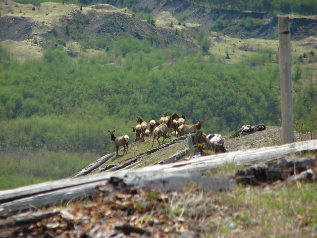
This turned out to be the perfect day for this hike. The weather was pleasant, the views and flowers great, and the road closure provided solitude at the observatory. In addition to the Belgian hiker we passed a couple near the small viewpoint on the way to the observatory. We passed a few more people on the way back but nearly half of those were volunteers with the Mt. St. Helens Institute. The only thing that the hike lacked was any larger wildlife. It was one of the only hikes we could recall at the mountain where we didn’t see at least one deer, elk or mountain goat. Maybe next time. Until then Happy Trails!