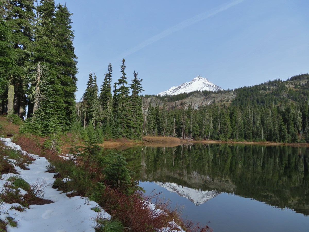
Due to the warm and dry 2026 some hikes that would normally be snow covered in November remain accessible. We did get some lower elevation snow at the end of October, but warm and dry conditions returned during the first week of November. A partly sunny forecast for Saturday called me to the mountains for what I hope is the last mountain hike until early Summer 2027. It’s not that I don’t love hiking in the mountains, but we badly need a good snow year.
Heather opted to be responsible and stay home to prep the house for some work being done later in the week. I decided to head to the Pamelia Lake Trailhead and head toward Hunts Cove. We had visited Hunts Cove in 2013 on an epic 18.2-mile loop (post). I know I am not physically up to a hike like that and wasn’t sure if I would be able to make the 6-plus mile hike to Hunts Cove but there were several good turnaround points along the way.
There were just a couple of cars at the trailhead when I arrived.
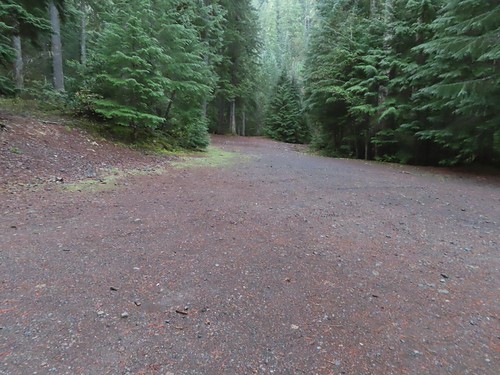
A NW Forest Pass is required to park at the trailhead, and a Central Cascades Wilderness Permit is required to hike from June 15 – October 15.
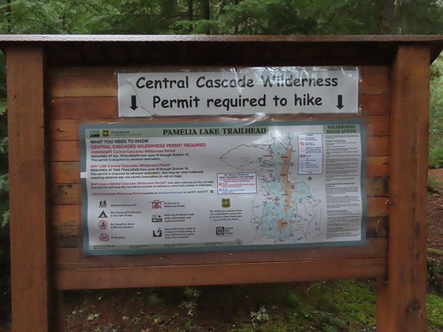
The Pamelia Lake Trail leaves the trailhead following Pamelia Creek through a beautiful forest and into the Mount Jefferson Wilderness.


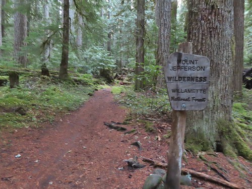
This is one of a few remaining areas in this wilderness that hasn’t burned in the 2000’s.
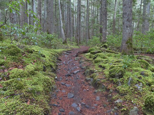

After 2.2-miles of gradual climbing the trail arrives at a junction just before Pamelia Lake with the Grizzly Peak Trail (post).

At the junction I detoured down to Pamelia Lake where the water level was evidence of how dry 2026 has been.

I walked to the right around the lake to get a view of Mt. Jefferson and some of the recent snow.
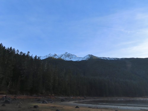
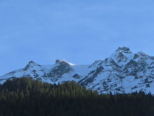
Morning sunlight hitting the mountain and ridge below.
I returned to the junction and took a right back onto the Pamelia Lake Trail and followed it another 0.2-miles uphill to the Hunts Creek Trail.
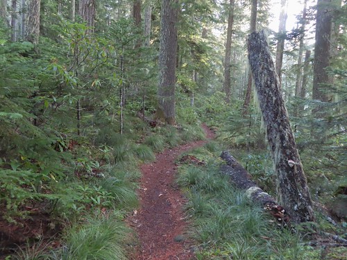
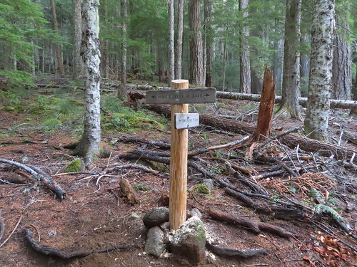
A left at the junction would have taken me to the Pacific Crest Trail (post) while a right turn heads to Hunts Cove. You can also reach the PCT from Hunts Cove as we did in 2013. I turned right and followed the trail around the lake passing numerous use trails down to campsites.

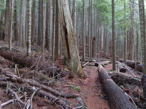
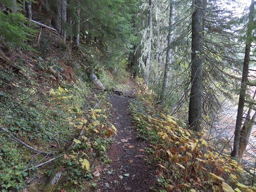

Grizzly Peak
The trail crossed several unnamed streams and creeks, one of which was flooding the trail.
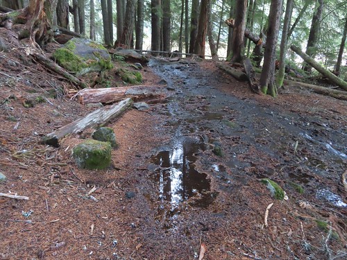
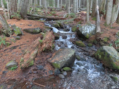

The wetlands behind Pamelia Lake that the creeks from both sides of the valley flow into.


Hunts Creek flowing toward Pamelia Lake.


The prettiest of the side creeks.

The trail briefly used this downed log.

Makeshift bridge across one of the streams.
Approximately 1.2-miles from the Pamelia Lake Trail junction the Hunts Creek Trail arrives at the bridgeless crossing of Hunts Creek.

I used the two logs to the right to cross dry footed.
After crossing Hunts Creek the trail climbs over 1000′ in 1.8-miles to a junction with the Hunts Cove Trail. The climb is gradual with just a couple of sets of switchbacks.
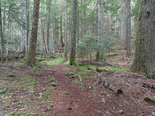


The tread got a little narrow crossing this slide, but it wasn’t too sketchy.
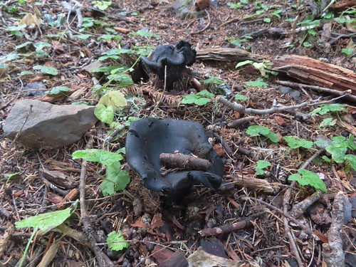

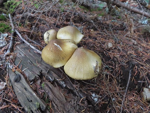
I believe this is a Lion’s mane (Hericium erinaceus).
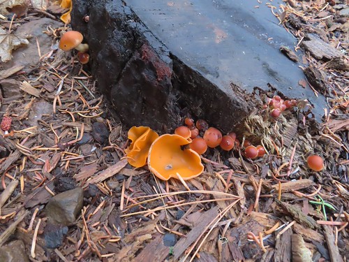
Orange peel fungus
At one point I spotted a huge waterfall, or series of falls on the opposite hillside.


There were occasional views of Mt. Jefferson too.


There is a waterfall on Hunts Creek just off the trail from the first switchback of the second set (1.6-miles from the creek crossing).
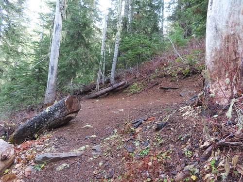
I saved the side trip to the waterfall for the way back down and continued up to the Hunts Cove Trail junction.

Here I did take a side trip and before heading to the cove kept right on the Hunts Creek Trail for 50 yards to visit a talus field where I could hear the “meeps” of pikas.

I hung around for several minutes while meeps rang out from all directions, but I was never able to spot one. I returned to the junction and followed the pointer for the Hunts Cove Trail where I quickly encountered some patches of snow.


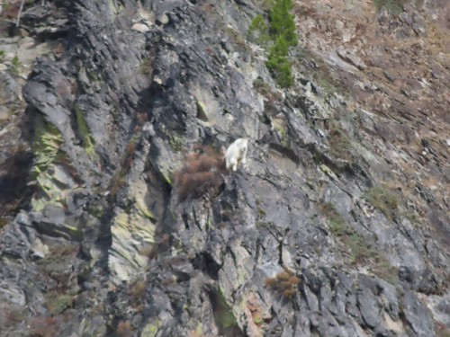
Mt. Jefferson came into view across the meadows below and while I was looking at the mountain, I noticed a suspicious looking white spot on the rocks across from me.
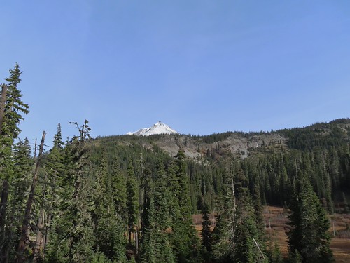
Typically, when I spot things like that it winds up being a rock or weathered stump, but this time it was a mountain goat.

(I couldn’t get a decent picture from the distance.)
It’s a fairly level 0.4-miles to Hanks Lake where I detoured right along the shore to get another view of the mountain.


I turned right just before reaching the outlet of Hanks Lake.
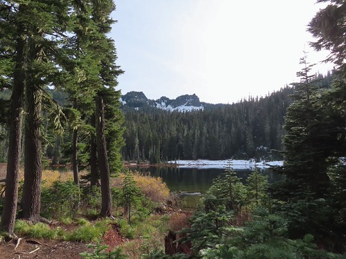
The Cathedral Rocks from Hanks Lake.

Common mergansers


Ouzel (American dipper)
I had planned to take a snack break here but the amount of snow along the shore convinced me to wait until Hunts Lake so I headed back to the trail and crossed the outlet creek. It was another 0.4-miles to Hunts Lake where I had more views of the mountain goat, who was not watching me from atop a rock outcrop.

Another makeshift bridge kept my feet out of the creek.

I stayed left at the junction with the Old Hunts Cove Trail, the route we’d taken out of the cove in 2013.


Based on the size and shape this may have been bear tracks, but the snow had melted and refroze enough times that the details for me to make that determination had been lost.
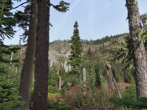

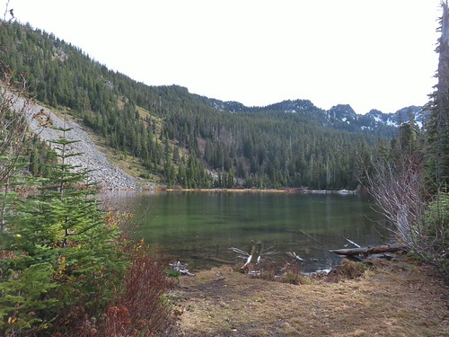
Hunts Lake

The goat watching me watch it as I was having my snack near Hunts Creek and the lake.

Hunts Lake from my break spot.
After my break I said goodbye to my new friend and headed back the way I’d come.


Pamelia Lake from just below the Hunts Cove Trail junction.

The switchback with the spur trail to the waterfall.
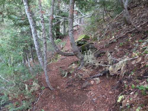
Heading for the waterfall.


I can’t remember noticing this colorful outcrop before.

Candyflower


A semi-ok photo of a varied thrush.

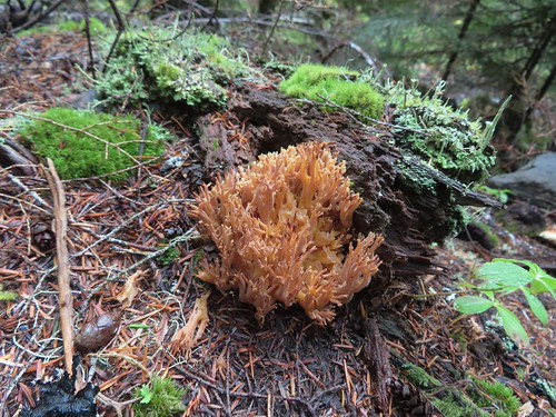
Coral fungus
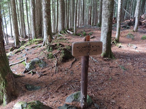
When I got back to Pamelia Lake, I took the first left and veered toward the lake past a sign reminding people not to camp within 100′ of the lake.

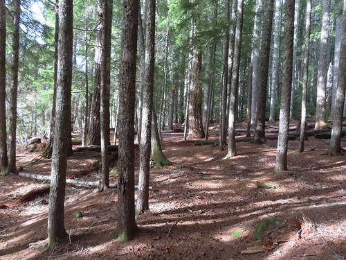
I’d only seen one other person all day, another hiker as I was leaving Pamelia Lake in the morning. I didn’t see anyone during this pass either with all of the campsites appearing empty.

I made my way around the lake shore one more time to get a last look at Mt. Jefferson before returning to the trailhead.

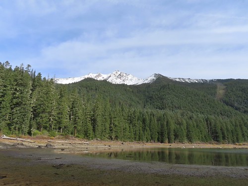

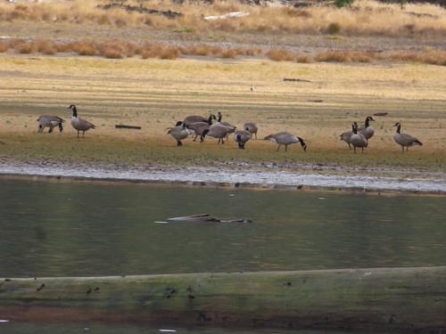
Geese hanging out at the lake.


Bunchberry leaves


Arriving back at the trailhead.
With the several detours this wound up being a 13.1-mile hike with approximately 2100′ of elevation gain.
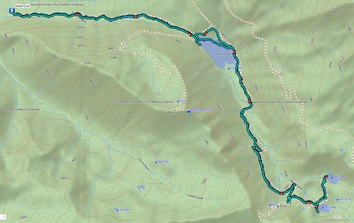
If this was my last hike in the mountains for the next 6 to 8 months it was a great one to end on. Happy Trails!
Flickr: Hunts Cove

