While we completed our goal of hiking portions of all 100 featured hikes in William L. Sullivan’s 4th edition of “100 Hikes/Travel Guide Central Cascades” in 2020 (post) there remain a few “loose ends” that we’d like to take care of. We have established some guidelines for considering a featured hike “done” allowing us some wiggle room. For instance we might start at a different trailhead than Sullivan’s description but still visit the main attraction(s) he describes. It might also mean starting at the trailhead described but due to closures might cut the hike short. The two most common dilemmas we faced though were featured hikes with a short and long option and featured hikes that included multiple stops/destinations. Regarding the short vs long options we’ve tended to opt for the longer option assuming the distance is reasonable, under 16 miles (maybe not reasonable to all), but when the longer options are close to or more than 20 miles we’ve settled for the shorter.
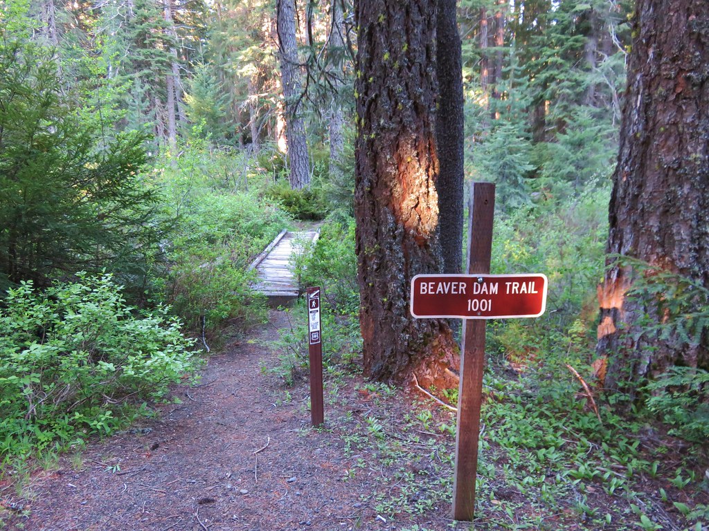
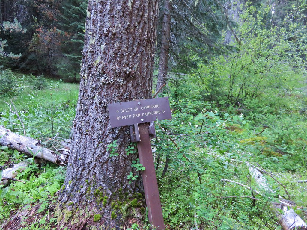
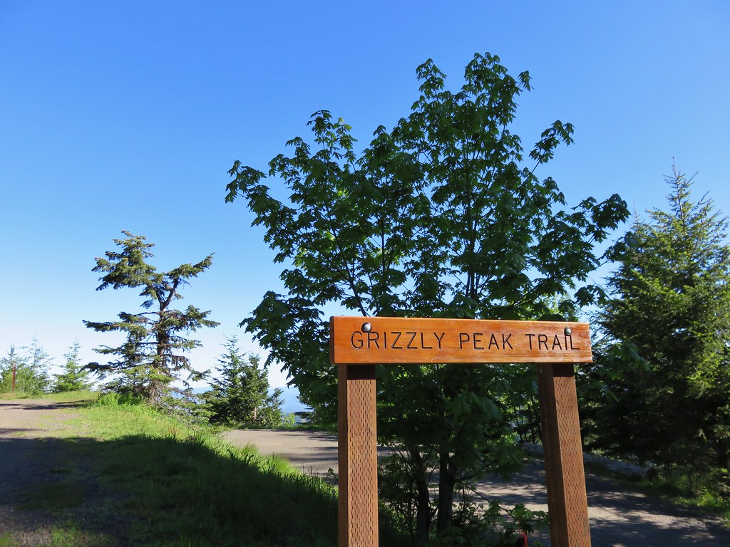
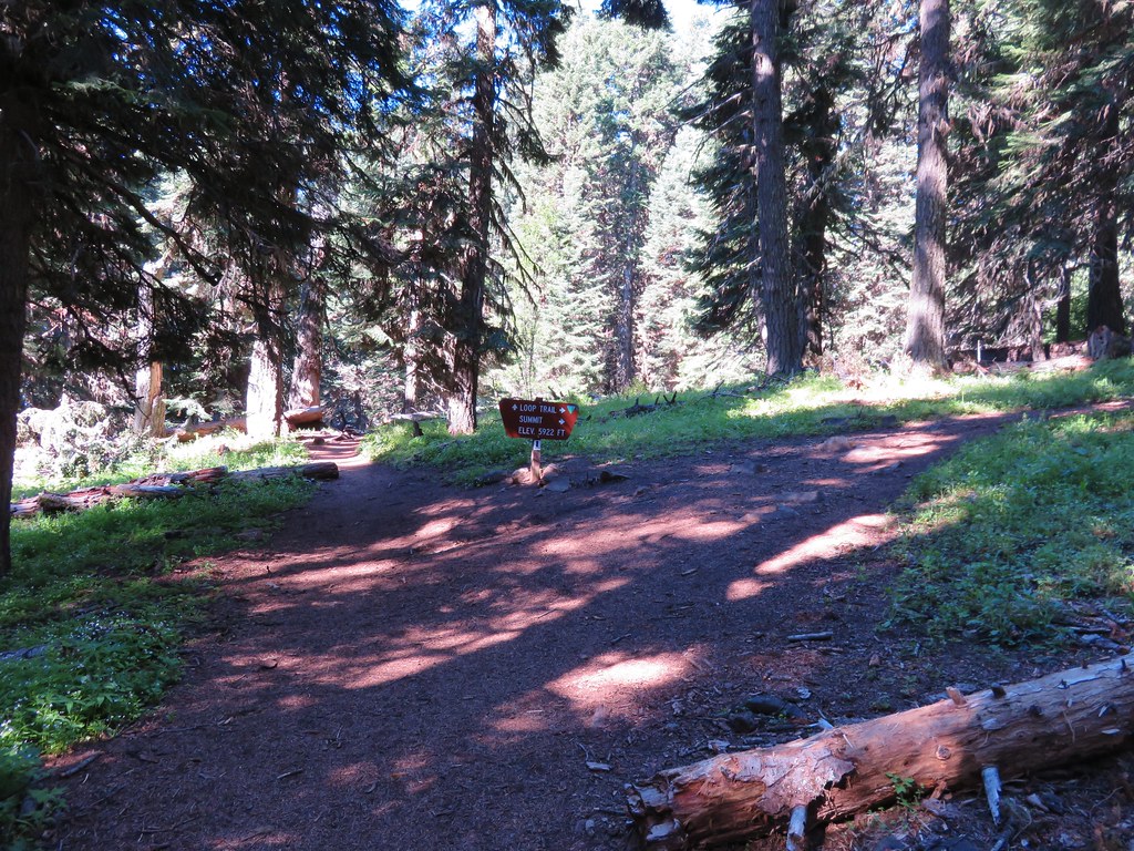
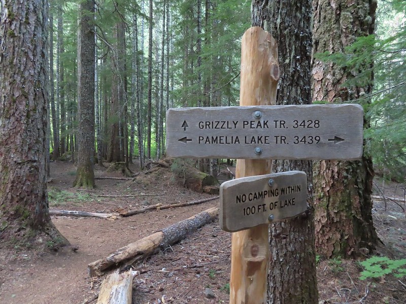
For the featured hikes where there are multiple stops/destinations we allow the hike to be checked off once we have completed either the longest option, and/or visited the hike’s namesake. A perfect example is Featured Hike 23 in the Central Cascades book (4th edition). The hike is titled “Pamelia Lake & Hunts Cove” with three options given, all beginning at the Pamelia Lake Trailhead. The shortest is a 4.4 mile out-and-back to Pamelia Lake while the longest is a 12.4 out-and-back to Hunts Cove. Sandwiched in between is a 10 mile out-and-back hike up Grizzly Peak. We had been to Hunts Cove once (post) and Pamelia Lake twice (once on the way to Hunts Cove and the other on an attempt to reach Goat Peak (post)) so going by our self-imposed rules we checked the hike off, but we had yet to visit Grizzly Peak. To put a ribbon on the featured hike we obtained a pair of Central Cascade Wilderness Permits (required at this trailhead) and once again set off for Pamelia Lake.

 This was at least the third posted notice so there is no claiming you weren’t aware that a permit is needed.
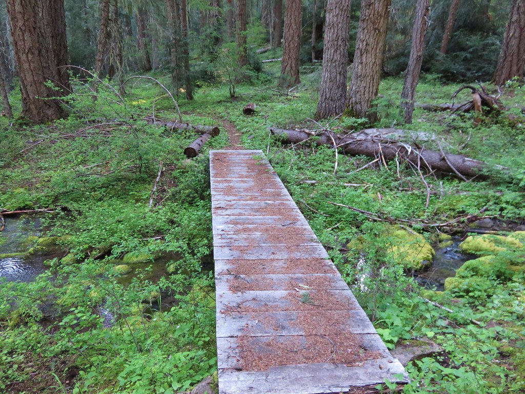
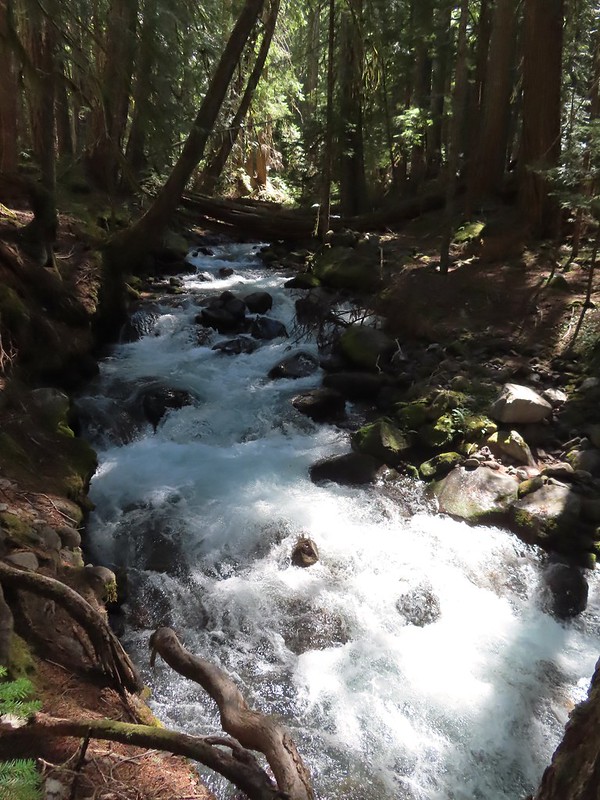
The roughly two mile hike to Pamelia Lake never disappoints.

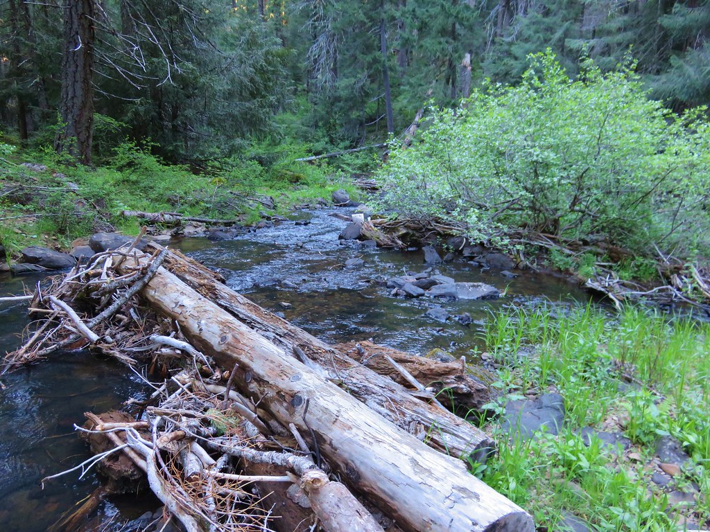
 Pamelia Creek
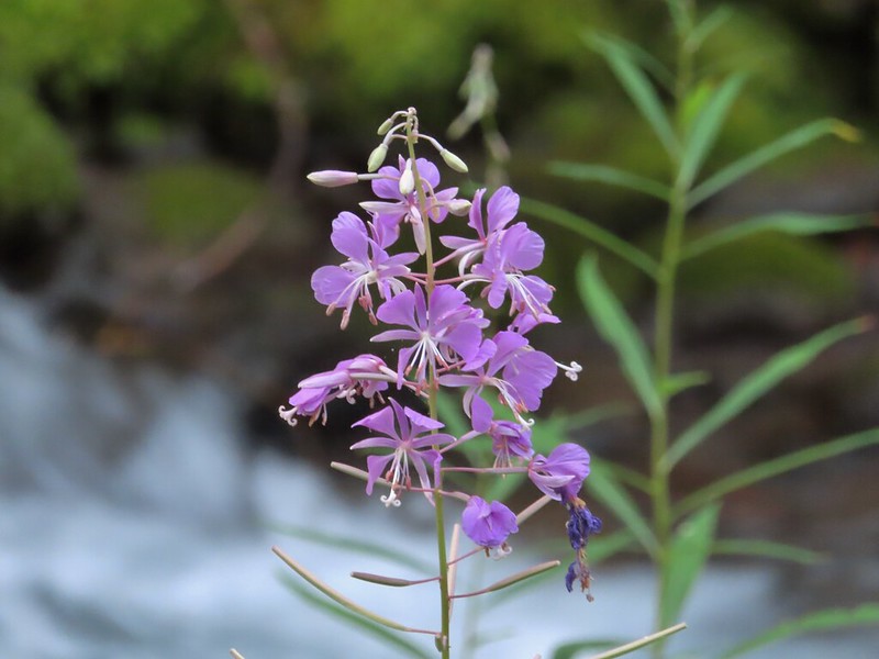 Fireweed along the creek.


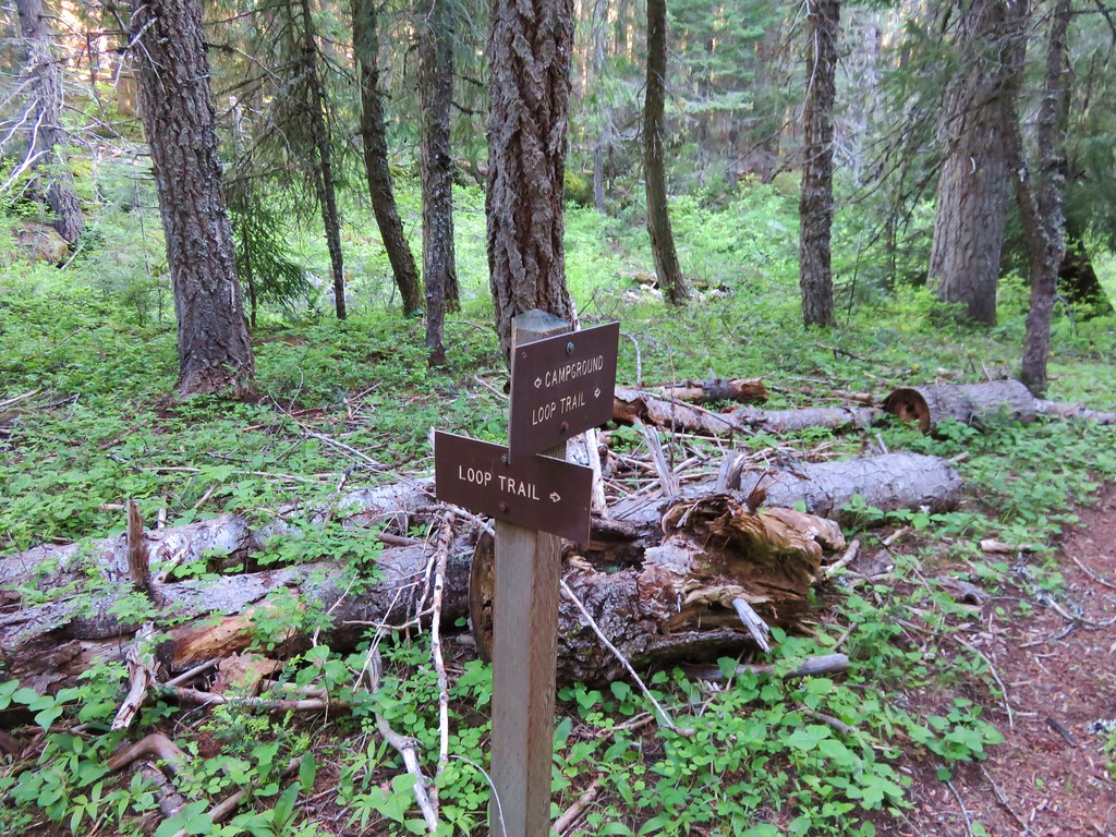
We turned right onto the Grizzly Peak Trail at its junction a short distance from the lake.
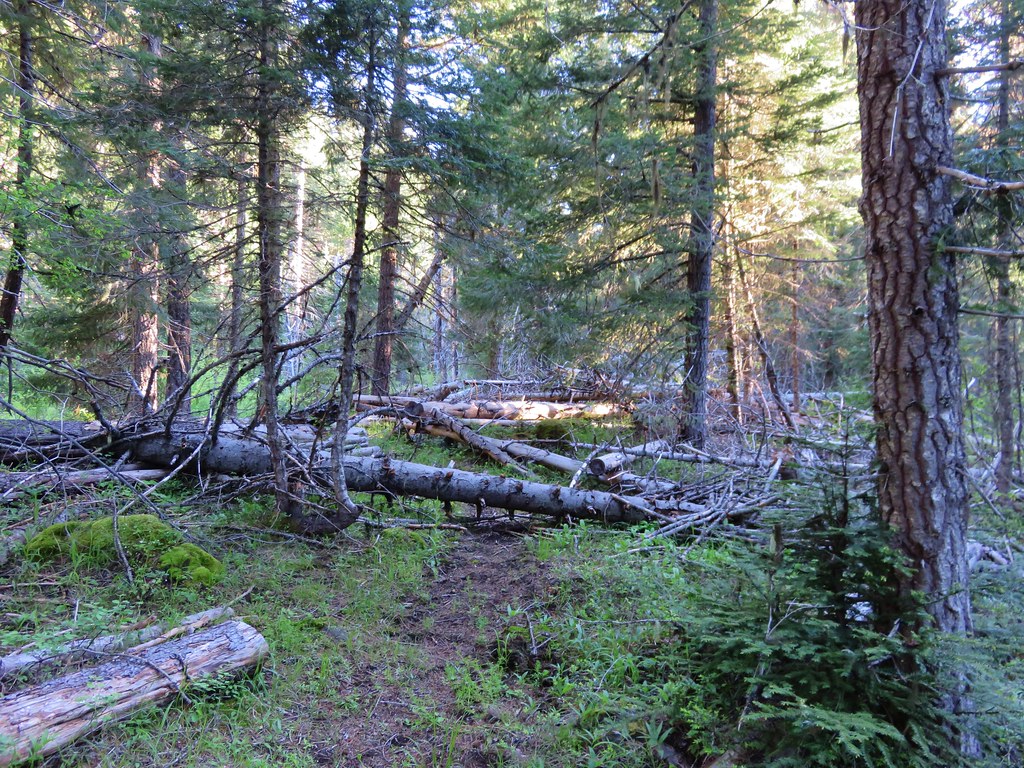
The trail crossed the dry outlet creek and then began the nearly 2000′ climb to Grizzly Peak.
 Pamelia Creek only flows underground here much of the year.
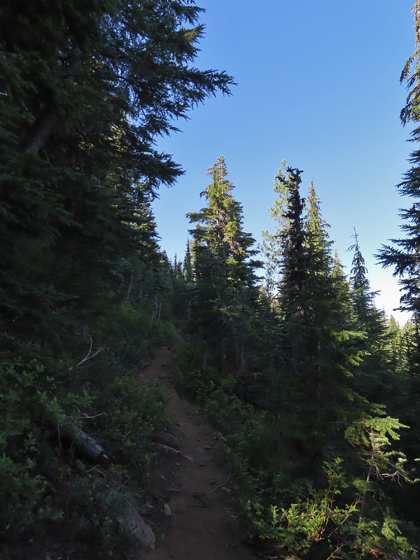
 Heading up.
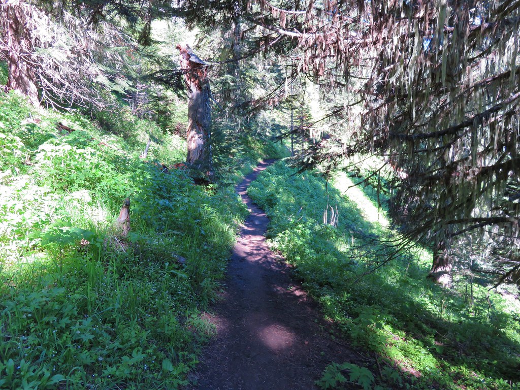
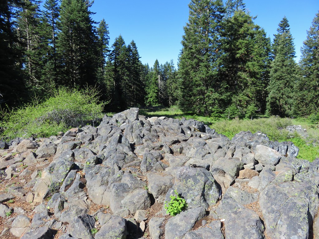
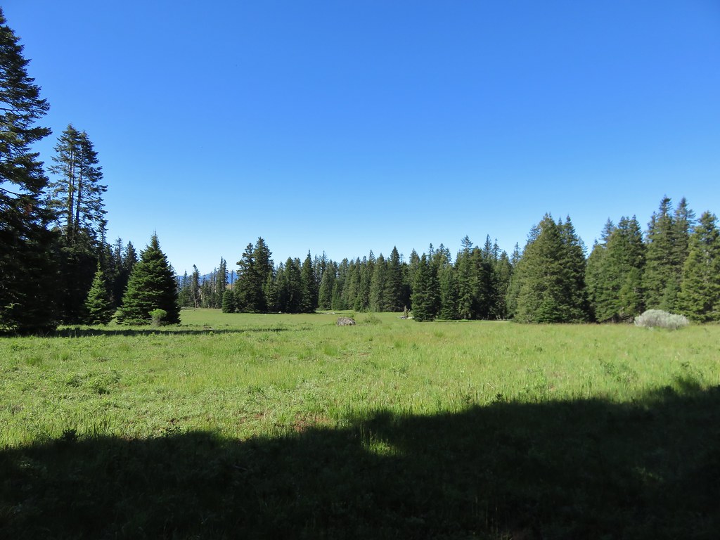
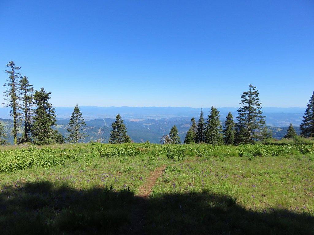
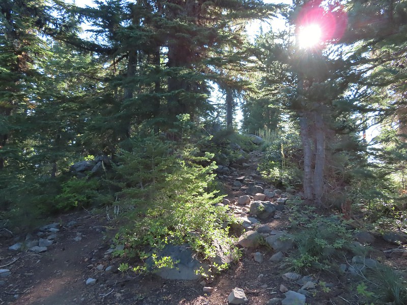
The trail climbs for two and three quarters of a mile to a former lookout site through a nice forest with limited view for the first two miles.
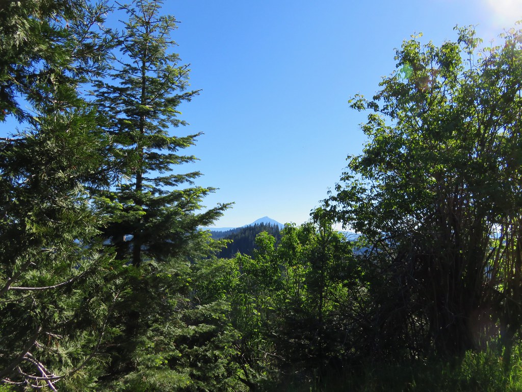
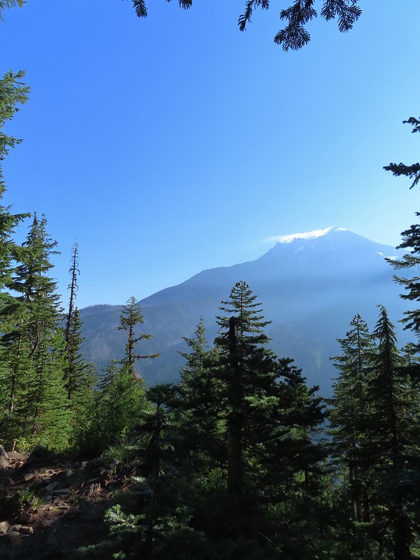
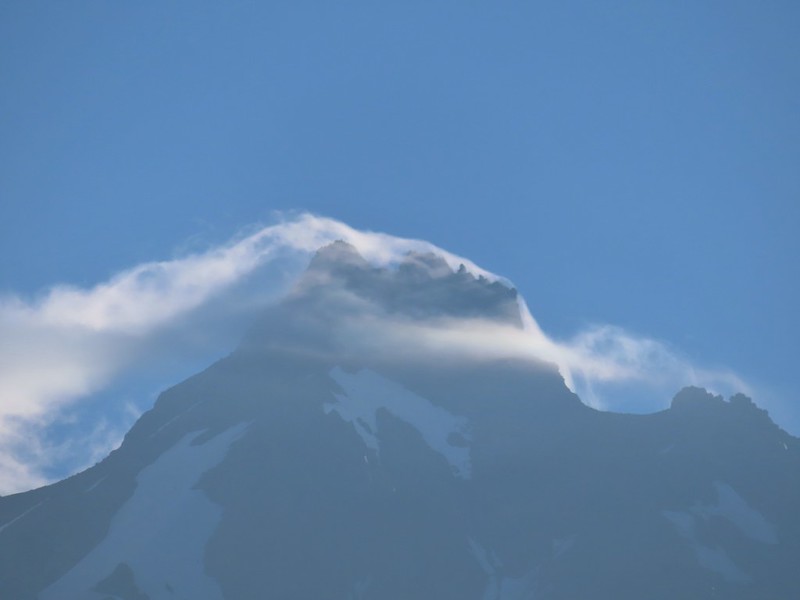
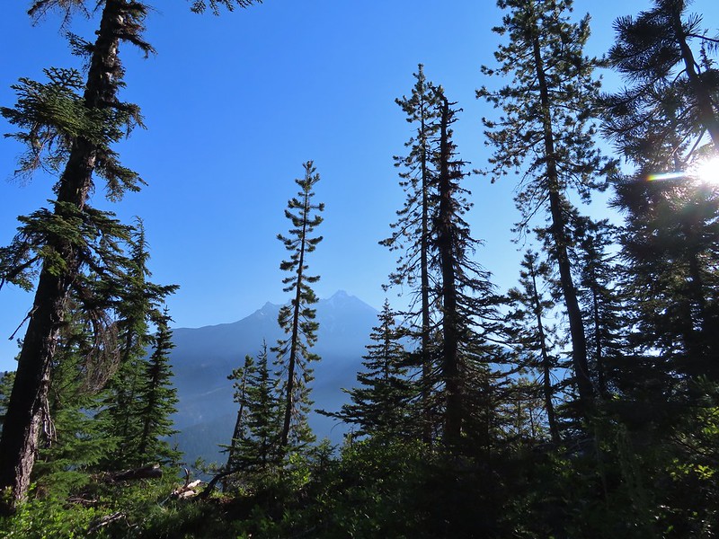
 A glimpse of Mt. Jefferson.
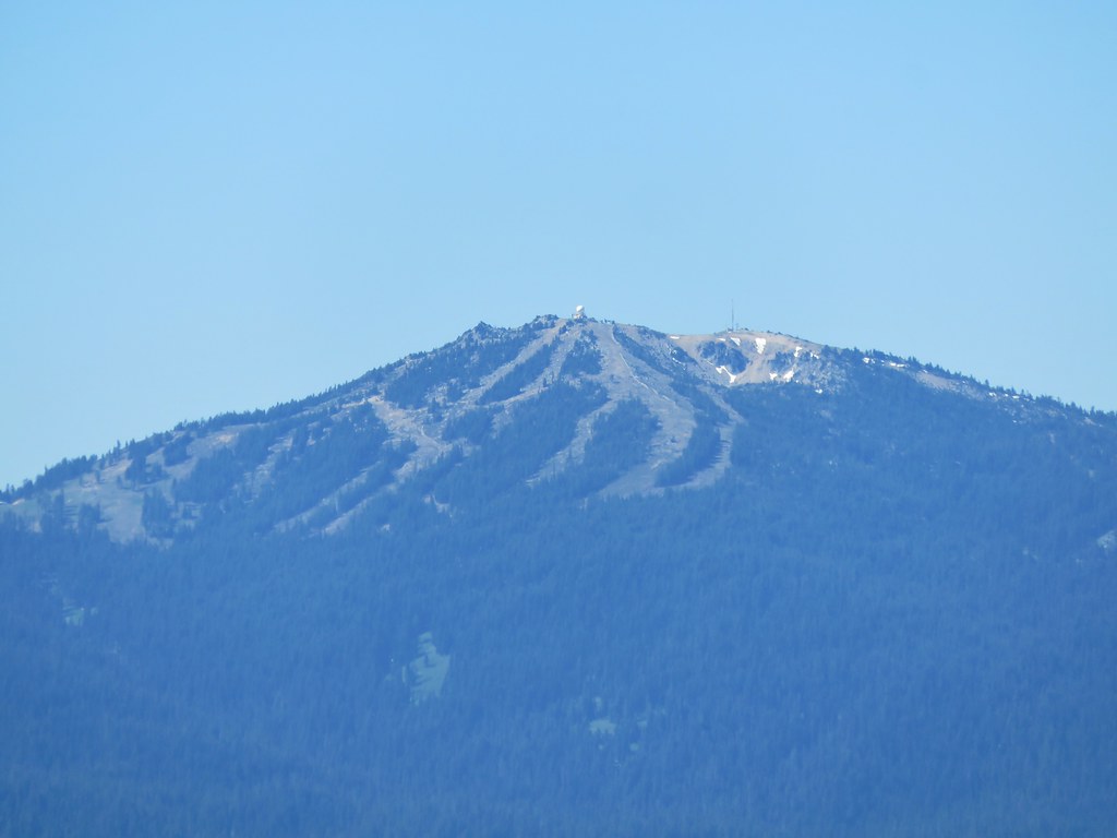
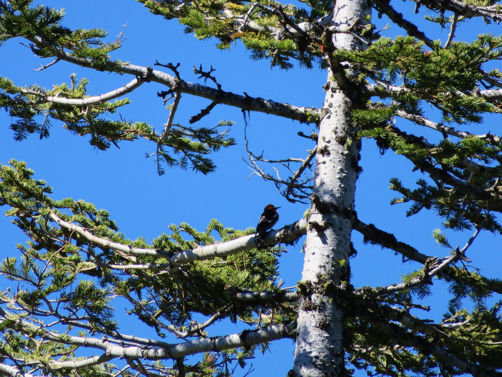
 That might be Woodpecker Hill, it was hard to tell exactly which ridge we could see with nothing else visible to help orient.
 This looked like it might be a nice little waterfall with enough water.
 That’s not enough water.
 Heather below one of several switchbacks.
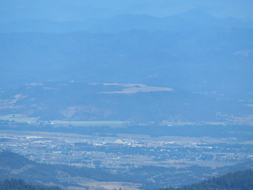
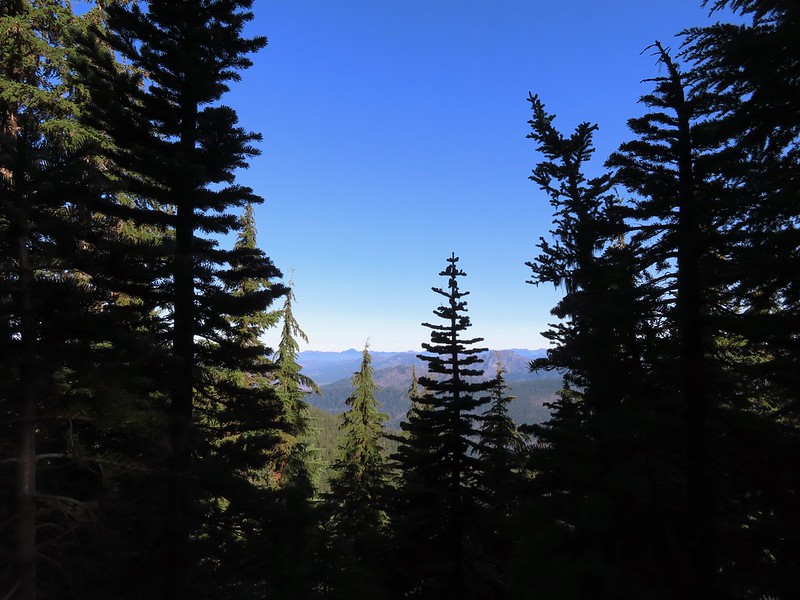
Just over two miles from the junction the Grizzly Peak Trail we came to a viewpoint on a ridge. Here the trail made a sharp right and followed the ridge SE. There were multiple views along this ridge, the one issue we had though was it was still fairly early and the angle of the Sun was catching all the haze in the air.
 Turning up the ridge.
 The haze was probably a combination of morning cloud/fog and smoke from the Cedar Creek Fire near Waldo Lake.

 Pinedrops
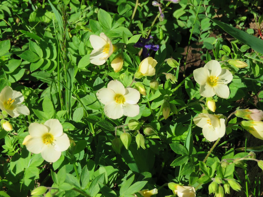
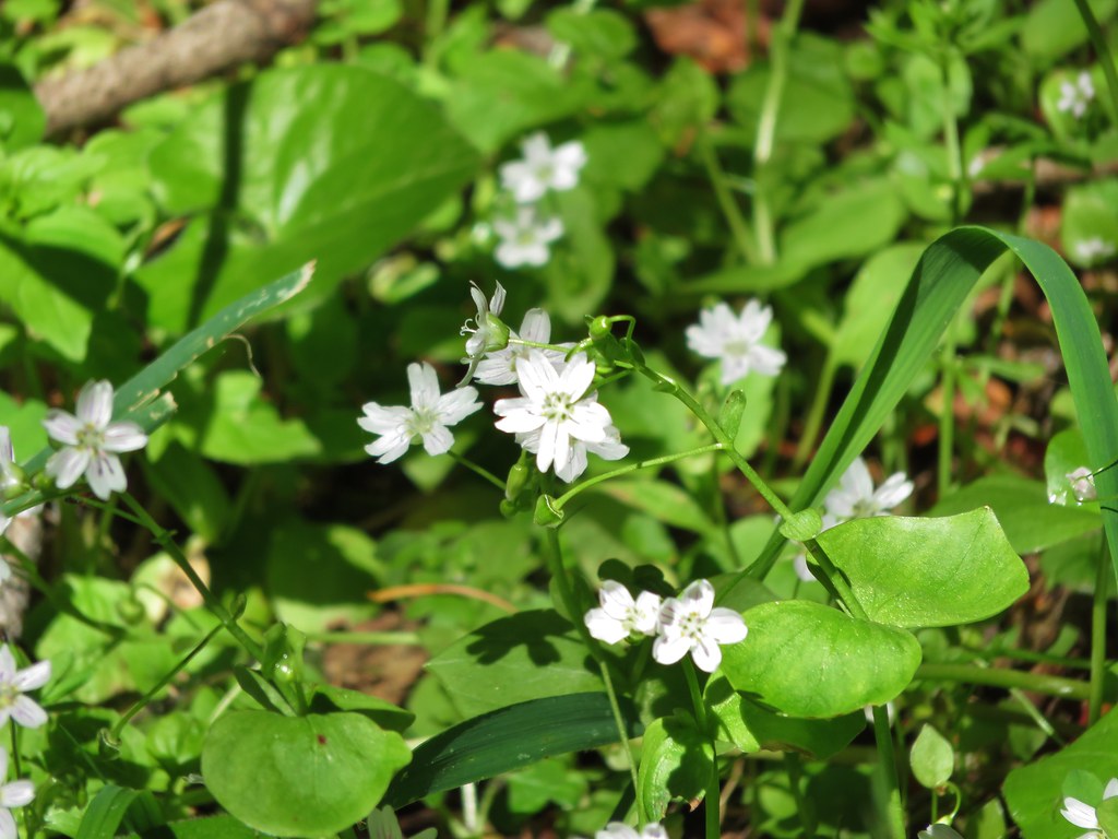
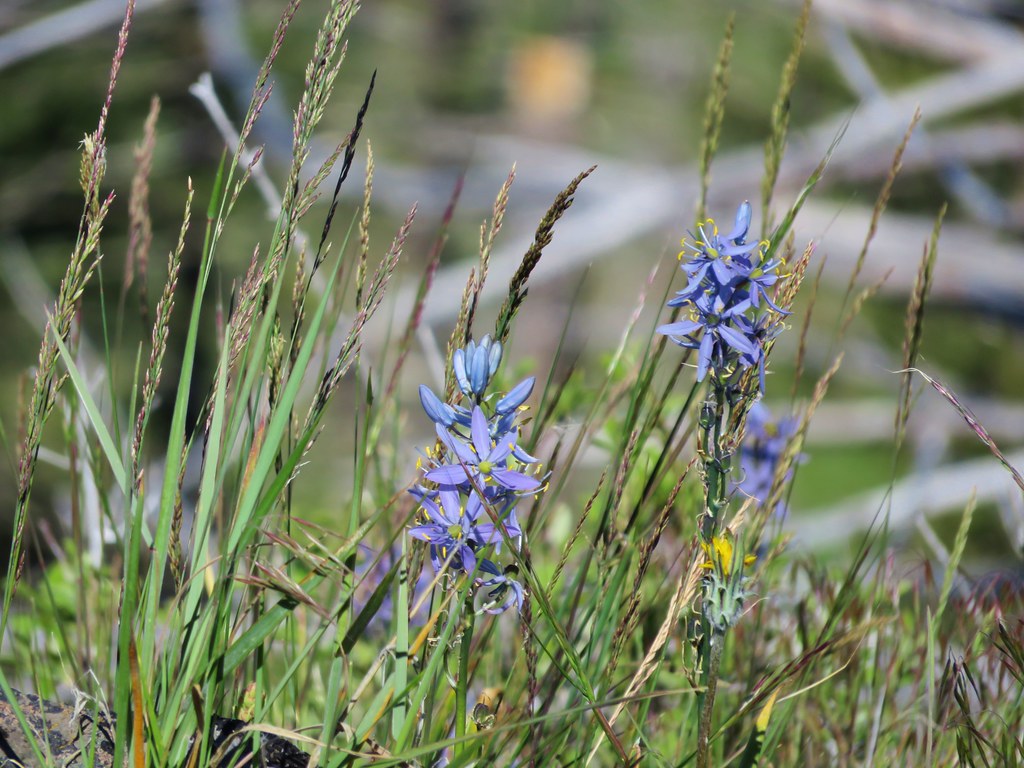
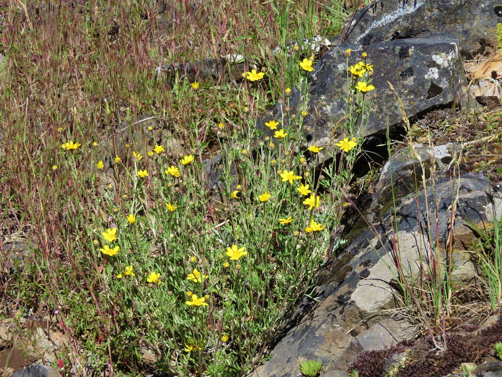
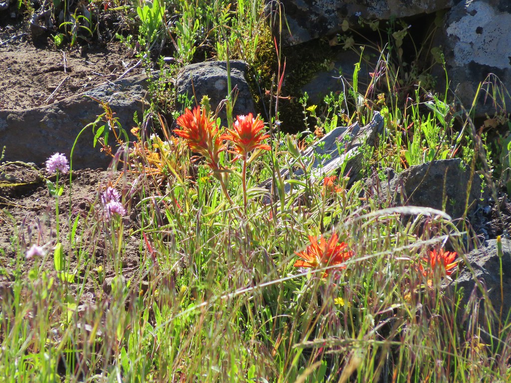
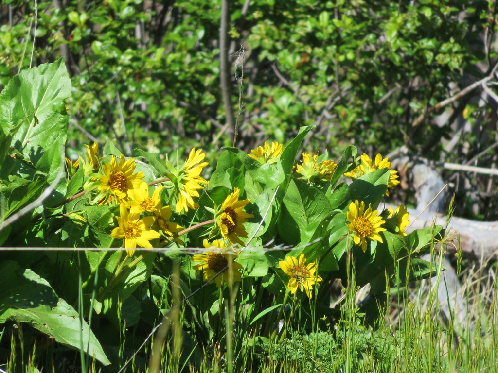
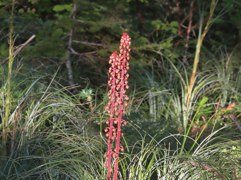
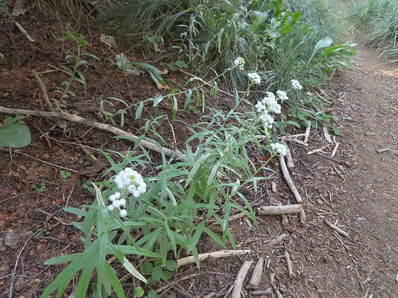 We were too late for most of the flowers but there were a few pearly everlasting going.
 There’s that pesky Sun again.
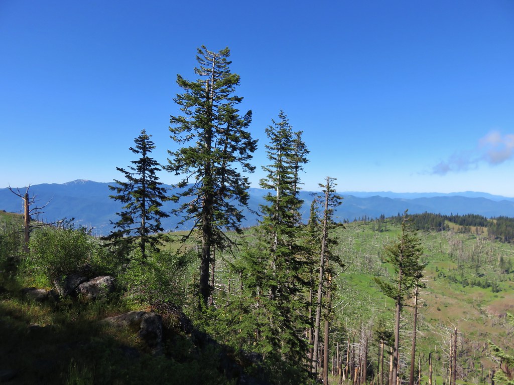
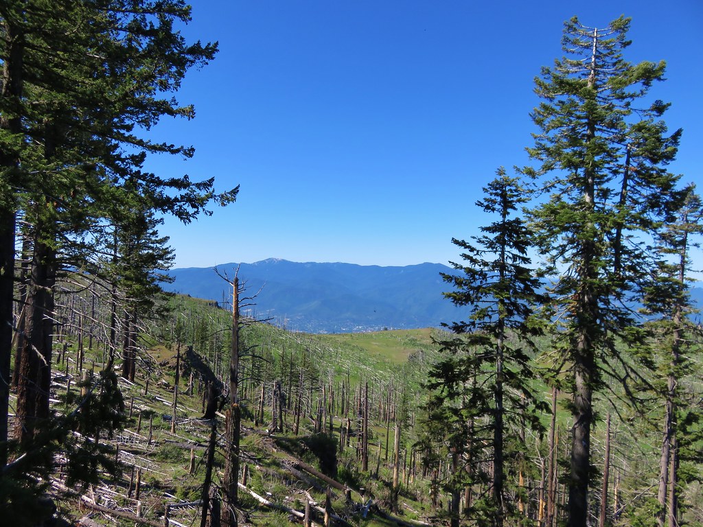
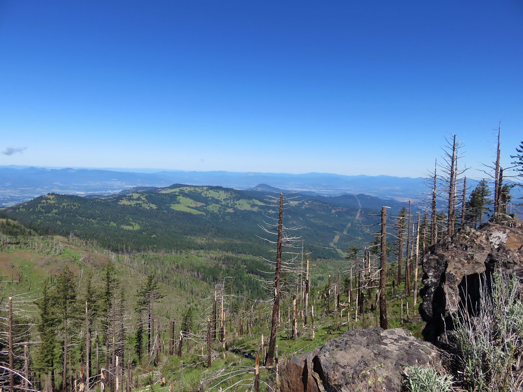
After following the ridge for 0.4 miles the trail veered to the right leaving it and traversing up a forested hillside with views north towards the Bull of The Woods Wilderness where we got our first good look at the fire scars from the 2020 Labor Day fires.
 Aster
Aster
 Lousewort
 Lots of burnt forest out there.
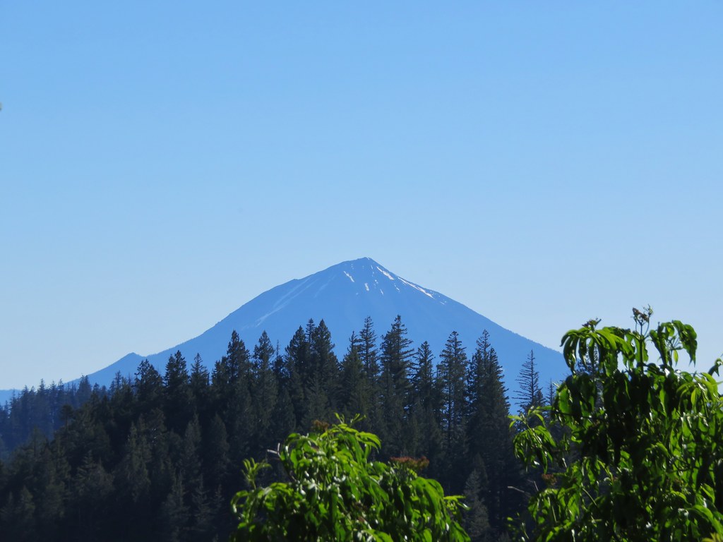
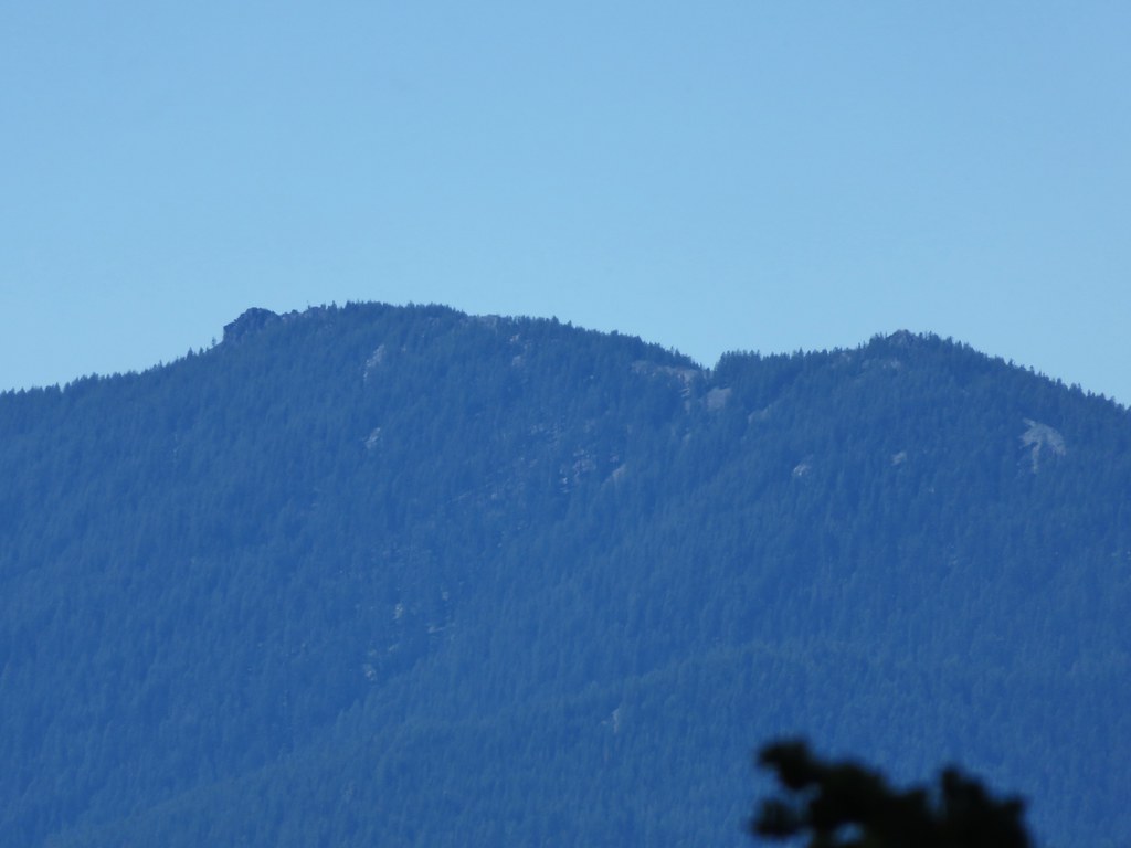
 Triangulation Peak and Boca Cave (post)
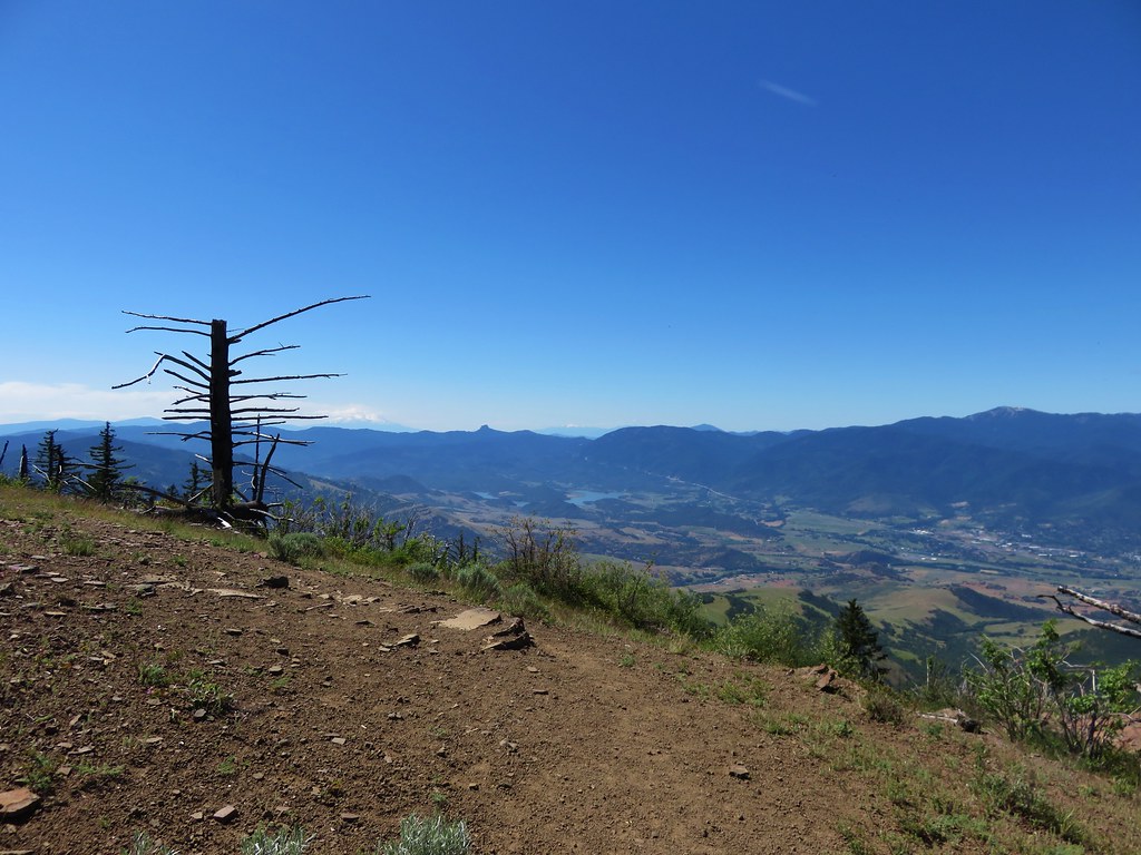
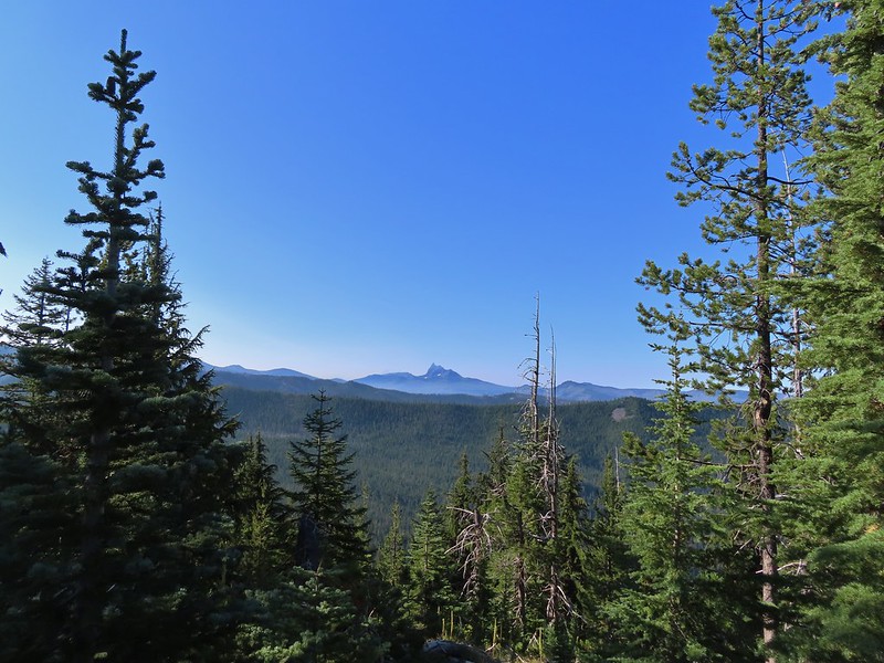
A quarter mile after leaving the ridge the trail came to another ridge and made a hard right following this ridge up to the summit. This section provided views south to Three Fingered Jack, the Three Sisters, and Broken Top.
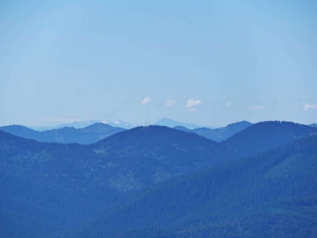
 Broken Top to the far left blending into the haze and Three Fingered Jack to the right with the Three Sisters in between.
 Just below the summit.

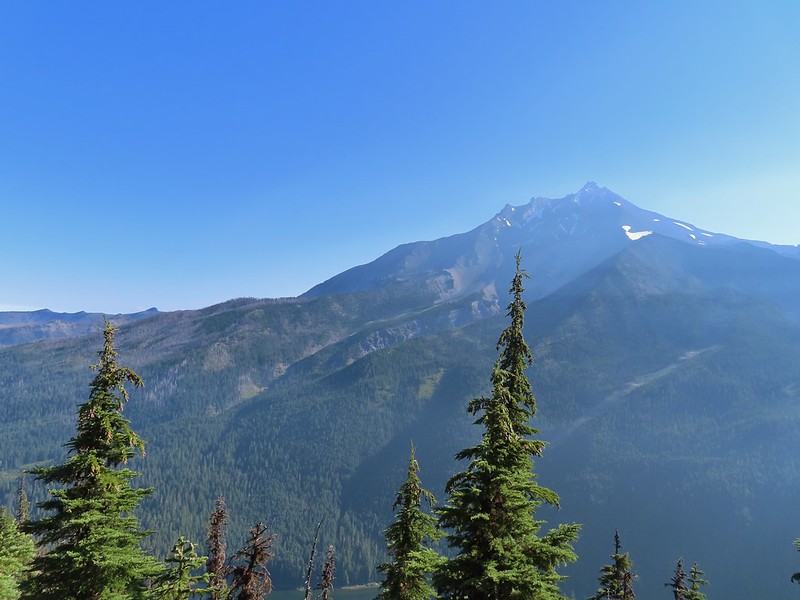
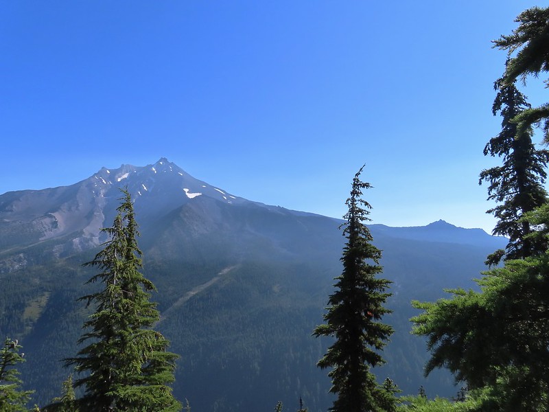
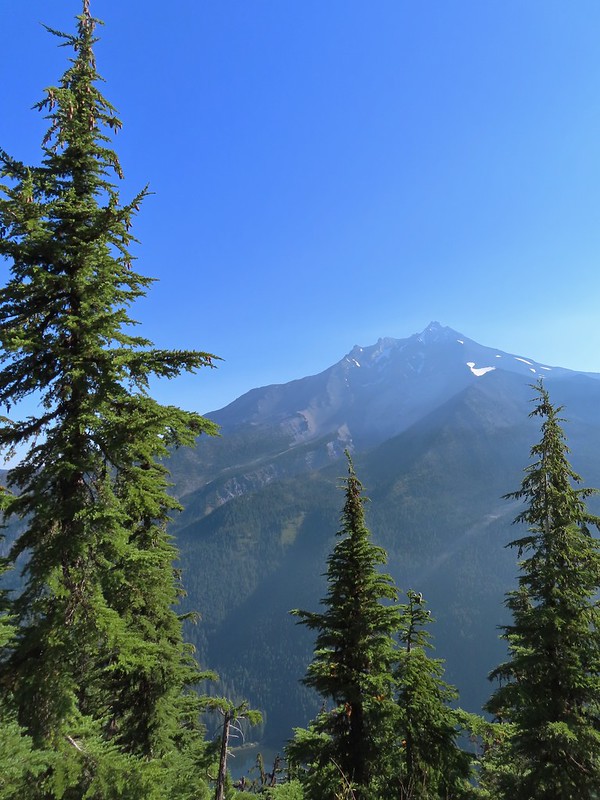 Pamelia Lake below Mt. Jefferson.
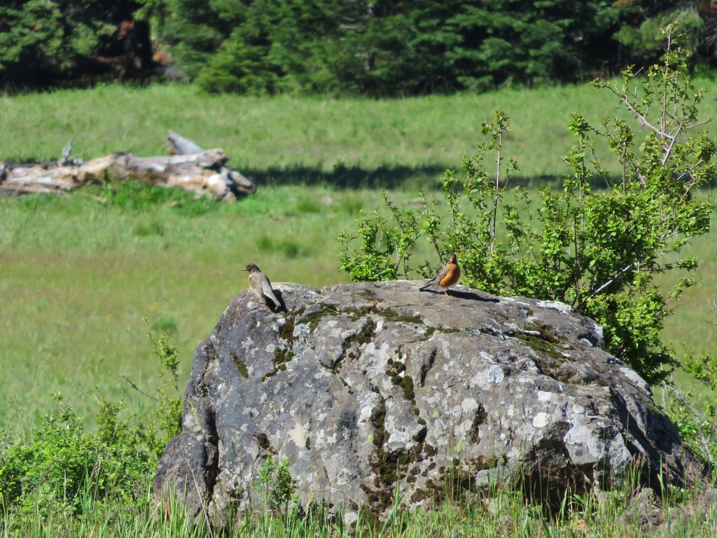
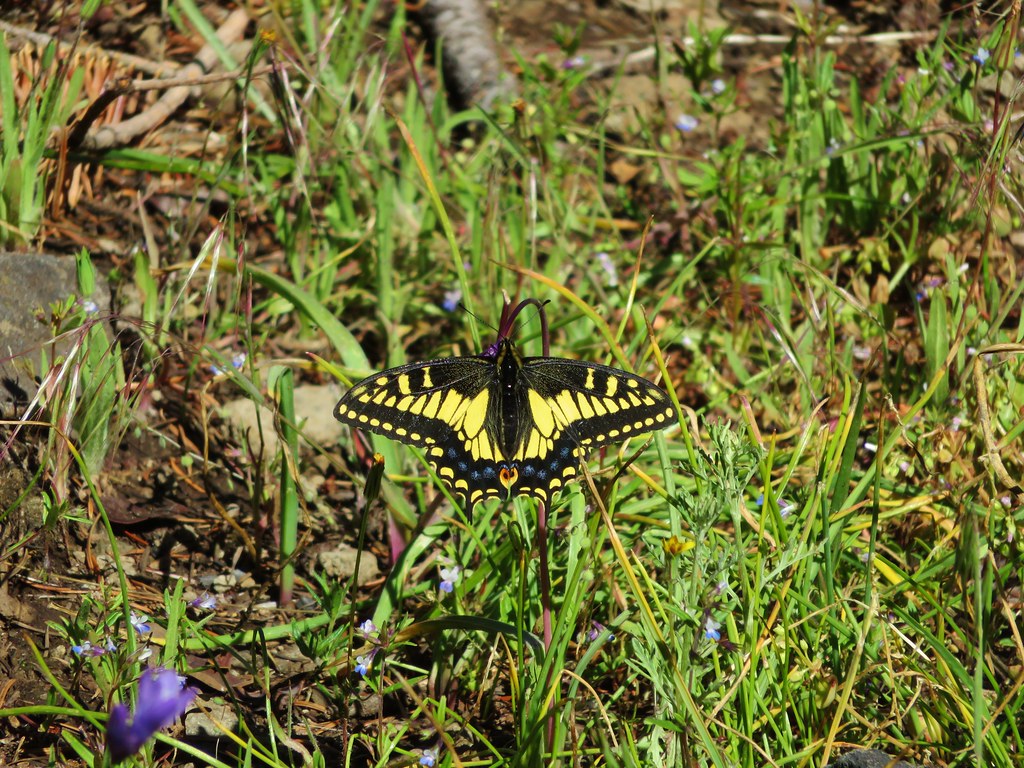
We spent a little over half an hour at the summit checking out different views and watching several butterflies and some large black flying insects.
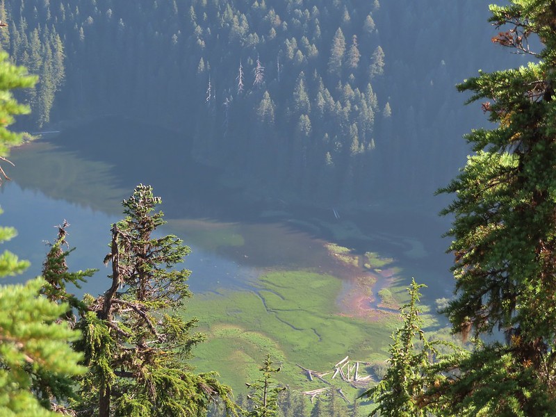 Hunts Creek flowing into Pamelia Lake.
 Had to hunt for a view of Three Fingered Jack.
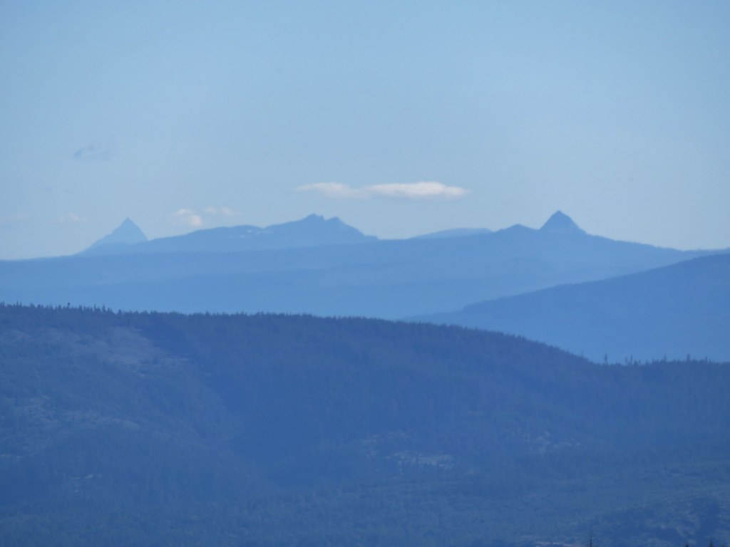
 A hard to make out Mt. Hood beyond the far ridge which consists of Bear Point to the left (post) and Dinah-mo Peak to the right.
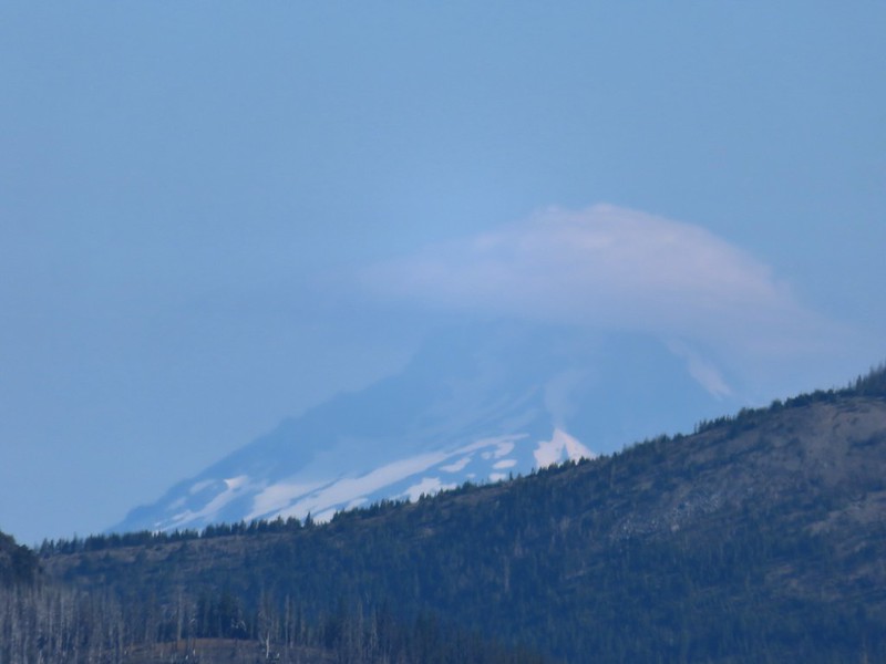 Mt. Hood
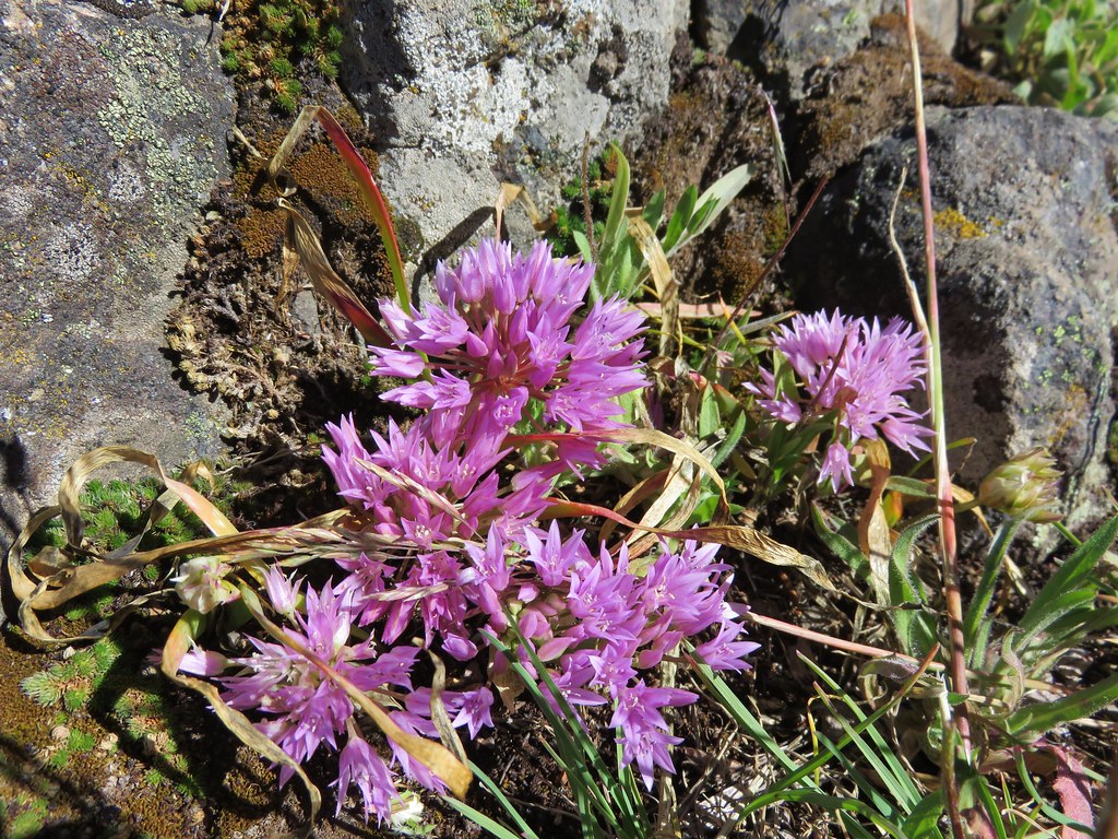
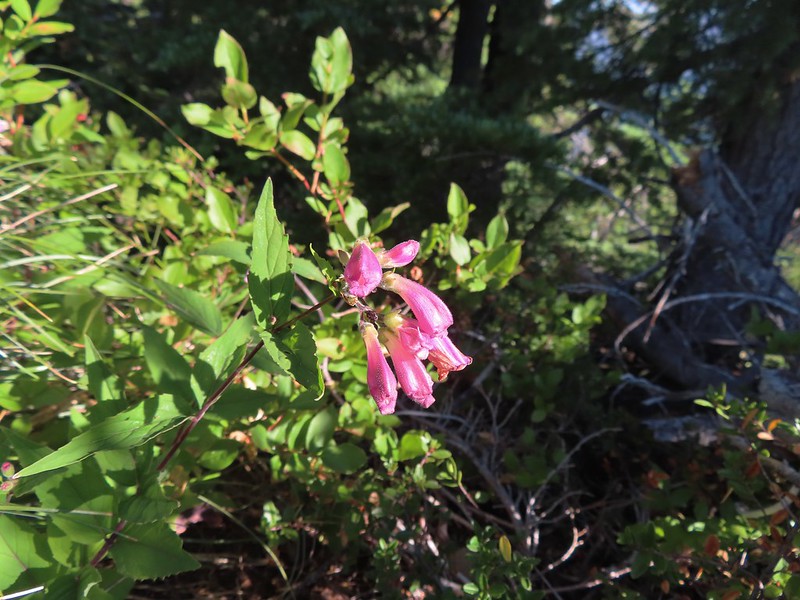 Beardtongue
 A fritillary butterfly.
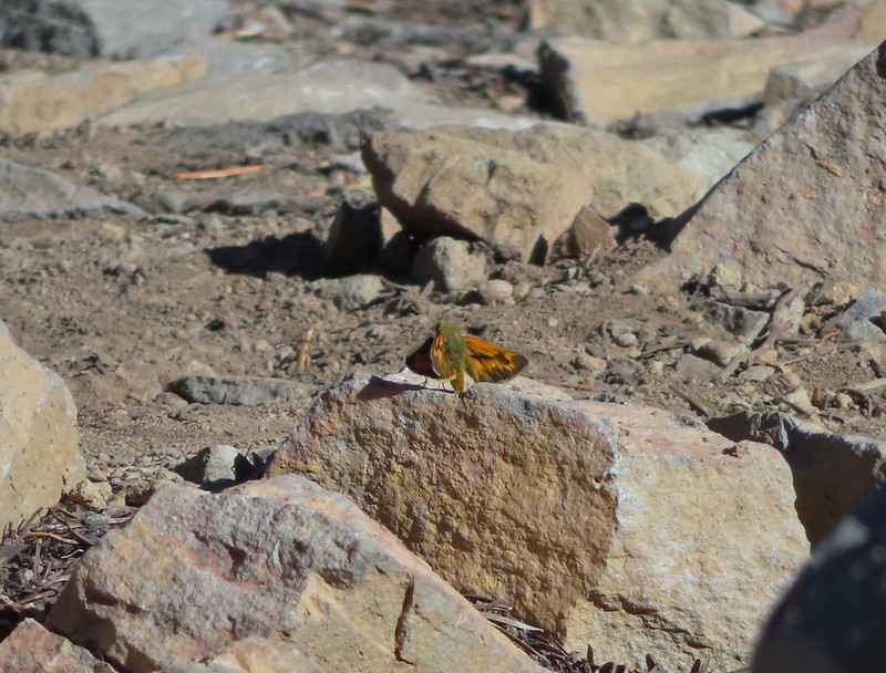 A skipper
We returned the way we’d come opting not to visit the lake on this trip since we have permits to return next month for a second attempt at Goat Peak.
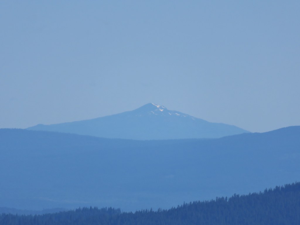
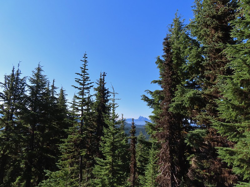
 Goat Peak is to the right of Mt. Jefferson.
 Mt. Jefferson and Pamelia Lake from one of the viewpoints along the ridge.

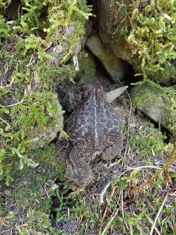
 Cascade toad

 One more of Pamelia Creek.
One other hiker had arrived at the summit a bit before we headed down and that was the only other person we saw until we were headed back down. We encountered one couple coming up the Grizzly Peak Trail and a number more on the Pamelia Lake Trail. It was a little surprising because the trailhead parking lot had looked nearly full when we had arrived that morning. The hike was nice and the well graded trail kept the 2700′ of elevation gain from ever feeling steep. It also allowed us to be home before 2pm which gave us time to unpack and clean up before heading of to a friends house for their annual margarita (and dinner) party. Happy Trails!

Flickr: Grizzly Peak