Categories
High Cascades Hiking Mt. Jefferson Area Oregon Trip report

Hunts Cove – 11/08/2026

Due to the warm and dry 2026 some hikes that would normally be snow covered in November remain accessible. We did get some lower elevation snow at the end of October, but warm and dry conditions returned during the first week of November. A partly sunny forecast for Saturday called me to the mountains for what I hope is the last mountain hike until early Summer 2027. It’s not that I don’t love hiking in the mountains, but we badly need a good snow year.

Heather opted to be responsible and stay home to prep the house for some work being done later in the week. I decided to head to the Pamelia Lake Trailhead and head toward Hunts Cove. We had visited Hunts Cove in 2013 on an epic 18.2-mile loop (post). I know I am not physically up to a hike like that and wasn’t sure if I would be able to make the 6-plus mile hike to Hunts Cove but there were several good turnaround points along the way.

There were just a couple of cars at the trailhead when I arrived.
IMG_3128

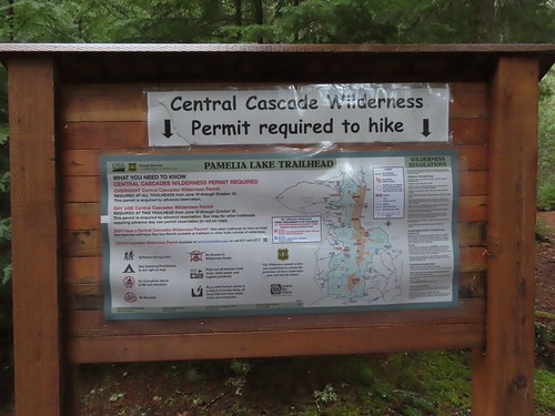
A NW Forest Pass is required to park at the trailhead, and a Central Cascades Wilderness Permit is required to hike from June 15 – October 15.
IMG_3129

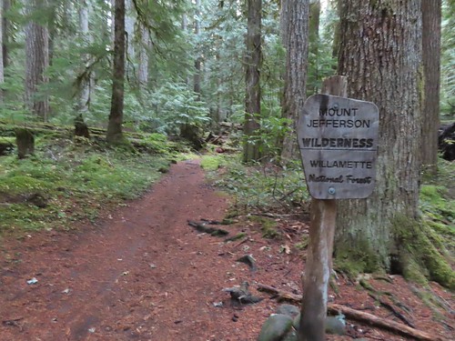
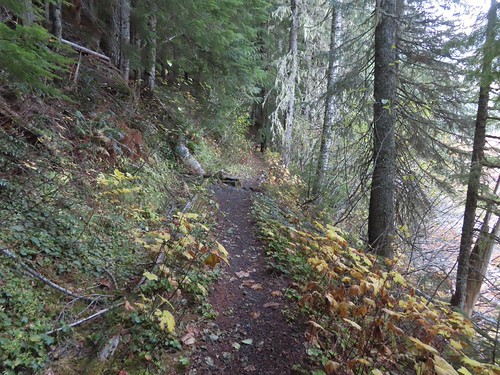
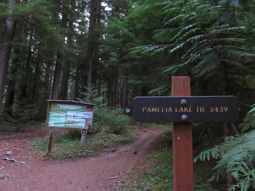
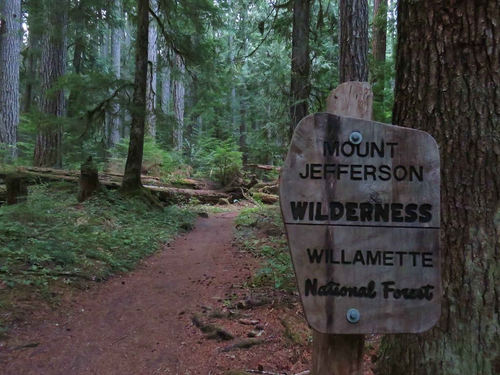
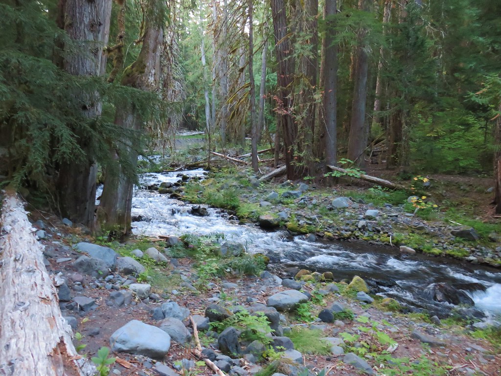
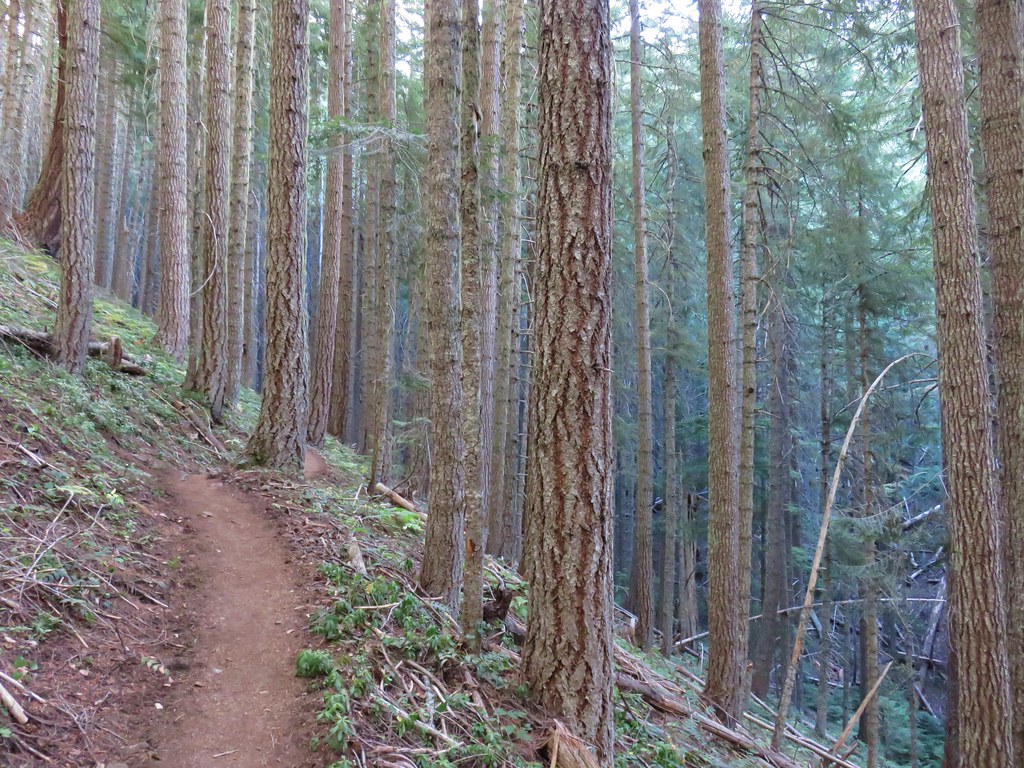
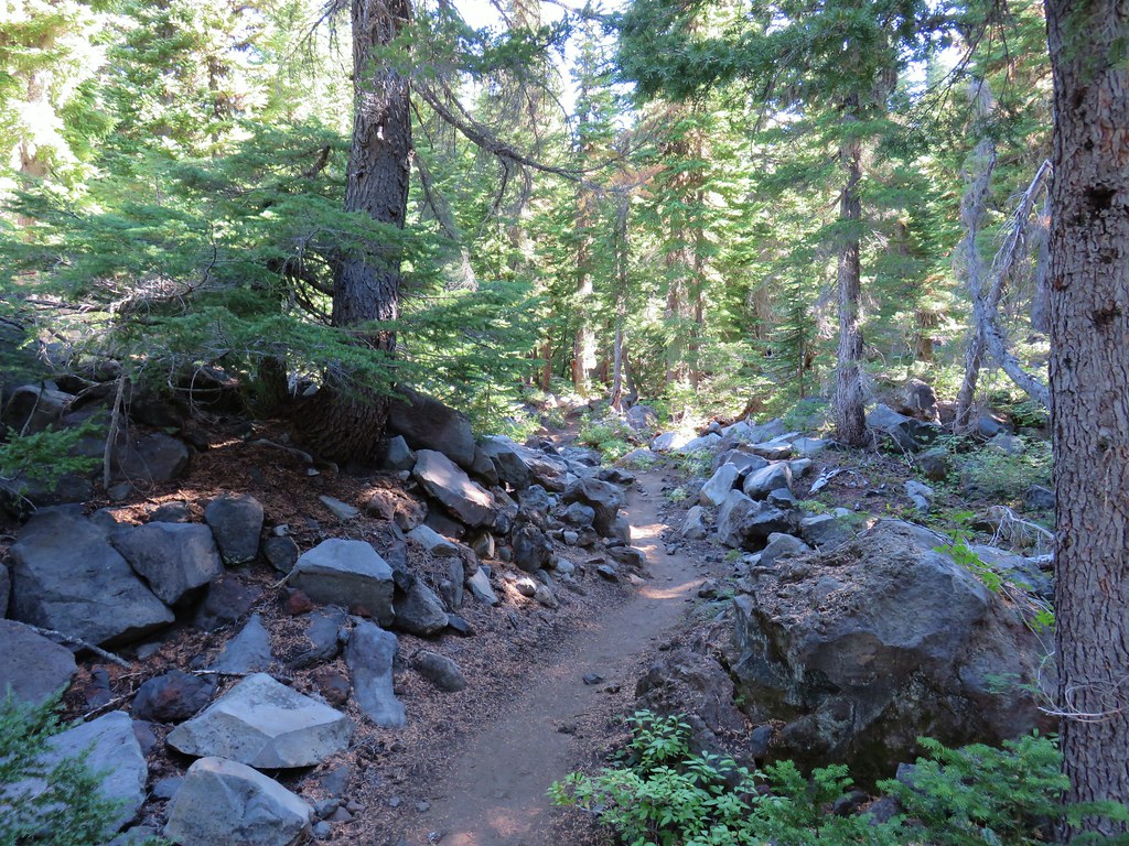
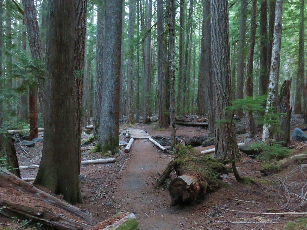
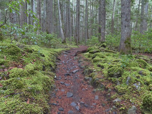
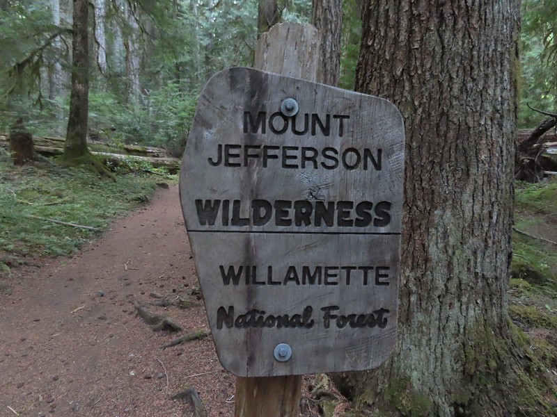
The Pamelia Lake Trail leaves the trailhead following Pamelia Creek through a beautiful forest and into the Mount Jefferson Wilderness.
IMG_3132

IMG_3134

IMG_3135

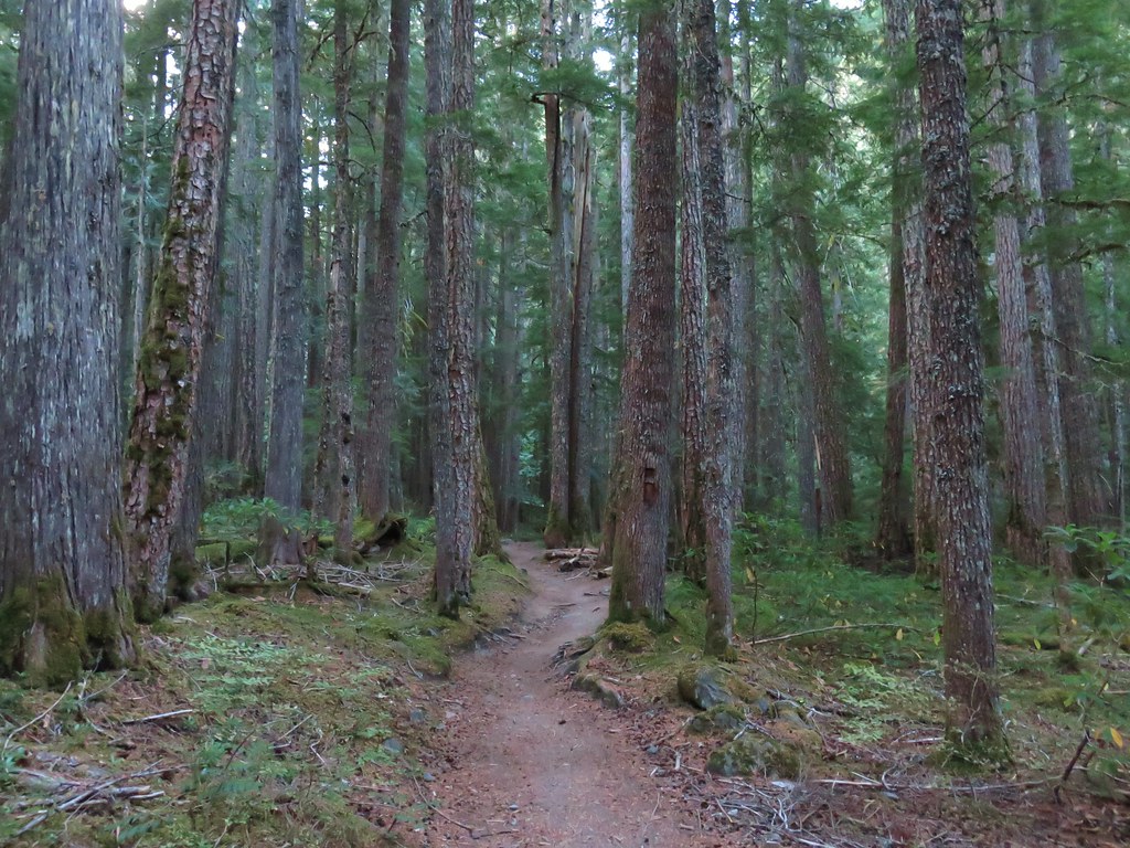
This is one of a few remaining areas in this wilderness that hasn’t burned in the 2000’s.
IMG_3138

IMG_3140

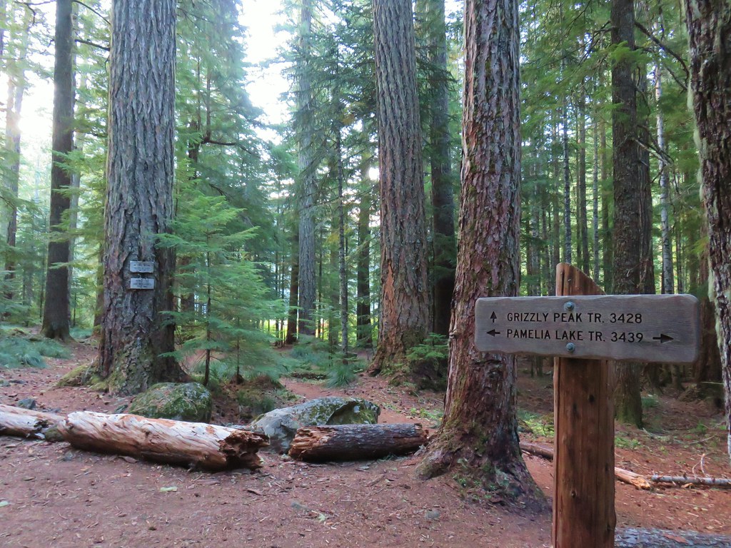
After 2.2-miles of gradual climbing the trail arrives at a junction just before Pamelia Lake with the Grizzly Peak Trail (post).
IMG_3145

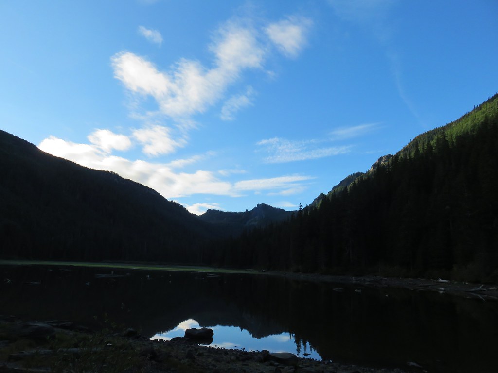
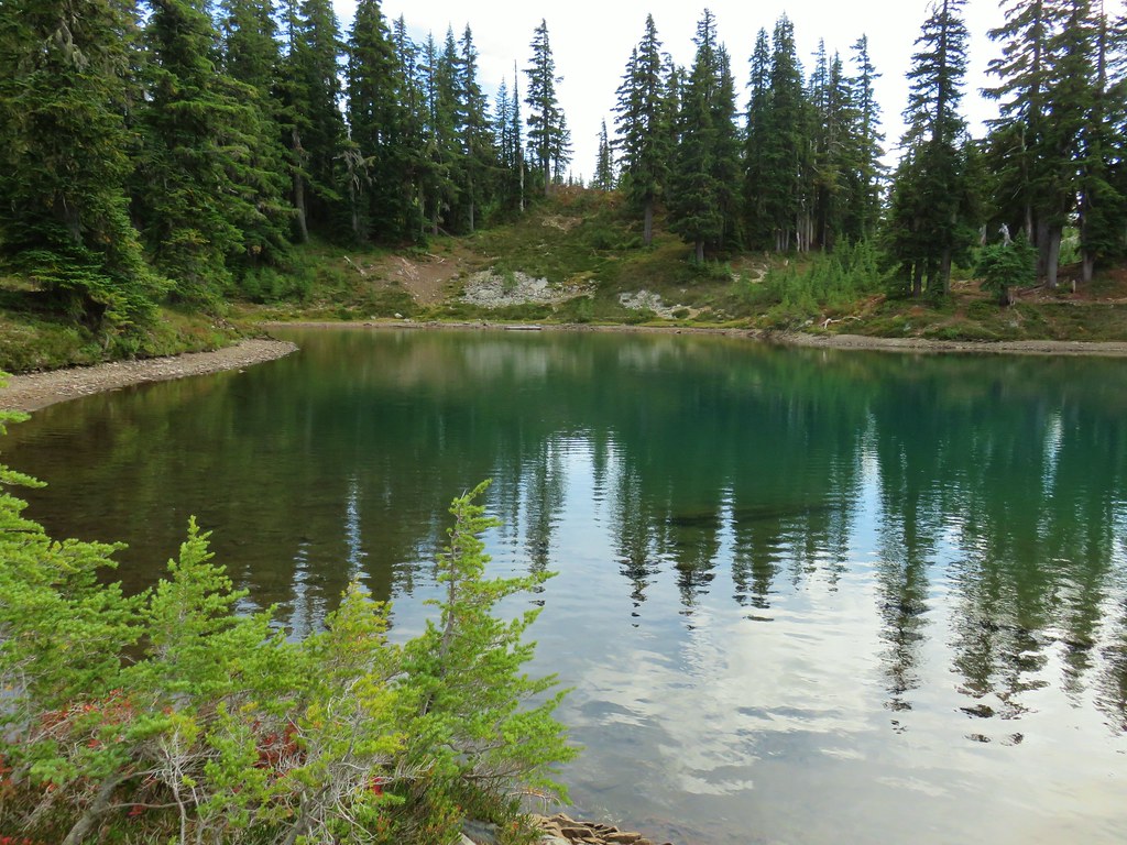
At the junction I detoured down to Pamelia Lake where the water level was evidence of how dry 2026 has been.
IMG_3146

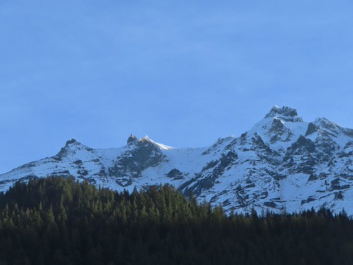
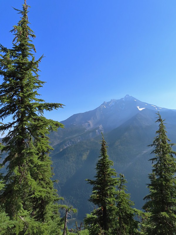
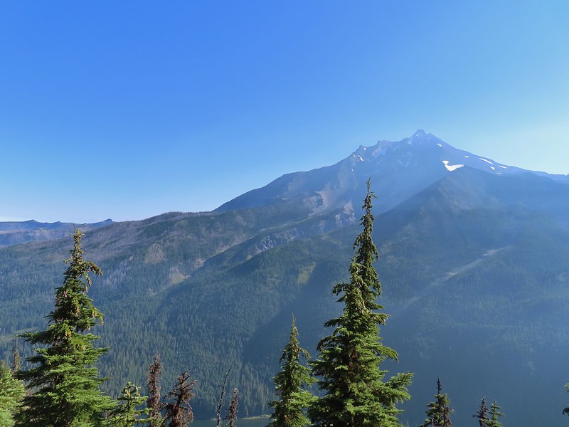
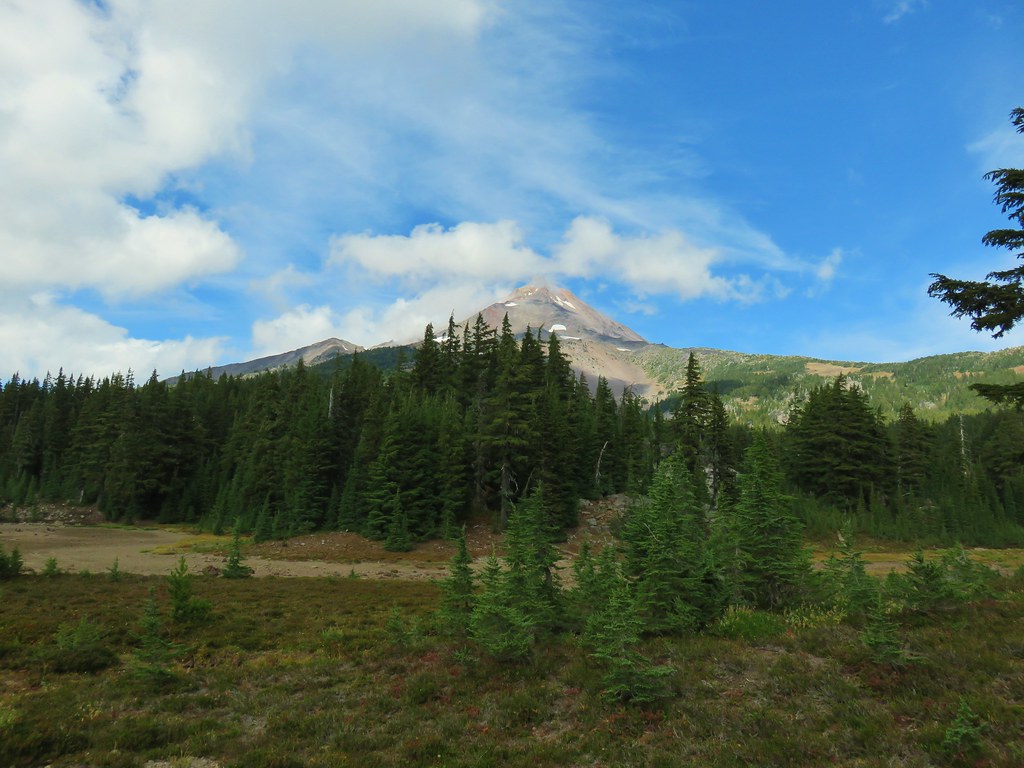
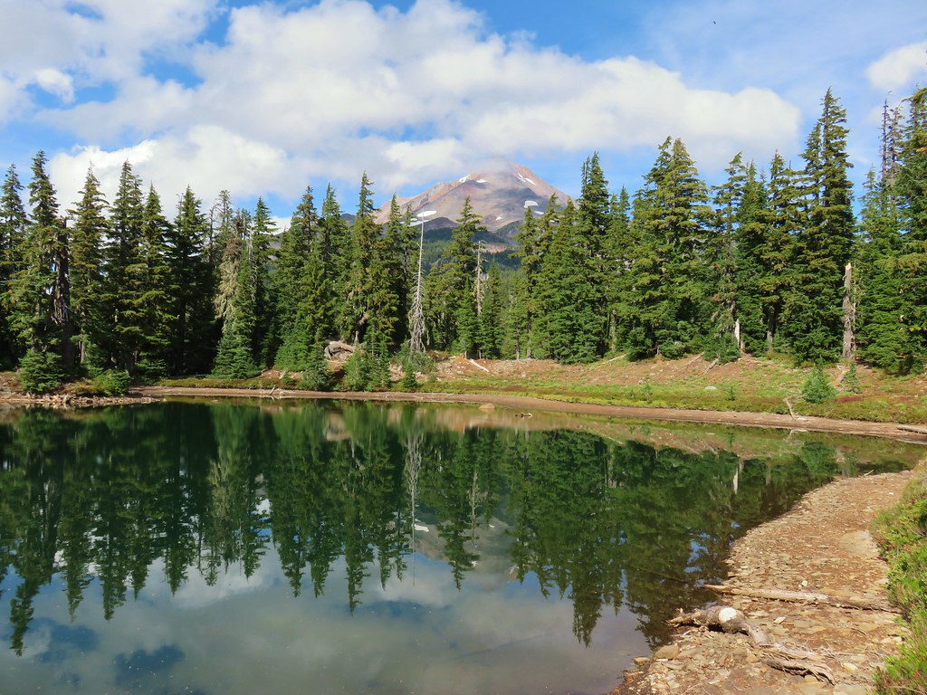
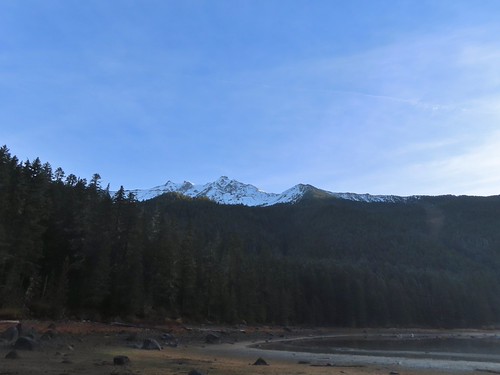
I walked to the right around the lake to get a view of Mt. Jefferson and some of the recent snow.
IMG_3147

IMG_3152
Morning sunlight hitting the mountain and ridge below.

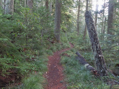
I returned to the junction and took a right back onto the Pamelia Lake Trail and followed it another 0.2-miles uphill to the Hunts Creek Trail.
IMG_3157

IMG_3158

A left at the junction would have taken me to the Pacific Crest Trail (post) while a right turn heads to Hunts Cove. You can also reach the PCT from Hunts Cove as we did in 2013. I turned right and followed the trail around the lake passing numerous use trails down to campsites.
IMG_3159

IMG_3161

IMG_3162

IMG_3164
Grizzly Peak

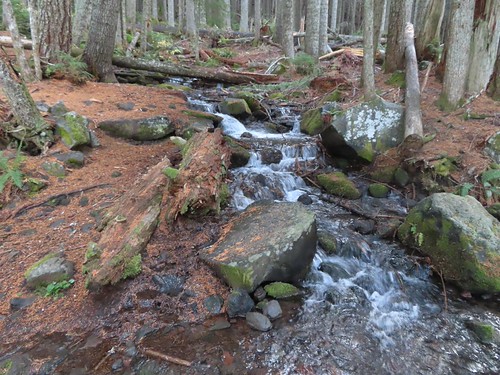
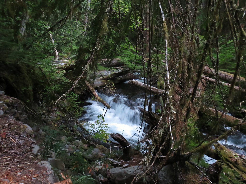
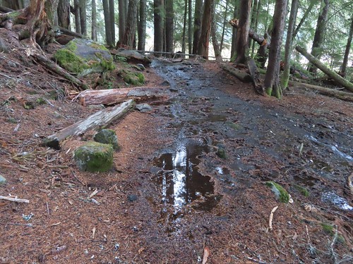
The trail crossed several unnamed streams and creeks, one of which was flooding the trail.
IMG_3167

IMG_3168

IMG_3171
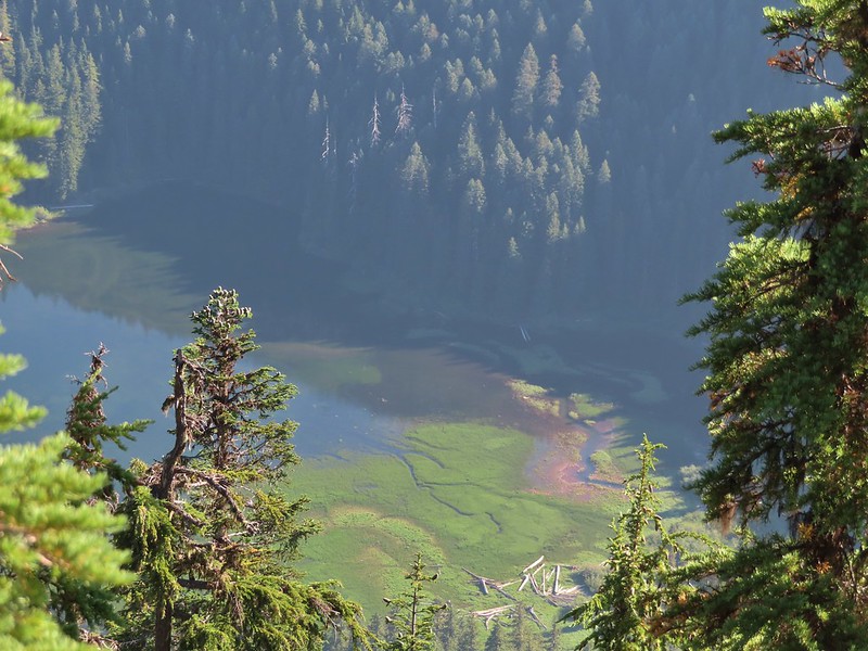
The wetlands behind Pamelia Lake that the creeks from both sides of the valley flow into.

IMG_3173

IMG_3178
Hunts Creek flowing toward Pamelia Lake.

IMG_3180

IMG_3182
The prettiest of the side creeks.

IMG_3189
The trail briefly used this downed log.

IMG_3191
Makeshift bridge across one of the streams.

Approximately 1.2-miles from the Pamelia Lake Trail junction the Hunts Creek Trail arrives at the bridgeless crossing of Hunts Creek.
IMG_3193
I used the two logs to the right to cross dry footed.

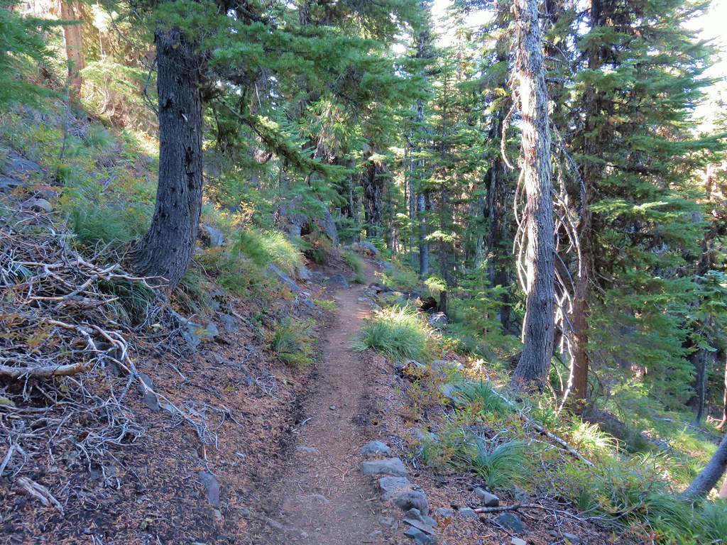
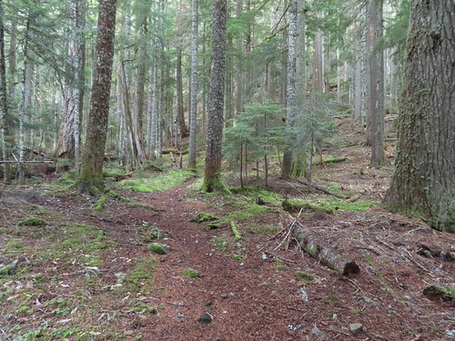
After crossing Hunts Creek the trail climbs over 1000′ in 1.8-miles to a junction with the Hunts Cove Trail. The climb is gradual with just a couple of sets of switchbacks.
IMG_3194

IMG_3197

IMG_3200
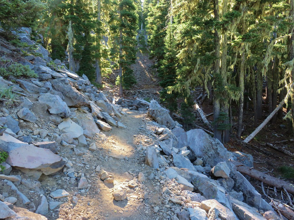
The tread got a little narrow crossing this slide, but it wasn’t too sketchy.
IMG_3201

IMG_3203
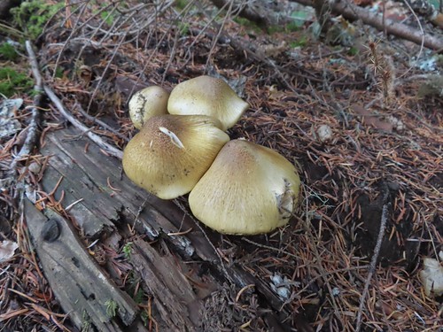
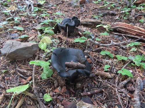
I believe this is a Lion’s mane (Hericium erinaceus).
IMG_3206
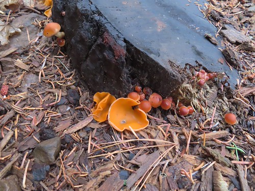
Orange peel fungus

At one point I spotted a huge waterfall, or series of falls on the opposite hillside.
IMG_3204

IMG_3213
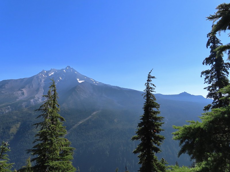
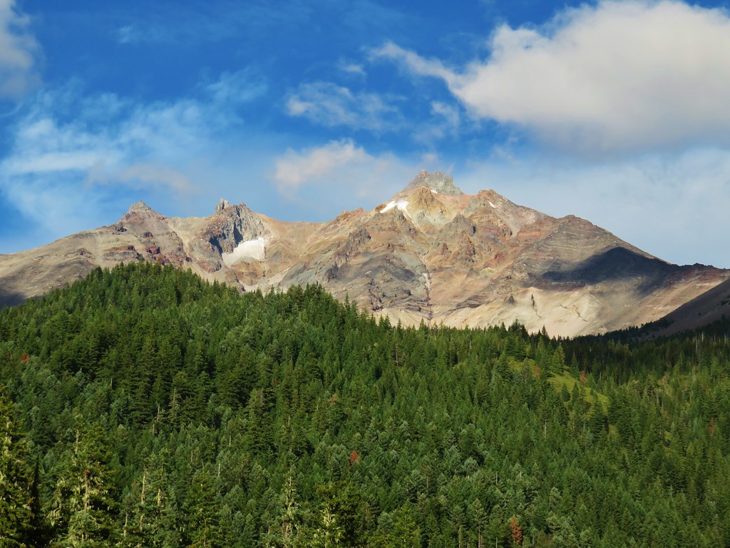
There were occasional views of Mt. Jefferson too.

IMG_3218

IMG_3225

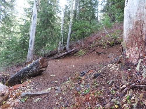
There is a waterfall on Hunts Creek just off the trail from the first switchback of the second set (1.6-miles from the creek crossing).
IMG_3228

I saved the side trip to the waterfall for the way back down and continued up to the Hunts Cove Trail junction.
IMG_3230

Here I did take a side trip and before heading to the cove kept right on the Hunts Creek Trail for 50 yards to visit a talus field where I could hear the “meeps” of pikas.
IMG_3231

I hung around for several minutes while meeps rang out from all directions, but I was never able to spot one. I returned to the junction and followed the pointer for the Hunts Cove Trail where I quickly encountered some patches of snow.
IMG_3234

IMG_3242

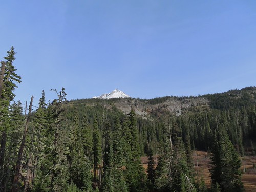
Mt. Jefferson came into view across the meadows below and while I was looking at the mountain, I noticed a suspicious looking white spot on the rocks across from me.
IMG_3244

Typically, when I spot things like that it winds up being a rock or weathered stump, but this time it was a mountain goat.
IMG_3246
(I couldn’t get a decent picture from the distance.)

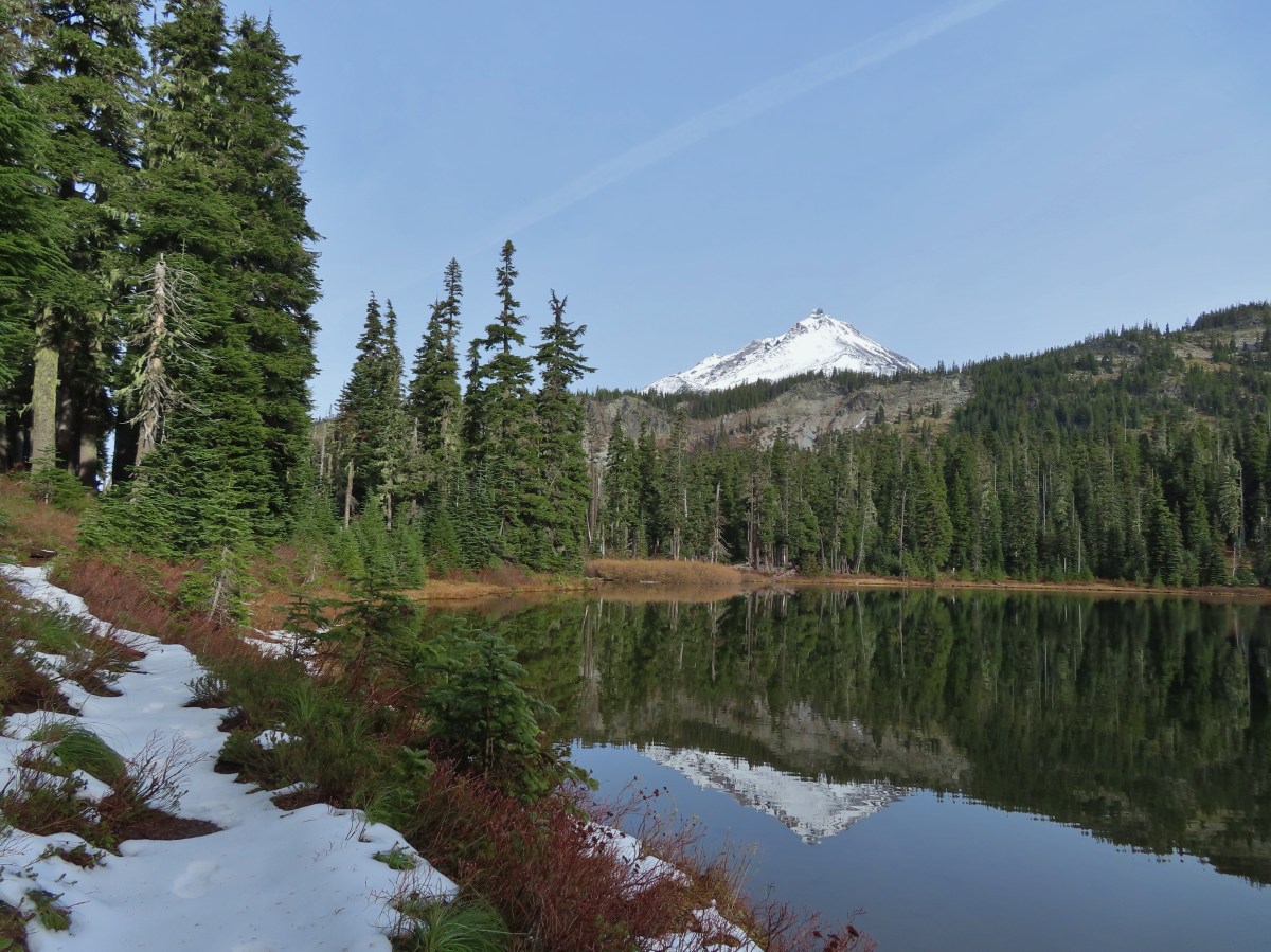
It’s a fairly level 0.4-miles to Hanks Lake where I detoured right along the shore to get another view of the mountain.
IMG_3261

IMG_3263
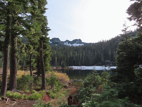
I turned right just before reaching the outlet of Hanks Lake.
IMG_3264
The Cathedral Rocks from Hanks Lake.

IMG_3267
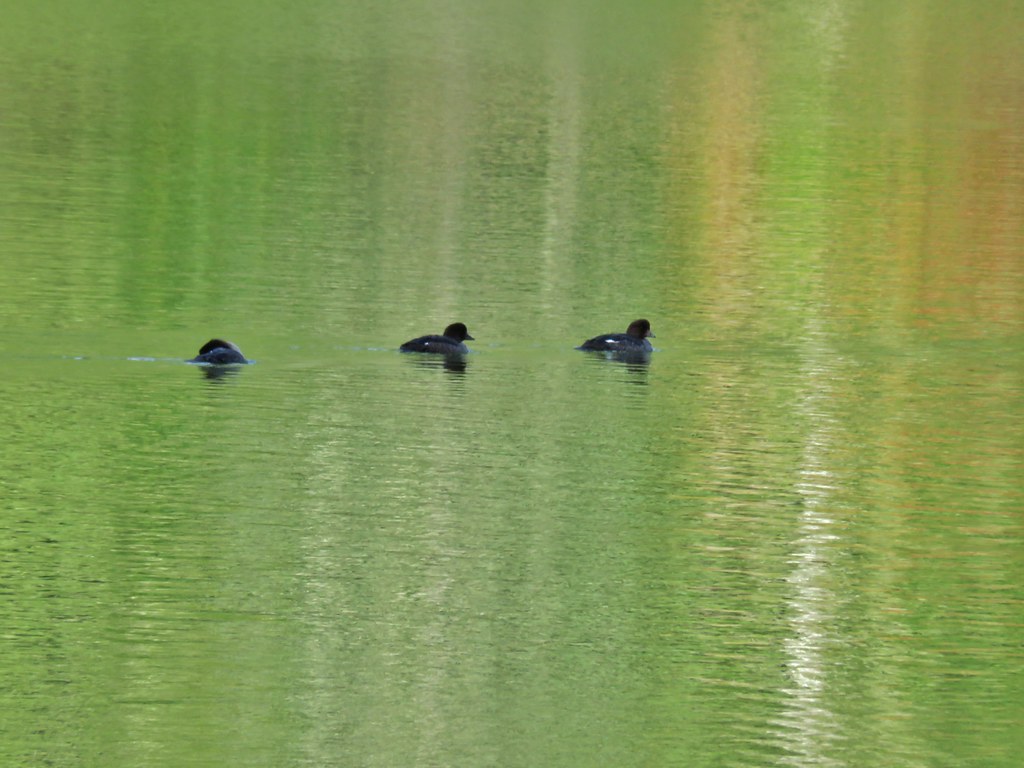
Common mergansers

IMG_3268

IMG_3270

IMG_3273

IMG_3279
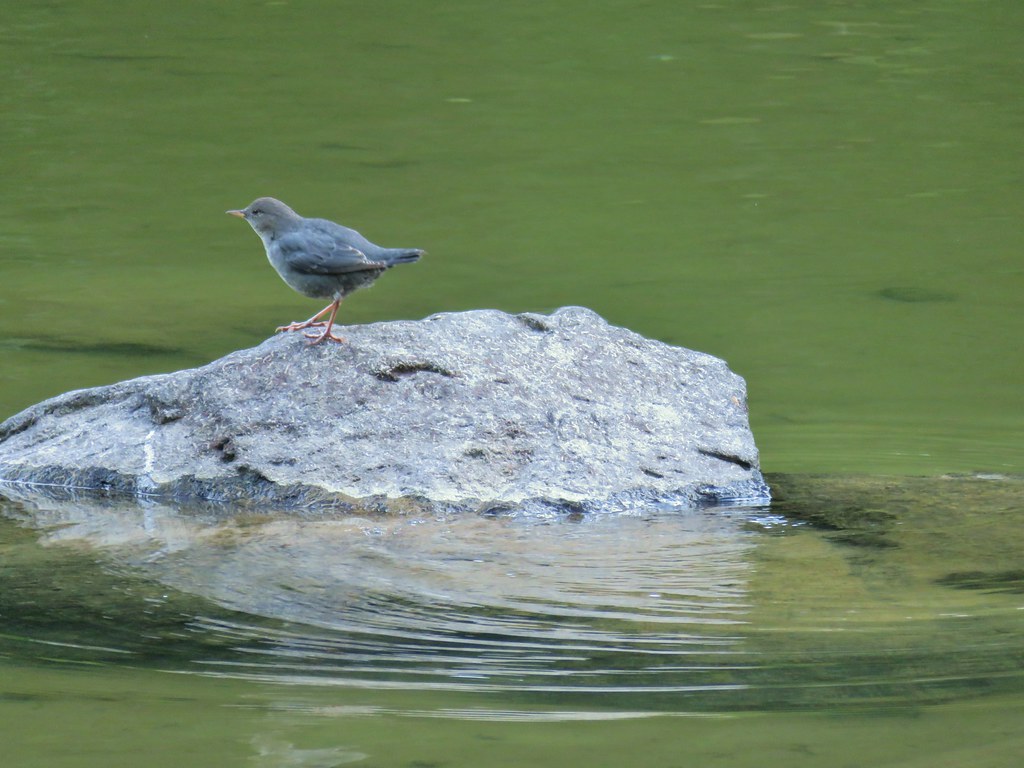
Ouzel (American dipper)

I had planned to take a snack break here but the amount of snow along the shore convinced me to wait until Hunts Lake so I headed back to the trail and crossed the outlet creek. It was another 0.4-miles to Hunts Lake where I had more views of the mountain goat, who was not watching me from atop a rock outcrop.
IMG_3293
Another makeshift bridge kept my feet out of the creek.

IMG_3297
I stayed left at the junction with the Old Hunts Cove Trail, the route we’d taken out of the cove in 2013.

IMG_3299

IMG_3300
Based on the size and shape this may have been bear tracks, but the snow had melted and refroze enough times that the details for me to make that determination had been lost.
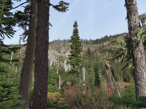
IMG_3302

IMG_3303

IMG_3310
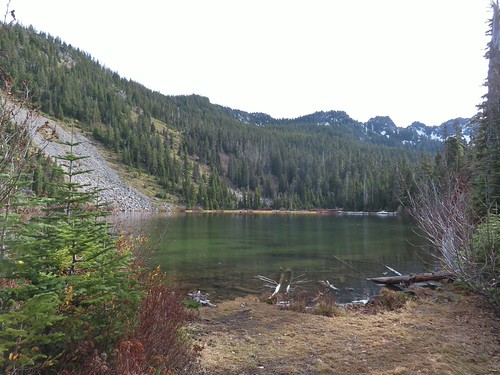
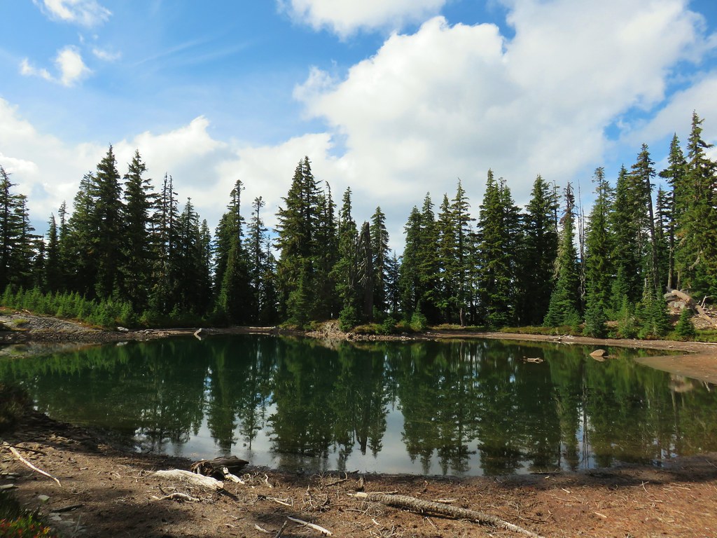
Hunts Lake

IMG_3318
The goat watching me watch it as I was having my snack near Hunts Creek and the lake.
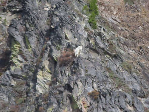
IMG_3320

IMG_3332
Hunts Lake from my break spot.

After my break I said goodbye to my new friend and headed back the way I’d come.
IMG_3334

IMG_3343
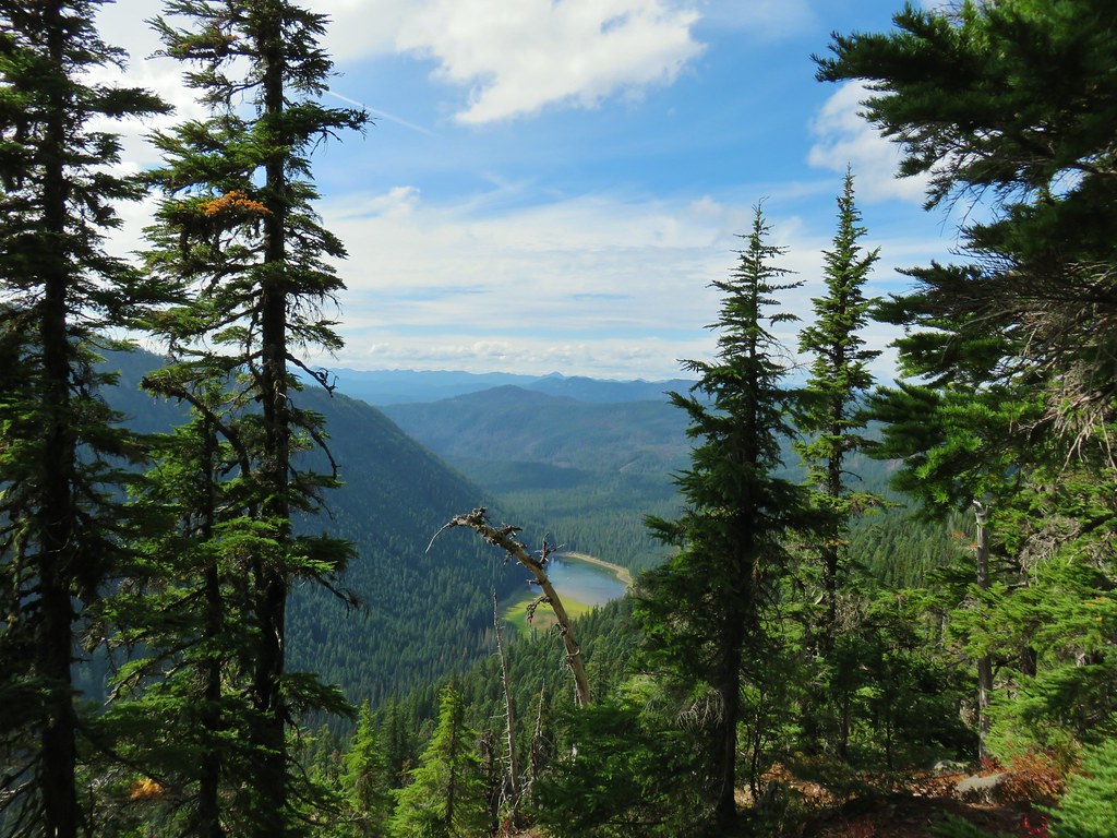
Pamelia Lake from just below the Hunts Cove Trail junction.

IMG_3345
The switchback with the spur trail to the waterfall.
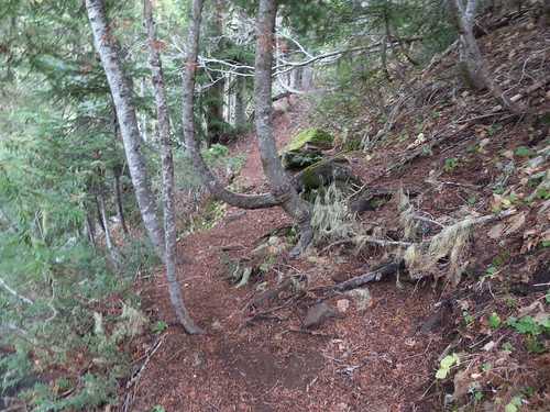
IMG_3347
Heading for the waterfall.

IMG_3351

IMG_3356
I can’t remember noticing this colorful outcrop before.

IMG_3366
Candyflower

IMG_3373

IMG_3376

IMG_3377
A semi-ok photo of a varied thrush.

IMG_3387

IMG_3388
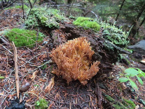
Coral fungus

IMG_3399

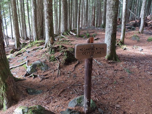
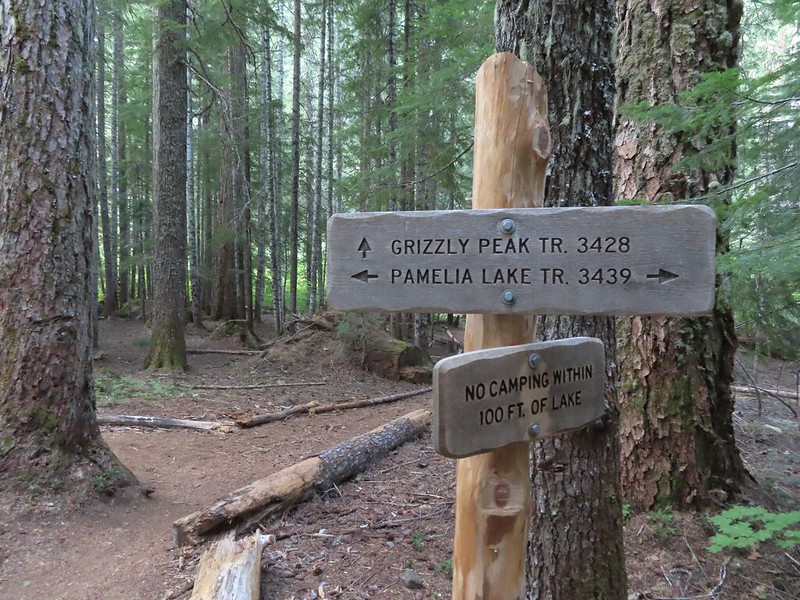
When I got back to Pamelia Lake, I took the first left and veered toward the lake past a sign reminding people not to camp within 100′ of the lake.
IMG_3400

IMG_3401

I’d only seen one other person all day, another hiker as I was leaving Pamelia Lake in the morning. I didn’t see anyone during this pass either with all of the campsites appearing empty.
IMG_3404

IMG_3406

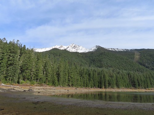
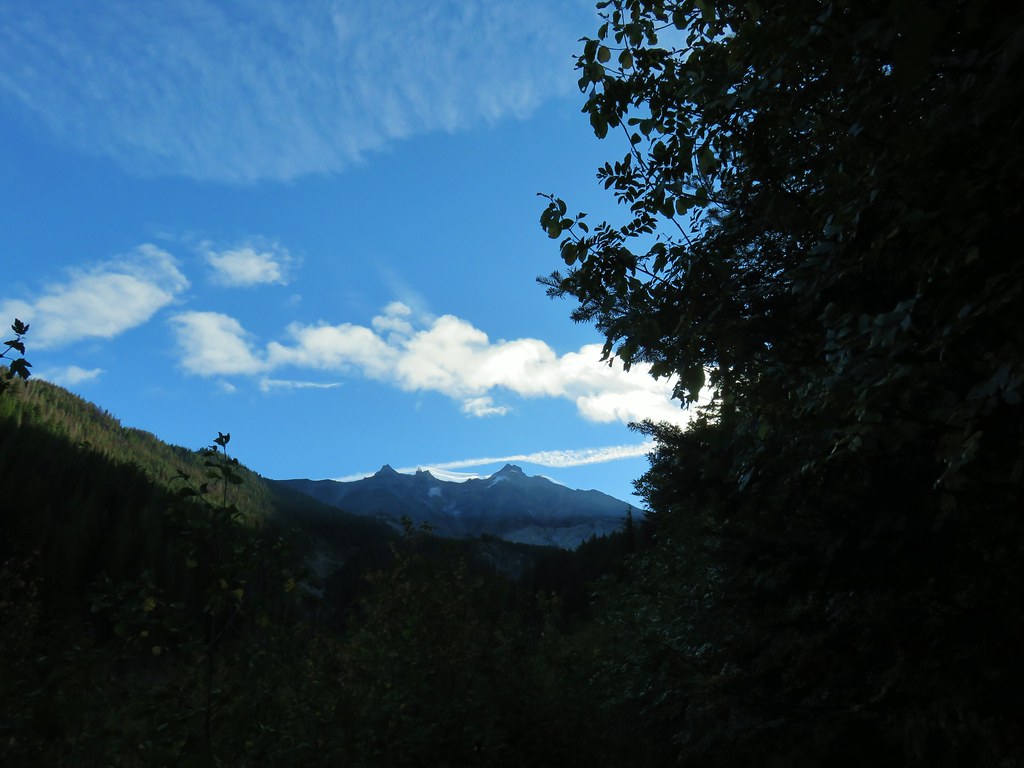
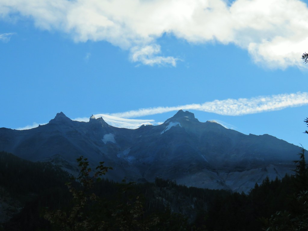
I made my way around the lake shore one more time to get a last look at Mt. Jefferson before returning to the trailhead.
IMG_3407

IMG_3408

IMG_3410

IMG_3412
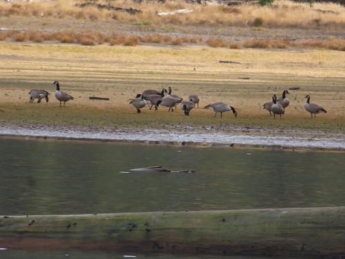
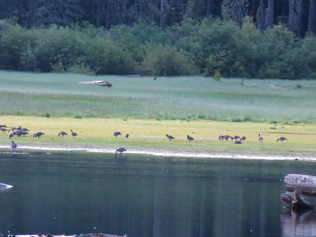
Geese hanging out at the lake.

IMG_3424

IMG_3427

IMG_3428
Bunchberry leaves

IMG_3438

IMG_3443

IMG_3444
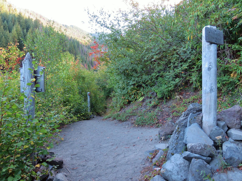
Arriving back at the trailhead.

With the several detours this wound up being a 13.1-mile hike with approximately 2100′ of elevation gain.
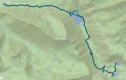
Screenshot 2026-11-07 163401

If this was my last hike in the mountains for the next 6 to 8 months it was a great one to end on. Happy Trails!

Flickr: Hunts Cove

Categories
High Cascades Hiking Mt. Jefferson Area Oregon Trip report

Grizzly Peak – 08/20/2022

While we completed our goal of hiking portions of all 100 featured hikes in William L. Sullivan’s 4th edition of “100 Hikes/Travel Guide Central Cascades” in 2020 (post) there remain a few “loose ends” that we’d like to take care of. We have established some guidelines for considering a featured hike “done” allowing us some wiggle room. For instance we might start at a different trailhead than Sullivan’s description but still visit the main attraction(s) he describes. It might also mean starting at the trailhead described but due to closures might cut the hike short. The two most common dilemmas we faced though were featured hikes with a short and long option and featured hikes that included multiple stops/destinations. Regarding the short vs long options we’ve tended to opt for the longer option assuming the distance is reasonable, under 16 miles (maybe not reasonable to all), but when the longer options are close to or more than 20 miles we’ve settled for the shorter.

For the featured hikes where there are multiple stops/destinations we allow the hike to be checked off once we have completed either the longest option, and/or visited the hike’s namesake. A perfect example is Featured Hike 23 in the Central Cascades book (4th edition). The hike is titled “Pamelia Lake & Hunts Cove” with three options given, all beginning at the Pamelia Lake Trailhead. The shortest is a 4.4 mile out-and-back to Pamelia Lake while the longest is a 12.4 out-and-back to Hunts Cove. Sandwiched in between is a 10 mile out-and-back hike up Grizzly Peak. We had been to Hunts Cove once (post) and Pamelia Lake twice (once on the way to Hunts Cove and the other on an attempt to reach Goat Peak (post)) so going by our self-imposed rules we checked the hike off, but we had yet to visit Grizzly Peak. To put a ribbon on the featured hike we obtained a pair of Central Cascade Wilderness Permits (required at this trailhead) and once again set off for Pamelia Lake.
IMG_9512

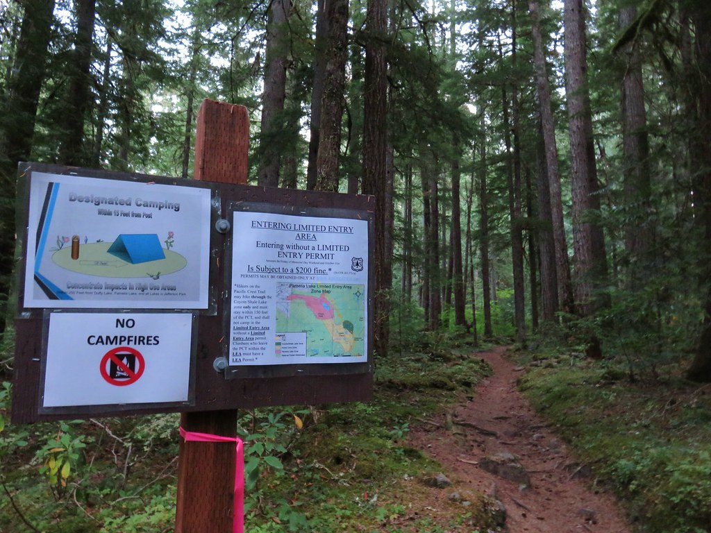
IMG_9515This was at least the third posted notice so there is no claiming you weren’t aware that a permit is needed.

The roughly two mile hike to Pamelia Lake never disappoints.
IMG_9518

IMG_9519

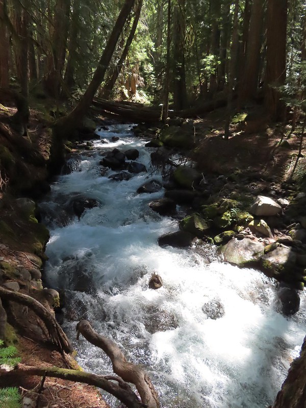
IMG_9520Pamelia Creek

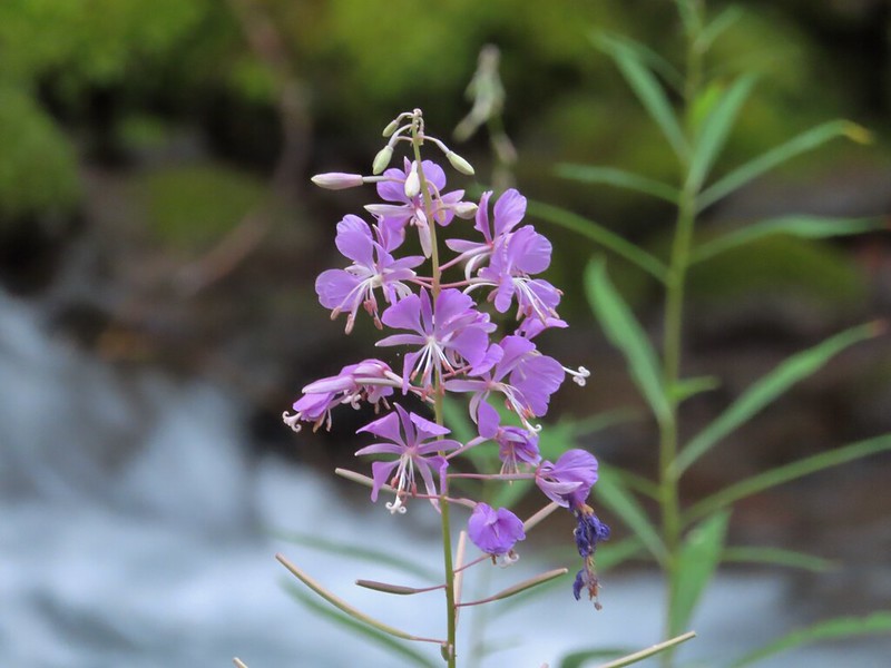
IMG_9521Fireweed along the creek.

IMG_9522

IMG_9523

We turned right onto the Grizzly Peak Trail at its junction a short distance from the lake.
IMG_9525

The trail crossed the dry outlet creek and then began the nearly 2000′ climb to Grizzly Peak.
IMG_9526 Pamelia Creek only flows underground here much of the year.

IMG_9528Heading up.

The trail climbs for two and three quarters of a mile to a former lookout site through a nice forest with limited view for the first two miles.
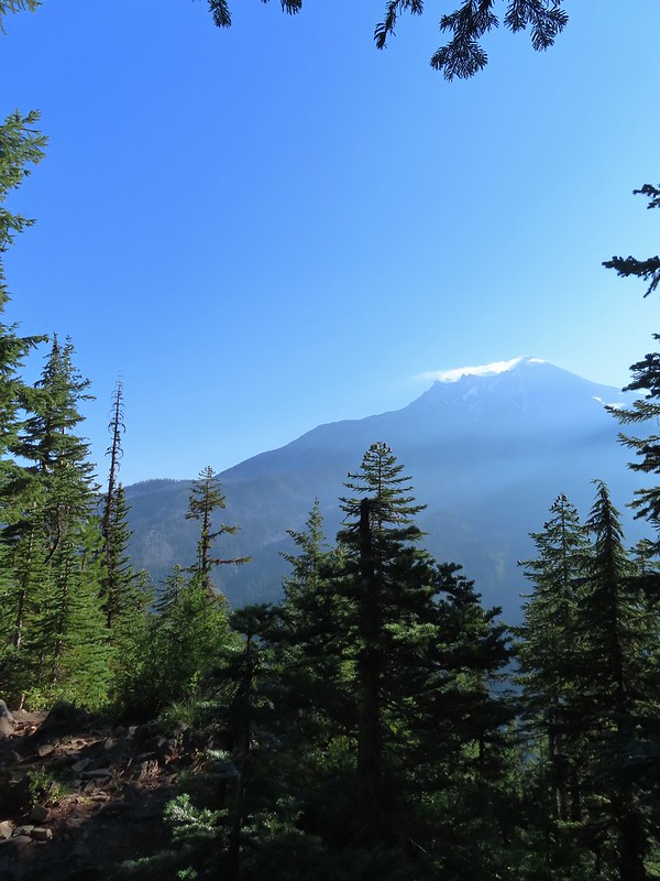
IMG_9532A glimpse of Mt. Jefferson.

IMG_9537That might be Woodpecker Hill, it was hard to tell exactly which ridge we could see with nothing else visible to help orient.

IMG_9538This looked like it might be a nice little waterfall with enough water.

IMG_9539That’s not enough water.

IMG_9541Heather below one of several switchbacks.

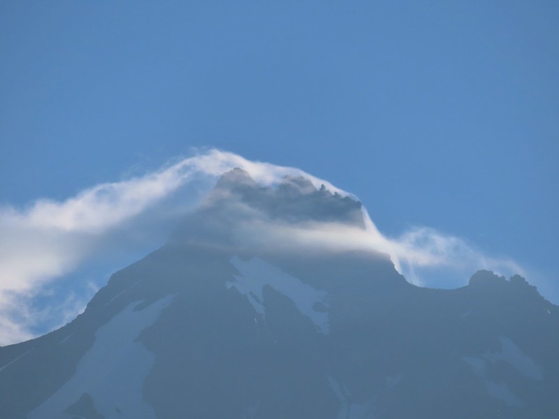
Just over two miles from the junction the Grizzly Peak Trail we came to a viewpoint on a ridge. Here the trail made a sharp right and followed the ridge SE. There were multiple views along this ridge, the one issue we had though was it was still fairly early and the angle of the Sun was catching all the haze in the air.
IMG_9552Turning up the ridge.

IMG_9557The haze was probably a combination of morning cloud/fog and smoke from the Cedar Creek Fire near Waldo Lake.

IMG_9555

IMG_9556

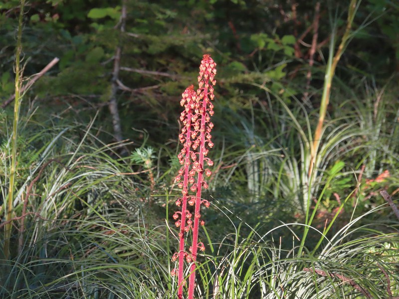
IMG_9558Pinedrops

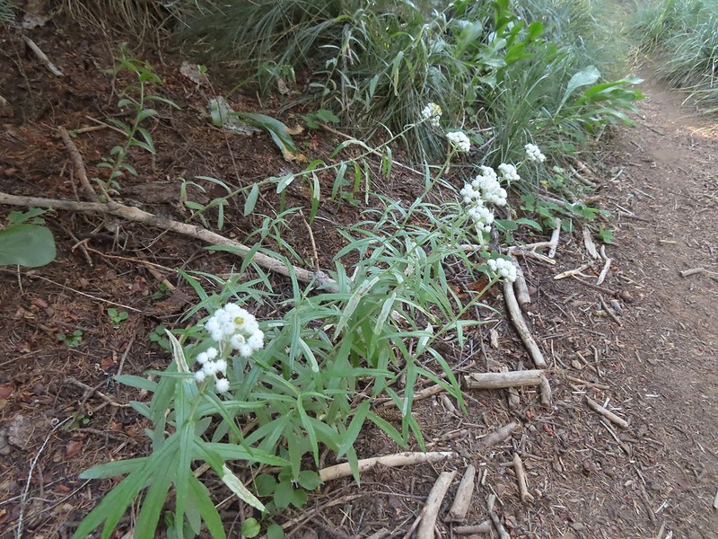
IMG_9560We were too late for most of the flowers but there were a few pearly everlasting going.
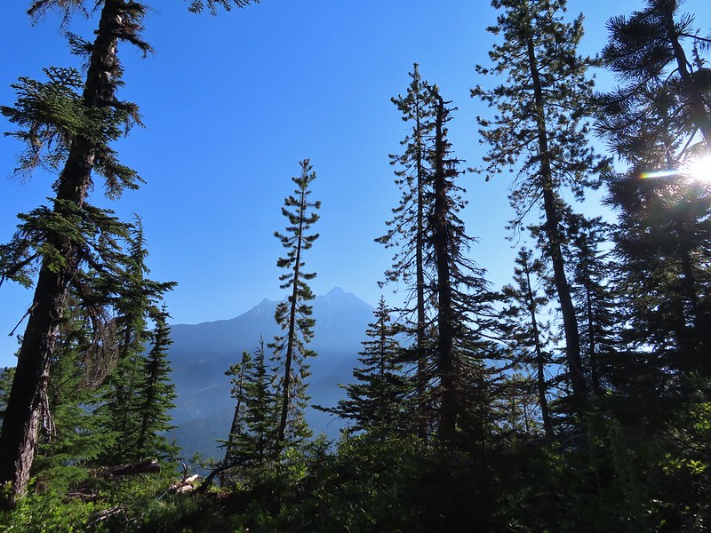
IMG_9565There’s that pesky Sun again.

After following the ridge for 0.4 miles the trail veered to the right leaving it and traversing up a forested hillside with views north towards the Bull of The Woods Wilderness where we got our first good look at the fire scars from the 2020 Labor Day fires.
IMG_9577

IMG_9578

IMG_9579Aster

IMG_9580Lousewort

IMG_9584Lots of burnt forest out there.

IMG_9583Triangulation Peak and Boca Cave (post)

A quarter mile after leaving the ridge the trail came to another ridge and made a hard right following this ridge up to the summit. This section provided views south to Three Fingered Jack, the Three Sisters, and Broken Top.
IMG_9590

IMG_9591Broken Top to the far left blending into the haze and Three Fingered Jack to the right with the Three Sisters in between.
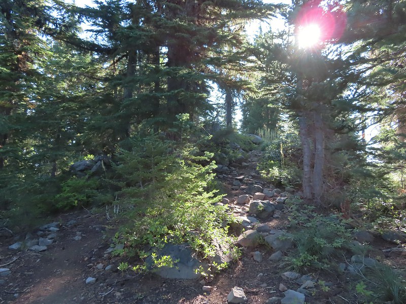
IMG_9594Just below the summit.

IMG_9597

IMG_9599Pamelia Lake below Mt. Jefferson.

We spent a little over half an hour at the summit checking out different views and watching several butterflies and some large black flying insects.
IMG_9604

IMG_9606Hunts Creek flowing into Pamelia Lake.

IMG_9607Had to hunt for a view of Three Fingered Jack.

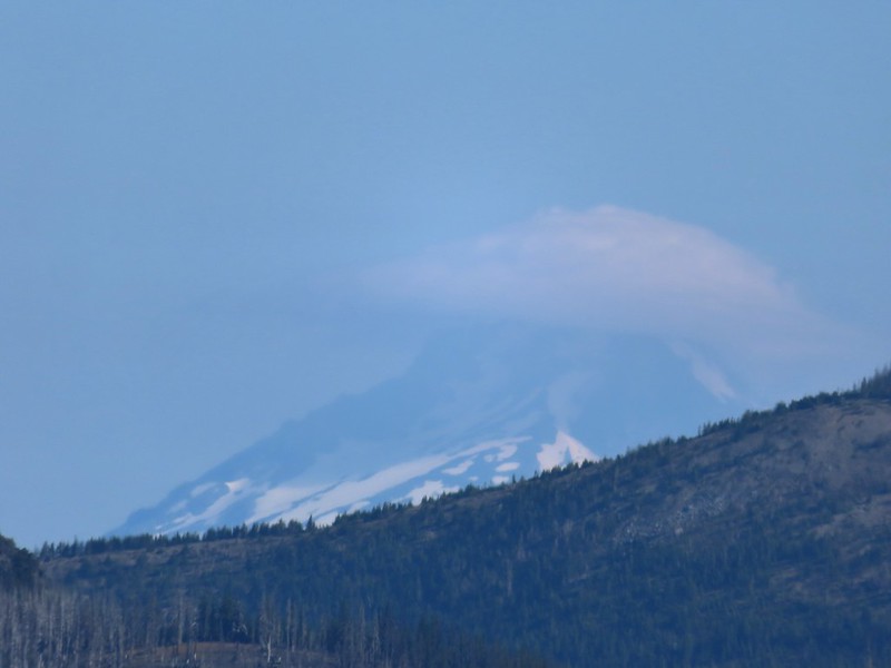
IMG_9619A hard to make out Mt. Hood beyond the far ridge which consists of Bear Point to the left (post) and Dinah-mo Peak to the right.

IMG_9639Mt. Hood

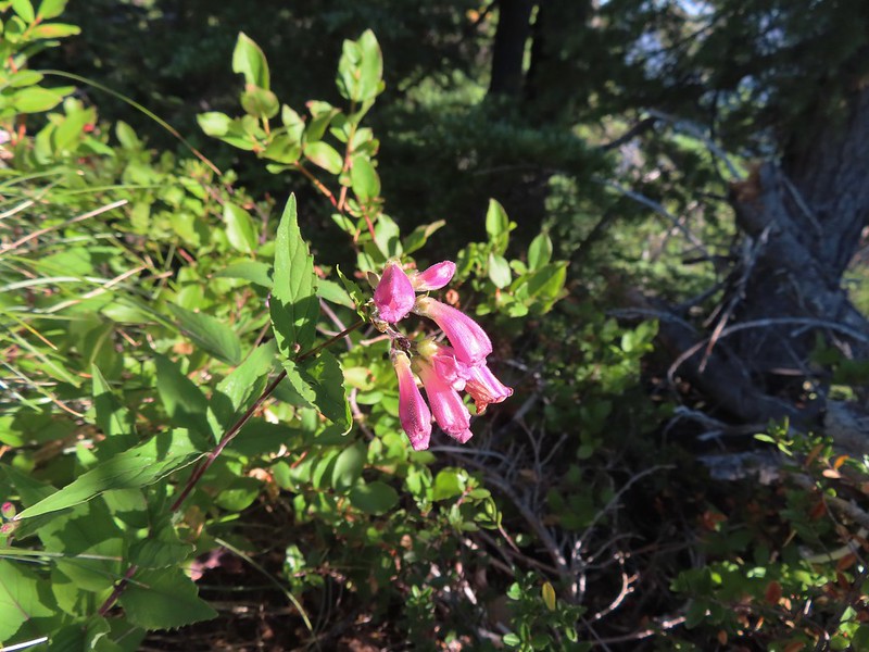
IMG_9622Beardtongue

IMG_9636A fritillary butterfly.

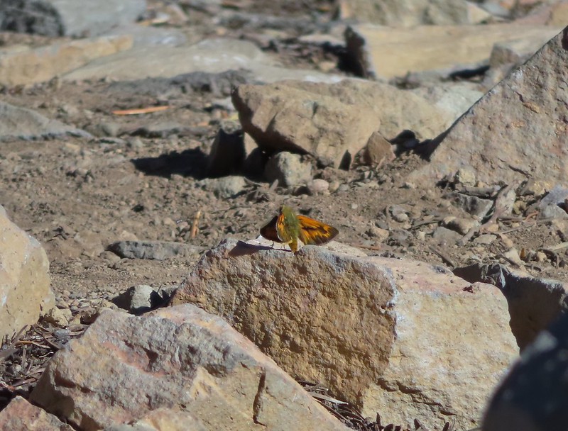
IMG_9637A skipper

We returned the way we’d come opting not to visit the lake on this trip since we have permits to return next month for a second attempt at Goat Peak.
IMG_9644Goat Peak is to the right of Mt. Jefferson.

IMG_9658Mt. Jefferson and Pamelia Lake from one of the viewpoints along the ridge.

IMG_9666

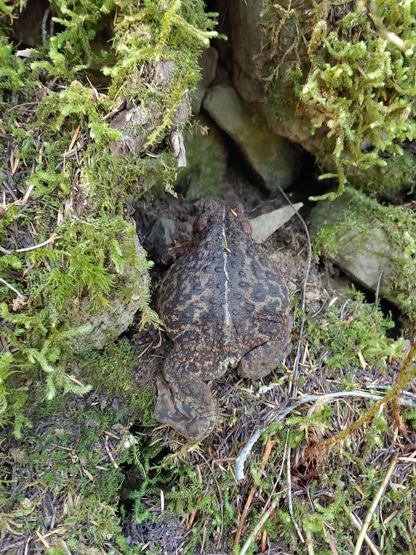
IMG_9667Cascade toad

20220820_105944

IMG_9682

IMG_9676One more of Pamelia Creek.
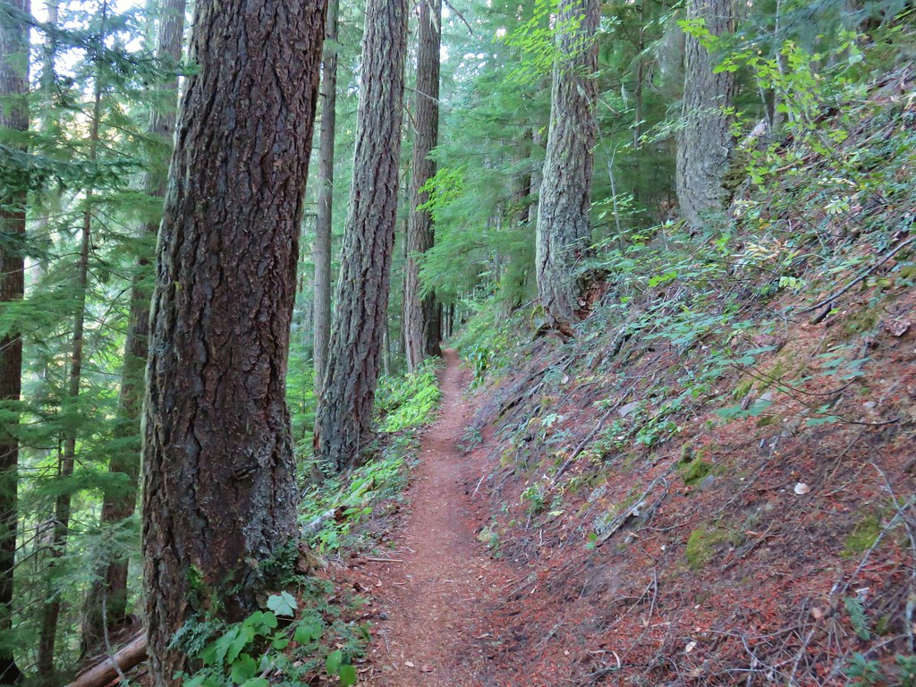
One other hiker had arrived at the summit a bit before we headed down and that was the only other person we saw until we were headed back down. We encountered one couple coming up the Grizzly Peak Trail and a number more on the Pamelia Lake Trail. It was a little surprising because the trailhead parking lot had looked nearly full when we had arrived that morning. The hike was nice and the well graded trail kept the 2700′ of elevation gain from ever feeling steep. It also allowed us to be home before 2pm which gave us time to unpack and clean up before heading of to a friends house for their annual margarita (and dinner) party. Happy Trails!

Flickr: Grizzly Peak

Categories
High Cascades Hiking Mt. Jefferson Area Oregon

Pamelia Lake Overnighter

As I mentioned in our recent Table Lake Loop Trip Report (post)we had plans to visit Goat Peak, a 7159′ peak just south of Mt. Jefferson. We had obtained a Pamelia Limited Area Entry Permit in May when they became available for September 8th and 9th. It was a roll of the dice not knowing what the wildfire or weather situations would be four months down the road but it ensured that we would be able to go if conditions permitted it. Aside from a slight chance of showers the morning of the 8th the forecast looked good so that morning we drove to the Pamelia Lake Trailhead and set off.IMG_1945

IMG_1946

We had been here once before in 2013 on a long loop to Hunts Cove (post).

From the trailhead the Pamelia Lake Trail travels just under two and a quarter miles to the lake. Along the way the trail passes through some very nice forest scenery with several views of Pamelia Creek.IMG_1948

IMG_1950

IMG_1954

IMG_1955

Just prior to arriving at the Pamelia Lake the trail veers left at a junction with the Grizzly Peak Trail which heads to the right.

IMG_1963

Our original plan for this trip had been to take the Pamelia Lake Trail to the Pacific Crest Trail via the Hunts Creek Trail and follow the PCT up to Coyote (aka Mud) and Shale Lakes where we would set up camp before attempting to reach Goat Peak. After some additional consideration though we decided that setting up camp at Pamelia Lake might be a better option. Setting up camp there would eliminate the need to haul our heavy backpacks up the PCT while also leaving us with a hike out the next day of less than two and a half miles. It did mean we would be adding nearly 4.5 miles to Saturdays hike, but on paper it would still only be around 15 miles. The designated campsites at the lake were all along its left (north) side so we followed a use trail straight ahead from the junction and started looking for an open site.
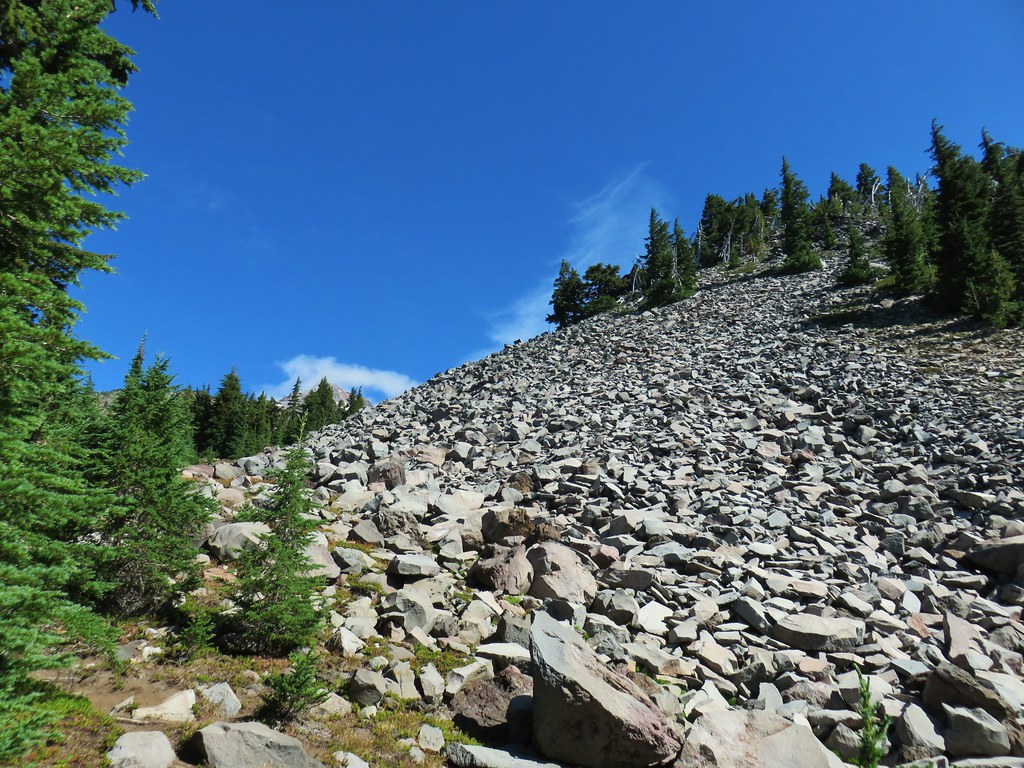
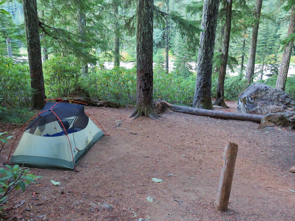
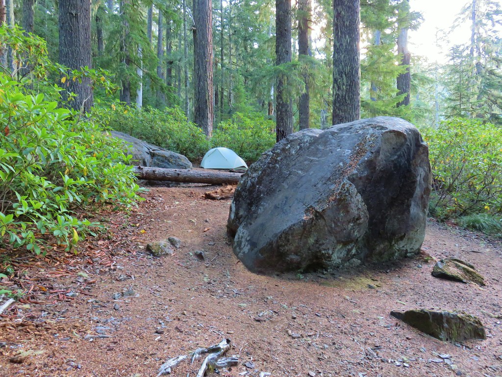
We wound up choosing site #3 which kept us relatively close to the Grizzly Peak Trail junction as well as the Hunts Creek Trail junction.IMG_1966

IMG_1972

After setting up camp we briefly visited the shore of Pamelia Lake then we headed up to the Hunts Creek Trail.IMG_1967

IMG_1970

IMG_1974

We turned left onto the Hunts Creek Trail and followed it around a ridge for nearly three quarters of a mile to its end at a junction with the Pacific Crest Trail gaining a view of Mt. Jefferson along the way.IMG_1975

IMG_1977

IMG_1979

IMG_1981

On our loop to Hunts Cove I had taken the short side trip north on the PCT to see Milk Creek but Heather had not so we turned left at the junction and followed the PCT for a tenth of a mile through vine maple donning its fall colors to a viewpoint above the creek of Mt. Jefferson.IMG_1983

IMG_1989

IMG_1984

After checking off the viewpoint we turned around and headed south on the PCT which climbed gradually through a varied forest.IMG_1990

IMG_1991

IMG_1992

IMG_1997

IMG_2003

IMG_2007

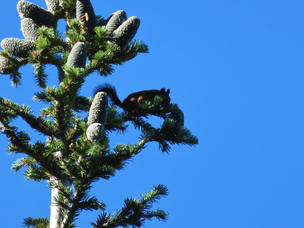
Along the way some movement in a fir tree caught our attention. At first we thought it might be a medium sized mammal of some kind but it turned out to be a squirrel harvesting cones that were crashing down through the limbs after being detached.IMG_1995

Approximately four and a quarter miles from the junction we arrived at Mud Hole Lake. (On some maps it is identified as Coyote Lake but on the USGS Topographic Map the name Coyote Lake is assigned to another lake on the west side of the PCT.)IMG_2010

We turned off the PCT just before the lake on an unsigned but clear trail leading NE through a meadow.IMG_2014

We were using “75 Scrambles in Oregon: Best Non-Technical Ascents” by Barbara I. Bond as our reference for the hike. This was our first time using this particular guidebook but so far everything was going smoothly. The book did not mention that there was a clear trail to follow but we were headed straight for Goat Peak and we’d turned off the PCT at the right spot so we figured we were good to go.IMG_2016

Our intended route would lead us up above a talus slope to the north (left) of Goat Peak where we would then bend to the south at about 6800′.IMG_2020

IMG_2019

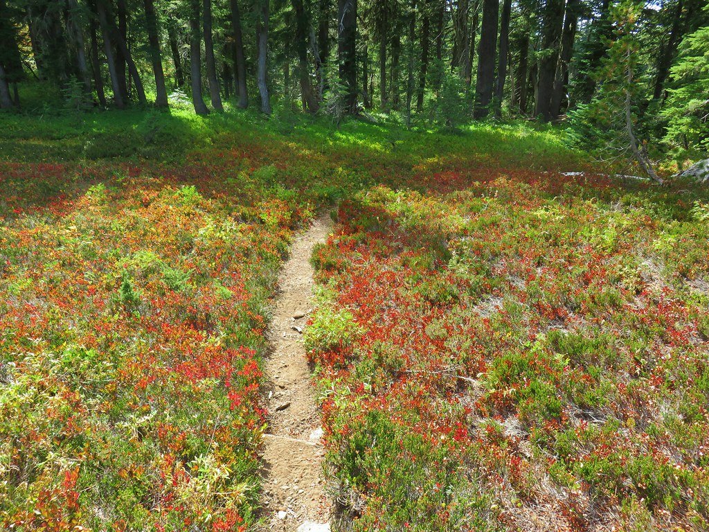
It was a lovely area with red huckleberry leaves and a few butterflies still flying about.IMG_2027

IMG_2025

The tread petered out for a bit in one meadow in particular but small cairns helped lead the way.IMG_2030

The unexpected presence of the well marked trail got us off our guard and we weren’t paying enough attention to the fact that our heading was drifting further north than we’d intended. In the meadow where the trail grew faint the cairns led to the left of a rocky ridge end. In order to reach Goat Peak we should have veered to the right here to find the correct gully uphill.IMG_2031

Instead we continued to follow the trail as we now were hearing other voices ahead. The trail began to climb away from the meadow passing more rock covered hillsides.IMG_2035

Three Fingered Jack

IMG_2038

It started seeming really odd that we seemed to be heading directly at Mt. Jefferson but kept thinking that maybe the trail would bend right around some geologic feature.IMG_2042

IMG_2043

I really started to question things when we caught up to the group of gentleman who were ahead of us. They asked how high we were planning on going which is when I became fairly certain we were on a climbers route and not the scramble route to Goat Peak. I replied “as high as our legs will take us”, knowing that if this wasn’t the right way to Goat Peak we’d gone to far to correct it by then. Shortly after we crested a rise and left the tress. We were now at the bottom of a boulder filled gully.IMG_2046

There wasn’t much we could do at that point other than go back or continue on so up we went.IMG_2048

IMG_2047

Cliffs on the right side of the gully.

As we gained elevation the views to the south opened up and the Three Sisters joined Three Fingered Jack on the horizon.IMG_2049

IMG_2051

IMG_2054

IMG_2056

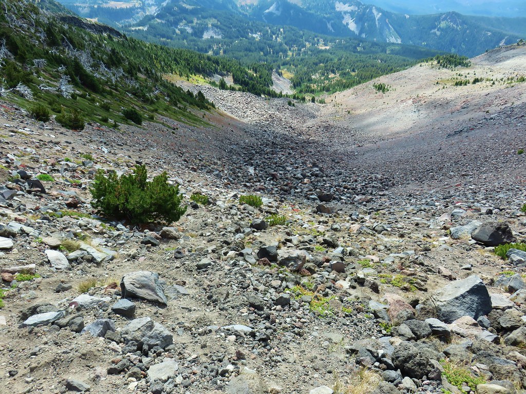
We were well above the summit of Goat Peak by the time we reached the lip of the gully where stunted white bark pines clung to the steep slope.IMG_2057

Anxious to see what spectacular view awaited I charged up the final pitch only to find a second albeit smaller gully.IMG_2059

At least it had a view of Mt. Jefferson. There were a couple of bivouacs here and I waited for Heather to decide our next course of action. When she reached the second gully I decided to continue on and told her I would wave her up if I thought there was something that she just had to see. From where we were I could already see the top of Goat Peak below to the south as well as The Table and Cathedral Rocks.IMG_2060

IMG_2062

Goat Peak

IMG_2063

The Table

IMG_2064

Cathedral Rocks

Getting out of the second gully was much easier than the first and I soon found myself walking along a snowfield.IMG_2066

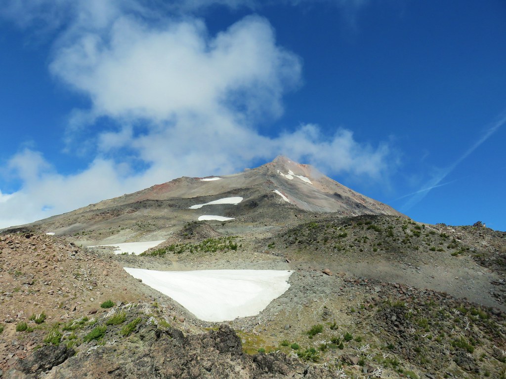
Later research would reveal that we were indeed following a climbers trail to the South Ridge Route up Mt. Jefferson. I ended my climb at the top of the snowfield but did a little exploring to the high points on either side of the gully.IMG_2069

Climbers trail continuing up Mt. Jefferson

IMG_2071

View south from the ridge to the north of the gully.

IMG_2074

Looking out along the ridge.

IMG_2076

IMG_2079

Where we had intended to be.

IMG_2084

View from below the snowfield.

IMG_2082

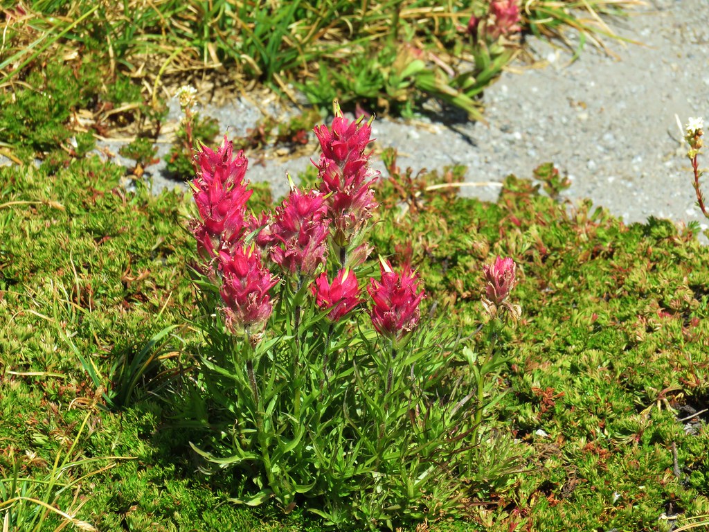
Paintbrush below the snow.

IMG_2086

Looking south from the opposite ridge top.

IMG_2094

Wildflower atop the ridge.

IMG_2091

Bear Butte along the nearest ridge.

IMG_2099

Looking back at Mt. Jefferson

The views were nice but I didn’t think they warranted waving Heather up so I headed back down to where she was waiting. After a short break and a snack we began the half mile decent down the lower gully.IMG_2114

We passed the other group, who were still on their way up the lower gully, just after starting our descent. When we’d finally gotten back to level ground in the meadow we decided to check out the other side of the ridge to see if we find any sign of a trail we’d missed.IMG_2128_stitch

There wasn’t anything we could see, but based on all the information in the book including the map and GPS coordinates we definitely had wanted to be on this side of the ridge. Once we had gotten into the area we noticed that there were several ponds/lakes showing on the map to the south. The terrain appeared to be level enough to make a cross country jaunt inviting.IMG_2137

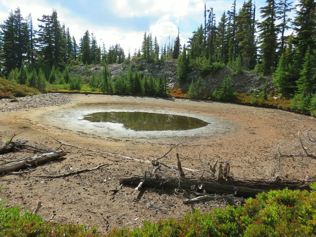
We used the map and GPS to locate several of the ponds but they were all dry save one unnamed lake. We did get some really nice views of Goat Peak though.IMG_2139

IMG_2149_stitch

IMG_2157

IMG_2158

IMG_2159

We took another break at the lake.IMG_2162

IMG_2176

IMG_2180

There were some tents set up nearby in the trees so we thought that there might be a trail somewhere nearby and set off looking for it when we left the lake. It didn’t take us long to spot the clear tread.IMG_2182

This path led us west between Mud Hole and Shale Lakes and back to the PCT.IMG_2186

Mud Hole Lake

IMG_2187

Shale Lake

We turned right on the PCT and continued a short distance until we spotted another use trail heading further west. We followed this path past more dry (or nearly dry) ponds to Coyote Lake.IMG_2190

IMG_2191

IMG_2197

Our urge to explore was now satisfied and we returned to the PCT and headed back to Pamelia Lake, which looked like it was way, way down below us.IMG_2206

It was closing in on 6pm when we finally made it back to camp. We went down to the lake to get water then cooked dinner and relaxed in our camp chairs.IMG_2223

IMG_2230

Ouzel

IMG_2235

IMG_2236

IMG_2245

Marty, a wilderness ranger, stopped by to check our permit and make sure we were aware of the campfire ban. She seemed relieved that we had a permit and knew about the ban. We got the feeling that a fair number of folks aren’t as friendly as we were which is a shame.

Even though we hadn’t made it to Goat Peak and we’d hiked much further than originally intended (19.4 miles) it had been a great day. It helped knowing that we only need to hike 2.5 miles the next day to reach our car.

The next morning we were up before 5am and on the trail by 6:30.IMG_2265

IMG_2275

IMG_2277

We made it home just after 9am which gave us plenty of time to unpack, clean up, and do some laundry. Happy Trails!

Flickr: Pamelia Lake Overnighter