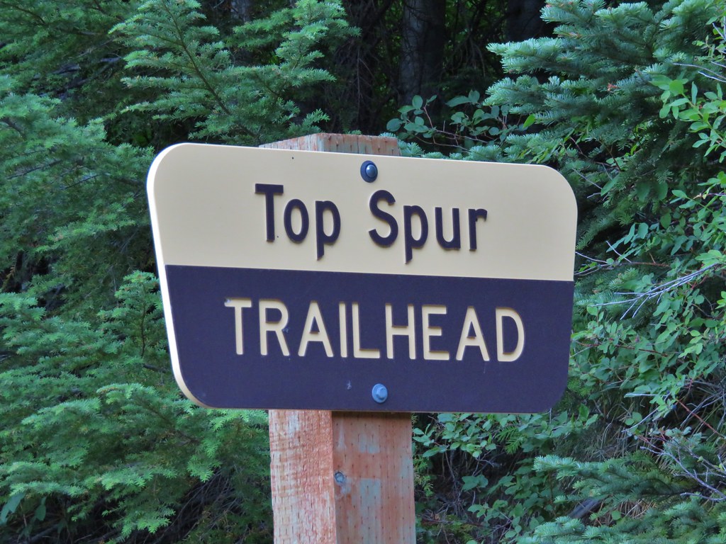
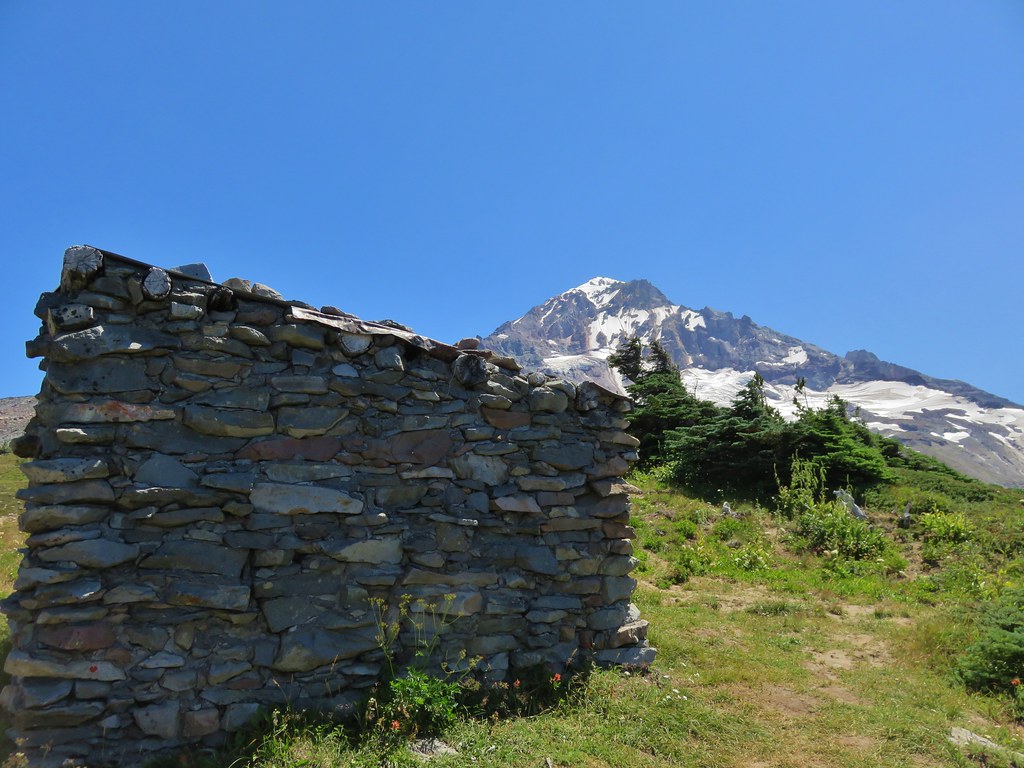
It had been a couple of years since we’d hiked in the Mt. Hood Wilderness so we were due for another visit. There were a few trails that lead to the Timber Line Trail that we hadn’t checked out yet so we chose the McGee Creek Trail and planned on visiting McNeil Point for the third time. The first two visits had been via the Top Spur Trailhead (Post.
We were the second car at the McGee Creek Trailhead

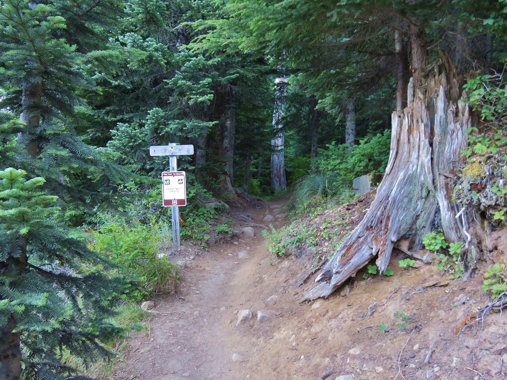
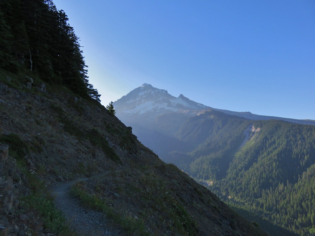
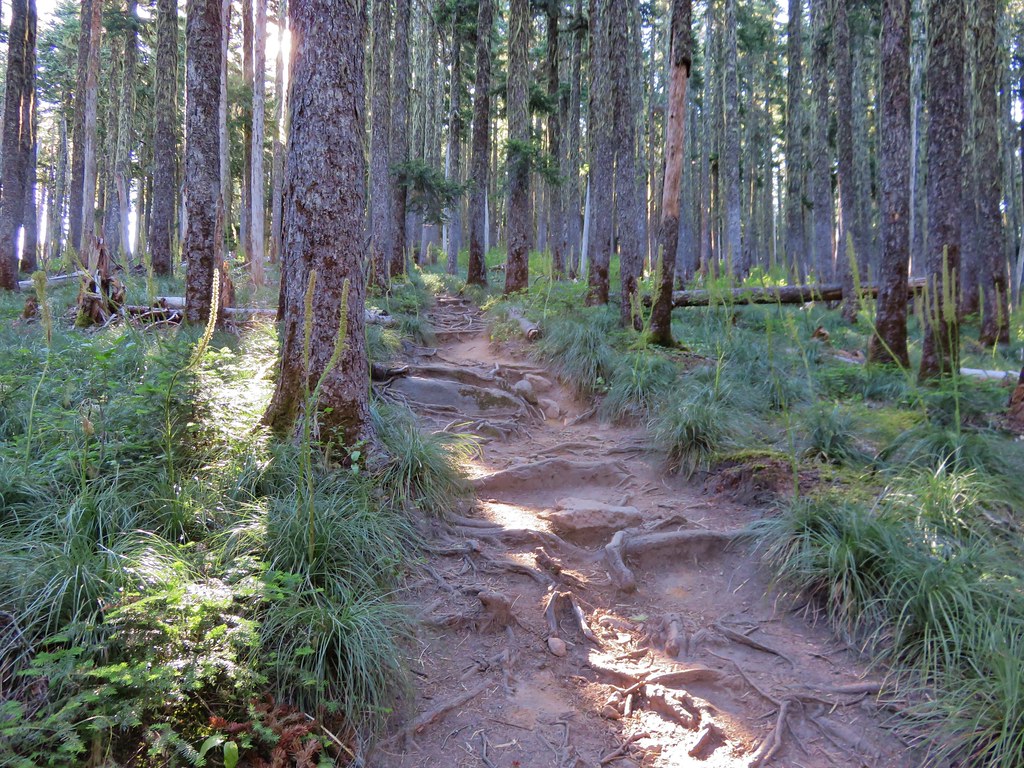
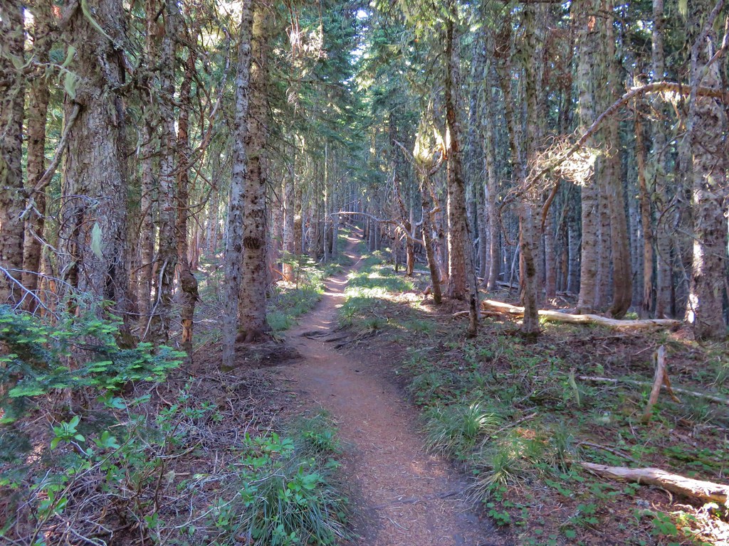
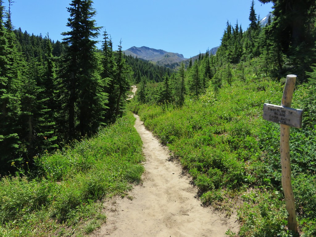
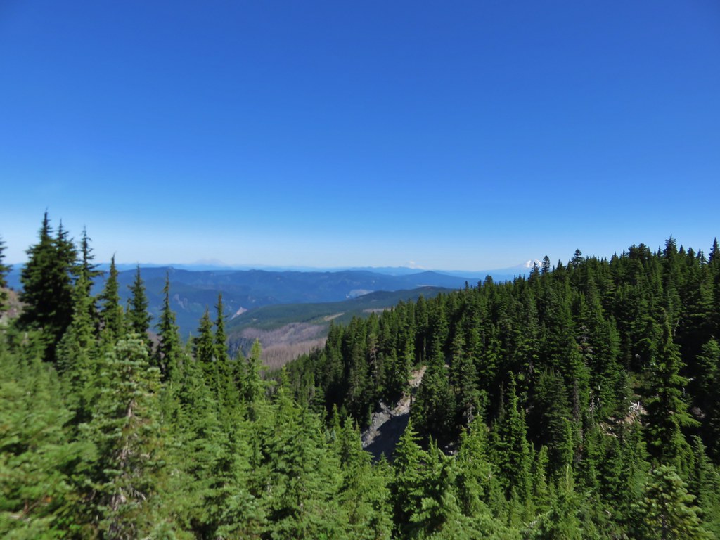
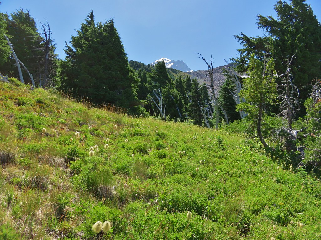
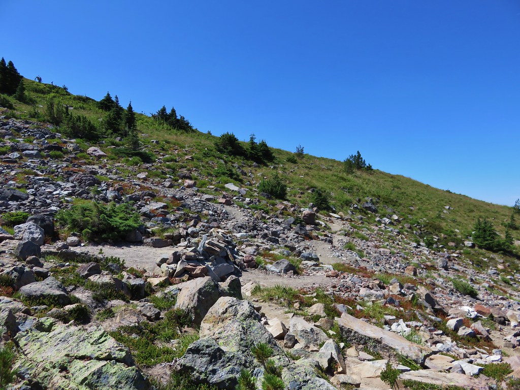
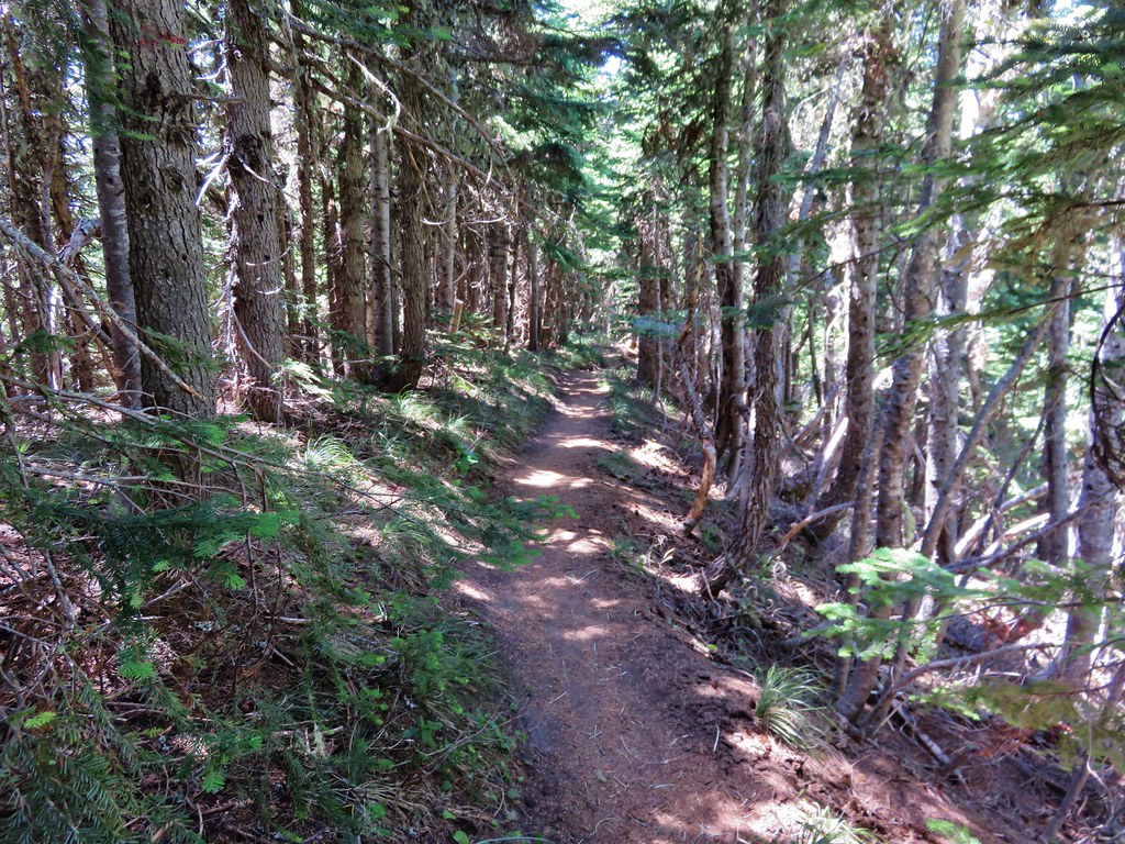
The McGee Creek Trail is a fairly straight trail that climbs gradually a little more than a mile and a half to the Timberline Trail. The trail is completely forested and a bit brushy in places, but it was quiet, we only saw two other hikers on the trail and that was when we were on our way back down.

 Registration box and signboard at the Mt. Hood Wilderness boundary.
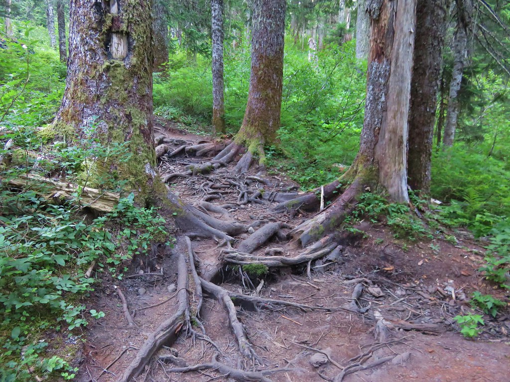
 There were a few downed trees but nothing too difficult to navigate.
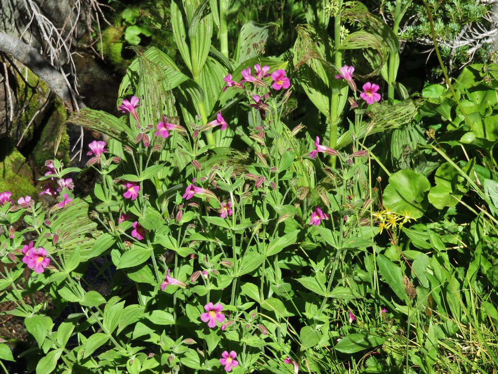
 The brush was mostly huckleberry bushes.
 Trail side snacks.
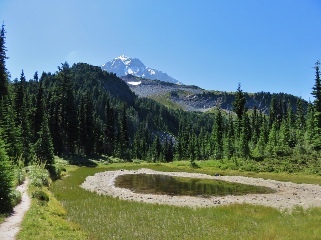
 McGee Creek Trail junction with the Timberline Trail.
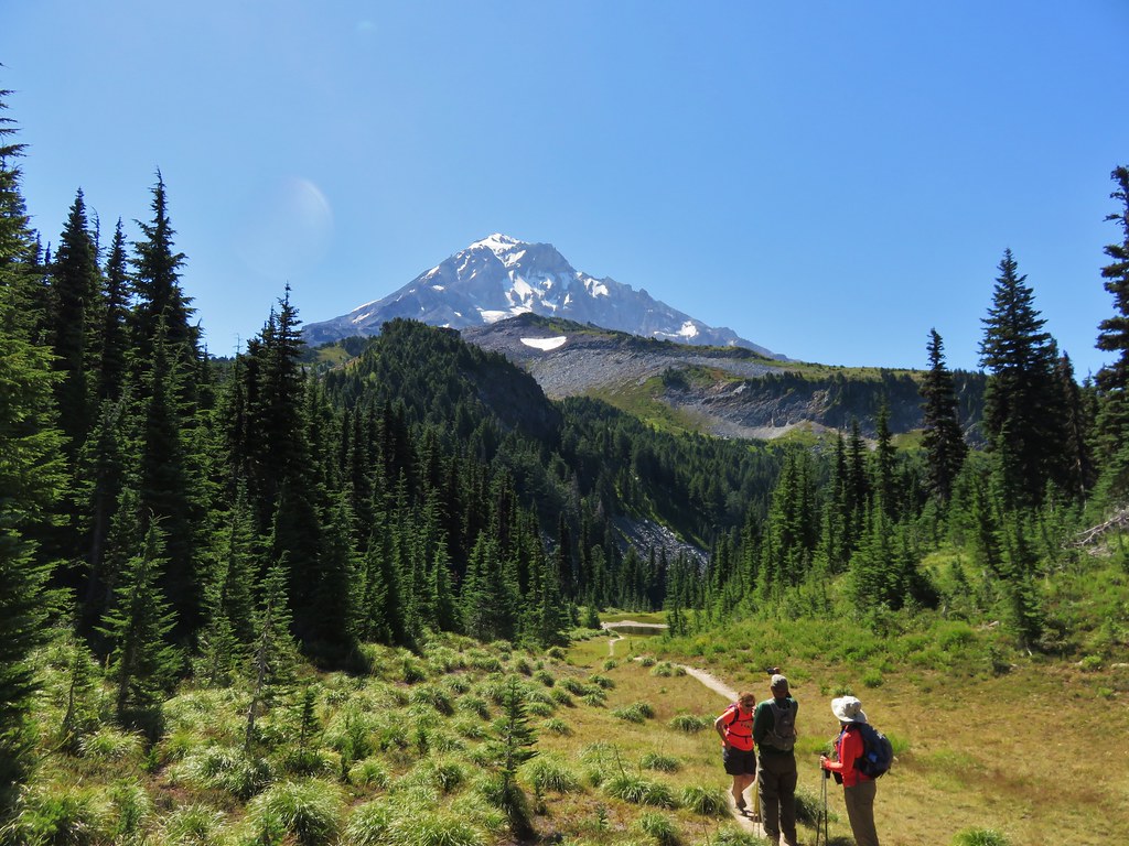
We turned left onto the Timberline Trail and followed it for approximately 2.5-miles to the McNeil Point Trail. While the McGee Creek Trail had been quiet the Timberline Trail was an expressway, even early in the morning. There were a lot of wildflowers blooming but the number of people was honestly a bit of a distraction. Add in a lot of garbage (mostly unburied TP) and at least one pair of backpackers camped on a meadow that was clearly marked no camping and it wasn’t the best experience we’ve had on a trail.

 Blowdown from the September 2020 storms that also flamed the destructive wildfires across the state. For more information on the storms impact on Mt. Hood check out this Wy’East Blog post.
 Looking through the trees at one of the areas that suffered severe blowdown.
 It was a cloudy day. We got sprinkled on briefly a couple of times.
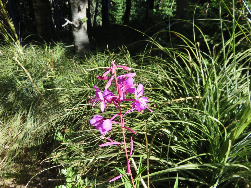
 Fireweed
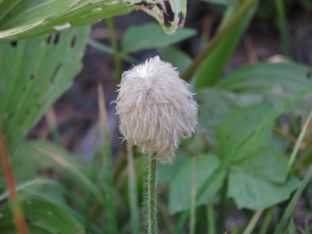
 Pinedrop
 Avalanche lilies
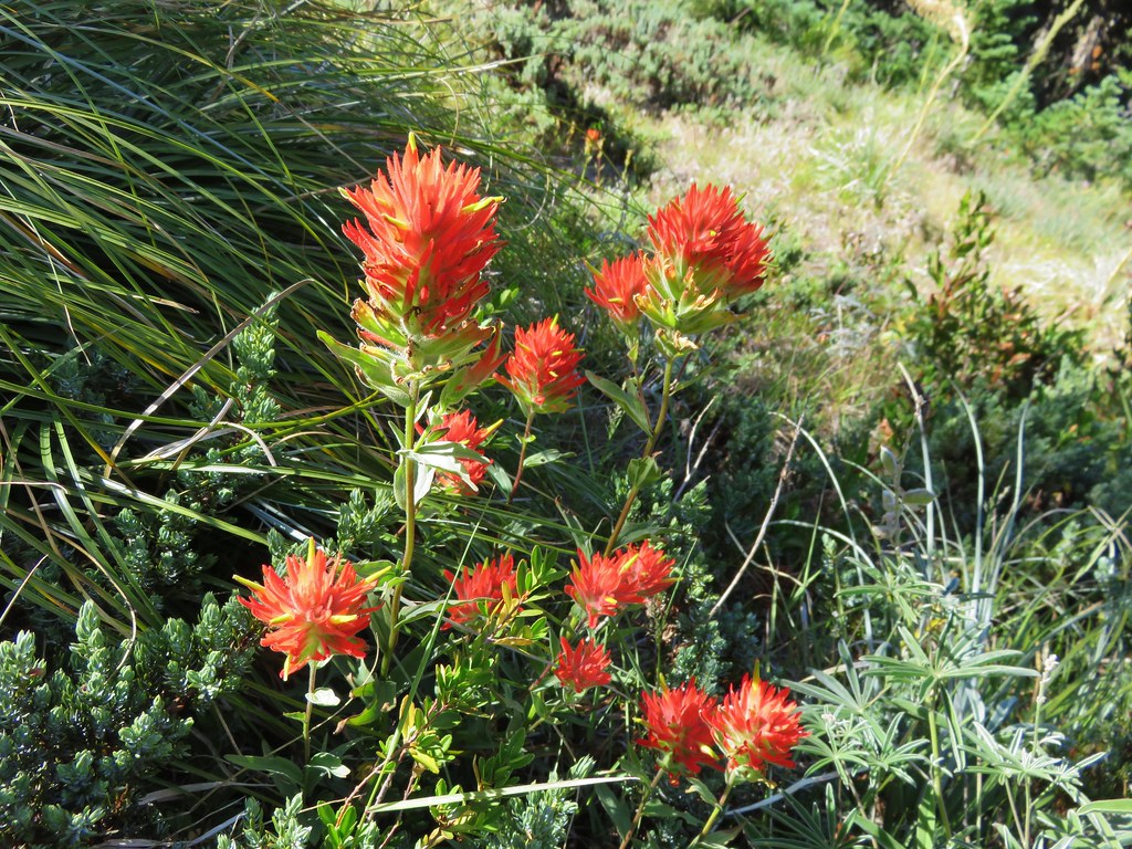
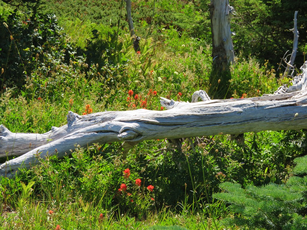
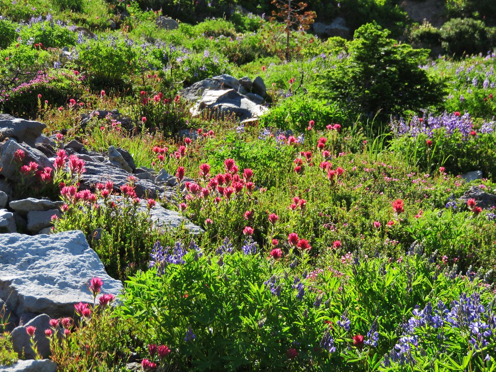
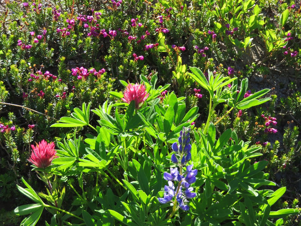
 Paintbrush
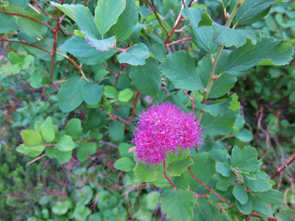
 Valerian, spirea, and paintbrush
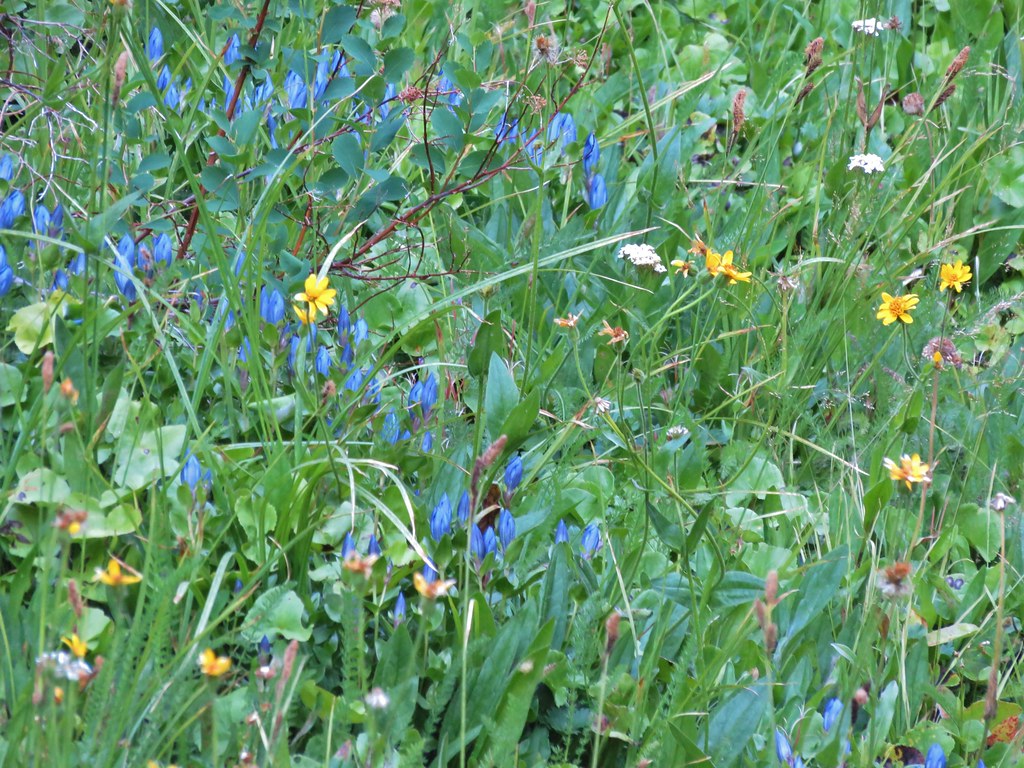
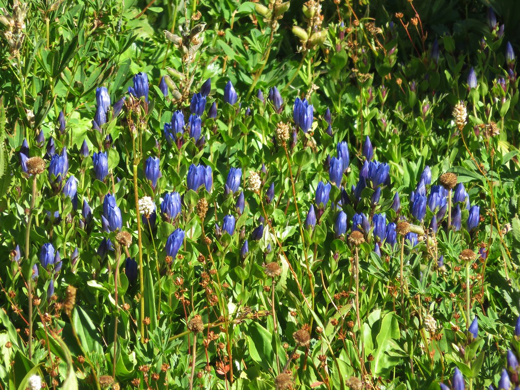
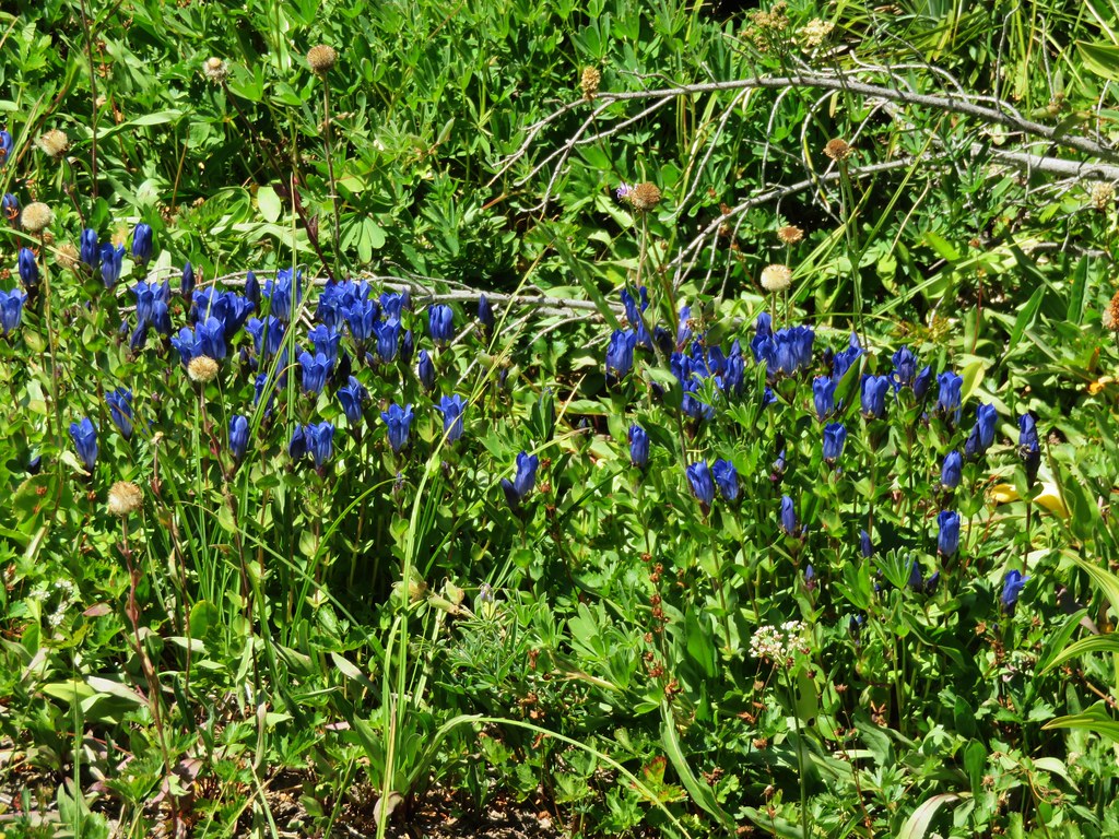
 Gentians
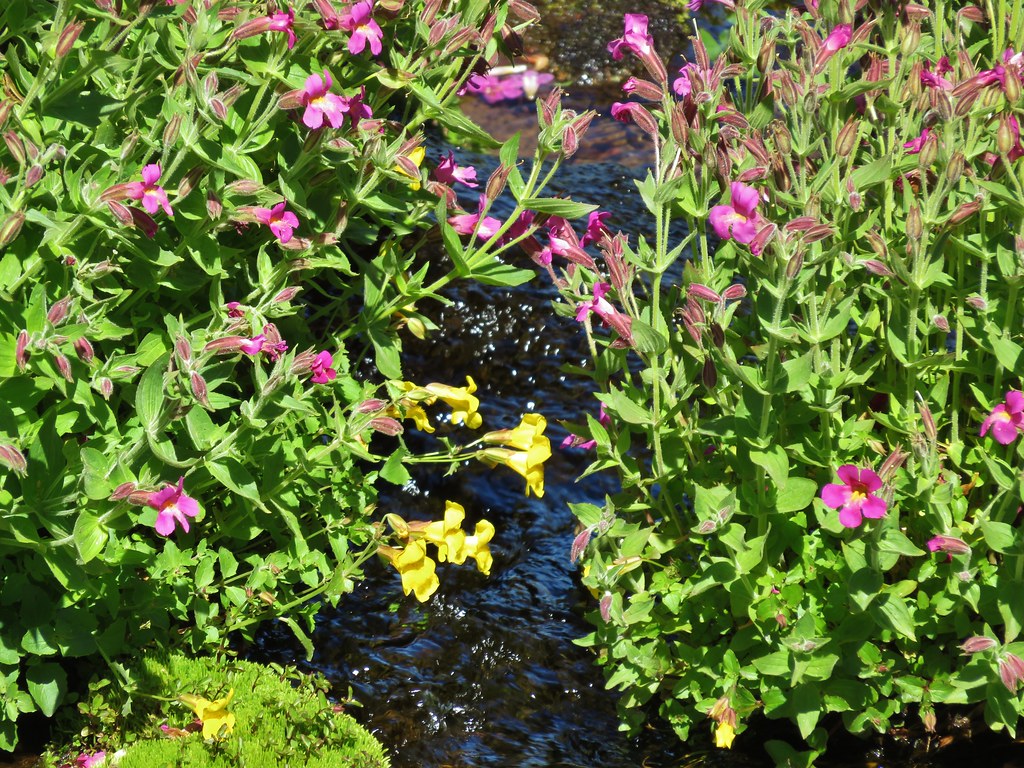
 Yellow monkeyflower
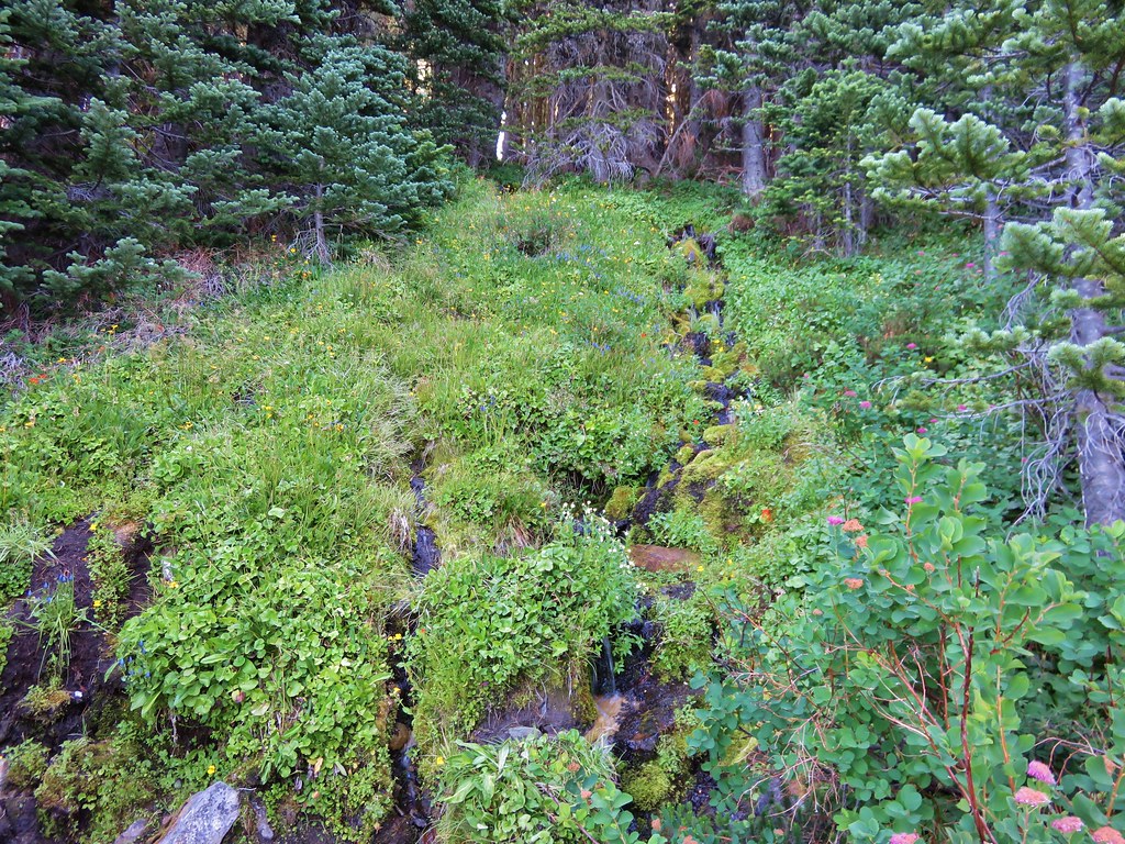
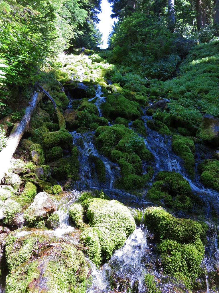
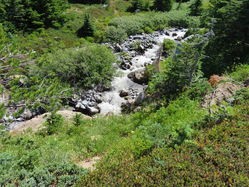
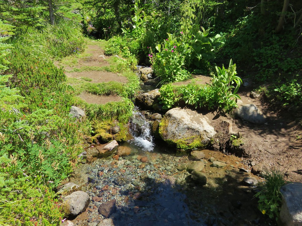
 A tributary of McGee Creek.
 Spirea along the Timberline Trail.
 Shooting star
 Pink monkeyflower
 Fleabane
 Beargrass
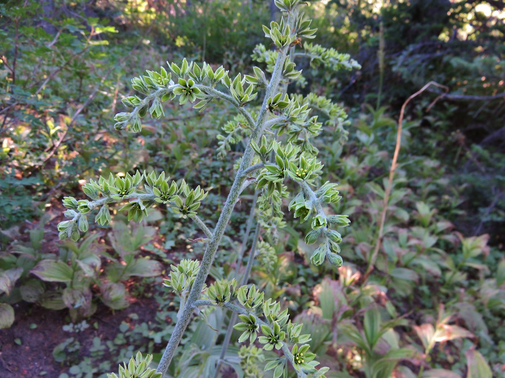
 False hellebore
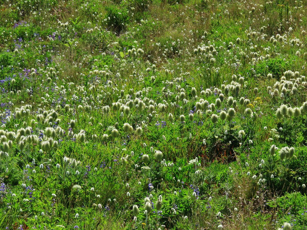
 Partridge foot

 Lupine
 Lewis monkeyflower along a tributary of McGee Creek.
 Beardstongue
 Lousewort

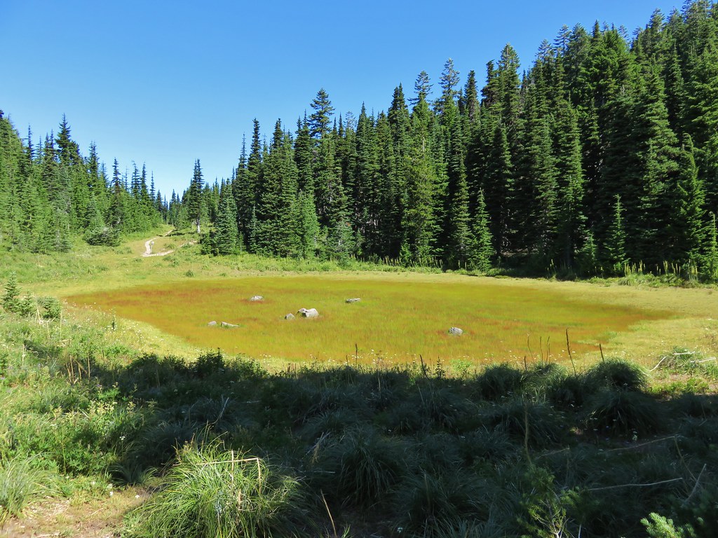
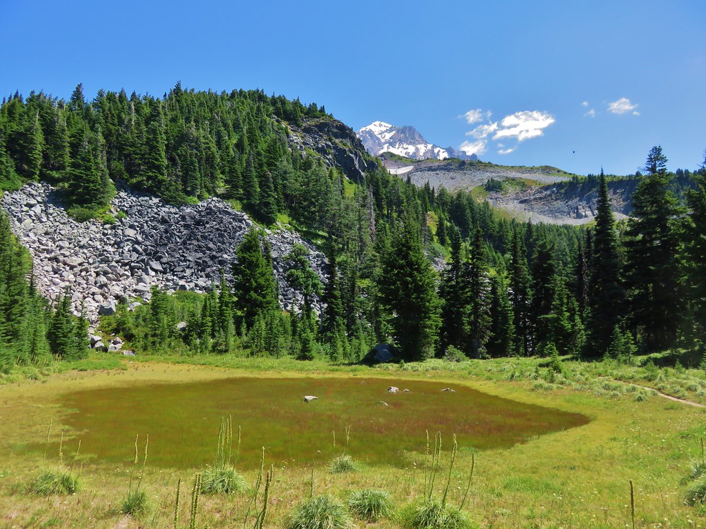
 Dry pond surrounded by beargrass.
 The idiots camped in the meadow. There is even an arrow on the “Do not camp in meadow” sign pointing at the meadow. Please DON’T be these people.
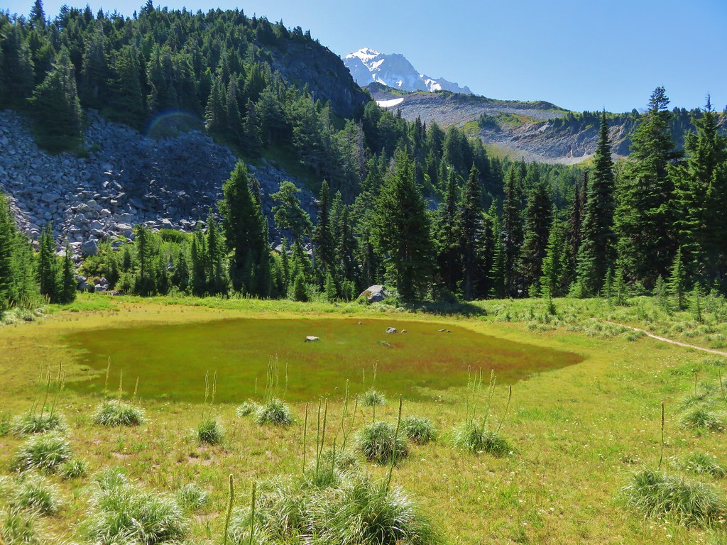
 The second pond still had some water in it.
 Junction with the Mazama Trail (post).
 The butterflies weren’t out today but the bees were.
 The clouds just wouldn’t quite raise enough.
 Mountain heather
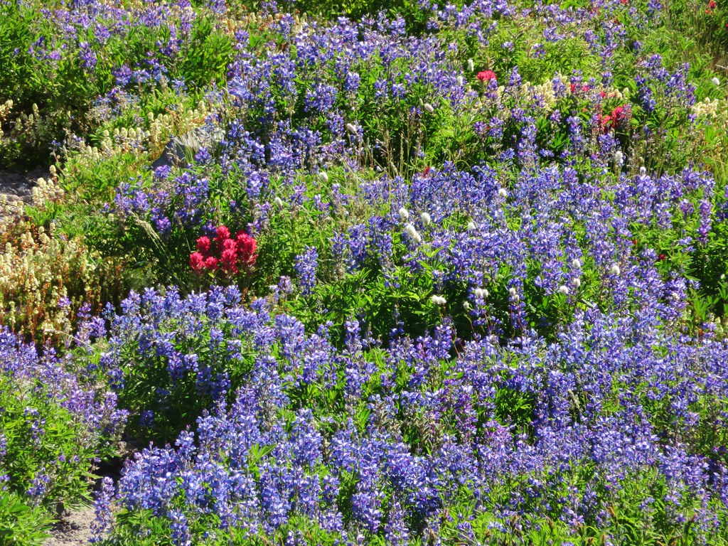
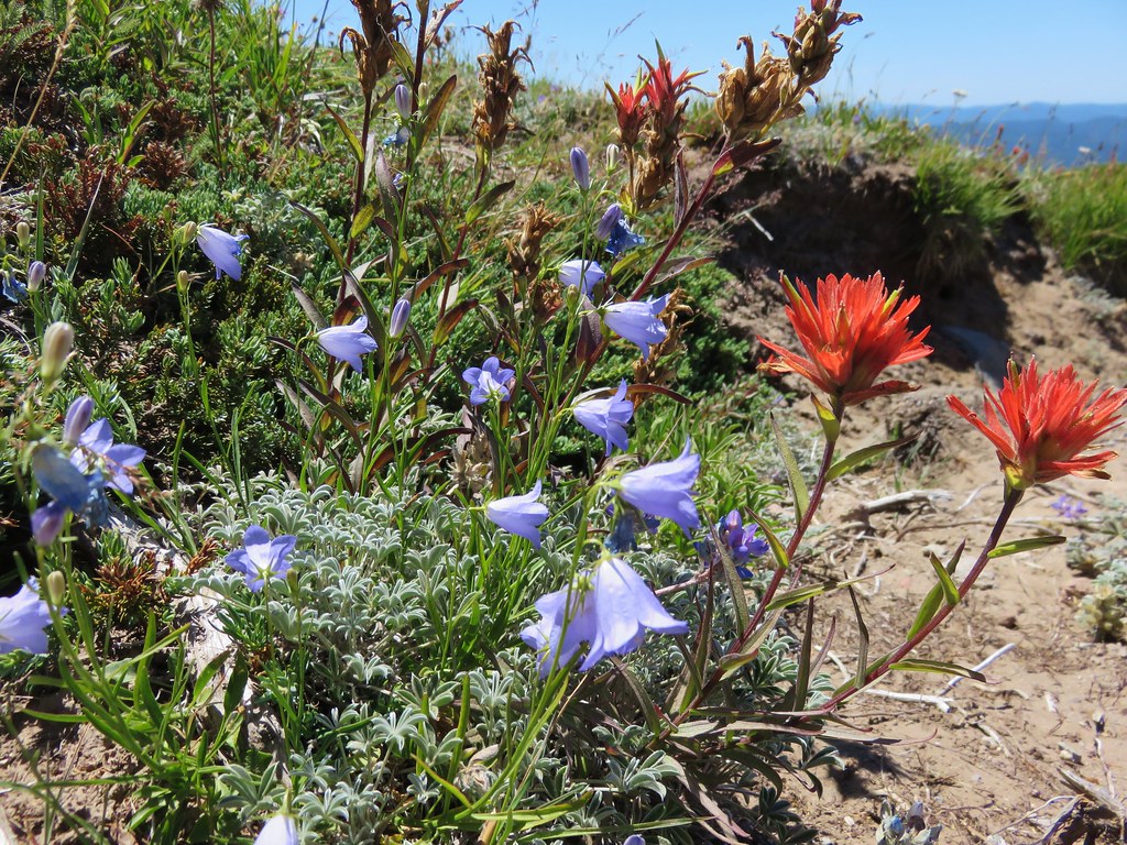
 Lupine and paintbrush
 Beargrass along the Timberline Trail.
 Paintbrush, partridge foot and lupine
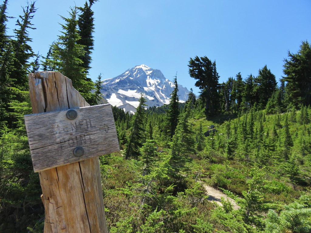
 Signpost for the McNeil Point Trail.
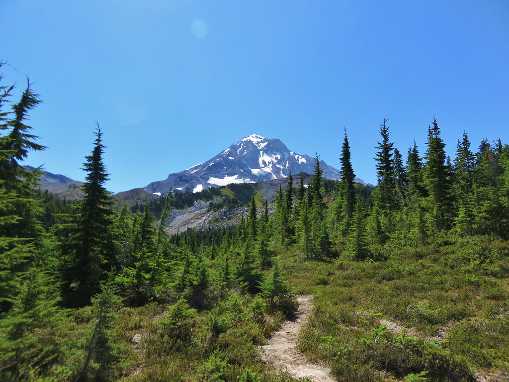
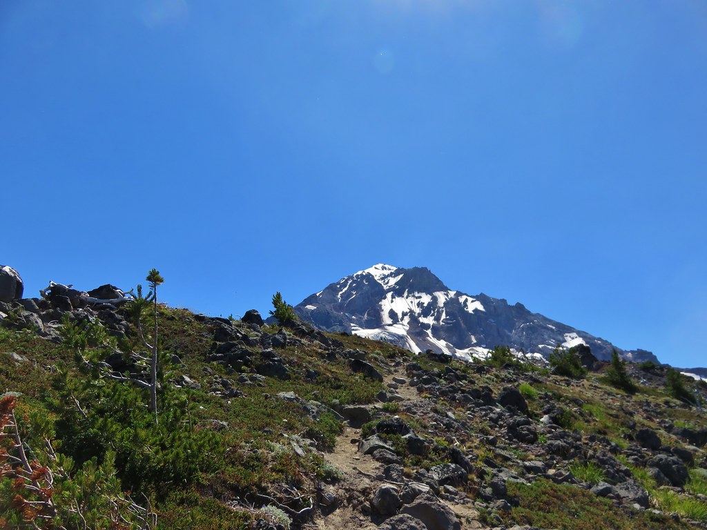
We followed the McNeil Point Trail uphill gaining a ridge above a branch of Ladd Creek.


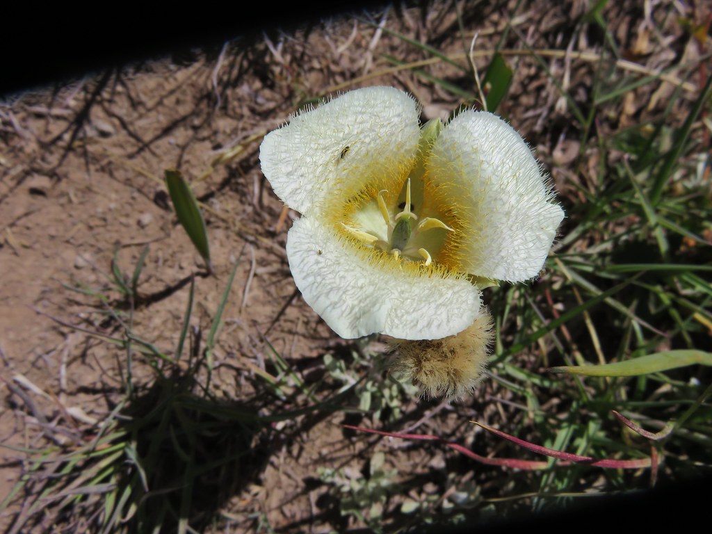
 We’d never seen a paint colored like this before.


 Western pasque flower
 Lupine and two types of monkeyflower
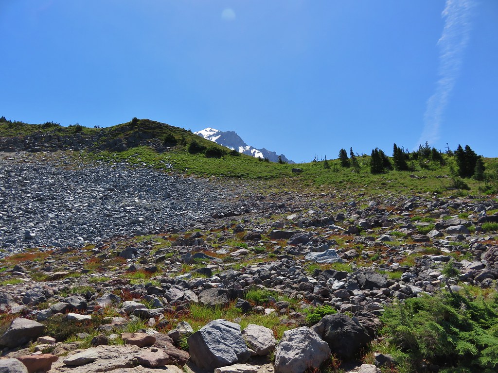
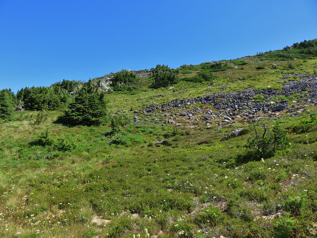
The trail eventually curved away from the ridge traversing a hillside above the headwaters of McGee Creek.


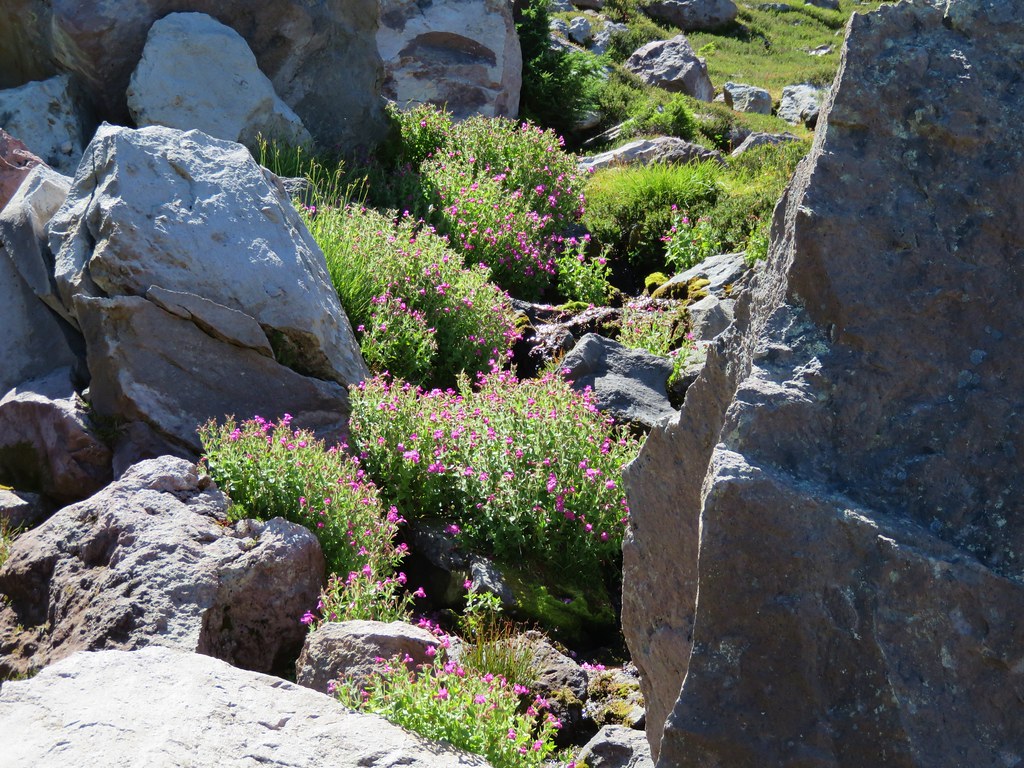
As the trail passed through a talus slope we heard several pikas and it didn’t take long to spot one dashing across the rocks with some greens in its mouth.


 Pikas spend the Summer gathering greens for the rest of the year when they remain in their homes under the snows.
We wound up seeing at least three, one of which emerged to say “hi” to Heather.


 Mountain heather and paintbrush.
 Saxifrage
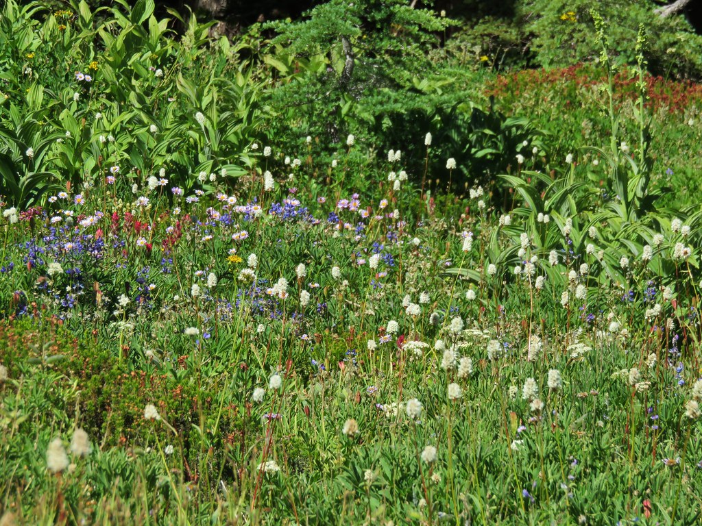
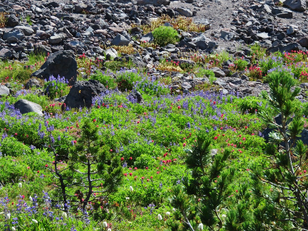
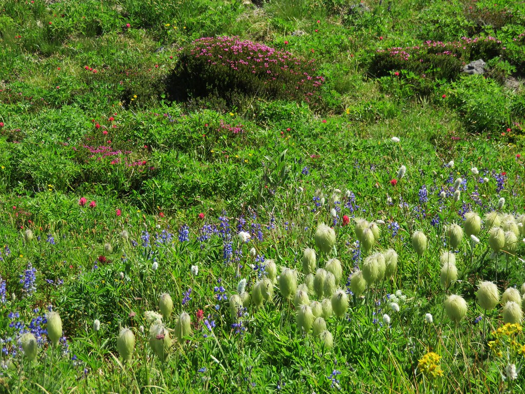
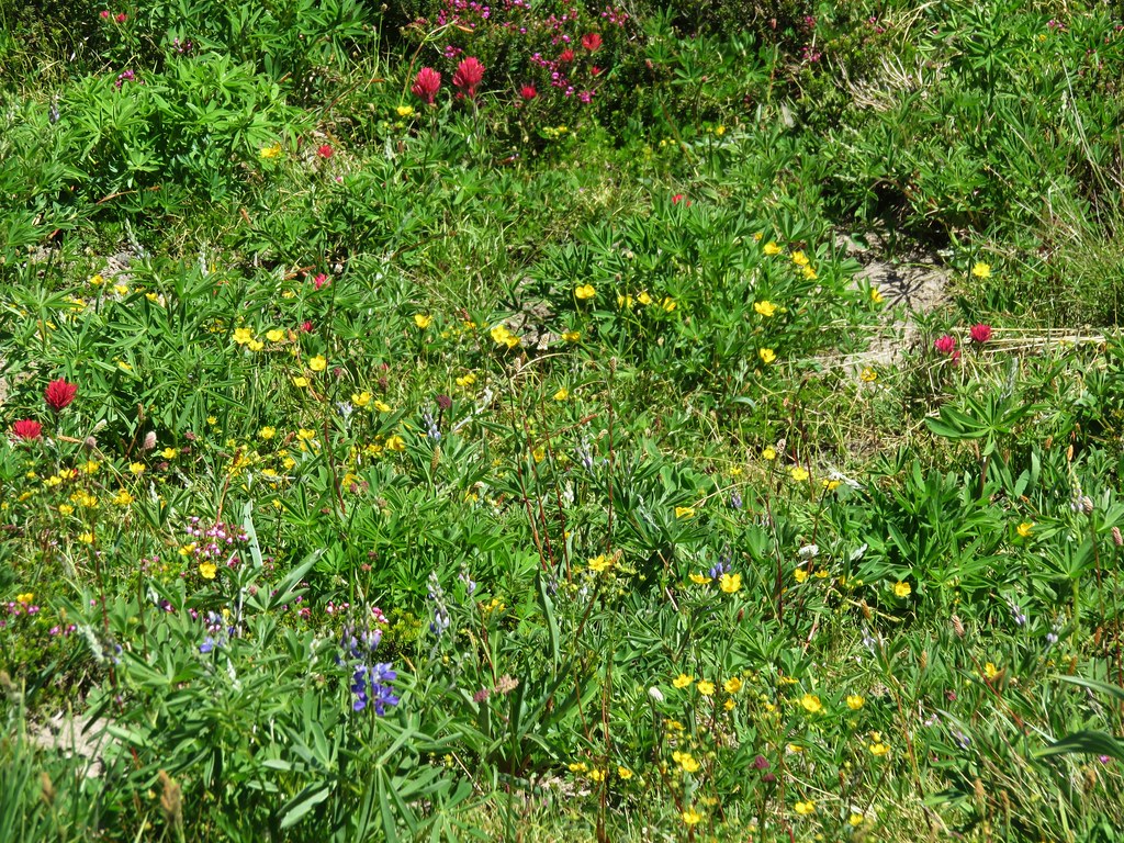
 A variety of flowers.
 Avalanche lilies
 Sub-alpine fleabane
 Western pasque flowers
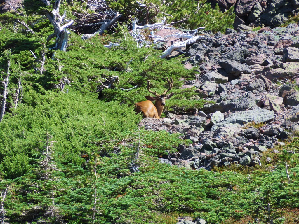
 Doe that was as surprised as we were when we spotted each other.


 Lewis monkeyflower
The trail forks at a small plateau out of sight of the McNeil Point Shelter. The right fork is the most direct route to the shelter but we forked left thinking we might head further up the ridge toward the Glisan Glacier like we had done in 2015.
 The righthand fork.
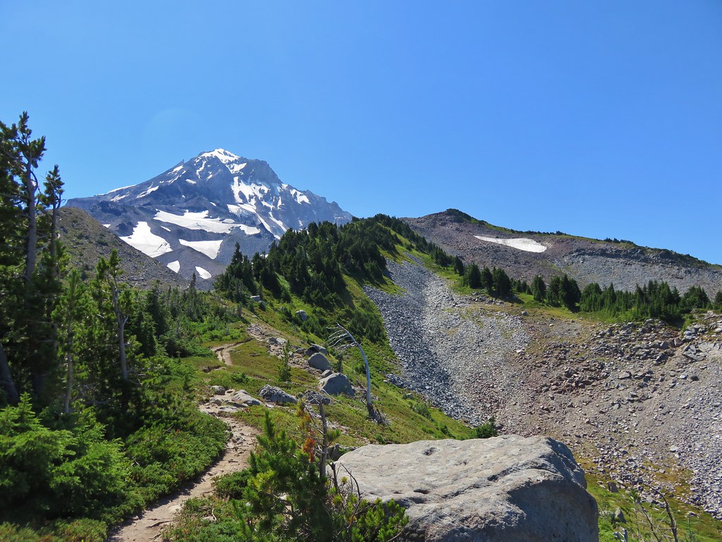
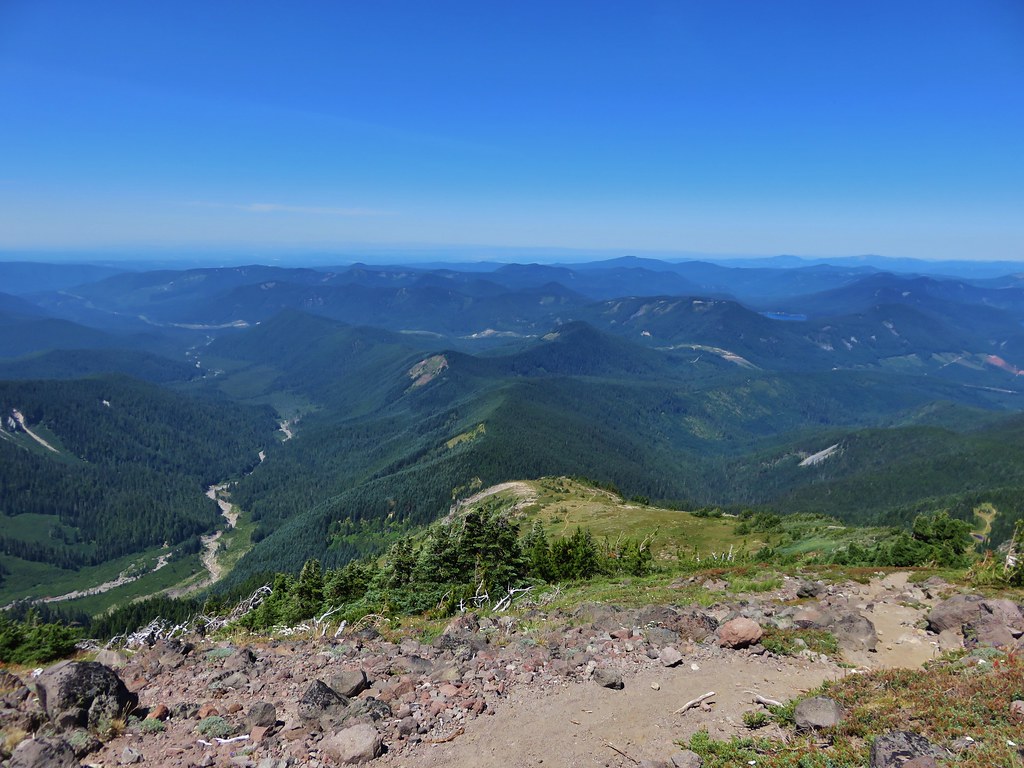
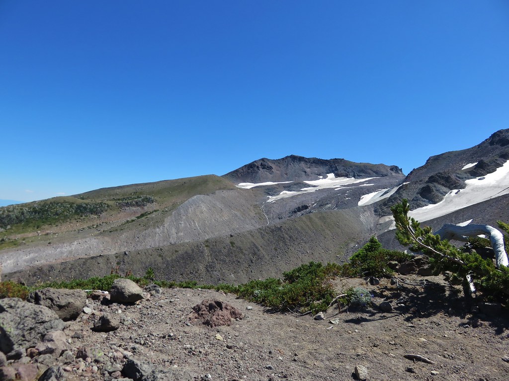
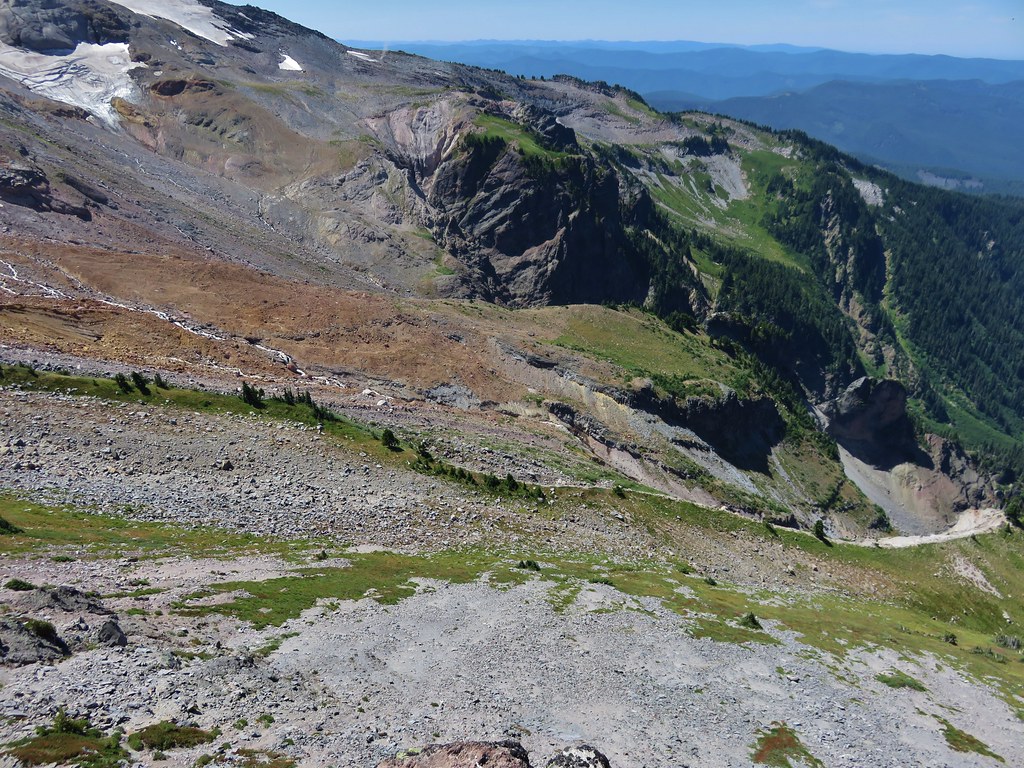
 View from the plateau.
 Some low clouds to the East.
 Dwarf lupine
 A hiker on the righthand fork headed for the McNeil Point Shelter.
As we approached the ridge a large group of hikers headed up the ridge from the shelter. When we reached the ridge we decided not to follow them up and instead turned downhill to the shelter.


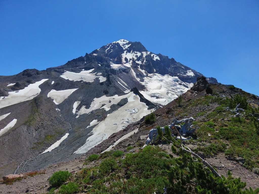
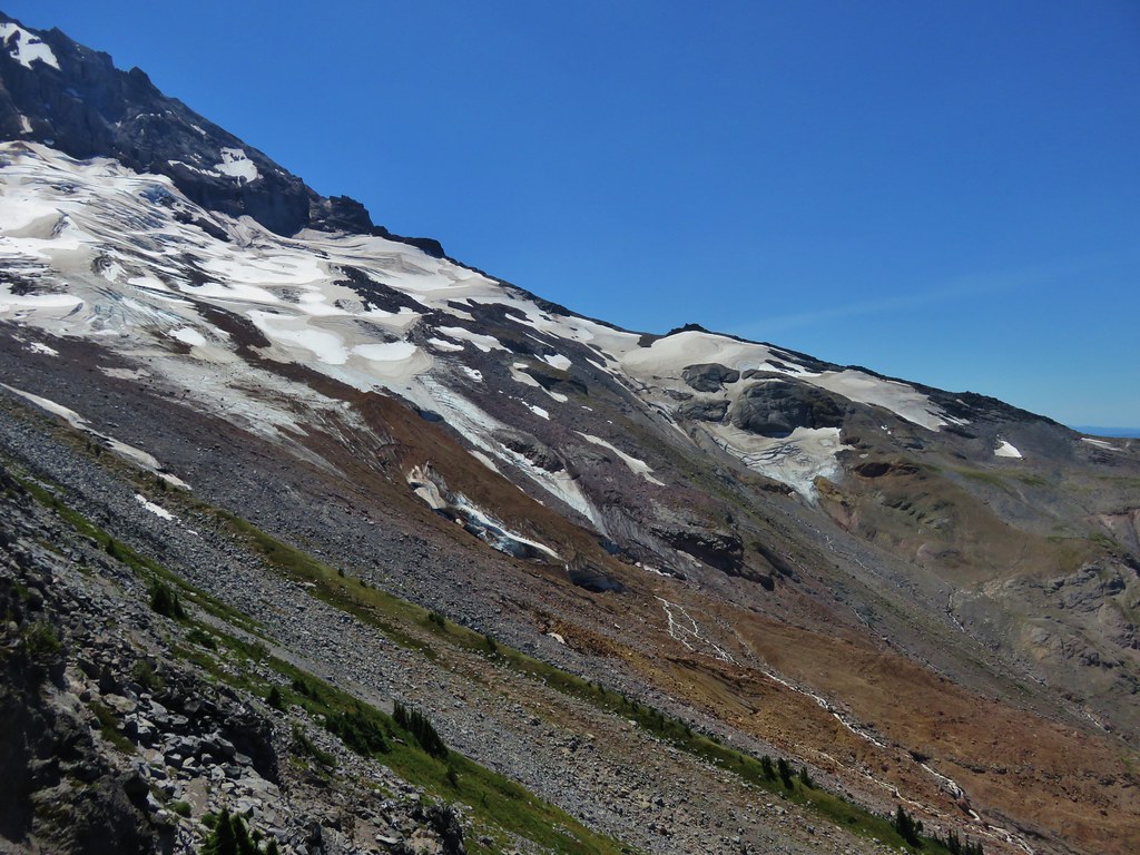
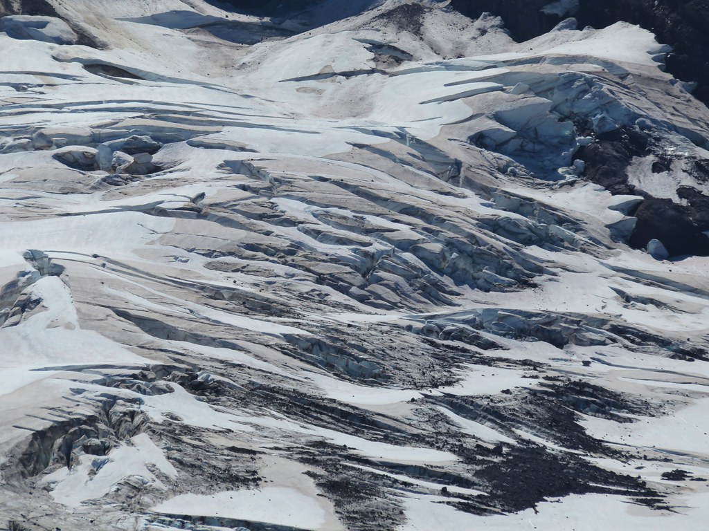
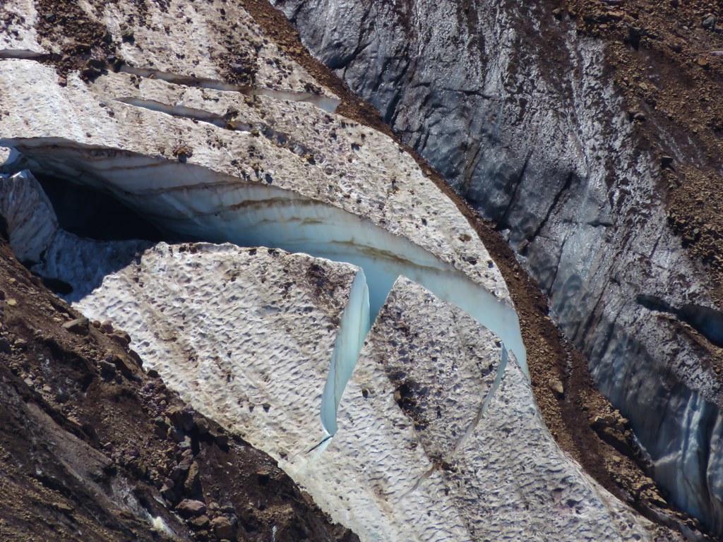
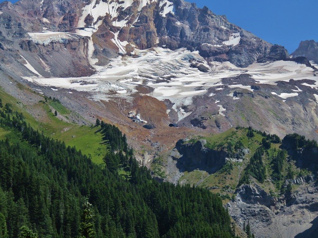
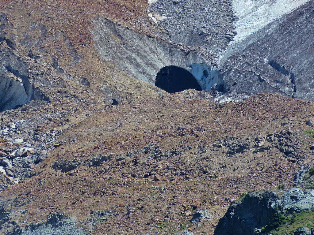
 Caves below the Sandy Glacier.
 Bluebells of Scotland
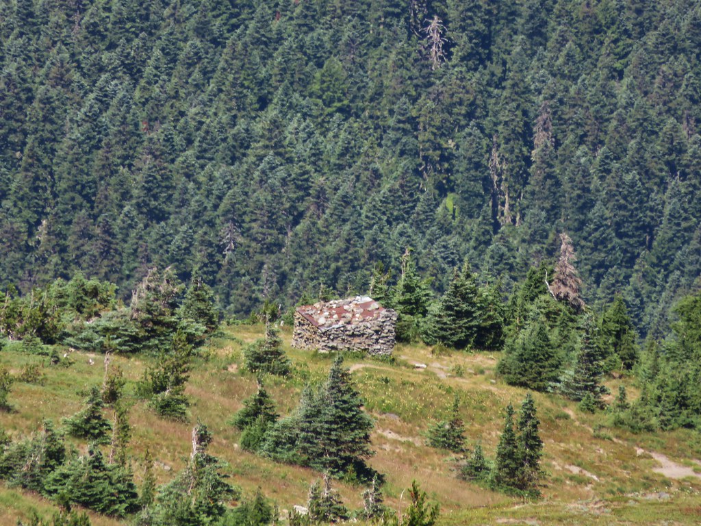
 The shelter below to the right.
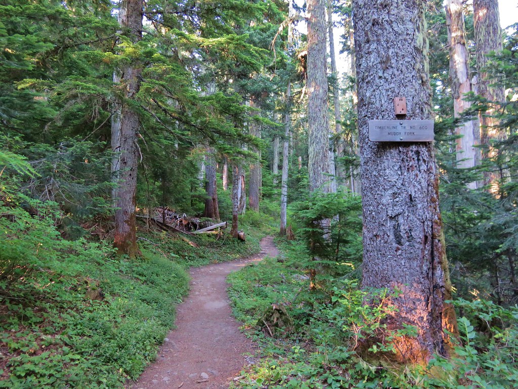
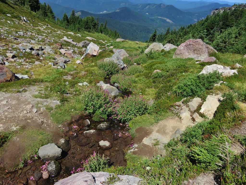
 Muddy Fork

 Goldenrod

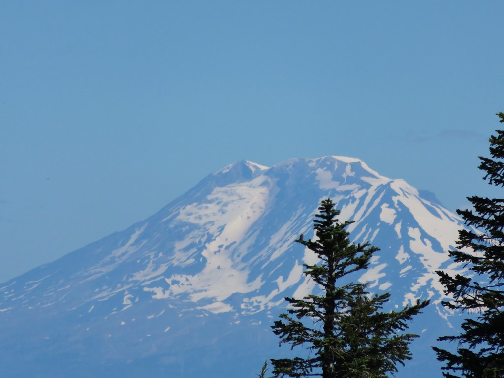
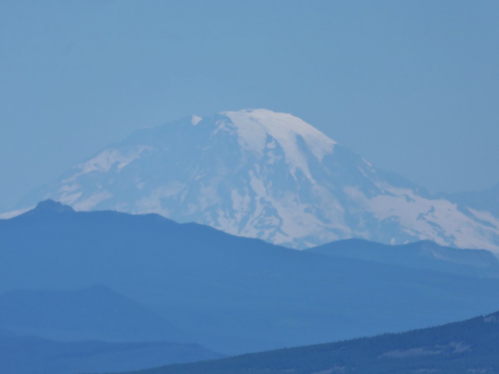
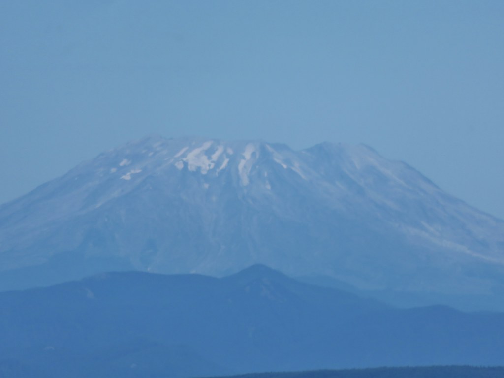
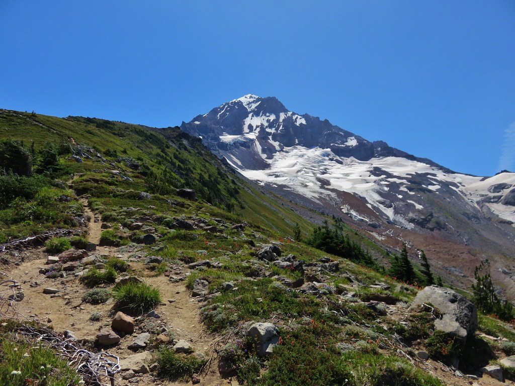
 With the clouds the view wouldn’t have been great from the ridge on this day.
It had been approximately 1.5 miles from the Timberline Trail to the shelter. After taking a short break at the shelter we had a choice to make. Retrace our steps or take a steep scramble trail directly below the shelter. On our previous visits we had returned the way we’d come but today we decided to try the scramble route.

It was less than half a mile and approximately 700′ down to the Timberline Trail. The views were good and despite the steepness and a couple of long step downs it wasn’t as bad as we’d pictured.


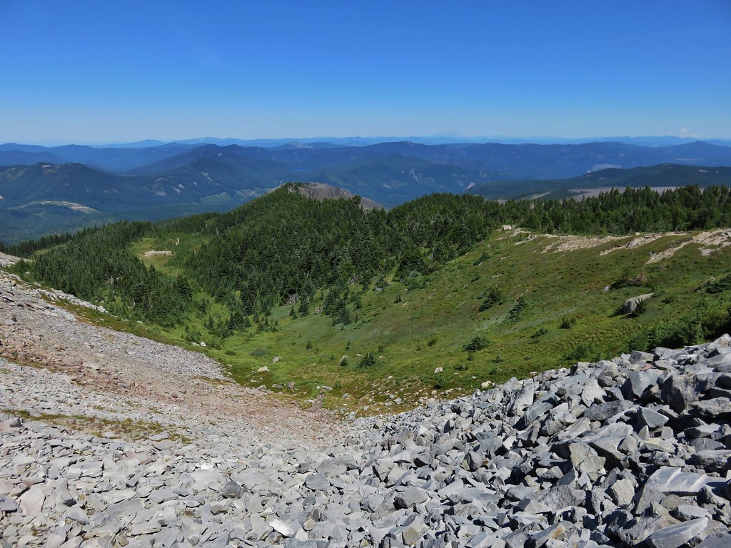
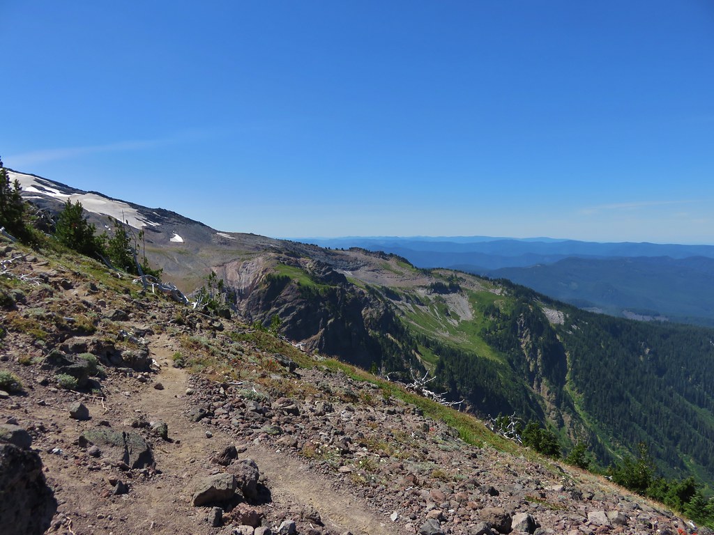
 Patches of blowdown along Bald Mountain Ridge.


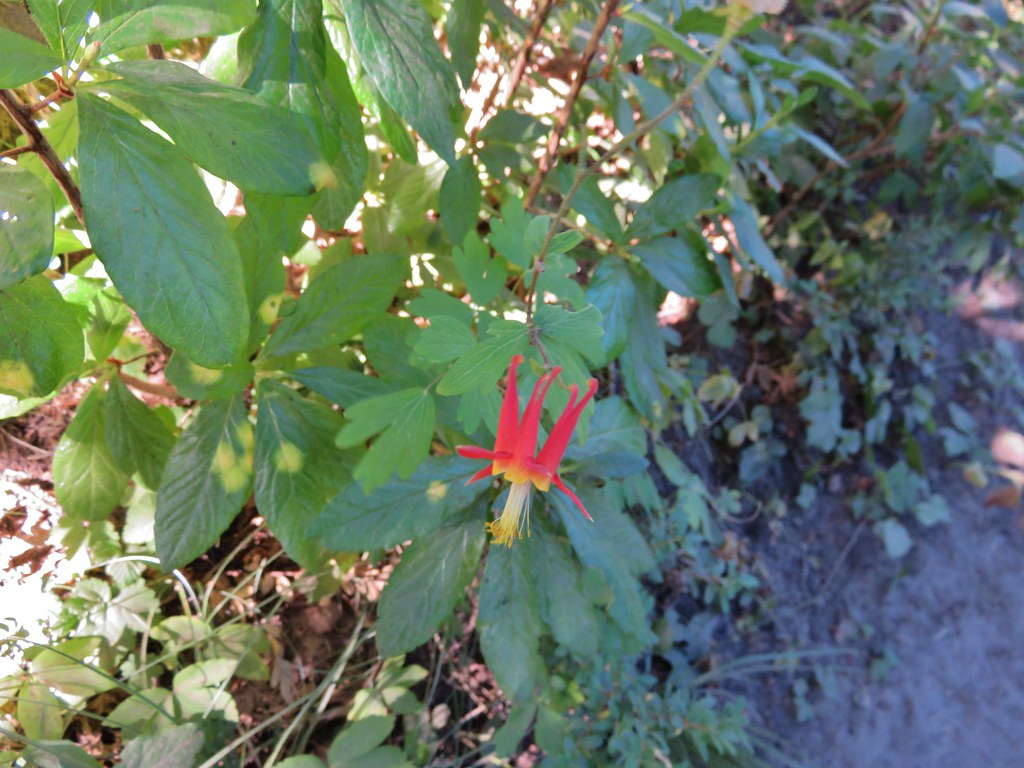
 Columbine
 Valerian
 Paintbrush and bistort
 Aster
Aster
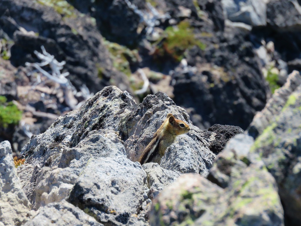
 Chipmunk snacking on huckleberries.
 Meadow near the Timberline Trail.

 Arriving back at the Timberline Trail.
By descending via the scramble route we cut approximately 1.7-miles from the hike and got to see some new scenery. We were a bit surprised by the number of hikers climbing up this way but it probably shouldn’t have been surprising given how busy the mountain was. We turned left on the Timberline Trail and followed it downhill 1.8 busy miles to the McGee Creek.
 Every once in awhile the trail was clear of other users.

 We’re always drawn to this rock fin above the Muddy Fork.

 Canada jay

 McGee Creek Trail junction.
We turned right onto the McGee Creek Trail leaving the crowds behind and descended the 1.7-miles to our car.

 Bunchberry
 Is that sunlight?
 While the clouds never lifted from Mt. Hood we did experience a window of blue sky near the end of our hike.
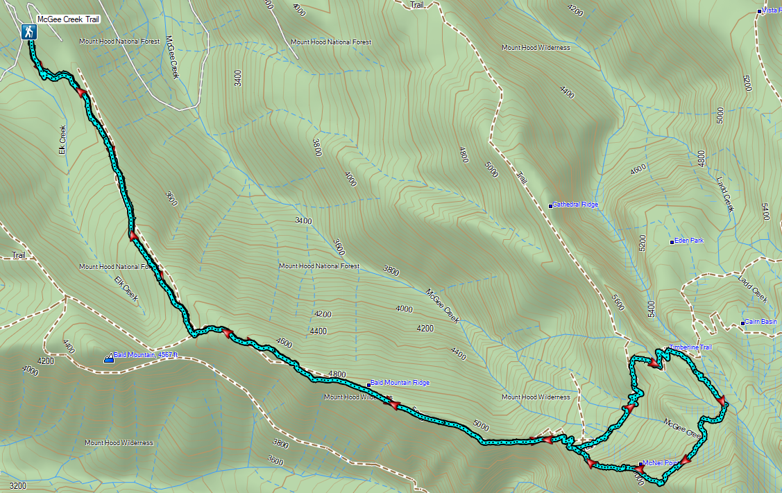
Our hike came in at 9.7 miles with approximately 2700′ feet of elevation gain.
It was a bit of a mixed hike for us. The wildflowers and wildlife were great but the number of other trail users, and some of the resulting trash and lack of etiquette prevented us from fully enjoying the experience. It has been quite a while since we’d been on such a consistently busy hike. That being said the McGee Creek Trail was a nice break from the crowds providing the type of solitude (and lots of berries) that we really enjoy. Happy Trails!