As we continue to deal with the ever changing situation presented by the COVID-19 pandemic we are looking for ways to hike responsibly. That means doing our best to follow social distancing guidelines and honoring any closures in place. The situation with closures has been especially confusing requiring a fair amount of digging to get a clear picture of just what is allowed and what isn’t. With these things in mind we have been looking for hikes that are open and lightly used to limit our interaction with other people.
After looking through our to-do hike list we decided that the best option for an acceptable outing at this point was a pair of hikes along the North Fork Middle Fork Willamette River. In regards to closures, the Willamatte National Forest (as of this writing) has closed all developed recreation sites. Reviewing the March 27, 2020 announcement on their website goes on to say that those sites include “campgrounds, day-use sites, trailheads with bathrooms, Sno-parks, snow shelters, fire lookouts, hot springs, boat launch facilities, and OHV trailhead facilities.” Trails themselves are not on the list and remain open assuming proper social distancing and group size/make up is within acceptable limits.
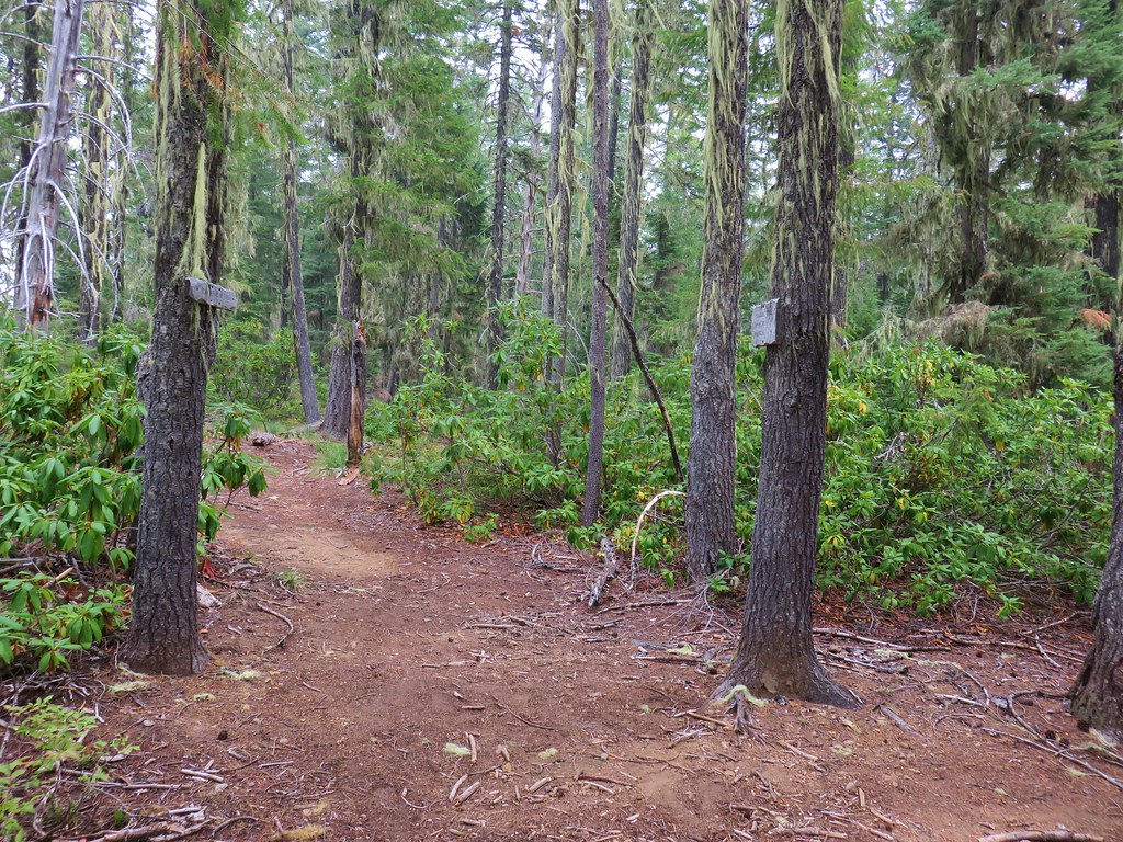
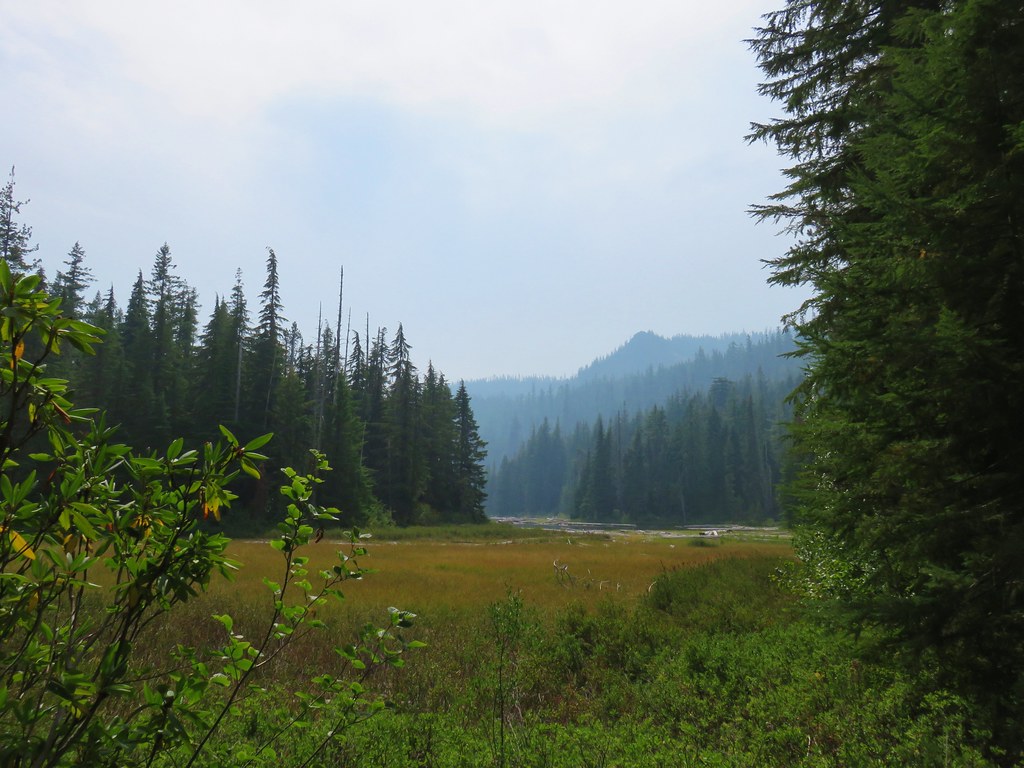
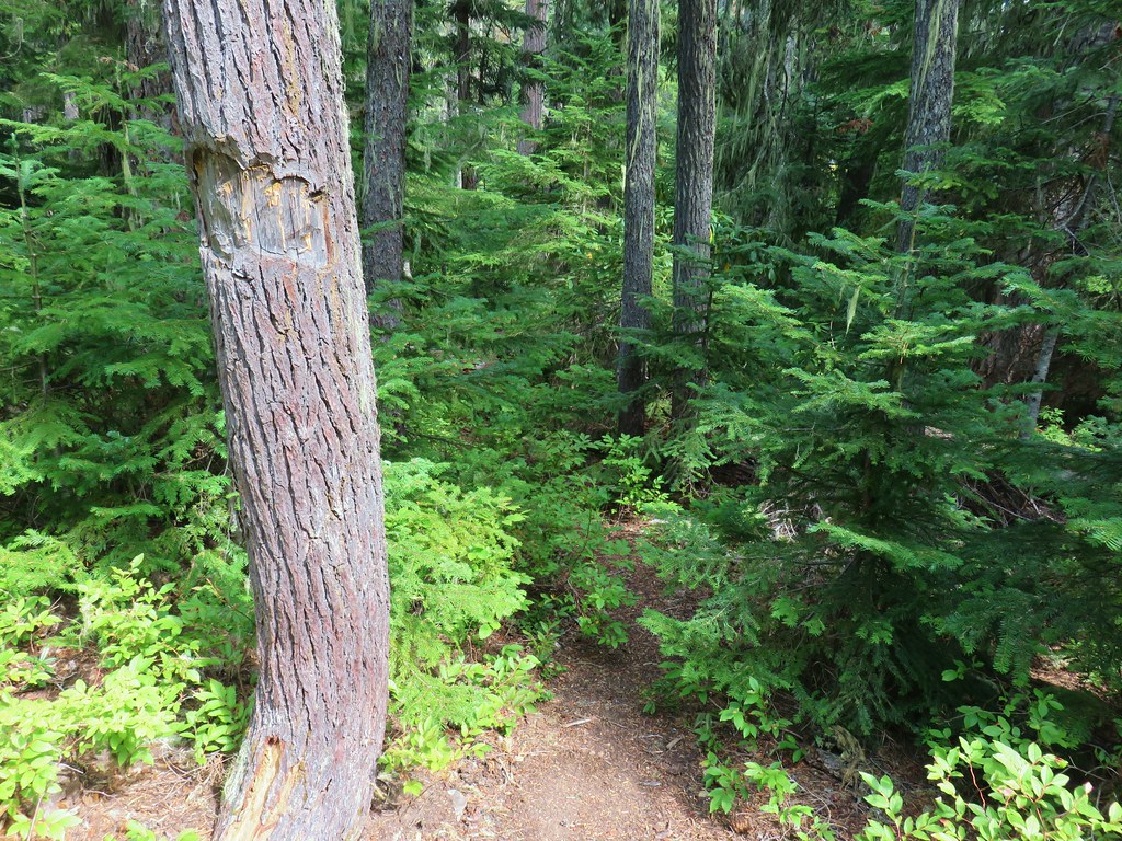
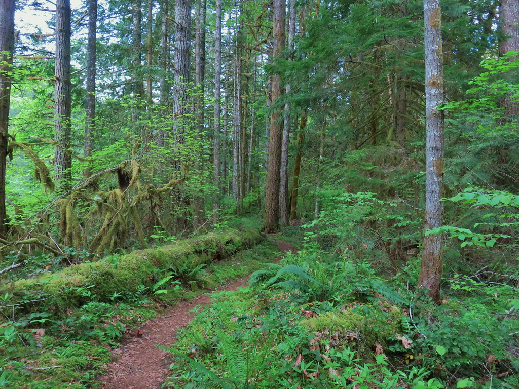
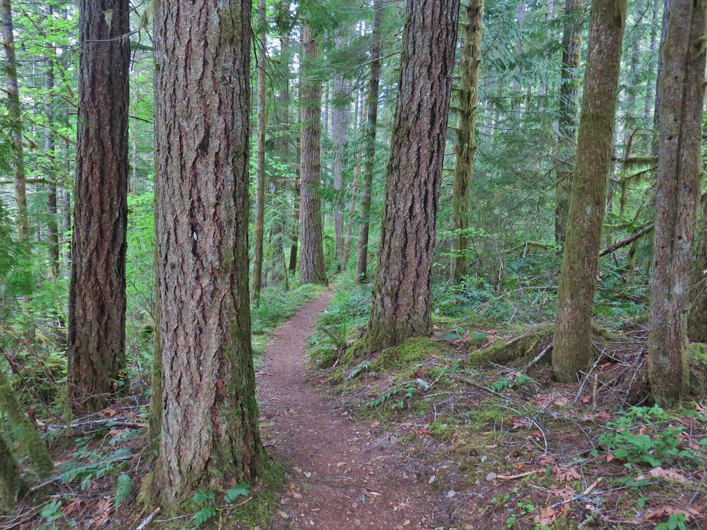
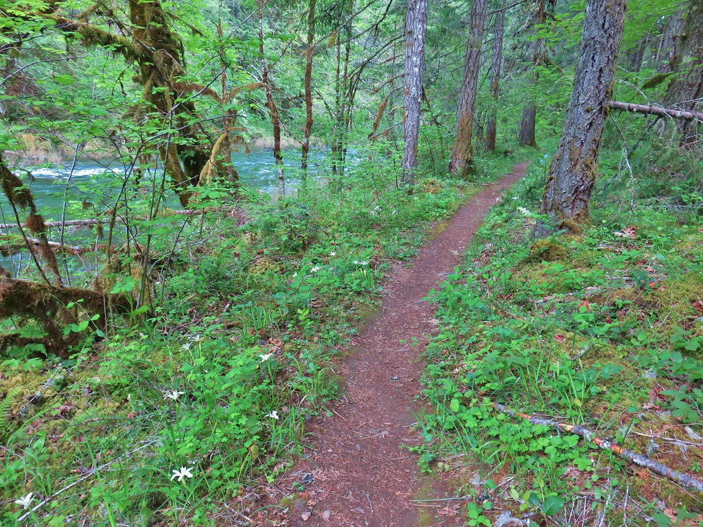
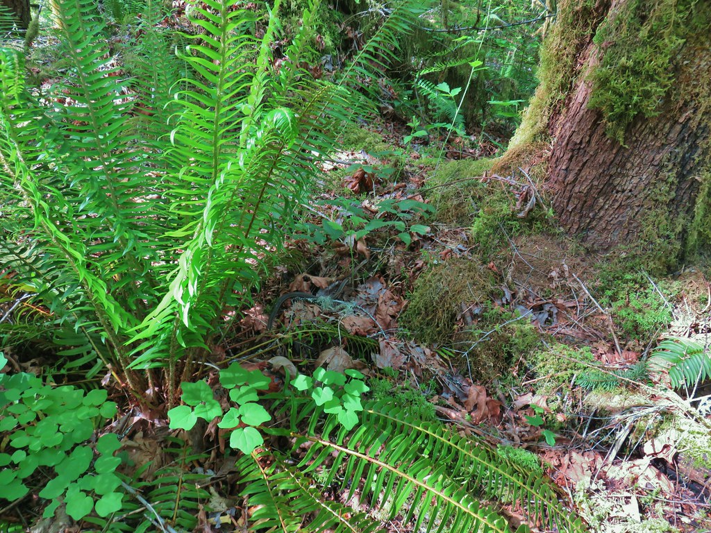
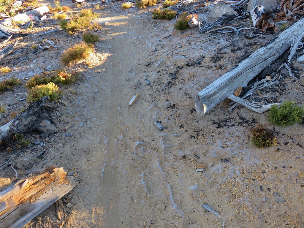
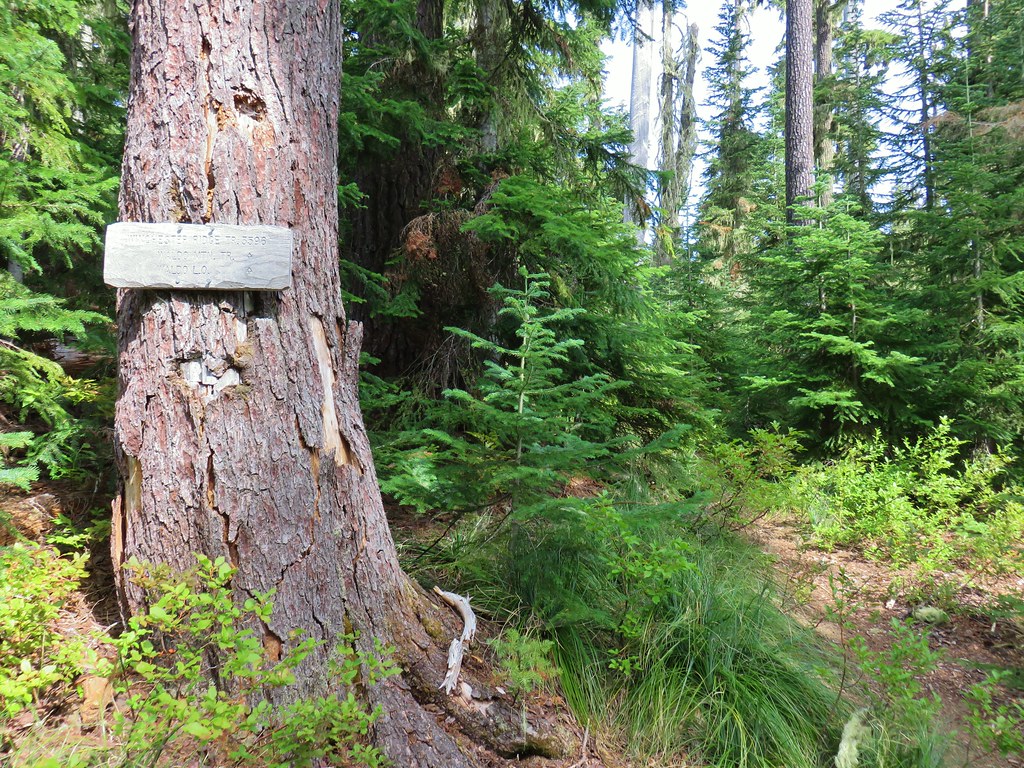
Our first stop was to hike Segment 1 of the North Fork Trail. Since trailheads with bathrooms are part of the temporary closure the traditional trailhead for this hike was out. Our plan was to park at a small pullout along Forest Road 1910 three miles NE of Westfir along Forest Road 19 (Aufderheide Scenic Byway). A decommissioned road just after crossing the river provided the perfect spot to park and happened to be right where the North Fork Trail crossed FR 1910.

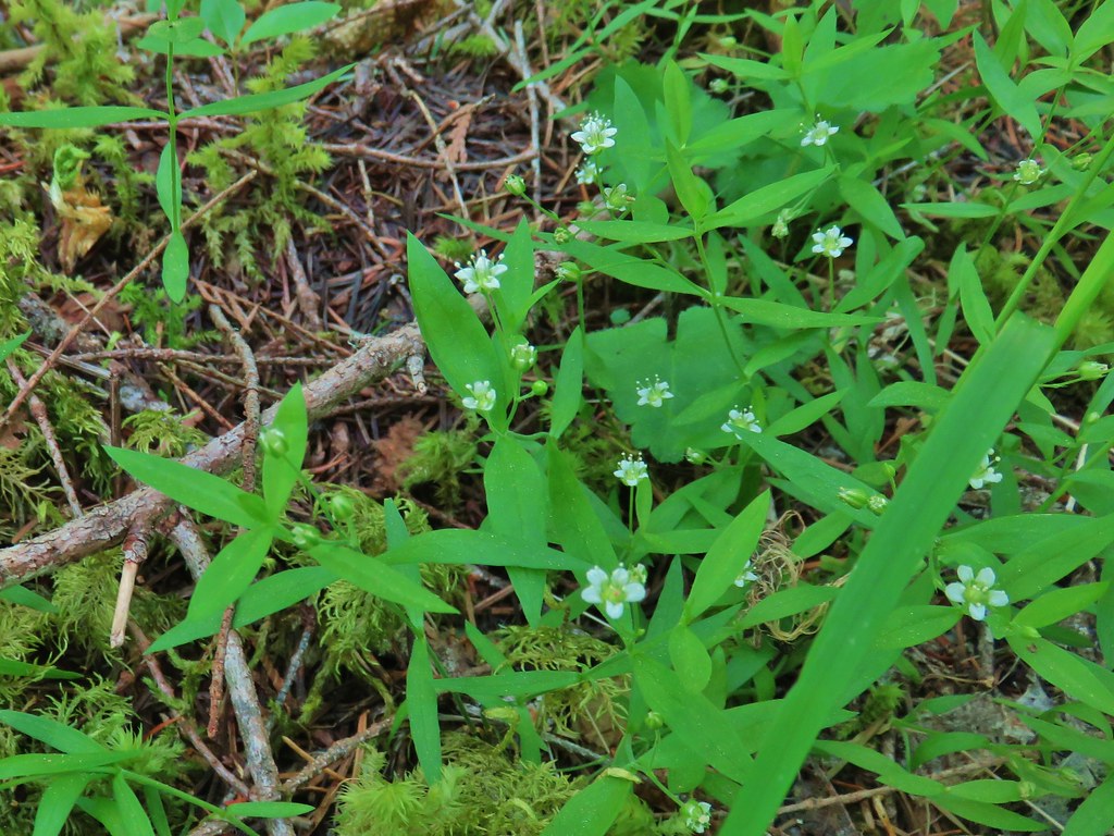
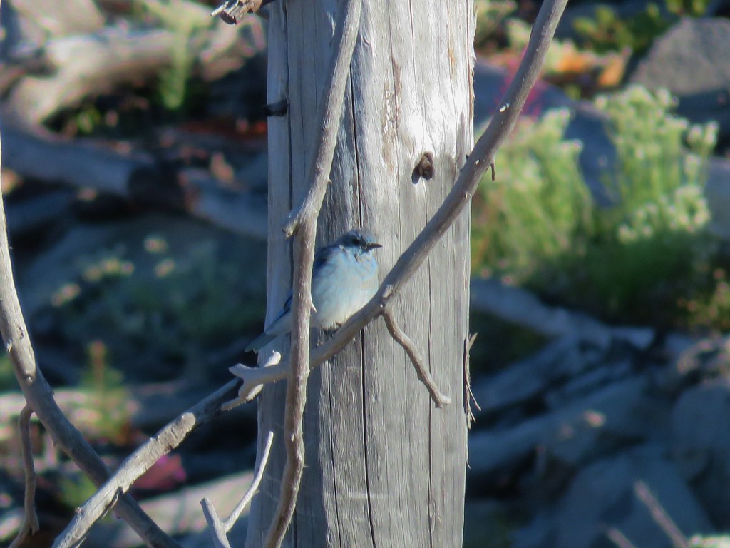
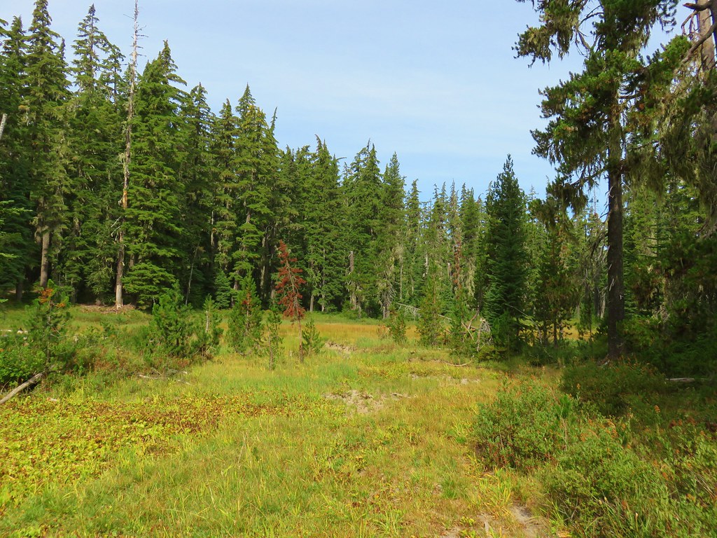
We headed SW into the forest where a number of different wildflowers were currently blooming.
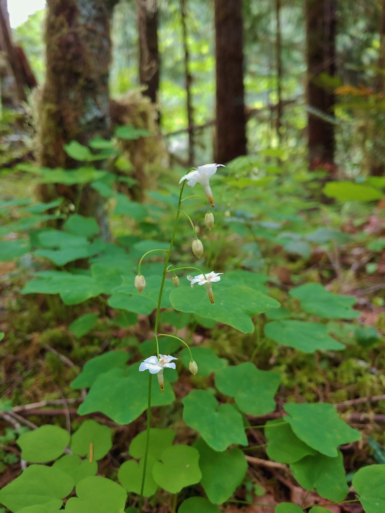
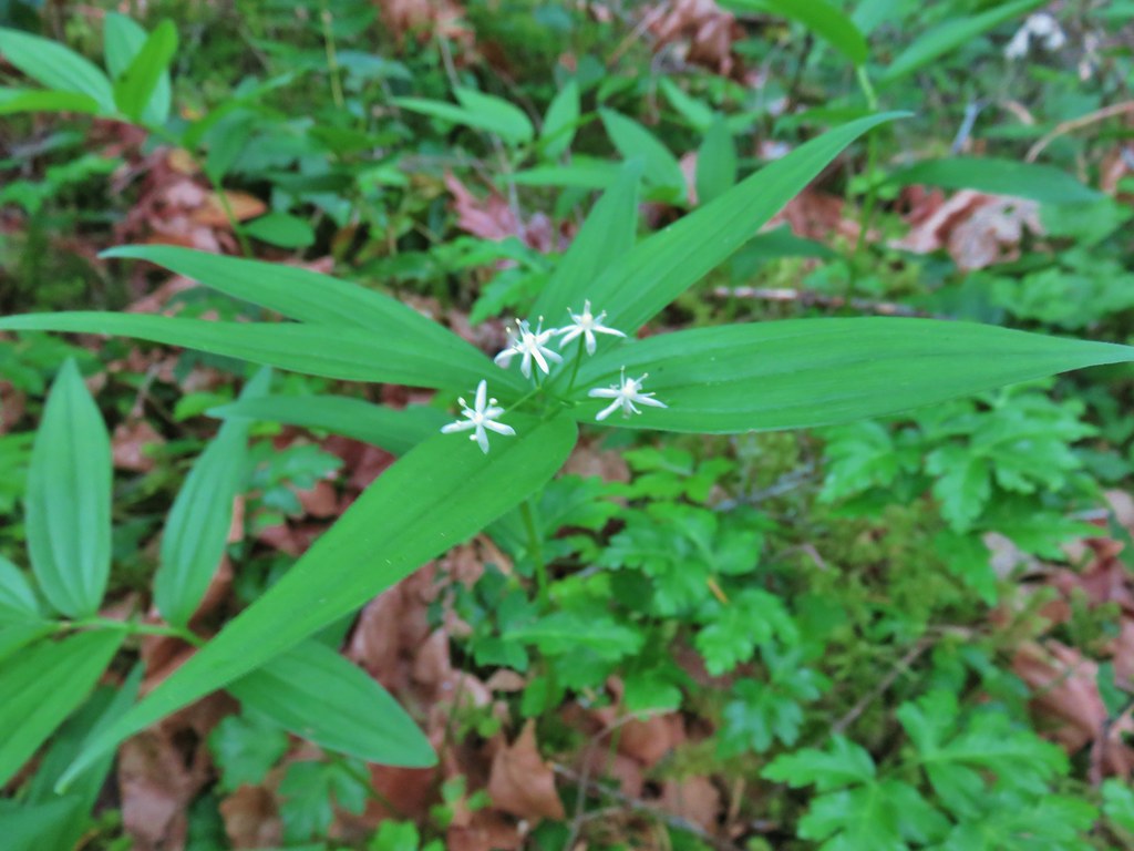 Star-flowered solomonseal
 Anemone
 Trillium
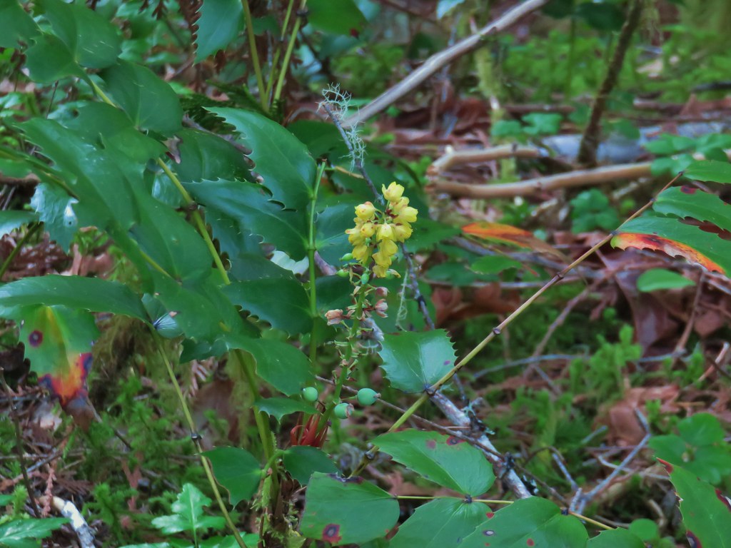 Oregon grape
 Starflower
 Yellowleaf iris
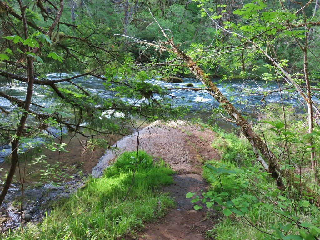
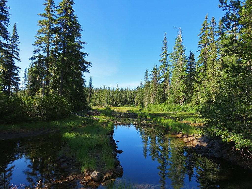
After .2 miles we followed a path down to the riverbank.
 Looking back at FR 1910’s bridge over the River.

A few steps after returning to the trail we left the trail again and crossed the decommissioned FR 685 near Short Creek to check out a small slide.

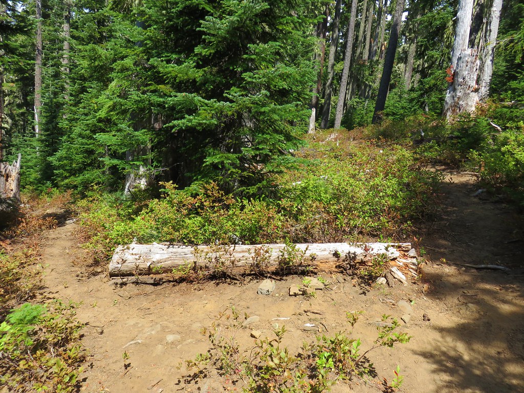
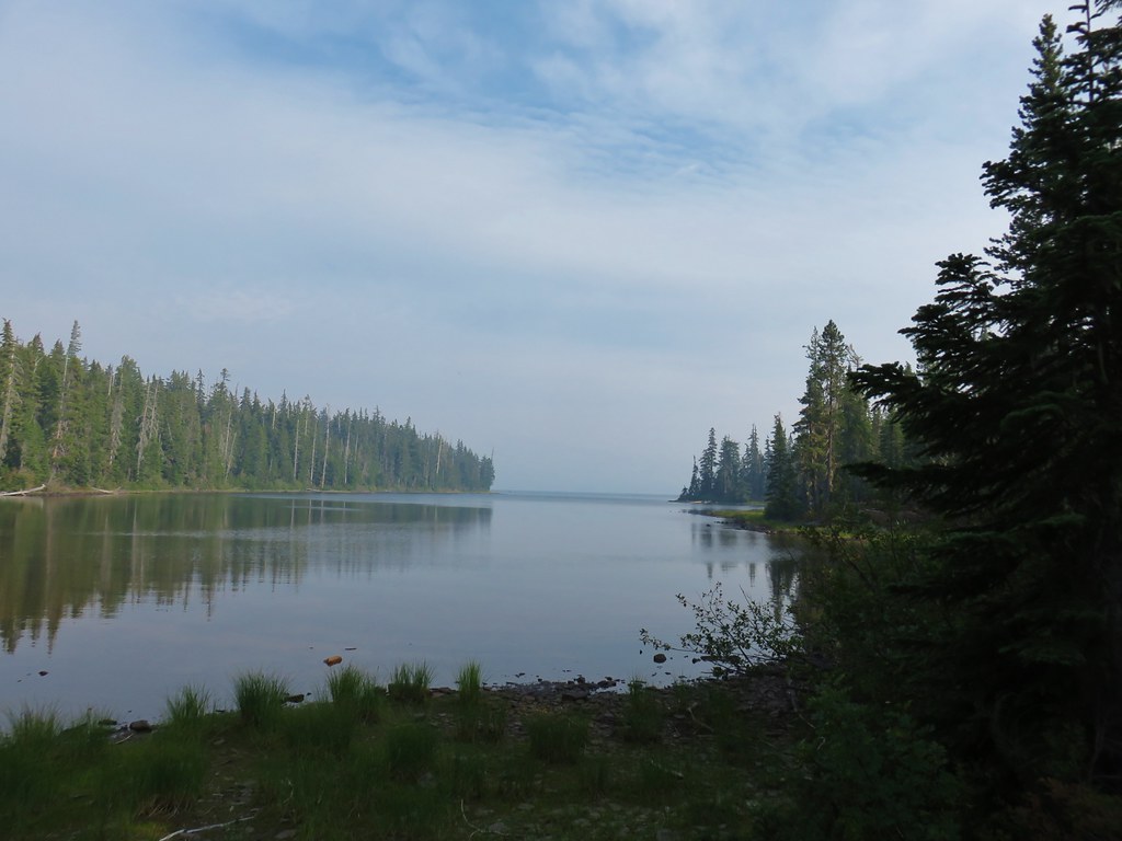
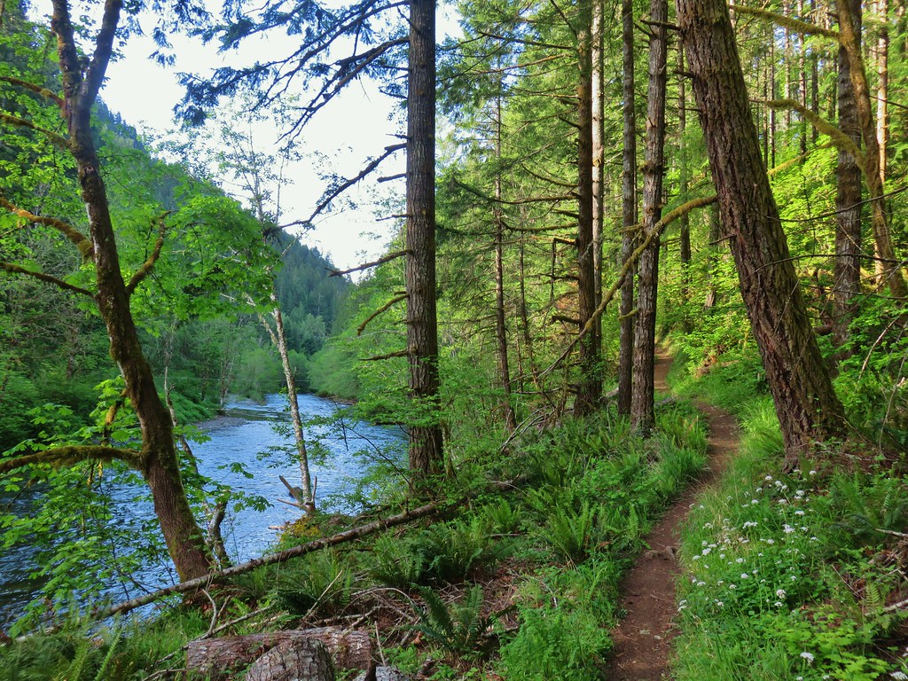
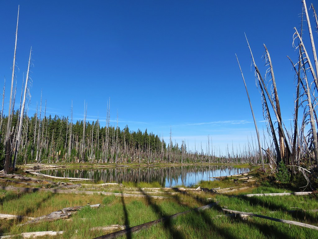
We followed the relatively level trail for another 3 miles turning around at an old road about a tenth of a mile from the parking area of the closed trailhead. Like most river trails the North Fork trail spent some time along the river, above the river, and others back in the forest. There were a few changes to the scenery along the way and plenty of flowers (along with a fair amount of poison oak). Three miles from FR 1910 we passed the concrete remains of a 1930s mill pond.
 Valerian
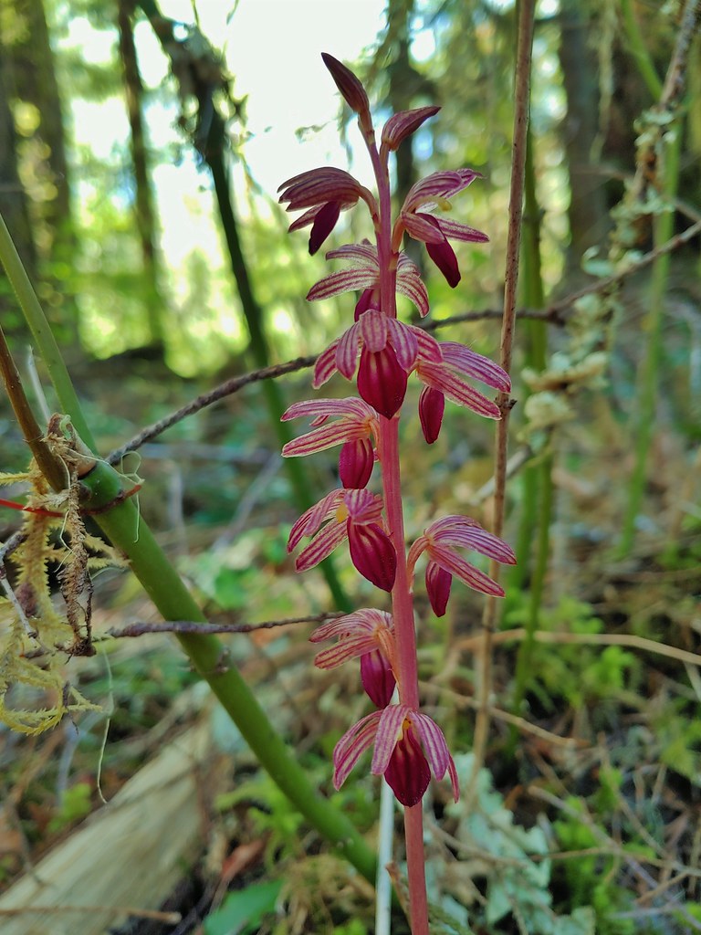
 Spotted coralroot
 Inside-out flower

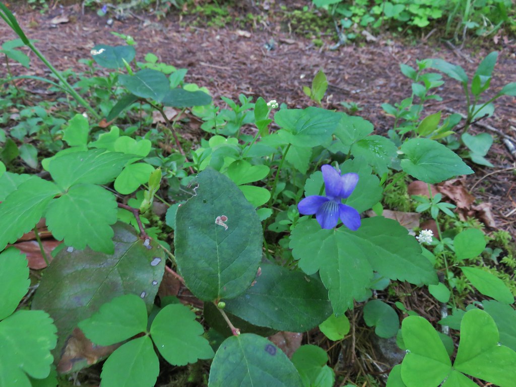 Hookedspur violet
 Fairy slipper
 Dogwood blossom
 Buck brush

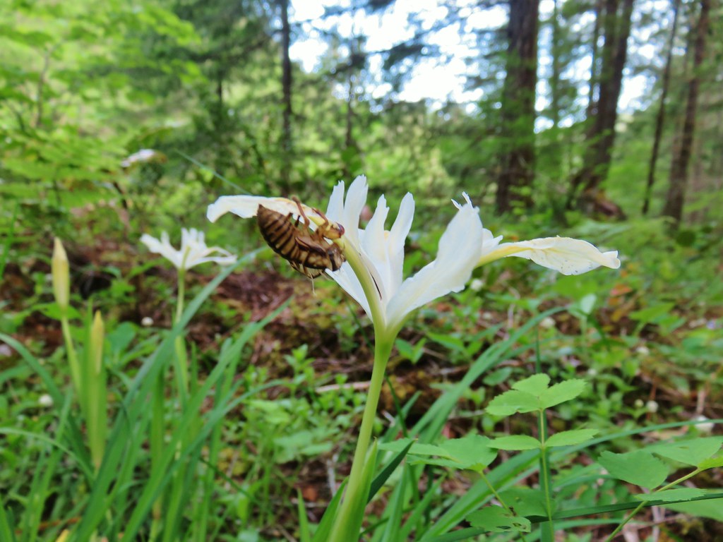 Shed cicada skin
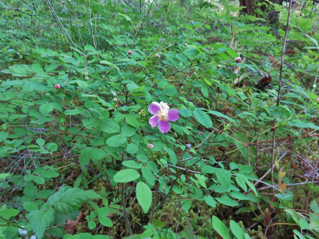 Wood rose
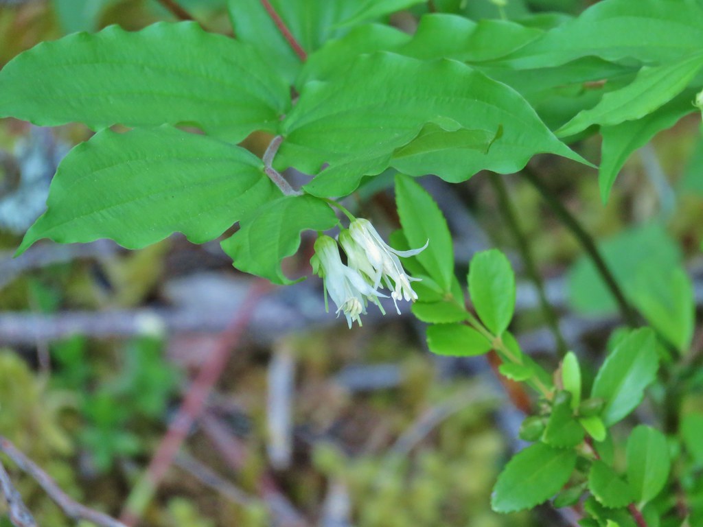 Fairy bells
 Northern phlox
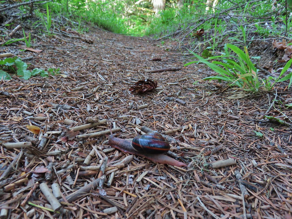 Trail snail

 Honeysuckle
 Columbine

 Lupine
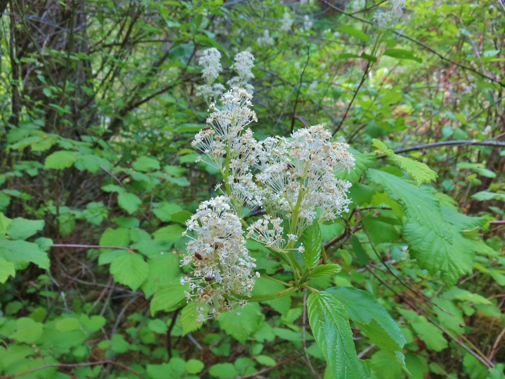
 Youth-on-age
 Rock ledge along the river.
 View from the rock ledge.
 Monkey flower
 Camas
Camas
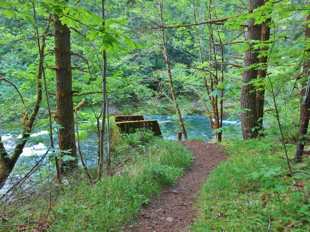 Concrete tower

 Pale flax
 Roadbed near the trailhead.
We returned the way we’d come keeping our eyes open for anything we missed on our first pass, and of course there were a couple of flowers that we missed.
 Vanilla leaf
 Wild ginger
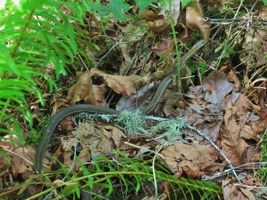
A garter snake provided a bit of excitment when Heather noticed it coming towards her onto the trail. It eventually slithered to a fern on the other side but not before getting her to jump.
We wound up only encountering 4 people along the trail, a lone hiker and a group of three mountain bikers so this first stop had worked out well from a socially distancing standpoint.
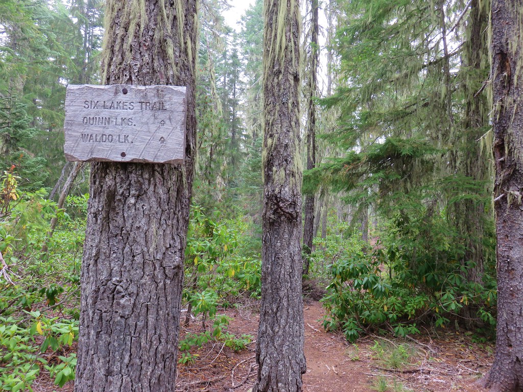
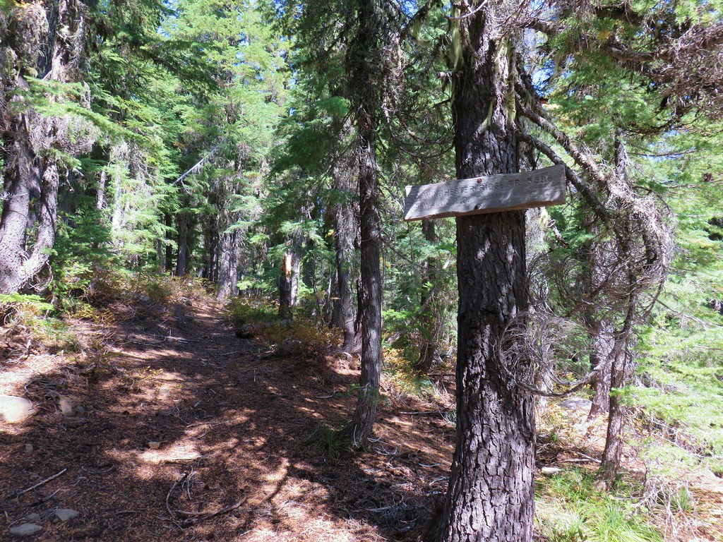
After making it back to our car we returned to FR 19 and turned left (NE) for 18.1 miles to Forest Road 1939 (1.1 miles beyond Kiahania Campground). We turned left onto FR 1939 for 1.2 miles to a hiker symbol on the left marking the start of another segment of the North Fork Trail.

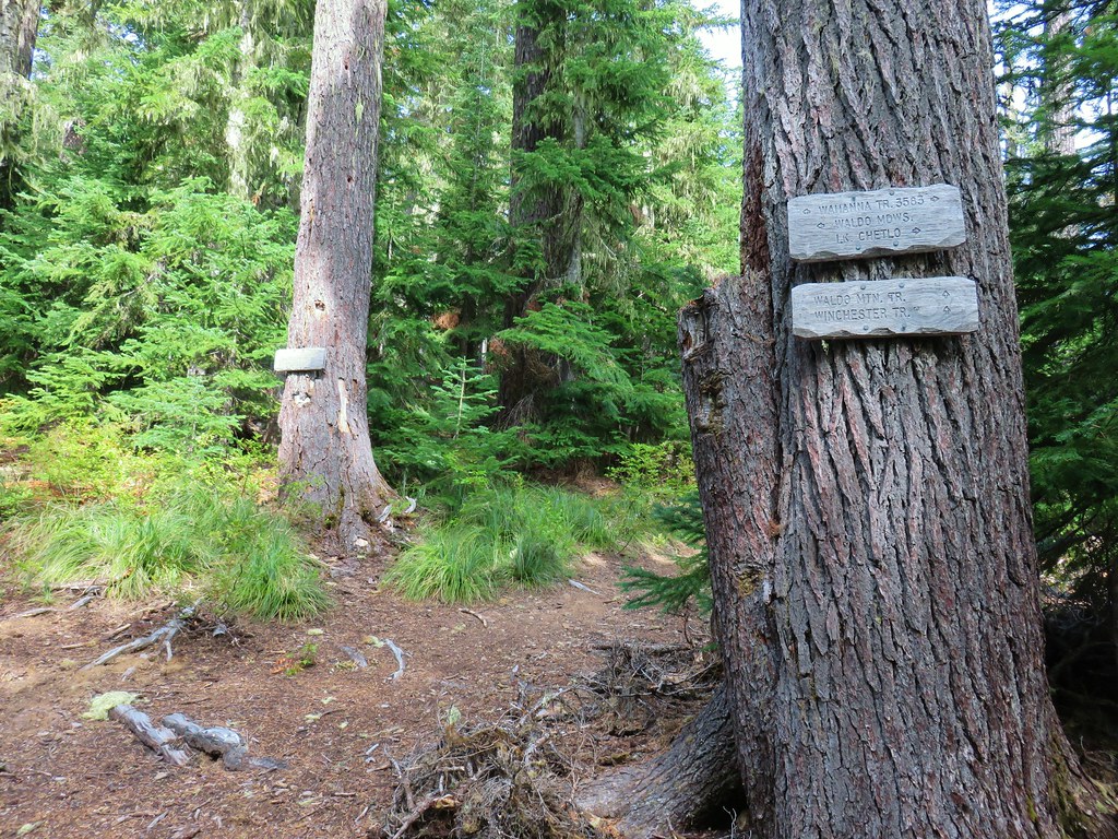
As best as I can tell from research this 4.5 mile segment of the North Fork Trail appears to have been completed in 2011 or possibly 2010. There is very little information online about it even though it has appeared as a featured hike (along with Segment 1) in William L. Sullivan’s “100 Hikes in the Central Oregon Cascades” books since his 4th edition was published in 2012. I was unable to find any reference to it all on the Willamette National Forest’s website despite the Forest Service hoping to one day connect all the segements of the North Fork Trail from Westfir to Waldo Lake. In any event there is no parking area for this trailhead and there is just enough room for a couple of cars to park off the road on the shoulder nearby.
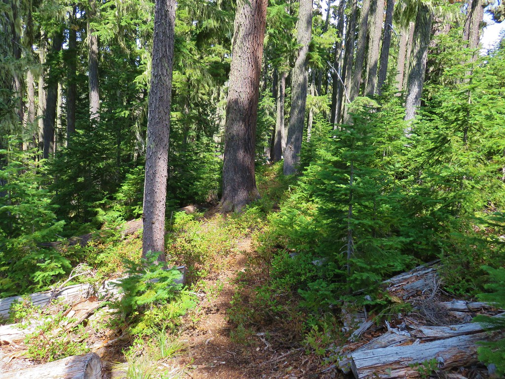
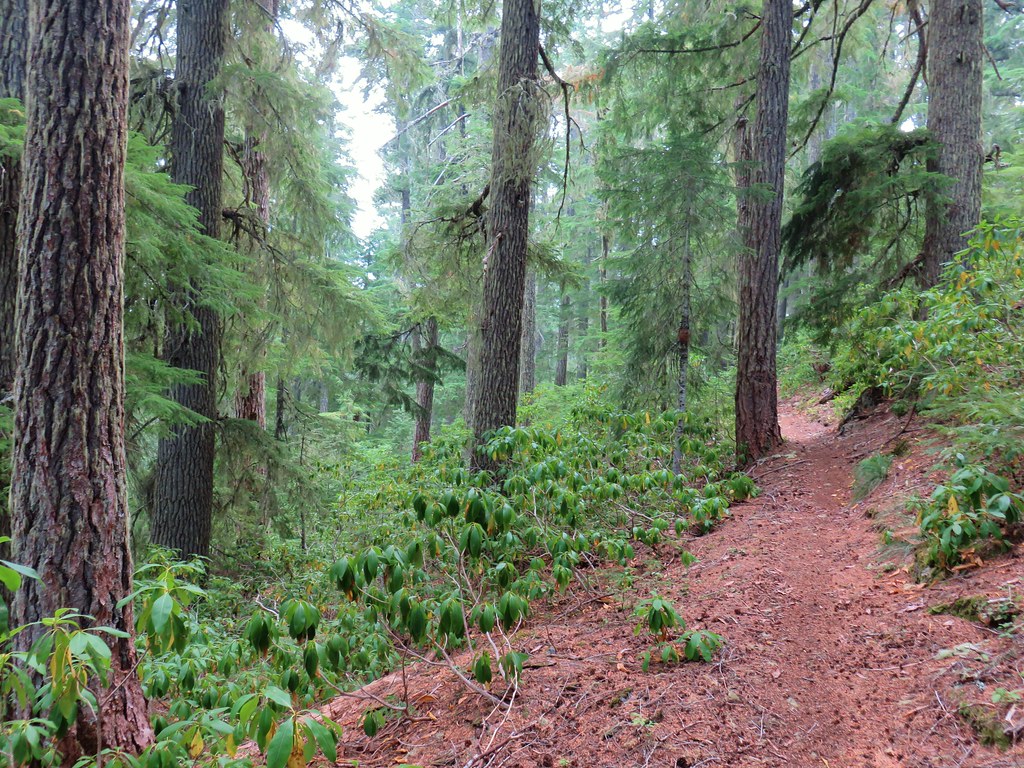
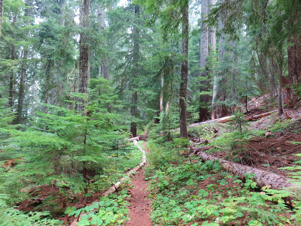
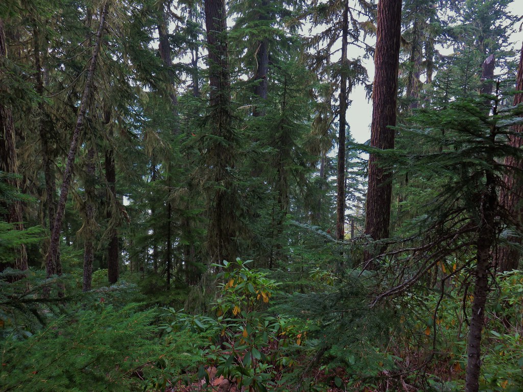
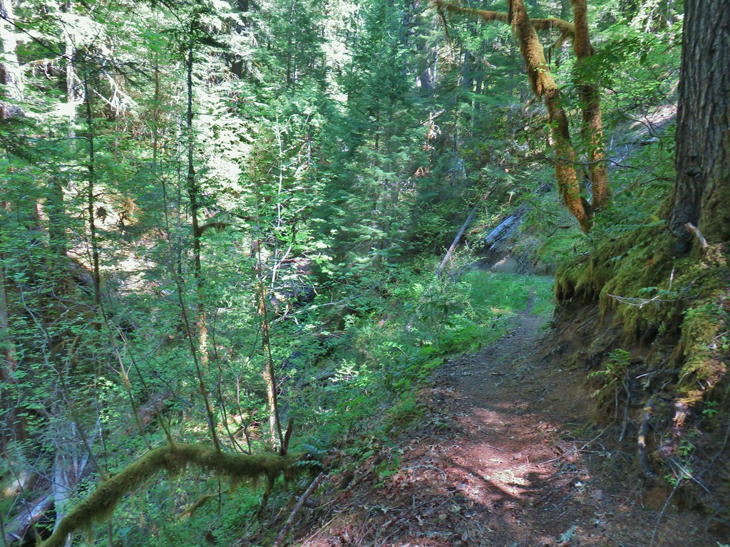
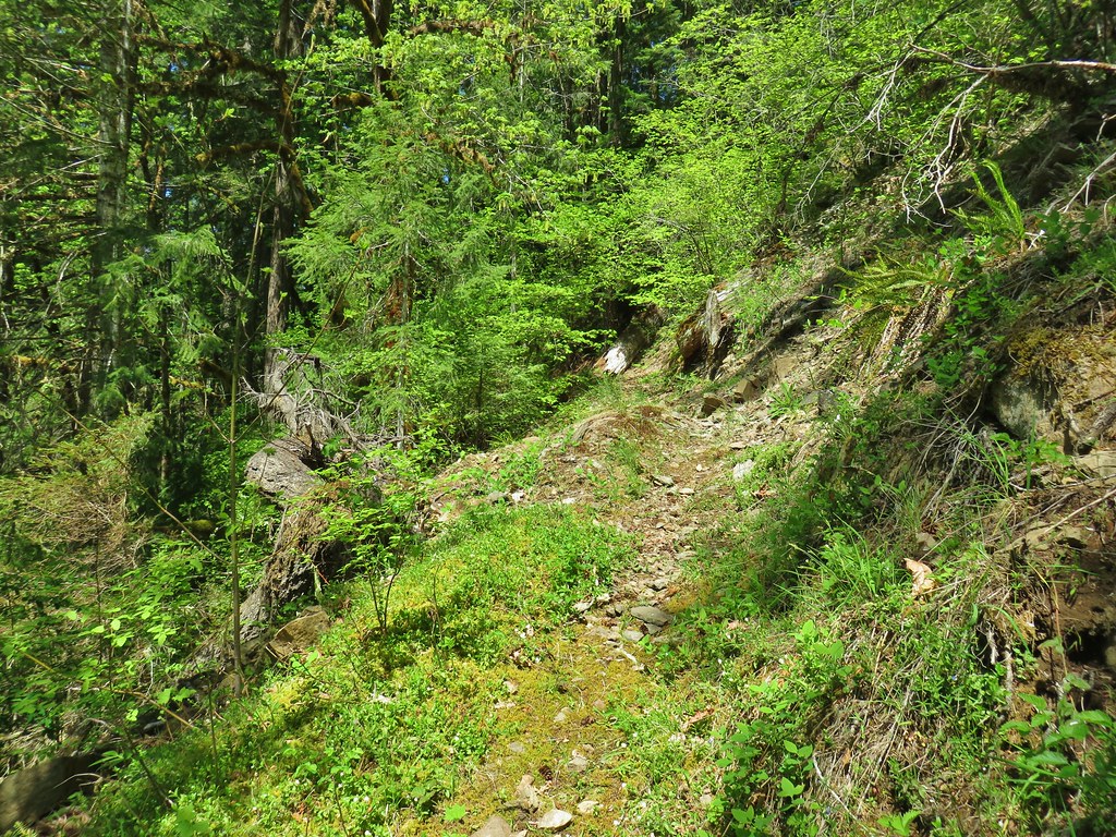
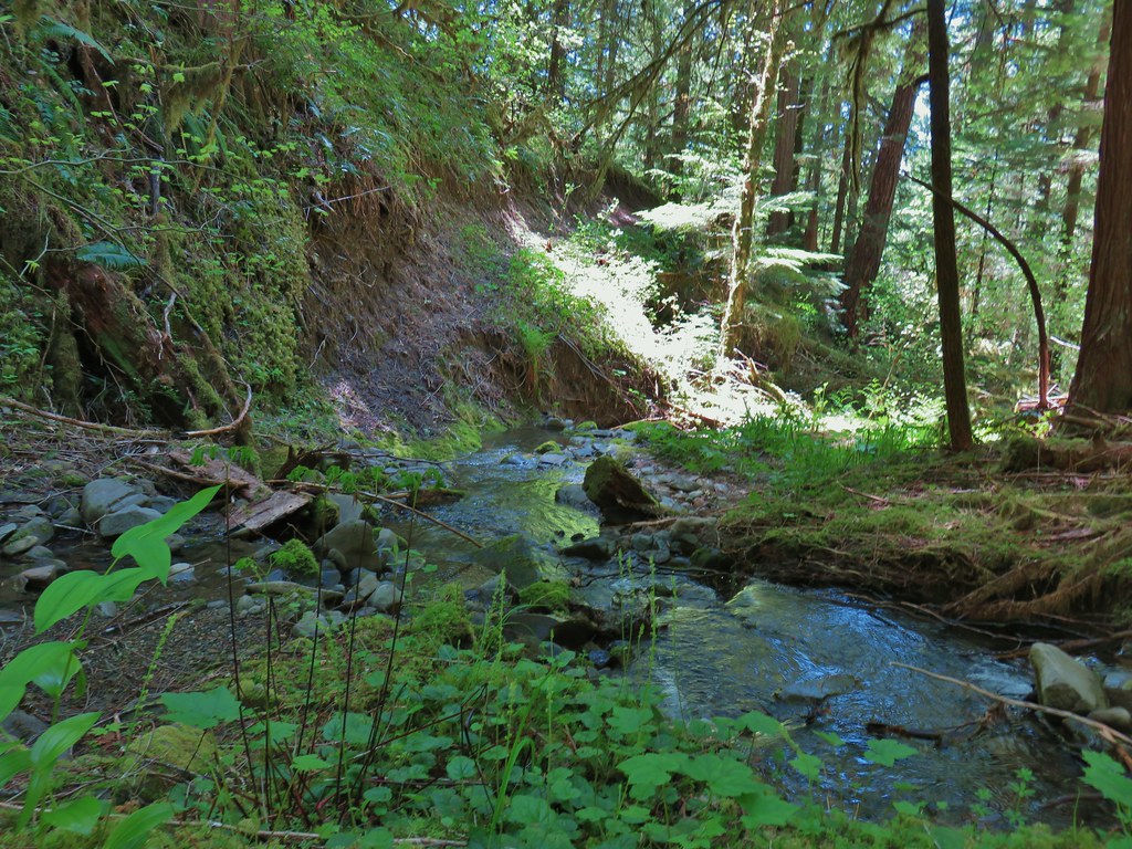
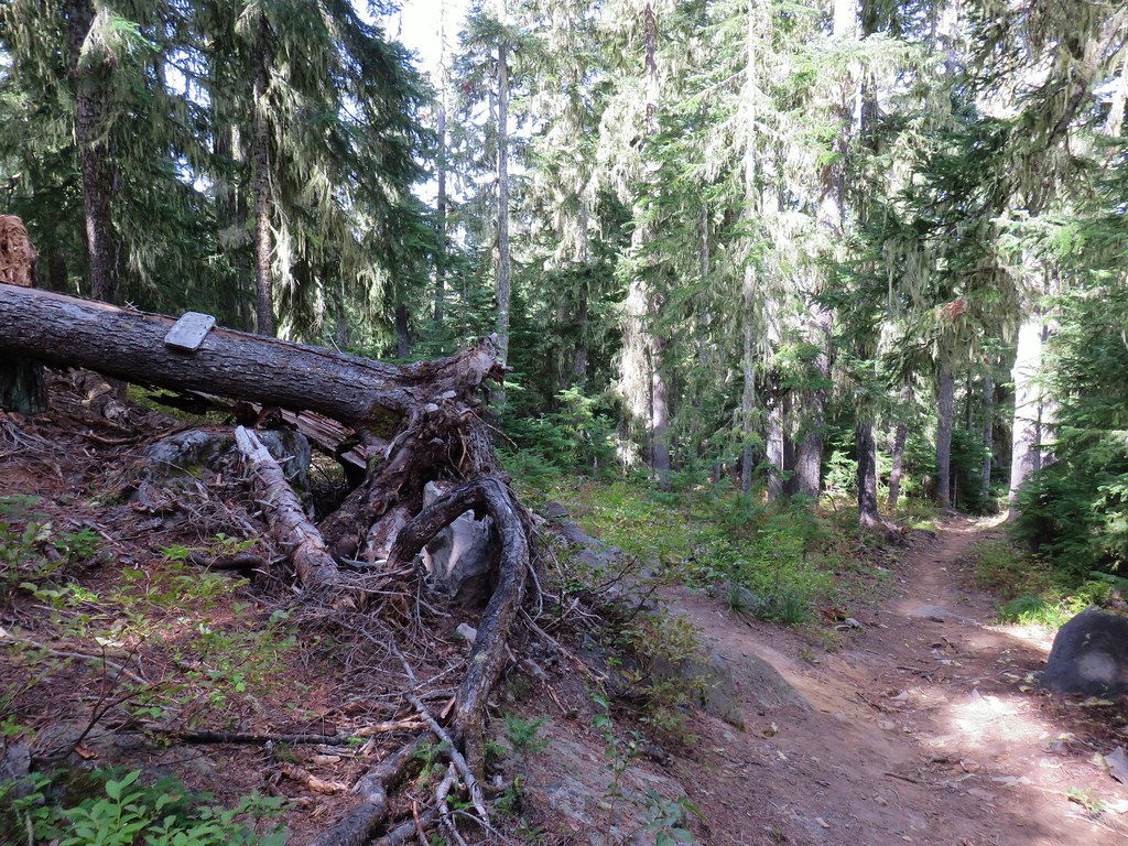
From the outset it was obvious that this was a much lighter traveled segment than the Segment 1 as the tread was narrower and there was some large trees across the trail.


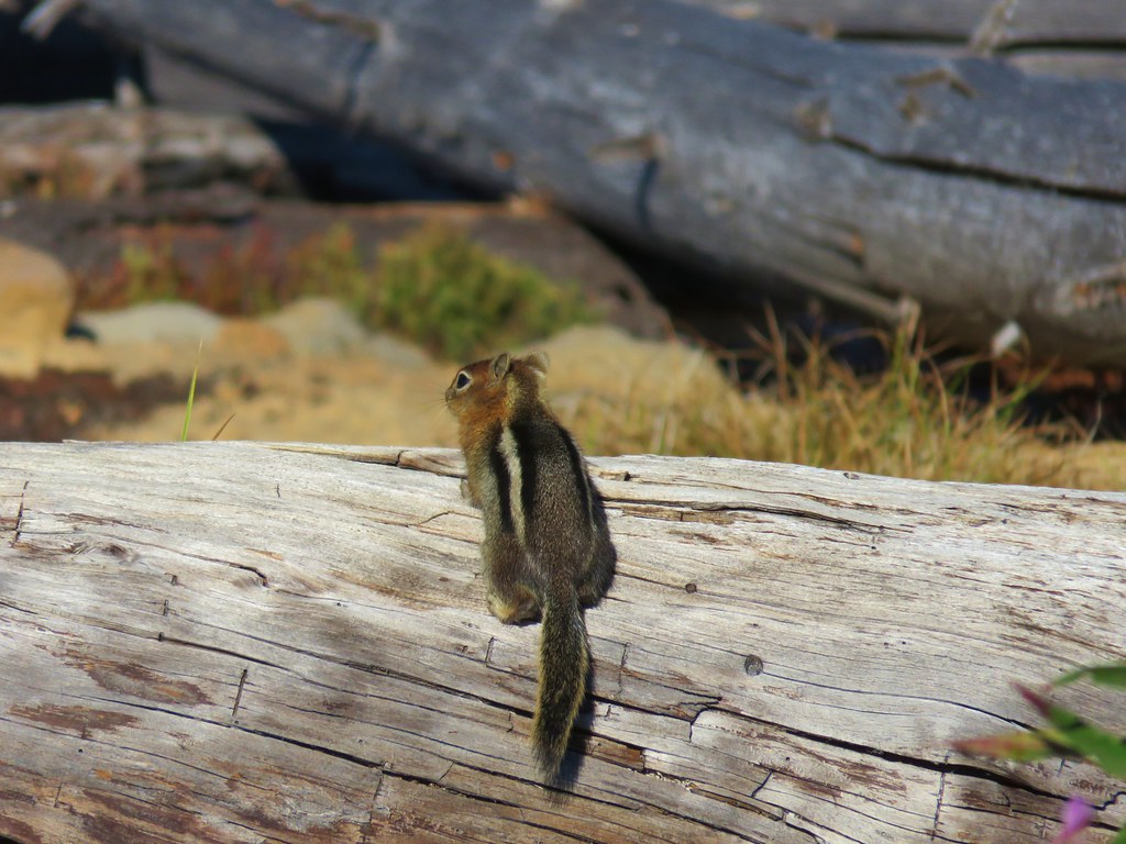
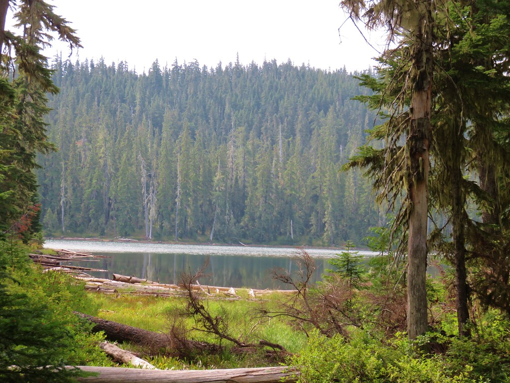
There were some similarities though as we saw many wildflowers (some the same as during our earlier stop and some new for the day) and this trail also provided a few access points to the river.

 Candy flower growing out of a mossy tree trunk.
 Western meadowrue
 Largeleaf sandwort

 Striped coralroot
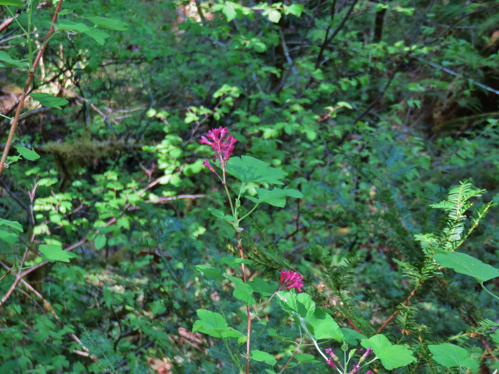 Red flowering currant
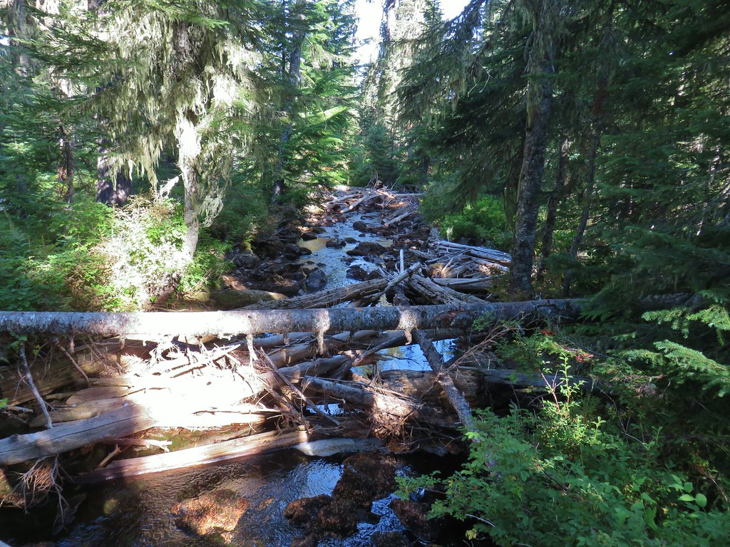
There were several creeks to cross, the first was too wide at the trail to hop across requiring a slight detour downstream. The rest all had rocks allowing us to cross dry footed.
 The second creek crossing.
The trail turned away from the river to drop to the third substantial creek crossing.

It was at this third creek that we realized we’d missed a 10 foot waterfall marked on Sullivan’s map at the 1.1 mile mark. A quick re-reading of the hike description told us it was 150 feet offtrail which explained why we hadn’t seen it. We made a mental note to look for it on the way back.
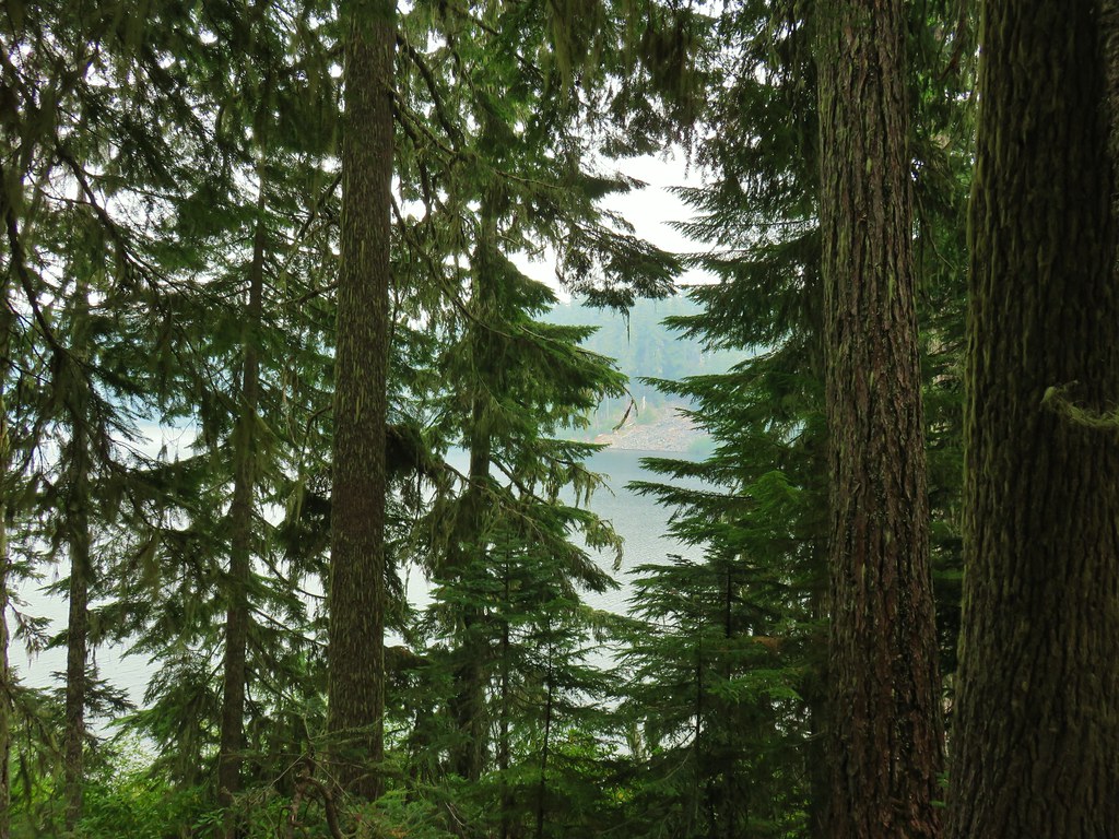
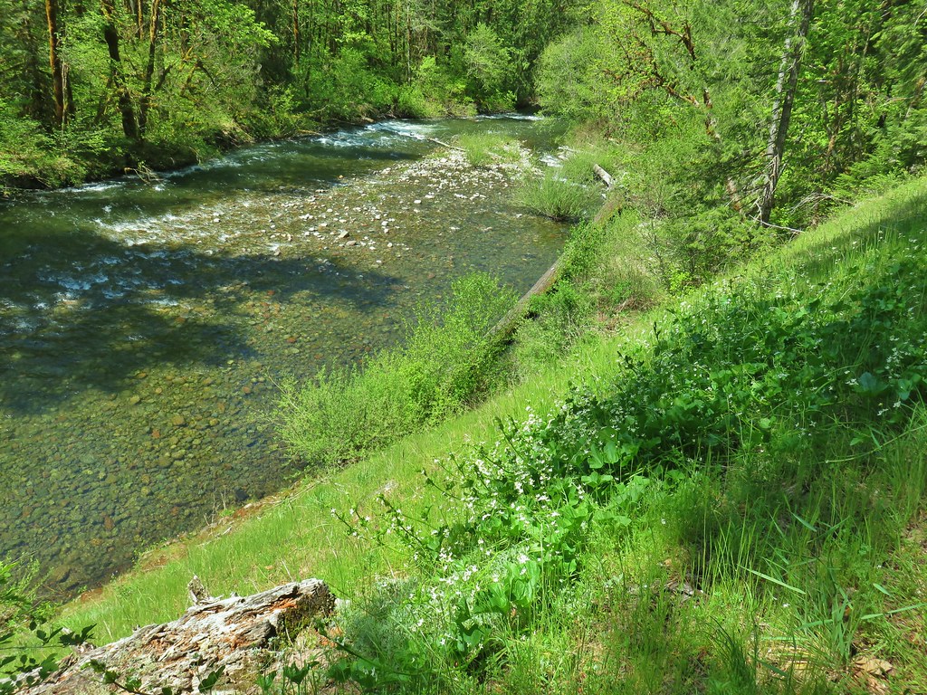
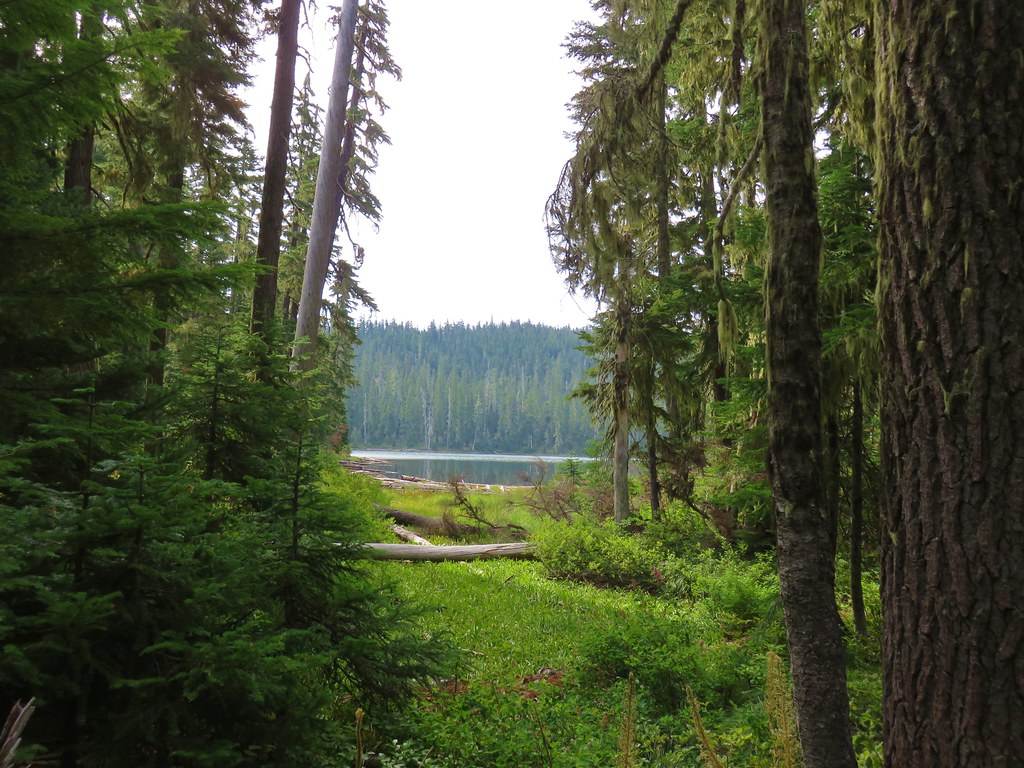
At the 2.3 mile mark the trail passed close to the river and a cobblestone beach from which the basalt outcrop of Buffalo Rock was visible.


As the trail began to pass under Buffalo Rock it became even wilder than it had been beginning with a large tree blocking the trail just on the other side of a creek crossing.
After ducking under the tree the trail passed through a small hillside meadow.
 Coastal manroot
 Sticky cinquefoil
 Popcorn
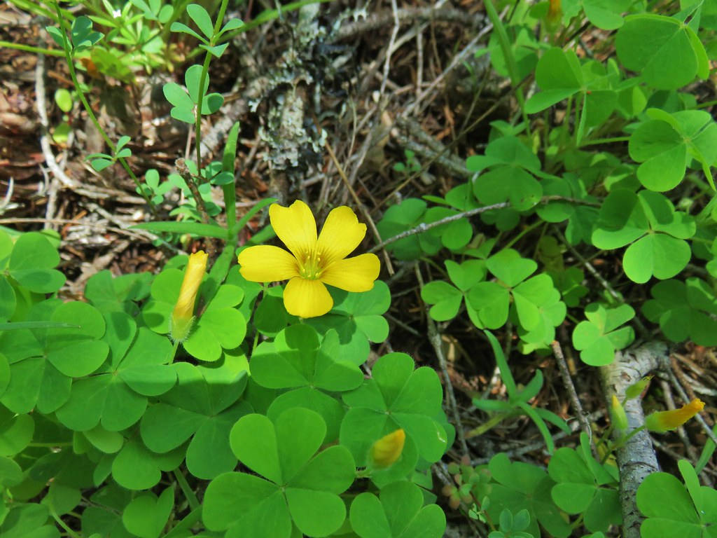 Western yellow oxalis
The dry, rocky hillside below Buffalo Rock provided for some different types of flowers and plants and was the only spot along this trail that we noticed any poison oak.

 Variable collomia
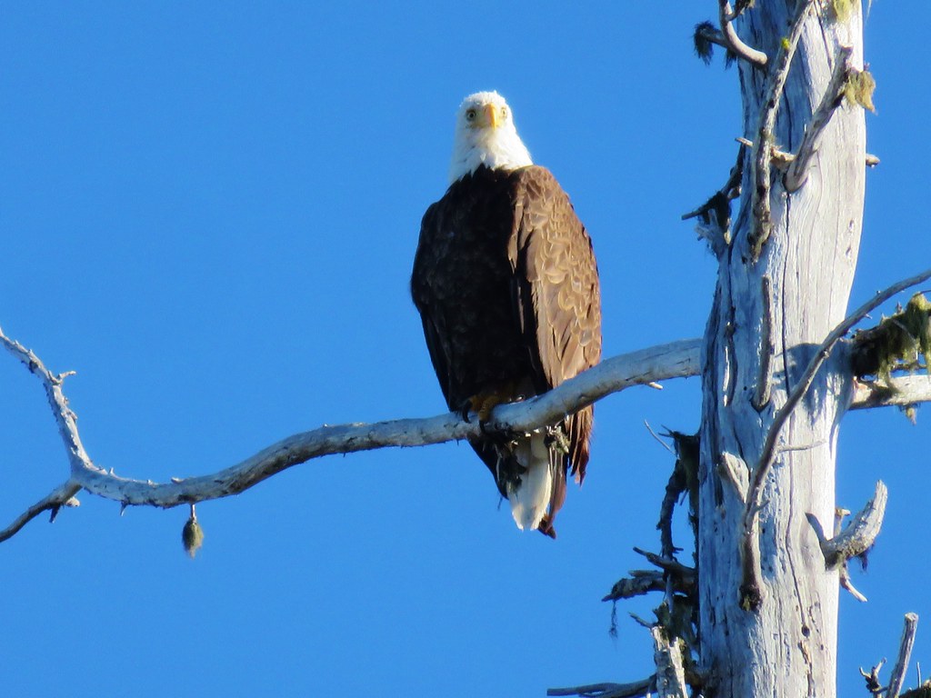
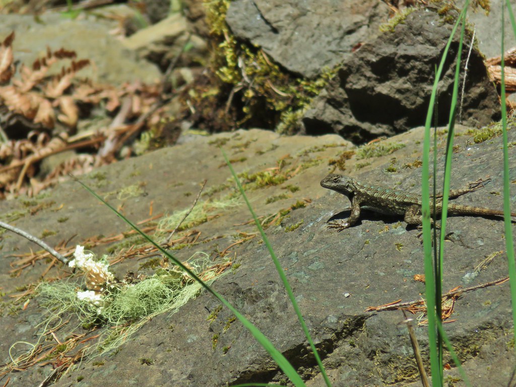 Western fence lizard
 Giant blue-eyed Mary
 Larkspur
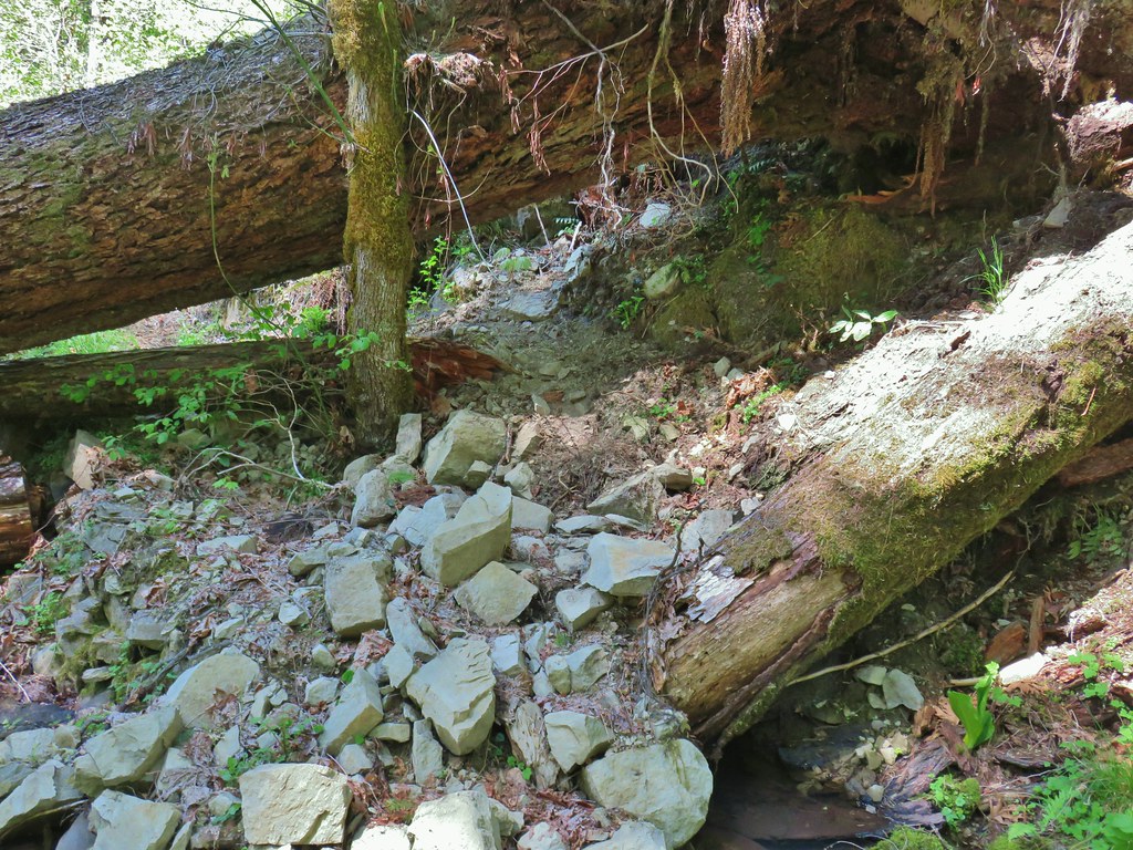
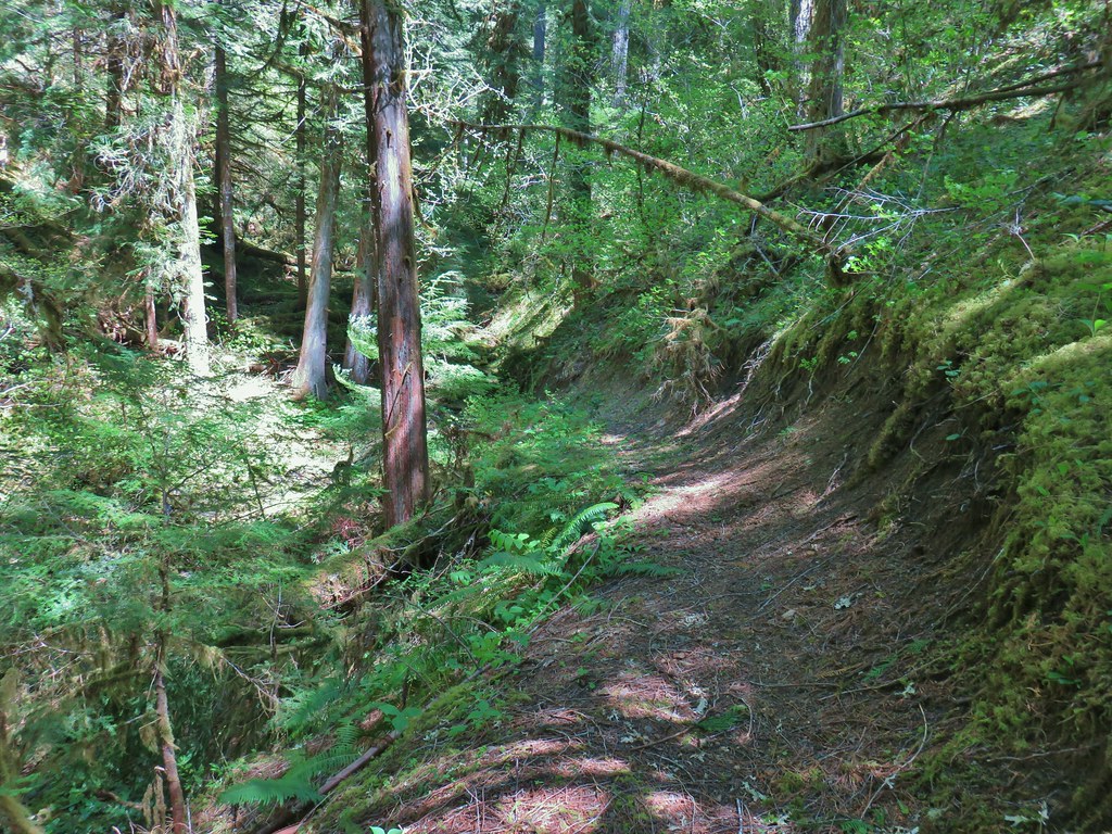
This segment of the trail had originally extended another 2 miles from beneath Buffalo Rock with the next marker on Sullivan’s map being a “mossy pool” a mile from the end of the trail. As we continued on from Buffalo Rock though we found that the trail was quickly deteriorating. It was evident that what little maintenance this segment saw, had all been focused on the section between FR 1939 and Buffalo Rock.
 Had to climb over this on the left side by the standing tree.
 The only choice here was to use this tree as the trail.
 Minor debris on the trail.
 Cuts most likely from the original establishment of the trail.
 This one required a detour to the right around the end of the tree.
 Forest reclaiming the trail tread.
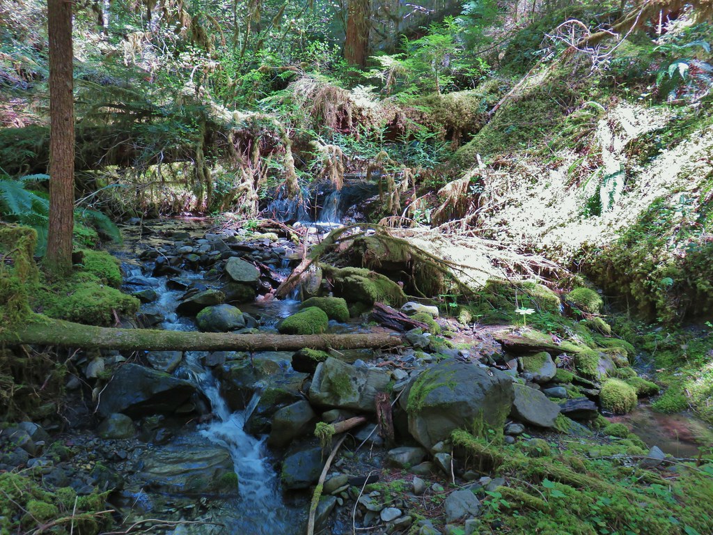
Given the conditions we were experiencing and the distance we were facing for the day we decided to shoot for the mossy pool and turn around there instead of trying to reach the end of the trail. Sullivan himself had suggested turning around at Buffalo Rock and other than noting the pool on his map made no mention of it so we weren’t exactly sure what to expect. The trail turned away from the river to descend to the creek crossing where we expected to find the mossy pool.
The creek had done a good job of erroding the trail which provided one final tricky obstacle to reach the little pool.

We were pleasantly surprised by how nice this little creek and the pool were. There was a small cascade creating the pool.

It was the perfect spot for a nice break. It was the warmest day of the year thus far with temperatures expected in the mid to upper 80s and it felt every bit that hot, but here by the creek the air was cool and refreshing. Between that and the calming sound of the water we both could have easily taken a nap but alas we needed to head back.
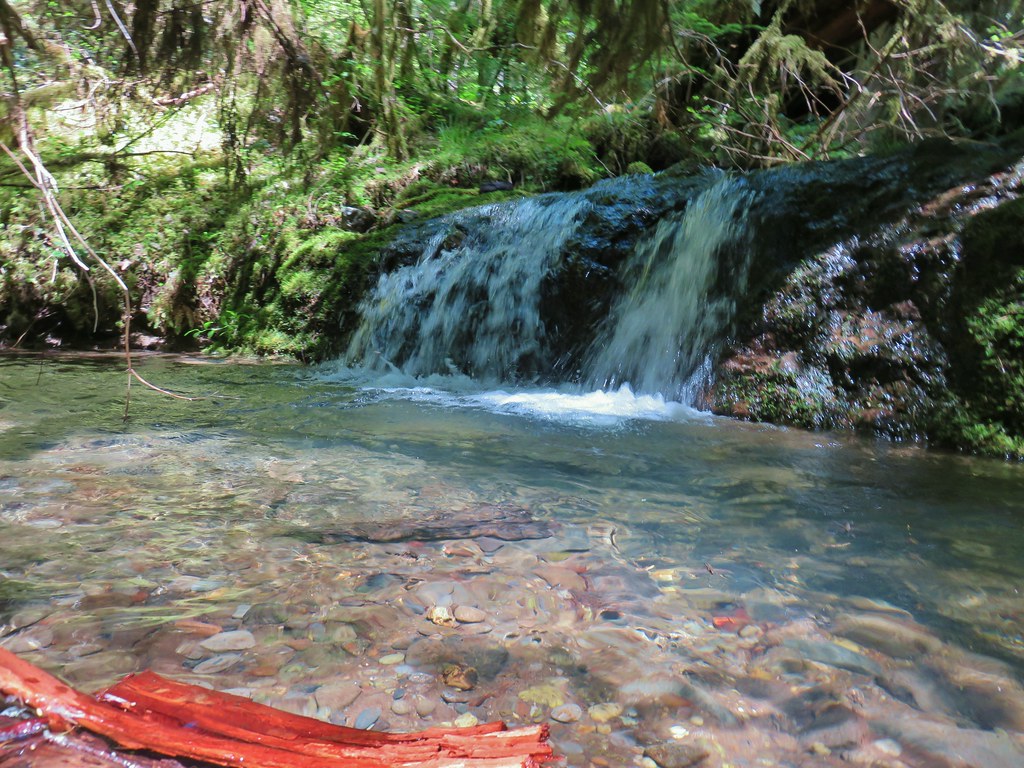
We headed back before we had time to stiffen up with a mission to find the off-trail waterfall. From Sullivan’s map it appeared that there was no creek at the trail to follow up to the waterfall and his description said to listen for the sound of water and follow it. When we thought we were in the right general area we started listening. We took one wrong turn up a small stream that we thought was too soon but didn’t want to accidently miss it again. After following this little stream a short distance we determined that there was no sound of a waterfall of any kind so we returned to the trail and continued on. After descending a series of switchbacks we were in another promising area and this time we could hear water on the opposite side of the trail from the river. We bushwacked uphill to find the little waterfall.


After seeing the waterfall we returned to the car and headed home. We did see one other couple on our way back to the car making it a half-dozen between the two stops for the day. The two hikes totaled 13.9 miles, 6.4 on Segment 1 and 7.5 at Buffalo Rock.
We will continue to look for responsible options to allow us to keep hiking during these unprecedented times. Please be smart and safe and as always Happy Trails!
Flickr: North Fork and Buffalo Rock


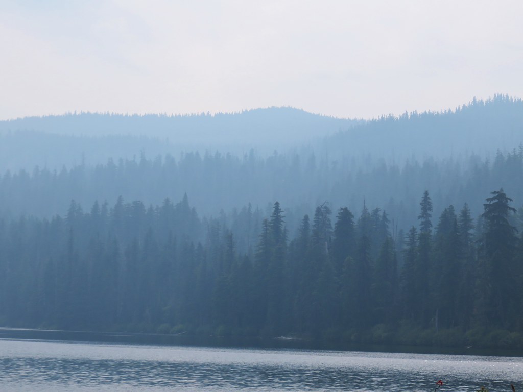
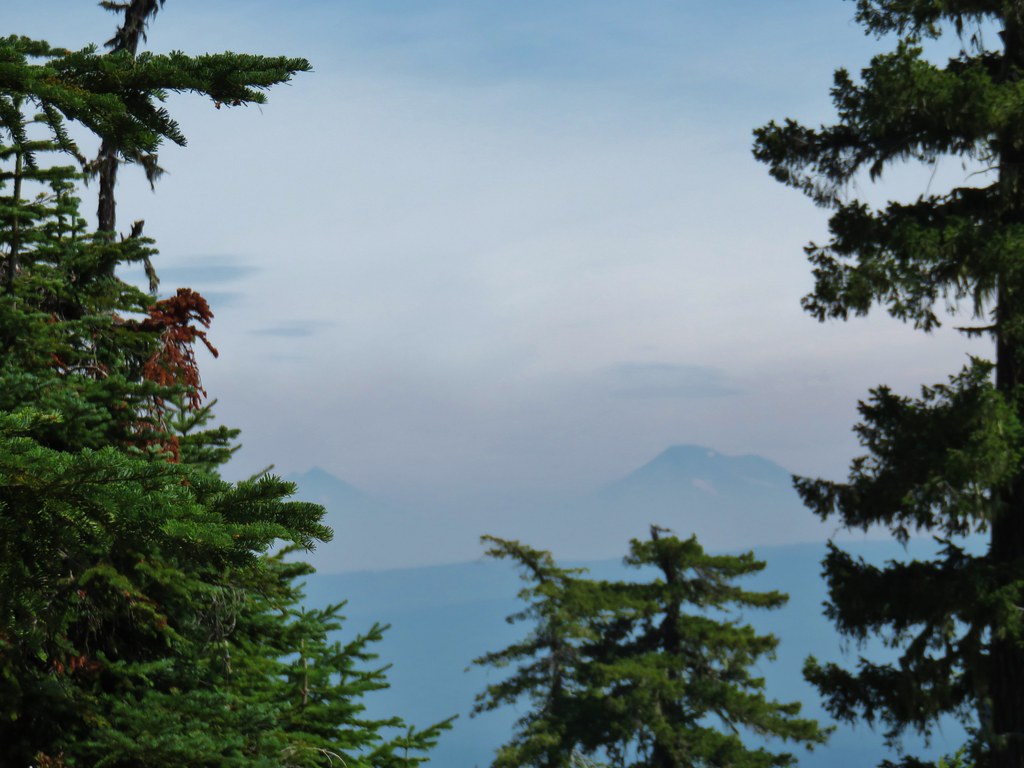
 Diamond Peak to the left and Fuji Mountain directly behind the island

 Wahanna Trail
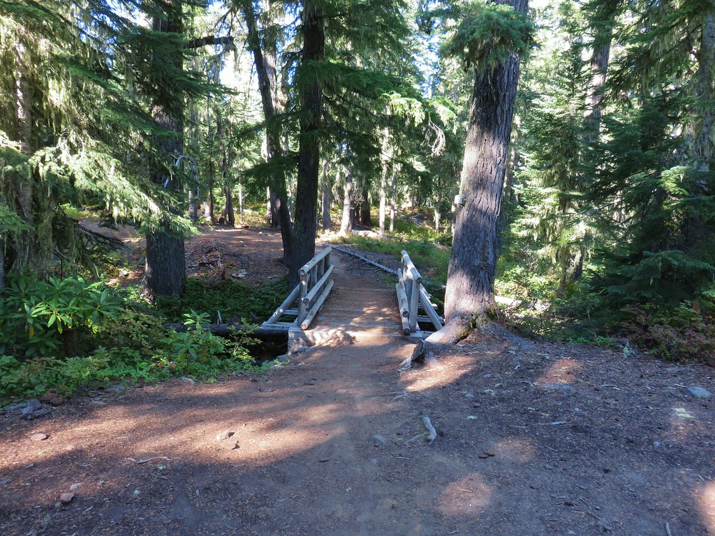
 Dam Camp is to the left in the trees and rhododendron


 South Sister
 The Three Sisters
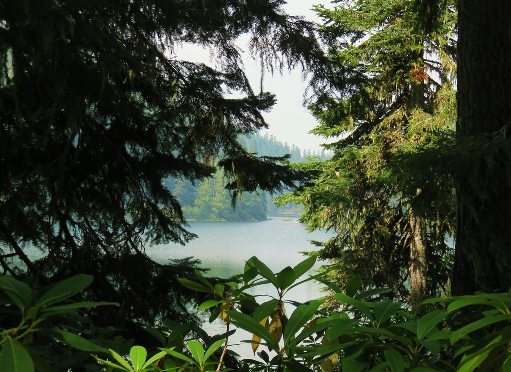
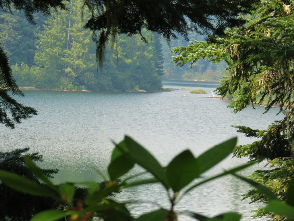
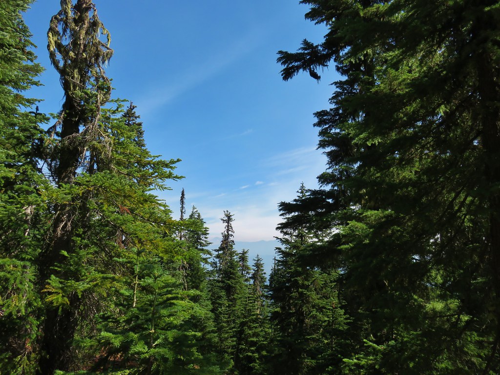
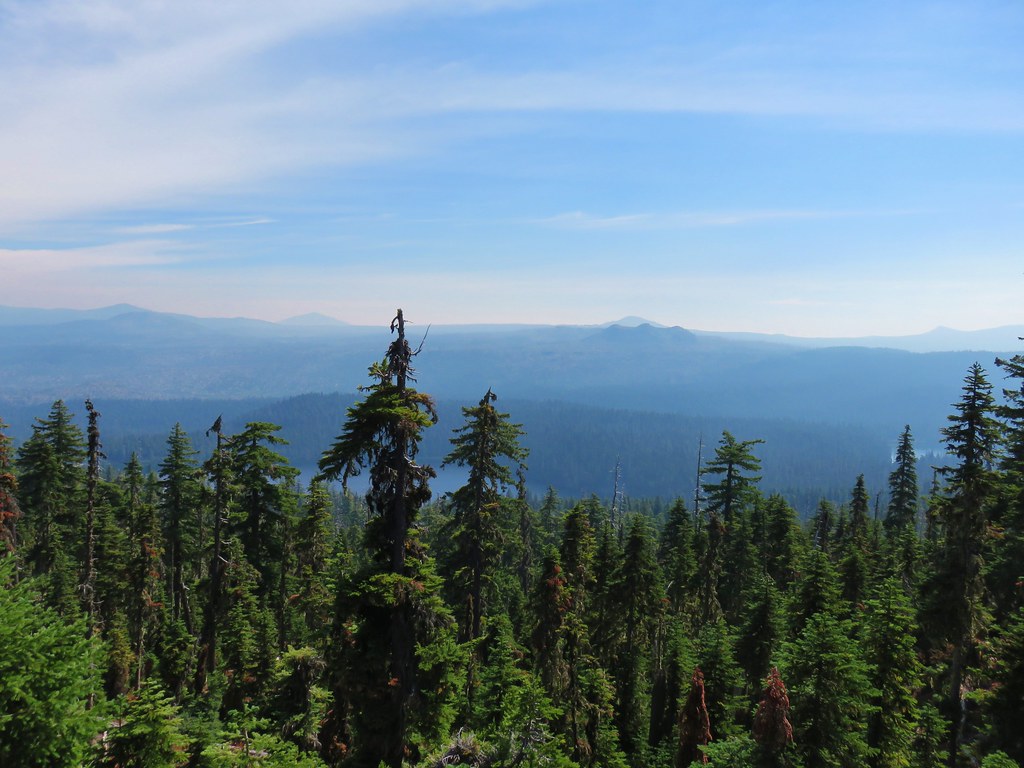 Rigdon Butte beyond the Eddeeleo Lakes from the Winchester Ridge Trail