After spending Wednesday in the Mt. Jefferson Wilderness revisiting parts of a 2010 hike (post) I headed south to the Waldo Lake area to revisit our 2013 hike to Fuji Mountain (post). In order to not have this be an exact repeat of that hike I decided to add the Mount Ray – Island Lakes Loop which utilizes a 3.5-mile section of the Fuji Mountain Trail.
I had originally planned on starting at the Mount Ray Trailhead and hiking the loop counterclockwise with a possible detour to the summit of Fuji Mountain, but after studying the topographic map it made more sense to start at the Fuji Mountain Trailhead at Gold Lake where we had begun the 2013 hike. By starting here I could avoid ending the hike on the uphill from the Gold Lake Trail to the Mount Ray Trailhead.

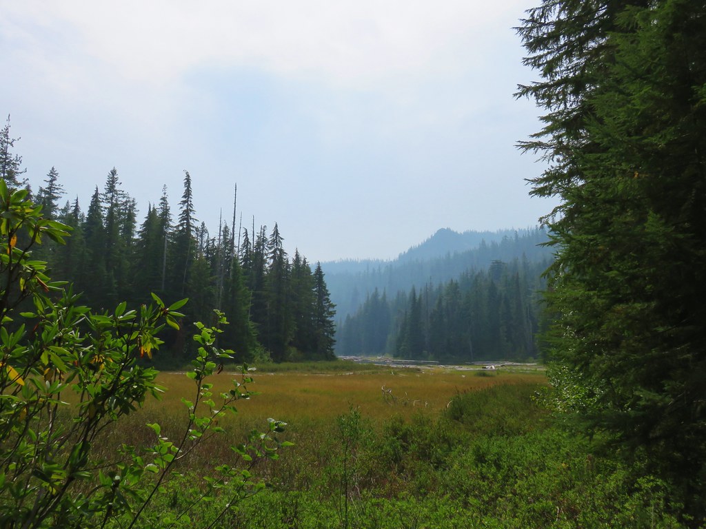
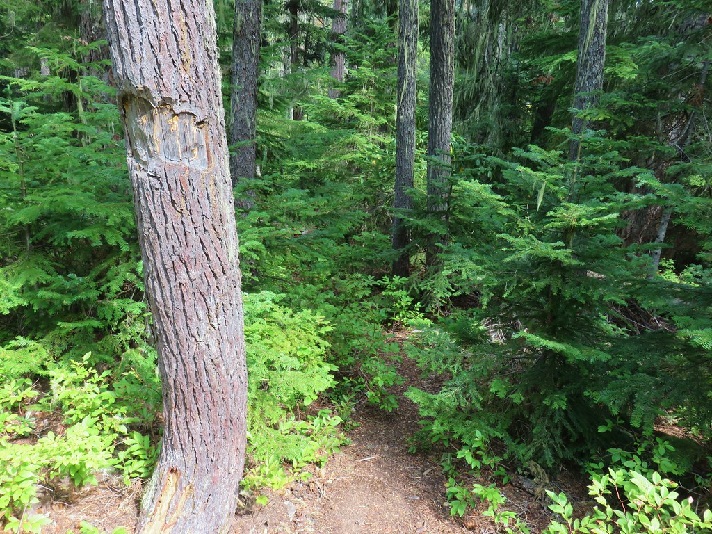
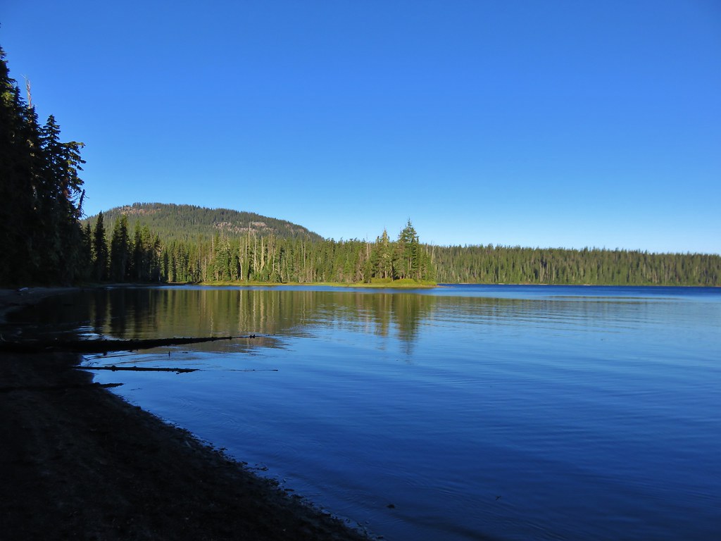
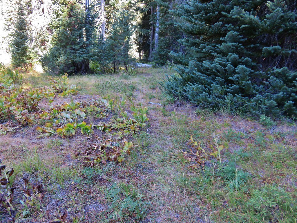
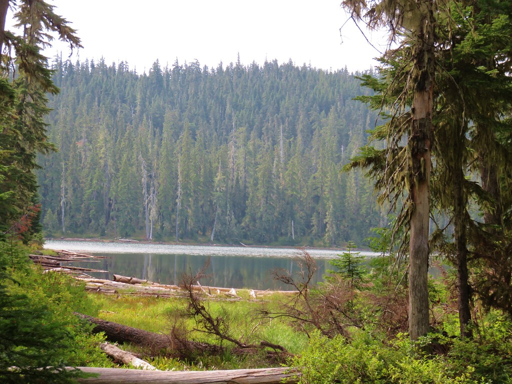
Looking back at the Fuji Mountain Trail across Waldo Lake Road from the trailhead.
To find the Gold Lake Trail I walked toward the Fuji Mountain Trail looking for a path downhill on the left that would lead me to the Gold Lake Trail. There was a trail marked on the map right across from the Fuji Mountain Trail, but I knew if I couldn’t find that I could walk down Waldo Lake Road about 150 yards and take the path down that Heather and I had taken just last year on our Marilyn Lakes Loop hike (post).
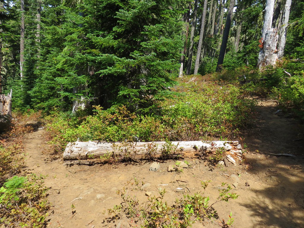
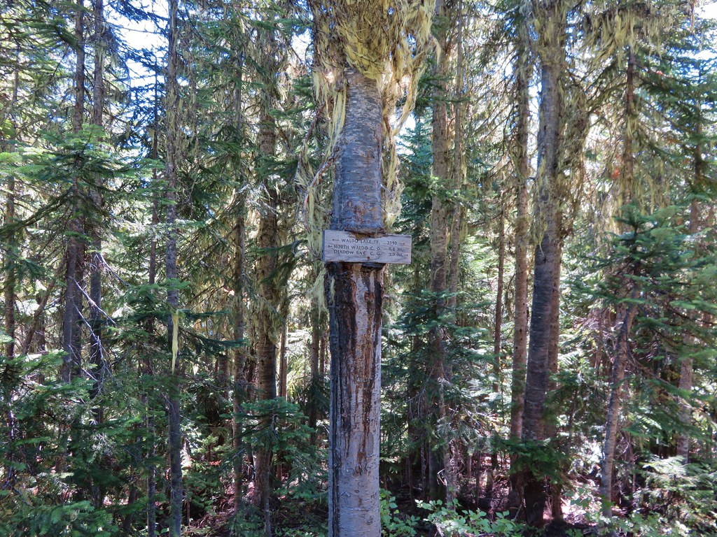
As I walked back along the long trailhead parking area I spotted a small sign on a tree below and then noticed a faint patch heading down to it.

I’m not sure if these three rocks were meant to be a cairn or they just happened to be there, but this is where the path was. It slants down back to the left.

The trail sign I’d spotted from the road above. (I was once again starting before sunrise so there wasn’t much light available for photos for the first 20-30 minutes.)
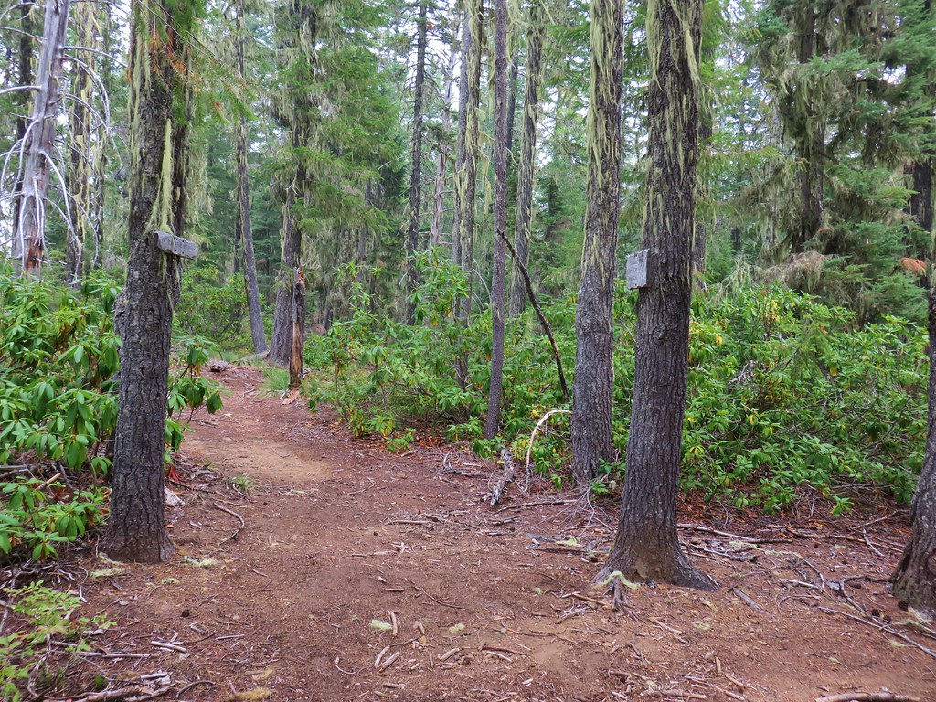
The path led me to the obvious Gold Lake Trail where I turned left.

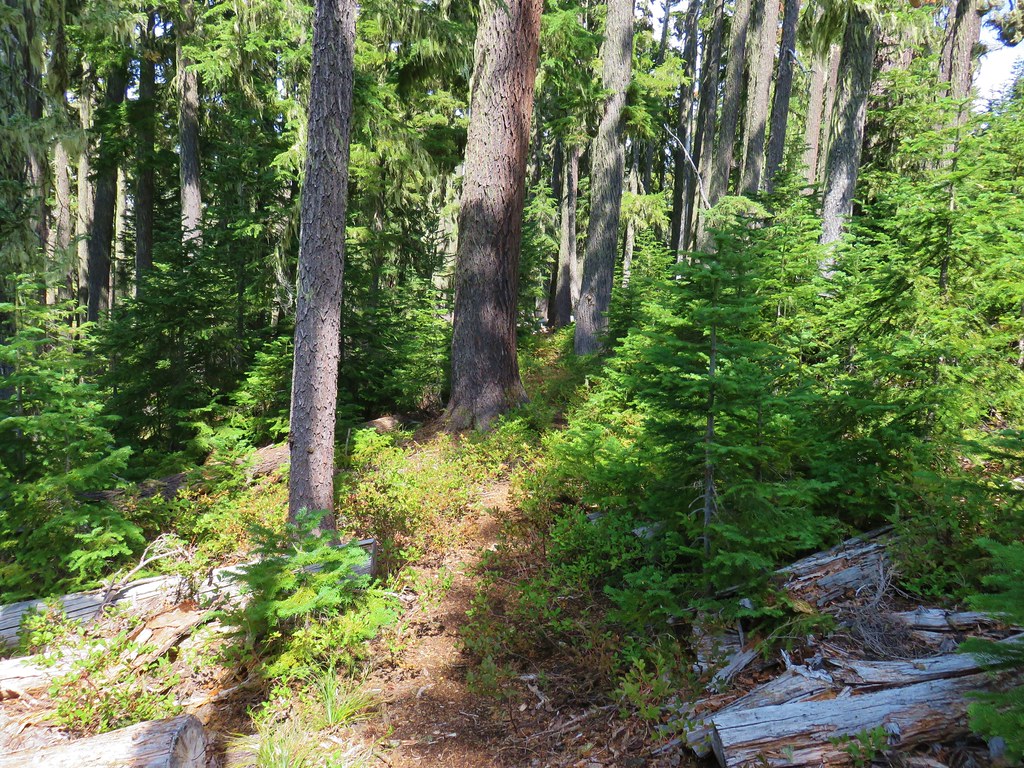
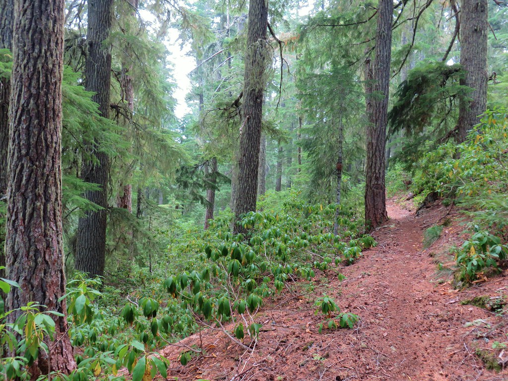
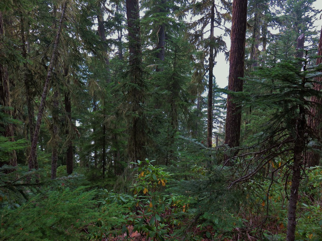
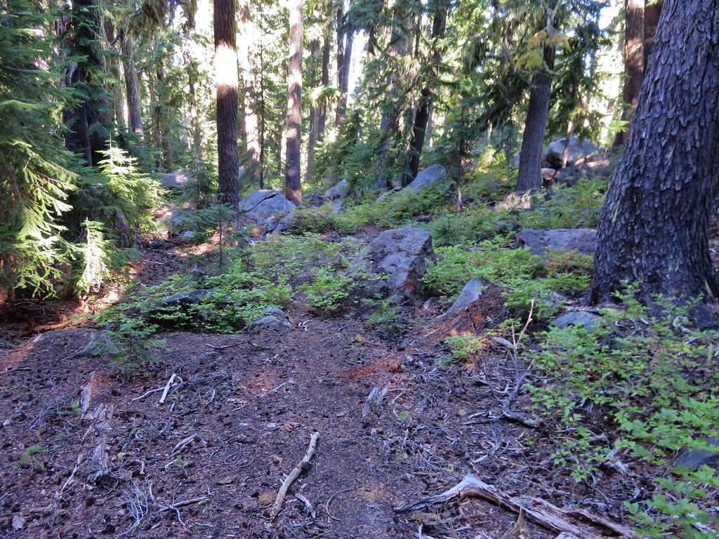
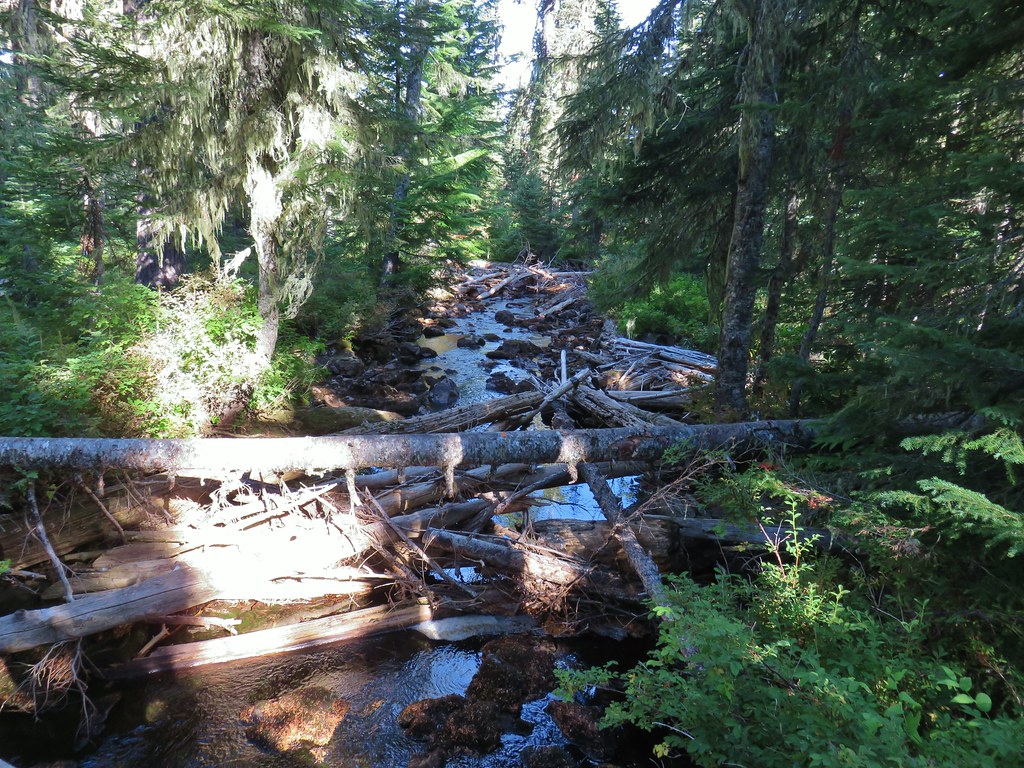
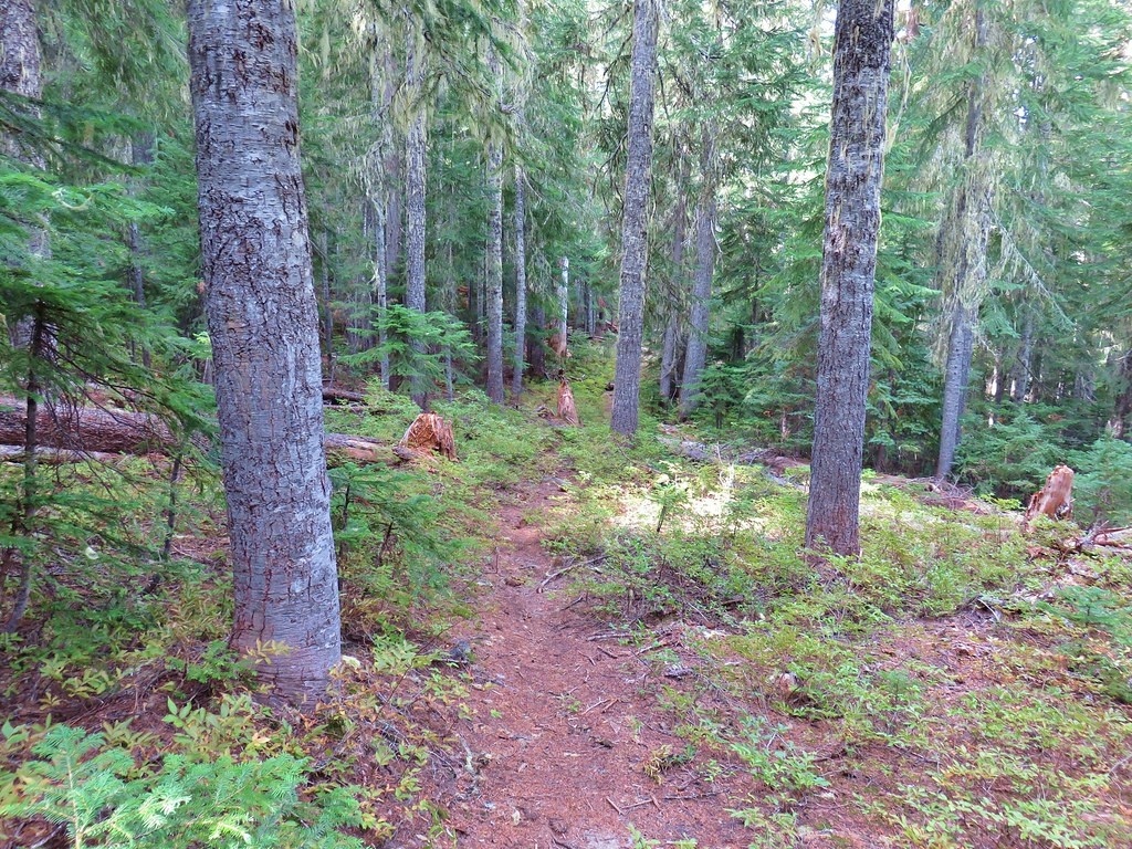
The Gold Lake Trail climbed very gradually along the hillside above Gold Lake and the Gold Lake Research Bog, both of which were mostly hidden by trees.


Old mushroom


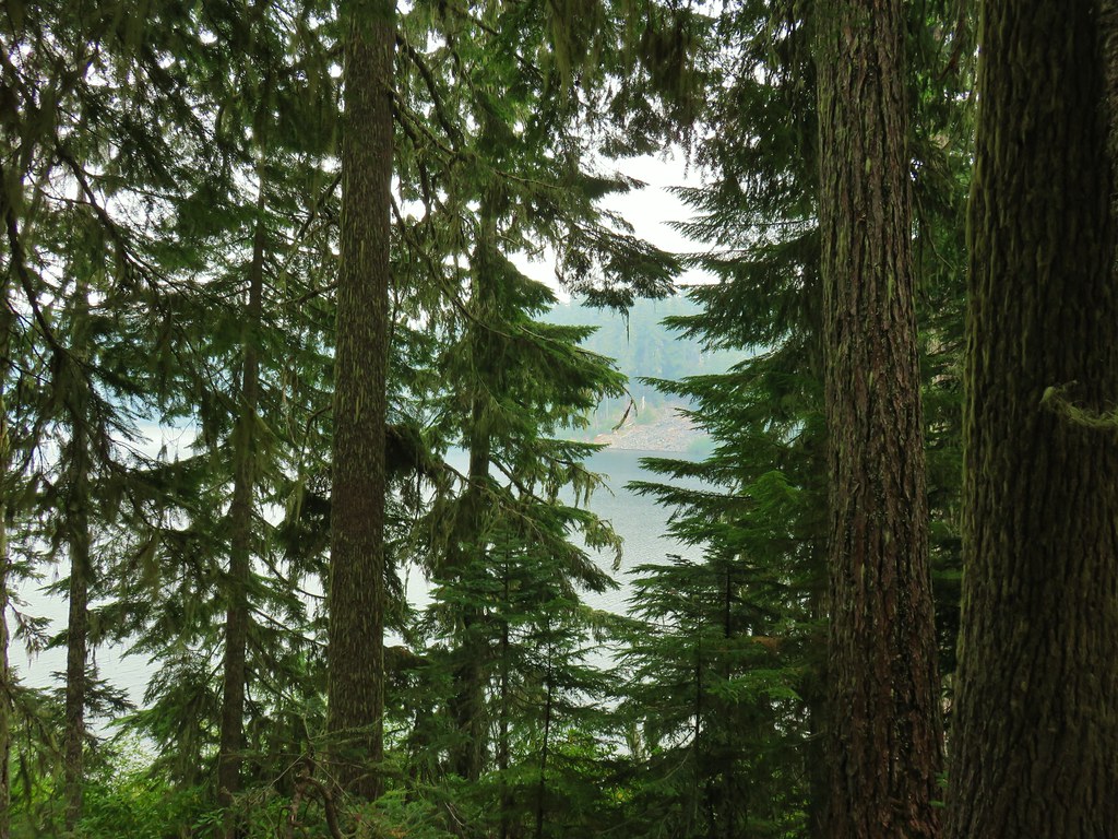
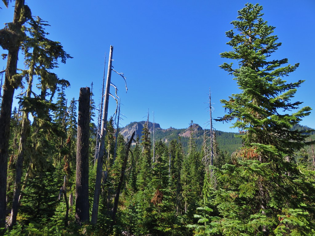
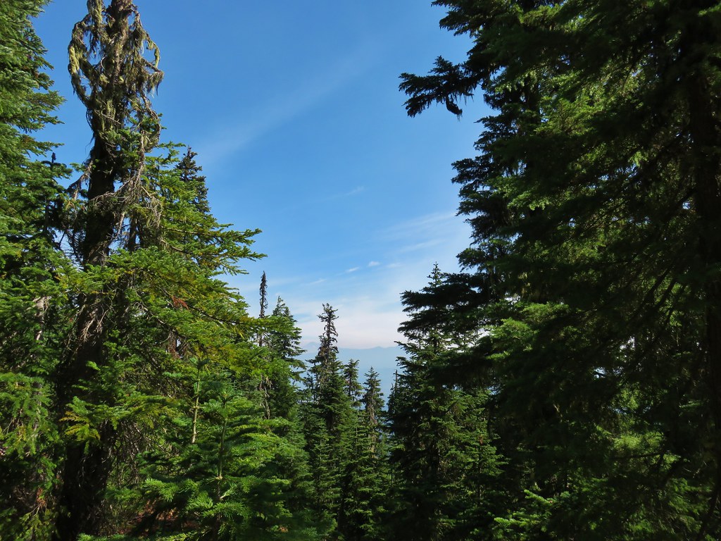
This was one of the best views available through the forest.

Wet section near the bog.

Another old mushroom and a bead lily.

Coral fungus

Ray Creek
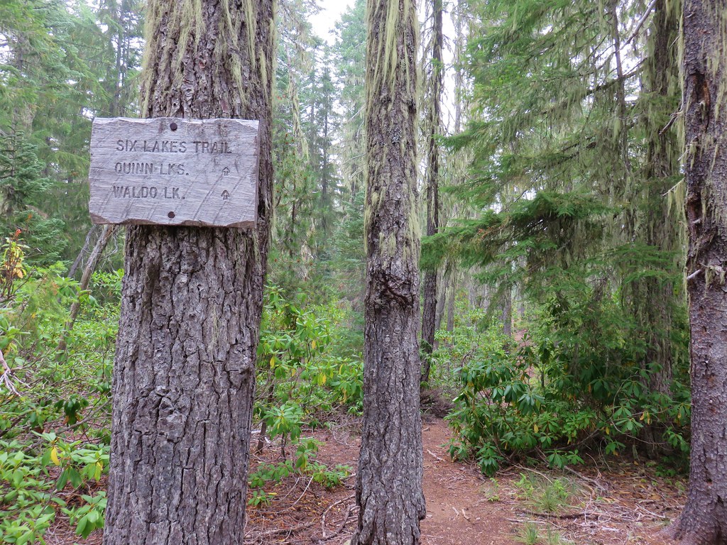
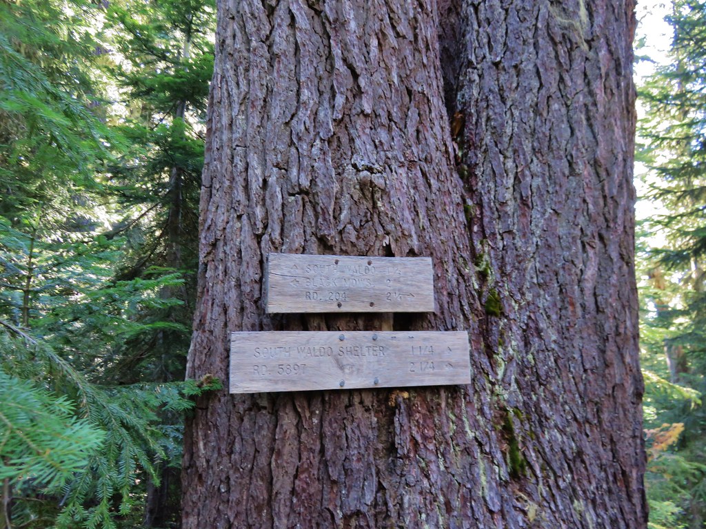
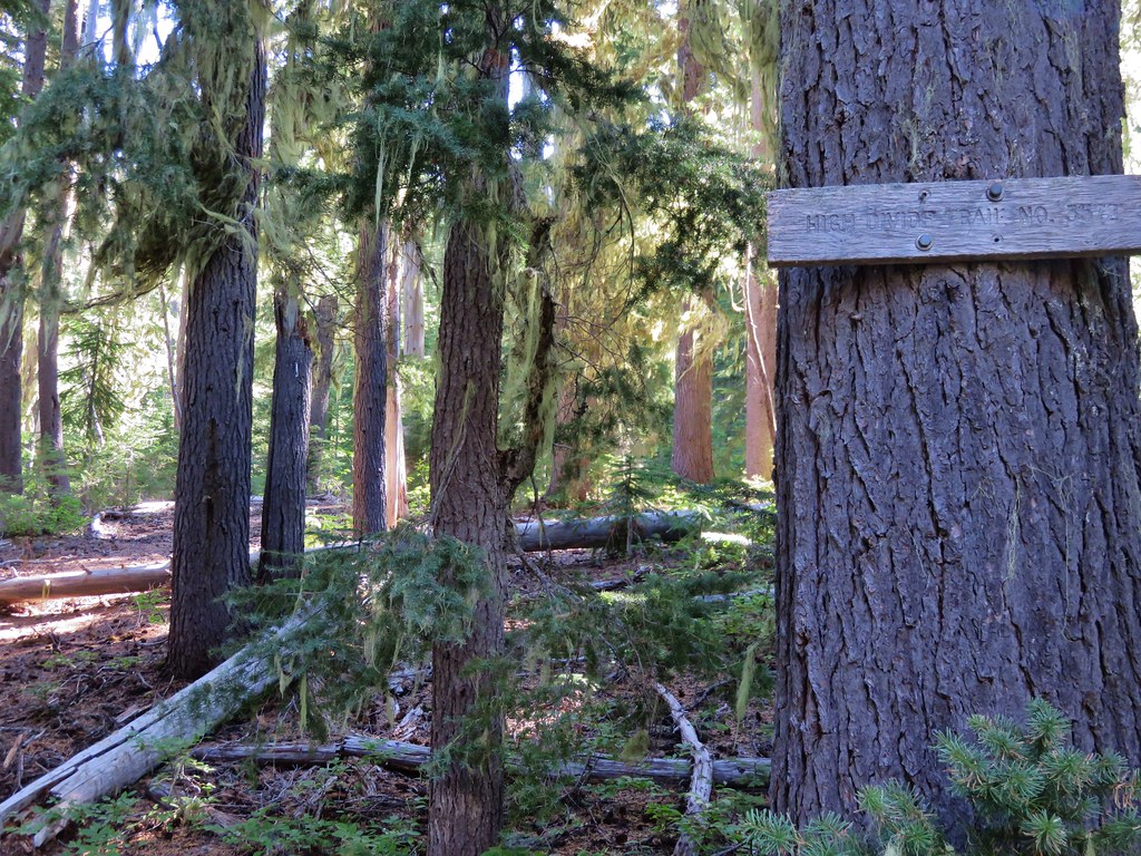
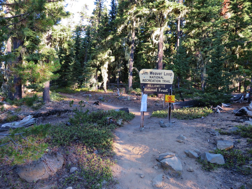
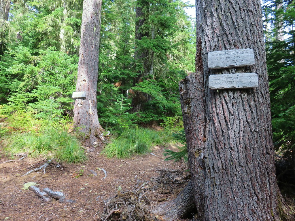
After following the Gold Lake Trail for 1.7-miles I arrived at a junction with the Mount Ray Trail.

Trail/Nordic signs at the junction with the Mount Ray Trail.
I turned left onto the Mount Ray Trail and was expected a decent climb for the 0.4-miles up to the Mount Ray Trailhead but was pleasantly surprised at how gradual it wound up being.


Mushrooms turned into the theme of the day as there were not only a lot of them, but some of them were huge.


The Mount Ray Trailhead is just up Waldo Lake Road from the trail itself. The person at the pickup was the only one I saw all day until I was back at the Fuji Mountain Trailhead.
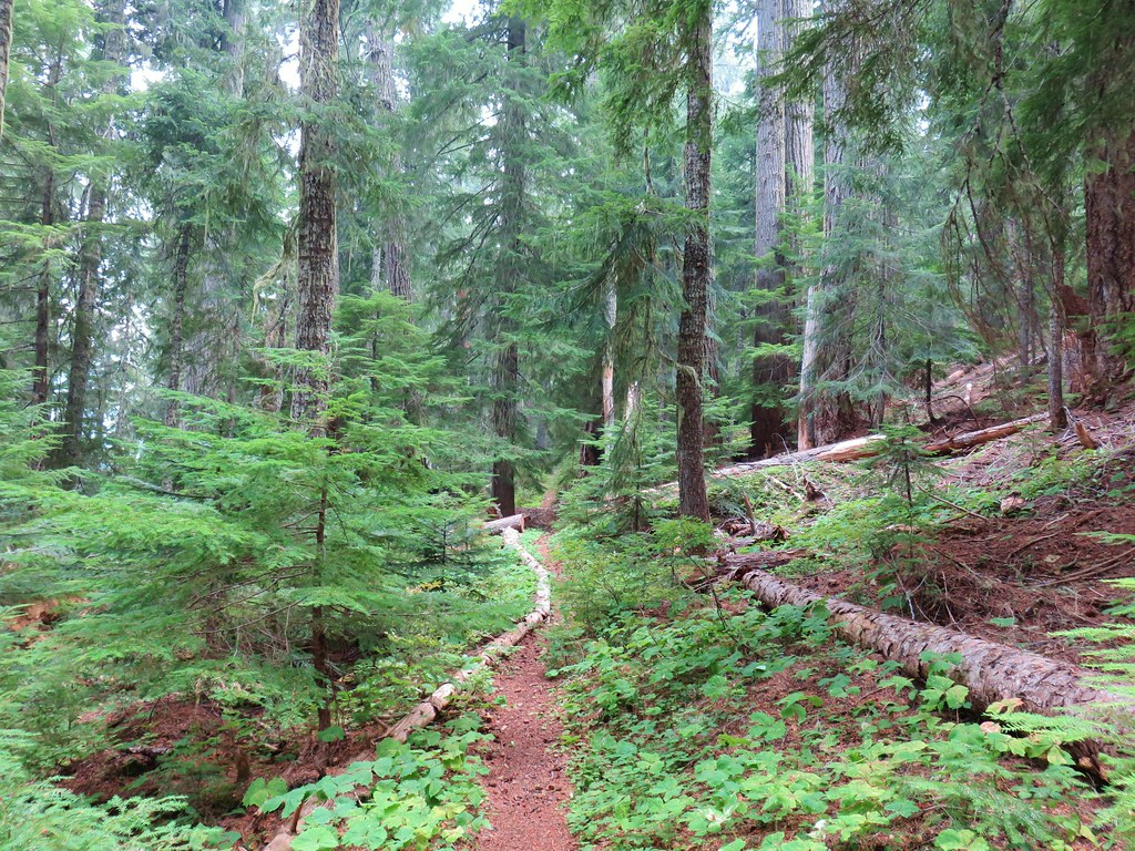
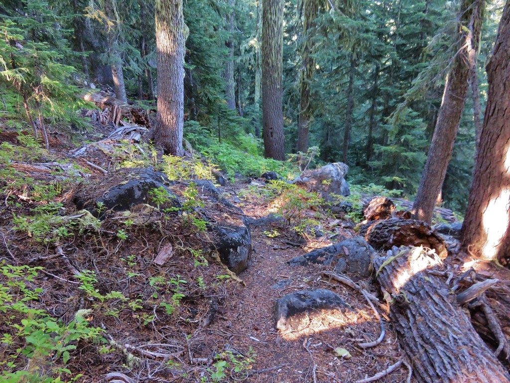
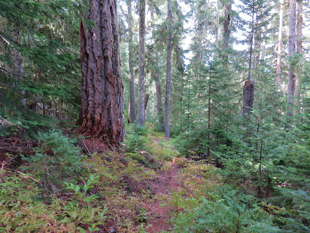
I crossed the road and continued to follow the Mount Ray Trail as it gradually climbed through the forest.


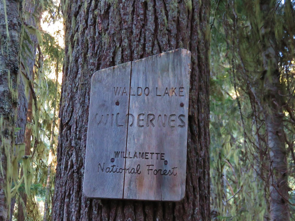
Wilderness permit box. The box didn’t have any self-issue permits inside, but I wouldn’t be entering the Waldo Lake Wilderness on this loop, so I didn’t need one anyway.


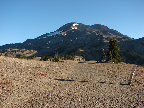
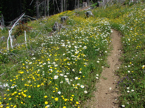
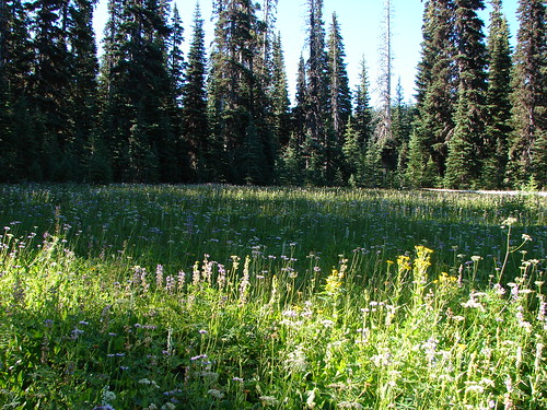
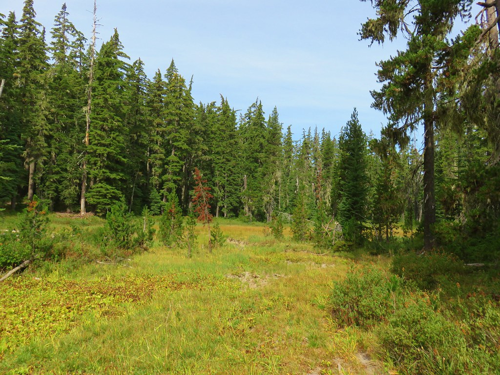
Small meadow on the flank of Mount Ray.

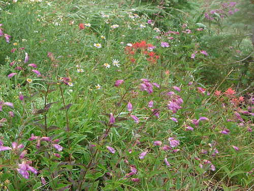
Valerian

There was one short, steep section near the middle of the 2.2-miles from the road to the junction with the South Waldo Trail.


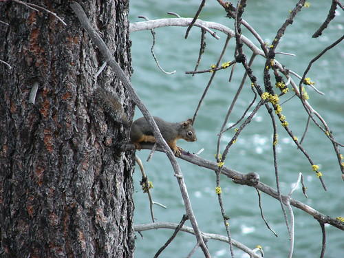
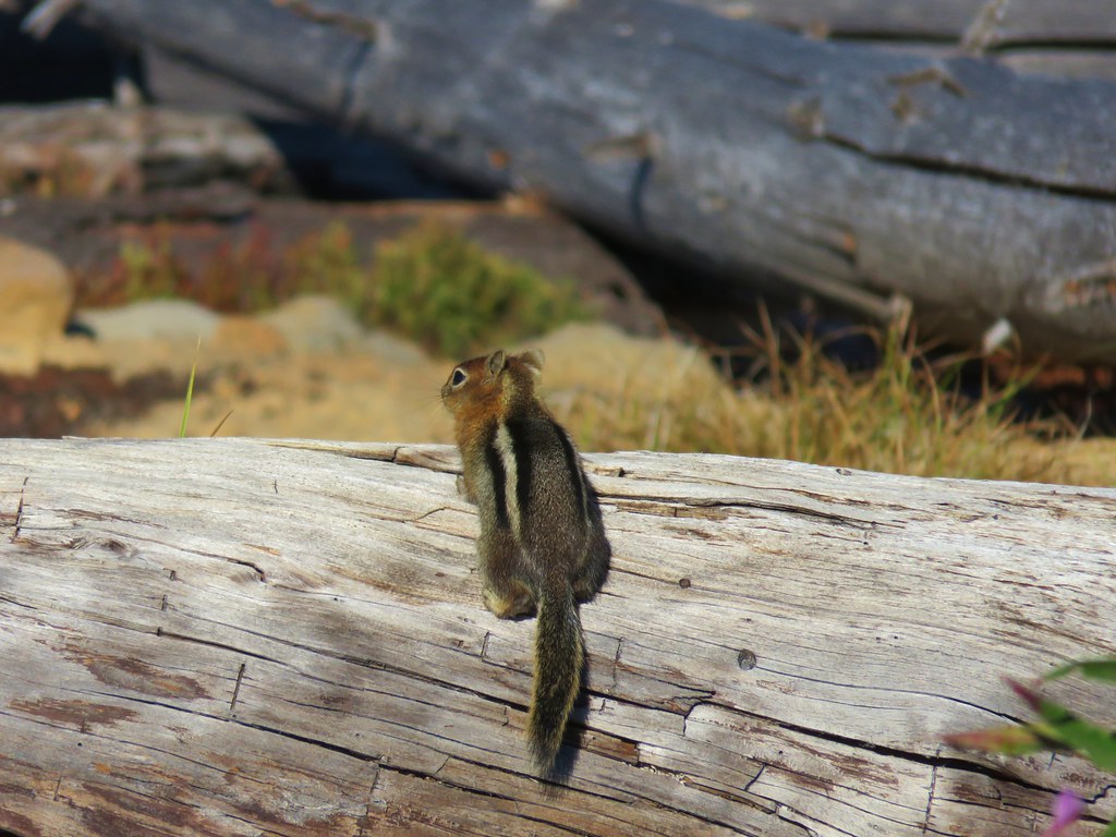
Squirrel on the log.
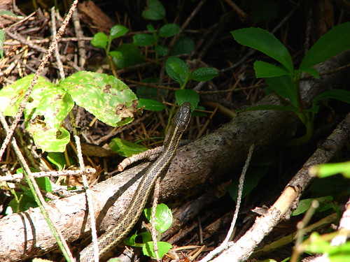
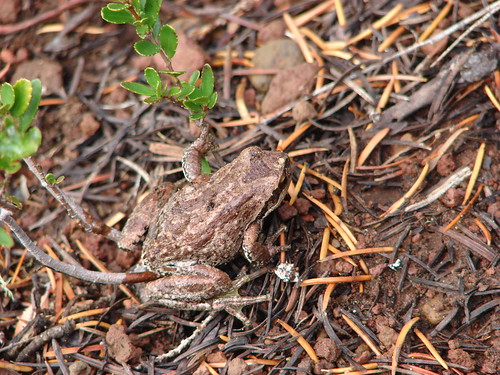
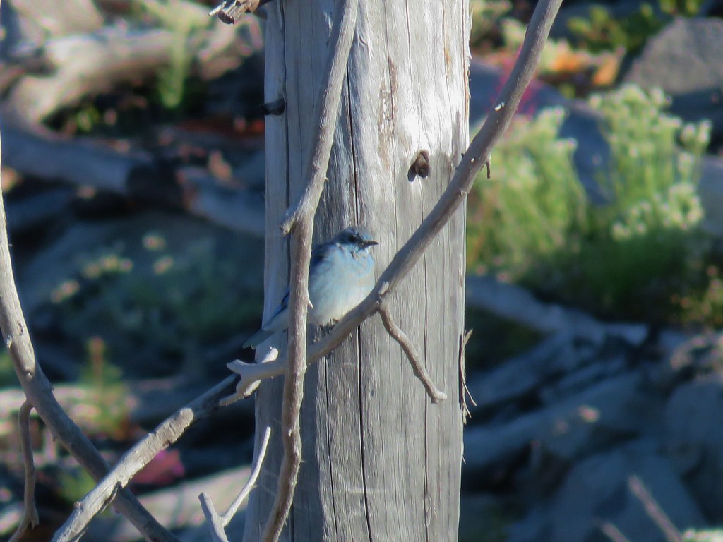
Aside from a lot of birds I didn’t see a lot of wildlife during the hike. A few chipmunks and squirrels were it although there was plenty of deer sign around.

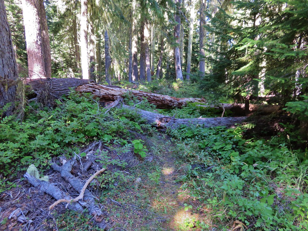
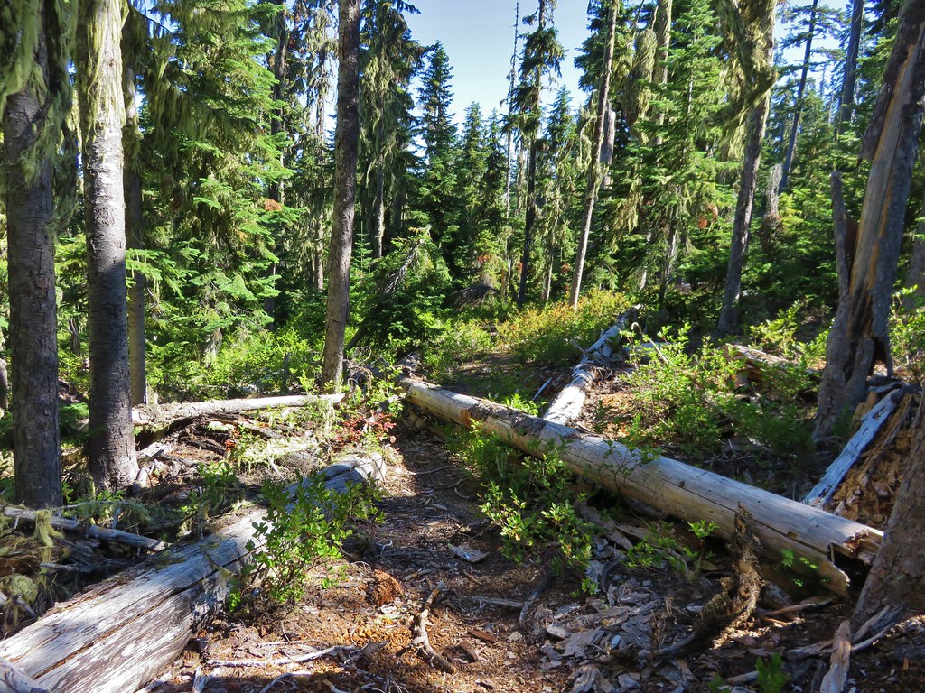
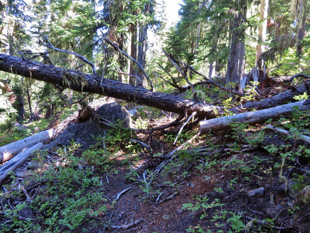
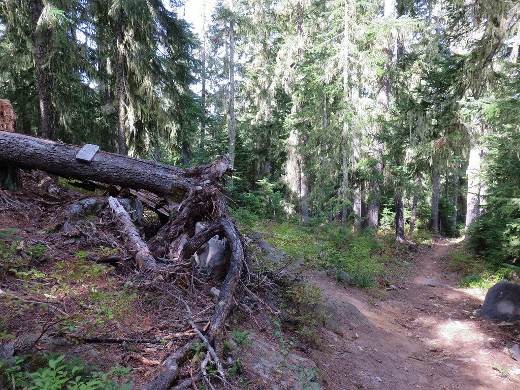
The trails were by and large clear of any obstacles which isn’t surprising given they are open to mountain bikes. It seems like those open to bikes are well maintained, if they are regularly used by mountain bikers.


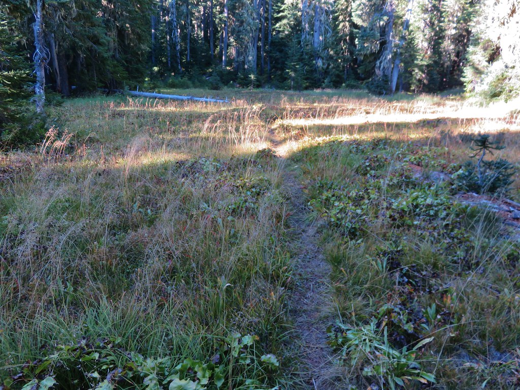
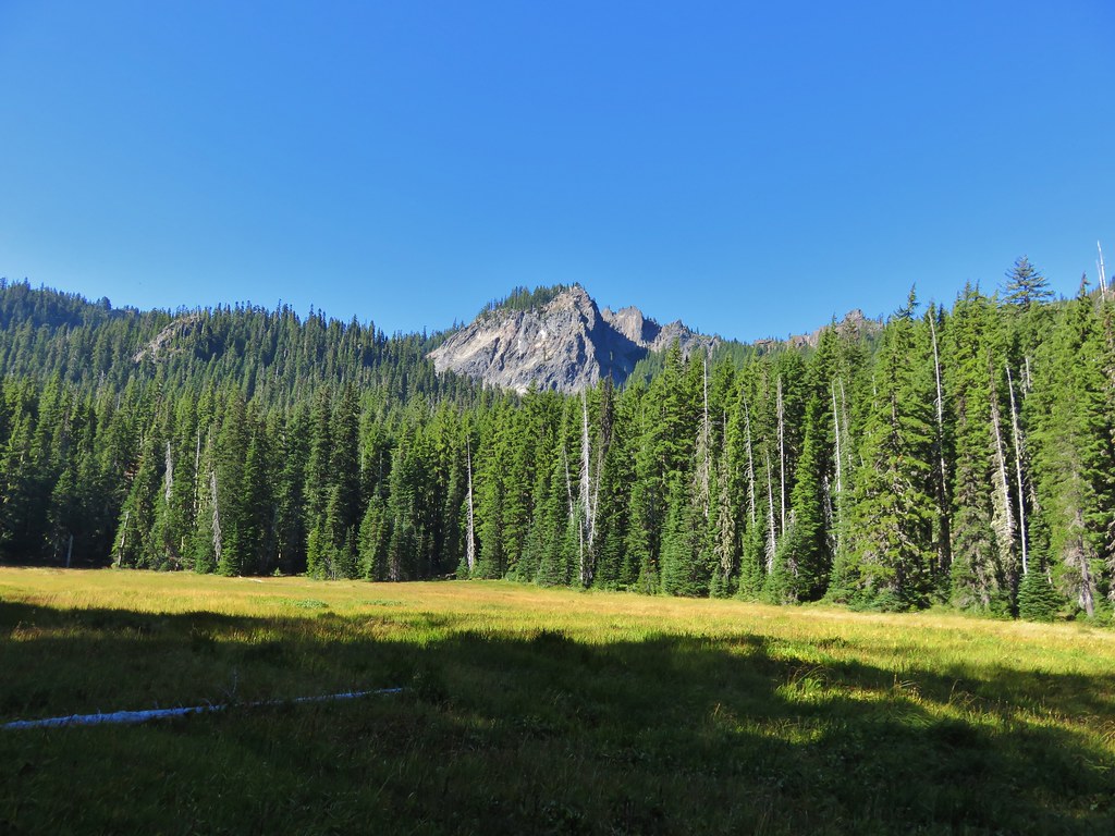
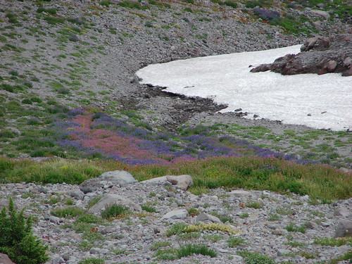
The trail entered Pothole Meadows near the source of Ray Creek.


The creek bed is to the left. It was basically dry at this point, but the meadow was damp.

Aster

Blue diamond marking the trail leaving the meadow.
The trail steepened a bit beyond the meadow as it made the final climb to the South Waldo Trail junction.


The 4-way junction with the South Waldo Trail.
Heather and I had been to this junction during our South Waldo Loop hike in 2015 (post).
I turned left at the junction on the South Waldo Trail following an Island Lakes pointer.

The trail climbed steeply at times gaining 400′ in 0.6-miles before starting to descend toward the Island Lakes.


Small creek that wasn’t shown on the maps.

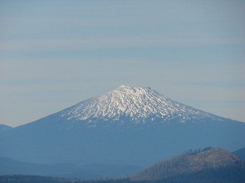
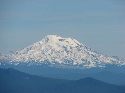
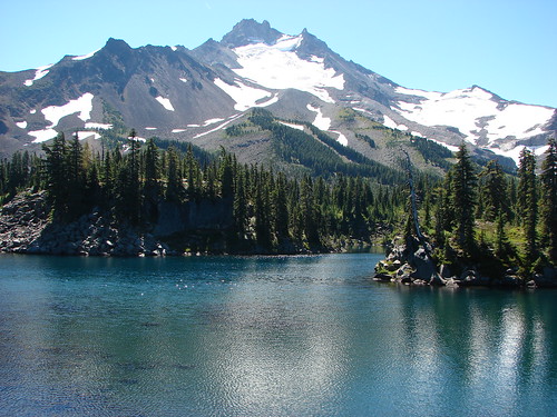
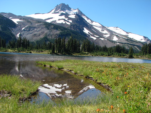
Mount Ray


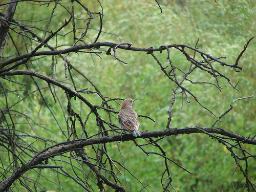
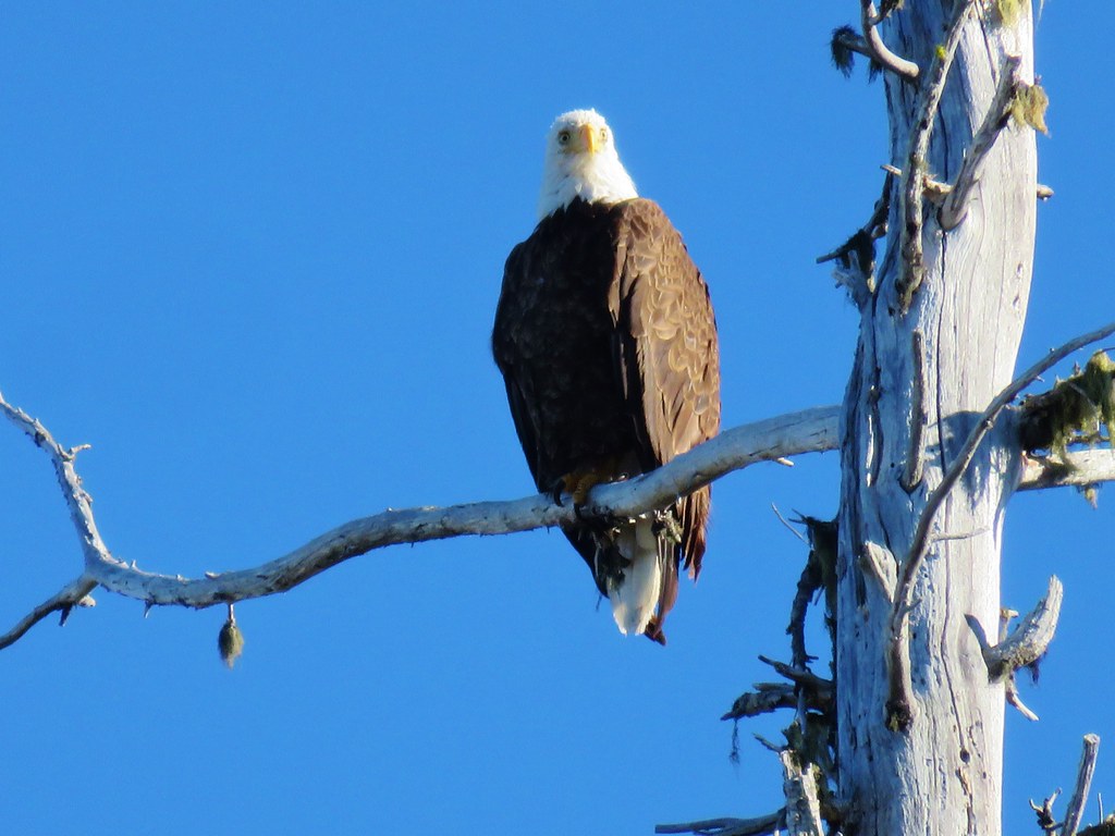
This woodpecker was too busy to bother with looking at me.


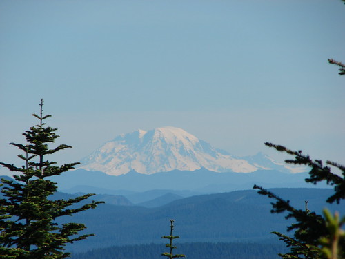
Maiden Peak (post)


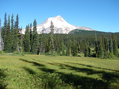
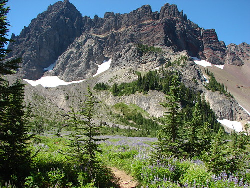
This little meadow was at the high point of the trail.

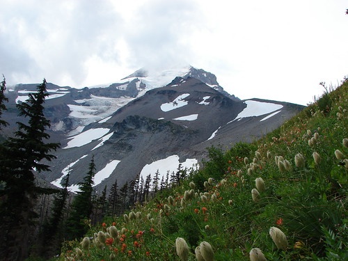
Bleeding heart
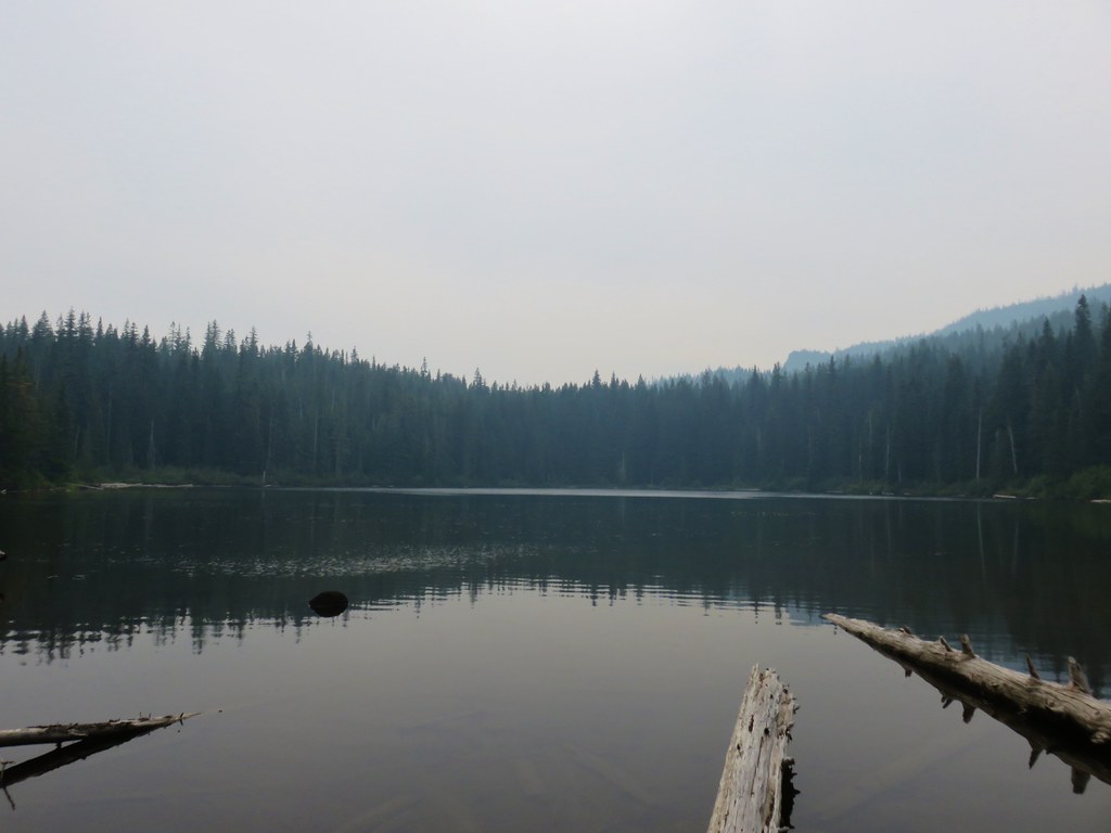
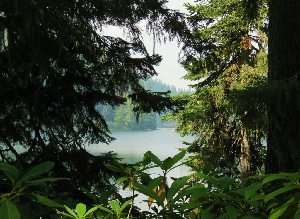
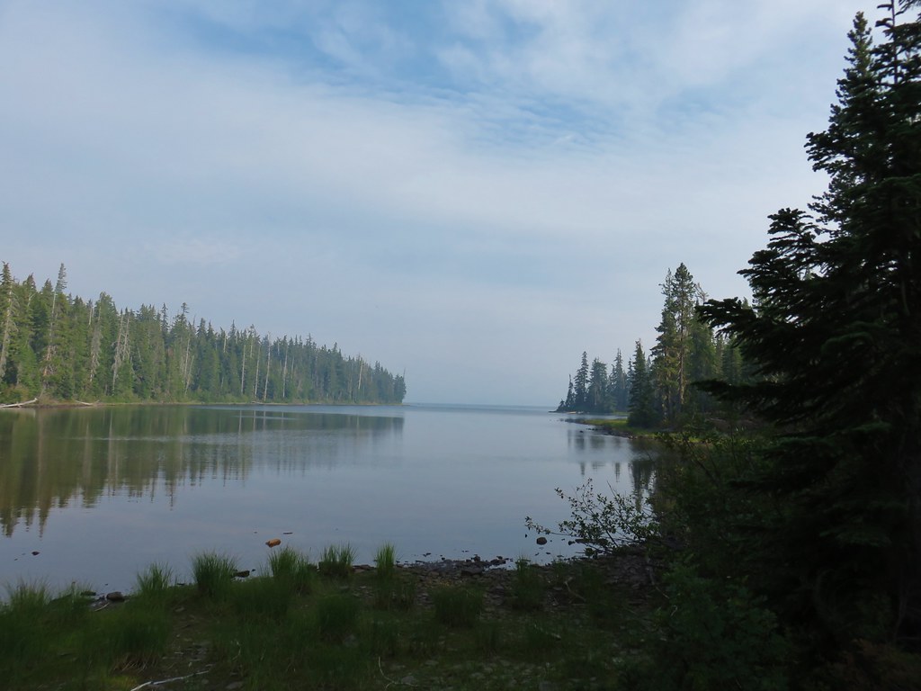
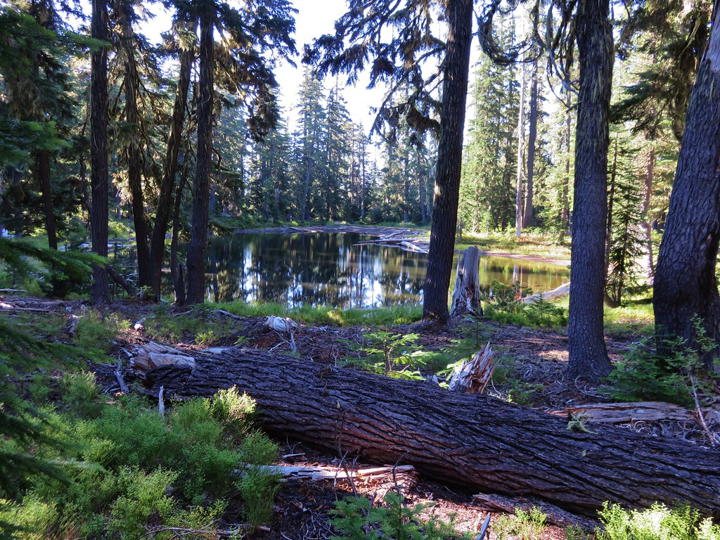
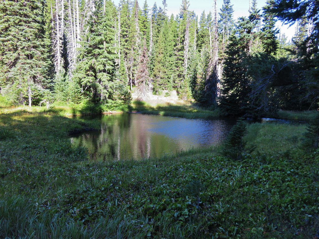
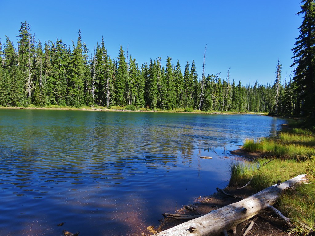
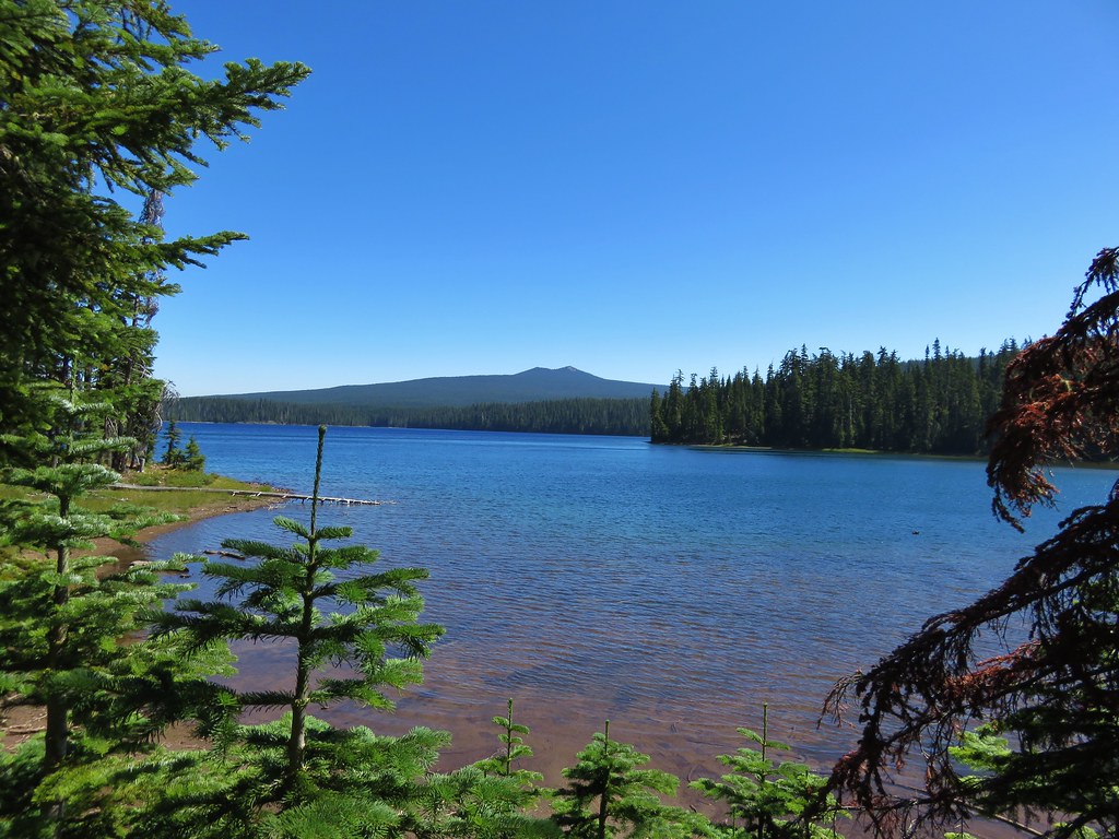
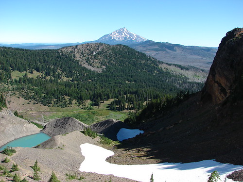
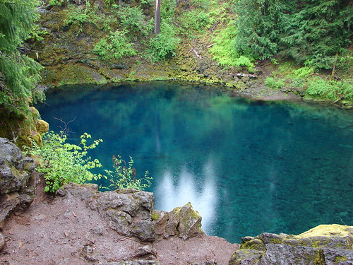
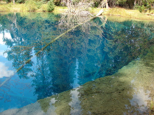
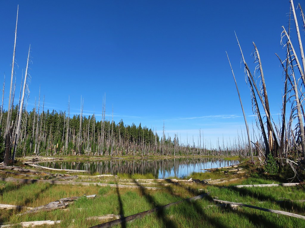
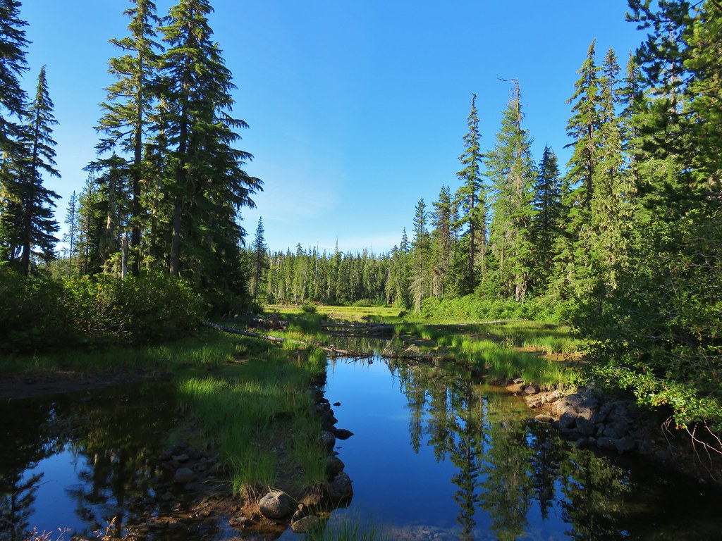
After another 0.6-miles downhill I began seeing smaller unnamed lakes and ponds through the trees and after another quarter of a mile spotted Upper Island Lake on the right.


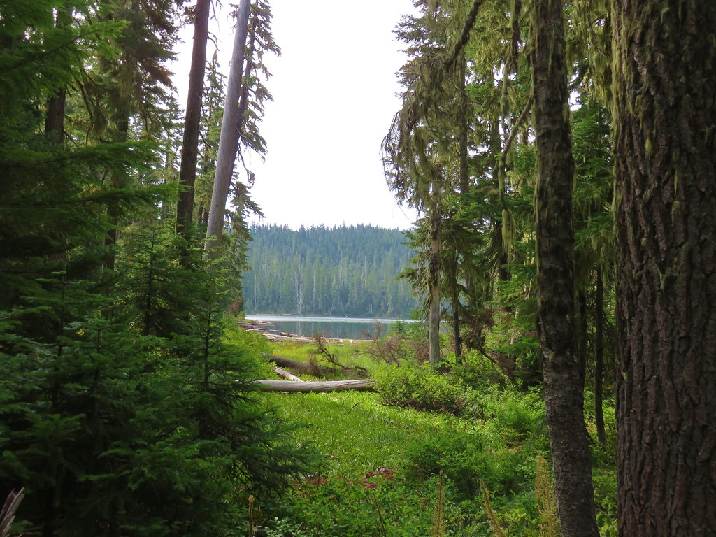
Upper Island Lake through the trees.
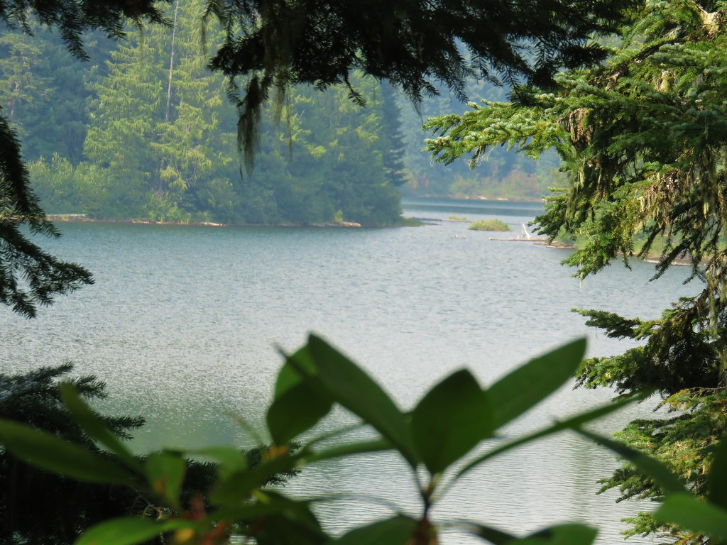
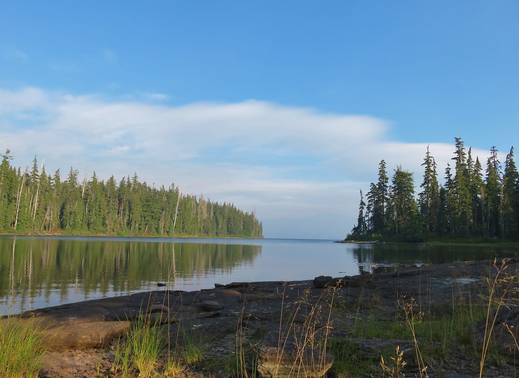
We had visited both Upper and Lower Island Lakes in 2013 so I wasn’t sure if I would detour to either this time around. Upper Island was close enough to the trail (and level enough) that I wound up detouring around a small pond to visit the lake.

The pond.

Upper Island Lake
After looping around the pond I returned to the trail and after looking down at Lower Island Lake decided not to revisit that one.


Sign for Lower Island Lake.
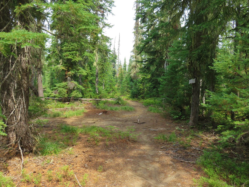
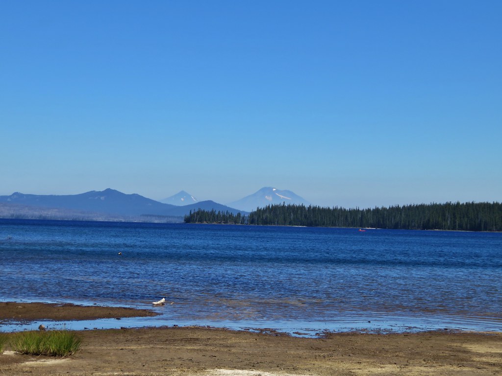
Beyond the Island Lakes the South Waldo Trail continued to descend to a junction with the Fuji Mountain Trail, a little over two miles from the Mount Ray Trail.

One of several more unnamed lakes/ponds along the trail.

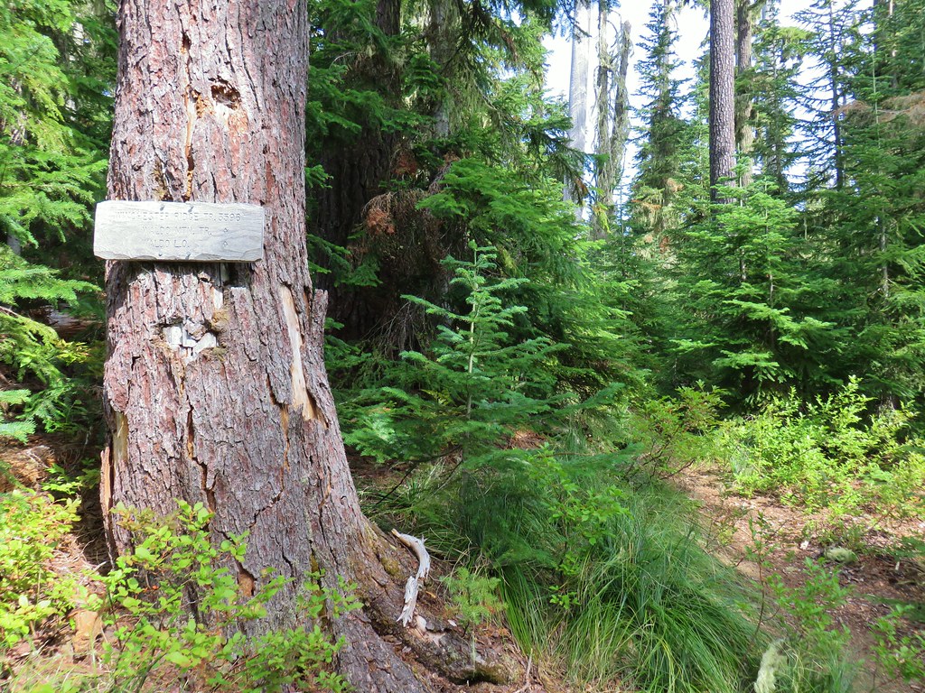
Signs at the junction with the Fuji Mountain Trail.
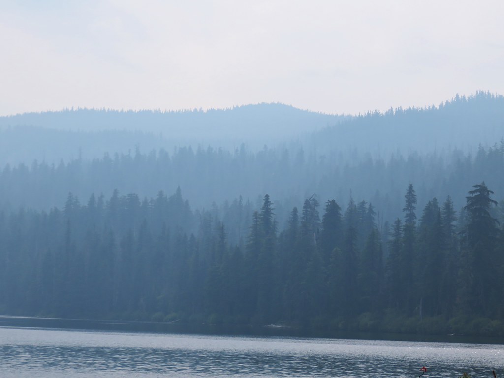
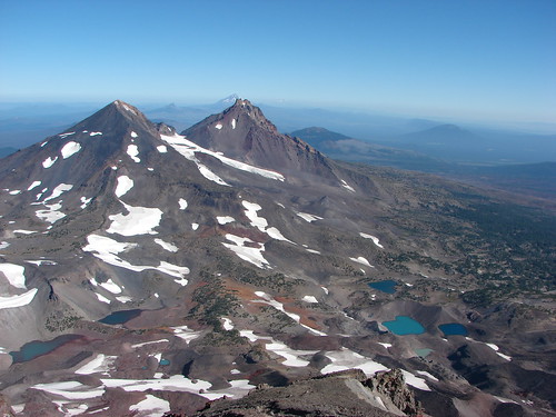
With the visibility being pretty good considering the Emigrant Fire was burning less than 15-miles to the SE I decided to make the 2.2-mile climb to the summit of Fuji Mountain so I turned right at the junction. For the first mile the trail made a series of ups and downs netting a gain of just 300′ but there was a good deal more uphill involved.


Golden-mantled ground squirrel


After the mile I arrived at a junction with a spur trail arriving from the Fuji Mountain Trailhead at Road 5833. The junction was just inside the 2022 Cedar Creek Fire scar.
I turned right here and began the final 1.2-mile climb to the summit. Initially the trail was right along the border of the fire scar.


Fireweed

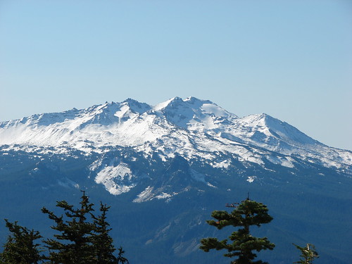
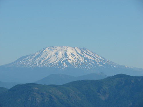
 Mount David Douglas
Eventually the trail veered into the fire scar to begin a series of switchbacks to the summit.


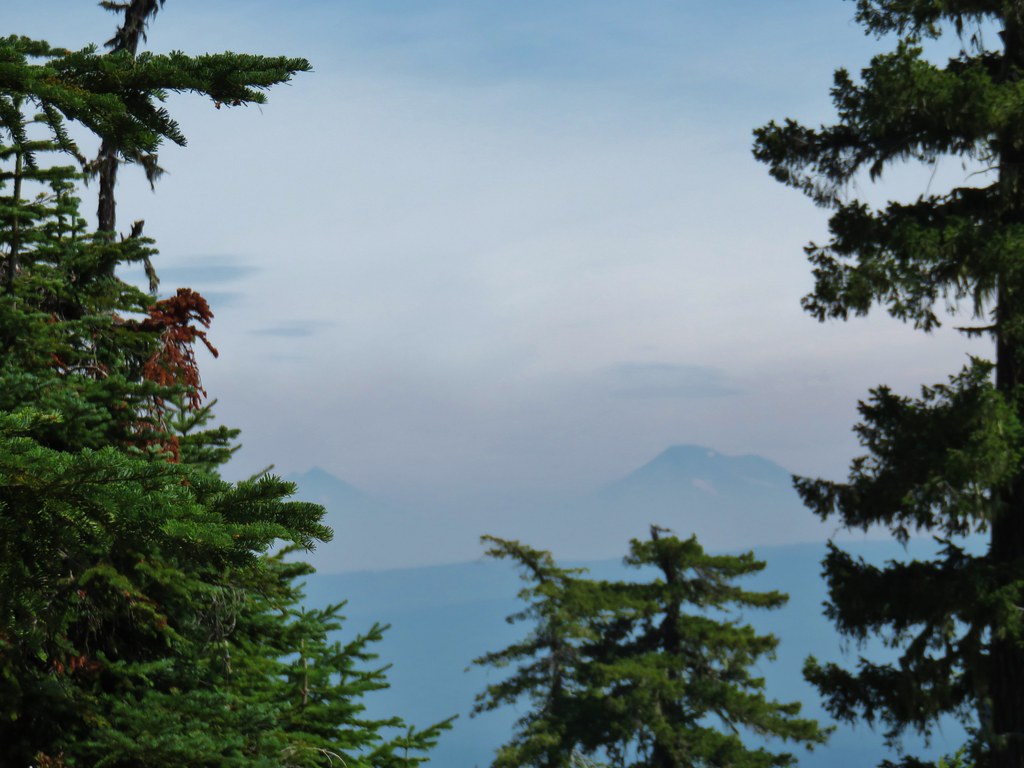
Diamond Peak. The Emigrant Fire is to the right and behind the mountain.


Just ahead the trail gained the ridge at a viewpoint.

The ridge to the left is Bunchgrass Ridge (post).

The flat mountain in the center is Mount David Douglas. Directly behind (and way back) in the distance is Bohemian Mountain and Fairview Peak (post).

Looking up the ridge beneath the summit.


Viewpoint at the final switchback before the summit.

The final push.

Chipmunk

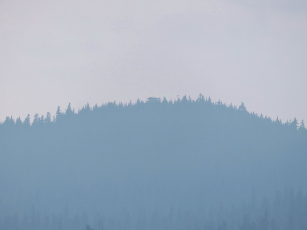
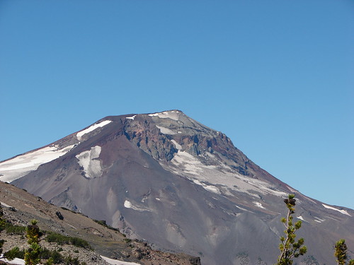
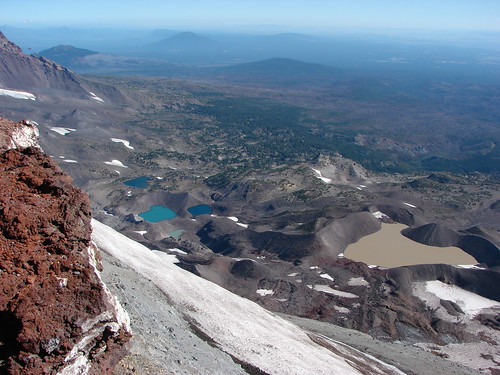
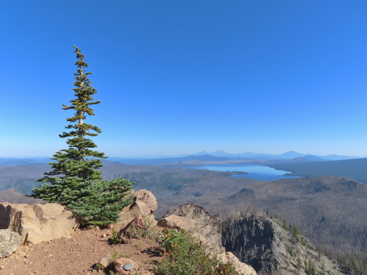
The former lookout site atop Fuji Mountain.
It looked a lot different this time given the massive 2022 Cedar Creek Fire combined with the fact that it had been snowy in 2013 and there was definitely haze from the wildfires in the air today .


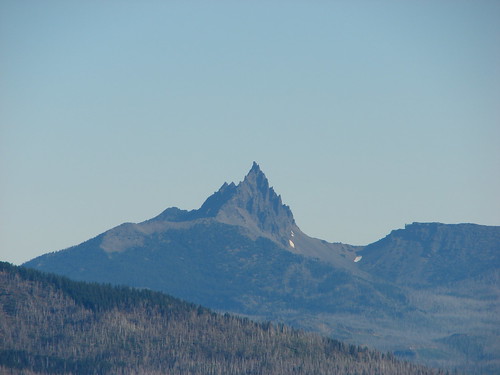
The pointy Mt. Thielsen (post) behind and to the left of Diamond Peak.

Cowhorn Mountain (post) is the leftmost pointy peak followed by Howlock Mountain, Mt. Thielsen, Sawtooth Mountain (post), and finally the hump in the distance to the right is Llao Rock along the rim of Crater Lake.

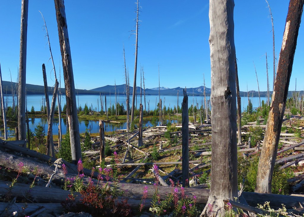
Looking down at the fire scar.

Similar view in 2013.

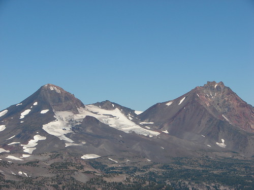
The Husband, Middle Sister, South Sister (post), Broken Top, and Mt. Bachelor (post)
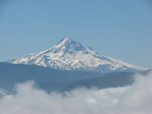
Due to the haze Mt. Hood wasn’t visible at all this time and Mt. Jefferson was a struggle to see. Three Fingered Jack and Mt. Washington were visible to the naked eye but the camera had a hard time making them out.


Mount Ray with Crane Prairie Reservoir and Paulina Peak (post) behind.

Maiden Peak to the left with Odell Butte behind Odell Lake.
After a nice break at the summit I headed back down. It was 2.2-miles back to the South Waldo Lake junction and then another 3.6-miles down to the trailhead where I was parked. The lower 3.6-miles had its own set of ups and downs which I had conveniently blocked from my memory so instead of a nice long downhill section there was a fair amount of short climbing involved.


Fireweed

The South Waldo Trail junction.


Pinesap
There were two named lakes and several unnamed lakes/ponds along the lower 3.6-miles.

Verde Lake

Birthday Lake


The second of two nordic ski trails that left to the right. Both were very faint as far as tread goes indicating that they are not used much when there isn’t any snow.


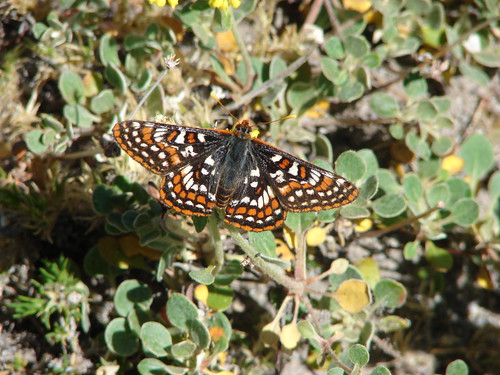
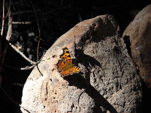
California tortoiseshell

Pond


There were some areas where the mountain bikes had worn a good grove in the trail making it hard to land flat footed.

Maiden Peak through the trees.

I see cars!

Just like the previous day’s hike my GPS showed 15.3-miles when I was back at the car. As far as elevation gain goes, I am estimating it was around 3000′ when all the ups and downs are included.

Skipping the summit would have saved a little over 4.5-miles and around 1200′ of climbing leaving a moderate 10.8-mile loop with and estimated 1800′ of elevation gain. It’s hard to skip the summit given the Mount Ray – Island Lakes Loop lacks any major views. That being said the forest is very nice with the meadows and lakes providing some variety of scenery. I don’t know how busy the loop gets on weekends but not seeing another person on the trails was another plus for this hike. Happy Trails!
Flickr: Mount Ray – Island Lakes Loop


 Diamond Peak to the left and Fuji Mountain directly behind the island
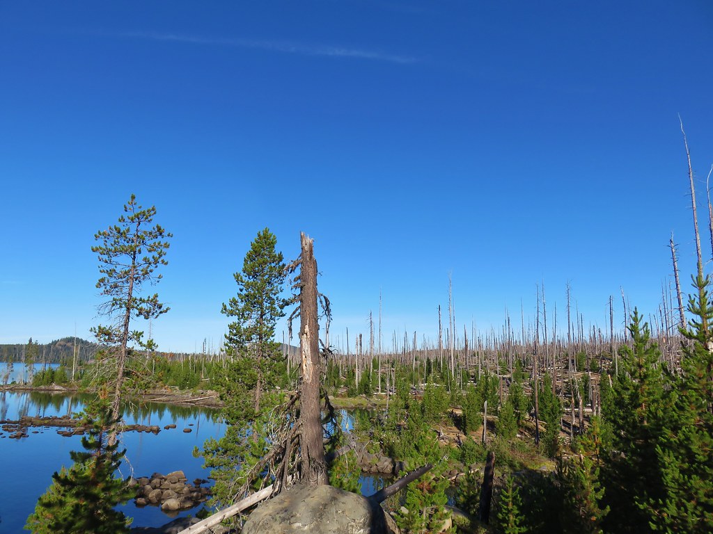

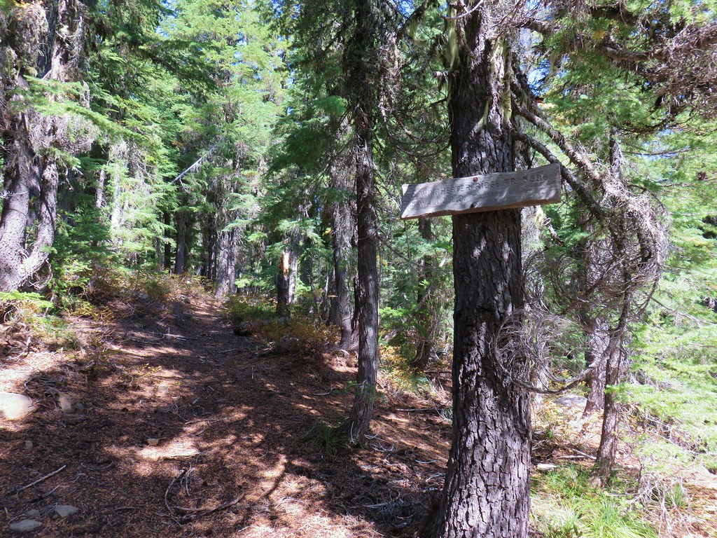
 Wahanna Trail
 Dam Camp is to the left in the trees and rhododendron


 South Sister
 The Three Sisters
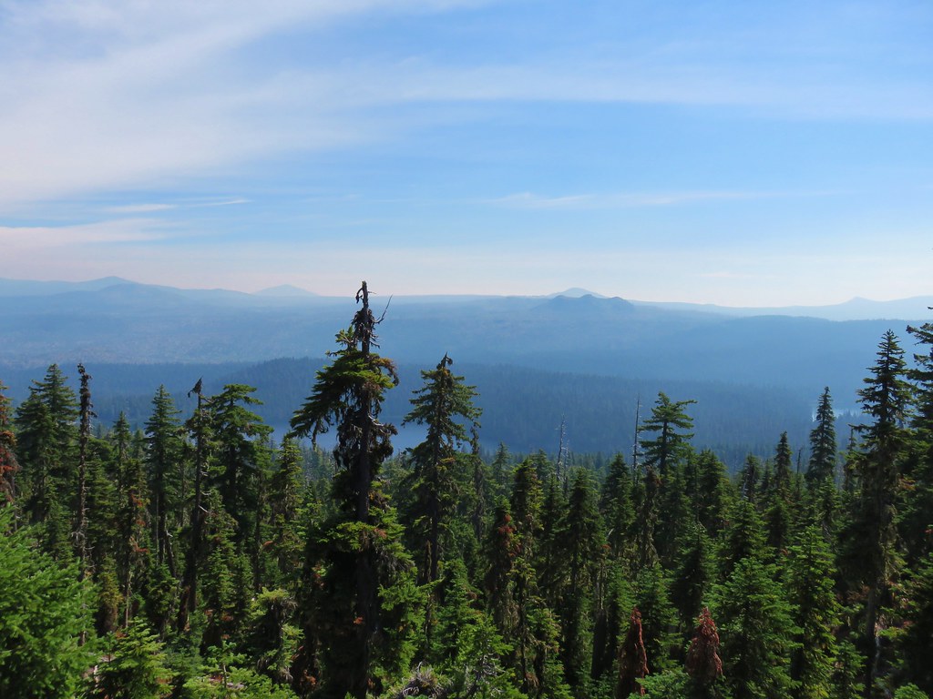 Rigdon Butte beyond the Eddeeleo Lakes from the Winchester Ridge Trail