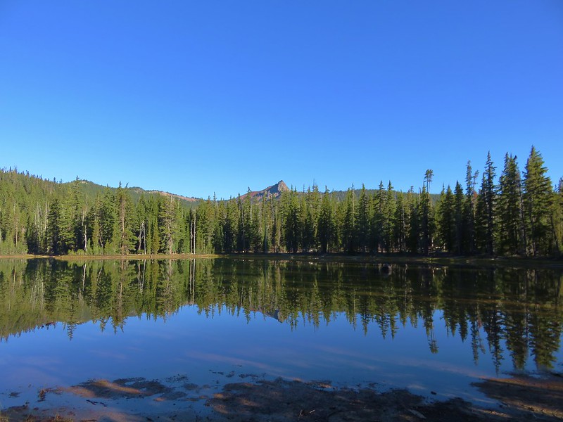
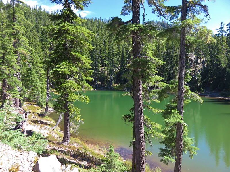
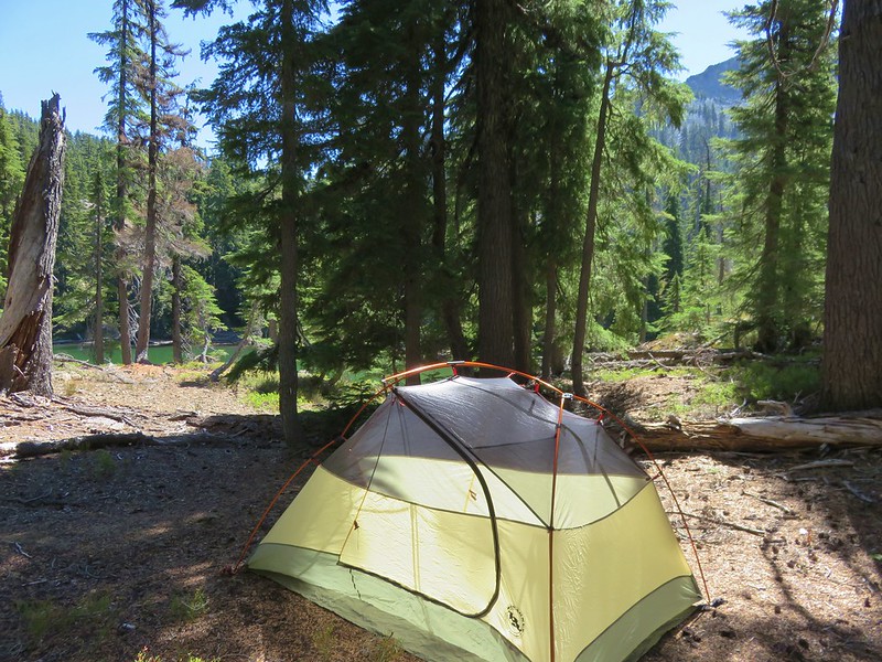
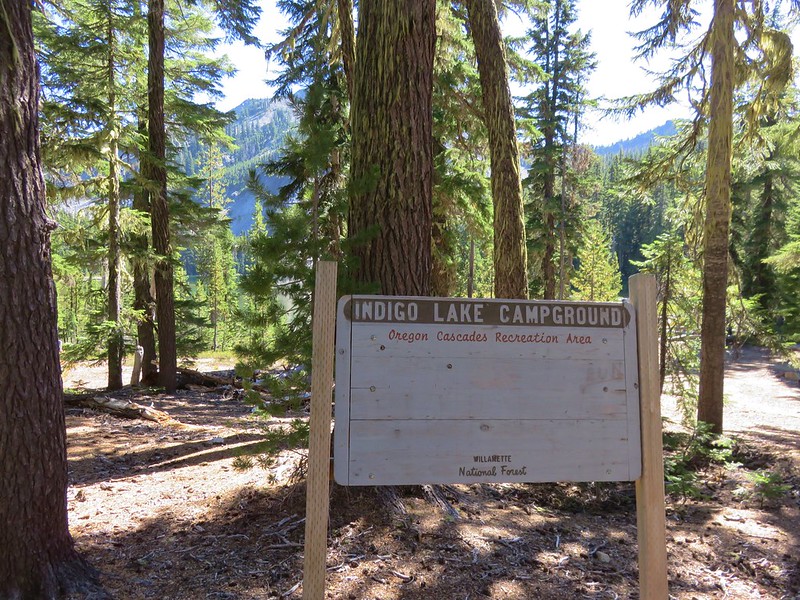
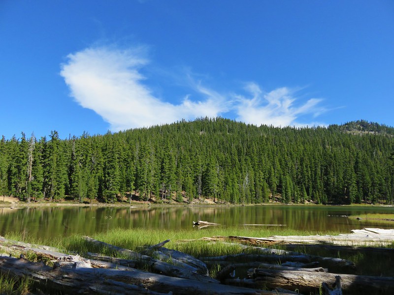
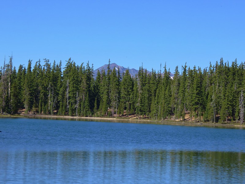
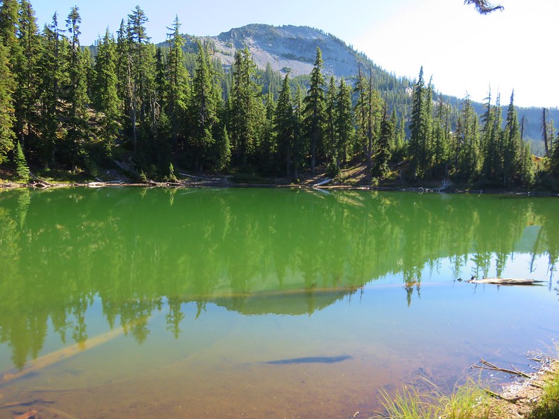
Our second day in the Oregon Cascades Recreation Area was a day hike from our base camp at the little green lake above Indigo Lake. Our plan was to do a loop around Sawtooth Mountain (with a side trip up to the summit). Before completing the loop we also planned to to take another side trip to visit nearby June Lake.
We chose to go around Sawtooth Mountain in a clockwise direction. Heather had pointed out that this was a shorter route to the summit from where we were camped which would mean we’d be climbing in cooler temperatures and it also would allow us to visit June Lake later in the day when we would likely be welcoming a nice break.
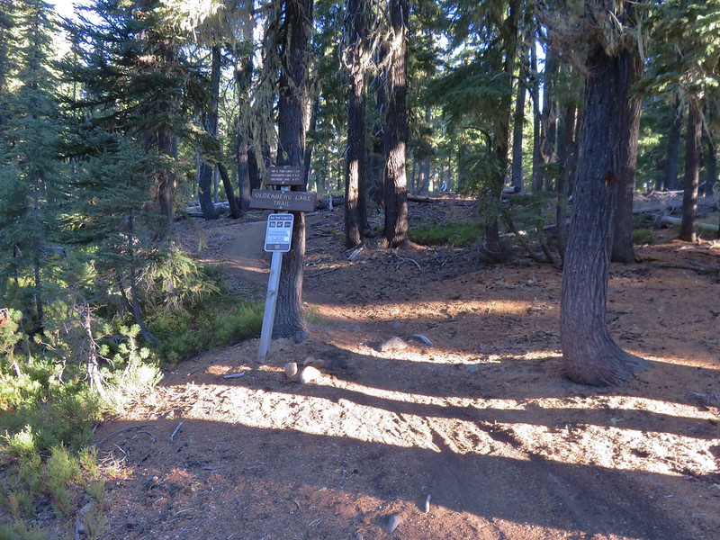
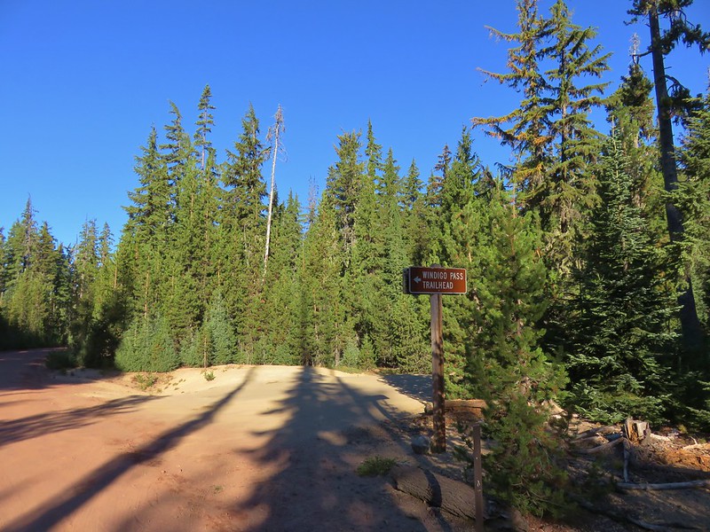
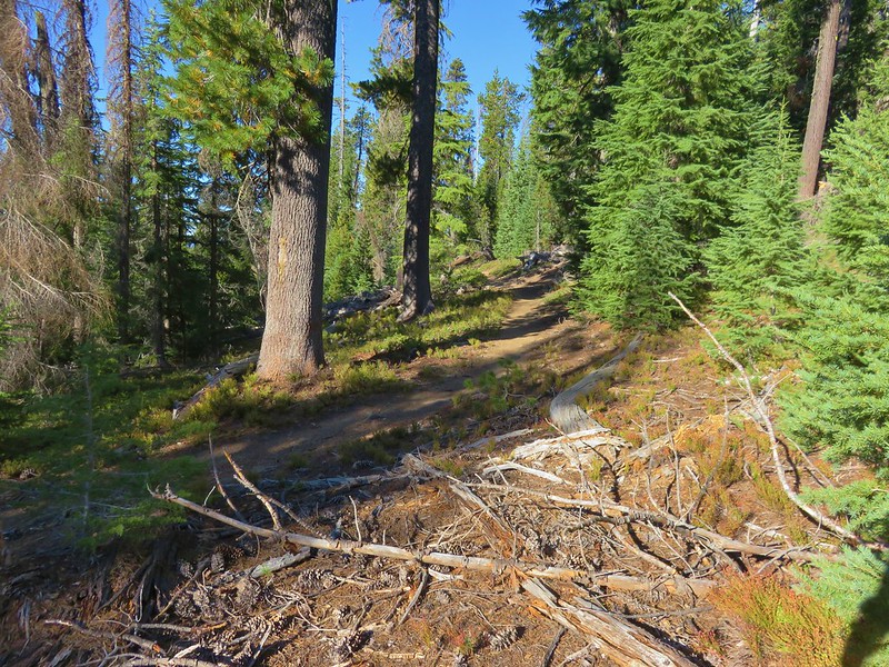
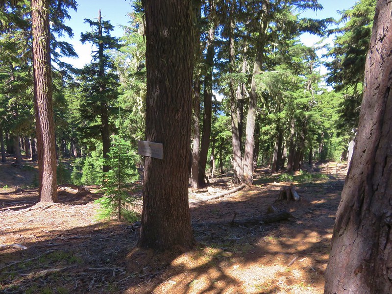
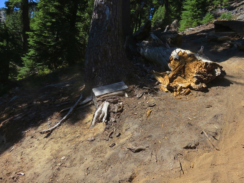
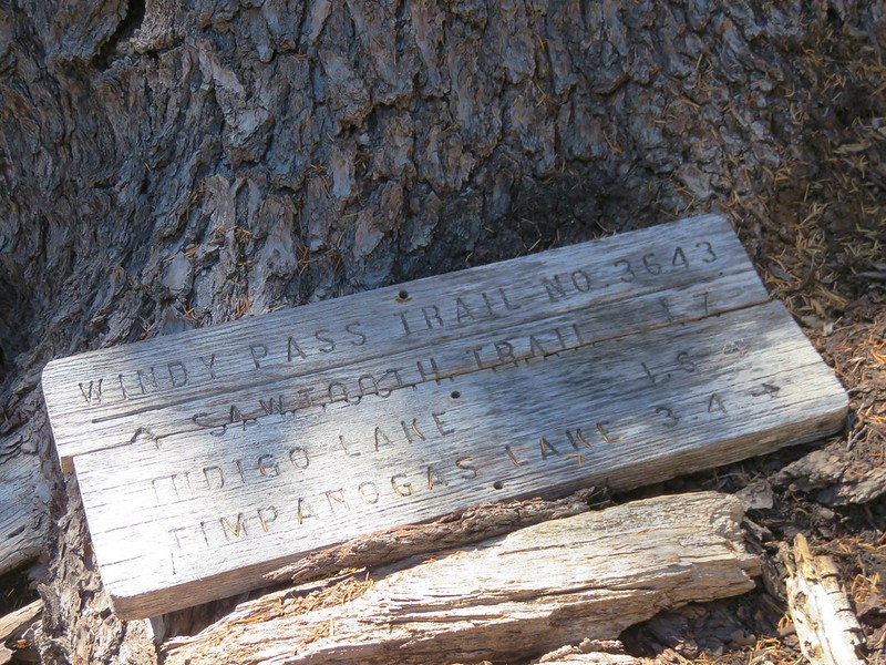
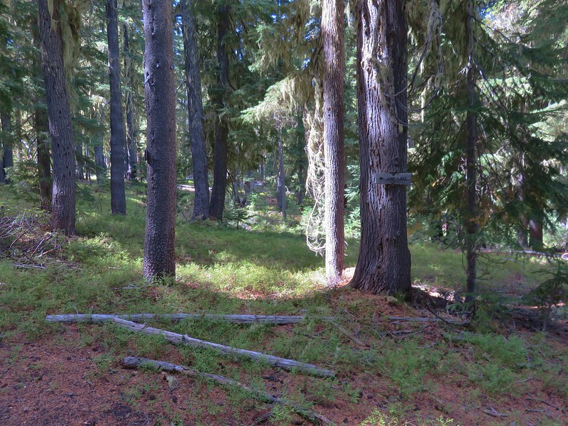
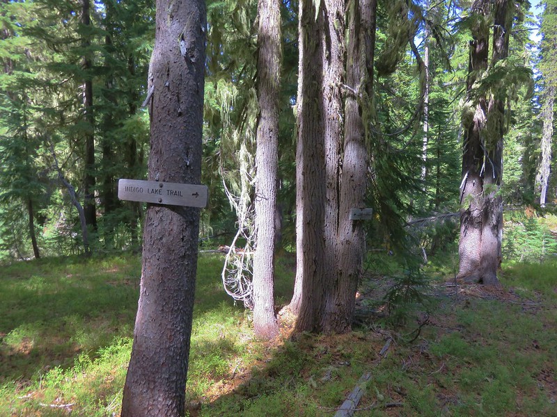
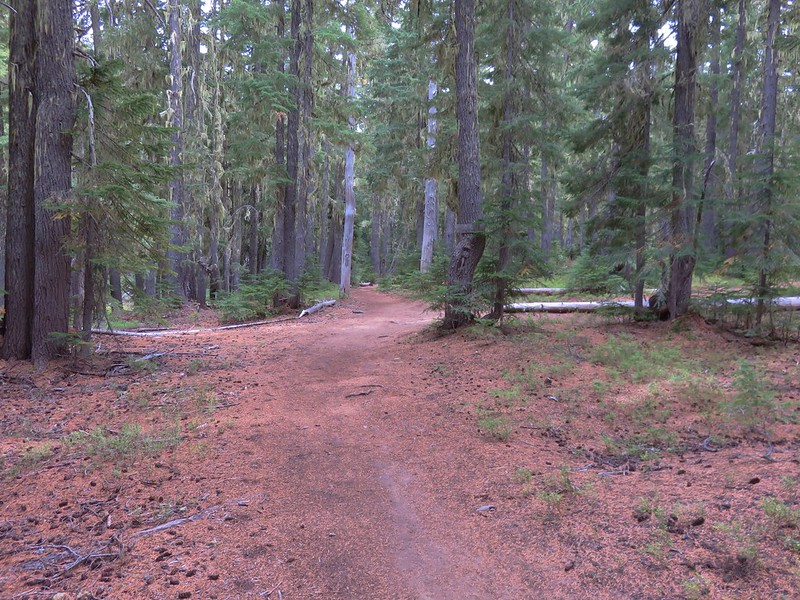
We left the lake and returned to the Indigo Extension Trail which we took uphill to the junction with the Windy Pass Trail.
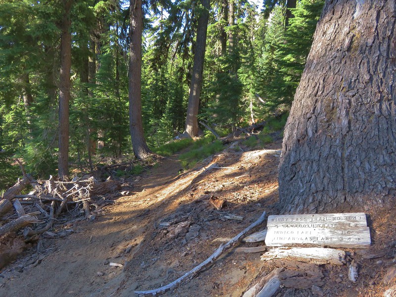
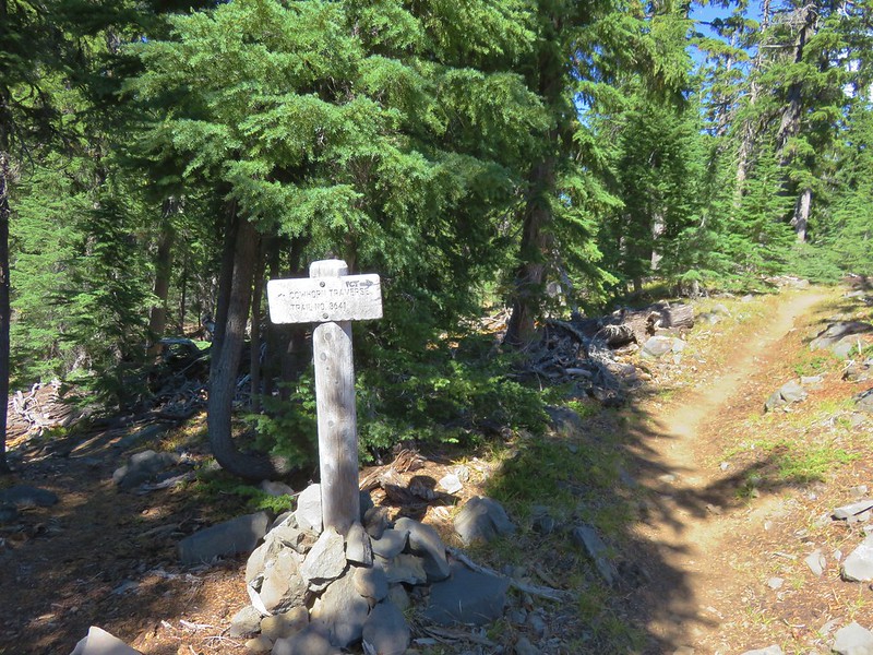
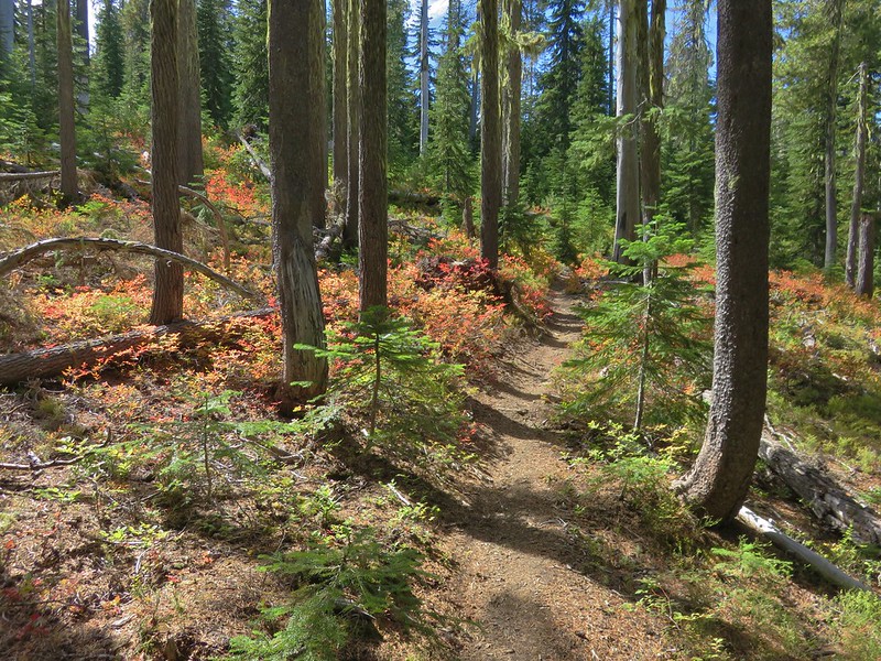
Here we turned right onto the Windy Pass Trail and began a downhill traverse behind Sawtooth Mountain.
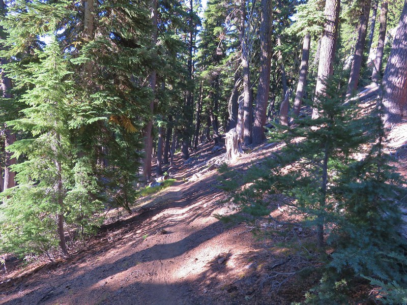
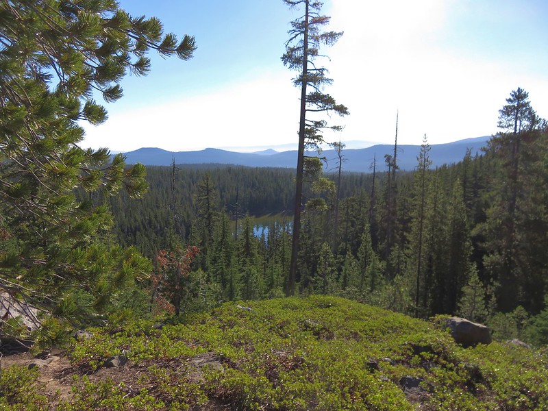
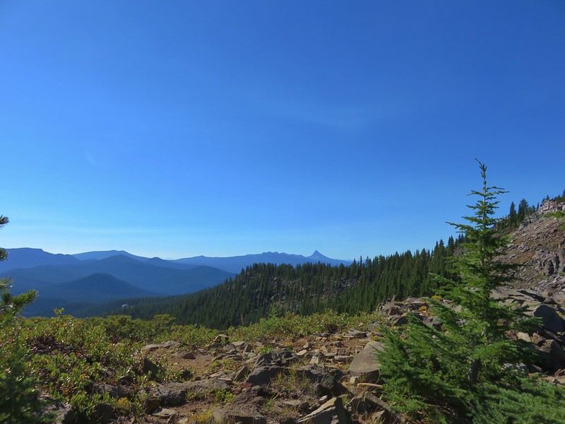
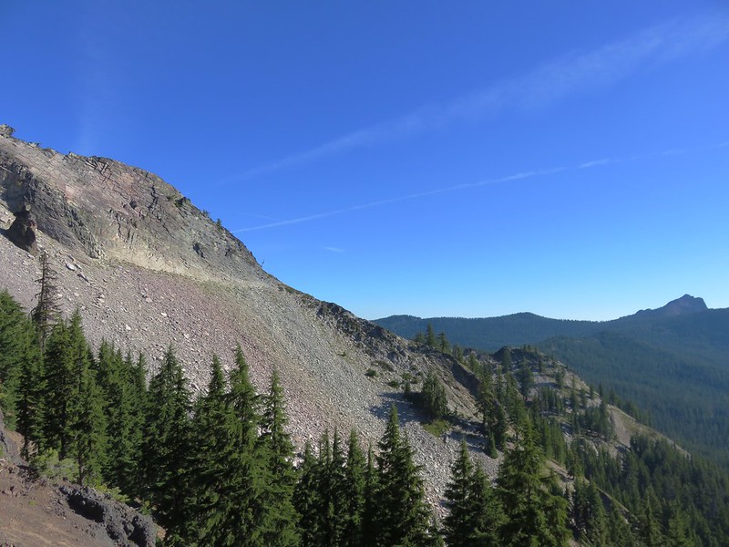
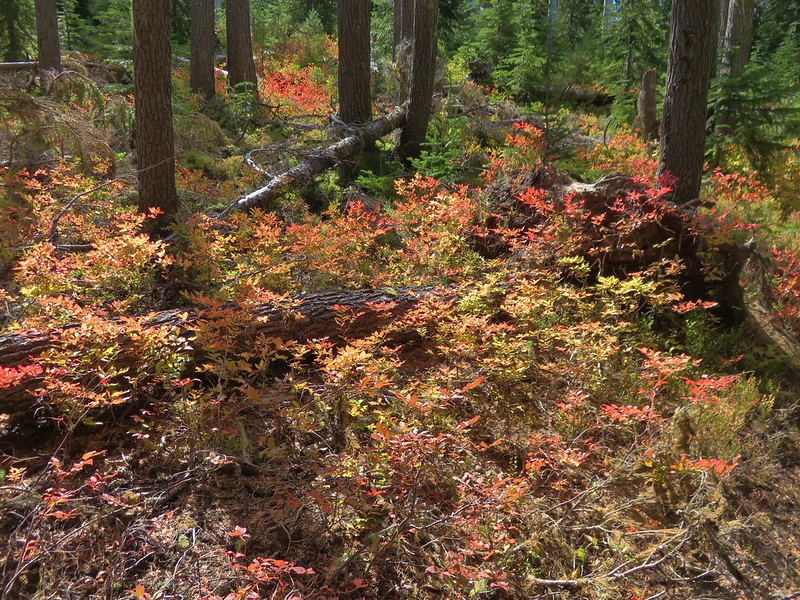
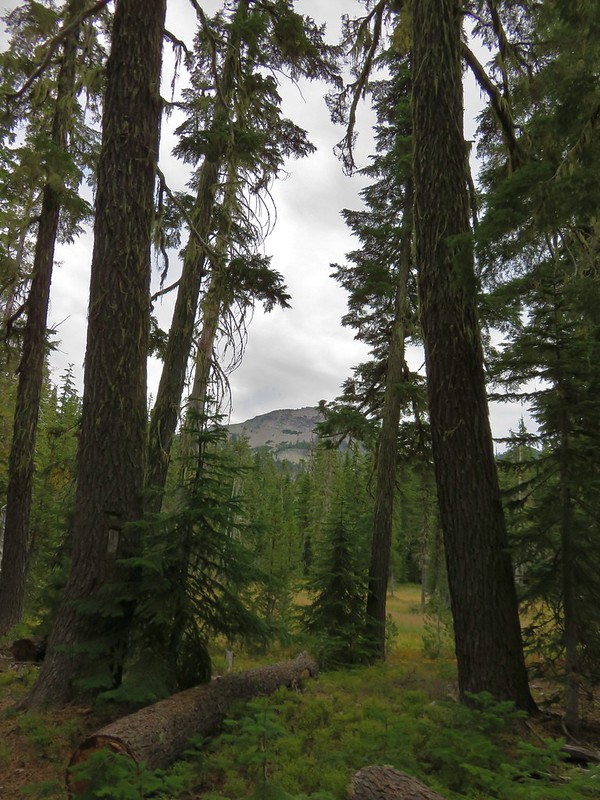
The downhill meant more climbing to get to the 7301′ summit so we weren’t overly thrilled as we continued to lose elevation. The trail eventually began to climb after descending to an elevation of approximately 6350′. The climb was quite a bit steeper than the descent had been. We did have occasional views up through the forest to various rock formations on Sawtooth Mountain but not of the summit itself.

We also saw the only deer we’d encounter on the entire trip along this section when a doe and her fawn ran down a gully toward seasonal Bradley Creek.
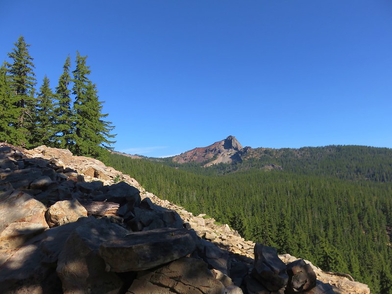
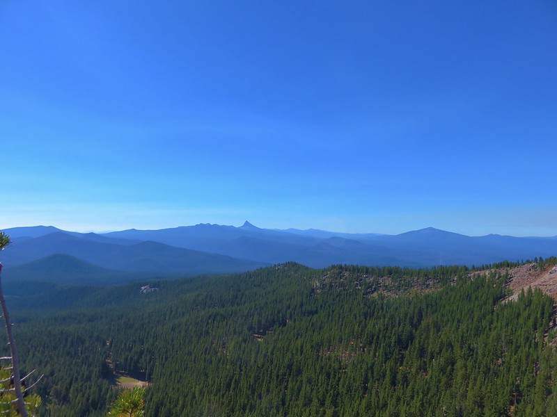
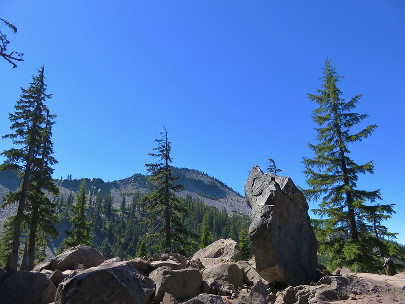
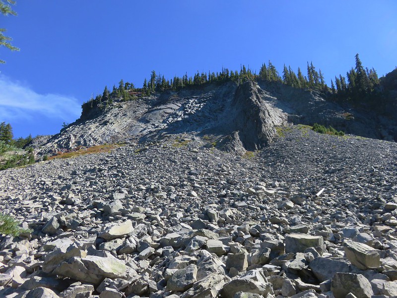
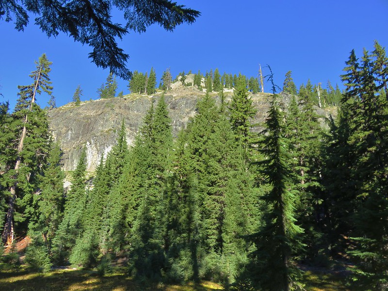
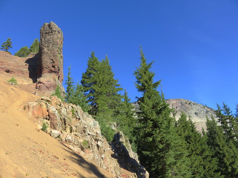
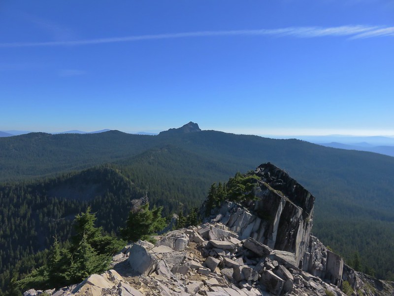
The trail really steepened in very loose dirt below an interesting pillar, where we also got a good look our goal, which we had now worked our way around.
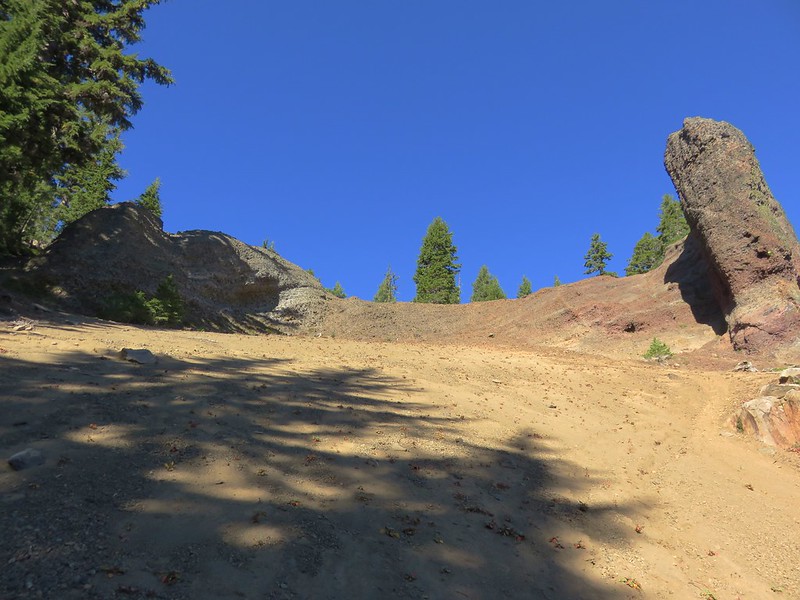
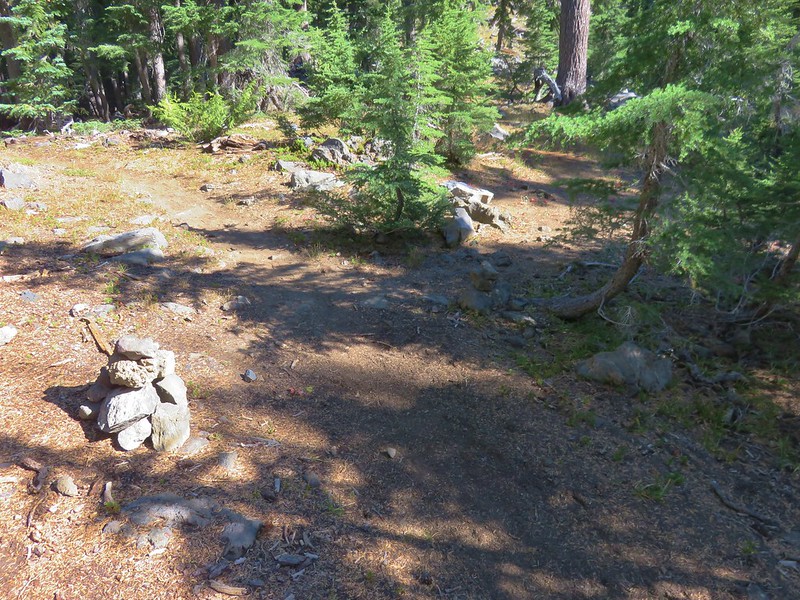
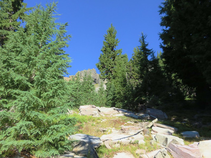
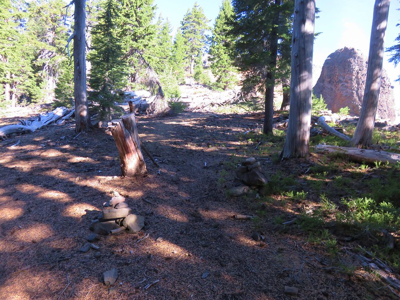
We found the .4 mile scramble trail to the summit a very short distance after climbing past the pillar. The trail was marked with rock cairns.
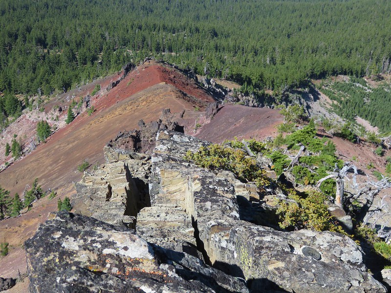
From the beginning of the scramble trail we could get a little idea of our route but the view turned out to be pretty deceiving.
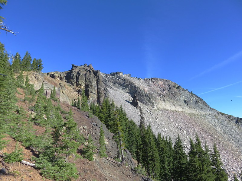
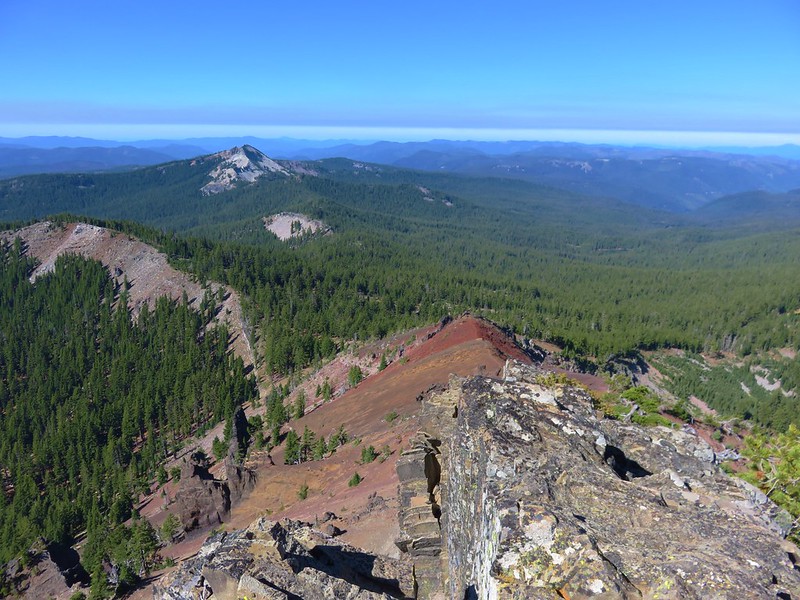
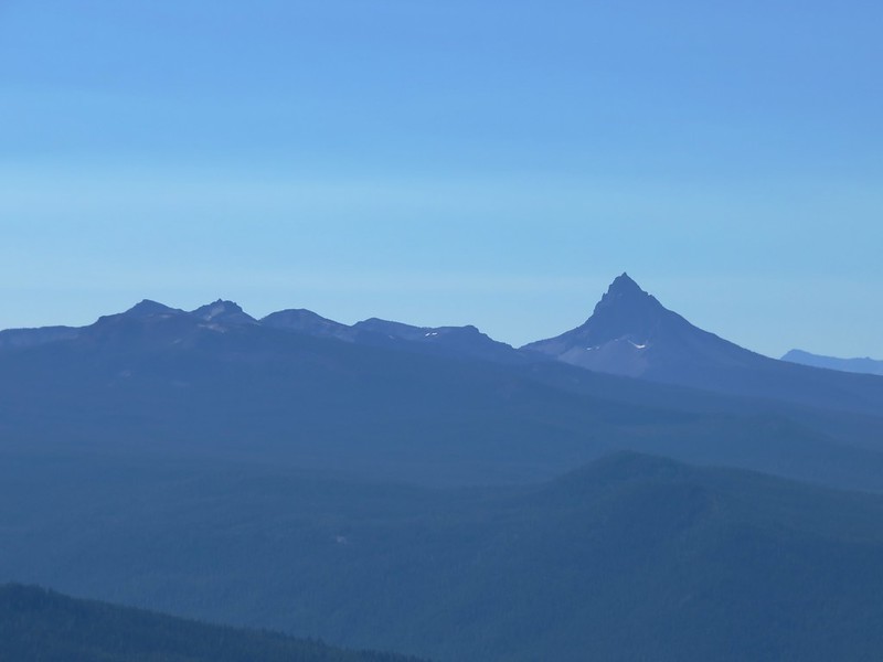
Beyond Sawtooth Mountain was Cowhorn Mountain which we had climbed the previous day.
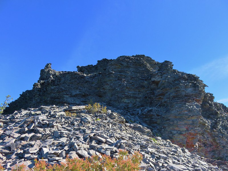
The climb up Sawtooth Mountain was not as steep as the climb up Cowhorn Mountain had been but it had it’s own challenges. The first tenth of a mile or so was an easy to follow dirt path along a ridge. The dirt gave way to rock and we were soon climbing more steeply up a scree slope to a dark rock outcrop.
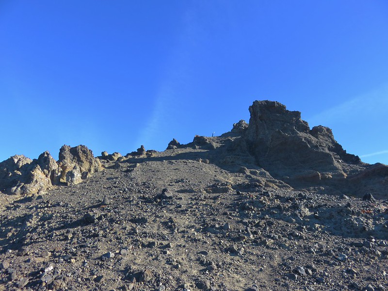
A second outcrop lay a couple hundred feet further along the ridge.
Looking back to the first outcrop from the second.
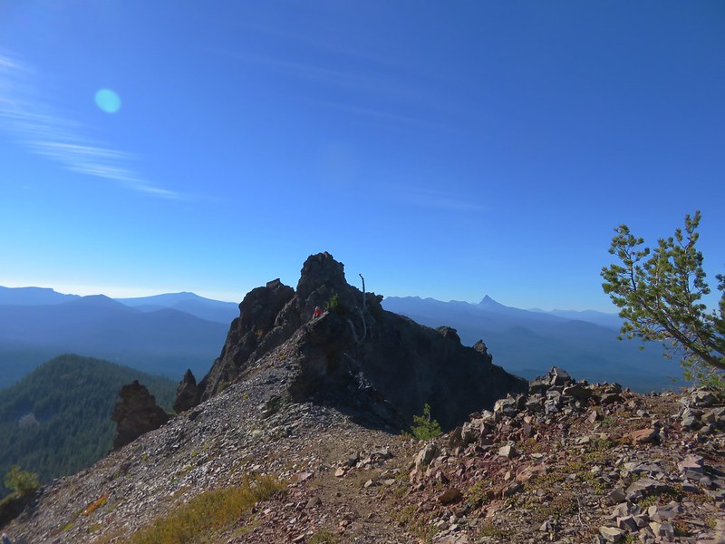
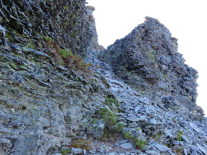
Hidden behind the second outcrop the ridge continued on but it was much narrower.

It was narrow enough that there was a moment of hesitation before stepping out and heading across. To make things just a little more challenging there was a small rock spire toward the end of the narrow section to navigate around.
At the far end of the ridge was a patch of western pasque flowers.
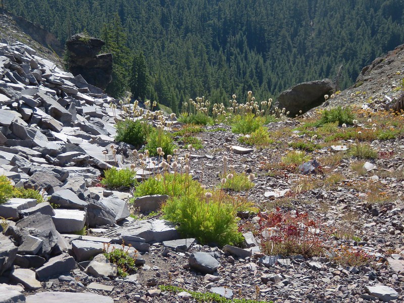
The route headed to the left along a scree field below the mountains craggy summit.
After passing a narrow chute filled with loose rock we scrambled up to the summit from the NW side.
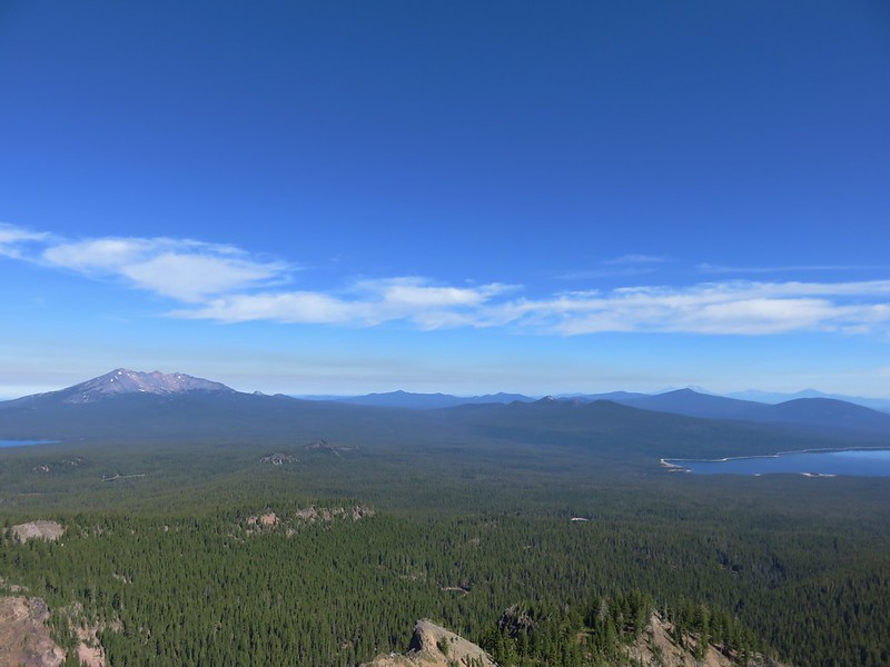
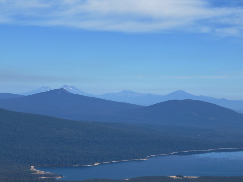
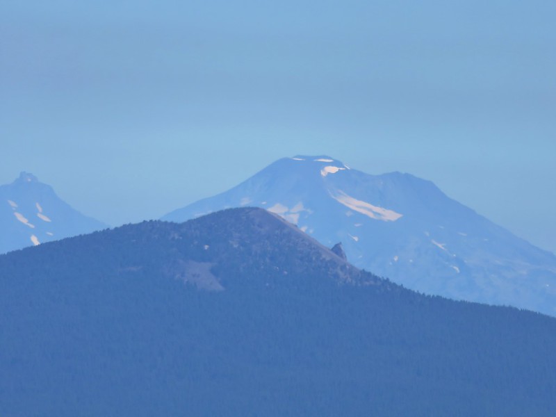
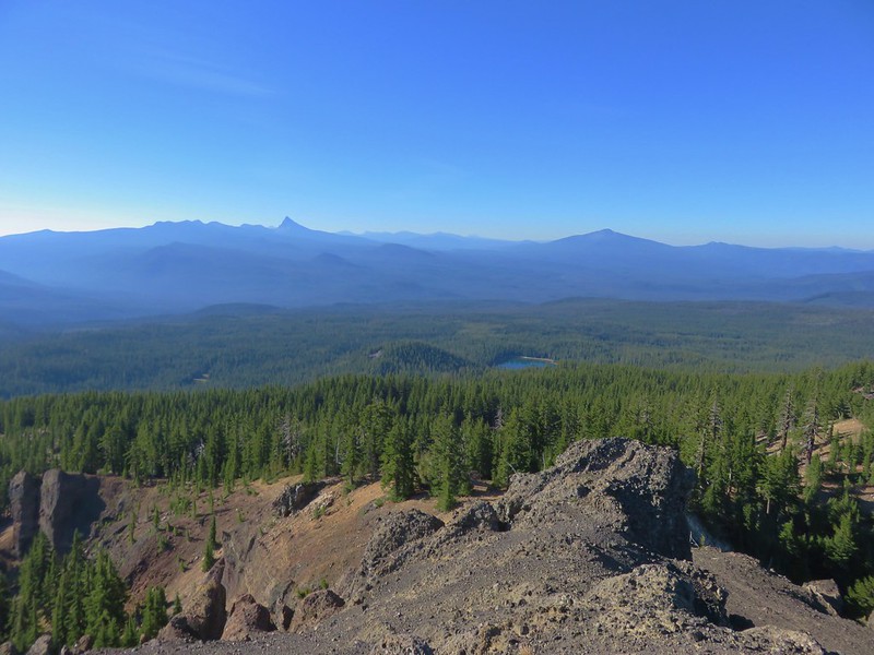
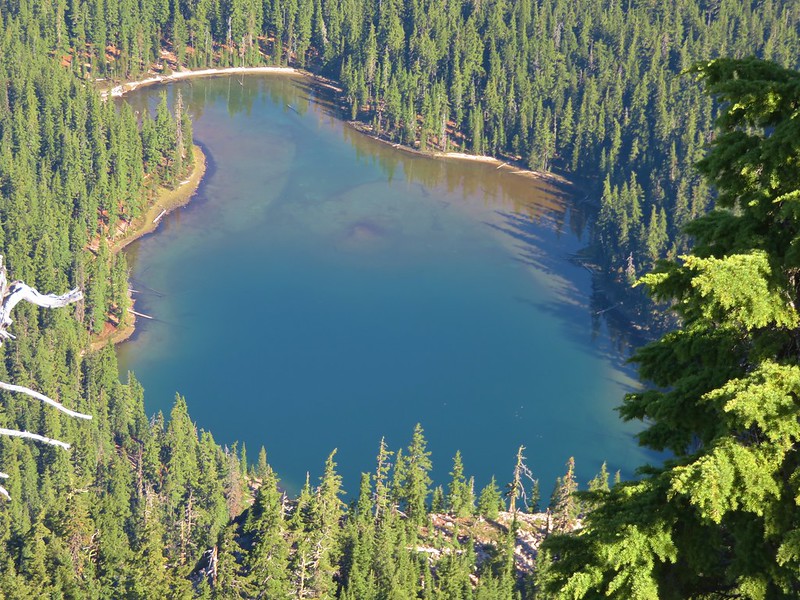
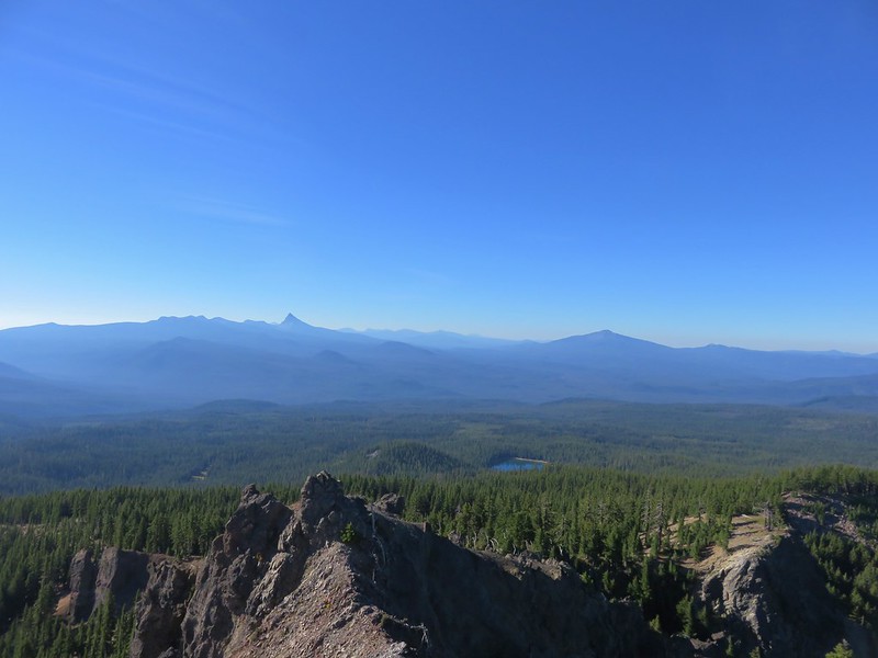
Despite this peak being 350′ shorter than Cowhorn Mountain we felt the views were a bit better. Indigo Lake lay almost directly below and several mountains that we had not been able to see from Cowhorn Mountain were visible from this summit.
Looking north
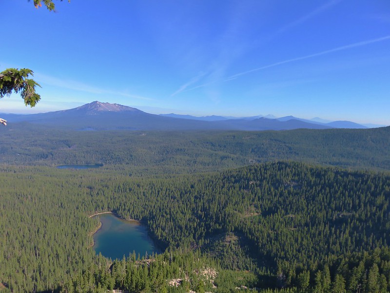
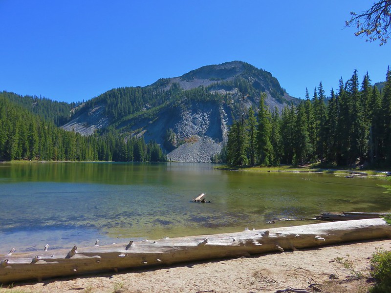
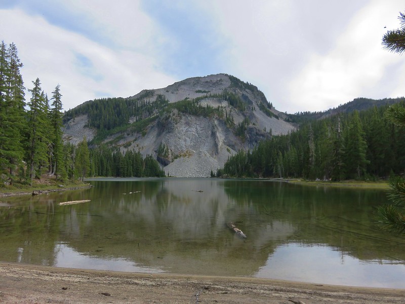
Indigo Lake
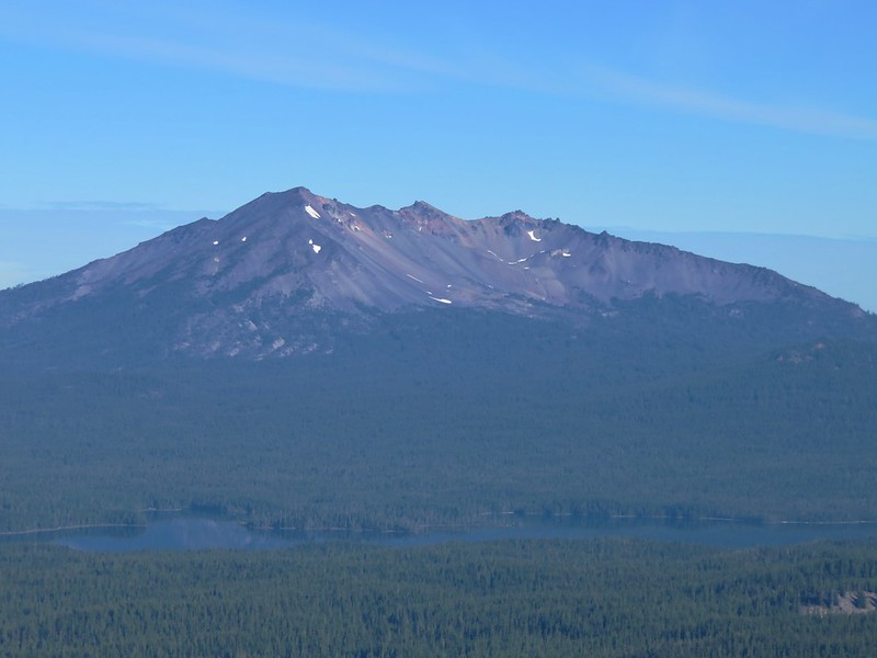
Diamond Peak and Summit Lake
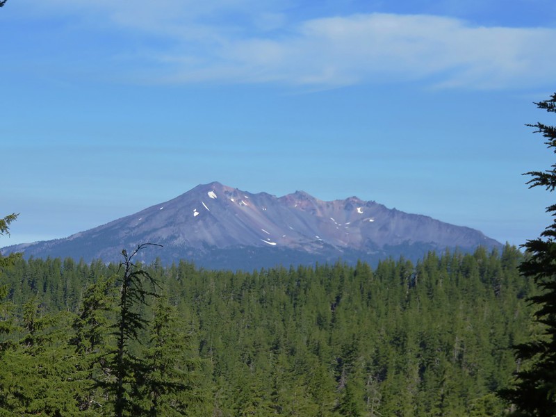
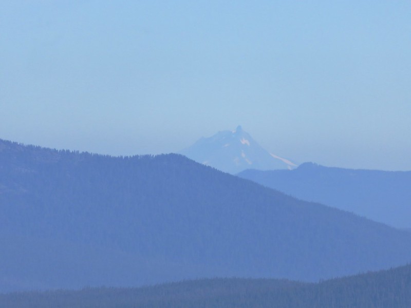
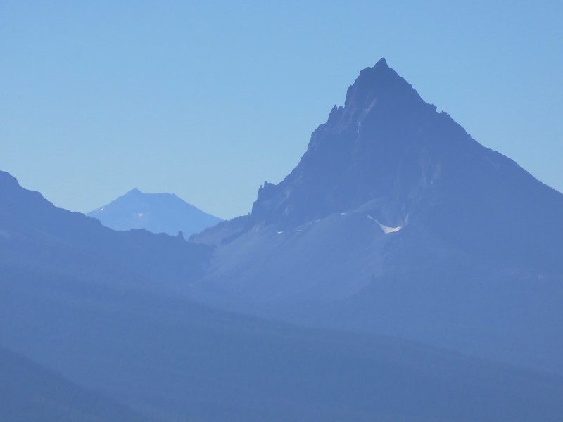
Mt. Jefferson
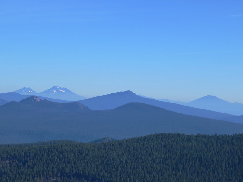
The Three Sisters, Broken Top and Mt. Bachelor behind Maiden Peak
To the east was Cowhorn Mountain
View south
Mt. Scott behind Mt. Thielsen
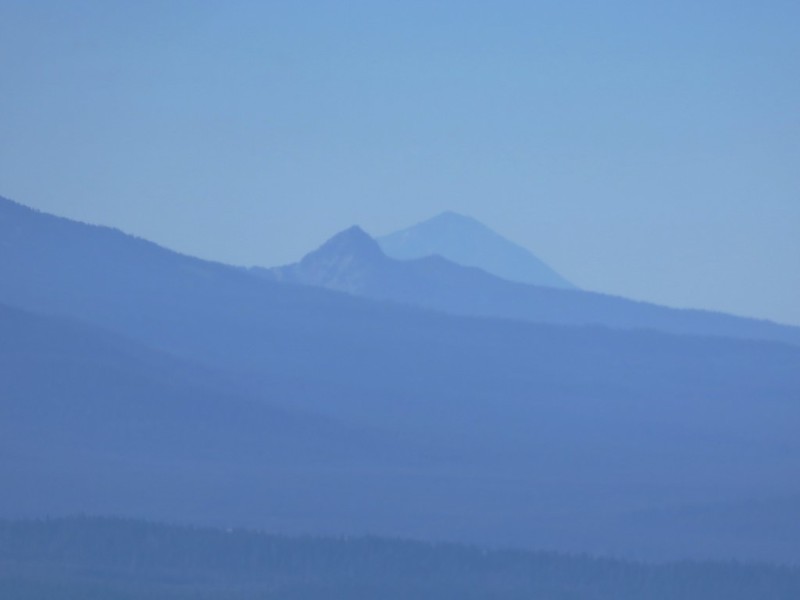
Union Peak and Mt. McLouglin
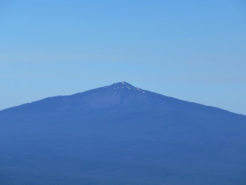
Mt. Bailey

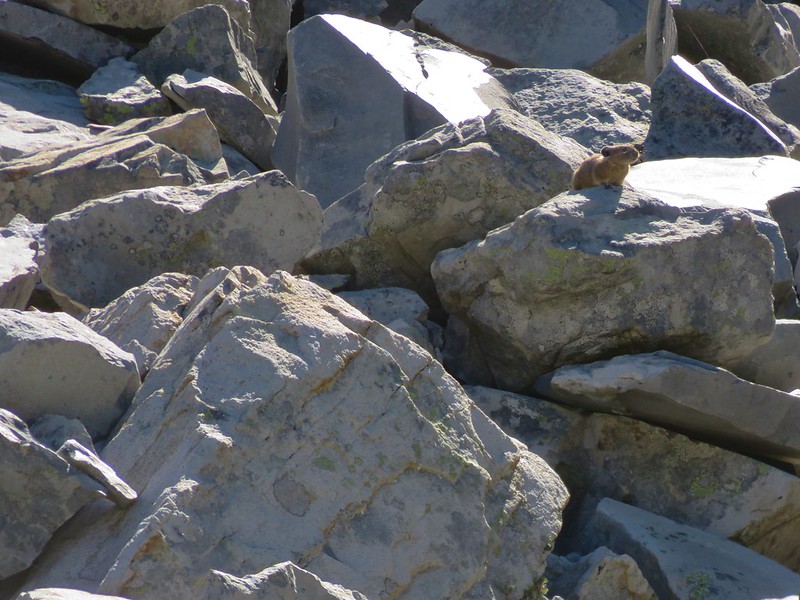
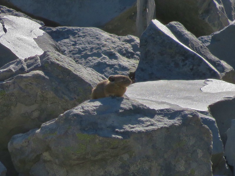
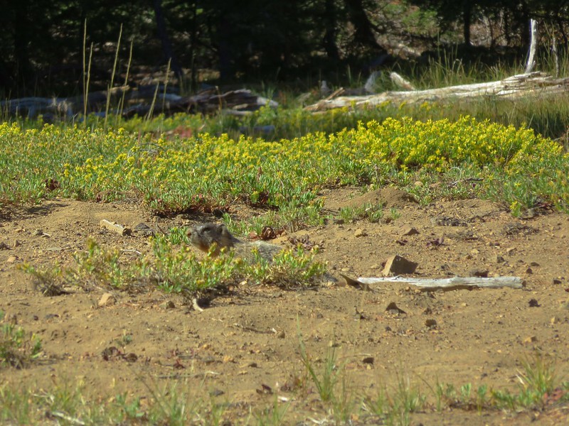
There also didn’t seem to be as many yellow jackets flying around (just a bunch of flies)which allowed me to be a little more relaxed as we took a break and ate some food. On the way back to the Windy Pass Trail we spotted a marmot foraging in the dirt. We’d seen it on the way up but it had run off as we approached but now it didn’t seem to be too worried about us.

Approximately 1.2 miles after starting back on the Windy Pass Trail we came to a junction with the Sawtooth Mountain Trail.
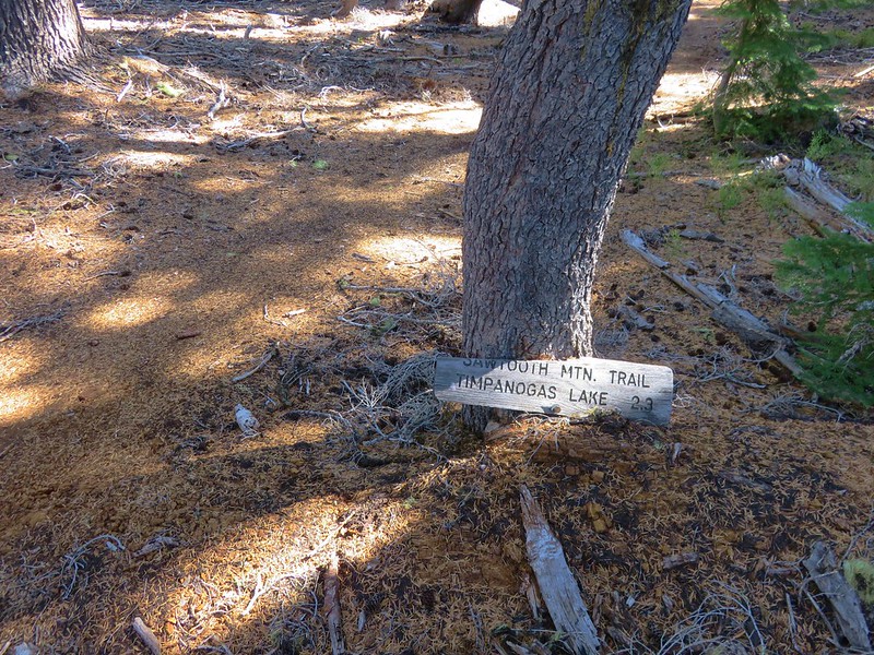
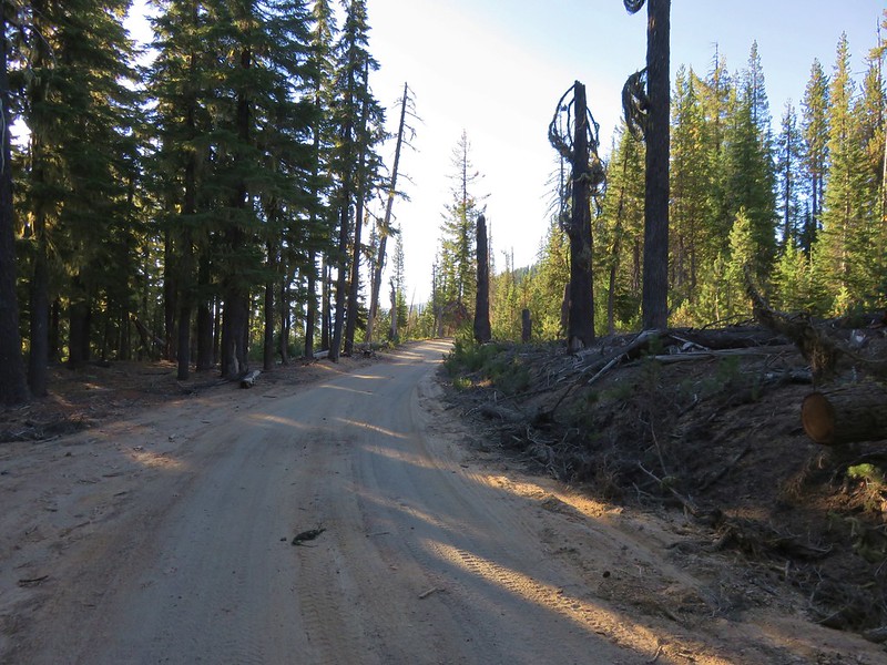
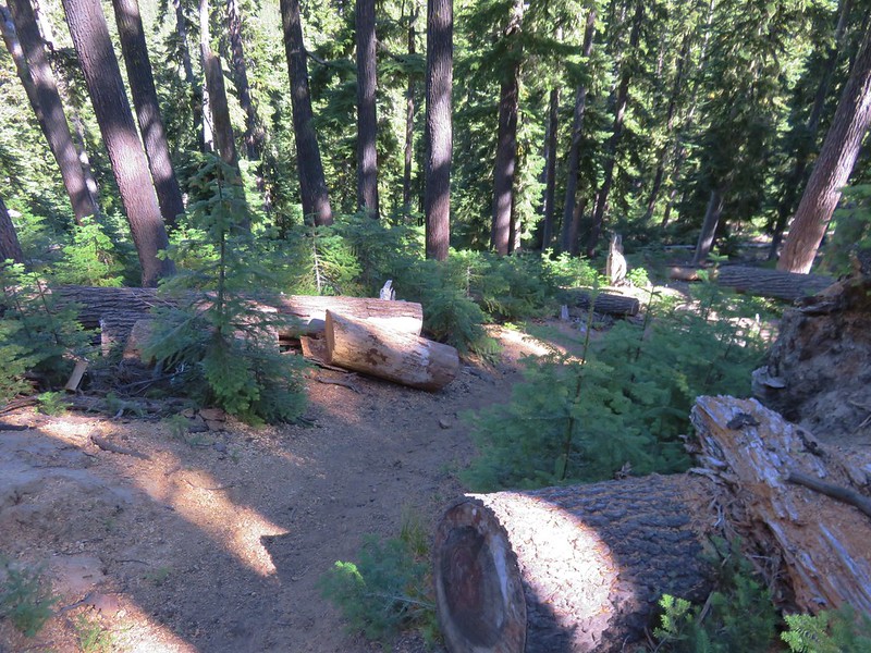
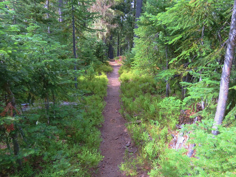
The Windy Pass Trail continues 2 more miles to Forest Road 770 but according to the forest service that section of trail is no longer maintained. Our route took us onto the Sawtooth Mountain Trail though. We followed this path downhill through the forest for approximately 2.25 miles. At times the trail was rather steep and it was evident why it appeared to be popular with mountain bikers.
After the 2.25 miles we arrived at a trail junction with the Indigo Lake and June/Indigo Tie Trails.
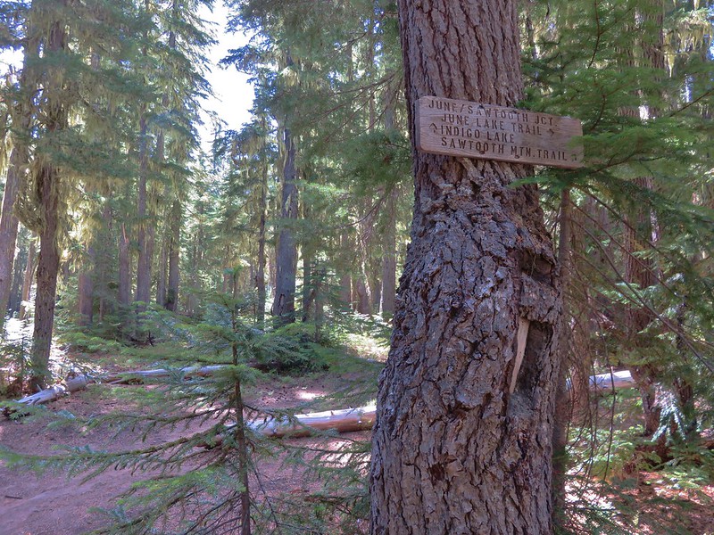
To get back to our camp we would need to head toward Indigo Lake but first we wanted to visit June Lake so we made a sharp left turn onto the tie trail.

After about half a mile the tie trail met the June Lake Trail coming up from a trailhead near the Timpanogs Lake Campground.
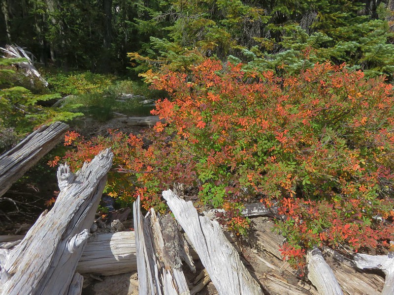
The hike to June Lake was nearly flat, especially in relation to what we’d just come down. Sections of the trail were also lined with colorful huckleberry bushes.
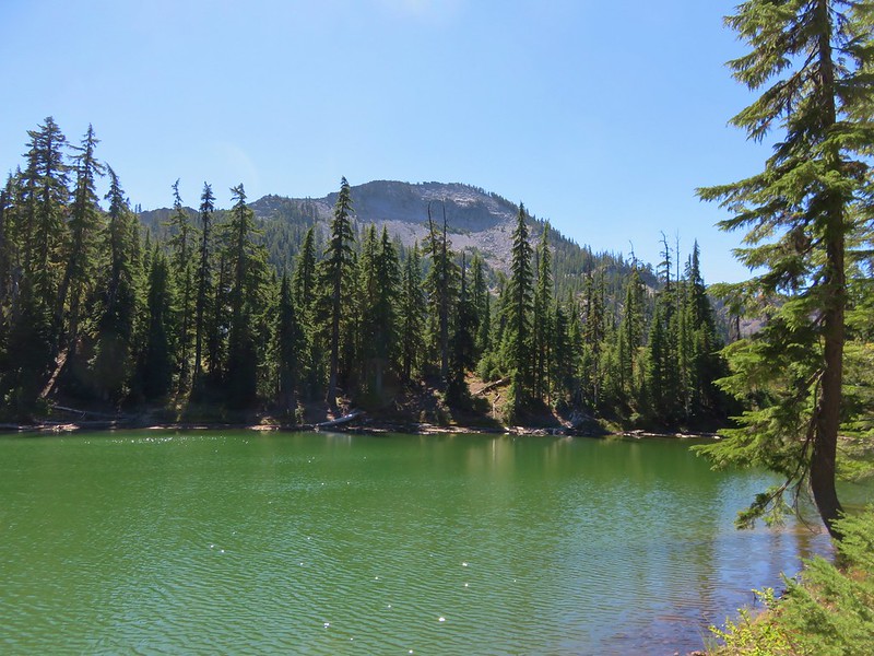
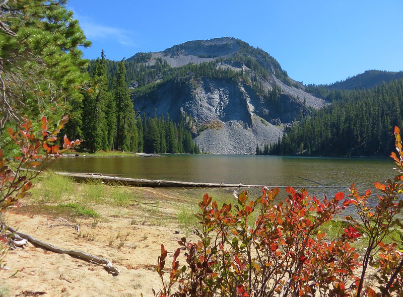
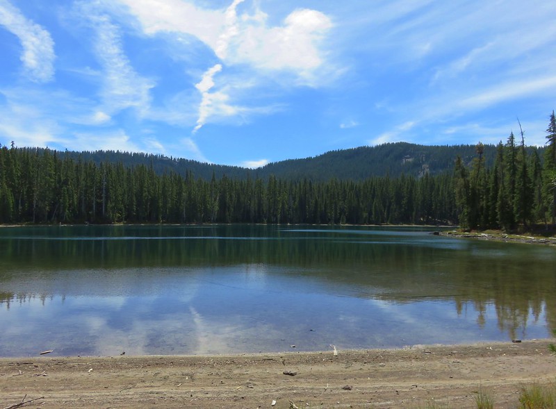
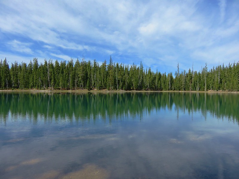
June Lake was a little bigger than we expected and, like the other lakes in the area, very colorful. The only thing it seemed to lack was a mountain view.
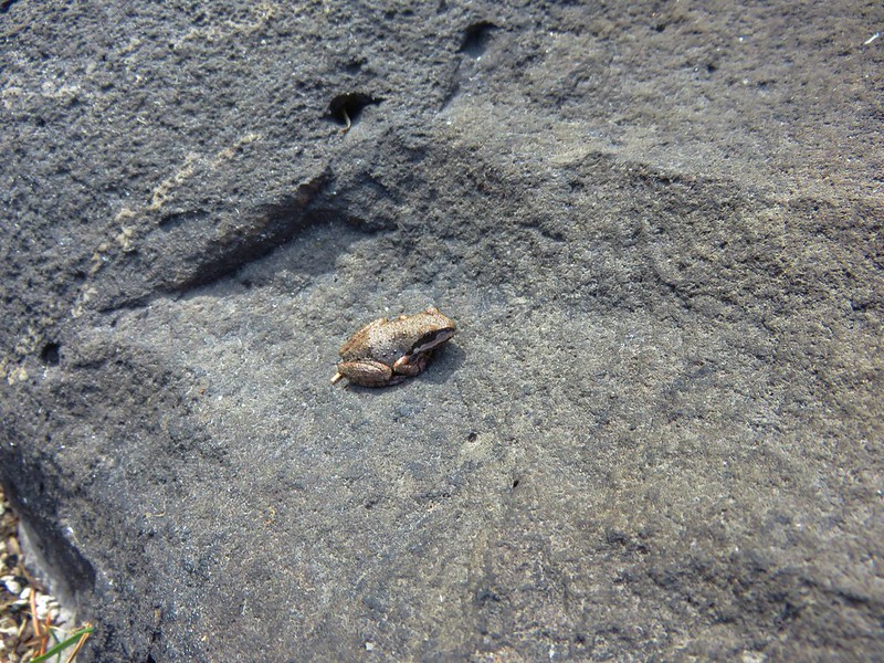
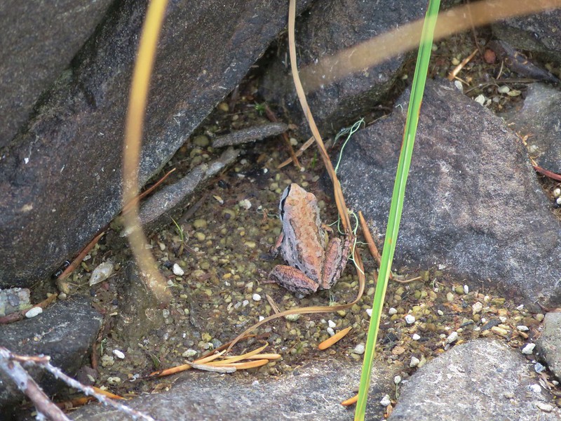
We walked around the lake stopping on the far side to sit on some rocks along the shore. We had to watch where we sat because we weren’t the only ones enjoying the rocks.
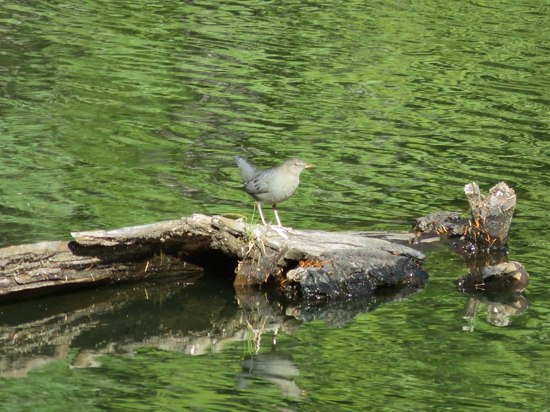
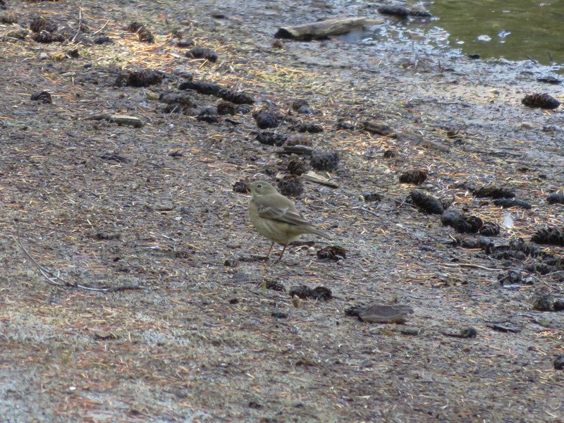
As we rested we watched busy birds and butterflies along the lakes sandy shore.

We had gone around the lake clockwise and near the end of the loop we came to the lakes now dry outlet creek.

We stopped for a moment to ponder what might have once been on a small signboard that was nearby.
After completing the loop we followed the June Lake Trail back to the junction with the tie trail where we decided not to turn onto the tie trail but instead take the .7 mile trail down to the trailhead.
This section of trail lost about 200′ of elevation as it descended to a junction with the Middle Fork Trail.
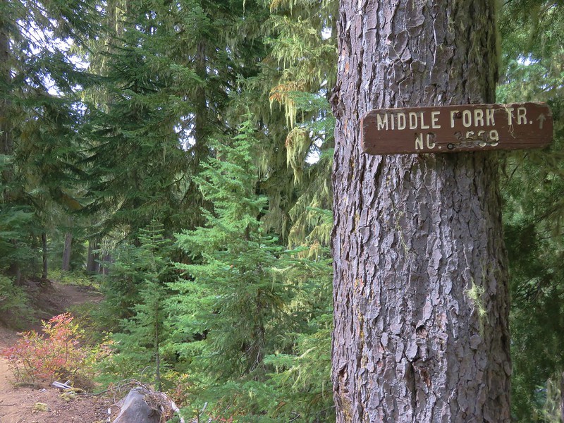
The 33.1 mile Middle Fork Trail follows the Middle Fork Willamette River from the Sand Prairie Campgound near Hills Creek Reservoir near Oakridge up to the trailhead near Timpanogas Lake. Just before the trailhead it passes Lower Timpanogas Lake. In order to get a decent look at that lake we had to hike 100′ down the Middle Fork Trail.

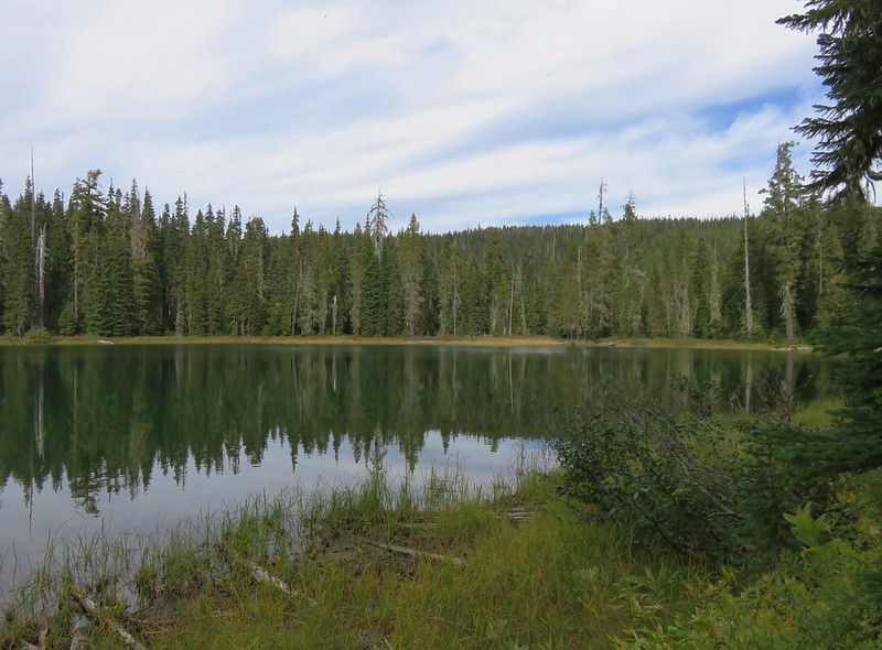
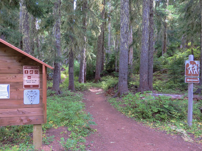
To be honest it was the least impressive of the lakes we’d visited on the trip so far but Heather did see some good sized fish swimming in the water. We walked back up to the junction and turned left onto what was now an old roadbed leading to the trailhead. At the trailhead we headed up the Indigo Lake Trail.
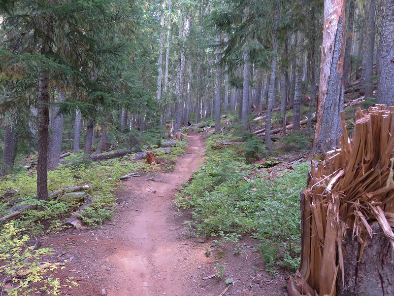
We climbed for .7 miles back to the junction where we had taken the June/Indigo Tie Trail then continued on the Indigo Lake Trail an additional 1.2 miles uphill to Indigo Lake.
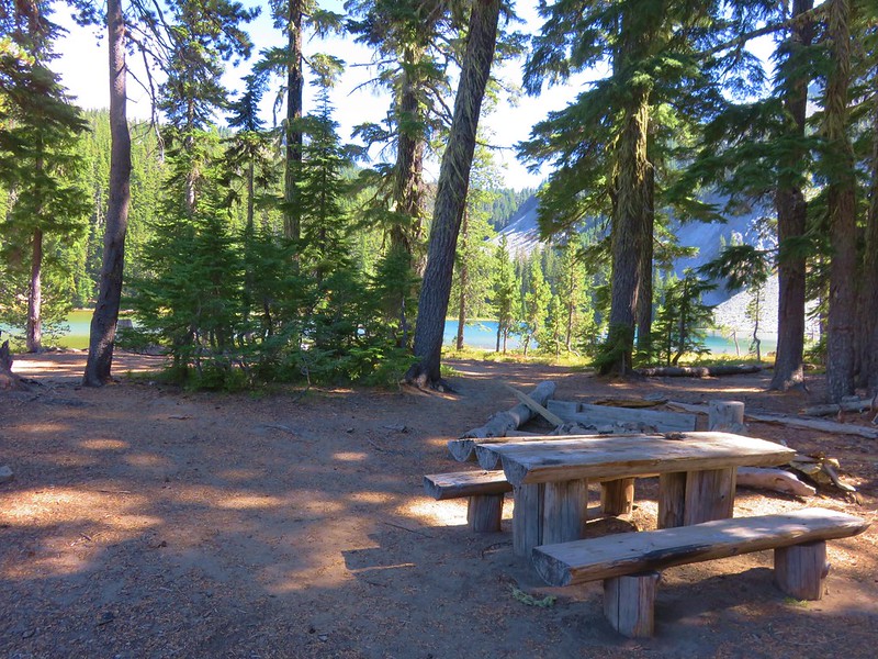
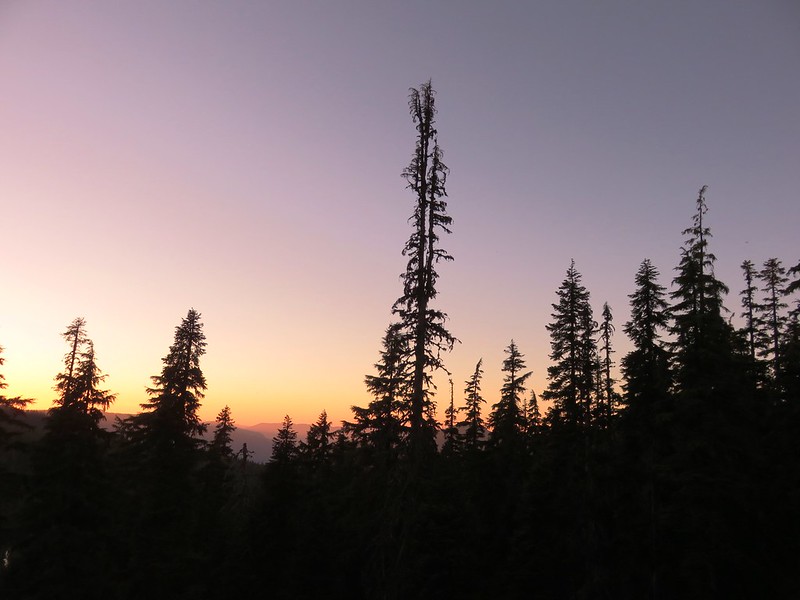
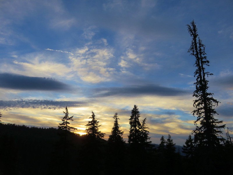
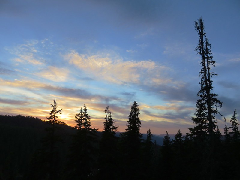
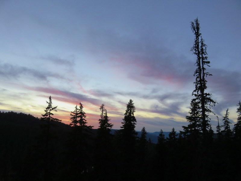
After a brief stop at one of the picnic tables along Indigo Lake we made our way back up to our campsite where we had dinner and watched the sky change colors as the sunset.
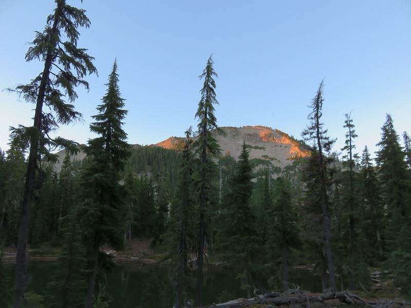
We would be packing up in the morning and saying goodbye to the little unnamed lake, but for one more night it was home. Happy Trails!
Flickr: https://www.flickr.com/photos/9319235@N02/albums/72157672828693740