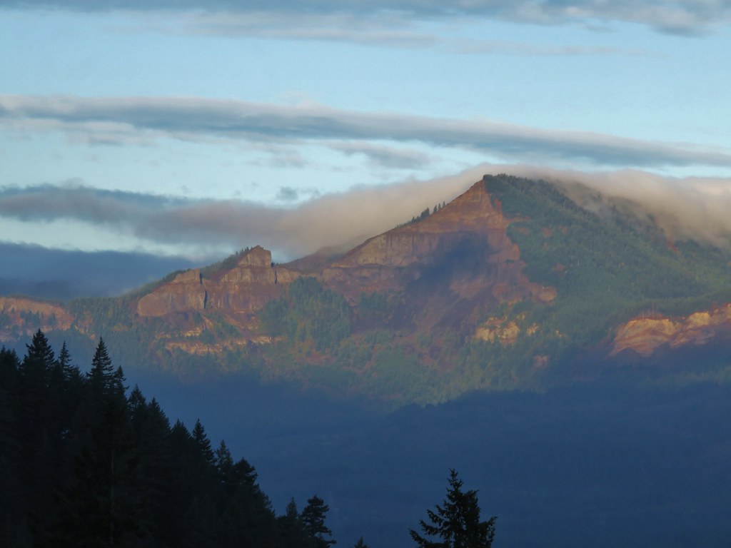
Despite what the weather thinks we are approaching our hiking season which means we will be hitting the trails much more often over the next 6 months. As we work our way into hiking shape we jumped on a chance at a rain free morning and headed to the Columbia River Gorge to check out a pair of waterfalls. Several trails in the gorge remain closed due to fire damage from the 2017 Eagle Creek Fire and others that had been reopened are again closed due to rock fall and slides caused by our recent weather combined with the fire damage. Please remember to check on the current status and conditions of trails before heading out.
Our sights were set on a section of the Pacific Crest Trail from Cascade Locks to Pacific Crest Falls. We had visited Pacific Crest Falls coming from the other side in October of 2015 (post) but at that time of year there wasn’t much water flowing so we thought a return visit was in order, especially after our recent rains.
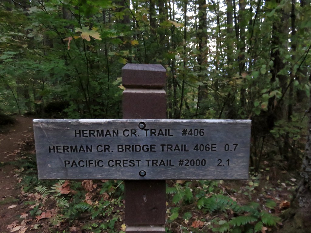
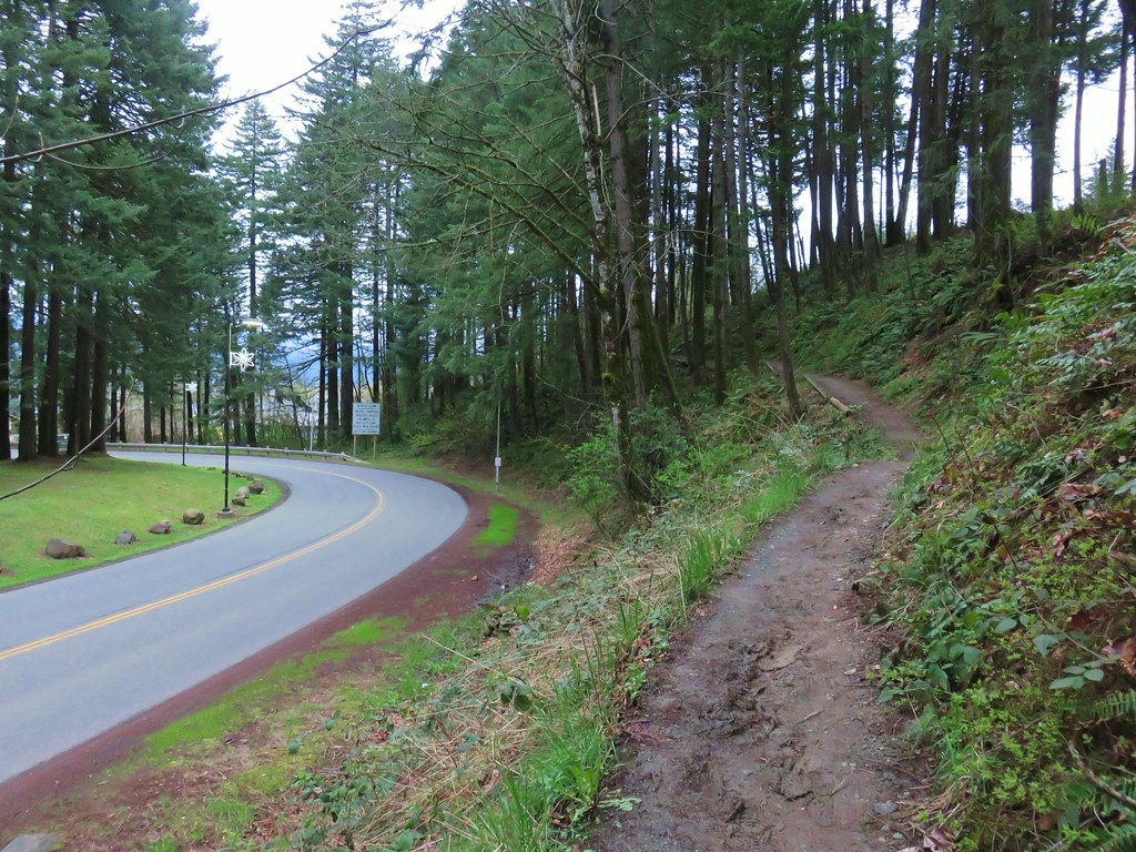
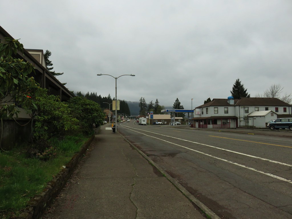
We began our hike at the Bridge of the Gods Trailhead in Cascade Locks.

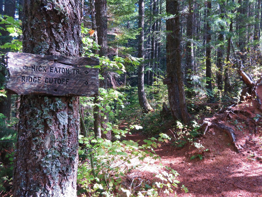
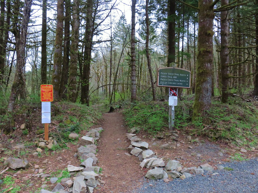
From the trailhead we took the Pacific Crest Trail south.

The PCT briefly follows Harvey Road as it passes under I84 to a second possible trailhead.

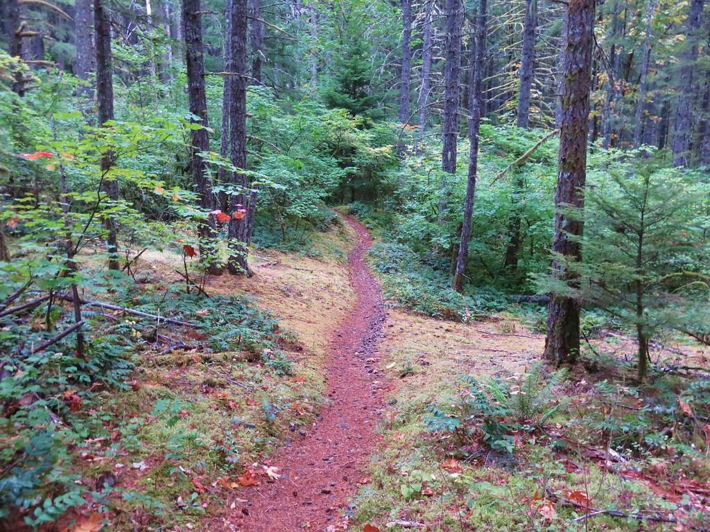
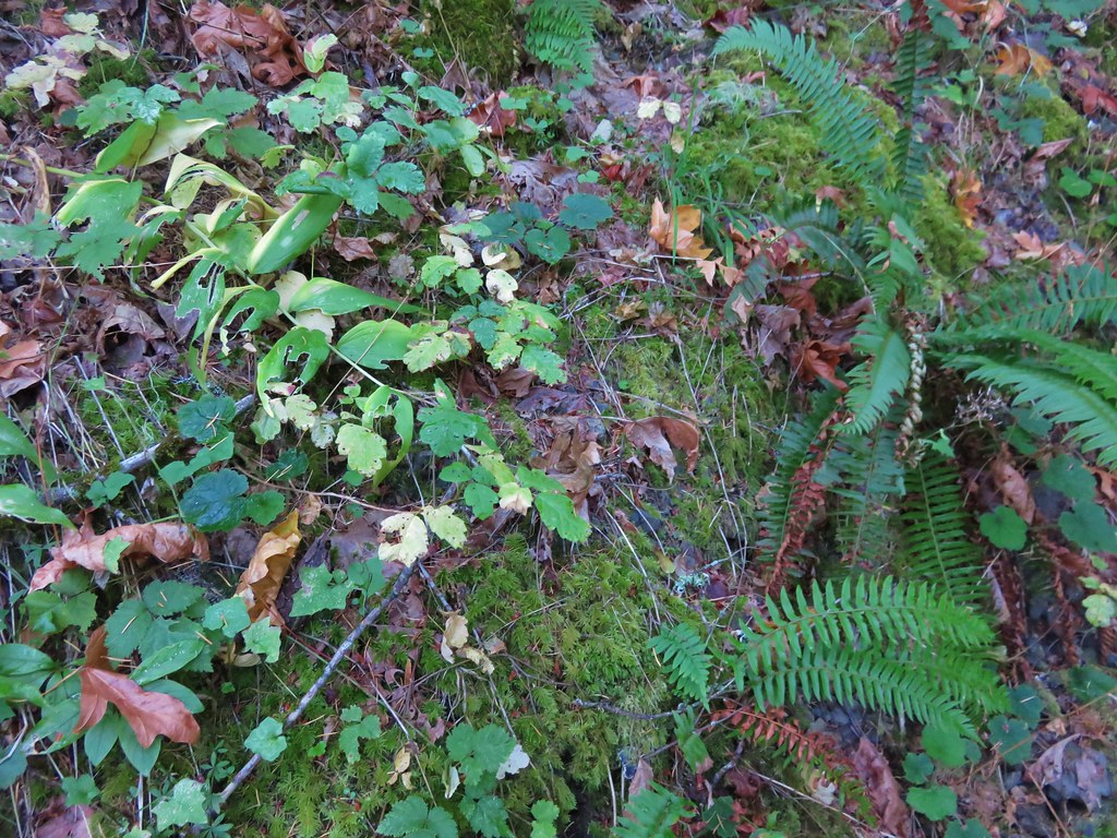
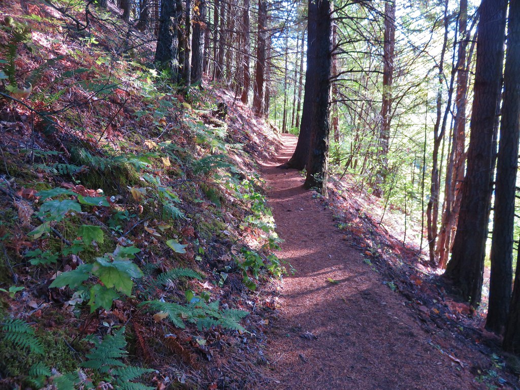
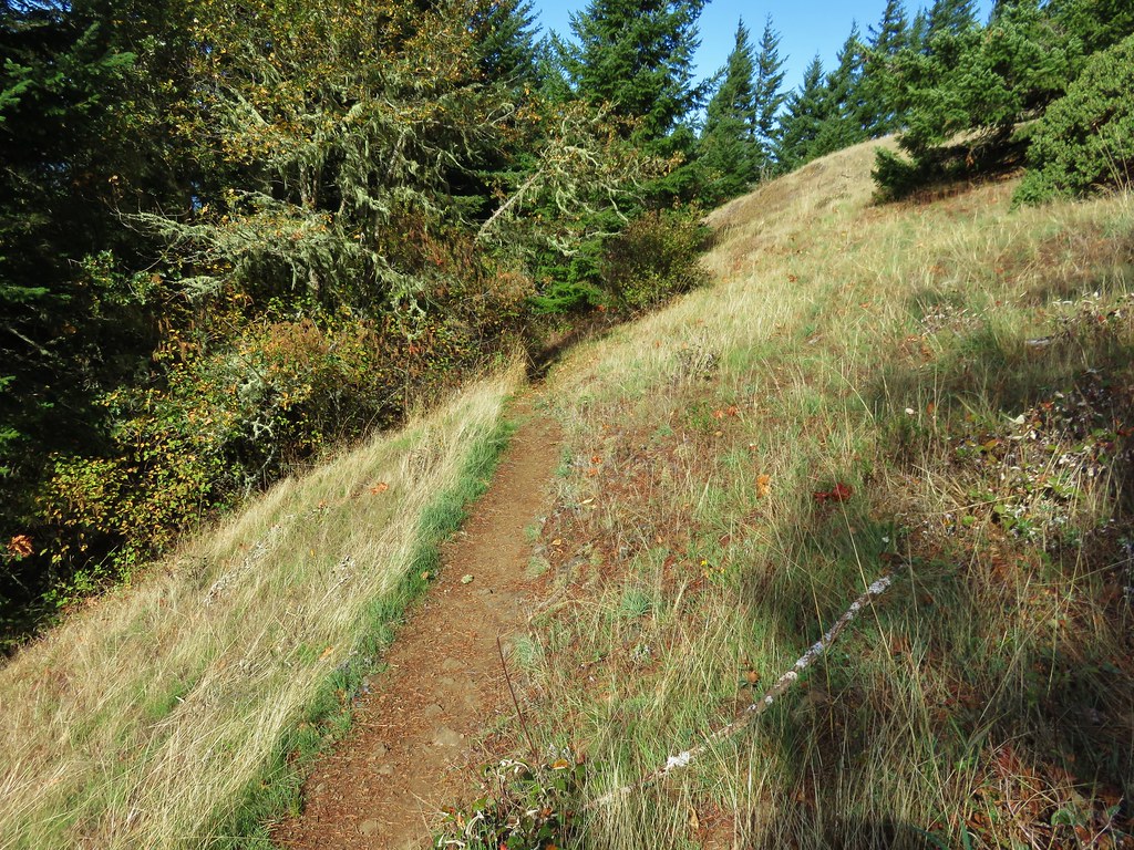
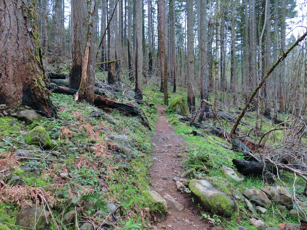
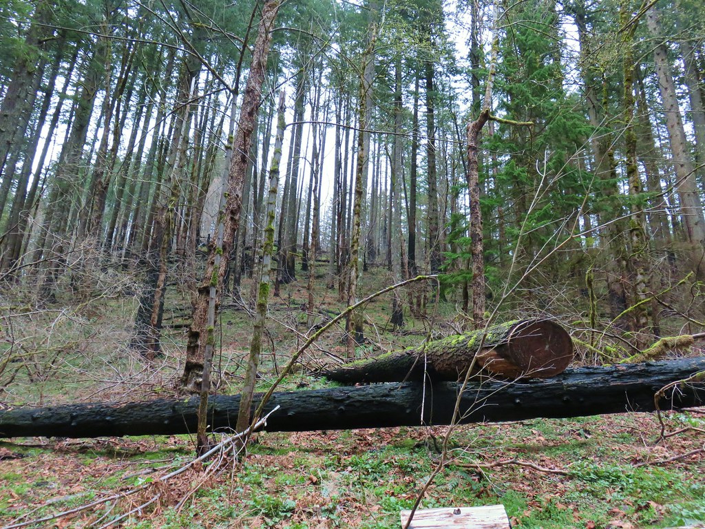
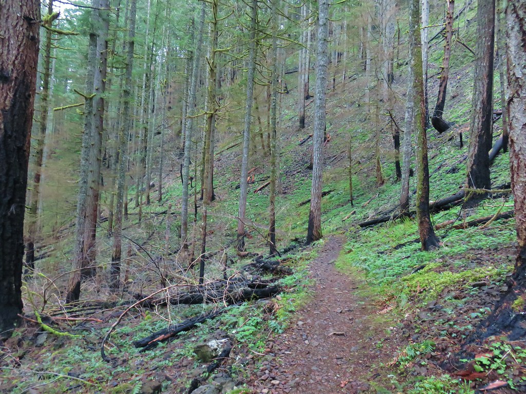
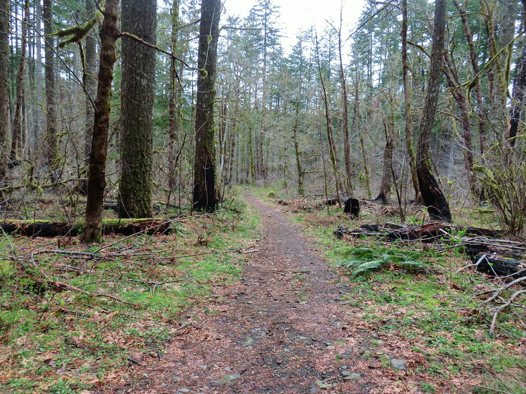
From the Harvey Road Trailhead the PCT climbed gradually through the fire scarred forest. It was encouraging to see that many if not most of the trees along this section had survived. There was also quite a few early Spring flowers blooming.
 Snow queen and violets
 Trillium
Just under a mile from Harvey Road the PCT once again briefly shared a gravel roadbed as it passed under a set of power lines.

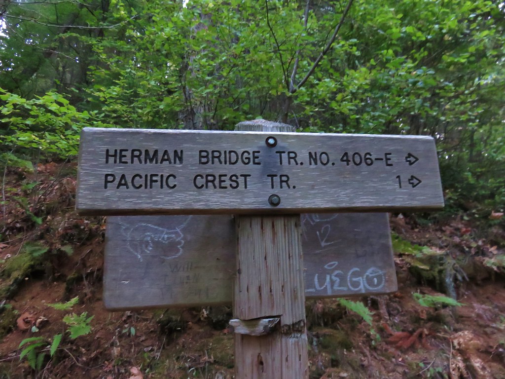
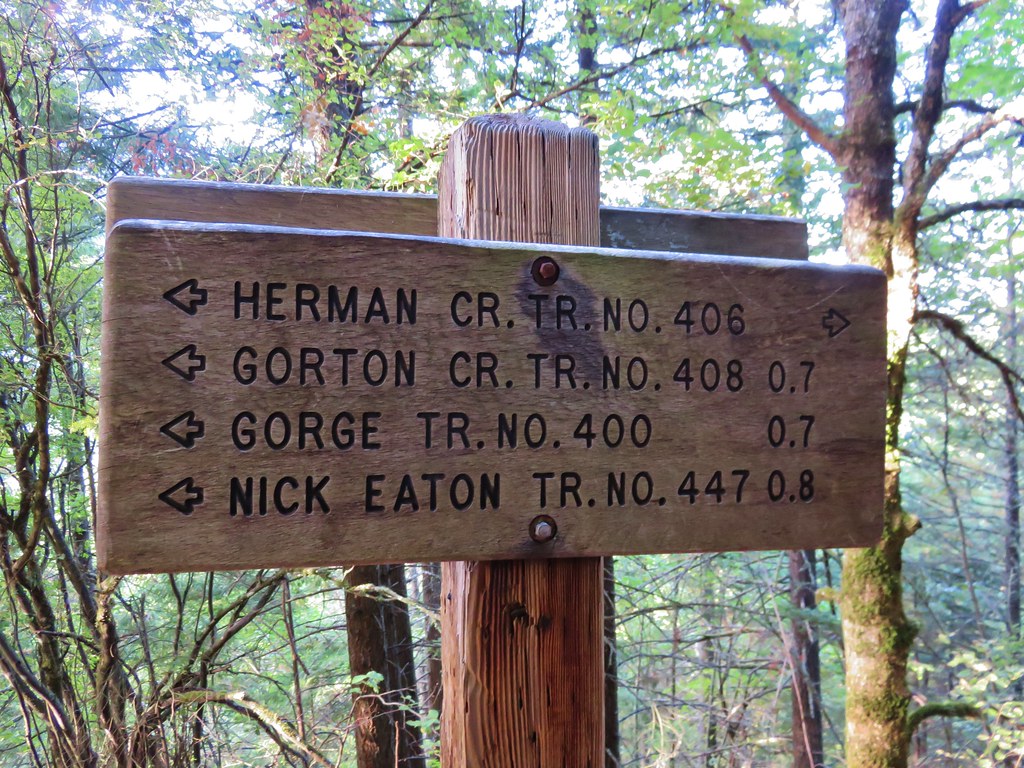
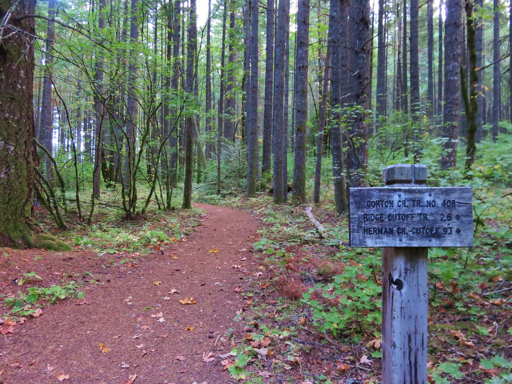
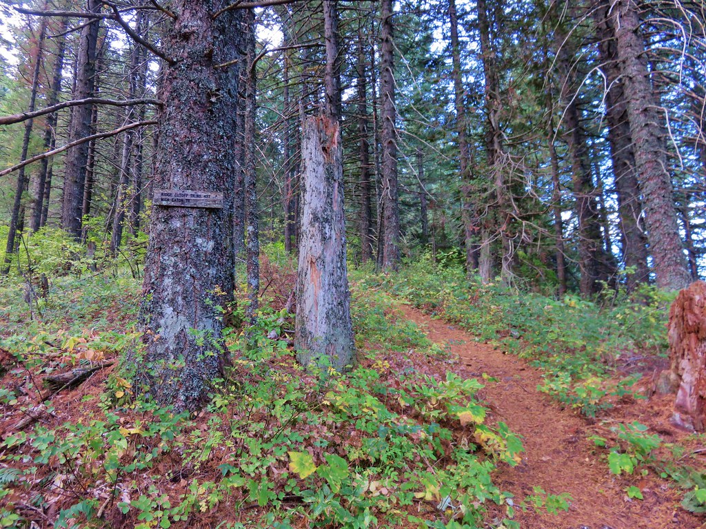
The trail leveled out shortly after passing the power lines and traversed along a sometimes steep hillside for three quarters of a mile to a signed junction near Dry Creek.


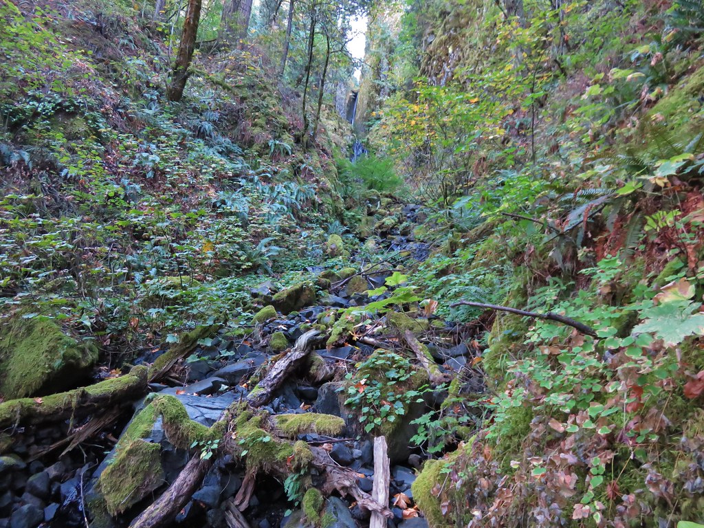
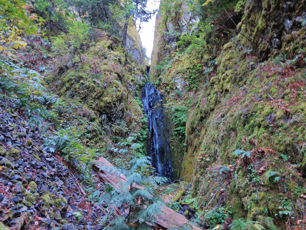
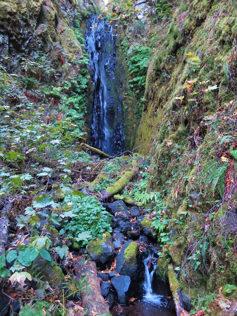
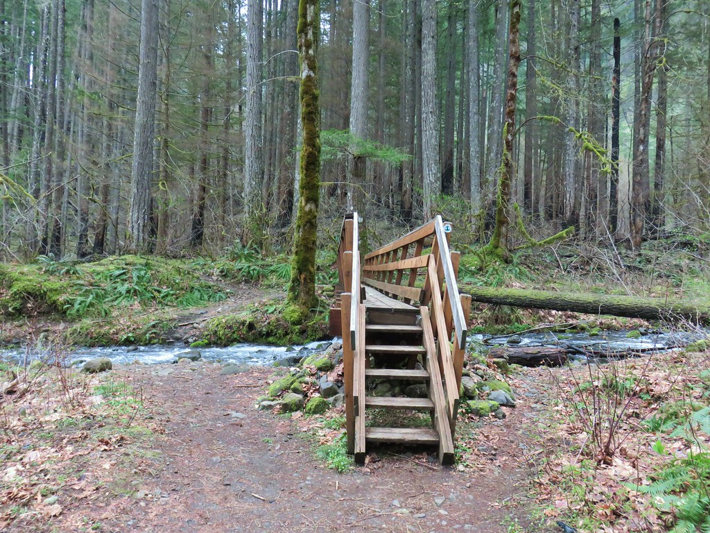
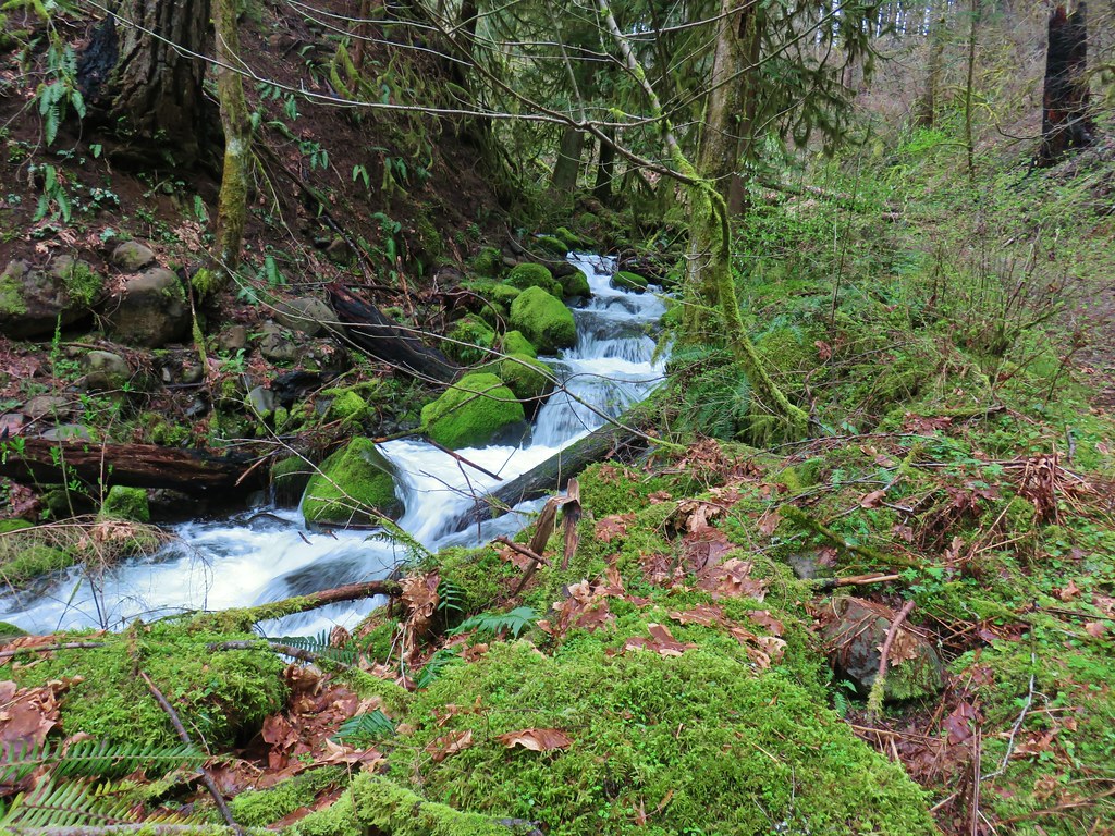
Here we detoured away from the PCT and followed the pointer for Dry Creek Falls. This trail followed an old roadbed along Dry Creek just over a quarter of mile to Dry Creek Falls.
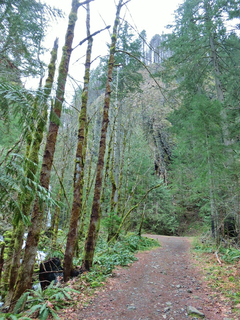


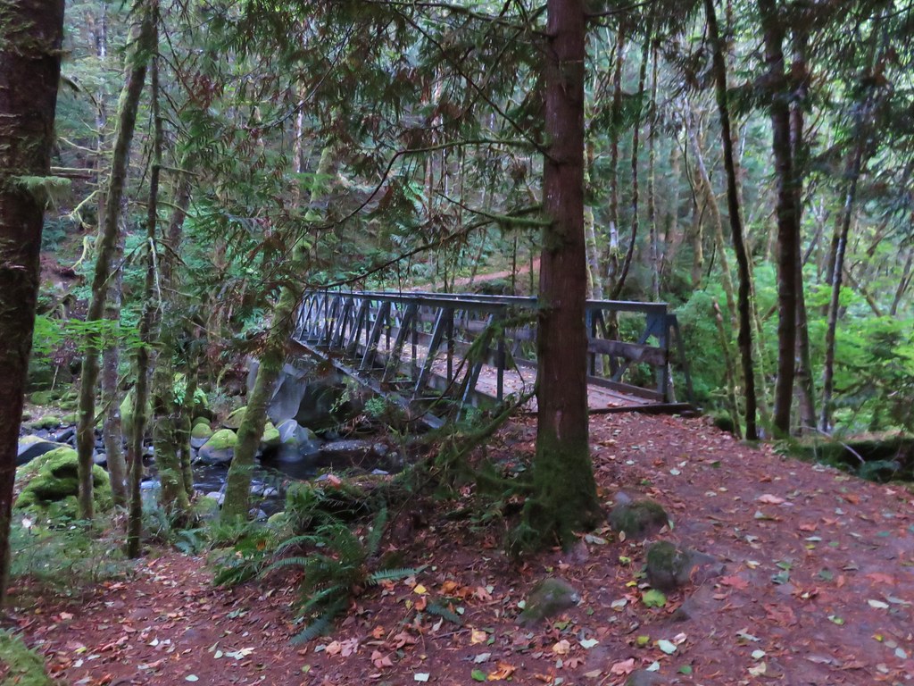
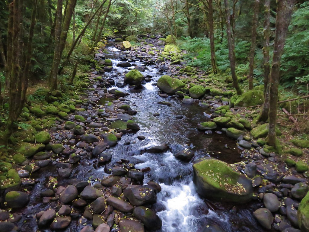
After a nice little break at the base of the falls we headed back to the PCT where we turned right and crossed Dry Creek on a footbridge.

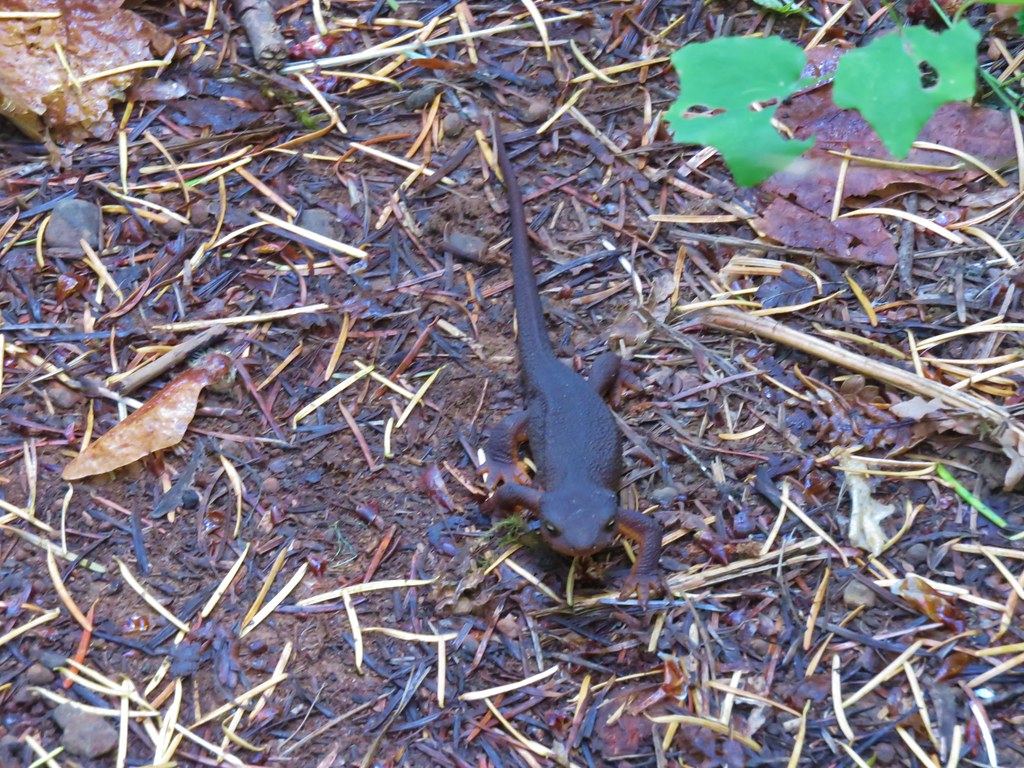
We had been discussing the fact that hikers were starting to post picture of fairy slippers (Calypso bulbosa) one of our favorites. We weren’t sure if any would be blooming yet in this area but we managed to spot a few as we continued south on the PCT.

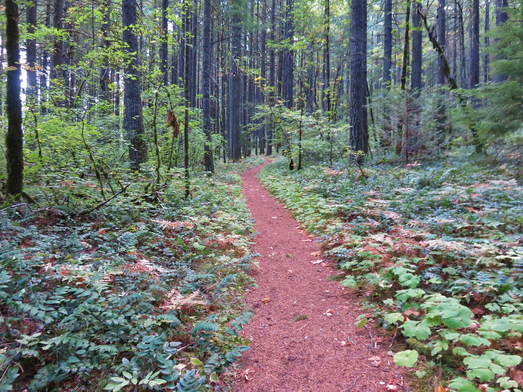
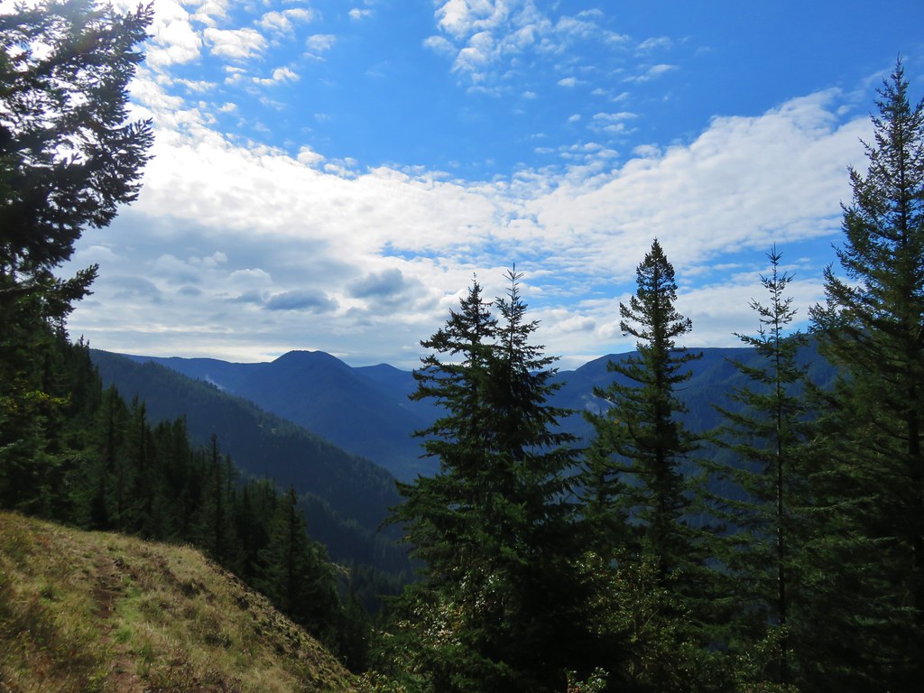
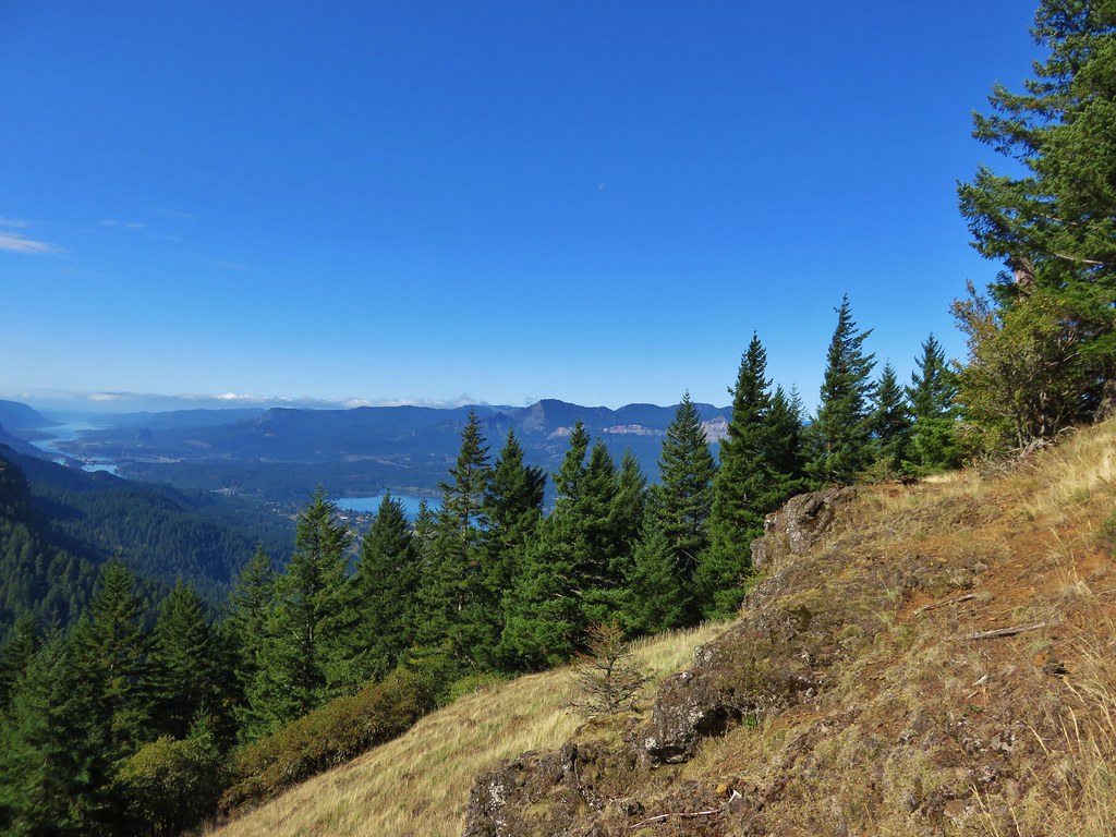
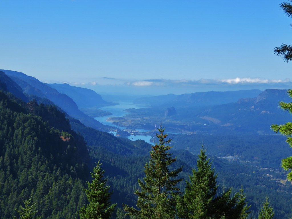
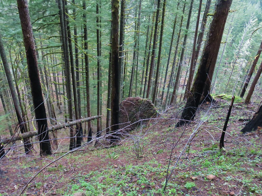
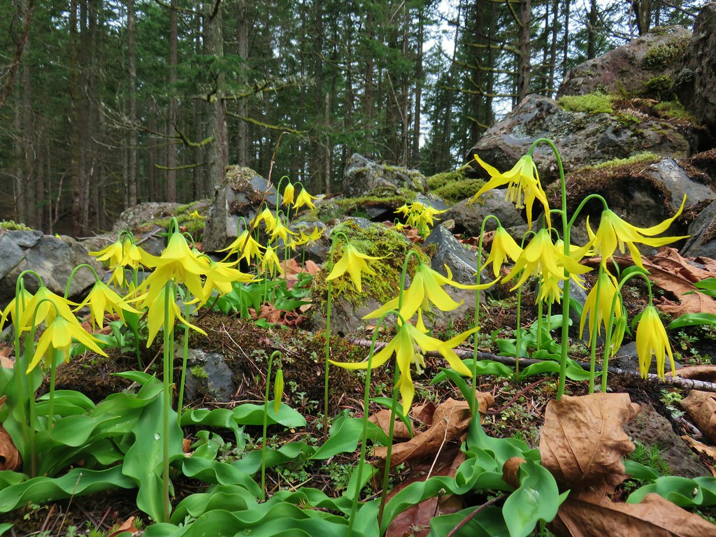
Approximately 1.25 miles from Dry Creek the PCT crossed a talus slope.

At the beginning of this section we spotted group of yellow flowers which turned out to be glacier lilies.


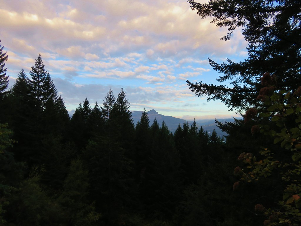
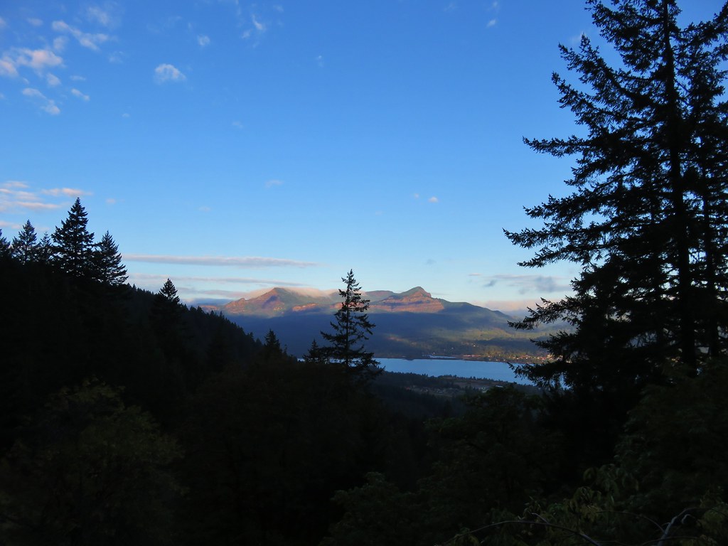
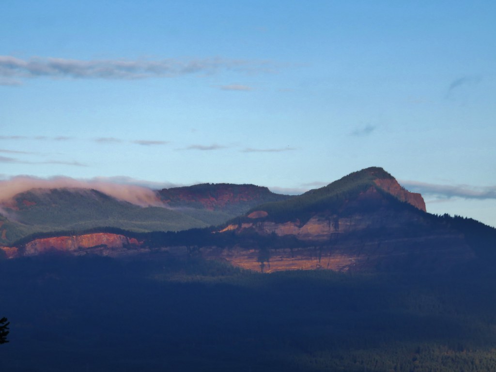
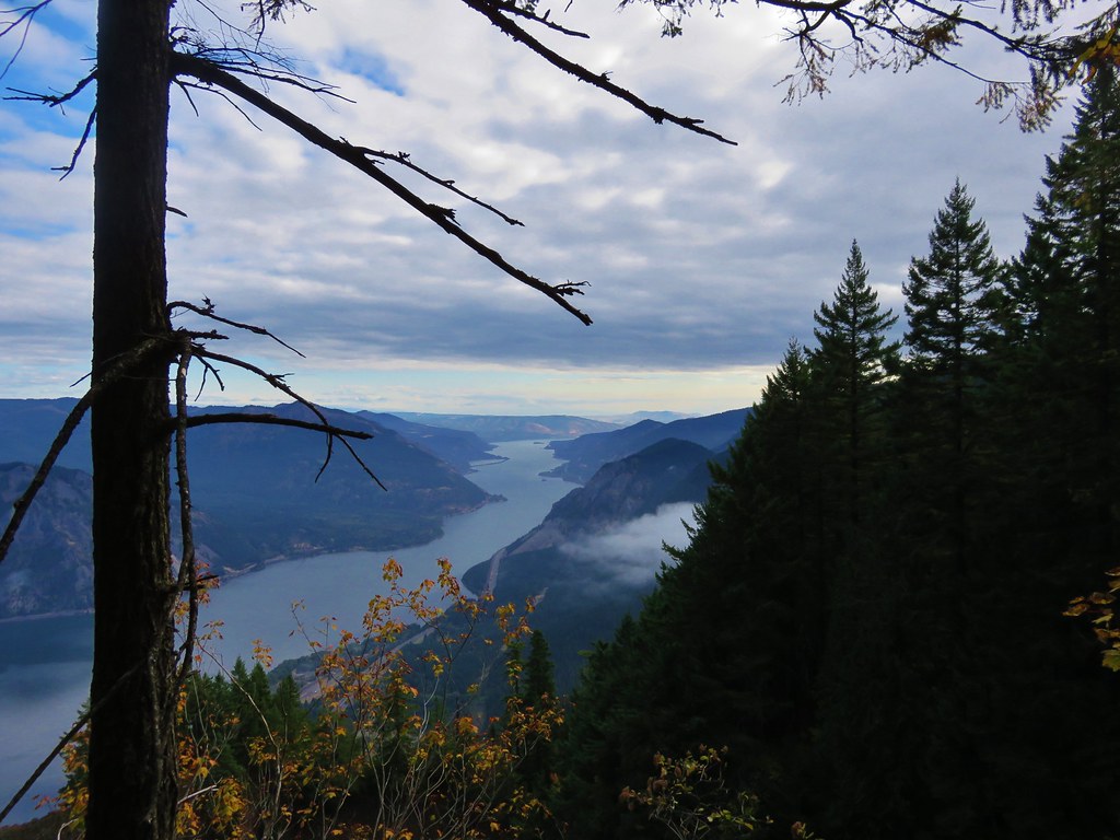
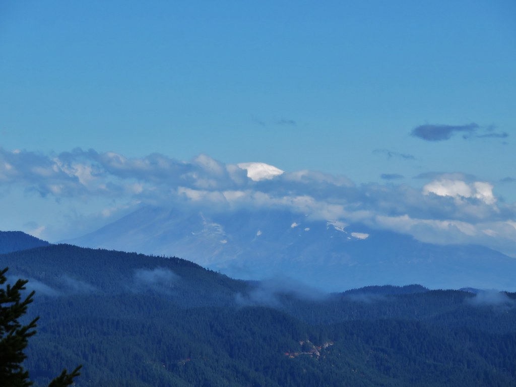
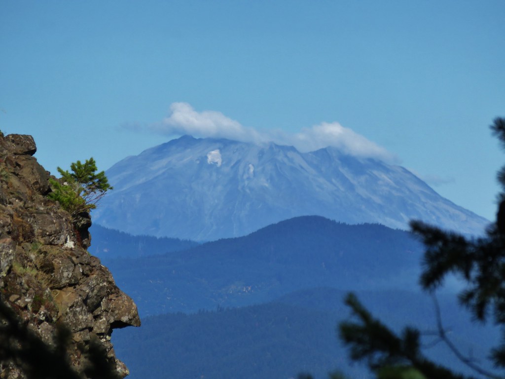
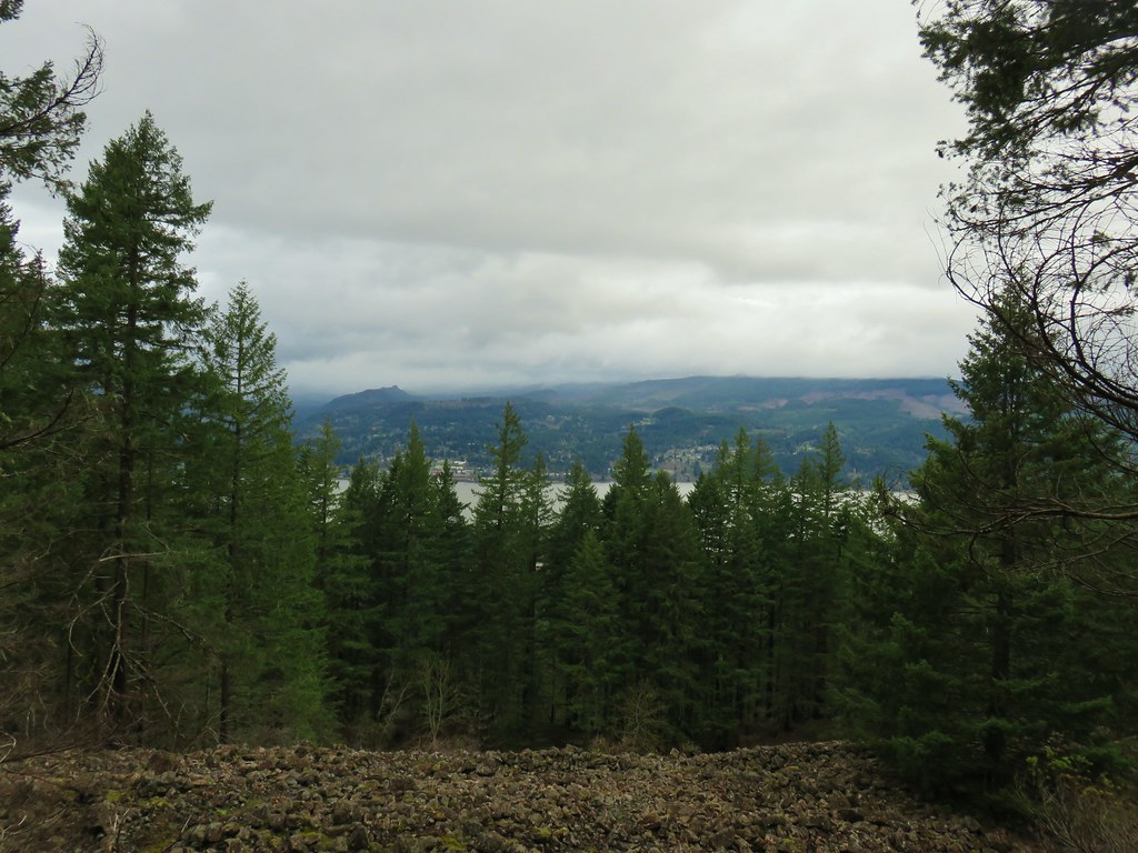
This section also provided the best, albeit limited, view across the Columbia River during this hike.
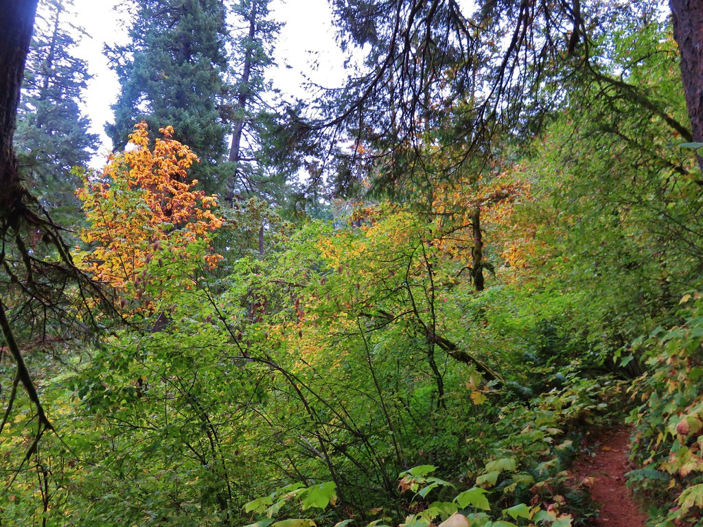
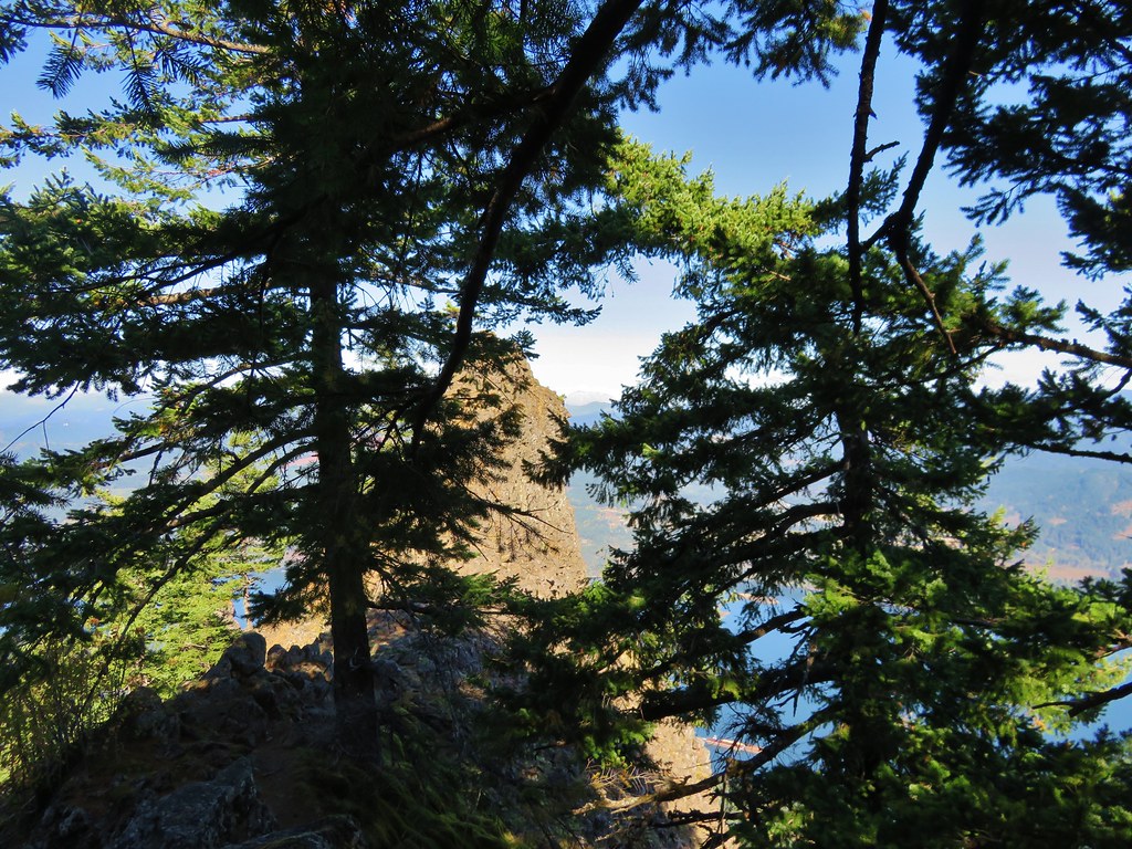
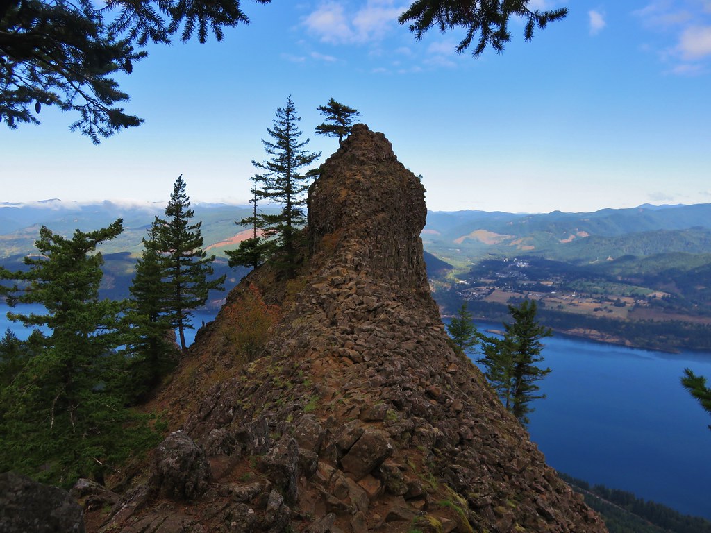
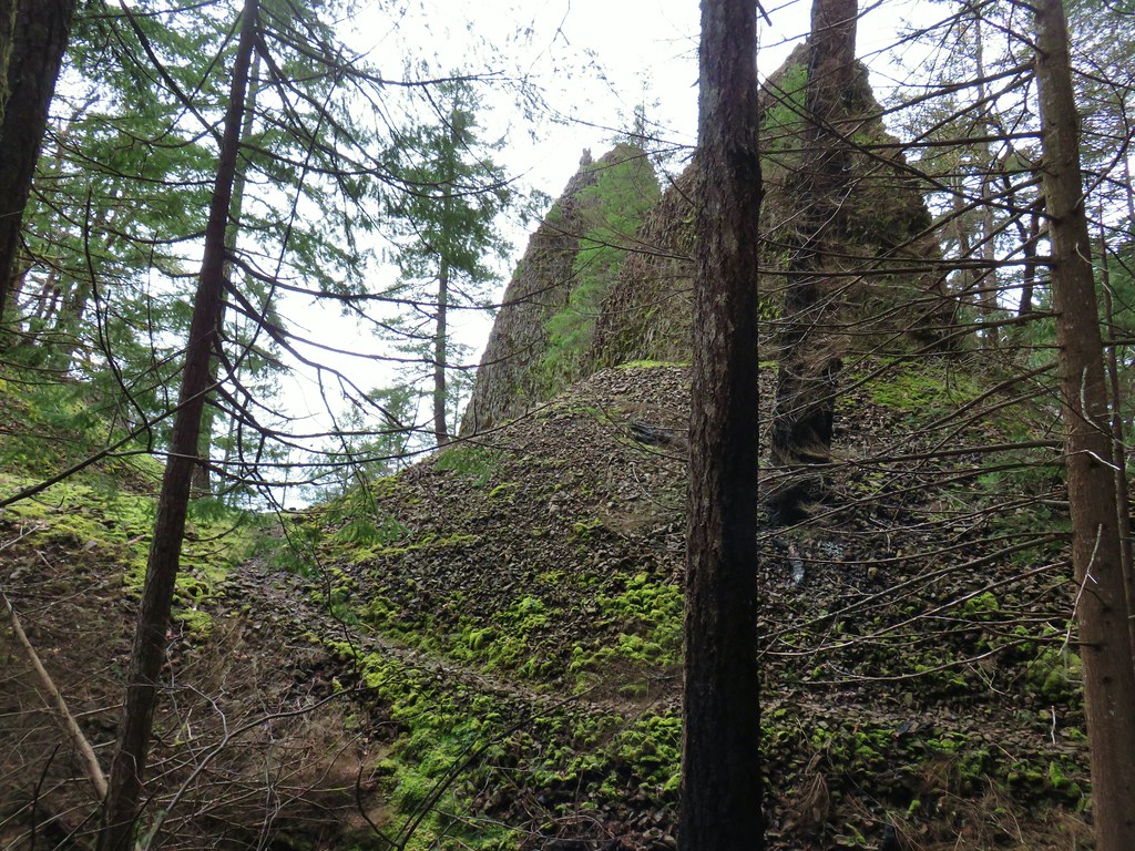
A half mile beyond the talus we passed the Herman Creek Pinnacles. We detoured briefly to get a closer look at the basalt formation and the cute little monkeyflowers blooming amid the rocks.


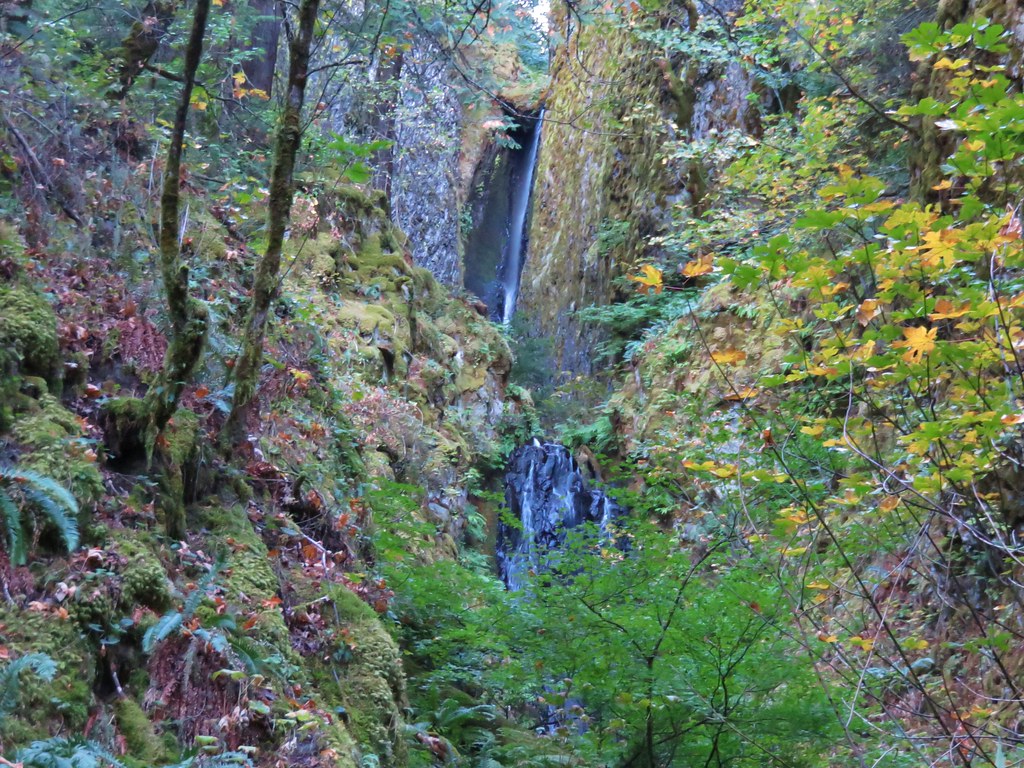
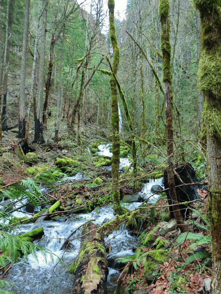
After exploring the pinnacles we continued on and in less than a quarter mile arrived at Pacific Crest Falls.


The amount of water flowing over the falls was noticeably more this time around.
 October 2015
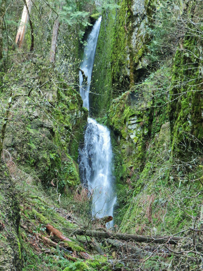 April 2019
We turned around here and headed back along the PCT to the junction near Dry Creek. Instead of returning to Cascade Locks via the PCT we turned downhill on the old road and followed the creek downhill.

After approximately 1.25 miles we passed some sort of a structure followed by a gate.
Beyond the gate Dry Creek Road was open and well graveled.

After passing a few logging roads and swinging quite a ways east we passed under I84 by turning left on SW Ruckle St which we followed to its end at SW Adams Ave. We turned left on Adams which brought us to a school.

We passed behind the school (and library) and made our way to Highway 30 where we turned left again towards the Bridge of the Gods.

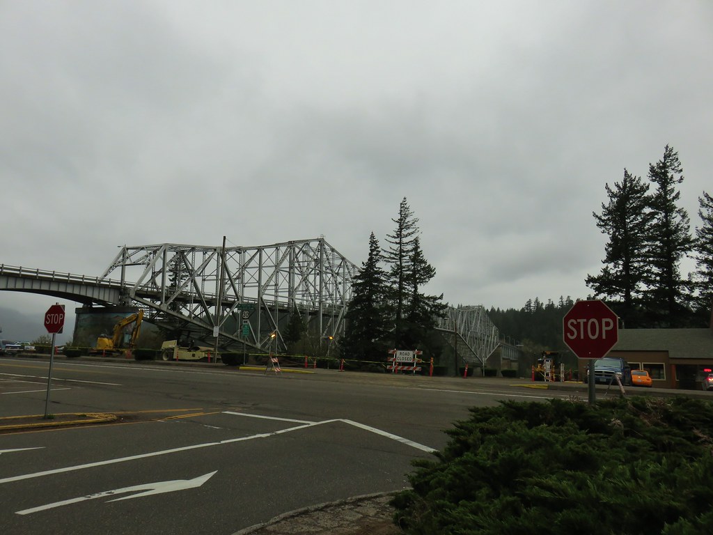
We arrived back at our car as the rain was arriving. The hike was approximately 9.5 miles (I had some battery issues with the GPS) with a little under 1000′ of elevation gain. Hiking through Cascade Locks at the end was definitely not the most exciting end to a hike and unless you’re like us and specifically seek out alternate return routes I’d recommend just returning as you came. That being said the upper portion of the road walk along Dry Creek was nice.
I want to take a moment to thank the volunteers that have worked so hard to restore the trails affected by the fire. In particular the PCTA and Trail Keepers of Oregon (TKO) have been hard at work and doing an excellent job. Happy Trails!