After the difficult hike to Stuart and Red Blanket Falls (post) we had a three-stop day planned starting with Plaikni Falls. Plaikni Falls was one of two hikes included in Sullivan’s featured hike along with The Pinnacles Trail. Unfortunately Pinnacles Road was under construction and closed to any entry beyond the Plaikni Falls Trailhead.

While it was a bummer about the closure our criteria for checking off a featured hike has been hiking (or attempting) to hike just one of the options Sullivan lists in his featured hikes (post) meaning Plaikni Falls would satisfy our criteria.
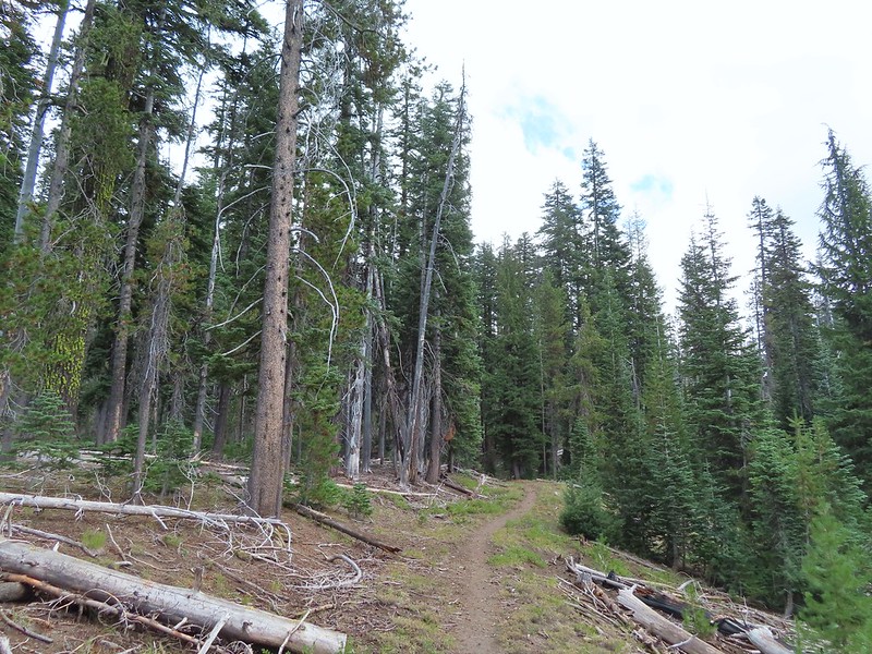
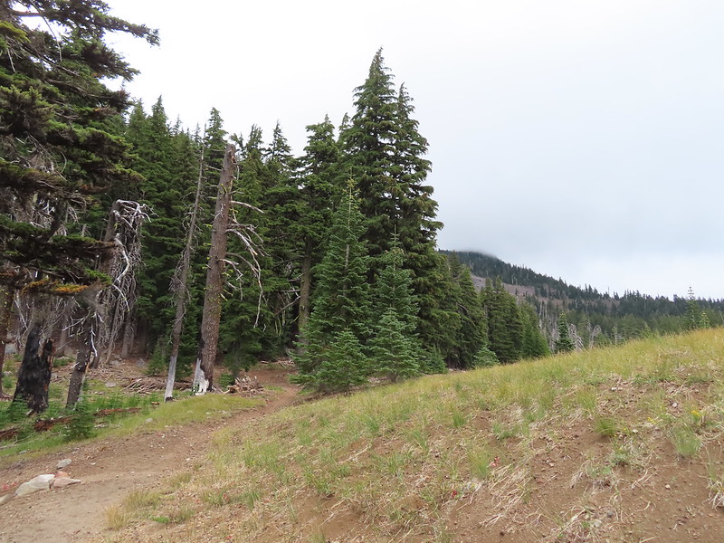
We set off on the mile long ADA accessible trail just after 6:15am.


 There were pikas out there in the rocks but we only heard them this time.
 We did spot this western tanager though.
 Pink monkeyflowers. One of our favorite wildflowers.

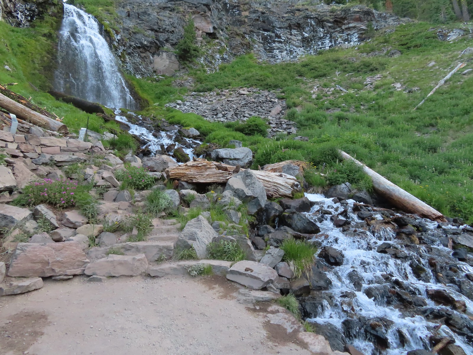
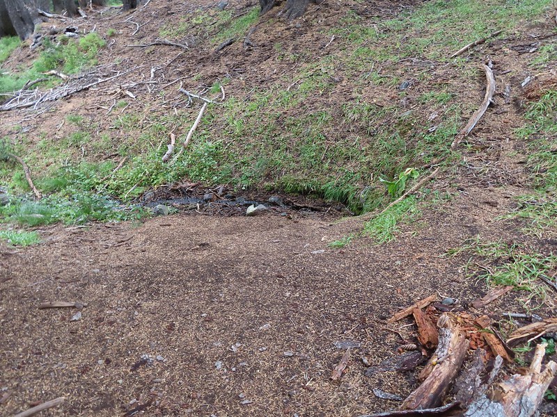
 The trail climbed gradually along Sand Creek before rounding a corner to a view of Plaikni Falls.
 Paintbrush and columbine along with lupine and groundsel.

 Hummingbird visiting a paintbrush.
 Monkshood
 Yellow monkeyflower
We began here hoping to avoid any crowds and it worked. We were the only ones on the trail and had the falls to ourselves. The first person we saw was just getting ready to exit their car at the trailhead as we finished our hike.
We got back in our car and drove to the Sun Notch Trailhead.

 Applegate Peak from the Sun Notch Trailhead.
From the parking area we hiked up the trail 0.2 to the start of a 0.6-mile loop which we hiked counter-clockwise.


 There is a nice green meadow in the center of the loop.
The loop briefly follows the rim of Crater Lake passing several nice viewpoints.


 The Phantom Ship.
 Diamond Peak (post), Sawtooth Mountain (post), and Mt. Thielsen (post).

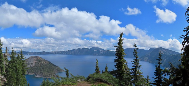
 The Watchman (post) and Hillman Peak with Wizard Island below. Llao Rock in the center and Mt. Thielsen to the right.


 Garfield Peak, The Watchman, and Hillman Peak.
 Heading back down to the start of the loop.
 Marmot
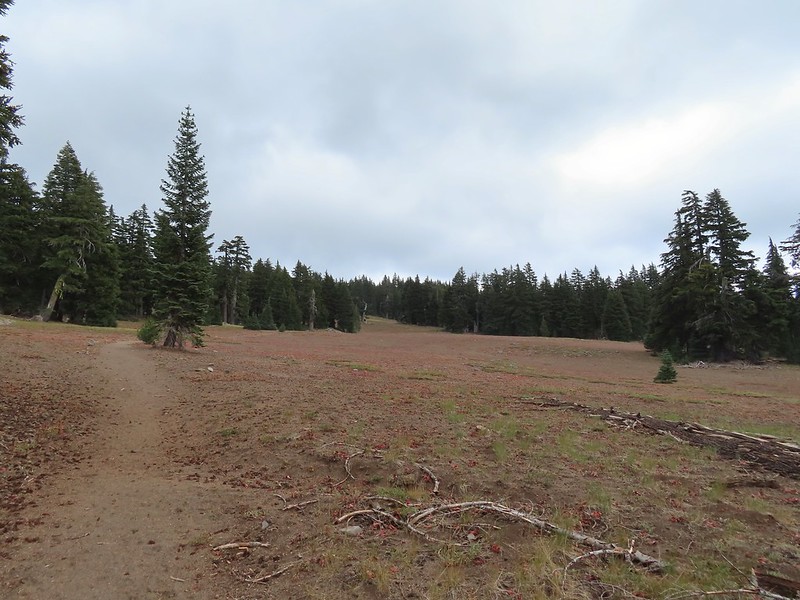
After completing the loop here we drove back toward Rim Village along East Rim Drive 1.4 miles to the Vidae Falls Picnic Area and parked in front of a signboard for the Crater Peak Trail.

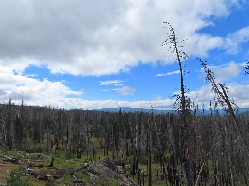
The Crater Peak Trail travels 3.2-miles through the forest climbing to the rim of the peak’s crater. A 0.4-mile loop around the crater is possible on an unofficial but well-established path.

 Vidae Creek
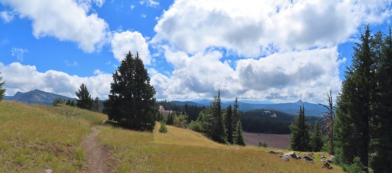
The first 0.6-miles paralleled East Rim Drive before turning South along a broad ridge toward Crater Peak.
 East Rim Drive was up above the trail.
 Crater Peak through the trees on the left.
 Paintbrush
 Stonecrop

 Setting off on the broad ridge.
The trail was in need of a little maintenance as there were several larger trees down along the ridge.


 There was a very short steep climb to reach this small meadow with a view ahead to Crater Peak.
 Female western tanager
Near the 2.5-mile mark we arrived at the base of Crater Peak where the trail suddenly steepened as it began its climb.

 Looking up Crater Peak.
 Little prince’s pine
Views opened up as we climbed.
 Union Peak (post)
 Mt. McLoughlin (post) to the South.
 Mt. McLoughlin behind Lee & Devil’s Peaks.
 Mt. Shasta was visible, barely, through wildfire smoke.
 Arriving at the crater.
We took a short break on a log to catch our breath after the climb then hiked clockwise around the crater gaining views of the peaks around Crater Lake.
 Scarlet gilia lining the trail around the crater.
 The Watchman to the left and Garfield Peak.
 Applegate Peak and Mt. Thielsen
 View south to Mt. McLoughlin with the Goose Nest to the closer to the right.
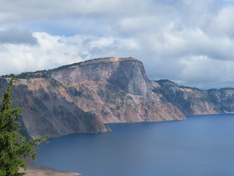
 Dutton Cliffs and Mt. Scott (post)
 Pussytoes
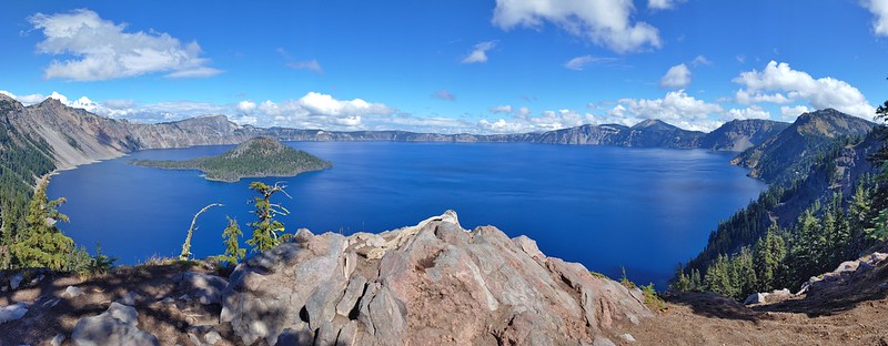
 The peaks around Crater Lake.
 Paintbrush

 Western pasque flowers
 Klamath Basin with haze from (most likely) the Golden Fire near Bonanza.
 The Rabbitt Ears and Hershberger Mountain (post) along the Rogue-Umpqua Divide.
After completing the loop we headed back to the trailhead where we were stopped by a couple looking for Vidae Falls. Those falls are located along East Rim Drive, not near the picnic area so we let them know where to find the roadside pullout and then followed them to the small parking area.


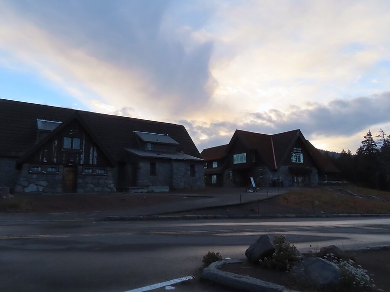
It was well worth the quick stop before heading back to our cabin at Mazama Village. We had completed our hikes just after Noon and had plenty of day left so we decided to make the 30-minute drive to Union Creek and have a late lunch/early dinner at Beckie’s Cafe.
Beckie’s was busy but the food was great as usual. We each got a slice of pie to go for desert later and returned to Mazama Village. It was still pretty early so I was doing some research on our remaining hikes for our trip. Looking at the Park website I had noticed that in addition to The Pinnacles Trail two additional trails we were hoping to hike were listed as closed, Lady of the Woods and Annie Creek. Again these were both one of two featured hike options so they wouldn’t affect our ability to check off the featured hikes, but it would be a bummer to miss them nonetheless. I then looked at All Trails and saw that there were very recent trip reports from Annie Creek.
That trailhead was located next to the store in Mazama Village so after eating our pie we decided to make an evening hike out of it to see if the trail was indeed open.


We followed an unsigned path from the store/restaurant parking lot to a signed junction where we turned right.

The trail passed between Annie Creek Canyon and the Mazama Campground. We passed a junction where a 1.7-mile loop began/ends that would take us down to Annie Creek.

 Signboard at the loop.
We stayed up and hiked the loop counterclockwise.
 Crater Peak from the trail.

 Ash pinnacles
 Getting ready to drop into the canyon.
 The trail had been closed for hazard tree removal and we could see that there had been some big trees that had to be cleared.

 Wildflowers in the meadows below.
 Annie Creek

The trail crossed Annie Creek a couple of times on footbridges before climbing steeply back up to campground.


 Monkeyflower and lupine
 Final pitch to end the loop.
 The Annie Creek Restaurant.
Unsurprisingly this had been the busiest hike of the day. After seeing no one on the Plaikni Falls and Sun Notch Trails we’d seen just four other hikers (2 pairs) on the Crater Peak Trail. Our total mileage for the day came in at 12.3 miles (2.2, 0.9, 6.8, and 2.4 miles respectively). Total elevation gain was 1525′ with over a thousand of that coming from the Crater Peak hike. Annie Creek and Plaikni Falls were each 200′ and Sun Notch a little over 100′.


It was a great day of hiking and having a piece of pie from Beckie’s Cafe was the cherry on top. Happy Trails!
Flickr: Plaikni Falls, Sun Notch, Crater Peak, & Annie Creek


 Mt. Scott (
 Raven making a landing atop a mountain hemlock.
 The Watchman (
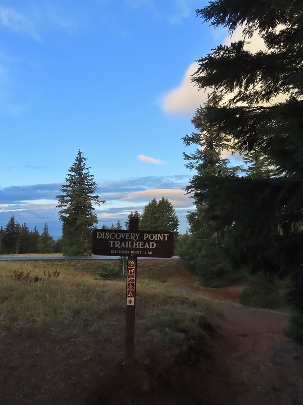
 It was by far the most scenic mistake we’ve made while hiking.
 Wizard Island and Llao Rock
 Mount Scott
 We joked that views had been so good maybe we should just end the hike now.


 Dutton Creek was dry.
 Blue sky ahead.
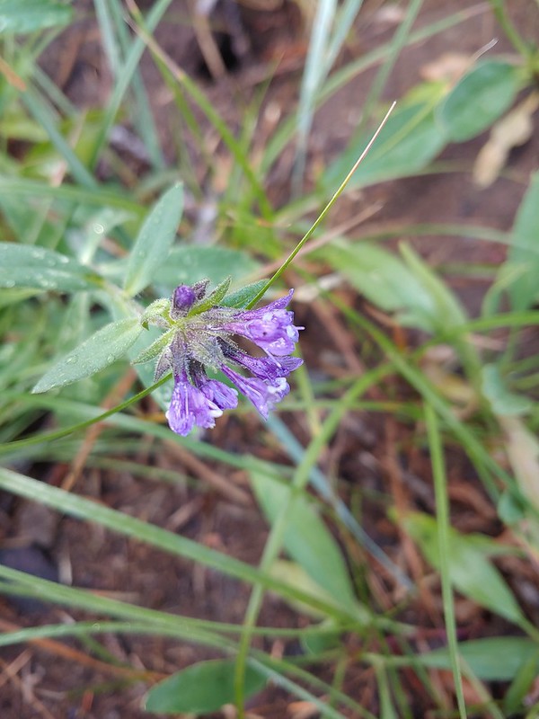 Not much left for flowers, this could be a Crater Lake collomia although it’s a little late in the season.
 Castle Creek still had some water flowing.
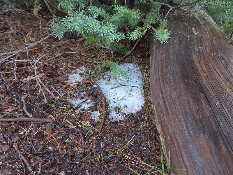 We spotted several piles of hail, possibly from the severe thunderstorms that had been forecast for Saturday night?
 Arriving at the PCT.
 The campsite at the junction was closed due to hazard trees.
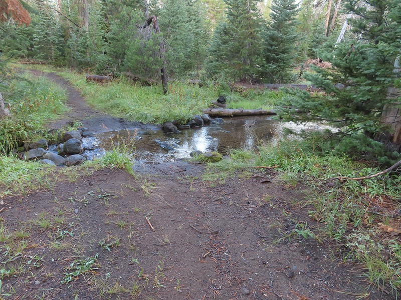 Recrossing Castle Creek.
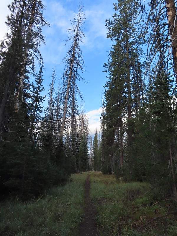 The PCT appeared to be following an old road bed through the park.
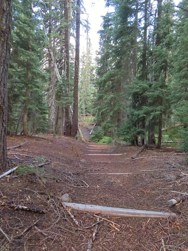 Dropping down to Trapper Creek.
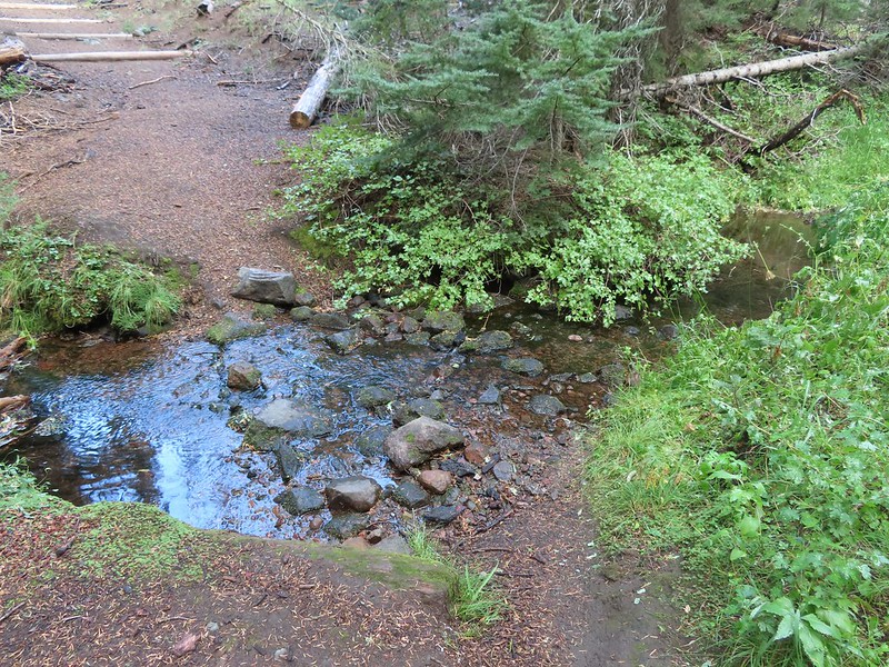 PCT crossing of Trapper Creek.
 A red-breasted nuthatch that was toying with me as I tried to get a photo.
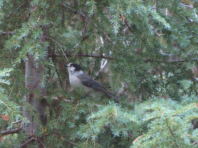 Canada jay (grey jay)
 Blue sky to the north ahead.
 Some blue sky south too with a glimpse of Union Peak (
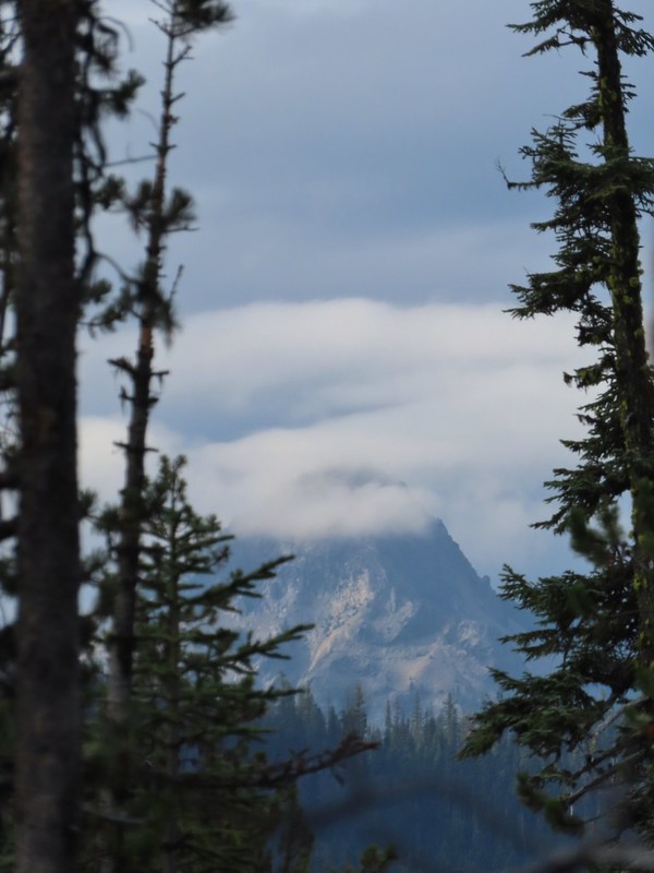 Union Peak
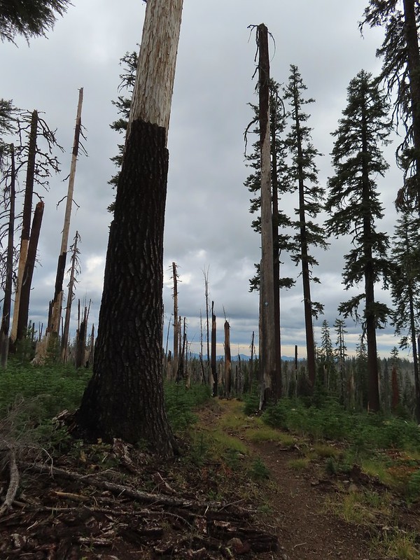 Entering the 2006 Bybee Complex fire scar.
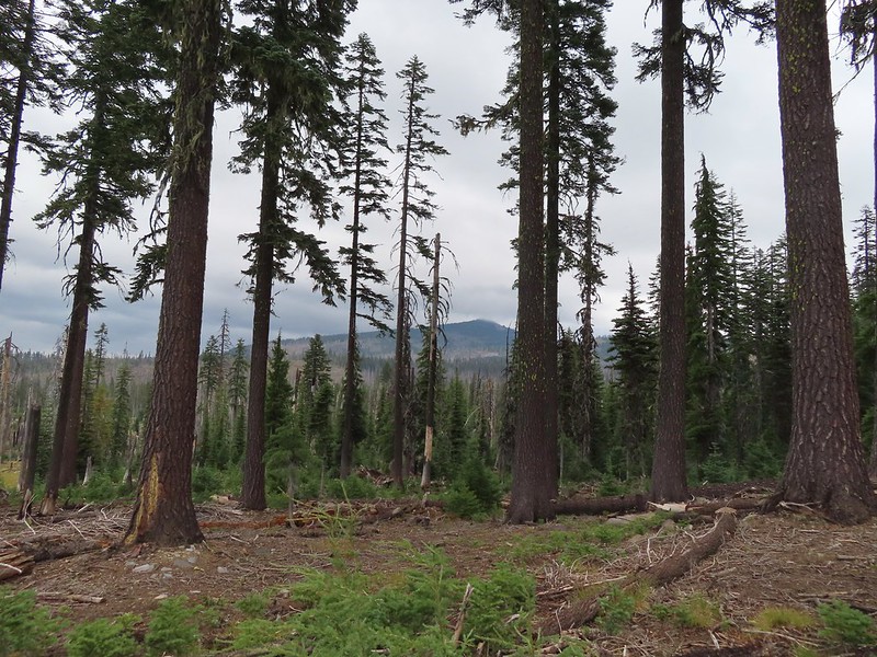 The Watchman. The lookout tower on top was in a cloud after having been clearly visible from rim earlier. We wondered what that might mean for our views when we finally made it back to the rim.
 Chipmunk checking us out.
 Coneflower remains
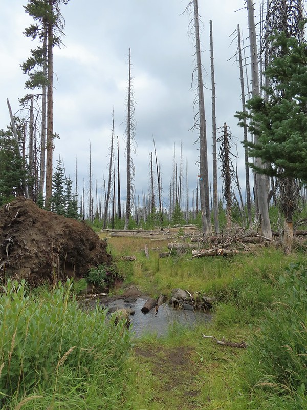 Another creek crossing.
 Red crossbills at the creek crossing.
 There were some pretty ominous looking clouds behind us but no showers yet.
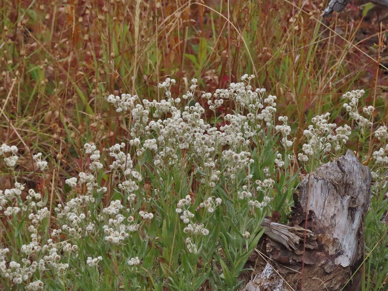
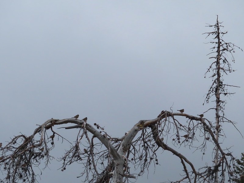 Several white crowned sparrows and at least one junco. We could also hear chickadee calls but I couldn’t find one in this capture.
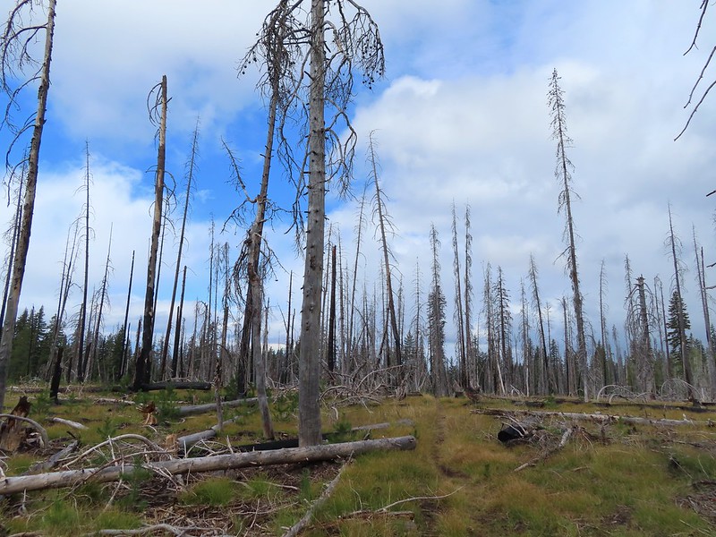 Despite the ugly clouds behind us there was almost always blue sky ahead.
 North Fork Castle Creek
 Approaching the junction with the Lightning Springs Trail.

 Townsend’s solitaire
 Union Peak had been swallowed by clouds.
 The Watchman with a cloud still hanging on.
 Hawk
Hawk
 The base of Union Peak with lots of blue sky around.
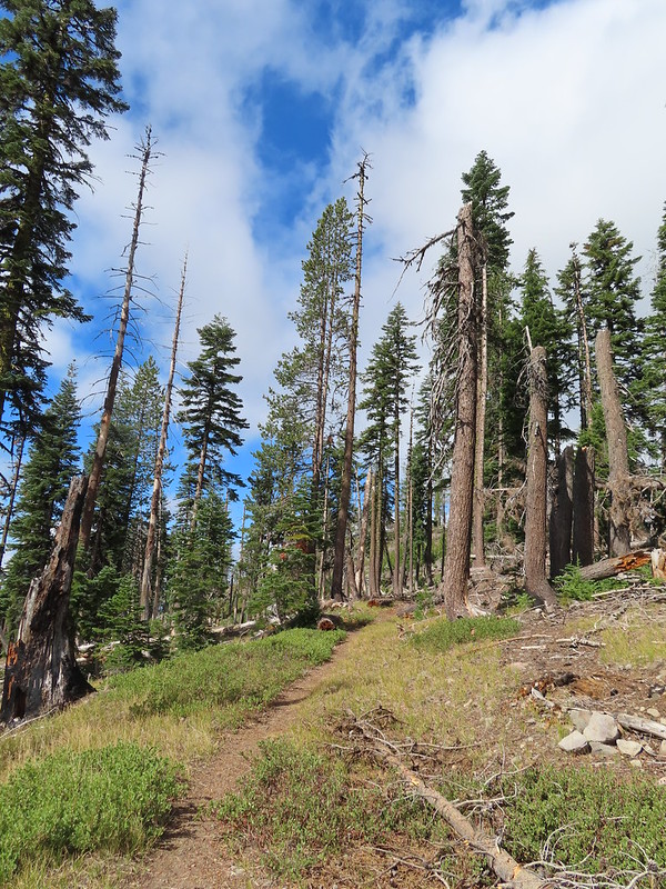 A brief stint in full sunlight.
 Robin
Robin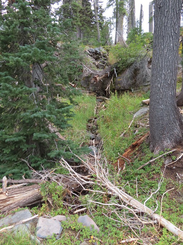
 Union Peak nearly free of clouds.
 The Watchman still not free.

 Mountain bluebird

 Full view of Union Peak.
 And finally a full view of The Watchman.
 Conditions were changing quickly and now there was blue sky above The Watchman.
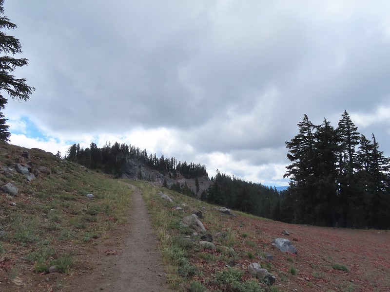 West Rim Drive ahead with the lower portion of Mt. McLoughlin (
 Mt. McLoughlin
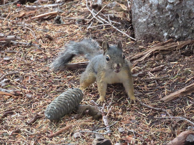 This squirrel put its cone down in case I had something better for it, but we don’t feed the wild animals per Park rules (and


 Wizard Island’s cone
 Llao Rock
 Dock along Wizard Island
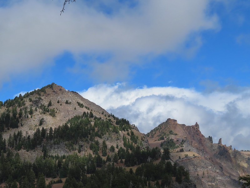 The Watchman and Hillman Peak
 Garfield Peak to the left with Union Peak to the far right.

 Phantom Ship
 Mount Scott
 Clark’s nutcracker
 That blue though!
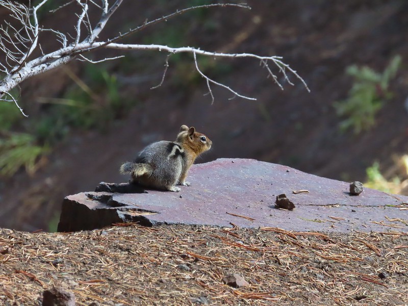 Golden-mantled ground squirrel
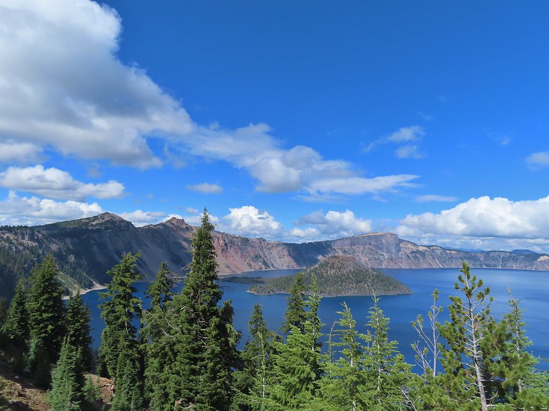 Back to where we’d been that morning.