**Note the 2024 Tire Mountain Fire burned over a small portion of this hike.**
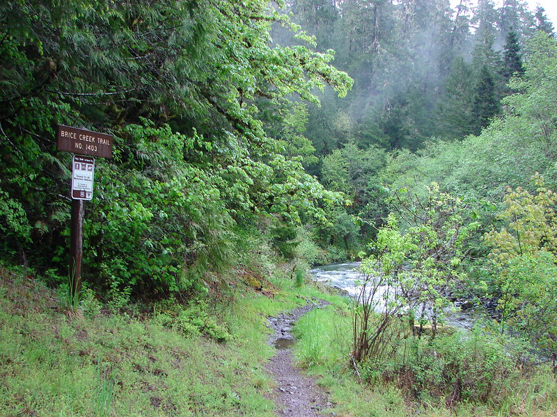
June wildflowers and a “possible” waterfall were are goal for our recent trip to Tire Mountain near Oakridge, OR. Our guidebook showed a 7.6 mile hike starting from the Alpine Trailhead, linking up to the Tire Mountain trail, and turning around after reaching the summit of Tire Mountain. Looking at the forest service maps of the area I noticed that the Tire Mountain trail continued west beyond the junction with the summit trail to a trailhead on road 5824. Along that portion of the trail was a creek crossing where it appeared there might be a waterfall. Thinking that a 7.6 mile hike was a little short for a 2 1/2 hour drive I thought we could investigate the possible waterfall for a little extra exercise.
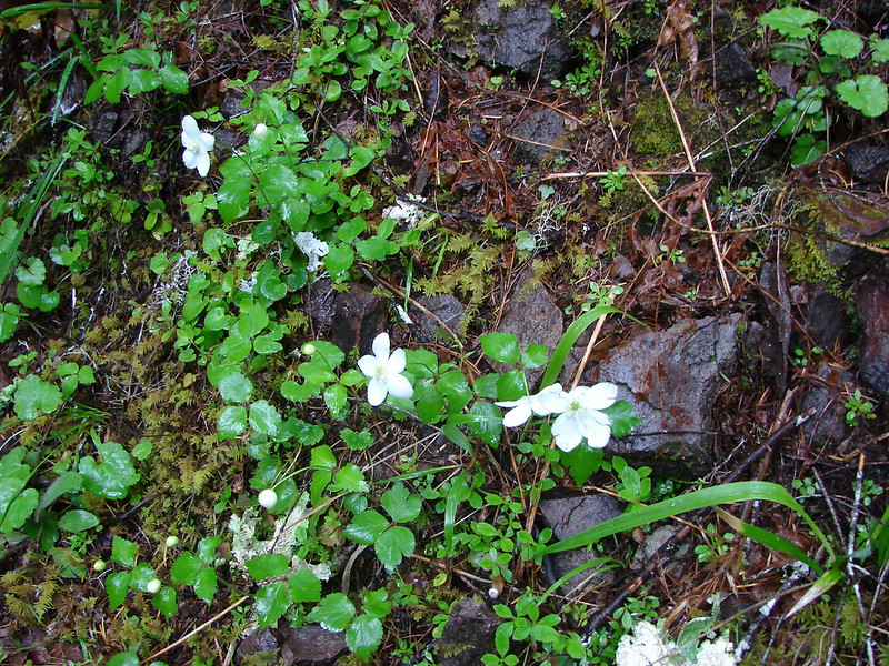
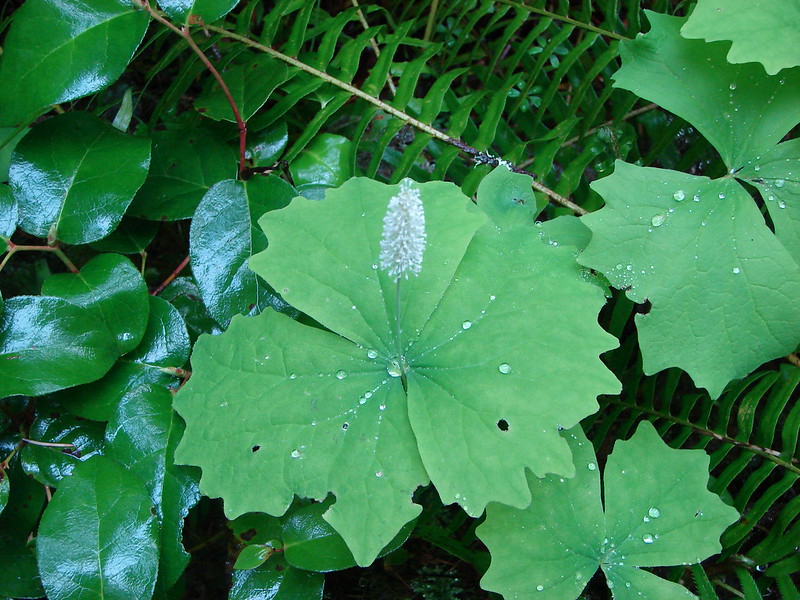
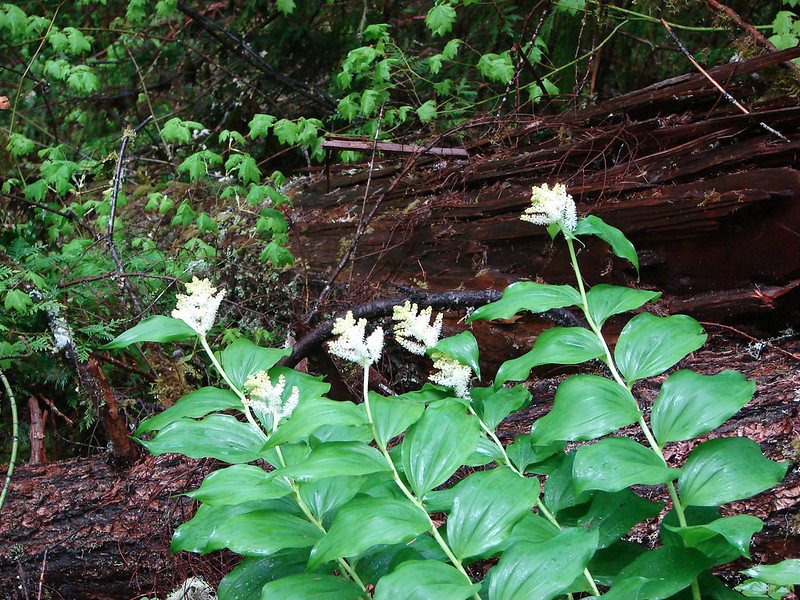
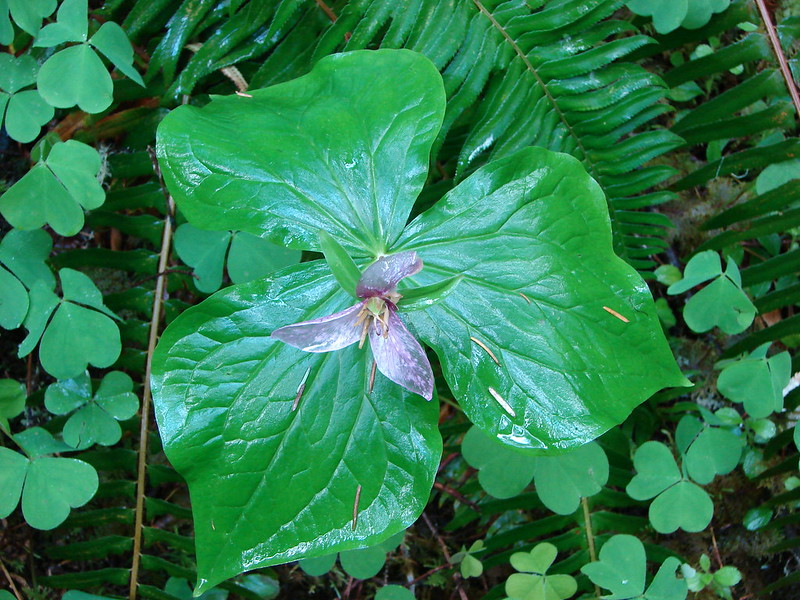
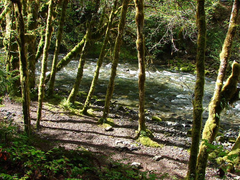
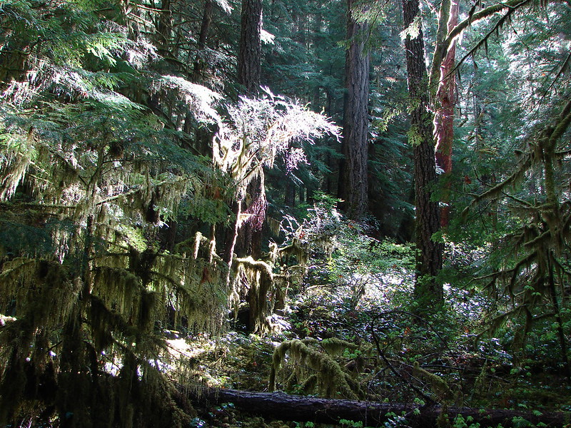
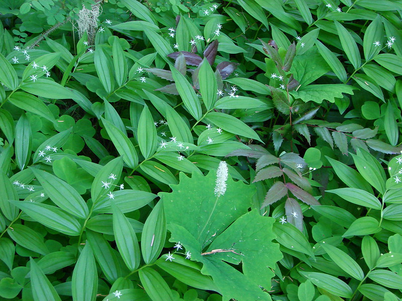
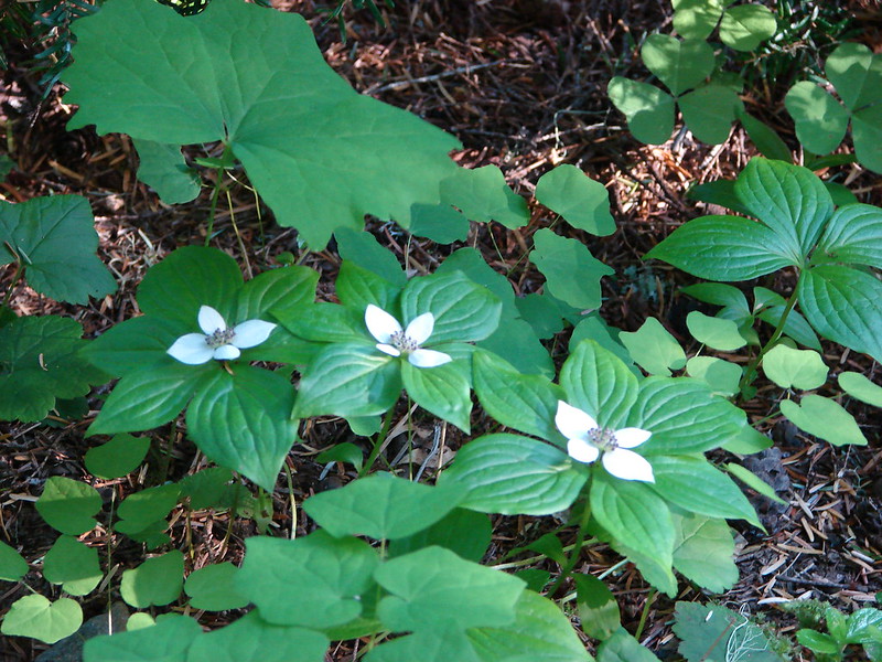
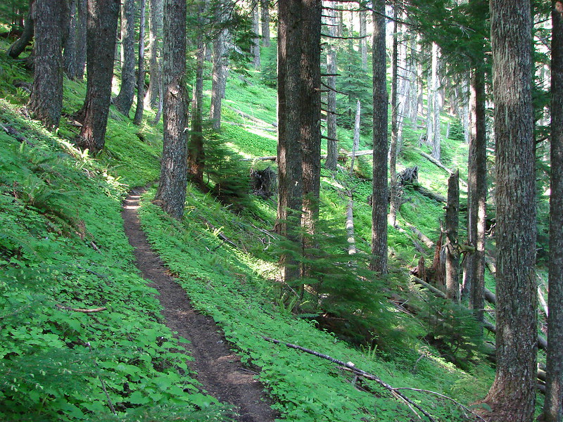
The Alpine trail started off uphill on a forested ridge where the path was lined with small rocks. The usual woodland flowers were present including vanilla leaf, solomonseal, candyflower, and bunchberry. We also spotted some wild ginger.
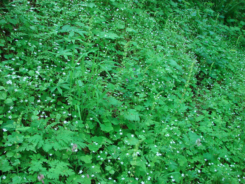
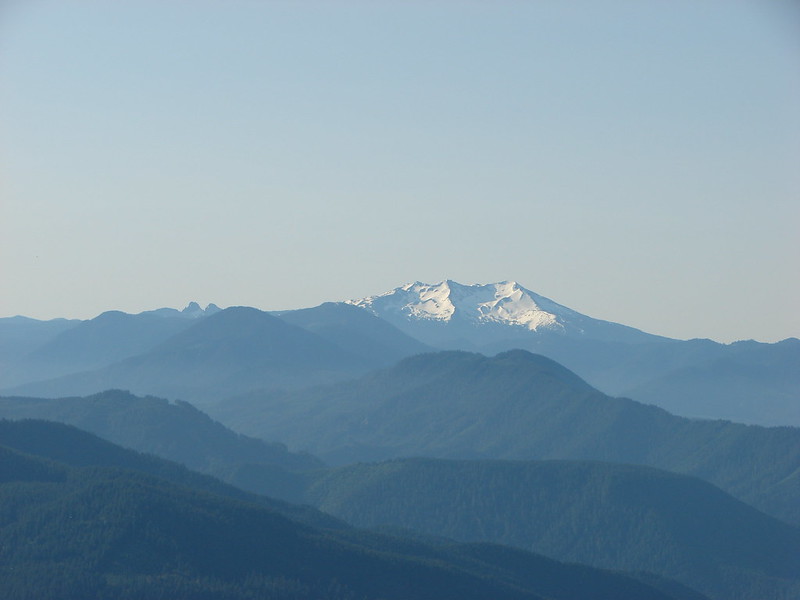
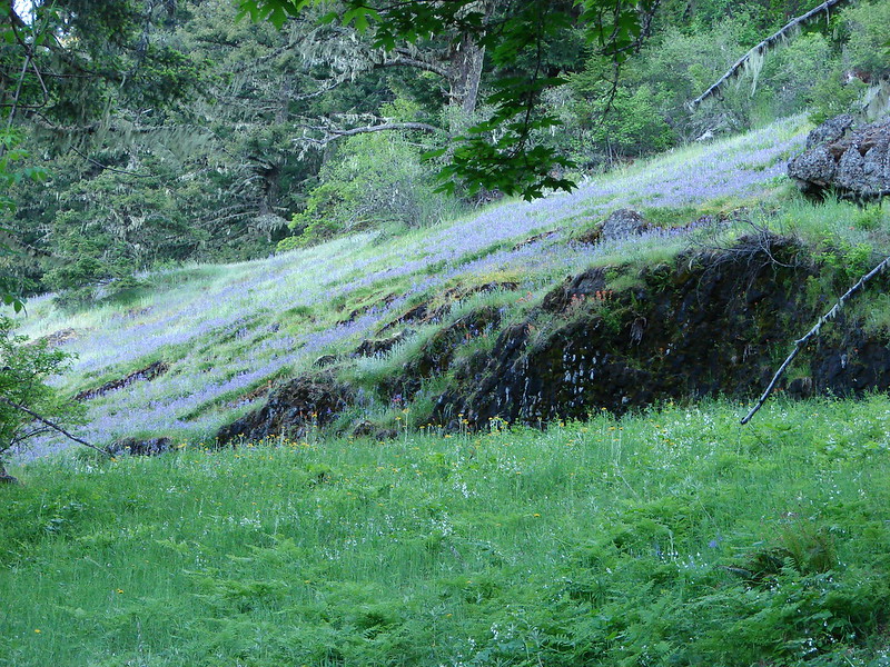
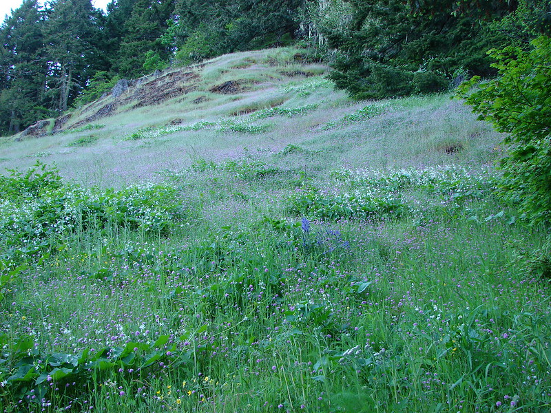
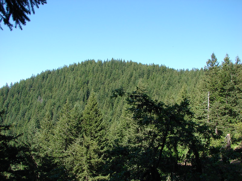
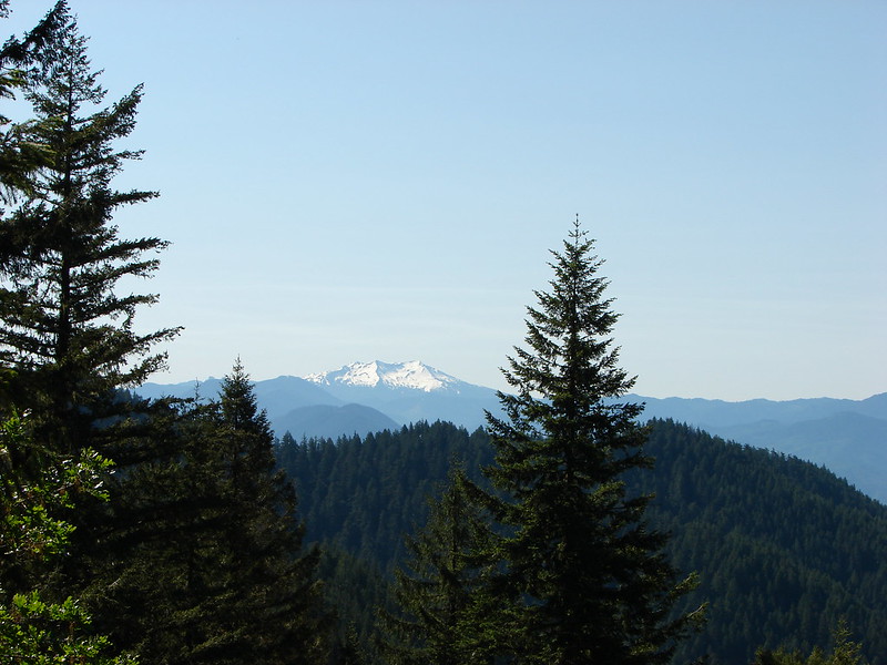
Just a bit over half a mile in the trail entered the first of the meadows. The flowers did not disappoint and as an added bonus several cascade peaks were visible from this meadow.
Diamond Peak
Mt. Bachelor

Broken Top
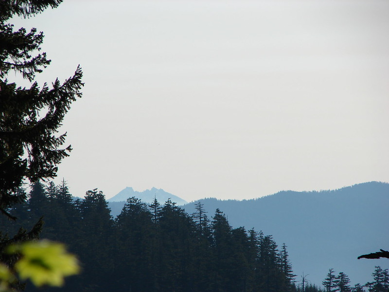
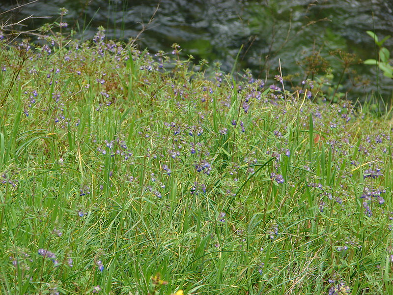
The flower show continued as we passed through more meadows on the way to the junction with the Tire Mountain trail. Along the way The Three Sisters joined the view.
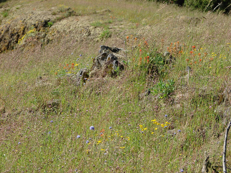


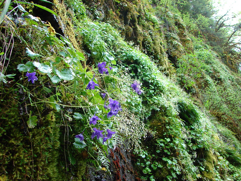
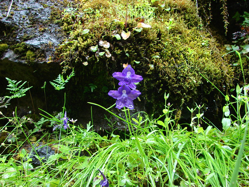
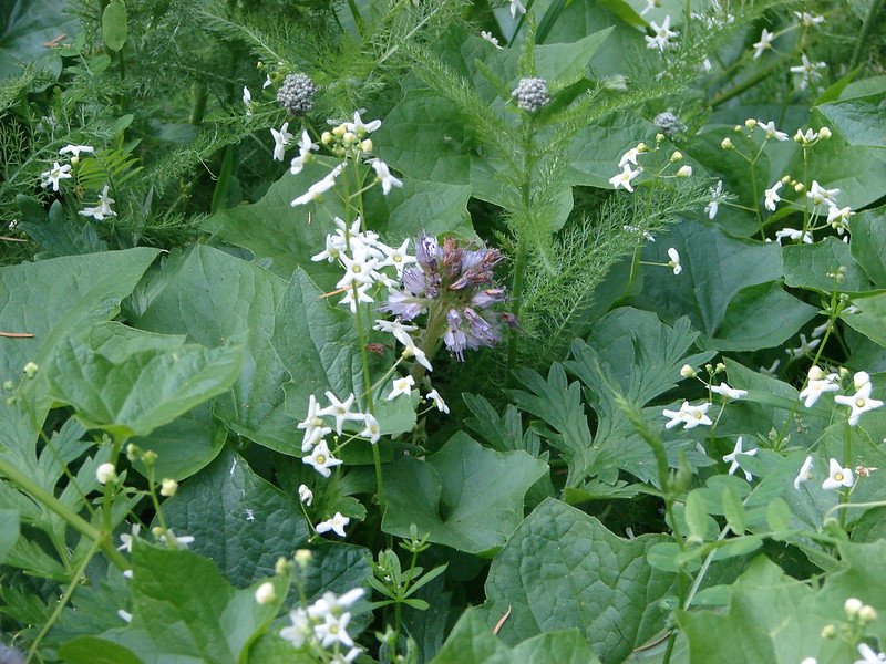
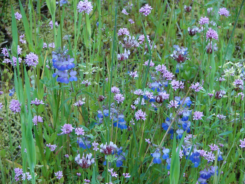
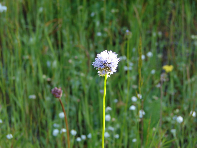
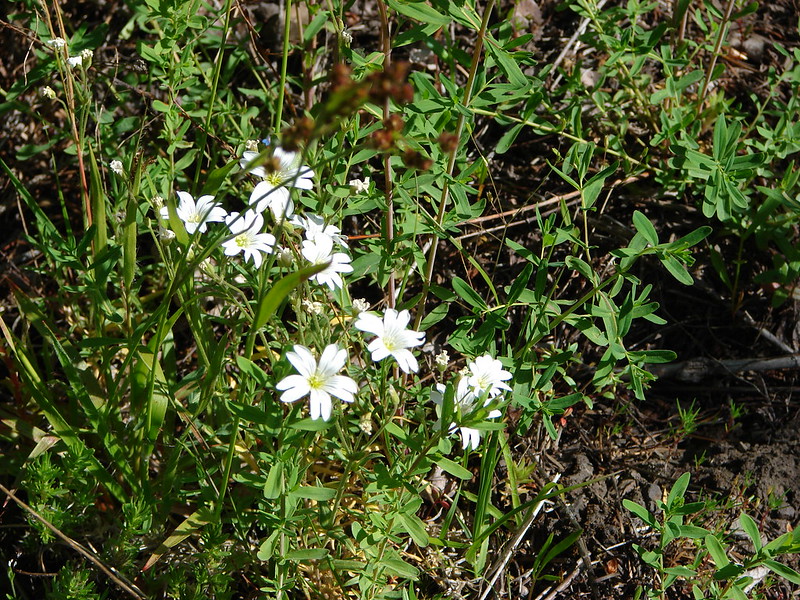
At the 1.2 mile mark we found the Tire Mountain trail and turned right. We passed through several smaller meadows which were home to a variety of different flowers, some of which were unknown to us.
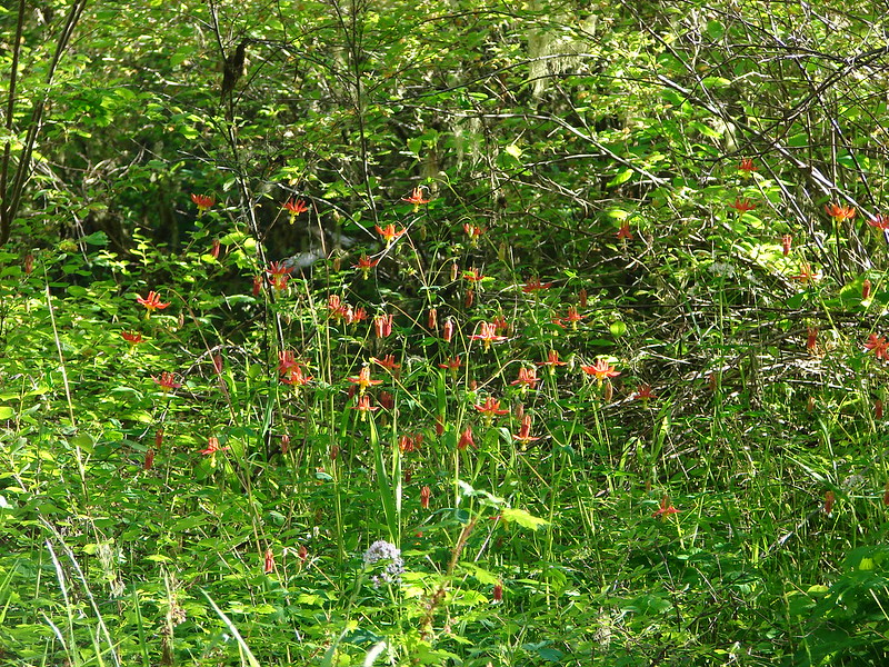
Columbine
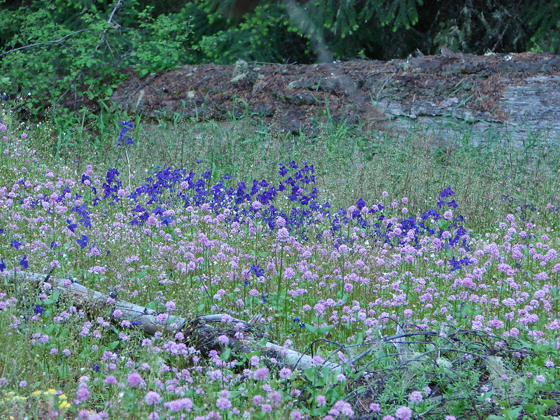
Plectritis & Larkspur
Plectritis & Yellow Monkeyflower

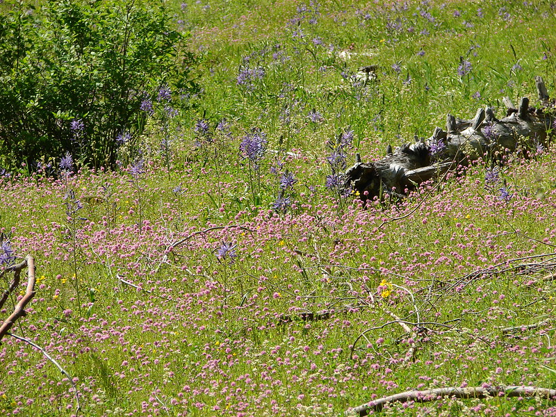
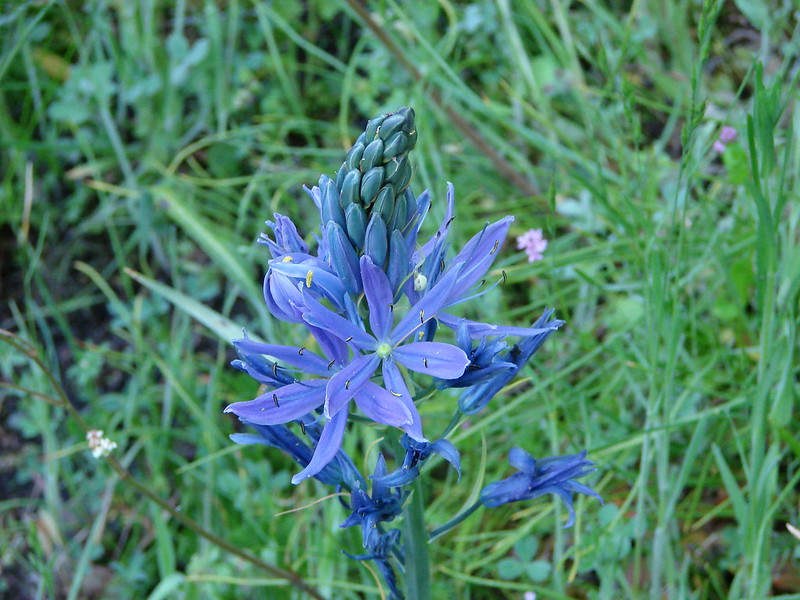
Camas
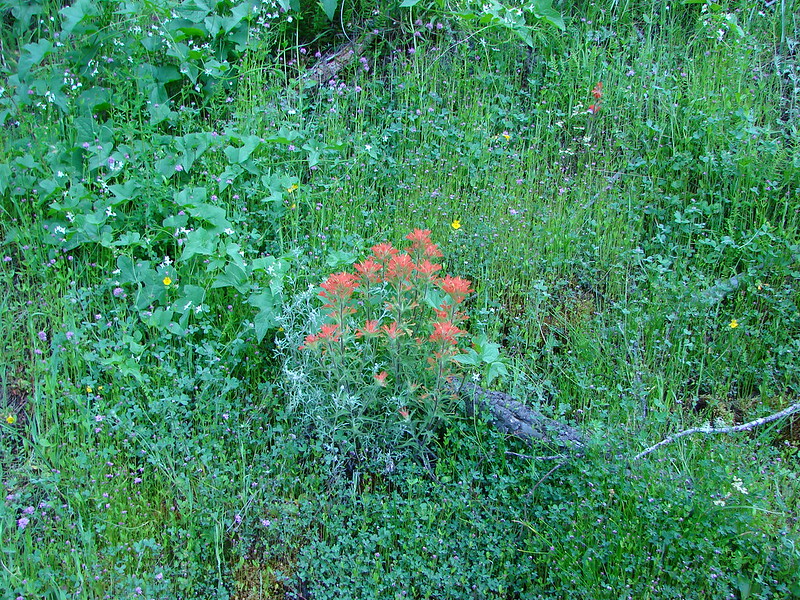
Paintbrush
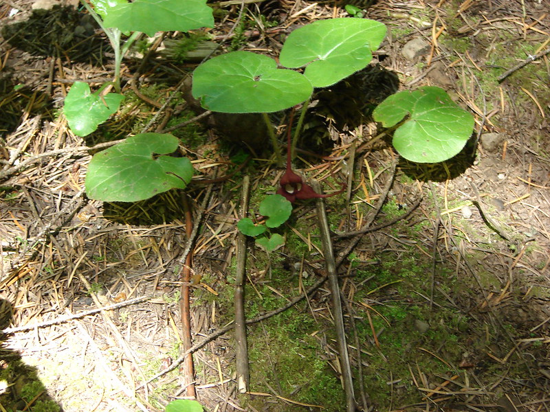
Coastal Manroot & ?
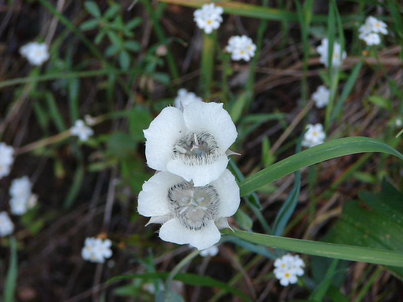
Cat’s Ear Lily
Another unknown
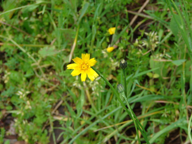
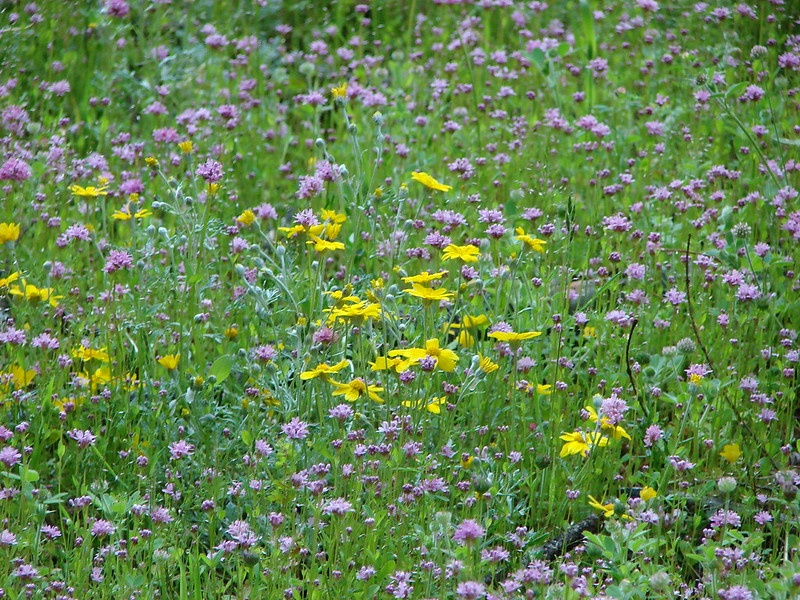
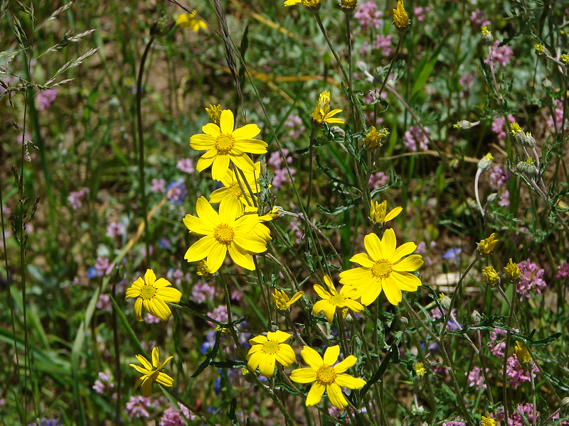
Possibly Oregon Sunshine
Giant Blue-Eyed Mary, Plectritis & unknown
Buttercups
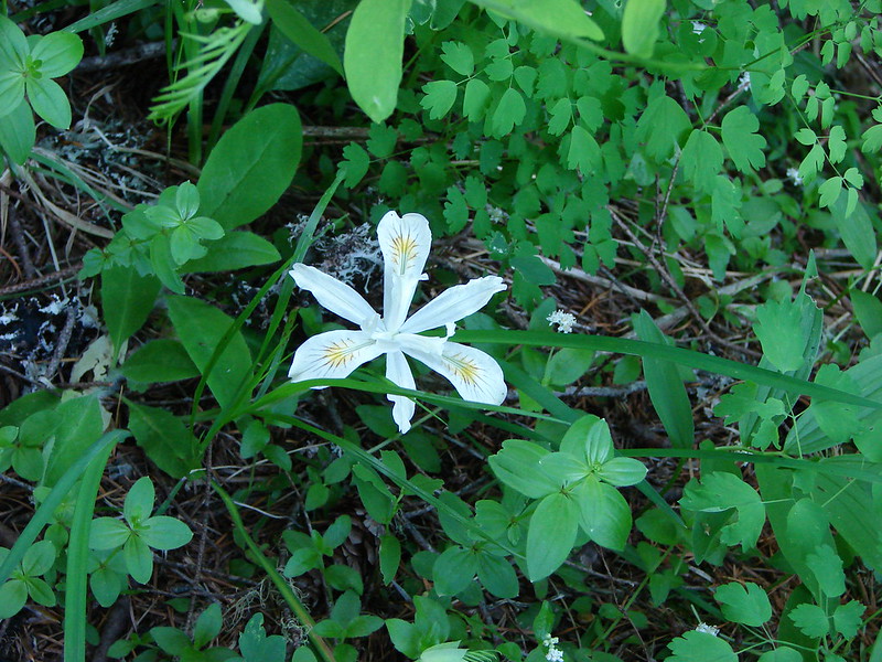
Wild Iris
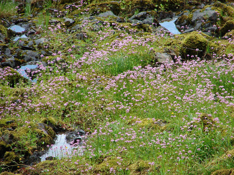
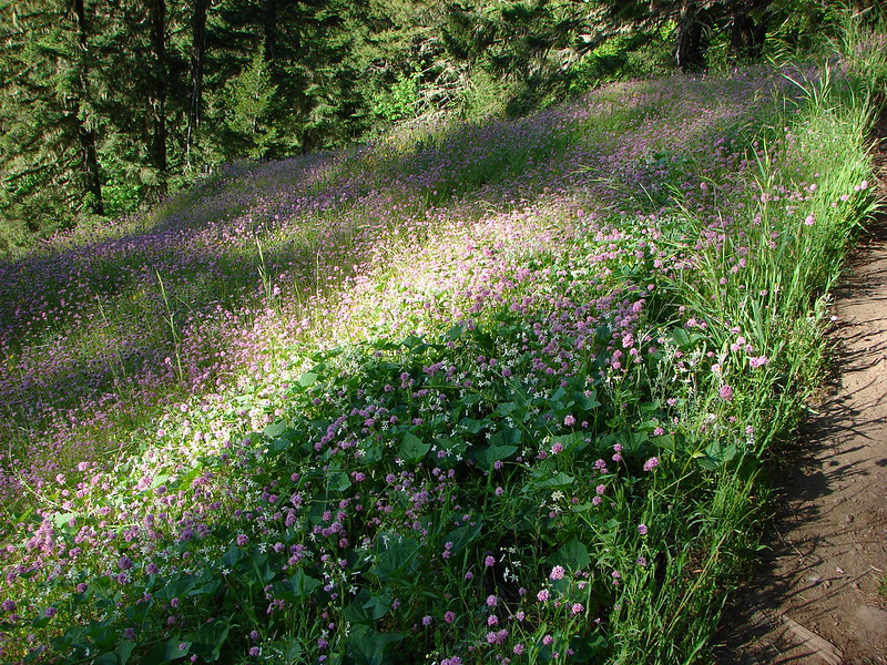
We were amazed at the number of flowers and we could see that there were even more higher up on the hillsides.
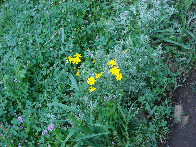
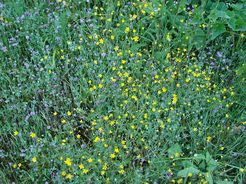
After the series of smaller meadows the trail entered the largest meadow of the day. Here balsamroot joined the flower bonanza.

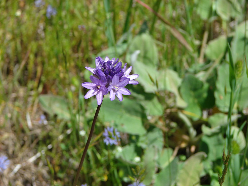
Ookow
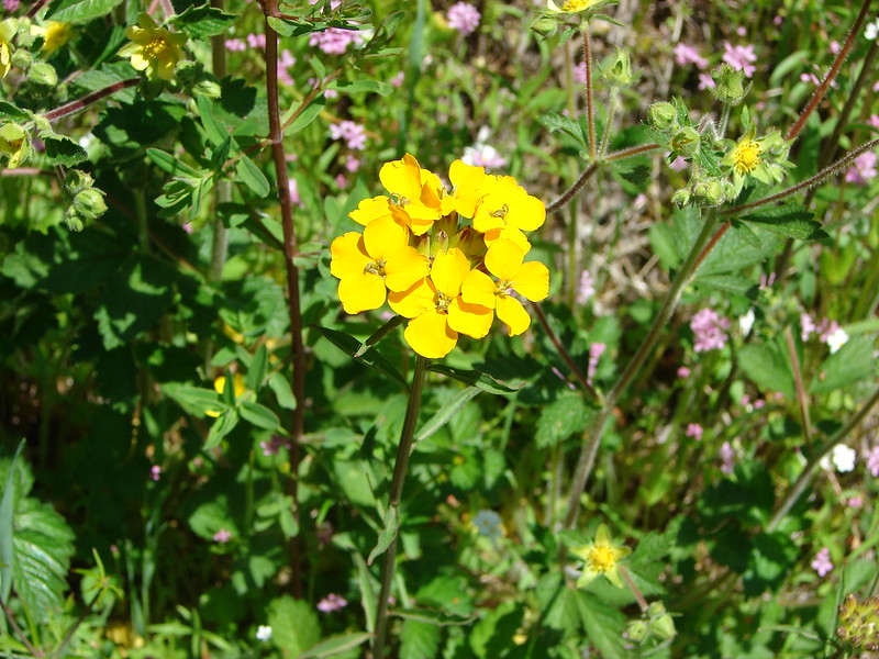
Wallflower
Unknown
Blue Gilia
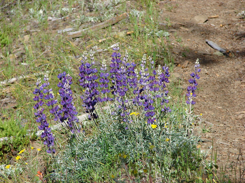
When we left the meadow I remarked that we hadn’t seen any lupine at all. As soon as we hit the next small meadow that was no longer the case.
From this meadow we also got a good view of Tire Mountain and Diamond Peak again.
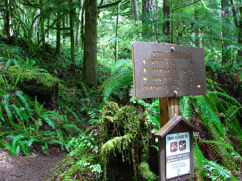
The trail then entered the forest before splitting. To the left was the 1/2mi path to the summit while the right fork headed down toward road 5824. We headed up to the summit to check out the former lookout site. The trail was nice despite there being a few downed trees to maneuver around.
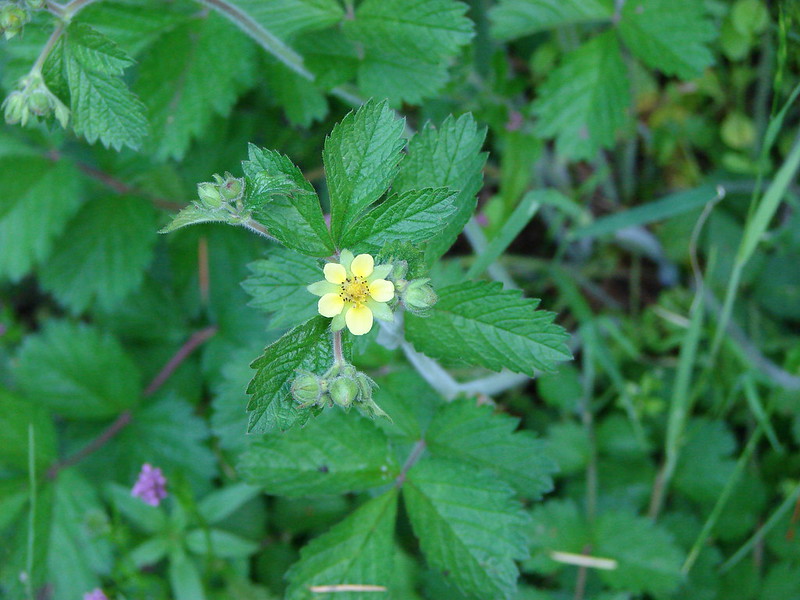
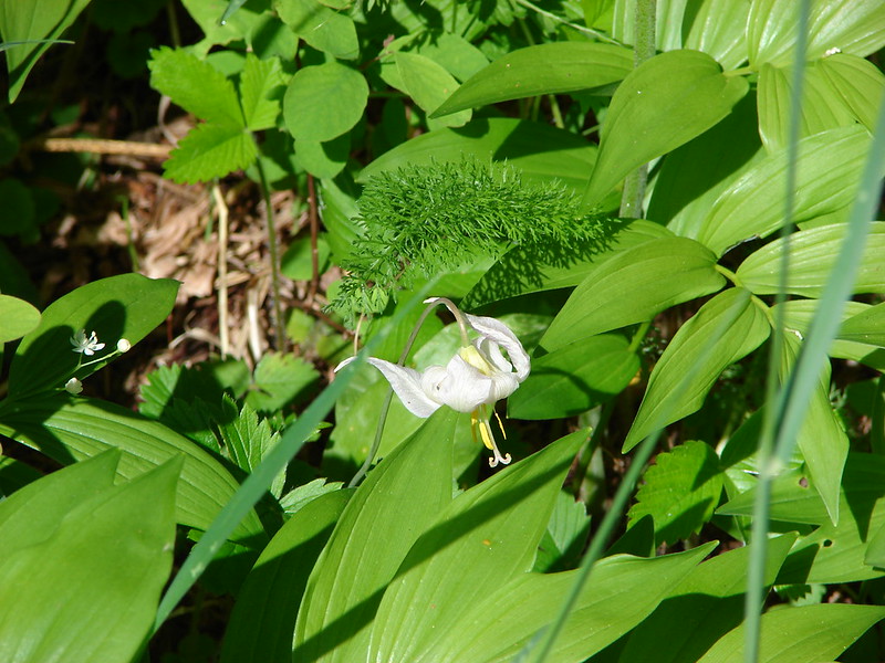
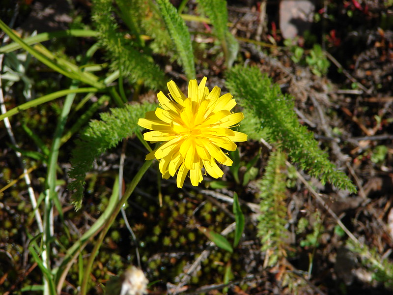
When we reached the brushy summit we found a number of additional flower types.

Unknown
Fawn Lily
Unknown
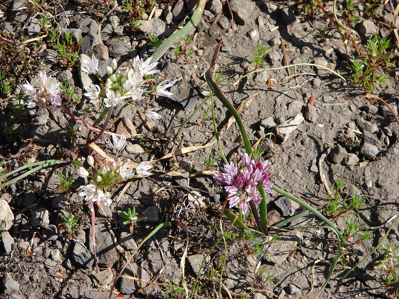
Wild onion
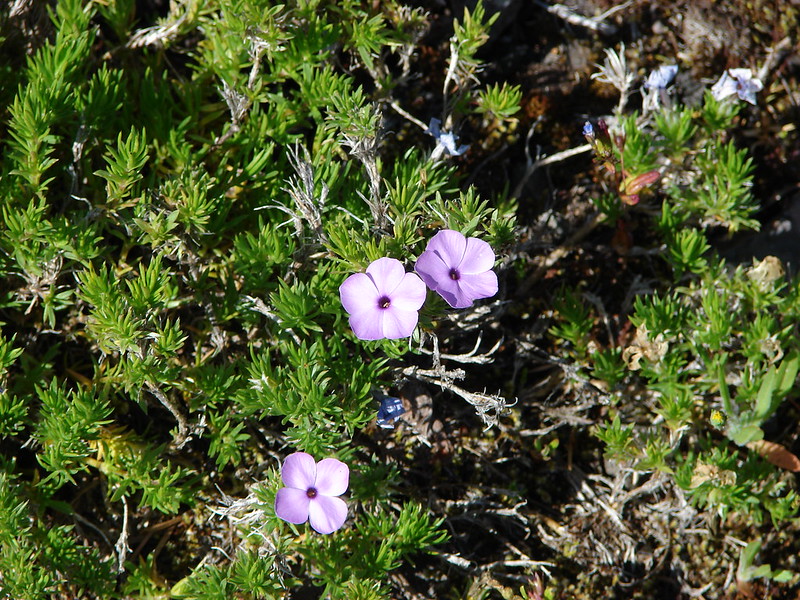
Phlox
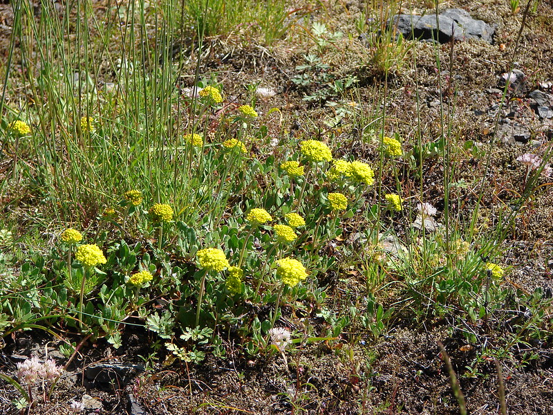
Buscuitroot
Despite being a former lookout site there was no view from the summit. In fact the lookout had been placed up in a tree in order to have a view of the surrounding area. We explored a bit before heading back down to the trail split and starting our search for the waterfall.
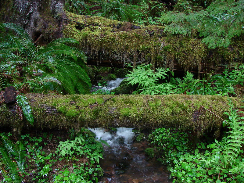
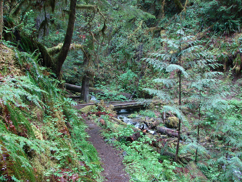
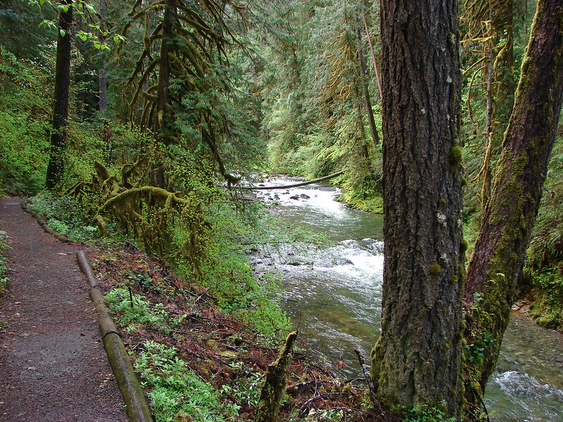
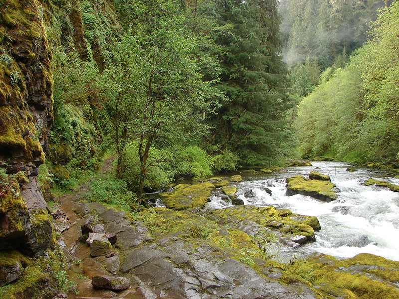
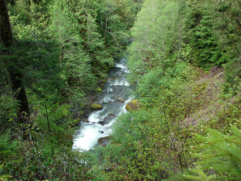
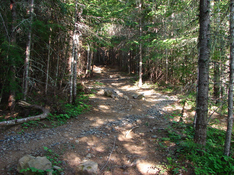
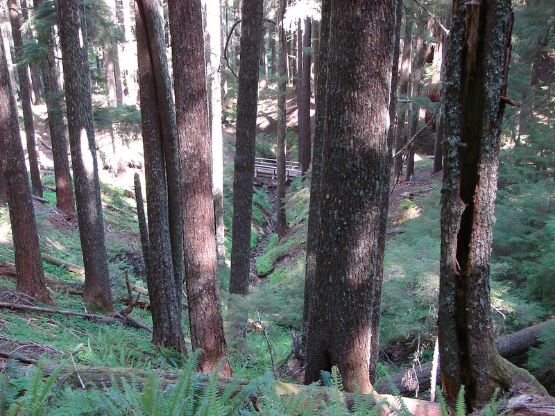
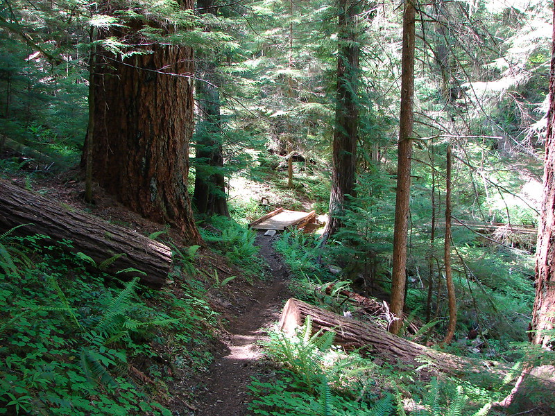
From the split, the Tire Mountain trail descended fairly quickly through a series of switchbacks. Several bridges crossed seasonal streams amid the large trees.
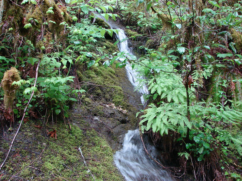
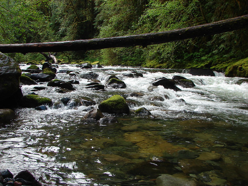
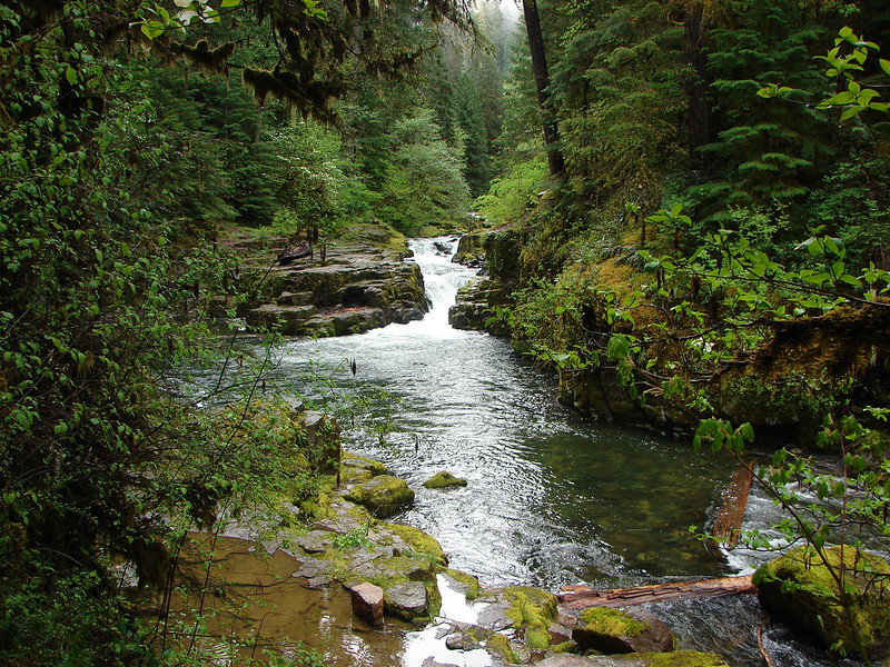
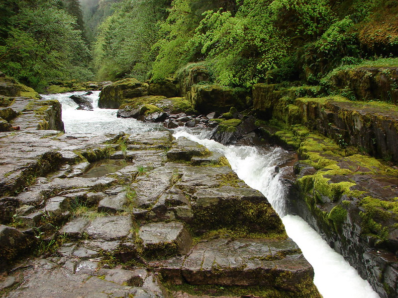
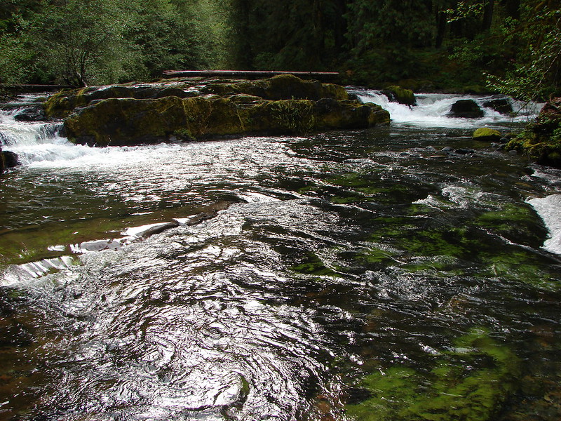
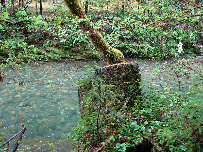
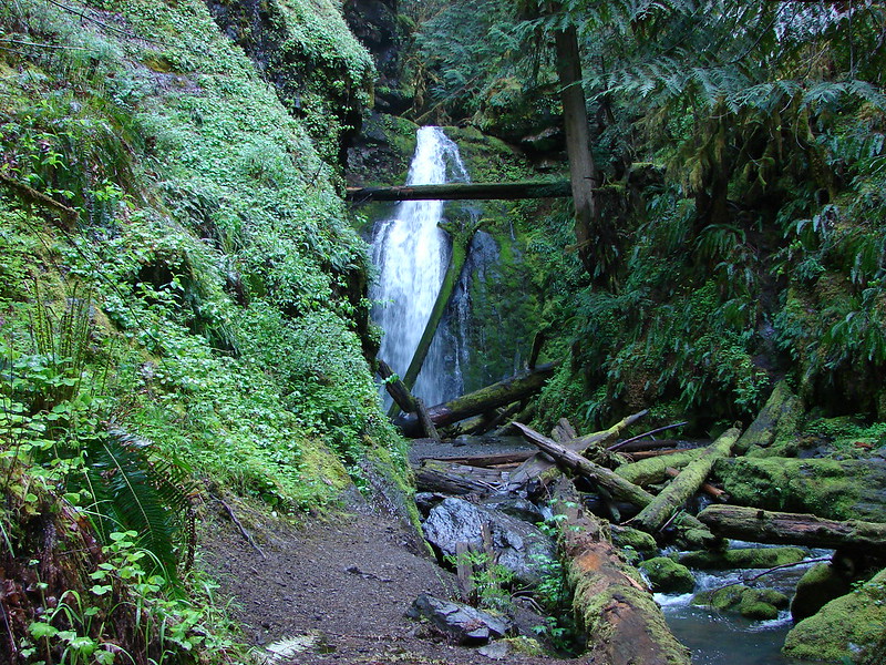
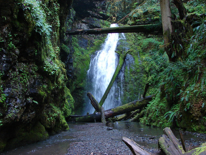
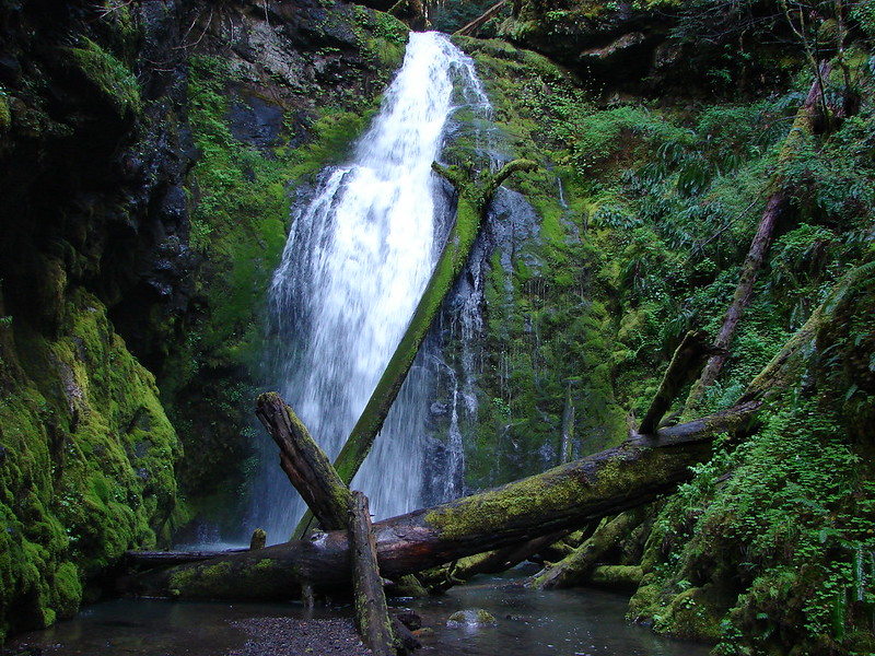
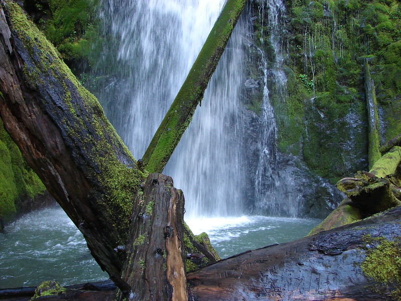
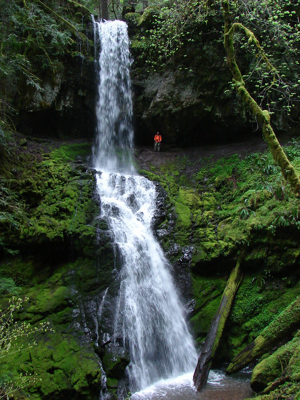
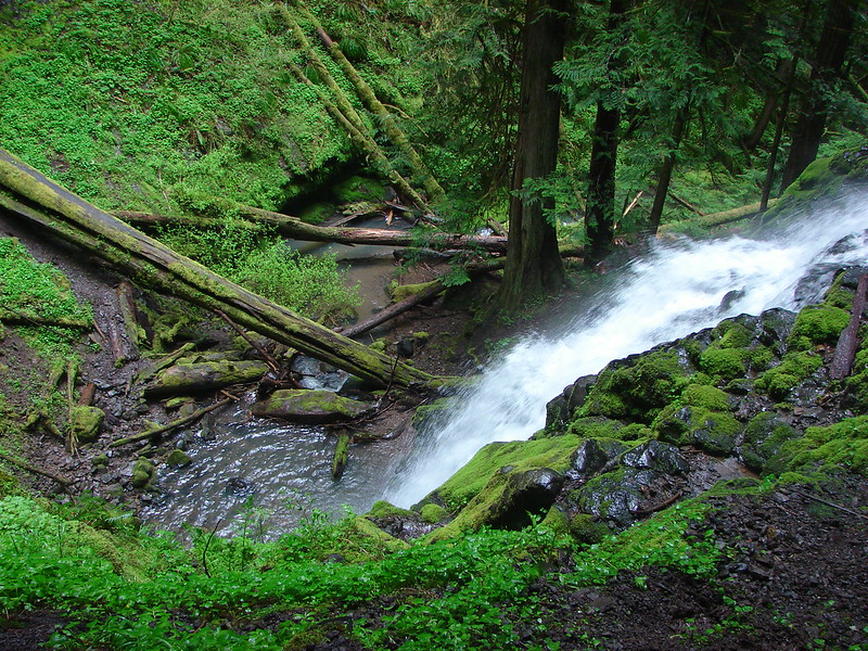
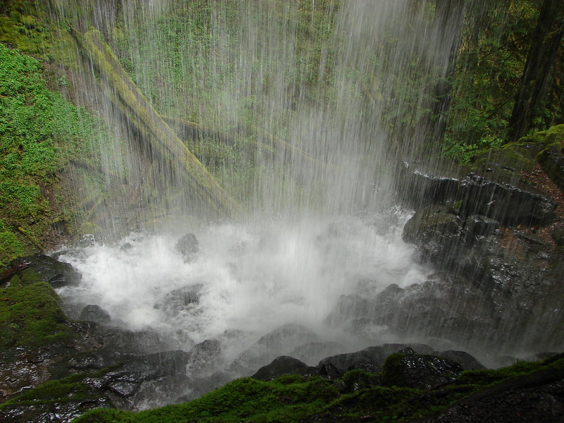
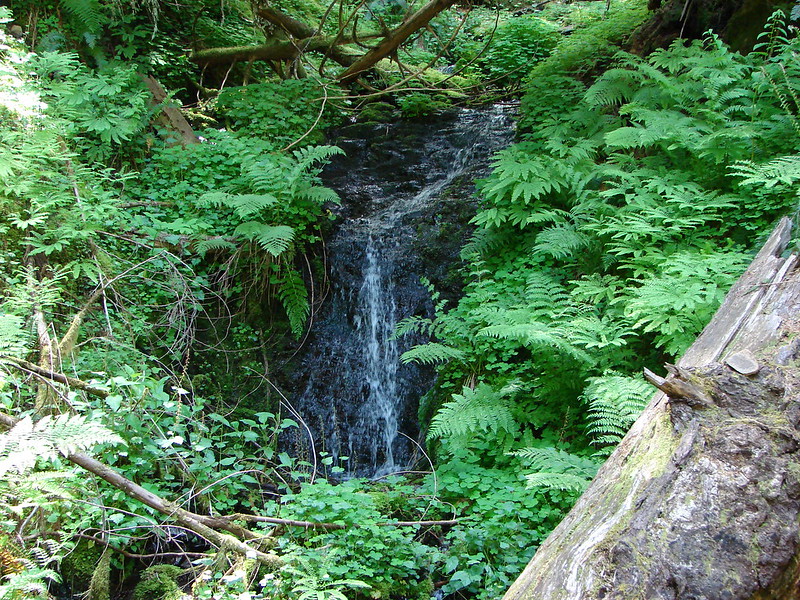
It was a lot further down to the creek I was looking for than I had anticipated and we were all dreading the climb back up. We finally rounded a ridge end and spotted the bridge that crossed the creek I was looking for. There was indeed a waterfall but after seeing it we knew why the guidebook doesn’t mention continuing on to it. It was a pretty sad display lol.
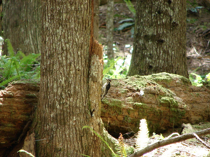
After soaking in the torrent we started our climb. We did our best to focus on the ever present bird song as we trudged along. Grey jays, varied thrushes, and at least one woodpecker flew from tree to tree. The woodpecker was the only one that stayed still long enough for me to get a picture.
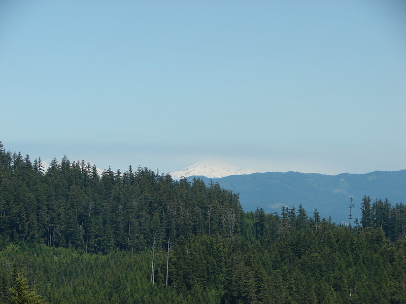
The meadows were just as impressive on the return trip. The only real bummer for the day was seeing a layer of smoke over the Three Sisters and Mt. Bachelor. Alas the fire season started early this year with the Two Bulls Fire burning near Bend, OR. 😦
Hopefully it isn’t a sign of things to come. Happy (and fire free) trails!
flickr:https://www.flickr.com/photos/9319235@N02/sets/72157644669235877/
Facebook:https://www.facebook.com/media/set/?set=a.10204185599747388.1073741882.1448521051&type=3