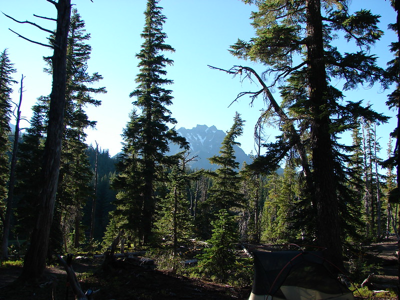
The day after finally getting to see the Green Lakes clouds had moved into the mountains bringing snow to the higher elevations and rain lower. A pair of hikes near LaPine, OR offered us a chance to stay below the clouds while visiting the Fall and Deschutes Rivers.
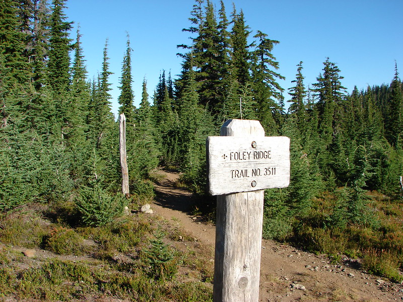
Our first hike of the day began at the Fall Creek Campground located off the Cascade Lakes Highway near milepost 15.
 //embedr.flickr.com/assets/client-code.js
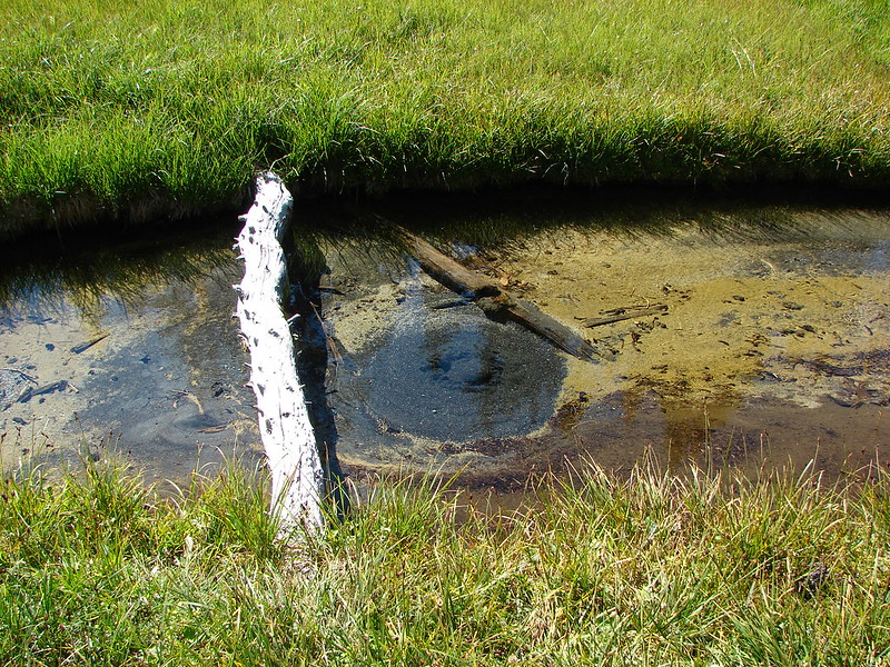
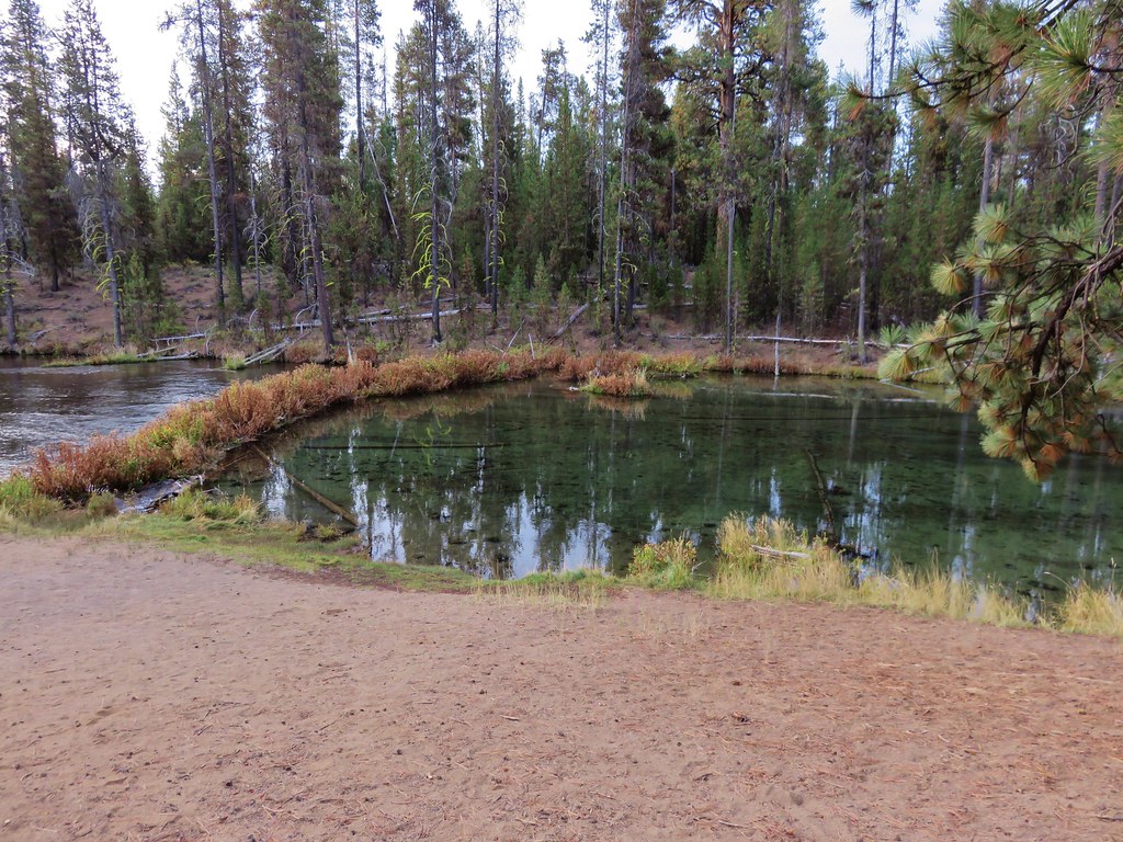
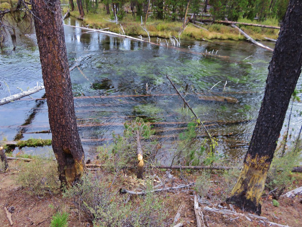
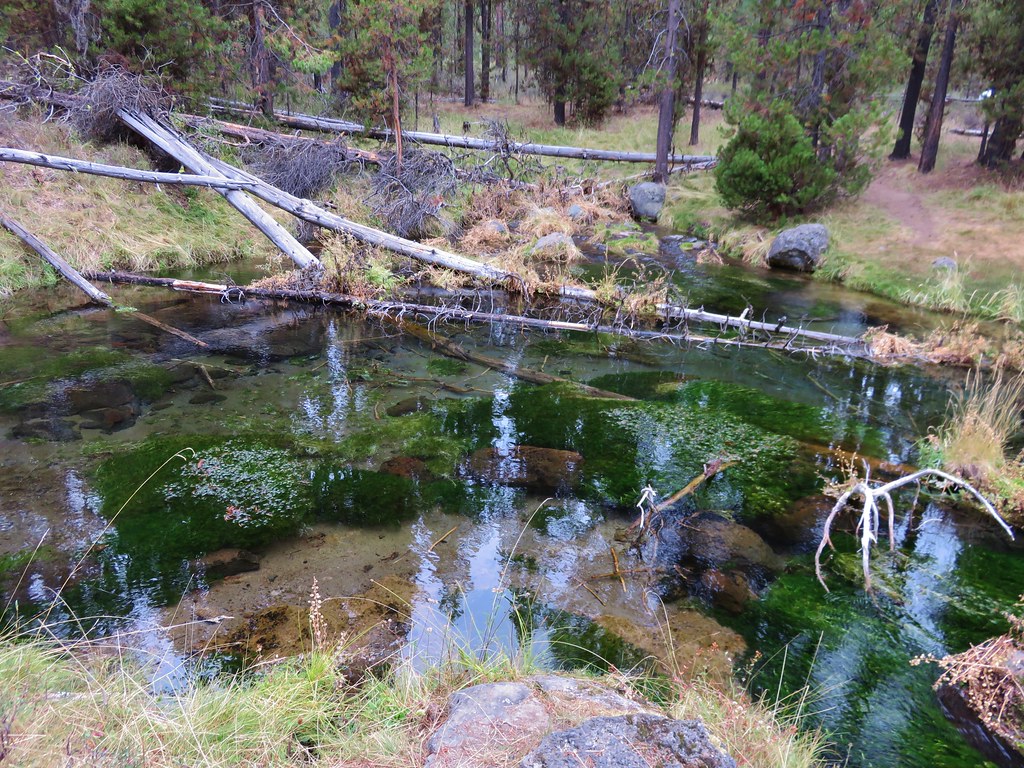
Fall River is fed by springs located less than a mile from the campground which causes the water to be crystal clear.
 //embedr.flickr.com/assets/client-code.js
 //embedr.flickr.com/assets/client-code.js
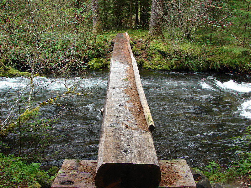
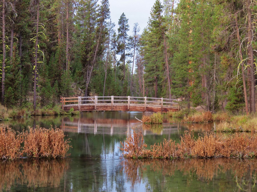
We started our hike by crossing the river on a footbridge and heading east .4 miles downstream to a dirt road.
 //embedr.flickr.com/assets/client-code.js
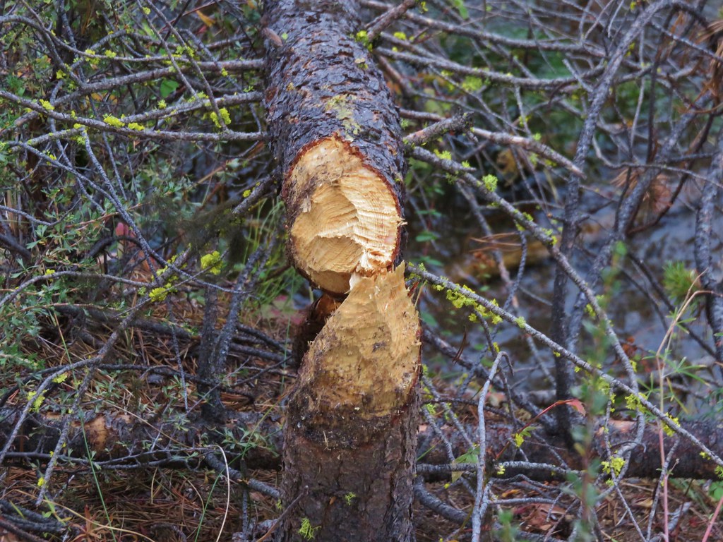
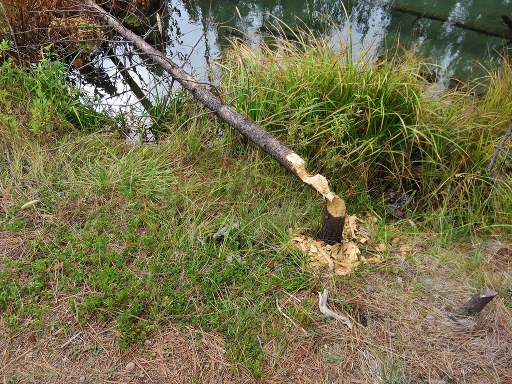
Along the way we began noticing many trees that had been gnawed by beavers, some rather recently.
 //embedr.flickr.com/assets/client-code.js
 //embedr.flickr.com/assets/client-code.js
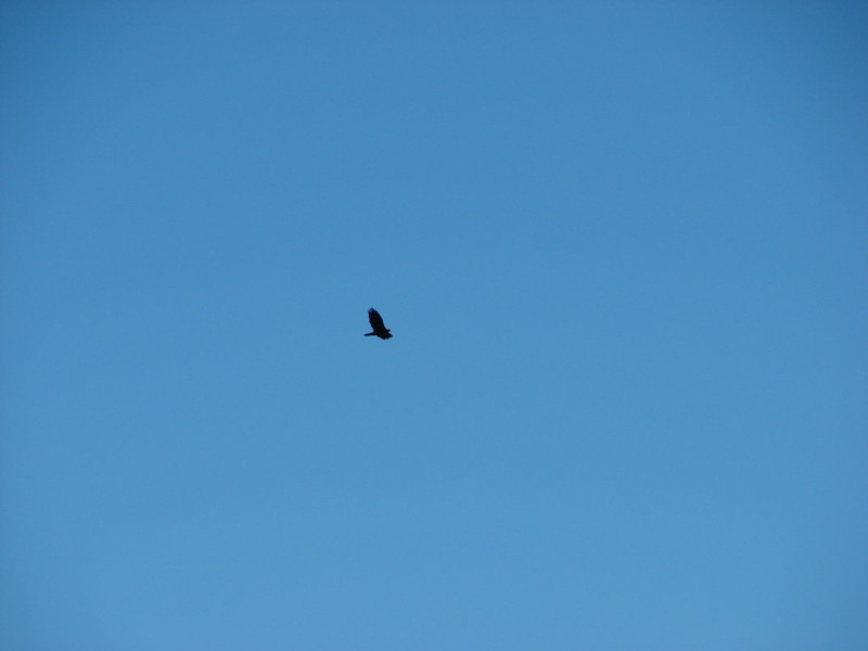
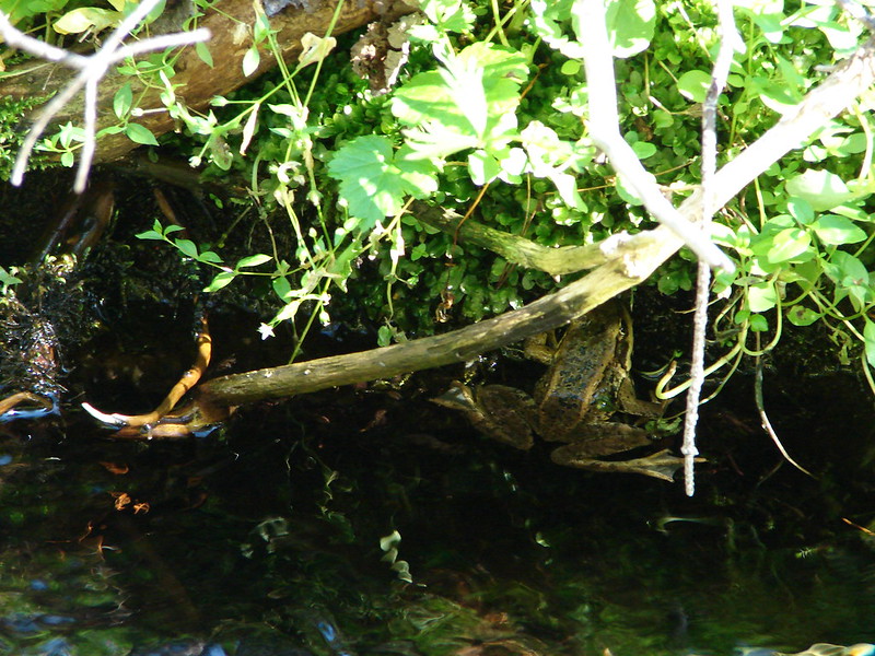
We began watching intently hoping to see one of them. After reaching the road and returning to where we had crossed the footbridge we stayed on the south side of the river and continued west toward the springs. We didn’t see any beavers but we saw plenty of other wildlife along the way to the springs.
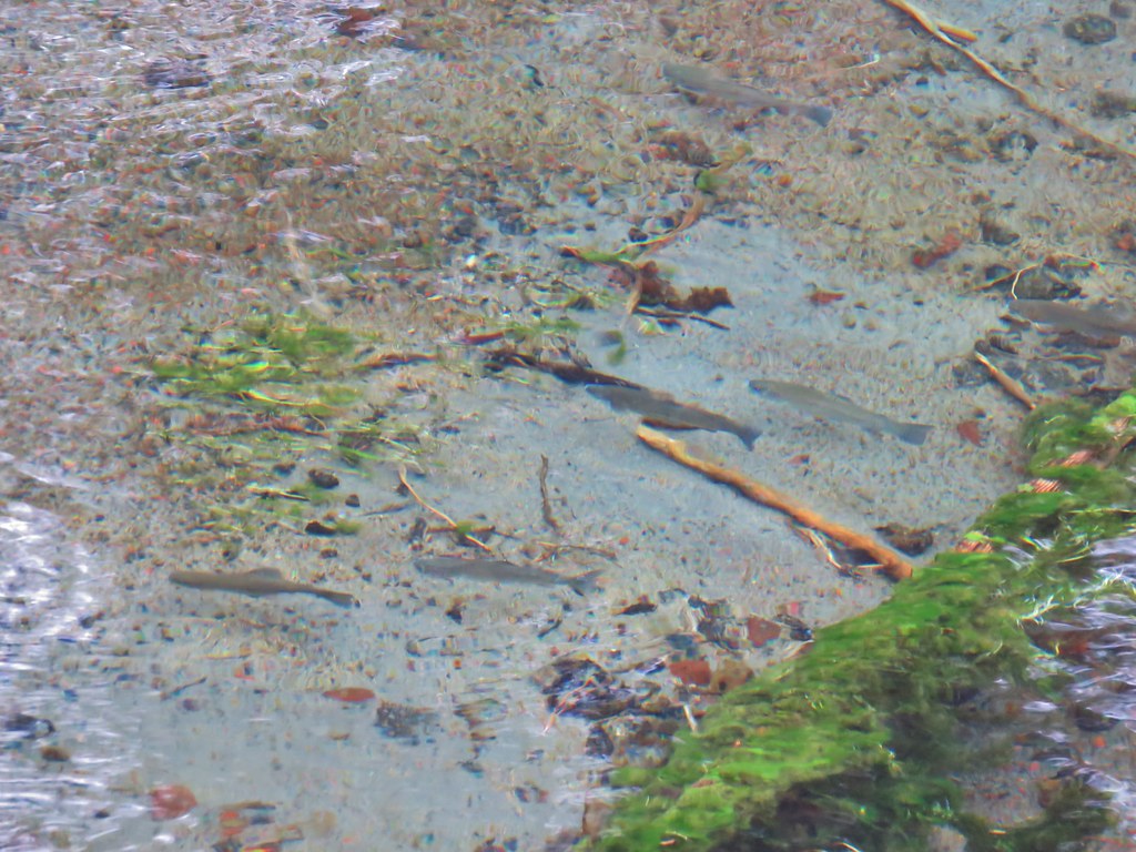
Fish in Fall River
 //embedr.flickr.com/assets/client-code.js
 //embedr.flickr.com/assets/client-code.js
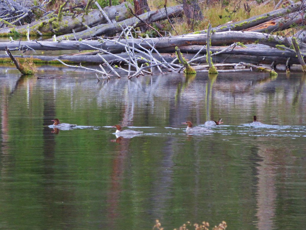
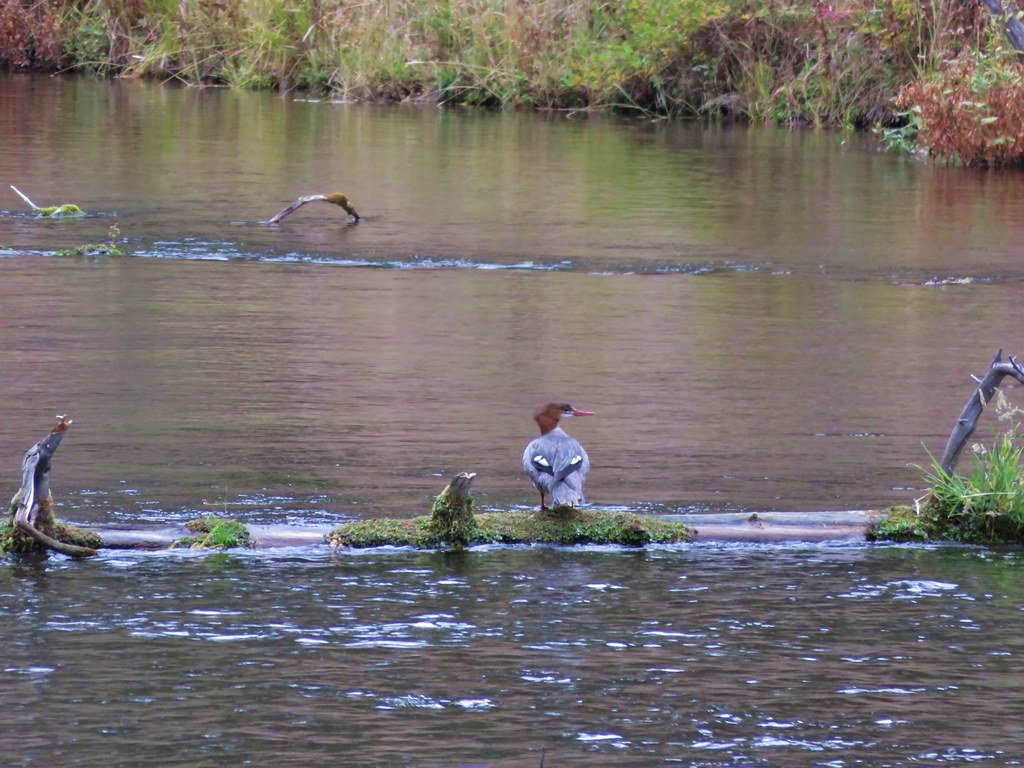
Mergansers
 //embedr.flickr.com/assets/client-code.js
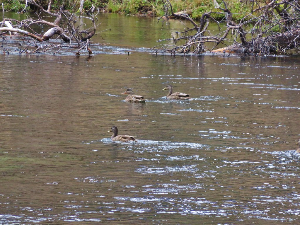
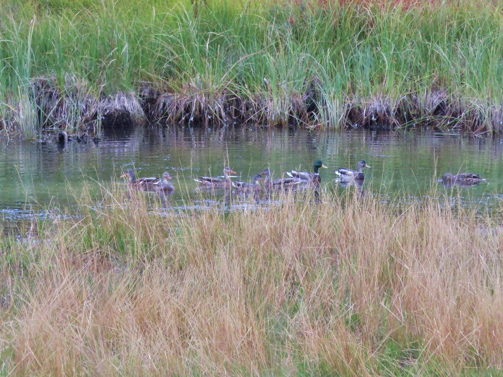
More ducks
 //embedr.flickr.com/assets/client-code.js
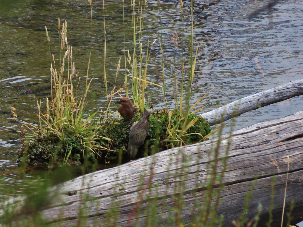
Small birds
 //embedr.flickr.com/assets/client-code.js
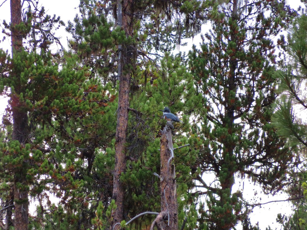
Kingfisher
 //embedr.flickr.com/assets/client-code.js
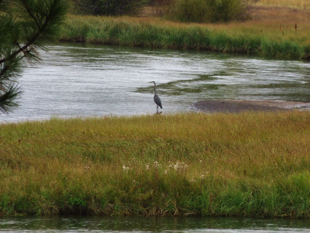
Great Blue Heron
 //embedr.flickr.com/assets/client-code.js
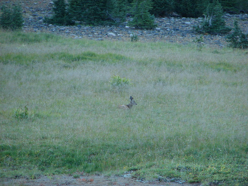
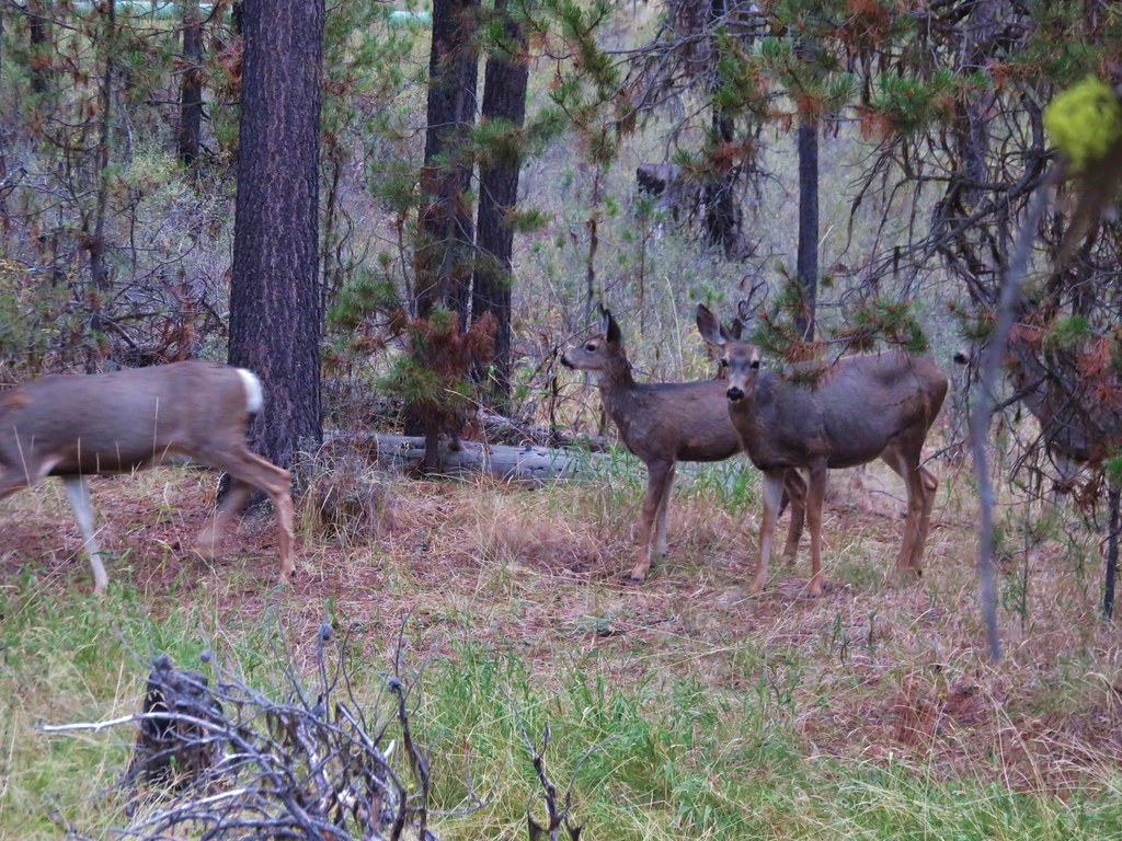
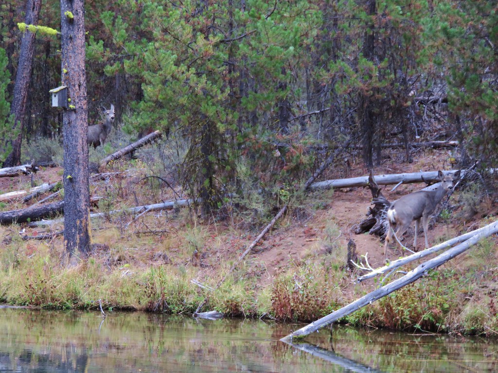
At the springs we spotted several deer.
 //embedr.flickr.com/assets/client-code.js
 //embedr.flickr.com/assets/client-code.js
 //embedr.flickr.com/assets/client-code.js
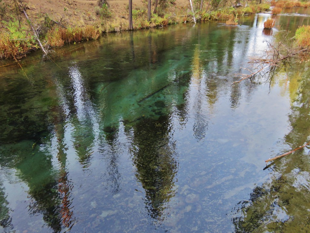
The clear water near the springs was brightened by green plants in the water.
 //embedr.flickr.com/assets/client-code.js
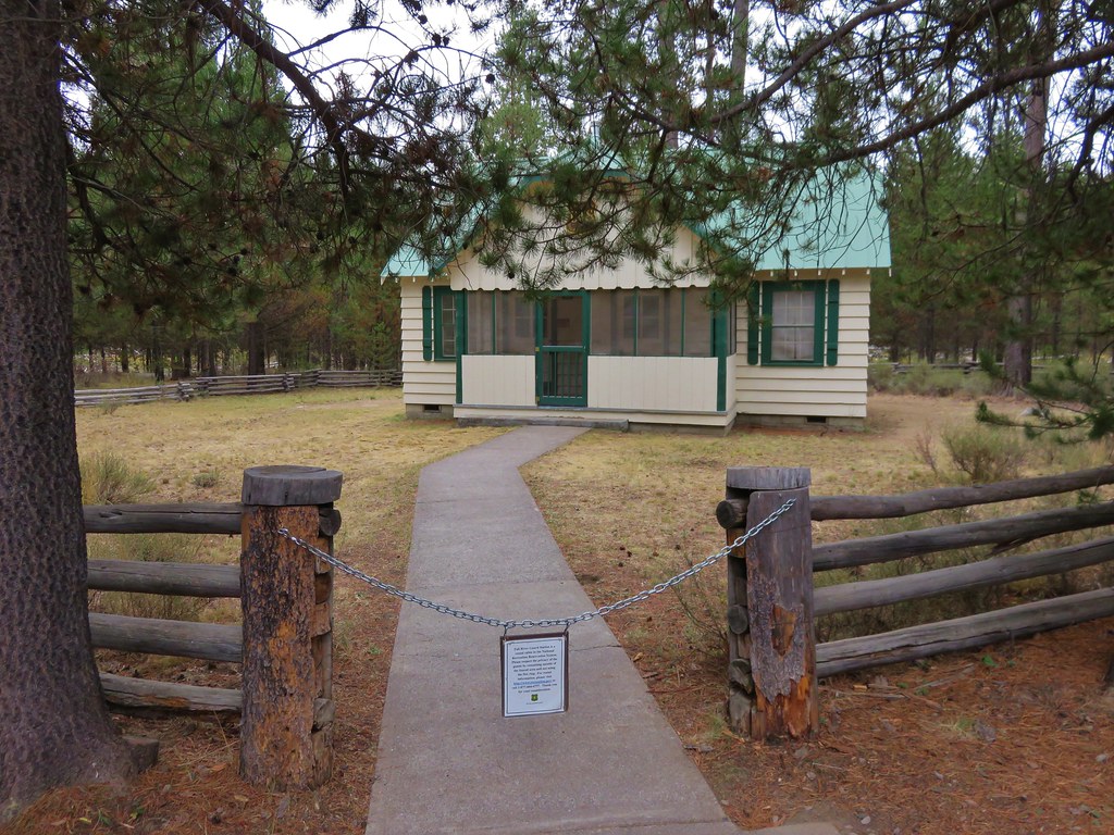
There is a parking area near the springs as well as the rentable Fall River Guard Station.
 //embedr.flickr.com/assets/client-code.js
We returned to the campground on the north side of the river resulting in a nice little loop back to the bridge. We continued to see wildlife along the way.
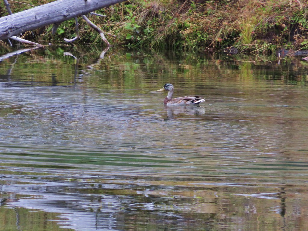
Duck
 //embedr.flickr.com/assets/client-code.js
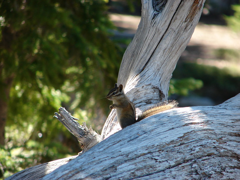
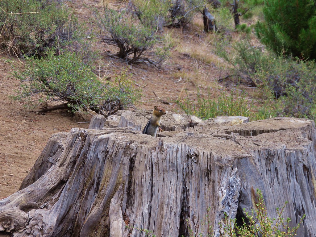
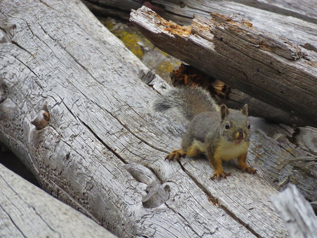
Golden-mantled squirrel
 //embedr.flickr.com/assets/client-code.js
Robin
 //embedr.flickr.com/assets/client-code.js
Merganser
 //embedr.flickr.com/assets/client-code.js
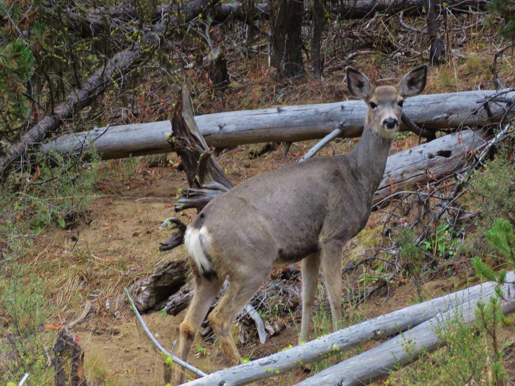
Deer
 //embedr.flickr.com/assets/client-code.js
 //embedr.flickr.com/assets/client-code.js
The trail on the north side of the river continues east past the campground for a total of 2.4 miles before reaching private land. We decided to check out that section as well. More wildlife and peaceful river views awaited on this section of the trail. There was also plenty of evidence of beavers but they never showed themselves.
Golden-mantled squirrel
 //embedr.flickr.com/assets/client-code.js
Crossbill
 //embedr.flickr.com/assets/client-code.js
Ducks
 //embedr.flickr.com/assets/client-code.js
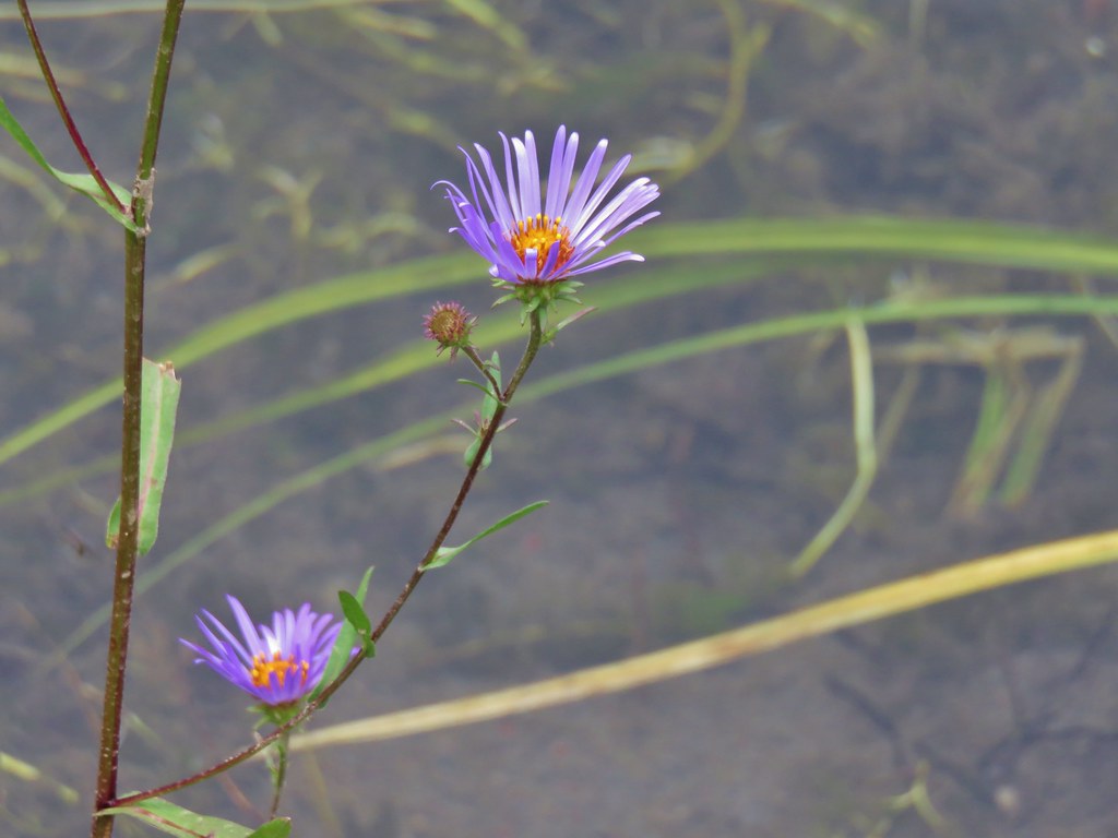
Aster
 //embedr.flickr.com/assets/client-code.js
 //embedr.flickr.com/assets/client-code.js
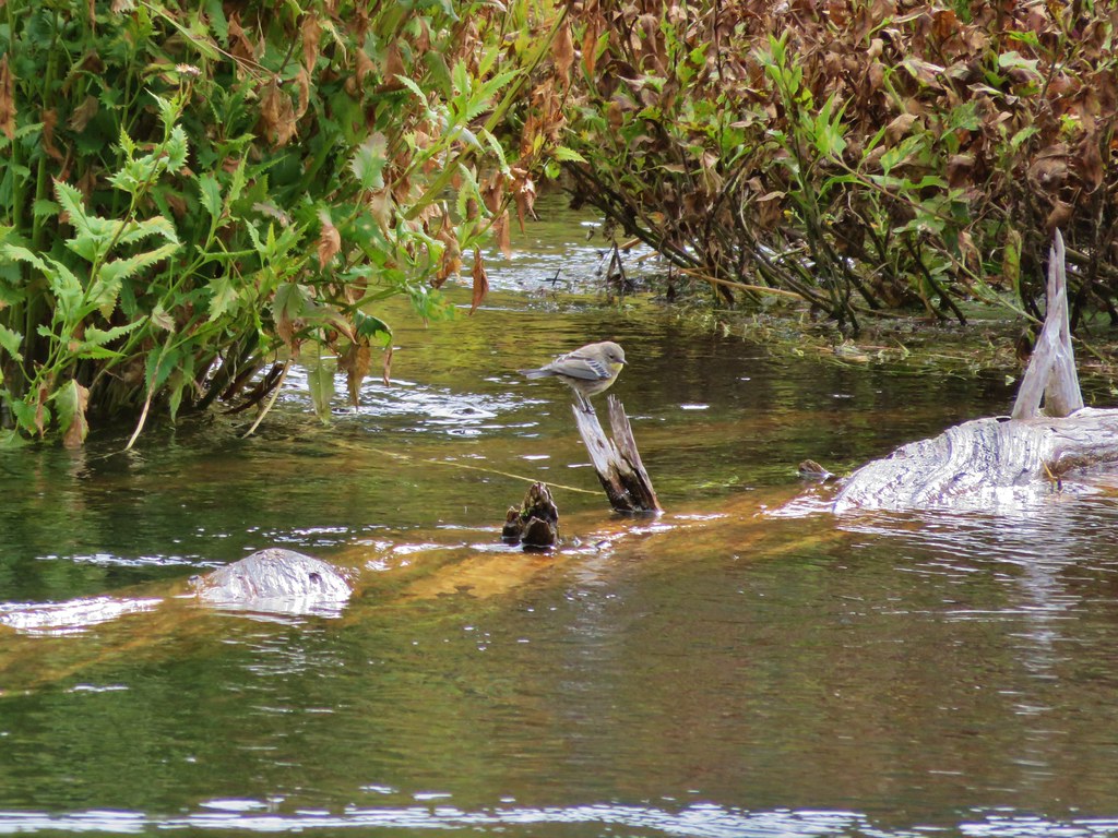
Small bird
 //embedr.flickr.com/assets/client-code.js
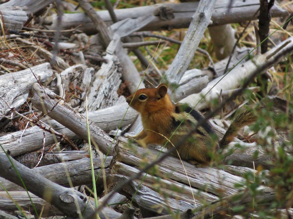
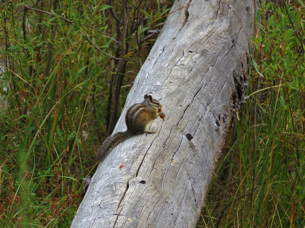
Chipmunk
 //embedr.flickr.com/assets/client-code.js
 //embedr.flickr.com/assets/client-code.js
 //embedr.flickr.com/assets/client-code.js
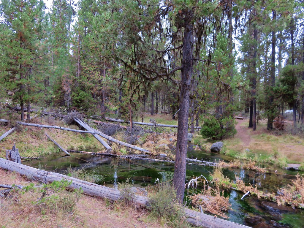
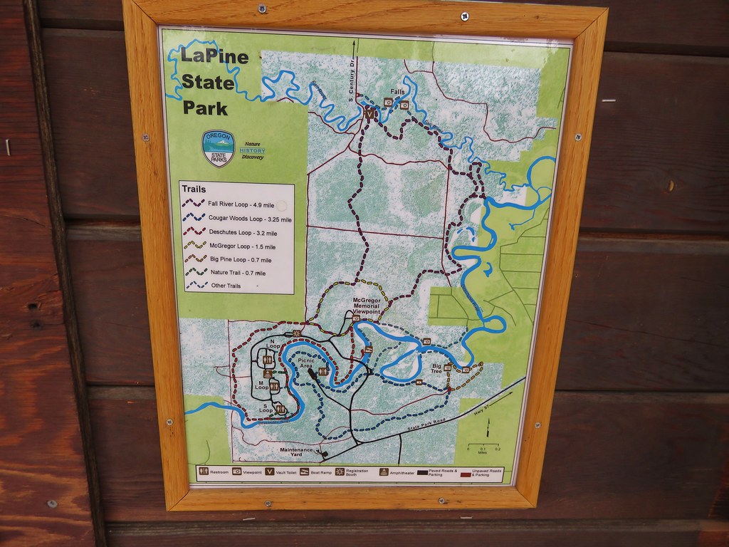
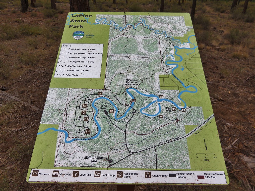
After reaching the private land and returning to the car we drove 5 miles back toward Highway 97 on the Cascade Lakes Highway and turned south on a gravel road where we had seen a pointer for LaPine State Park. Just over a mile on the gravel road brought us to a pair of parking areas on either side of Fall River. We parked on the south side of the river and set off on a 5.3 mile loop through LaPine State Park.
 //embedr.flickr.com/assets/client-code.js
 //embedr.flickr.com/assets/client-code.js
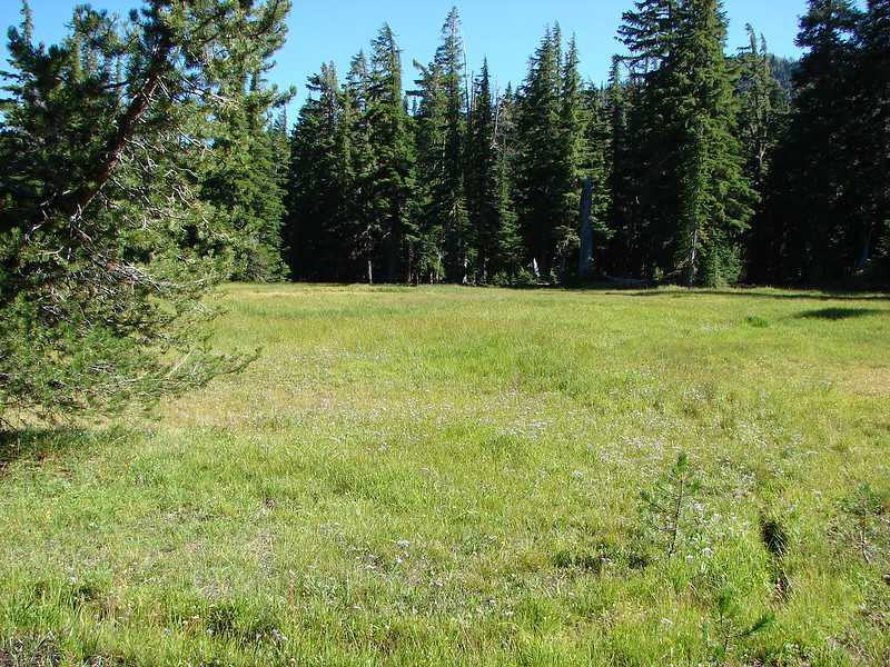
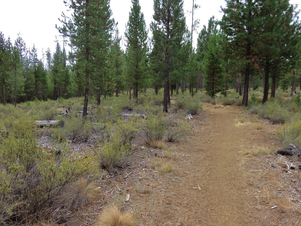
We decided to do the loop counter-clockwise and headed right away from Fall River. The forest was fairly dry and mostly lodgepole pine here which can be a little less than exciting.
 //embedr.flickr.com/assets/client-code.js
 //embedr.flickr.com/assets/client-code.js
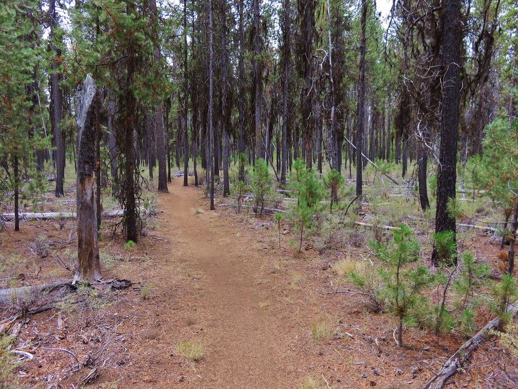
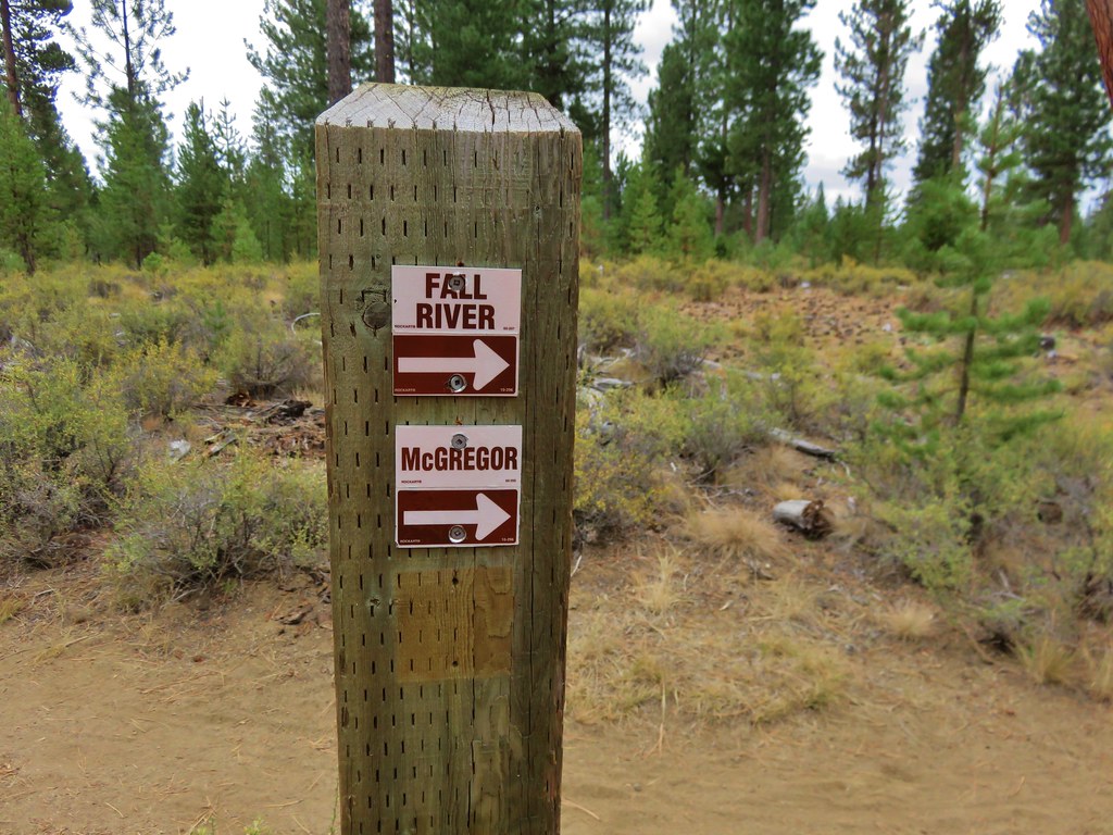
After crossing a couple of dirt roads we ignored a trail at the 1 mile mark that split off to the left sticking to the Fall River Trail using the many trail signs along the way.
 //embedr.flickr.com/assets/client-code.js
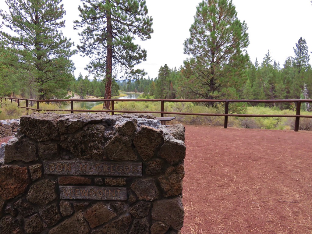
At a well signed junction within sight of a fee booth we turned left heading for the McGregor Viewpoint.
 //embedr.flickr.com/assets/client-code.js
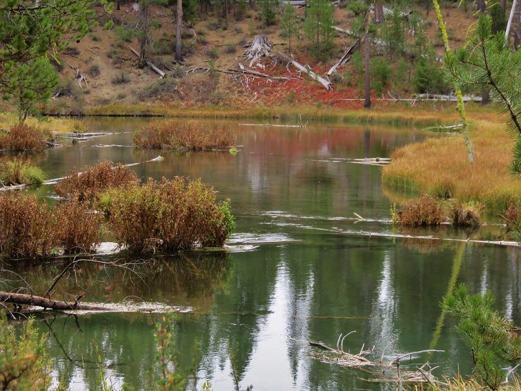
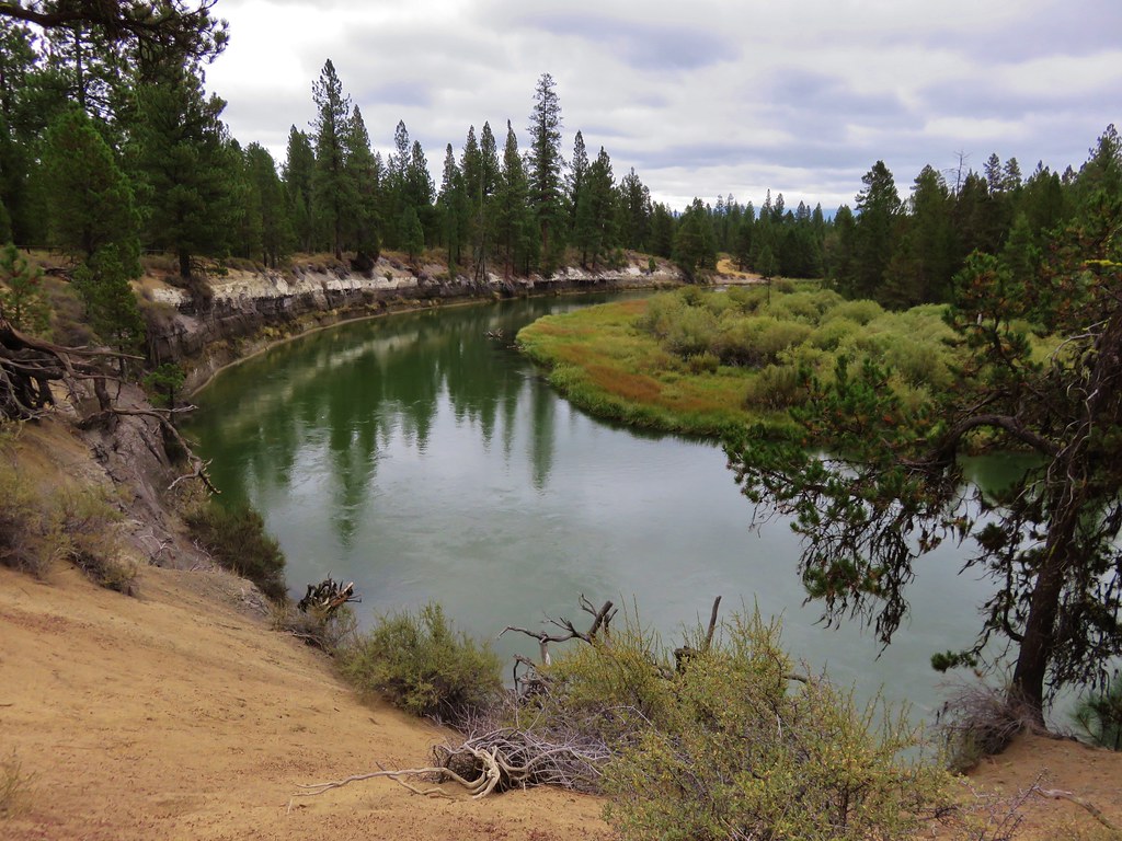
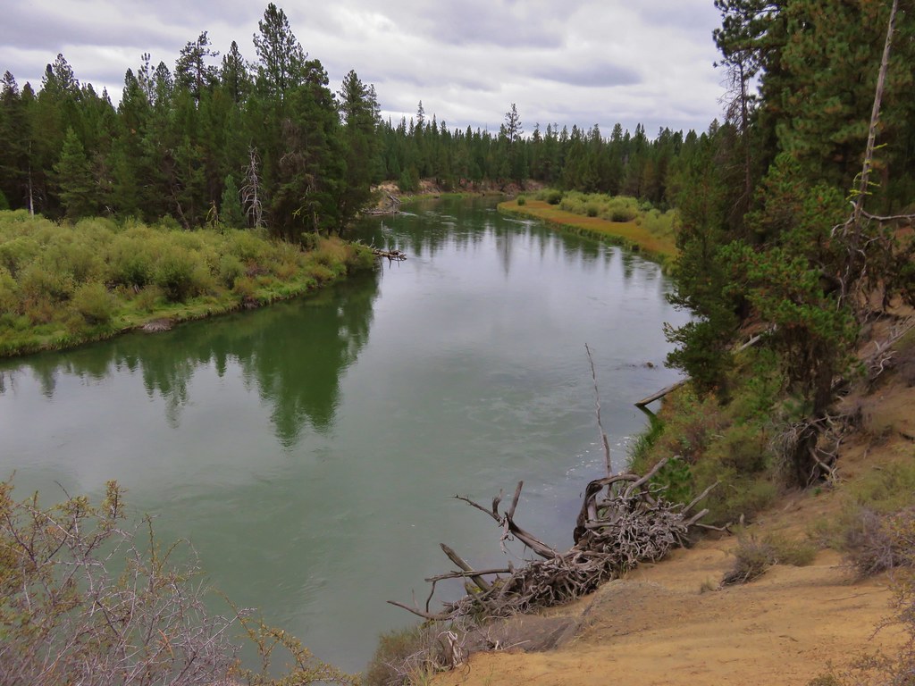
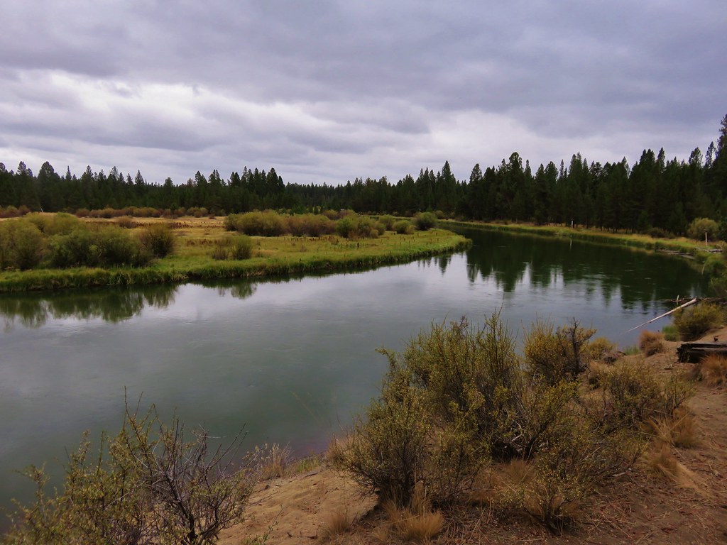
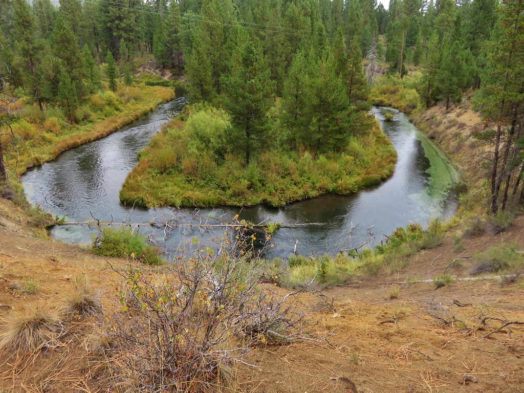
The viewpoint offered our first look at the Deschutes River as it wound through the park.
 //embedr.flickr.com/assets/client-code.js
 //embedr.flickr.com/assets/client-code.js
 //embedr.flickr.com/assets/client-code.js
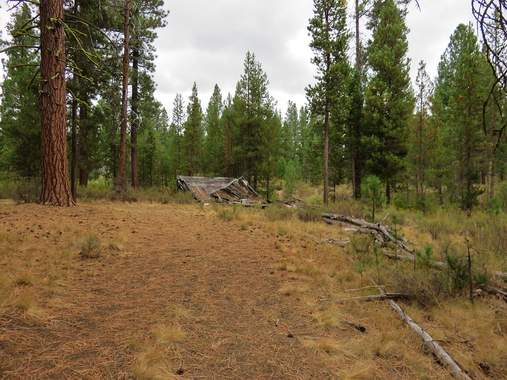
Continuing on the loop we veered left at the next trail fork then ignored another left staying straight until we reached a dirt road junction. We went straight toward the river on a dirt road heading for an old house ruin that was shown in our guide book. As it turned out the house had been completely torn down.
 //embedr.flickr.com/assets/client-code.js
We followed the road a little further then turned right on a trail with nice river and wildlife views and passing two other old ruins.
 //embedr.flickr.com/assets/client-code.js
Ducks
 //embedr.flickr.com/assets/client-code.js
Nuthatch
 //embedr.flickr.com/assets/client-code.js
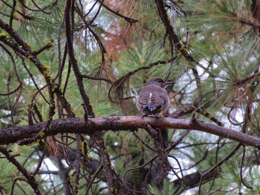
Northern Flicker
 //embedr.flickr.com/assets/client-code.js
Heron
 //embedr.flickr.com/assets/client-code.js
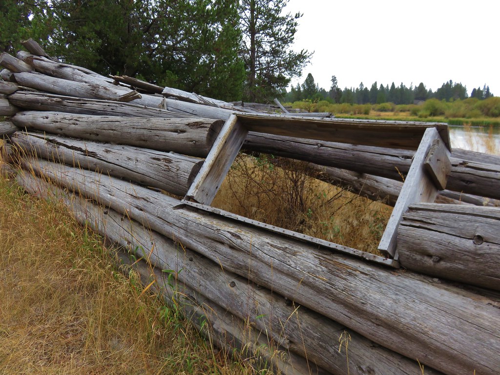
The first ruin was along the Deschutes River.
 //embedr.flickr.com/assets/client-code.js
 //embedr.flickr.com/assets/client-code.js
 //embedr.flickr.com/assets/client-code.js
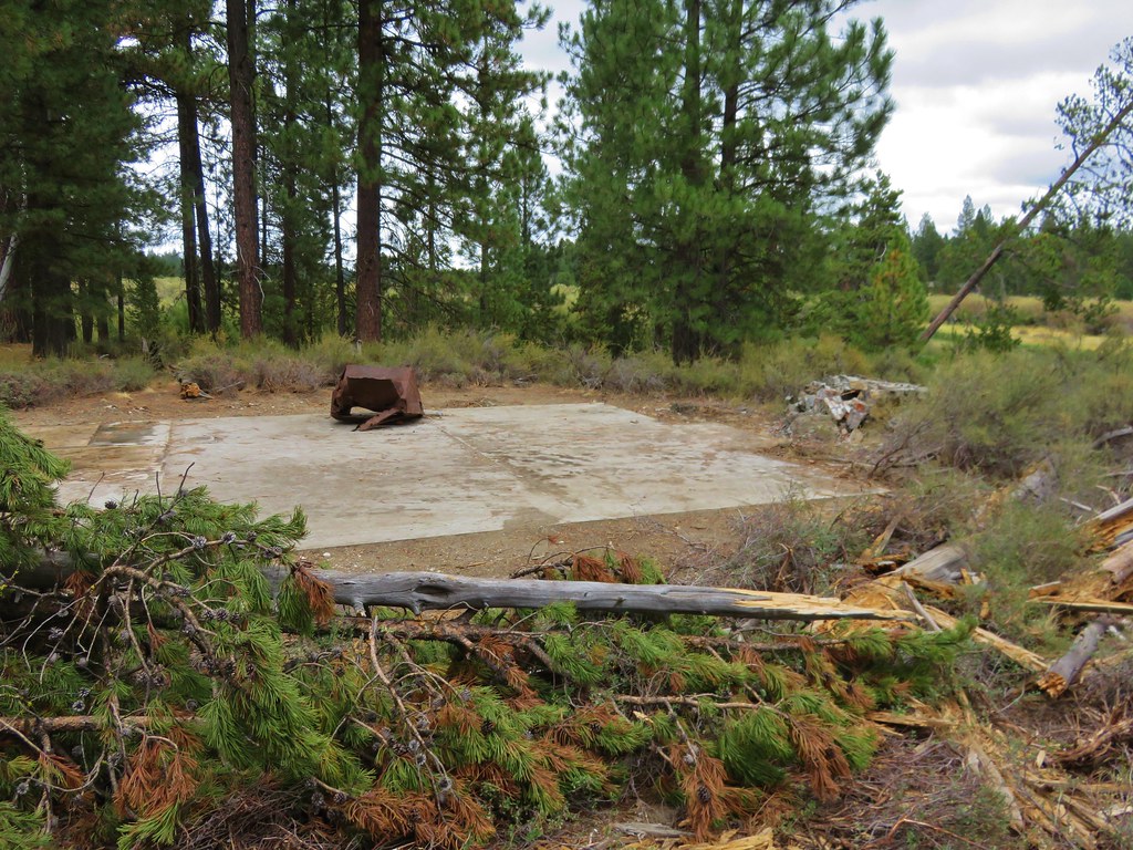
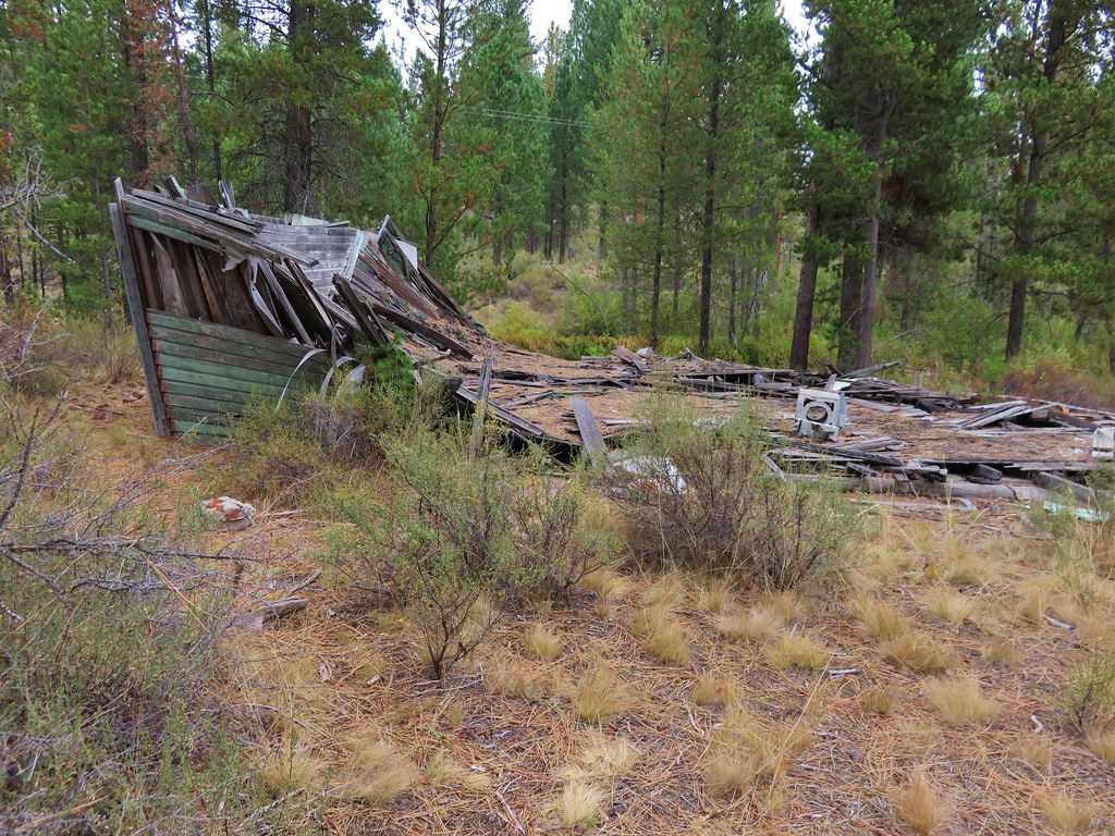
The second was was along Fall River.
 //embedr.flickr.com/assets/client-code.js
 //embedr.flickr.com/assets/client-code.js
 //embedr.flickr.com/assets/client-code.js
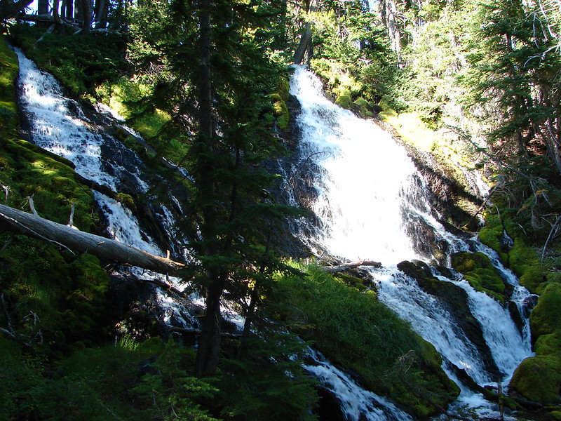
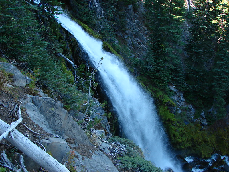
The trail followed a short section of dirt road after the second ruin. We turned right on a nice path sticking close to Fall river only to find that we had turned too soon and the path we were on followed a ridge down to the river where it abruptly ended. We backtracked to the road, turned right and quickly found the signed trail we should have taken. We followed the trail for a little less than a mile then forked right heading for Fall River Falls.
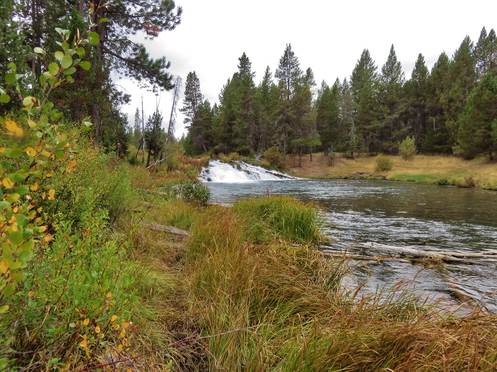 //embedr.flickr.com/assets/client-code.js
 //embedr.flickr.com/assets/client-code.js
From the falls it was less than a half mile along the river back to our waiting car.
These were great hikes for a less than perfect weather day and both of them offered multiple distance options. The nearly level terrain and abundant wildlife also make them good hikes for kids. Happy Trails!
Flicker: https://www.flickr.com/photos/9319235@N02/albums/72157658868264591