Categories
Hiking SW Washington Washington

Klickitat Mineral Springs – 01/10/2026

For our first hike of 2026 we chose a section of the 31-mile-long Klickitat Trail in Washington. This was our third hike on the converted railroad with our first coming in 2014 (post) and our most recent in 2022 (post). In 2014 we started from the Harms Road Trailhead and hiked west along Swale Creek for nearly four miles before turning around. In 2022 we hiked from the Lyle Trailhead at the western end of the trail and hiked NE along the Klickitat River for almost 6.5-miles before turning around. The former hike is one of William L. Sullivan’s featured hikes in his 100 Hike guidebook series for Northwestern Oregon & Southwestern Washington while the latter hike is featured in Matt Reeder’s “PDX Hiking 365” 1st edition. Reeder included today’s hike in “PDX Hiking 365” as well which, similar to what we did with Sullivan’s books (post), we are working on hiking at least part of each of those featured hikes. Entering 2026 there were just 3 of the 120 featured hikes left on that to-do list.

Reeder describes a 5.2-mile out-and-back hike beginning at the Wahkiacus Trailhead west along the Klickitat River to the site of a missing trestle which separates the eastern section of the Klickitat Trail from the western portion. With a nearly two-and-a-half-hour drive time from Salem a 5.2-mile hike is a little short to make the drive worthwhile, so our plan was to start with Reeder’s hike and then head out along the trail in the opposite direction from the trailhead and hike along Swale Creek for about an hour-and-a-half before heading back to the car.

We were the first car at the trailhead, but not the first person on the trail as a fisherman passed by while we were getting ready to set off.
IMG_3661
It was a frosty morning with the temperature right at freezing when we arrived just after 7:30am.

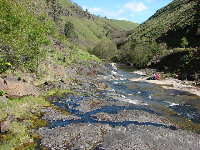
The trail joined the river after a short distance and near the one-mile mark passed the site of a former water-bottling plant that tried to capitalize on carbonated springs along the river.
IMG_3663

IMG_3665

IMG_3666

IMG_3671

IMG_3674

IMG_3677

The trail continues along the river passing the only remaining building from the bottling operations on the far bank.
IMG_3680

The trail mainly sticks close to the river beyond the springs before arriving at a picnic table at the missing trestle.
IMG_3682

IMG_3688

IMG_3695
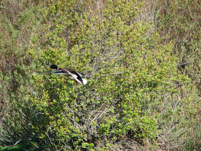
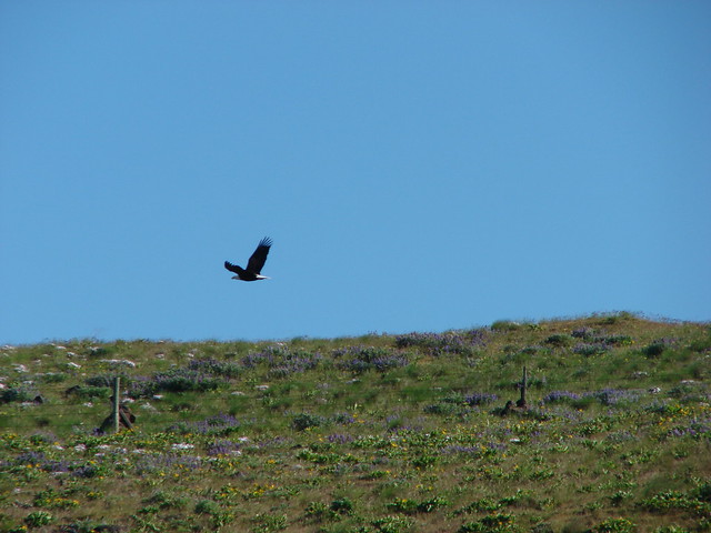
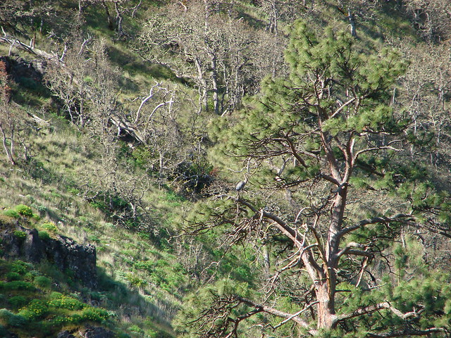
Bald eagle and a power line.

IMG_3697
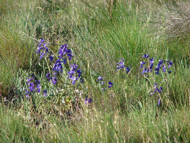
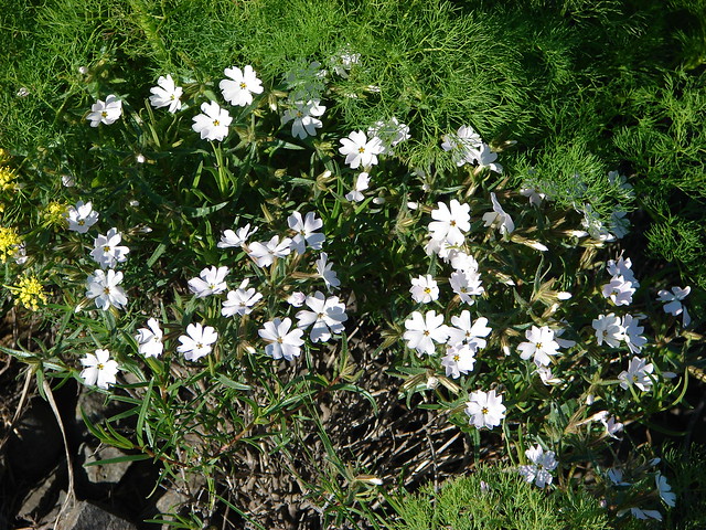
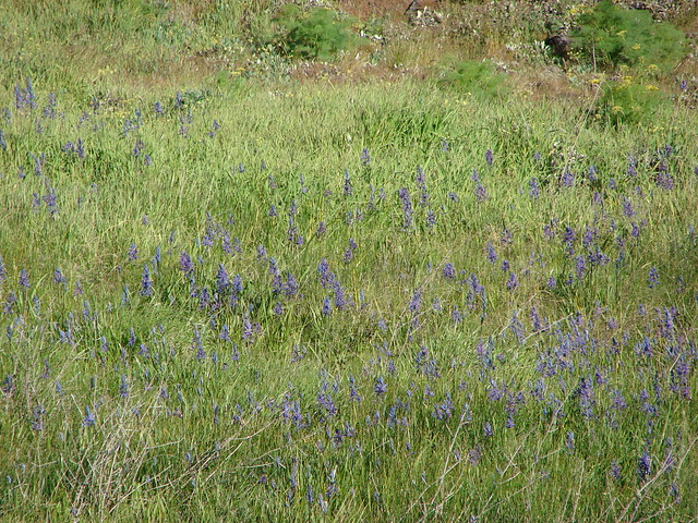
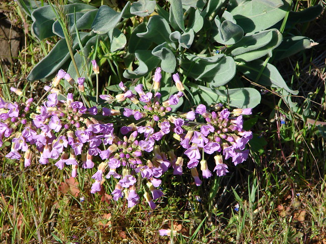
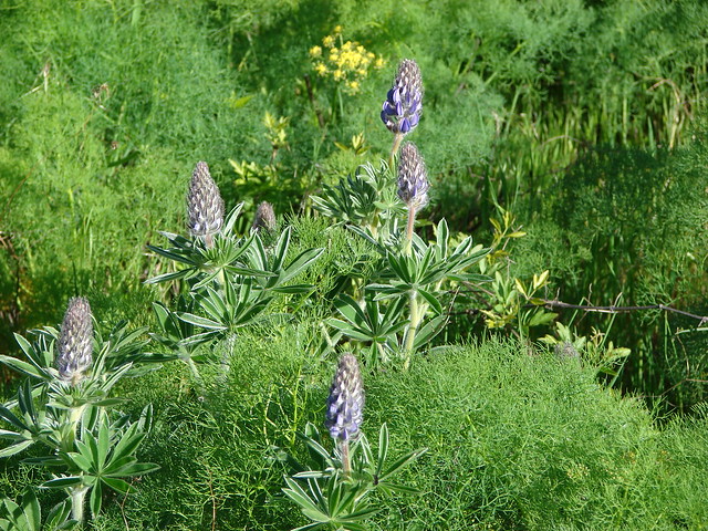
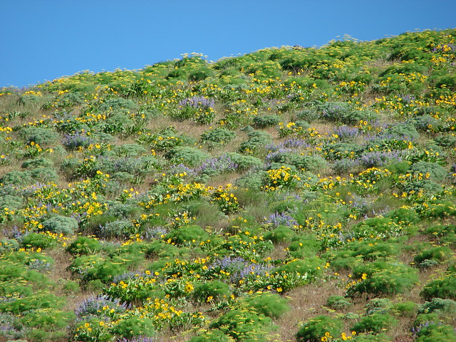
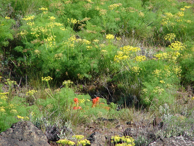
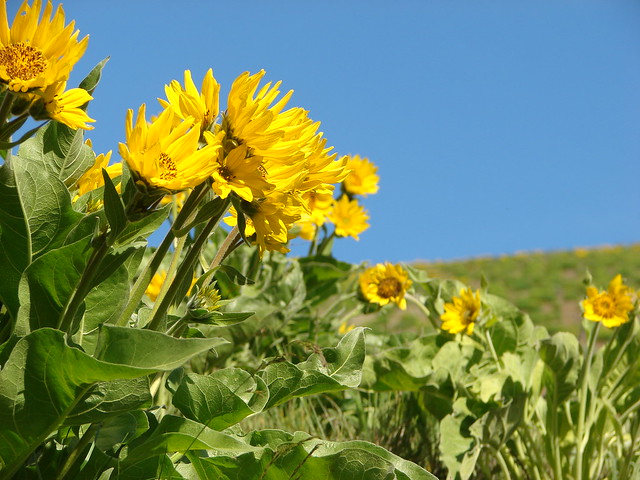
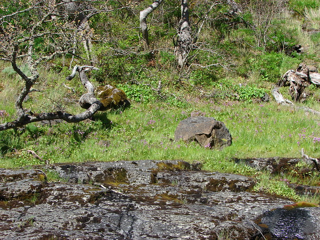
No flowers yet but there were a few mushrooms.

IMG_3698

IMG_3699
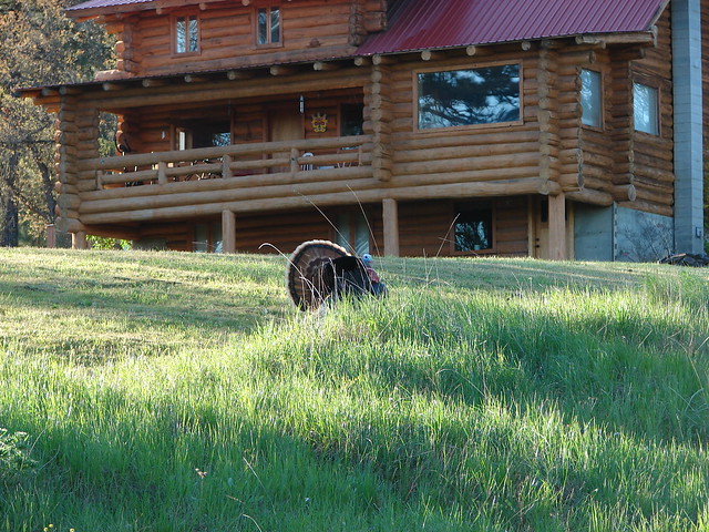
The Klickitat River at the missing trestle with the unincorporated community of Klickitat on the far side.

We returned the way we’d come and were back at the trailhead a little before 10am. We set 11:30am as our turnaround time for the next leg of our hike and crossed Schilling Road to continue along the Klickitat Trail
IMG_3715

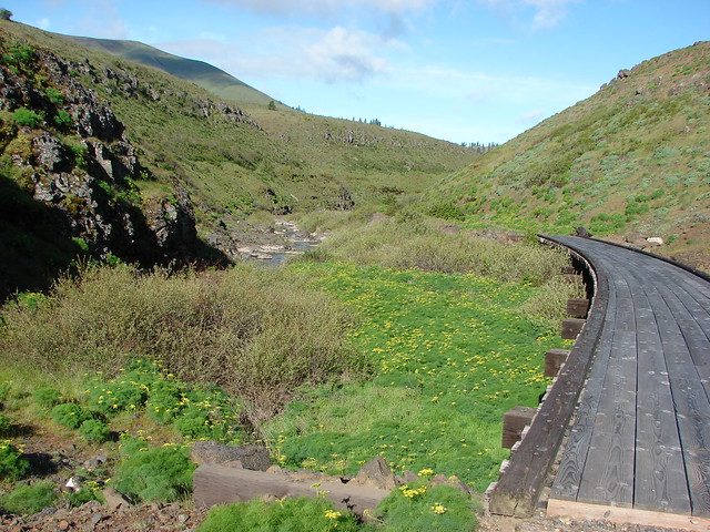
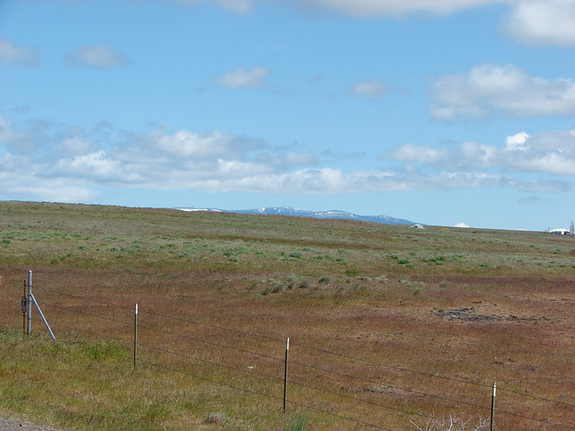
While the section of trail from the trailhead to the missing trestle had been located in the Mineral Springs Wildlife Area the trail going in the other direction passes through private land. The trail itself has been designated a State Park but due to the surrounding private land it is important to stay on the trail and respect the private landowners’ rights. We followed the wide trail along Swale Creek and through mixed forests coming to a bridge over a small unnamed creek after roughly three-quarters of a mile.

IMG_3718
Heading into Swale Canyon.
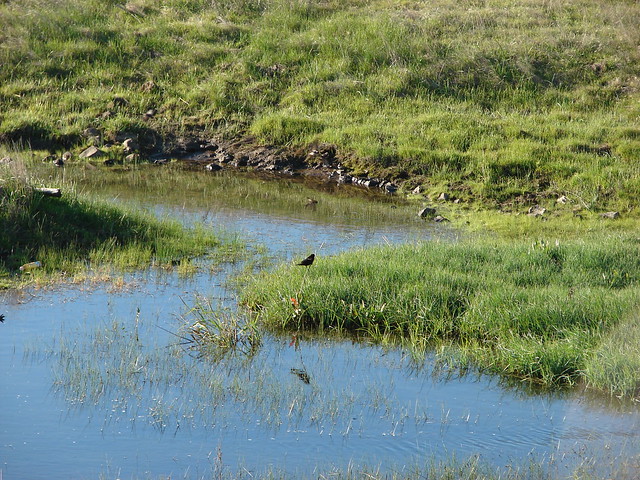
IMG_3720
Swale Creek

IMG_3724
Coming up on the bridge.
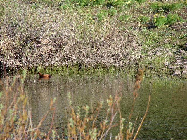
IMG_3725
The unnamed creek.

A long straight stretch followed the bridge and we passed a few homes before arriving at a road crossing approximately 2-miles from the trailhead.
IMG_3727

IMG_3730

IMG_3731
Picnic table below a private property sign.

IMG_3732

IMG_3733
The road crossing.

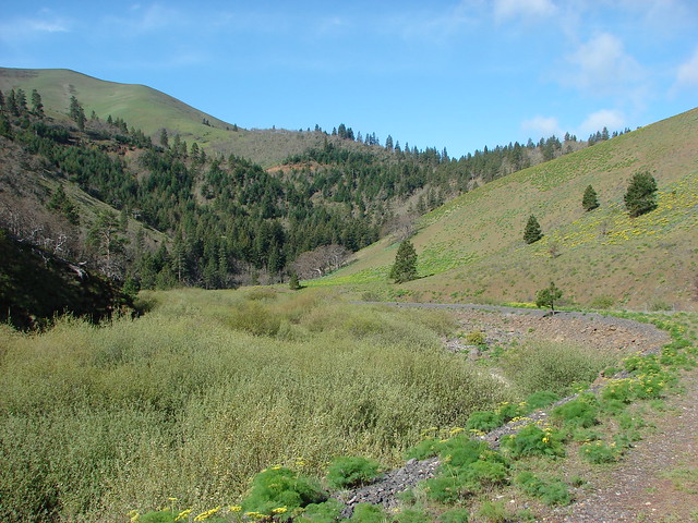
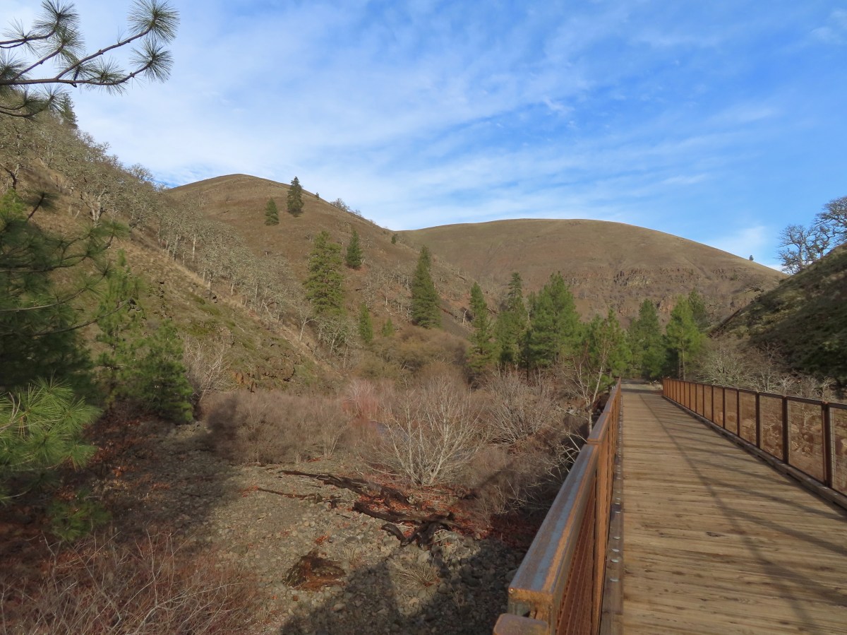
Beyond the road crossing the trail began to turn toward the south as it continued into the canyon. Just under a mile from the road crossing we came to another bridge, this time spanning Swale Creek.
IMG_3735

IMG_3737

IMG_3738

IMG_3740
Swale Creek

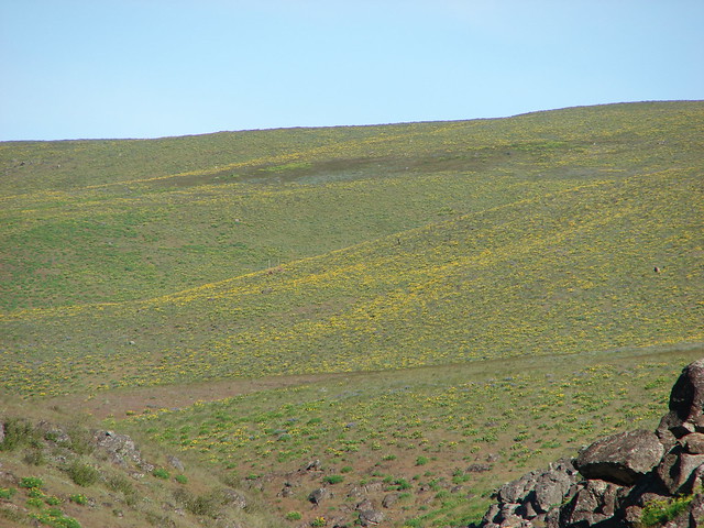
It was 11am when we arrived at the bridge over Swale Creek and Heather decided that this was a good turn around point for her. We decided that I would continue for another half an hour while she headed back to the car. After crossing Swale Creek I passed another homesite, the last one for the day, and continued south through the canyon. The views really opened up, and some blue sky appeared making this the most scenic portion of the days outing.
IMG_3742

IMG_3743

IMG_3749

IMG_3752
No bridge for this unnamed stream crossing.

IMG_3753
Looking back after crossing the stream, mostly dry footed.

IMG_3755

IMG_3759

IMG_3764
Mercury station wagon.

At exactly 11:30am I arrived at another bridge over Swale Creek where I paused for a moment before heading back.
IMG_3766

IMG_3770
The trail continuing on along Swale Creek.

IMG_3771
Getting ready to start back.

IMG_3774
Swale Creek from the bridge.

This bridge was 1.5-miles from the other bridge over Swale Creek where Heather had turned around making it approximately 4.25-miles from the trailhead. I headed back the way I’d come passing a single bike rider and a couple hiking before arriving back at the car.
IMG_3779

IMG_3794

IMG_3799

IMG_3807

IMG_3810
Squirrel

IMG_3812
The trailhead in sight.

My hike came to 13.2-miles with roughly 450′ of very gradual elevation gain (Hether’s was 10.2 with 400′.)
Screenshot 2026-01-10 160630

Here is a look at our tracks from our three hikes along the Klickitat Trail, plus our nearby Stacker Butte hike (post).
Screenshot 2026-01-11 050032

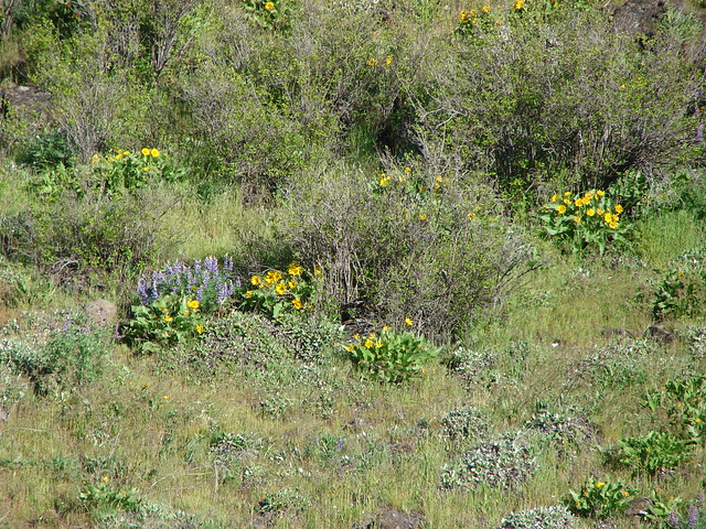
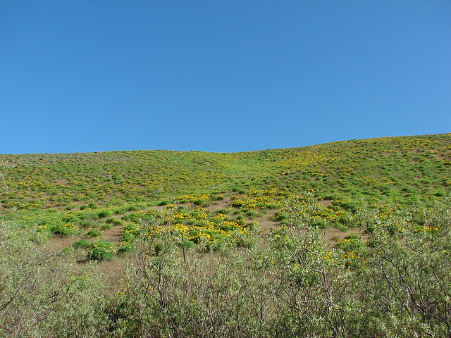
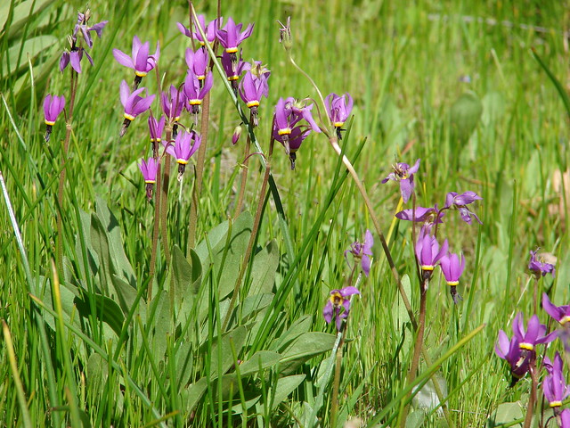
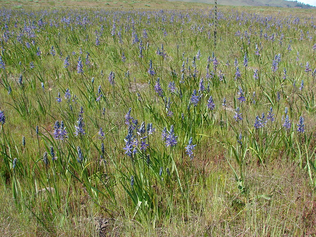
This was a pretty good time to visit. It was too early for any of the spring flowers, but it was also too early for any rattlesnakes, and we also did not notice any ticks. Hopefully this was just the first of many great hikes for 2026. Happy Trails!

Flickr: Klickitat Mineral Springs

Categories
Columbia Gorge North Hiking Trip report Washington

Klickitat Rail Trail – Swale Canyon from Harms Rd

Wildflowers, wildlife, and cows – oh my! Hiking season is officially underway for us. We kicked things off by making the 2 1/2hr drive to the Harms Rd. trail head for the Klickitat Rail Trial which is located about 20 miles NE of Lyle Washington. It was a long drive for a hike that was less than 8 miles, but the sights more than made up for the less than ideal ratio of driving to hiking hours. Wildflower, wildlife, and solitude were the themes for this hike.

Prior to reaching the trail head we had our first run in with wildlife. As we wound our way up the Centerville hwy on the way to our destination we were delayed by some turkeys who had decided to cross the road.
DSC03155

When we arrived at the trail head we found some conflicting signs. There were plenty of trail head signs and information as well as the seasonal port-a-potty that is there when the trail is open from October through June. As we headed down from the parking area to the gate which blocks car access as well as keeping cattle contained we noticed a “No Trespassing” sign. You can see it on the gate in the picture.
DSC03156

It stated that the sheriff would ticket and/or arrest trespassers. The smaller gate was held shut by some very strong barbed wire while padlocks kept the larger gate from being opened. We stood there for a moment trying to figure out what all this meant. I had been on the Klickitat Rail Trail Conservancy’s website that morning and there was nothing about a closure. We decided that since there wasn’t anything on the actual trail head board and the port-a-potty was there the no trespassing sign was either to remind people to stay on the trail and off of the private land that borders it, or it was an attempt by one of the locals to deter people from the trail all together. Either way we hadn’t driven for two and a half hours to turn back now so we climbed over the gate and set off.

A stiff breeze made it feel quite a bit colder than the 46 degrees that the thermometer said and we were glad we’d worn layers. The layers were intended to help keep ticks at bay since they are common in the area. We had a lot of company along the first portion of trail with many birds and several marmots busy with their morning activities.
DSC03158
DSC03170
DSC03172

There were plenty of flowers along this first portion as well. The most prevalent being desert parsley.
DSC03168
We also saw some larkspur:
DSC03183
Phlox:
Phlox
Ballhead waterleaf:
Ballhead waterleaf
and camas:
DSC03196

We came to a second gate which was easily opened via a chain and quickly discovered cows. Having been raised in Central Oregon and done some work on farms growing up I knew what was coming. Not the brightest of creatures they stared at us for a long time before beginning to slowly move down the trail in front of us. They could have easily just turned right off the trail into the brush and let us pass but no. Not cows, they just kept walking, pooping, and staring at us as we continued behind them. When the reached a third gate they were hemmed, stymied. Again instead of heading right along the fence which would have taken them out of our path they gathered in the corner of the fence with no where to go. I finally convinced the brains of the operation that she should walk down the bank to the right at which time the rest of them followed suit allowing us to pass through the gate and leave them behind.

As we continued along the trail descending down into Swale Canyon the flowers and wildlife continued to change. We came across some mallard ducks, a rabbit, and a bald eagle.
DSC03201
DSC03208
Bald Eagle

New flowers included daggerpod and yellow balsamroot.
Daggerpod
DSC03197

The marmots were keeping a close eye on us as we followed Swale Creek.
DSC03245

There has sprung up a tradition along this trail to make designs out of the old railroad scraps, and sometimes whatever else can be found. The most elaborate of the collections was placed on a rock shelf along the trail.
DSC03248

As we got further into the canyon, the hillsides began exploding with balsamroot in places.
DSC03250

Being an old rail road line when the trial crosses the creek it is on old trestles made into bridges. The 3rd trestle was the most scenic as we approached. In the distance we could see the shadows of the clouds passing over Stacker Butte.
DSC03263

From the third trestle the balsamroot began to steal the flower show. Patches of lupine were in bloom but much of it had yet to come out.
Lupine just starting to bud out:
DSC03297
DSC03307
DSC03310

Winding through the canyon we began approaching a more forested area.
DSC03325
Here we added paint to the flowers and a Great Blue Heron to the wildlife:
DSC03326
DSC03331

The balsamroot still ruled the hillsides:
DSC03341
DSC03357

The creek was hidden from the trail at this point but a lovely meadow of desert parsley was home to many happy birds.
DSC03351

Just up from the parsley meadow a pair of deer came up from the creek and headed off down the trail. They were nice enough to pose for a couple of pictures before bounding away though.
DSC03365

There was a small waterfall about 3.5 miles in that was mostly obscured by the trees then just a few tenths of a mile later we came to our planned turnaround point – a series of bedrock pools.
There was a small easy trail down to the creek where we paused for a snack since we were relatively safe from ticks on the rock.
DSC03391
DSC03406

I was searching along the bank for one of the many frogs we were hearing when I noticed a flower filled ledge across the creek. Upon closer inspection I realized it was shooting stars. I decided to try and hop the creek and get some closer pictures since I couldn’t seem to get the full effect from the far bank.
DSC03398
DSC03402

It had warmed up for our return trip. We kept all our layers though. We had brushed three ticks from our pants, two on mine and one off Dominique. The marmots had retired for the day and we hadn’t seen anything new for most of the return hike when we came back to third gate and the cows. Different direction but same story.
DSC03436

Just after taking that picture I looked up the hill to our left and saw a coyote standing up top looking down at us. Before I could get a picture of it standing there it took off back over the hillside leaving me with a very blurry, distant photo of it’s ears. After convincing the cows to move away from the second gate we left them behind and started the final leg of our hike. I turned back after a few minutes to take a look behind us and there went the cows up the hillside away from the creek. They apparently had hung out for a couple of hours just to accompany us on our return trip. 😀

We didn’t see any other people on the trail. When we returned to the trail head around 11:30 there were a pair of hikers and a pair of bikers just getting ready to set off. I took a couple of final pictures from the trail head.
Indian Rock beyond the farmland:
DSC03455
Camas field:
DSC03457

The total trip was 7.6 miles with just over 300′ of elevation gain. A nice easy start to get us into the swing of things. Until next time – Happy Trails

Photos on flickr: https://www.flickr.com/photos/9319235@N02/sets/72157644343719784/
facebook: https://www.facebook.com/deryl.yunck/media_set?set=a.10203854494069953.1073741871.1448521051&type=3