Categories
High Cascades Hiking Mt. Washington Area Oregon Trip report

Hand Lake – 08/01/2026

When we were working on our quest to complete at least a portion of all 100 featured hikes in William L. Sullivan’s “100 Hikes/Travel Guide Central Oregon Cascades” (post) there were several hikes that for one reason or another we did not hike the entire route described in the book. One of those hikes was Hand Lake.

Sullivan’s entry for Hand Lake is a 2.6-mile lollipop loop starting from the Hand Lake Trailhead along Highway 242 (McKenzie Pass). The highlights of the hike are the Hand Lake Shelter at the 0.5-mile mark, a short crossing of a lava field on a portion of the old McKenzie Wagon Road, and Hand Lake. The route of this hike shares a portion of another featured hiked, Benson Lake (the 9.7-mile loop option). When we did that hike we saw the wagon road, the lake and visited the shelter, so we counted that as enough to check off the hike. Today we planned on hiking the remaining portion of the hike and revisiting the sights along the Benson Lake Loop.

The trailhead is a pullout along the east side of the highway across from a hiker symbol.
IMG_0074

IMG_0077
Interpretive sign at the trailhead about bees.

IMG_0078
Yarrow

The trail itself begins just to the NW on the opposite side of the highway.
IMG_0080

IMG_0083
Wilderness registration box, Central Cascade Wilderness Permit information, and a map.

From the signboard the Hand Lake Cutoff Trail leads into the Mt. Washington Wilderness, and the exits the wilderness, before arriving at the Hand Lake Shelter at the half mile mark.
IMG_0086
Entering the wilderness area.

IMG_0089
Sickletop lousewort

IMG_0092

IMG_0093
Goldenrod

IMG_0096
Leaving the wilderness area.

IMG_0099
Meadow just before the shelter.

Alpine gentians
Alpine gentians. We planned on checking in on these on our way out knowing that they would be open once sunlight hit them.

IMG_0102
The Hand Lake Shelter

At the shelter we had to decide which direction we wanted to hike the loop. In this case we considered the steepness of the trails, what time we thought it would be best to visit the summit of Scott Mountain, and how difficult finding the old Santiam Wagon Road would be. For this loop we knew going clockwise would be less steep and we were familiar with the location of the old Santiam Wagon Road junction with the Hand Lake Trail. It was also the longer route to the summit of Scott Mountain which would allow more time for the sun to move higher overhead creating a better view of the Cascade Mountains to the east. Clockwise it was. We took stock of the trail heading into the meadow at the shelter that would be our return route and continued on the Hand Lake Cutoff Trail to the Hand Lake Trail.
IMG_0106
Our return route.

IMG_0114
Wildflower near the Hand Lake Trail junction.

IMG_0116
Aster

At the junction we turned left onto the Hand Lake Trail and followed it 1.5-miles to the Benson/Tenas Trailhead passing Scott Lake along the way.
IMG_0118

IMG_0122
Prince’s pine

IMG_0127
Lupine

IMG_0128

IMG_0131
We had to be on the lookout for these little guys most of the day.

IMG_0137
Hardhack

IMG_0139
The northern end of Scott Lake.

IMG_0140

IMG_0142
North Sister from Scott Lake.

IMG_0145
False hellebore

IMG_0147

IMG_0149
The Benson/Tenas Trailhead.

Just before the gate we turned right onto the Benson Lake Trail.
IMG_0151
The Benson Lake Trail. The post was missing a sign.

The Benson Lake Trail climbs gradually for 1.3-miles to Benson Lake which sits just inside the Mt. Washington Wilderness.
IMG_0157

IMG_0158
Grouse whortleberry (Vaccinium scoparium) is a variety of huckleberry. The plant has small berries that are some of my favorites.

IMG_0161
Pinesap unfurling.

IMG_0163
Pinesap further along.

IMG_0166
Pinedrops along the trail.

IMG_0168
Pinedrops

IMG_0170
Beardtongue

IMG_0174
The trail entering the Mt. Washington Wilderness.

IMG_0177
Benson Lake

IMG_0178
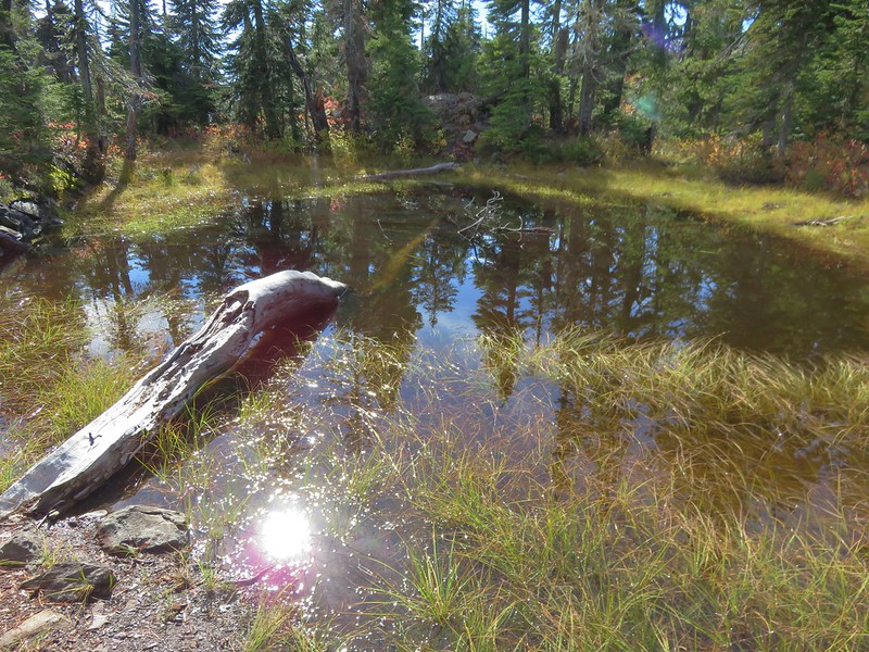
Pond near Benson Lake.

IMG_0182
I turned down this signed user trail to visit the lakeshore.

IMG_0184
The best view from the lake is actually atop the rocks to the right across the lake. We visited that spot when we hiked around the lake on a backpacking trip in 2016 (post).

After visiting Benson Lake, we continued on the loop. The trail continued to gradually climb reaching a junction with the Tenas Lake Trail in just under a mile.
IMG_0186

IMG_0187
Fireweed

IMG_0188
Red-breasted nuthatch making its way down a tree.

IMG_0190

IMG_0191
Blueberries

IMG_0203

We detoured a tenth of a mile down the Tenas Lakes Trail to visit the first, and largest, of the Tenas Lakes.
IMG_0204

IMG_0206

IMG_0207

We returned to the Benson Lake Trail and in another 0.2-miles arrived at the Scott Mountain Trail junction.
IMG_0213

IMG_0215
Scott Mountain from an unnamed lake/pond.

IMG_0218

We stayed right at the junction and followed the Scott Mountain Trail 0.8-miles uphill to yet another junction. This time with the Scotty Way Trail.
IMG_0219

IMG_0222
Moth

IMG_0229
Paintbrush

IMG_0233

IMG_0234

At this junction we faced a choice, stay on the Scott Mountain Trail and climb 0.6-miles to the summit or stick to the loop and turn right onto the Scotty Way Trail. The skies were too clear to pass up the view atop Scott Mountain, so we began the 320′ climb to the summit.
IMG_0238

IMG_0239
Arrowleaf groundsel

IMG_0241

IMG_0245

IMG_0246
Subalpine mariposa lily

IMG_0249
Thistle

IMG_0250
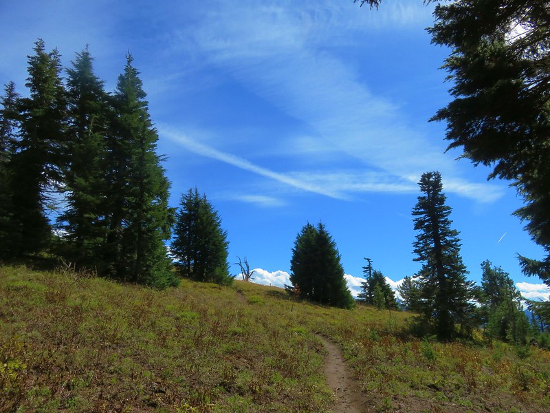
Approaching the summit meadows.

IMG_0254

IMG_0256
The Three Sisters and The Husband.

IMG_0260
Black Crater (post) straight ahead. To the left through the trees is Belknap Crater (post).

IMG_0263
Mt. Jefferson with a cloud in front then Three Fingered Jack, Mt. Washington and Belknap Crater.

IMG_0267
Diamond Peak (post) to the south from the summit.

IMG_0269
In front of Diamond Peak from left to right are Mt. Ray (post), Fuji Mountain (post), and Waldo Mountain (post).

IMG_0272
A tiny glimpse of Mt. Hood above the ridge to the left of Mt. Jefferson (still mostly hidden). Three Fingered Jack with Hoodo (rounded) and Hayrick (flat top) Buttes in front.

IMG_0279
Proxy Point in between North and Middle Sister with Little Bother in front of North Sister.

IMG_0286
Mt. Washington

IMG_0291
Fritillary

IMG_0296
Benson Lake from Scott Mountain.

After a nice break at the summit, we headed back down to the Scotty Way Trail. I detoured briefly on the way down to explore the crater area and found another nice view of the Three Sisters.
IMG_0303
Small crater near the summit of Scott Mountain.

IMG_0305
Orange agoseris

IMG_0309

IMG_0310
View west of the McKenzie River Valley.

IMG_0313
Back on the Scott Mountain Trail.

IMG_0317
California tortoiseshell

IMG_0318
Mt. Jefferson almost came out as we were descending the Scott Mountain Trail.

IMG_0319

IMG_0323
On the Scotty Way Trail.

The Scotty Way Trail is steeper than either of the Benson or Scott Mountain Trails and in the next 1.7-miles we lost 720′ of elevation before arriving at the Hand Lake Trail.
IMG_0326

IMG_0335

IMG_0336
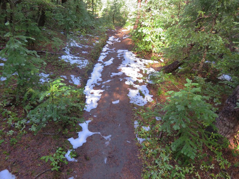
Entering the 2010 Scott Mountain Fire scar.

IMG_0337

IMG_0345
Mt. Washington and Belknap Crater.

IMG_0346
Fireweed and pearly everlasting.

IMG_0352
Felt-leaf everlasting

IMG_0354
The Three Sisters

IMG_0356

IMG_0357
Coming up to the Hand Lake Trail.

IMG_0358
Members of the Scorpions Trail Crew worked on the tread here as well as clearing a few logs between the junction and the Hand Lake Trailhead on 7/30.

We turned right onto the Hand Lake Trail and continued descending.
IMG_0360

The trail neared the lava flow which we would eventually be crossing on the old McKenzie Wagon Road.
IMG_0364

IMG_0368

It was approximately 1.2-miles from the Scotty Way Trail junction to the wagon road which is not signed nor was it currently marked by anything.
IMG_0377
The unnaturally flat(ish) surface of the wagon road gives it away.

We turned left onto the old Wagon Road.
IMG_0379

It wasn’t the easiest walking, but luckily it was only a tenth of a mile across the lava flow.
IMG_0381

IMG_0383
The Three Sisters and The Husband from the wagon road.

IMG_0385
The end of the lava crossing.

At the far end of the wagon road we turned right along the lava flow.
IMG_0388

While not an official trail there was a faint path, however there were also a number of downed trees.
IMG_0393

At the end of the lava flow is the lakebed for Hand Lake. The lake’s water level drops each Summer and with the dry year we’ve had there wasn’t a lot of water left in the lake.
IMG_0399

IMG_0400
Butterfly on pusspaws.

IMG_0409
Lupine

IMG_0408

IMG_0412

IMG_0429

IMG_0431
We picked up the trail we’d seen that morning in a rocky area and followed it to the shelter.

IMG_0432

IMG_0437

We stopped to check on the gentians before following the Hand Lake Cutoff Trail back to the trailhead.
IMG_0441

IMG_0445

IMG_0449

My GPS showed 12-miles for the hike although two tenths of that was exploration on Scott Mountain. Total elevation gain was approximately 1400′.
Screenshot 2026-08-01 173518

This was a fun hike allowing us to finish Sullivan’s hike in its entirety and also revisit some places we’ve enjoyed in the past. Today’s view from Scott Mountain was also the best one we’d had in our three summits. We did get some sad hiking news later when it was confirmed that the Flag Point Lookout (post) in the Mt. Hood National Forest had been lost to the Grasshopper Fire. This was a sad loss and a reminder to us of why we have been so focused on visiting as many different trails and places as possible before they are lost.

Hopefully there is some relief in the fires soon, but until then stay safe and happy trails!

Flickr: Hand Lake

Categories
High Cascades Hiking Mt. Washington Area Oregon Trip report

Scott Mountain Loop Day 1 – Mt. Washington Wilderness

With our hiking season starting to wind down we took advantage of a decent weather forecast for one final overnight trip. Our plan was to begin at the Robinson Lake Trailhead and take the Deer Butte Trail to the Benson Trail then follow that trail up into the Mt. Washington Wilderness where we would set up camp in the Tenas Lakes area. After setting up camp we’d visit the summit of Scott Mountain and Benson Lake to fill out the afternoon/evening. This would be our third attempt at getting a decent view on Scott Mountain. We never made it to Scott Mountain on our first attempt in 2012 due to not being prepared for the amount of snow covering the trail, and although we reached the summit on our second attempt in October 2014 we found ourselves in a cloud with no views whatsoever.

We began both of our previous visits to the area from the Benson/Tenas Trailhead near Scott Lake off of the McKenzie Highway (242). In order to do something a little different and see some new lakes we started on the other side of the wilderness at the Robinson Lake Trailhead. This trailhead is located at the end of Robinson Lake Road (2664) off of Highway 126 4.7 miles south of the Clear Lake Resort.

Robinson Lake Trailhead

The short half mile hike to Robinson Lake is included in William L. Sullivan’s 100 Hikes in the Central Oregon Cascades guide books as a non-featured hike in the more hikes section in the back of the books. The hike is also included in another of our guide books, Bend, Overall 2nd Edition (Hiking and Exploring Central Oregon)written by Scott Cook. The Robinson Lake Trail actually begins .4 miles from the trailhead where it splits from the Deer Butte Trail which is the trail that leaves from the trailhead.

Deer Butte Trail junction with the Robinson Lake Trail

The Robinson Lake Trail leads a tenth of a mile to a campsite near the little lake.

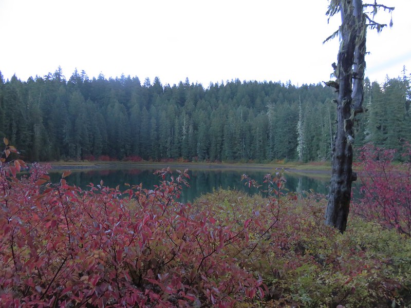
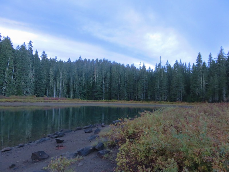
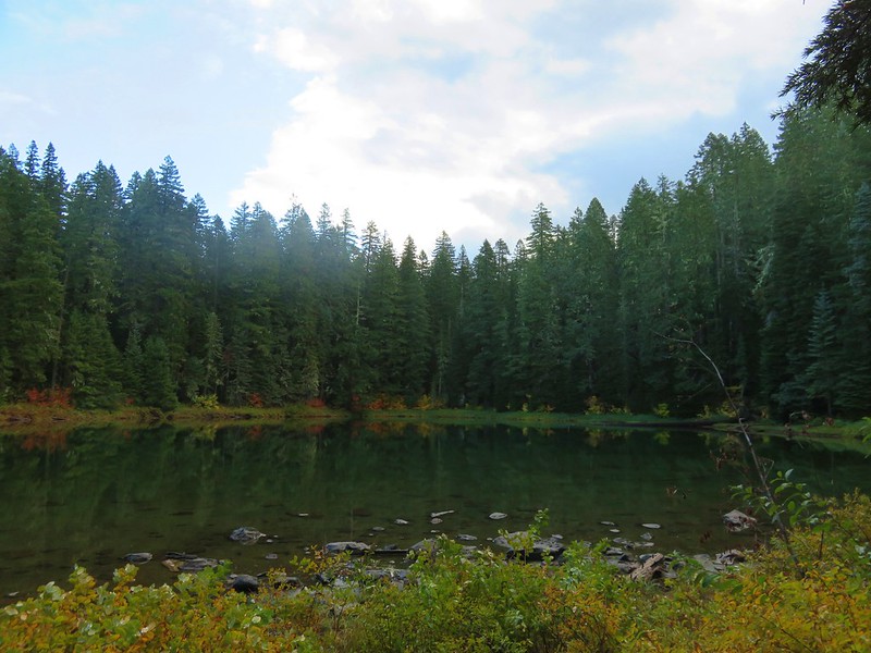
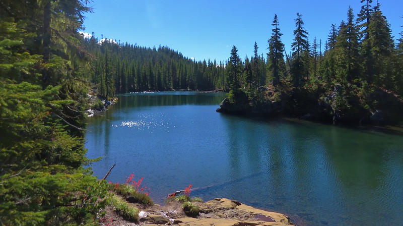
Robinson Lake

Robinson Lake

After visiting Robinson Lake we returned to the Deer Butte Trail and continued another 1.2 forested miles to an unsigned junction with an unofficial trail to Kuitan Lake.

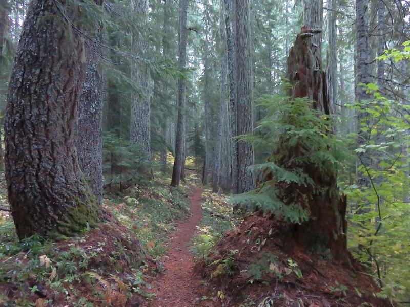
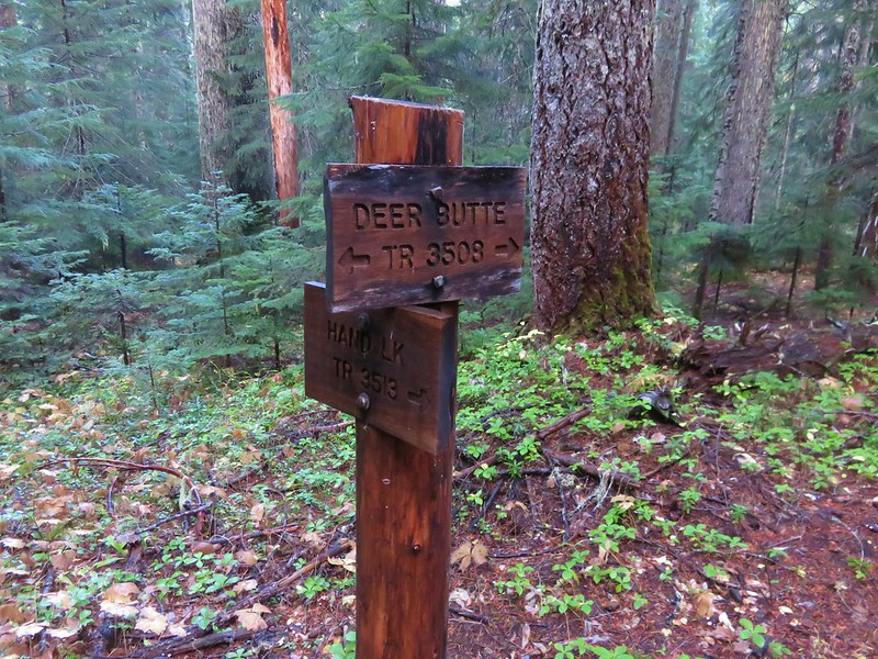
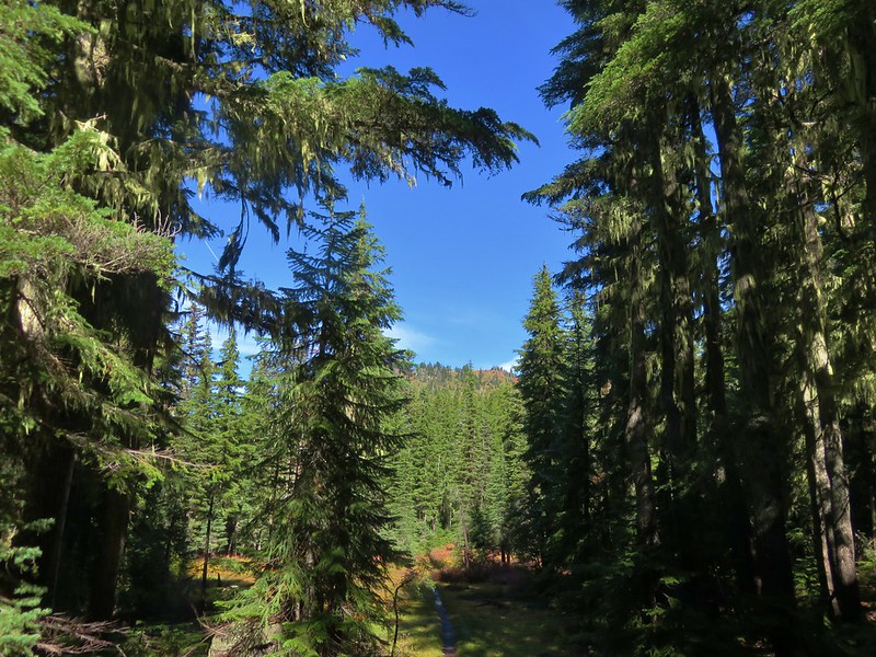
Deer Butte Trail

Deer Butte Trail

Unofficial trail to Kuitan Lake to the left:

Side trail off of the Deer Butte Trail to Kuitan Lake

Kuitan Lake

Kuitan Lake

From Kuitan Lake we followed the Deer Butte Trail another .8 miles to a junction with the Hand Lake Trail.
Deer Butte Trail junction with the Hand Lake Trail (our return route)
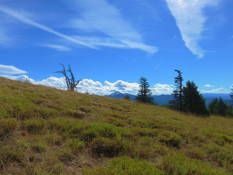
Originally we were going to take this trail and do our loop around Scott Mountain clockwise but after doing some distance calculations it appeared that doing the loop counter-clockwise would leave us with a slightly shorter hike out on the second day so we stuck to the Deer Butte Trail and continued south skirting the Mt. Washington Wilderness.

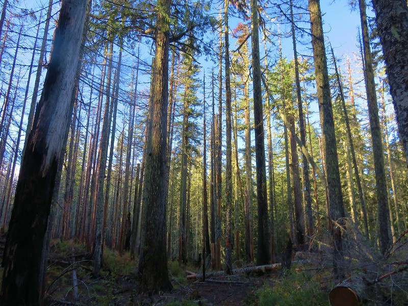
Deer Butte Trail

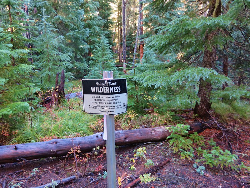
Mt. Washington Wilderness boundary

Just under 1.5 miles from the Hand Lake Trail junction the Deer Butte Trail passed a small unnamed lake.
Deer Butte Trail

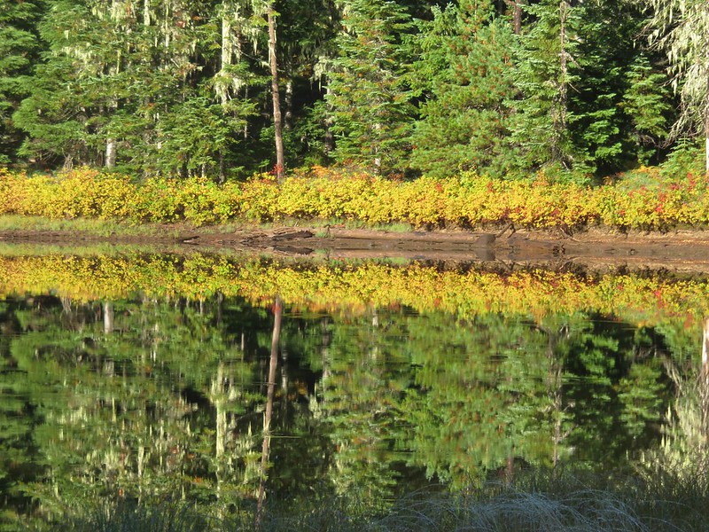
Unnamed lake along the Deer Butte Trail

Unnamed lake along the Deer Butte Trail

Another 2.5 fairly level miles beyond the unnamed lake we a arrived at a 4-way junction with the Benson Trail.

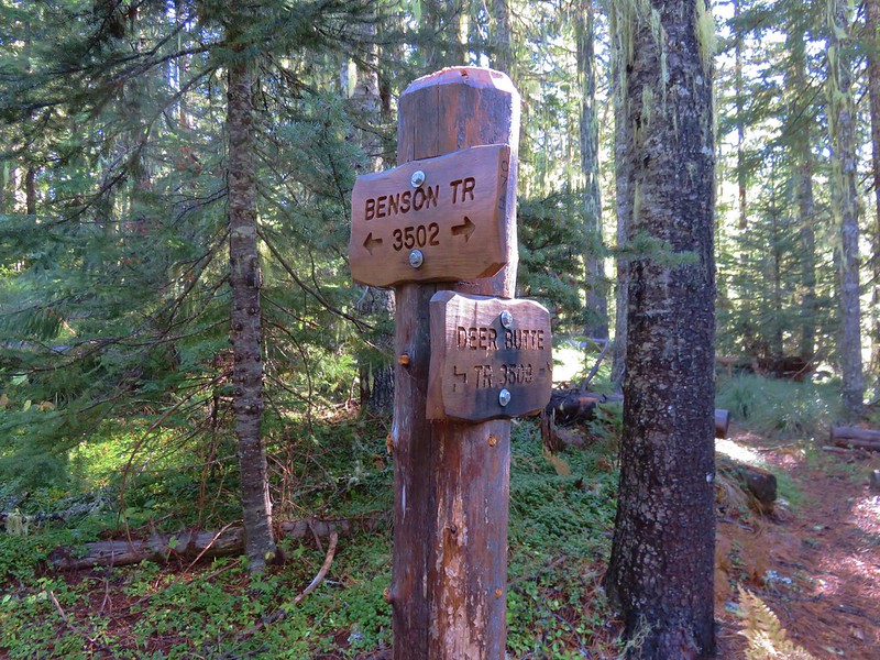
Benson Trail junction with the Deer Butte Trail

Here we turned left and began climbing into the Mt. Washington Wilderness.

Benson Trail

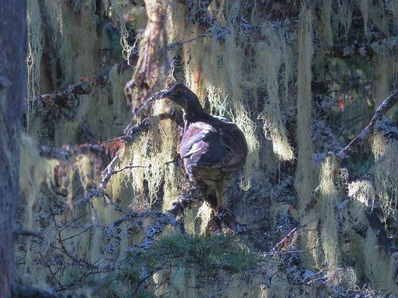
This section of the Benson Trail was in pretty good shape but it was a bit overgrown and the recent wet weather made it a wet 2.6 mile, 1200′ climb to our next junction. The forest was nice but there were no views or wow scenery along the way, but we did startle a grouse out of the underbrush.

Grouse

When we arrived at the junction with the Scott Mountain Trail we stayed on the Benson Trail and headed for the Tenas Lakes area.

Benson Trail junction with the Scott Mountain Trail

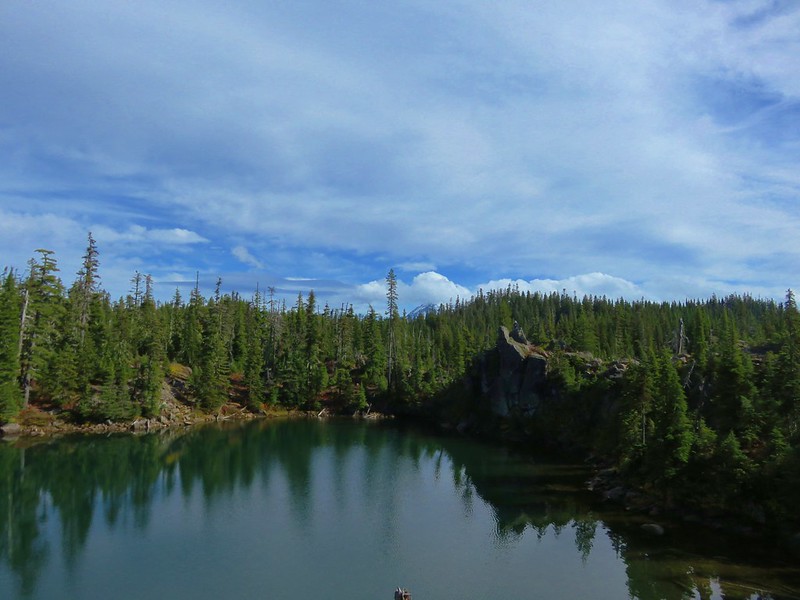
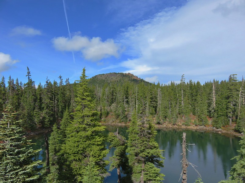
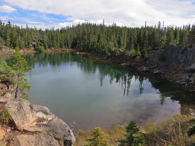
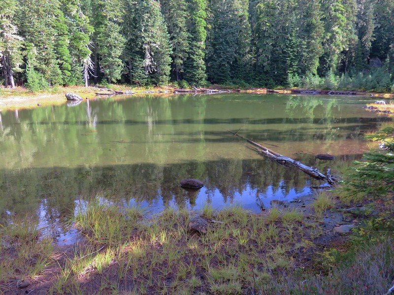
The Tenas Lakes area is home to a number of lakes and smaller ponds filling glacier carved bowls. We headed cross country past one of the smaller lakes/ponds to find a campsite near the largest of the Tenas Lakes.

One of the many bodies of water in the Tenas Lakes area

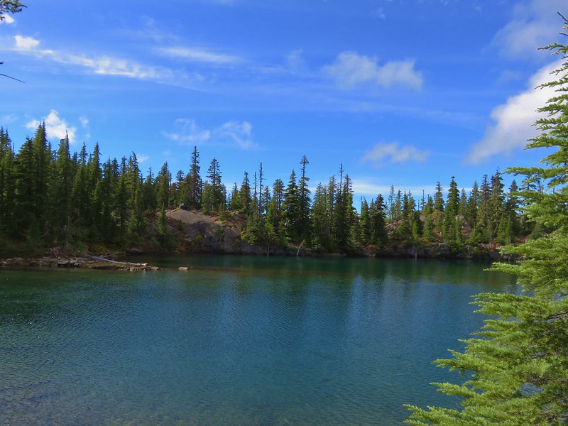
The largest of the Tenas Lakes

The largest of the Tenas Lakes

We didn’t see any other tents set up anywhere in the area and chose a spot following Leave No Trace Principles.

Our initial campsite

After setting up camp we had a choice between heading north to Scott Mountain or south to Benson Lake. We had decided to base the timing of our visit to Scott Mountain on the weather conditions. The sky seemed fairly clear so we decided to go to Scott Mountain first and then to Benson Lake later in the day in case more clouds moved in. We took the Tenas Lakes Trail .1 miles from the largest lake to the Benson Trail and turned left for .2 more miles back to the Scott Mountain Trail junction.

Tenas Lakes Trail junction with the Benson Trail

We followed the Scott Mountain trail for a mile to yet another trail junction getting a nice view of the cloud free summit along the way.

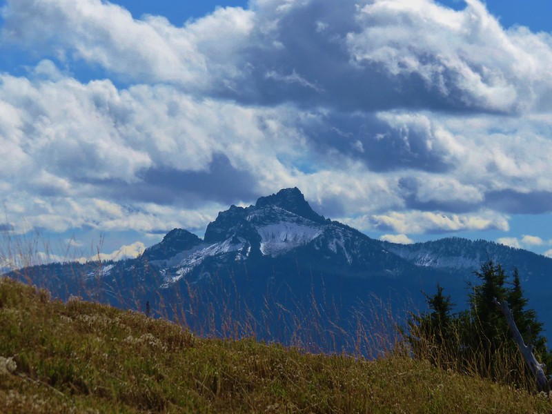
Scott Mountain

Scott Mountain Trail junction with the Scotty Way Trail

We would be taking the Scotty Way Trail the next day on our hike out, but for now we stuck to the Scott Mountain Trail and headed up toward the summit. Heather had remembered that .7 mile climb to the summit was on the steeper side, but I hadn’t. She had remembered it correctly (no surprise there). On the way up we passed some small patches of snow presumably left over from the week before when we had been hiking in snow on Black Crater.

Snow along the Scott Mountain Trail

Near the summit the trail began passing through open meadows where the snow gave way to butterflies and few left over flowers.

Scott Mountain Trail

Fritillary butterfly on some leftover aster

As the trail wound its way up to the former lookout site atop the mountain The Husband come into view.

The Husband from the Scott Mountain Trail

The Husband

Just a bit further the snow covered lower portions of the Three Sisters joined the view.

The Three Sisters and The Husband

At the summit the view to the north opened up.

Mt. Jefferson, Three Fingered Jack, Mt. Washington and Belknap Crater

It was interesting watching the clouds. There were two lines of clouds that seemed to be headed for one another in the gap between Mt. Washington to the north and the Three Sisters to the south. We had brought our Alite Mayfly chairs with us and set them up on the summit watching the clouds move, yet not appear to get anywhere. Occasionally more of a mountain would appear but every time we thought we might get a clear view of one of the major cascade peaks more clouds would arrive.
Double, Belknap, Little Belknap, and Black Craters

Double Craters, Belknap Crater, Little Belknap Crater, and Black Crater

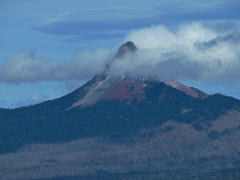
Mt. Jefferson and the lower portion of Three Fingered Jack

Mt. Jefferson and the lower portion of Three Fingered Jack beyond Hayrick Butte

Mt. Washington

Mt. Washington

The Three Sisters

View from the summit of Scott Mountain

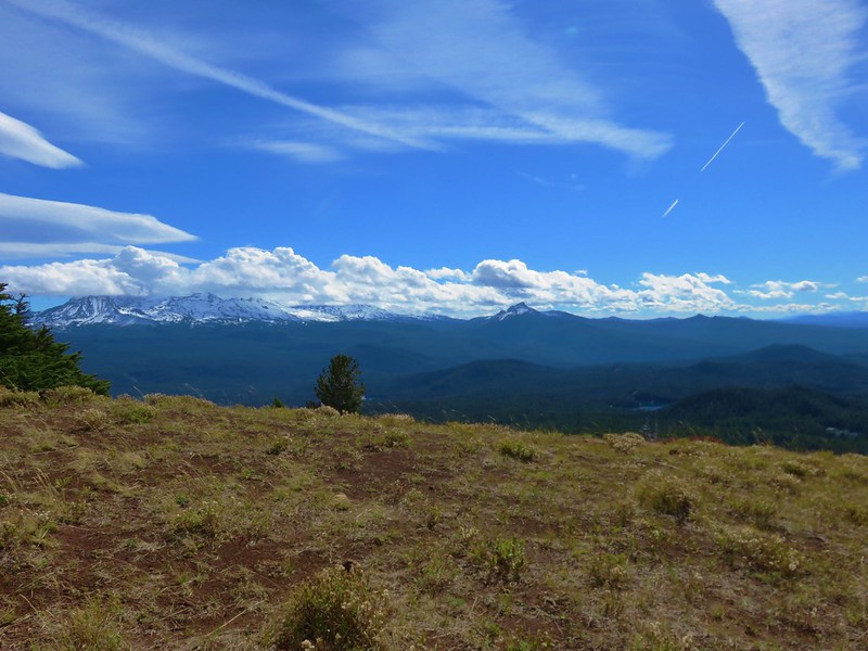
The clearest major cascade peak was actually the furthest away – Diamond Peak to the south.

Diamond Peak

Despite the pesky clouds the view was infinitely better than it had been in 2014.

No view from Scott Mountain

After making good use of our chairs we packed them up and headed back to our campsite where we grabbed a couple of extra clothing items and then began exploring the Tenas Lakes area passing a half dozen lakes and ponds.

Pond near the Tenas Lakes

North Sister beyond a Tenas Lake
Scott Mountain from one of the Tenas Lakes

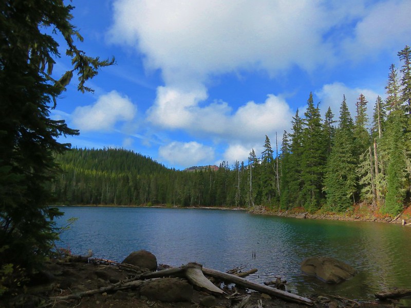
One of the Tenas Lakes

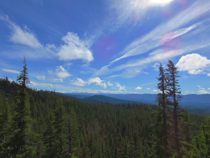
Looking south from the Tenas Lakes area

Pond/lakelet in the Tenas Lakes area

One of the lakes in the Tenas Lakes area

The largest of the Tenas Lakes

We had seen a number of empty campsites as we looped around, but when we arrived back at the Tenas Lakes Trail we noticed that a small group of people were setting up tents along the big lake not 20 yards from our site. We prefer to have as much privacy as possible when we’re out, but more disappointing was they were setting up right between our site and its view of the lake. We discussed whether or not to move our campsite as we returned to the Benson Trail and headed toward Benson Lake.
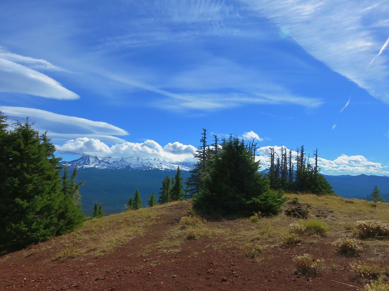
It was just under a mile from the Tenas Lakes Trail to Benson Lake. We hoped to be able to hike around the lake, something we had not tried to do on either of our previous visits. We had followed a fisherman’s path a short distance along the southern end of the lake and seen people camped on the far side in 2014 so we knew that we should at least be able to get part way around the west side of the lake. The issue with going all the way around appeared to be a rocky outcrop jutting out into the water on the NW side.
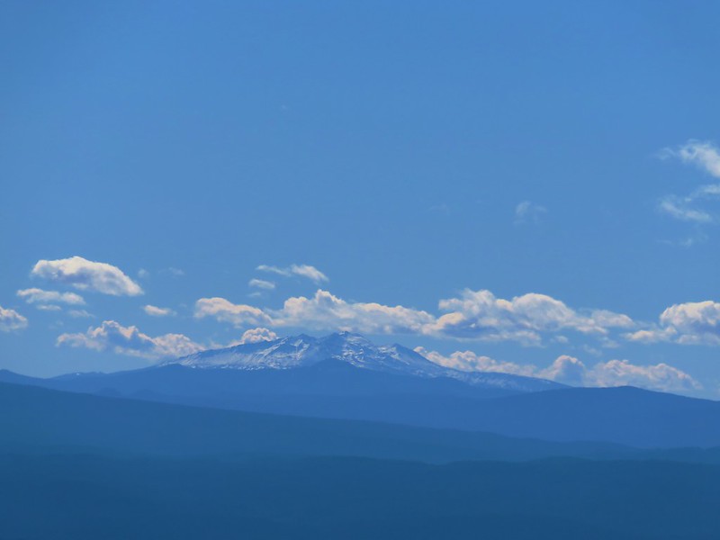
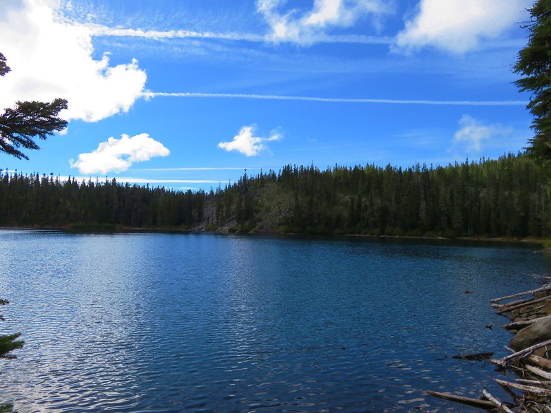
Benson Lake

We started around the lake clockwise crossing the dry outlet creek then climbing up onto glacially scarred rocks with a nice view down to the lake.

Scott Mountain from Benson Lake

Benson Lake

We climbed up to the top of the rocks which provided some great views but not a path around the lake.
Scott Mountain

Scott Mountain from the rocks above Benson Lake<

The Three Sisters and The Husband

View from the rocks above Benson Lake

North Sister

North Sister

Middle Sister

Middle Sister

South Sister

South Sister

Mt. Washington, Belknap and Little Belknap Craters

Mt. Washington and Belknap Crater from the rocks above Benson Lake

Mt. Washington

Mt. Washington

Heather had seen another possible route as we were heading up the rocks so we backtracked a bit and found the trail she’d seen which did indeed lead us further around the lake.

Benson Lake

The trail petered out at a rock slide near the outcrop that we had seen from the far side of the lake. We rock hopped across the slide then picked up a faint trail before coming to a very short but steep section where we were forced to scramble along a rock face. We both wondered if it would have been better to have tried to get up on top of the outcrop which it turns out is a sacred prayer site for Native Americans. Statesman Journal article

On the other side of the outcrop we picked up the user trail again and followed it back to complete our loop.

Benson Lake

We returned to camp having decided that we would indeed change our campsite. We had our pick since there still wasn’t anyone else camped in the area save us and the group that had set up next door. We chose a spot about 100 yards away near a smaller lake. We were able to carry our tent there without having to take it down making the move pretty simple.

IMG_7262

Huckleberry leaves near the small lake

We ate dinner by the lake, went to one of the larger lakes to pump water, and watched the sunset before turning in for the night.

Sunset from the little lake

With all the side trips and exploring our distance for the day wound up being a little over 18 miles which was more than planned but we’d gotten to see a lot and finally gotten some views from Scott Mountain. Happy Trails!

Flickr (both days): https://www.flickr.com/photos/9319235@N02/albums/72157674905089576