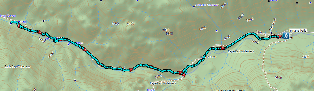
Our arrival in Enterprise coincided with the arrival of a couple of days with forecasted afternoon thunder storms. We did some rearraigning of the order of our hikes to avoid the storms and decided on Imnaha Falls as our Monday hike. We began at the Indian Crossing Trailhead located in the Hells Canyon National Recreation Area.
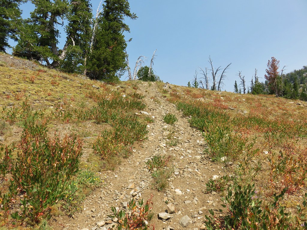
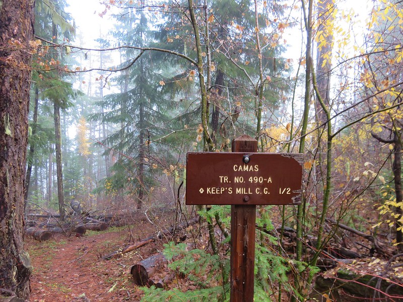
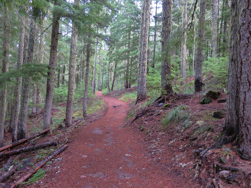
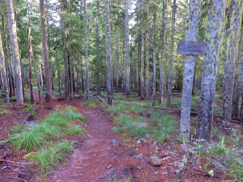
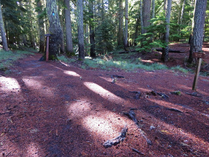
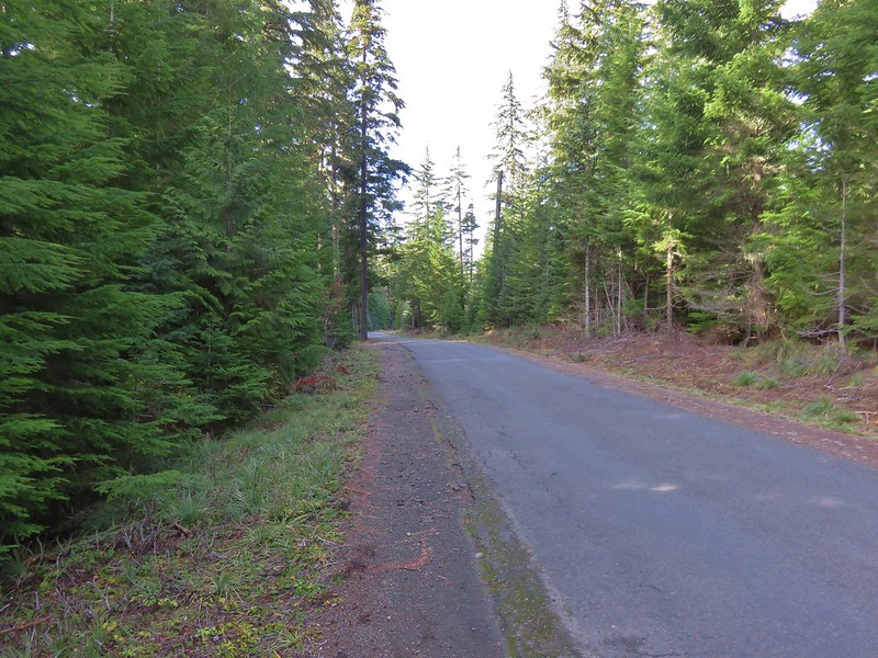
 Indian Crossing Trailhead

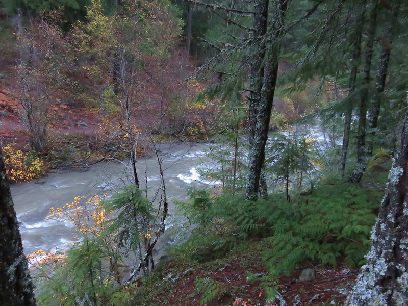
 Imnaha River at the trailhead.
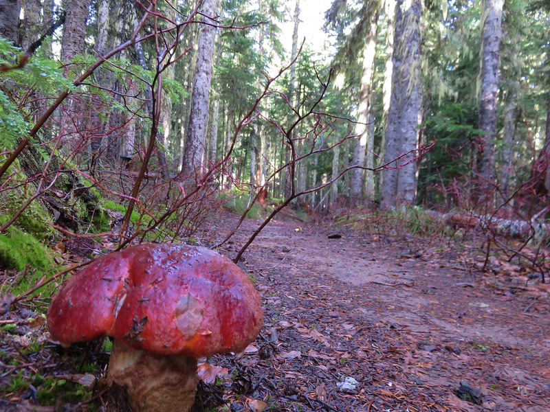
There were quite a few wildflowers blooming at the trailhead.
 Jessica’s stickseed
 Hooked spur violet
 Woodland star
 Valerian
 Arnica
We took the South Fork Imnaha Trail #1816 following pointers for Blue Hole and Twin Lakes.


 Violets
 We passed a pack station in the forest on our right.
 Ballhead waterleaf
 Lupine along the trail
 Anemone
 Western meadowrue
We passed a trail sign at junction with a spur trail joining from the pack station and soon after we entered the Eagle Cap Wilderness.

 Paintbrush along the trail.
 Larkspur, lupine, and Jessica’s stickseed
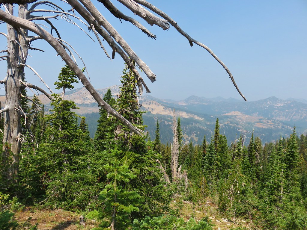
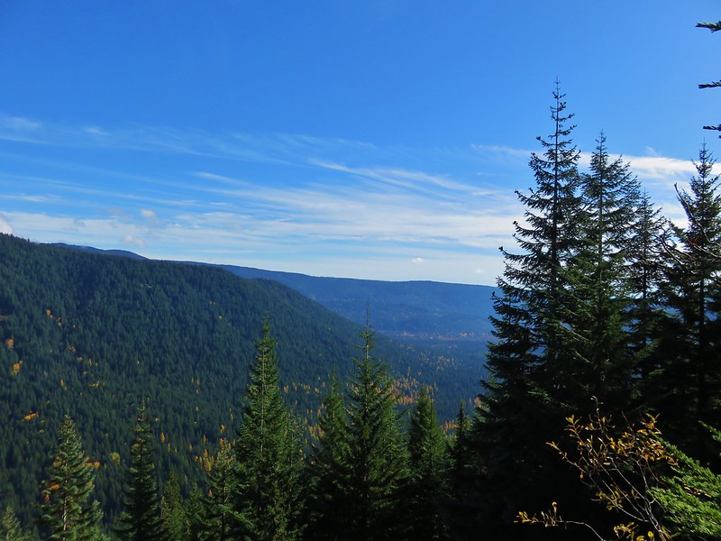
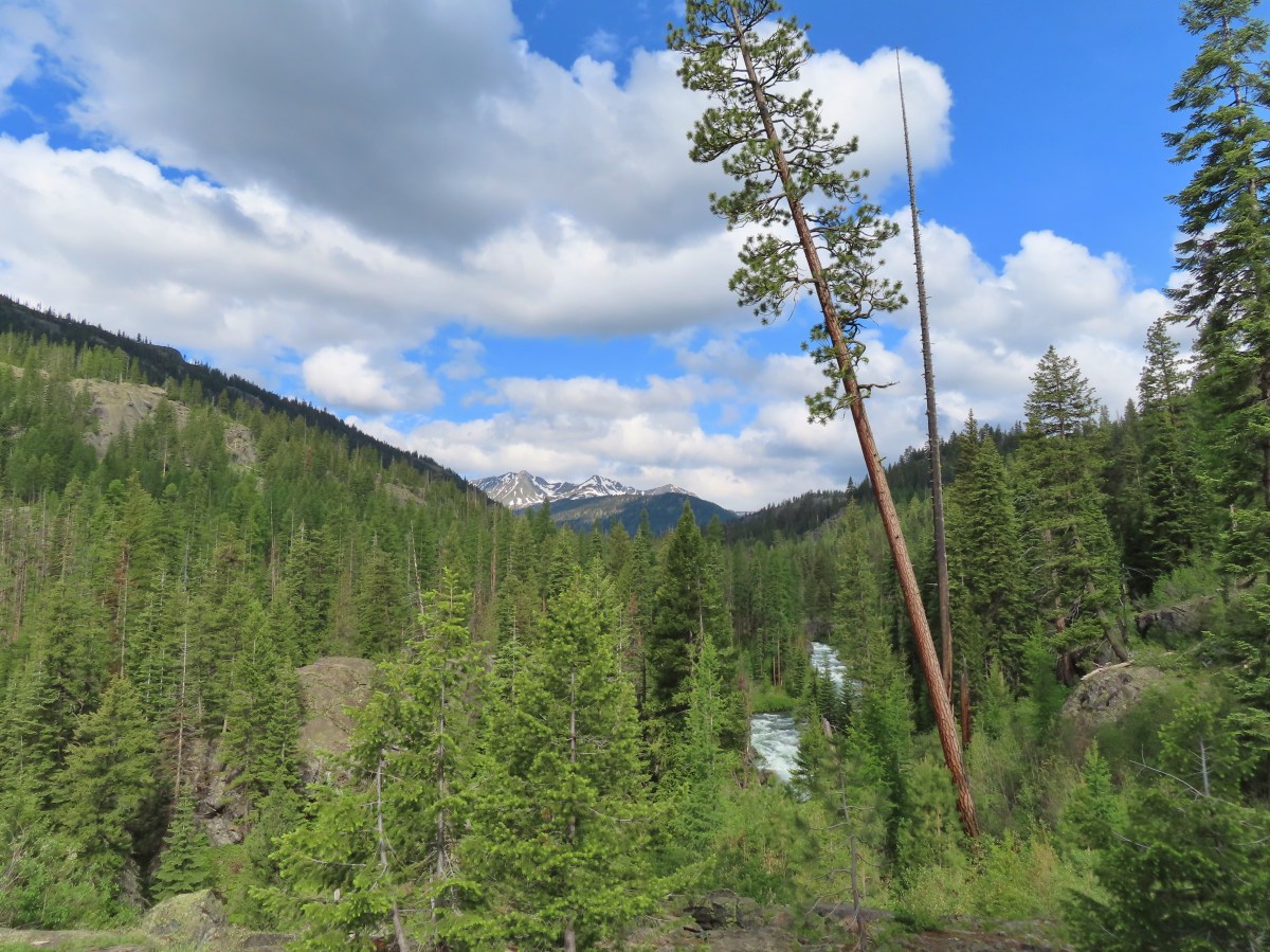
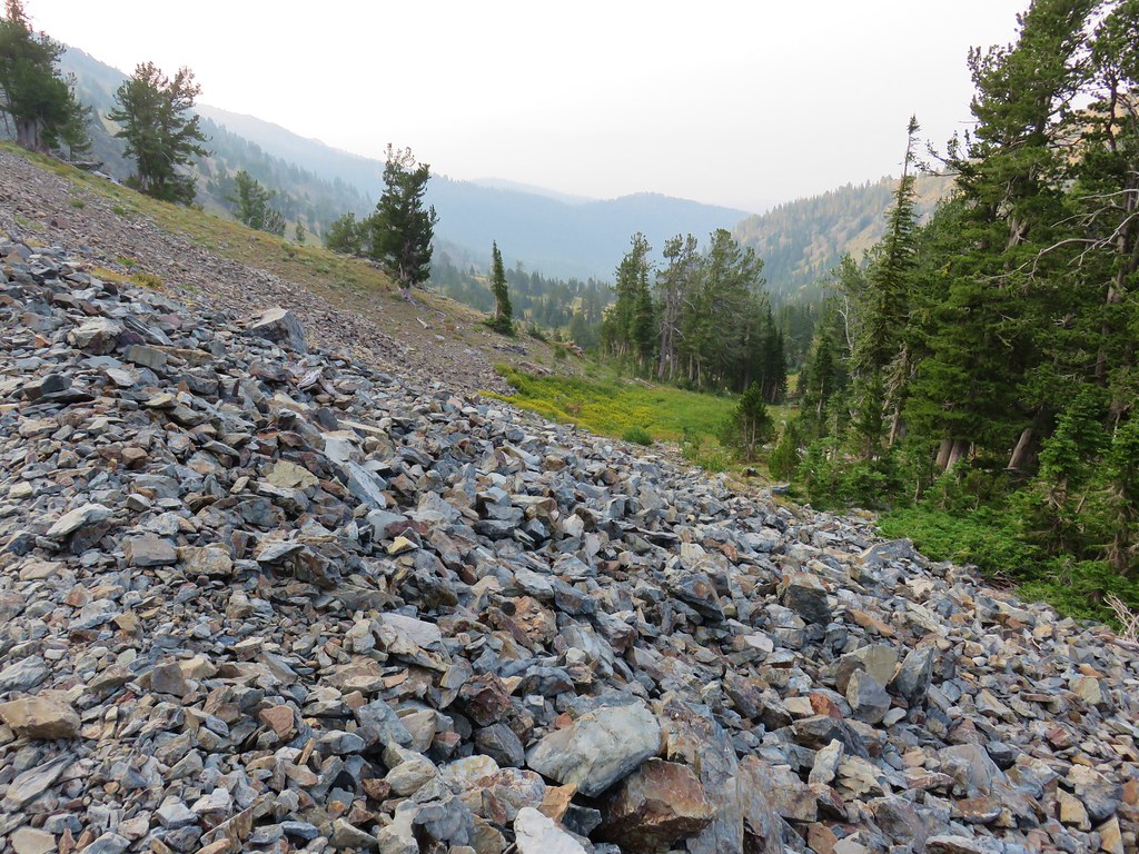
After three quarters of a mile we entered a previously burned forest where the views opened up some.

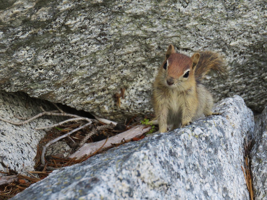
 Chipmunk

 A nice patch of lupine.

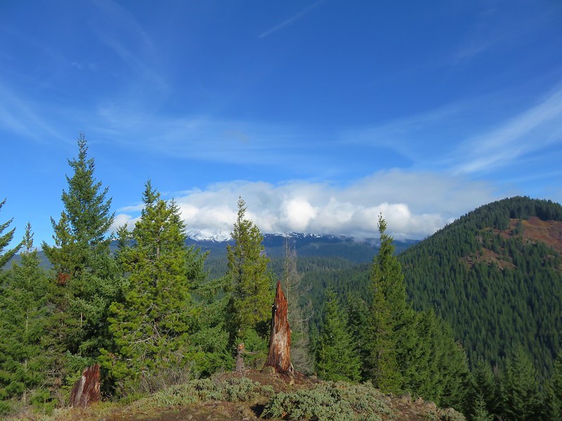
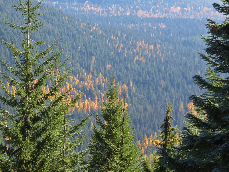
 Snow patches high up on the ridge.
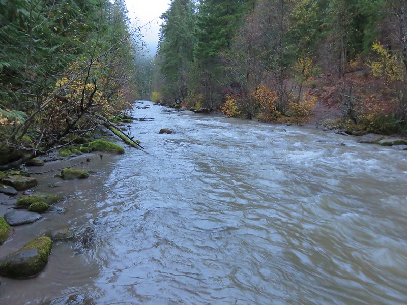
 The Imnaha River below the trail.
 One of many small unnamed stream crossings.
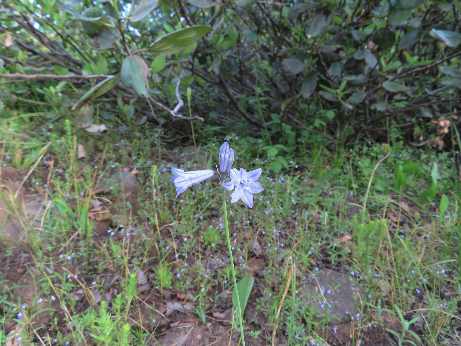 Large-flower triteleia
 A ponderosa pine that survived the fire.
 Robin
Robin
 One of several types of penstemon along the trail.
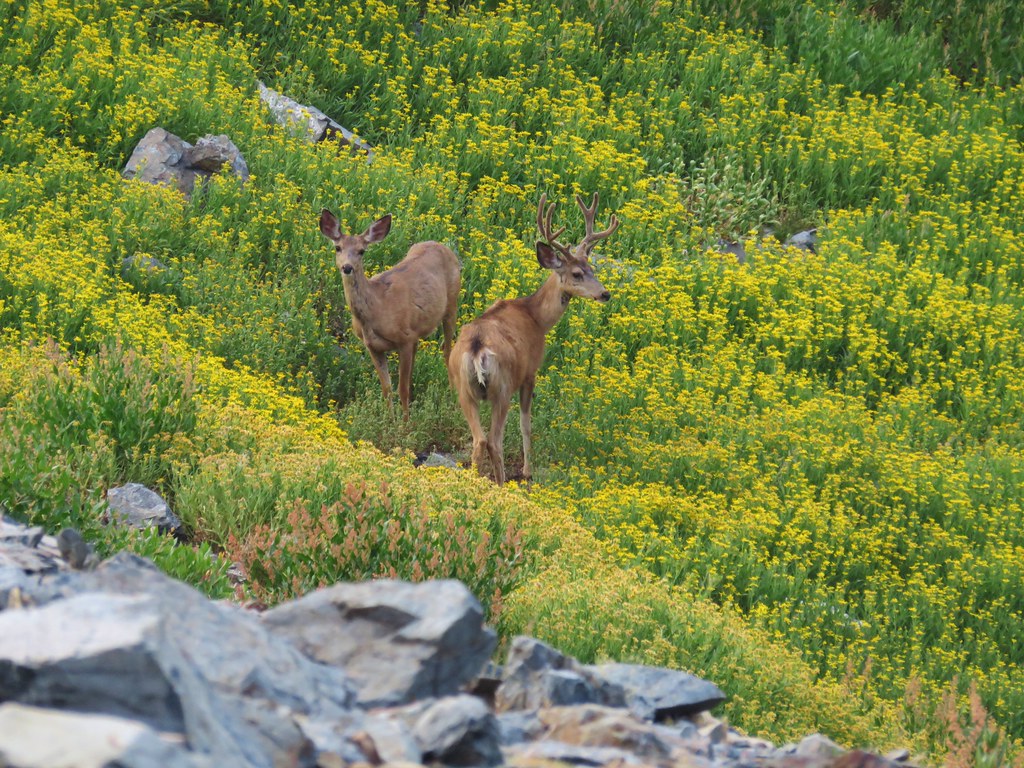
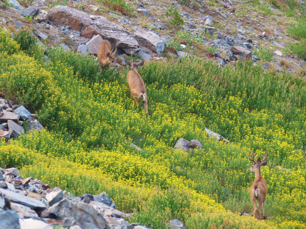
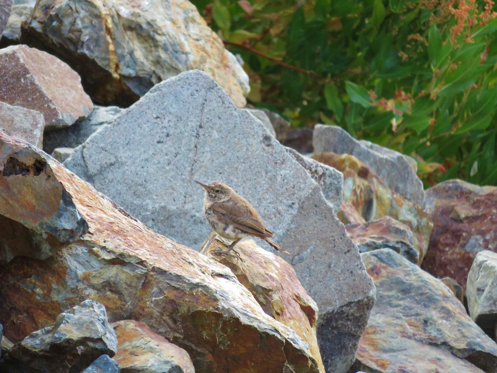
 We were just sure that there should be elk, deer, or a bear down along the river here.
 There were quite a few of these millipedes in the trail.
 In some cases the creeks had taken over the trail.
 Cinquefoil
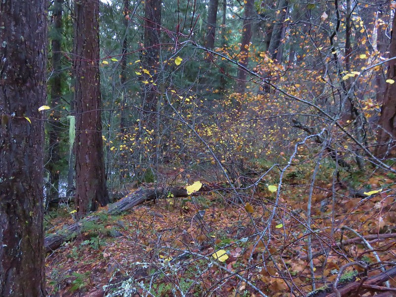
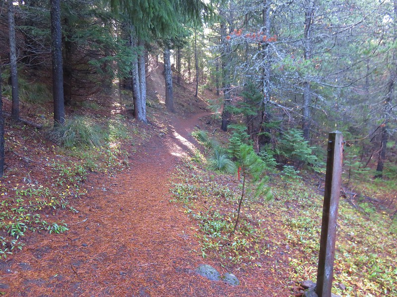
 A brushy section of the trail.
 Tall bluebells
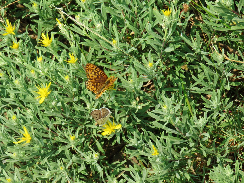
 Two-tailed tiger swallowtail
At the two-mile mark we came to a signed junction for Twin Lakes Trail and Blue Hole where we detoured left.

We followed this trail downhill for a tenth of a mile to an impassable ford of the Imnaha River just below the Blue Hole.

The river was running high still so we couldn’t get a view of Blue Hole from the ford. Instead we climbed the rocks which squeeze the river through a narrow gorge before it empties into Blue Hole.

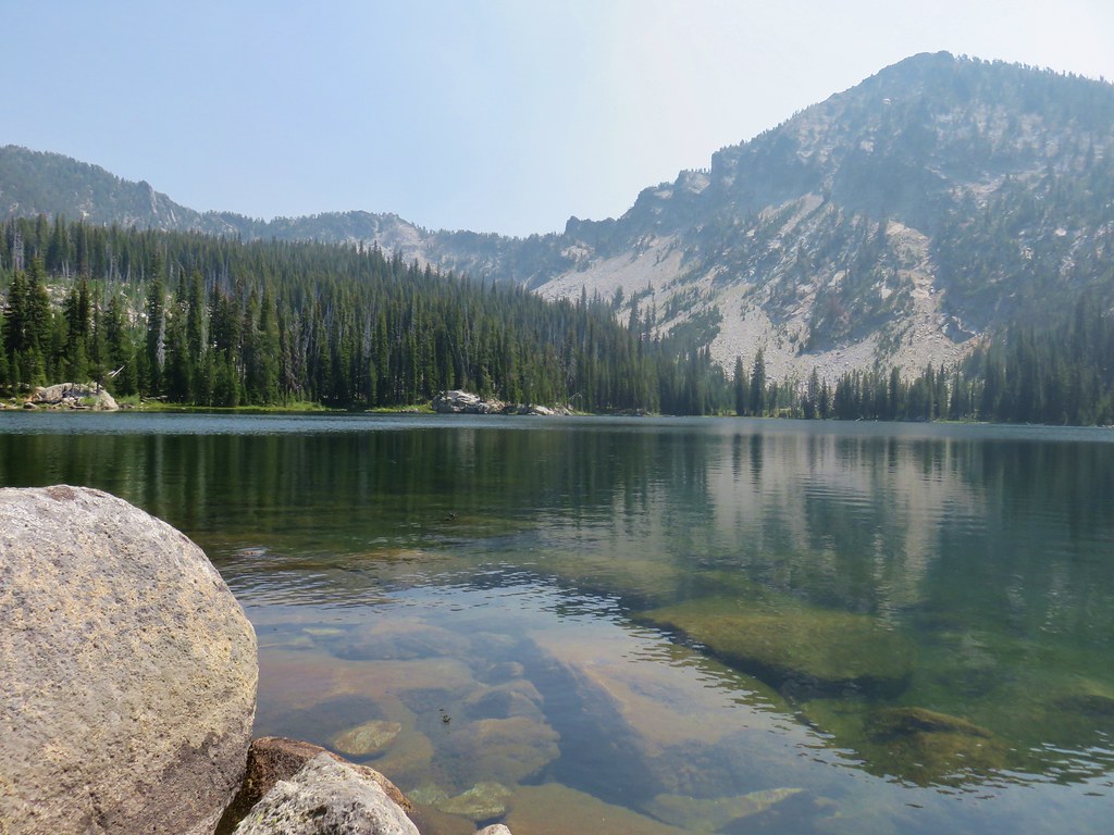
 Blue Hole, not exactly blue this time of year due to the amount of silty snowmelt water swelling the river.
 Wildflowers above the gorge.

 The Imnaha emerging from the gorge into Blue Hole.
After a nice break at Blue Hole we returned to the South Fork Imnaha Trail and continued further into the wilderness.
 Arnica along the trail.
 Coming up on a small stand of aspen.
 A rockcress
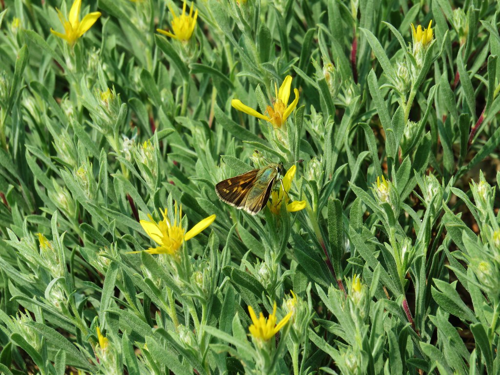
 Juba skipper
 Roundleaf alumroot
 Painted lady on Oregon sunshine.

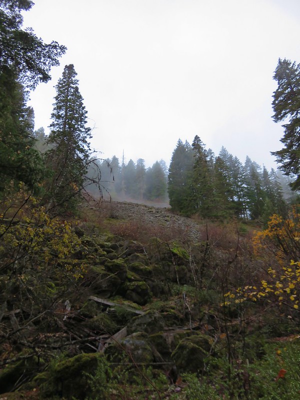
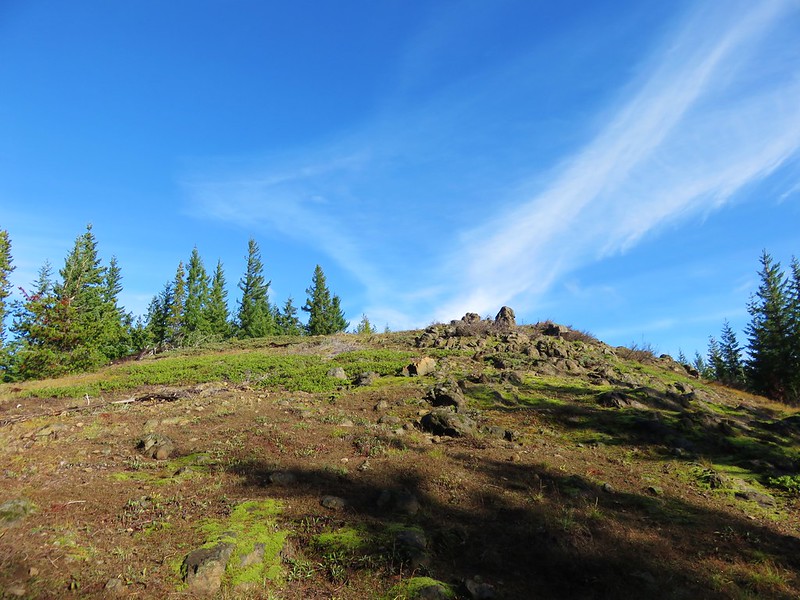
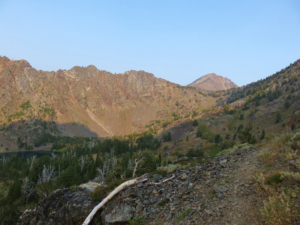
 Glacier carved rock outcrops provided some excellent views and good habitat for wildflowers.


 Scabland penstemon
 Paintbrush
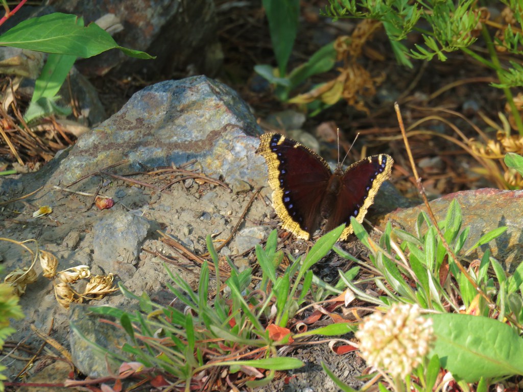
 Not a flower but very colorful.
 Bush penstemon
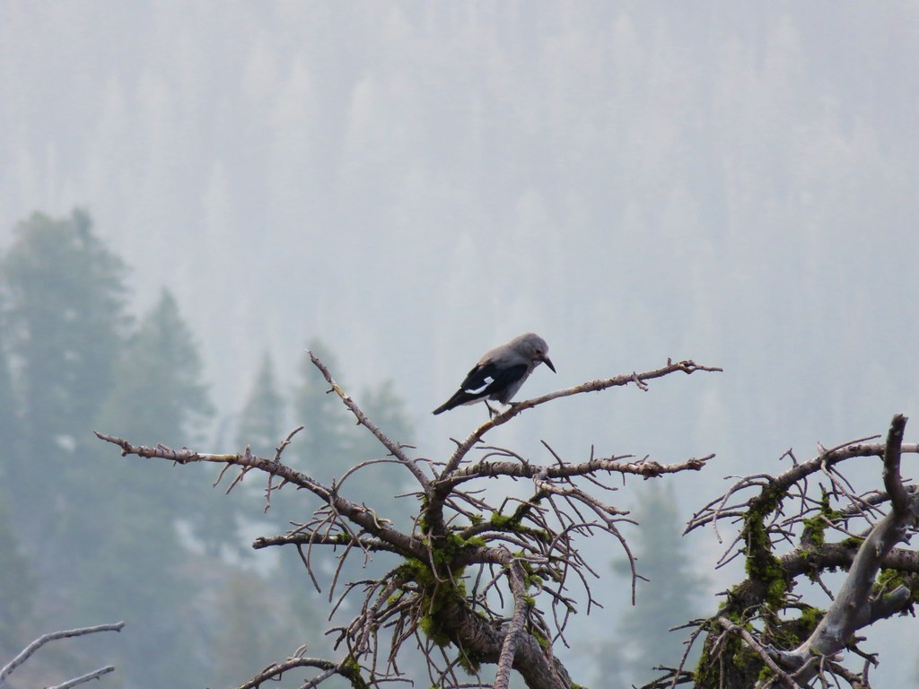
 Western tanager
 Western blue clematis
 Brown creeper on a tree trunk.
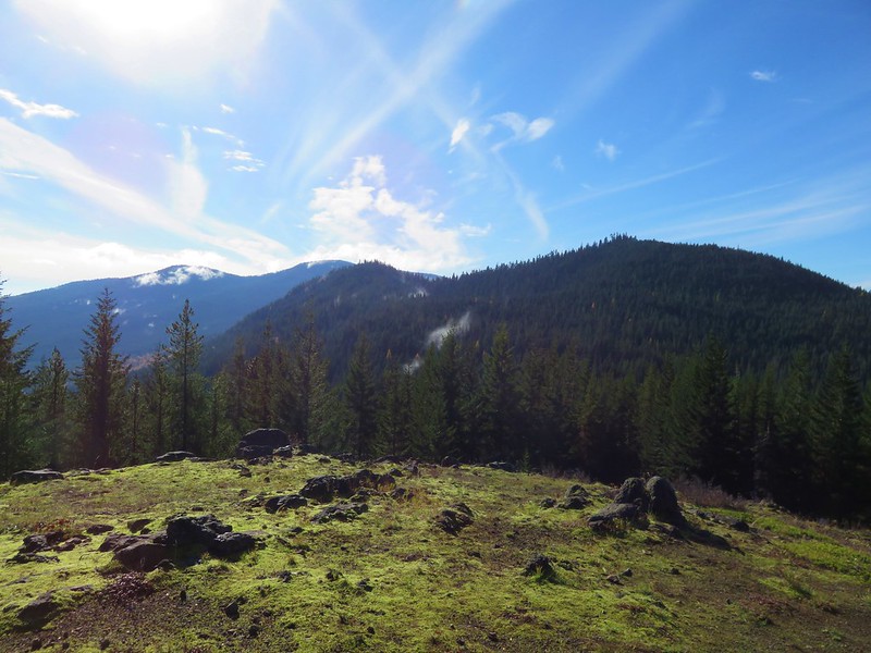
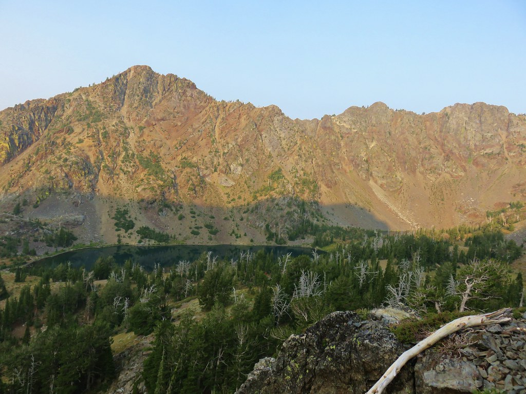
 Left is Marble Mountain and to the right further back is Honeymoon Summit.
 Larkspur along the trail.
 Heartleaf springbeauty
 Another flooded section of a the trail.
 Western tiger swallowtails on chokecherry.
 Dreamy duskywing
 Threeleaf lewisia
 We were too late for the Brown’s peony blooms.
 Balsamroot and paintbrush
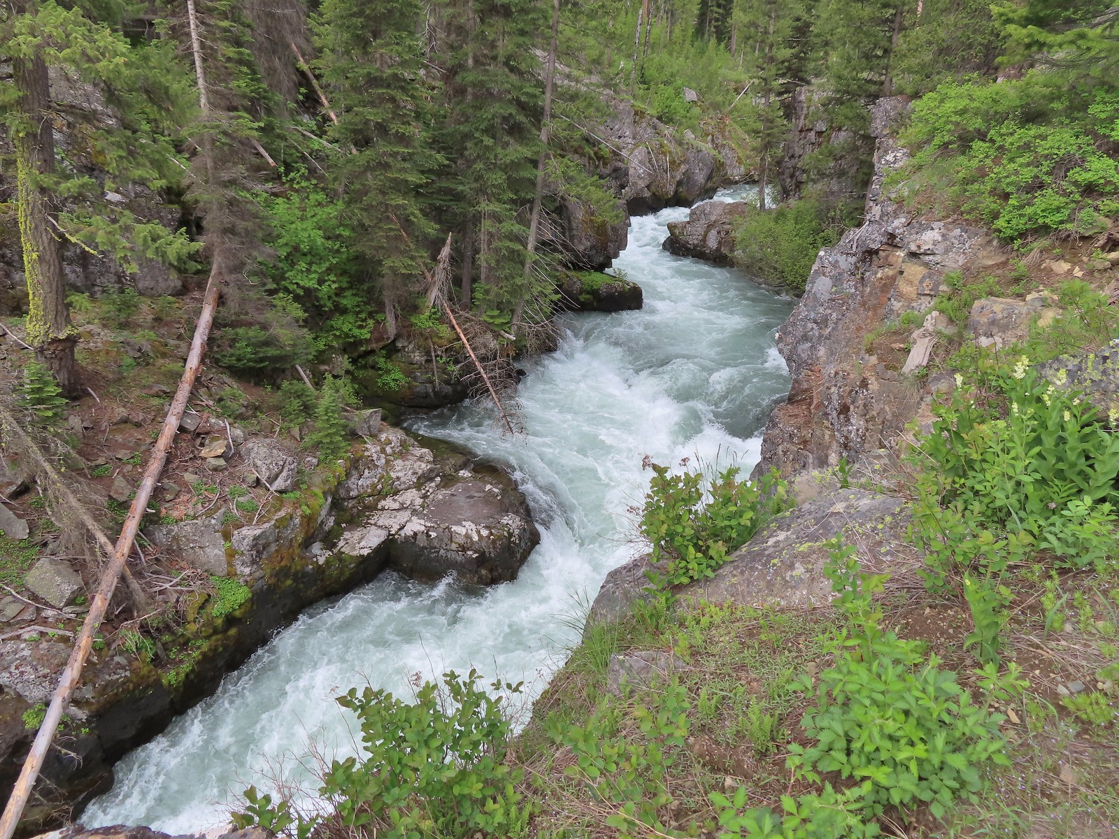
Three and a third miles beyond the Twin Lakes Trail junction we left the trail to see another gorge.

 On the opposite side, with a series of drops, is Rock Creek flowing into the Imnaha.
 The Imnaha River leaving the gorge.
 Rock Creek cascading down through the forest.
After another short break we returned to the trail and continued another third of a mile where we left the trail again to find Imnaha Falls.

 Another creek cascading down.

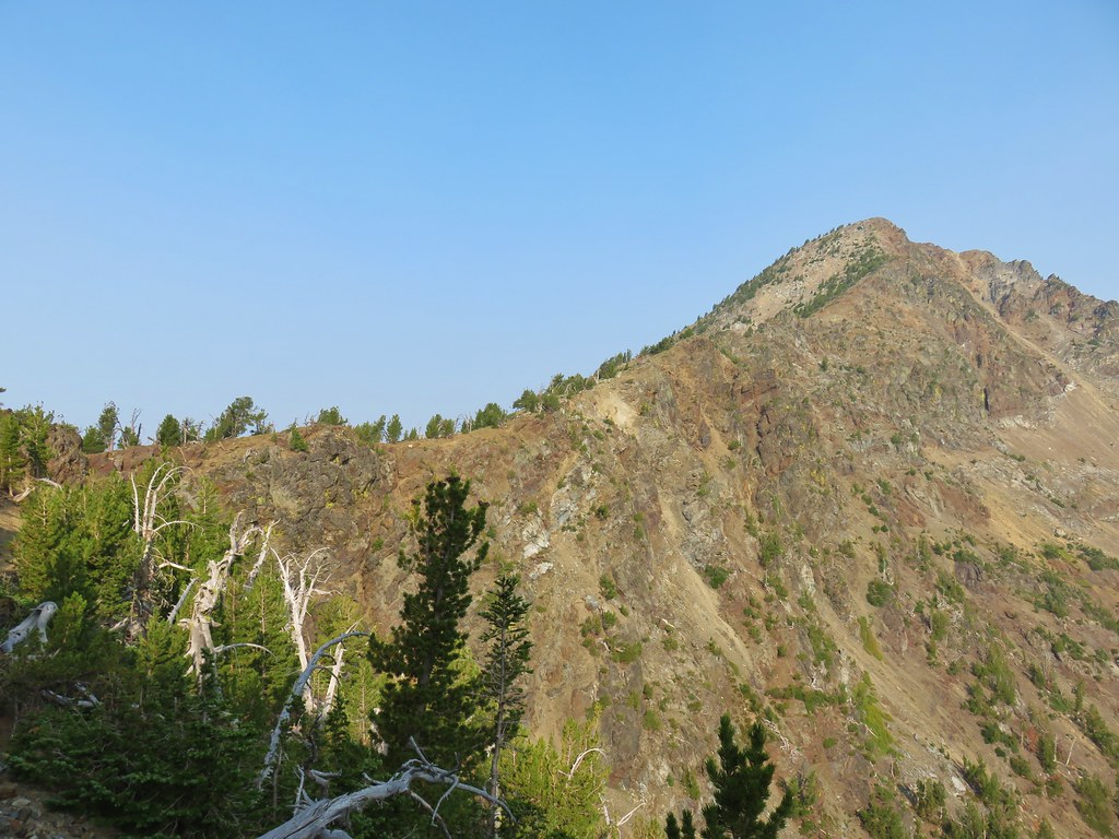
 Marble Mountain
 Twinberry honeysuckle
 Marsh violet
 Rock outcrop above Imnaha Falls
The 8′ Imnaha Falls was difficult to get a good view of. There was a large gap in the rocks that I eventually had to climb down into and out of to get to the edge of the rock outcrop above the river.
 I tried going down river first to see if I could get a view back up to the falls, but the water level was into the brush along the riverbank.
 The falls were just upriver from this bench with a couple of campsites.
 The gap in the outcrop.
 Imnaha Falls.
The falls were more of a rapids which might have been caused by the volume of water this time of year.

We took a final break on the rocks here and then headed back toward the trailhead. We kept a lookout for any flowers we’d missed on the first pass.
 Utah honeysuckle

 Bee on a dandelion
 Nettle-leaf giant hyssop
 Slender phlox
 Silverleaf phacelia
 Vetch
Vetch

Diffuse-flower evening-primrose surrounded by blue-eyed Mary.
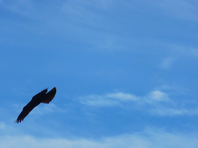
 Osprey, the fishing here must have been good because we’d seen a bald eagle in this area in the morning.
 Fairy slipper
 Arriving back at the trailhead.
We saw three other people on the return to the trailhead. The first gentleman we encountered asked us how far it was to the lakes. He’d already passed the Twin Lakes Trail, not that he could have forded the river there, and the next closest lake was probably Fish Lake which was a good 7-8 miles away. We let him know that there weren’t any lakes nearby but that Imnaha Falls was a couple of miles further along the trail. He didn’t have much with him but he continued on after looking at the gathering clouds and saying he thought he had time to make it there. The next couple we passed after Blue Hole and they didn’t appear to be carrying any type of food, water, or gear. The number of unprepared and uninformed people we pass on trails really makes us wonder how there aren’t more rescues/deaths every year.
Our hike came in at 12.2 miles due to some extra exploring along the river with approximately 800′ of elevation gain.
We drove back to Enterprise, got cleaned up, and headed out for an early dinner. When we opened the motel room door we were greeted by a heavy rain shower. We had planned on eating at Terminal Gravity Brewing but when we got out of the car a lightning bolt immediately followed by thunder convinced us that outdoor dining was not a good idea at the moment. We decided to save Terminal Gravity for later in the week and instead got some tasty Pad Thai to go from Thai Enterprise and took it back to our room where we listened to the evening thunderstorms roll past.
Tuesday’s forecast was for more of the same with a slightly higher chance for showers so we’d planned to do a short hike in the morning followed by some time sightseeing in Joseph. Happy Trails!
Flickr: Imnaha Falls


 Mt. Ruth to the north
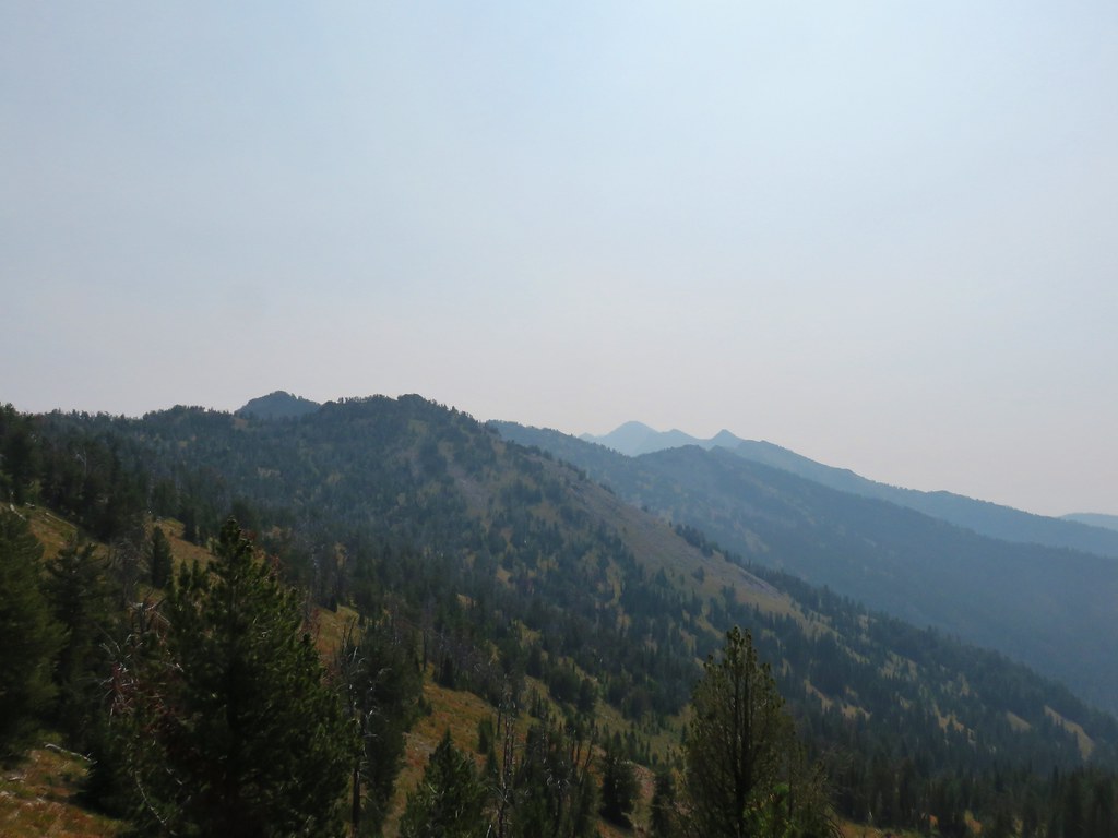 Rock Creek Butte to the south
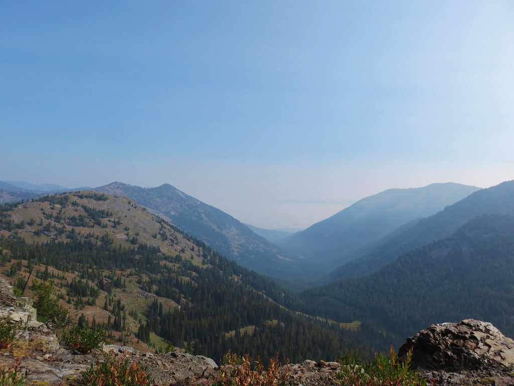 Looking east toward the Wallowas