September began with some much-needed precipitation including snow at higher elevations. Checking the forecast for a hike to start the Labor Day weekend revealed that the Willamette Pass area was expected to be partly sunny Saturday morning before a chance of showers and thunderstorms developed later in the day. I narrowed it down to two loops, one in the northern end of the Waldo Lake Wilderness the other in the northern end of the Diamond Peak Wilderness. Both loops would have us visiting multiple lakes however the northern end of the Waldo Lake Wilderness has been through two large fires in the past 30 years while the northern end of the Diamond Peak Wilderness has not endured a large fire. There would be more views hiking through the fire scars, but we weren’t sure if the partly sunny forecast meant that the Cascade Peaks would be visible, so we opted for the Diamond Peak Wilderness.
The loop we’d chosen was Midnight and Yoran Lake, a hike we’d done back in 2014 post. We also hiked half of the loop on our longer loop around Diamond Peak (post). For both of those outings we’d parked at the Trapper Creek Trailhead. To mix things up a bit (and cut 1.4-miles from the total distance) we decided to begin the loop from the Pengra Pass Trailhead located near the Pacific Crest Trail.

The next decision to make was which direction to hike the loop in. We chose clockwise for two reasons. The first being that we would be starting out on a short downhill which would allow us to warm up a bit versus starting with a climb. The second reason was that the longest stretch without passing near a lake at almost 4-miles and we prefer getting the less exciting stretches done first. Speaking of less exciting the first 0.2-miles followed a gravel road before reaching the Whitefish Creek Trail.


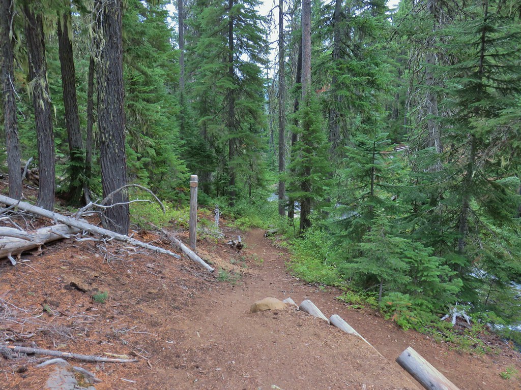
The Whitefish Creek Trail coming up from the left. The trail briefly followed the road before heading uphill.

The Whitefish Creek Trail leaving the road.
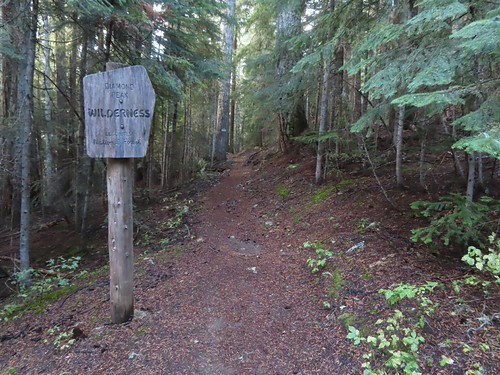
The Whitefish Creek Trail immediately entered the Diamond Peak Wilderness and gradually climbed for 0.7-miles to a junction with the Yoran Lake Trail.

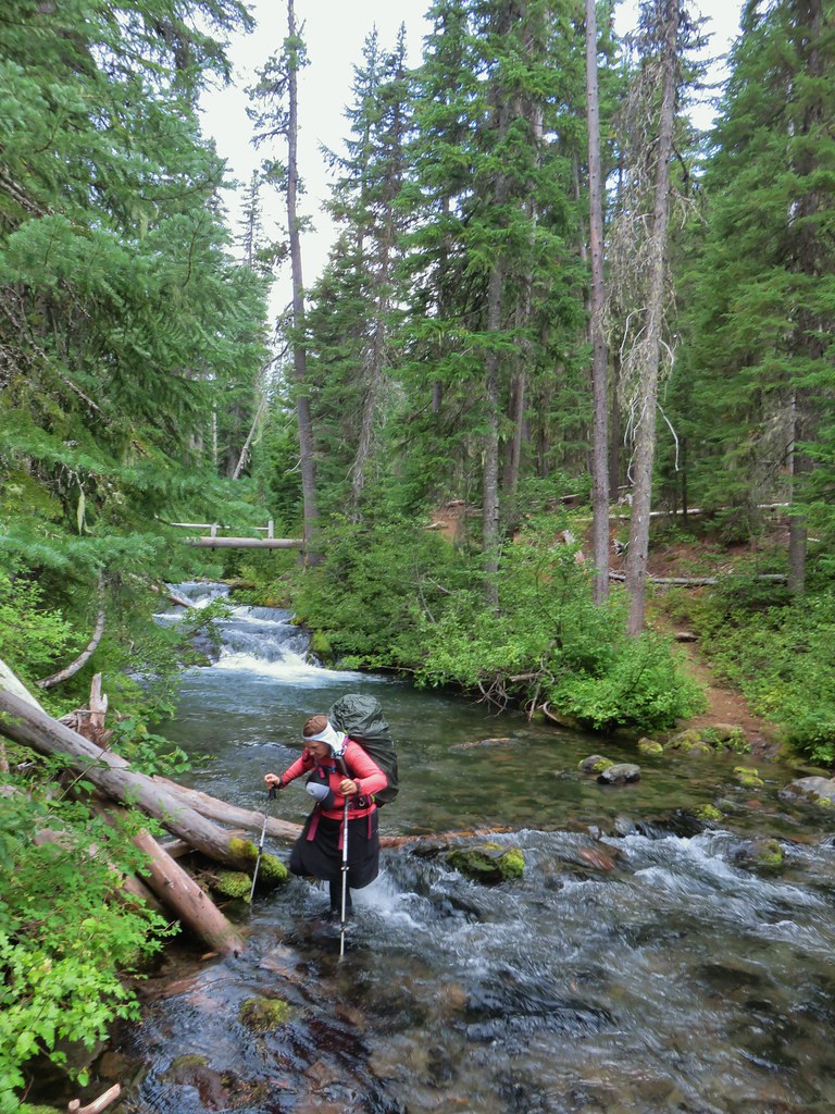
Footbridge over Whitefish Creek. There was a very small amount of water flowing down the creek.


The Yoran Lake Trail junction.
We turned right onto the Yoran Lake Trail and climbed steadily for 2.8-miles to the first (unnamed) lake.
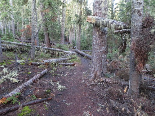
The Yoran Lake Trail was well maintained with no trees down across the trail.

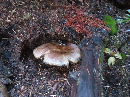
Coral fungus

Blue sky above.


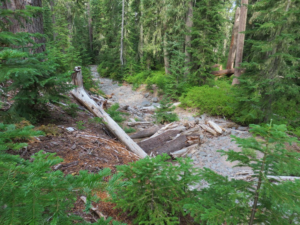
Despite the recent precipitation the creek beds were mostly dry.

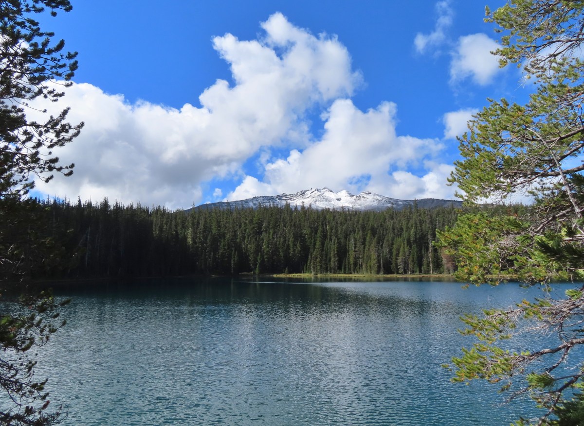
The snowy top of Diamond Peak was visible over the trees.

Diamond Peak with fresh snow.

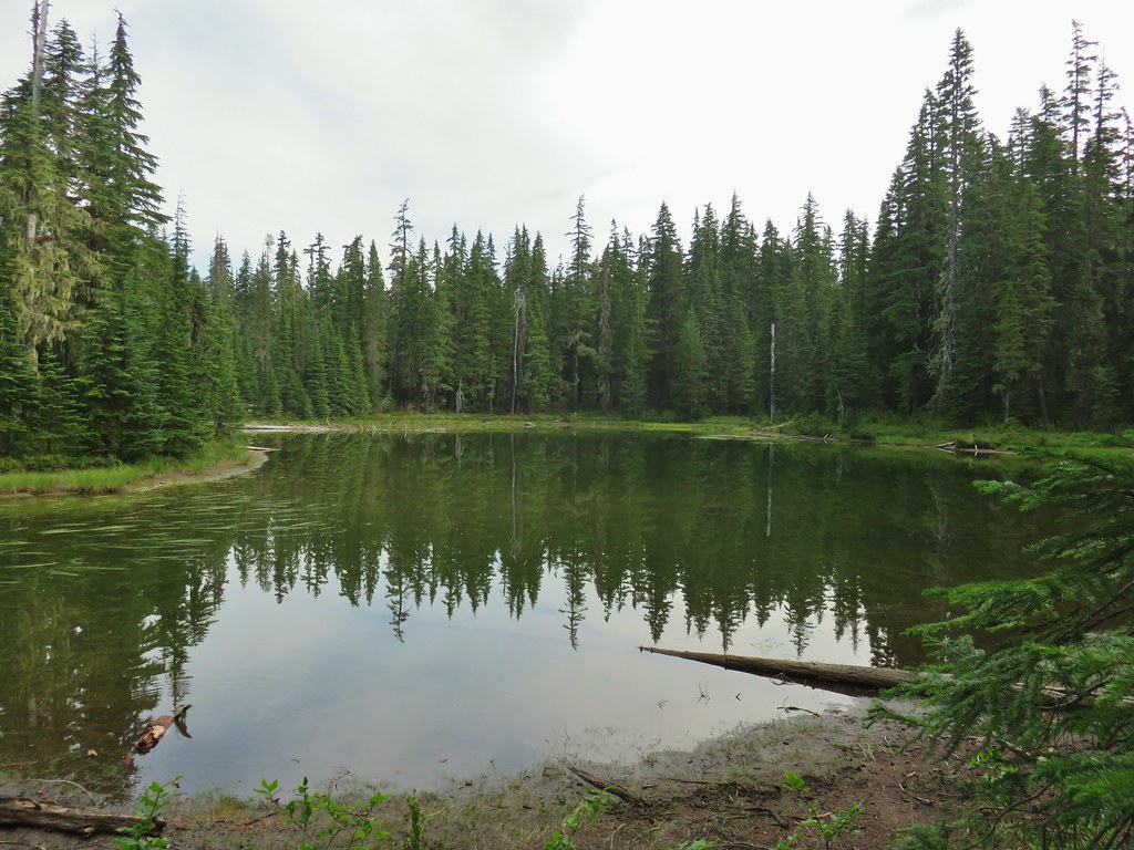
The unnamed lake.

We continued past the unnamed lake and in just over a mile came to a familiar unsigned junction next to a dry creekbed.

The trail crosses the dry creek bed a half mile from the unnamed lake.


The unsigned junction.
The trail to the right was a user created trail until 2019 when the Forest Service officially decided to connect the Pacific Crest Trail near Lils Lake with the Yoran Lake Trail. Before continuing on the Yoran Lake Trail we veered left and climbed steeply up the hillside to Karen Lake.

We’d camped at this lake on the final night of our loop around the mountain. We took a break along the lake shore near where we’d camped before and waited to see if Diamond Peak, which was now partly shrouded by a cloud, would make a full appearance.


We spent half an hour at the lake watching the clouds tease a reveal only to have more arrive.


So close.
After 30-minutes we were starting to get cold from not moving around so we continued on our loop hoping that maybe things would clear up when we reached Yoran Lake which was less than a quarter mile away.


The trail forks near Yoran Lake. The lefthand fork leads to some campsites while the righthand fork is the official trail. We went right and soon had a view across the lake to Diamond Peak.


Mount Yoran behind the trees to the left.
The trail climbs above the lake on a rocky shelf where we again stopped to give the clouds some time to move on. It took about 15-minutes for that to happen, and we finally had a view of the full mountain.

Mount Yoran was not dealing with clouds.


Finally, a full view.
After getting the view we’d been hoping for we continued on. The trail passed several more viewpoints above Yoran Lake before passing through the forest and arriving at Lils Lake.


Island in Yoran Lake.


Pond between Yoran Lake and Lils Lake.

Lils Lake
We followed the trail past Lils Lake to its end at the Pacific Crest Trail (PCT).


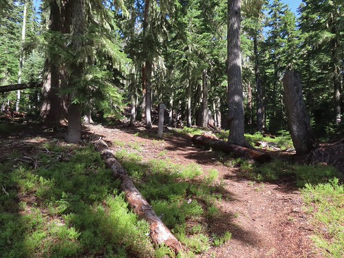
Signpost at the junction.
We turned right onto the PCT and started a stretch of trail that passed a number of named and unnamed bodies of water.

Diamond Peak and Lils Lake from the PCT.

The PCT passing a pond.

Maiden Peak (post) beyond the trees.
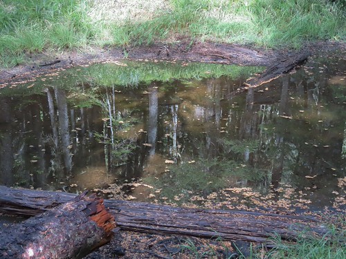
Another small pond.

The first named lake was Hidden Lake which was just off a spur trail to the right, 0.6-miles from the PCT junction.


Hidden Lake
After visiting Hidden Lake we continued on the PCT passed several more unnamed bodies of water before arriving at Arrowhead Lake a mile from Hidden Lake.


Unnamed lake


One of several ponds.

Stellar’s jay

Junction with the Deer Creek Trail.


Arrowhead Lake
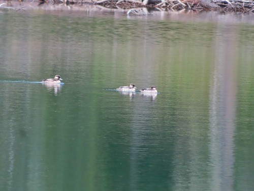
Buffleheads on Arrowhead Lake.
From Arrowhead Lake it was 1.4 more downhill miles to a signed spur trail for Midnight Lake, the last of the named lakes.
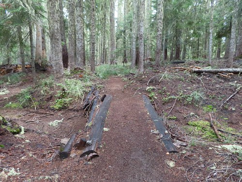

Foamflower, one of the few blooming flowers remaining.

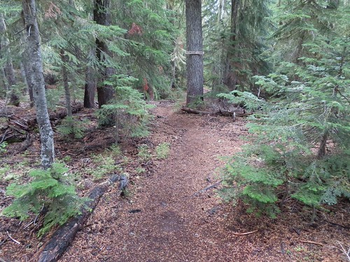
Midnight Lake sign on the spur trail.

Midnight Lake
After a short break at Midnight Lake we continued our loop. It was 0.2-miles from the lake to a junction with the Midnight Lake Trail and then another 0.9-miles to the Pengra Pass Trailhead.

The Midnight Lake Trail on the left.

Another unnamed lake at the trail junction.

I was just a bit too slow to get a picture of this belted kingfisher before it took flight.
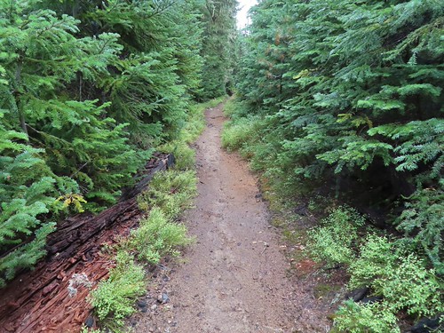

Rhododendron along the PCT.

Ski runs at the Willmaette Pass Ski Are on the far hillside.

Fuji Mountain (post)

Leaving the wilderness area near Pengra Pass.

Wilderness permit kiosk at Pengra Pass.

The trail dropping down to the trailhead.
This loop came in at 10.8-miles with approximately 1300′ of elevation gain.

This is a nice loop with a variety of lakes and few good mountain views (when the clouds cooperate). We were a little surprised to have only run into 9 other hikers all day. The trails were also in excellent shape with only a couple of small logs to step over. The fresh snow on Diamond Peak was a nice bonus and a good reminder that Fall is on the way. Happy Trails!
Flickr: Yoran and Midnight Lakes

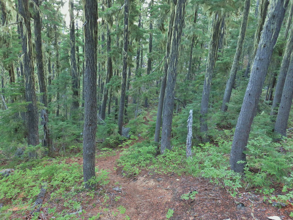
 Some blue sky again.
 Happy Lake Trail junction.
 Just a small part of the meadow.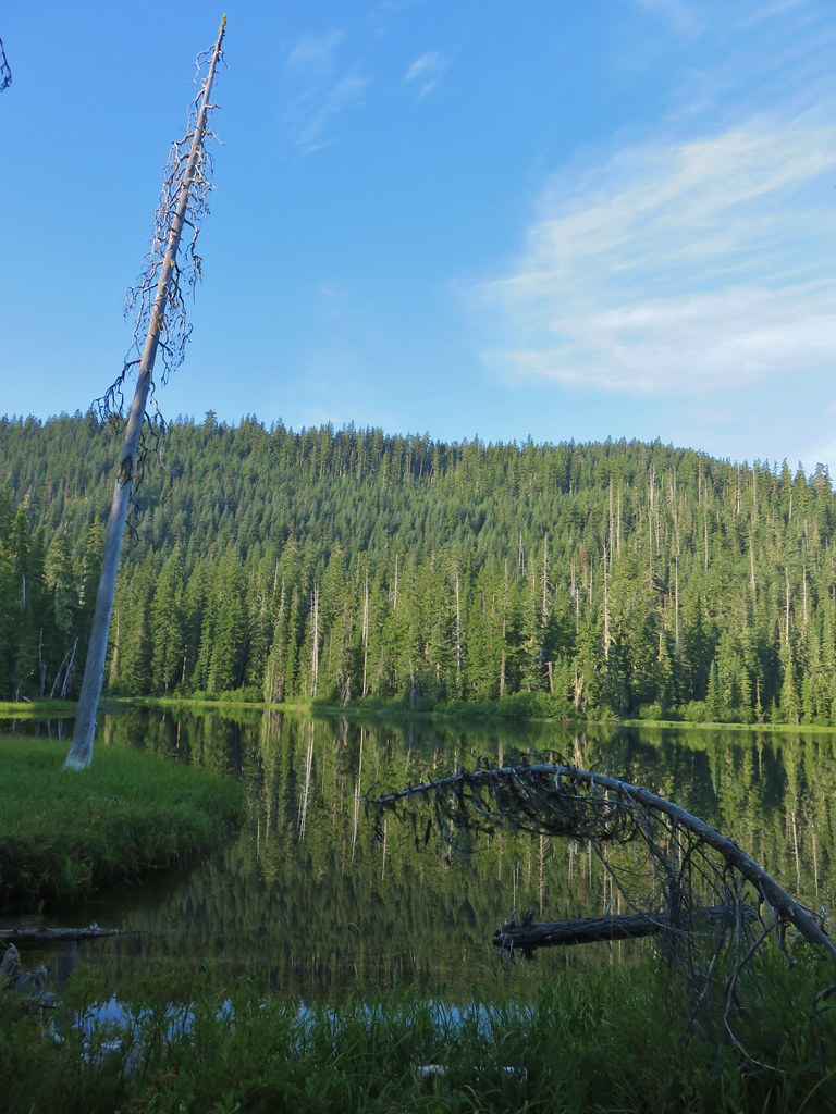
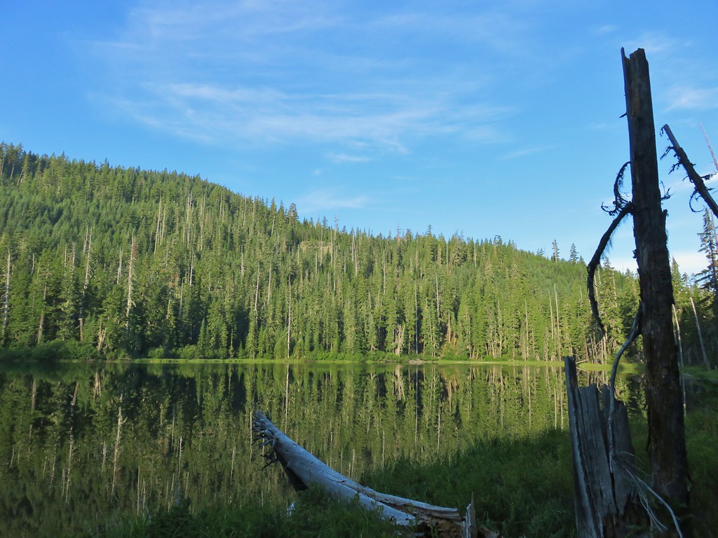
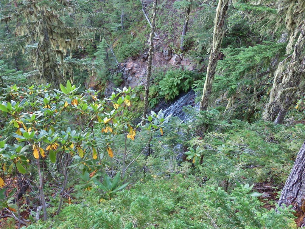

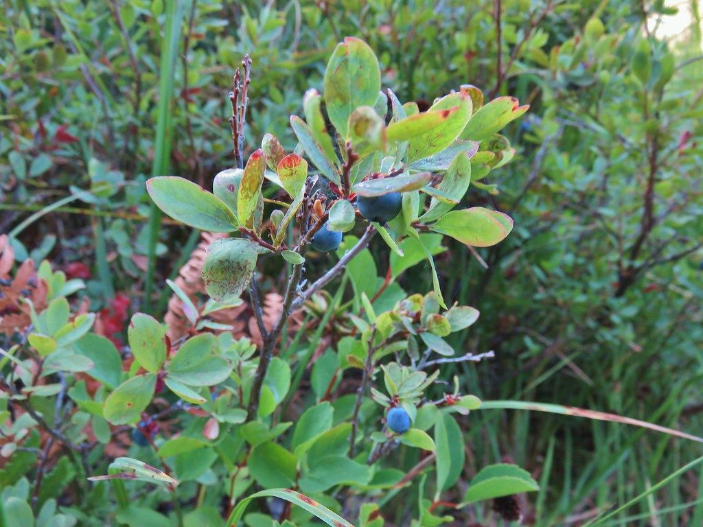


 We think this was Bear Creek. Other than the outlet of Happy Creek no other creek beds had flowing water on this side of the mountain.
 Diamond Peak from the trail.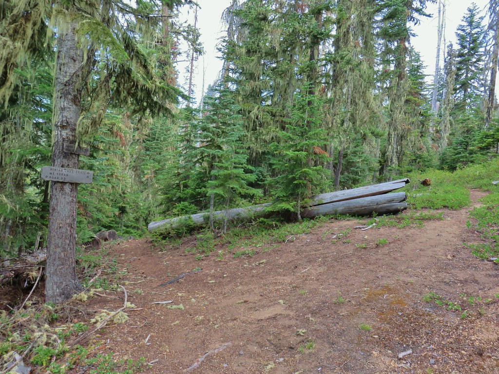


 One of several damp meadows.
 The creeks were still dry though.
 An unnamed lake.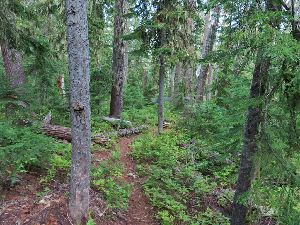
 Small unnamed lake just before Notch Lake.
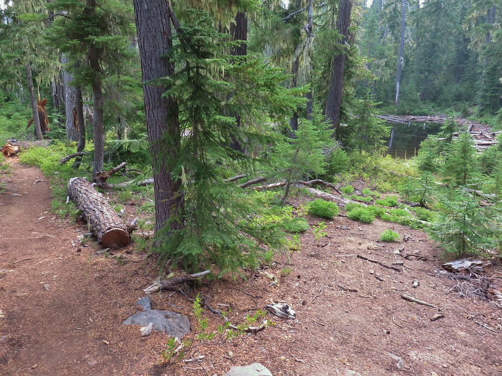 Another little lake/pond near Notch Lake.
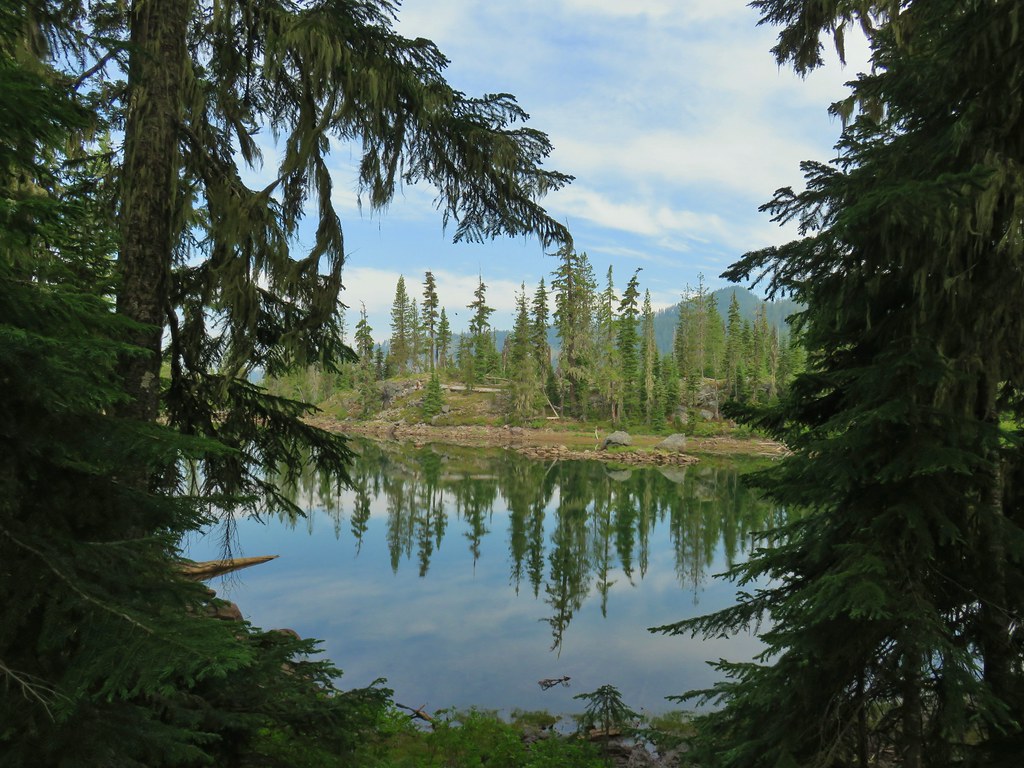 Notch Lake

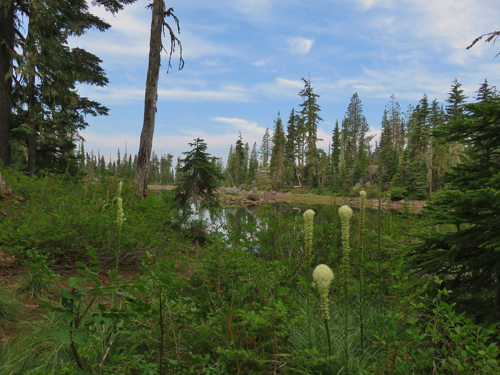 Beargrass
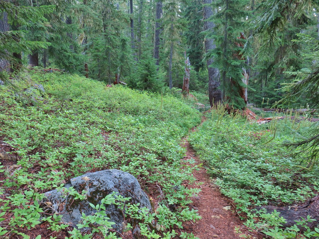

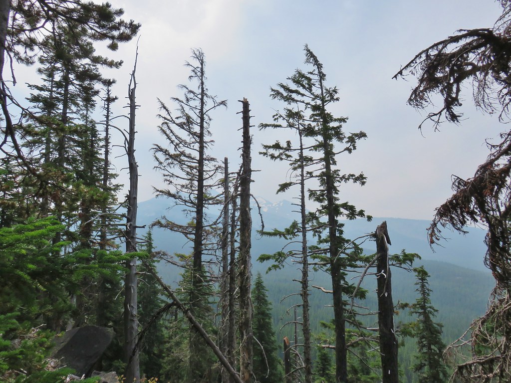 Diamond Peak from the trail; the smoke was back.
 Textured mushroom
 On the ridge.
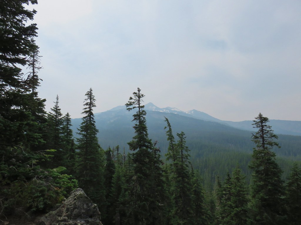 Diamond Peak
 Lousewort
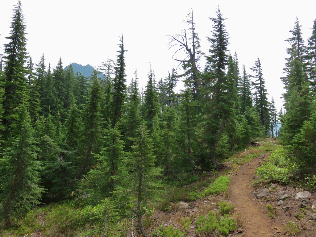 Mt. Yoran from the trail.
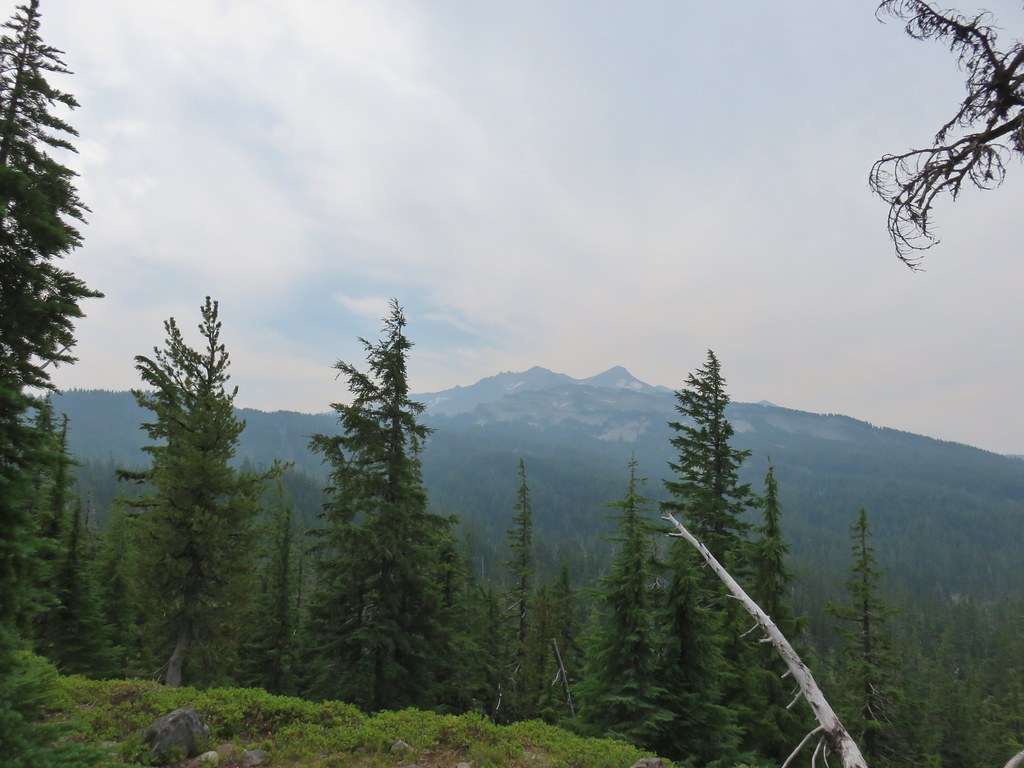 Diamond Peak again.
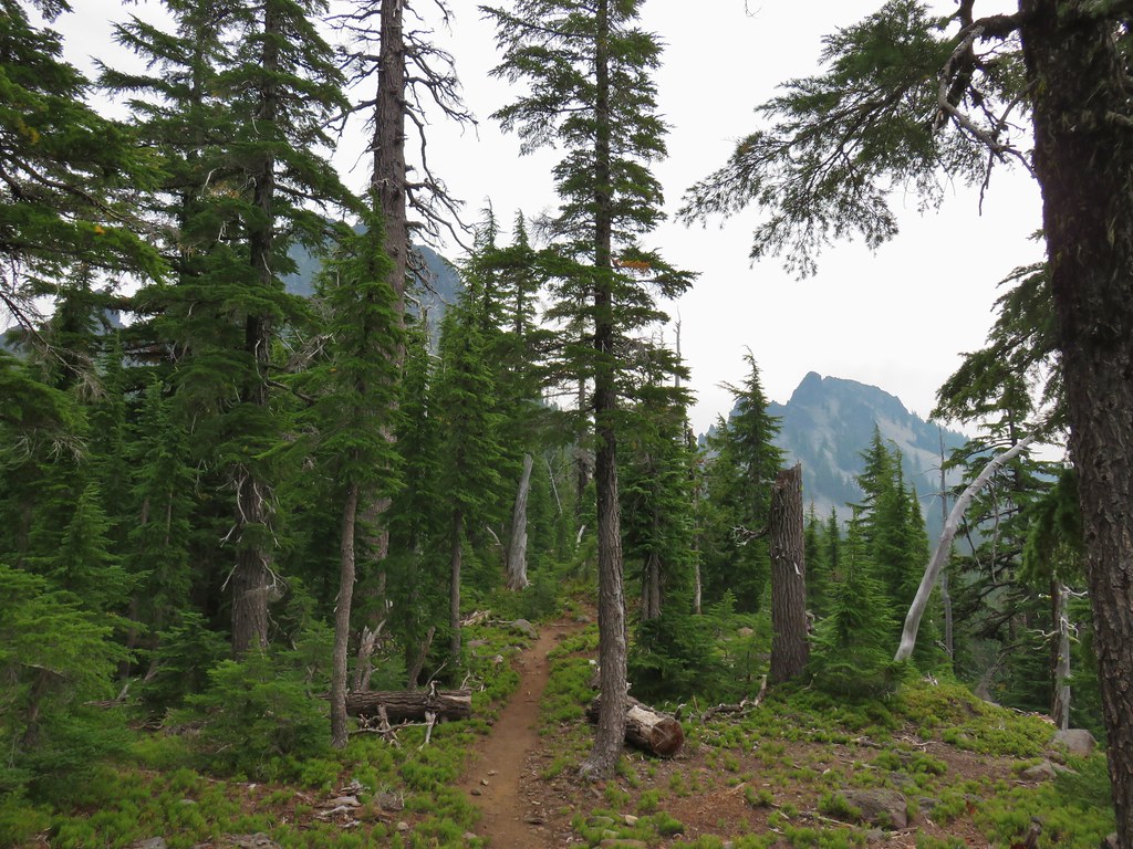 Mt. Yoran on the left and the divide on the right.
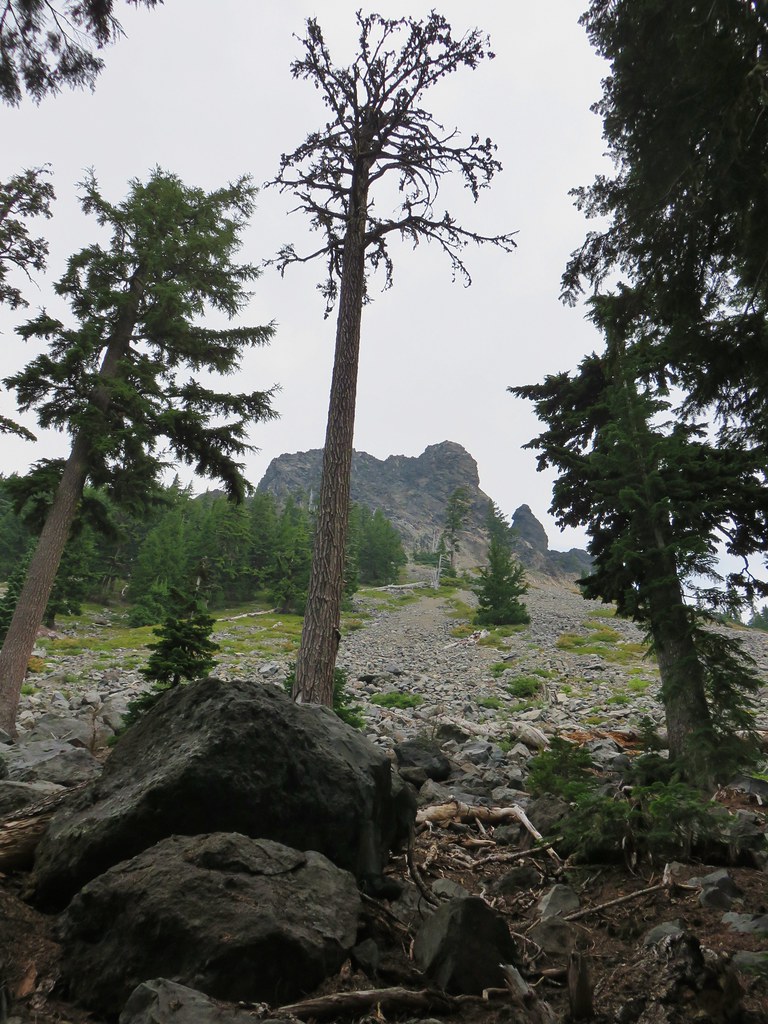 Passing under Mt. Yoran.
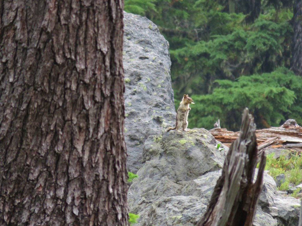 Please tell me that’s a seed and not that the ground squirrels have taken up smoking.
 Divide Lake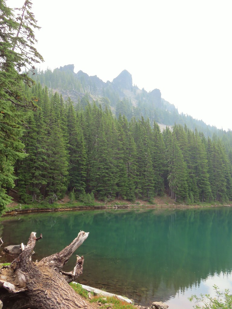

 Blue sky making a comeback.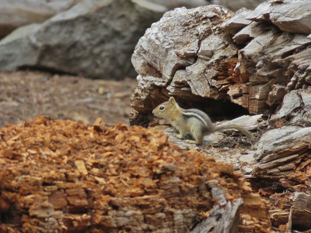
 Diamond Peak from Divide Lake
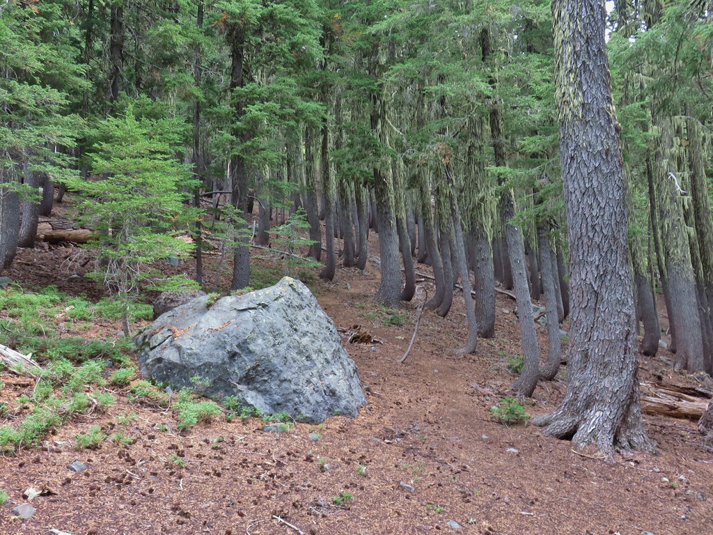 Climbers trail to Mt. Yoran.
 Thank goodness it was a seed.
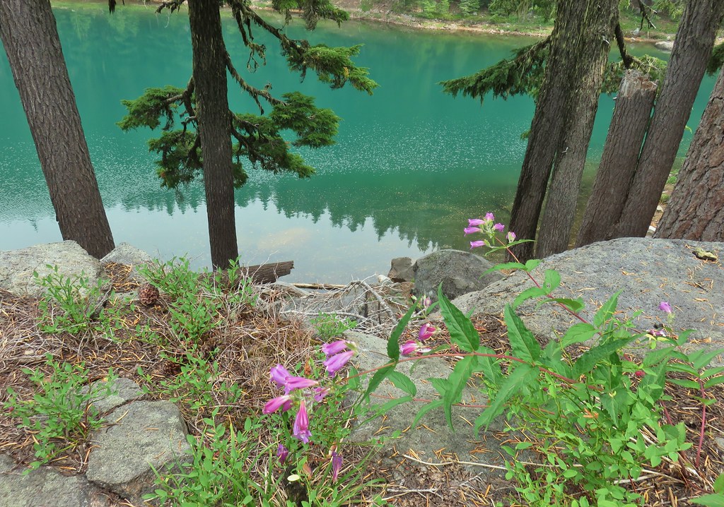 Beardtongue
 Mt. Yoran from Divide Lake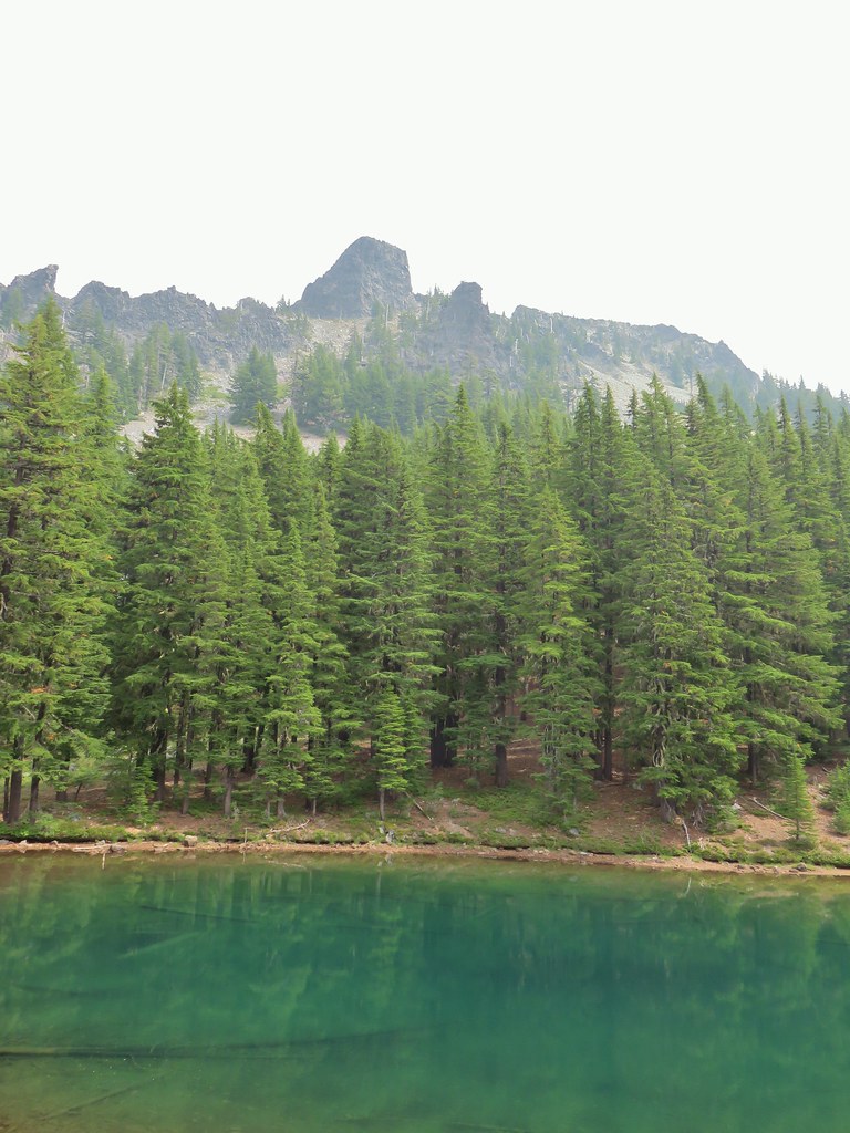
 One of the unnamed lakes.
 Starting up to the divide.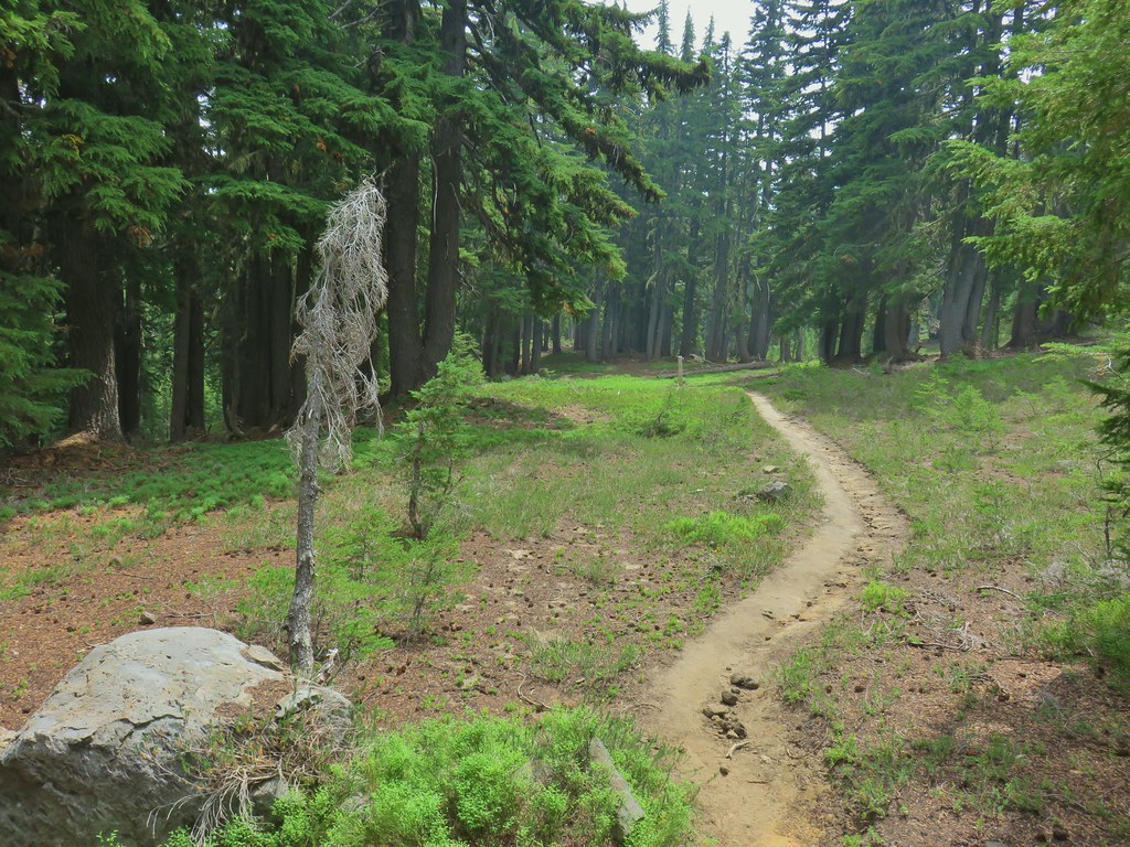
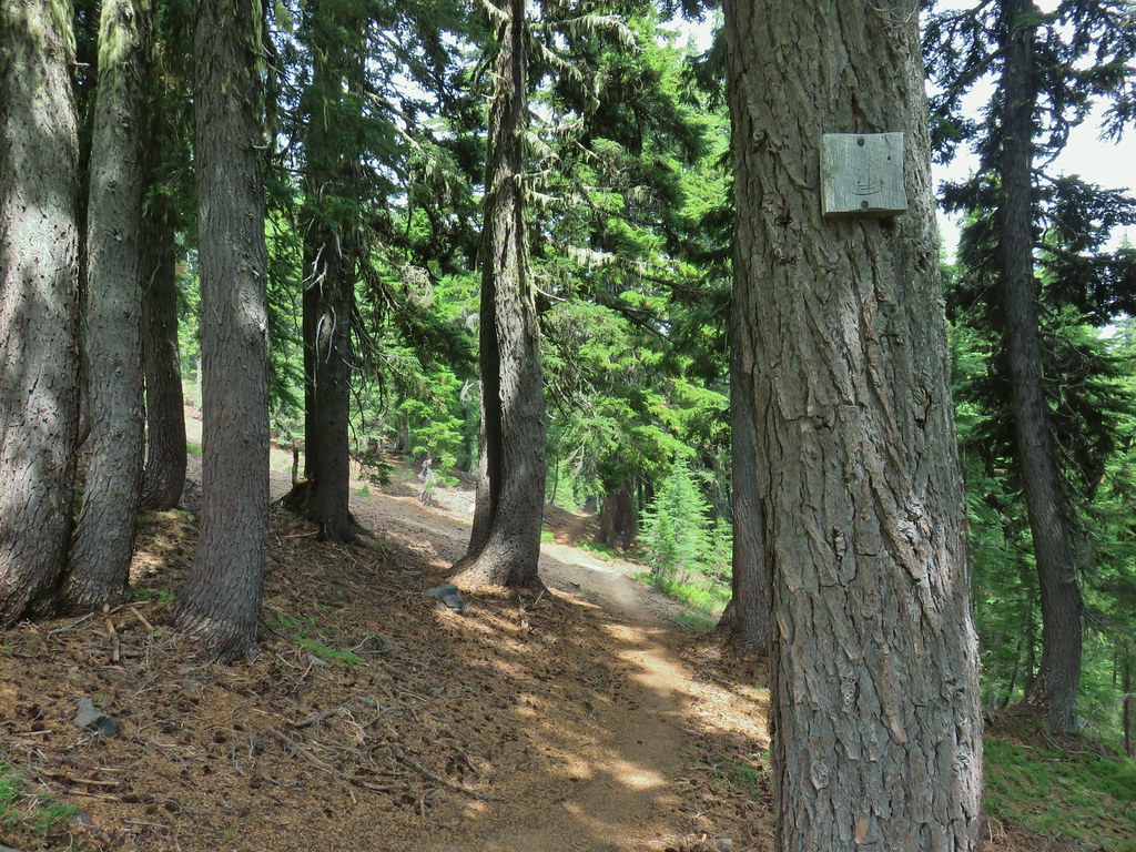
 PCT
PCT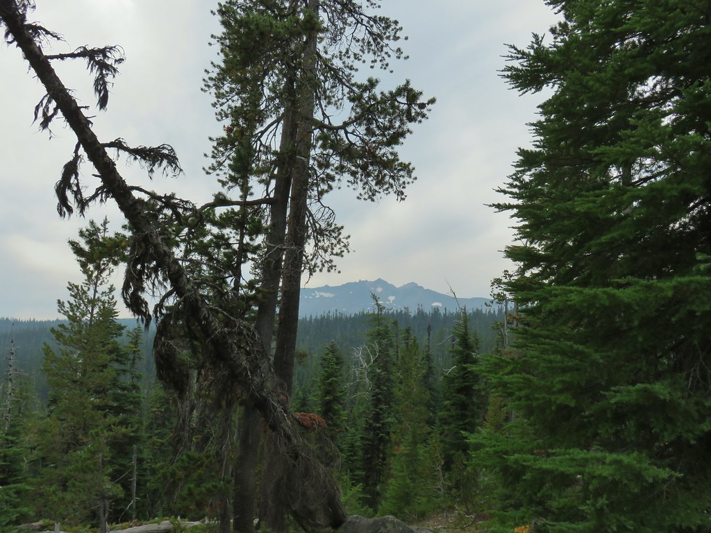 Diamond Peak from the PCT.
 Lakeview Mountain
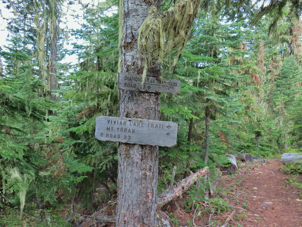
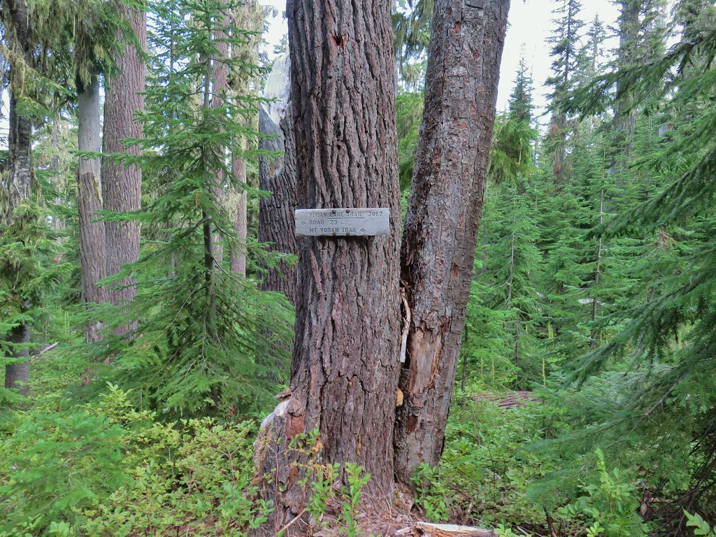
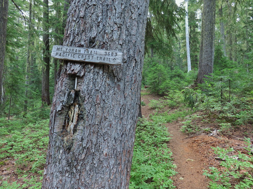
 New looking sign at the newly extended Yoran Lake Trail.
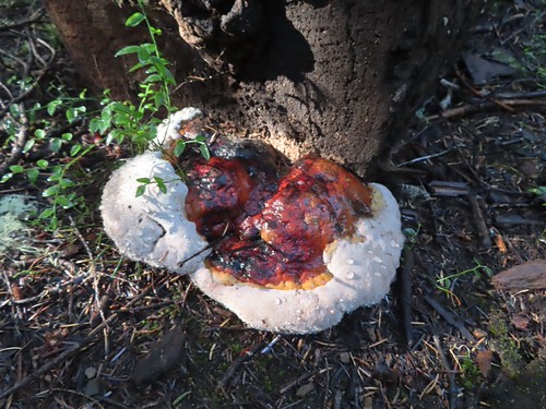
 Huge tree mushroom at the junction.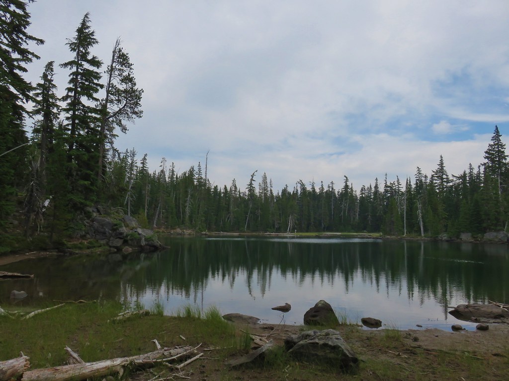
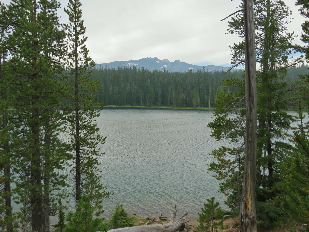
 Diamond Peak from Yoran Lake.
 Dry creek bed (this feeds Trapper Creek).
 Right hand fork to Karen Lake.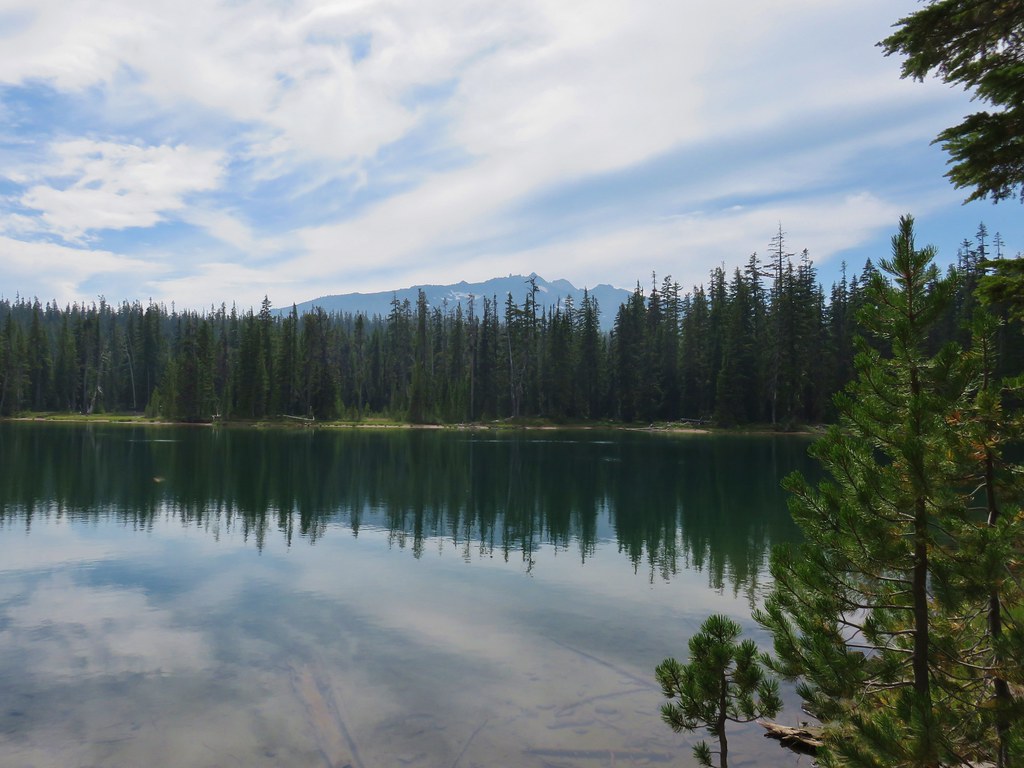
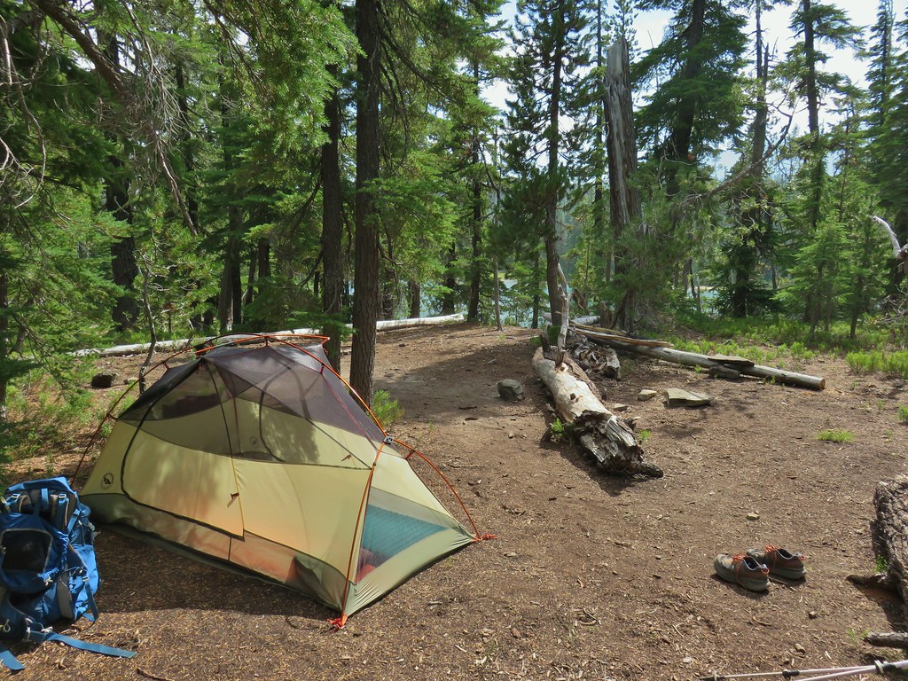
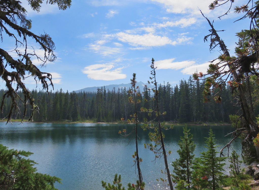
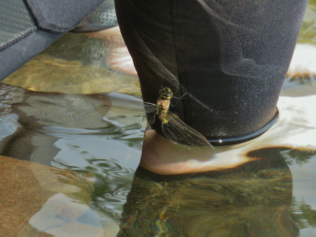 Dragon fly visit.
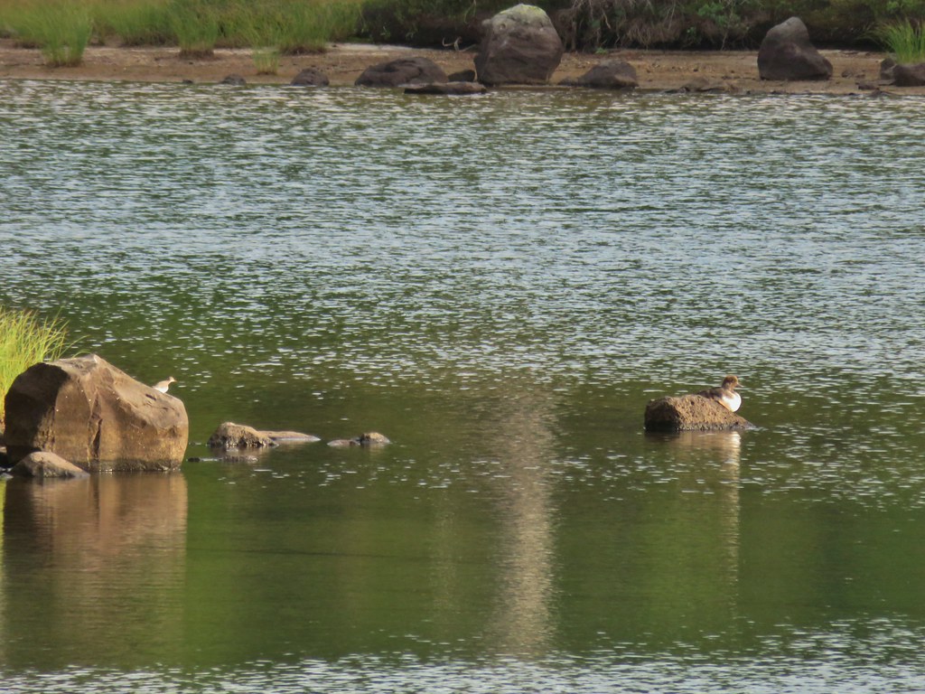 A little bird joining the duck on the rocks.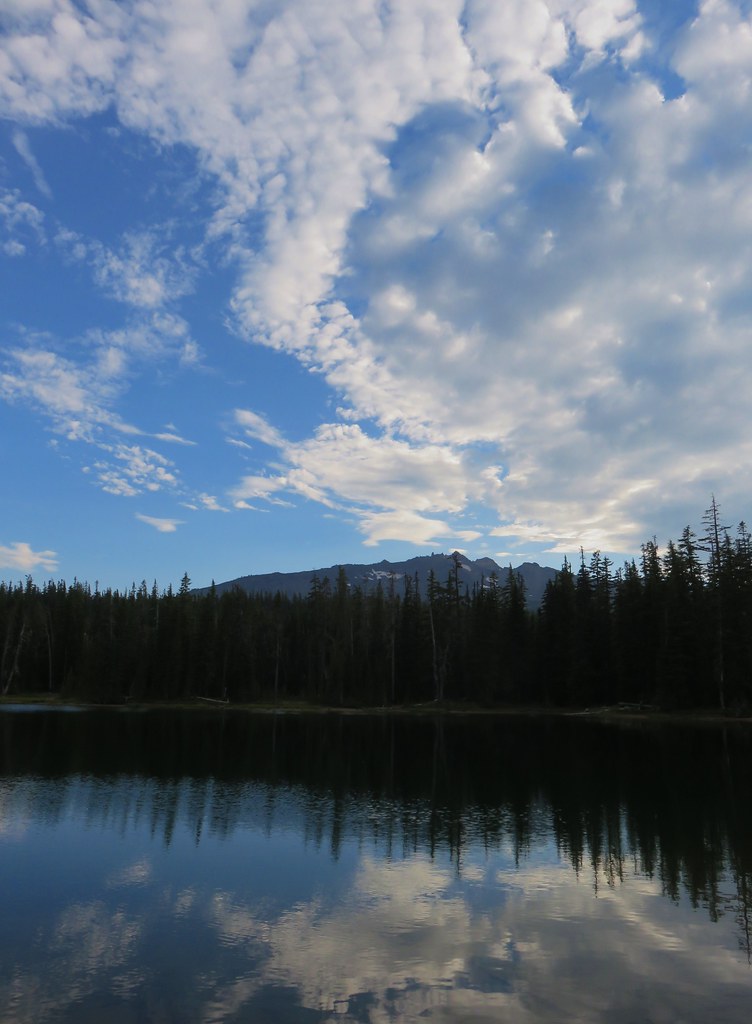
 Is this a tadpole? We first thought it was a newt then a fish but it’s got feet.
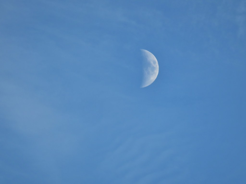 The moon was really showing up well over the mountain.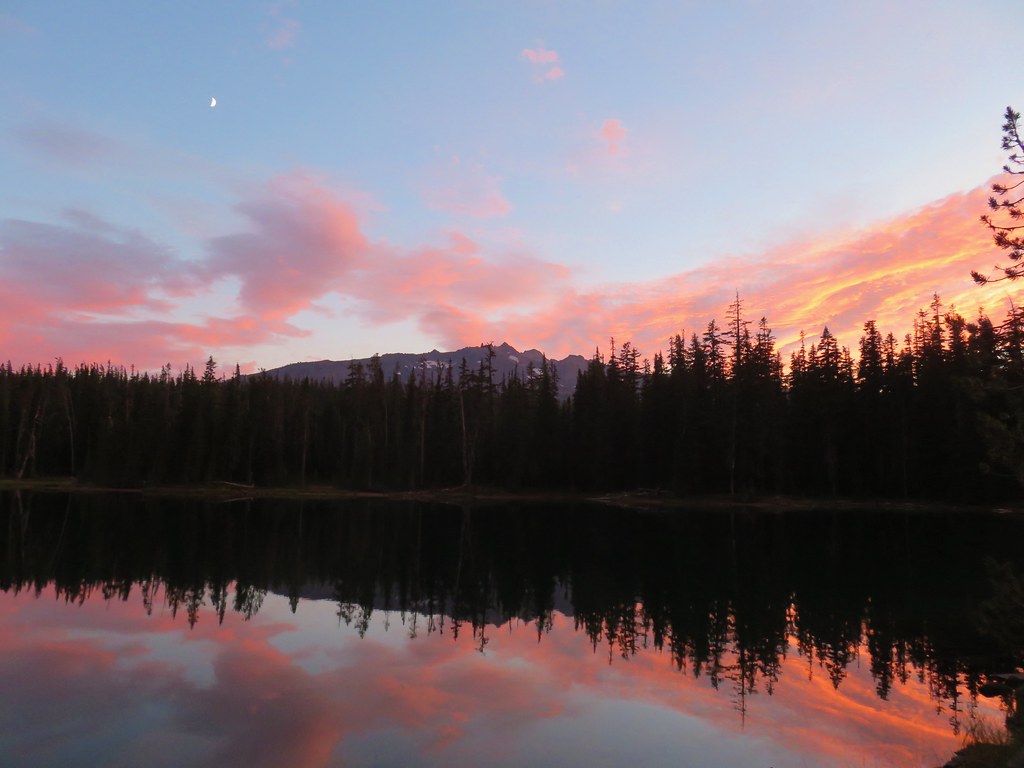



 Rainfly deployed
 Another light shower passing over as we were leaving.
 Some funny looking beargrass along the trail.


 The lake doesn’t show a name on the map but West Bay Creek flows out of it (of course it too was dry at this time of year).