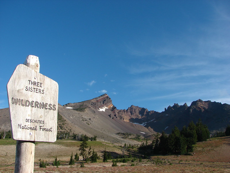
From 1865 to 1939 the Santiam Wagon Road served as the primary means of transportation from the Willamette Valley to Central Oregon. Beginning in Lebanon the nearly 400-mile route crossed the central Cascade Mountains at Santiam Pass. Sections of the road have been preserved and now serve as trails.
We’d previously hiked sections at House Rock (post), Tombstone Pass (post), Fish Lake (post), Sand Mountain (post), and Whychus Canyon Preserve (post). For our previous hike to Sand Mountain we had started near Big Lake and followed the wagon road West for almost three miles to forest road 2690-810 which leads to Sand Mountain.
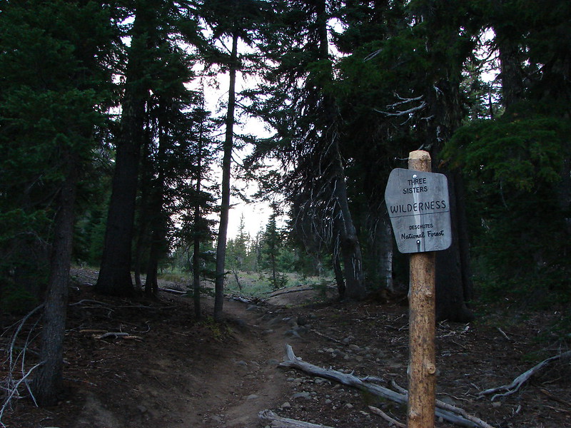
For this visit we began to the West of Sand Mountain at the McKenzie River Trailhead.

The 26.5-mile long McKenzie River Trail shares this trailhead with the Sanitam Wagon Road.


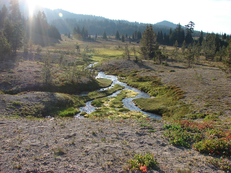
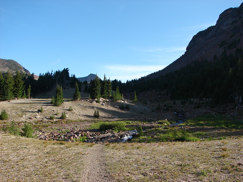
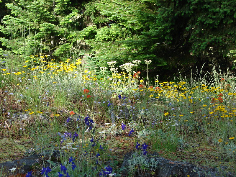
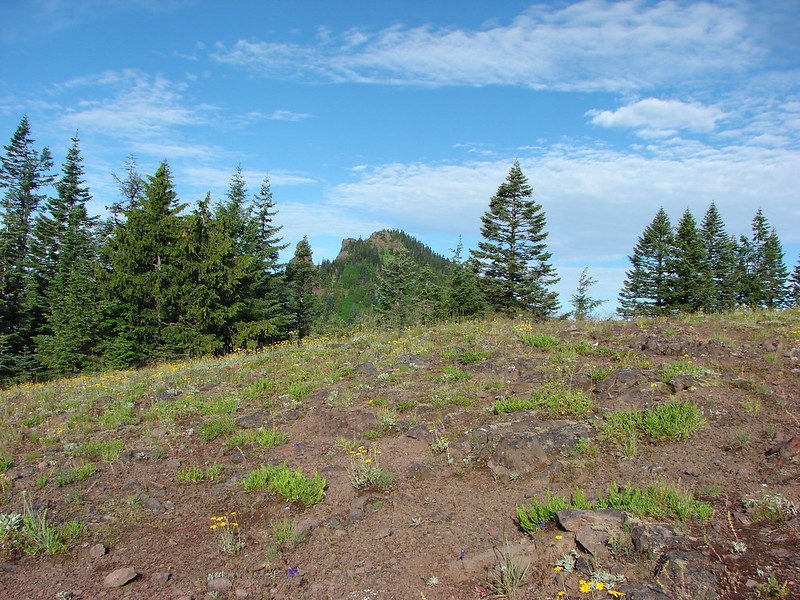
We set off on the wagon road through an old lava flow. The flow was old enough that the forest had had time to mature.


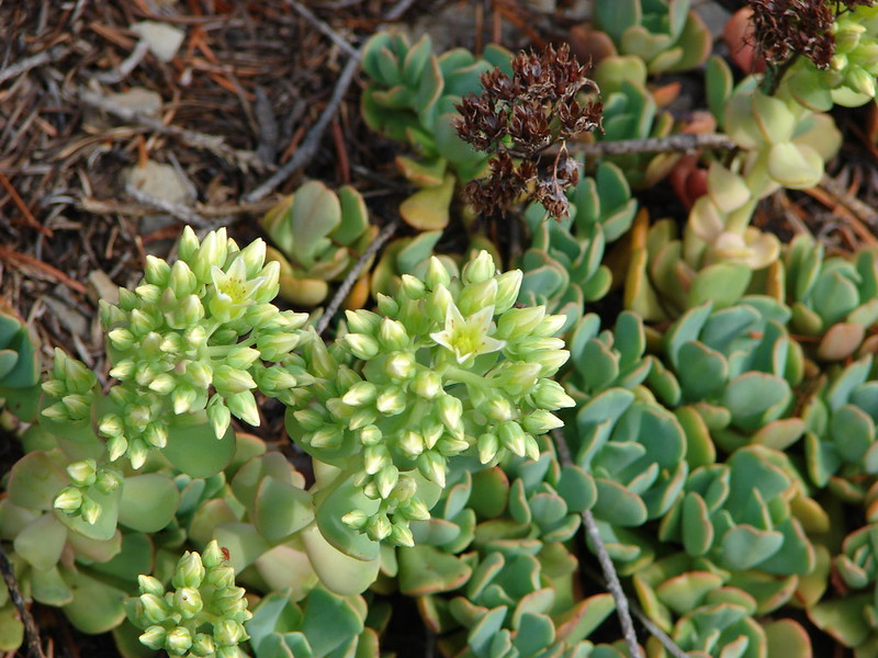
 Prince’s pine
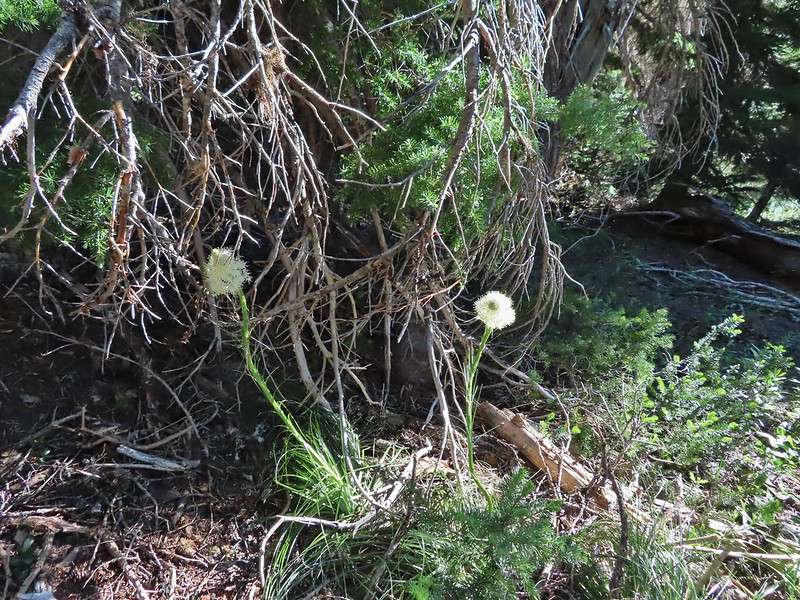
 Candystick
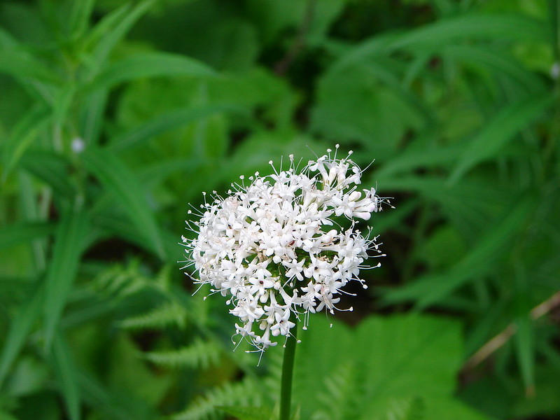
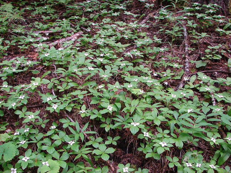
 Twinflower
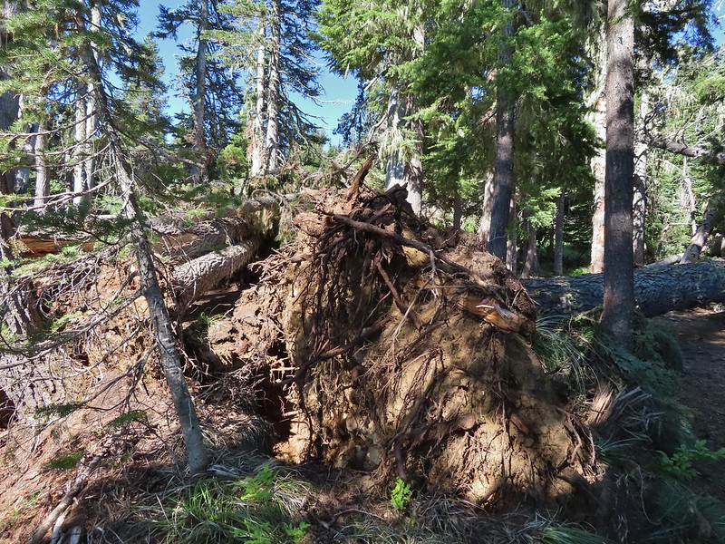
 Big uprooted tree.
The road climbed gradually from the trailhead for three miles to a crossing of Forest Road 2676.

 A carpet of vanilla leaf leaves.

 FR 2676
We jogged left on FR 2676 for approximately 50′ to a gate and the continuation of the Santiam Wagon Road.
 Despite the “Closed to all Motor Vehicles” sign it was obvious, and unfortunately not surprising, that some people feel they have a right to ignore anything they disagree with.
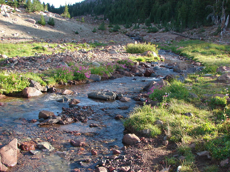
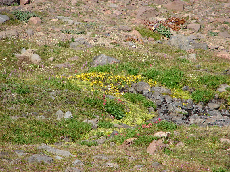
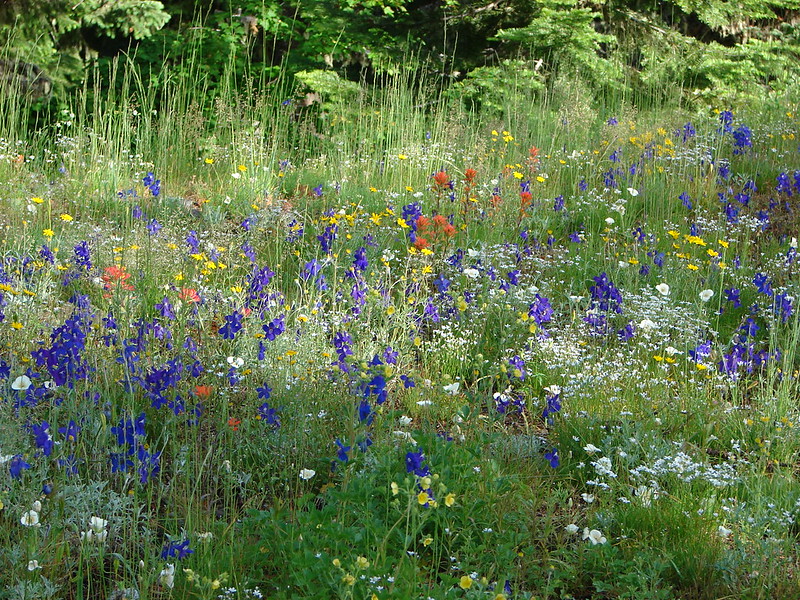
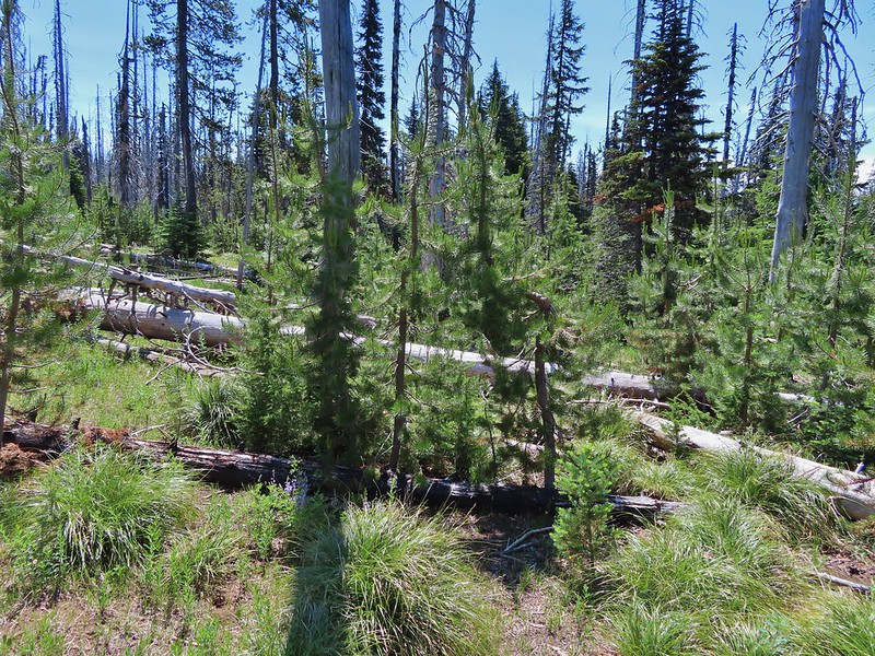
The road continued its gradual climb but the surface now was much sandier which required a bit more effort. The forest also changed from large fir trees to smaller lodgepole pine and snowbrush.
 More candysticks
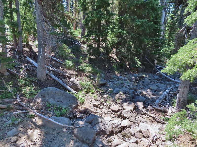
 The few sections that weren’t sandy consisted of lava rock.
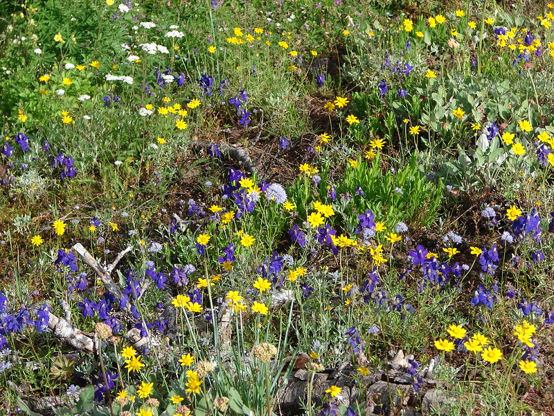
 Dwarf lupine
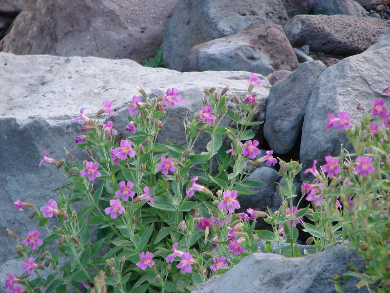
 Pussy paws
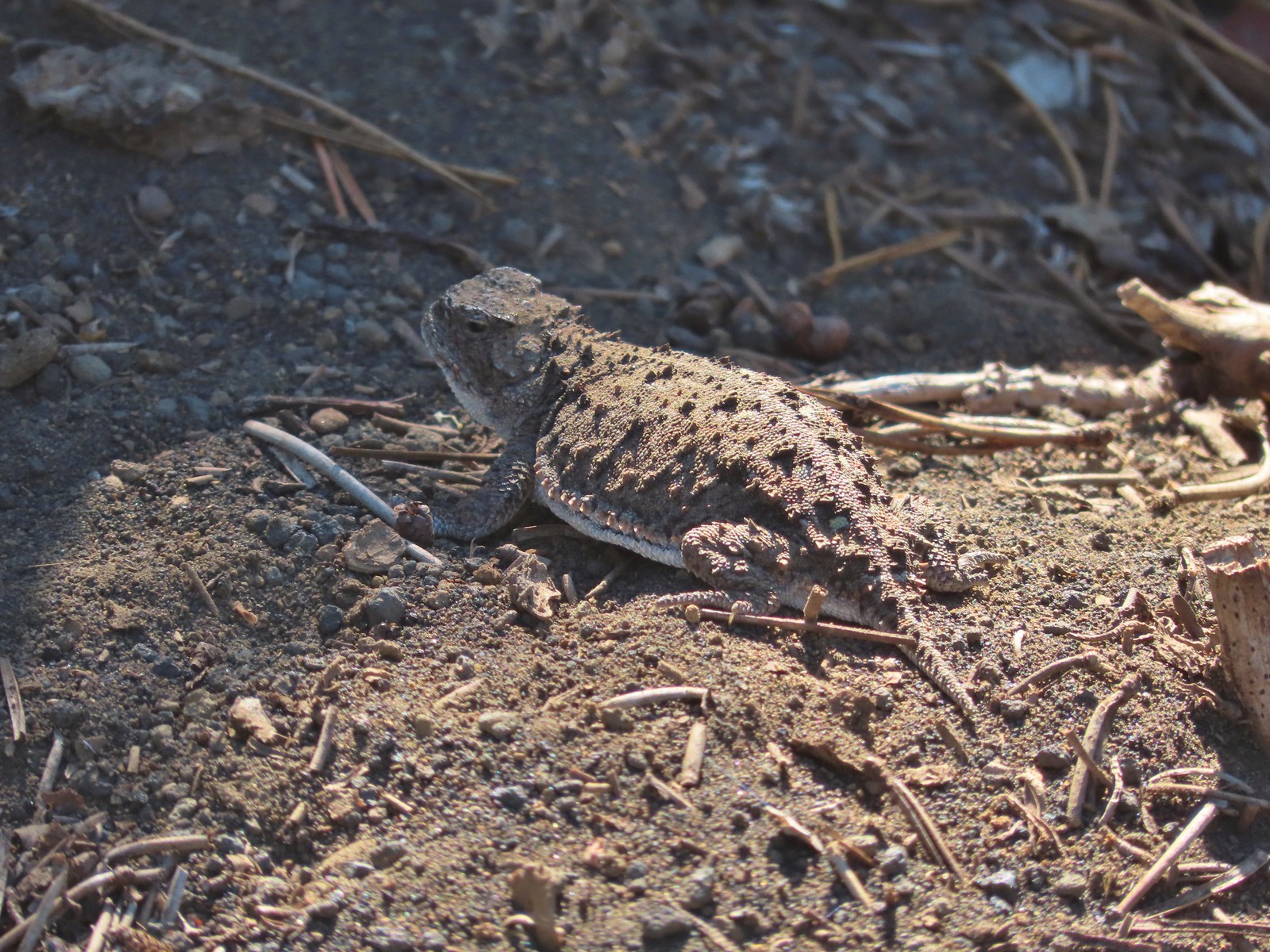
 Pygmy short-horned lizard next to a deer print.
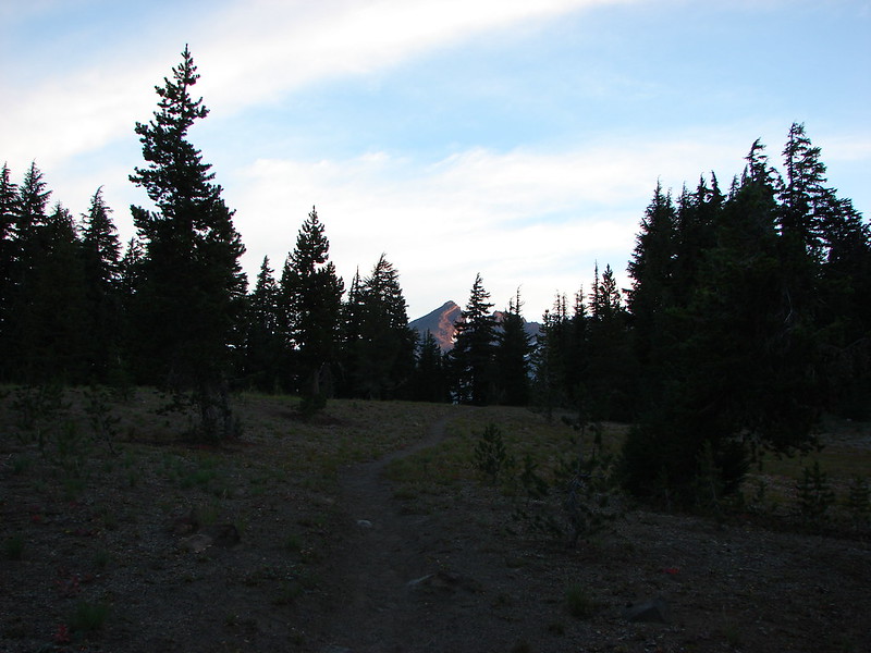
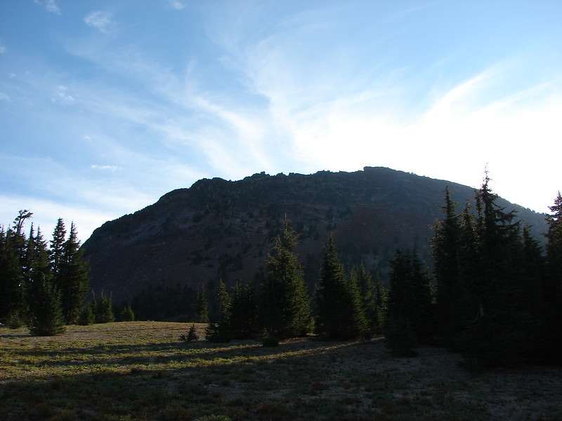
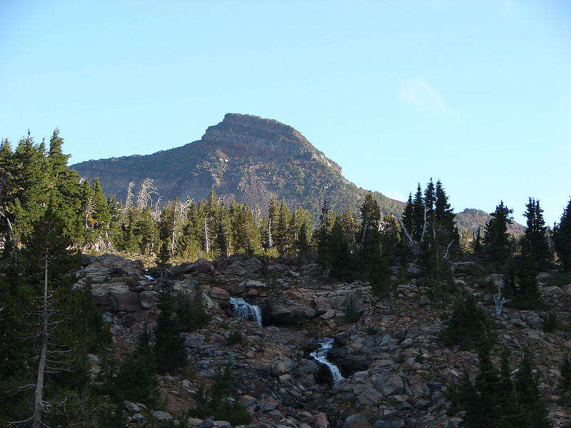
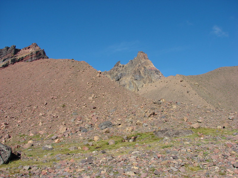
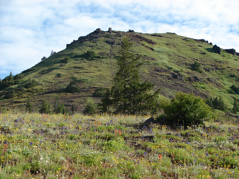
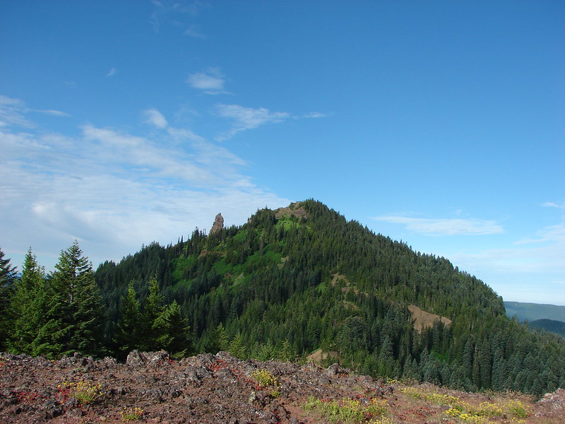
 Sand Mountain on the right.
 Another pygmy short-horned lizard
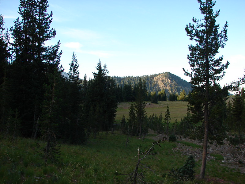
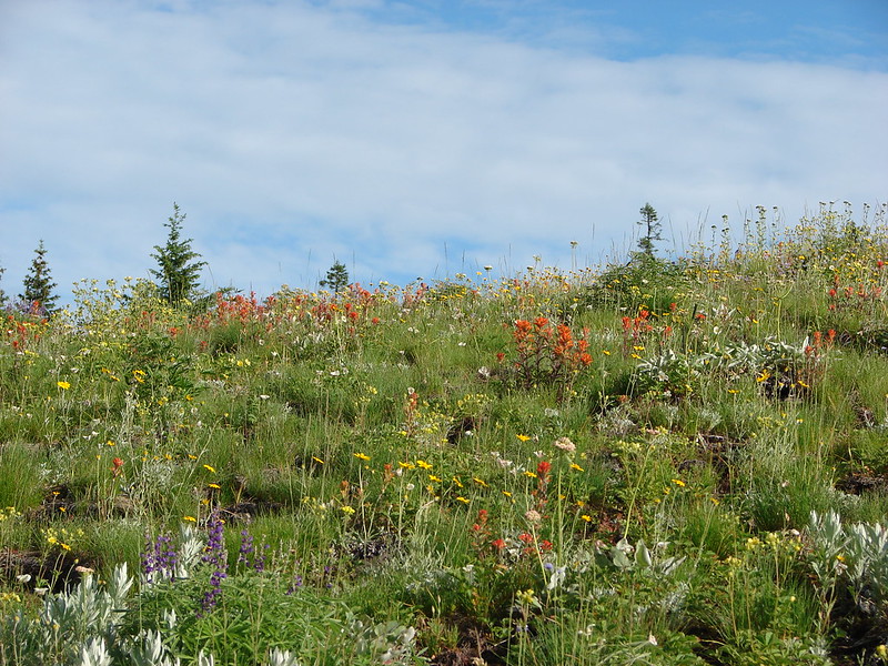
 Snowbrush lining the road with the northern end of Sand Mountain ahead.
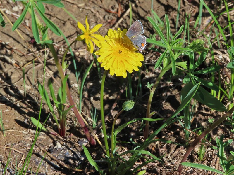
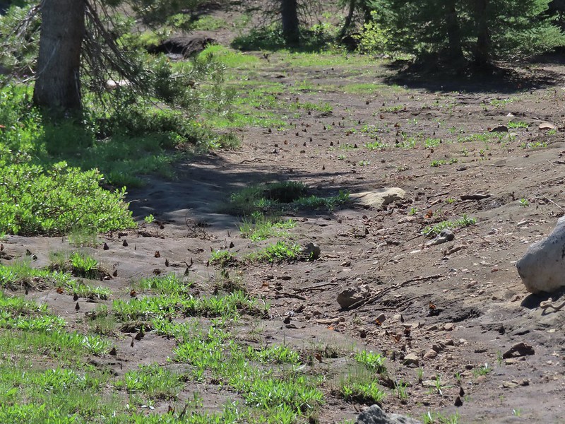
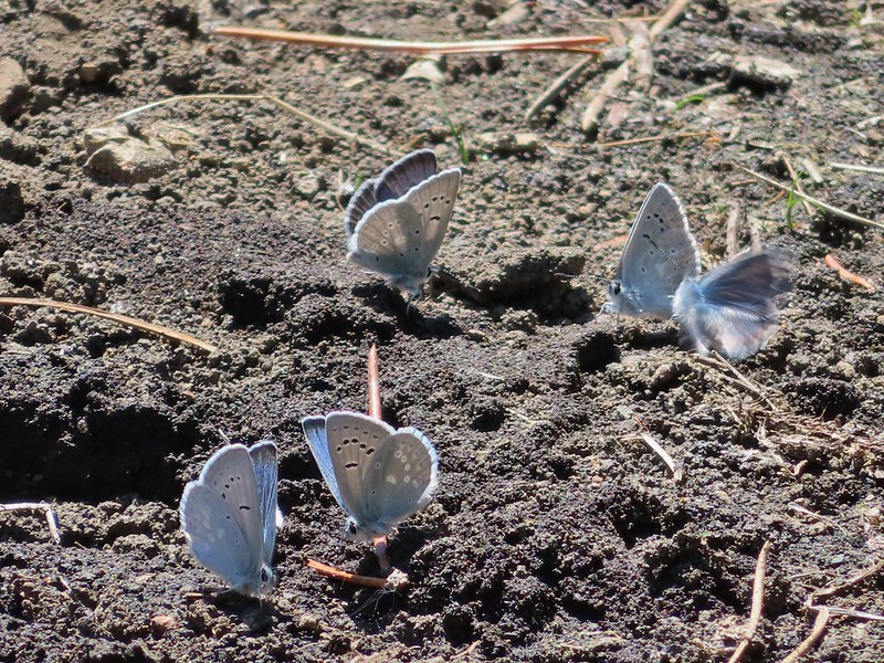
 Butterflies, including this hoary comma, and other pollinators love the snowbrush.
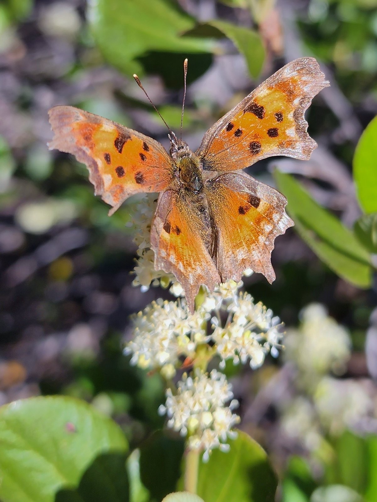 Hoary comma
Just over a mile and a half beyond FR 2676 we passed another gate at a junction with FR 890. Here the road is open to motorized vehicles as part of a large Santiam Pass OHV Trails network. The large amount of trails/roads open to these types of vehicles in the area made their usage on the closed section of the Santiam Wagon Road even more annoying.


We followed this portion of the road for 0.4-miles to the gated road to Sand Mountain.
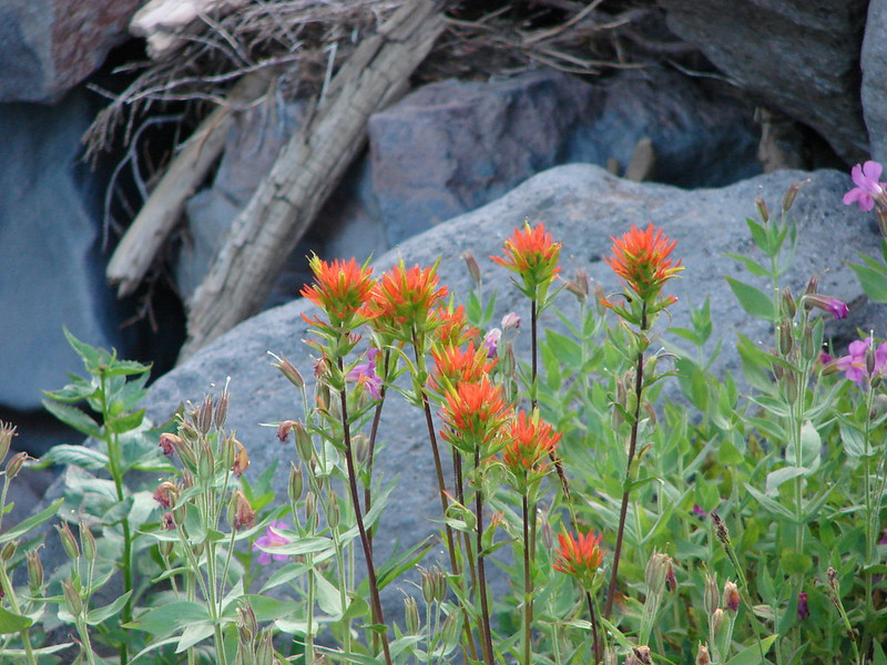
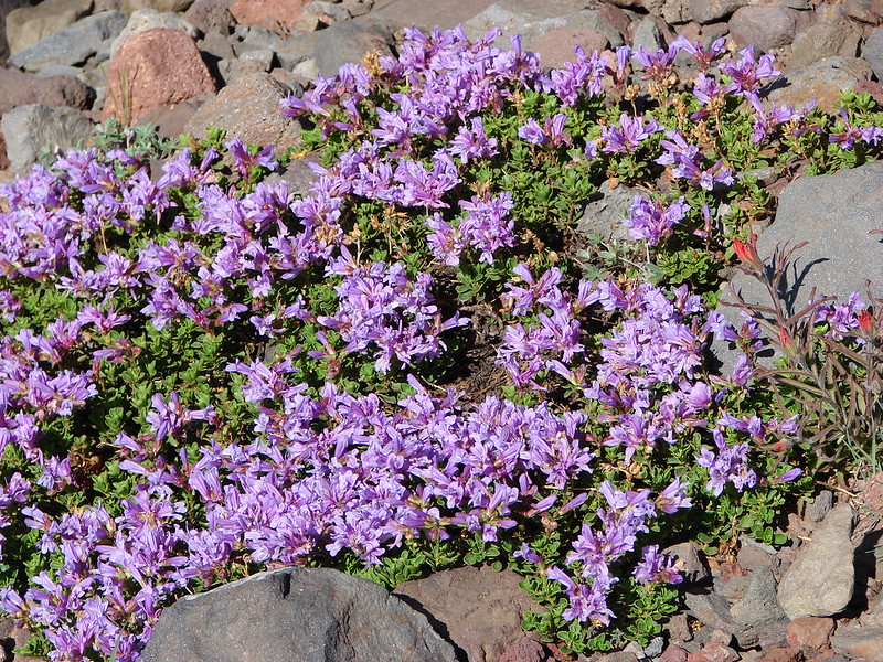
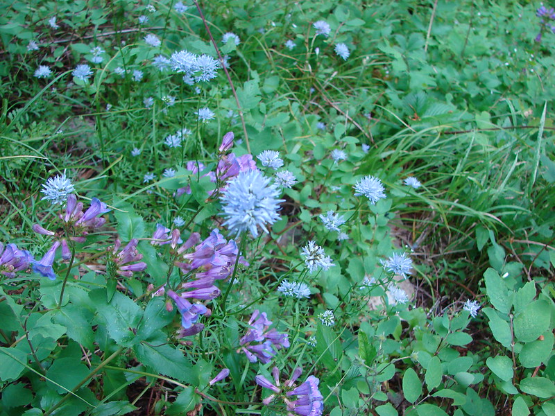
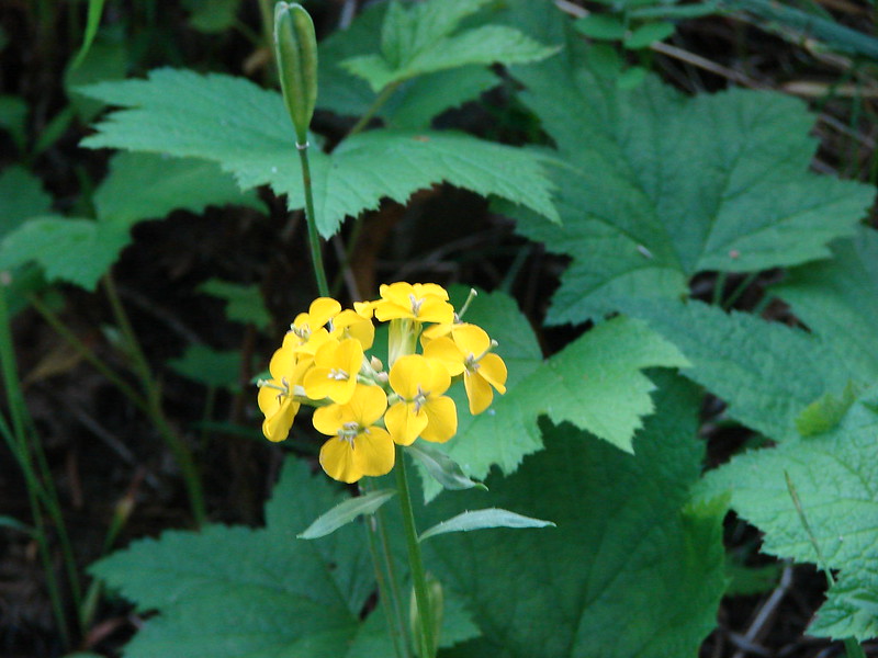
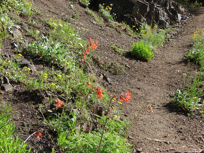
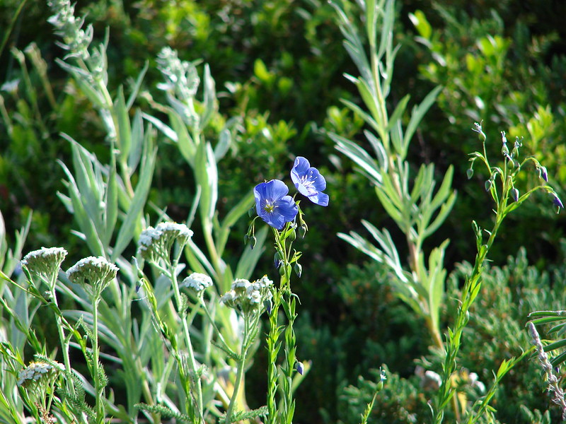
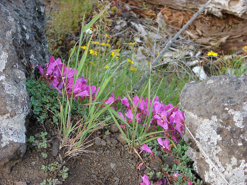
 Penstemon
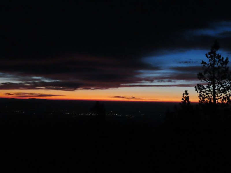
 The Moon over Sand Mountain.
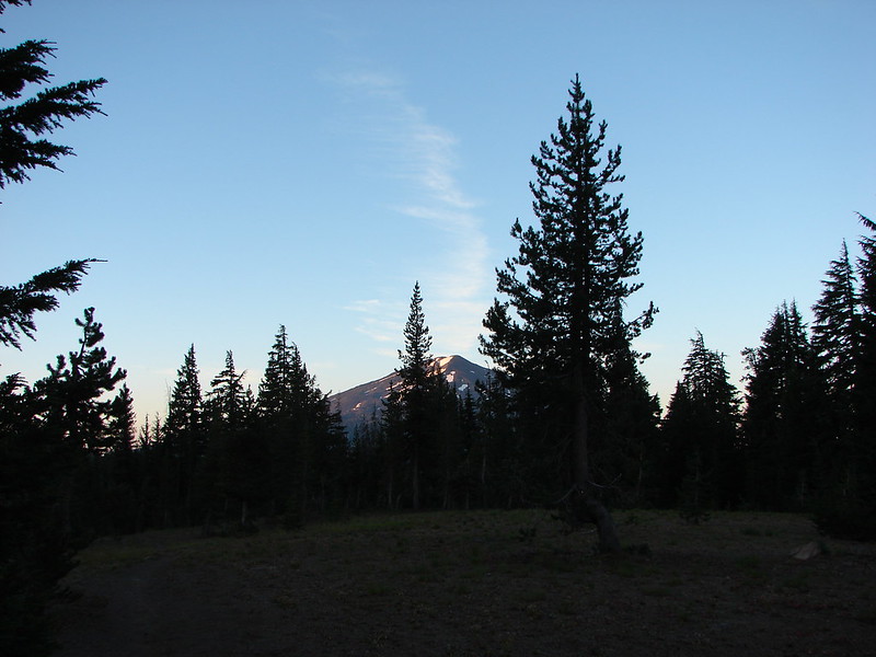
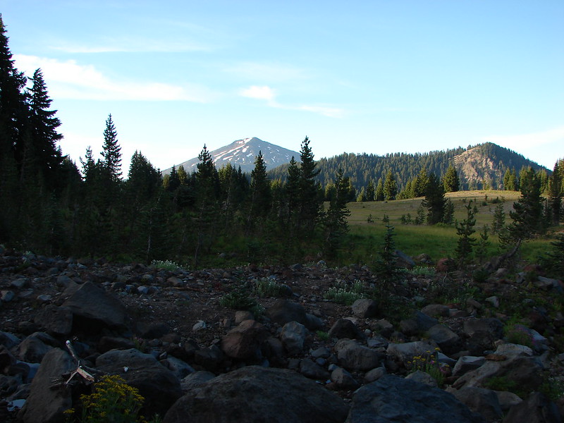
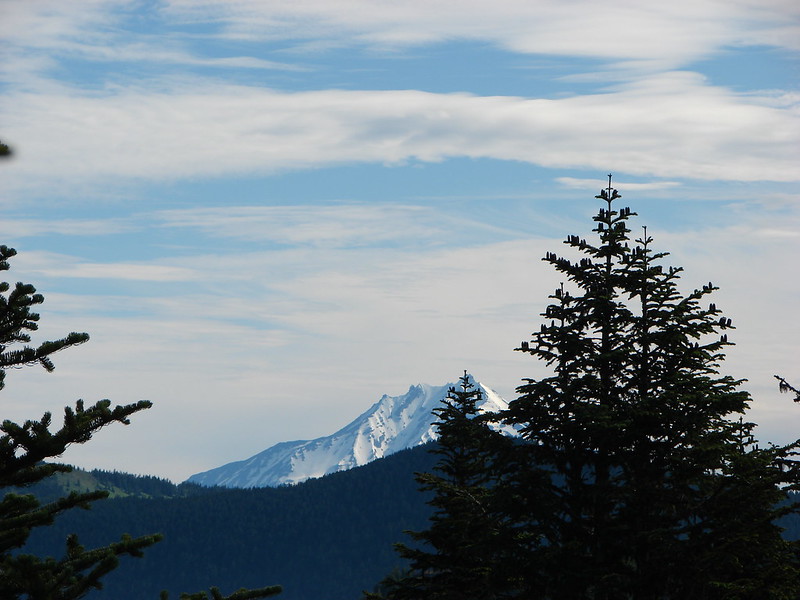
 Mt. Washington
 Sign and gate at the road to Sand Mountain.
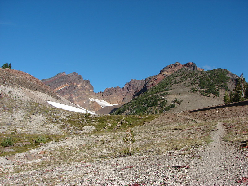
We followed this road uphill for a mile and a half to a parking area between Sand Mountains two craters. As we climbed the surrounding peaks came into view.

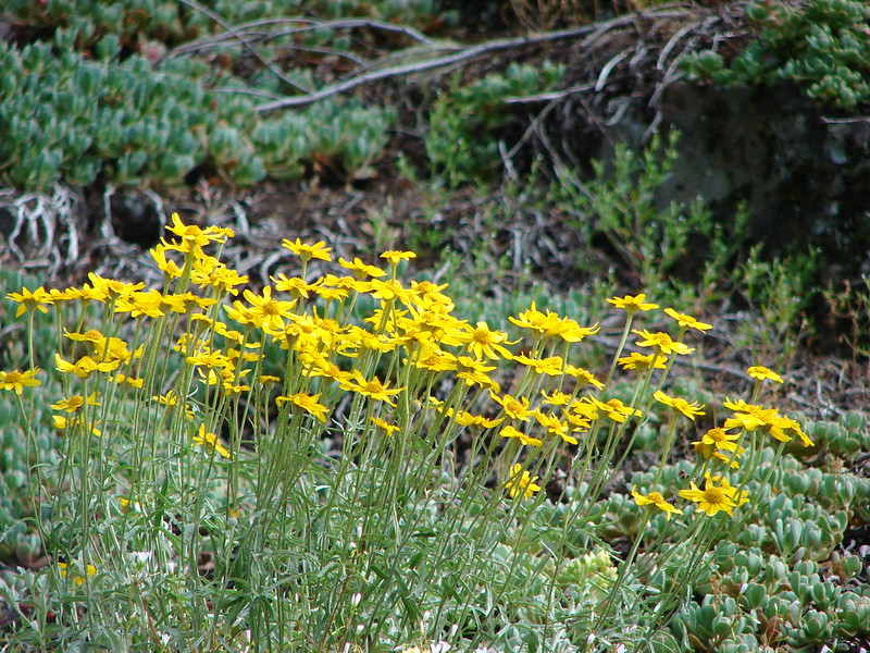
 Buckwheat
 More snowbrush
 California tortoiseshell
 The Sand Mountain Lookout from below.
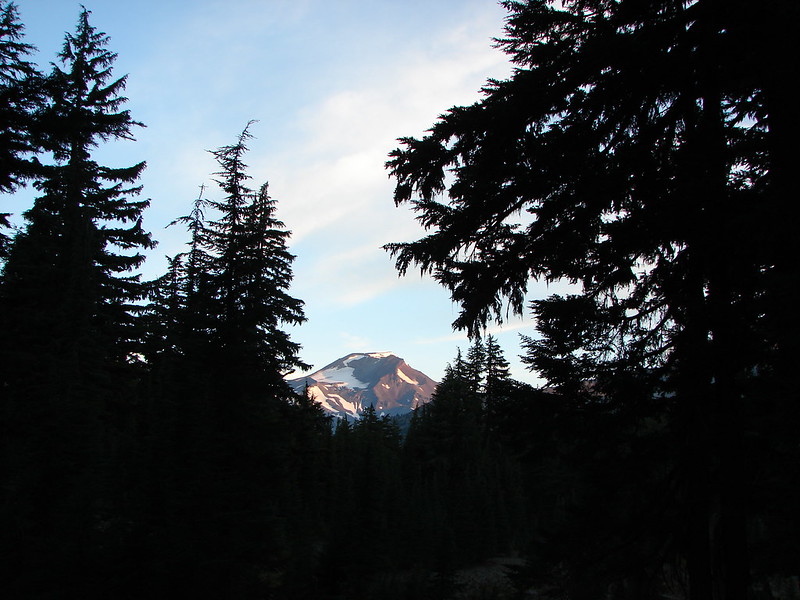
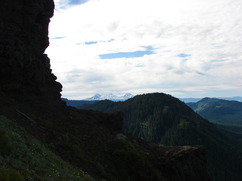
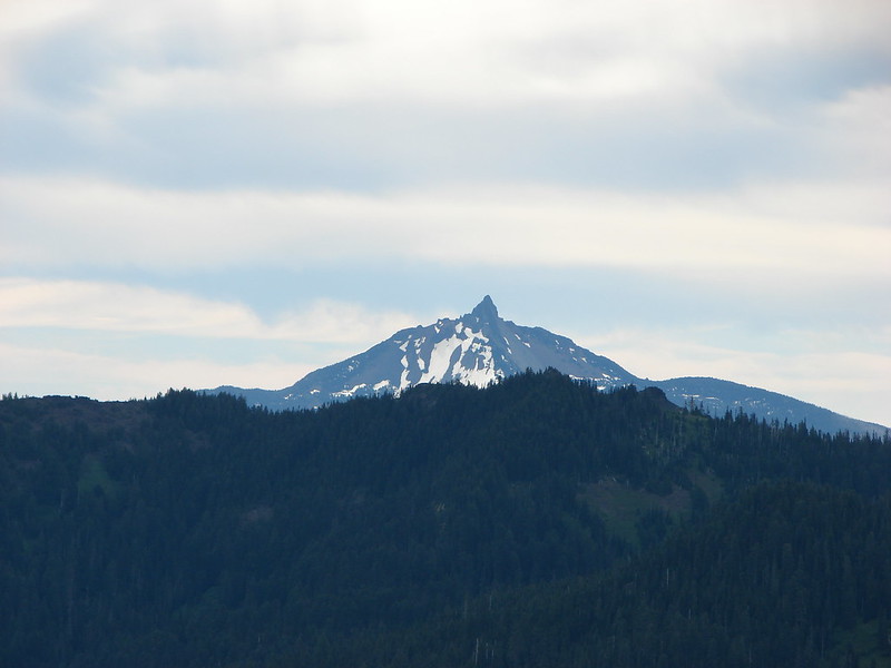
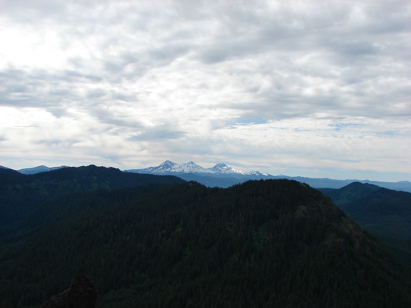
 Mt. Jefferson and Three Fingered Jack
 Mt. Washington and the Three Sister
 Western swallowtail
 The Three Pyramids(post), Scar Mountain & Trappers Butte(post), and Coffin & Bachelor Mountains (post).
 Echo Mountain & North Peak to the left and Crescent Mountain(post) to the right.
 Browder Ridge (post) to the center-left, Iron Mountain center, and South Peak, Cone Peak, Echo Mountain & North Peak to the right.
 Lorquin’s admiral

From the parking area we followed the lined trail uphill for 0.4-miles to the staffed Sand Mountain Lookout.

 Mt. Washington (post), Belknap Crater (post), and the Three Sisters.

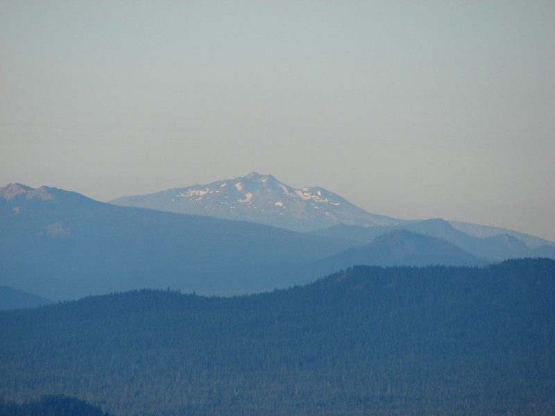
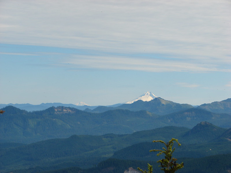
 Maxwell Butte (post), Mt. Jefferson, and Three Fingered Jack.
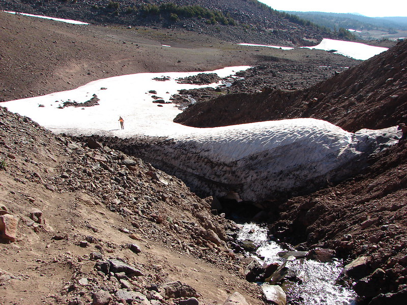
 Just a bit of snow left on the North facing slope.
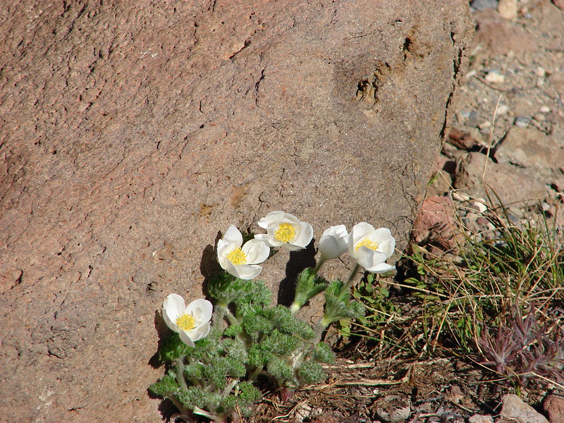
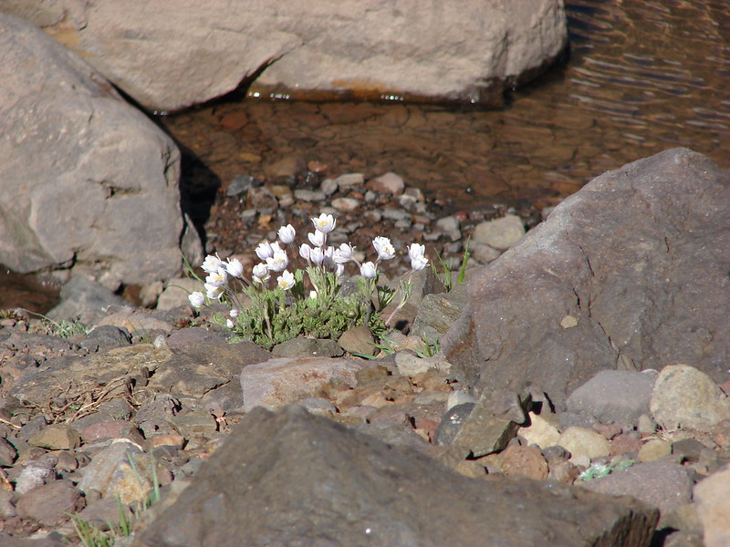
 Western pasque flower
 It’s very faint but the top of Mt. Hood was visible over the lower left shoulder of Maxwell butte.
 Penstemon

 Belknap Crater, the Three Sisters, The Husband, Scott Mountain (post), and Diamond Peak (post) in the distance.
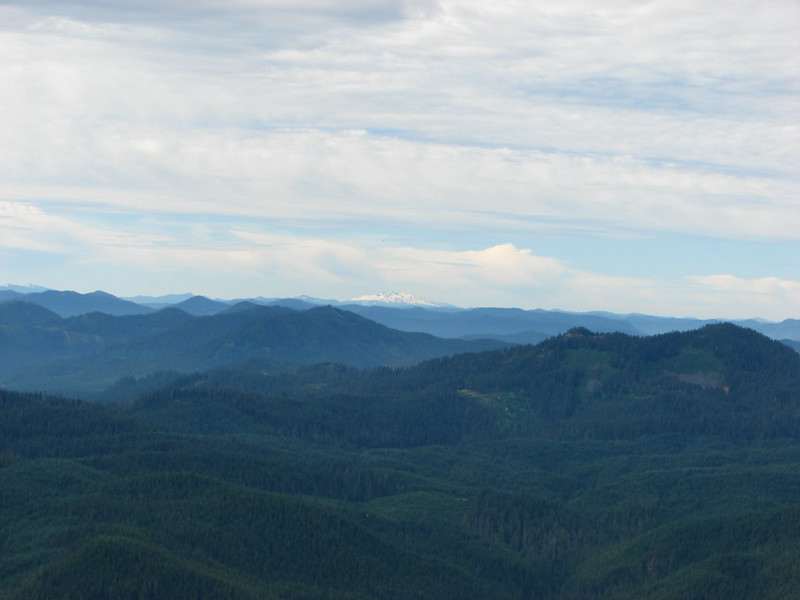
 Zoom of Diamond Peak. The round looking hump in front is Fuji Moutain (post).

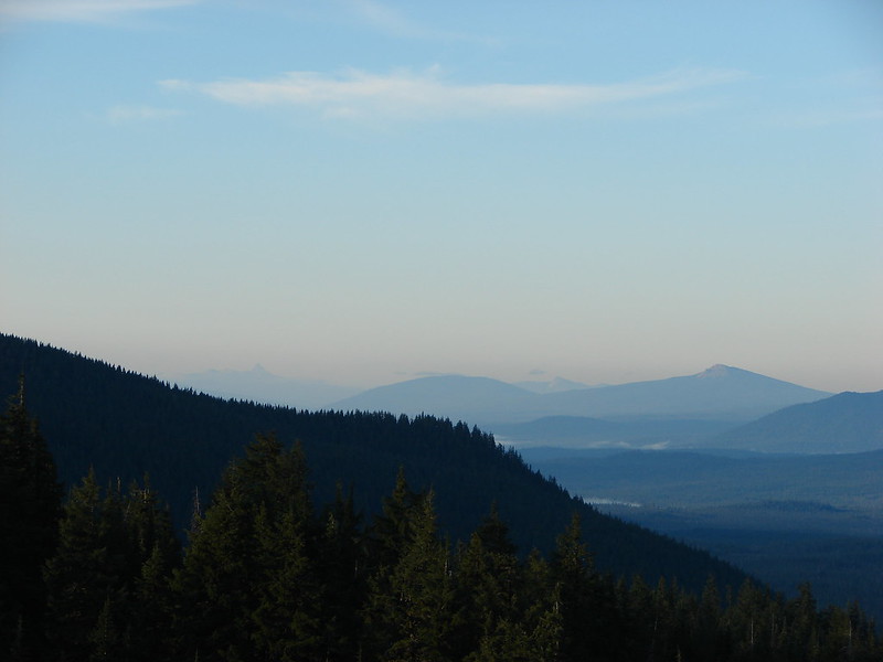
 Hoodoo and Hayrick Buttes, Black Butte (post), and Cache Mountain.
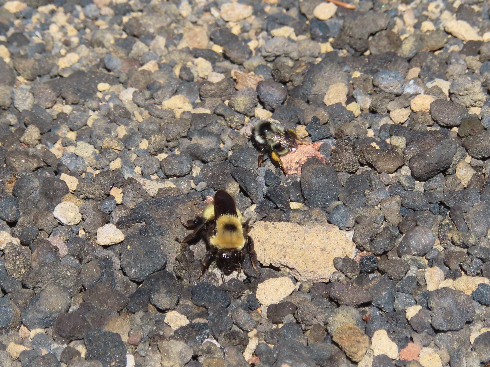 There were quite a few bumblebees at the summit interested in the rocks in this area.
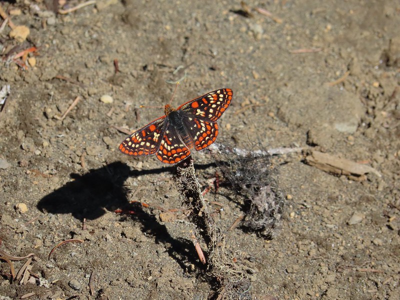
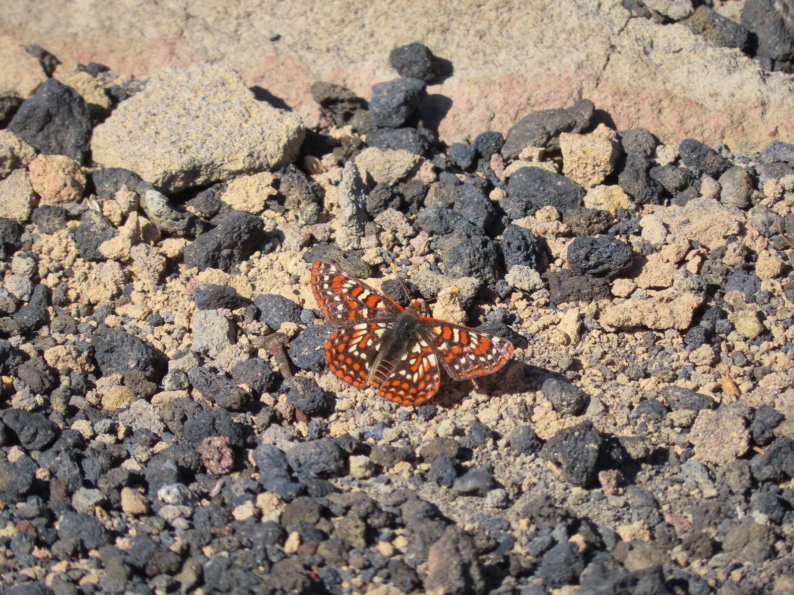 This Edith’s checkerspot joined the bees for a moment.
We stopped to talk to the current staffer who said it was the nicest morning he’d seen in almost a week. The amount of smoke/haze was indeed much less than we’d experience on the 4th at Rocky Top (post). Before continuing on we confirmed with him that the loop around the crater was still open to hiking and he said it was and also suggested that we take the closed road back to the parking area instead of looping all the way around back to the lookout. His reasoning was that the last climb up to the lookout was a bit of a scramble. On our previous visit we had actually gone down that section as we had done the loop counterclockwise. We planned on a clockwise loop this time so we thanked him and kept the road return open as an option.
 Viewpoint below the lookout.
 The lookout from the viewpoint.
 Not sure if this is an aster or a fleabane.
 The trail getting ready to drop down to a saddle. The peaks from right to left are: Browder Ridge, Twin Buttes, Latiwi Mountain, Wildcat Moutain, Tidbits Mountain (post), Bunchgrass Mountain, and Carpenter Mountain (post) followed by an unidentified ridge on the left.

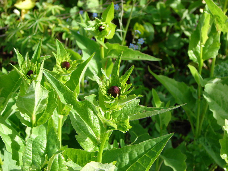
 We were a little surprised to find these broomrape hiding in this silverleaf phacelia.

 Drummond’s anemone
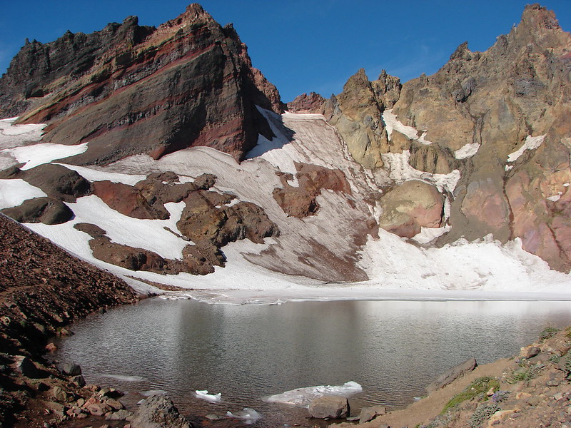
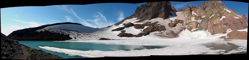
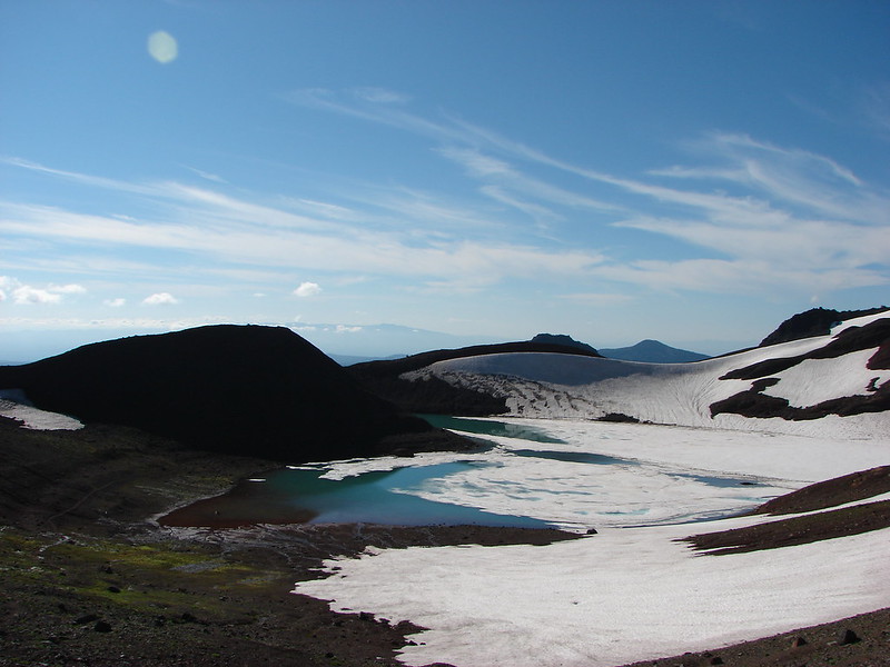
 Look into the crater.

 A couple of penstemon blossoms with the Three Sisters in the background.
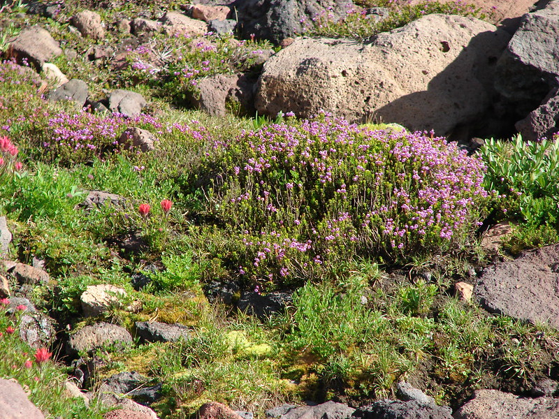
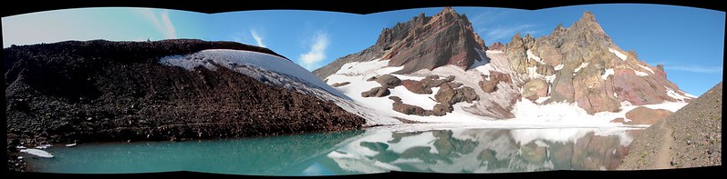
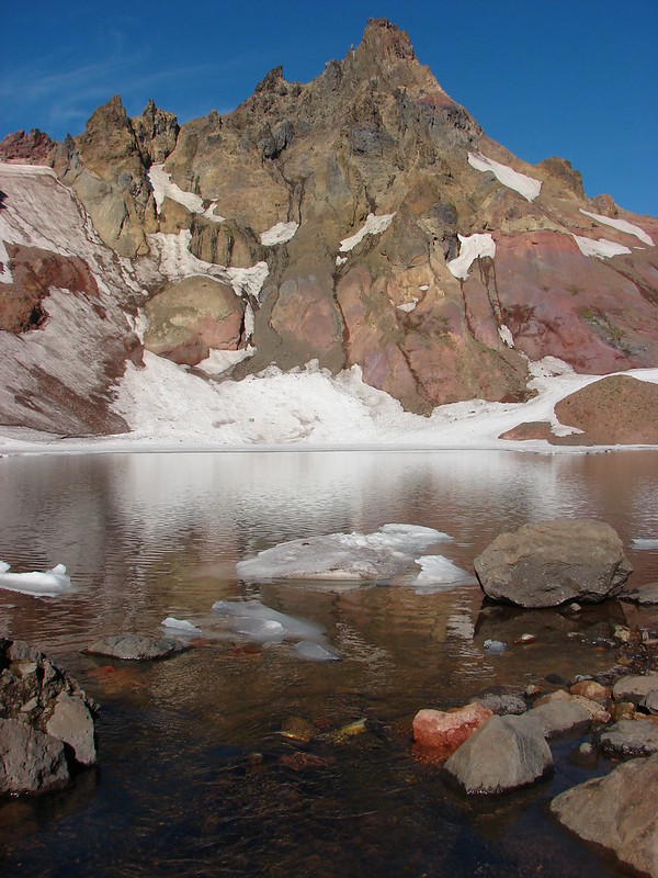
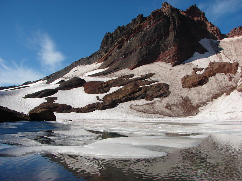
 The colors around the crater add to the scenery.

 Pyrola of some sort.

 Starting the steep climb back toward the lookout.
 View from the roadbed. We opted to do as the lookout staffer suggested and follow the road back down toward the parking area instead of back up to the lookout.

 There was one good sized snow drift left encroaching on the road.
The forecast had said there was a slight chance of showers starting at Noon with another slight chance of thunderstorms in the afternoon beginning at 2pm. Aside from some clouds to the over Central Oregon to the East and one or two strays over Mt. Washington the sky remained was still clear as we headed back.
 This little cloud wasn’t much of a threat.
 If anything the views had improved now that Sun was more directly overhead.

Not long after we’d started back down the road from the parking area we spotted another hiker on her way up. It would be the only other hiker we’d see on the roads/trails all day and it turned out to be one of the strangest coincidences we’ve ever experienced. On the drive to the trailhead that morning we were having a discussion about how often we wind up doing a hike just days before or after we see one of the other hikers we follow doing the same hike. There have also been numerous times where we find out after a hike or trip that we were in the same area or even the same trails at the same time but somehow missed each other. The only person we have run into more than once is Cheryl Hill (Just Peachy), once during a 2015 hike in Jefferson Park (post) and the other near Table Lake in 2018 (post). After the whole conversation that morning we were pleasantly surprised to find it was again Cheryl. This was her first visit to this lookout and she mentioned that it would be her 91st. She is currently working on visiting all of the standing lookouts in Oregon a project that we find very interesting. We had a nice conversation then headed our respective directions.
On the way back there were somehow even more butterflies vising the snowbrush.
 A checkerspot
 A hairstreak
 Three Fingered Jack and Hoodoo Butte
 Three Fingered Jack. Note the climbers trail on the slope to the right.
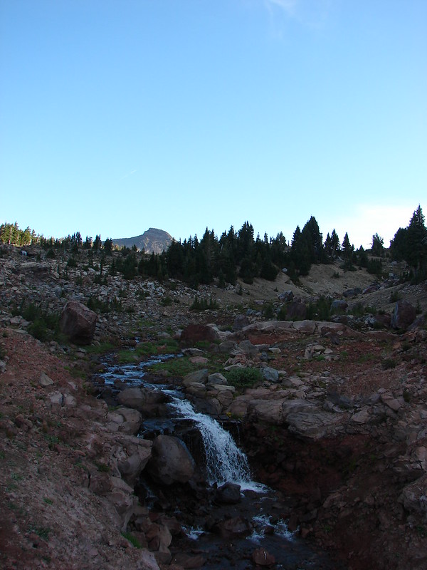
 Ash in the basin below Sand Mountain.

 Pussy paws
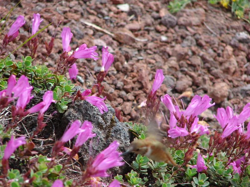
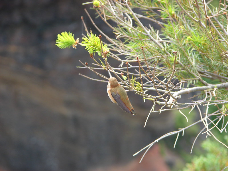
 Female western tanager
 Moth
Moth
 Snake in the trail.
 The snake retreated to a nearby log when we approached.
 Back in the forest.
 This moth blended with the nearby fungus.
I had contemplated hiking the McKenzie River Trail down to Clear Lake (post) prior to returning to the car but that was before I knew how far our hike to Sand Mountain was going to be. The hike turned out to be 14.7 miles with 2500′ of mostly gradual elevation gain.

We have this section of the McKenzie River Trail on our to-do list so we decided to wait until then and retuned to the car to prepare for the drive home.
Although it was a little longer hike than we’d planned it was a good hike and not particularly difficult. The location of the lookout between the High Cascades and Old Cascades provides excellent views and the crater is an interesting feature. Add in the history of the Santiam Wagon Road with the solitude we experienced and you’ve got a really nice day. Happy Trails!


 Mt. Bachelor
 The Three Sisters and Broken Top
 Mt. Bachelor via the Nikon.
 Heather watching the show taken with the Canon.
 The Three Sisters with the Canon.
 Canon
Canon Nikon
Nikon Mt. Bachelor (
 Canon shortly before the Sun became visible.
 Canon shortly before the Sun became visible.
 The Three Sister just before sunrise with the Nikon.
 The Three Sister just before sunrise with Heather’s phone.
 Canon moments before sunrise. A line of wildfire smoke on the horizon gave it a red tint.
 Canon
Canon Canon catching the Sun.
 Canon
Canon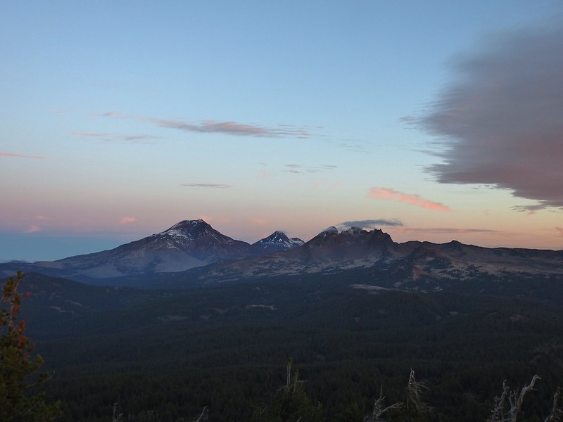 The Three Sisters and Broken Top (Nikon)
 South Sister (
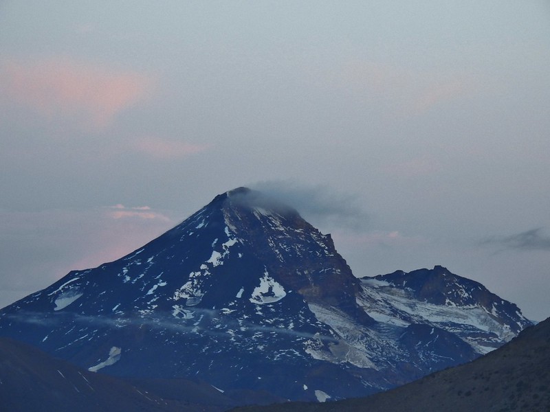 Middle and North Sister (Nikon)
 Broken Top (
 Aline glow hitting the mountains. (Canon)
 South Sister (Canon)
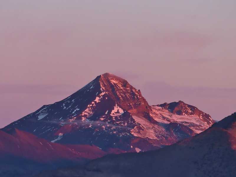 Middle and North Sister (Canon)
 Broken Top (Canon)
 Mt. Bachelor (Canon)

 Mt. Scott to the left and Mt. Thielsen to the right.
 Grouse
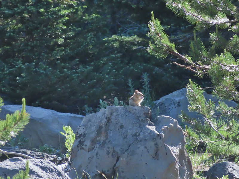
 Chipmunk
 Mt. Bachelor as we arrived back at the snow-park.


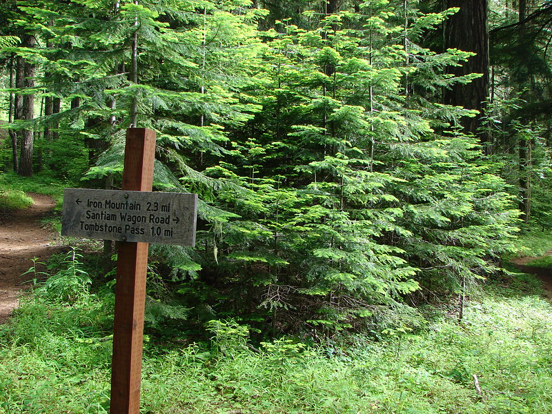
 Trail sign at the junction on 10/13/2012.
 Trail sign at the junction on 07/03/2021.
 Entering the Mt. Jefferson Wilderness in 2012 (0.3 miles from the TH).
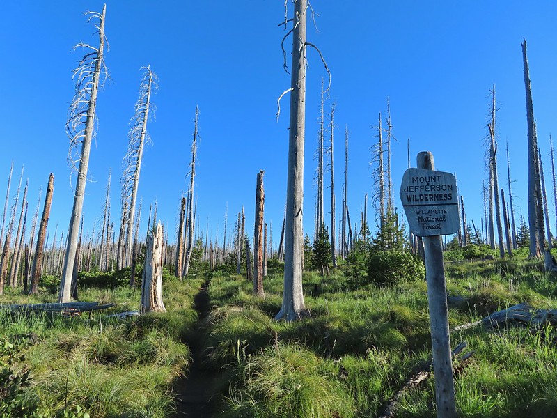 Entering the wilderness in 2021.
 Cache Mountain, Black Crater (post), Tam McArthur Rim & Broken Top (post), North & Middle Sister, Mt. Washington, and Hayrick Butte (flat top on the right).
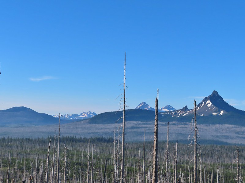

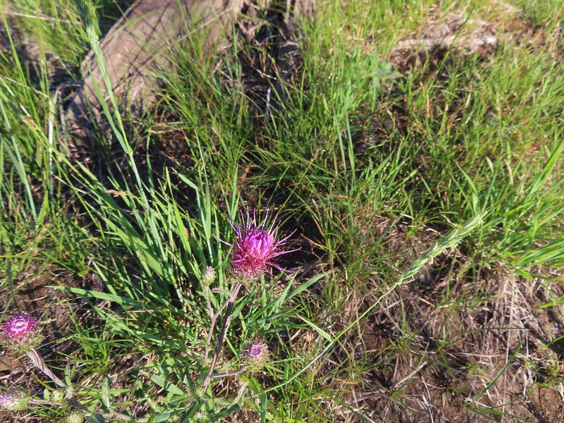 A thistle
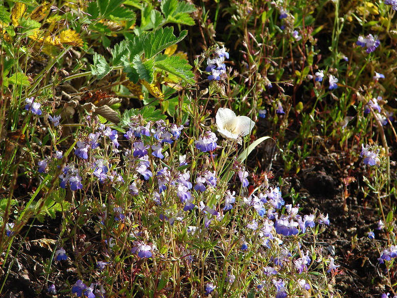
 Penstemon
 Bleeding heart
 Pussytoes
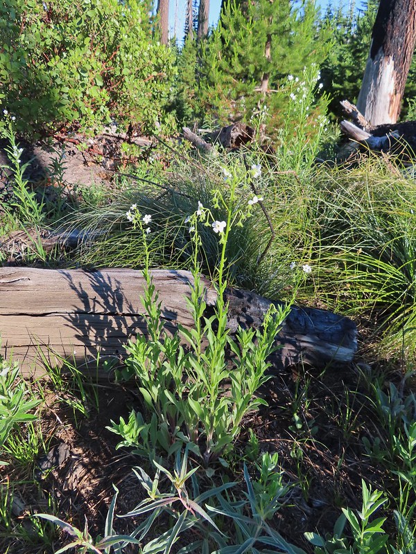 California stickseed
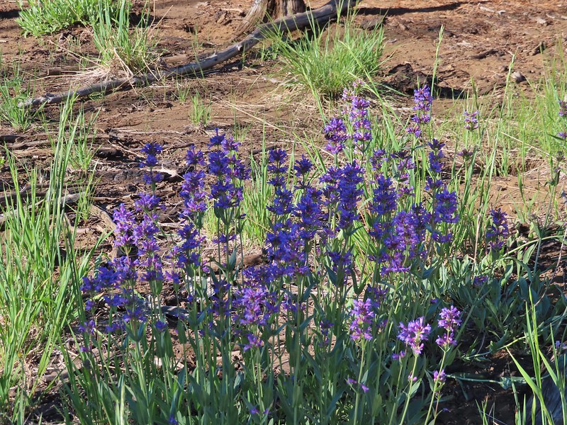 Another penstemon
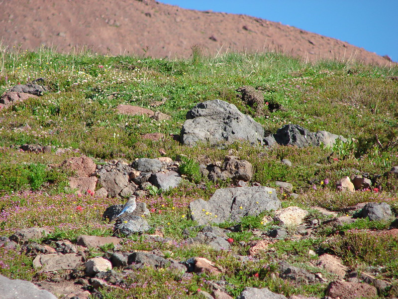
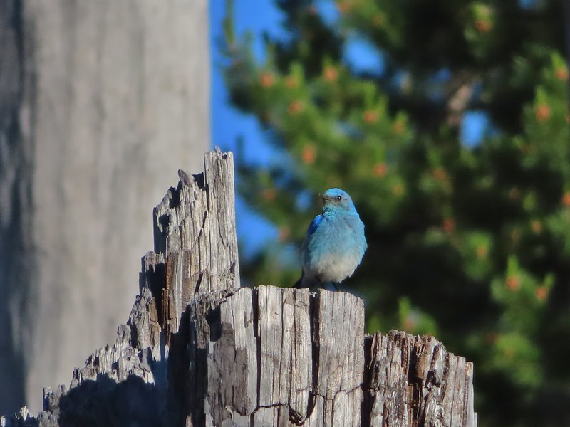 Mountain bluebird by the lake.

 There was a good amount of scarlet gilia blooming along this section of trail.
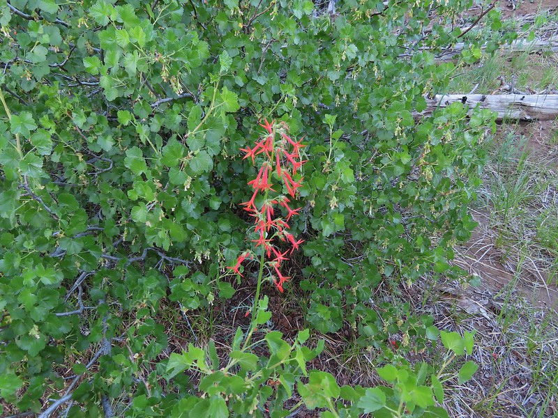
 Three Fingered Jack
 One of the ponds.
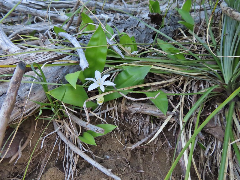 Queen’s cup
 Another pond with Maxwell Butte (
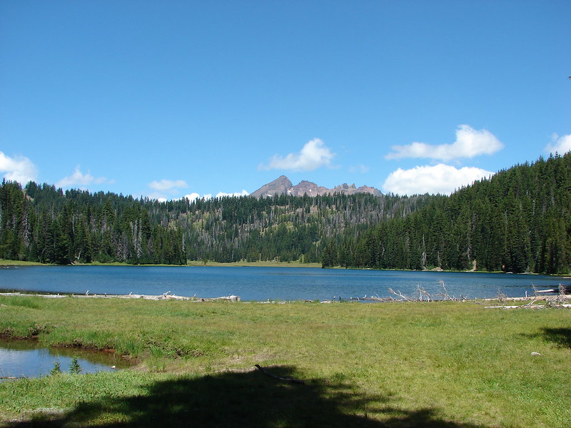
 Unnamed lake along the trail with Maxwell Butte behind.
 Lupine
 Dark-eyed junco
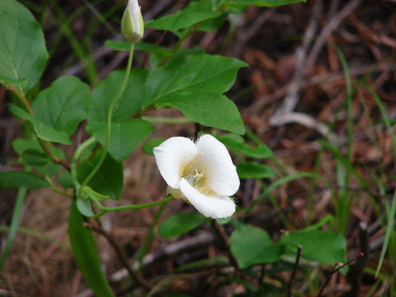
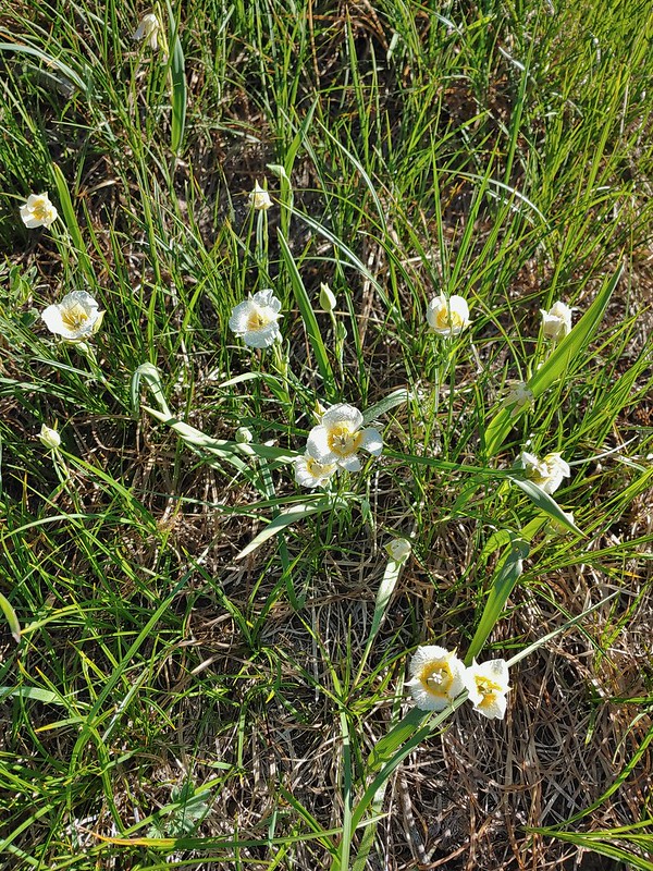 Sub-alpine mariposa lilies
 Woodpecker
 The view south.


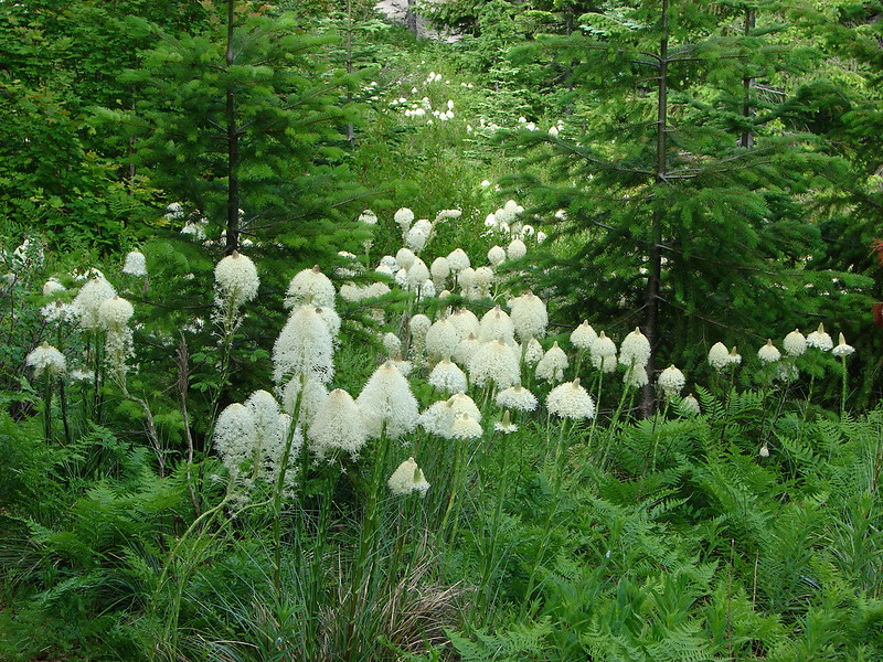
 Beargrass
 Recent snow melt is another recipe for mosquitos.
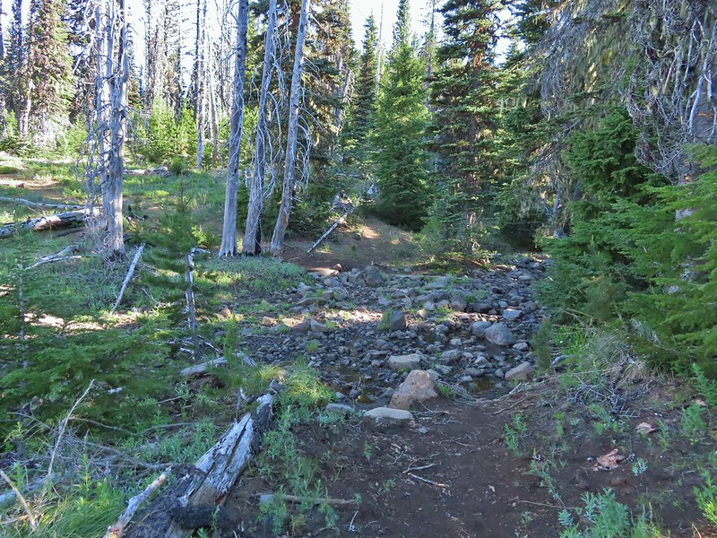
 Another creek crossing.
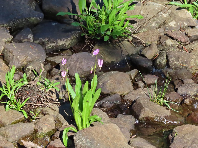 Shooting star
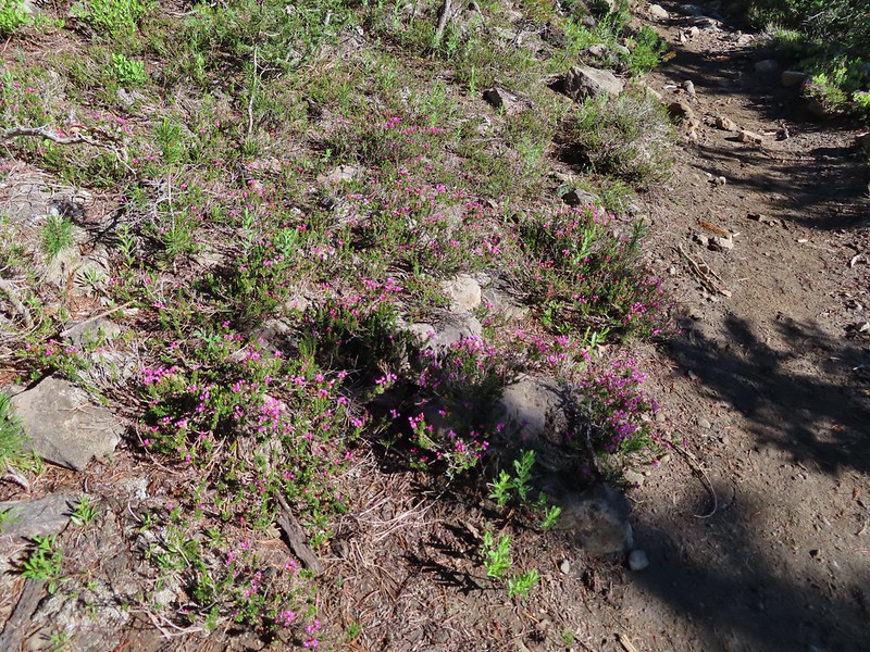 Mountain heather. Typically if we see this blooming we expect there to be mosquitos.
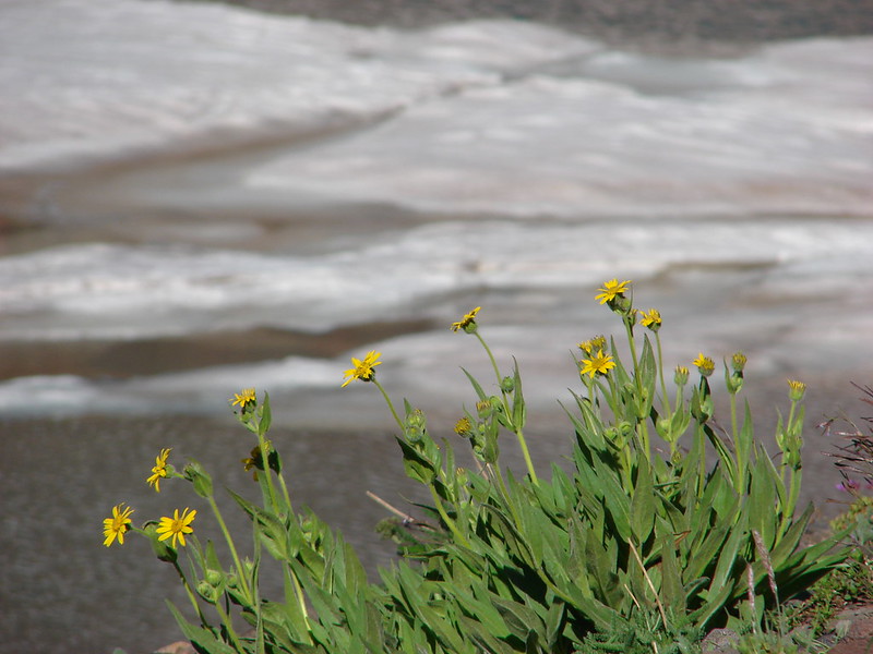
 A sulphur
 Alpine false dandelion
 One of several snow patches at the tree line.
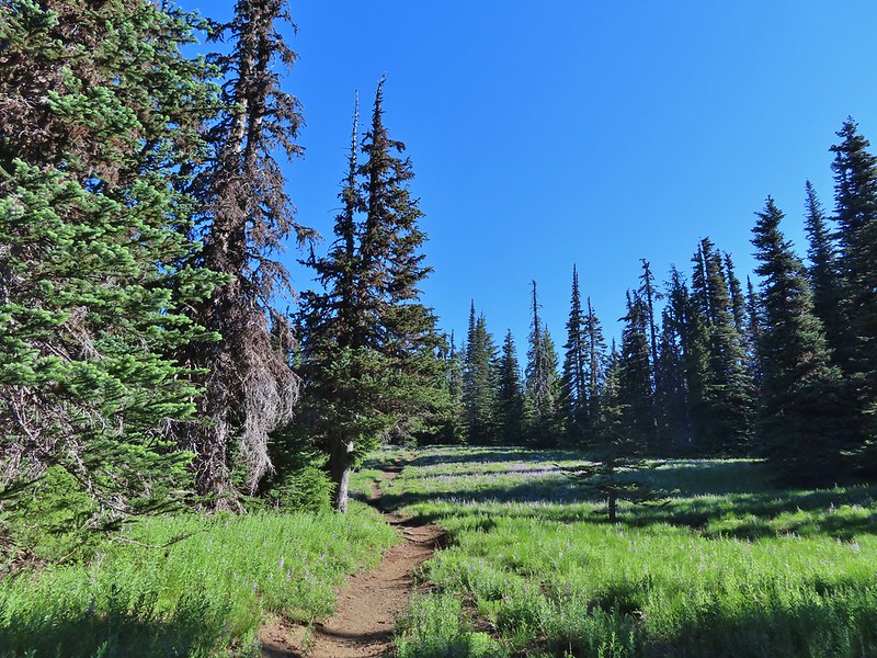
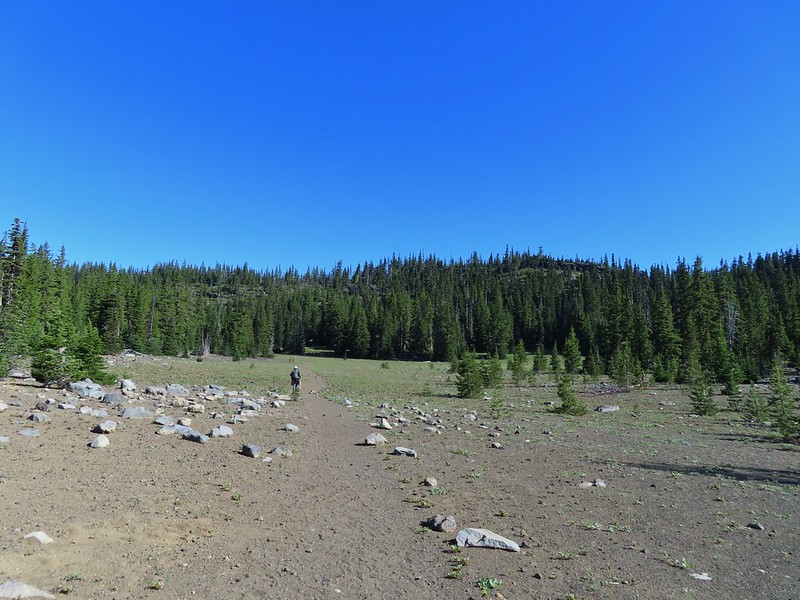 Nearing the end of the opening.
 More snow in the trees.
 A checkerspot
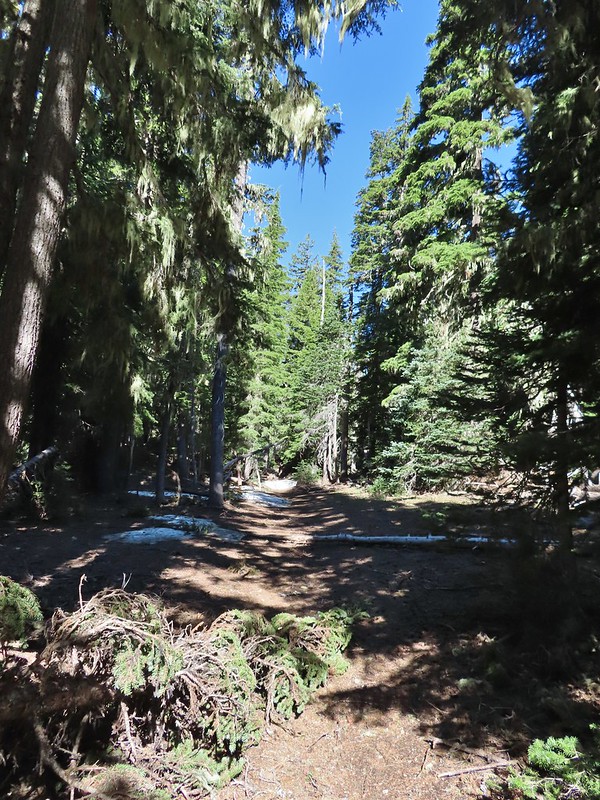
 Trees & melting snow = more mosquitos.
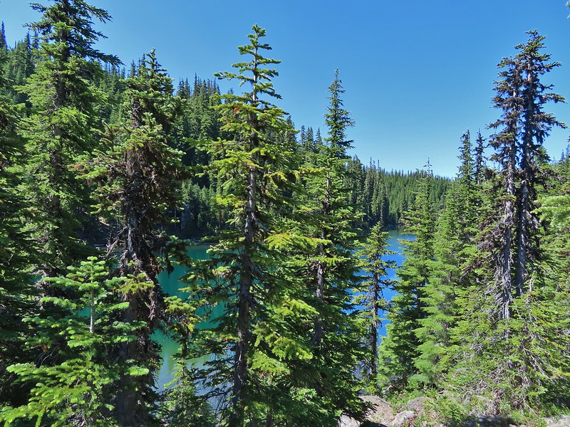
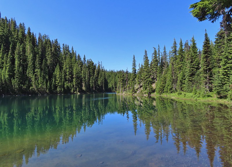
 Not Santiam Lake but a very pretty unnamed lake just to the left of the trail approximately 0.4 miles from Santiam Lake.
 Not sure what type this is but the orange on the wing was pretty.
 Mt. Jefferson behind Red Butte
 Duffy Butte on the left.
 Three Fingered Jack
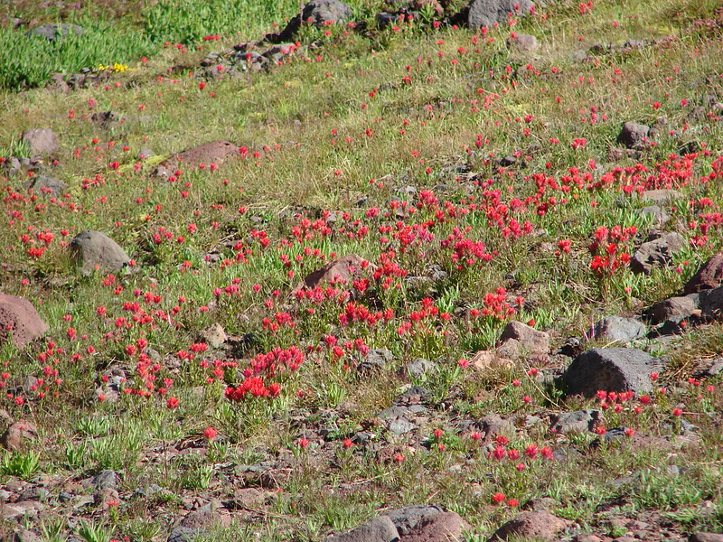
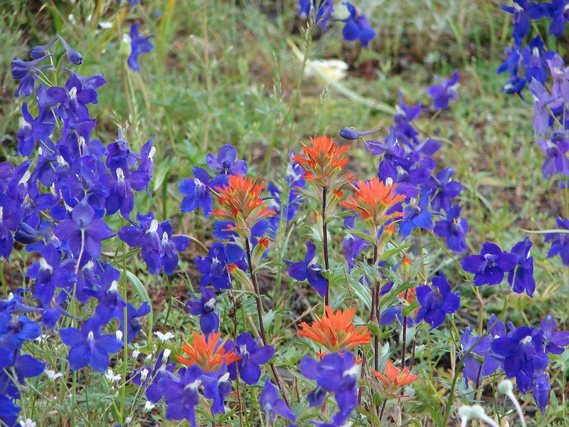
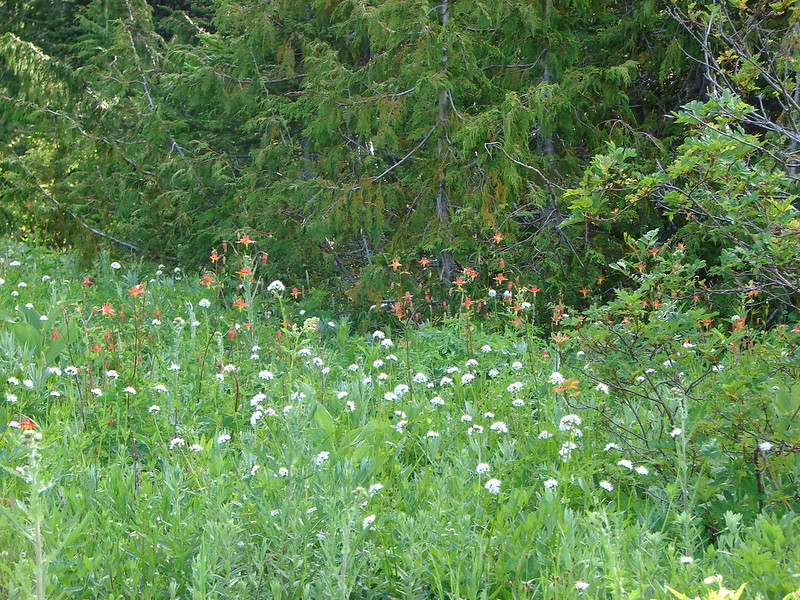
 Paintbrush, shooting stars, and buttercups.
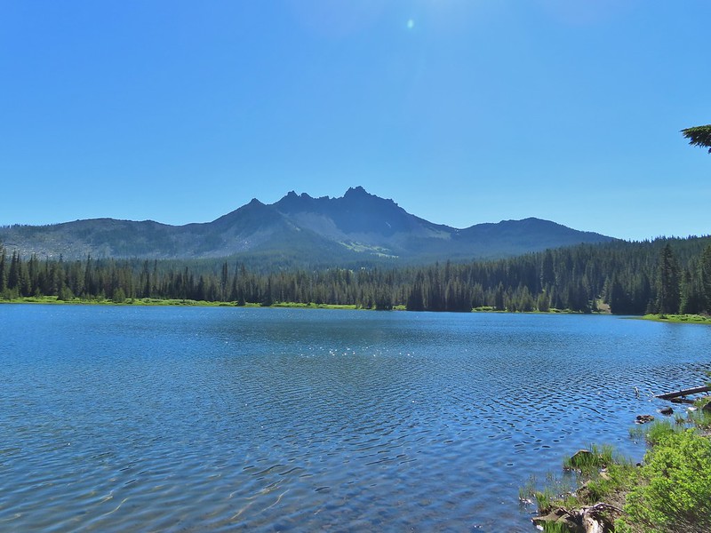
 Just one of several large uprooted trees along the shore.

 The “topographic feature” ahead on the right where we planned on turning for Lower Berley Lake.
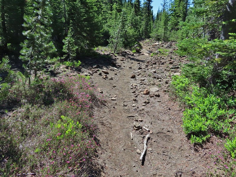 Mountain heather along the trail, it was warm and sunny enough that the mosquitos weren’t as bad this time by.
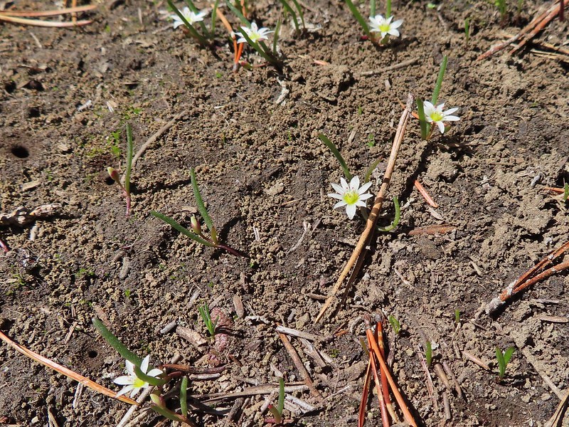 Threeleaf lewisia
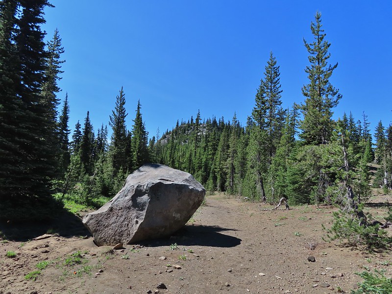 Getting closer to the hill where we planned on turning.
 California tortoiseshell butterflies in the bed of Lost Lake Creek.
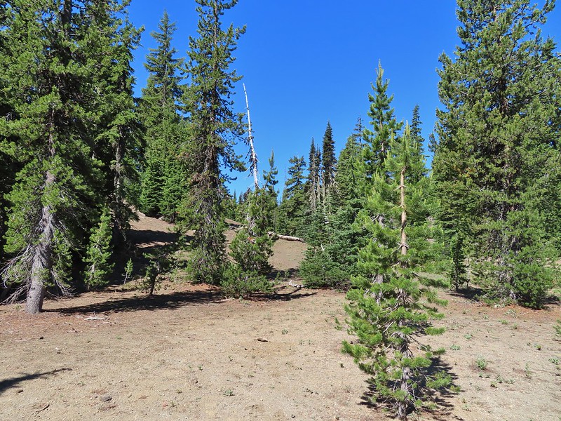


 Three Fingered Jack from the rocks.
 More tortoiseshells
 A butterfly photo bomb


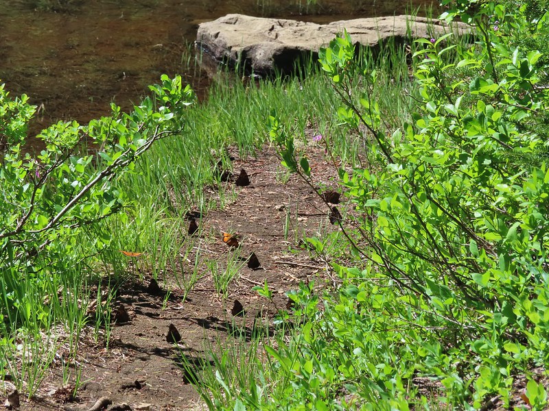
 The bed was popular with the butterflies.
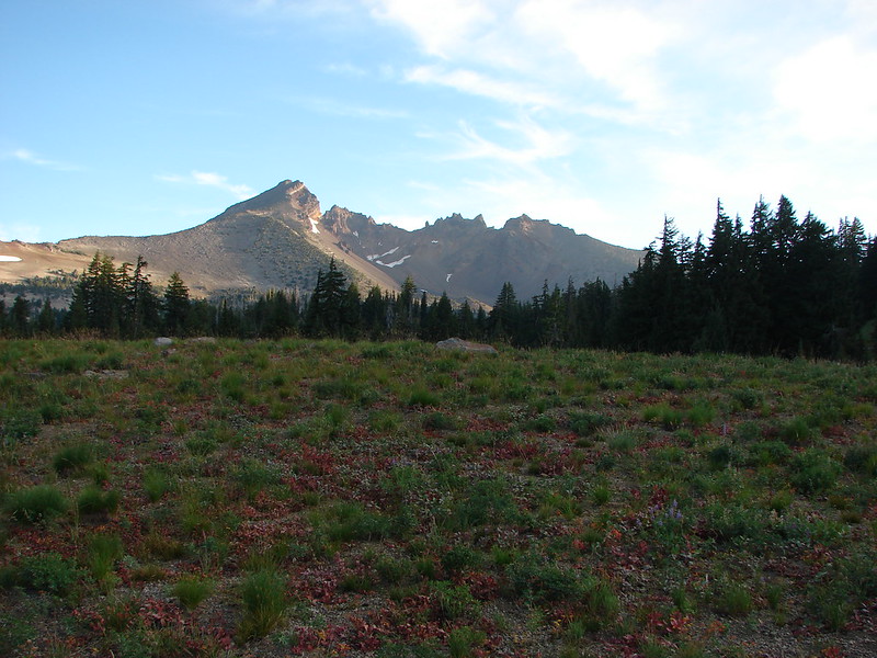
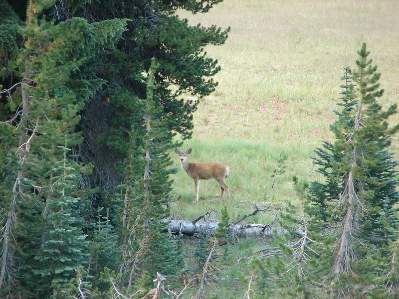
 Cross country to Upper Berley Lake, the doe was in this meadow and headed in the direction of the patch of snow at the far end.
 Upper Berley Lake
 We wound up finding the same “user trail” and followed it down to the lower lake.
 California tortoiseshell butterflies along Lower Berley Lake.
 Three Fingered Jack and about a half dozen butterflies.
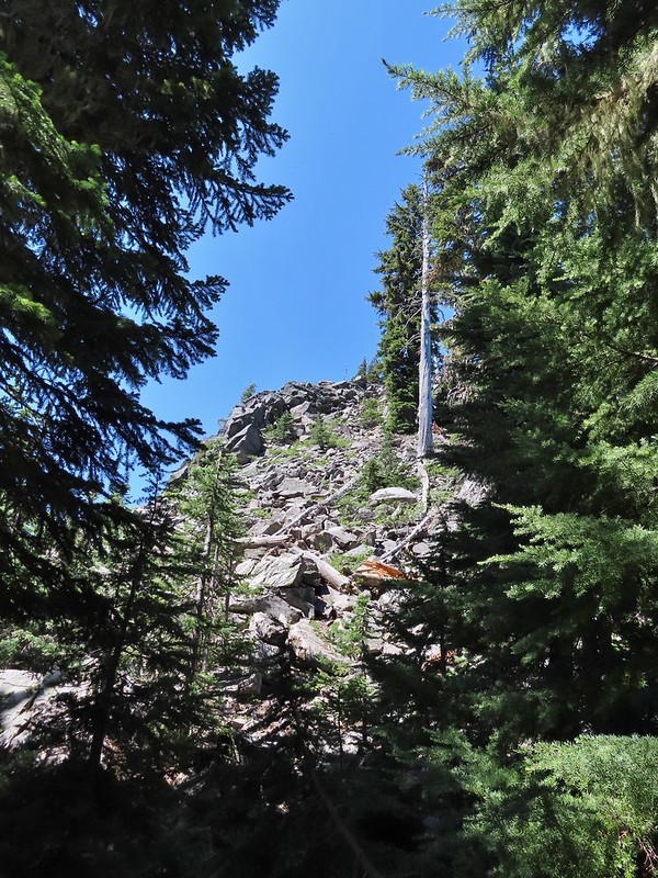 The hillside on the right was rocky.
 The trail dropping down from the saddle with Mt. Washington and the North Sister ahead.

 Found it!


 Yellow beetle on lupine.
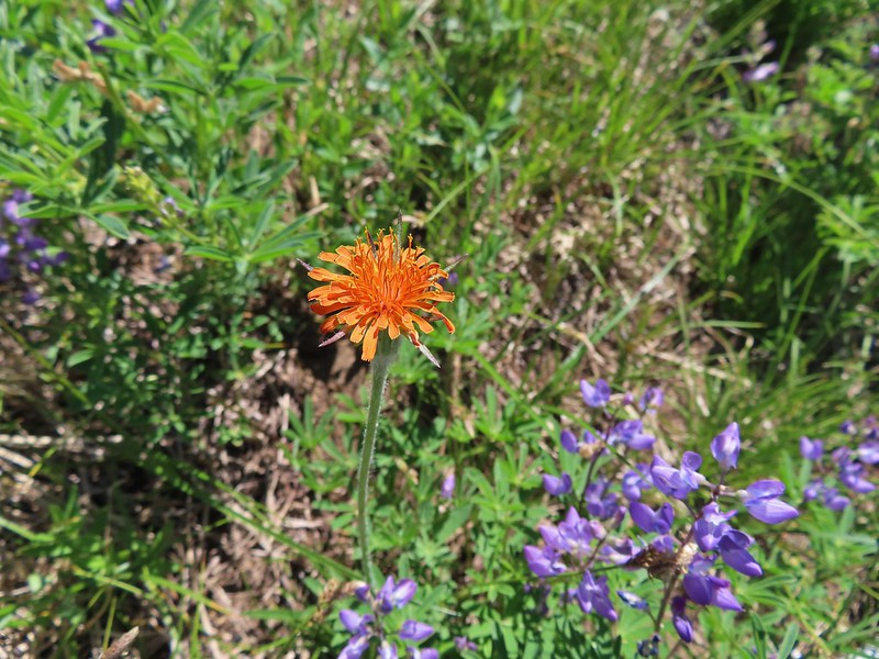 Orange agoseris
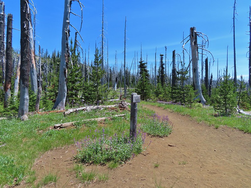 Back at the PCT.
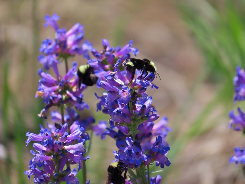 Bumble bees on penstemon.
 Cicada in the grass.
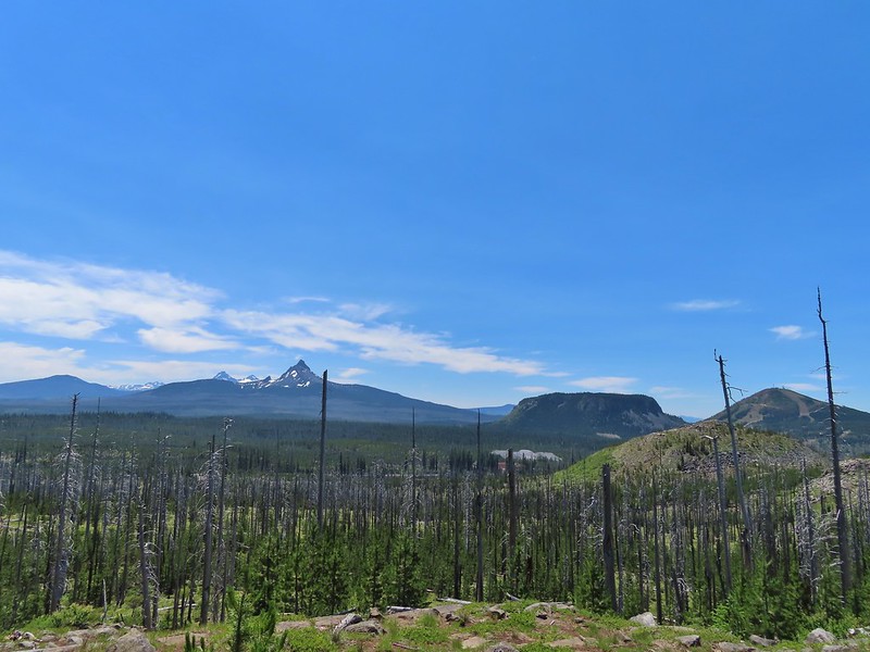 Black Crater, Broken Top, North & Middle Sister, Mt. Washington, Hayrick Butte, and Hoodoo Butte from the viewpoint.