**Note the 2020 Rowena Fire burned a portion of the Rowena Plateau and the 2024 Microwave Tower burned over the Mosier Twin Tunnels Trail.**
We do our best to plan and prepare for all of our hikes, but we were reminded that now matter how much pre-trip preparation we’ve done things can still happen. For our last hike that meant an extra 4 miles of hiking.
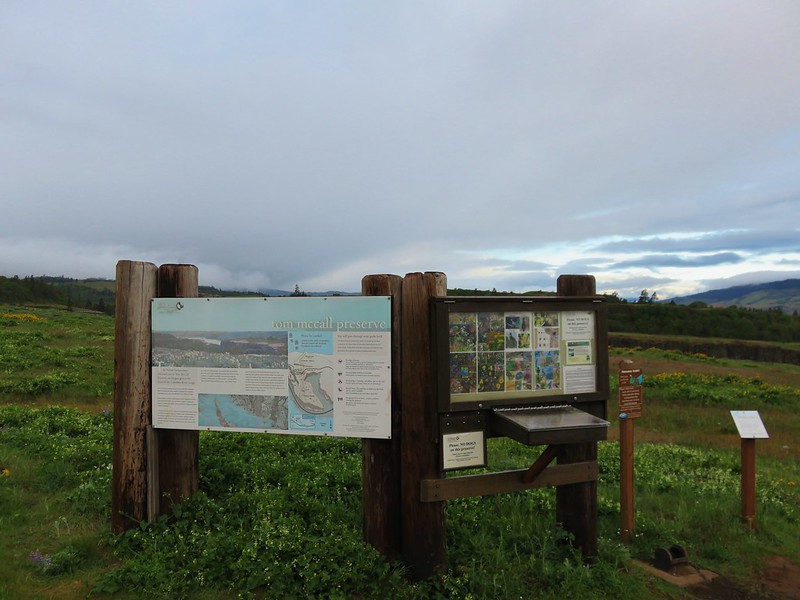
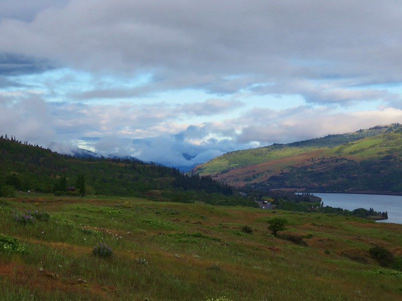
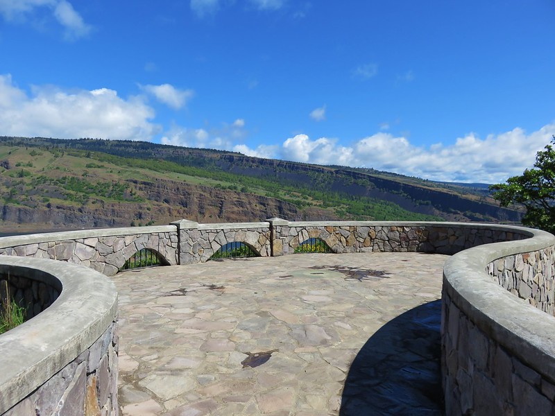
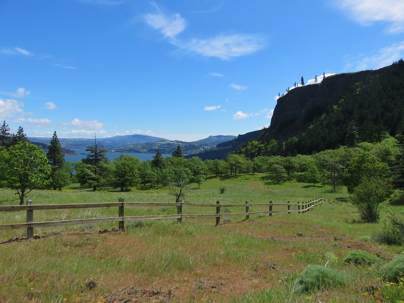
We had headed back to the eastern end of the Columbia Gorge for a combination of several hikes near Mosier, OR. First up was the plateau trail at the Tom McCall Preserve. The trail sets off from the Rowena Crest Viewpoint located along the Historic Columbia River Highway 6.6 miles east of Mosier.
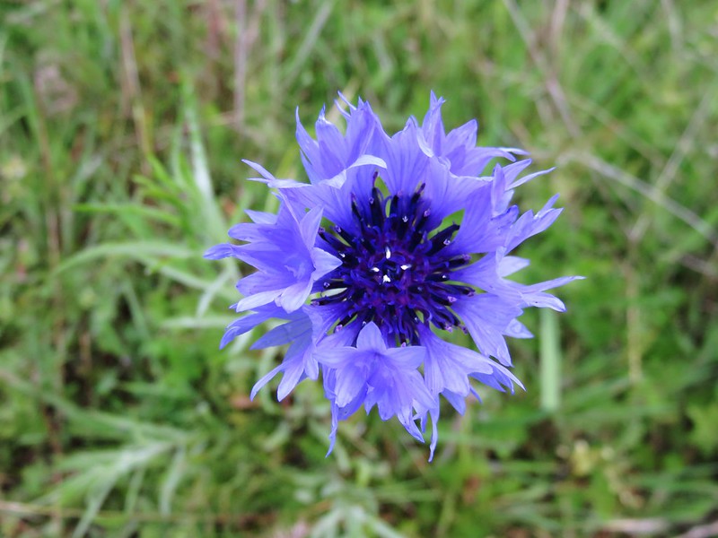
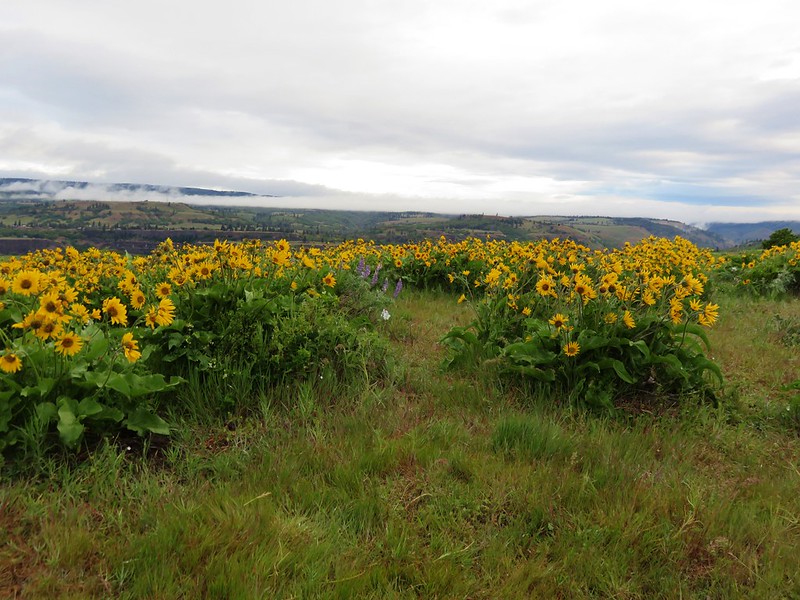
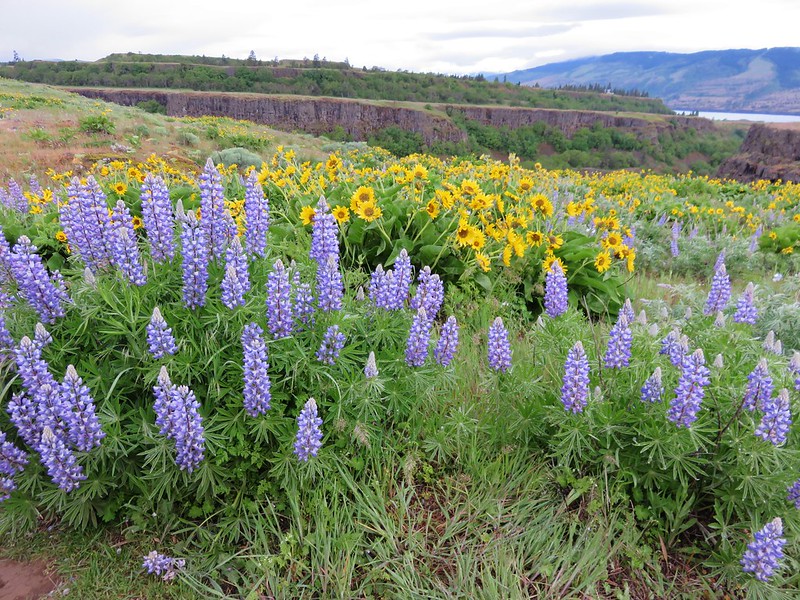
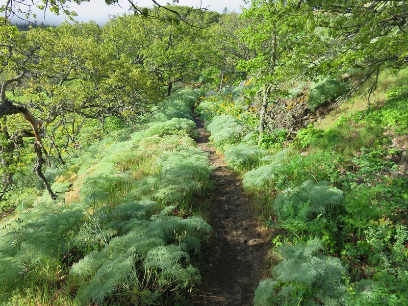
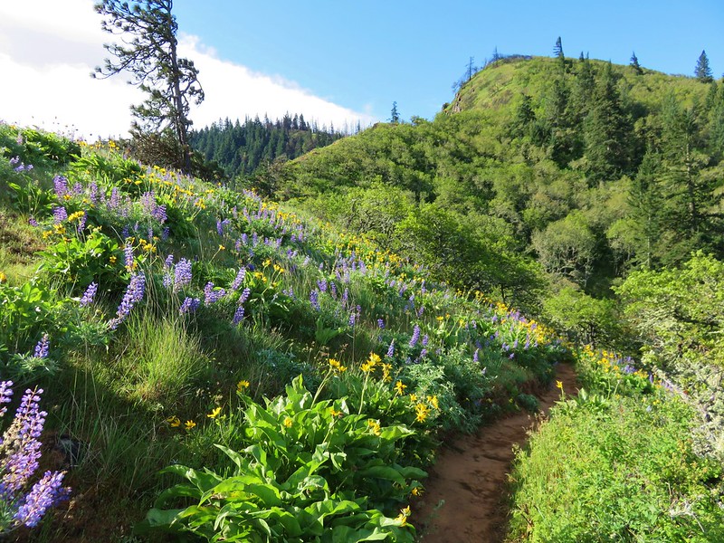
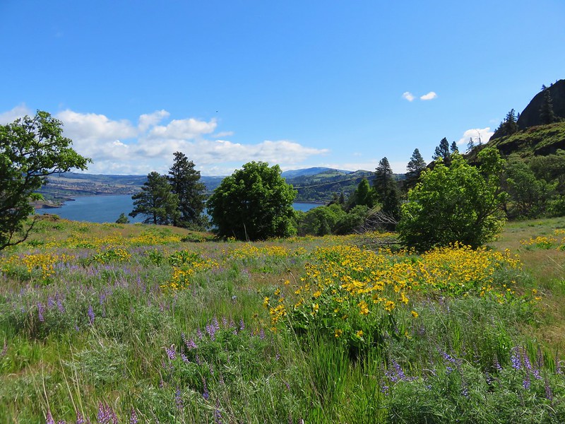
The trail heads out onto the plateau toward the Columbia River passing several viewpoints and lots of wildflowers including our first bachelor button sightings.


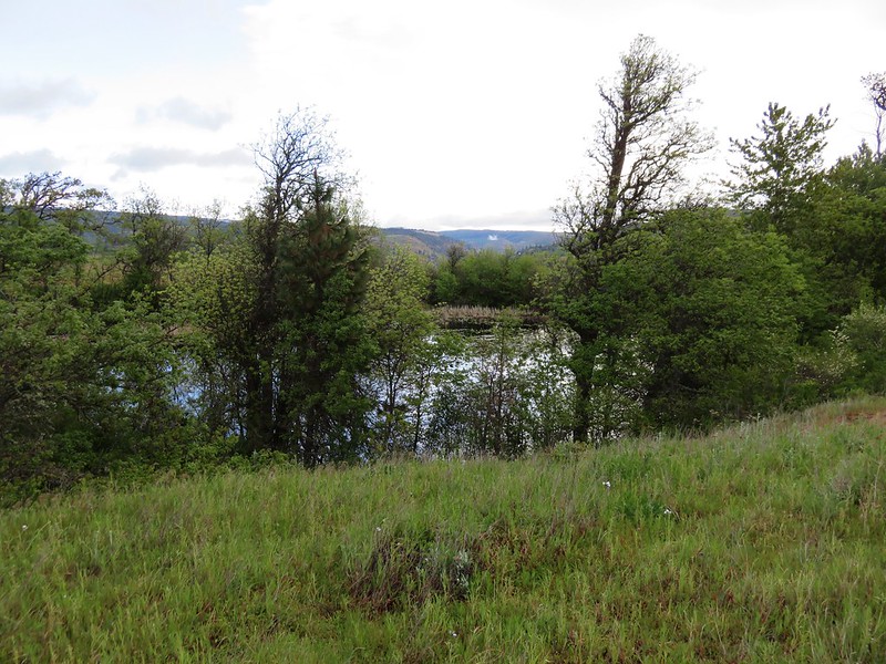
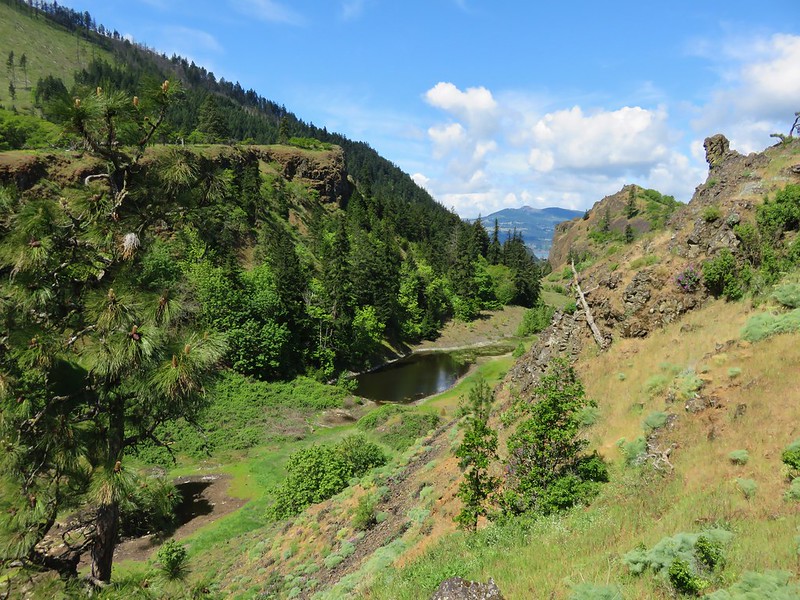
The trail also passes a pair of ponds where we had to be on the watch for poison oak.
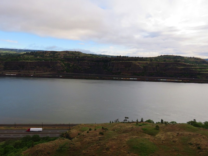
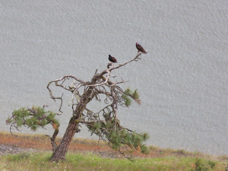
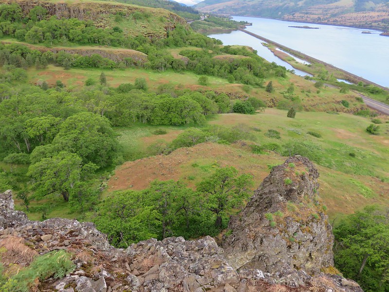
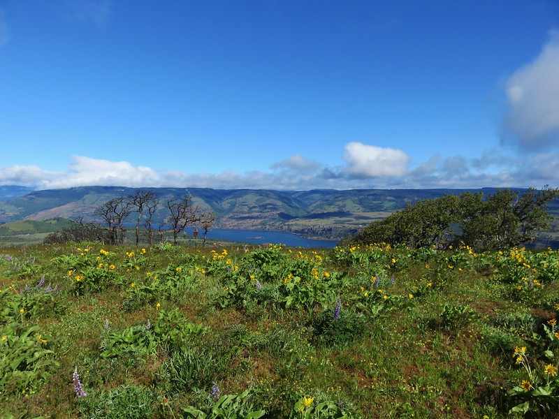
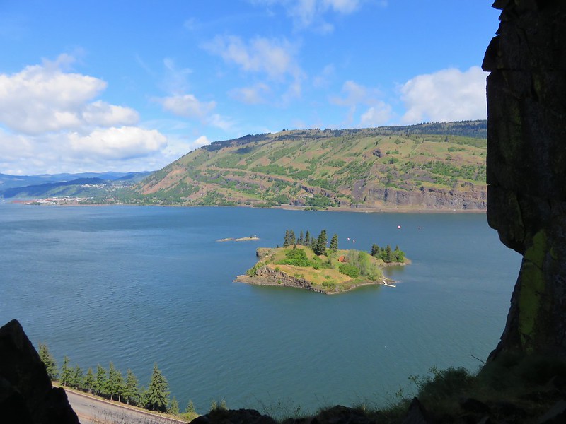
After approximately one and a quarter miles the trail ends at a viewpoint on the edge of the plateau. Across the river was a train while below on our right were a pair of turkey vultures and on our left a couple of deer down in Rowena Dell.

After returning to the parking area we headed up the second trail at Tom McCall Preserve to Tom McCall Point. The summit of the point had been shrouded in clouds while we were on the plateau trail.
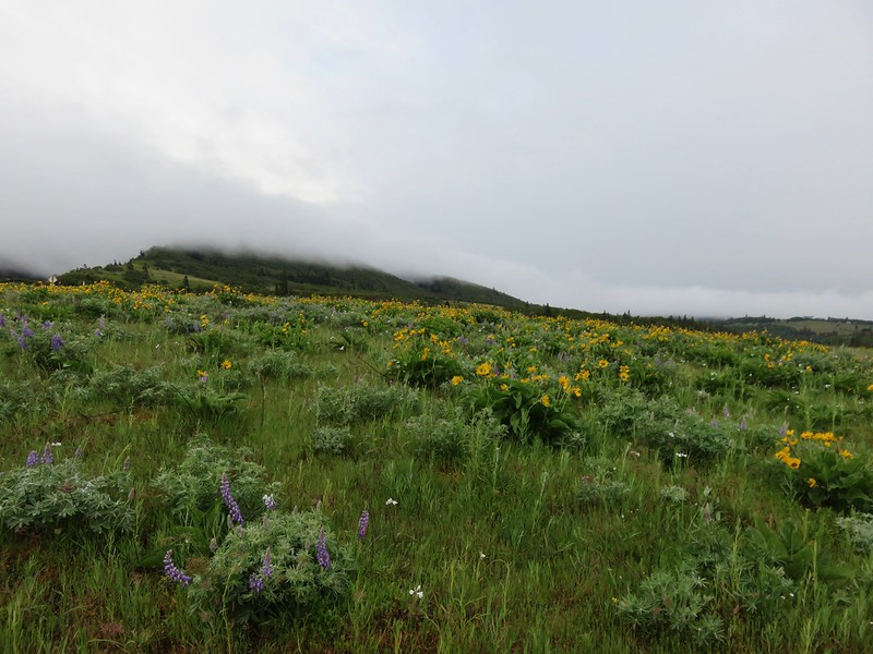
The clouds were breaking up as we began our climb though.
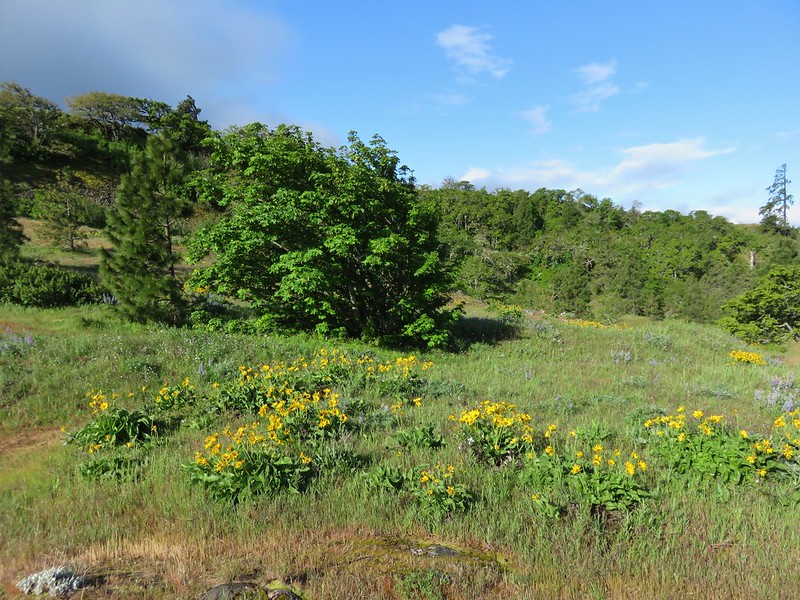
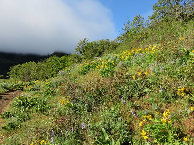
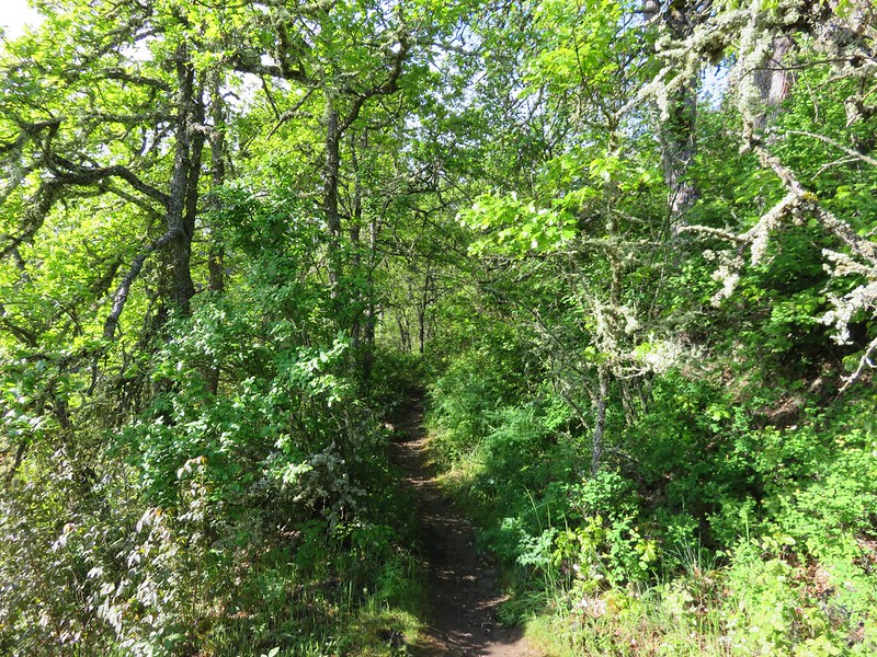
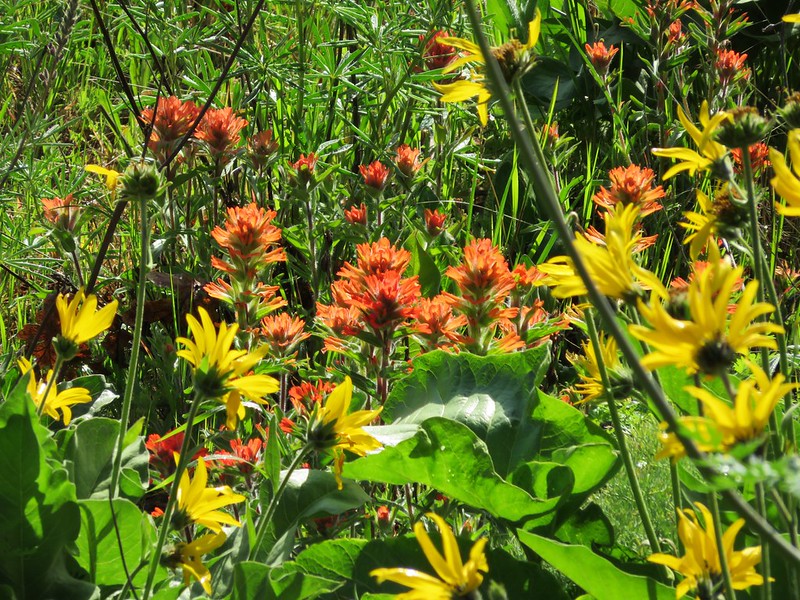
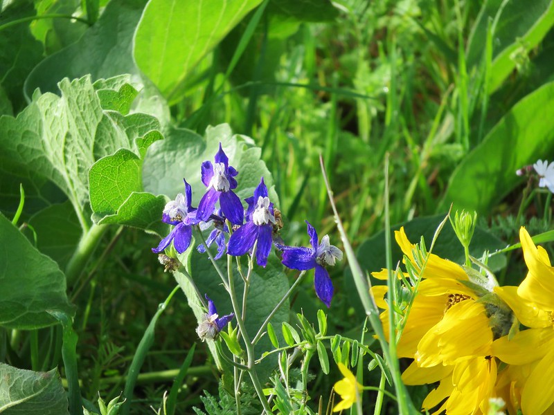
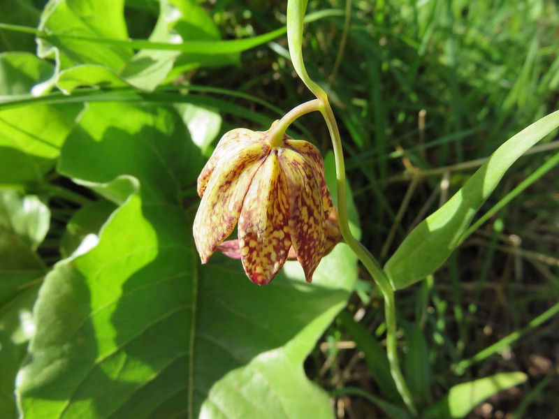
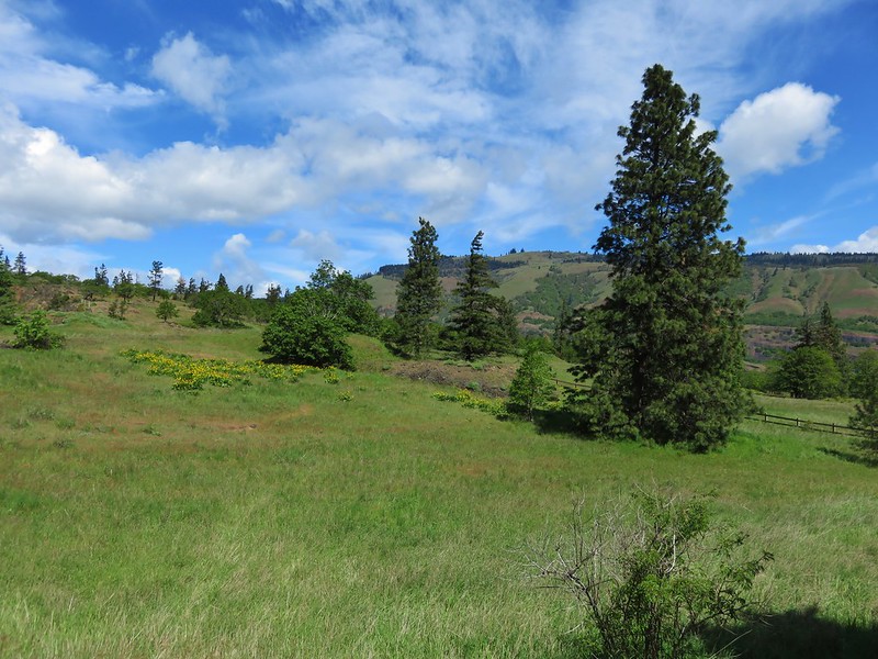
This path was wonderful. There were plenty of views as well as some wooded sections. We also saw several types of flowers that we had not seen along the plateau trail such as paintbrush, broomrape, larkspur, and chocolate lilies.


The clouds finally lifted from the summit by the time we were about halfway up the trail.
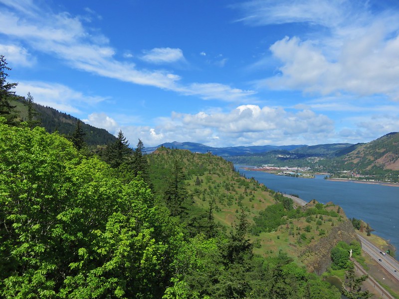
We were also high enough to see the entire plateau behind us.

The views from the summit were impressive, but alas the clouds had not broken up enough to reveal either Mt. Hood or Mt. Adams which on a clear day would have been visible.

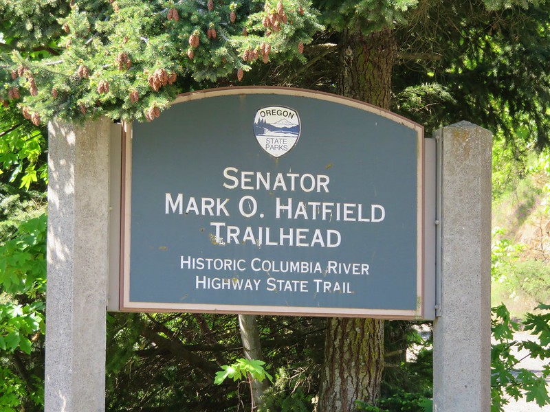
We had planned one more hike for the day since the two trails at Tom McCall Preserve only totaled 6 miles. The Mosier Twin Tunnel trail set off on the west side of Mosier at the Senator Mark O. Hatfield Trailhead.
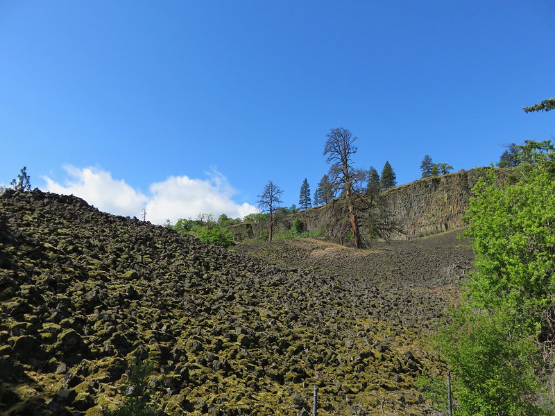
The trail is actually a portion of the Historic Columbia River Highway that has been converted to a hiking and biking path. Our plan was to hike out about 2.5 miles to an overlook of Koberg Beach State Wayside to add another 5 miles to the days totals. The path begins amid rock piles that reminded us of the lava flows in Central Oregon. Here the basalt cliffs that are typical of the gorge had broken up leaving the jumble of rocks. A fence separated the path from the rocks to protect pits made by Native Americans, possibly used as vision quest sites. One such pit is visible in the upper left hand side of the picture below.
About a half mile from the start of the trail is the first viewpoint.


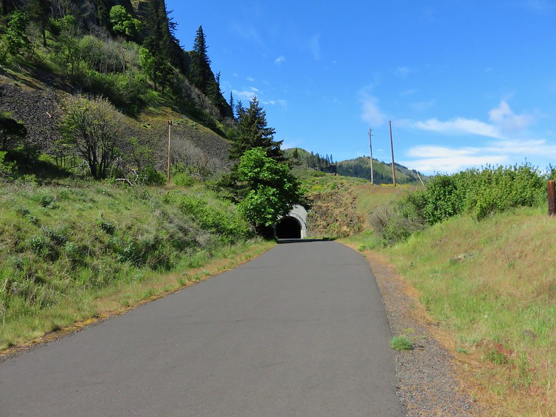
Not long after the first viewpoint the trail comes to the first of the twin tunnels.

The first tunnel has a pair of windows carved into the rock wall offering views of the river.

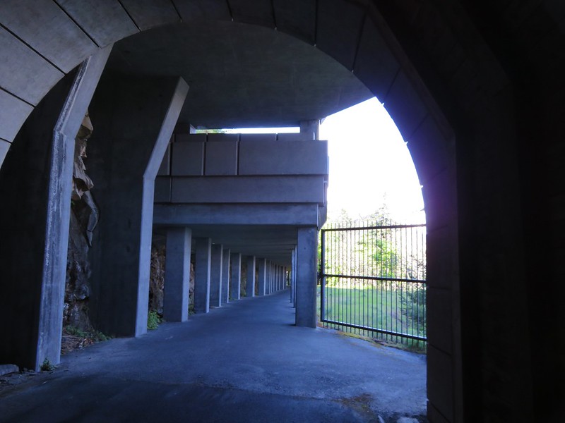
Upon exiting the second tunnel the path continues under an odd concrete structure. Dominique thought it reminded him of being in a parking garage. The purpose of the structure is to act as a rockfall shield able to withstand a 5000lb. boulder falling from 200ft above.
Just under a mile from the tunnels is a second overlook at the county line between Wasco and Hood River counties.

Our planned turnaround point was to be .8 miles from this second overlook at a .2 mile side path. We continued on toward the turnaround but Dominique wasn’t feeling all that well so he eventually took one of the car keys and headed back. It turns out he was only about 100 yards from our planned turnaround point. I was waiting for Heather by a gravel path that led off through a fenced meadow.
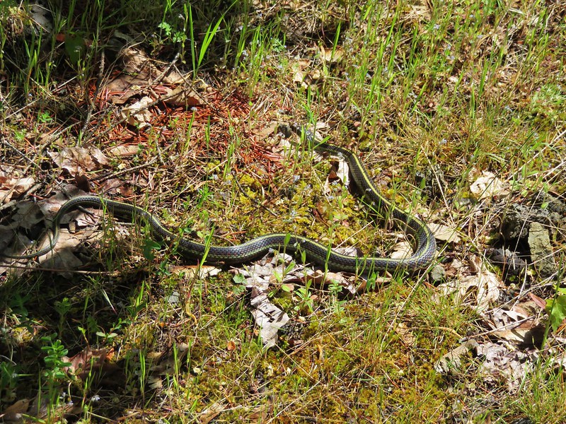
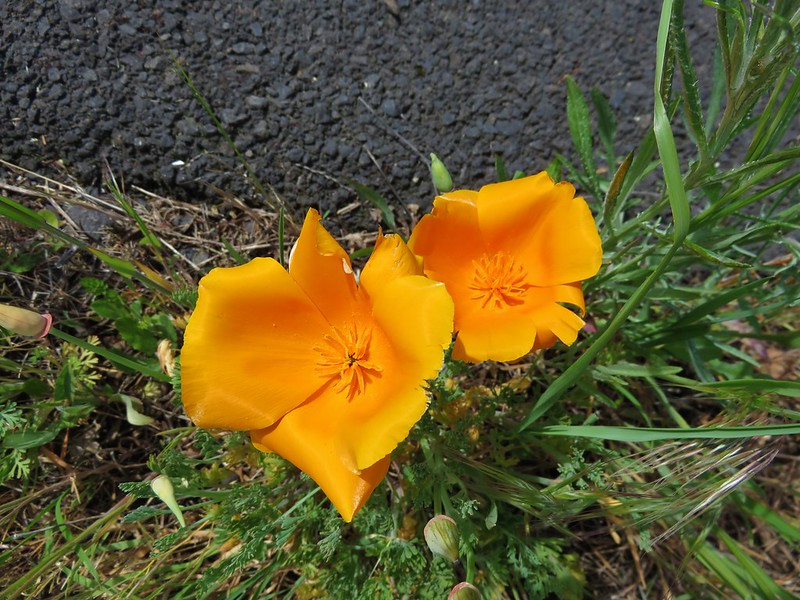
This was in fact the path we were looking for, but it ended at the fence where there was no view to speak of and certainly no sign of a beach wayside. On top of that I had viewed the hike on Google Maps and had expected the side path to drop down a bit and this path led up. We also felt like we hadn’t gone .8 miles since the second viewpoint so I checked the Garmin which showed that Koberg State Park was still ahead. We decided this wasn’t it and continued on. We kept walking and talking thinking the viewpoint was going to be just ahead. We began seeing more and more people but it was now after noon and that made sense, but when we passed a couple with a stroller we both began to wonder what was going on. They didn’t look like they had hiked over 2 miles already. Then Heather spotted some signs ahead. There were quite a few and they were big which didn’t make sense for a small side path, then we noticed an RV parked above the trail to the left. Now we knew something was wrong for sure because there were no roads open to vehicles anywhere near our planned turnaround point. Then we saw the parking area, restrooms, and information center at the western trailhead near Hood River. We’d gone nearly 2 extra miles! The good news was they were nice bathrooms and we had spotted a snake and our first California Poppies (while on a hike) in those extra miles.
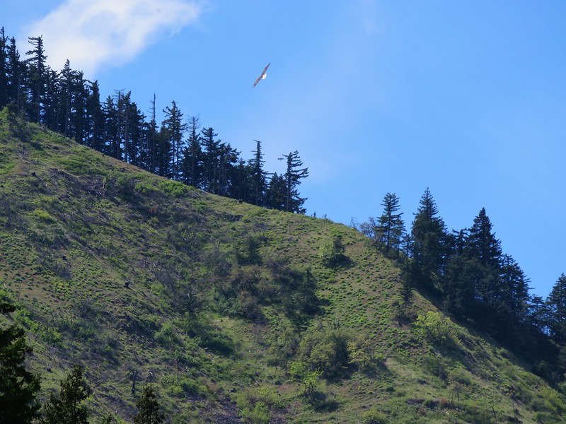
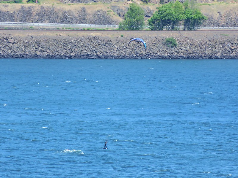
It turned out that the main portion of Koberg State Park is located across the Interstate from the western trailhead, but a portion of it is also located below the outcropping that the gravel path led onto. There just isn’t anything there to see. We hurried back as quickly as our sore feet would let us. On the way we spotted a bald eagle soaring above the trees and some wind surfers sailing above the Columbia.
At the car we found a napping kid who it turned out had stuck to our original plan better than we had. Happy Trails!
flickr: https://www.flickr.com/photos/9319235@N02/sets/72157652170987082/

4 replies on “Tom McCall Preserve and Mosier Twin Tunnels”
[…] the east the grassy southern slope of Tom McCall Point (2015 trip report) was easy to […]
[…] We had previously been to Catherine Creek (along with Coyote Wall), the Tom McCall Preserve (post), Columbia Hills State Park (post), Memaloose Hills (post) and Swale Canyon (post) so for this […]
[…] #54 Moiser Twin Tunnels – Hiked 4/25/2015 […]
[…] Plateau and Tom McCall Point (post) on the Oregon side of the Columbia […]