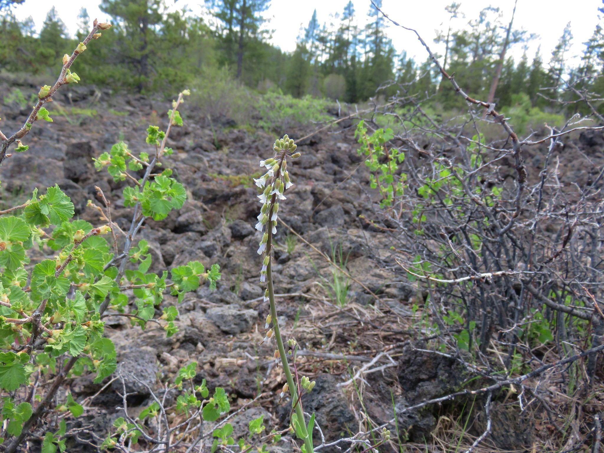
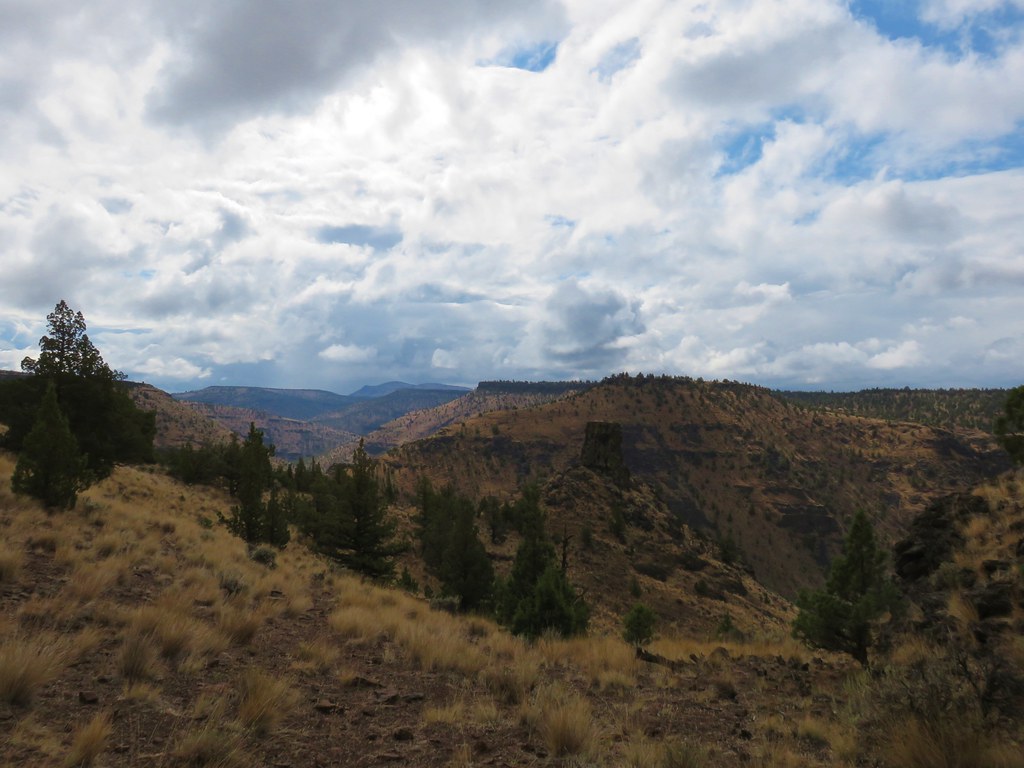
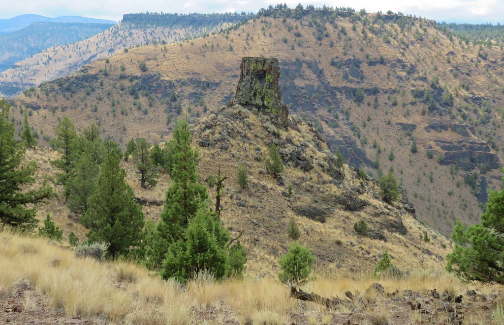
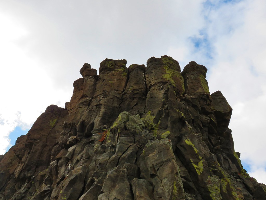
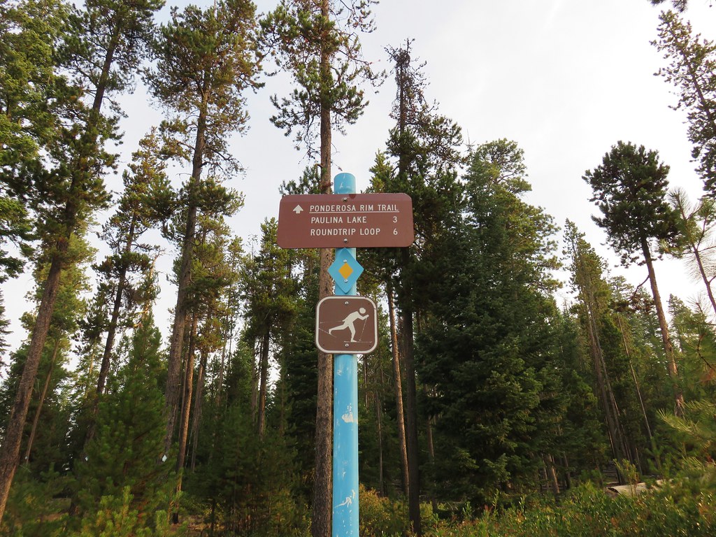
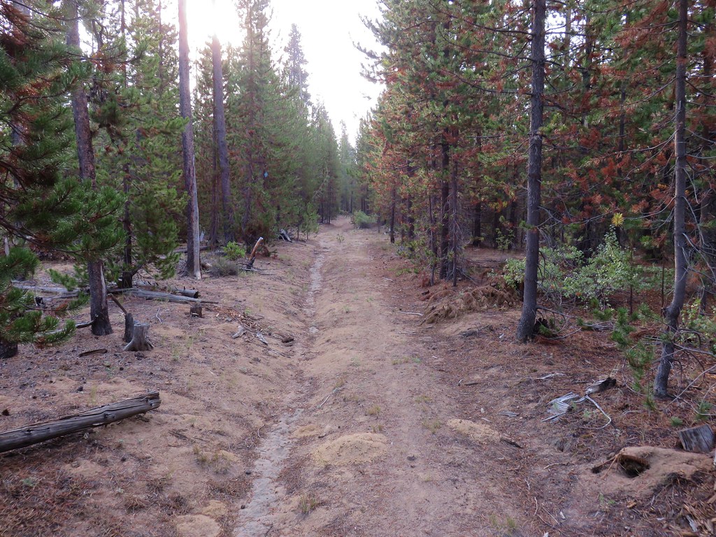
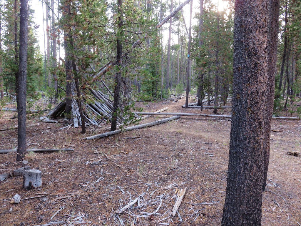
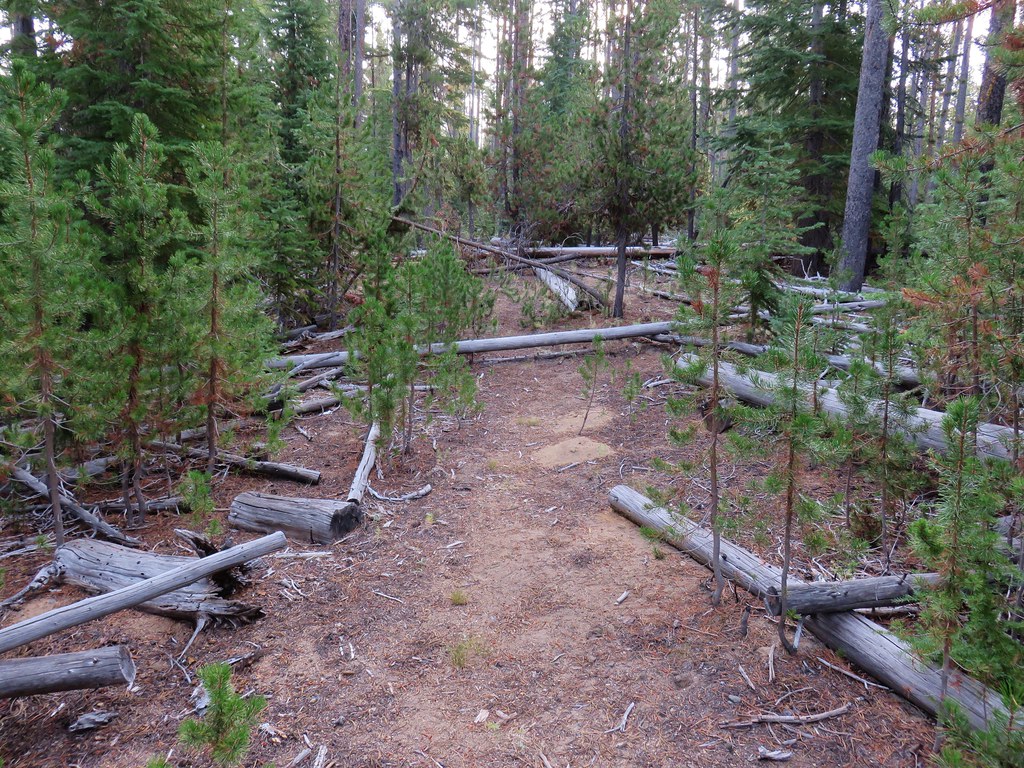
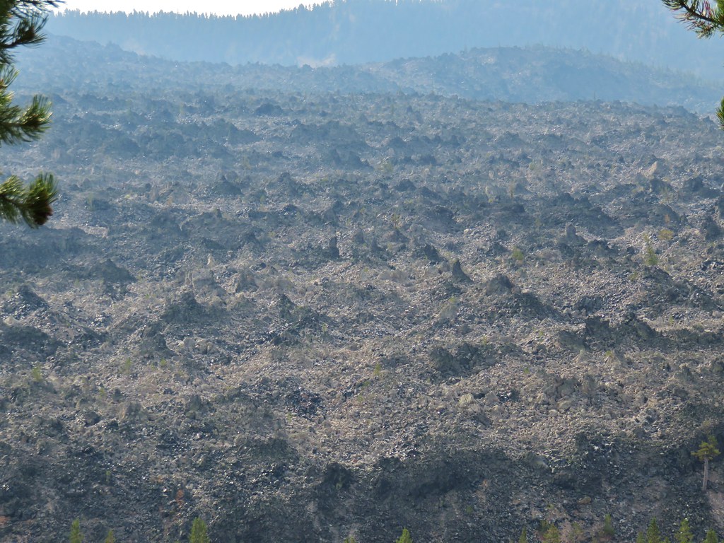
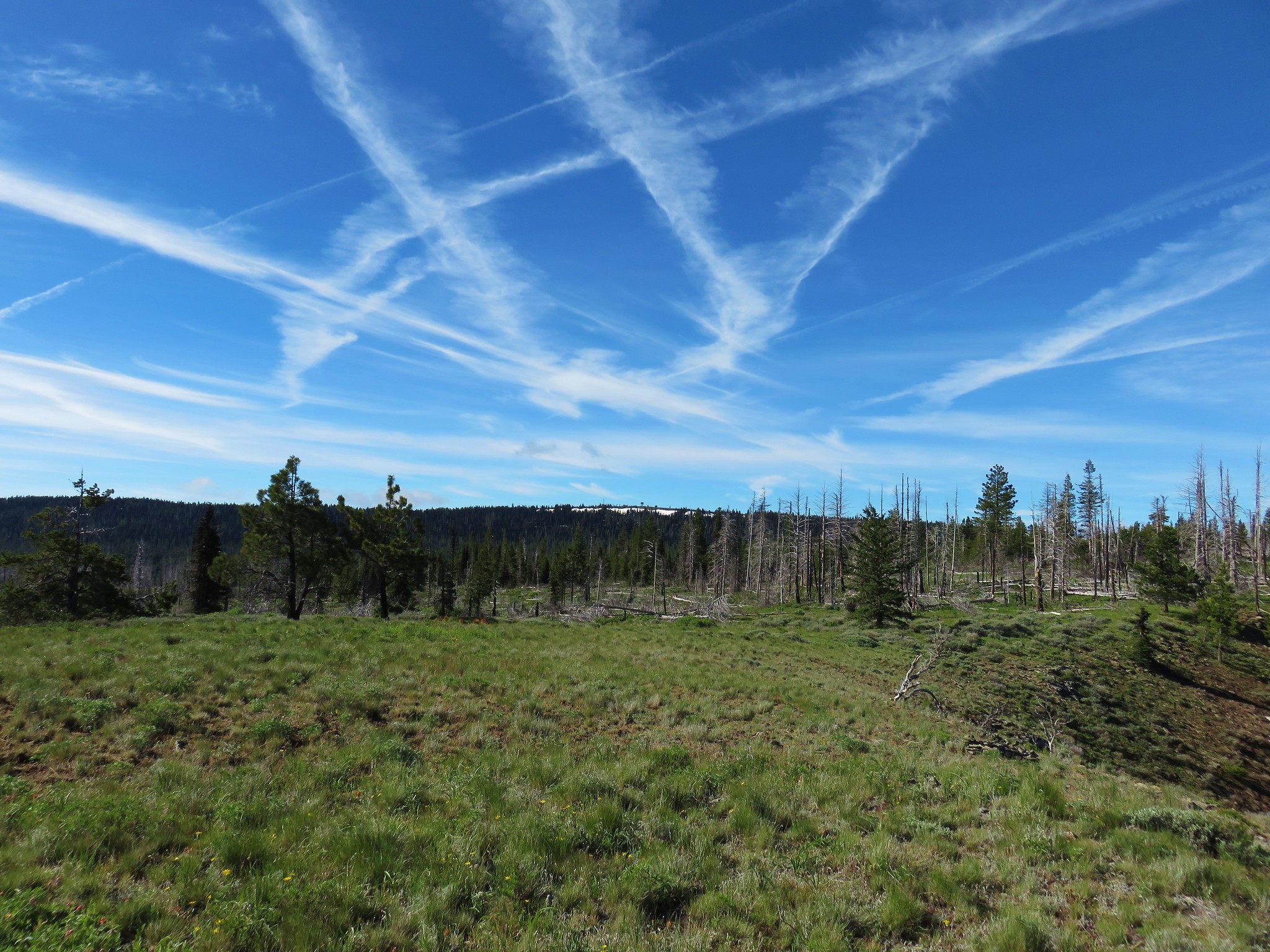
**Note the 2024 Flat Top Fire burned the forest around South Ice Cave.**
On Sunday of Memorial Day weekend we headed south of Bend on a tour of oddities, most of which were geologic in nature. In addition to our usual Sullivan guide books (Central and Eastern Oregon for these hikes) we had the 2012 updated “Bend, Overall” by Scott Cook with us.
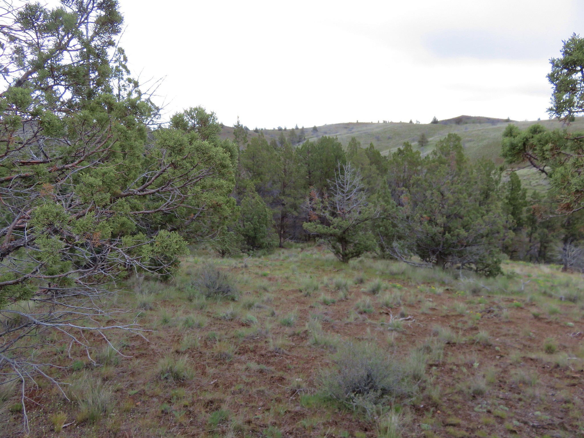
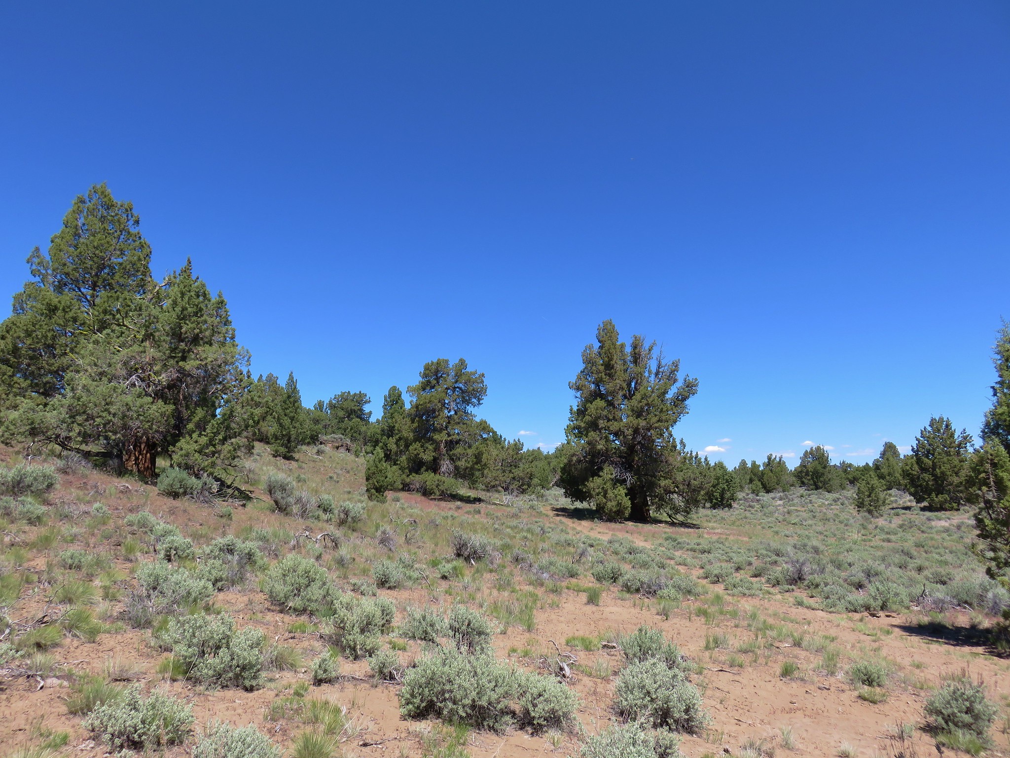
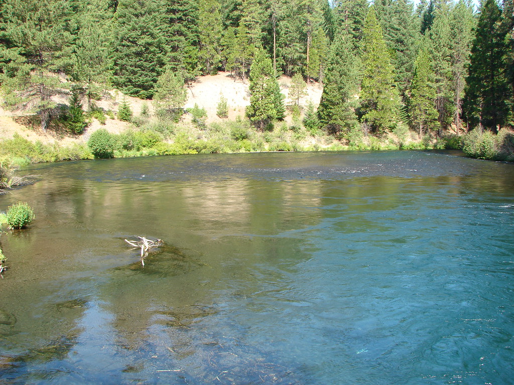
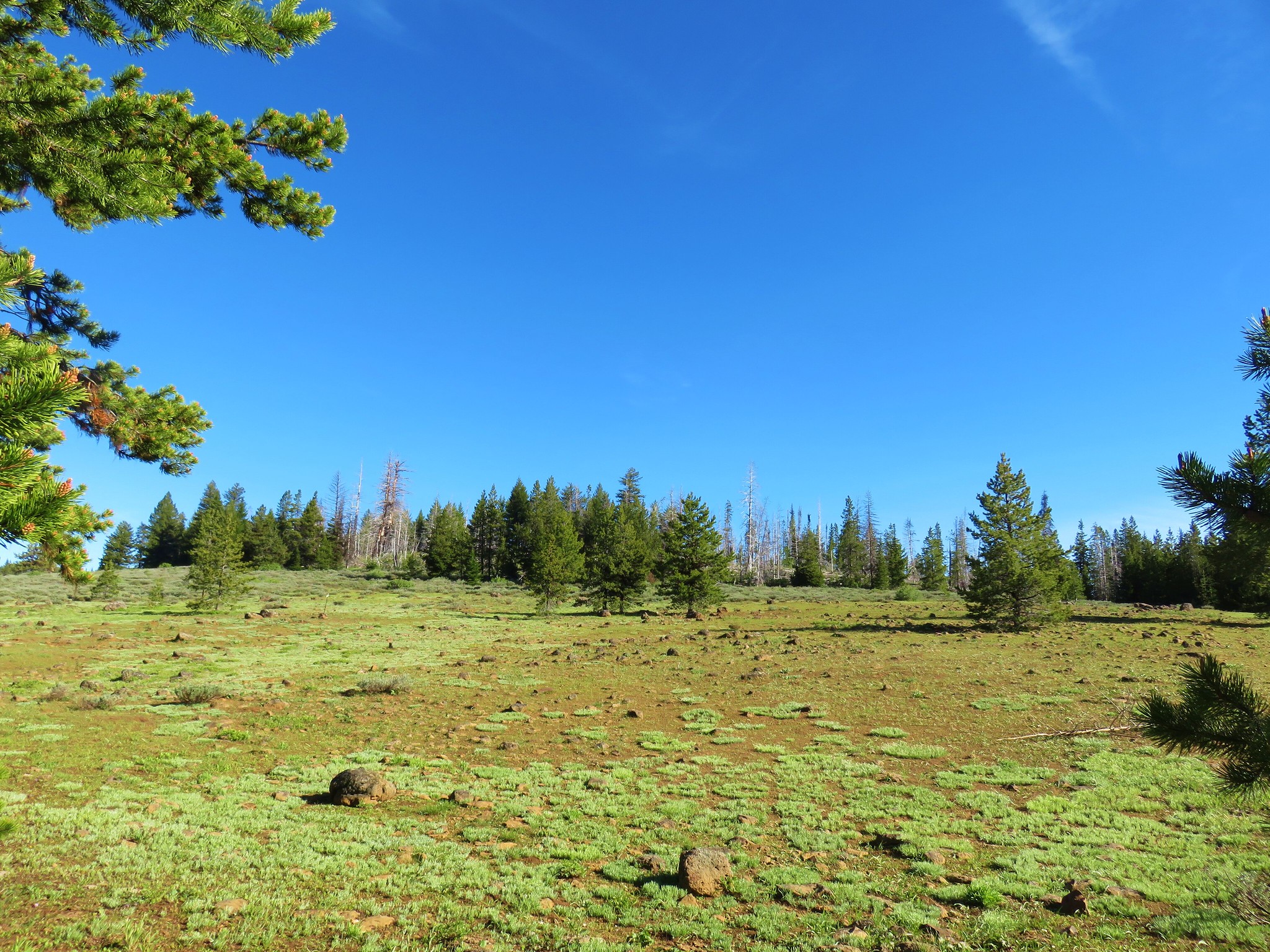
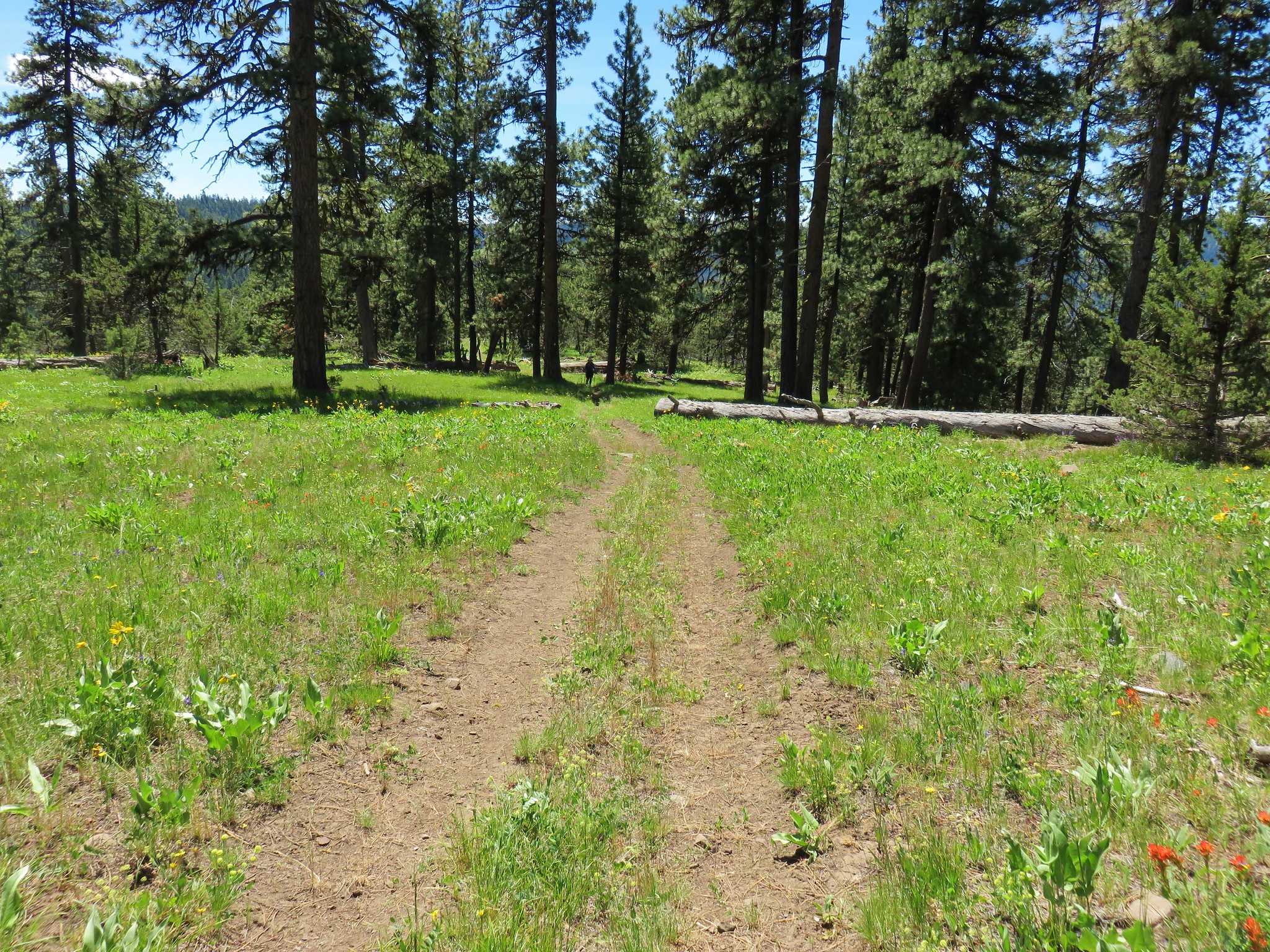
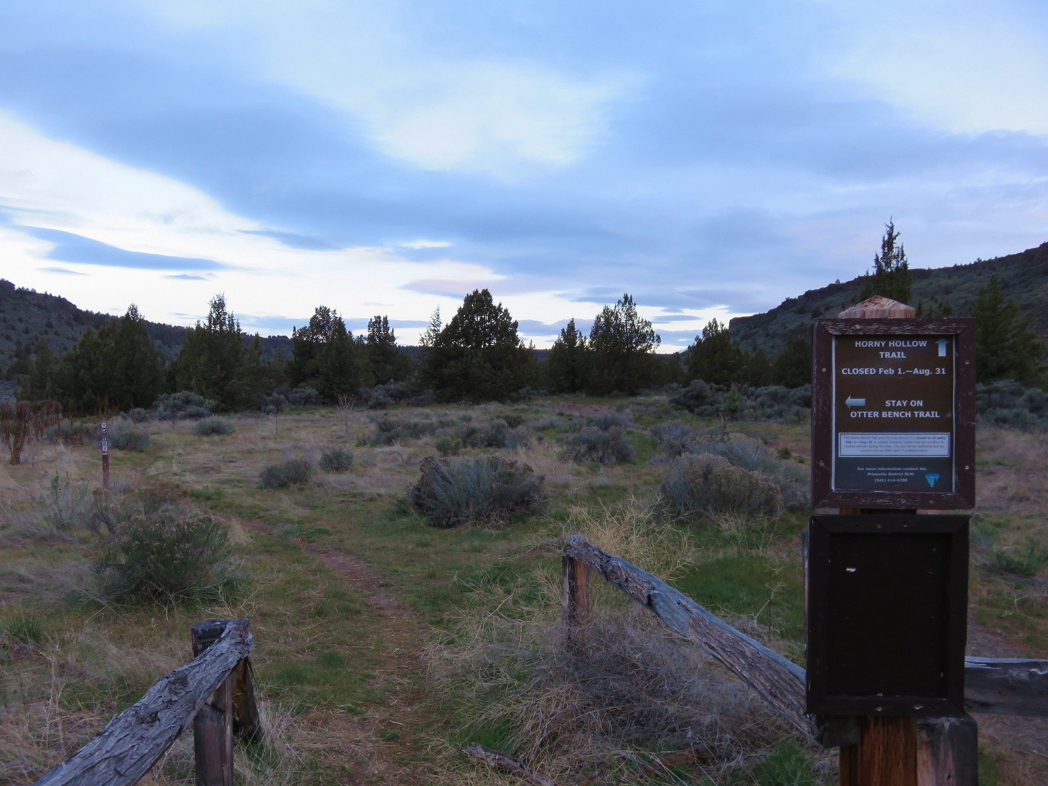
Our first stop was the only hike that was solely covered by Cook, South Ice Cave. From Bend we drove south on Highway 97 to LaPine where we turned left on Finley Butte Rd which became NF-22. After 25 miles we turned left at a sign into a parking area.

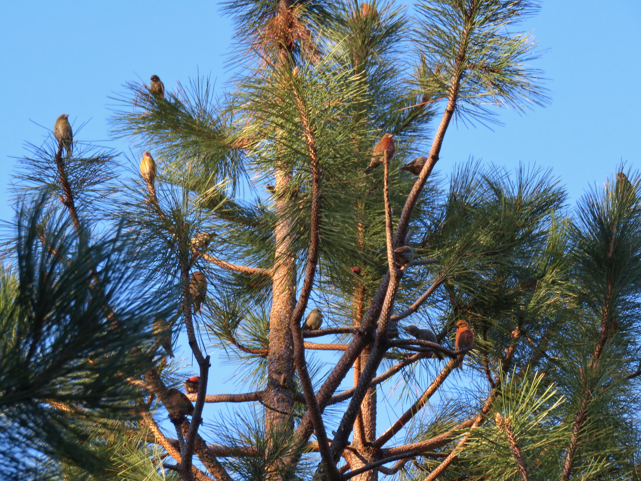
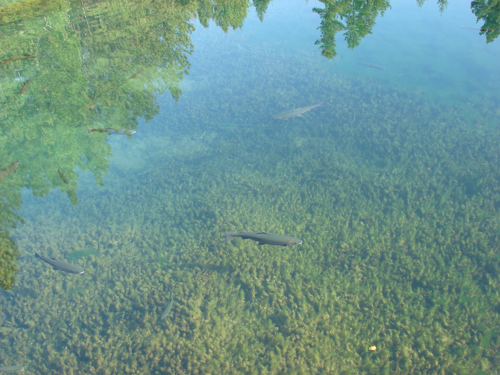
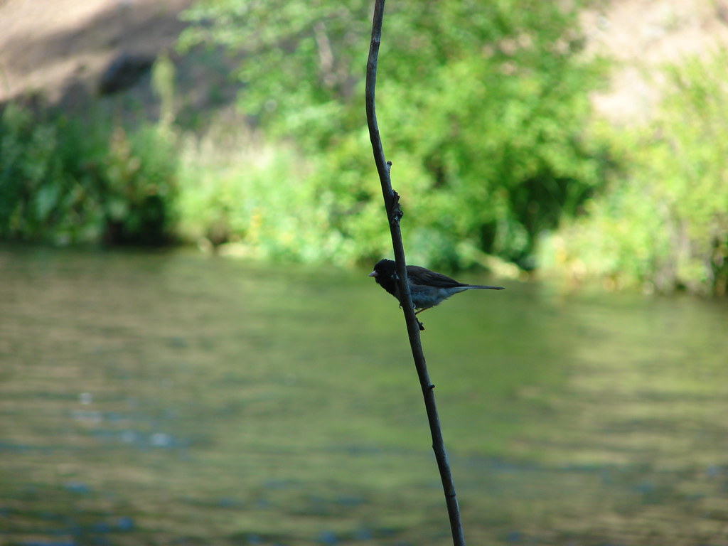
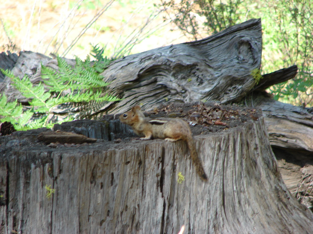
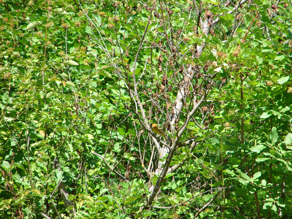
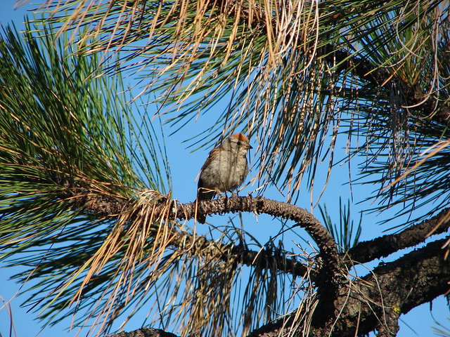
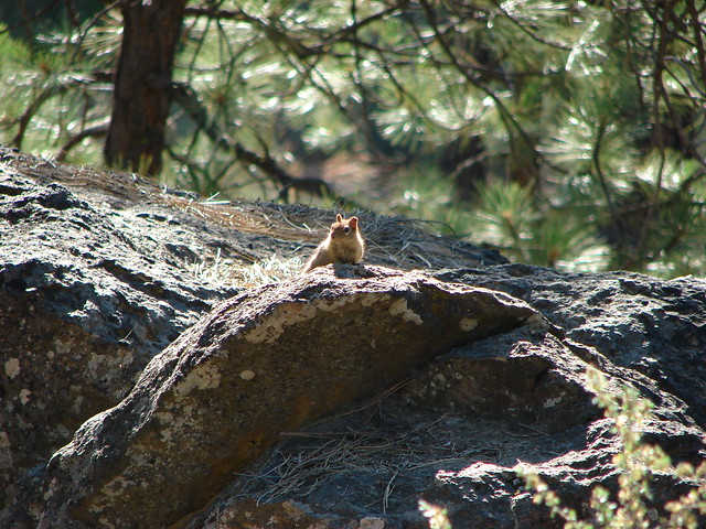
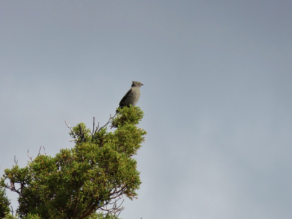
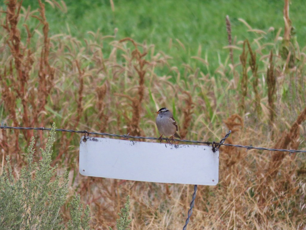
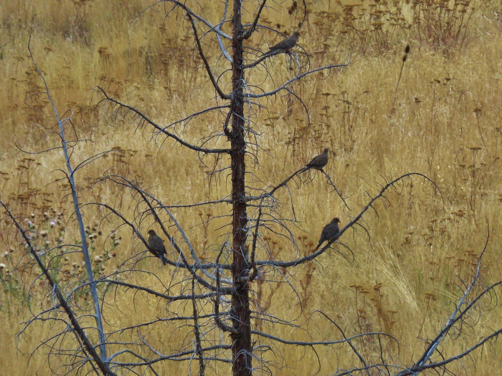
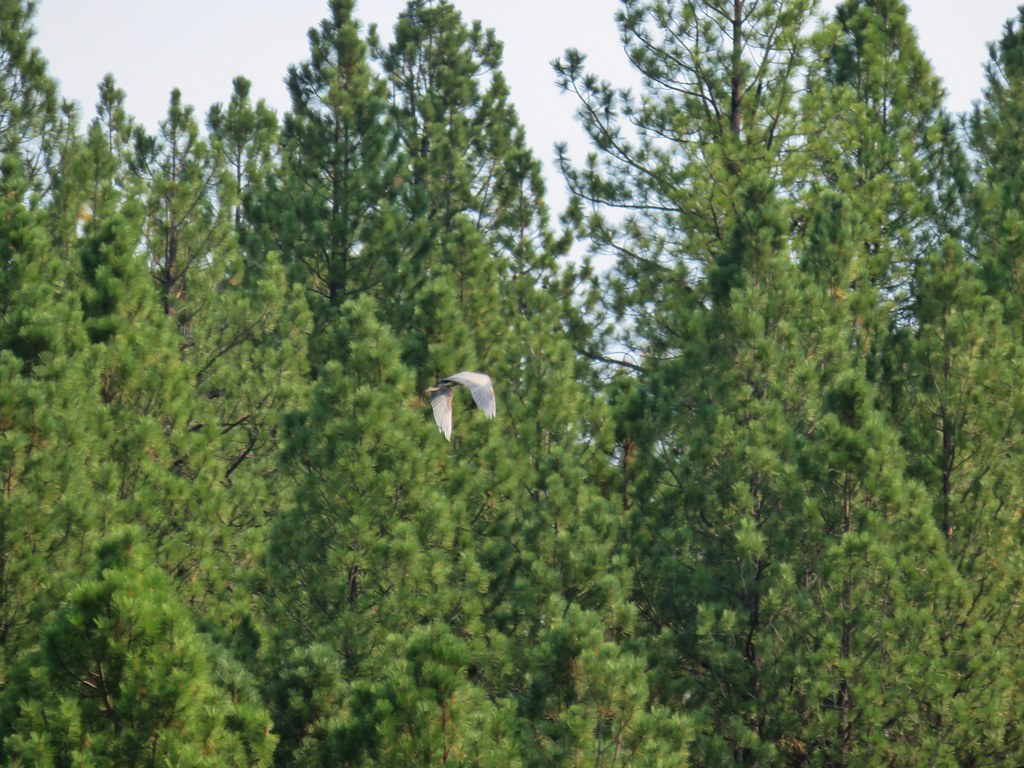
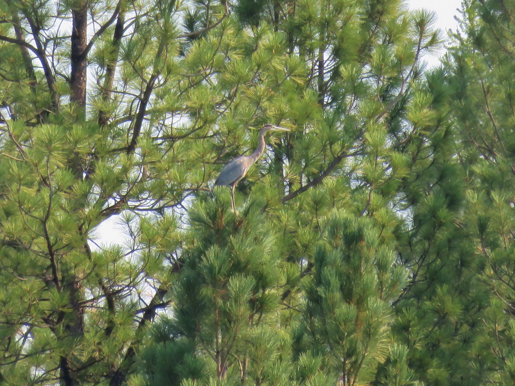
A short path descended into a depression where numerous small birds were busy singing in the pine trees.
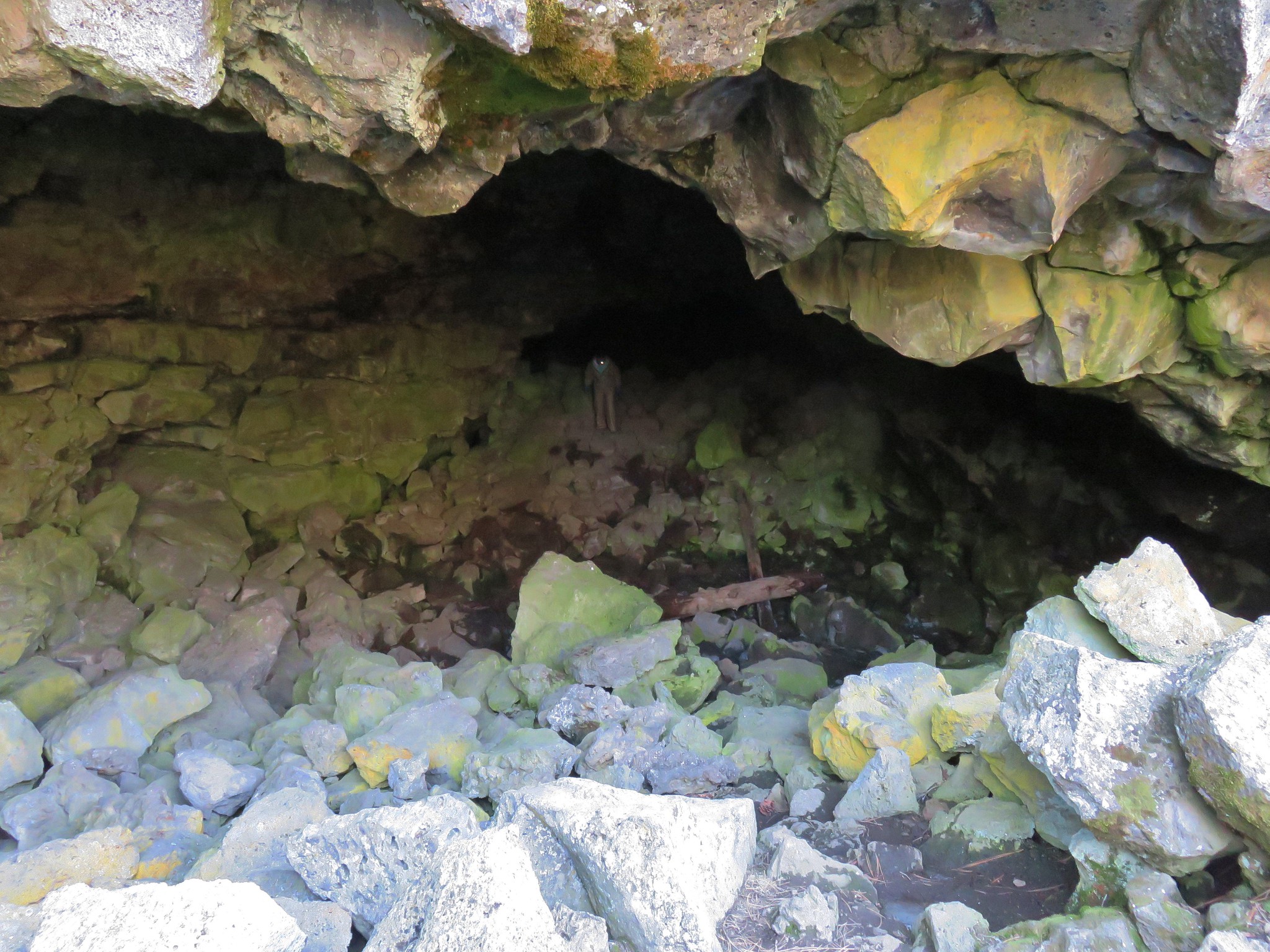
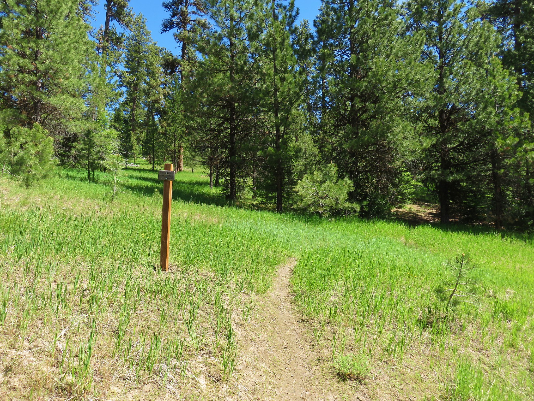
We followed the path to the right which led to the entrance to South Ice Cave, a .25 mile long lava tube.
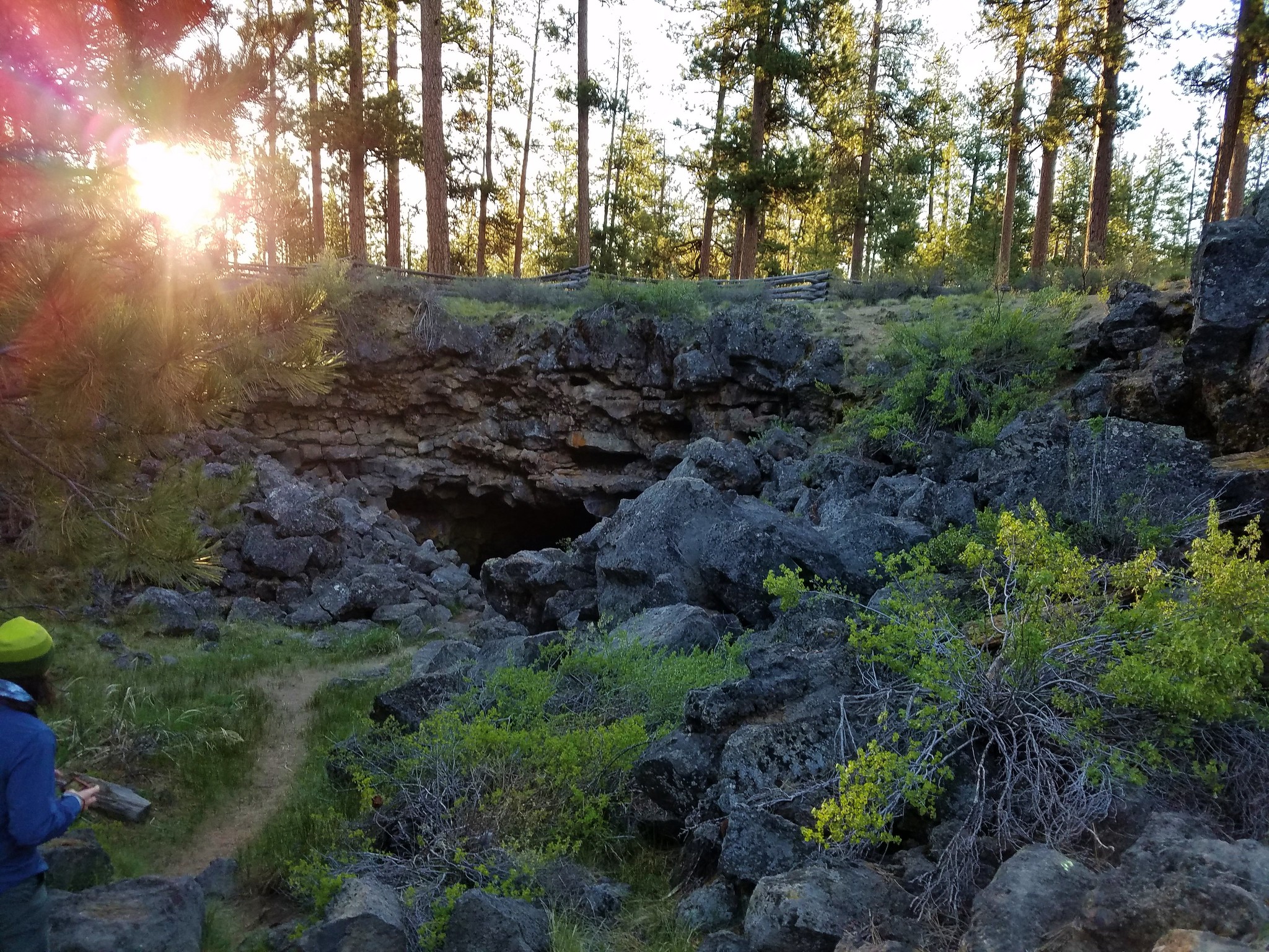
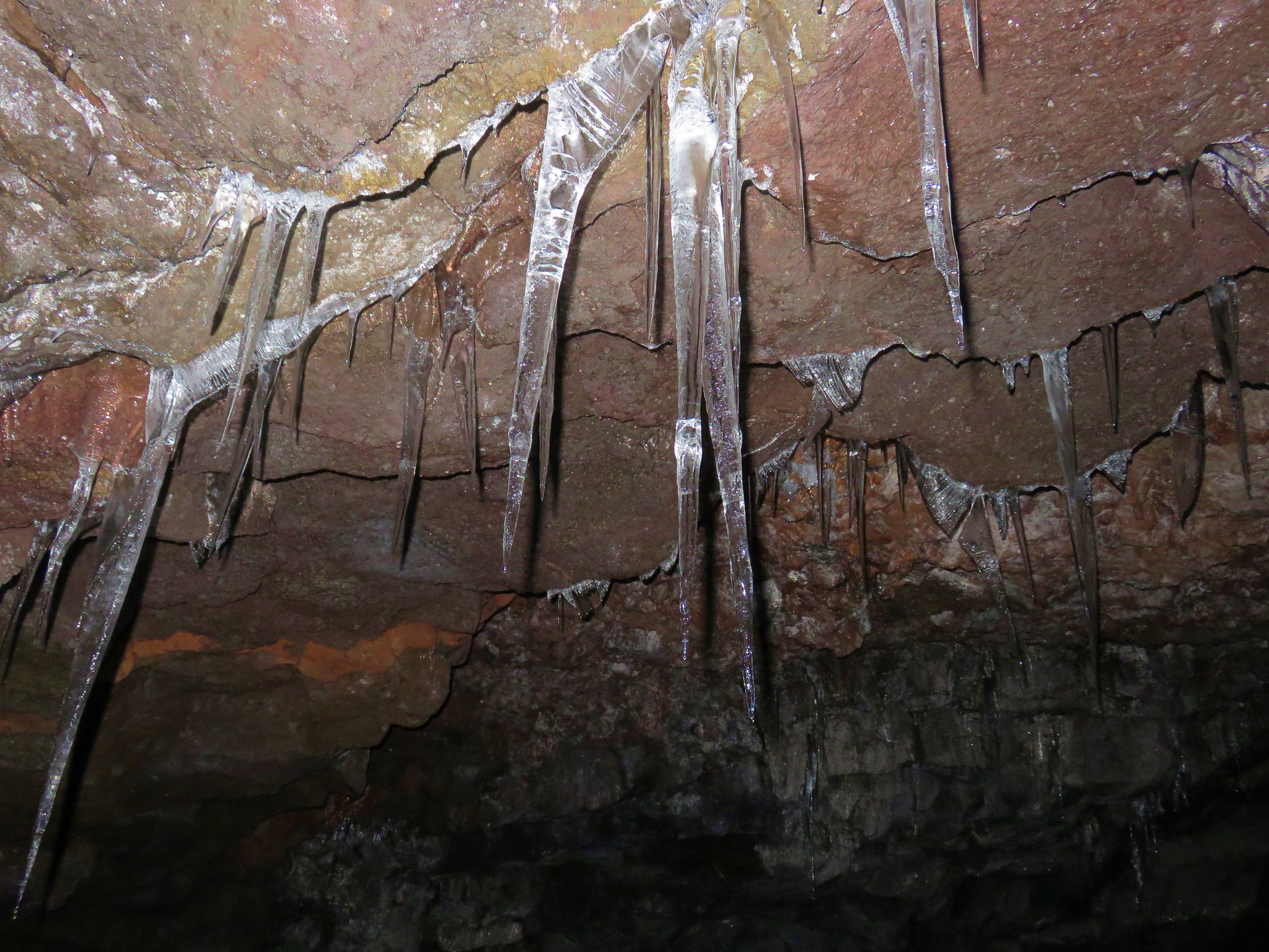
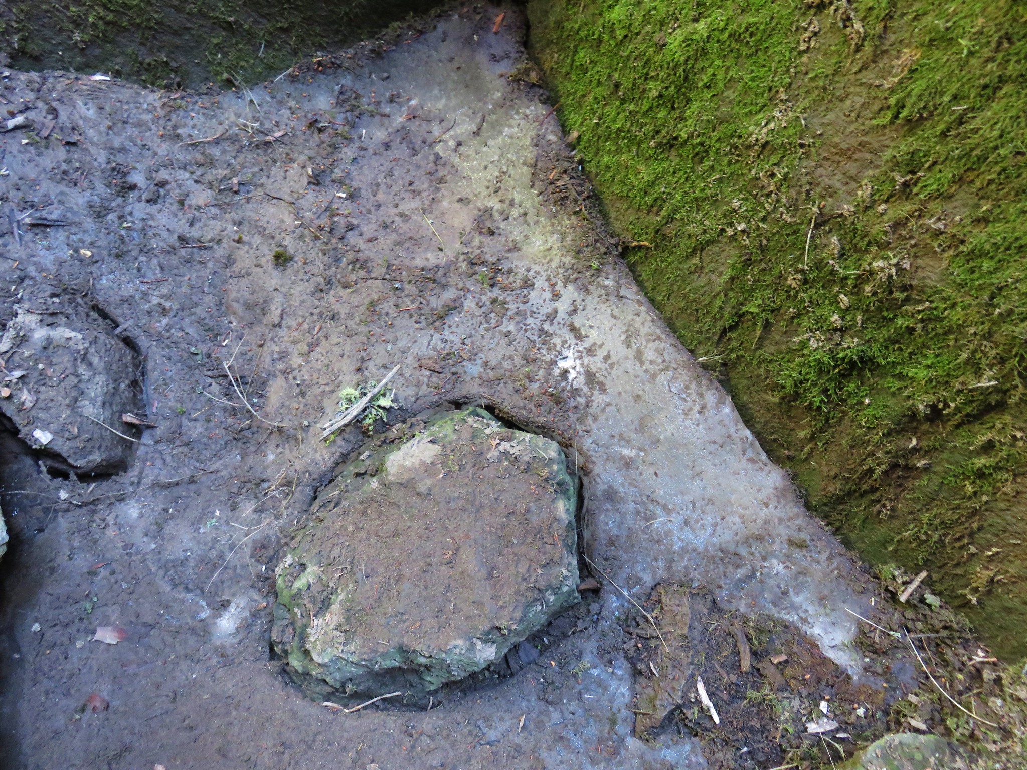
Armed with headlamps and warm clothing we headed down into the cave. Cook suggests that May is the best month to visit to see the ice but noted that each year is different as far as how much ice is present. We may have been just a bit late this year but there was indeed ice on the floor of the cave near the entrance.
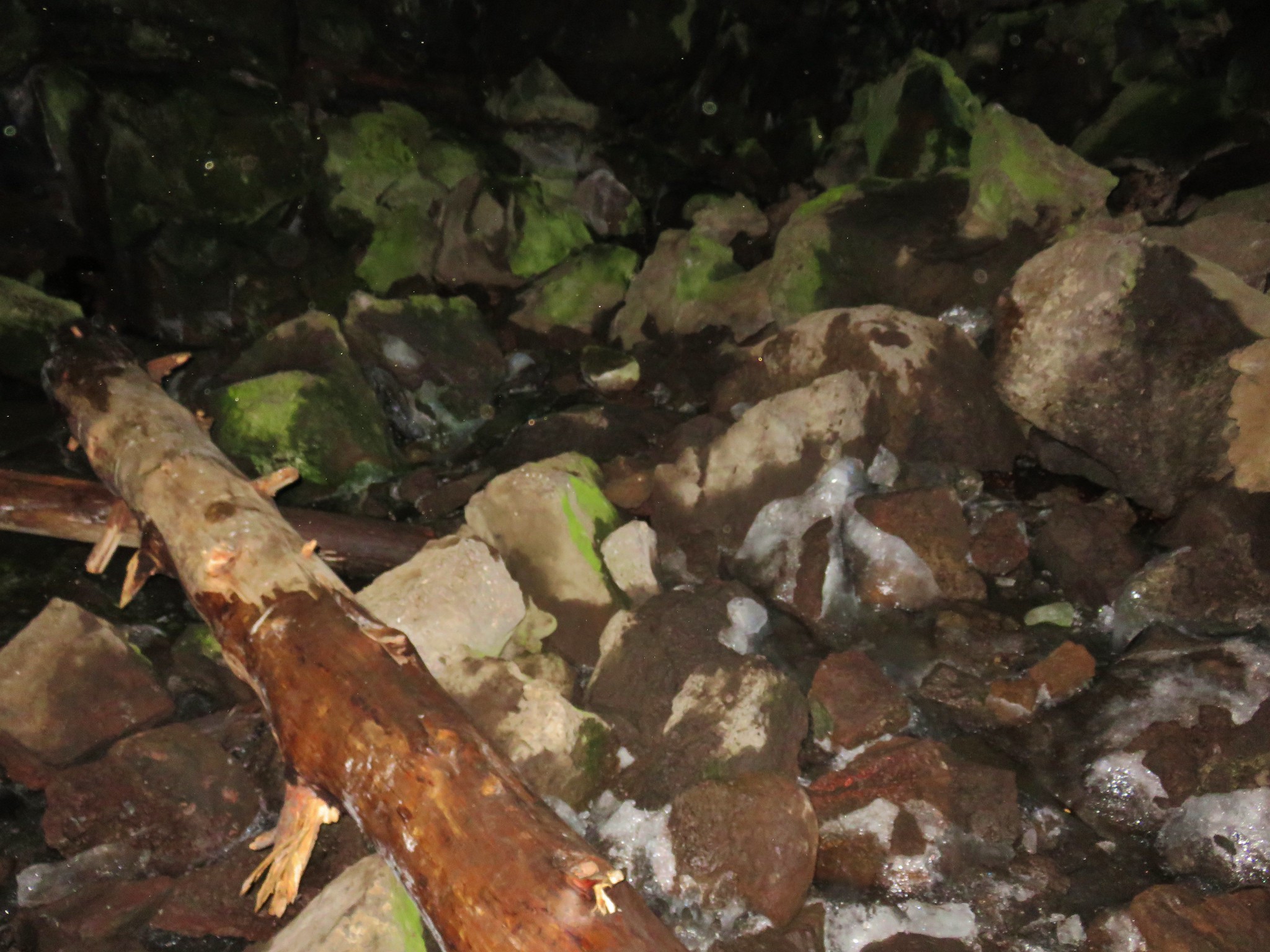
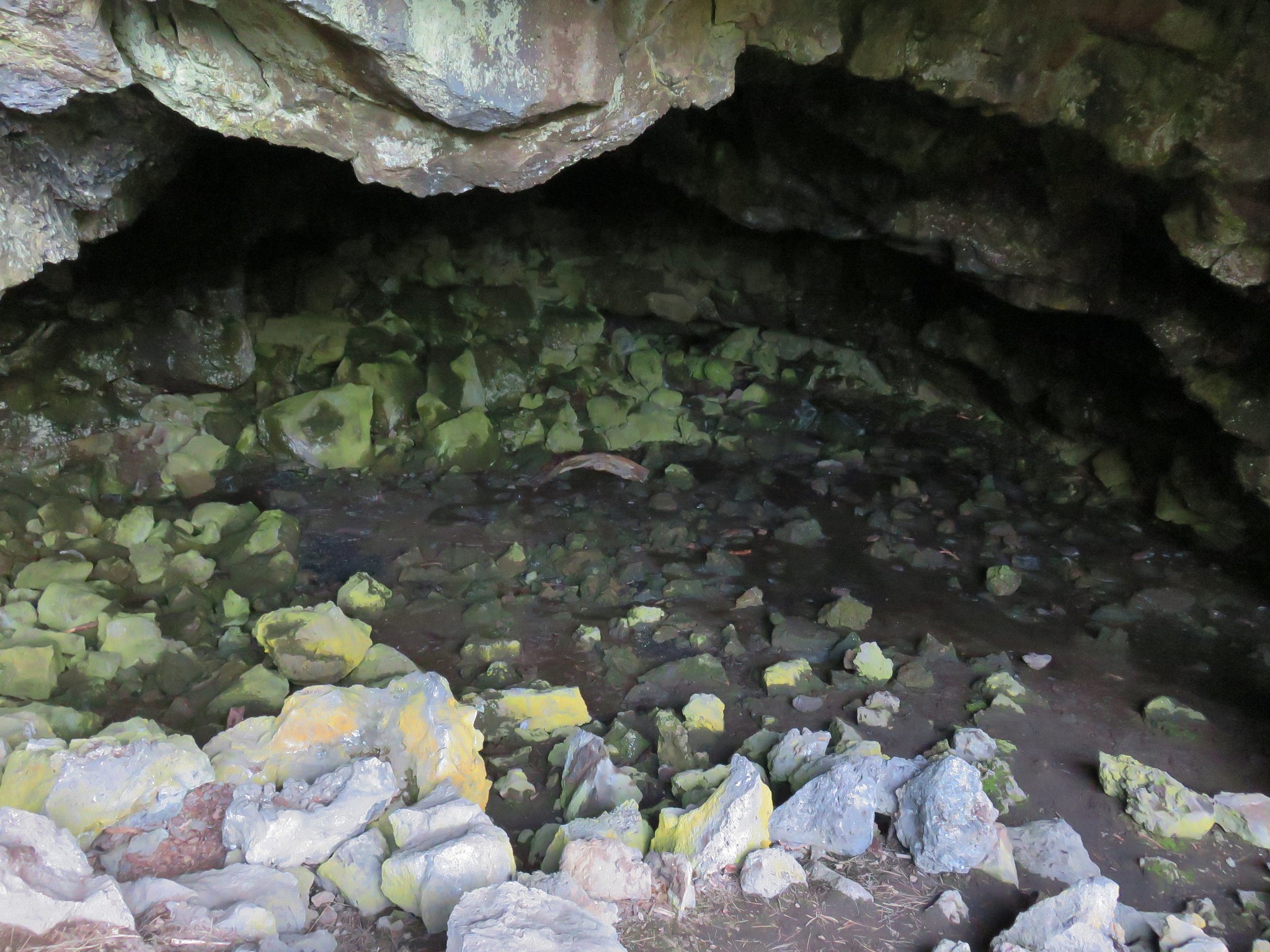
We climbed over a pile of rocks and went deeper into the cave where the amount of ice increased.
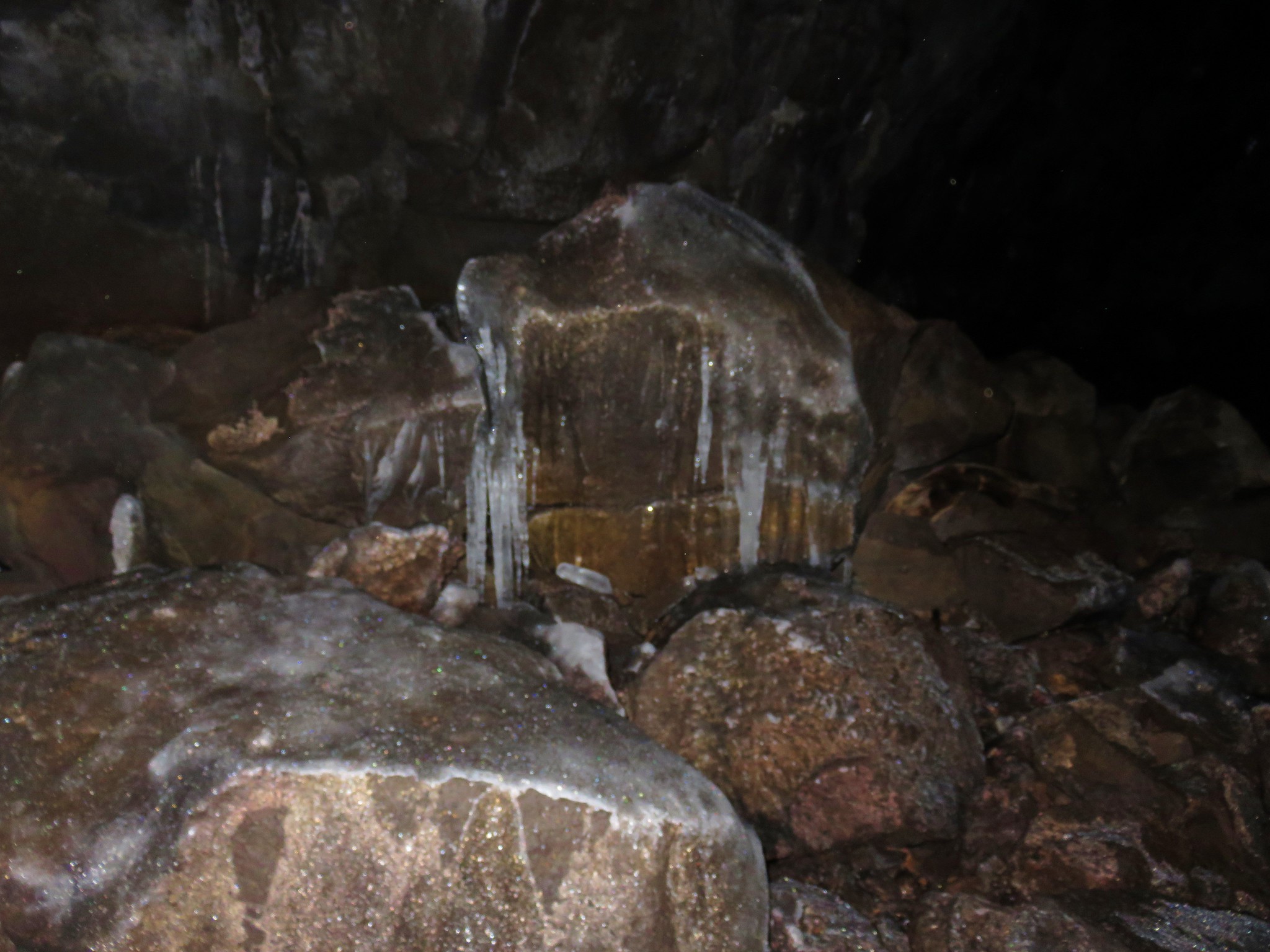
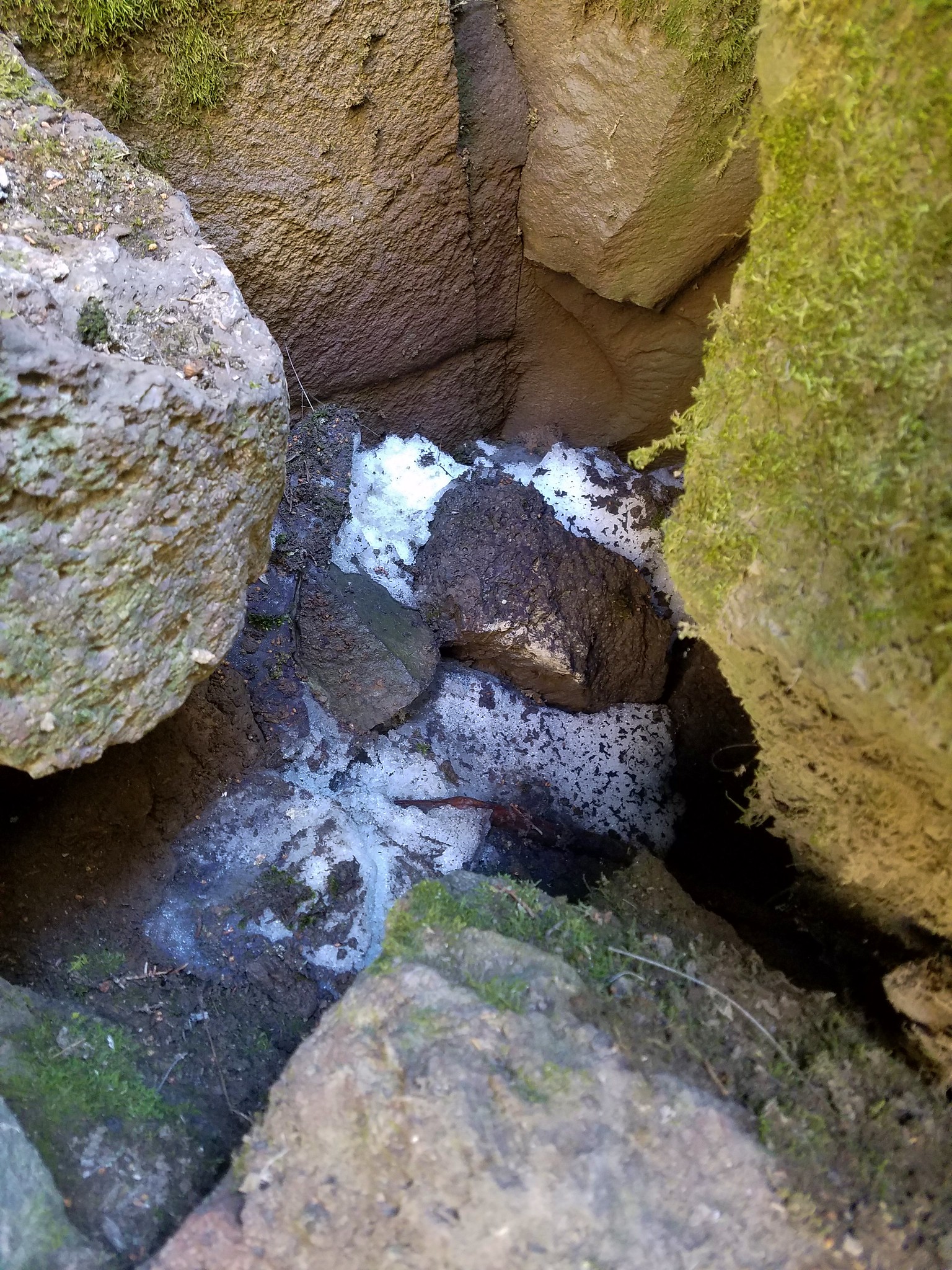
We continued to scramble over the lava trying to avoid the ice as much as possible since it made the rocks very slick, on the other hand the lava was sort of sharp and both our pants came away with battle scars. A little further into the cave we came to the best of the ice display where icicles hung overhead and ice nubs rose from the rocks.

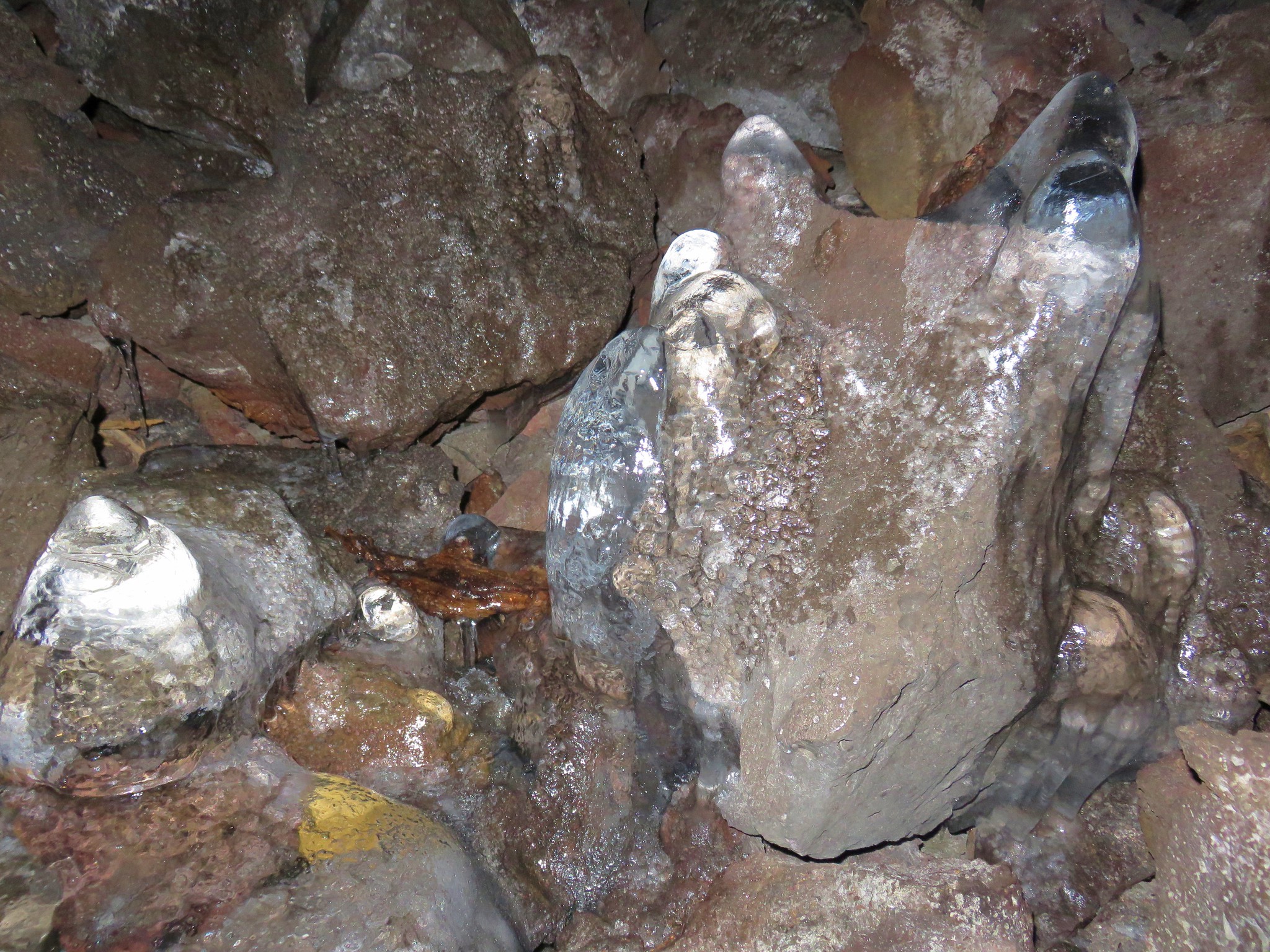
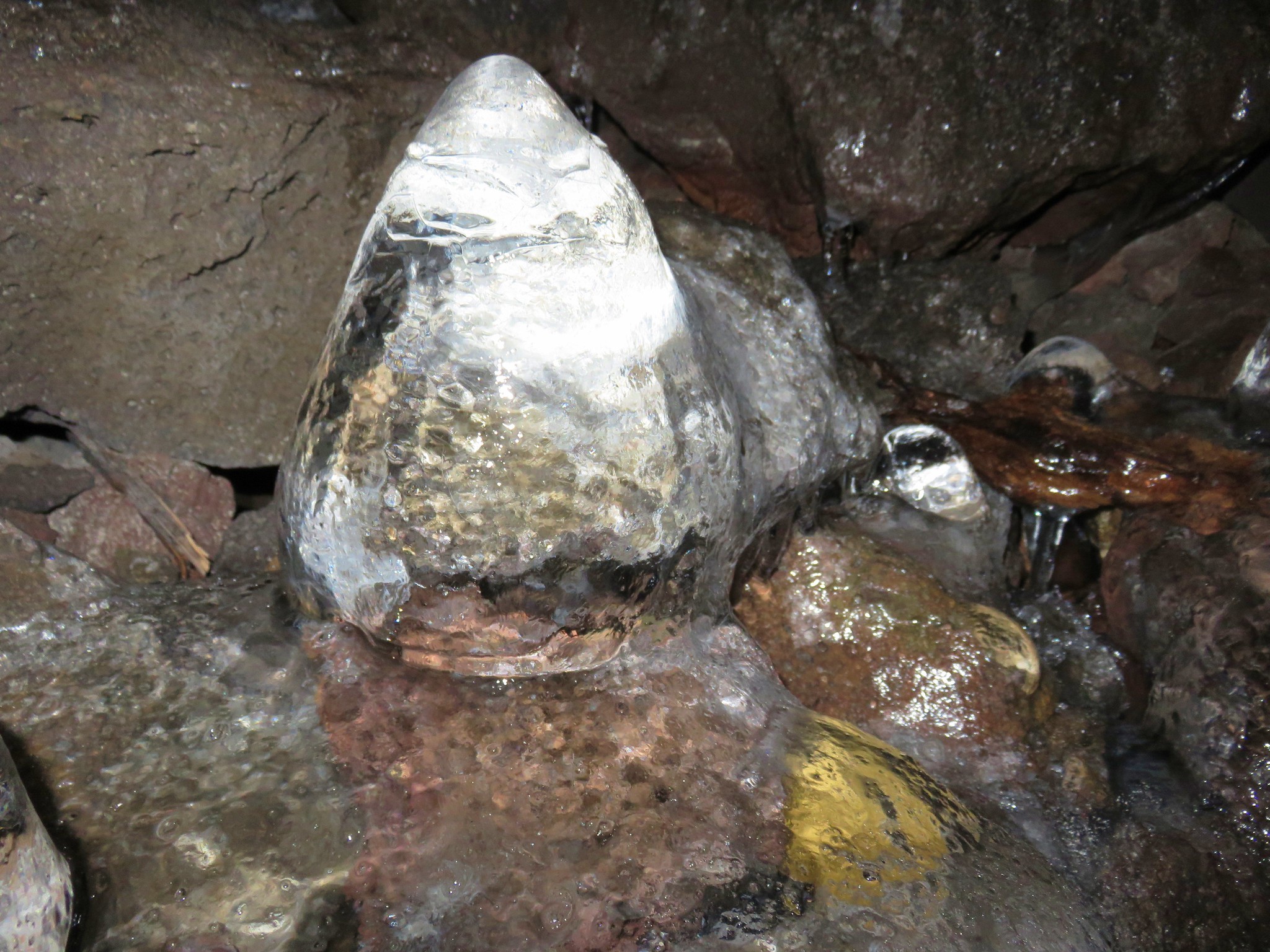
Near the back of the cave the ice pretty much disappeared and the cave ended unceremoniously.
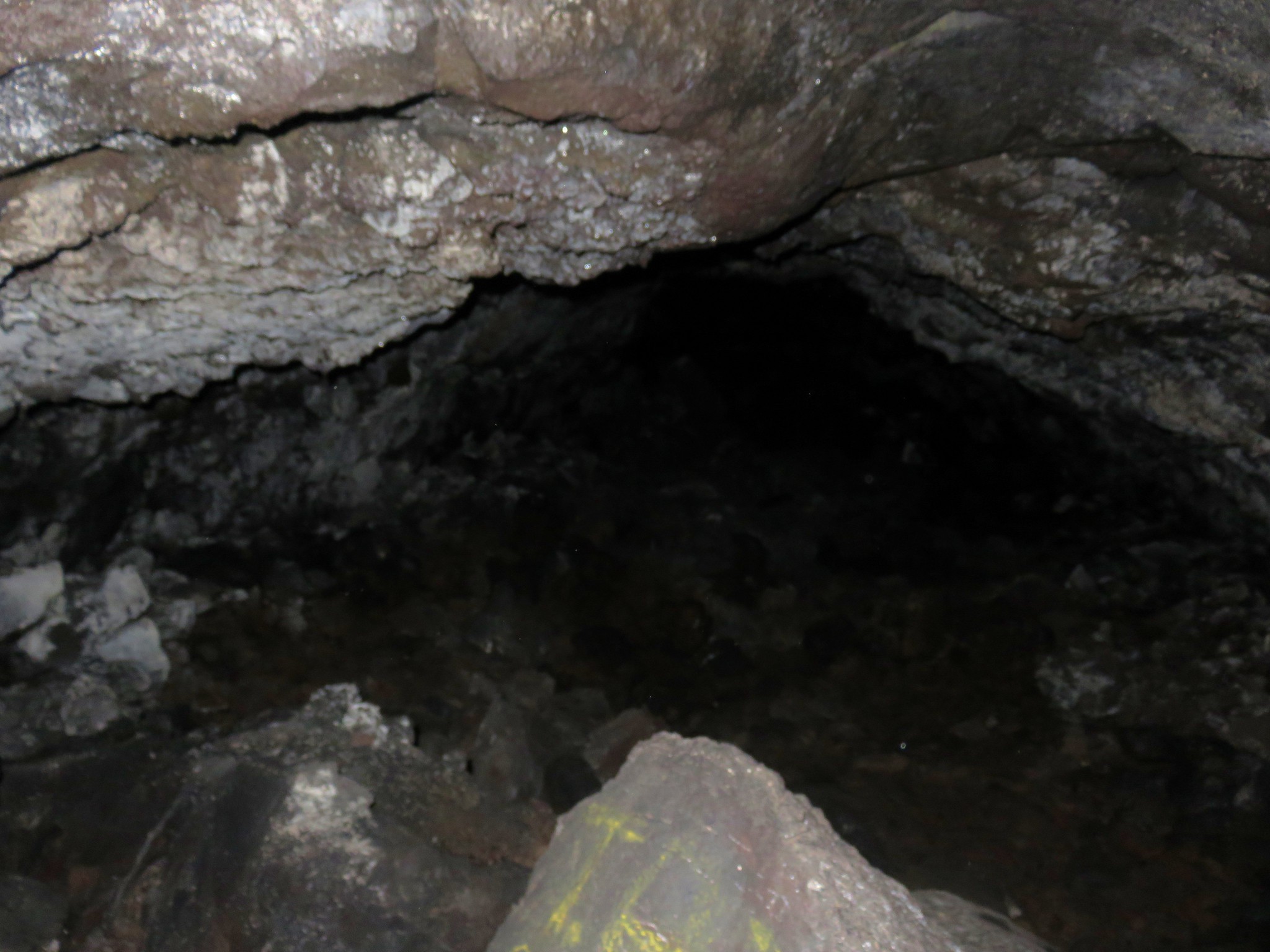
I had reached the end first and as I turned to see if I could see where Heather was a bat flew through my headlamp’s light. It had apparently passed by Heather as well because when I told her there were bats she said she knew. 🙂
Despite the ice it wasn’t as cold in the cave as we’d anticipated and we were both a little warm from all the scrambling by the time we emerged from the cave.
The half mile round trip took us about an hour which is what Cook had said to expect in the guidebook. After taking off our extra clothing we headed off to our next stop – Fort Rock State Park.
We turned left out of the parking area back onto NF-22 and followed it for a mile to a stop sign at NF-18 where we turned right. We stayed on NF-18 for 15 miles to the entrance of Fort Rock State Park. We had stopped here in 2014 after a hike up Hager Mountain and toured the inside of Fort Rock so this time we decided to hike around the outside.
From the parking area we followed a path to some plaques on rocks.

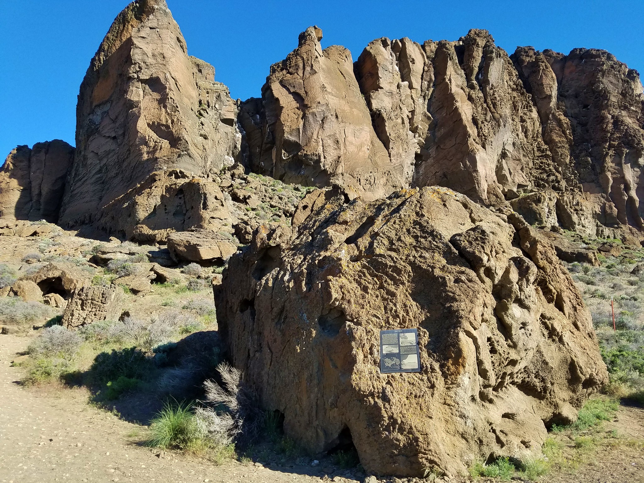
From these rocks we turned right and passed through a barbed wire fence heading around the outside of Fort Rock.
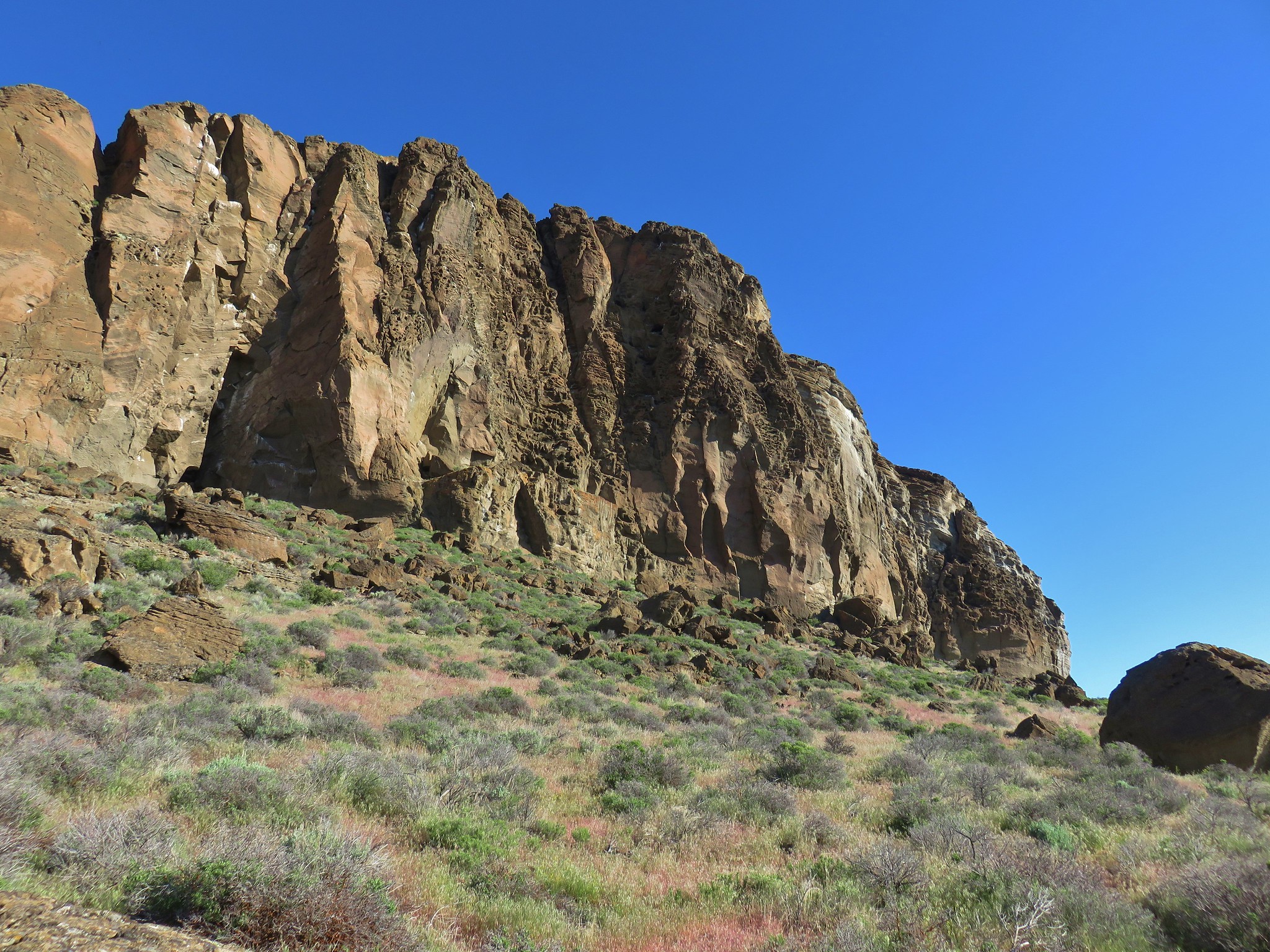
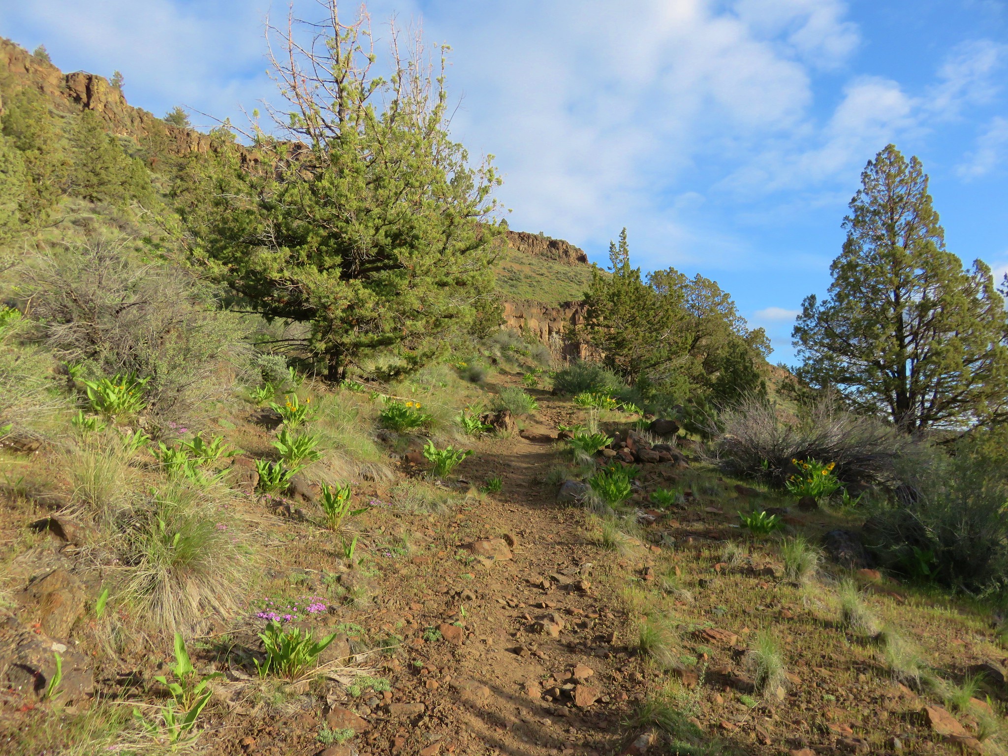
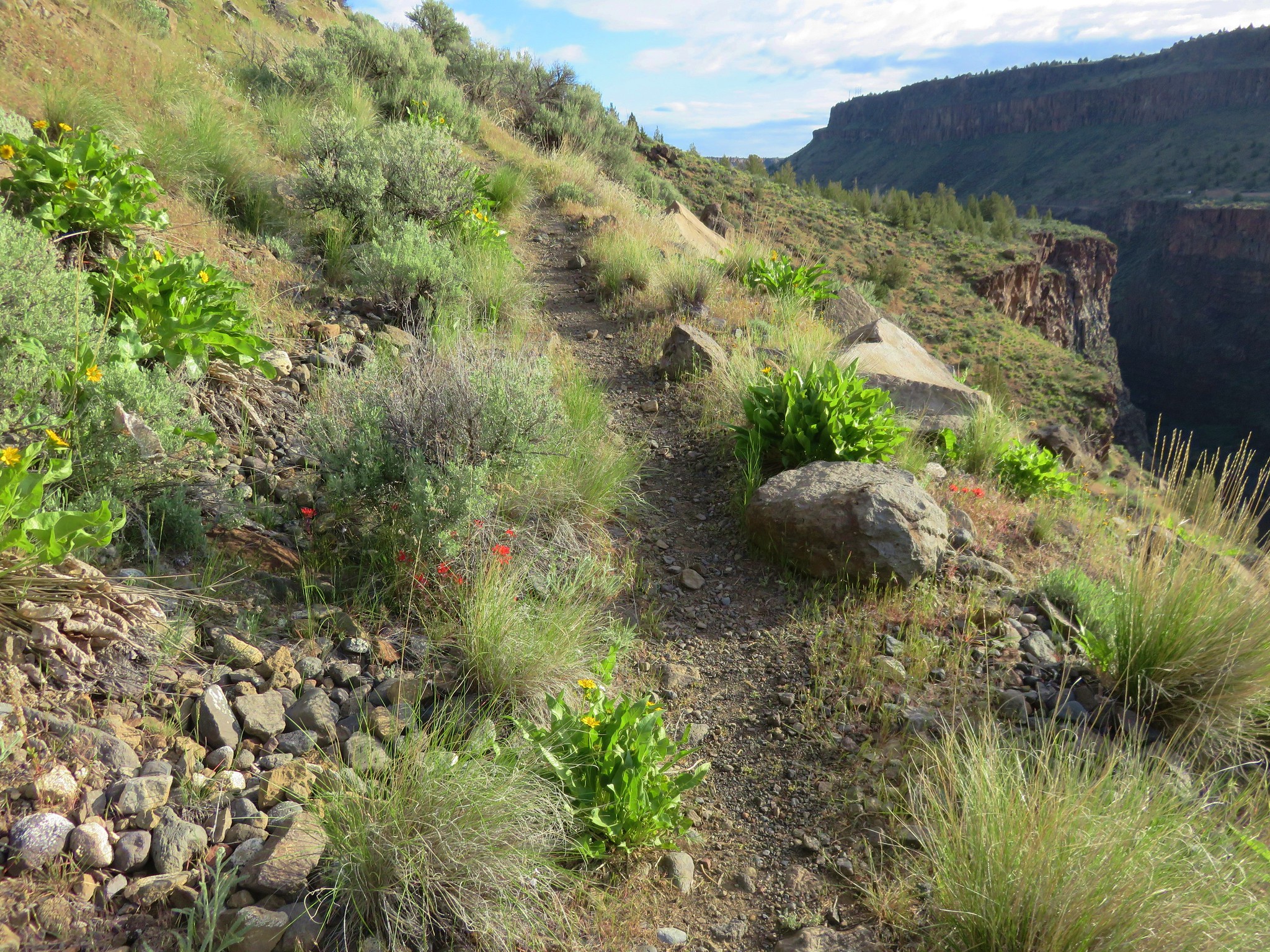
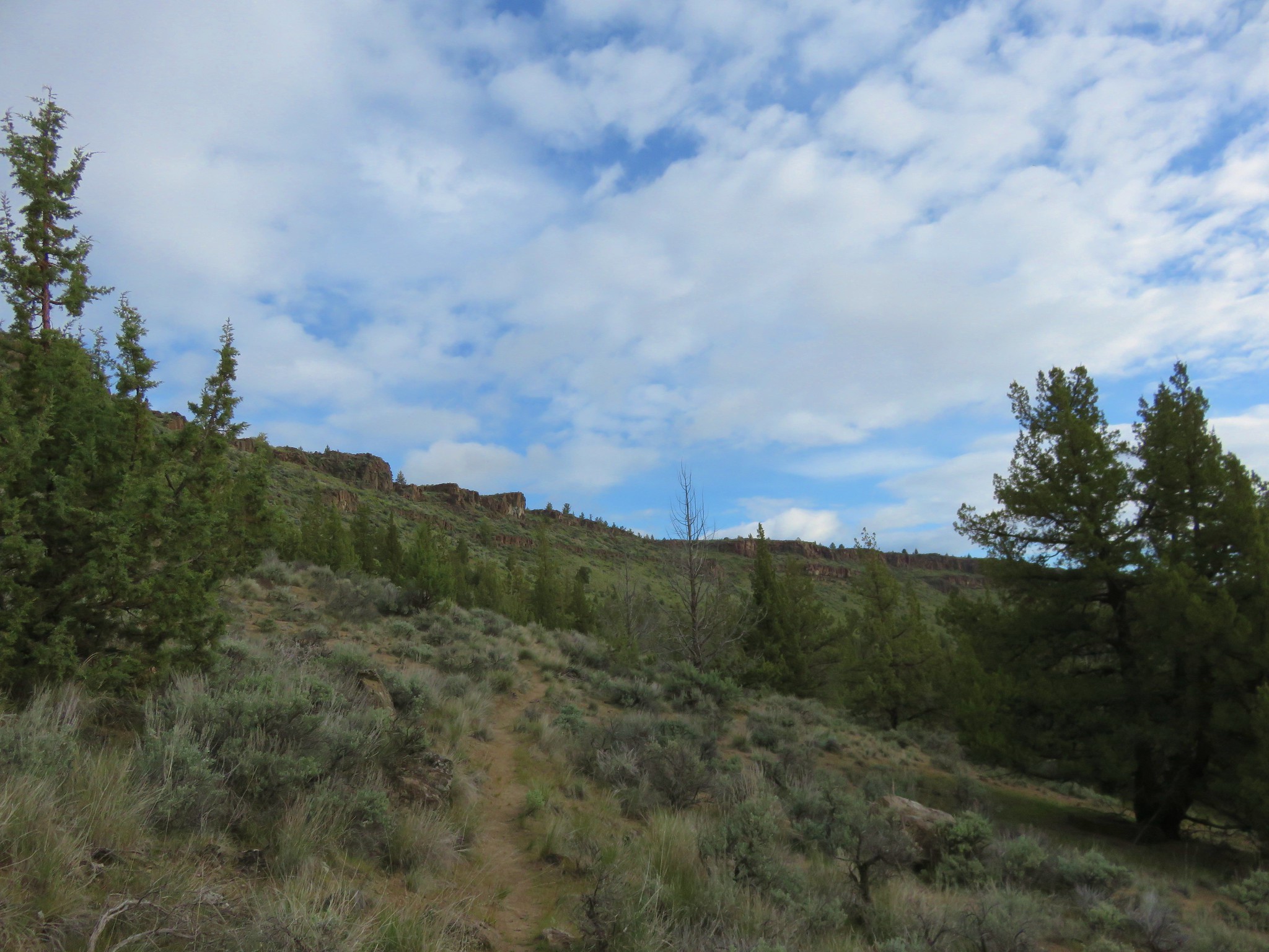
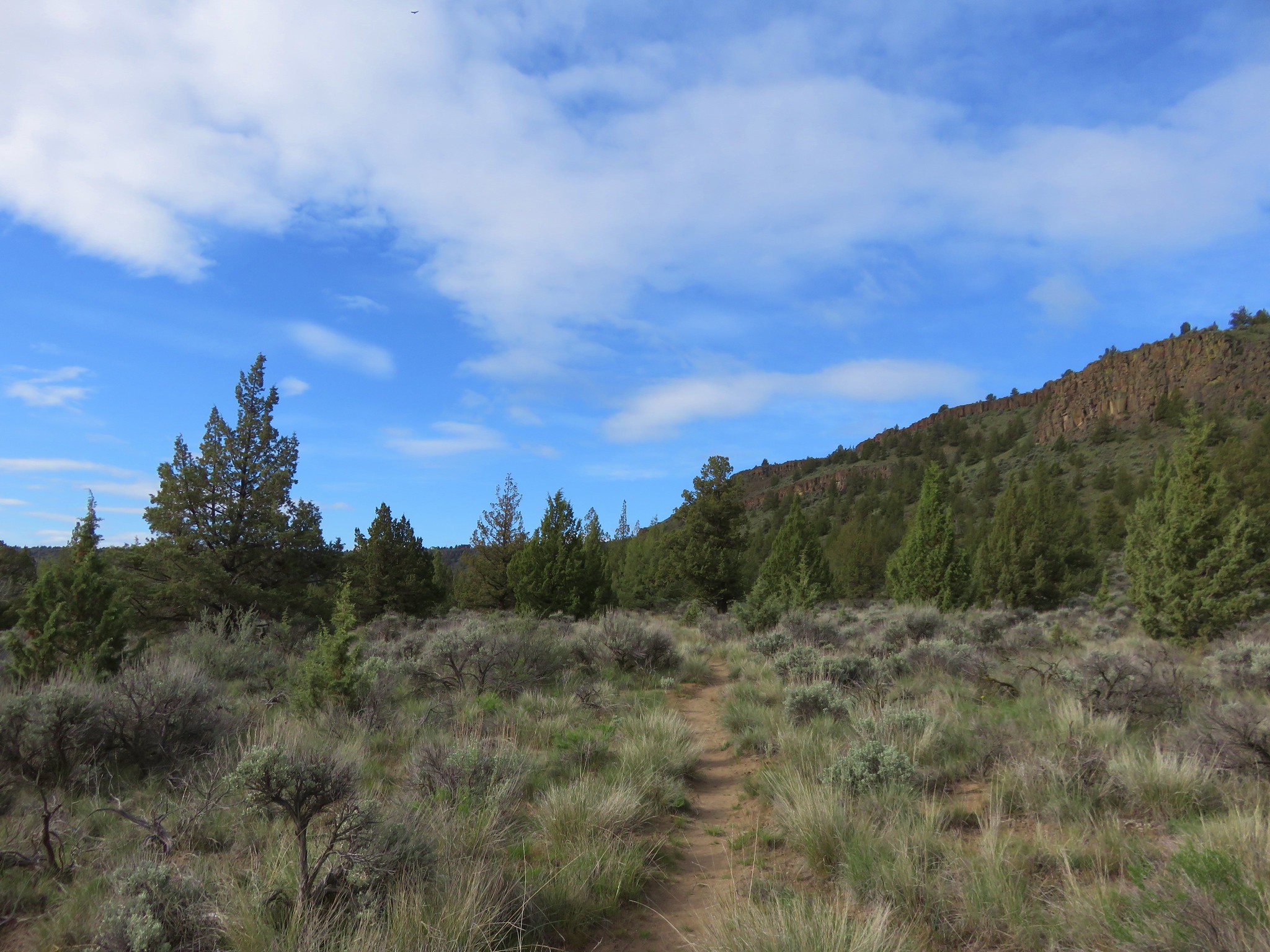
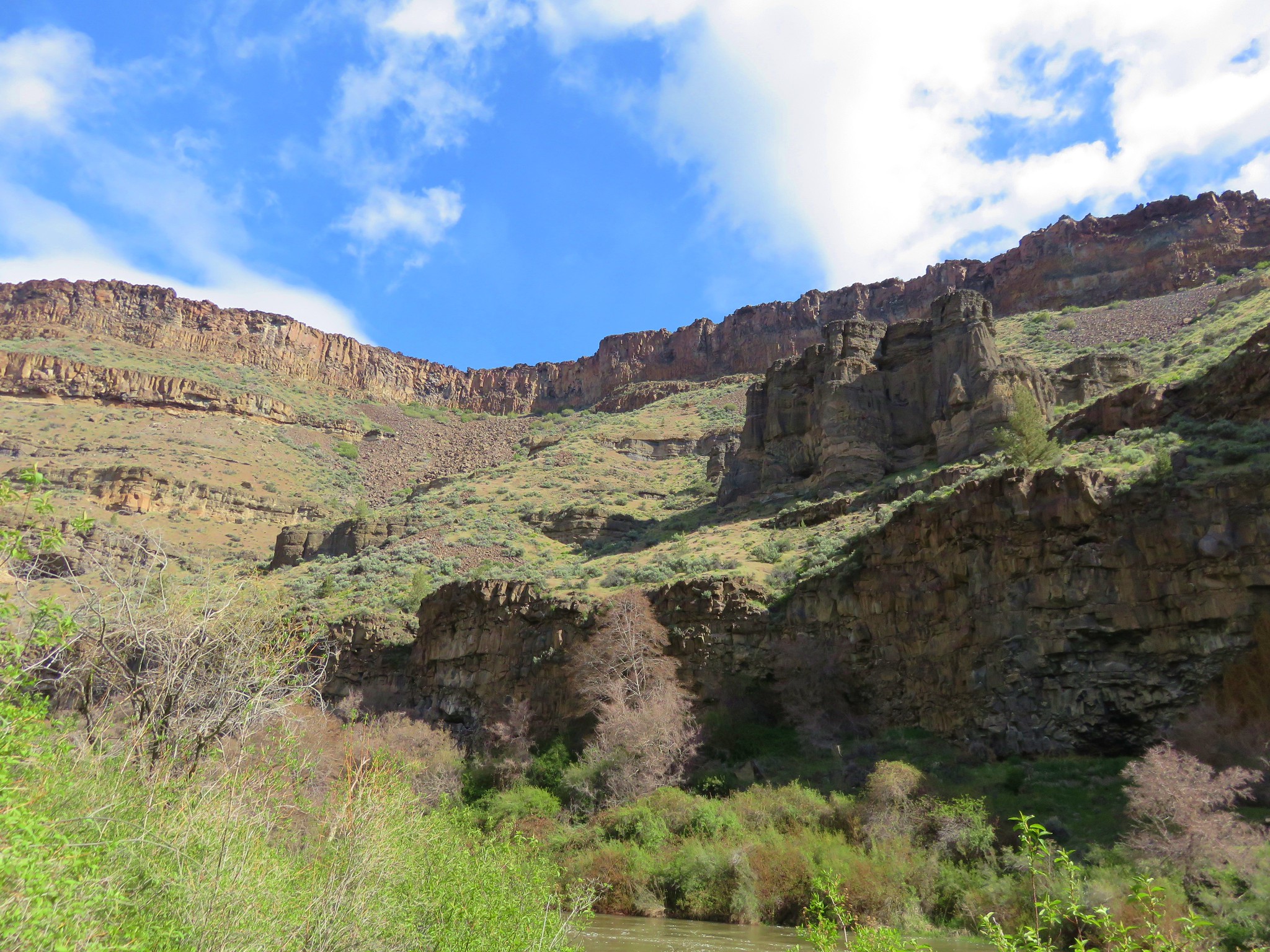
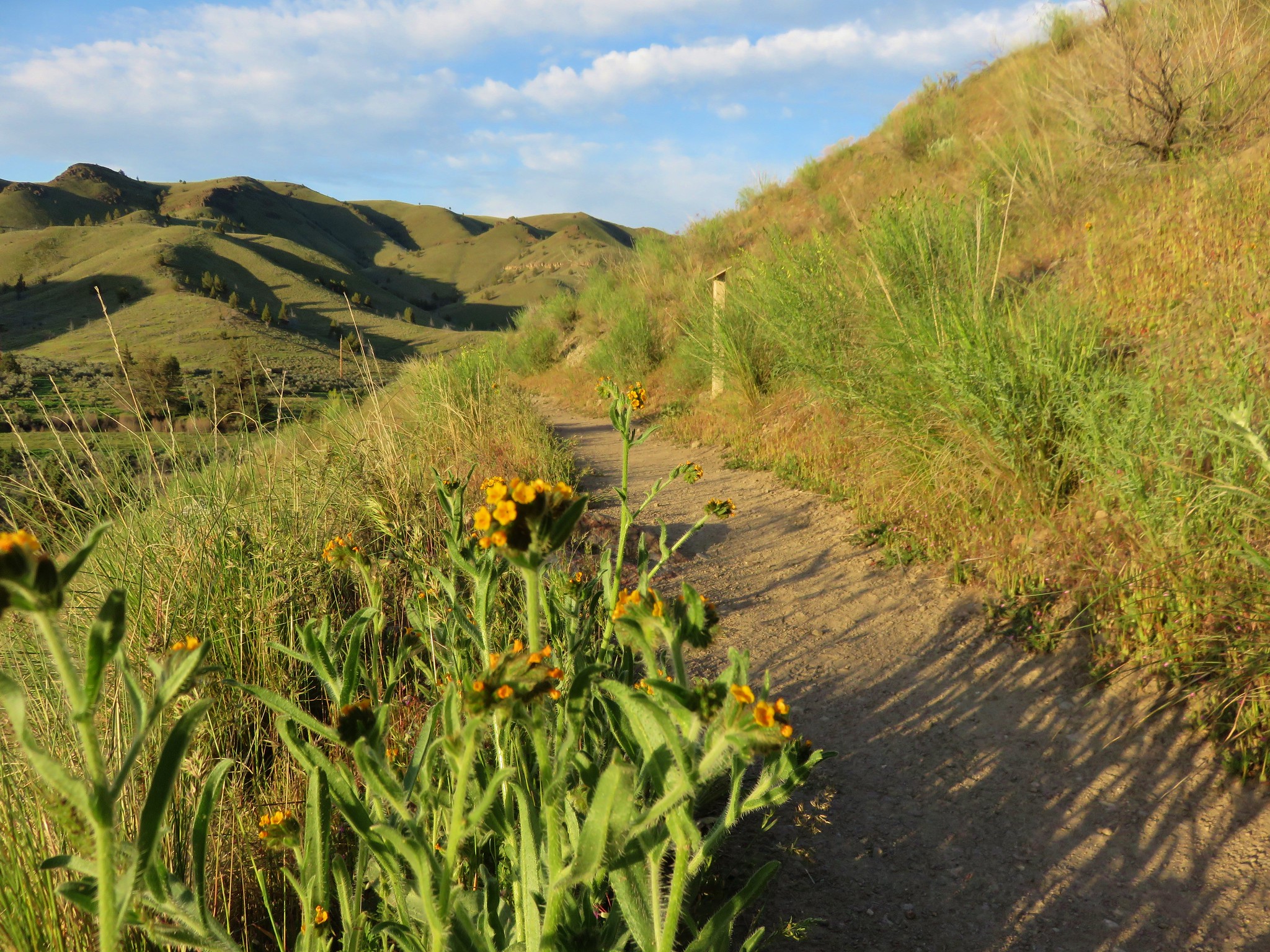
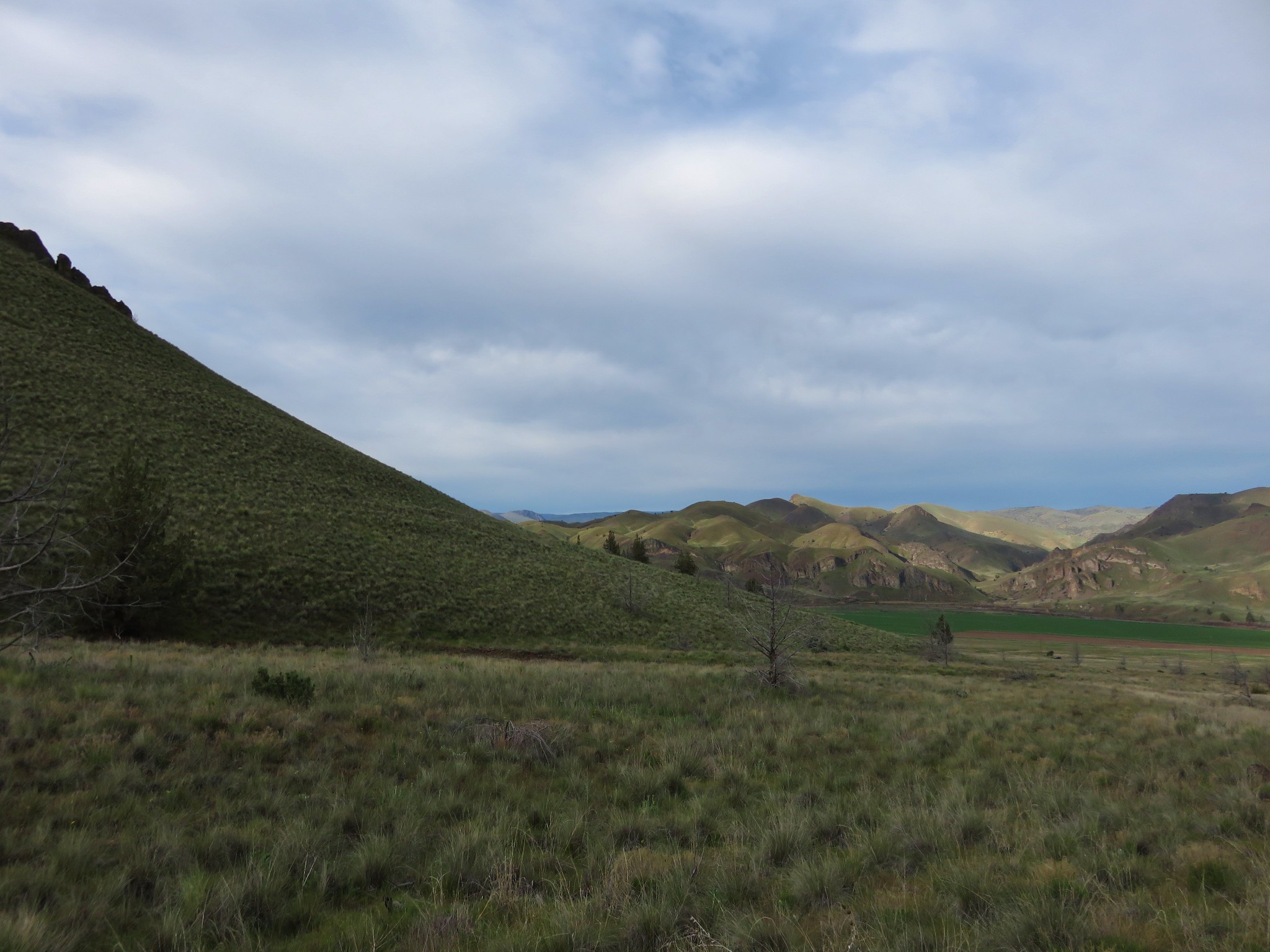
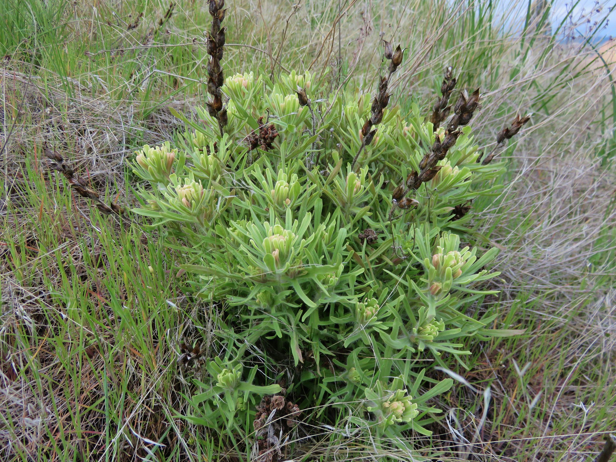
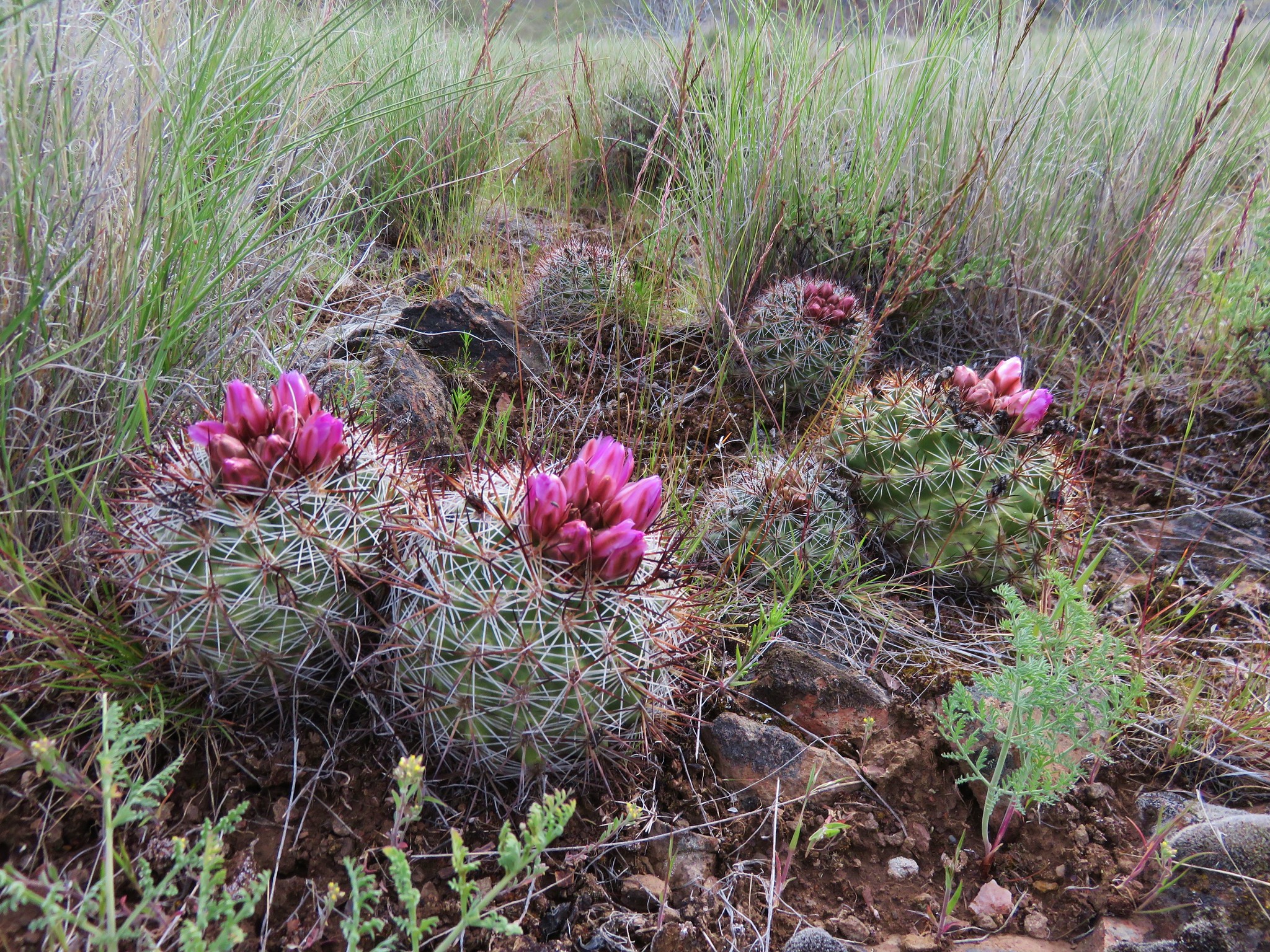
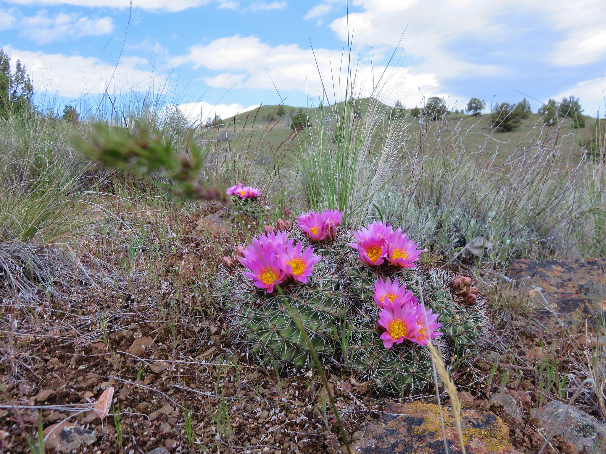
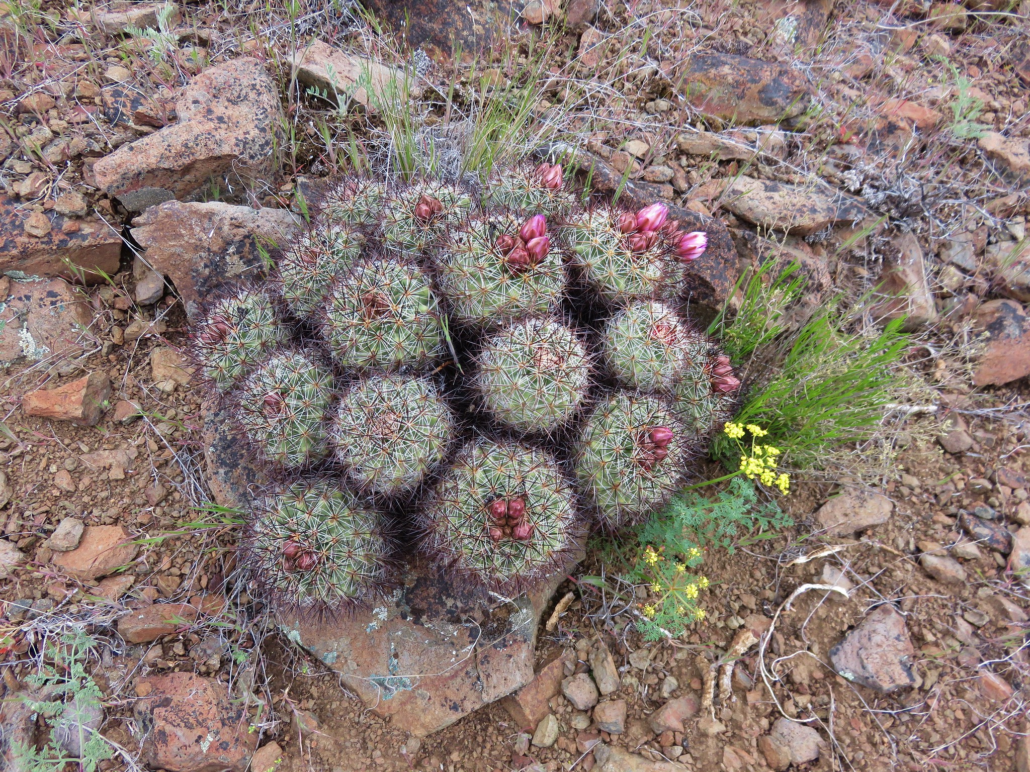
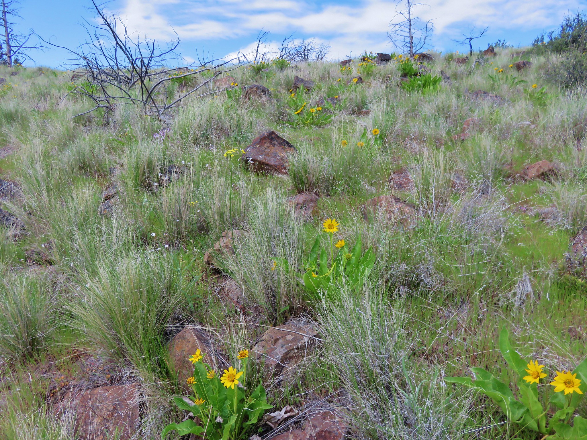
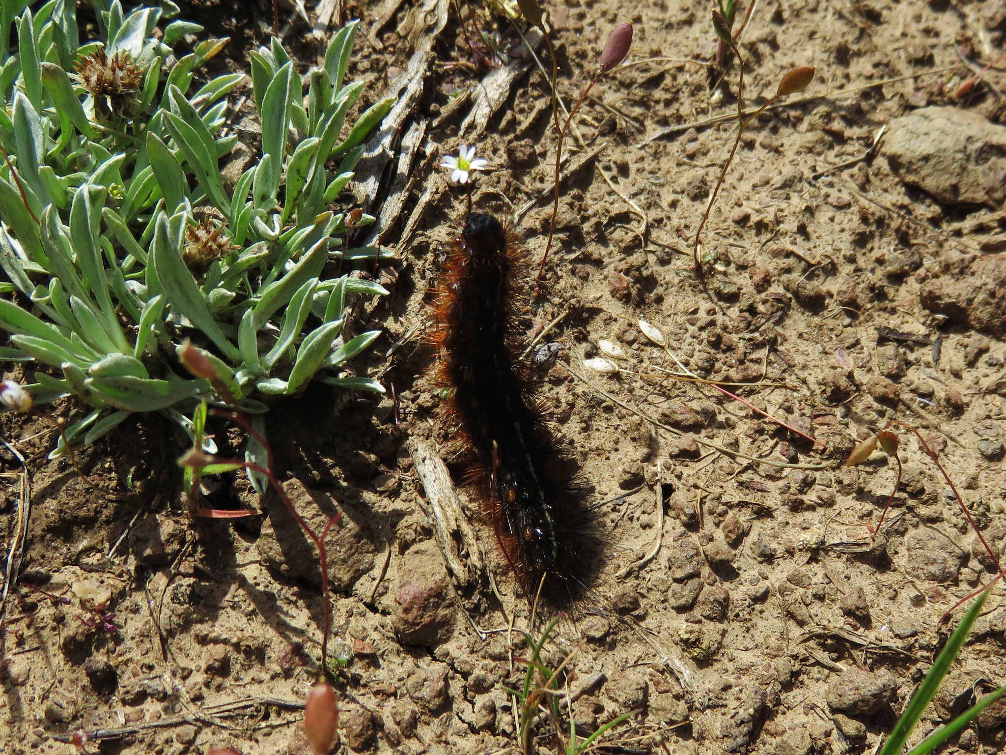
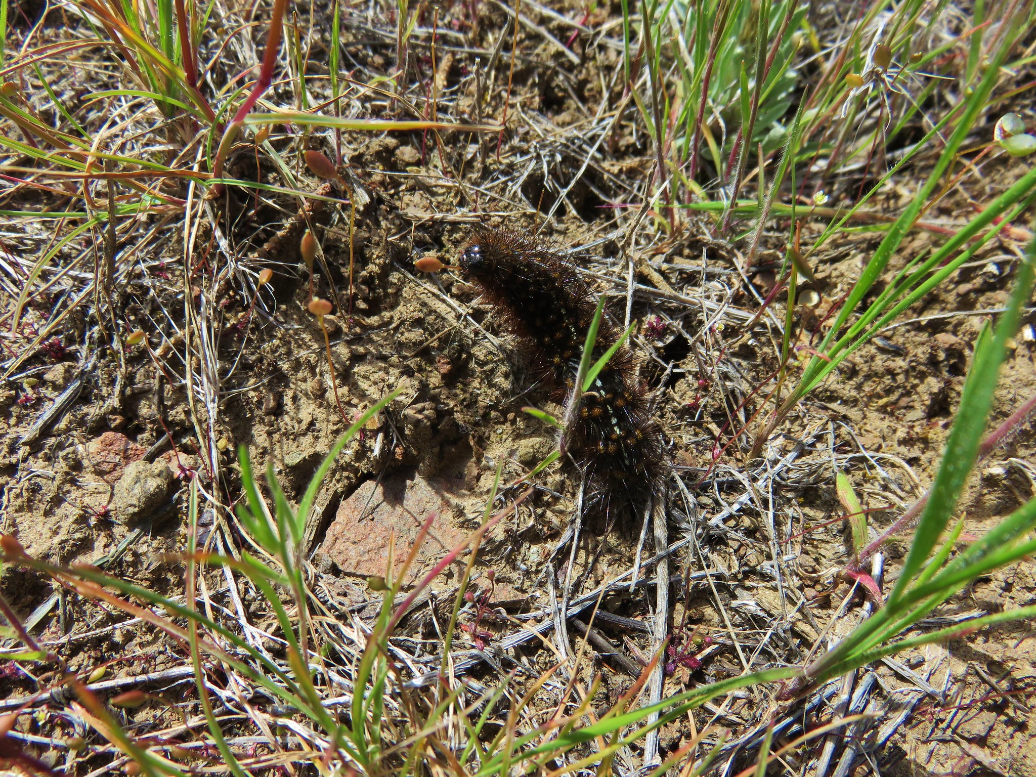
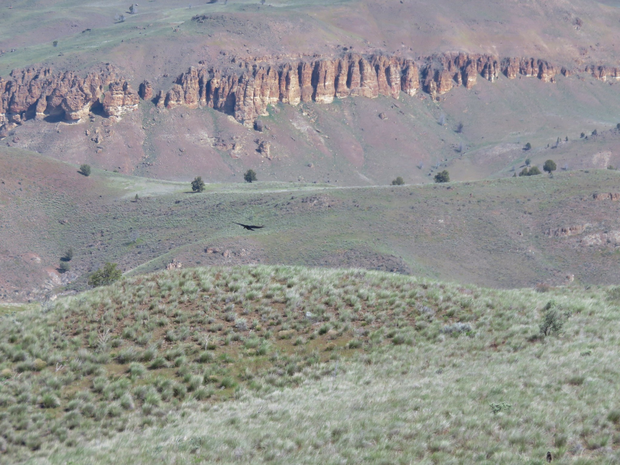
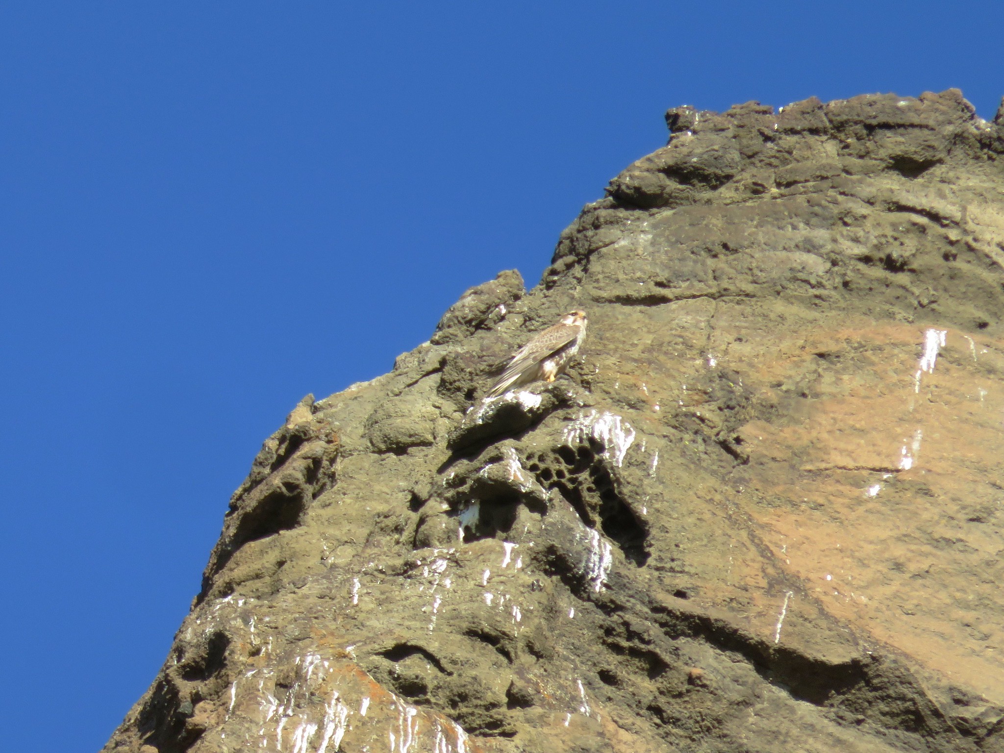
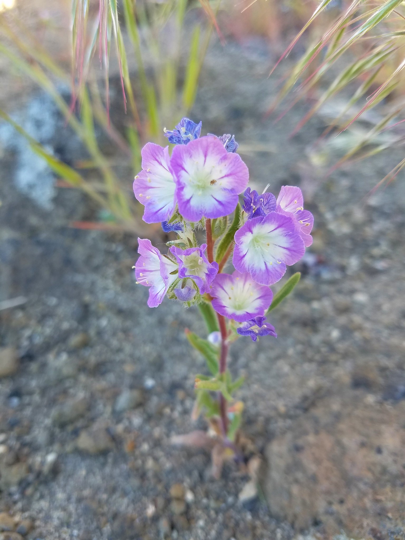
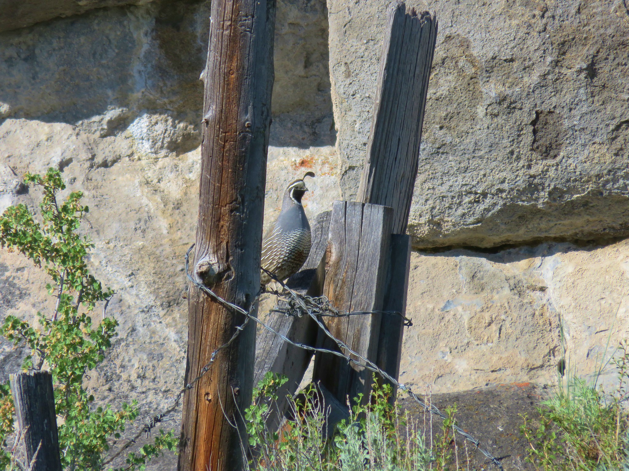
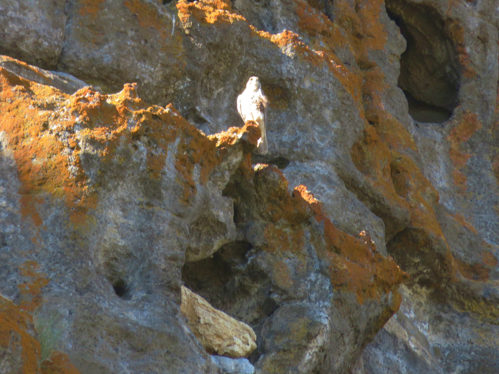
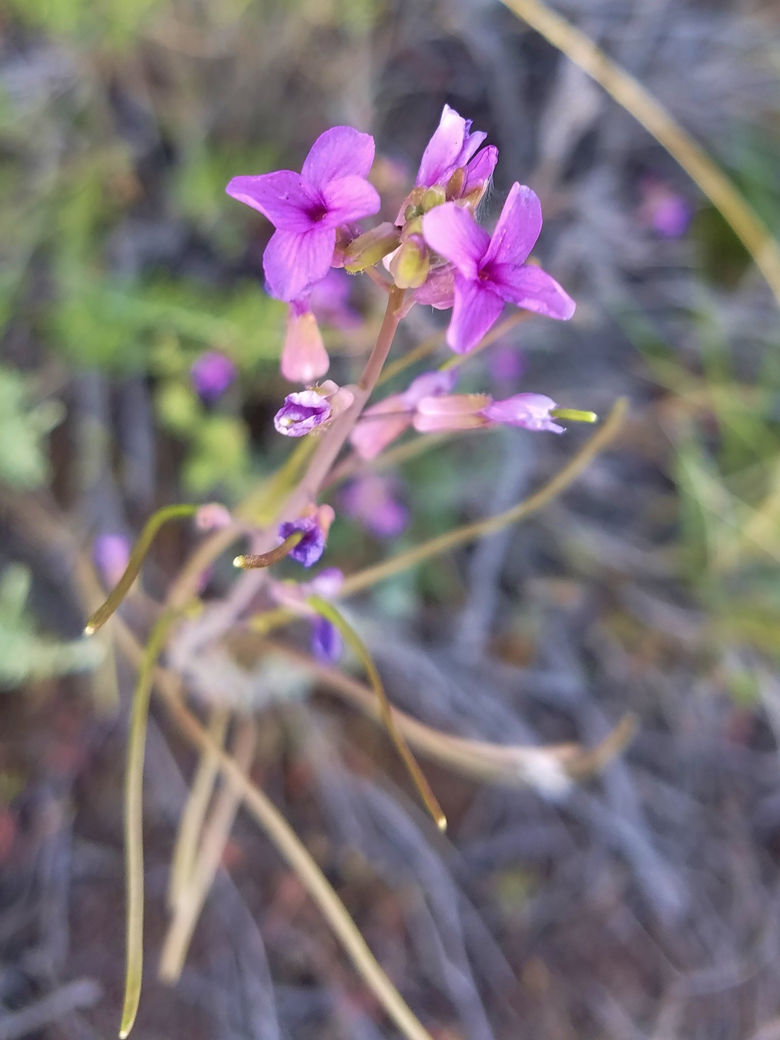
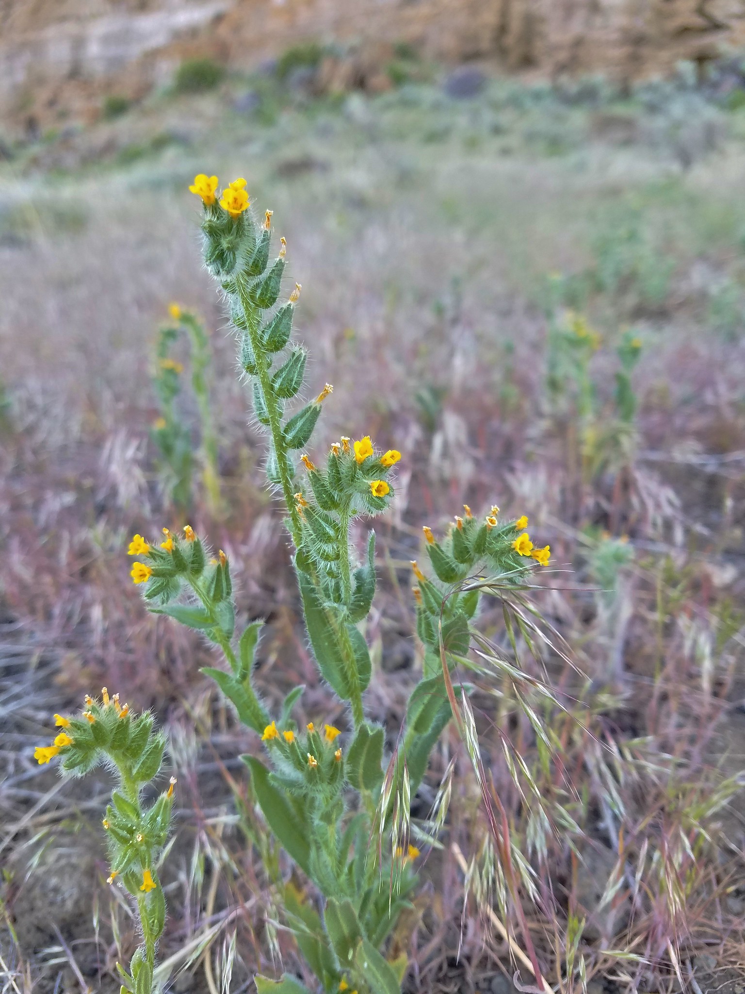
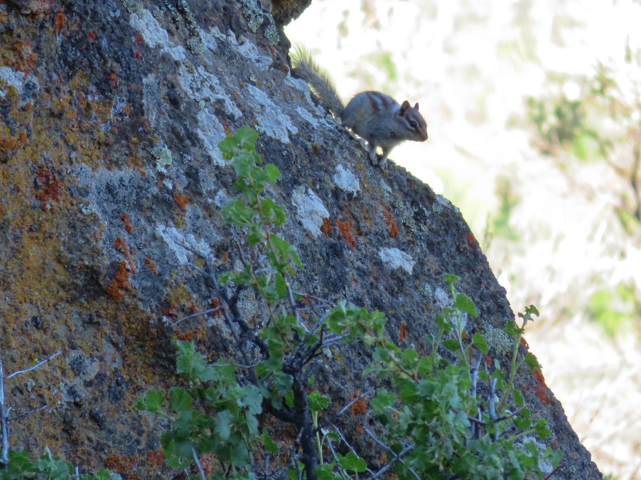
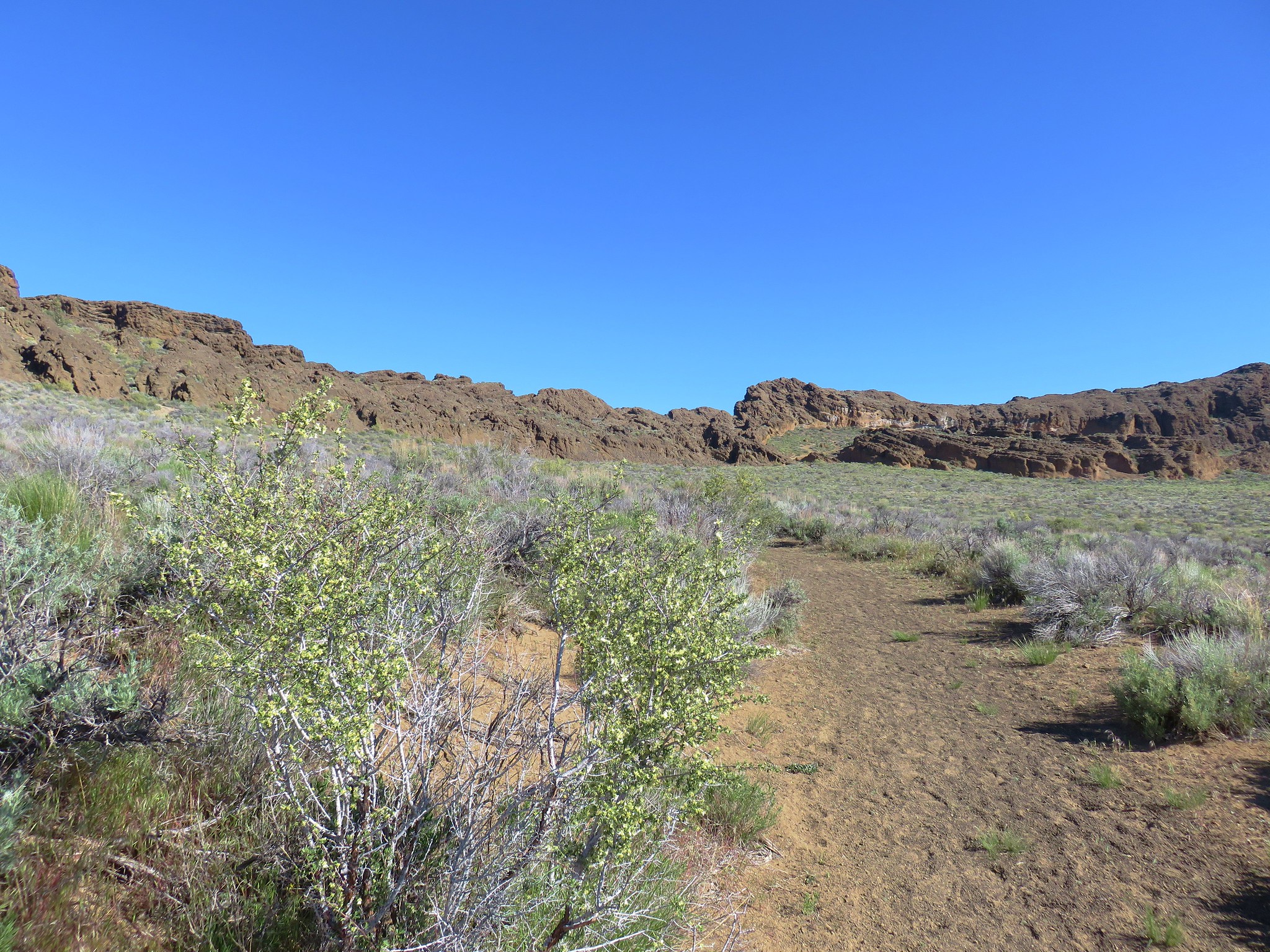
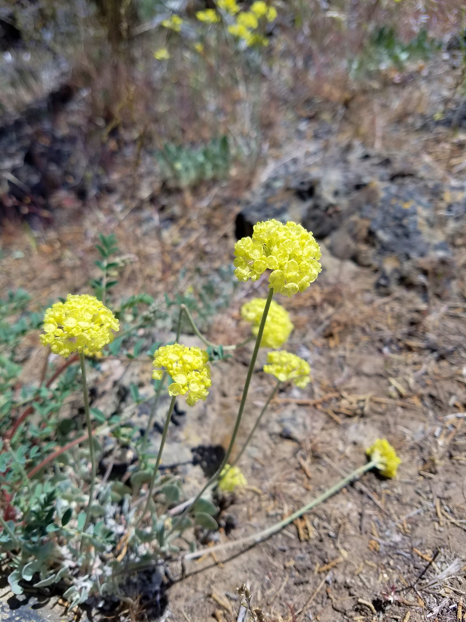
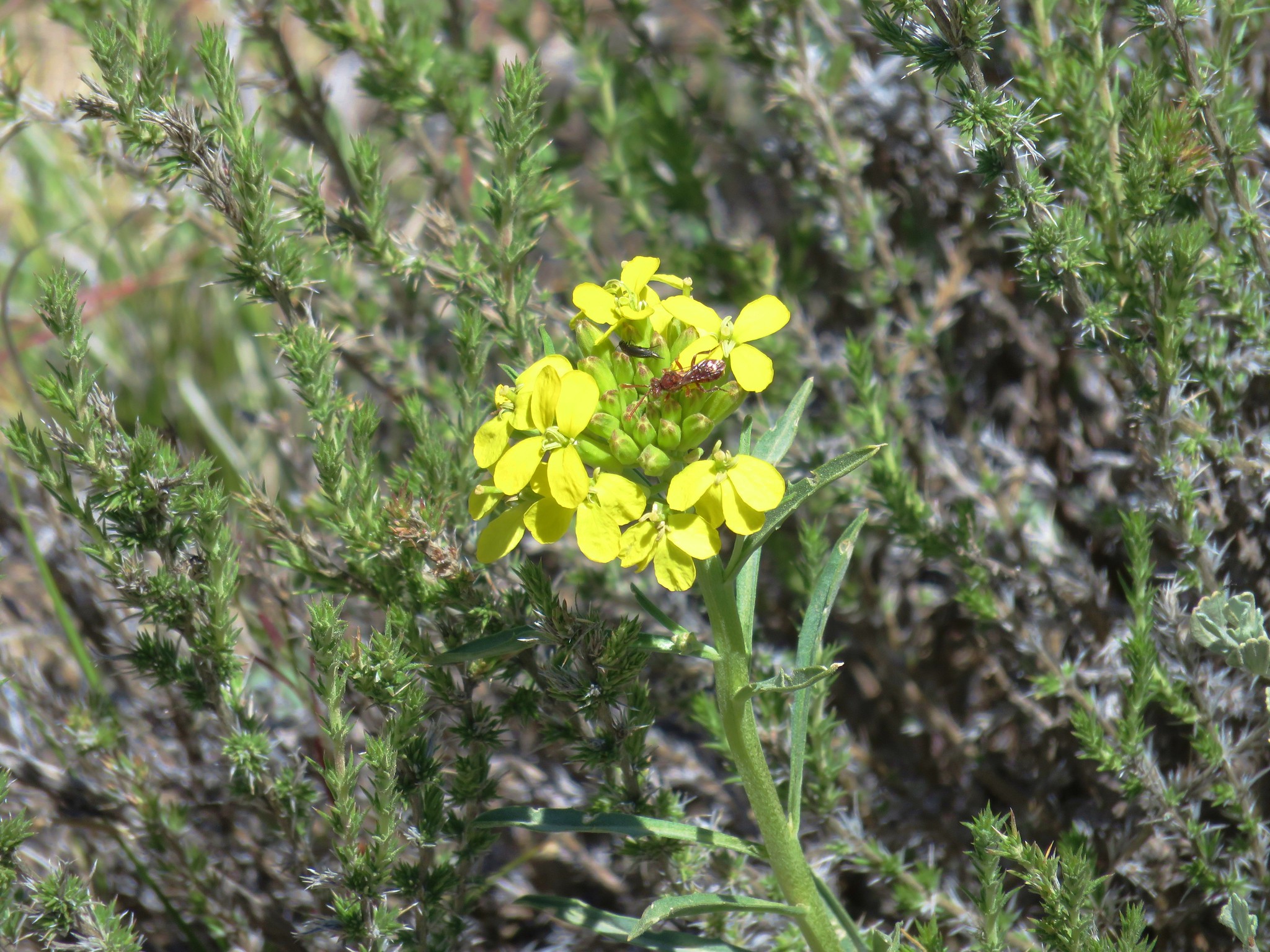
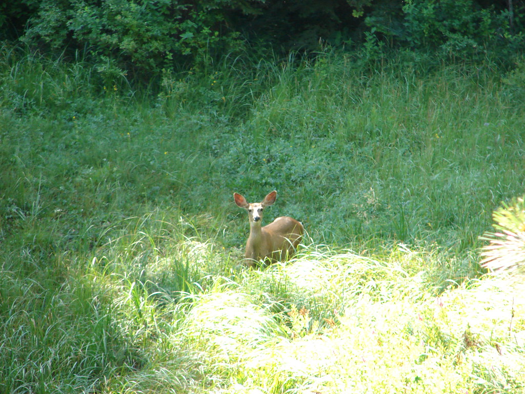
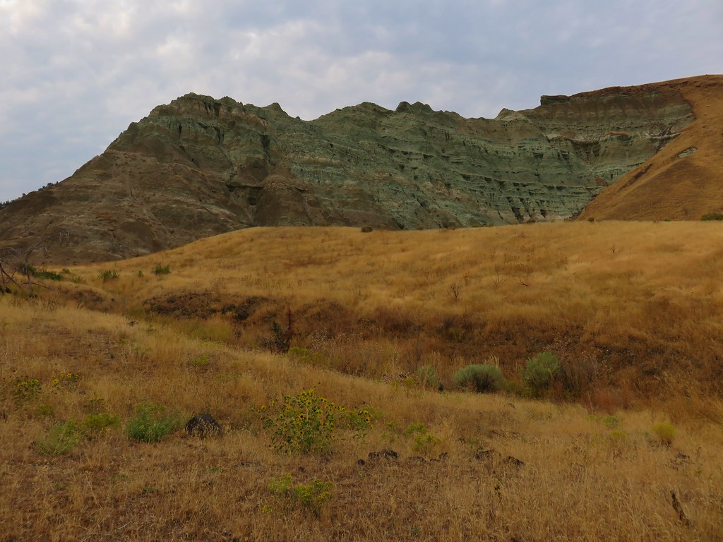
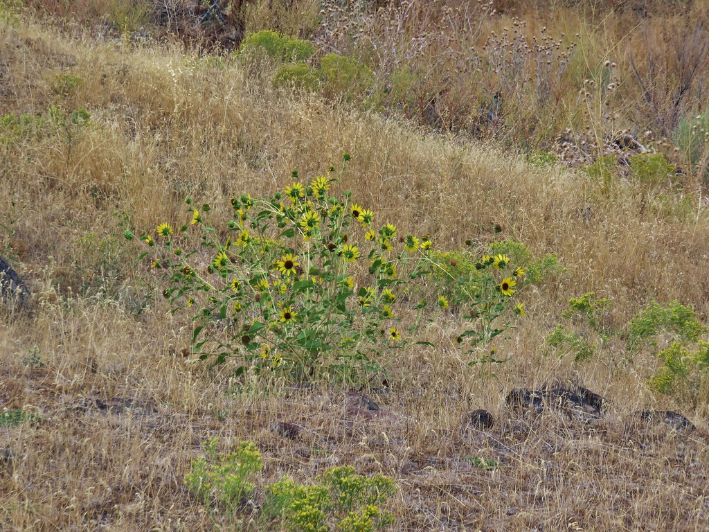
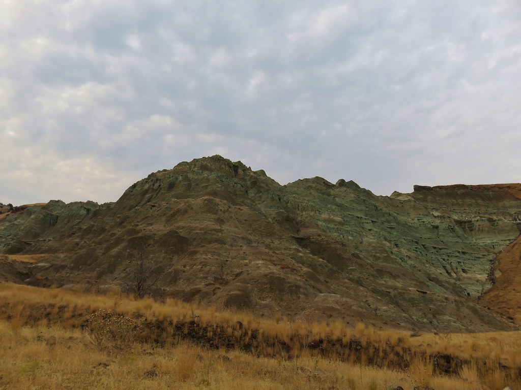
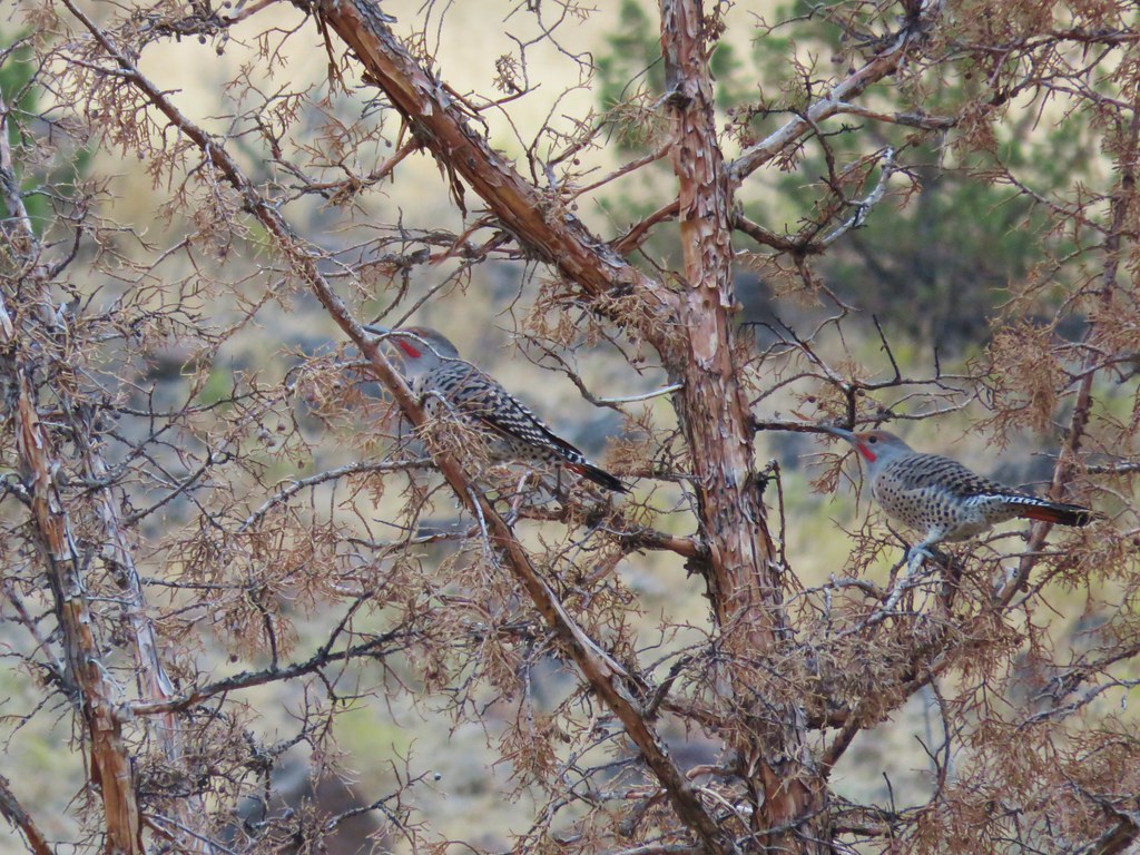
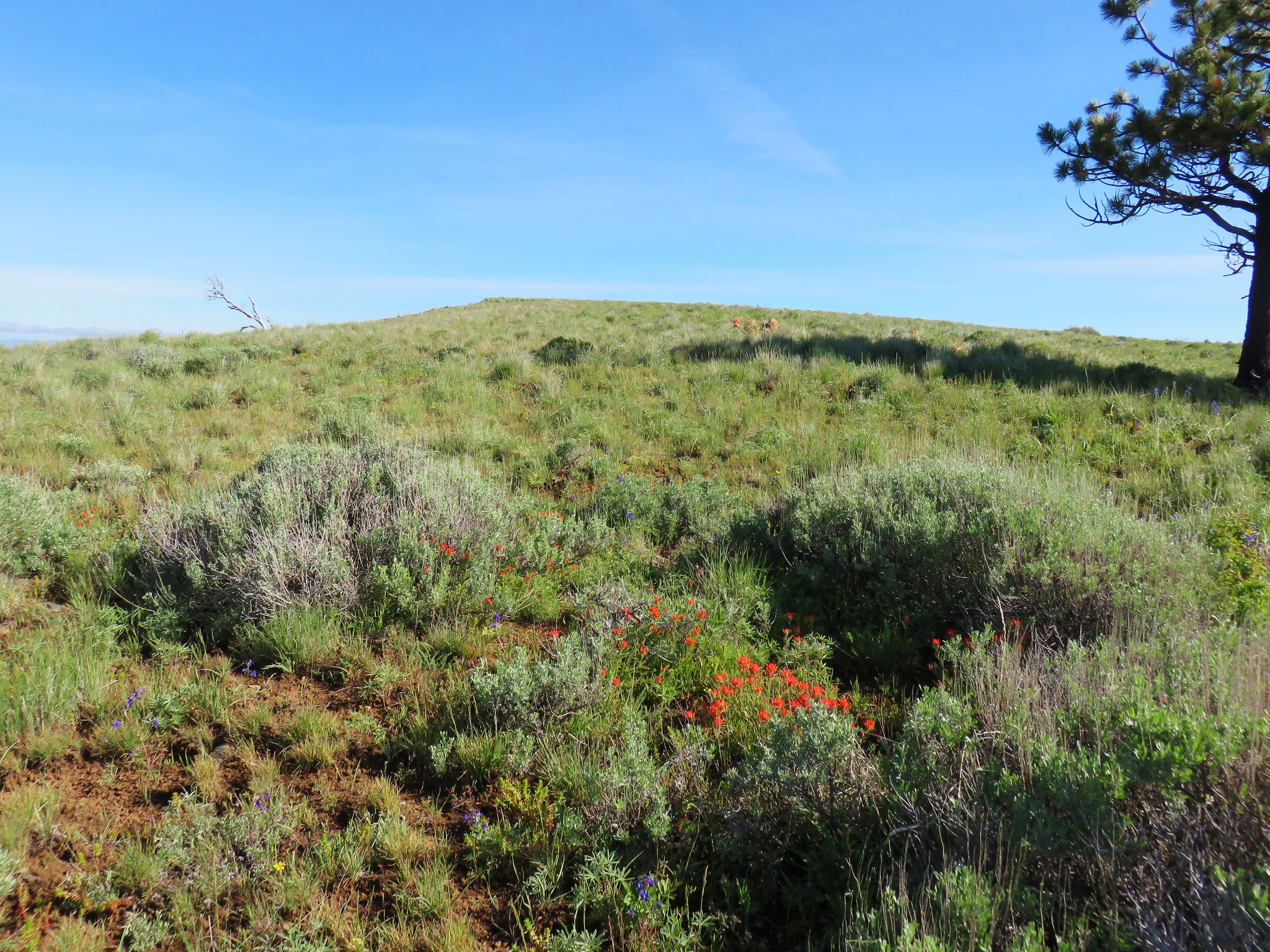
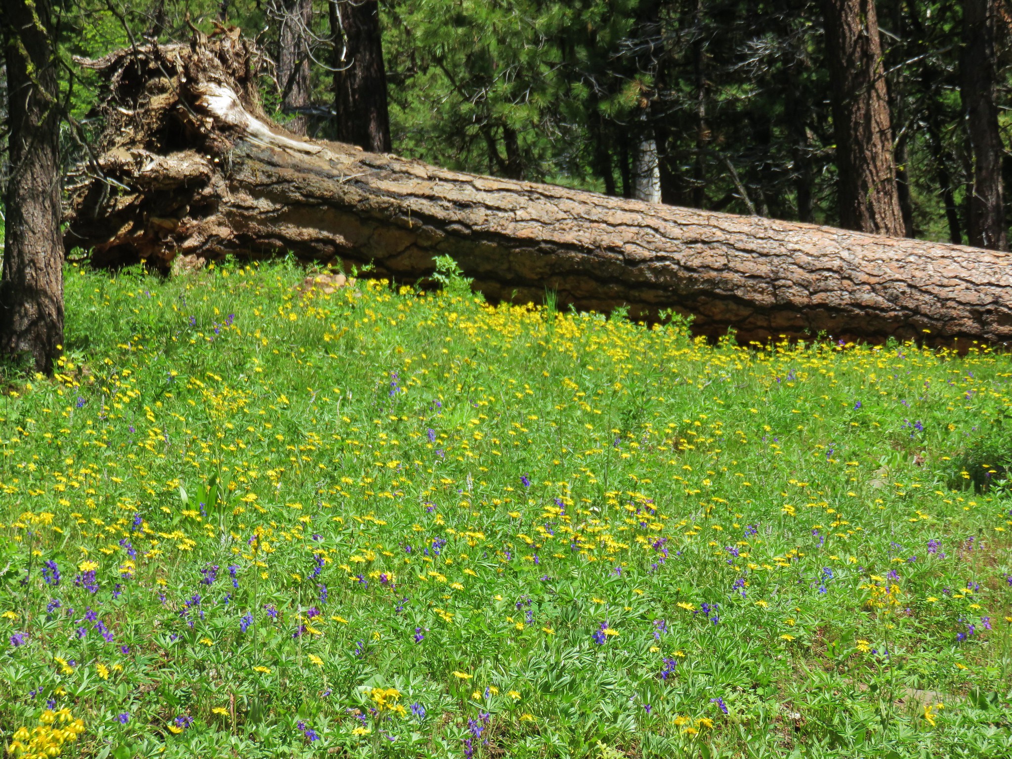
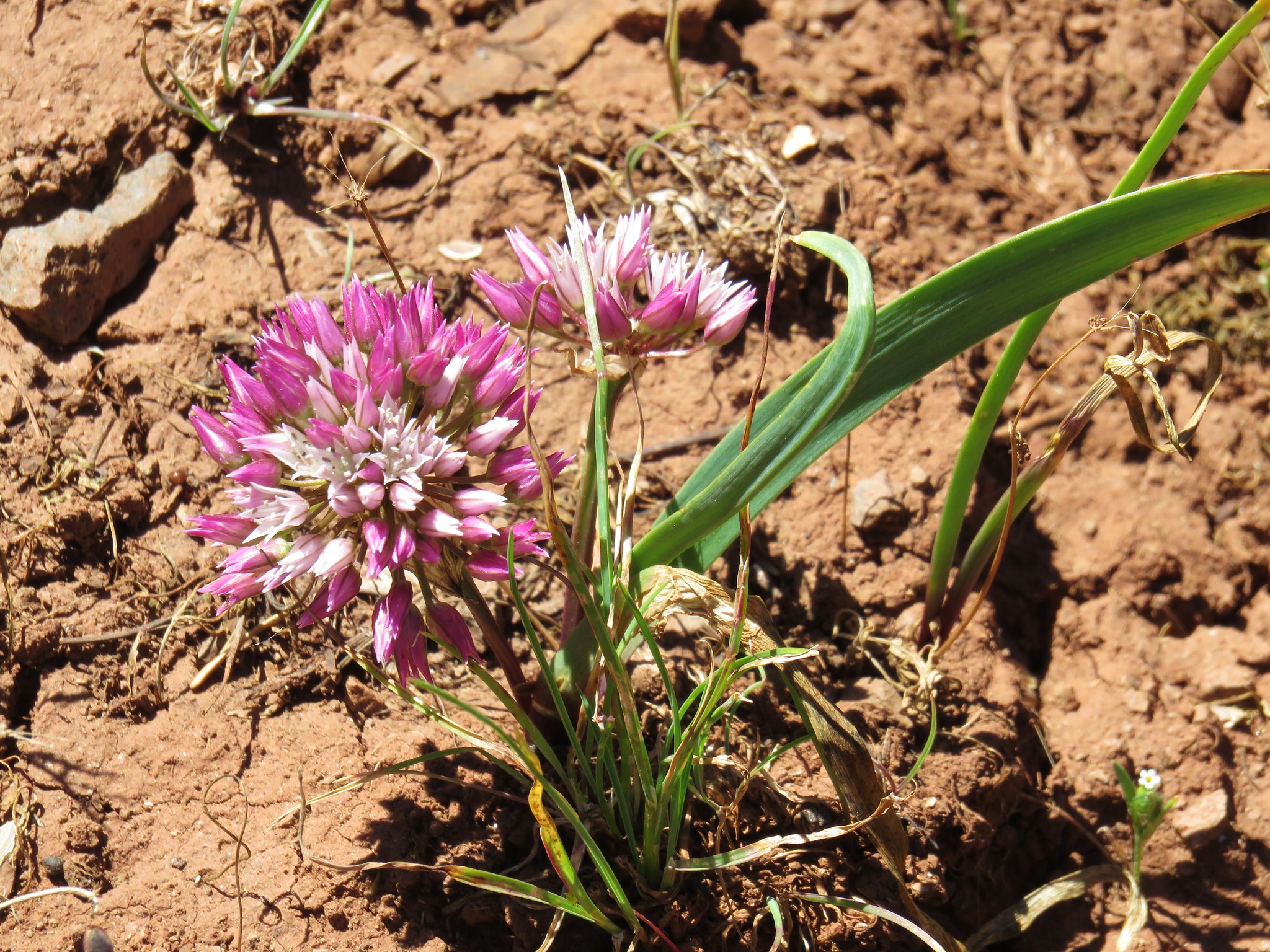
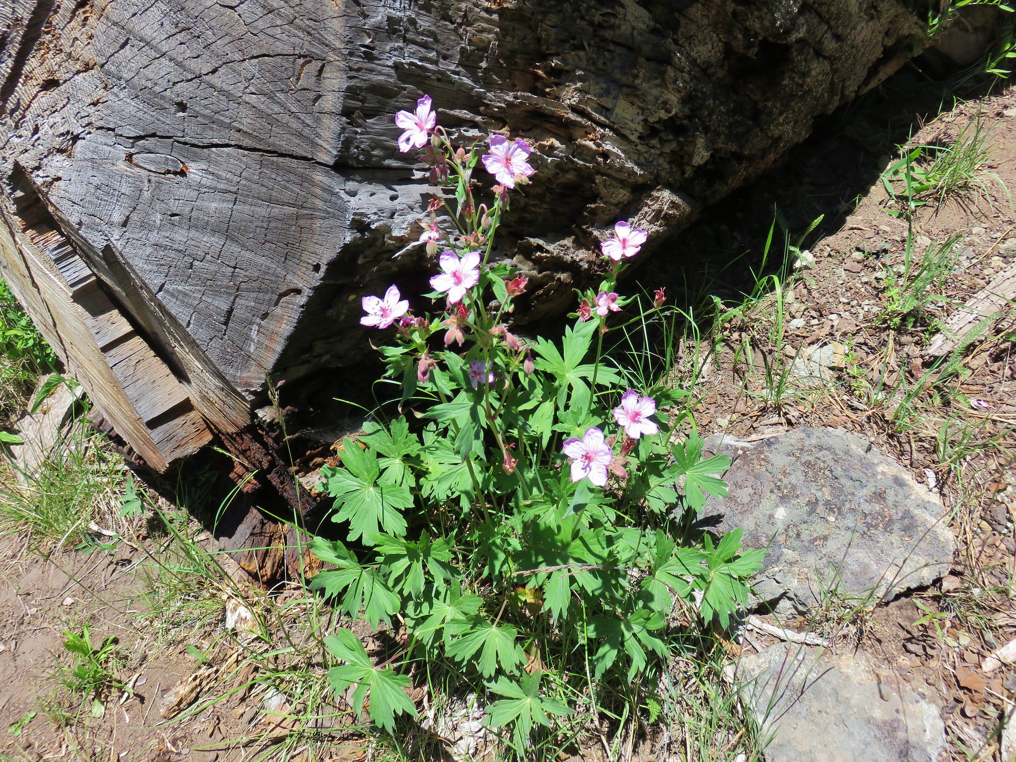
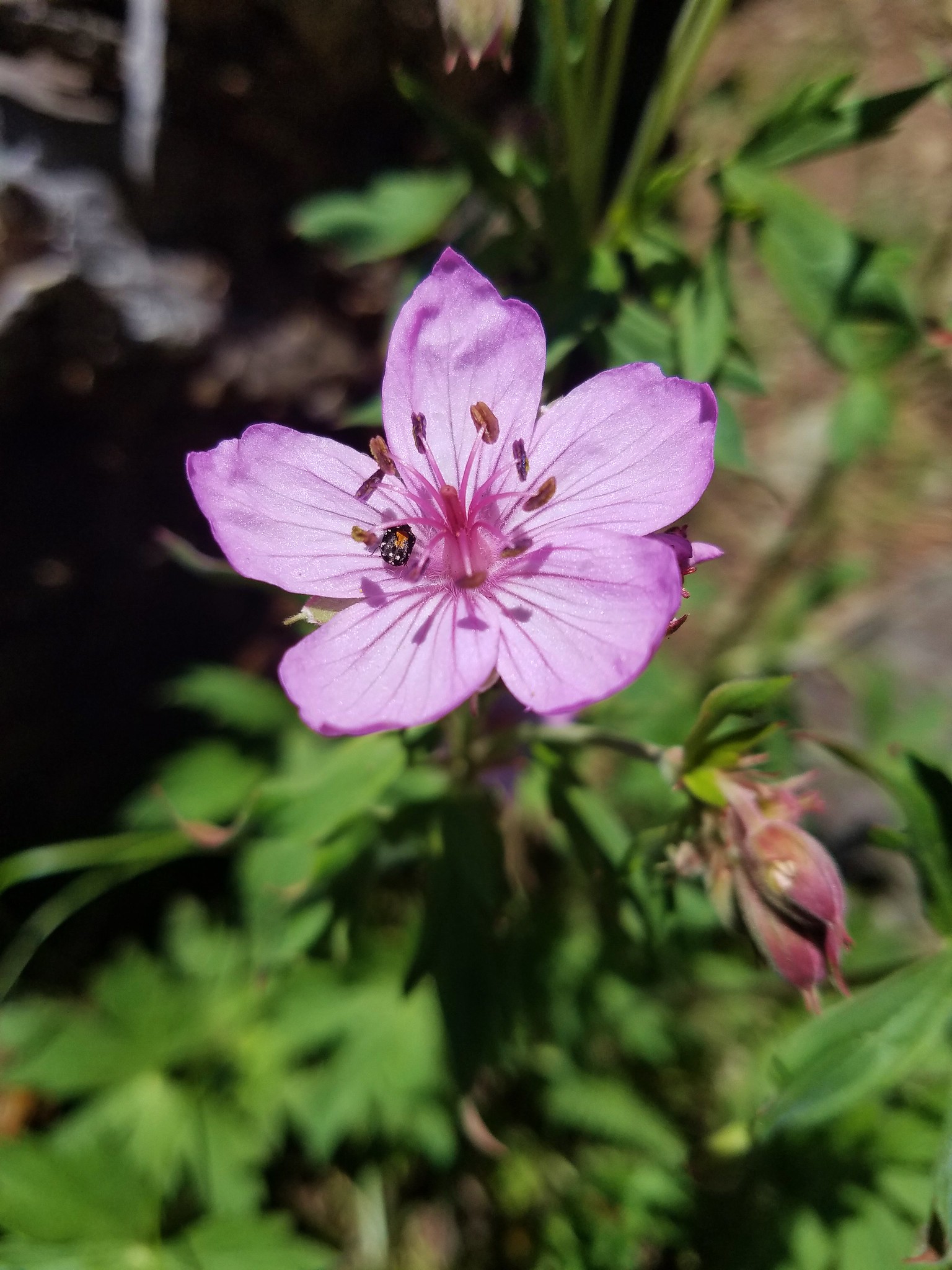
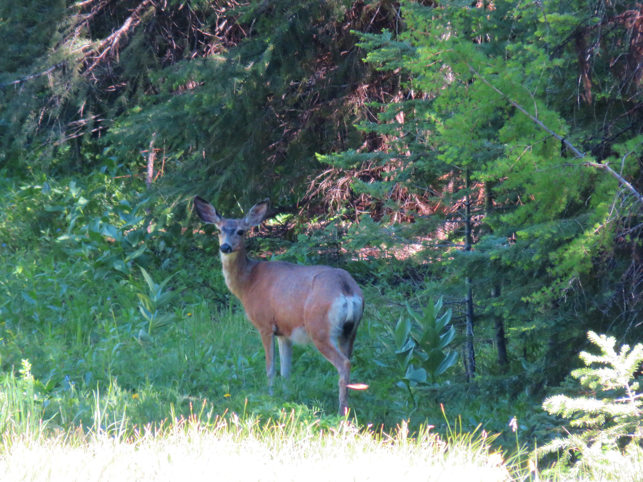
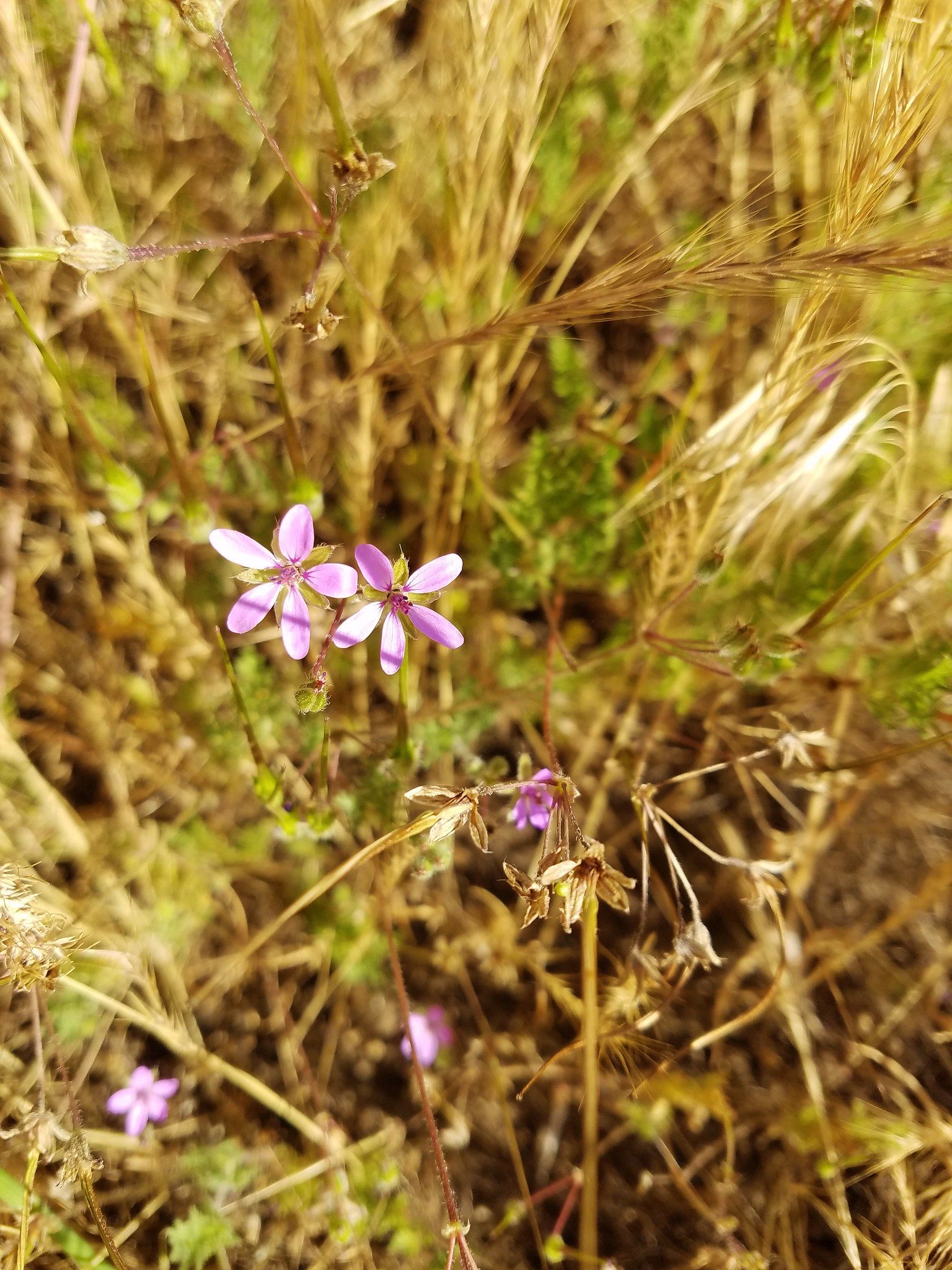
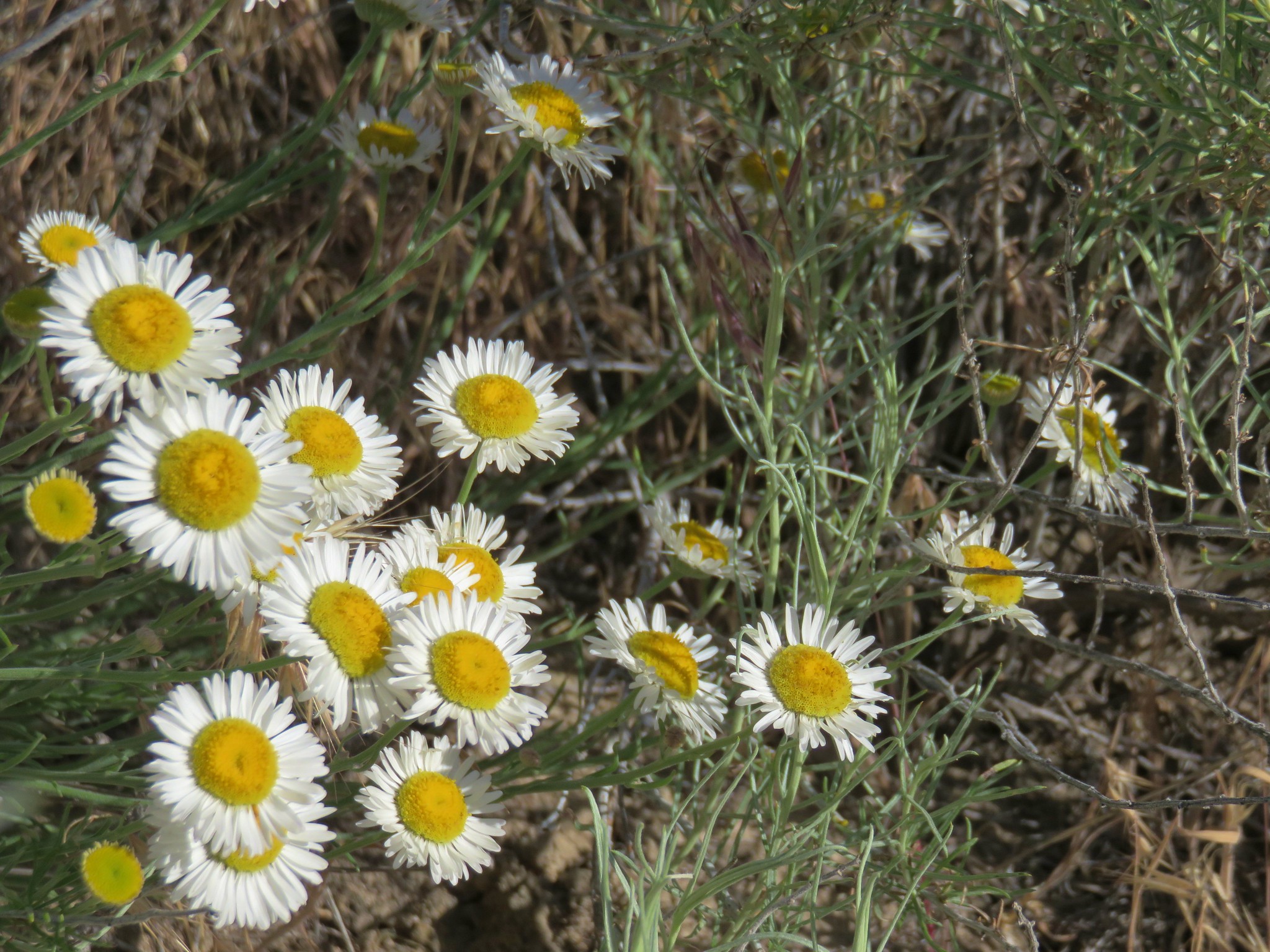
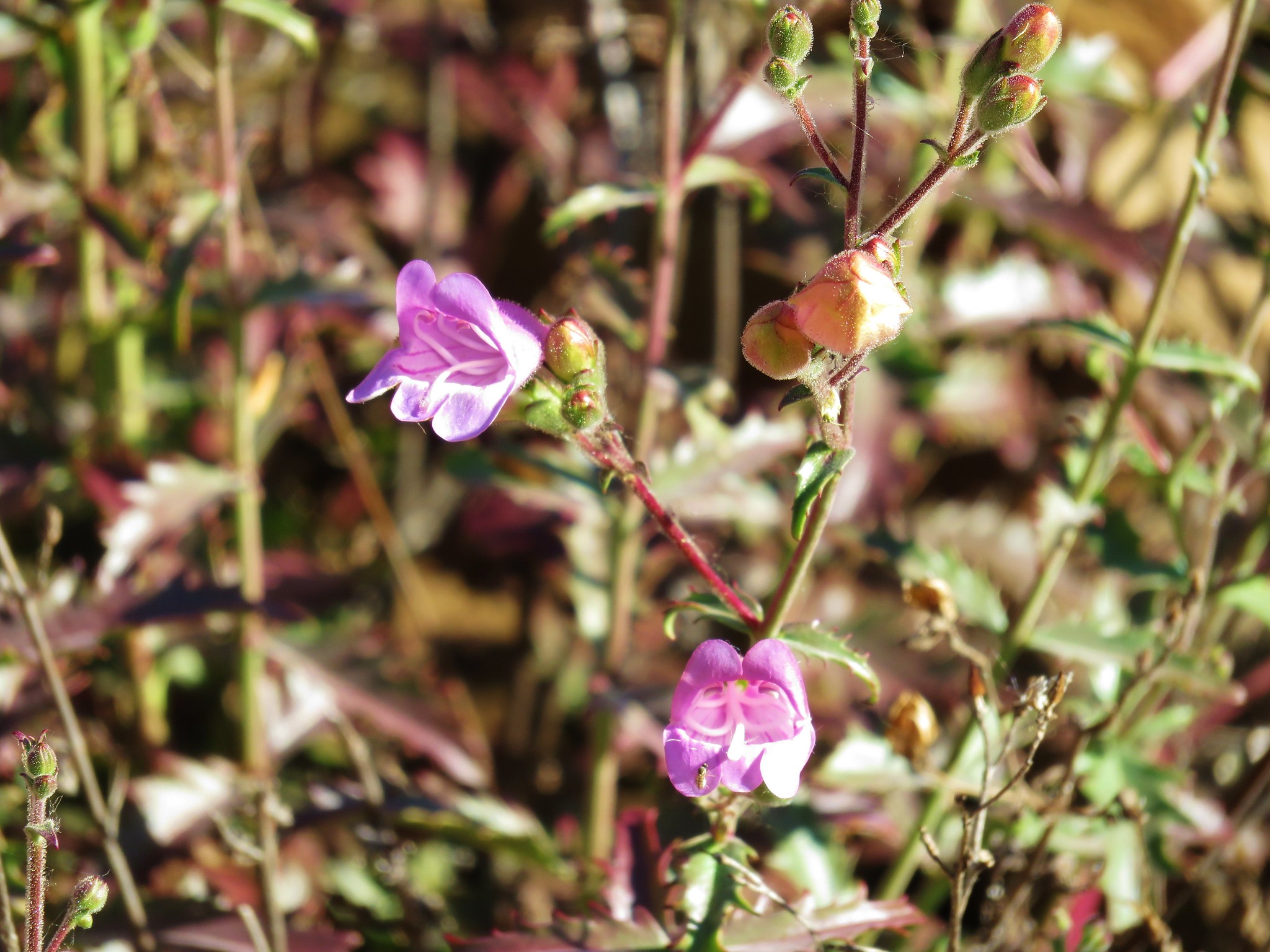
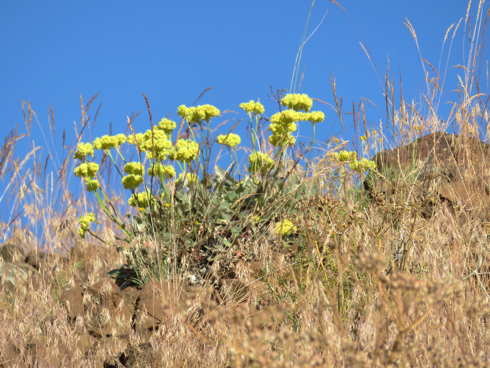
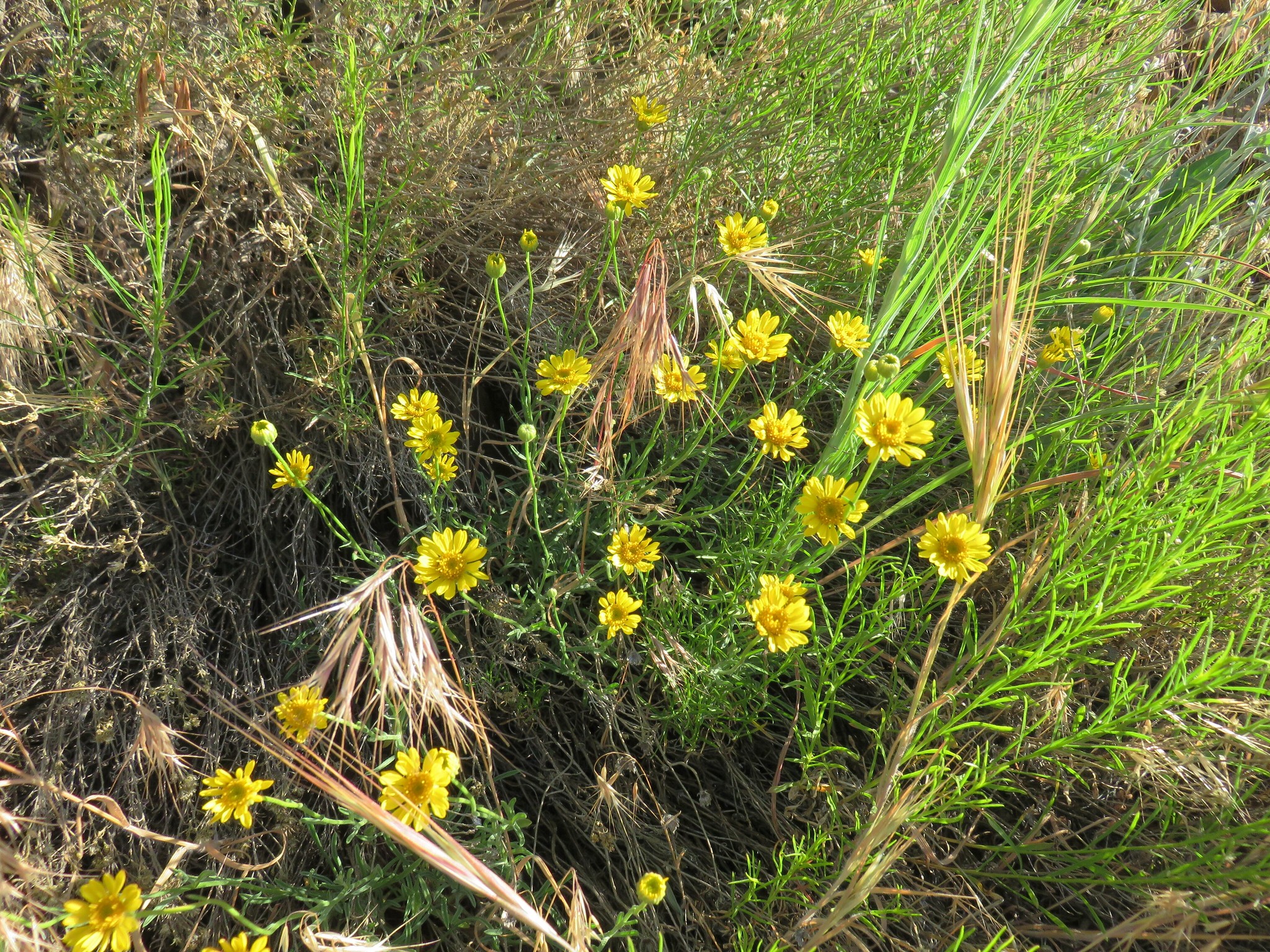
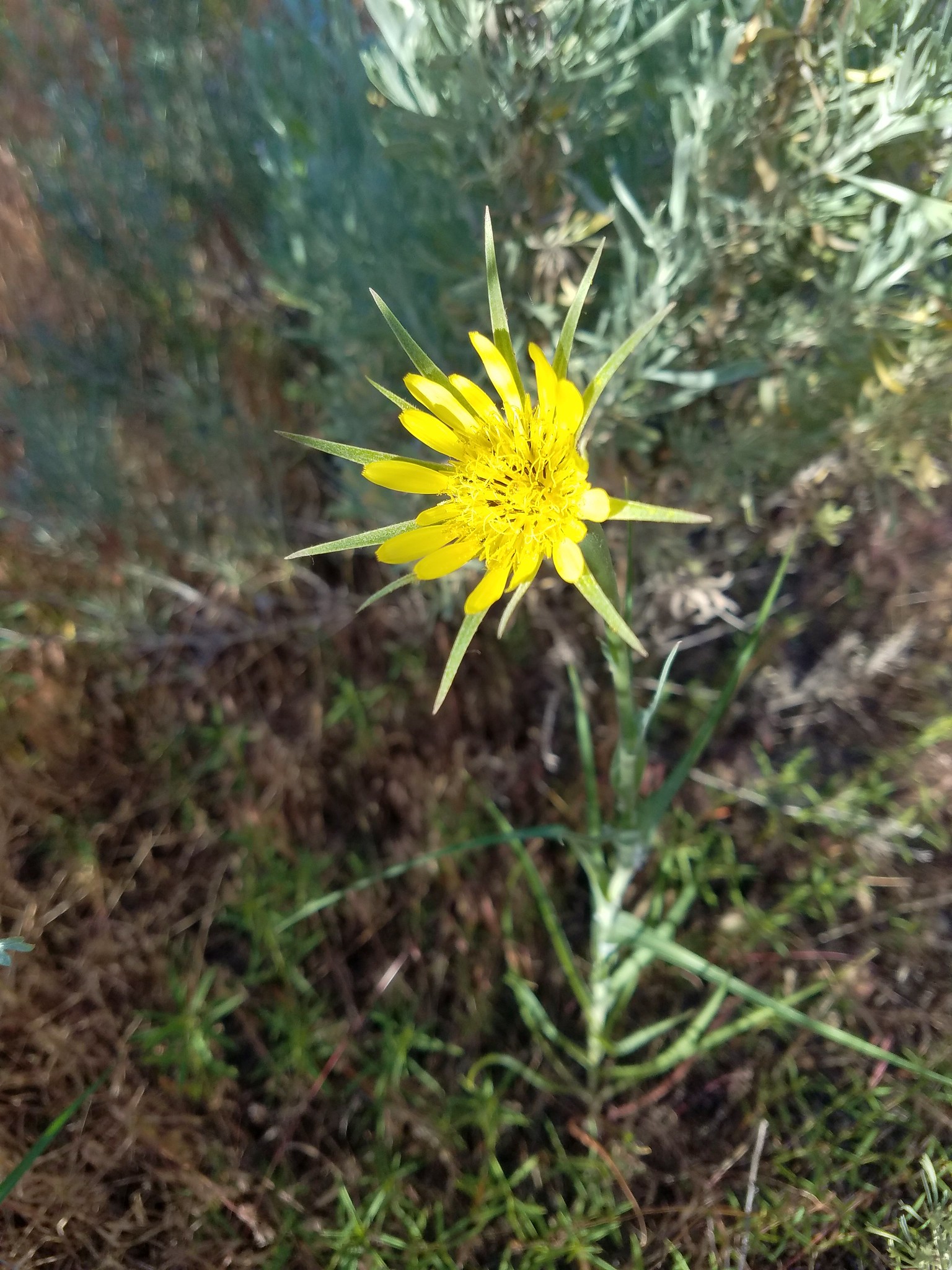
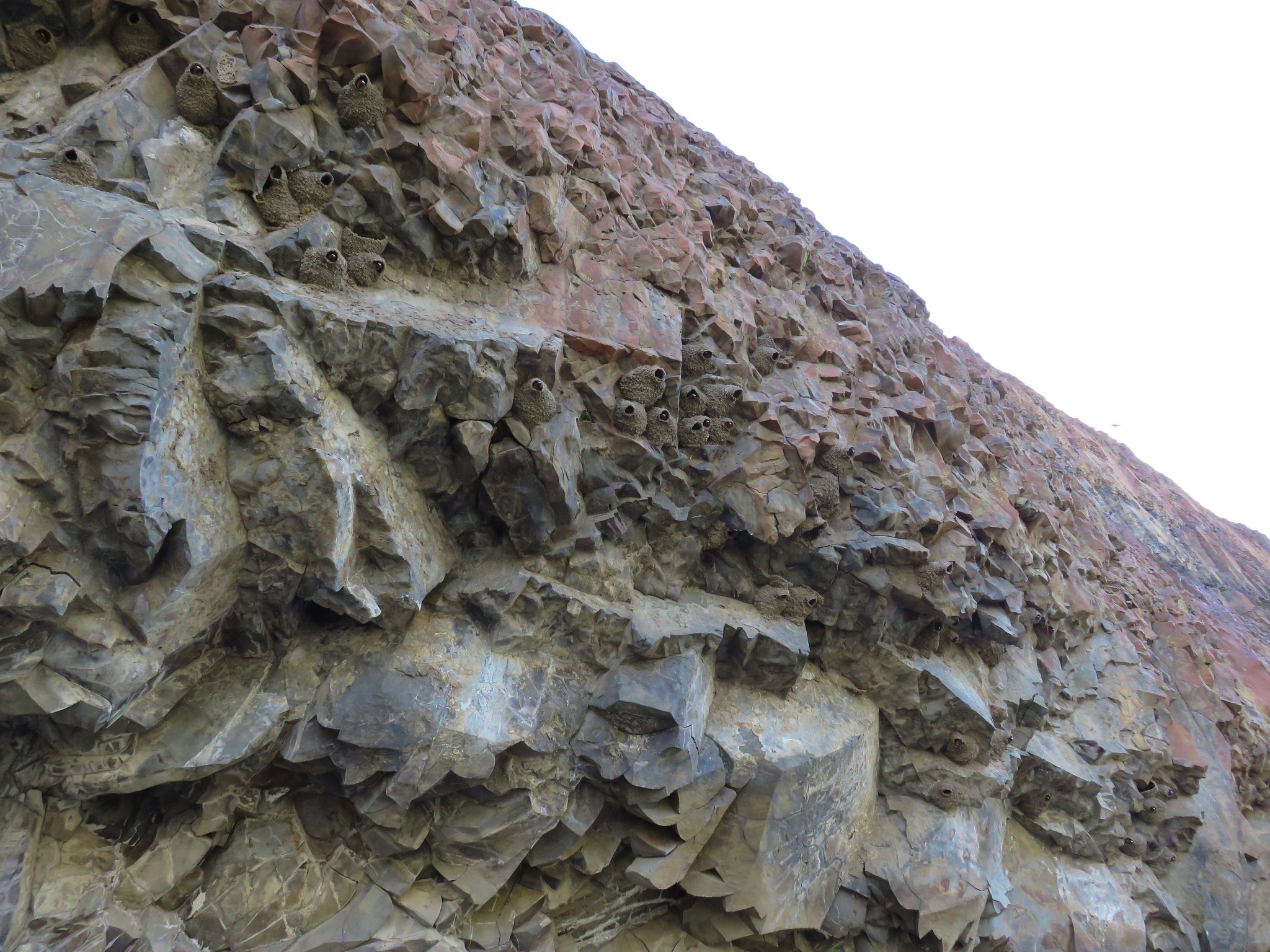
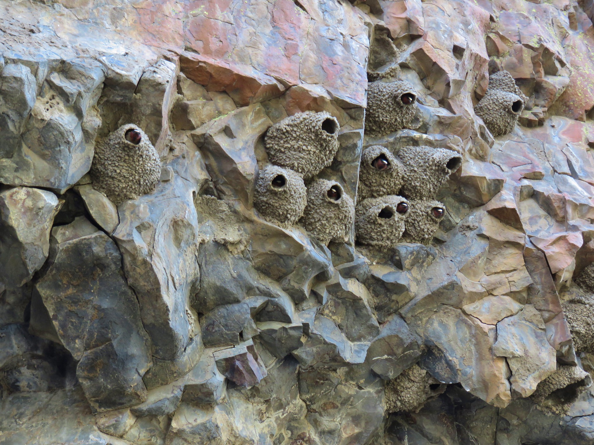
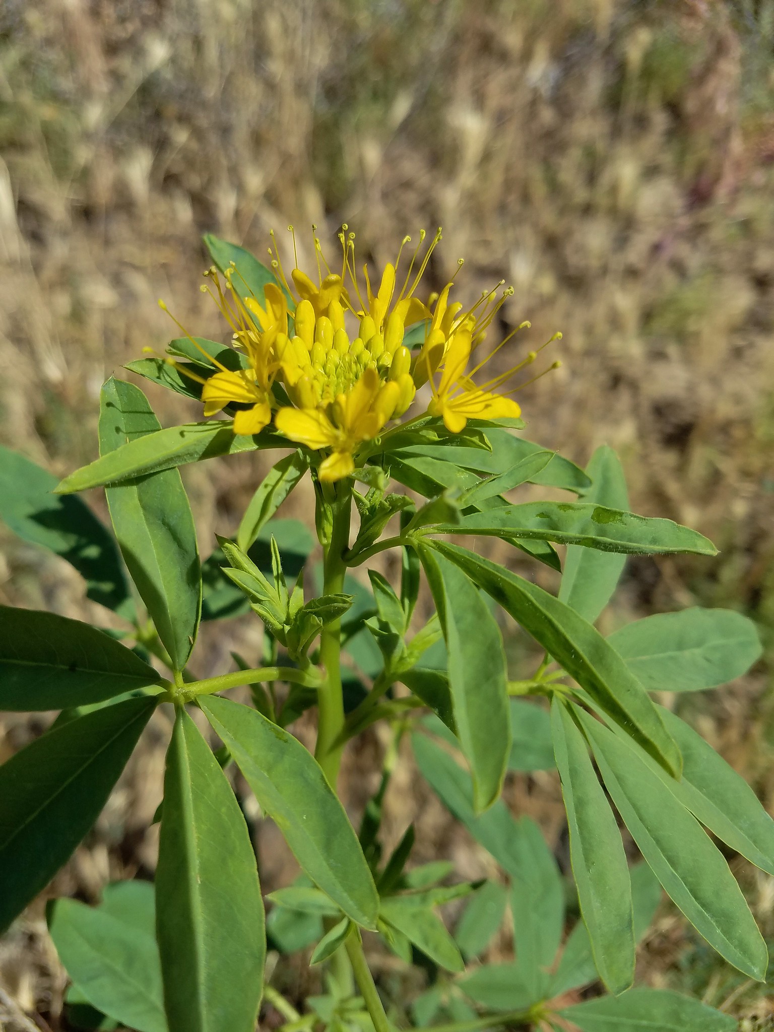
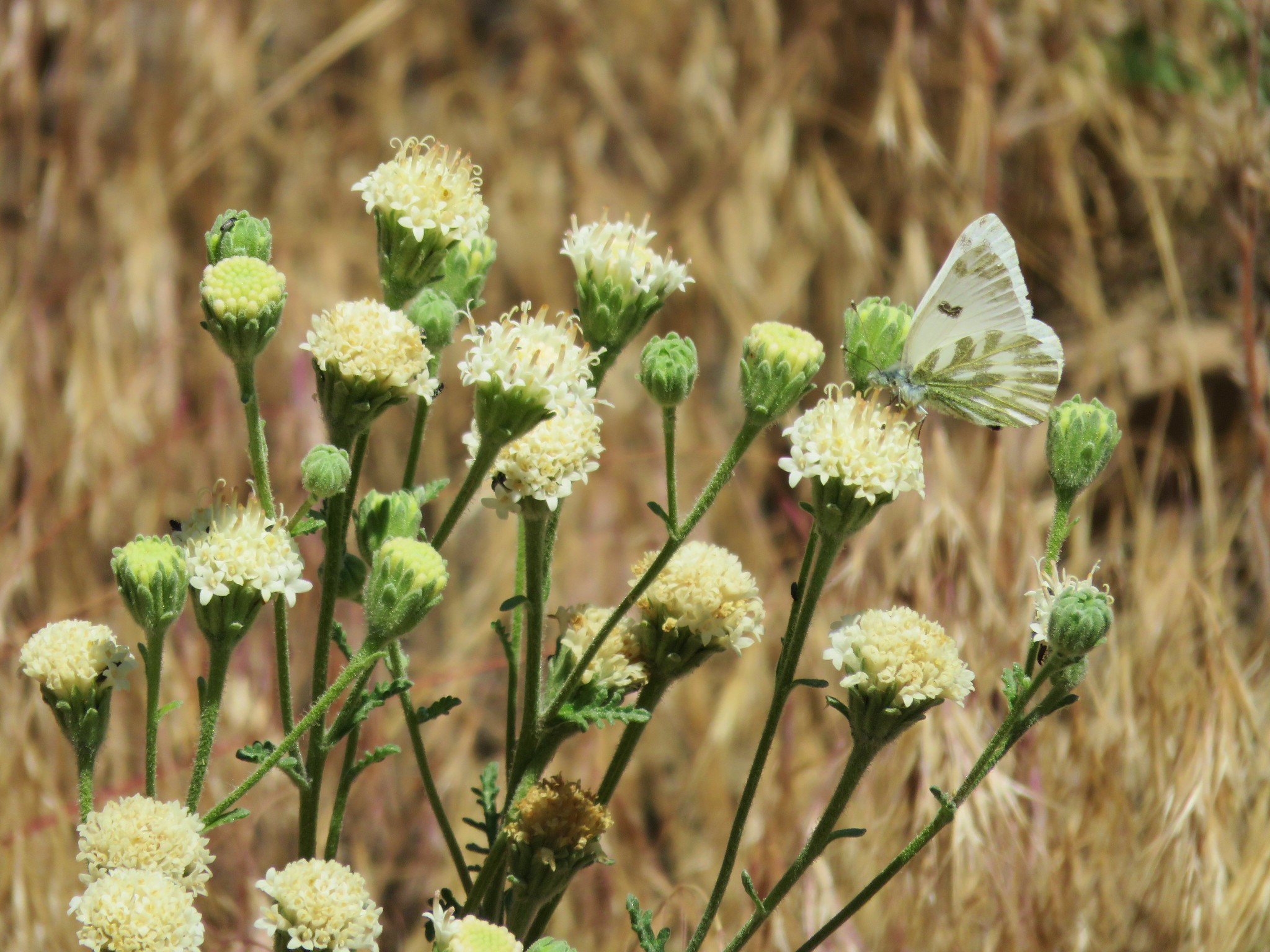
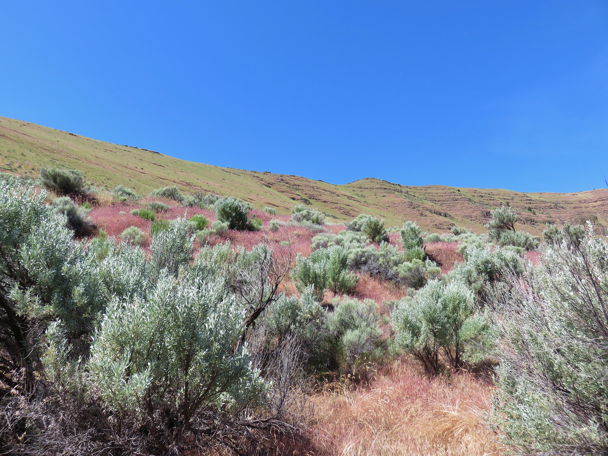
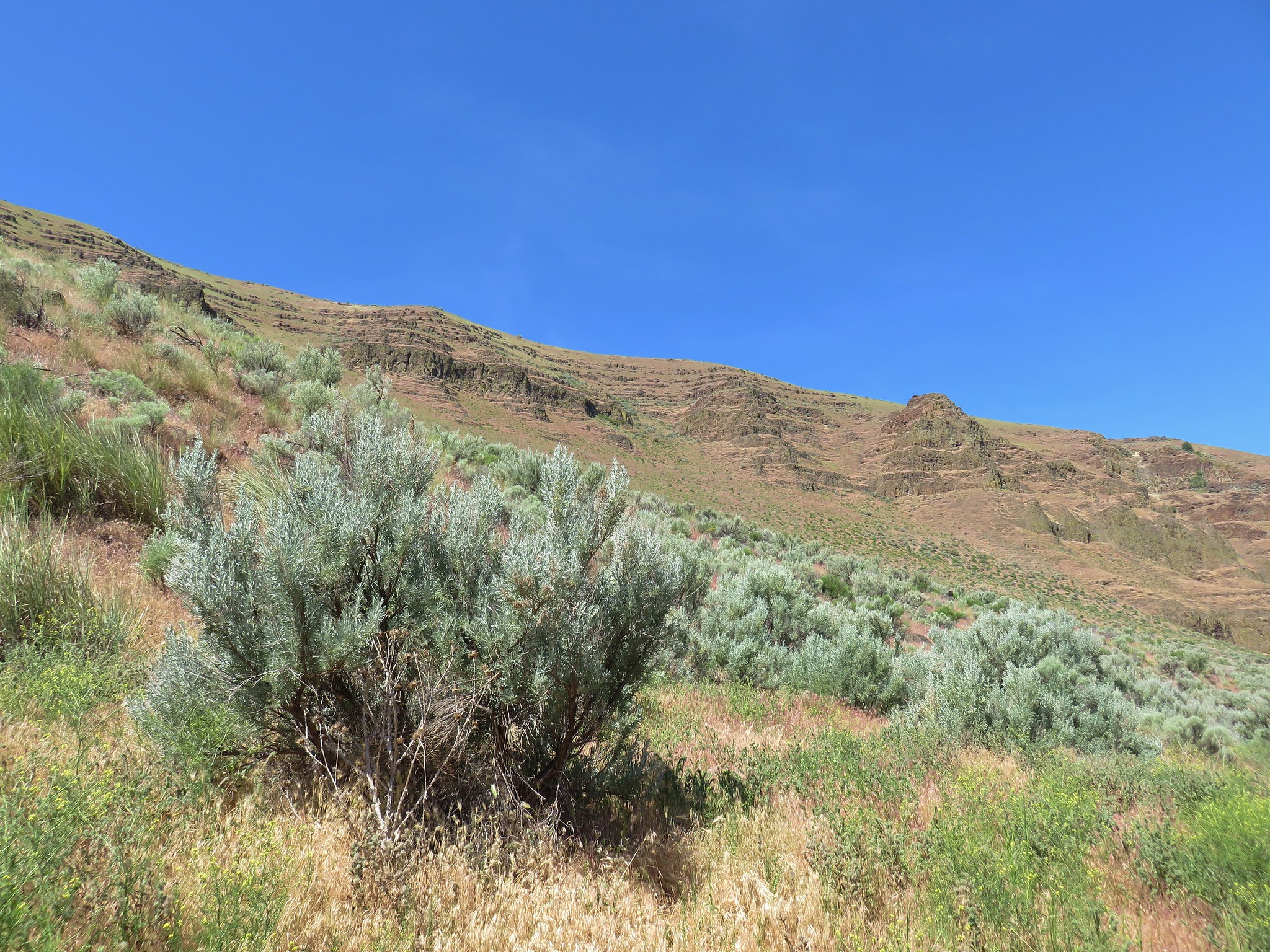
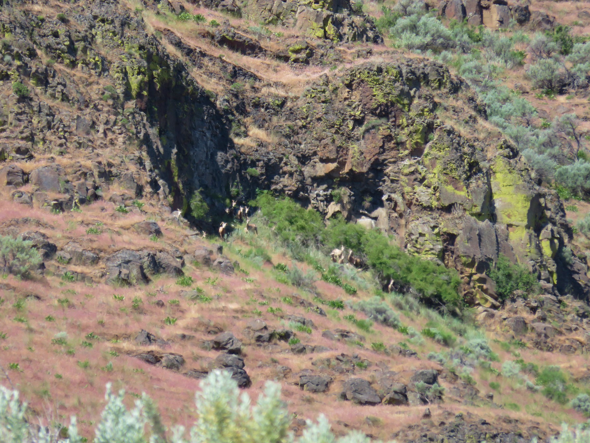
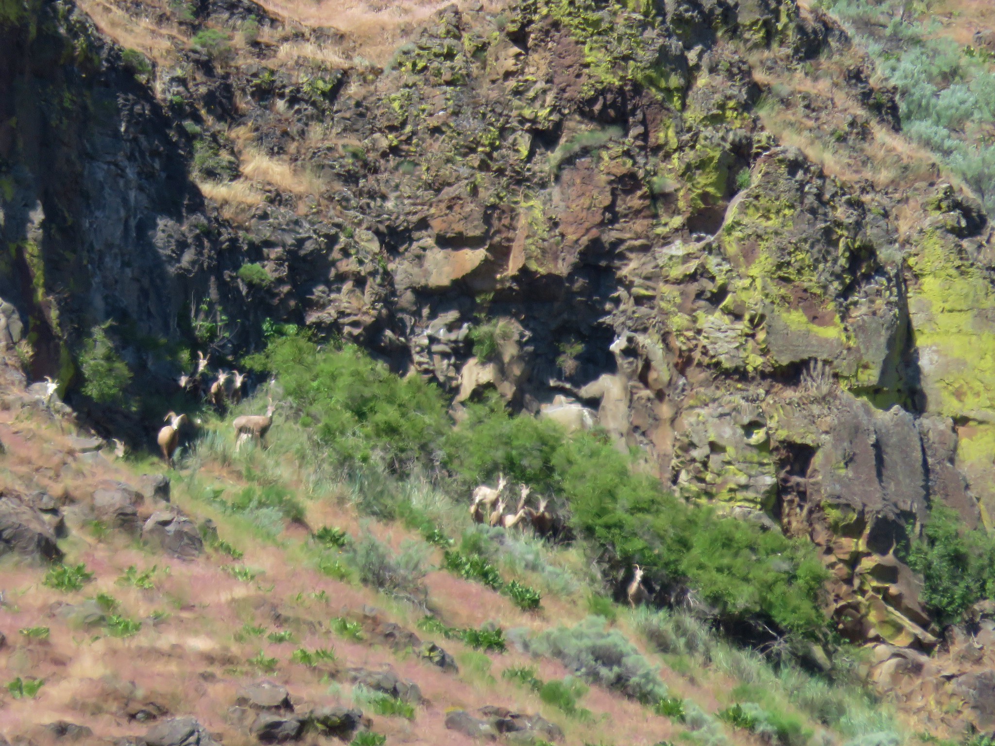
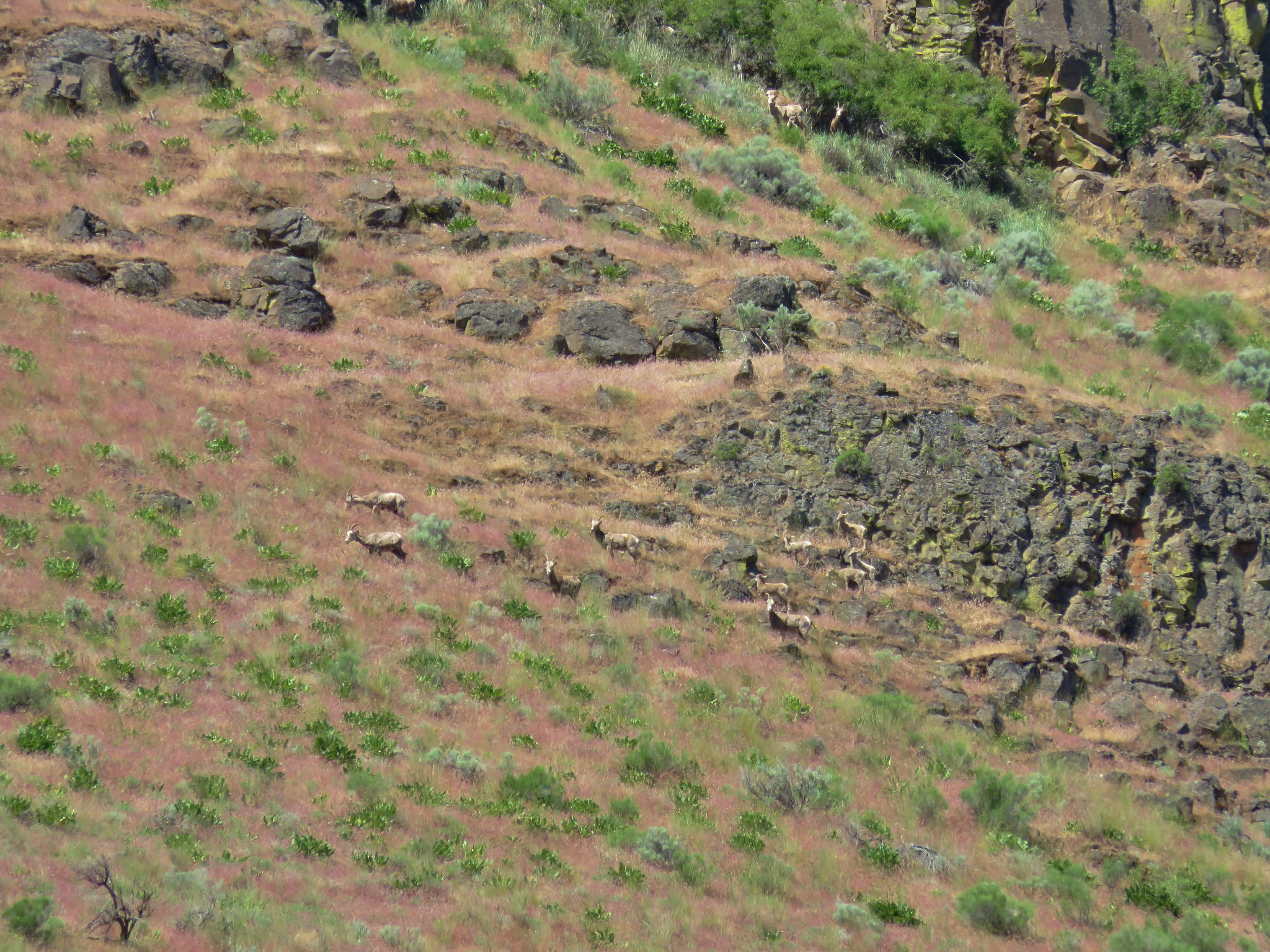
Although there is no official trail around the outside there was almost always a clear path through the sagebrush. Much like our visit to Cottonwood Canyon State Park the previous day we kept our eyes peeled for wildflowers and wildlife amid the sagebrush and on the cliffs above.


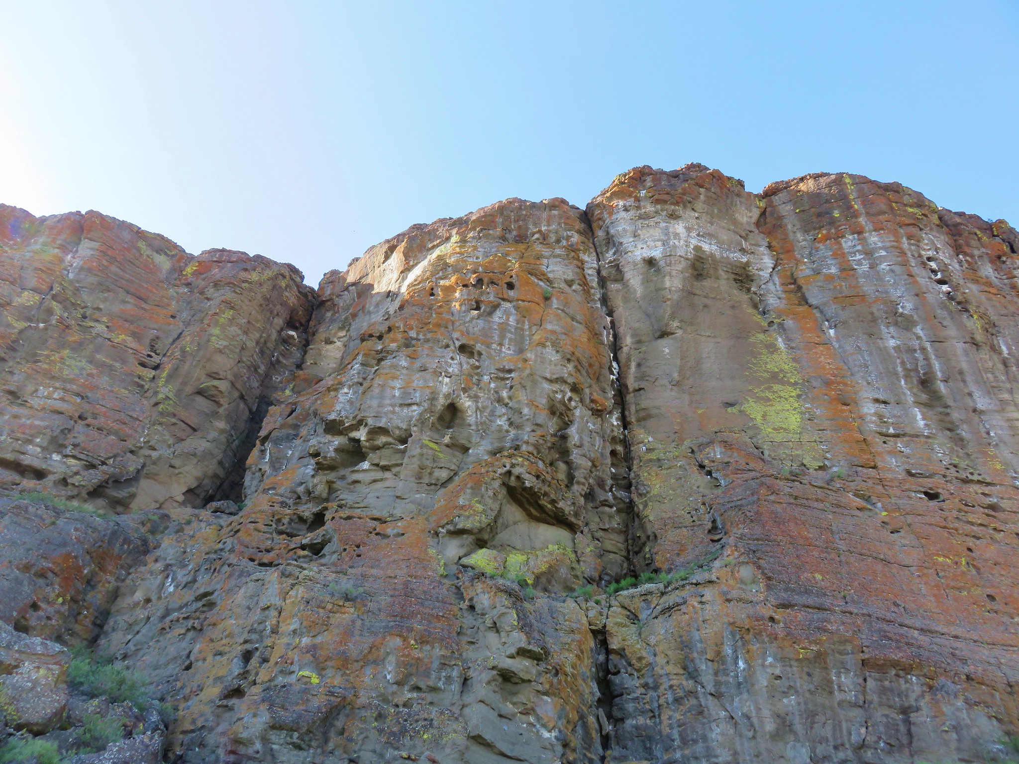
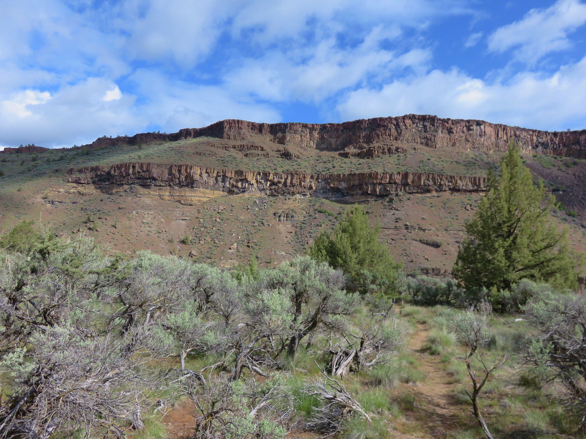
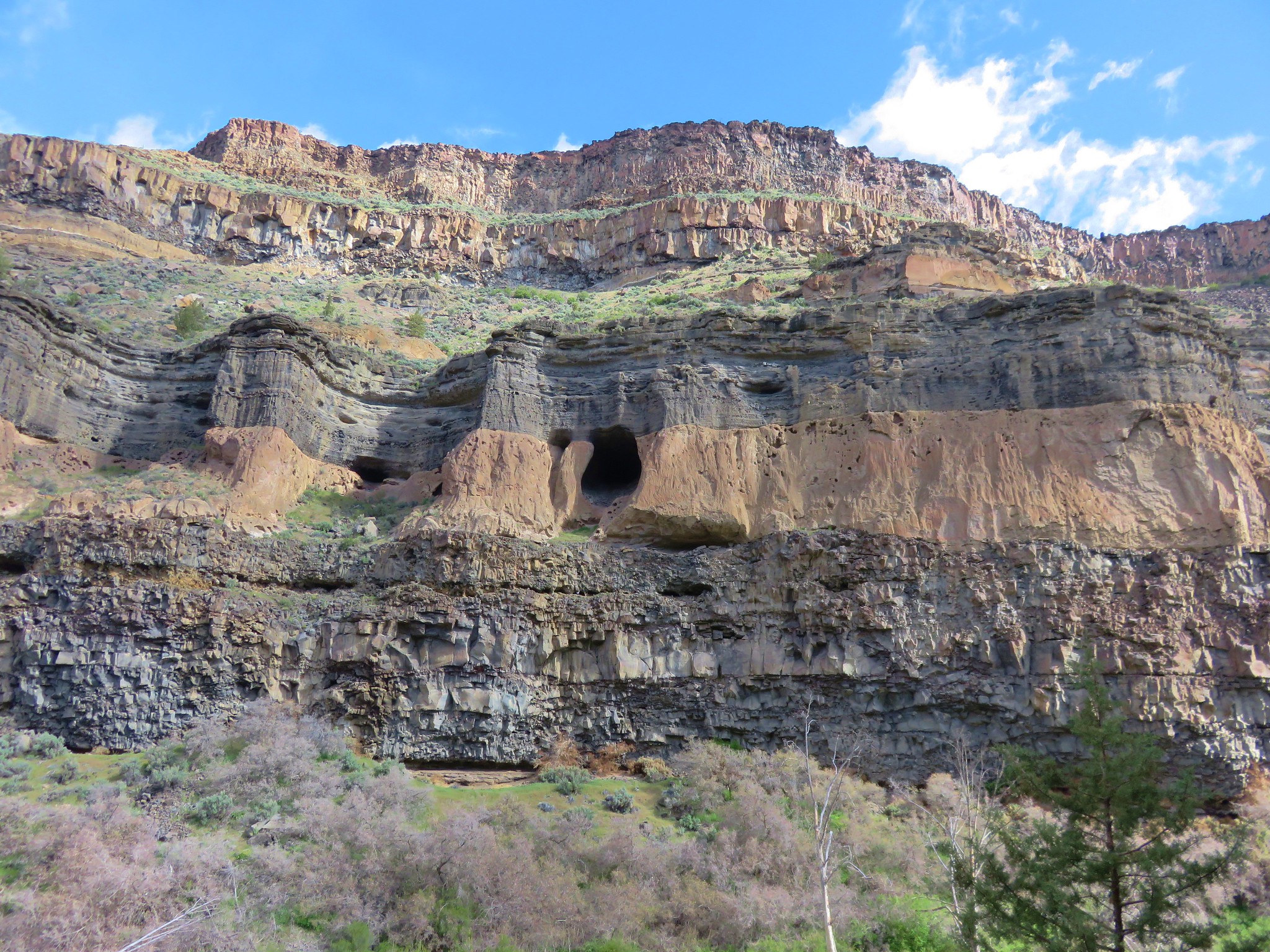
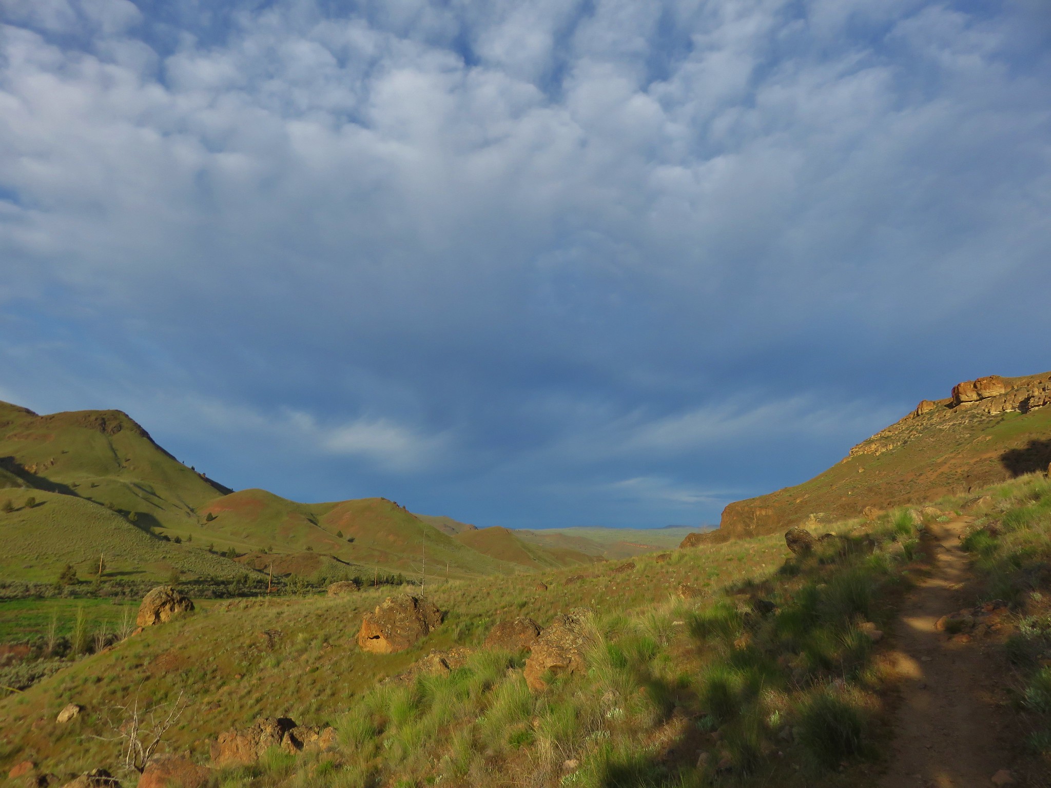
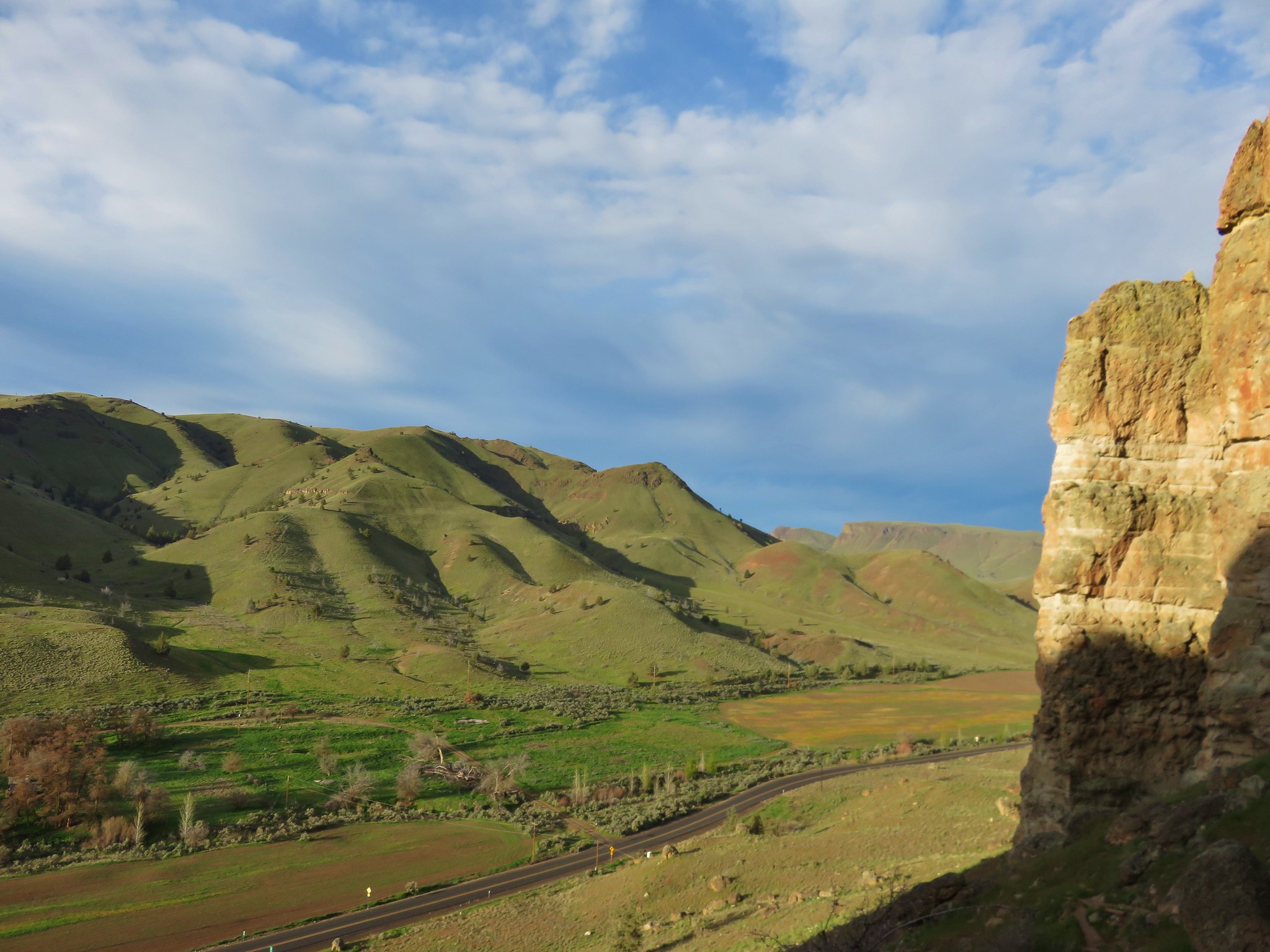
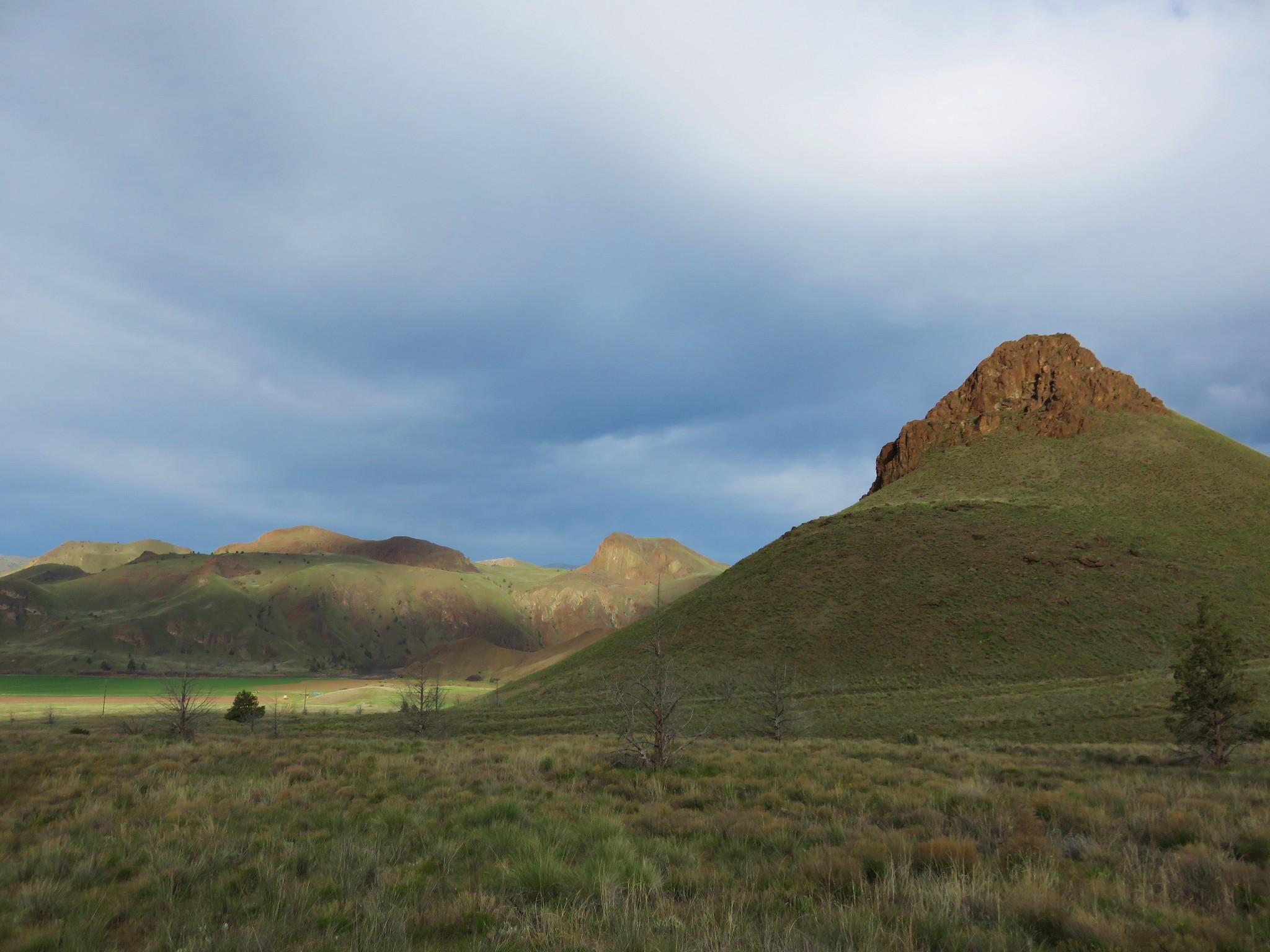
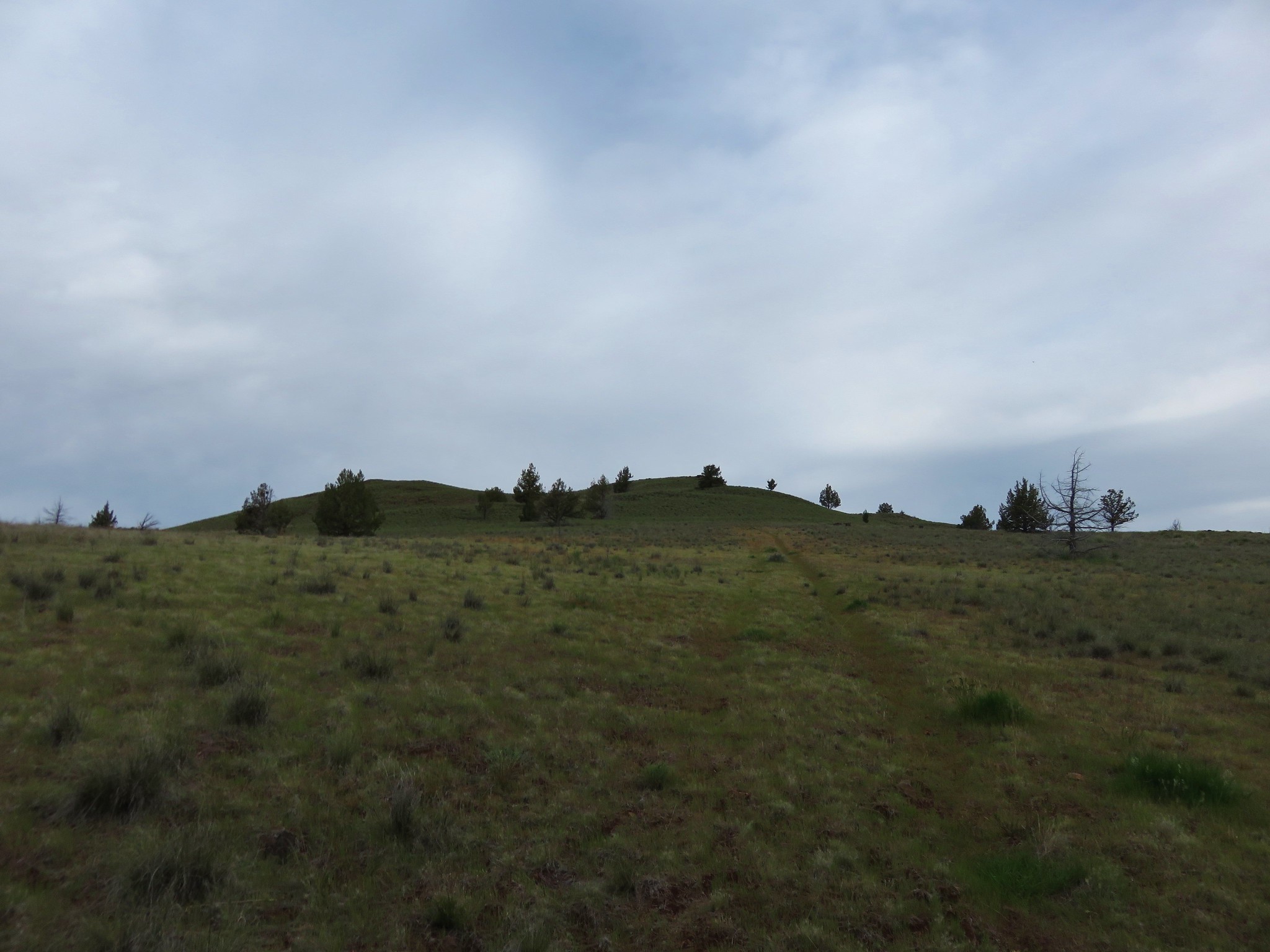
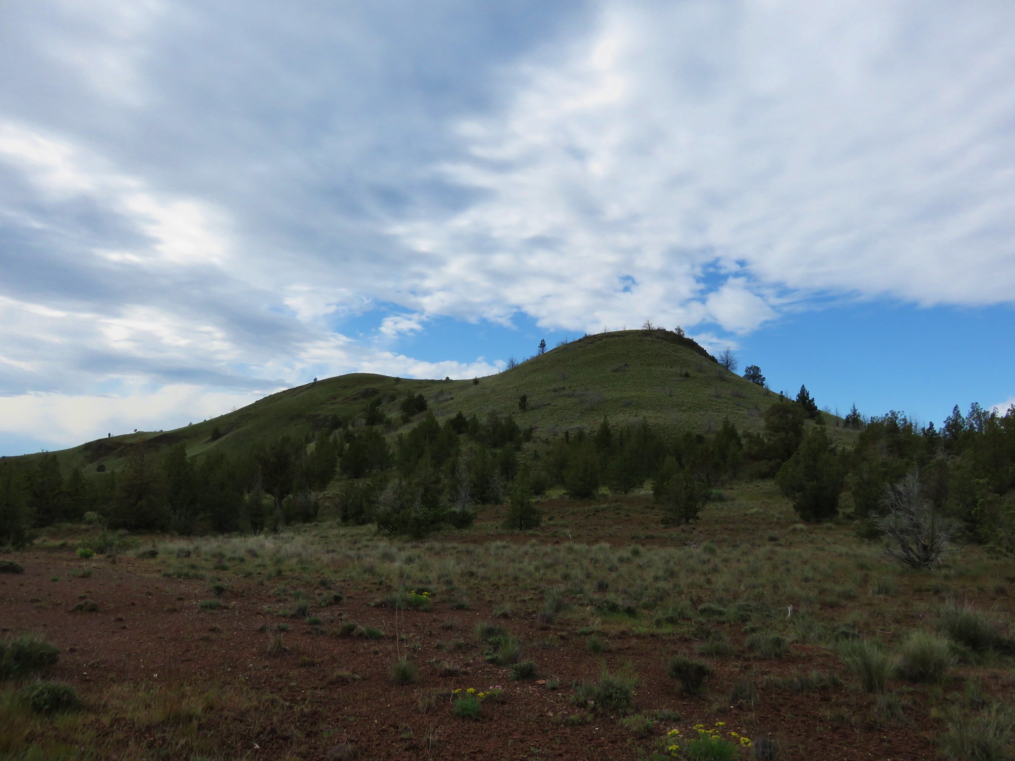
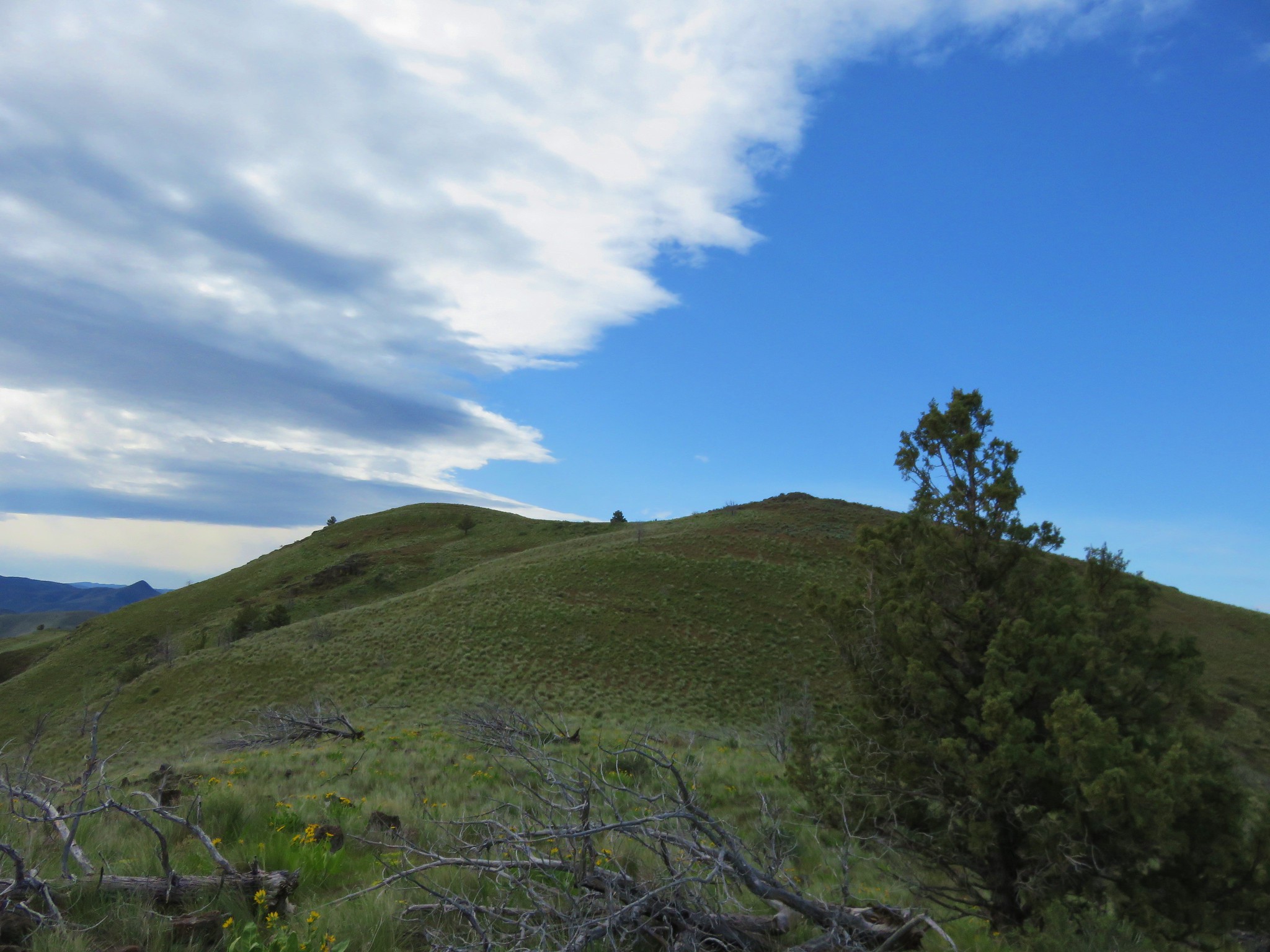
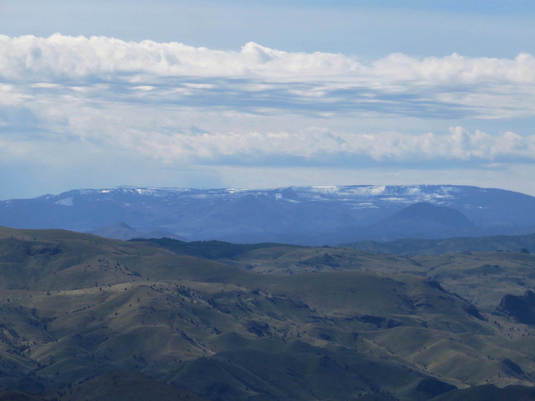
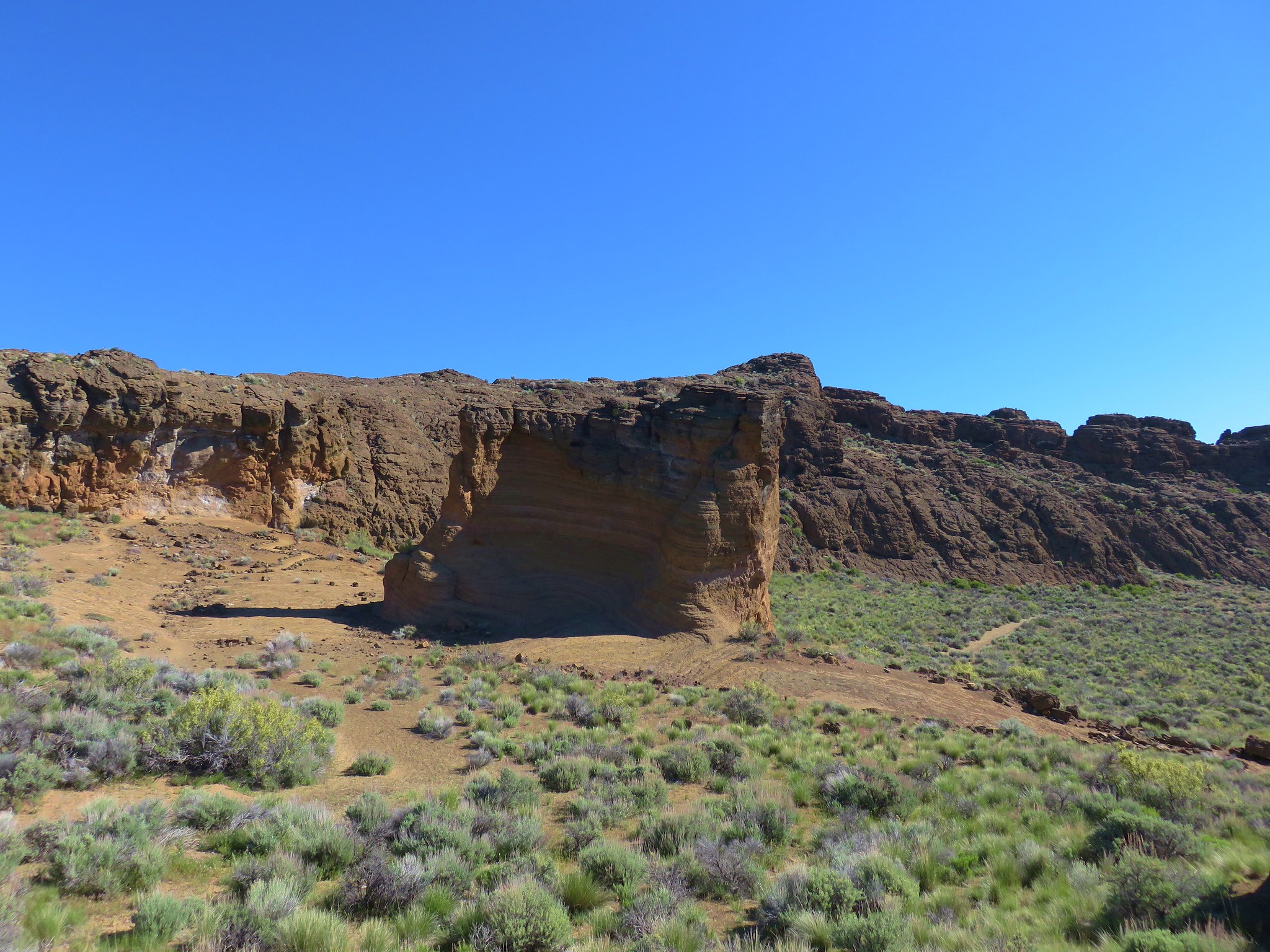
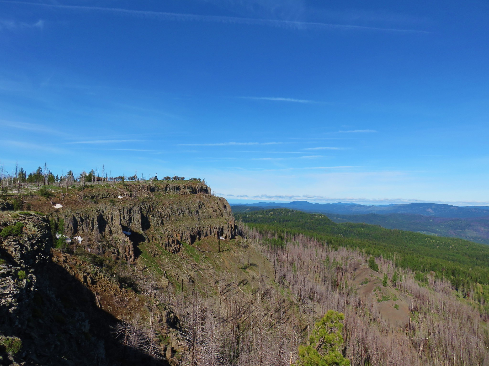
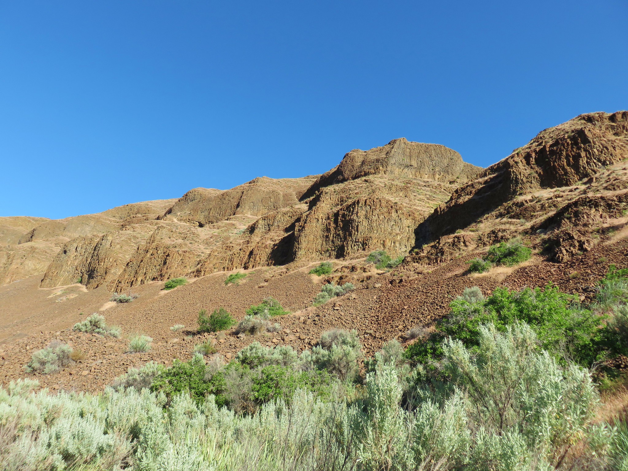
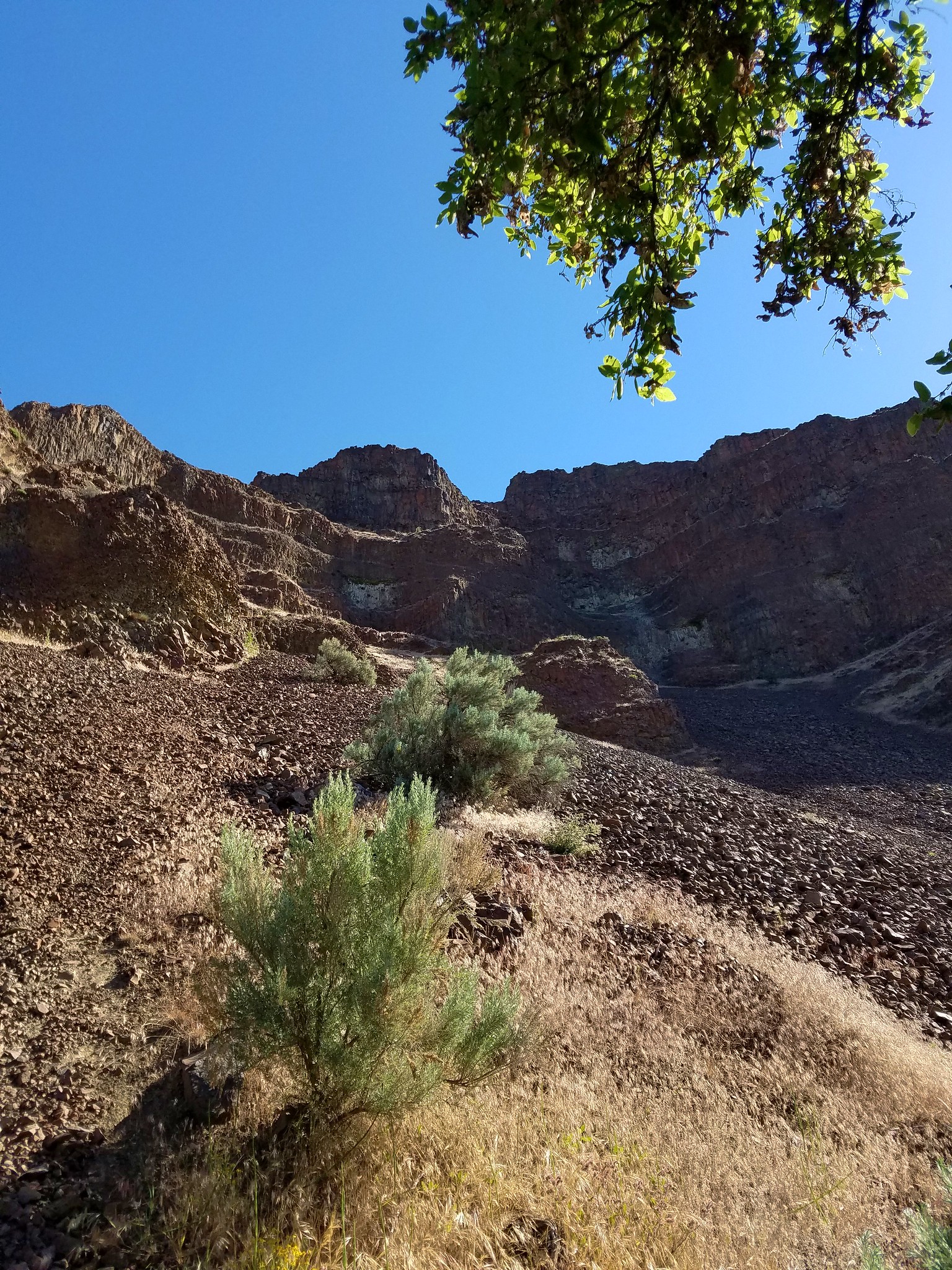
After approximately a mile and a half we rounded the west cliff of Fort Rock where we could now see into Fort Rock.

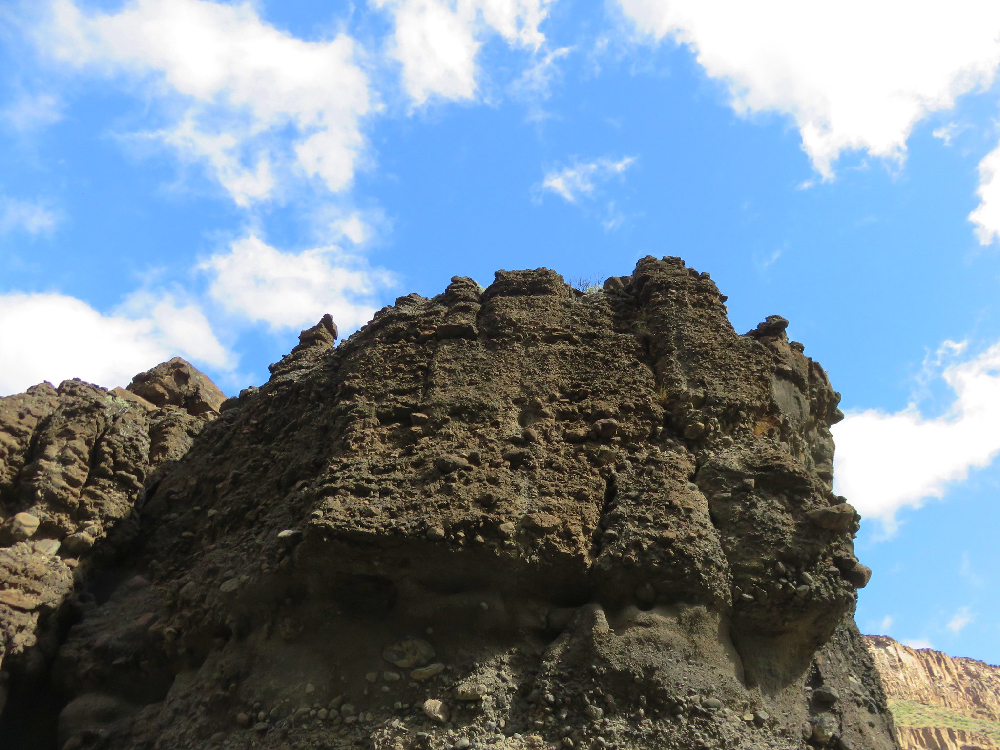
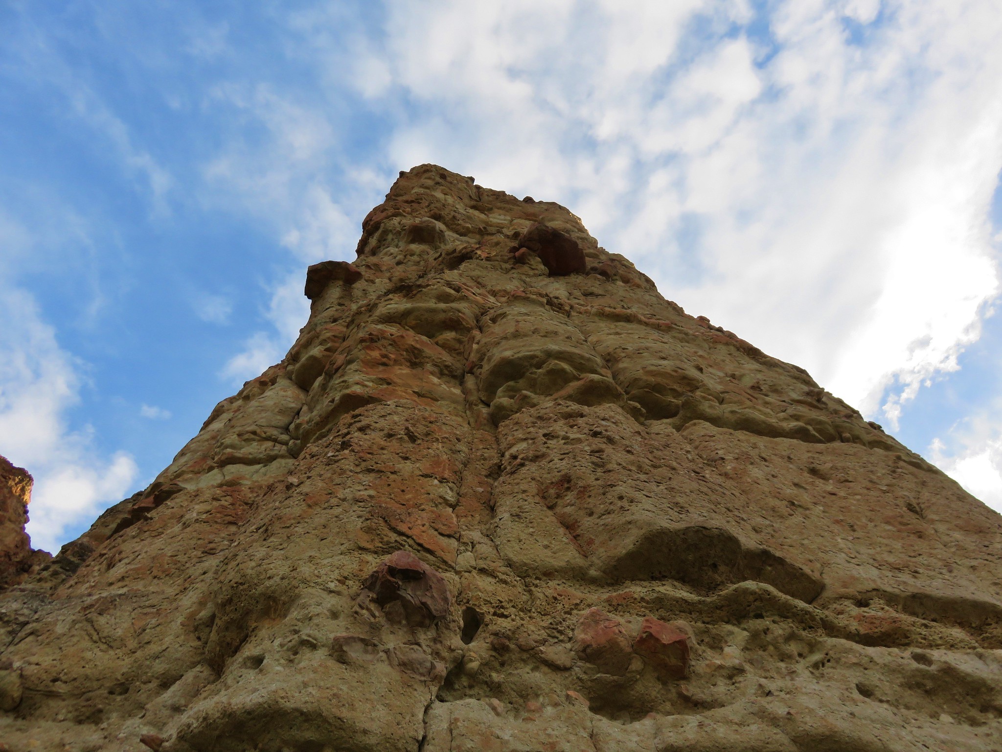
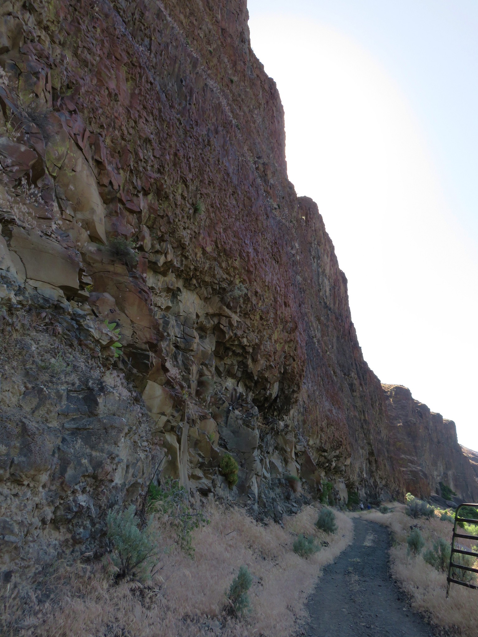
We turned left onto an old road bed and followed it around the inside of Fort Rocks cliffs.
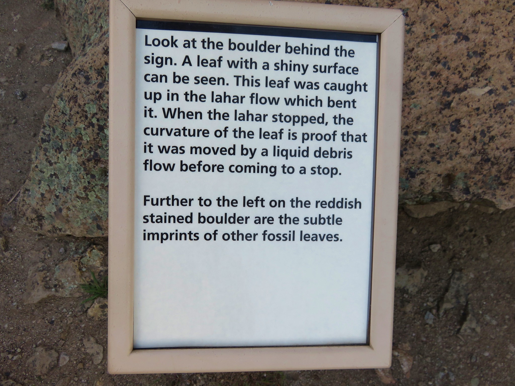
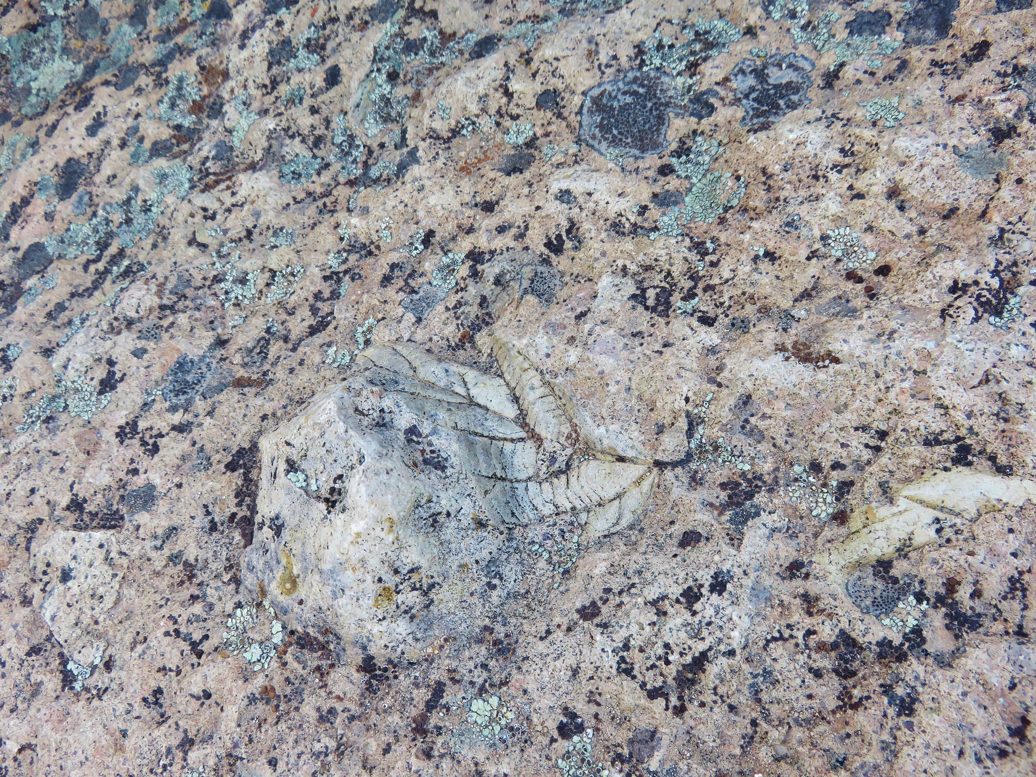
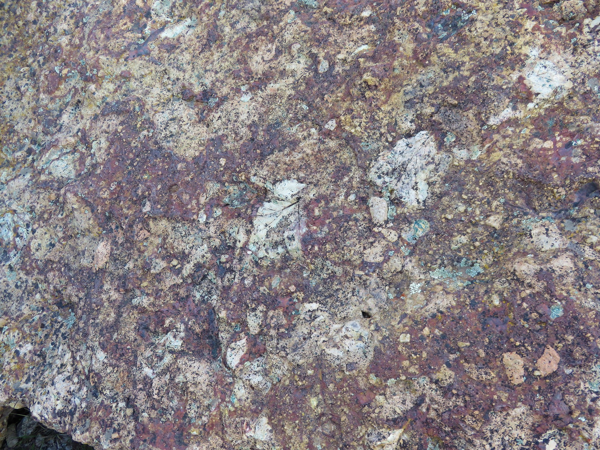
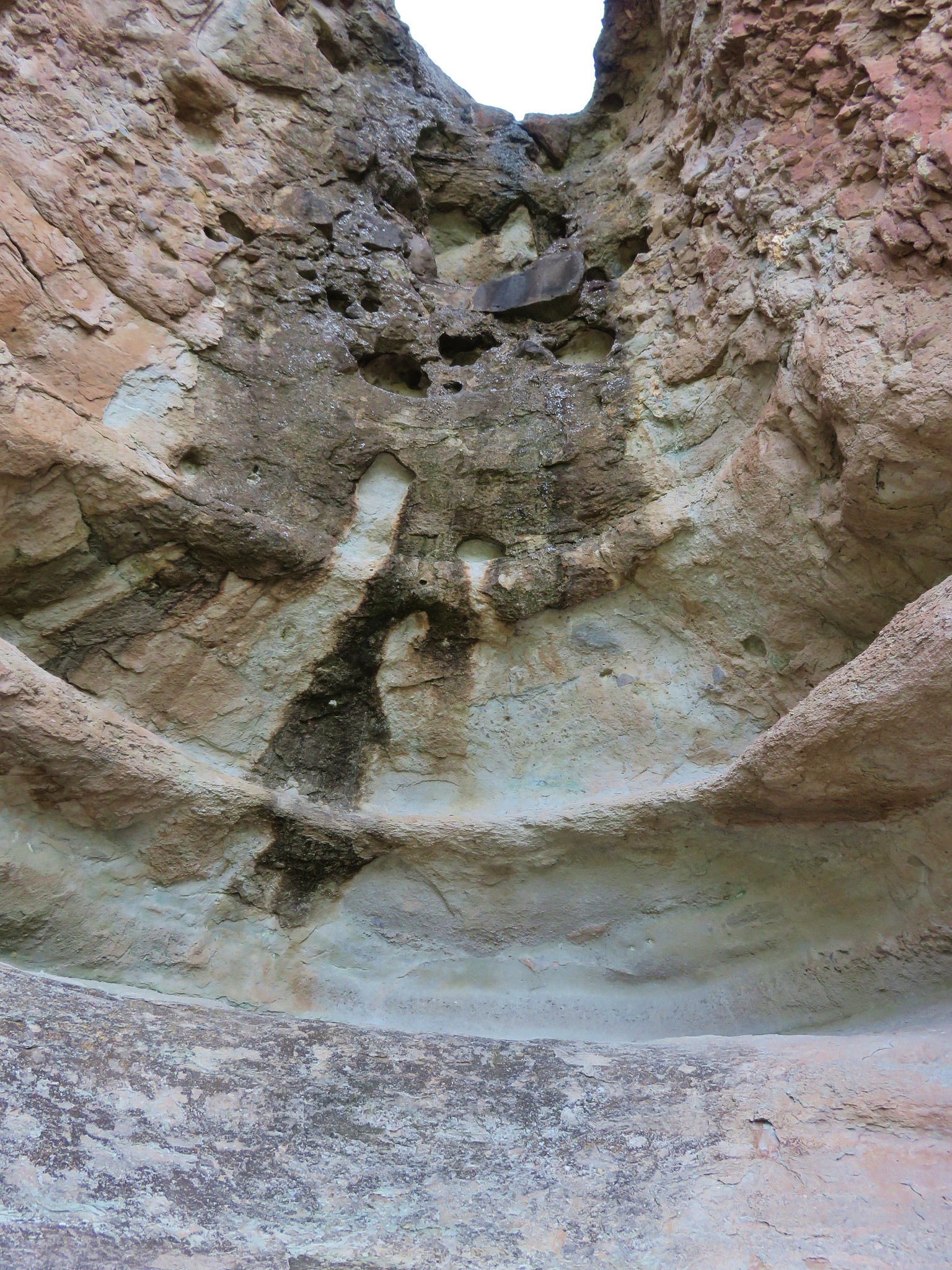
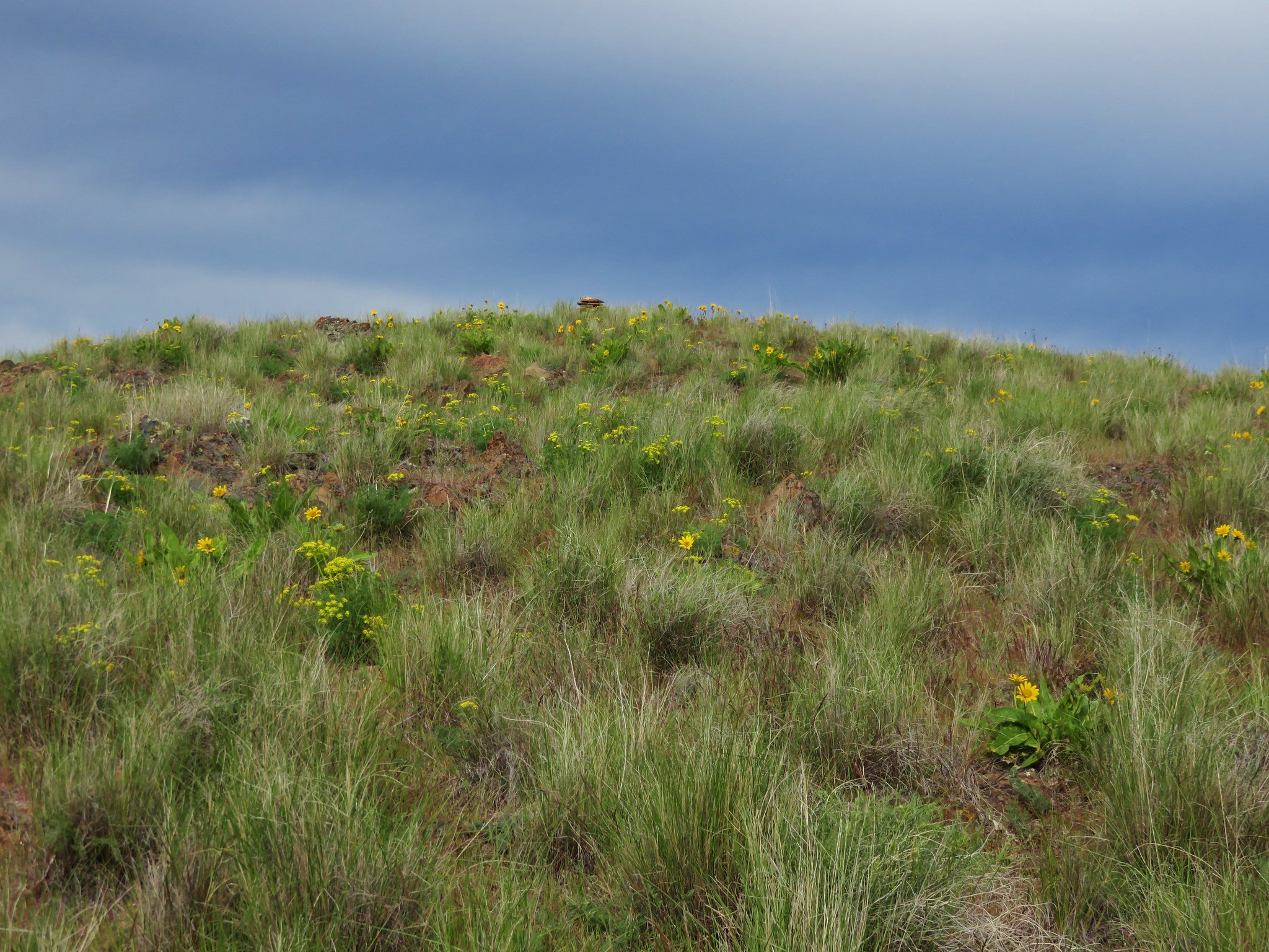
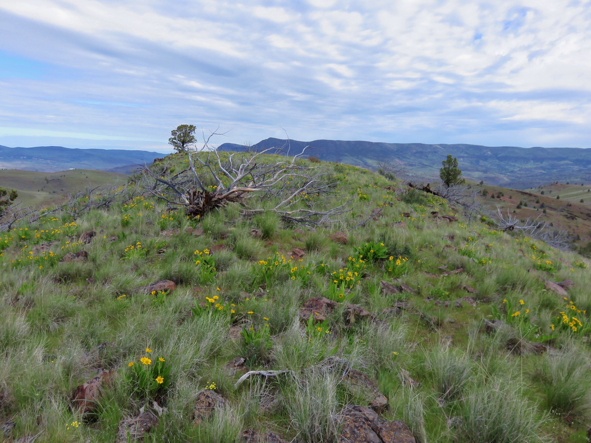
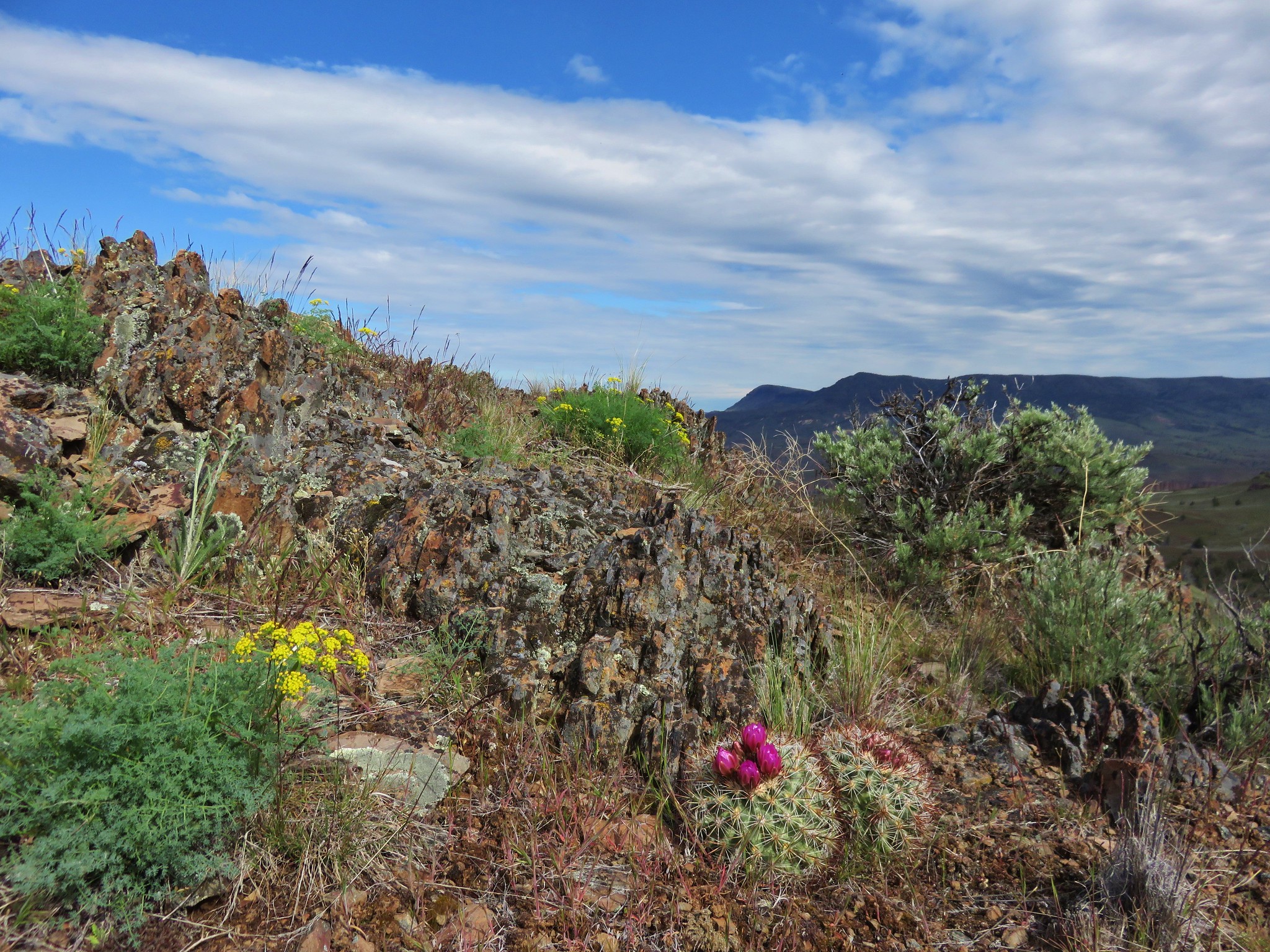
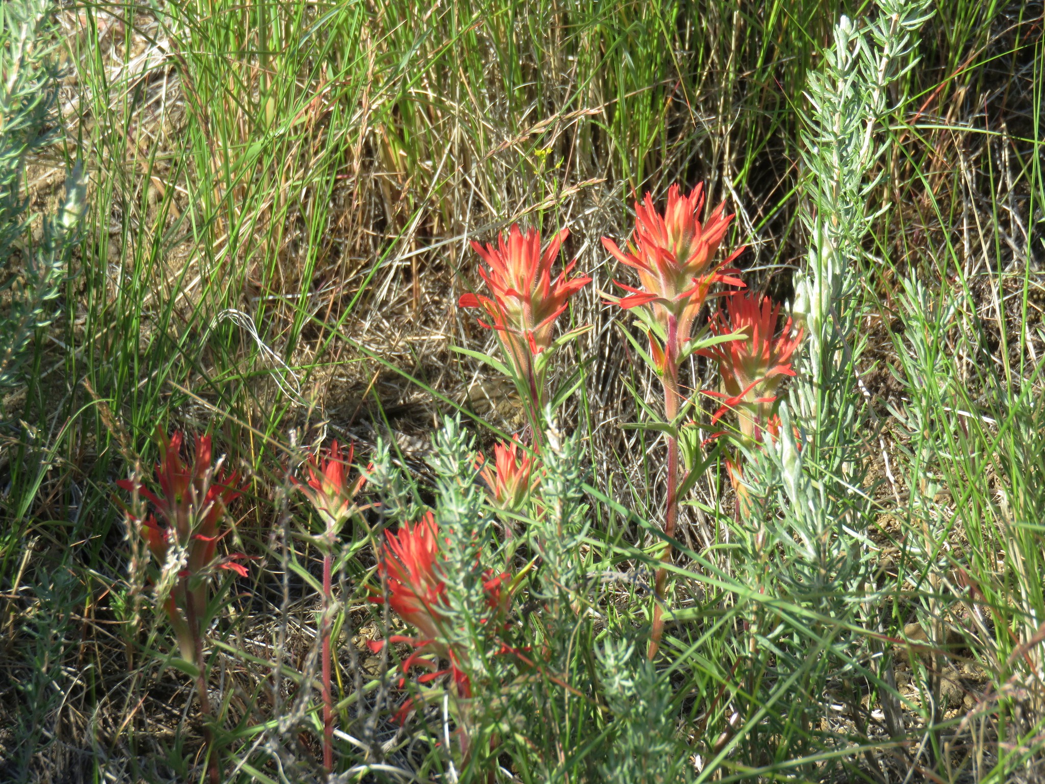
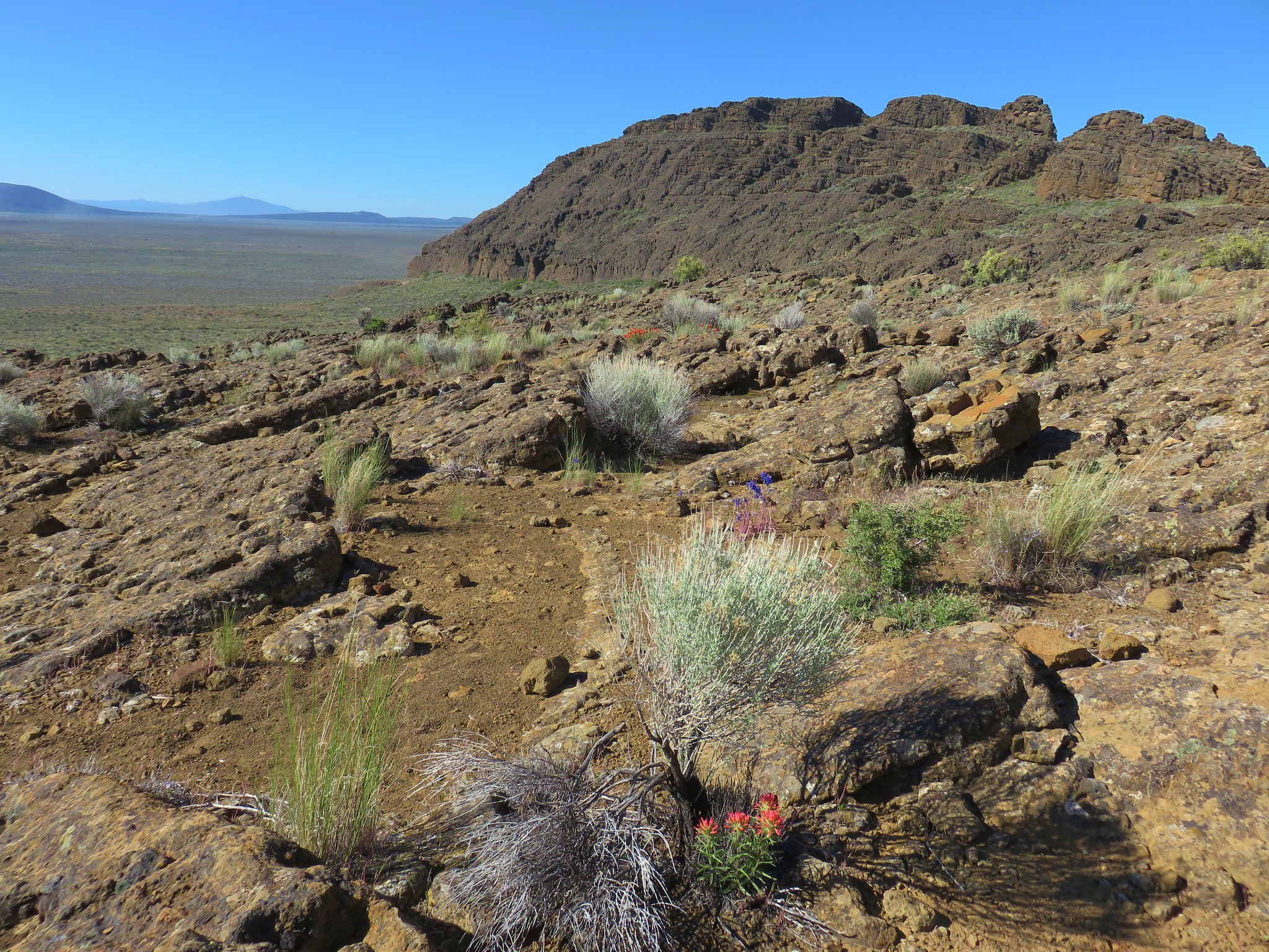
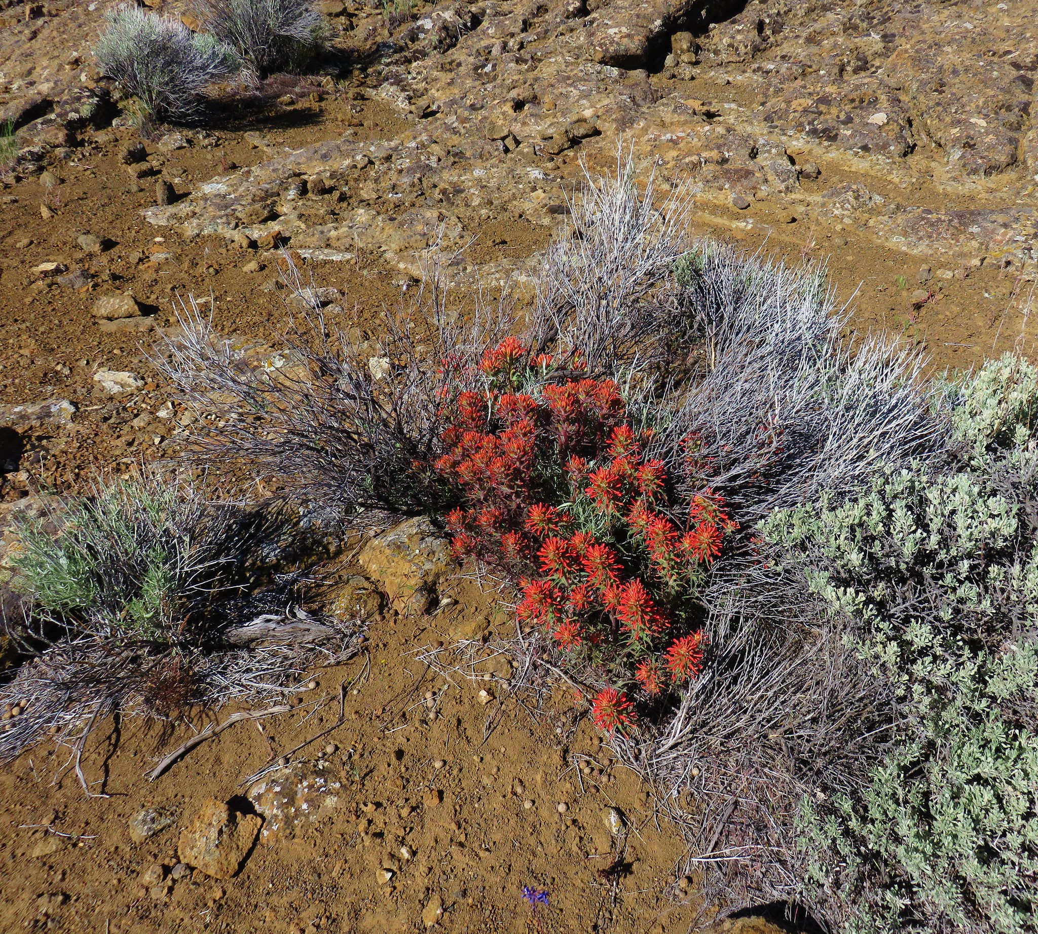
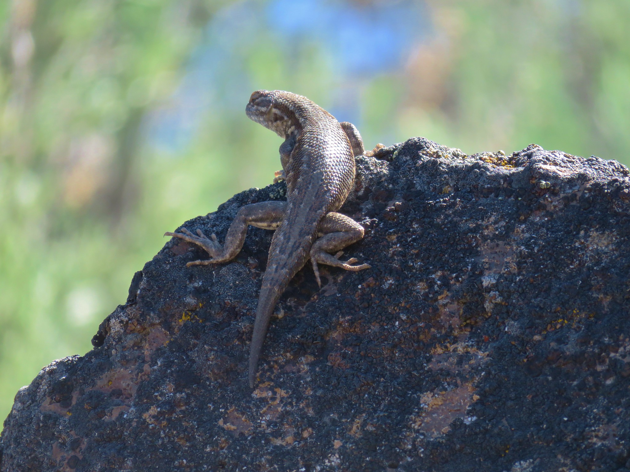
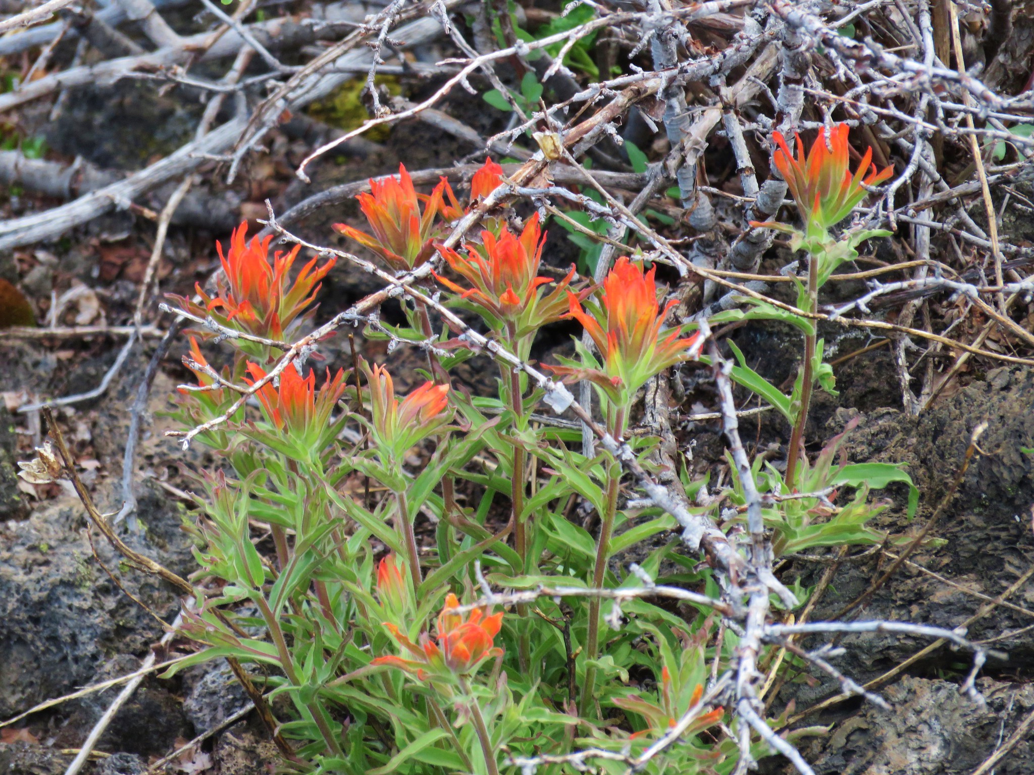
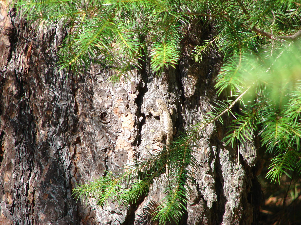
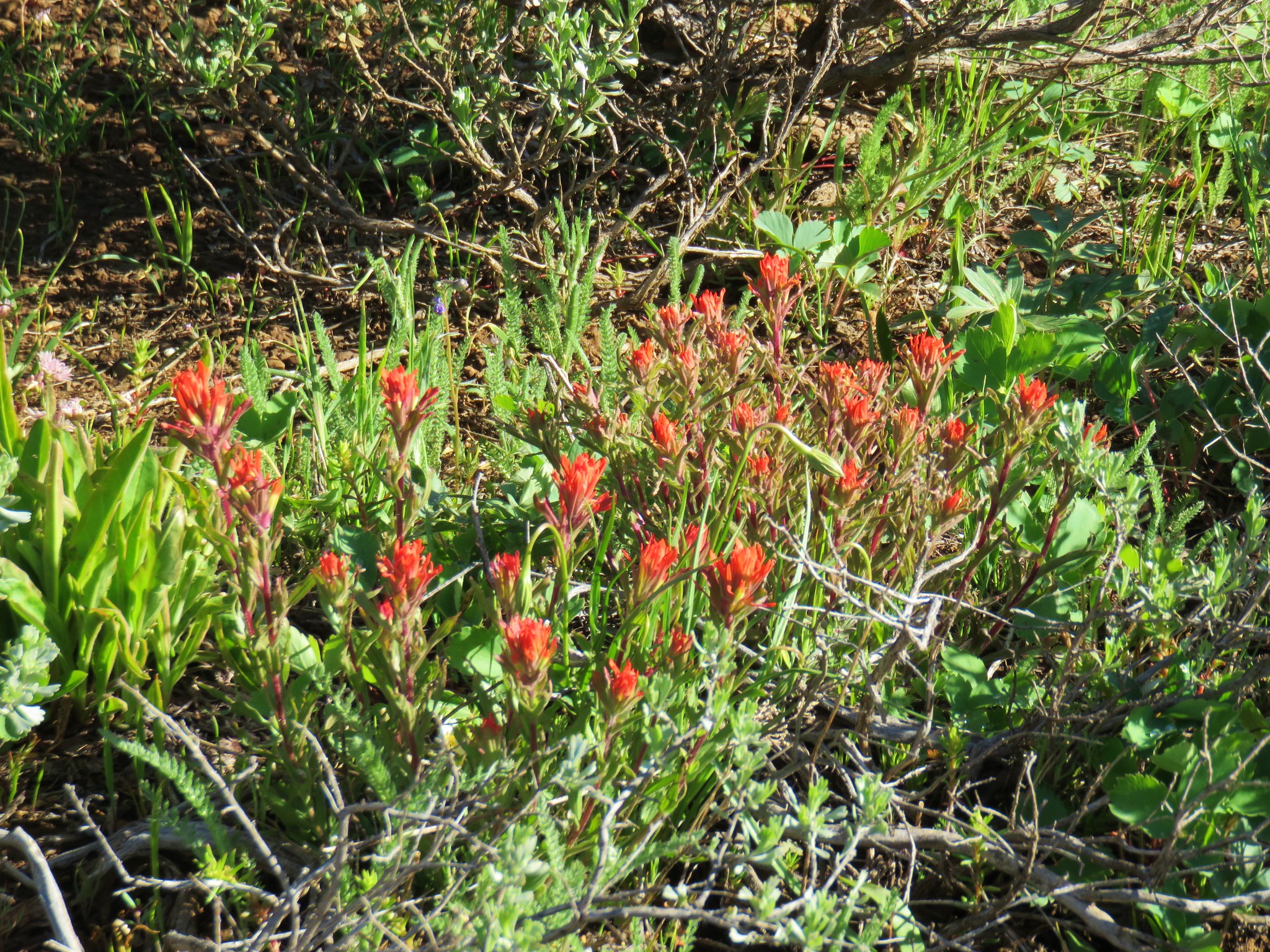
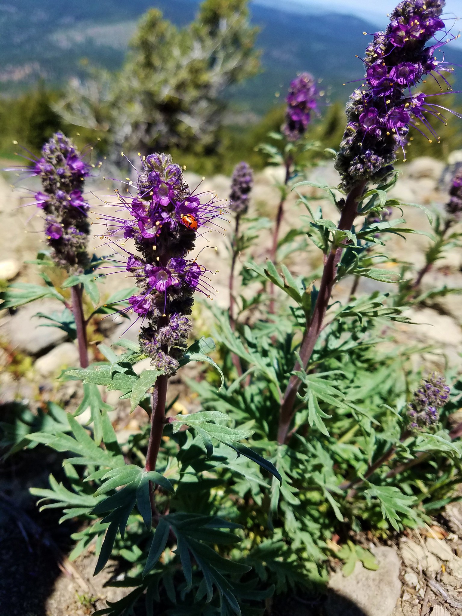
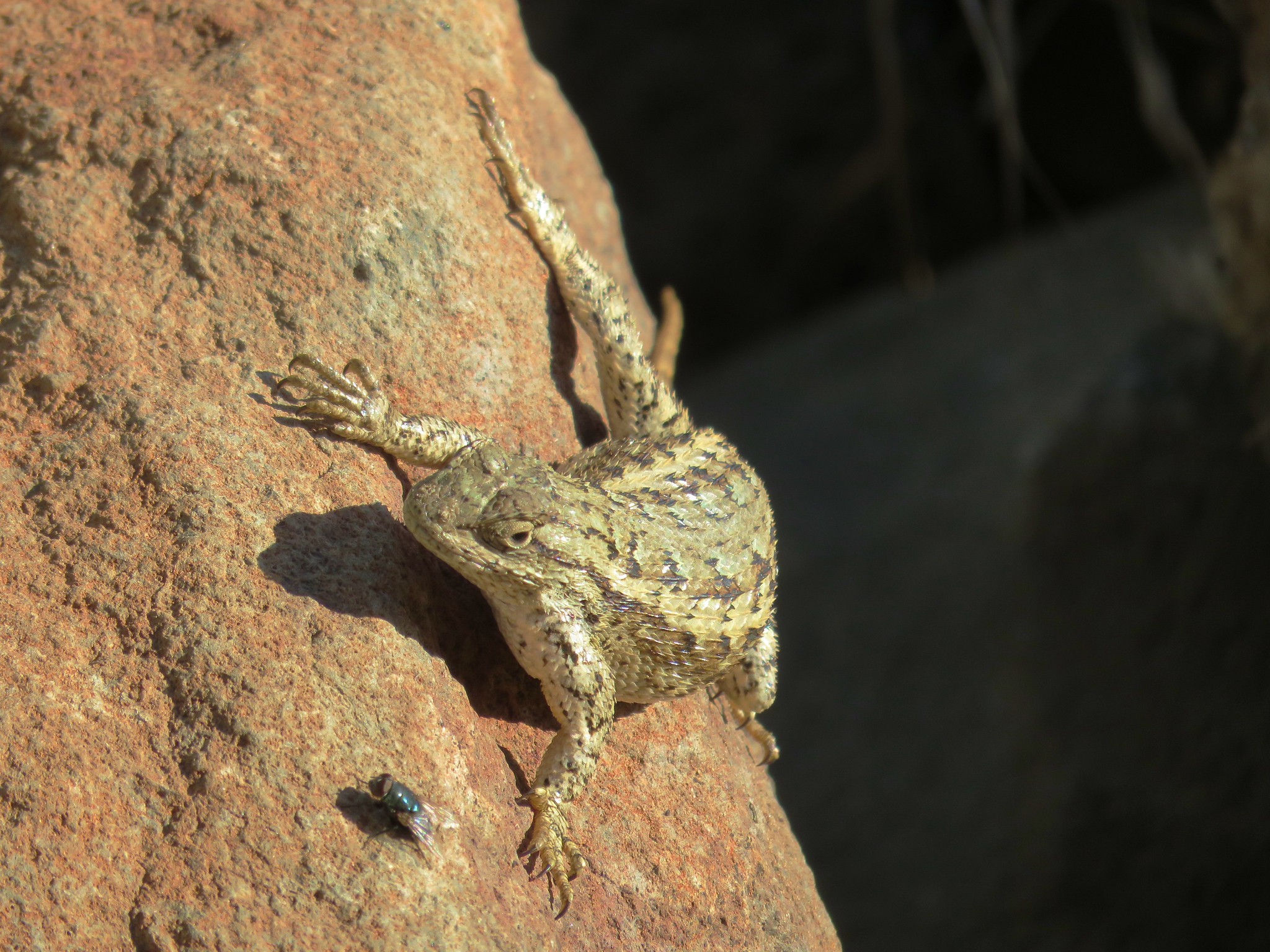
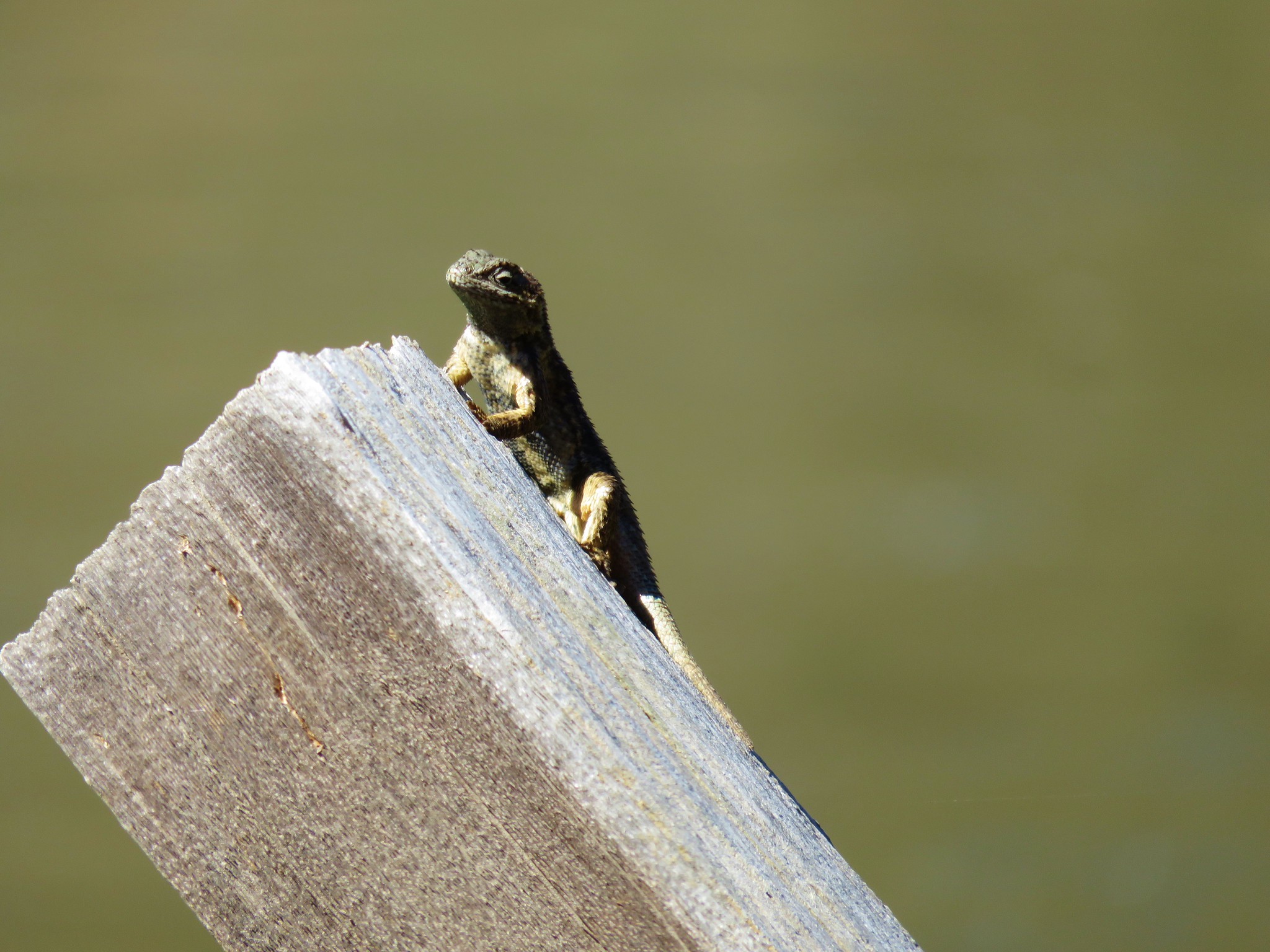
We skipped the .2 mile trail up to a viewpoint which we had visited on our previous trip and stuck to the road bed which climbed up next to an explorable rock shelf where there were several lizards and a lot of bright red paintbrush.


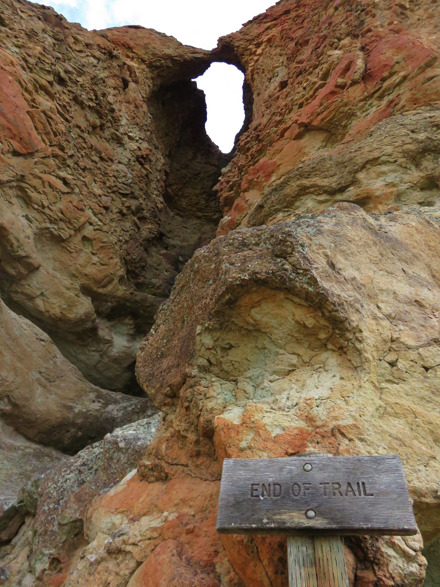
The trail then passed by a rock pillar before returning to the parking area.
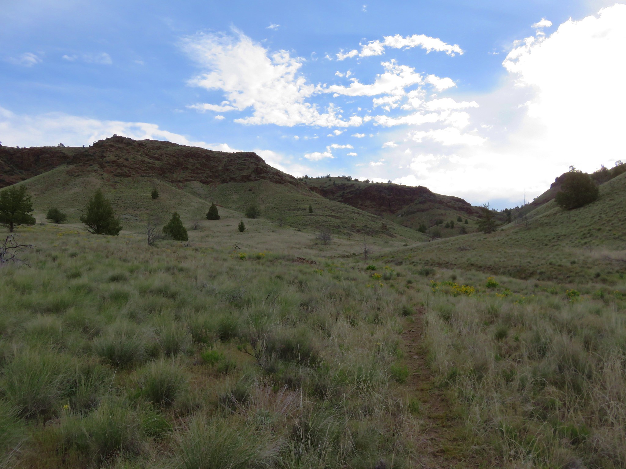
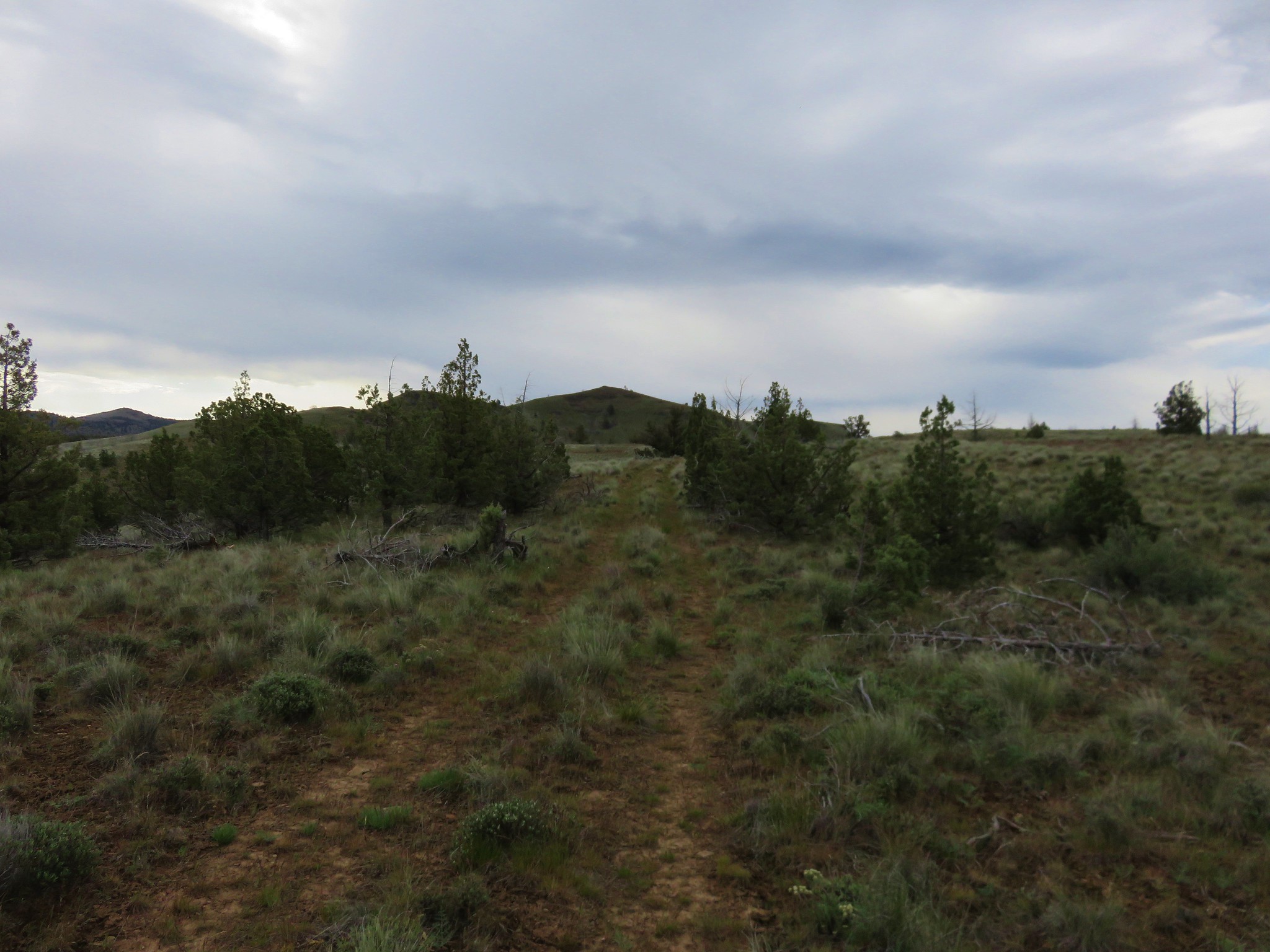
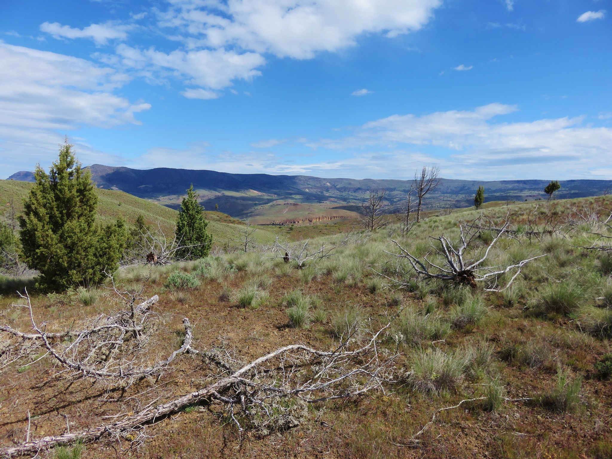
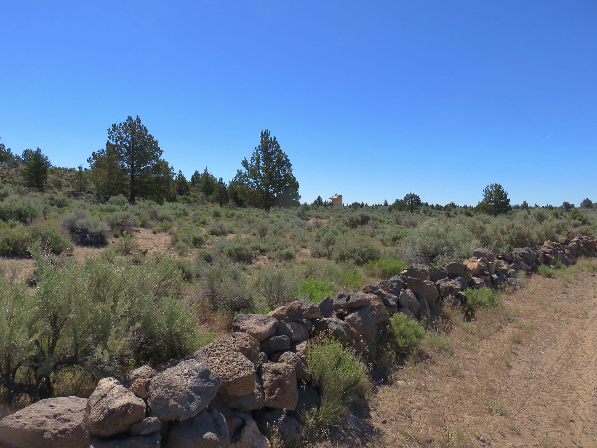
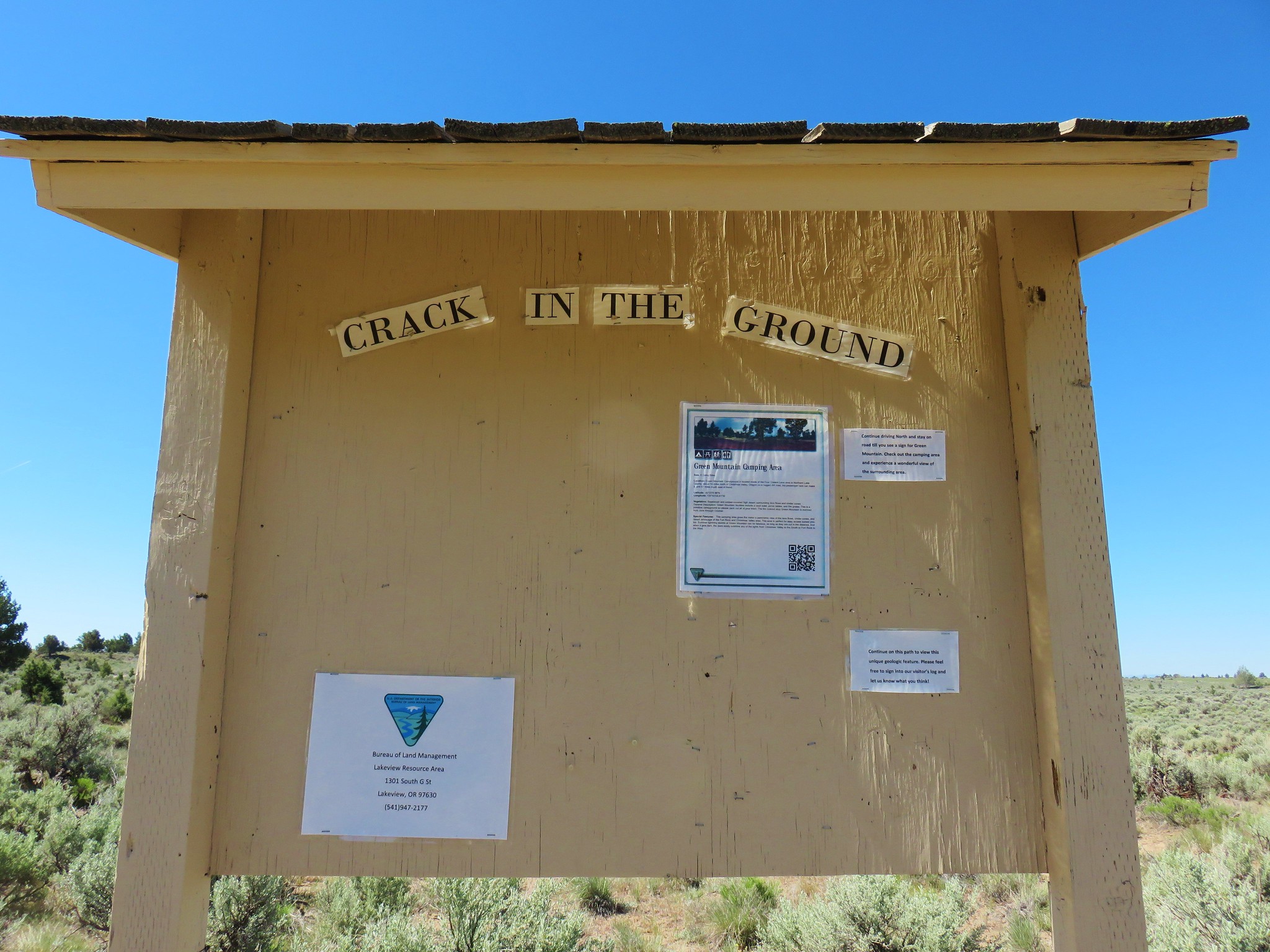
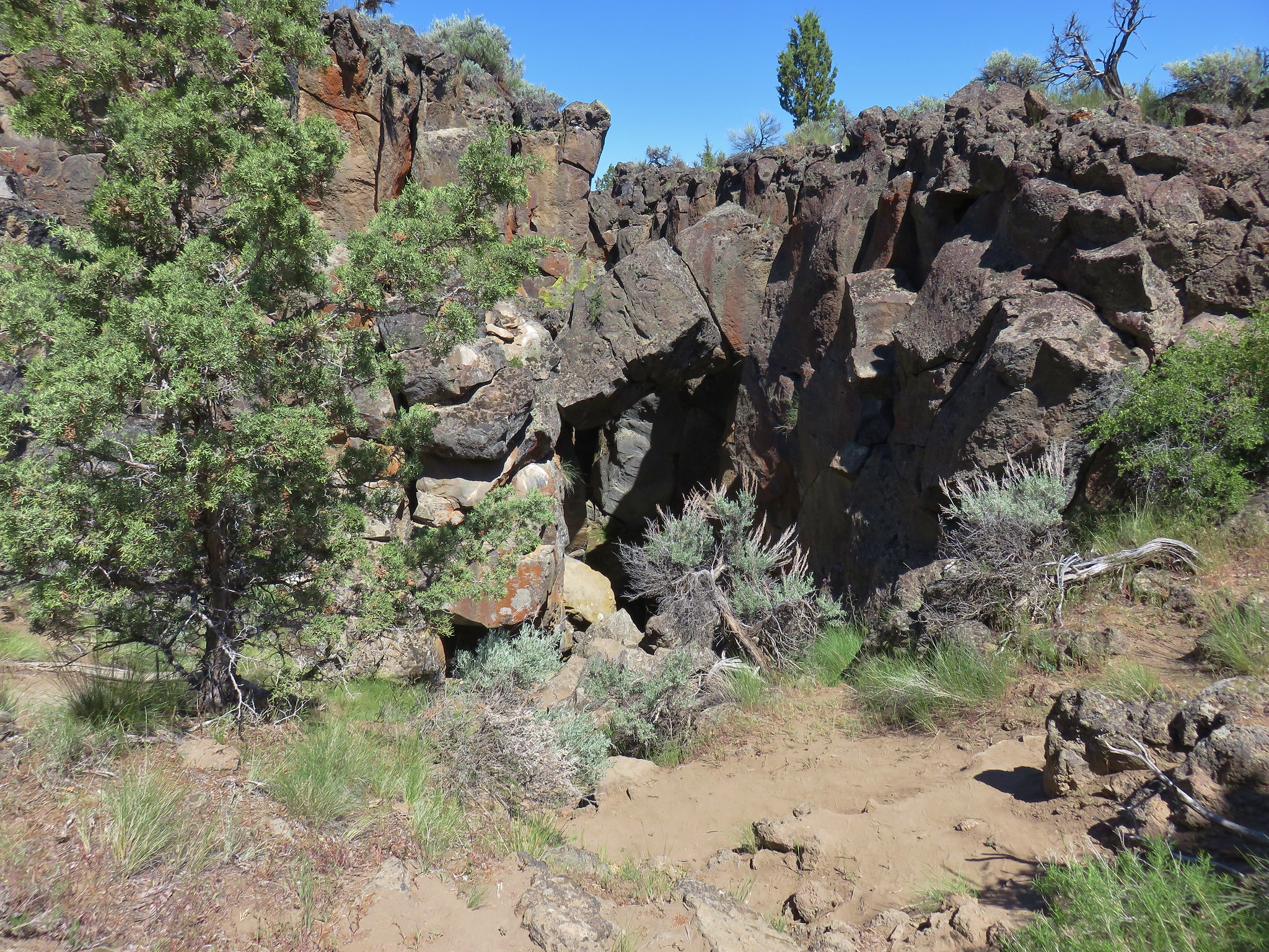
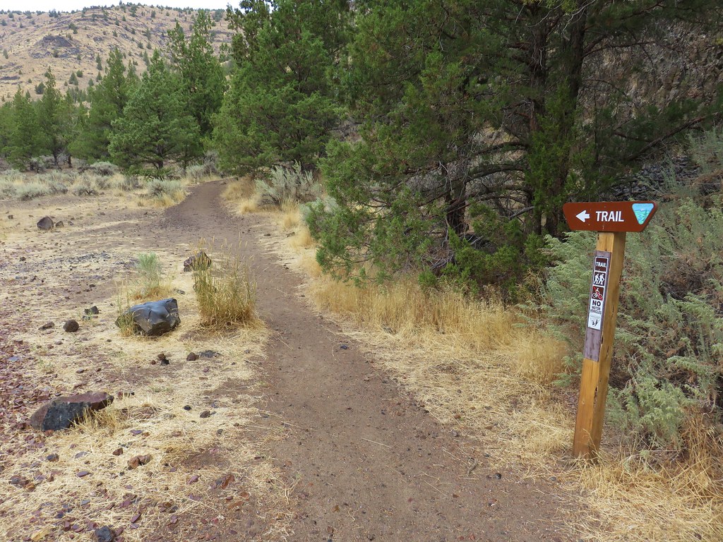
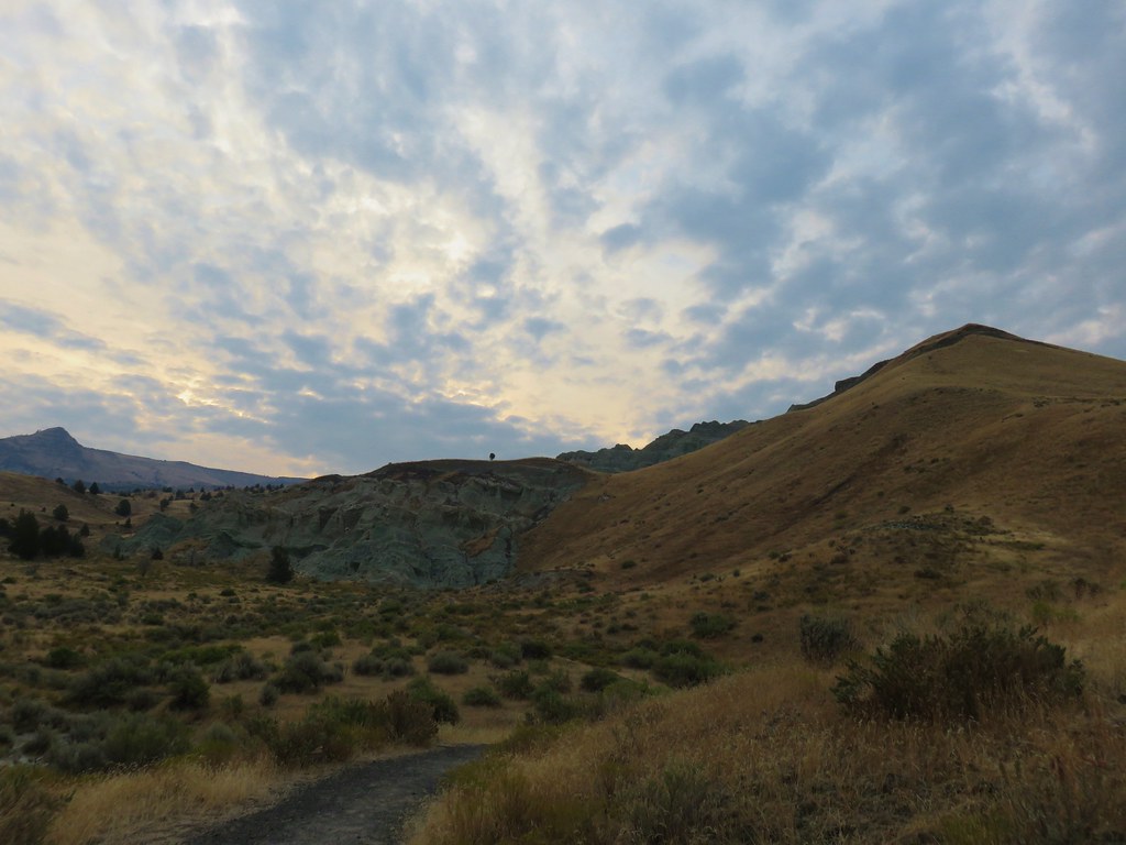
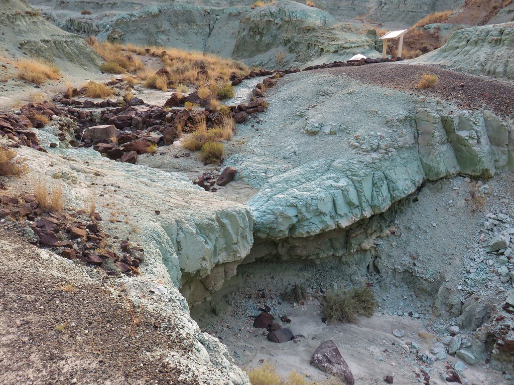
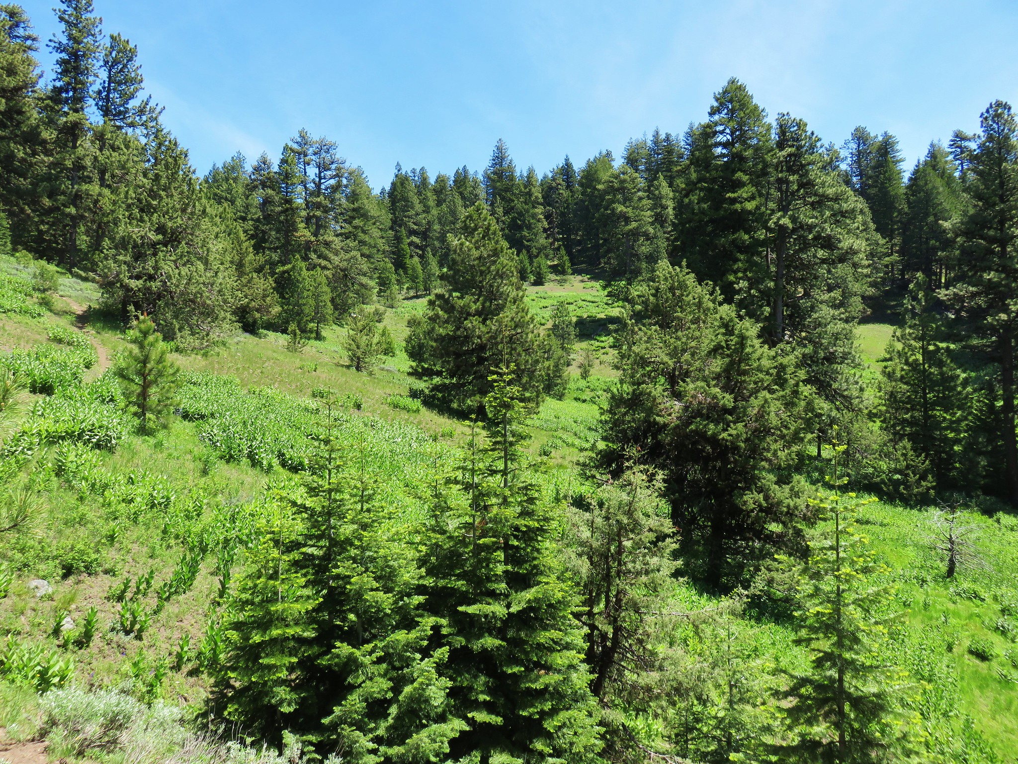
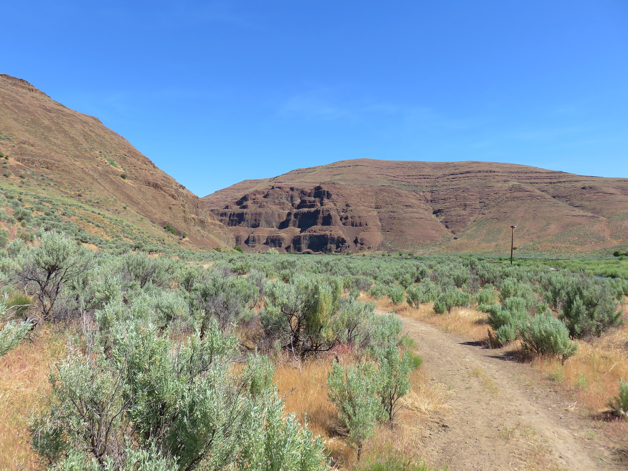
For our next stop we headed toward Christmas Valley by heading south from the park to the town of Fort Rock where we turned left and followed signs for Christmas Valley a total of 27 miles. After passing through the town we turned left at a sign for Crack in the Ground and followed this dirt/gravel road for 7.2 miles to a small parking area with a toilet. The trail started on the far side of the road at a signboard.
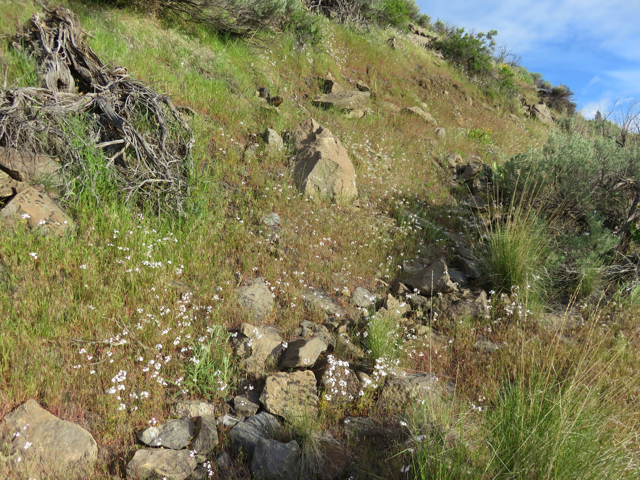
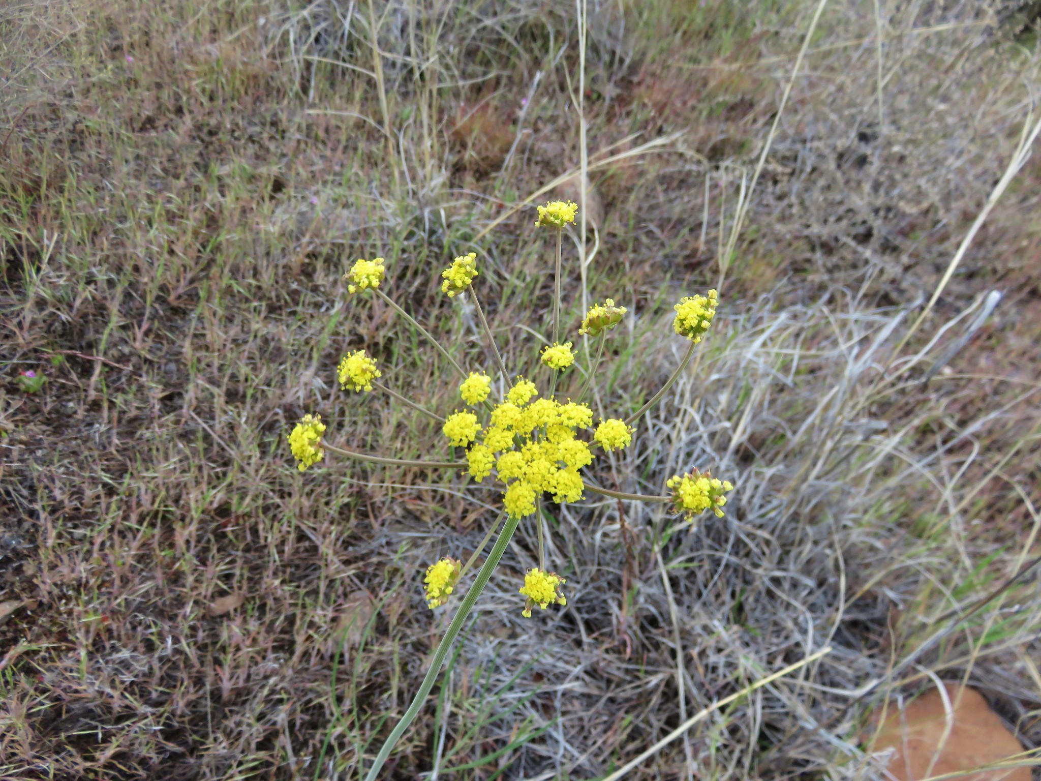
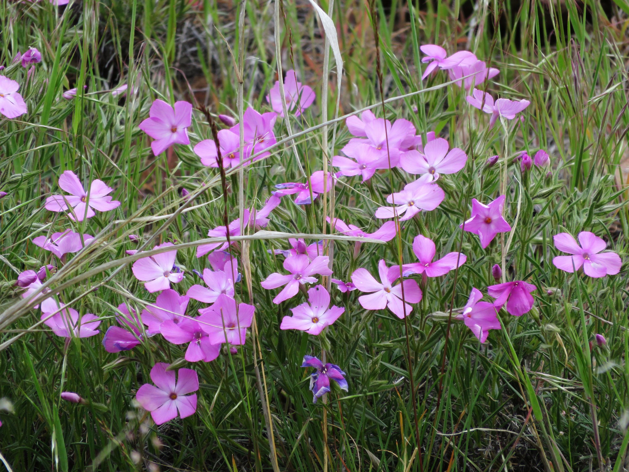
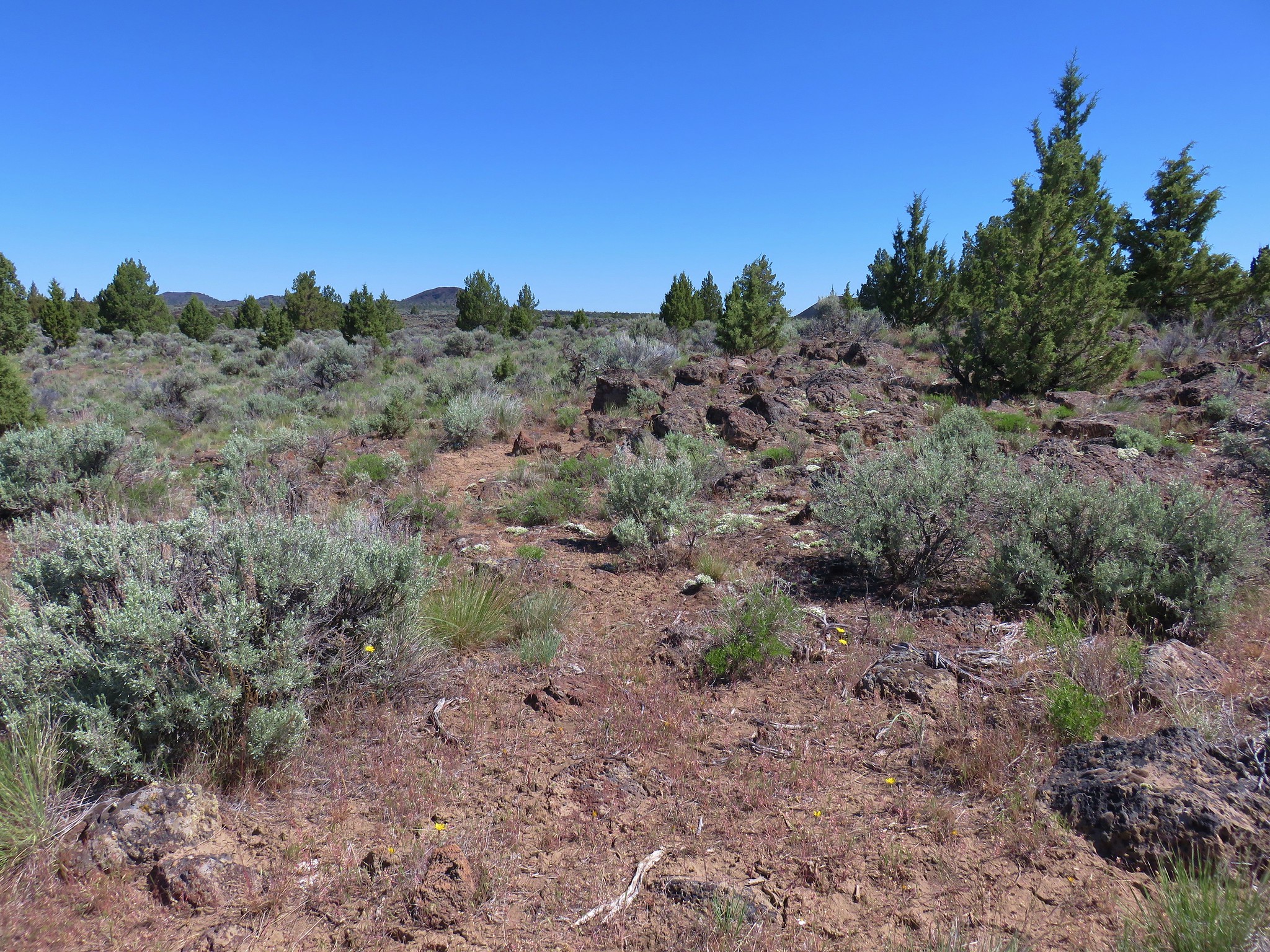
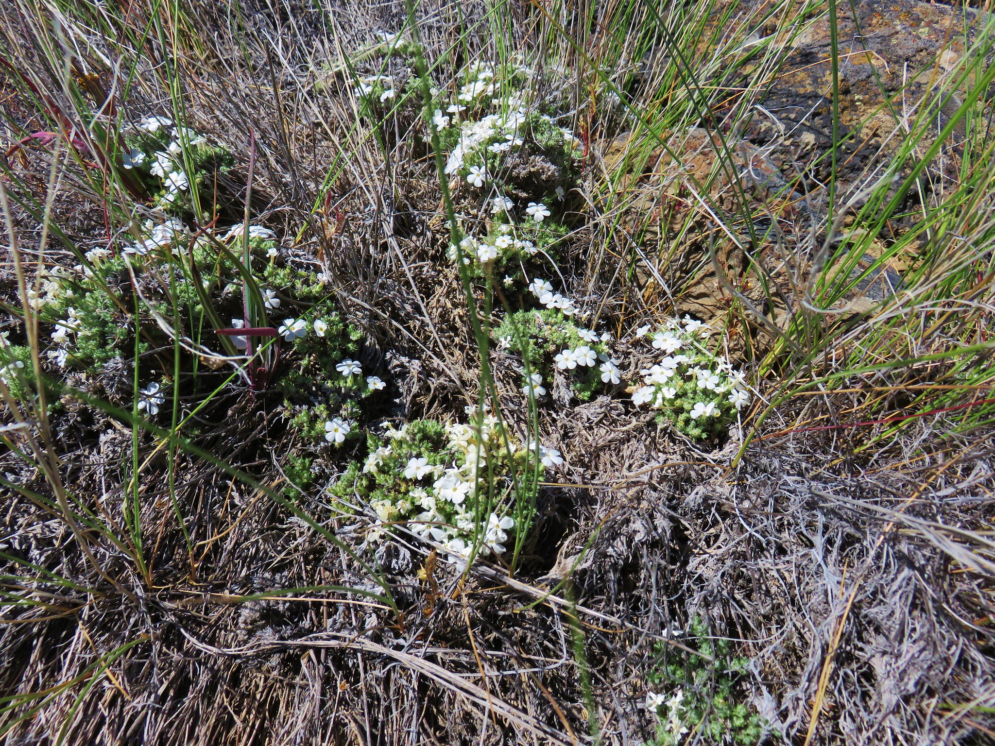
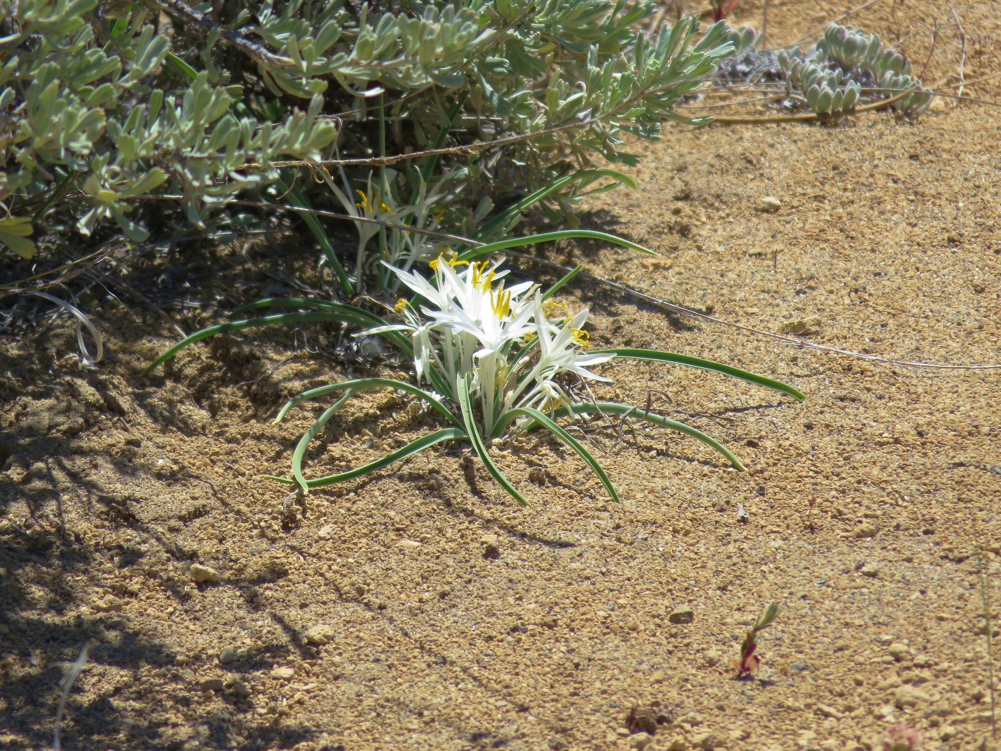
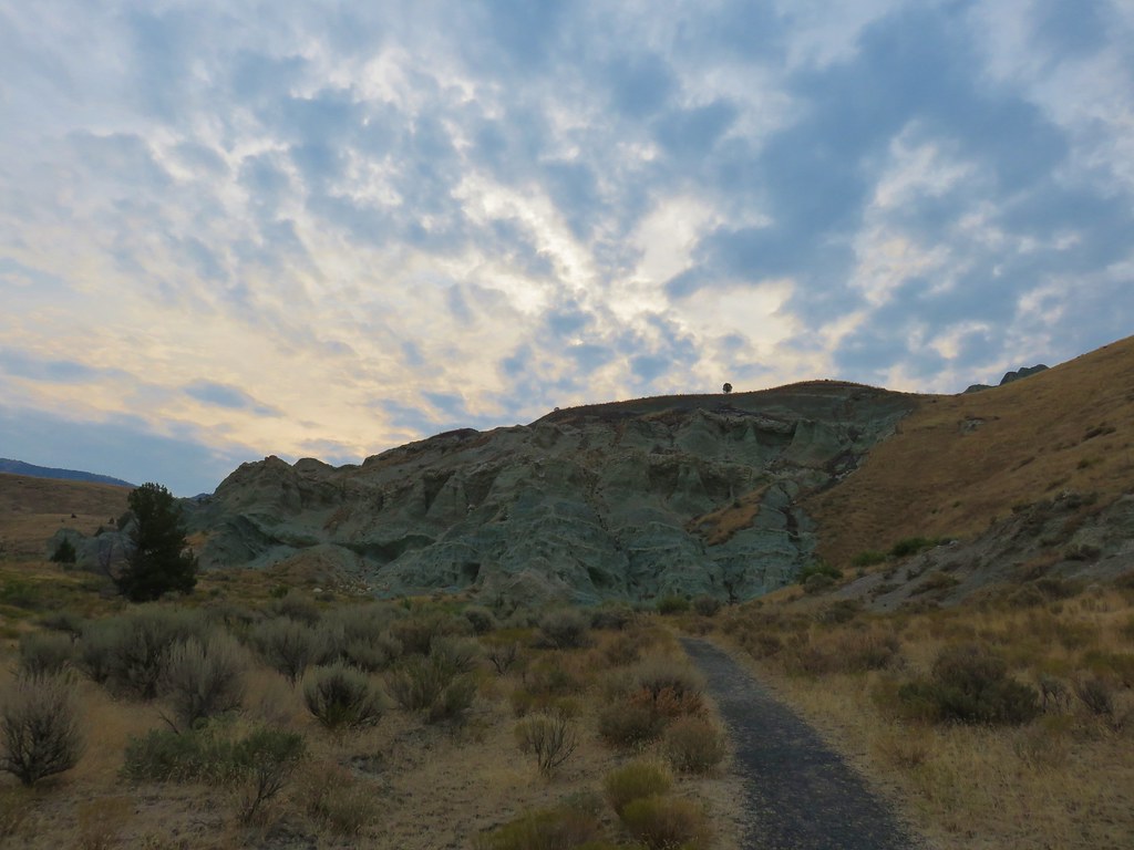
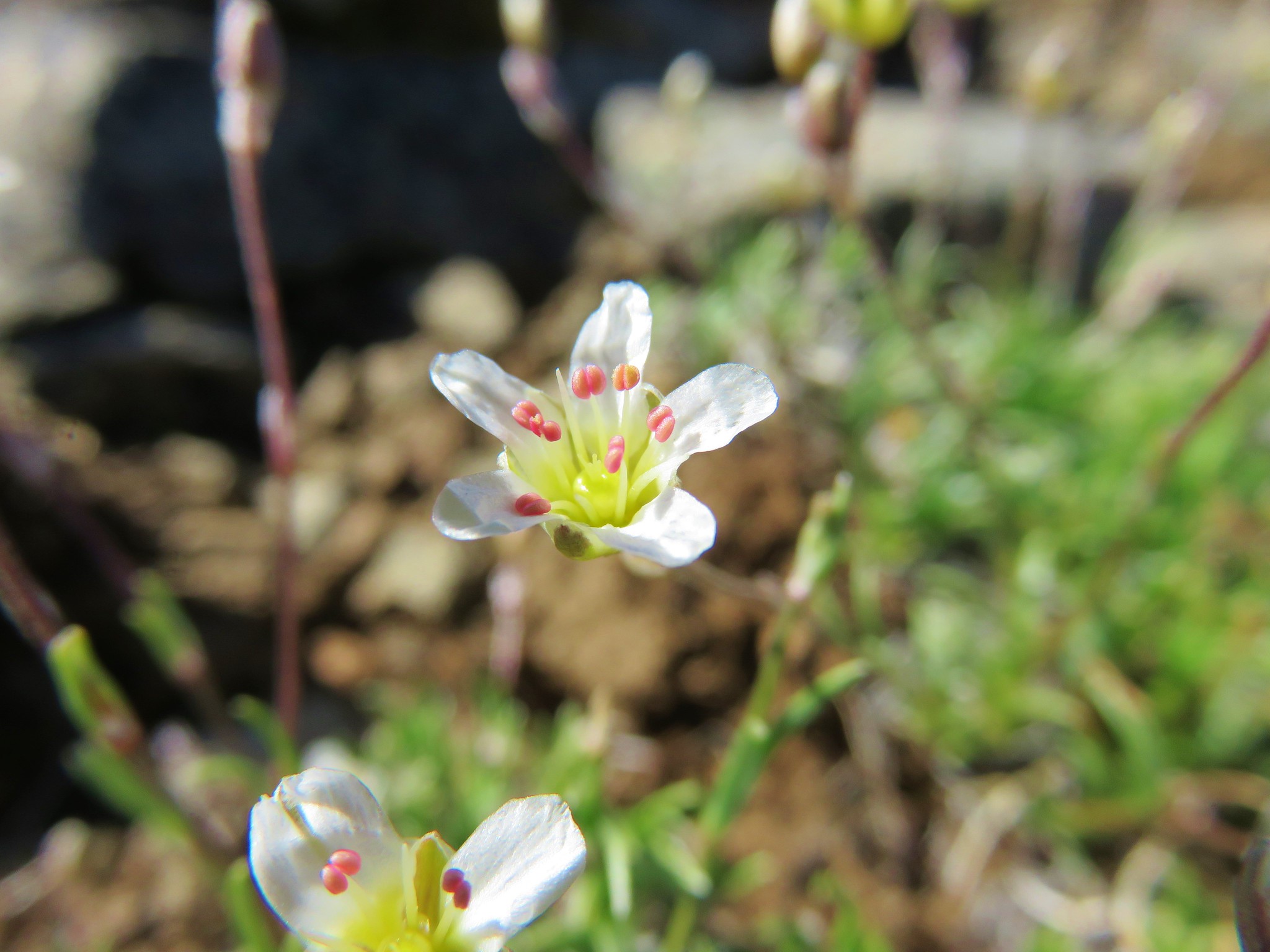
A level .2 mile path passed through sagebrush dotted with white phlox to a picnic table near the entrance to Crack in the Ground.
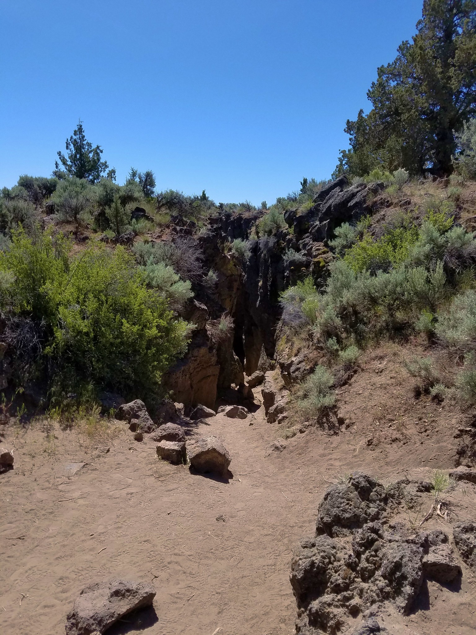
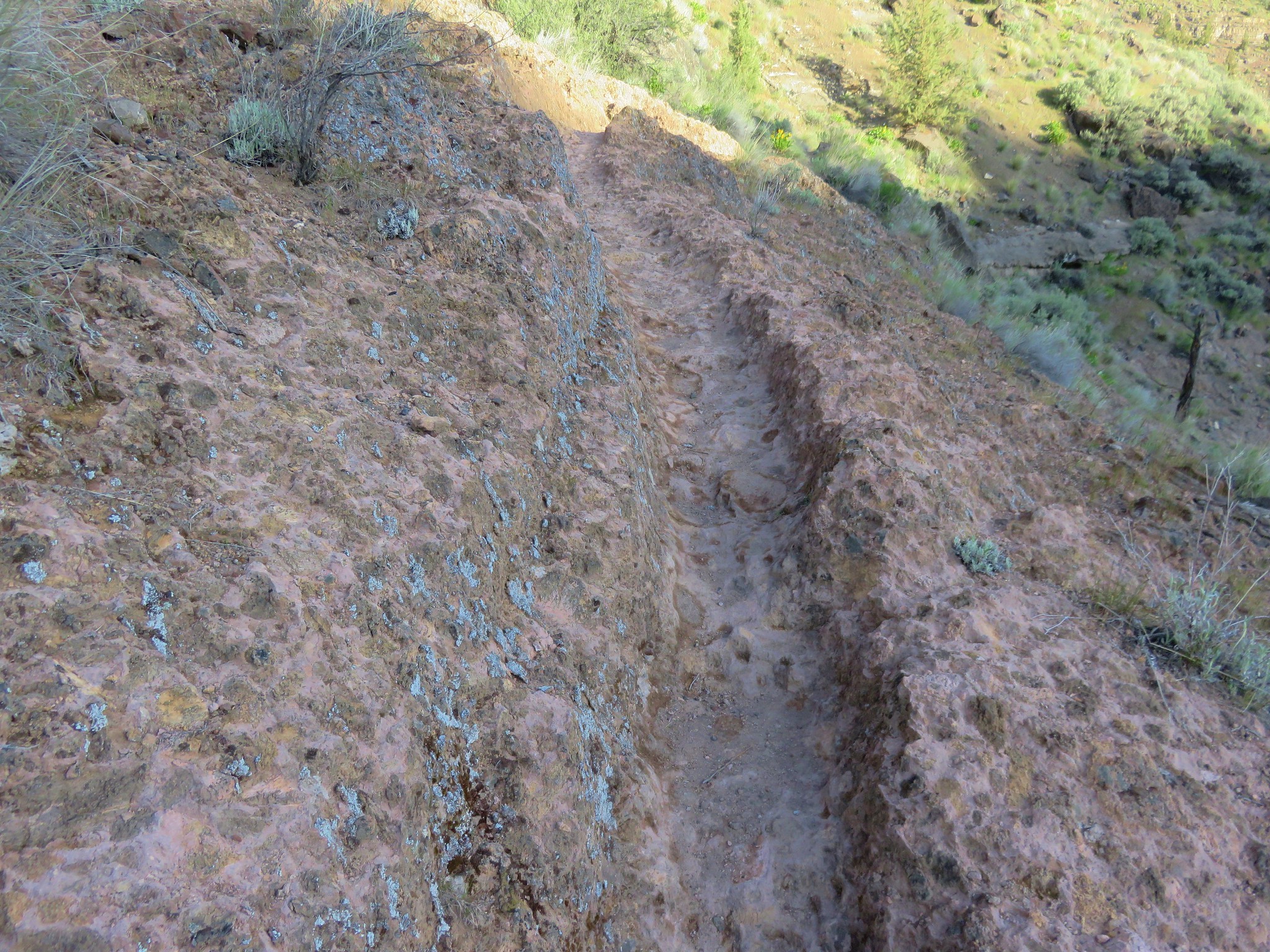
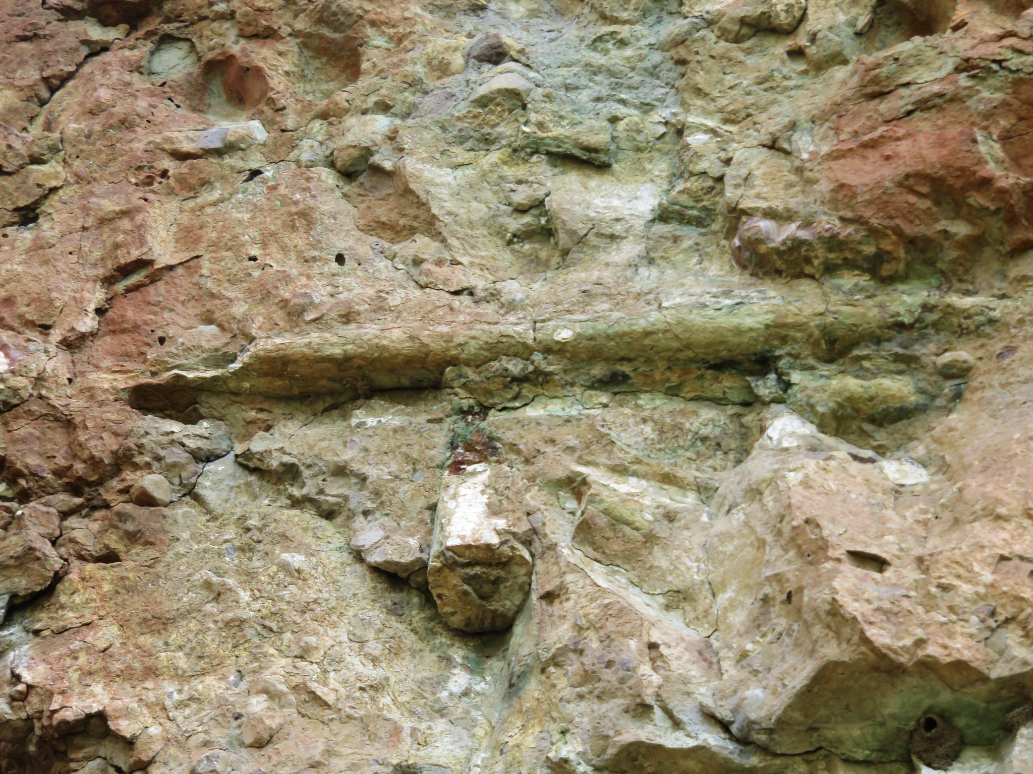
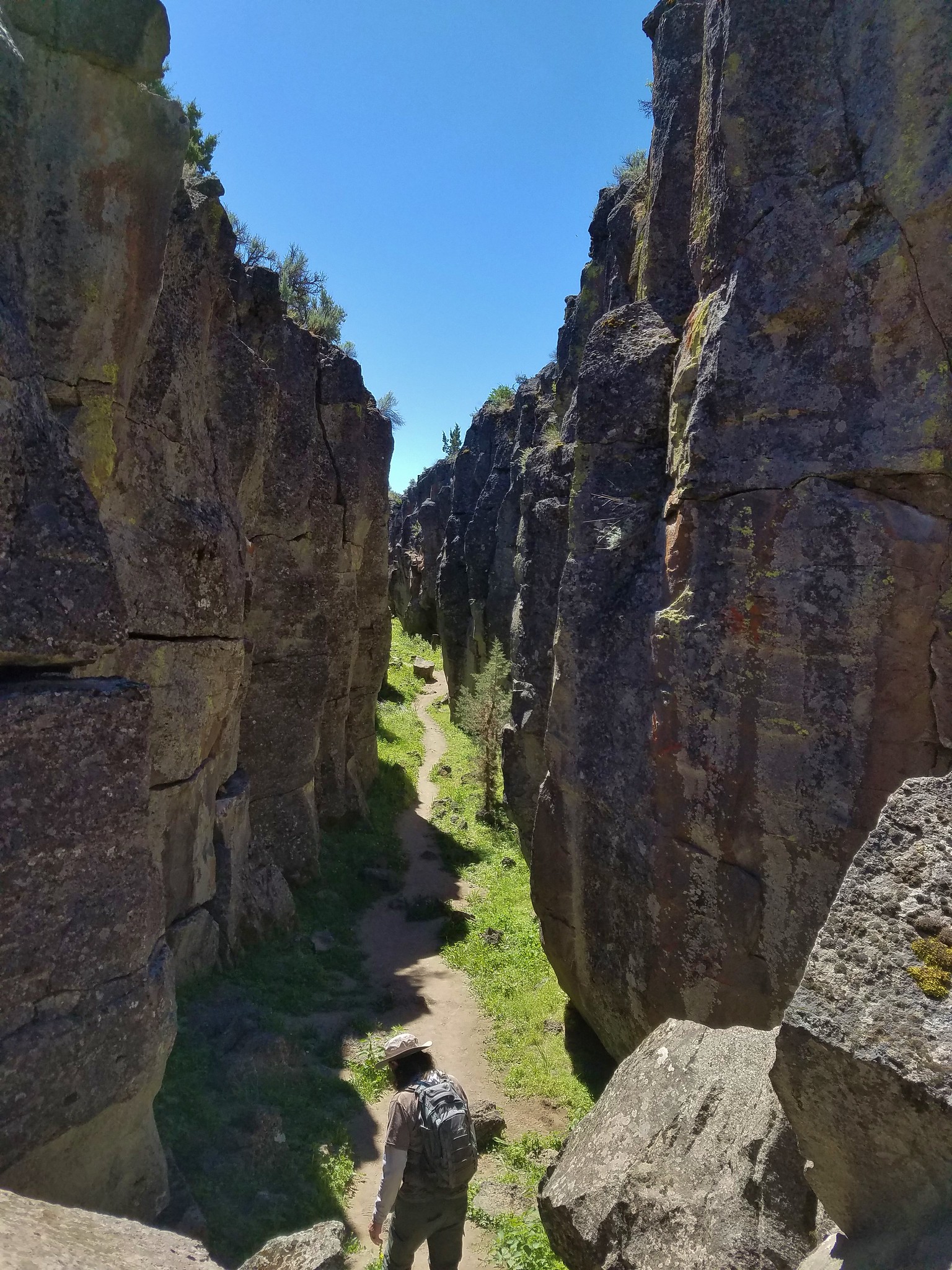
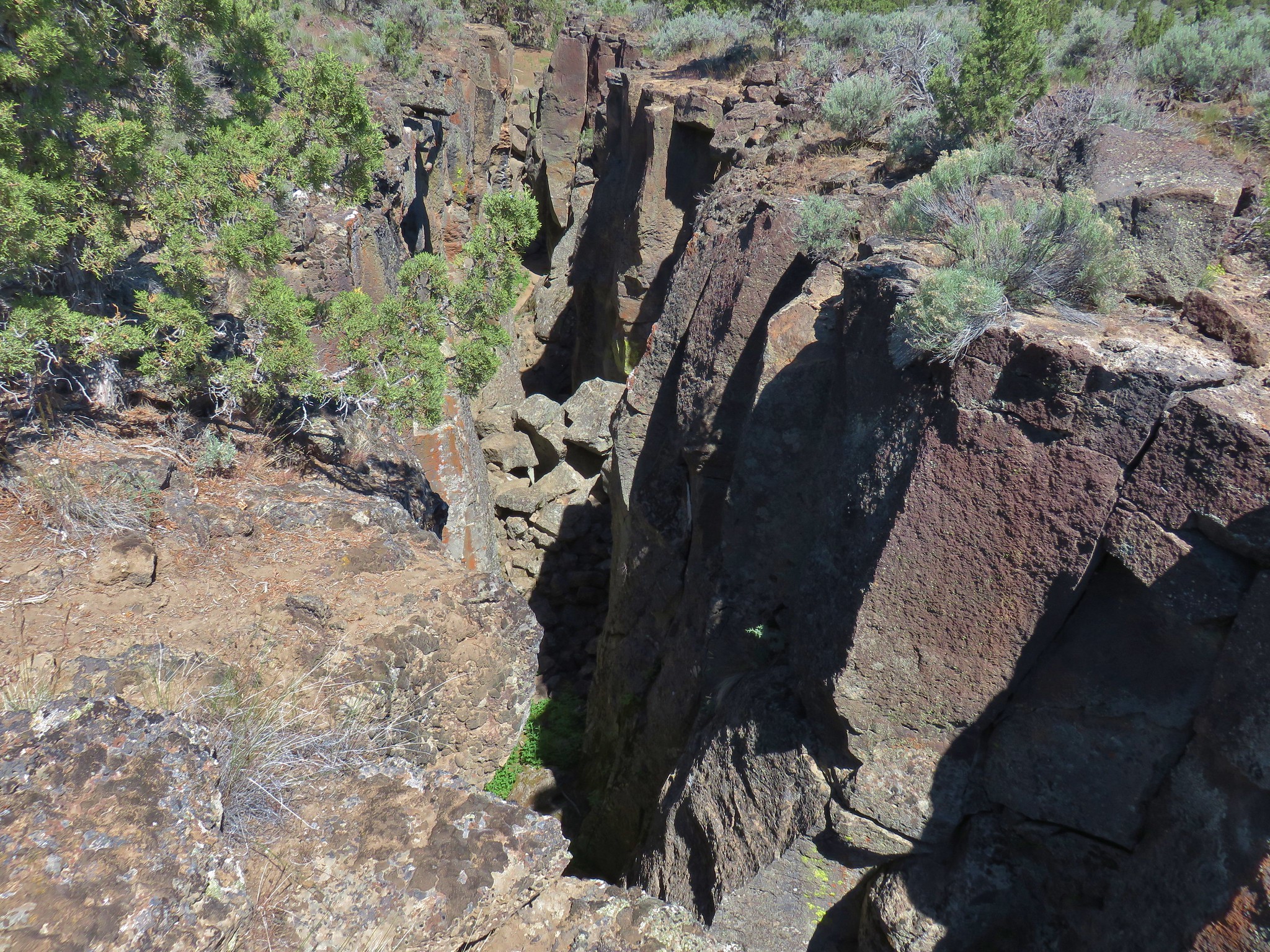
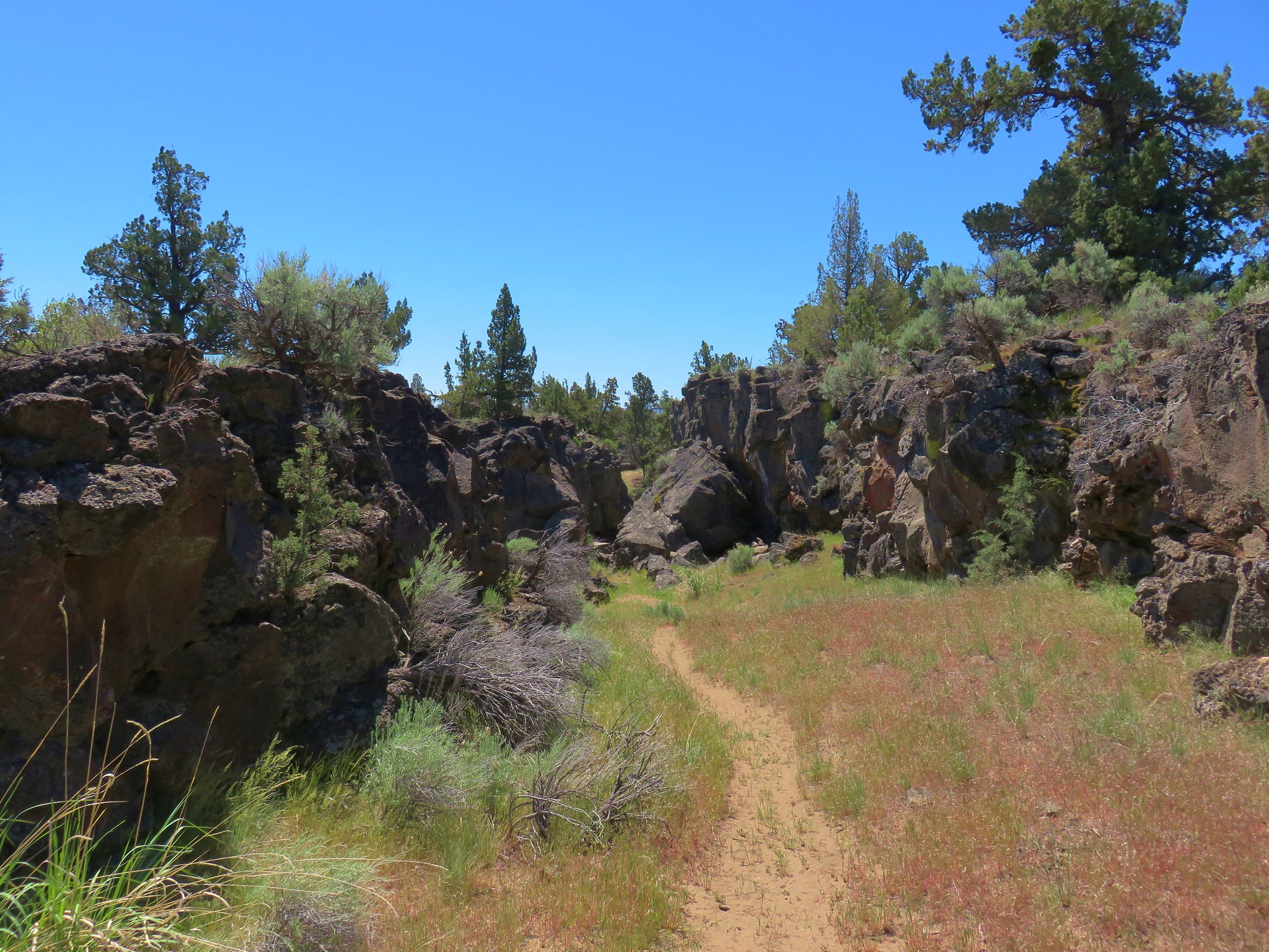
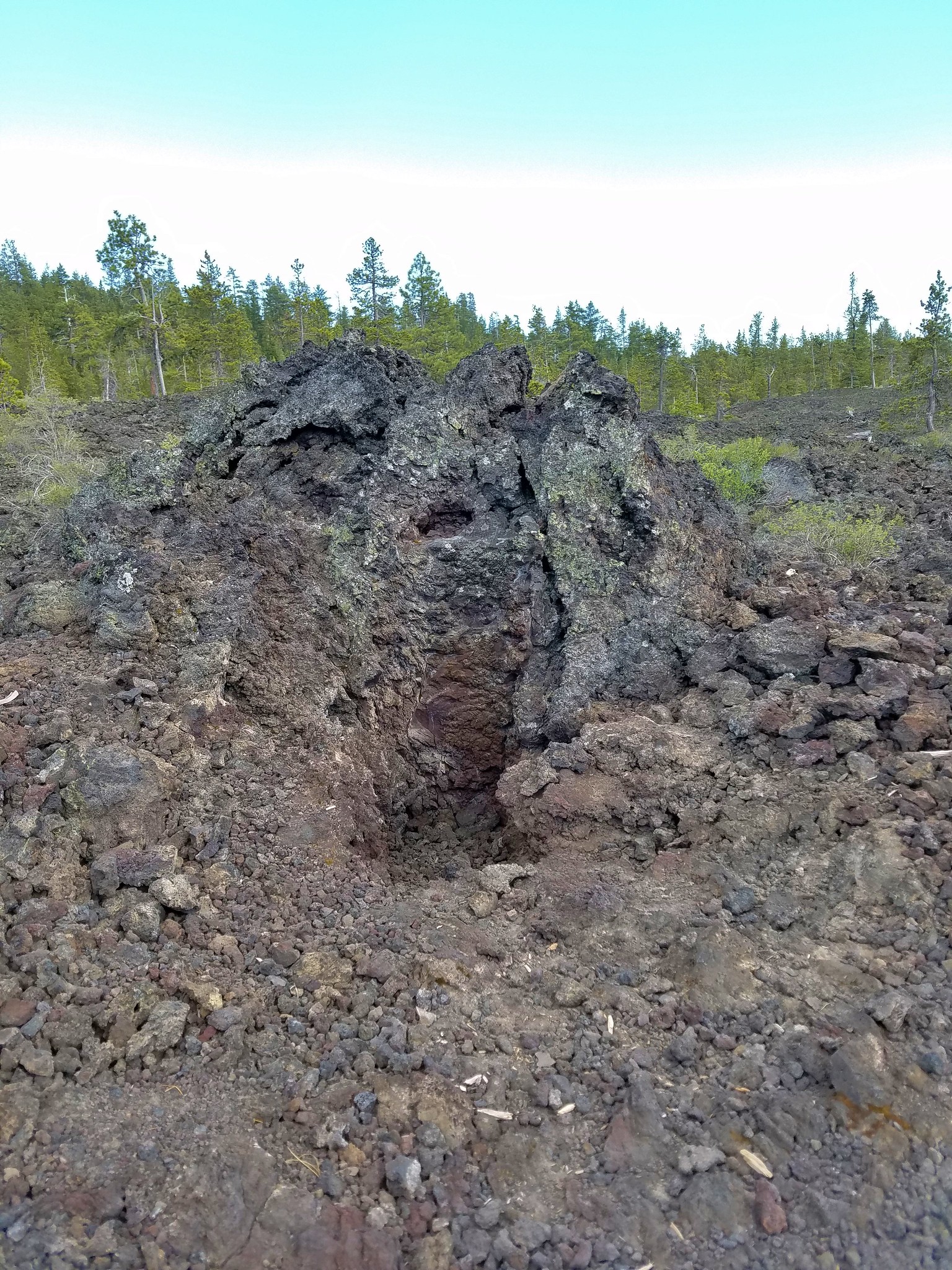
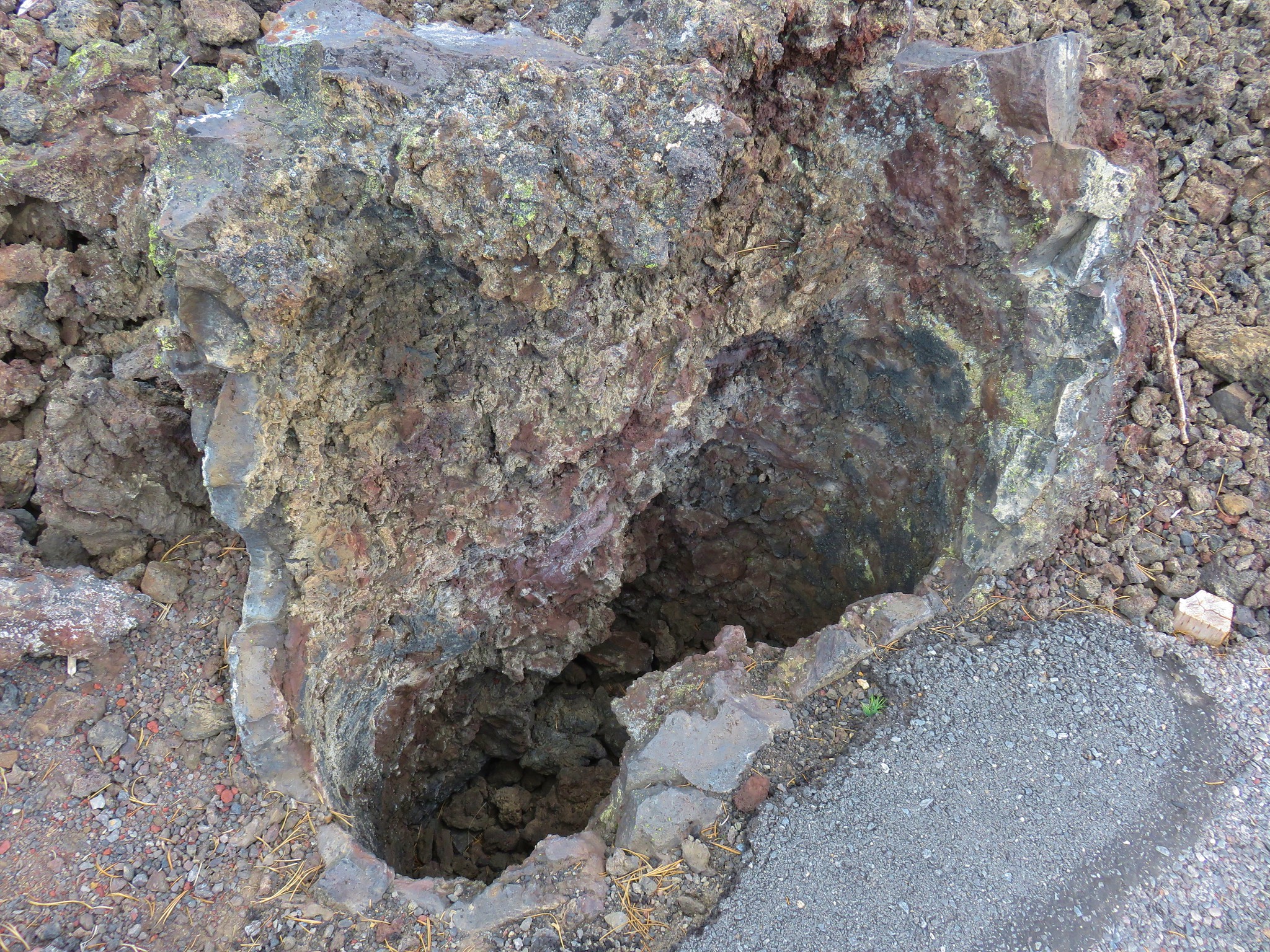
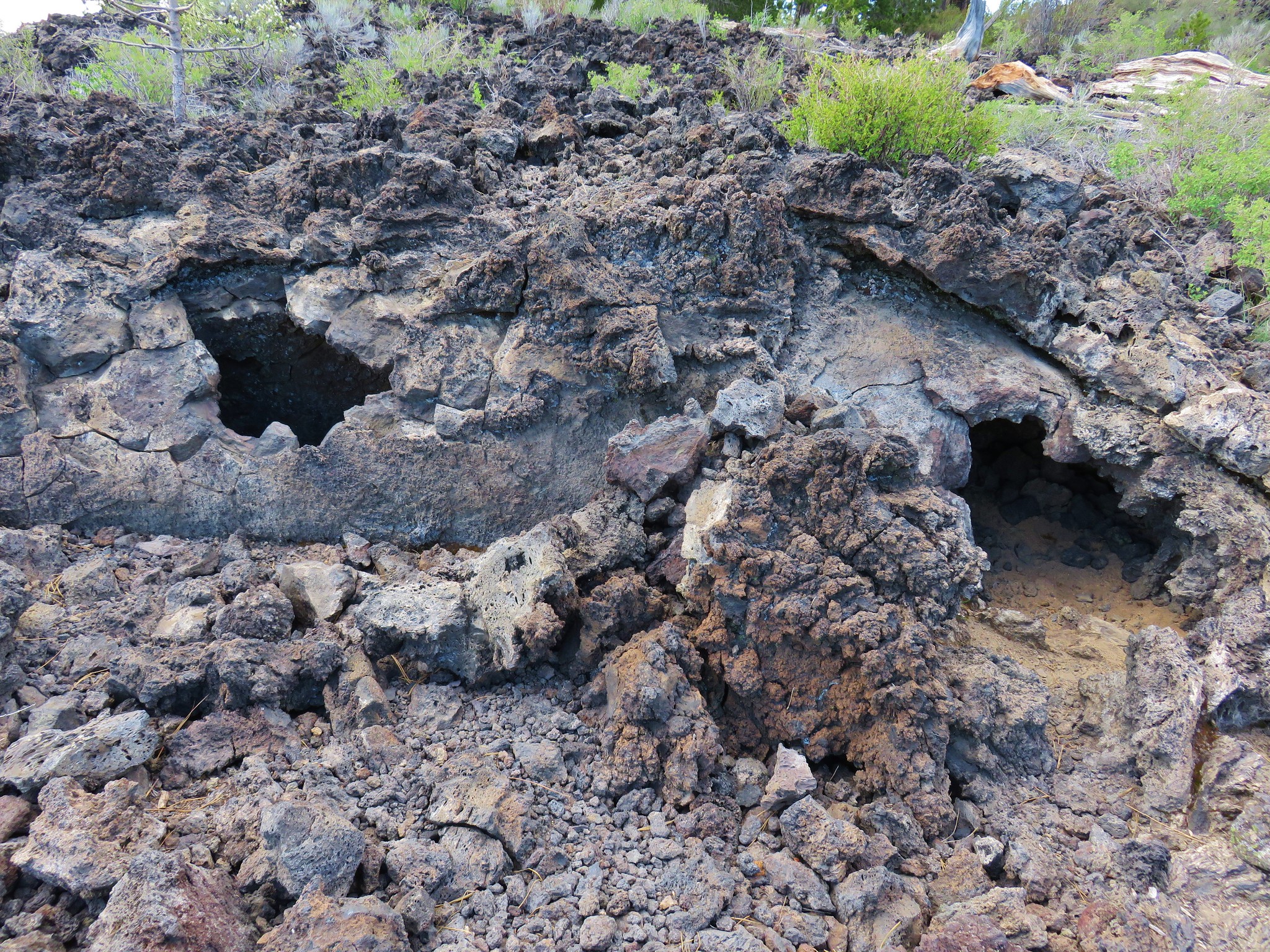
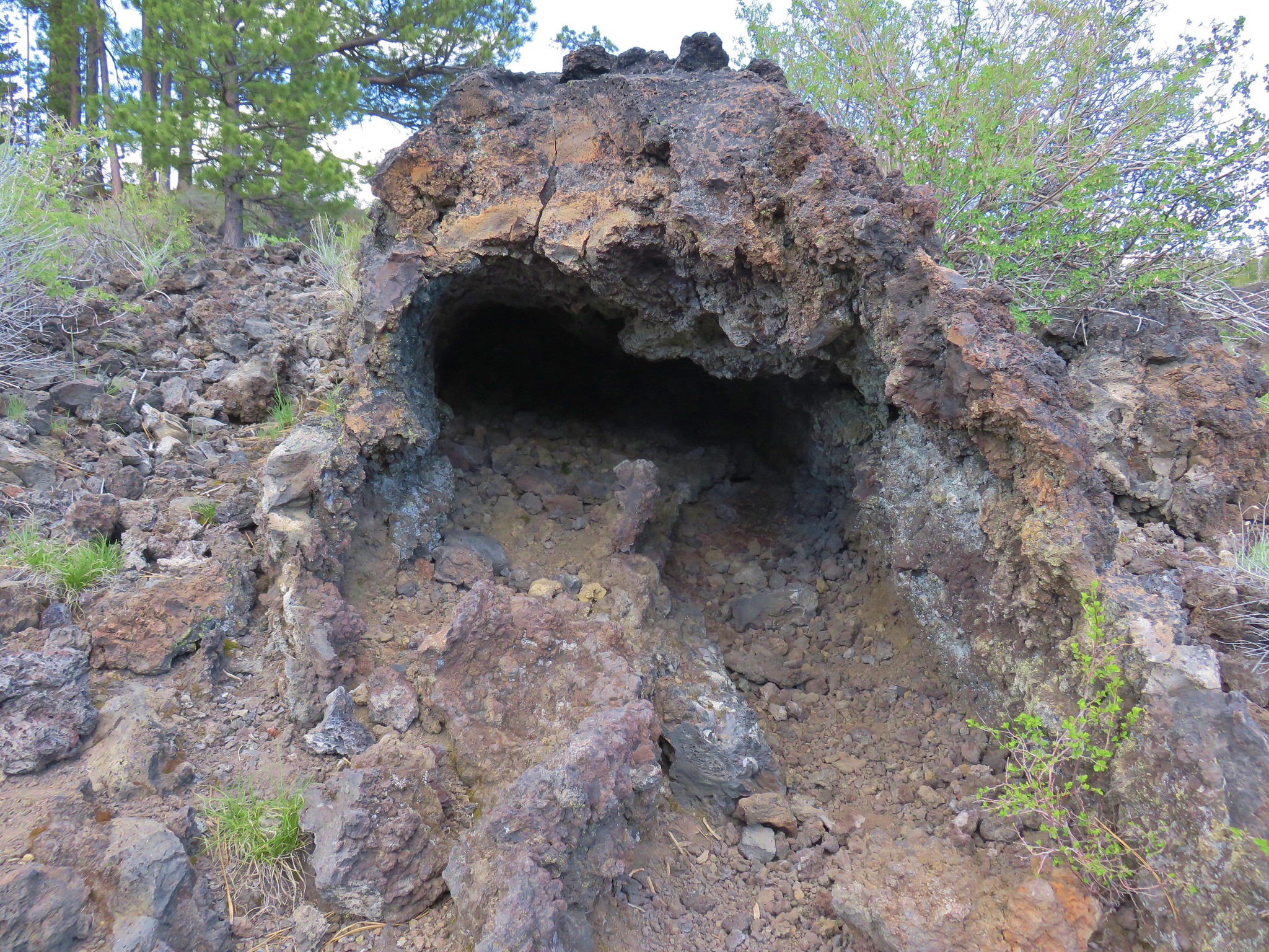
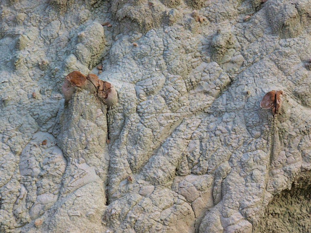
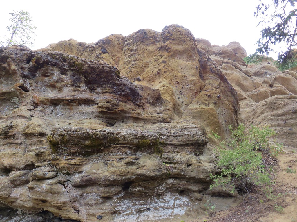
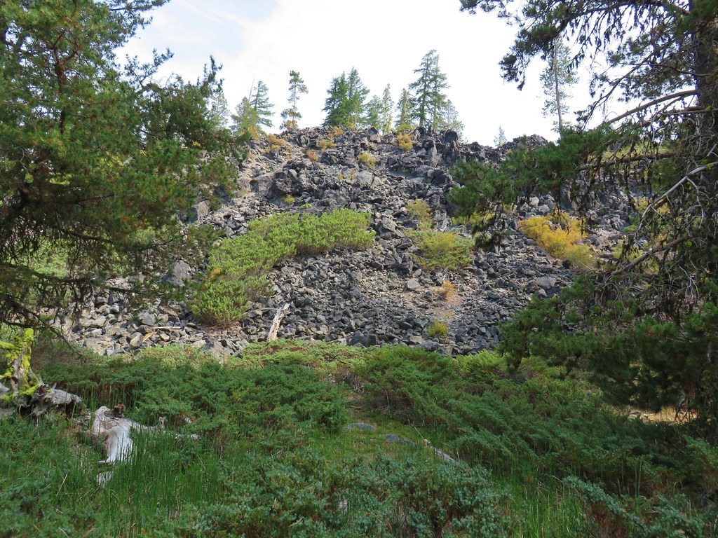
A path led down into the lava slot which reaches a depth of 70′.
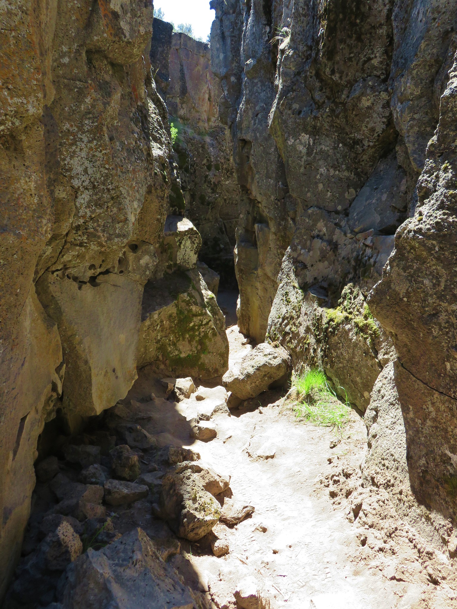

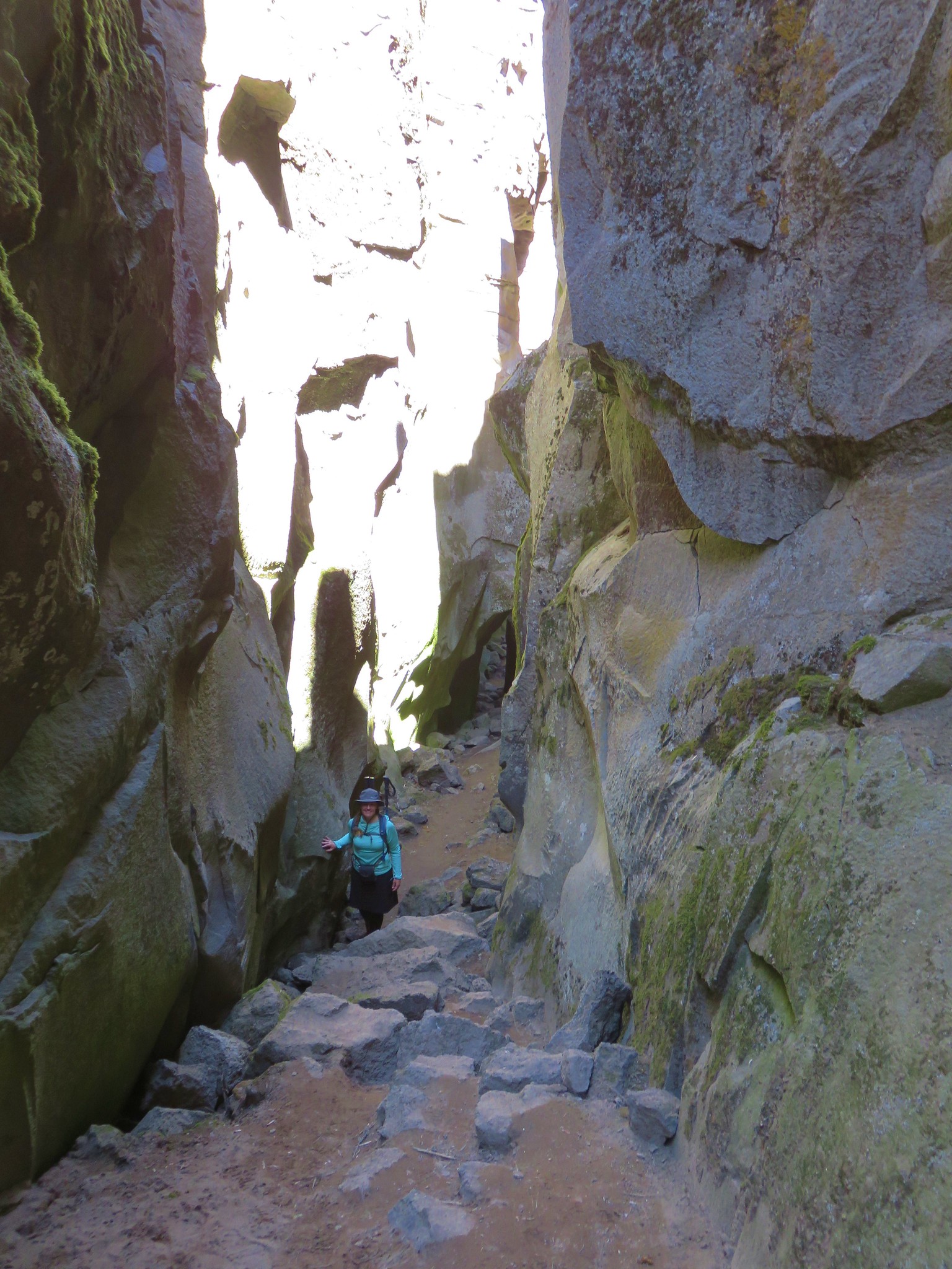
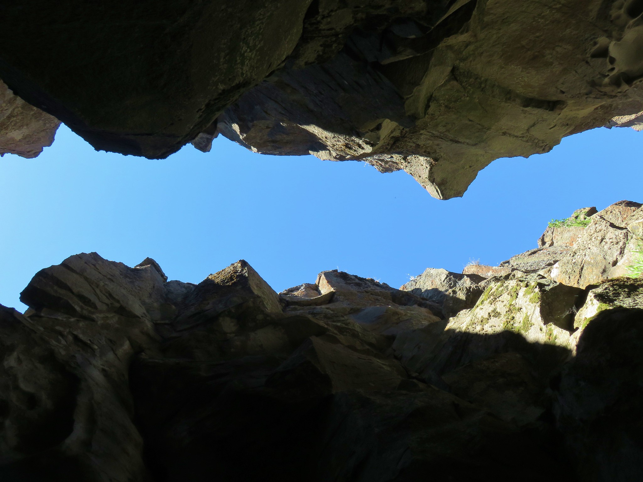
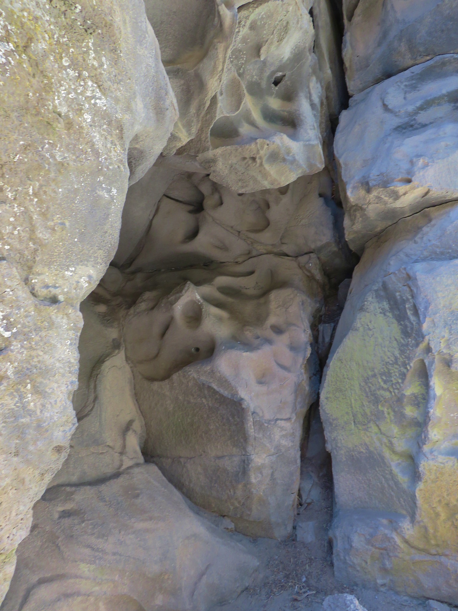
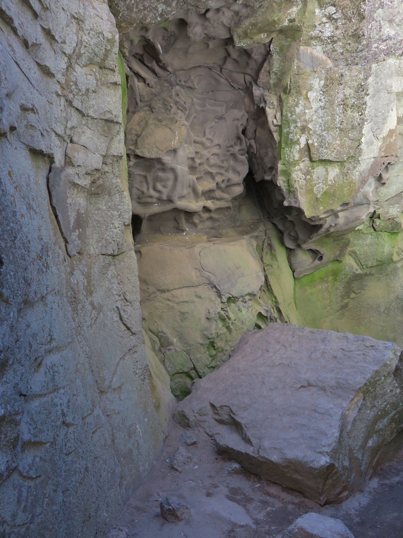
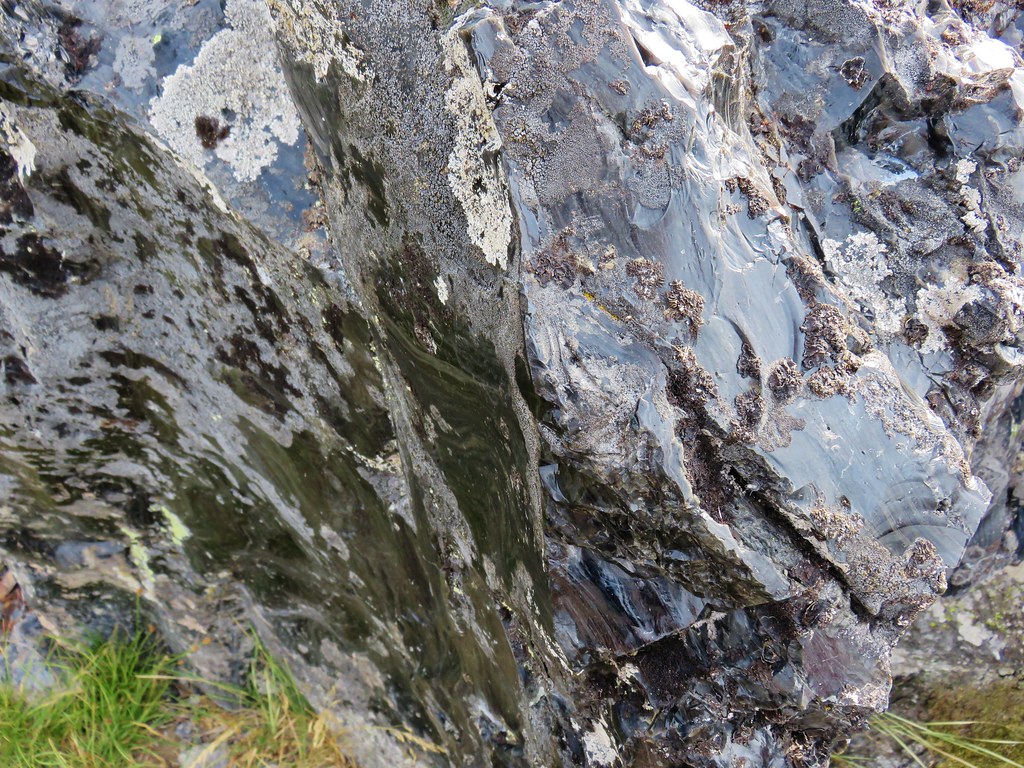
There were some interesting textures along the canyon walls.
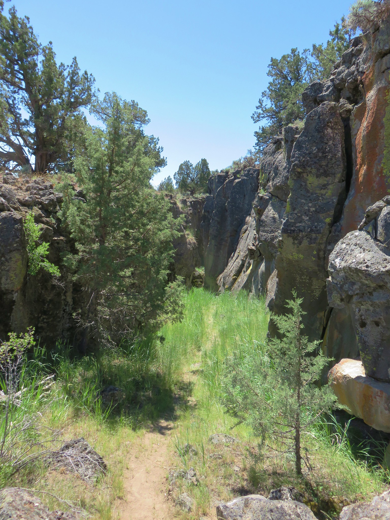
It was nice and cool inside the crack and there was still some left over snow managing to hide from the sun at the bottom.
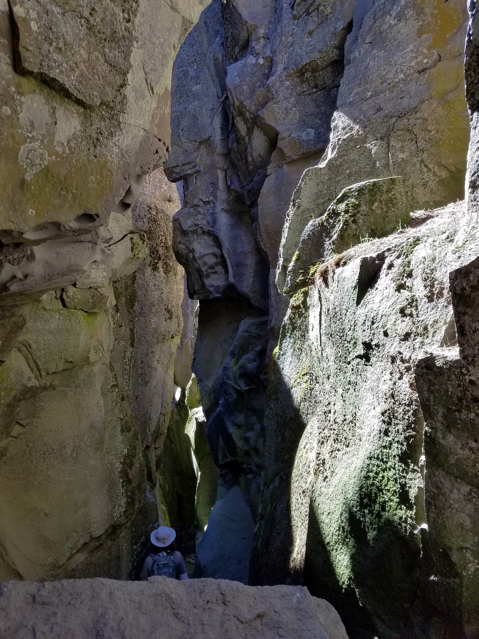
We emerged from the crack at a saddle after a little less than a quarter of a mile. We had made the mistake of not bringing the guidebook with us and were really confused because even though we both remembered something different neither of us had expected to be out of the crack yet (we’d both remembered it wrong).
Another section of the crack continued on the other side of the saddle but it was impassable after just a couple hundred feet.
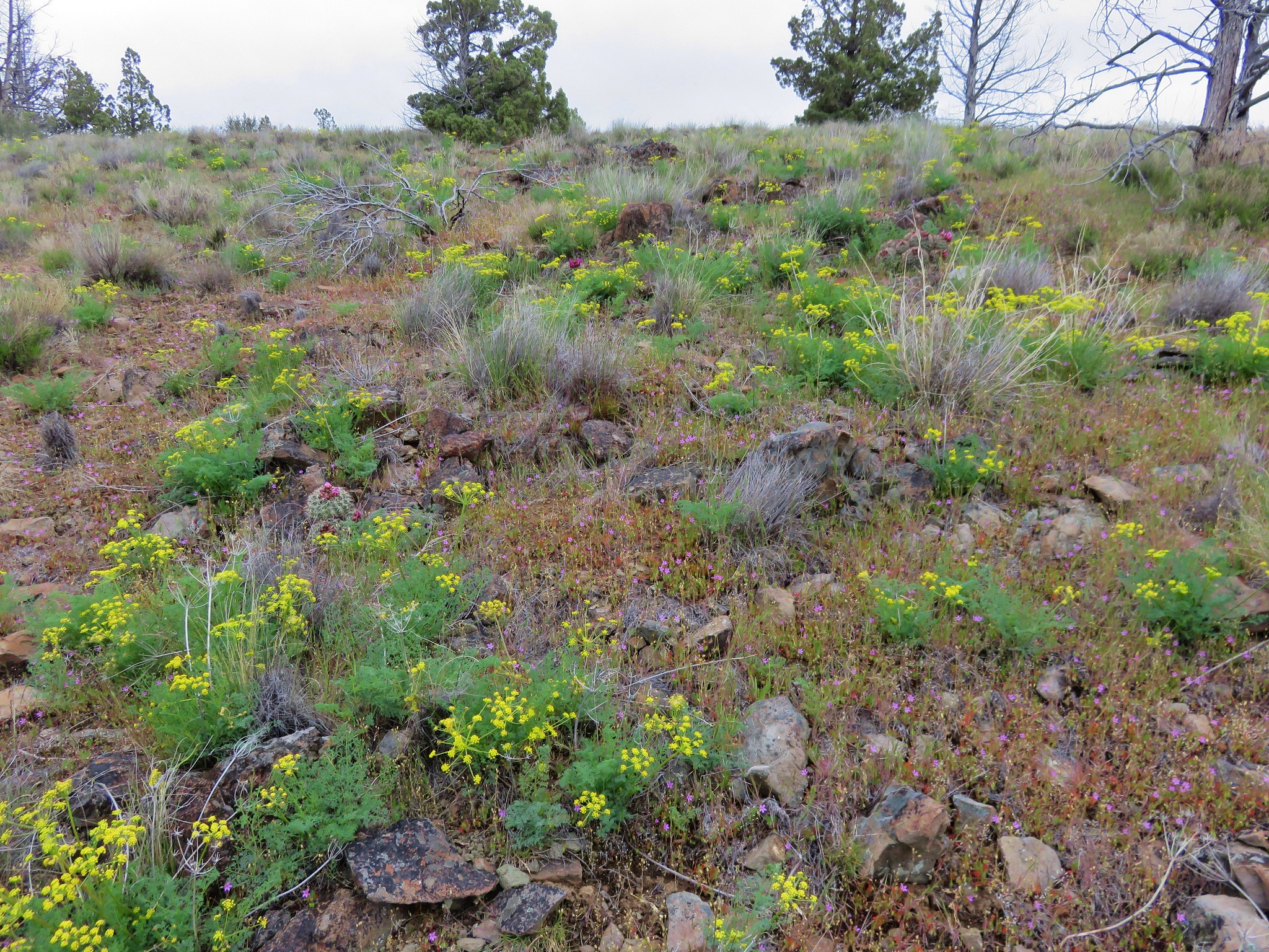
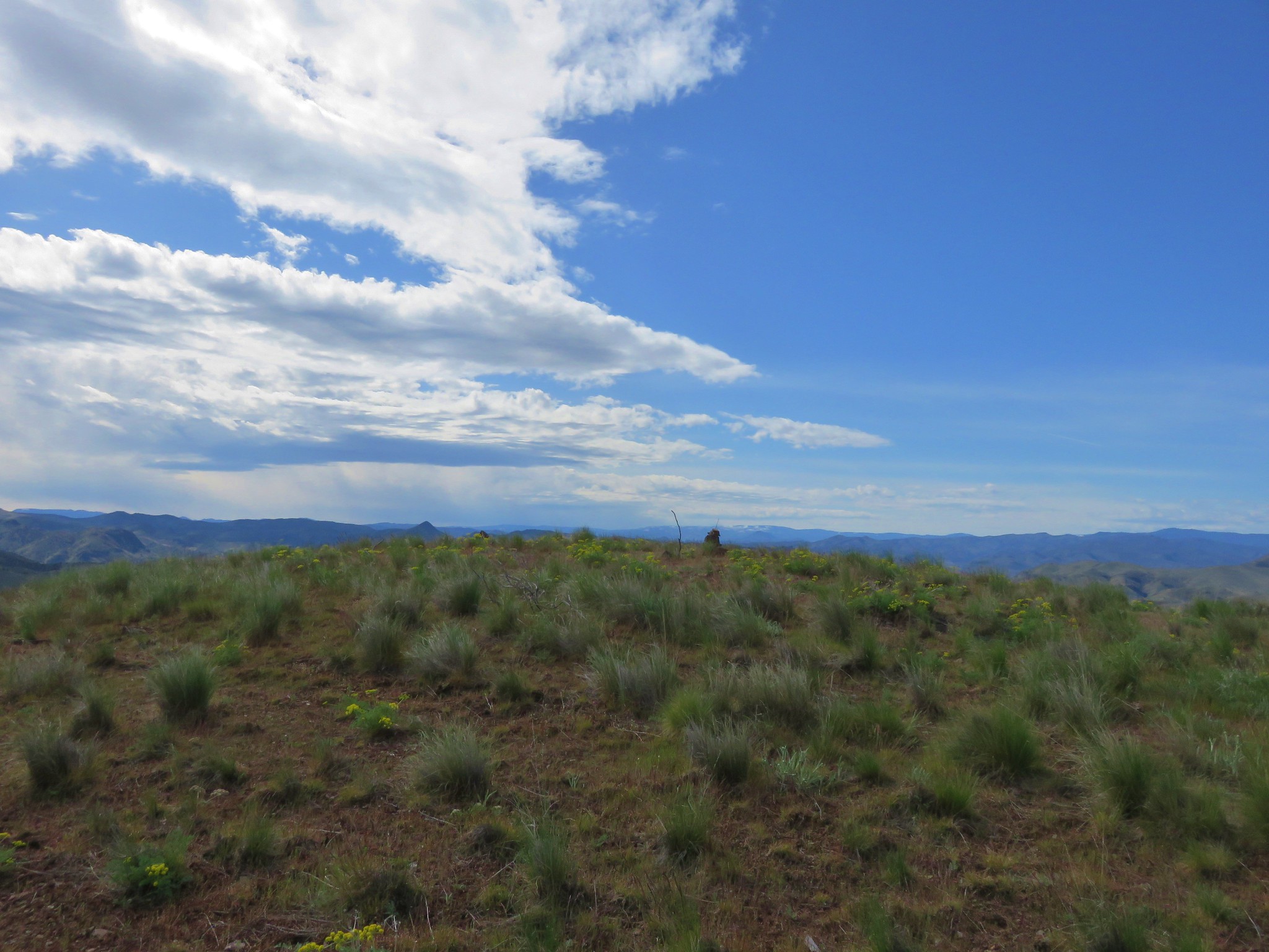
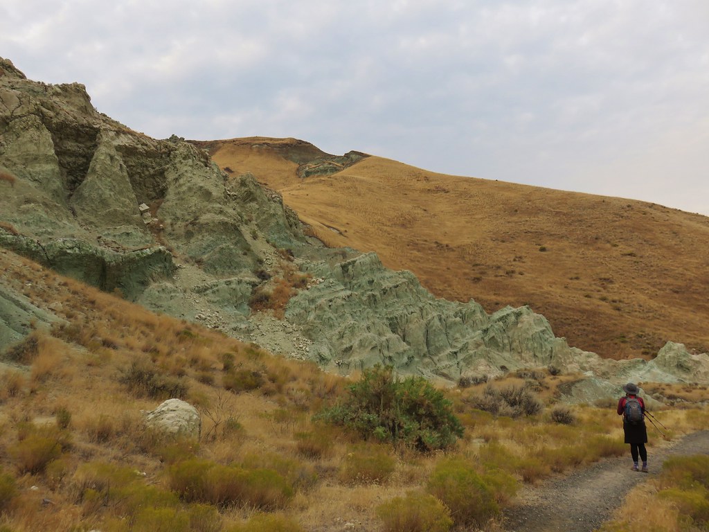
We did remember that Sullivan had said the canyon did become impassable at some point but that it was possible to follow the rim for another mile so we continued on a clear path on the west side of the crack. Views extended across the desert to some distant buttes.

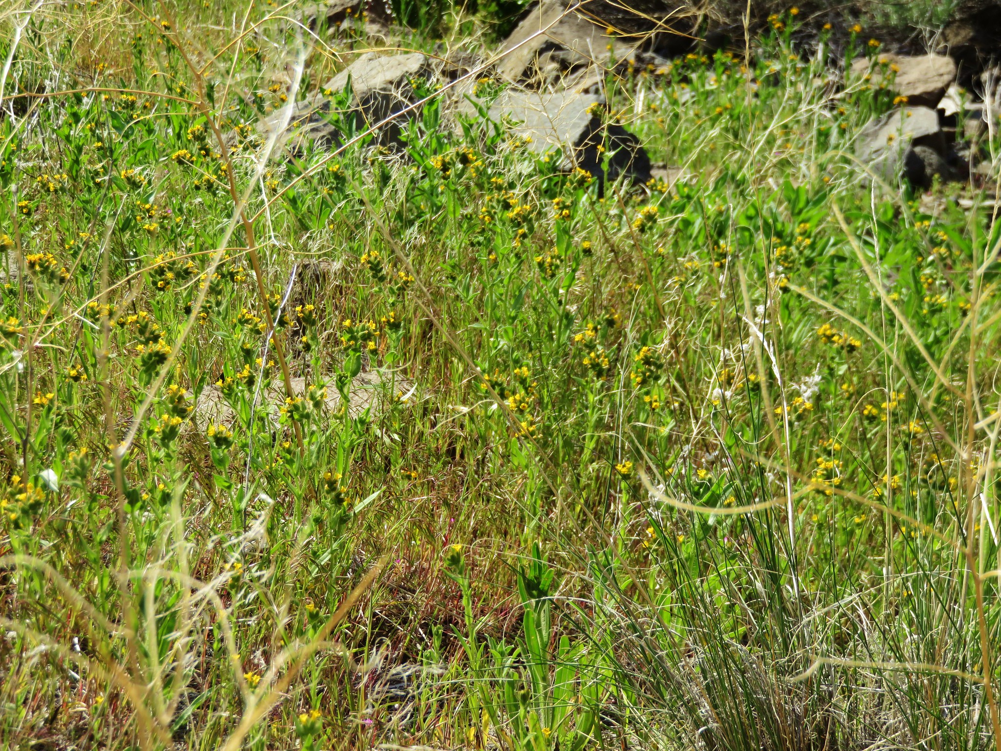
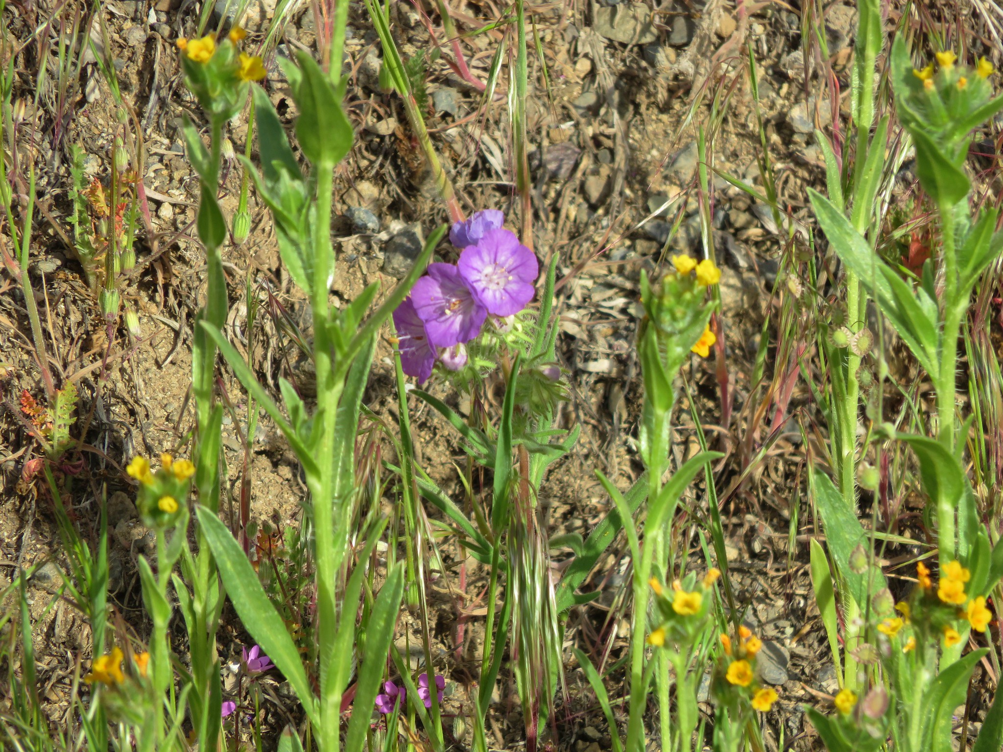
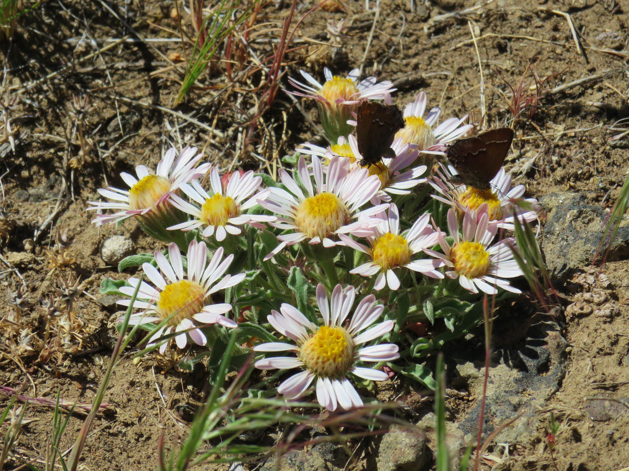
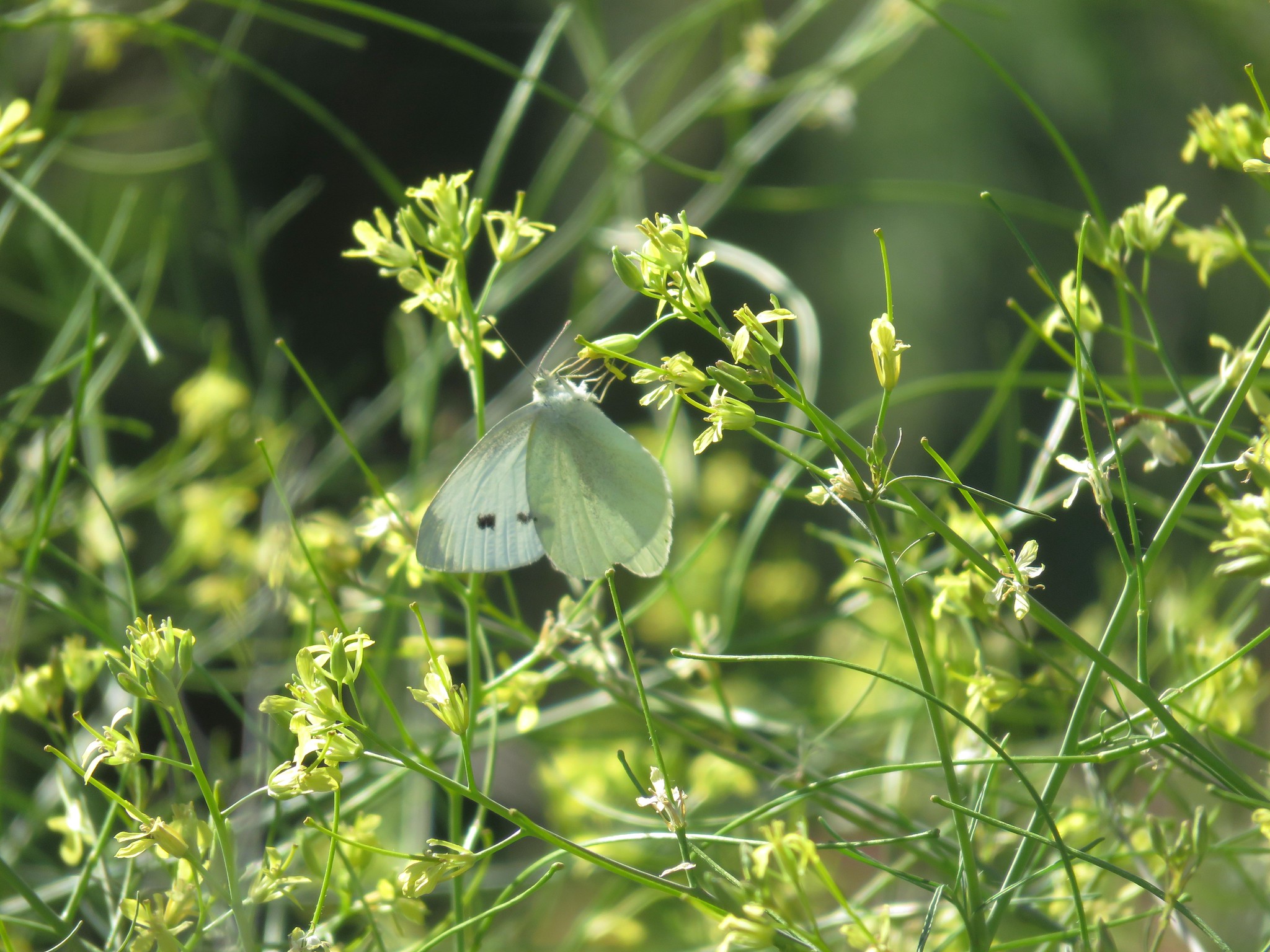
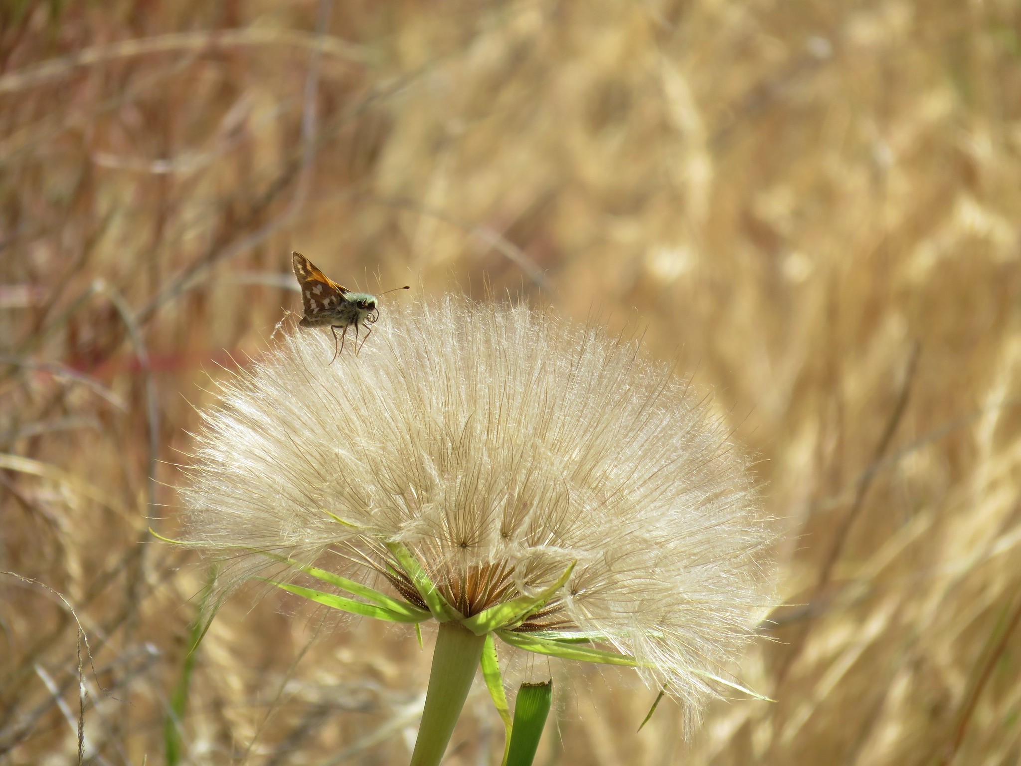
Lizards and butterfly covered flowers were common along the rim.
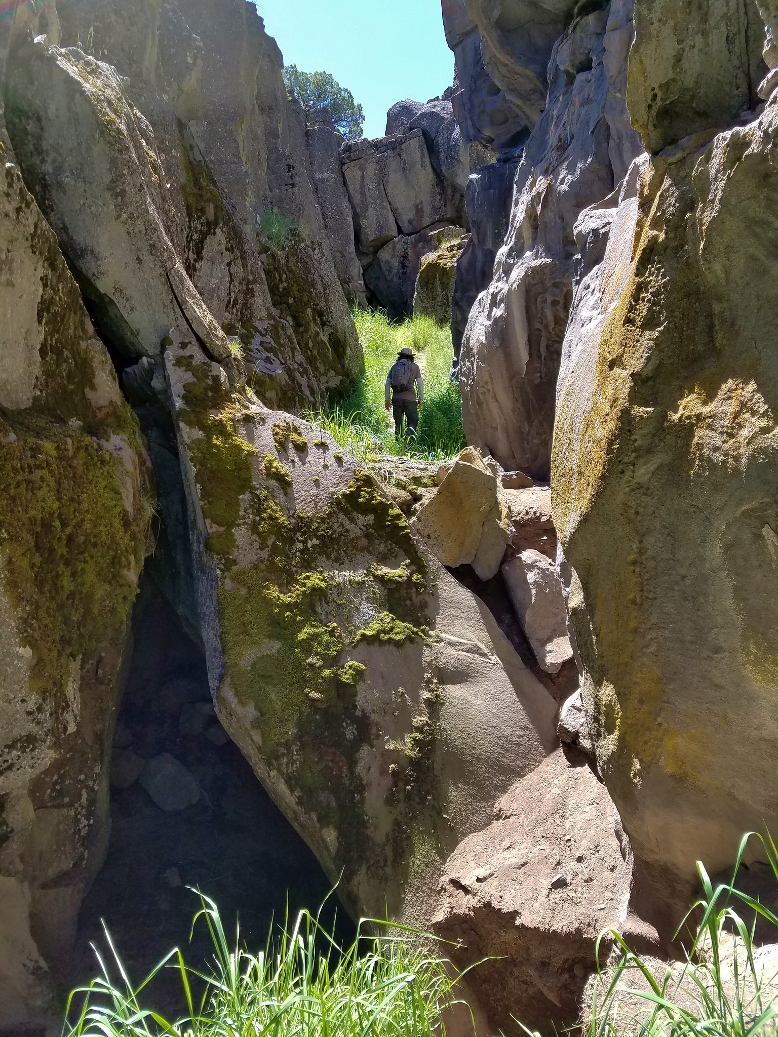
We came to another a saddle and remained on the rim to yet another saddle where we decided to drop back into the crack.
We figured that if we found this section impassable we would just turn around and call it good. It wasn’t quite as deep or dramatic as the first section but it was still interesting and better yet, passable.
We passed another small saddle before coming to what appeared to be the end of the crack where it split into three slots.

We turned back after emerging from this section and followed an old dirt track on the east side of the crack.
The road brought us back to the saddle between the first section and the impassable section. We crossed over to the west side of the rim here and followed a clear trail back to the picnic table and then returned to our car. We pulled out the book which showed us we had basically done the hike as described although Sullivan didn’t mention being able to pass through the later sections of the crack. We had hiked roughly two and three quarters of a mile which agreed with the distances on his map.
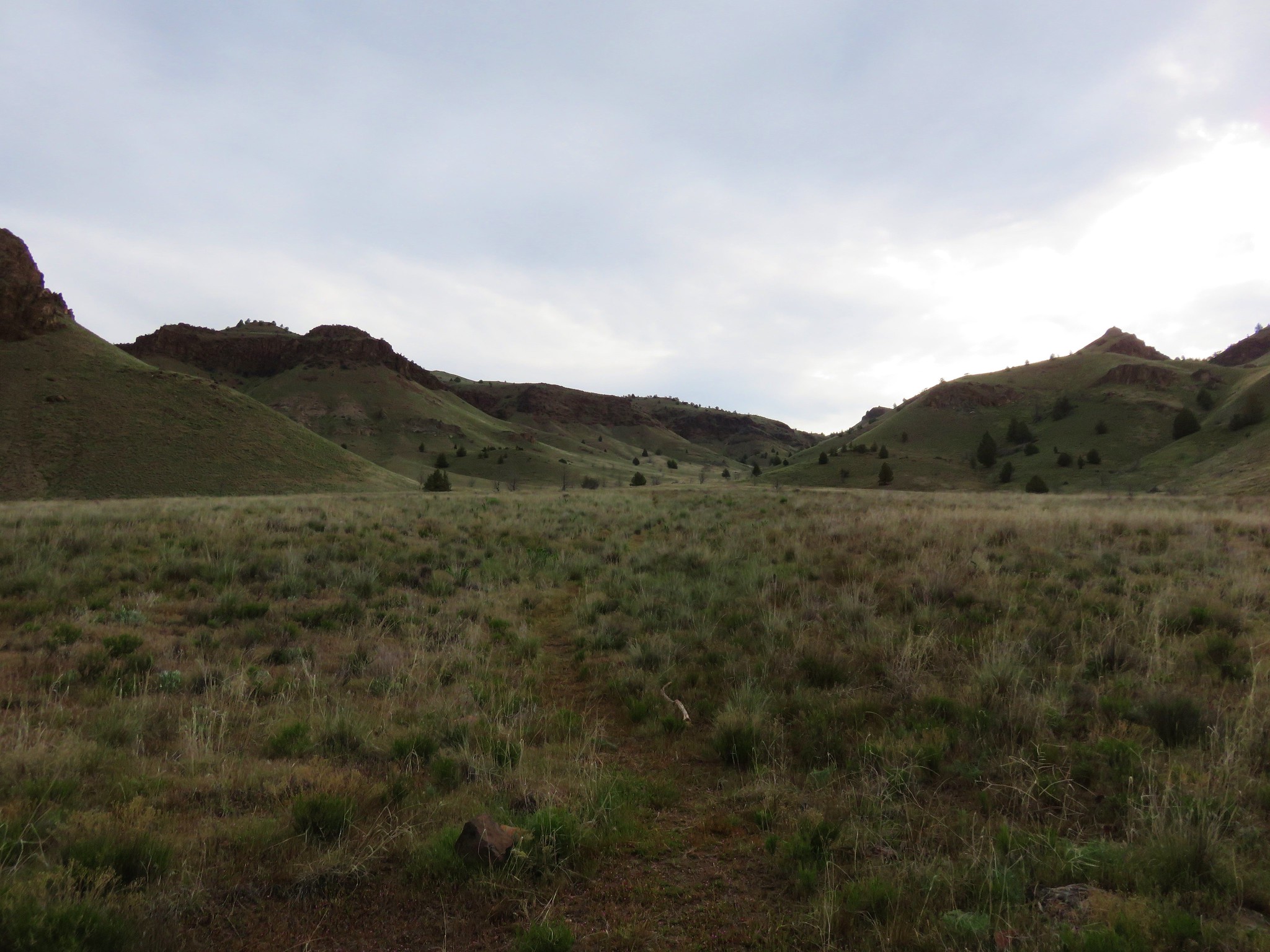
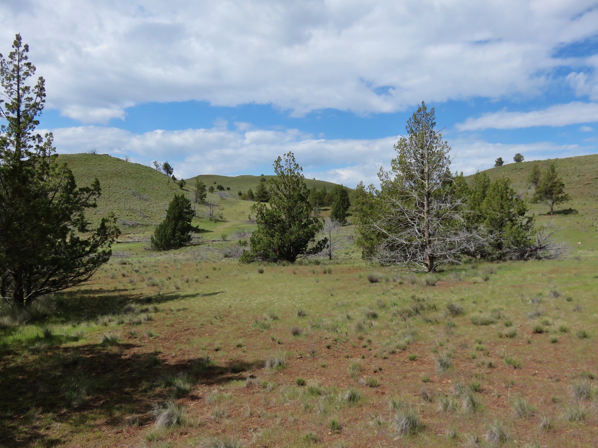
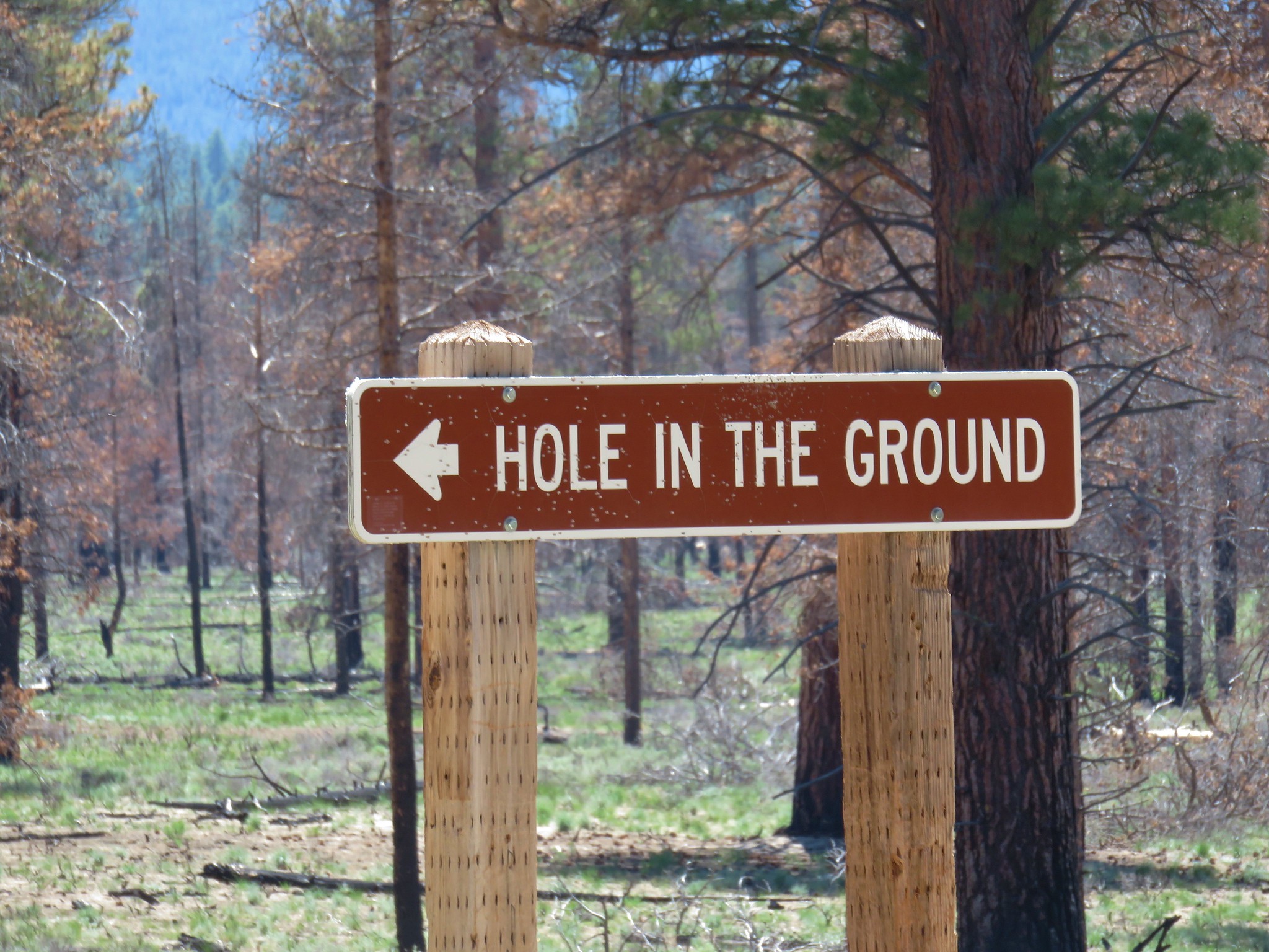
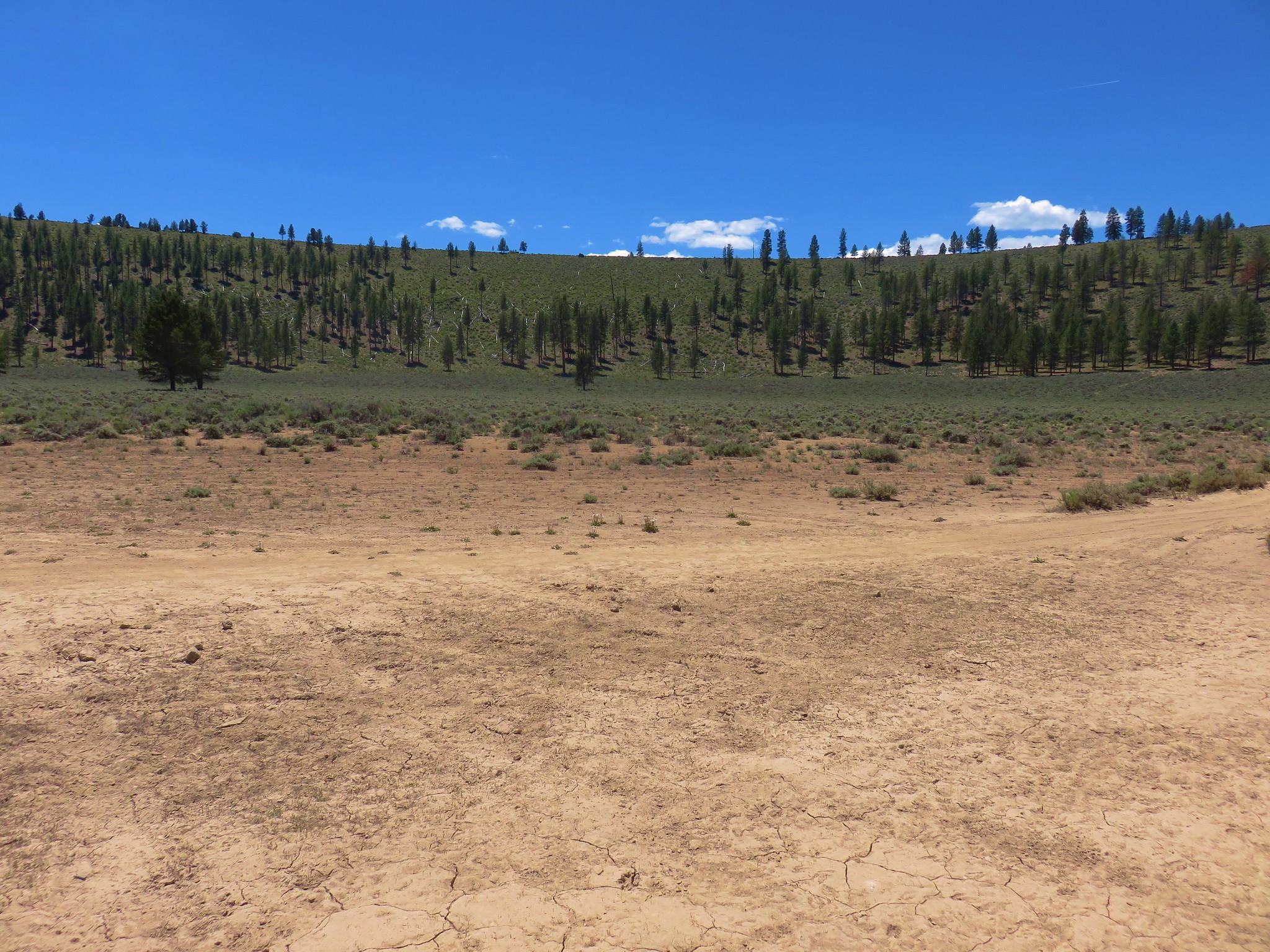
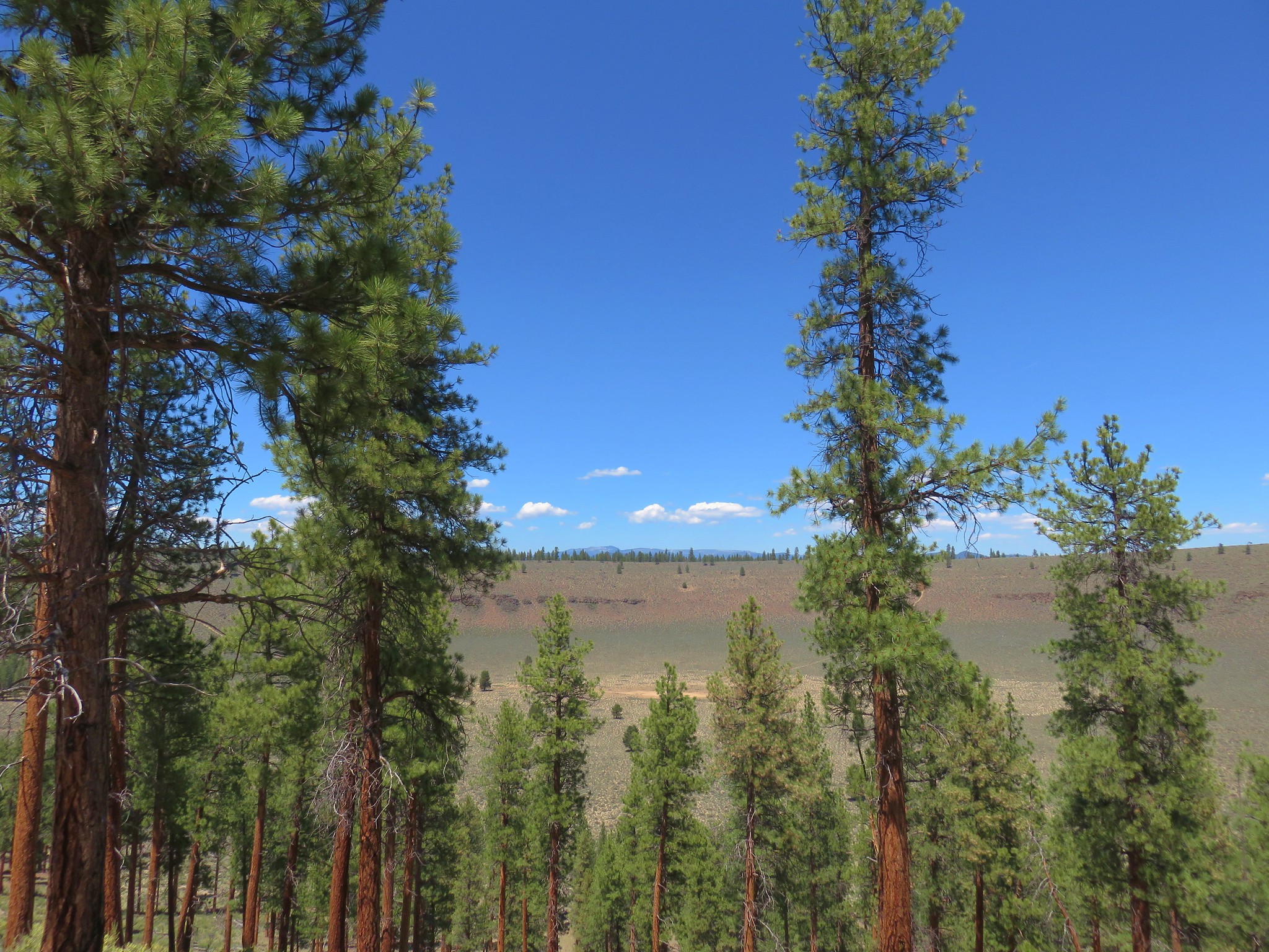
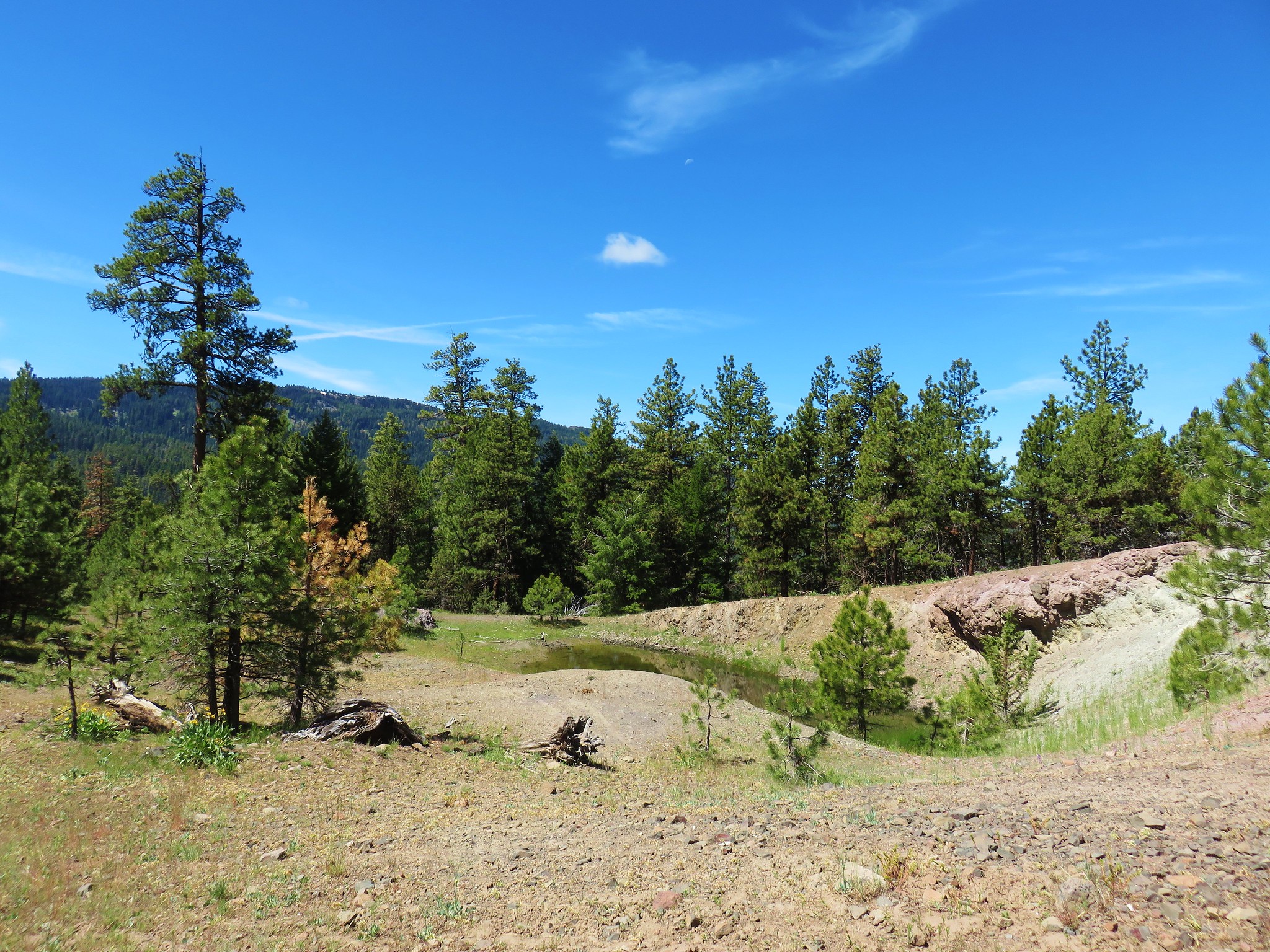
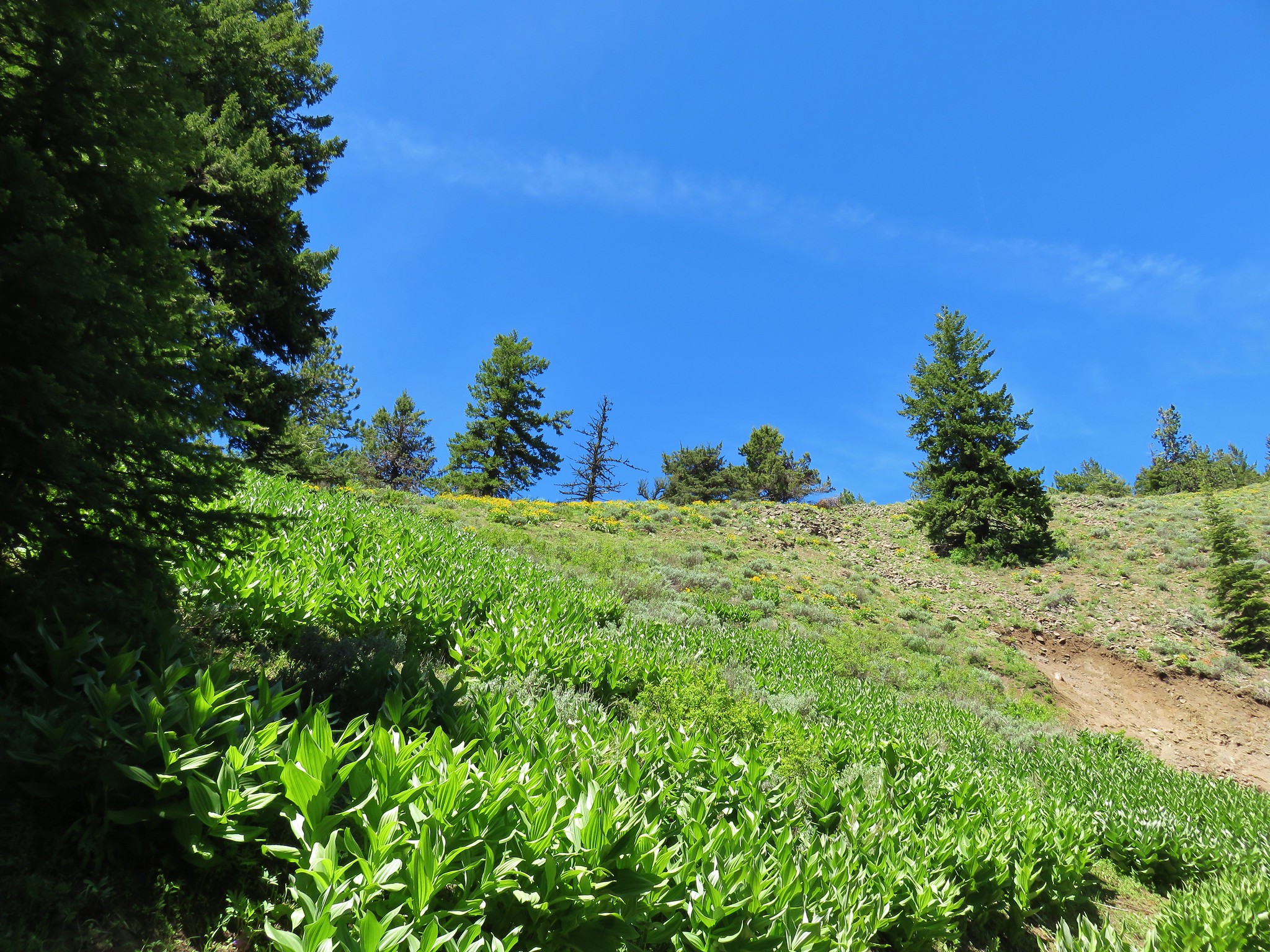
From Crack in the Ground we drove back to the town of Fort Rock and continued west 6.5 miles to Highway 31. Here we turned north toward LaPine and drove just over 7 miles to a sign for Hole in the Ground near milepost 22. We followed signs for 4.4 miles to a small parking area on the rim of the 425′ deep volcanic maar created when a volcanic gas bubble exploded. A similar occurrence formed Fort Rock only the lava at Fort Rock formed under the water of an ancient lake. Over time the currents and waves of the lake removed all but the hardest rock leaving the fortress like ring.
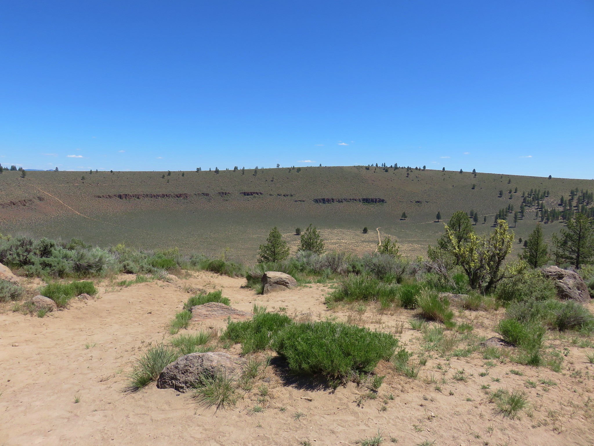
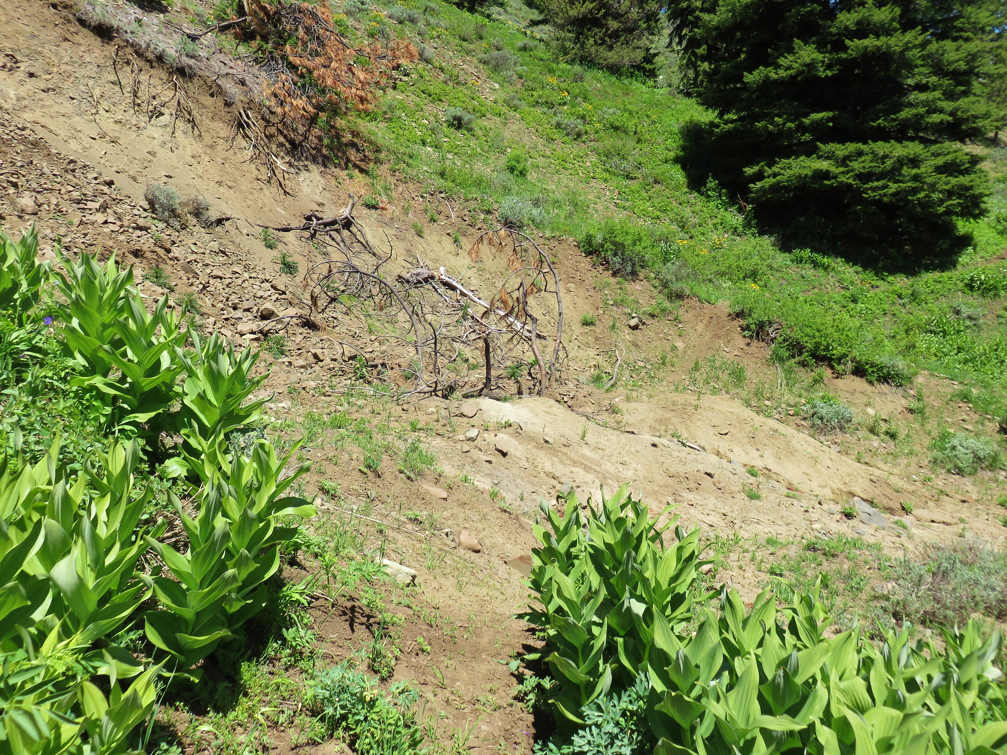
A steep dirt trail headed straight down into the crater.
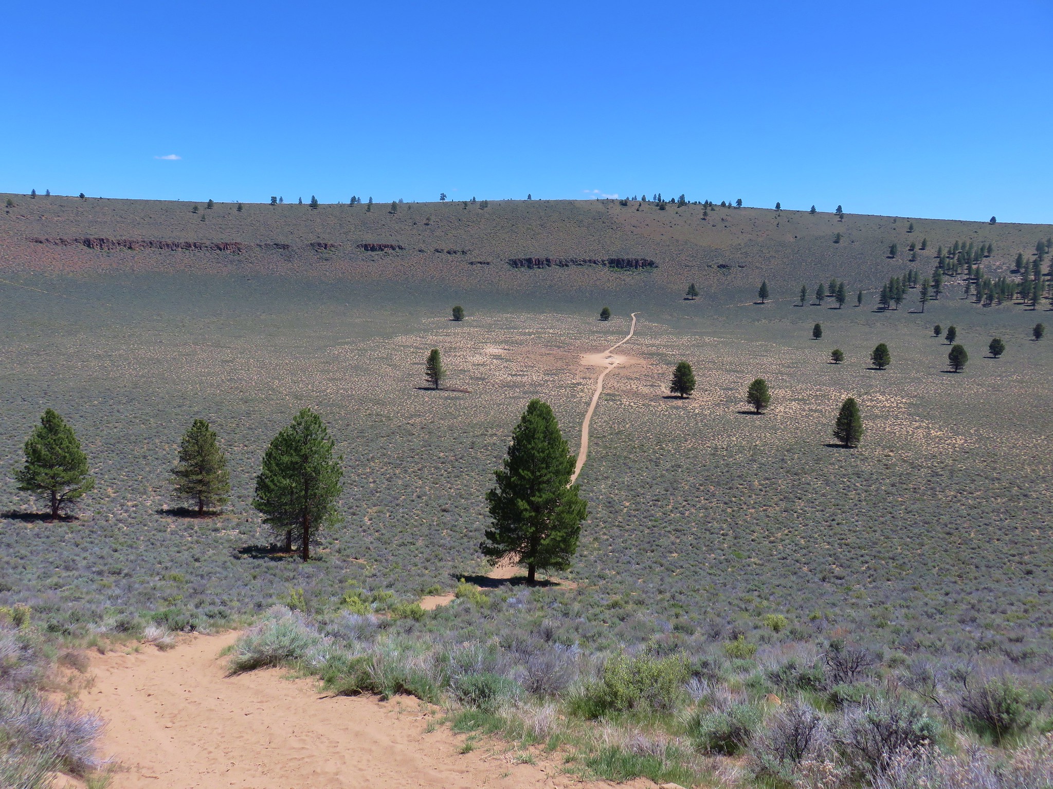
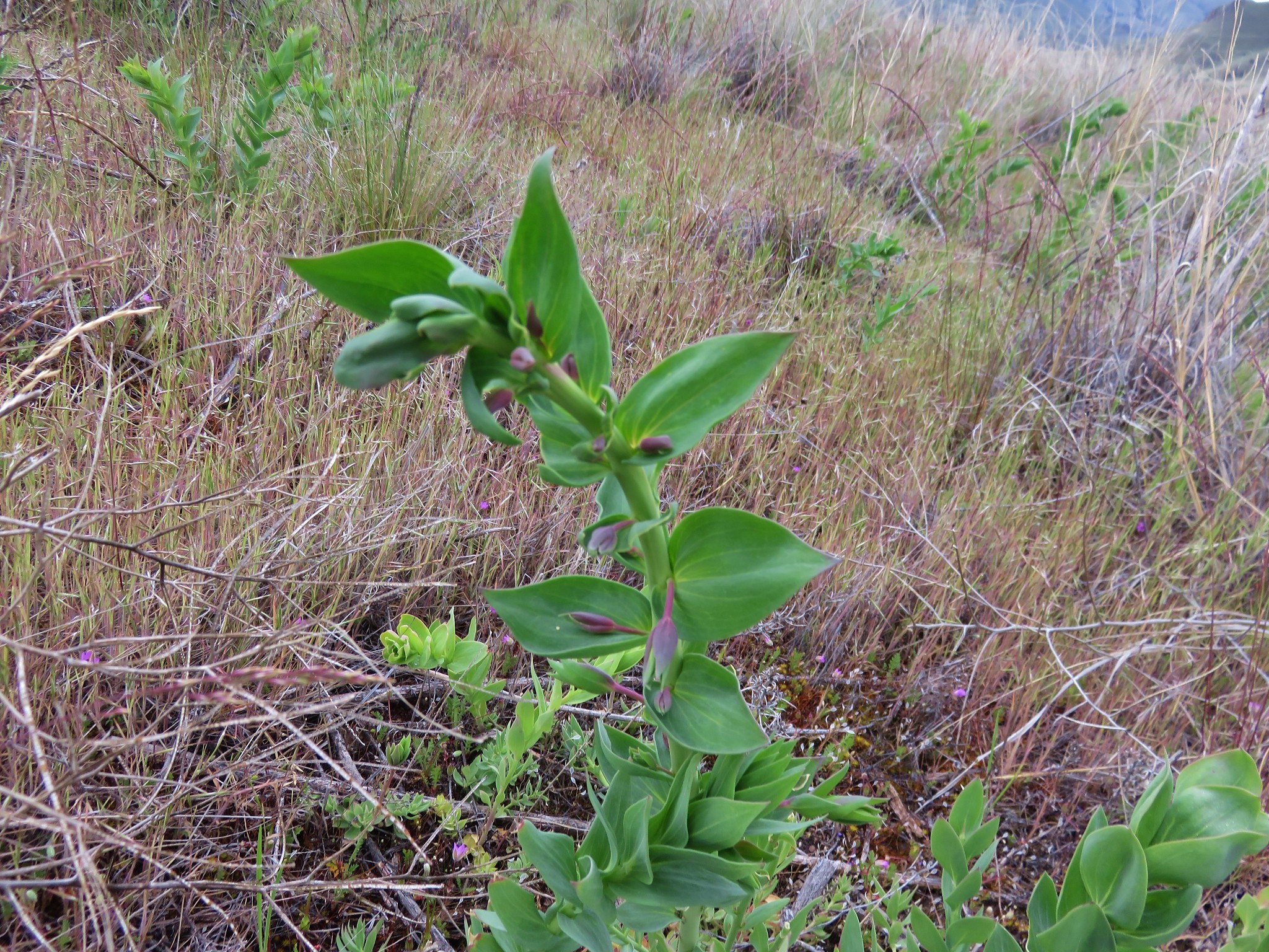
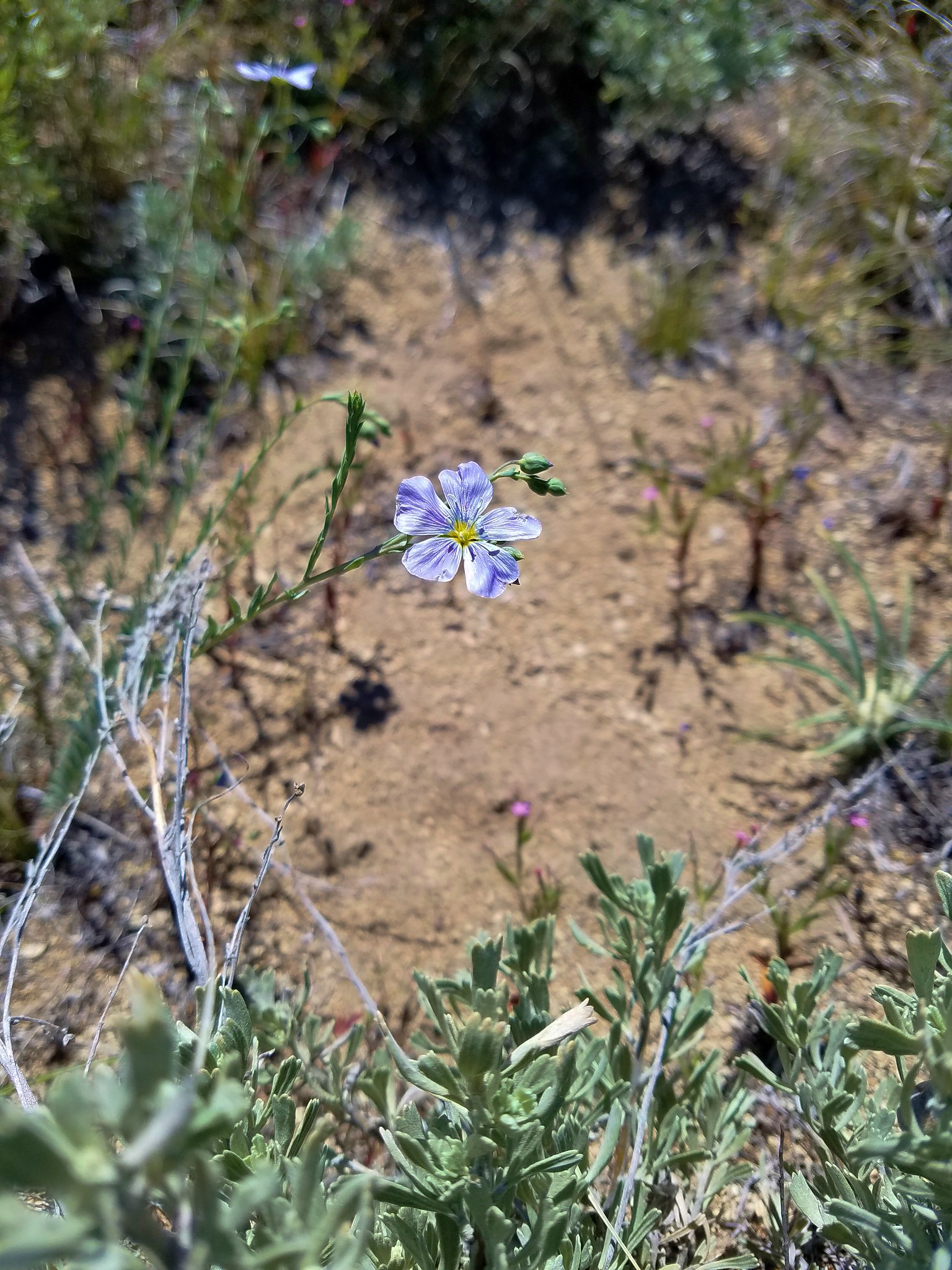
We were surprised to find some blue lewis flax among the flowers blooming at the bottom.
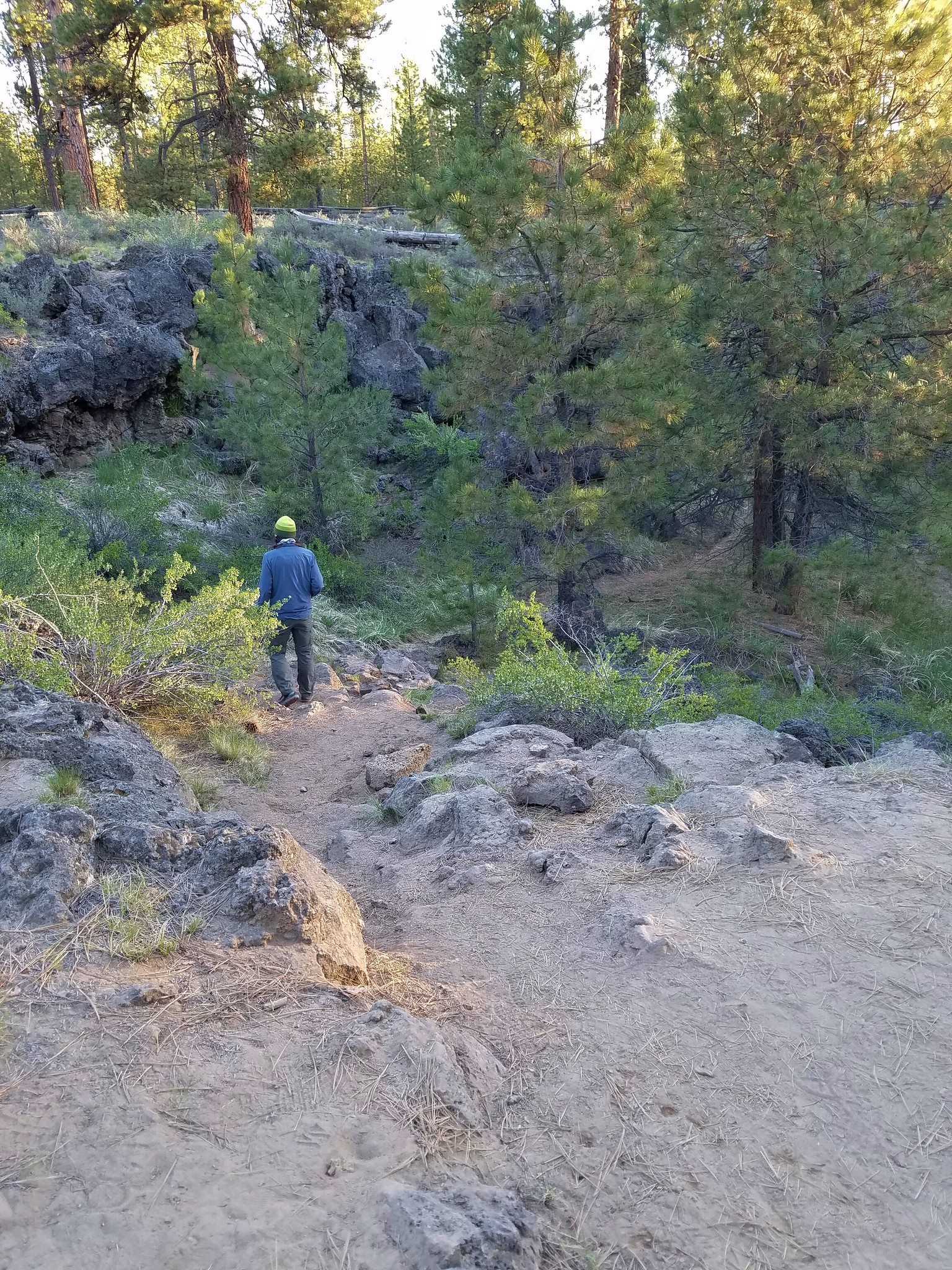
After a half mile we arrived at the small playa at the center of Hole in the Ground.
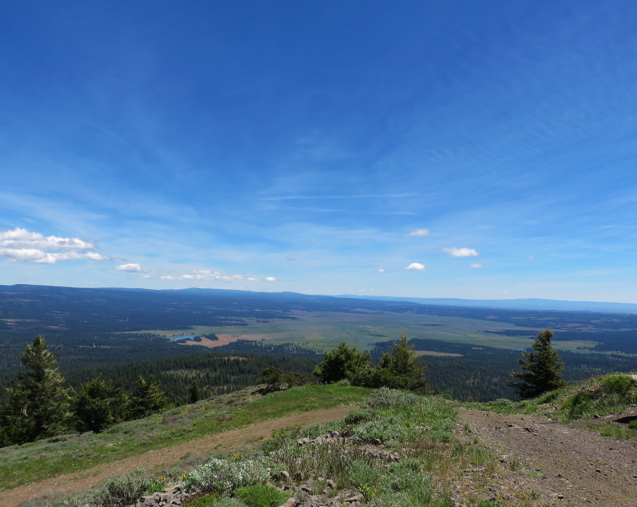
To get an idea of the size of the crater a couple of other hikers had come down behind us and are on the trail in the following picture.
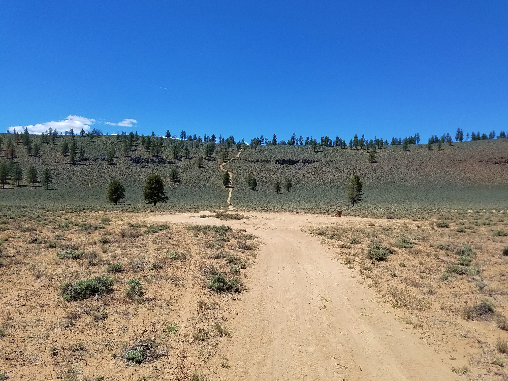
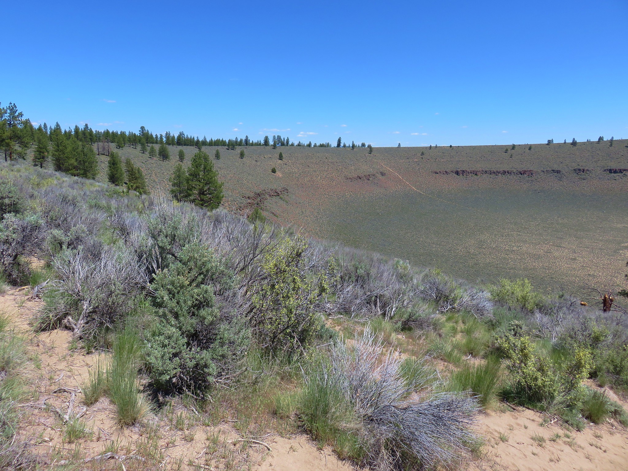
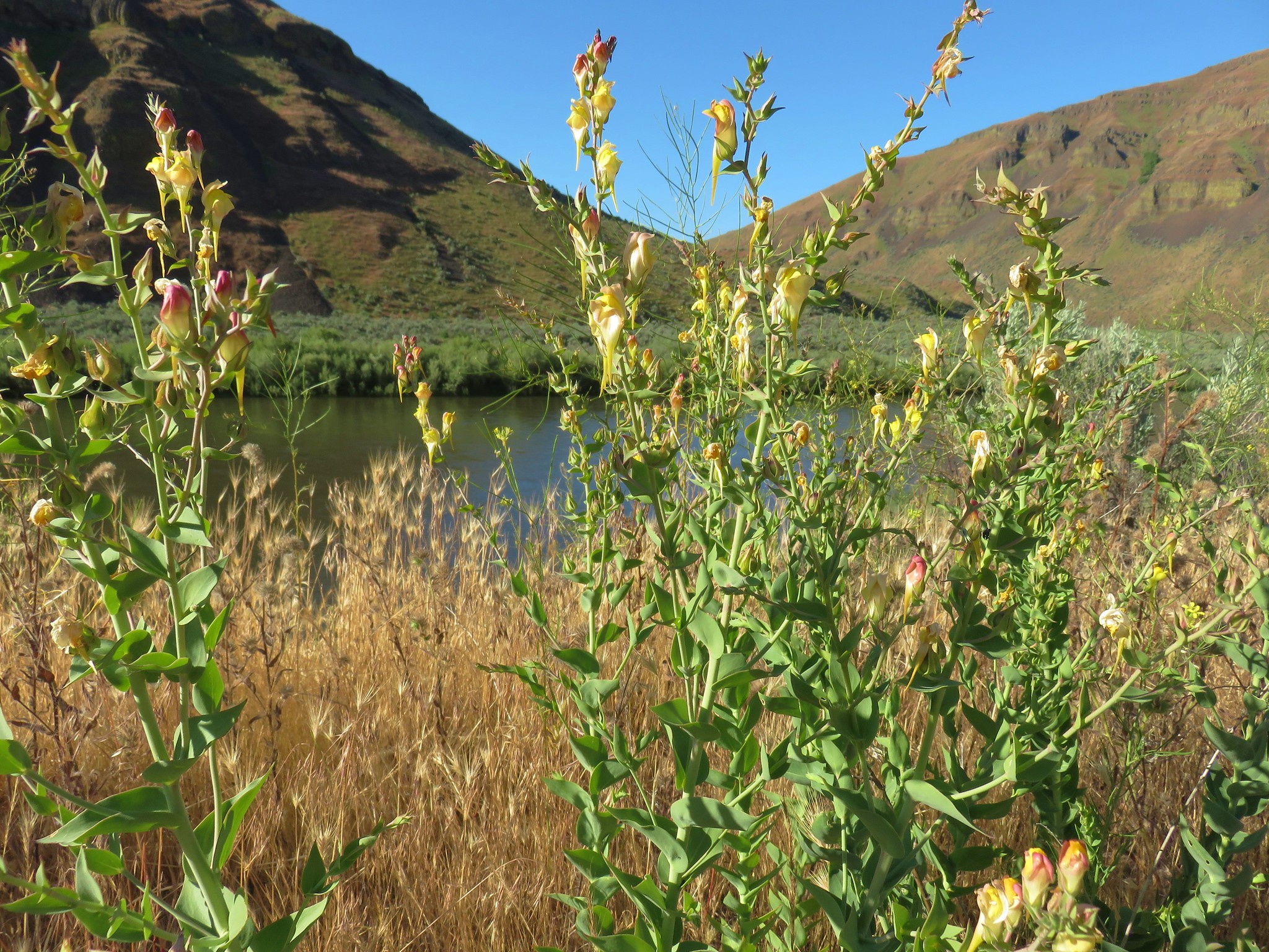
An old dirt track extended from the playa to the far side of the crater and eventually wound its way up to the rim after 1.2 miles.

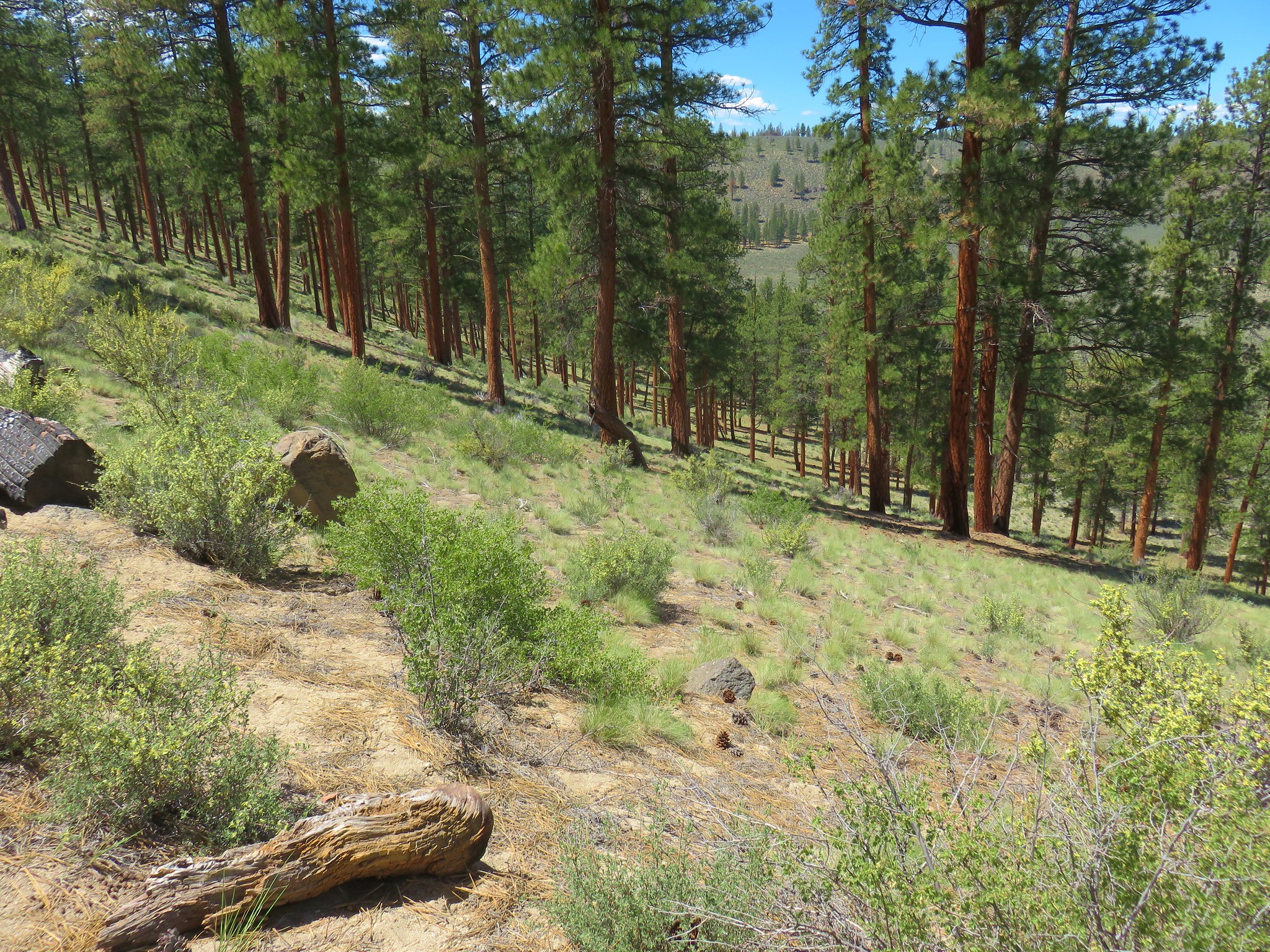
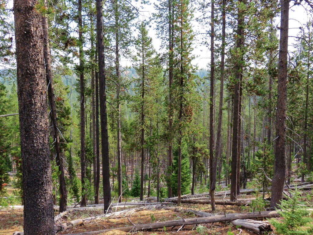
Along the way it passed a nice stand of ponderosa pines.
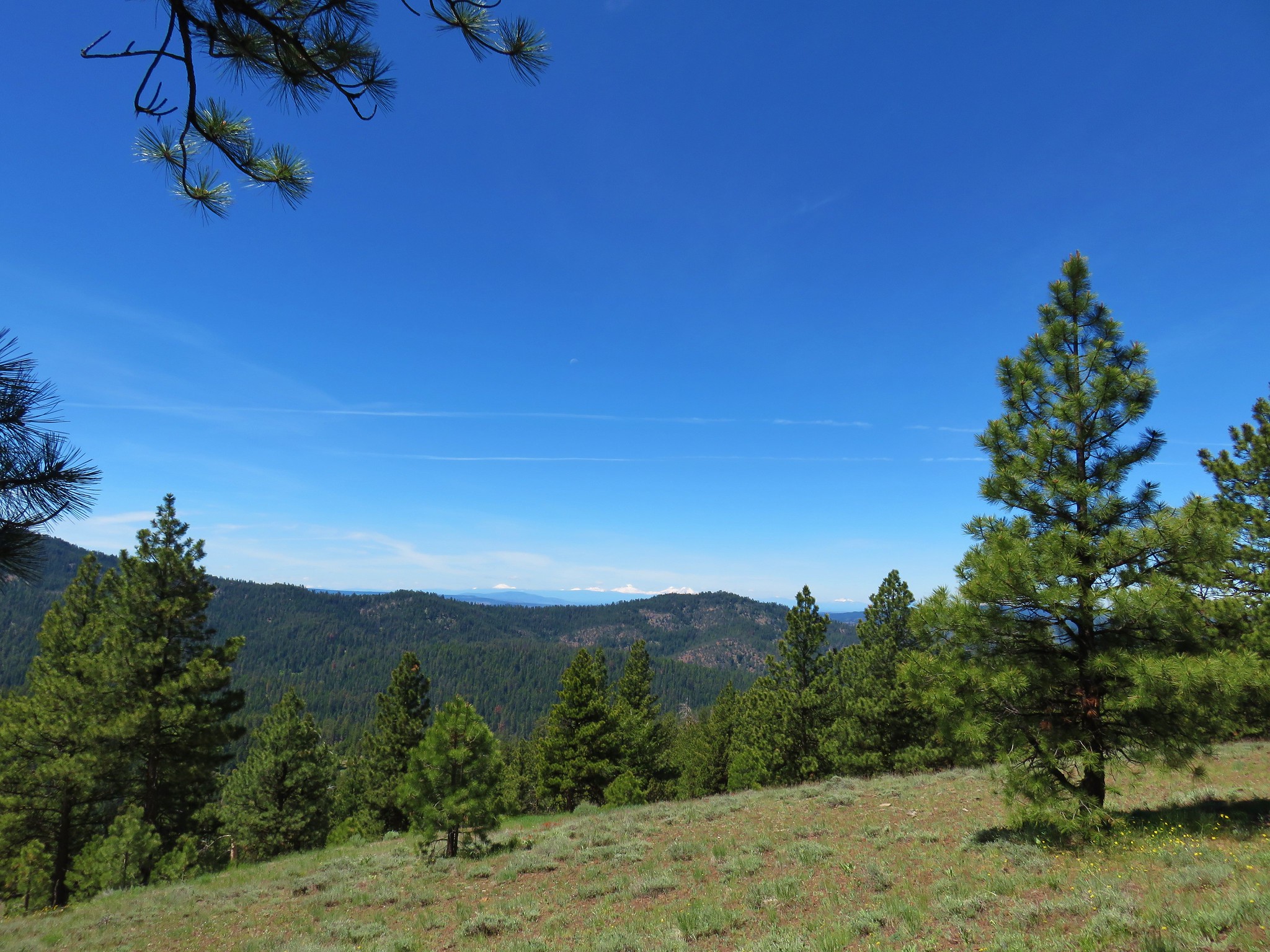
Once we obtained the rim Paulina Peak was visible to the north across the crater.
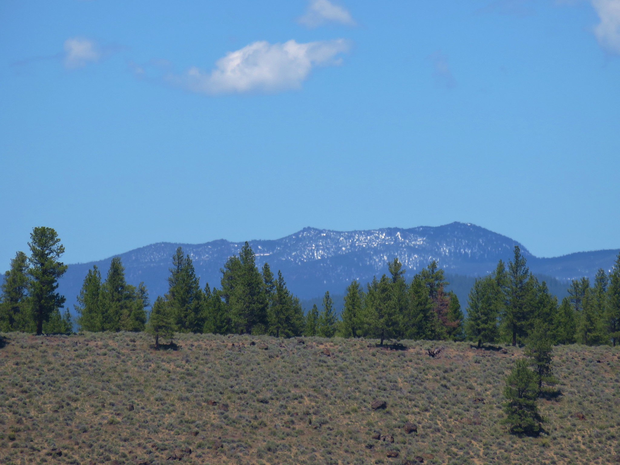
Mt. Bachelor and the South Sister were also visible to the NW.

We followed the road along the rim just over a half mile back to our waiting car then headed for our next stop – Big Tree. We returned to Highway 31 and continued north to Highway 97 then through LaPine. Seven miles north of LaPine we turned left at a sign for LaPine State Park.
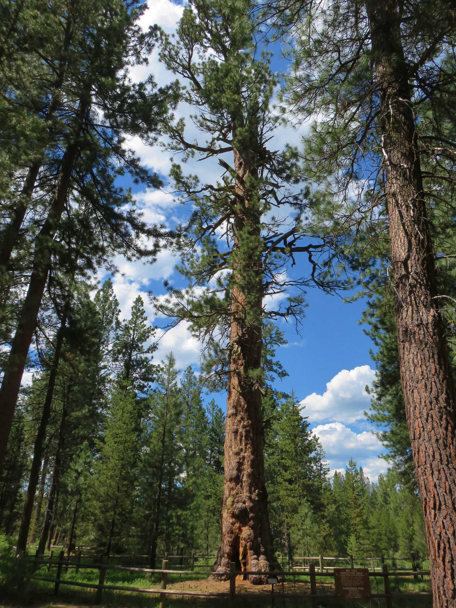
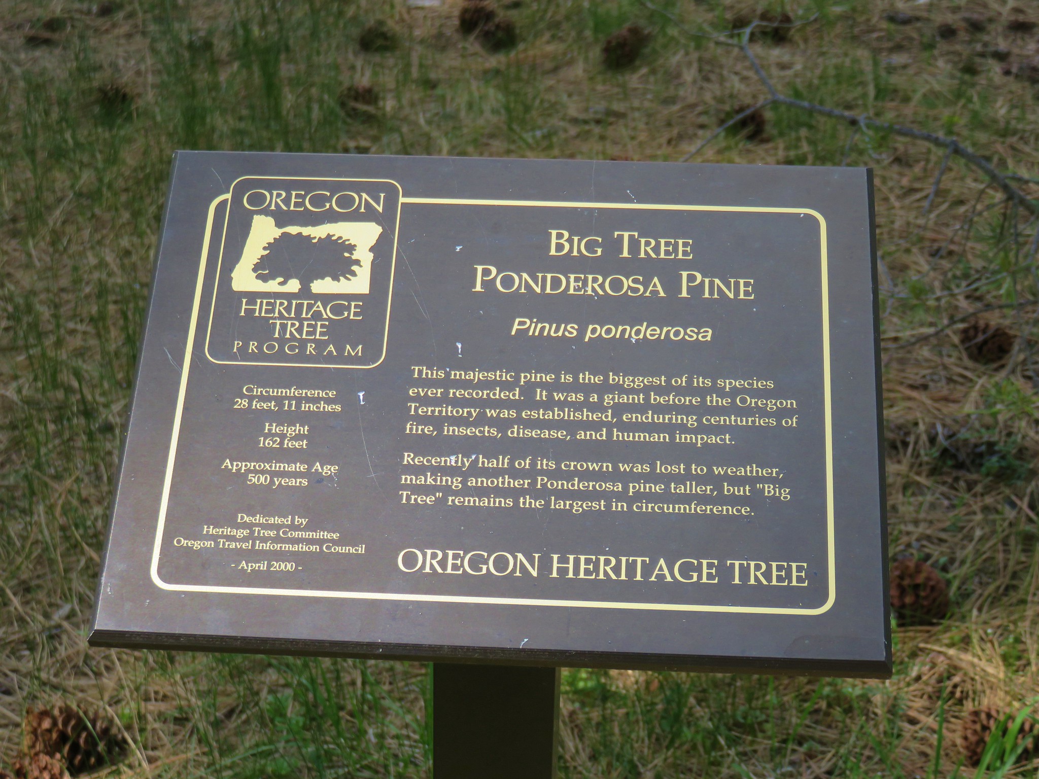
We had visited this park before in 2015, but had not made it to Big Tree – Oregon’s largest ponderosa pine.
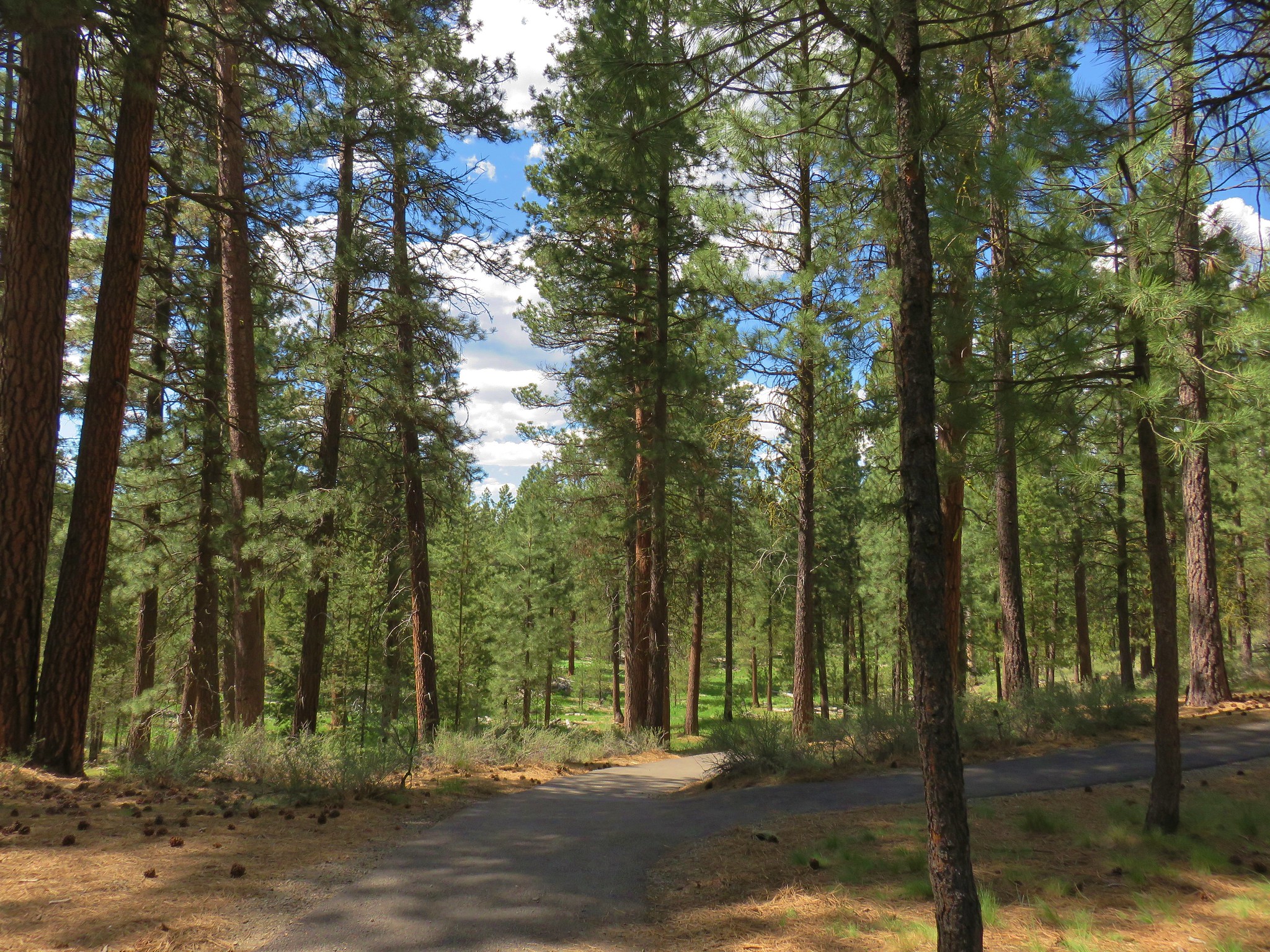
A half mile after entering the park we turned right at a four way junction following a Big Tree pointer. A .7 mile gravel road brought us to the trailhead parking area.

A paved .2 mile path led to the tree.
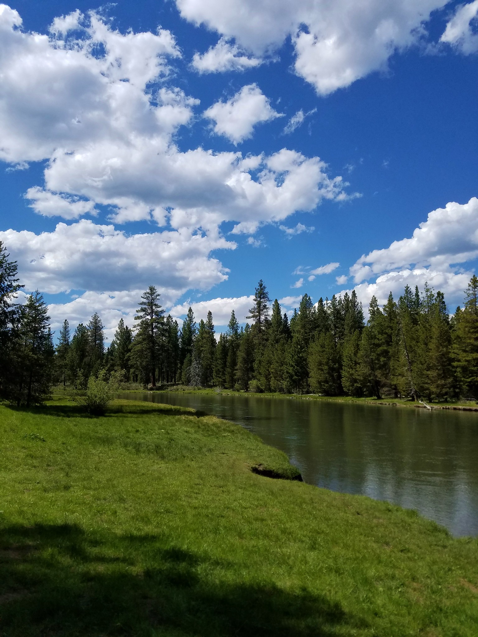
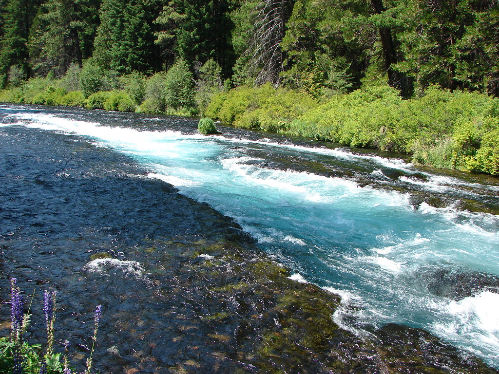
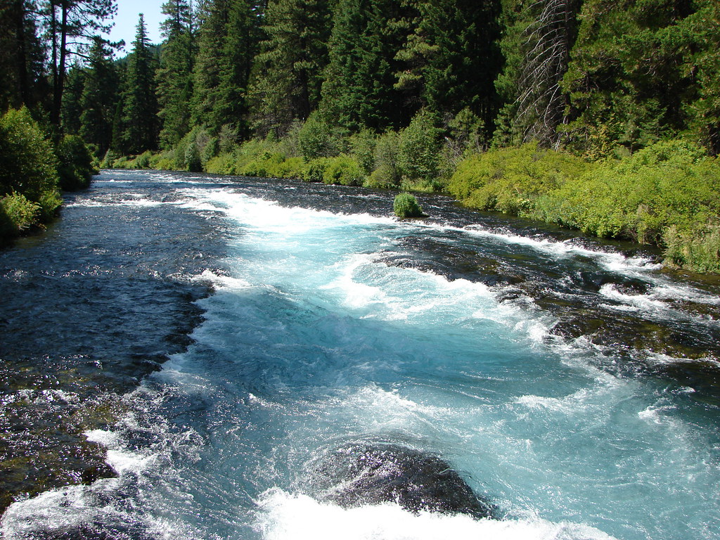
We continued on the Big Pine Loop passing near the Deschutes River before looping back to the trailhead.
It was a quick half mile hike but after visiting the redwoods, Oregon’s largest Myrtle Tree and several large port orford cedars and douglas firs on the Big Tree Trail on our southern Oregon vacation earlier in the month it was fitting to add this behemoth to the list.
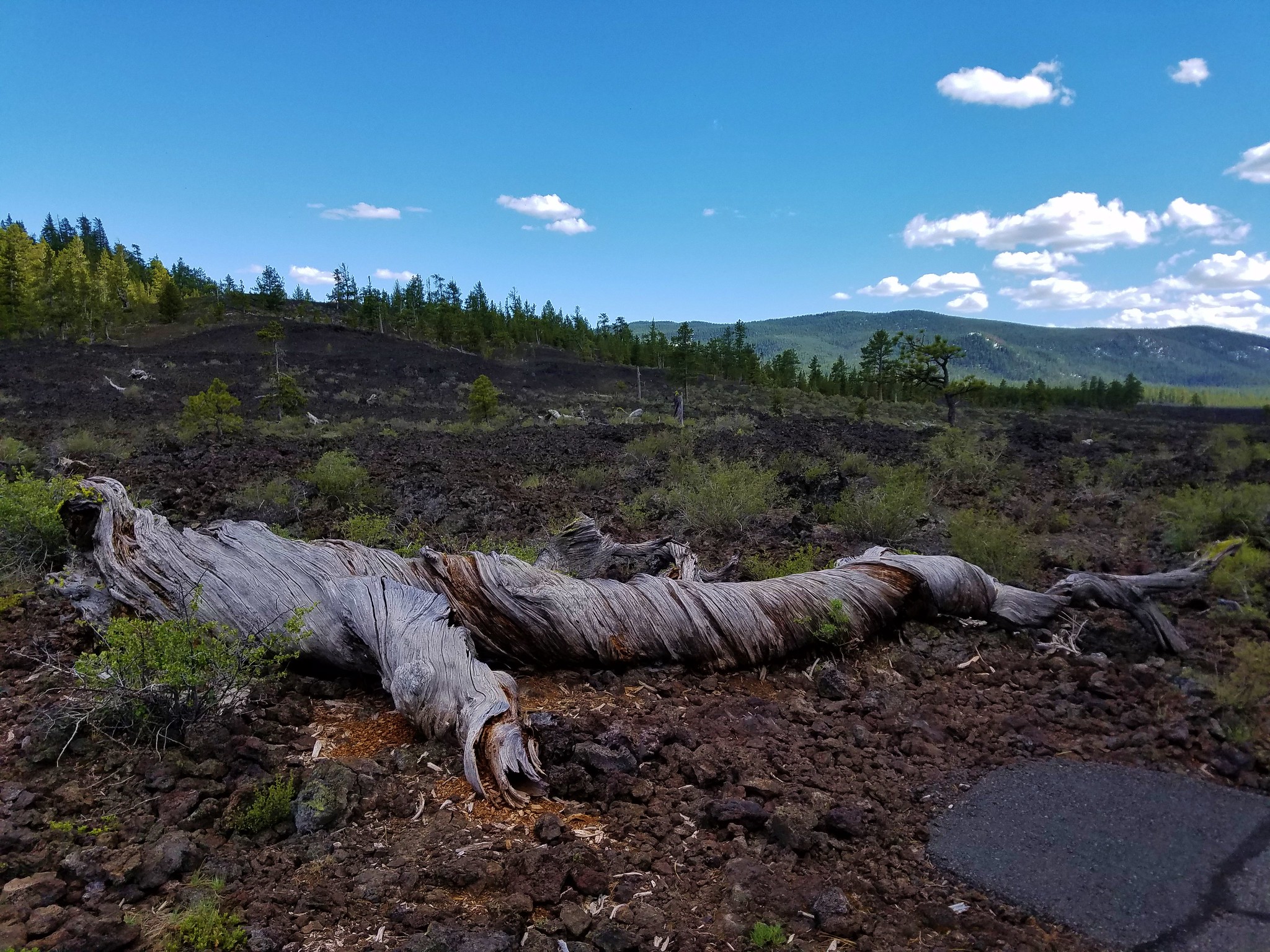
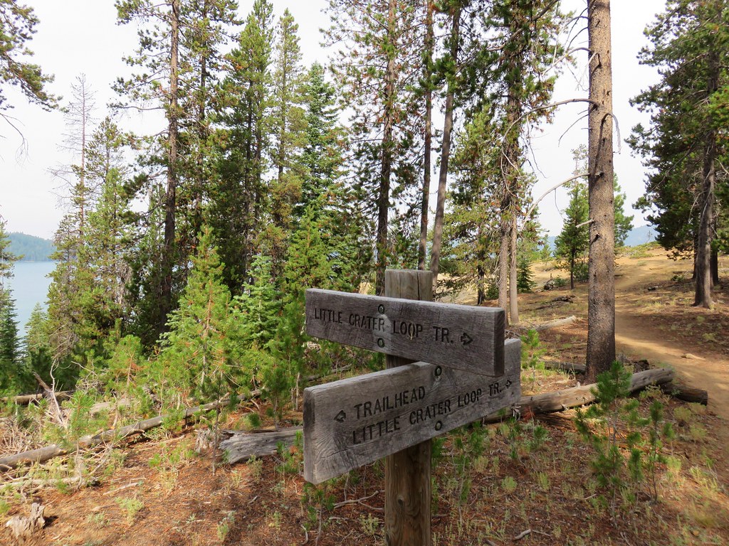
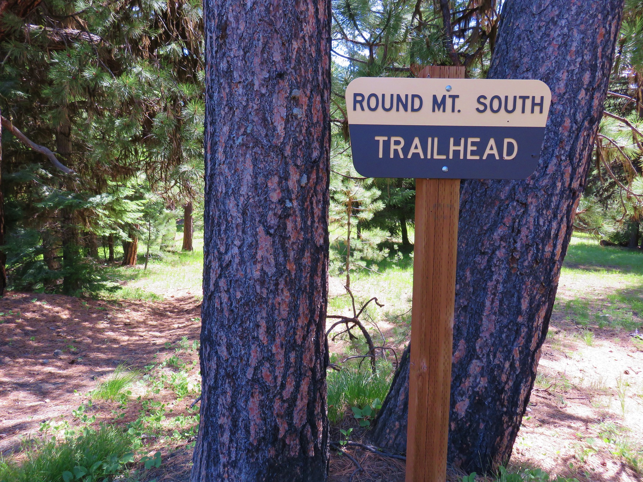
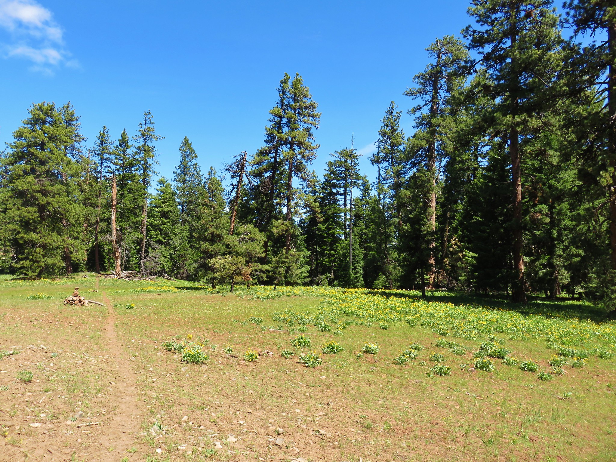
We returned to Highway 97 and drove north another 10 miles to exit 153 for our final hike of the day. At the exit we followed pointers for the Lava Cast Forest. After 9 miles of gravel road we arrived at the trailhead in the Newberry National Volcanic Monument.
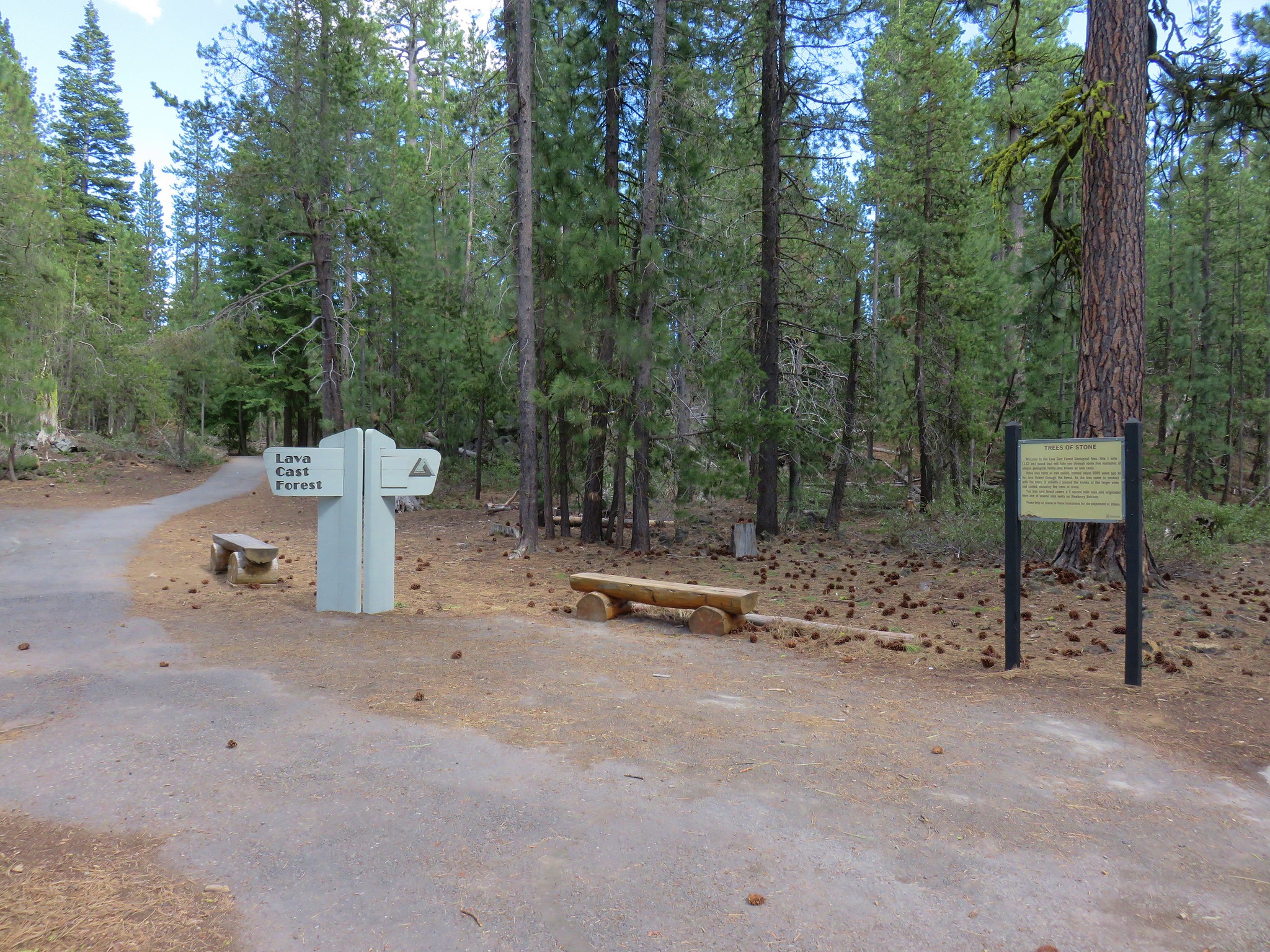
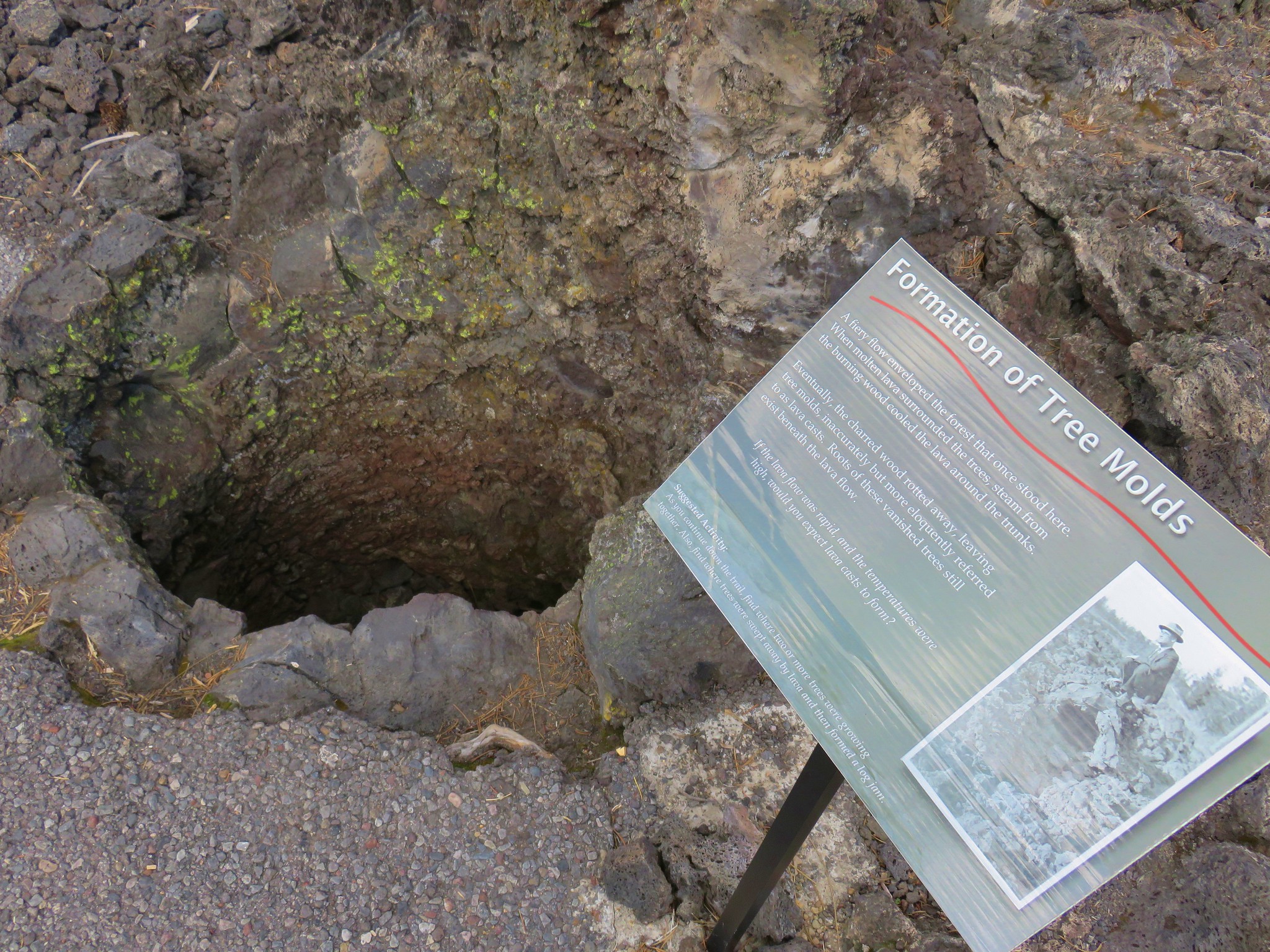
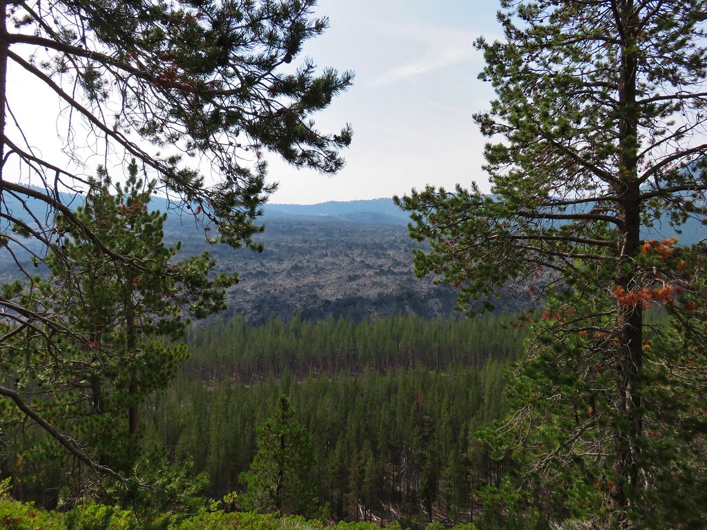
A paved 1 mile interpretive loop here led through a lava flow where the molds of trees remain from when the lava cooled around their burning trunks.
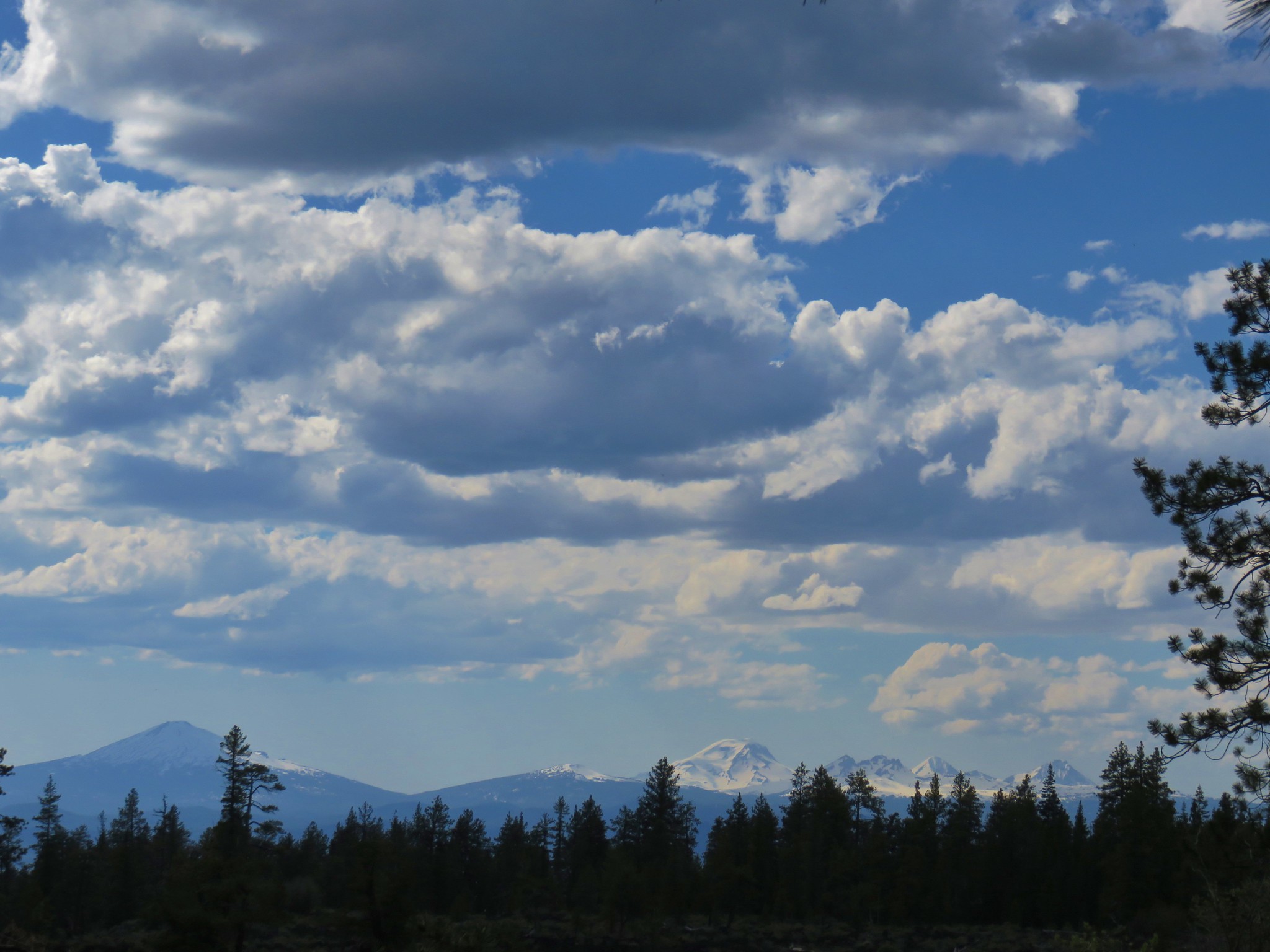
Other sights along the trail included a few wildflowers, the rim of Newberry Crater, and a view of Mt. Bachelor, Broken Top, and the Three Sisters.
When it was all said and done we hiked a total of right around 9 miles on the day and saw some amazingly diverse and unique scenery all within a relatively small area. It had been one of the most interesting days of hiking to date. Happy Trails!
Flickr: Central Oregon Oddities


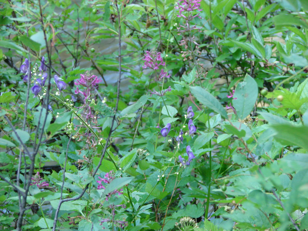


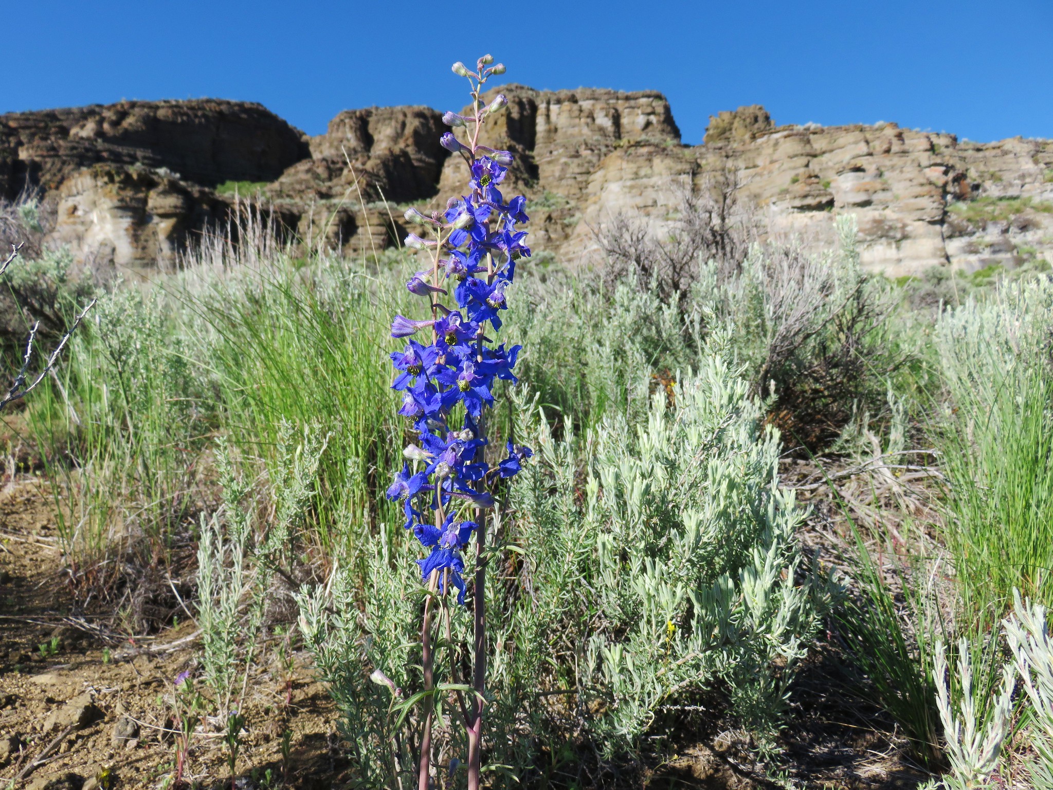
 Larkspur
 Old man’s whiskers
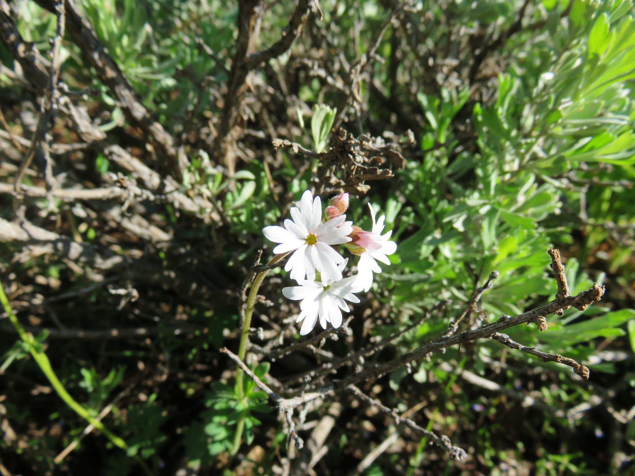 Woodland stars
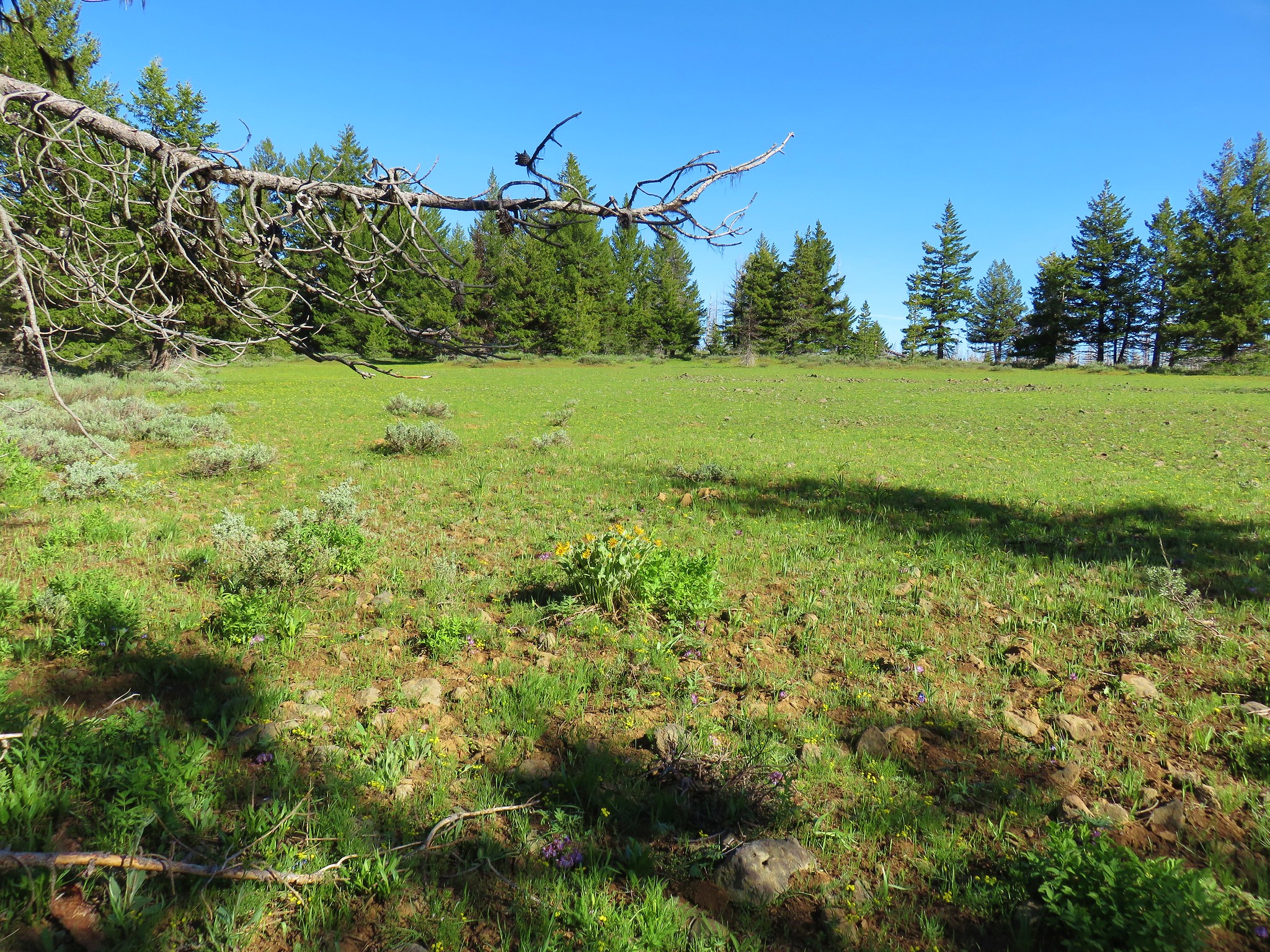
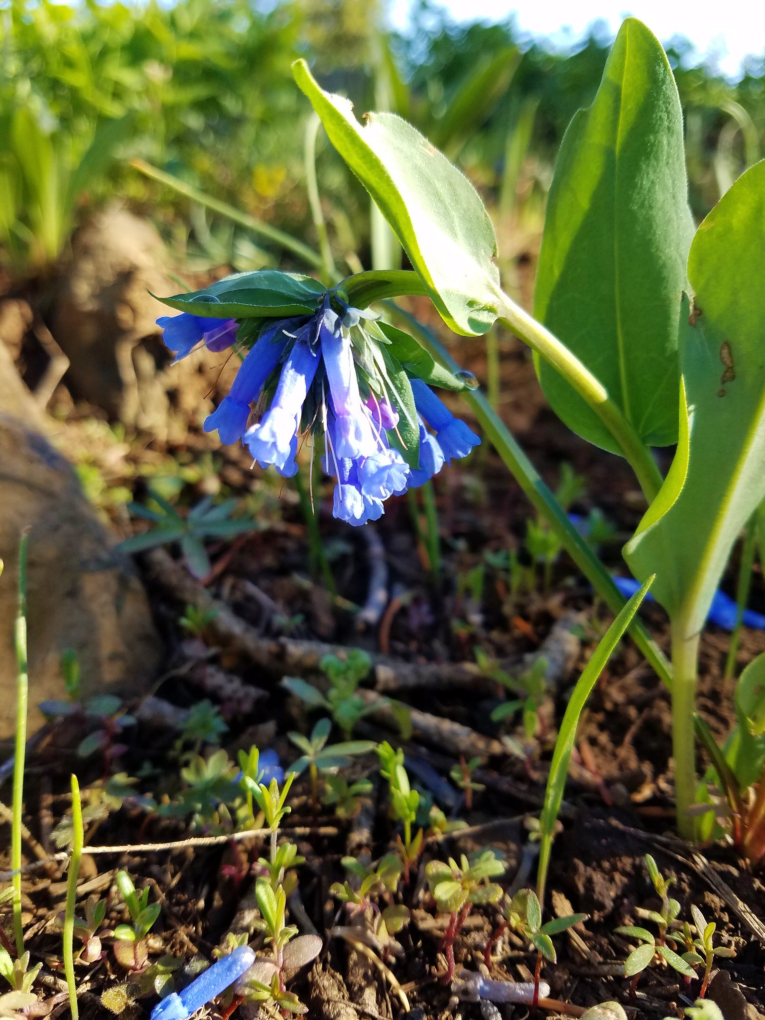 Bluebells
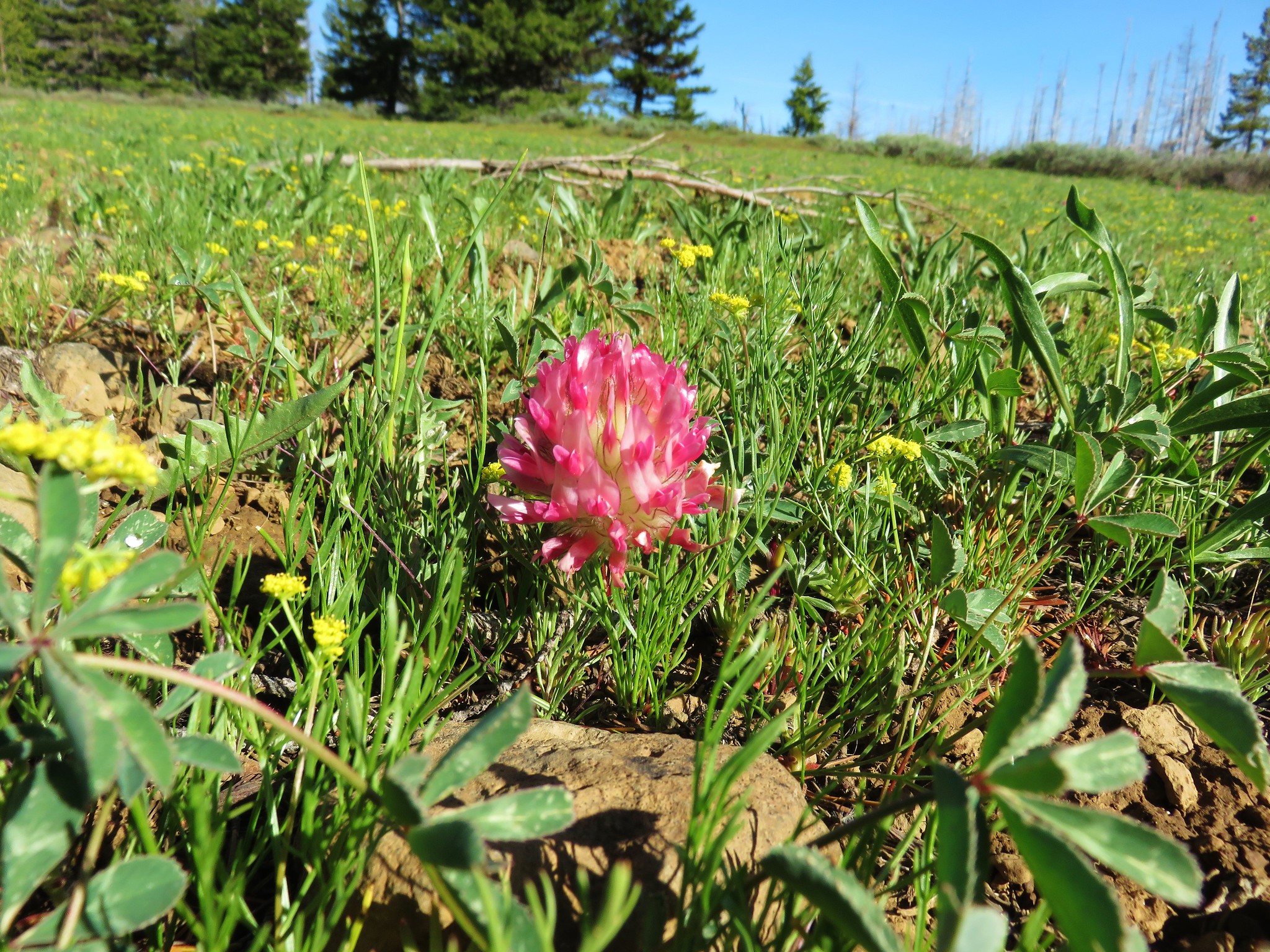 Big-head clover
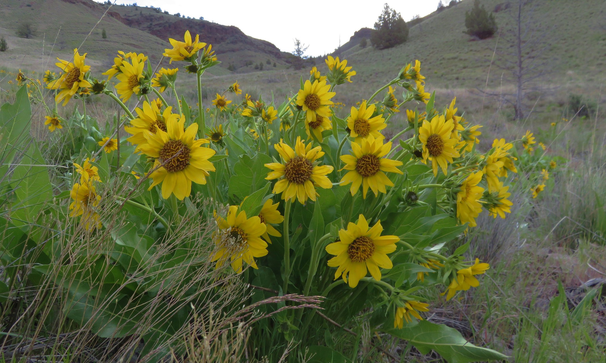
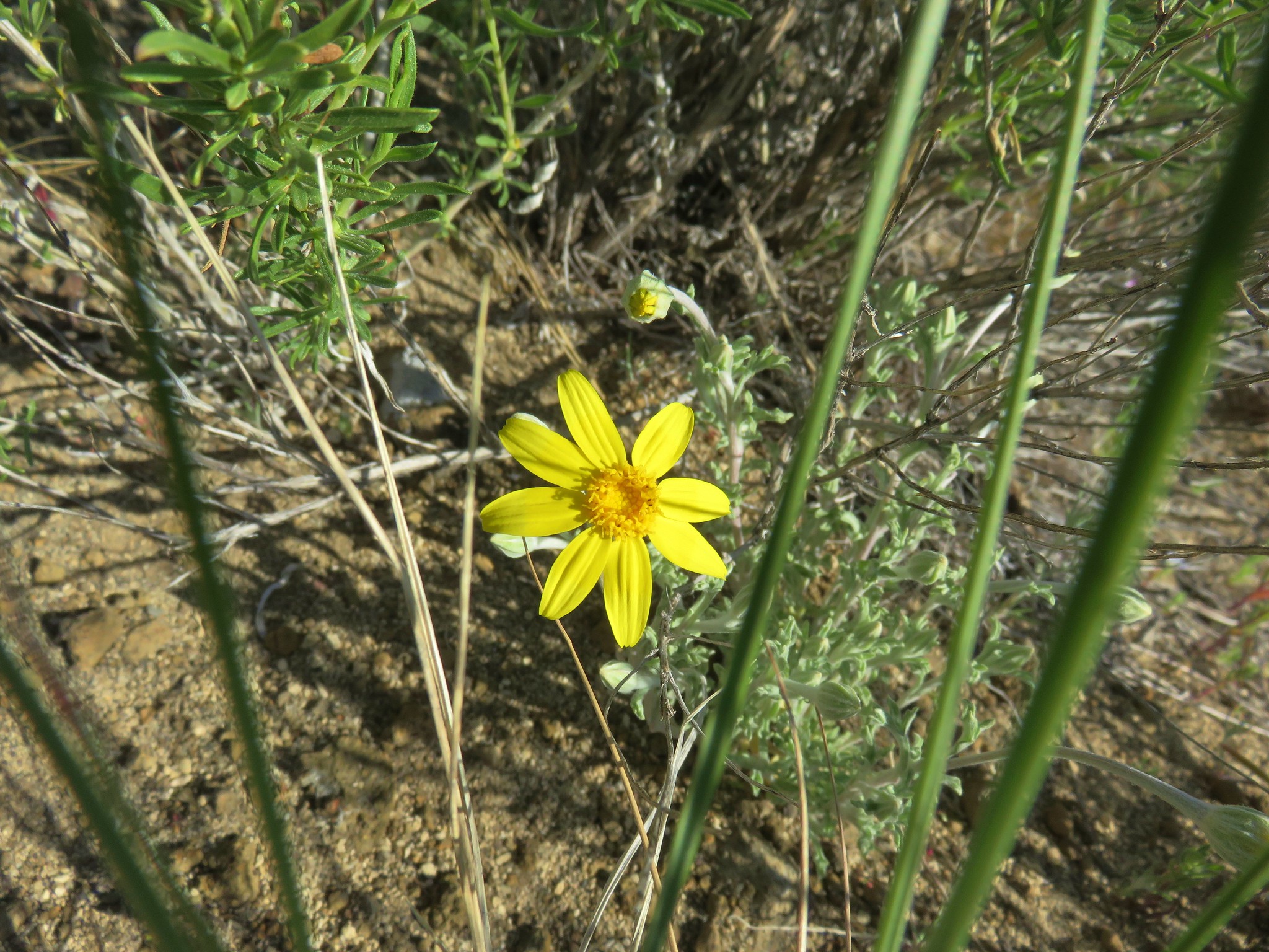
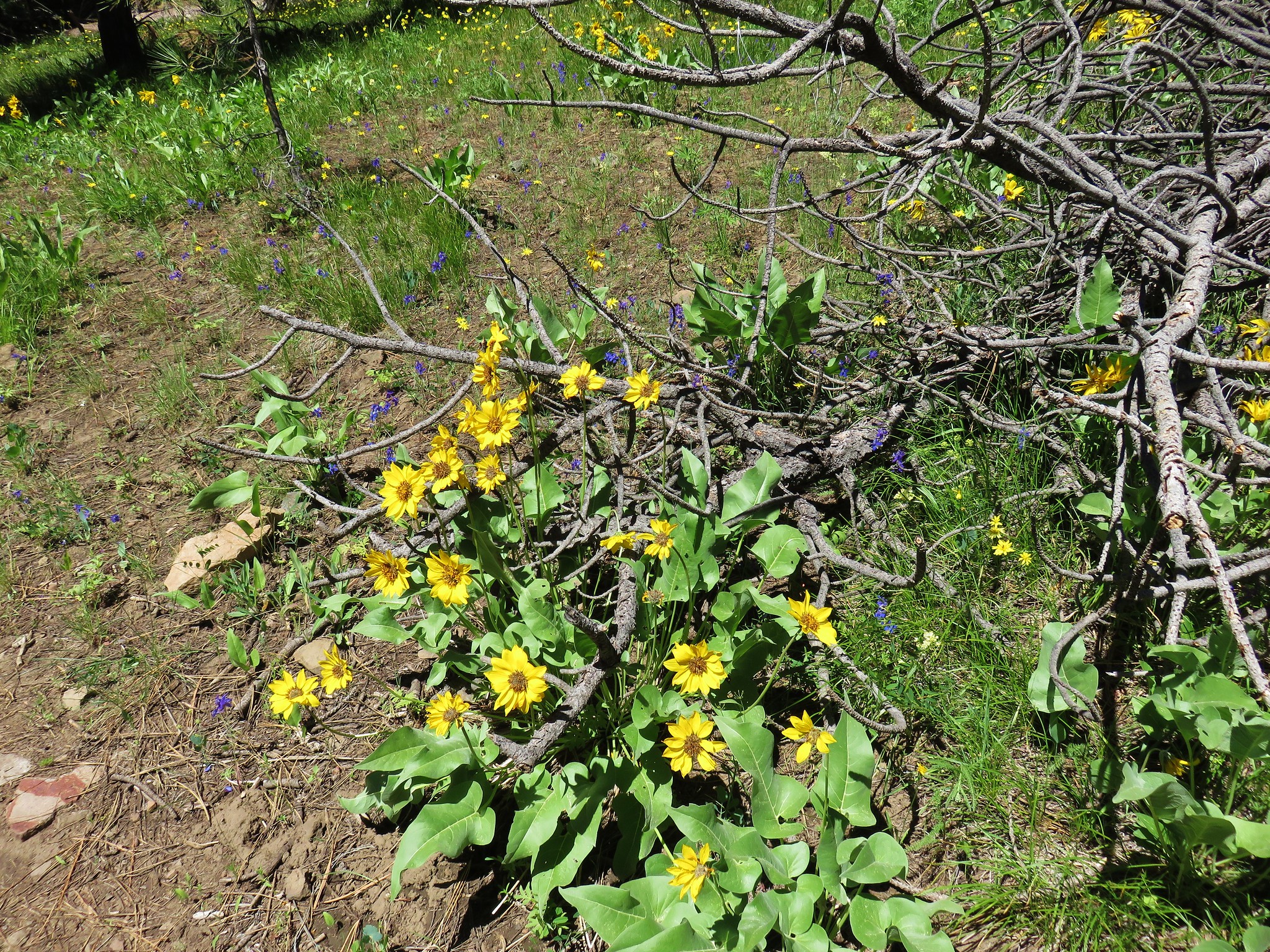
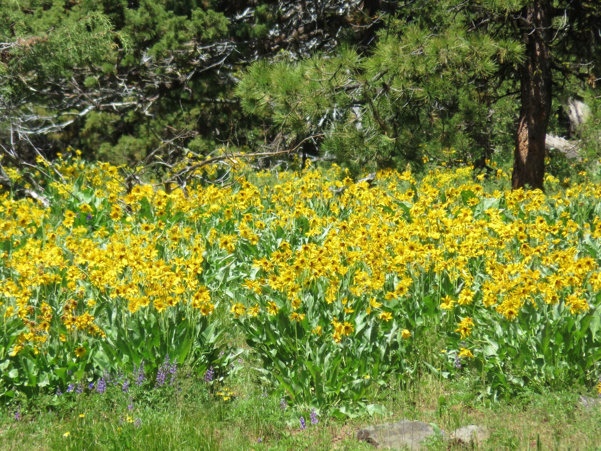
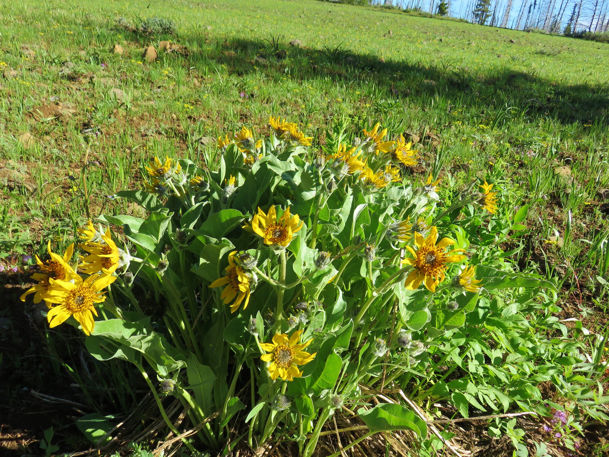 Balsamroot
 Jessica sticktight
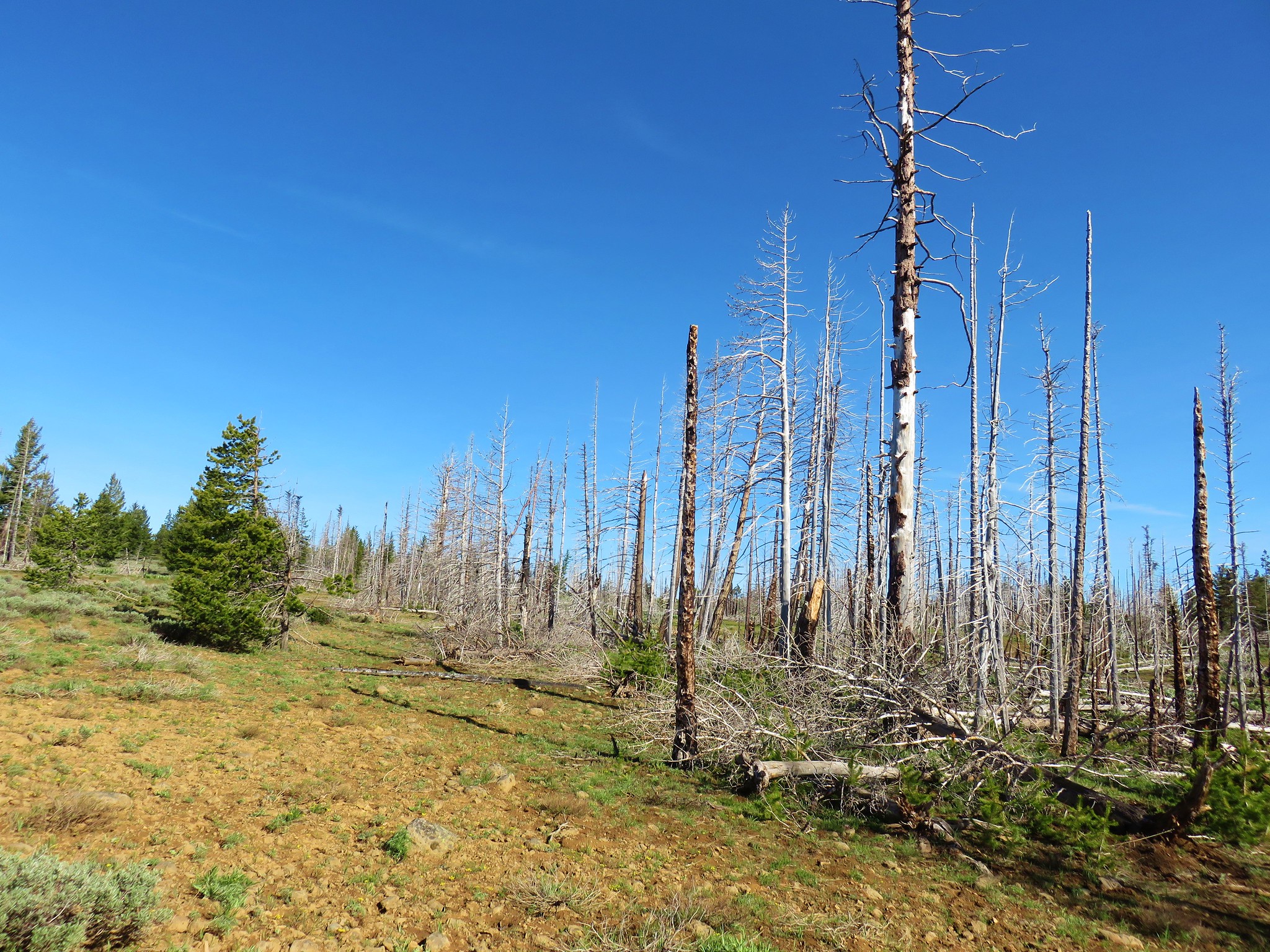


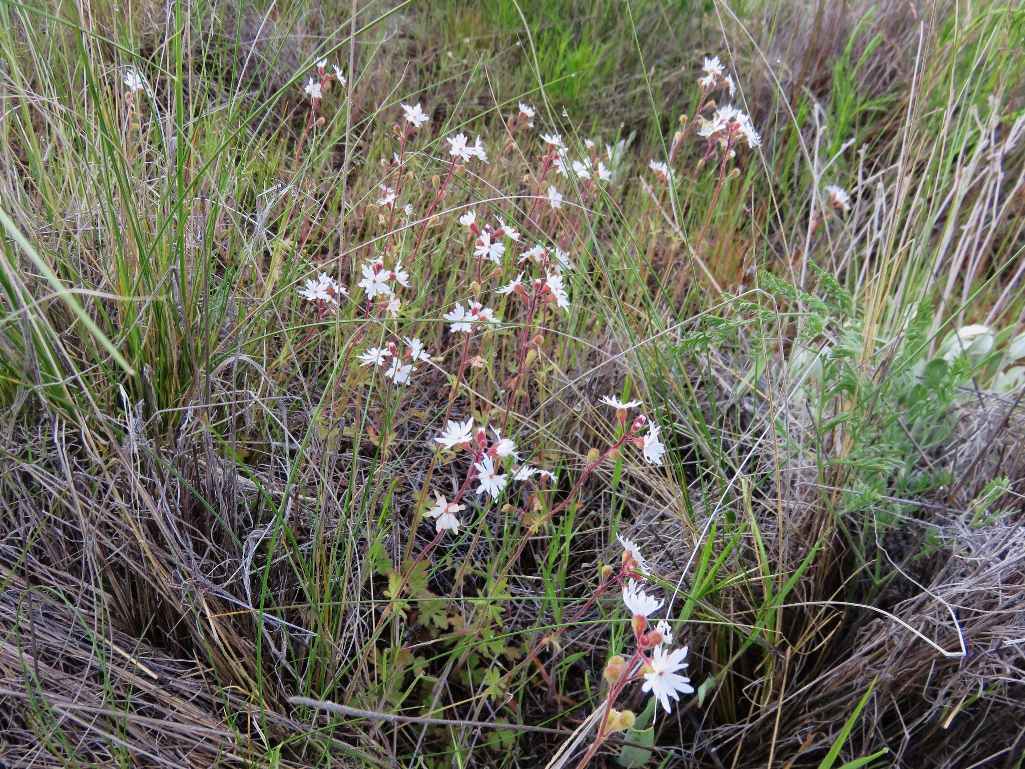
 Sandwort
 A stonecrop?
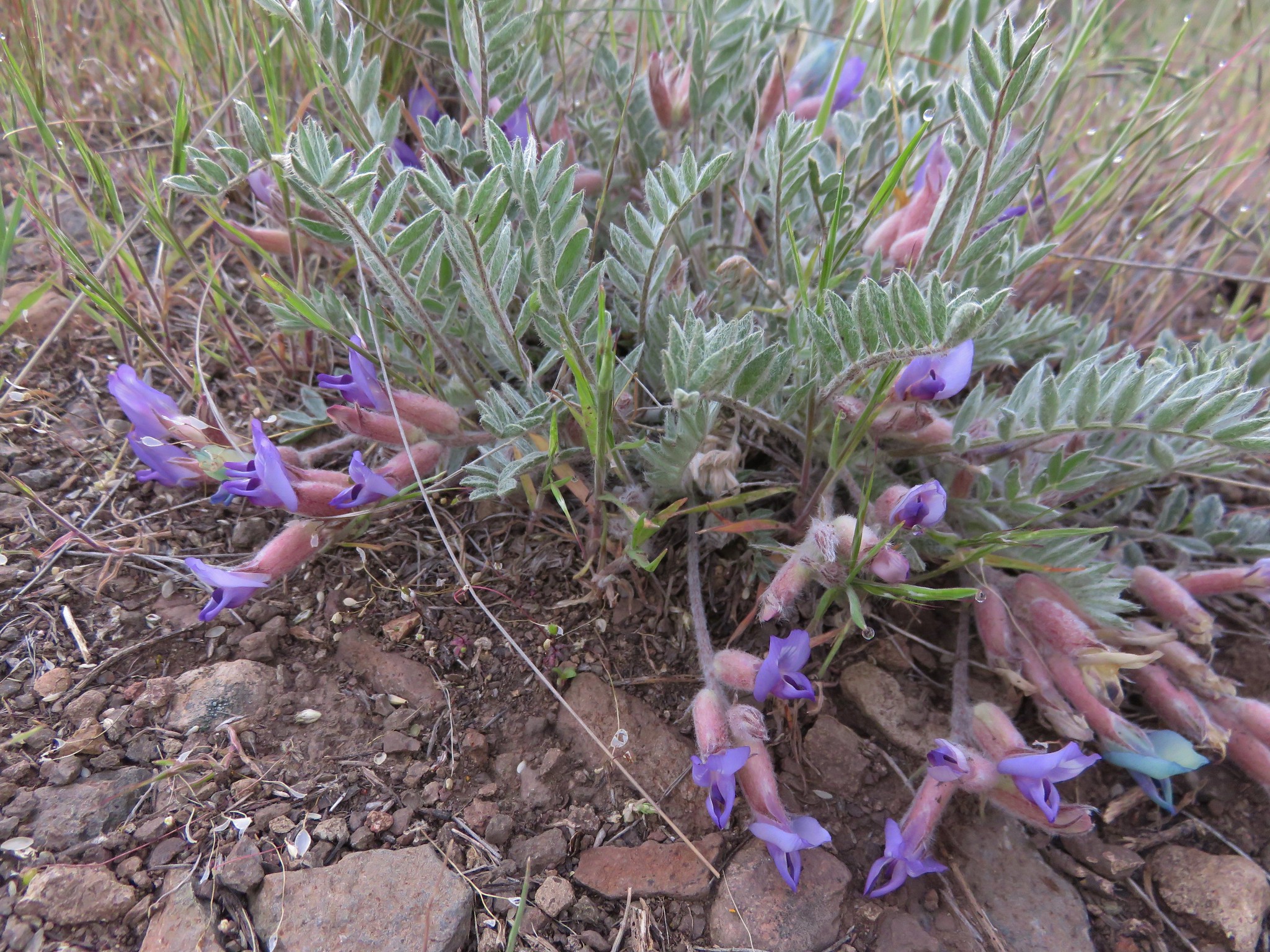
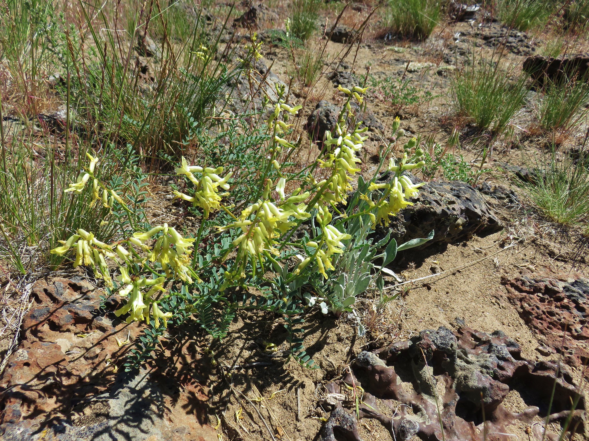
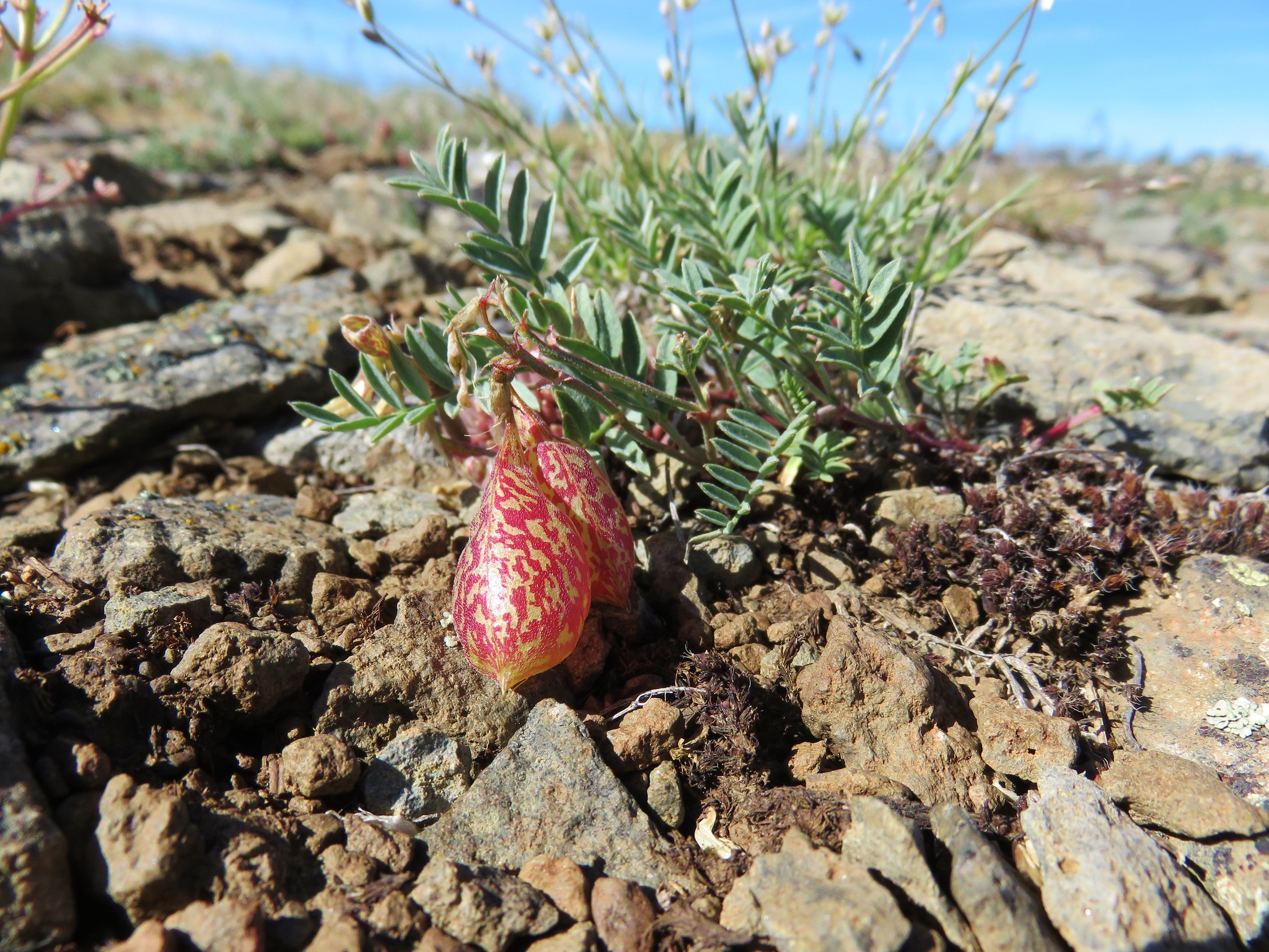 Balloon pod milk vetch


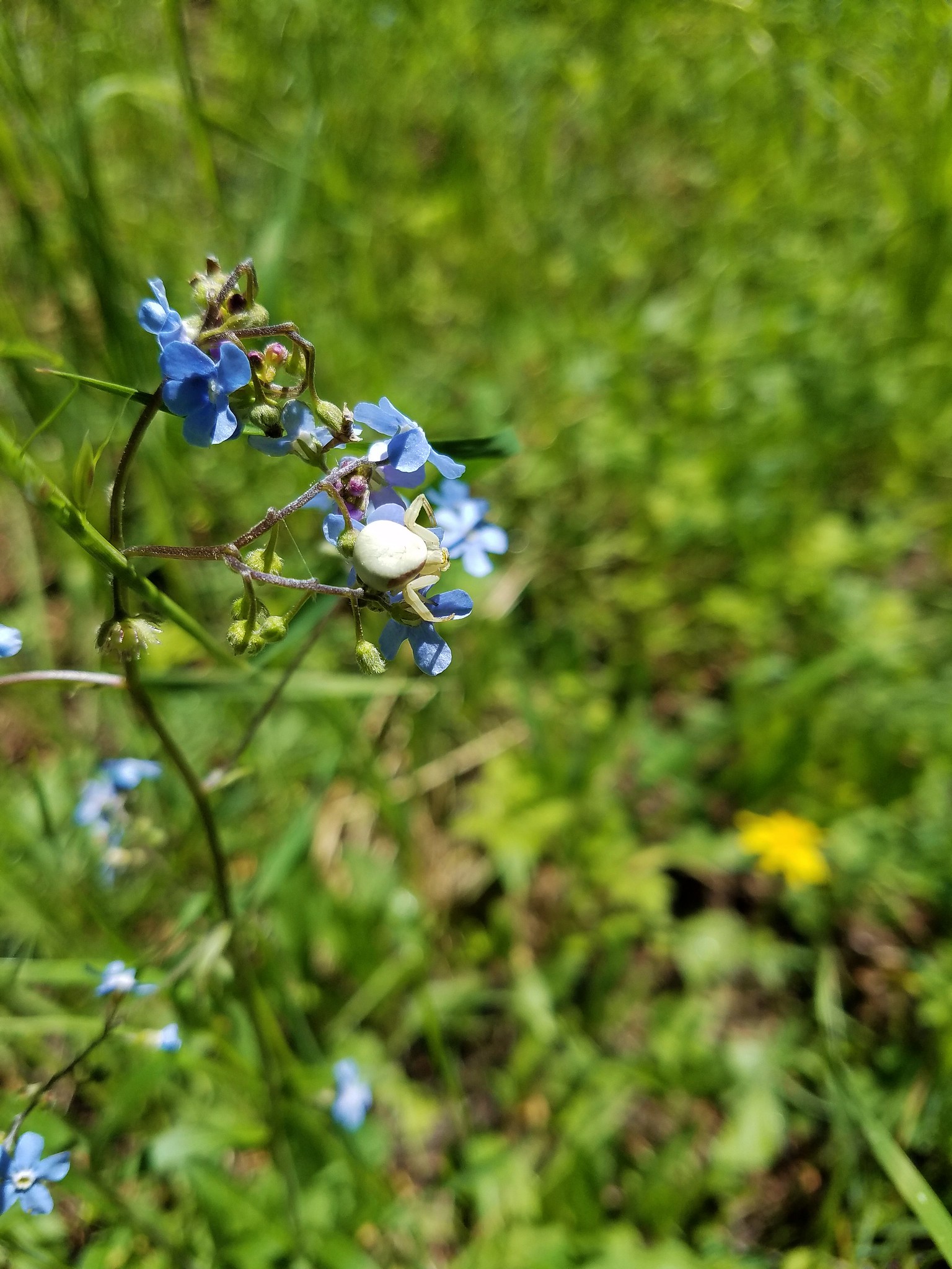 Crab spider
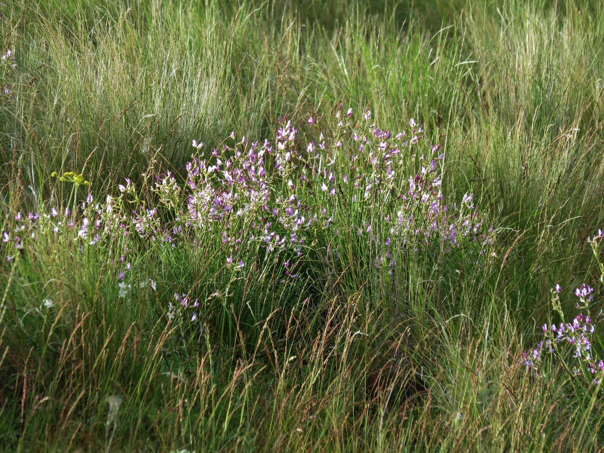
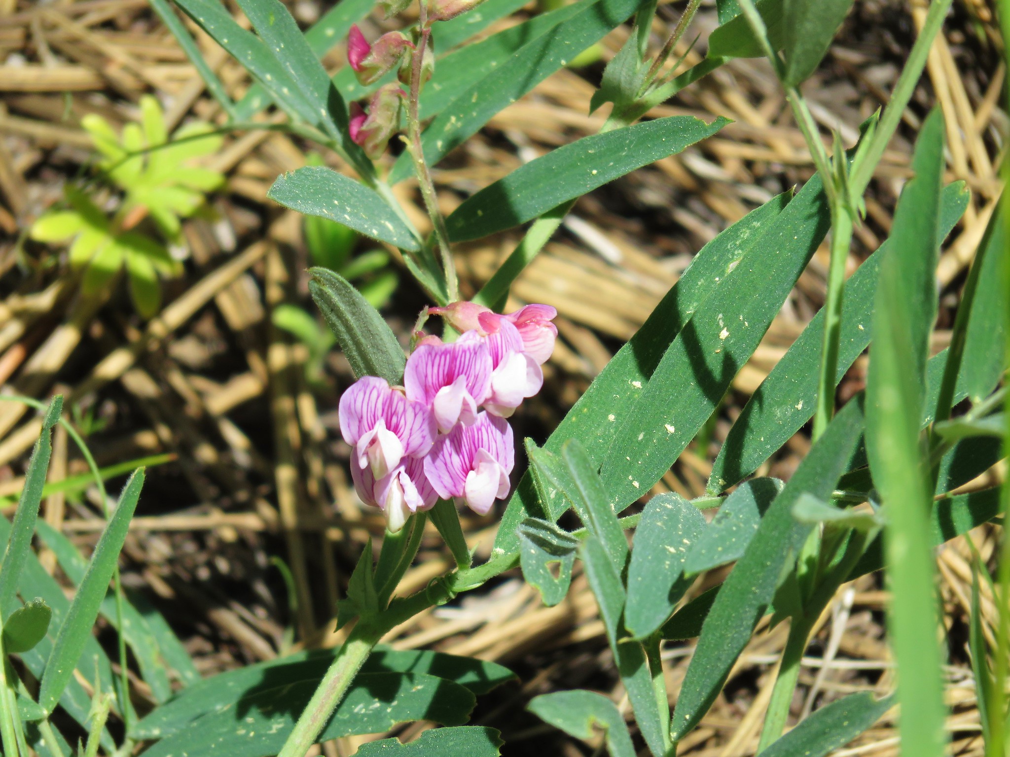 Torrey’s peavine
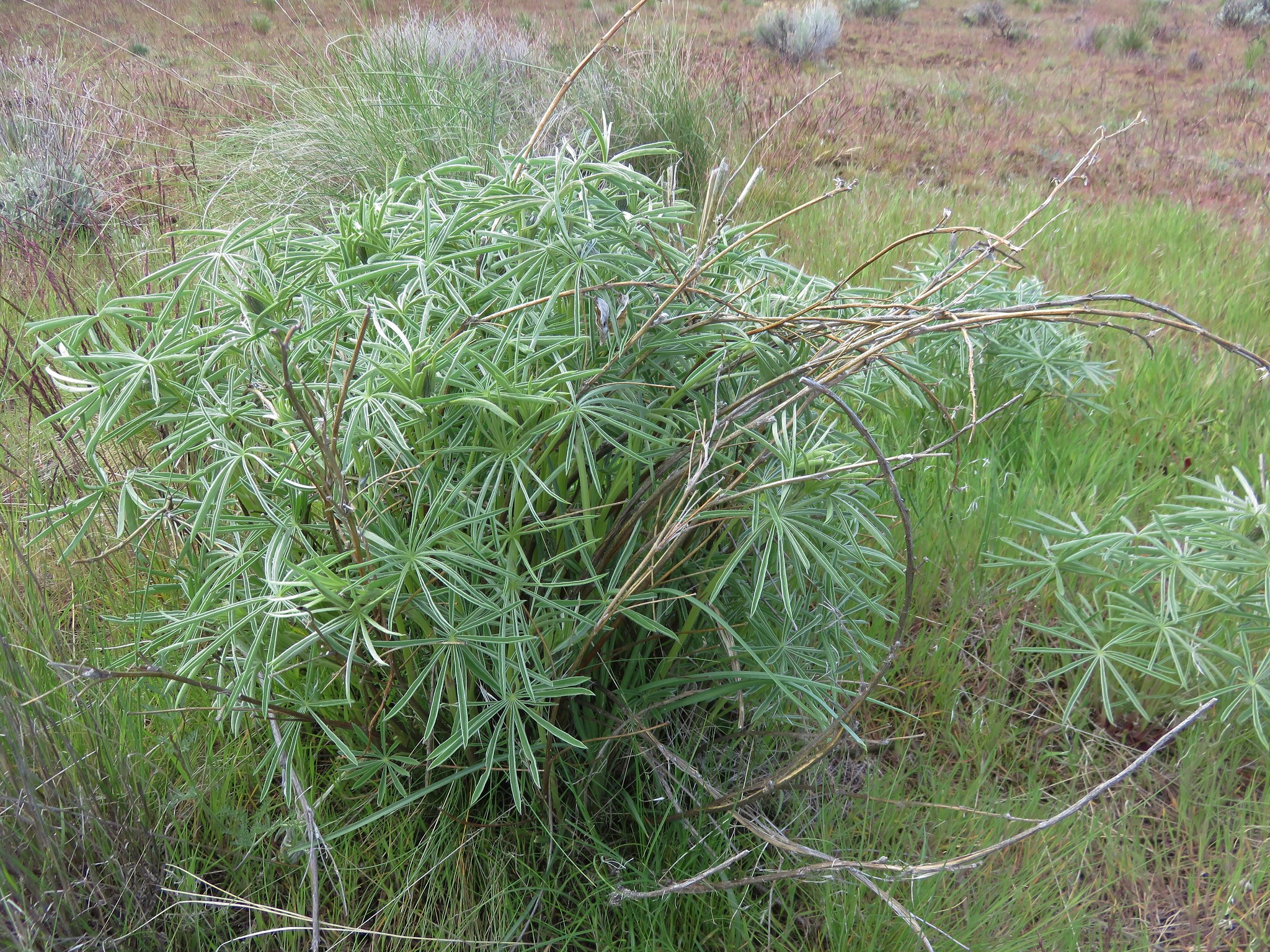
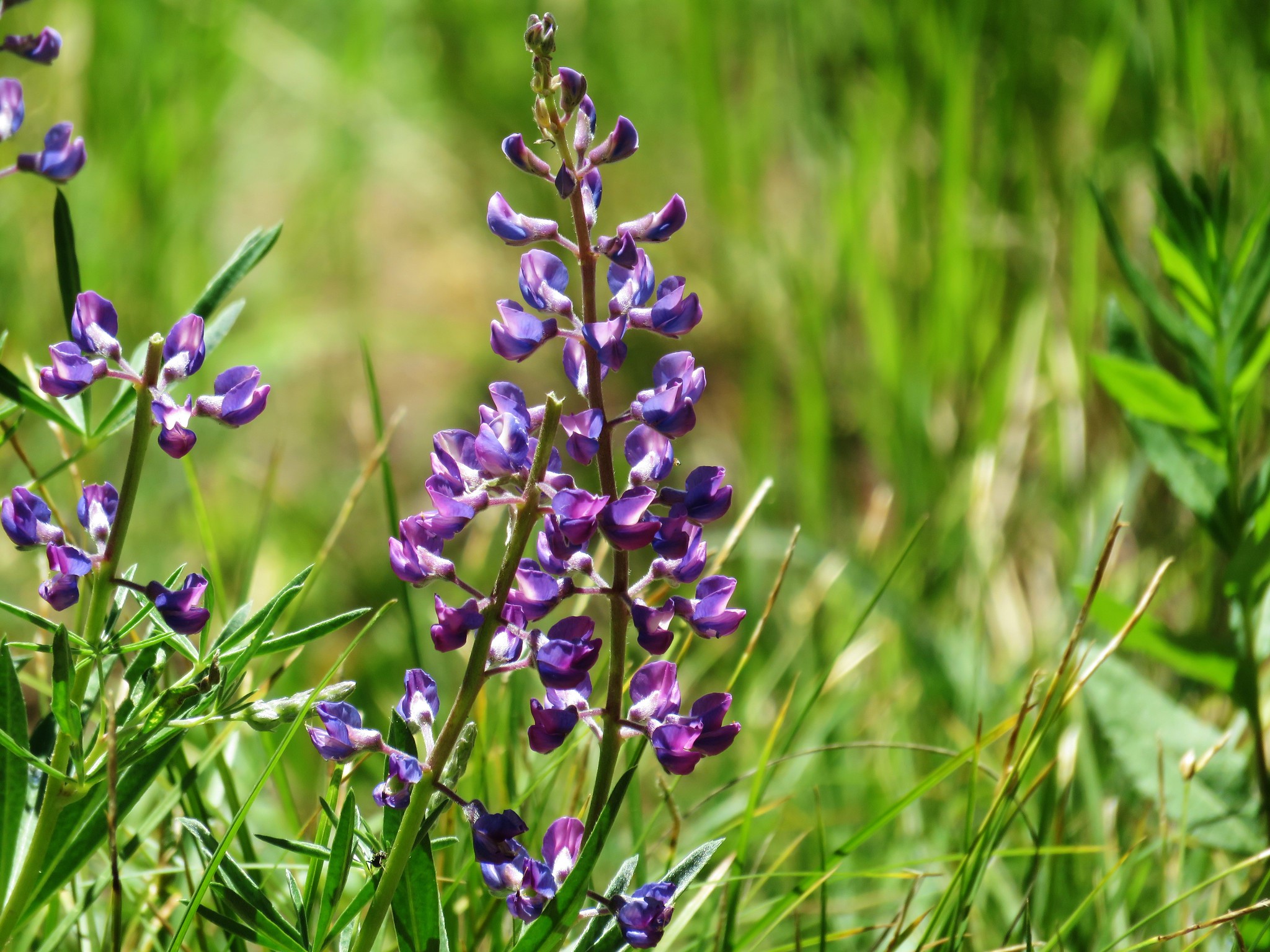 Lupine
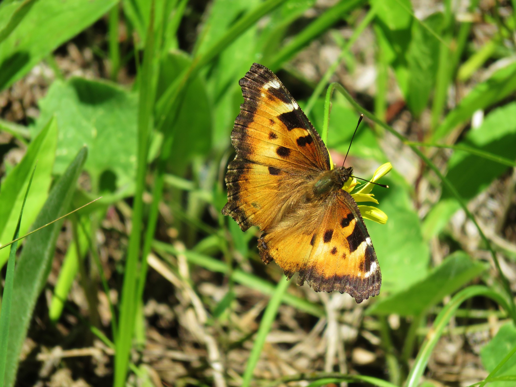 Tortoiseshell butterfly
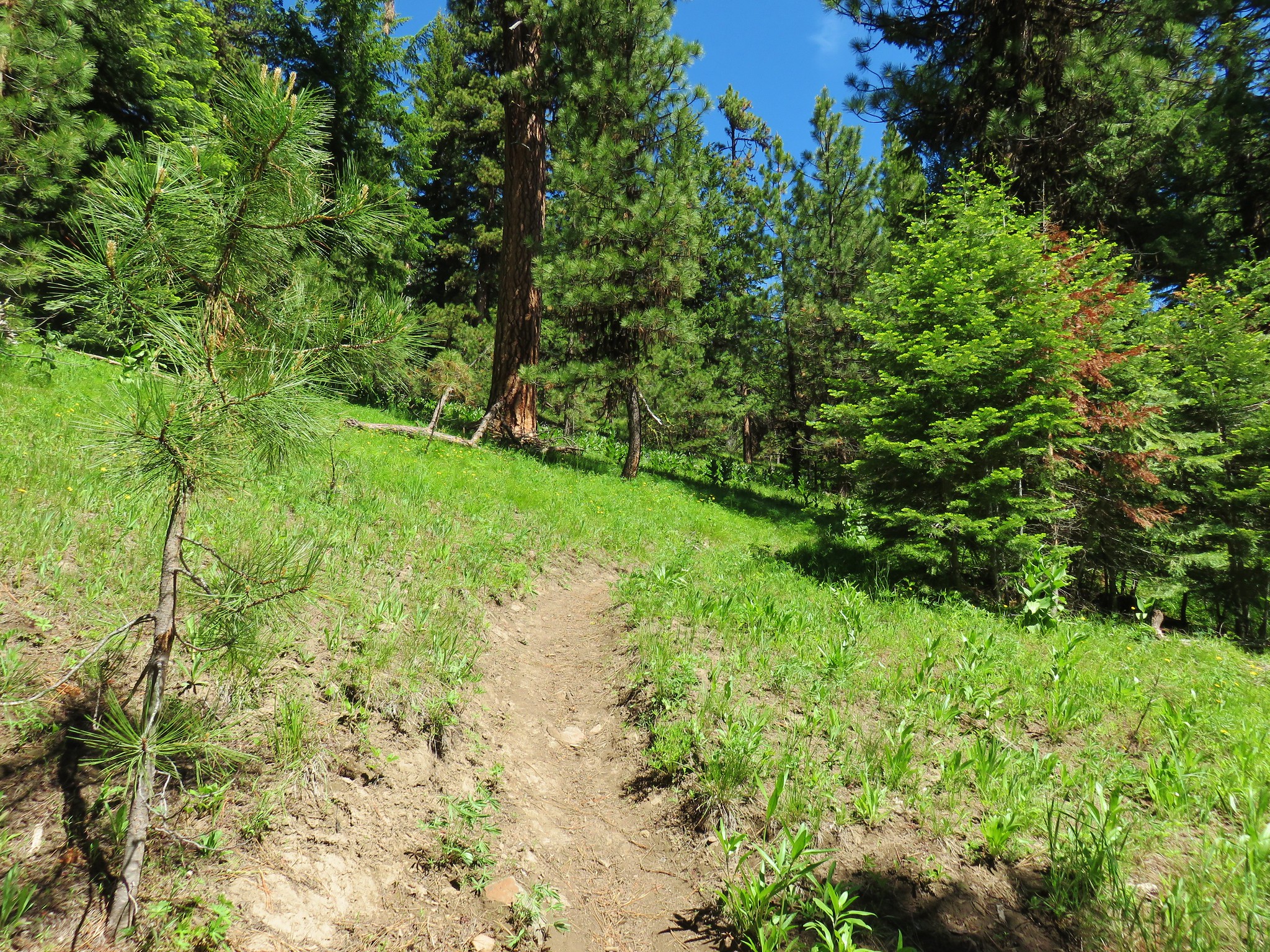
 Balsamroot and larkspur
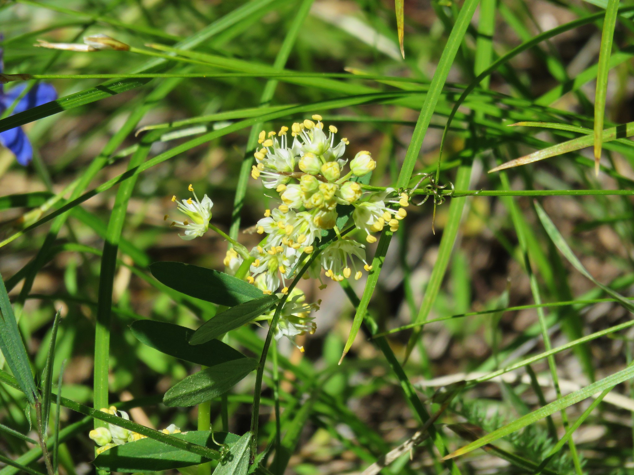 Death camas
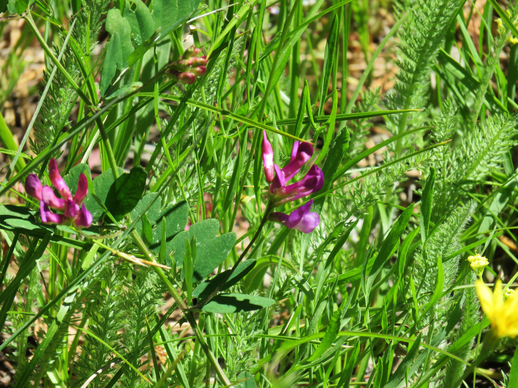 Vetch
Vetch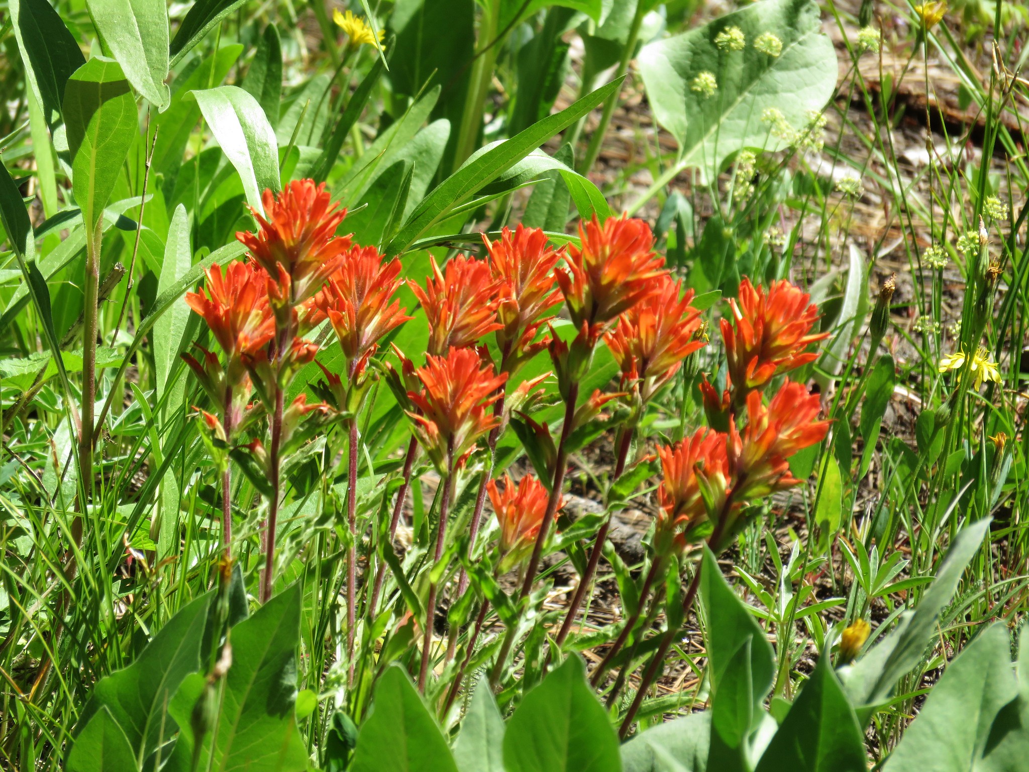 Paintbrush
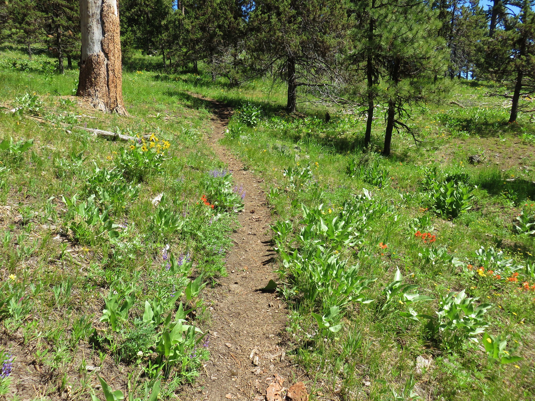
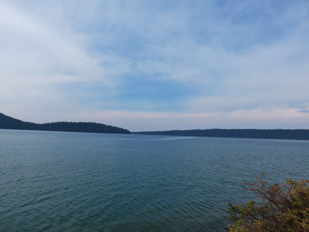
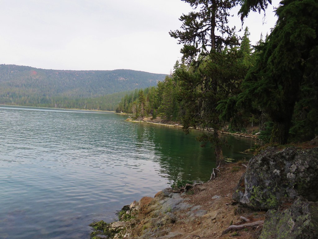
 Prospect Pond (and Lookout Mountain beyond)
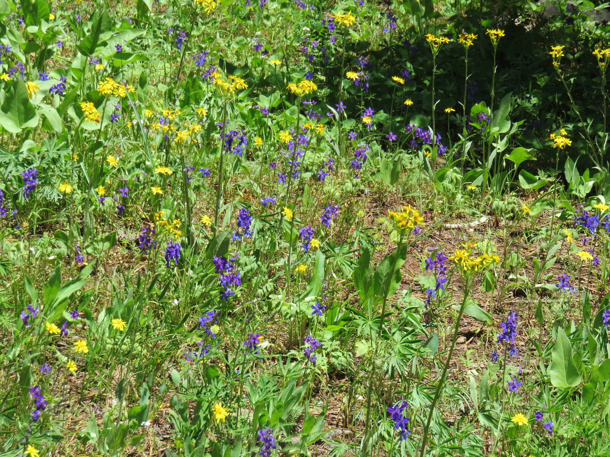


 Diamond and Maiden Peaks
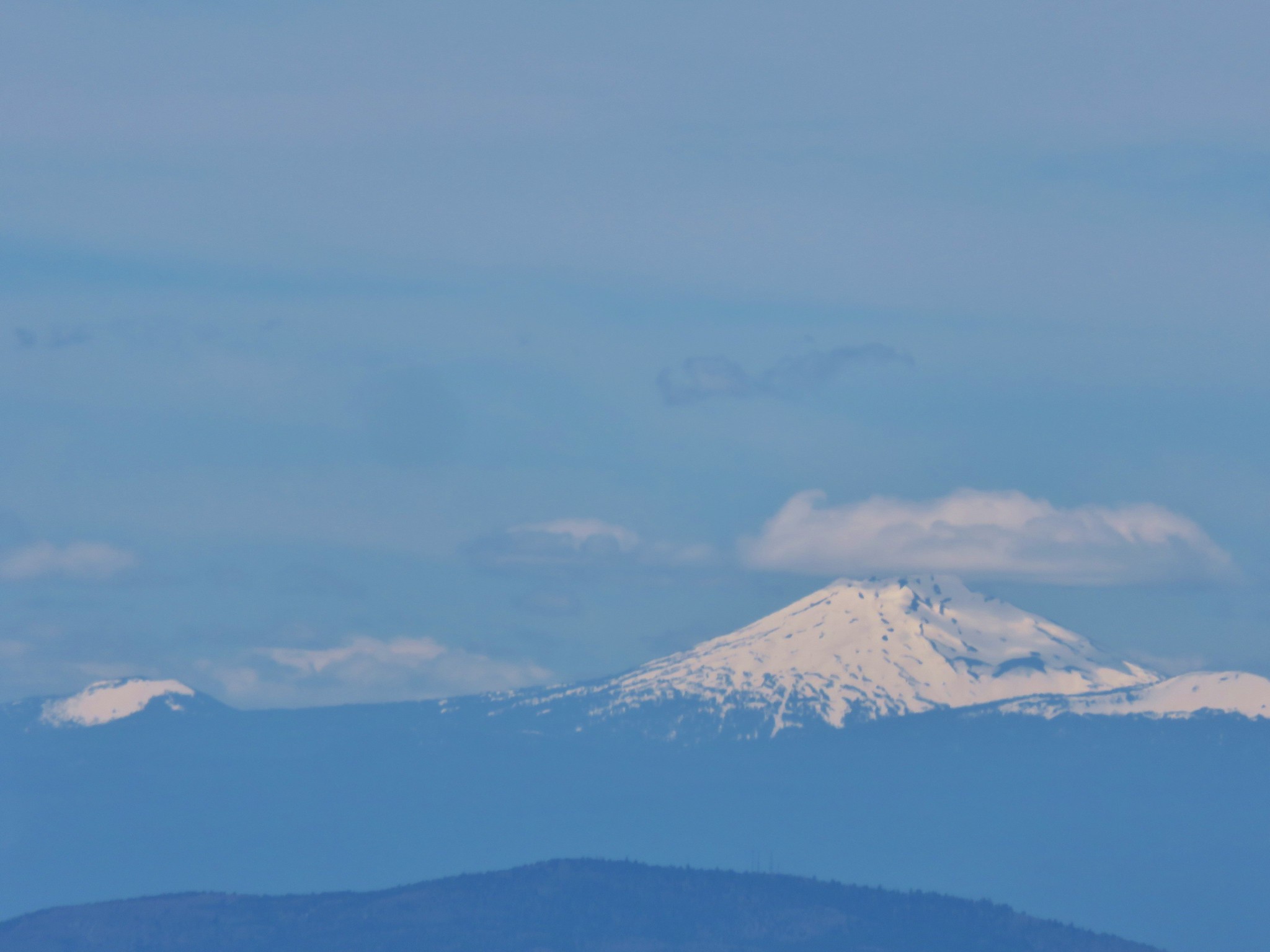 Mt. Bachelor
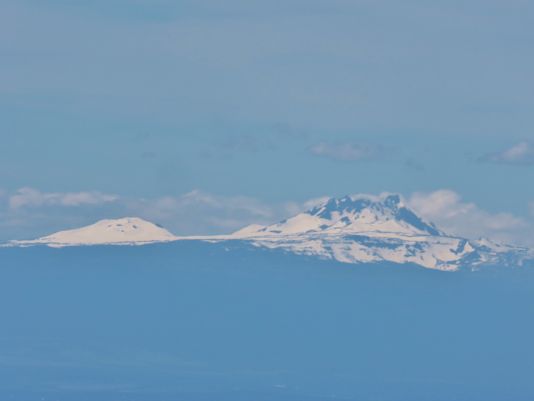 Ball Butte and Broken Top
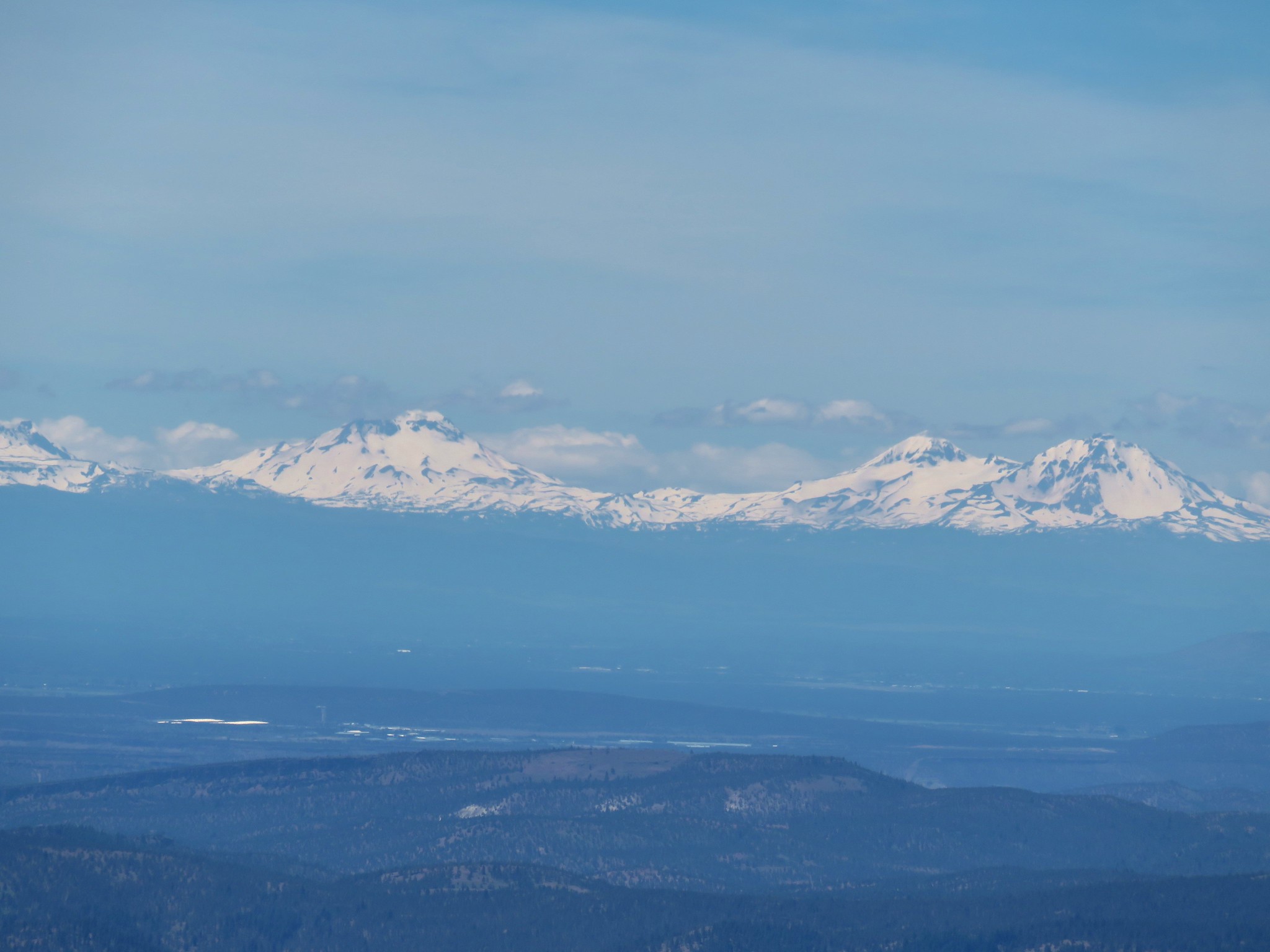 The Three Sisters
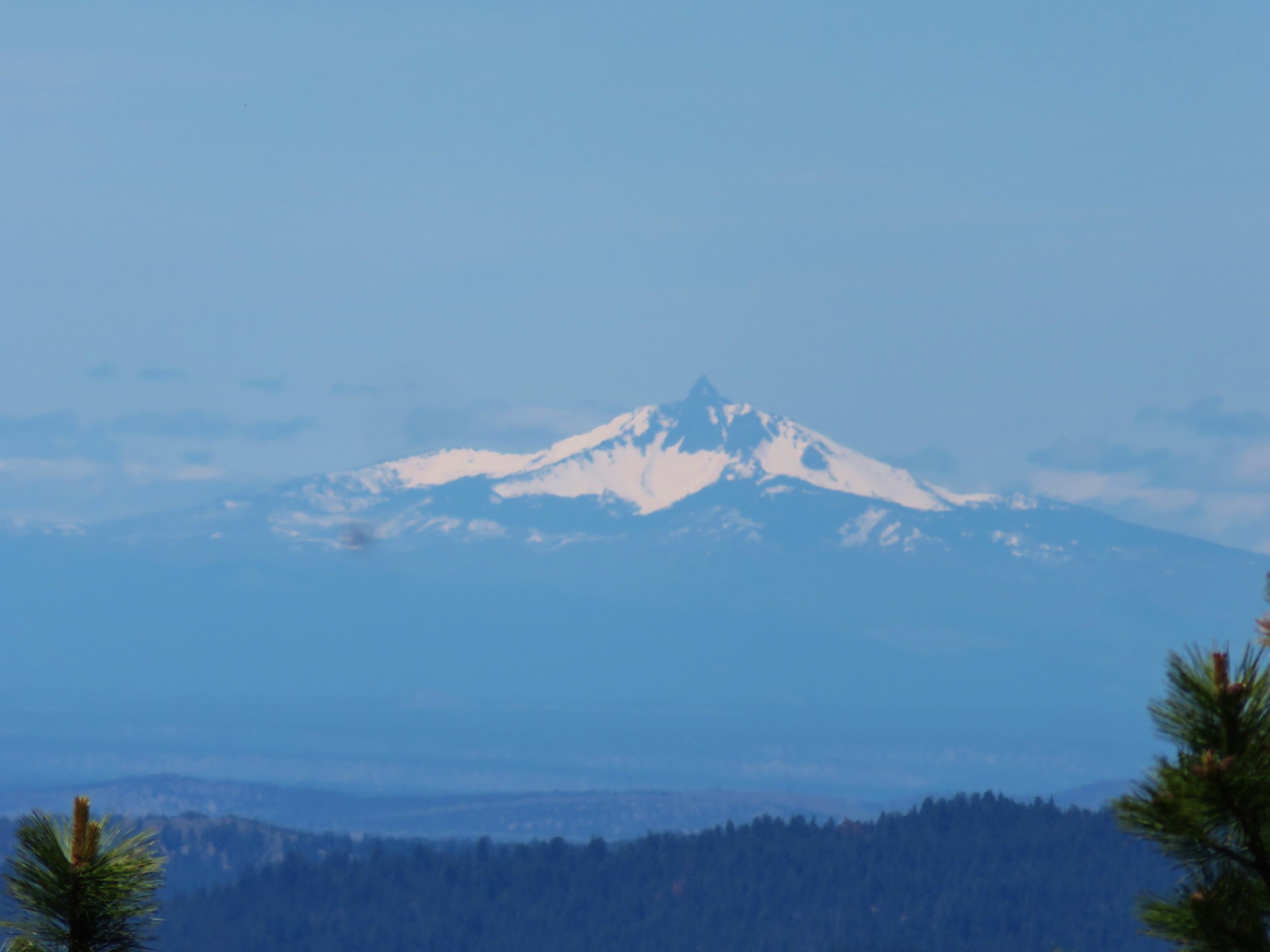 Mt. Washington
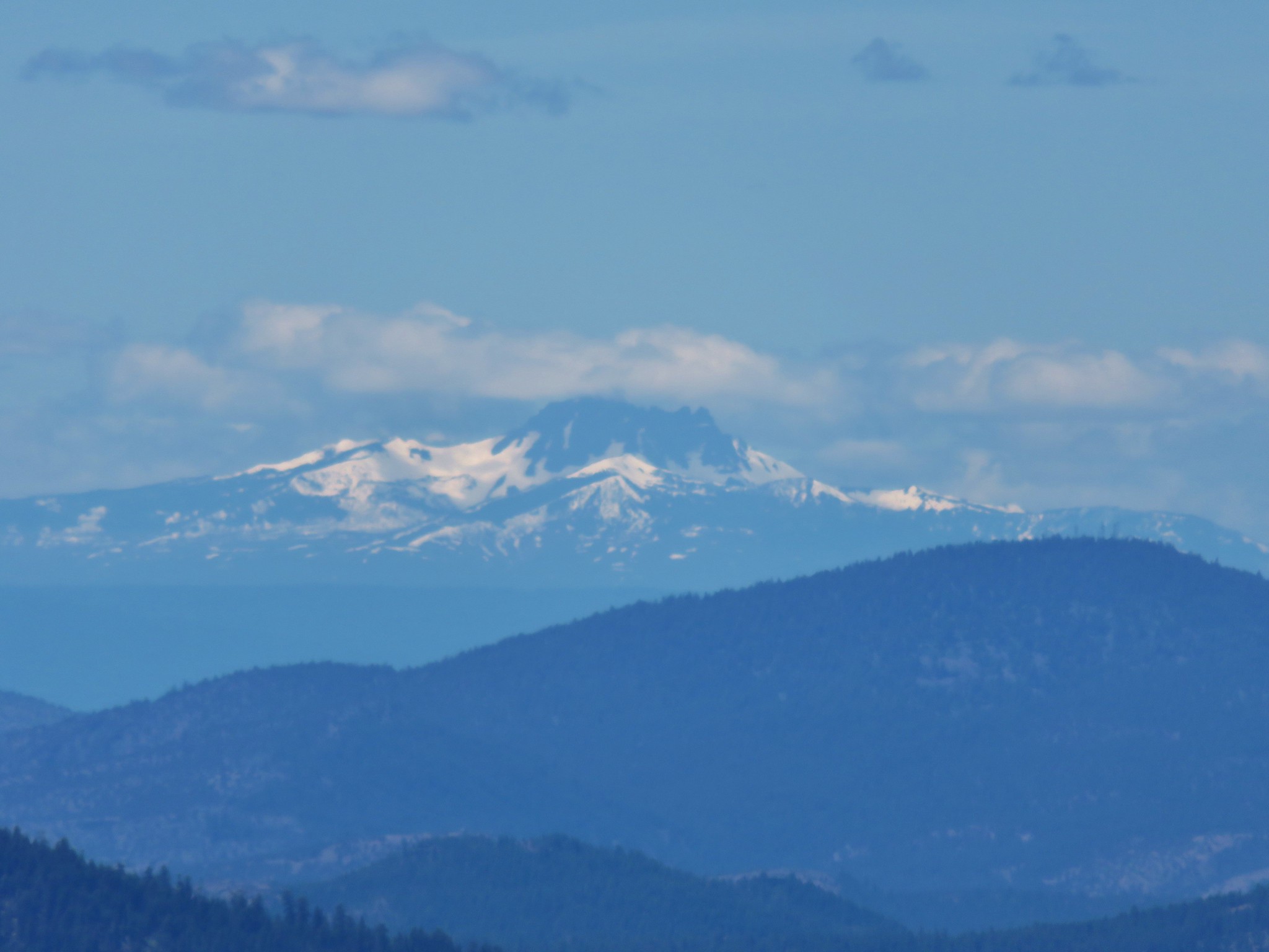 Three Fingered Jack
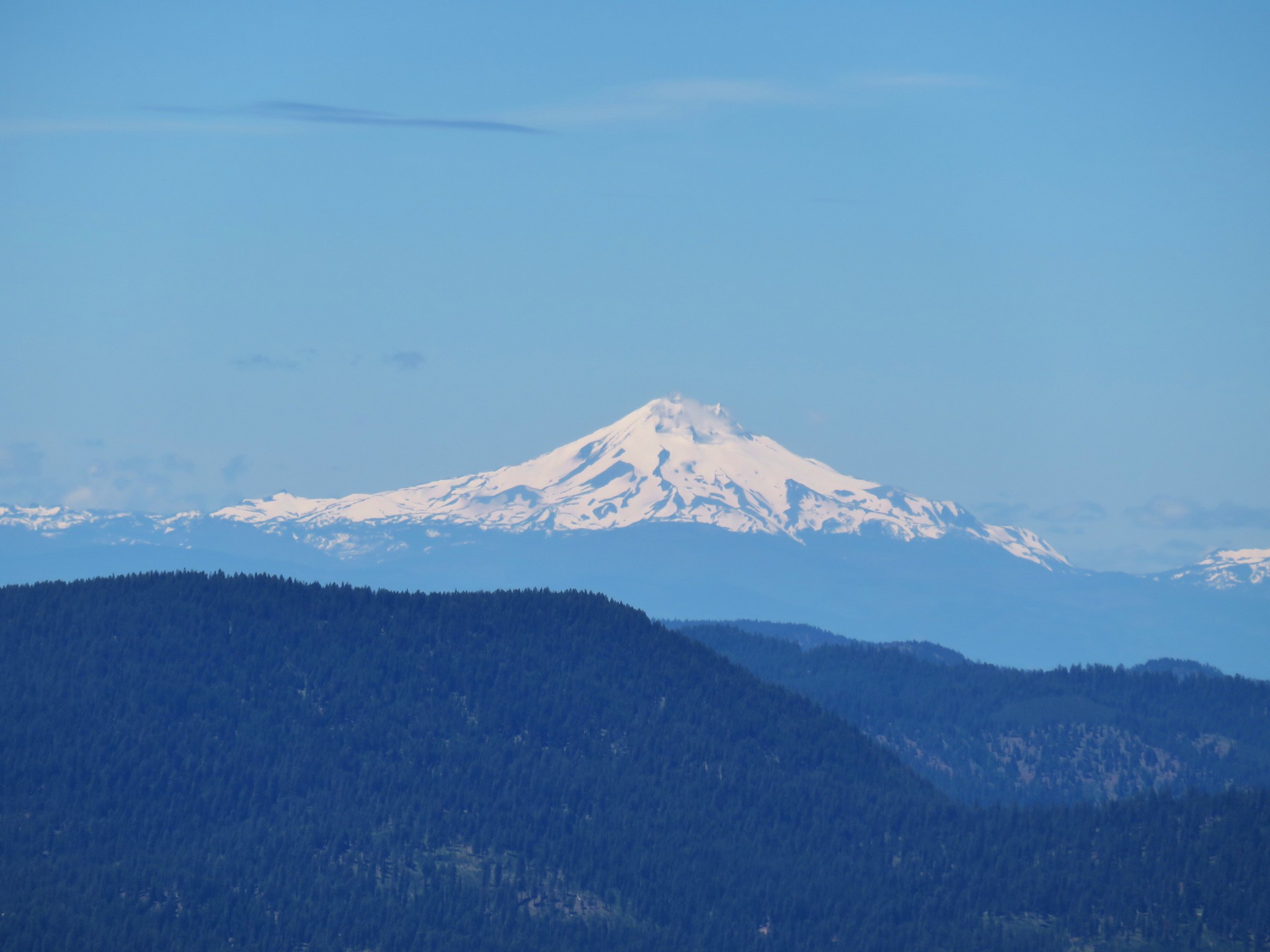 Mt. Jefferson
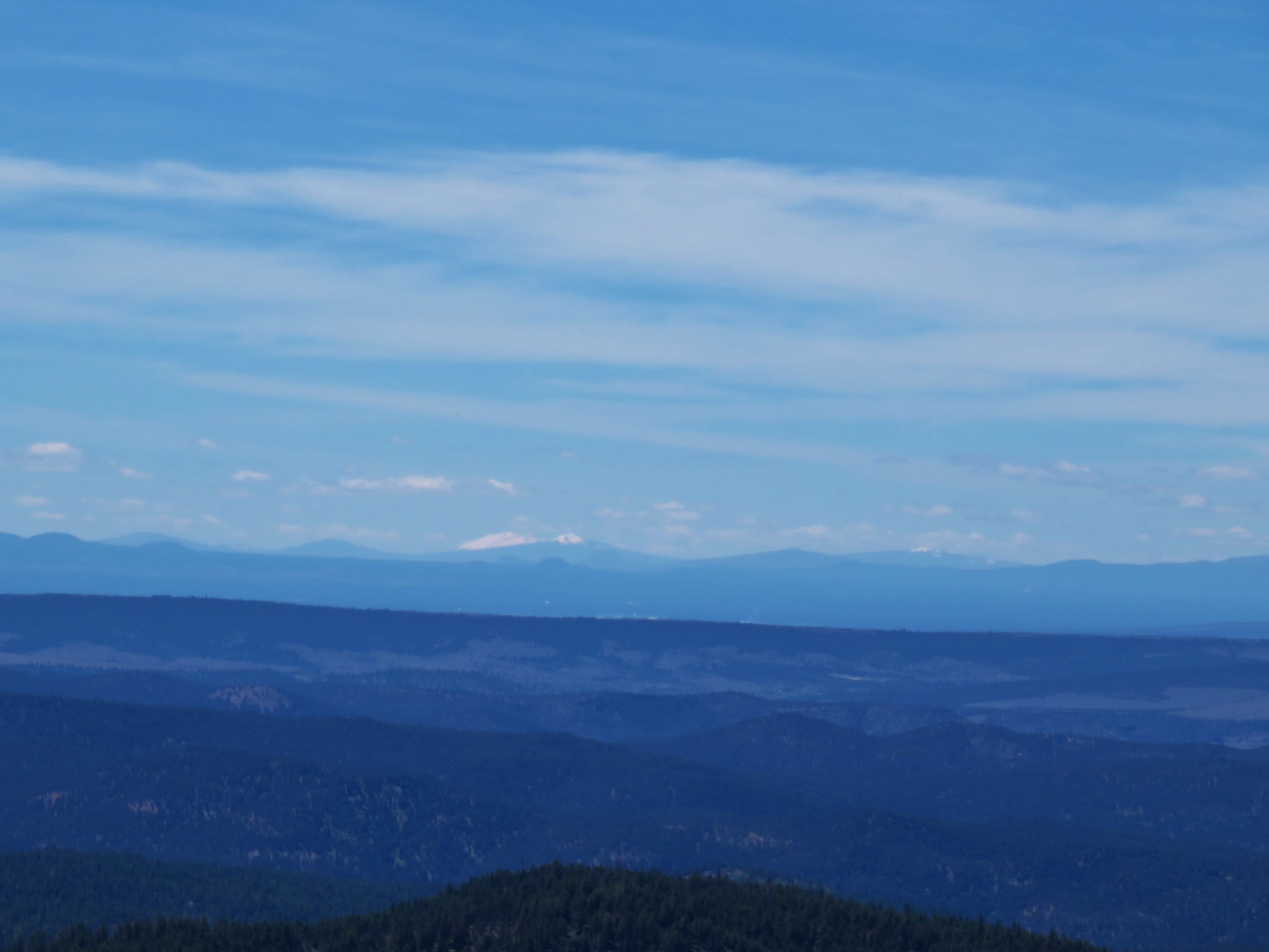
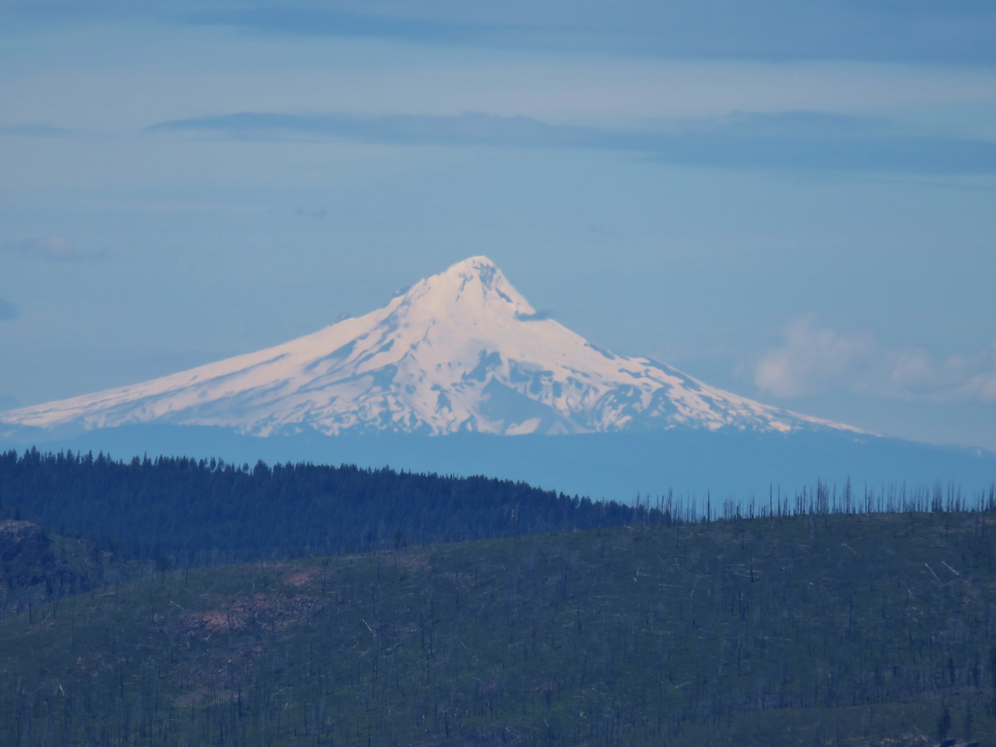 Mt. Hood
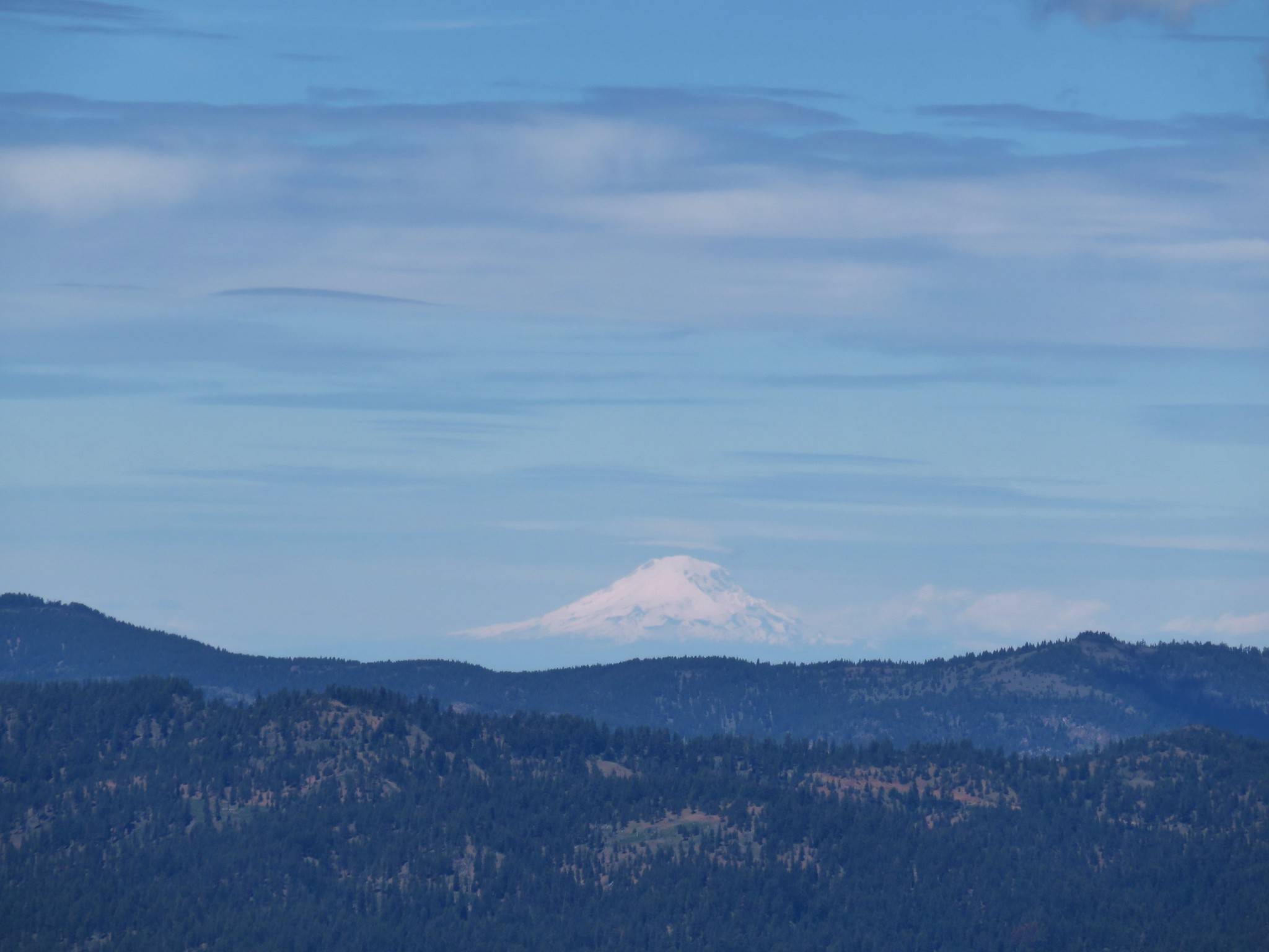 Mt. Adams
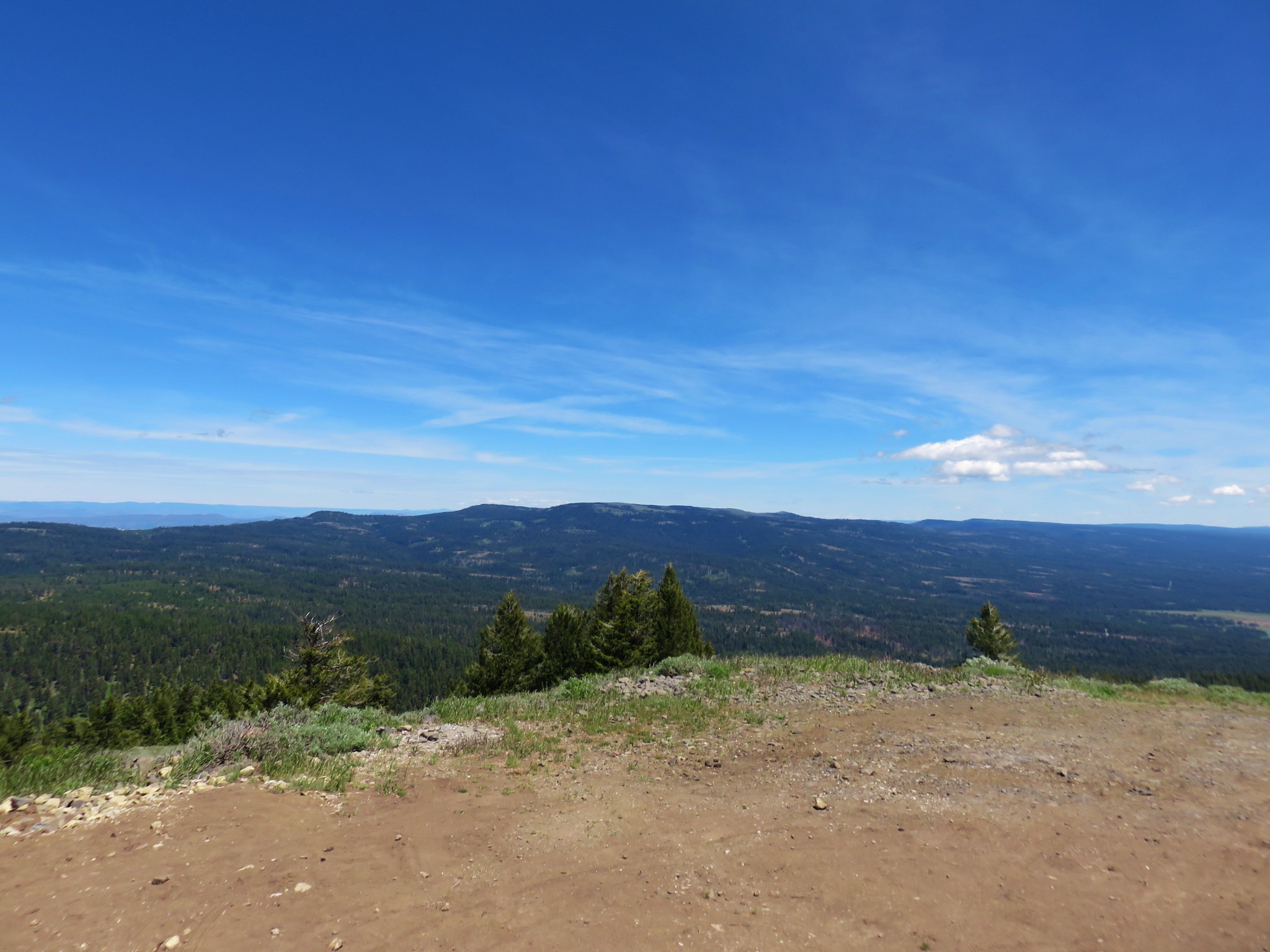


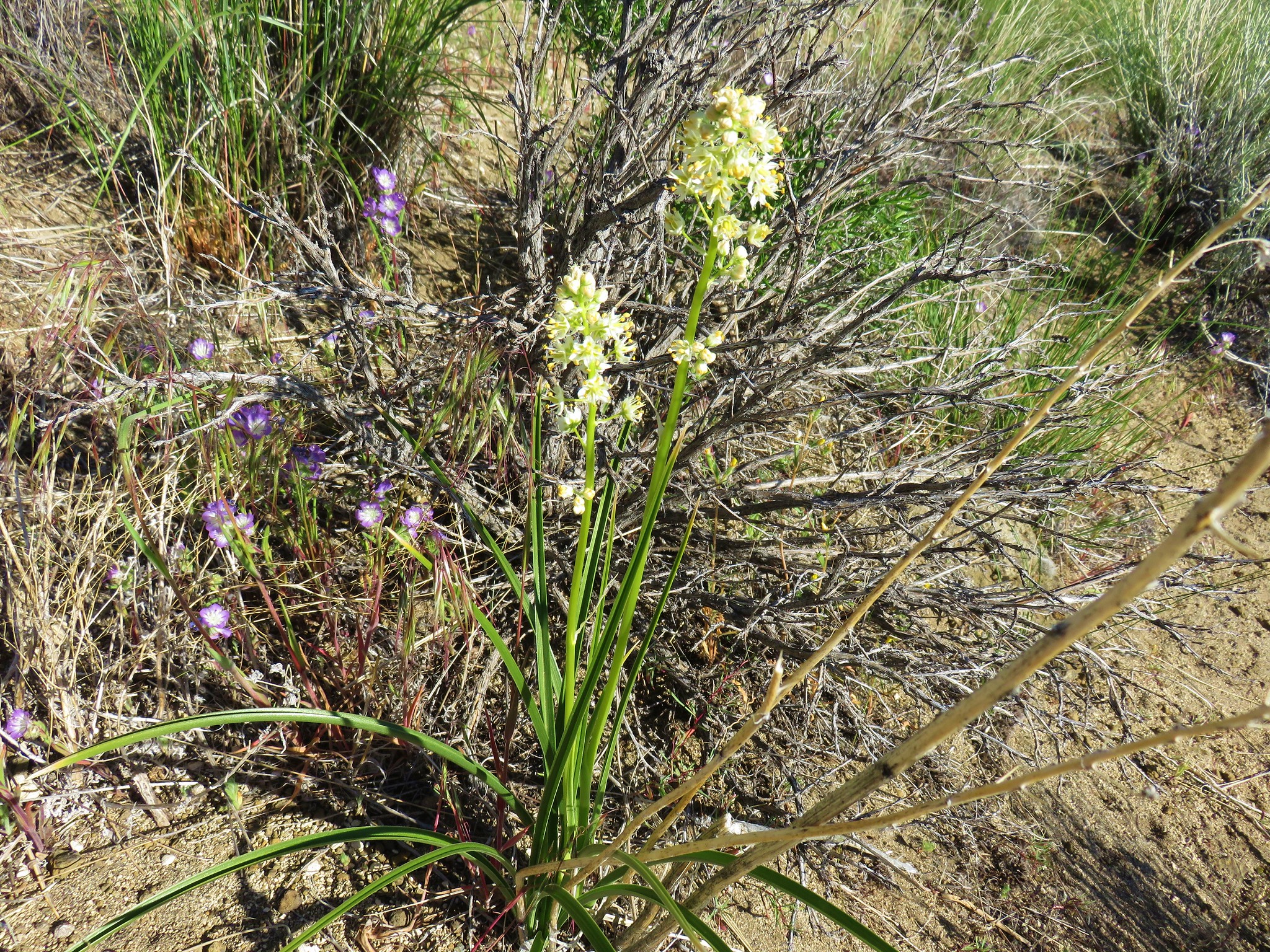
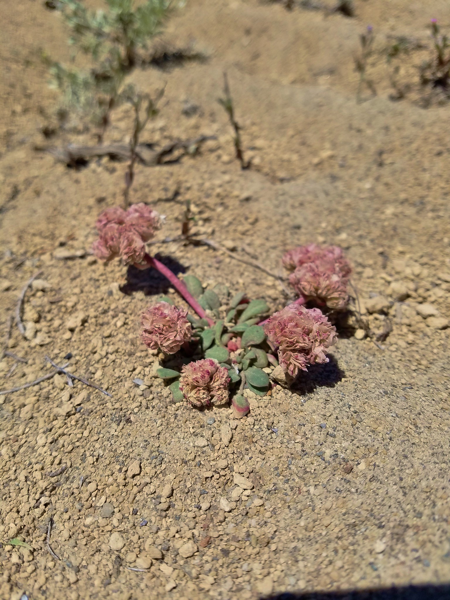
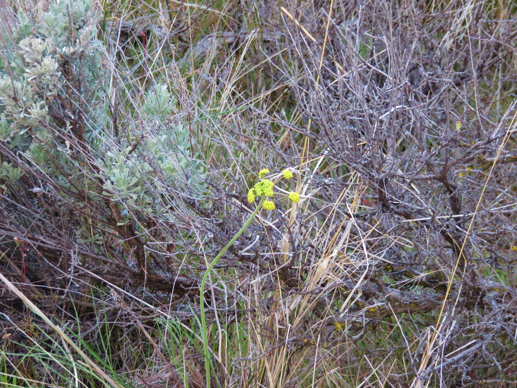 Biscuitroot
 Larkspur
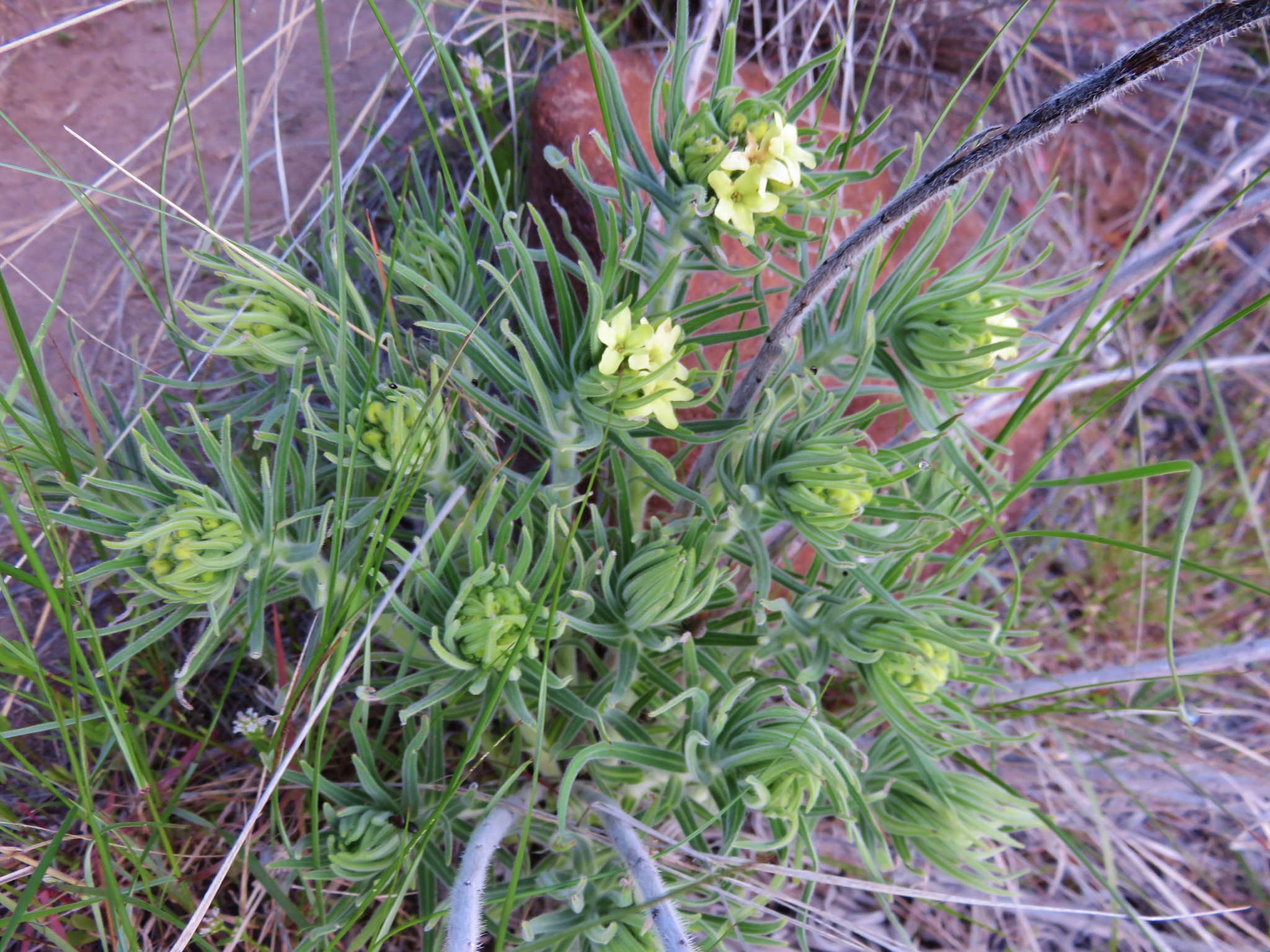 Western stoneseed
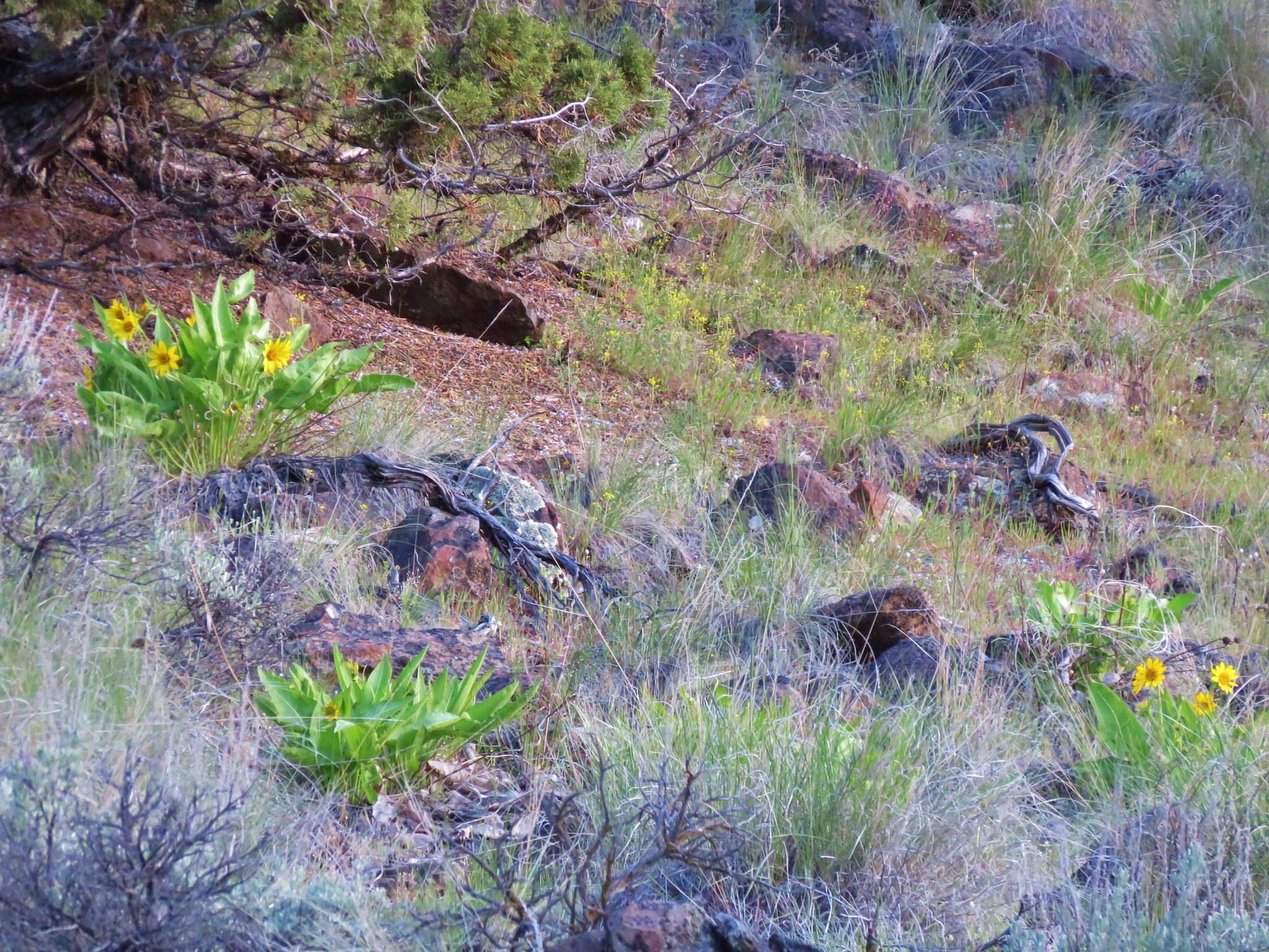 Balsamroot
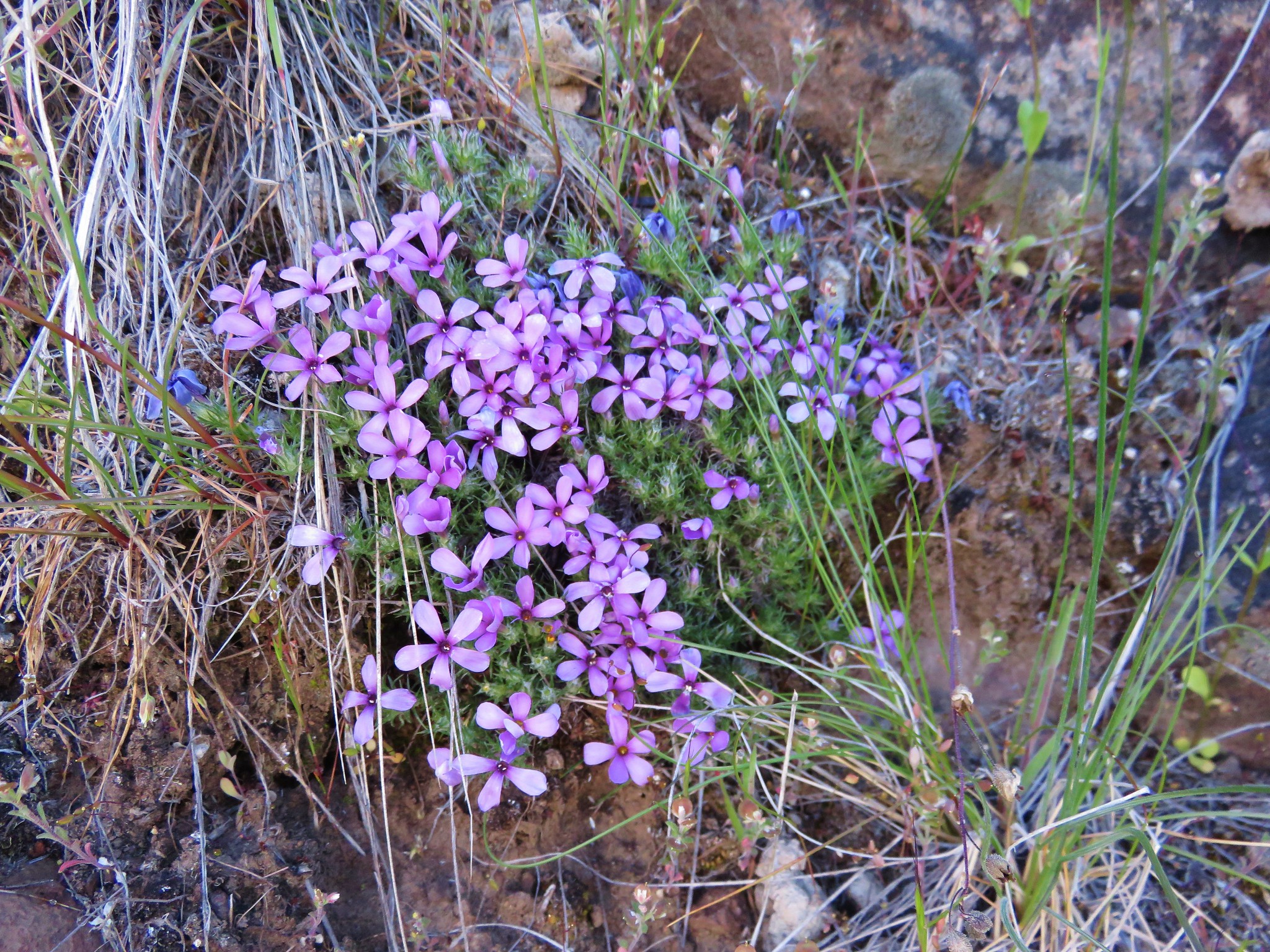 Phlox
Phlox