Categories
Central Coast Hiking Oregon Oregon Coast Trip report

Baker Beach and Rock Creek Wilderness

Since 2013 our first hike of the year has been somewhere along the Oregon Coast.  Often the weather at the coast during January is nicer than other parts of the State making it a great time to visit.  This was certainly the case this year as the first part of January saw near record snows and freezing temperatures over much of the State.  The coast had not escaped the weather entirely but by the time we headed out for our first hike of the year, things were much nicer there than at home in the Willamette Valley.

Our destination was Baker Beach Camp just north of Florence, OR. This was a change (already) to our plans for 2017 but the forecast for the area was just too good to pass up. Mostly sunny skies and a high of 48 degrees was what was being called for so we left 23 degree Salem early in the morning and headed down to Eugene then west to Florence on Highway 126.
Baker Beach Camp is located at the end of Baker Beach Road, 7 miles north of Florence along Highway 101.  The only signage along the highway was a small green street sign which I noticed just as we passed by it. After quickly turning around we turned onto the gravel road and followed it .5 miles to the camps parking area.

Baker Beach Camp

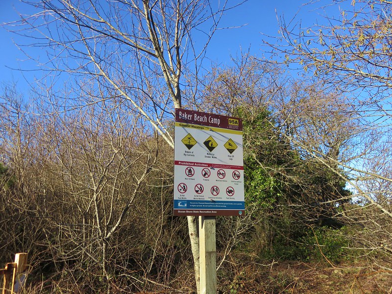
Baker Beach Camp sign

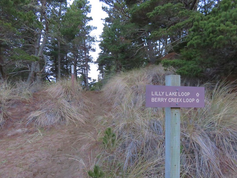
To start our hike we walked a short distance back along the road and turned left at a trail sign for the Lily Lake Loop.

Start of the Lily Lake Loop

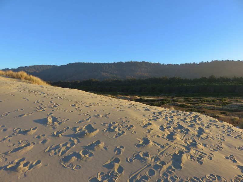
A short sandy climb brought us to a trail junction at the top of a sandy ridge.

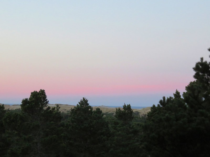
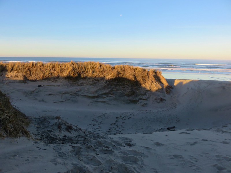
Pacific Ocean from the Lily Lake Loop Trail in the morning

The Pacific Ocean was visible beyond Baker Beach and the sand dunes.

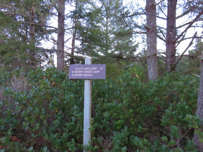
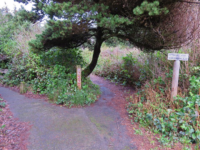
Trail signs along the Lily Lake Loop

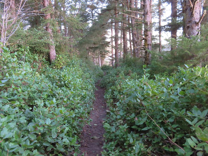
The Berry Creek Loop would have kept us up on the sandy ridge while the Lily Lake Loop dropped down and passed near Lily Lake before climbing back up to the ridge top and rejoining the Berry Creek Loop Trail. We wanted to see the lake so we followed the Lily Lake pointer passing through a salal filled forest before things opened up along the lake.

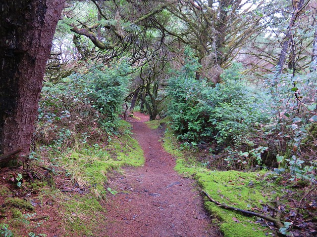
Lily Lake Loop Trail

Trail along Lily Lake

We stayed on the paths closest to the lake thinking that one would bring us right to it but instead the lake remained mostly hidden behind first a row of trees then by a reed filled marsh near it’s outlet.

Lily Lake

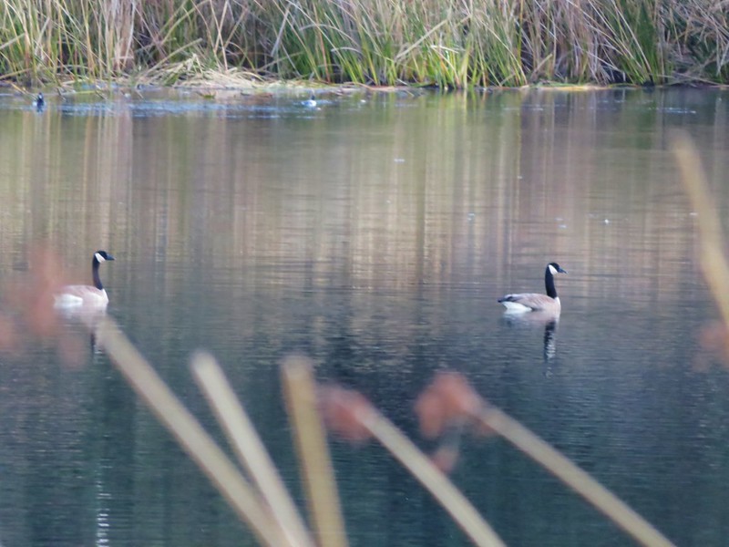
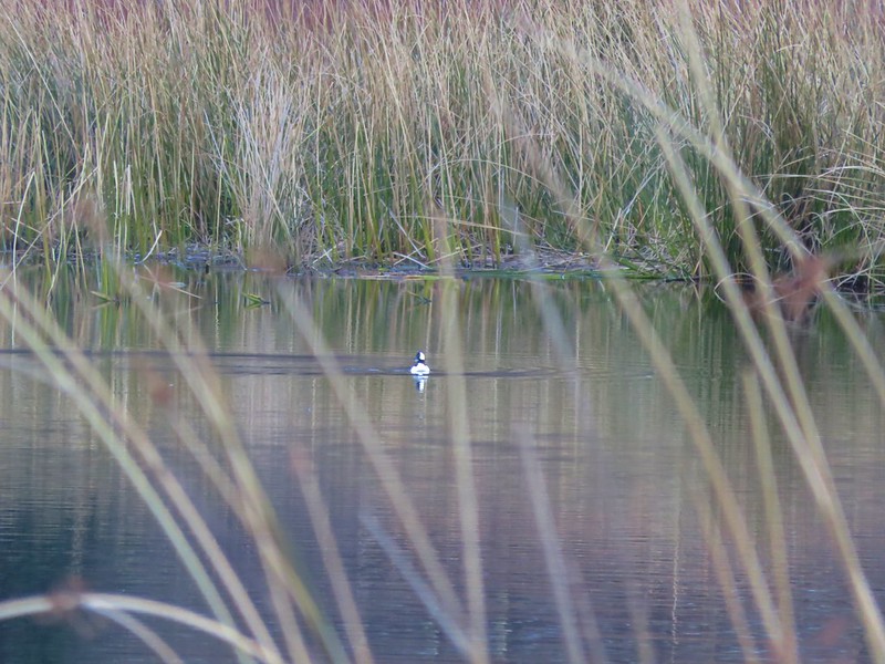
We could see that there was quite a bit of activity on the lake with several types of ducks and some Canada geese floating on the water, but it was hard to get any clear photos with the vegetation in the way.

Canada geese on Lily Lake

Bufflehead

Bufflehead on Lily Lake

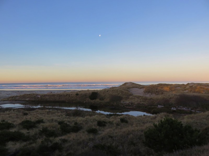
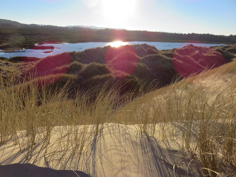
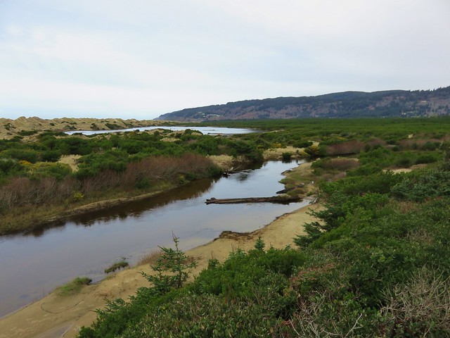
From the lake we climbed back up to the top of the Sandy Ridge which overlooked a small pond and Berry Creek flowing out toward the Pacific.

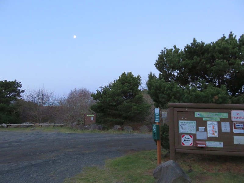
Moon over the Pacific Ocean

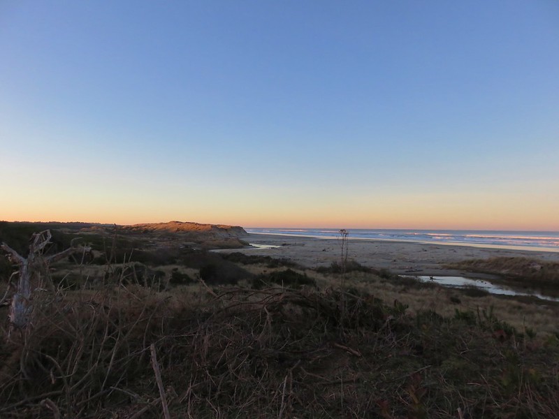
Berry Creek flowing toward the Pacific

There was no sign here and we could have followed the sandy ridge back to the junction we’d been at earlier, but instead we followed a path down to the base of the ridge which led us back to the start of the Baker Beach Trail at Baker Beach Camp. This little loop was just under 1.5 miles.

Baker Beach Trail

Here we turned right following the pointer for Baker Beach. (The Lily Lake/Berry Creek Loop continued from this junction creating an additional 1.7 mile loop to the north of the camp.)

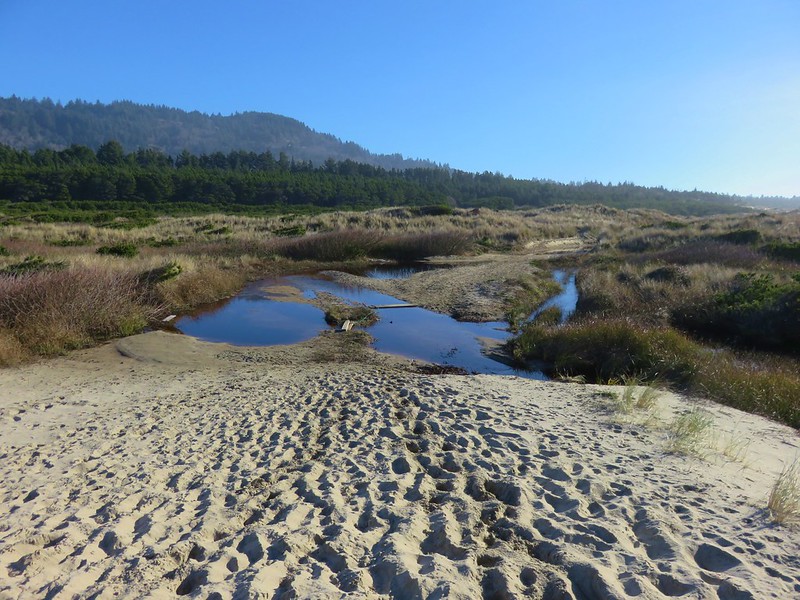
The trail passes through a deflation plain behind the beaches foredune for .4 miles.

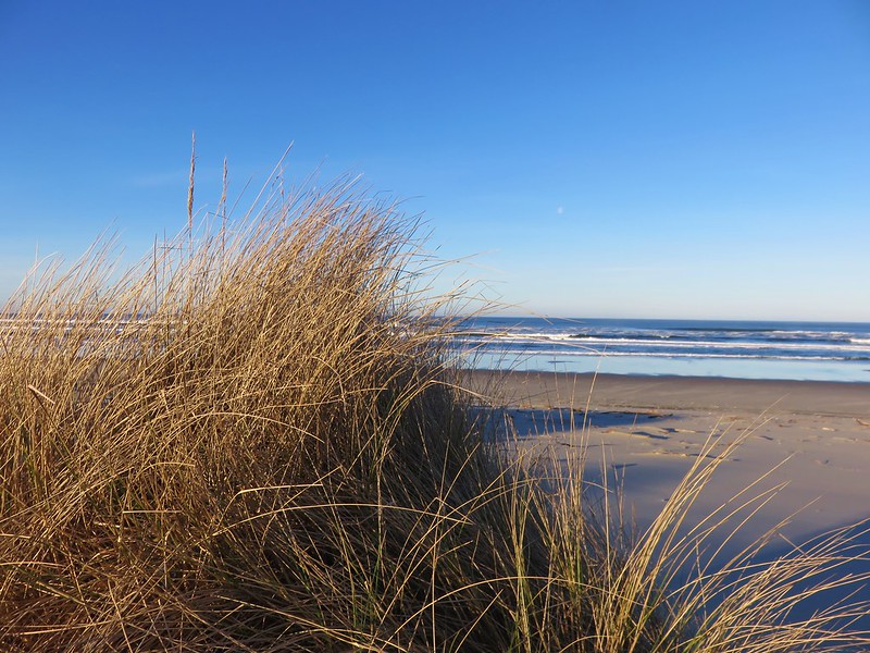
Foredune at Baker Beach

Looking north along the Baker Beach Trail

The deflation plain is the result of the dunes no longer expanding due to the loss of additional sand being blown from the beach. European bunchgrass which was introduced in the early 1900’s to help stabilize jetties but spread along the beaches and began stopping the blowing sand from leaving the beach which created the foredunes denying the dunes further inland any additional sand.

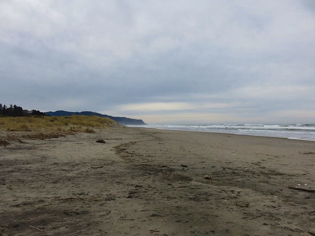
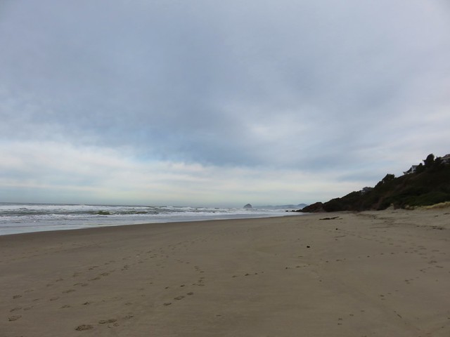
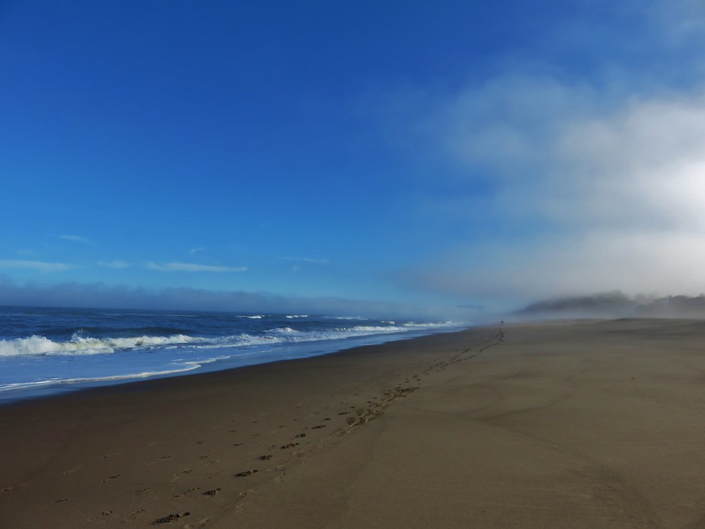
Baker Beach

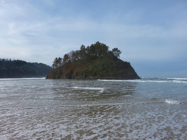
Pacific Ocean from the foredune at Baker Beach

Cape Mountain from the foredune at Baker Beach

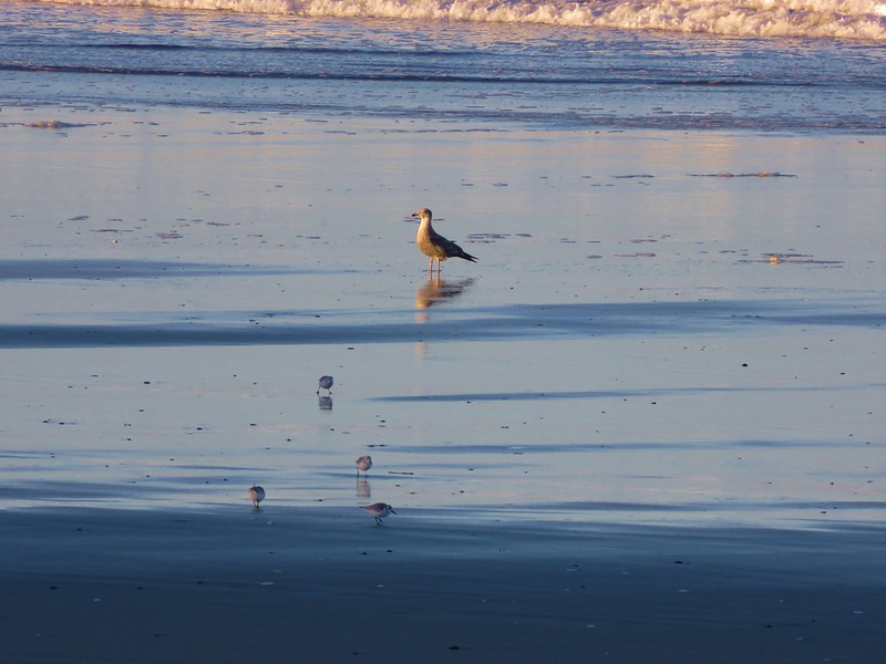
When we reached the beach we turned south heading toward Sutton Creek which was 3 miles away. Aside from a few birds we had the beach to ourselves.

Sanderlings on Baker Beach

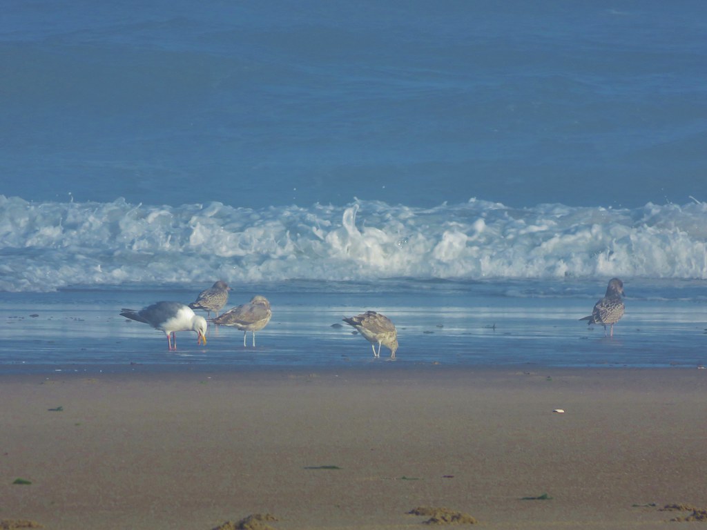
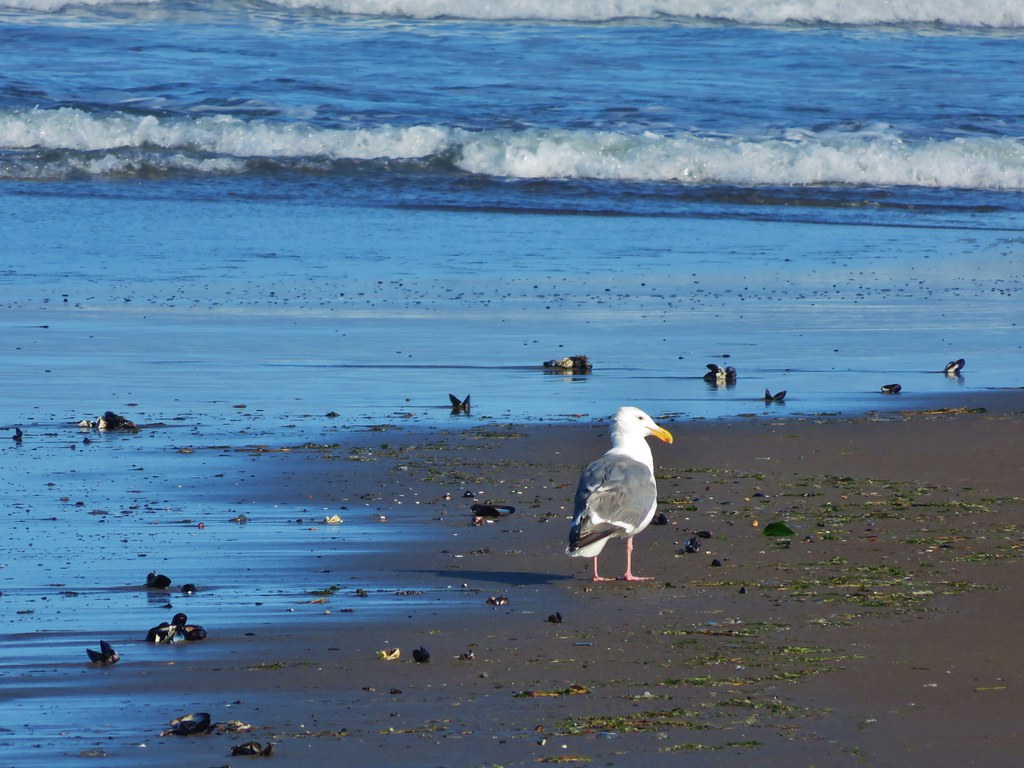
Seagull and sanderlings

After about 3/4 of a mile along the beach we climbed back up the foredune to get a look at Sutton Creek which we had visited the previous February.

Sutton Creek behind the foredune

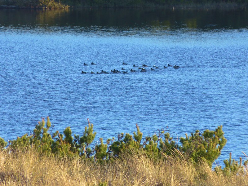
Ducks on Sutton Creek

We traveled along the foredune for a bit before dropping back down to the beach.

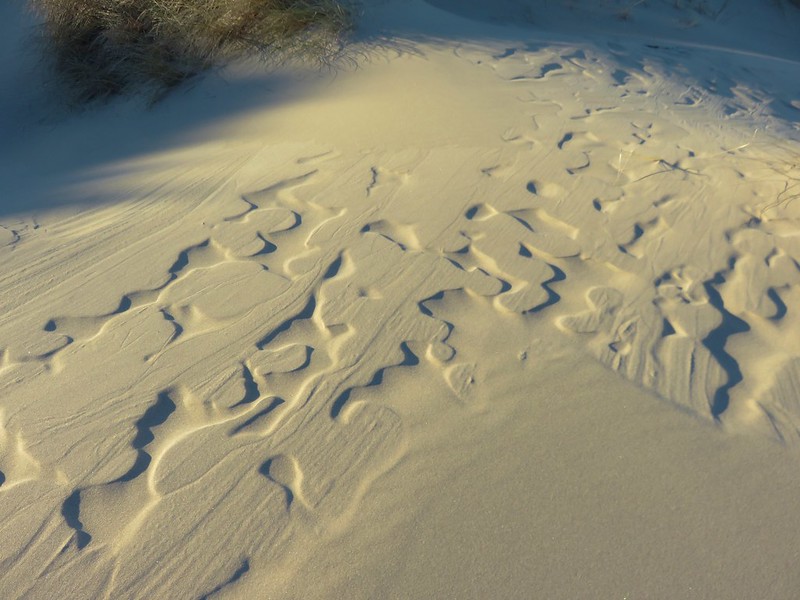
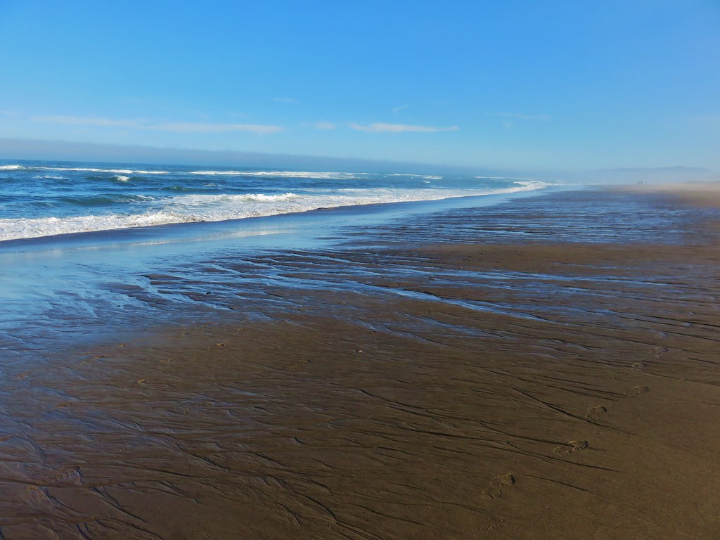
Patterns in the sand

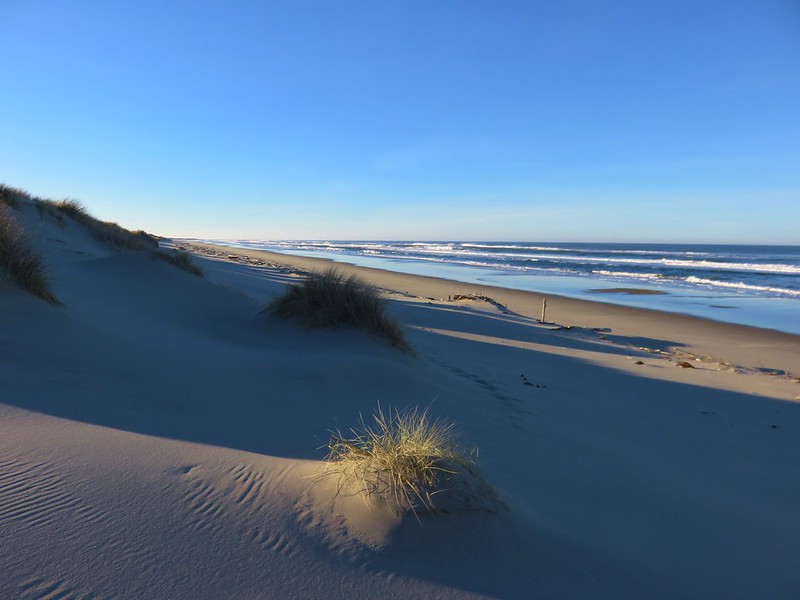
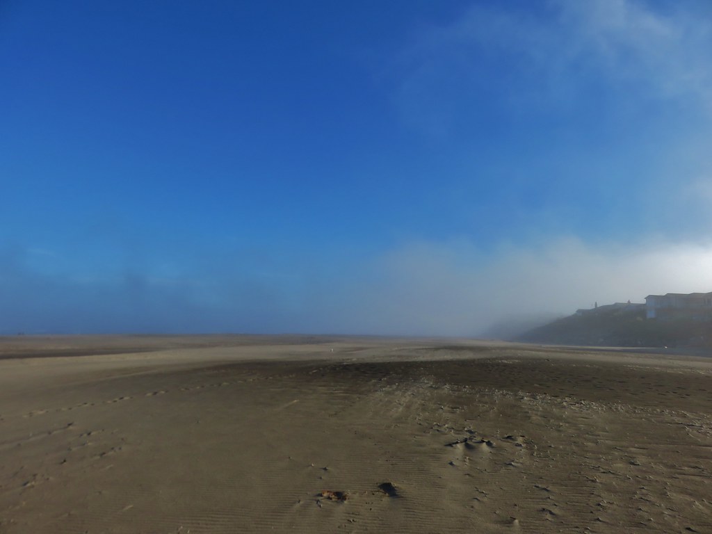
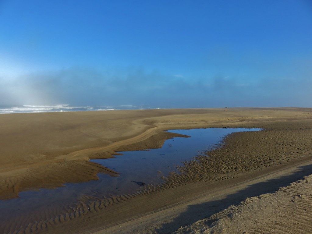
Baker Beach

We had been considering crossing Sutton Creek and continuing south along Heceta Beach another 2.5 miles to the Siuslaw River but the creek was wide and it wasn’t that warm out.

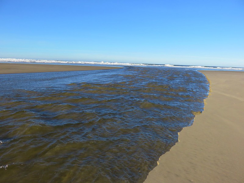
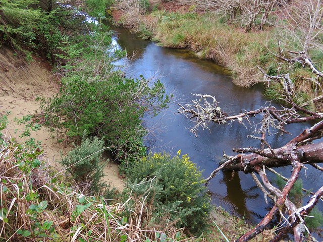
Sutton Creek

Sutton Creek

After watching several large chunks of sand fall into the creek we headed back with the Heceta Head Lighthouse blinking in the distance to the north.

Heceta Head Lighthouse from Baker Beach

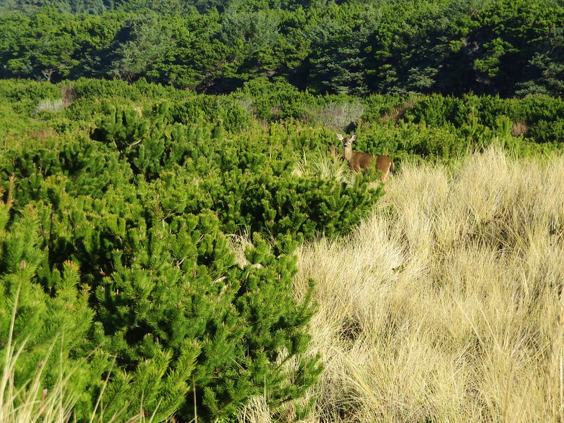
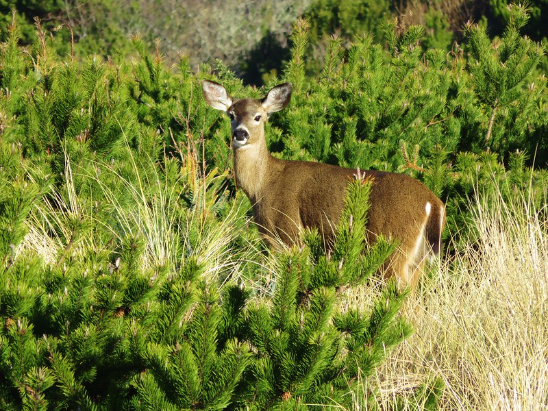
As we were recrossing the deflation plain we spotted a doe amid the grass and pines.

Heading back toward Baker Beach Camp

Doe

Doe

Since we’d cut our hike short (8.2 miles instead of the 13.2 planned) we had time to do another. We could have hiked Heceta Beach like we had planned by driving back to Florence and parking at the end of South Jetty Road, but we had noticed that that beach was already busy when we were at Sutton Creek earlier. We preferred something a little less crowded which led us to the Rock Creek Wilderness.

This was one of the wilderness areas that we had yet to visit and it was just another 8 miles north on Highway 101 from Baker Beach Road. We hopped in our car and drove to the gated entrance to the Rock Creek Campground.

Rock Creek Campground sign along Highway 101

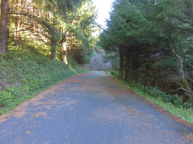
The campground was closed for the season so we had to walk along the paved entrance road for approximately .4 miles.

Road to Rock Creek Campground

There had been one other vehicle parked at the gate and we passed it’s owner on his way back up from the campground area. The little campground was located right along Rock Creek.

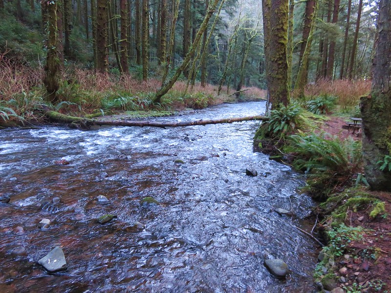
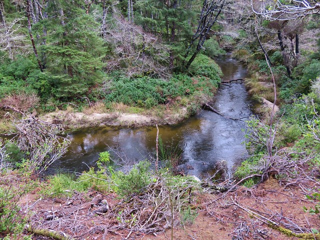
Rock Creek

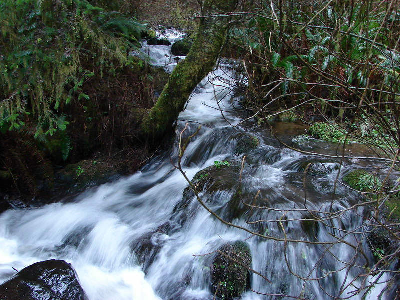
Rock Creek

The 7,486 Rock Creek Wilderness was designated as such in 1984 and has no Forest Service developed or maintained trials. That being said there is a use trail leading from the end of the Rock Creek Campground that can be followed into the wilderness.

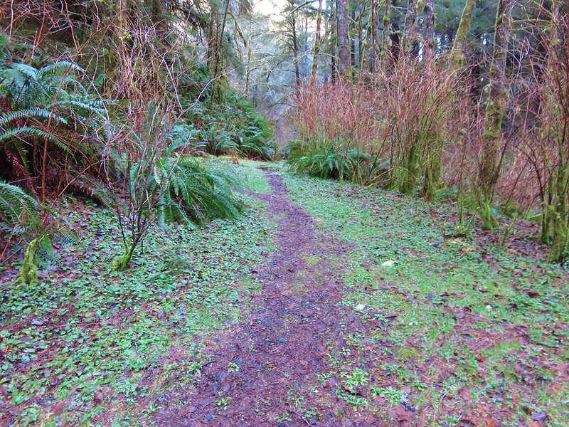
Use trail leading from the Campground into the Rock Creek Wilderness

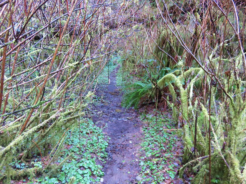
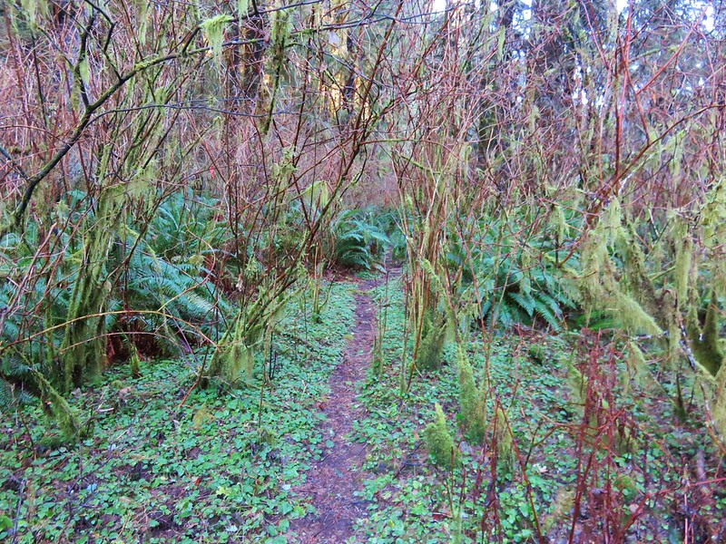
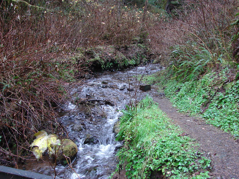
The path was brushy and narrow but passable as it followed along the creek.

Use trail in the Rock Creek Wilderness

Rock Creek Wilderness

Rock Creek

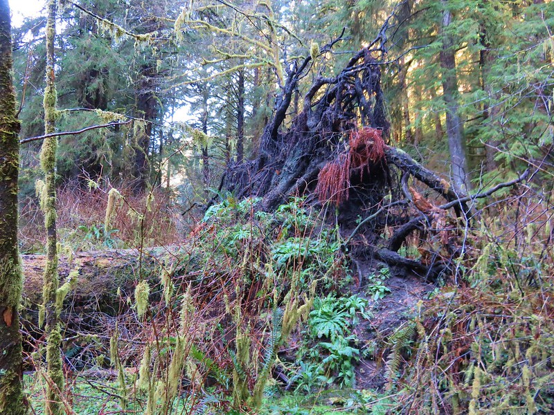
Occasional flagging was present but really unnecessary as the brush was so thick that we had to follow the path in order to keep moving forward. The only real obstacle to speak of was a large downed tree that had fallen over the best path, but game trails led around the root ball.

BIg tree down in the Rock Creek Wilderness

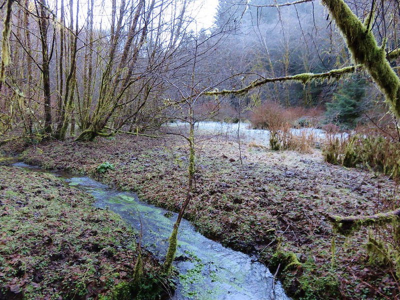
Without an official trail there were no signs to mark the beginning of the wilderness area so we just followed the path as long as we could. After awhile the path led into a frosty meadow where the canyon widened.

Frosty meadow in the Rock Creek Wilderness

It was a muddy in spots but enough of the ground was still frozen to make it passable. Elk and deer sign were everywhere. It was a beautiful spot with the white frost contrasted against the green of a coastal forest while rays of sunlight attempted to penetrate the canopy.

Frosty meadow in the Rock Creek Wilderness

Sunlight through the trees in the Rock Creek Wilderness

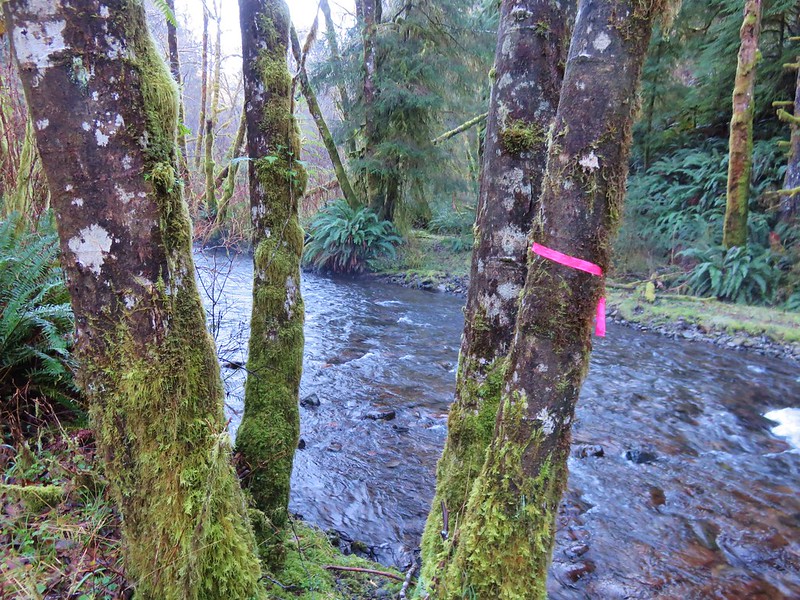
The sound of water flowing on every side only added to the ambiance. There was more flagging at the far end of the meadow and some on the far side of Rock Creek but again this wasn’t a day for fording creeks so we declared victory here and turned around.

Our turn around point (too cold to ford the creek today)

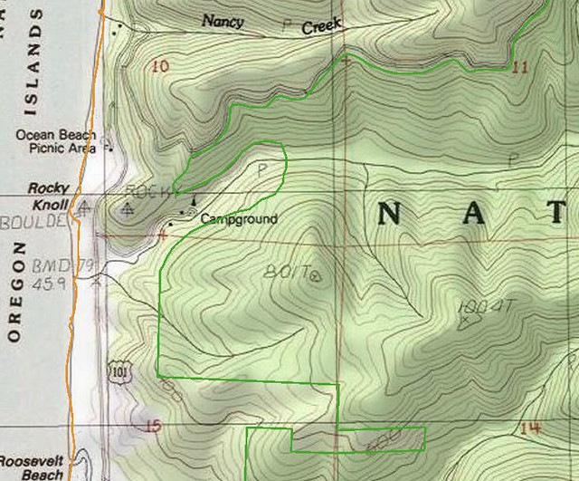
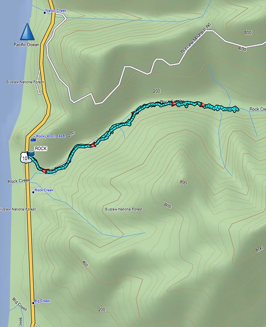
When we got home I wanted to make sure we’d actually made it into the wilderness so I pulled up the interactive map on Wilderness.net. The actual wilderness boundary bows away from the Rock Creek Campground making it further up along the creek than I had thought, but comparing our GPS track to that map showed we had managed to get about .4 miles into the Rock Creek Wilderness.

The Wilderness.net map

Rock Creek Wilderness

Our GPS track

Rock Creek Wilderness Track

On a warmer day when you don’t mind spending some time in the creek it’s possible to get further into the wilderness as this trip report indicates.a href=”http://www.cascadiahiking.com/2012/08/rock-creek-wilderness-no-trail-no.html” target=”_blank”>Cascadia Hiking

Our adventure was only 2.2 miles round trip including the road walk to and from the campground but the solitude and remote feeling of the Rock Creek Wilderness made it seem much more removed from civilization.

With that our 2017 hiking year is officially under way. We checked off our 27th Oregon Wilderness Area and still have 18 to go, 4 more of which are planned this year. Happy Trails!

Flickr: https://www.flickr.com/photos/9319235@N02/albums/72157679106715756

Categories
Central Coast Coastal Range Hiking Oregon Oregon Coast Trip report

Florence Area Trails

It’s been over a month since our last hike and I was beginning to go a bit stir crazy so when the forecast called for a mostly sunny Saturday we jumped on the chance and hit the trails.  We try and make sure our hikes are long enough so that we spend as much or more time hiking rather than driving.  On this day we did this by visiting several shorter trails near Florence, OR.

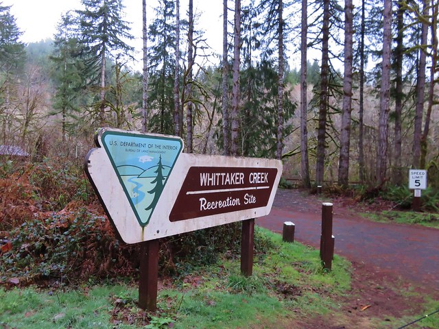
We started the day at the Whittaker Creek Recreation Site just off Highway 126.
Whititaker Creek Recreation Site sign

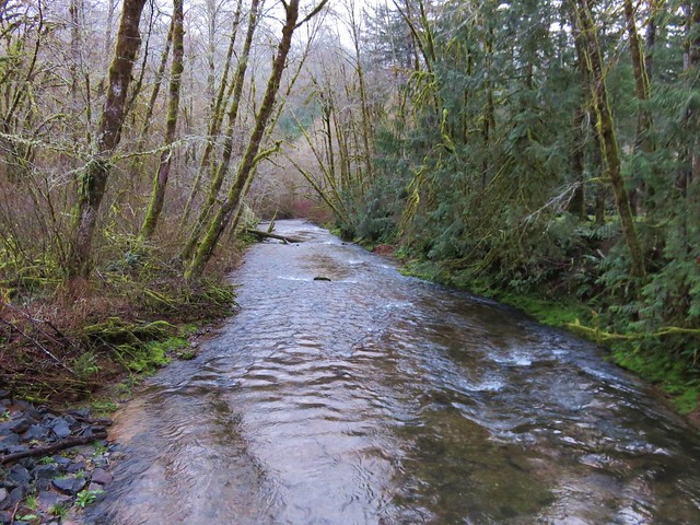
From there we walked through the campground and headed across Whittaker Creek on a footbridge.
Footbridge over Whittaker Creek

Whittaker Creek

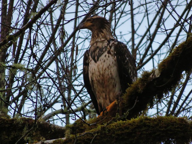
A young bald eagle had flown over our heads and landed in a tree along the creek and allowed us to get fairly close before taking flight again.
Bald Eagle flying over Whittaker Creek

Bald Eagle

Bald Eagle taking off

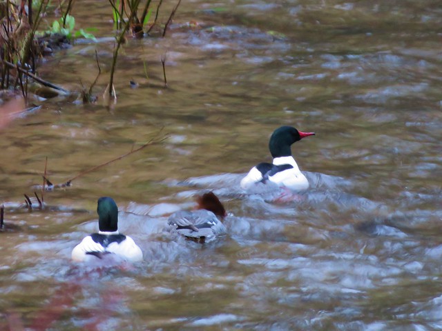
Meanwhile some common mergansers were floating the creek.
Mergansers

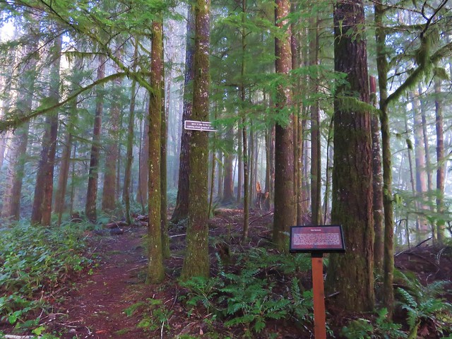
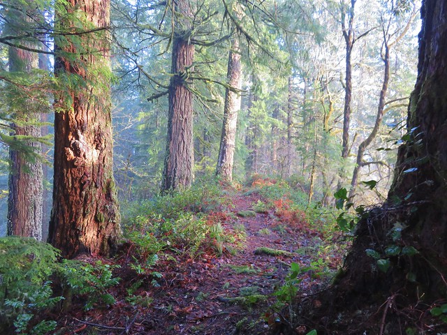
From the NW end of the campground we took the Old Growth Trail 1.2 miles up to the summit of the ridge. A mix of sunlight and morning fog created some interesting lighting in the forest.
Old Growth Ridge Trailhead sign

Old Growth Ridge Trail

Old Growth Ridge Trail

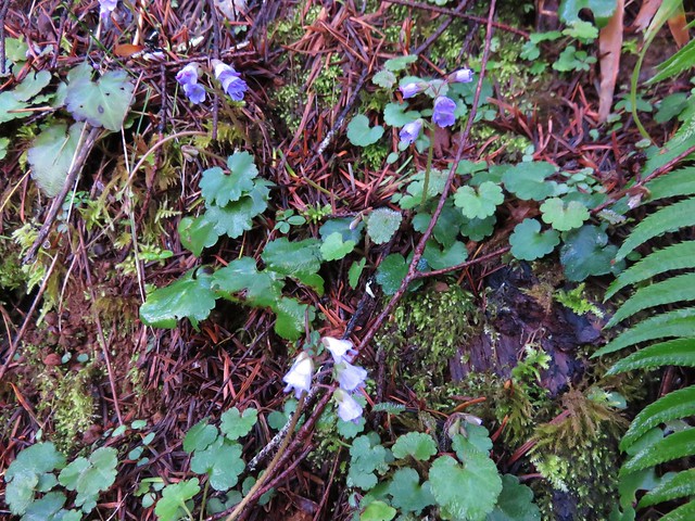
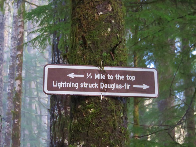
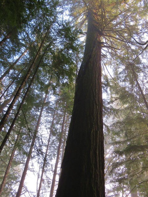
Along the way up we spotted a number of little snow queen flowers and stopped at a tall Douglas fir tree that had been struck by lighting at some point.
Snow Queen

Sign along the Old Growth Ridge Trail

Lightning struck Douglas fir

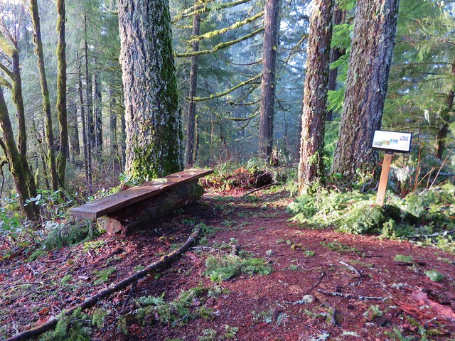
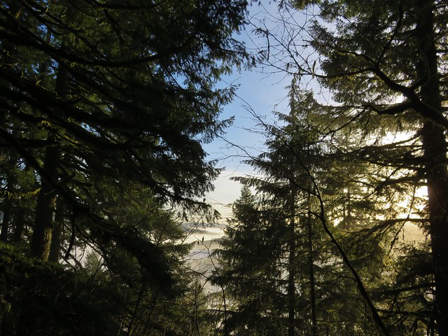
At the summit were benches and a sign giving the history of the trail. The low clouds and fog hid much of the view on this day.
Summit of the Old Growth Ridge Trail

Interpretive sign at the summit of the Old Growth Ridge Trail

View from the summit of the Old Growth Ridge Trail

On the way back down we turned on the signed Armantrout Loop Trail which led back to the campground in 1.5 miles.
Armantrout Loop Trail

There were a few spots of blowdown along this trail that were easily passed and numerous interpretive signs to stop and read.
Just a little blowdown along the Armantrout Loop Trail

After returning to our car we continued west on Highway 126 to Mapleton and turned west on Sweet Creek Road for 10.2 miles to the Homestead Trailhead.
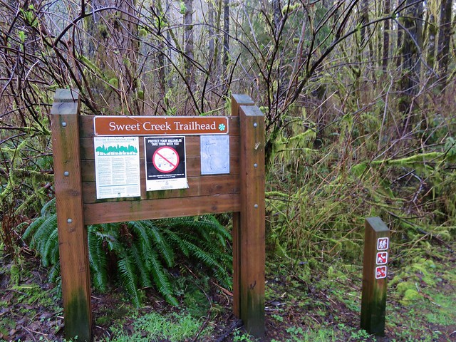
Swee Creek Trailhead

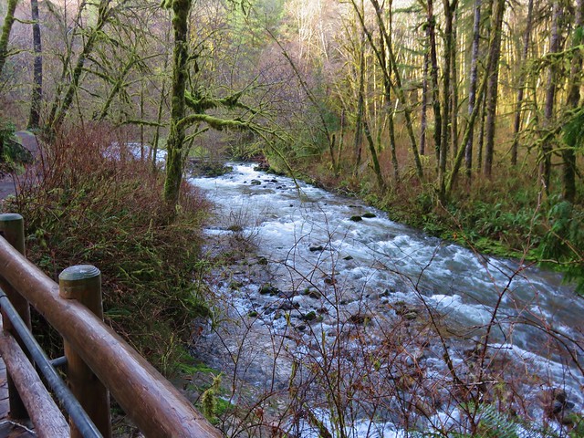
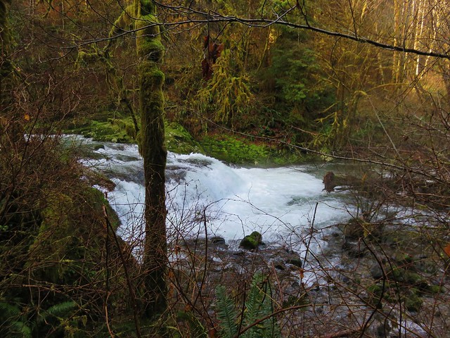
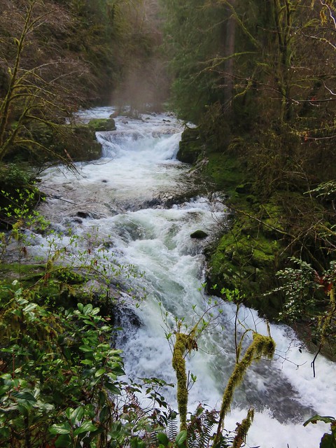
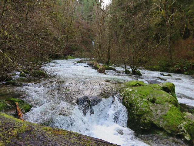
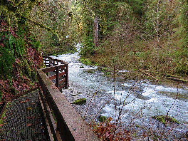
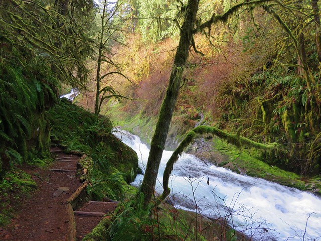
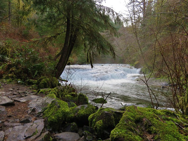
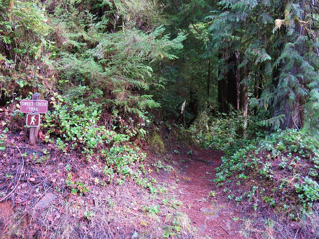
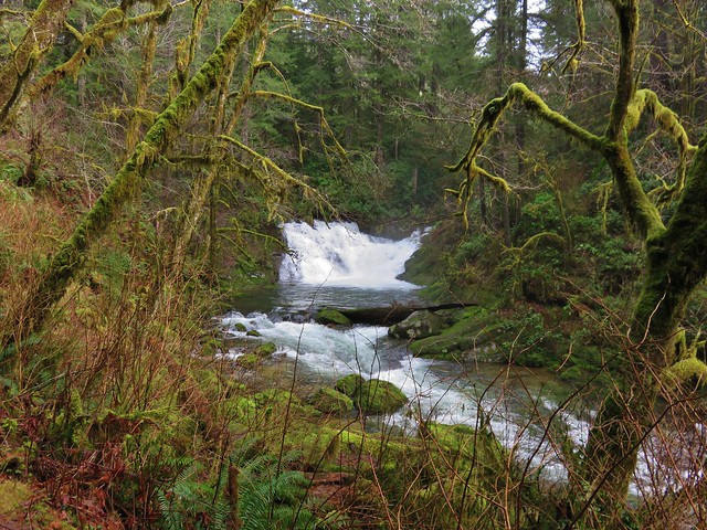
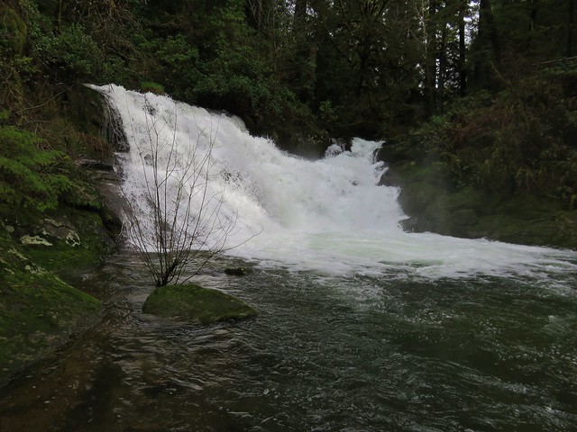
There are a total of four trailheads that access the Sweet Creek Trail with the Homestead Trailhead being the most northerly. From there we followed the Sweet Creek Trail south for .9 miles to a junction with the connector trail from the second trailhead. Both the creek and surrounding forest were beautiful. A series of small falls and cascades line this section of Sweet Creek and on this day there was plenty of water flowing over them.
Sweet Creek

Small fall on Sweet Creek

Sweet Creek

Sweet Creek

Sweet Creek Trail

Sweet Creek Trail
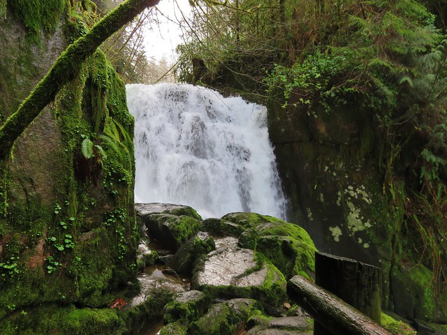
Annice Falls
Sweet Creek and Annice Falls

Sweet Creek

Small cascade along Sweet Creek

Unnamed waterfall (possibly seasonal) on the far side of Sweet Creek

Unnamed waterfall (possibly seasonal) on the far side of Sweet Creek

Elk Wallow Falls
Elk Wallow Falls

Trail sign along the Sweet Creek Trail

From the junction another scenic half mile of the Sweet Creek Trail brought us to Sweet Creek Falls and the end of the trail.
Sweet Creek Falls

Sweet Creek Falls

A short trail leads up to an upper viewpoint.
Sweet Creek Falls from the upper viewpoint

It is possible during lower flow times to cross the creek below the falls and pick up the continuation of the Sweet Creek Tail on the far side, but that wasn’t going to happen given the volume of water that was currently flowing over the falls. After returning to the Homestead Trailhead we drove to the Wagon Road Trailhead 1.3 miles further south along Sweet Creek Road.
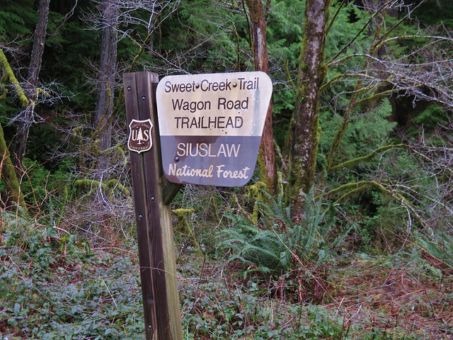
Wagon Road Trailhead for the Sweet Creek Trail

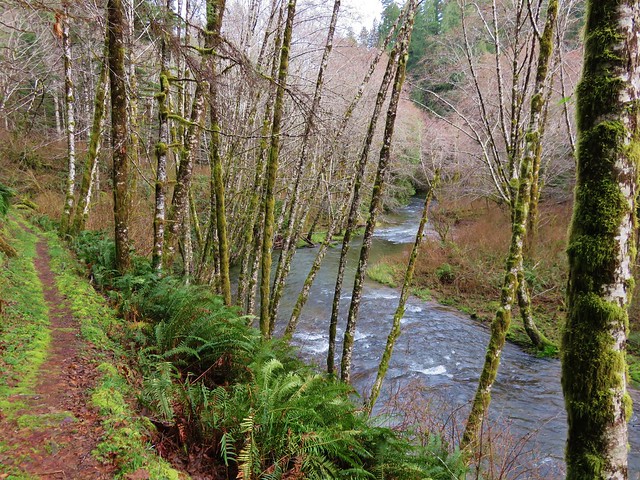
The Sweet Creek Trail heads away from the road in both directions from this trailhead. We began with the segment on the west side of Sweet Creek Road which would lead bus back down to Sweet Creek Falls on the opposite side of the creek.
Sweet Creek Trail

Sweet Creek Falls

Sweet Creek Falls

Sweet Creek Falls

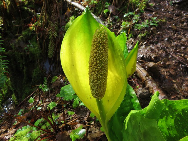
Near the bottom of this trail were a number of skunk cabbage flowers.
Skunk cabbage

After visiting the base of Sweet Creek Falls we returned to the Wagon Road Trailhead and took the .6 mile segment of the Sweet Creek Trail to Beaver Creek Falls.
Sweet Creek Trail

Beaver Creek Falls

Beaver Creek Falls

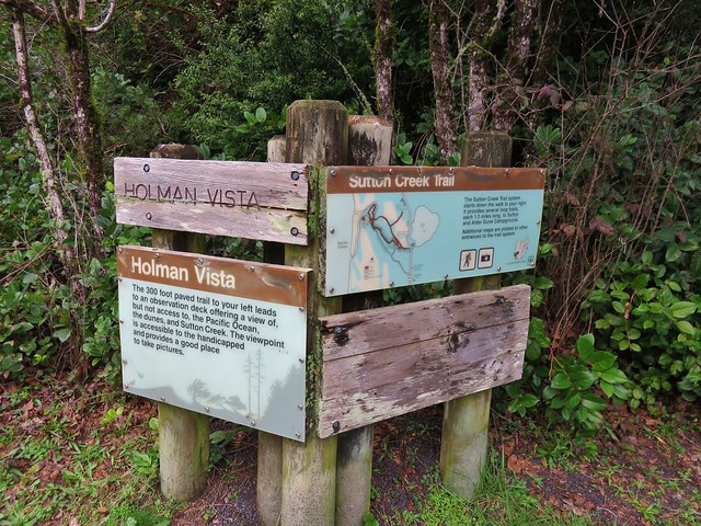
We left the Wagon Road Trailhead and headed back to Highway 126 and headed toward Florence. We made a quick stop at Florence Yamaha to pick up a Northwest Forest Pass which we needed for our final hike at the Holman Vista Day Use Area just north of Florence.
Sutton Creek Trailhead

We started this hike by taking a short paved path to an overlook of Sutton Creek and a glimpse of the Pacific Ocean.
Sutton Creek

Sutton Creek and the Pacific Ocean

Next we set off on the Sutton Creek Loop Trail which led along Sutton Creek through a coastal forest .8 miles to a trail junction near Bolduc’s Meadow.
Sutton Creek Trail

Sutton Creek Trail

Crazy tree along the Sutton Creek Loop Trail.
Crazy tree along the Sutton Creek Trail

Sutton Creek

Sutton Creek

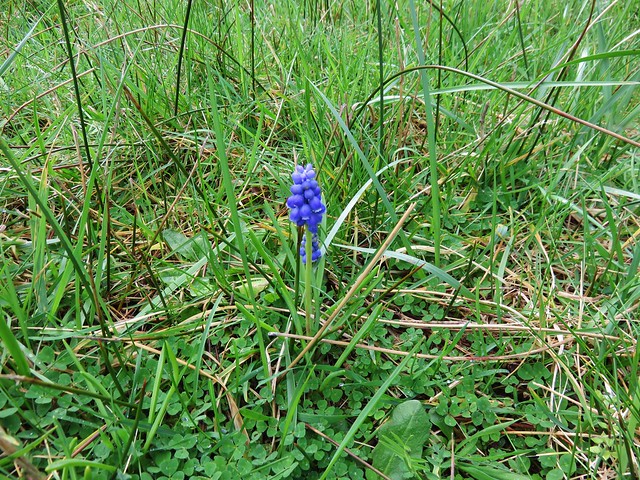
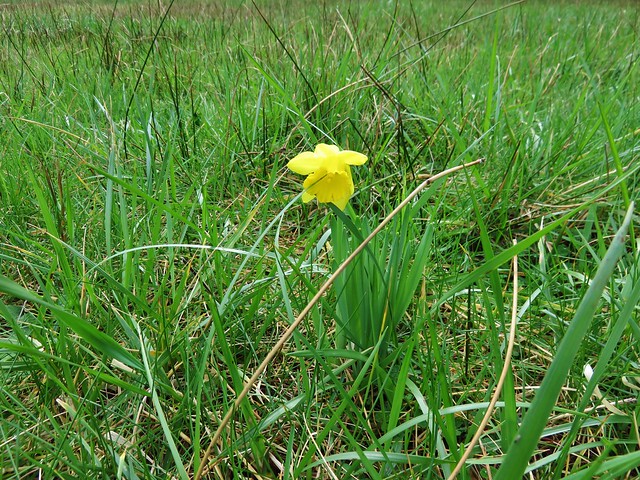
We kept straight at the junction passing Bolduc’s meadow where we spotted a lone daffodil and a single grape hyacinth.
Bolduc's Meadow

Daffodil in Boluduc's Meadow

Grape Hyacinths

We were now on the South Sutton Creek Trail which continued to follow the creek for 1.5 miles of short ups and downs. This trail brought us to the Sutton Campground where we picked up the continuation of the trail at a footbridge near site B16.
Footbridge across Sutton Creek

After crossing the footbridge we had the option to go left or right on the North Sutton Creek Trail. The left hand trail led a quarter mile to a dune while the right and would have brought us to the same dune on a .6 mile loop.
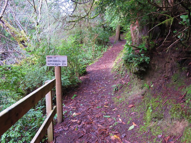
Sutton Creek Trail

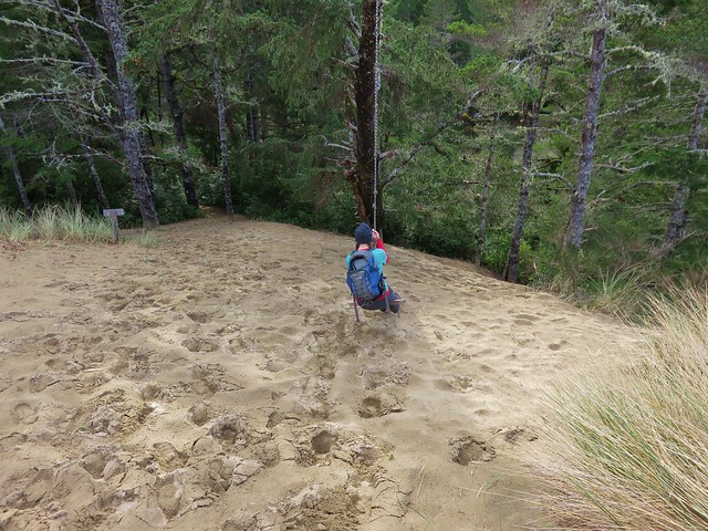
At the dune we found a swing which Heather made use of.
Sutton Creek Trail

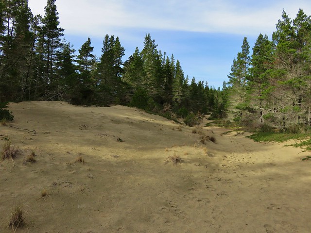
Dune along the Sutton Creek Trail

Swing break along the Sutton Creek Trail

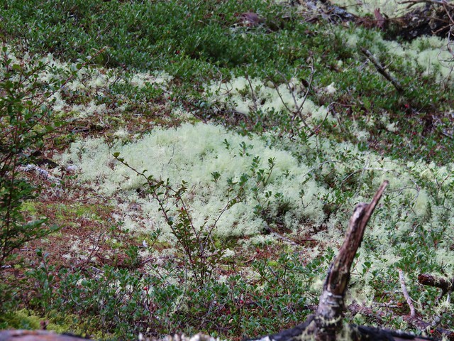
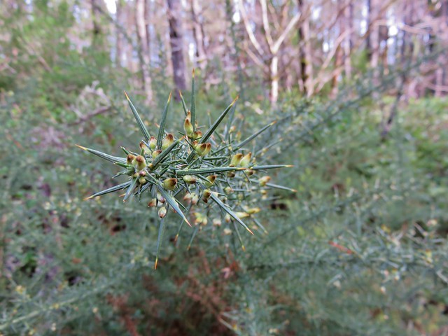
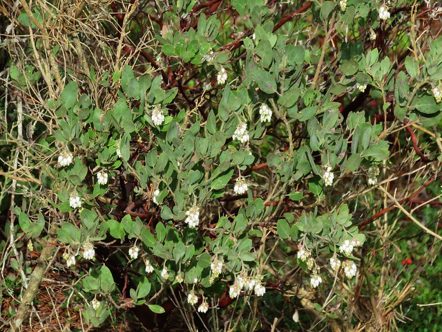
From the swing we followed the North Sutton Creek Trail for 1.3 miles back to the trail junction near Bolduc’s Meadow. This section of trail passed dunes with a less dense forest. Common gorse and manzanita was beginning to bloom along the trail and some areas were covered in a light green moss that reminded us of snow.
Sutton Creek Trail

Moss

Common Gorse
common gorse

common gorse//embedr.flickr.com/assets/client-code.js

Common manzanita
Common manzanita

Sutton Creek Trail

Bearberry
Bearberry

Dunes along the Sutton Creek Trail

Footbridge across Sutton Creek to the trail junction near Buldoc’s Meadow
Fottbridge over Sutton Creek near Buldoc's Meadow

After crossing the footbridge we turned right and then quickly turned left on an unsigned trail which led us .5 miles back to the parking lot at the Holman Vista Day Use Area.

We had a great time on these trails and it was nice that they were all very different from one another. We wound up doing a little over 13 miles of hiking but each of these trails are worthy of doing on their own. The Old Growth Ridge/Armantrout Loop hike was approximately 3.5 miles with about 800′ of elevation gain. Our first hike along Sweet Creek from the Homestead Trailhead was a little under 2.5 miles with 350′ of elevation gain while the segments from the Wagon Road Trailhead totaled just under 3 miles and 300′ of elevation gain. The hike on the Sutton Creek Trails was 4.5 miles with only about 100′ of total elevation gain. Happy Trails!

flicker: https://www.flickr.com/photos/9319235@N02/albums/72157662585681453

Categories
Central Coast Hiking Oregon Oregon Coast Trip report

Salishan Spit

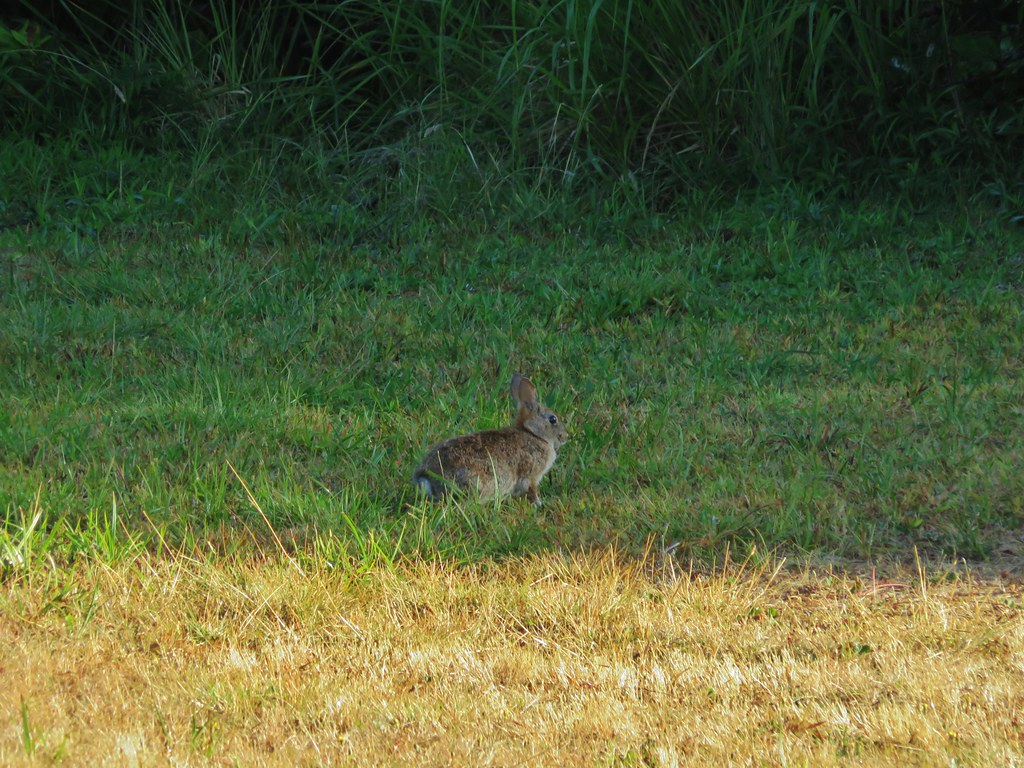
Every August we head to Gleneden Beach for a family reunion, and almost every year we consider hiking Salishan Spit due the starting point being less than a mile from the site of the reunion. We had consistently passed on it though in favor of doing a wildflower hike in the mountains the day after instead. With the wildflower season over early this year it was a perfect time to finally check out the spit. We started at the Gleneden Beach Wayside south of Lincoln City, OR. The wayside consisted of a large parking area, picnic tables, restrooms, and a large gazebo. A rabbit was the only one present when we arrived.
IMG_7066

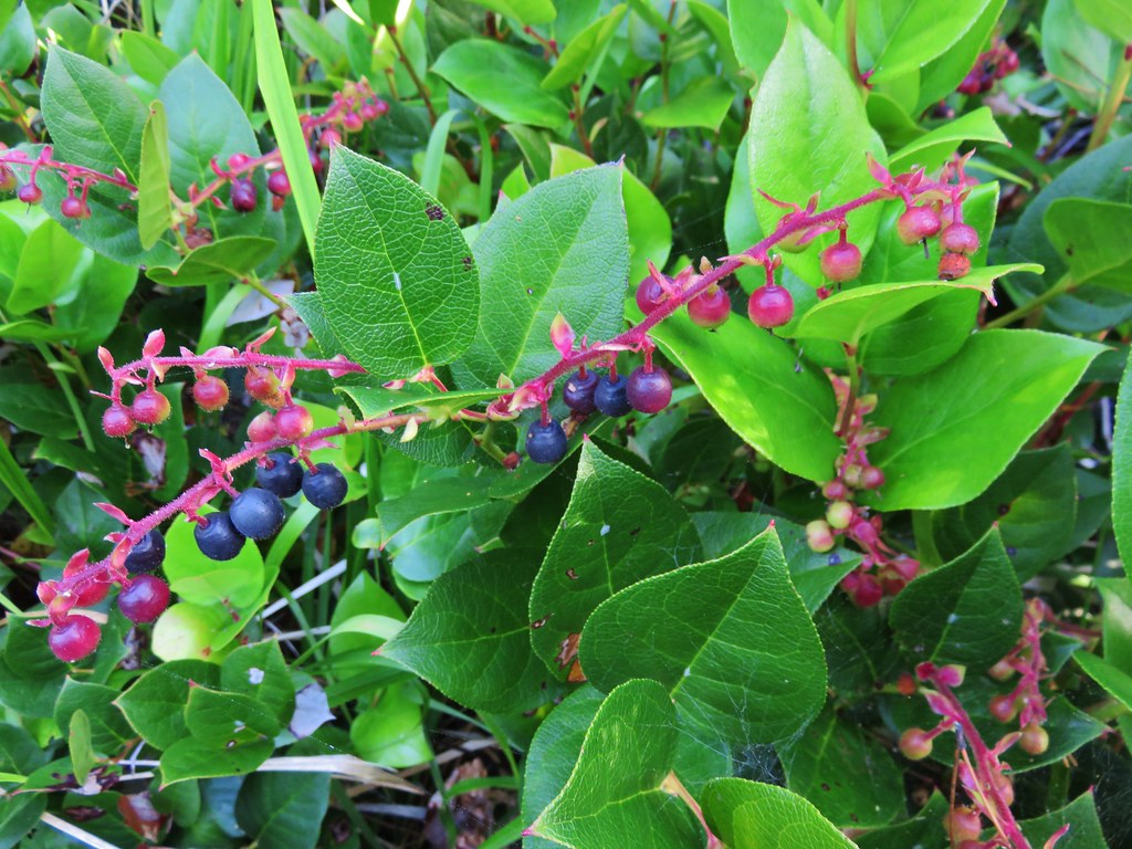
The area was full of salal berries which are edible but not one of our favorites.
IMG_7068

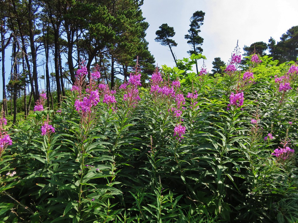
There were a few flowers at the wayside as well.
IMG_7244

IMG_7246

A short path led through a small stand of trees and down to the beach.
IMG_7069

IMG_7071

IMG_7072

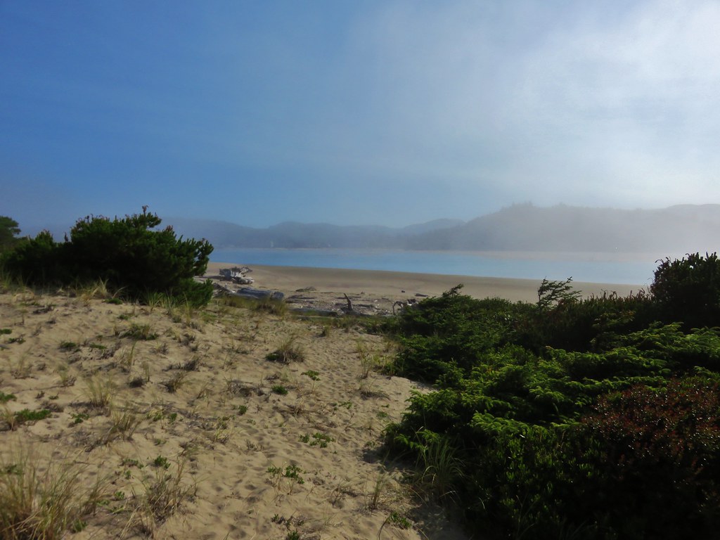
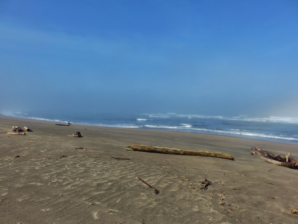
It was a weird day at the beach. We had been having a heat wave in the Willamette Valley with highs over 100 degrees and our drive to the coast had been under bright blue skies. When we had arrived at Lincoln City the sky was still blue but there was a big wall of clouds visible off-shore over the Pacific. As we drove south down Highway 101 toward Gleneden Beach the blue sky was replaced by fog. It was blue sky again at the wayside, but when we reached the beach we saw that we were in a pocket of blue amid the fog. The bank of clouds off-shore was also visible.
IMG_7075

IMG_7076

IMG_7083

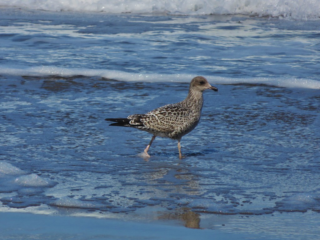
We headed north along the beach. The tide was out as we watched seagulls search for snacks in the surf.
IMG_7087

IMG_7078

IMG_7099

IMG_7097

The beach was fairly free of debris but there were a few items to inspect including some nice drift wood.
IMG_7098

IMG_7101

IMG_7103

IMG_7104

IMG_7107

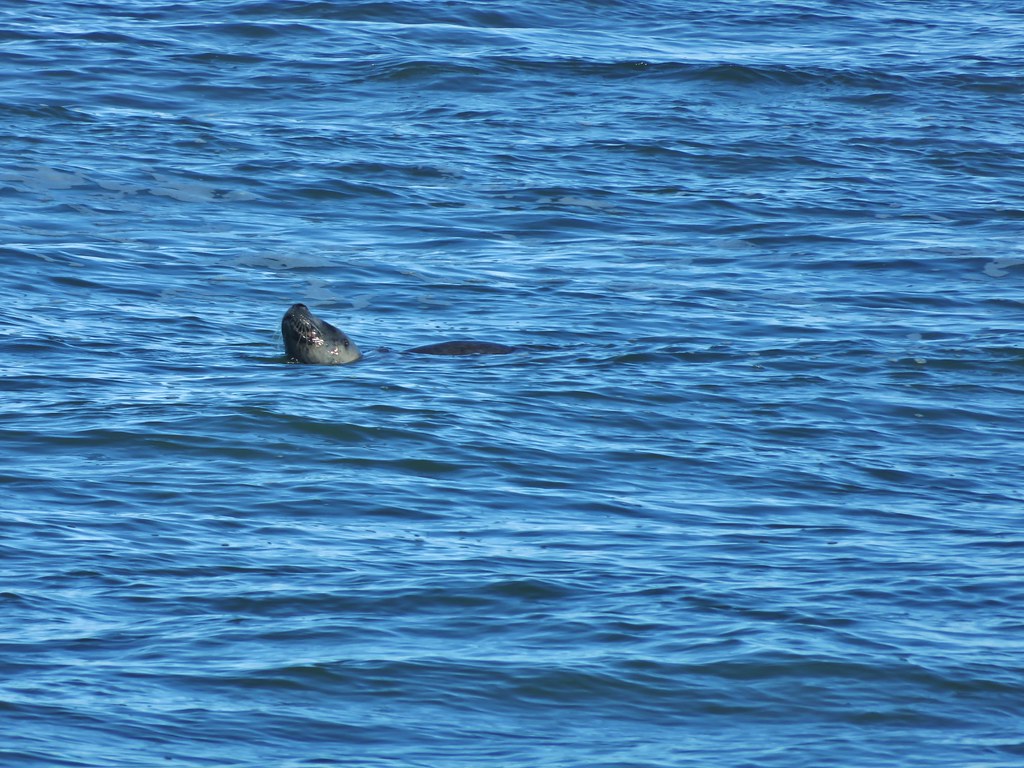
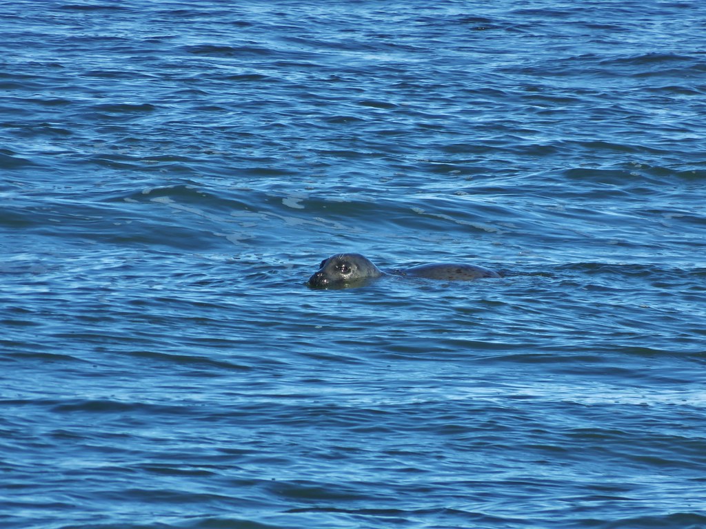
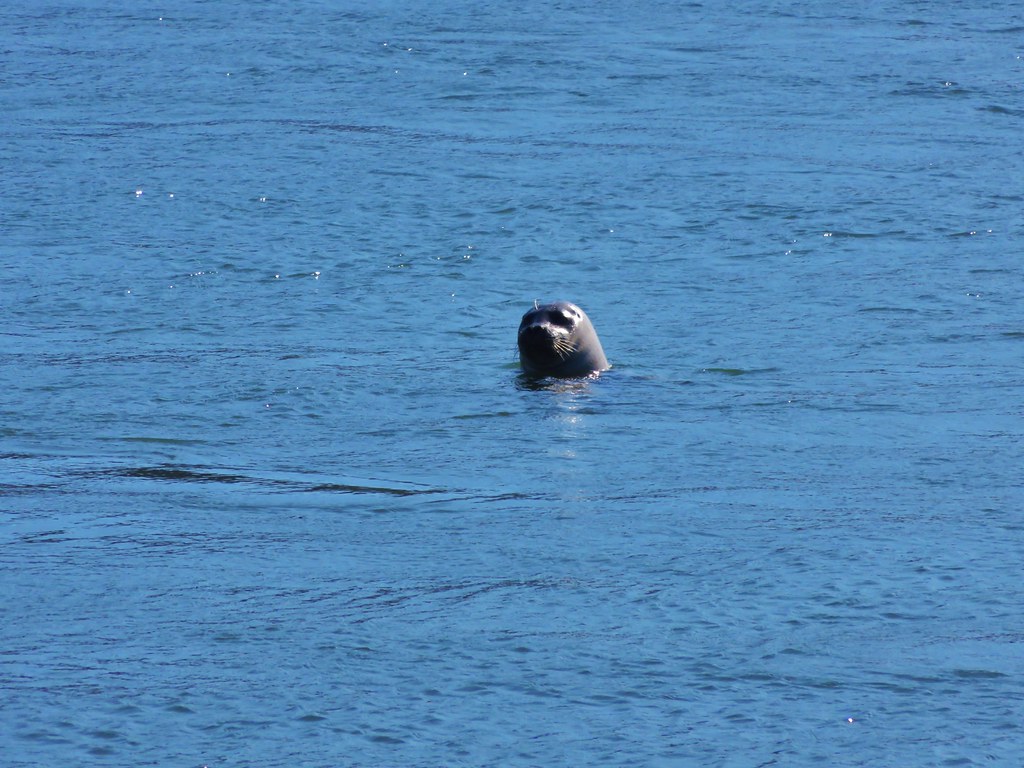
One of the things we were looking forward to on this hike was the possibility of seeing some seals. We spotted the first one of the day in the ocean about half way down the spit.
IMG_7109

IMG_7110

IMG_7113

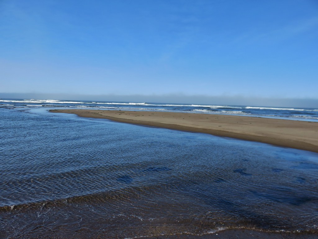
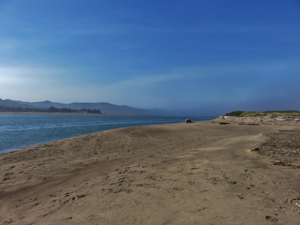
The spit ends where Siletz Bay meets the Pacific Ocean.
IMG_7114

IMG_7128

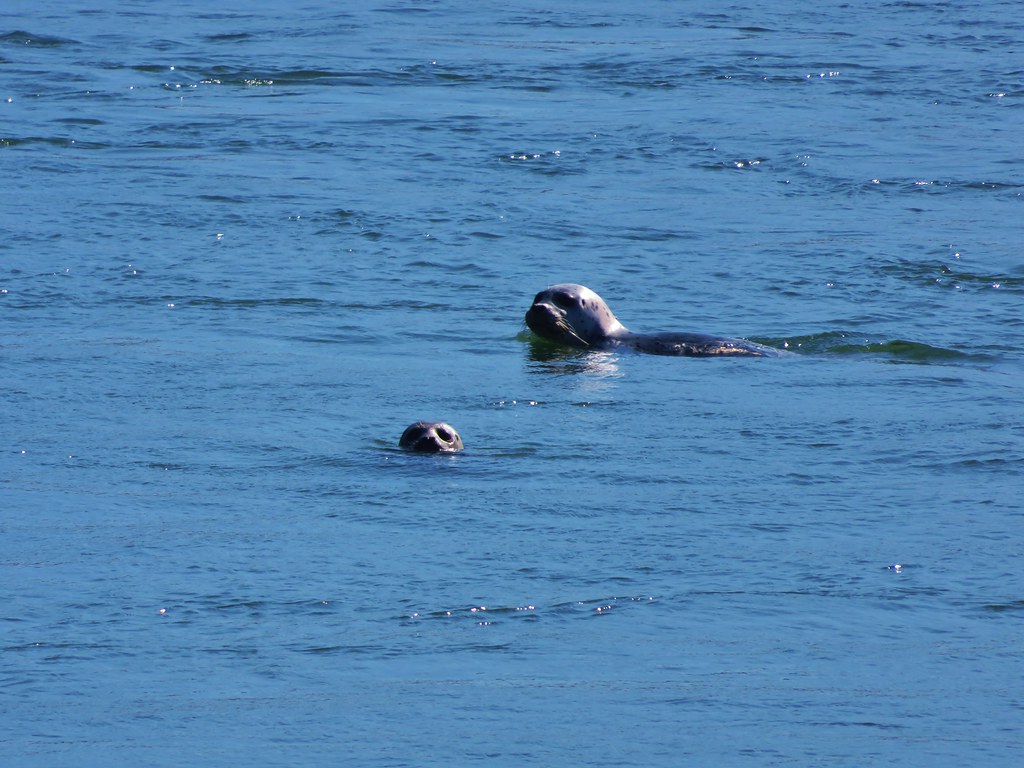
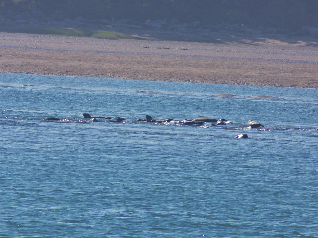
As we walked around the end of the spit we spotted many seals floating past on their way back out to the ocean.
IMG_7135

IMG_7137

IMG_7143

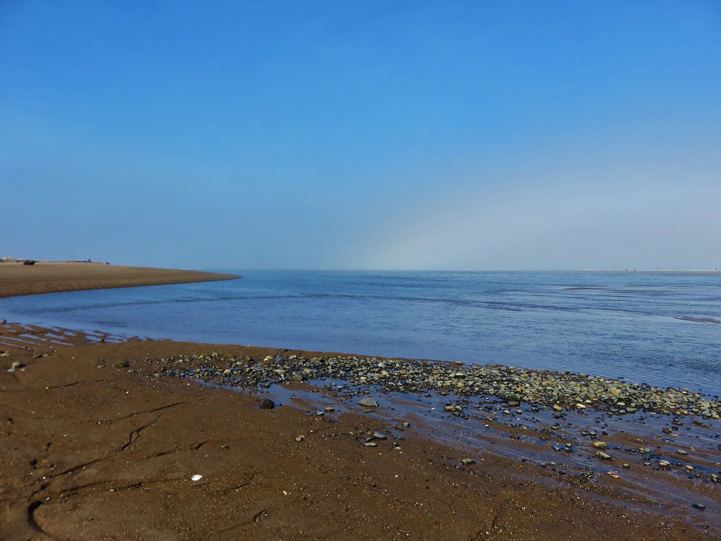
We then turned along the bay.
IMG_7152

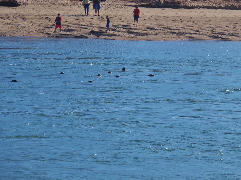
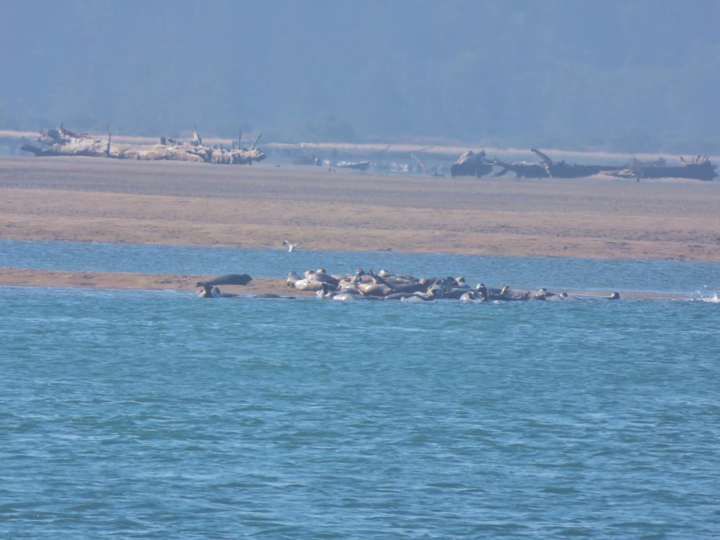
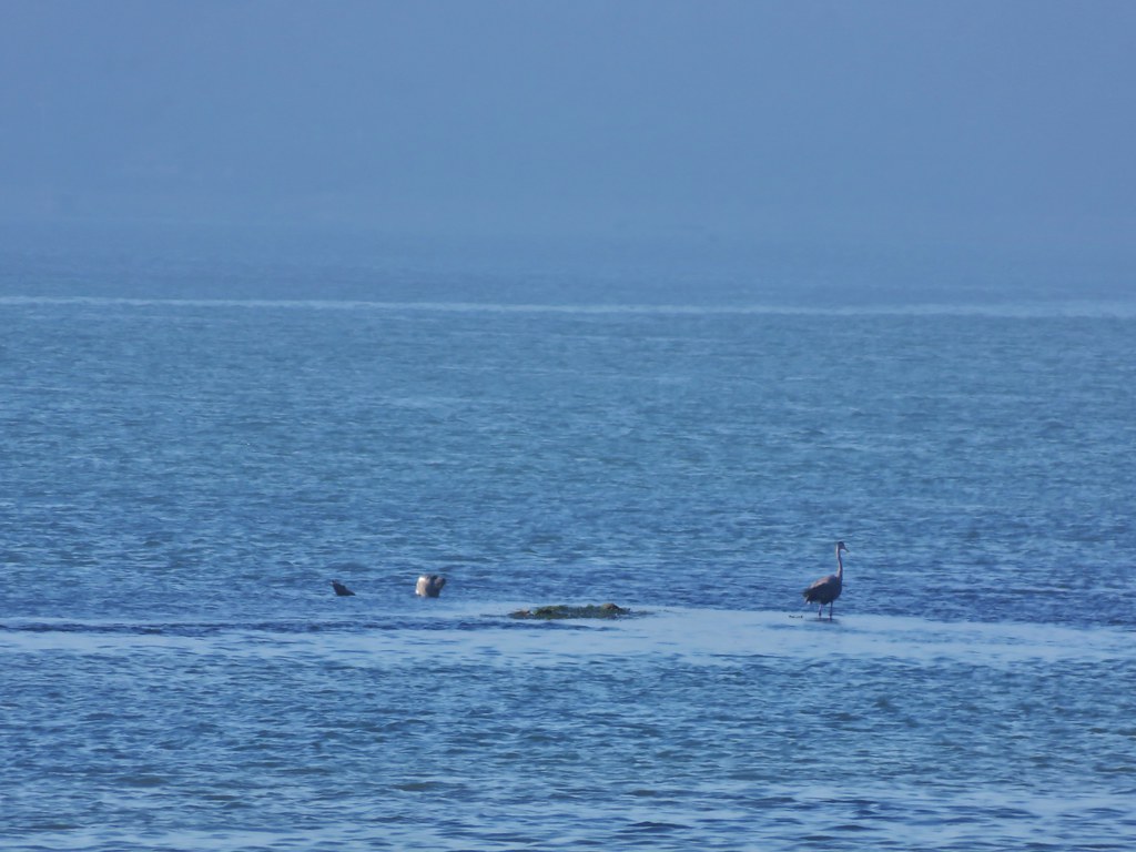
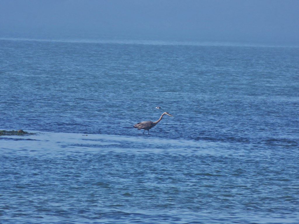
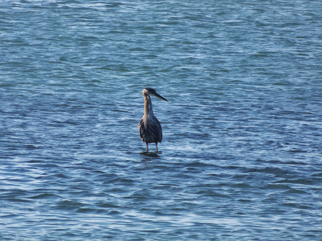
There were several groups of seals lounging in the bay as well as a Great Blue Heron looking for breakfast.
IMG_7148

IMG_7153

IMG_7156

IMG_7158

IMG_7179

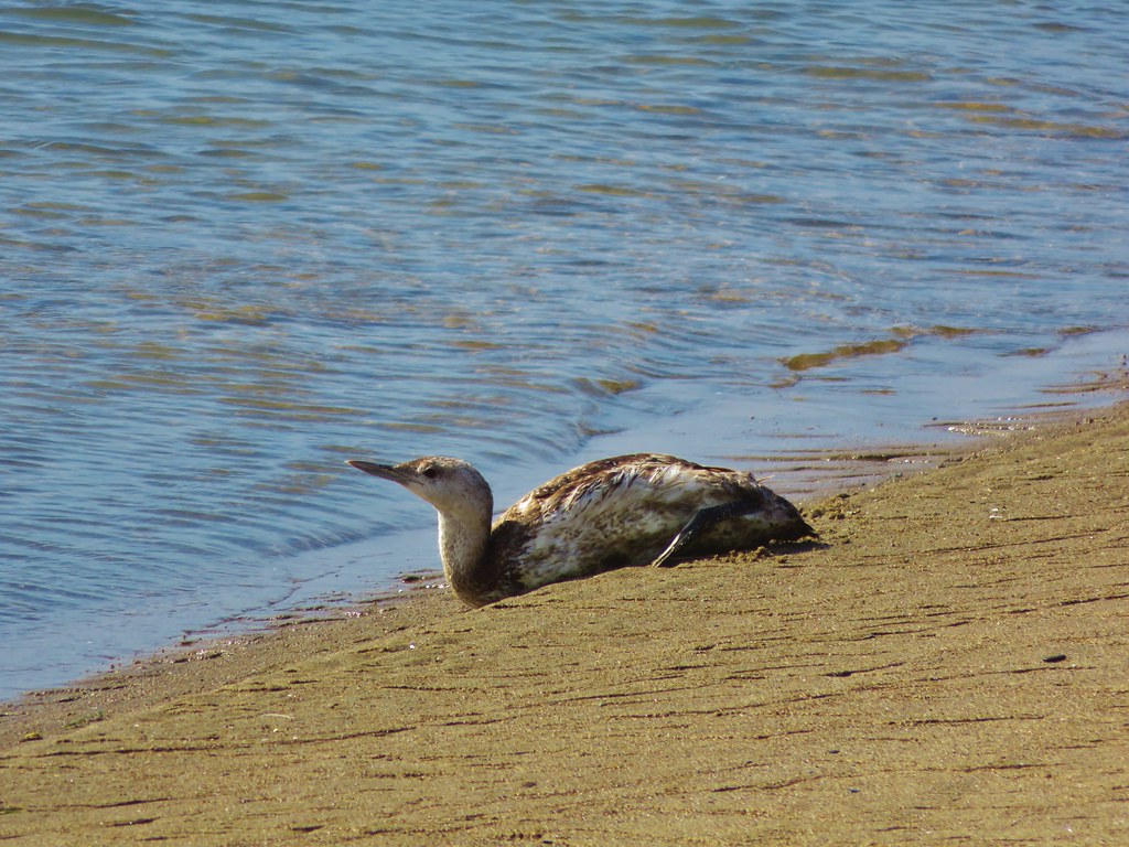
Along the shore we spotted a bird laying in the sand. We weren’t sure if it was injured or just a young bird but we kept our distance so we didn’t disturb it.
IMG_7182

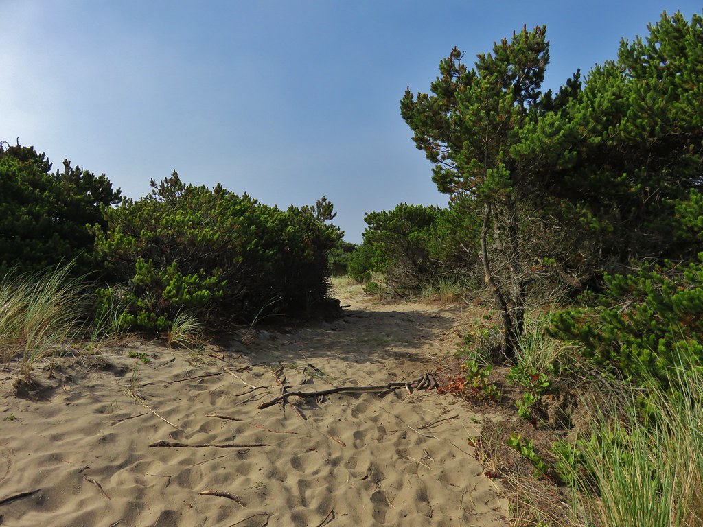
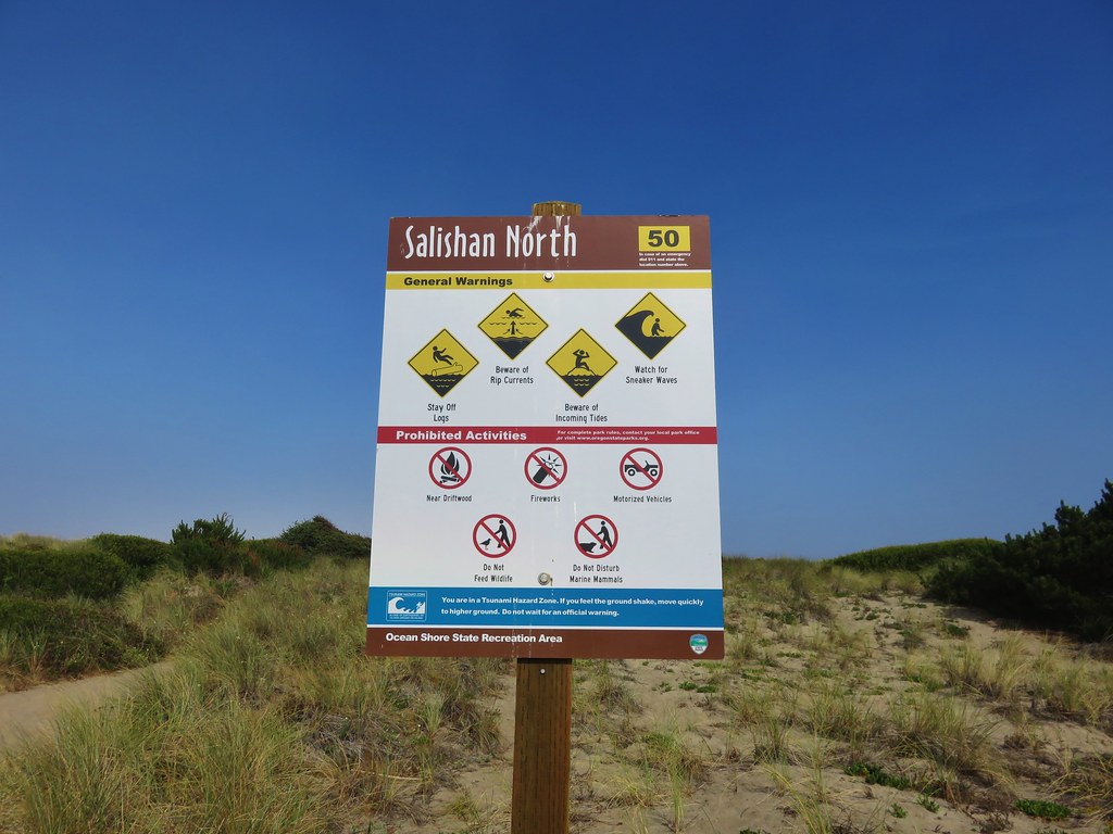
A wide path then led through some stunted pines and grasses to the Salishan North parking area.
IMG_7209

IMG_7195

IMG_7213

From the parking area we crossed back over to the ocean due to the presence of private residences on the bay side of the spit beyond the parking area.
IMG_7218

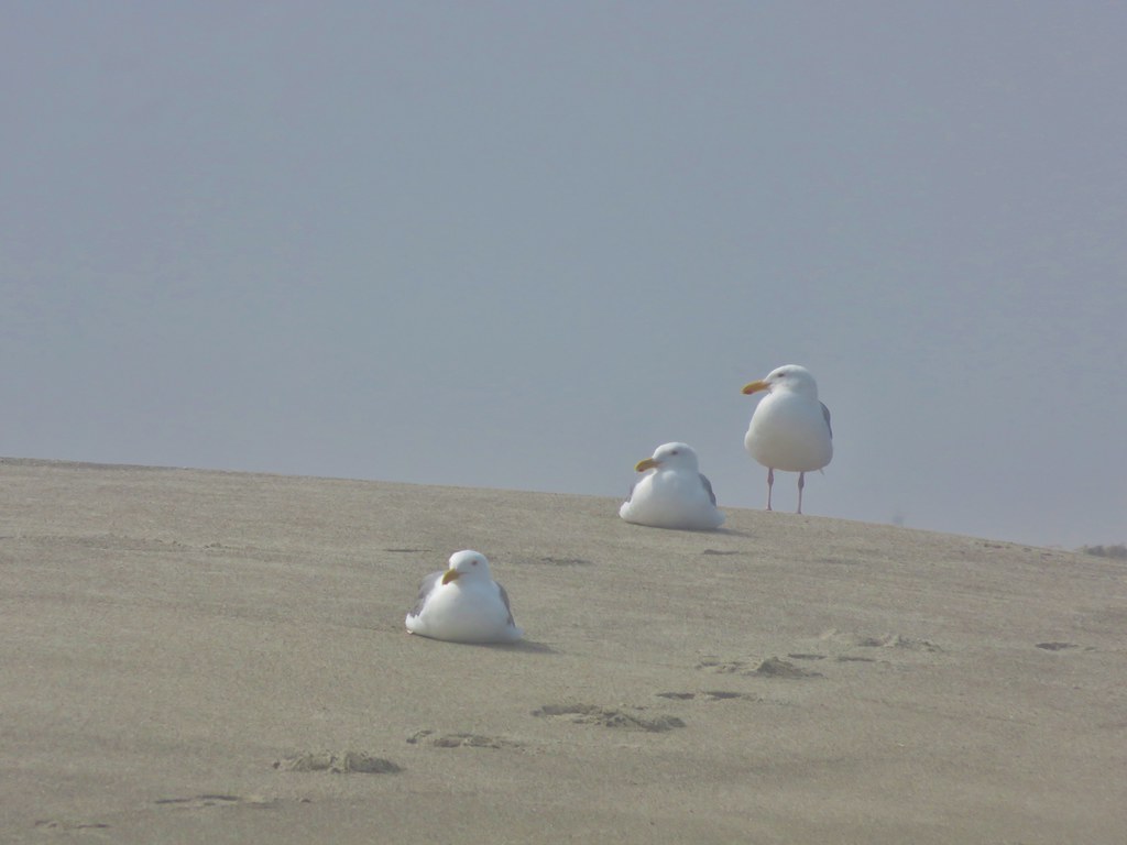
We returned along the beach to the wayside. Many of the seagulls were still hunting for goodies to eat although some were now taking a break.
IMG_7229

IMG_7238

IMG_7240

Our total distance was 7.7 miles making this a relatively short hike for us but we finished with plenty of time to get to the reunion on time. It was a far cry from the previous weeks hikes in the Three Sisters Wilderness but it was great to see so many seals and the mild temperatures made for a really nice hike. Happy Trails!

Flickr: https://www.flickr.com/photos/9319235@N02/sets/72157656249280980

Categories
Central Coast Hiking Oregon Oregon Coast Trip report

Harts Cove & Drift Creek Falls

It has become a tradition to finish off our hiking year either on the Oregon Coast or in the coast range. This year we targeted a pair of shorter hikes to keep the tradition alive. For the first of these two hikes we traveled to Cascade Head just north of Lincoln City in order to visit Harts Cove where a waterfall spills into the Pacific Ocean. We parked at the Cascade Head Upper Trailhead along road 1861 at a sign post for the Nature Conservancy Trail. A trail here led off for a mile to Cascade Head’s upper viewpoint which we had visited before. In order to find the Harts Cove Trailhead we walked another .9miles down road 1861 where a large parking area with plenty of signs marked the start of the trail. We could have driven here but were contemplating hiking to the upper viewpoint later if the sky cleared so we decided to park at the upper trailhead.
DSC08186

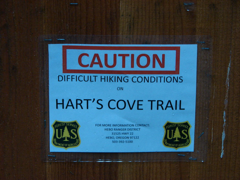
One of the signs warned of difficult hiking conditions on the trail which piqued our interest.
DSC08187

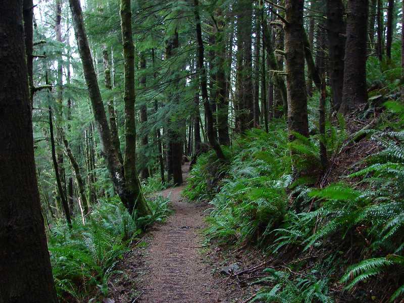
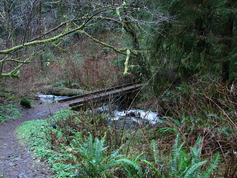
The trail started out by diving fairly steeply downhill through the forest for the first half mile then descended more gradually to a bridge across Cliff Creek.
DSC08192

DSC08193

Cliff Creek

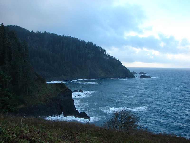
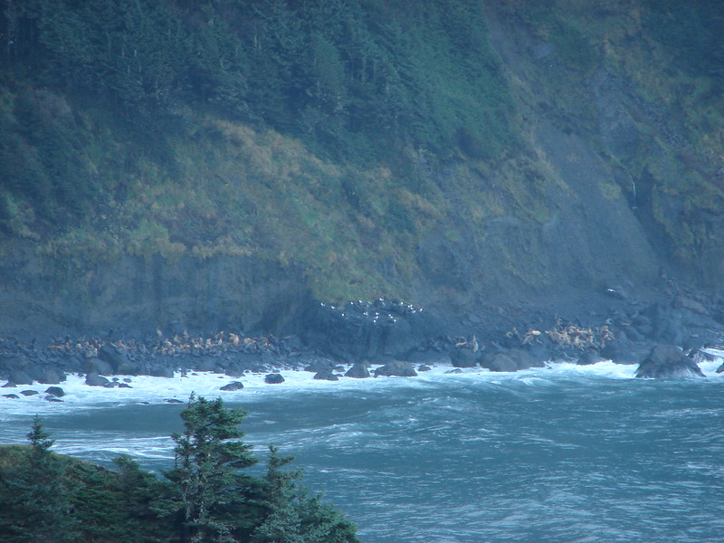
After crossing the creek the trail turned back toward the ocean along a ridge. We could hear a number of sea lions on the rocks below but could only get small glimpses of them across the water through the trees.
DSC08200

As the trail wound around the ridge end there was a bench that offered an obstructed view across Harts Cove to a meadow which was where the trail would end. The trail then bent back leading us around the cove. We crossed Chitwood Creek which appeared to have once had a bridge but it was now in pieces further down the creek.
DSC08207

We had been in clouds and fog for most of the hike but as we came out of the forest into the meadow we could see clearer skies out over the ocean. The trail was steep here also and muddy making it a bit slick.
Looking down the trail:
DSC08210

Looking up from below:
DSC08269

North toward Cape Lookout:
Cape Lookout from the meadow near Harts Cove

South toward Cascade Head:
Cascade Head

The sea lions could still be heard across the way below Cascade Head, and now we could see them better.
Sea Lions and Seagulls

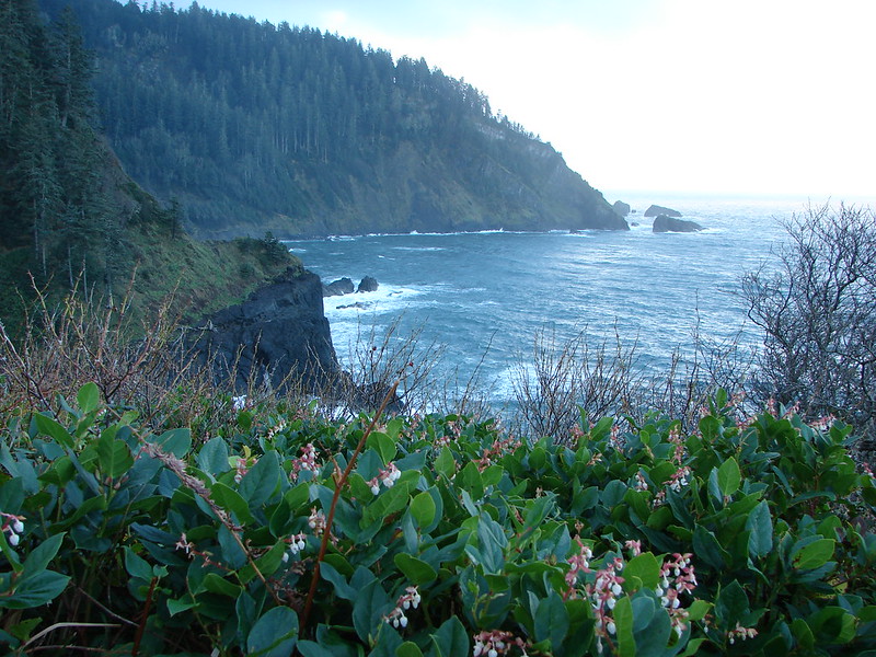
We followed the trail down and around to the left toward Harts Cove so that we could get a view of Chitwood Creek’s waterfall. We were surprised to find a handful of flowers in bloom including a number of Salal bushes.
DSC08234

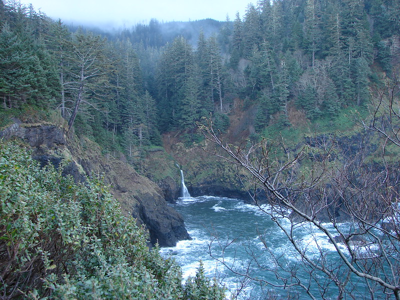
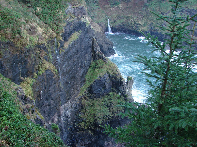
The waterfall turned out to be very picturesque as it fell down into the surging ocean.
Harts Cove and Chitwood Creeks waterfall

Chitwood Creek waterfall

DSC08268

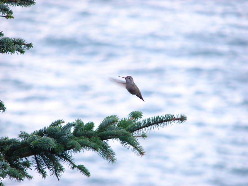
There was a nice open spot below a tree where we stopped for a snack and to remove some of the unnecessary layers of clothes we had on. While we were resting there Heather spotted a hummingbird that was interested in my orange jacket. It was zipping about, landing occasionally and then darting back into the air. I was snapping pictures frantically trying to get some sort of picture before the hummingbird disappeared. I wasn’t sure if I’d managed to get anything until we got home, but I wound up getting lucky with a single shot.
Hummingird in the meadow near Harts Cove

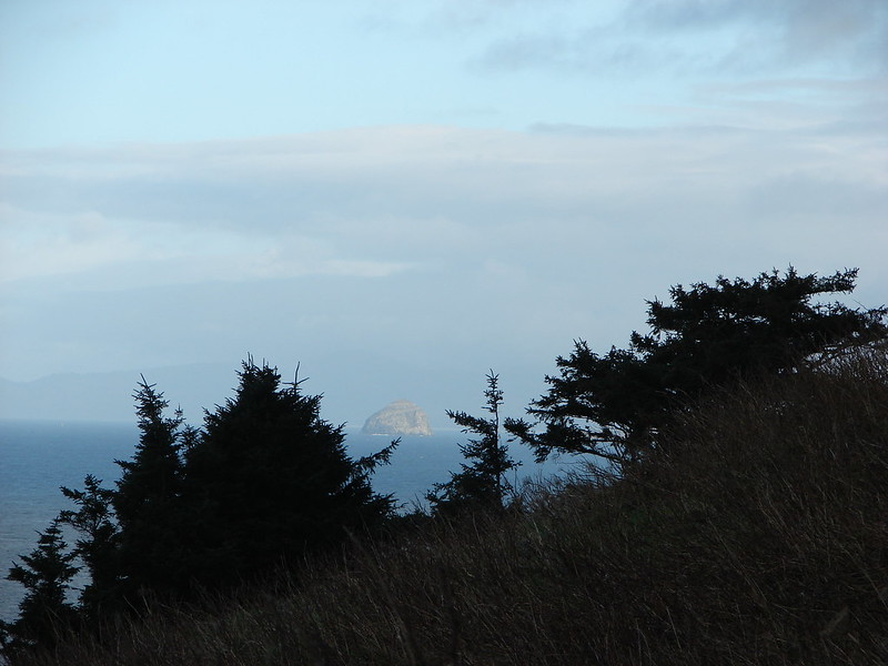
As we headed back up the steep trail we noticed that Haystack Rock near Pacific City was shinning in full sunlight.
DSC08270

We returned the way we’d come and decided to skip the upper viewpoint because it still appeared to be enveloped in the clouds. This hike had been 7.6 miles which included the unnecessary 1.8 miles due to parking at the upper trailhead.

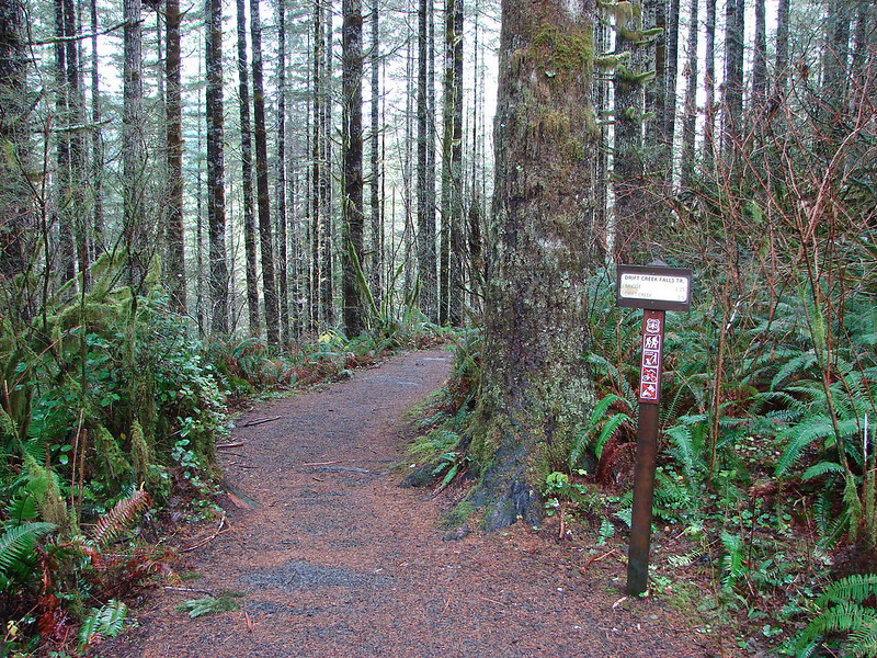
Our next stop was Drift Creek Falls which is located in the Siuslaw National Forest between Hwy 18 & Hwy 101 along Drift Creek Camp Road (Road 17). There was a good sized parking area and restrooms at the trailhead.
Drift Creek Falls Trailhead

The trail leads down through the forest crossing two creeks on footbridges.
DSC08289

DSC08292

DSC08295

DSC08296

At the .7 mile mark the trail forks at a sign for the North Loop, a longer loop option which we planned to take on the way back from the falls. A third of a mile later we came to the other end of the North Loop.
DSC08322

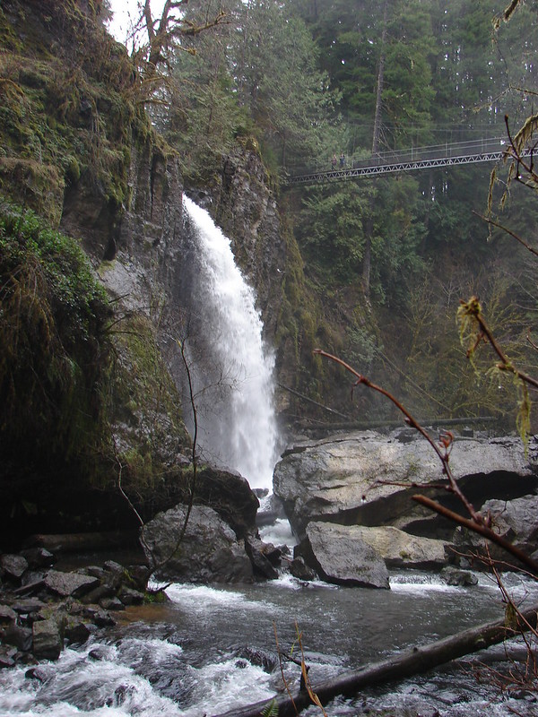
Just a short distance later we arrived at the suspension bridge over Drift Creek.
Suspension Bridge over Drift Creek

The bridge passes over the creek very close to the falls allowing for some nice views.
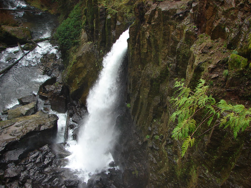
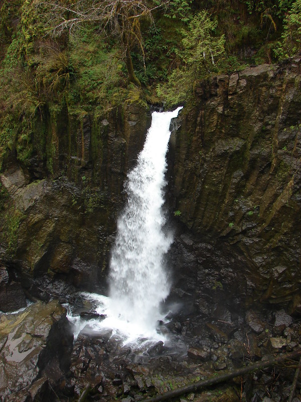
Drift Creek Falls

DSC08304

The trail continues on the far side of the bridge down to Drift Creek where we could get a different perspective.
Drift Creek Falls

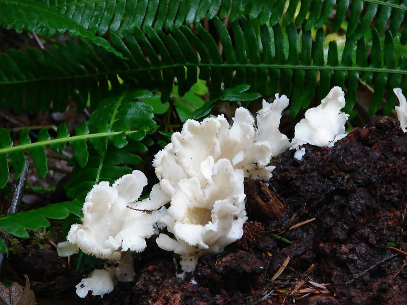
After enjoying the falls for a bit we headed back, this time taking the North Loop which would add about .7 miles to the return trip. This 1 mile section of trail climbed up and wound back through the forest. Aside from the trees and a few mushrooms there wasn’t much to see, but the trail was nice and good for a little extra exercise if wanted.
North Loop - Drift Creek Falls Trail

DSC08327

By taking the North Loop back we wound up with a total of 3.9 miles showing on the Garmin. These two trails were close enough (30 minute drive) and short enough to do in a day but they were also nice enough to stand on their own. As far as the cautions at the Harts Cove Trail we didn’t experience anything that we found too hard or scary but some of that is subjective and the trial was steep in places and the wet conditions caused a lot of mud which was slick at times. We will most likely be back to the coast sometime next month to kick off our 2015 hikes, but until then Happy Trails!

flickr:https://www.flickr.com/photos/9319235@N02/sets/72157649223220159/
facebook:https://www.facebook.com/media/set/?set=a.10205640025507123.1073741919.1448521051&type=1

Categories
Central Coast Hiking Oregon Oregon Coast Trip report

Pacific City

It had been several months since we’d taken a hike along the Oregon Coast so for a change of pace we headed to Pacific City to check out Cape Kiwanda and Bob Straub State Park. We parked at the lot for Cape Kiwanda near the Dory Boat Launch and started our hike by heading over to the cape. Haystack Rock rose from the ocean just beyond the cape while seagulls patrolled the beach.
012

After a little exploration on Cape Kiwanda we retraced our steps and headed out to the tide pools next to the cape. The tide was out far enough to reveal several starfish and anemones.
038
We then headed south along the beach toward the Nestucca Spit and Bob Straub State Park. Vehicles are allowed on certain parts of this beach but only a couple came down and none stayed long. Several flocks of seagulls were gathered along the beach as well as a handful of other ocean birds.

Seagulls on the beach

Sandpipers
Sandpipers
Pelicans
Pelicans

When we reached the end of the spit we turned along Nestucca Bay to make a loop around the spit through Bob Straub State Park. More birds awaited us in the bay including some ducks and a heron.

Heron
Heron

Ducks
Ducks

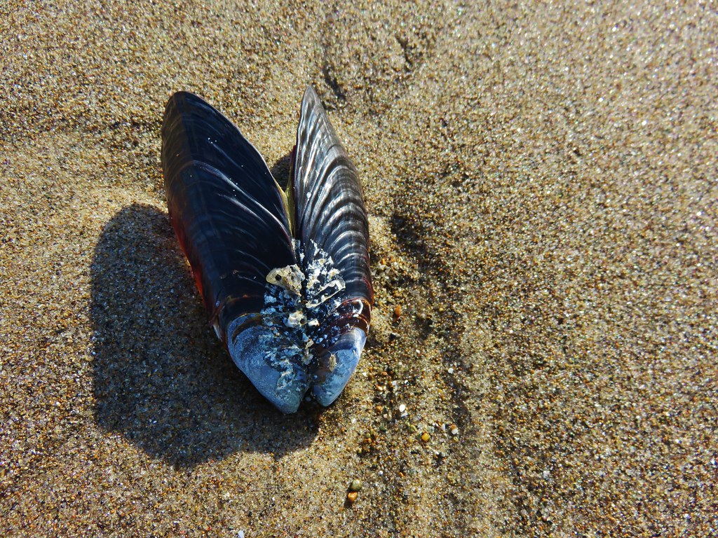
We also saw many clam shells and a couple of nearly complete crabs. We enjoyed watching the seagulls pick up the clams, fly them into the air, and then drop them.

Seagull with a clam
Seagull with a clam

Clam shell
Clam shell
Crab
Crab

We originally missed the trail that would take us from the bay shore across the spit to a forested trail network. When we reached an impassable estuary we turned around and located the correct path. We found a surprisingly dense and scenic forest waiting for us in the middle of the spit. Moss covered the ground and many trees while bright colored mushrooms dotted the green carpet. A few flowers remained in bloom even as many of the leaves showed their fall colors.
168

169

178

There was a confusion of trails in the forest and absolutely no signs indicating where any of them went or which was the correct one to reach the park. We eventually found ourselves in a meadow along the Nestucca River. The trail we were on went down to a nice little beach along the river where it promptly ended. We turned back around and took a different path only to wind up arriving at the same meadow from a different direction. At that point we had already been on a couple of overgrown paths and I was getting a little irritated at the lack of signs. It was time for drastic measures so we turned to the gps and struck off on a faint game trail in the direction of the park. This worked out fairly well as we wound up popping out of a thicket of scotch broom on an old road less than 50 yards from the parks entrance road.

Scotch Broom where we emerged onto the old road

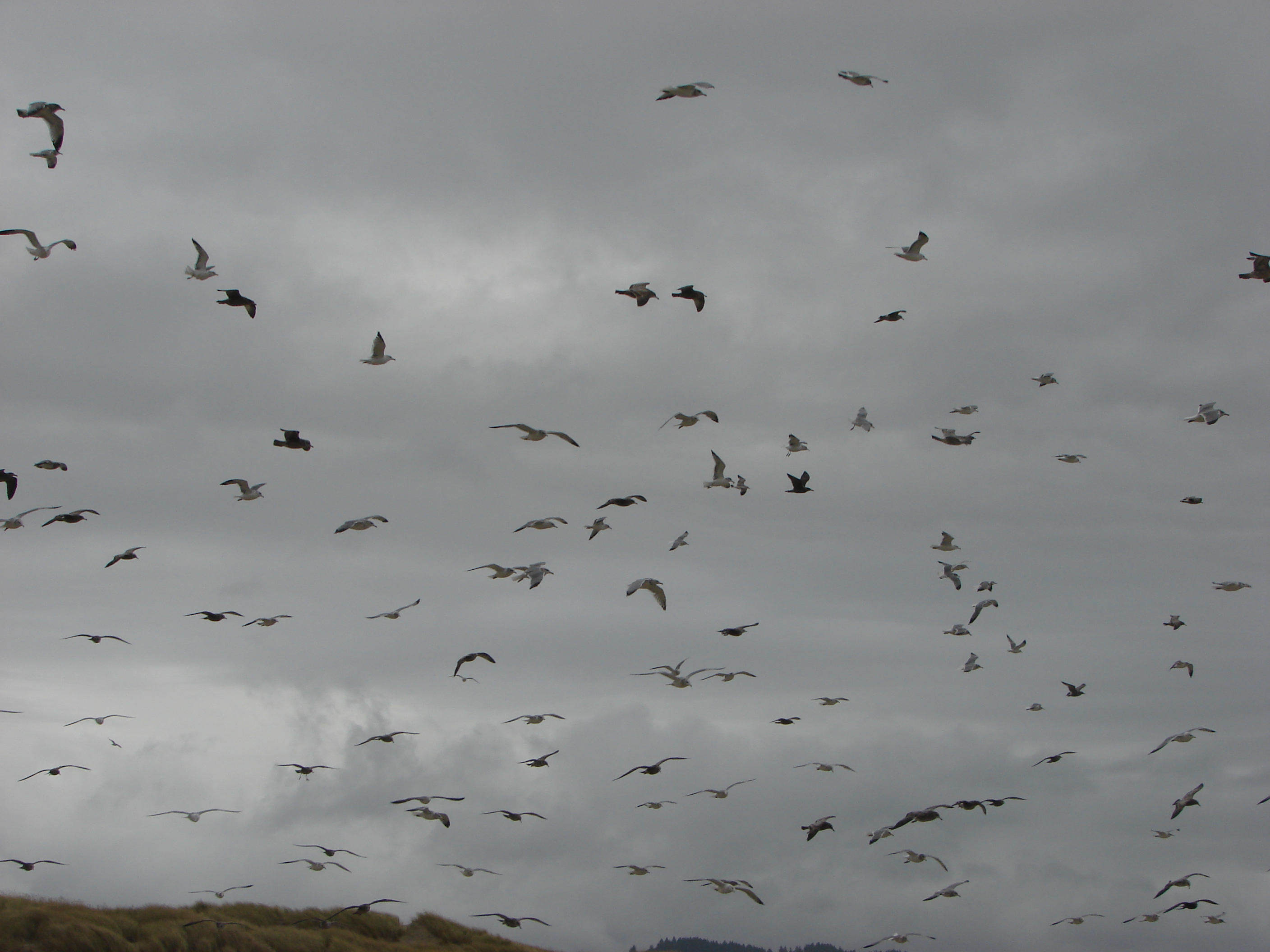
We walked to the parks parking lot and then followed a short trail back to the beach and headed back toward Cape Kiwanda. One the way back we encountered the largest flock of seagulls we’d seen all day. They took to the air as we passed by making for a scene straight out of the movie The Birds. As I was busy taking pictures I realized I was a sitting duck and should probably move before I was hit by a seagull bomb.
214

224
Despite the constant presence of gray clouds we had only had a couple of short bouts of rain until now. We escaped the seagulls only to be met with a sudden uptick in wind followed by a heavy sideways blowing rain. The rain let up just before we reached the Dory Boat Launch and our car where we dried off a bit and then walked across the parking lot to the Pelican Pub & Brewery for some lunch. http://www.yourlittlebeachtown.com/pelican
The food was great and the view out to Cape Kiwanda and Haystack Rock made for a perfect end to an interesting beach hike.
Happy Trails.

Facebook photos: https://www.facebook.com/deryl.yunck/media_set?set=a.10202353684630655.1073741860.1448521051&type=3
Flickr: http://www.flickr.com/photos/9319235@N02/sets/72157636339936434/

Categories
Central Coast Hiking Oregon Oregon Coast Trip report

Gwynn Creek & Cape Perpetua shelter

Our first hikes of 2013 are officially in the books. We headed to Cape Perpetua just South of Yachats on the Oregon coast to visit two trails. One of the things we are always on the lookout for on our hikes is wildlife. We see plenty of birds, chipmunks, and squirrels and a fair number of deer but are always hoping to see something different. On this day we would wind up spotting an owl, a small herd of elk, a deer, and an eagle eating a recently caught fish. The only problem was these were all seen from the car.

The first hike was a loop along the ridges surrounding Gwynn Creek which is located about a mile South of Cape Perpetua in the Siuslaw National Forest. We set out shortly after Sunrise on what turned out to be a nice day. Although there were some clouds and a couple of very brief very light showers, temperatures stayed around 40F for the day. Many of the plants along the trails were showing buds and a few early flowers were starting to bloom. We were also fortunate enough to be able to see the Ocean from the view points along this mostly forested trail.

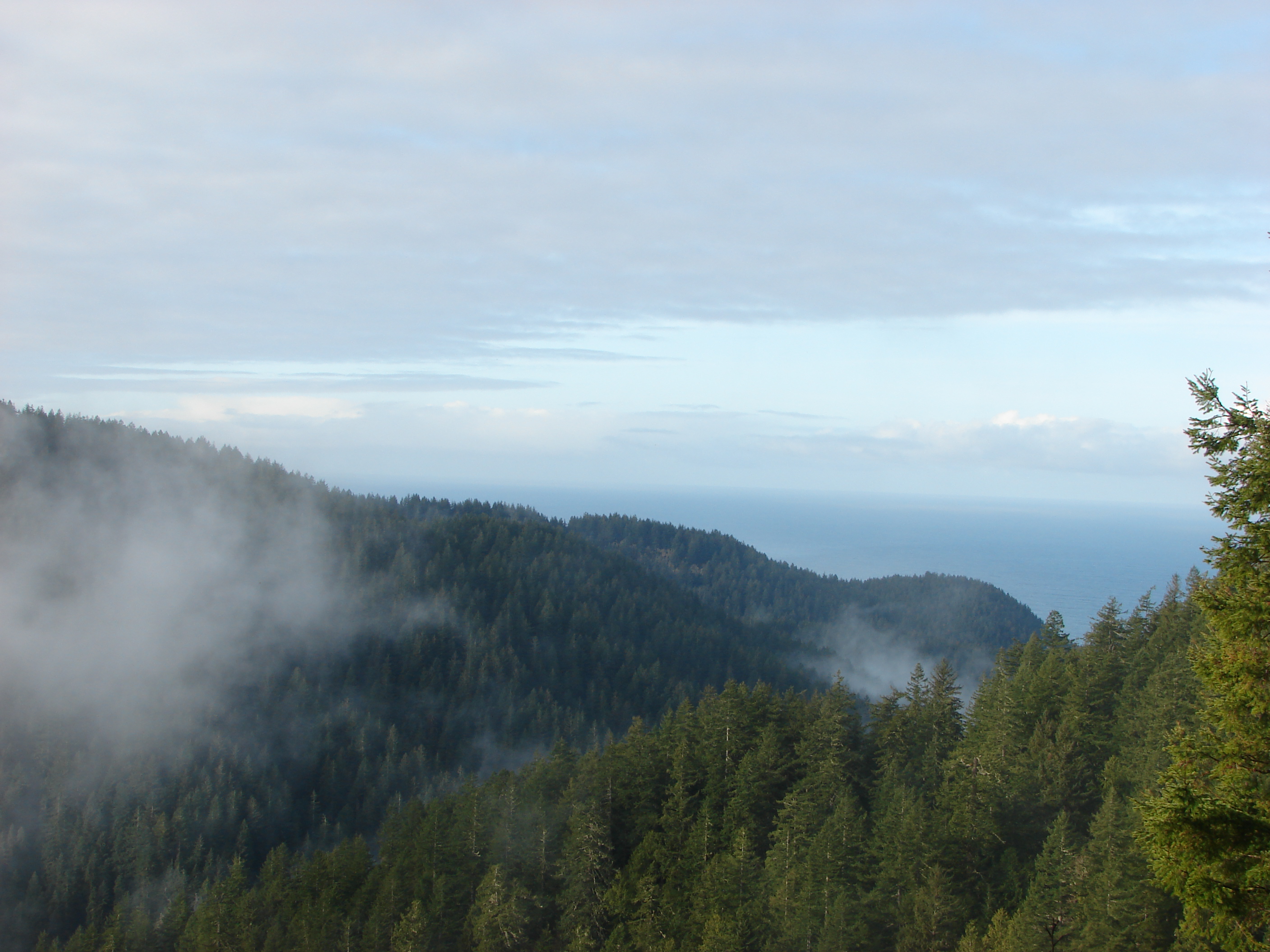
View from a viewpoint along the Gwynn Creek loop.

Anyone familiar with the Oregon coast knows there is often a layer of low clouds hanging just at the shore line which have hidden the Ocean from us on several hikes in the past.

After finishing the Gwynn Creek loop we stopped in at the Cape Perpetua Visitor Center to take the short trail up to the stone shelter constructed in 1933 at the top of the cape.

shelter on Cape Perpetua

We had been to the area in 2011 visiting the tidepools and Devils Churn along the beach, but we hadn’t been up to the shelter before. On our way up the 1.3mi trail we could tell we hadn’t been doing much hiking. The 700ft elevation gain felt a lot worse than it should have. 🙂 The view from the top was worth it though. On a clear day the view extends 37 miles to sea and a good 70 miles to the South and to Cape Foulweather to the North. The only drawback on this day was that the position of the Sun to the South limited the view, but did provide some nice effects as it reflected off the Ocean.

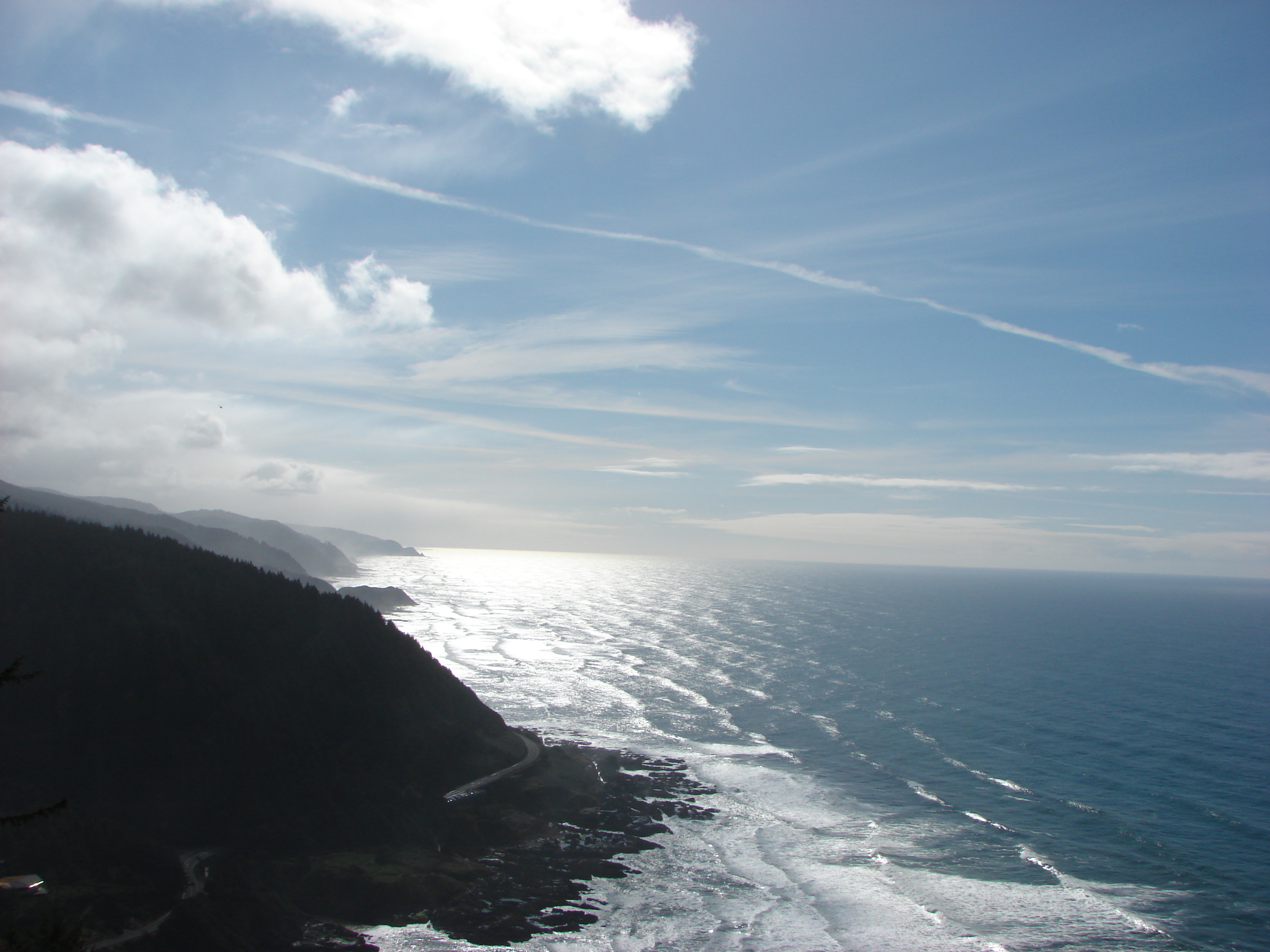
The view South from the shelter on Cape Perpetua

More pictures from the trails have been posted on Facebook: http://www.facebook.com/media/set/?set=a.10200643581919156.200254.1448521051&type=3