Categories
Central Coast Hiking Oregon Oregon Coast Trip report

South Beach and Depoe Bay

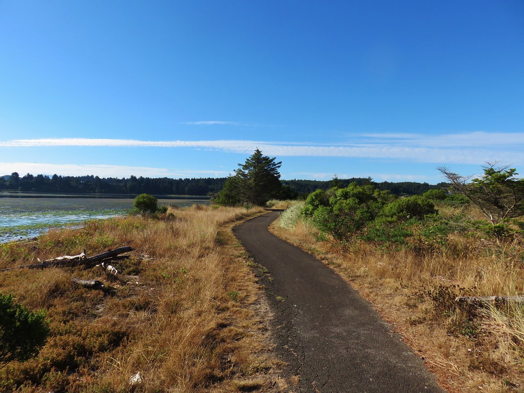
On the way to our annual family reunion near Gleneden Beach we made several stops to check out short trails in the Newport and Depoe Bay areas. For our first stop we parked next to the Hatfield Marine Science Center and took the paved Yaquina Bay Estuary Trail from the east end of the parking lot.
IMG_9689

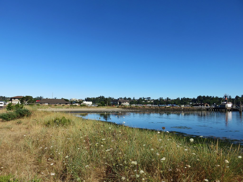
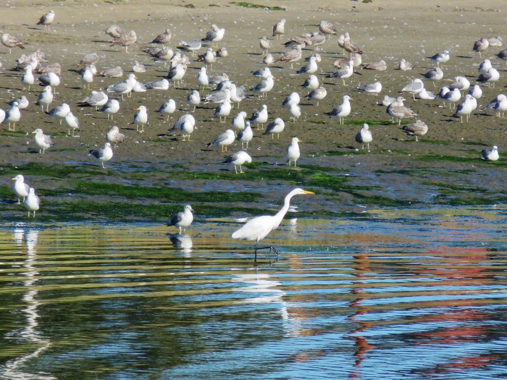
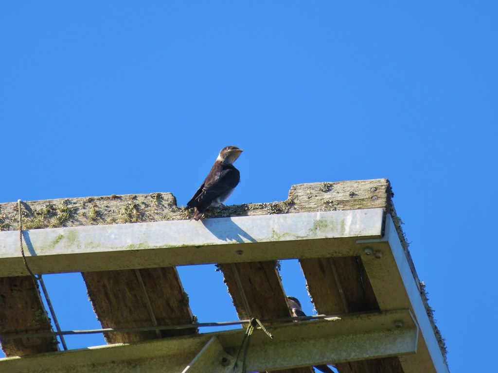
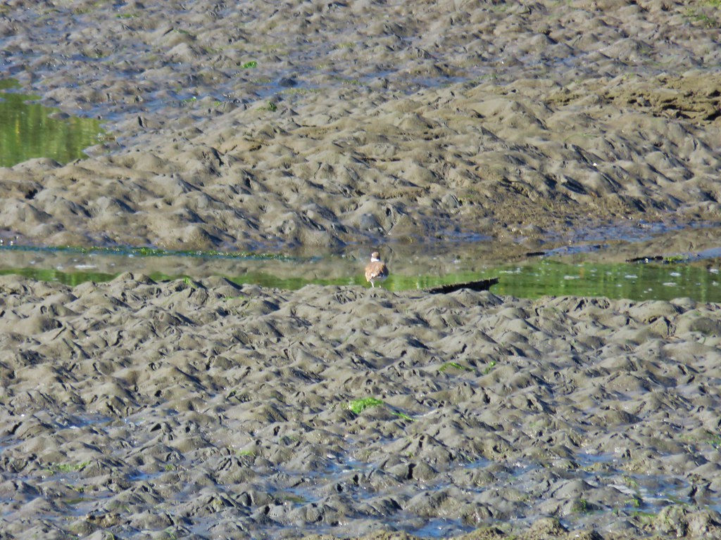
We were hoping to see some wildlife along the half mile trail and we weren’t disappointed. Just from the parking lot there were many birds visible.
IMG_9679

IMG_9687

IMG_9741

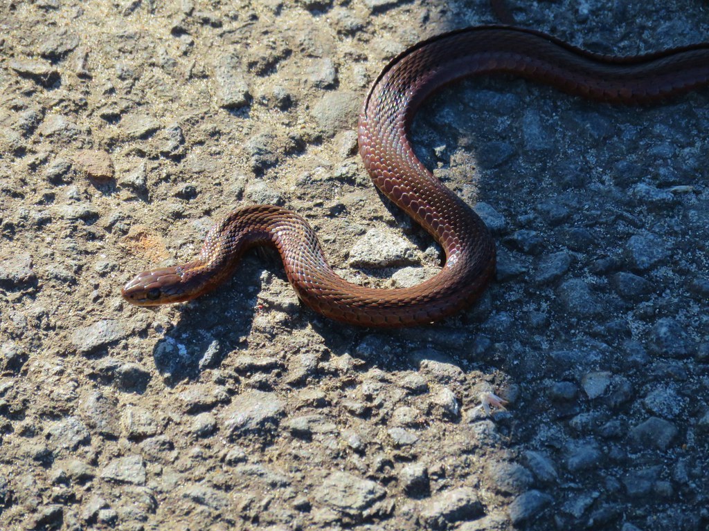
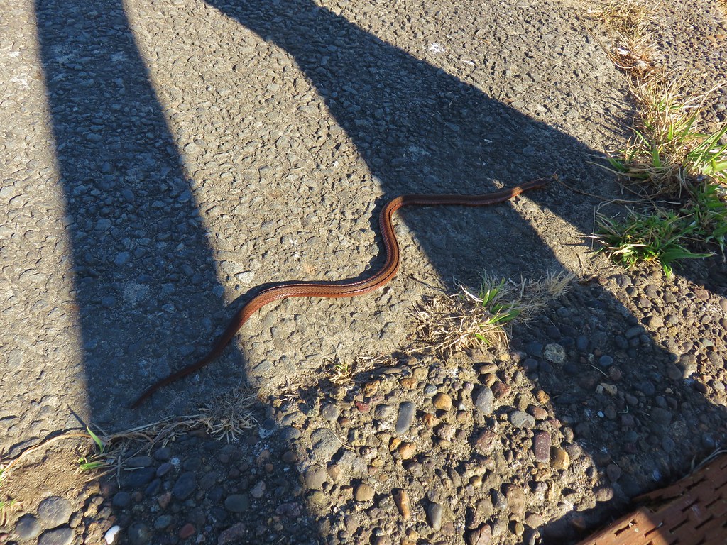
There was also a snake sunning itself at the beginning of the path.
IMG_9693

IMG_9694

We followed the path along the estuary to its other end near the Oregon Coast Aquarium.
IMG_9702

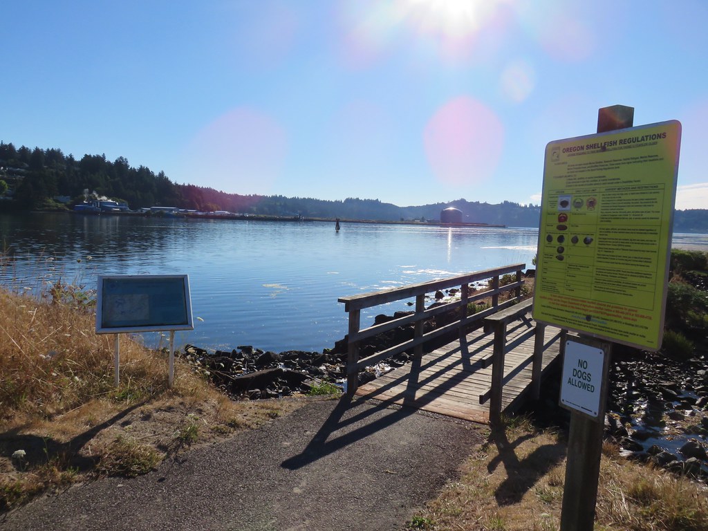
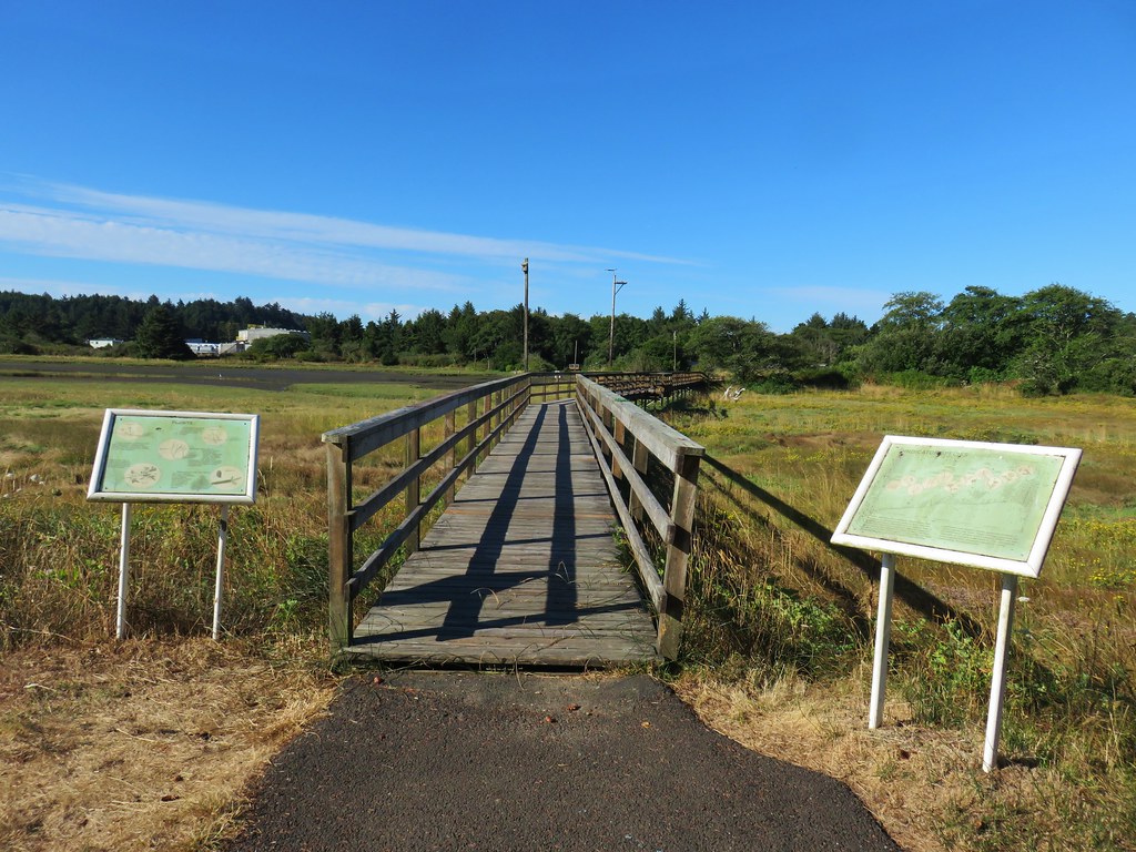
The final stretch of trail was across a boardwalk.
IMG_9728

IMG_9736View from the boardwalk

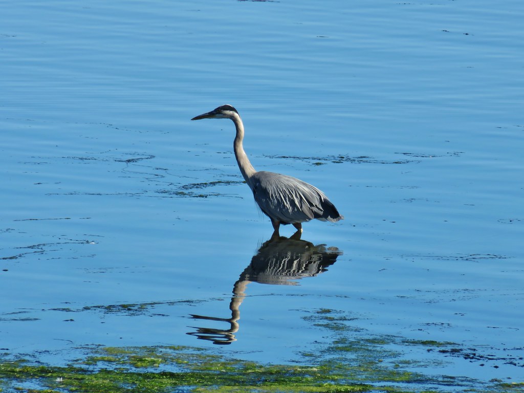
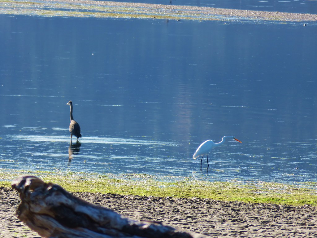
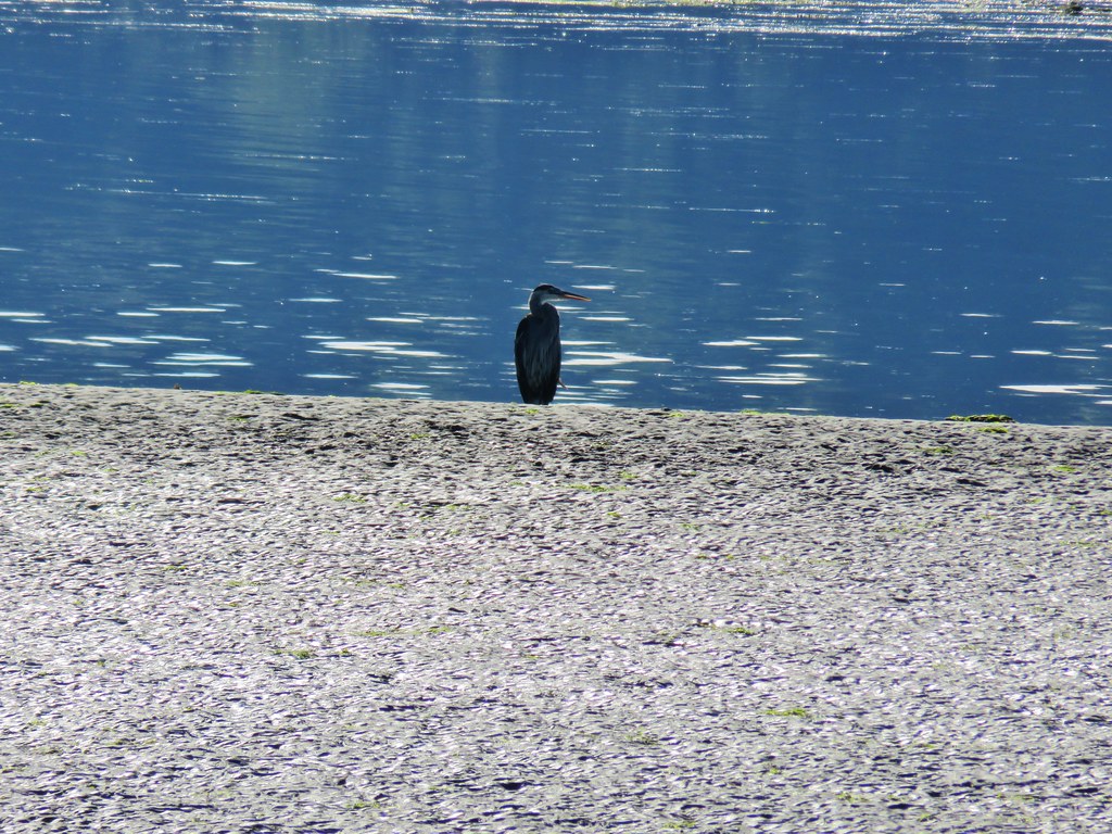
We were impressed by the number of herons and egrets in the bay.
IMG_9710

IMG_9717

IMG_9721

IMG_9709

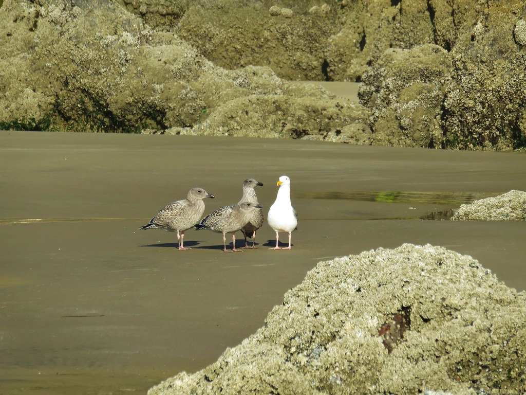
In addition to the the herons, egrets, and numerous seagulls there were many other birds in the area, most of which didn’t want to stop for pictures.
IMG_9737

IMG_9739

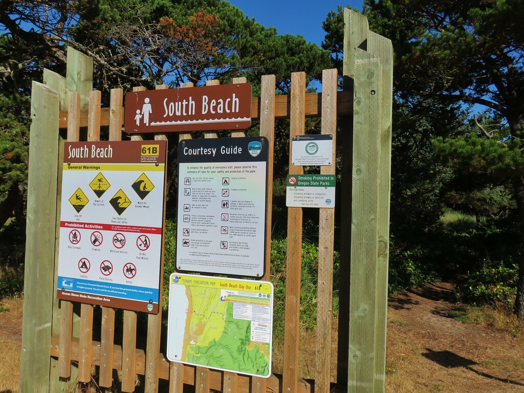
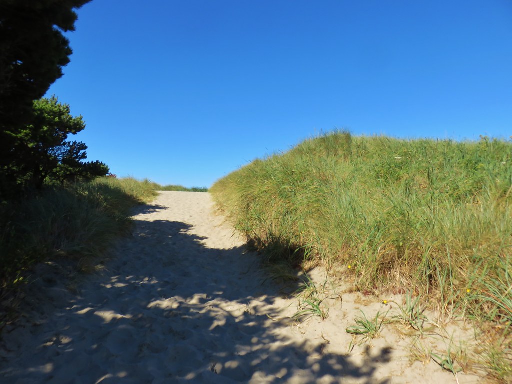
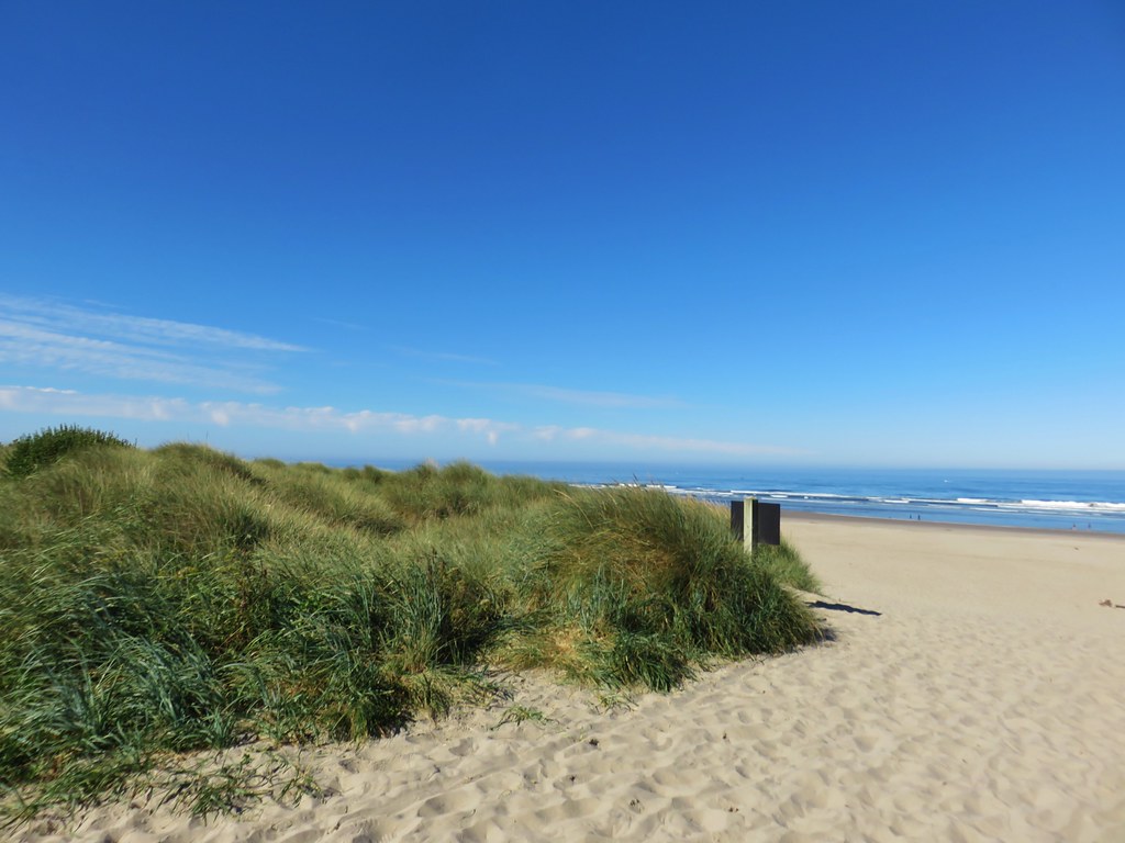
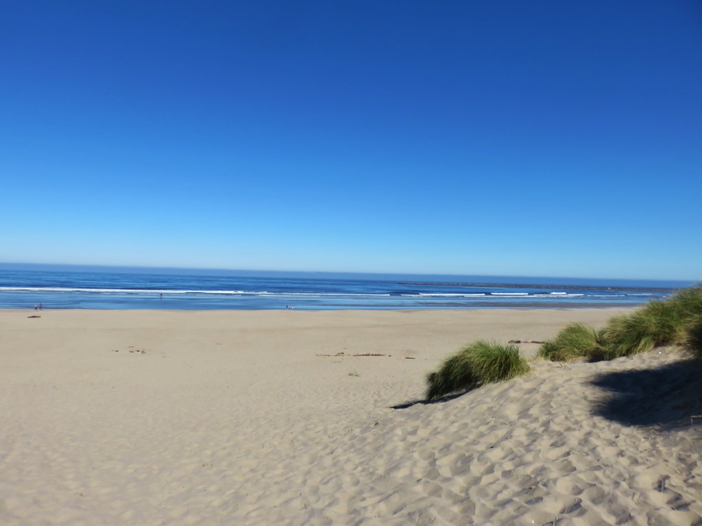
After returning to our car we drove to Highway 101 and headed south to the signed entrance of South Beach State Park. Here we parked at the Day Use Area and hiked past the restrooms over the foredune to the ocean.
IMG_9742

IMG_9743

IMG_9744

We turned right and headed north along the beach toward the south jetty about a mile away.
IMG_9747

IMG_9749

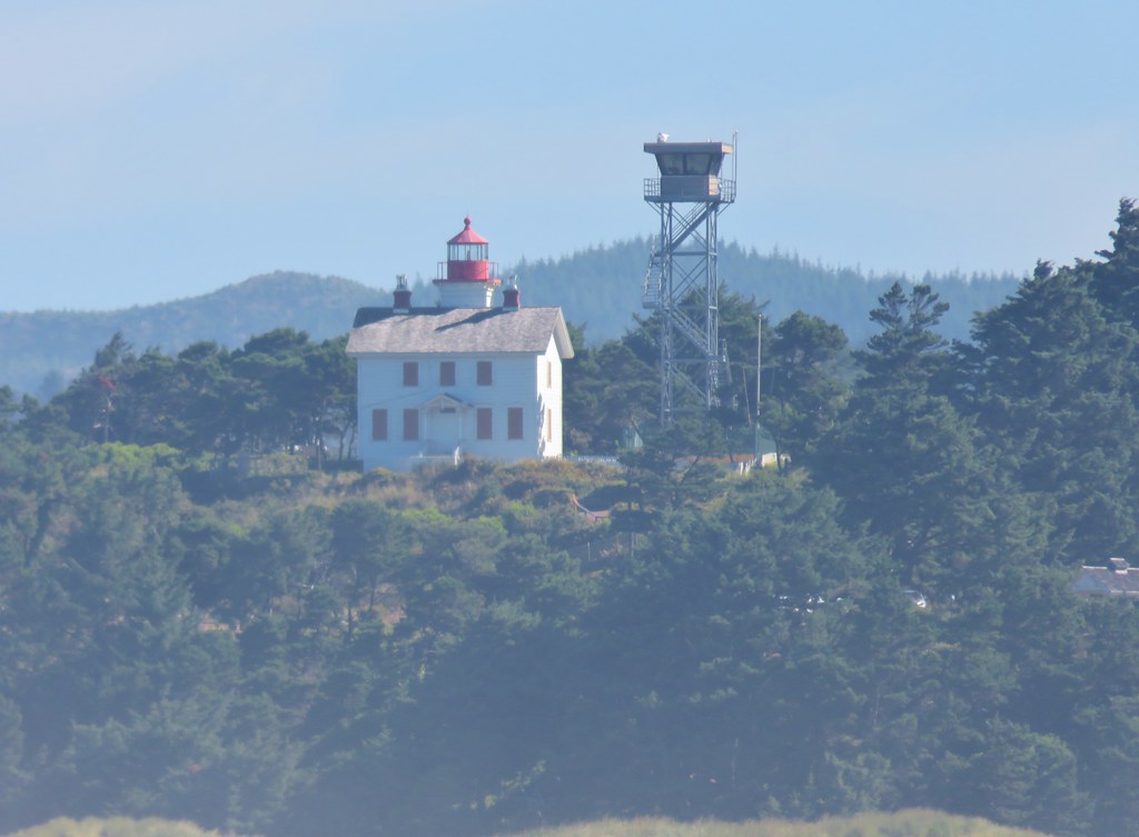
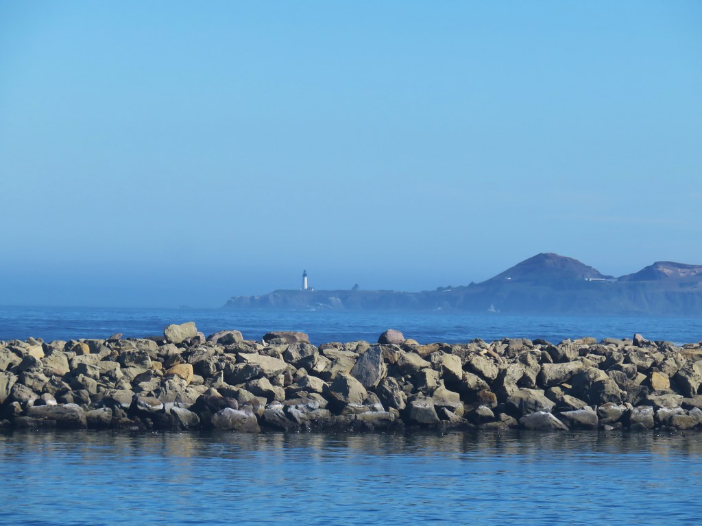
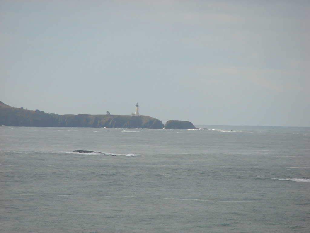
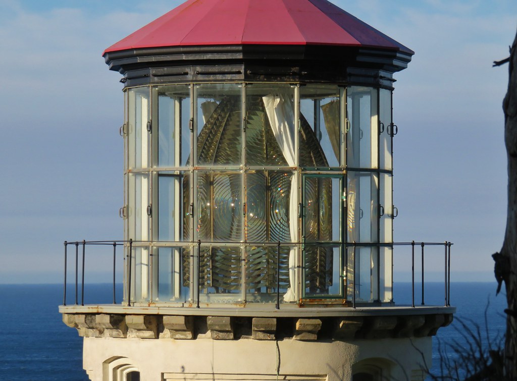
From the jetty we could see a pair of lighthouses, the Yaquina Bay and Yaquina Head Lighthouses. They had been the stops on our way to the reunion in 2017 (post).
IMG_9755

IMG_9753

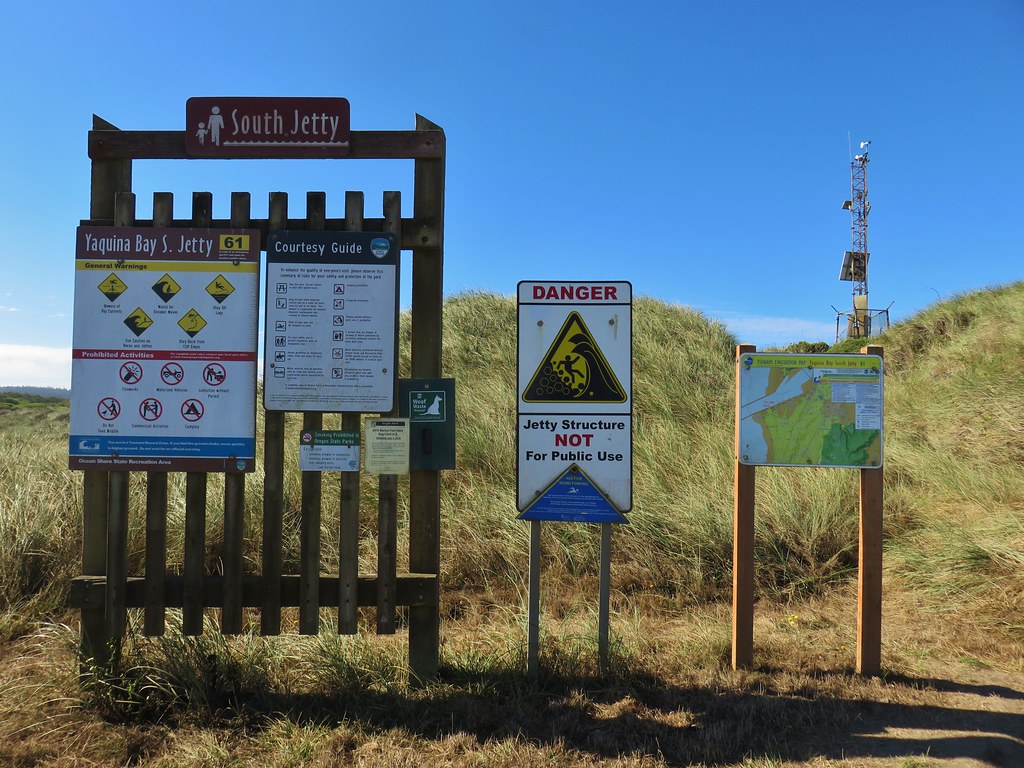
We turned inland at the jetty continuing for just over a quarter of a mile to the South Jetty parking area.
IMG_9752

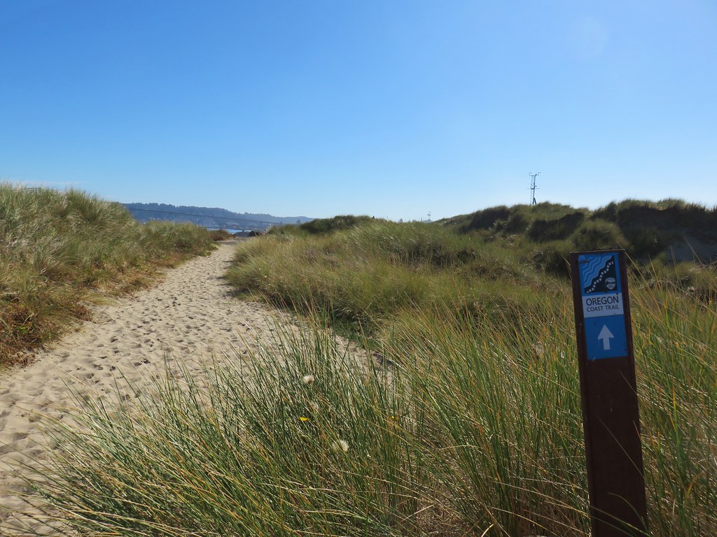
IMG_9758Part of the Oregon Coast Trail

IMG_9768

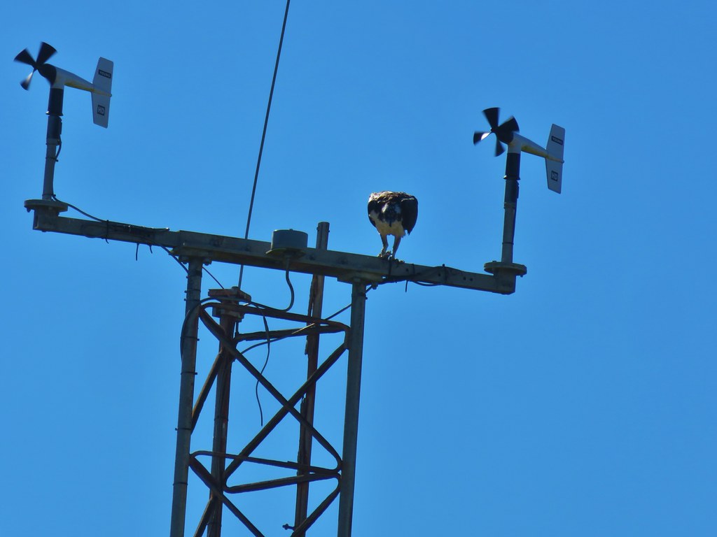
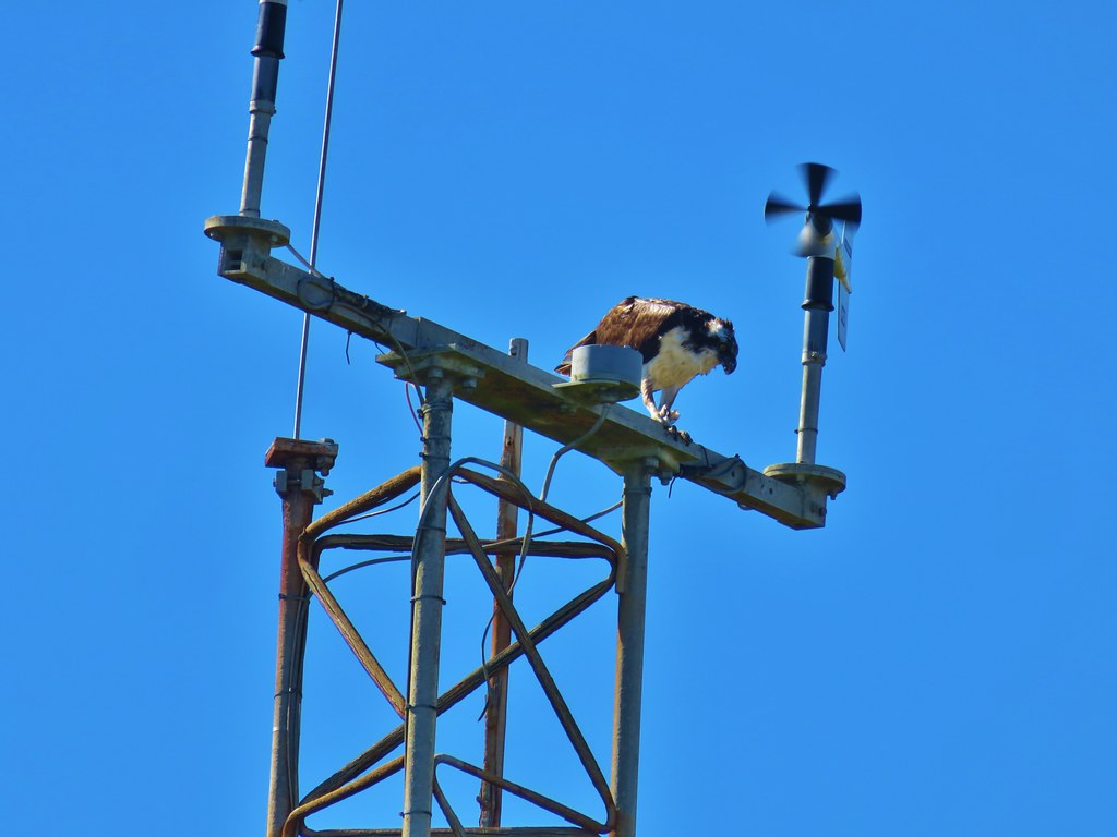
An osprey was busy eating its catch on a nearby tower.
IMG_9762

IMG_9767

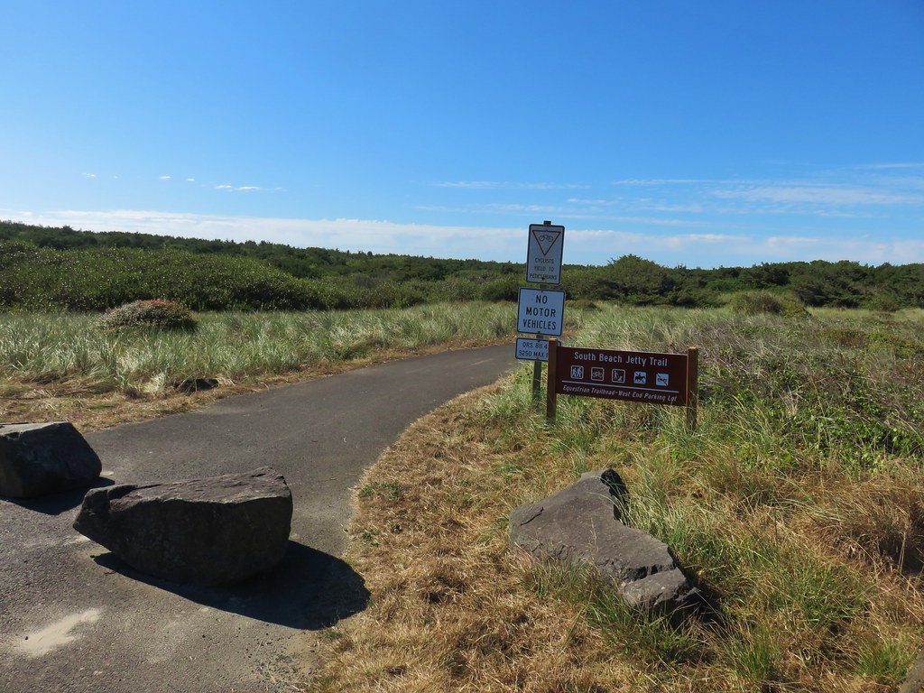
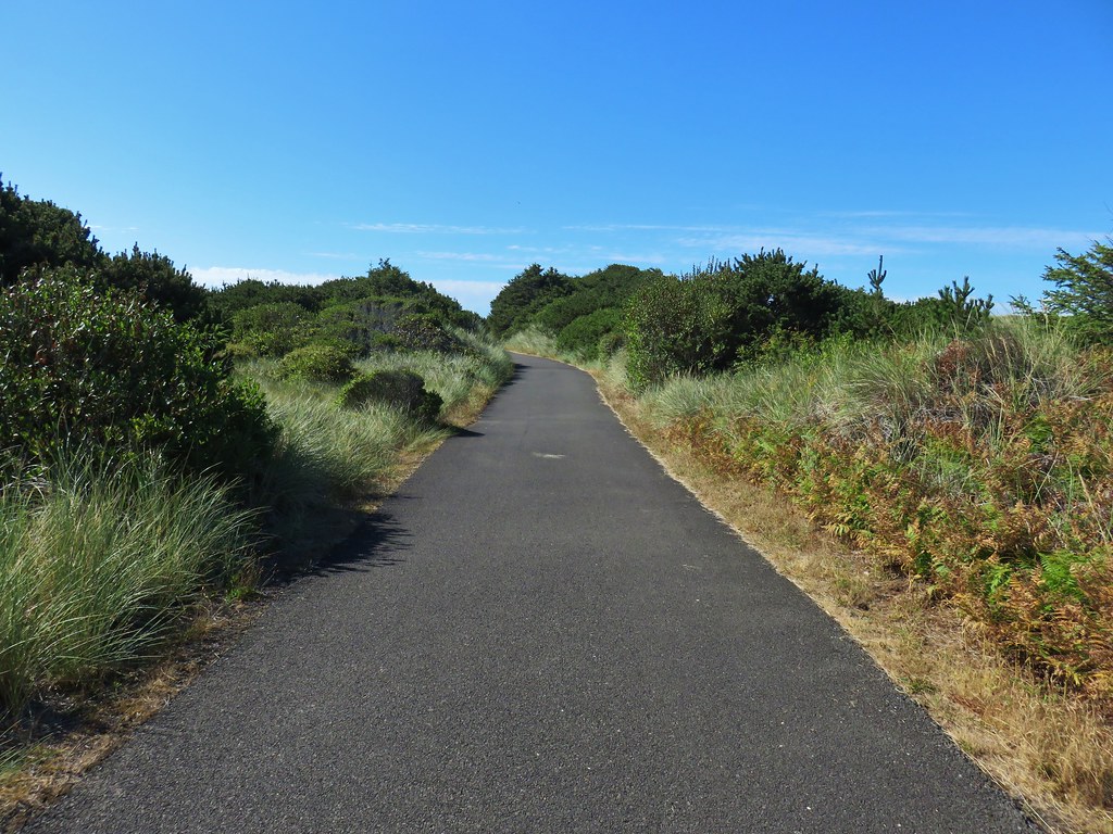
From the South Jetty parking area we took the paved South Beach Jetty Trail back to the South Beach State Park Day Use Area for a two and a quarter mile loop.
IMG_9772

IMG_9773

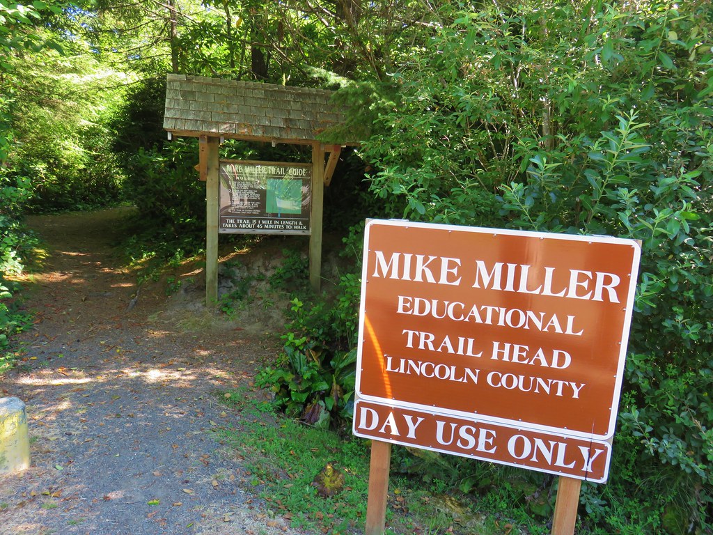
Our next stop was the Mike Miller Trail which is located on the east side of Highway 101 along SE 50th Street which was just two tenths of a mile north of the South Beach State Park entrance. We parked along the shoulder of 50th St. near the start of the trail.
IMG_9775

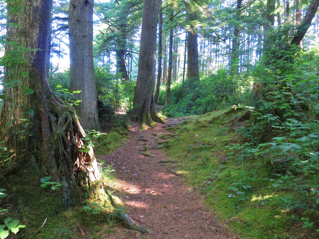
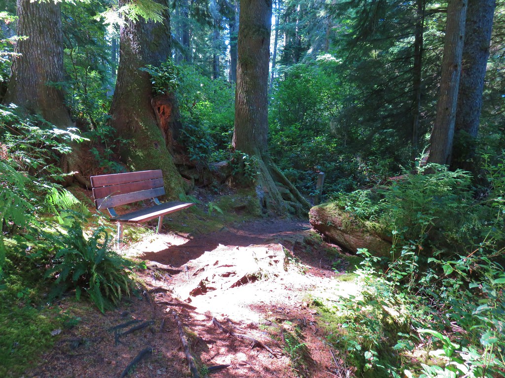
They were out of trail guides at the trailhead so we weren’t able to follow along with the numbered stops along the 1-mile loop but we did get to see some nice coastal old-growth trees along the way. We followed signs for the Mike Miller Trail which crossed a marshy pond twice on footbridges.
IMG_9781

IMG_9782

IMG_9785

IMG_9786One of several benches along the trail.
IMG_9792

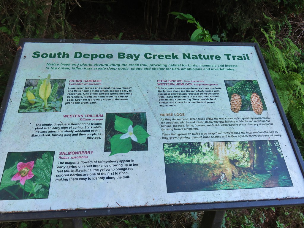
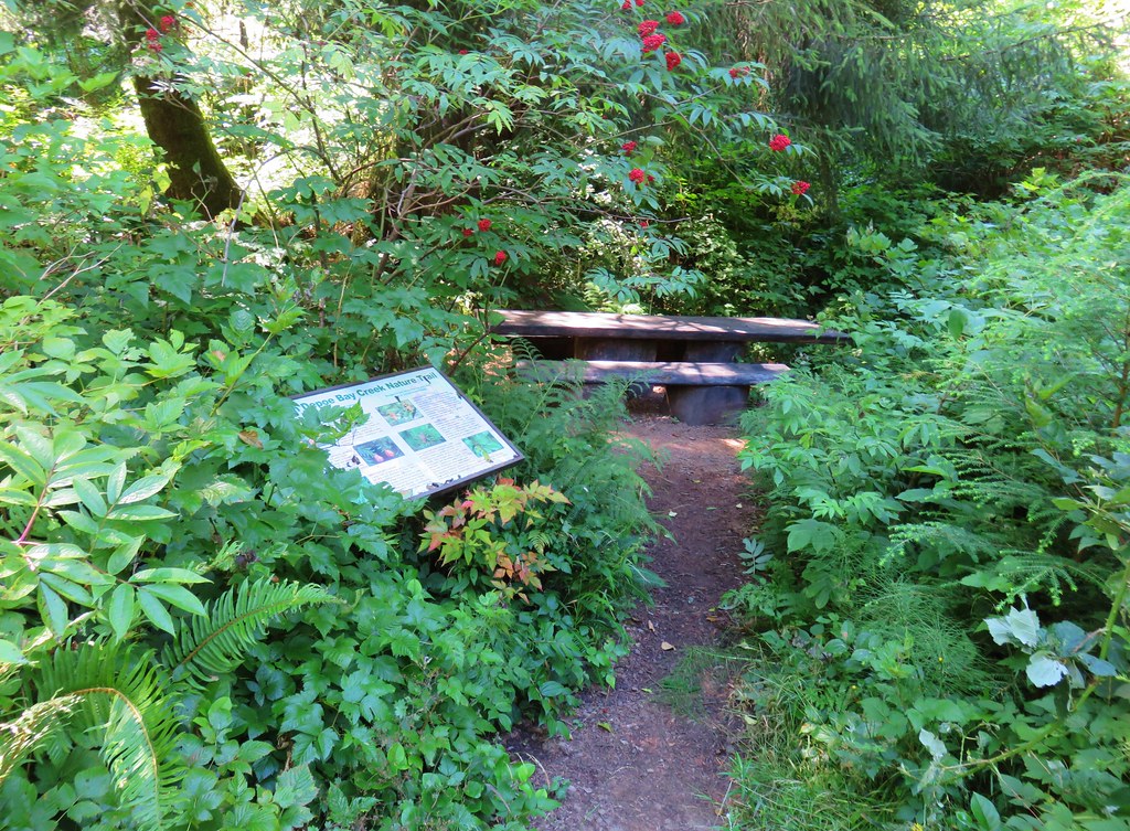
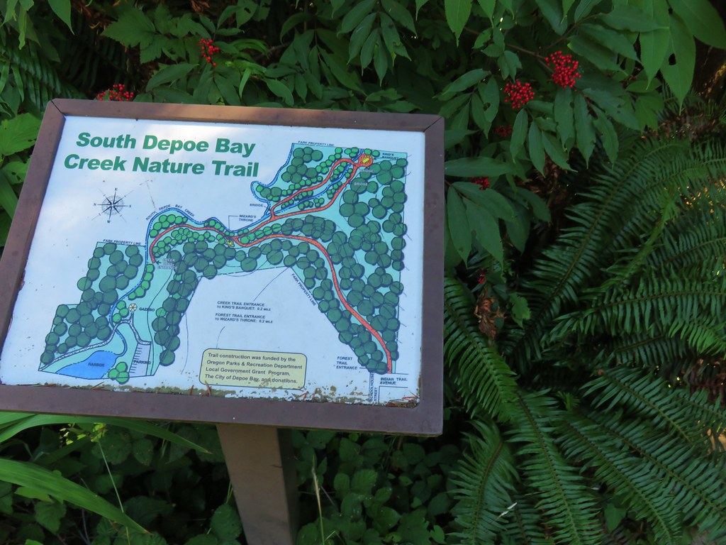
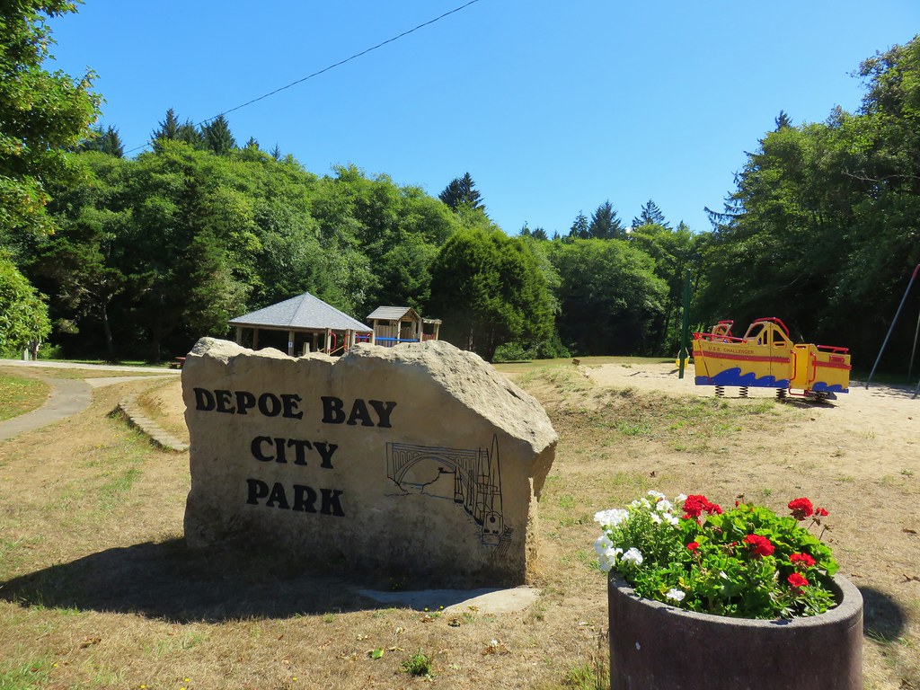
From the Mike Miller Trail we returned to Highway 101 and drove north through Newport toward Depot Bay. We turned inland on Schoolhouse Street just south of Depoe Bay at a Shell Station. We immediately forked left and drove downhill toward the bay following City Park signs. After parking we headed into the park where we followed signs for the South Depoe Bay Creek Nature Trail.
IMG_9795

IMG_9796

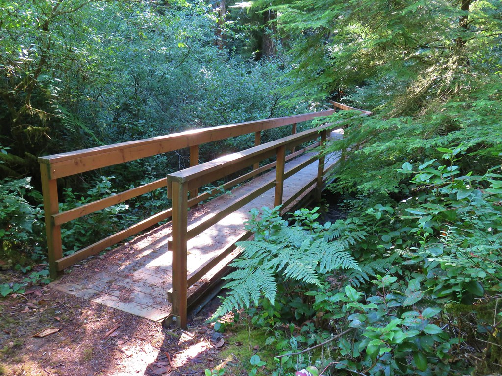
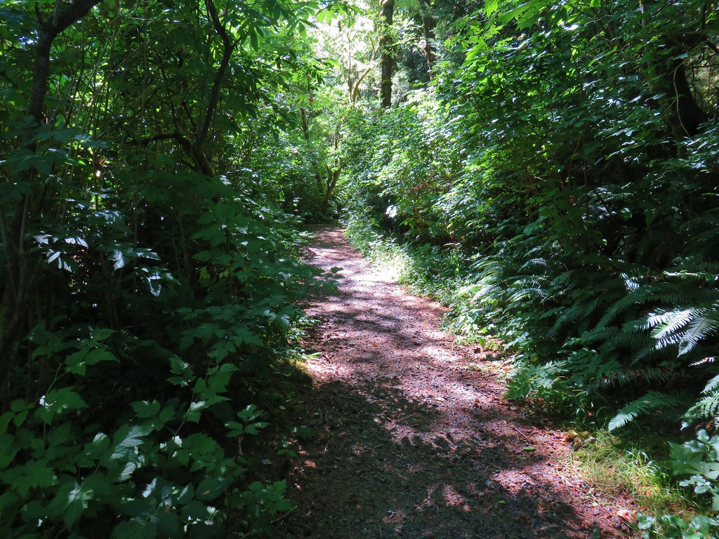
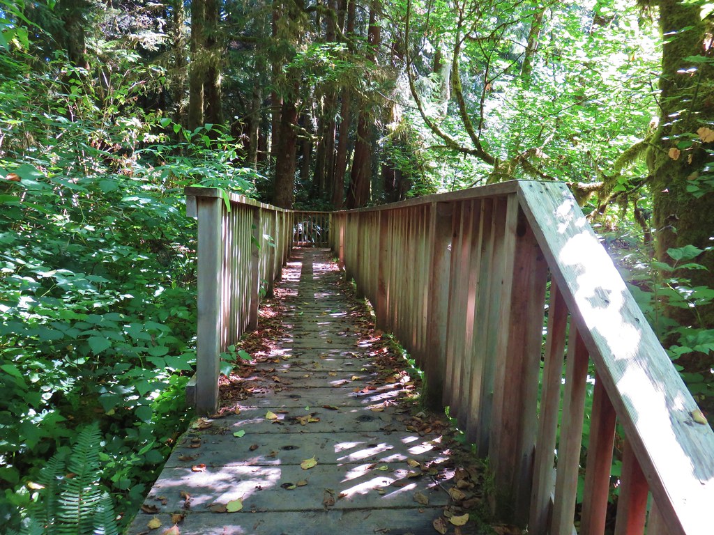
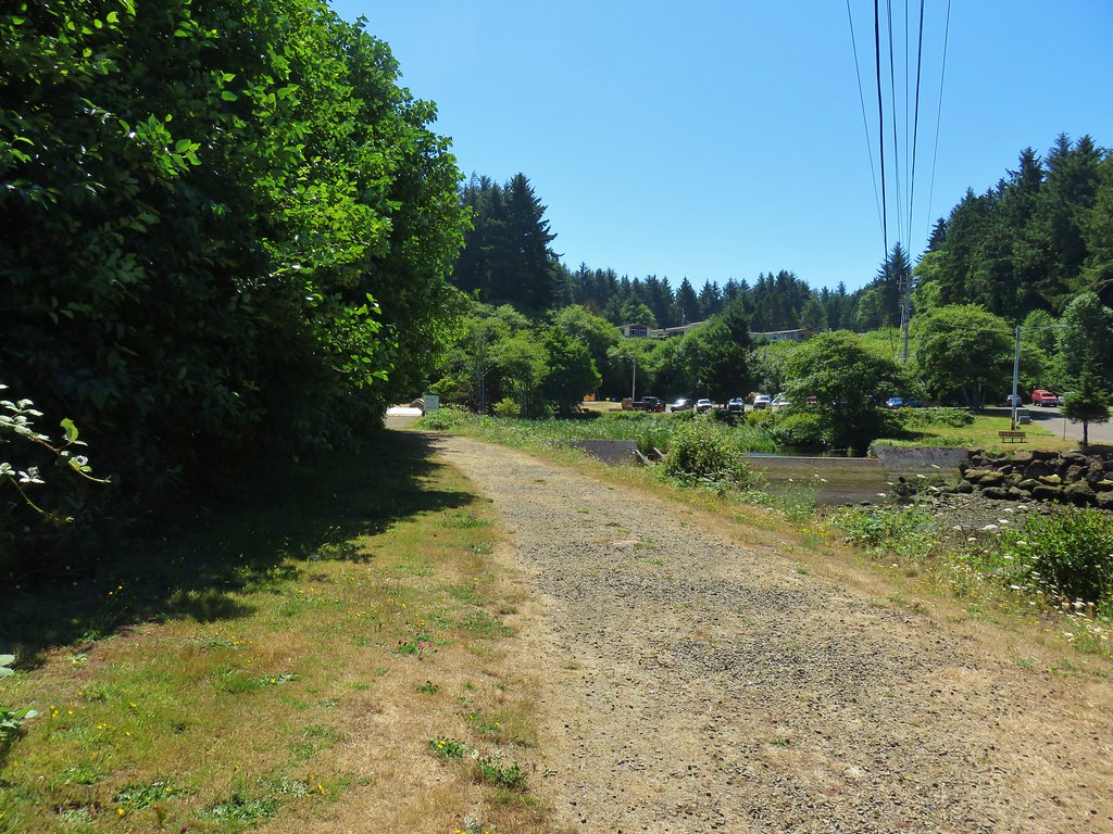
The forested path followed South Depoe Bay Creek for a quarter of a mile to a footbridge where a .3 mile loop began.
IMG_9798

IMG_9799

IMG_9802

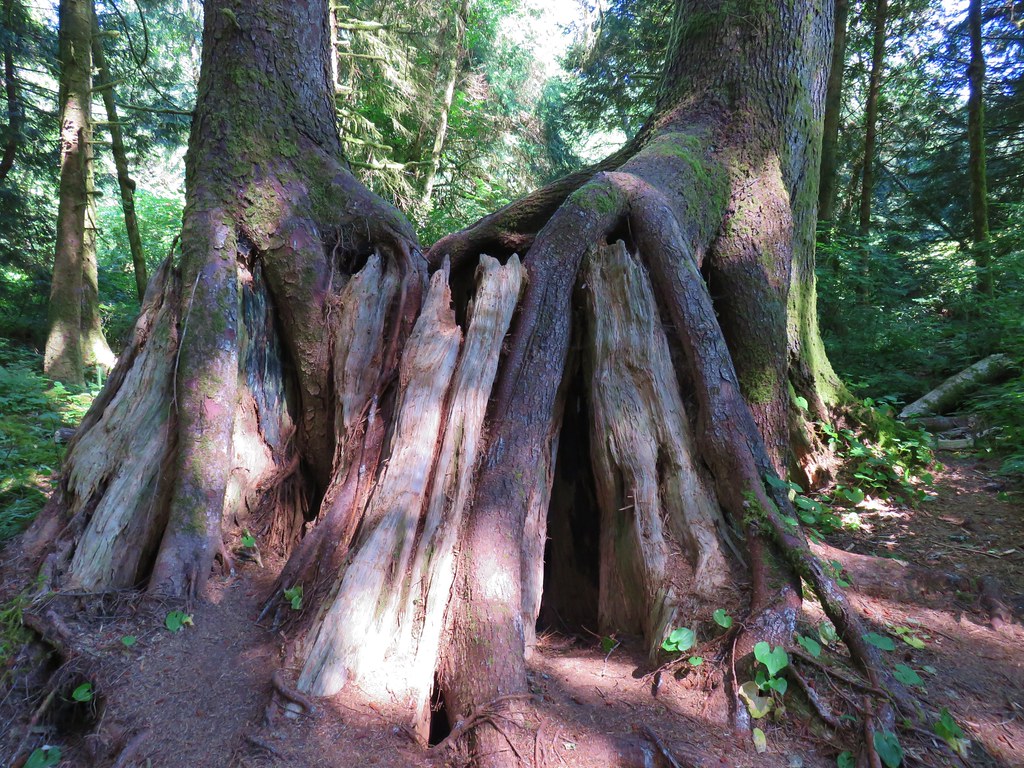
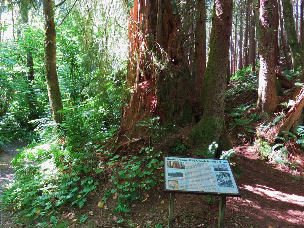
We crossed the creek and stayed left on the main trail at junctions. The trail passed a huge, hollow old stump with two trees growing off of it.
IMG_9804

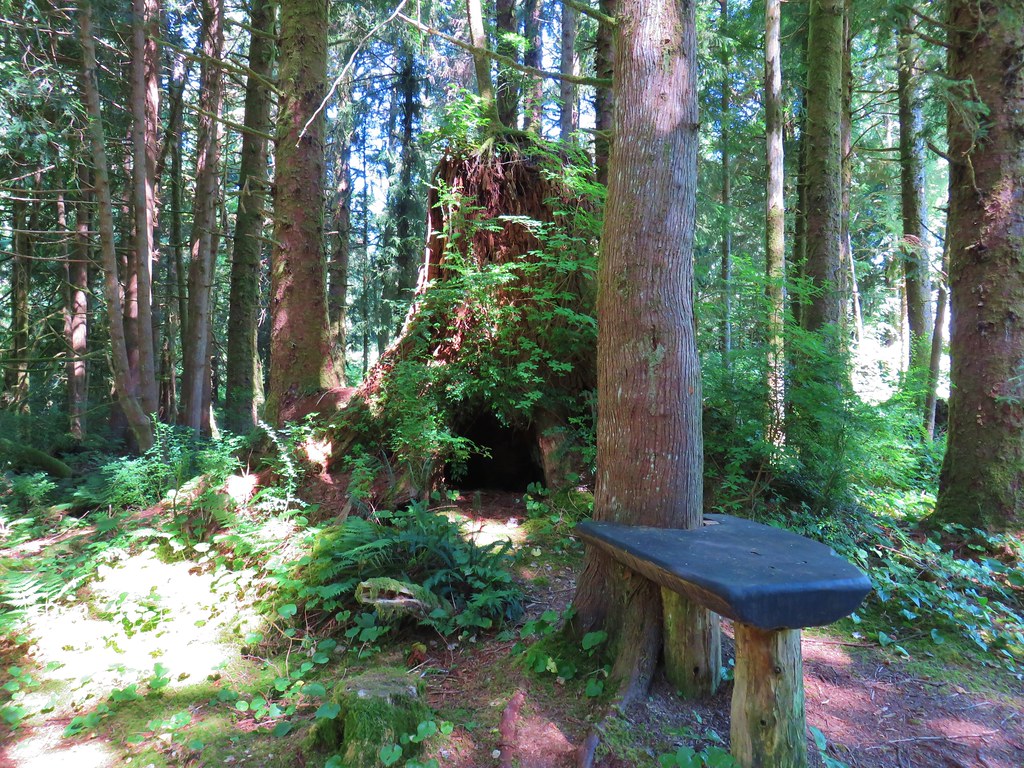
A second nearby stump was covered in green foliage.
IMG_9806

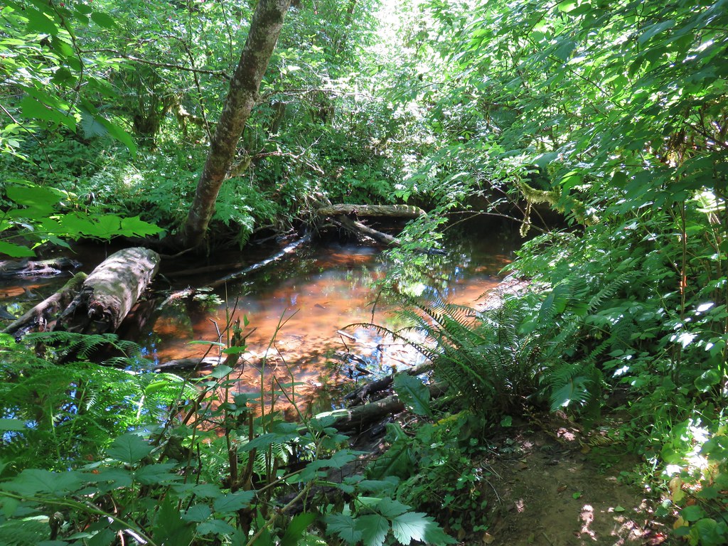
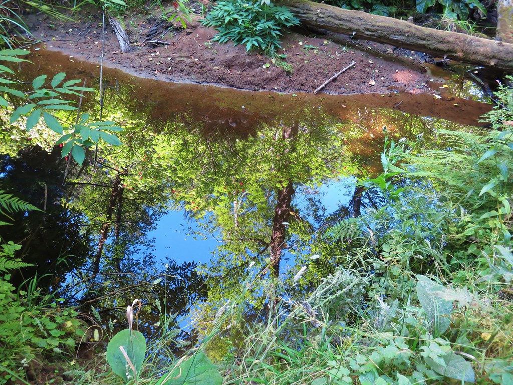
The trail recrossed the still creek and passed a rather large picnic table before completing the loop.
IMG_9807

IMG_9808

A short distance prior to the start of the loop we had passed a fork where the right hand path led uphill.
IMG_9801

On our way back we turned uphill on that trail and climbed through the trees to Indian Trail Avenue.
IMG_9809

IMG_9811

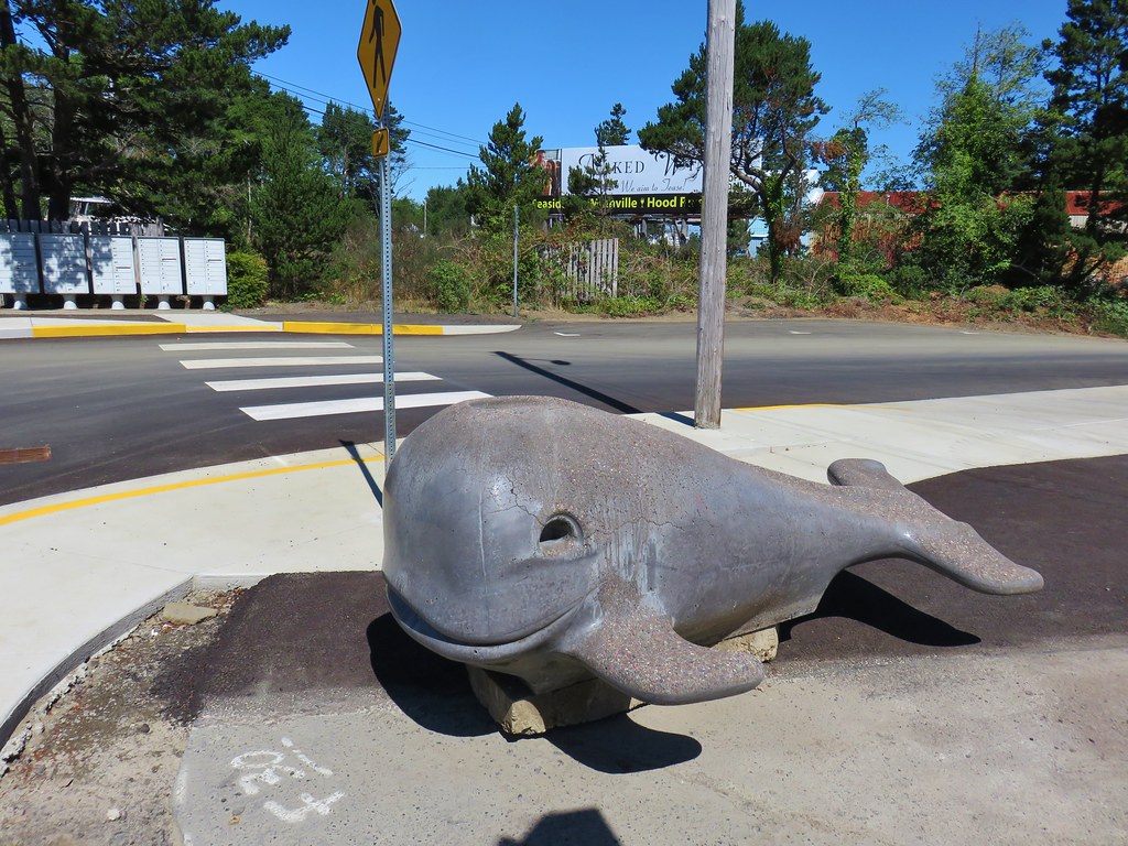
We followed this road down to the Shell Station along Highway 101 passing a little whale statue/slide.
IMG_9812

We then followed the highway north into Depoe Bay.
IMG_9813

IMG_9814

IMG_9815

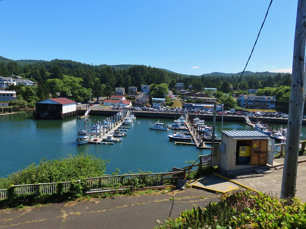
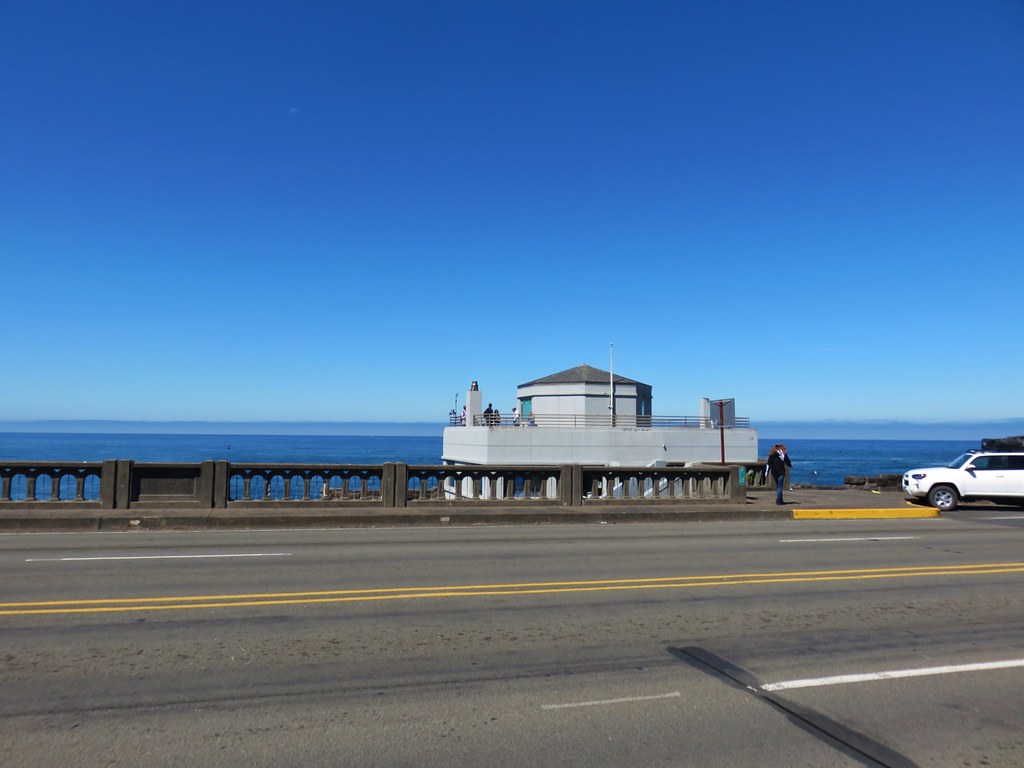
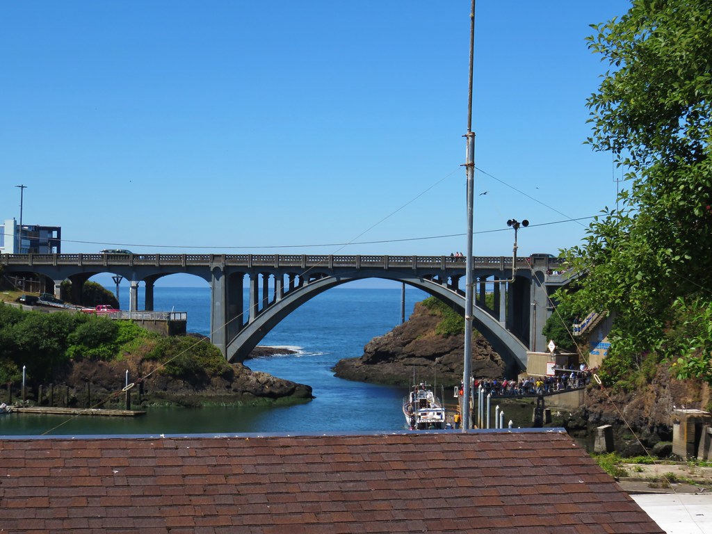
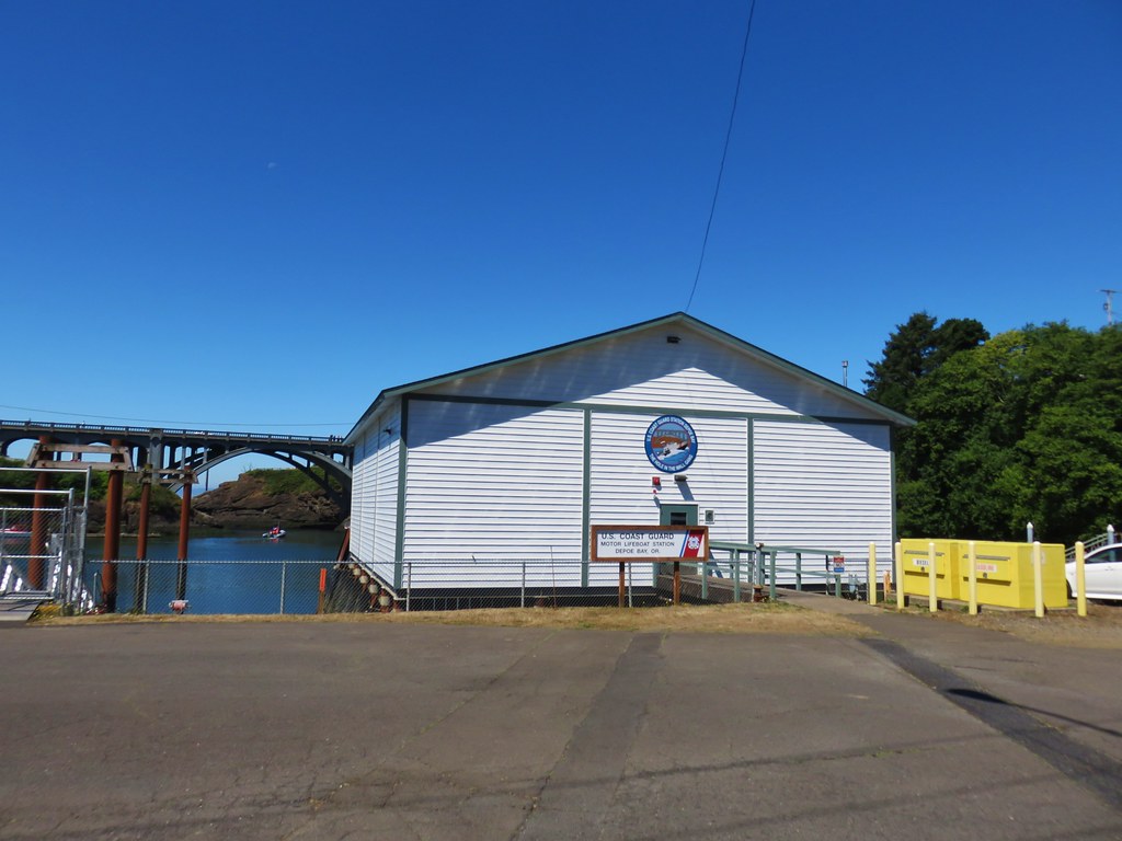
We could have crossed the highway and visited the Whale Watching Center or browsed the local shops, but we didn’t want to be late for the reunion so we simply turned right onto Bay St. after crossing over the highway bridge following it around the bay to the Coast Guard boathouse.
IMG_9816Whale Watching Center

IMG_9817

IMG_9819

We continued along the bay until we reached a wide footbridge across South Depoe Bay Creek back to the city park.
IMG_9821

IMG_9822

This wound up being a 1.7 mile round trip bringing our total mileage for day to a grand total of 6 miles. It was a nice variety of trails and a good way to work up an appetite before the reunion. Happy Trails!

Flickr: South Beach and Depot Bay Trails

Categories
Central Coast Hiking Oregon Oregon Coast

Throwback Thursday – Cape Mountain

This week we are throwing back to an 8 mile loop we hiked at Cape Mountain north of Florence on Labor Day weekend in 2011. This hike appealed to us for two reasons at the time, it was in the 6 to 10 mile range and it was a loop. Another draw was the possibility of seeing an elk for the first time on a hike.

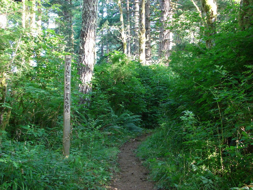
We began our hike at the Dry Lake Horse Camp located 3 miles off of Highway 101 along Herman Cape Road which is 7 miles north of Florence. From the trailhead we set off on the Princess Tasha Trail.

Princess Tasha Trail

After .4 miles we came to a 4-way junction. Here we took a right onto the Scurvey Ridge Trail. After another .4 miles we came to a viewpoint with a bench.

View from Scurvy Ridge

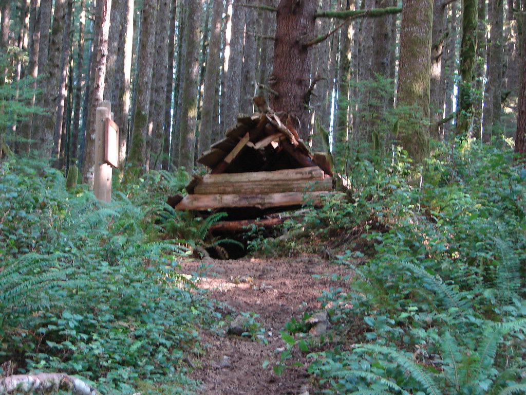
We followed the ridge for another mile where we arrived at a replica of a hitsi, Siuslaw Indian hunting cabin.

A hitsi which was an Indian hunting shelter

Informationa sign near the shelter

A short distance from the hitsi we arrived at another junction near the Horse Creek Campground

We kept left at junctions following pointers for “Horse Water” for a quarter mile to the Berry Creek Trail. We turned left onto the Berry Creek Trail and followed this trail a total of 2.2 miles. It began on an old roadbed but quickly left that and switchbacked down to Berry Creek.

Berry Creek

After rock hopping across the creek the trail a short distance to another 4-way junction. We left the Berry Creek Trail here turning right on the Nelson Ridge Trail which gently climbed uphill to the ridge crest.

Nelson Ridge Trail

On top of the ridge is a meadow that the Forest Service created in an attempt to simulate the elk friendly habitat that the Native Americans created by setting fires.

Nelson Ridge Trail

Interpretive sign on Cape Mountain

Unfortunately we didn’t see any elk on this day but we took a seat on a bench and enjoyed a somewhat limited view due to low clouds.

View from the meadow on Cape Mountain

View from the Nelson Ridge Trail

After passing through the meadow we kept right at junctions for 1.8 miles back to our car, stopping briefly to take a look at Dry Lake.

Dry Lake

We were done early enough in the day that we decided to drive up Highway 101 three miles to the Sea Lion Caves. While it isn’t exactly a hike the cave tour does require walking along a path to viewpoints and is a worthwhile stop.

Pacific Ocean on the way to the Sea Lion Caves

Inside the cave sea lions lounged on the rocks.

Sea Lions in Sea Lion Cave

Windows in the cave walls also allow a look outside to seabirds on the rocky cliffs.

Pacific Ocean from the Sea Lion Caves

Pelicans

While driving home we spotted a herd of elk grazing in a field on a farm. It figured. It would be another 55 hikes (2 years) before we finally saw elk during a hike. Never the less it had been another nice hike at the coast. Happy Trails!

Flickr: Cape Mountain

Categories
Central Coast Hiking Oregon Oregon Coast Throwback Thursday Trip report

Throwback Thursday – Cape Lookout

This Throwback Thursday hike took place on our 16th wedding anniversary. To celebrate we headed to Cape Lookout State Park on the Oregon Coast. We parked at the Cape Lookout Trailhead where we had three trails to choose from.

Trail sign in Cape Lookout State Park

The most scenic (and popular) of the three trails is the Cape Trail which we started out on. This nearly 2.5 mile trail follows Cape Lookout to it a viewpoint overlooking the tip of the Cape. The trail starts out on the southern side of Cape Lookout offering a view after .6 miles of Cape Kiwanda and Haystack Rock near Pacific City (post).

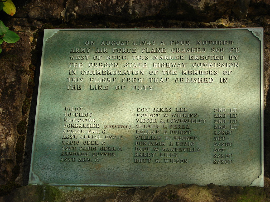
The viewpoint is also near the site where a B-17 bomber crashed in 1943.

Memorial plaque along the Cape Trail

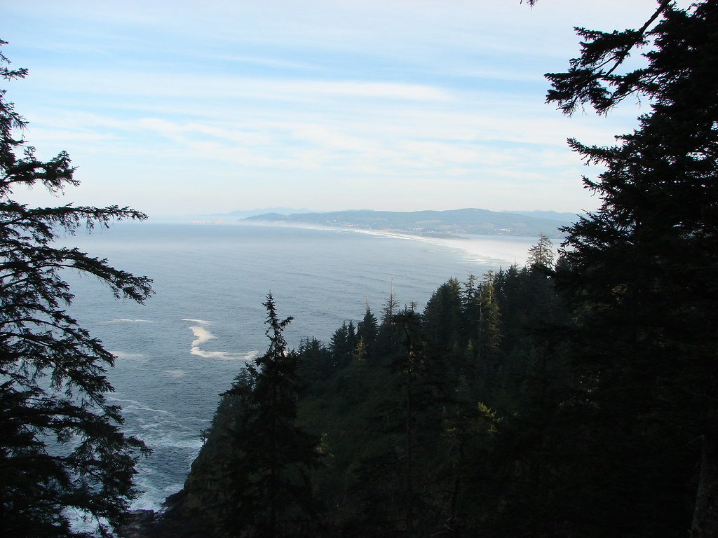
The Cape Trail soon crosses the cape to the northern side where Cape Mears (post) and the Three Arch Rocks Wilderness could be seen.

View from the Cape Trail

Storm Rock, Finley Rock, Shag Rock and Seal Rock

We followed the trail around Wells Cove before it returned to the southern side of the cape.

Wells Cove

Wells Cove

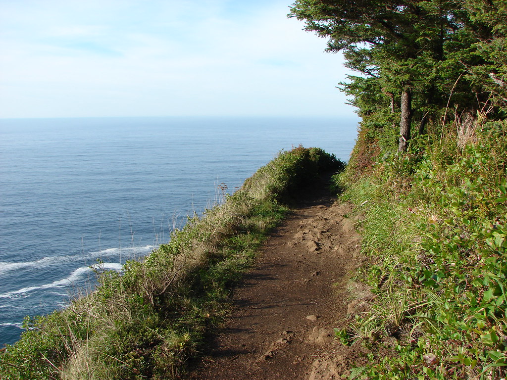
Cape Trail

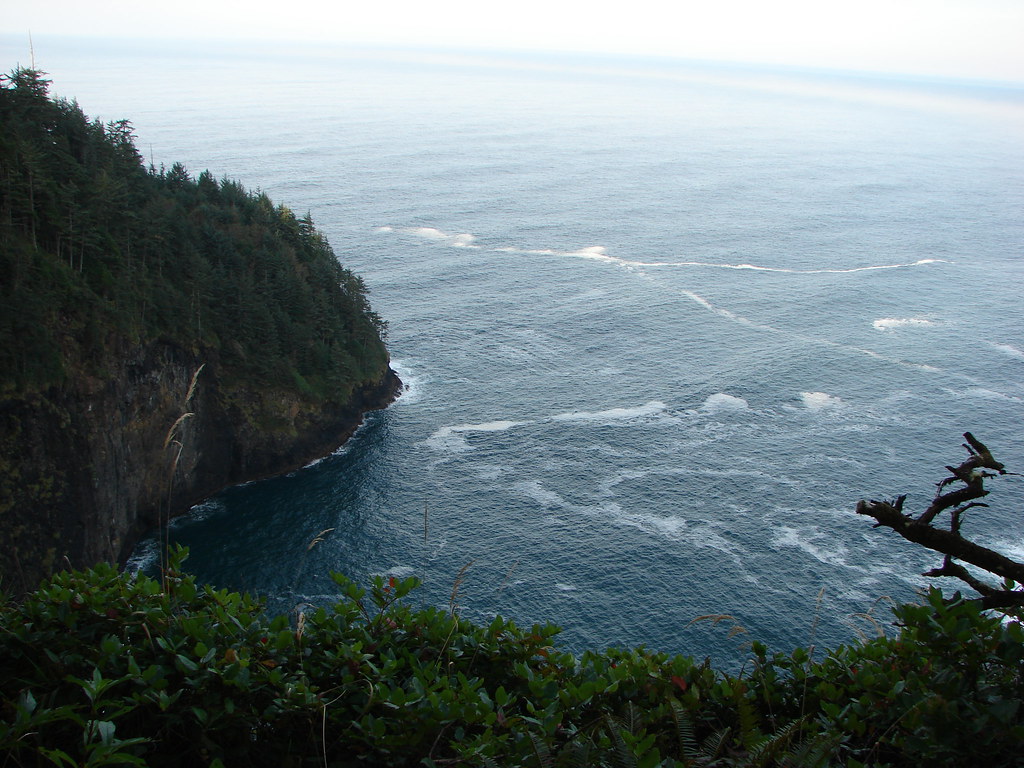
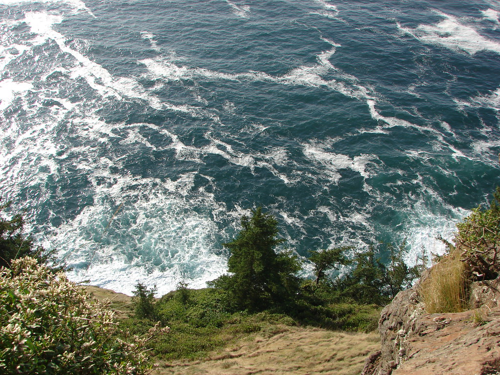
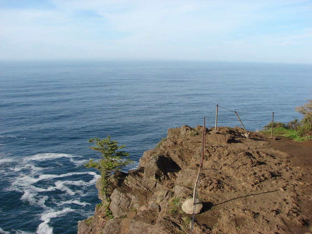
The final stretch of trail offered wide open views down to the Pacific.

View from Cape Lookout

View from Cape Lookout

View from Cape Lookout

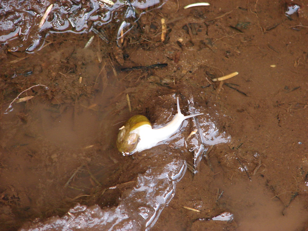
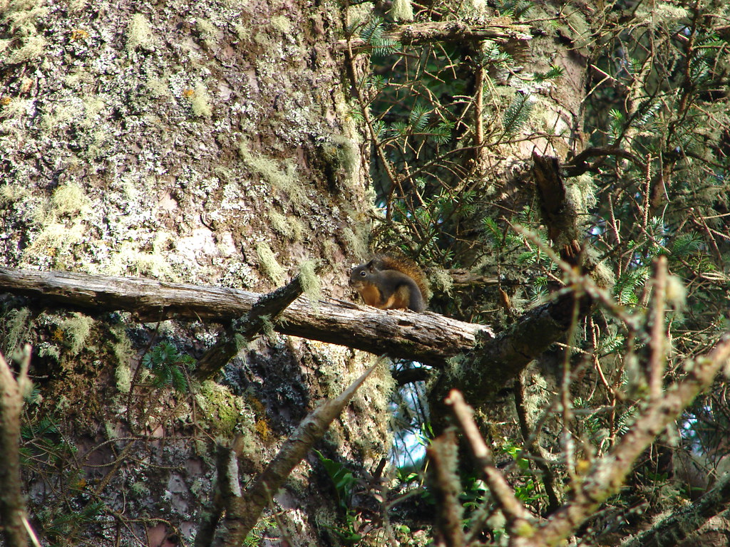
It was a busy day on the trail, there had been a few other hikers out as well as several locals along the trail.

Snail

Douglas squirrel

Chipmunk

After resting at the viewpoint we returned to the trailhead and decided to try the South Trail which led 1.8 miles down to the beach. The trail switchbacked down through the forest but offered occasional views of the cliff lined southern face of Cape Lookout.

South Trail

Forest along the South Trail

Cape Lookout

We spotted another local on the way down to the beach.

Snake

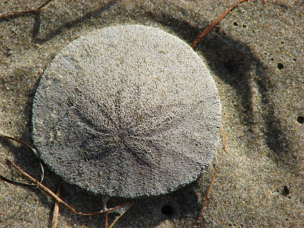
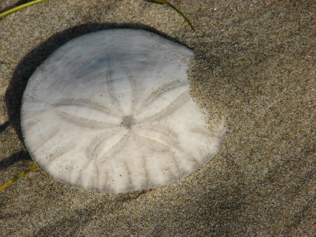
We walked along the beach watching for sand dollars for a bit finally sitting down on a log and taking a nice long break as we listened to the ocean and watched more locals as they went about their days.

Cape Lookout

Sand dollar

Sand dollar

Beach south of Cape Lookout

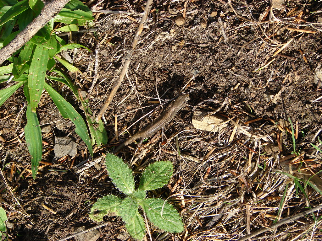
Northern alligator lizard

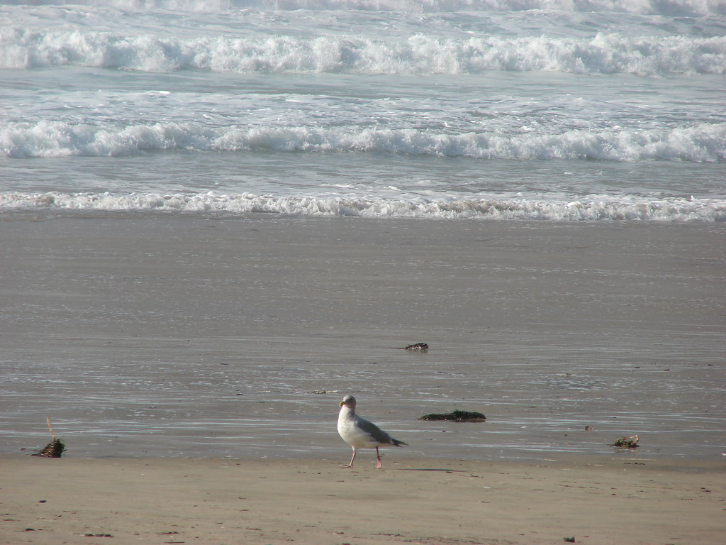
Seagull

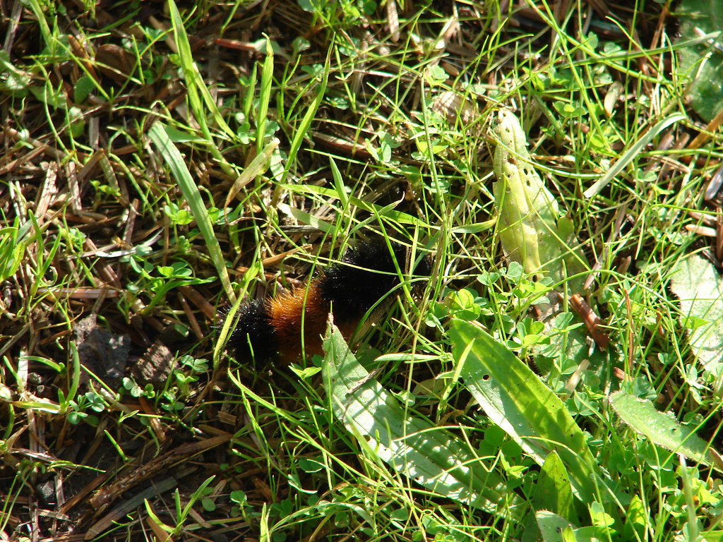
Wolly bear caterpillar

We eventually pulled ourselves away from the hypnotic trance of the Pacific and climbed back up to the trailhead. Other than one woman with her dog that we spotted in the distance we had been the only humans on the beach making it a relaxing way to end the day. Happy Trails!

Flickr: Cape Lookout

Categories
Central Coast Hiking Oregon Oregon Coast Throwback Thursday Trip report

Throwback Thursday – Cascade Head

This Throwback Thursday hike was the first of what has become a tradition of hiking at the coast on the morning of family reunion in August. The festivities typically begin somewhere between noon and 1pm which give us plenty of time to get a short hike in beforehand.

In 2010 the hike we chose was at Cascade Head just north of Lincoln City. We started our hike at the lower trailhead at Knights Park.

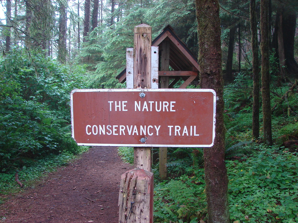
The Nature Conservancy manages the Cascade Head Preserve and does not permit dogs, horses, bicycles, hunting or camping at the preserve.
Signboard at the Cascade Head Trailhead

The trail sets off from Knights Park through a typical coastal forest crossing Three Rocks Road after .4 miles then climbing through more forest for 1.1 miles (and crossing the road two more times) to an open meadow.
Nature Conservancy Trail

Nature Conservancy Trail

Mushrooms

Meadow on Cascade Head

View from the Nature Conservancy Trail

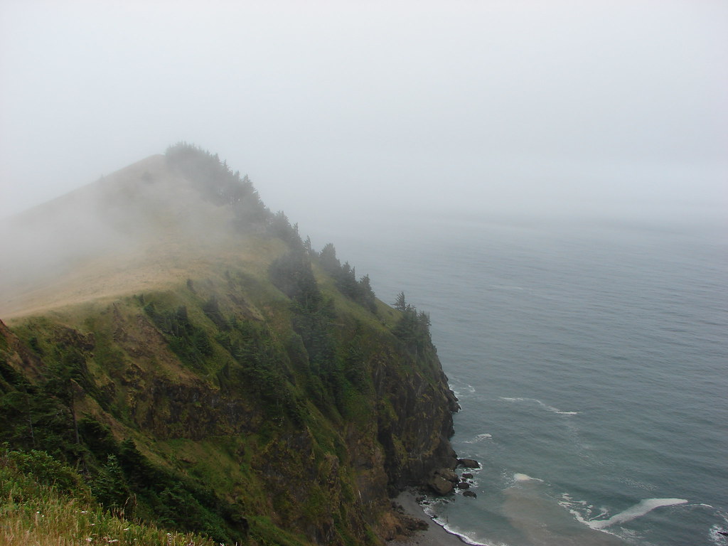
It was a cloudy day so the views were a bit limited but we could see Gods Thumb to the south of the mouth of the Salmon River.
View from the Nature Conservancy Trail

The trail then traversed the meadow steepening to an upper viewpoint in another .6 miles.
Nature Conservancy Trail

View from the Nature Conservancy Trail

Cascade Head

We followed the Nature Conservancy Trail another mile through a damp mossy forest to the upper trailhead.

Forest on Cascade Head

Forest along the Nature Conservancy Trail

050

053

After reaching the upper trailhead we returned the way we’d come. We had hoped to see some of the elk that frequent the area but that didn’t happen. We did however see a decent variety of insects along the way.
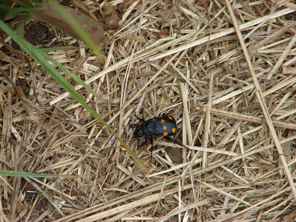
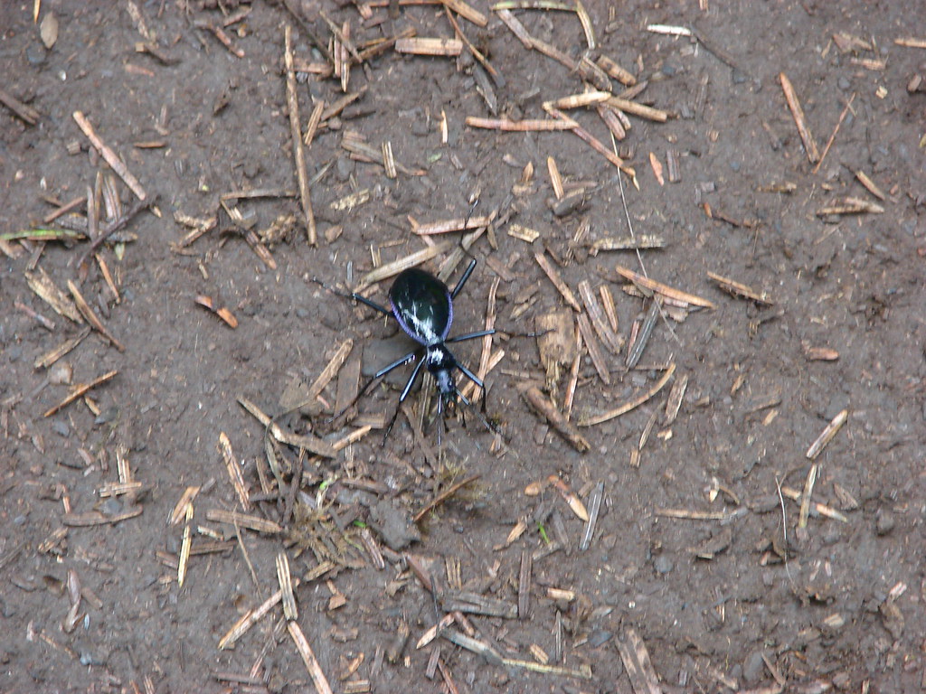
Heart beetle

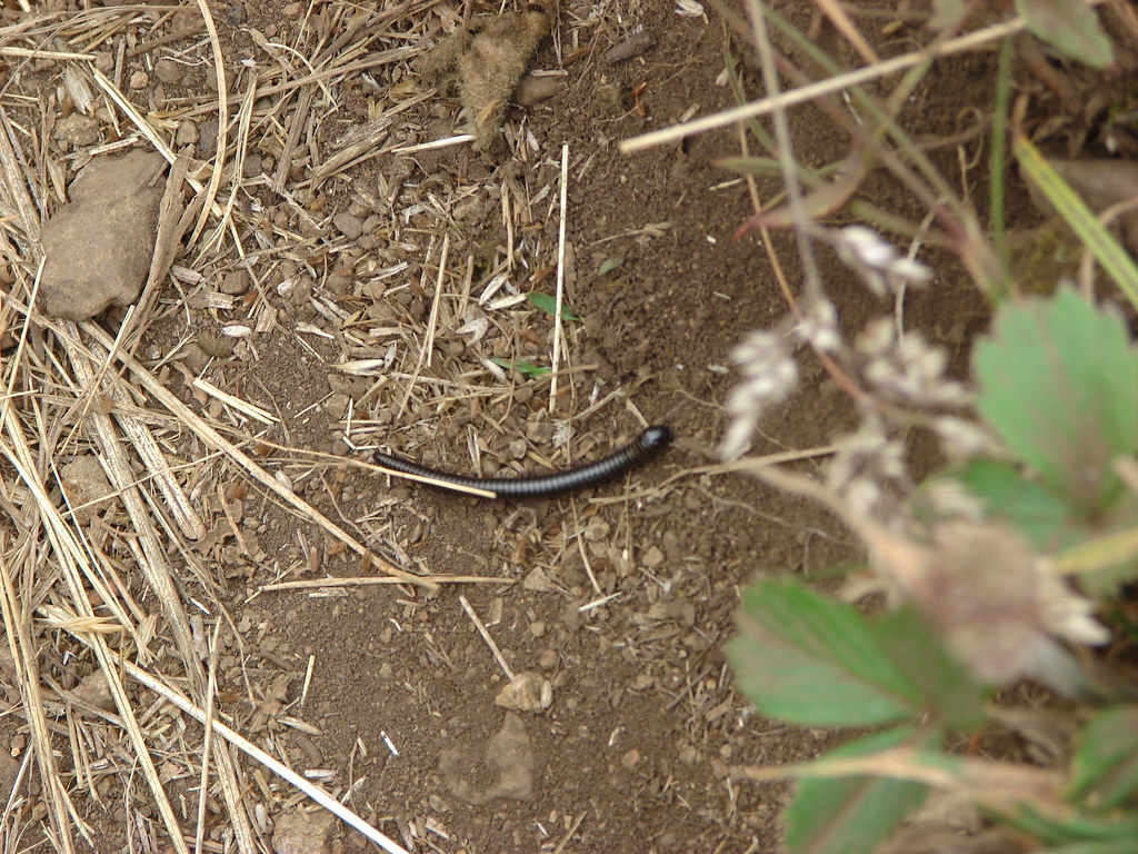
Millipede

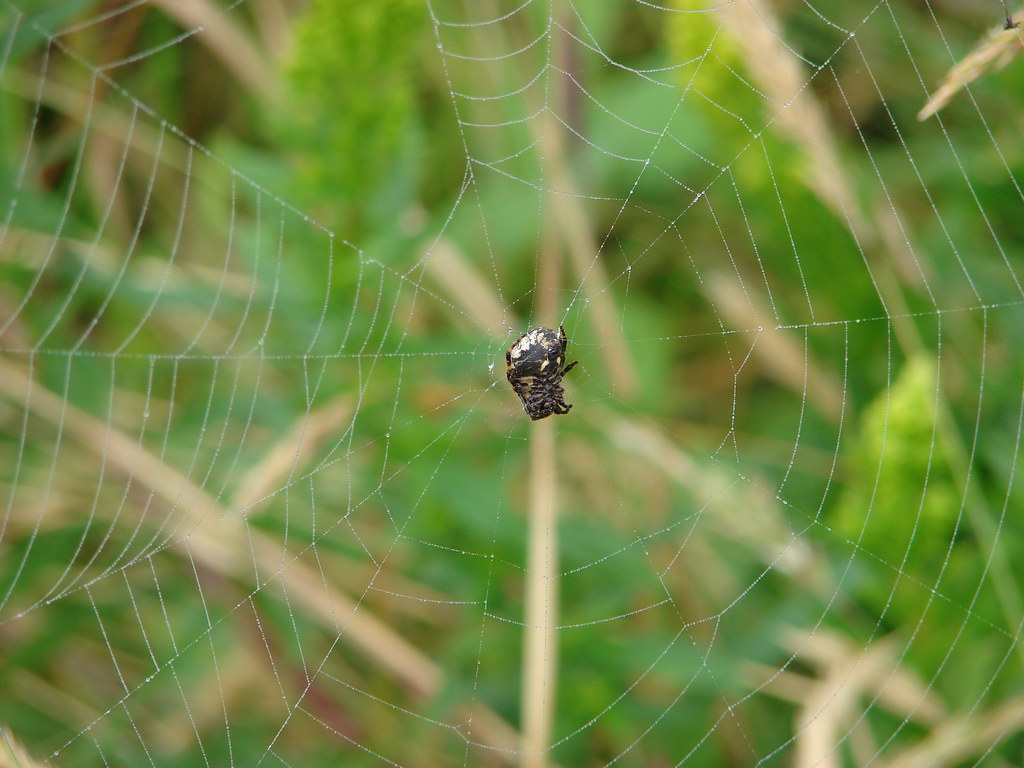
Spider

049

055

The hike was approximately 6.5 miles with 1300′ of elevation gain. We hope to get back someday when the skies are clearer and the elk are present. We will likely try earlier in the year too when the meadow hasn’t been subjected to the summer heat yet. Happy Trails!

Flickr: Cascade Head

Categories
Central Coast Hiking Oregon Oregon Coast

Throwback Thursday – Devil’s Punchbowl and Beverly Beach

On May 12th, 2012 we were in Newport scouting out the route of the Newport Marathon which we would be running the next month and while we were there we took a short hike along Beverly Beach starting at the Devil’s Punchbowl State Natural Area.
Devil's Punchbowl Trailhead

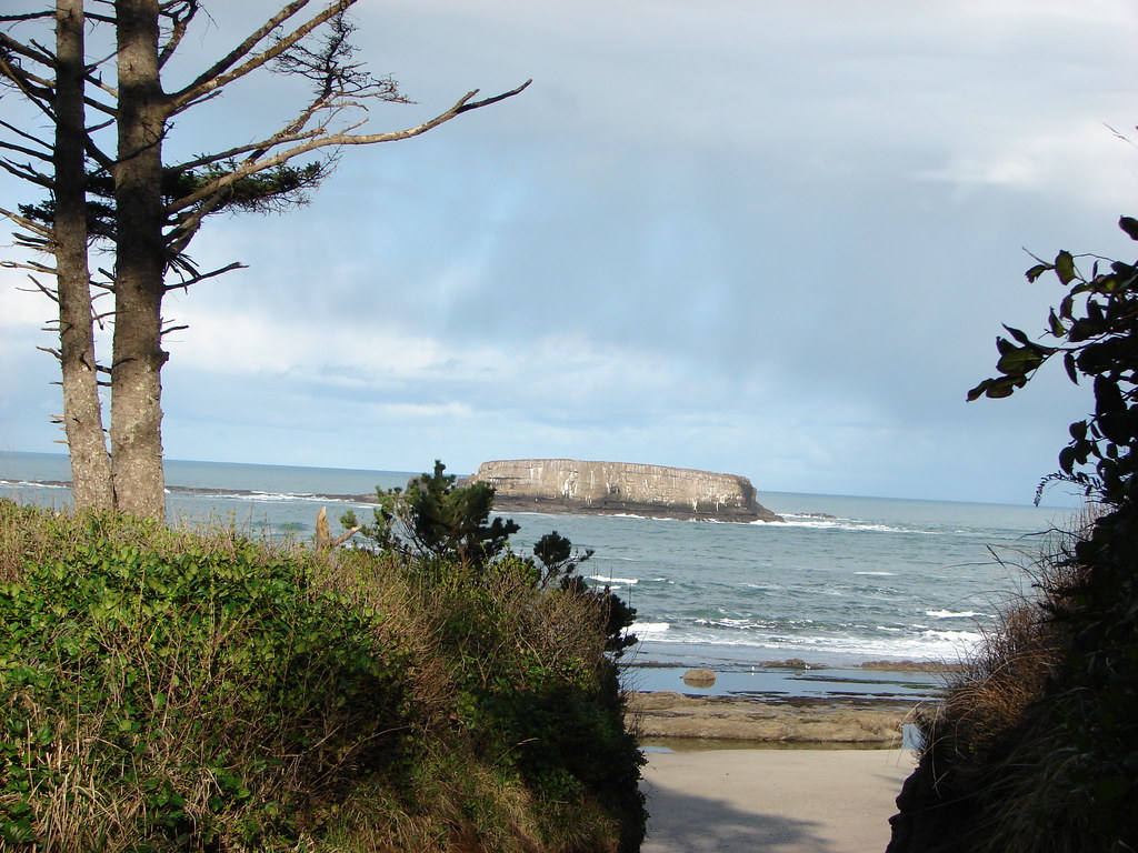
From the parking area we headed down to the beach on the north side of the Devil’s Punchbowl. The large Gull Rock rose out of the Pacific just offshore.
Gull Rock

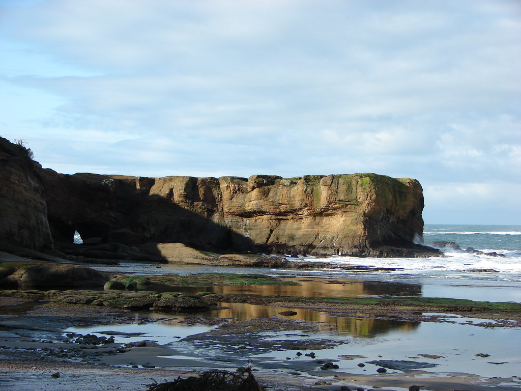
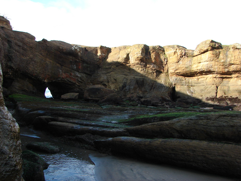
We turned south to explore what we could of the punchbowl.
Devi's Punchbowl

Devil's Punchbowl

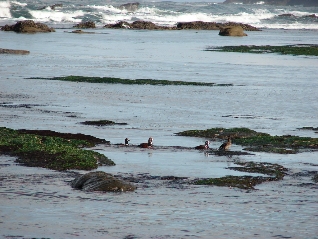
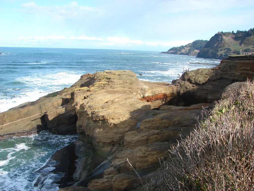
We hadn’t looked up the tide table so we played it safe and didn’t go in too far but were still able to get a nice look. In addition to the rock formations there was plenty of wildlife to see.
Harlequin DucksHarlequiin ducks

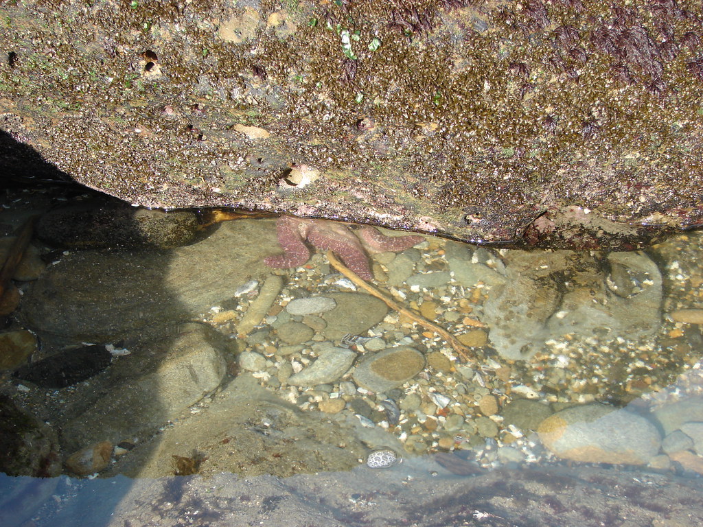
StarfishStarfish

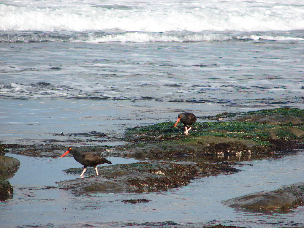
Oyster catchersOyster catchers

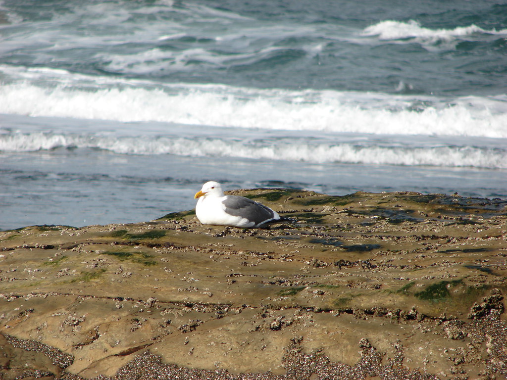
SeagullSeagull

After exploring down on the beach we headed back up to a viewpoint overlooking the Devil’s Punchbowl.
Devil's Punchbowl

Devil's Punchbowl and Gull Rock

We then descended to the beach on the south side of the punchbowl. Our plan was to follow the beach for 1.5 miles to Beverly Beach State Park. There we hoped to hike a .7 mile nature loop. The hike along the beach included views south to the Yaquina Head Lighthouse (post) and back north to the Devil’s Punchbowl. It also required an easy crossing of shallow Johnson Creek.
Yaquina Head Lighthouse from Beverly Beach

Yaquina Head Lighthouse

Gull Rock and Devil's Punchbowl

Johnson Creek

We turned inland at Spencer Creek and passed under Highway 101. A footbridge spanned the creek to a picnic area but we kept straight into the park campground.
Spencer Creek

The nature trail began at campsite C5 but we were disappointed to find signs indicating that it was temporarily closed just beyond a bench.
Trail in Beverly Beach Campground

We turned around and briefly wandered through the campground. Our first camping trip together had been at this park and we were wondering if we would recognize the site we’d stayed at over 17 years before. We were unsuccessful in making a positive id and headed back to the Devil’s Punchbowl parking lot. From there we headed to Newport and drove the marathon course to see what we’d gotten ourselves into. Happy Trails!

Flickr: Devil’s Punchbowl and Beverly Beach.

Categories
Central Coast Hiking Oregon Oregon Coast Throwback Thursday Trip report

Throwback Thursday – Drift Creek Wilderness and Cape Perpetua

This week’s Throwback Thursday hike is another we completed fairly earl on in our hiking days. On September 15th 2010 we set off on our 18th hike into the Drift Creek Wilderness NW of Yachats, OR.

The wilderness is home to impressive stands of old growth trees but in all honesty we had not yet come to fully appreciate what that meant. Like too many hikers we were focused on big views, massive waterfalls, vast wildflower meadows, or glistening lakes.

Our hike began at the Horse Creek North Trailhead where we followed the trail for .6 miles along an old roadbed to the boundary of the Drift Creek Wilderness.
Drift Creek Trailhead

Drift Creek Wilderness sign

From the wilderness boundary the trail gradually descended for 3.2 miles to a campsite near Drift Creek.
Drift Creek Wilderness

Drift Creek Wilderness

Interestingly there was no easy path down to the creek which one could ford to the Harris Ranch Trail to the north. We have plans to hike this trail in the future.
Drift Creek

Drift Creek

We returned the way we’d come, climbing back up to the trailhead wondering what the point of that was. Looking back on the hike now we realize we weren’t really paying attention to the forest along the way. If we were to repeat this hike now I think we would come away with a whole different view.

Given that the hike was only 7.6 miles we had the time and energy to make a second stop somewhere. We were hoping for something with a little more “bang” to it so we pulled out our guidebook and began looking for another short hike nearby.

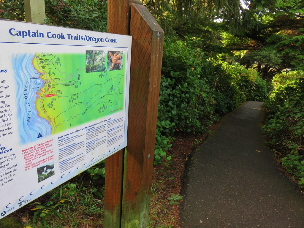
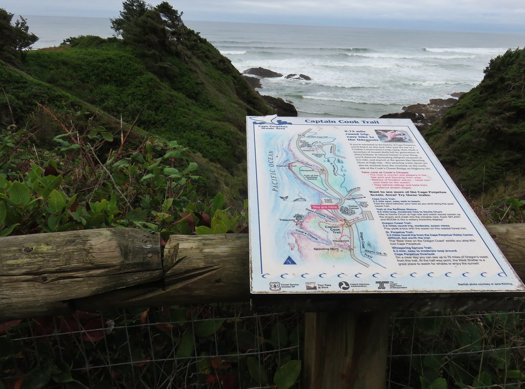
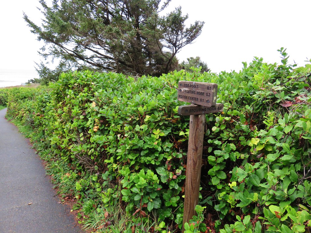
We landed on the Cape Perpetua Scenic Area. Located three miles south of Yachats the area offered several trails to choose from and we picked the Captain Cook Trail.
Infromation for the Captain Cook Trail

The Captain Cook Trail leads to a viewpoint of one of the Oregon’s Coasts more famous attraction – Thor’s Well. Unfortunately our visit occurred at time when the tide was out and the well quite.
Looking toward Thor's Well

There was also a view to the north of the Cape Perputua Shelter which we would visit a couple years later (post).
Cape Perpetua stone shelter

Thor’s Well may have been quiet due to the tide being out but that also meant that we could see quite a few of the tide pools.
Tide pool

Anemone

Starfish

Tide pool

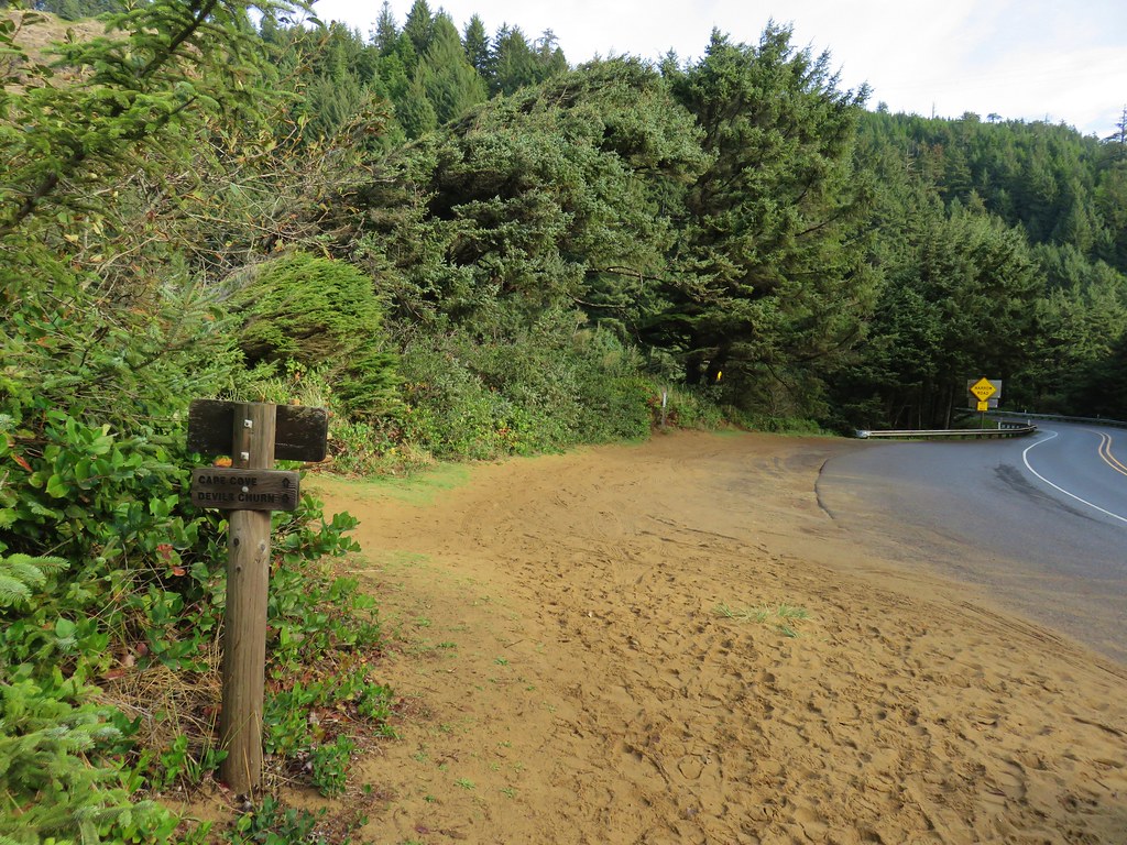
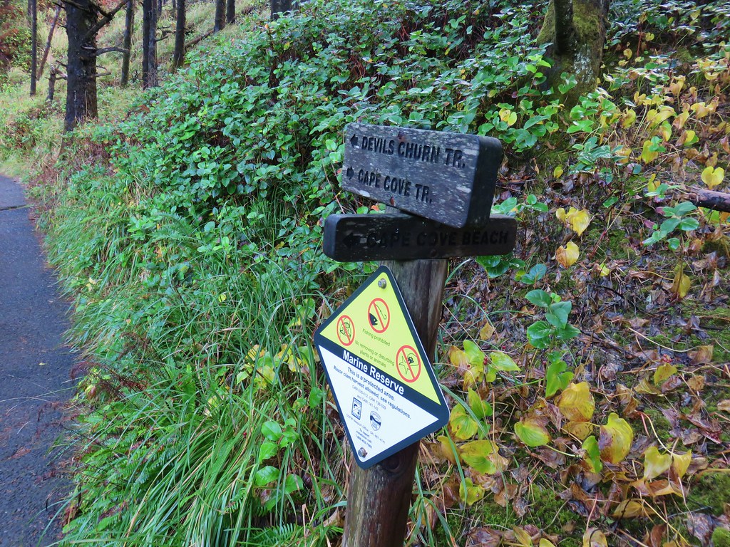
After touring the tide pools we headed back toward the parking area but turned left before passing under Highway 101 to take the Cape Cove Trail. This path crossed over Cape Creek on a bridge before leading down to more tidepools along the Devil’s Churn, a 50 slot carved into lava rock by the Pacific.
Cape Creek

Devil's Churn

Devil's Churn

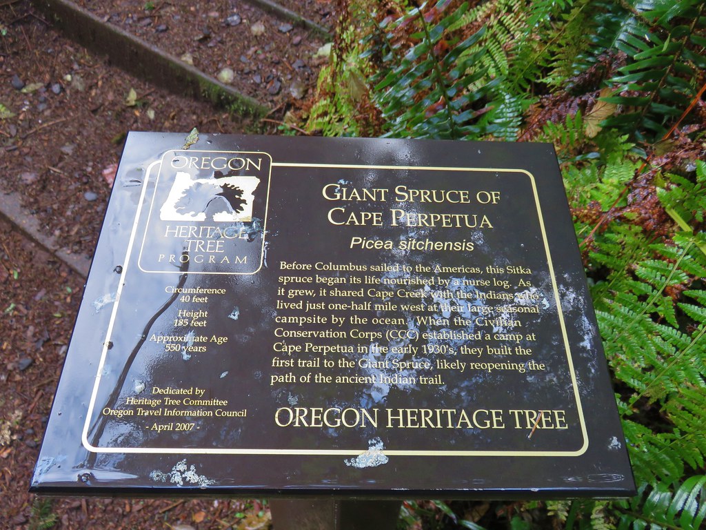
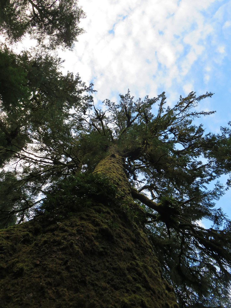
Again with the tide out there wasn’t much action occurring in the Devil’s Churn but it was still an interesting feature. Our hike here was just under 2 miles making it a reasonable hike for almost anyone. In addition to our plan to revisit the Drift Creek Wilderness we have one more trail to take at the Cape Perpetua Scenic Area so we will also be returning there someday to hike the Giant Spruce Trail. Happy Trails!

Flickr: Drift Creek North and Cape Perpetua Scenic Area

Categories
Central Coast Hiking Oregon Oregon Coast Trip report

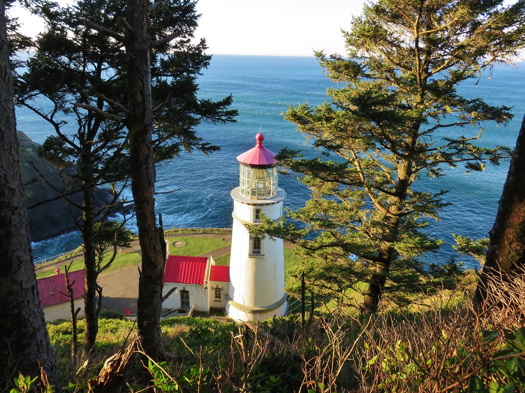
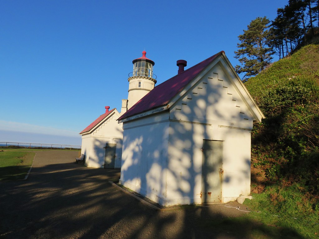
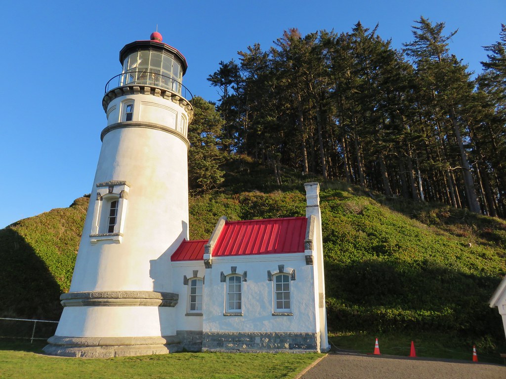
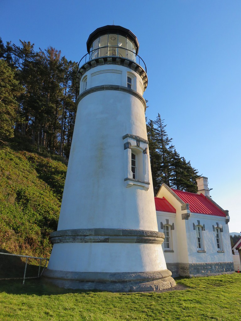
Heceta Head and Brain Booth State Park

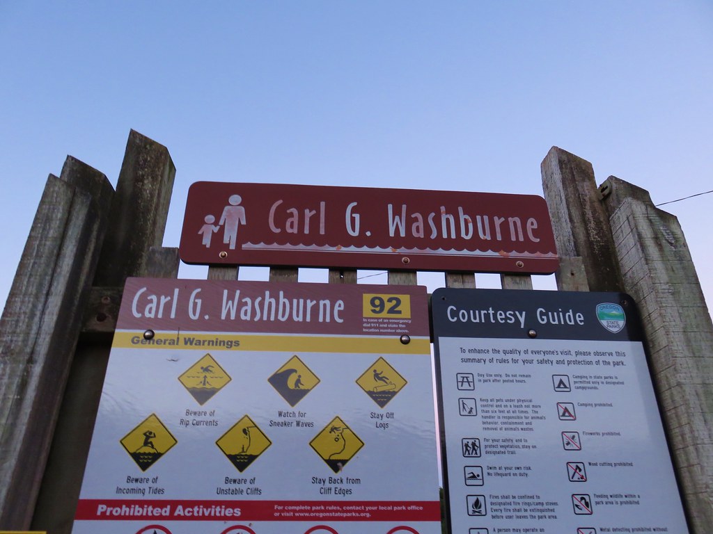
For our final outing of 2017 we returned to the Oregon Coast for three short hikes between Newport and Florence. We began our day by driving Highway 101 35 miles south of Newport (14 miles north of Florence) to the Carl G. Washburne Memorial State Park Day Use parking lot.
IMG_1413

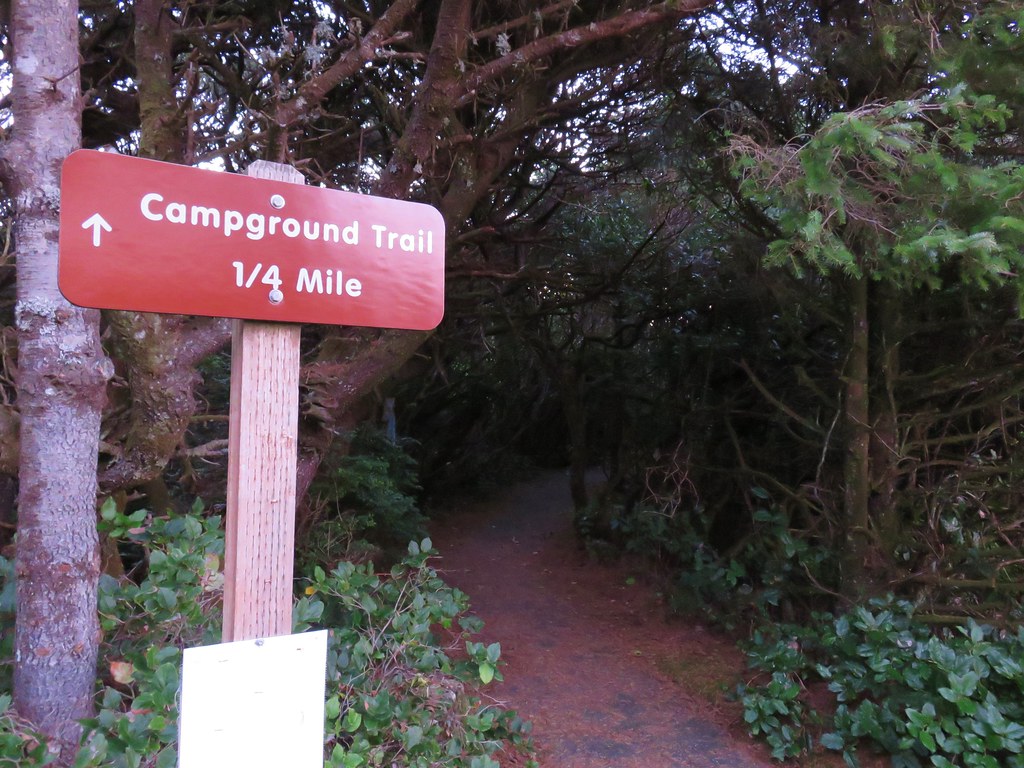
Our plan was to hike to the Heceta Head Lighthouse State Scenic Viewpoint and then return on a different route. In order to complete the loop portion of the hike we needed to cross Highway 101 twice. We decided to get the crossing done as soon as possible thinking that traffic would be less problematic earlier in the day. From the parking area we took a paved path east following a pointer for the Campground Trail.
IMG_1416

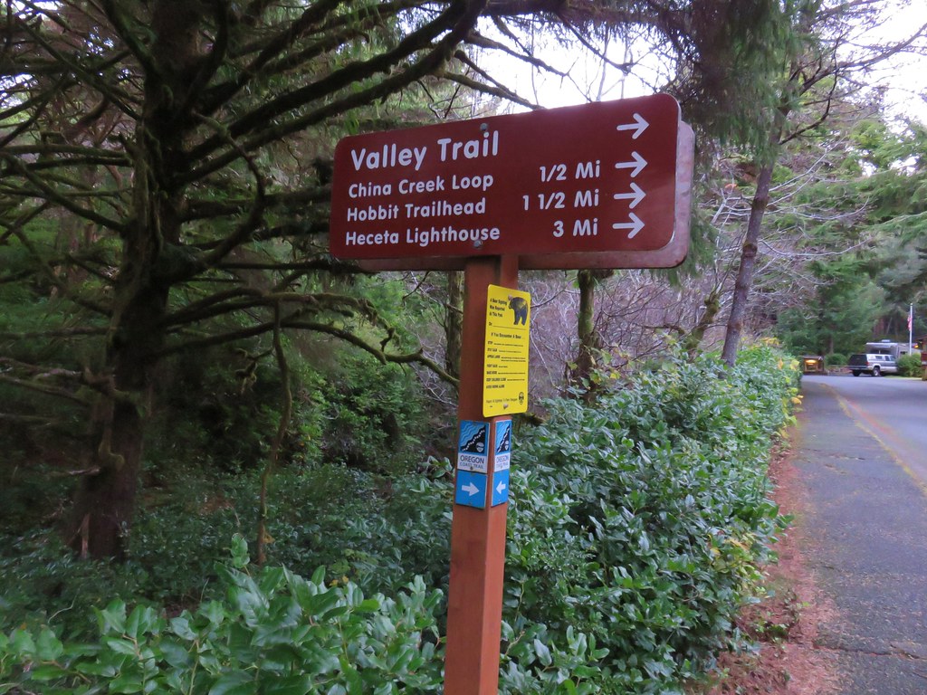
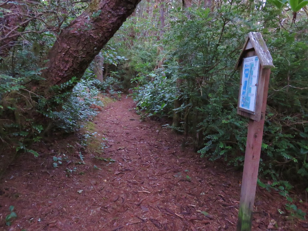
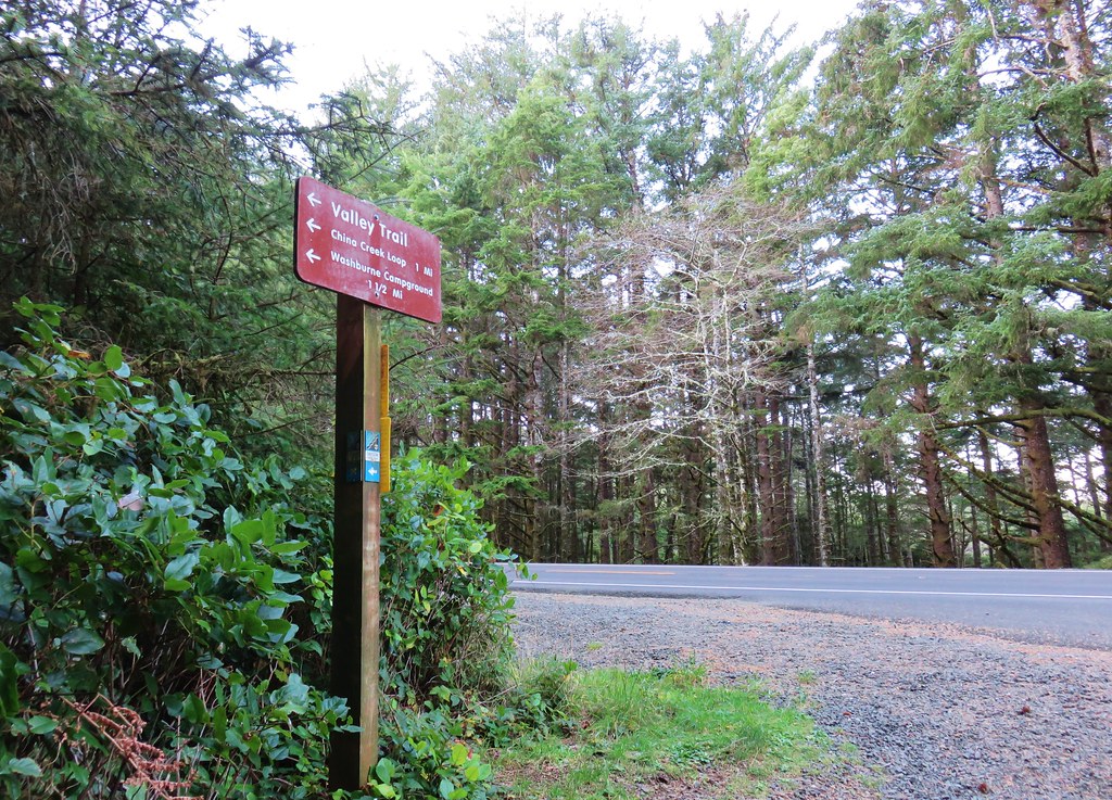
After a tenth of a mile we crossed the empty highway and continued on the campground entrance road for just over an additional tenth of a mile where we turned right at a signpost onto the Valley Trail.
IMG_1419

IMG_1420

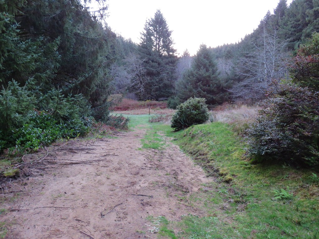
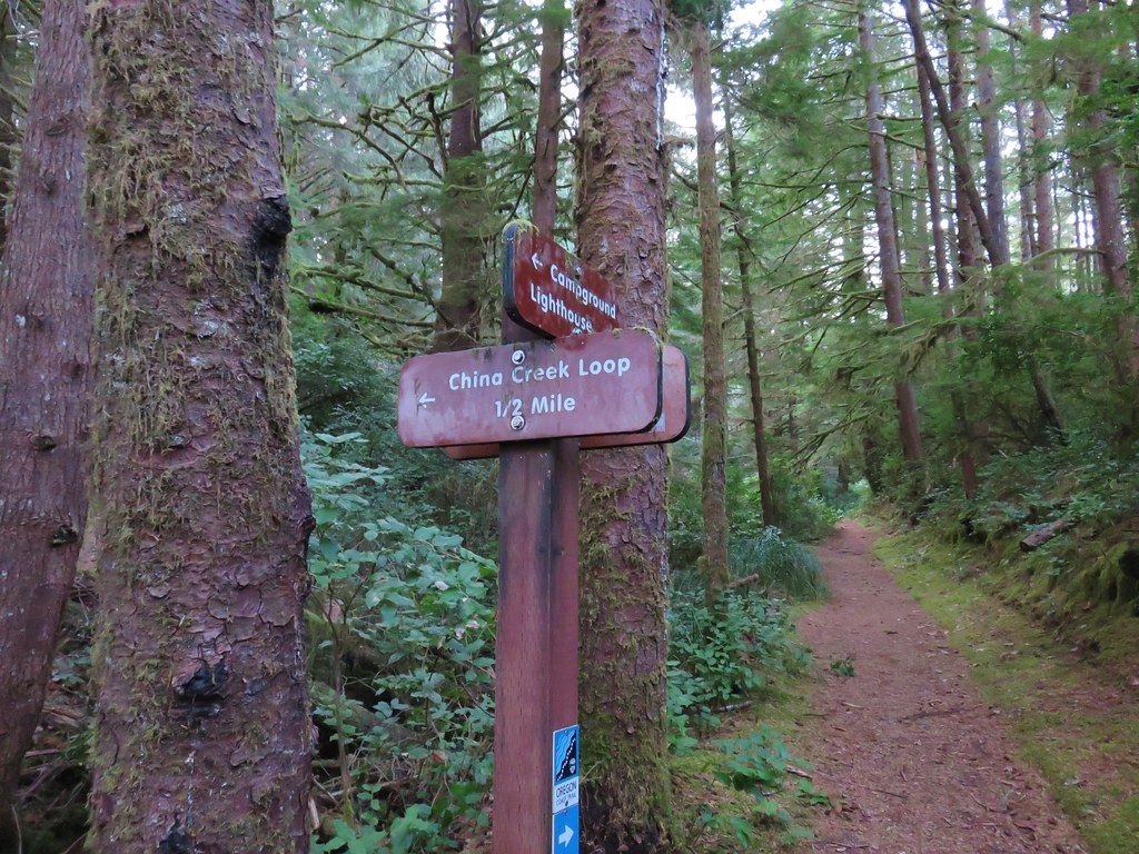
We followed this trail for three tenths of mile to a junction in a meadow with the China Creek Loop Trail.
IMG_1426

IMG_1428

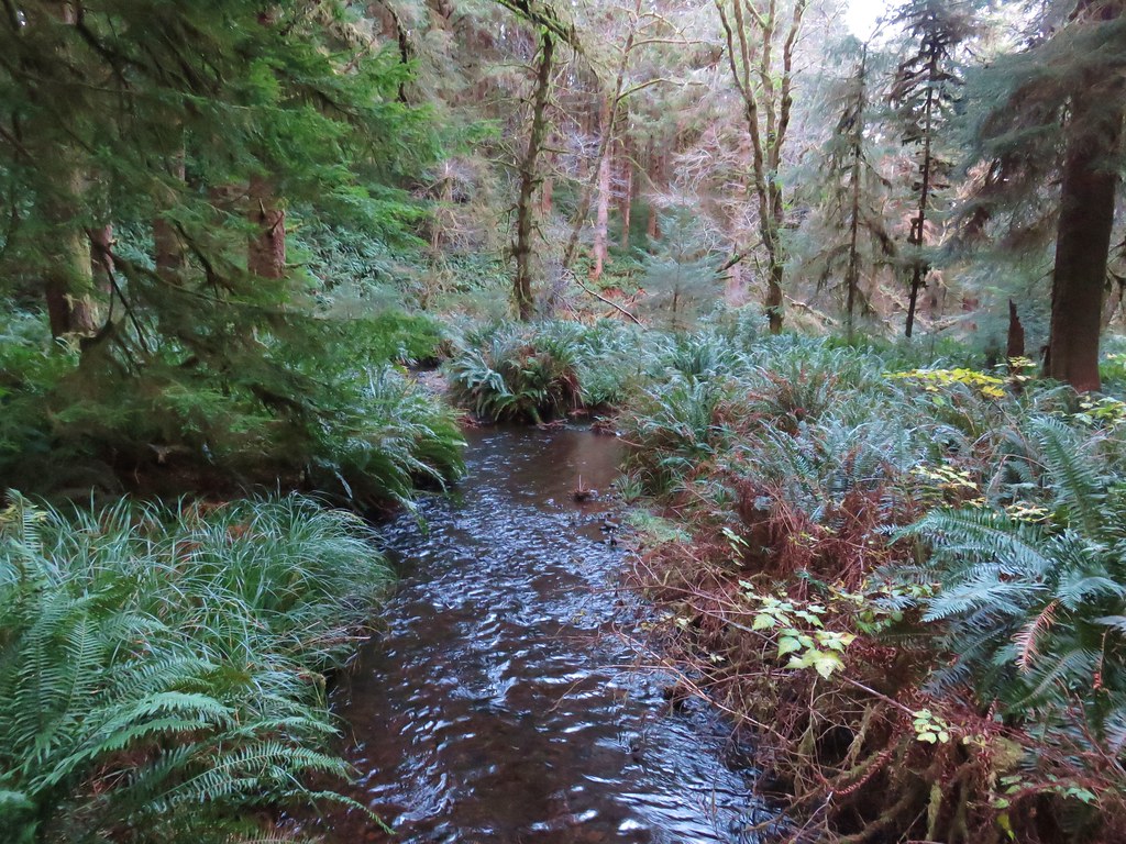
The loop added a little distance to the hike but not enough to keep us from turning left and crossing China Creek on a footbridge.
IMG_1429

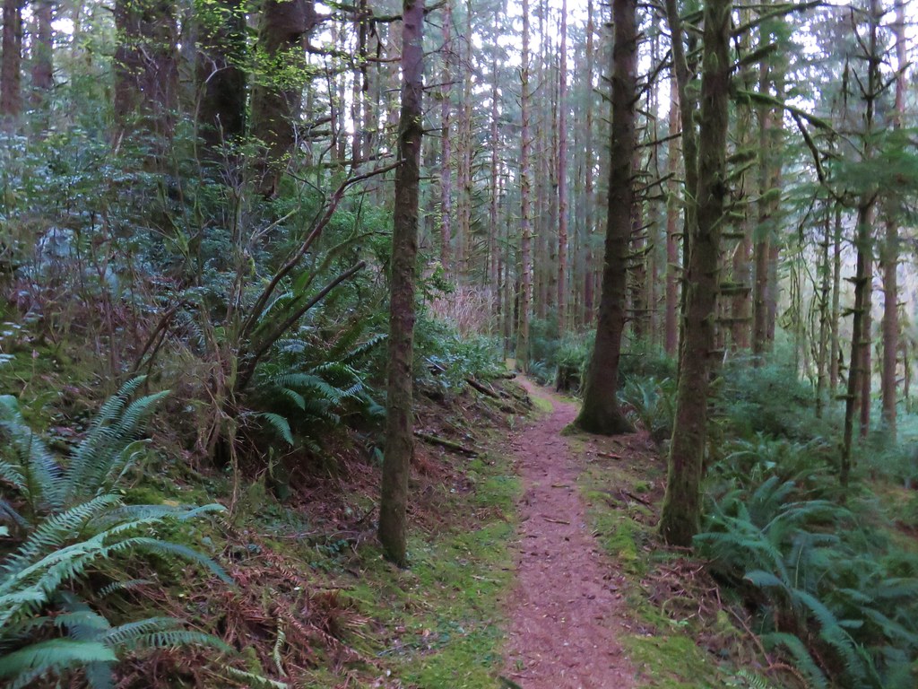
The China Creek Loop passed through a green coastal forest crossing China Creek again after .3 miles.
IMG_1433

IMG_1434

IMG_1437

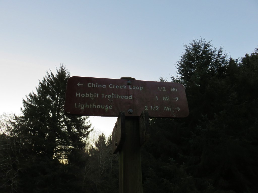
A half mile from the second crossing we found ourselves back at the Valley Trail where we turned left toward the lighthouse.
IMG_1439

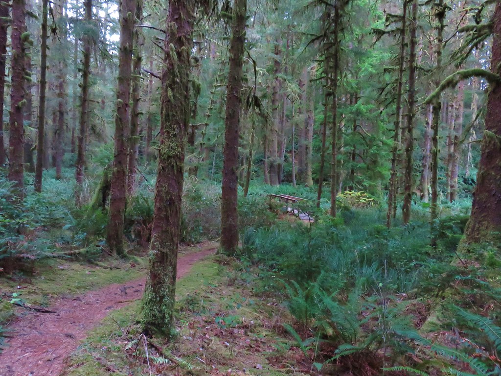
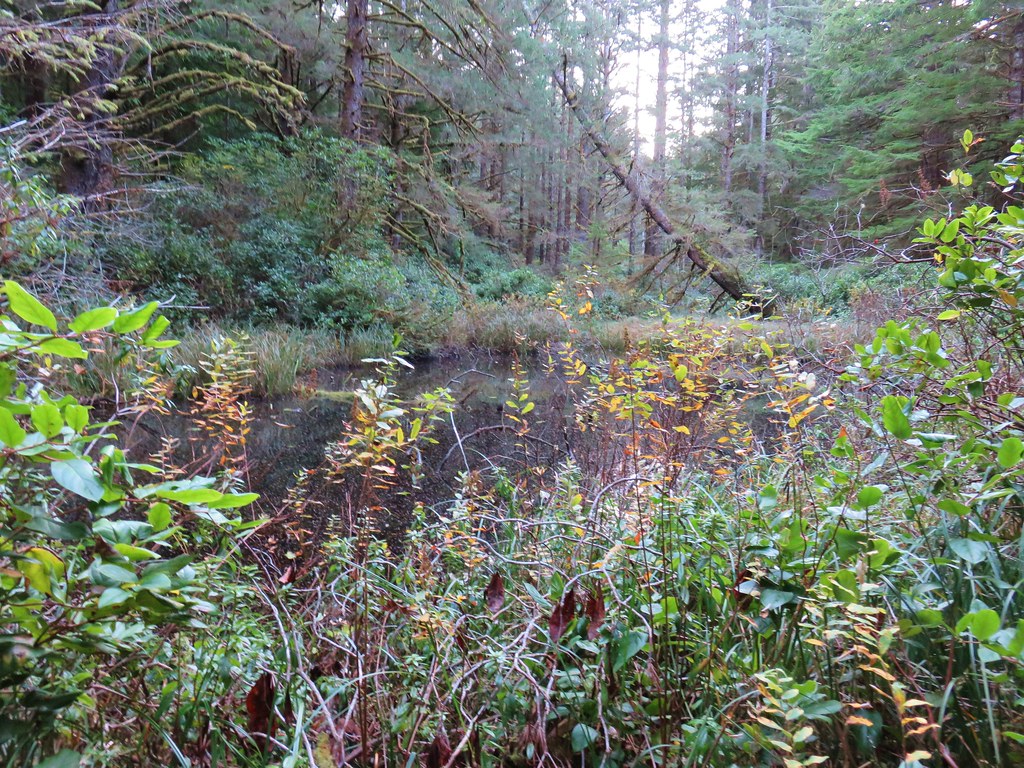
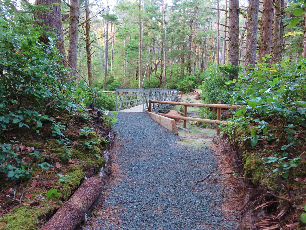
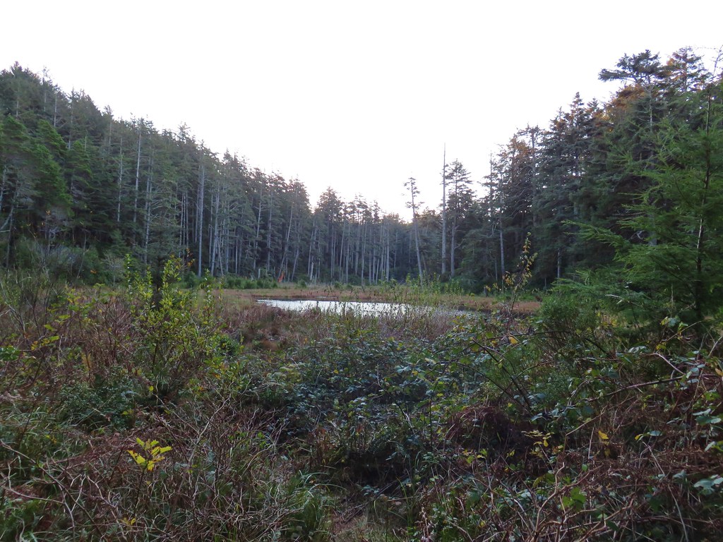
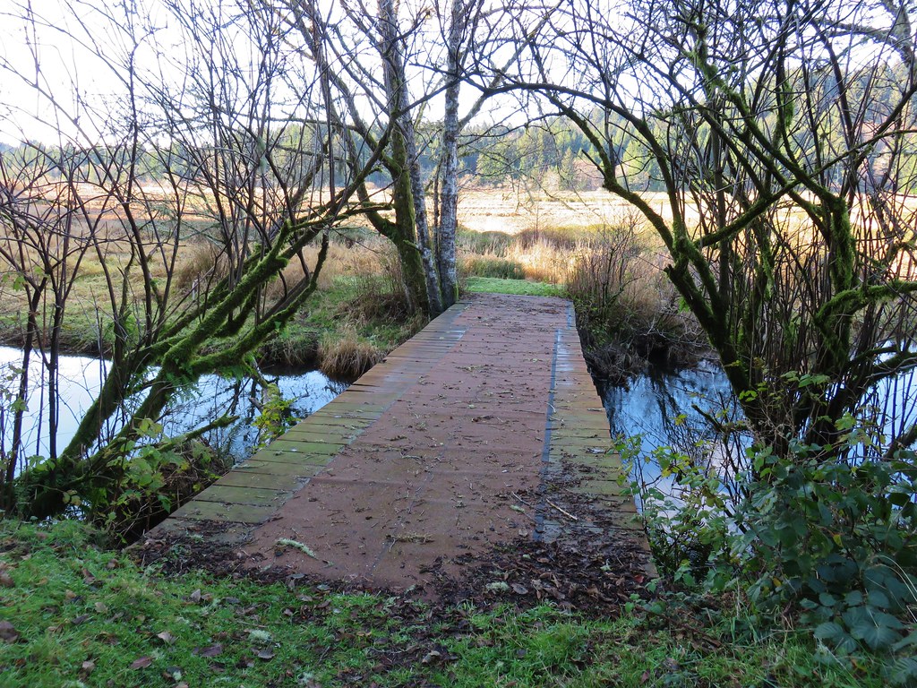
Over the next mile the trail passed two small ponds, crossed Blowout Creek on what appeared to be a recently installed footbridge, and skirted a beaver lake.
IMG_1441

IMG_1443

IMG_1444

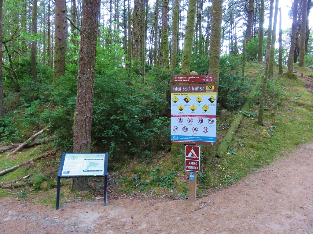
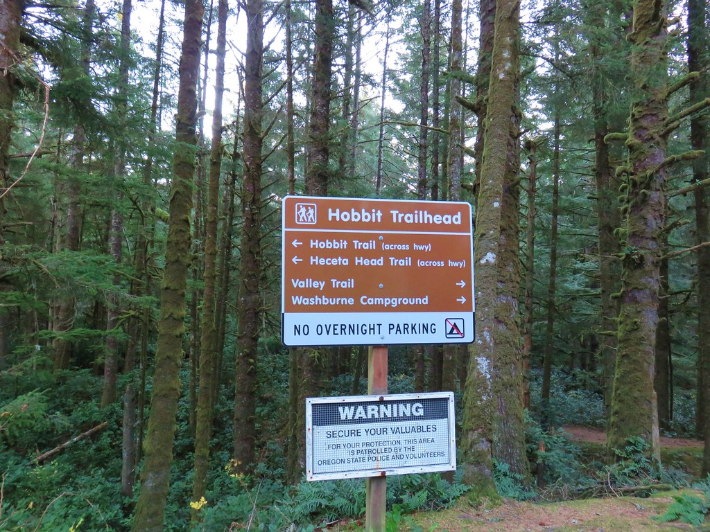
We were now at the second crossing of Highway 101 at the Hobbit Trailhead, another possible starting point.
IMG_1449

IMG_1447

On the other side of the highway the trail split, right was our return route via Hobbit Beach but first we turned left to visit the lighthouse. We were now following the route of the Oregon Coast Trail.
IMG_1451

At first the trail remained near the highway but soon veered away toward the ocean as it began to climb up Heceta Head.
IMG_1458

IMG_1460

The trail climbed gradually and offered a few views north to Cape Perpetua.
IMG_1466

IMG_1471

After reaching a saddle on the head, the trail descended to the south in a series of switchbacks before following a ridge and finally arriving above the lighthouse at the Heceta Head Lighthouse State Scenic Viewpoint.
IMG_1483

Seal Lion Point jutted out to the south where the occasional bark of a sea lion drifted our way.
IMG_1487

We made our way down to the lighthouse to get a closer look.
IMG_1491

IMG_1496

IMG_1499

IMG_1502

After a short break we returned the way we’d come to the fork and turned toward Hobbit Beach. We arrived at the beach in a little under half a mile.
IMG_1505

IMG_1506

IMG_1507

A quiet 1.2 mile walk along the beach (and across Blowout Creek) brought us back to our car at the day use area.
IMG_1515

IMG_1517

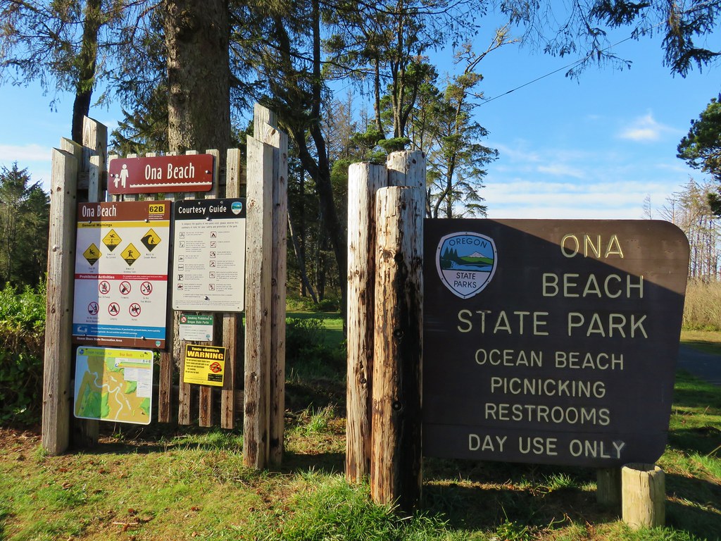
From there we drove north on Highway 101 for 28 miles to Ona Beach State Park, one of two units of Brian Booth State Park.
IMG_1519

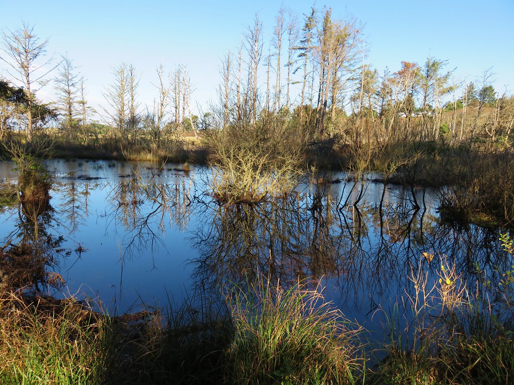
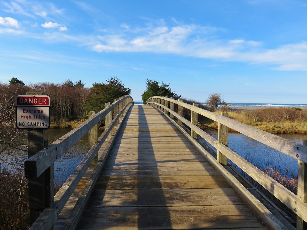
For this hike we planned on hiking along Ona Beach to Seal Rock and back. We passed through a large picnic area avoiding some flooded trails and arriving at a footbridge over Beaver Creek.
IMG_1521

IMG_1624

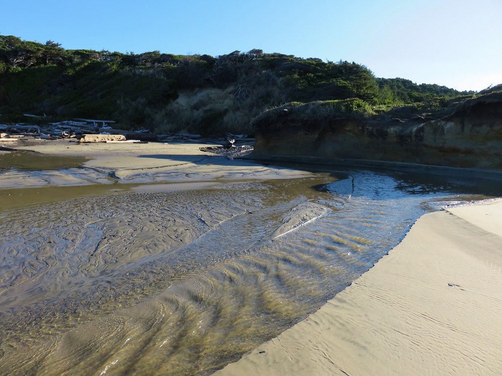
After crossing the creek we turned south along Ona Beach.
IMG_1526

Portions of the beach can be impassible at high tide but we had arrived an hour and a half below low tide. Exposed rocks made the first stretch of beach very interesting.
IMG_1537

IMG_1538

IMG_1541

IMG_1545

IMG_1543

IMG_1547

The rock along the beach eventually petered out but a number of ocean rocks just offshore held our interest.
IMG_1555

IMG_1560

IMG_1566

IMG_1576

Further to the south lay the Seal Rock Recreation Site.
IMG_1582

Approximately 1.75 miles from the footbridge we turned inland along a small creek on an unmarked but obvious trail. We followed this path up to Highway 101 where a short road walk brought us to the entrance of the park.
IMG_1587

IMG_1588

We followed a paved path out to a viewpoint where much of the area was roped off for erosion control.
IMG_1597

IMG_1598

IMG_1599

IMG_1596

After admiring the views we returned the way we’d come and headed for our final stop at the Beaver Creek Natural Area, the second unit of Brian Booth State Park. To reach the winter trailhead for the Beaver Creek Loop from Ona Beach State Park we crossed Highway 101 onto N. Beaver Creek Road. After a mile we turned right onto S. Beaver Creek Road for another 1.1 miles and parked on the shoulder across from a gate.
IMG_1628

We picked up a trail map and set off on the gated service road.
IMG_1625

IMG_1632

After .4 miles we turned uphill on a mowed path following posts for the Beaver Creek Loop.
IMG_1635

IMG_1638

Being the coast we’d seen a few flowers still blooming despite it being mid-December and even eaten a few huckleberries along the China Creek Loop earlier in the day. Here we found a few blackberry? blossoms.
IMG_1639

After climbing for .3 miles we arrived at a saddle where we could have turned right on the Elk Meadow Trail for a half mile loop.
IMG_1643

IMG_1642

We already had enough mileage planned for the day so we saved that for another time and continued on the Beaver Creek Loop. After passing another trail to Snaggy Point we began to descend toward the marshes surrounding Beaver Creek.
IMG_1646

IMG_1647

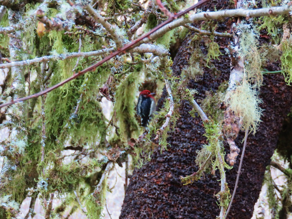
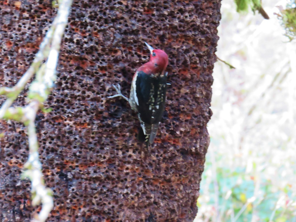
We stopped to watch a couple of woodpeckers circle a tree. They didn’t seem too bothered by us but they wouldn’t hold still long enough for a decent photo.
IMG_1648

IMG_1649

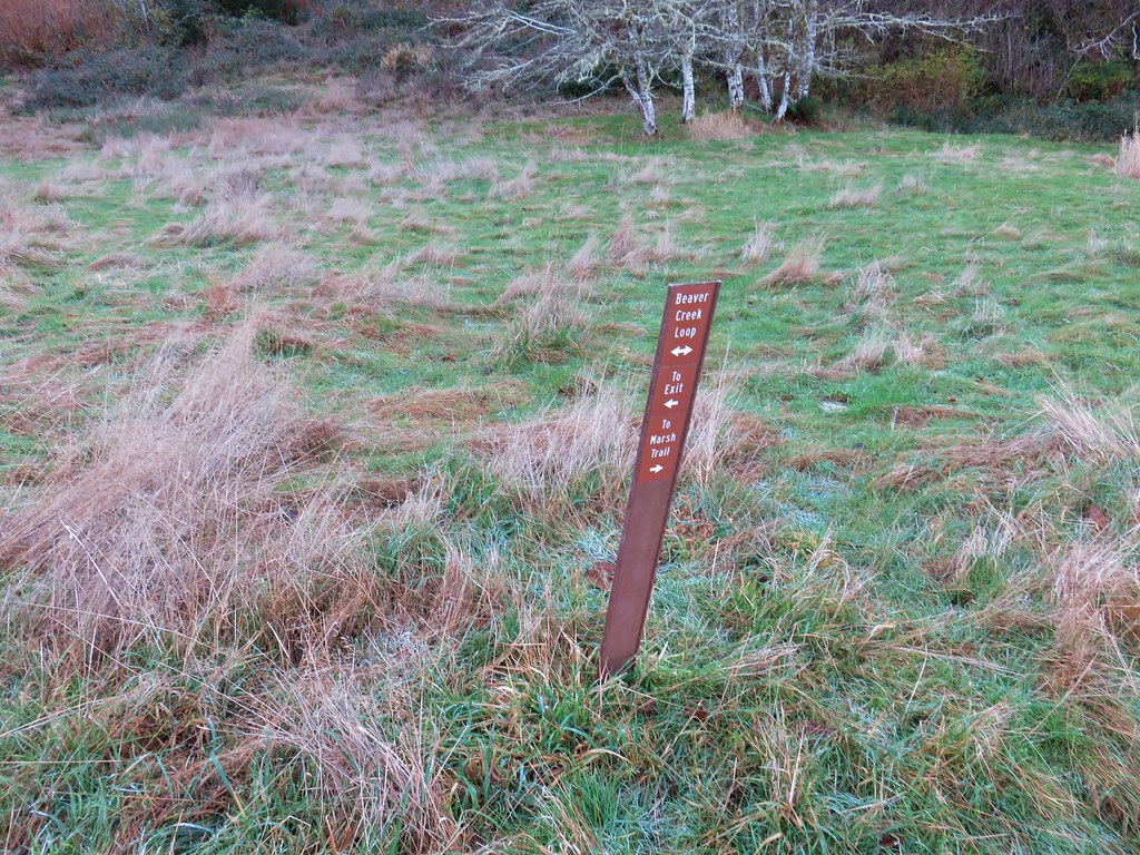
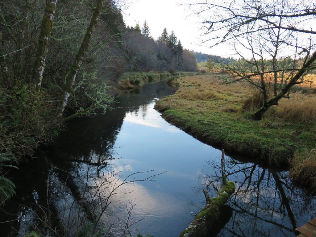
We briefly followed a pointer for the Marsh Trail which brought us to a footbridge over Beaver Creek. For about two months during Summer the marsh is apparently dry enough to cross without too much trouble.
IMG_1652

IMG_1655

IMG_1656

We heard some ducks and startled a great blue heron (a couple of times) as we continued along the loop. We also spotted a hawk, more woodpeckers, and some small birds before arriving at a pole barn at the end of the service road we’d started on that seemed to be undergoing some construction.
IMG_1660Hawk flying off

IMG_1669

IMG_1671

IMG_1678

From the barn it was only .2 miles back to the start of the loop. The hike here came in at an even three miles. Ona Beach to Seal Rock had been 4.6 miles round trip and our hike to Heceta Head was 6.6 miles giving us a total of 14.2 miles for the day. Each of the hikes would be worthy destinations on their own and there were several more trails to explore in the Beaver Creek Natural Area making a return visit tempting someday.

With our 2017 hikes completed it’s time to get to work on 2018. Happy Trails!

Flickr: Heceta Head and Brian Booth State Park

Categories
Central Coast Hiking Oregon Oregon Coast Trip report

Cummins Ridge Trail – Cummins Creek Wilderness

On Veterans day we celebrated our 22nd wedding anniversary by visiting our 34th Oregon wilderness area – the Cummins Creek Wilderness. The 9,173 acre wilderness is located along the Oregon Coast between Florence and Waldport. The Cummins Creek Wilderness is home to the only old-growth Sitka Spruce forest in the state. For our visit we chose the only designated trail in the wilderness, the Cummins Ridge Trail.

There are trailheads at either end of the nearly 6 mile long Cummins Ridge Trail which opens up the option of a car shuttle if one only wanted to hike the trail one way. For a shuttle hike starting at the upper (east) trailhead located along Forest Road 5694 would make the most sense as the majority of the hike would be downhill. Our plan was to do an out and back so we started from the lower (west) trailhead located approximately 2.5 miles from Highway 101 on Forest Road 1051.
Lower Cummins Ridge Trailhead

The trail almost immediately enters the wilderness area.
Informational sign board at the lower trailhead

Cummins Creek Wilderness sign

It was raining steadily as we set off which we hadn’t really expected based on the forecast but as the day progressed the rain lessened and eventually quit. The lower portion of the trial followed an old road bed which at times was obvious but at others the vegetation had nearly hidden it.
Cummins Ridge Trail

Cummins Ridge Trail

Cummins Ridge Trail

Cummins Ridge Trail

Cummins Ridge Trail

Cummins Ridge Trail

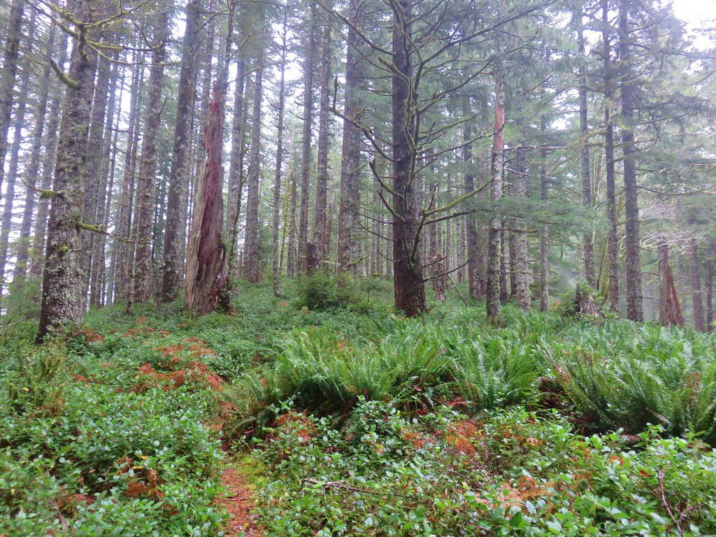
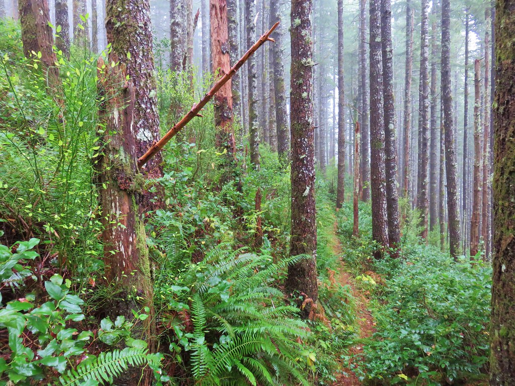
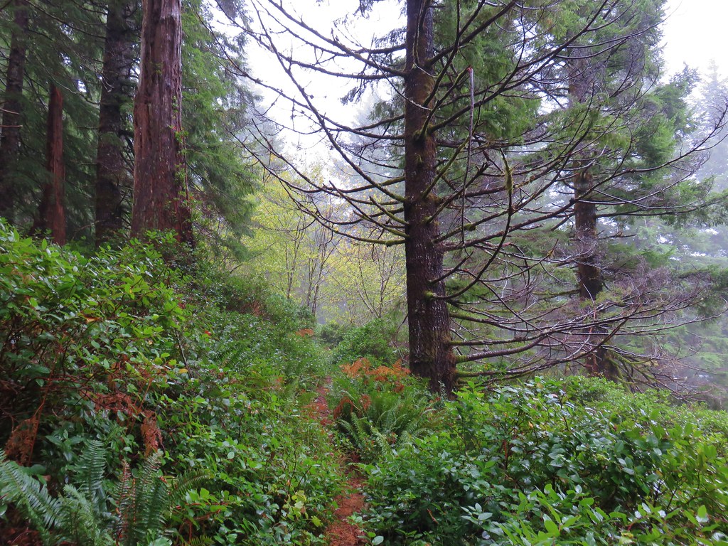
After about 3 miles on the old road bed the trail forked to the right leaving the road and leading us into a foggy forest.
Cummins Ridge Trail

The trail was in good shape with just a couple of short overgrown sections and never very steep as it followed the ridge up and down to the upper trailhead.
Cummins Ridge Trail

Cummins Ridge Trail

Cummins Ridge Trail

Cummins Ridge Trail

Cummins Ridge Trail

Cummins Ridge Trail

Cummins Ridge Trail

Upper Cummins Ridge Trailhead

We returned the way we’d come for an 11.9 mile hike with approximately 1200′ of elevation gain. The forest along the ridge limit any real views that might otherwise be available from the trail.
View from the Cummins Ridge Trail

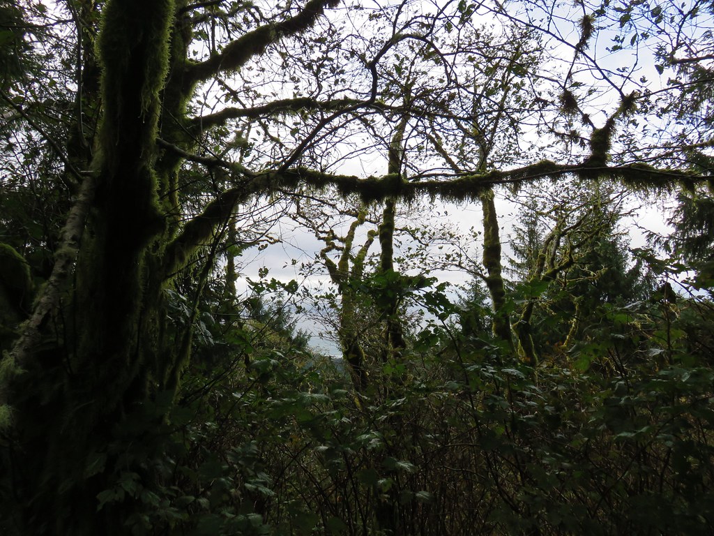
We did manage a couple of brief glimpses of the Pacific Ocean through the trees.
Pacific Ocean from the Cummins Ridge Trail

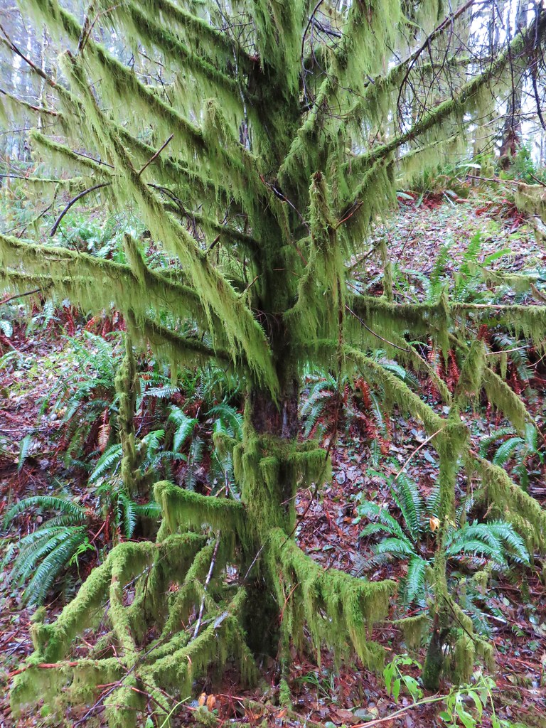
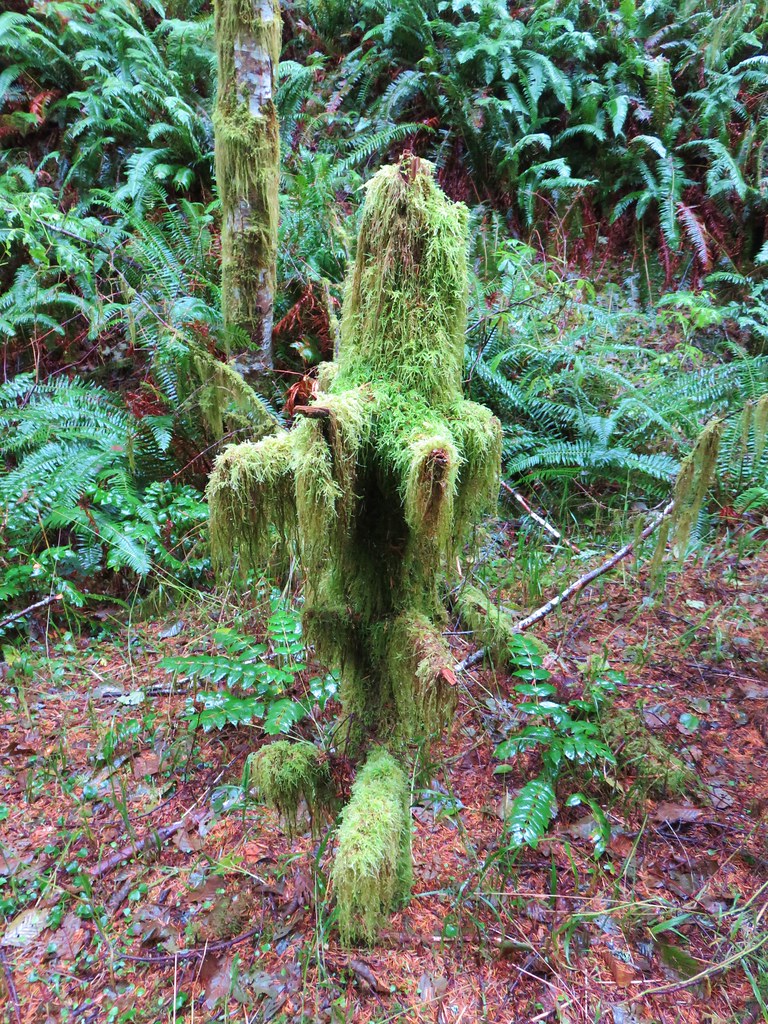
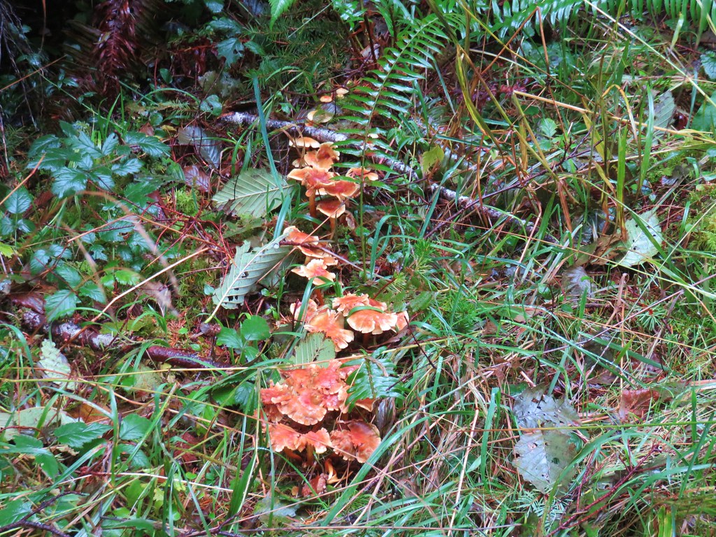
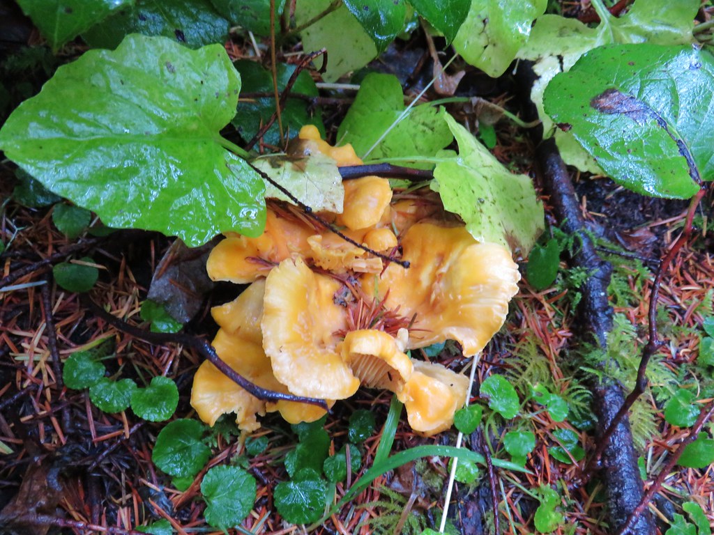
With no viewpoints and no water features along the trail it is strictly a hike for those who are looking for a nice forest stroll. Not all hikes need to lead to an amazing view or some Instagram destination to be enjoyable. We enjoyed the moss covered trees, various mushrooms, and some bird sightings on our visit.
Mossy tree

Fuzzy little tree

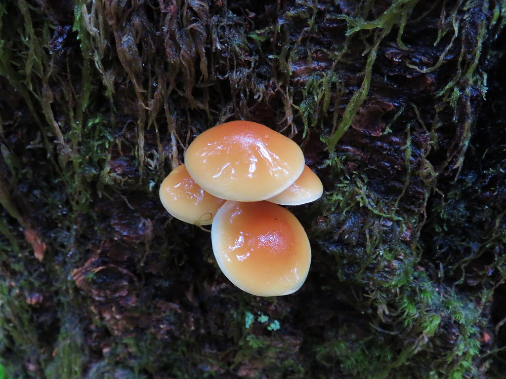
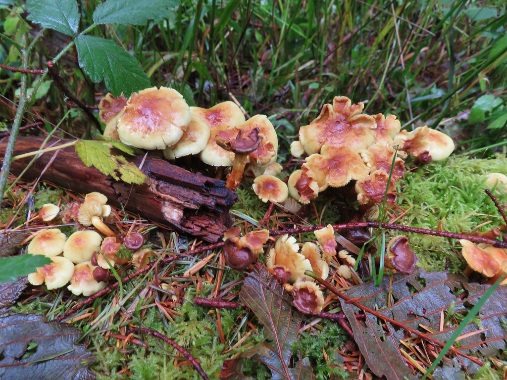
Mushrooms along the Cummins Ridge Trail

Mushrooms

Mushrooms

Mushrooms

Mushrooms

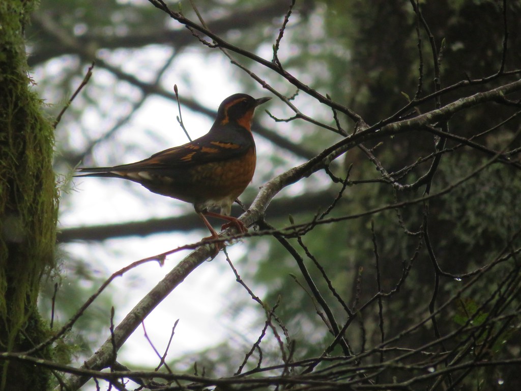
Varied Thrush

This was a great cloudy/rainy day hike and leaves us with just 11 of the 45 visit-able Oregon Wilderness areas left to go. Happy Trails!

Flickr: Cummins Ridge Trail

Categories
Central Coast Hiking Oregon Oregon Coast Trip report

Yaquina Bay and Yaquina Head

It’s become tradition to take a shortish hike on the Oregon Coast the morning of our annual family reunion in Gleneden Beach, OR. This year we decided to visit a pair of lighthouses near Newport.

A 5am start got us to our first stop at Yaquina Bay State Recreation Site a little before 7.

Home to the 1871 Yaquina Bay Lighthouse the 32 acre park also offers access to an approximately 4 mile stretch of beach between the Yaquina River and Yaquina Head.

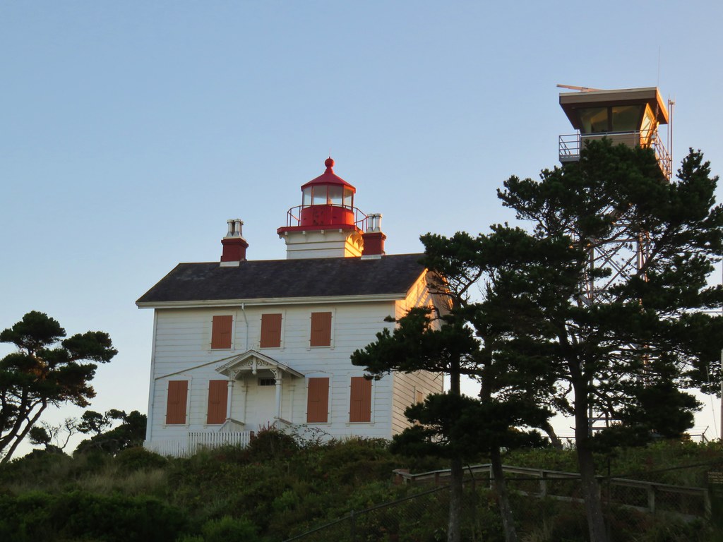
We parked below the lighthouse, which operated only three years before being replaced by the Yaquina Head Lighthouse.
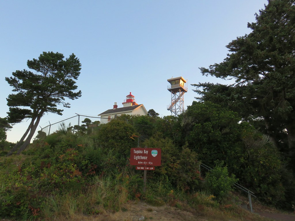
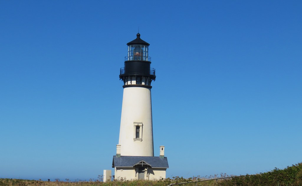
Yaquina Bay Lighthouse

Yaquina Bay Lighthouse

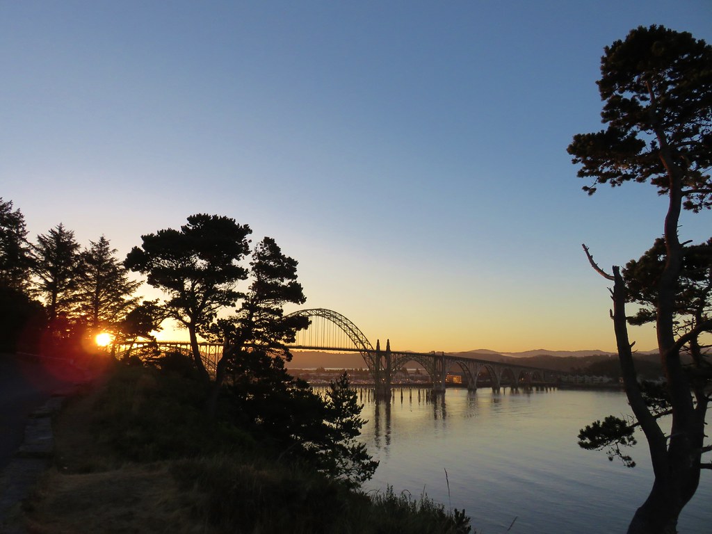
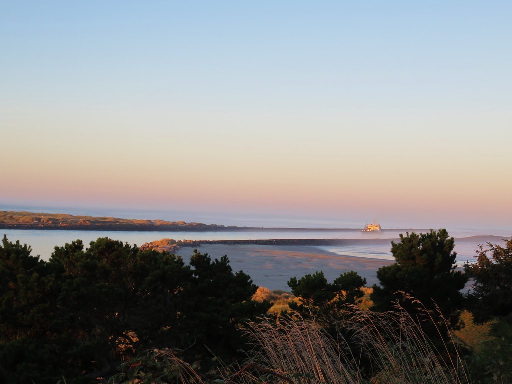
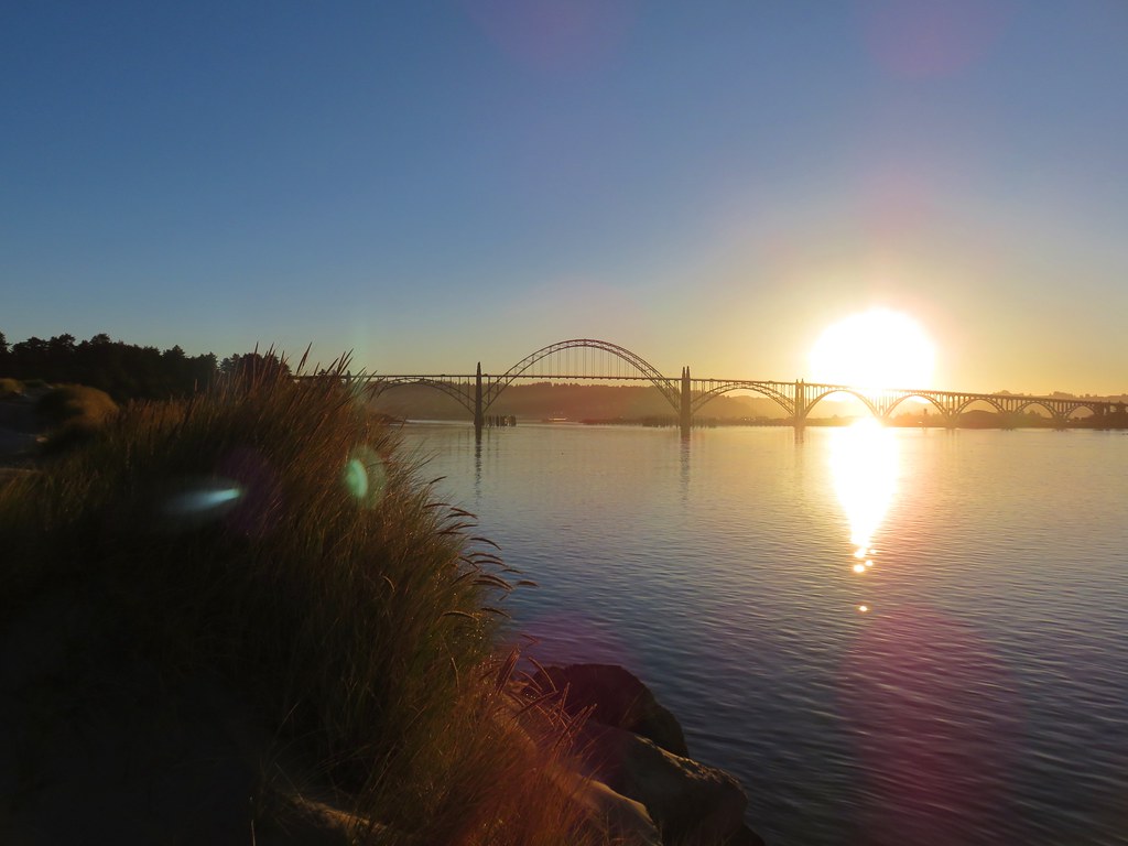
From a viewpoint in the parking lot we could see the Yaquina Bay Bridge and watch boats heading out to sea.
Yaquina Bay Bridge

Yaquina Bay Jetty

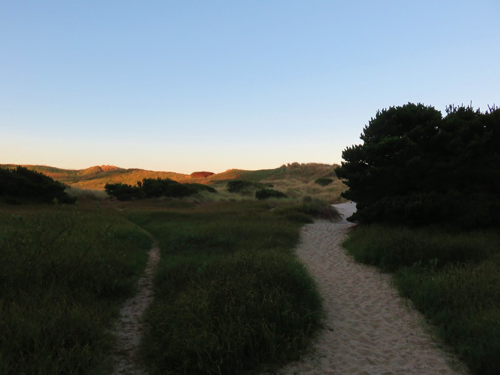
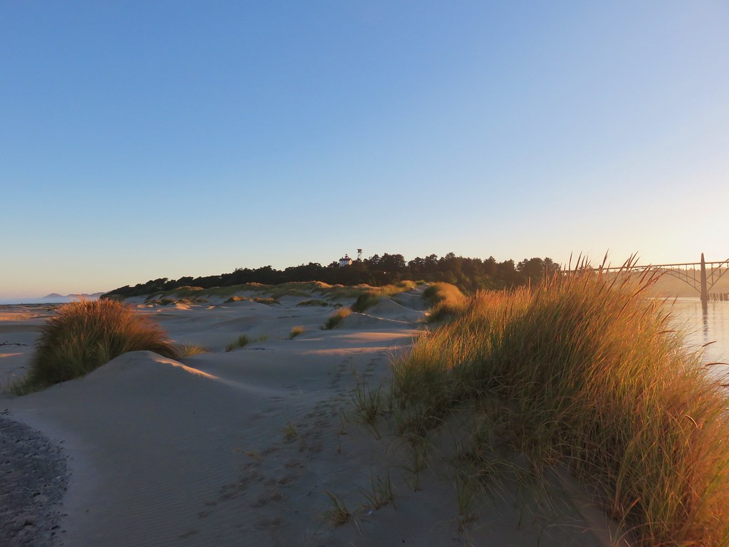
A paved path led down the bluff to a sandy path in the deflation zone behind a small foredune.
Trail from Yaquina Bay Lightouse to the ocean

Heading to the Pacific Ocean

We passed over the foredune and turned left toward the Yaquina River.
Yaquina Bay Jetty

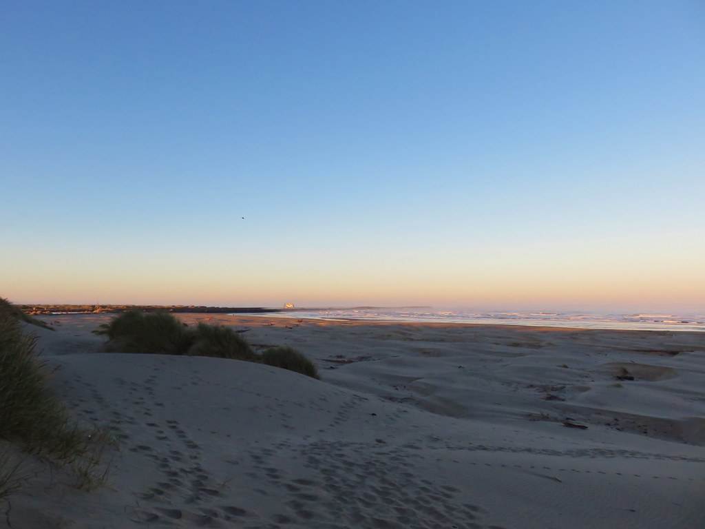
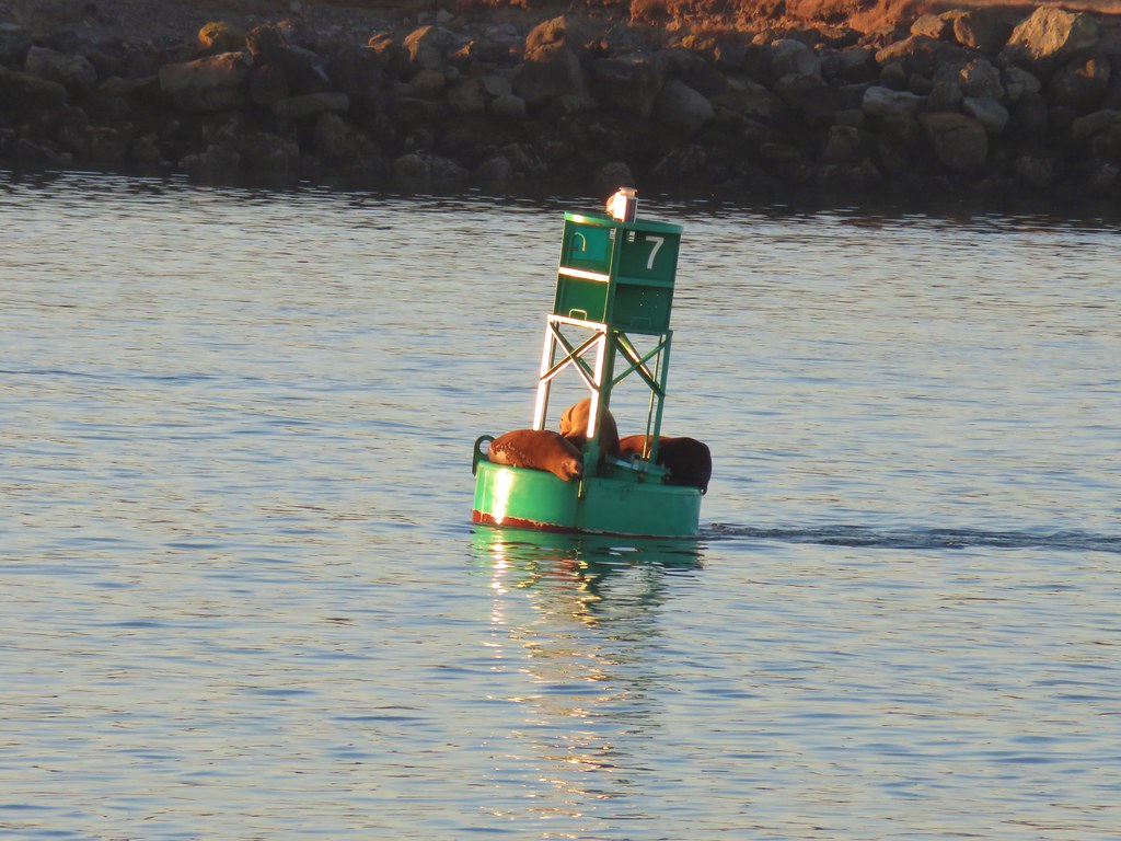
The sound of sealions in the bay greeted us as we approached the jetty where we spotted some squatters on a buoy.
Yaquina Bay Lighthouse

Yaquina Bay Bridge

Seals on a bouy

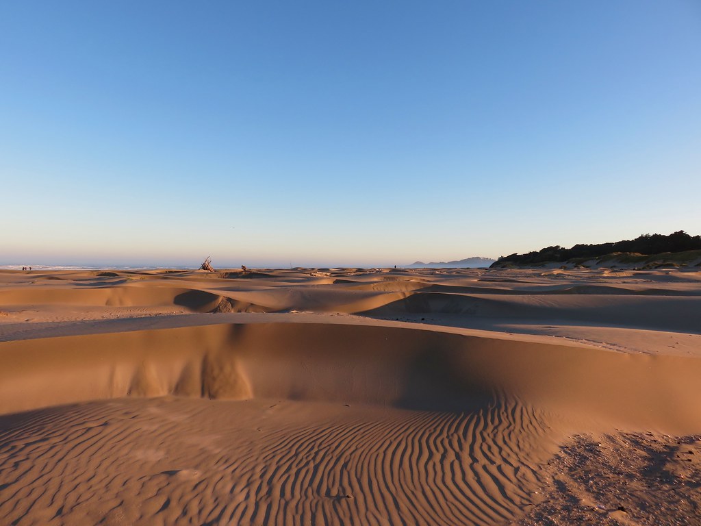
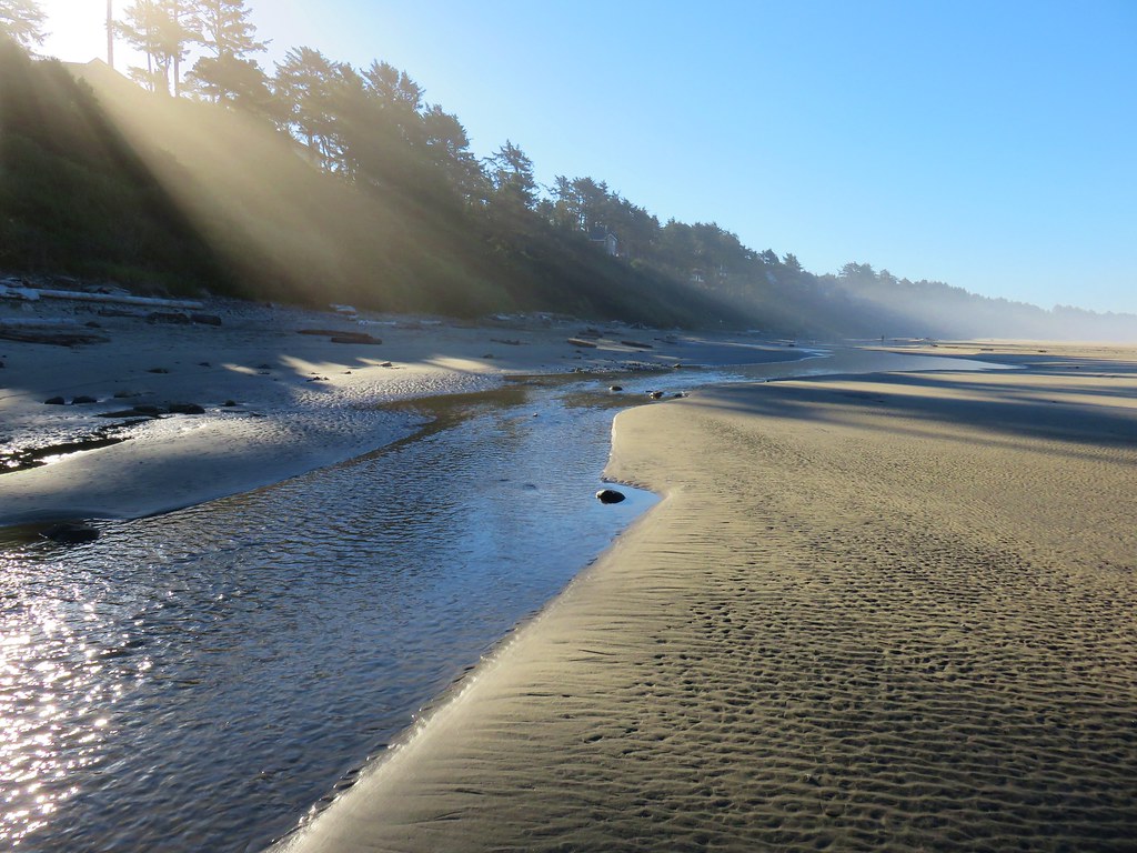
We turned around and headed north along the beach. It was an interesting beach with many small dune like formations.
Yaquina Bay Recreation Site

It was a typical summer morning on the coast with patches of marine layer clouds along the way.
Seagulls at Yaquina Bay Recreation Site

Yaquina Head in the fog

Yaquina Head

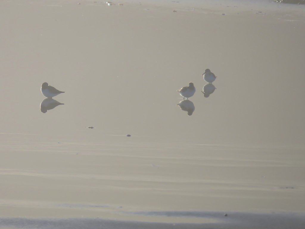
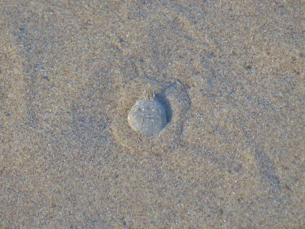
Wildlife along the way consisted of seagulls and shore birds as well as a couple of small tide pools where we spotted anemones and some sand crabs.
Seagull

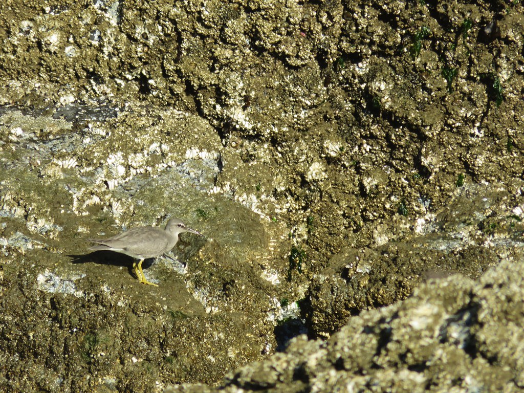
Shore birds

Anemones

Anemones

Sand crab

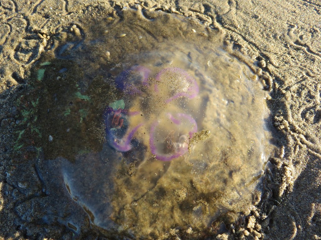
Of particular interest were a couple of jellyfish with some sort of colorful lines.
Jellyfish

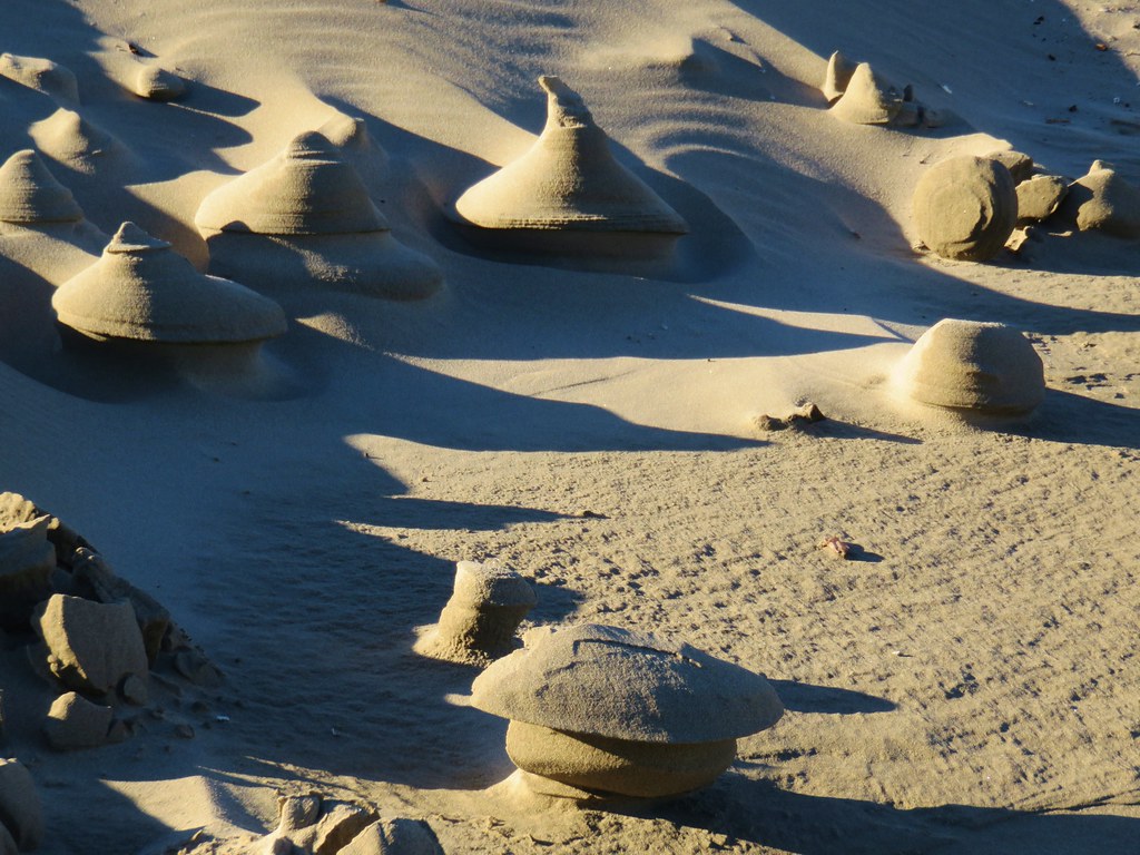
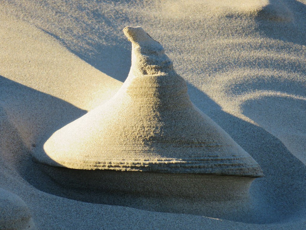
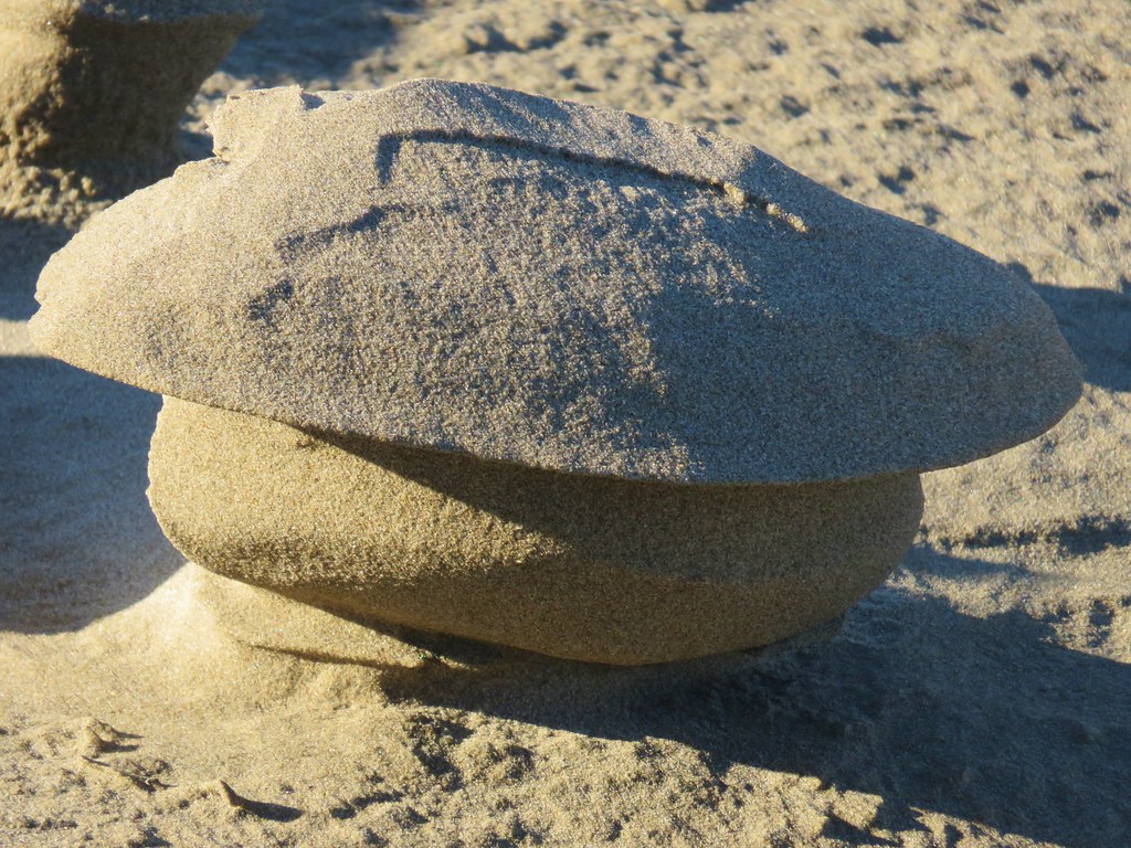
Another peculiar sight along the way were some sand formations that reminded us of clay sculptures.
Interesting sand formations

Interesting sand formations

Interesting sand formation

Interesting sand formation

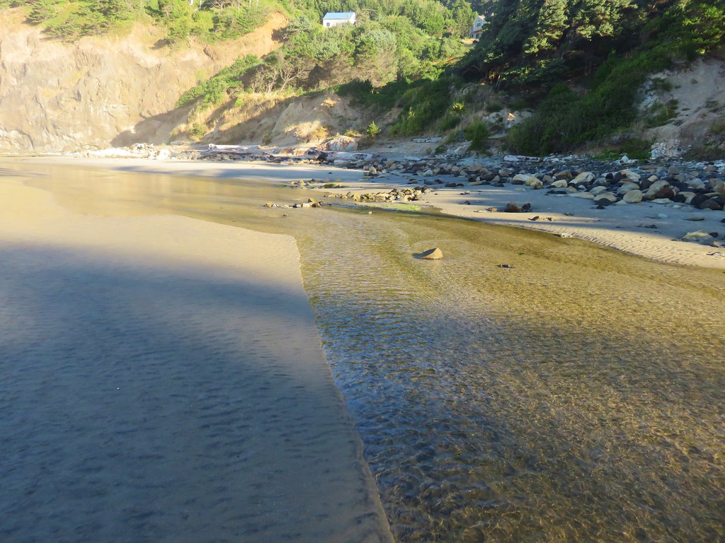
The beach began to narrow as we neared Yaquina Head and we soon came to Little Creek which was running parallel to the ocean.
Yaquina Head

Little Creek at Agate Beach

Yaquina Head forced the creek to finally turn toward the ocean and we followed it along the cliffs as it emptied into the Pacific.
Little Creek at Agate Beach

Little Creek at Agate Beach

Little Creek emptying into the Pacific

Pacific Ocean

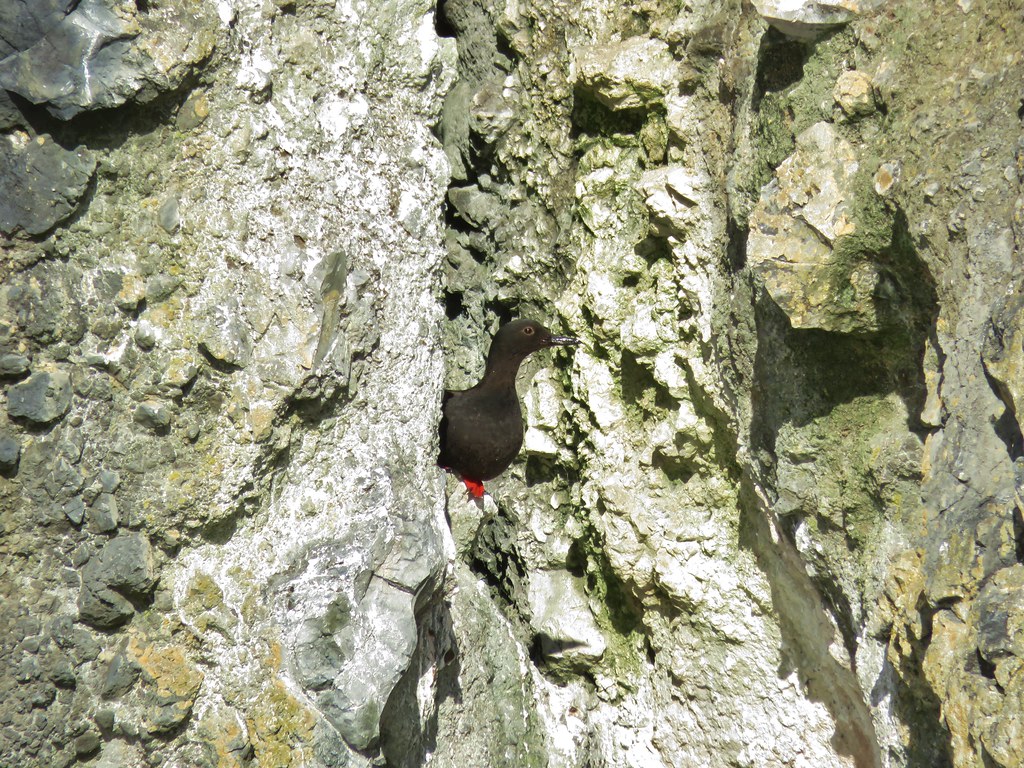
We passed various birds along the creek including a pigeon guillemot which was a bird we were unfamiliar with.
Seagulls

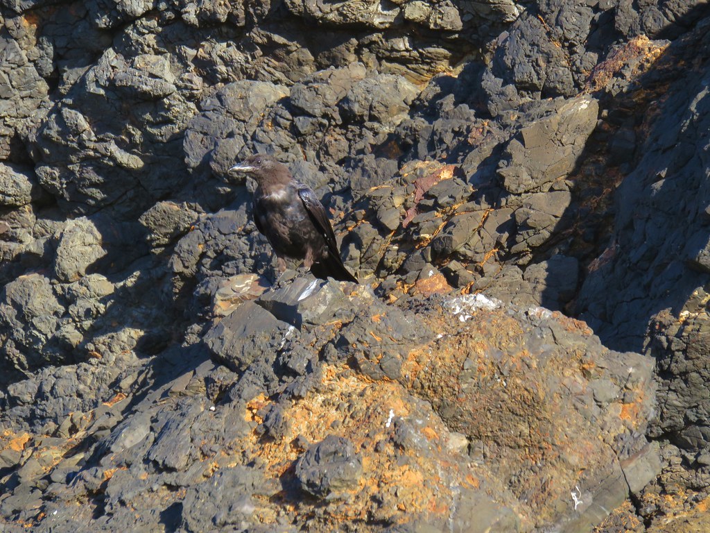
Crow

Bird near Little Creek

Pigeon guillemot
Pigeon guillemot

We headed back south along the beach staying closer to the ocean which brought us to a crossing of some tide water. In our infinite wisdom we waded through the water soaking our shoes and socks before realizing that this was not one of our typical stream crossings. The rocks in mountain creeks and rivers make crossing barefoot a bad idea but on the beach we could have easily taken them off before wading through.
Looking south from Agate Beach

We were back at our car by 9:45 so we had plenty of time to make a second stop at the Yaquina Head Lighthouse (even after stopping at the Newport Safeway to pick up some cilantro). Located on Yaquina Head 4.5 miles north of Newport the Yaquina Head Outstanding Natural Area has a lot to offer. Oregon’s tallest lighthouse, tide pools, several trails, and an interpretive center (which wasn’t there the last time we visited) make the $7/car pass seem reasonable, especially given the pass is valid for three days.

We didn’t have a lot of time so we drove past the interpretive center and parked at the end of the road near the lighthouse.
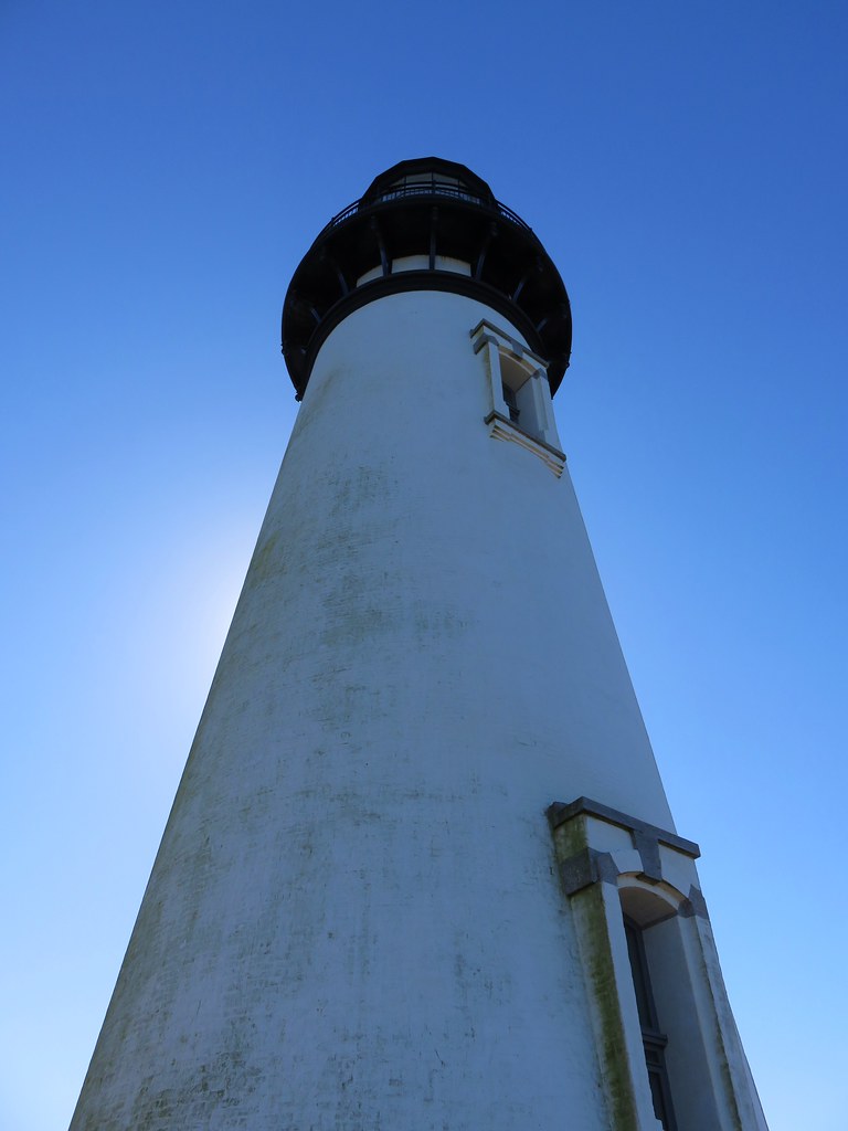
Yaquina Head Lighthouse

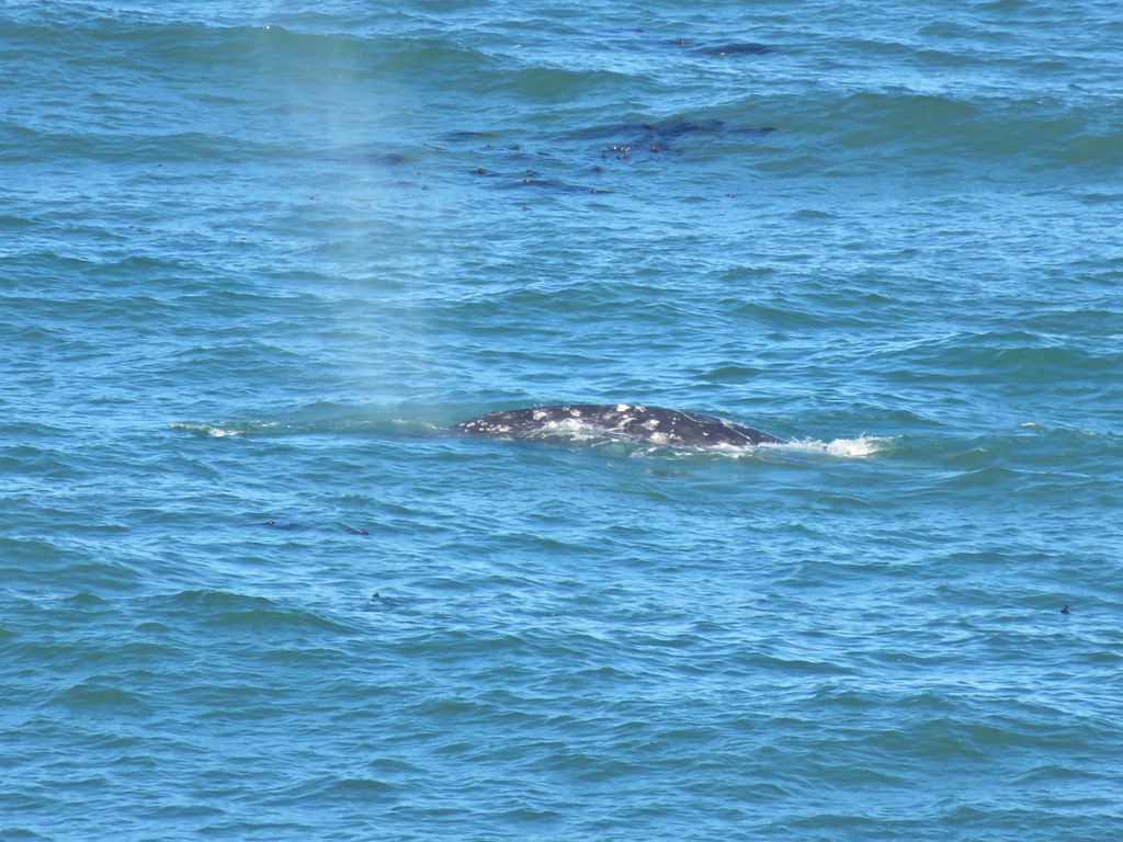
We walked to the lighthouse first stopping at viewpoints along the way. Several grey whales could be seen surfacing and blowing water into the air.
Yaquina Head Lighthouse

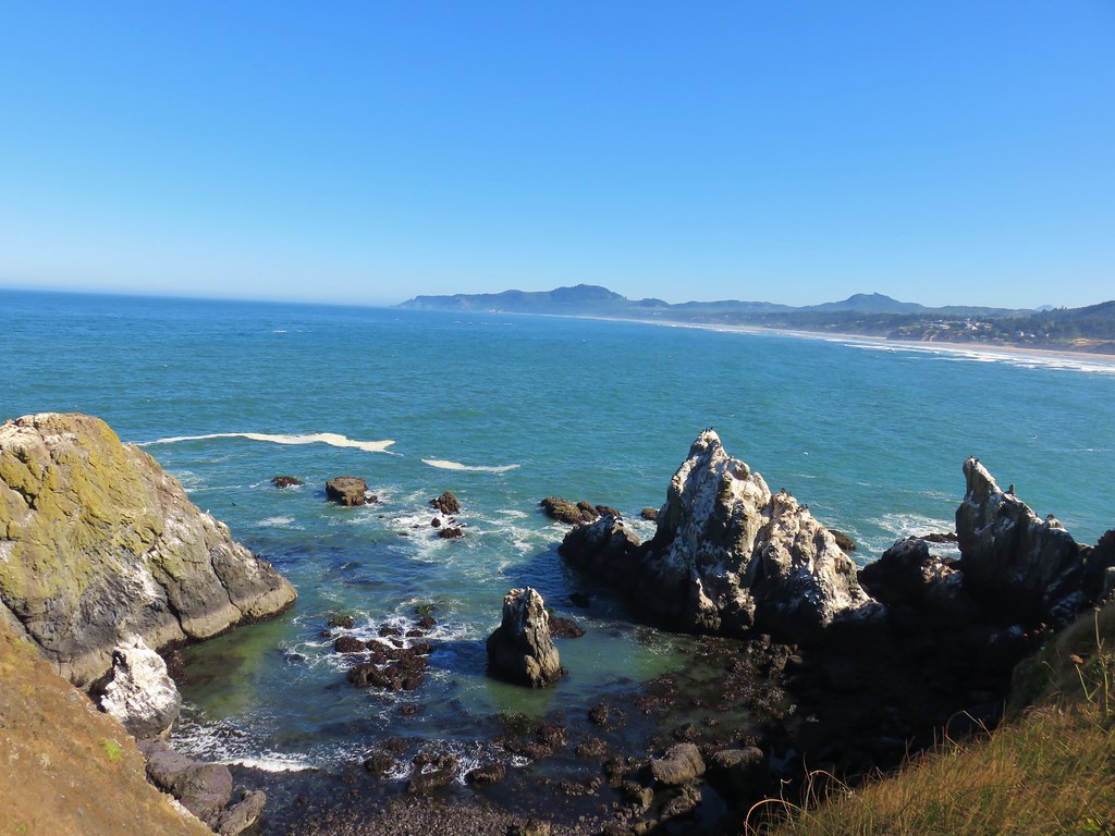
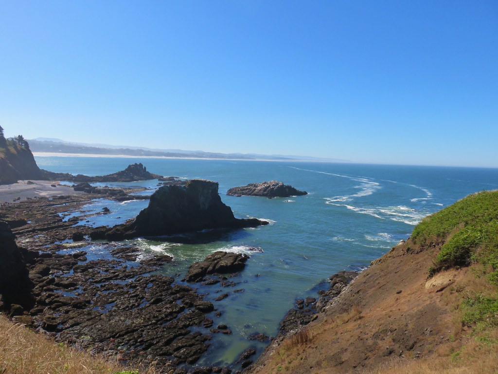
Looking north to Cape Foulweather
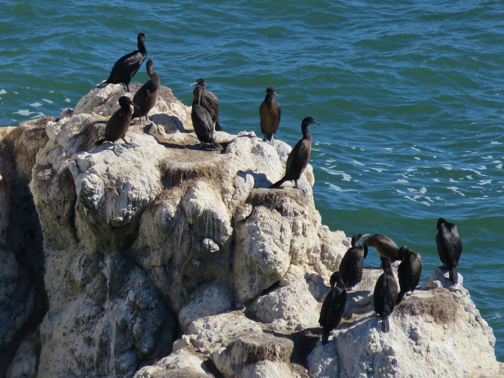
Cormorants

Whale spout

Grey back whale seen from Yaquina Head

Grey back whale seen from Yaquina Head

After watching the whales for a bit we continued around the lighthouse and then headed for nearby Cobble Beach.
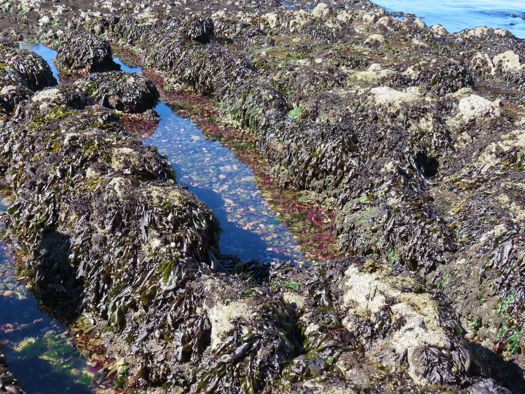
Tide pools at Yaquina Head

The beach is home to some very good tide pools and the tide was out far enough for some of them to be revealed.
Tide pools at Yaquina Head

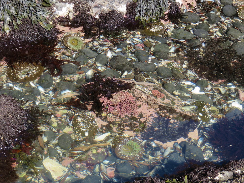
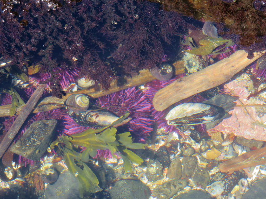
We took the wooden staircase down toward the beach and after some last minute rules and instructions from rangers at the bottom of the stairs we began exploring the pools. Touching anything but the starfish (the rangers informed us that they were dealing with some sort of illness) was allowed but no picking up.
Tide pool at Cobble Beach - Yaquina Head Outstanding Natural Area

Sea urchins, snails and mussles

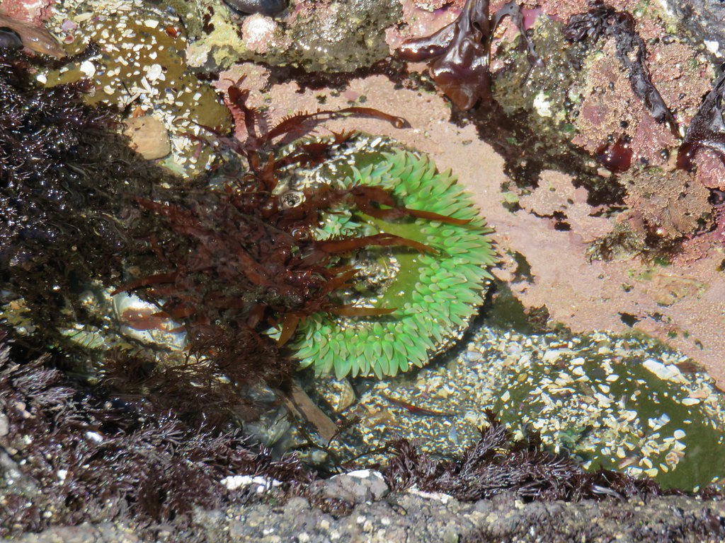
Anemone

Tide pool at Cobble Beach - Yaquina Head Outstanding Natural Area

Tide pool at Cobble Beach - Yaquina Head Outstanding Natural Area

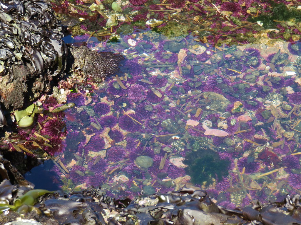
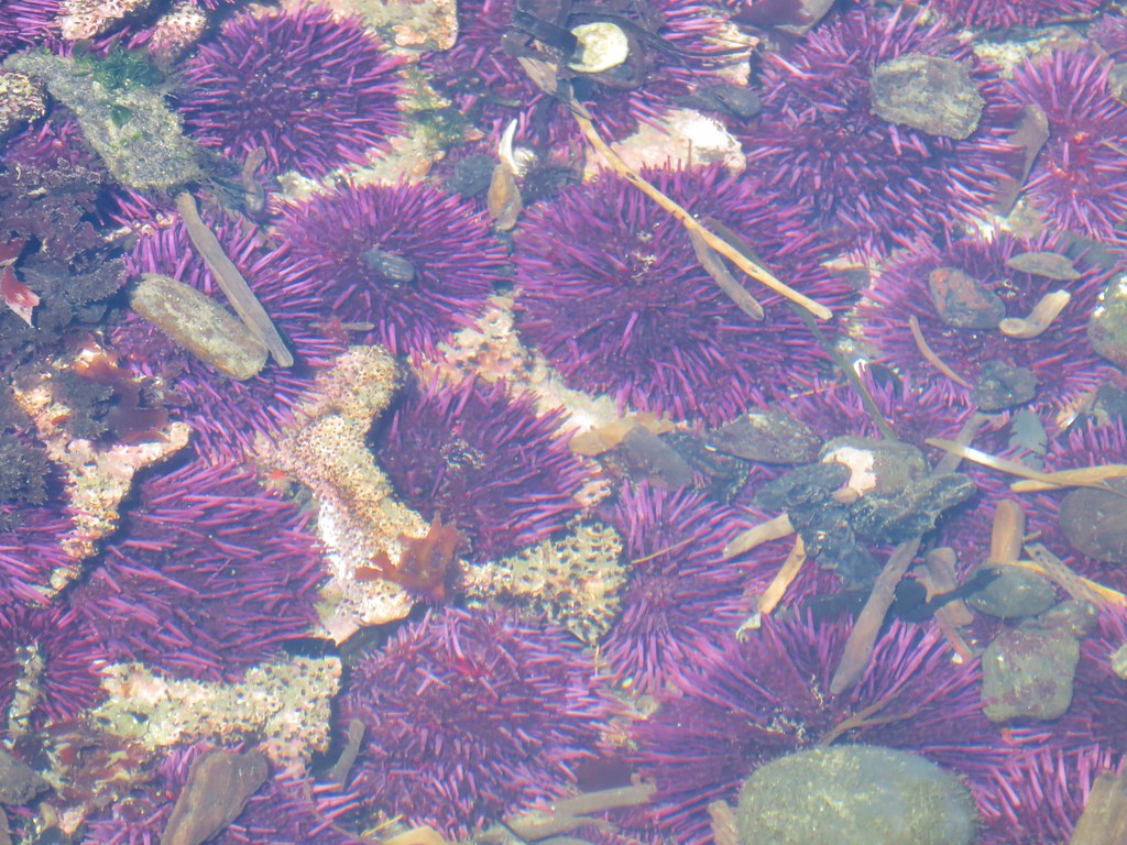
Sea urchins

Sea urchins

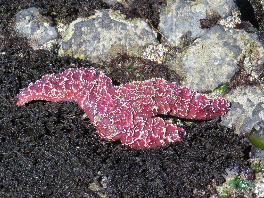
Star fish

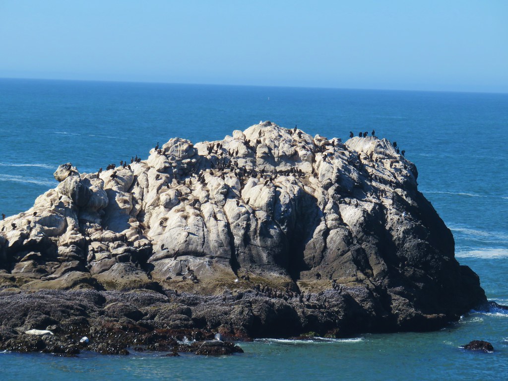
Large sea rocks just beyond the tide pools are part of the Oregon Islands National Wildlife Refuge, one of only tow wilderness areas in Oregon closed to humans.
Signboard for the Oregon Islands National Wildlife Refuge

Oregon Islands National Wildlife Refuge

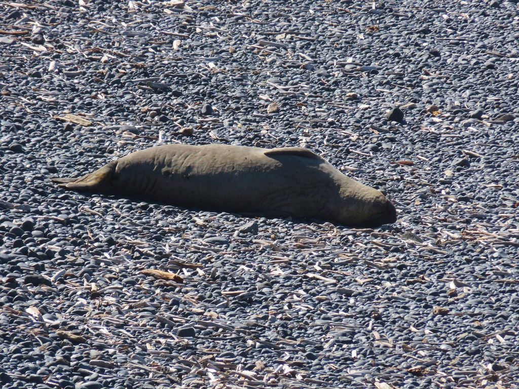
Not all the wildlife stuck to the islands though as a section of Cobble Beach was closed off due to a resting seal.
Seal on Cobble Beach
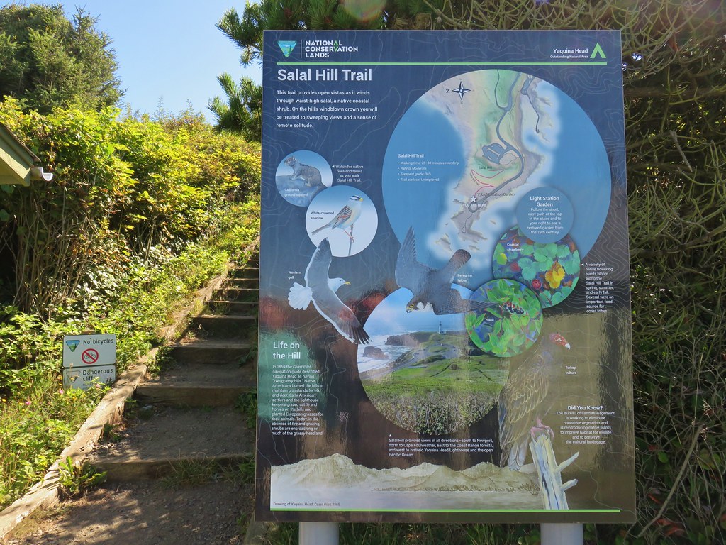
After making our way around the pools we headed back up the stairs. It was still a bit early to head for the reunion so we decided to check out the short trail up Salal Hill which began at the lot where we had parked.
Salal Hill Trailhead

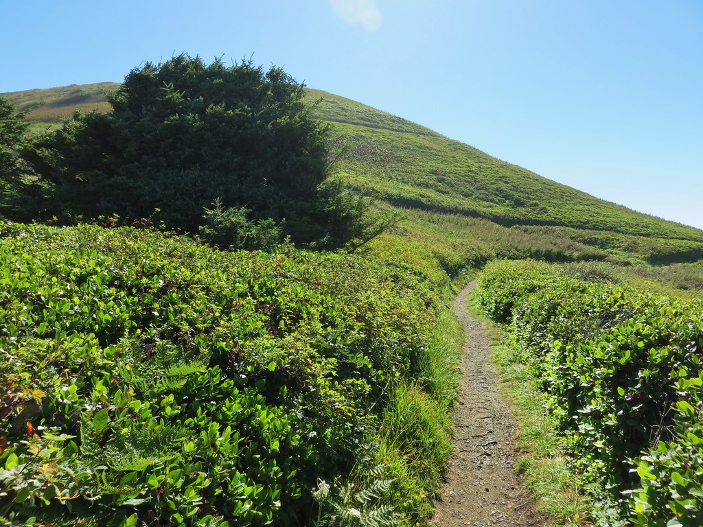
The .4 mile path switchbacked up the small hill at a nice gradual grade.
Salal Hill

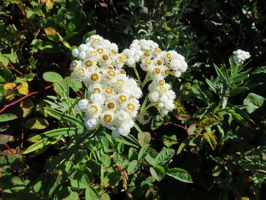
Some lingering flowers showed that there was more to the hill than just salal bushes.
Pearly everlasting

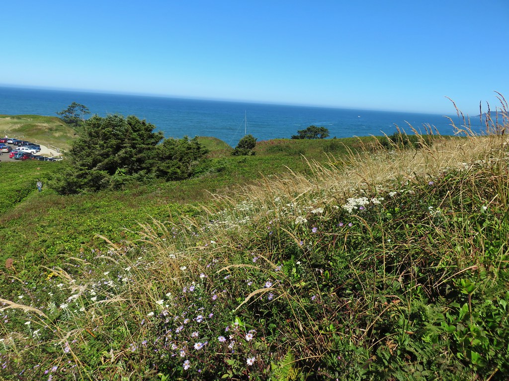
Aster

Salal Hill Trail

Wildflowers along the Salal Hill Trail

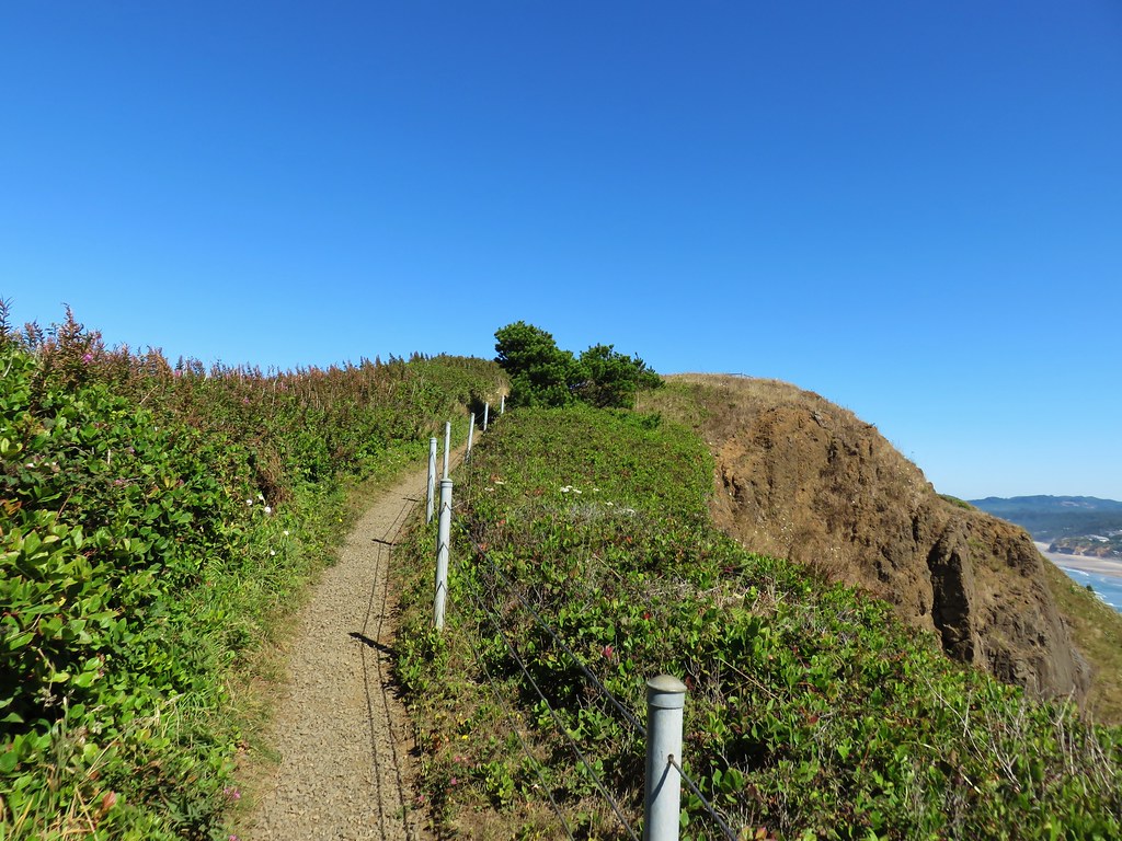
The trail passed above the interpretive center before arriving at the small, flat summit.
The interpretive center below the Salal Hill Trail

Salal Hill Trail

From the summit we had a nice view north to Cape Foulweather.
Looking north from the Salal Hill Trail

To the west was the Yaquina Head Lighthouse and the Pacific Ocean.
Yaquina Head Lighthouse from the Salal Hill Trail

We headed down after a short stay since it was now time to make our way to the reunion. We could have spent a lot more time exploring the area so we’ll have to go back again sometime. As we were coming down the hill we spotted another whale which we watched for a moment. It seemed to be giving us a goodbye wave, what a polite way to end our hike. Happy Trails!
Grey back whale

Flickr: Yaquina Bay and Yaquina Head

Categories
Central Coast Coastal Range Hiking Oregon Oregon Coast Trip report

Niagara Falls and Neskowin

We took advantage of a favorable forecast and headed out for our February hike to visit a pair of coastal waterfalls and then the beach near Neskowin.  We’ve had a lot of snow and rain this winter making it a good time to catch the waterfalls assuming you can reach them.  The storms have left their mark on some of the trails and roads so we weren’t sure what to expect as we prepared to head out, but a quick check of the Forest Service website listed the Niagara Falls Trailhead as open so we were optimistic.
The Niagara Falls Trailhead is located east of Mt. Hebo in the Siuslaw National Forest. There was good signage along the route which took us  5 miles east of Blaine, OR on Upper Nestucca Road (Forest  Road 85) where we turned right onto Niagara Road (Forest Road 8533). A small herd of elk were grazing in the field at this turn.
IMG_8536

IMG_8538

We followed this gravel road for 4.3 miles. The road was in pretty good shape and had obviously been cleared recently. At the 4.3 mile mark we forked right following signs for the trail for another .7 miles to the trailhead.
IMG_8543

The mile long Niagara Falls Trail led downhill through a fern filled forest crossing a small creek three times on footbridges.
IMG_8545

IMG_8551

This small creek was flowing well enough to create its own decent, albeit hard to see little fall.
IMG_8553

As the trail leveled out along Pheasant Creek the first fall to come into view was Niagara Falls.
IMG_8556

IMG_8563

As the trail neared Niagara Falls an opening to the left revealed Pheasant Falls.
IMG_8576

A footbridge below Pheasant Falls brought us to a picnic table at the end of the Niagara Falls Trail.
IMG_8579

IMG_8582

IMG_8590

We returned the way we’d come. The 2 mile hike had been a nice warm up and now we were headed back to Highway 101 and then south to Neskowin.

We stared our second hike of the day at the Winema Road Beach Access which is located near the Wi-Ne-Ma Christian Camp. The beach access can be reached by driving .6 miles on Winema Road which is 4 miles north of Neskowin along Highway 101.
IMG_8604

From the beach the view south extended to Cascade Head and to the north to Cape Lookout beyond Haystack Rock.
IMG_8614

IMG_8615

Our timing wasn’t great as it was a little before 10am when we started and high tide would be just after 12:30 so it was already coming in. This meant we would not be getting to a couple of places that would have been accessible at lower tide. We headed north first for .4 miles to some rocks jutting out onto the beach. Along the way we passed a small waterfall that we had not been expecting.
IMG_8618

IMG_8619

At low tide it is possible to continue .6 miles to the mouth of the Nestucca River across from Bob Straub State Park but the waves were already reaching the rocks and we knew if we continued we’d be stuck until the tide went back out so after playing around on the rocks for a minute we turned around and headed south.
IMG_8621

We hadn’t gone too far to the south when we reached the outlet creek of Daley Lake which wasn’t mentioned in our guidebook. The only way across was to ford the creek, but luckily it was only ankle deep and not too cold.
IMG_8627

On the other side of creek was a picnic table that seemed really out of place. Heather noted that it appeared to be close enough that the ocean would reach it, although it wasn’t very close at that time. The rest of the sights were pretty typical of a beach walk. Driftwood, rocks, pieces of shells, seaweed, boats, sea birds, and lots of washed up garbage.
IMG_8628

IMG_8633

IMG_8624

There was something we couldn’t recall seeing before though. Large numbers of pickle shaped jelly fish looking things of various sizes.
IMG_8622

A little under 2.5 miles from the Winema Beach Access the beach became impassable due to the tide reaching the rock wall protecting the houses at Neskowin. Luckily the Mt. Angel St. access was located at the north end of the rock wall so we left the beach and walked inland to Breakers Blvd.
IMG_8634

We turned right on the paved street and walked for .7 miles to Carlton Ave. where we turned left toward the Proposal Rock Inn which was on the far side of Neskowin Creek. At the creek we turned right and followed it to Proposal Rock.
IMG_8638

IMG_8639

Our guidebook indicated it was possible to continue another .6 miles south to Cascade Head but the creek was far too swollen for us to ford it. Likewise we were unable to reach Proposal Rock due to it’s being surrounded by water.
IMG_8644

With the tide in we couldn’t walk back along the beach from there so we took the paved streets of Neskowin once again back to the Mt. Angle St. access. We then hiked back along the beach where we discovered that Heather had been right about the ocean reaching that odd picnic table.
IMG_8653

IMG_8654

IMG_8651

You just never know what you’re going to see along the Oregon Coast. Happy Trails!

Flickr: Niagara Falls & Neskowin