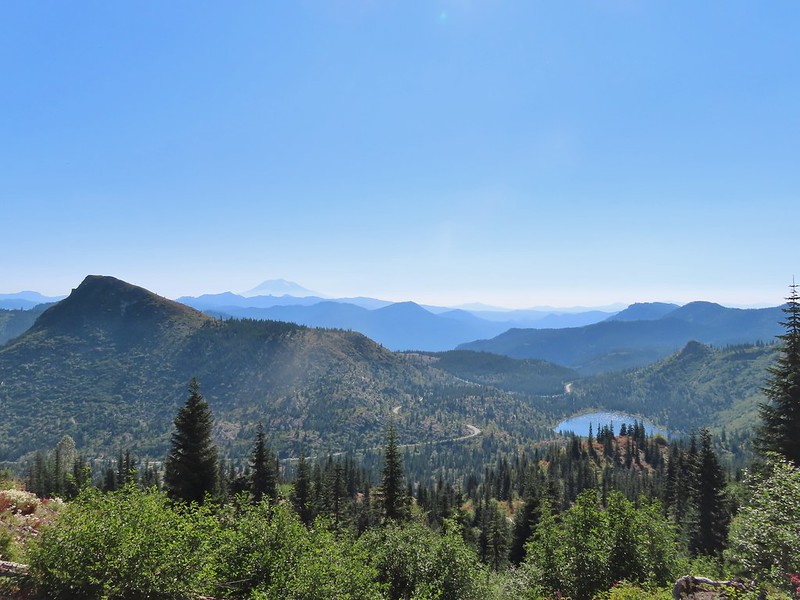
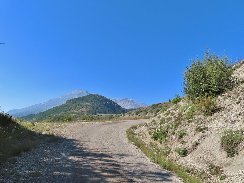
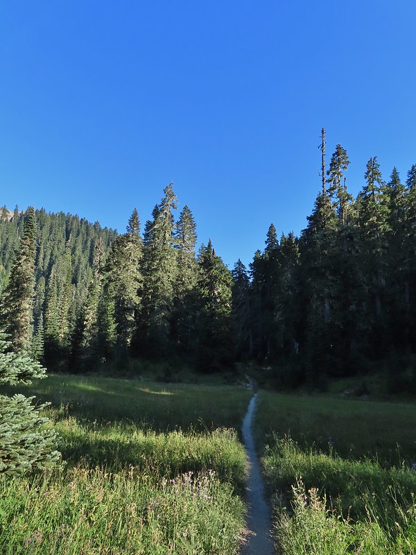
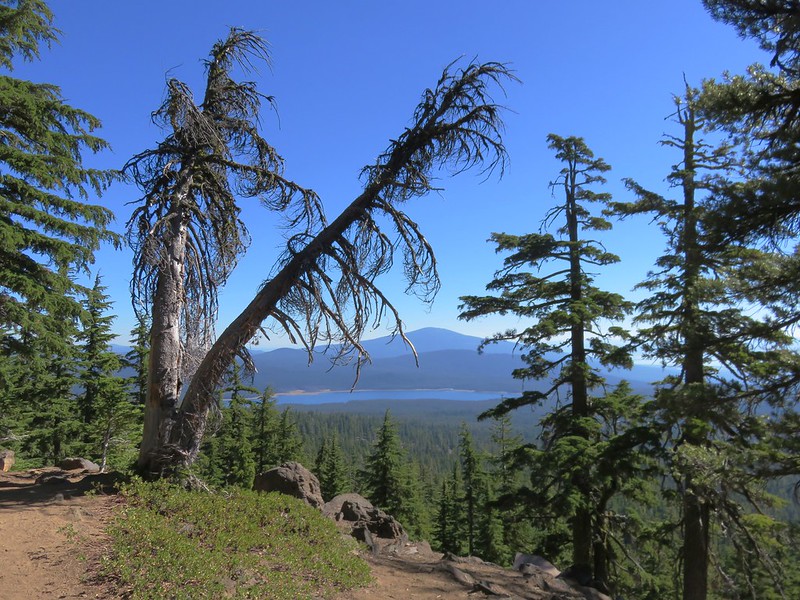
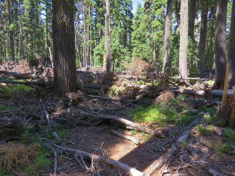
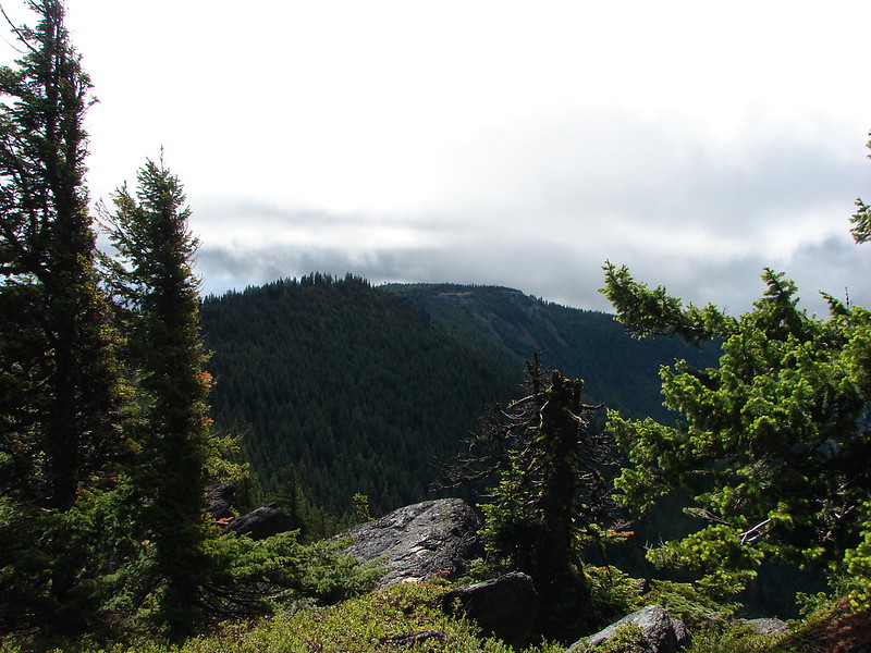
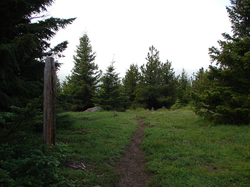
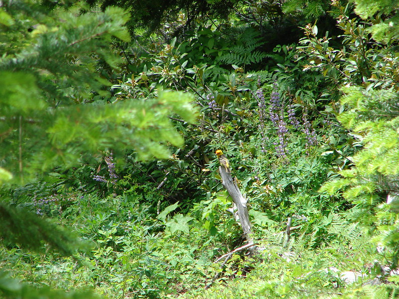
After spending the night in our tent at Badger Lake (post) Heather’s foot was feeling better enough to give the Norway Pass hike a go. We were up nice and early thanks in part to an owl who visited the lake just before 4am. After a breakfast of Mountain House’s Spicy Southwest Skillet (our current favorite) we packed up and started our hike back to Elk Pass. The view from the trees surrounding our campsite as we prepared to leave.
We had decided not to follow the Boundary Trail all the way back to Elk Pass opting to cut over to a forest road after the first two miles near the Mosquito Meadows Trail junction. Sullivan mentions doing this stating that it is “slightly quicker, but a bit tedious”. Our hope was there would be less elevation gain because we’d done a fair amount of up and down on the trail the day before.
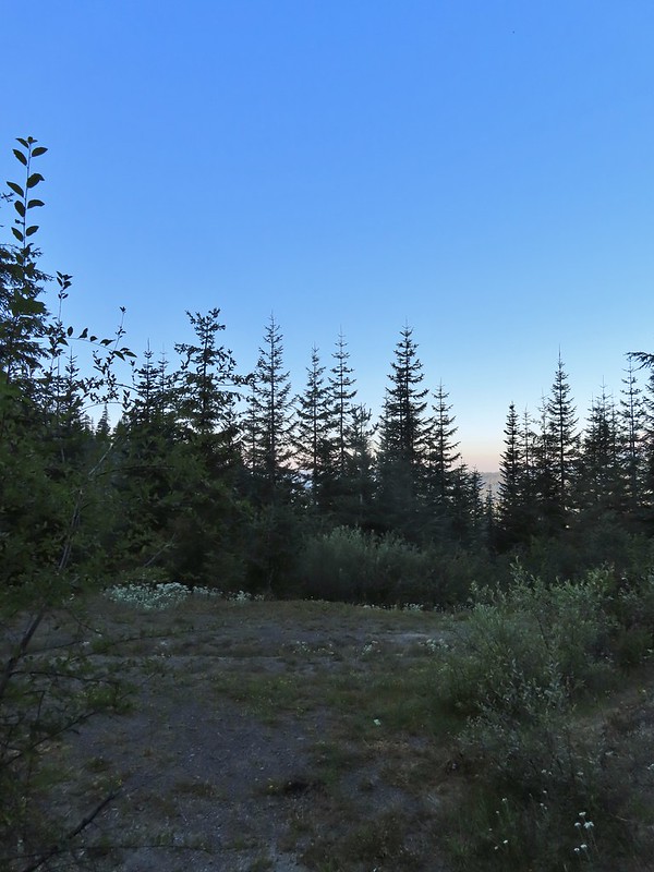
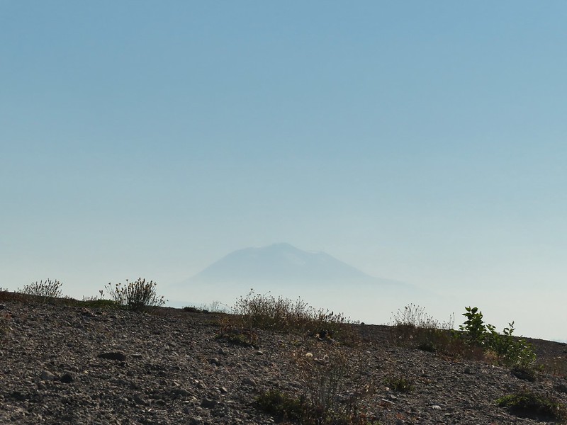
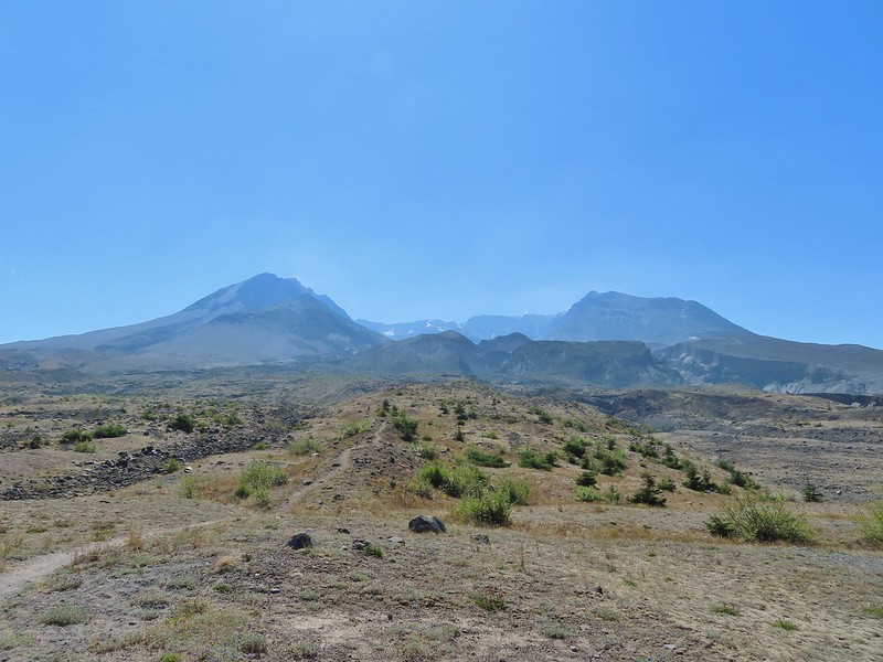
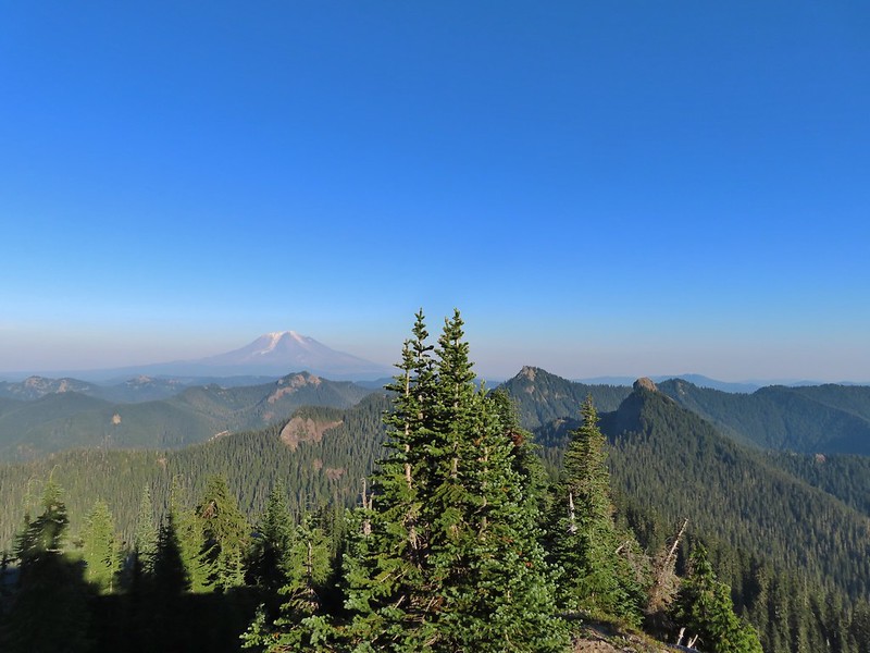
Mt. St. Helens catching some morning light.
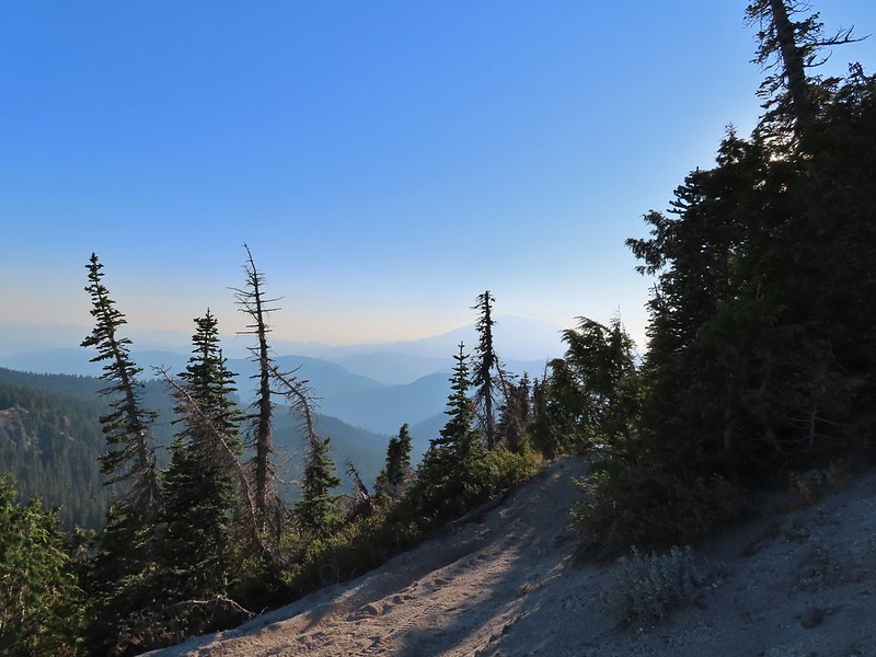
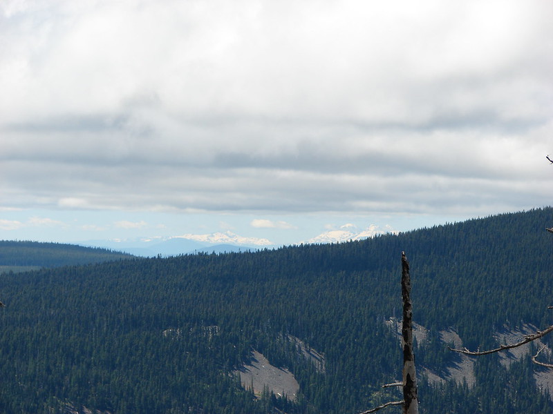
Mt. Rainier without a whole bunch of smoke.
There were a couple of paths near the trail junction where people had cut over to the old forest service road which was only about 10 yards away (but hidden by trees from the trail). We turned left at the first of the paths and quickly popped out onto the road.
We turned right on the roadbed and followed it downhill just under half a mile to FR 2551 which is still in use.
We snagged a few black caps along the road to as a post breakfast snack.
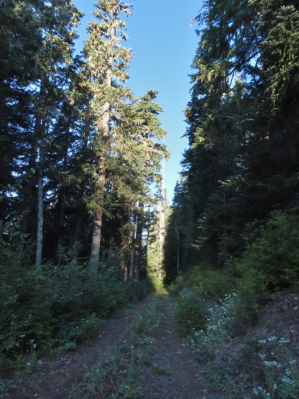
FR 2551
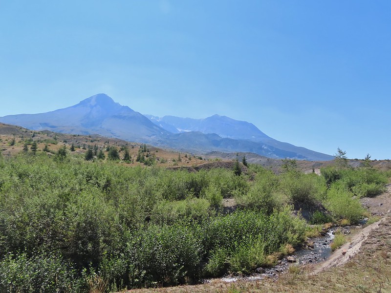
We turned right onto FR 2551 and were pleasantly surprised to find that there was very little elevation change (just a slight gain) over the 1.7 miles back to FR 25. The very top of Mt. St. Helens from FR 2551.
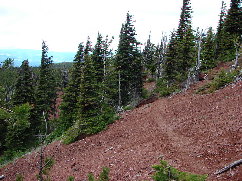
Sullivan had labeled this stretch with the word slide which had caused a little apprehension in deciding to try this return route but despite the obvious slide(s) that had occurred here the road was in decent shape.
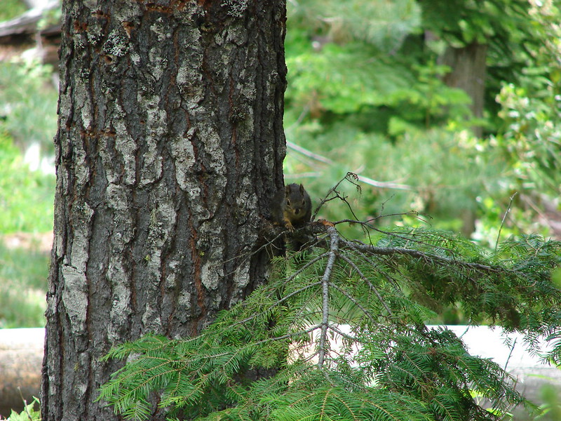
Not sure what kinds of birds were in this tree but there were a lot of them.
FR 25 at the end of a long straight away.
We turned right again at FR 25 walking along the shoulder for 150 yards to the Boundary Trailhead.
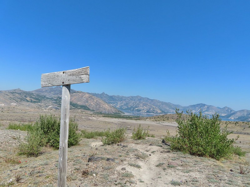
The Boundary Trail crosses FR 25 near the road sign ahead. The picture was taken from FR 2551 at FR 25.
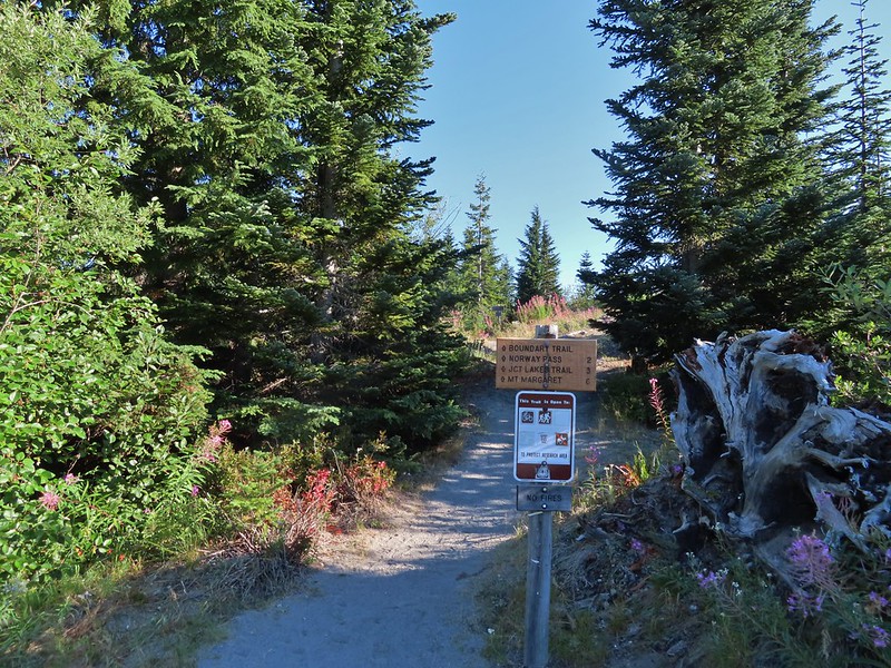
We pulled our day packs out, refilled our water with some extra we had left in the car and drove north on FR 25 to FR 99 where we turned left heading for the Norway Pass Trailhead. A short connector from the trailhead leads to the Boundary Trail.
We turned left at the Boundary Trail and climbed for just over a mile to a signed junction with the Independence Ridge Trail. A couple was taking a break at the junction and another hiker, from the Mt. St. Helens Institute, coming down hill stopped to ask them if they were debating on which way to go. They weren’t and she said good because the Independence Ridge Trail is “dicey”.
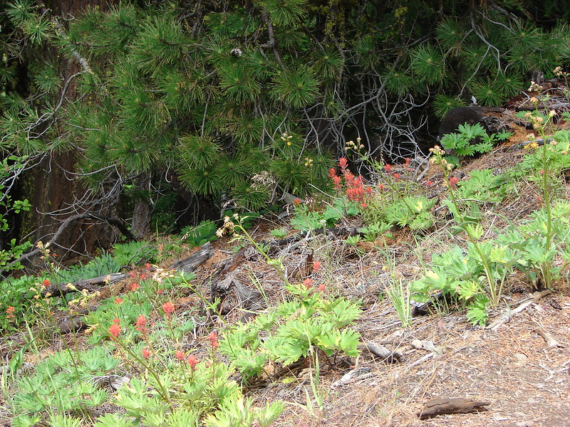
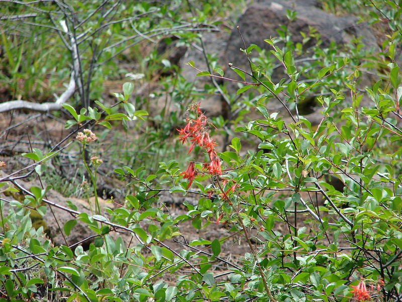
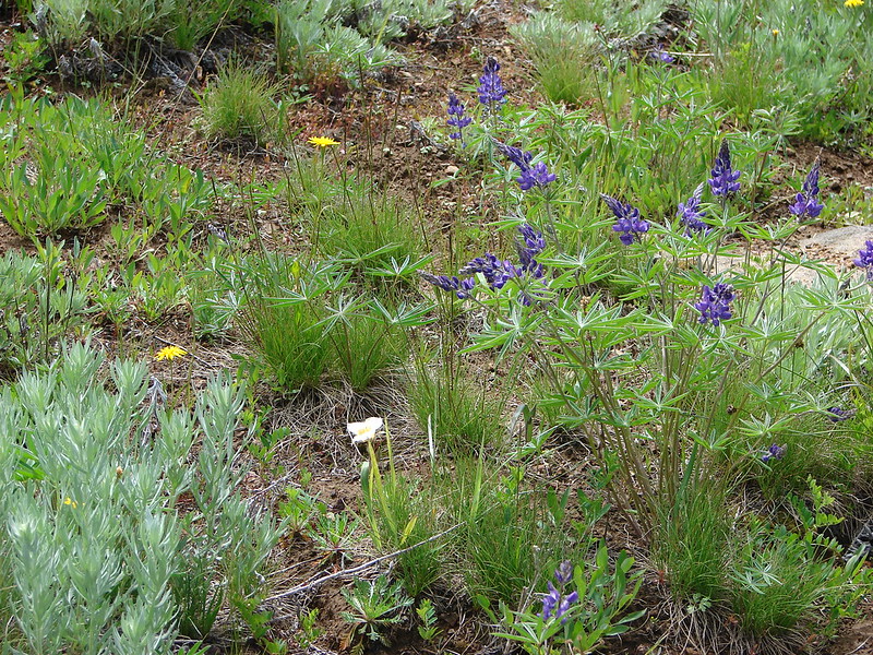
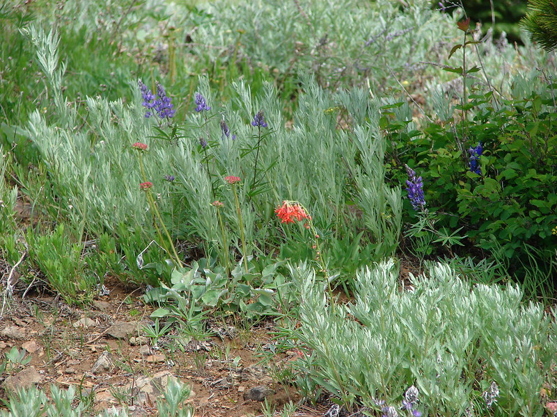
Paintbrush
Buckwheat
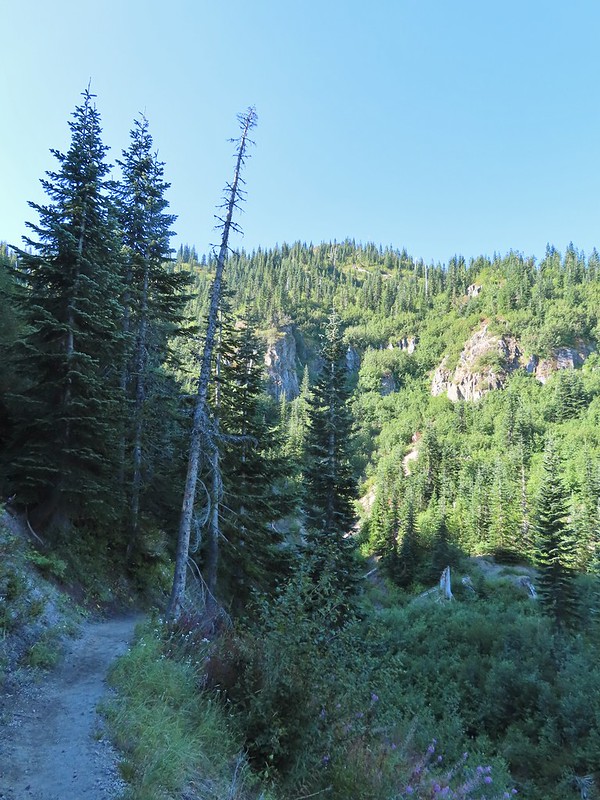
We could hear a waterfall in the valley below.
The top of the waterfall.
Penstemon and pearly everlasting.
Looking back over our shoulders to Meta Lake.
Mt. Adams also from over our shoulders.
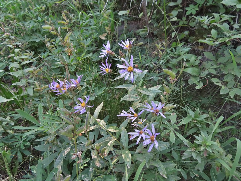
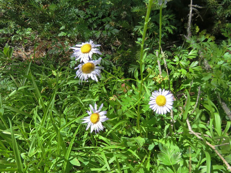
Aster
Switchback at the Independence Ridge Trail junction.
The Boundary Trail climbed less steeply beyond the junction with the exception of an up and down to cross a dry stream bed.
Heading down to the stream bed.
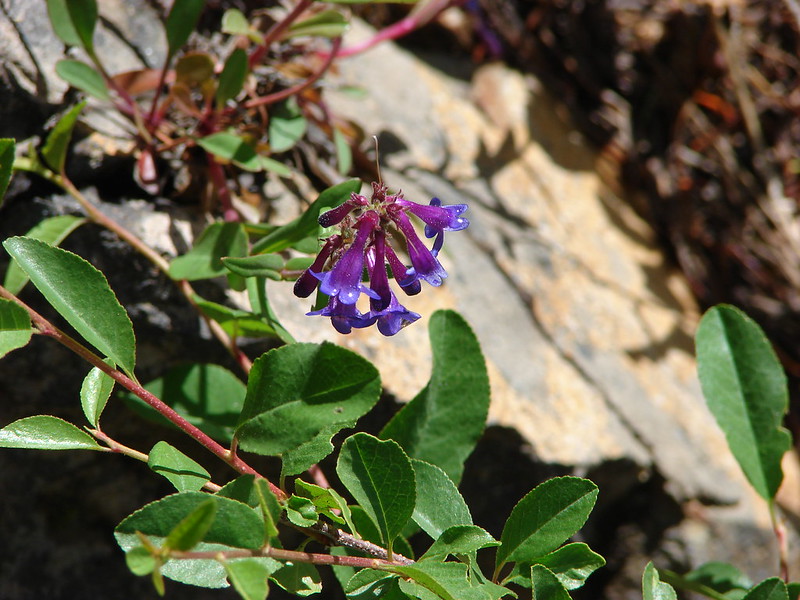
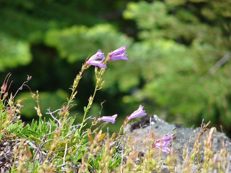
Penstemon
Monkeyflower
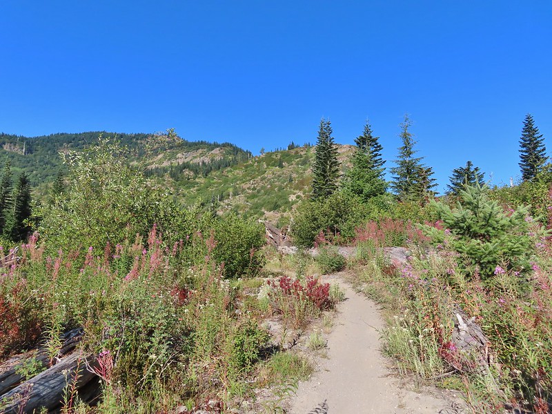
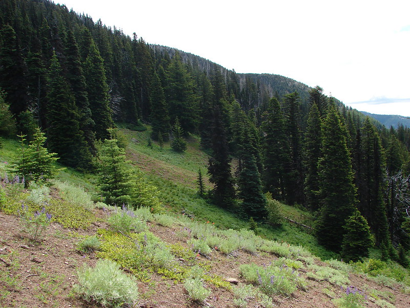
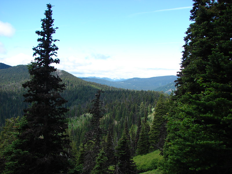
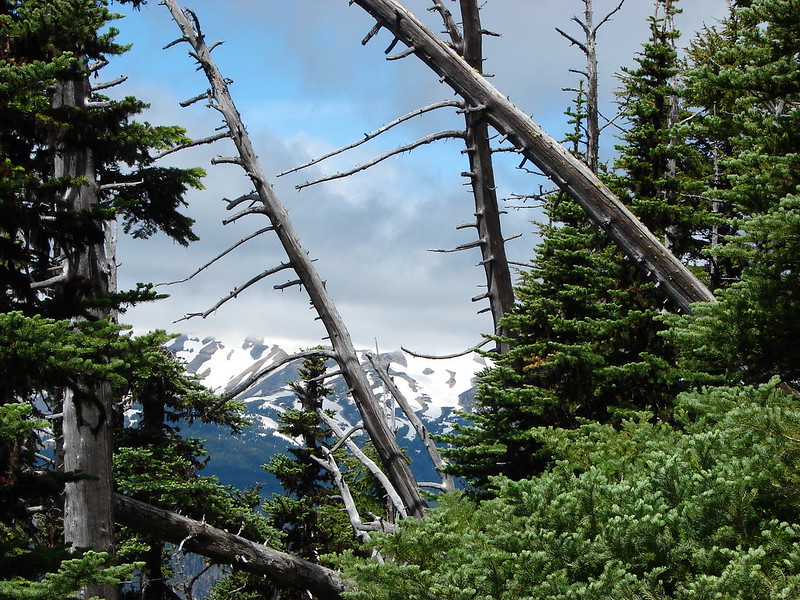
As the trail made it’s final climb to Norway Pass Mt. Rainier was visible beyond the ridges to the north.
Norway Pass (the low saddle to the right) from the trail.
Orange agoseris
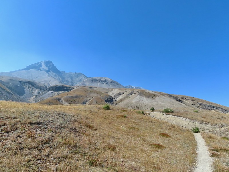
Approaching the pass.
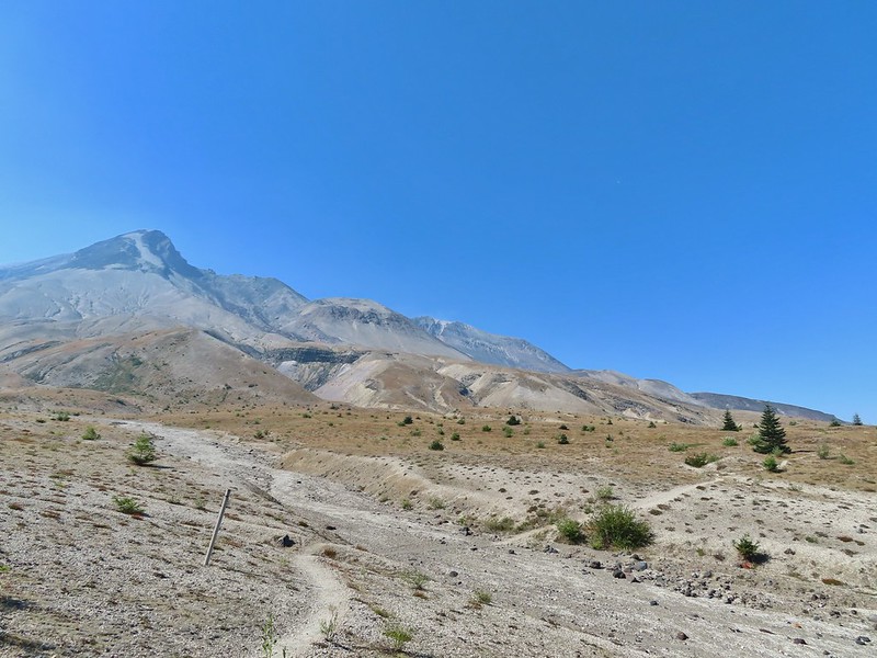
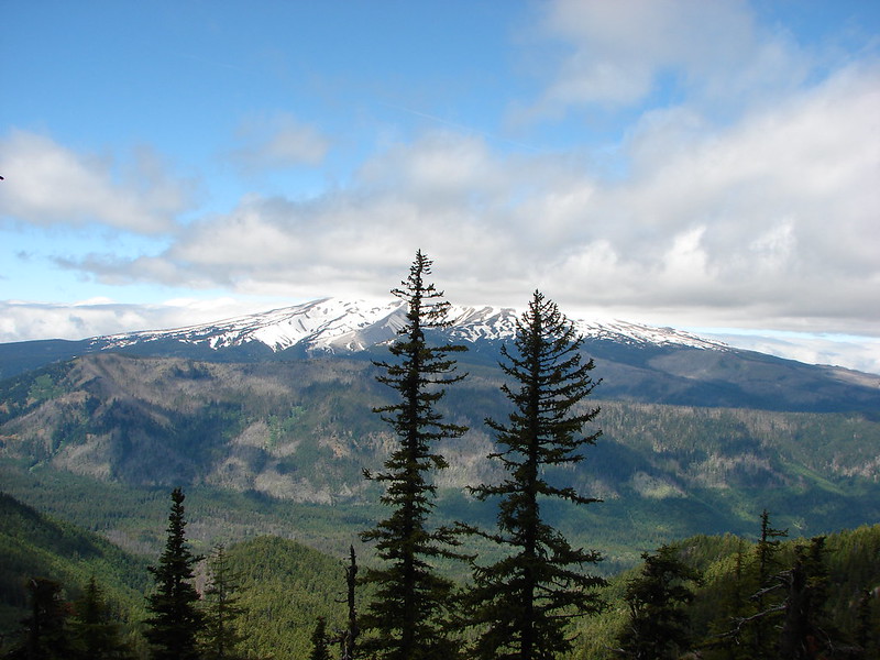
To get a good view of Mt. St. Helens we had to descend on the trail a short distance beyond the pass.
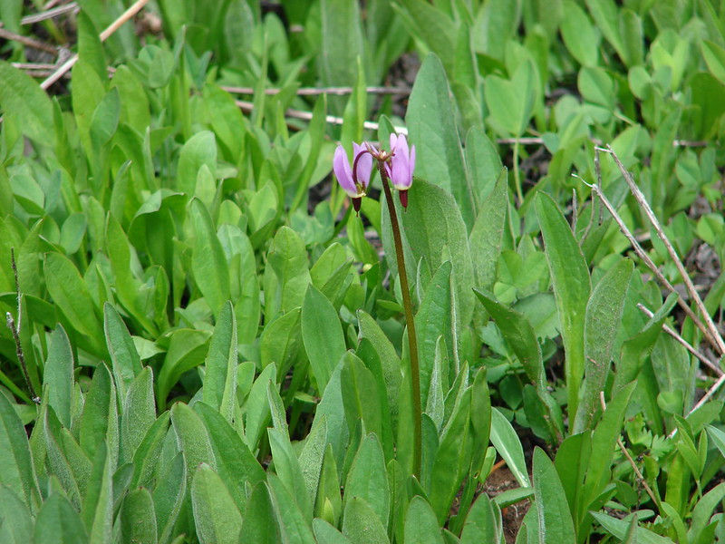
After admiring the view we headed back stopping along the way to debate what these flowers were and whether or not they were non-natives (we believe they probably are).
With much of the 2.2 mile return hike being downhill we made good time back to the trailhead where we changed and then started the long drive home. Mt. Adams and Meta Lake from the trail.
This hike was just 4.4 miles but gained nearly 900′ of elevation making it a good workout with great views.
The hike out of Badger Lake had been 4.2 miles so combined it was an 8.6 mile day. Knowing that we had now hiked at least portions of all 100 featured hikes in another of Sullivan’s books was the icing on the cake of a fun but tiring visit to Mt. St. Helens. Happy Trails!
After having spent a week in SE Oregon checking off a few of Sullivan’s featured hikes in that region we turned our focus back to the Northwest Oregon/Southwest Washington guidebook where just 3 featured hikes remained. All three hikes were located on the NW side of Mt. St. Helens, a three and a half hour drive from Salem. These last three hikes were a good example of some of the things we’ve had to work out on what counts toward being able to check off a hike. Due to their distance day hikes were out and a limited number of nearby rooms meant we needed to get creative. Our plan was to do portions of all three hikes on Saturday starting at Mt. St. Helens and ending with us backpacking in to Badger Lake and the finishing up on Sunday by driving back to Mt. St. Helens to complete one of the three options Sullivan has for his Spirit Lake hike (4th edition hike #29).
One of the quirks with Sullivan is that while he has the 100 featured hikes he often gives multiple options. Typically the second option is an extension of the shorter option but sometimes the options go in different directions or are even completely different hikes starting at different trailheads. Two of these last three hikes had three options. For Spirit Lake the shortest option, Harmony Falls, started at the Harmony Trailhead while the other two, Norway Pass and Mt. Margaret, began at the Norway Pass Trailhead. We had hiked up Mt. Margaret on a previous trip coming from the other direction (post) so we didn’t feel we needed to do that option but the other two options would be new to us so we planned on doing them both starting with Harmony Falls and saving Norway Pass for Sunday.
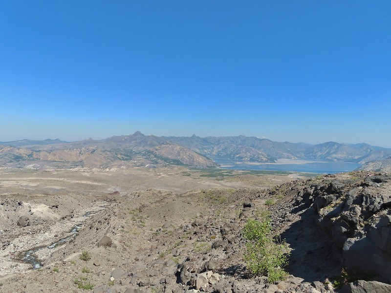
From the Harmony Viewpoint a 1.2 mile trail leads 700′ downhill to Spirit Lake.
Mt. St. Helens from the viewpoint.
As has been the case this Summer there was a good deal of haze surrounding us but we had blue(ish) sky overhead. There were also a fair amount of wildflowers blooming, at least compared to what we had seen in SE the previous week.
Pearly everlasting
Penstemon
Paintbrush
Mt. St. Helens
Prior to the 1980 eruption of the mountain Harmony Falls was a 50′ waterfall but most of the falls were buried as was the lodge that sat near the base of the falls. Now there is only a small cascade along the trail.
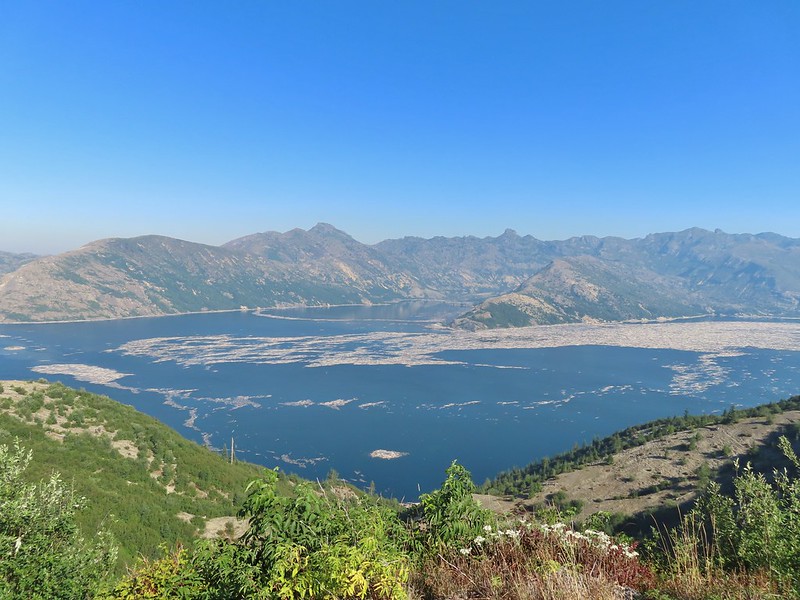
Mt. St. Helens and Spirit Lake from the end of the trail.
As we were making our way back we were doing our best to try and identify the various rock formations and peaks across the lake. Coldwater Peak (post) is easy with the white equipment on top.
The Dome
Mt. Margaret
Mount Teragram
After finishing this 2.4 mile hike we continued driving toward Mt. St. Helens on FR 99 and parked at the Windy Ridge Interpretive Site where the road is gated and only open to research vehicles.
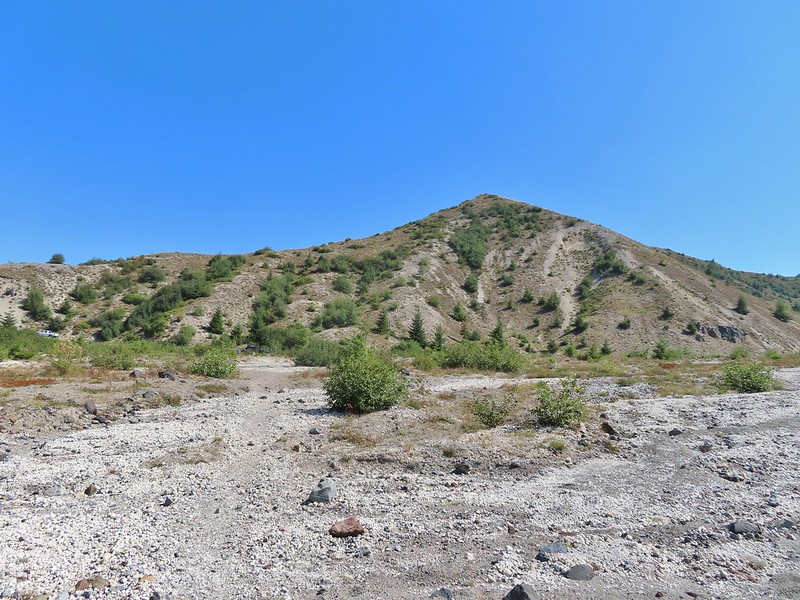
We were now working on featured hike #28 – Windy Ridge. Again Sullivan had three options, this time all starting from this parking lot. The shortest option was a .2 mile round trip up a steep set of stairs to the Windy Ridge Viewpoint at the northern end of the parking lot (see photo above). We set off across the lot to tackle this one first.
<img src="https://live.staticflickr.com/65535/51413600517_e0b437d3fb_c.jpg" width="800" height="600" alt="IMG_3847">The interpretive site and Spirit Lake.
Mt. St. Helens.
Aside from a little section near the top the stairs were nicely spaced making the climb better than it looked from the bottom.
In addition to Mt. St. Helens both Mt. Adams and Mt. Rainier were visible from the viewpoint although on this day the haze was an issue. Mt. Adams
Mt. Rainier
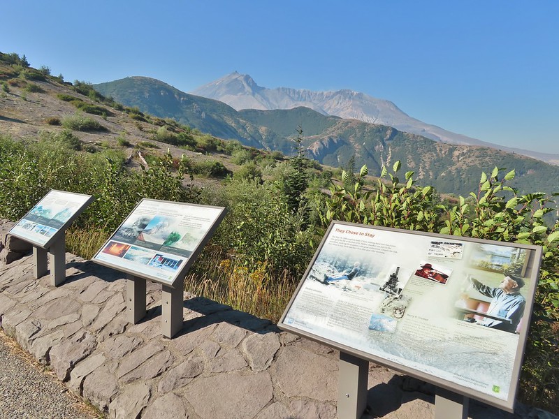
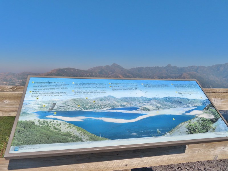
The interpretive signs at the viewpoint did a good job of identifying different features that were visible which we appreciated.
The Johnston Ridge Observatory was visible across Spirit Lake on a far hillside.
It’s often hard to tell if you’re seeing dust from rockfall or steam from one of the vents.
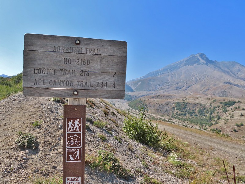
After reading the signs and taking in the views we headed down the stairs and to the other end of the parking area where we walked past the gate and followed FR 99 for 1.8 miles to a sign for the Abraham Trail, the return route for the longer option.
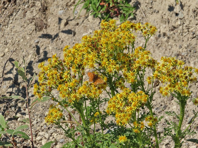
Butterfly on ragwort
Butterfly on pearly everlasting
Lupine in the pearly everlasting
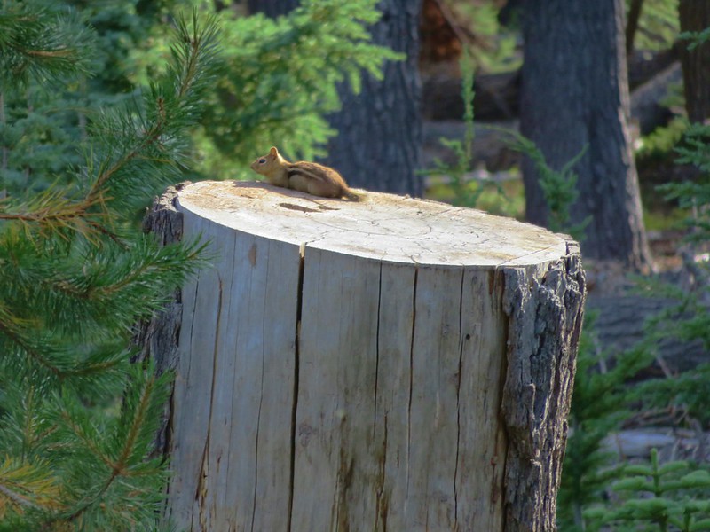
Golden-mantled ground squirrel
Might be Oregon sunshine
Penstemon
The longer option would add approximately 2.2 miles and 500′ to our hike and visit the Plains of Abraham. As with Mt. Margaret we had visited the Plains of Abraham (post) previously so we were going to stick to the shorter option. Beyond the junction with the Abraham Trail FR 99 dropped to a small parking area for research vehicles where two trails began.
To the left was the Windy Trail and to the right was the Truman Trail. Our plan was to take the Windy Trail and hike a clockwise loop returning on the Truman Trail.
We followed the Windy Trail just over a mile to the Loowit Trail where we turned right.
Paintbrush and dwarf lupine
Pearly everlasting
The Loowit Trail junction.
The Loowit Trail immediately dropped into a gully to cross a small stream. Spirit Lake from the junction.
In the gully.
We continued another 0.4 miles before arriving at Big Spring which was a big surprise.
Another gully to cross.
Big Spring is in the willow thicket.
We knew that there was a spring but more often than not the springs wind up being small trickles or big mud puddles but not Big Spring. This was a good sized stream beginning almost right next to the Loowit Trail.
The stream flowing over the Loowit Trail.
A pink monkeyflower at the spring.
Looking back at the willows and Big Spring.
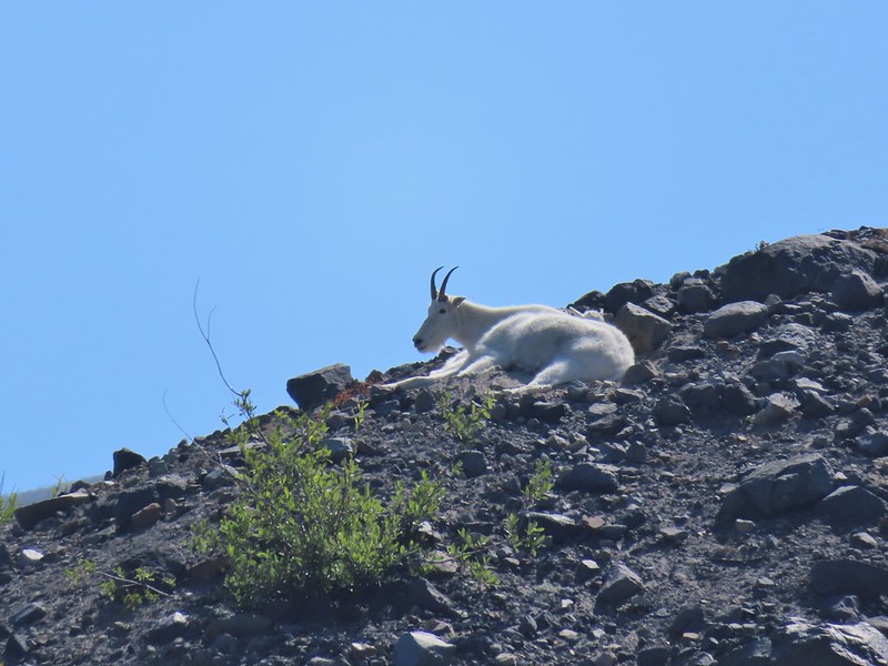
Another half mile of big views and a couple of gully crossings followed Big Spring. We were excited to spot mountain goats lounging on a ridge between the mountain and the trail along this stretch. Coldwater Peak to the right.
The Sugar Bowl lava dome.
Spirit Lake from the trail.
The first goats we spotted are on this ridge above the lone tree.
The Loowit Trail crossing two gullies in a short stretch, one red one black.
Dropping into the second gully.
From the second gully we could see quite a few more goats on the ridge.
A half mile from Big Spring we arrived at another trail junction. Approaching the junction with the side trail to Loowit Falls.
Sign for Loowit Falls.
We stayed straight here following the pointer for Loowit Falls for another half mile. Loowit Falls (right side of the photo) was visible for much of the half mile.
Looking back at Coldwater Peak and Spirit Lake. (The top of Mt. Rainier is barely visible peaking over the top of the ridges.)
As we neared the falls we noticed another small herd of mountain goats on the hillside.
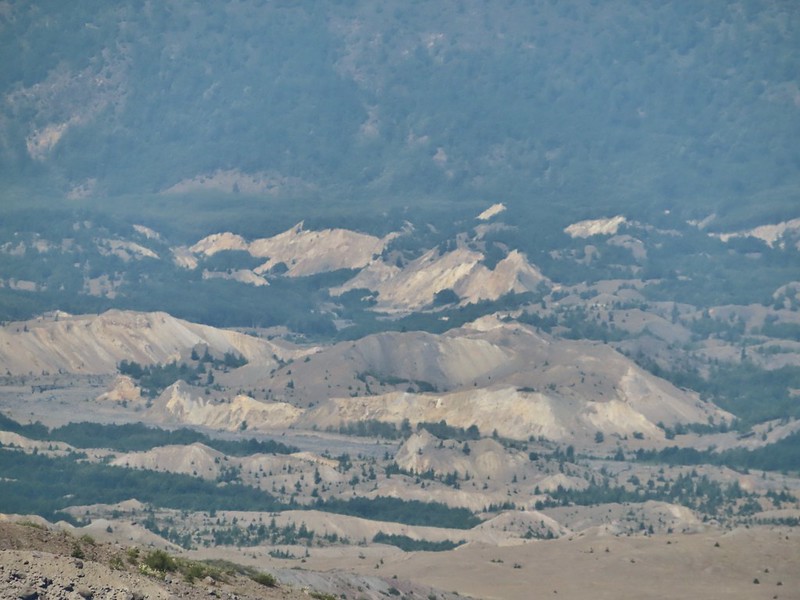
We could also see the hummocks (post) off in the distance to the NE, pieces of the mountain that slid off during the 1980 eruption and settled in the debris flow creating odd mounds.
Loowit Falls looked bigger than I had expected. We took a good break at the viewpoint with a couple of other hikers and a pair of young Forest Service workers.
Spirit Lake from the viewpoint.
After our break we returned to the Loowit Trail to continue the loop.
Paintbrush
Dwarf lupine
Just under three quarters of a mile from the Loowit Falls Trail junction we arrived at the Willow Springs Trail junction.
Here we left the Loowit Trail by turning right on the 0.8 mile long Willow Springs Trail.
Mt. St. Helens from the Willow Springs Trail.
Heading toward Spirit Lake.
The Willow Springs Trail ended at the Truman Trail where we again turned right.
We followed the Truman Trail for a mile and a half back to the research vehicle parking area, re-crossing the gullies and streams we had crossed on the Loowit Trail.
The Dome above Spirit Lake
Vehicles ahead in the research parking area.
From the parking area we followed FR 99 (mostly uphill until the very end) 1.8 miles back to the Windy Ridge Interpretive Site. The haze was improving as the day wore on and we could now at least make out some snow on Mt. Adams.
Mt. Adams to the left.
Mt. Adams
Look out for snakes, not the poisonous kind just don’t want to step on them.
Some sort of sulphur butterfly on pearly everalsting.
Our 10.7 mile track from the Windy Ridge Interpretive Site
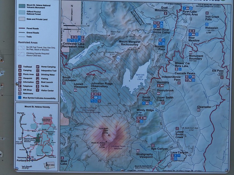
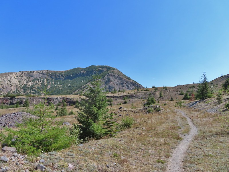
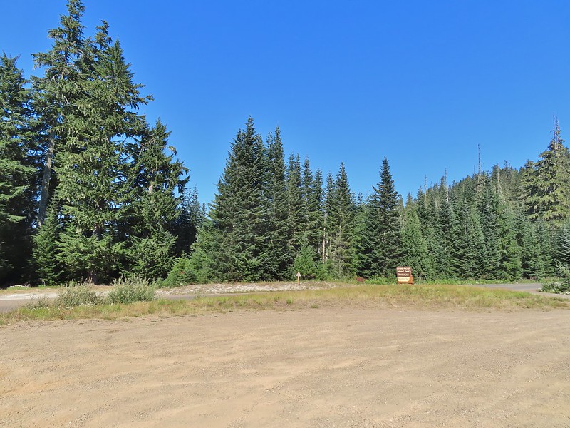
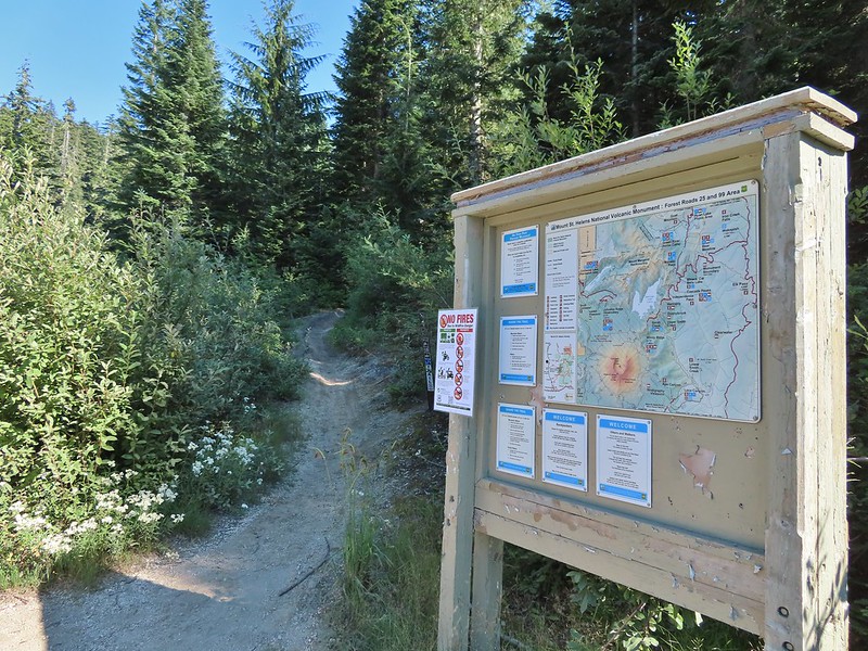
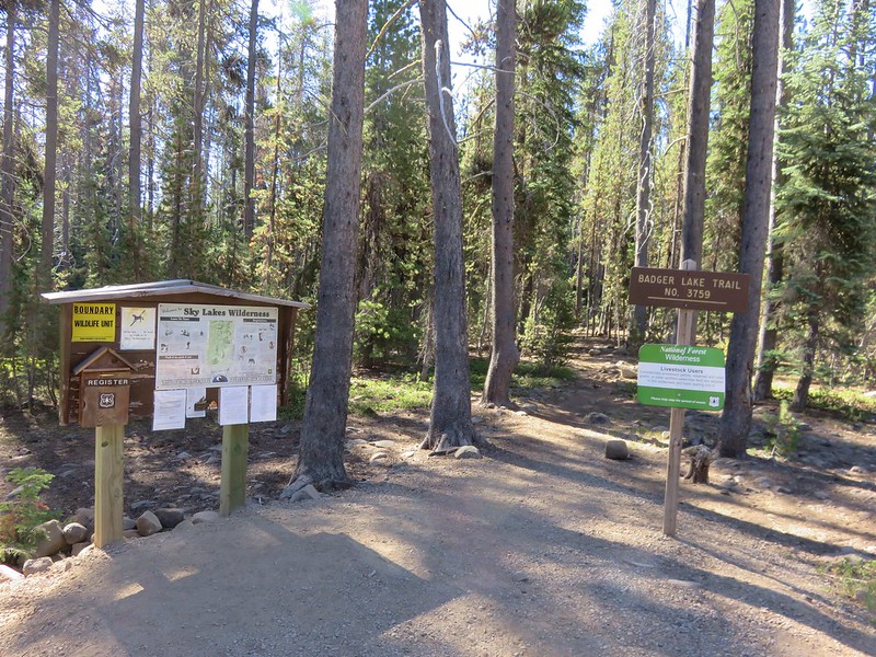
The 53.7 mile long Boundary Trail’s western end is near Norway Pass where we planned on hiking the next day while the eastern end is located at Council Lake near Mt. Adams. The section of the trail that we planned on hiking was a 4.3 mile segment from Elk Pass to Badger Lake. From the signboard at the trailhead a short spur led away from FR 25 into the trees before joining the Boundary Trail.
We turned left on the Boundary Trail and promptly arrived at FR 25 which we then crossed.
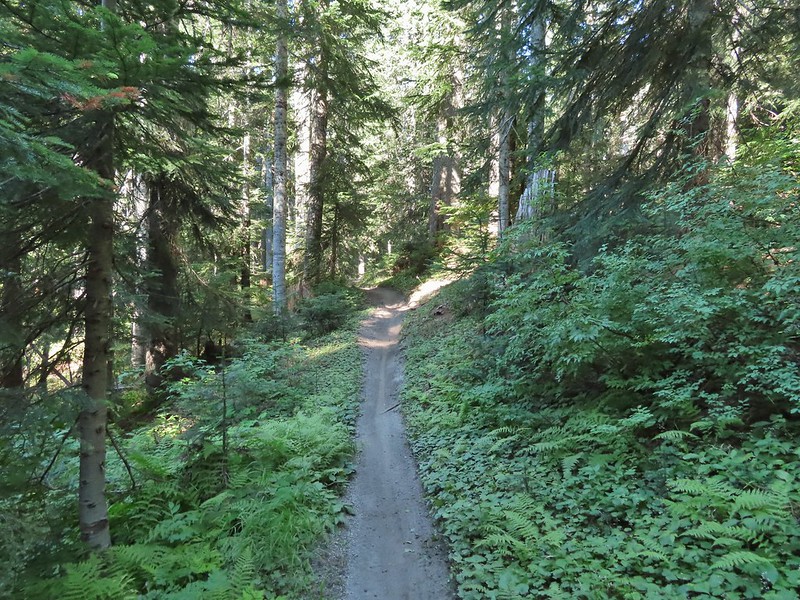
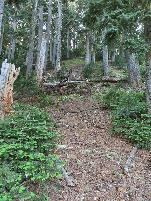
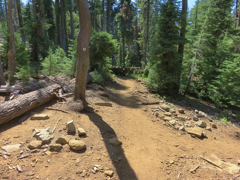
This trail is open to both mountain bikes and motorcycles which probably explains why it was only briefly one of Sullivan’s featured hikes (#30 in his 4th edition). The forest was pretty and quiet (no motorcycles during our visit) but the trail showed a lot of wear from tires.
One plus was a good variety of berries along the way and there were a few flowers as well. Salmonberries
Blueberries
Huckleberries
Mushrooms (the flowers of Fall)
I was really surprised to still be able to make out the remains of the petals on these trillium.
These bunchberries with a few petals left were near the trillium above.
Candyflower
At the 2.3 mile mark we passed the Mosquito Meadows Trail on the left.
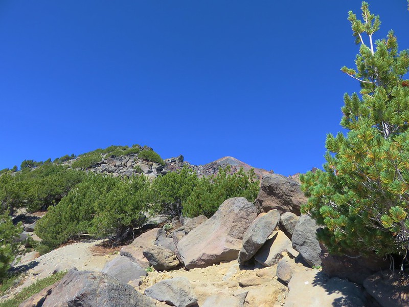
At this junction Heather told me to go on ahead and find a campsite then hike up Badger Peak without her if I wanted. Her plantar fasciitis had flared up on the way back from Loowit Falls and was struggling a bit. We had planned on hiking up to the summit after setting up camp and I didn’t want to wait for morning because the rising Sun would have been directly behind Mt. Adams. (Sullivan’s short option for this hike was to the lake and back while the longer option was to the summit.)
The trail gained a little over 600′ over the next two miles which doesn’t sound like a lot but nearly all the elevation was packed into two short sections of the leg.
These thimbleberries weren’t ripe but a short distance further were a lot of ripe ones. I thought I might have to hike back and retrieve Heather from them.
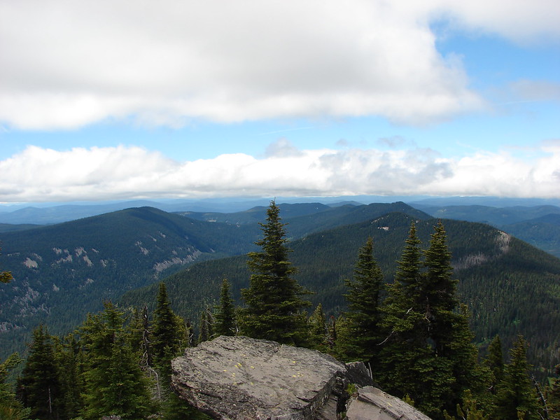
A brief glimpse of Mt. Rainier from the ridge the trail was following, it looked like a lot of the smoke had blown away.
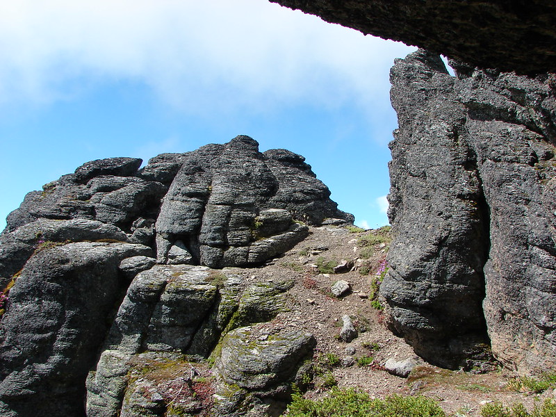
Two miles from the Mosquito Meadows Trail I arrived at a junction with the Badger Peak Trail.
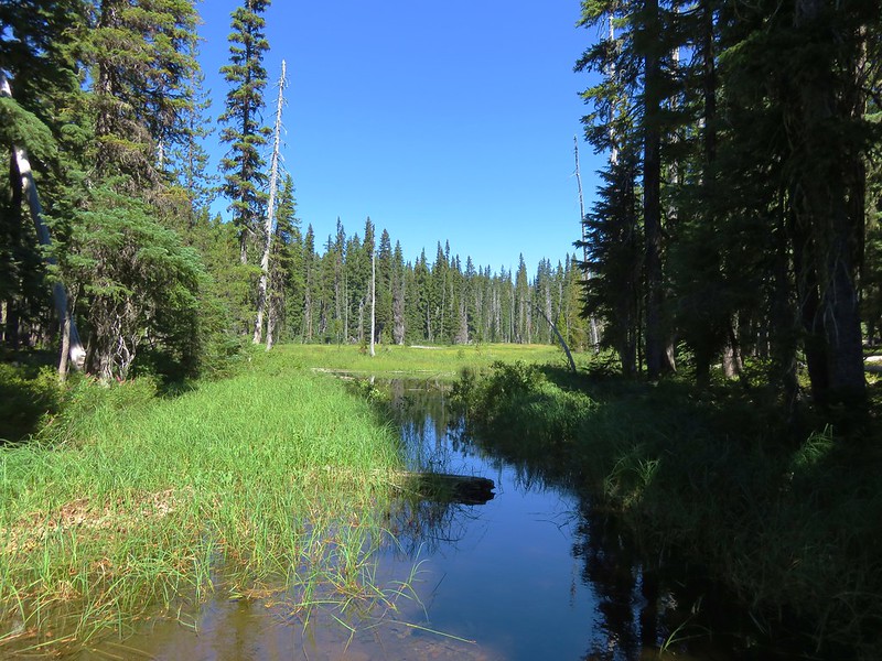
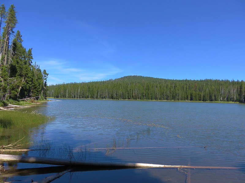
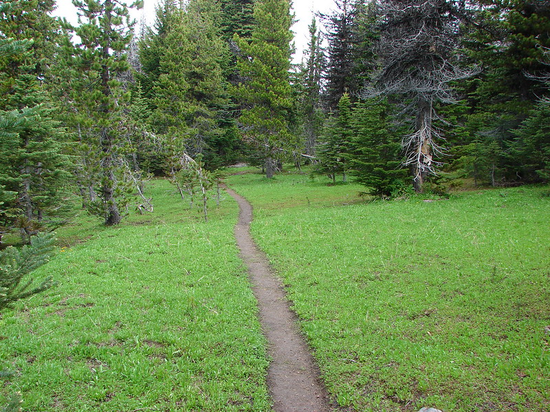
Before I headed up that trail though I needed to hike on to Badger Lake to find a campsite (and get rid of my full backpack). Beyond this junction the trail passed through a meadow crossing Elk Creek and arriving at the lake on the far side.
Aster
Elk Creek
Pink monkeyflower along Elk Creek
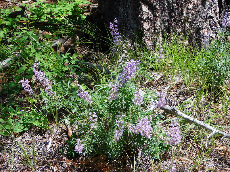
Lupine
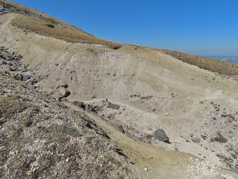
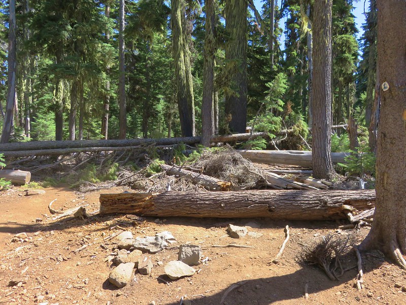
The trail near Badger Lake was particularly torn up and there were several signs posted admonishing motorcyclists to stop driving off trail.
Torn up hillside near the lake, it only takes one or two idiots to cause a lot of damage (the same goes for hikers/mountain bikers).
The little puddle in the foreground is not the lake, it is further back.
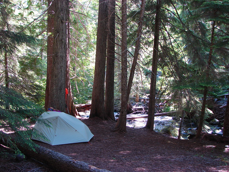
I found a tent site back in the trees near the meadow and dropped my pack off and hung my hunter orange shirt so Heather couldn’t miss it. Then I grabbed my day pack and hiked back to the Badger Peak Trail and headed uphill.
This mushrooms was at least as wide as a salad plate.
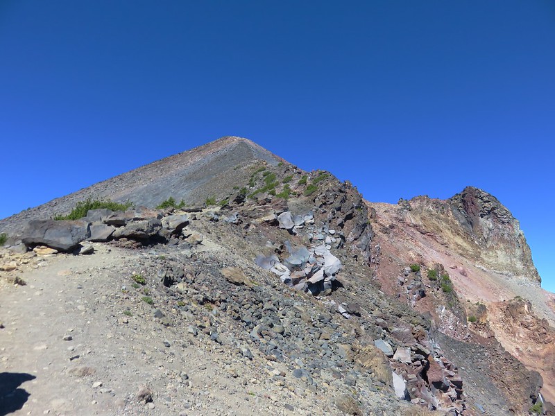
It was 0.8 miles to the summit with 700′ of elevation to gain which meant the trail was pretty steep. In addition the motorcycles had gouged a deep trough in the center of much of the trail which was uncomfortably narrow to walk in. It turned out to be for the best that Heather had decided to skip the summit.
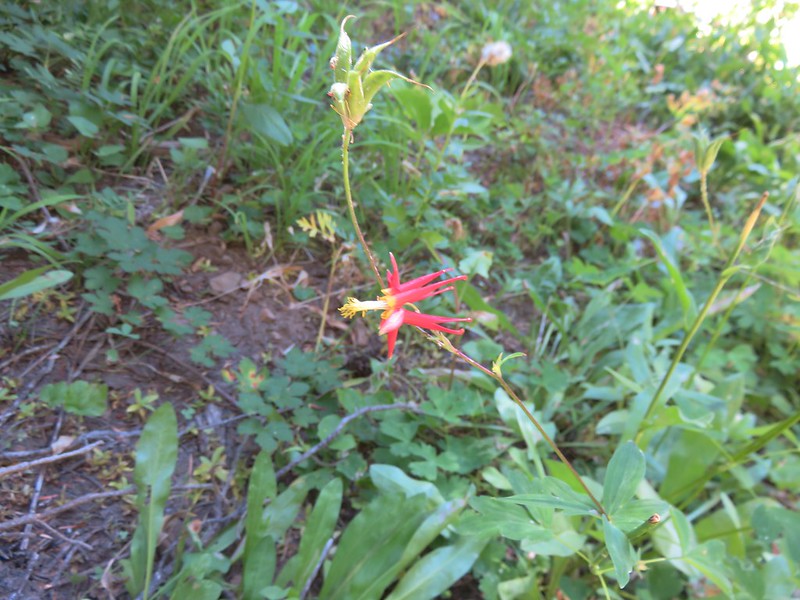
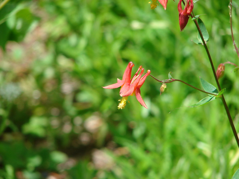
A columbine
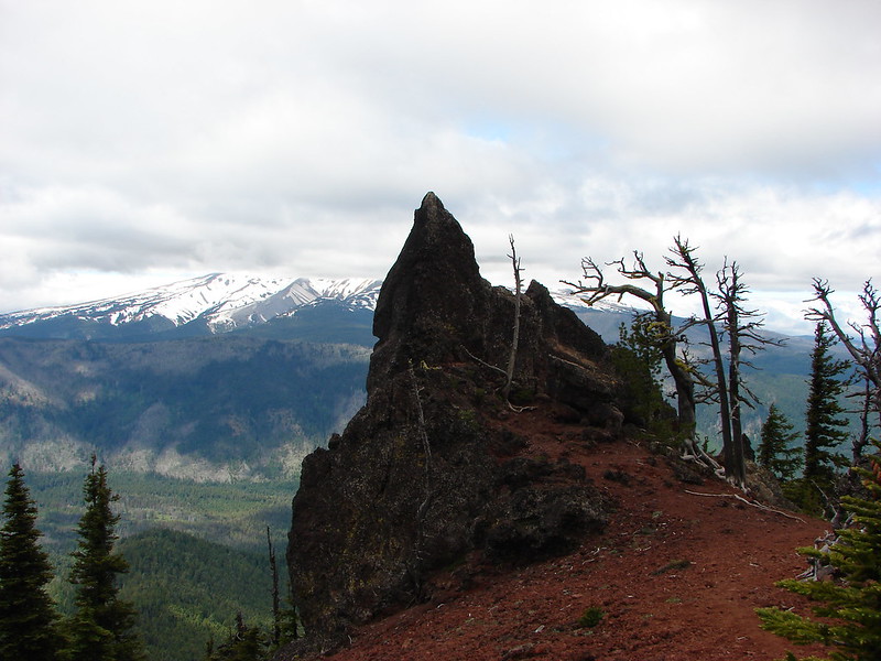
The view was nice though and the sky around Mt. Adams had also cleared up greatly from earlier in the day.
A hiker from Boise was at the summit when I arrived. She said she had been planning on staying up there until sunset but was having second thoughts due to the chilly breeze and not wanting to have to hike down the trail in the dark. I helped her identify the different mountains as this was her first time to the area. She was on a driving expedition as was thinking of heading to the Olympic Mountains next. Mt. St. Helens was hard to make out with the combination of haze and Sun position.
Looking south toward Mt. Hood (I could make it out with the naked eye.)
Mt. Hood in the haze.
Mt. Rainier
Mt. Rainier
Mt. Adams
The Goat Rocks were also hard to make out due to the smoke.
Western pasque flowers, aka hippies on a stick, below the summit.
I headed down after a short break and found Heather finishing setting up our tent.
We took our dinner over near Badger Lake and then turned in for the night. It had been a long day with a lot of hiking. For me it was a 19.4 mile day with approximately 3800′ of elevation gain and Heather was in the 18 mile range with over 3000′, no wonder her plantar acted up.
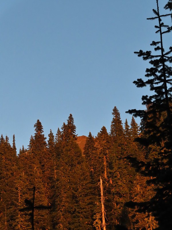
The last of the sunlight hitting Badger Peak.
We hoped her foot would be feel better in the morning so the hike out wasn’t too miserable and so she might be able to do the Norway Pass hike. For now though we just needed to get our sore bodies to let us fall asleep. Happy Trails!
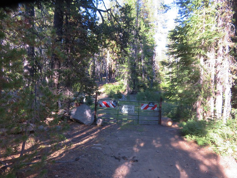
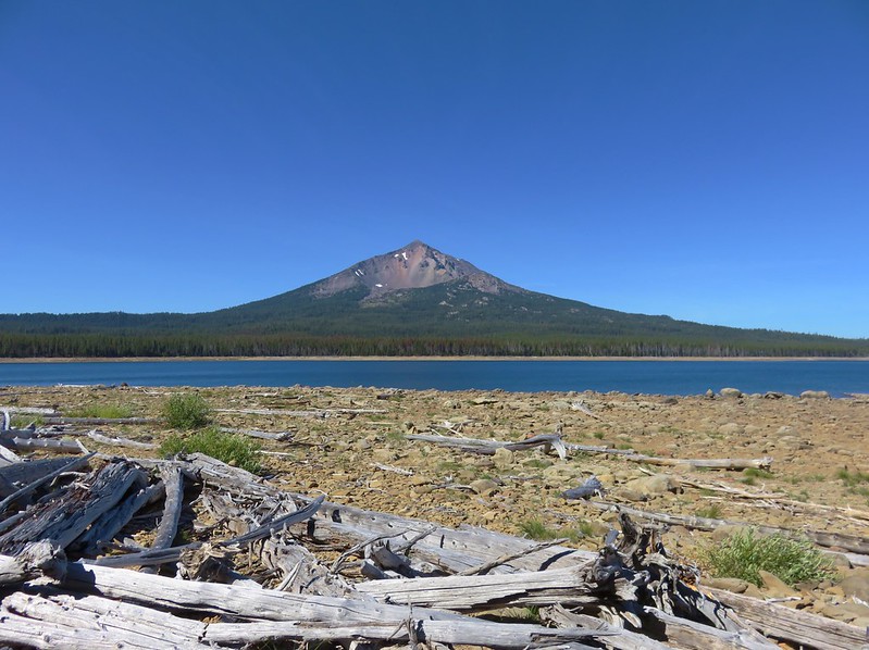
Our plan for the second day in the Sky Lakes Wilderness was to hike to the summit of 9495′ Mt. McLoughlin, the sixth highest peak in the Oregon Cascades. We were going to hike the 2.5 miles back to our car from Badger Lake then drive the approximately 3 miles to the Mt. McLoughlin Trailhead. It would have been possible to hike the whole way by going back to Fourmile Campground and taking the Twin Ponds Trail to the Pacific Crest Trail and then turning up the Mt. McLoughlin Trail, but that would have been a nearly 25 mile hike.
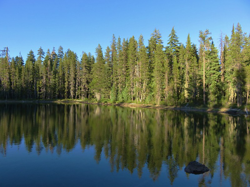
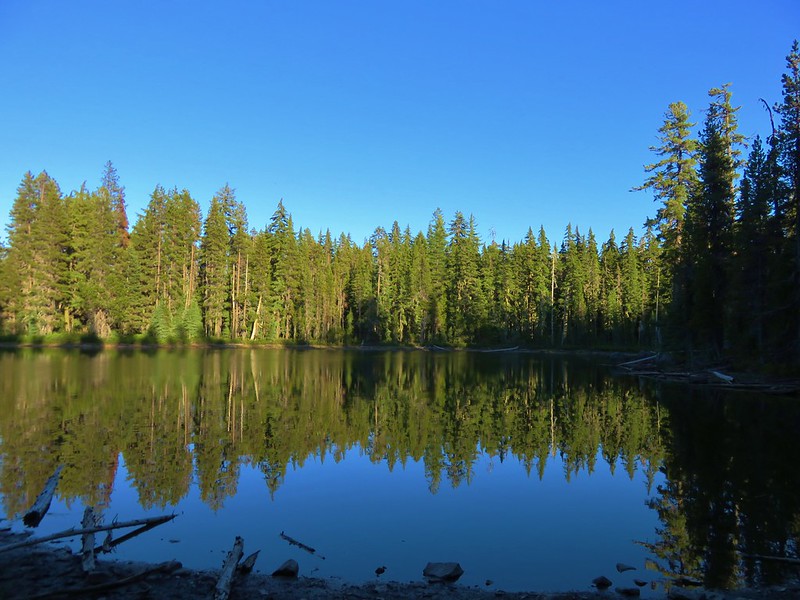
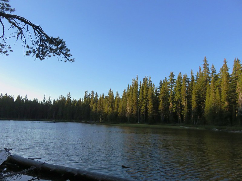
Before setting off we ate breakfast watching the sunrise from Badger Lake.
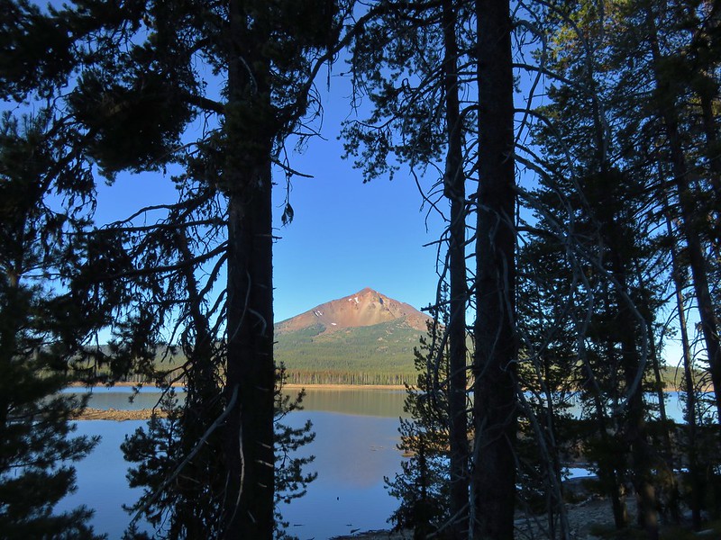
As we passed Fourmile Lake we got a nice view of our goal for the day.
At the campground we took advantage of the water pump near the trailhead and filled our CamelBak bladders as well as our Hydroflasks. It was going to be another warm day and we wanted to make sure we had plenty of water for the nearly 4000′ climb. Heather also loaded her pack with little bags of Cool Ranch Doritos just in case we ran into any thru-hikers on the short section of the Pacific Crest Trail that the Mt. McLoughlin Trail shares. From the campground we drove back along Fourmile Lake Road and turned right near milepost 3. The Mt. McLoughlin Trailhead is located at the end of the maintained portion of this road.
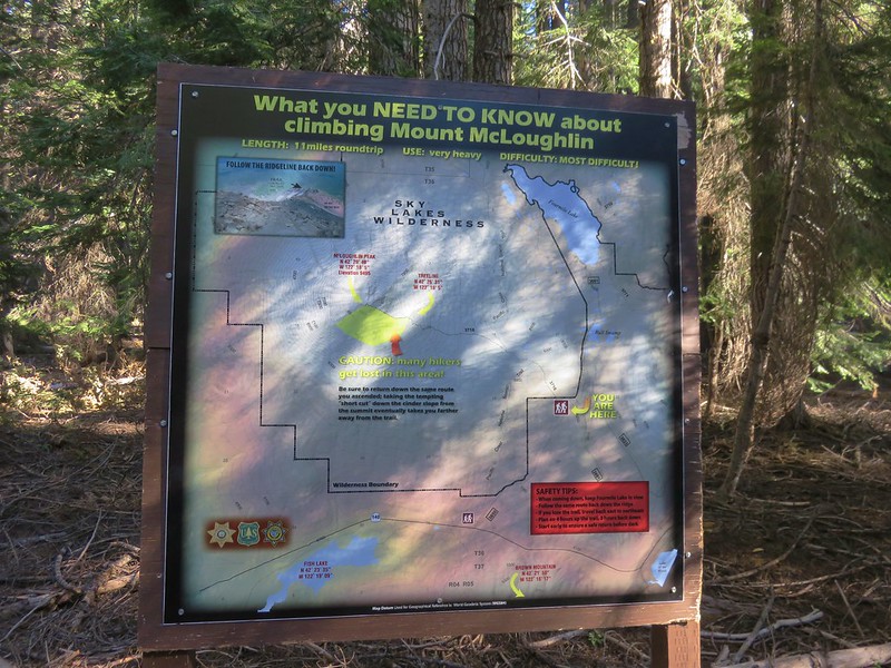
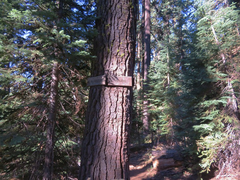
It was around 8:30am when we arrived and the parking lot was already packed with cars. It was so full in fact that we had to loop around and park on the shoulder near the lot entrance. There is a large sign at the trailhead and, an identical sign near the wilderness boundary, warning of the dangers of Mt. McLoughlin. The main issue hikers run into is getting lost during their descent if they veer too far south in an attempt to take a short-cut.
The second sign near the wilderness boundary.
Sullivan has the same warning in his “100 Hikes in Southern Oregon” guidebook so we were already aware of the issue, but the sign added a tip to always keep Fourmile Lake in view on the way down.
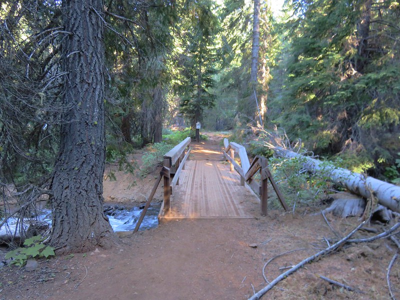
The trail set off through a forest of Mountain Hemlock and almost immediately crossed Cascade Canal which looked more like a creek here than it had near Fourmile Lake.
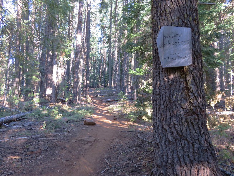
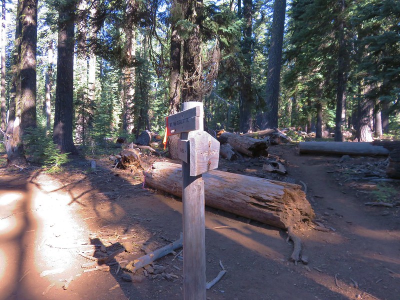
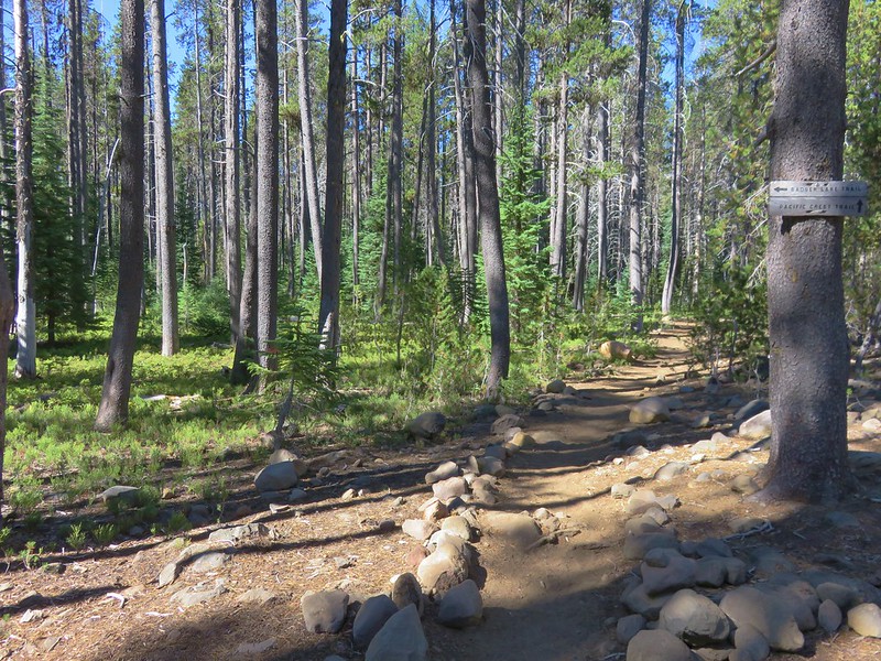
In the first mile the trail entered the Sky Lakes Wilderness and climbed gradually to a junction with the Pacific Crest Trail.
For a short distance the PCT and Mt. McLoughlin Trail were one and the same. Heather was on the lookout for thru-hikers to offer her Doritos to and I was looking for a side trail shown in our guidebook as well as on our maps that led down to Freye Lake. We were planning on visiting that lake on the way back down but I always like to make sure I am familiar with where I am going to be turning. According to the information we had the side trail was approximately .2 miles from the PCT junction. Then it would be another .2 miles to where the PCT and Mt. McLoughlin Trial parted ways. I never spotted the side trail and Heather hadn’t seen any thru-hikers when we reached the split.
I happened to look at the GPS which showed our location as being at the side trail down to Freye Lake and not the PCT split which on the GPS map was further ahead. We continued one wondering if the PCT had been rerouted at some point and was now sharing at least the first part of the trail down to Freye Lake. We kept an eye out for signs of a former trail in the area where the GPS showed the PCT splitting off but all we saw was blowdown.
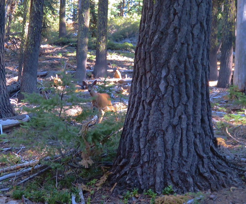
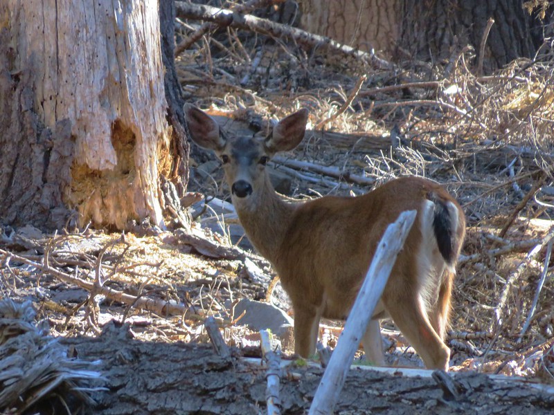
We hadn’t seen the side trail or any thru-hikers but on the PCT but we did see something we hadn’t seen on either of the previous two days – a deer.
We’d been a little surprised that we hadn’t seen any on the trails yet, just a pair bounding off from near a horse corral in the Fourmile Lake Campground when we drove in the day before. After sizing one another up for a bit we went our separate ways. We were on a 1.5 mile section of the trail that climbed slowly away from the PCT toward Mt. McLoughlin. At times we were able to see the summit rising above the trees.
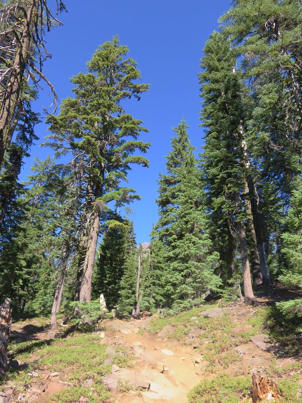
The easier 1.5 mile section ended when the trail finally realized that we had to go up to reach the summit. The trail steepened drastically as it began climbing up increasingly rocky terrain amid an ever thinning forest.
The thinning forest did allow for some views of the surrounding area.
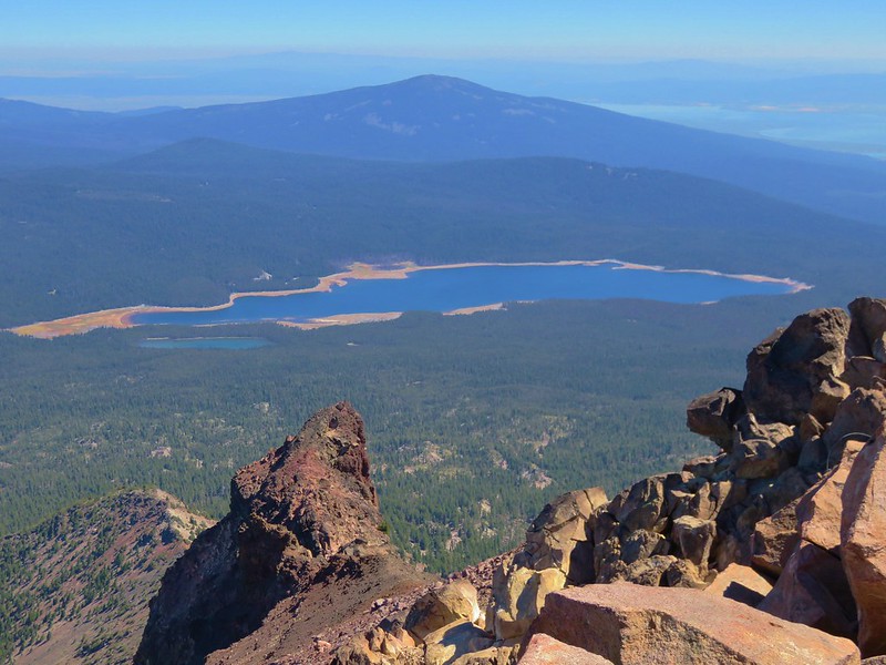
Pelican Butte and Fourmile Lake
Lake of the Woods and the Mountain Lakes Wilderness
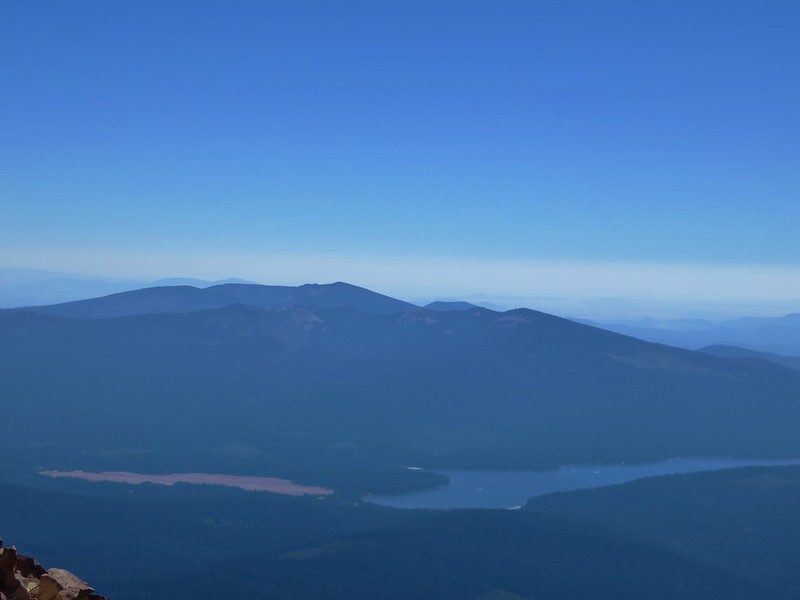
Mt. Thielsen beyond the Rim of Crater Lake and the Sky Lakes Wilderness
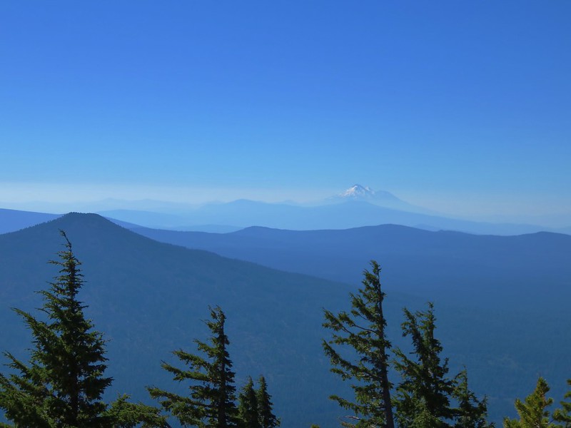
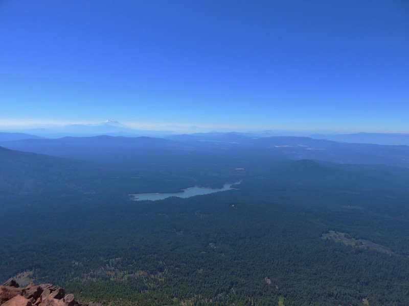
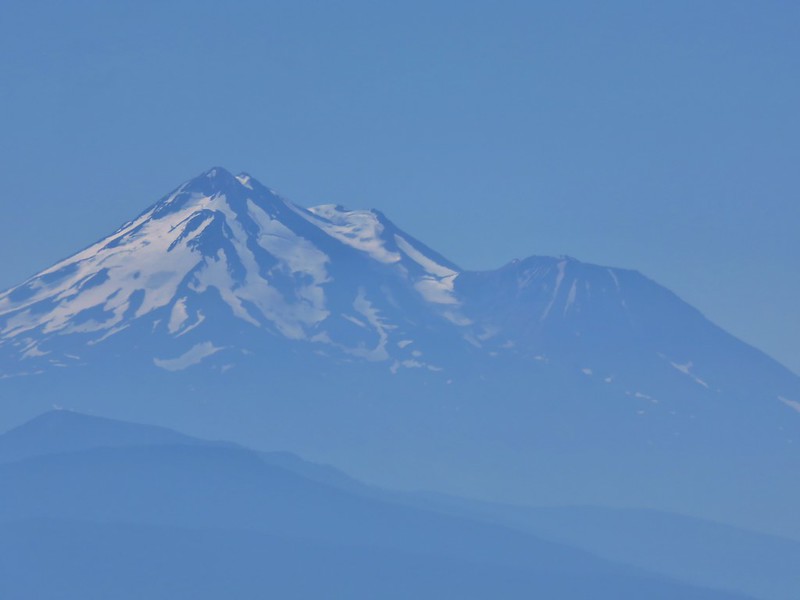
Brown Mountain and Mt. Shasta
It was a little hazier than it had been two days earlier when we had climbed Aspen Butte in the Mountain Lakes Wilderness, but one improvement was the view of Mt. Shasta as sunlight reflected off the snow.
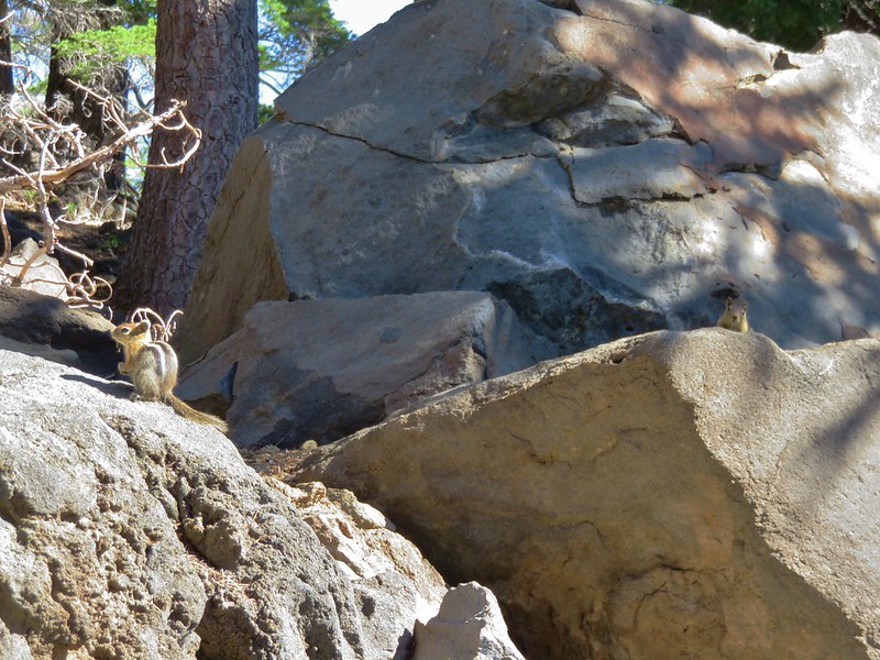
As we trudged uphill the locals kept a close eye on us.
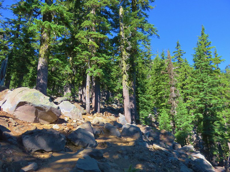
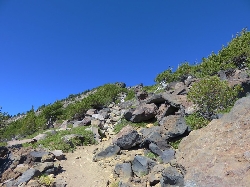
As we gained elevation most of the trees gave way leaving Whitebark pines and some manzanita bushes.
There were occasional glimpses of the summit which always seemed to be the same distance away – far.
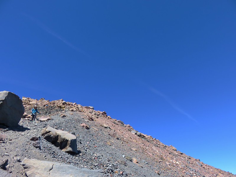
About one and a quarter miles from the summit we reached a saddle where much of the remaining route was visible.
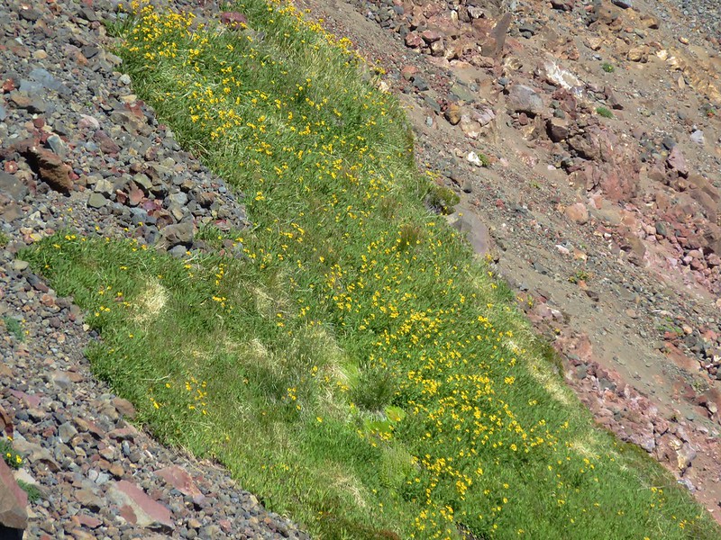
Along this final section a few alpine flowers added some color to the area while a couple of patches of snow attempted to make it through the year.
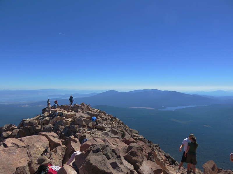
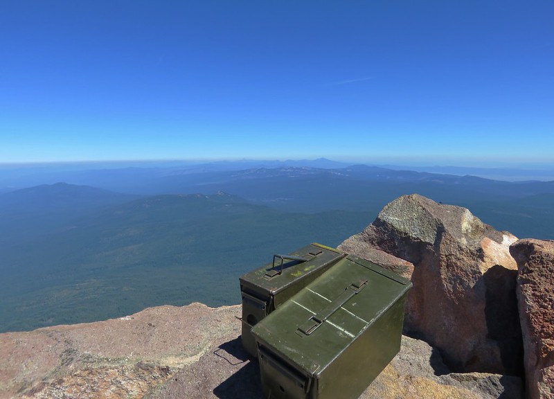
It was about noon when we arrived at the summit to find a decent sized crowd gathered.
There was plenty of room though and we took a seat near the summit register.
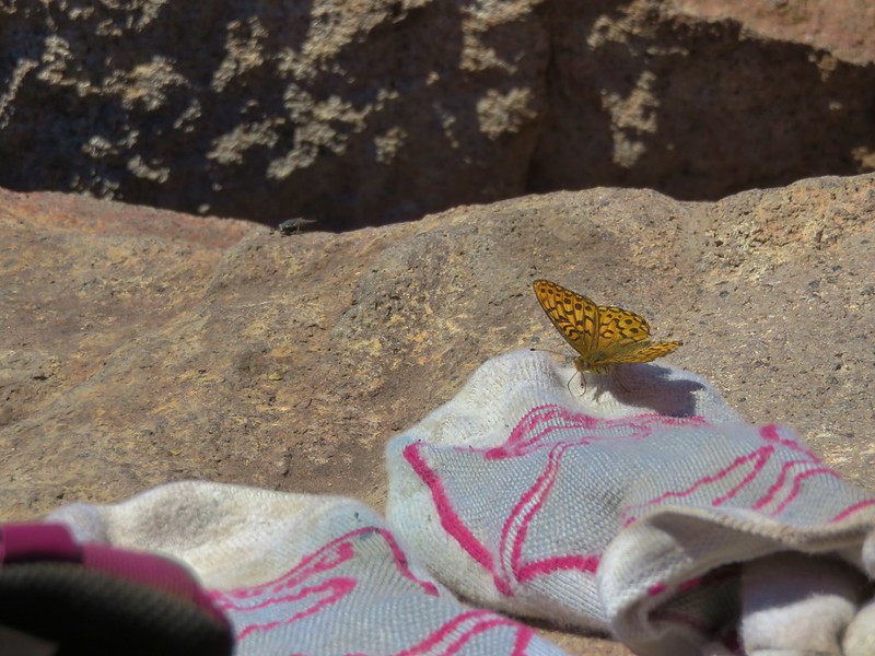
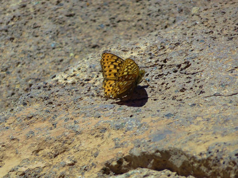
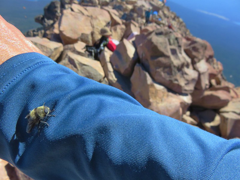
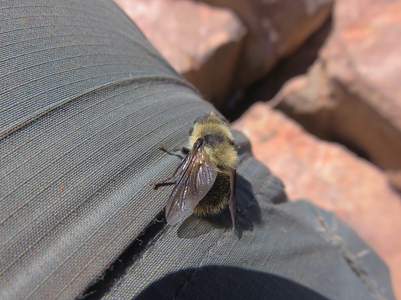
In addition to there being quite a few hikers at the summit there were numerous butterflies and bees who seemed to really like me.
There was a heavy band of smoke possibly coming from the Trail wildfire that was visible from the north beyond Mt. Thielsen all the way south into California. Despite the haze on the horizon the skies above the mountain were bright blue and beautiful and there was still a decent view in all directions.
Pelican Butte, Fourmile Lake and Squaw Lake
Aspen Butte in the Mountain Lakes Wilderness
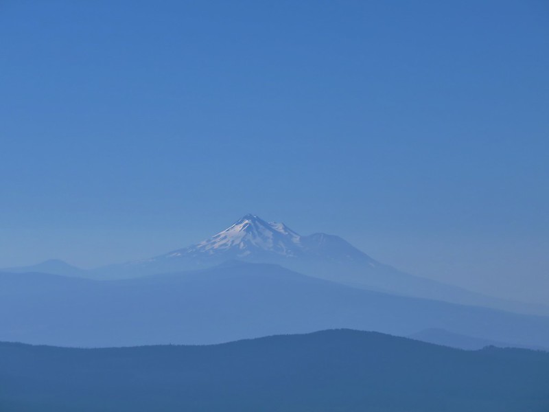
Mt. Shasta beyond Fish Lake
<
Mt. Ashland
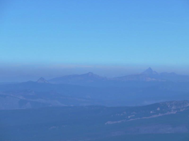
Union Peak, Hillman Peak and Mt. Thielsen
The Sky Lakes Wilderness with the peaks around Crater Lake and Mt. Thielsen beyond
We broke out our snacks including a couple of the bags of Doritos which we had forgotten would expand at that altitude. Luckily none of the bags exploded but they did look like little balloons. After sitting awhile we began to get a little warm. There had been a nice gentle breeze on the way up but oddly there was none whatsoever on top. We began our descent remembering not to drift too far south.
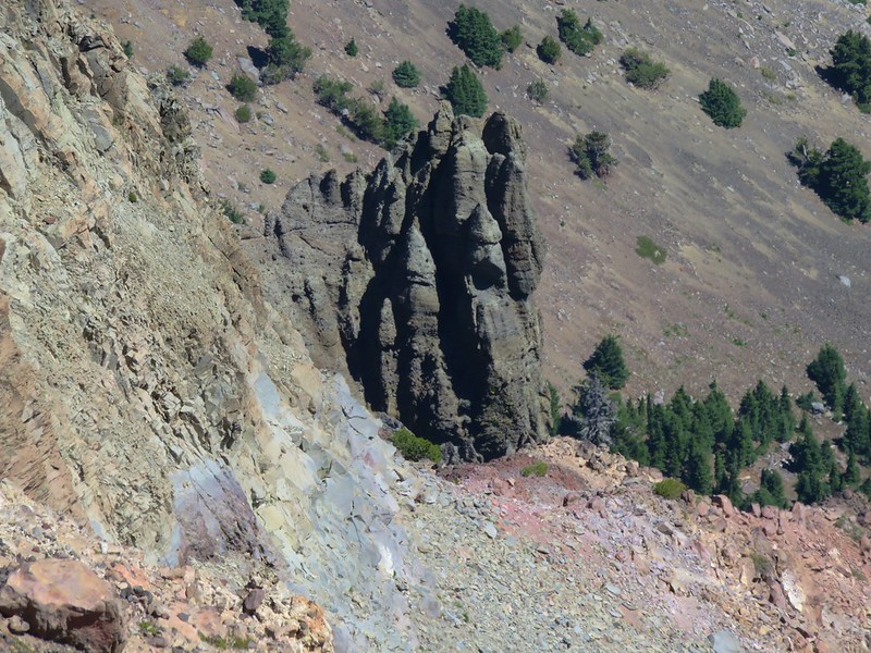
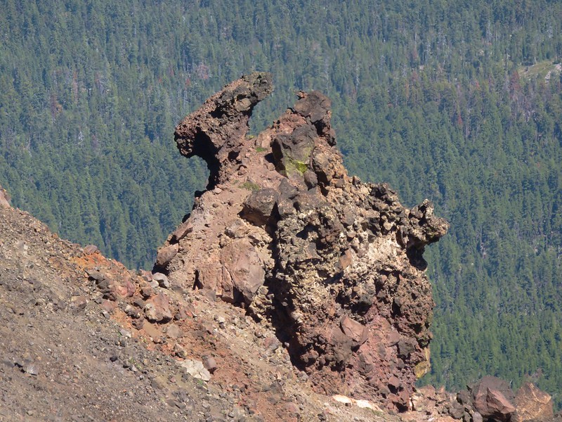
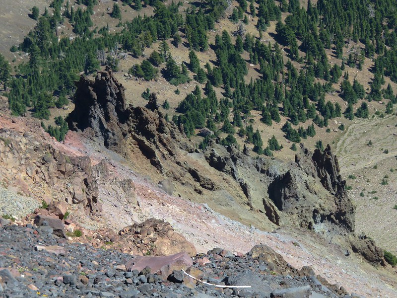
On the way down we took some time to study some of the volcanic rock formation in the mountains glacier carved north face.
The loose volcanic rock was kind of nice to descend in. It was soft on the knees and kept us from picking up any unwanted speed. On the climb up though it was a different story as every step up came with a small slide backward. One way to eliminate having to deal with that issue is to climb the mountain while there is still some snow (post).
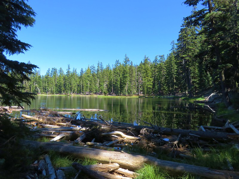
We still wanted to visit Freye Lake on the way back to the car so when we reached the Pacific Crest Trail we pursued our earlier theory of a possible reroute that used the existing trail to the lake. We kept an eye on the GPS and we could see we were quickly beginning to move away from the lake so our theory was blown. At that point there was only one sensible solution -off-trail bushwack. We left the PCT and followed a little gully down to the lake.
There was a use trail going around the lake so we followed it clockwise around to east side of the lake where there were a number of campsites and a view of Mt. McLoughlin.
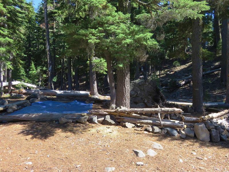
After taking another break at the lake we continued around hoping to find the missing trail from this end. We weren’t able to locate it but we did find something. A large blue tarp was spread out on the ground surrounded by arraigned logs and rocks. Next to the tarp was a stone fire pit surrounded by a short log fence. Around the fire pit were several items including a gas can, pair of gloves, and several old looking tin cans.
It all seemed very out of place for a wilderness area. I did send a message to the Forest Service about it, but have not gotten a response yet.
We tried to use the GPS to locate the trail as we climbed uphill from the lake to the PCT. If the GPS was right we crossed over it a couple of times but we never saw anything that was identifiable as a trail, just a couple of spots where tents had been sent up, probably by thru-hikers.
Speaking of thru-hikers when we were back on the PCT we spotted one approaching. Heather had her Doritos in her pack and then kind of froze and didn’t say anything as she passed. For whatever reason she suddenly had become shy about asking if they would like a snack. Luckily she got a second chance as another hiker was coming up the trail. She asked this one if he’d like some Doritos and his face lit up. He introduced himself as “Sobo”. It turned out that it had been his girlfriend who had passed us just before so Heather gave him a second bag for her. Another pair of thru-hikers followed and more chips were handed out and then we were off the PCT.
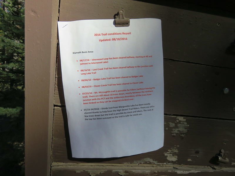
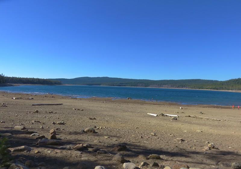
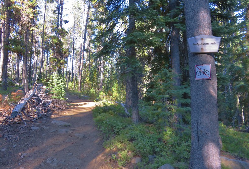
When we got back to the trailhead we found even more cars than there had been that morning. We freed up a spot by heading back to Fourmile Lake Campground where we refilled our water.(We had both emptied our CamelBaks and were glad we’d brought the additional water in the Hydro Flasks) We had brought our dinner for the night with us (Mountain House chicken and dumplings) and decided to cook it at the day use area near the Fourmile Lake boat ramp. We followed the Badger Lake Trail from the trailhead to the crossing of Fourmile Lake Road then turned down the road to walk to the day use area. At the campground entrance on a signboard was a trail conditions report.
We thought it was kind of strange not to have a copy on the signboard at the trailhead as well, but at least it explained the blowdown beyond Badger Lake on the Badger Lake Trail. We ate dinner at the day use area and watched people doing whatever it was they were doing down by the lake.
After dinner we returned to the Badger Lake Trail by hiking past a gated road at the end of the parking area near the boat ramp.
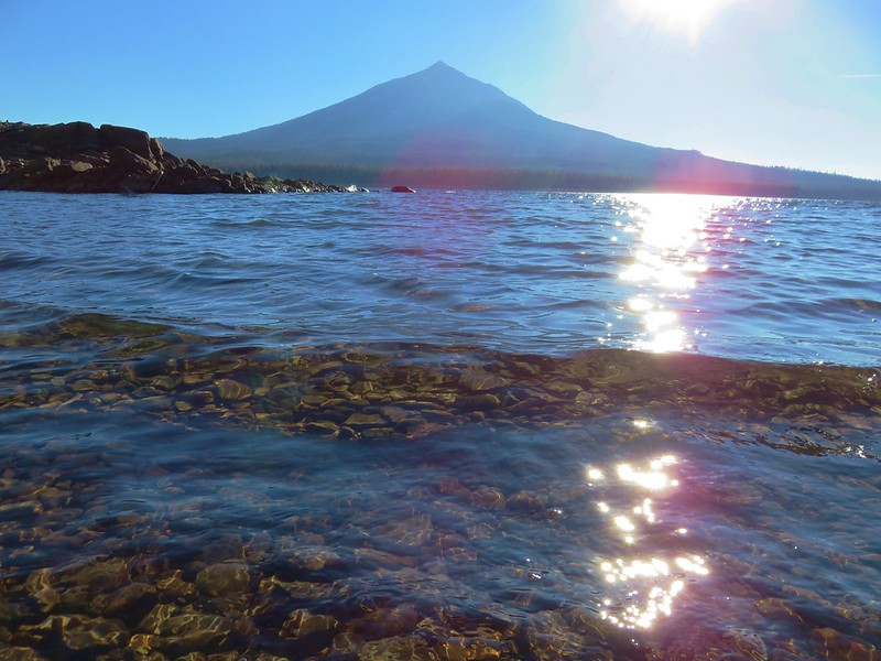
This time as we passed the little side trail .9 miles from the canal we turned down toward the lake to a rocky beach with a view of Mt. McLoughlin.
We sat on the beach and soaked our feet before continuing on toward our tent at Badger Lake. We took one final detour to look around the south side of Woodpecker Lake.
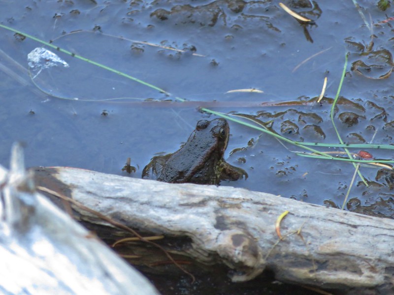
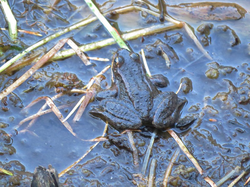
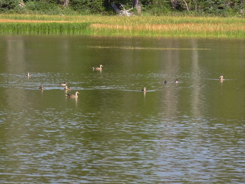
It was just us again at Badger Lake that night, well us and a couple ducks and some frogs actually.
After spending the night camped by Zeb Lake in the Mountain Lakes Wilderness we packed up our tent and headed back down the Varney Creek Trail to the trailhead and our waiting car. Our plan was to spend the next two nights in the nearby Sky Lakes Wilderness and do some exploring in that area. We drove back to Highway 140 and headed east toward Medford for 12 miles and turned right onto Fourmile Lake Road (a.k.a. Forest Road 3661) and drove another 5.7 miles to the Fourmile Lake Campground where we parked at the Badger Lake Trailhead.
When I was penciling this trip out I had originally considered staying at the campground but the thought of being in such a popular car campground wasn’t very appealing so the plan I settled on was hiking into to one of the other lakes along the Badger Lake Trail. We threw our packs back on and set off on the trail hoping to find a quieter, more private place to set up camp. The trail led away from the campground to a junction with the Twin Ponds Trail which connects up with the Pacific Crest Trail near Squaw Lake.
We turned left following the Badger Lake Trail as it passed through a forest of lodgepole pine.
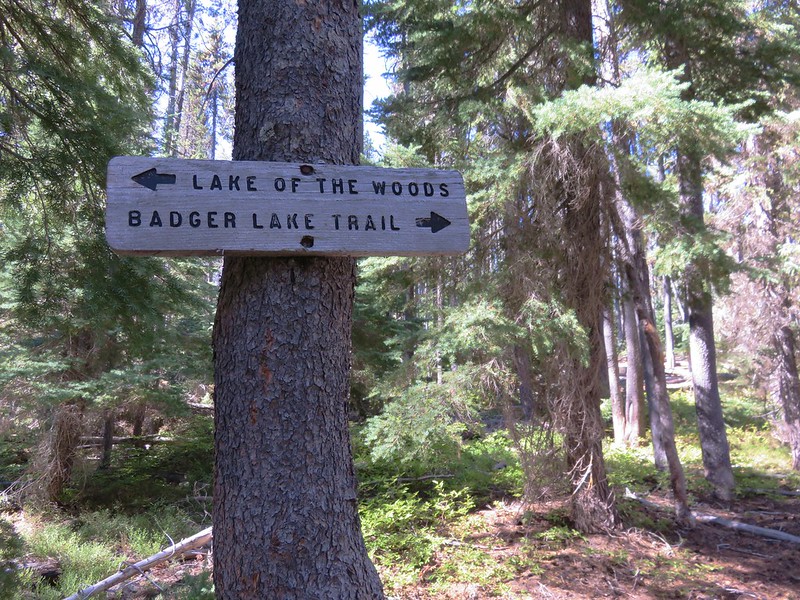
The trail veered back toward the campground to a crossing of Fourmile Lake Road near the campground entrance then swung away again into the forest and meeting up with the Rye Spur Trail which travels to Lake of the Woods.
We crossed Cascade Canal .8 miles from the trailhead. The canal was built and Fourmile Lake dammed to drain the lake west toward Medford instead of to its original eastward route to Klamath Lake. At the canal there was a post with no signs attached and a road running perpendicular to the trail. There was no obvious continuation of the trail on the far side of the road so I checked the GPS map which showed the road making a small loop and the trail picking up on the far side of that loop. We decided to go around clockwise since that direction led us toward Fourmile Lake and we hadn’t had a good look at it yet. After climbing up on some of the boulders along the dam we were able to get a glimpse of the large lake.
The road made the loop just as the GPS had shown and we picked up a clear trail heading to the left into the forest. There was also a clear trail coming from the right which we decided we would follow when we were headed back to the trailhead. For now we headed left and soon entered the Sky Lakes Wilderness.
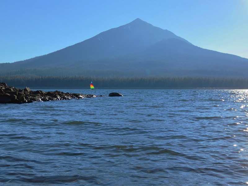
Fourmile Lake was once again hidden by trees until we were about three quarters of a mile from the canal. Finally a couple of side trails led to driftwood piles along the shore and views across the lake to Mt. McLoughlin.
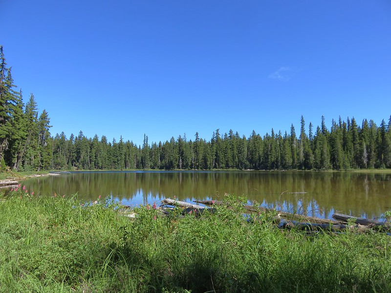
The best viewpoint was down a short path about .9 miles from the canal but we didn’t go down that trail until the following day. We were focused on finding a campsite and getting out from under our backpacks. The first lake after Fourmile Lake we came to was Woodpecker Lake. Located about one and three quarter miles from the canal this little lake was on the right hand side of the trail.
We stopped briefly to see if there were any campsites that were too good to pass up but we didn’t see anything obvious and we were starting to notice a few mosquitoes so we continued on to nearby Badger Lake.
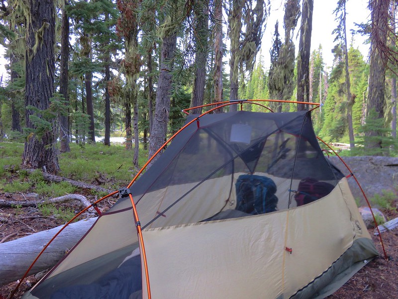
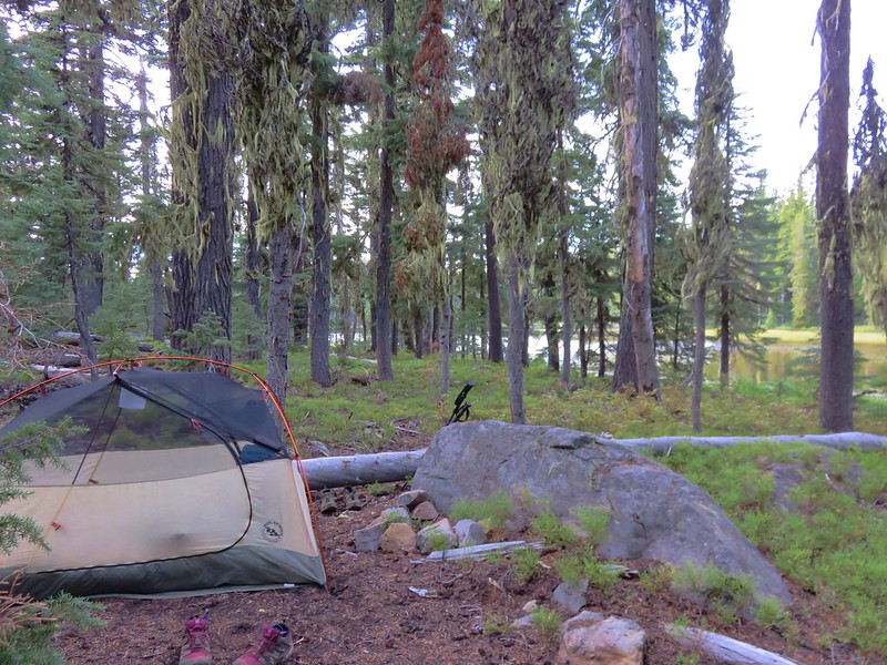
Badger Lake was less than a quarter mile from Woodpecker Lake and it was a little larger than it’s neighbor. We weren’t seeing any campsites along the southern end of the lake nor did there appear to be the usual use trail going around the lake anywhere. We continued on the trail along the lake for a few hundred feet without seeing anything. Looking back across the lake we thought the terrain on the SW side looked like it might be suitable for campsites so we decided to head back and check out that area. We headed cross country through the forest near the lake and did manage to find a few spots that clearly had been used as campsites at one time but they all looked like it had been awhile. We set our packs down in the best looking spot and did a little further exploration before deciding that we had identified the most suitable one.
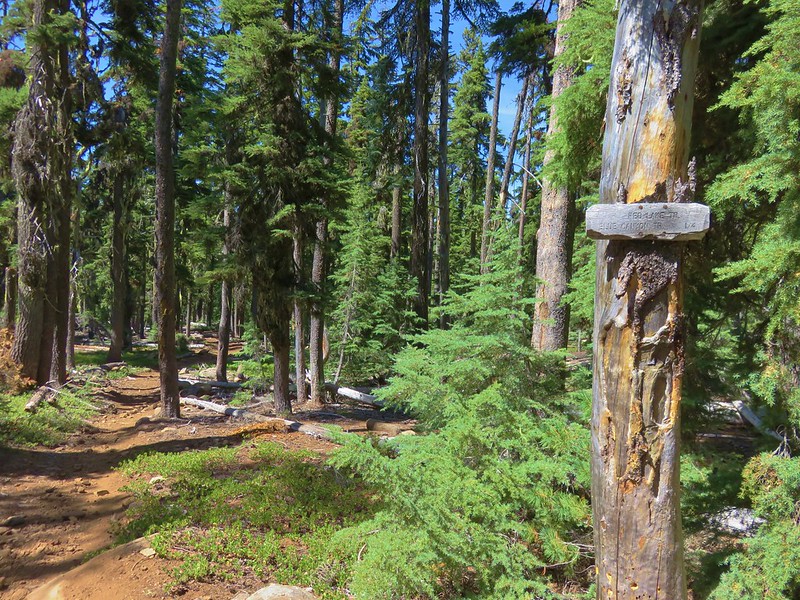
After getting camp set up we strapped on our daypacks and continued on the Badger Lake Trail. We planned on going at least another 1.9 miles to Long Lake and then possibly continuing an additional 1.6 miles to the Pacific Crest Trail where we would only be .6 more miles from Island Lake and the Judge Waldo Tree.
When we reached the northern end of Badger Lake we discovered a couple of established campsites but we were happy with the spot we’d picked. Just beyond these sites the trail crossed a small stream connecting that connected Badger Lake to a long meadow with a lily pad pond.
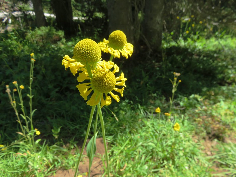
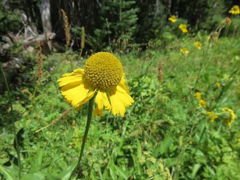
As we passed along the meadow we began seeing some wildflowers including several bigelow’s sneezeweeds.
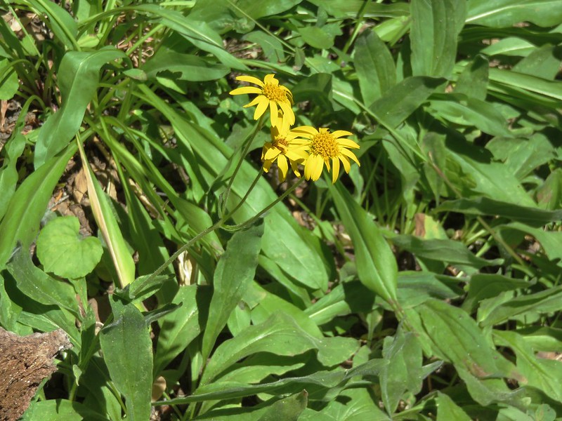
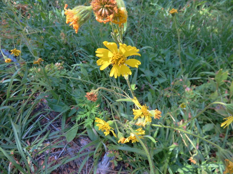
Arnica
Columbine
Aster
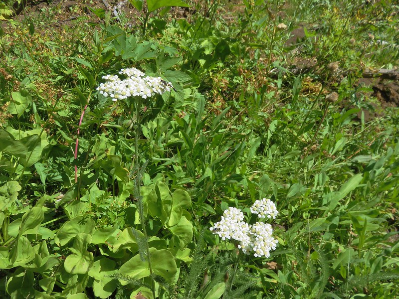
Yarrow
Bolander’s madia
Bigelow’s sneezeweed
The trail had been skirting the meadow, but some large piles of blowdown had forced a reroute through the meadow where we had to carefully watch our step due to the presence of frogs. Having to go slow through the meadow made us easier targets for the small number of mosquitoes that were still present.
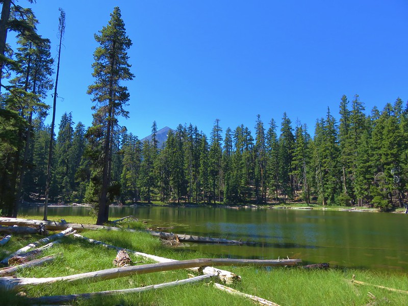
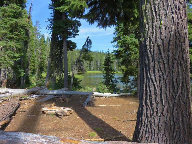
When arrived at Long Lake it was easy to see how it earned its name.
There were a number of campsites along the lake but no one was occupying any of them. We had passed a pair of hikers earlier that had been camped there and they said they didn’t see anybody while they had been there. It was only 1:45pm and we were feeling pretty good so we elected to continue on to Island Lake despite the increasing blowdown. There had been intermittent blowdown over the trail since the meadow, but beyond Long Lake the amount really increased.
On the plus side the entire trail was relatively level and we managed to reach the PCT without too much difficulty.
At the junction the Badger Lake Trail was hidden by blowdown.
On the opposite side of the PCT the Blue Canyon Trail appeared to be relatively clear.
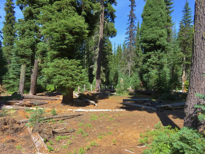
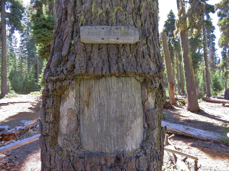
A quick downhill .2 miles along that trail brought us to a junction with the Red Lake Trail and in another .4 miles we reached the unmarked side trail that led to some campsites and the Judge Waldo Tree.
In 1888 a group of 5 horsemen led by conservationist Judge J. B. Waldo camped at Island Lake while riding from Willamette Pass to Mt. Shasta on what would become the route of the Pacific Crest Trail. While at the lake they carved their names in the tree (an act that current day conservationists would never consider doing now).
We took a break at the lake enjoying a snack before filtering some water for the evening. While we were getting the water we received a thorough fishing report from a young man who had been camped at the lake with his family. Apparently the fish had been going nuts over salmon eggs but they wouldn’t actually take the bait. 🙂
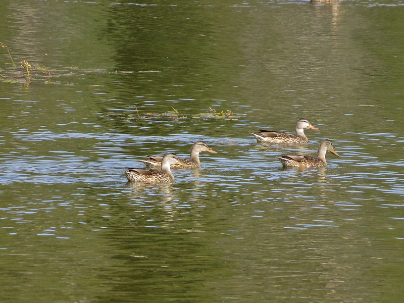
When we were finished filling our water we started back toward Badger Lake. When we got back to Long Lake we stopped to cook dinner and watch a group of ducks that were paddling around the lake.
In addition to the ducks there were a number of small birds flitting around the trees along the shore as well as a Douglas and a Golden-mantled ground squirrels.
After dinner we returned to Badger Lake where the very top of Mt. McLoughlin was visible over the trees on the far end of the lake.
Just like the previous night at Zeb Lake we were the only ones camped at the lake. It was indeed a lot quieter than it would have been at Fourmile Campground. We had managed another long day, 17.6 miles in all, and had big plans for the next day as well – summiting Mt. McLoughlin.
One of our biggest goals this year was to finally take some overnight backpacking trips. We spent much of the past Winter researching and acquiring the various gear we needed and then penciled in a few 2 day/1 night test outings. The first of those test runs occurred this past weekend in the Badger Creek Wilderness. Our first visit to this wilderness area happened back in late May when we hiked the Badger Creek Trail as a scouting trip for camp sites in anticipation of this trip. https://wanderingyuncks.wordpress.com/2014/05/26/badger-creek/
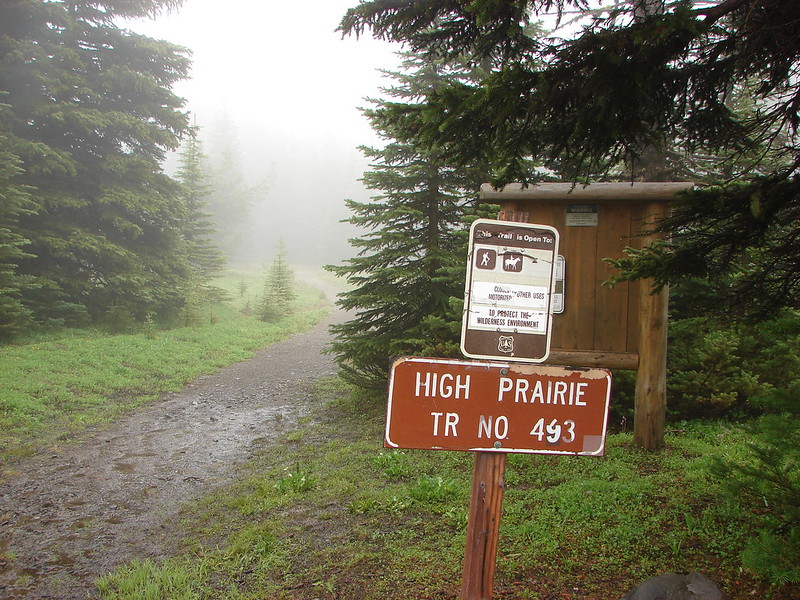
Our planned route was to start at High Prairie which is located 8.5 miles from Highway 35 on the east side of Mt. Hood. From the parking area we planned on heading up to the summit of Lookout Mountain on the High Prairie Trail, taking the Divide Trail east toward Flag Point, then dropping down to the Badger Creek Trail on the Badger Creek Cutoff Trail. On our previous visit we had pegged Post Camp as our intended camp site which we would get to by heading just over a mile east from the junction with the Badger Creek Trail. For our return trip we would follow the Badger Creek Trail to Badger Lake where we could once again pickup the Divide Trail and follow it back up out of the valley to Gumjuwac Saddle and then on to the High Prairie Loop at Lookout Mountain.
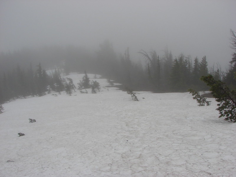
We had been watching the weather forecast intently as a series of rain showers had been threatening to carry into the weekend, but by Friday night it looked promising enough to give us the green light. The drive to High Prairie was wet but as we made our way around Mt. Hood we managed to find a pocket of blue sky. We had lost the pocket by the time we arrived at the trail head though and found High Prairie to be in the cloud bank.
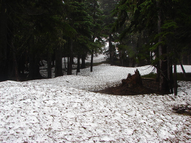
The 1.3 mile climb to Lookout Mountain was cold and cloudy but we didn’t have to deal with any rain. What we did have to contend with though was a decent amount of snow still covering parts of the trail.
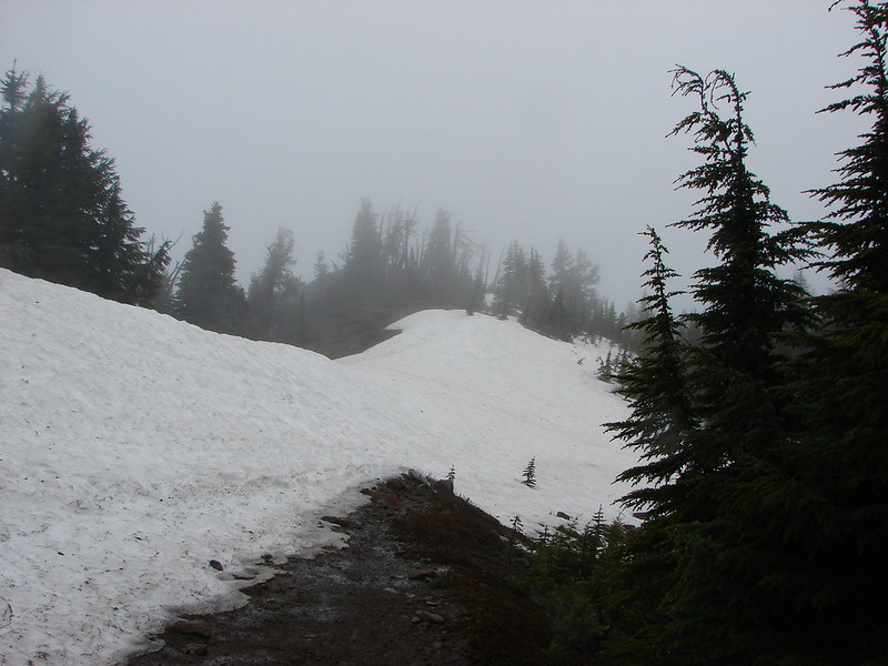
As we neared the junction with the Divide Trail we ran into a large patch of snow. At first we thought the trail was underneath the snow and we’d have to climb up the ridge on top of it, but as we climbed up onto the snow we could see the snow free trail on the other side.
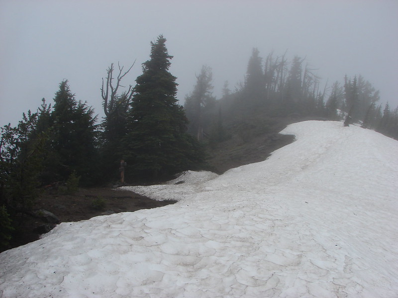
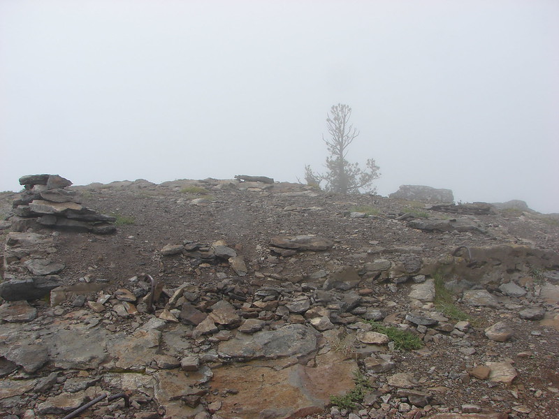
After turning east on the Divide Trail we made a brief visit to the former lookout site atop Lookout Mountain. There were no views to be had so we didn’t stay long and quickly returned to the Divide Trail to continue east toward Flag Point. The trail on this side of Lookout Mountain was buried under the snow.
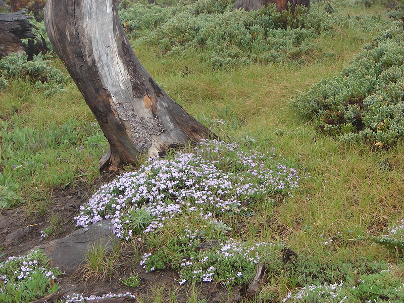
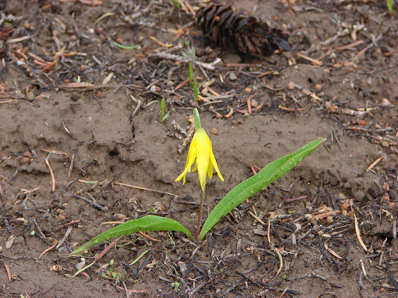
We didn’t have to go far before the trail reappeared along with some trail side flowers.
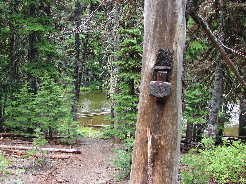
A mile and a half from Lookout Mountain the Fret Creek Trail joined up on the left. We took a quick detour here to check out Oval Lake.
Just over a quarter mile from the Fret Creek Trail junction we reached Palisade Point and finally found some blue skies and views.
Palisade Point:
Flag Point lookout in the distance on the ridge:
Lookout Mountain still in the clouds:
Looking SE toward Central Oregon:
After enjoying the blue skies at Palisade Point we continued another 1.2 miles to dirt road 200 where we found the Badger Creek Cutoff Trail (sans signage).
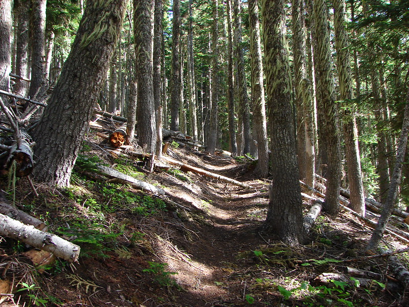
This was an interesting trail as it passed through various types of vegetation on it’s way down to Badger Creek over 3 miles and 2000′ below. We spotted a number of flower types and quite a bit of wildlife on this section.
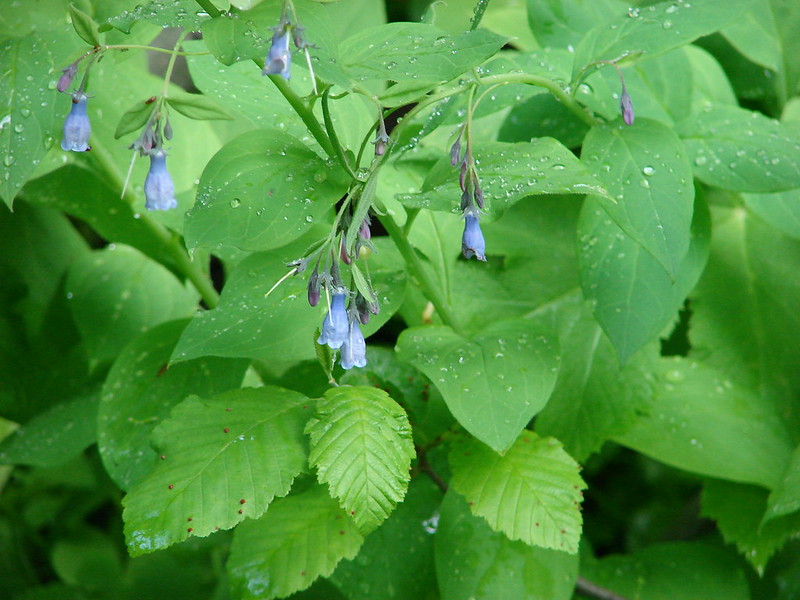
Bluebells
Balsamroot
Paintbrush
Vetch
Scarlet gila
Lupine
Penstemon
Queen Anne’s Cup
Arnica
Columbine
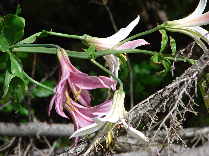
Cascade Lily
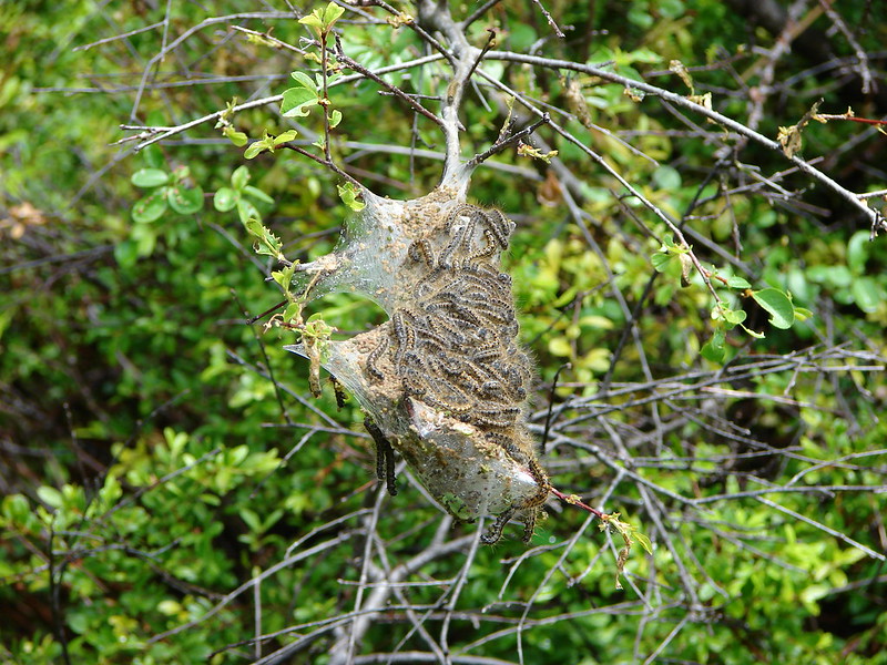
Tent worms
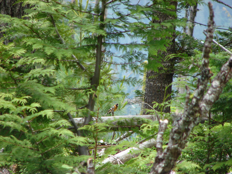
Black-headed Grossbeak
Western Tanager
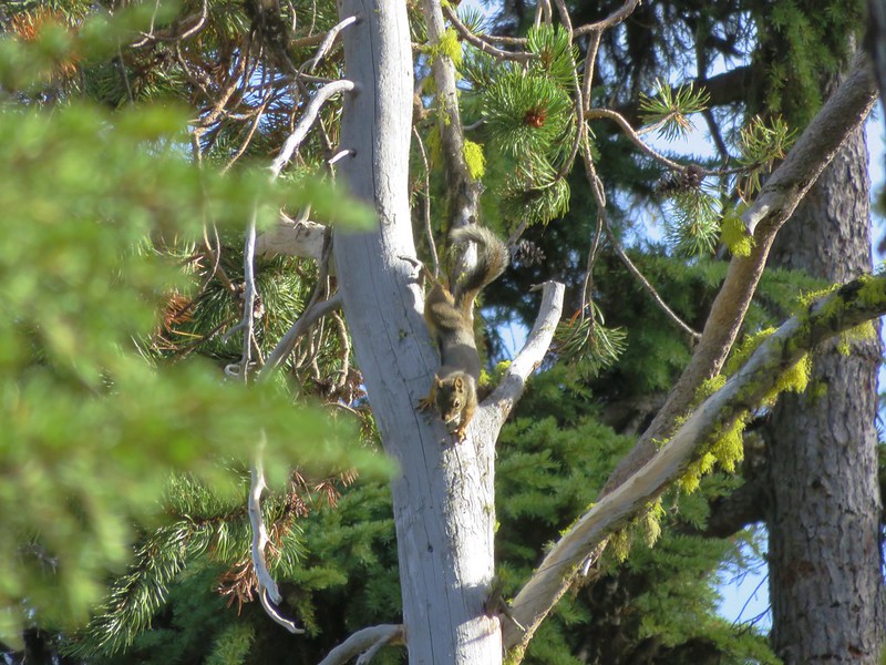
Douglas Squirrel
Unidentified bird
Unidentified bug
When we reached the Badger Creek Trail we turned left and made our way to Post Camp. We arrived to find it empty so we had our pick of spots. 🙂
After we had gotten all set up we did a little exploring on the Post Camp Trail and then spent some time sitting by Badger Creek. We only saw a couple of groups of hikers the rest of the afternoon and no one else stopped so we wound up having the whole area to ourselves. We set about testing out all our gear which, with the exception of the matches that wouldn’t light, worked out well. By 7pm the sound of the creek and the early morning had just about put us to sleep so we ended up turning in early.
I wound up waking up to that annoying feeling that I might need to use the bathroom but wasn’t really wanting to have to deal with finding my headlamp and getting out of my cozy sleeping bag. I lay there for awhile debating whether or not I could tough it out and go back to sleep. I finally grabbed my phone to see if I could make it until morning. When I checked the time it said 10:42pm – I wasn’t going to be able to hold out that long. lol I got my light and shoes and headed out to do my business and then returned to the tent to try and go back to sleep. Just a few minutes after getting back into my bag I heard a loud snapping of wood coming from the direction of the food bag that we’d hung. My heart was pounding as I listened for any other sounds but all I could hear was the creek. I started trying to figure out what might have made that noise. A tree or branch falling would have ended with a thump as it hit the ground so I ruled that out which left me with some sort of good sized animal. I never heard another sound and the food bag appeared untouched in the morning and there was no sign of any visitors so we’ll never know what it had been.
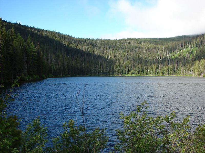
Due to the early bedtime we wound up awake at 5am and with no way to light our stove we at some Cliff bars and got ourselves packed back up. We were back on the trail by 6:15am and headed toward Badger Lake. We passed a few tents on the way but no one else appeared to be awake. We arrived at Badger Lake with some blue sky above but there were still clouds hanging around.
We walked along the lake and across the dam that created it to a trail junction. Here the Badger Lake Trail led along the shore while the Badger Creek Trail paralleled it further back in the forest. All the maps we had, including the Garmin, showed that the Divide Trail intersected both of these trails so we opted to take the lake trail and stay closer to the water. That turned out to be a big mistake. The trail quickly petered out and was covered with blow down. According to the Garmin we were really close to the Divide Trail so we started picking our way over, under, and around the downed logs in an attempt to find it. The next time I checked the Garmin it showed we had passed the intersection so we turned back and uphill to try and pick it up a little higher on the hillside. We couldn’t find it or any flagging or tree blazes (they were probably all lying on the ground) so we had to make our way back to the fork with the Badger Creek Trail and try that way.
That was the correct way and we easily found the clearly marked Divide Trail.
There was still some blow down on this trail but not anywhere near as bad.
The Divide Trail climbed along the hillside for 2.5 miles to Gumjuwac Saddle where we had a choice. We could follow road 3550 back to High Prairie or stick to the Divide Trail and do some extra climbing.
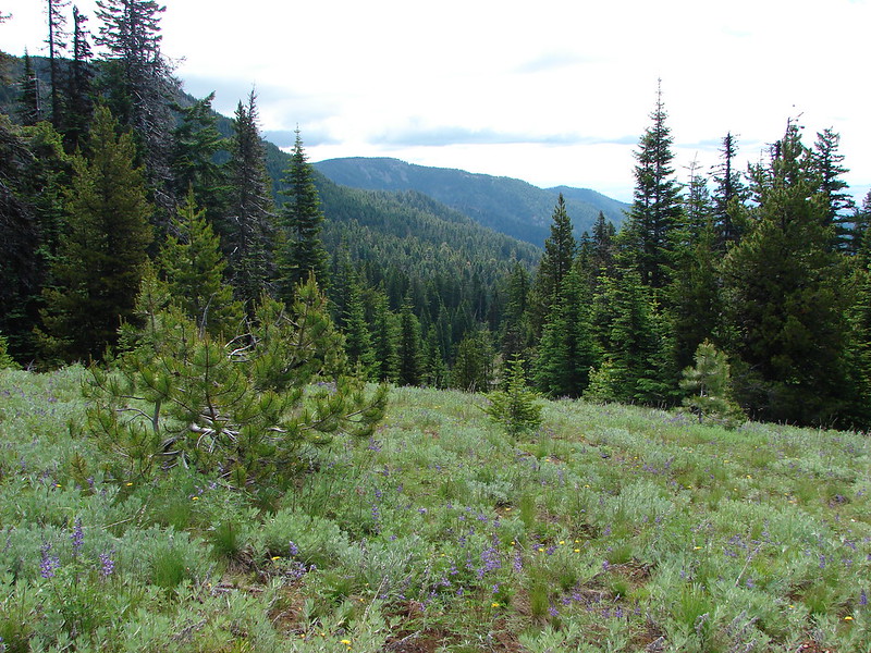
We chose the Divide Trail which proved to be a good choice. We passed through a number of meadows filled with wildflowers and views as we climbed.
The views weren’t bad either.
As we neared the junction with the High Prairie Loop Trail we began to get glimpses of Mt. Hood. The lower portion anyway as a pesky band of clouds veiled the top.
We reached the junction but continued on the Divide Trail a few hundred feet more to a viewpoint where we took a little break and took in the surrounding view.
From the junction with the High Prairie Loop Trail it was just under a mile back to the parking area. In that time we crossed a cinder covered hillside, passed a scenic rock outcropping, walked through a treed forest and finally a meadow just starting to bloom with flowers.
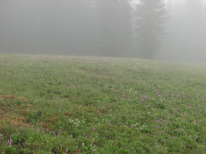
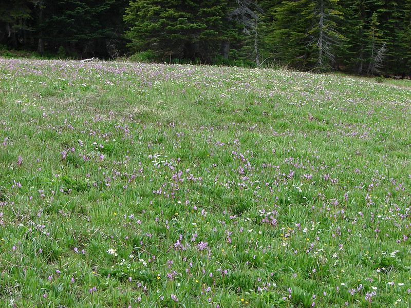
The scene was quite different at High Prairie when we returned from that of the day before. We were the only car present when we had set off but now the parking area was nearly full and the clouds had lifted giving us a better view of the wildflower meadow filled with shooting star and marsh marigolds.
We felt like it went really well for our first attempt at backpacking and are looking forward to some more trips in the future. Happy Trails!
Flickr: https://www.flickr.com/photos/9319235@N02/sets/72157645426012612/
Facebook: Day 1-https://www.facebook.com/media/set/?set=a.10204356396217193.1073741889.1448521051&type=1
Day 2-https://www.facebook.com/media/set/?set=a.10204360526800455.1073741890.1448521051&type=1
 The view from the trees surrounding our campsite as we prepared to leave.
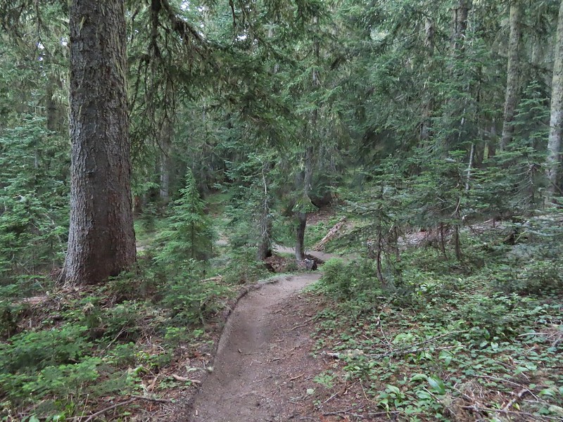
 Mt. St. Helens catching some morning light.
 Mt. Rainier without a whole bunch of smoke.
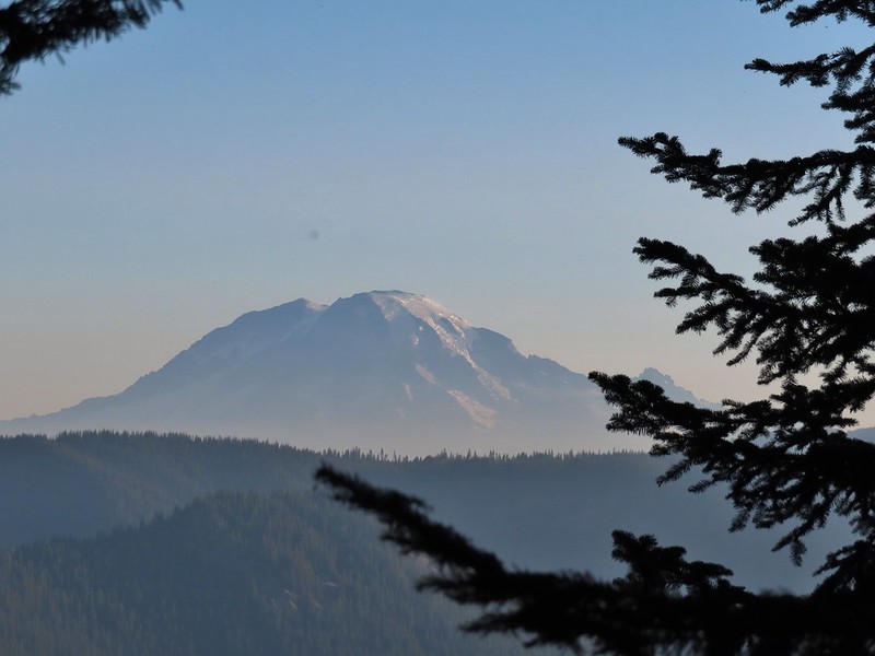
 We snagged a few black caps along the road to as a post breakfast snack.
 FR 2551
 The very top of Mt. St. Helens from FR 2551.
 Sullivan had labeled this stretch with the word slide which had caused a little apprehension in deciding to try this return route but despite the obvious slide(s) that had occurred here the road was in decent shape.
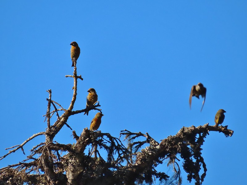 Not sure what kinds of birds were in this tree but there were a lot of them.
 FR 25 at the end of a long straight away.
 The Boundary Trail crosses FR 25 near the road sign ahead. The picture was taken from FR 2551 at FR 25.

 Paintbrush
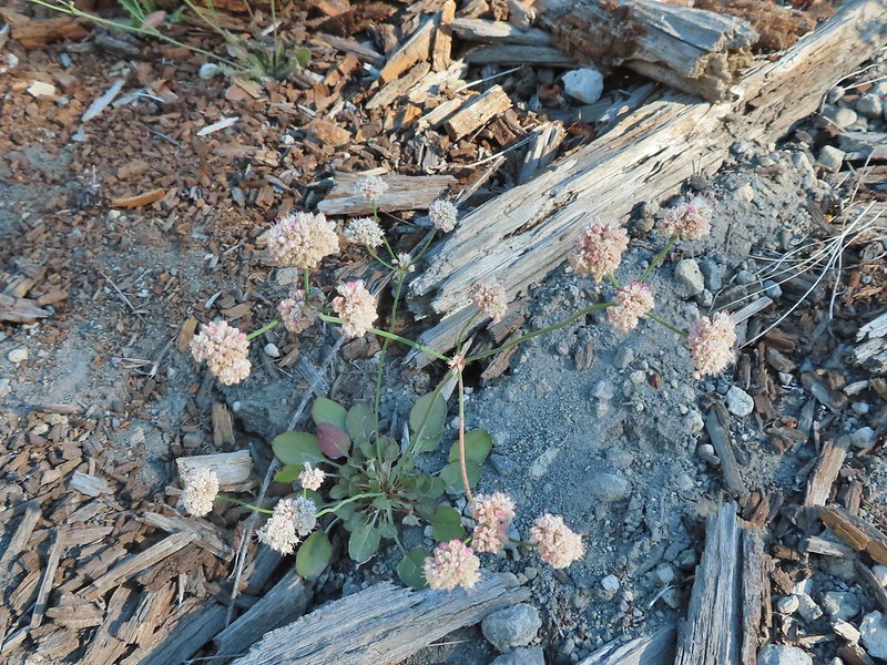 Buckwheat

 We could hear a waterfall in the valley below.
 The top of the waterfall.
 Penstemon and pearly everlasting.
 Looking back over our shoulders to Meta Lake.
 Mt. Adams also from over our shoulders.
 Aster
Aster
 Switchback at the Independence Ridge Trail junction.
 Heading down to the stream bed.
 Penstemon
 Monkeyflower

 Norway Pass (the low saddle to the right) from the trail.
 Orange agoseris
 Approaching the pass.


 Mt. Adams and Meta Lake from the trail.


 Mt. St. Helens from the viewpoint.

 Pearly everlasting
 Penstemon
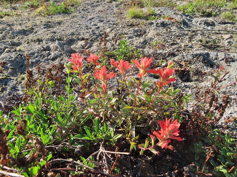 Paintbrush
 Mt. St. Helens
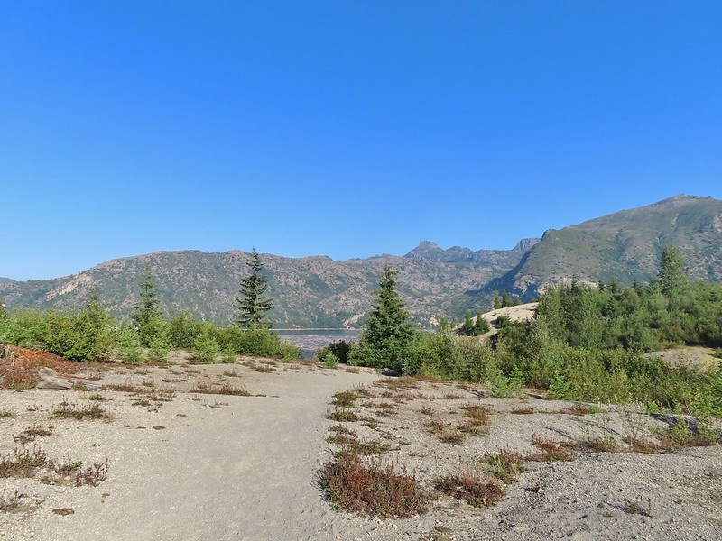


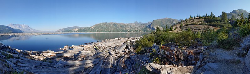 Mt. St. Helens and Spirit Lake from the end of the trail.
 Coldwater Peak (
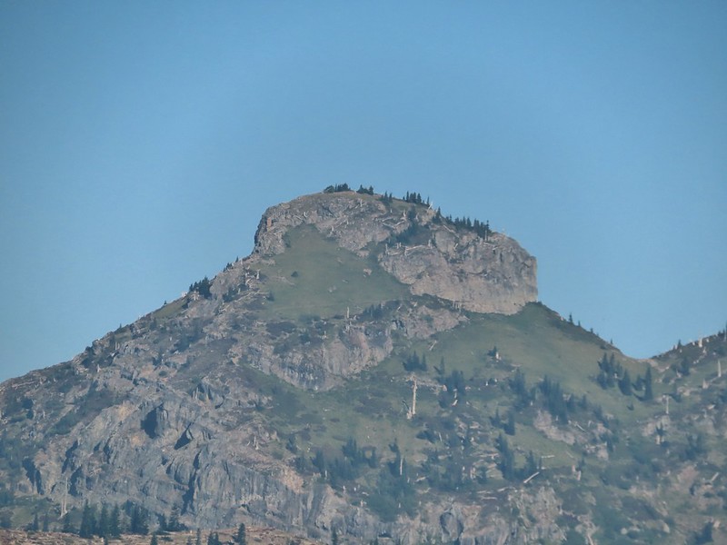 The Dome
 Mt. Margaret
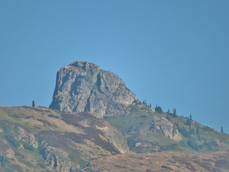 Mount Teragram
 Mt. St. Helens.

 Mt. Adams
 Mt. Rainier

 The Johnston Ridge Observatory was visible across Spirit Lake on a far hillside.
 It’s often hard to tell if you’re seeing dust from rockfall or steam from one of the vents.

 Butterfly on ragwort
 Butterfly on pearly everlasting
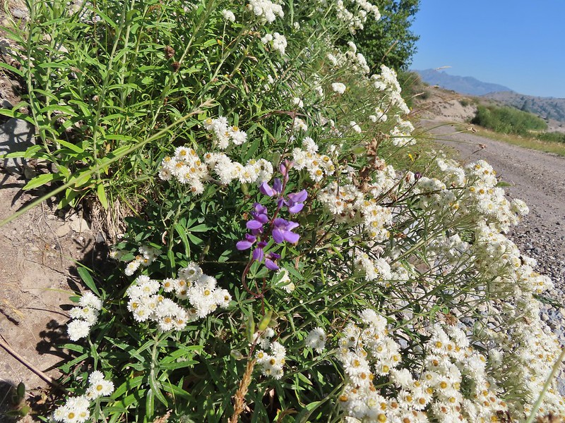 Lupine in the pearly everlasting
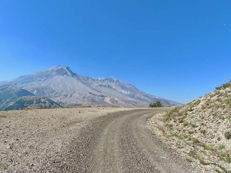
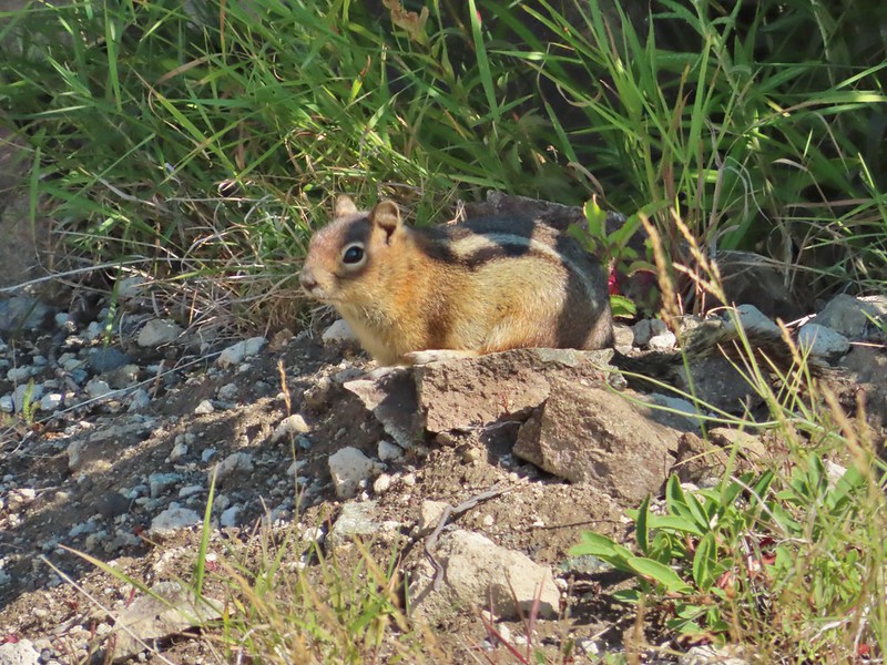 Golden-mantled ground squirrel
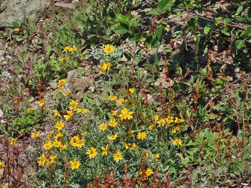 Might be Oregon sunshine
 Penstemon
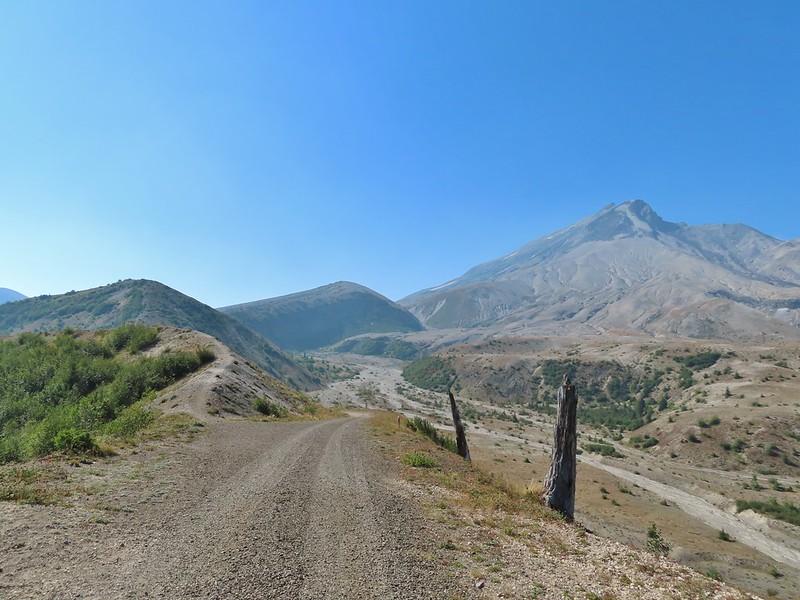


 Paintbrush and dwarf lupine
 Pearly everlasting
 The Loowit Trail junction.
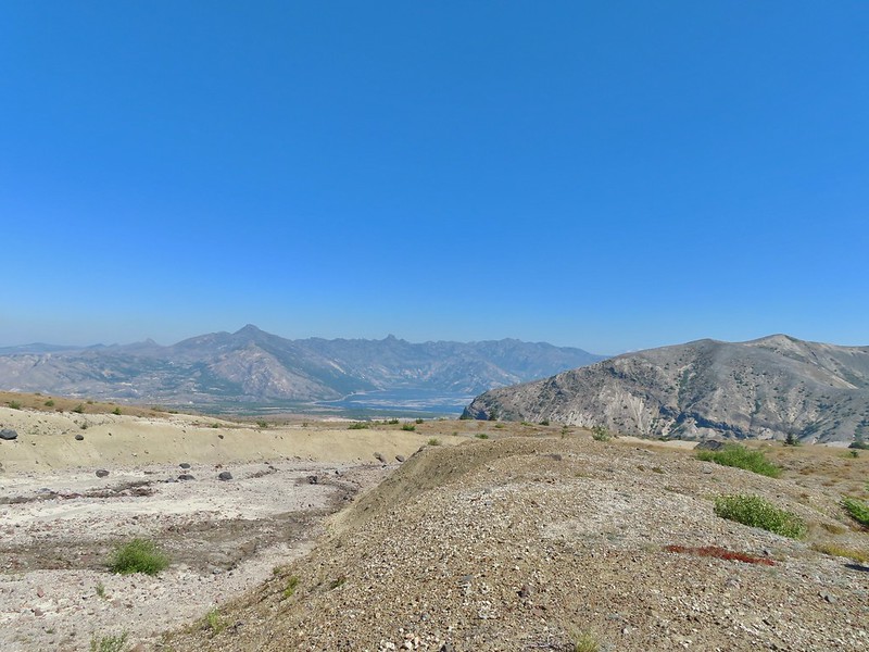 Spirit Lake from the junction.
 In the gully.
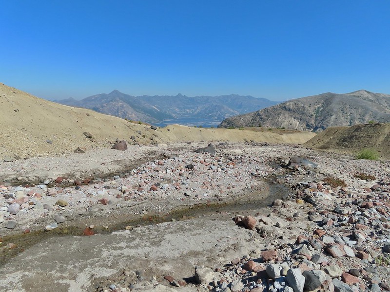
 Another gully to cross.
 Big Spring is in the willow thicket.
 The stream flowing over the Loowit Trail.
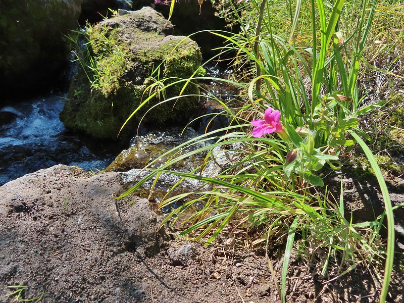 A pink monkeyflower at the spring.
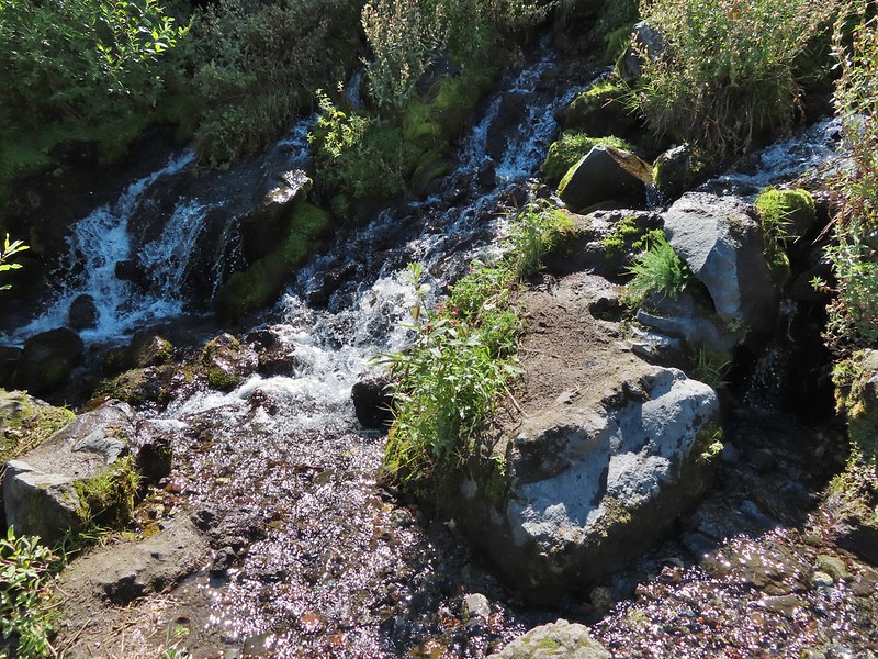
 Looking back at the willows and Big Spring.
 Coldwater Peak to the right.
 The Sugar Bowl lava dome.
 Spirit Lake from the trail.
 The first goats we spotted are on this ridge above the lone tree.
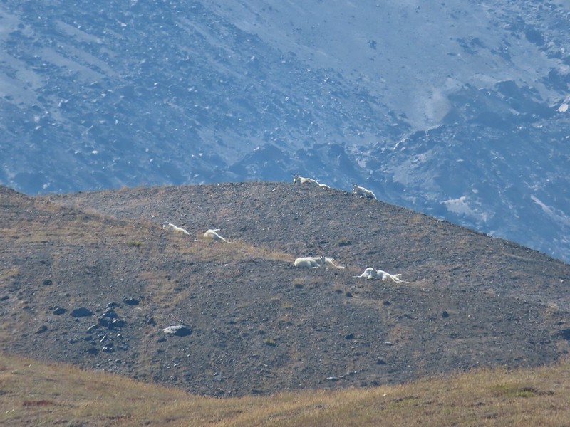
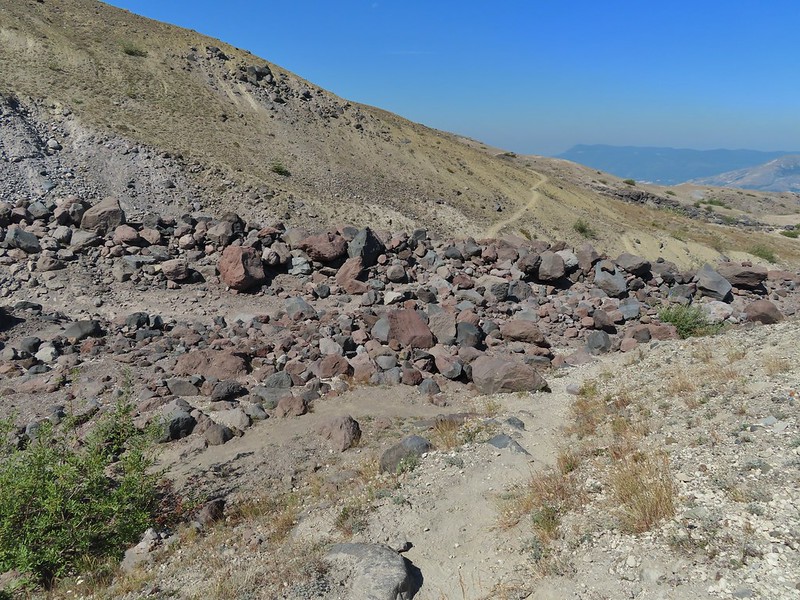 The Loowit Trail crossing two gullies in a short stretch, one red one black.
 Dropping into the second gully.
 From the second gully we could see quite a few more goats on the ridge.
 Approaching the junction with the side trail to Loowit Falls.
 Sign for Loowit Falls.
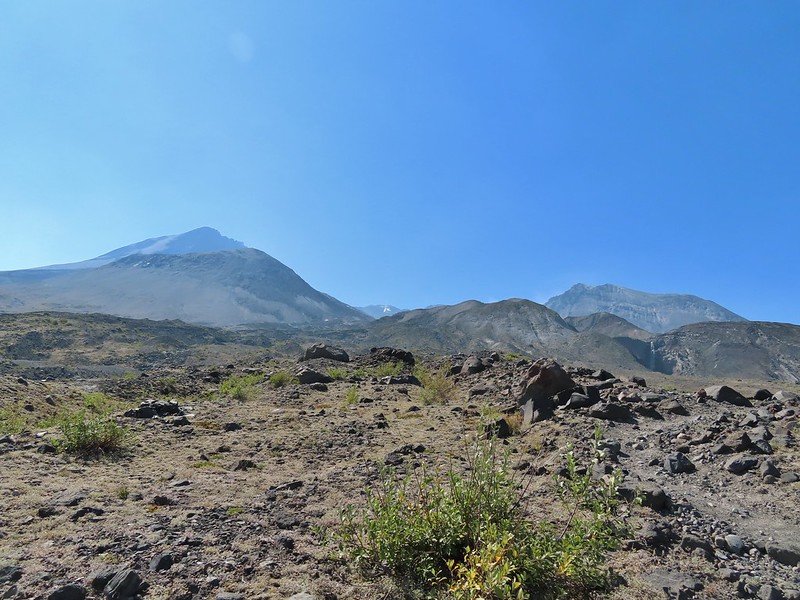 Loowit Falls (right side of the photo) was visible for much of the half mile.
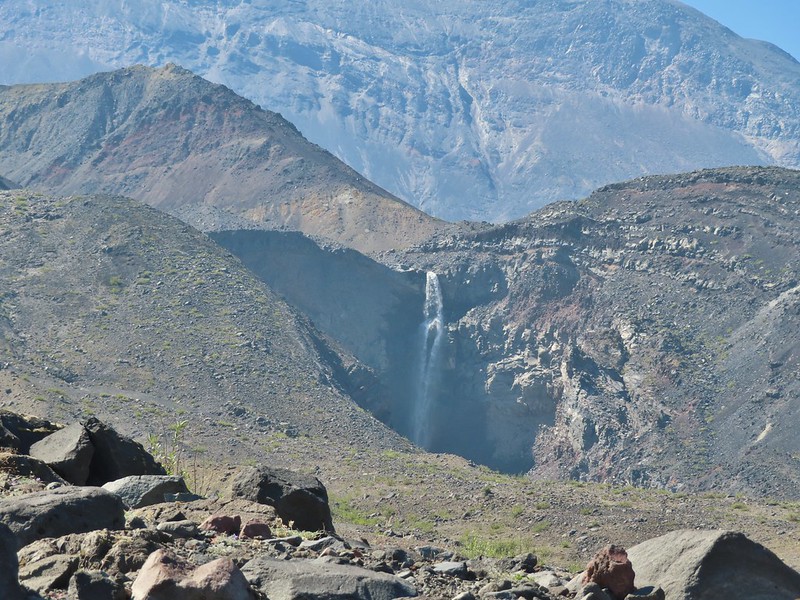
 Looking back at Coldwater Peak and Spirit Lake. (The top of Mt. Rainier is barely visible peaking over the top of the ridges.)


 Spirit Lake from the viewpoint.
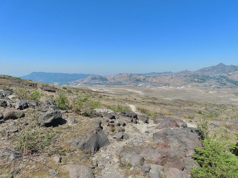

 Paintbrush
 Dwarf lupine
 Mt. St. Helens from the Willow Springs Trail.
 Heading toward Spirit Lake.
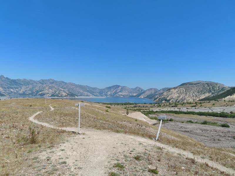


 The Dome above Spirit Lake

 Vehicles ahead in the research parking area.
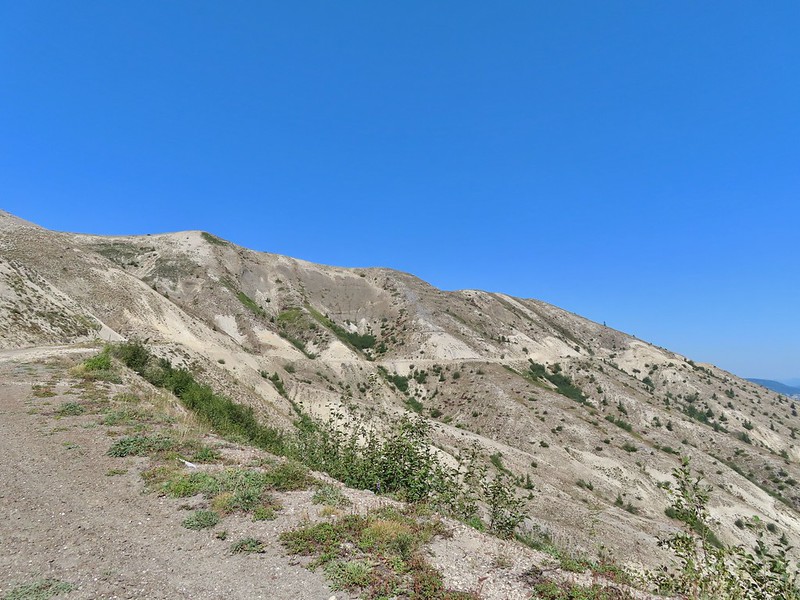
 Mt. Adams to the left.
 Mt. Adams
 Look out for snakes, not the poisonous kind just don’t want to step on them.
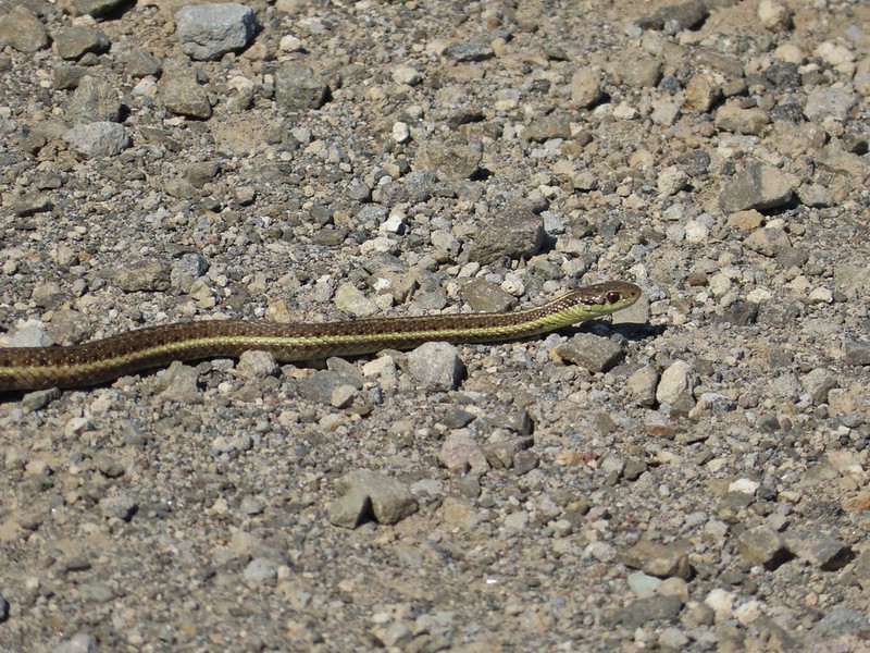
 Some sort of sulphur butterfly on pearly everalsting.


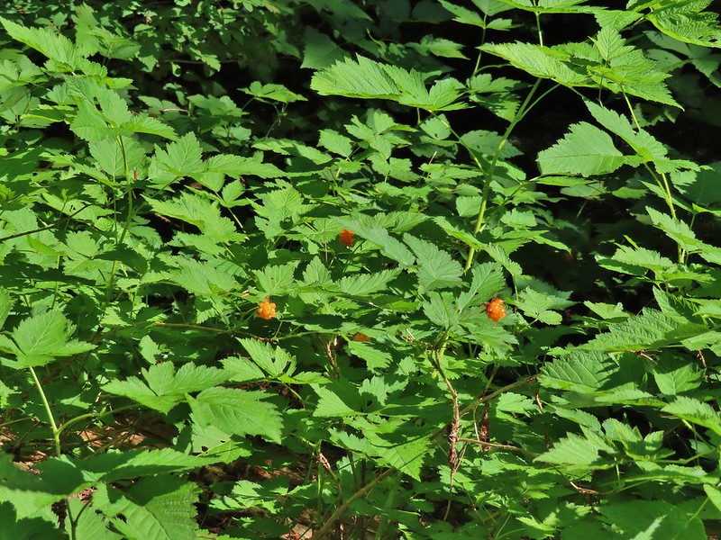 Salmonberries
 Blueberries
 Huckleberries
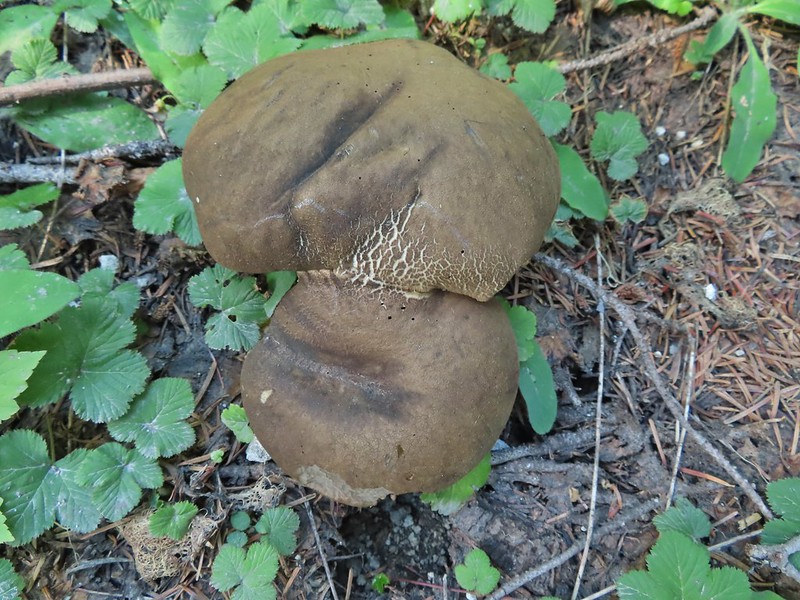 Mushrooms (the flowers of Fall)
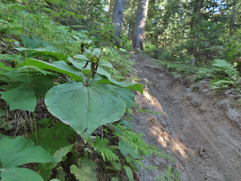 I was really surprised to still be able to make out the remains of the petals on these trillium.
 These bunchberries with a few petals left were near the trillium above.
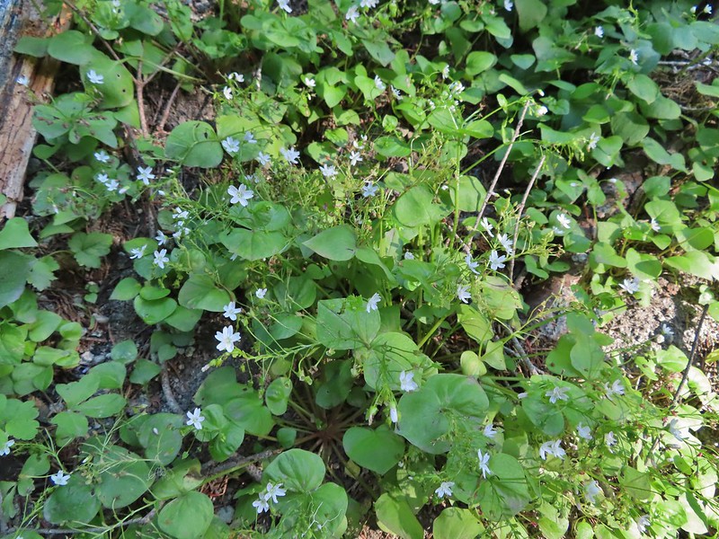 Candyflower

 These thimbleberries weren’t ripe but a short distance further were a lot of ripe ones. I thought I might have to hike back and retrieve Heather from them.
 A brief glimpse of Mt. Rainier from the ridge the trail was following, it looked like a lot of the smoke had blown away.
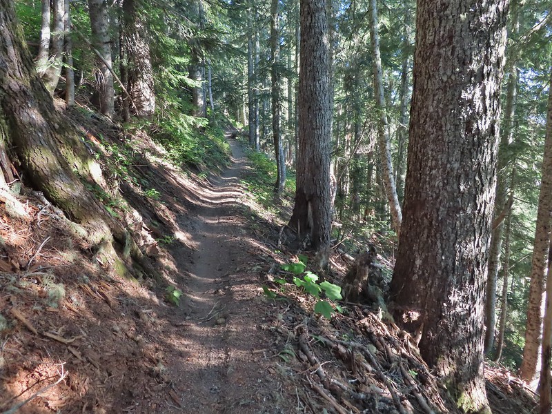

 Aster
Aster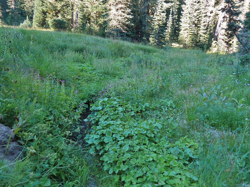 Elk Creek
 Pink monkeyflower along Elk Creek
 Lupine
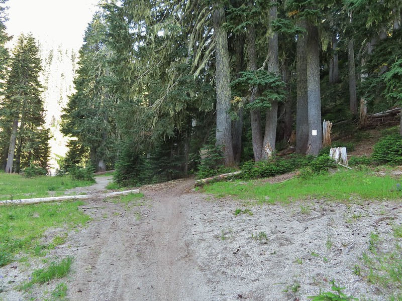 The trail near Badger Lake was particularly torn up and there were several signs posted admonishing motorcyclists to stop driving off trail.
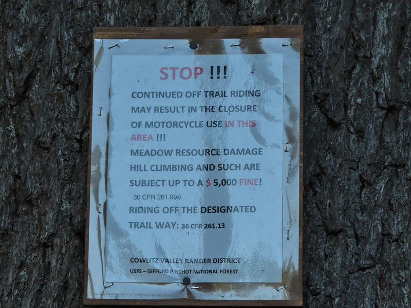
 Torn up hillside near the lake, it only takes one or two idiots to cause a lot of damage (the same goes for hikers/mountain bikers).
 The little puddle in the foreground is not the lake, it is further back.
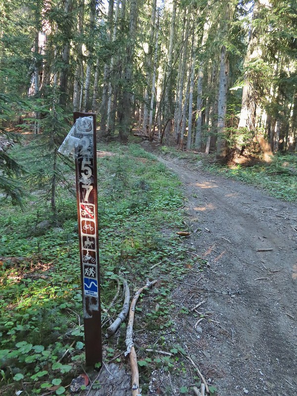
 This mushrooms was at least as wide as a salad plate.


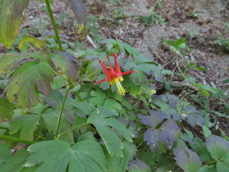 A columbine
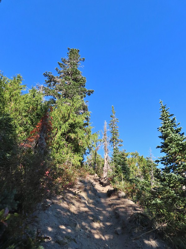
 Mt. St. Helens was hard to make out with the combination of haze and Sun position.
 Looking south toward Mt. Hood (I could make it out with the naked eye.)
 Mt. Hood in the haze.
 Mt. Rainier
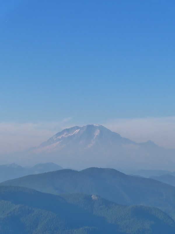 Mt. Rainier
 Mt. Adams
 The Goat Rocks were also hard to make out due to the smoke.
 Western pasque flowers, aka hippies on a stick, below the summit.


 The last of the sunlight hitting Badger Peak.
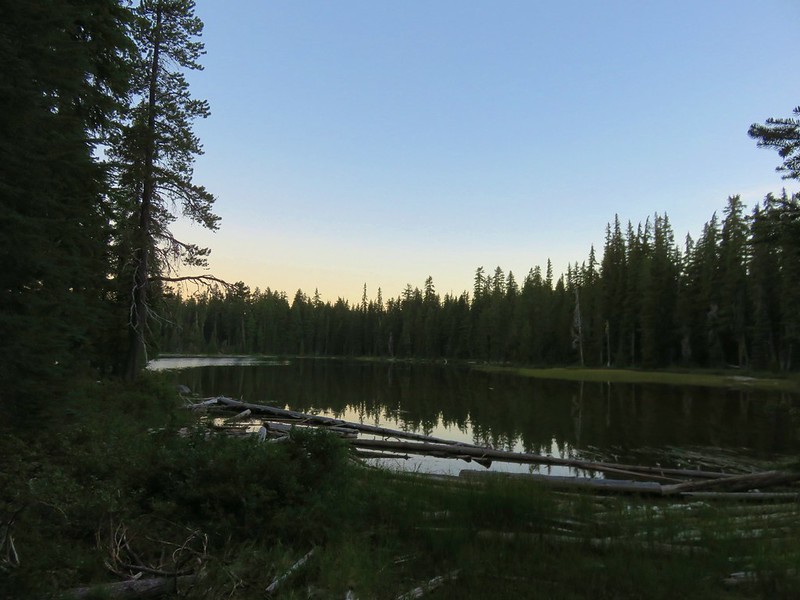


 <
<


