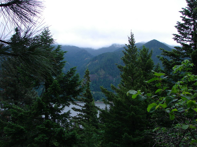
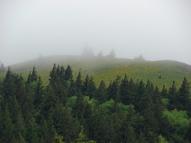
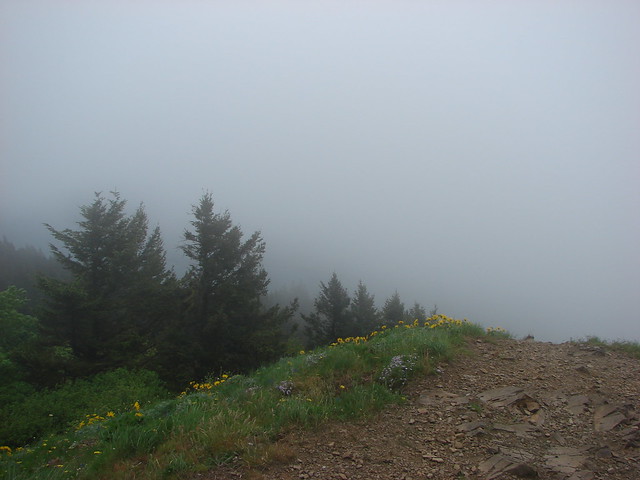
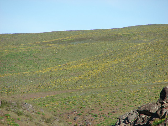
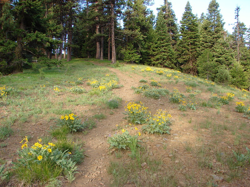
We recently returned from a long weekend in Central Oregon. We had a few hikes that we were wanting to try in June in that area starting with Lookout Mountain in the Ochoco National Forest. Roughly 26 miles east of Prineville, OR the summit of Lookout Mountain is the 2nd highest point in the Ochoco Mountains. The summit is part of a broad plateau of sagebrush and wildflowers which also offers a 360 degree view.
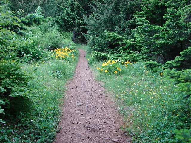
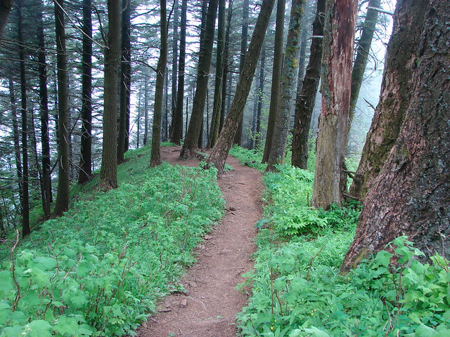
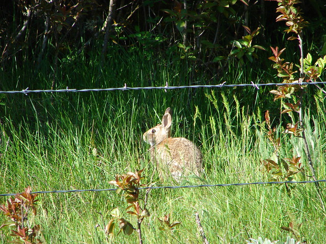
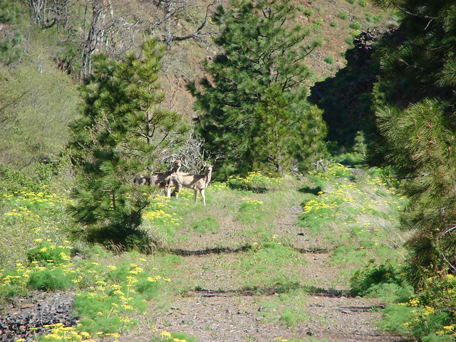
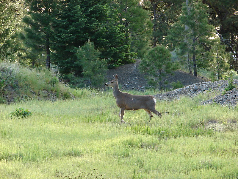
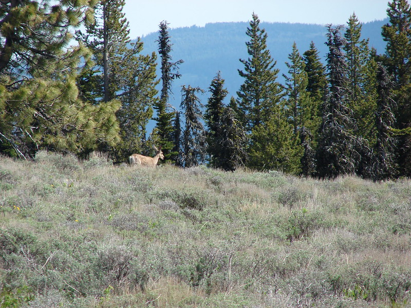
There are a couple of options for reaching the plateau. For our visit we decided to start at the Round Mountain Trailhead on road 4205 just after turning off of road 42. We could have shaved nearly 2 miles form the hike by continuing up road 4205 to the Independent Mine Trailhead but the road is quite rough and I would rather be hiking than bouncing around in a car. The 0.9 mile path between the trailheads was pleasant enough with a number of wildflowers and a deer sighting.
We accidently left the trail and wound up on road 4205 across from signs for the Independent Mine and the Baneberry Trailhead.
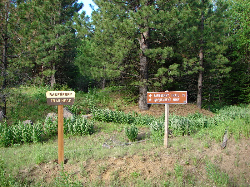
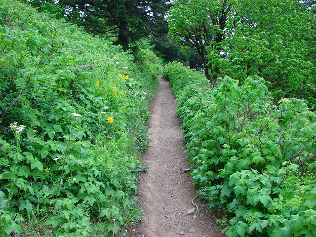
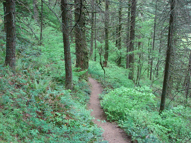
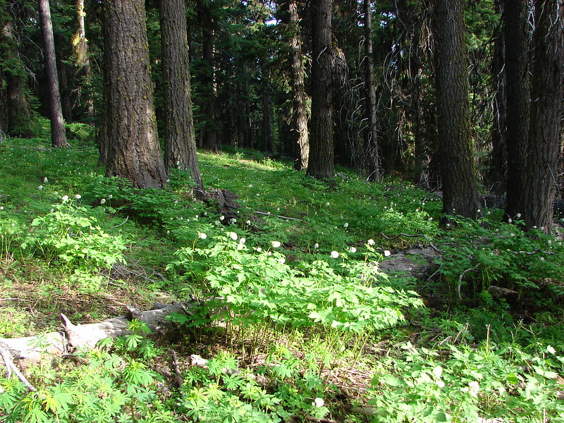
Our version (2008, 2nd edition) of 100 Hikes in Eastern Oregon didn’t give any information about this trail but a sign at the Round Mountain Trailhead made mention of extensive trail work and renaming starting in 2010. Our book did show an old road leading down to the mine though so we decided to check it out. We reached the Baneberry Trail before getting to the mine and saw that it was an interpretive nature loop. Thinking it would loop us around to the mine we turned on the trail and began the loop. It was evident why the trail was named Baneberry as the forest was full of the plant.
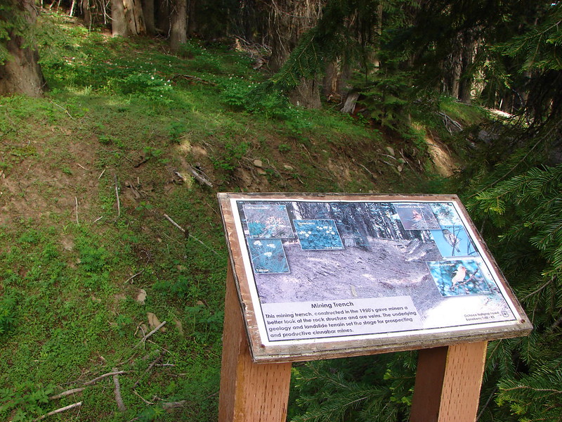
Many benches and interpretive signs were located around the trail telling of the mining activity, forest, and wildlife.
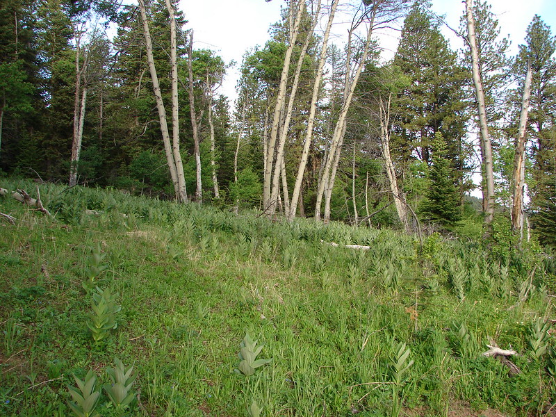
As we continued on the loop it became evident that we were not going to loop to the mine site but instead were heading around in the opposite direction. When we had almost completed the loop a trail shot off uphill to the left which we took thinking it might take us up to the Independent Mine Trailhead. We lost the tread in a small meadow but we could tell the trailhead was just on the other side so we followed what looked like it might be the trail through the meadow and popped out at the trailhead.
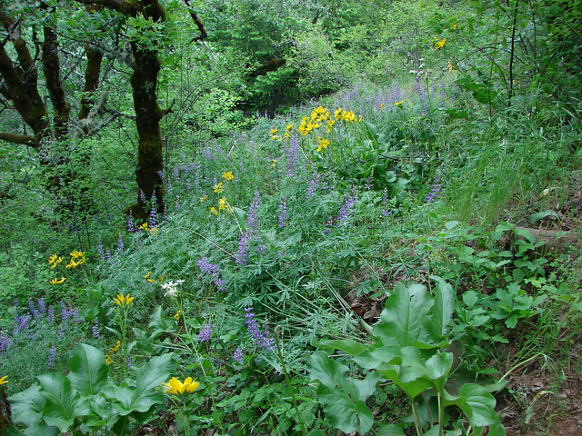
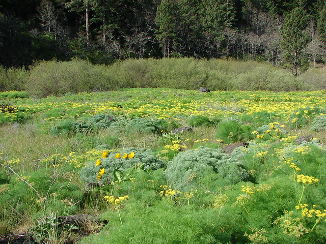
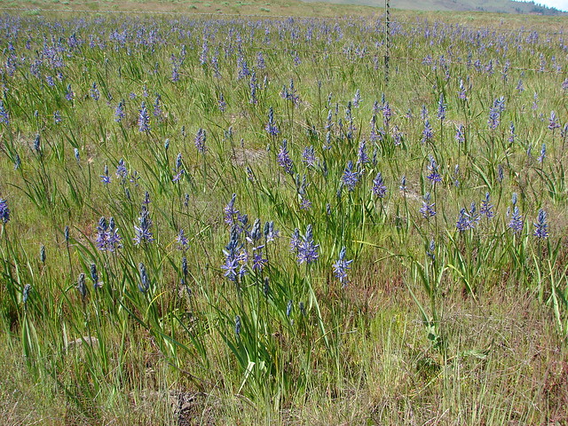
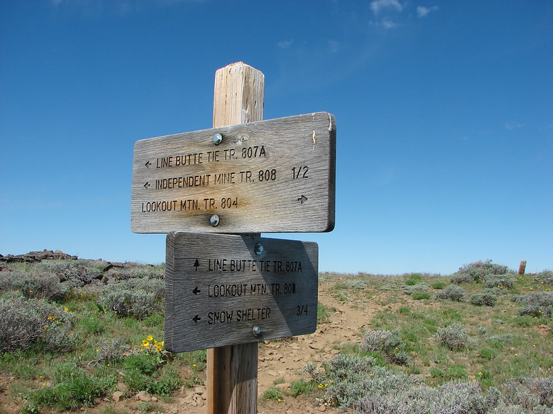
From the trailhead we had more options. Straight ahead up the shorter steeper trail 808A, right on what was now named trail 804 or left on trail 808. We chose 808 based on the suggested route in the book. The trail passed through several meadows full of hellbore with views nice views to the north with Mt. Jefferson visible on the horizon.
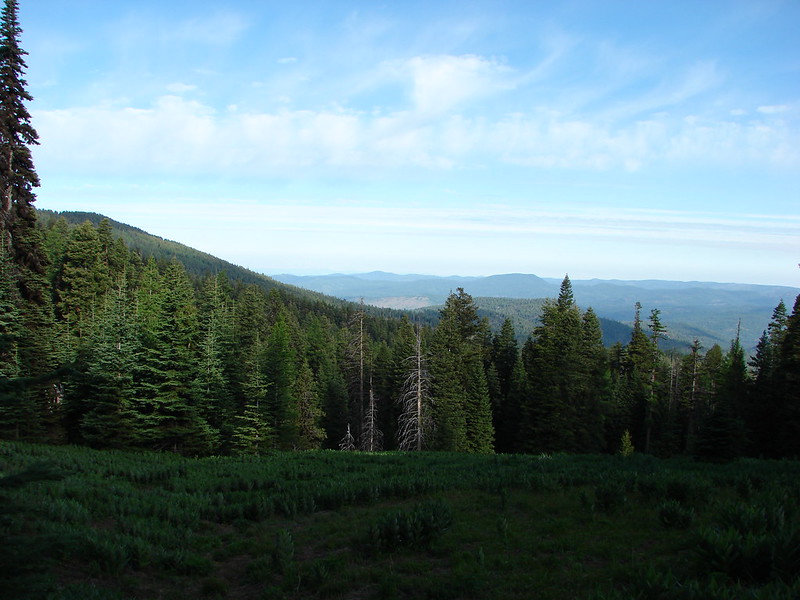
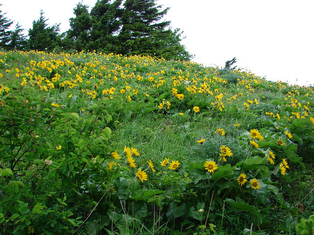
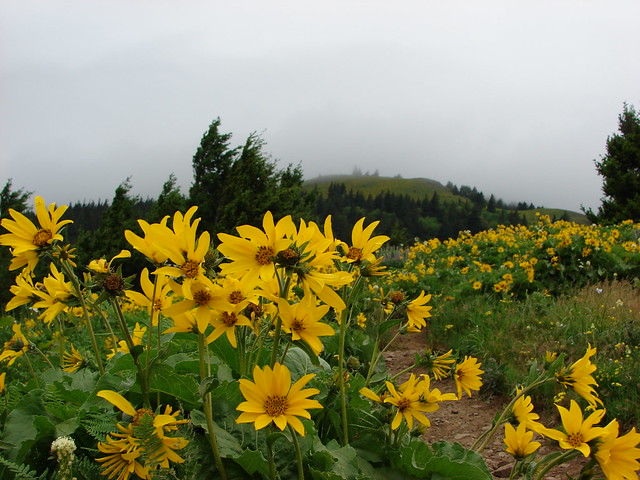
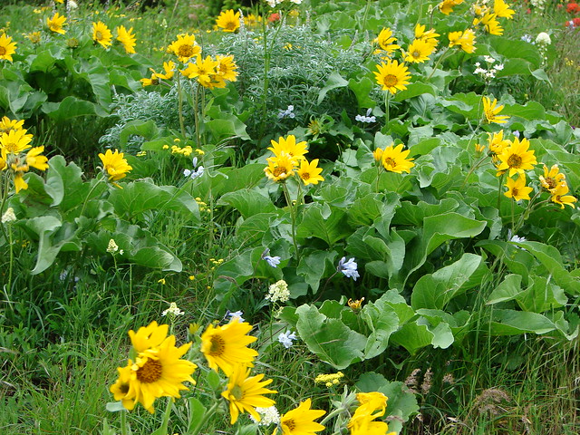
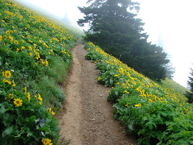
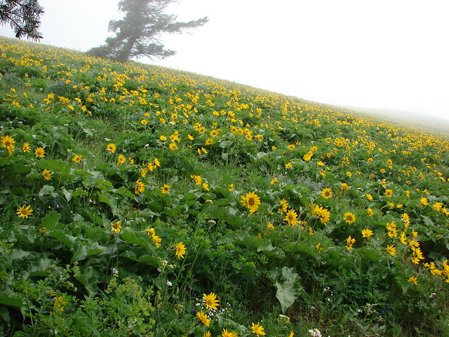
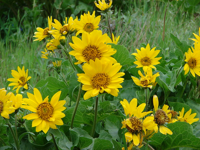
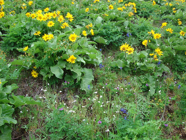
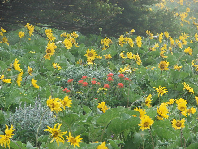
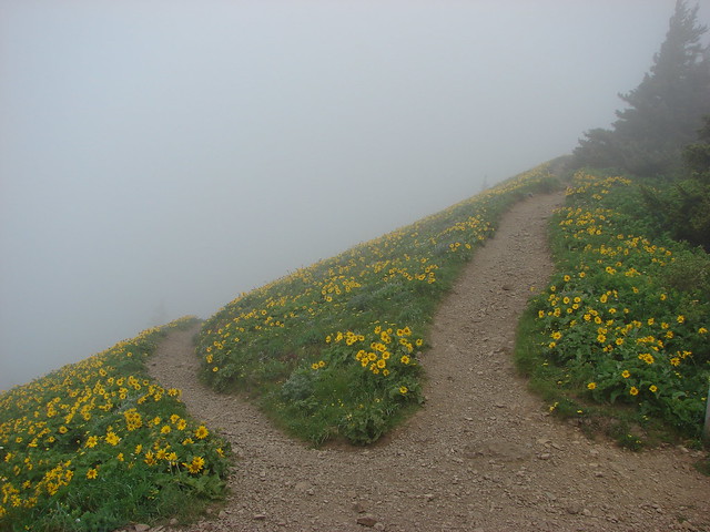
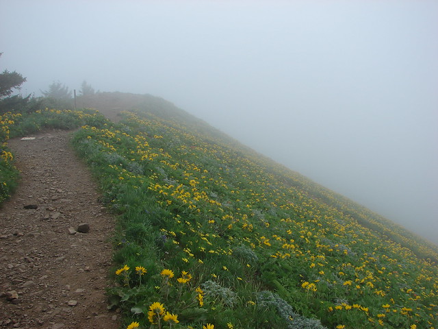
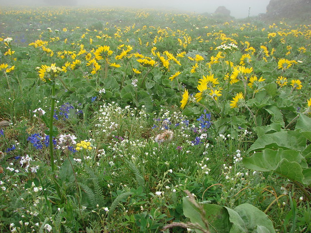
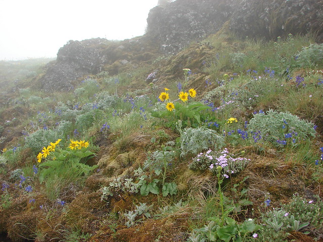
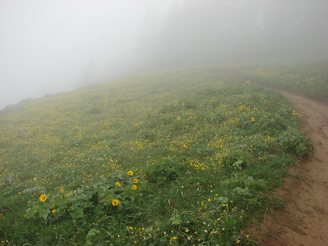
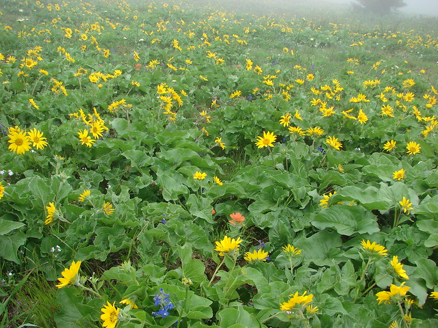
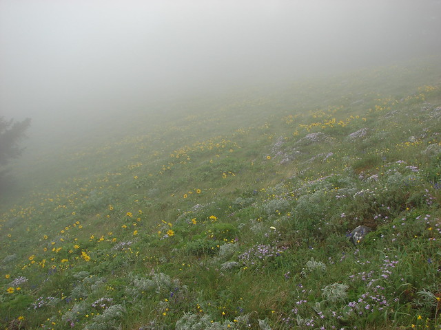
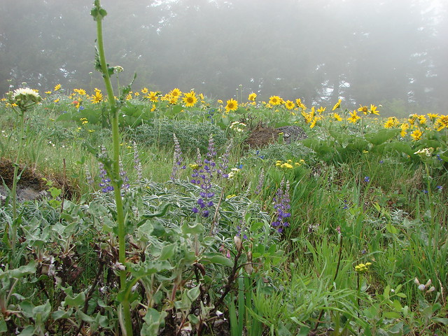
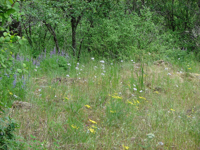
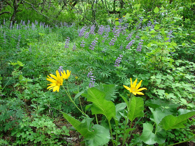
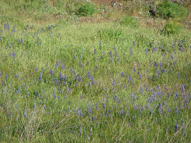
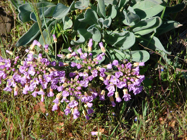
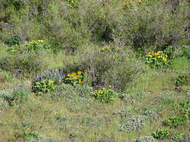
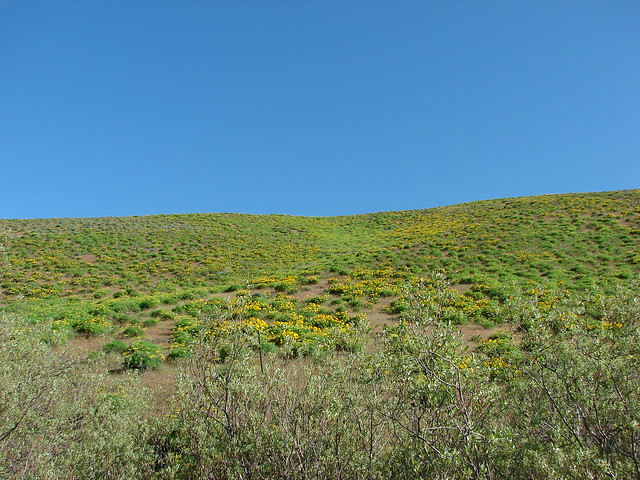
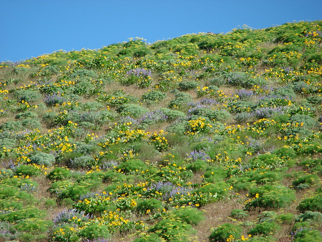
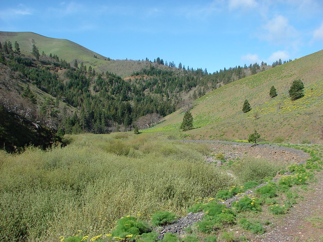
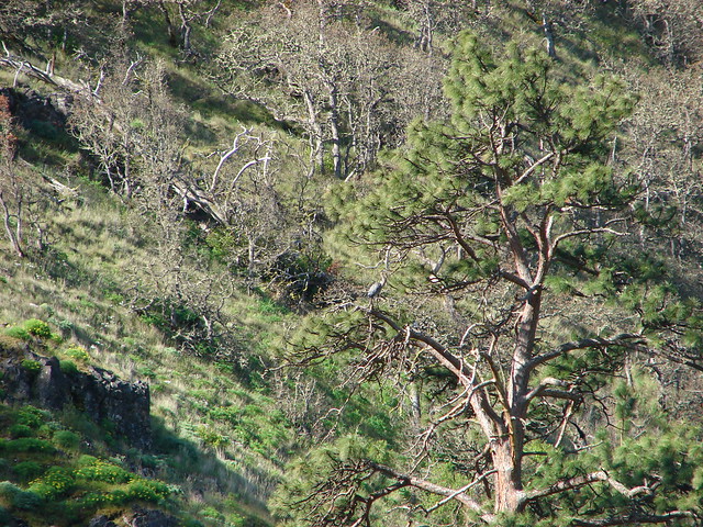
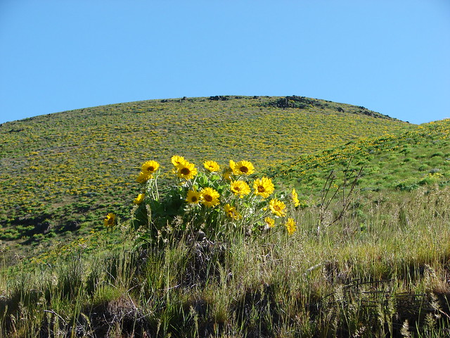
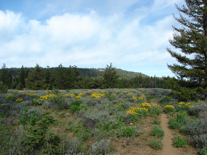
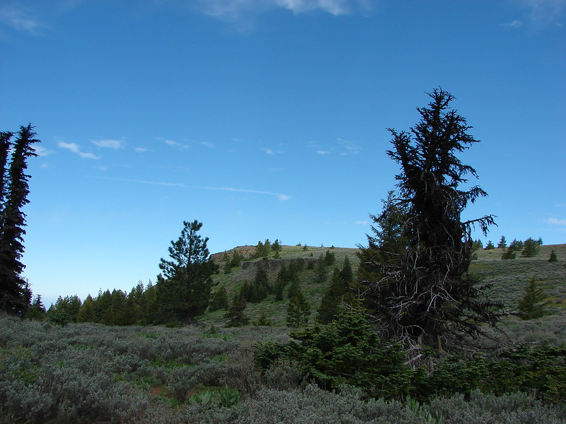
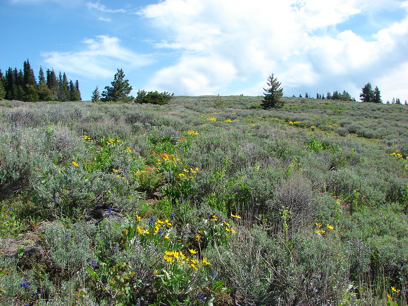
The trail then turned south and we climbed up onto the sloped plateau. From here the trail climbed through open ground covered with wildflowers and sagebrush and the occasional stand of trees.
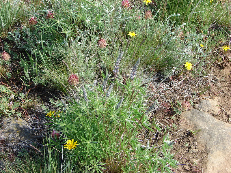
Big-headed Clover

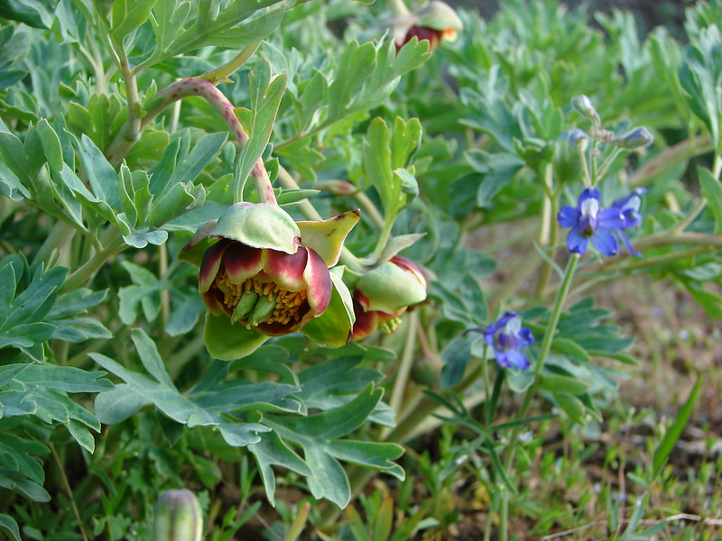
Brown’s Peony
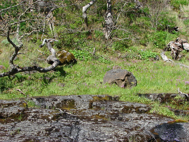
Looking ahead from the lower plateau
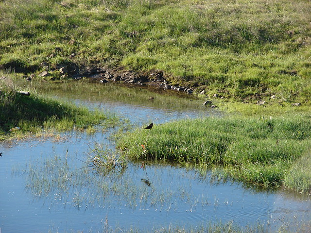
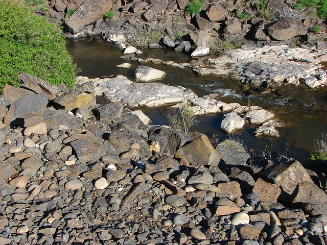
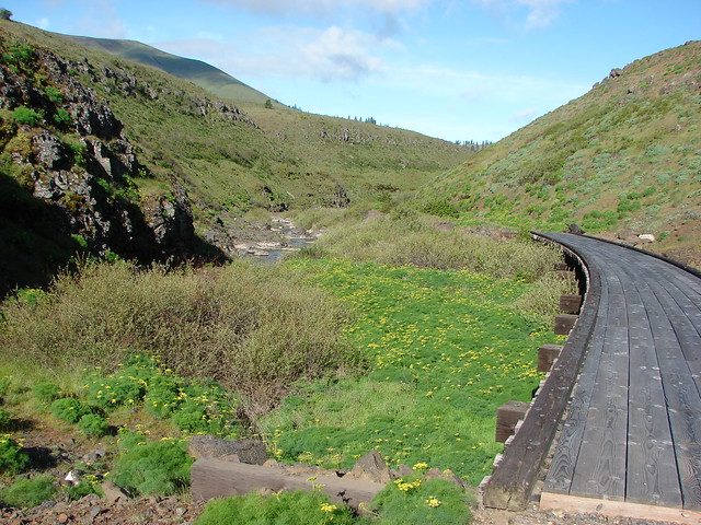
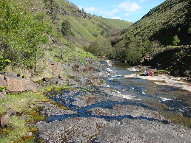
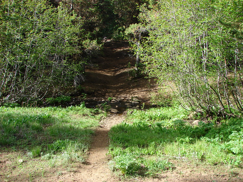
We crossed Brush Creek
and found some leftover of snow
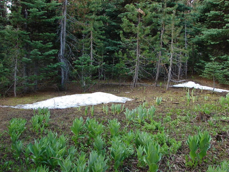
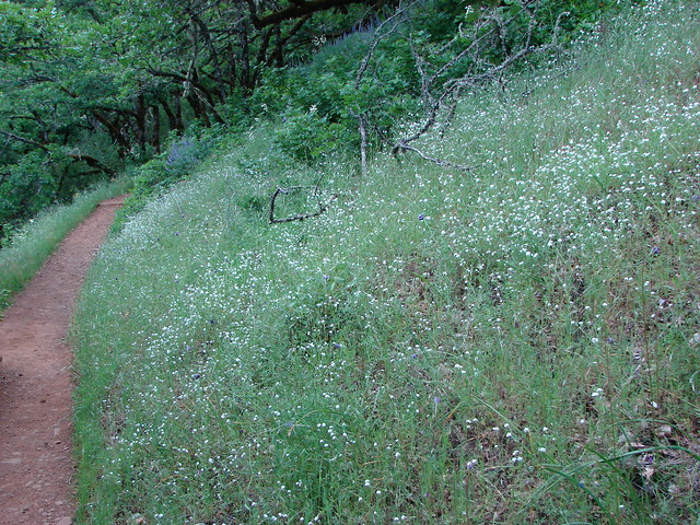
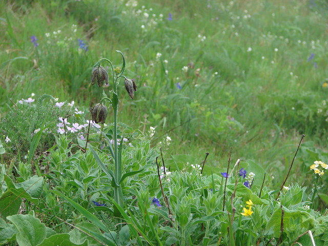
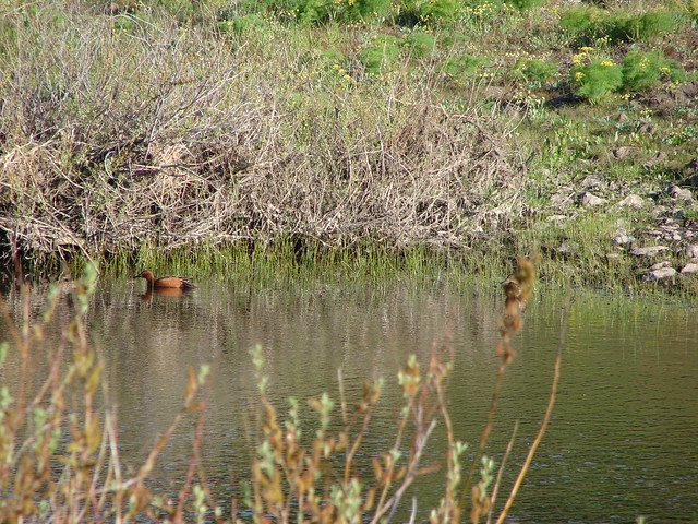
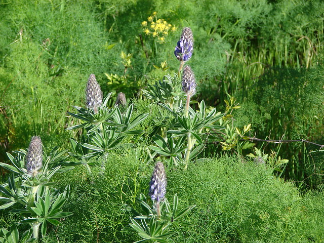
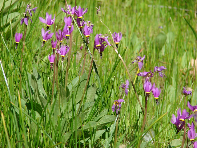
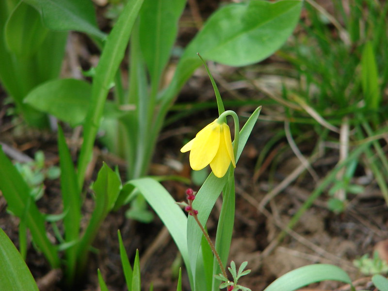
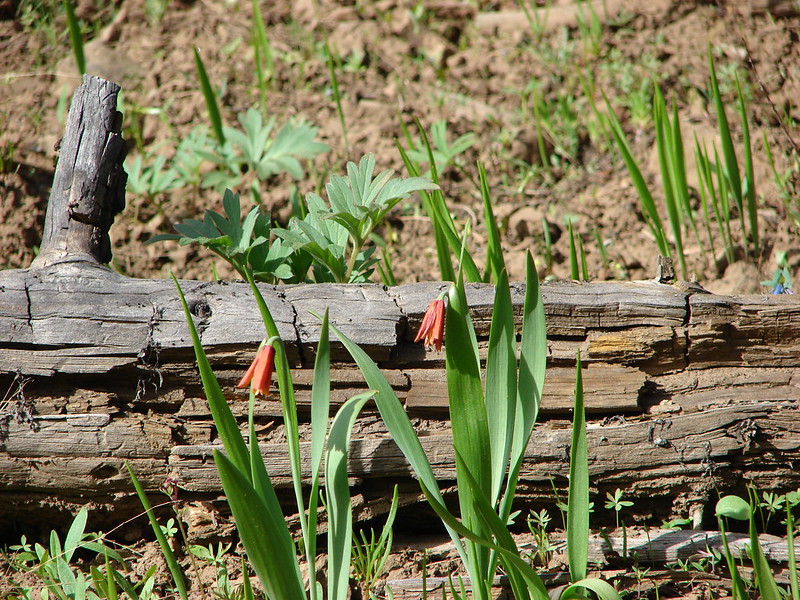
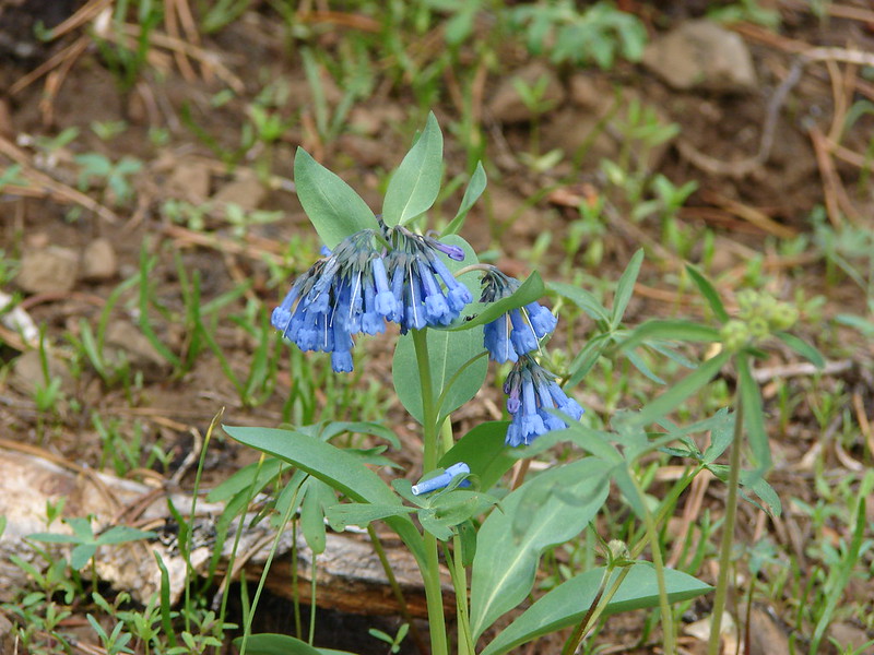
There were some small lilies in this area as well as a few shooting star and mountain bluebells.
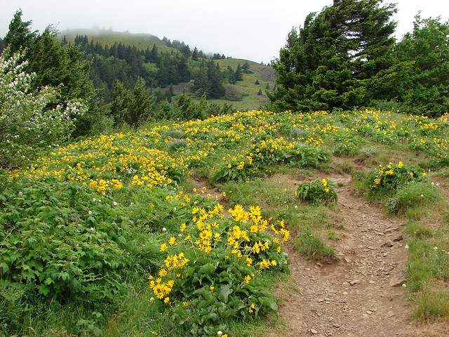
We came out of a clump of trees into another sagebrush covered meadow where we could see the summit of Lookout Mountain.
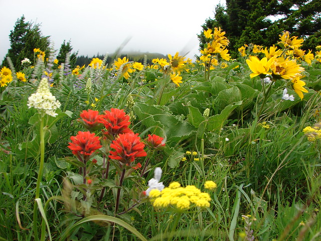
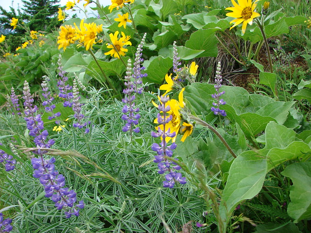
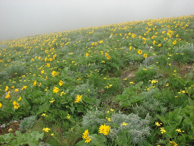
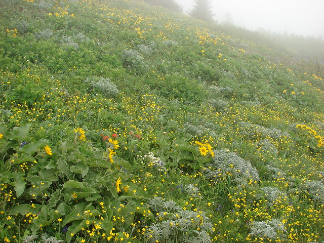
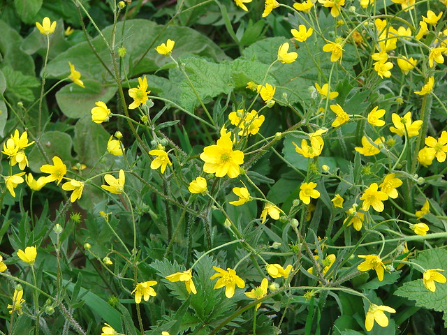
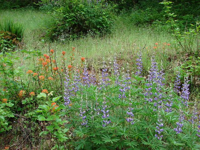
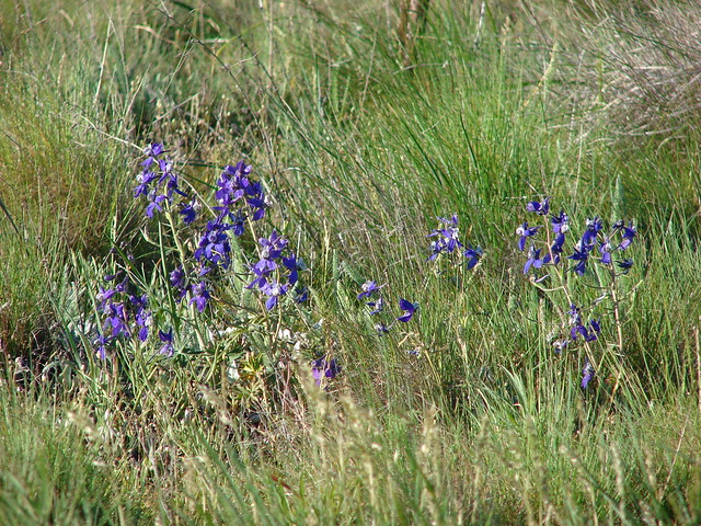
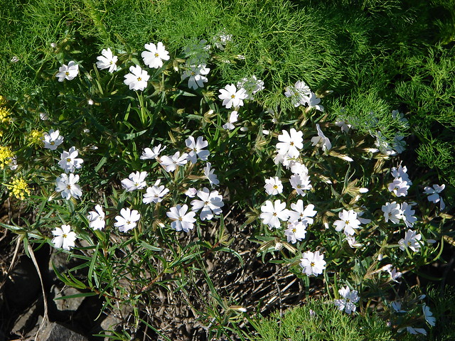
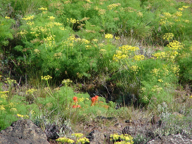
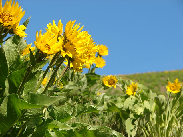
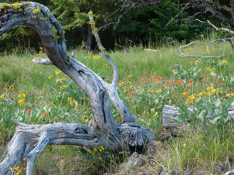
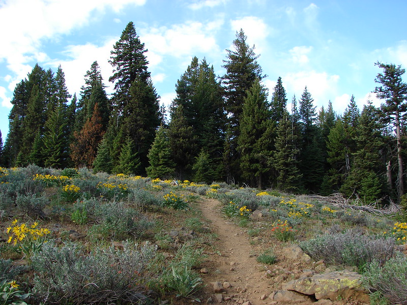
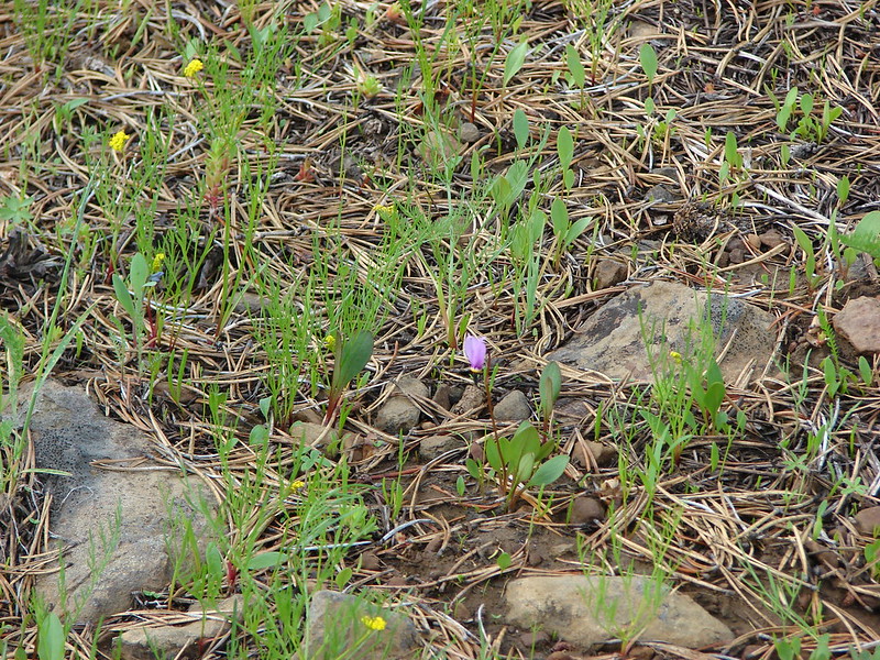
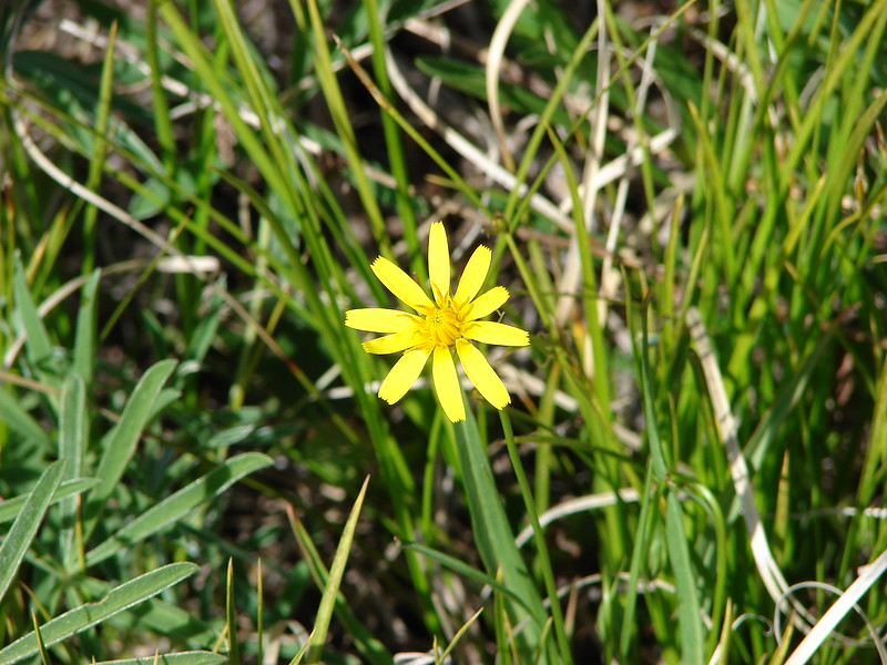
There were more flowers as we climbed through the sagebrush toward the summit. Balsamroot, paint, larkspur, and columbine dotted the landscape. There were other flowers both known and unknown to us as well.
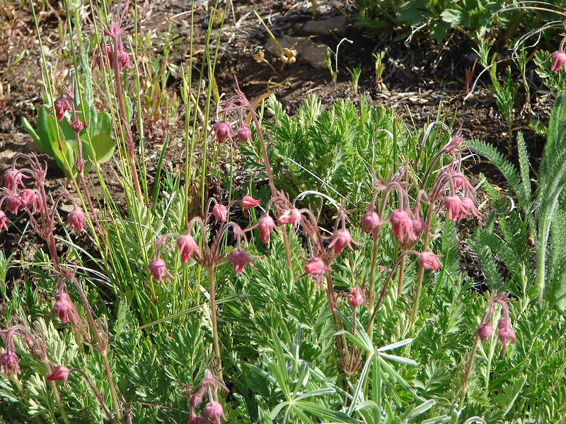
Old Man’s Whiskers
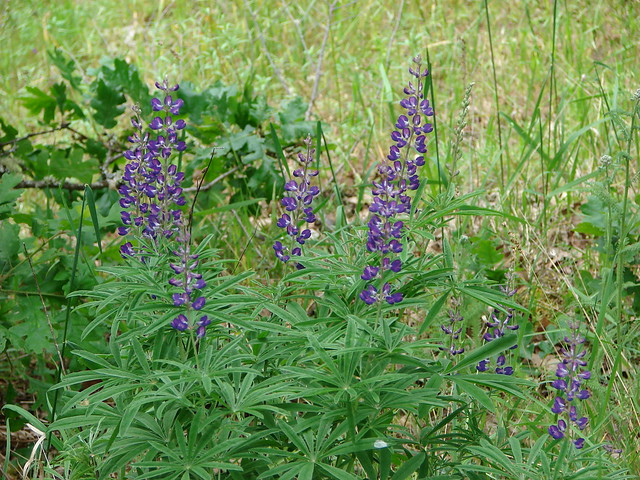
The lupine was yet to bloom.
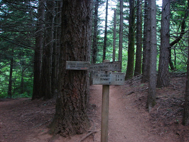
A sign stood at a trail crossroads giving directions.
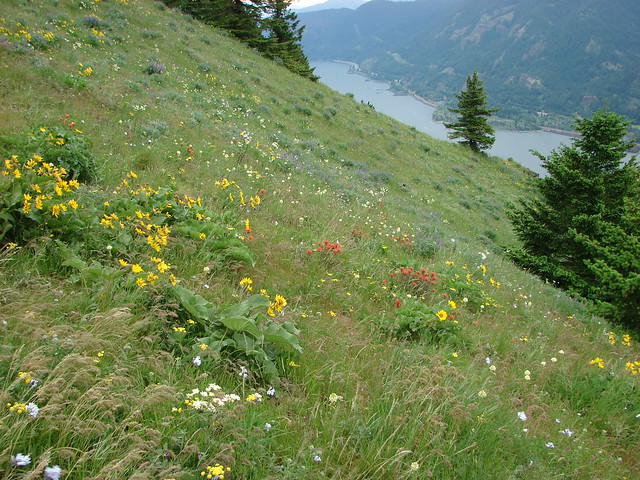
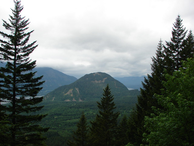
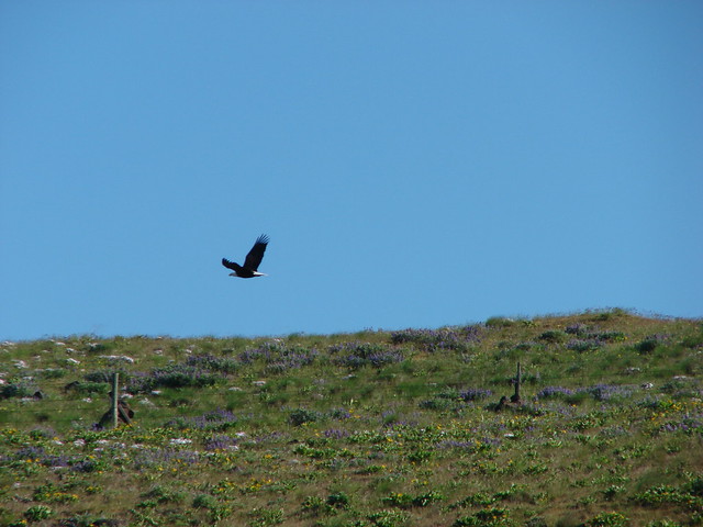
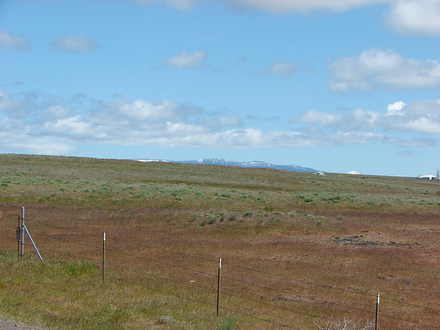
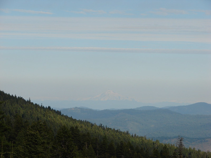
From the summit we could see Cascade Peaks from Diamond Peak in the south to Mt. Hood in the North.
Mt. Bachelor and the Three Sisters in the distance:

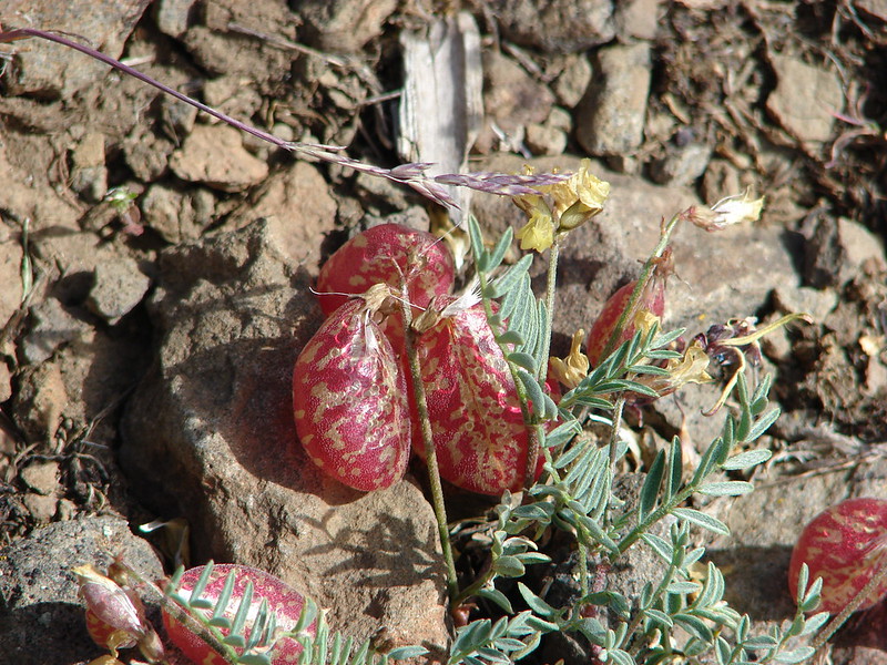
We also spotted a very strange plant on the summit which thanks to some detective work form the folks at portlandhikers we identified as balloon-pod milk-vetch.
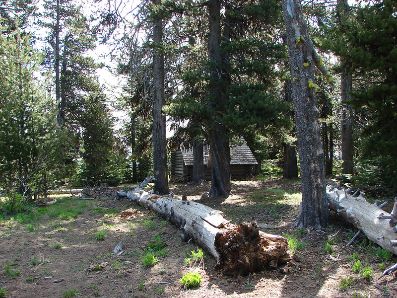
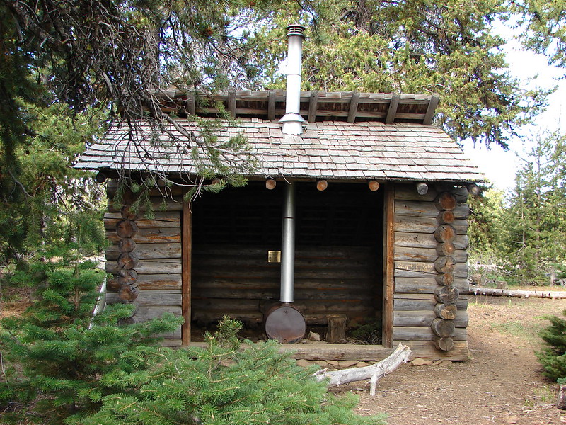
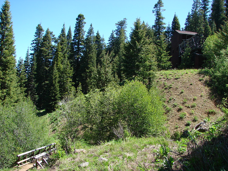
On our way down we stopped by a snow shelter built by the Oregon National Guard and U.S. Forest Service in 1989.
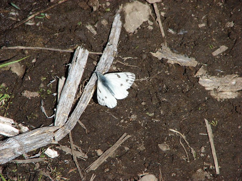
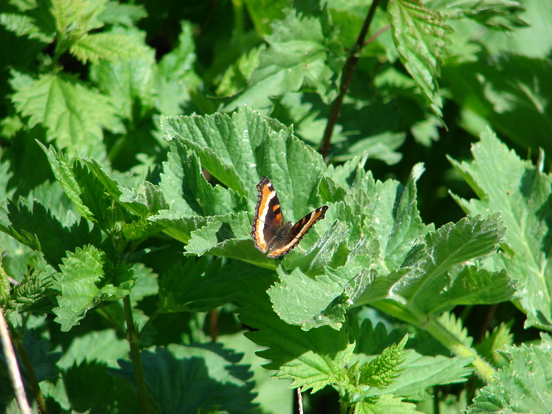
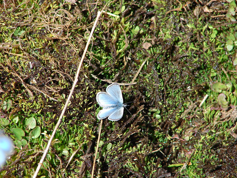
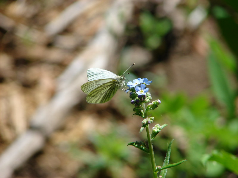
We spotted another deer on the way down and the butterflies started coming out as the day wore on.
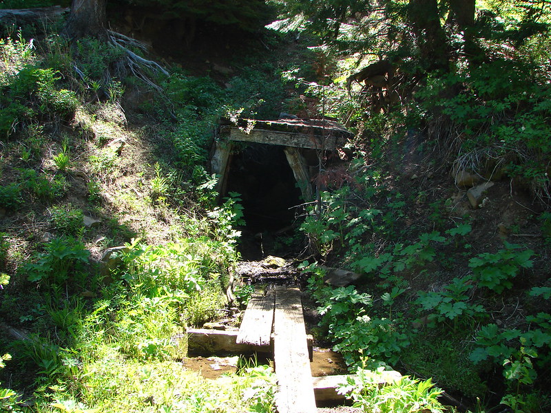
Just before reaching the Independent Mine Trailhead on trail 804 we passed a left over mining building and an abandoned mine shaft.
We saw what must have been the same doe on the way down as we saw on the way up. She came out of the exact same group of trees and we wondered if she might not have a young fawn bedded down in them. We didn’t want to disturb it if there was so we continued on back to the Round Mountain Trailhead and our car. Day one had provided a great 10.3 mile hike and we had three more days to go. Happy Trails!
flickr: https://www.flickr.com/photos/9319235@N02/sets/72157644735166968/
Facebook: https://www.facebook.com/media/set/?set=a.10204236394617228.1073741883.1448521051&type=1