Categories
High Cascades Hiking Oregon Three Sisters Area Trip report

South Sister Loop – Day 2

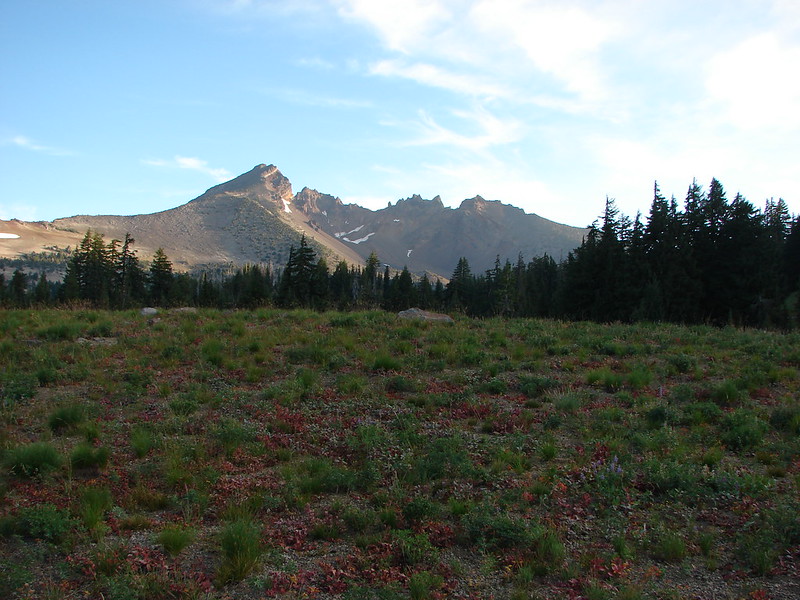
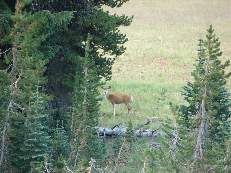
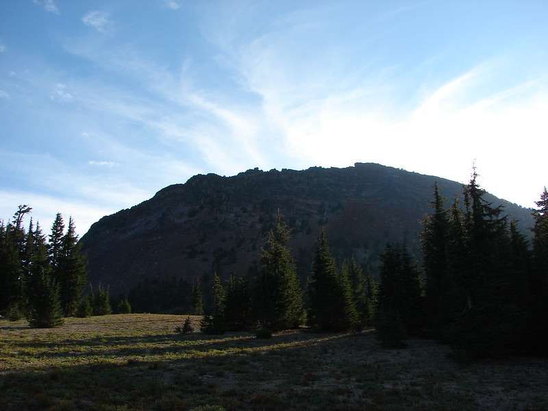
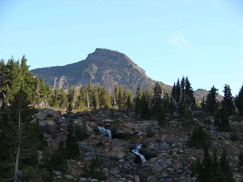
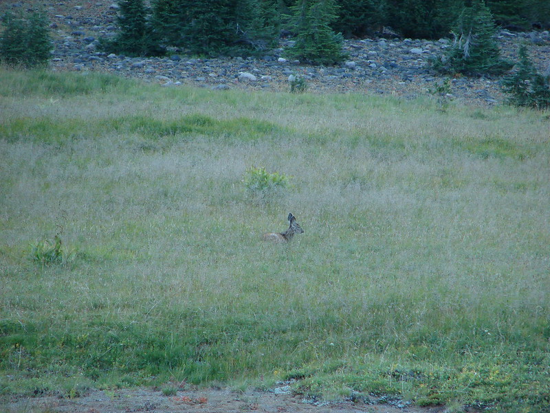
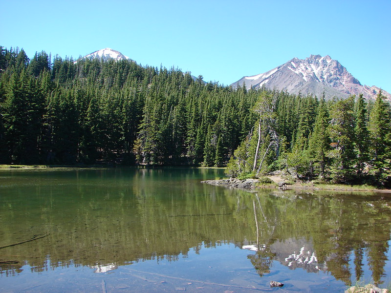
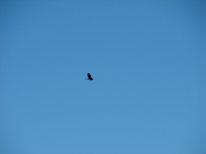
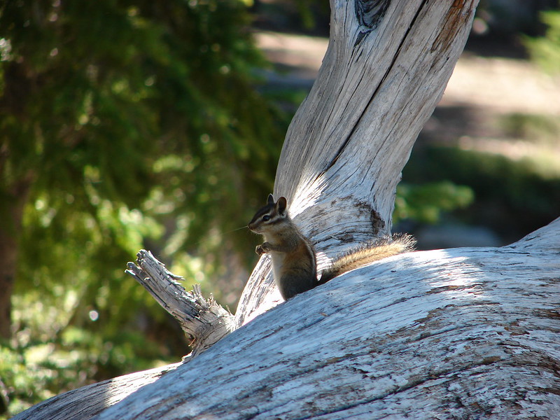
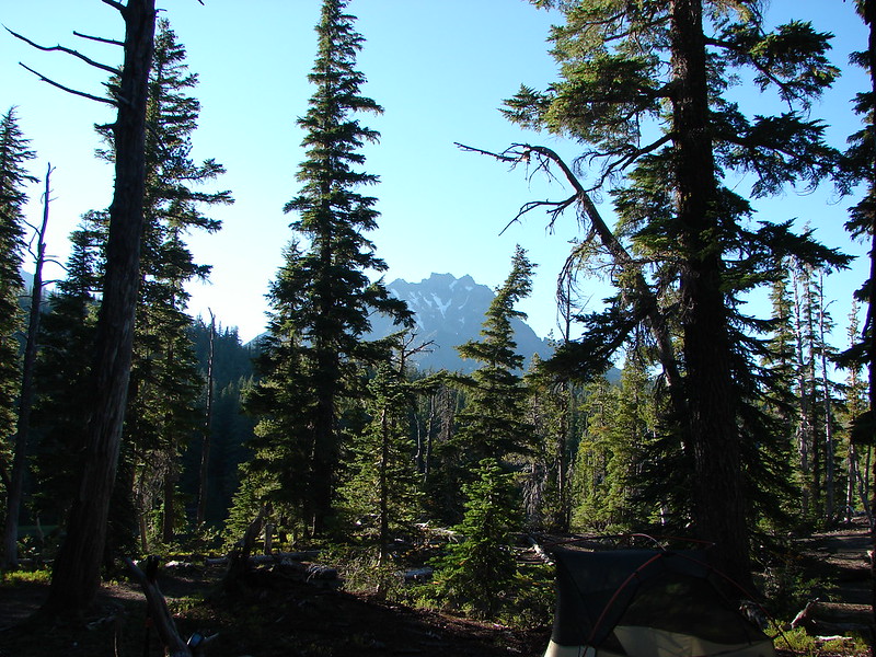
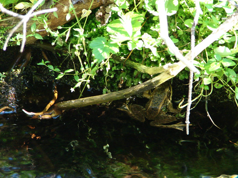
We woke up early on day 2 anxious to see what surprises awaited us. It didn’t take long for the first one. We had seemingly been the only ones camped around Linton Meadows but when we awoke we found we were not alone.
DSC05451

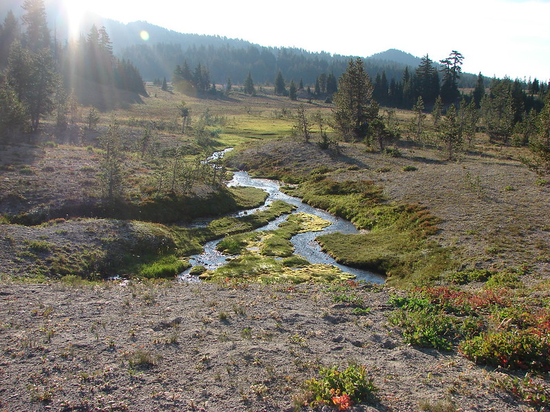
The sun was just starting to rise as we packed up and headed to Linton Creek to replenish our water supply before heading back to the Pacific Crest Trail.
DSC05458

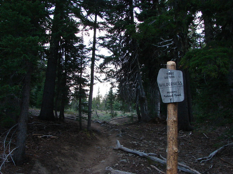
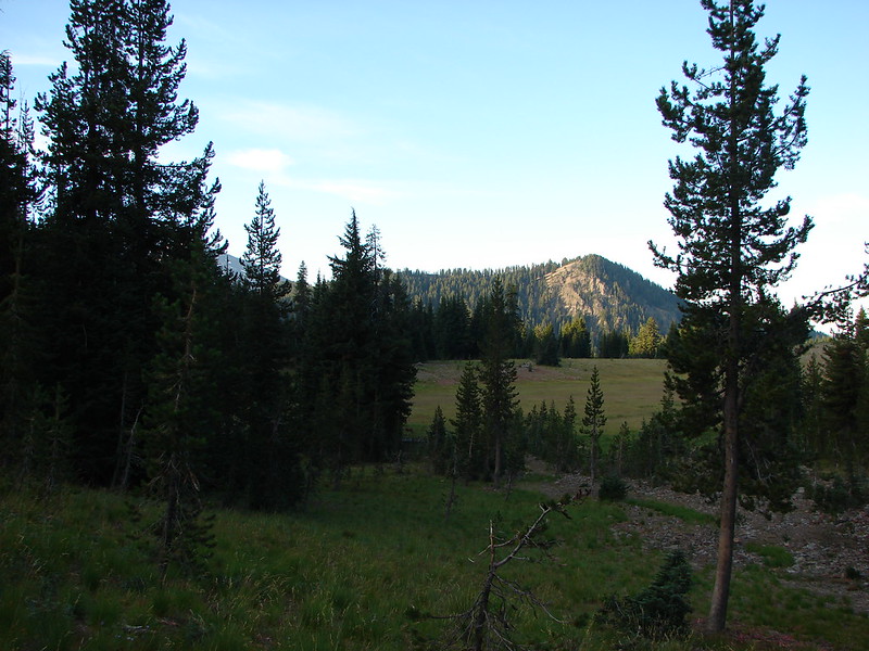
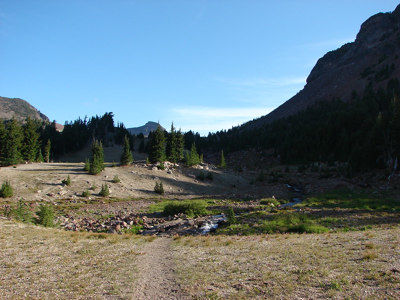
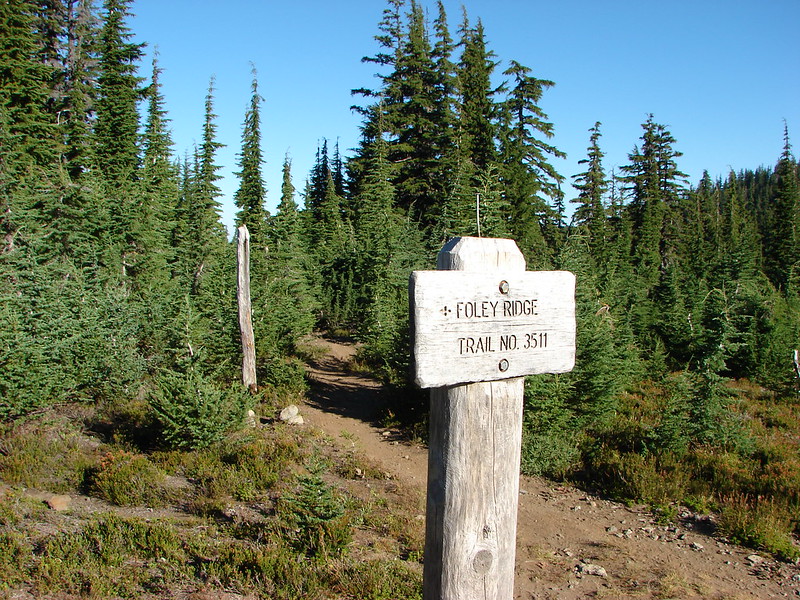
After getting water we headed South on the James Creek trail returning to the 5 way trail junction we had passed the day before. At the junction we turned left on the Foley Ridge Trail and climbed a mile to the PCT.
DSC05474

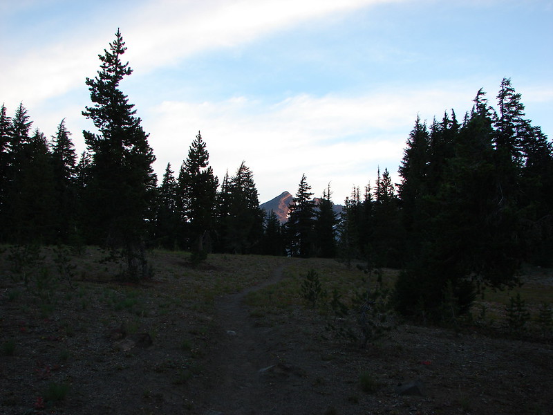
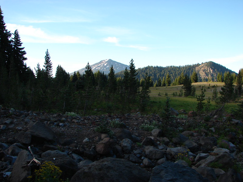
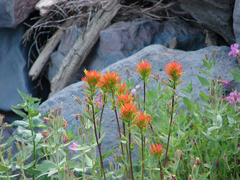
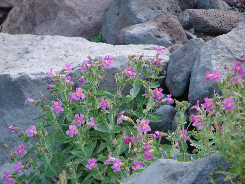
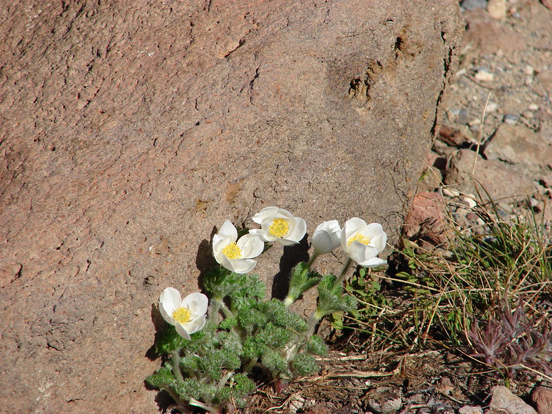
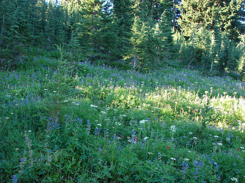
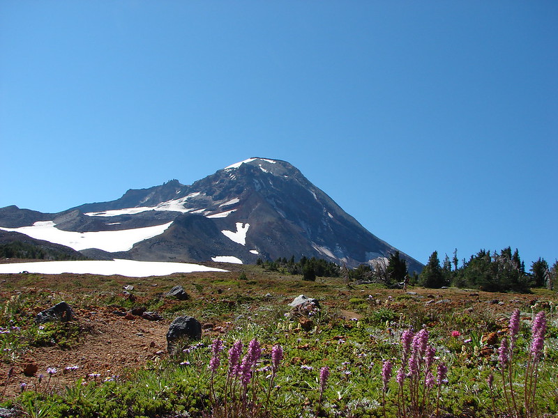
We turned right on the PCT and headed toward Reese Lake where we hoped to pick up a climbers trail that would lead us between the Middle and South Sister. There were still some pretty good flowers lining the PCT.
DSC05476
DSC05478

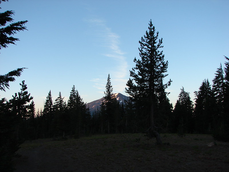
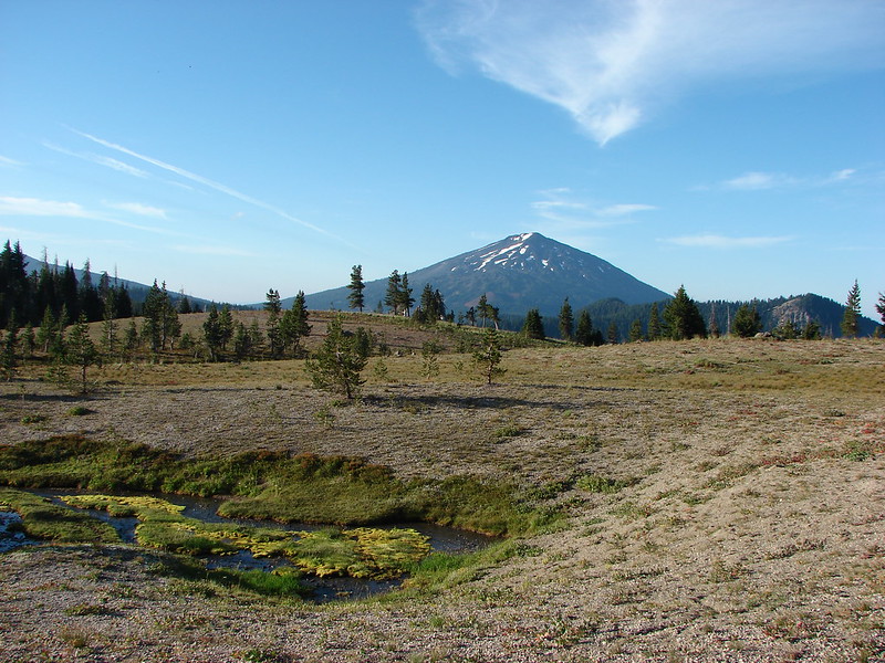
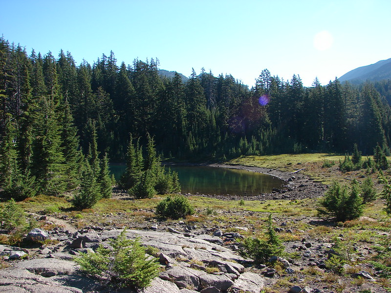
We turned off the PCT at little Reese Lake. The small lake had crystal clear water and a nice view of the South Sister.
DSC05486
DSC05488

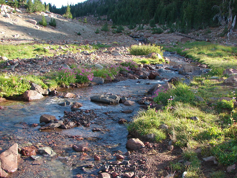
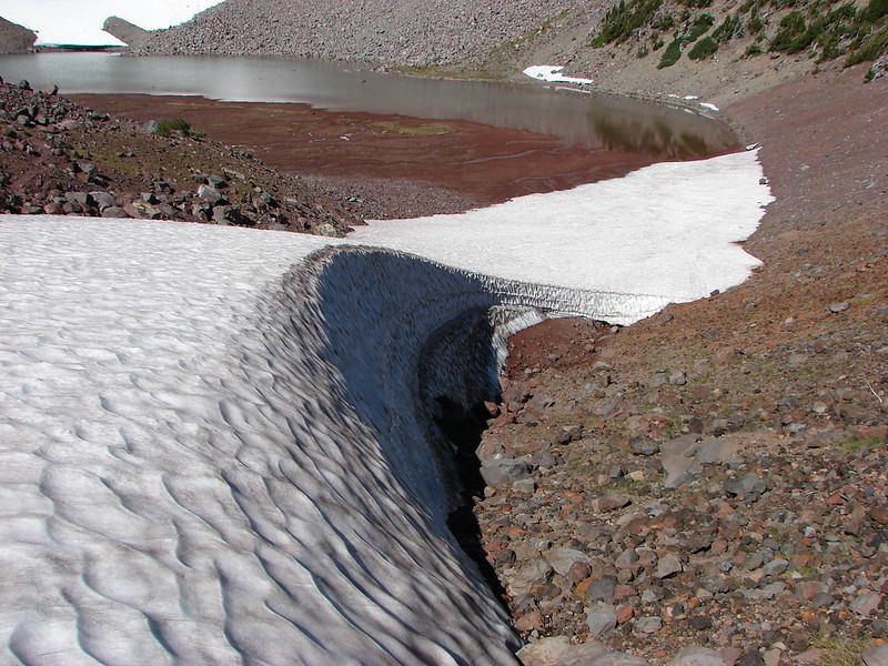
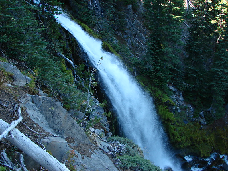
Working our way around the North side of the lake we picked up a trail leading East which we hopped would lead us to Separation Creek and the climbers trail. We chose wisely and arrived at Separation Creek on a clear path. We had seen Separation Creek back in May when we hiked to Separation Lake https://wanderingyuncks.wordpress.com/2014/05/04/proxy-falls-separation-lake/. Crossing the creek was very different this close to its source.
DSC05496

Separation Creek below Separation Lake in May.
DSC03721

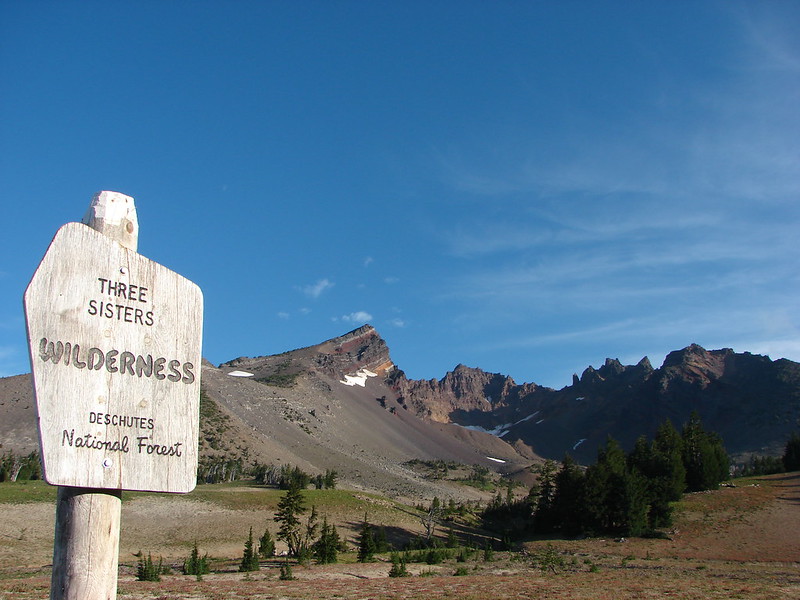
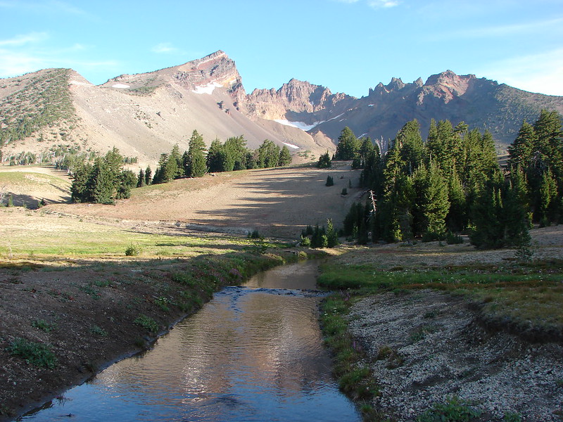
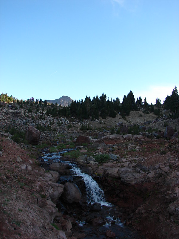
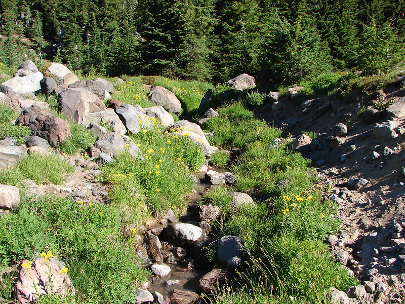
There was a well worn trail following the creek up toward the saddle between the two mountains.
DSC05500 Stitch

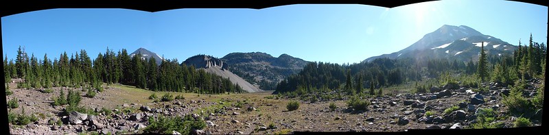
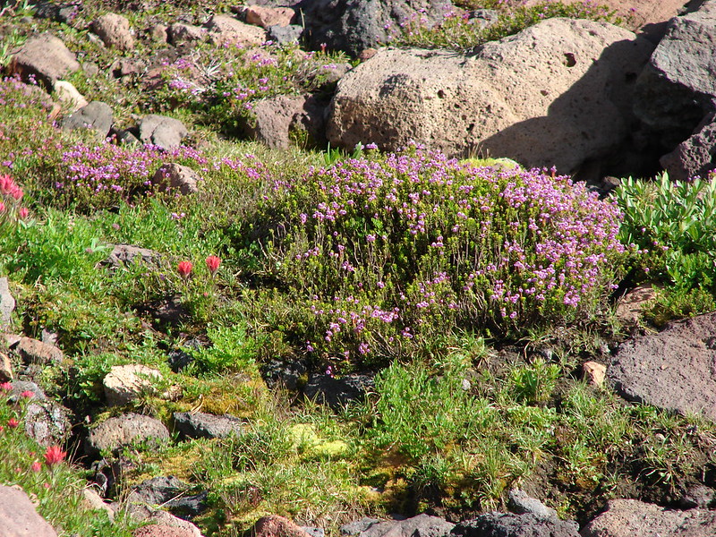
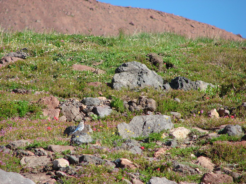
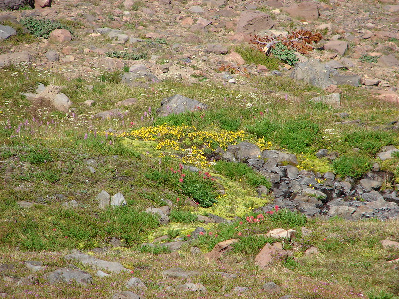
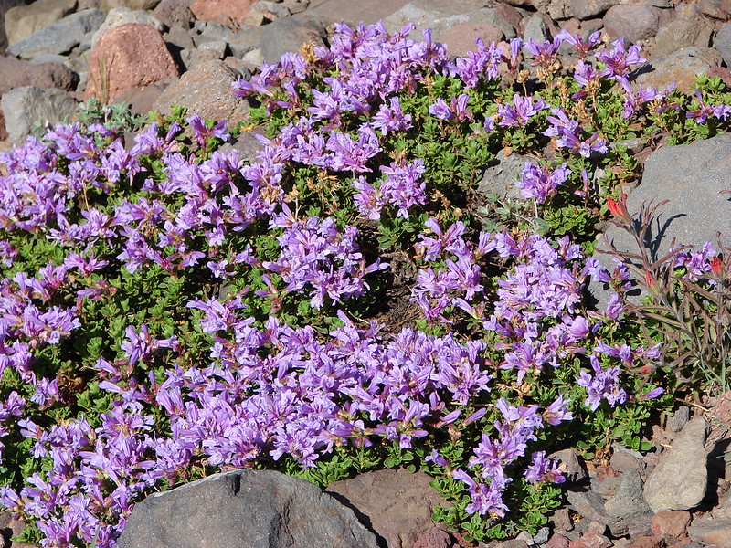
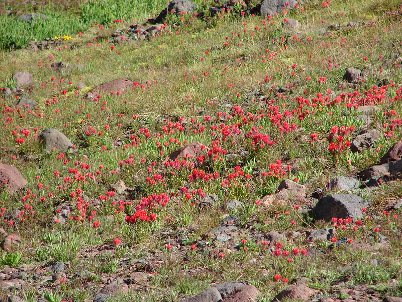
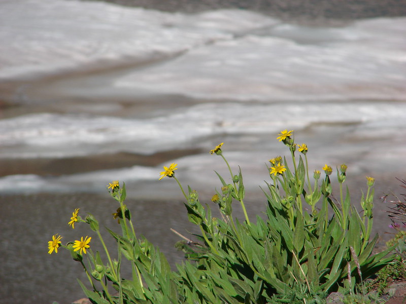
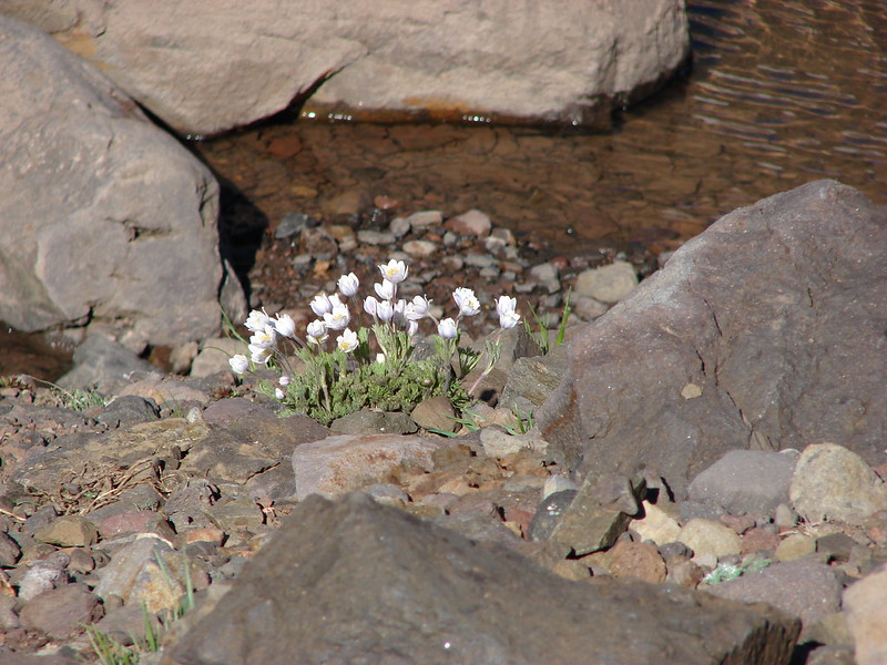
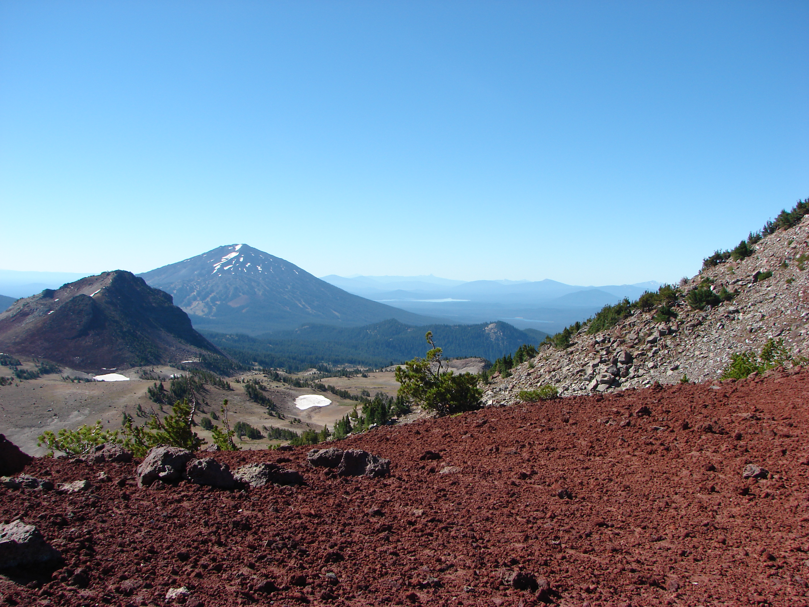
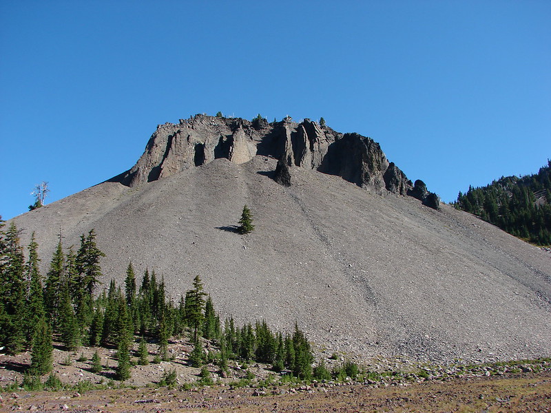
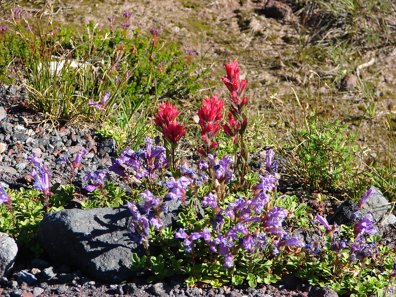
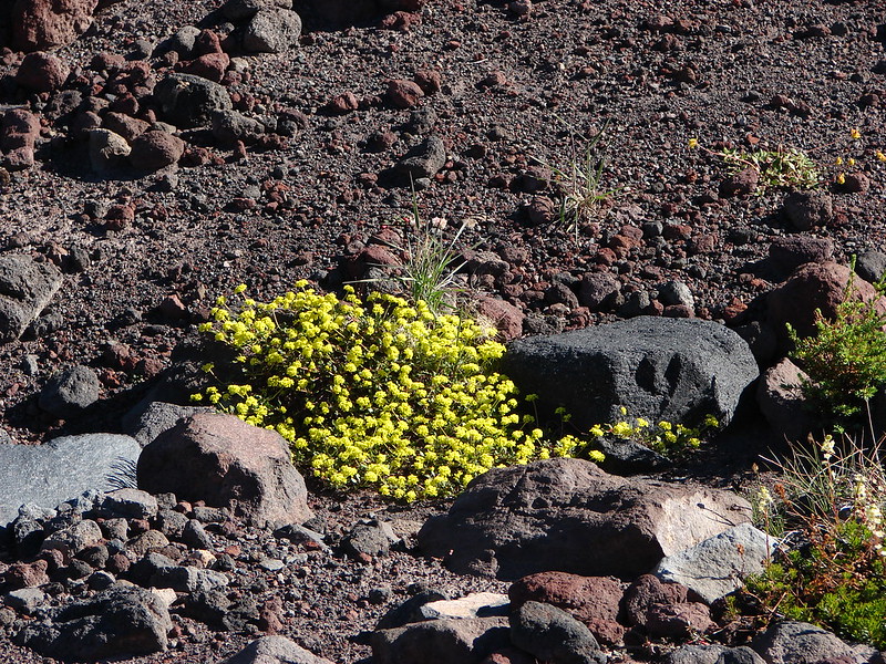
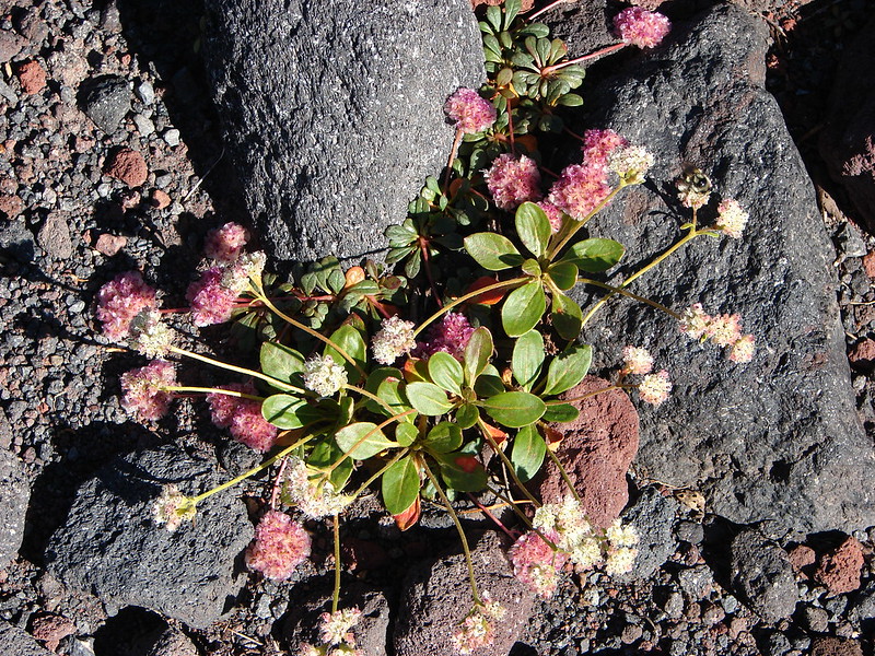
It was an interesting landscape. There were numerous types of rocks, wildflowers, and volcanic formations all around.
DSC05509
DSC05525
DSC05515
DSC05514
DSC05522
DSC05537

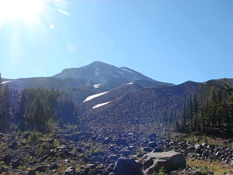
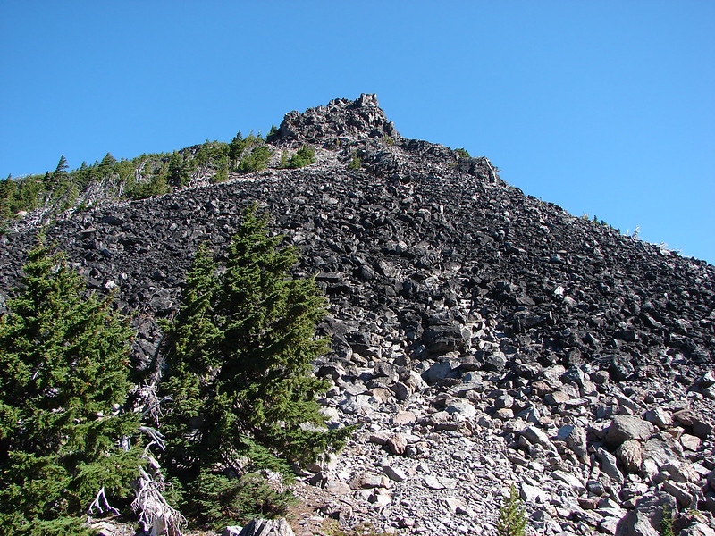
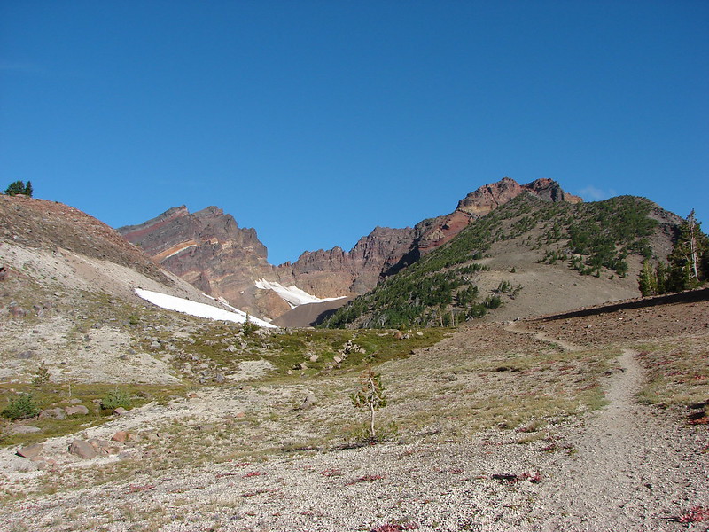
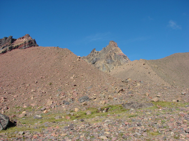
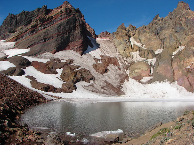
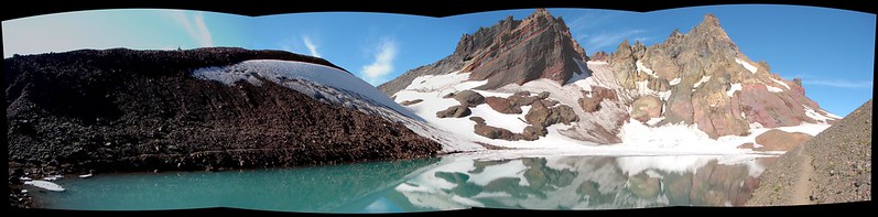
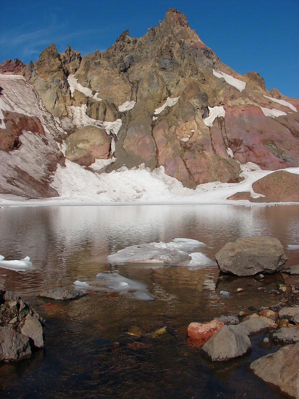
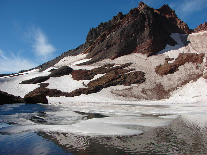
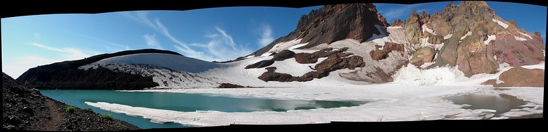
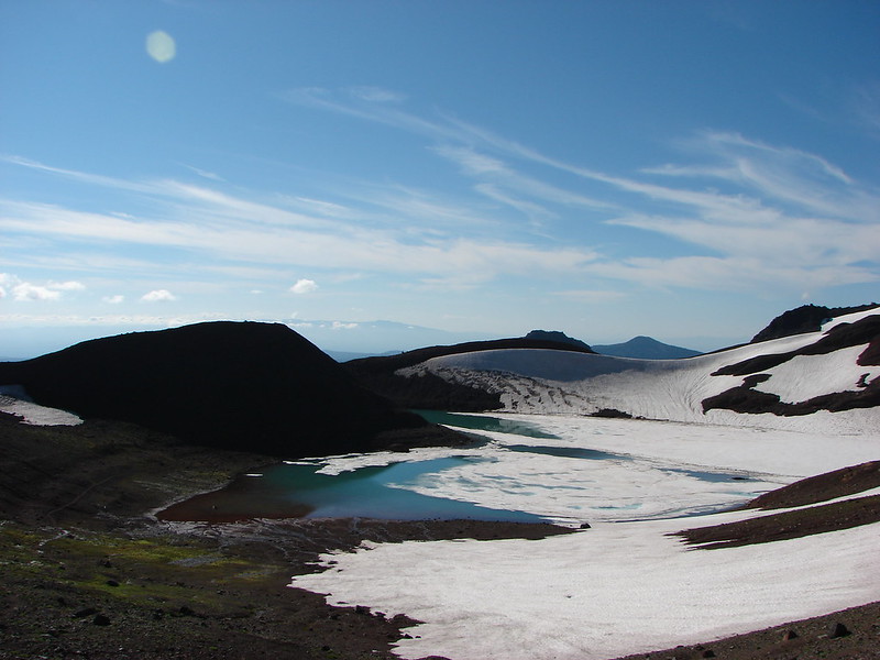
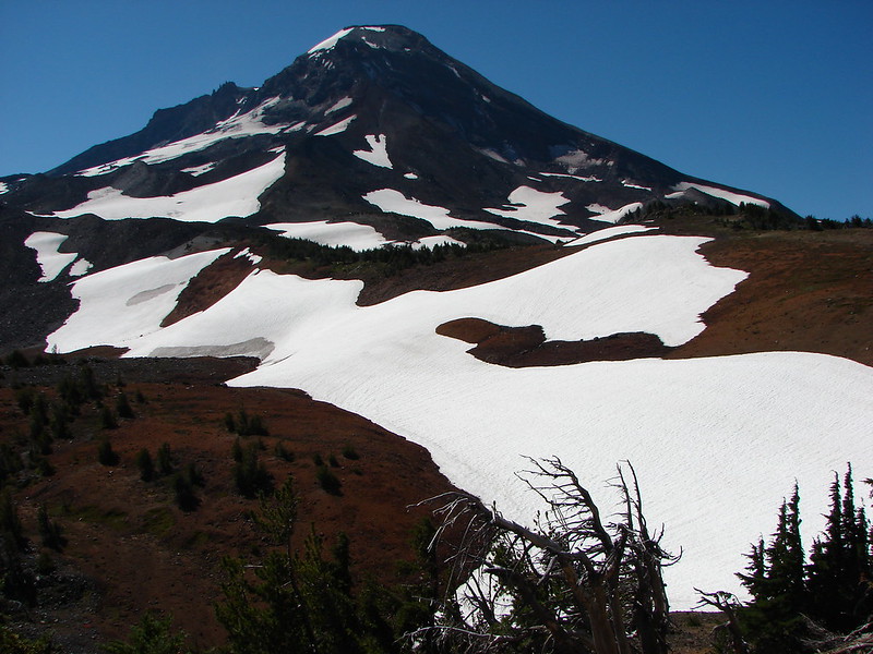
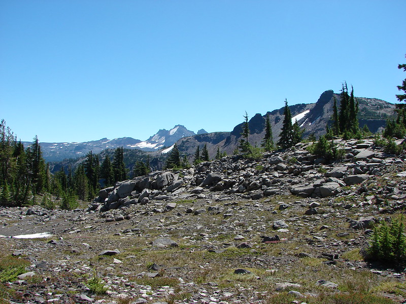
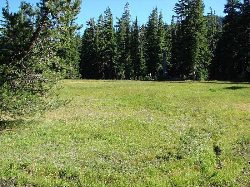
After a stiff climb through over a forested ridge we came to the Frazier Upland and the first of the Chambers Lakes.
DSC05549
DSC05559
DSC05566
DSC05568

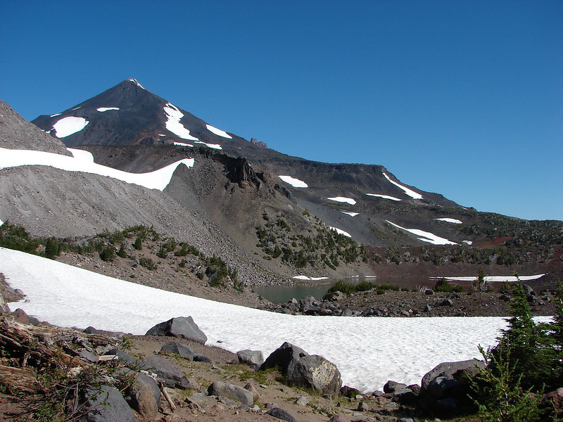
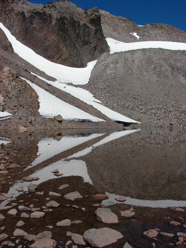
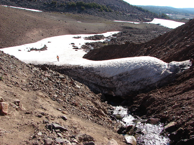
We passed by the first lake, crossed a snowfield, and climbed another ridge to find the second Chambers Lake.
DSC05584

There are a number of lakes that make up the Chambers Lakes each tucked in a depression surrounded by moraines but these were the only two our route would take us past. There was a good sized snowfield near the second lake which we would either need to cross or drop below. Not wanting to climb any more than we absolutely had to we opted to try crossing the snowfield. It was warm enough that the snow was soft and we easily made it across without needing to break out our Yaktrax.
DSC05594 Stitch

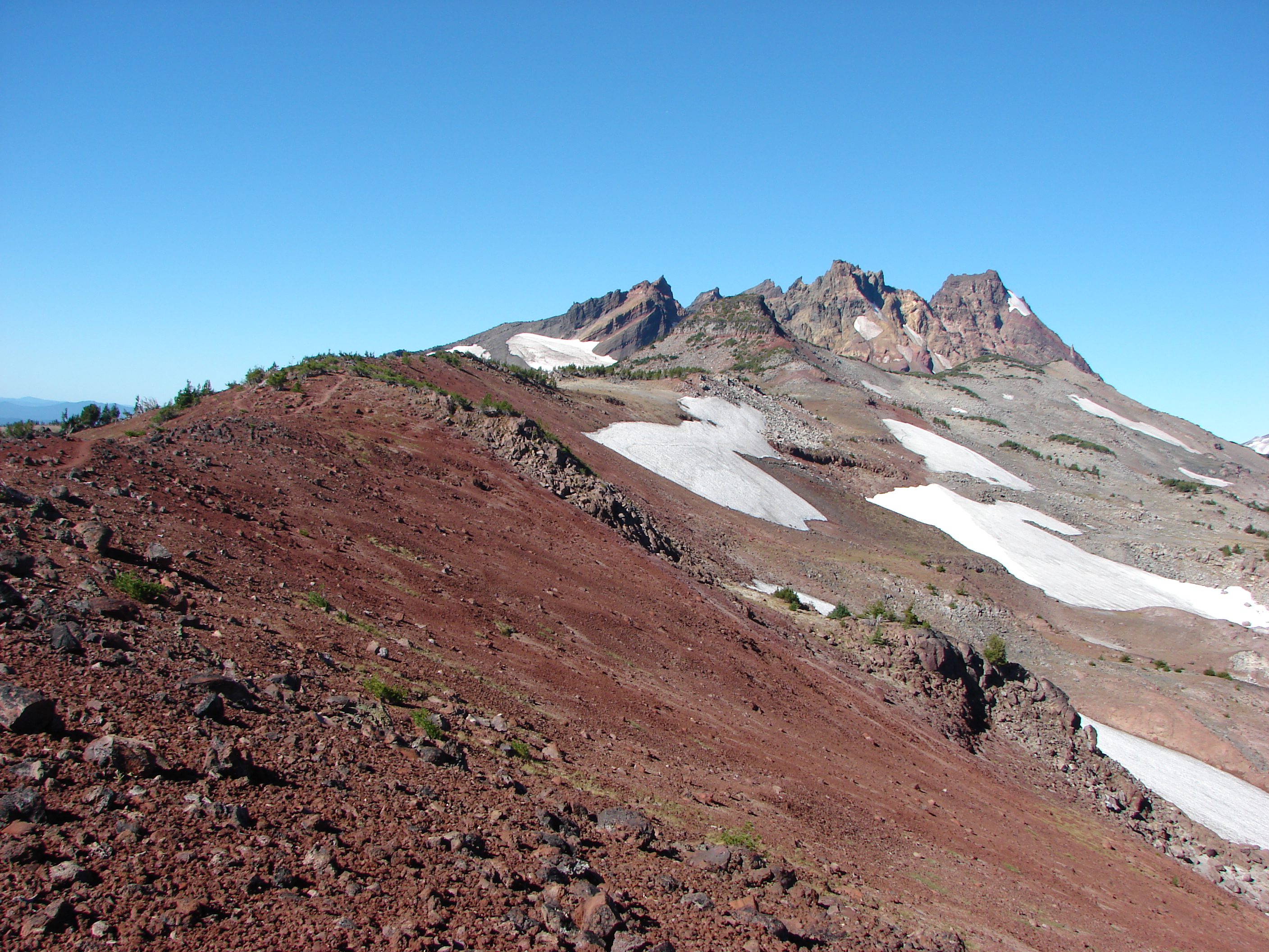
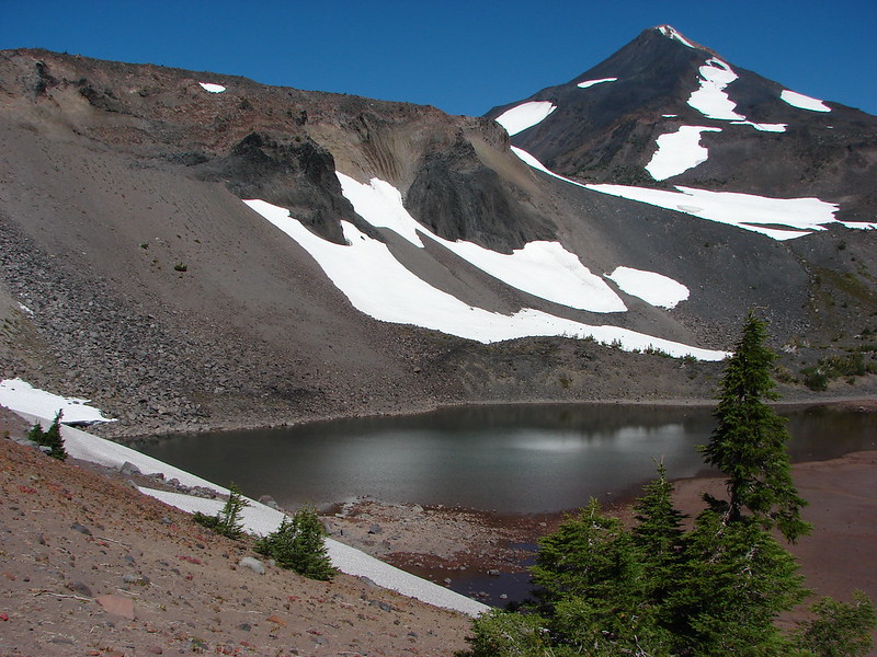
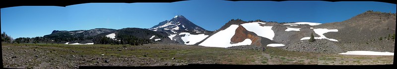
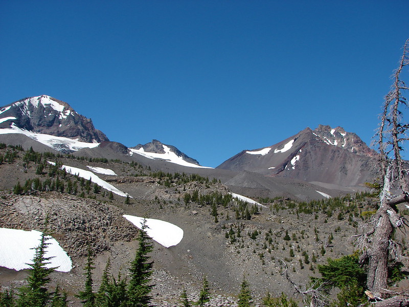
We had one last ridge to climb before dropping down to Camp Lake and an “official” trail. The final ridge was covered in wind bent whitebark pines. They seemed to be making a gateway to Central Oregon and the East side of the mountains.
DSC05599
DSC05609

The scenery at the pass was some of the best we’d seen. The contrast in colors of the various rocks, snow, trees, and even some flowers was otherworldly.
DSC05612
DSC05616
DSC05618

We passed a group of backpackers that had just come up from Camp Lake. They were happy to be finished with the climb and we quickly understood why after seeing what they had come up.
DSC05624

It was a steep descent but we were happy to be going the direction we were instead of having to go up it. The view at the bottom was gorgeous.
DSC05632 Stitch

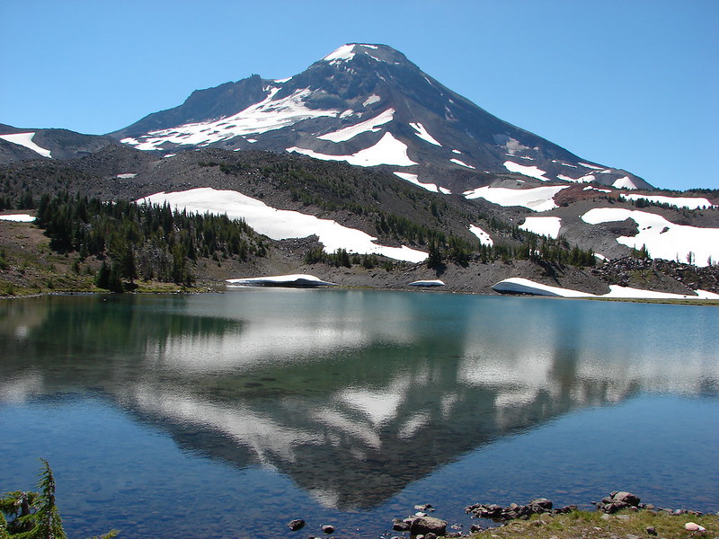
We arrived at the breathtaking Camp Lake and took our packs off. It was time to soak our feet and give our shoulders a rest.
Camp Lake

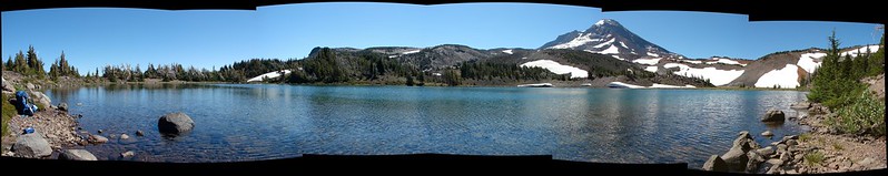
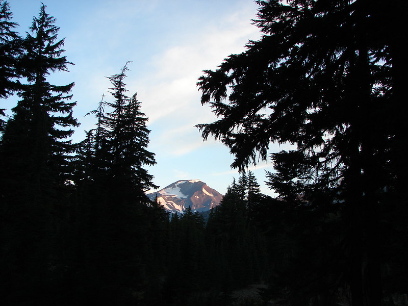
While we were resting a couple from Coos Bay, that we had seen earlier going the other direction at the second Chambers Lake, returned and we had a nice conversation before continuing on. Camp Lake offered one last photo op when the wind calmed enough to get a nice reflection of the South Sister.
DSC05657

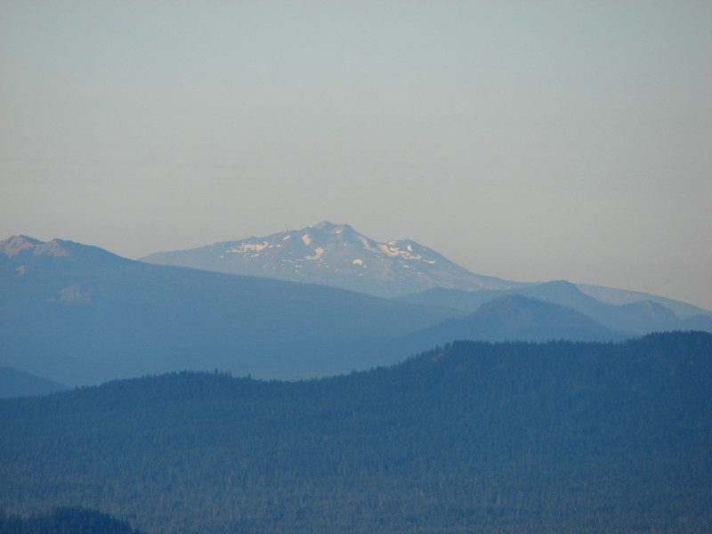
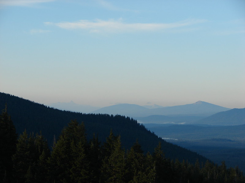
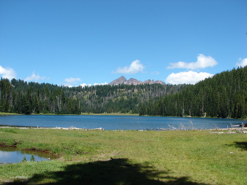
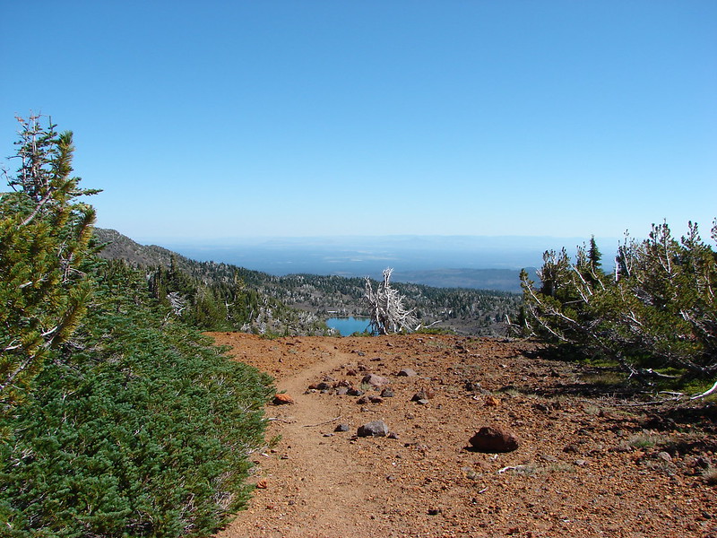
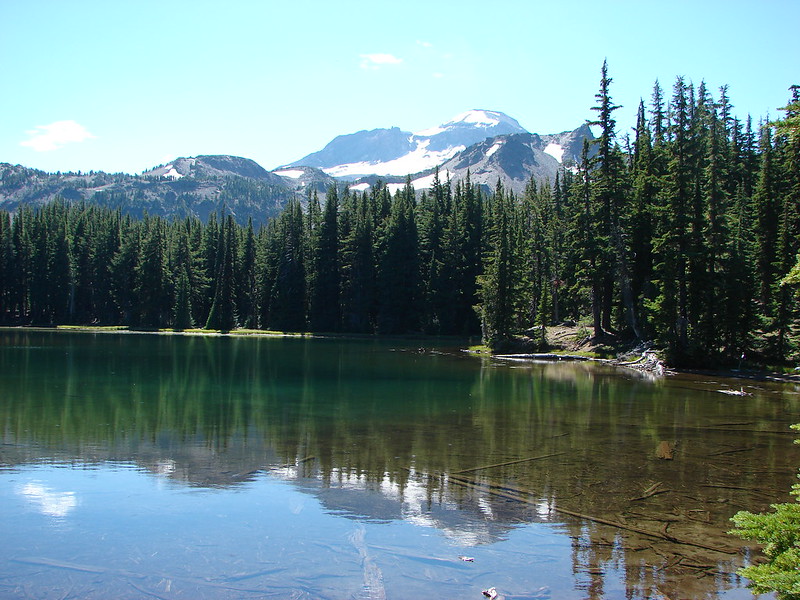
We were now on the Camp Lake Trail and headed to the Demaris Lake Trail junction on the bank of the North Fork Wychus Creek. As we continued to descend to the East, the Middle and South Sister were joined by the North Sister and Broken Top.
DSC05672
DSC05675

When we reached the Demaris Lake junction we turned right and took the .8 mile trail to the lake. We had chosen Demaris Lake simply because it would mean a slightly shorter hike on day 3 and we like to visit as many places as possible if we are in the area. As it turned out Demaris Lake was much nicer than we had anticipated. It had many camp sites, mountain views, and lot of big dragon flies zooming about.
DSC05697
DSC05702

We were really surprised that there was no one else at this lake. We had seen several groups of people going the other direction on the climbers trail and the couple at Camp Lake, but no one was here except for some wildlife.
DSC05717
DSC05719

We picked out our camp site and then set about exploring the area.
DSC05764

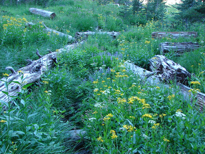
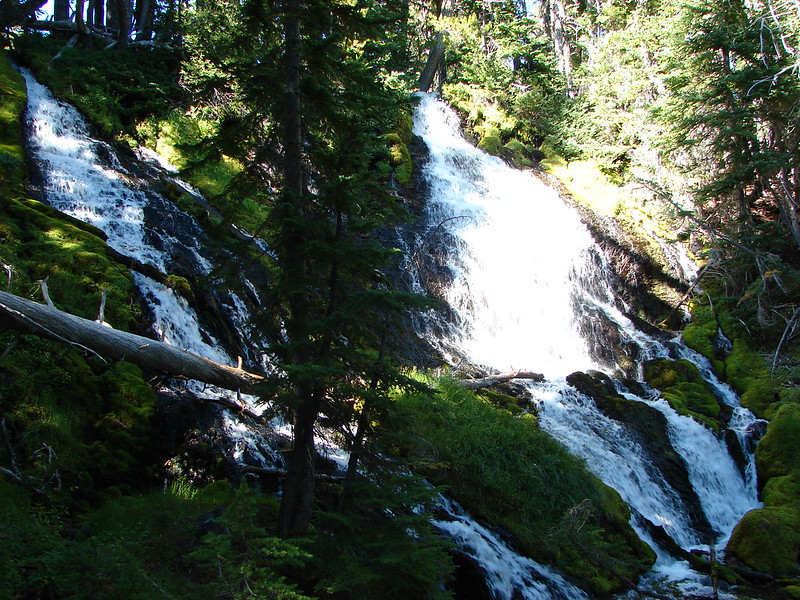
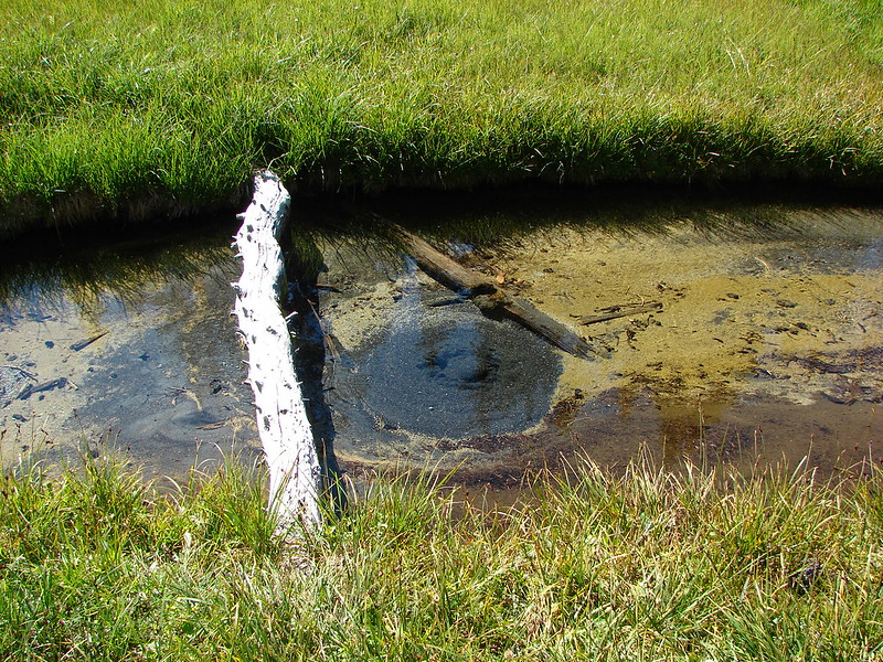
Our afternoon explorations led to some totally unexpected discoveries.
DSC05704
DSC05733
DSC05734
DSC05737
DSC05744
DSC05749
DSC05752
DSC05758

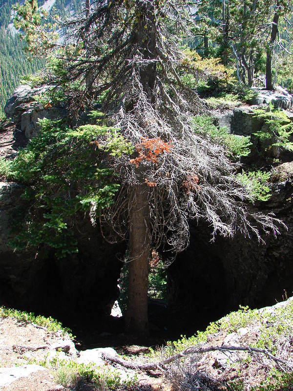
We returned to Demaris Lake re-energized by the discoveries which turned out to be an issue. Neither one of us could fall asleep despite having been awake by 5:30 and hiking 34 miles in two days. Sometime after midnight we finally dozed off but it wouldn’t be for long, Day 3 was coming and it would be full of even more surprises.

Happy Trails!

Flickr: https://www.flickr.com/photos/9319235@N02/sets/72157646908180516/
Facebook: https://www.facebook.com/media/set/?set=a.10204870070898739.1073741904.1448521051&type=1

Categories
High Cascades Hiking Oregon Three Sisters Area Trip report

Broken Top – No Name Lake

We’re a little behind on our trip reports due to spending too much time hiking 🙂 (If that is possible). After being in Washington for our last couple of trips we headed over to Central Oregon to spend some time in the Three Sisters area. We started off with a day hike to a lake we had really been wanting to visit, a lake with no name but a spectacular view located at 8000′ on the east side of Broken Top.

We set off from Todd Lake as the Sun was rising hoping to beat the crowds up to this increasingly popular spot.
DSC04655

The trail from Todd Lake entered the Three Sisters Wilderness shortly after leaving the lake.
DSC04666

Then Broken Top made an appearance.
DSC04667

It wasn’t the only Cascade Peak visible from the trail.
Mt. Bachelor:
DSC04669
South Sister:
DSC04673

The trail climbed gently as it left the forest and gained better and better views as it passed by and through open meadows.
DSC04690
DSC04695
DSC04694

And across wildflower lined streams.
DSC04710
DSC04707
DSC04701
DSC04702

We spotted several deer grazing in the meadows near the junction with the Green Lakes Trail.
DSC04722
DSC04727
DSC04735

As we gained elevation the views to the south opened up and we could see Diamond Peak, Mt. Thielsen, and Mt. Bailey beyond Mt. Bachelor.
DSC04744
DSC04743
DSC04746

As we worked our way around Broken Top we passed several springs which were the sources of many of the green meadows we’d passed.
DSC04758
DSC04759

It was interesting to note a small section of land that was not included in the Three Sisters Wilderness surrounding Crater Ditch. The ditch channels water from glacial melt-off down into Central Oregon for irrigation purposes and predates the wilderness designation thus remaining outside of the boundary.
DSC04764
DSC04776

After crossing Crater Ditch the trail headed toward Ball Butte and the end of the Green Lakes Trail at road 380.
DSC04779

Shortly after crossing a creek an unofficial trail forked to the left heading between Ball Butte and Broken Top with Broken Hand dead ahead.
DSC04784

We then recrossed the monkeyflower lined creek and followed it up toward the no name lake passing several small but scenic falls.
DSC04786
DSC04797
DSC04803

The trail turned toward Broken Top and continued to climb toward the east side of the mountain. An increasing variety of wildflowers could be seen as we got closer to the lake and many birds were flying about chirping happily.
DSC04809
DSC04820
DSC04825
DSC04834
DSC04835

Finally the path reached a snowfield between two moraines. We climbed the snowfield to find no name lake waiting at the base of Broken Top.
DSC04851
DSC04854
DSC04853
DSC04856

The lake was as beautiful as advertised. The colors of the water and of Broken Top were spectacular.
DSC04880 Stitch
DSC04869
DSC04912
DSC04902 Stitch

We were surprised by several things. The lake was larger than we had expected and there was a surprising number of flowers growing on the moraines surrounding the lake.
DSC04940
DSC04926
DSC04898
DSC04908

A path around the right side of the lake led to yet more amazing views. Climbing to a viewpoint revealed mountains from Broken Top to a faint Mt. Hood on the horizon with the lake below behind us.
DSC04961 Stitch
DSC04944

There was a single tent high up on the rim overlooking the lake but we didn’t see the owner and had had the lake all to ourselves for awhile before another pair of hikers arrived. On our hike out we passed a number of people heading up the trail and were once again glad we chose to get an early start. There is a shorter route to the lake but it involves what has been described as a terrible access road and it would have meant missing out on some great scenery. When we got back to Todd Lake the parking lot was full but the lake and Broken Top remained a peaceful sight and a great way to kick off a vacation.
DSC05068

Happy Trails!

Flickr: https://www.flickr.com/photos/9319235@N02/sets/72157646779105332/
Facebook: https://www.facebook.com/media/set/?set=a.10204792879248996.1073741902.1448521051&type=1

Categories
High Cascades Hiking Oregon Three Sisters Area Trip report

Tam McArthur Rim

An extra long weekend brought us to Central Oregon for a pair of Labor Day weekend hikes. We had planned the coup de gras of our hiking season for September 1st when we were set to climb the South Sister, but first we decided to take a “warm up” hike on the 31st on our way to Bend, OR. We chose Tam McArthur Rim which is located about 16 miles south of Sisters, OR at Three Creek Lake. The trail offered an up close look at Broken Top and a view of the Three Sisters to help us get excited for the next days climb. We also had the option of making this a short hike of just 5 miles by turning around at the rim viewpoint, but of course we opted to lengthen the trip. 🙂

The trail offered views from the beginning with Tam McArthur Rim and the North & Middle Sister looming over Three Creek Lake.
402
The trail climbed for the first 3/4 of a mile up a ridge to the rim’s plateau. Along the way views opened up across the lake to the north revealing several Cascade peaks. When we reached the plateau the mountains were temporarily lost as we traveled south across a semi-barren landscape. After a half mile the trail bent right and began gradually climbing along the sloped plateau. Mountains once again were visible, this time to the south. Mt. Bachelor rose above the plateau with Tumalo Mountain to it’s left.
432

As we gained elevation along the plateau the tops of Broken Top and the South Sister began to peek over the rims edge. The plateau itself was an interesting mix of rocks and sand dotted with clumps of trees. The plants were limited to those capable of surviving windy conditions on little water. Just prior to the final climb to the viewpoint the trail approached the cliff edge where we got our first good look at Little Three Creeks Lake.
452

Upon reaching the viewpoint we found that it was a nice wide area with a 360 degree view. At an elevation of 7730′ it was high enough to see a good distance. It was a wonderful spot to take a break and have a bite to eat and would have been an acceptable place to declare victory and turn around. While we sat at the viewpoint we were joined by a Red Crossbill who apparently thought it was a good place for a break as well. Although the view here was good enough to call it a day the trail continued on so we would too.

North & Middle Sister, Mt. Washington and Three Fingered Jack from the viewpoint.

Continuing on from the viewpoint the trail stayed fairly level as it followed the edge of the rim toward Broken Top. The open landscape of the plateau meant constant views with Mt. Bachelor to the south, a string of Cascade peaks to the NW and Central Oregon to the east. Between the trail and Central Oregon the plateau was dotted with patches of snow that were still melting feeding silver creeks that flowed down toward the Deschutes River far below. The most prominent of these was the North Fork of Tumalo Creek.

North Fork of the Tum
North Fork of Tumalo Creek

The trail skirted around one of these snow fields and climbed a cinder slope where we could see the final mile of our path before us.
562

The final mile climbed a cinder ridge to the base of Broken Hand. From this ridge the views became even grander. To the south beyond Mt. Bachelor was Diamond Peak, Mt. Thielsen and eventually Mt. Scott which resides on the rim of Crater Lake.
594
To the north we could see all the way to Mt. Adams in Washington although haze made it difficult to see it well.
598

We ate lunch at the base of Broken Hand admiring the colors and shapes of the volcanic rocks of Broken Top and the Three Sisters. We spotted a fellow hiker sitting on the rim of the moraine containing Broken Top Lake, a destination we hope to see next year.
614
We spent quite awhile surveying the landscape around us, and I was especially intrigued by what appeared to be a good sized waterfall to the SE of the Middle Sister. It may have been along the outlet creek of one of the Chambers Lakes (possibly Camp Lake).
618
We also tried to spot climbers on top of the South Sister since we planned on being up there the next day but couldn’t make anyone out.

On our way back we began running into more hikers and other wildlife too. A silent group of ravens glided by apparently searching for something along the plateau.
671
We also spotted an impressive spider which had bright red legs and was just a bit larger than a quarter.
684
This was a great way to start a weekend of hiking and really got us excited about our hike up the South Sister. Happy Trails.

Facebook photos: https://www.facebook.com/deryl.yunck/media_set?set=a.10202026938382203.1073741853.1448521051&type=3
Flickr: http://www.flickr.com/photos/9319235@N02/sets/72157635322678462/