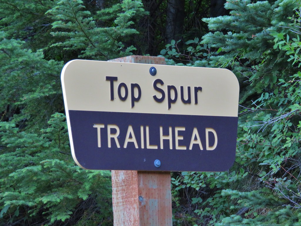
A week after visiting Mt. St. Helens we were headed to another of the Cascades volcanoes – Mt. Hood. We were meeting my parents in the morning for a hike up in the area of McNeil Point. The plan was to begin at the Top Spur Trailhead with them and hike together to an area below McNeil Point where ponds collect the melting winter snows. From the ponds Heather and I would head up to McNeil Point to visit the shelter there and continue up the ridge behind it toward Mt. Hood. We picked up my parents at McNeil Campground in the morning and were ready to set off on the Top Spur Trail just before 7AM.
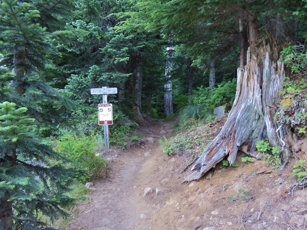
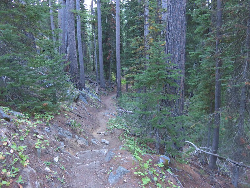
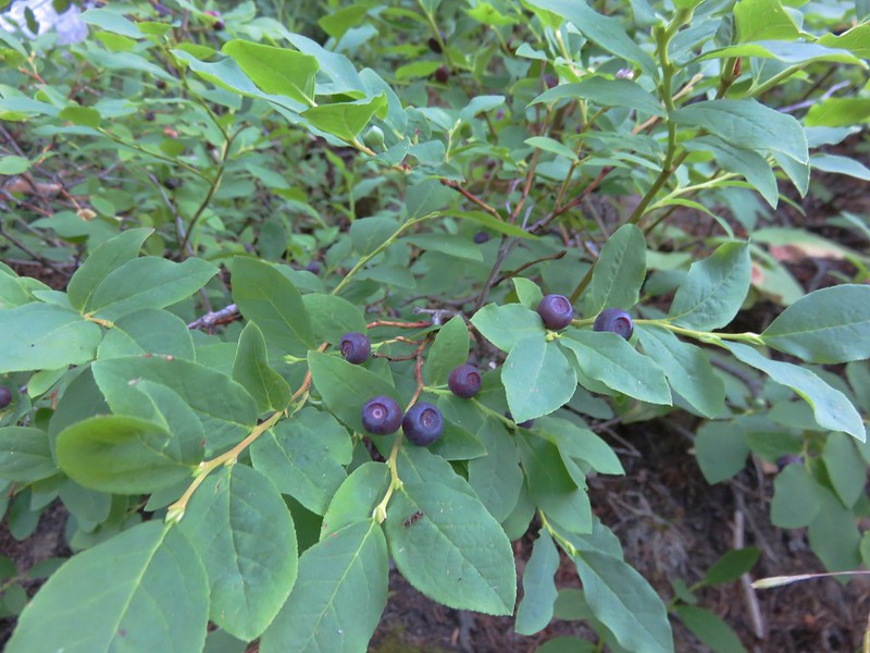
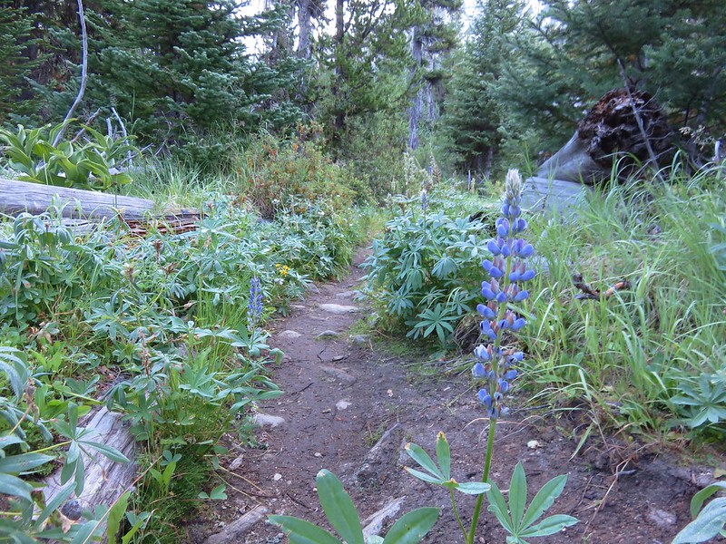
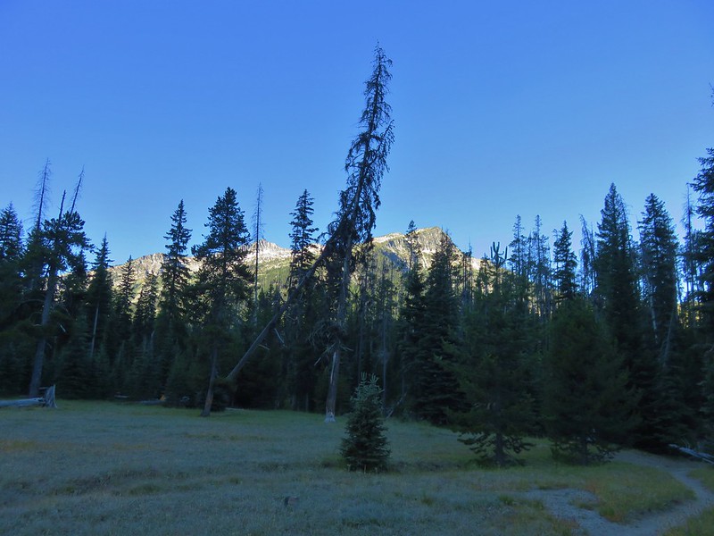
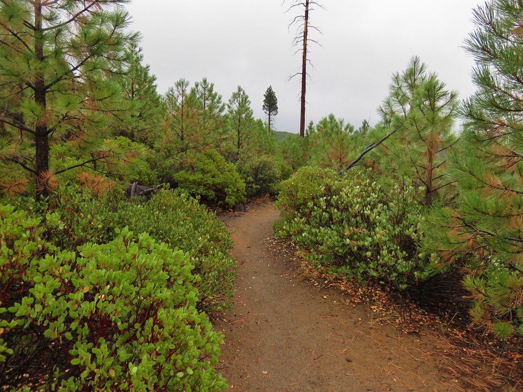
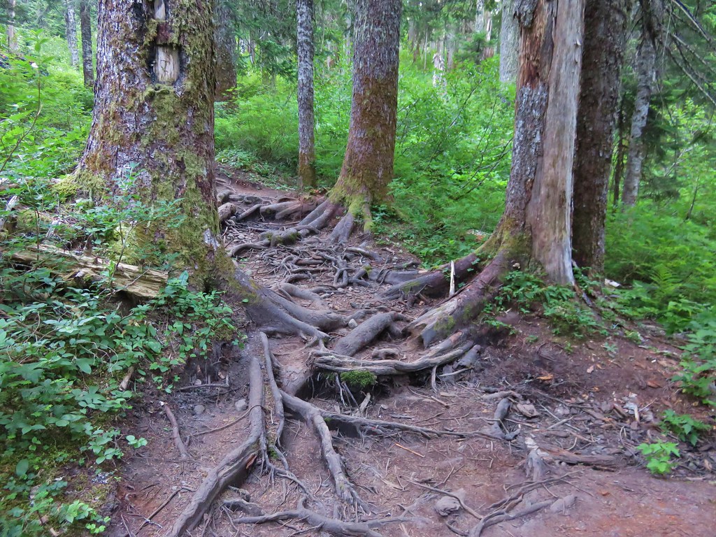
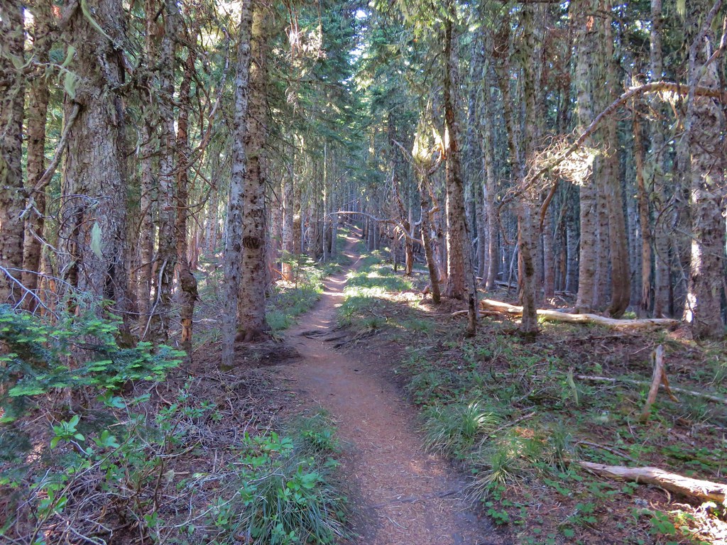
The first section of trail led through a forest filled with huckleberries and blueberries. Tree roots covered the path in many areas making for an uneven surface for walking.
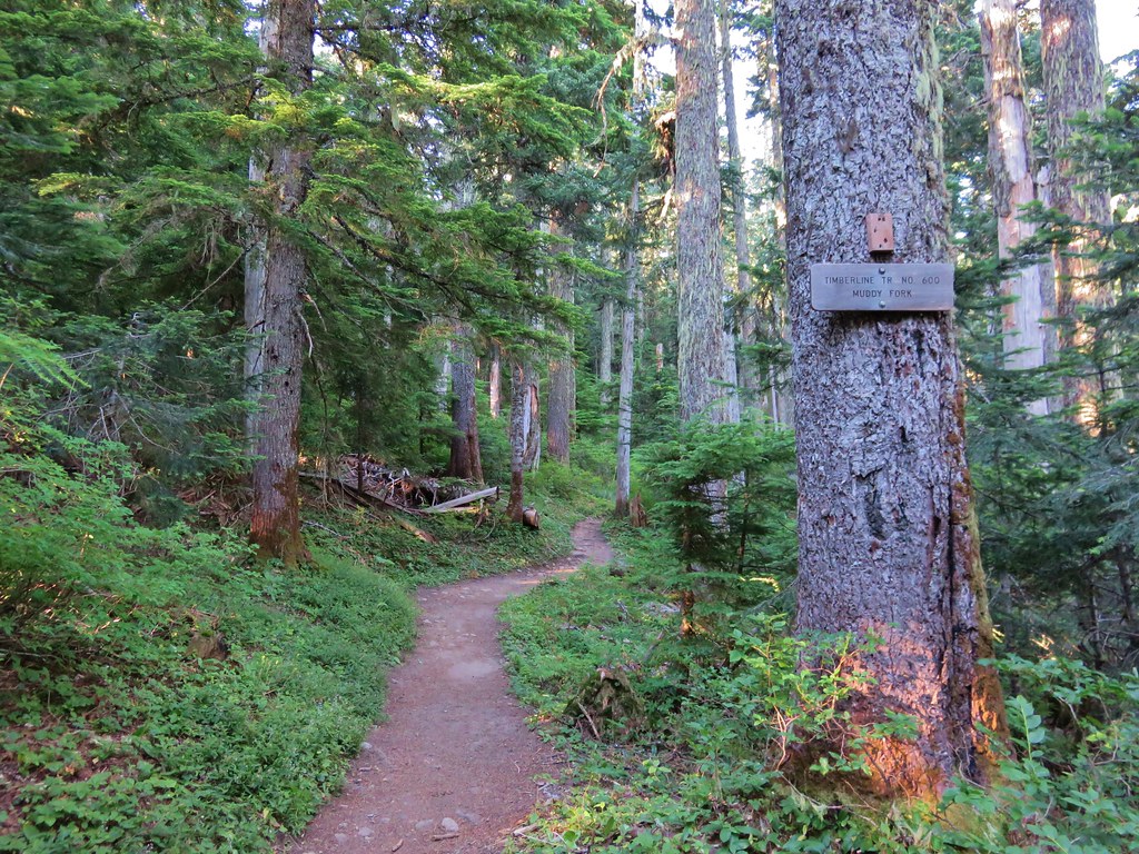
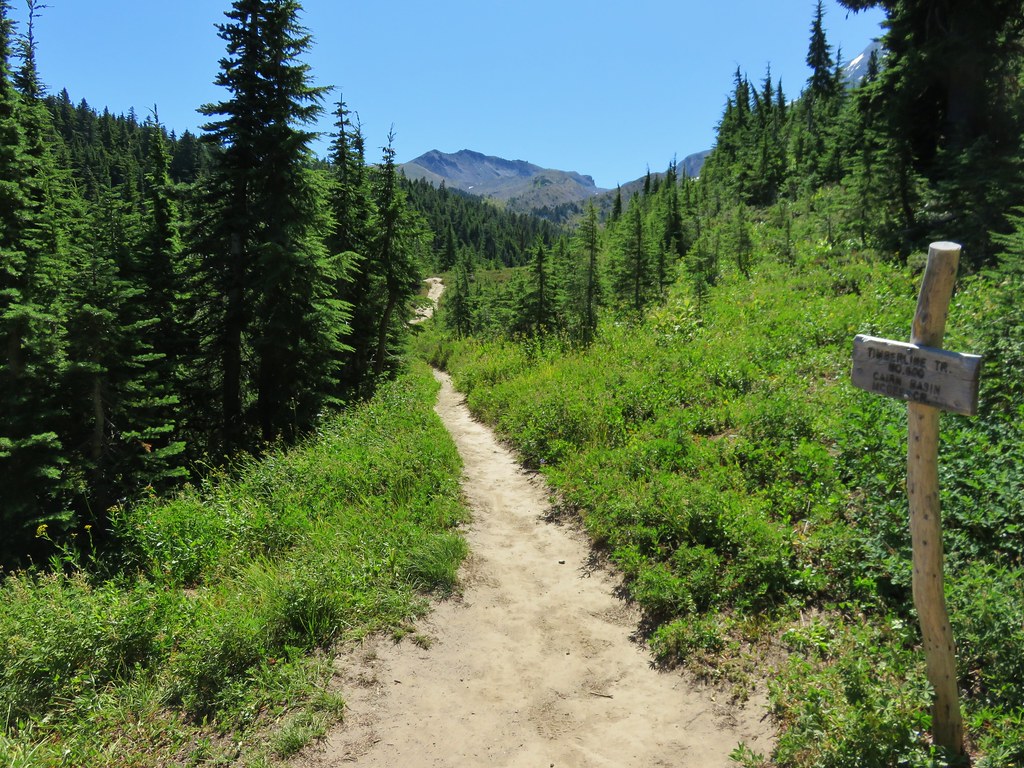
The Top Spur Trail joined the Pacific Crest Trail for a tenth of a mile before splitting off at a four way trail junction where the PCT and the Timberline Trail intersect.

We took the middle of three forks following the Timberline Trail toward the Muddy Fork River. The PCT continued down the far right-hand fork and the left-hand fork was the continuation of the Timberline Trail on its way toward Cairn Basin.
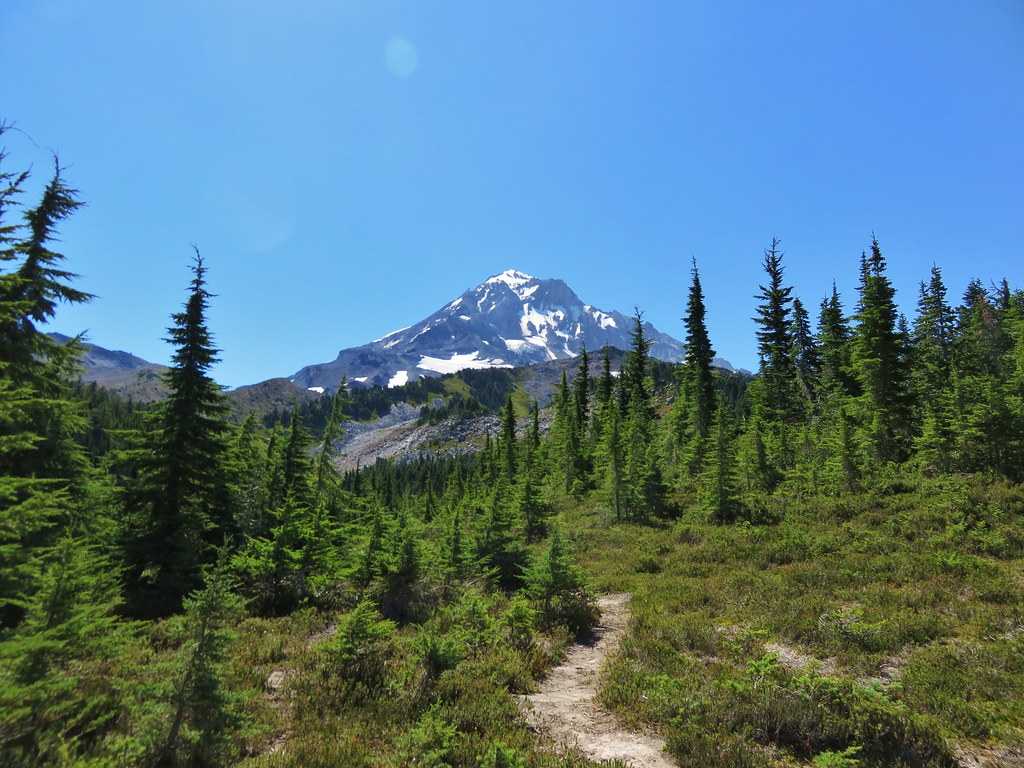
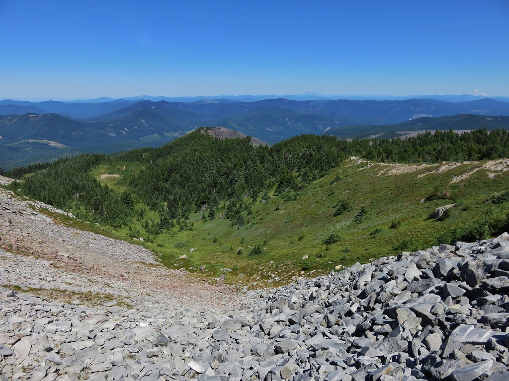
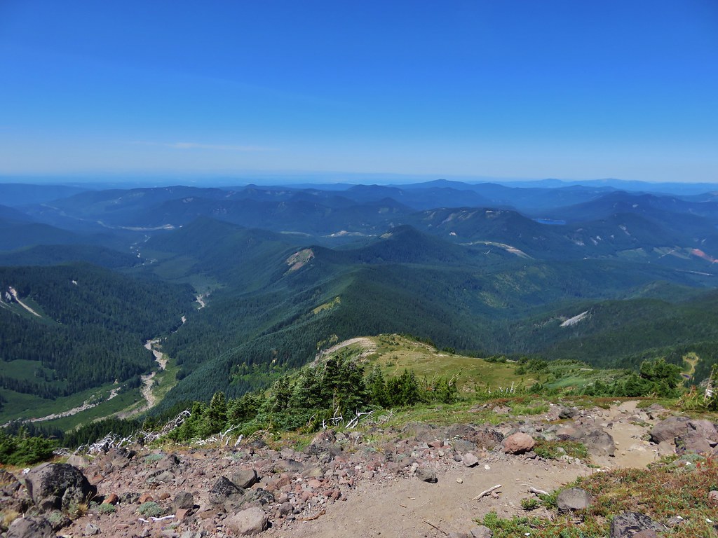
It would have been a little shorter hike if we had taken the Timberline Trail toward Cairn Basin which was the more direct way to get to the ponds below McNeil Point, but by heading toward the Muddy Fork we would pass through some open meadows on the south side of Bald Mountain where Mt. Hood would be visible. The meadows fill with flowers in early summer but were mostly passed now, however the view of Mt. Hood was still there.
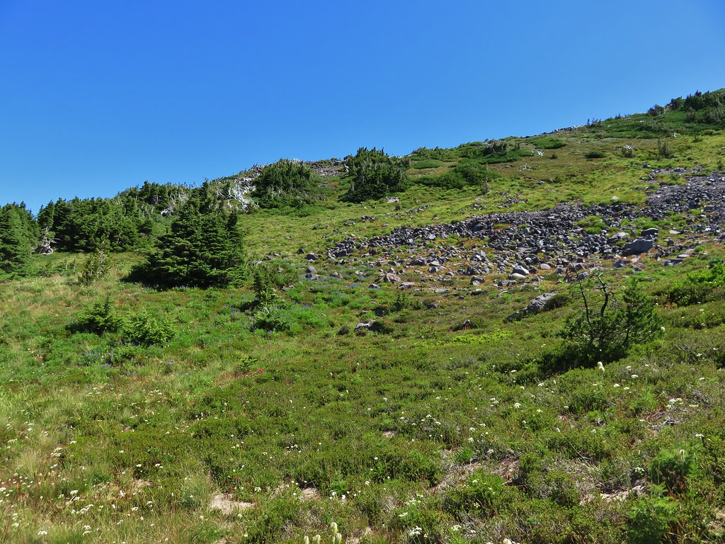
After passing through the second (smaller) meadow on Bald Mountain the trail reentered the forest. We were now looking for a side trail that would take us over the top of the Bald Mountain ridge to the Timberline Trail on the north side. Heather and I had taken this trail in 2012. At that time it was an unmarked use trail up and over the ridge. We spotted a worn trail to the left in the area we expected and headed toward the ridge. I managed to lead us over a small ridge and right back onto the Timberline Trail that we had already been on. We had to walk back through the small meadow and look for a different trail. Just around the corner from where we had turned off the trail the first time there was another side trail. This one had a nice new sign indicating it was the Cut Off Trail. Apparently it was now an official trail and there was a similar sign on the far side of the ridge.

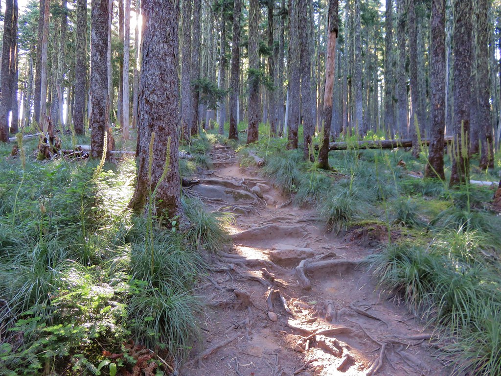
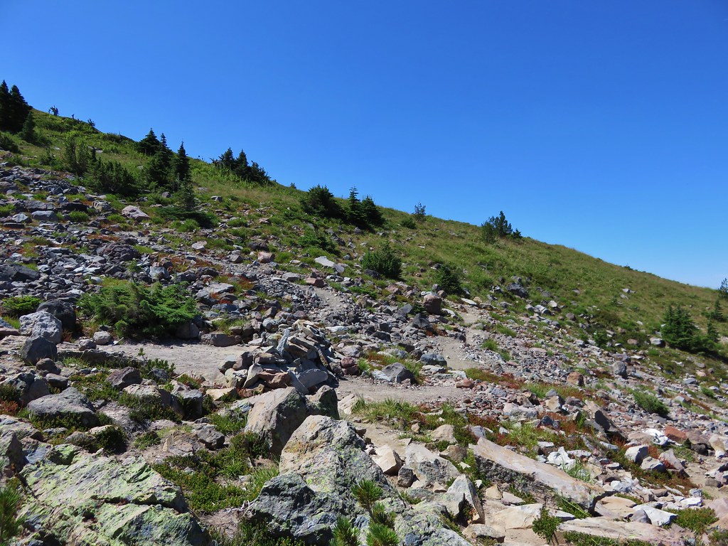
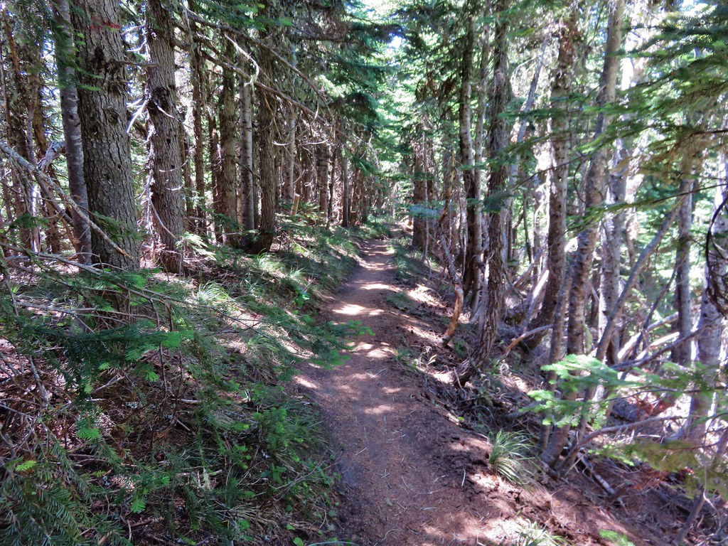
Now that we were back on track we headed uphill through the forest. More root covered trail awaited as we passed through some past-its-prime beargrass and headed up the ridge.
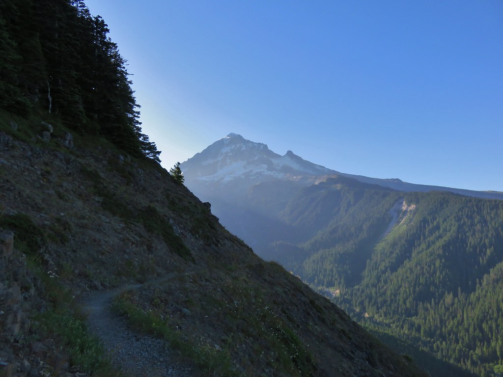
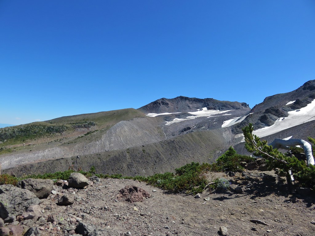
The trail climbed fairly gently up the ridge passing a couple of open views of the mountain.


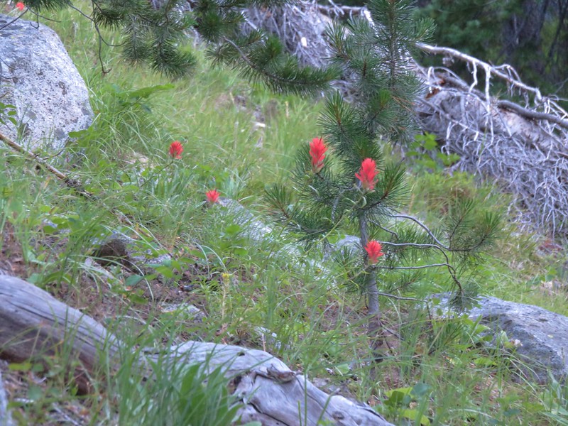
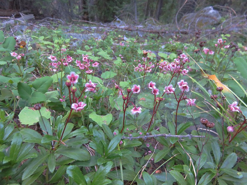
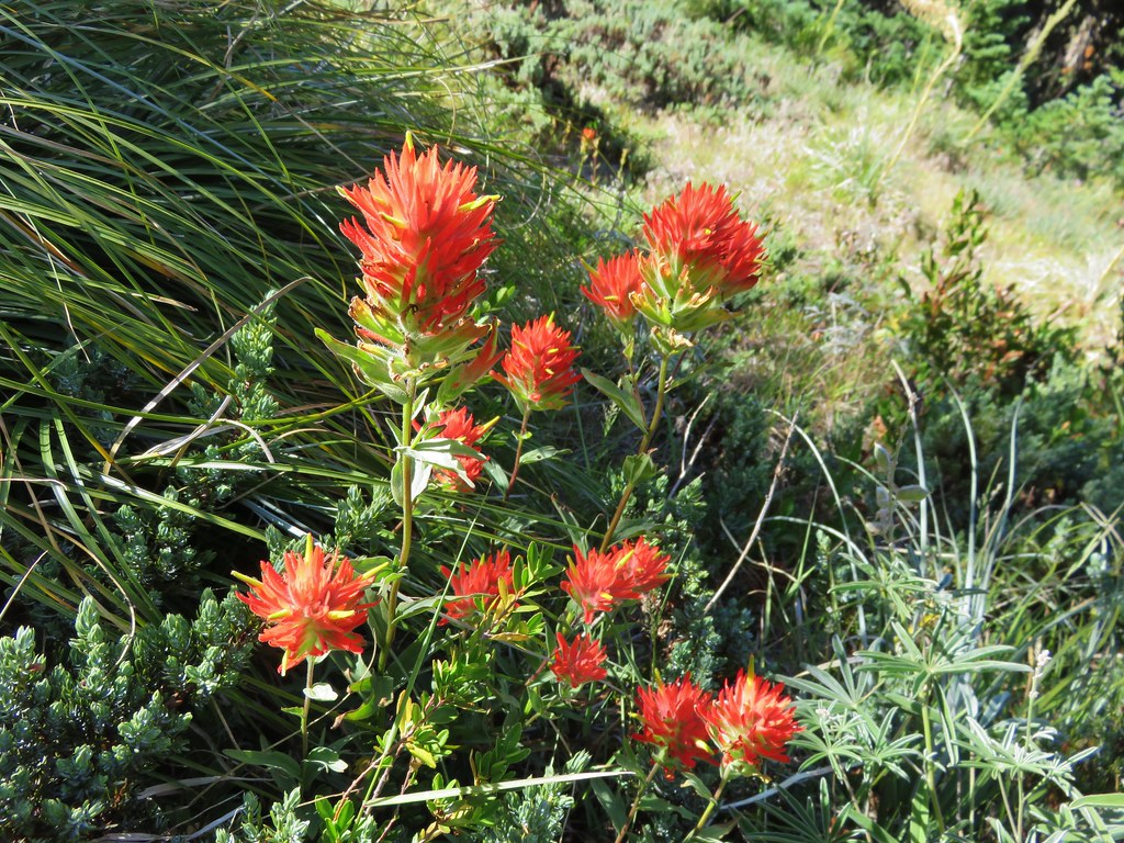
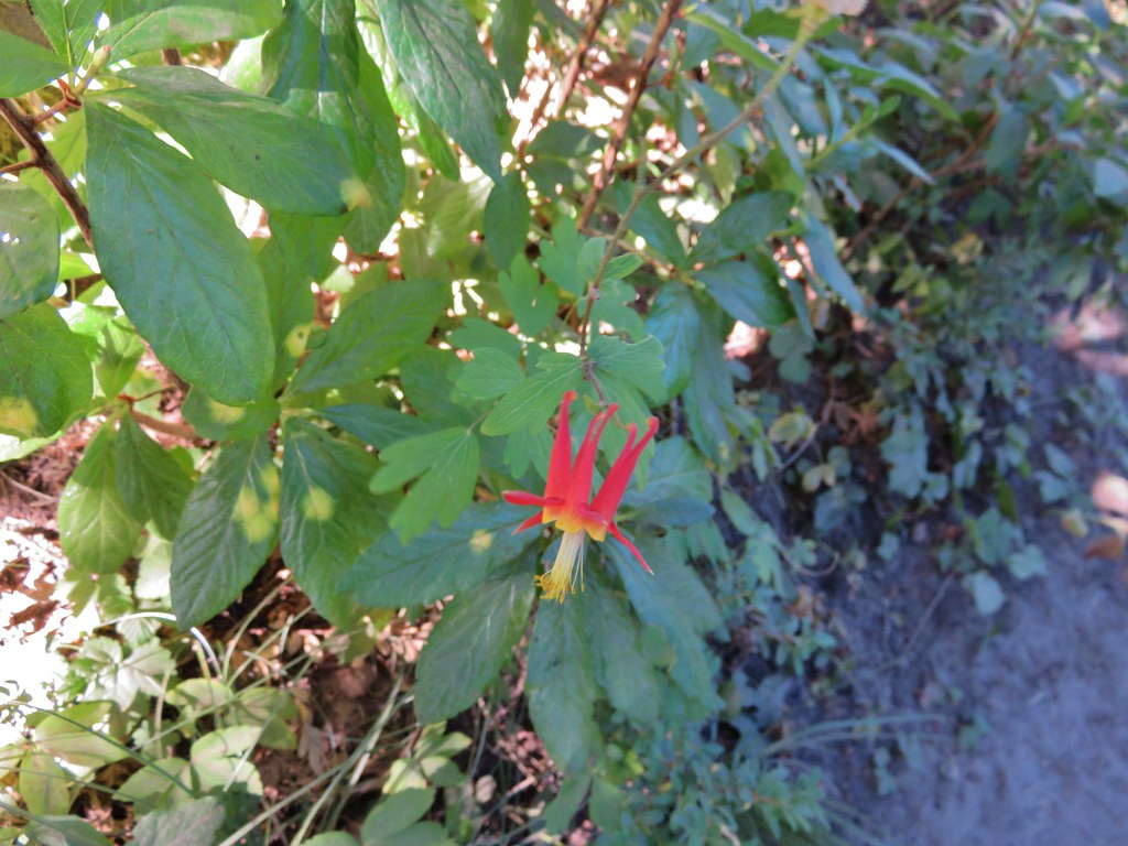
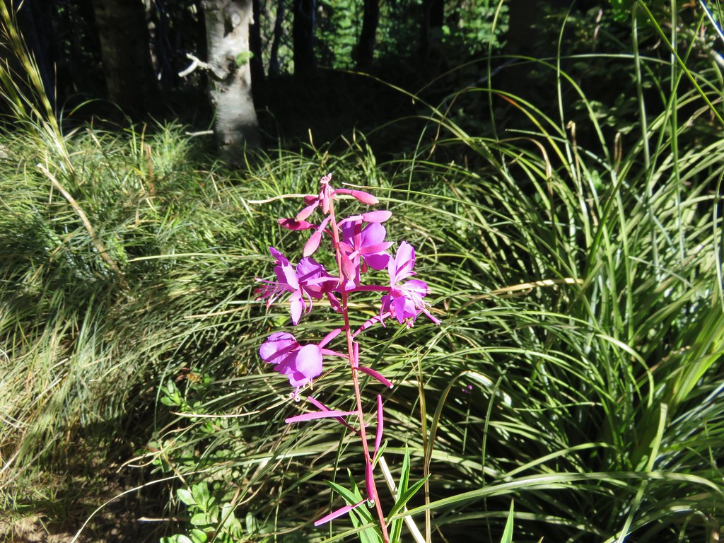
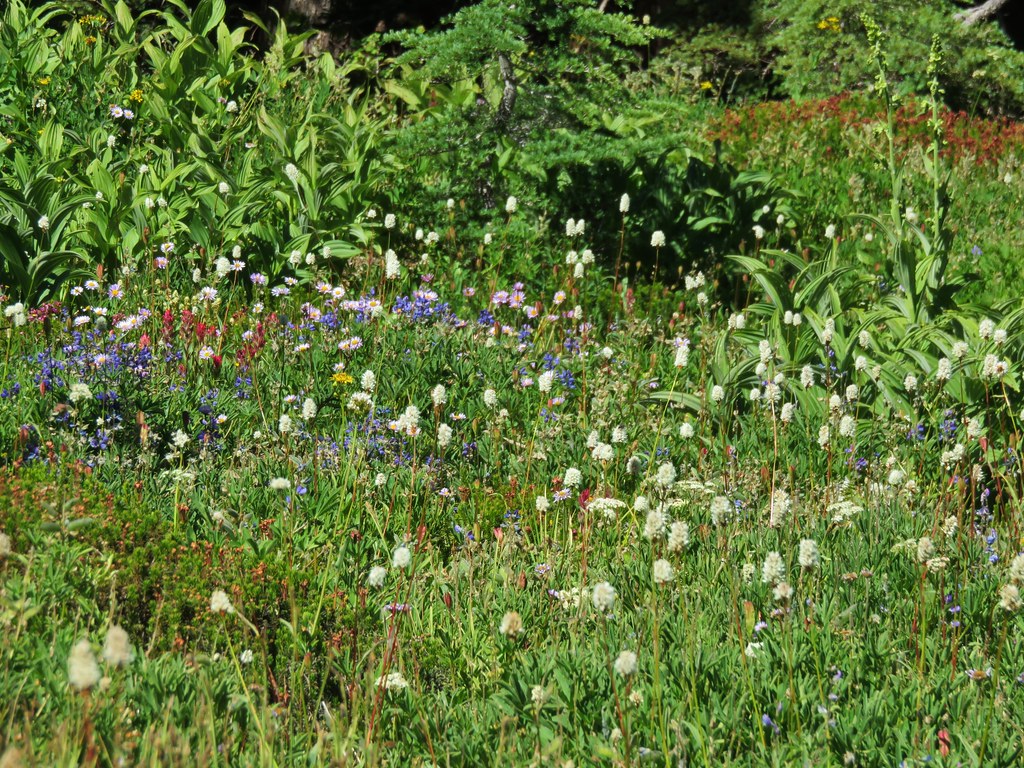
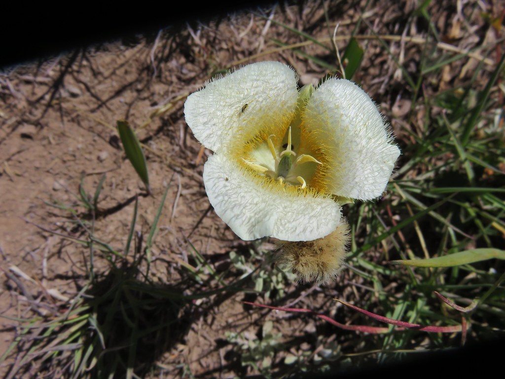
In a typical year the flowers along this hike would have been at or near their peak in mid-July but this year the majority of them had already gone to seed. We did manage to spot a few late bloomers along the ridge though.
Paint
Columbine
Fireweed
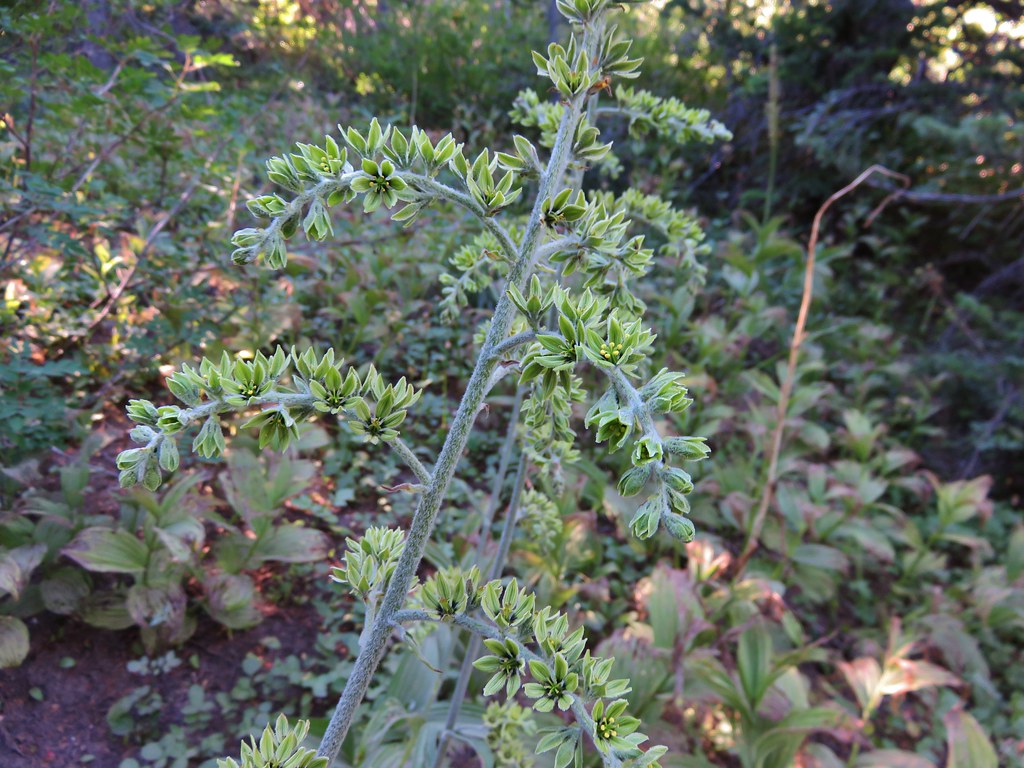
False Hellbore
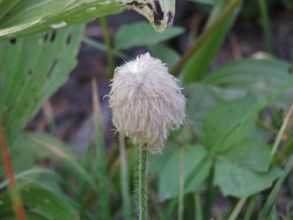
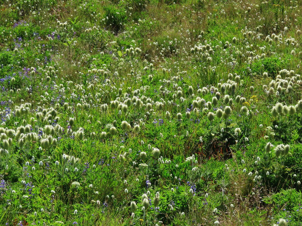
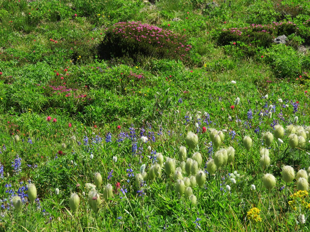
Western Pasque Flower (seed-head)
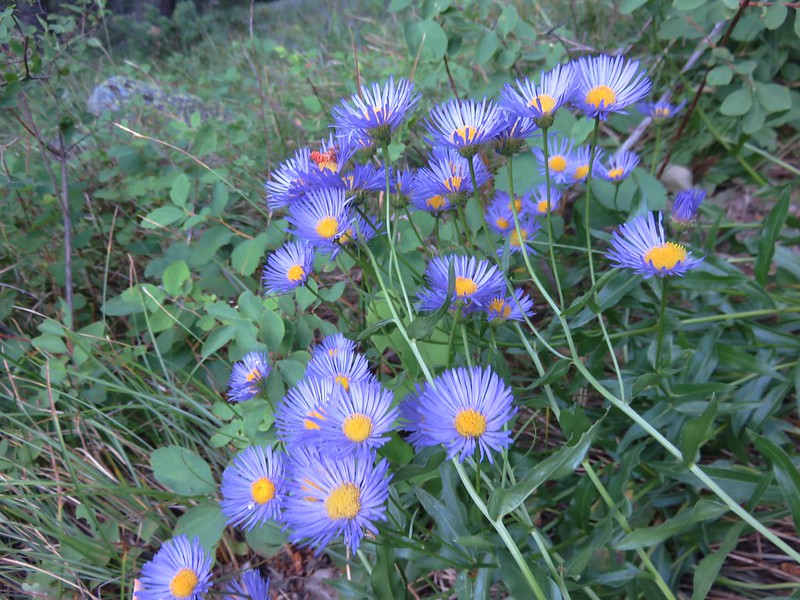
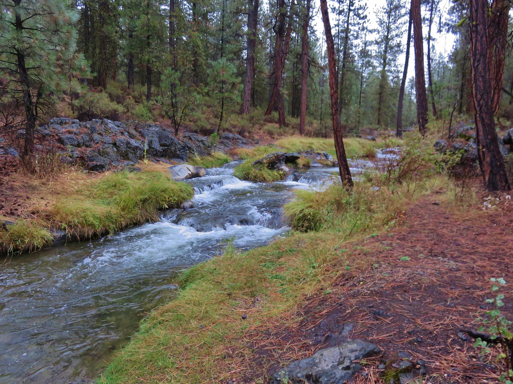
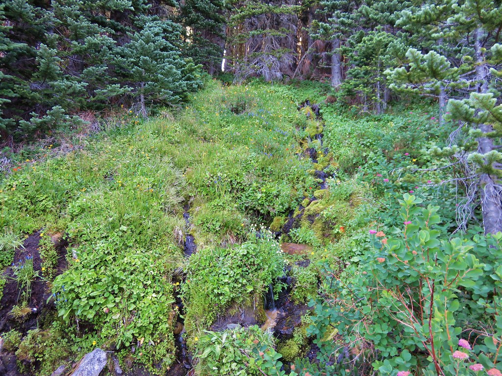
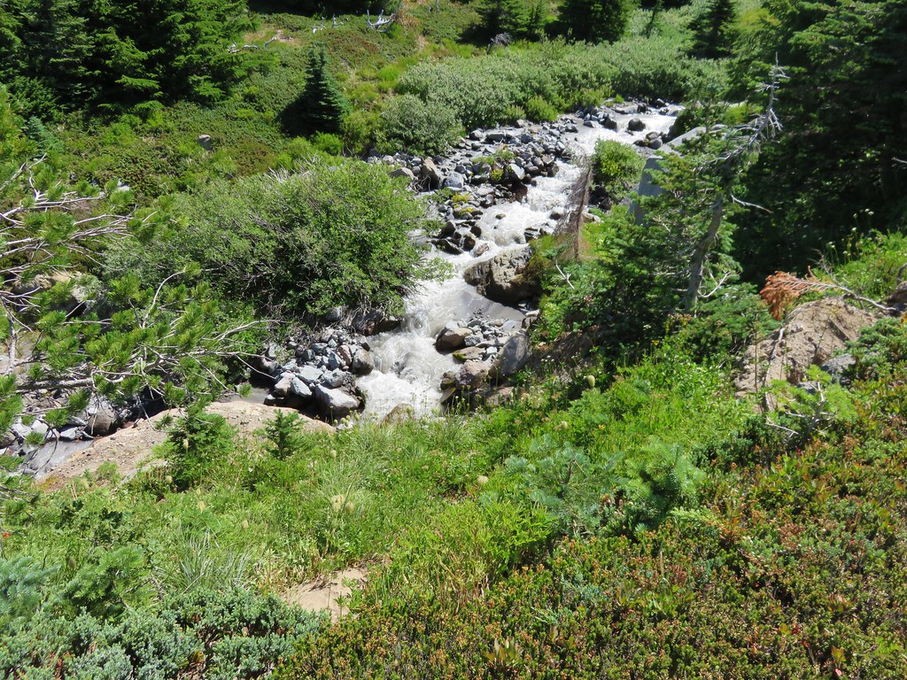
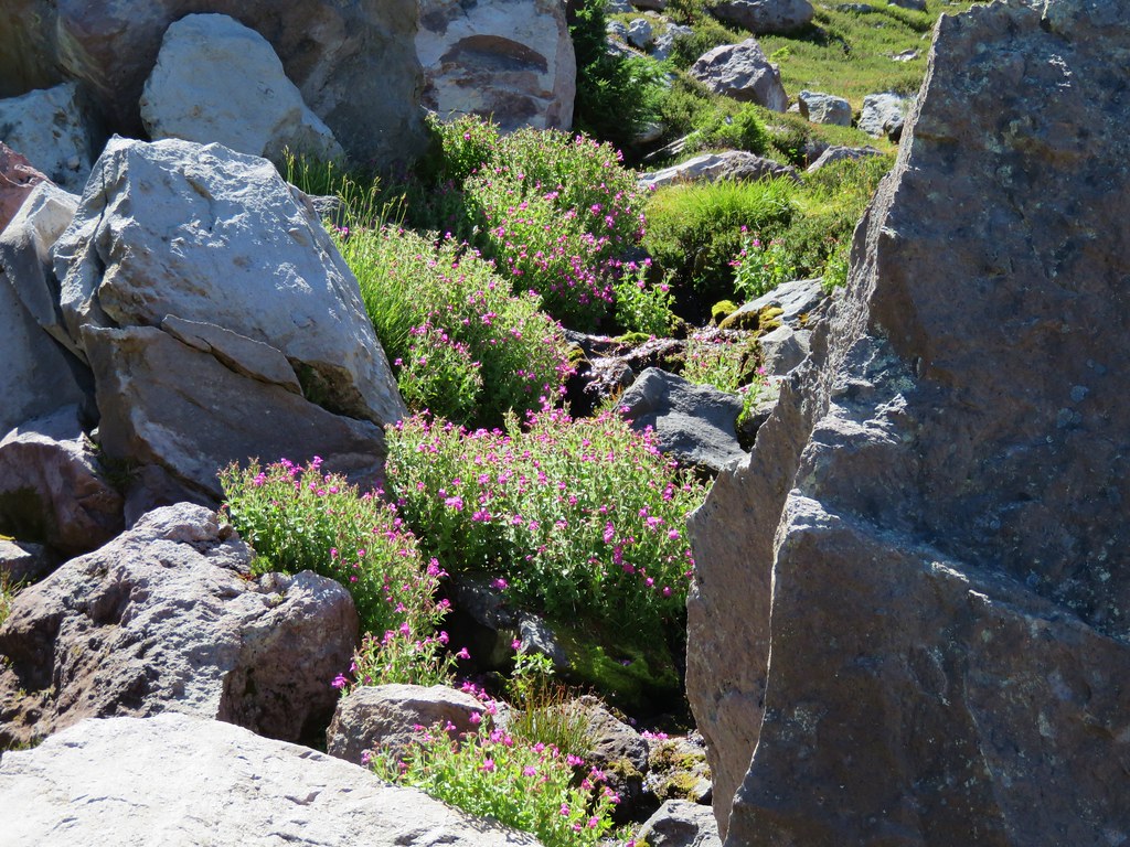
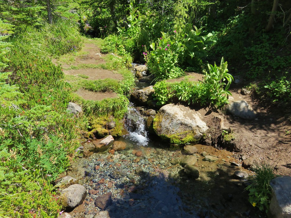
After a few switchbacks the trail final leveled out some as it traversed a hillside where several branches of McGee Creek flowed across the trail. Additional flowers began popping up along this stretch but only the late blooming gentians and monkeyflower in larger quantities.
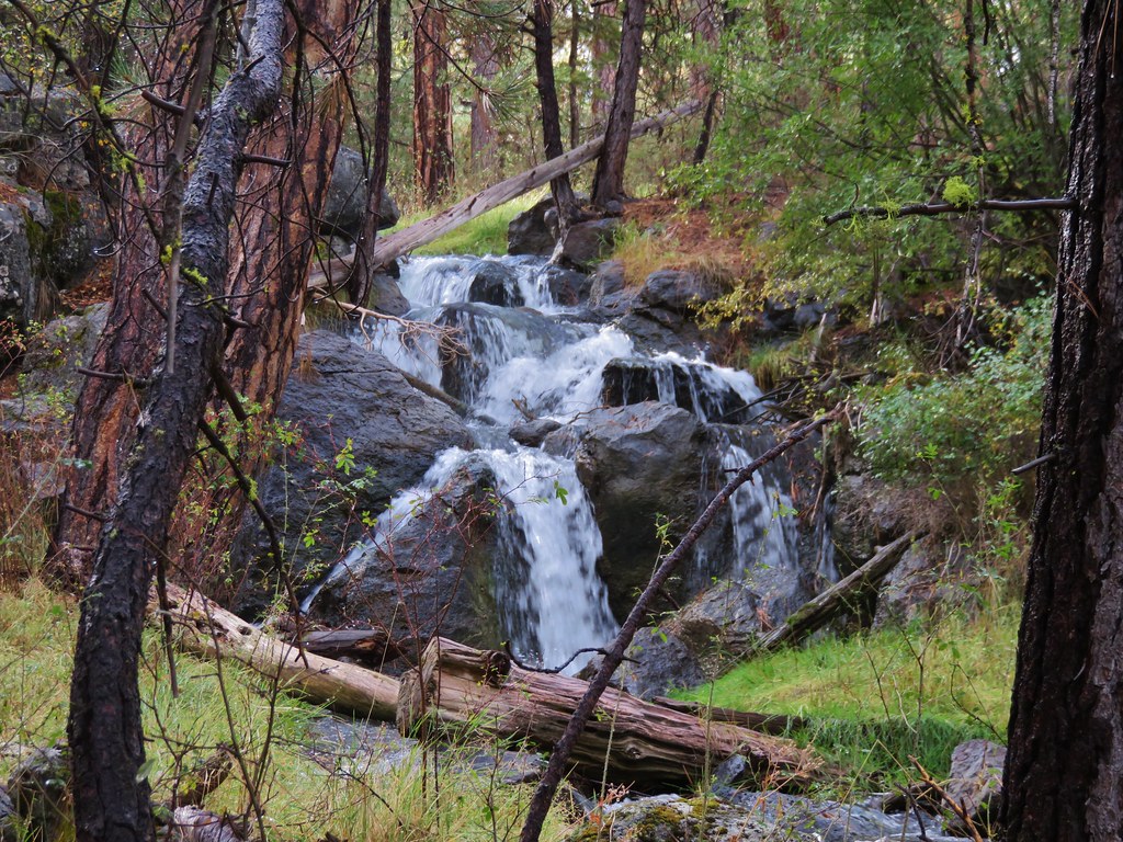
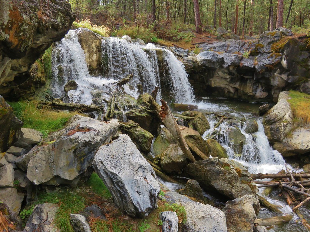
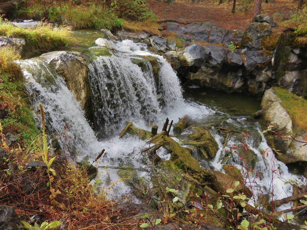
A branch of McGee Creek
Aster or fleabane

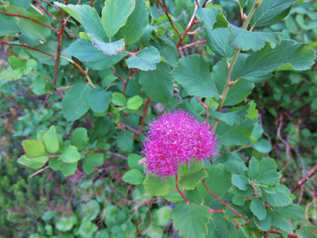
Spirea
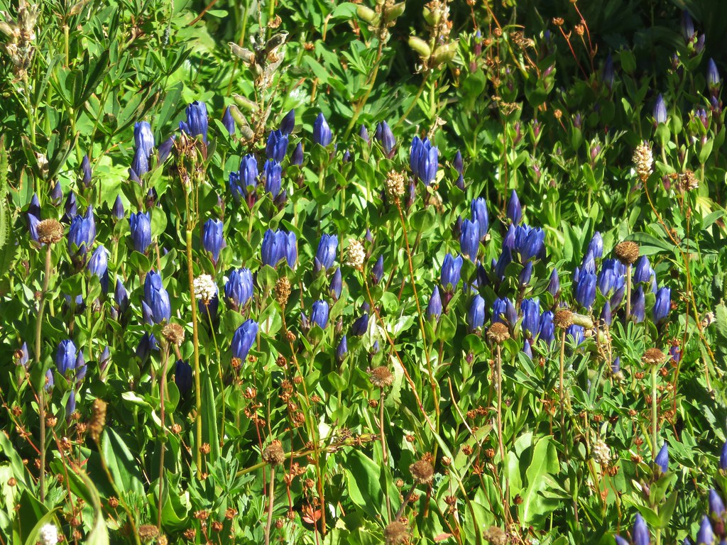
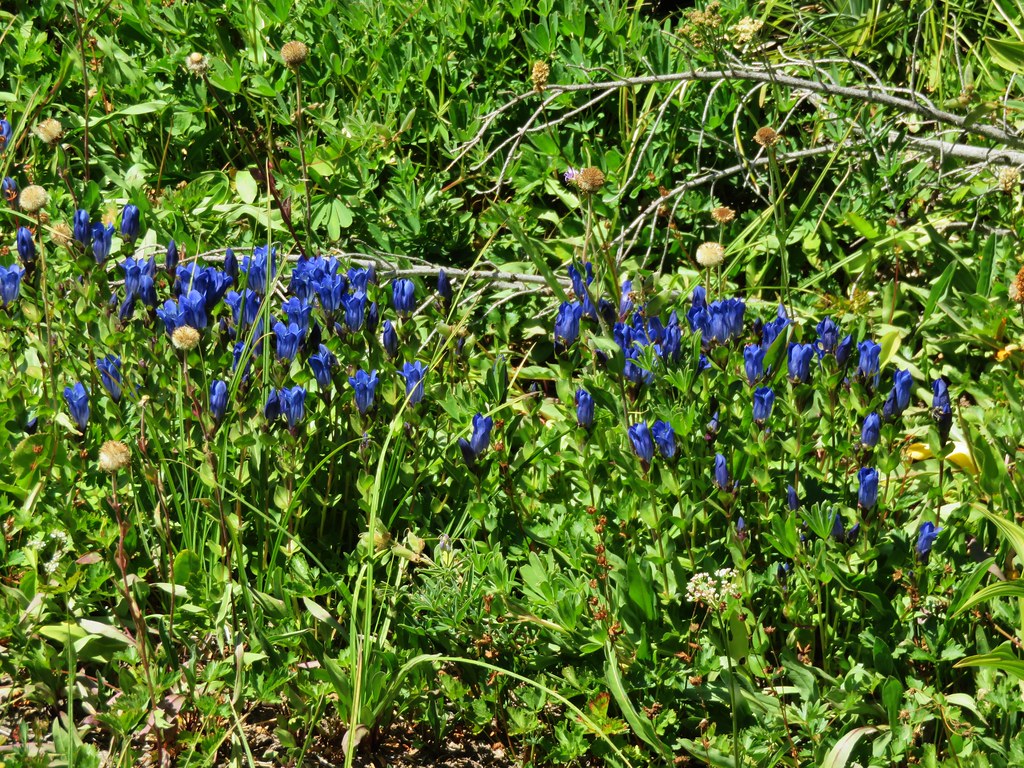
Gentians
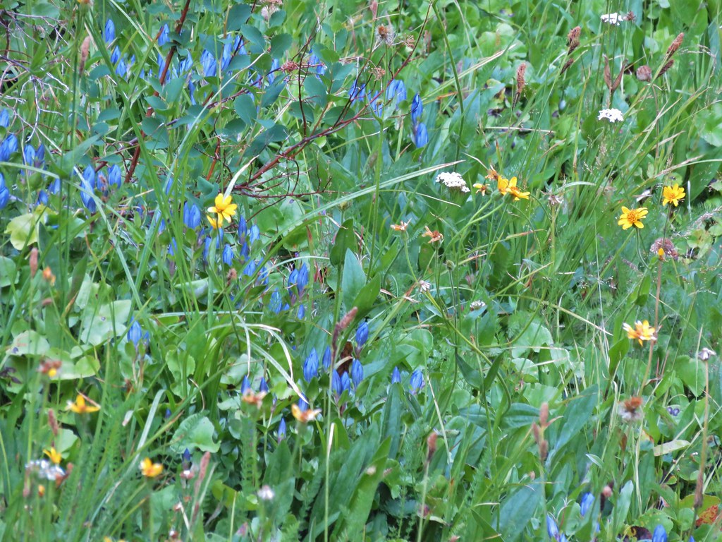
Monkeyflower
Another branch of McGee Creek
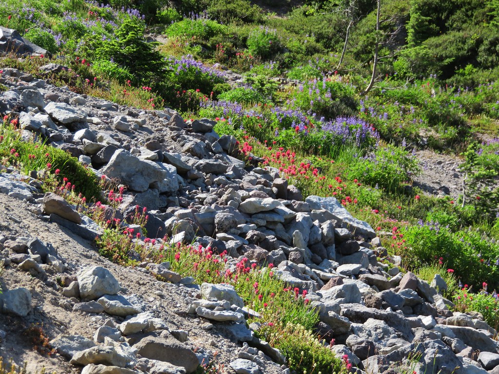
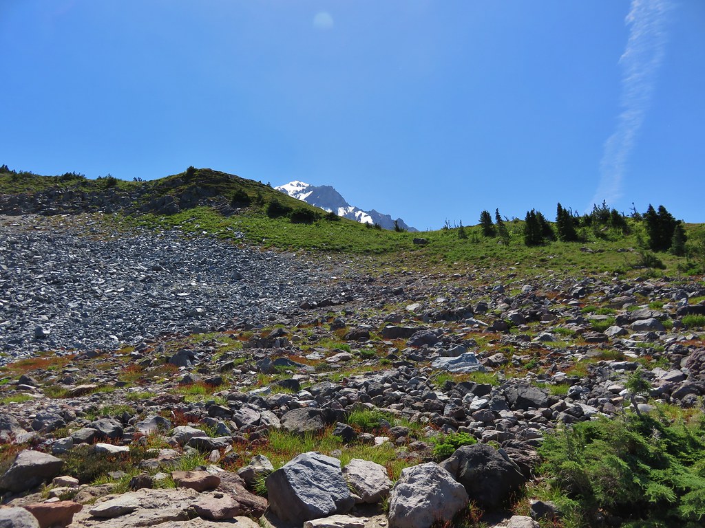
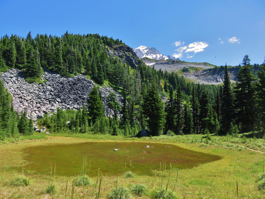
The trail passed below a pair of rock outcroppings below McNeil Point. At the second outcropping we found the first of the ponds completely dried up.
Passing the first outcropping.

Dry pond
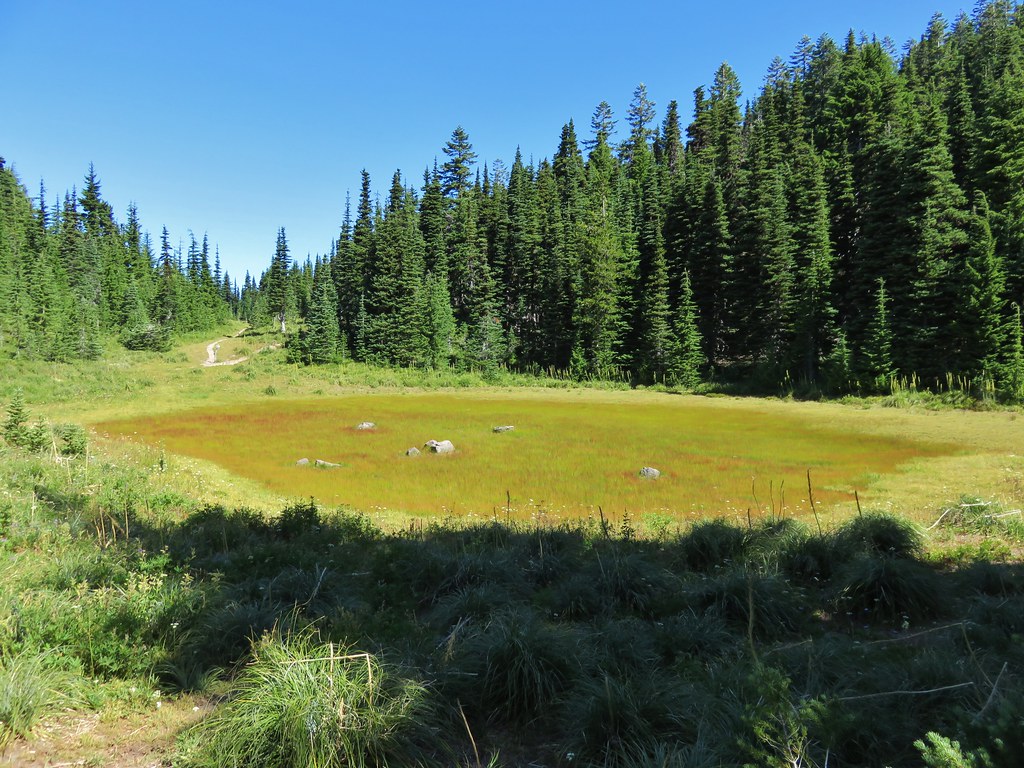
Dry pond below the rocky outcrop and Mt. Hood beyond.
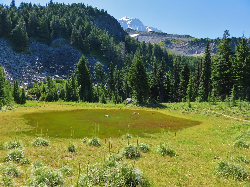
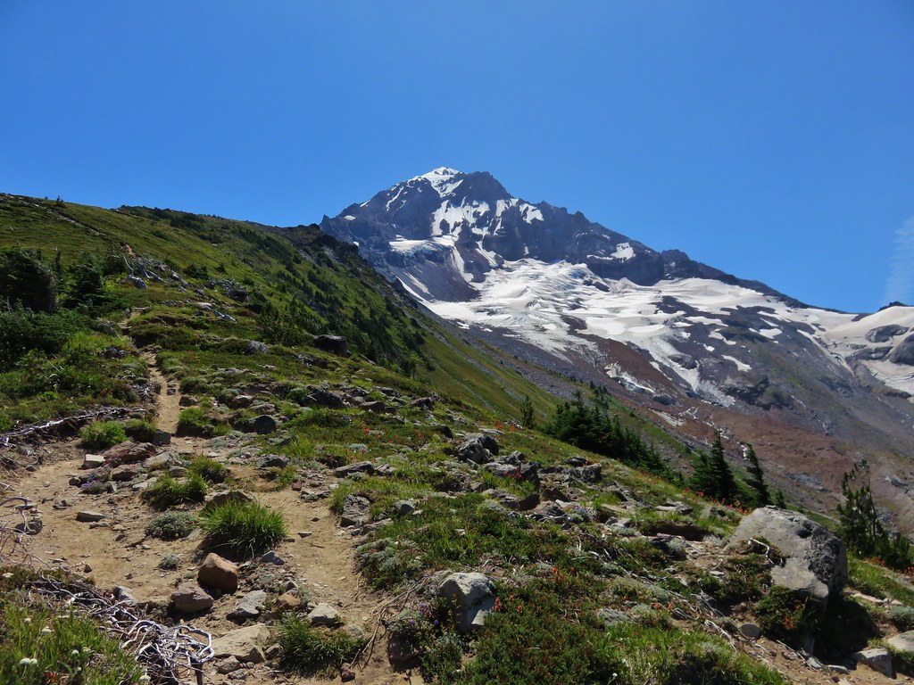
The second pond still had a little water and a nice view of the top of Mt. Hood.
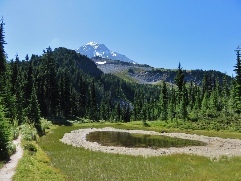
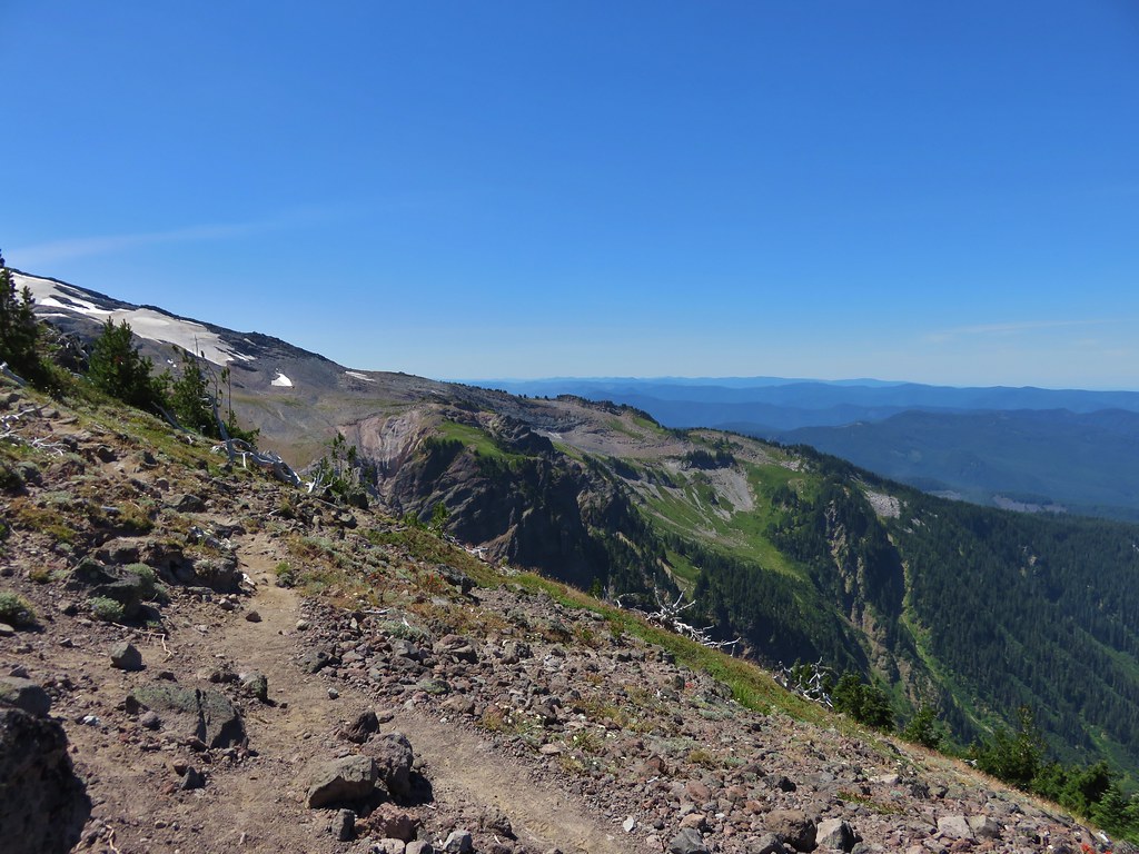
We erroneously followed the trail leading away from the second pond believing it would reconnect with the Timberline Trail which had forked to the right after passing the dry pond. The trail we were on eventually petered out and we were left with a short bushwack to get back onto the correct trail. We popped back out of the trees onto the trail and turned left continuing toward the McNeil Point Trail and Cairn Basin. We passed a junction with the Mazama Trail, a trail we had hiked in 2013, and decided it was time for our party to split up.
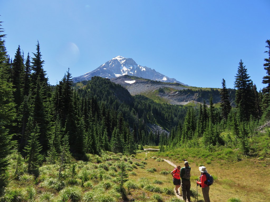
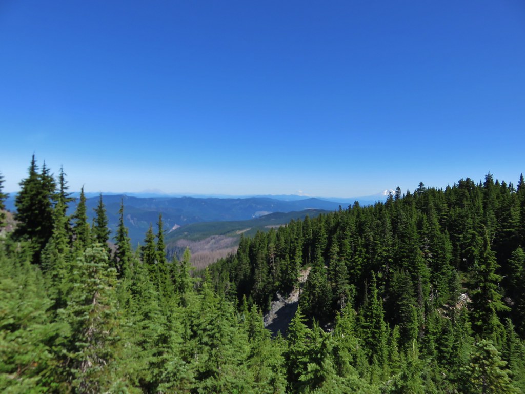
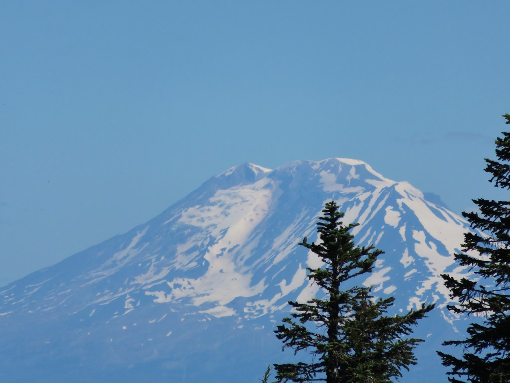
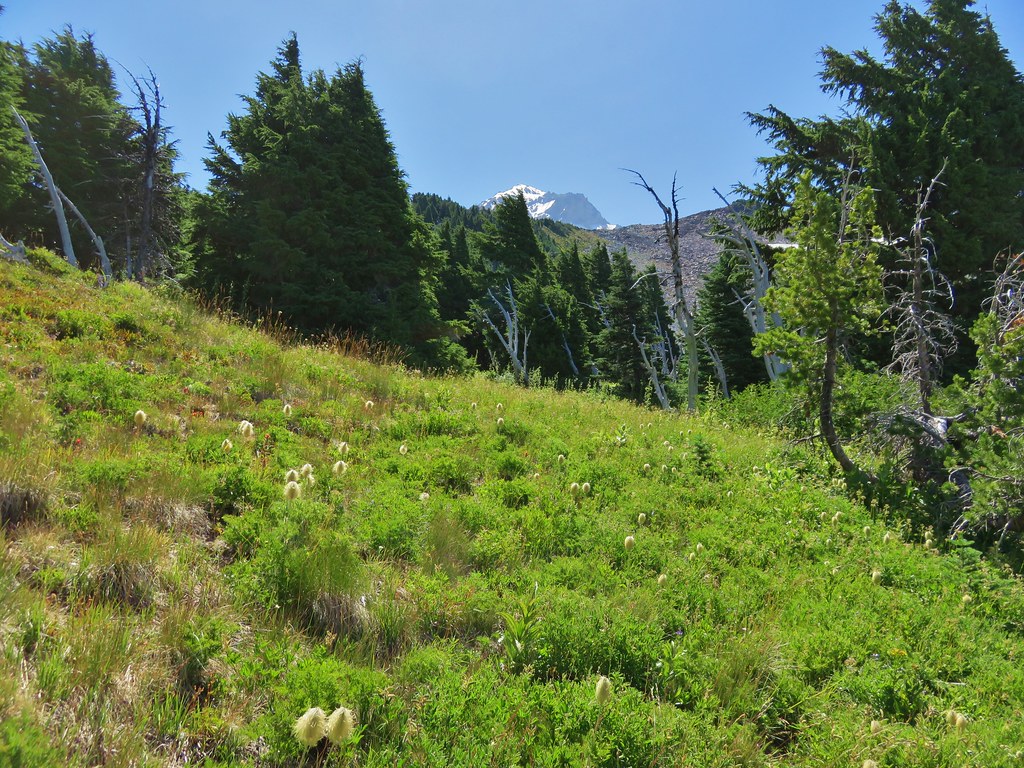
Heather and I would go ahead at our own pace and head up to McNeil Point, and my parents would continue on toward Cairn Basin. We headed off amazed at the lack of flowers along the trail. On our previous visit to McNeil Point on 8/20/12 and Barrett Spur on 8/12/13 this section had been full of flowers but here we were a full month earlier than those visits and the flowers had long since passed. It was a clear indication of just how hot and dry this year had been. The good news was it was a clear day we had still had the views. In addition to Mt. Hood we could see three Washington snow peaks to the north.
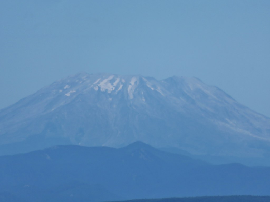
Mt. Adams
Mt. Rainier
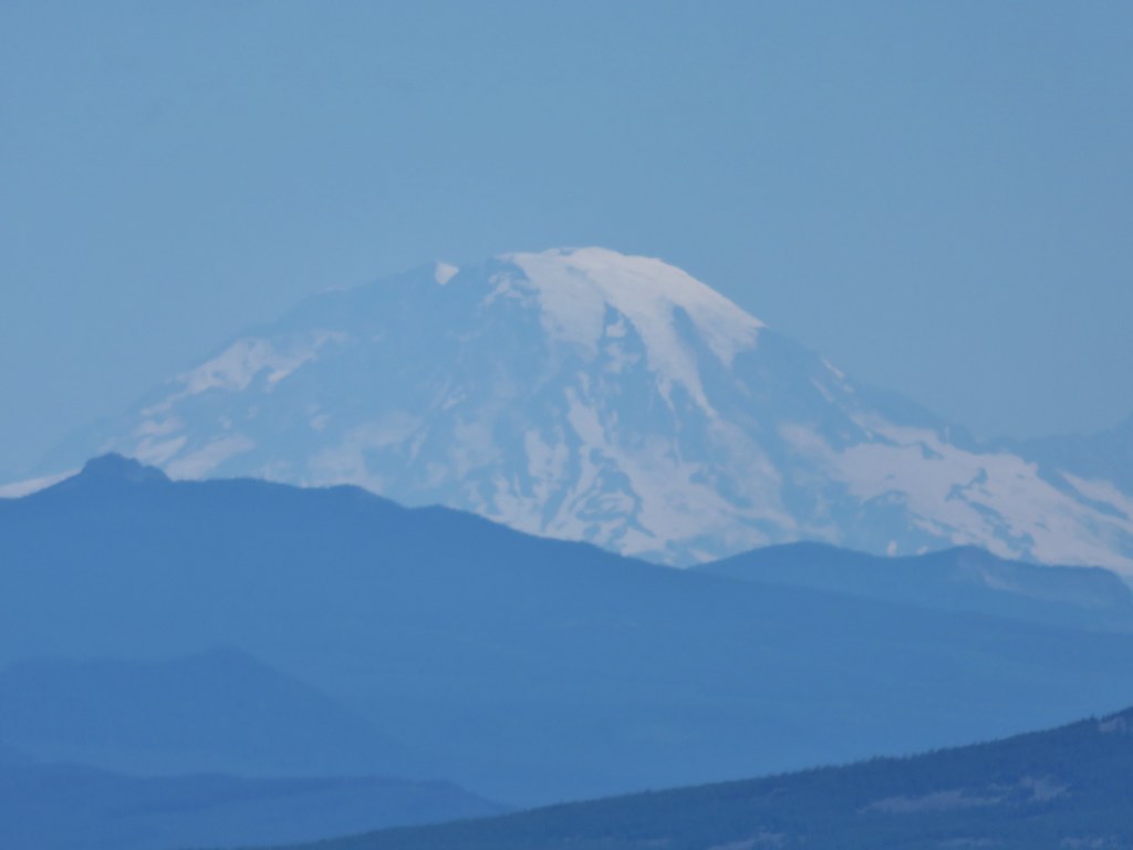
Mt. St. Helens
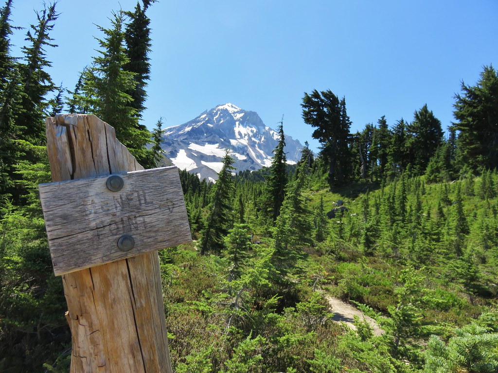
We left the Timberline Trail at the sign for McNeil Point.
The trail up to the shelter begins on a ridge next to silty Ladd Creek.
Heather enjoying the day.

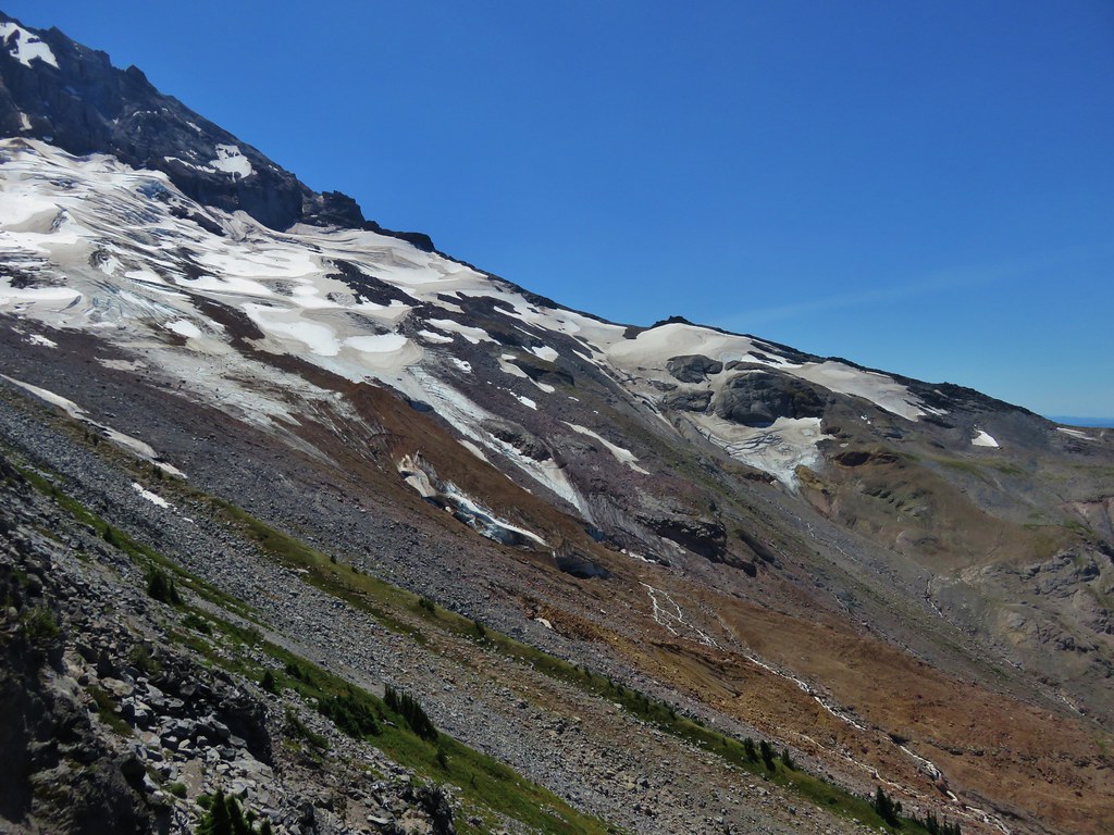
The trail then crossed a rock field where there is normally also a snowfield. Not this year though.
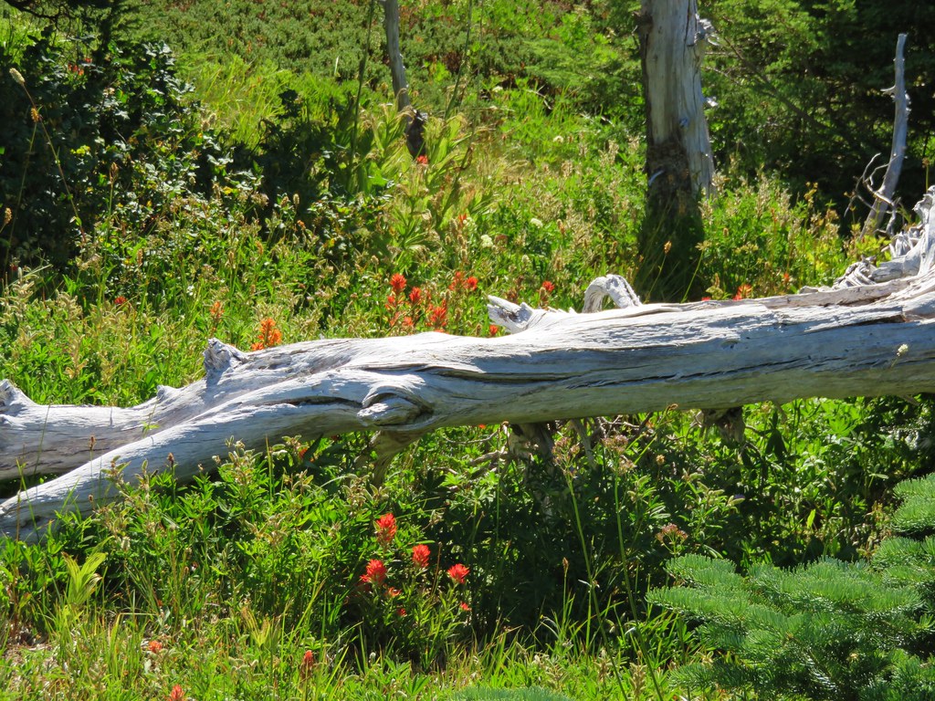
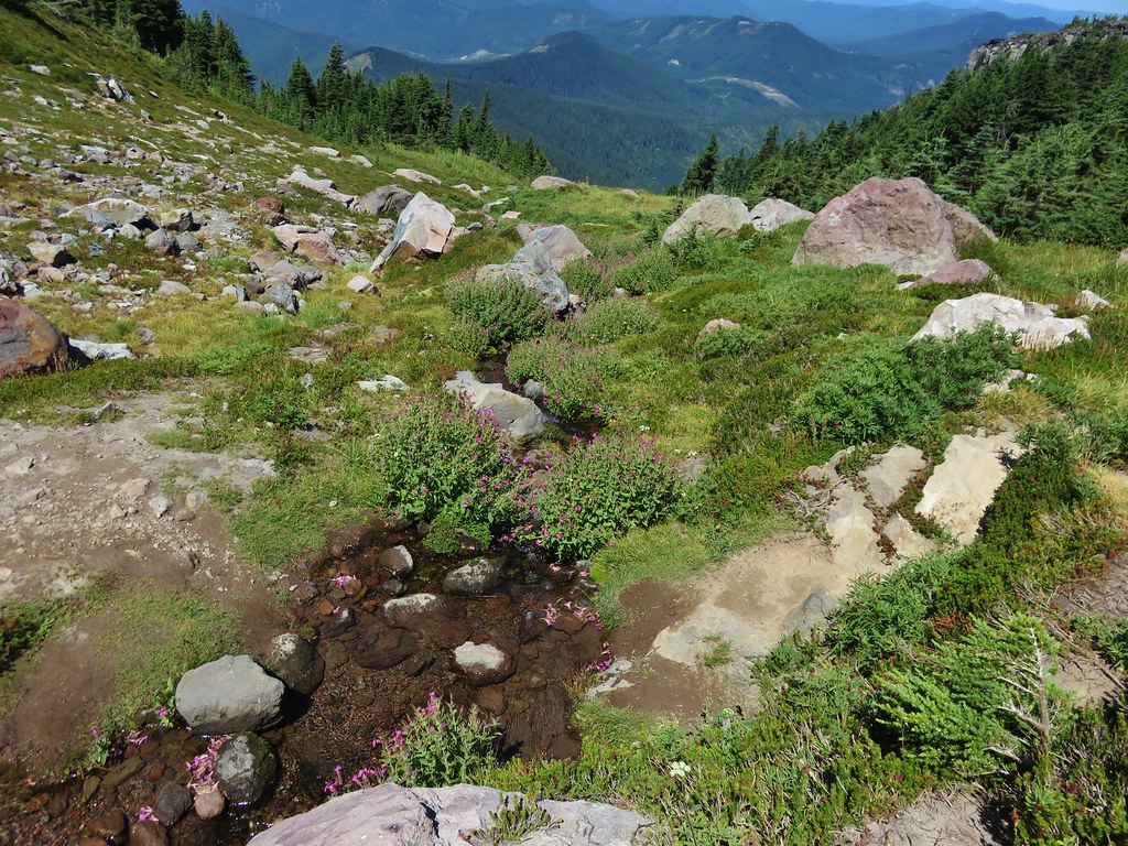
Once past the rock field the trail passed beneath hills that hid most the mountain. Here we began to encounter more flowers in bloom.
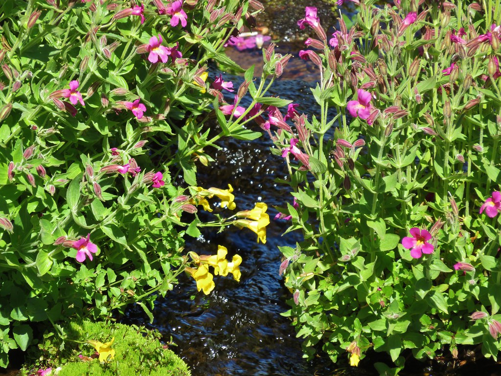
There was also a lovely little creek lined with monkeyflowers.
We faced a choice as we neared the shelter. We could head straight for the stone building or we could veer uphill and gain the ridge behind the shelter and then head up it. On our previous visit we had simply gone to the shelter and turned back there. (We had also visited Cairn & Wy’East Basins and Eden Park that day.) We decided to head directly for the ridge and turned uphill.
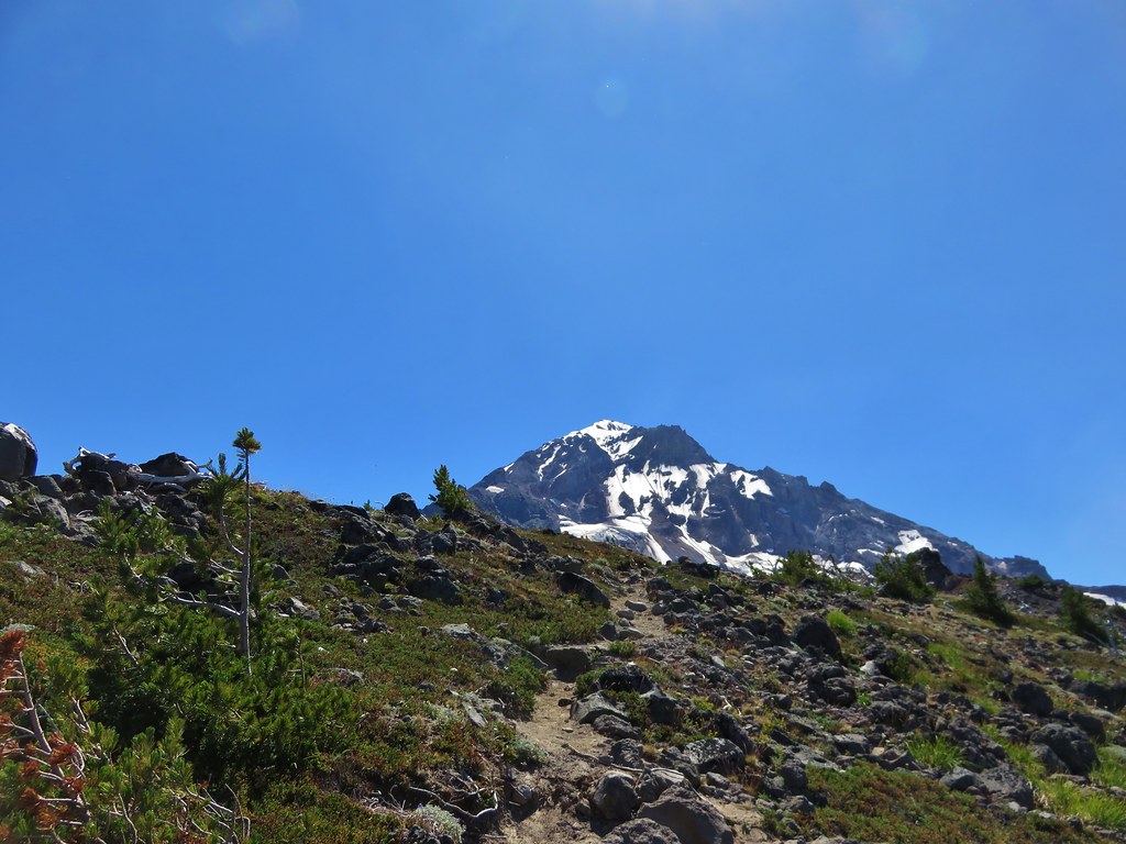
As we headed for the ridge Mt. Hood began to peek out from above it.
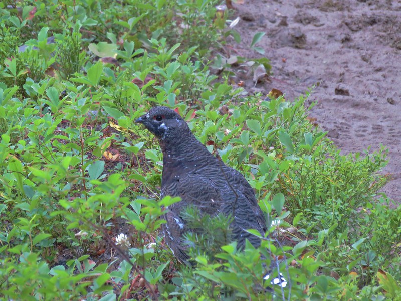
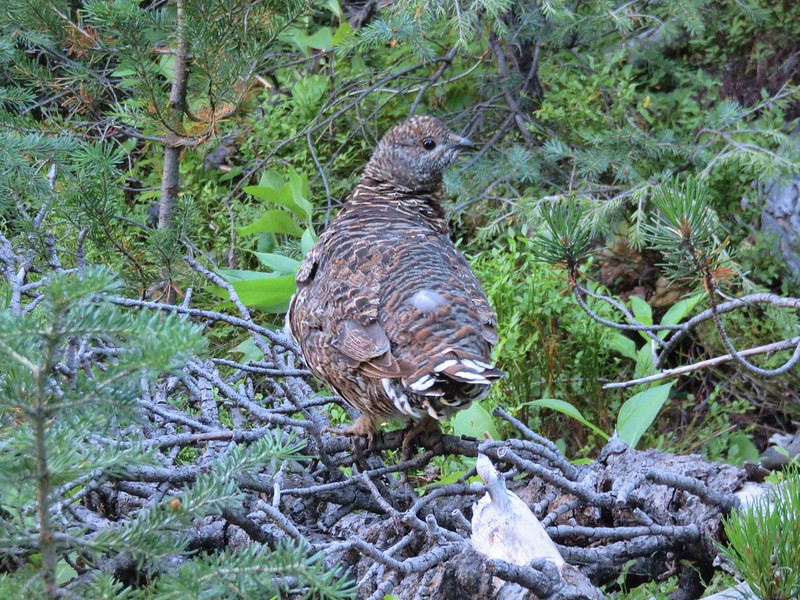
Heather spotted an interesting looking ladybug along the way.

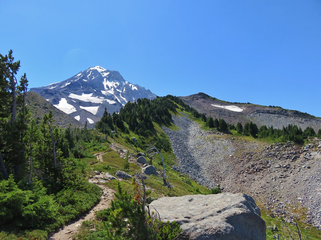
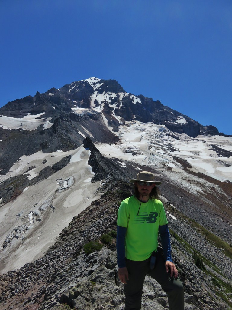
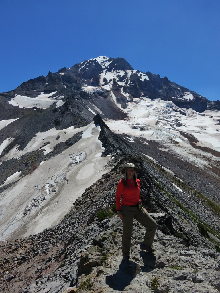
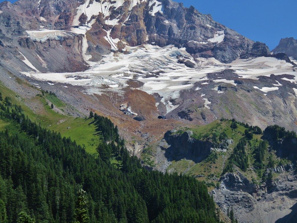
We gained the ridge and could see our route laid out before us with a closer look at Mt. Hood being the reward.
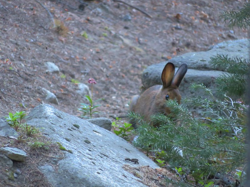
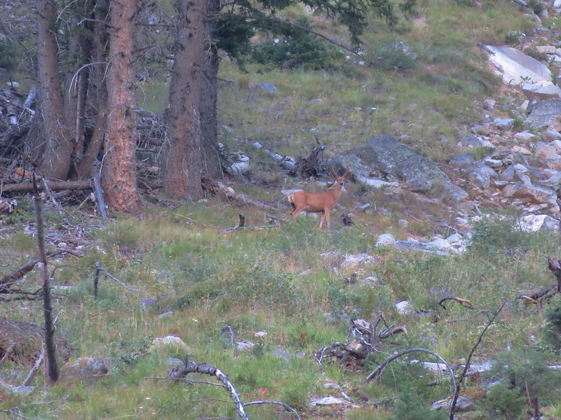
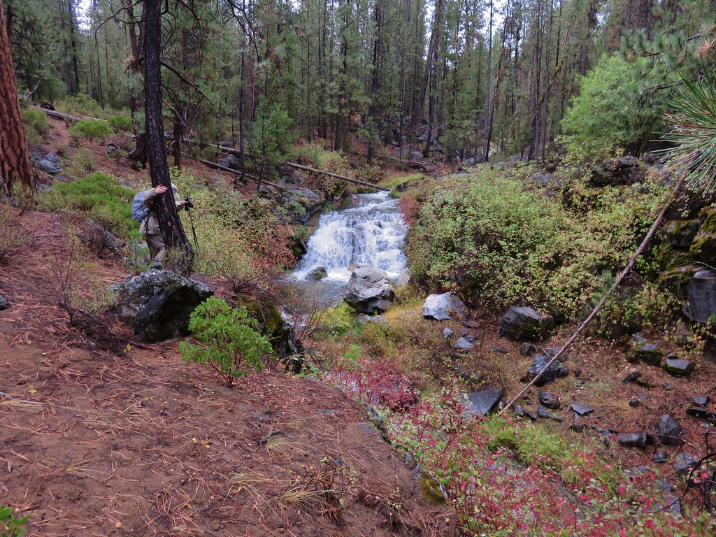
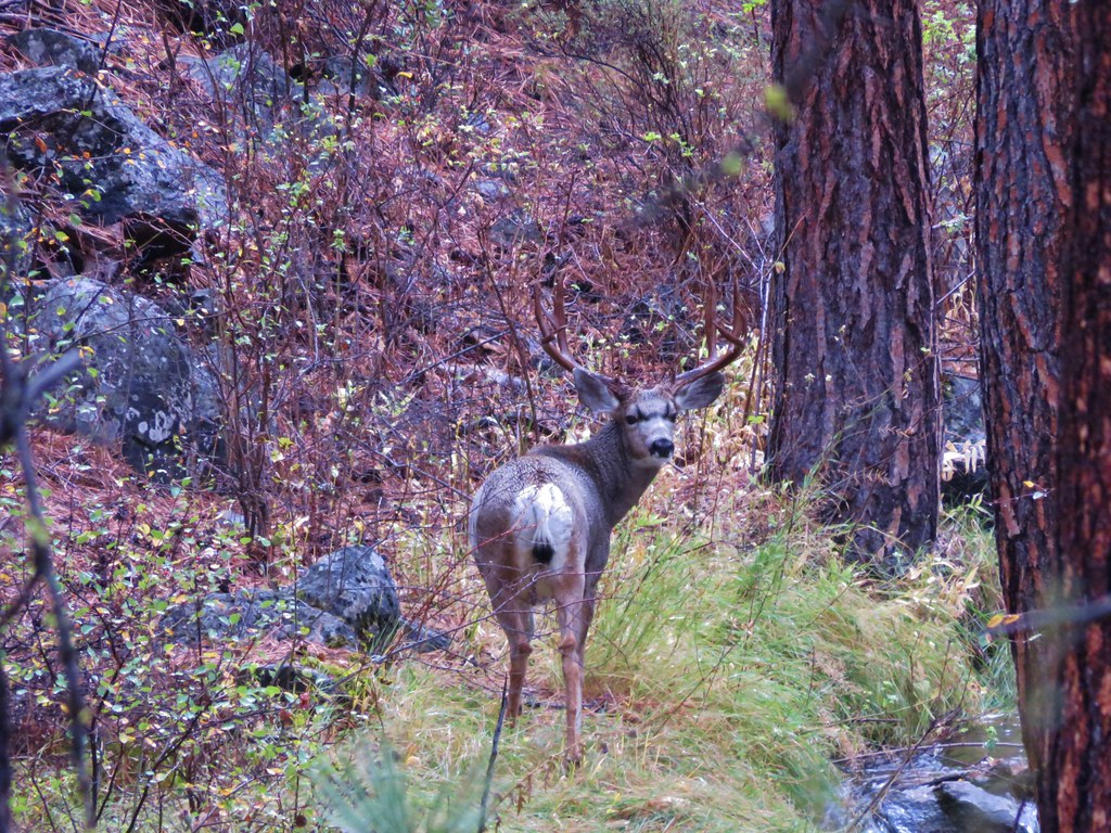
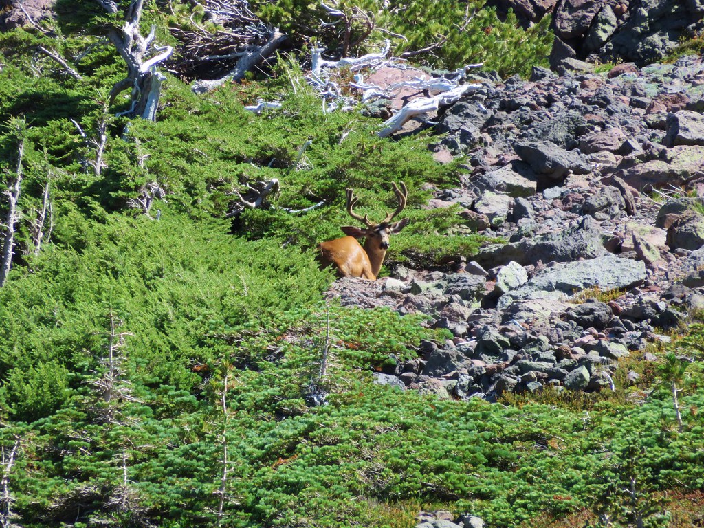
As we were climbing and looking around at all the scenery I noticed something brown near the top of the ridge to our left. It didn’t look like it belonged there but we couldn’t make out what it exactly was at first.
Once again the 30x zoom on our camera came in handy and we were able to see that it was a good sized buck bedded down for the day.
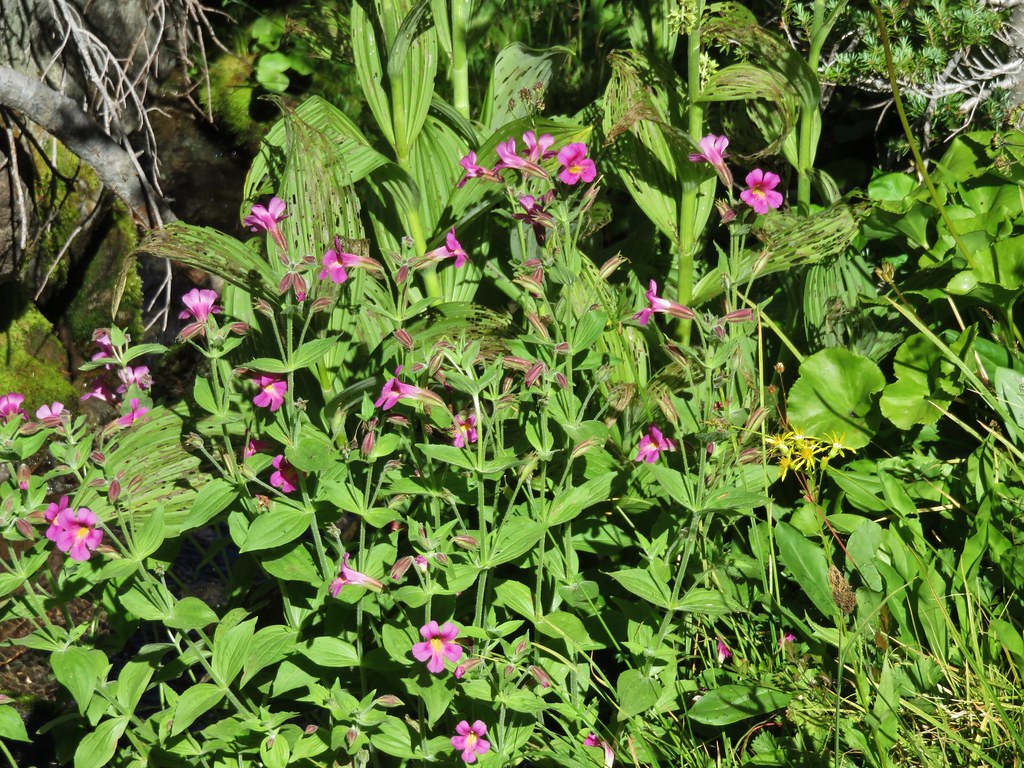
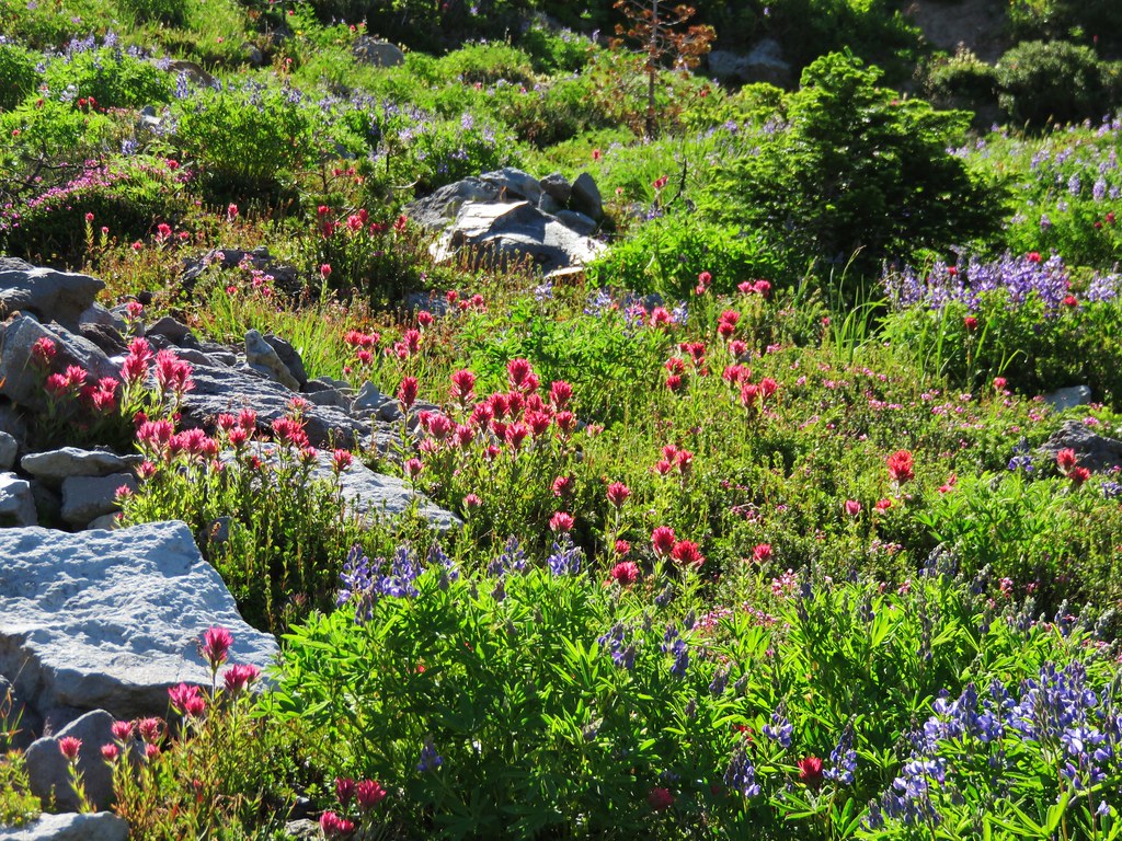
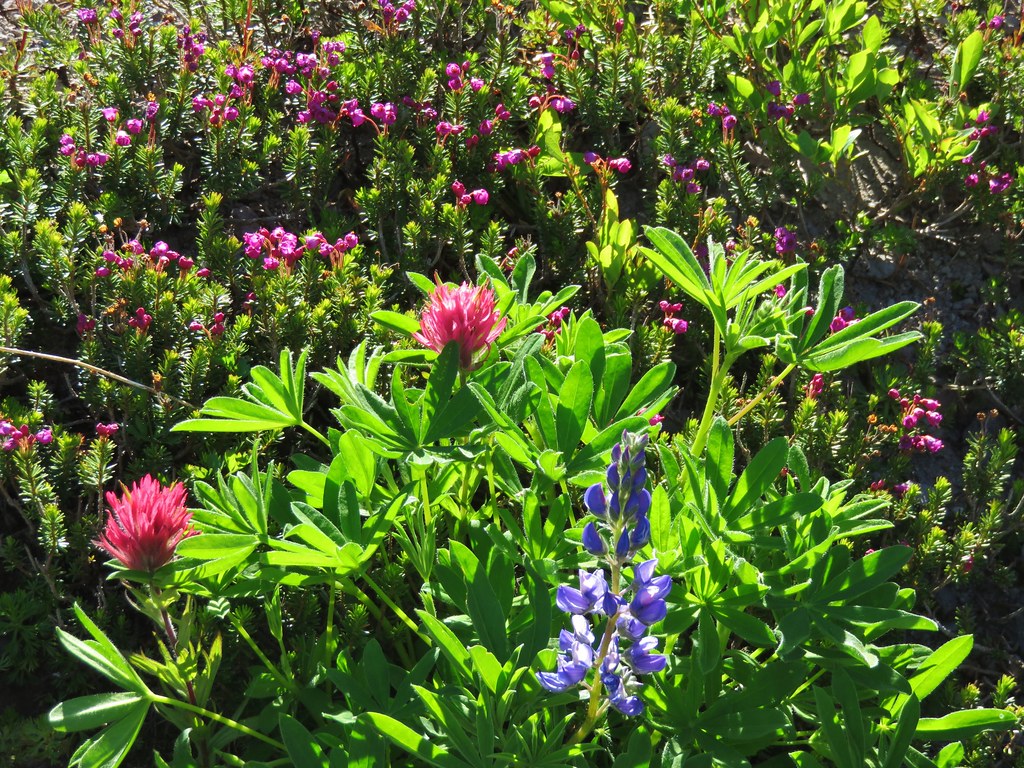
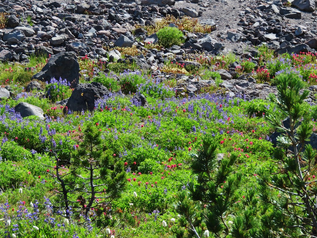
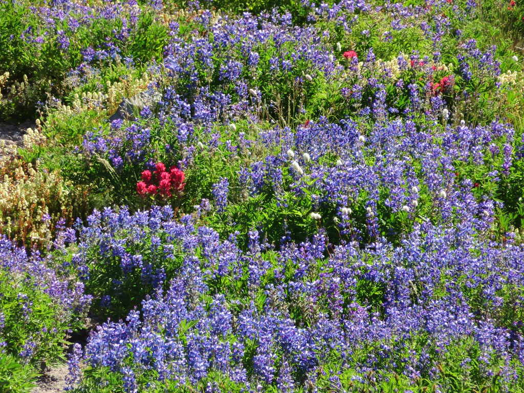
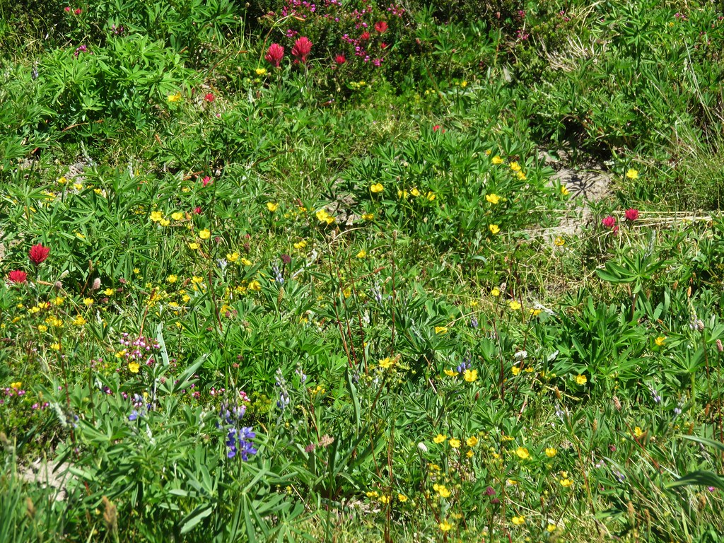
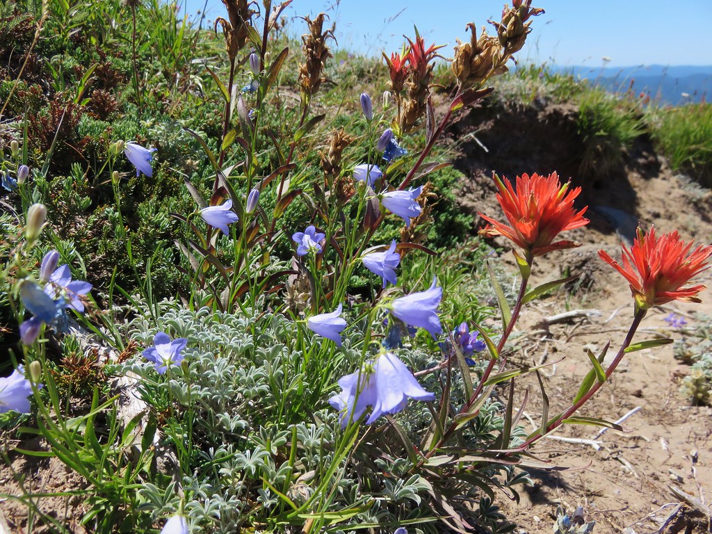
The best flower display of the day was in a little basin below the ridge where the deer was. Lupine, Mountain Heather, Paintbrush, Partridgefoot, Bistort, and Pasque flowers were all present.
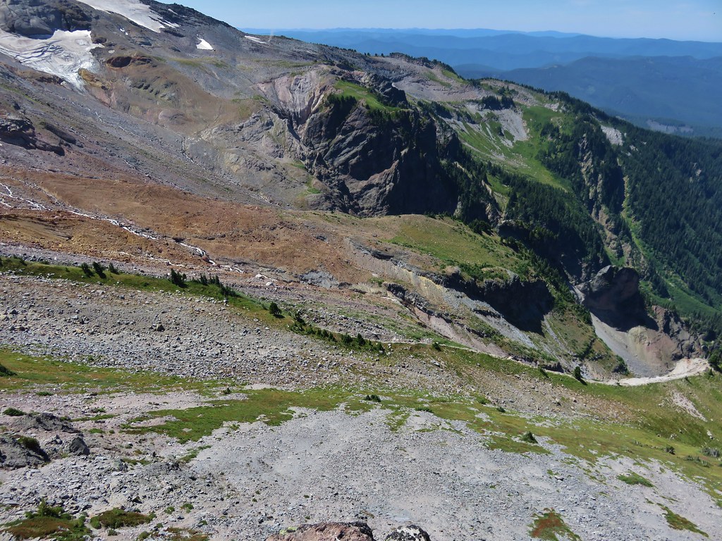
The buck kept an eye on us as we continued up a very steep section of the ridge. Looking back down near we could see the trail to the shelter below and beyond McNeil Point was Bald Mountain and the ridge we and climbed from there.
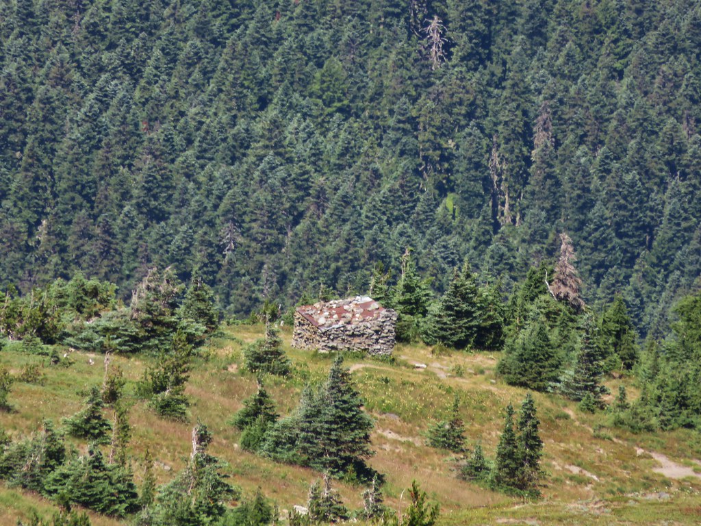
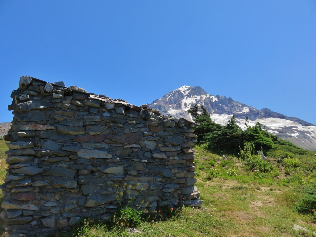
McNeil Point Shelter
We were near what looked like the end of the climb.
We were wrong and there was one more stretch of uphill ahead of us.
To our left was Barrett Spur where we climbed to in August of 2013. https://wanderingyuncks.wordpress.com/2013/08/15/barrett-spur-via-the-mazama-trail/
To our right was Yocum Ridge which we visited later that same year. https://wanderingyuncks.wordpress.com/2013/08/26/yocum-ridge/
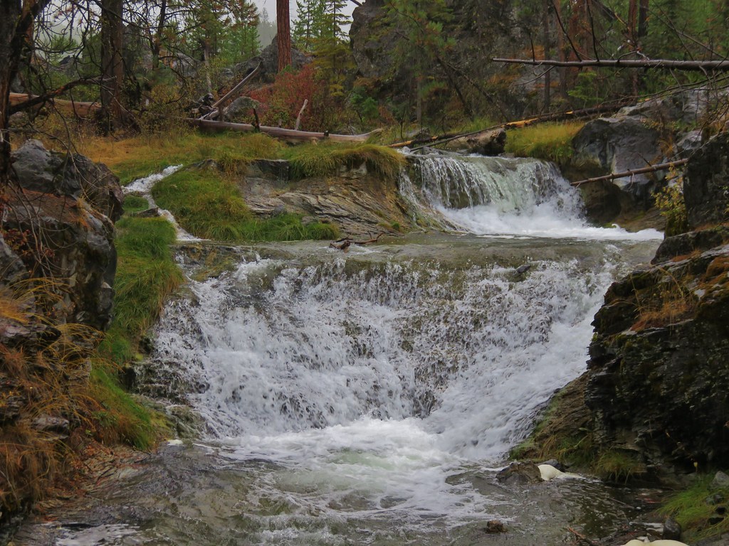
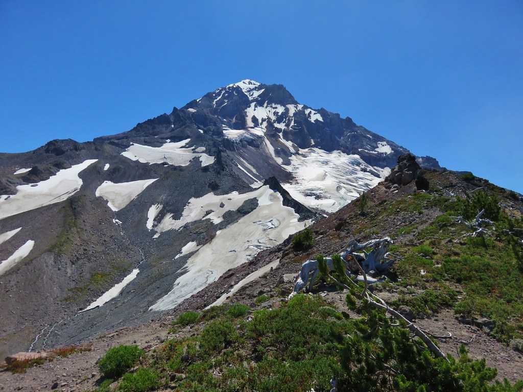
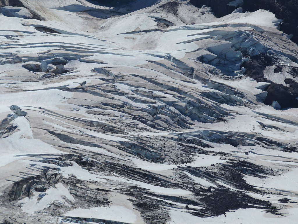
On our right was also the Sandy Glacier which feeds the Muddy Fork, a branch of the Sandy River. The scenery around the Sandy is just amazing.


We stopped on on a rocky spine just before a saddle where it would have required a sketchy looking descent to continue on any further.

We took a couple of pictures then pulled out some potato chips for a snack.
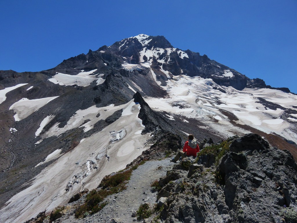
There had been two small groups ahead of us but they had since headed back down so we had the view almost to ourselves.
We headed back down toward the shelter, our next destination. Along the way we spotted a few flowers we’d missed on the way up.
Yellow cinquefoil
Cats ear lily
Blue-bells of Scotland
We paid a quick visit to the shelter then continued to make our way back down.
A few small clouds had formed by the time we arrived back at the ponds.

And the gentians had opened up some in the sunlight.
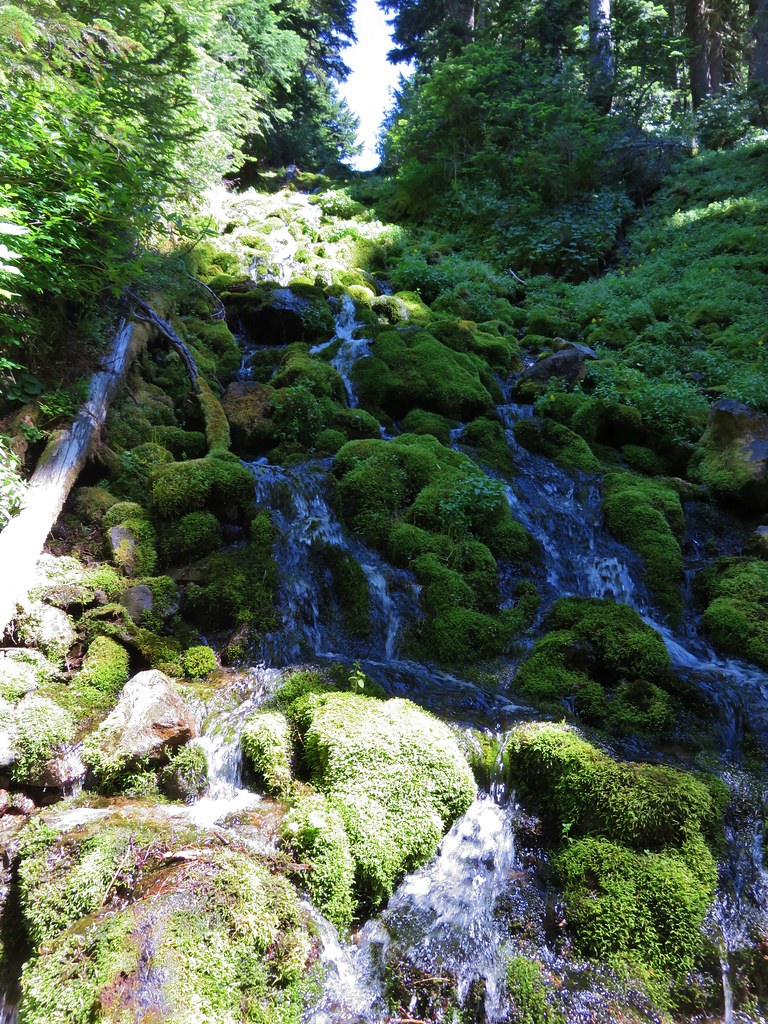
It was another hot day so we stopped at a nice pool in one of the branches of McGee Creek to filter some cold mountain water into our Hydroflasks.
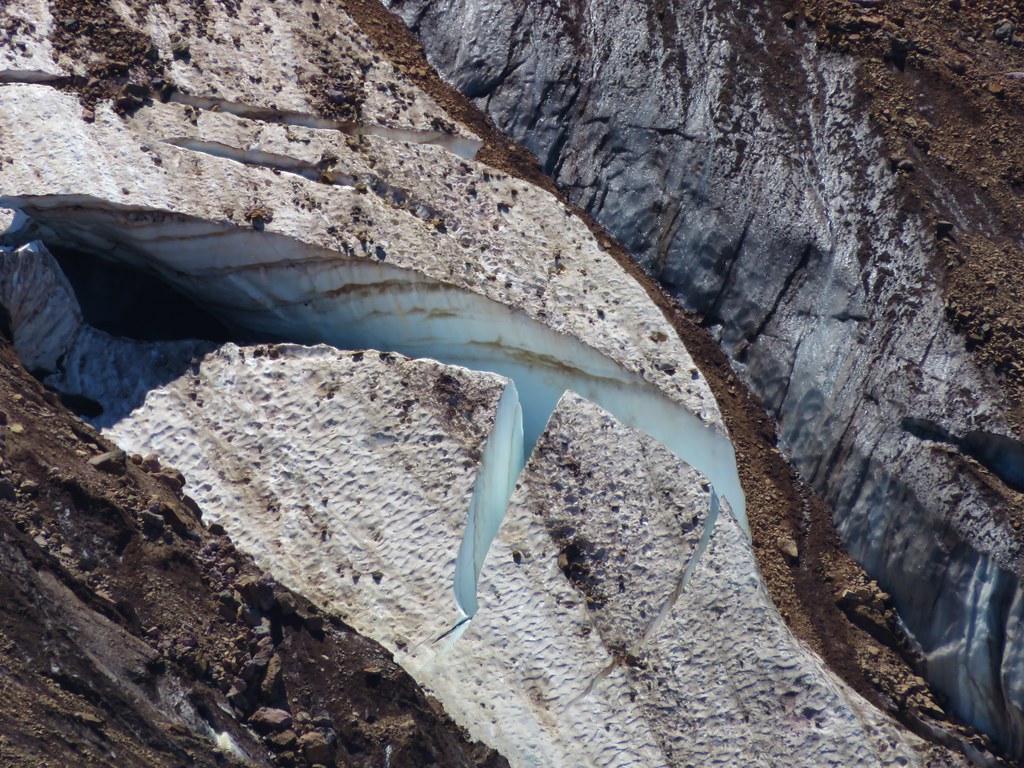
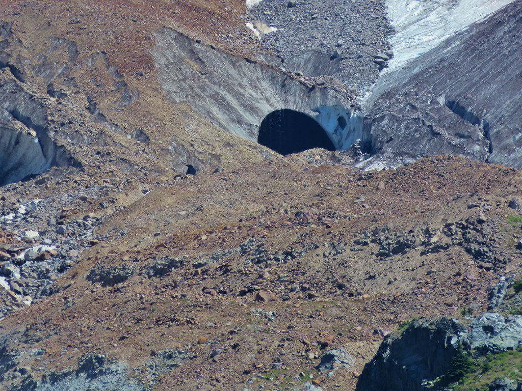
We had some great views on the way down the ridge toward the trailhead. This had been the first day we’d been able to pick out an ice cave on the Sandy Glacier.

We had decided to take the shorter path back opting not to go around Bald Mountain with its views again so we said goodbye to the mountain at the last viewpoint along the ridge before heading back into the trees of the Mt. Hood Wilderness.

We found my parents back at the car, having finished their hike about 15-20 minutes prior to us. They had made it to Ladd Creek on the Timberline Trail and turned back there. It was a great day to be on the mountain and we ended it with dinner back at my parents campsite. Happy Trails!
Flickr: https://www.flickr.com/photos/9319235@N02/sets/72157655660865389