Categories
Columbia River Gorge South Hiking Oregon

Throwback Thursday – Mt. Defiance

**Note the 2017 Eagle Creek Fire burned a portion of this hike.**

This week’s hike took place on 7/15/2012 when we tackled the challenging Mt. Defiance Trail in the Columbia Gorge. Unfortunately the area was affected by the 2017 Eagle Creek Fire making it’s current status uncertain.

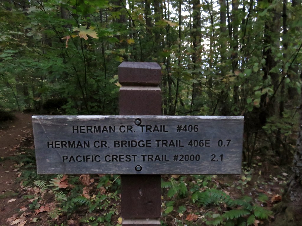
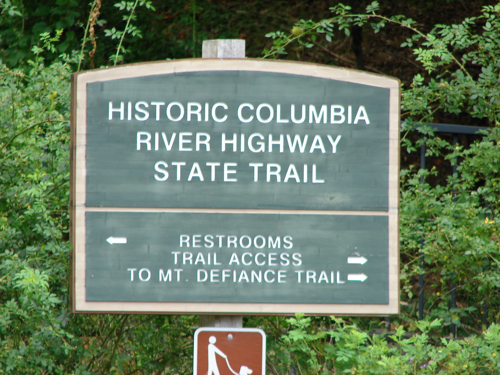
Our hike that day began at the Starvation Creek Trailhead.
Starvation Creek State Park sign

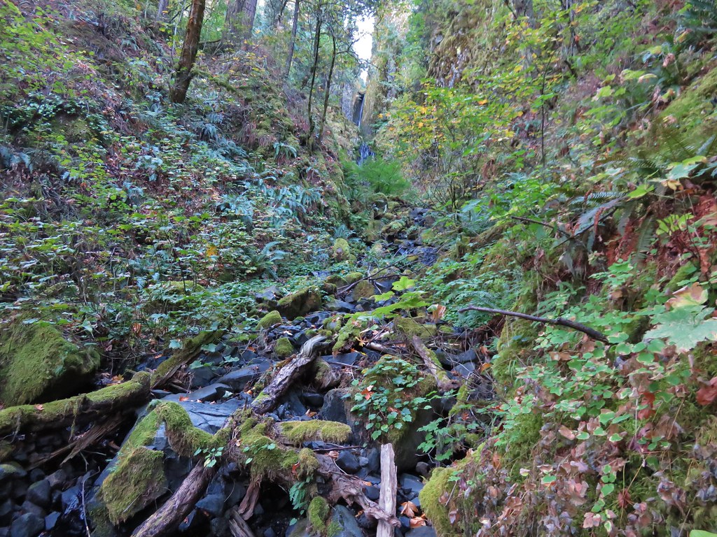
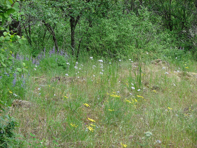
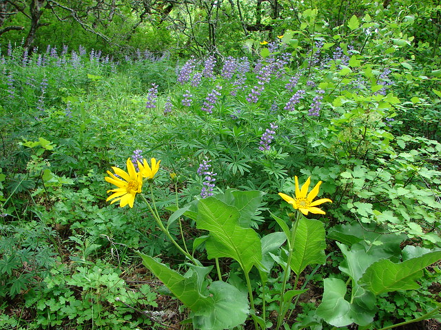
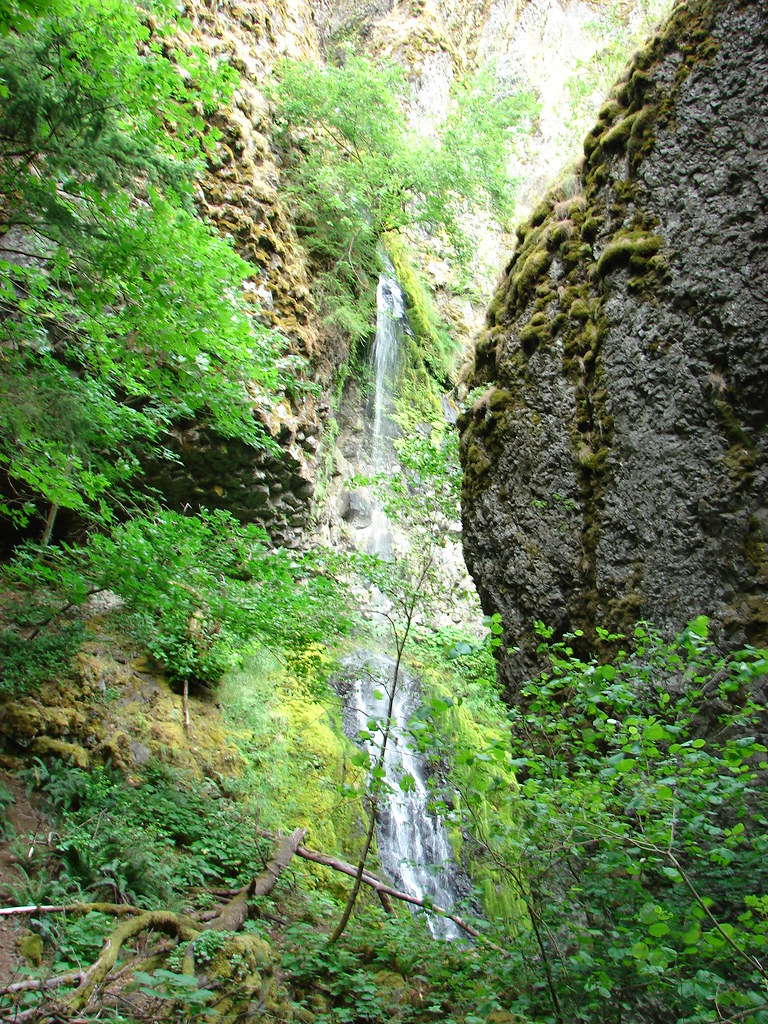
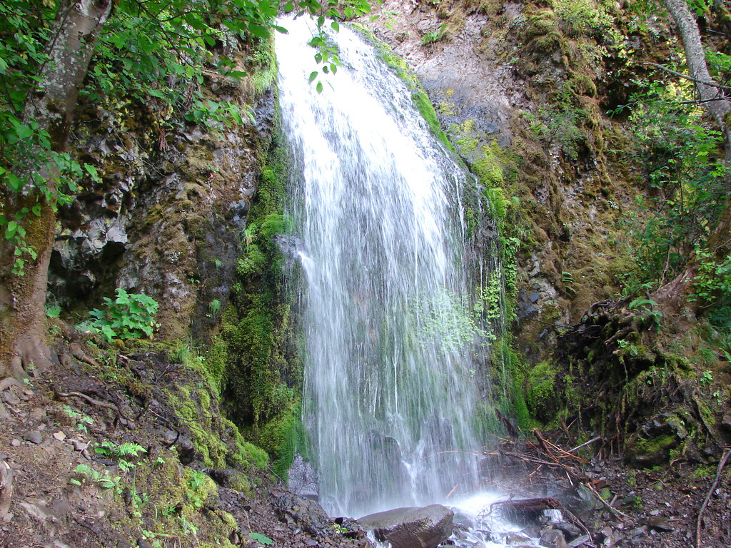
Prior to setting off on the Mt. Defiance Trail we made the short walk to Starvation Creek Falls.
Trial to Starvation Creek Falls

Starvation Creek Falls

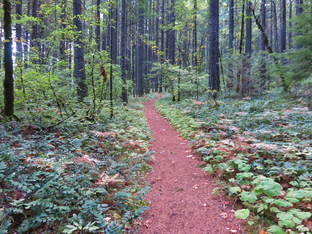
After visiting the falls we followed pointers for the Mt. Defiance Trail.
Trail sign at the parking area

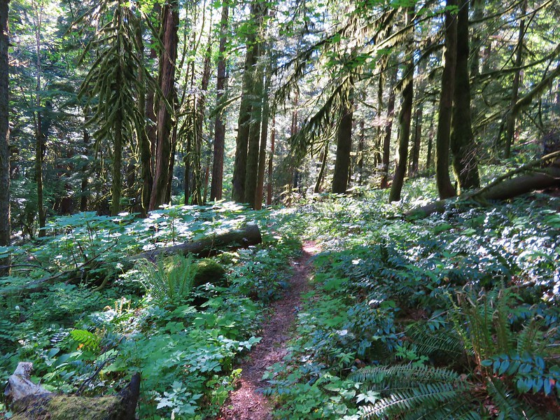
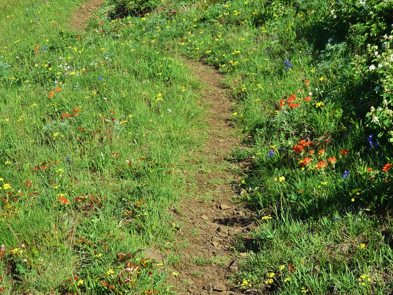
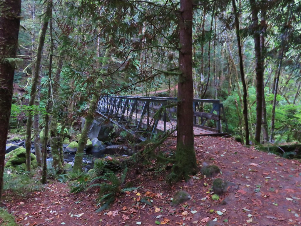
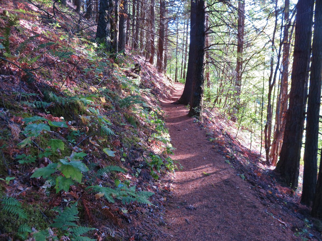
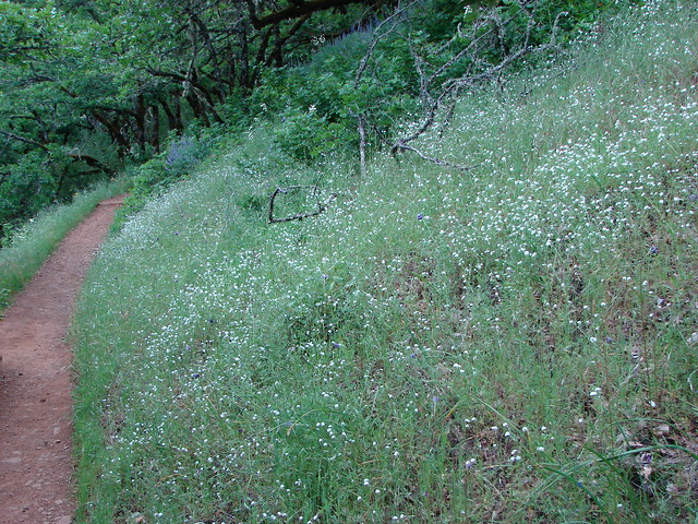
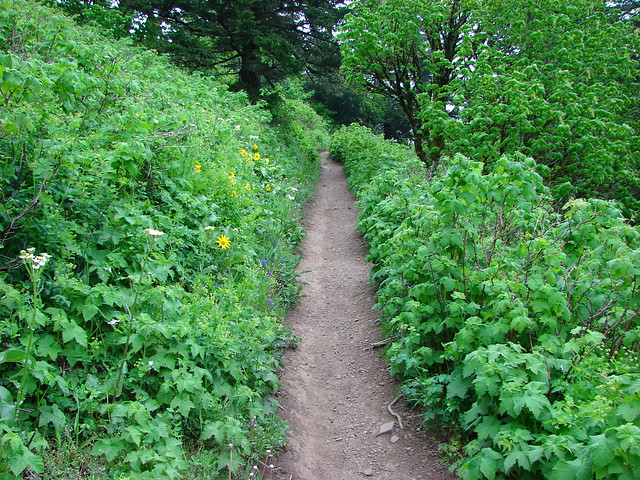
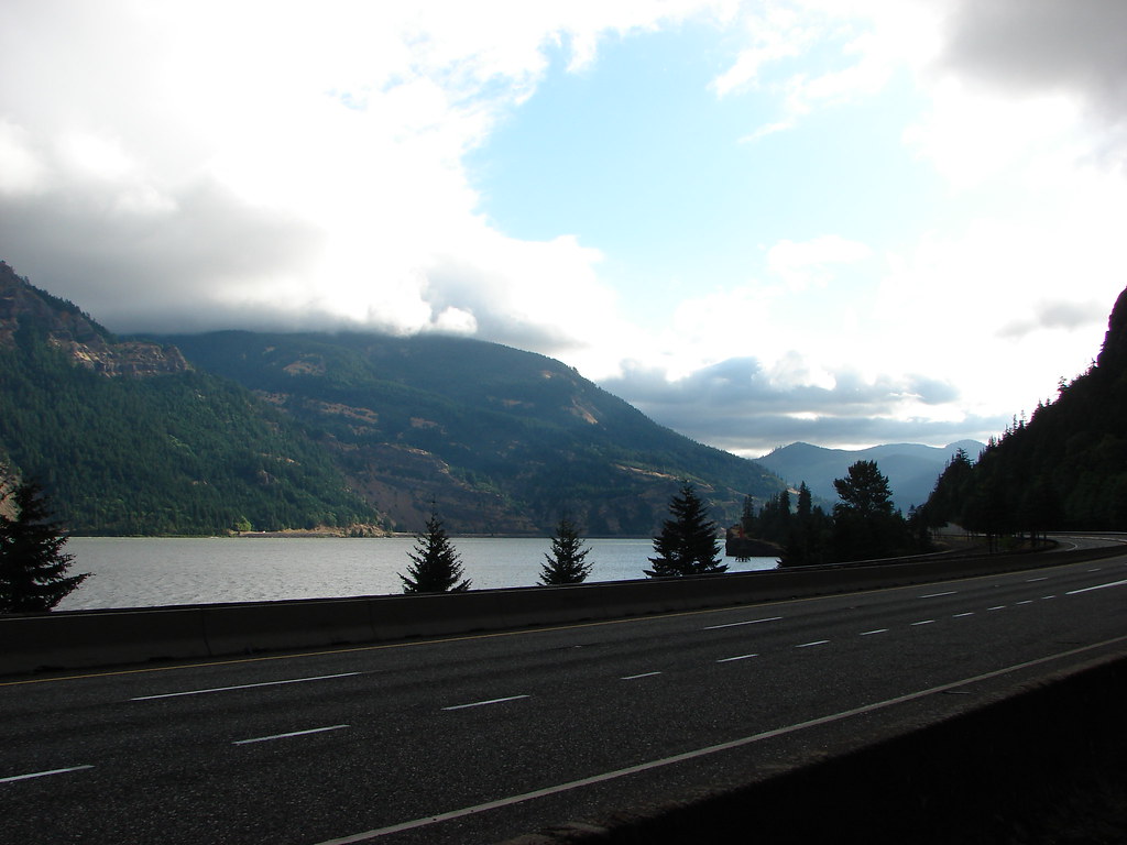
At the time a path followed the shoulder of the freeway for a short distance before veering away into the woods. In 2016 changes were made to the first mile plus of this hike making it wider and putting up a nicer barrier along the freeway section.
Columbia River

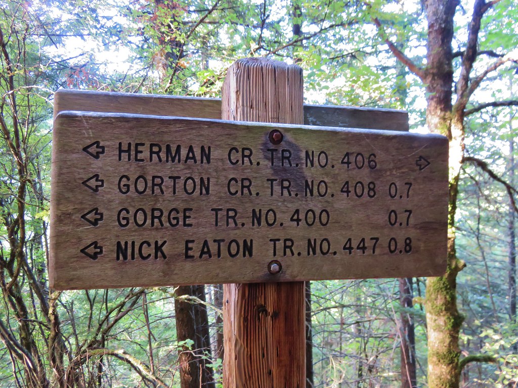
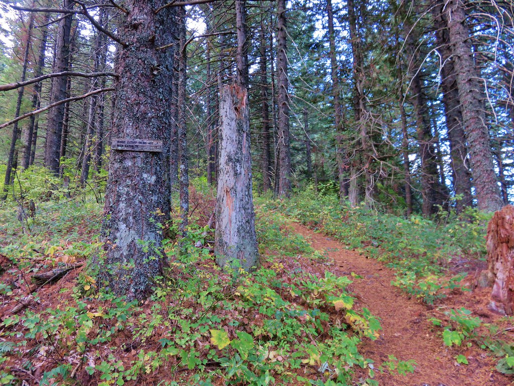
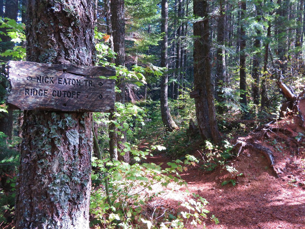
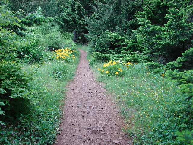
Just over a quarter mile from the trailhead we passed our return route, the Starvation Cutoff Trail, and just a bit beyond that we came to a small sign for Cabin Creek Falls.
Sign for Cabin Creek Falls

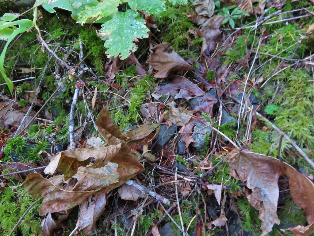
That small fall was mostly hidden.
Cabin Creek Falls

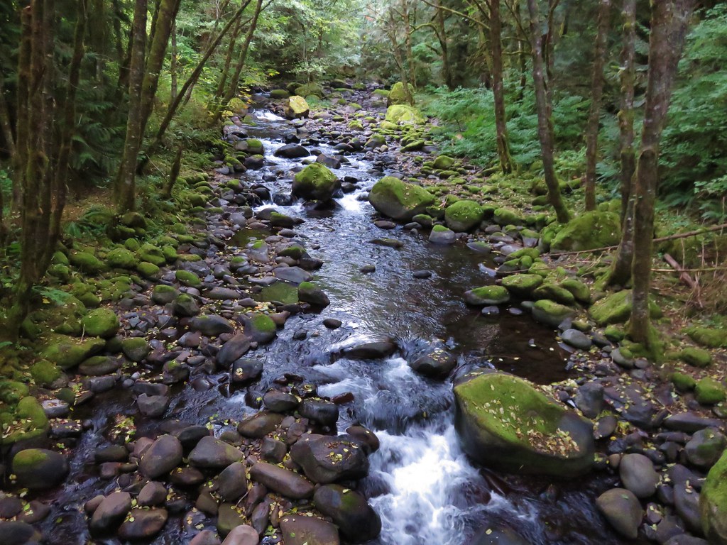
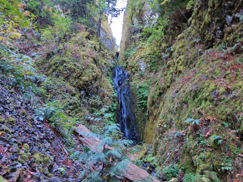
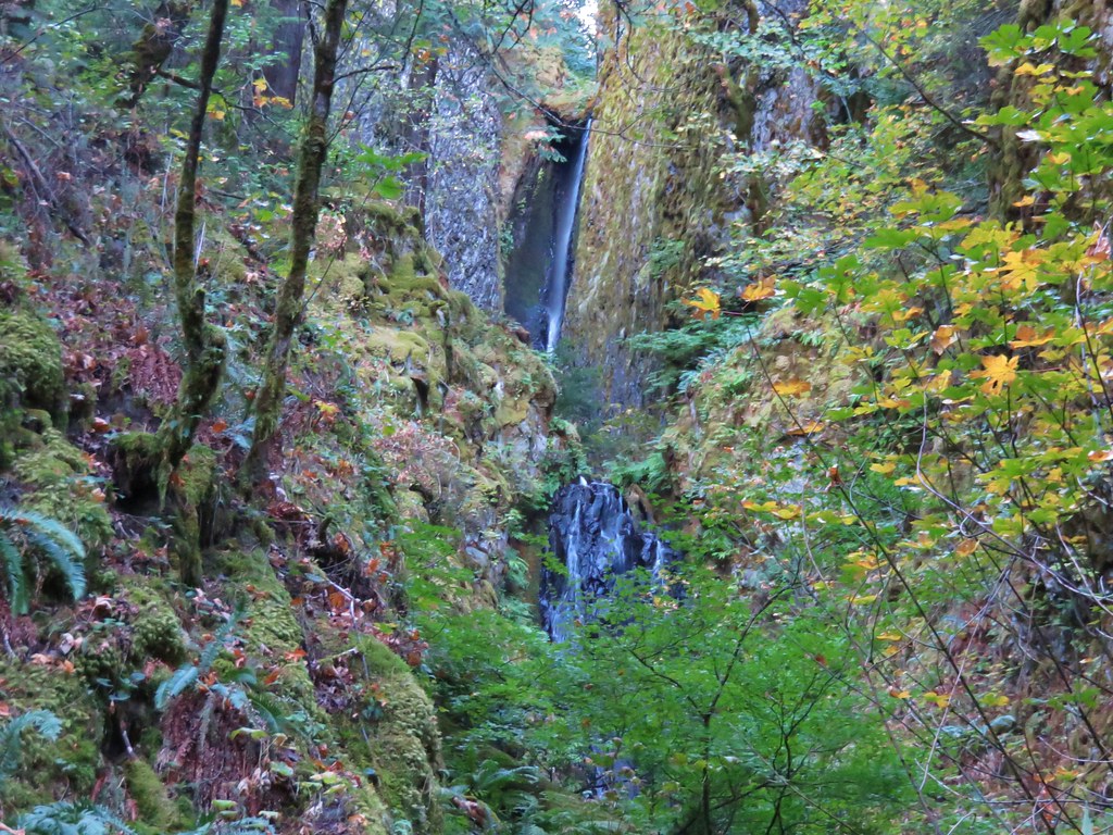
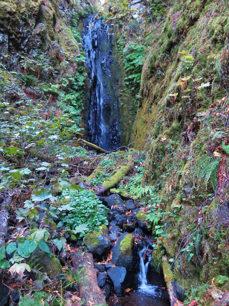
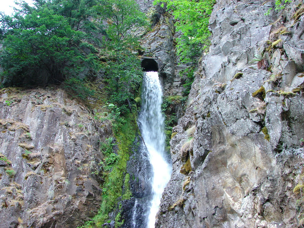
A little under a half mile further though was a less obscured waterfall – Hole in the Wall Falls.
Hole in the Wall Falls

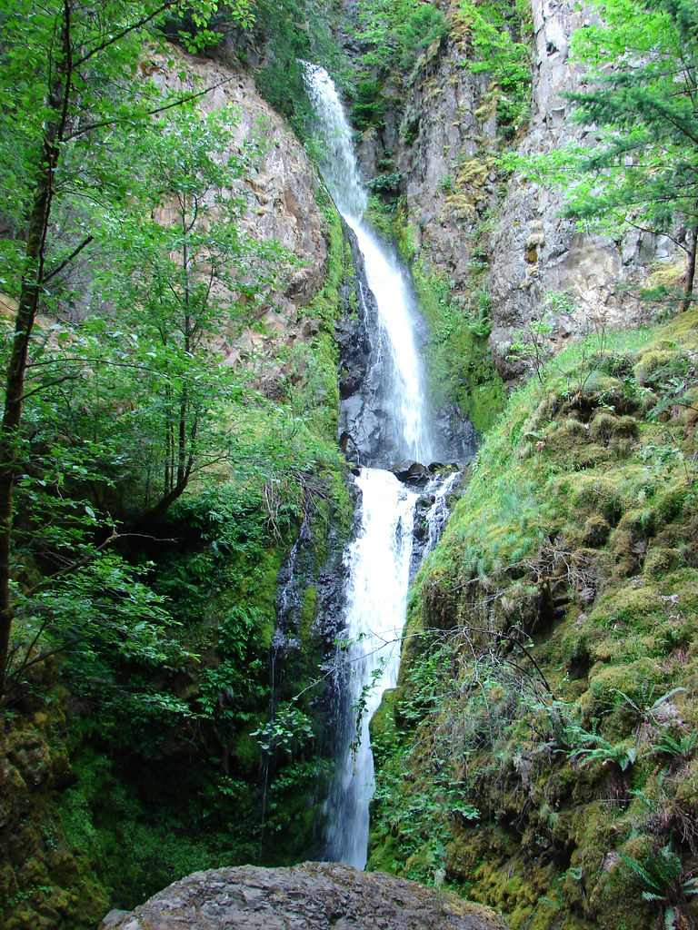
This waterfall is not a natural occurrence, it was created in 1938 when the Oregon Highway Department rerouted Warren Creek due to Warren Creek Falls being too close to the old Columbia River Highway. The falls name comes from the waters emergence from the cliff via a man made hole.
Hole in the Wall Falls

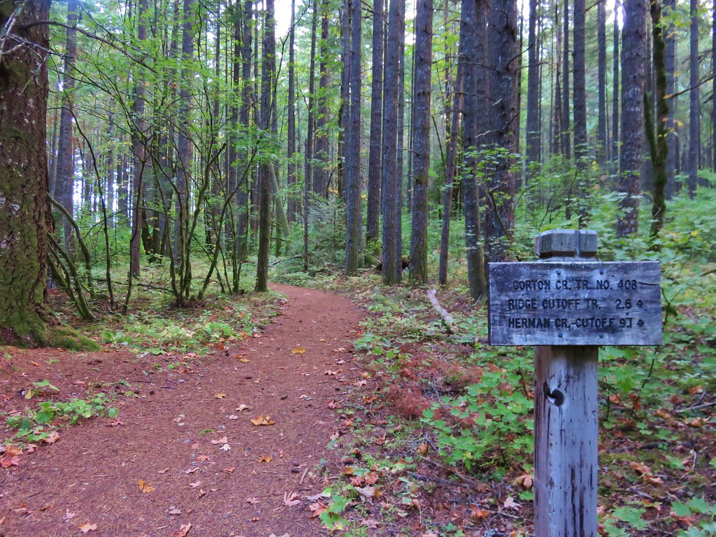
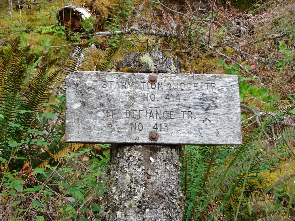
A tenth of a mile beyond Hole in the Wall Falls we passed a junction with the Starvation Ridge Trail. A left turn here would have brought us to the upper end of the Starvation Cutoff Trail in a mile allowing for a short two and a half mile loop.
Junction with the Starvation Ridge Trail

Having loftier goals we continued straight passing below the lower portion of Lancaster Falls after .2 miles.
Lancaster Falls

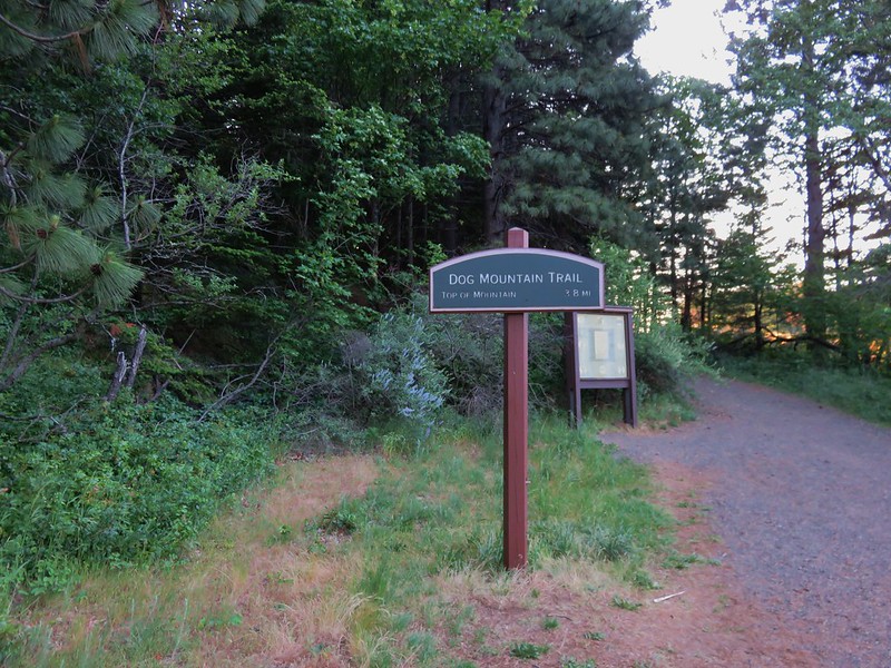
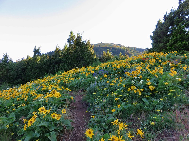
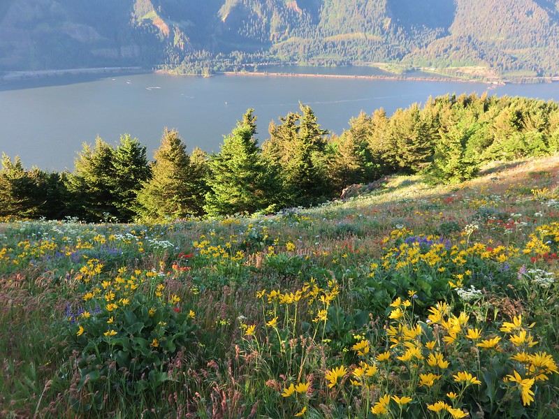
It seemed like a nice “little” waterfall but interestingly this lower portion was only a small part of a much taller fall as we would discover in 2014 when we spotted the waterfall from across the Columbia River on the Dog Mountain Trail (post).
Lancaster Falls from Dog Mountain

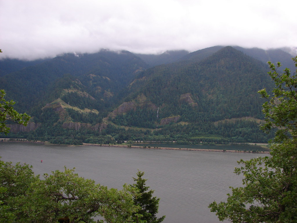
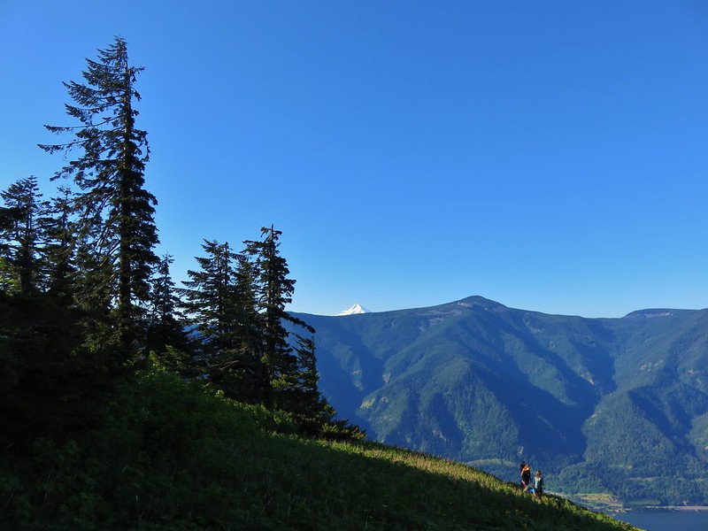
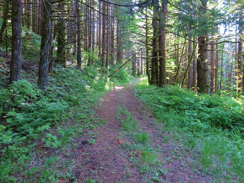
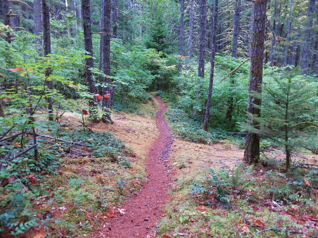
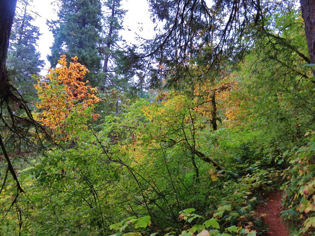
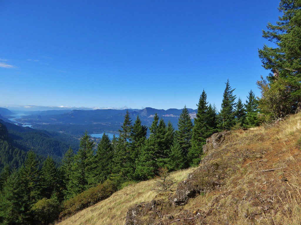
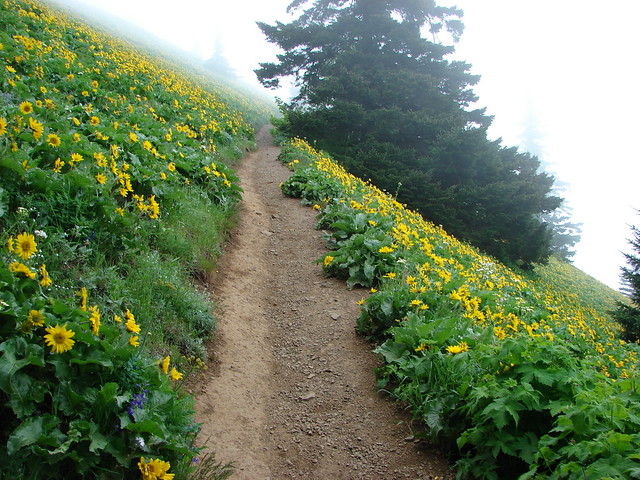
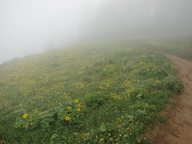
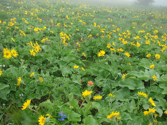
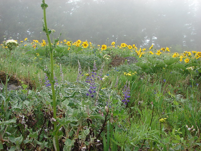
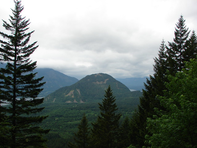
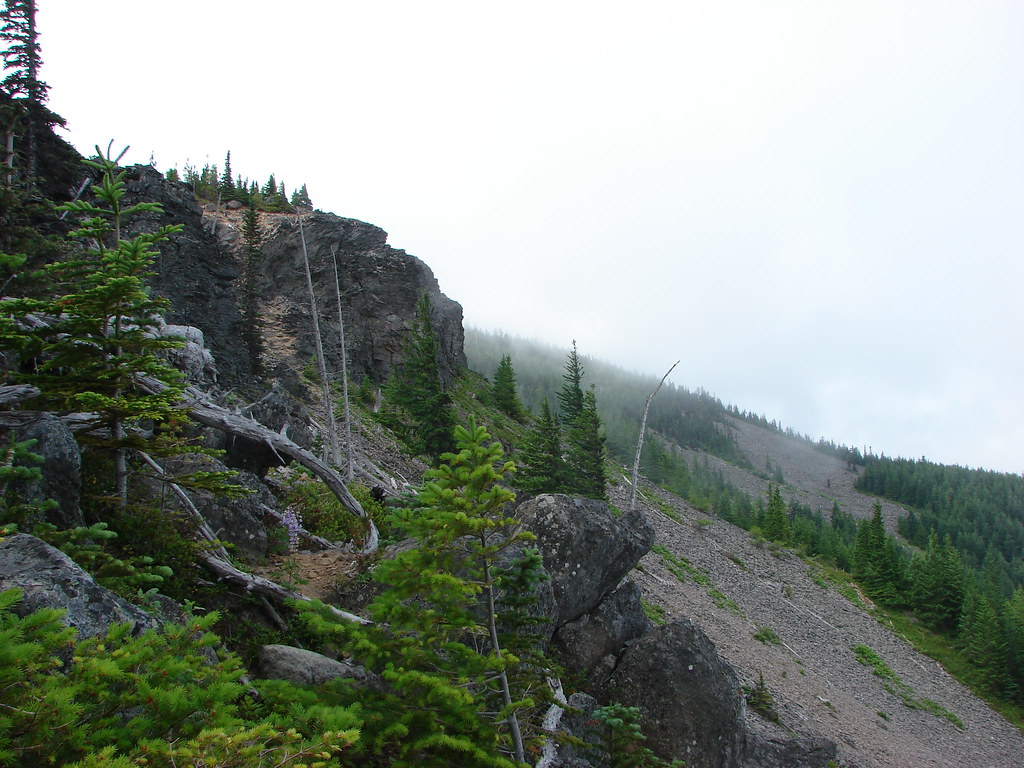
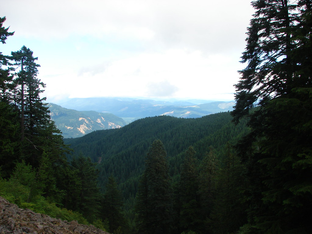
Another half a mile of fairly level trail brought us to the start of the 4700′ climb to the summit of Mt. Defiance. The trail passed under some powerlines up a fairly open hillside where low clouds only provided a limited view of Wind Mountain across the river.
Wind Mountain and the Columbia River

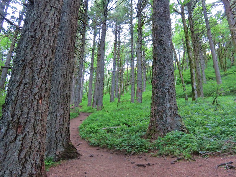
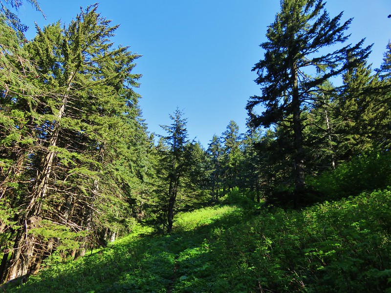
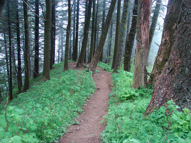
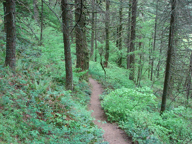
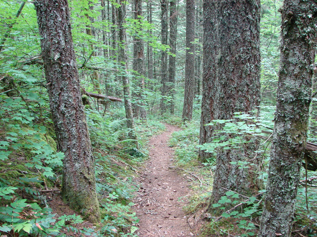
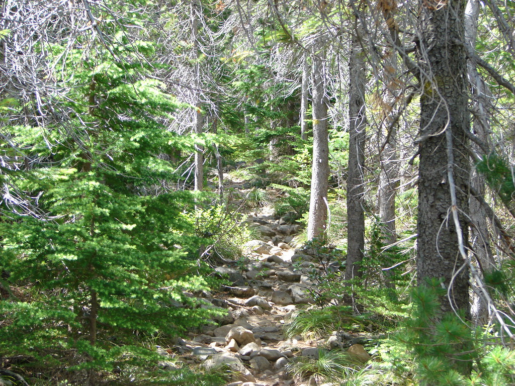
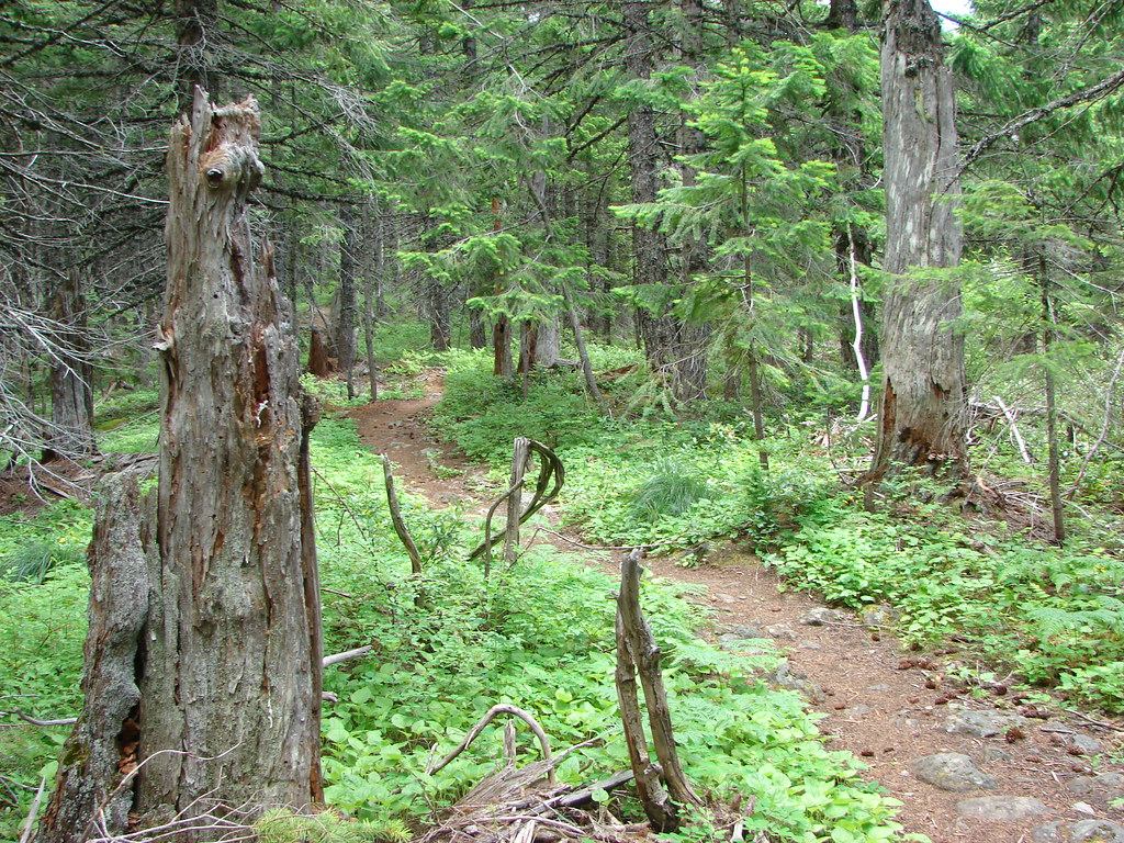
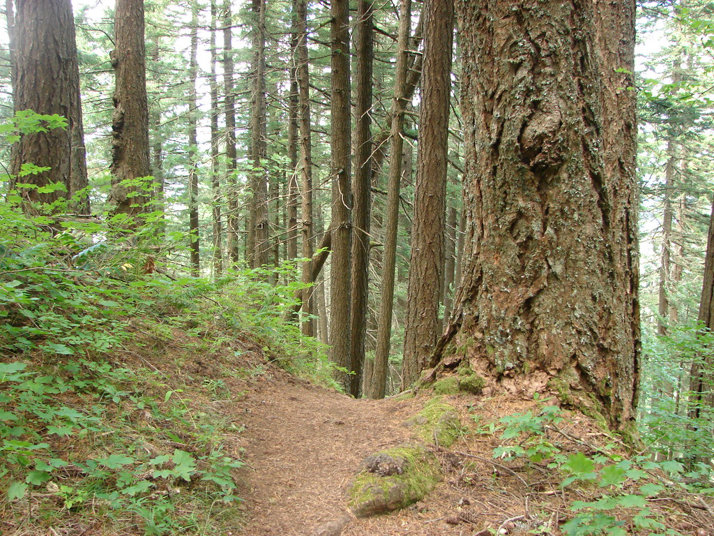
The trail then entered the trees as it gained 4000′ over approximately three nearly unrelenting miles.
Columbia River

Mt. Defiance Trail

Mt. Defiance Trail

Along the way we passed a Mark O. Hatfield Wilderness sign.
Mt. Defiance Trail entering the Mark O. Hatfield Wilderness

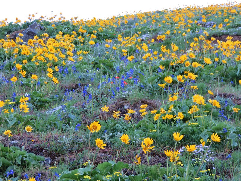
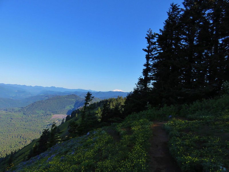
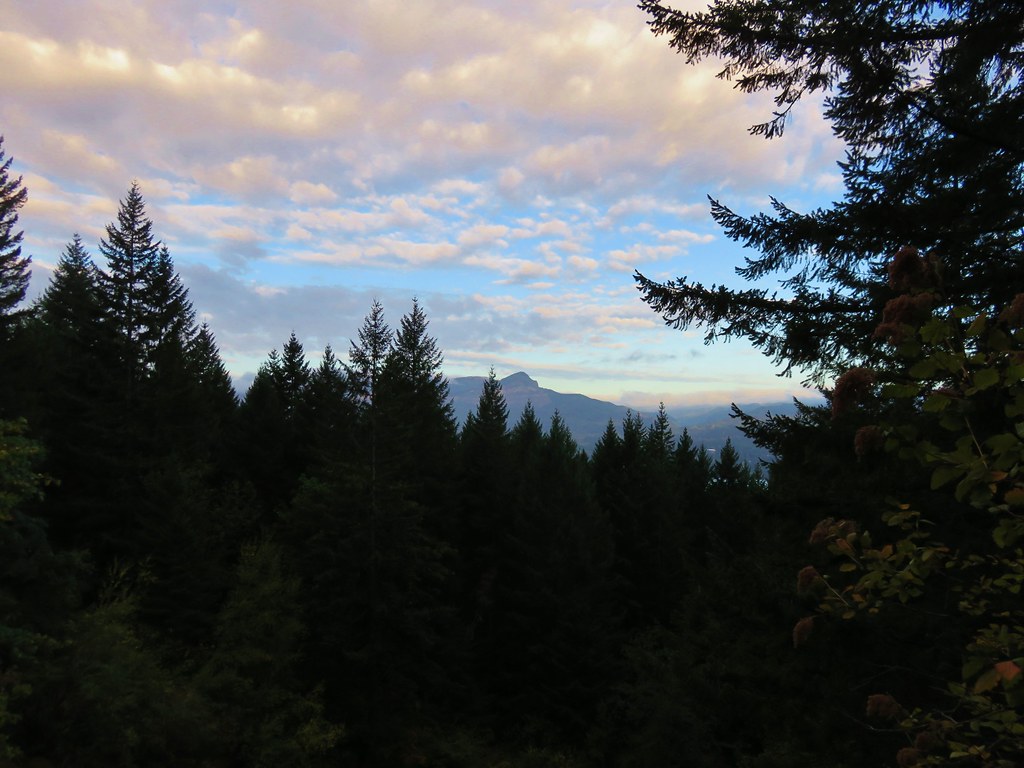
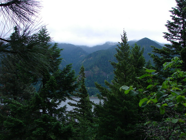
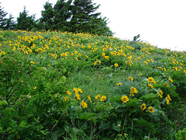
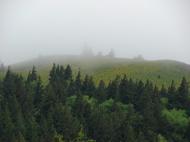
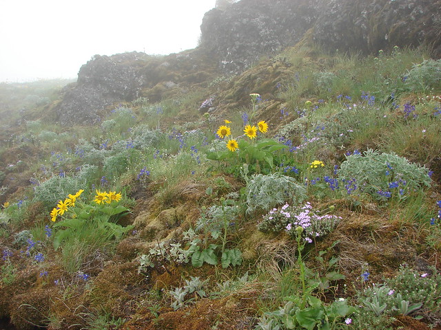
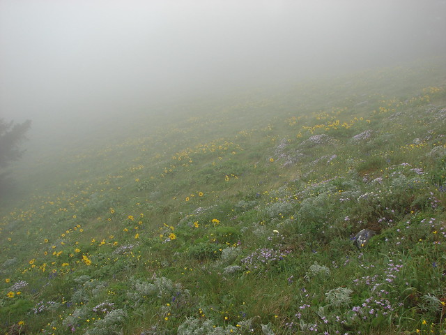
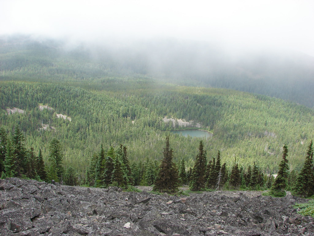
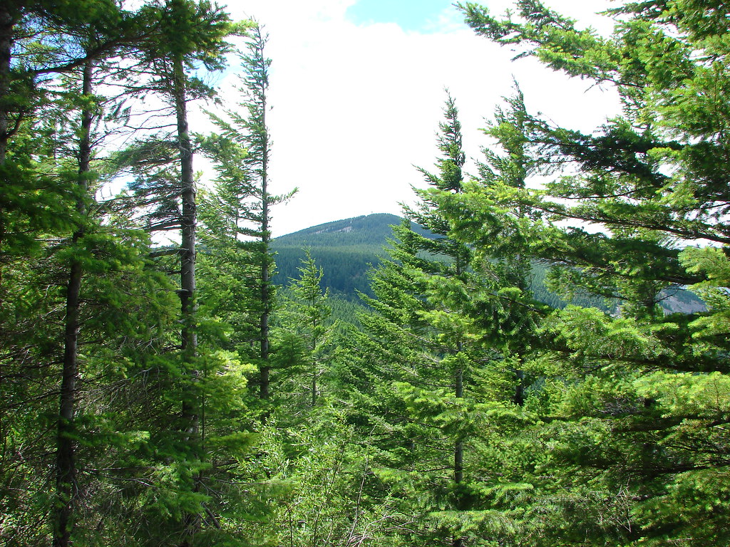
A little further on was a viewpoint along a rocky hillside. Low clouds limited much of the view but a nice rainbow was visible in the valley below.
View along the Mt. Defiance Trail

Rainbow seen from the Mt. Defiance Trail

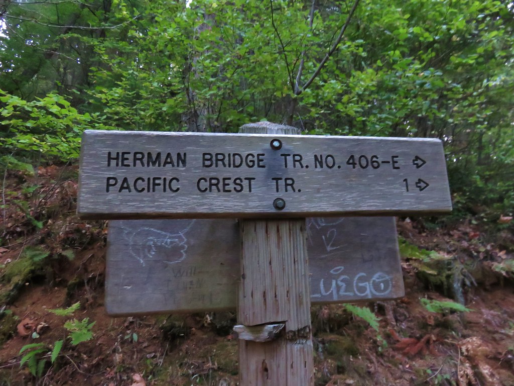
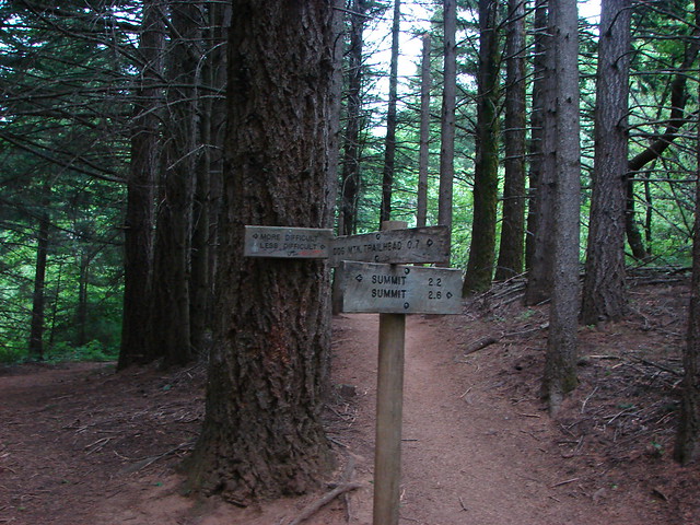
After gaining those 4000′ we arrived at a junction with the Mitchell Point Trail.
Trail sign for the Mitchell Point Trail

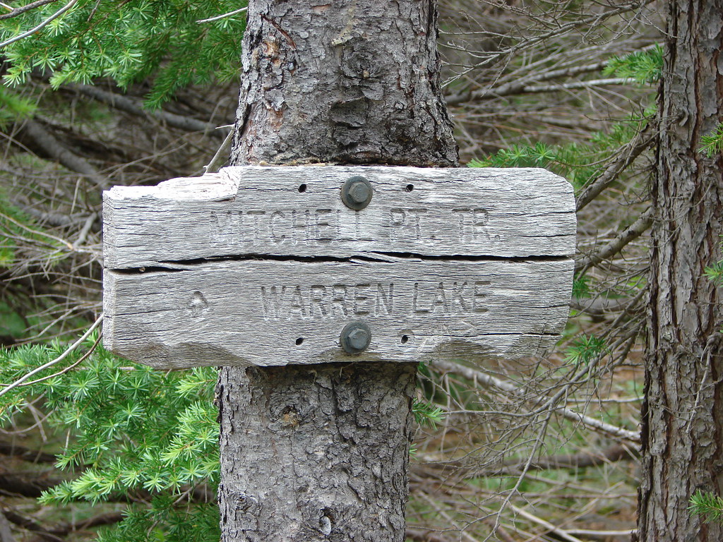
We would be taking that trail on our way back, but first more climbing.
Mt. Defiance Trail

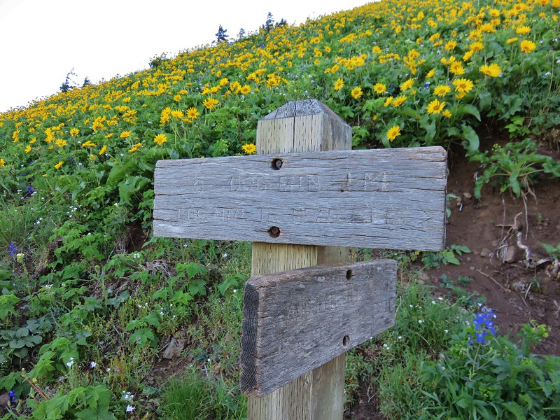
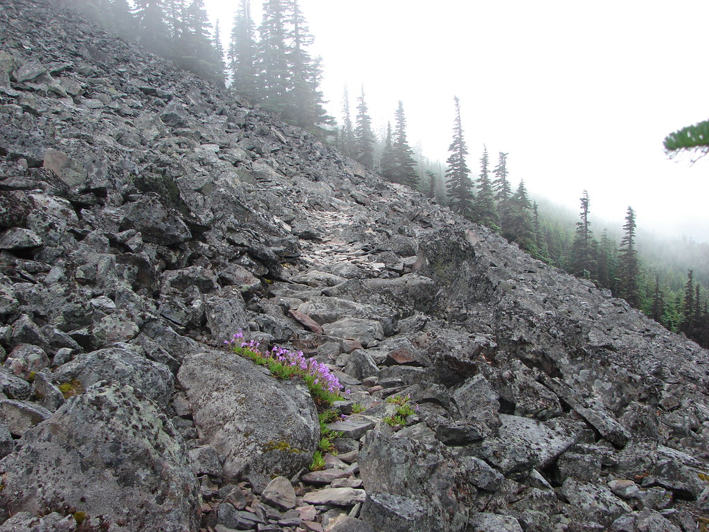
Two tenths of a mile from the Mitchell Point Trail junction a new (at that time) trail led off to the right. The trail was unmarked except for two small rock cairns.
Mt. Defiance Trail

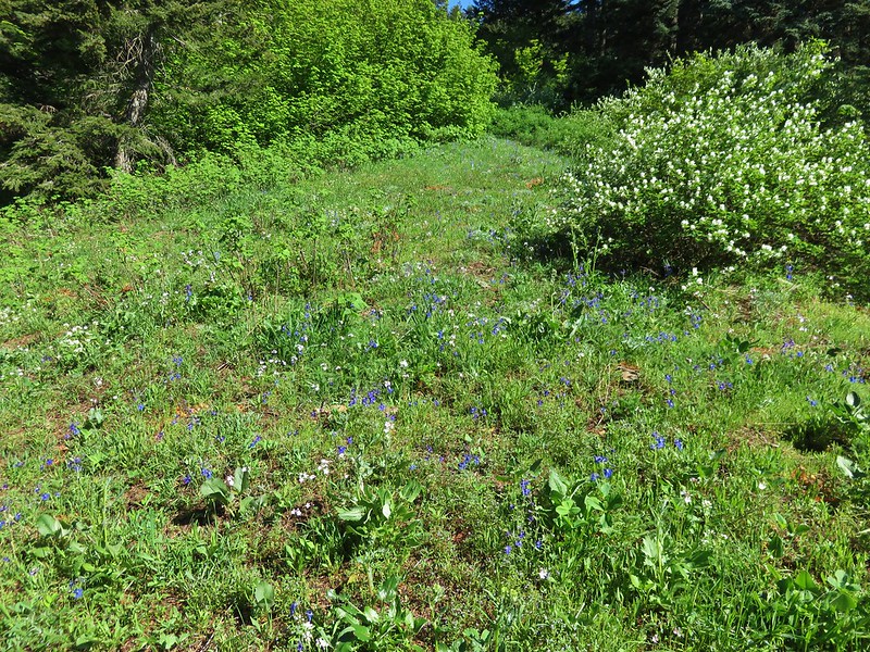
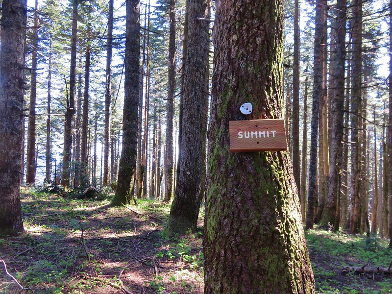
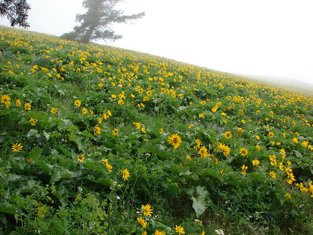
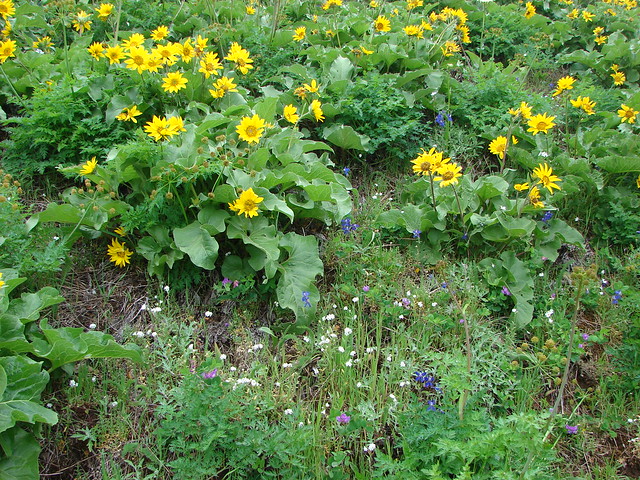
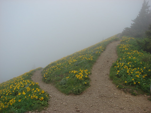
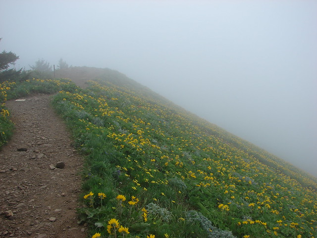
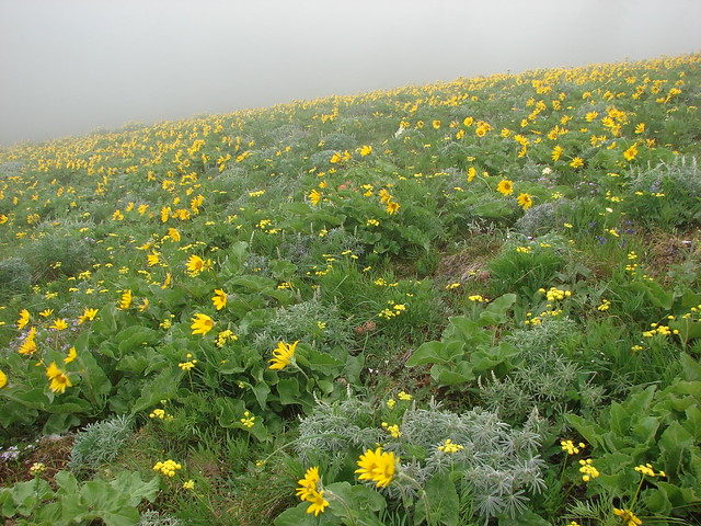
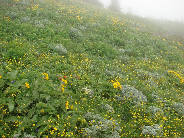
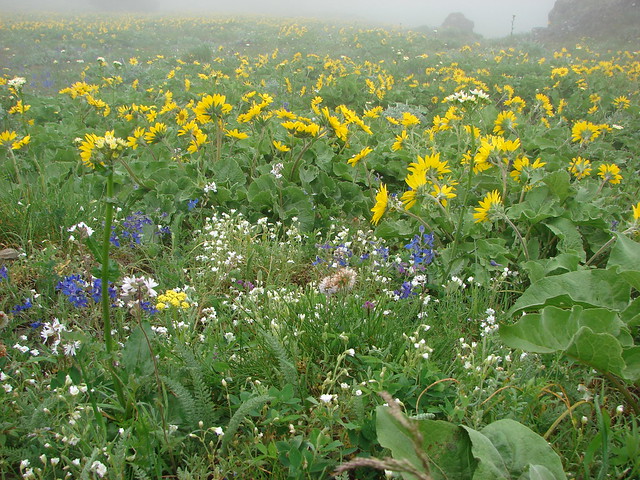
This mile long segment of trail traversed a talus covered hillside above Bear Lake up and around Mt. Defiance to a microwave building at its summit.
Mt. Defiance Trail

Bear Lake

Towers on Mt. Defiance

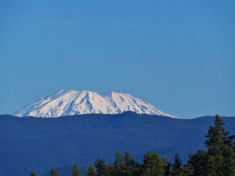
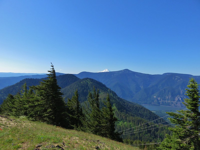
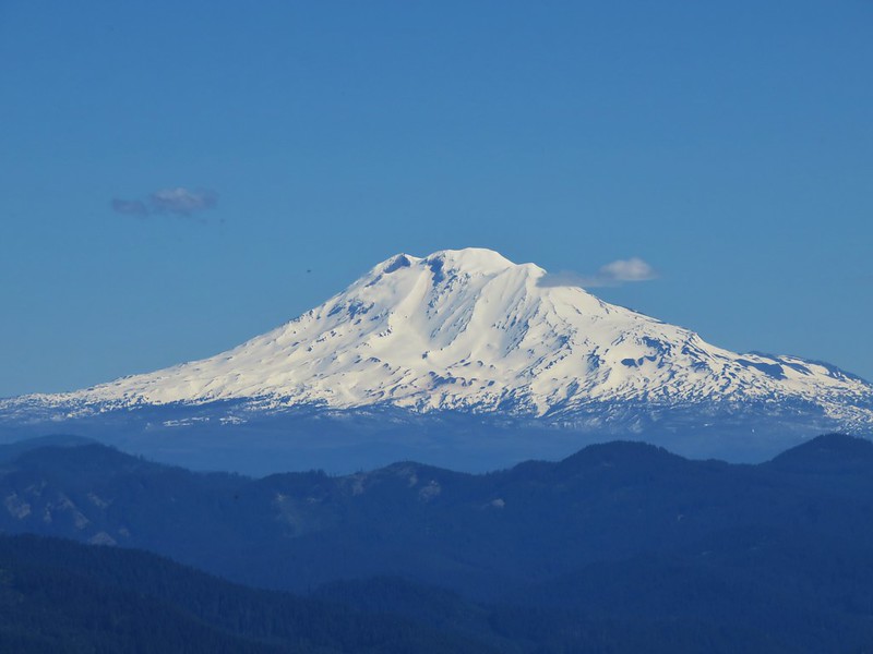
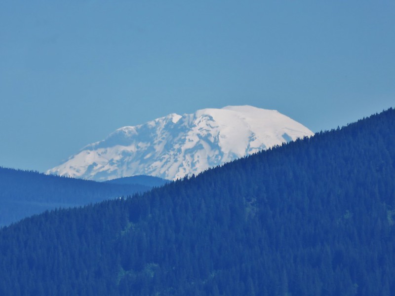
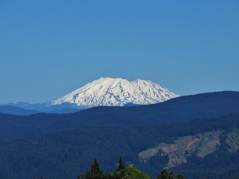
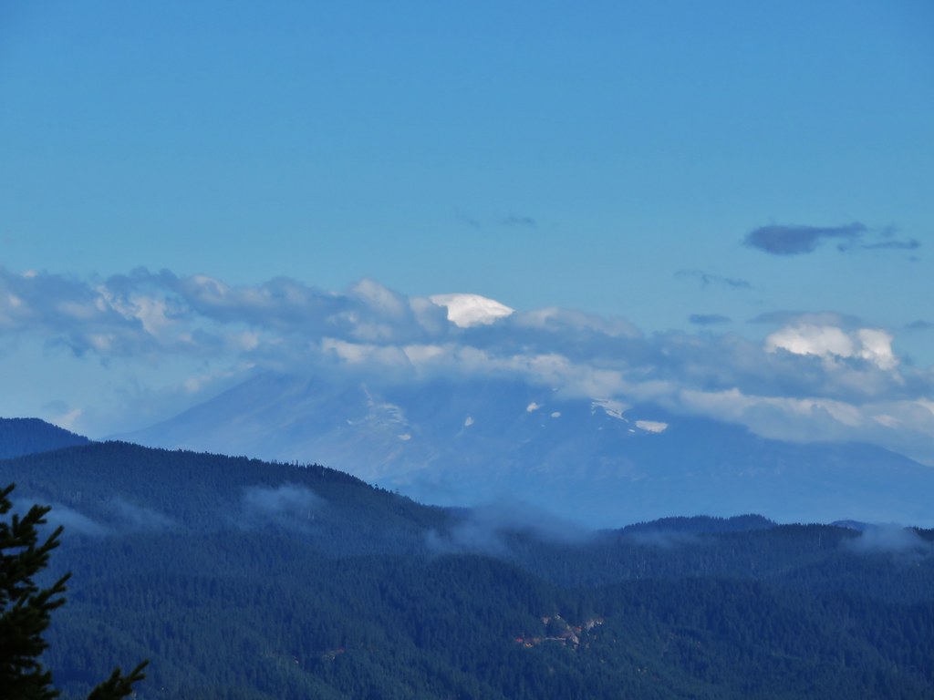
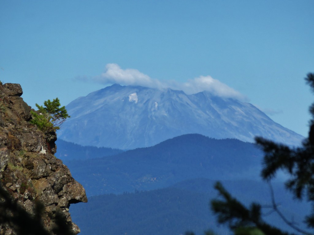
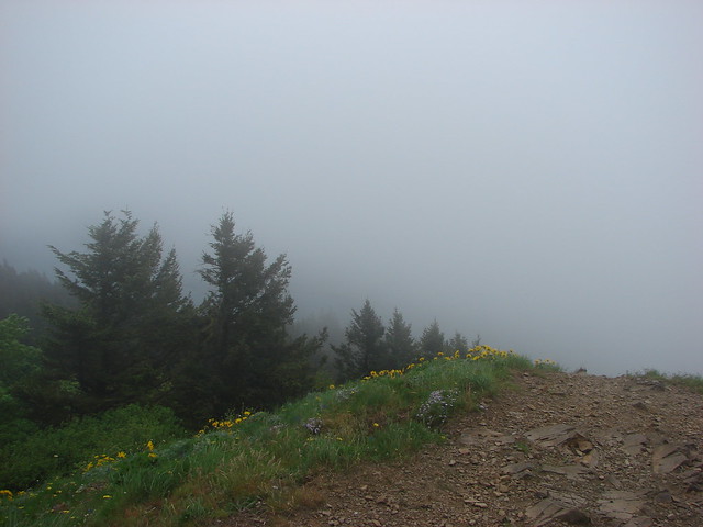
Unfortunately for us the clouds had not burned off and Mt. Hood was completely hidden.
View from Mt. Defiance

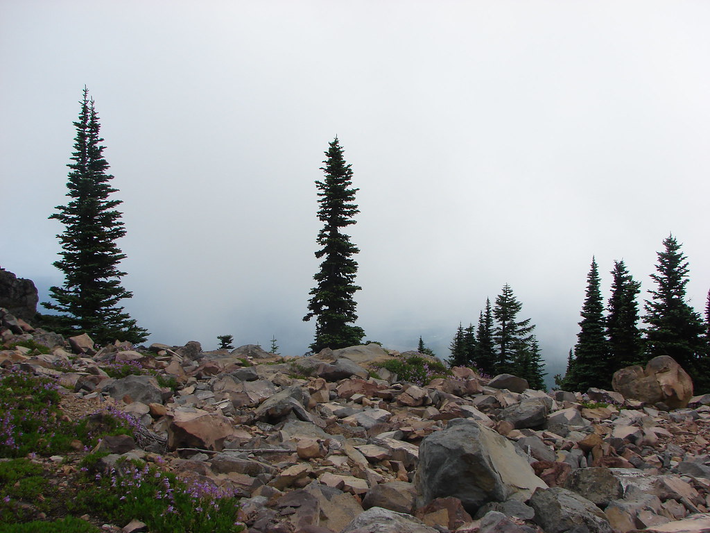
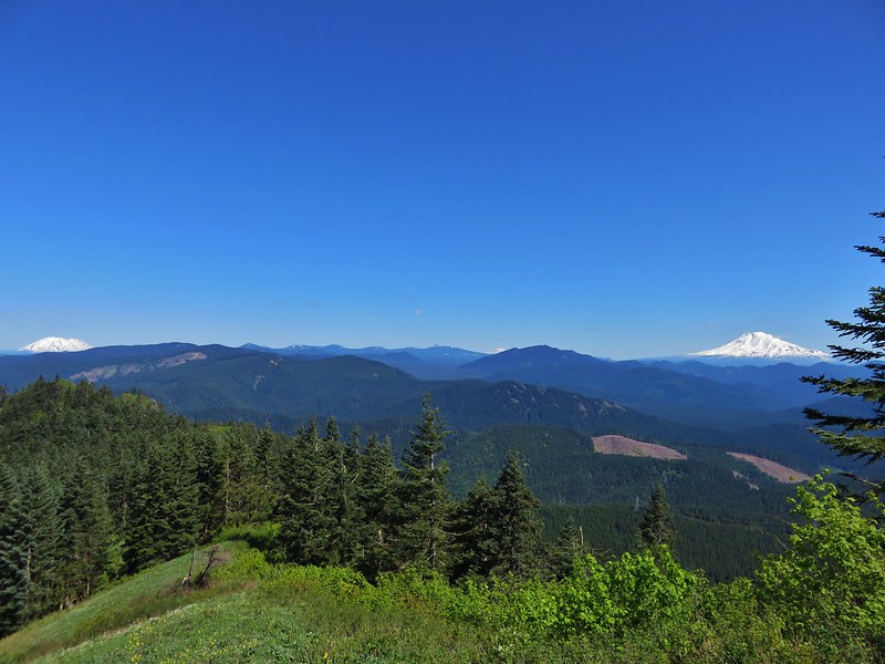
The only view we had from the summit was to the SE.
View from Mt. Defiance

After a nice rest at the summit we opted to head back down to the Mitchell Point Trail via the older summit route which shaved off .2 miles.
Sign for the Mt. Defiance Trail

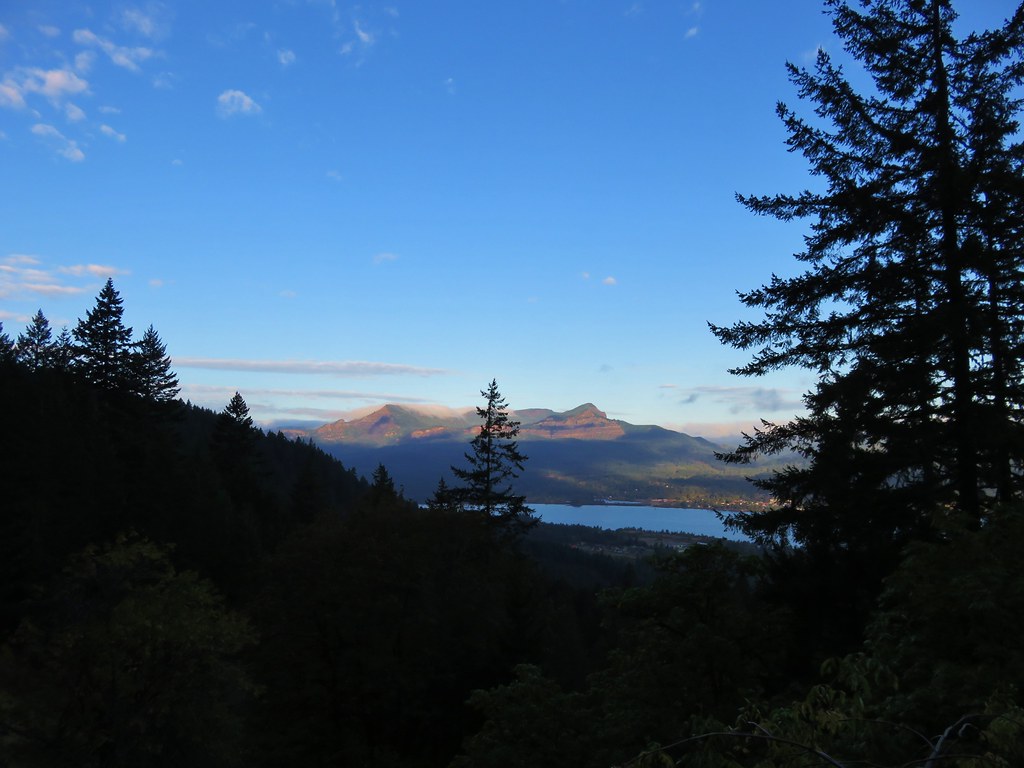
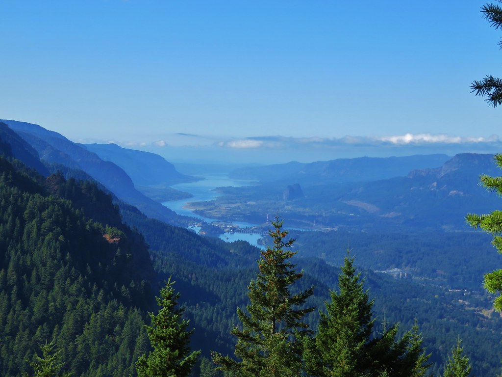
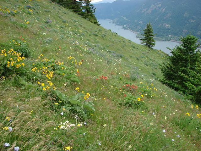
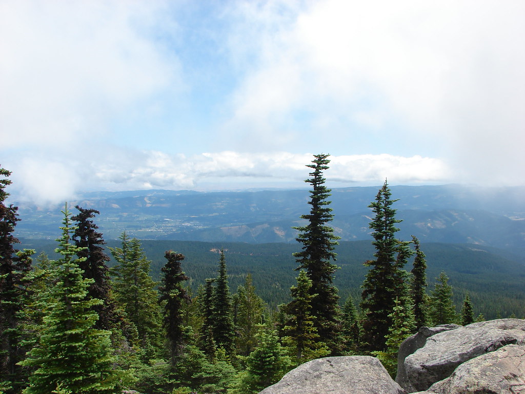
When we reached the junction we turned onto the Mitchell Point Trail and headed east toward Warren Lake. The clouds to the east had been breaking up revealing some nice blue skies as we reached a viewpoint above Warren Lake.
View from Mt. Defiance

View from the Mt. Defiance Trail

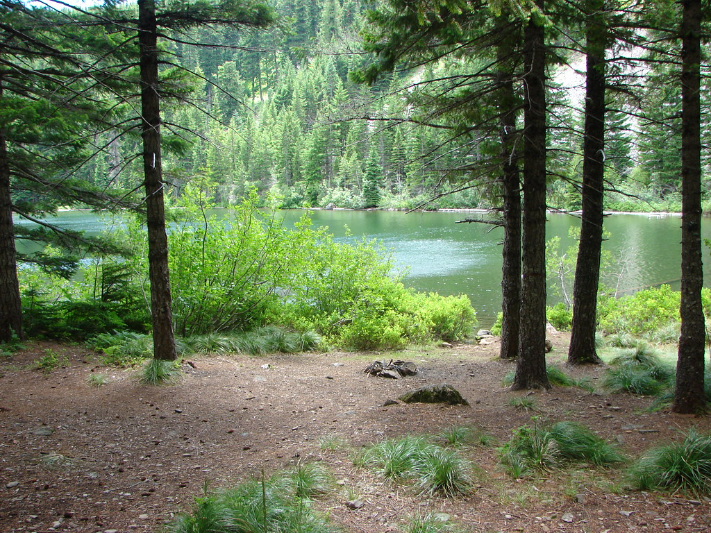
We arrived at the lake .8 miles from the junction.
Warren Lake

Warren Lake

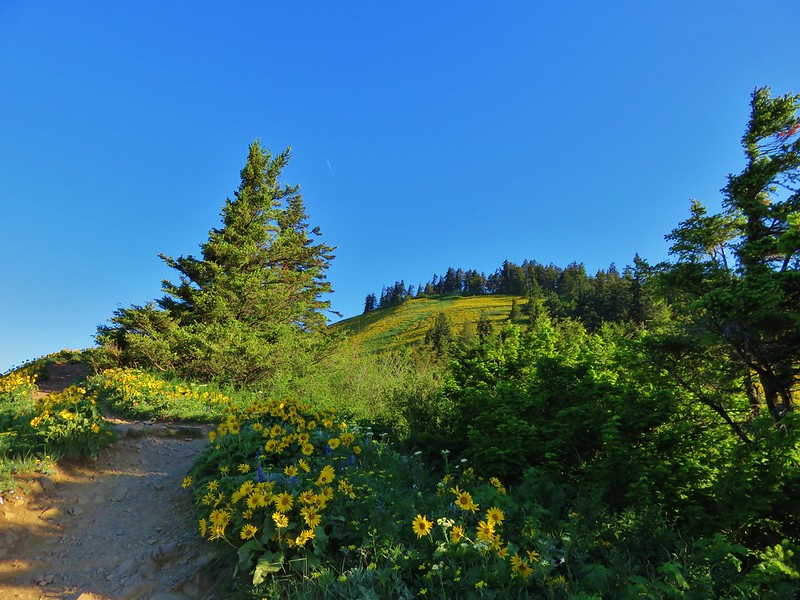
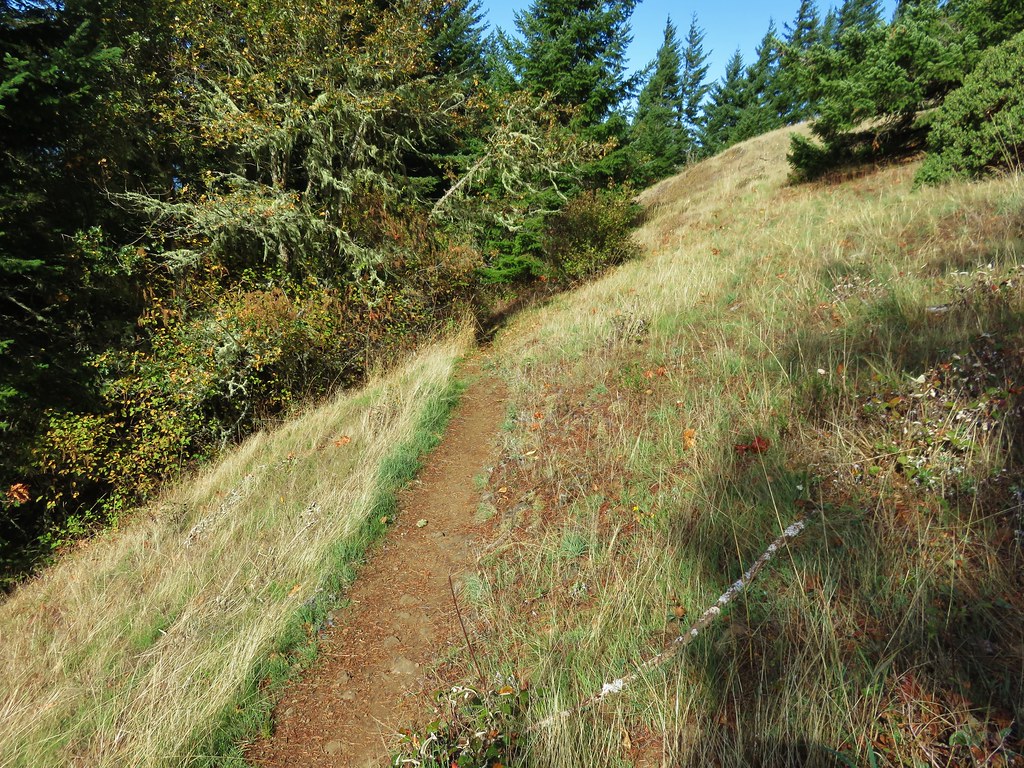
We followed the Mitchell Point Trail another half mile from Warren Lake before turning left onto the unsigned Starvation Ridge Trail.
Trail sign for the Mitchell Point Trail

Mitchell Point Trail

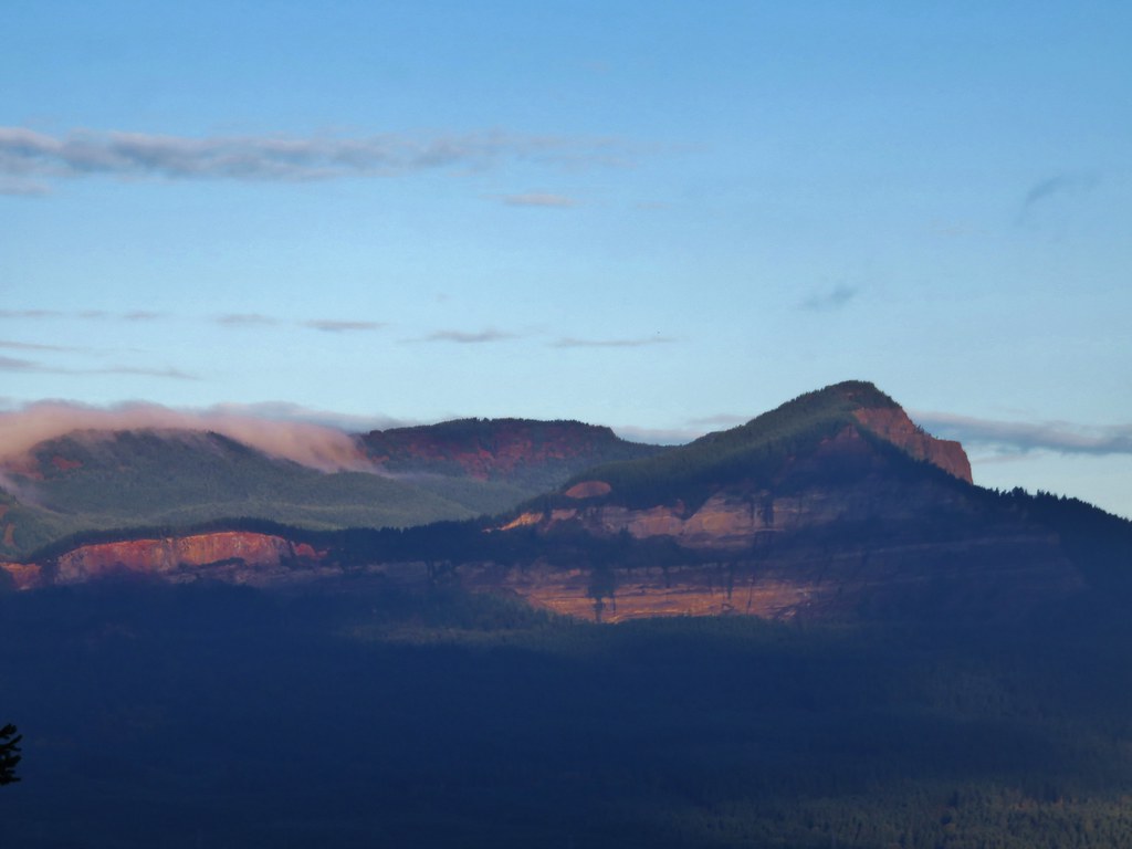
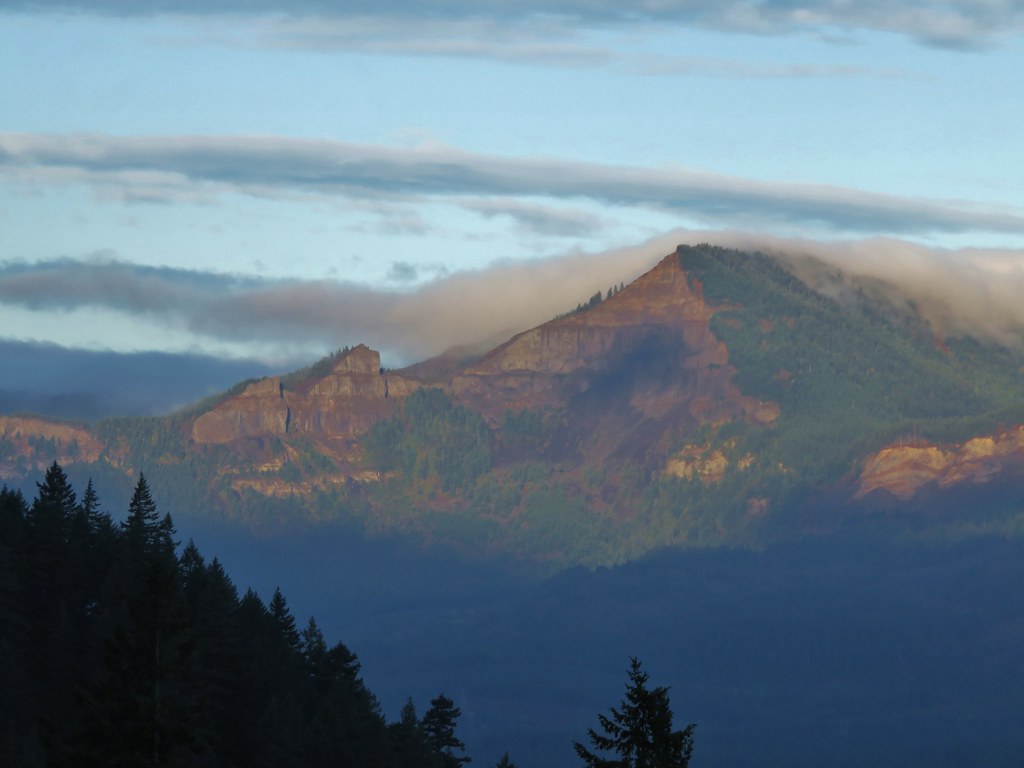
The Starvation Ridge Trail began heading downhill offering a view back to Mt. Defiance.
Starvation Ridge Trail

Mt. Defiance

It was still a bit cloudy for views in other directions though.
View from the Starvation Ridge Trail

View from the Starvation Ridge Trail

View from the Starvation Ridge Trail

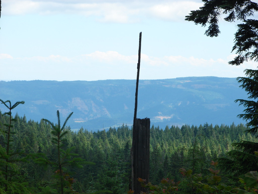
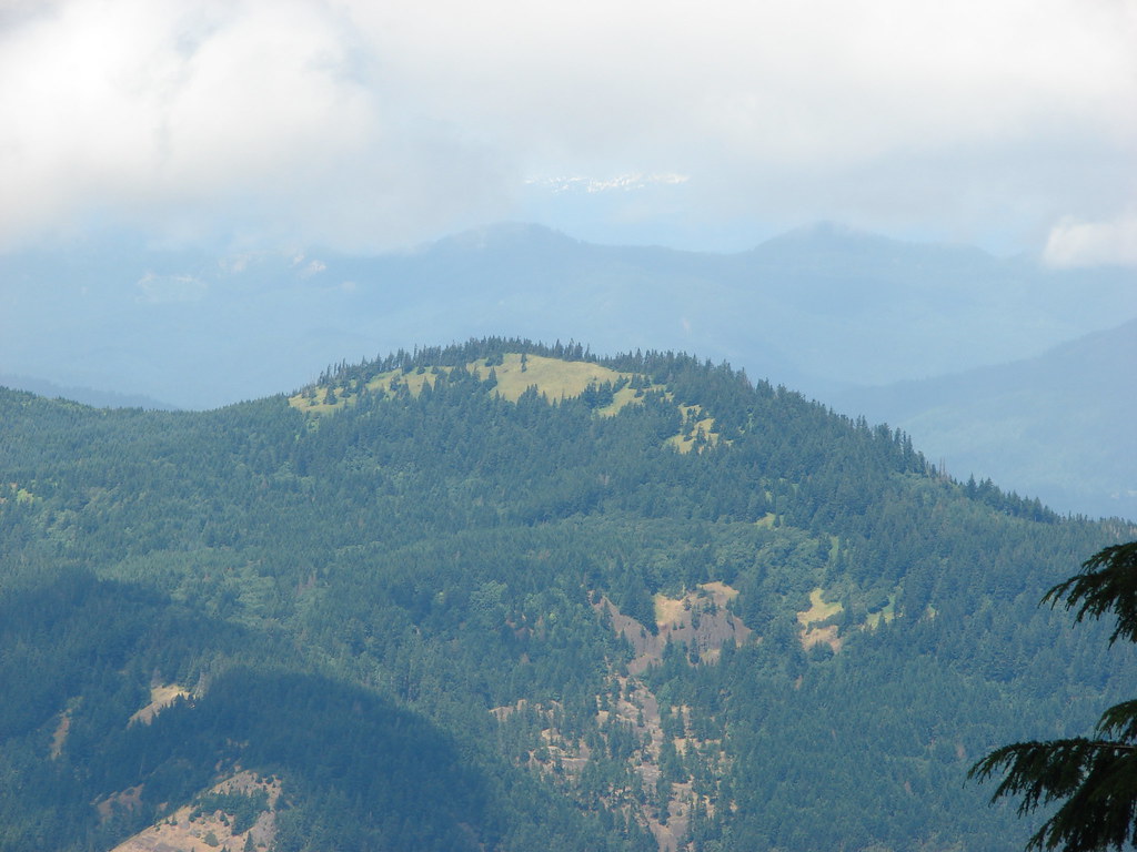
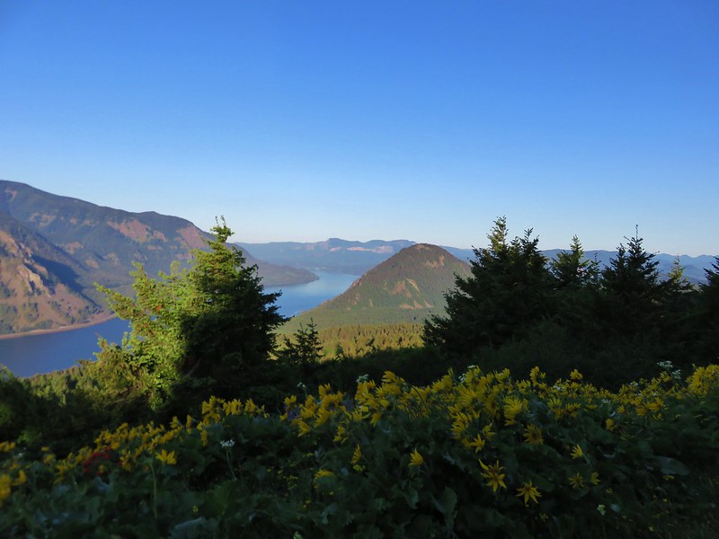
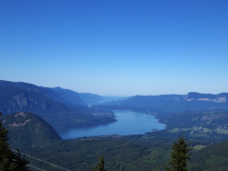
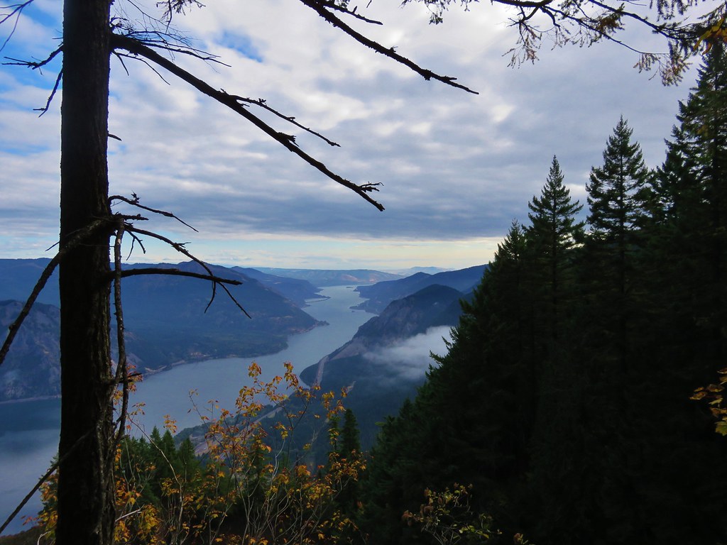
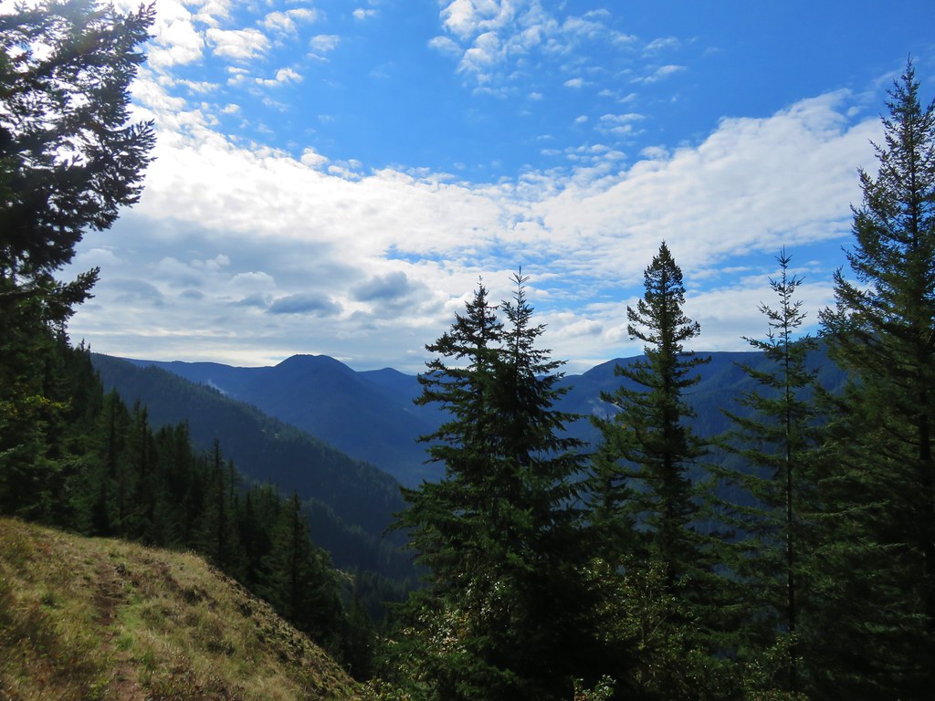
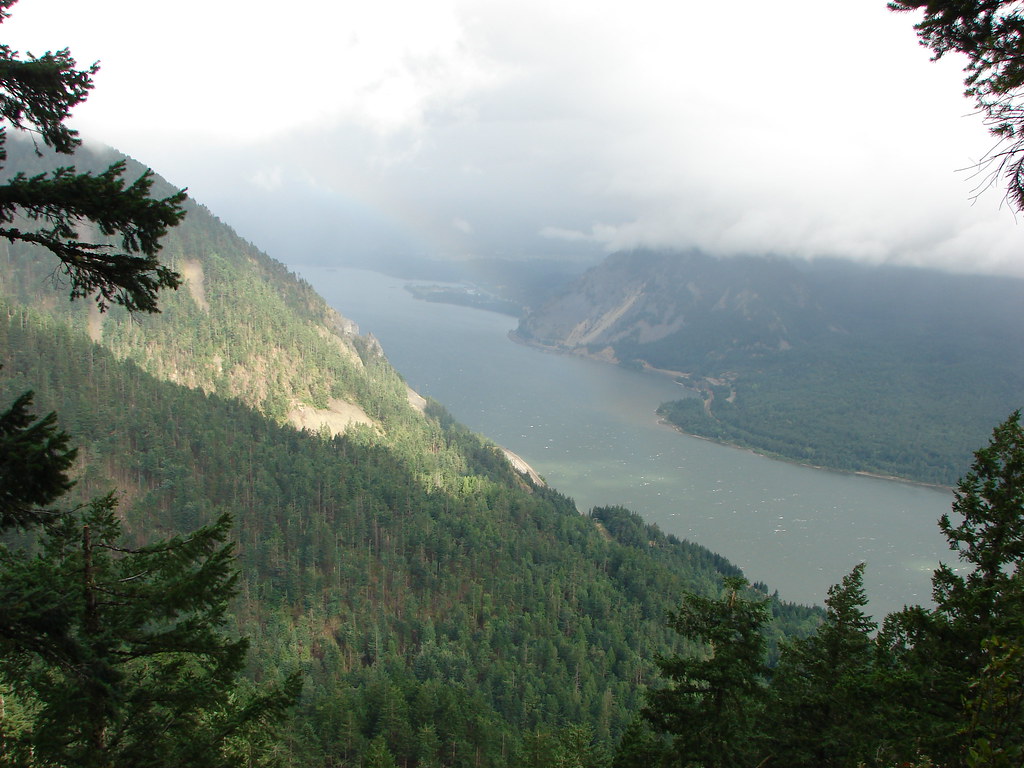
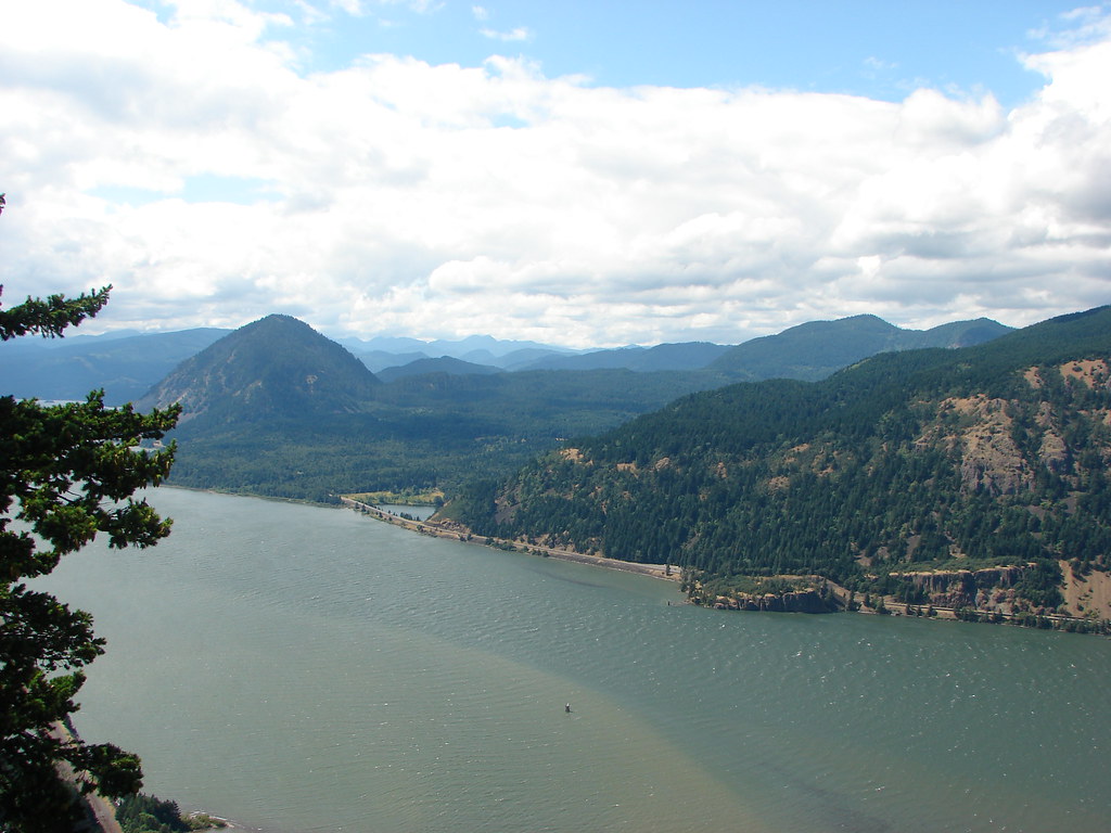
The view of Wind Mountain had greatly improved.
Columbia River

As the ridge narrowed the decent steepened and we were soon barreling downhill. The trail ahead would occasionally vanish as is dropped leaving us wondering if it just dropped off a cliff.
Starvation Ridge Trail

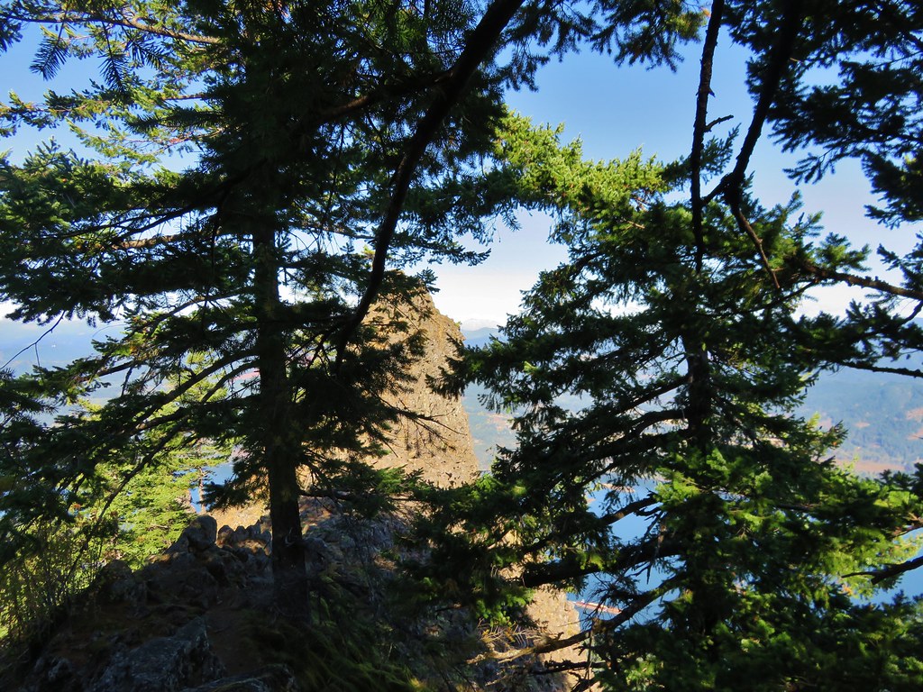
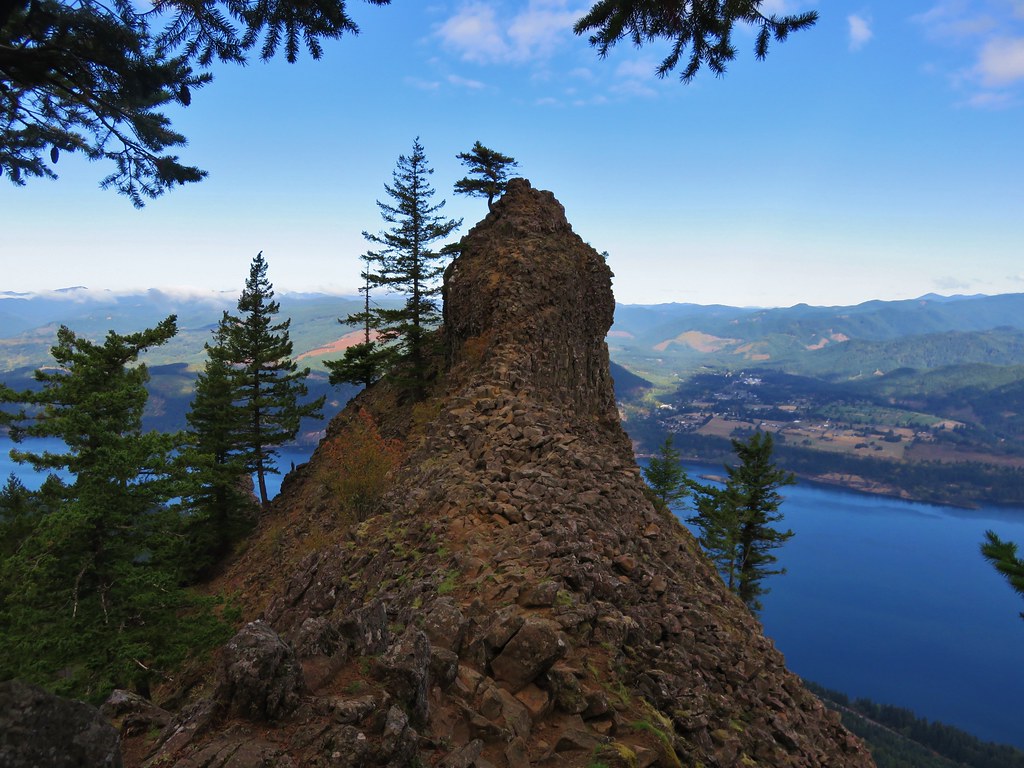
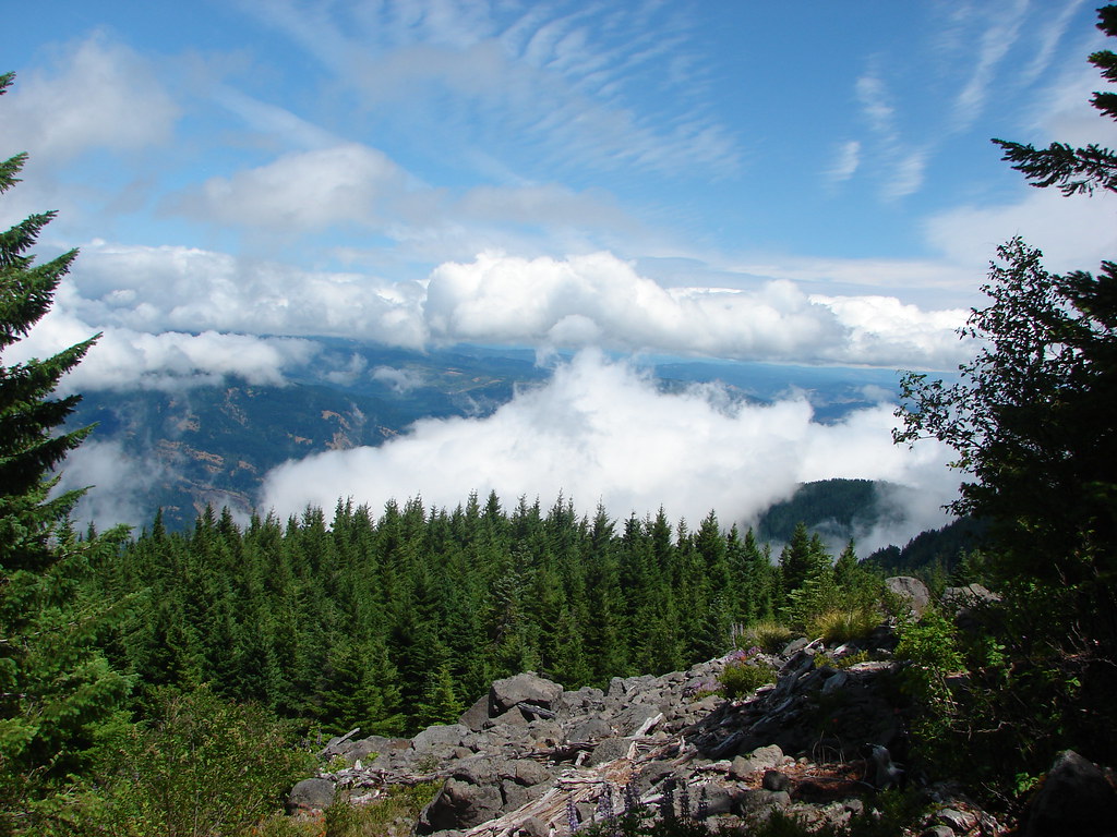
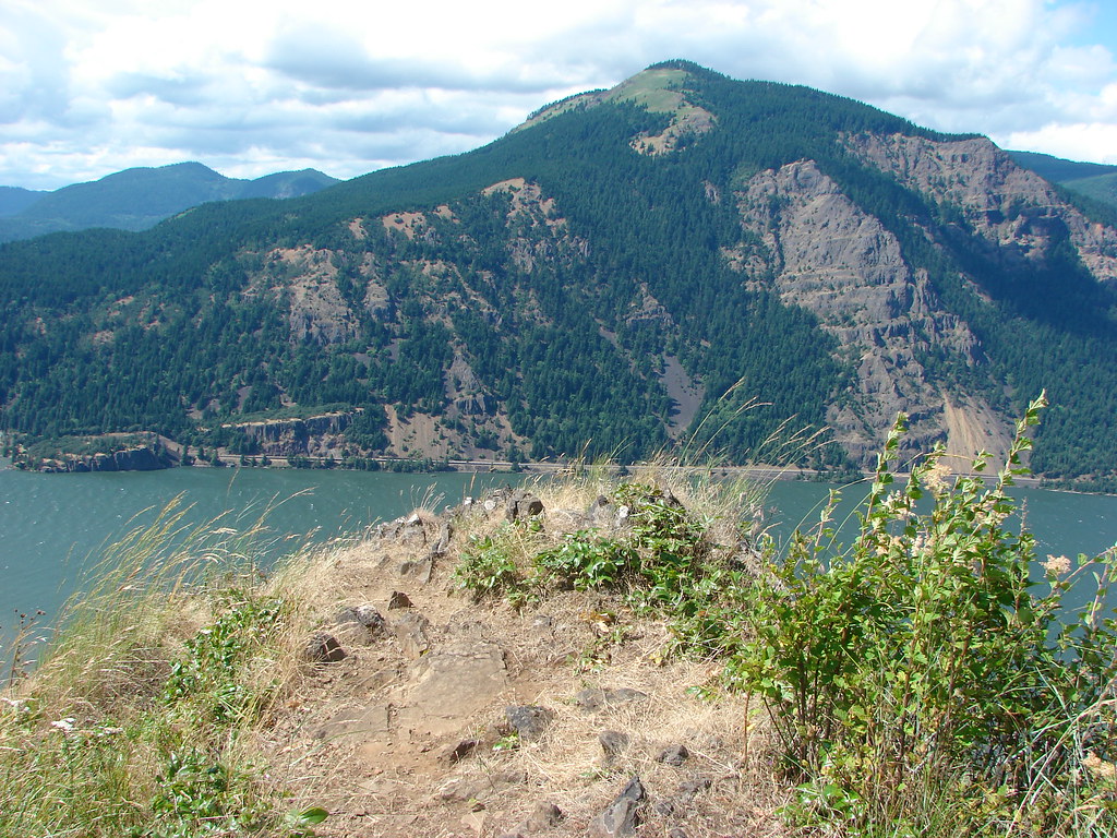
For over three miles the trail dove and yet the Columbia River didn’t seem to be getting all that closer. Then the trail came to an opening at the end of the ridge across from Dog Mountain.
Dog Mountain

Wind Mountain on the Columbia River

The view was nice except for the one down to the Starvation Creek Trailhead where our car looked smaller than a Hot Wheels.
Trailhead from the Starvation Ridge Trail

From the ridge end the trail headed downhill away from the trailhead. We turned right onto the Starvation Cutoff Trail at a signed junction and switchbacked down .3 miles to the Mt. Defiance Trail and followed the freeway back to our car.
Trial sign along the Starvation Ridge Trail

Mt. Defiance had lived up to it’s reputation as a challenge and it would have been nice to have had a view at the top but it was rewarding to know that we could accomplish it. It was a boost to our confidence going forward. We look forward to heading back someday when the skies are clearer. Happy Trails!

Flickr: Mt. Defiance

Categories
Columbia Gorge North Hiking Trip report Washington

Dog and Augspurger Mountains

This was our second visit to Dog Mountain and probably our final one for several years at least. While the wildflower meadows on Dog Mountain are arguably the best in the Columbia Gorge, that distinction brings crowds. We do our best to avoid crowded hikes, but our visit in May 2014 was on a morning when low clouds covered the upper meadows limiting views of the gorge and the flowers. https://wanderingyuncks.wordpress.com/2014/05/18/dog-mountain/

Reports of the flower show being near peak and the promise of a sunny day brought us back to Dog Mountain for the views we missed and an additional visit to Augspurger Mountain which we had done on our previous trip. We left extra early arriving at the trailhead just after 6am to find close to a dozen cars already in the parking area. The parking area has recently gone through some changes reducing the number of spots from 200 to 75. For more information check out http://www.oregonhikers.org/forum/viewtopic.php?f=14&t=23519.

Two trails start from the parking lot, the Dog Mountain and Augspurger Trail, which make an 7 mile loop possible. The Augspurger trail also continues 4.7 miles beyond its junction with the Dog Mountain Trail past the summit of Augspurger Mountain to meadows with views of 3 Washington volcanoes.

We started up hill on the Dog Mountain Trail gaining almost 700′ in the first half mile to a junction in the forest.
Dog Mountain Trailhead

We forked right at the junction following the slightly longer, less difficult, and more scenic trail. After another mile (and another 800′ of elevation gain) we arrived at the lower meadow. The flowers were still in pretty good shape here and the view was better than during our first visit.
Upper meadow on Dog Mountain from the lower meadow//embedr.flickr.com/assets/client-code.js

Lower meadow on Dog Mountain

Columbia River from the lower meadow on Dog Mountain

Paintbrush, lupine, balsamroot and other flowers in the lower meadow

Wildflowers in the lower meadow on Dog Mountain

Wind, Greenleaf and Table Mountains from the lower meadow

The less and more difficult trails rejoined after another half mile back in the forest.
Dog Mountain Trail

Another 550′ climb over the next half mile brought us to the site of a former lookout at the lower end of Dog Mountain’s upper meadow. The balsamroot painted much of the hillside yellow. Other flowers were mised in adding splashes of red, white, and purple to the color palette.
Dog Mountain Trail

Upper meadow on Dog Mountain

Lakrspur and balsamroot with a little paint

Balsamroot, lupine and paintbrush

Upper meadow on Dog Mountain

Upper meadow on Dog Mountain

Larkspur, balsamroot, and paintbrush

Upper meadow on Dog Mountain

We continued .4 miles from the former lookout site to a signed junction where a .1 mile path led up to the trails high point at the top of the meadow.
Upper meadow on Dog Mountain

Upper meadow on Dog Mountain

Balsamroot on Dog Mountain

Dog Mountain Trail

Junction in the upper meadow

The trail had not been too crowded, but we had already encountered more people in the first three miles than we had on our previous thirty-three miles of trail. It wasn’t the people that chased us from the top of the meadow though, it was the bugs. There was no breeze to keep them down and there were a lot of them including some biting flies. After taking in the view including Mt. Hood and Mt. Defiance to the south and Mt. St. Helens to the west we headed back down to the junction.
Mt. Hood and Mt. Defiance form the top of the upper meadow

Mt. Hood

Mt. St. Helens from the top of the upper meadow

Mt. St. Helens

Wind Mountain and the Columbia River from the top of the upper meadow

We continued on the Dog Mountain Trail another 1.1 miles, passing more wildflowers and fewer people, to its junction with the Augspurger Trail.
Paintbrush, buttercup, larkspur, balsamroot and chocolate lily

western stoneseed

Phlox

Balsamroot, paintbrush, phlox and larkspur

Meadow on Dog Mountain

White capped sparrow on balsamroot

Vanilla leaf and star flowered solomon's seal

Junction with the Augspurger Mt. Trail. (The spelling is wrong on the sign.)

We turned right at the junction and headed for Augspurger Mountain. It was immediately obvious that far fewer hikers used this portion of the trail. Brush crowded the path as it followed a wooded ridge dropping 400′ into a small valley.
Augspurger Trail

Augspurger Trail

A fairly steep climb on the far side of the valley brought us to a dirt road which we followed uphill to the right. After passing under some powerlines the road reentered the forest. At a sharp right hand turn markers indicated the continuation of the Augspurger Trail.
Augspurger Trail

Augspurger Trail

Another half mile of climbing brought us to the first of several small meadows. This one had wildflowers and views back to Dog Mountain and Mt. Hood and to the west down the Columbia River.
Dog Mountain, Mt. Hood and Mt. Defiance from the Augspurger Trail

Wind Mountain and the Columbia River

Augspurger Trail

Chocolate lily and larkspur

Serviceberry, paintbrush and larkspur
Lomatium and paintbrush

For the next 2+ miles the trail alternated between trees and meadows as it followed a ridgeline up Augspurger Mountain. Each meadow seemed to host a different combination of flowers and plants and the sections of forest all had different feels to them.
Augspurger Trail

Dutchman's breech

Augspurger Trail

Augspurger Trail

Fairy slippers

Augspurger Trail

Wildflowers along the Augspurger Trail

Chocolate lily and a beetle

Trillium

Augspurger Trail

Valerian

We momentarily lost the trail in the final meadow near the top of the mountain. Between some downed trees and new growth it was hard to tell where the trail was. I thought I had found it leaving from the right side of the meadow but quickly lost an sign of it in the trees. We went back to the meadow and picked up a faint but clear path heading to the left out of the top of the meadow.
Augspurger Trail

We followed this path into the trees. We were passing below the summit of Augspurger Mountain when we spotted a “summit” sign on a tree above us to the right. We headed uphill to tag the summit before continuing.
Summit of Augspurger Mountain

The path then began to lose elevation and entered another long meadow. This meadow provided views of Mt. Adams and Mt. Rainier in addition to Mt. St. Helens and also contained a fair amount of glacial lilies.
Mt. St. Helens, Mt. Rainier, and Mt. Adams

Mt. Adams

Mt. Rainier

Mt. St. Helens

Glacial lilies

Glacial lilies

The one constant in all the meadows we’d been through was the bugs. The trail continued faintly down through the meadow which we could have followed down another couple of tenths of a mile, but we didn’t really want to have to regain any more elevation than we were already going to need to so after a brief rest we began our return trip.
Augspurger Trail

We ran into two other groups of hikers along the Augspurger Trail on the way back to the Dog Mountain Trail junction. There was a good deal of traffic on the final 2.8 mile stretch from the junction down to the trailhead, most of which was headed in our same direction. The parking lot was packed when we arrived back at the trailhead a little after 1pm and people were walking along the highway to cars they had parked along the shoulder. We had managed to get the wildflower and mountain views that had eluded us in 2014 and now we’ll leave Dog Mountain for others to enjoy. After all there are plenty of less popular trails we have yet to explore and even though they may not have the wildflowers to rival Dog they’re all worthy of a visit. Happy Trails!

Flickr: https://www.flickr.com/photos/9319235@N02/albums/72157668107094945

Categories
Columbia River Gorge South Hiking Oregon Trip report

Indian Point and Pacific Crest Falls

**Note the 2017 Eagle Creek Fire burned a portion of this hike.**

My Grandmother recently celebrated her 91st birthday and we wanted to take her out for a birthday dinner in Portland so we planned a trip up to the Columbia River Gorge to check another of the many area hikes off our to-do list. We chose a pair of hikes beginning at the same trailhead for the Herman Creek Trail.

Our plan was to start at the Herman Creek Campground near Cascade Locks visiting Pacific Crest Falls and then hiking out to Indian Point. We set off on the Herman Creek Trail and followed it for .6 miles to a fork where we headed right on the Herman Bridge Trail toward the Pacific Crest Trail.
IMG_1064//embedr.flickr.com/assets/client-code.js

IMG_1072//embedr.flickr.com/assets/client-code.js

The Herman Bridge Trail descended .4 miles to a footbrdige over Herman Creek. This was the only place that we would encounter the creek on the trails.
IMG_1079//embedr.flickr.com/assets/client-code.js

IMG_1080//embedr.flickr.com/assets/client-code.js

We reached the Pacific Crest trail in another .8 miles passing through some nice forest and getting some decent views.
IMG_1087//embedr.flickr.com/assets/client-code.js

IMG_1088//embedr.flickr.com/assets/client-code.js

The views improved after we turned right on the PCT with Table Mountain and Greanleaf Peak visible across the river.
IMG_1096//embedr.flickr.com/assets/client-code.js

Greenleaf Peak
IMG_1093//embedr.flickr.com/assets/client-code.js

Table Mountain
IMG_1097//embedr.flickr.com/assets/client-code.js

We weren’t sure what we would find when we arrived at Pacific Crest Falls just .4 miles up the PCT. It was October in an unusually dry year so we weren’t too surprised when we arrived at a nearly dry creek bed. We couldn’t see the falls as we approached but we could hear them up the narrow canyon. From the far side of the creek we could see the two tiered fall back in the canyon and we decided to scramble up the creek bed for a closer look.
IMG_1100//embedr.flickr.com/assets/client-code.js

IMG_1113//embedr.flickr.com/assets/client-code.js

IMG_1102//embedr.flickr.com/assets/client-code.js

IMG_1104//embedr.flickr.com/assets/client-code.js

Despite there not being much water the musical sound of the cascade was relaxing. As we were making our way back from the falls we spotted a frog that really blended in with the fallen leaves.
IMG_1118//embedr.flickr.com/assets/client-code.js

IMG_1121//embedr.flickr.com/assets/client-code.js

IMG_1122//embedr.flickr.com/assets/client-code.js

We had gone a little under 4 miles when we arrived back at the fork with the Herman Creek Trail which is why we had made Indian Point our second goal for the day. We took the Herman Creek Trail uphill toward a large trail junction .7 miles away.
IMG_1126//embedr.flickr.com/assets/client-code.js

IMG_1127//embedr.flickr.com/assets/client-code.js

Several trails arrived at the trail junction near Herman Camp. The left hand trail was the Gorge Trail which led to Wyeth while the right hand trail was the continuation of the Herman Creek Trail. We took the Gorton Creek trail which was the middle trail .
IMG_1128//embedr.flickr.com/assets/client-code.js

This trail climbed gradually offering occasional glimpses across the Columbia River to Washington.
IMG_1129//embedr.flickr.com/assets/client-code.js

IMG_1134//embedr.flickr.com/assets/client-code.js

IMG_1138//embedr.flickr.com/assets/client-code.js

Along the way we had a momentary standoff on the trail with a rough skinned newt that wasn’t about to budge.
IMG_1131//embedr.flickr.com/assets/client-code.js

We arrived at the Ridge Cutoff Trail after 2.6 miles which we would take for a loop back to the junction near Herman Camp, but before heading uphill on that trail we continued a short distance on the Gorton Creek Trail to an unsigned path on the left.
IMG_1140//embedr.flickr.com/assets/client-code.js

The side path led steeply downhill to a ridge which we followed out to a rocky saddle below Indian Point.
IMG_1157//embedr.flickr.com/assets/client-code.js

IMG_1149//embedr.flickr.com/assets/client-code.js

Several prominent landmarks were visible from the saddle.
Wind and Dog Mountians
IMG_1151//embedr.flickr.com/assets/client-code.js

Mt. Adams
IMG_1148//embedr.flickr.com/assets/client-code.js

Mt. St. Helens
IMG_1159//embedr.flickr.com/assets/client-code.js

We declared victory at the end of the saddle directly below Indian Point and enjoyed a surprisingly wind free break before climbing back up to the Gorton Creek Trail. We then returned to the Ridge Cutoff Trail and headed uphill toward the Nick Eaton Ridge Trial. The cutoff trail climbed for a bit then leveled off before reaching the Nick Eaton Trail in a total of .6 miles.
IMG_1167//embedr.flickr.com/assets/client-code.js

We turned right on the Nick Eaton Ridge Trail and continued our loop heading downhill at an impressive clip. The trail popped out into some grassy hillside meadows before beginning a series of unrelentingly steep switchbacks.
IMG_1170//embedr.flickr.com/assets/client-code.js

IMG_1171//embedr.flickr.com/assets/client-code.js

IMG_1178//embedr.flickr.com/assets/client-code.js

IMG_1175//embedr.flickr.com/assets/client-code.js

It quickly became obvious why our guidebook recommended doing the loop clockwise as we descended the seemingly never ending switchbacks. After two miles of downhill hiking we arrived back at the Herman Creek Trail just a few hundred yards from Herman Camp. After retracing our steps back to the trailhead we drove to Grandma’s house ending our day with a nice visit and dinner. Happy Trails!

Flickr: https://www.flickr.com/photos/9319235@N02/albums/72157659046209928

Categories
Columbia Gorge North Hiking Trip report Washington

Dog Mountain

Oh those pesky clouds. We had been moving this hike all over the calendar in hopes of catching the wildflowers that this hike is famous for at the optimal time. After checking in on portlandhikers.com and seeing some encouraging trip reports we decided it was now or never. The forecast was iffy but there was a chance of some sunshine and little chance of rain and this hike fit our schedules here better than it would again while the flowers were still in bloom. A more flexible schedule would have allowed us to head up earlier in the week when the sky was clear and the sun shining, but that won’t happen for some time yet. For now we are at the mercy of the weather.

Dog Mountain is on the Washington side of the Columbia River just east of Carson. This is a very popular hike, especially during flower season, so we were sure to leave extra early to beat the crowds. We were car number 4 at the trailhead when we arrived shortly before 7am. We were beneath the clouds and could see their edge to the east where clear sky taunted us just a bit further up the gorge. As we began the 3 mile climb to the summit we could see that Mt. Defiance was cloud covered on the Oregon side of the river.
DSC05624

There were some nice flowers along the early part of the trail but I had a hard time getting decent pictures due to the cloud cover and dim light of the more forested lower parts of Dog Mountain.
DSC05637
DSC05669
DSC05675

At the half mile mark (which seems much further given the almost 700′ the trail has already climbed) the trail splits offering two routes to the upper meadow. The right hand spur is the recommended spur both for scenery and ease. For once we took the “less difficult” route and opted for the scenery of the lower meadow.
DSC05682

Just about a mile form the split we came to our first view of the lower meadow which was filled with a large variety of flowers, but dominated by yellow balsamroot.
DSC05715
DSC05727
DSC05745

The wind was really blowing on the exposed hillside and the clear skies to the east were still teasing us but the beauty of the flowers trumped all.
DSC05726
DSC05758
DSC05760
DSC05765

We could see the lower portion of the upper meadows from here and it was obvious that the clouds were passing right over the summit area. We held out hope that by the time we climbed the final 1.6 miles the conditions would improve.
DSC05732
DSC05767

After leaving the lower meadow the trail reentered the forest.
DSC05781
DSC05815

As the trail emerged from the trees we passed through a short stretch of thimbleberry bushes before entering a hillside filled with balsamroot.
DSC05828
DSC05840
DSC05842
DSC05854

There were many other wildflowers mixed into the balsamroot too. We were doing our best to spot all the different varieties.
DSC05857
DSC05871
DSC05879
DSC05881

There is a viewpoint that was the site of a lookout in this lower portion of the meadow but on this day we didn’t have a view.
DSC05912
Except for that of the meadow.
DSC05913
The viewpoint as we continued up.
DSC05921

The flower display continued as we kept climbing. It was pretty cold due to the moist air and steady wind and even climbing couldn’t keep our hands from being a bit numb. The flowers that were in bloom changed as we got closer to the summit showing that there would still be time to get up there and enjoy them in the next couple of weeks.
DSC05922
DSC05923
DSC05948
DSC05968
DSC05971

A trail junction announces the final .1mi to the summit where a little balsamroot was outnumbered by some smaller yellow flowers.
DSC05978
DSC05982

On a clear day Mt. Hood would have been peaking over the shoulder of Mt. Defiance and the Columbia River would be snaking along below but with no sign of the clouds ending we took a short break and began our return. For the return trip we turned right at the junction and headed for the Augspurger Mt. trail. This trail passed through even more wildflower meadows before reaching the Augspurger Trail in just over a mile.
DSC06001
DSC05997
DSC06009
DSC06017
DSC06020

The Ausgsuprger Mt. trail headed down a narrow ridge and then wound around Dog Mt. back to the parking area.
DSC06026
DSC06041

Along the way were many woodland flowers in the forest and the occasional view once we had descended below the clouds.
Wind Mountain:
DSC06050

As we got closer to the trailhead small patches of wildflowers began to be more frequent. In places where there the hillsides were free of trees flowers reigned.
DSC06057
DSC06074
DSC06082
DSC06091

The parking lot had filled when we made it back just before 10:30. We’d seen a handful of hikers coming up the Augspurger trail but the majority of them obviously went up the way we had. We had joked about doing the loop again if the sky had cleared by the time we got back to the car. It hadn’t and seeing the number of cars in the lot all I could picture was a conga line going up the trail so even if it had I think I would have passed and saved the view for another visit. The wildflowers had certainly lived up to their hype even with the poor visibility. We plan on putting this hike back on the to do list in coming years, and this time we’ll look for a sunny day on which to tackle it. Happy trails!

flickr:https://www.flickr.com/photos/9319235@N02/sets/72157644304483710/
facebook:https://www.facebook.com/deryl.yunck/media_set?set=a.10204011105305136.1073741877.1448521051&type=1