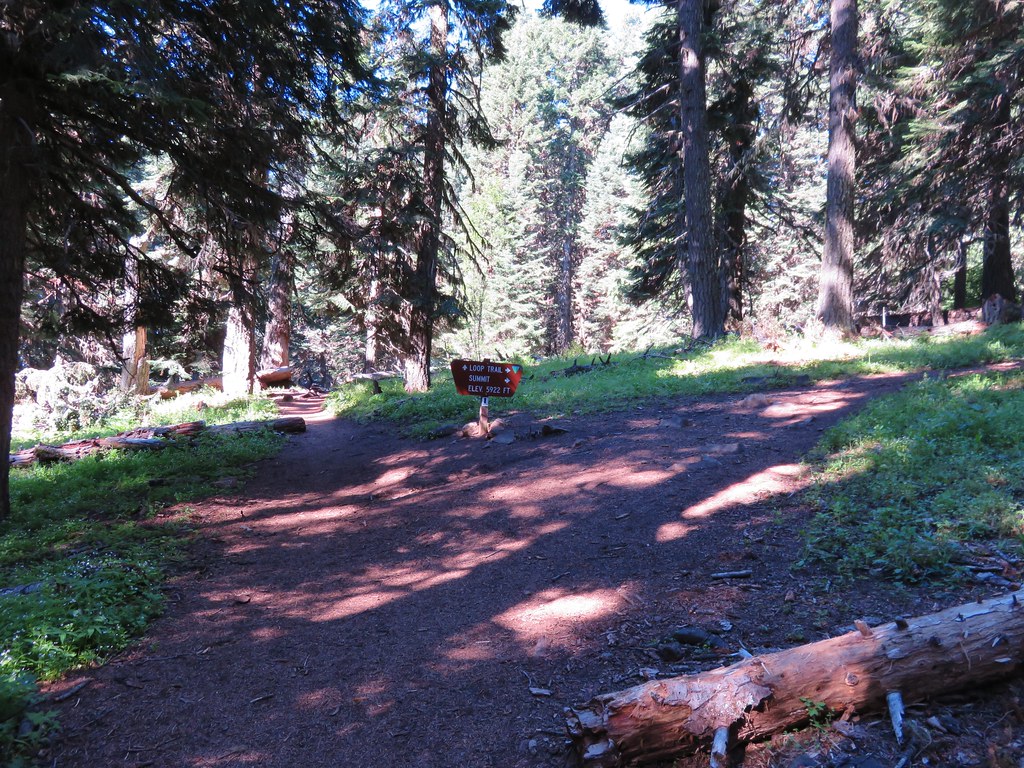
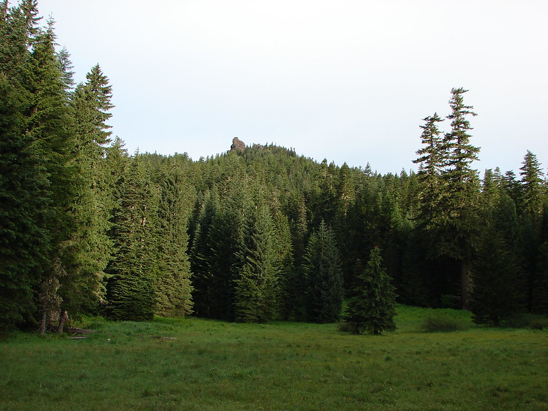
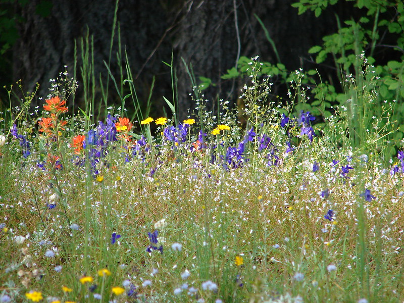
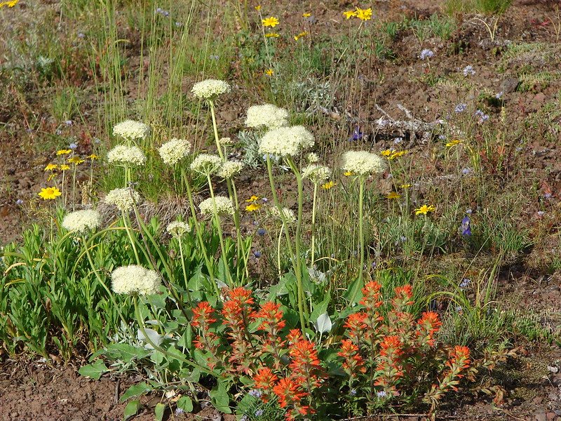
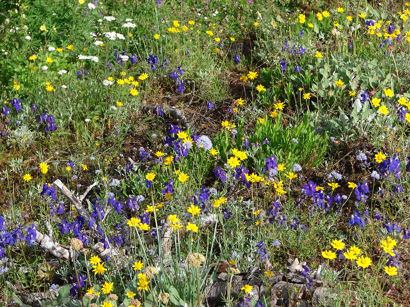
Monday was mostly a travel day as we left Bend and headed for the Steens Mountain Resort where we would be staying for the next three nights. We did however manage to get a few short hikes in along the way beginning with a trail that had intrigued us since the first time we’d stopped at the Sagehen Rest Area on Highway 20 eighteen miles west of Burns. A highway rest stop seemed like a bit of an odd place for a trail but that’s part of what piqued our interest. The Sagehen Hill Nature Trial is a short (just over half a mile) interpretive loop with 11 numbered stops.
 Trailhead sign at the south end of the rest stop. Brochures were located in the small box under the sign.
 Map on the trailhead sign.
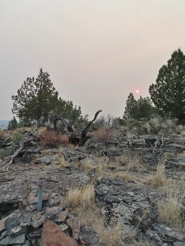
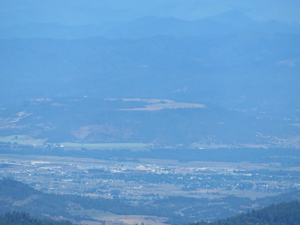
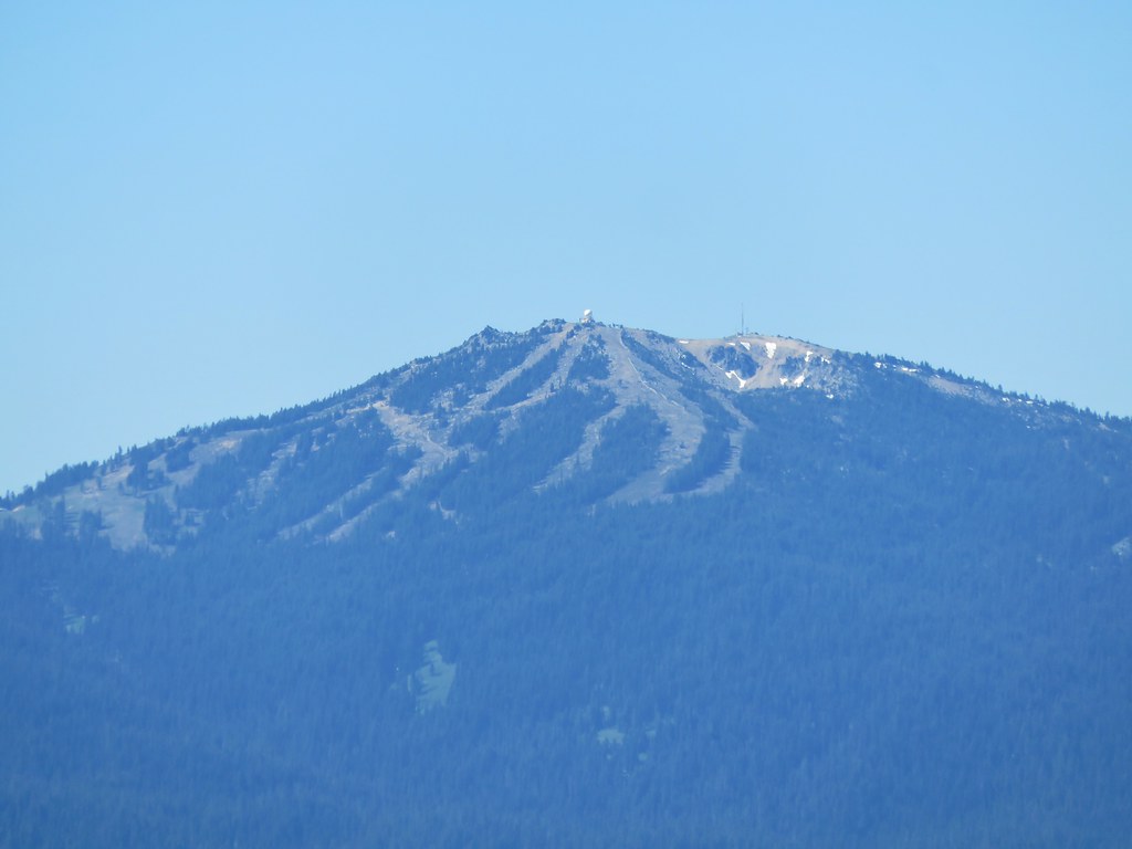
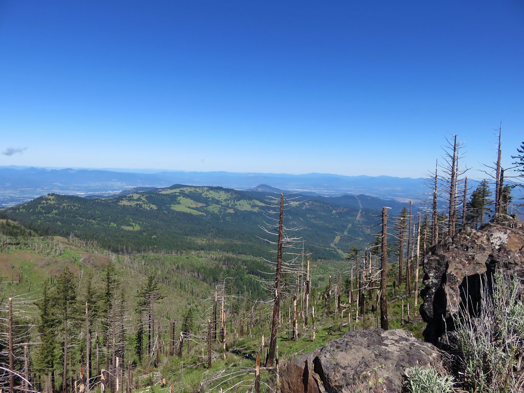
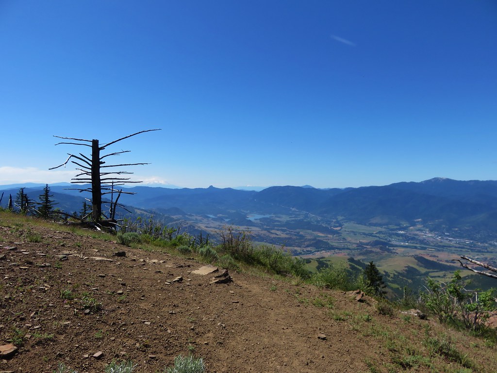
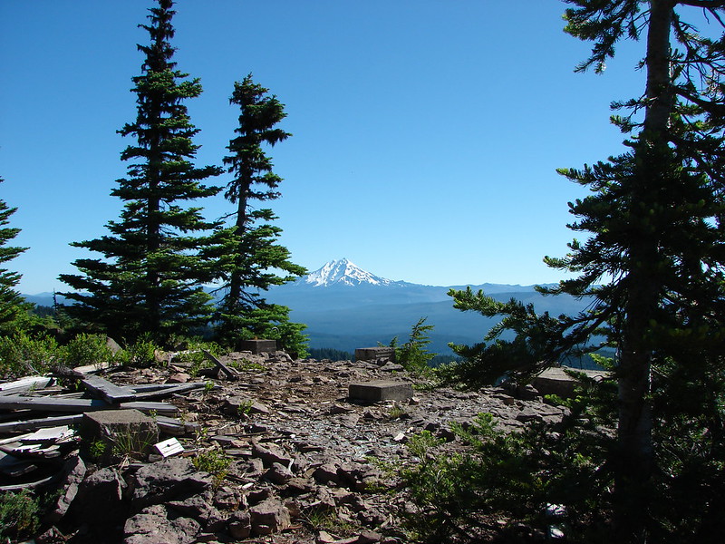
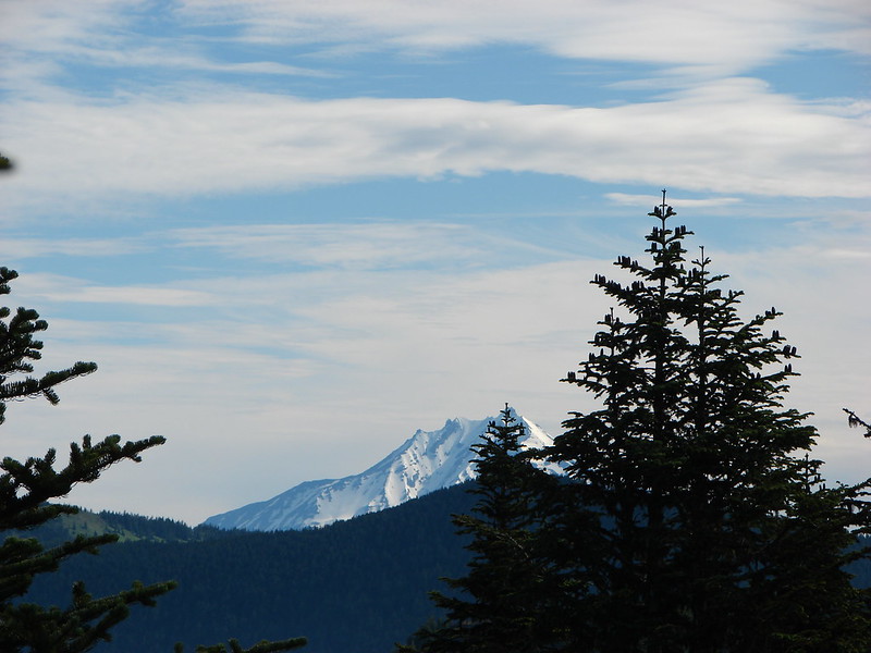
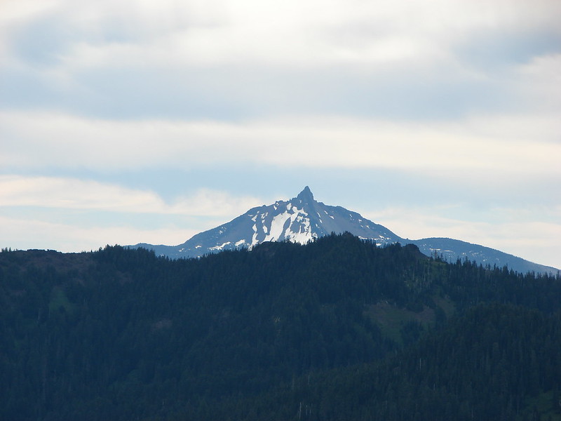
Smoke from fires near Lakeview, OR made for a smoke filled horizon and unlike our hike on Mt. Bachelor the previous day (post) here we could smell it in the air.
 Red Sun through the smoke.
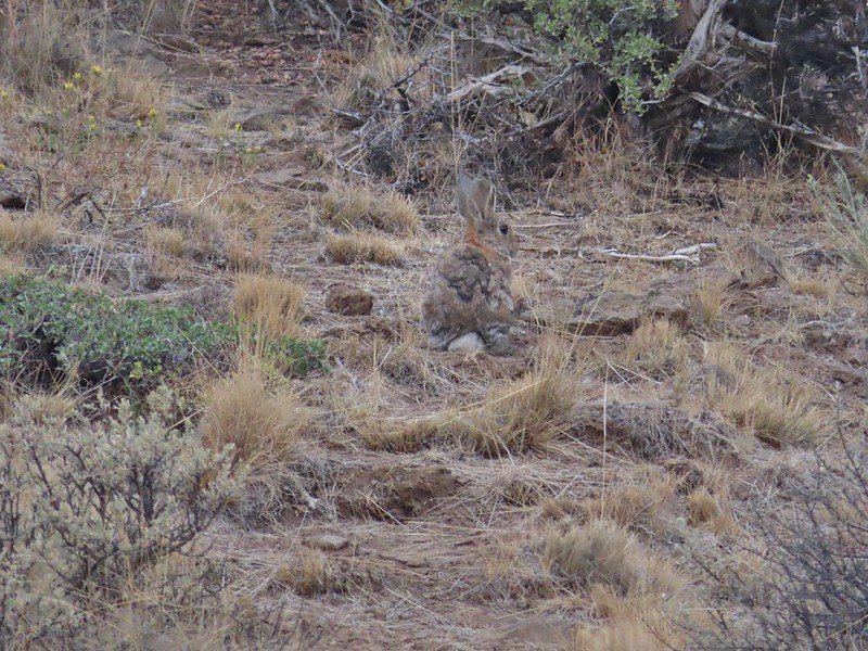
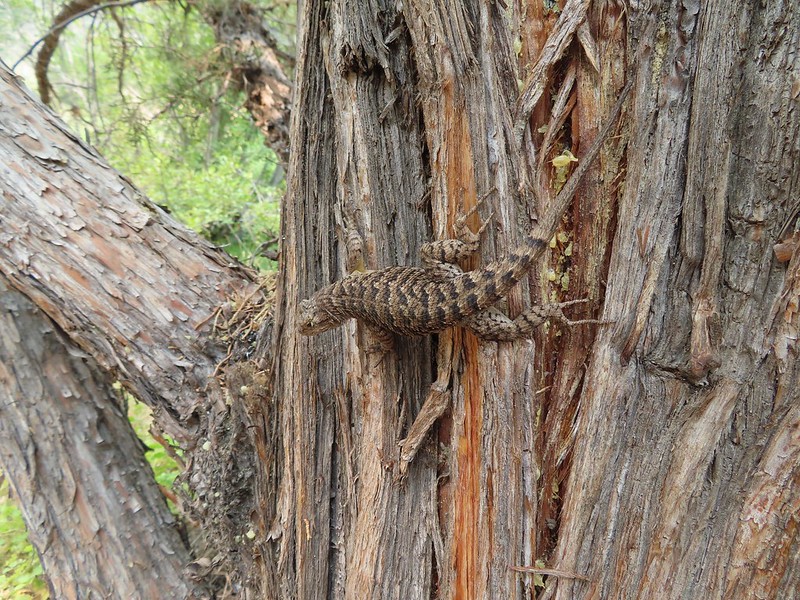
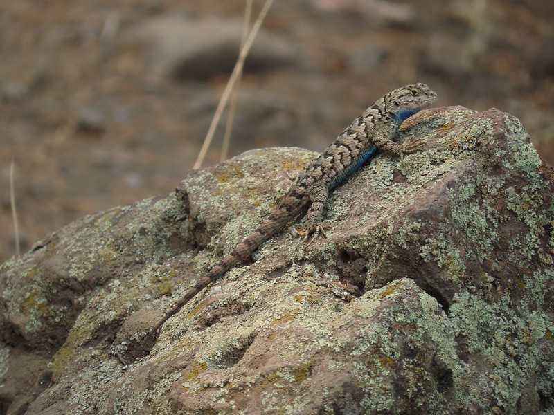
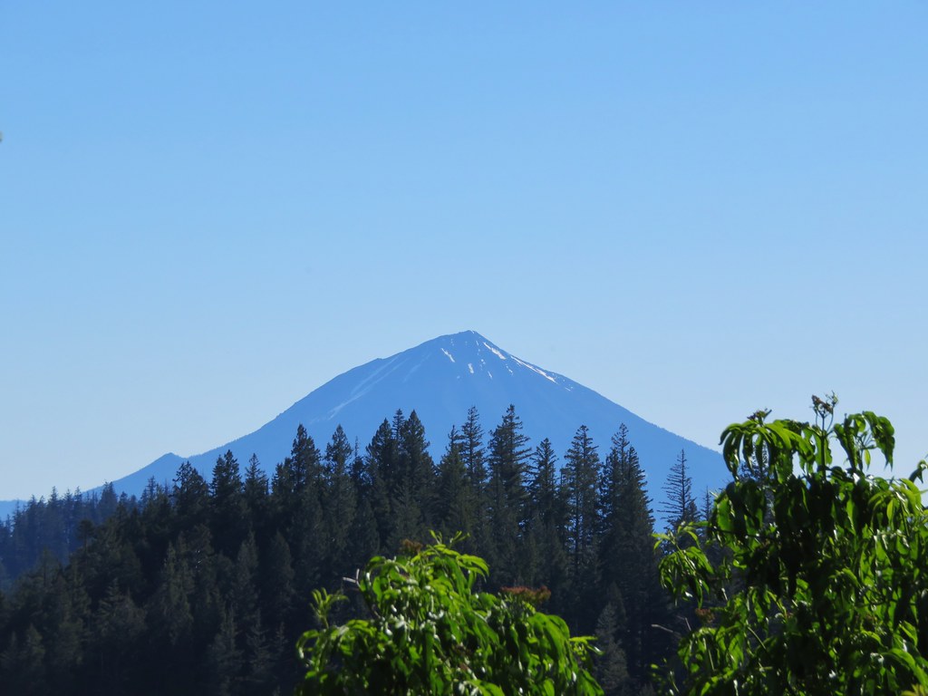
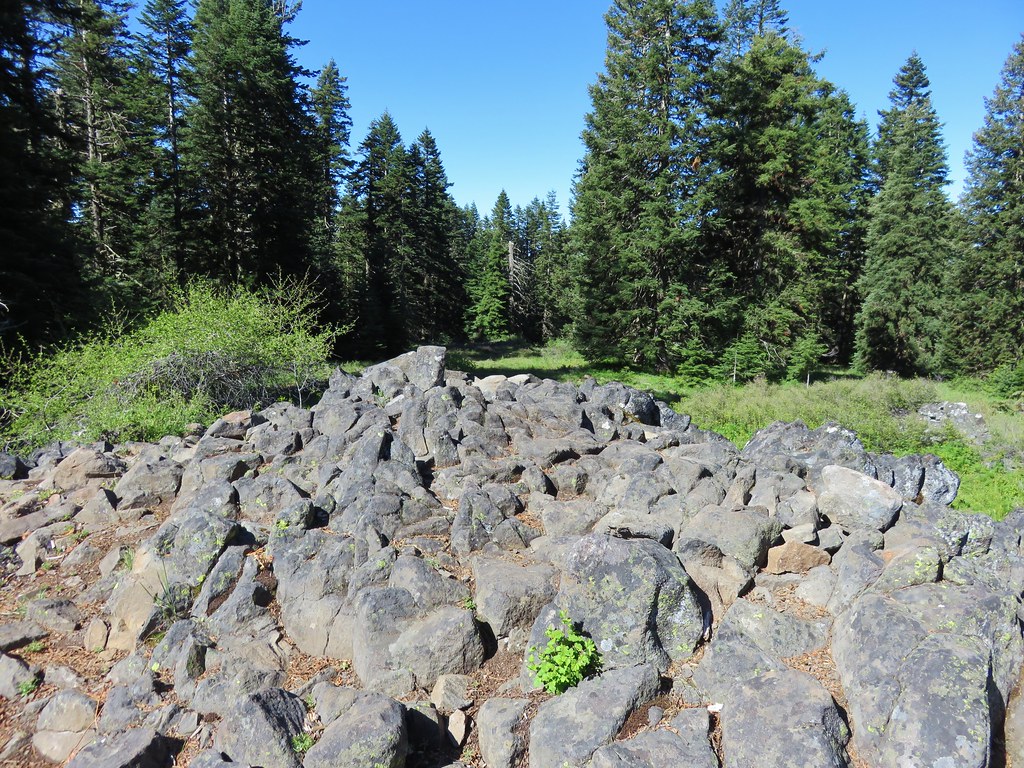
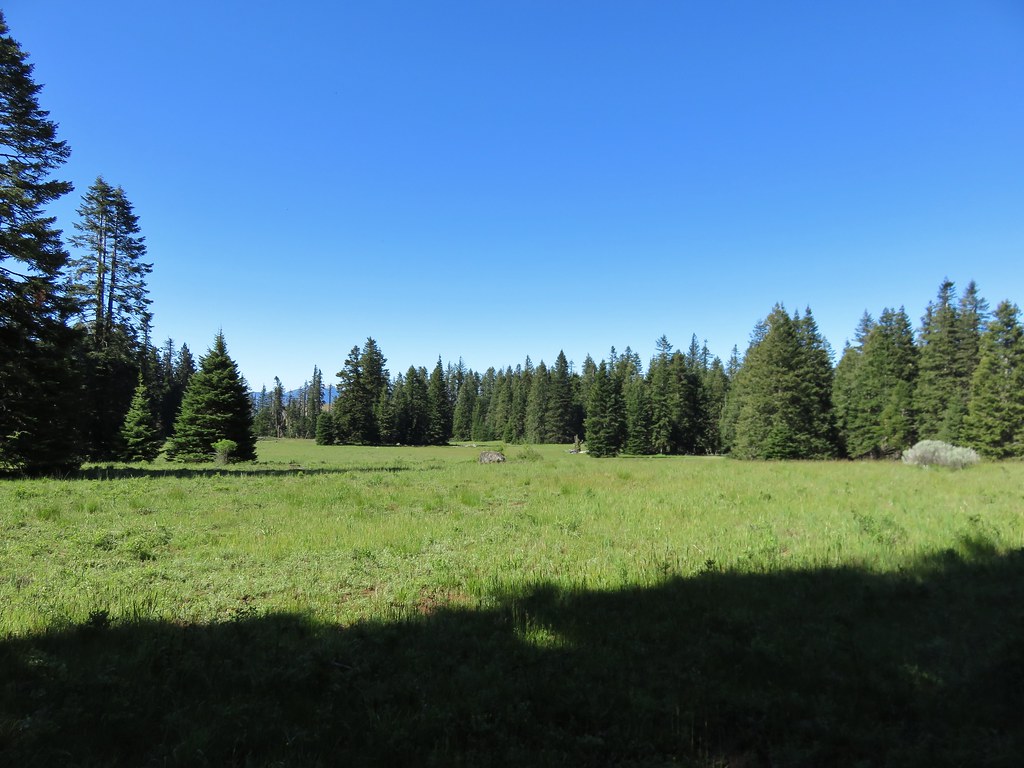
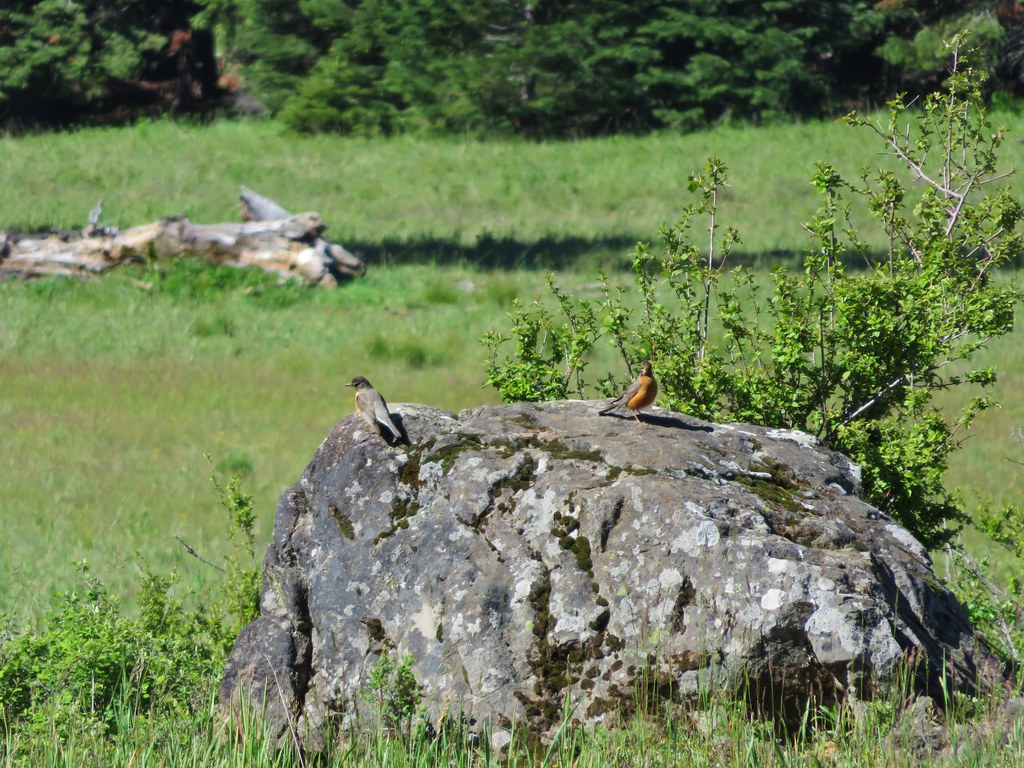
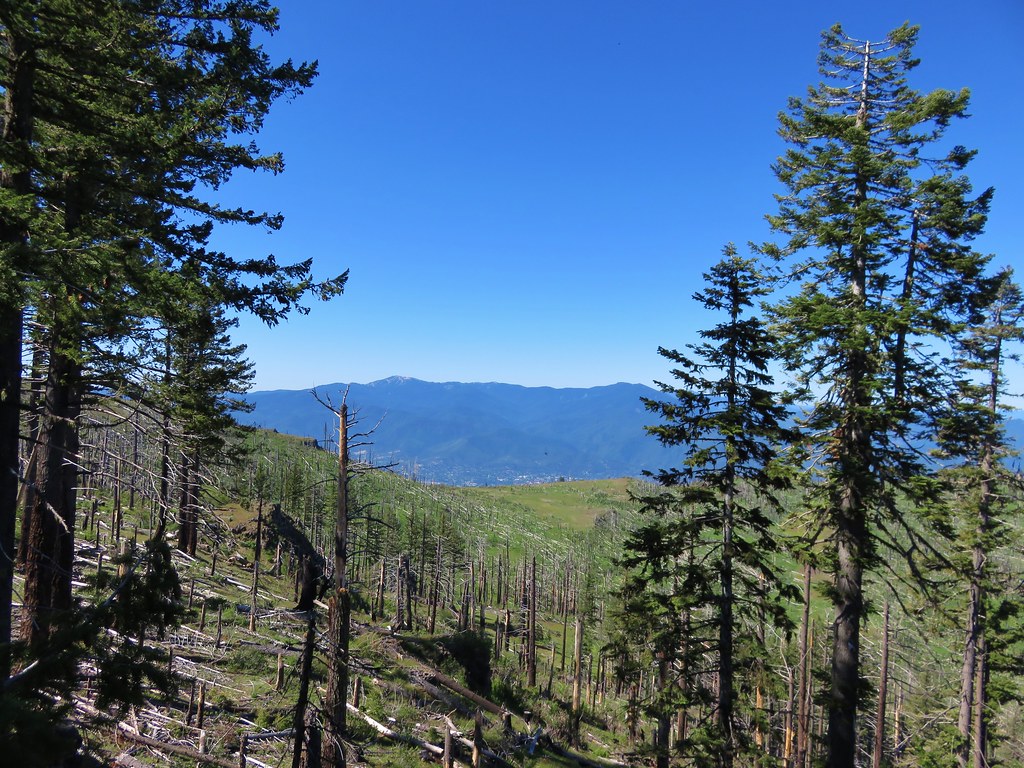
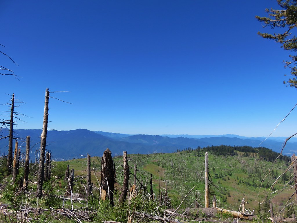
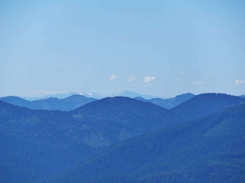
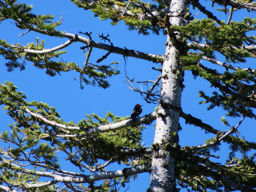
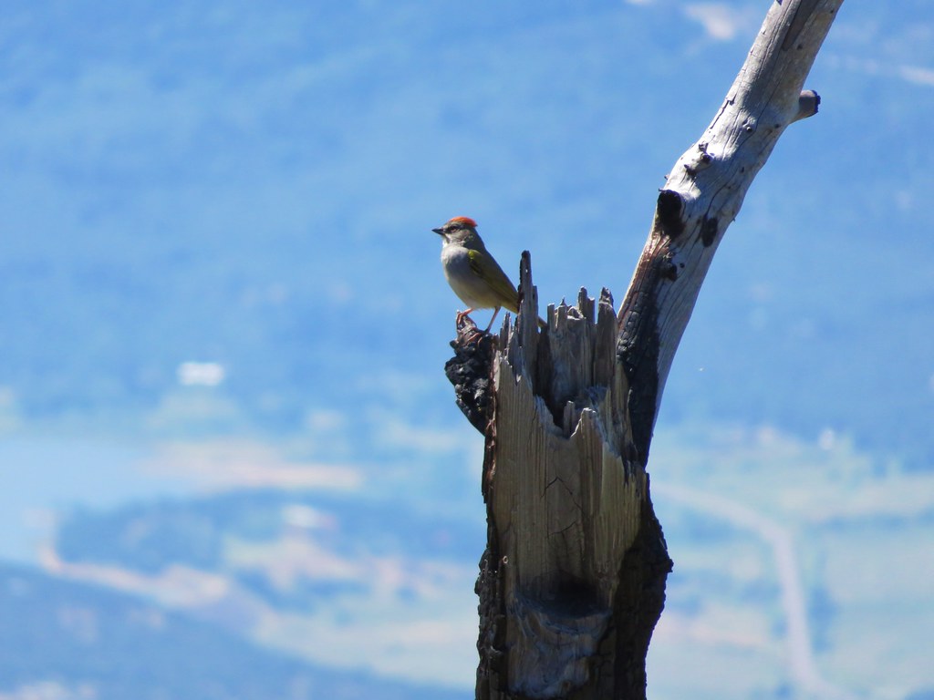
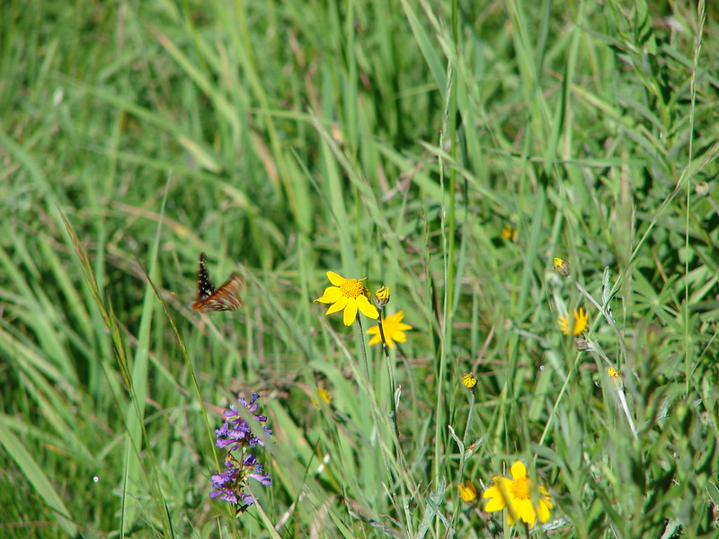
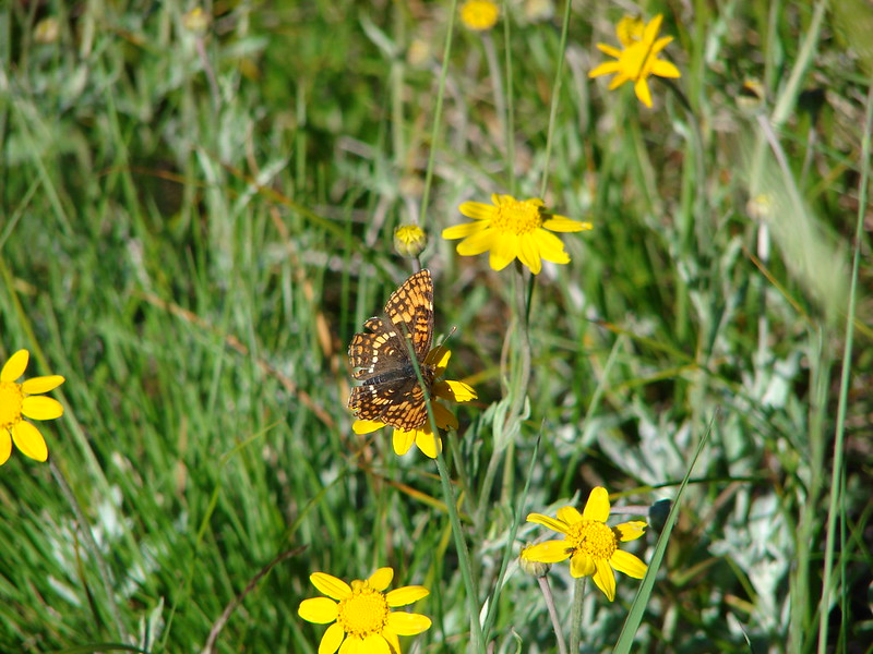
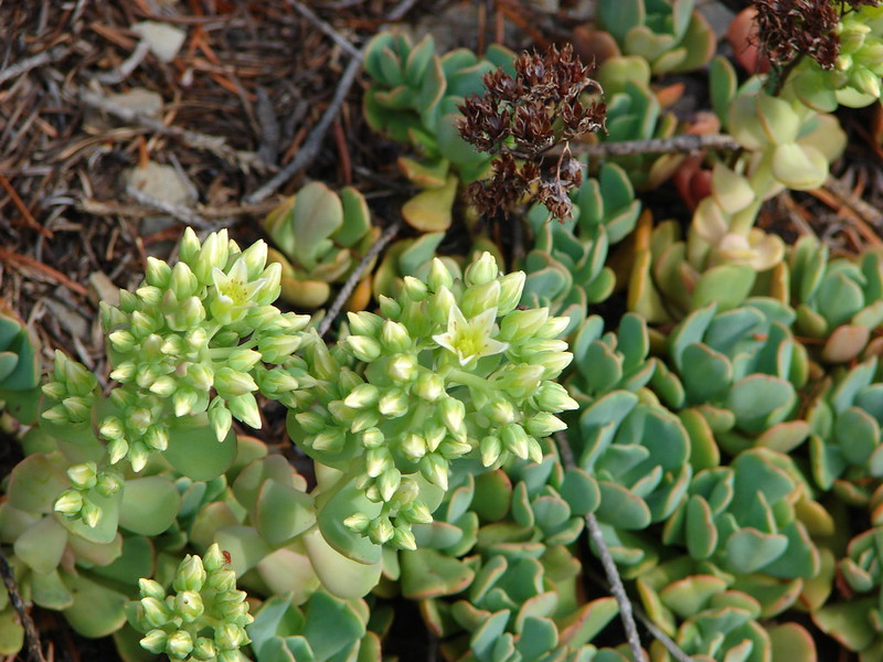
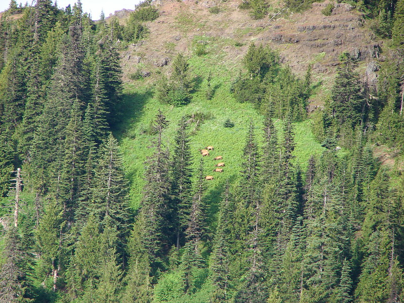
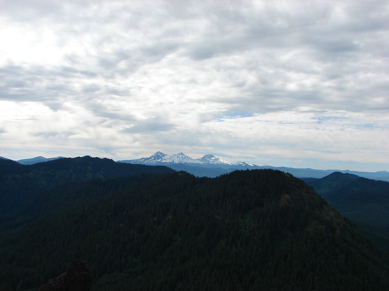
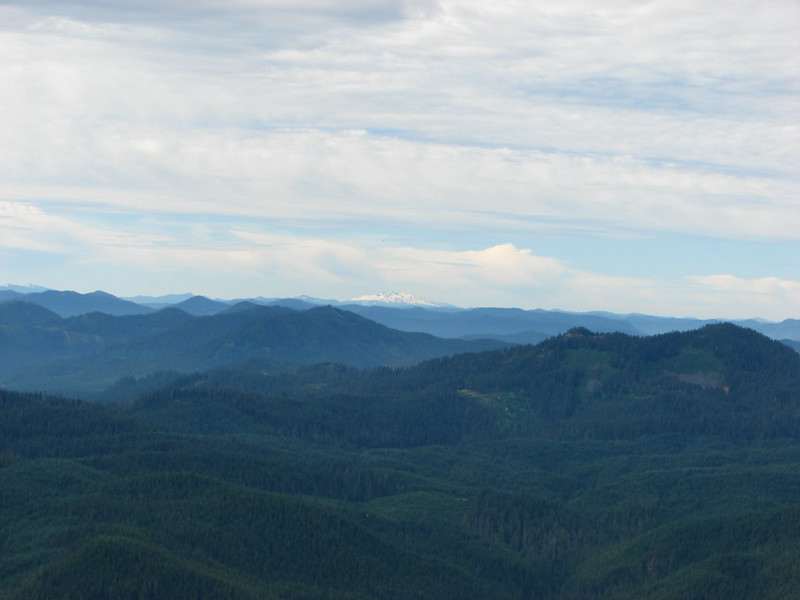
Despite the lack of views (on a clear day Steens Mountain would have been visible) it was a nice hike and the interpretive stops were interesting. We didn’t see any sage grouse here but we spotted some other wildlife along the route.


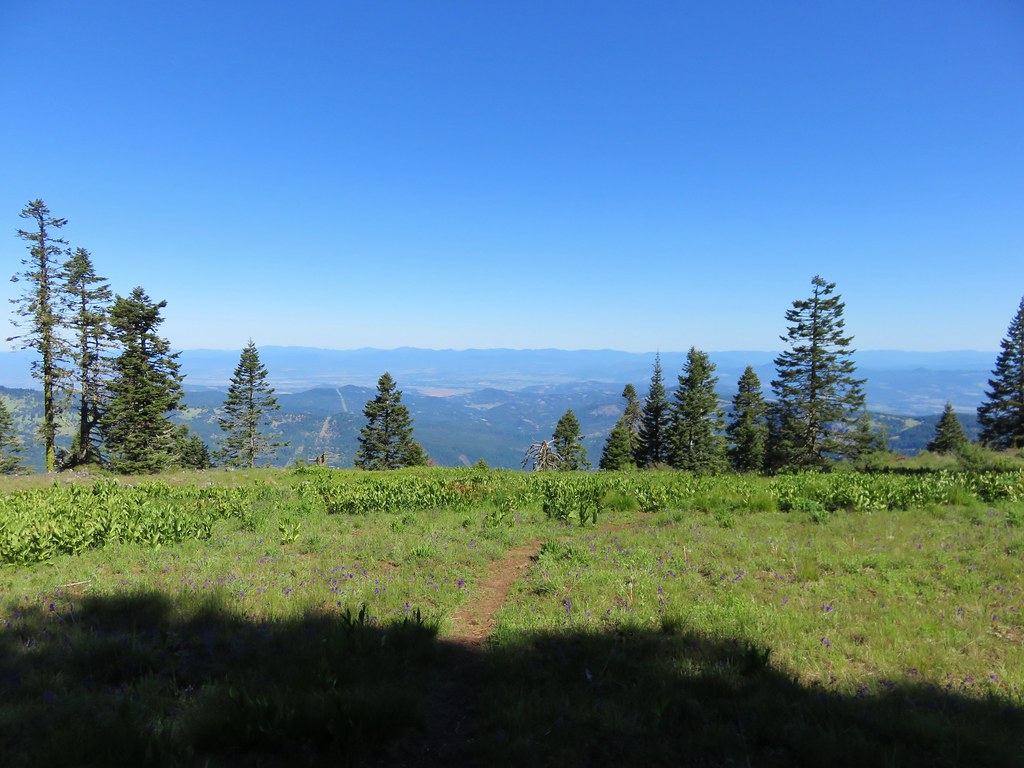
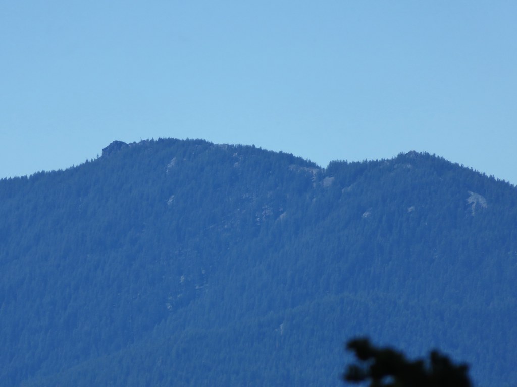
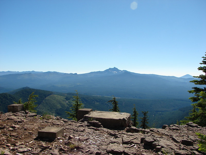
 The Harney Valley to the east.

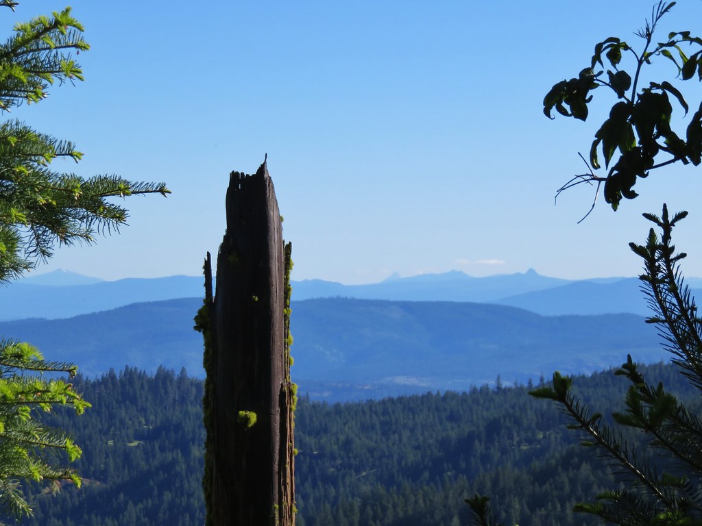
 This stop was for a juniper that was blown apart by a lightning strike.
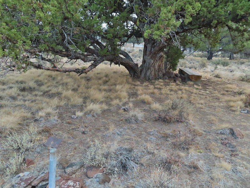
 The rest area from the loop.
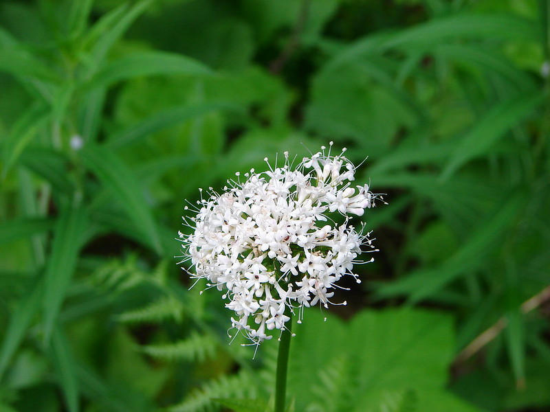
 The last stop was to discuss the relationship between the junipers and the Idaho fescue that grows underneath.
This was a neat little trail and a nice leg stretcher. After completing the loop we drove into Burns, filled up our gas tank and then headed for our next stop at the Malheur National Wildlife Refuge Headquarters. This was the one place we had previously visited (post) but we hadn’t driven the entire auto tour route that time and there were some other trails in the complex that we could check out. We started with a stop at the headquarters where we once again were treated to a variety of wildlife as we toured the complex.

 Deer in the nearly dry Marshall Pond
 Yellow headed blackbird
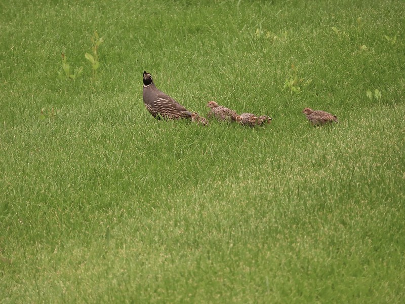
 California quail
 Owl
Owl
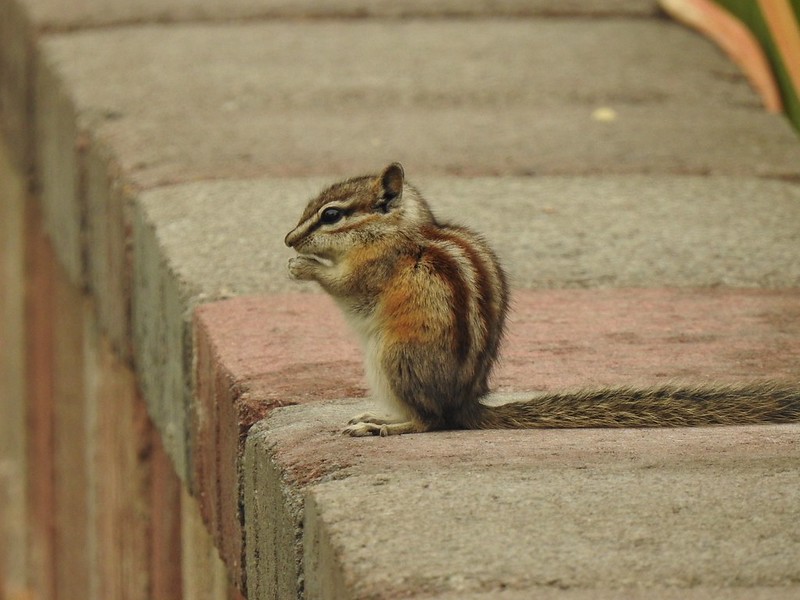 Chipmunk
 More quail
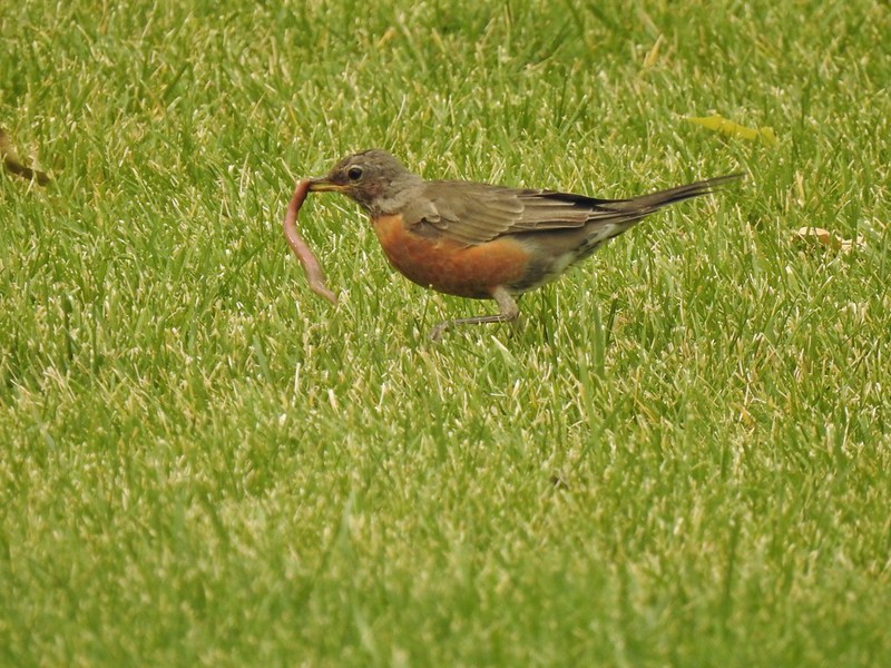 The early bird
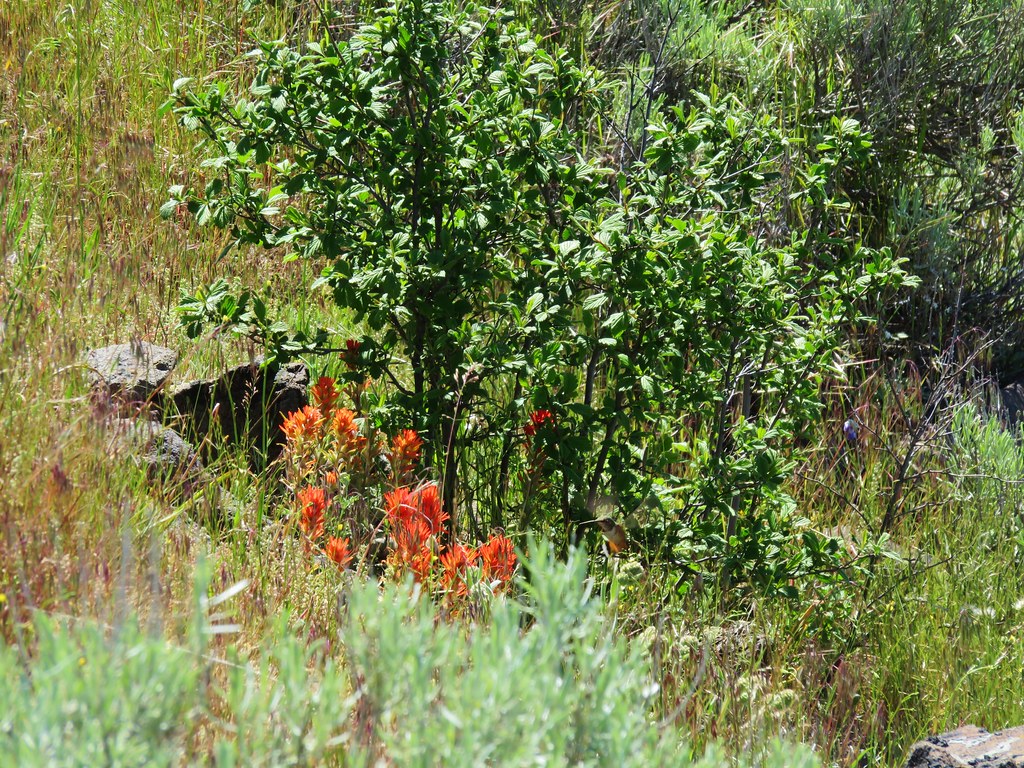
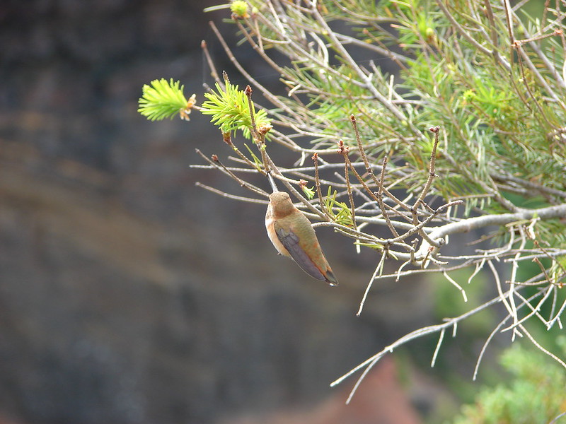
 Hummingbird
 Little bird on a feeder
We skipped the Overlook Trail this time due to the smoke filled horizon and started the auto tour route. Again there was plenty of wildlife to pause for along the drive and we also stopped at Benson Pond to hike the Benson Pond Trail (a short half mile out and back) where we were treated to a large number of ducks and other birds on the pond.

 Shrike
 Hawk and a magpie
 Osprey
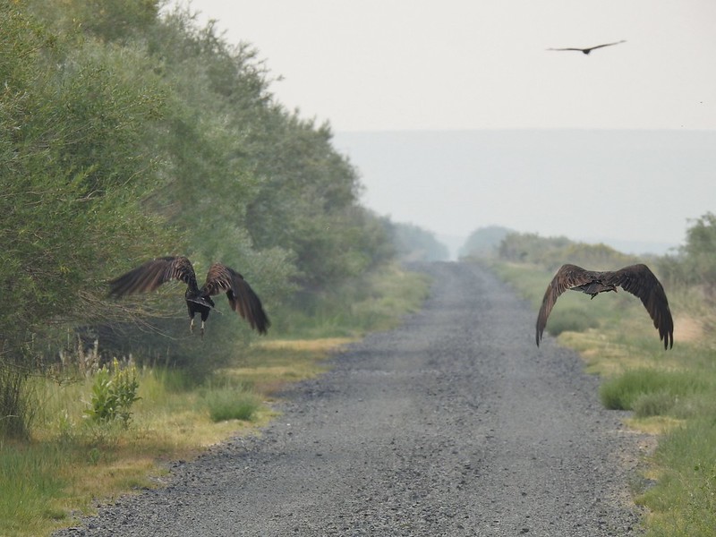 Turkey vultures
 Coyote

 Mourning doves
 Egrets and ducks at Benson Pond
<img src="https://live.staticflickr.com/65535/51393871889_968777c132_c.jpg" width="800" height="600" alt="IMG_2153">American kestral
 Old cabin at Benson Pond
 Another owl
 Another turkey vulture
 Grasshopper
 White faced ibis
 Great blue heron amid the ducks.
 A couple types of egrets it appears.
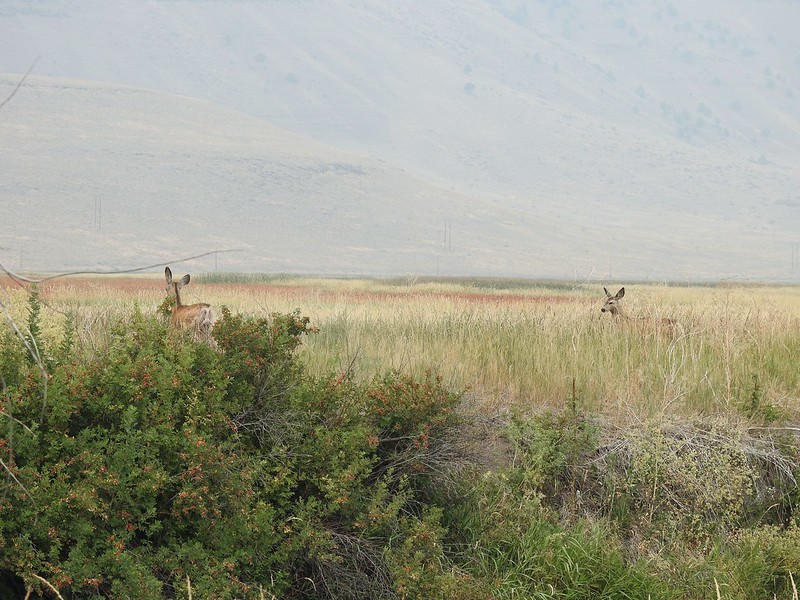 Deer that were in the Blitzen River
 Bounding fawn
 Ducks and coots at Knox Pond
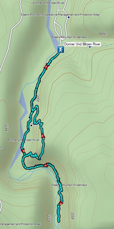
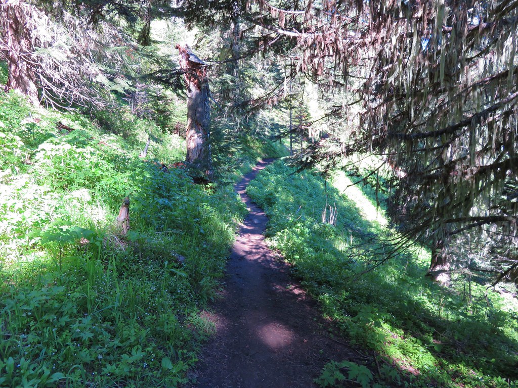
The auto tour route ends at the Steens Mountain Loop Road just a mile and a half from the Steens Mountain Resort. We were a bit too early to check in though so we drove past the resort another tenth of a mile to the entrance of the Page Springs Campground. We turned into the campground and parked at the day use area at its far end where two trails start. The one mile Wilderness Nature Trail and the 3.7 mile long Donner und Blitzen River Trail.

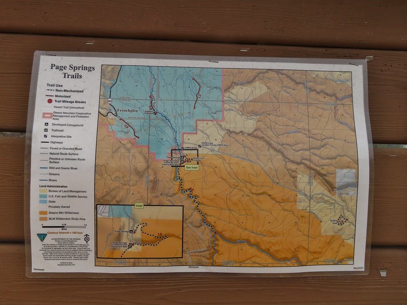
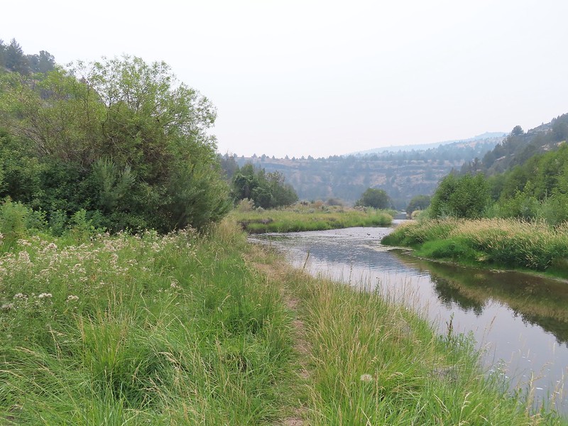
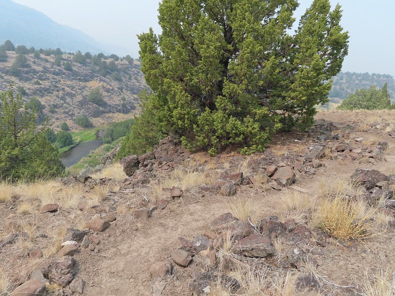
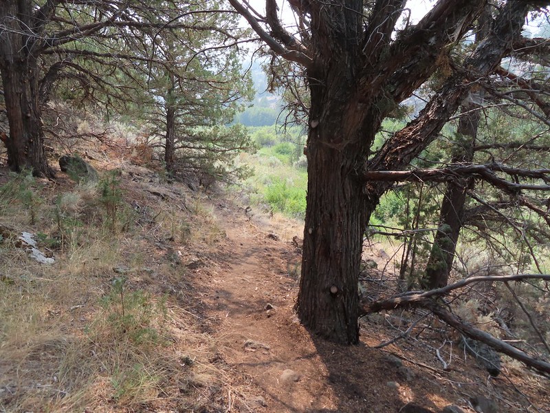
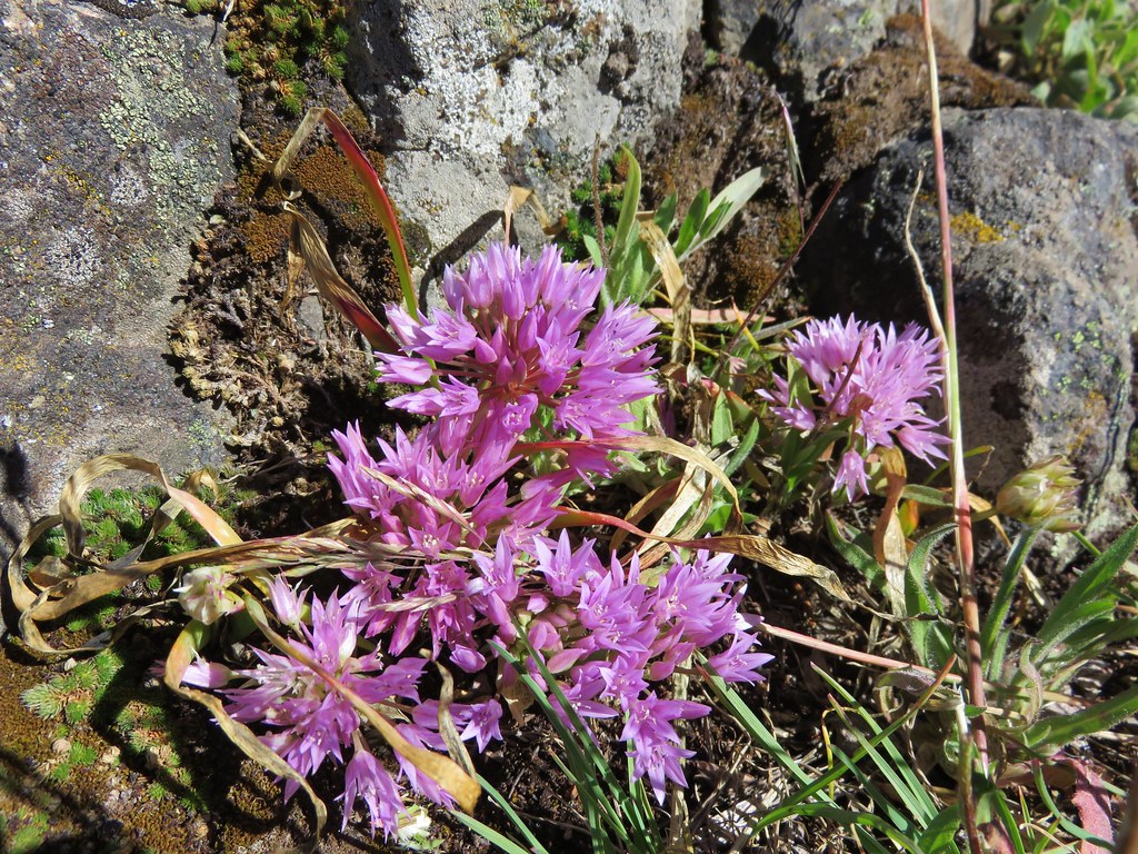
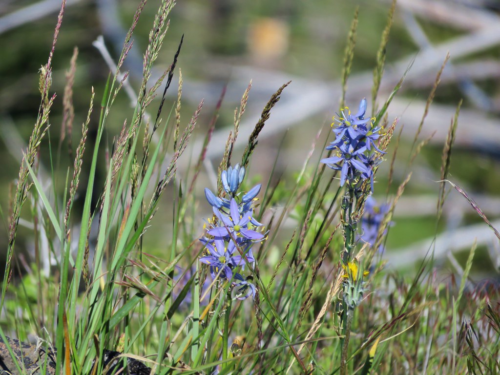
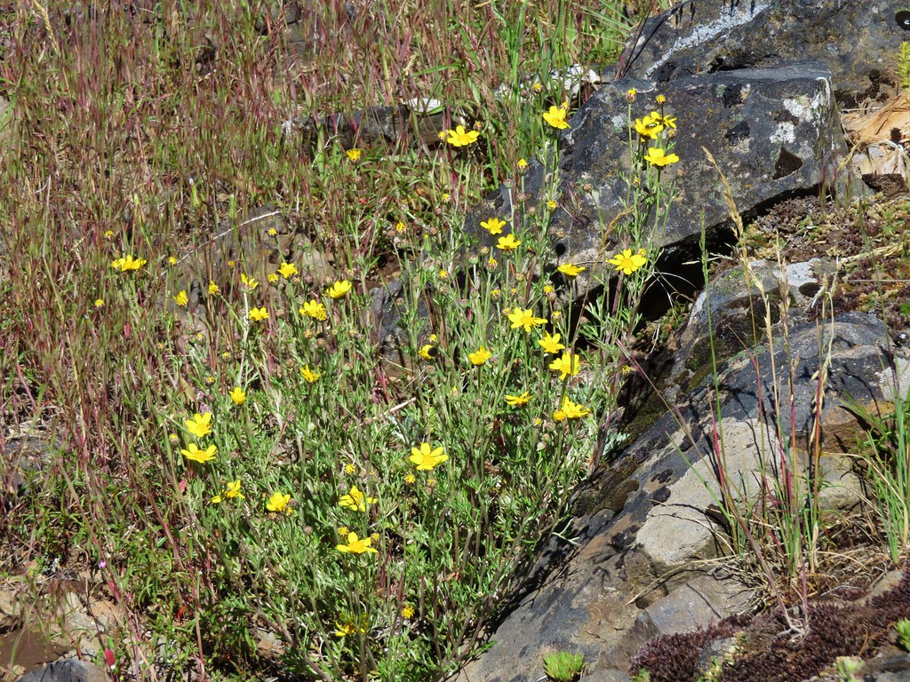
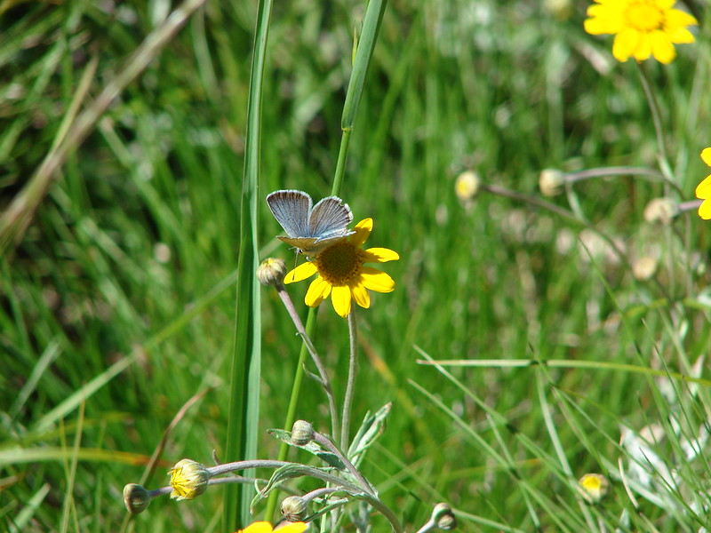
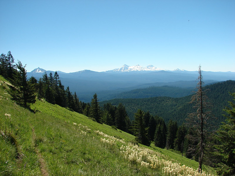
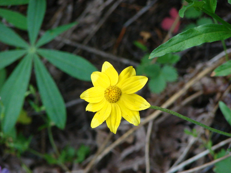
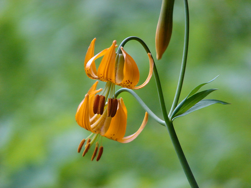
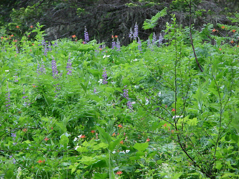
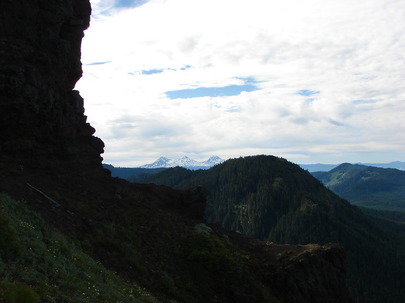
We decided to take the Donner und Blitzen Trail since the nature trail looped back into the campground and ended near one of the campsites leaving a short road walk back to the trailhead. The Donner und Blitzen Trail entered the Steens Mountain Wilderness a short distance from the trailhead and followed the river fairly closely for the first 1.2 miles which is as far as we went on this day. It was a little smokey and it was hot and enough time had passed that we would be able to check into the resort by the time we made it back to our car. The trail was a little brushy at times but a nice surprise was finding a loop option not shown on the map but clearly marked starting 0.4 miles from the trailhead and rejoining the river trail at the 0.7 mile mark. We took this route on the way back climbing up through the cliffs above the river providing some nice views despite the haze.


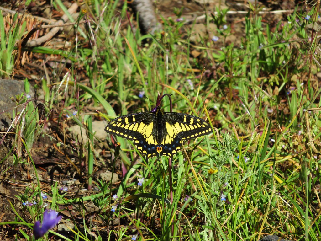
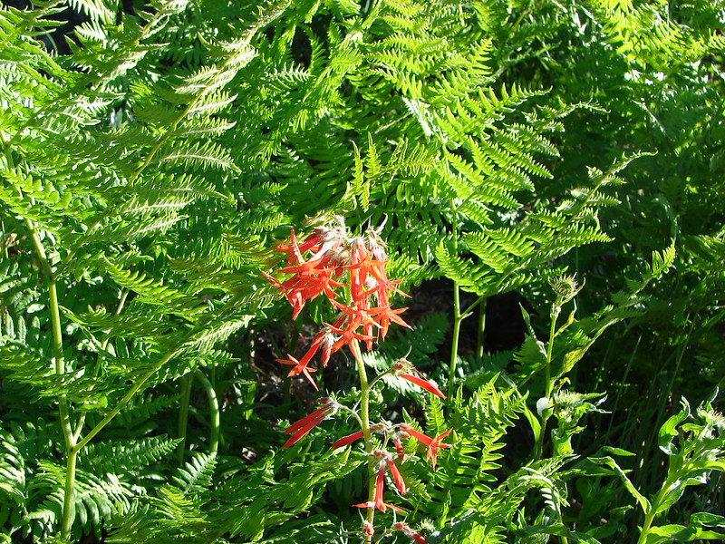
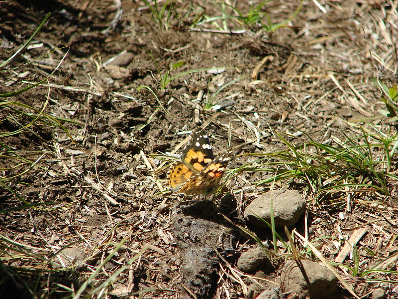
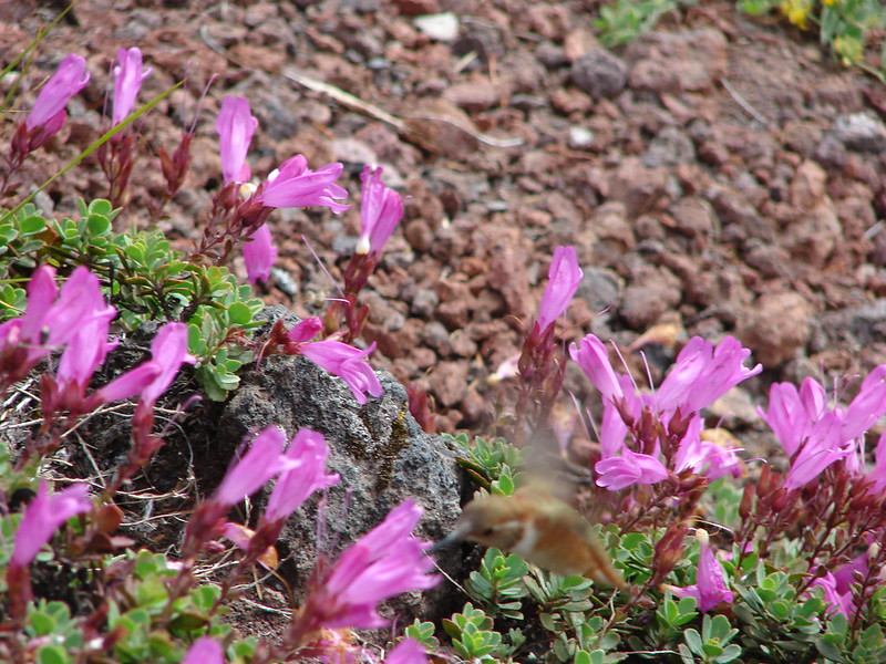
 Bee and a butterfly
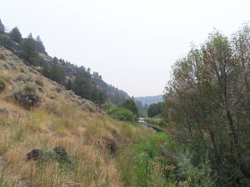 A brushy section.

 A bee and a skipper
 Praying mantis
 The “other” trail on the hillside at the 0.7 mile mark.

 A wren?

 Fence crossing
 Rejoining the Donner und Blitzen Trail at the 0.4 mile mark.
We got a total of 5.4 miles of hiking in between Sagehen Hill, the refuge headquarters, Benson Pond, and the Donner und Blitzen River. The abundant wildlife was the highlight of the day. We checked into the resort and got settled in our modular unit which had a full kitchen, shower, couch and most importantly A/C. We were hoping that the smoke would move out overnight or at least over the next day or two when the temperature was also set to drop to more reasonable levels. We spent the evening listening to the osprey that had a nest below the resort. Happy Trails!


Flickr: Sagehen Hill, Malheur Wildlife Refuge, and Donner und Blitzen River


