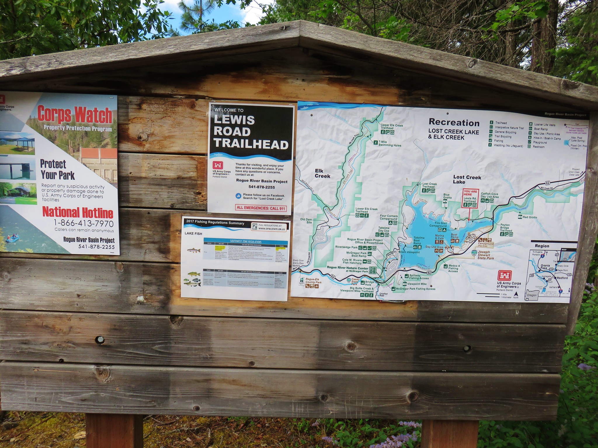
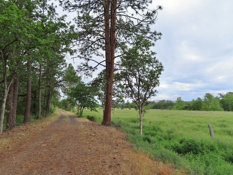
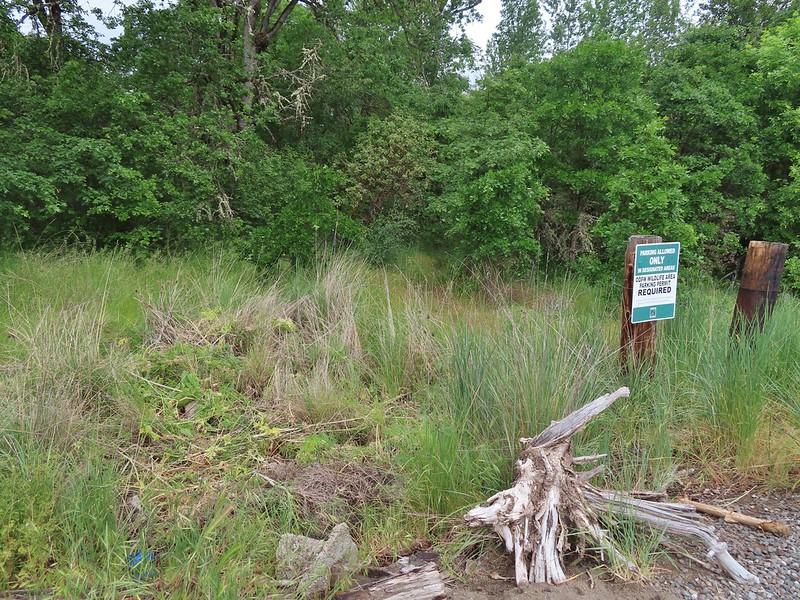
Rain was forecast for the Saturday of Memorial Day weekend so we decided to visit the Kenneth Denman Wildlife Area. While Sullivan mentions the 0.7 Denman Nature Loop in the “more hikes” section of his “100 Hikes/Travel Guide Southern Oregon & Norther California” we were basing our hike on various postings by Boots on the Trail. Permits are required to park at the trailheads accessing the area and take two forms. To park at the wildlife area trailheads a $10 ODFW Wildlife Area parking permit is required. A cheaper (and easier to purchase) option is available by parking at TouVille Recreation Area managed by Oregon State Parks. The one drawback to this option is that TouVille opens at 7am while the wildlife area opens at 4am. Typically we try and get started as early as possible but we had been taking it easy (for us anyway) following our Wednesday hike at Mule Mountain (post) so a 7am start sounded just fine.
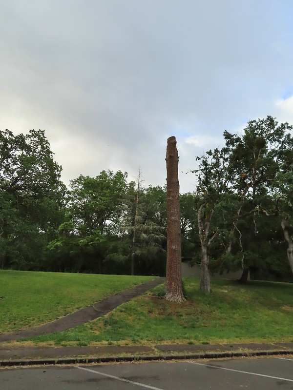
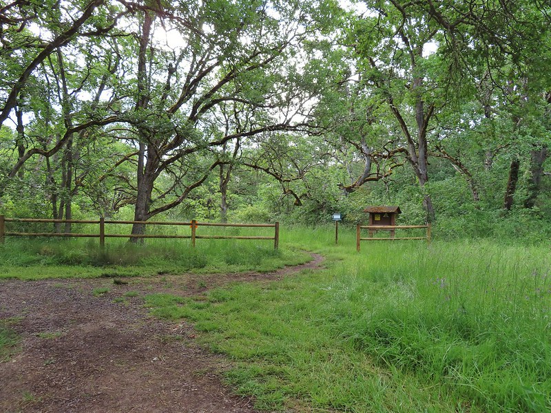
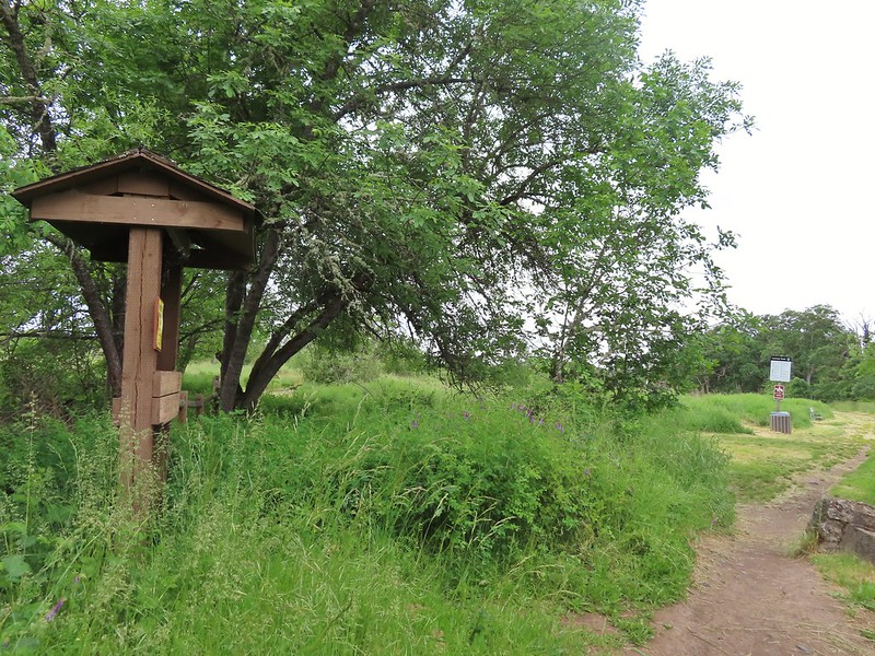
We purchased a permit from the self-service kiosk and parked at the end of park near the start of the quarter mile interpretive nature trail.

A large tree trunk between the parking lot and outhouse is filled with holes made by acron woodpeckers who then jam acorns inside to save for later.
 Acorns in some of the holes.
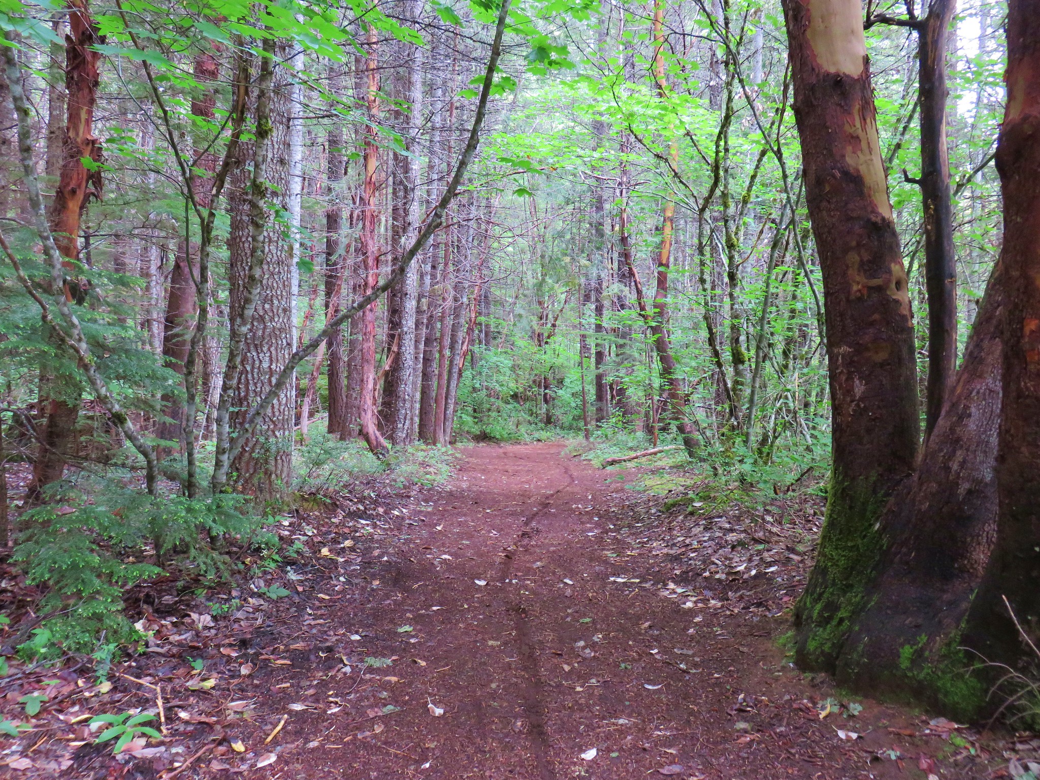
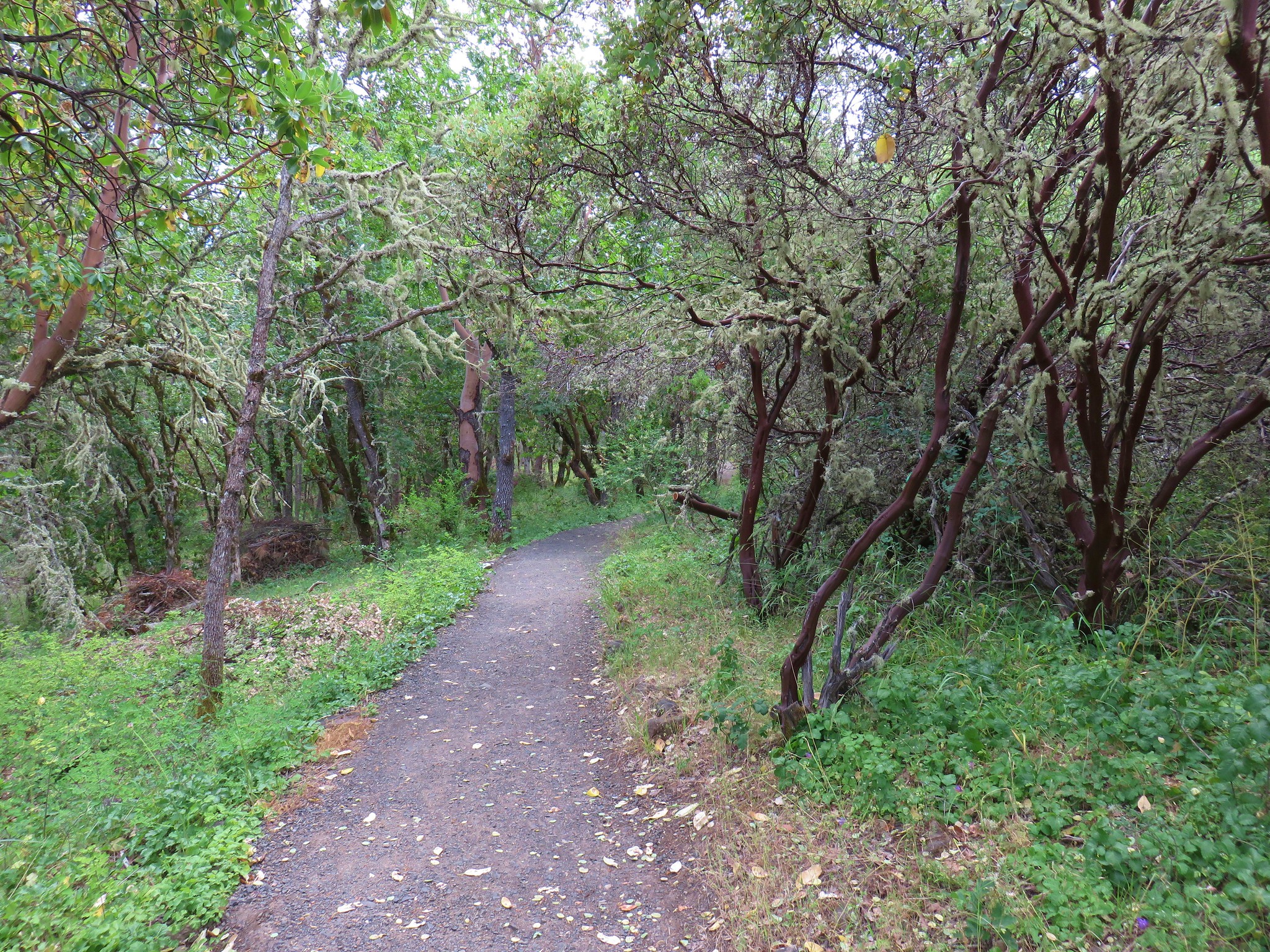
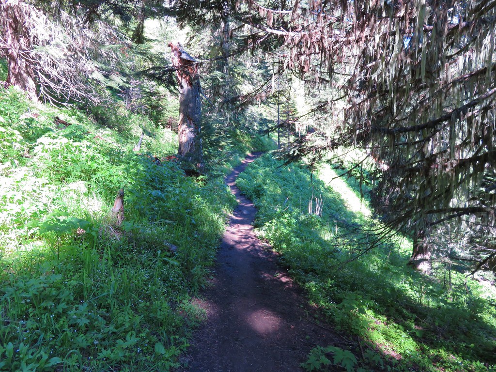
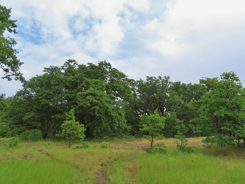
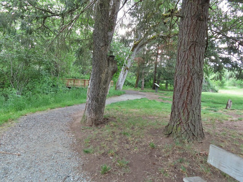 On the nature trail.
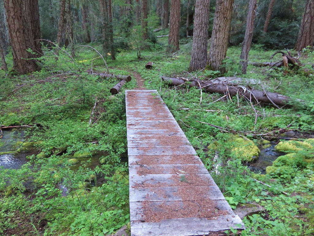
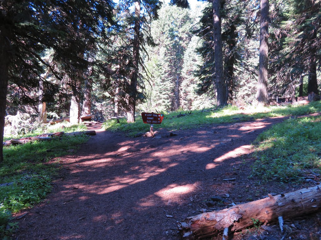
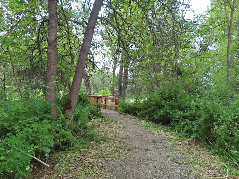
The trail crossed a small stream on a footbridge which would be the way to go if you want to do the loop clockwise but we chose to go counterclockwise so it would hopefully be easier to follow the route described by VanMarmot from April this year (post).
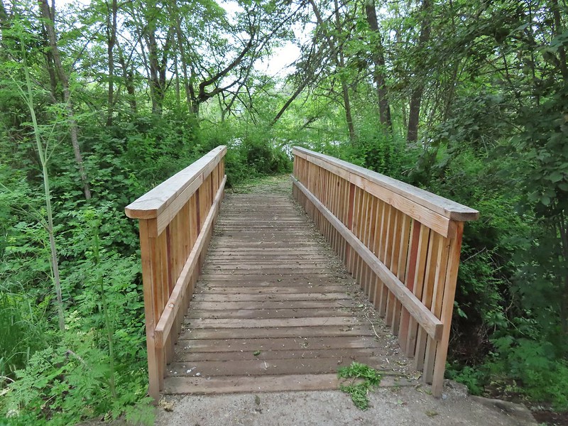 The bridge
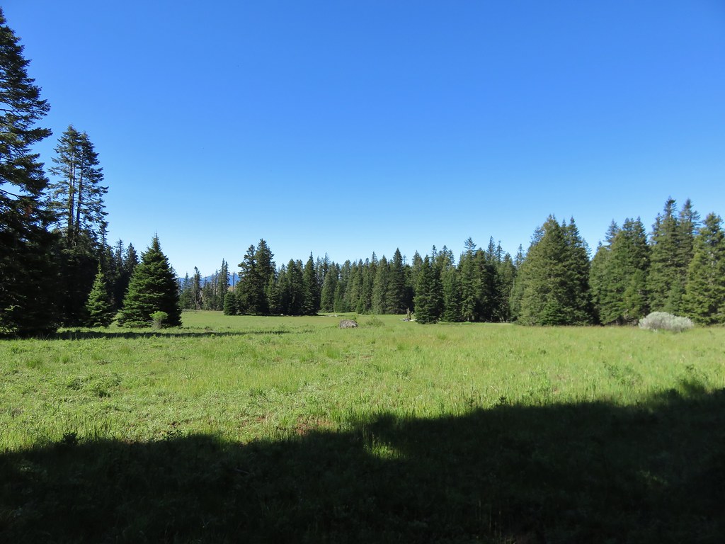
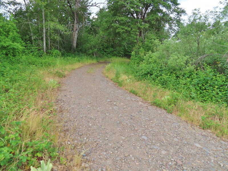
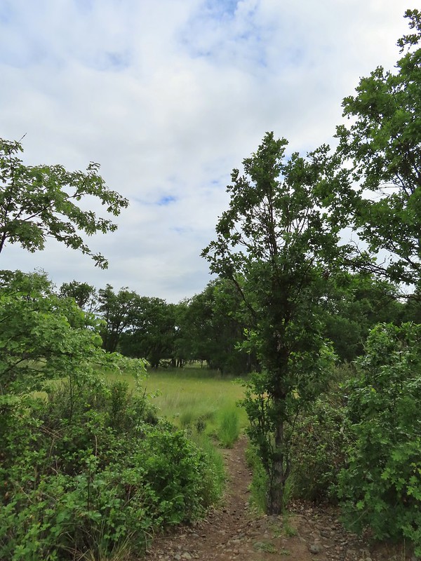
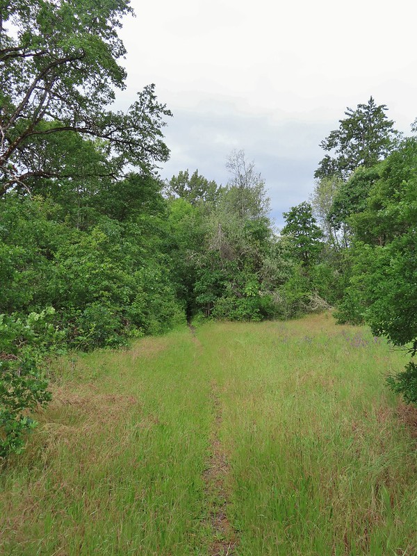
We turned right at the bridge and after passing through a grassy area we picked up a clearer trail.

We followed this path to a “Y” at a fence marking the boundary of the Denman Wildlife Area.
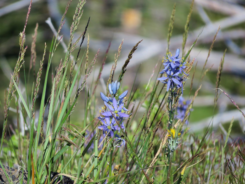
 Camas
Camas
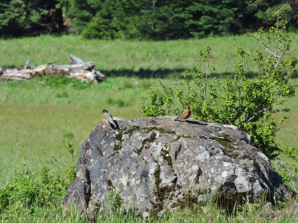
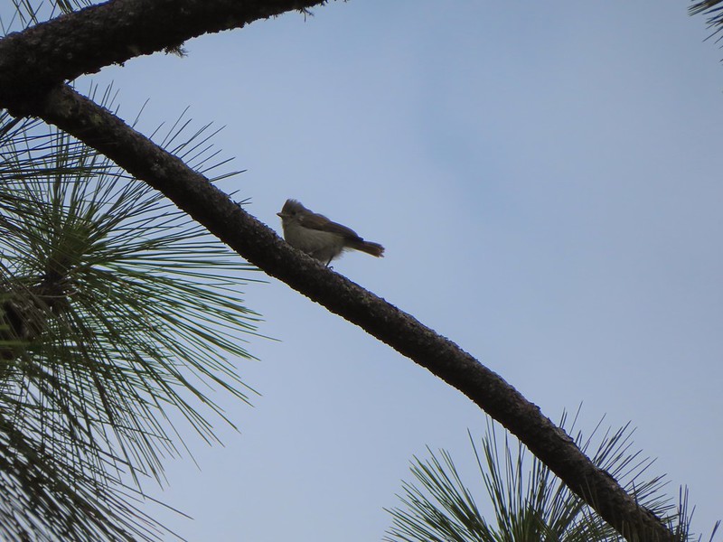
 Ash-throated flycatcher
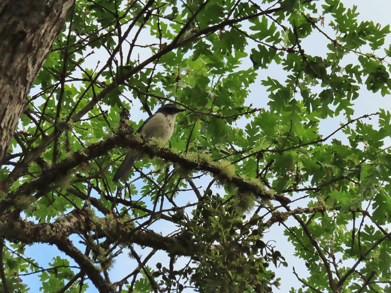 Srub jay

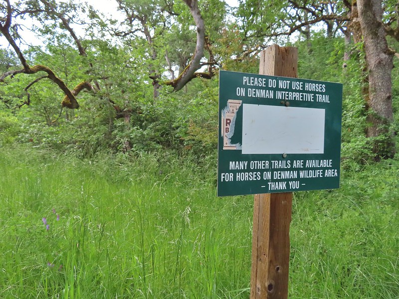
Passed through the fence and onto the Denman Interpretive Trail.
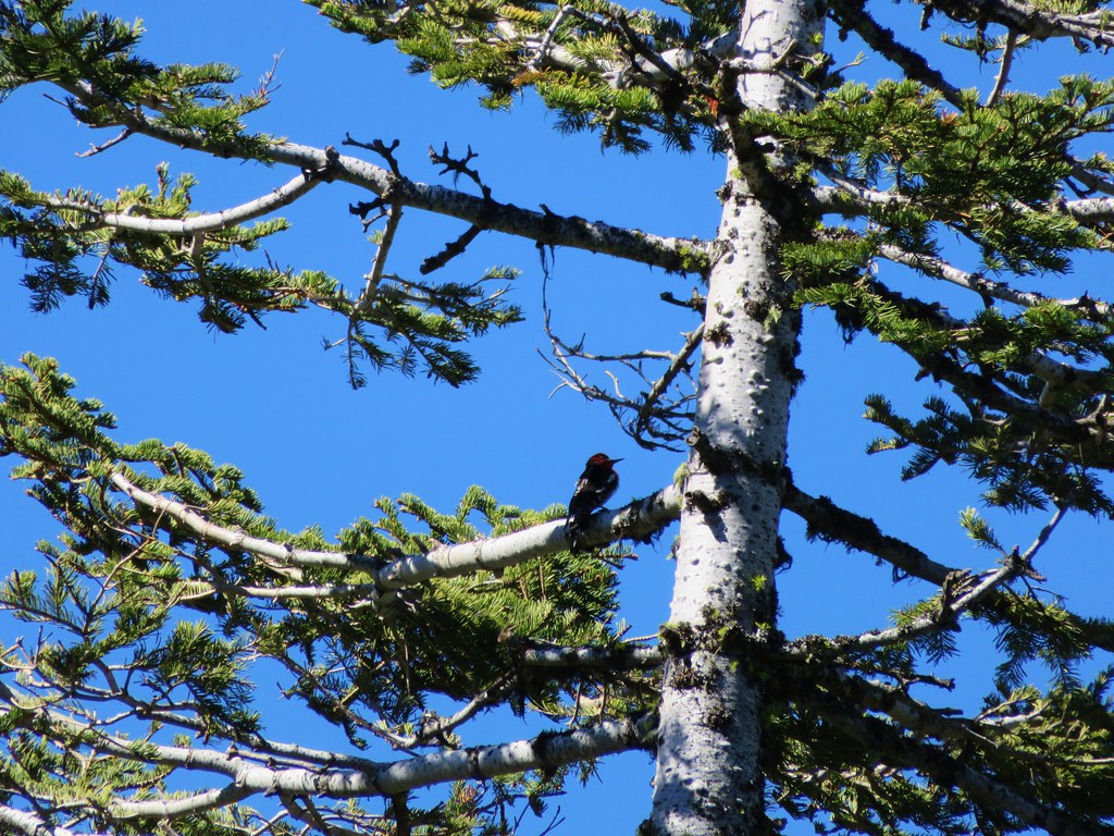
 Acorn woodpecker

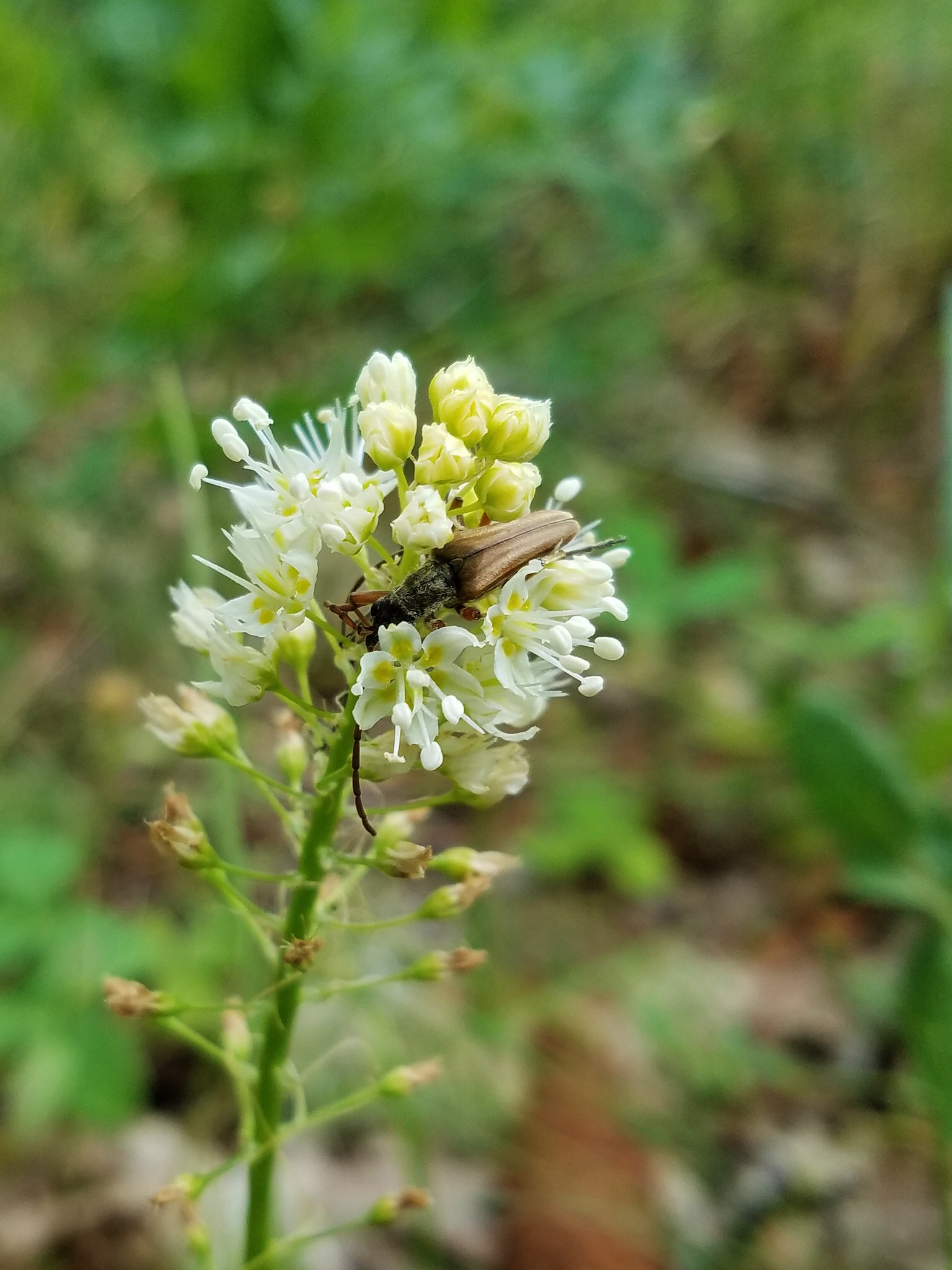
 Death camas and vetch
One a several ponds along the trail fed by Military Slough.

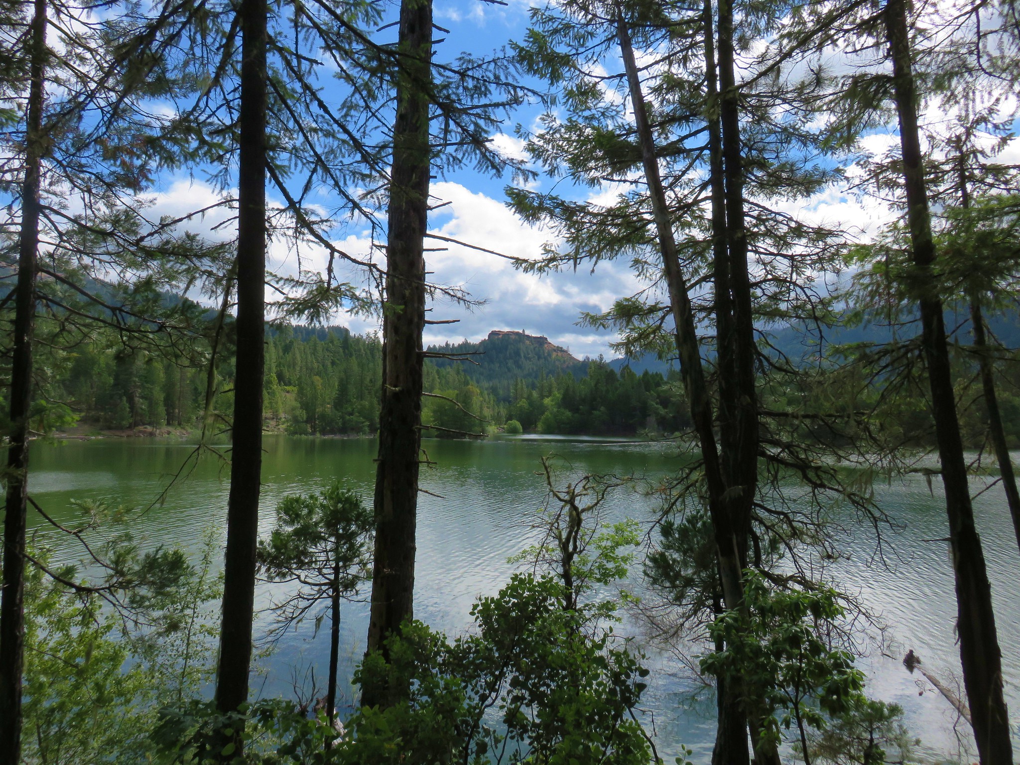
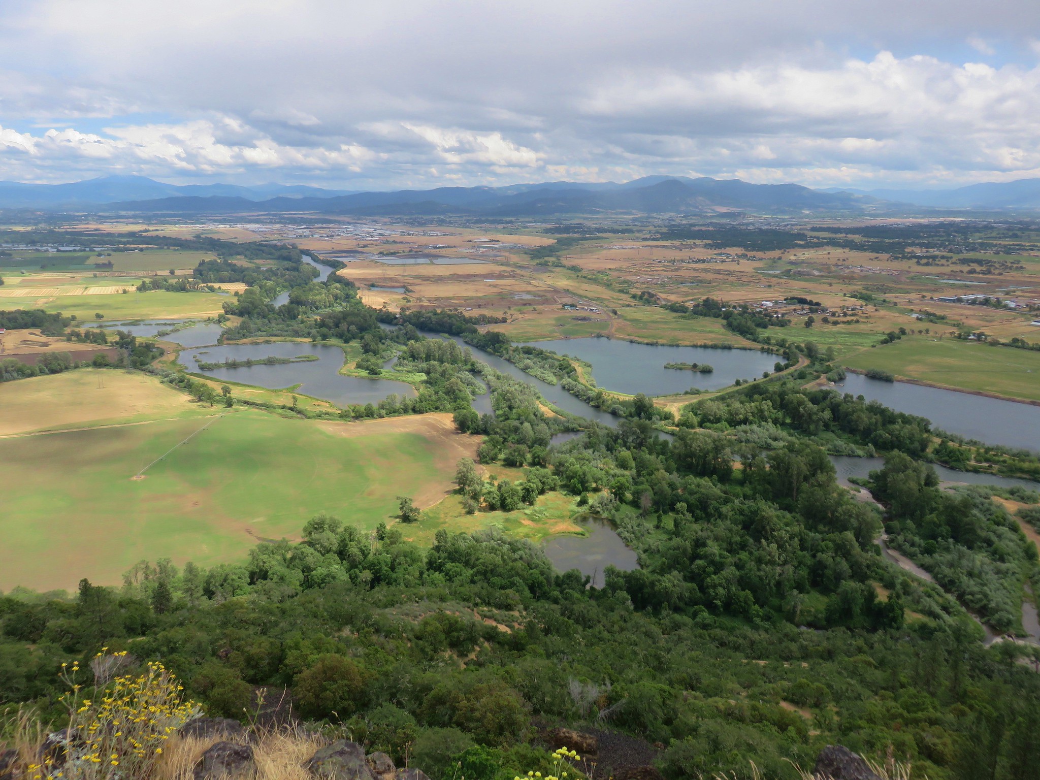
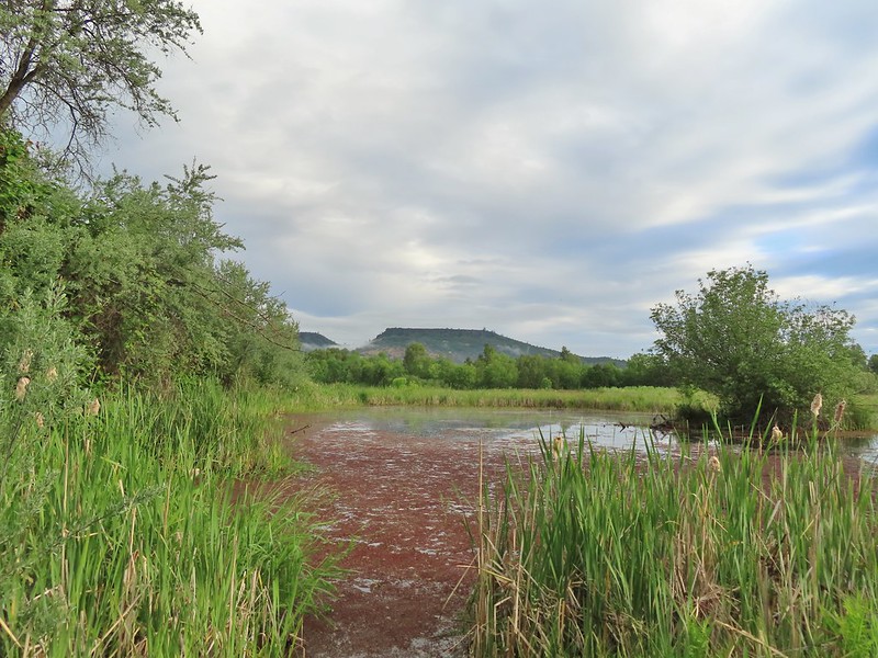 A second pond with Upper Table Rock (post) behind.
One thing we quickly picked up on was that the grass and under story had gone through quite a bit of growth between the April 6th trip report and now. This included plenty of poison oak which now often crowded the trail in brushier sections.

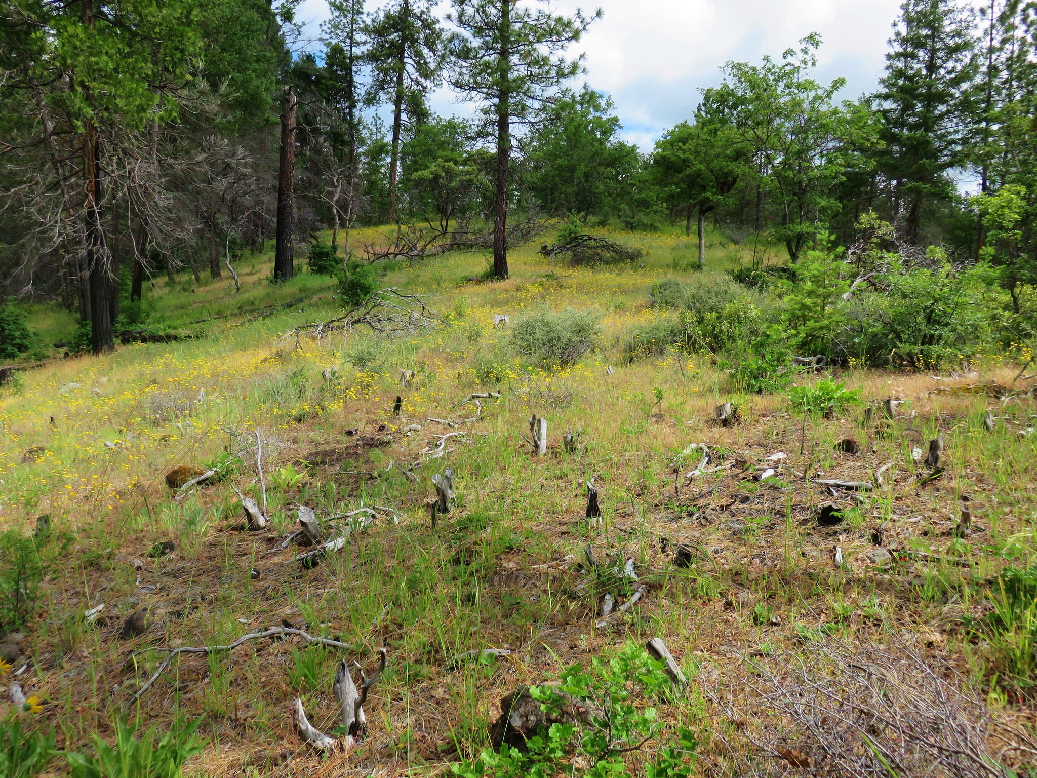
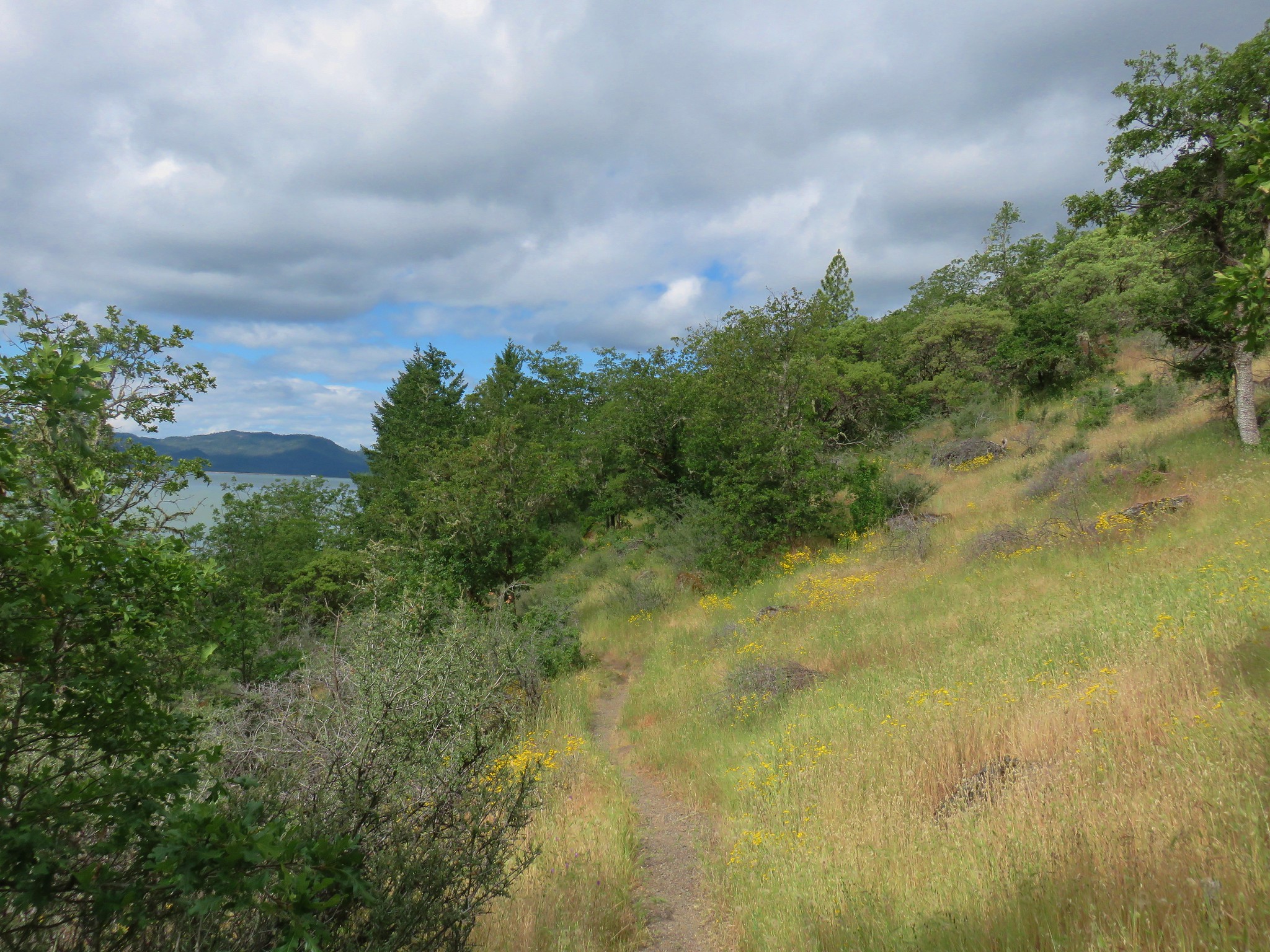
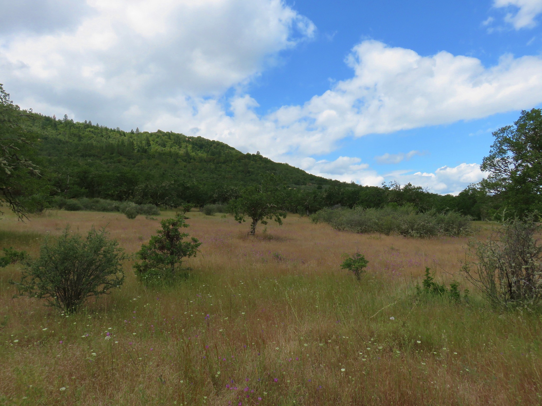
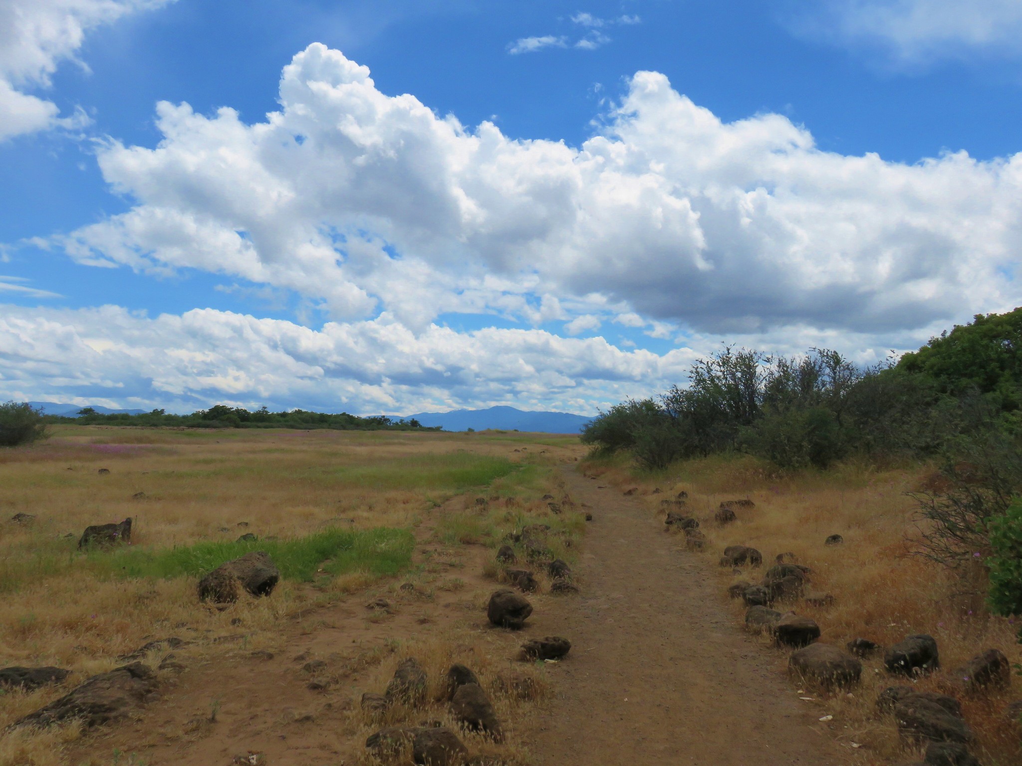
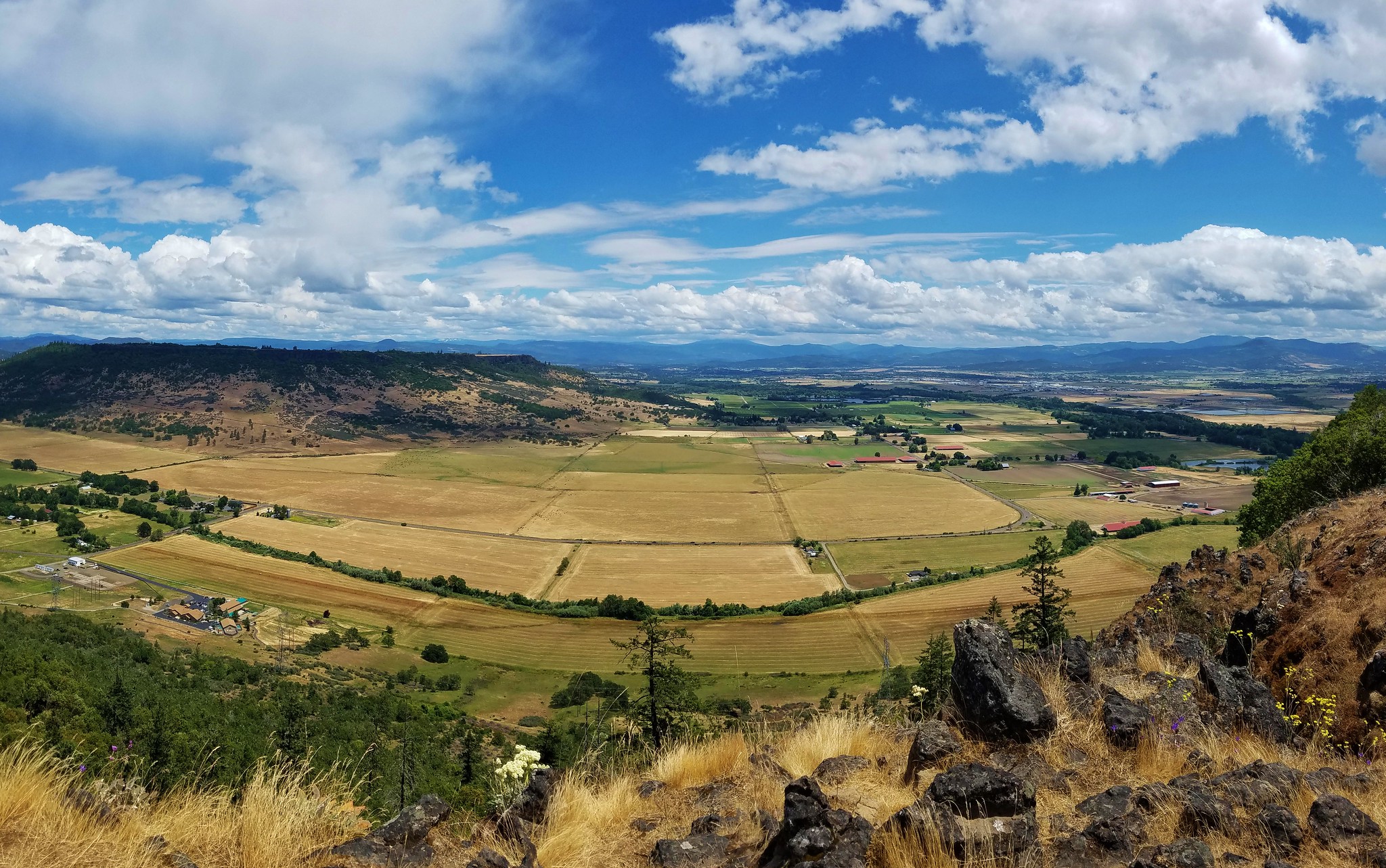
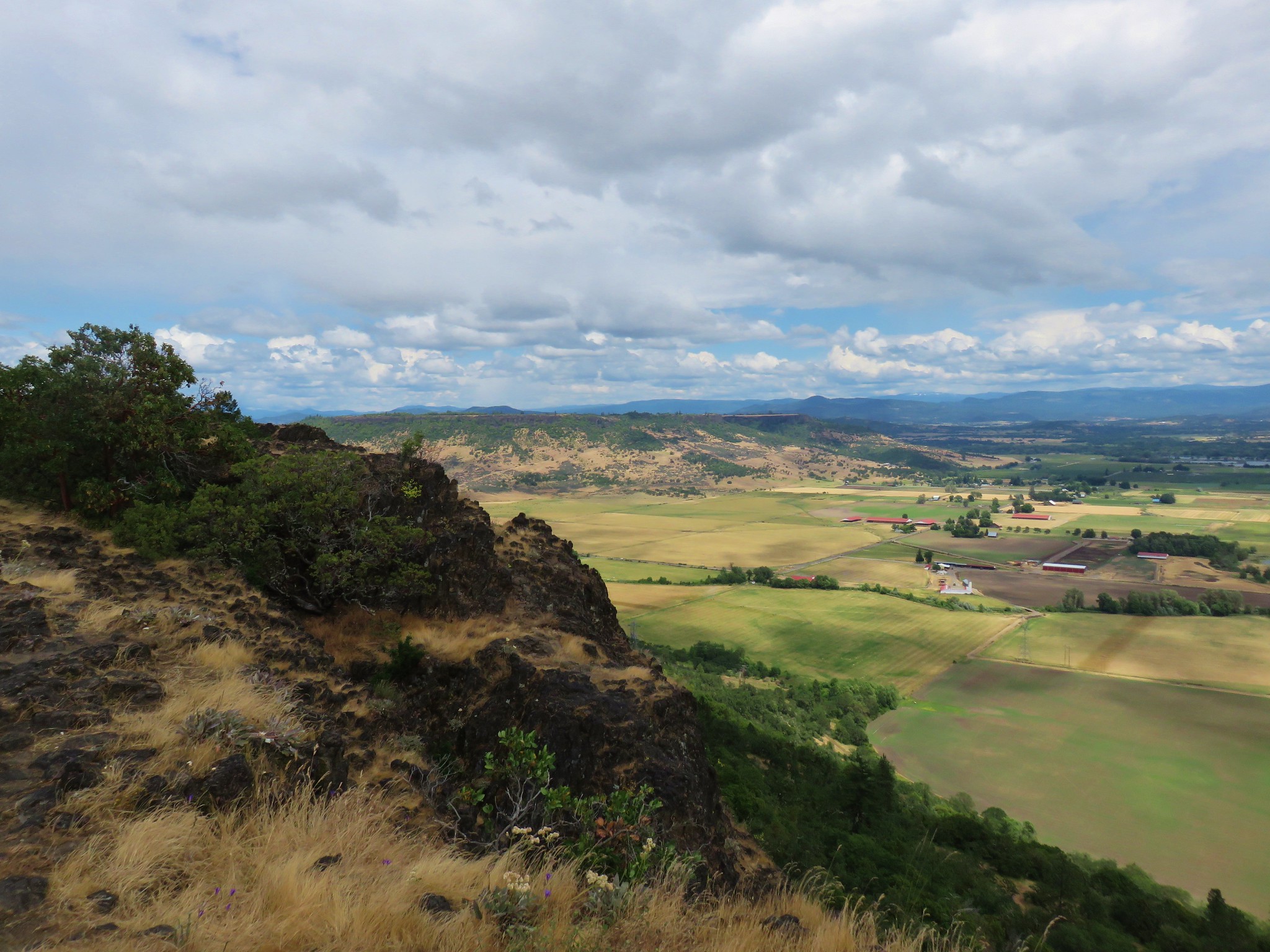
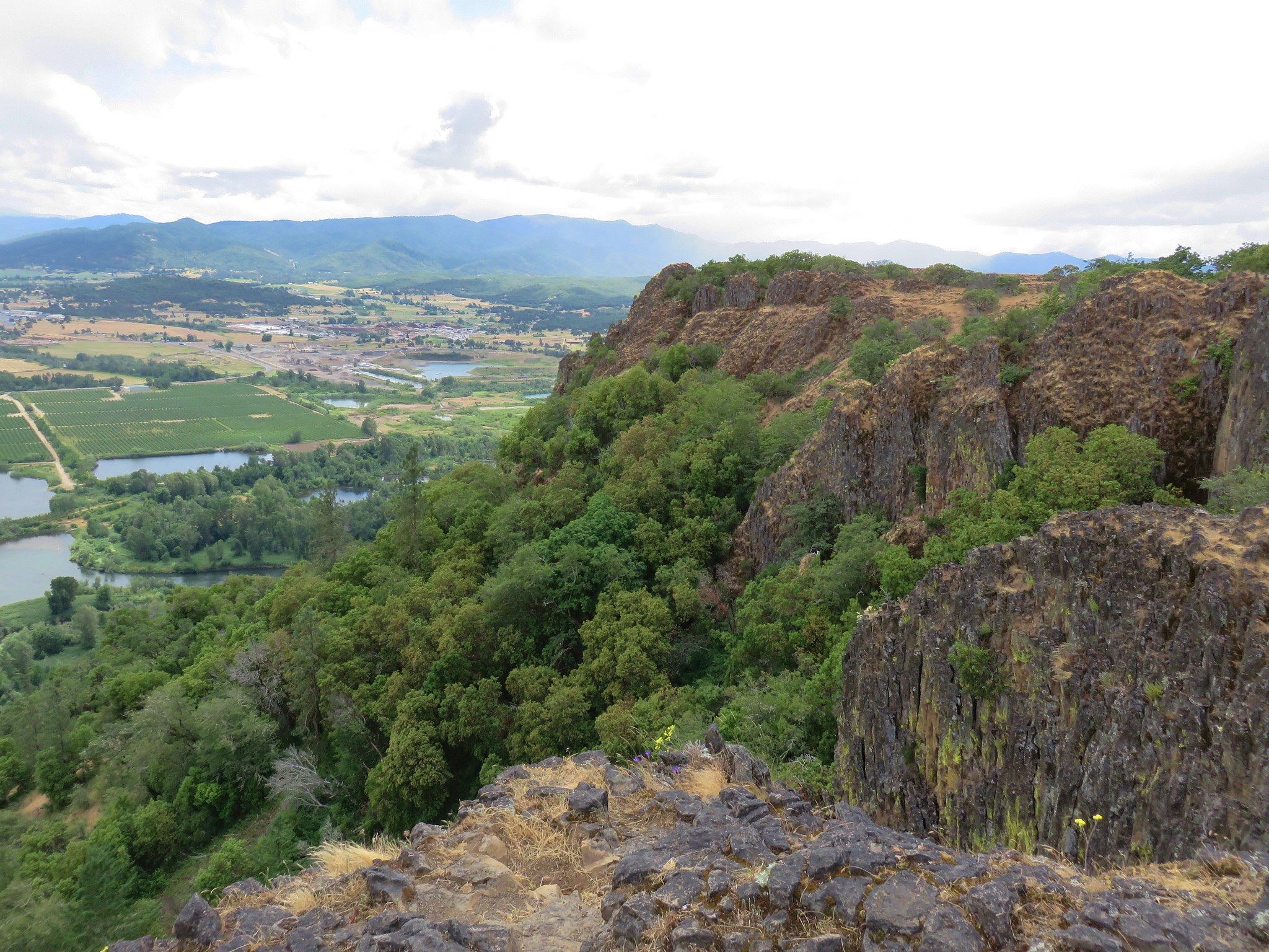
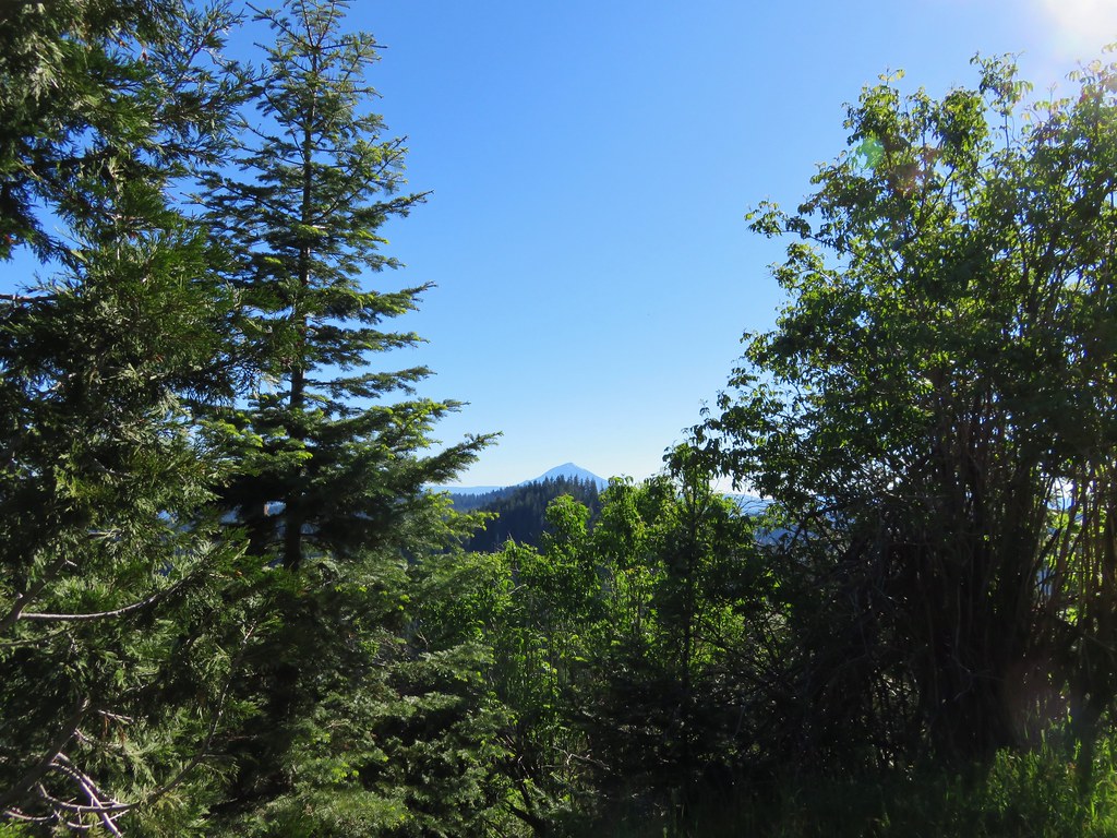
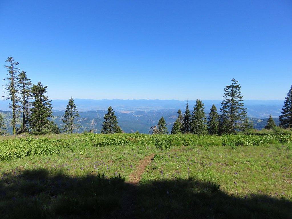
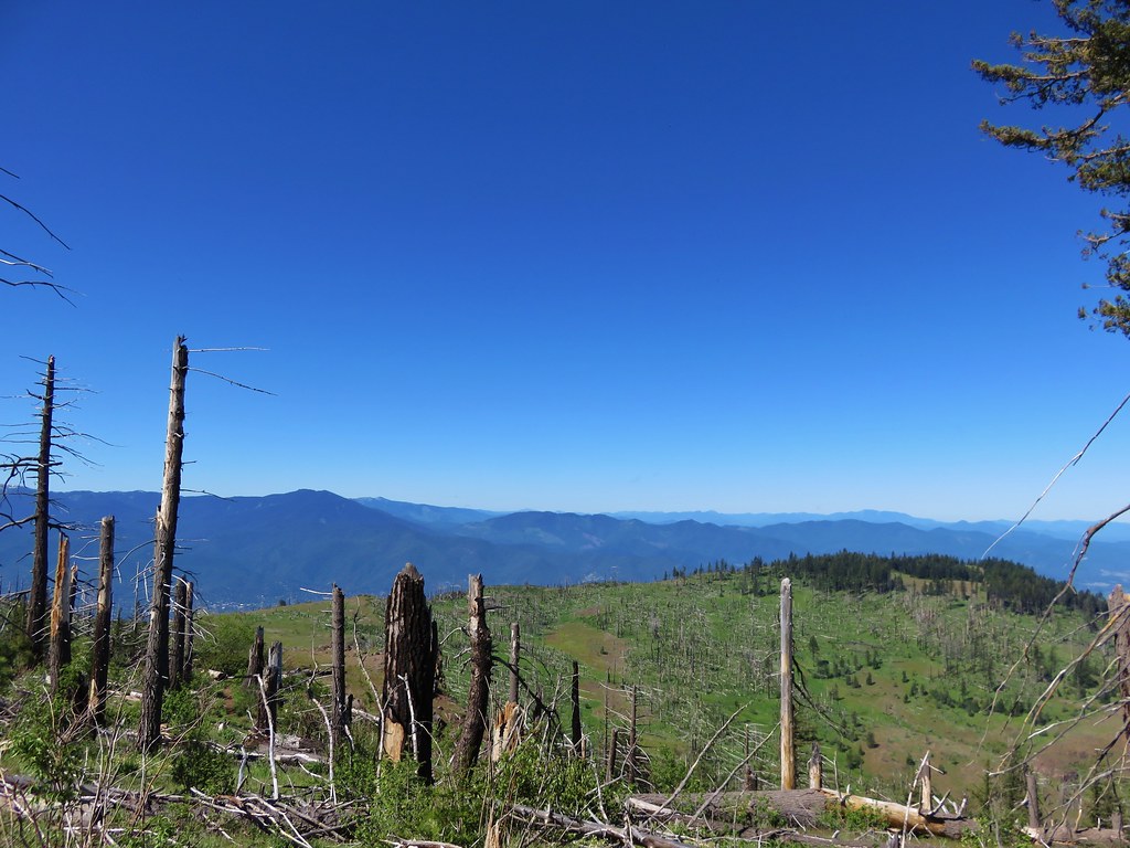
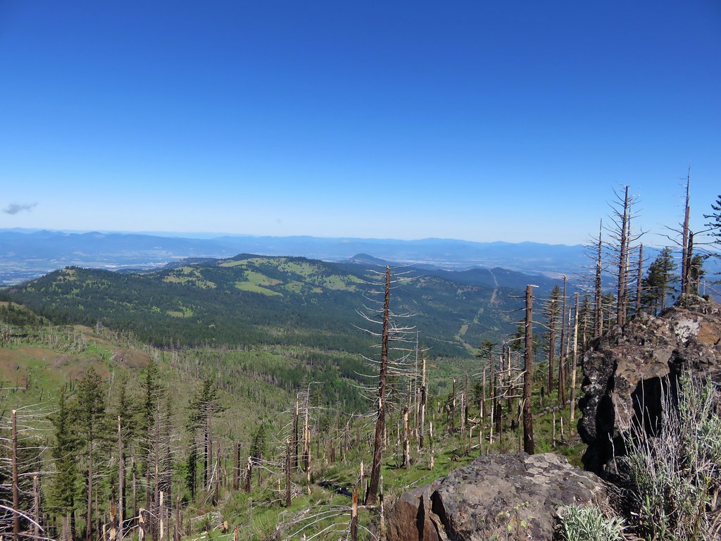
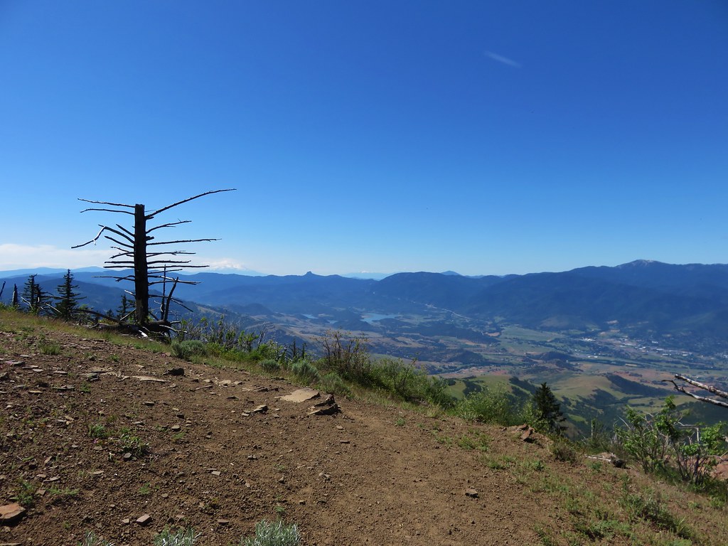
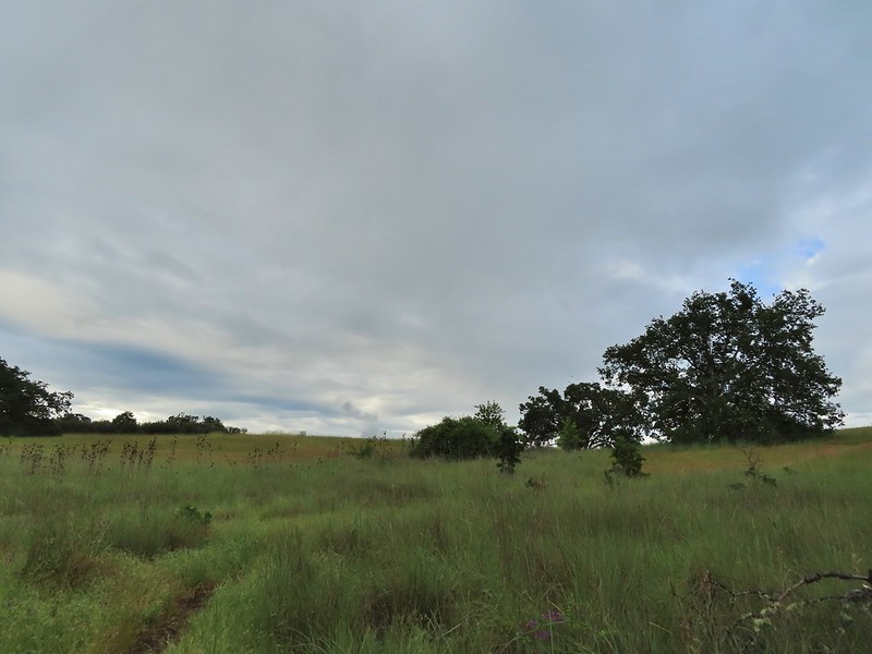
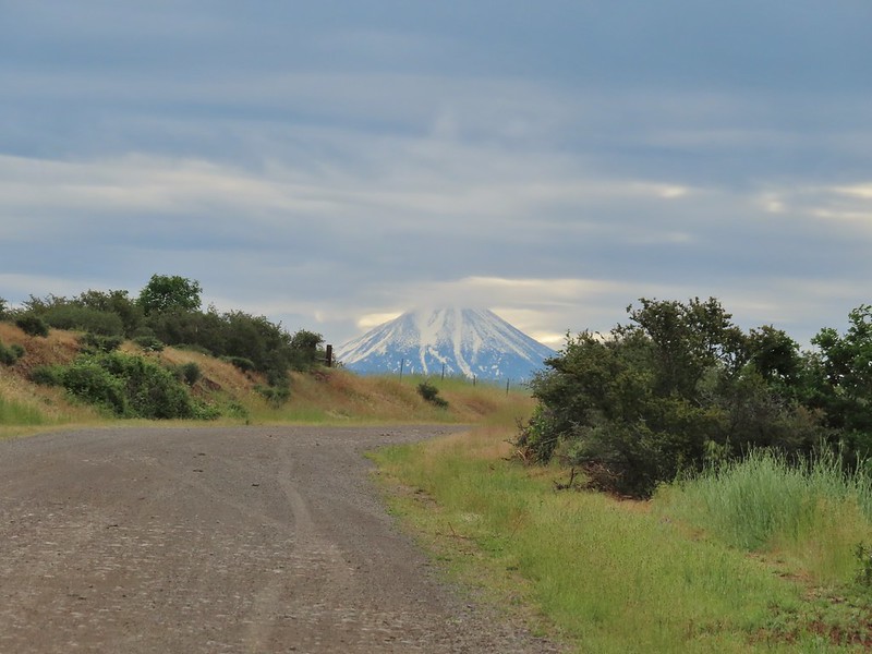
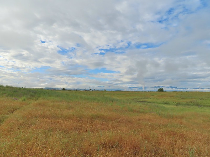
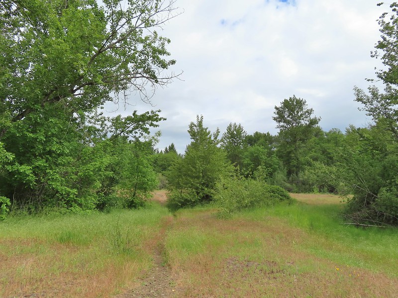
The trail left the trees and climbed a hill where views opened up.
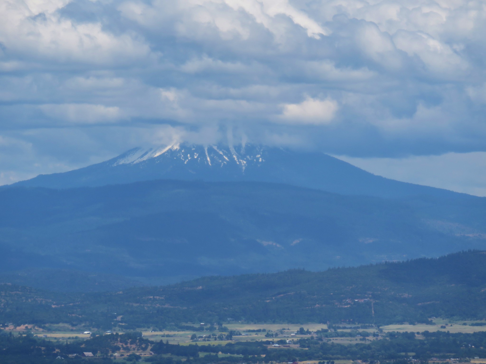
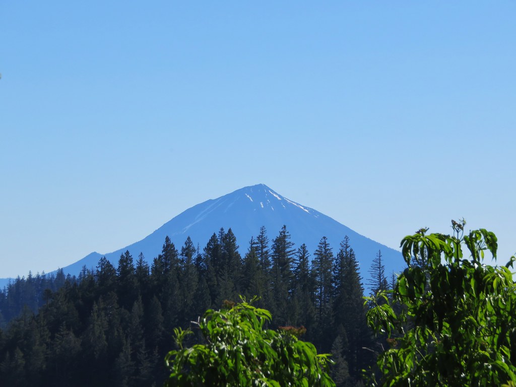
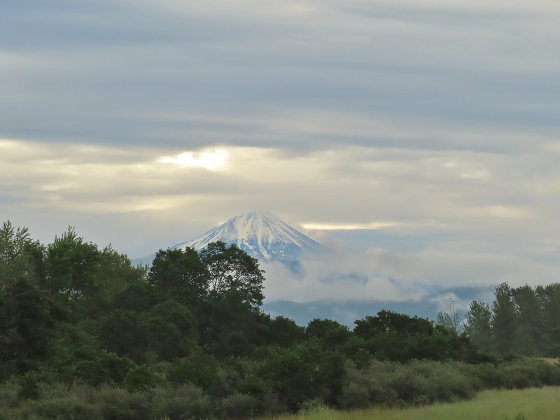 Mt. McLoughlin
We got a little confused on the hillside where several paths went NE and one SW to a bench which we wandered over to before choosing one of the NE paths.
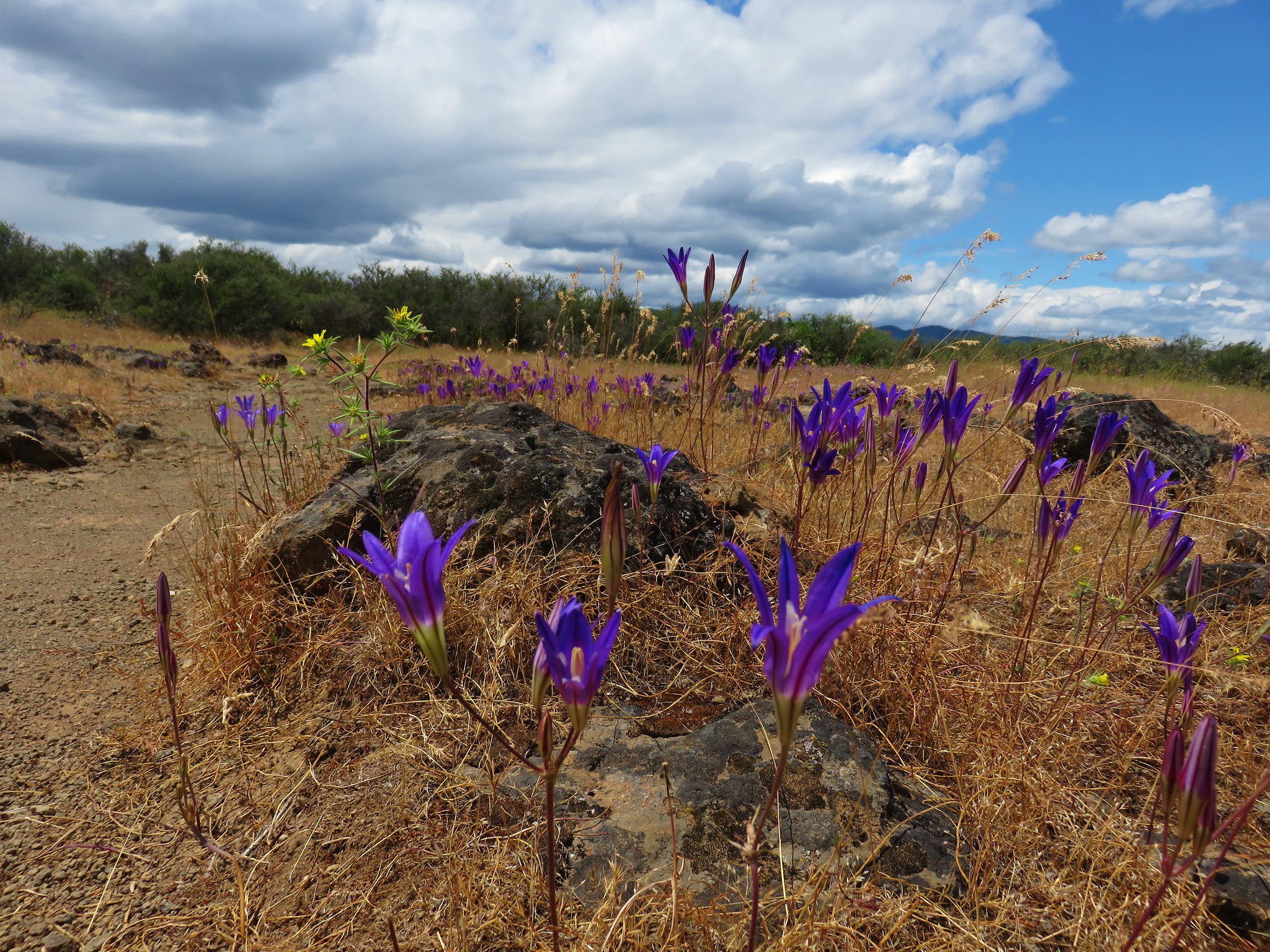
 Common madia with Lower Table Rock (post) in the background.
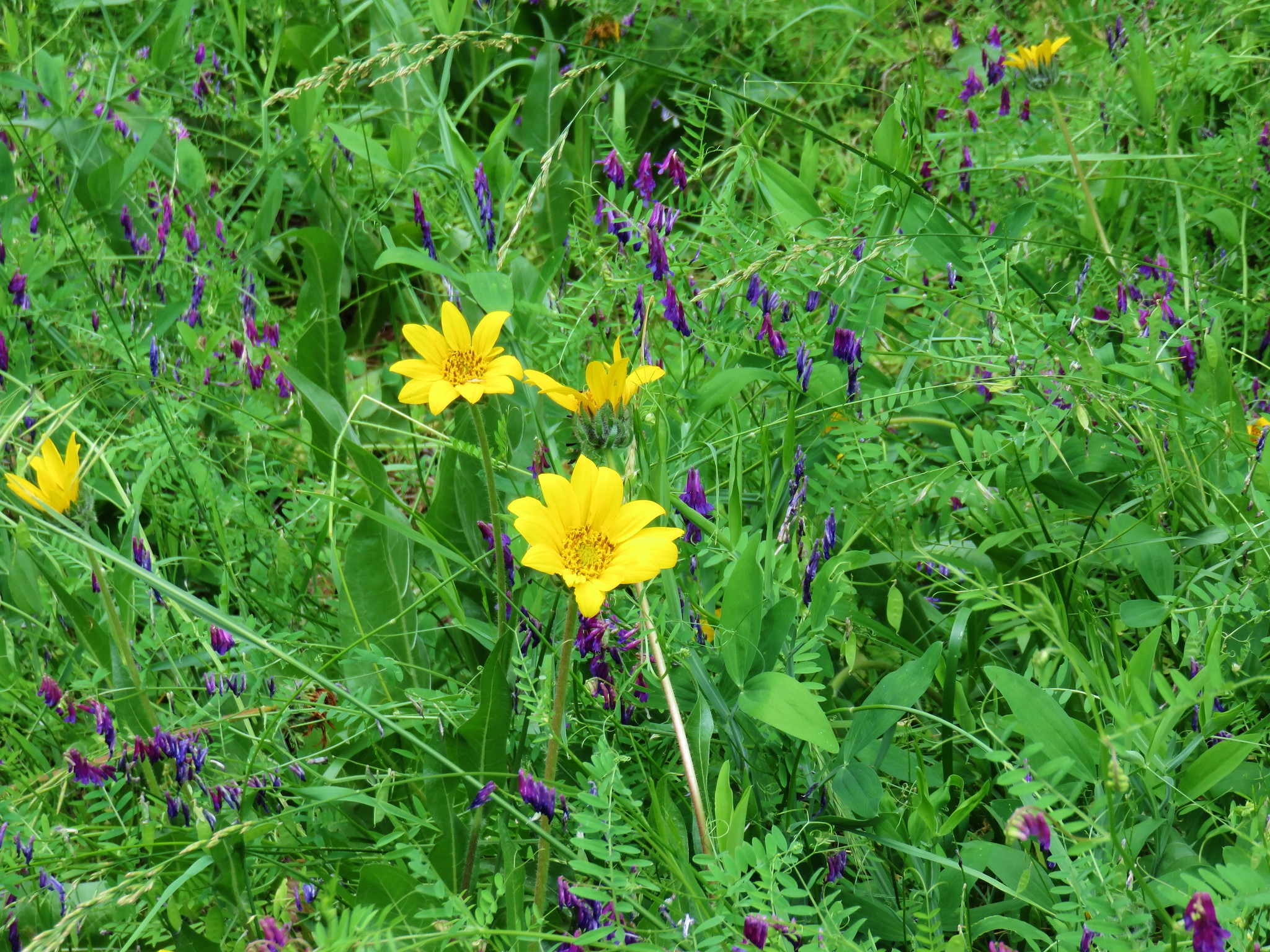
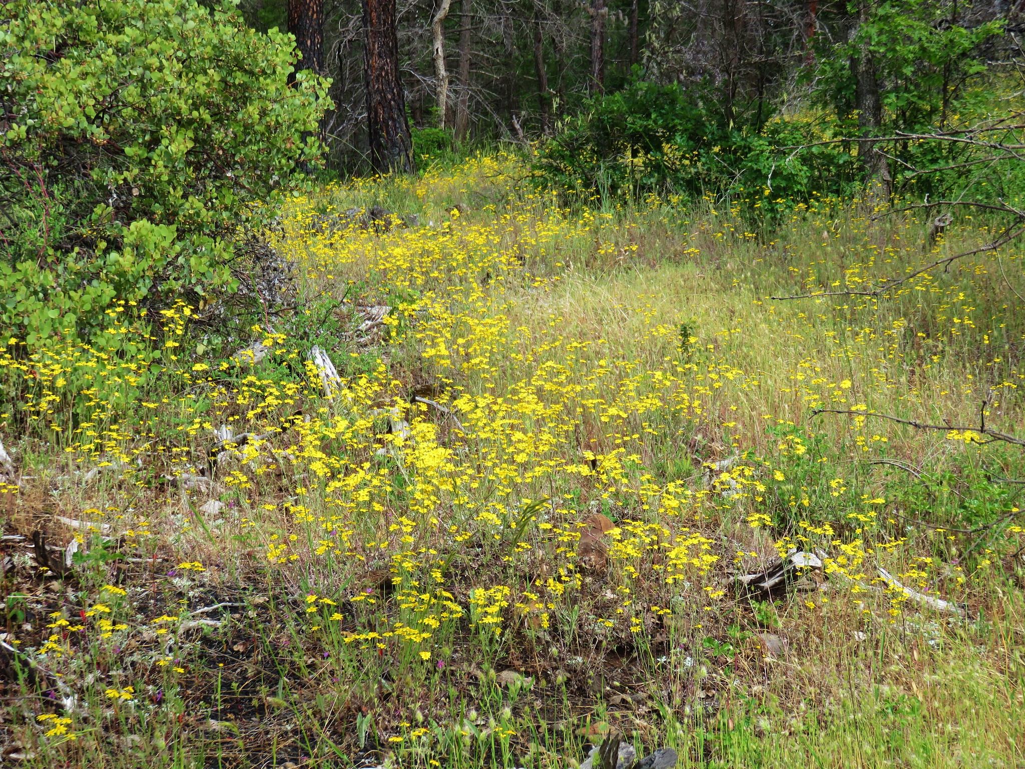
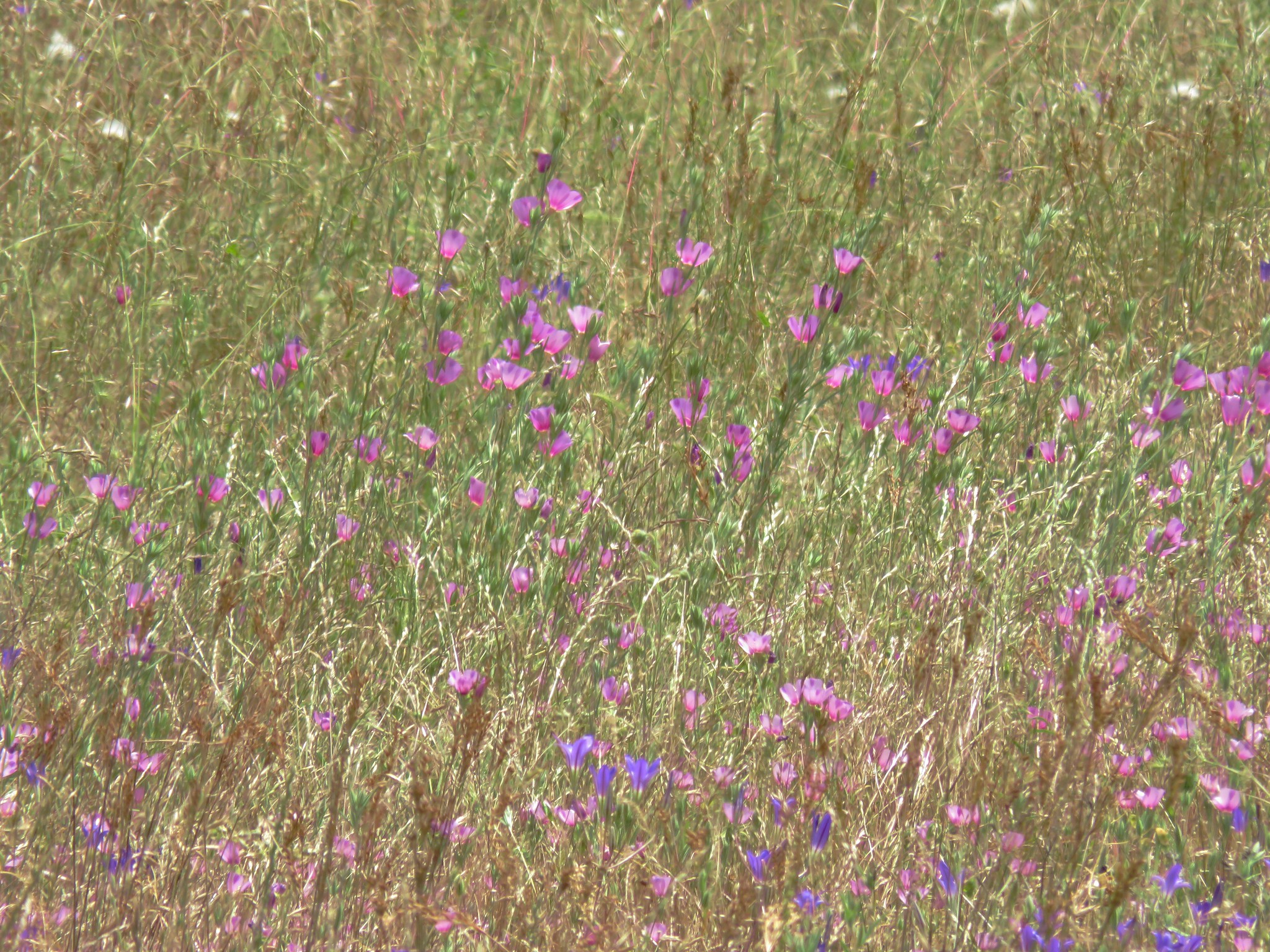
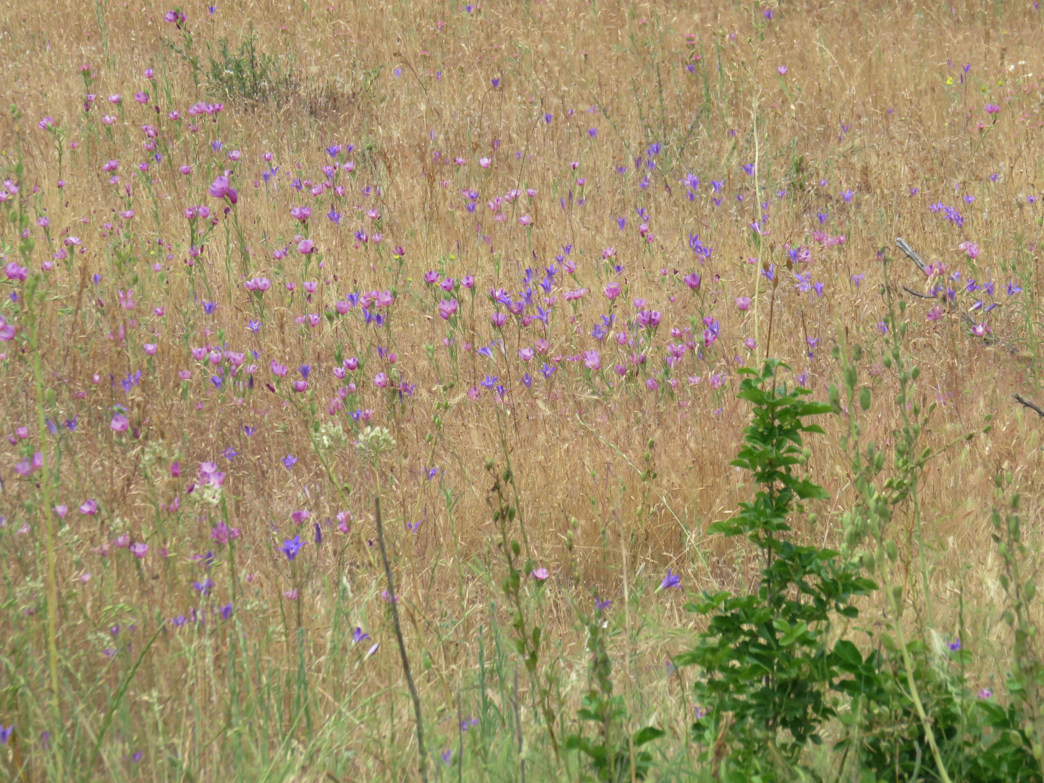
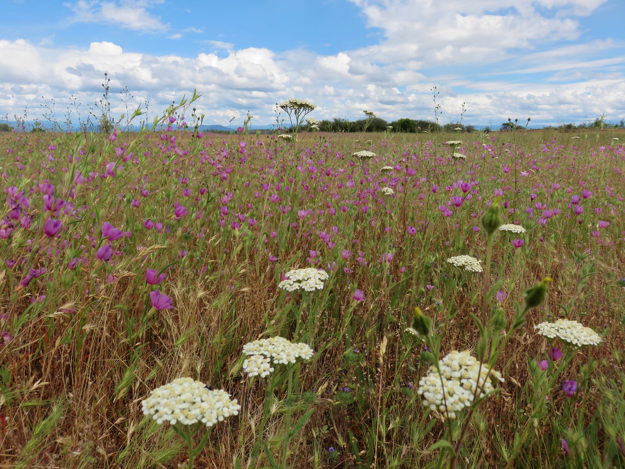
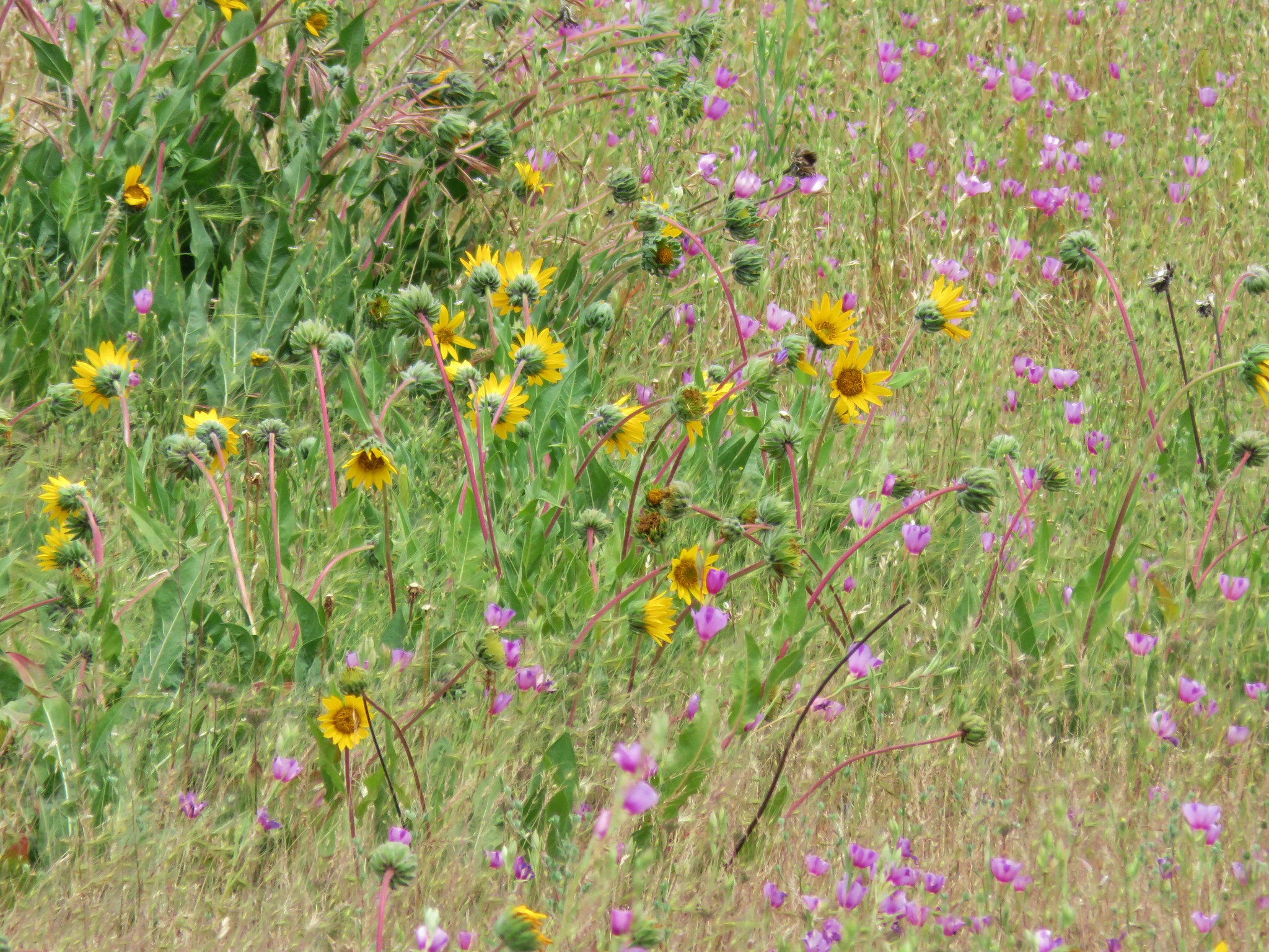
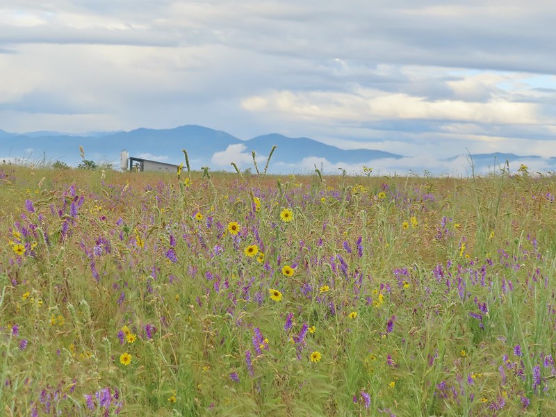 Wildflowers near the bench.
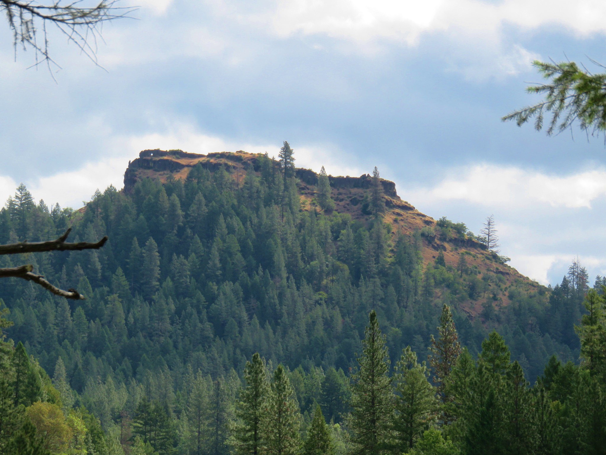
 Upper Table Rock
 The viewpoint bench.
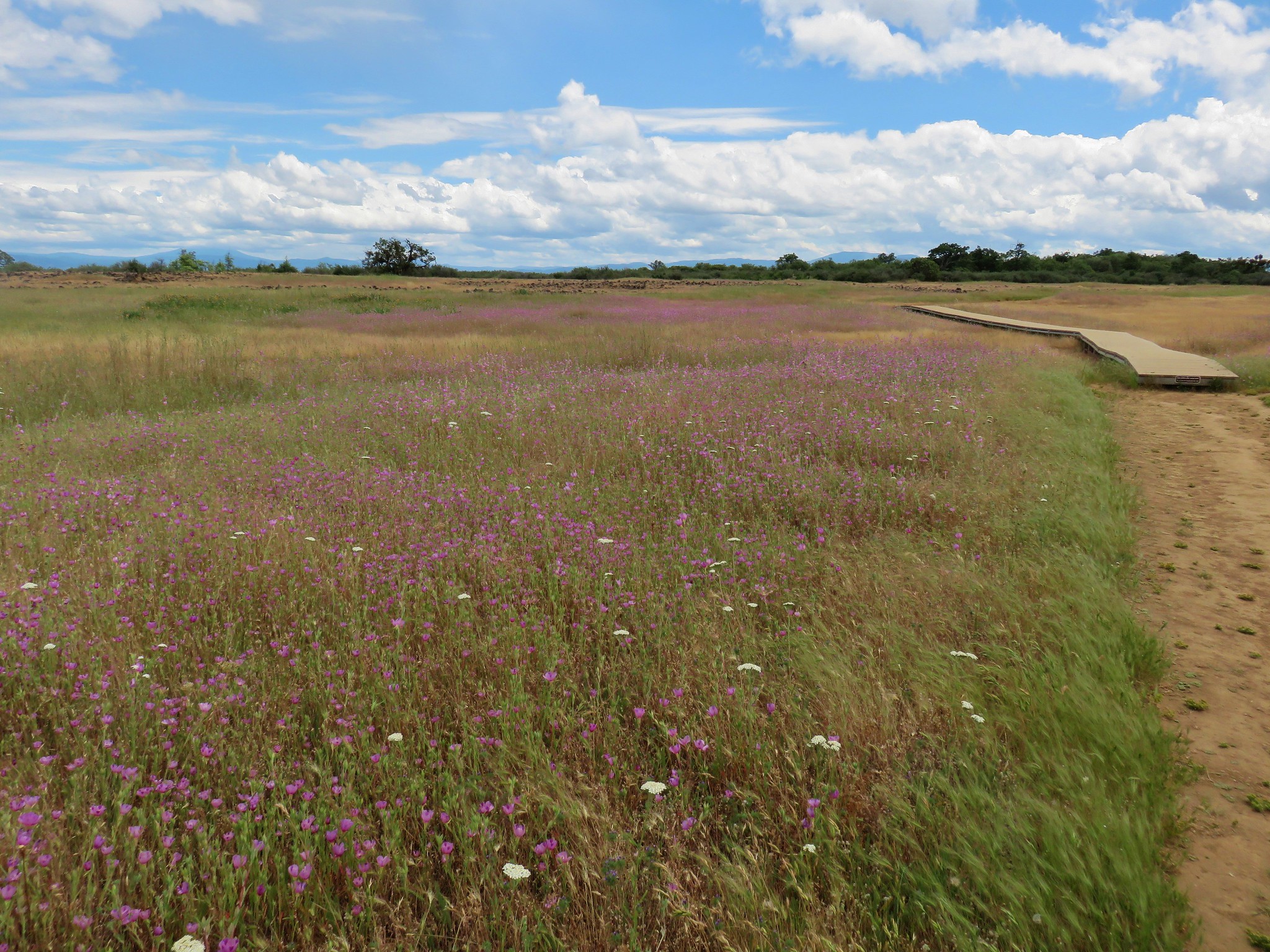
I think we chose a different one than VanMarmot had but the end result was the same as we wound up on duck boards passing another pond along Military Slough which we recognized from a photo.

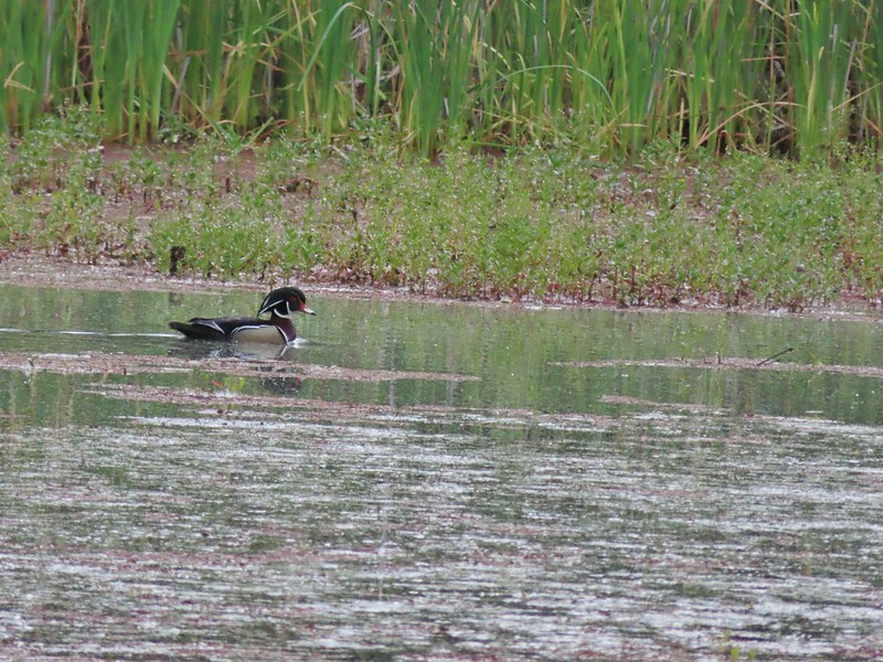 Wood duck
Not far from this pond the trail climbed to TouVille Road.
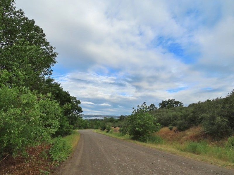
 Denman Trail at TouVille Road.
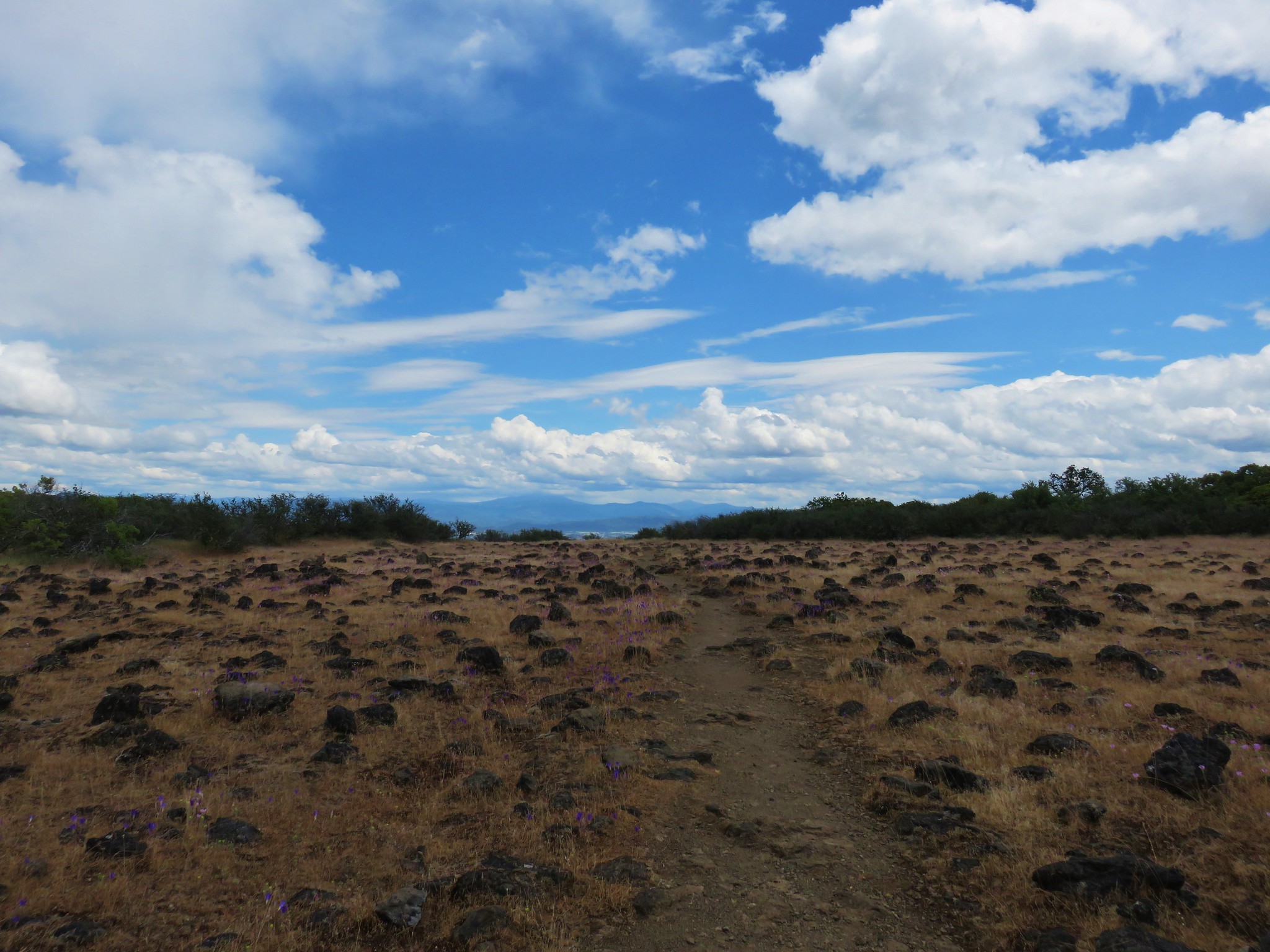
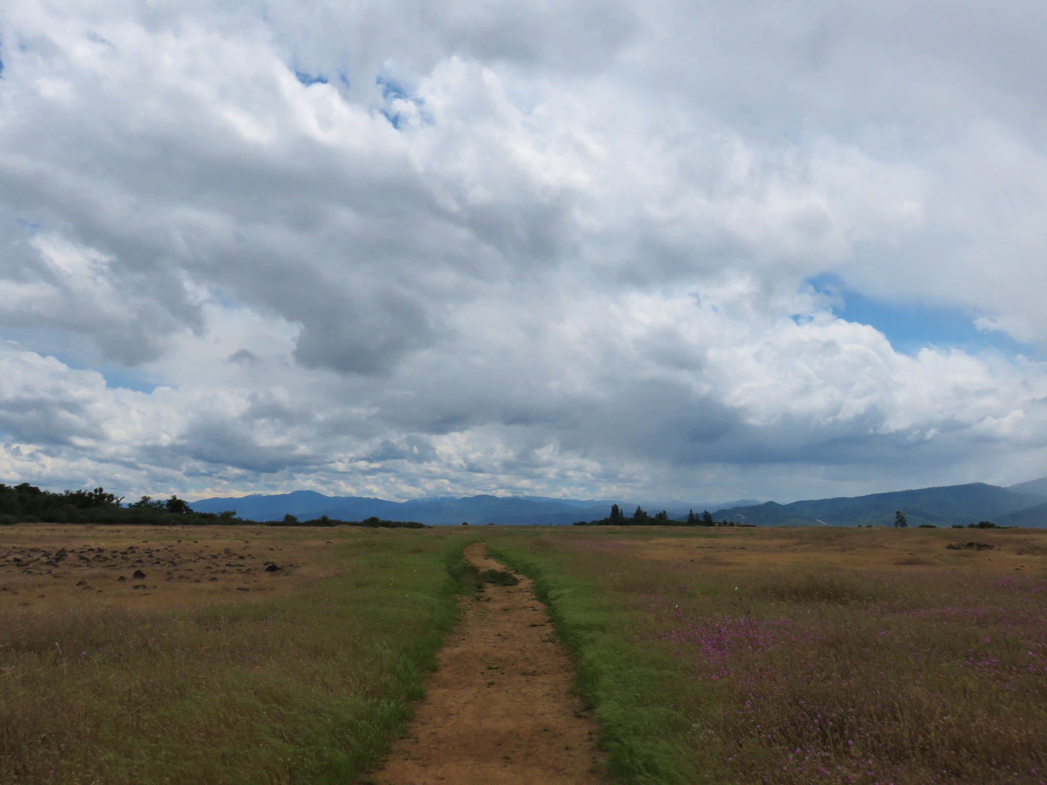
Following VanMarmot’s April hike we turned right along the road looking for a “very faded road” that headed north across the Agate Desert.
 Mt. McLoughlin
 Upper Table Rock from TouVille Road.
 A swallow on a fence post with Mt. McLoughlin behind.
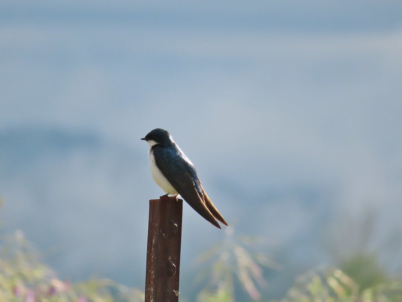 Swallow
 Yet another pond along Military Slough.
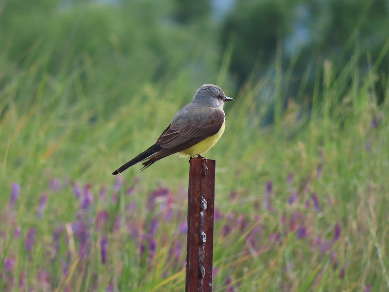 A kingbird, most likely western.
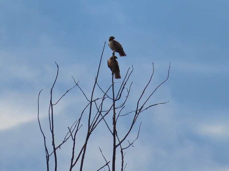 A pair of hawks near the pond.
We found a faint road which we assumed was the one we were looking for and turned left onto it.

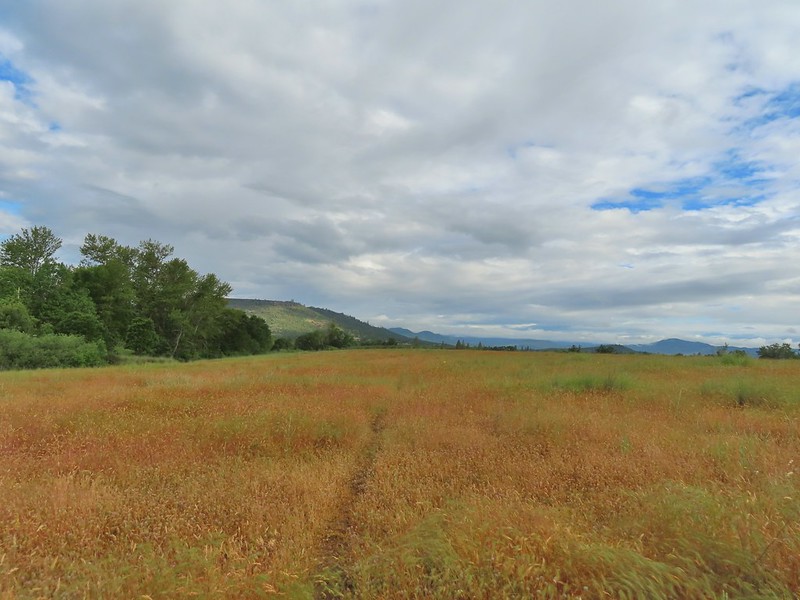
In the pictures we’d seen from early April the old road was faint but visible passing through the short grass but that grass had grown since then making the road even harder to pick out.

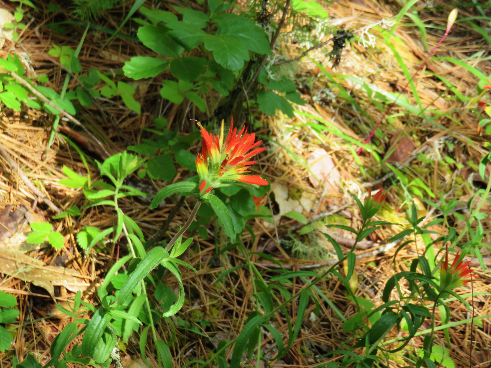
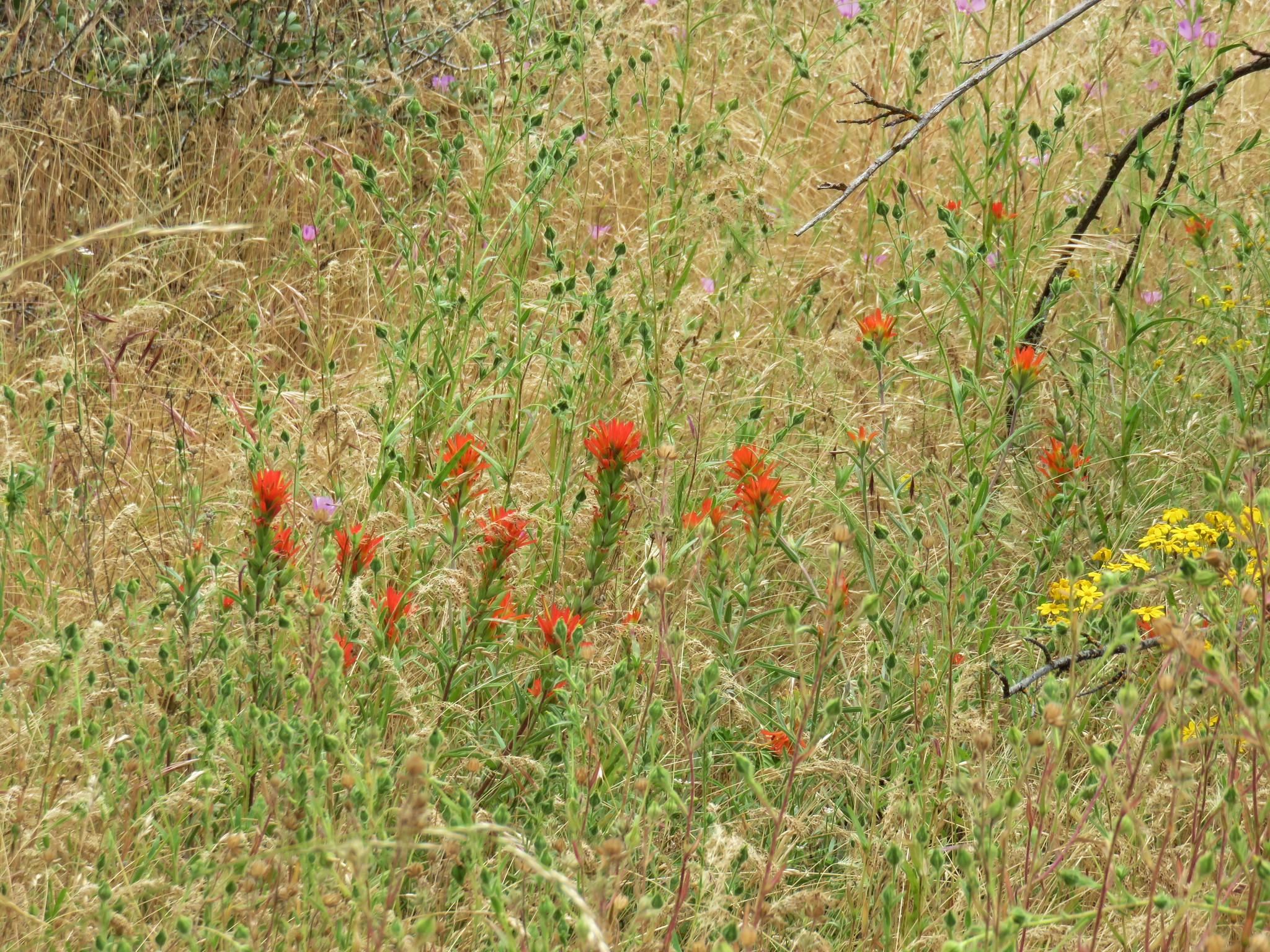
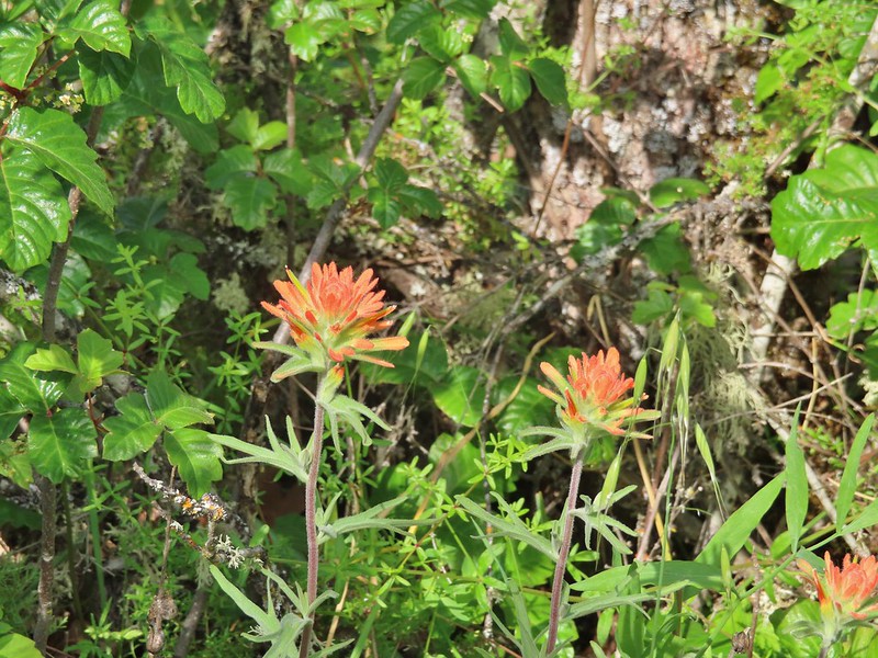
 I I believe this is a paintbrush, possibly Castilleja tenuis – hairy Indian paintbrush.
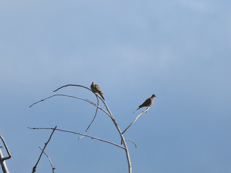 Mourning doves
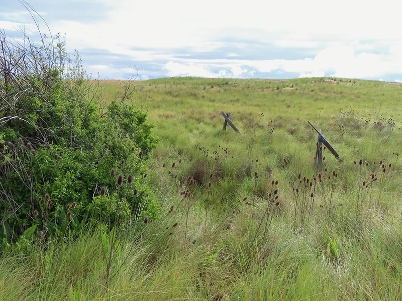
We wound up losing track of the roadbed as we neared a small depression where a seasonal creek supported more brush and trees. We could see from VanMarmot’s track that they had turned SE following along this seasonal creek before crossing it and turning back to the NW. While it hadn’t rained on us yet walking through the tall wet grass here provided enough water to soak our lower halves and we both had run ins with turkeys that startled us when they burst out of the grass near us.
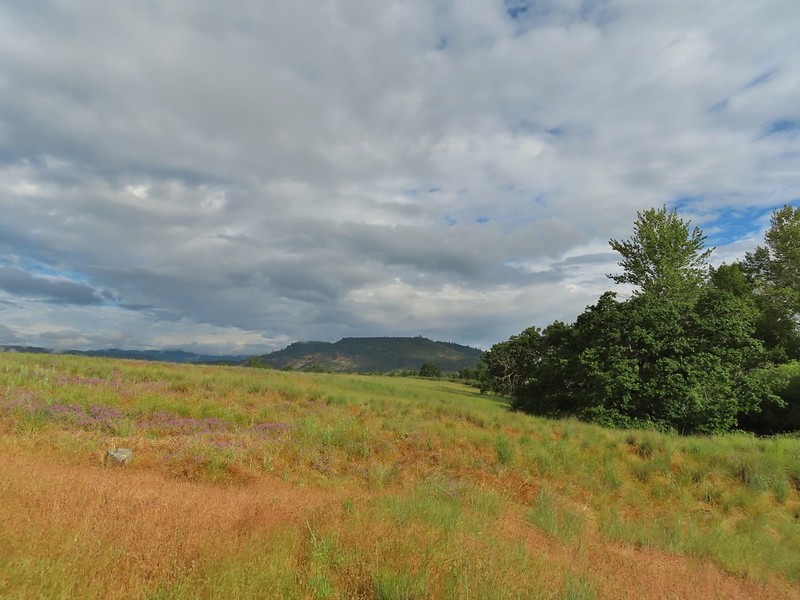 Looking back at Upper Table Rock with the stream bed in the trees/brush to the right.
We eventually reached the end of the thick brush and made our loop near a couple of old fence posts.
Now that we were on the other side of the stream bed we picked up a much clearer trail.
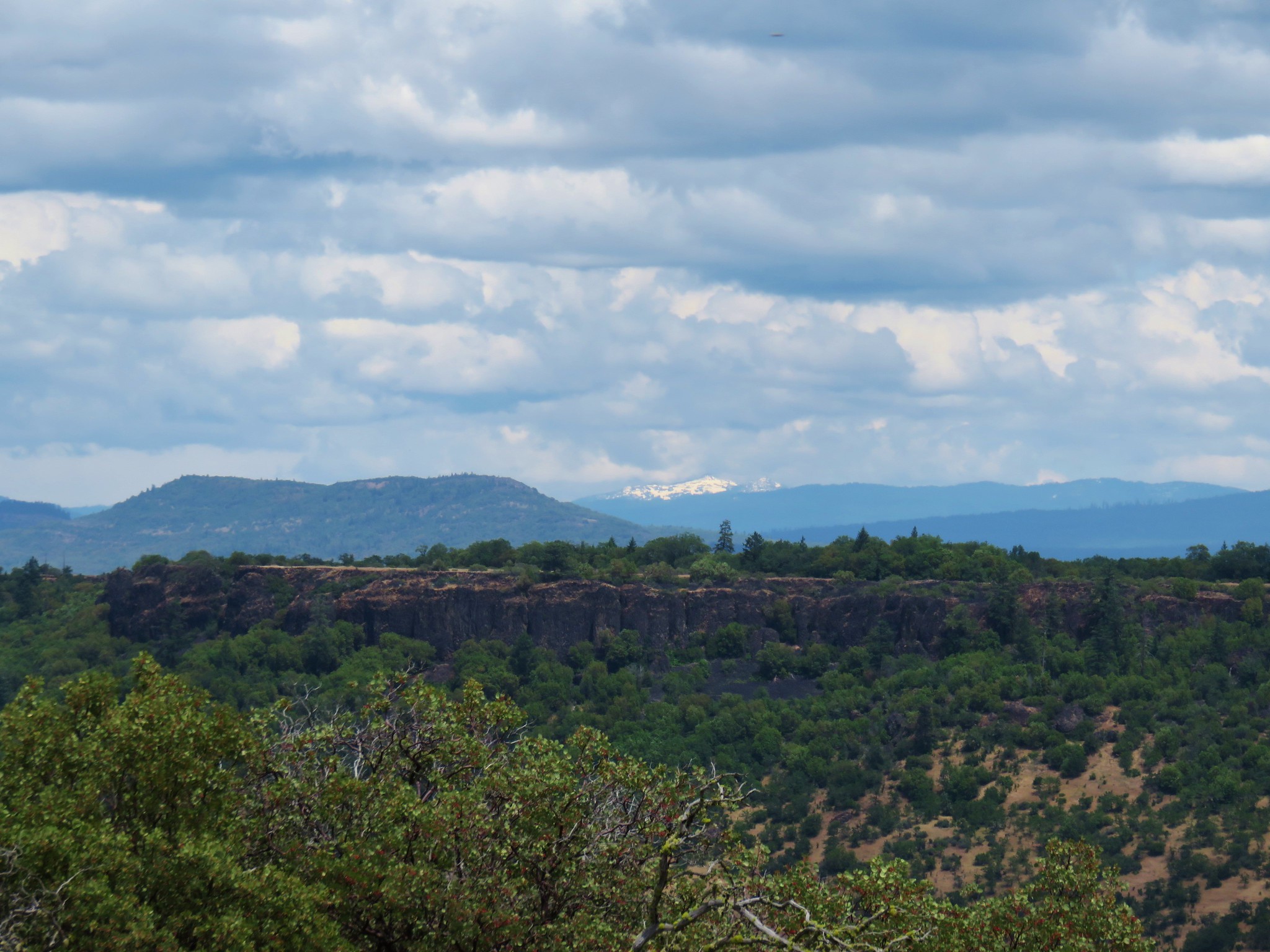
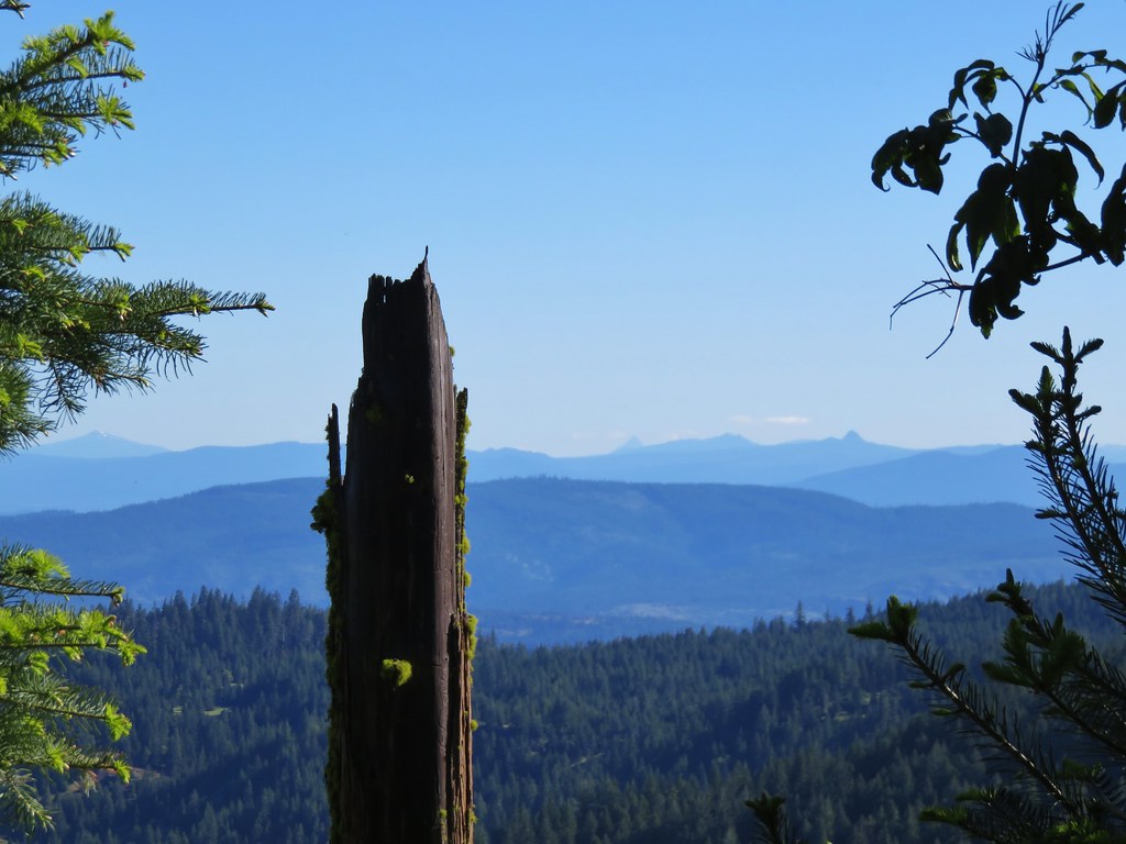
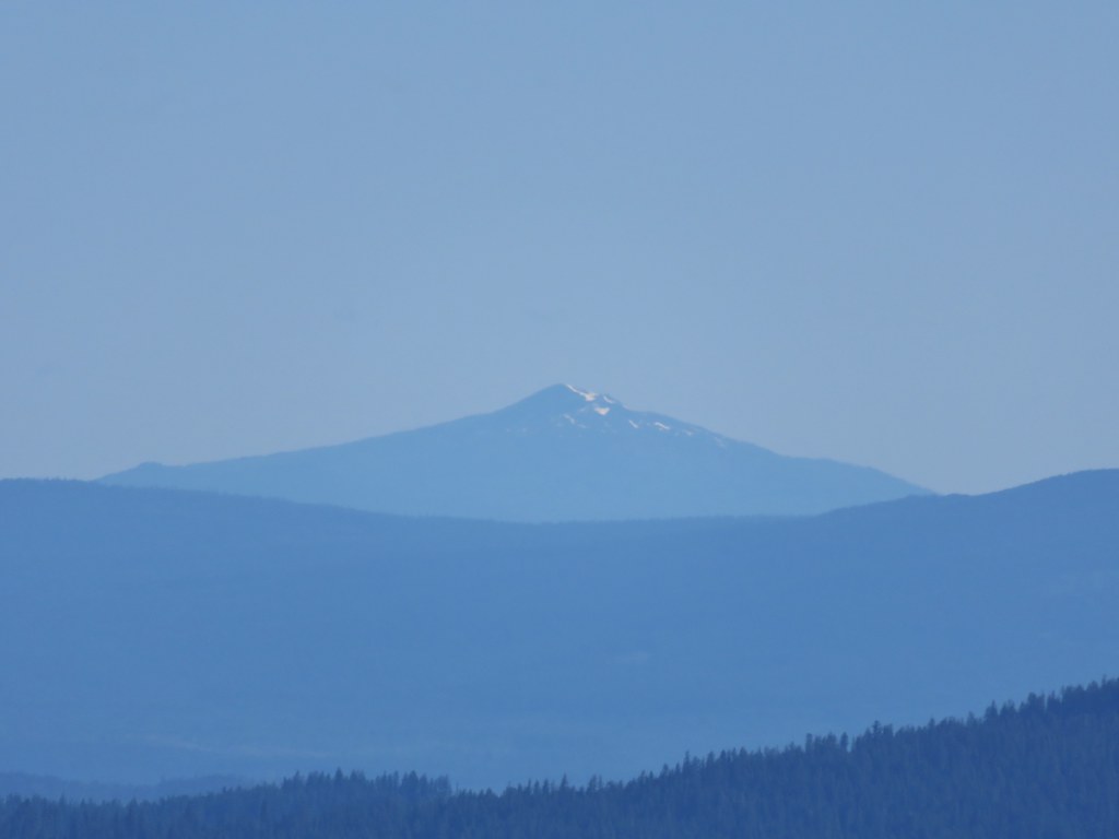
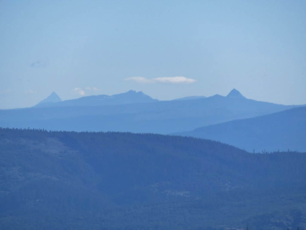
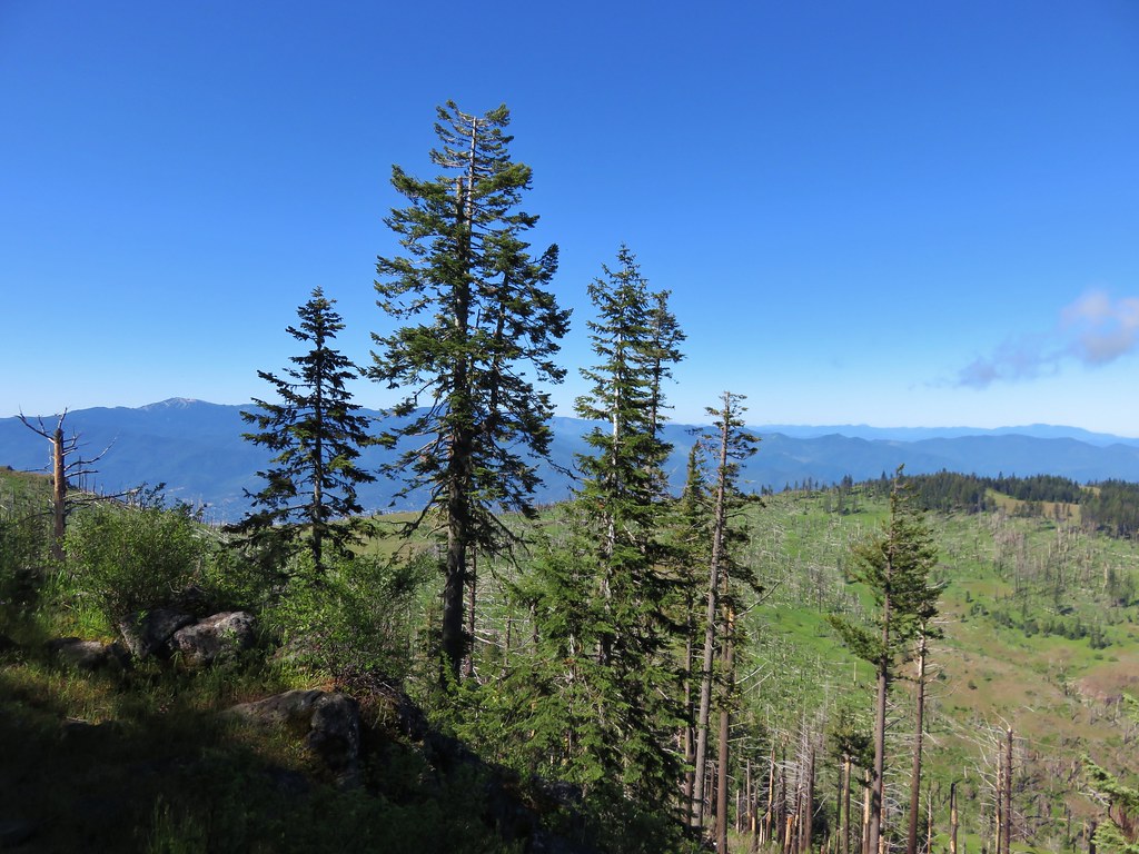
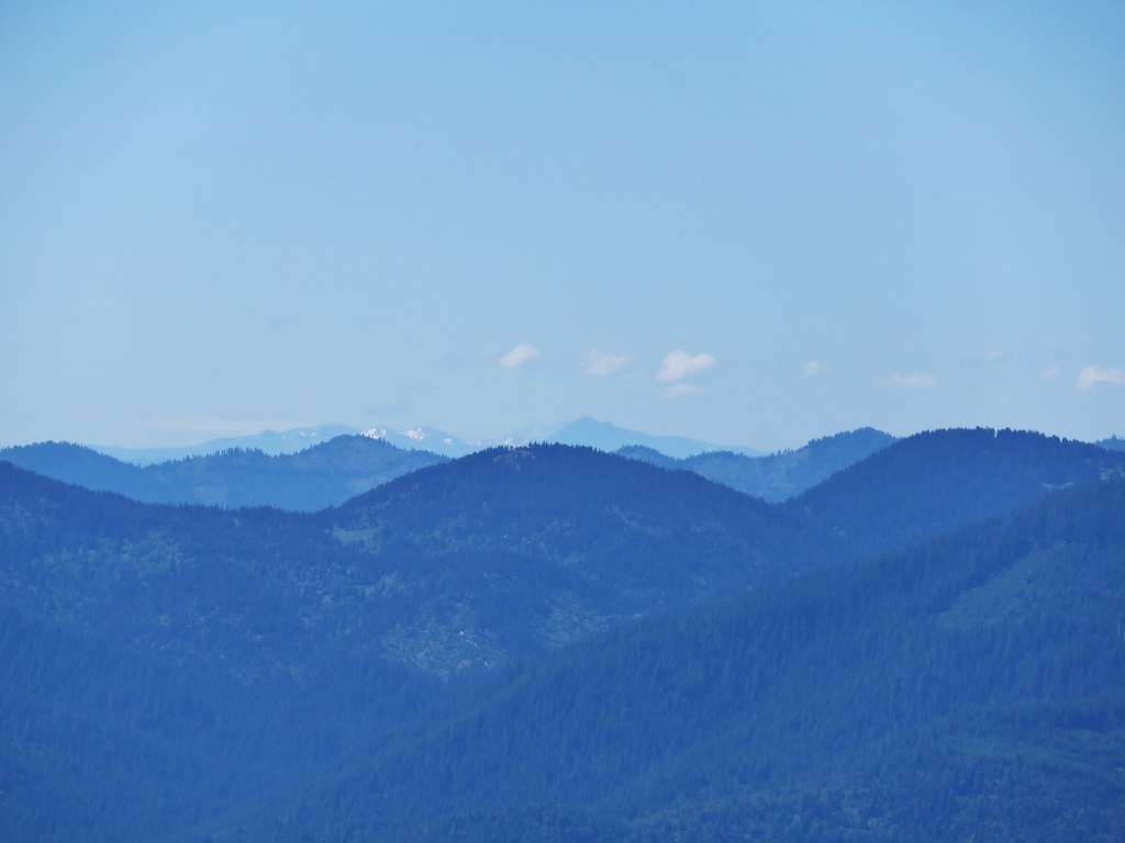
 Mt. Ashland (post) peaking through a hole in the clouds.
 Mt. Ashland

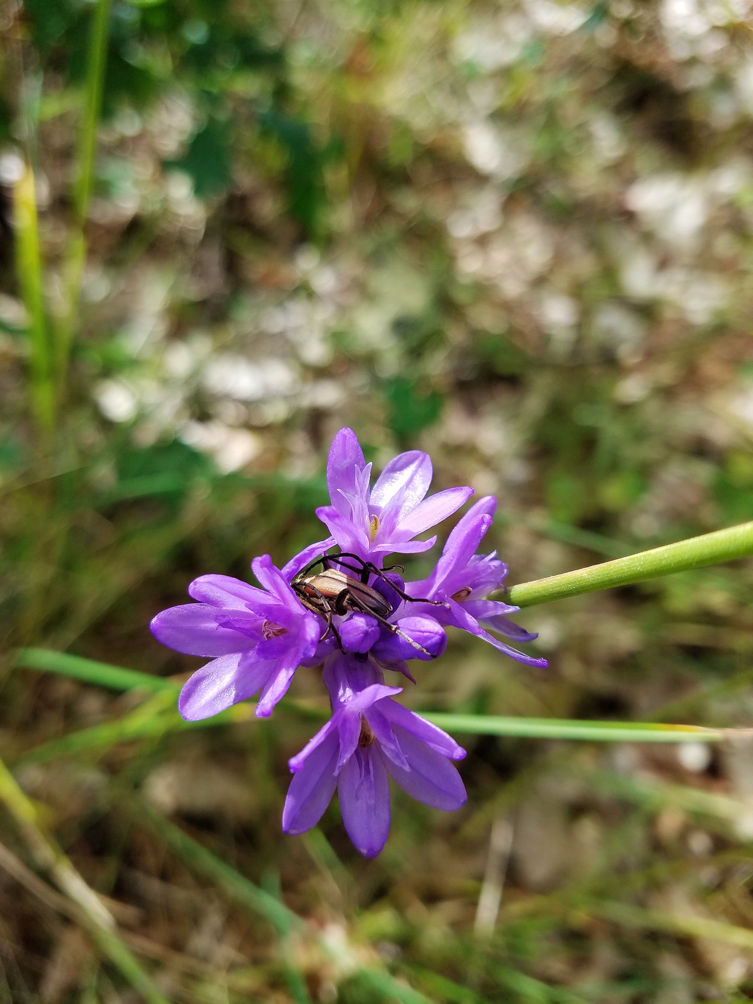
 Ookow
Ookow
We veered left sticking as close to the stream bed as possible passing through a fence with an orange “Safety Zone” sign.

We wound up on an old gravel road that passed by a dozen old bunkers left over from when the area had been a WWII training camp. VanMarmot had followed a horse trail out to TouVille Road and then doubled back along this gravel road but it wasn’t entirely clear if they had been on this road briefly before picking up the horse trail or if we had missed it. We did see a trail leading uphill near where we had arrived at the road but that trail had quite a bit of poison oak hanging over it and not being used to hiking with it so prevalent and also not knowing for sure if it was the right trail we decided to stick to the gravel road and follow it to TouVille Road.
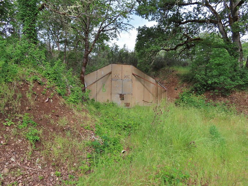 Bunker 6
 Jack rabbit
 Unsure what type of bird this is.
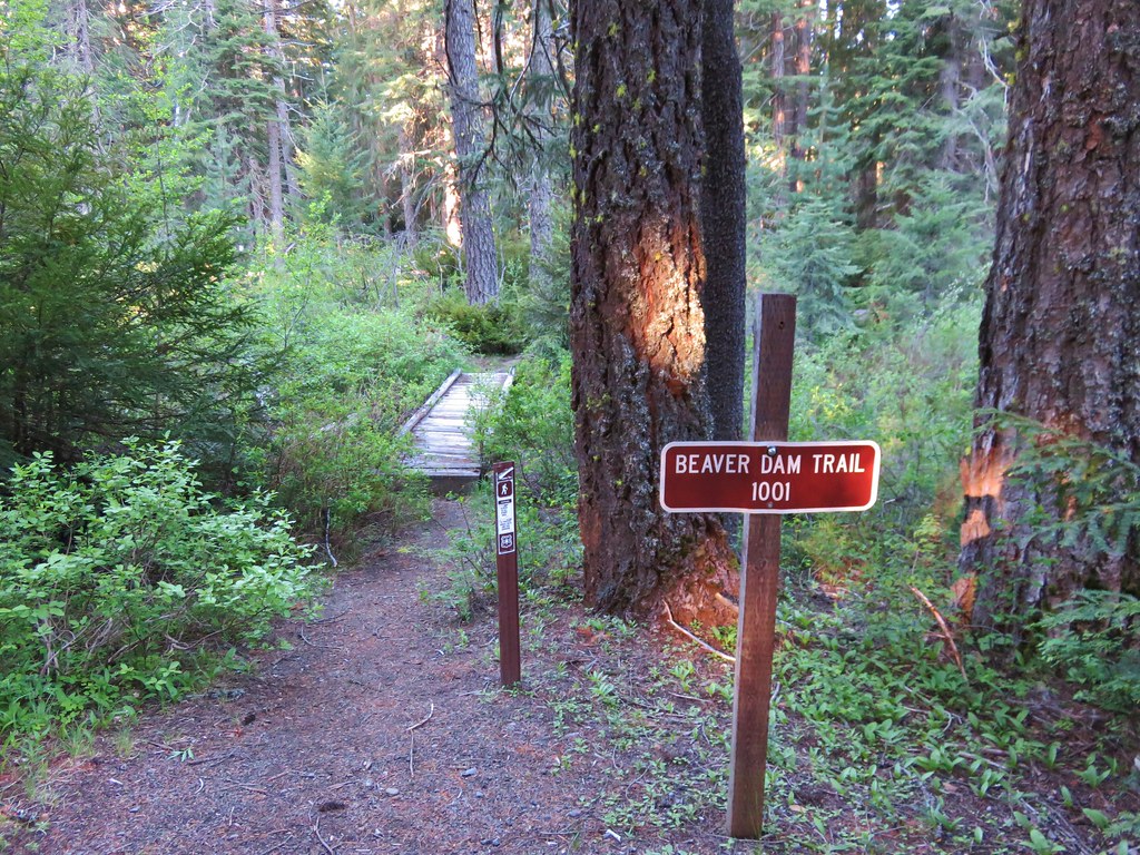
 Trailhead just off TouVille Road.
We couldn’t tell where exactly the horse trail was here either so we simply back-tracked along the road only this time taking a fork to the left to visit a few more bunkers.
 The fork where we went left.
 Passing another bunker.
 Lupine
We passed a small trail leaving the road but didn’t realize that it was the trail we were looking for and wound up completing a small loop before realizing our mistake. We back-tracked again and left the road on the trial we’d seen.
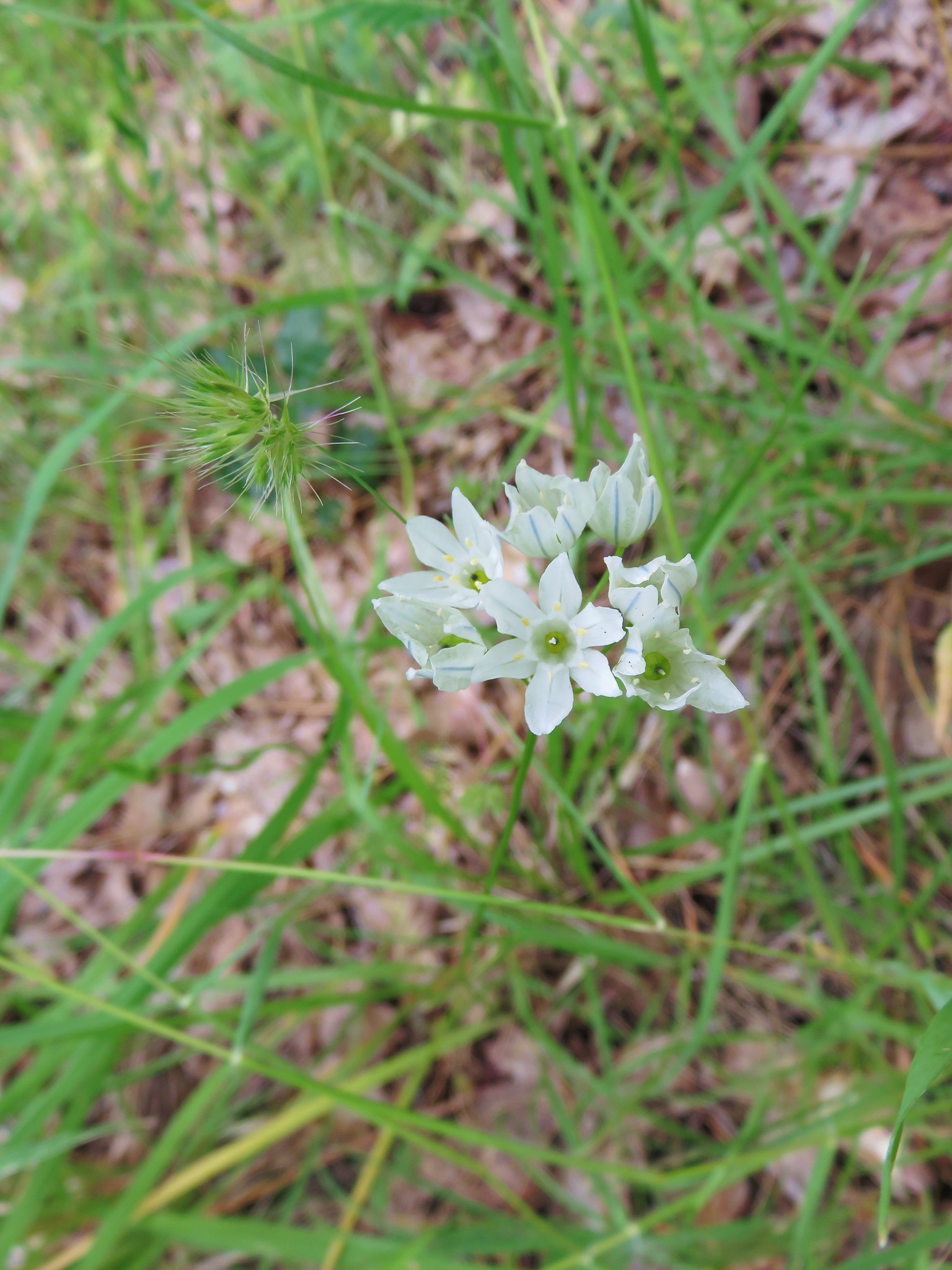
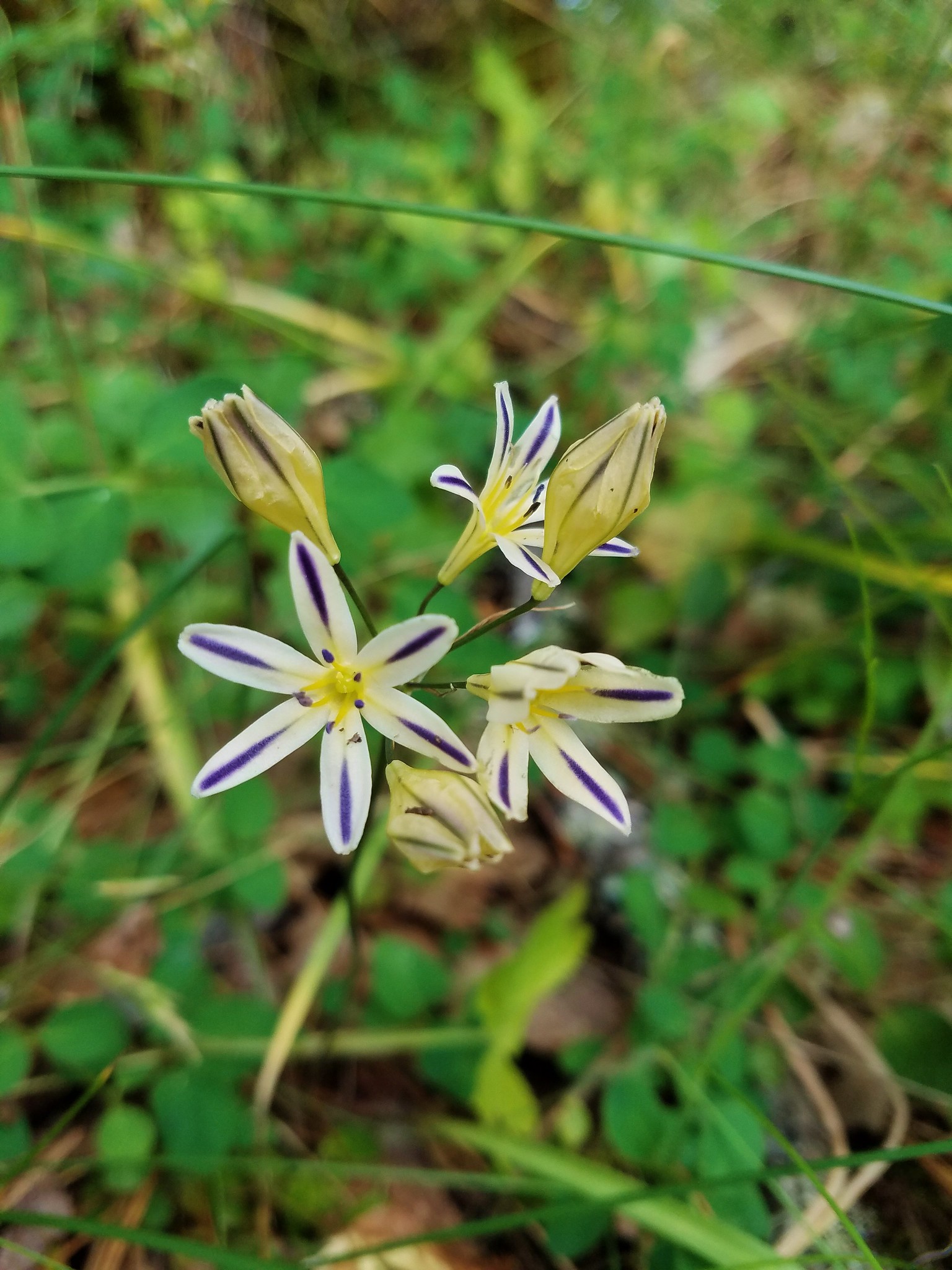
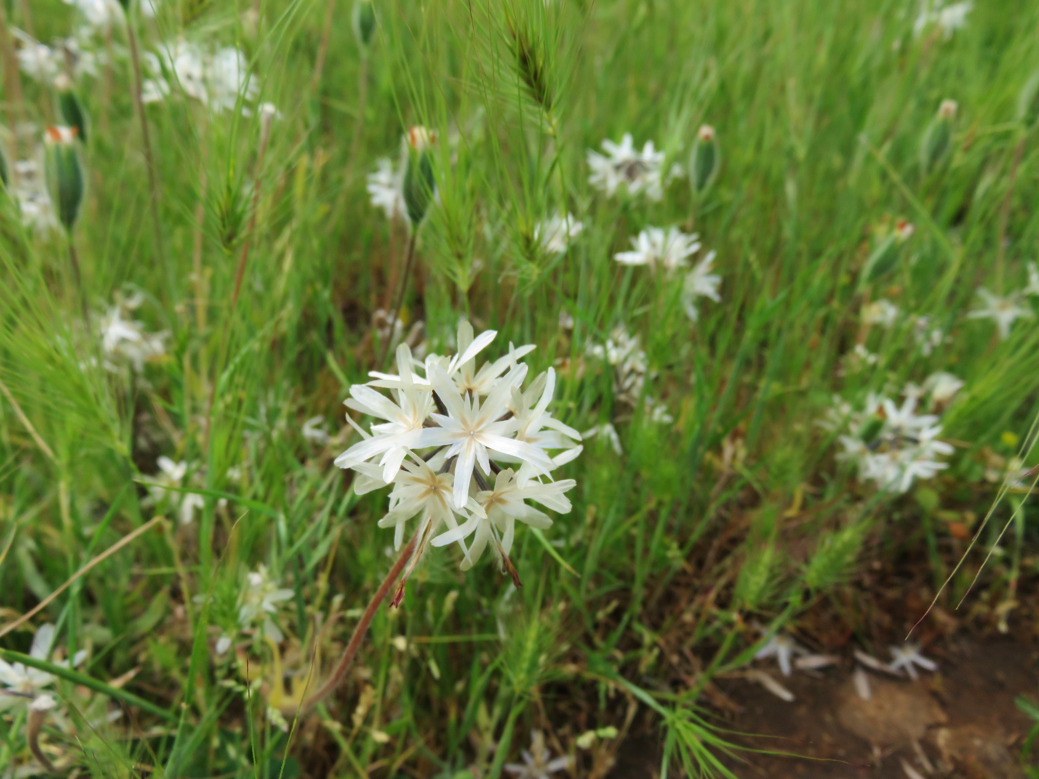
 White tritellia
This trail quickly forked and it took us a few minutes of map consulting to decide we should take the left hand forked vs climbing up the small slope on the right.

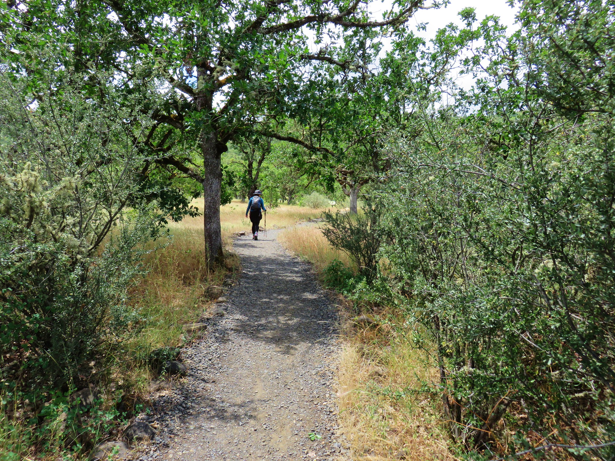
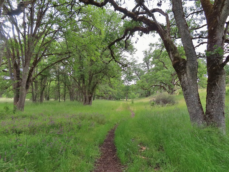
This was the path we wanted as it passed through a row of old oak trees.
We popped onto another gravel roadbed and followed it to the right looking for a trail heading north (left) that would take us toward Little Butte Creek. We completely missed that turn and wound up at a parking area off Agate Road.

We considered our options and decided to walk north along Agate Road to another pullout next to the creek.
Things got interesting here. Trails led west along the creek here, presumably used mostly by fishermen but not too often from the looks of it. They were very overgrown causing us to make some contorted movements in an attempt to avoid contacting any of the poison oak in the area.
 Occasional open areas were followed by thick brush with poison oak hidden among the other vegetation.
 This section at least had hoof prints.
We popped out onto the gravel road that we had followed to Agate Road and were given a brief respite from dodging poison oak.
We turned right and in 100 yards, when the road veered left stayed straight to follow a path to Little Butte Creek.
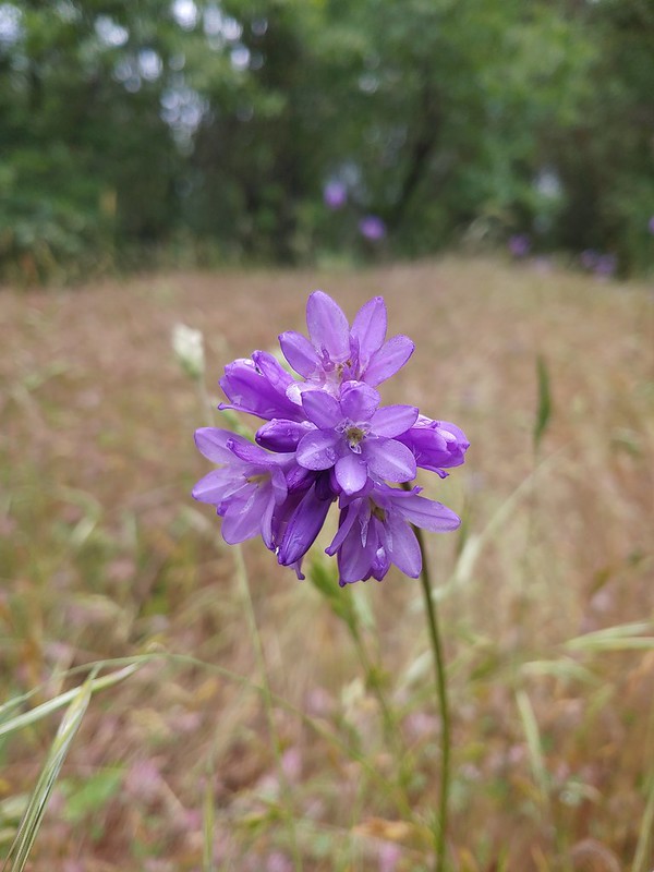 More ookow
 Headed down to the creek.
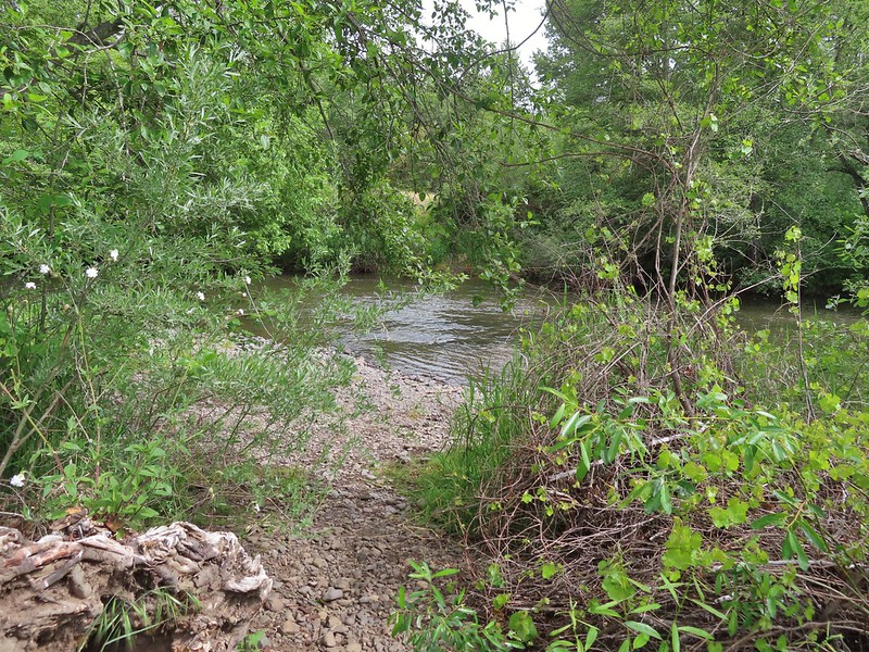
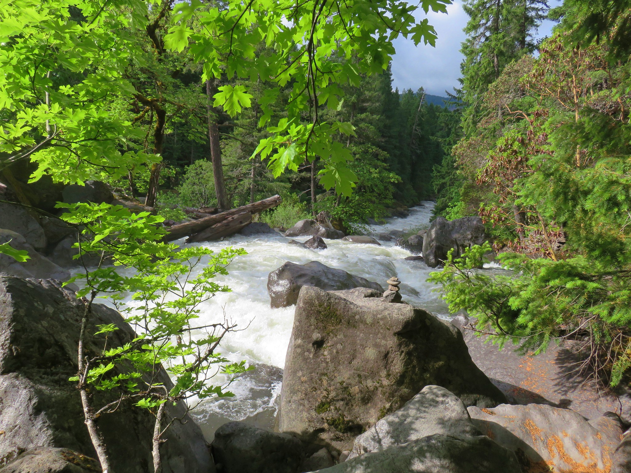
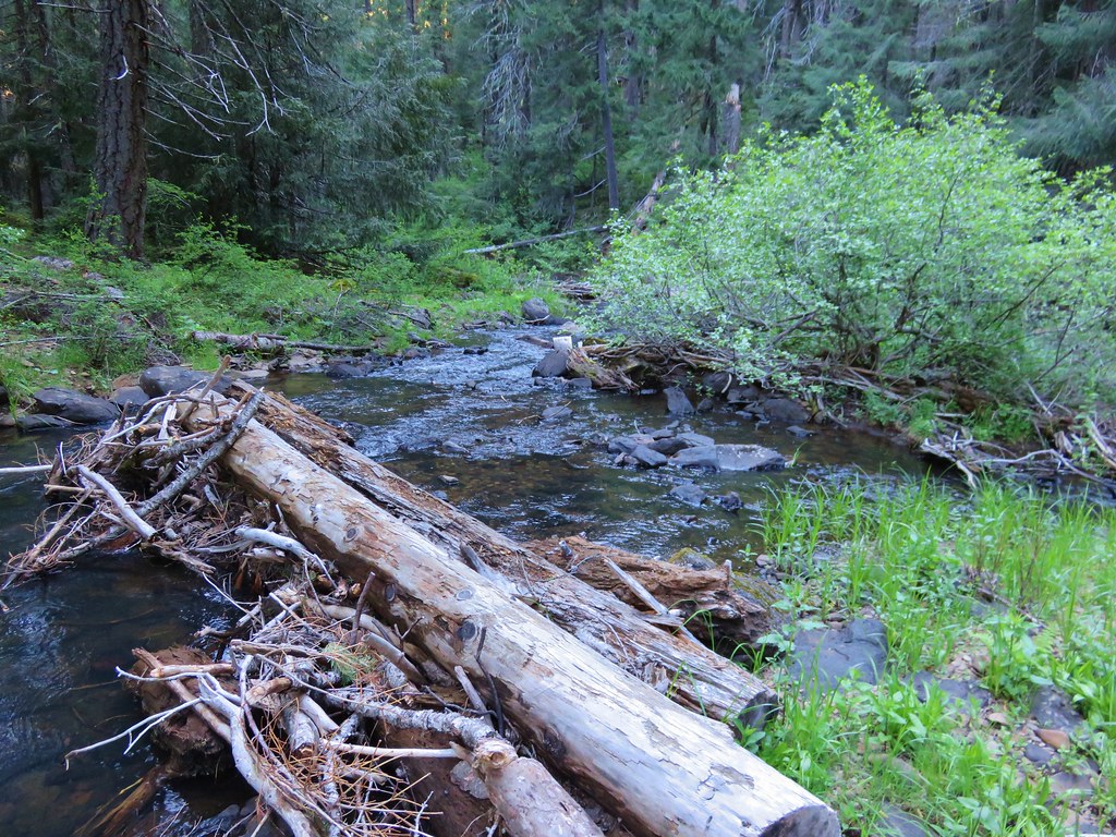
 Little Butte Creek
 Bachelor button near the creek.
 Another bachelor button
We returned to the road and continued west which soon ended. There were two trails to choose from the furthest from the creek having a sign naming it the Butte Creek Trail.

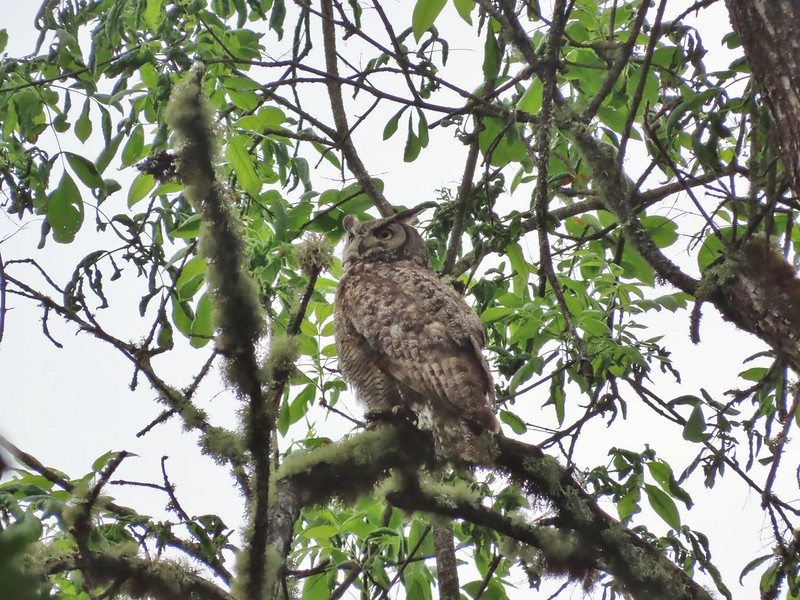
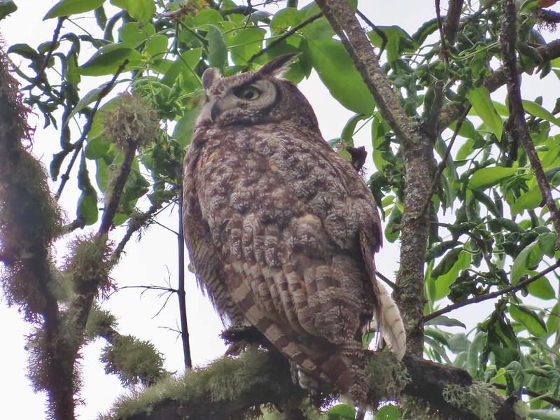
Given this trail was at least named we chose it and followed it for a mile to TouVille Road. There was plenty of poison oak to avoid along this stretch as well but we also spotted a great horned owl that kept an eye on us while we took some pictures.

 Nookta rose surrounded by poison oak.
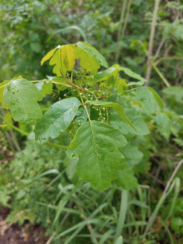 Don’t touch!
 Maiden fly
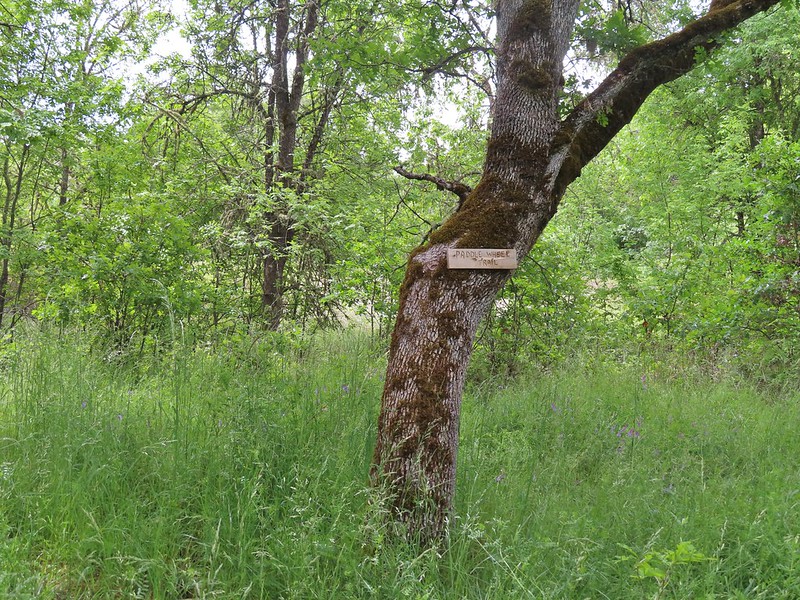 Sign for a Paddle Wheel Trail which we couldn’t really see in the grass.

 TouVille Road
We crossed the road back onto the Denman Nature Trail and followed it a quarter mile to the TouVille Recreation Area Interpretive Nature Trail.

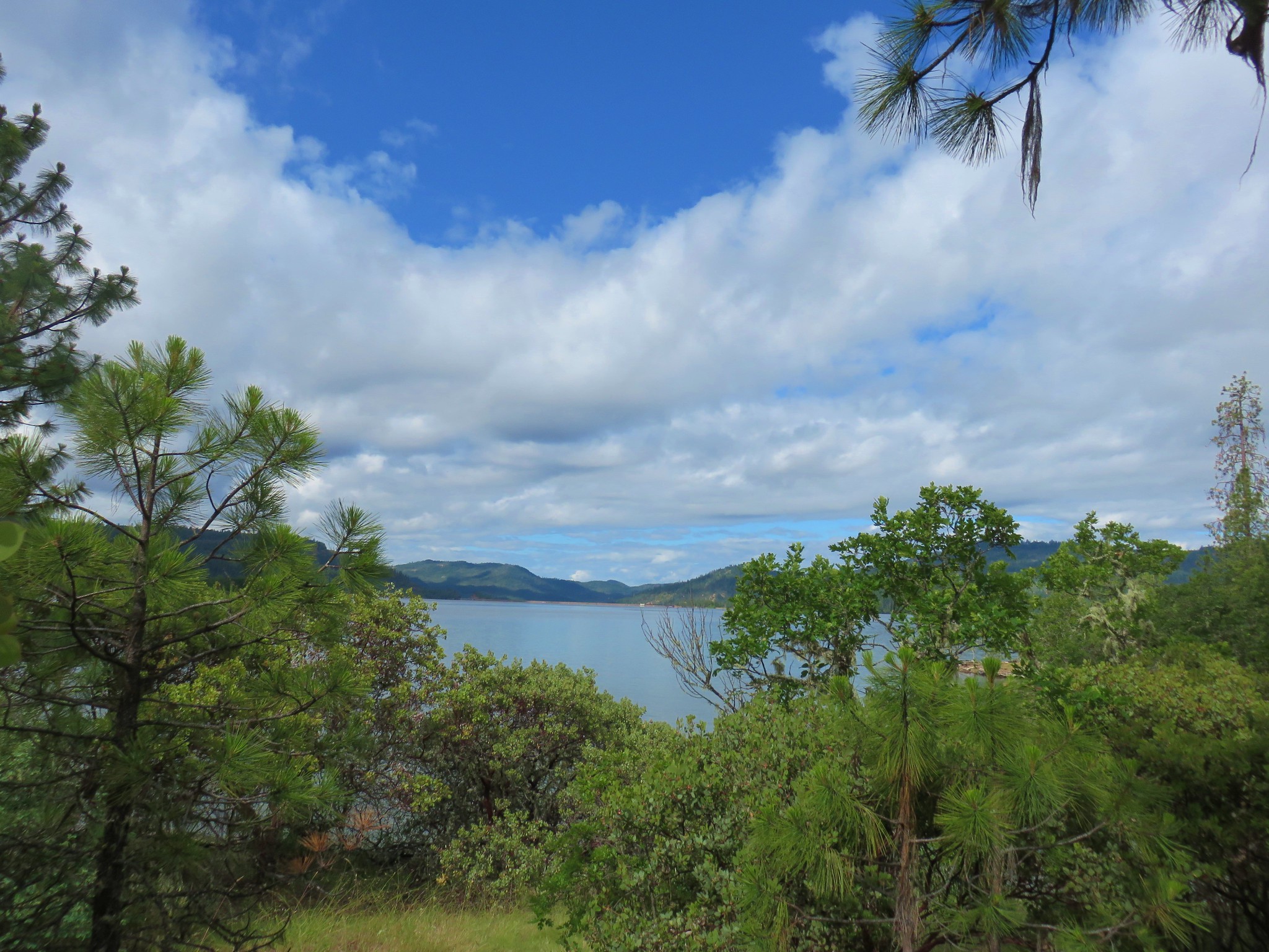
 Bench near the confluence of Little Butte Creek and the Rogue River.
 Rogue River on the left and Little Butte Creek on the right.
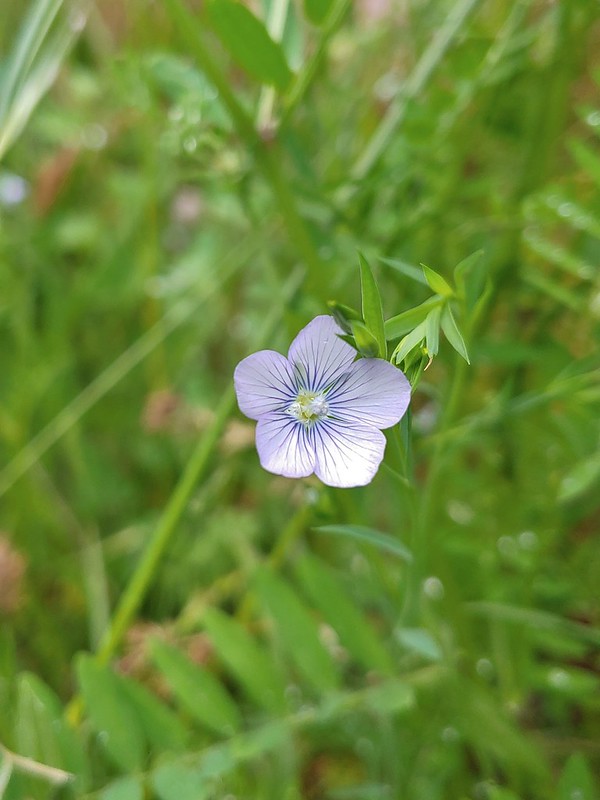 Pale flax
 Exiting the Denman Wildlife Area.
 The Rogue River along the TouVille Interpretive Nature Trial.
 Back to the bridge near the parking area.
The route that we had tried to follow would have been a 6 mile irregularly shaped loop. With several mistakes requiring extra hiking we managed to turn it into a 7.2 mile hike that only resembled our original plan.

Despite the missteps (and dodging poison oak) this was a fun hike with a lot of wildlife sightings including one deer. The rain that had been forecast didn’t materialize until later in the day and we only dealt with a couple of brief periods of sprinkles. Surprisingly we saw no ticks despite all the hiking through tall grass so that was a big plus. We wound up trying the Thai Bistro that evening for dinner which we enjoyed and provided another night of leftovers for the next day after our planned hike at Applegate Lake. Happy Trails!
Flickr: Denman Wildlife Area


 Acorn woodpecker
 Death camas and vetch
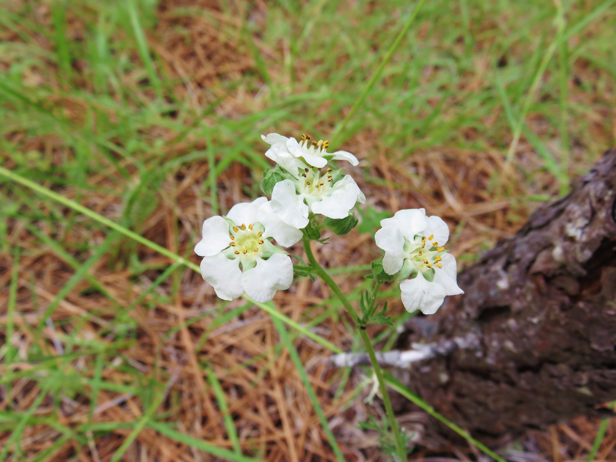
 Carrotleaf horkelia
 Lazuli bunting
 Finch
Finch
 Lupine
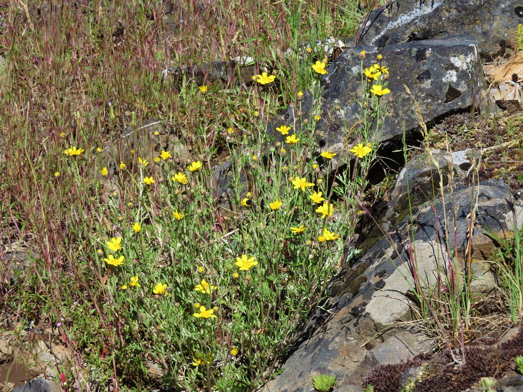
 Oregon sunshine
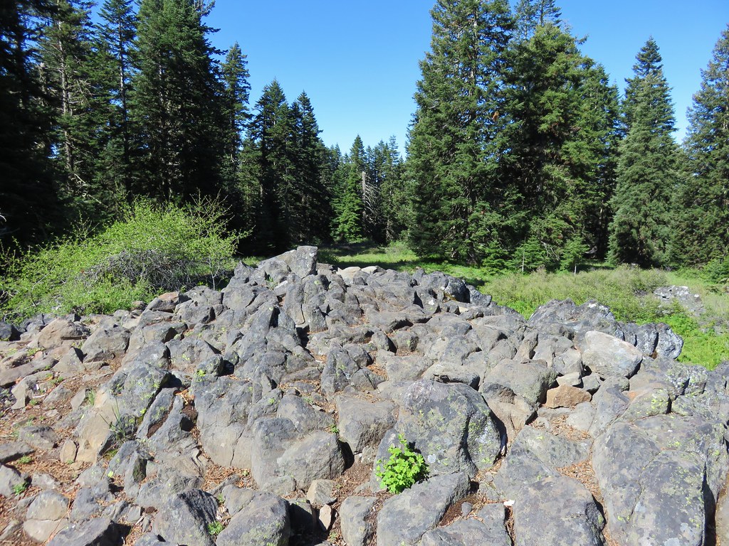
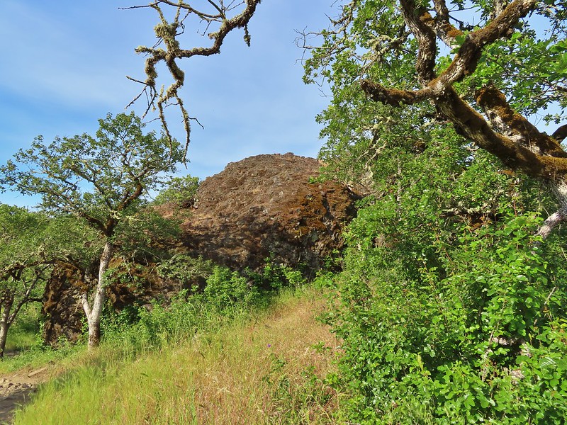 Andestite boulder
 Mt. McLoughlin (
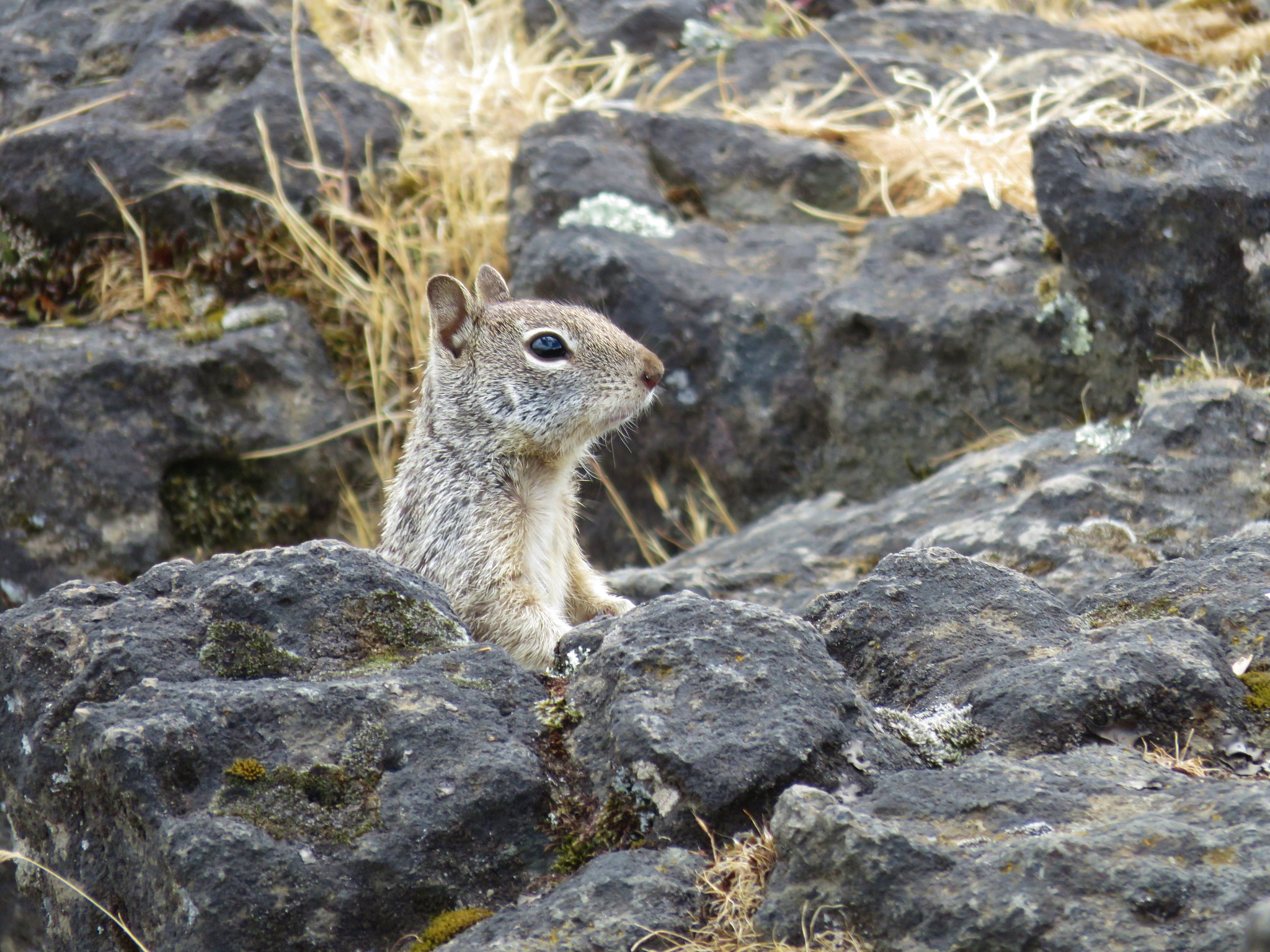
 Ground squirrel having breakfast
 Blow wives
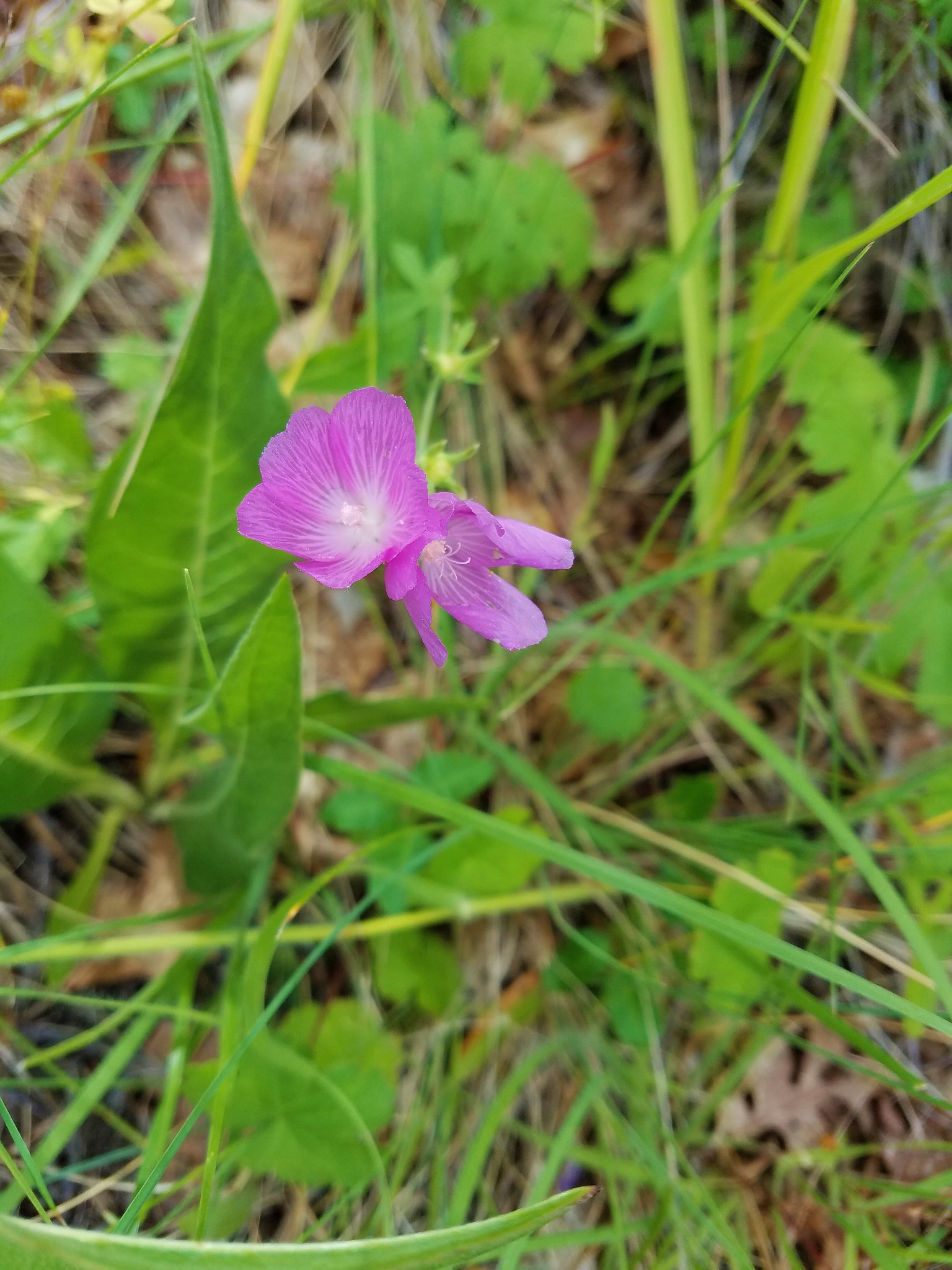
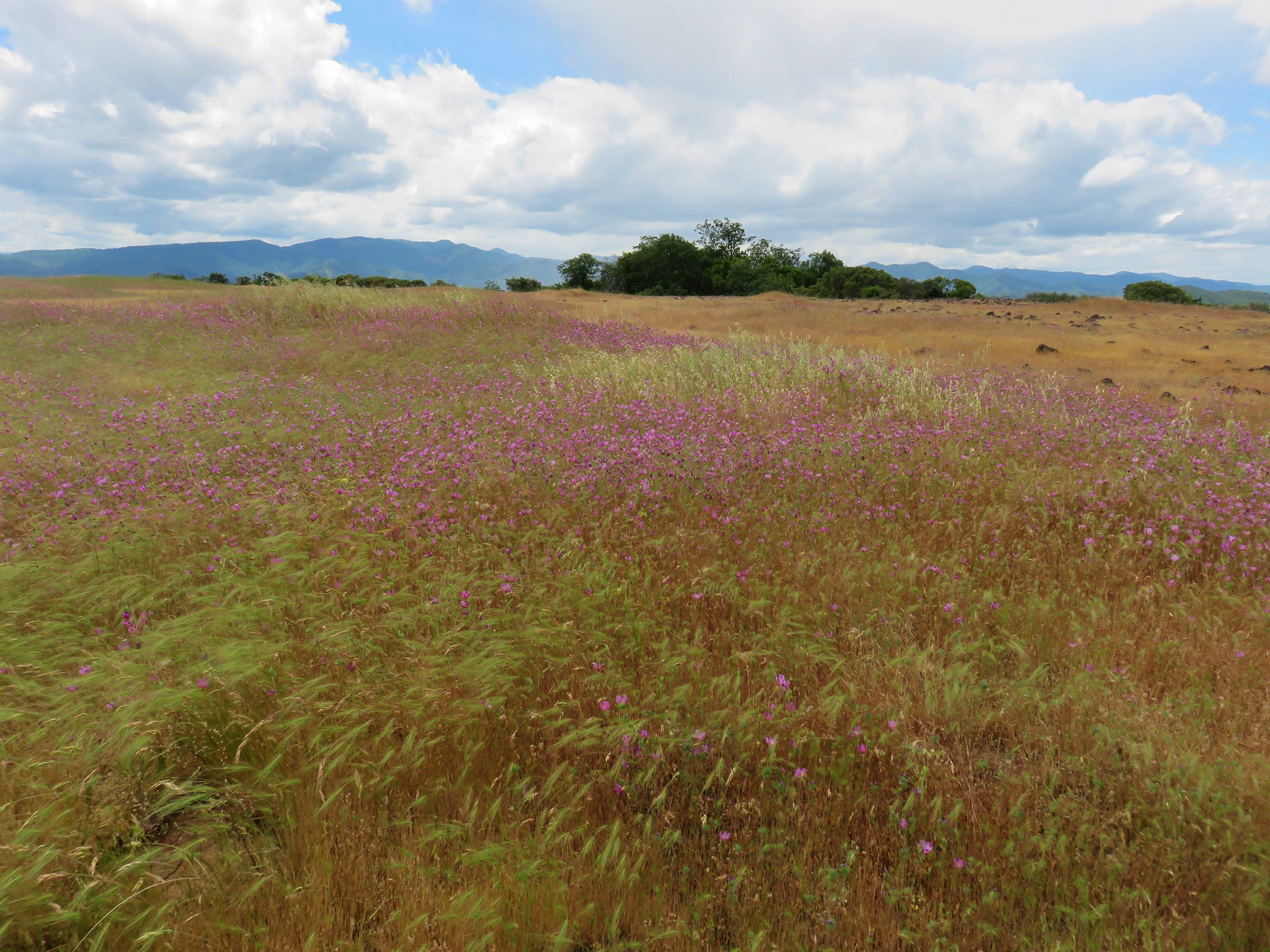
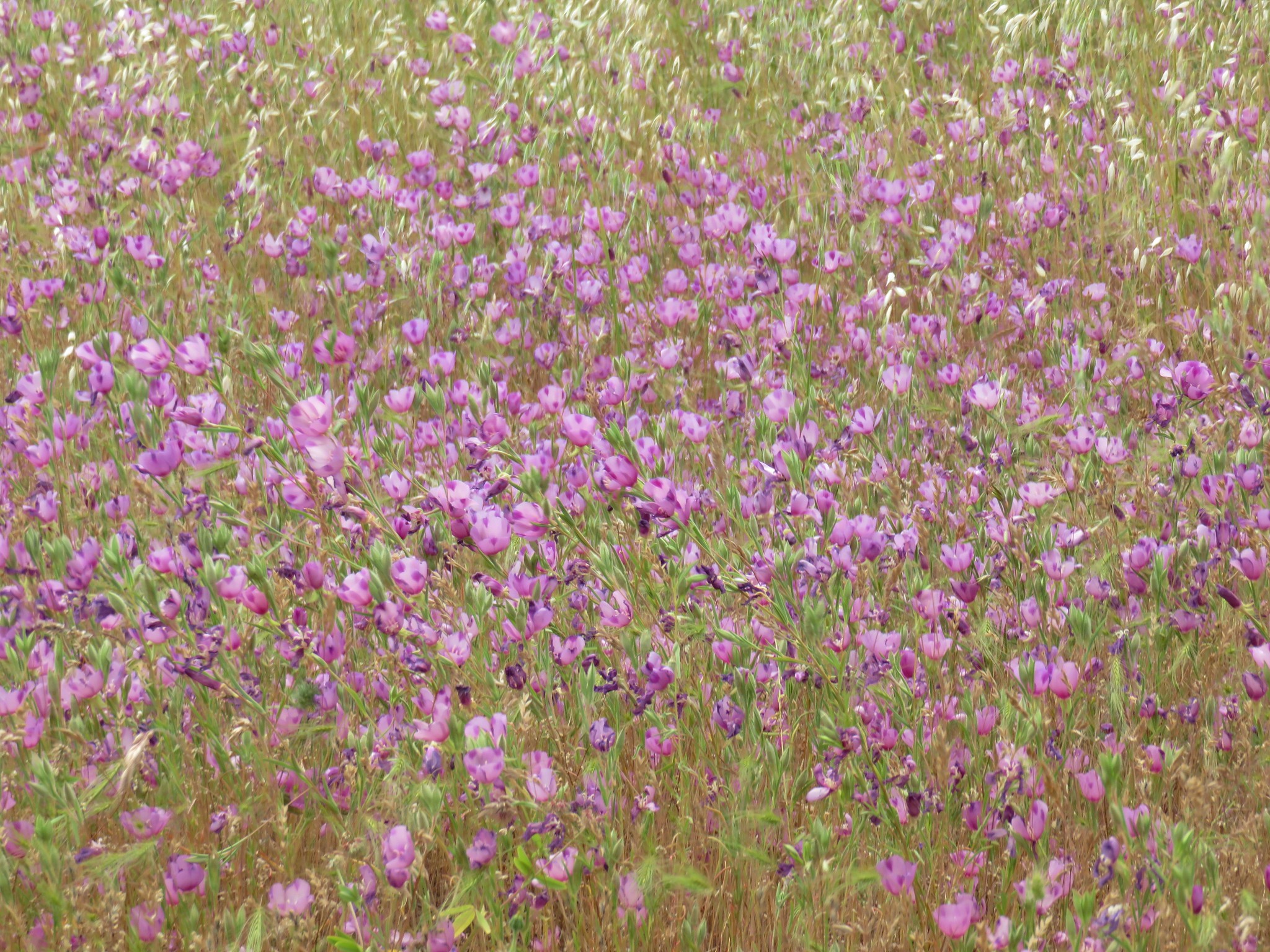
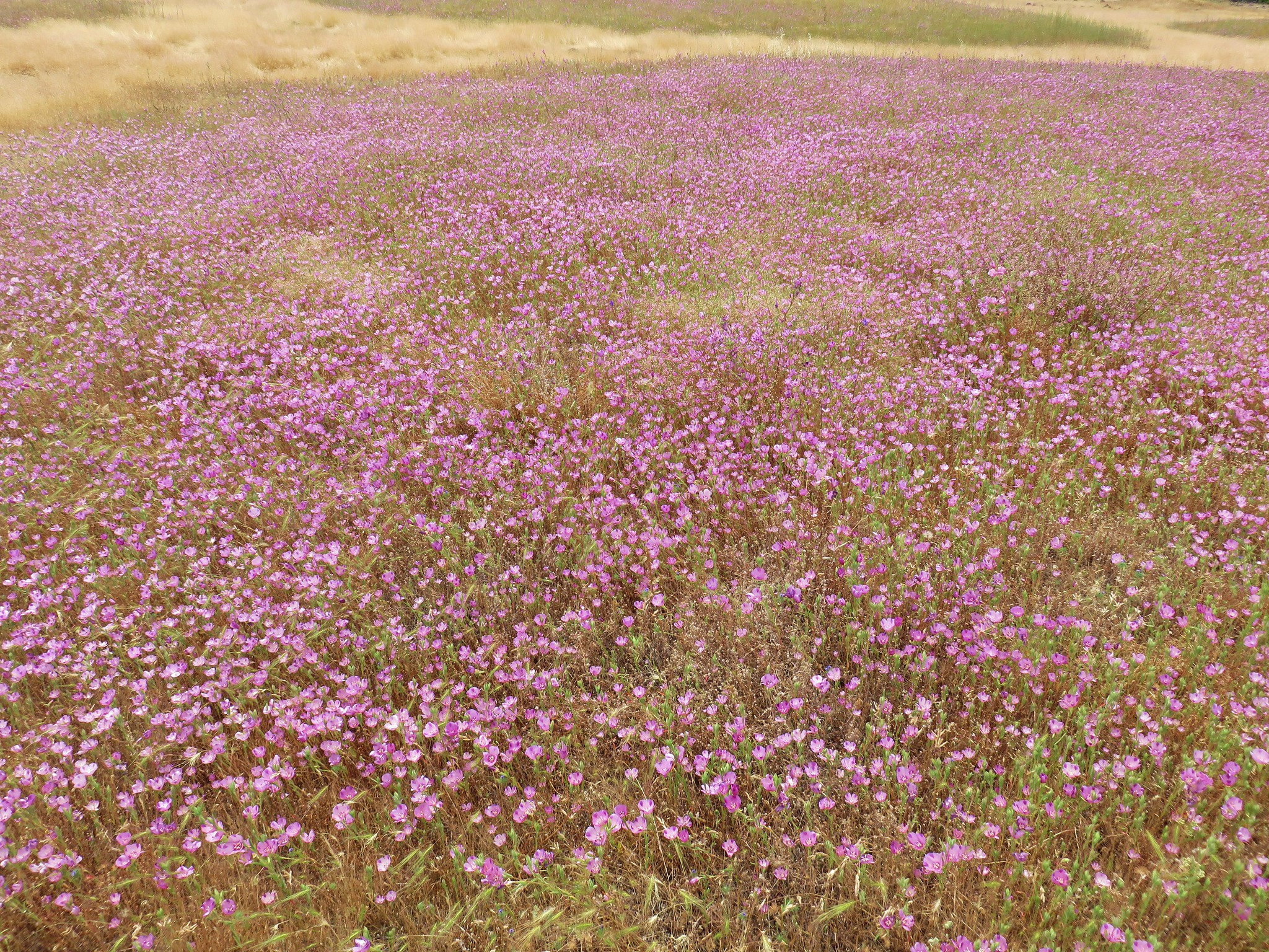
 A clarkia
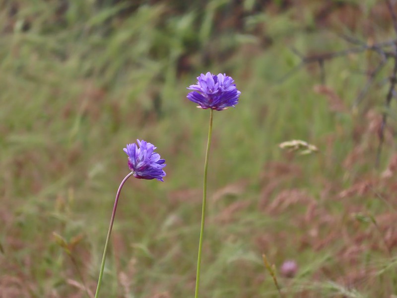
 Blue dicks
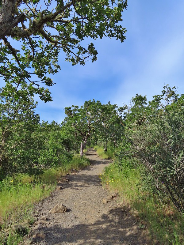
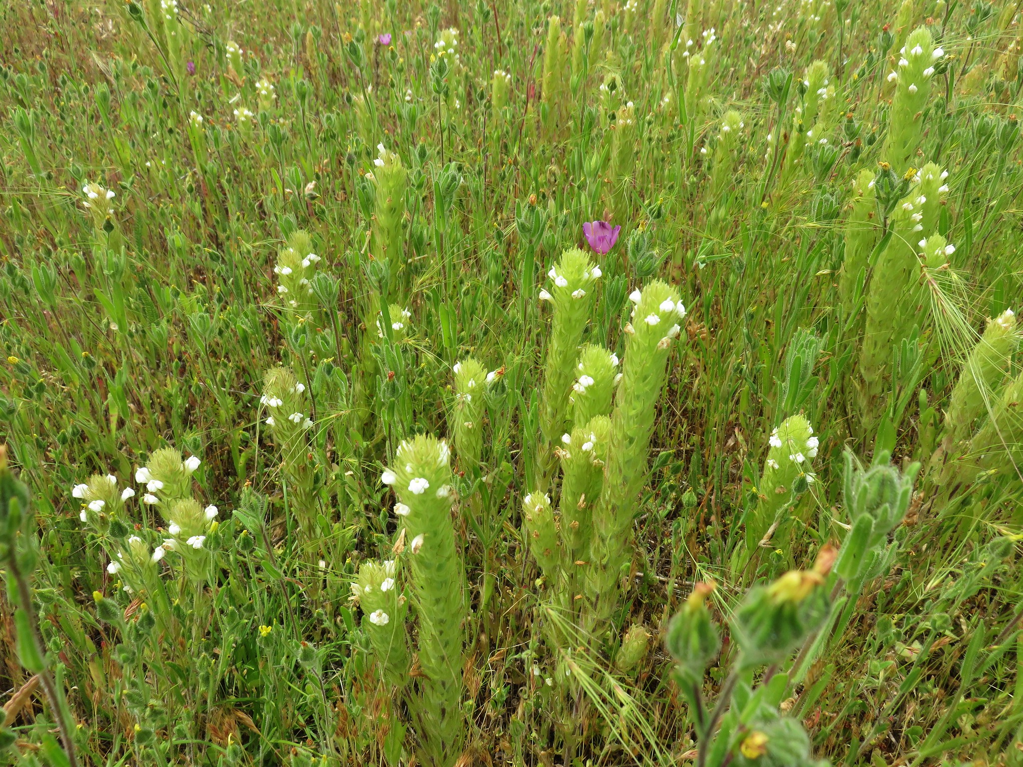
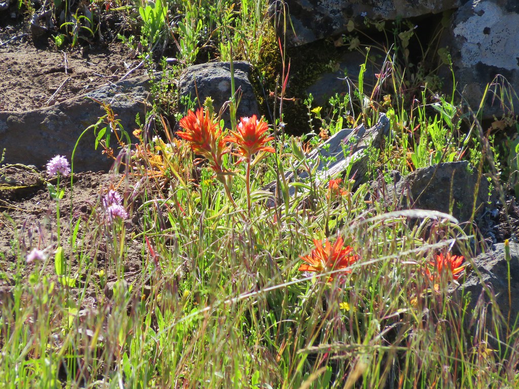
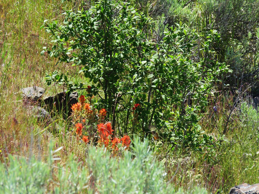
 Paintbrush (and poison oak)
 Could be a cutleaf silverpuff or a hawksbeard
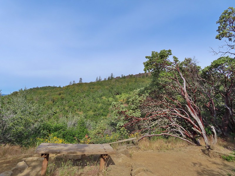 Viewpoint bench at the half mile point.
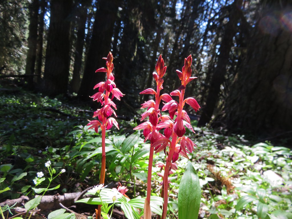
 Clustered broomrape
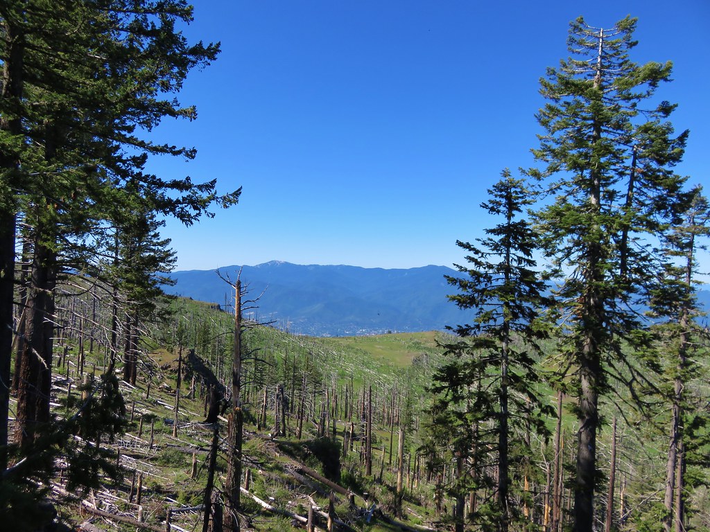
 Siskiyou Mountains including Mt. Ashland (
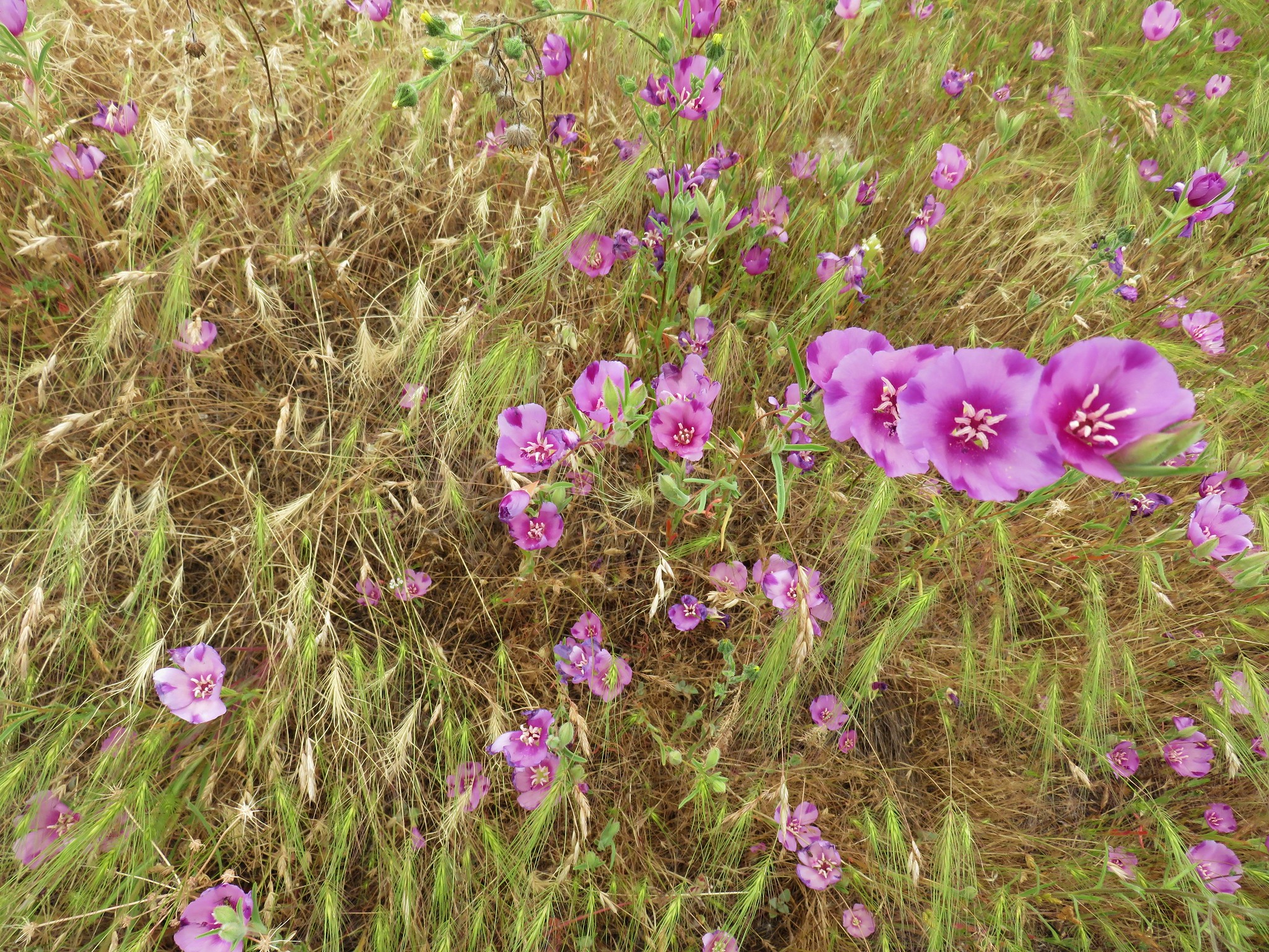
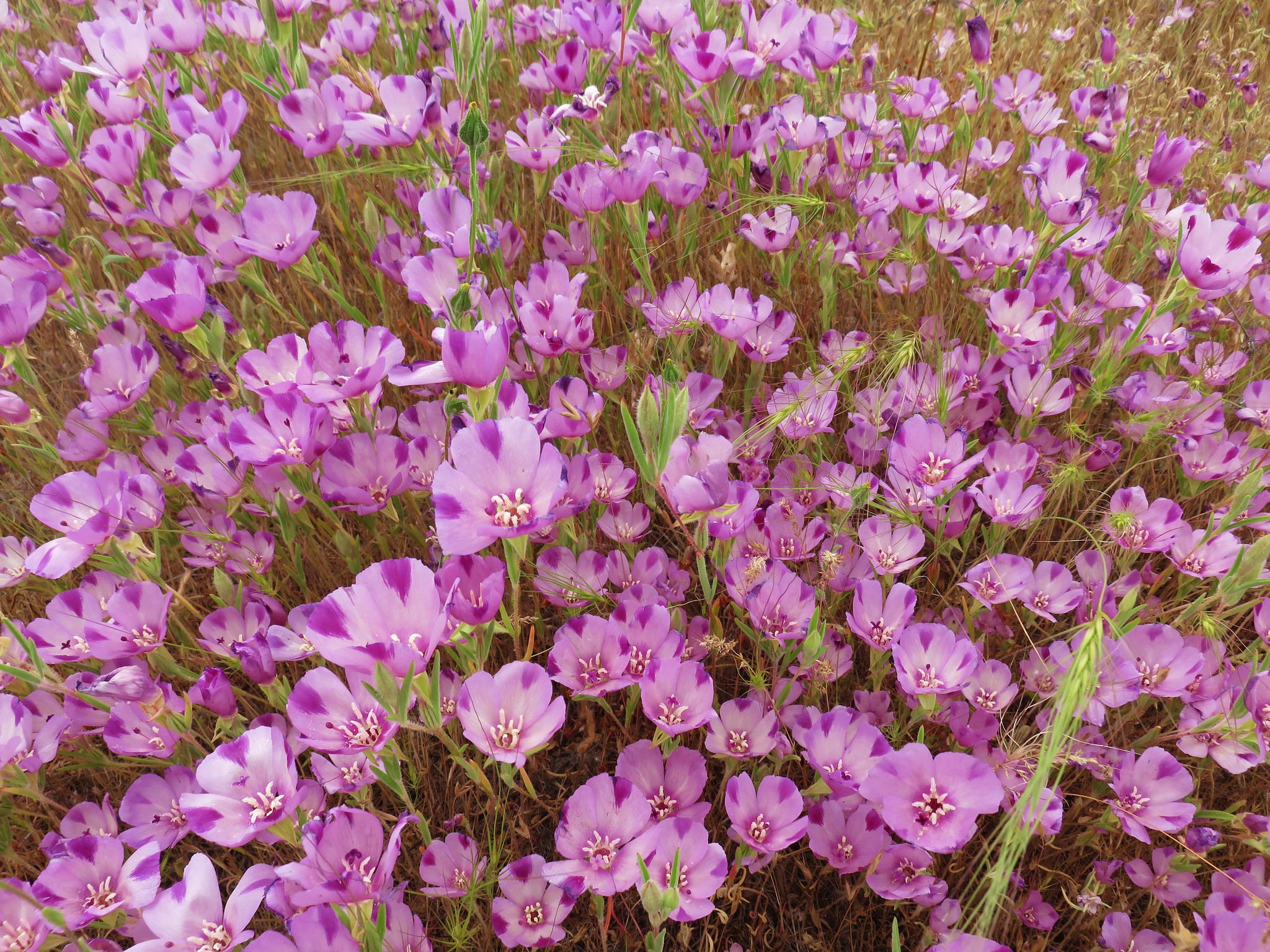
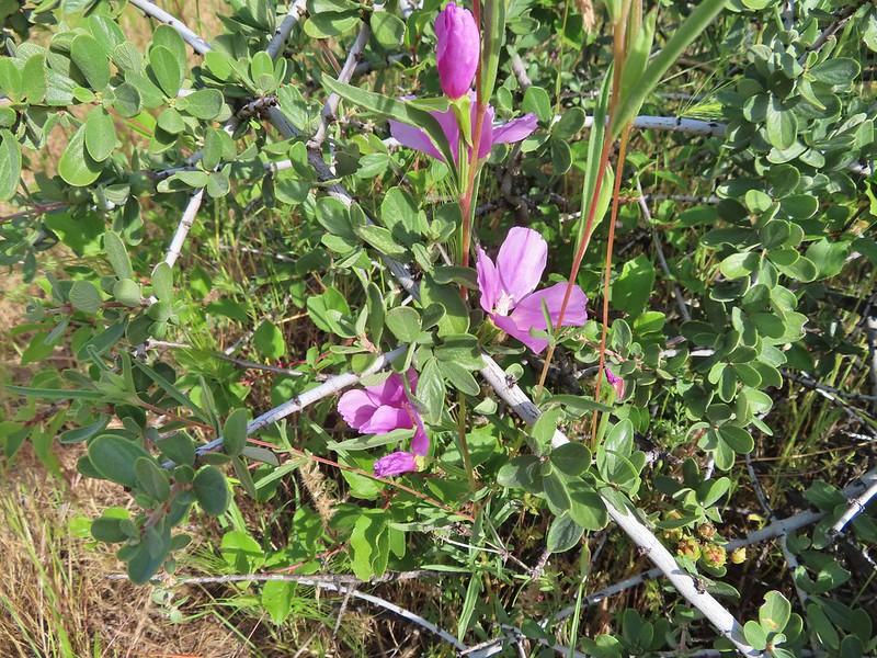 Another type of clarkia
 Possibly bastard toadflax
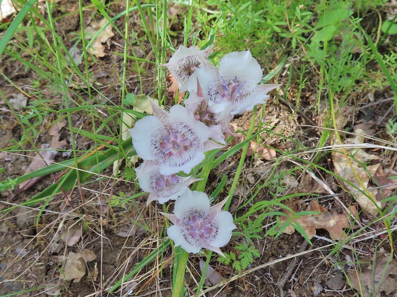 Mariposa lilies
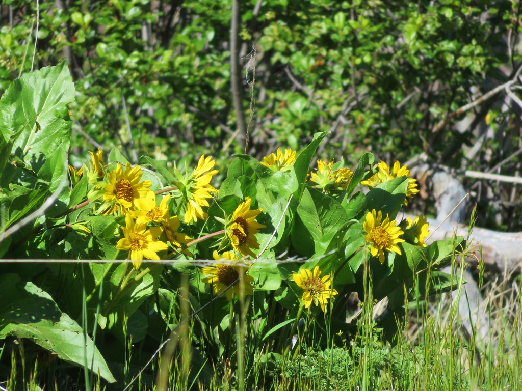
 Balsamroot along the trail.
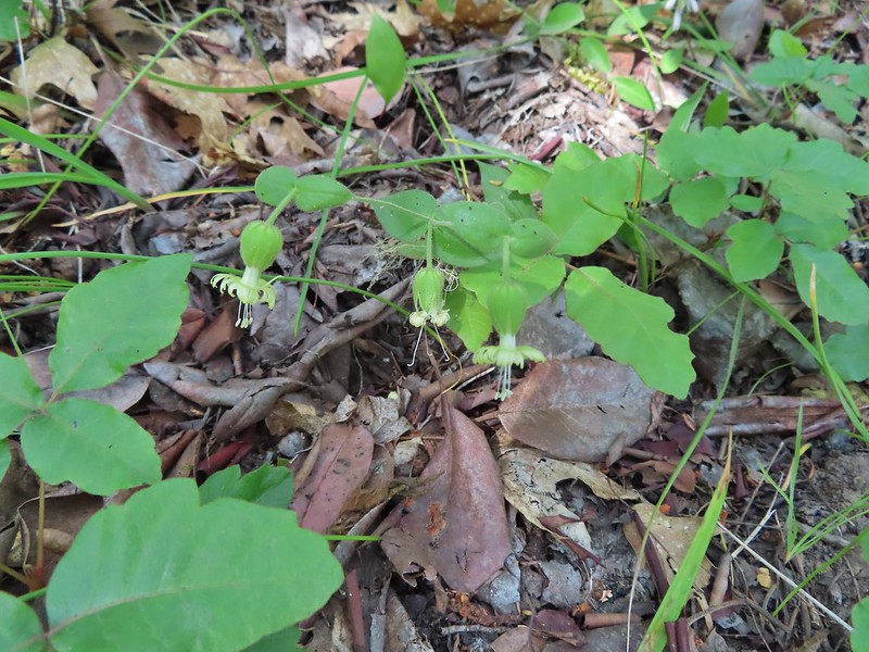 Bell catchfly
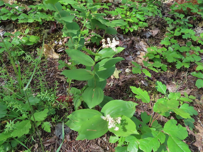 Plumed solomonseal
 Approaching the start of the loop.
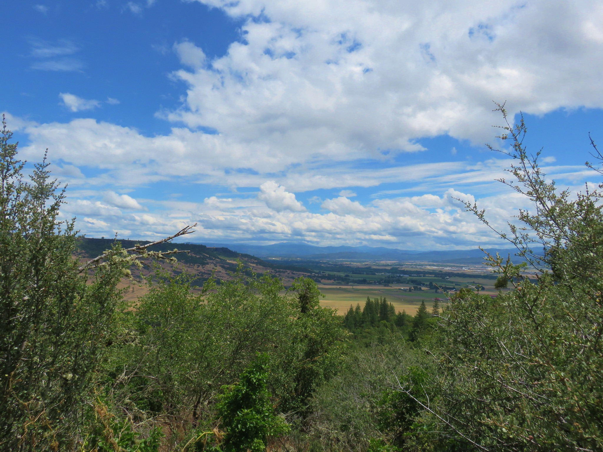
 Looking toward the Siskiyous.
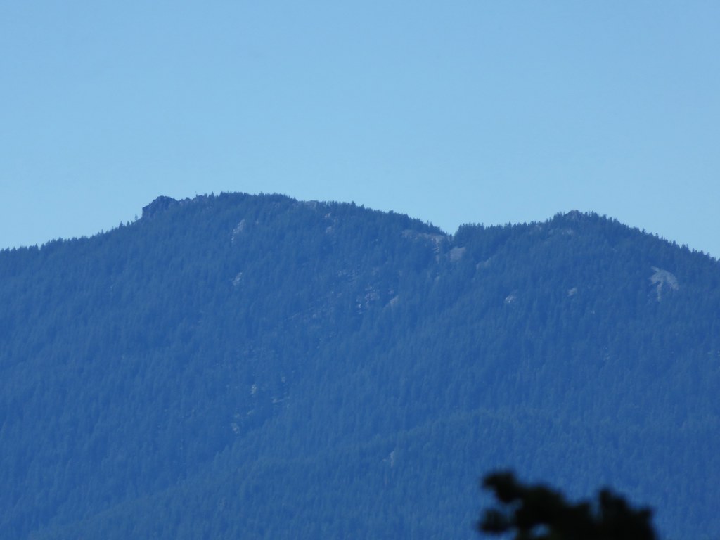
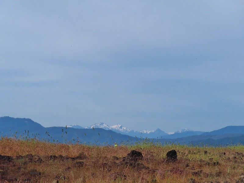 The Red Buttes (
 Pilot Rock (
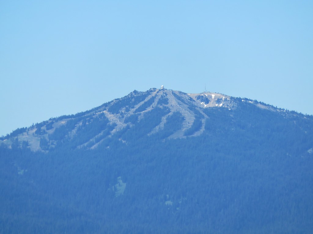
 Mt. Ashland (w/snow) and Wagner Butte
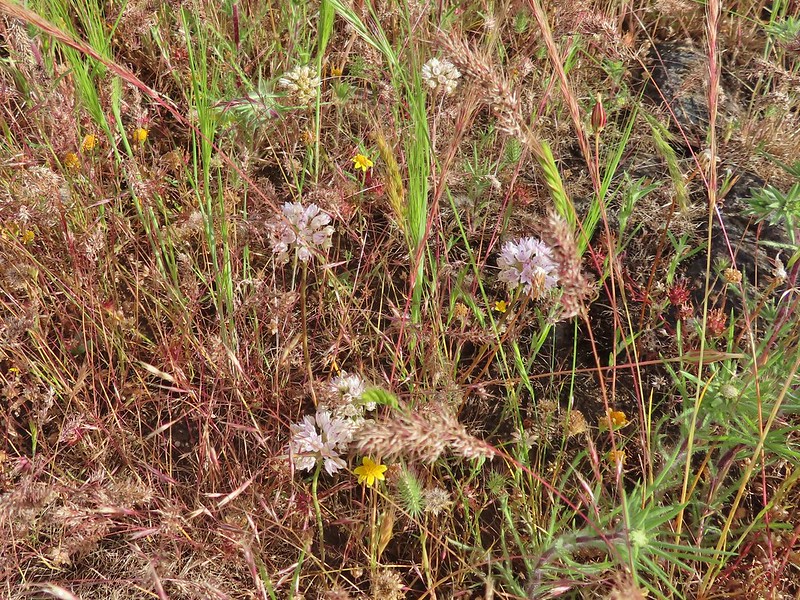 A couple of different wildflowers.
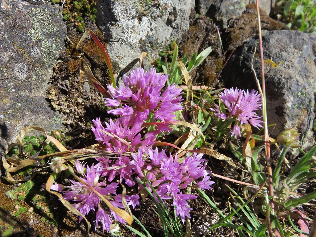
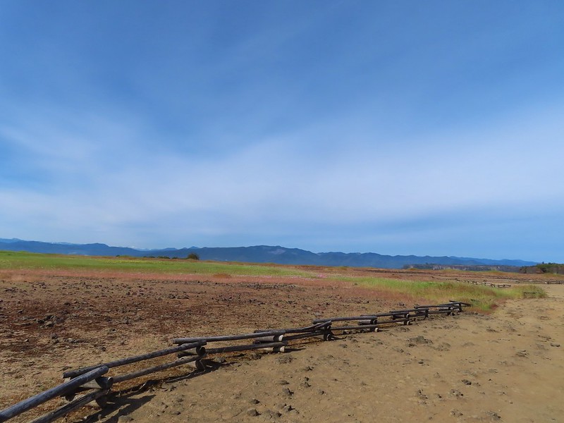 Narrowleaf onion?
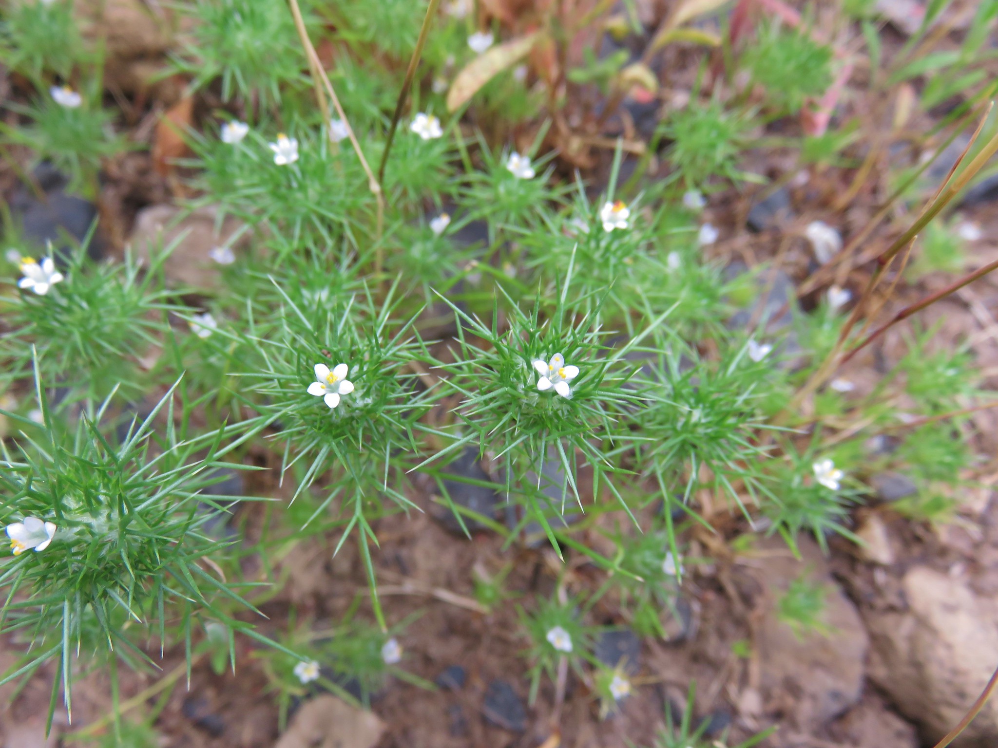
 Pincushion plant
 Meadowfoam
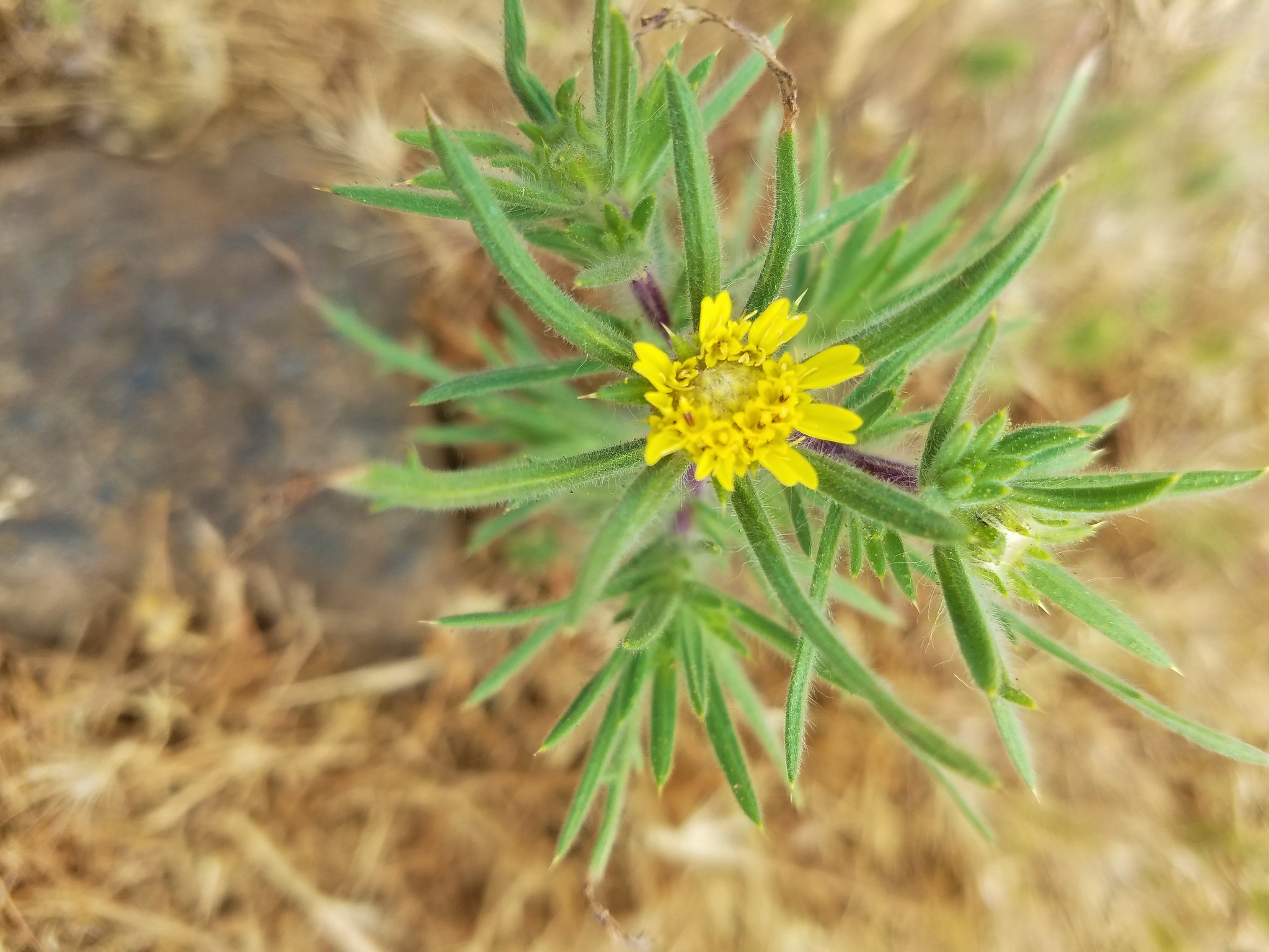
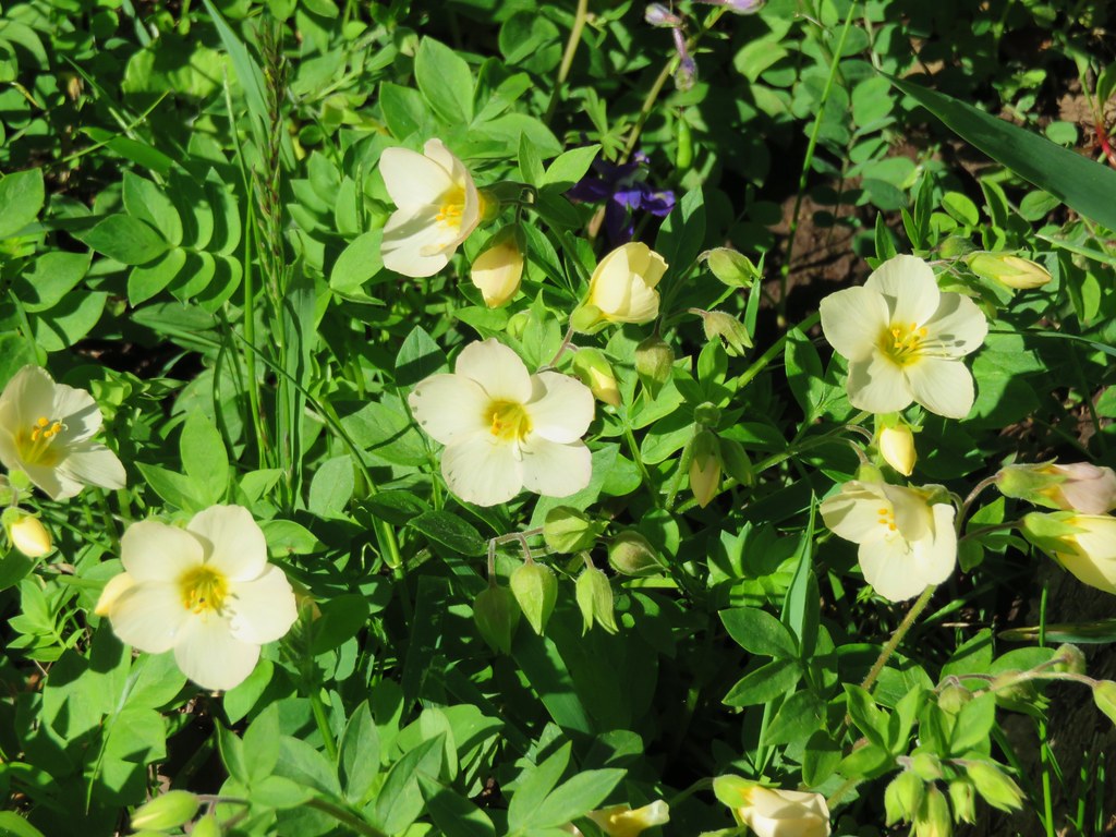
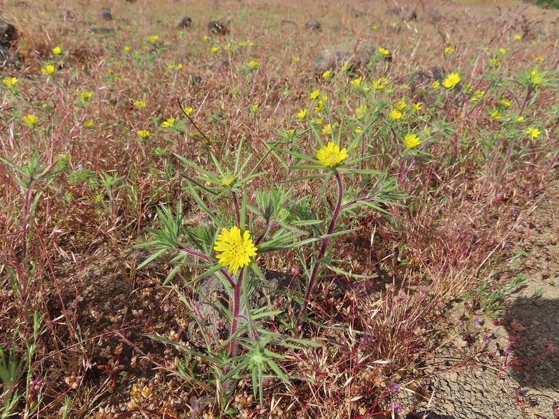 Not sure what these yellow flowers are. Yellow flowers are by far the hardest to figure out.
 Rock wren
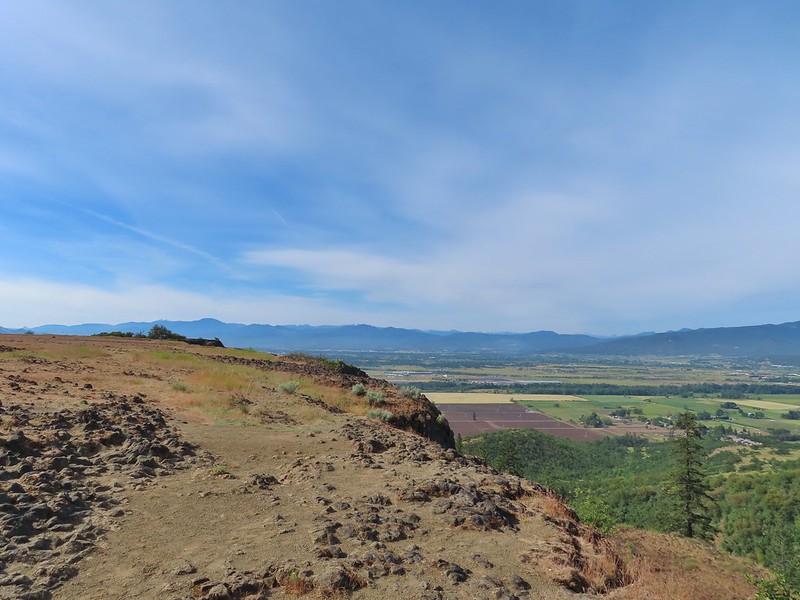
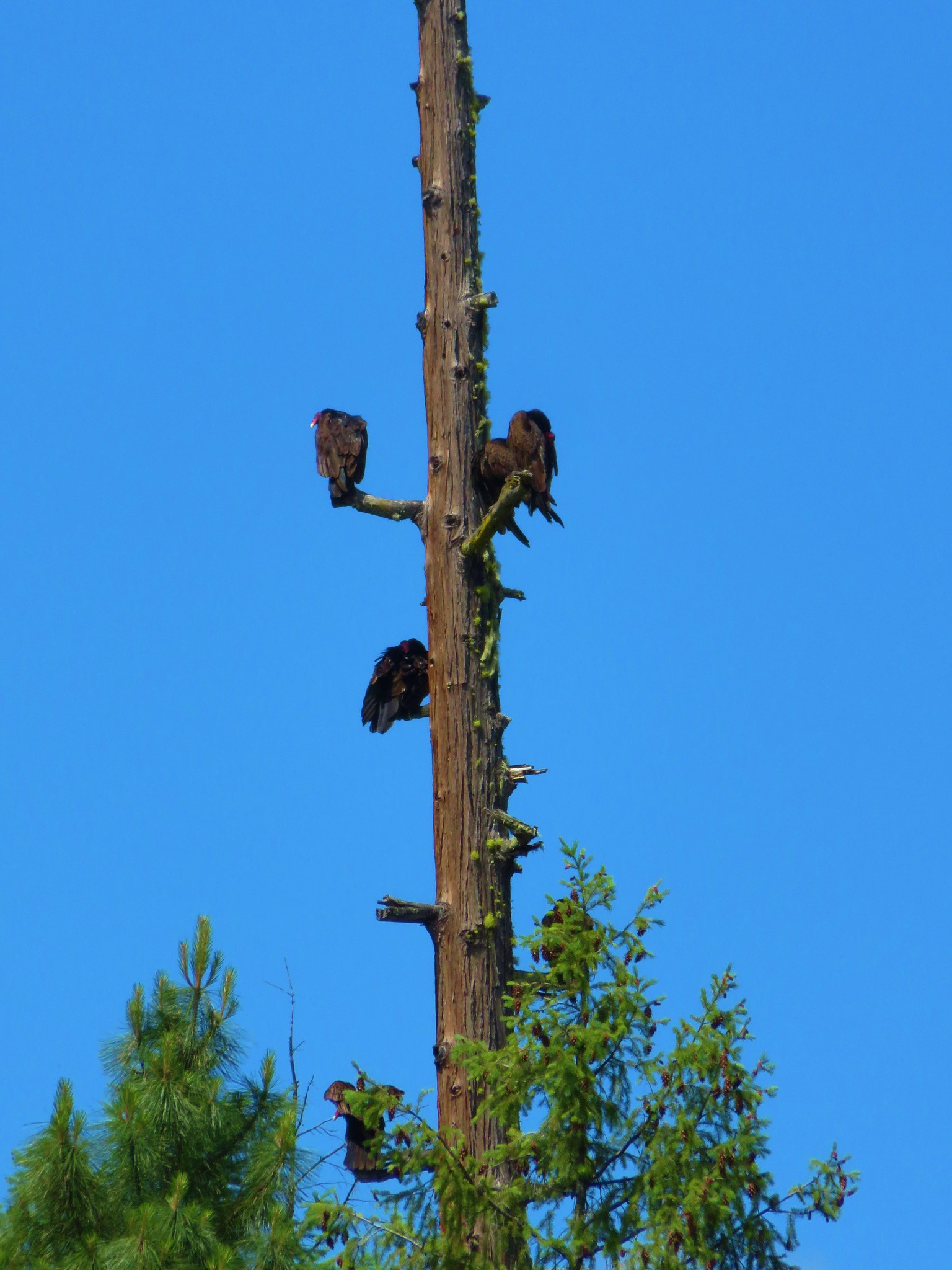
 Turkey vulture in flight with Mt. McLoughlin in the background.
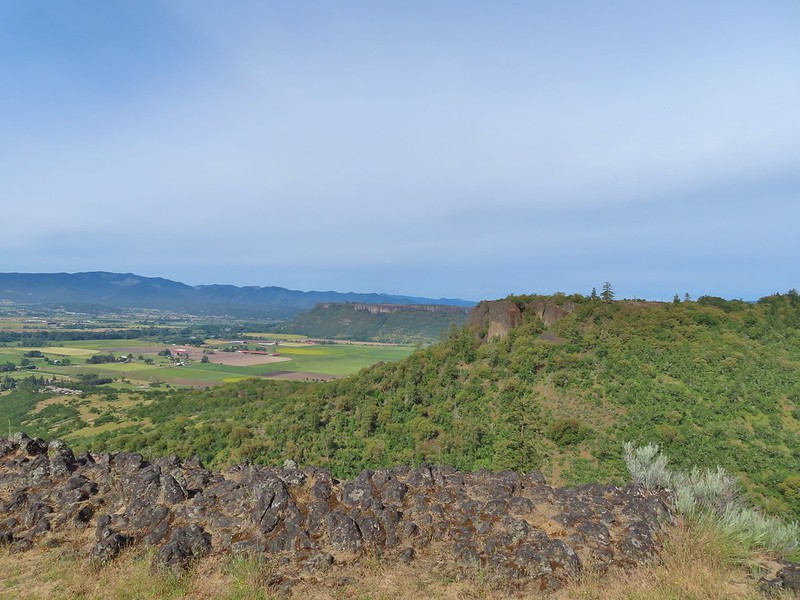 Lower Table Rock beyond the other bench of Upper Table Rock.
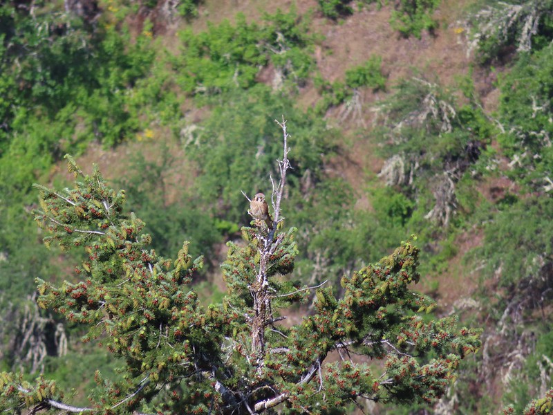 An American kestral atop a tree.
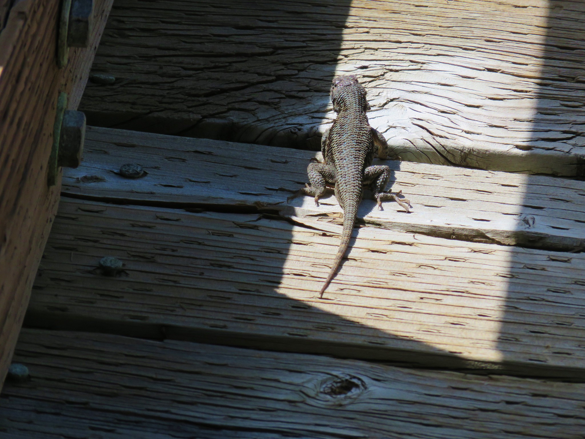
 Lizard
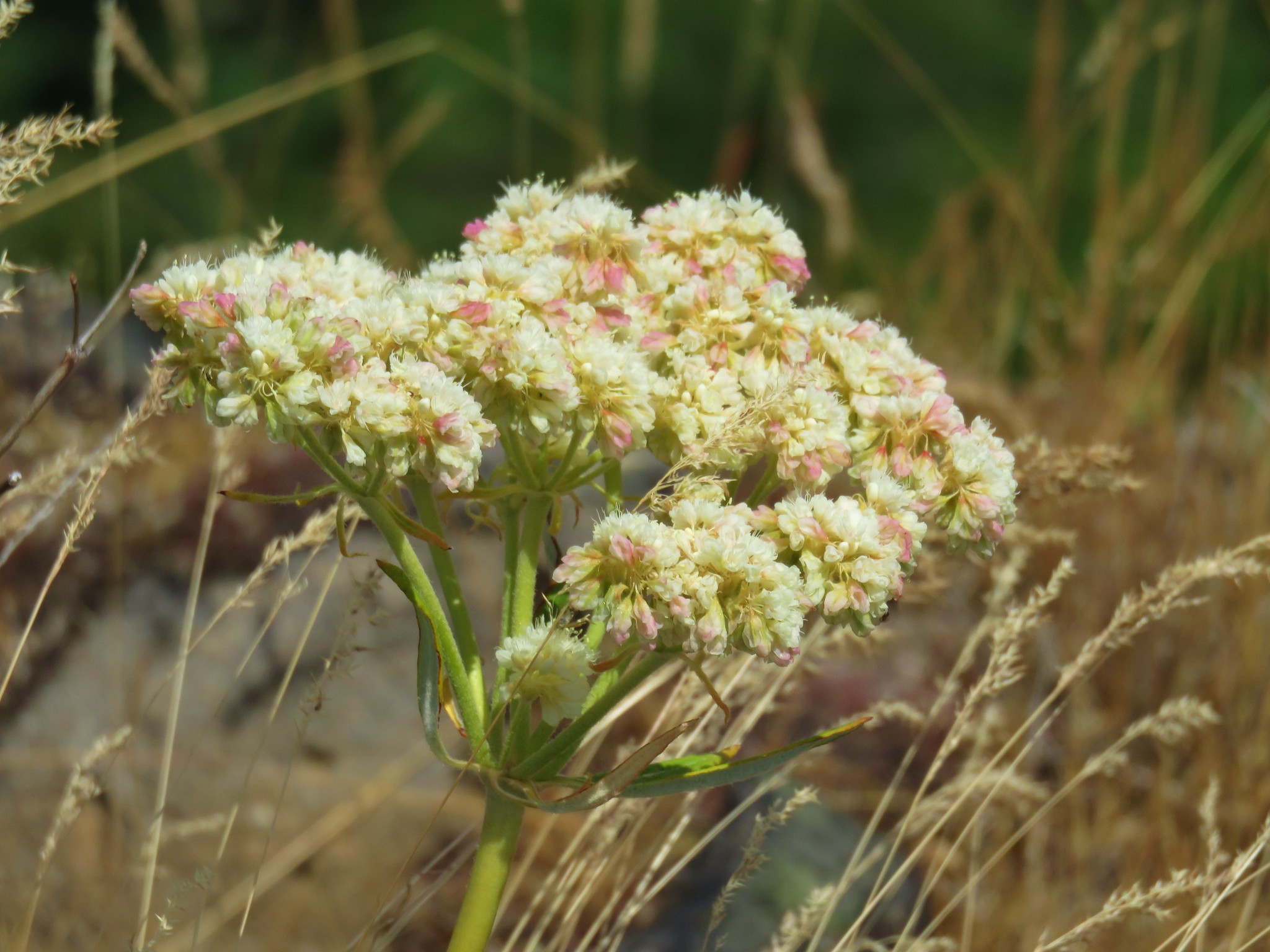
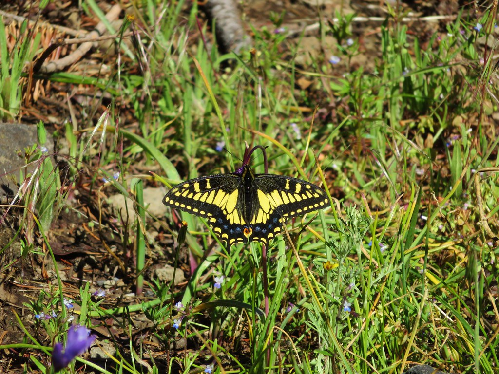
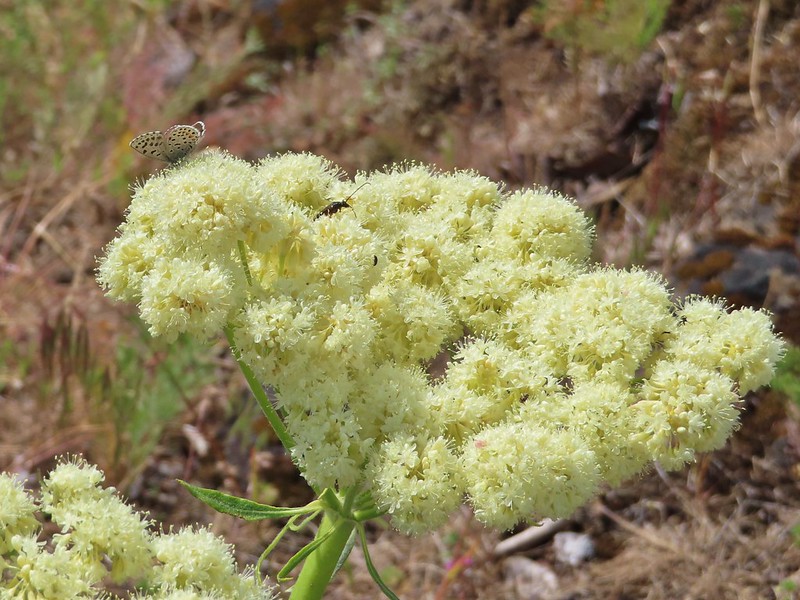 A butterfly and a beetle on arrowleaf buckwheat
 Yarrow
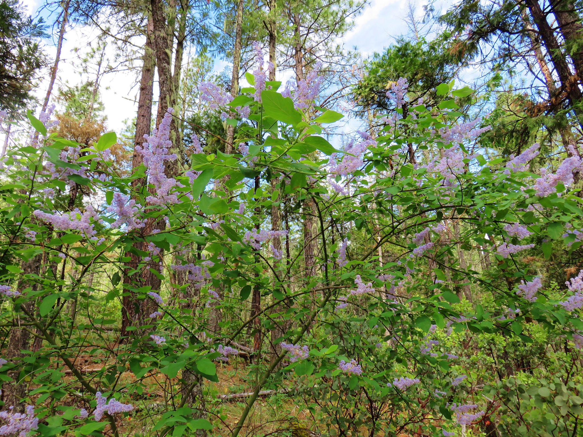
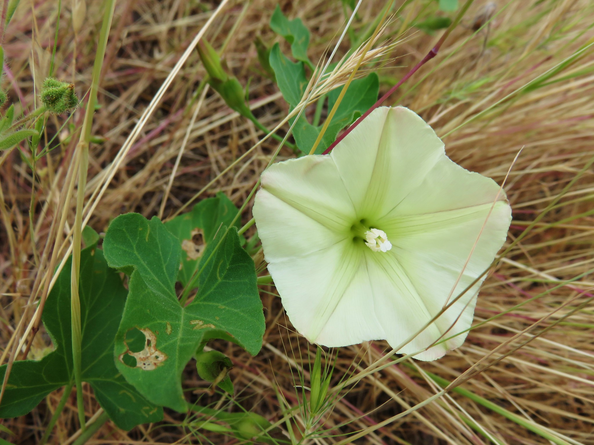
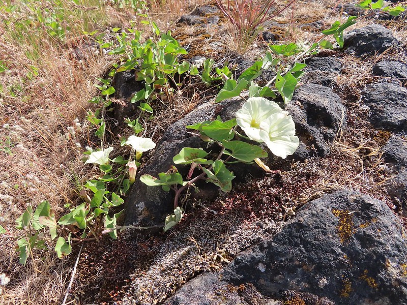 Chaparral false bindweed
 White tritelia
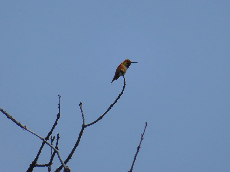 Rufous sided hummingbird
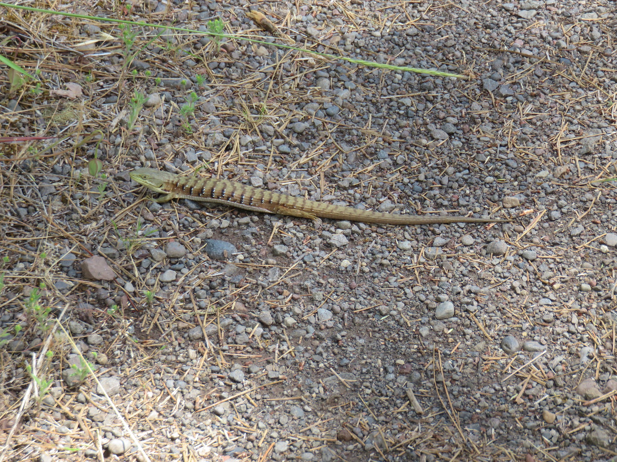
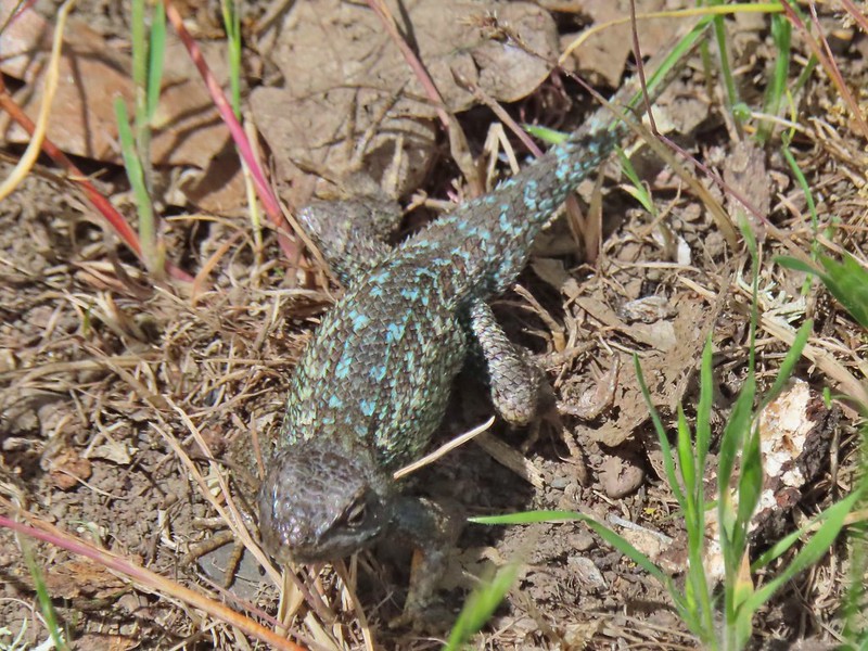 Lizard
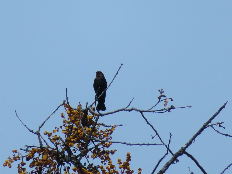 Brown headed cowbird
 Mt. McLoughlin on the way down.