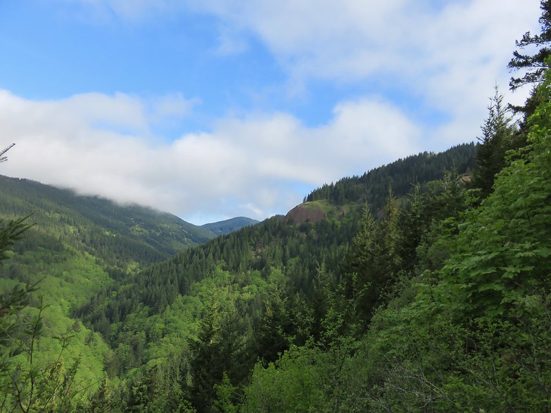
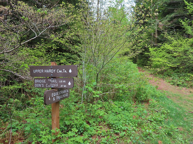
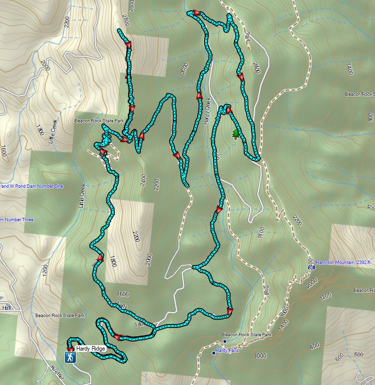
For the third hike in a row we found ourselves headed to Washington. Our destination this time was Beacon Rock State Park for a hike to Hardy Ridge. We’d been to the park twice before with Hamilton Mountain being our goal each time (on our second visit we also hiked up Beacon Rock (post)). For each of our hikes to Hamilton Mountain we had started at the Hamilton Mountain Trailhead but for today’s hike we parked at the Equestrian Trailhead.
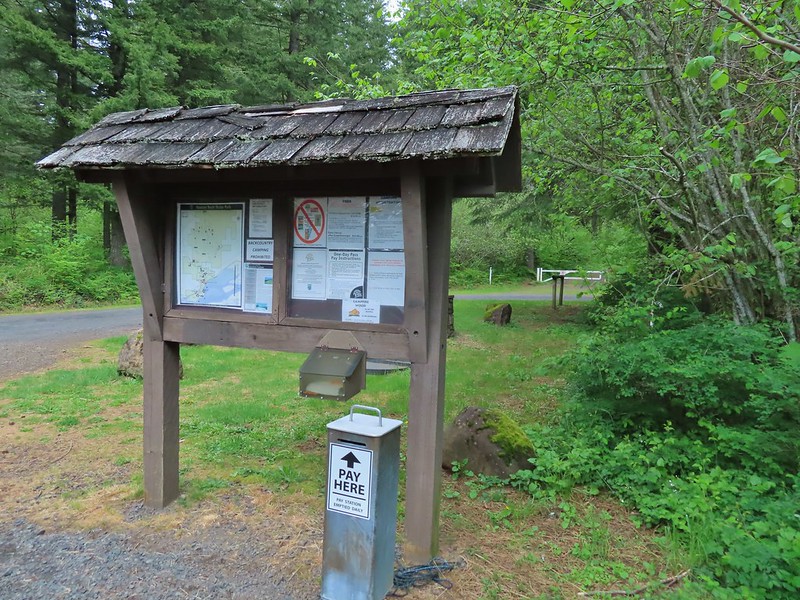
There is a gated road and a trail that begin at the far end of the parking area which meet after a few hundred feet.
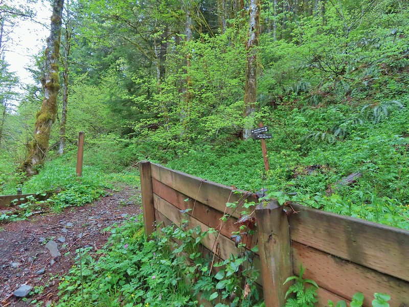
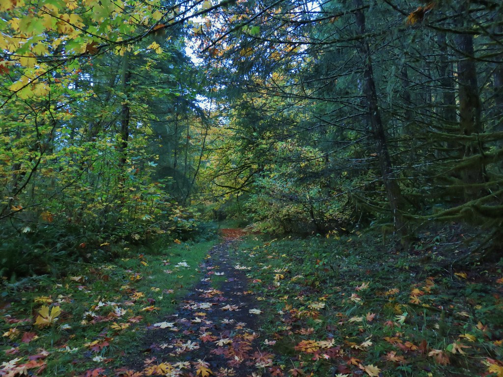
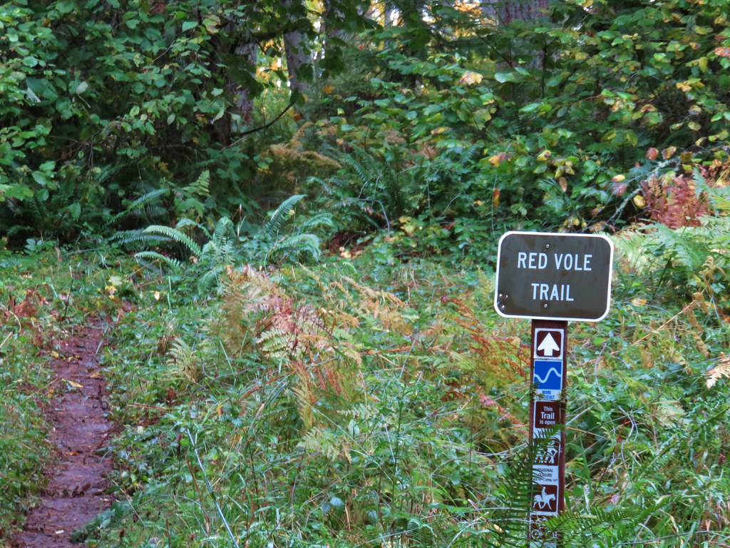
 Equestrian Trail at the trailhead.
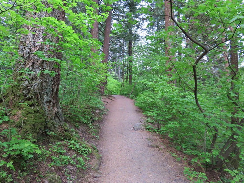
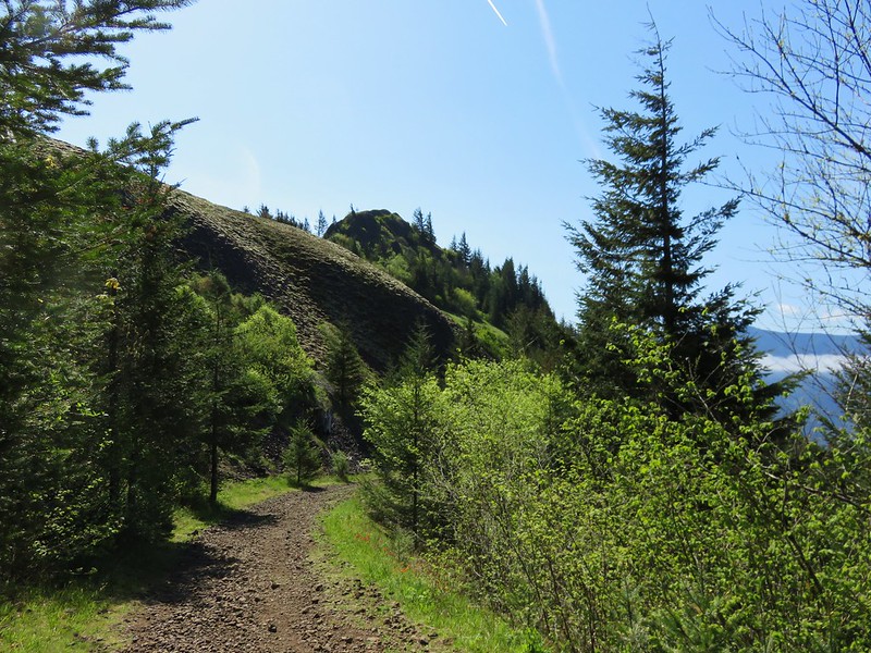
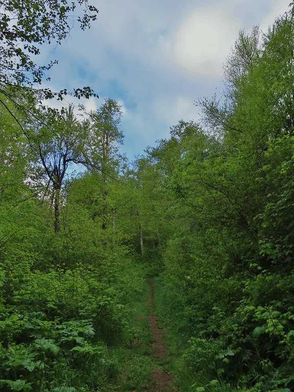
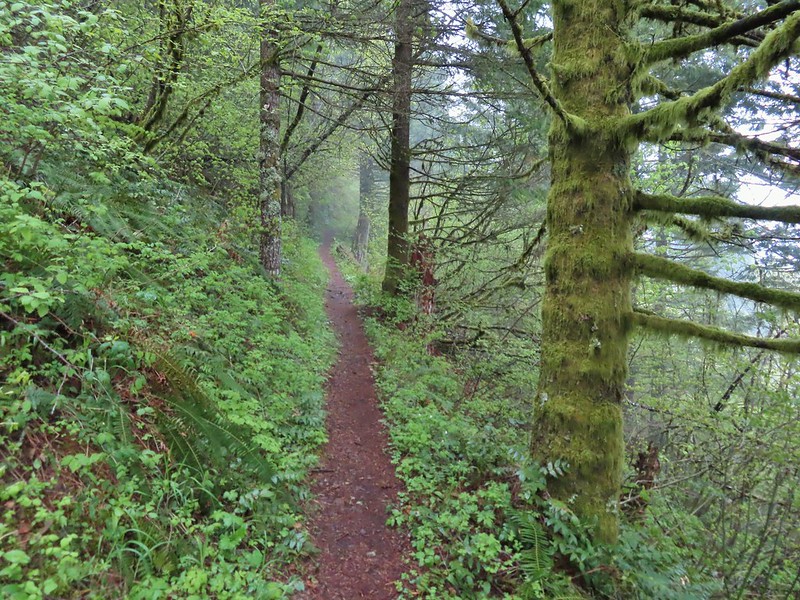
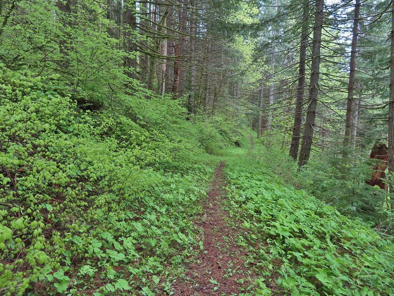
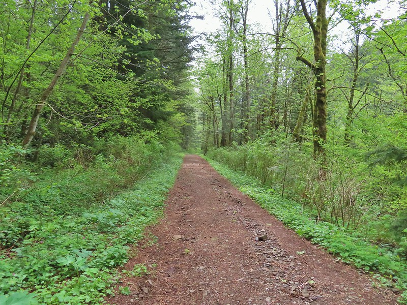
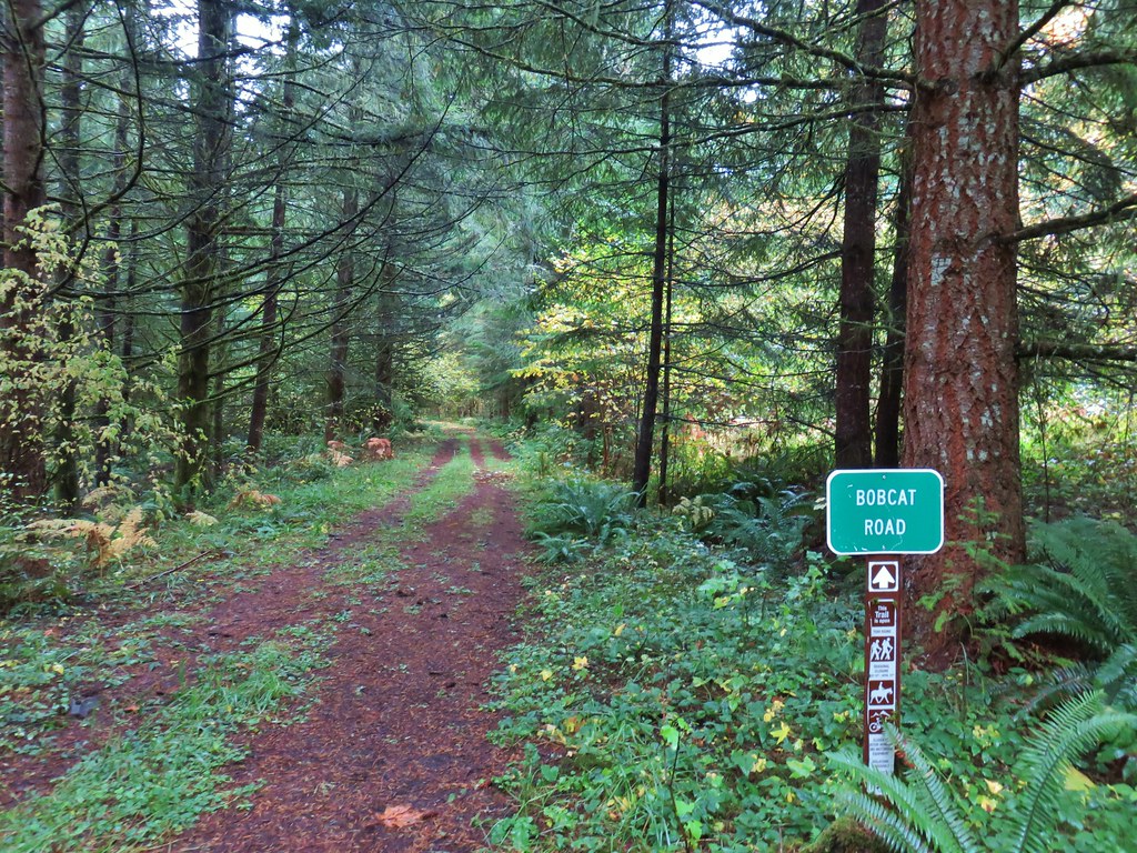
 On the old roadbed/Equestrian Trail.
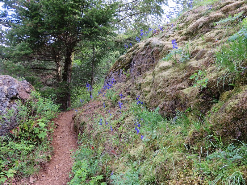
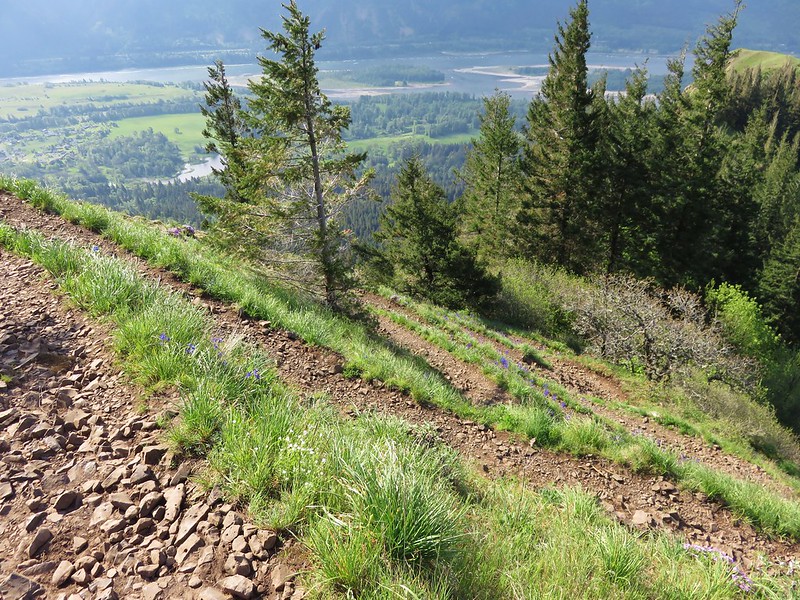
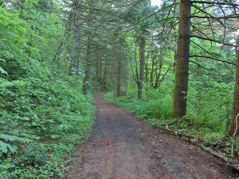
We followed the Equestrian Trail uphill through the forest and past a number of wildflowers for 1.2 miles to a 4-way junction.
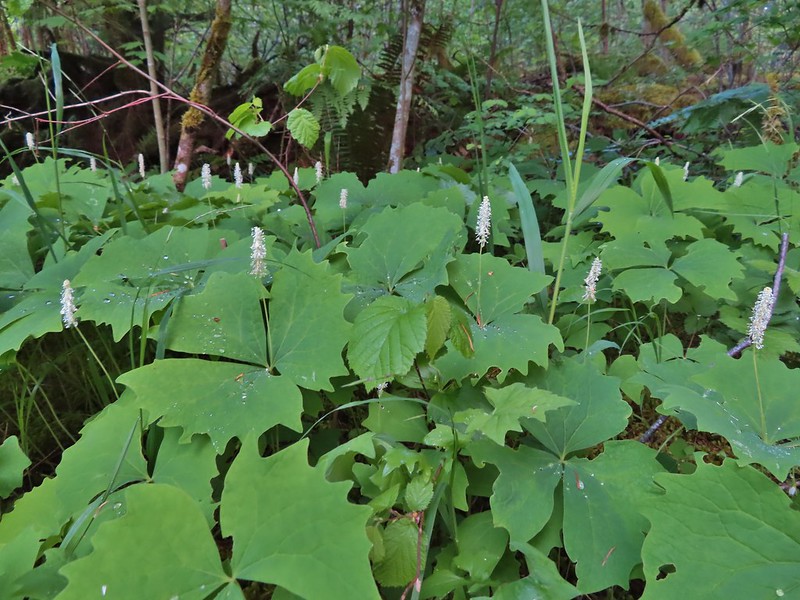 Vanilla leaf
 Fairy bells
 Violets
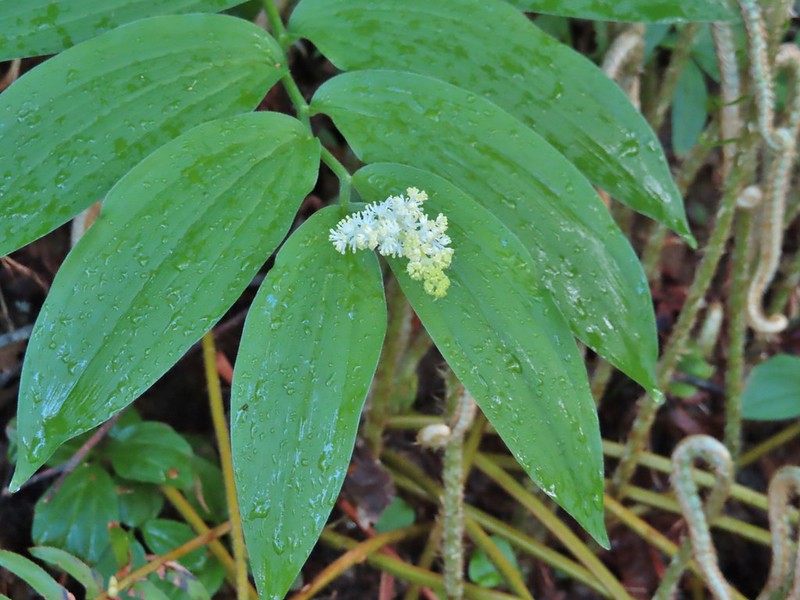
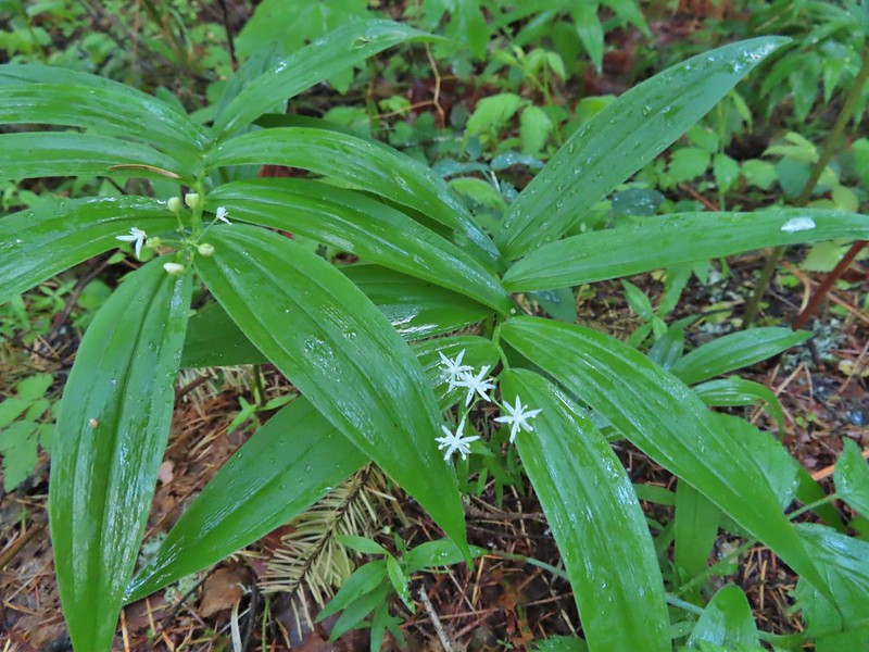 Star-flowered false solomon seal
 Youth-on-age
 Possibly a cinquefoil
 Thimbleberry
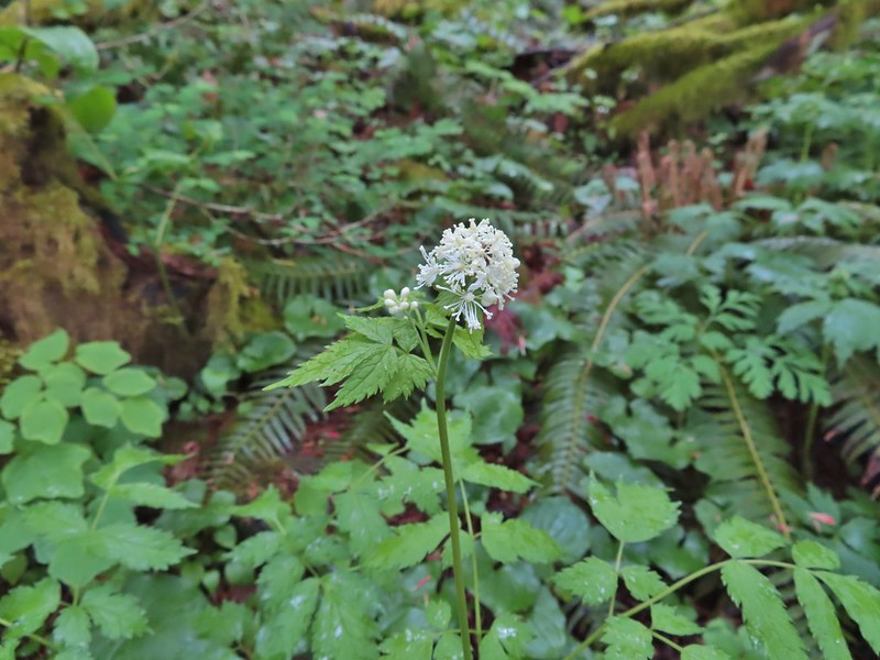
 Fringecup
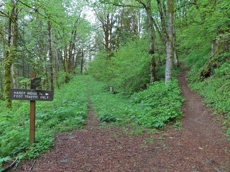
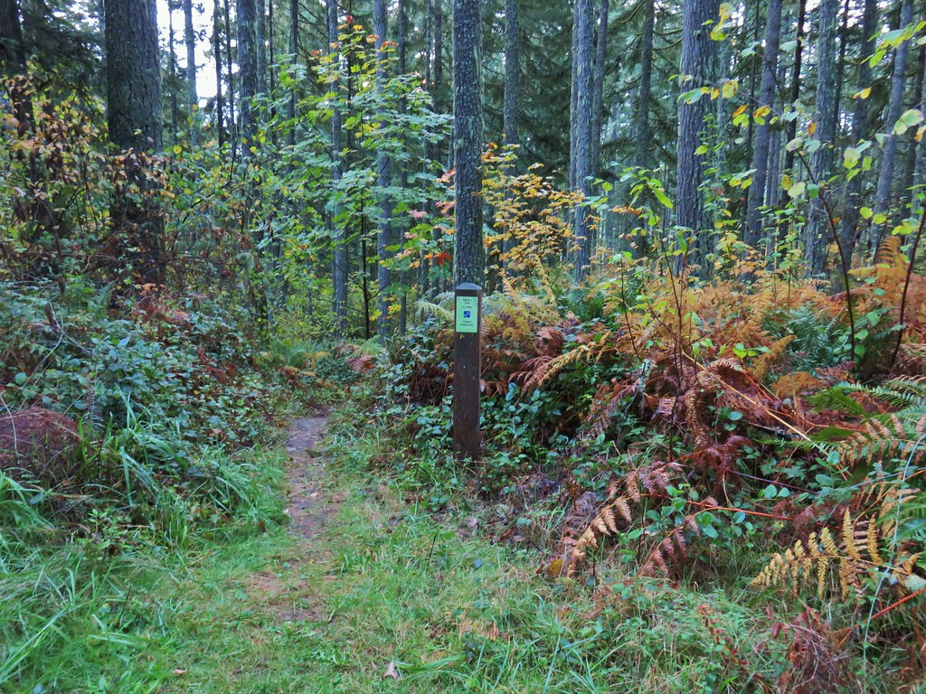
 At the 4-way jct the Equestrian Trial continued straight with the West Hardy Trail to the left and Lower Loop Trail to the right.
We turned left on the West Hardy Trail which followed an overgrown road bed along the west flank of Hardy Ridge. A brief appearance of blue sky gave us a moment of hope that the mostly cloudy forecast might have been wrong but the blue was quickly replaced with gray clouds.

 Salmonberry
 False solomon seal
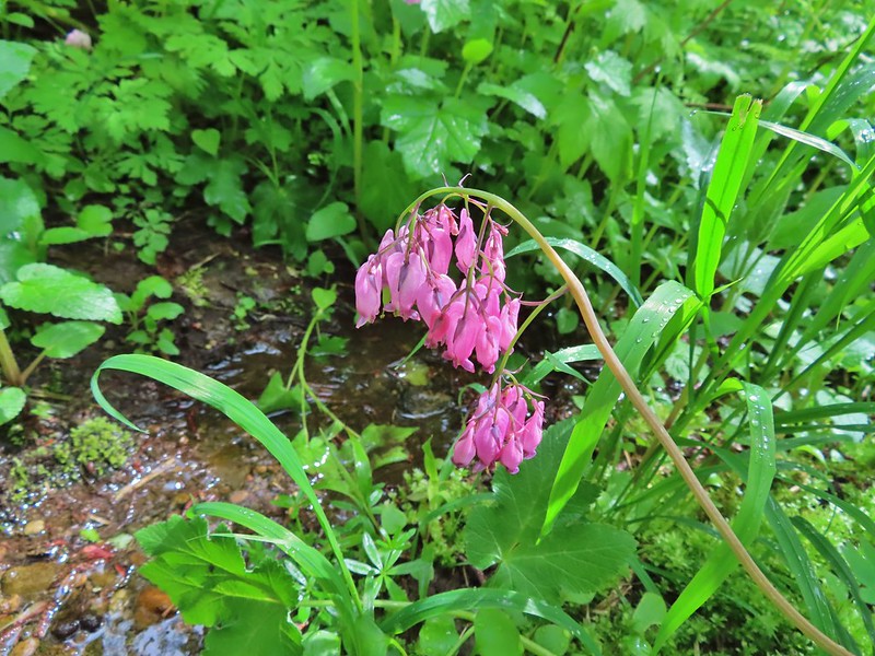
 Bleeding heart
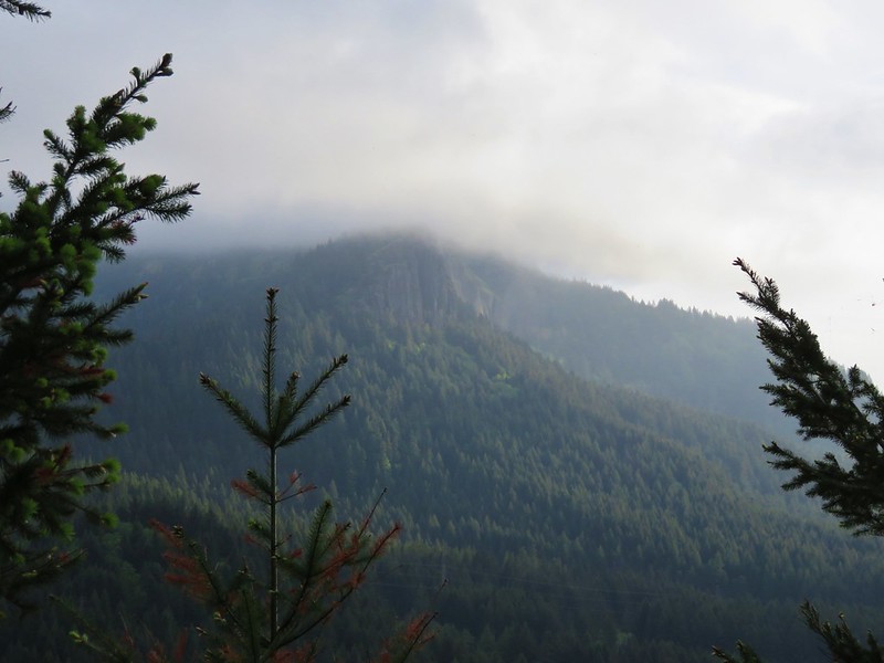
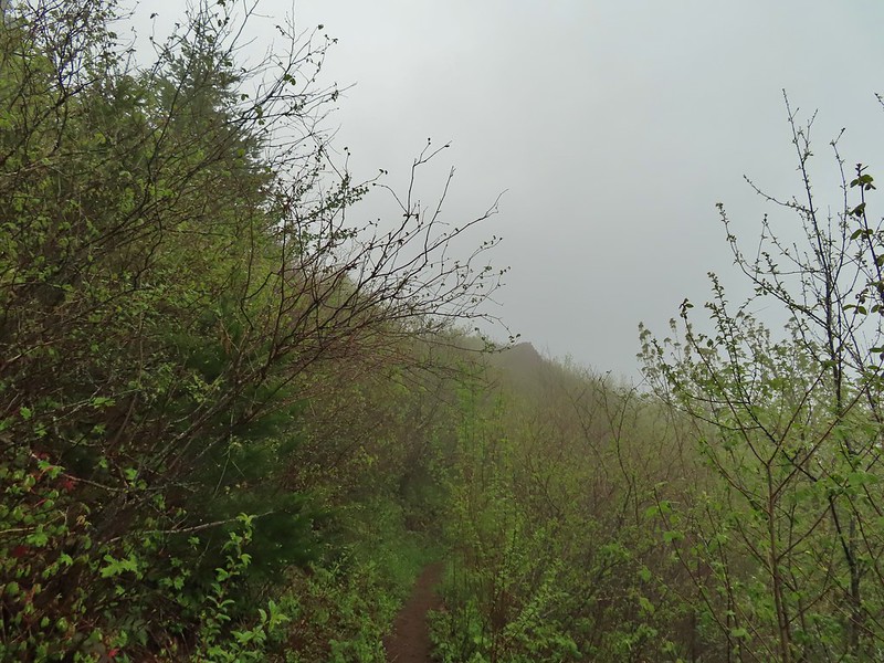
 Here come the clouds.
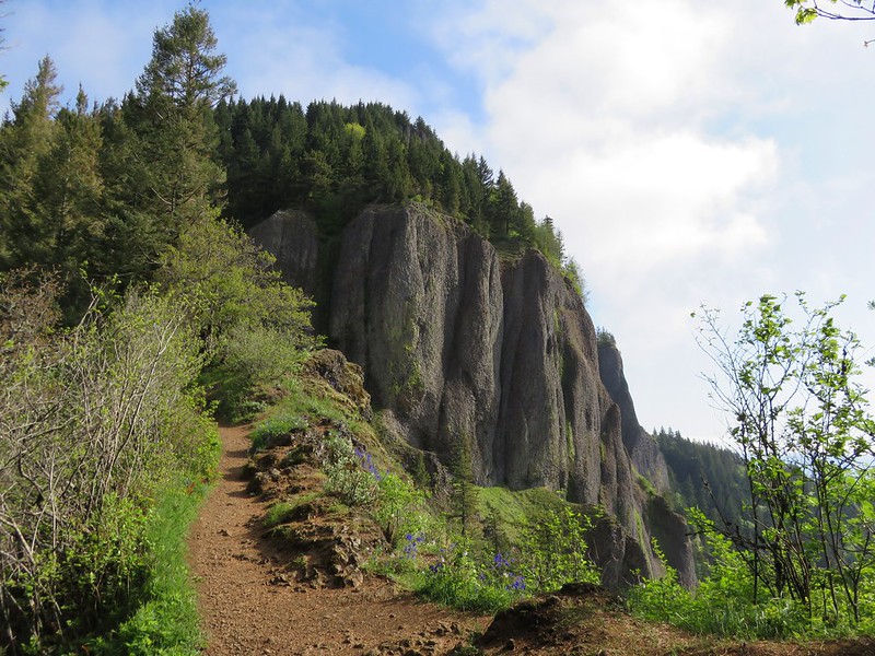
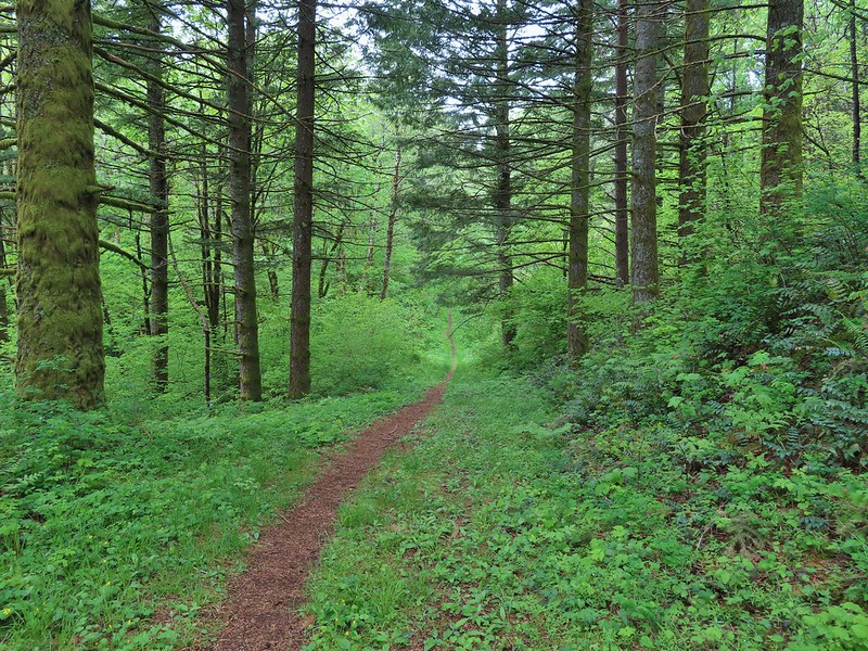
After 1.3 miles on the West Hardy Trail we turned right onto the Hardy Ridge Trail.
This hiker only trail climbed approximately 800′ in 0.8 miles to a junction at a saddle on Hardy Ridge.

 Baneberry
 Trillium
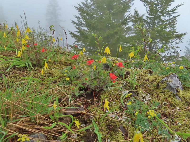
 Paintbrush
 Red flowering currant
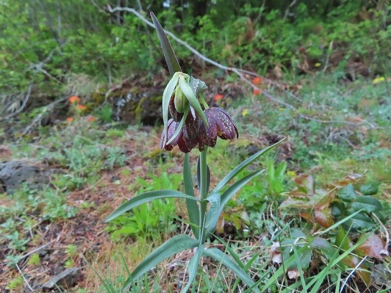 Chocolate lily
 Anemones
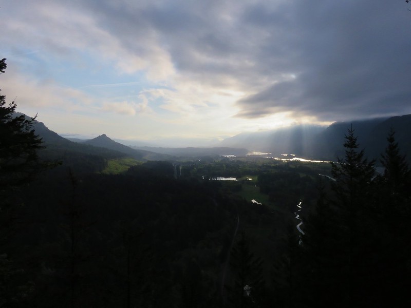
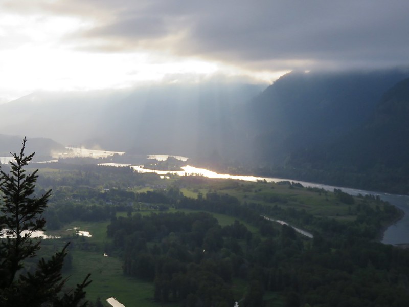
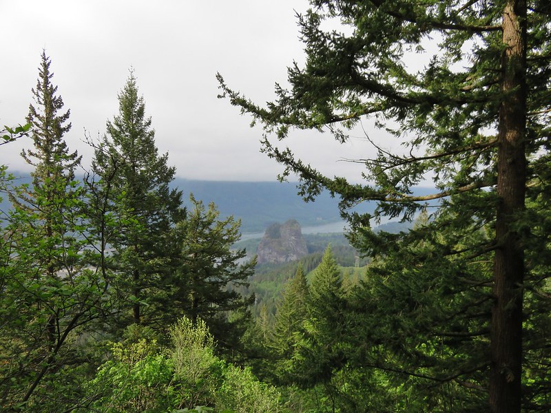
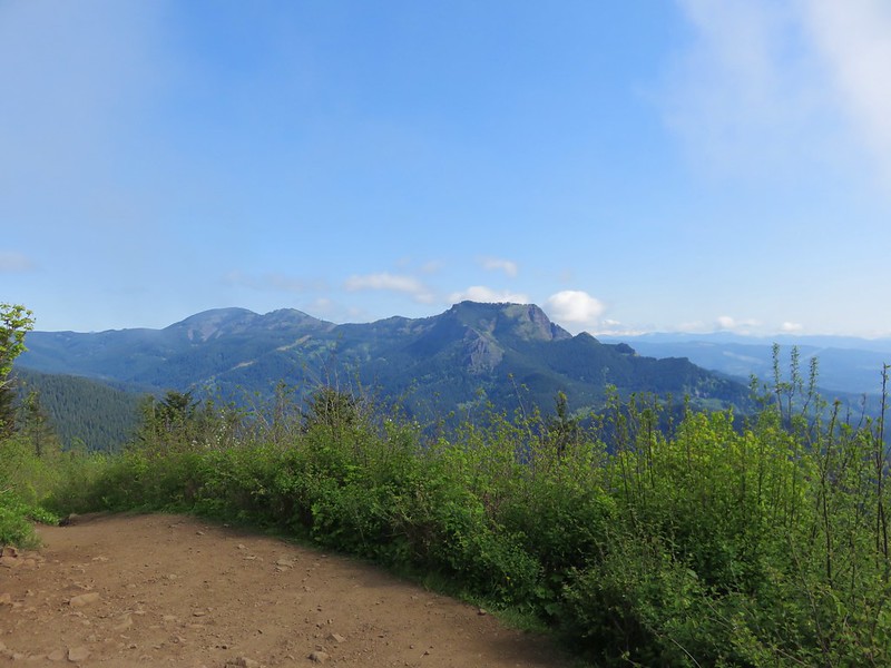
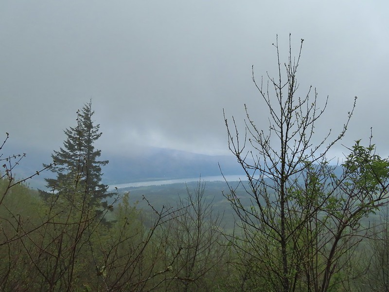 Looking across the Columbia River into Oregon.
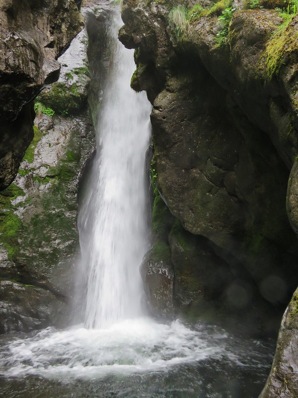
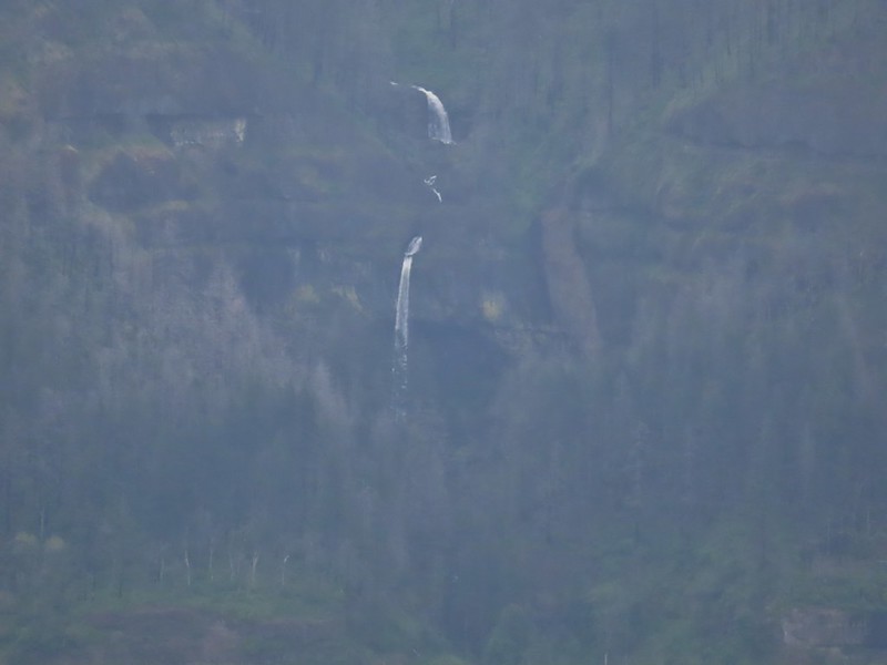
 Horsetail Falls (post) in Oregon.
 Field chickweed and Oregon grape
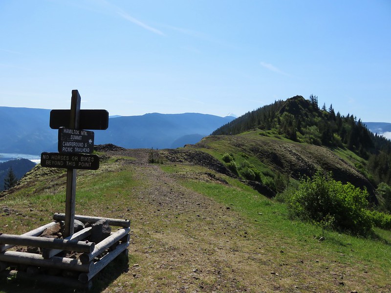
 Junction at the saddle.
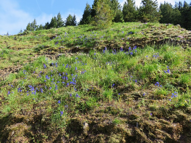
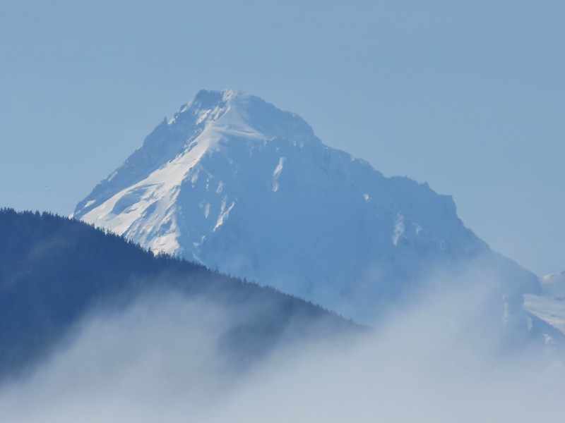
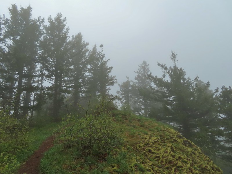
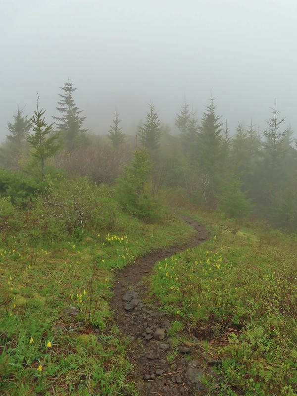
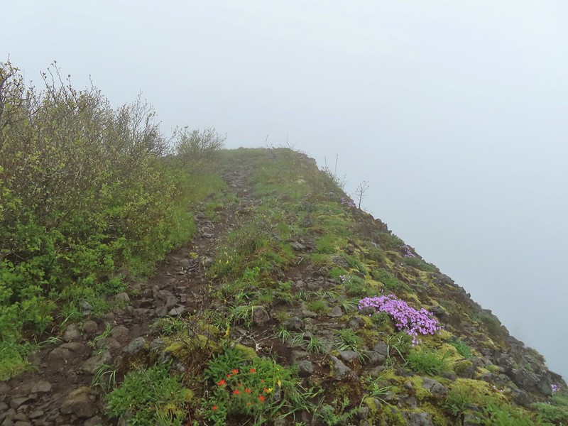
At the junction we turned left onto a well worn trail (not shown on maps) that led north along Hardy Ridge. This trail followed the spine of the ridge 0.8 miles to the ridge’s highest point at an elevation a little under 3000′. On a clear day Mt. Hood and the tops of Mt. Adams and Mt. Rainier would have been visible from the high point, but on this day the sights were limited to the various flowers blooming along the ridge. As we approached the high point we were greeted with a few snowflakes.
 Glacier lily

 Trilliums
 Glacier lilies along the trail.
 Another hiker caught up to us at this rock field not far from the high point. It looked like the trail was going across the rocks for a bit and she decided to turn around but after just a few feet the trail resumed behind a bush.
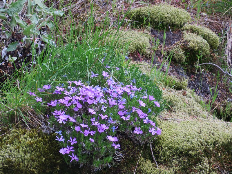
 Phlox
Phlox
 Paintbrush and glacier lilies.
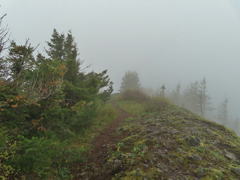 The high point.
 Glacier lilies at the high point.
We didn’t stay long at the top, while we were fortunate to not be dealing with any of the winds the Columbia Gorge is known for it was chilly (as evidenced by the snowflakes) so we headed back down. Along the way we met a spotted towhee that wasn’t the least bit bothered by the weather.

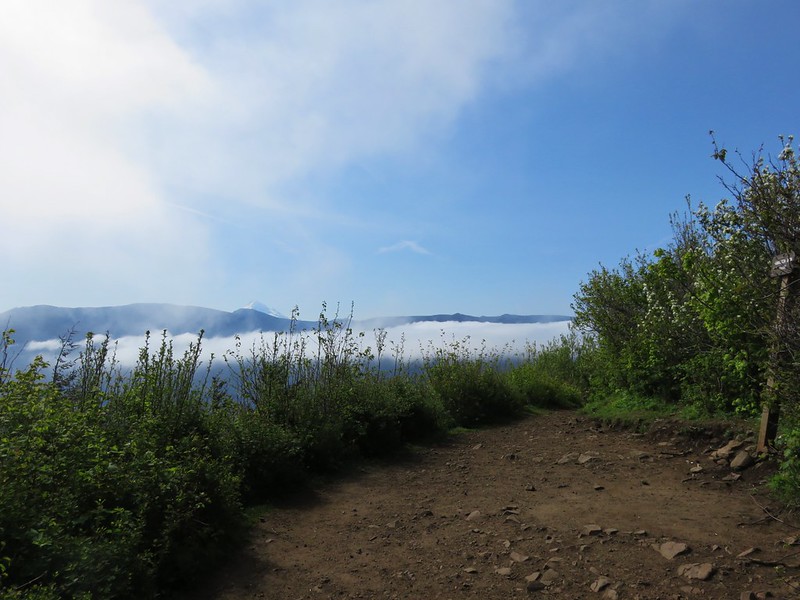
As we made our way down the clouds began to lift a bit and by the time we were approaching the junction we were under them which gave us a nice view of Hamilton Mountain.

 Hamilton Mountain (high point to the right) and the Columbia River.
 Bonneville Dam and the Hamilton Mountain Trail crossing The Saddle.
 Upper McCord Creek Falls (post-partially closed due to fire damage as of writing)
The only snowy peak we could see though was Larch Mountain (post) to the SW.

When we reached the junction we turned left onto the East Hardy Trail and began a mile long descent to another junction.
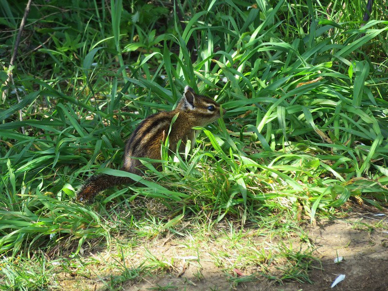
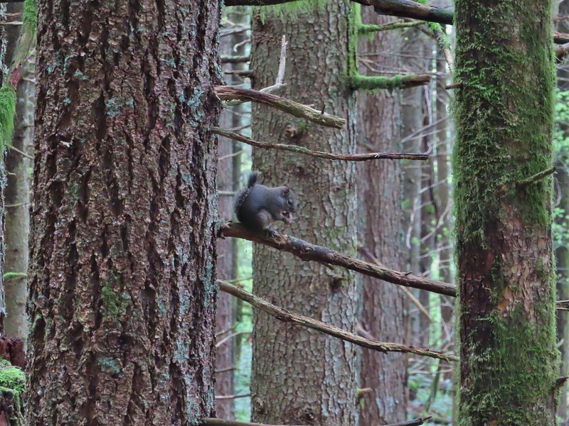 Squirrel
 Snail
Snail

At this 3-way junction we faced a choice. Most descriptions of the Hardy Ridge Loop (including Sullivan’s) would have sent us straight on the East Hardy Trail for 0.8 miles to the Equestrian Trail then right on that trail 1.7 miles back to the trailhead for an 8.5 mile hike. We opted to extend our hike by turning left instead on the Bridge Trail.

 Bleeding heart along a little stream.
 False lily-of-the-valley getting ready to bloom.
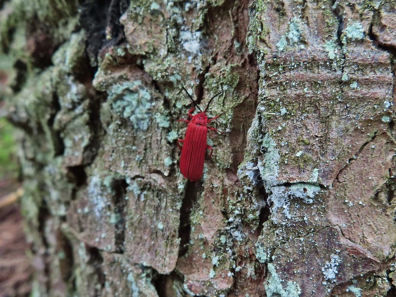 Possibly a Dictyoptera aurora (Golden net-winged beetle)
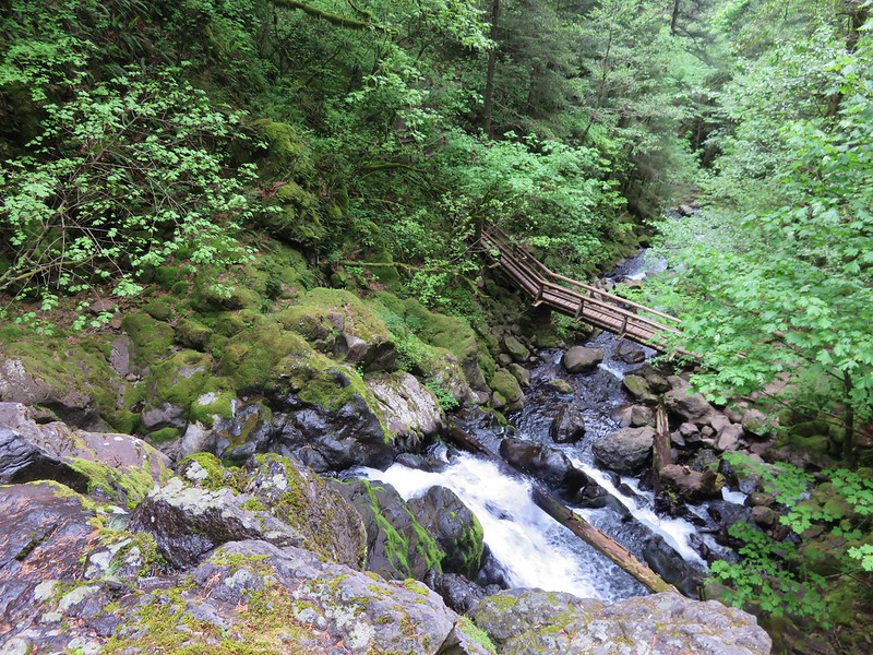
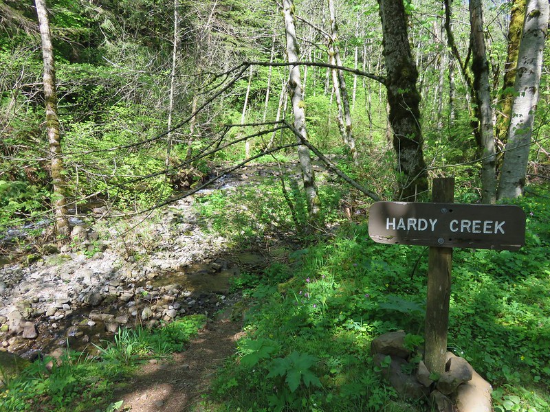
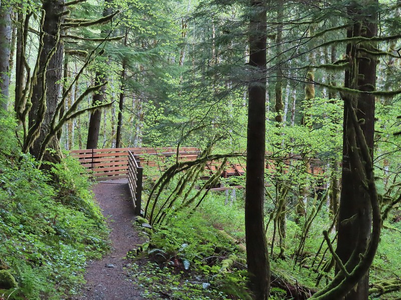
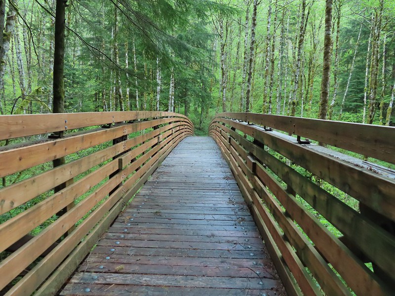
A little over three quarters of a mile we arrived at the trail’s namesake bridge over Hardy Creek.

After crossing the creek the trail climbed for a tenth of a mile to the Upper Hardy Trail (another old roadbed).
Here again we could have shortened our hike by turning right following a pointer for the Equestrian Trail but we wanted to revisit The Saddle north of Hamilton Mountain. We turned left on the Upper Hardy Trail climbing approximately 300′ in 0.6 miles to yet another junction.

 Hardy Ridge from the Upper Hardy Trail.
We once again faced a choice at this junction.
 The left fork would have been slightly longer by leading us around the back side of a knoll and making a 180 degree turn following the east side of the ridge toward The Saddle.
 We turned right opting for the slightly shorter route to The Saddle.
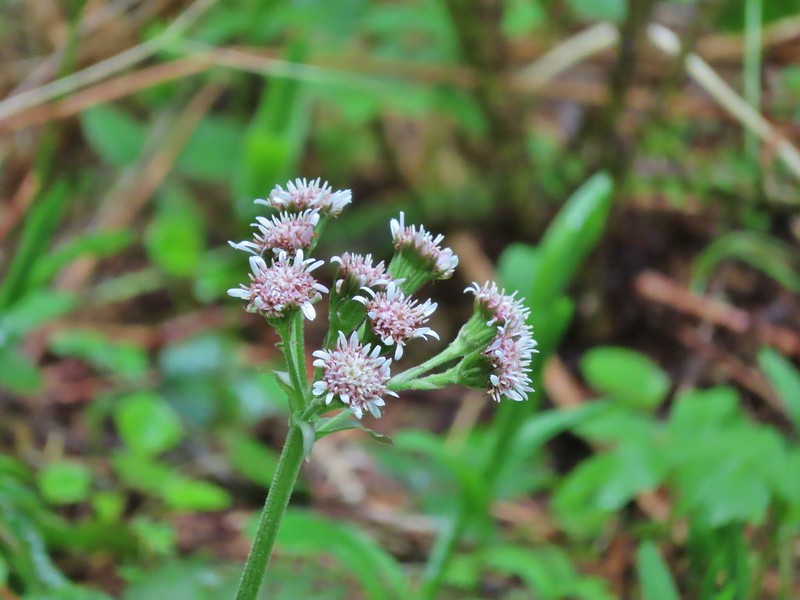 Coltsfoot
Just under three quarters of a mile after turning right we were rejoined by the the left hand fork of the Upper Hardy Trail.
 Southern junction of the two forks of the Upper Hardy Trail.
The Upper Hardy Trail then descended for .2 miles to The Saddle and a junction with the Hamilton Mountain Trail.

 Hikers coming down from Hamilton Mountain.
For the first time on this hike were at a familiar spot. We turned right onto the Equestrian Trail following it for 150 yards to a sign for Dons Cutoff Trail.

On both of our previous visits we had stayed on the Equestrian Trail following it downhill for a mile to a 3-way junction at Hardy Creek. This time we took Dons Cutoff which would bring us to the same junction in just a tenth of a mile more. Dons Cutoff headed steeply downhill arriving at the Upper Hardy Trail after half a mile.
 Dons Cutoff Trail nearing the Upper Hardy Trail.
We turned left on the old roadbed following the Upper Hardy Trail for .4 miles to a junction with the Equestrian Trail and then arrived at Hardy Creek after another tenth of a mile.
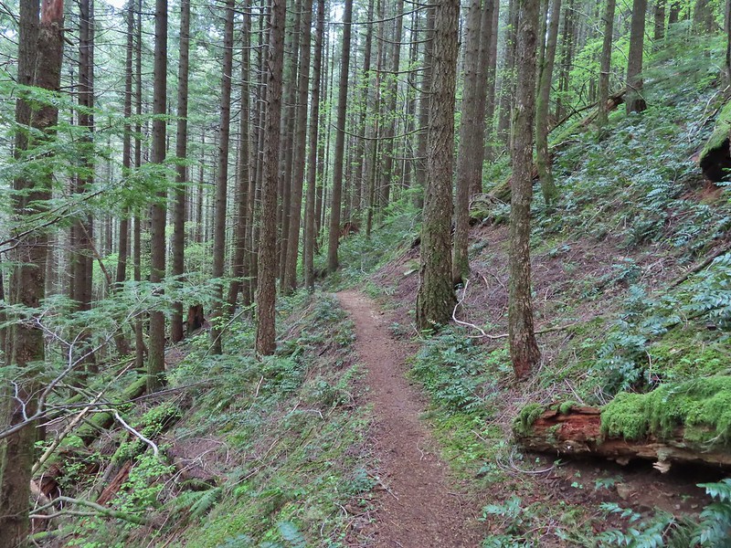
 Upper Hardy Trail
 Equestrian Trail
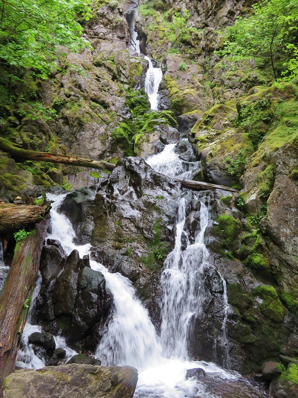
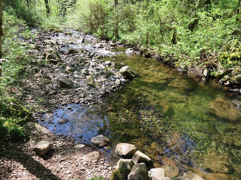
 Hardy Creek

We crossed Hardy Creek on the Equestrian Trail following it for a half mile to the 4-way junction.
Had we opted for the described hike we would have arrived at this junction on the East Hardy Trail. We faced another choice here, keep on the Equestrian Trail for 1.7 miles or turn left onto the Lower Loop Trail and add approximately 0.4 miles to the hike. You guessed it we turned left and took the Lower Loop Trail which popped us out onto the Equestrian Trail at the 4-way junction where we had turned up the West Hardy Trail that morning.


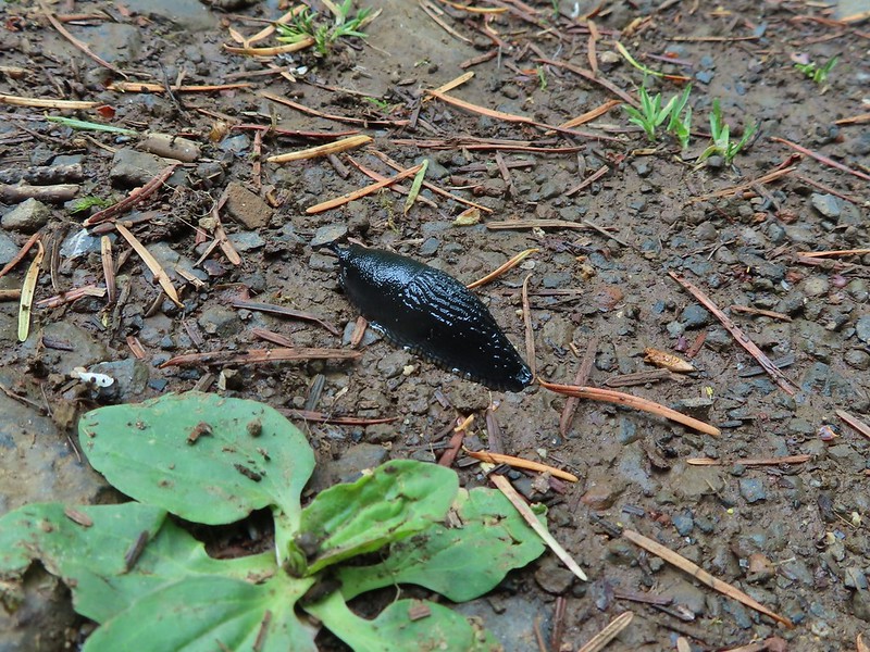
We turned left and followed the Equestrian Trail downhill for the final 1.2 miles of what turned out to be 13 mile hike that gained approximately 2700′ of elevation. Slugs were out in force along the final stretch including a number of small black specimens.

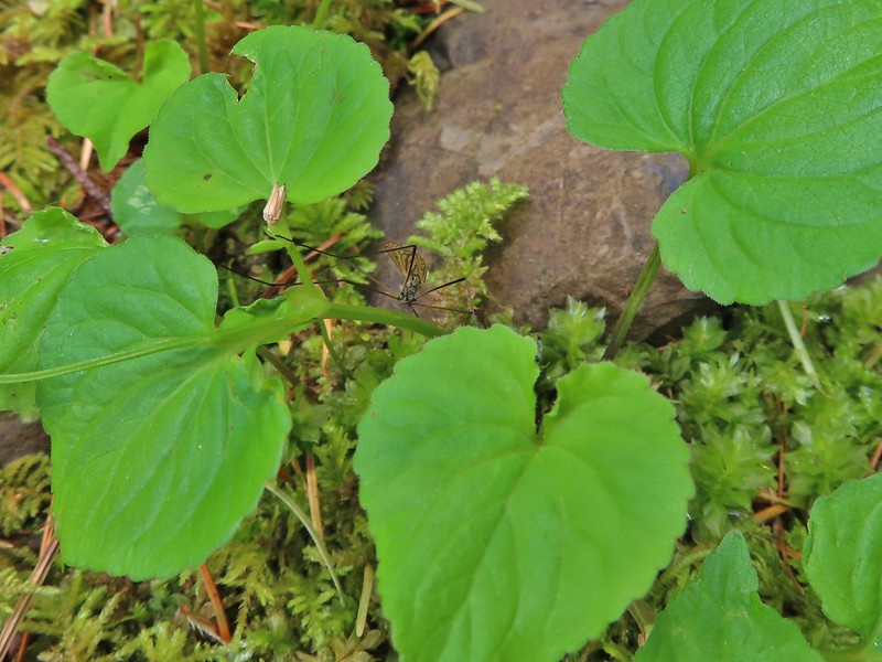 Spotted this guy while I was photographing the slug above. Not sure if it’s a crane fly or ?
There are some hikes where missing out on the mountain views is a real bummer but this wasn’t one of those for us. It was just a great day in the forest with flowers, creeks, critters, and a good deal of solitude despite the park being popular. The number of trails and options provided in the park allow for people to spread out a bit with Hamilton Mountain being the busiest area which we pretty much avoided (other than The Saddle) on this day. Happy Trails!
Flickr: Hardy Ridge Loop


 Leapfrog Loop
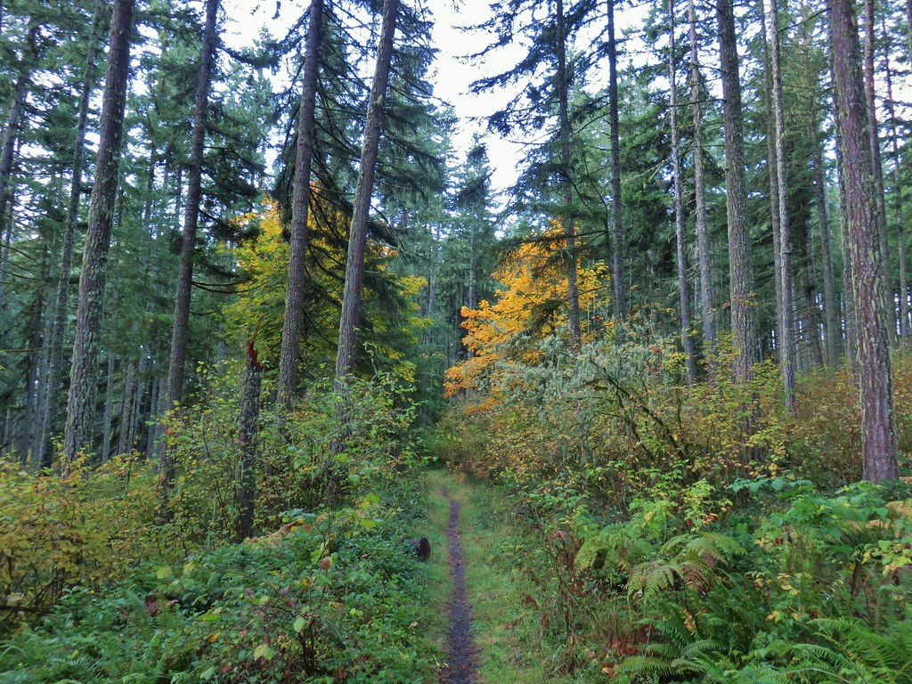
 Mark’s Trail (our return route)


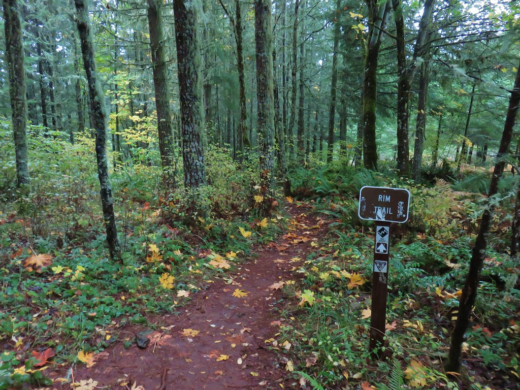
 Rim Trail


 <
<


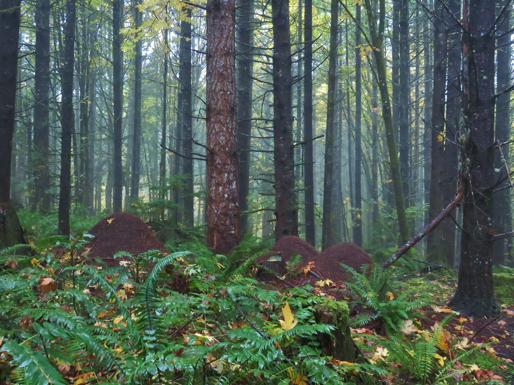 Huge anthills could be seen throughout the hike.
 Skirting the clear cut.


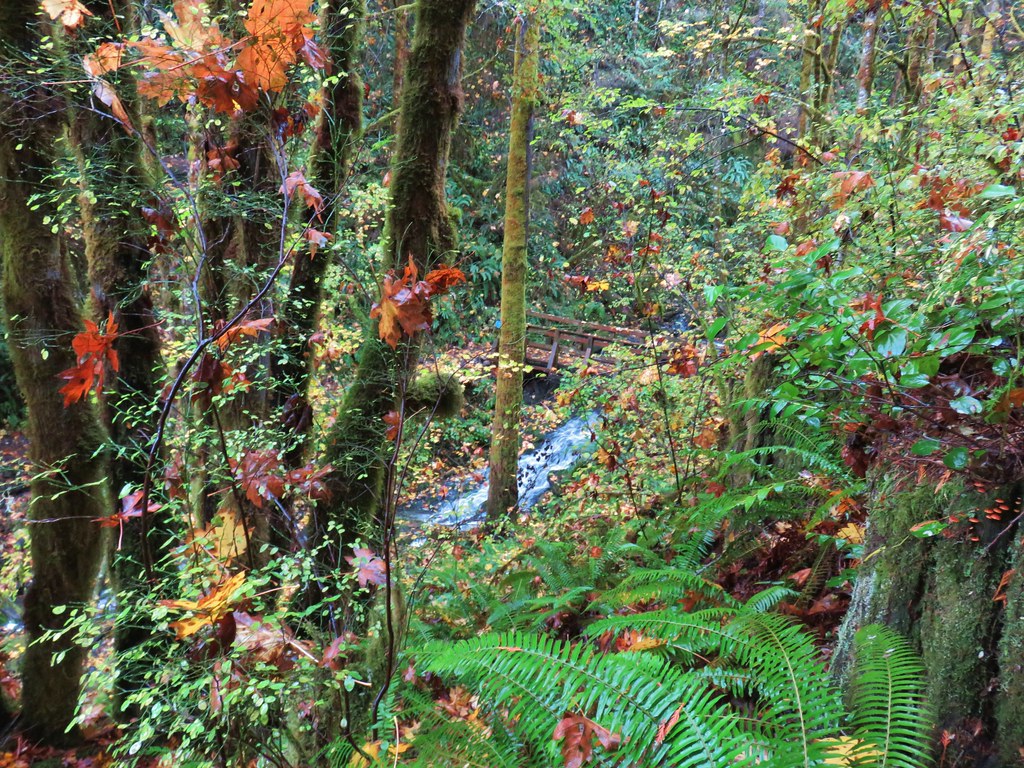
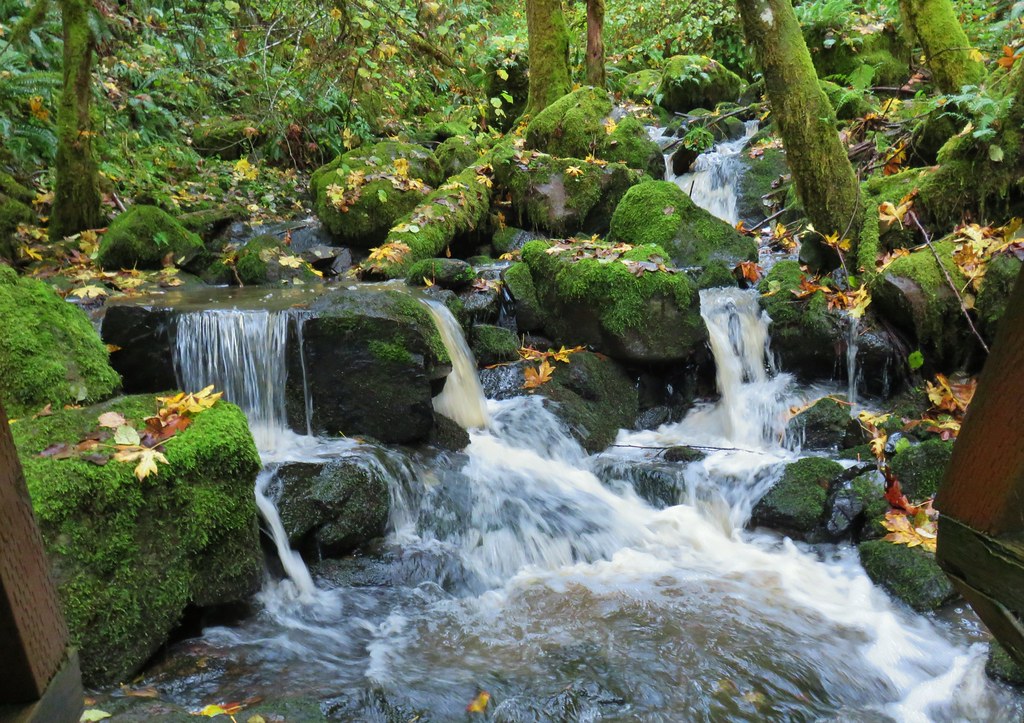
 Unnamed creek.

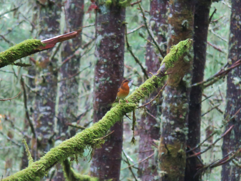 Varied thrush
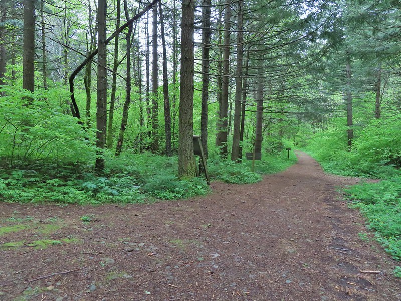
 One of the few unsigned junctions we came to.


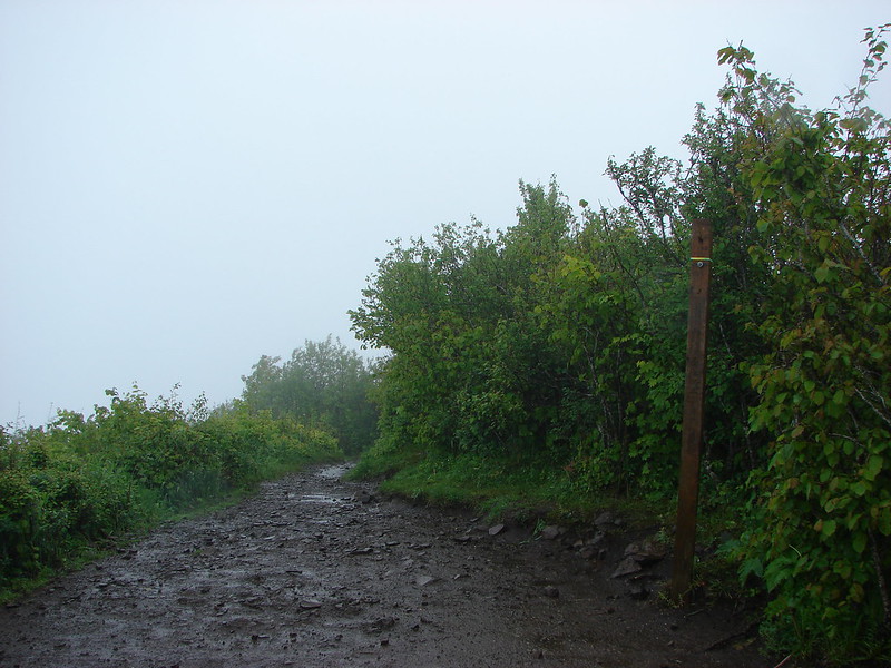
 Huckleberry Trail just before the shower.
 Near the tail end of the shower.
 The Hardy Creek Trail coming up from the

 Going down.
 Going back up.


 Back at Amanda’s Trail.