With the arrival of May we officially started our hiking season by making an attempt to reach Greenleaf Falls. We knew it was a long shot given the little bit of information shown online, but the hike to Greenleaf Creek was a featured hike in the 2018 4th edition of William L. Sullivan’s “100 Hikes/Travel Guide Northwest Oregon and Southwest Washington”. We would at least be getting one step closer to our goal of completing all 500 of his featured hikes (post).
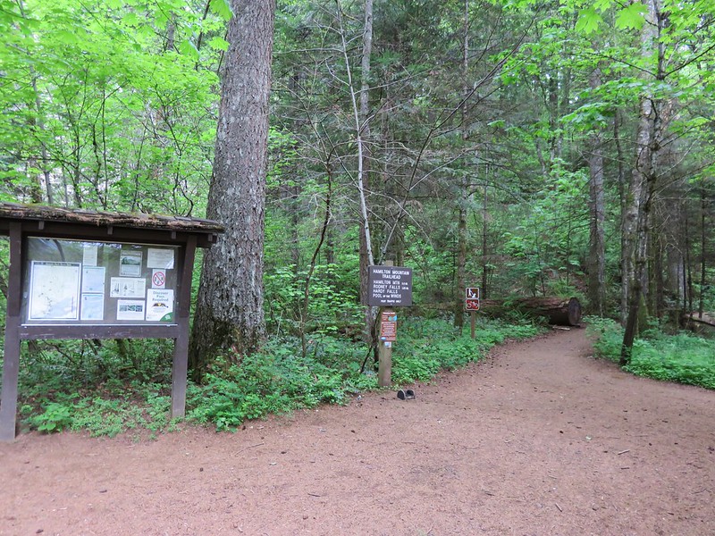
We began our hike from the Bonneville Trailhead which is located on the Washington side of the Columbia River near Bonneville Dam.

From the picnic area we followed a gravel path to a pointer for Table Mountain.

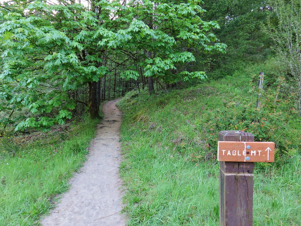
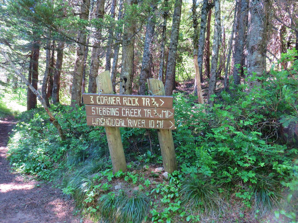
We’d been to Table Mountain twice, in 2013 via a now closed trailhead at the former Bonneville Hot Springs resort and in 2017 from the north via Three Corner Rock.
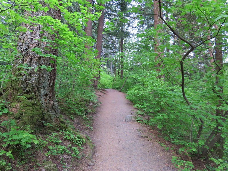
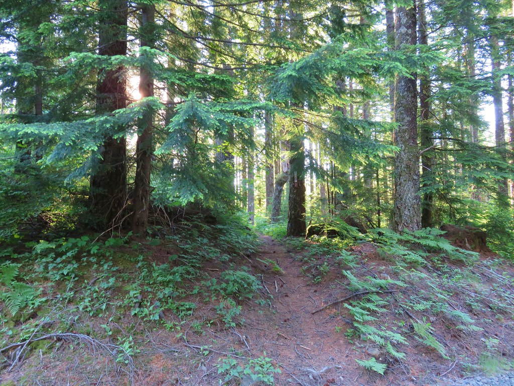
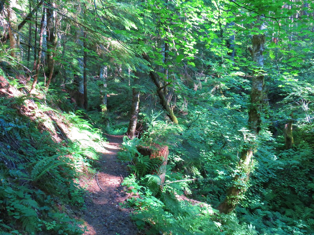
We followed the Tamanous Trail a little over half a mile through the woods to its end at the Pacific Crest Trail.
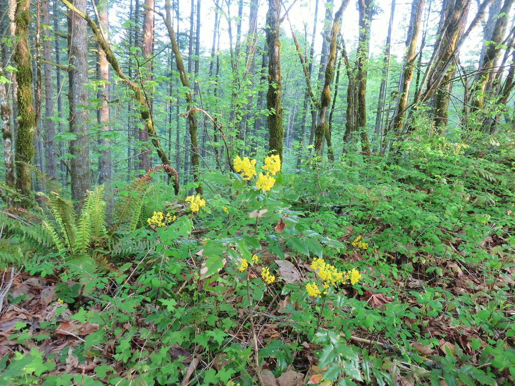 Oregon grape
 Dogwood
 Large solomonseal
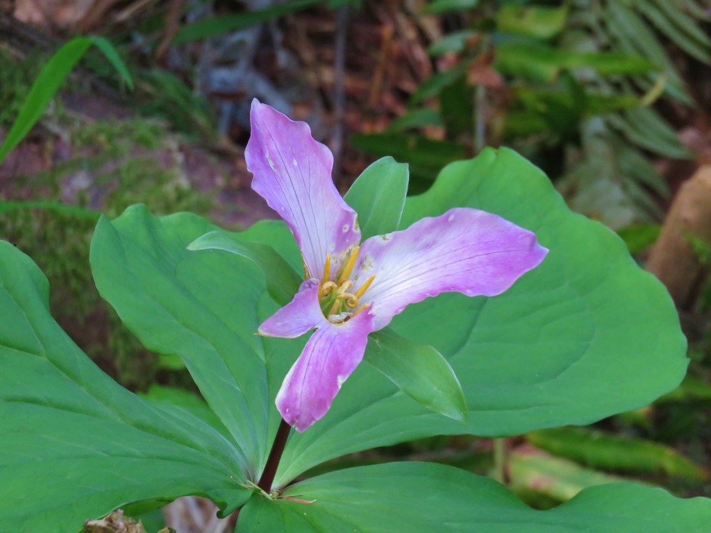
 Trillium
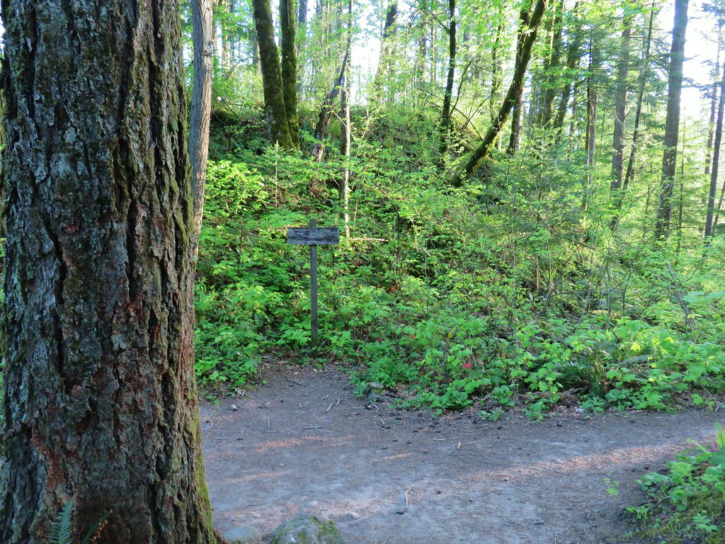
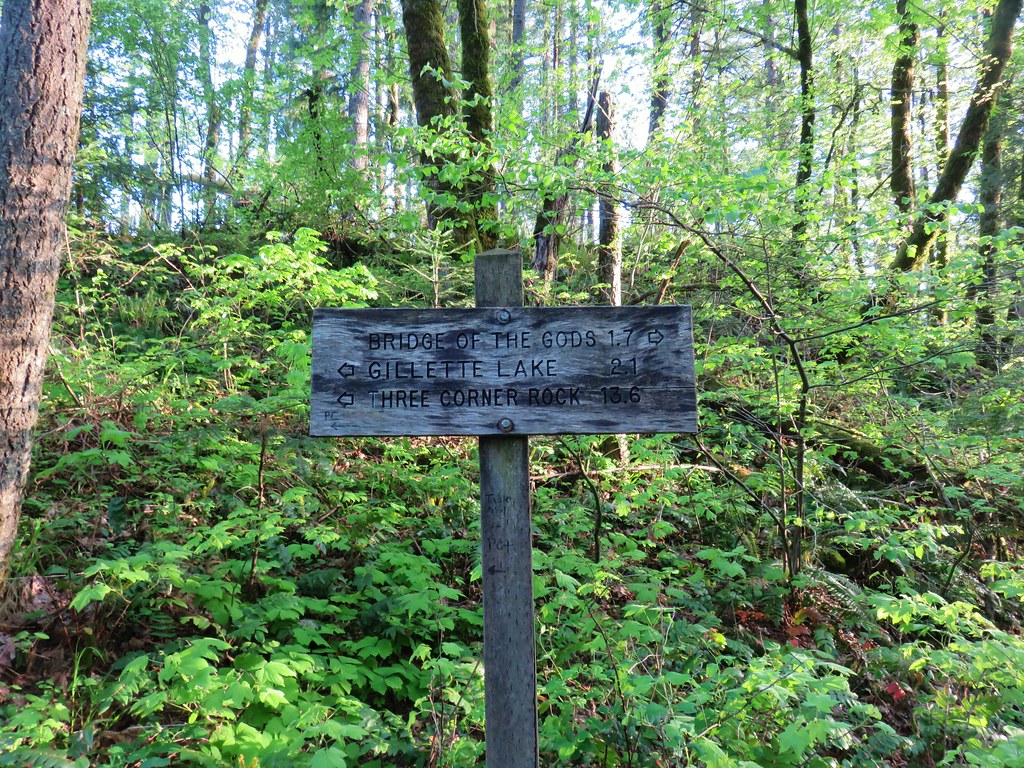
At the junction we turned left following pointers for Gillette Lake and Three Corner Rock.
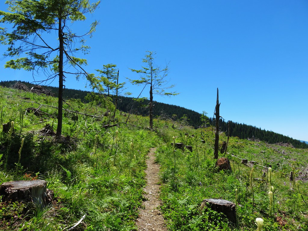
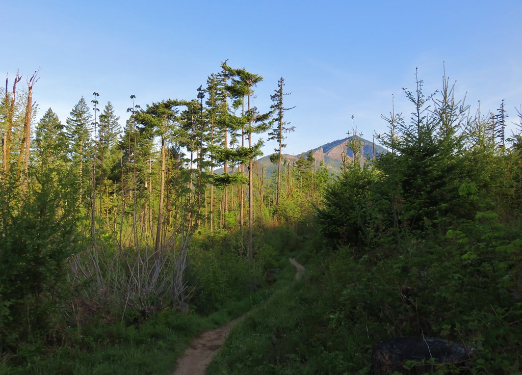
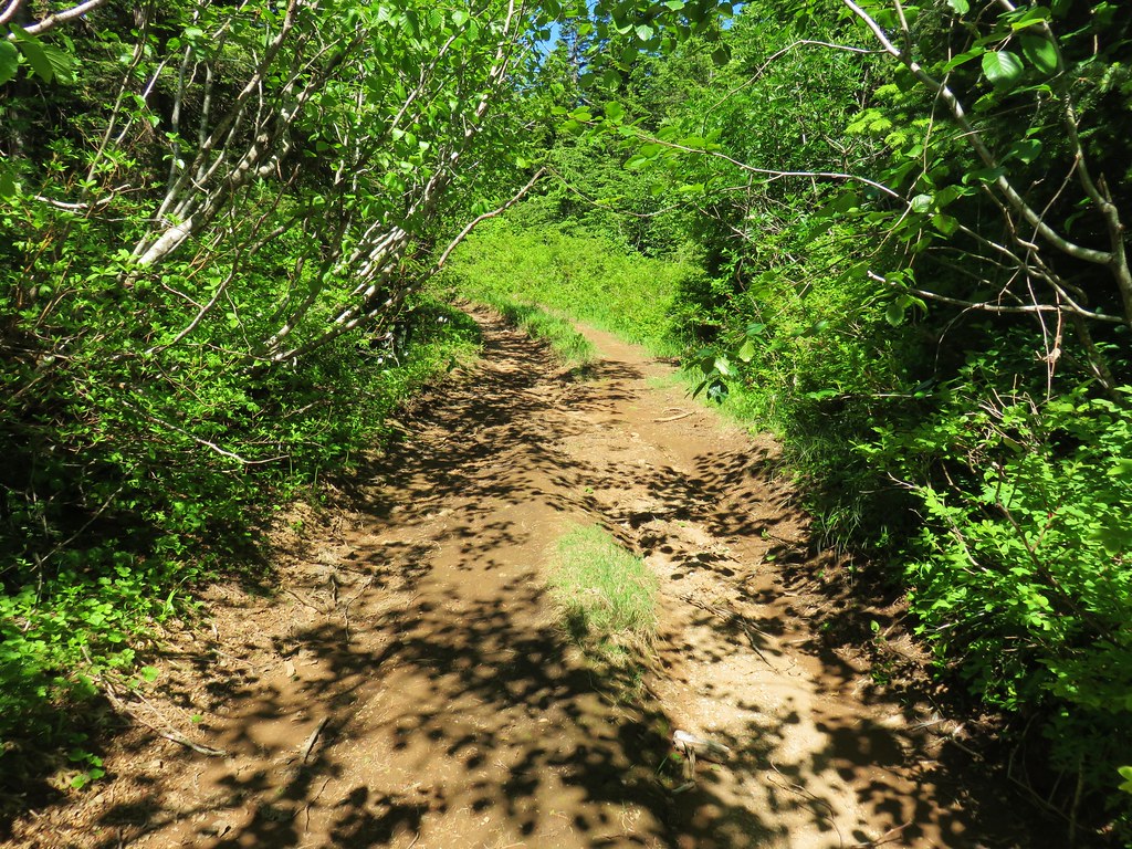
The PCT soon entered a series of clearcuts which provided some views of Table Mountain and a good amount of trail side poison oak.


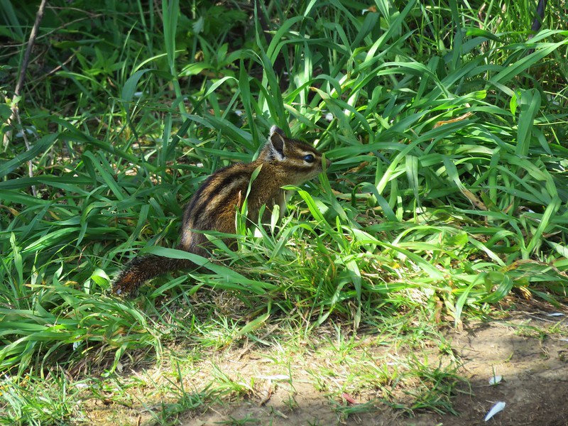
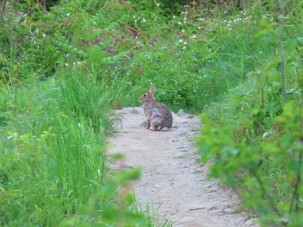
This area seemed popular with rabbits.

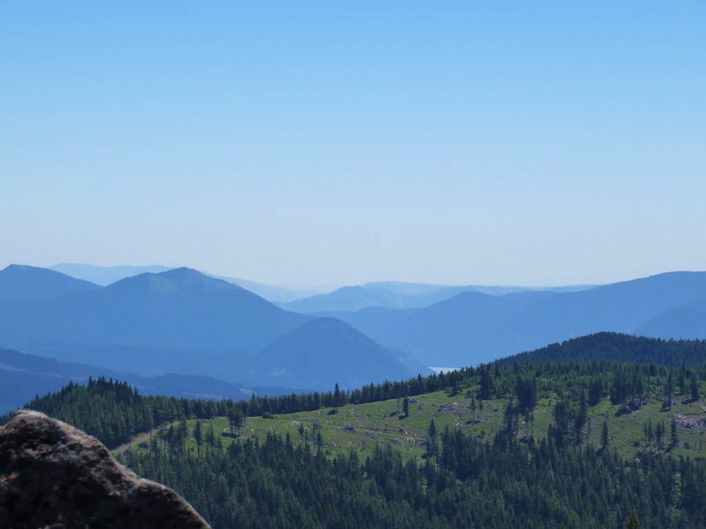
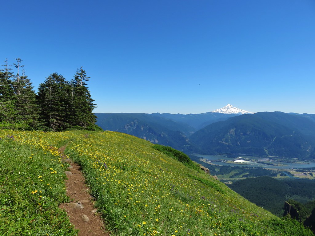
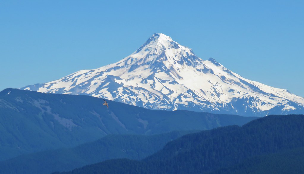
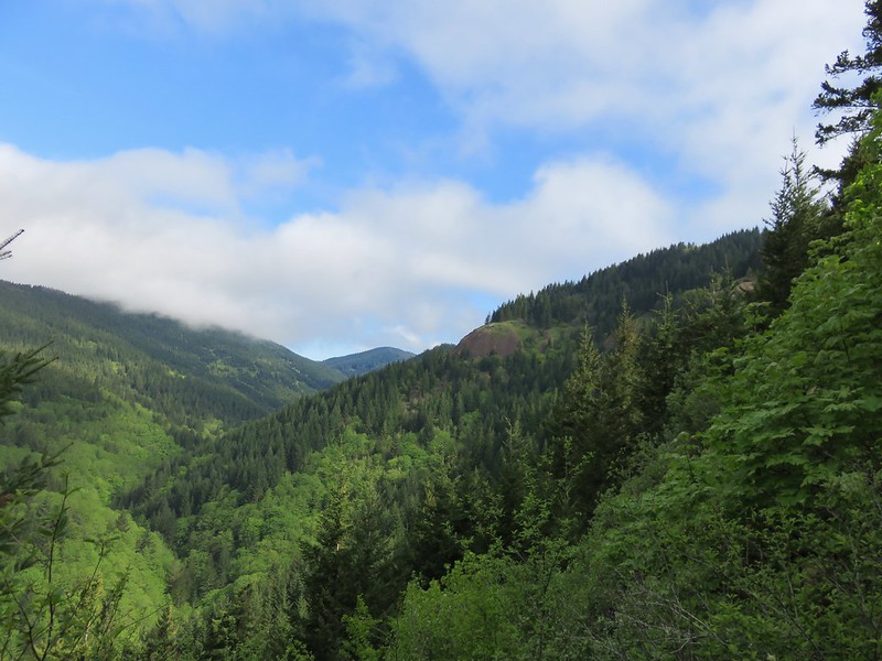
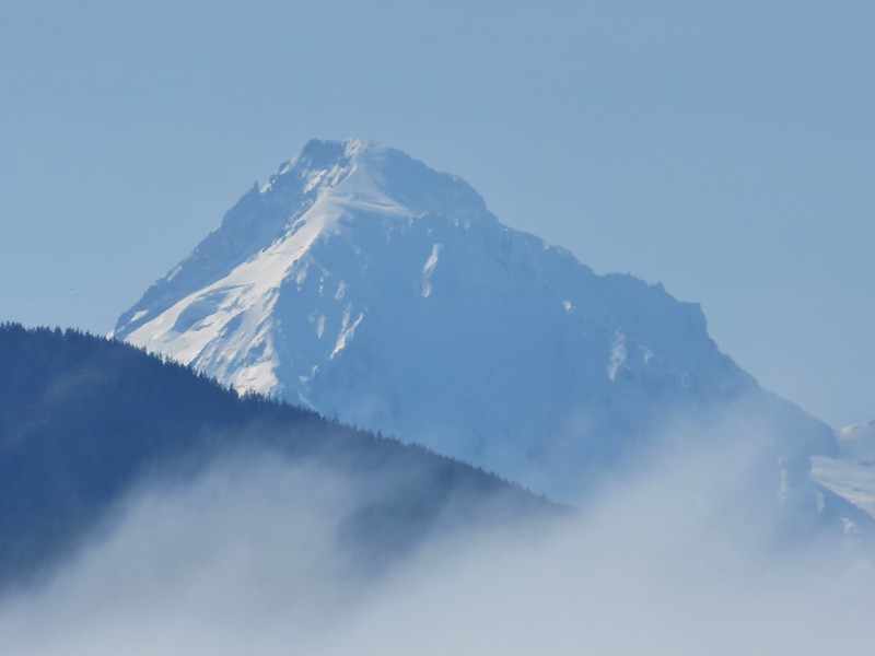
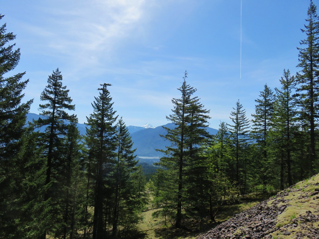
The PCT did a little climbing through the clearcuts which revealed a brief glimpse of Mt. Hood to the south.


Nearly 2 miles on the PCT brought us to a ridge where Gillette Lake was visible below.

We followed the wide trail down passing by the lake and crossing the inlet creek on a footbridge.
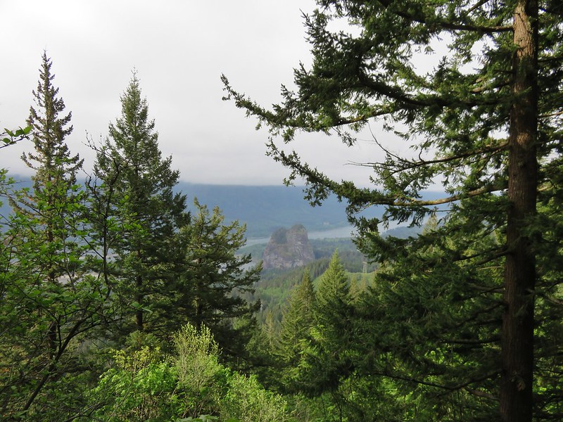
 Hamilton Mountain (post) to the left and Sacagawea and Pappose Rocks to the right beyond the lake.
 Sacagawea and Pappose Rocks
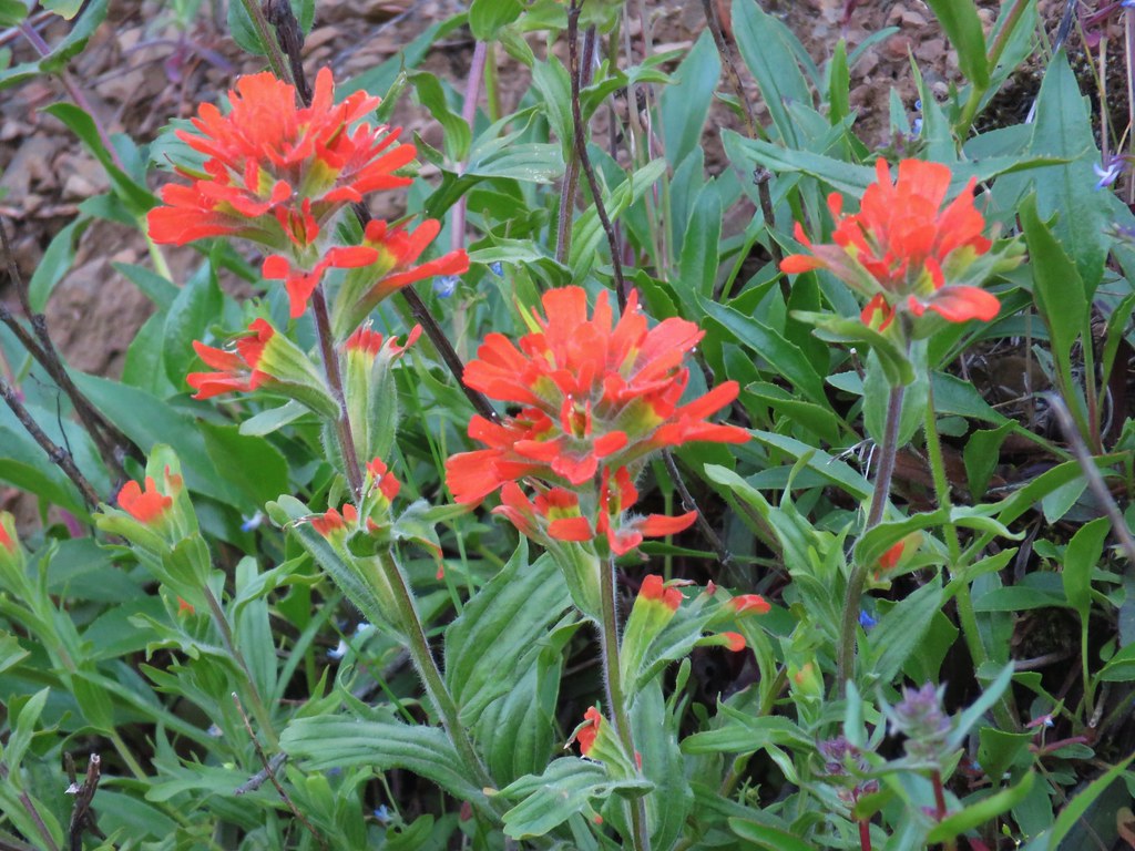 Indian paintbrush


Beyond Gillette Lake the PCT climbed gradually for a half mile through more clearcuts before passing a brushy unnamed lake.
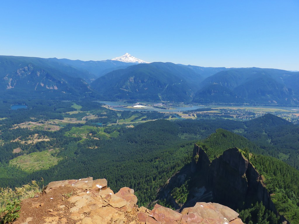
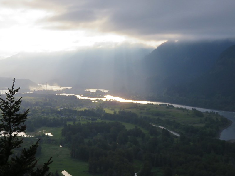
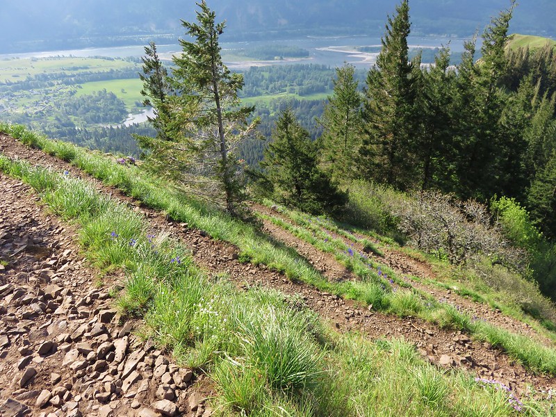
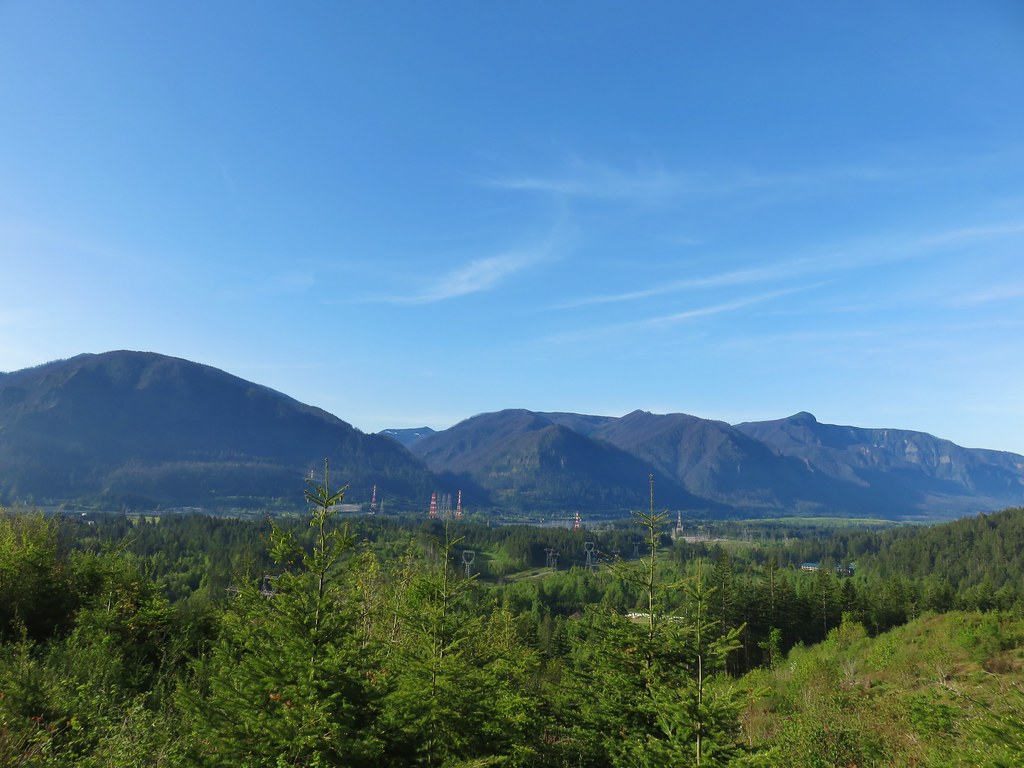 Bonneville Dam on the Columbia River. Nesmith Point (post) is the rounded high point to the right on the Oregon side.
 Unnamed lake through the trees.
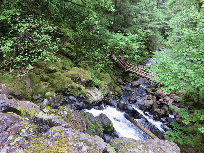
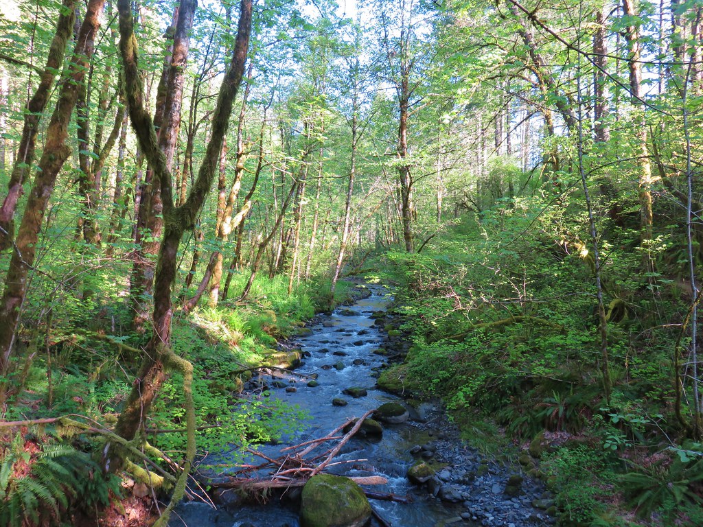
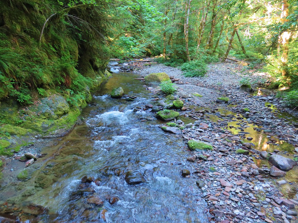
After passing the lake the trail dropped to a bridged crossing of Greenleaf Creek then climbed via a series of switchbacks to Greenleaf Overlook.

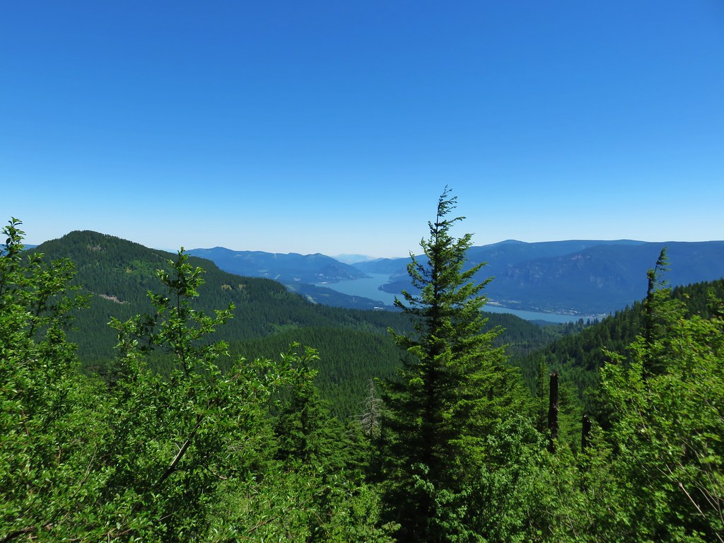
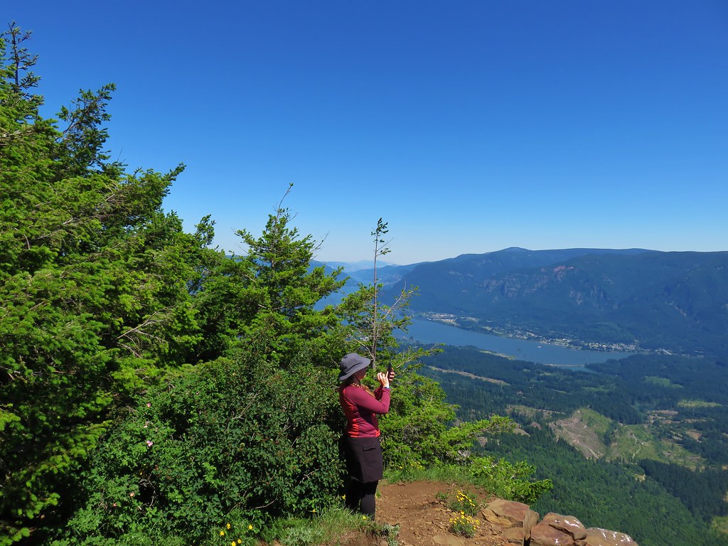
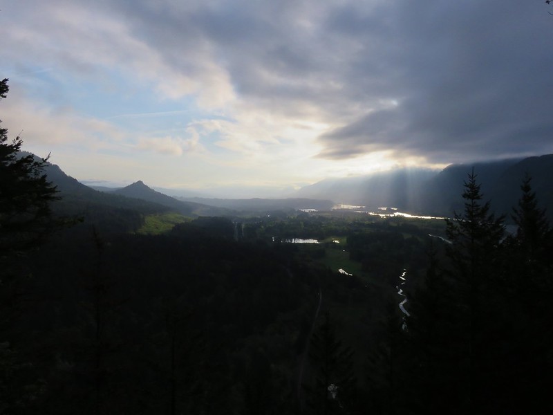
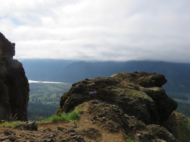
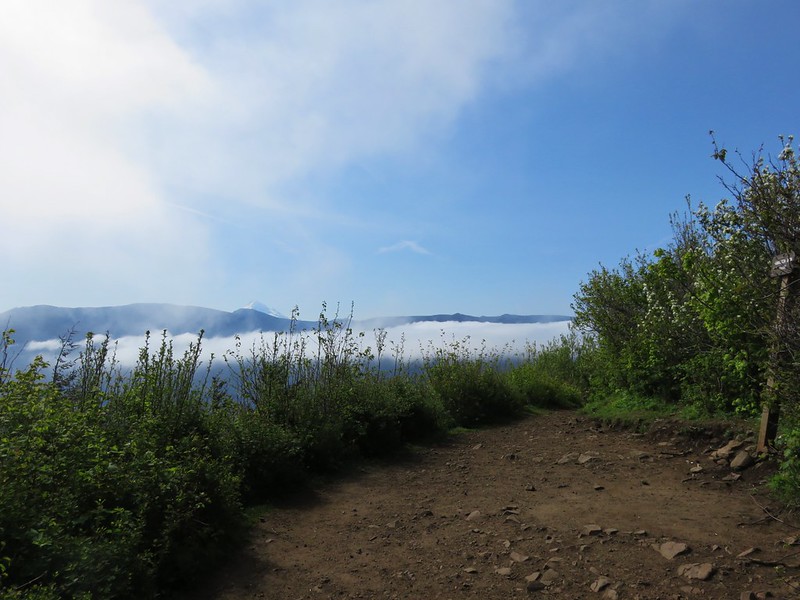
 View east from Greenleaf Overlook with Dog Mountain (post) in the distance.
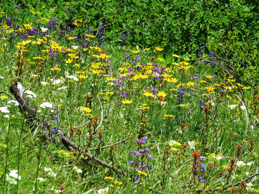
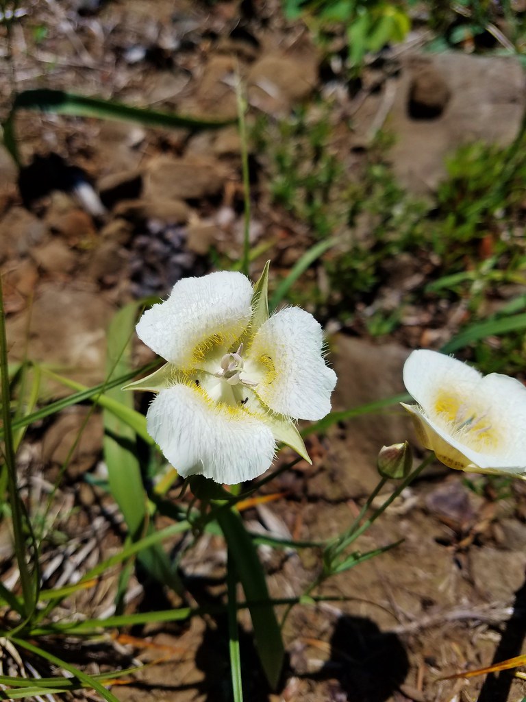
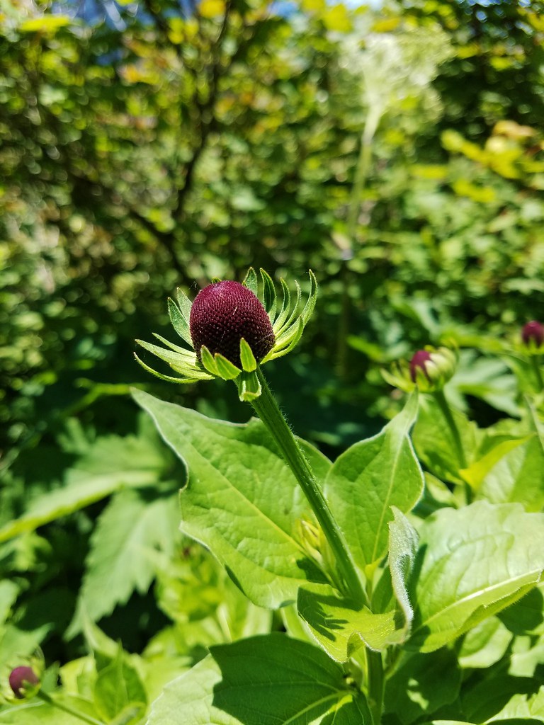
There was a nice little patch of chocolate lilies near the viewpoint.


We continued past the overlook through the forest approximately half a mile to a four way junction (Two miles from the Greenleaf Creek crossing).
 Bleeding heart
 Vanilla leaf
At the junction the left hand trail led to Carpenter Lake while the PCT continued uphill toward Table Mountain. We turned right onto the unsigned Two Chiefs Trail.


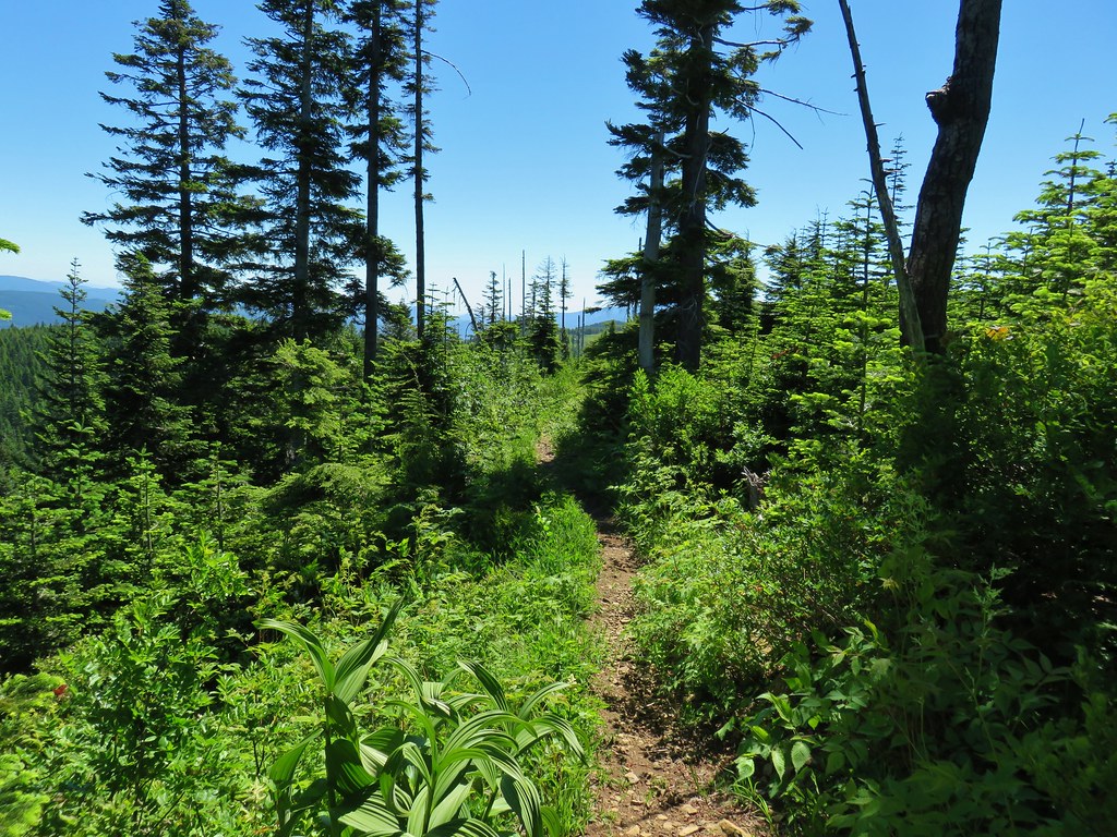
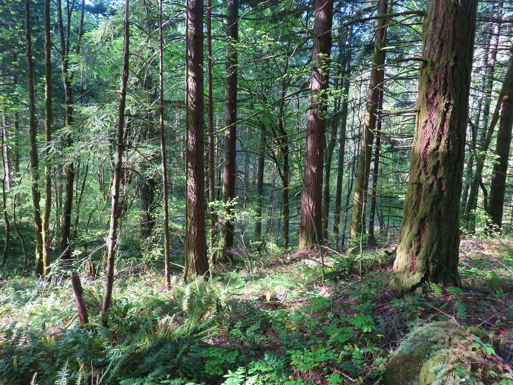
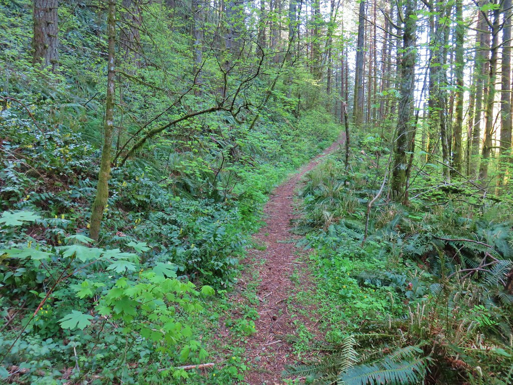
One of the nice things about this trail was the lack of poison oak which we seemed to have finally left behind. The trail climbed through the forest gaining 500′ over the next couple of miles.
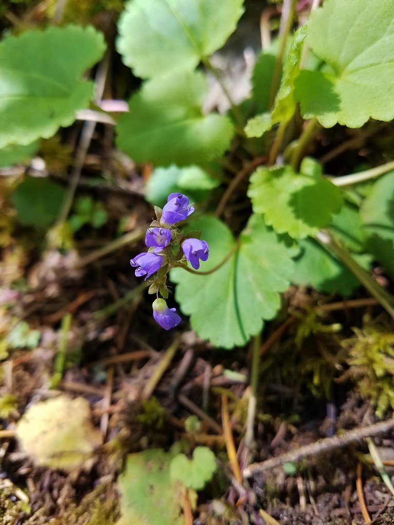
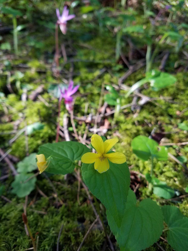 Wood violet
 Fairy slipper
 Trillium
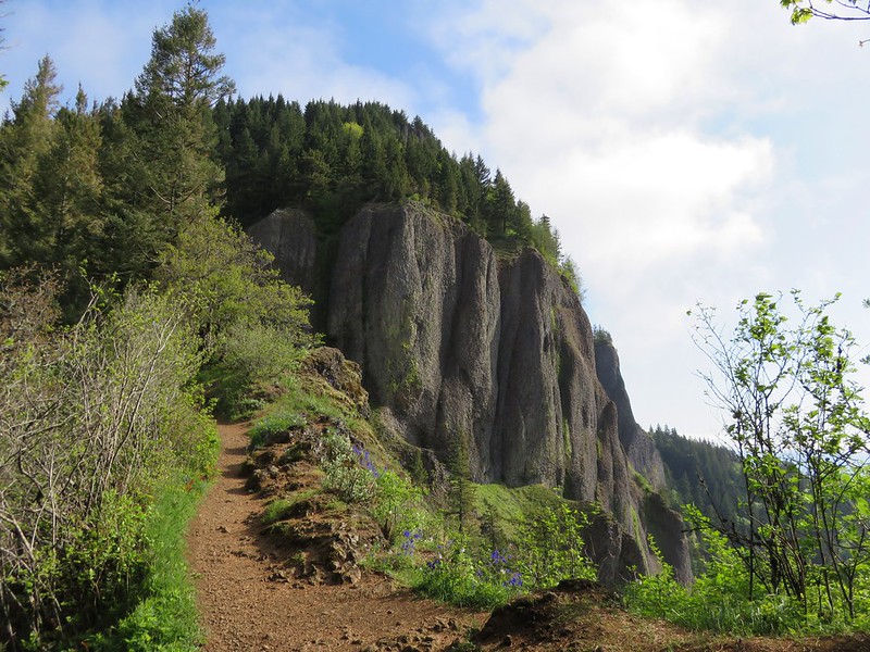
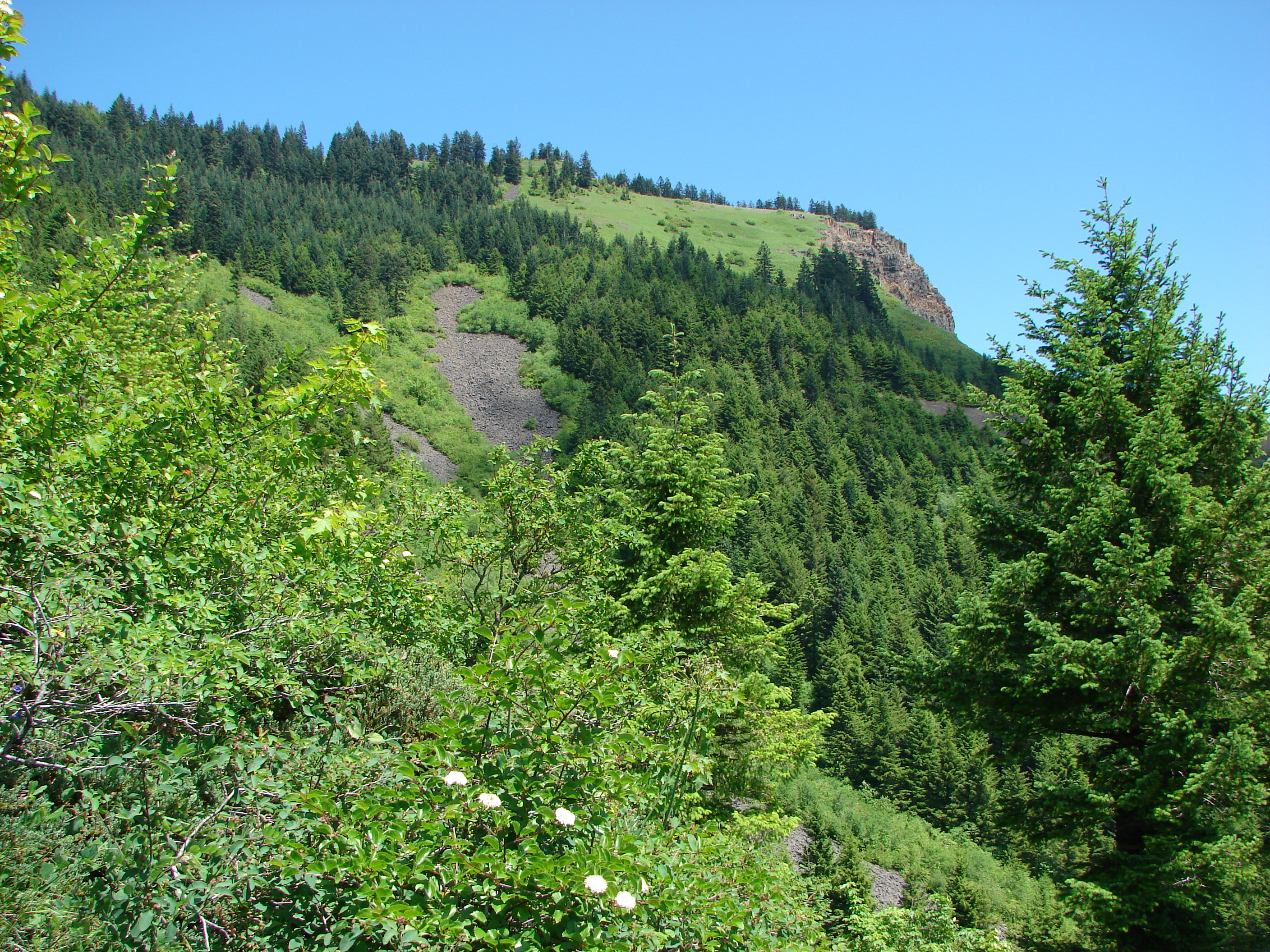
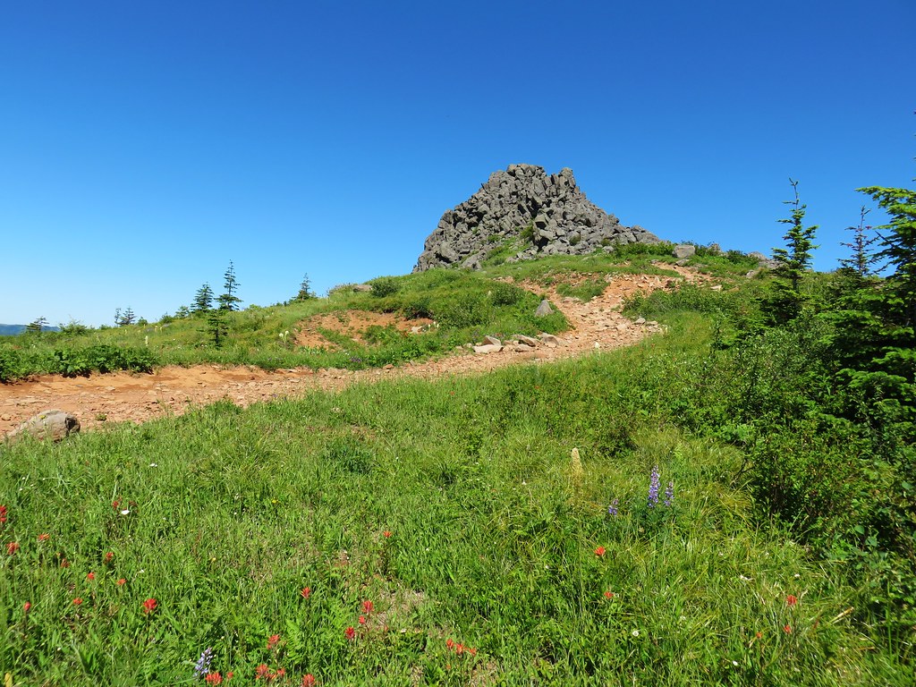
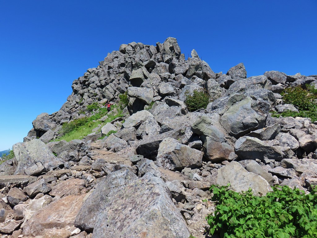
After approximately 2.25 miles the trail emerged from the tress at a massive talus field made up of rocks from Table Mountain.

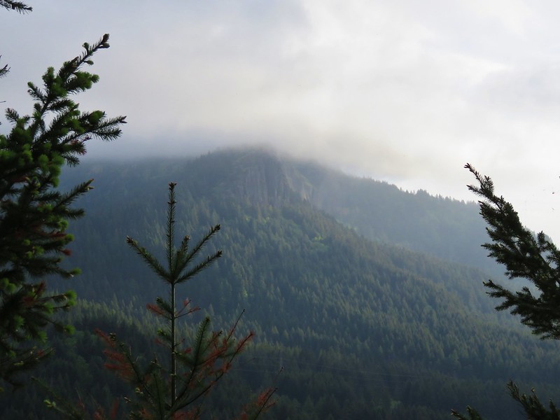
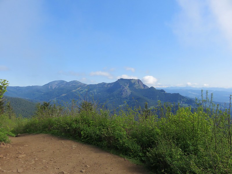
 The Two Chiefs on the left and Table Mountain on the right.
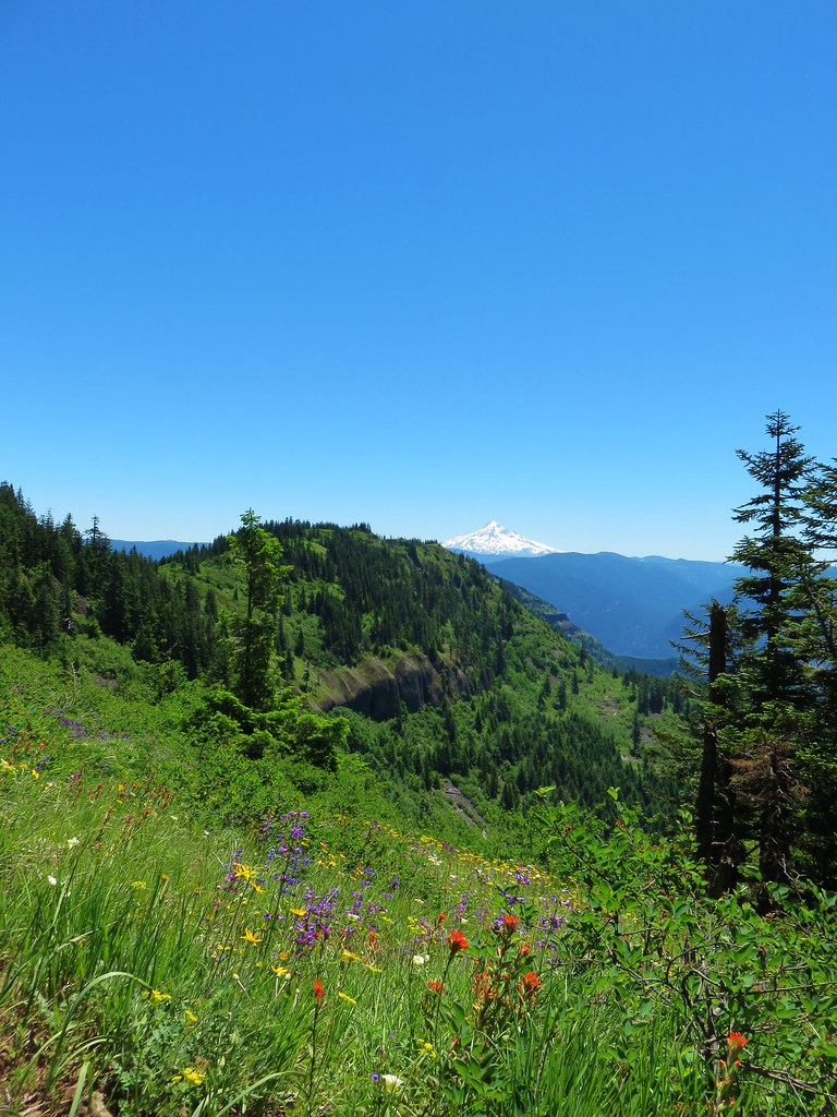
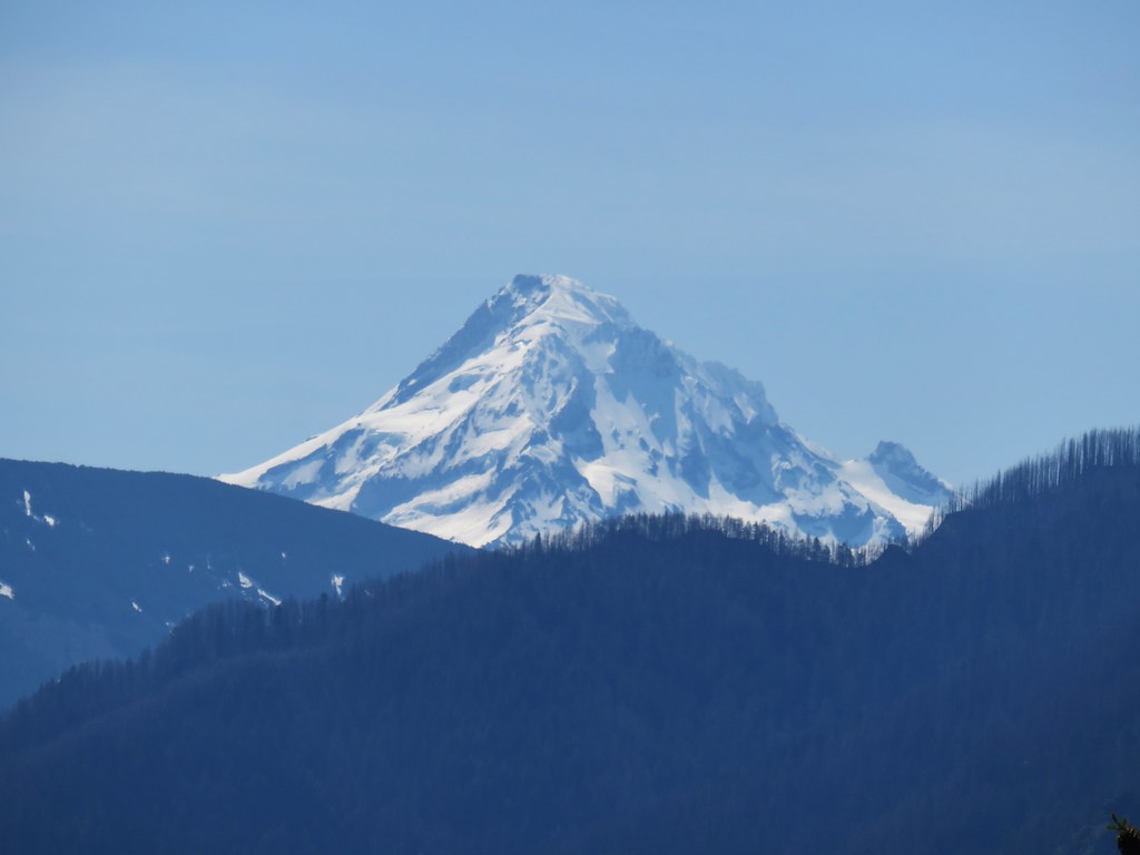
From the open talus area we had another view of Mt. Hood which was a bit better given the higher elevation than our earlier view.
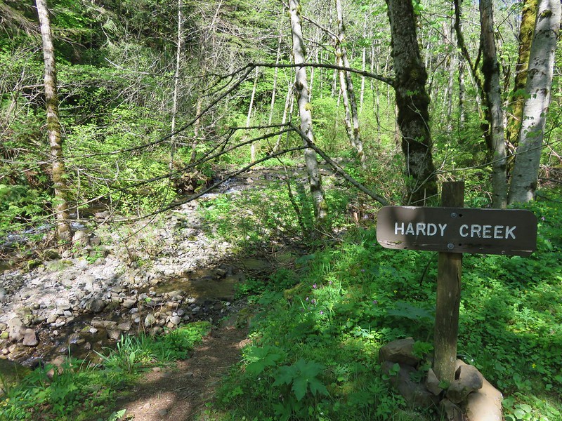
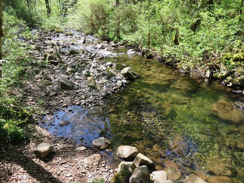
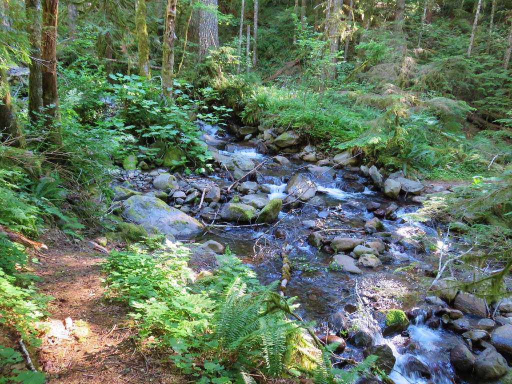
A half mile after entering the talus section we arrived at Greenleaf Creek.
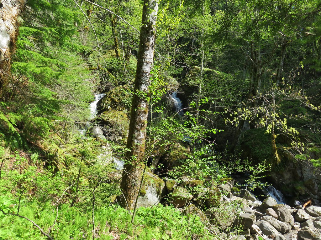
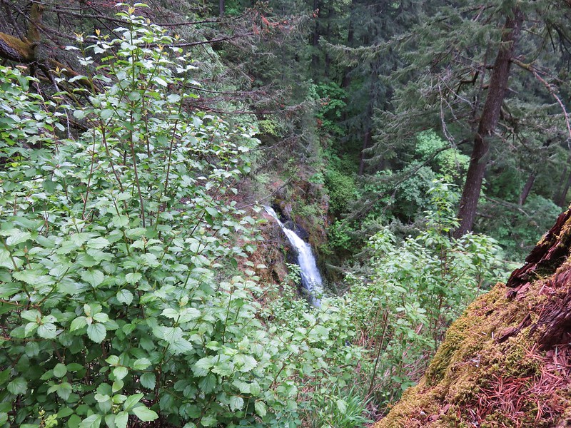
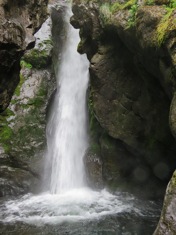
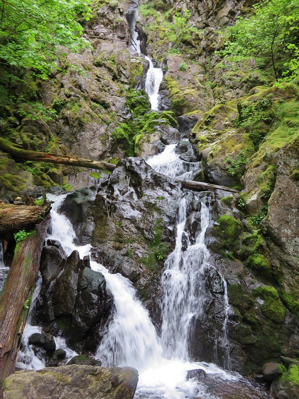
Greenleaf Falls consists of a series of drops, some of which were visible from the trail.

 Left side
 Right side
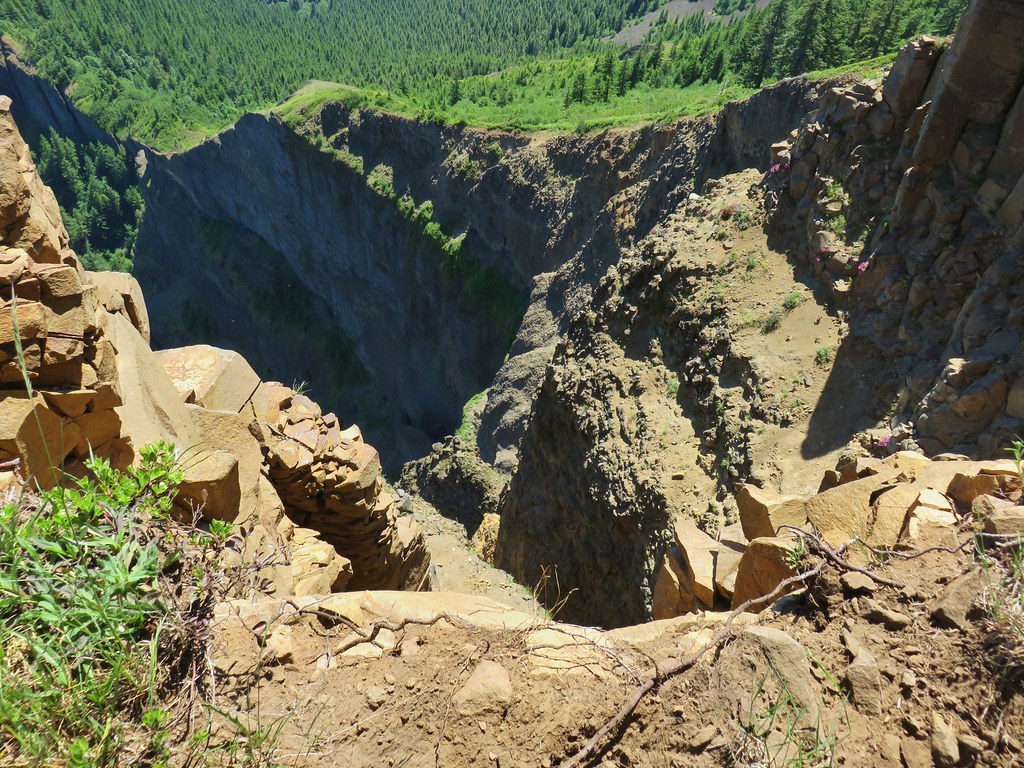
After admiring these lower cascades we decided to go ahead and attempt to reach the upper tiers. I hadn’t seen an actual GPS track or route up to the falls but had seen a 2015 video which showed that this was not going to be easy if it was even still possible. Seasonal rains have caused repeated mud slides and left the steep hillside gouged with channels filled with loose rock.
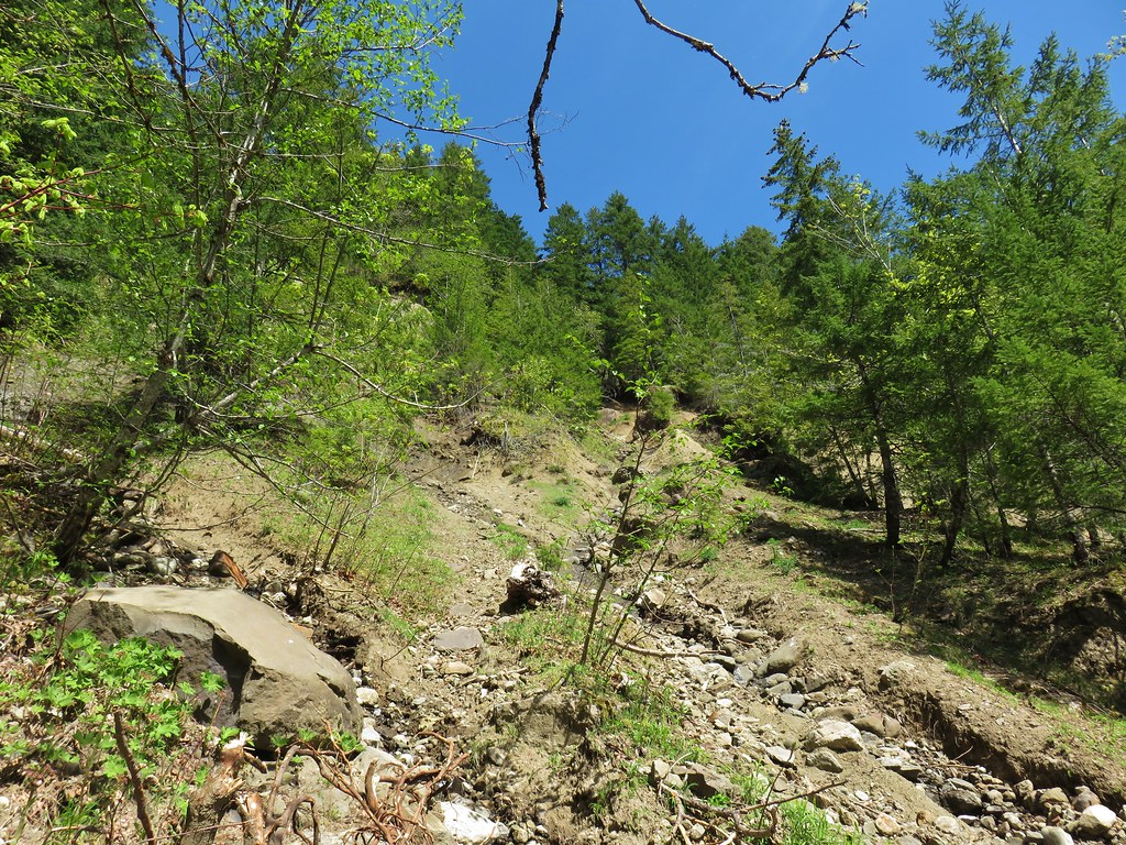
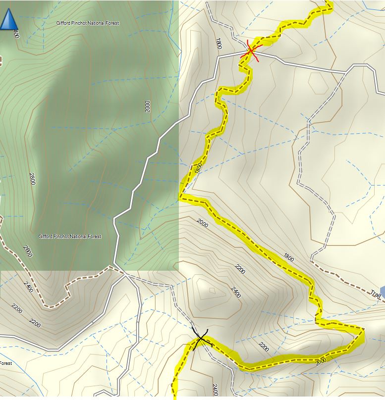
We picked what appeared to be the most reasonable route and started picking our way uphill. We managed to get about two tenths of a mile uphill from the trail before deciding that there was no remotely safe way to even attempt continuing. I had gotten a little higher than Heather having had her stop while I attempted to see if there was any viable route to continue on. From what we can tell from the maps I was just below the upper falls, but it may have well have been 100 miles. We did however get over to a couple of views of other smaller tiers of the falls.
 The highest tier that I was able to see.
 A middle section of Greenleaf Falls
 Cascades along Greenleaf Falls just above the ones visible from the trail.
We’d given it a shot and I probably got a little too far up the hill. I had to use my hands a lot and spent a decent amount of time crawling to get back down to where I had left Heather. Luckily I was able to make it back down. Ironically I wound up falling near the end of our descent on what appeared to be nearly level ground when a rock rolled out from beneath my heal. A scrapped elbow and palm where the only results though.
As we were making our way back down Heather spotted a frog which we named kamikaze frog due to it launching itself downhill and landing upside down in the rocks a couple of times.


We were both concerned about possibly knocking a rock loose which might hit the frog since he was in the same channel as we were and kept hopping down ahead of us. Thankfully we were able to hop out of that channel and go around it before anything bad happened.
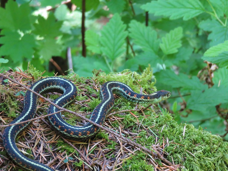
In addition to the frog I had seen a small garter snake while I was searching for a route up and Heather had seen some sort of lizard in the talus slope earlier. As we passed back by the talus we kept our eyes open but didn’t see another lizard or snake.
We did however see a western fence lizard back at Greenleaf Overlook.

The rest of the hike back was fairly uneventful other than having to check for poison oak every time we stepped aside to let other hikers pass. Heather did manage to get a neat picture of a blue copper butterfly in flight while she was taking some photos of flowers.
 Snow queen
 Wild strawberry
 Butterfly landing on leafy pea
We were a little fatigued when we finally made it back to the car. The GPS clocked in at 15.4 miles for the day. That distance combined with the extra work of trying to climb up the steep, loose hillside next to Greenleaf Creek was a lot for a hike this early in our season but it had been a beautiful day. Happy Trails!
Flickr: Greenleaf Creek


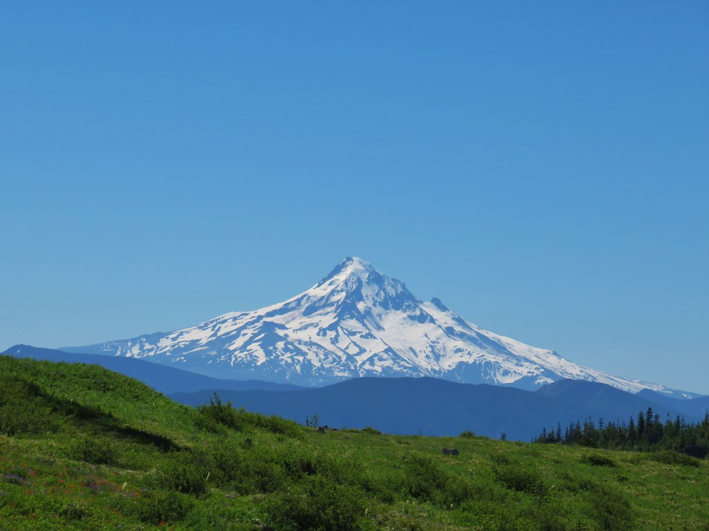 Mt. Hood
 Mt. Jefferson
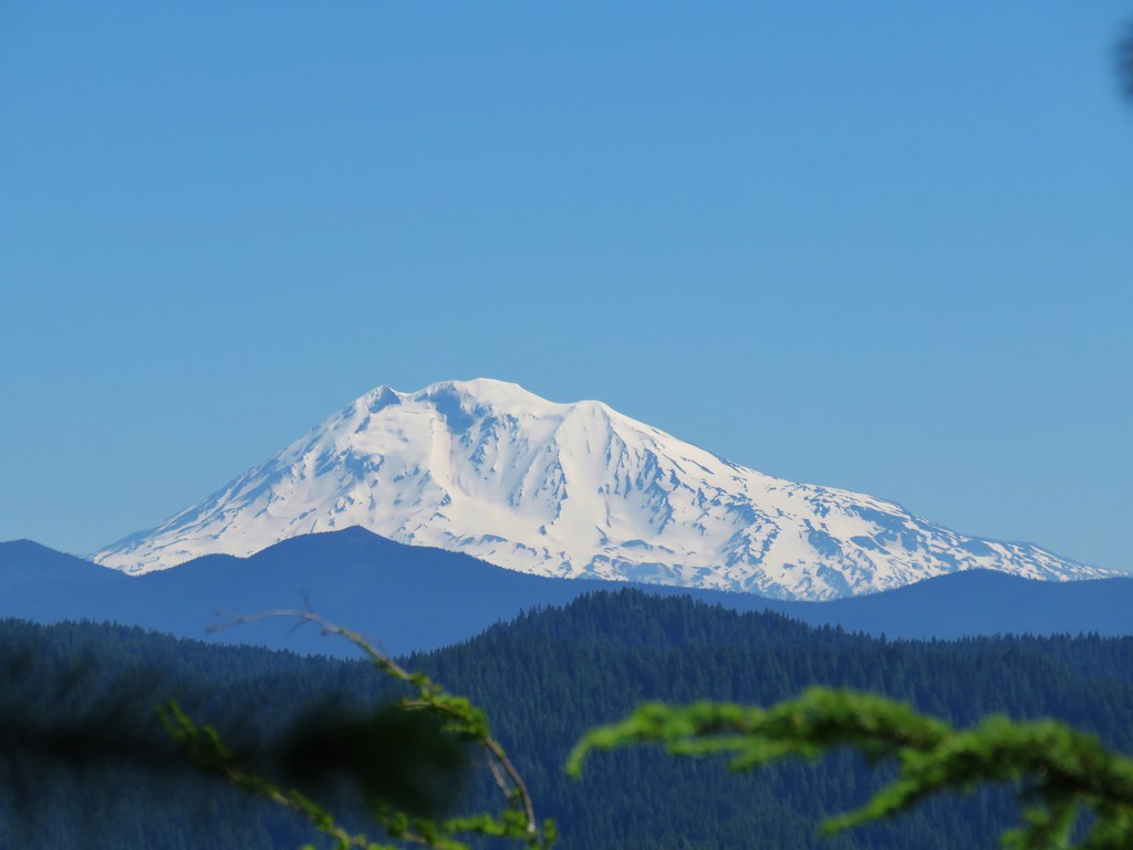
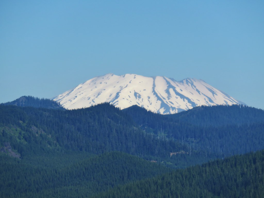 Mt. St. Helens
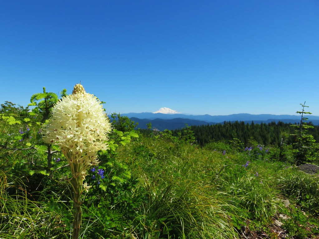
 Mt. Rainier
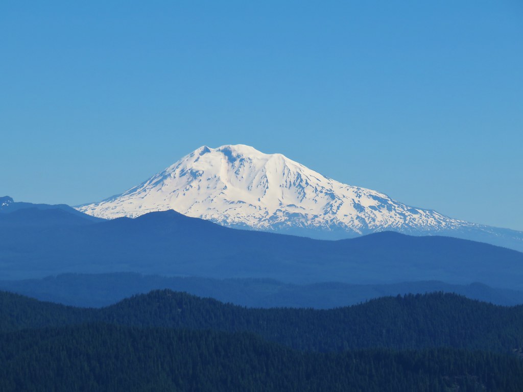 Mt. Adams
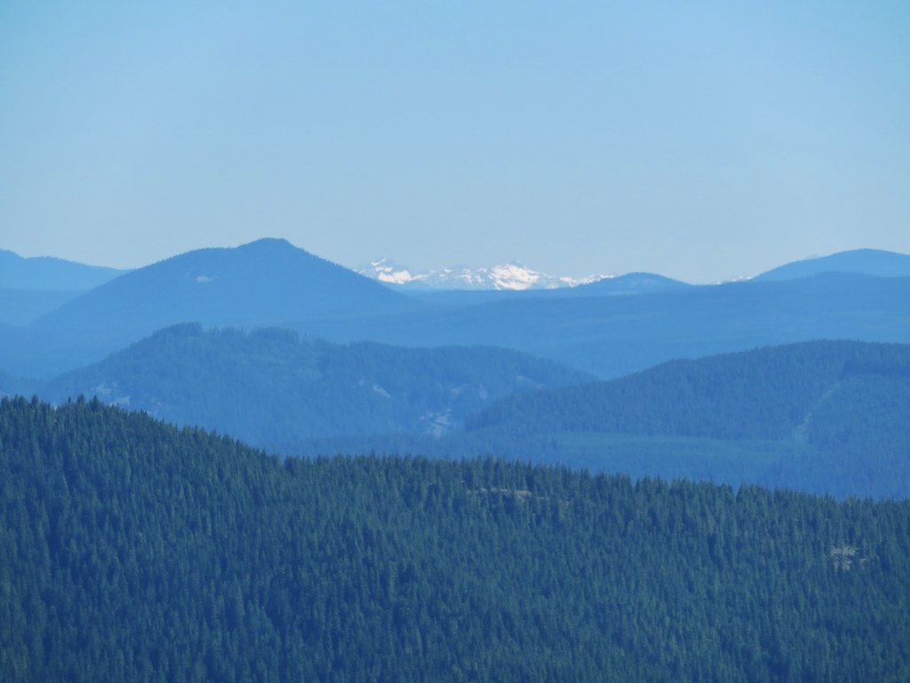 Goat Rocks