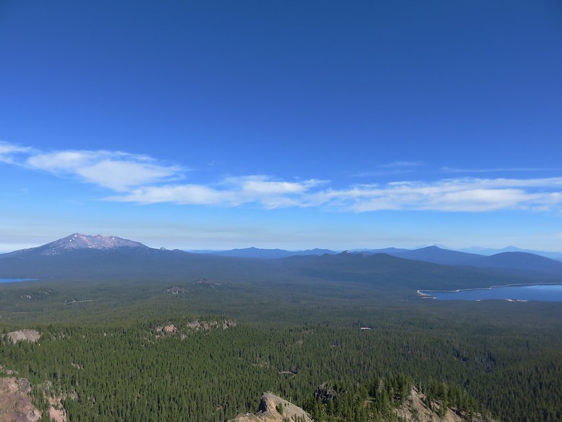
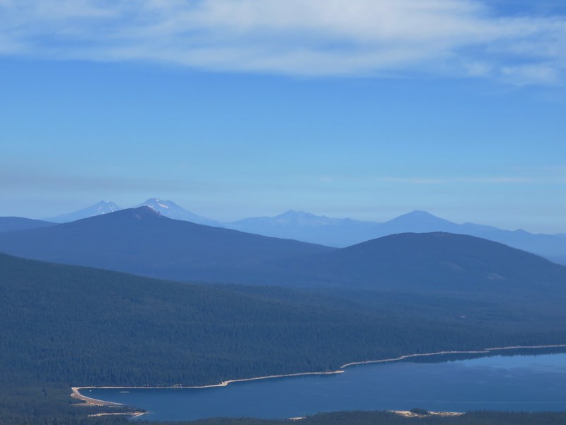
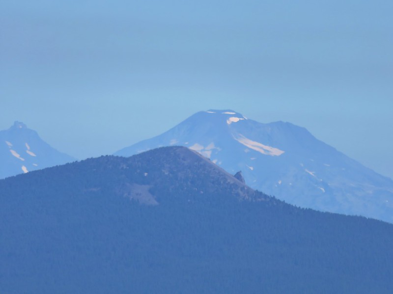
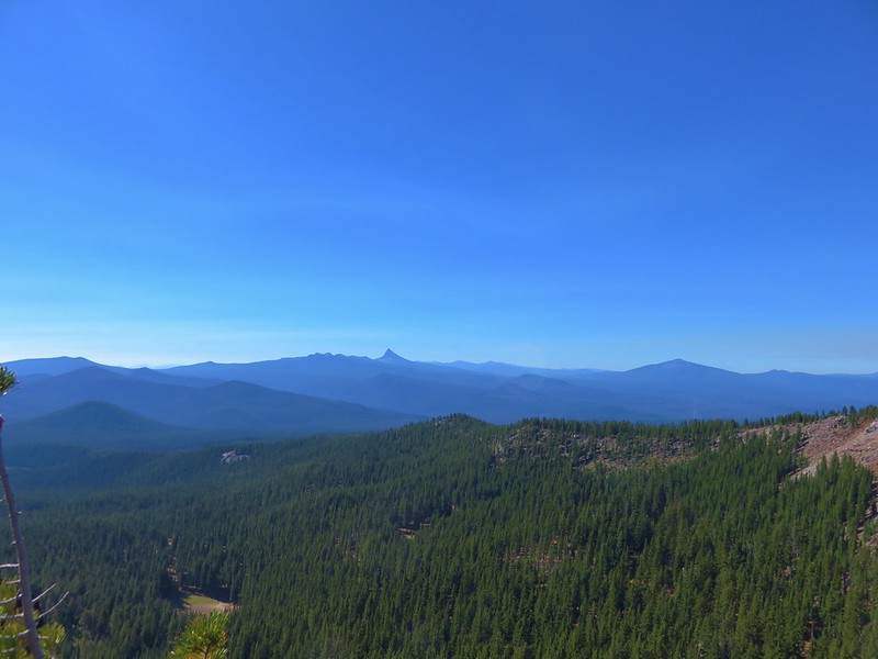
Categories
Year-end wrap up

The Hikes of 2016 – A Look Back

It’s hard to believe that it’s already time to recap our 2016 hiking year, and what a great year for hiking it turned out to be! I spent our off-season (Nov-Apr) putting together a 7 year plan (yes I have an issue) to help us achieve two of the goals we’ve set for ourselves. One is to hike each of the featured hikes in each of William L. Sullivan’s five “100 Hikes/Travel Guide” books and the second is to visit each of Oregon’s 45 designated wilderness areas. (There are 47 but the Oregon Islands and Three Arch Rocks Wilderness Areas are off-limits.) In previous years I had only put together a schedule for the upcoming year, but by looking further ahead I was able to make sure we weren’t going to miss any hikes and they were scheduled at what should be good times to visit. We also now had a handy list of options, laid out by the best times to visit, to pick from if we needed to change plans for any reason. The schedule remains a work in process but as it stands today we will finish visiting all the wilderness areas with Grassy Knob in 2022 and 460 of the 500 featured hikes in Sullivan’s books by the end of 2023. The remaining 40 hikes are too far away for day trips so they are incorporated into vacations that will need to happen further down the road.

The first draft of our 2016 hikes was completed on 12/18/15 and consisted of 57 days worth of hikes totaling 624.4 miles. History had shown that those numbers (and the hikes themselves) would change as the year played out, but it was a solid starting point. That again proved to be the case as 10 of the original hikes were swapped out for others and 4 additional hikes were added, and the total mileage rose by over 150 miles to end at 792.8. We visited 8 wilderness areas for the first time knocking 7 more off the Oregon list. They were the Oregon Badlands, Kalmiopsis, Menagerie, Eagle Cap, Mountain Lakes, Sky Lakes, and Lower White River Wildernesses in Oregon and the Marble Mountain Wilderness in California. In addition to the new areas we hiked in the Mt. Hood, Mt. Jefferson, Three Sisters, Mt. Washington, and Mark O. Hatfield Wildernesses as well as the the John Day Fossil Beds National Monument and the Mt. St. Helens Volcanic National Monument.

Our travels took us on hikes further to the west (Cape Sebastian State Park), east (West Fork Wallowa Trail – Eagle Cap Wilderness), and south (Cliff Lake – Marble Mountain Wilderness) than ever before. Our trips to the Marble Mountain and Eagle Cap Wilderness areas were our first 5 day/4 night backpacking trips which proved to be just about the limit on how long we can stay out given our current gear.

The weather was exceptional for nearly all of our hikes. Early winter storms left a more normal snow pack which helped make 2016 a pretty good wildflower year and we only ran into two weather related issues. The first was a slight chance of rain for our vacation week in May during which we’d planned on visiting the desert in SE Oregon. Any precipitation in that area would have made it impossible to reach our planned trailheads so we put that vacation off and headed to the Southern Oregon Coast instead which wound up being a great plan B. The second was a July hike on Scar Ridge in the Old Cascades which was swapped for Fifteenmile Creek on the east side of the Mt. Hood National Forest due to probable thunderstorms.

Although the weather conditions were almost always great the same couldn’t be said for the condition of a few of the trails. During our May vacation we encountered a host of ticks along the Illinois River Trail. Later in the year it was blowdown that proved to be the biggest obstacle. In the Sky Lakes Wilderness a section of the Badger Lake Trail to the Pacific Crest Trail was a mess.
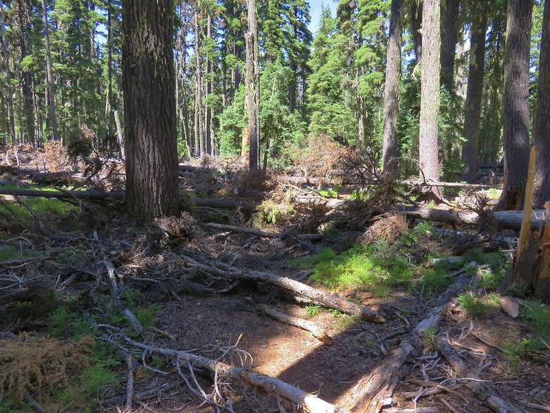
Blowdown over the Badger Lake Trail

This was also the case along much of the Bowerman Lake Trail in the Mt. Jefferson Wilderness.
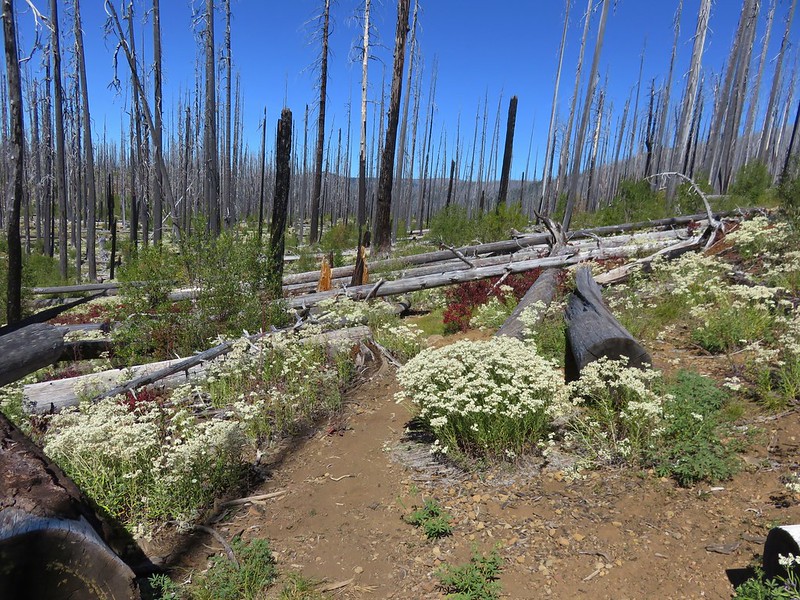
Bowerman Lake Trail

As well as the Hand Lake Trail in the Mt. Washington Wilderness.
More blowdown over the Hand Lake Trail

The one consistent regardless of the location, weather, or trail conditions was the beauty and diversity that makes the Pacific Northwest so special. From west to east starting with the Oregon Coast:
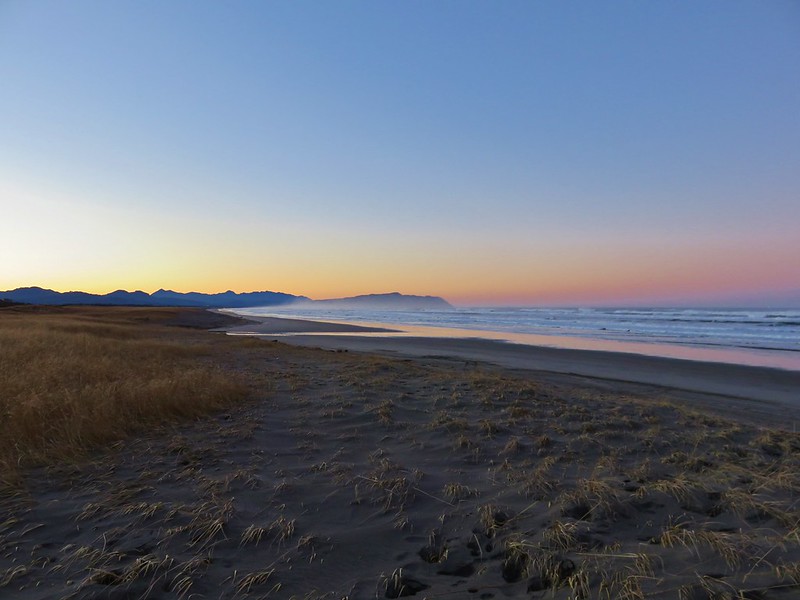
Tillamook Head to the South of the Fort-To-Sea Trail
Tillamook Head from the Fort-to-Sea Trail
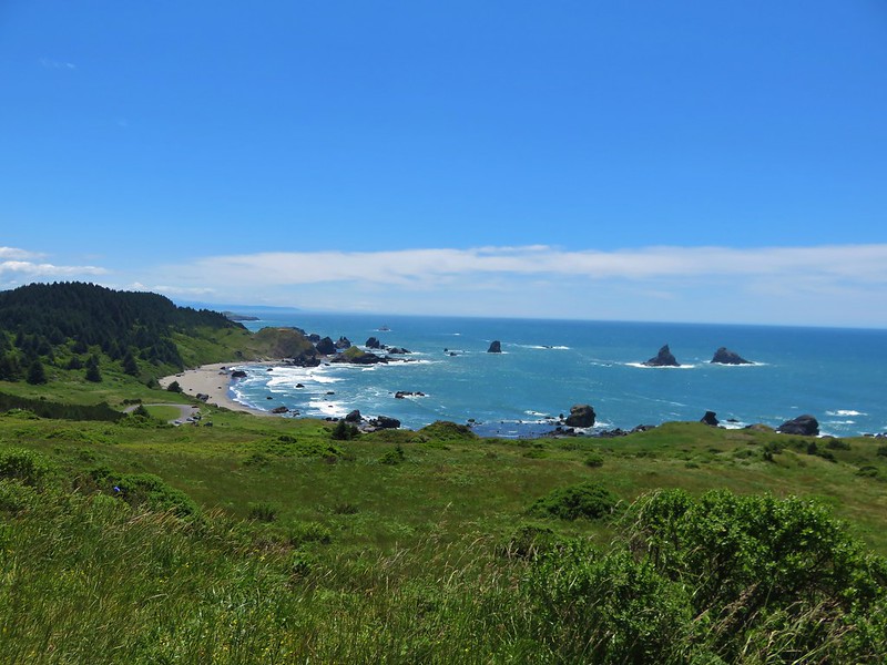
Lone Ranch Beach from Cape Ferrelo
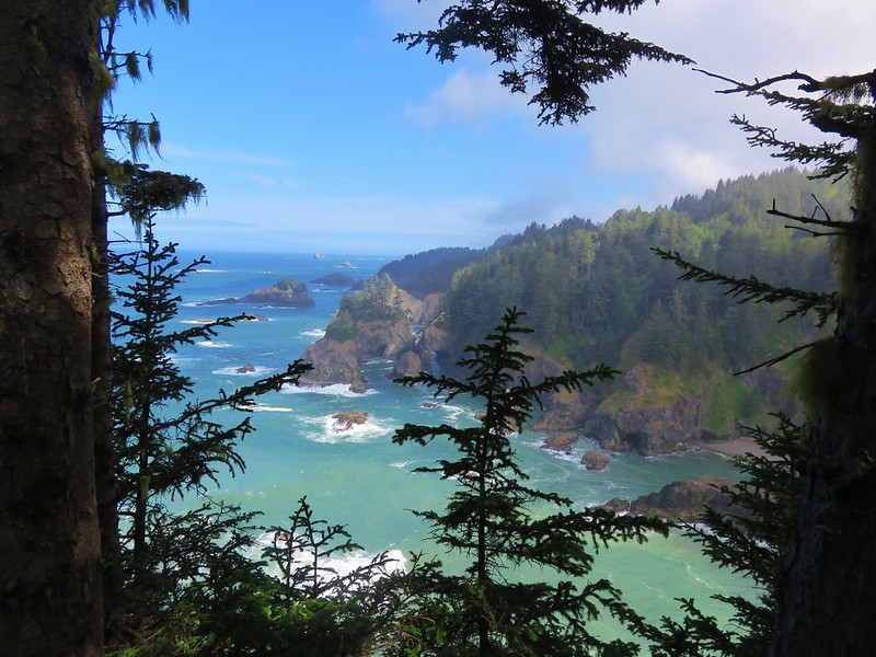

View from the Oregon Coast Trail near Secret Beach
View from the Oregon Coast Trail in Samuel H. Boardman State Park

Past the Klamath Mountains in Southern Oregon and Northern California:
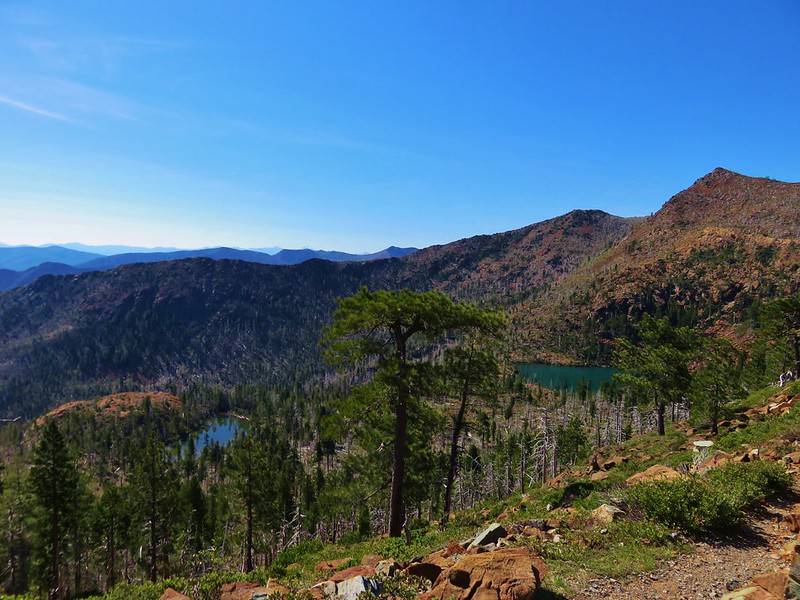
Little Vulcan and Vulcan Lake below Vulcan Peak
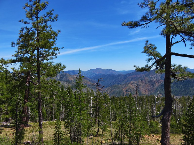

Kalmiopsis Wilderness
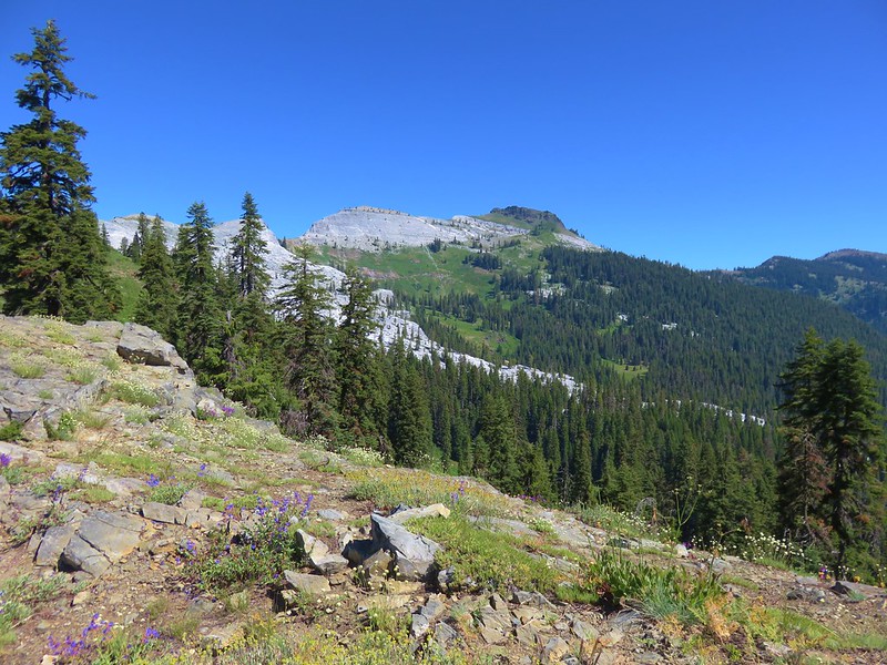

Black Marble Mountain
Marble Mountain Wilderness

and the Coast Range to the north:
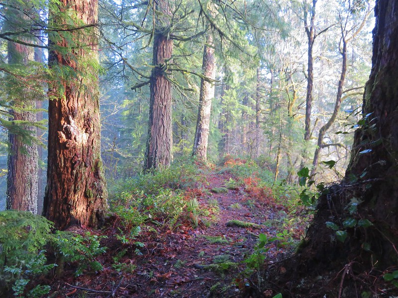
Old Growth Ridge Trail
Old Growth Ridge Trail in the Siuslaw National Forest
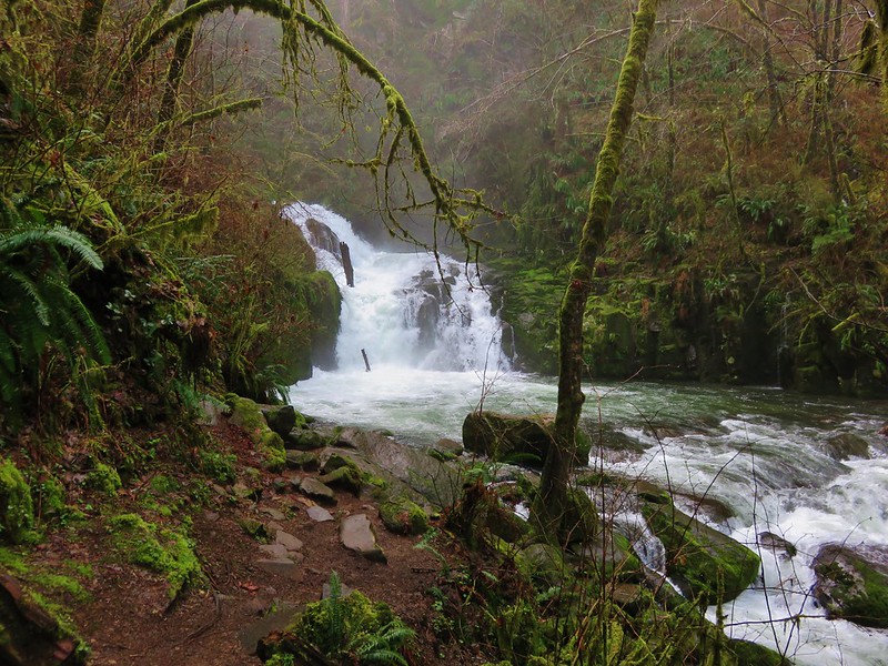
Sweet Creek Falls
Sweet Creek Falls

across the Willamette Valley:Trail in Minto-Brown Island Park
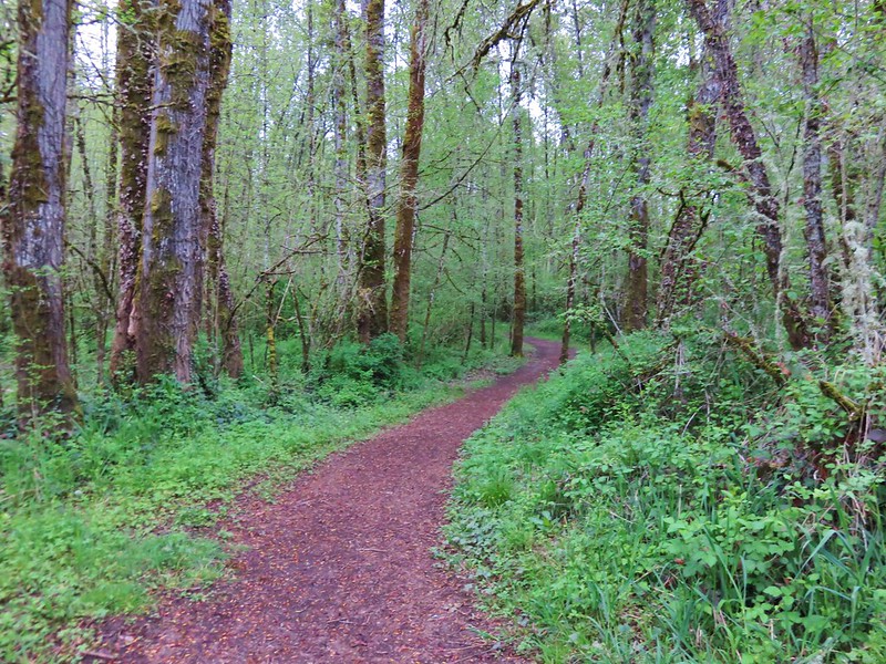
Minto-Brown Island Park

Bald Hill
Bald Hill

into the Old Cascade Mountains:
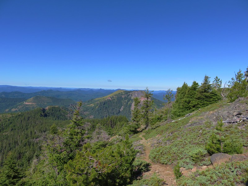
Coffin Mountain
Coffin Mountain from Bachelor Mountain
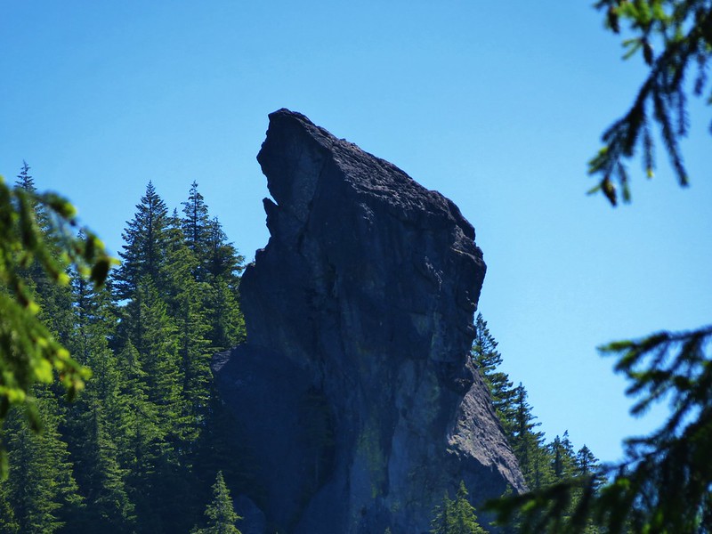
Rooster Rock
Rooster Rock in the Menagerie Wilderness

over the Cascade Mountains:
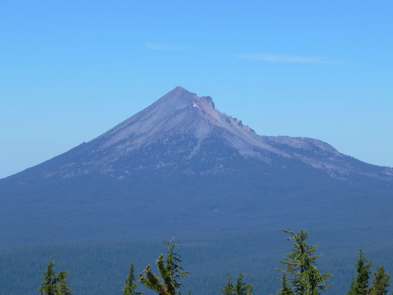
Mt. McLoughlin
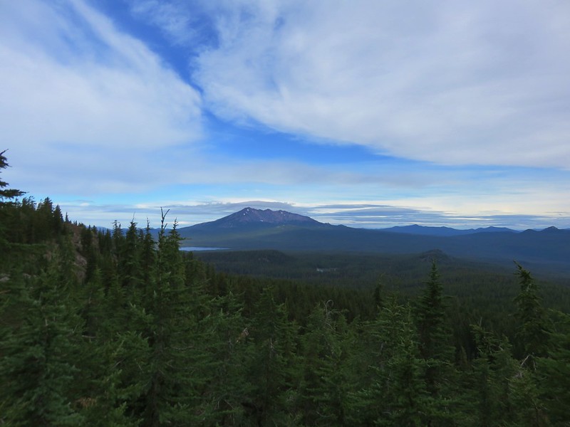
Mt. McLoughlin

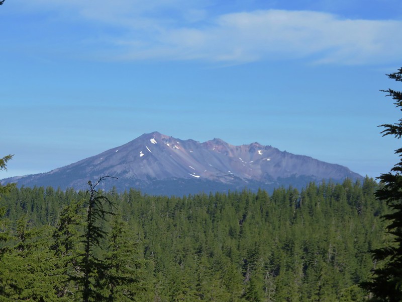
Diamond Peak from the Pacific Crest Trail
Diamond Peak

The Three Sisters from a meaow along the Rebel Rock Trail
The Three Sisters

Mt. Washington
Mt. Washington

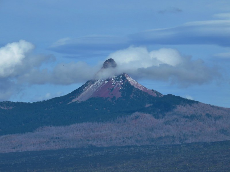
Three Fingered Jack beyond the Eight Lakes Basin
Three Fingered Jack

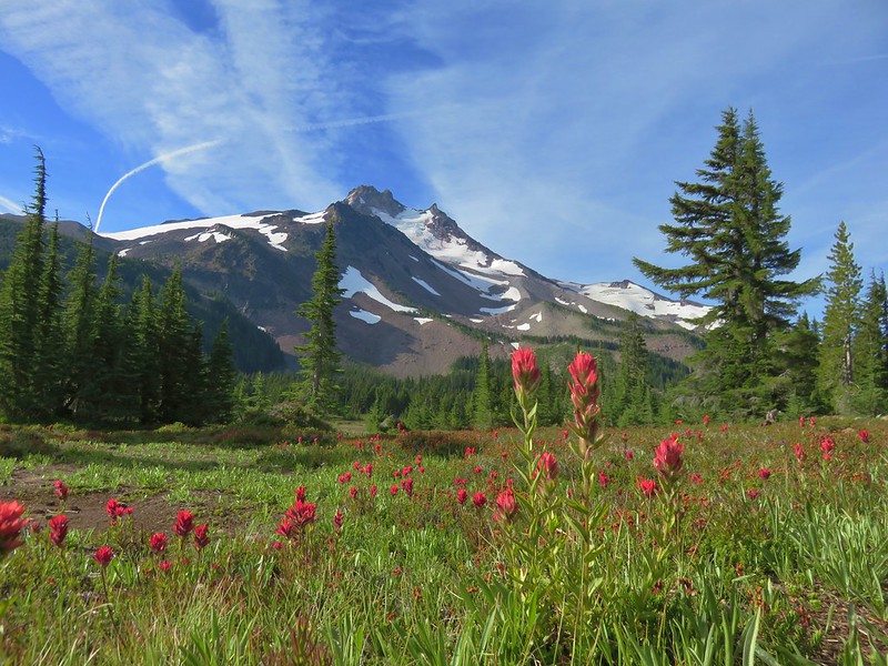
Mt. Jefferson from Jefferson Park
Mt. Jefferson

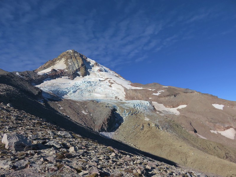
Mt. Hood and the Eliot Glacier
Mt. Hood

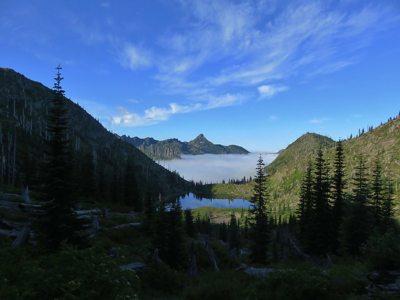
Coldwater Peak and Snow Lake
Coldwater Peak and Snow Lake – Mt. Margaret Backcountry, Mt. St. Helens Volcanic National Monument

into the High Desert of Central Oregon:
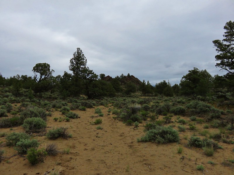
Badlands Rock
Badlands Rock – Oregon Badlands Wilderness
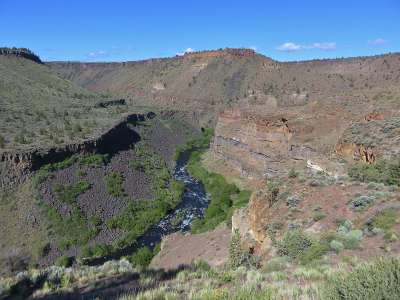
Deschutes River
Deschutes River

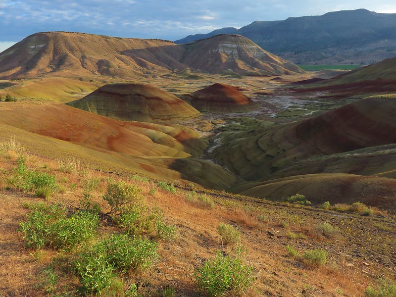
Painted HIlls
Painted Hills – John Day Fossil Beds National Monument

NE to the Wallowa Mountains:
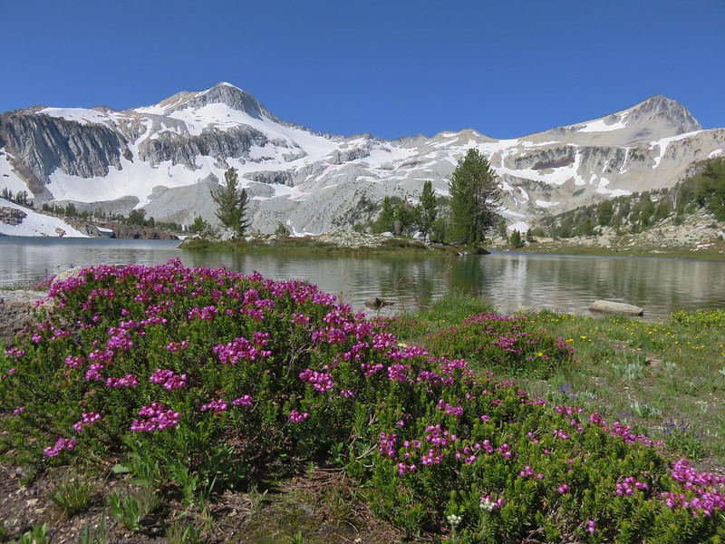
Ice Lake
Ice Lake and the Matterhorn

Glacier Lake
Glacier Peak and Eagle Cap from Glacier Lake
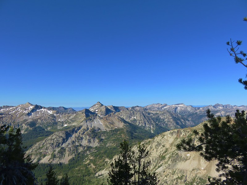
Eagle Cap Wilderness

Here is a look at the locations of our hikes. The hiker symbols are the trailheads and the yellow house icon denotes the approximate location of our campsites.
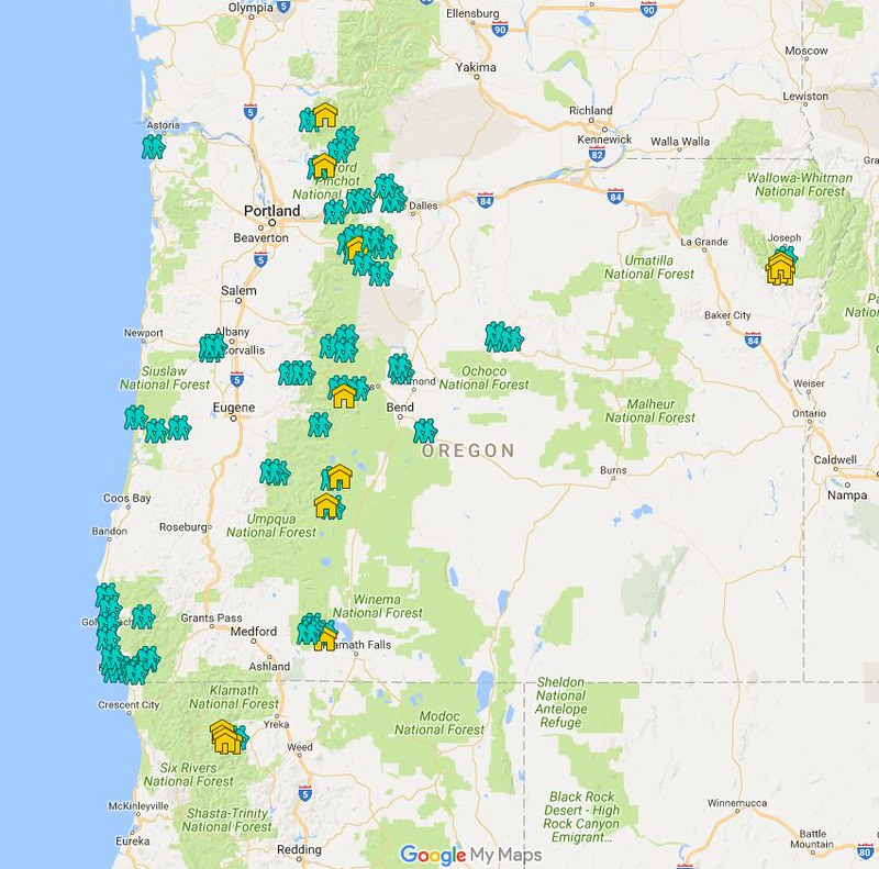
2016 Hikes
An interactive version can been accessed here and includes all of our previous hikes.

In addition to the spectacular views the areas provided a wonderful variety of wildlife and vegetation.

Elk
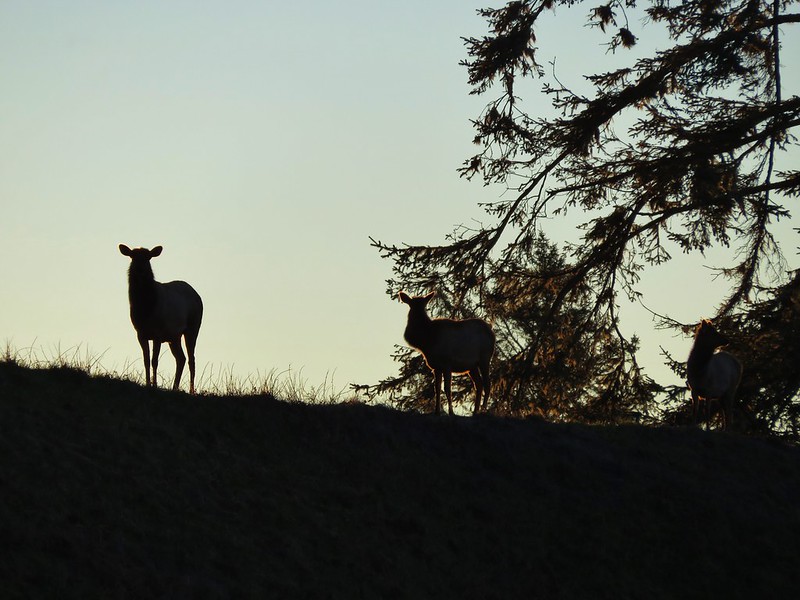
Elk

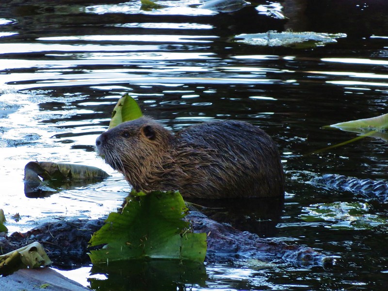
Nutria
Nutria

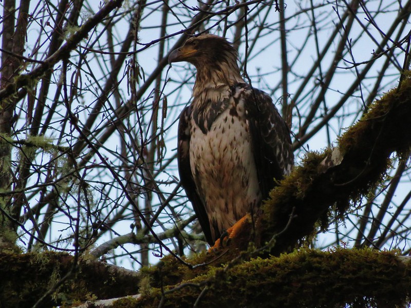
Bald eagle
Bald Eagle

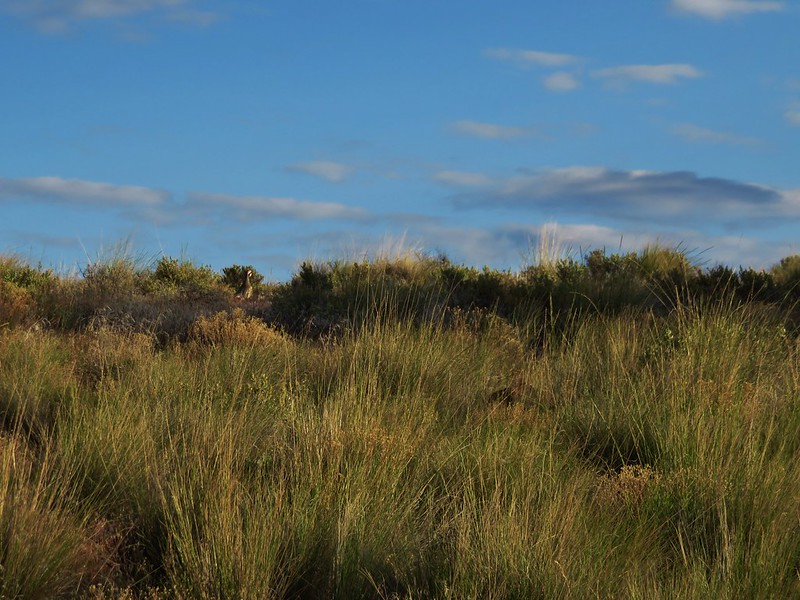
Chukars
Chukar

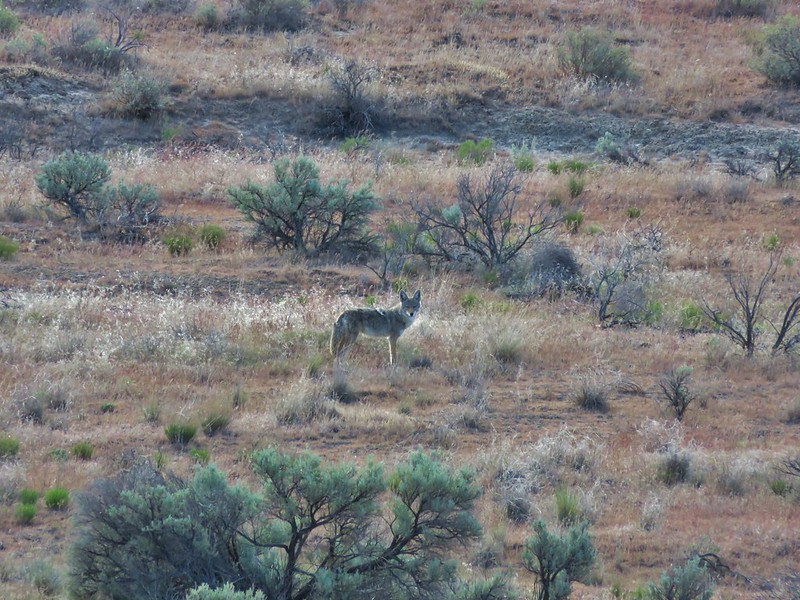
Coyote
Coyote

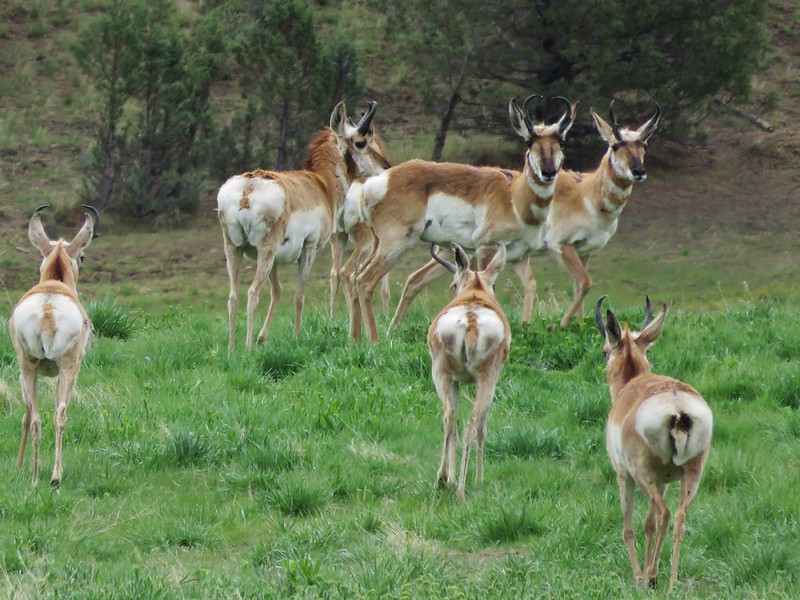
Pronghorn
Pronghorn

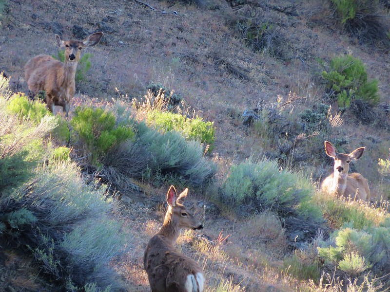
Deer
Deer

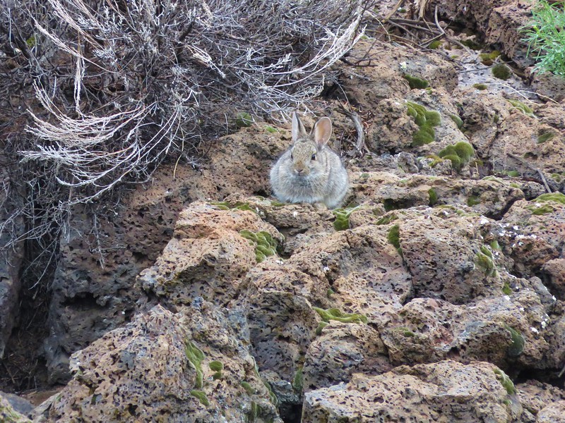
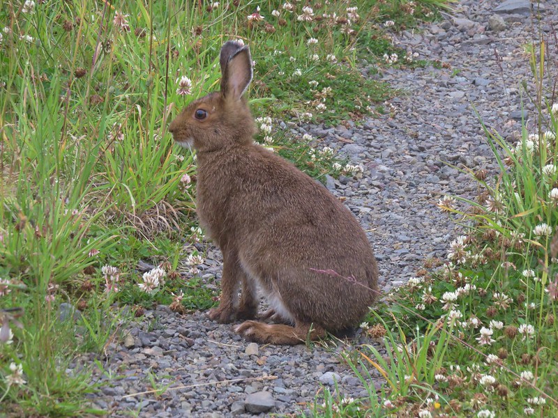
Rabbits
Rabbit

Snowshoe hare

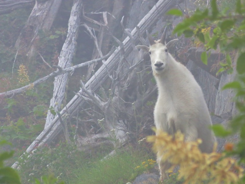
Mountain Goats
Mountain goat along the Lakes Trail

Mountain goat along the Boundary Trail

Bear
Black bear in a wildflower meadow

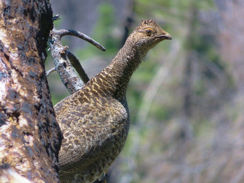
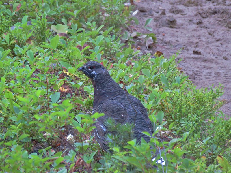
Grouse
Sooty grouse

Sooty Grouse

Grouse

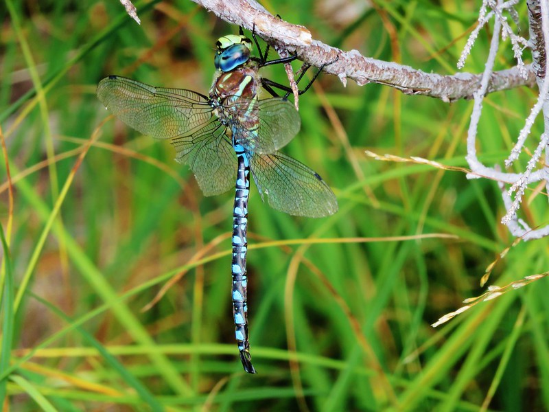
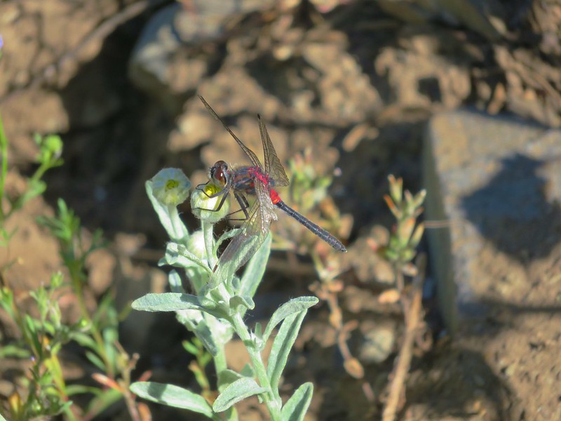
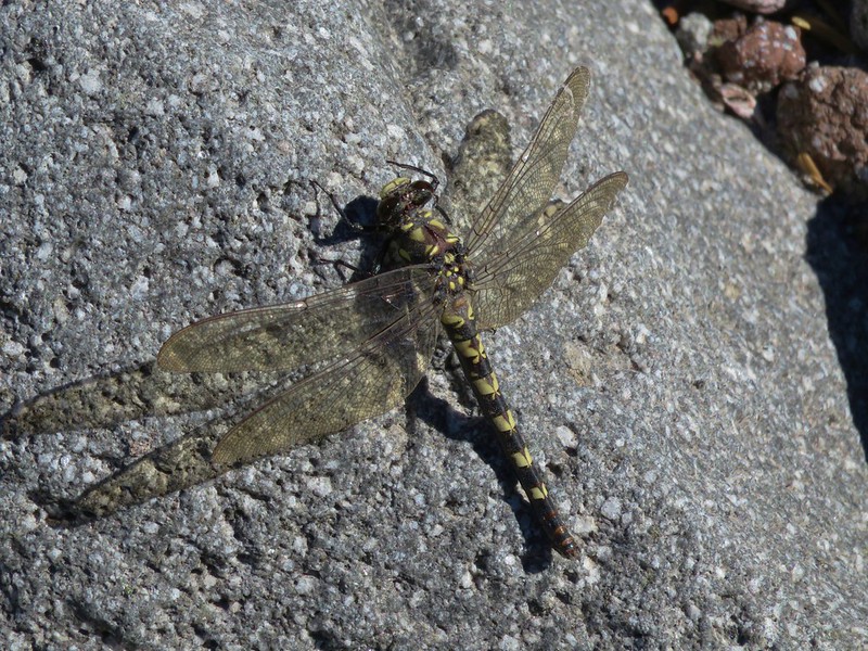
Dragonflies
Dragonfly

Dragon Fly

Dragon fly

We encountered a number of flowers for the first time this year.
Sea fig
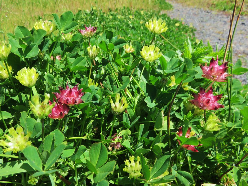
Sea fig

Cows clover
Cows clover

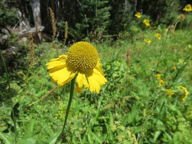
Bigelow's sneezeweed
Bigelow’s Sneezeweed

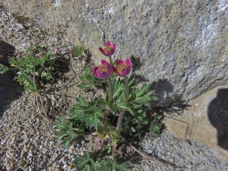
Cut-leaf anemone
Cut-leaf anemone

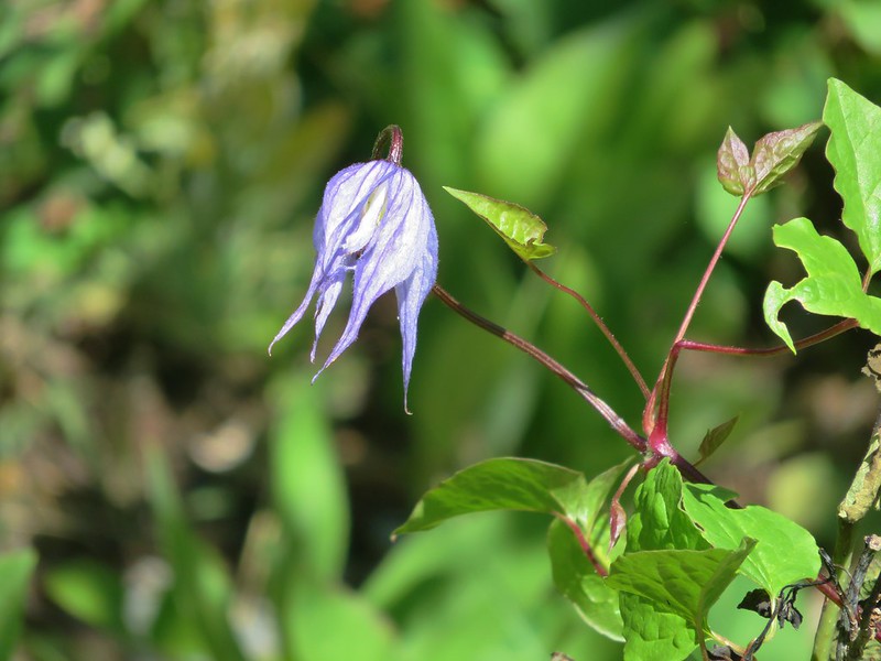
Western blue clematis
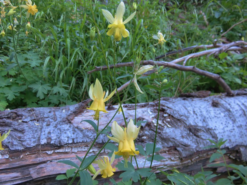

Yellow Columbine
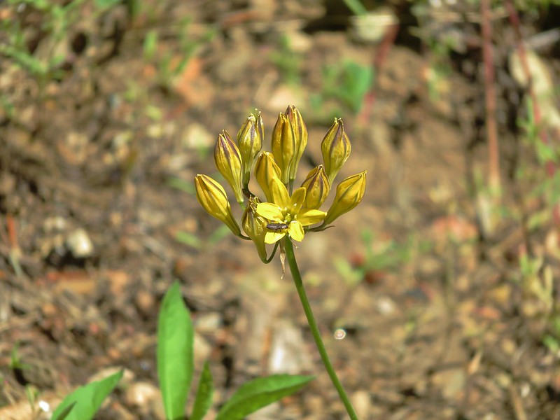
Yellow Columbine

Pretty Face
Pretty Face

Farewell-to-Spring
Farewell-to-Spring

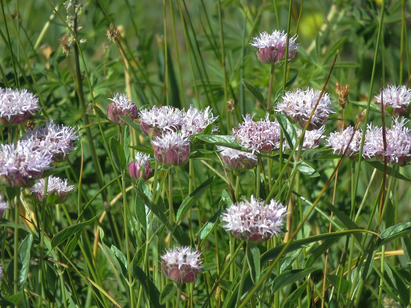
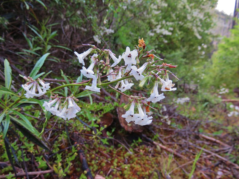
Mountain coyote mint
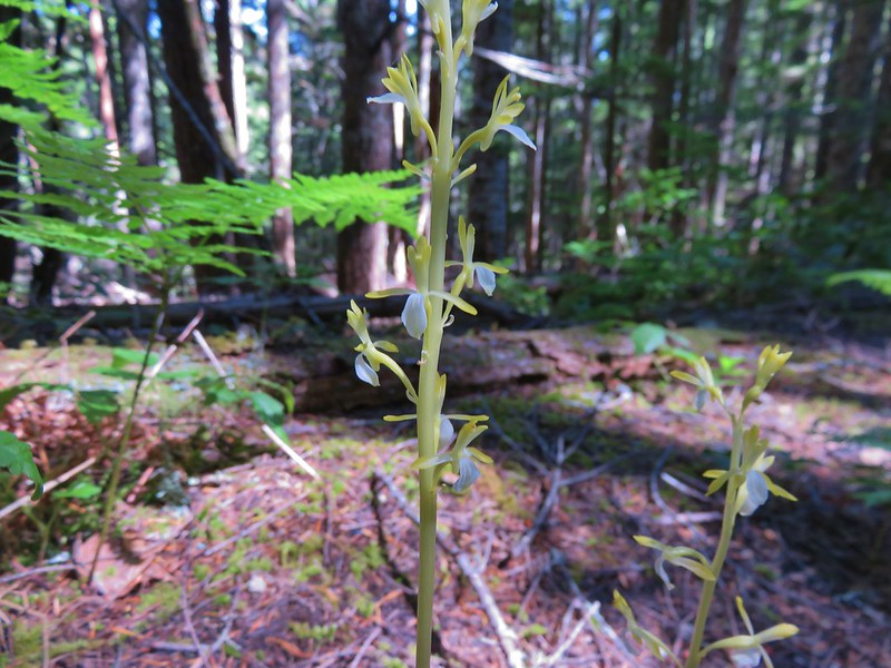

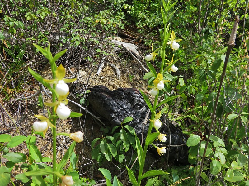
Yellow coralroot
Yellow coralroot

Sea fig
Sea fig

California Lady Slippers

California Yerba Santa
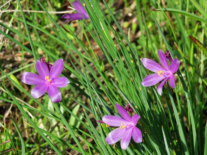

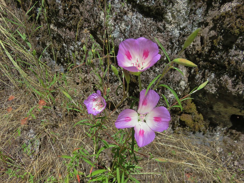
Grass widows
Grass widows

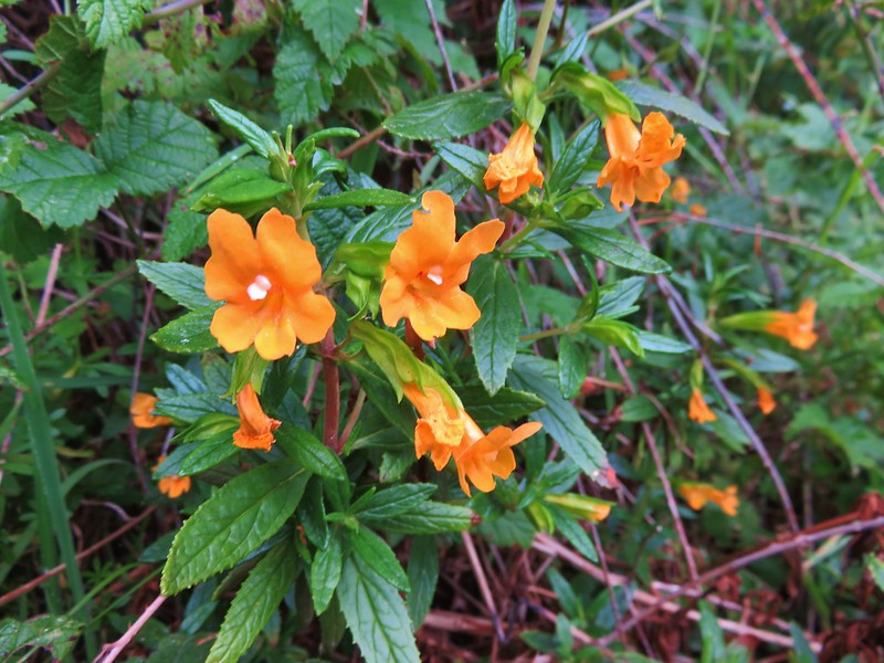
sticky monkey-flower

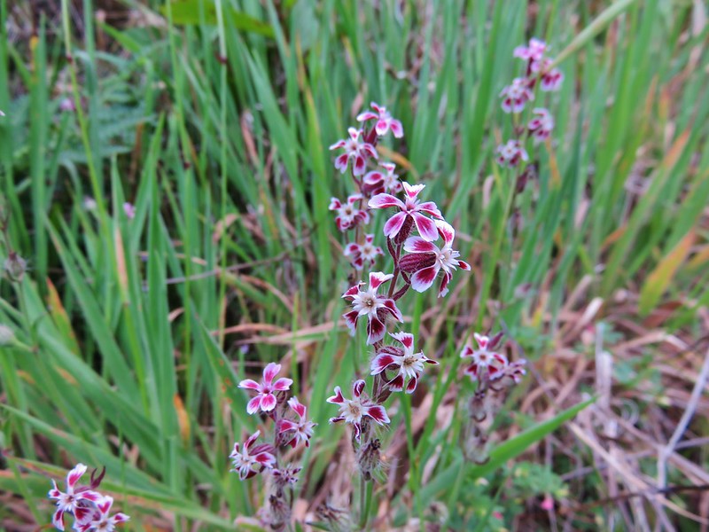
Catchfly
Some sort of catchfly

Sea thrift
Sea thrift

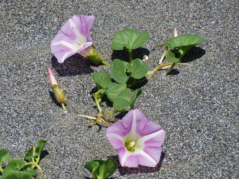
beach morning-glory
beach morning-glory

Yellow sand-verbena
Yellow sand-verbena

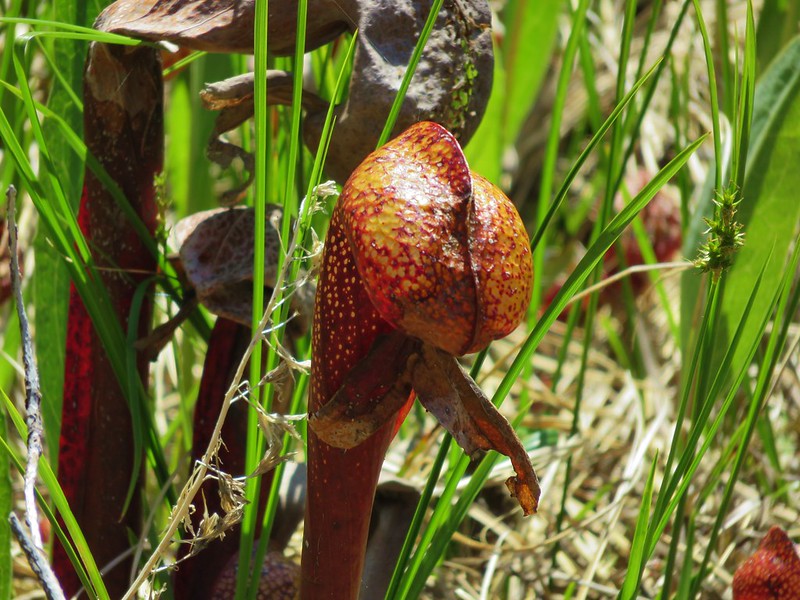
California pitcher plant (Darlingtonia californica)
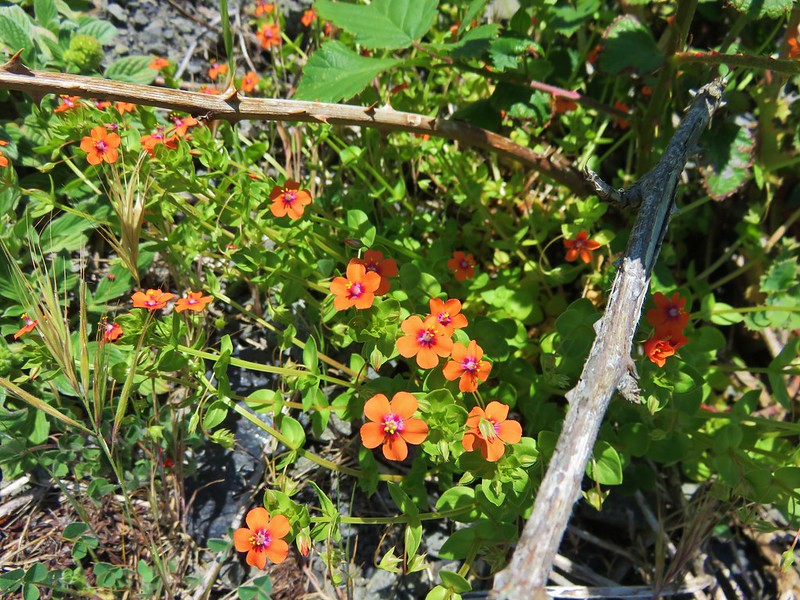

Scarlet pimpernel
Scarlet pimpernel

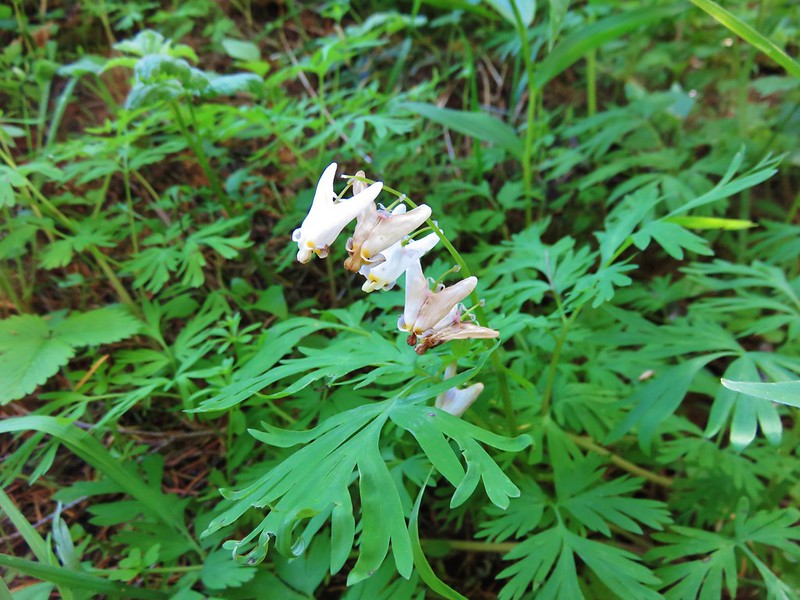
Dutchman's breech
Dutchman’s breech

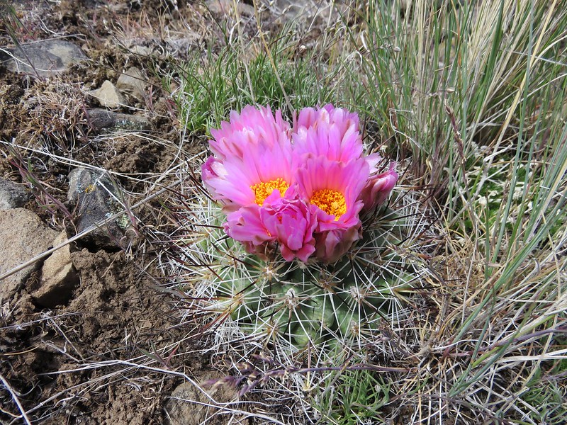
Hedgehog cactus
Hedgehog cactus

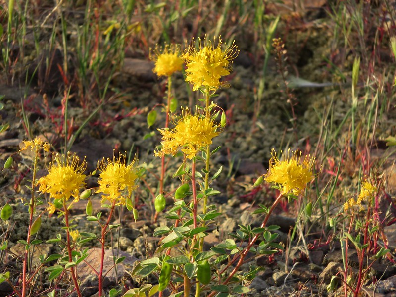
Golden Bee Plant
Golden Bee Plant

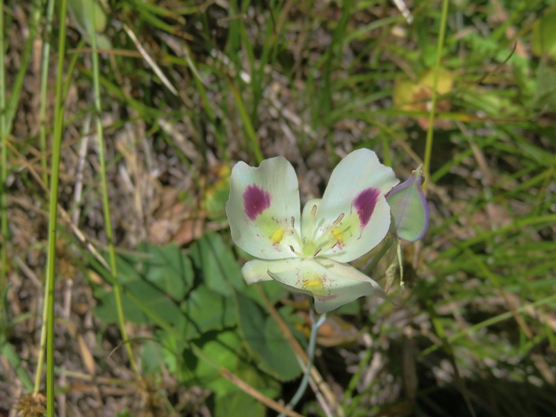
White mariposa lily
White mariposa lily

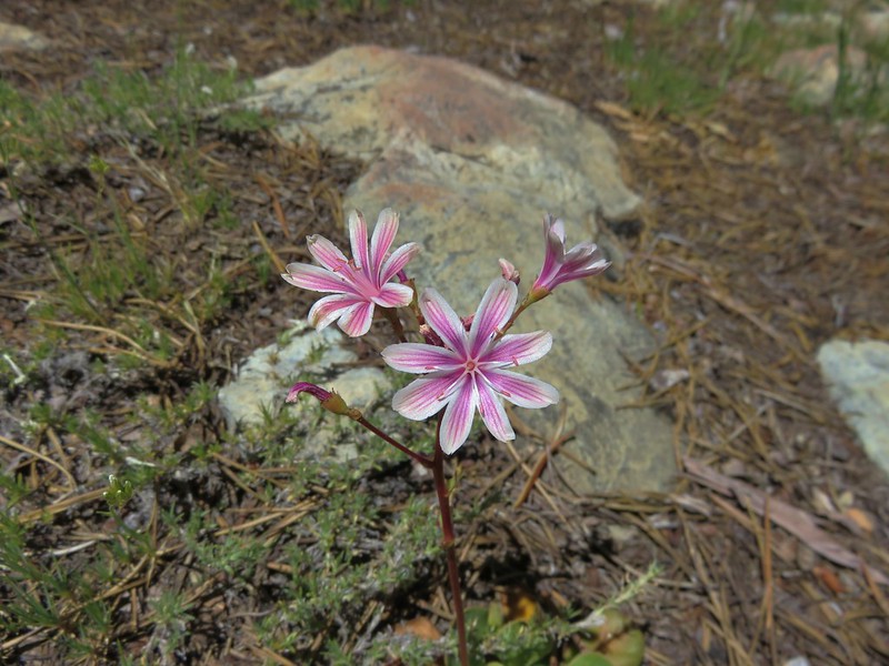
Siskiyou lewisia
Siskiyou lewisia

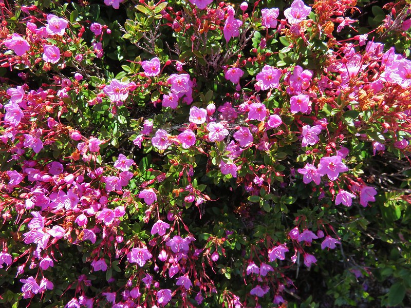
kalmiopsis leachiana
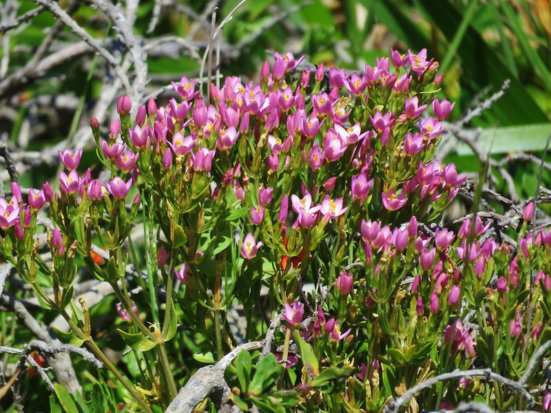

Muhlenberg's centaury
Muhlenberg’s centaury

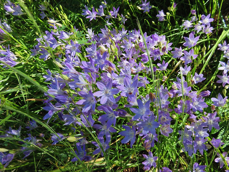
Bridges' brodiaea
Bridge’s brodiaea

There were just too many sights to fit into a year end wrap up so to see a sample from each of our hikes this album contains a few photos from each hike which attempt to show the beauty of each trail. There are a lot of photos (793 – One for each mile hiked) but then again there is a lot of beauty in God’s creation.

Happy Trails in 2017 and beyond!
Categories
Diamond Peak Area High Cascades Hiking Oregon Trip report

Cowhorn Mountain and Indigo Lake

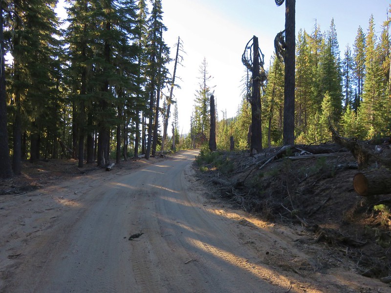
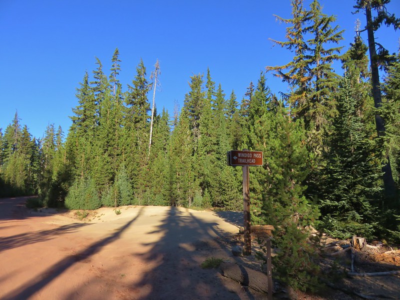
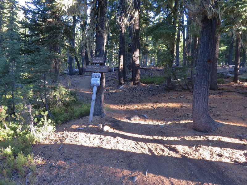
For our final multi-night backpacking trip this year we planned on hiking up a pair of lesser known Cascade peaks located between the Diamond Peak and Mt. Thielsen Wilderness Areas. At the center of our plans was 7669′ Cowhorn Mountain which we would ultimately make a loop around. Our first trail would be the Pacific Crest Trail which passes within .4 miles of Cowhorn Mountain’s summit. We planned on accessing the PCT from the Windigo Pass Trailhead located along Forest Road 60 at Windigo Pass. Forest Road 60 runs between Crescent Lake along Highway 58 and Highway 138 north of Diamond Lake. We came from Crescent Lake and decided to park 3/4 of a mile from the Windigo Pass Trailhead at the Oldenburg Lake Trailhead instead since this would be the trail we used to return on the final day of our trip and we prefer starting with a road walk over ending with one.
IMG_5969

IMG_5972

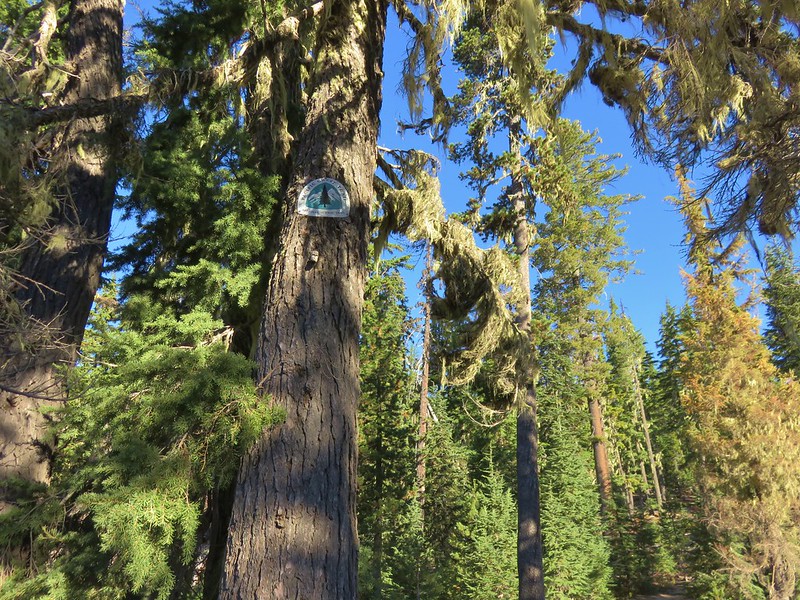
IMG_5974

IMG_5976

IMG_5977

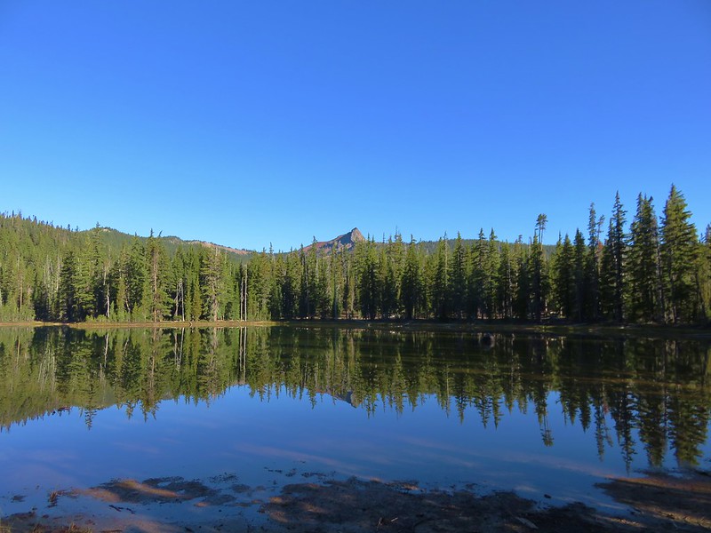
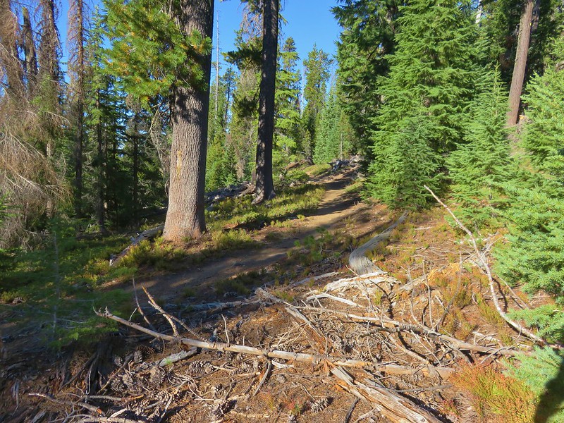
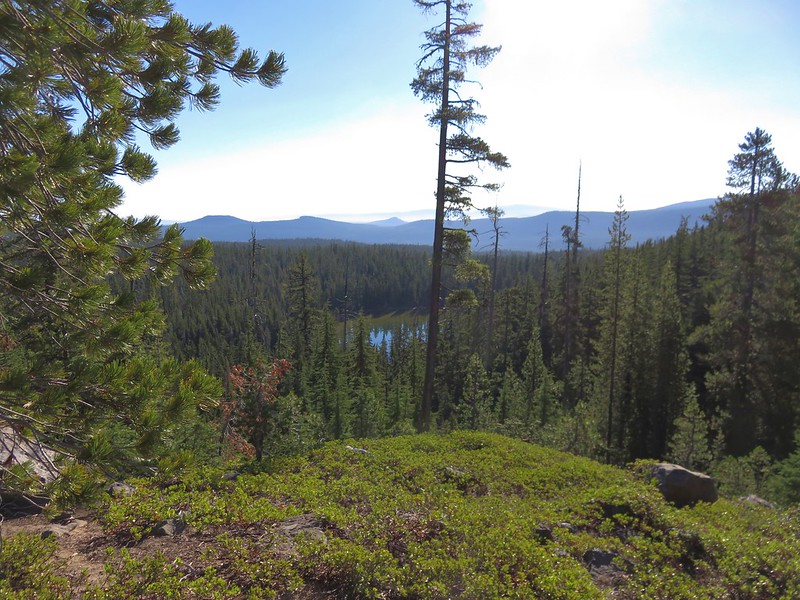
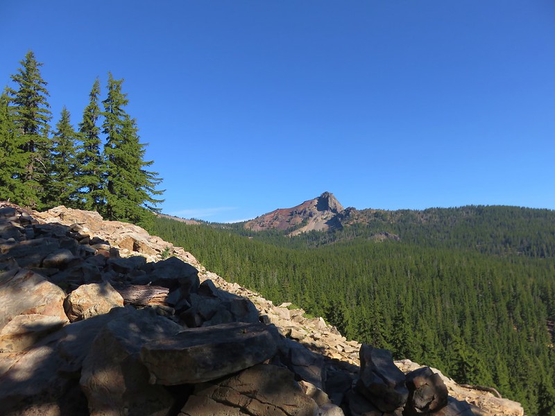
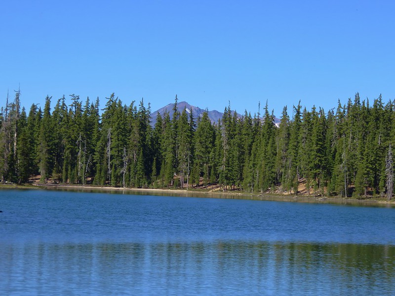
We hadn’t been on the PCT long before we took our first off-trail detour of the day. We wanted to check out one of the Windigo Lakes which are located off the PCT to the east. Using topographic maps and our GPS we found our way to the first of the two Windigo Lakes where we had a nice view of Cowhorn Mountain.
IMG_5981

We left the lake and headed back uphill toward the PCT. We were aiming for a switchback about a mile from where we had left the PCT. The climb up to the switchback was a good deal steeper than the slope we had originally come down to reach the lake and as we neared the PCT we encountered some tightly packed young trees which dictated where we were able to go. We managed to regain the PCT maybe a hundred yards from where we had been shooting for.
IMG_5986

When we reached the switchback that we had been aiming for we could see the lake below.
IMG_5995

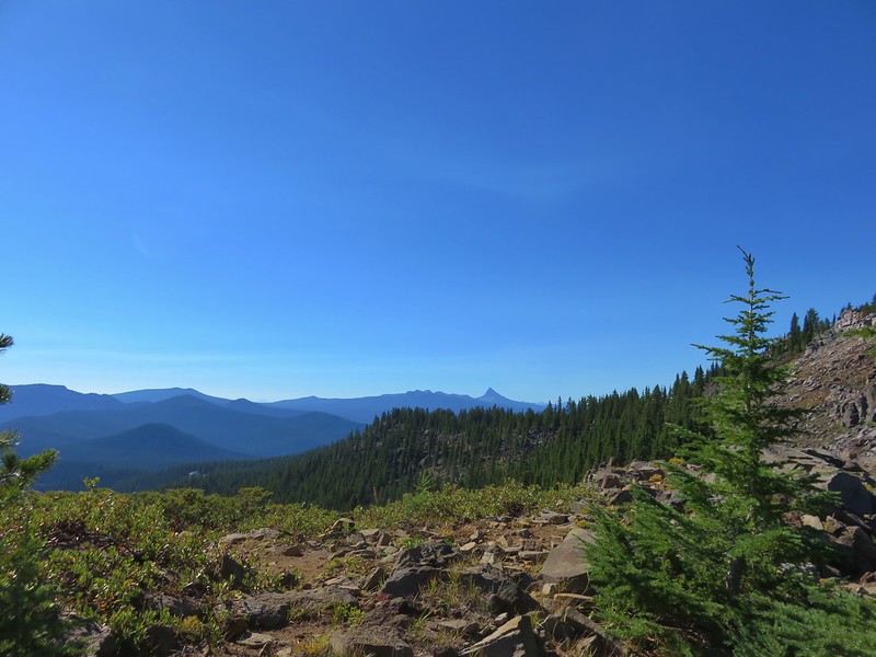
It was approximately 3.3 miles from the switchback viewpoint to the summit trail. The PCT stayed near the top of the ridge offering several views to both the north and south as well as our next goal.
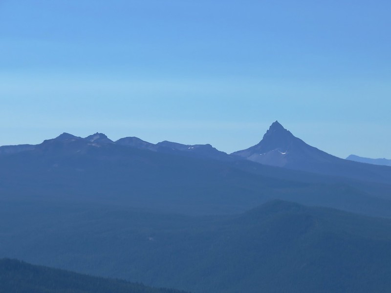
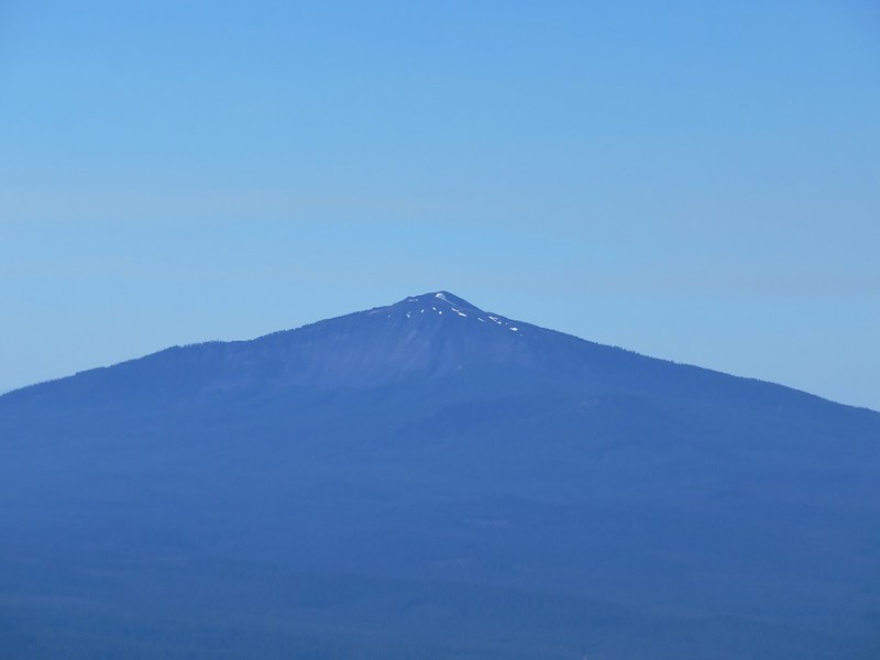
Cowhorn Mountain
IMG_6002

Sawtooth Mountain
IMG_6007

Mt. Thielsen
IMG_6020

Diamond Peak
IMG_6023

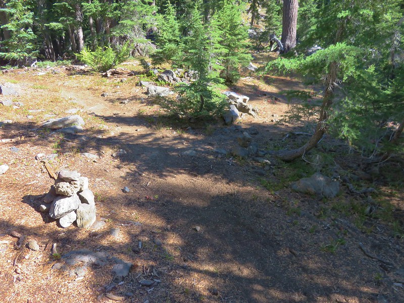
The unofficial trail to the summit was marked by rock cairns on the shoulder of Cowhorn Mountain.
IMG_6025

IMG_6027

The trail was worn enough to be fairly easy to follow as it crossed a cinder ridge.
IMG_6028

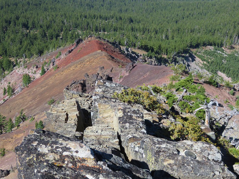
Halfway along the ridge was an outcrop made of black rock followed by another cinder covered section of ridge. We had our full backpacks on up until this point but we decided to ditch them before crossing the final cinder ridge and left them by a stunted pine tree. The climb to the summit is a class 2/3 scramble to the current high point. The mountain lost it’s spire top in a 1911 storm.
IMG_6061

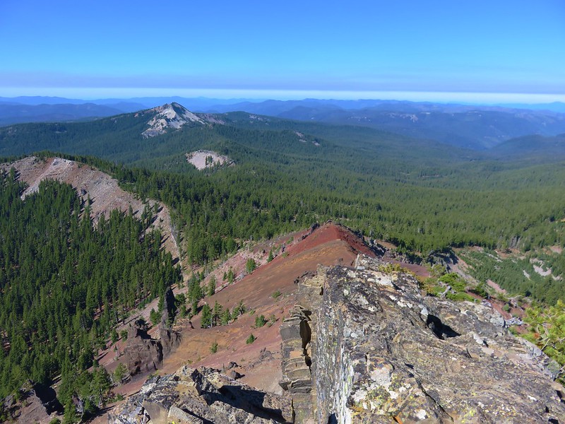
We had a great 360 degree view from the summit. To the west was Sawtooth Mountain which we were planning on hiking up the next day.
IMG_6037

To the north the view included nearby Diamond Peak, the Three Sisters, Broken Top, and Mt. Bachelor.
IMG_6041

Maiden Peak was in front of the Three Sisters and it was interesting to see how close they looked to that peak from our current location. We had just recently been on Maiden Peak and even though those mountains had been mostly hidden by clouds they seemed further away from that peak than they did now.
IMG_6054

IMG_6052

To the south Mt. Thielsen and Mt. Bailey rose above several other Cascade peaks.
IMG_6033

Tipsoo Peak, Howlock Mountain, and Mt. Thielsen
IMG_6056

Mt. Bailey
IMG_6059

We had brought a snack with us up to the summit and had hoped to take a nice long break up there but we wound up not staying as long as we planned due to there being quite a few yellow jackets flying around. Heather (and the rest of my family) can tell you I am not a bee person and I am especially uncomfortable around yellow jackets and wasps. I have been doing better the last couple of years with honey bees and bumble bees but I have no use for yellow jackets and can only handle their buzzing around me for a short time before I start to go crazy, and I really didn’t want to do something stupid on the top of a mountain, so we headed back down, retrieved our backpacks, and returned to the PCT.

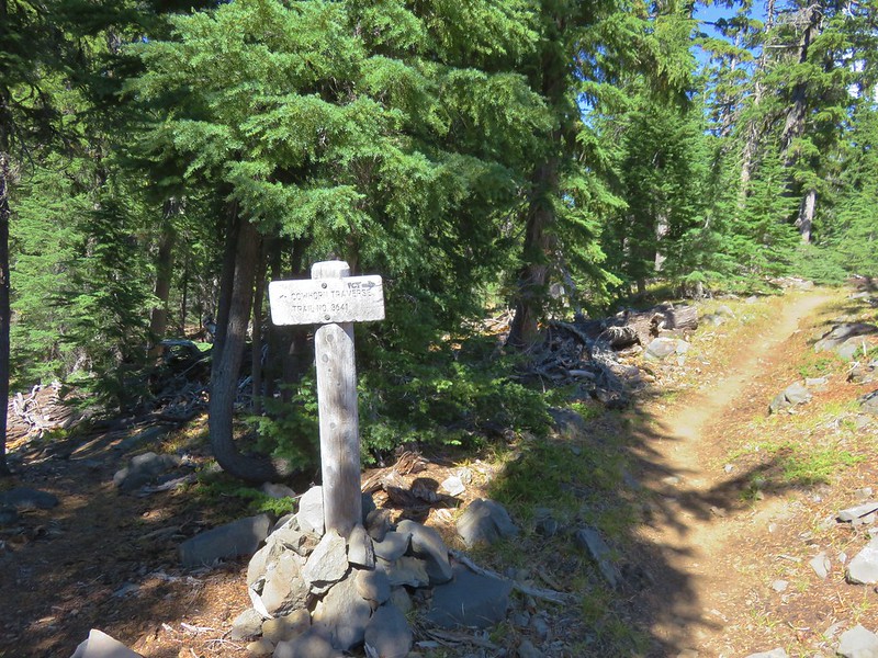
We continued north on the PCT just over a quarter of a mile to a signed junction with the Cowhorn Traverse Trail.
IMG_6083

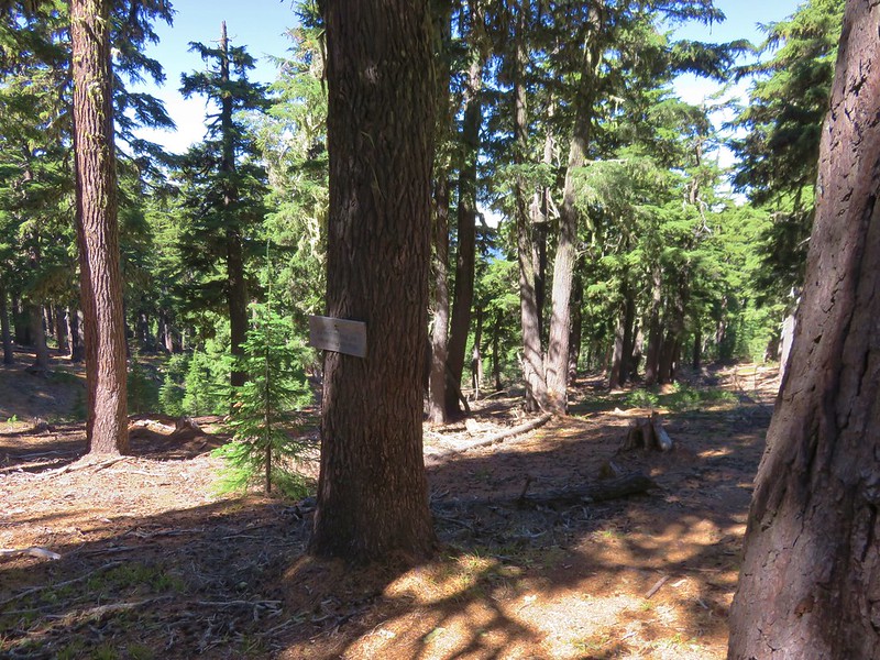
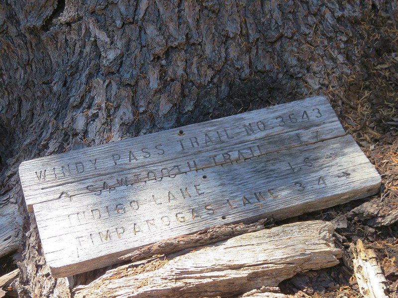
We left the PCT here and took the Cowhorn Traverse Trail downhill for .3 miles to another junction, this time with the Windy Pass Trail.
IMG_6086

We were now in the Oregon Cascades Recreation area, the largest unprotected roadless area left in the Cascades. We headed left on the Windy Pass Trail which followed a ridge west toward Sawtooth Mountain for approximately two miles to a junction with the Indigo Extension Trail.
IMG_6089

IMG_6090

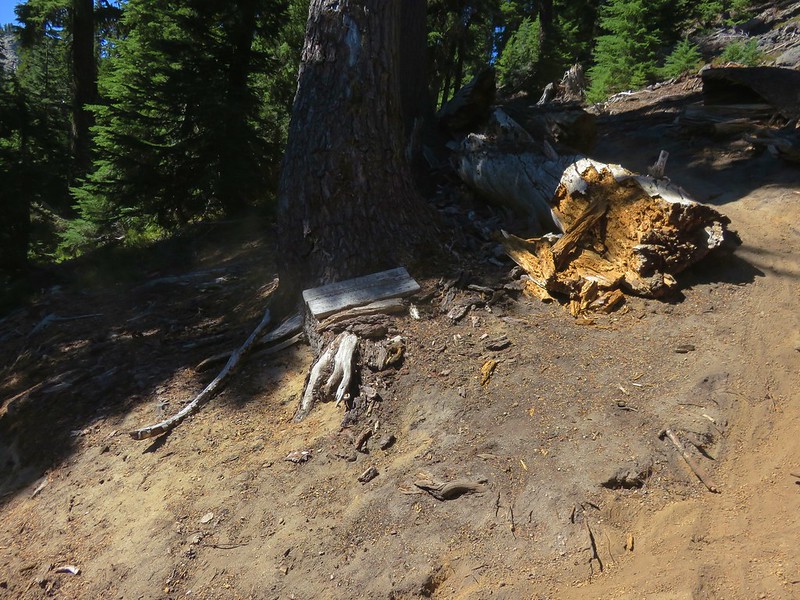
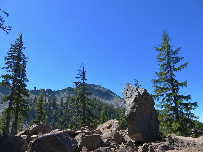
The Windy Pass Trail continued to the left passing behind Sawtooth Mountain. We would be taking that trail the next day when we climbed Sawtooth Mountain but for now we headed right toward Indigo Lake. The trail passed a nice viewpoint of Sawtooth Mountain before beginning a steeper descent toward the lake via a series of switchbacks.
IMG_6097

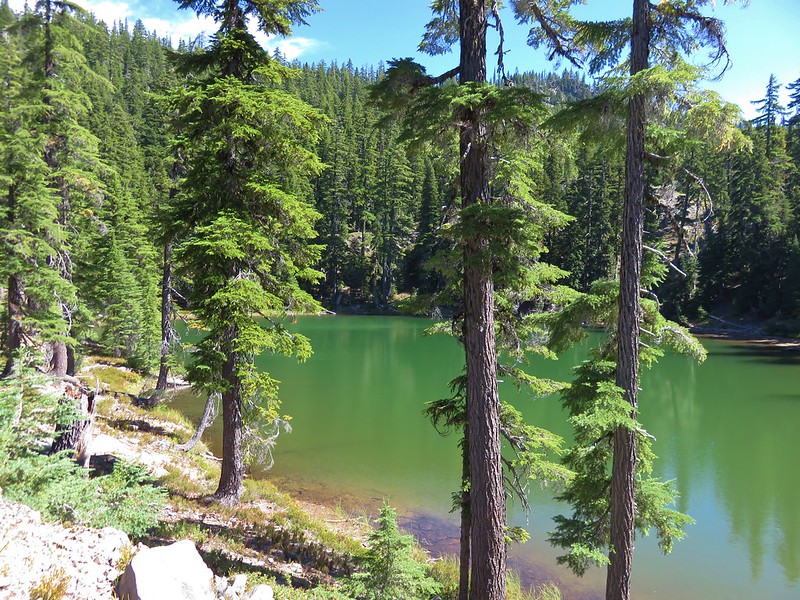
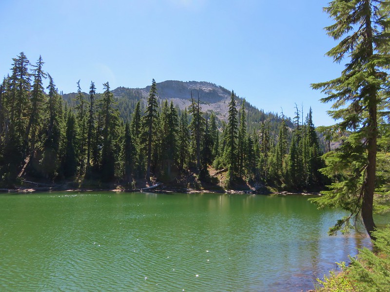
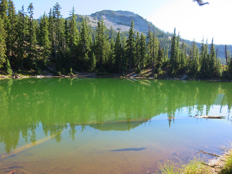
We decided to take another detour off-trail prior to reaching Indigo Lake to see if we could get to a small unnamed lake shown on the map. We left the trail when we appeared to be at a comparable elevation to the lake and managed to find it without much difficulty. The little lake was a beautiful green and had a nice view of Sawtooth Mountain.
IMG_6106

IMG_6101

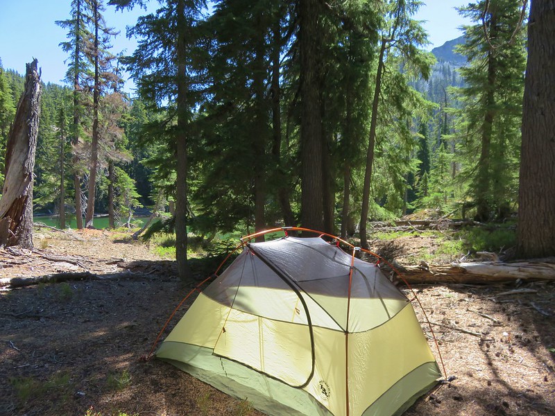
There was also a nice area for a tent so we called an audible and decided to set up camp here instead of down at Indigo Lake.
IMG_6105

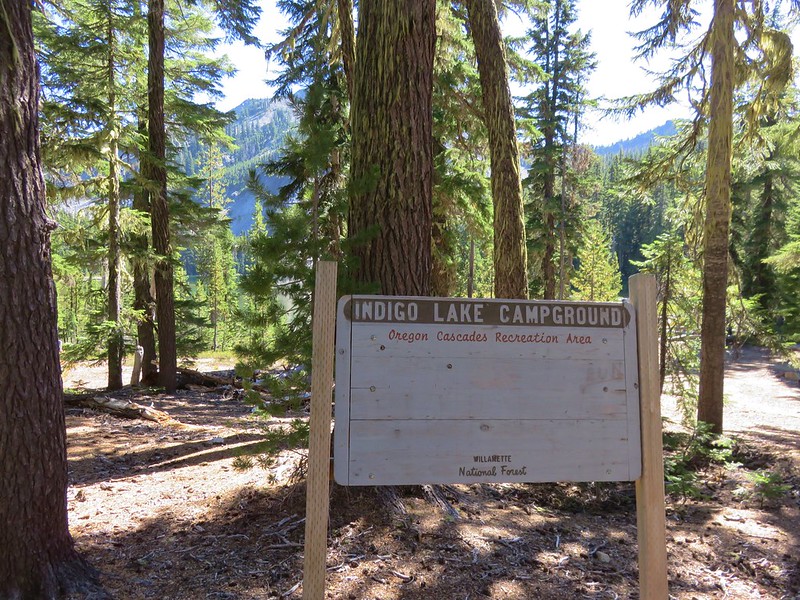
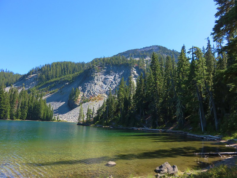
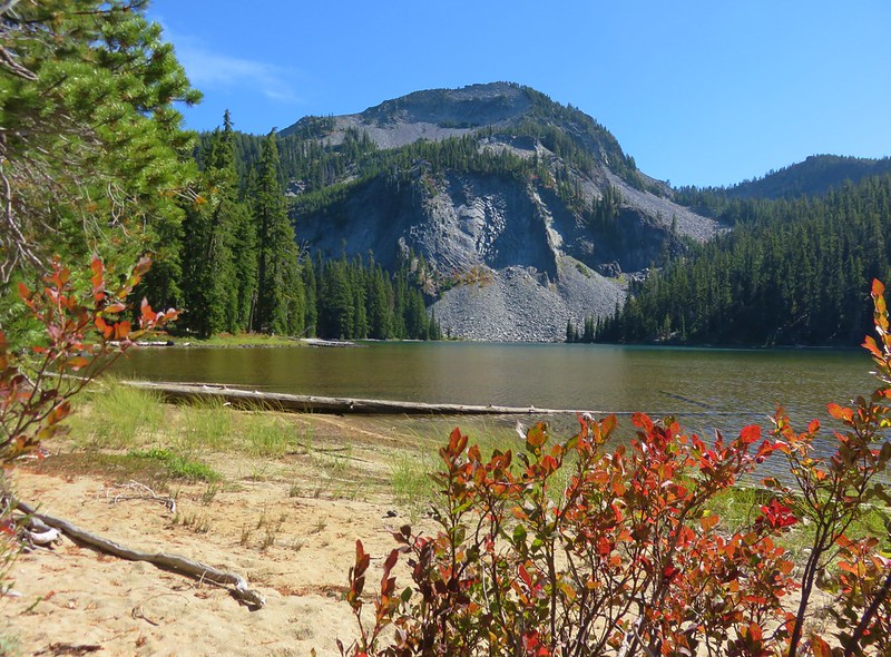
After getting our camp set up we switched to our day packs and headed back to the trail to go see Indigo Lake. After a few more switchbacks we arrived at the lake’s primitive campground.
IMG_6117

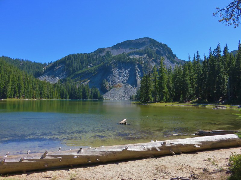
We didn’t see anyone else there as we made our way counter-clockwise around the lake.
IMG_6119

IMG_6120

IMG_6131

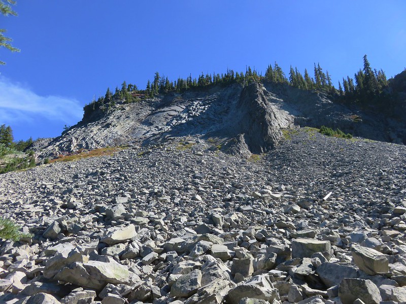
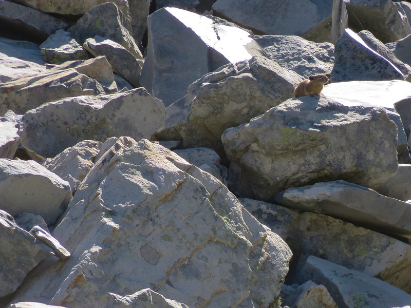
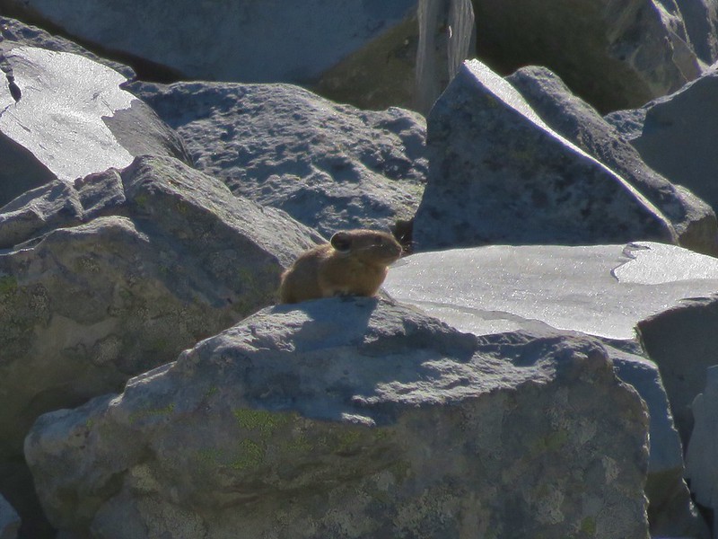
At the south end of the lake was a talus slope where we spotted a couple of pikas.
IMG_6134

IMG_6137

IMG_6142

The southern end of the lake also provided a glimpse of Diamond Peak.
IMG_6147

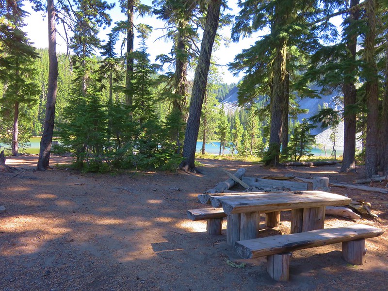
We finished the loop around the lake and then sat at one of the wooden picnic tables for a bit.
IMG_6152

IMG_6122

After our break we climbed back up to the unnamed lake and decided to walk around it as well. There weren’t any other people there either but we were far from alone.
IMG_6153

IMG_6155

IMG_6157

We spent the rest of the evening at the little lake watching the sunset after having dinner and then turning in for the night.
IMG_6171

IMG_6166

Happy Trails!
Flickr: https://www.flickr.com/photos/9319235@N02/albums/72157674041143915

Categories
High Cascades Hiking Oregon Trip report Waldo Lake Area

Fuji Mountain

After a (well timed) scheduled week off we were back on the trails this past weekend. A highly unusual storm had rolled through as September gave way to October. Not only had this storm brought record amounts of precipitation but some of that precipitation fell as snow as low as 4000′. The hike we had planned, Fuji Mountain, topped out at 7144′ so we weren’t sure if it was going to be doable but some warmer weather moved in and we decided to give it a go. If we managed to make it up to the summit we knew the views should be great, and worst case scenario we could just choose a different lower trail in the area.

Fuji Mountain is located in the Waldo Lake Wilderness near Highway 58. A pair of trail heads lead to the summit. From the SW a 1.5 mile option starts on road 5883 making for a nice short hike. We chose to start from road 5897 (Waldo Lake road) to lengthen the hike a bit and visit some of the areas many lakes.

The trail begins just below 5000′ and started out snow free, but that didn’t last for long. We quickly began seeing snow along the trail and then on the trail itself. We followed a single set of hikers prints as we climbed up toward the first of the lakes.
006
They weren’t the only set of prints in the snow. 🙂

Black bear print
Black bear print

It wasn’t long before there was more snow covered trail than not but the snow wasn’t very deep, only on occasion measuring 6″. The trail climbed for about a mile then gently rolled along a plateau dotted with ponds and lakes for another 2.5 miles. Many of these were at least partly frozen making for some pretty scenery.

Half frozen pond
Half frozen pond
Mushrooms under ice
Mushrooms under ice
Birthday Lake
Birthday Lake
Reflections on Birthday Lake

Shortly after crossing the South Waldo Trail the Fuji Mountain Trail began climbing again. In another mile we met up with the trail coming from road 5883 and began the final 1.2 mile climb to the summit. Here there were more hiker tracks in the snow but we only saw one other couple who were on their way down after spending the night on the summit.

As we climbed we began to have views of snowy Diamond Peak and Mt. Thielsen to the south, but these views paled in comparison to what awaited at the summit. When we arrived at the summit a 360 degree view awaited with Waldo Lake and a string of snowy peaks to the north and more mountains to the south. To the east lay Wickiup Reservoir and Odell Lake with distant Paulina Peak and nearby Maiden Peak in between. To the west were the foothills leading to the Willamette Valley.

Waldo Lake and the Cascades
Cowhorn Mountain, Mt. Thielsen, Hillman Peak and Diamond Peak
Looking west along the summit ridge of Fuji Mountain

It was a beautiful day at the summit, sunny and warm with no wind. We took our time eating lunch and enjoying the tranquility before heading back down. On the way out Heather and I decided to take a brief side trip along the South Waldo Trail to the Island Lakes. It was around half a mile to Lower Island Lake with it’s green water and tiny rock island. Just up and across the trail from Lower Island Lake was Upper Island Lake which also had a small rocky island.

Lower Island Lake's island
Lower Island Lake’s island
Lower Island Lake
Lower Island Lake
Upper Island Lake
Upper Island Lake

The warm weather made the return trip pretty slushy as the snow was melting fairly quickly. When we arrived back at the half frozen pond the scene had changed quite a bit.

The no longer half frozen pond

We all really enjoyed being able to take a hike through the snow and it made for a nice change of pace. I don’t know if the early snow is a sign of things to come or just a fluke but it was enjoyable. Happy Trails!

Facebook phots:https://www.facebook.com/deryl.yunck/media_set?set=a.10202338061520087.1073741859.1448521051&type=1
Flickr:http://www.flickr.com/photos/9319235@N02/sets/72157636271711054/