I suffered a setback in my rehab coming out of Memorial Day Weekend. My back stiffened up going into the week and by late Thursday night I could barely turn my head to the left. Sleeping was also difficult and I was relegated to back only due to the amount of discomfort laying on my sides was causing. By Friday night I had pretty much given up on thoughts of hiking during the weekend and was instead looking forward to my next PT appointment Monday afternoon. Heather went on a solo hike Saturday to Ramona Falls while I stayed home and rotated between an ice pack and heating pad on my back. Since she isn’t writing up her solo outings here is a link to our 2013 visit to the falls (post). By Saturday night I was feeling quite a bit better, still stiff and limited to back sleeping, but improved enough to be considering an outing to see the wildflowers in Cone Peak Meadows the next day. I woke up the next morning, did my PT stretching and felt good enough to give it a go. I did a lot of praying on the drive to the trailhead that God would grant me the wisdom to know if this was a bad idea and not to overdo anything.
I had been wanting to get back to Cone Peak Meadows in late Spring to look for a particular wildflower, Longhorn steer’s-head (Dicentra uniflora). It is at the top of my most wanted list of wildflowers within day hiking range. I wasn’t sure about timing though given that blooms are early this year due to the lack of snow this past Winter. I had seen reports from other years of these flowers blooming during the first couple of weeks of June. Our two previous visits had been on July 25th & July 4th (post) which was much too late. I spent some time online familiarizing myself with the size and look of the flowers so that I would know what I was looking for. Spoiler alert I did not spot any. It may have been too late this year or I might have simply failed to notice any of the penny sized blooms. Regardless it was an excellent hike which I will finally get to.
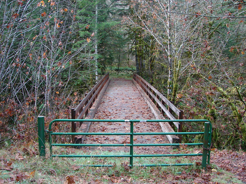
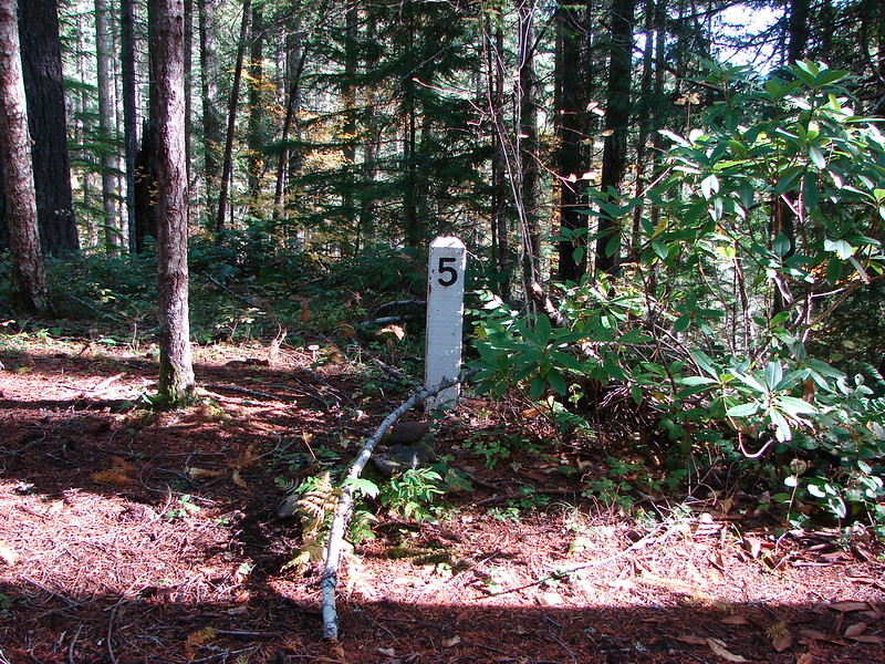
I began at the Tombstone Pass Trailhead shortly after 5:30am and set off on the loop counterclockwise.

The trailhead just off Highway 20 at Tombstone Pass.

The start/end of the loop on the left and right of FR 60.
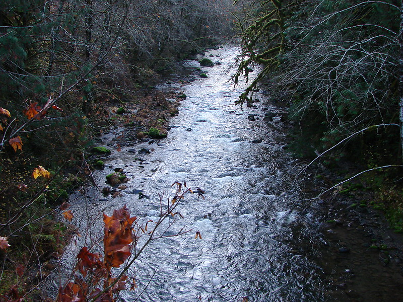
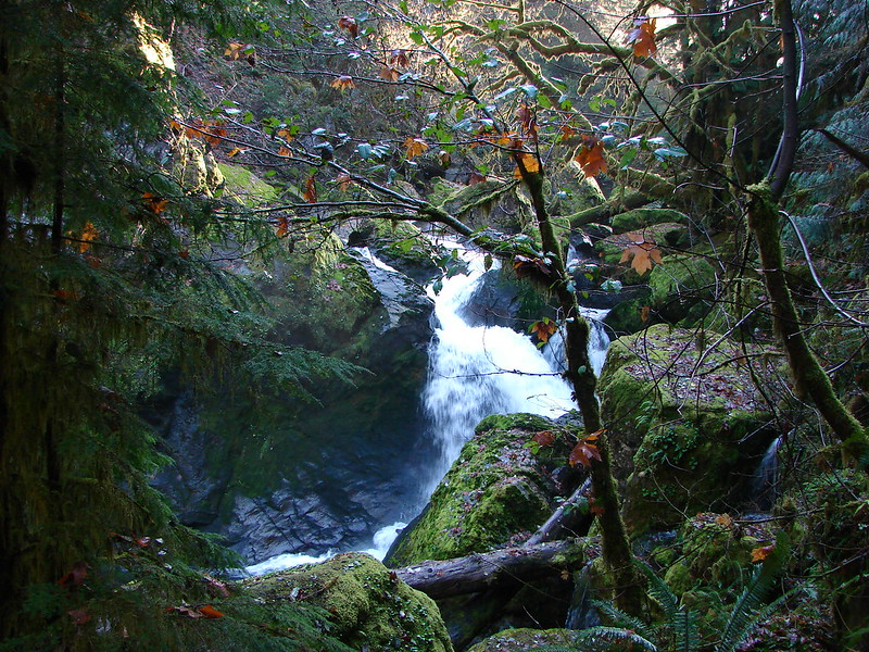
I turned left onto the loop and descended through the forest to Tombstone Prairie.


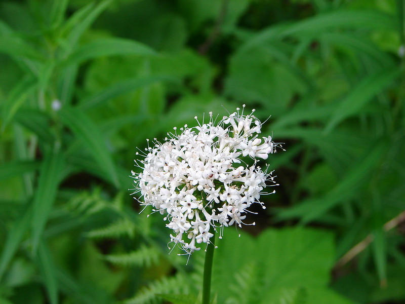
Valerian along the trail.

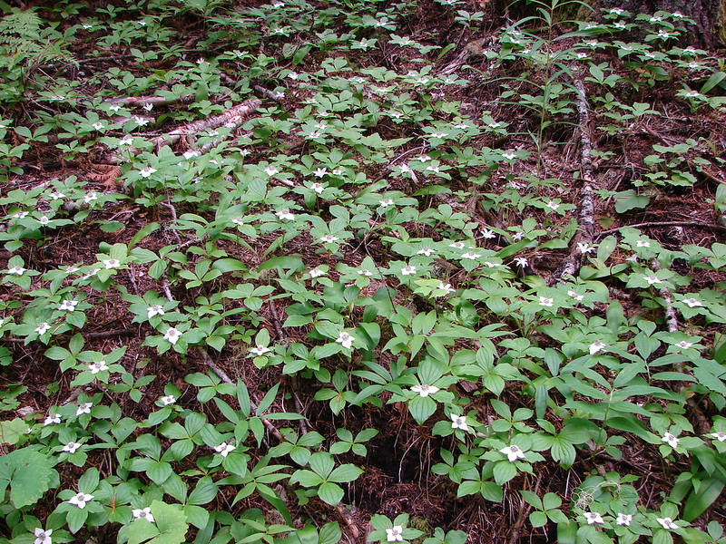
Bunchberry and starry false solomon’s-seal

Salmonberry
The Tombstone Prairie Nature Trail is an optional short loop that can be done around the prairie. I opted to skip the loop this time.


Tombstone Prairie

The other end of the Tombstone Nature Trail.
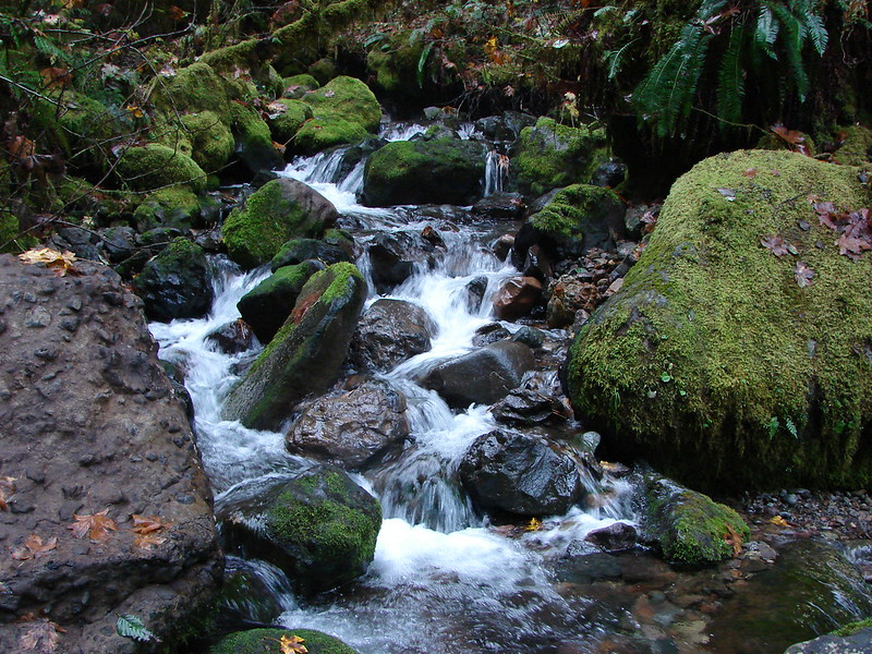
I forked left at this junction, crossed a branch of Hackleman Creek then climbed to Highway 20.


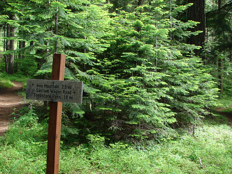
The Cone Peak Trail picks up across the highway to the west near some road signs.


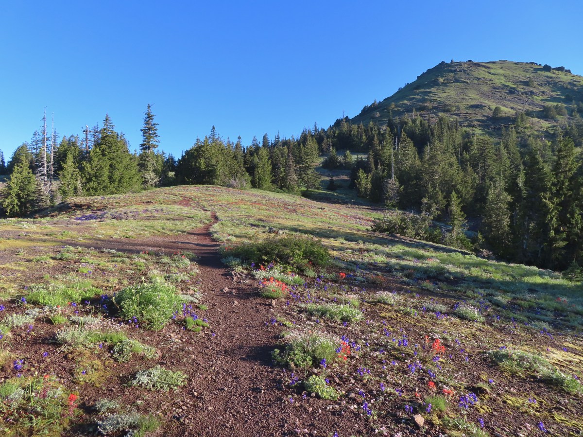
The Cone Peak Trail climbs gradually through the forest before coming to increasingly large openings.

Trillium, fairy bells, Solomon’s seal, and starry false Solomon’s seal.

There were a few trees that needed to be stepped over.

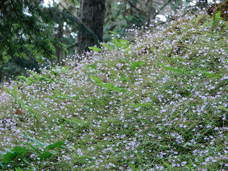
Valerian starting to bloom in a meadow.


Vanilla leaf

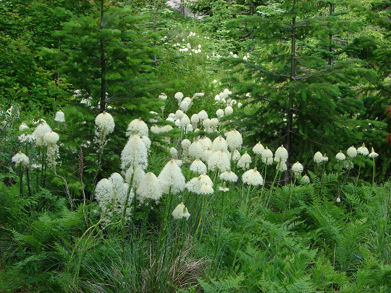
This was the only beargrass bloom I spotted on the hike.

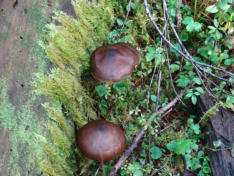
Northwestern twayblade


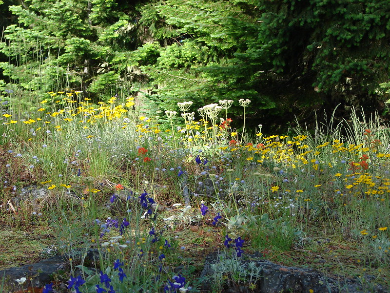
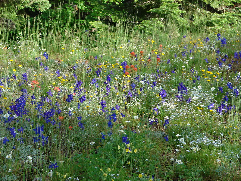
Larkspur was the most prevalent of the flowers that were currently blooming.

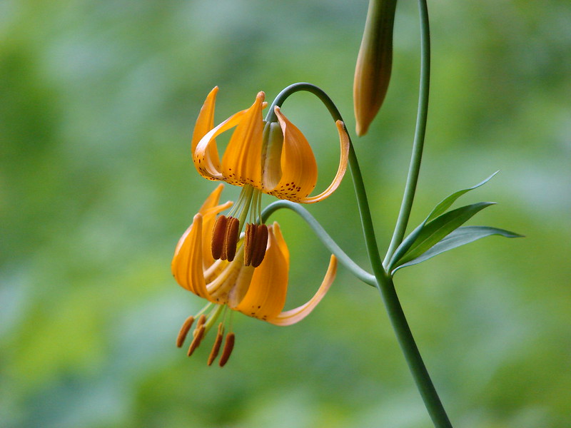
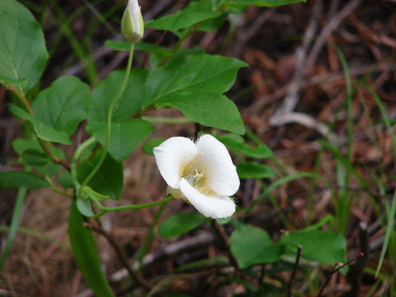
Sub-alpine mariposa lily

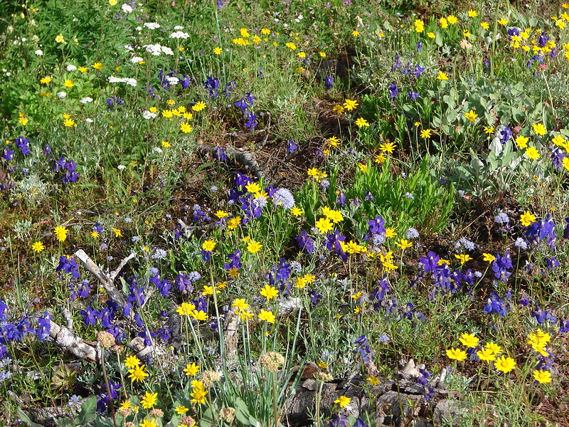
Larkspur and maiden blue-eyed Mary

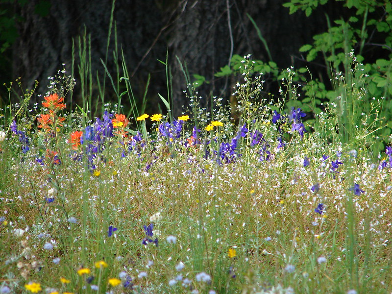
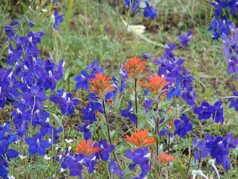
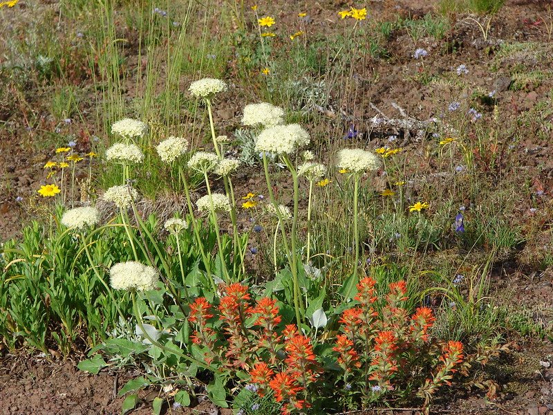
Larkspur and paintbrush


Solomon’s seal

Another patch of larkspur.

Larkspur and monkey flower

Strawberry patch

Ball-head waterleaf


Baneberry


Phlox and maiden blue-eyed Mary

Biscuitroot and phlox


Olympic onion

Sandwort

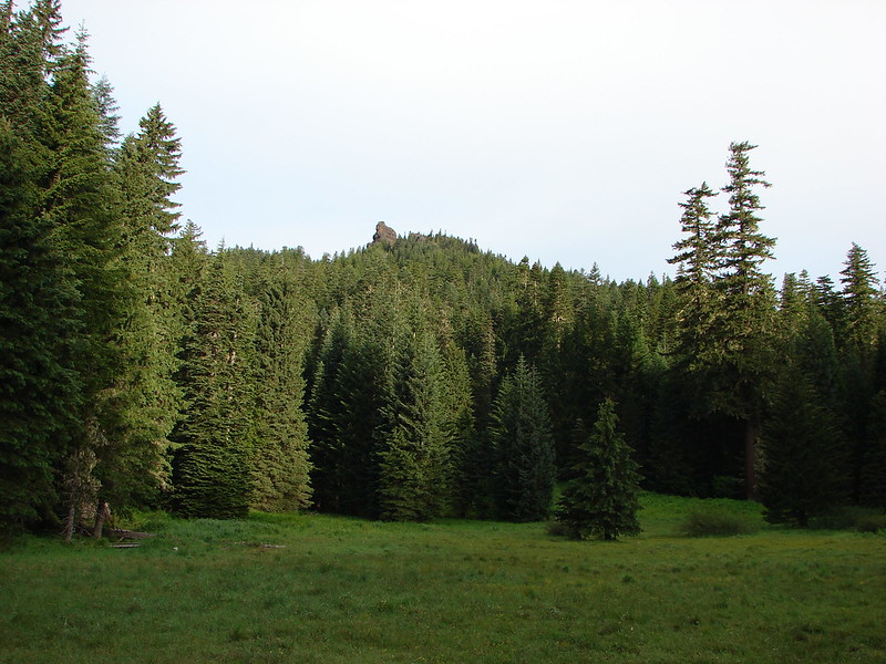
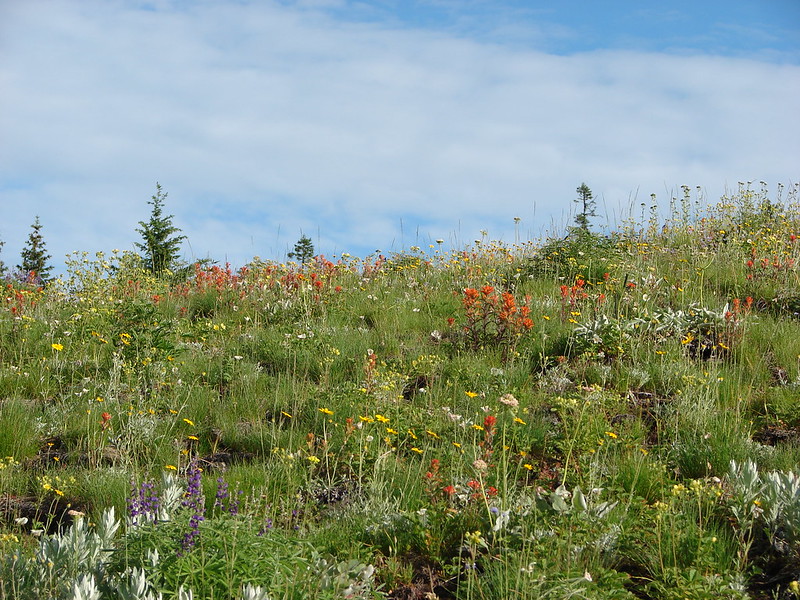
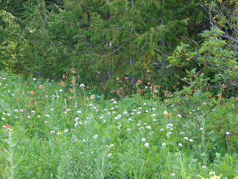
Cone Peak as the trail enters Cone Peak Meadows.

Buckwheat

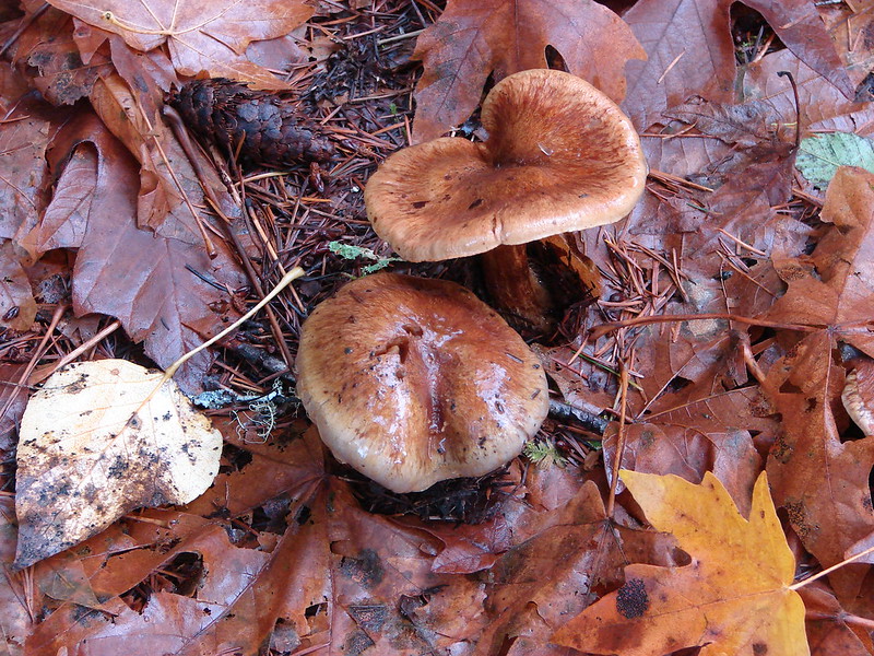
Death camas


Littleflower penstemon

Paintbrush, larkspur and sandwort?

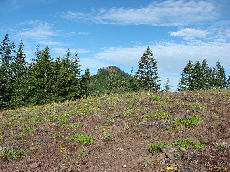
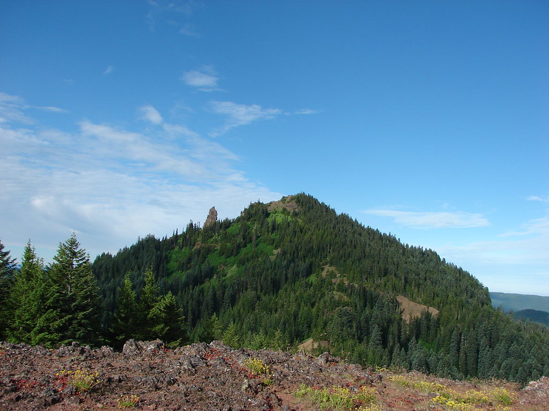
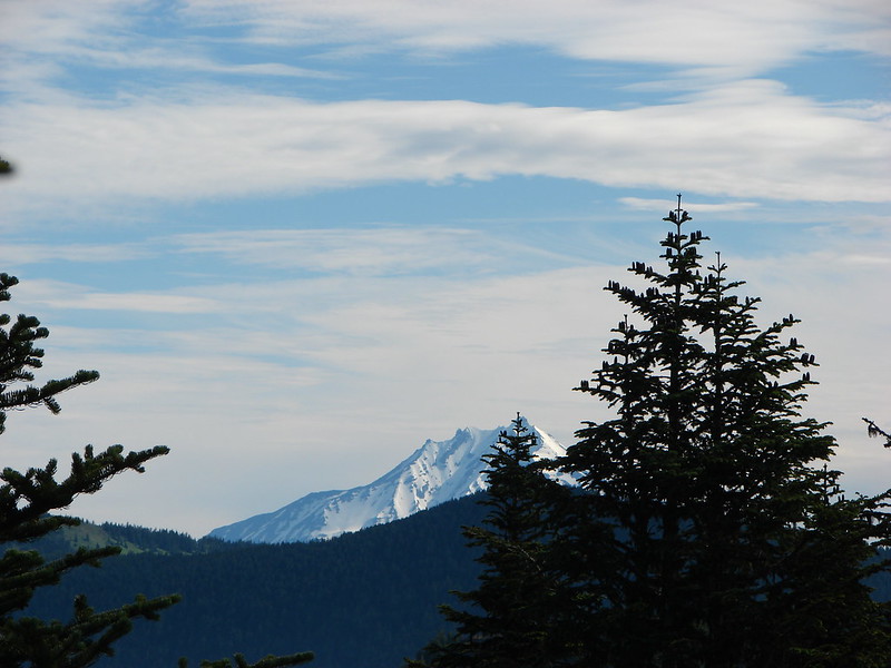
Iron Mountain


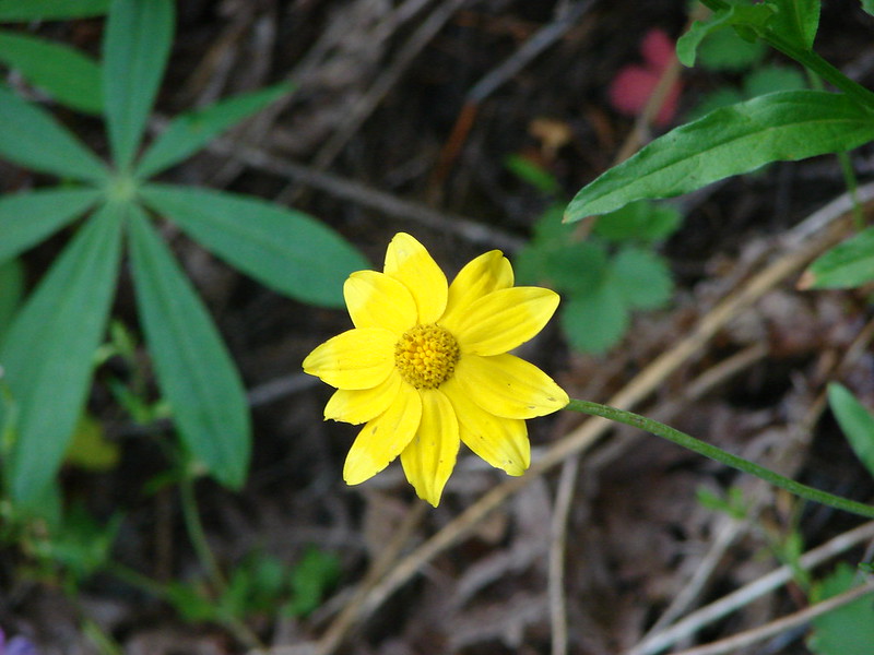
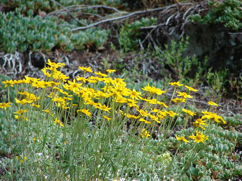
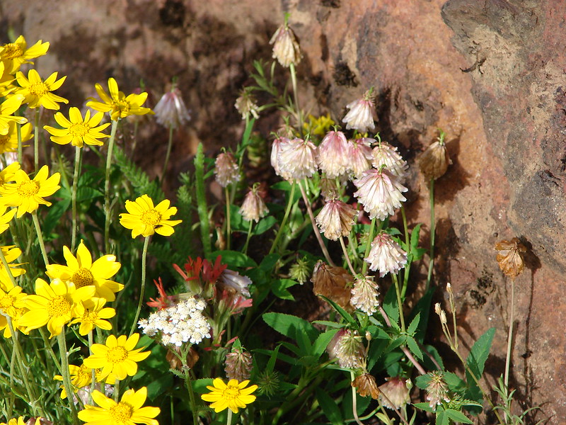
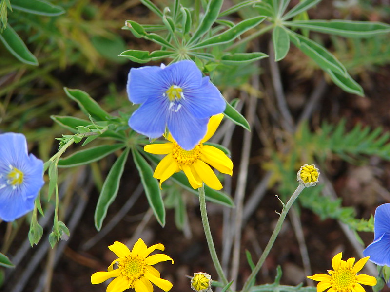
Oregon sunshine


Smallflower woodland star

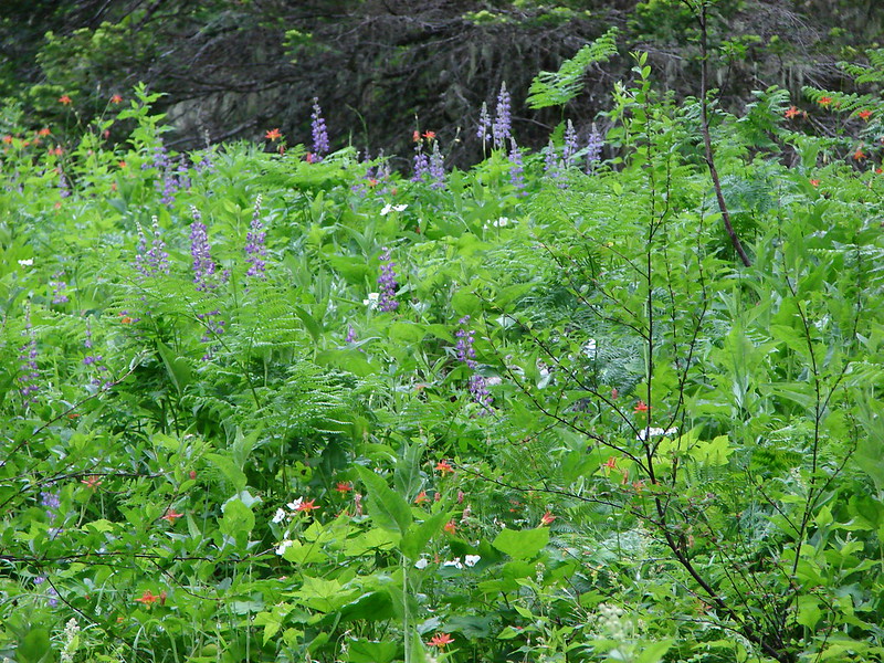
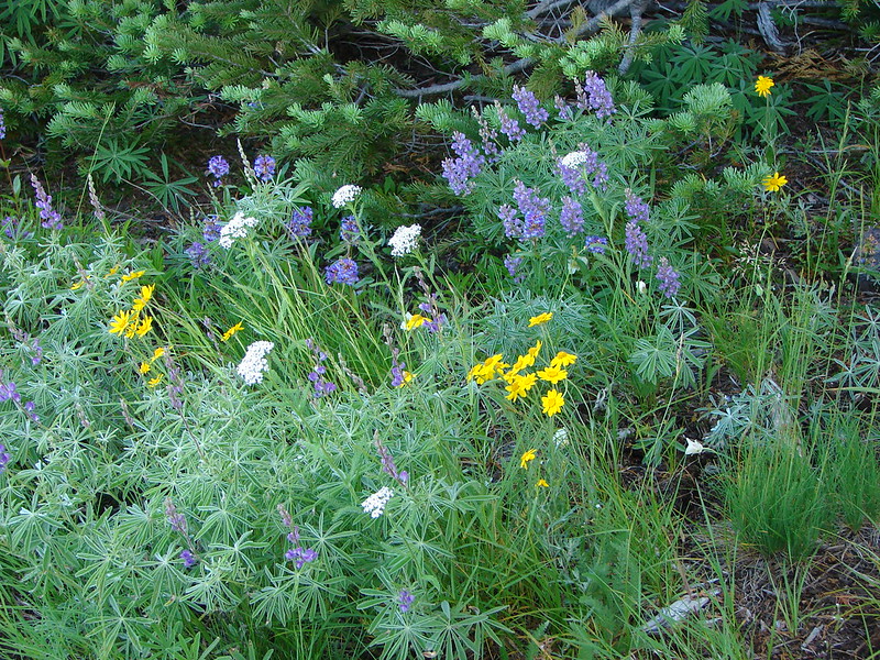
The lupine was just getting started.

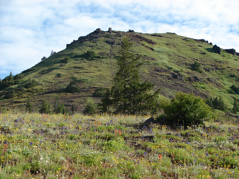
Heading toward Iron Mountain.

Another buckwheat

The trail left Cone Peak Meadows and descended slightly as it passed through the forest on the way to Iron Mountain.


Columbine


Jessica’s stickseed

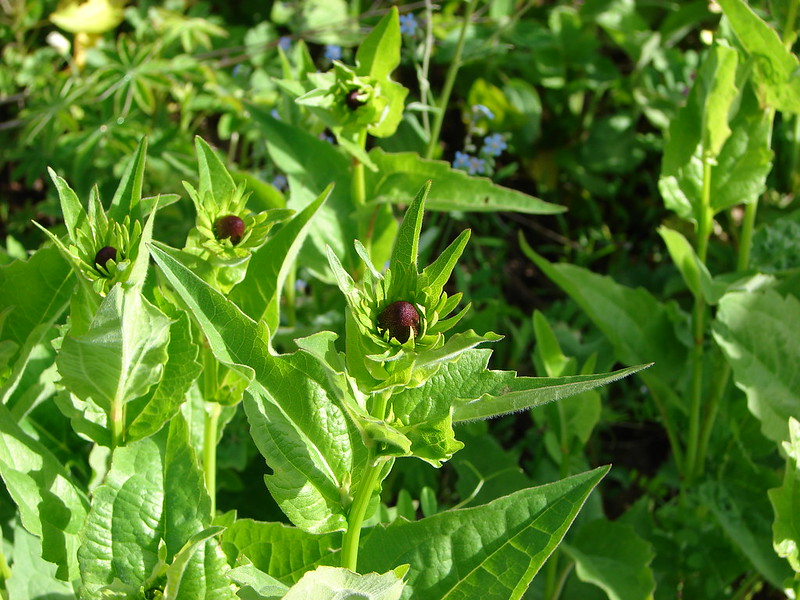
Bleeding heart

Bluebells

Arrowleaf groundsel

Scarlet gilia

Sticky cinquefoil and bastard toadflax?

Not sure what this tiny flower is.

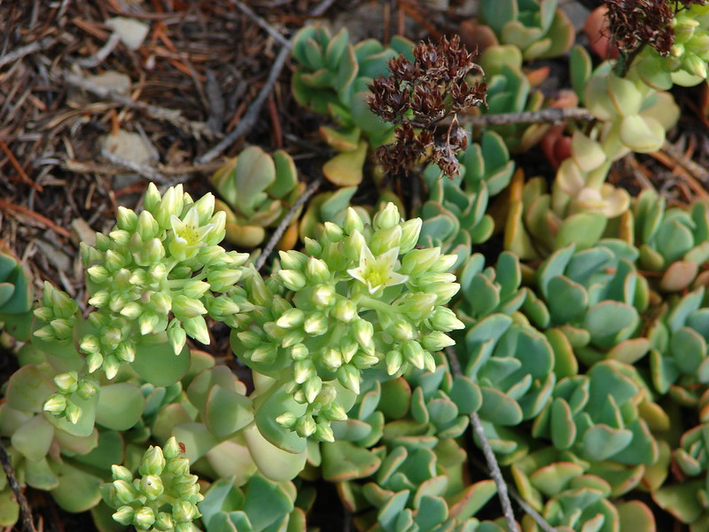
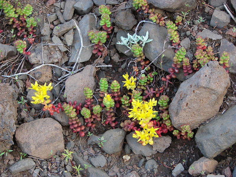
Wormleaf stonecrop

Silverleaf phacelia

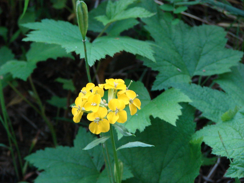
Wallflower

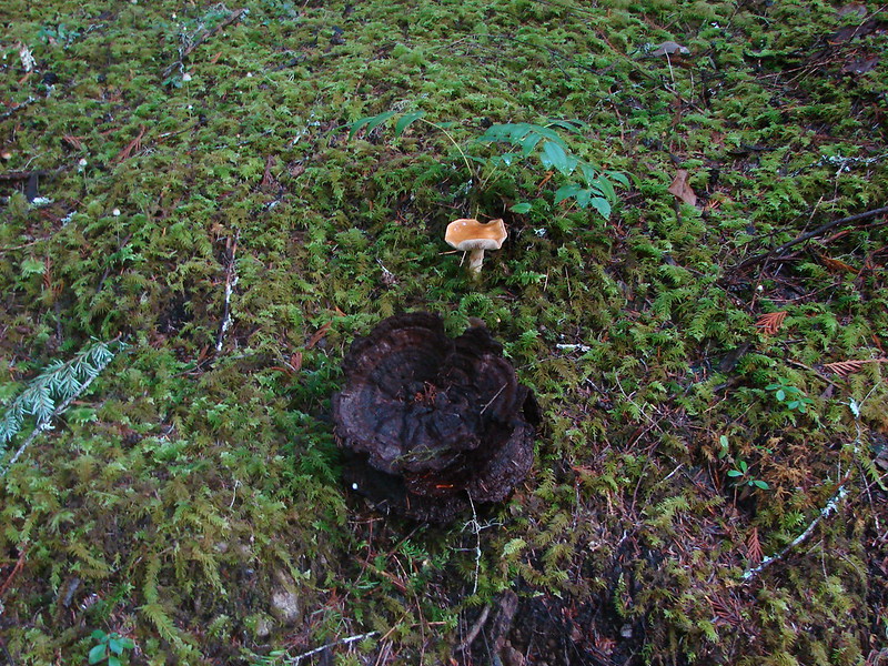
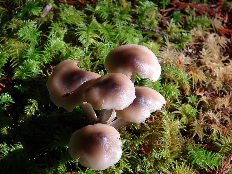
Another one that I’m not sure of.
The trail eventually began climbing to a saddle between Cone Peak and Iron Mountain.


Violets

Vetch

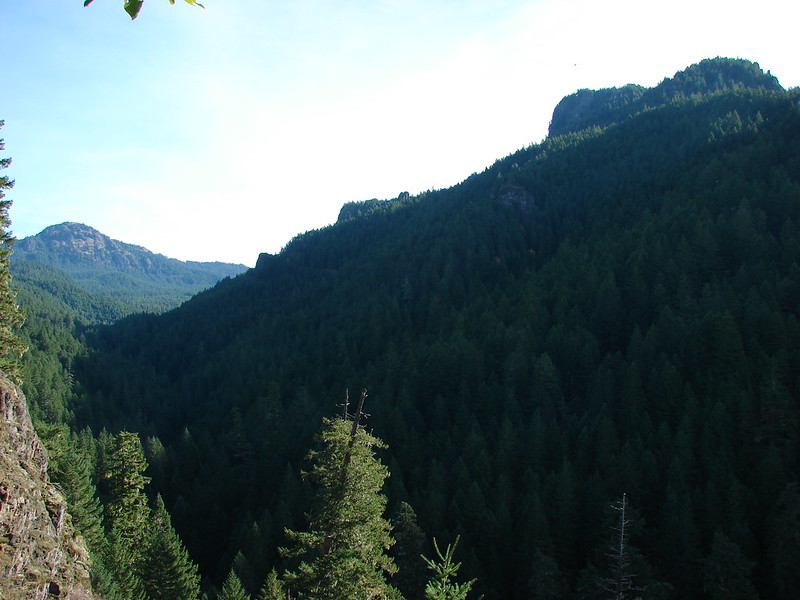
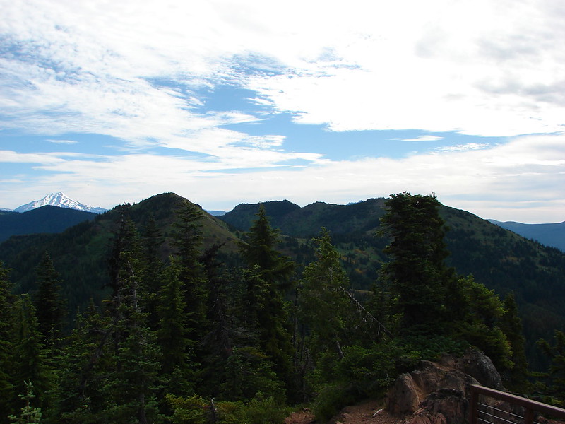
The Three Pyramids (post) to the right and the flat top of Coffin Mountain (post) straight ahead.

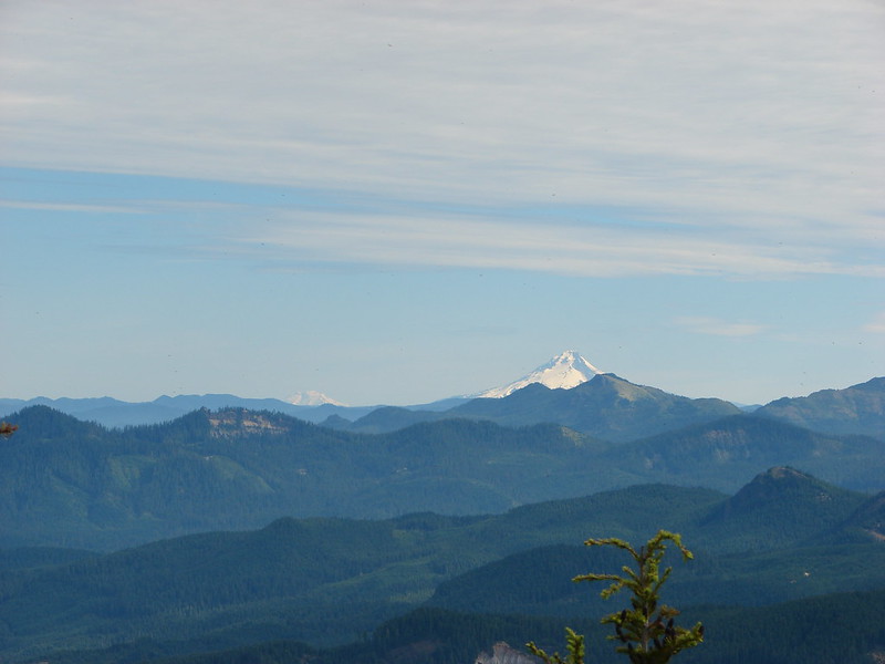
Mt. Hood behind Coffin Mountain.
After the saddle viewpoint the trail begins to traverse along the flank of Iron Mountain where it comes to a junction with the Iron Mountain Tail.


Arnica

This was the worst of the blowdown.

Fairy bells and trillium

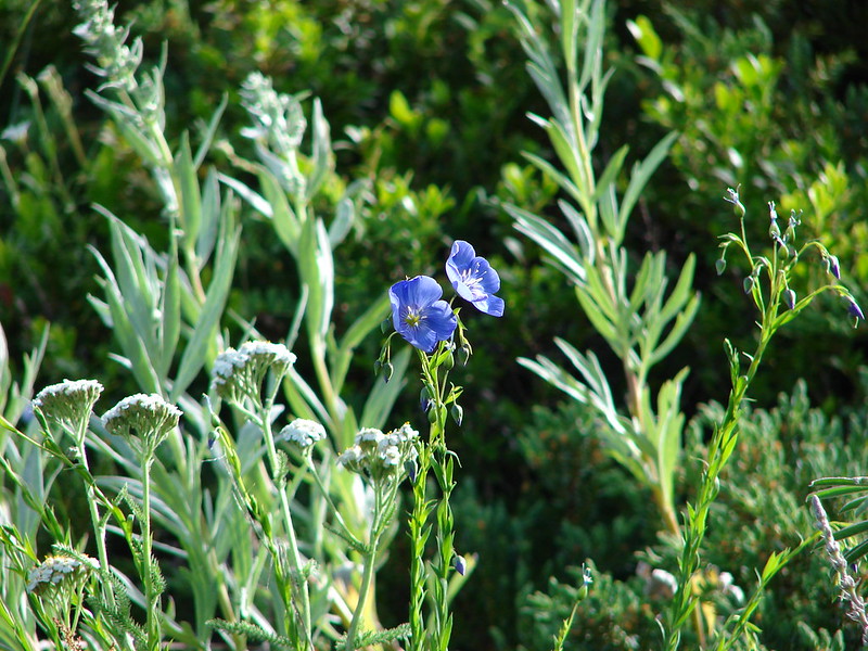
Flax


Yarrow and larkspur

The Iron Mountain Trail forking off to the left.
I hadn’t originally planned on taking the side trip up Iron Mountain as it adds a little over a mile and a half, and 600′ of elevation gain to the hike. From the junction I only had another 1.5-miles to get back to the Tombstone Pass Trailhead, and I was feeling really good. I been continuing to pray that I would know my limitations and was at peace with the decision to try the climb. I turned up the trail behind a couple of other hikers and climbed through the frosty meadows to the former lookout site atop the mountain.


Frosty paintbrush


Larkspur

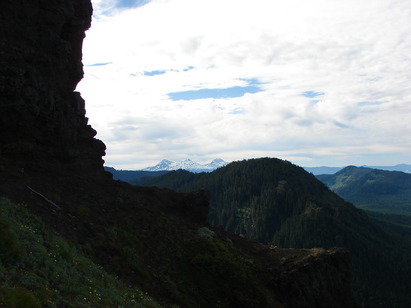
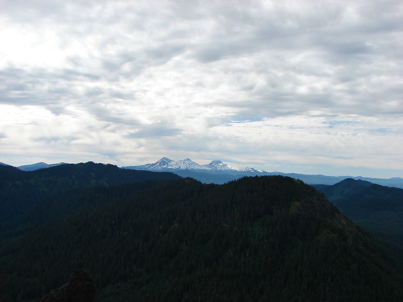
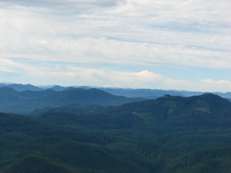
The Three Sisters from the Iron Mountain Trail.

The Three Sisters

Diamond Peak (post)

Lupine

Chickweed

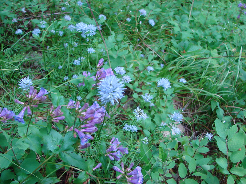
Saxifrage

The final climb to the top.

Viewing platform

Mountain locator

The view to the north includes Mt. Hood and Mt. Jefferson.

Mt. Hood behind Coffin Mountain.

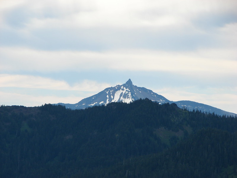
Mt. Jefferson

Mt. Washington

The Three Sisters and Diamond Peak to the SE.
I’d passed the three hikers ahead of me and had the platform to myself long enough to send a video to family and take a snack break on the platforms bench. Shortly after the next hiker arrived I headed down to give her a few moments alone at the summit.
While climbing up always feels like it requires effort it is descending that is harder on the body. I was reminded of this on my way down the trail when my right Gluteus Medius announced its presence. It wasn’t much more than a slight burn letting me know it was having to do some extra work on the way down. I kept a slower pace and took several breaks one the way back to the junction where I then continued my loop.


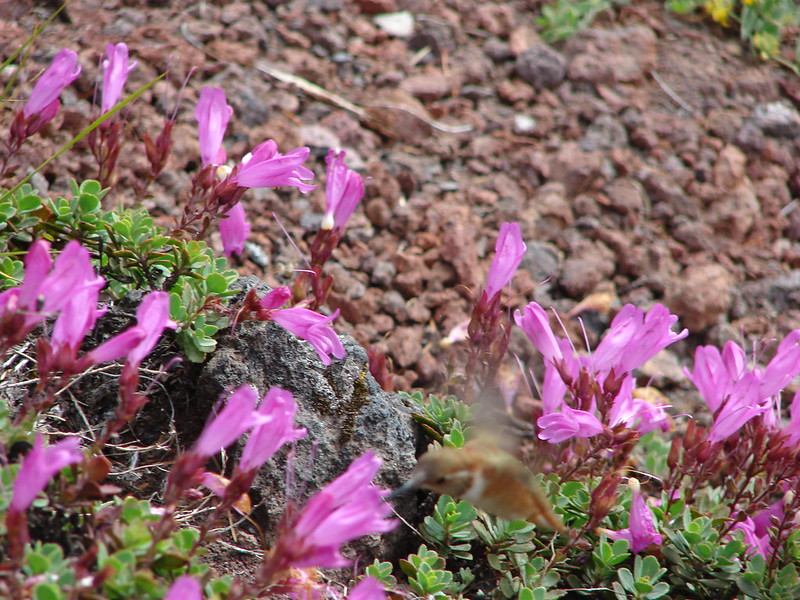
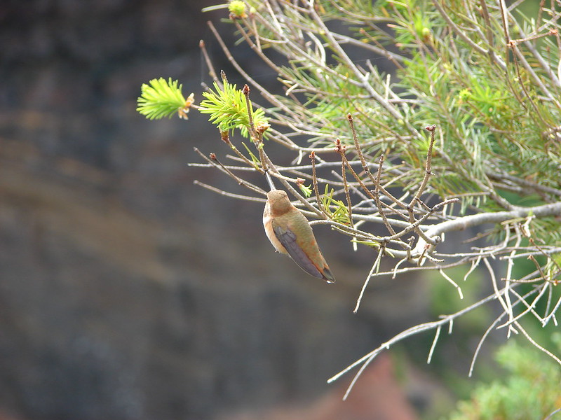
Rock wren

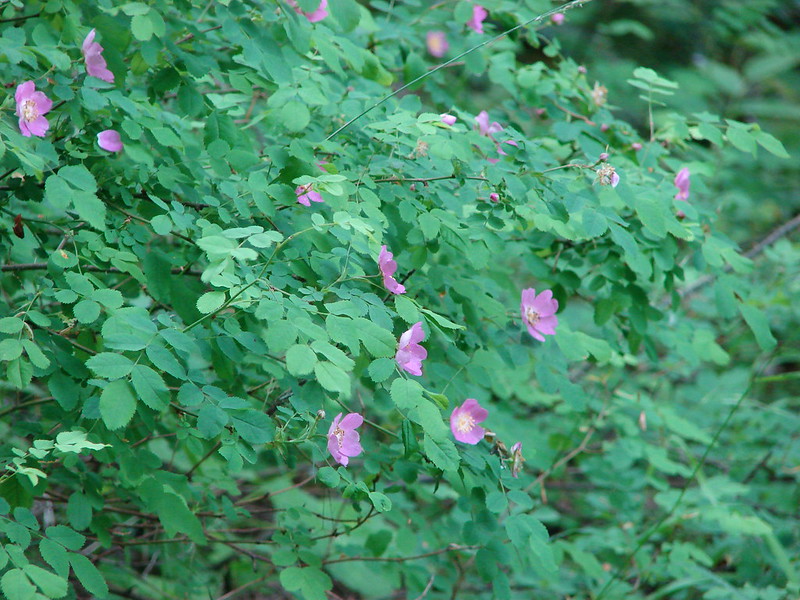
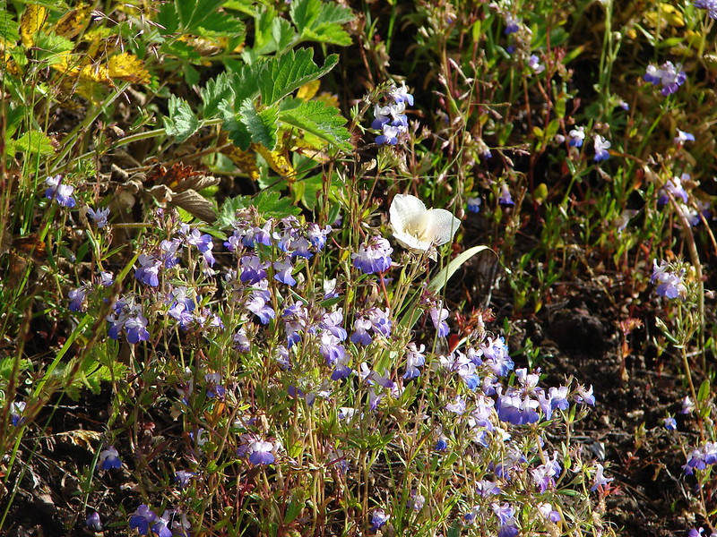
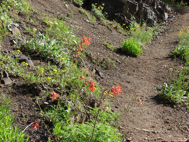
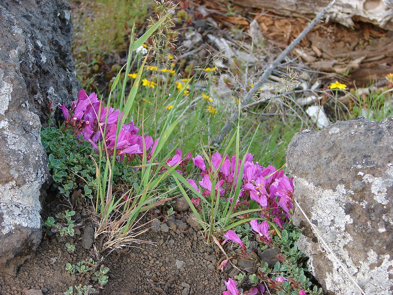
Cliff beardtongue. One of the brightest wildflowers we see.

The view on the way down.

The trail junction ahead.
The final 1.5-miles back to the Tombstone Pass Trailhead was mostly a gradual descent.

I stayed left at this junction with the connector trail to the Iron Mountain Civil Road Trailhead.


Alpine knotweed


The trail recrossing Highway 20.


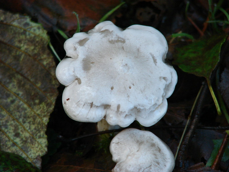
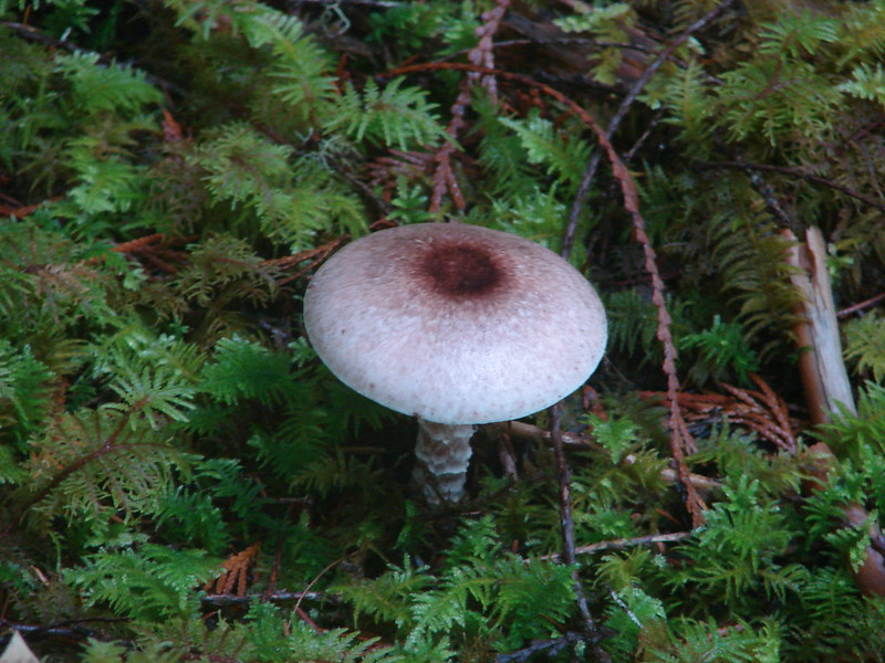
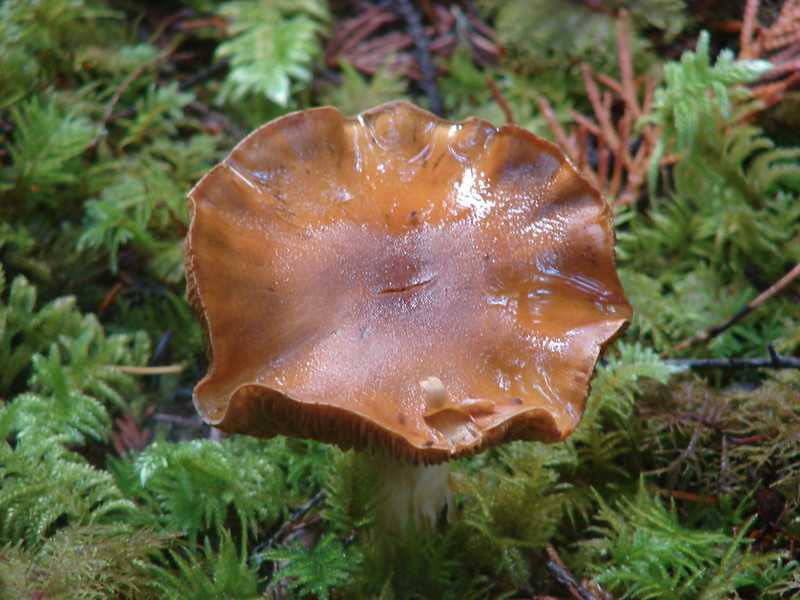
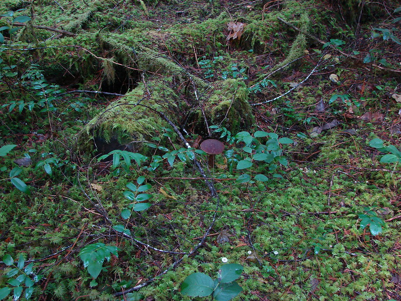
Spotted coralroot
At a junction, I turned left on the Santiam Wagon Road Trail.


Wild ginger


The Tombstone Pass Trailhead below.

Back on FR 60.
Today’s hike tallied 7.2-miles with 1740′ of elevation gain.

This is a great hike for both flowers and views. We’ll be heading back, possibly next year, to try once again to spot a Longhorn steer’s-head (Dicentra uniflora).
From a purely hiking standpoint I felt better during this hike than I had on a hike since February. My middle back however was still tight and giving me problems at night. Since then, I’ve had another PT visit, a doctor’s appointment, and x-rays (no results yet). Hopefully it is just tight muscles but if not, we’re working on getting to the bottom of it. Happy Trails!
Flickr: Cone Peak Meadows