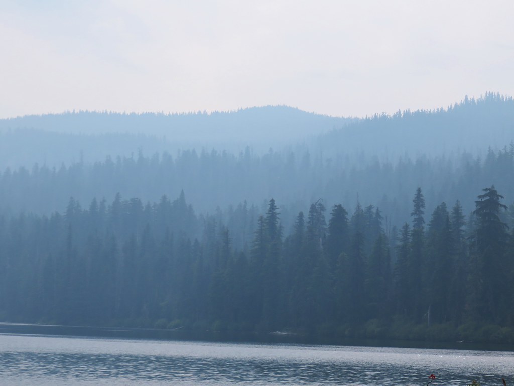
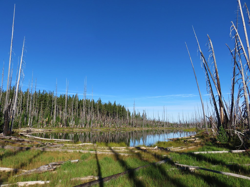
Snow returned to Cascades earlier in the week with the white stuff falling at elevations down to 4000′. While it didn’t stick around on the roads, we suspected enough snow fell for there to be some on the forest floor at lower elevations heading into the weekend. We tested our hypothesis by driving Highway 58 to Forest Road 5897 (Waldo Lake Road) for a pair 5+ mile hikes.
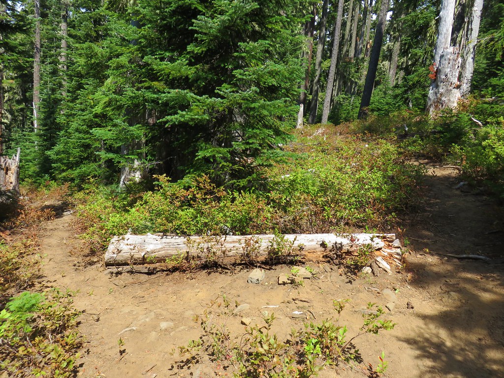
Our first stop was for the Marilyn Lakes Trail. There are several potential starting points for the hike to these two lakes. Hike Oregon recommends starting at the Gold Lake Sno Park for cross-country skiing or snowshoeing in the Winter. Sullivan recommends starting at the Gold Lake Campground for the hike. (Gold Lake Road, aka FR 500, to the campground would be inaccessible due to snow in Winter.) We however chose to begin off of FR 5897 at a small pullout on the right just under 2-miles from Highway 58 where a pair of small signs marked a ski trail.
 The pointer is for Gold Lake & Highway 58.
 The pullout along FR 5897.
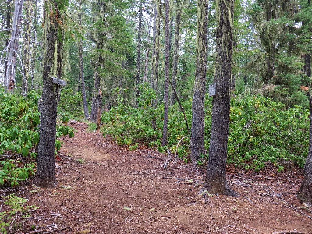
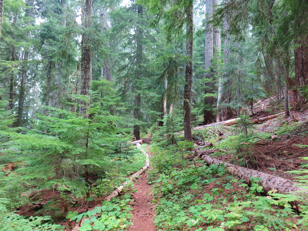
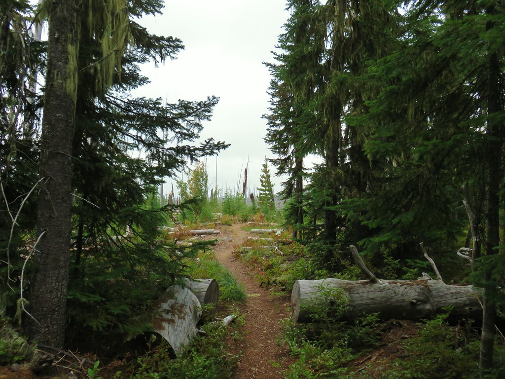
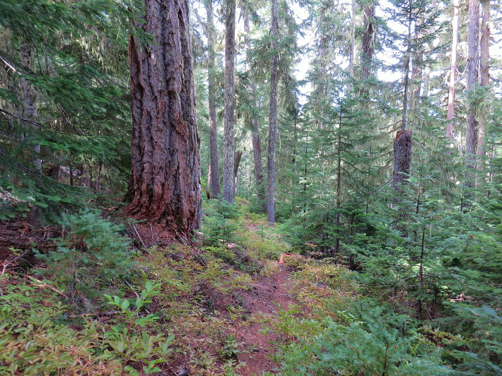
We set off on this trail and quickly came to the junction with the Gold Lake Trail where we turned right.
 We were pleased to find that there was more snow left than we’d expected.
 Coming up on the Gold Lake Trail.
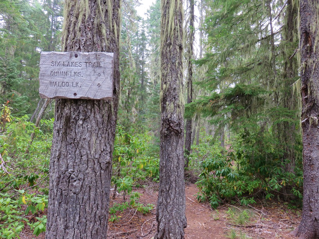
 Trail signs at this well marked junction.

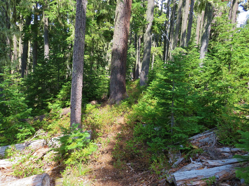
The Gold Lake Trail lost a little elevation as it descended for 0.2-miles to a parking area at the end of FR 500.
 Campsites on the right at the Gold Lake Campground.
 Looking back up the Gold Lake Trail.
We walked up FR 500 and crossed Salt Creek.

 Downstream several miles Salt Creek flows over Salt Creek Falls (post).
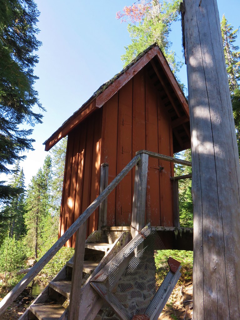
On the far side of Salt Creek was the day use area (and start of the Marilyn Lakes Trail) to the right and the Gold Lake Shelter on the left.


 Signs ahead for the Marilyn Lakes Trail.
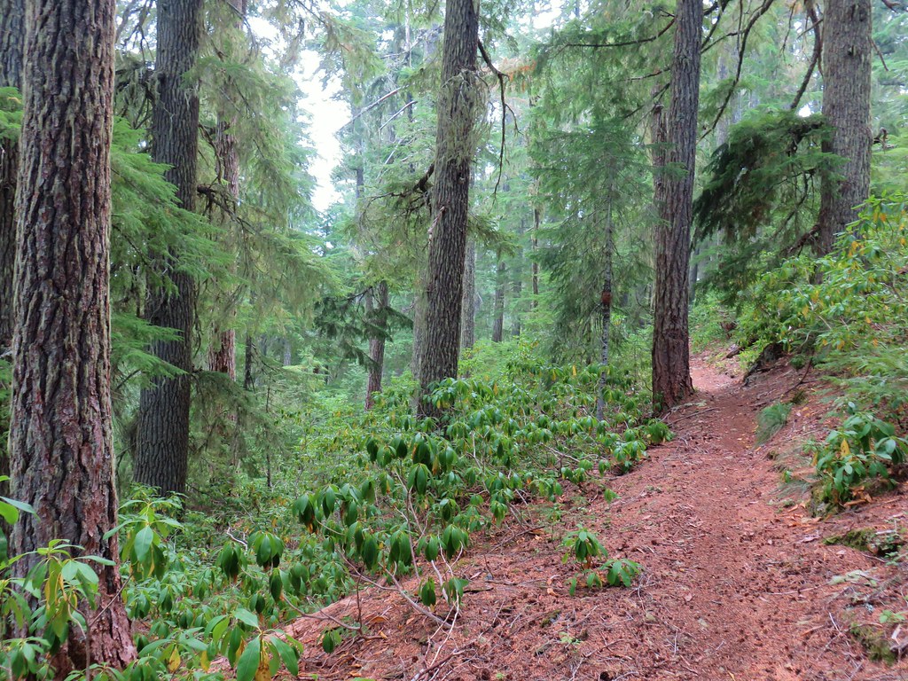
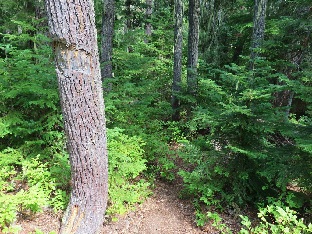
The trail was a bit overgrown in spots but being a ski trail there were plenty of blue diamonds to help keep us on the right path.


After 0.4-miles we came to a junction where we turned right following a pointer for Marilyn Lakes.

 The left-hand fork led up to FR 500. We took this fork on our way back.
 Heading toward the lakes.
We came to a second junction in just 400′.
 The right-hand fork is the start of the Lower Marilyn Lakes Trail.
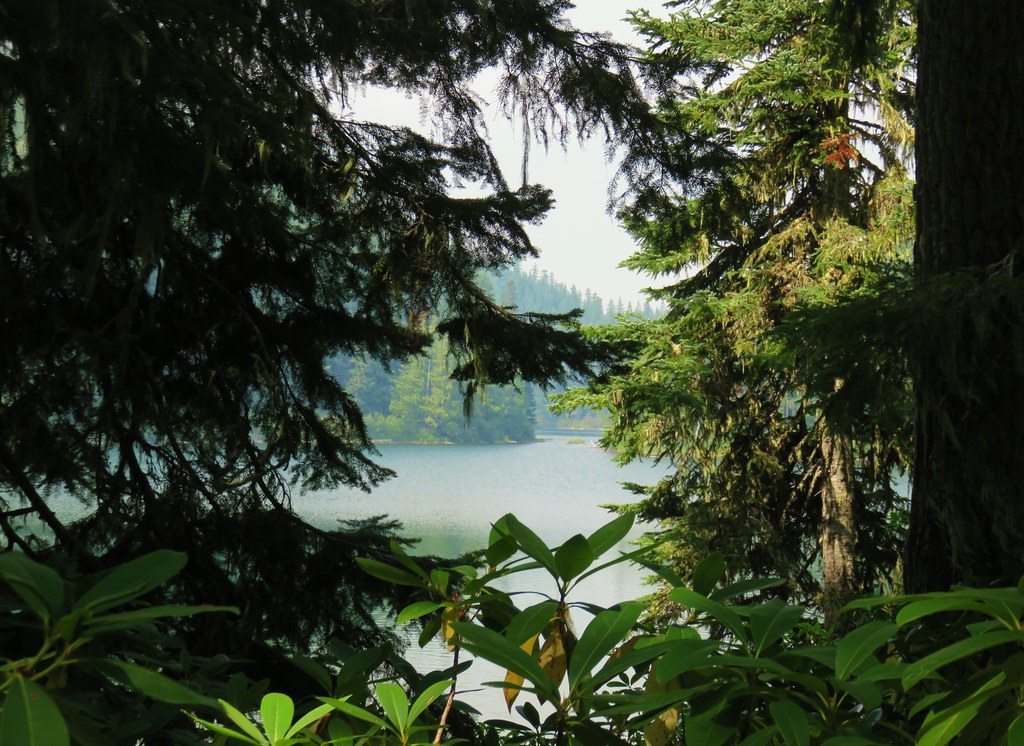
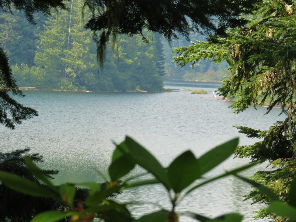
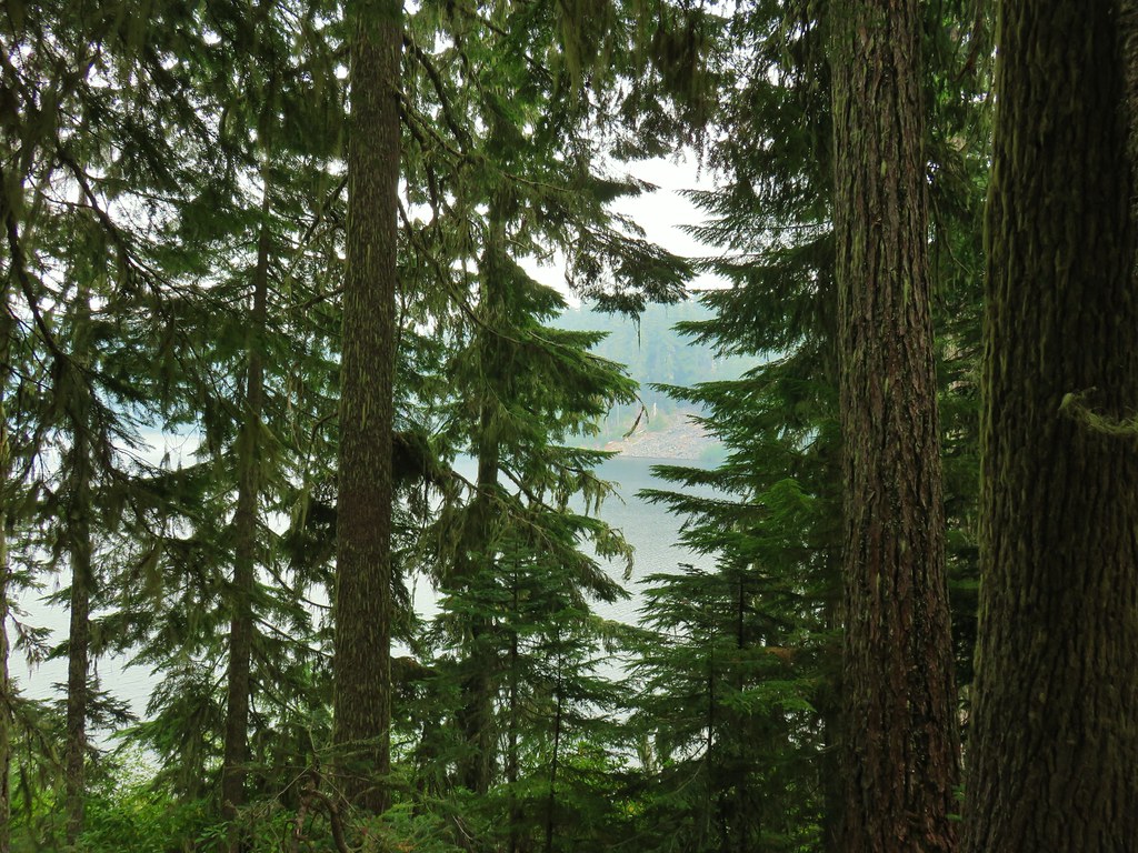
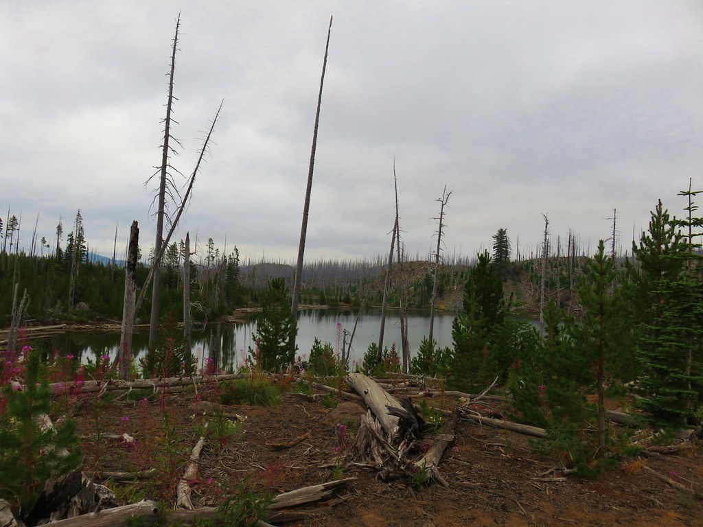
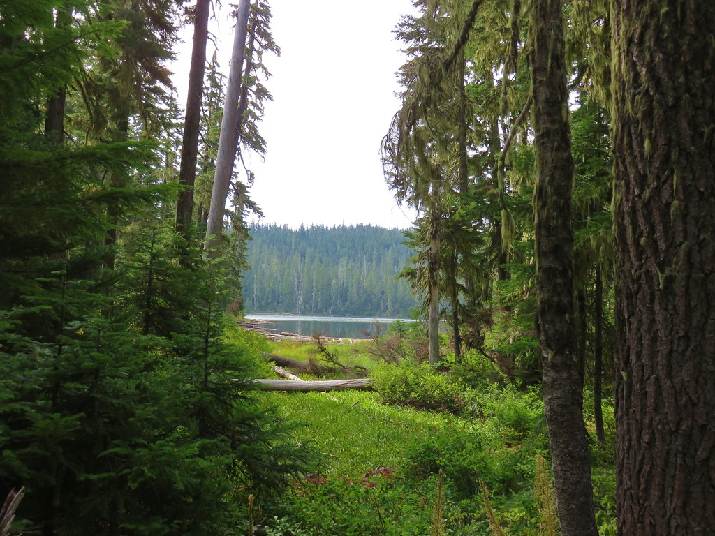
We went right again and in another 400′ got our first glimpses of Lower Marilyn Lake.


The trail followed the lake for a third of a mile providing a couple of nice views.

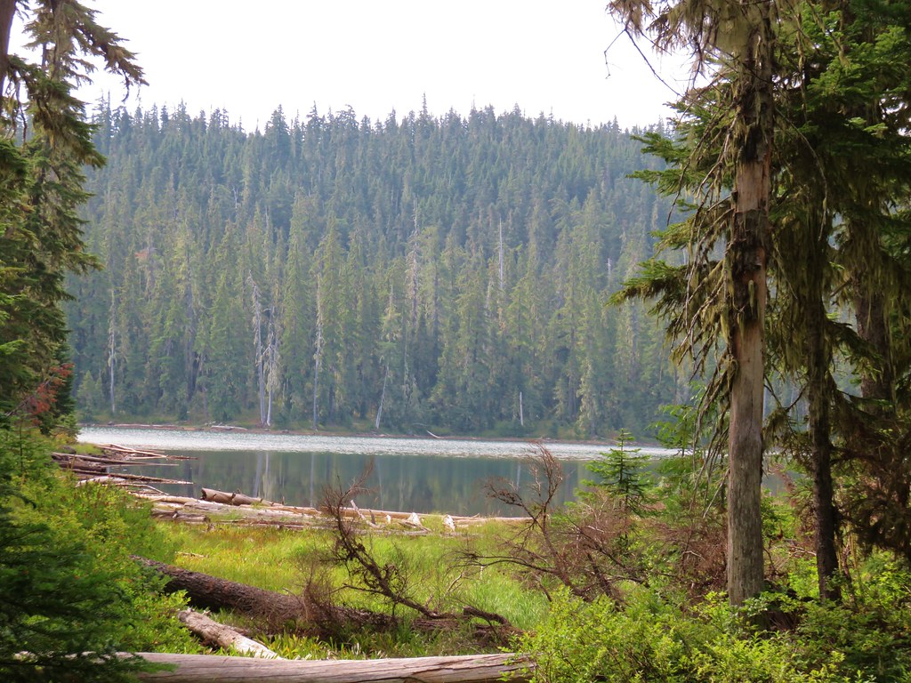
 Lower Marilyn Lake

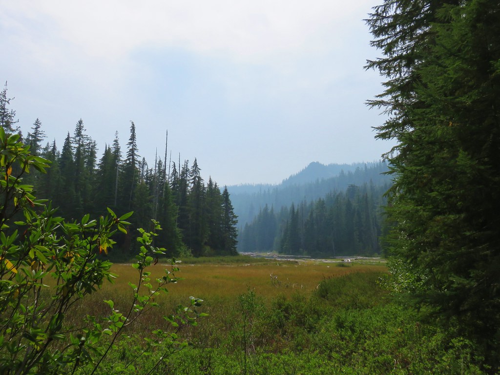
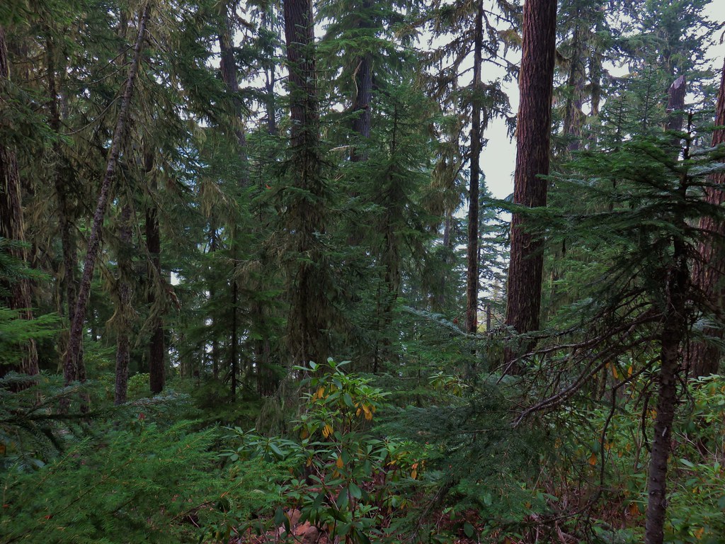
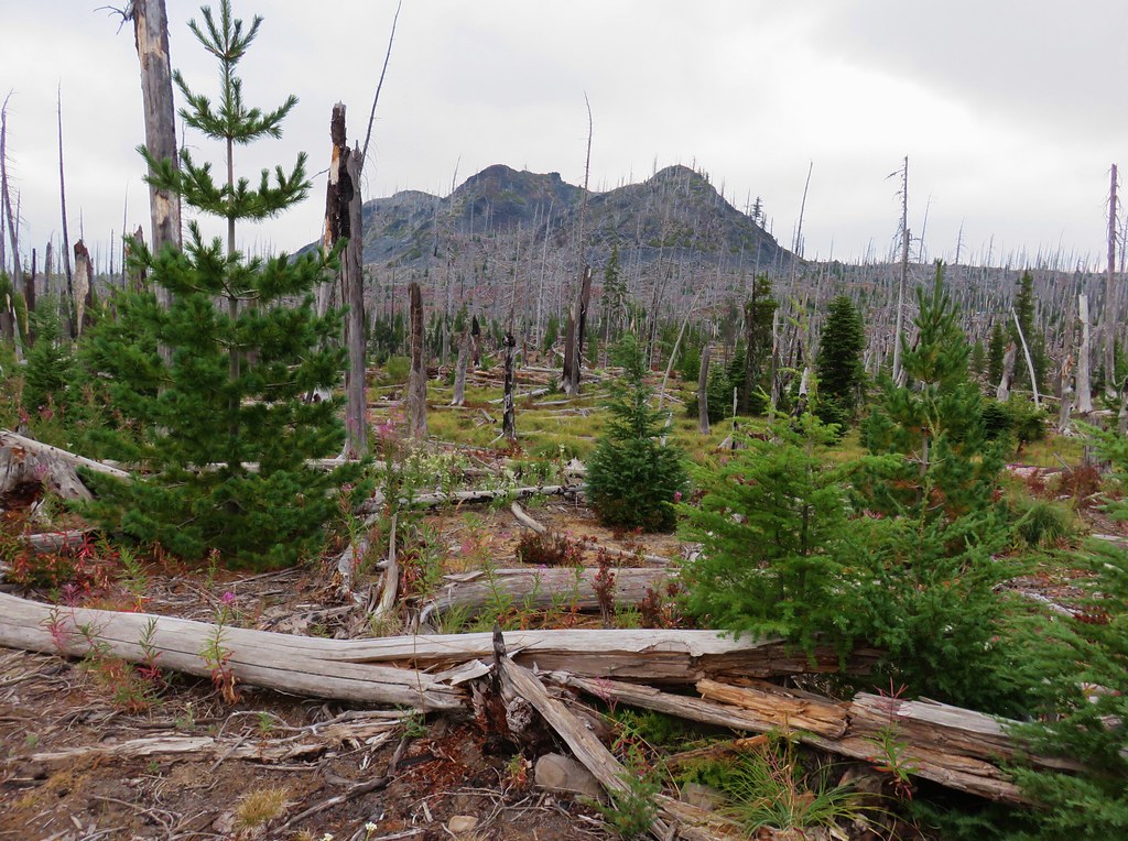
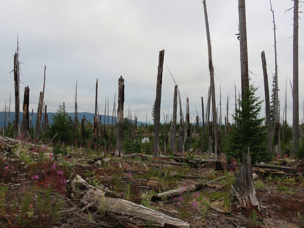
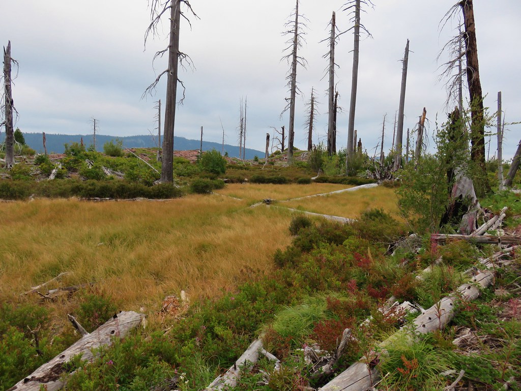
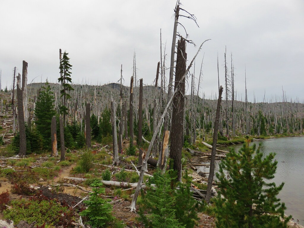
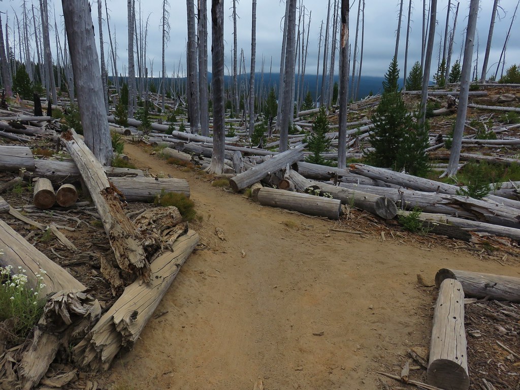
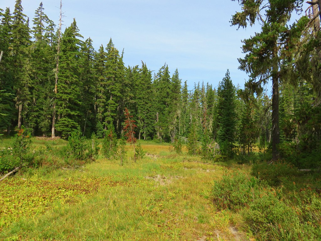
The trail veered away from Lower Marilyn Lake and passed the SW end of Upper Marilyn Lake in an overgrown meadow. It was clear that the area between the lakes would be extremely wet/boggy in late Spring/early Summer. Mosquitos are a real problem that time of year throughout the Waldo Lake area making it a less-than-ideal time for a visit.
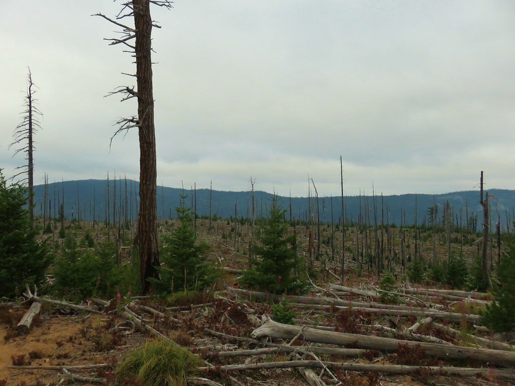
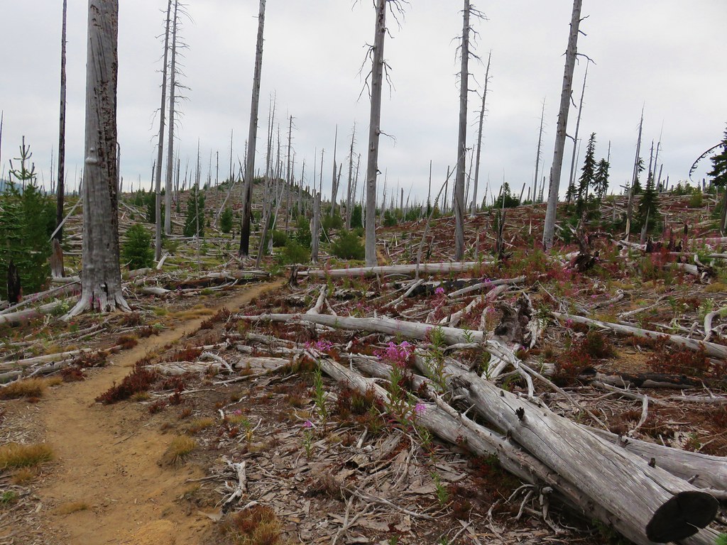
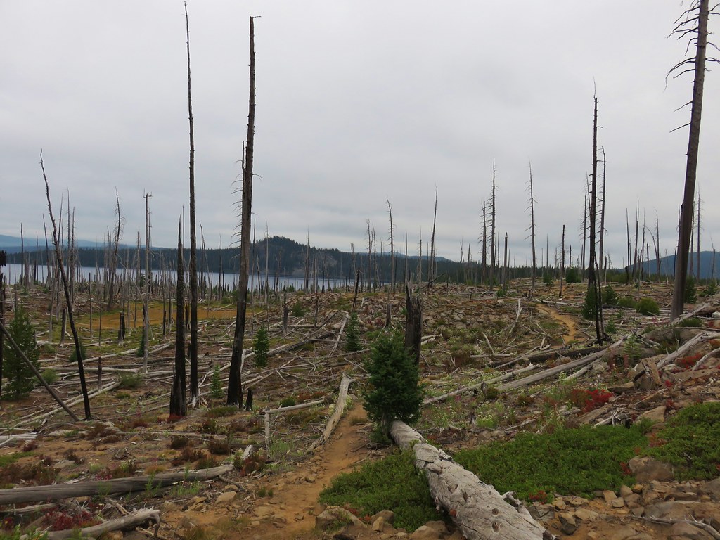
 A lot of downed trees had been logged out.

 We lost the trail briefly in this area and simply headed for the diamond in the distance.
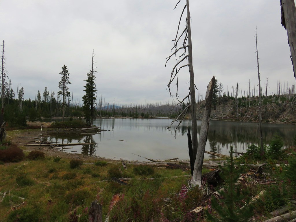
 Upper Marilyn Lake

Beyond the upper lake the trail gained 200′ of elevation to reach a small parking area off FR 500.

 Canada jay
 The cold air and moisture started fogging up my camera lens.
 The trail got very overgrown just before reaching the road. We were pretty damp after passing through this mass of huckleberries.

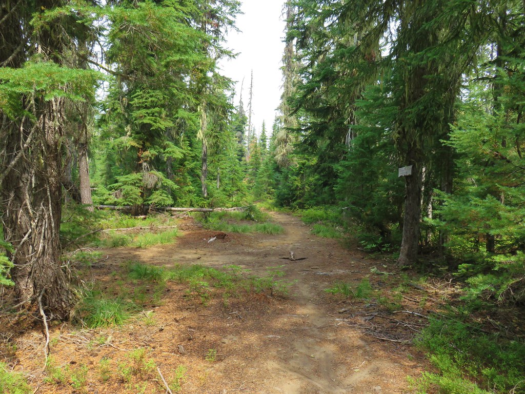
We turned left onto FR 500 and followed it just over three quarters of a mile to a short spur on the left that led to another signed parking area.


We picked the trail back up here and followed it downhill a quarter of a mile to Upper Marilyn Lake.

 Not sure what is going on with this mushroom.

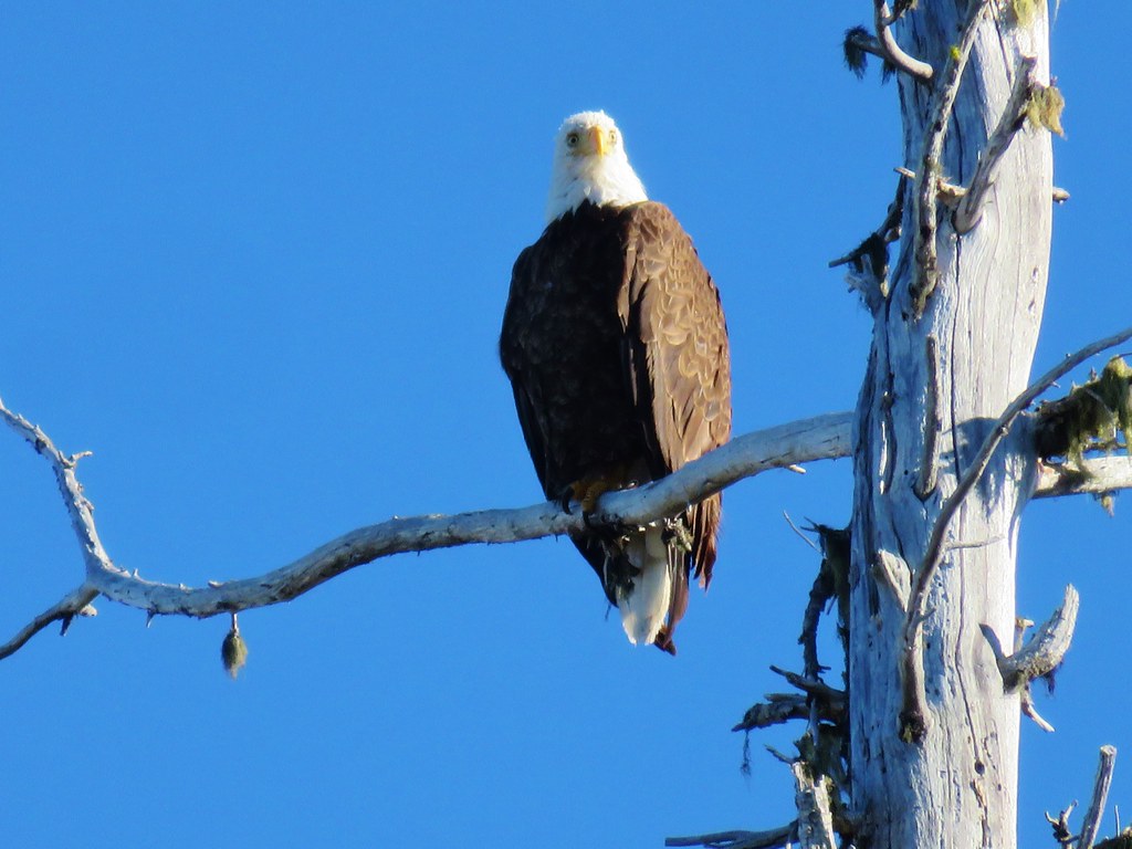
 A bald eagle was circling over the lake hoping to catch a fish for breakfast.
We watched the eagle for quite a while. It swooped twice but came up empty both times.

I had about as much success getting a picture of the eagle in flight as it had fishing.
After watching the eagle for quite a while we continued on the trail which followed the lakeshore.


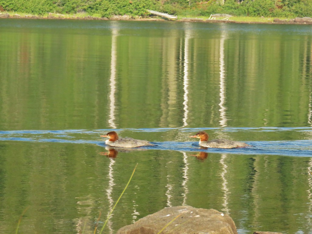
 Common mergansers
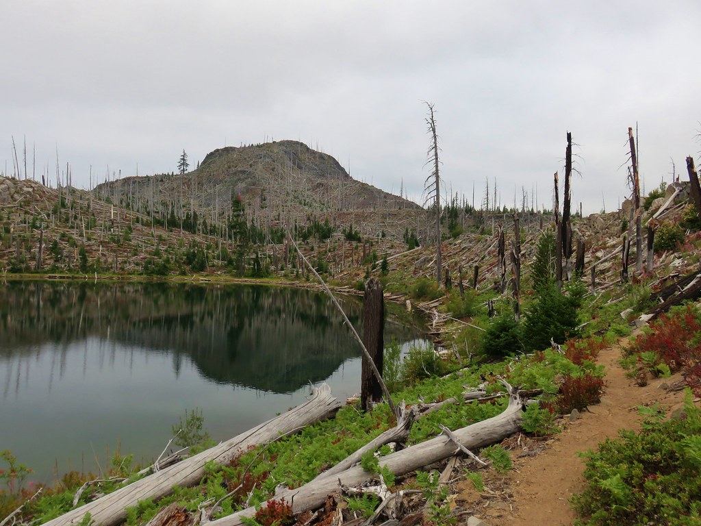
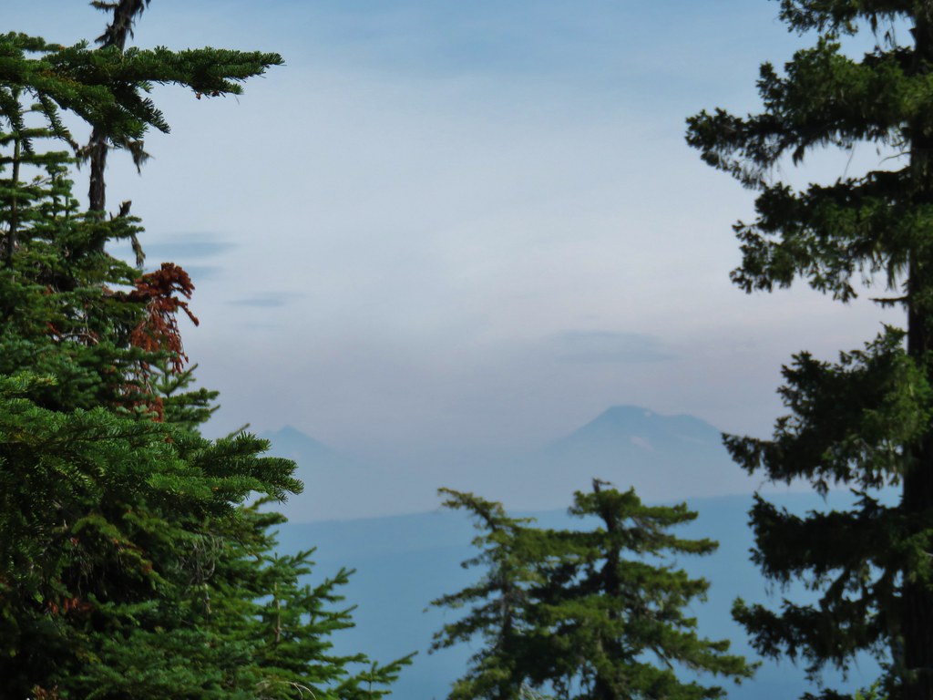
 Diamond Peak (post)
 Diamond Peak and Mt. Yoran with a few of the mergansers flying overhead.
The best views of Diamond Peak were found near the northern end of the upper lake.


 The eagle was now watching us.


A tenth of a mile beyond the lake we found ourselves back at the second junction we’d come to. We turned right and made our way back to the first junction.

 We went straight here this time and followed this trail 0.4-miles to FR 500.


We turned left again on FR 500 and followed it a third of a mile to the Gold Lake Campground.

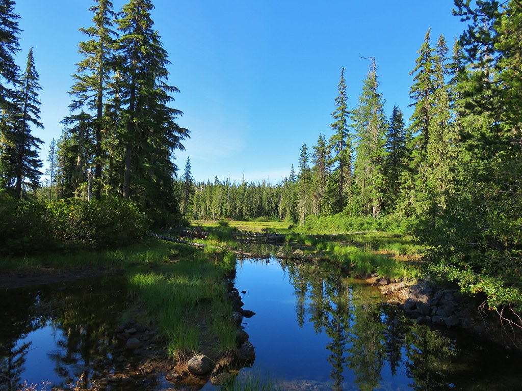
After crossing over Salt Creek we detoured to the right to visit Gold Lake before returning to the car. This was a 5.4-mile hike with approximately 300′ of elevation gain.
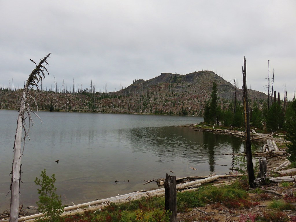
 Gold Lake

We got in the car and drove another 3.5-miles up FR 5897 to the large Betty Lake Trailhead on the left.
 More fogging on the lens.

The Betty Lake Trail began with a slight downhill to cross a dry creek bed then climbed briefly to a wide saddle before dropping to Betty Lake.
 The dry creek bed ahead.

At an unmarked but obvious fork we veered left to visit the lake shore.

 Bear tracks. We weren’t the only visitors to the shoreline.

We followed this use trail along the lake for a while before heading uphill to rejoin the official trail.
 Mount Ray

The trail made another brief climb through the forest before beginning a gradual descent past a series of smaller lakes before arriving at a junction with the Jim Weaver Loop.


 Howkum Lake on our left was the first lake we passed by.
 Reflection in Howkum Lake.
 Nearing the second lake on the left, Horsefly Lake.
 Horsefly Lake
The third lake, Tiny Lake, was just off the trail to the right.

 Tiny Lake


 The junction with the Jim Weaver Loop was next to a small unnamed lake.
We turned left onto the Jim Weaver Loop passing the unnamed lake and following the trail four tenths of a mile to another junction near the shore of Waldo Lake.


 A different bear had been wandering around this area.
 We could tell it was a different bear because the prints were noticeably larger. (11 1/2 shoe size for reference.)

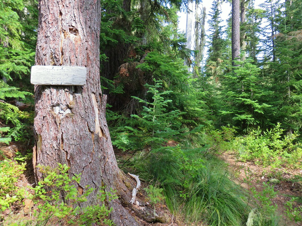
 Signs at the junction.
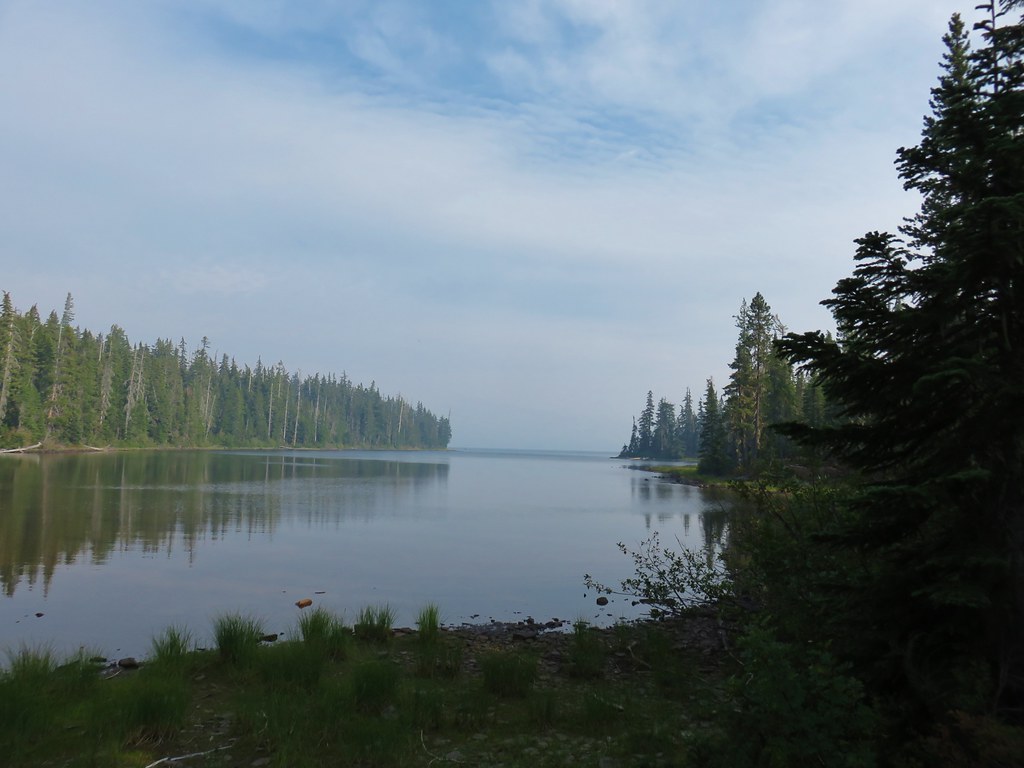
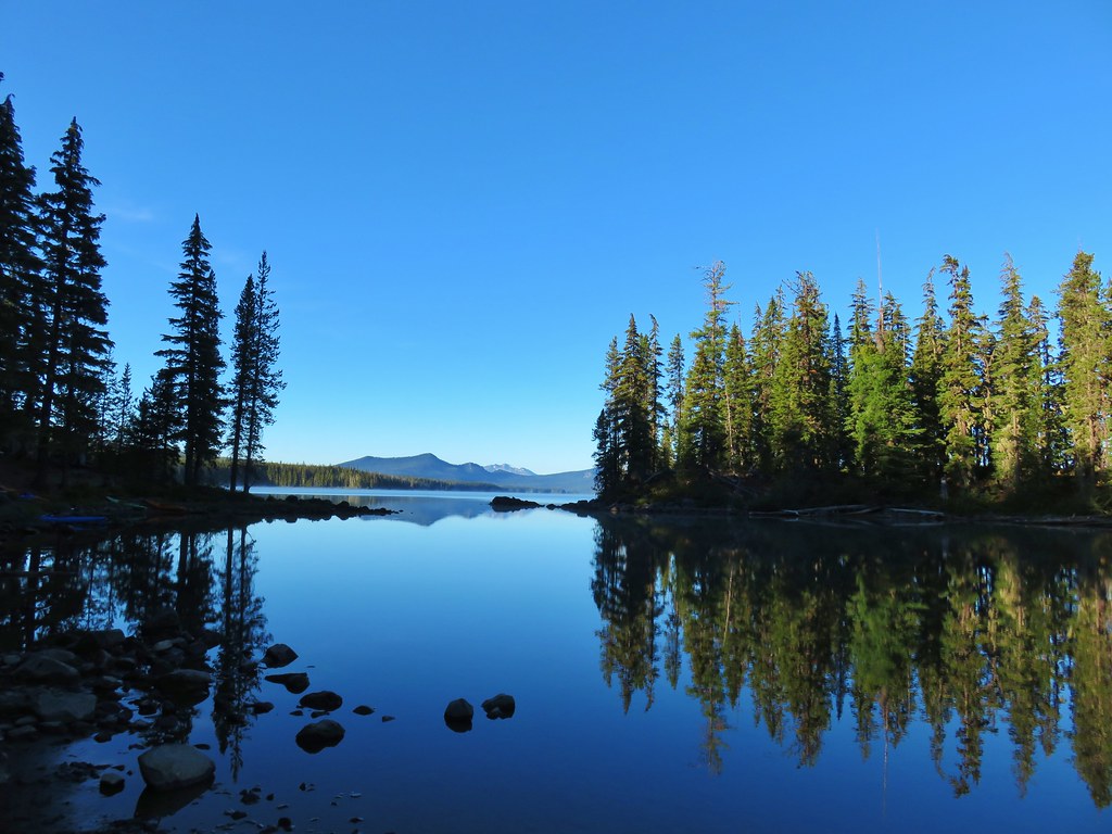
We had passed this junction in 2015 during a lollipop loop into the Waldo Lake Wilderness. We started that hike from the Shadow Bay Day Use Area and used the Shadow Bay Shoreline Trail to reach the Jim Weaver Trail. There wasn’t a clear view of Waldo Lake from the junction, so we headed left on the Jim Weaver Loop to find a spot where we could access the rocky shore.
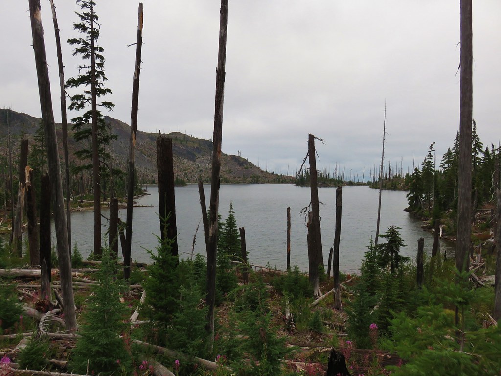
 View from the junction.
 I dropped down to the shore on the other side of this footbridge.

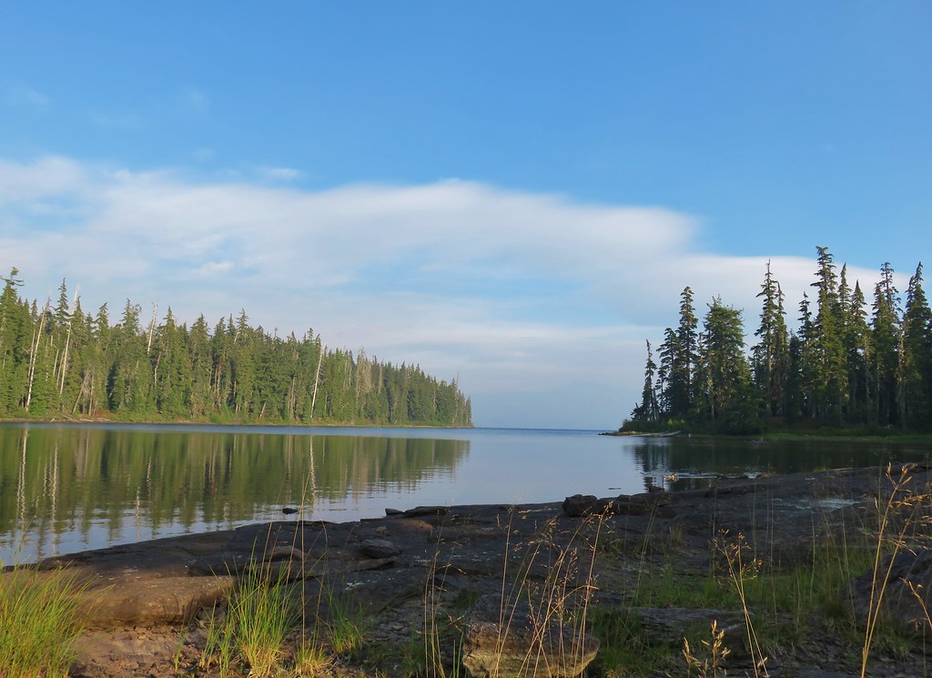
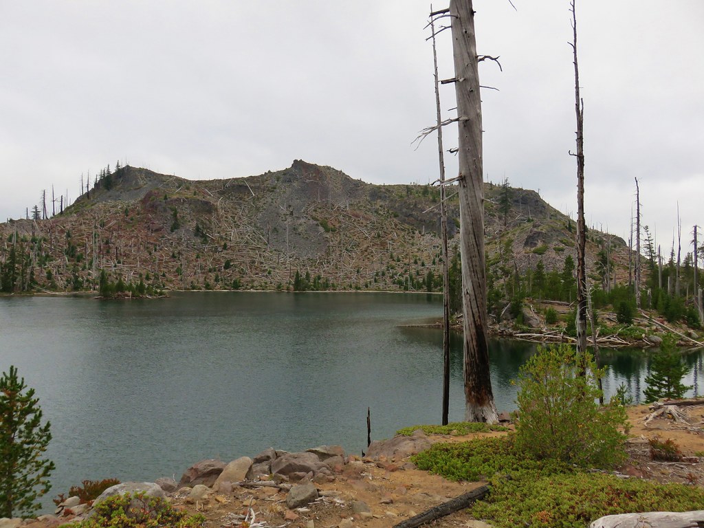
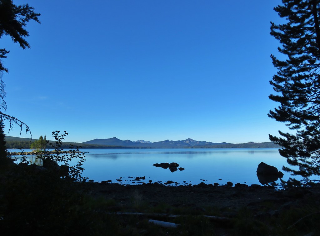
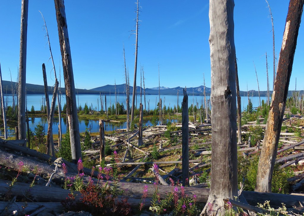
 The longer hump to the right in the distance is Waldo Mountain (post). The west side of the lake and the wilderness were heavily burned in the 2022 Cedar Creek Fire.
 Fuji Mountain (post) is just barely visible over the left shoulder of hump in the foreground.
After getting an unobstructed view we headed back. It was a pretty uneventful return. We dropped down to Betty Lake to hike the use trail along the shoreline instead of staying up in the forest.
 Tree reflecting in snowmelt.
 Betty Lake had some nice coloration.
 Mount Ray from Betty Lake again.
There were about a half dozen cars at the trailhead when we got back, but we hadn’t passed anyone on the trails during either of our hikes. There had been a family loading up their car when we first arrived at this trailhead and one occupied campsite at the Gold Lake Campground, but the hikes themselves had offered solitude.
The hike to Waldo Lake and back came in at 5.3-miles with approximately 450′ of elevation gain which was very similar to the Marilyn Lakes stop.

This brought the days total to 10.7-miles and around 750′ of elevation gain.
 A look at the two hikes proximity to each other.
Longer or shorter hikes could be done from either trailhead. With a number of other trailheads in the area as well it’s no wonder the Waldo Lake area is a popular destination. This was our seventh visit to the area and there are still many miles of trails we’ve yet to be on. Happy Trails!
Flickr: Marilyn and Betty Lakes
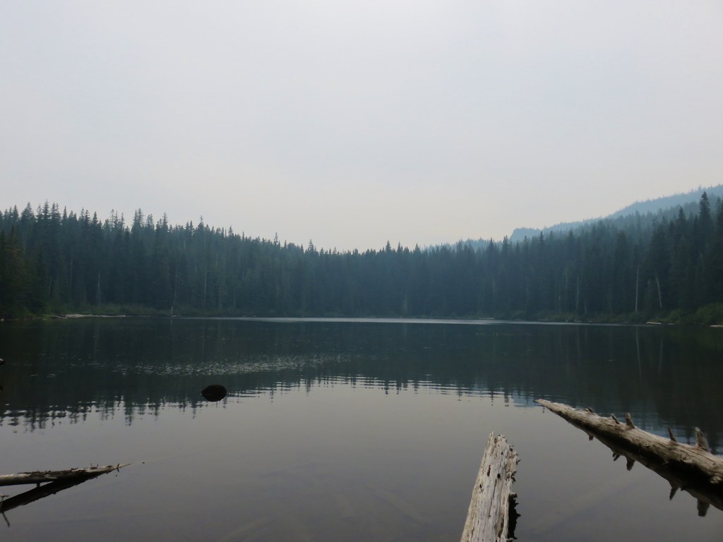
 5am clouds over Waldo Lake
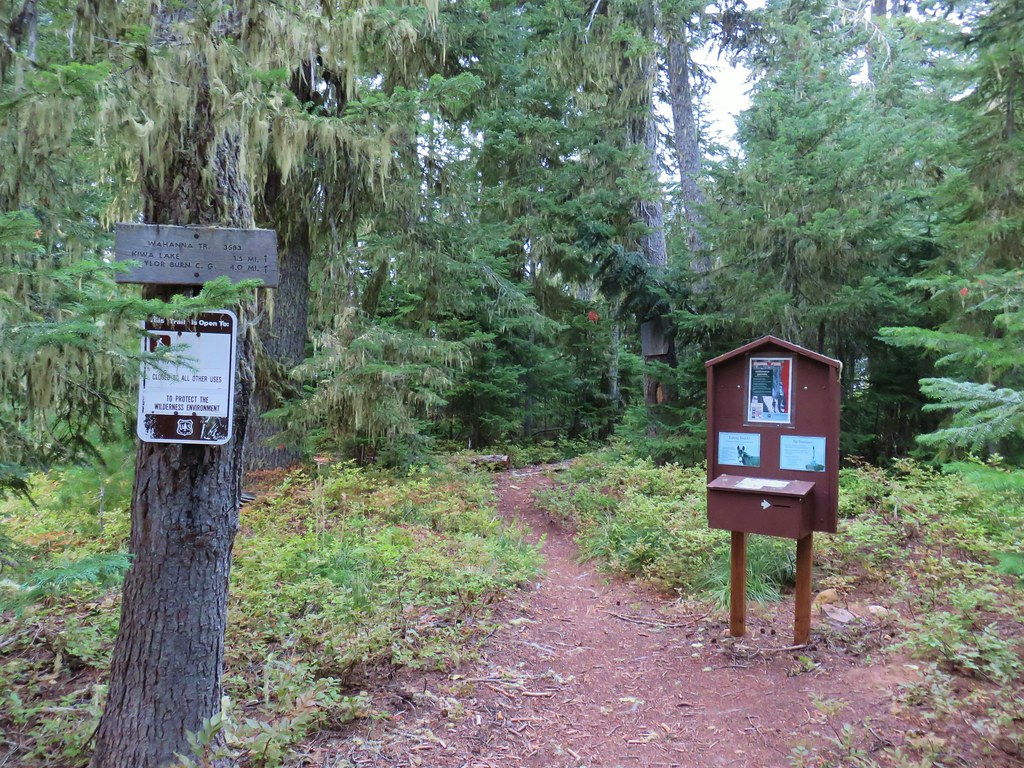


 First left fork
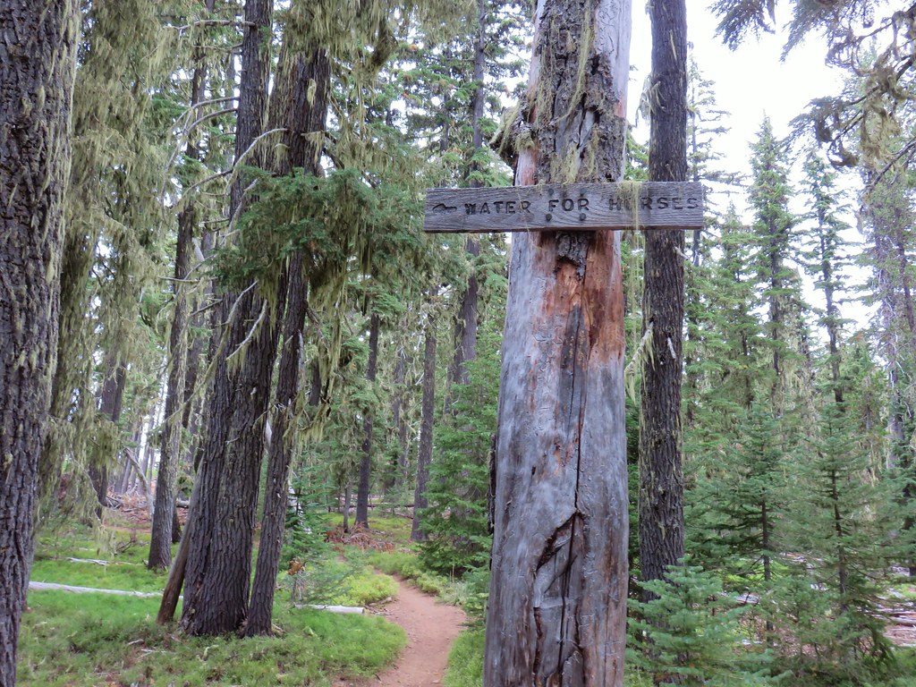 Second fork left at a “water for horses” sign
 Third left fork at a junction with the Shoreline Trail
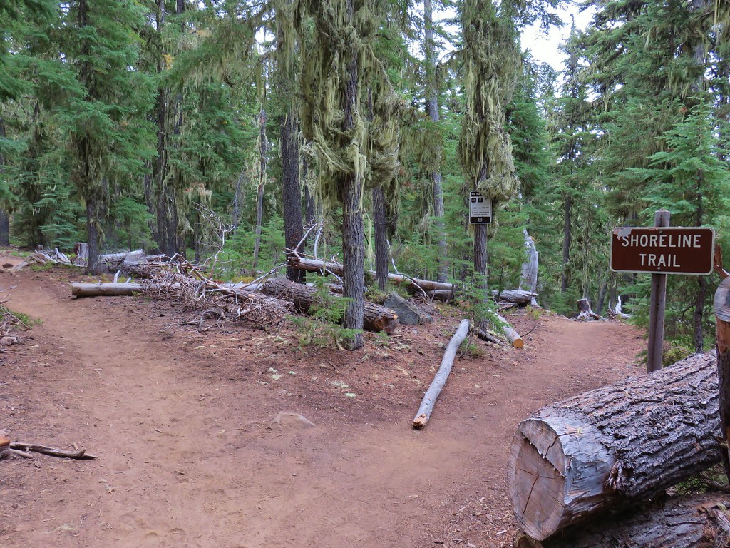 Fourth left fork at another junction with the Shoreline Trail
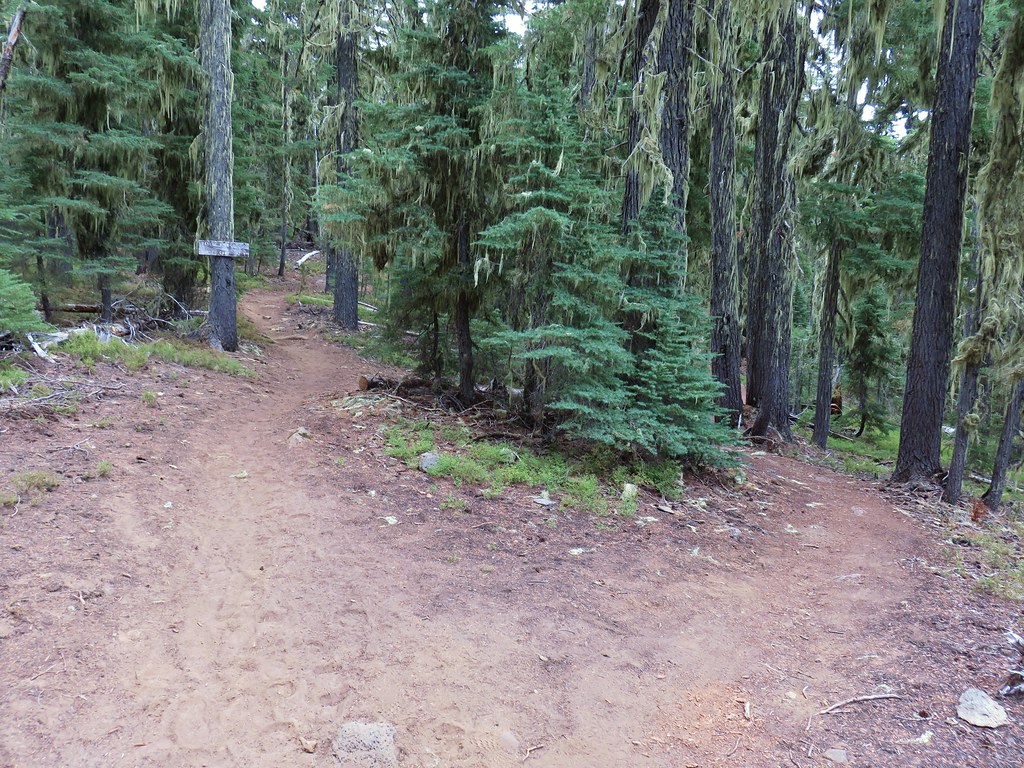 Fifth left fork which should have been a right.
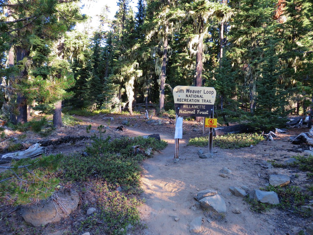


 Diamond Peak to the left and Fuji Mountain directly behind the island
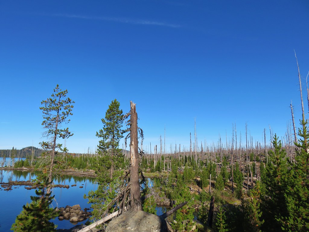

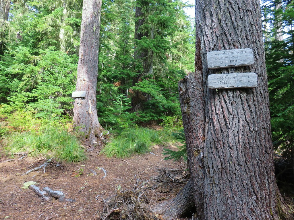
 Wahanna Trail
 Dam Camp is to the left in the trees and rhododendron


 South Sister
 The Three Sisters
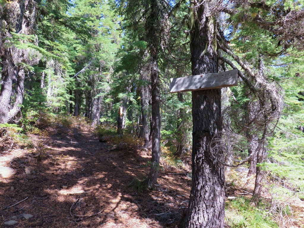
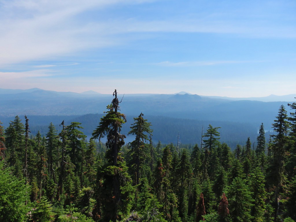 Rigdon Butte beyond the Eddeeleo Lakes from the Winchester Ridge Trail