At the start of the year I scheduled a week of vacation in September just in case our August backpacking trip to the Wallowa Mountains didn’t work out. That vacation worked out so I had a free week while Heather needed to work. When that happens I tend to look for longer hikes in areas where we’ve already been together.
For this outing I chose Mt. Hebo planning to hike up and over from Hebo Lake to South Lake and back. We’d been to Mt. Hebo twice before, most recently in 2015 (post), but never to the actual summit or as far as North & South Lakes. I parked at the Hebo Lake Day Use Area and walked through the campground to the signboard at the start of the Pioneer-Indian Trail.

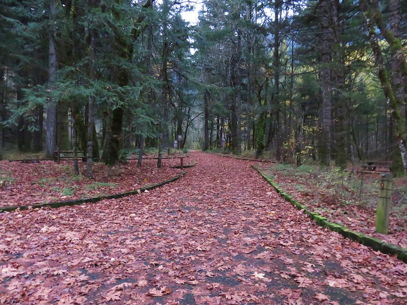
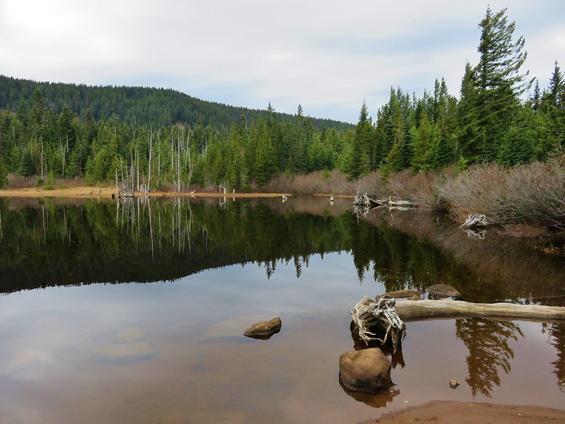
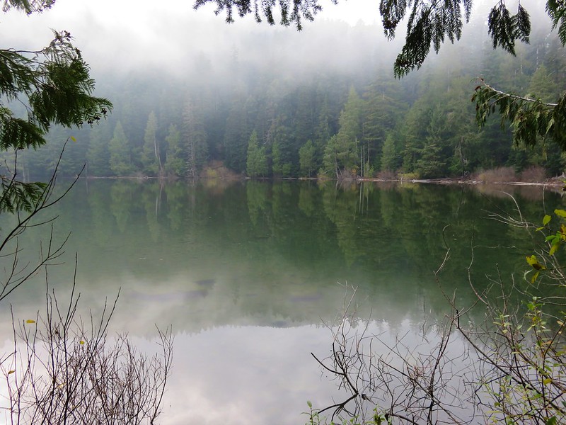
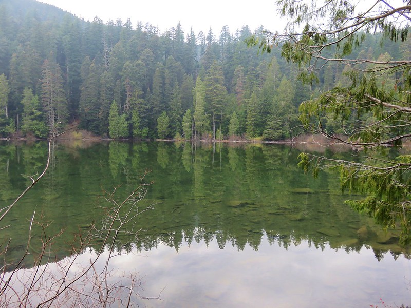
 Hebo Lake


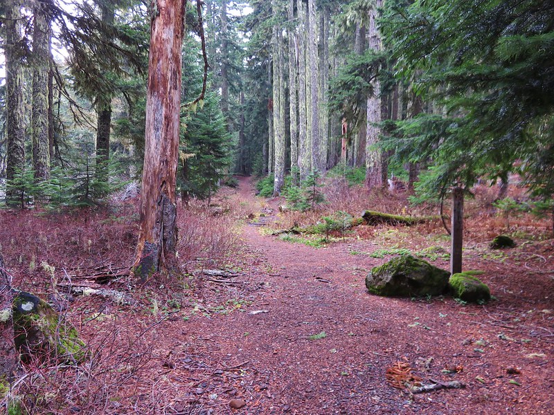
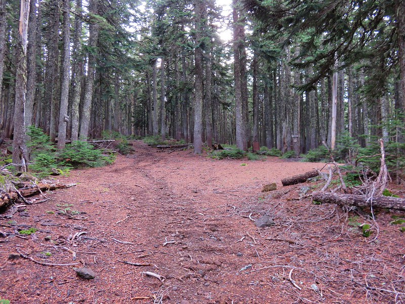
From the trailhead it’s four miles and approximately 1500′ to the meadowed plateau of Mt. Hebo. The lower portion of the trail includes several interpretive signs.
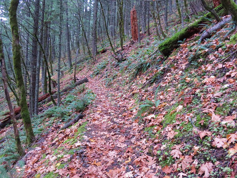
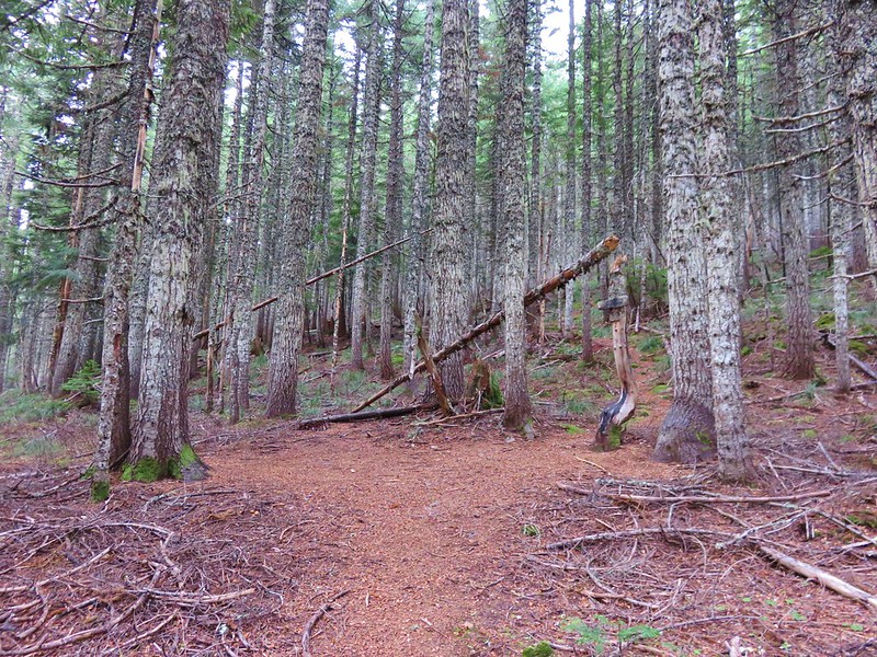
 Despite it being the end of Summer the forest was a lush green.

 So much green.
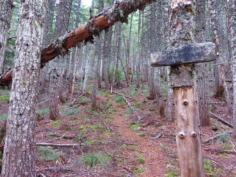
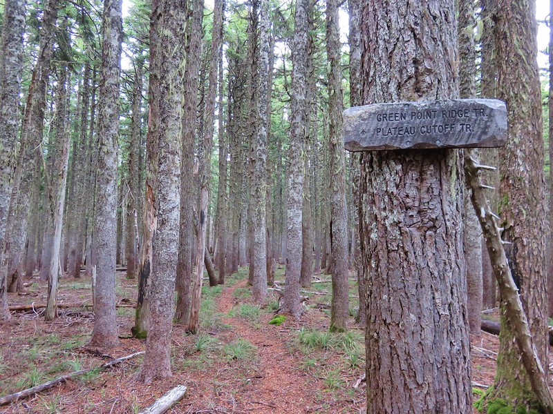
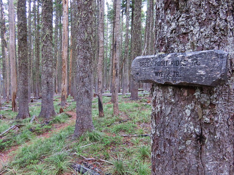
The trail crosses several roads along the way and near the one mile mark an equestrian trail joins from the left. All crossing and junctions were well signed.
 Trail sign at the equestrian junction.
 The equestrian trail. In 2015 we made the mistake of turning onto it briefly.
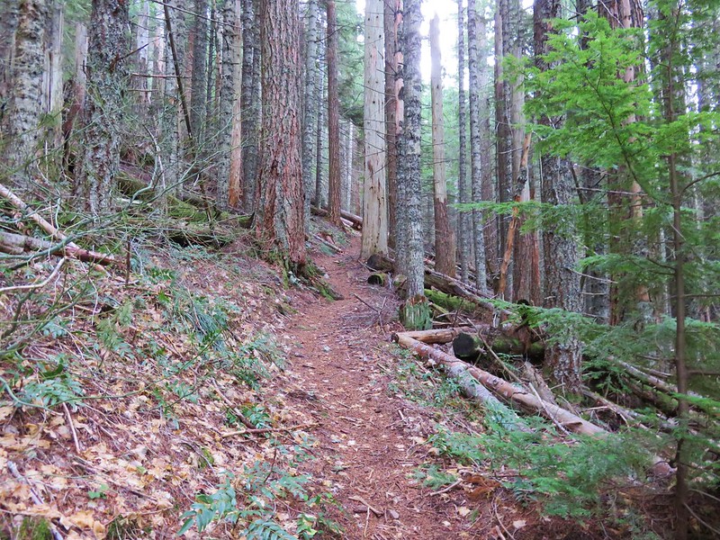
 Love the mossy trees.
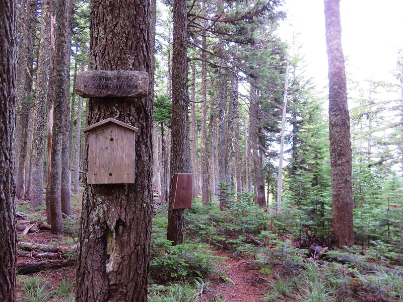
 One of the numerous trail signs.
 This more recently thinned section was full of ripe red huckleberries.
 Trail snacks.
 Chestnut-backed chickadee
 Crossing Road 14 near the 3-mile mark.

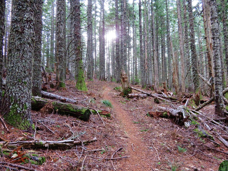
 There was a small section where there had been a lot of blowdown that had been removed.
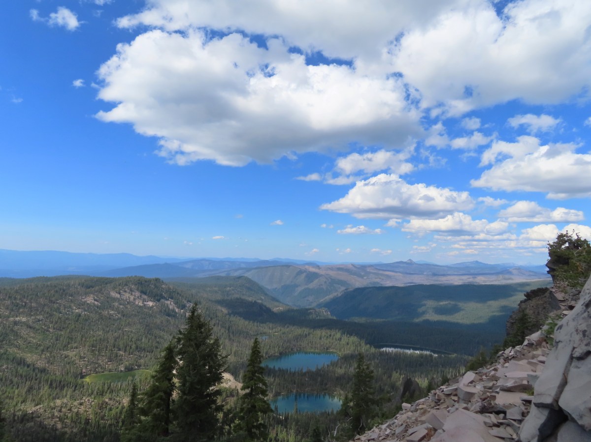
 Arriving at the meadows.
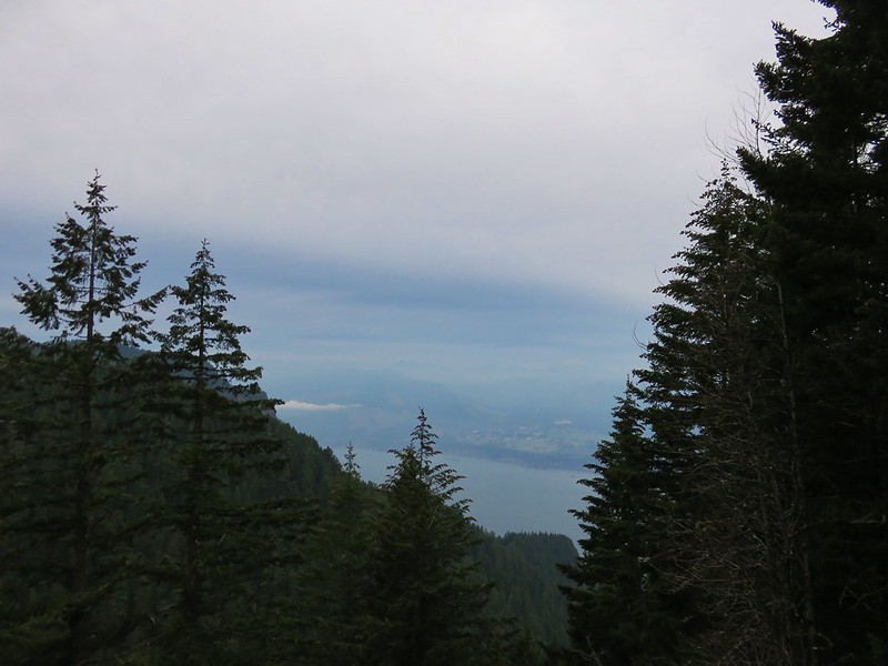
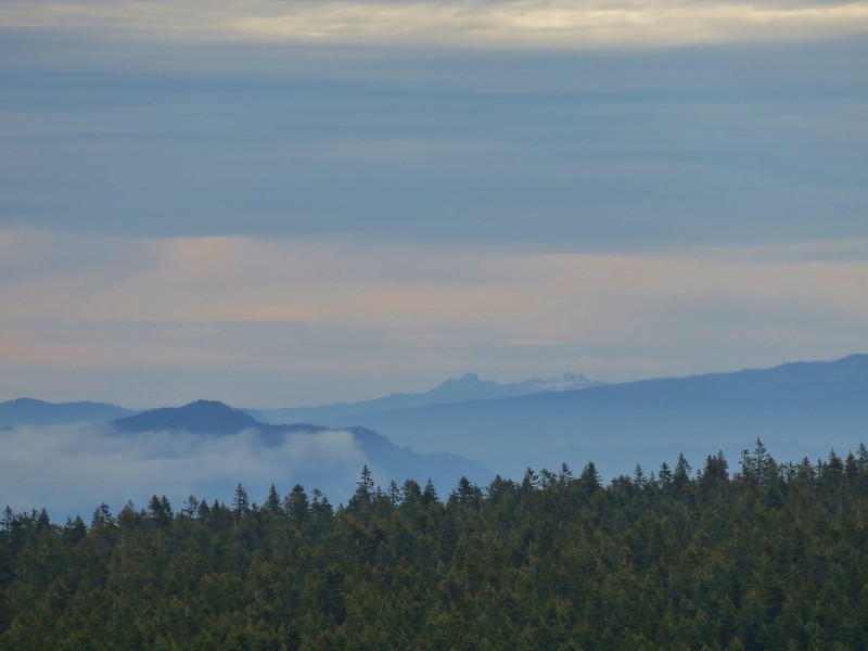
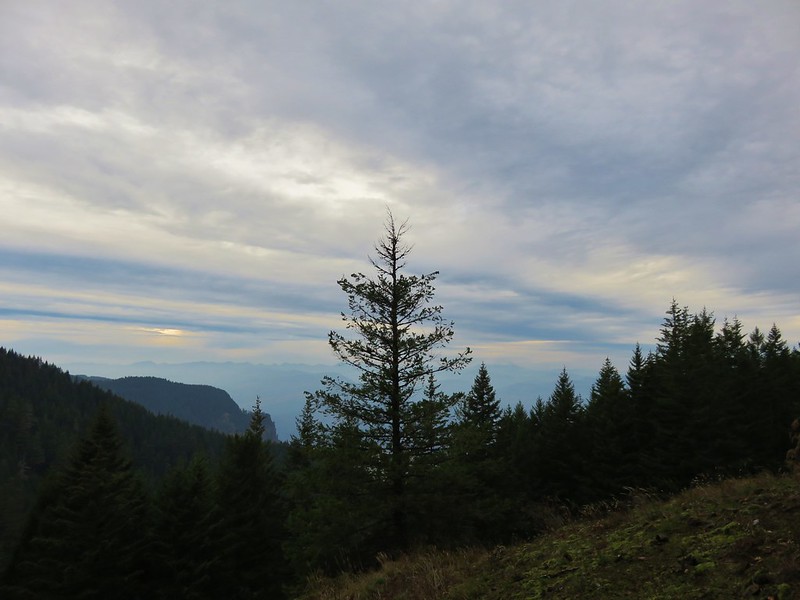
 Looking NW toward the Pacific Ocean.
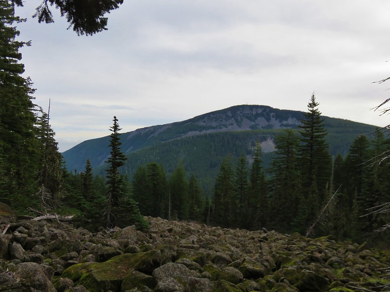
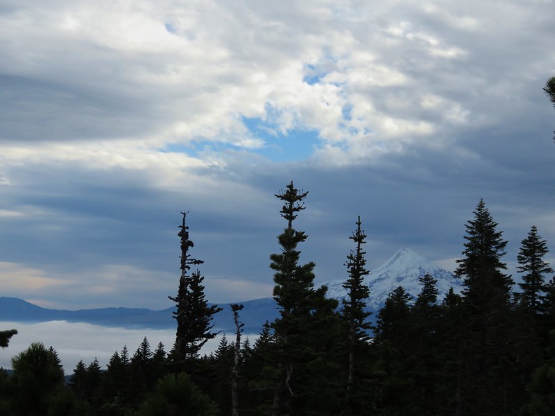
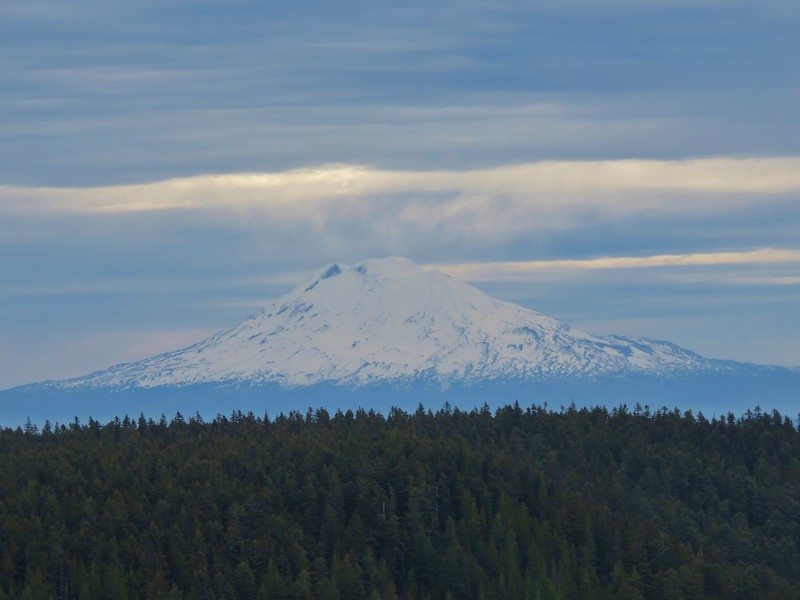
 Mt. Hebo summit from the meadows.
 Bayocean Spit (post) and Tillamook Bay.
 Cape Lookout (post)
 Looking back across one of the meadows.
At the 4.4-mile mark the trail crossed Road 14 again and traversed a hillside above several tributaries of Three Rivers.

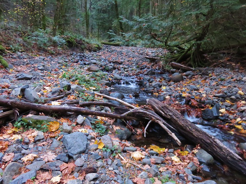
 This late in the Summer there was no water.
 Dry marsh at the tributaries.
 Bunchberry
 Another dry crossing.
The trail made another crossing of Road 14 just 0.4-miles later then rounded a wide ridge. Near the 5.5-mile mark I reached the start of the steep descent to North and South Lakes where we had turned around in 2015. This time I continued on.


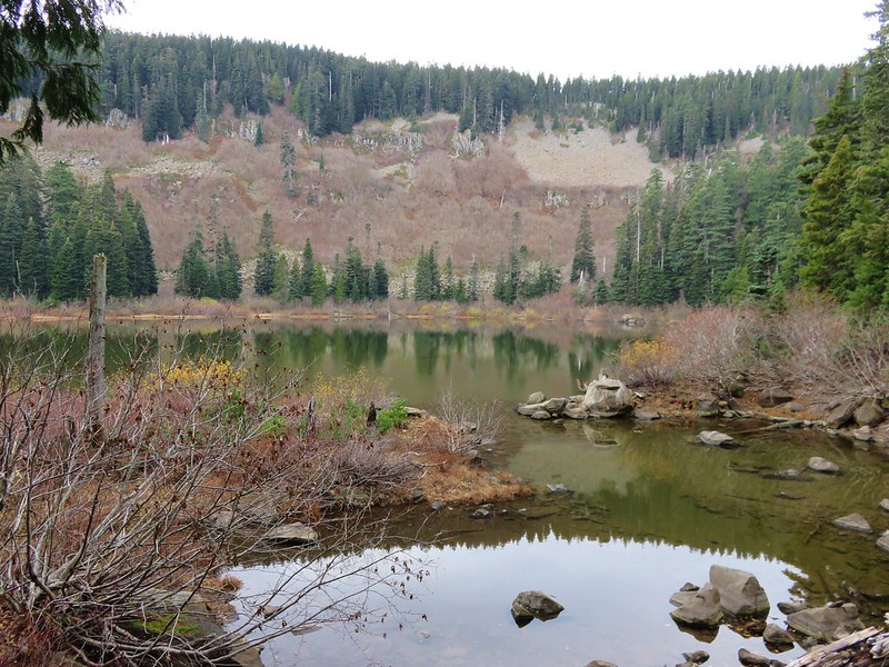
After descending three quarters of a mile North Lake became visible through the trees, or I should say the dry lakebed of North Lake became visible.

The trail stayed above the lakebed and forked. The right hand fork led to Road 14 along the lake shore while the Pioneer-Indian Trail continued to the left.
 This was the only official junction that was not signed.
With no water in North Lake I stuck to the Pioneer-Indian Trail and hoped that South Lake wouldn’t be the same. After an initial climb over a ridge the trail gradually descended arriving at South Lake 1.3-miles from North Lake.


 Road 14 – again.
 South Lake through the trees.
There was water in this lake (and one car in the campground), so I followed the half mile trail around the lake.


 Vine maple changing colors.
 The trail around South Lake.
After completing the loop I headed back along the Pioneer-Indian Trail.
 I really appreciated being reminded that it was eight miles back to Hebo Lake.
I returned past North Lake and began the 600′ plus climb that needed to be made to get back up to the plateau.
 I couldn’t really get a good view but there was a nice meadow along the trail between the two lakes.
 Oregon grape
 Bridge over Three Rivers near North Lake, I almost thought I heard a slight trickle of water here.
 Good sized garter snake in the trail ahead.

 Normally these snakes slither off into the brush as you approach but this one coiled up in the trail, so I took a long step over it and continued on.
 This was the steepest section of the climb up from North Lake.
On the way down I’d spotted two separate flagged trails along the ridge end that appeared to lead up to the plateau. There were no signs but a quick look at the GPS and maps showed a road on the plateau that connected with Road 14. I thought it might be a little shorter to go that way, or at least it might mean a little less climbing because the trail dipped as it passed the dry streams feeding Three Rivers.
 One of the flagged routes.
 Looking up the flagged route.
I turned up the first of the routes that I came to and climbed steeply to the plateau where the tread quickly petered out.

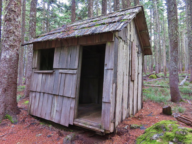
 Remains of some sort of old structure were present. The summit of Mt. Hebo could also be seen.
 Turkey vulture
 A lone lupine.
I could see the old roadbeds though so I followed the closest thing I could find to old tread to the first roadbed and turned left onto it.


 Mountain ash and maple.
 A small bird watching me from behind some sticks.
Approximately a third of a mile from the Pioneer-Indian Trail I reached a gate at the end of pavement and in another tenth found myself on Road 14.

I had a choice of turning left or staying straight on Road 14. It would have been about 0.4-miles back to the trail along the left fork, but the map showed Road 14 curved a couple of times while staying straight appeared more direct.
 Going the left would have also been the way to North Lake. The road apparently gets narrow and a bit rough beyond this point.
I went straight and followed Road 14 nearly 0.7-miles before arriving at a trail crossing.


 I turned right at the trail marker here. As it turned out it wasn’t any shorter at all and I wouldn’t recommend this route due to a lack of tread between the flagged trail and old roadbed and then having to follow Road 14 for so long.
I followed the Pioneer-Indian Trail back through the meadows then, after almost a mile, when it neared Road 14 again I took a short path over to the road to detour up to the summit.


 A hedgenettle
 I took this left to cut over to Road 14.
I followed Road 14 uphill for half a mile then turned right to visit the former site of an Air Force Radar station (now radio and other towers).


A path near an interpretive sign led out to the former radar site and a view of the Pacific.

 Lots of yarrow still blooming at the summit.
 White-crowned sparrow
 Heading toward the viewpoint.

 Three Arch Rocks
 Haystack Rock near Pacific City.
 Closer look at Haystack Rock.
 Penstemon
 Meadows along the plateau of Mt. Hebo from the summit.
I returned to Road 14 and followed it back down to the Pioneer-Indian Trail and headed back to Hebo Lake. It was nearly 3.5 more miles to the lake but luckily it almost entirely downhill and it had stayed relatively cool. I did stop for a moment to talk to three hikers from Corvallis who had originally headed East that morning but realized it was too smokey to be enjoyable, so they’d come West instead.

 Bead lily (Queen’s cup).
 Meadow along the trail.
 So many ferns.
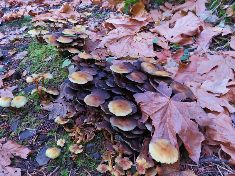
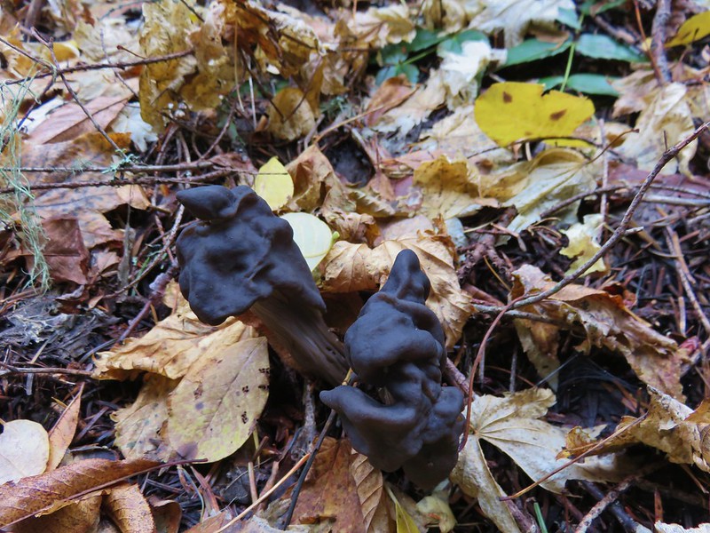
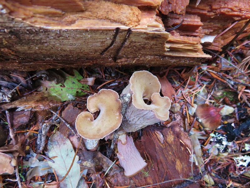
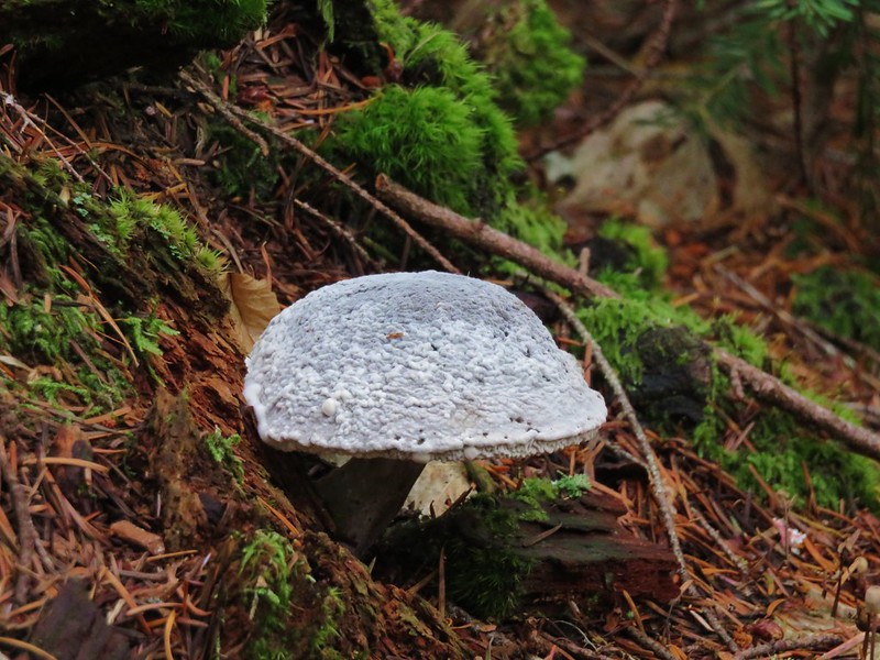
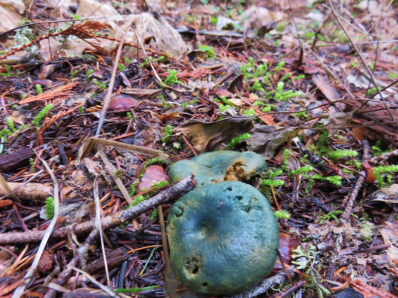
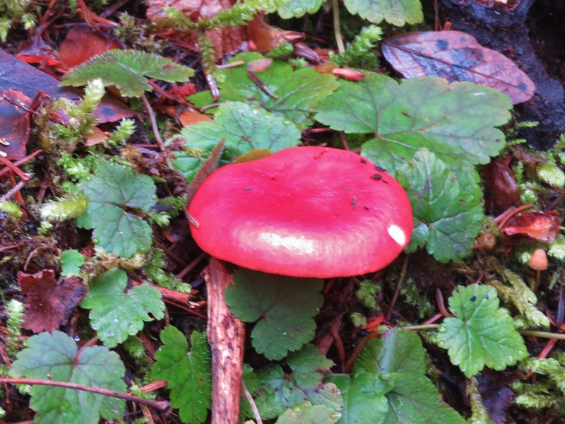
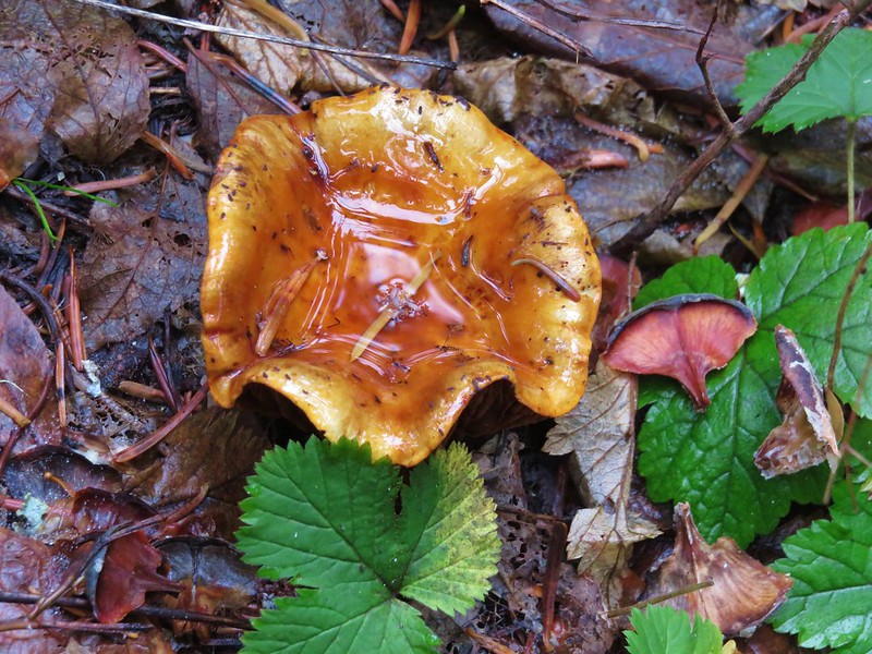
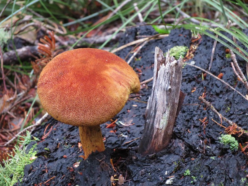
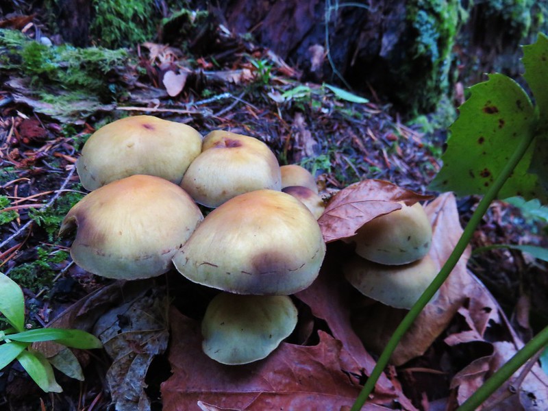
 Mushrooms
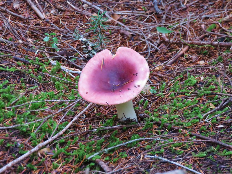
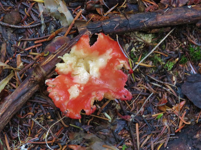
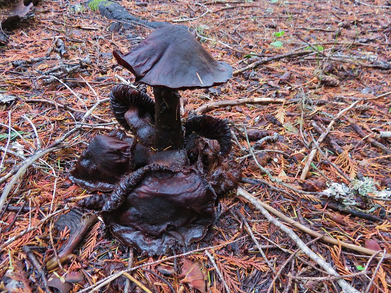
 This was a good-sized mushroom.

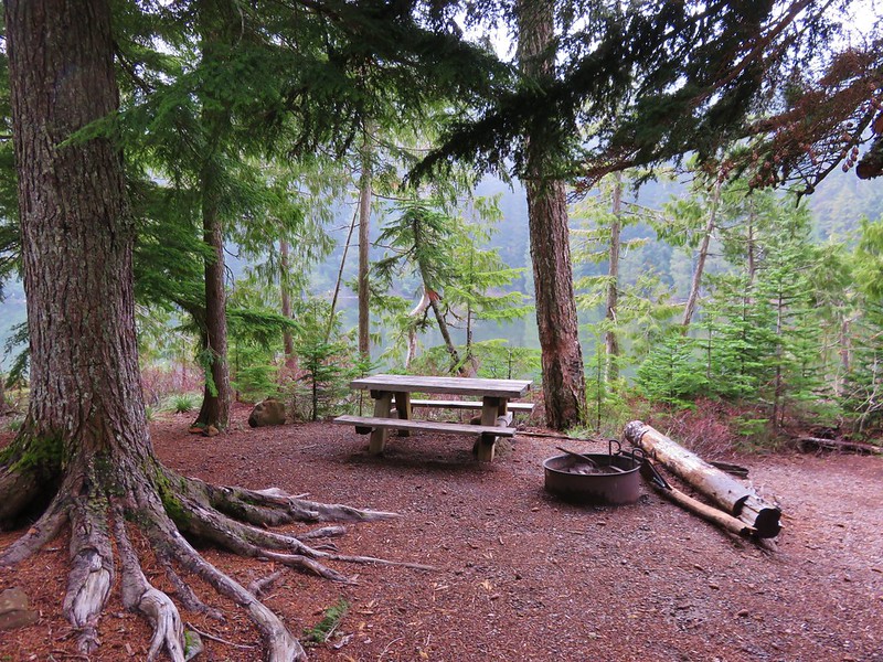
 Back at Hebo Lake.
To wrap up the outing I took the Hebo Lake Trail around the lake and back to the car.


The hike came in at 17.7 miles with a little over 3200′ of cumulative elevation gain.

The highlight of this hike was the coastal forest. The views were nice, and the lakes were fine, but the green forest stole the show. Happy Trails!
Flickr: Mt. Hebo Traverse
 Sevenmile Marsh Trailhead
 Sevenmile Creek
 Entering the wilderness
 Sevenmile Marsh
 Lodgepole pines were the dominate trees along the first part of the trail.
 Mountain hemlock took over as the trail gained elevation.
 Junction with the PCT.
 There were a few downed trees along this section but nothing difficult to get around.
 This twisted tree caught our attention.
 Nice blue sky.
 Lewis’s woodpecker way up in a snag.
 Tadpoles
 Frog in the water.
 Trail sign ahead on the right.
 Unnamed creek along the PCT. We were surprised at how many of the seasonal creeks still had flowing water.
 Grass-of-parnassus
 Huckleberries, there were a lot of these around the basin which we happily sampled.
 Devil’s Peak poking up above the trees.
 The Cliff Lake Trail.
 Prince’s pine
 Another flowing seasonal creek.
 Crater Lake collomia (Collomia mazama)
 The Seven Lakes Trail arriving on the right.
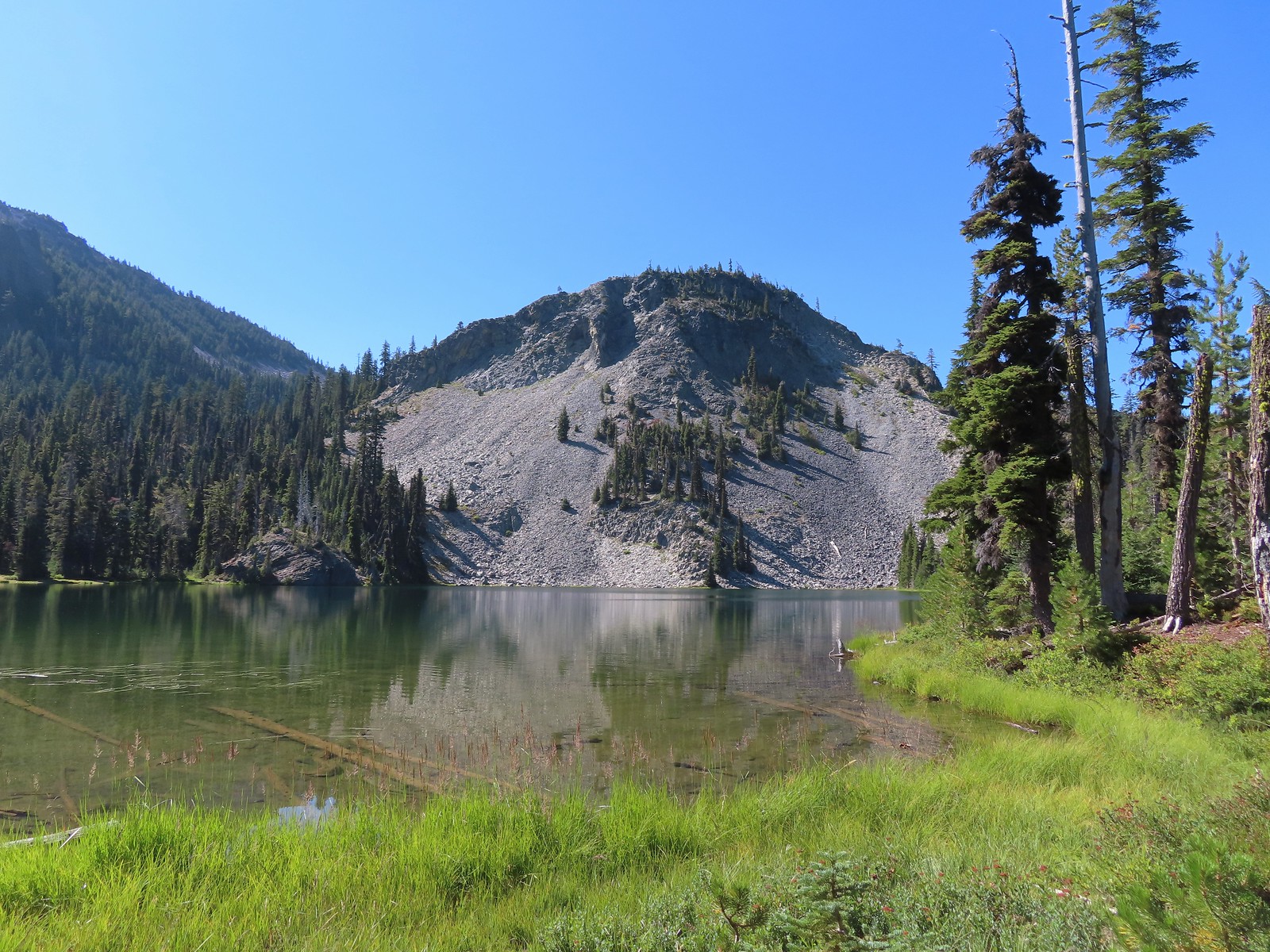 Cliff Lake
 Arnica
 Aster
Aster
 Splash in Cliff Lake from one of many fish that were feeding on insects.
 Camp
Camp Huckleberry bushes along the Cliff Lake Trail.
 Anywhere there was water nearby there were lots of tiny Cascade toads to watch out for.
 Back at the PCT.
 Larger frog
 Monkshood
 More grass-of-parnassus
 Not only were the toads tiny, they also were well camouflaged.
 Mount Scott (
 Mount Scott
 The Watchman (
 The Watchman and Hillman Peak
 Devil’s Peak
 Union Peak (
 Cliff Lake with Violet Hill beyond.
 Black backed woodpecker
 Getting closer to Devil’s Peak.
 A much bigger Cascade toad.


 Mt. Thielsen (
 Union Peak with Mt. Bailey (
 Lots of neat rock formation on Devil’s Peak.
 Western pasque flower seed heads.
 Buckwheat
 Views to the South opened up at the pass including Klamath Lake and Pelican Butte.
 Klamath Lake
 Devil’s Peak and the PCT coming up to the pass from the North.
 Klamath Lake, Pelican Butte, Aspen Butte (
 Mt. McLoughlin
 A faint Mt. Shasta which, given the wildfires burning in NW California was a bit of a surprise to be able to see.
 The view North.
 Goose Egg and Ethel Mountain in the forefront with Llao Rock, Mt. Thielsen, and Garfield Peak (
 Devil’s Peak
 We were a little concerned at first that it might be picking up water for a new fire but there wasn’t anything hanging from the helicopter so we have no idea what it was actually doing.
 The use path to Devil’s Peak on the right and the PCT on the left.
 The rather ominously named Lucifer from the use trail.
 A second use trail coming up from the opposite side.
 Western pasque flowers on the hillside above the use trails.
 The summit of Devil’s Peak ahead.
 Looking North toward Crater Lake and Mt. Thielsen
 Lucifer, Jupiter, and Venus
 Lee Peak above the pass.
 Luther Mountain (
 Remains of a former lookout.
 The PCT below Devil’s and Lee Peaks.
 Goose Egg, Llao Rock, and Mt. Thielsen
 Mt. Scott
 Mt. Shasta to South through a little smoke but again we felt fortunate to be able to see the mountain at all.
 Colorful grasshopper at the summit.
 American pipit
 The Seven Lakes Basin from the use trail down.
 South, Middle, North, and Grass Lakes
 Heading down the use trail.
 Looking back up the use trail.
 Western snakeroot along the PCT.
 A comma butterfly on western snakeroot.
 Painted lady
 Venus from the Devil’s Peak Trail.
 Looking back at Devil’s Peak.
 Looking North across the Seven Lakes Basin.
 Lake Alta in a bowl below Violet Hill.
 Pond along the Devil’s Peak Trail.
 Coming up to the Seven Lakes Trail junction. A rock cairn was the only marker.


 I was still only about halfway along the lake after the quarter mile. There used to be a campground at the North end.
 Common merganser
 The southern end of Lake Alta.
 Cliff Lake below Devil’s Peak and Middle Lake.
 Middle and Grass Lakes
 I could hear several pikas in the rocks below the cliffs but the only thing I spotted was a chipmunk.
 Chipmunk
 Sulphur butterfly on aster.
 Gentian
 Fireweed
 South Lake
 Devil’s Peak from the trail. There were more pikas “meeping” from the rocks here but again we failed to spot any of them.

 Devil’s Peak in the evening.
 So many fish in the evening.
 Devil’s Peak in the morning.
 Seven Lakes and Cliff Lake Trail junction.

 We detoured left at the northern end of the lake following a pointer for Lake Ivern to find a view back across Middle Lake.
 Devil’s Peak from Middle Lake.
 Stream crossing.
 Monkshood and grass-of-parnassus
 Grass Lake
 Arriving at the PCT.

 Golden-mantled ground squirrel
 Sevenmile Trail at the PCT to return to the Sevenmile Marsh Trailhead.
 Exiting the Sky Lakes Wilderness.