While a winter storm was impacting much of the country the Oregon Coast was experiencing clear skies and high in the low 50’s, which was too good to pass up so I headed out for another solo hike. I decided to head out to Cape Lookout State Park to check out the recently reopened North Trail along with the Cape and South Trails. Heather and I had visited the park way back in November 2011 but had not hiked the North Trail that day (post).
A section of the North Trail was closed in December 2024 after a tree fell and damaged the suspension bridge over Cape Creek and as of this post both the Oregon Hikers Field Guide and AllTrails still show the trail as closed, but when I checked the park’s website there was no longer a closure notice for the trail. (There is a notice that the park will be closed starting April 1st for improvements which will likely last into the Summer.) With no closure notice listed on the website I was pretty confident that the trail had been reopened. Worst case scenario would be that there would be notices posted at the trailhead in which case I would still be able to hike the Cape and South Trails allowing me to still get plenty of hiking in.
I made the hour and a half drive from Salem to the Cape Lookout Trailhead which is open from either 7am to 9pm or Dawn to Dusk depending on who you ask. Regardless with first light not being until 7:12am and sunrise at 7:44am I had timed my departure to arrive in between and was ready to set off just before 7:30am.
The trailhead signboard says Dawn to Dusk.
Unsurprisingly I was the first car in the lot and after double checking for any closure notices for the North Trail I started off on the Cape Trail.
My plan was to hike the Cape Trail out to the end of Cape Lookout first to avoid the crowds that would surely be arriving later. After hiking the Cape Trail I would take the North Trail to the Cape Lookout Day Use Area where Heather and I had parked for our Netarts Spit hike in 2020 (post). Assuming I had anything left in the tank after returning from the North Trail I planned on hiking the South Trail down to the beach for the up-close view of the basalt cliffs of Cape Lookout’s southern side. It’s 2.4 up and down miles to the end of Cape Lookout with occasional views to both the north and south.
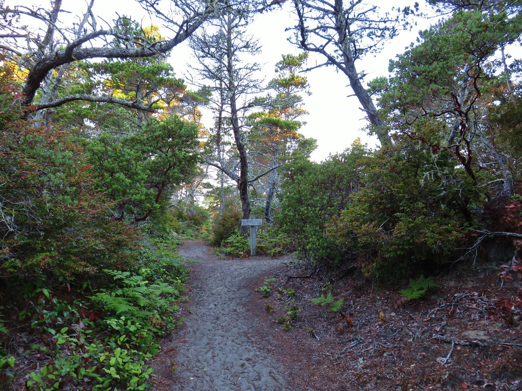
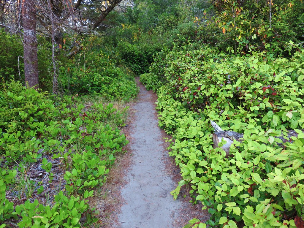
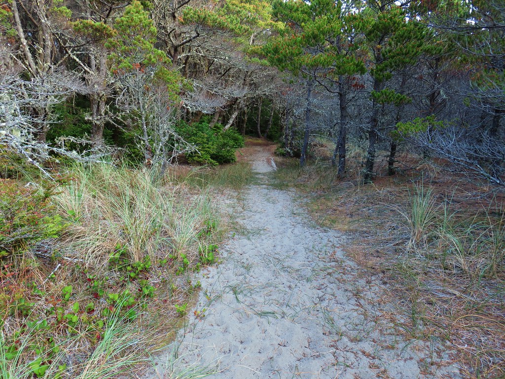
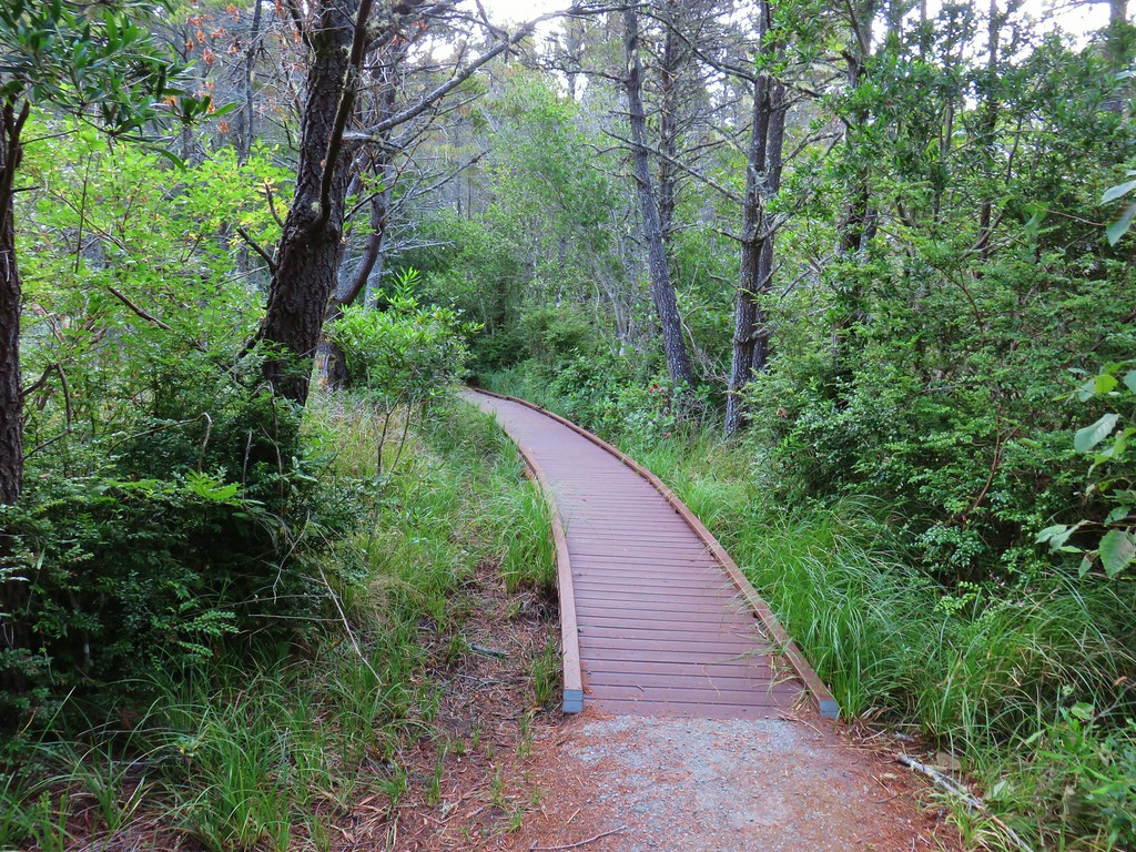
In between views the trail passes through a coastal forest.

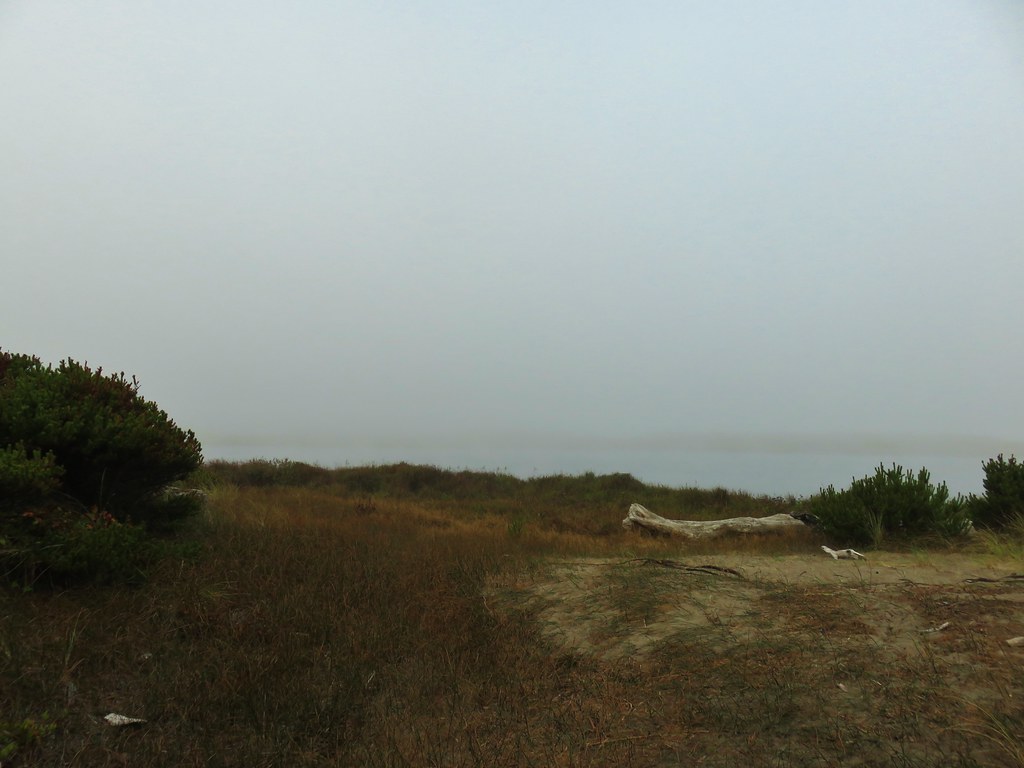
Looking SE toward Sand Lake.


Looking south to Haystack Rock and Cape Kiwanda (post) with Cascade Head further south (post).

Haystack Rock with the tip of Cape Kiwanda to its left. Cascade Head is next and the headland furthest south is Cape Foulweather.
A little over a mile and half in the trail passes a memorial plaque for an Army Air Force plane that crashed nearby claiming the lives of nine members of the ten man crew.
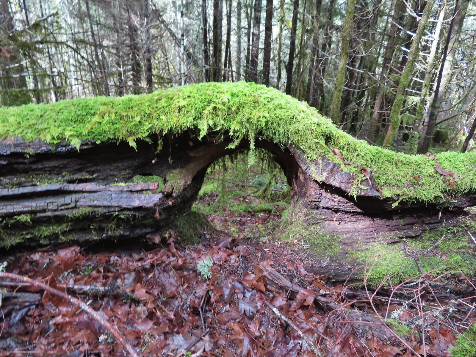
The trail is almost always muddy in spots and downed trees sometimes require less than ideal reroutes of the trail.

Coming up to the first view to the north.

View north along the coast.

Three Arch Rock across from Oceanside (post) followed by Cape Meares (post), and then Cape Falcon (post). The inland peaks starting with the rounded one of the left are Neahkahnie Mountain (post), Angora Peak, Rock Mountain, West Onion Peak and Onion Peak.

Wells Cove

It was close to freezing so the trails weren’t as muddy as they can be on warmer days. The good news was there was no ice to deal with.

Here comes the sun.


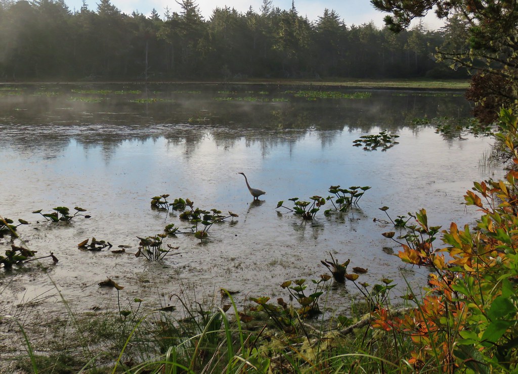
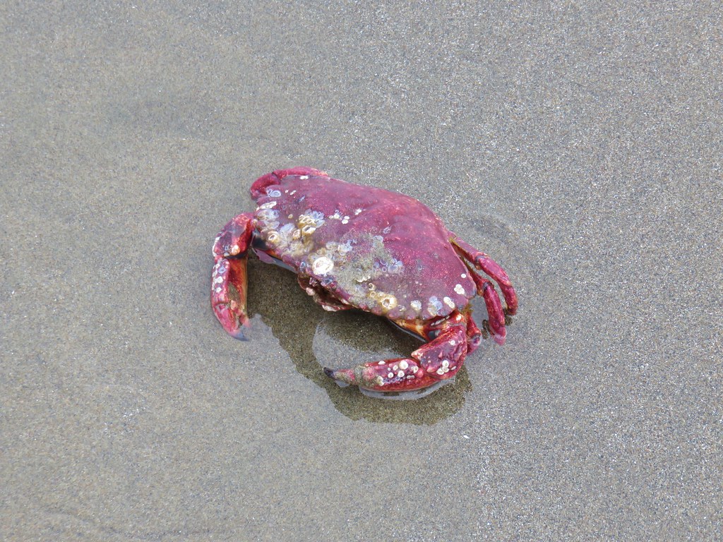
Along this section I heard a blowing sound in the ocean below.
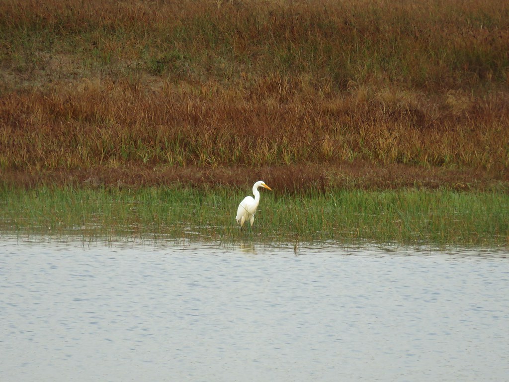
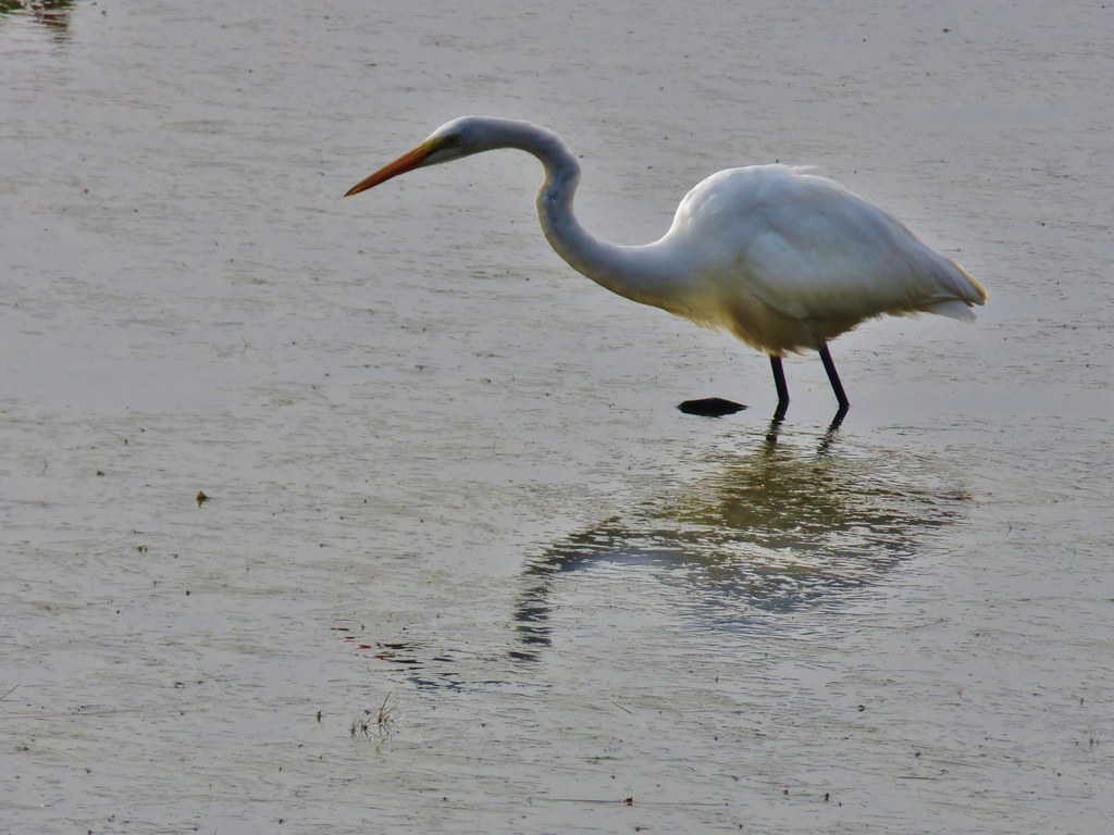
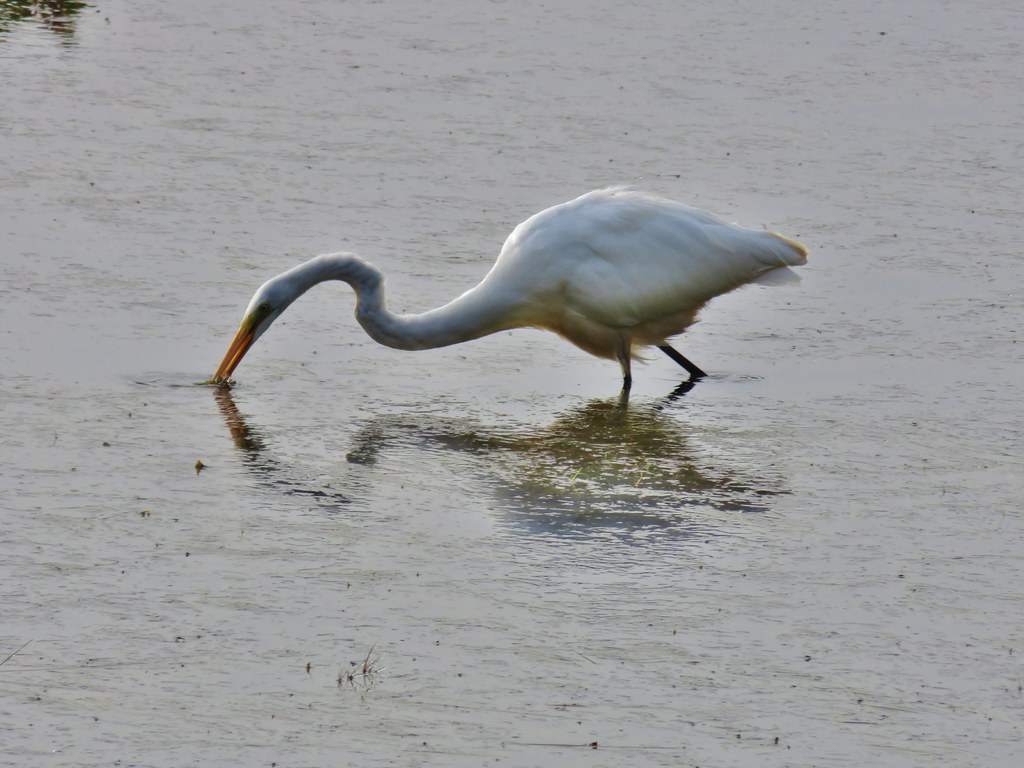
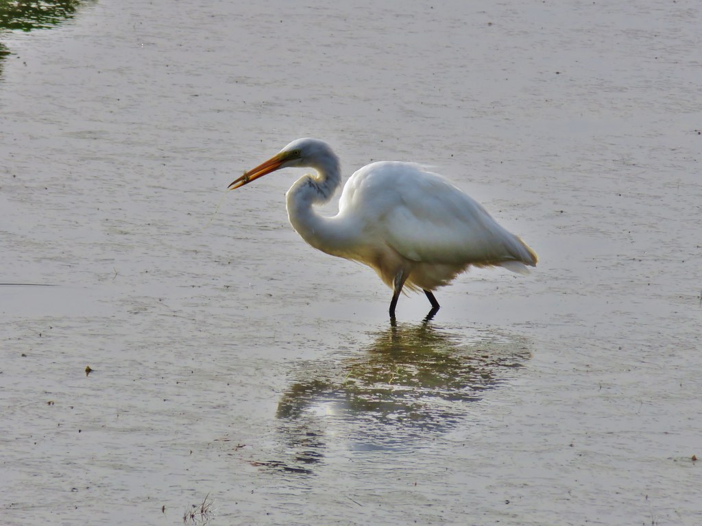
At 400′ above the water I could see something swimming around but couldn’t make out what it was. I had the larger camera that I like to use at the wildlife refuges in my pack, so I pulled it out and started taking pictures. The way it was coming up out of the water and making a blowing sound I mistook it for a small whale, but it turned out to be a sea lion.
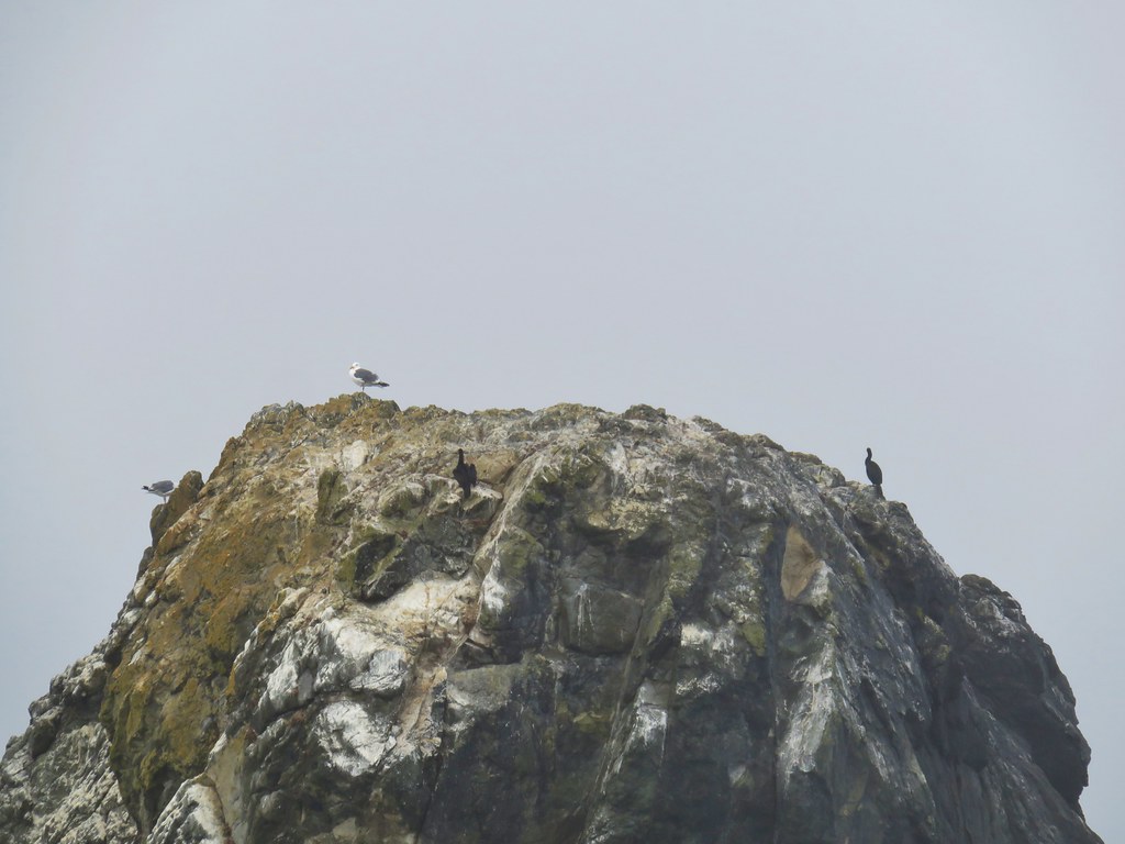
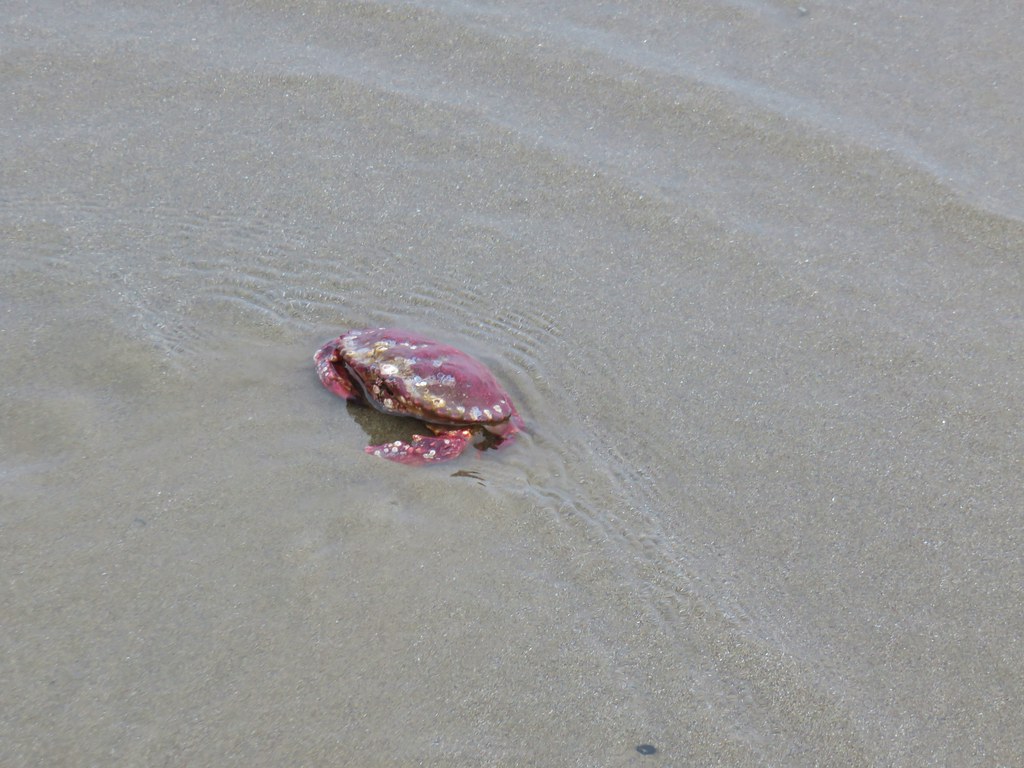
The sea lion was attracting seagulls which began arriving en masse.
The sea lion eventually moved on and so did I.

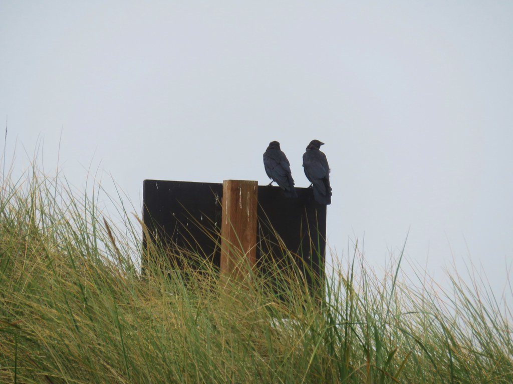
Seagulls and cormorants.

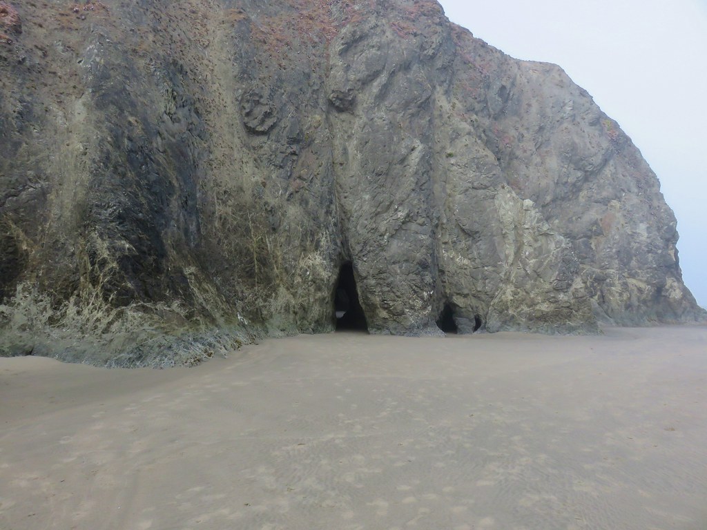
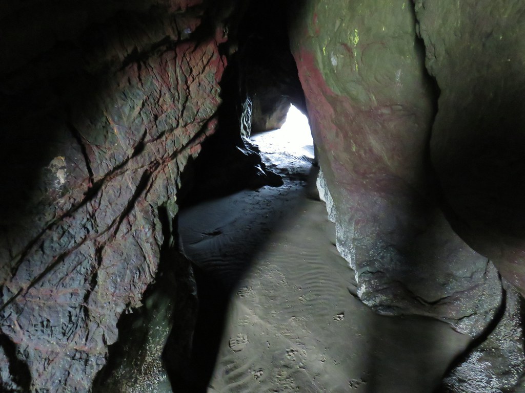
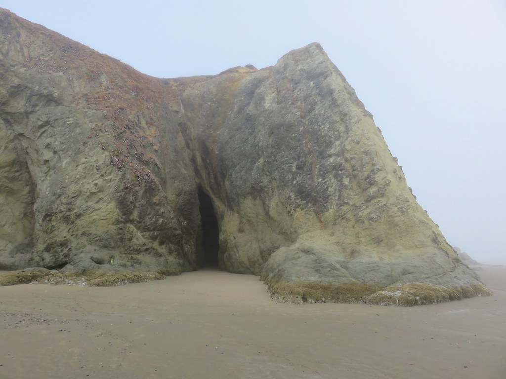
Barrier at the end of Cape Lookout.
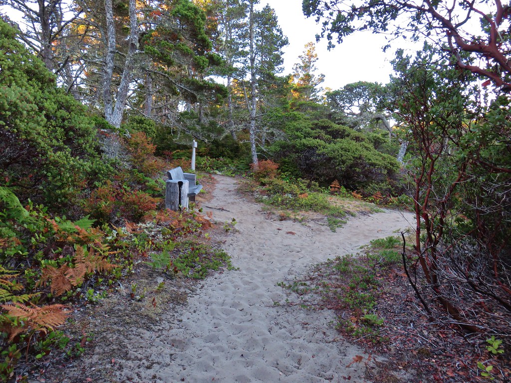
There is a small bench and viewpoint at the end of the trail where I paused briefly to appreciate the views.
View south.

View north.
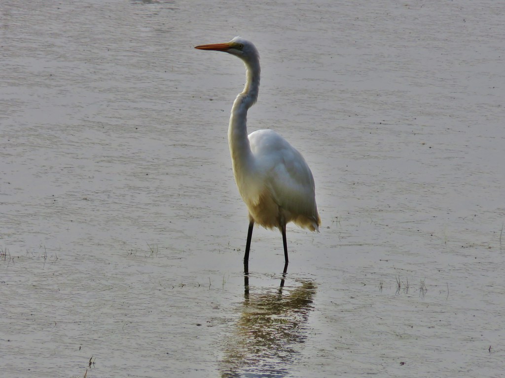
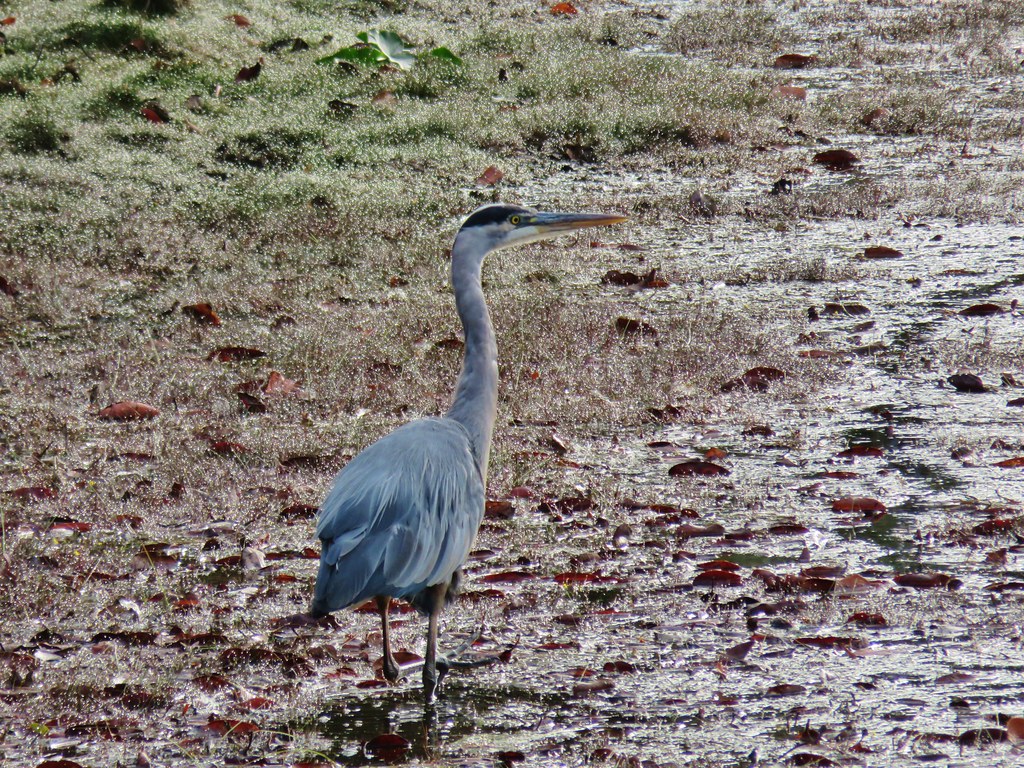
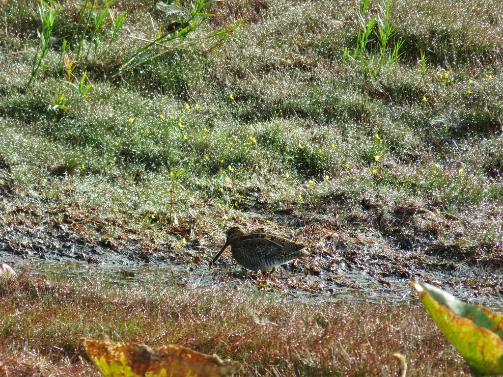
I headed back toward the trailhead stopping to get a few pictures with the bigger camera now that it was unpacked.
American kestral

I’m fairly certain this is a ruby crowned kinglet in the salal.

Hermit thrush

Three Arch Rocks

Varied thrush
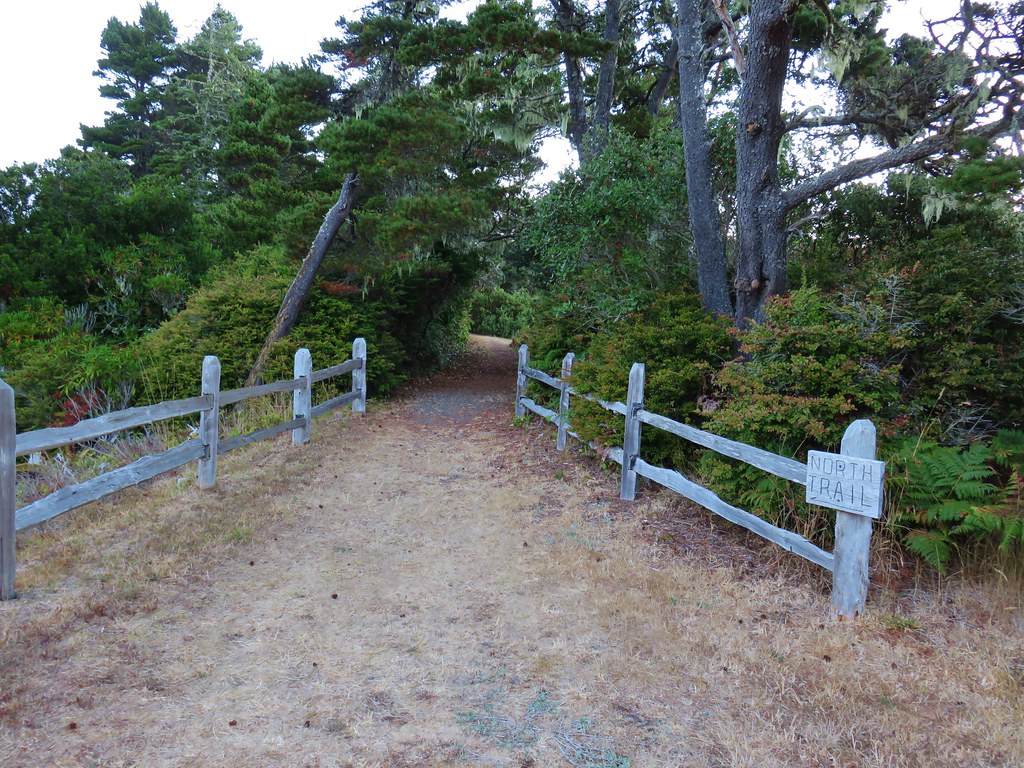
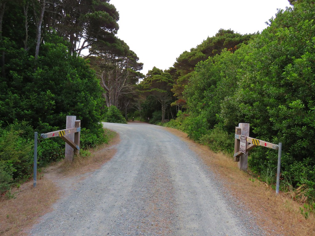
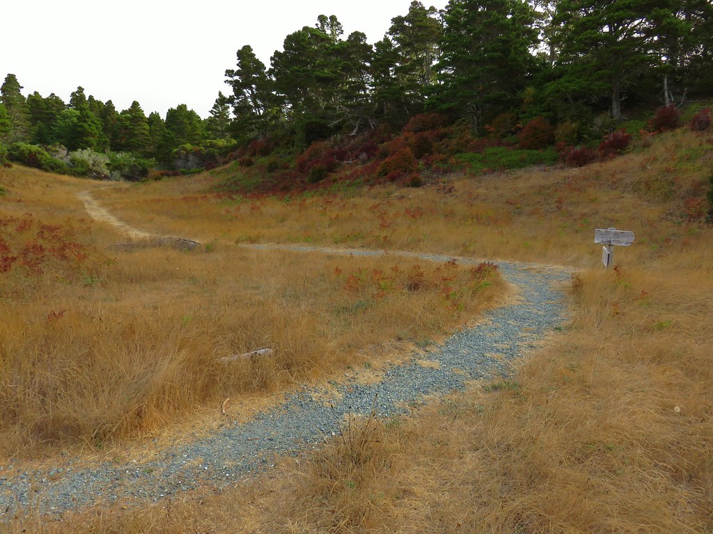
Back at the trailhead I turned left and headed down the North Trail.
It was clear from the trail tread that this trail hadn’t been used much recently however there were signs of recent trail maintenance. Aside from a few trees that I needed to watch my head going under the trail was clear as it dropped down to the suspension bridge over Cape Creek.


There was a lot of blowdown, mostly older, along this section.

Reenforced trail along this switchback.

It was 0.8-miles to the bridge with an elevation loss of 550′, but the bridge is worth seeing and would be a worthy turnaround point for a shorter hike.


Camp Creek
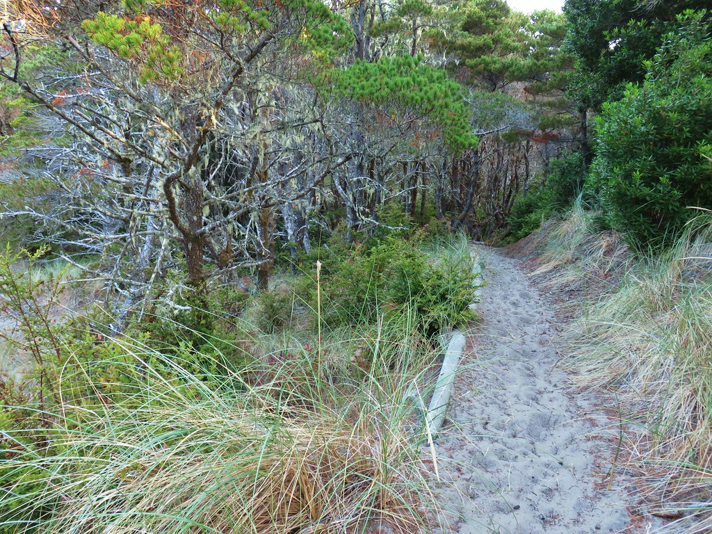
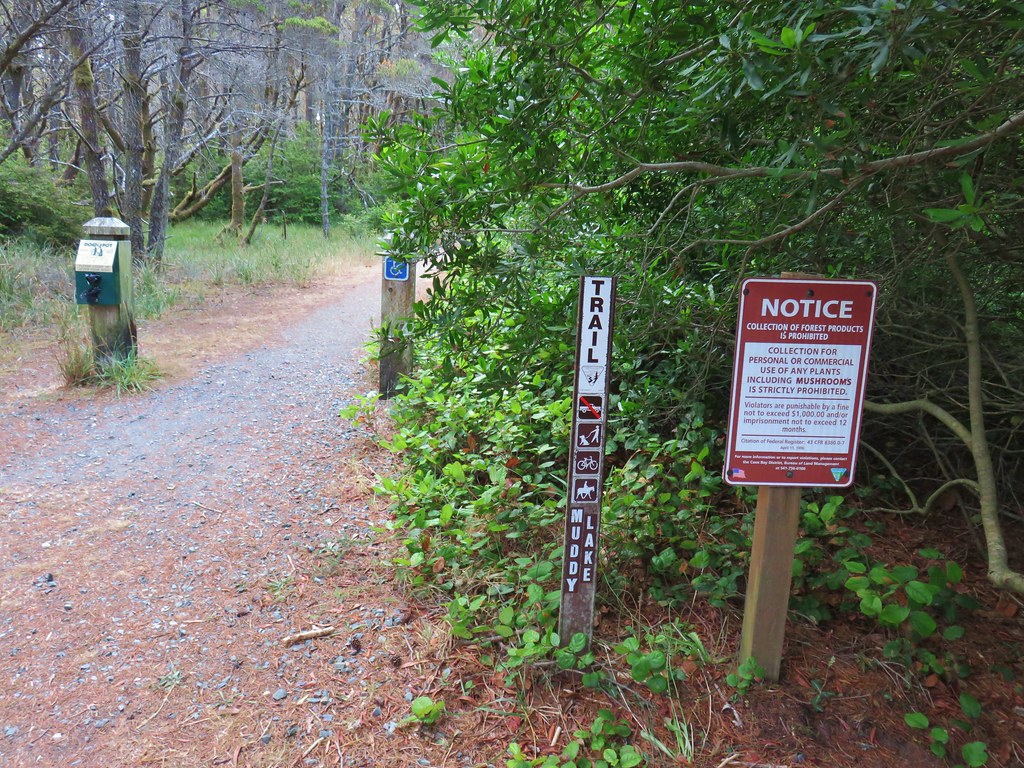
The trail made a quarter mile climb on the north side of Camp Creek to a signed junction at an old roadbed.

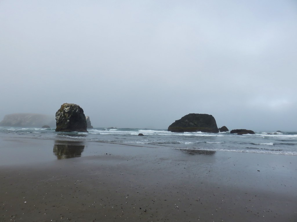
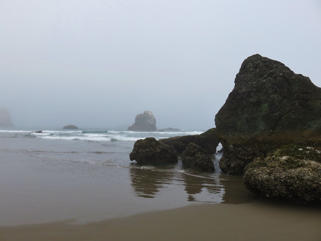
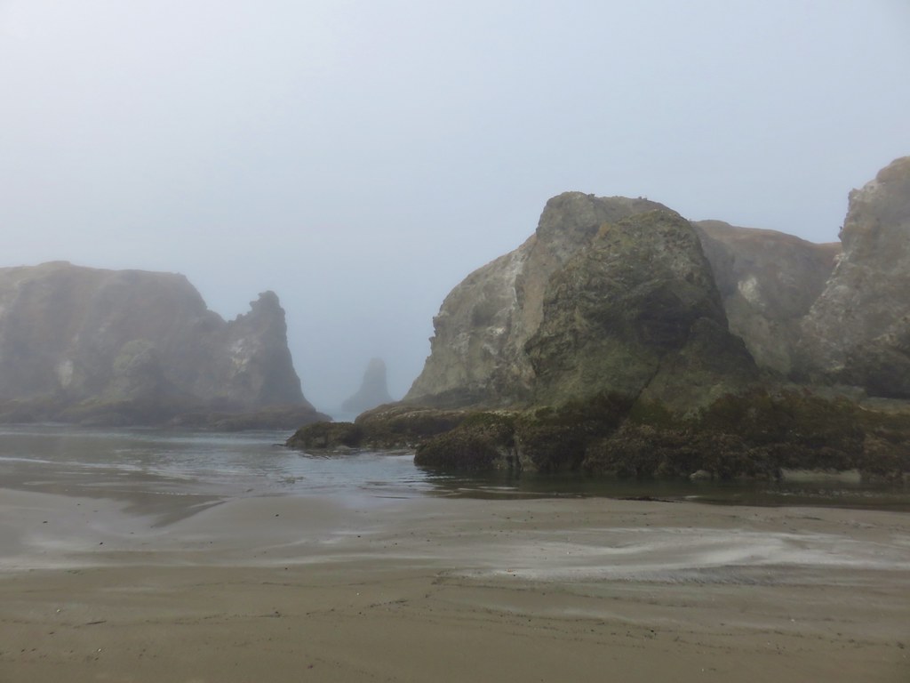
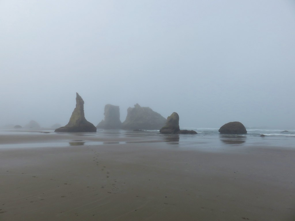
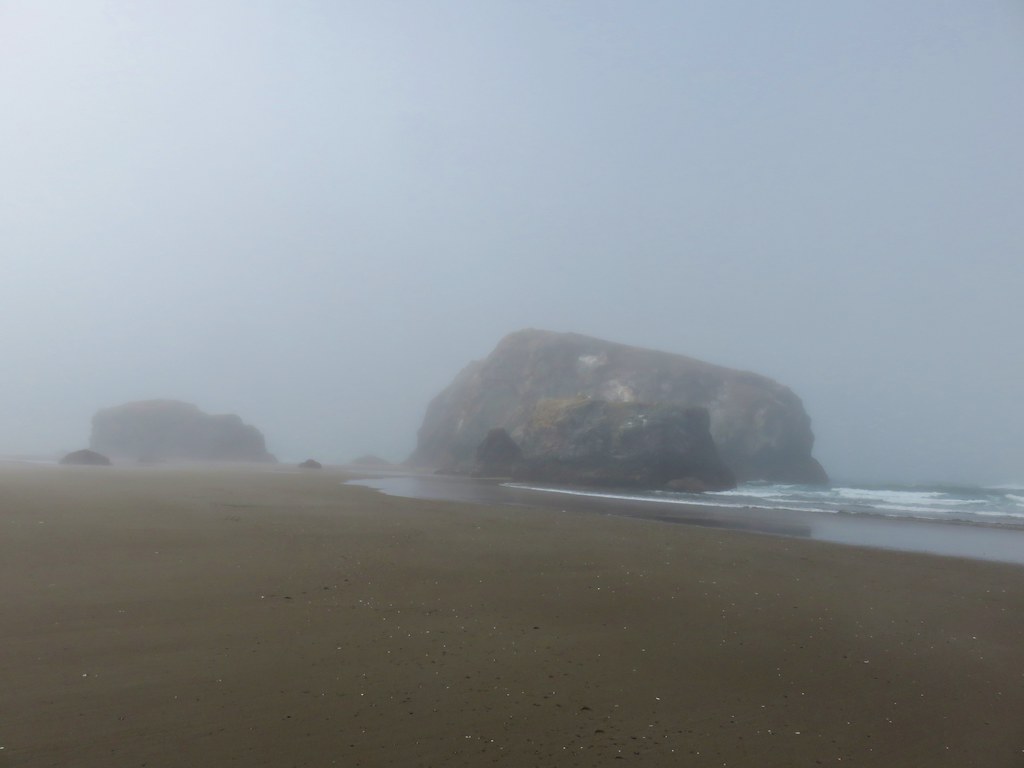
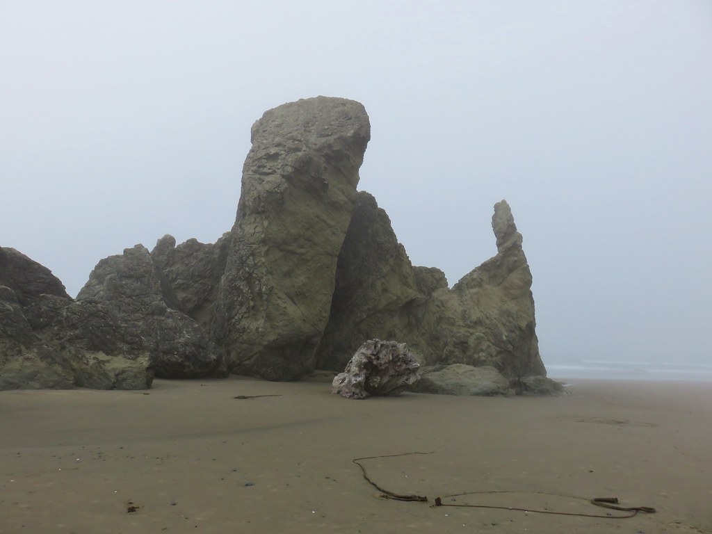
Sea stack out on the ocean.


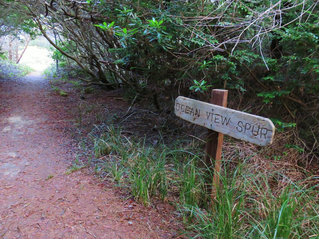
This junction is where the trail had been closed coming from the day use area.

I double checked to make sure it wasn’t still signed closed at this end.
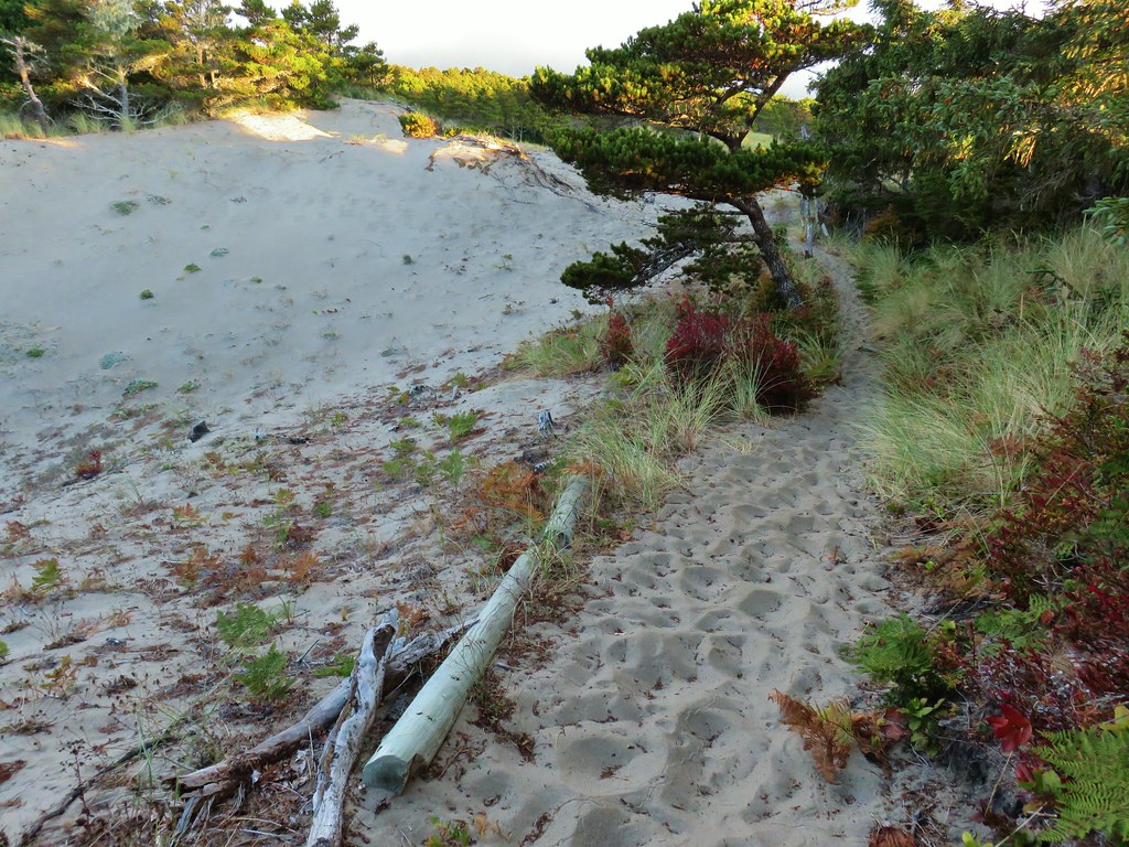
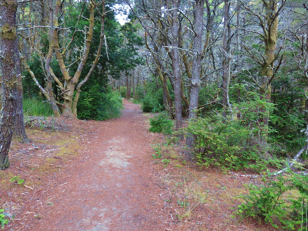
Most of the next 1.2-miles to the day use area followed the old roadbed as it descended to the beach. This section was in good shape except for a short section along a slide approximately a half mile from the day use area.

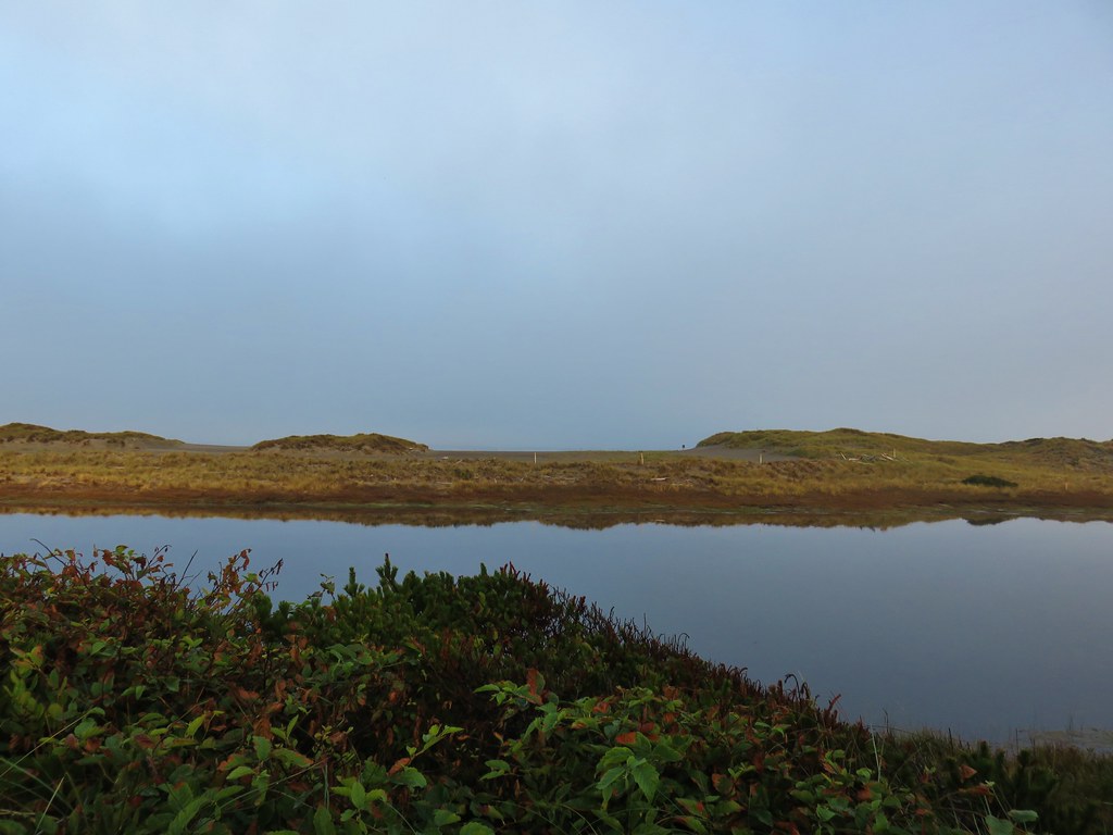
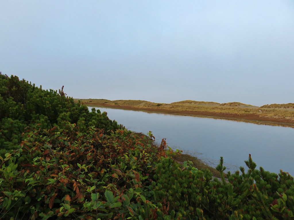
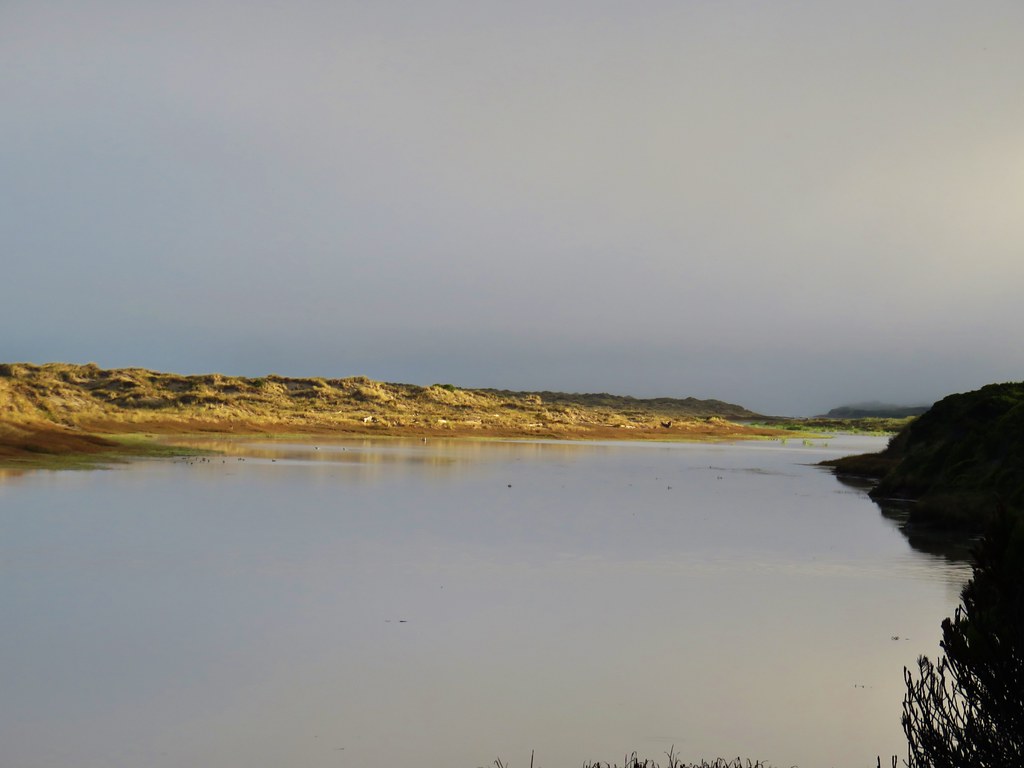
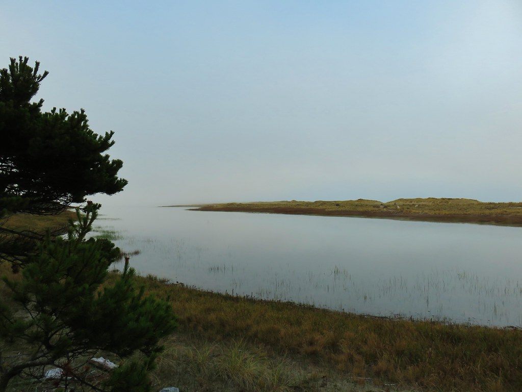
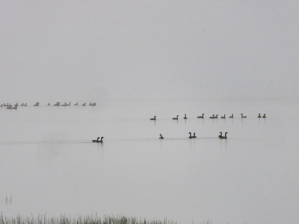
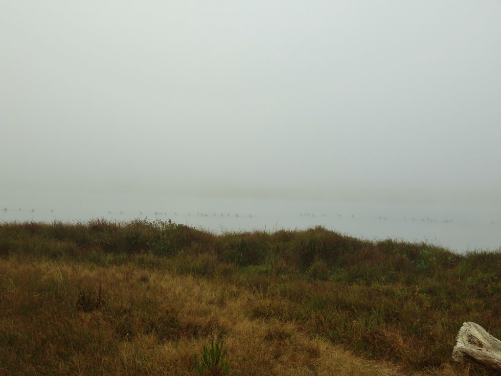
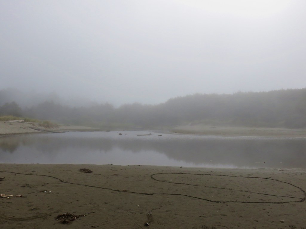
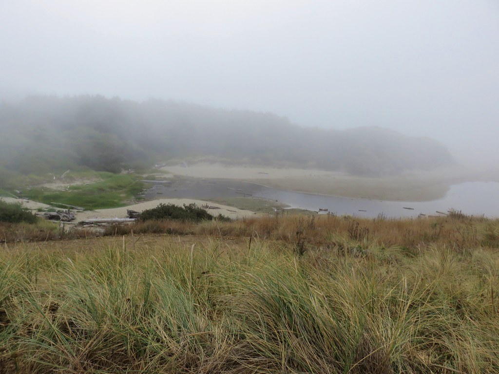
Netarts Spit and Bay.

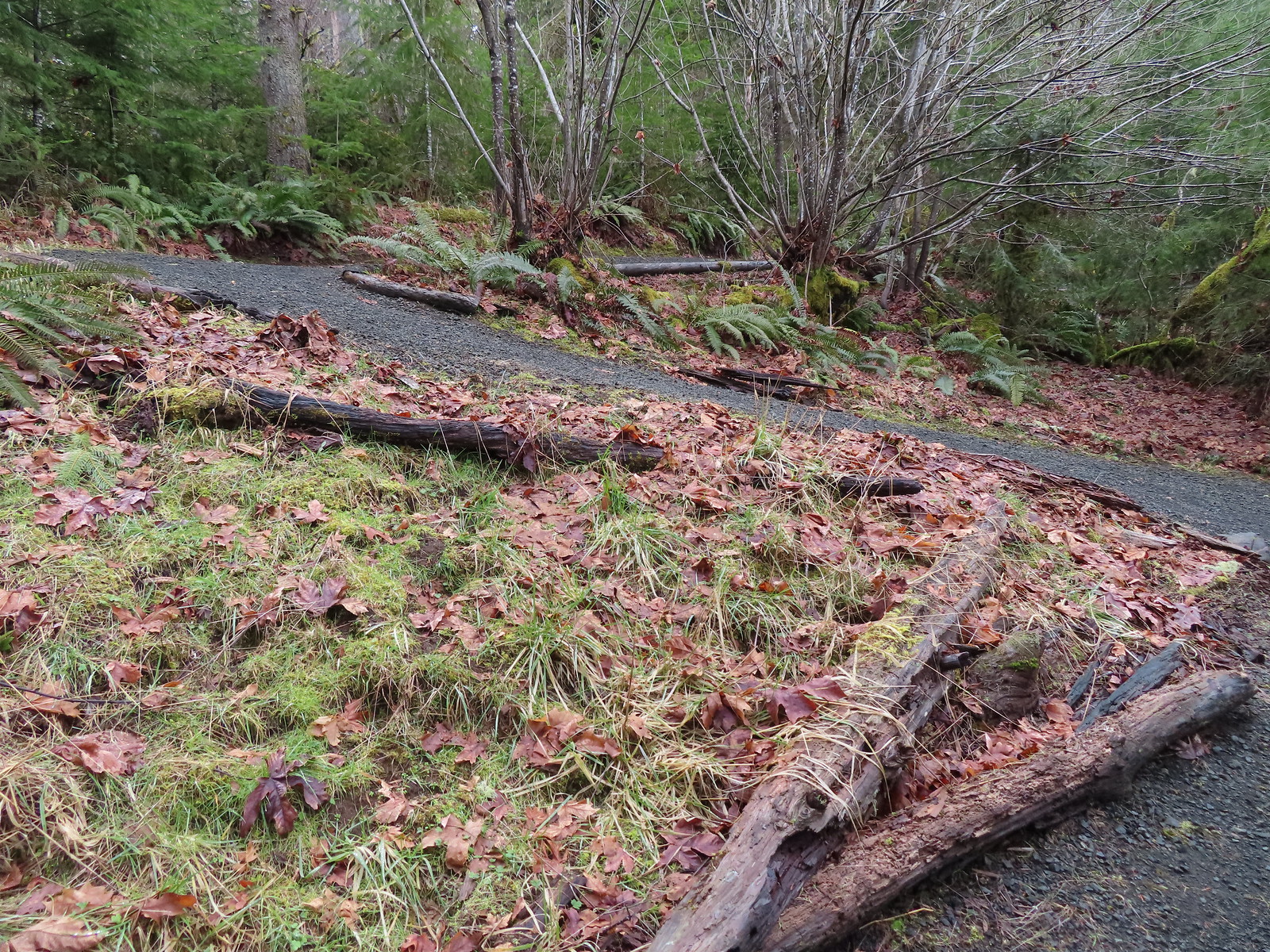
A rerouted section of trail near the slide area.

This small stream appears to be the reason for the slide which is now being funneled over the hillside. On the far side the trail drops steeply down wet rocks next to wire covered rocks.

Looking down at the continuation of the trail on the far side of the stream.

Looking back up from the bottom. Coming down this was a lot harder than going back up due to how slick the damp rocks were.
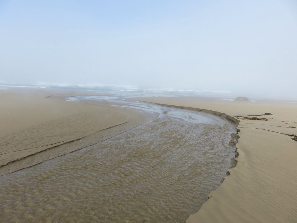
After getting past the slide it was an easy half mile down to the day use area.

The sign of a good coastal trail is it going through a tree.


Bridge over Jackson Creek.

Jackson Creek

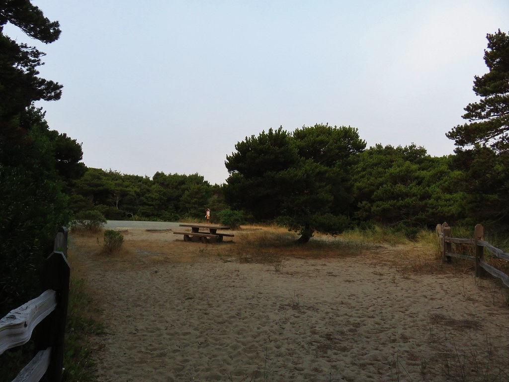
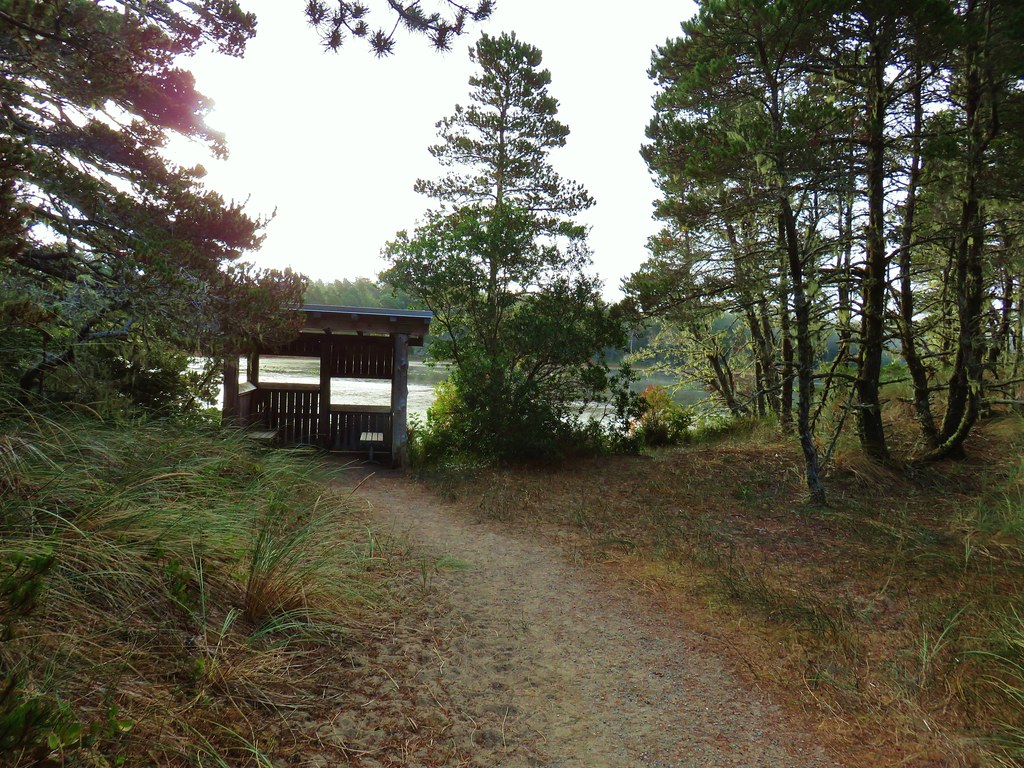
The parking lot at the day use area.
I took some time to read some of the interpretive signs/plaques and take a short break at one of the picnic tables before starting back.
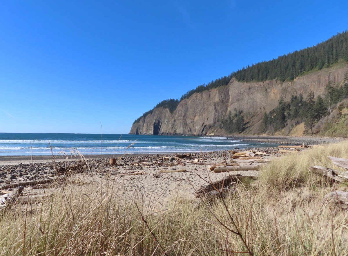
Cape Lookout from the day use area.


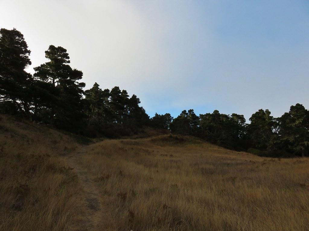
I made the 2.2-mile, 800′ plus elevation gain return trip to the Cape Lookout Trailhead and decided that I would go ahead and hike down the South Trail as well. That trail started a little under 100 yards from trailhead where it split off from the Cape Trail.

Turning onto the South Trail.
Like the North Trail the South Trail loses over 800′ to reach the ocean which it does in 1.8-miles.

Spotted towhee

Good use of switchbacks keeps the trail from ever being too steep.
Halfway down the trail passes a bench with a nice view of Cape Lookout through the trees.


Camp Clark (Scouting America) below the trail to the south.

‘
Getting closer to the beach.

Self-heal


Columnar basalt on Cape Lookout.

The view south towards the sun.
When Heather and I visited in 2011 we continued a little to the south so this time I headed north toward Cape Lookout and then found a nice rock to take a seat on.
My view.

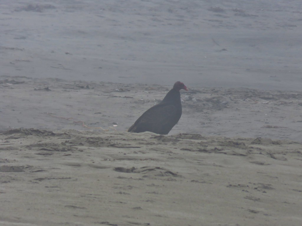
One of three bald eagles that flew over.
After resting and psyching myself up for the climb I headed back.
The trail is marked by a colorful buoys and ropes.

Today’s hike came in at 13.2-miles with approximately 2000′ of cumulative elevation gain.
Of course, there are plenty of shorter options available, but you could also go further by heading north along Netarts Spit or south along the beach to Sand Lake. If you do visit be prepared for muddy conditions and crowds on the Cape Trail. Having been the first car at the trailhead I didn’t see anyone until I was headed back from the end of the cape. I passed just eight people on the way back, but it wasn’t yet 9:30am when I turned onto the North Trail. I only saw three people on the that trail and then another eight on the South Trail, plus a few more on the beach itself. By the time I was ready to leave at 1:15pm the trailhead was overflowing and cars were parked along the shoulder out to Cape Lookout Road. Score another one for early starts. Happy Trails!
Flickr: Cape Lookout State Park


 The forecast was for patchy morning fog with a chance of light showers between Noon and 3pm and partly sunny skies. They got the patchy morning fog part right.
 The first of three abandoned cars we’d pass on the day. This one was in a field on a hillside before entering the Crestmont Land Trust.
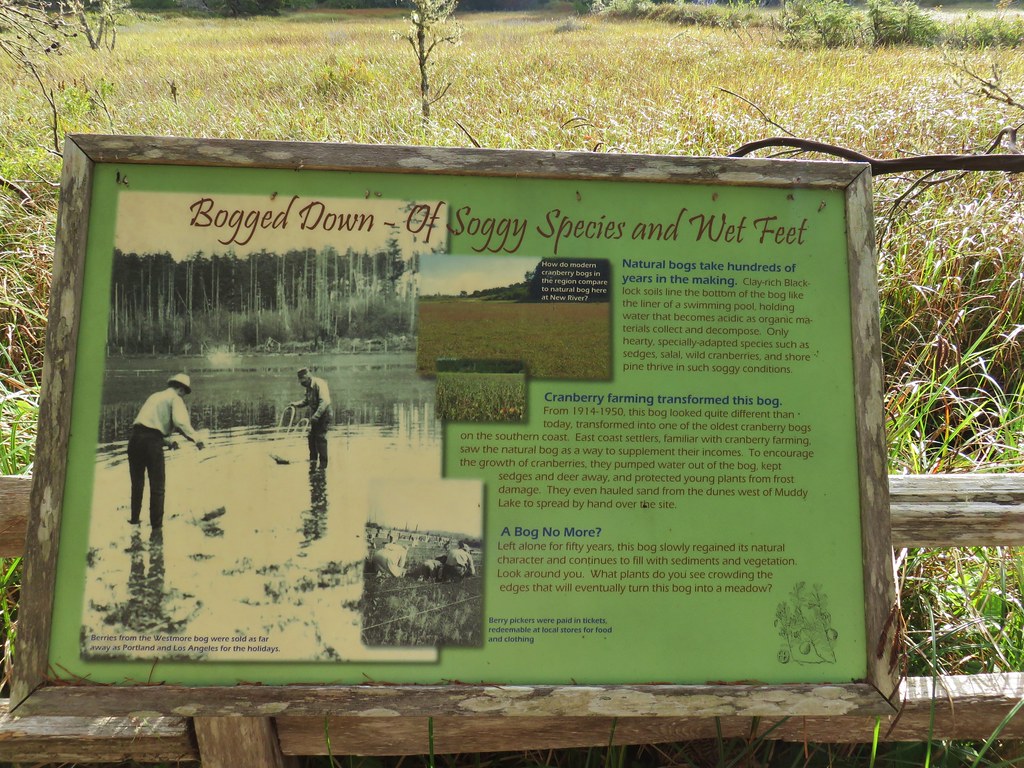
 Interpretive signs greeted us as we entered the Crestmont Land Trust.
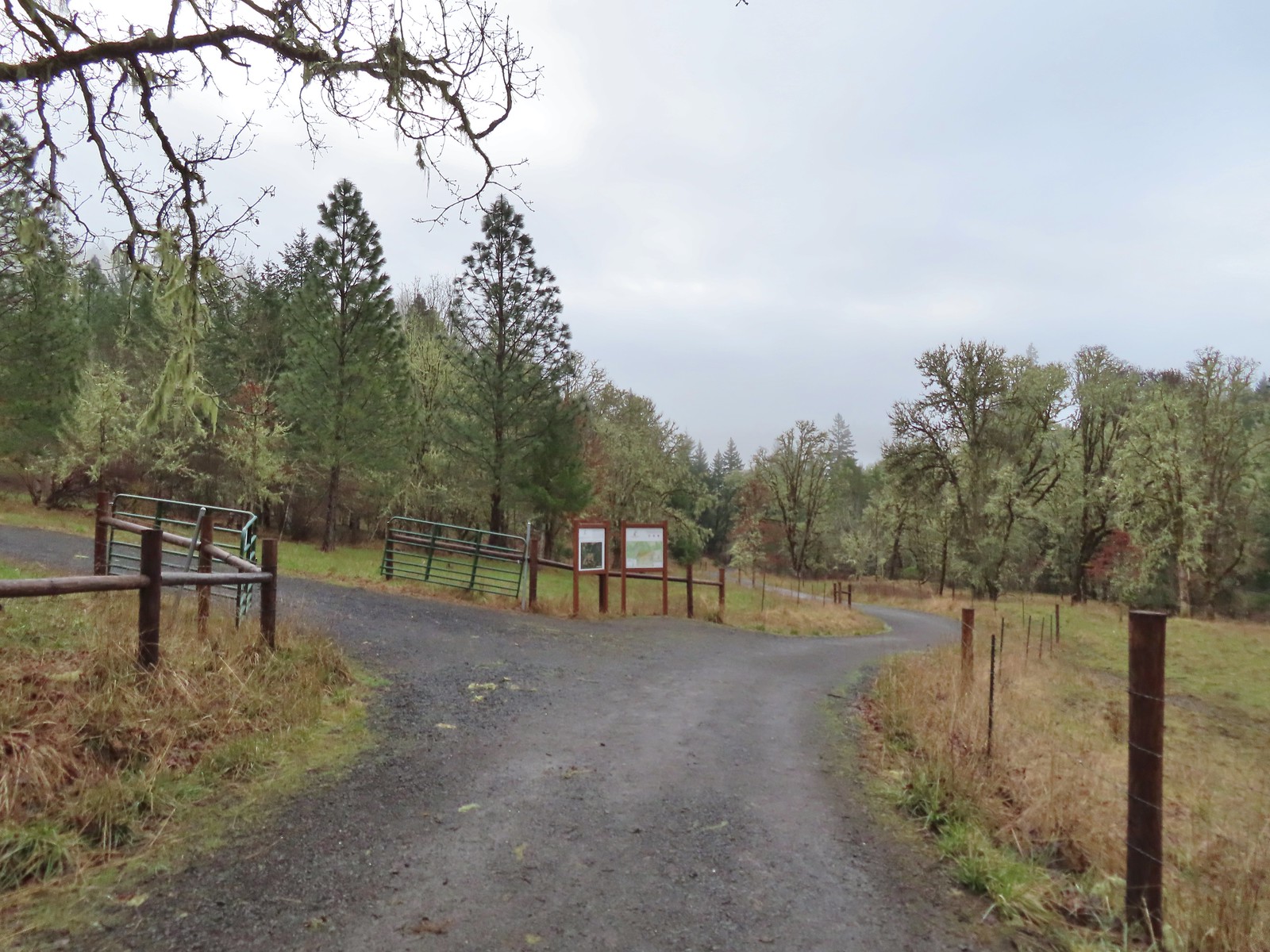
 The gazebo housed a small table with benches. A particularly nice touch was the lack of back on the bench that wasn’t facing the view which allows you to sit facing the view.
 The view from the gazebo.
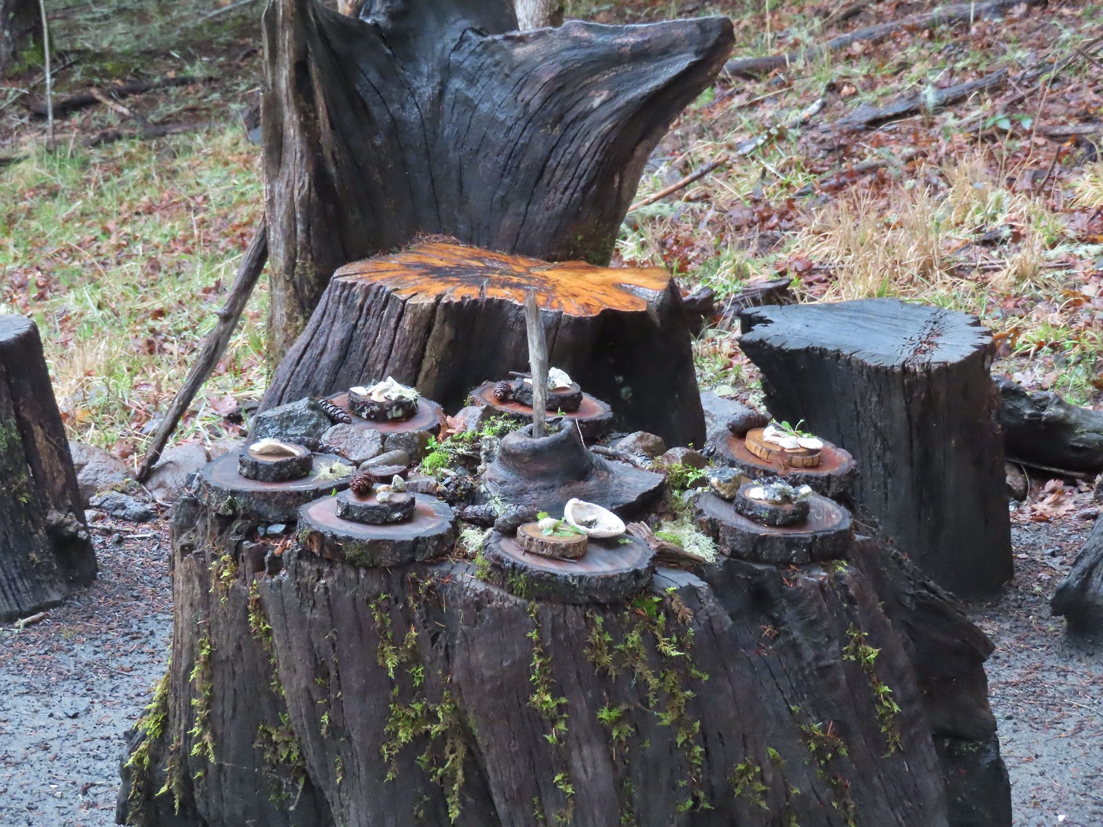 Not sure what the most recent gathering was but there was an interesting variety of items around the table.
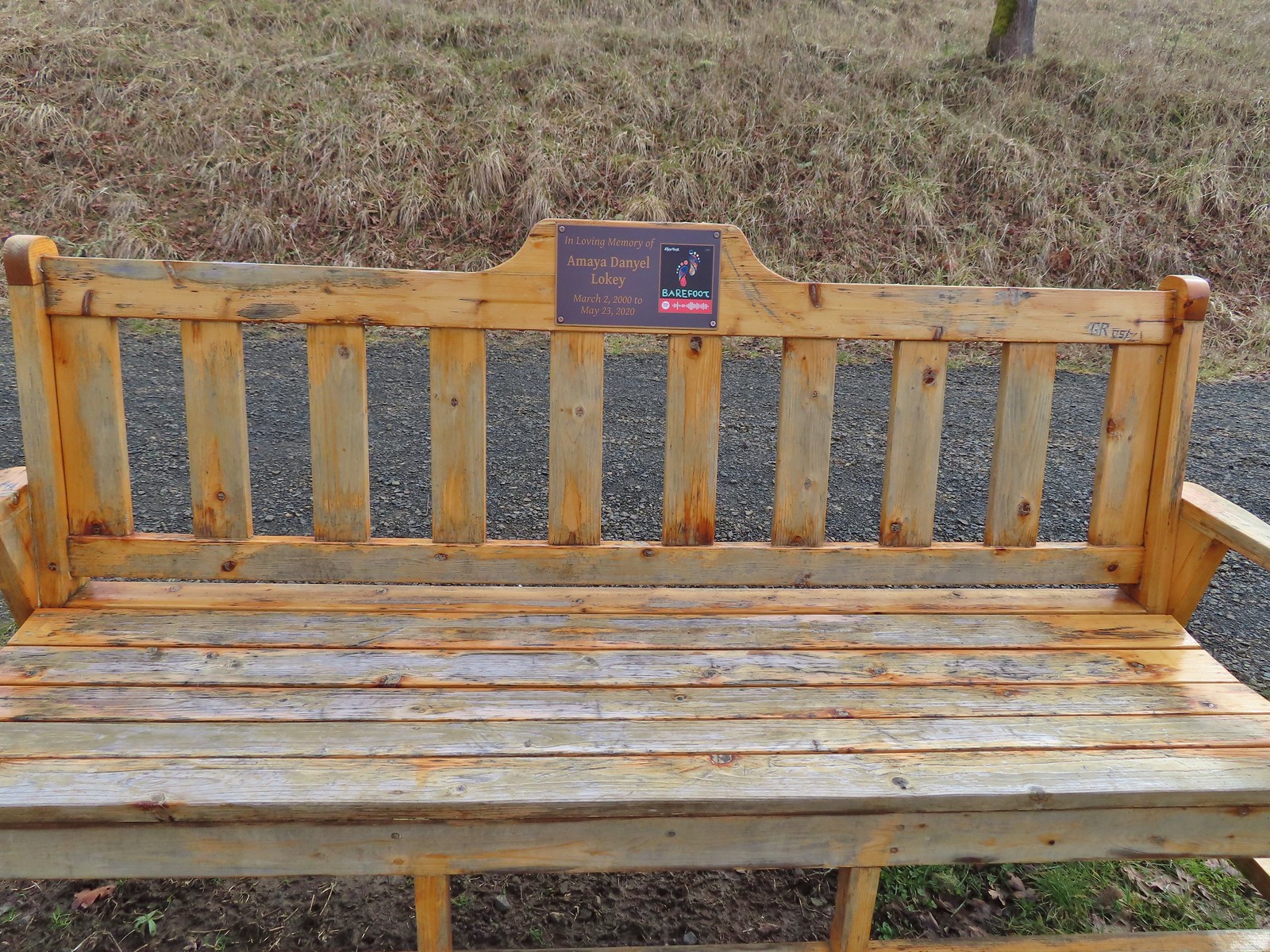
 Another bench along the trail.
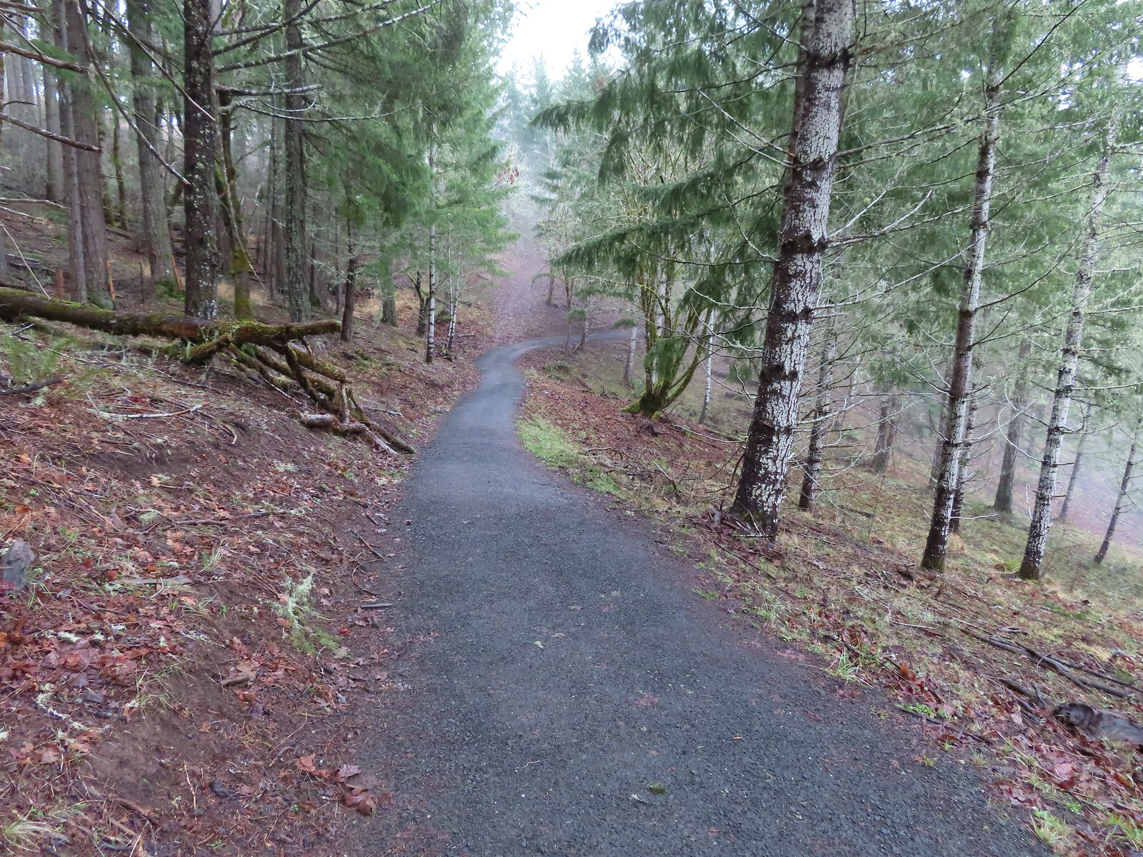
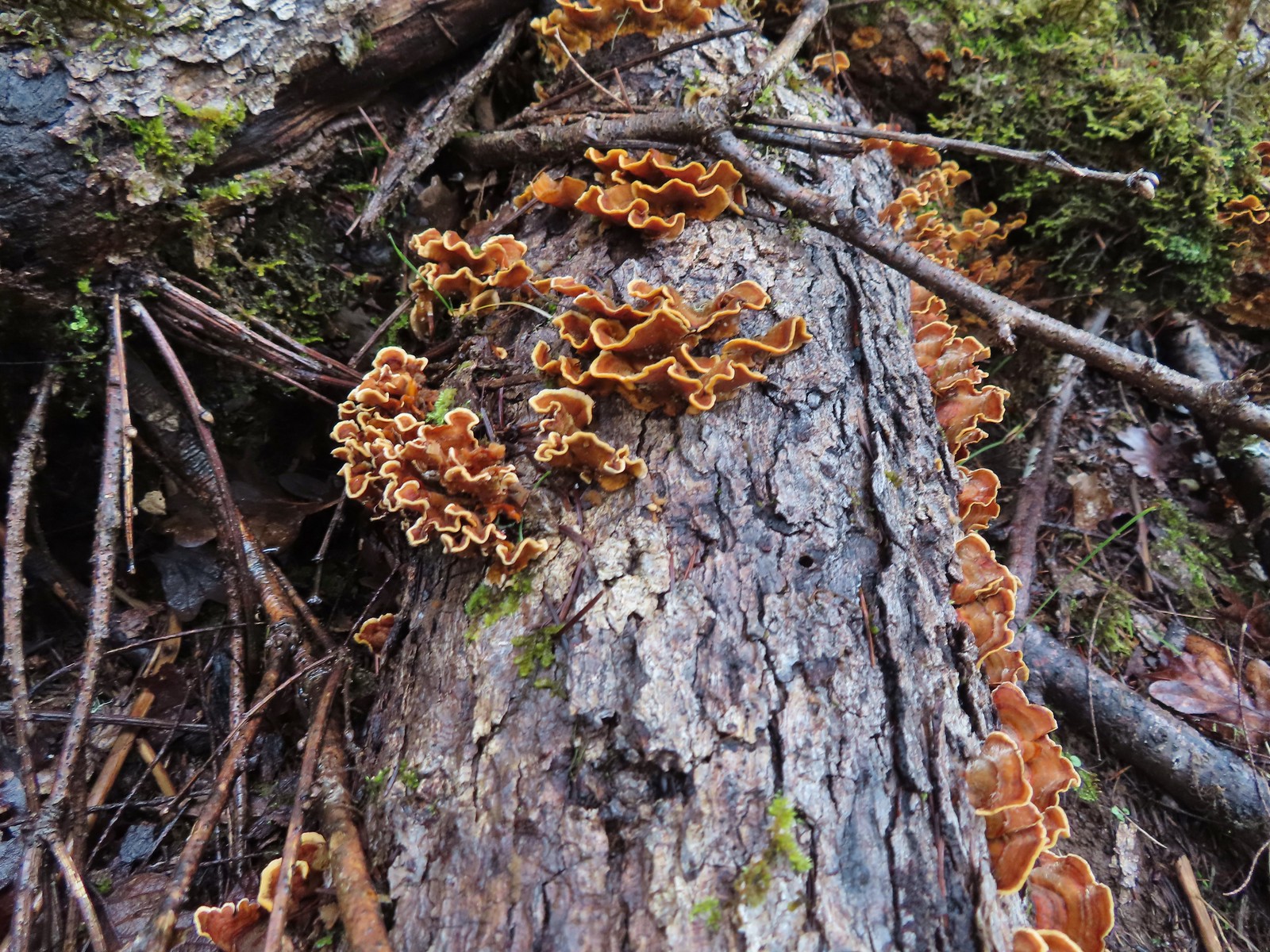 Turkey tails
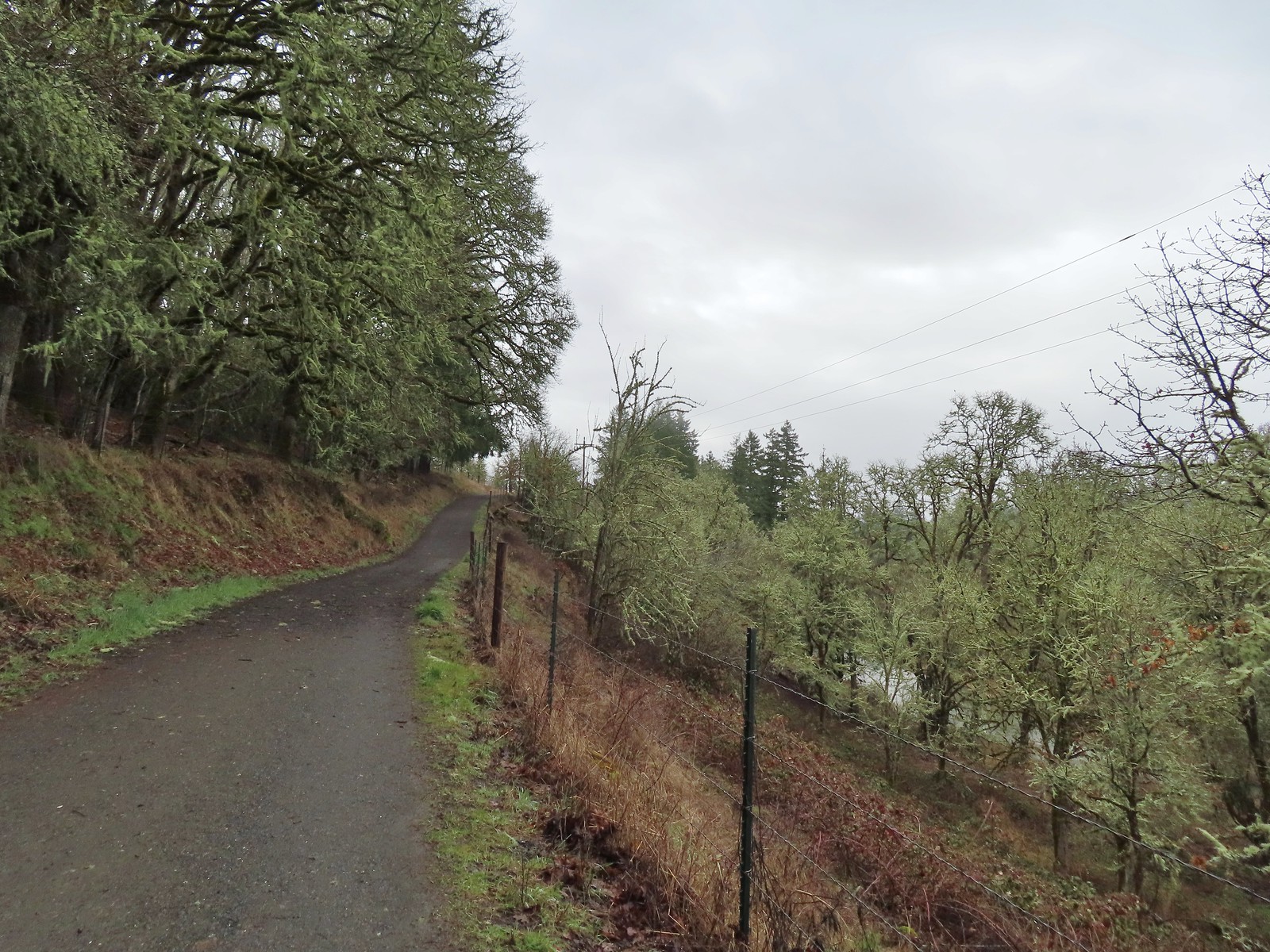
 The Cardwell Hill Trail in the valley below the North Trail.
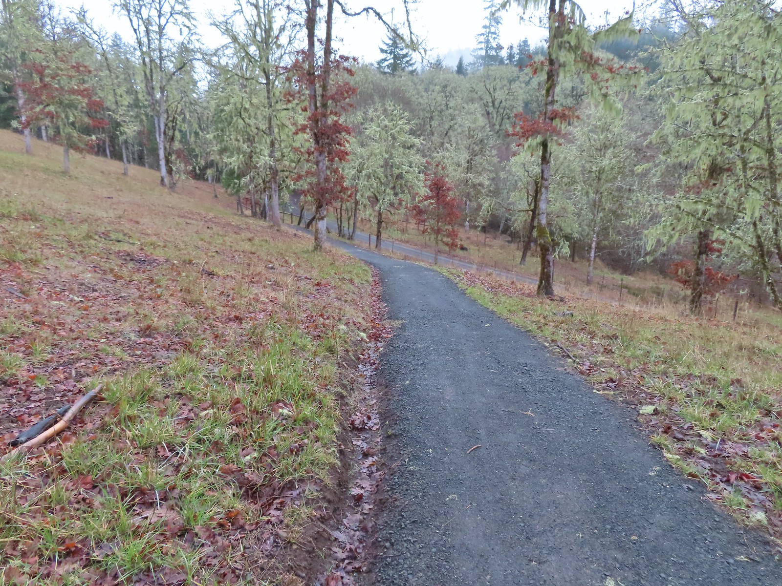 Dropping down to the Cardwell Hill Trail.
 The first spur didn’t have any signage
 The second spur had a marker naming it the Fitton Green North-South Trail.
 Trail marker
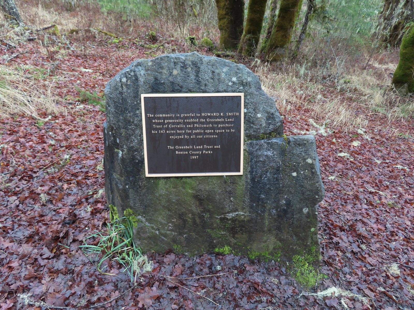

 Dimple Hill in the McDonald Forest (
 The other two abandoned cars, these were outside of the natural area.
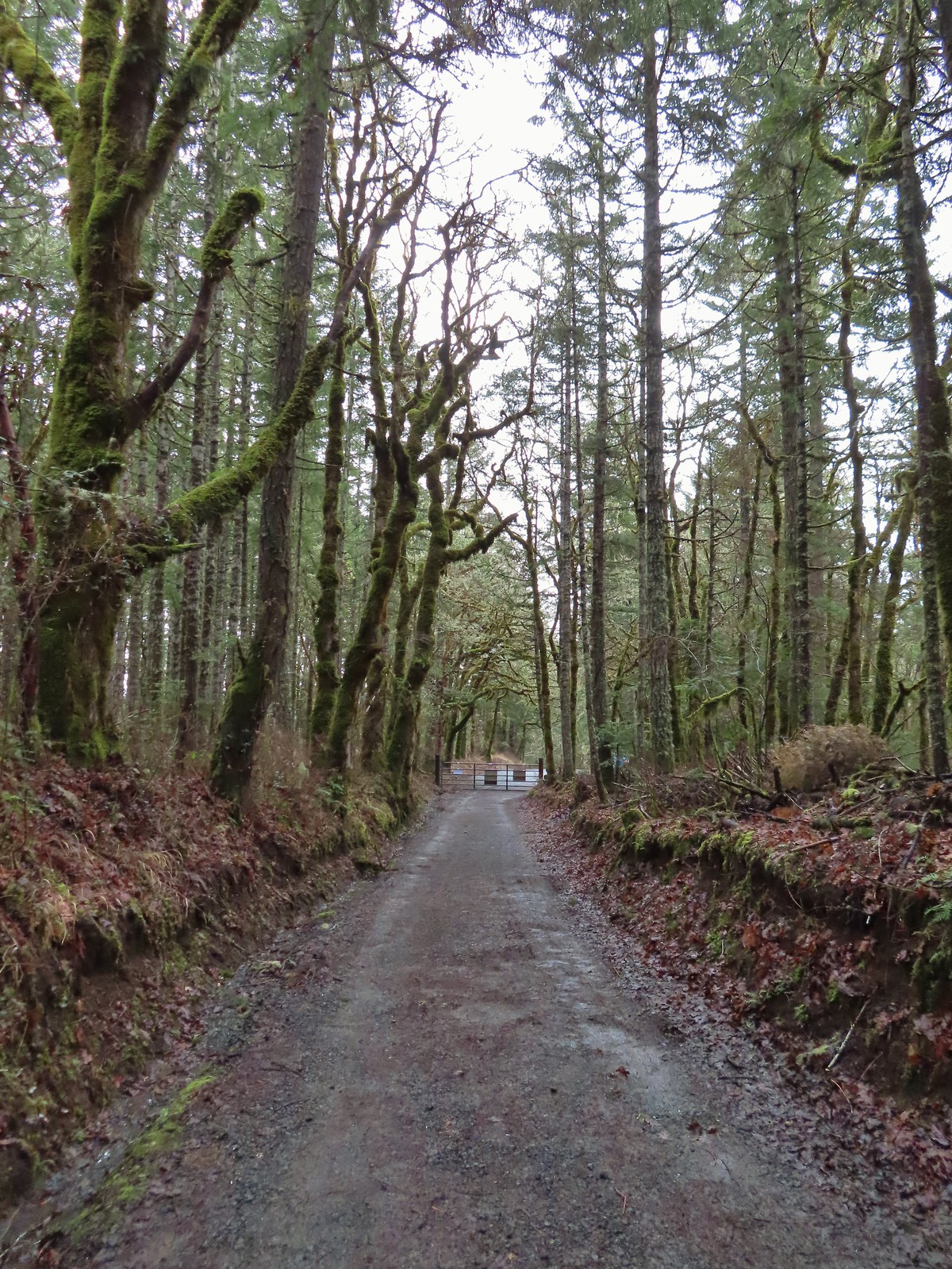 Arriving at the east trailhead.
 One of the more impressive trees along this section of the Cardwell Hill Trail
 The Fitton Green North-South Trail.
 Watch your step.
 Amy’s Trail
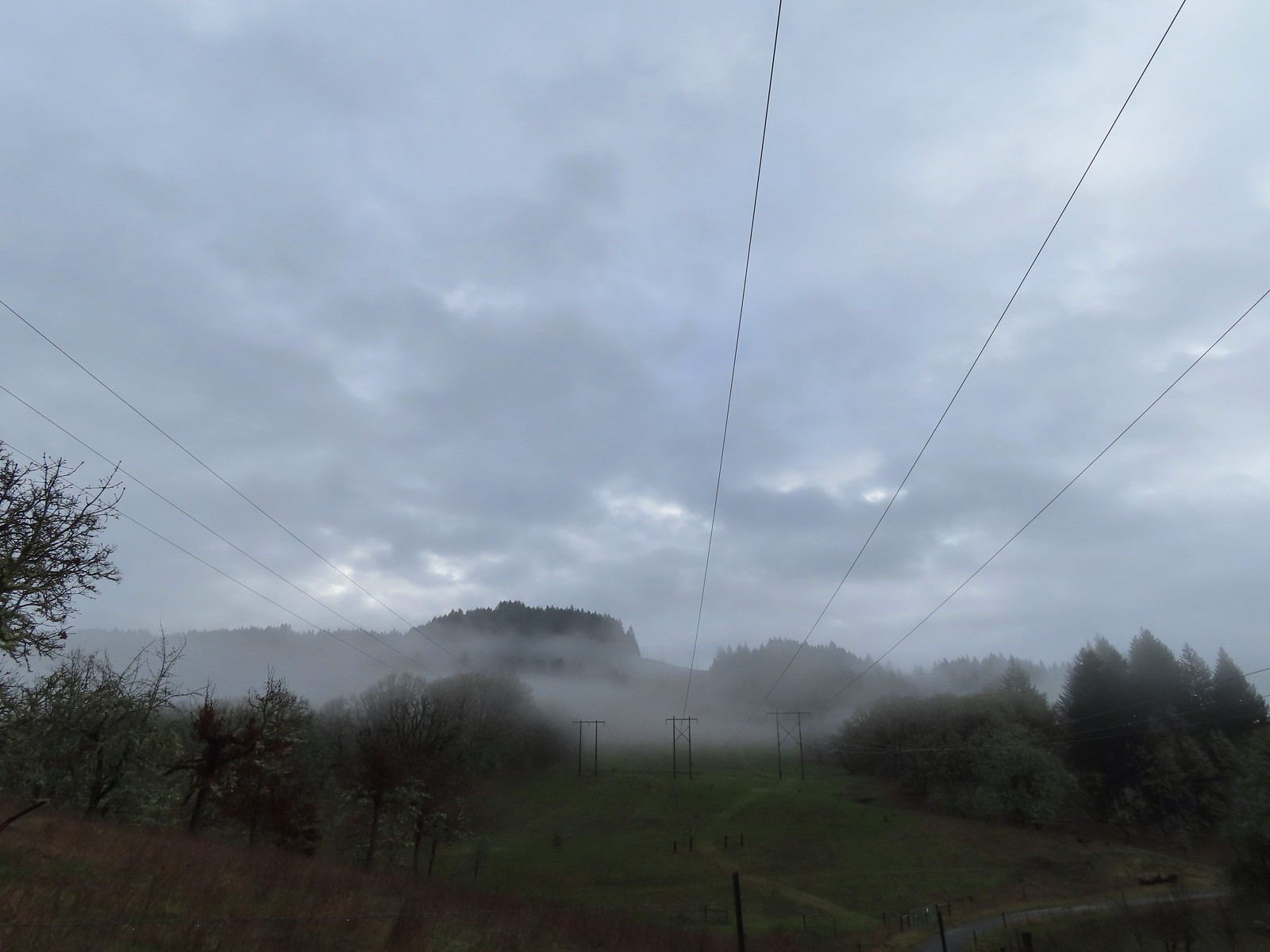
 The clouds were beginning to break up as we climbed up this trail.
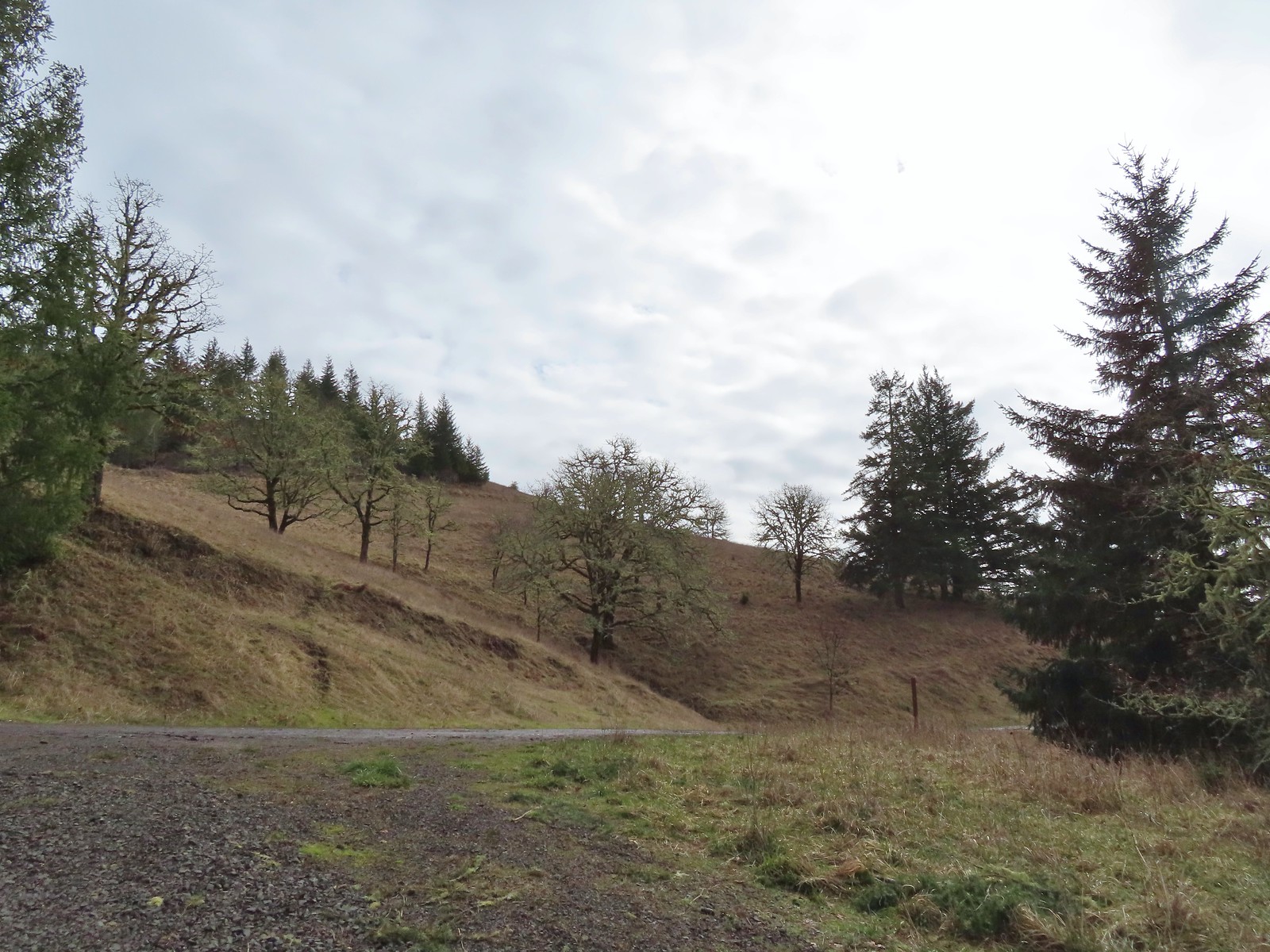 The western end of the Throop Loop.
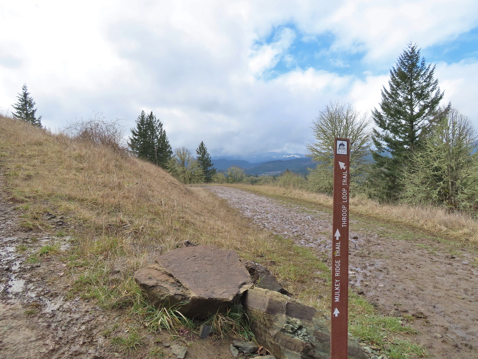
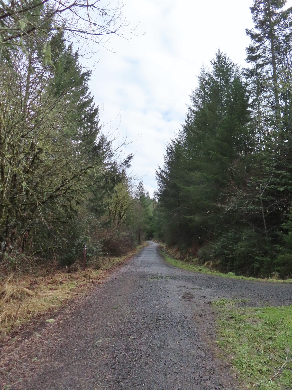 The eastern end of the Allen Throop Loop. Continuing on the Fitton Green North-South Trail would have brought us to the
  There seems to have been a spelling error (Alan vs Allen) on the trail marker.
 Plaque at a viewpoint along the Allen Throop Loop. Note that it is Allen not Alan on the plaque.
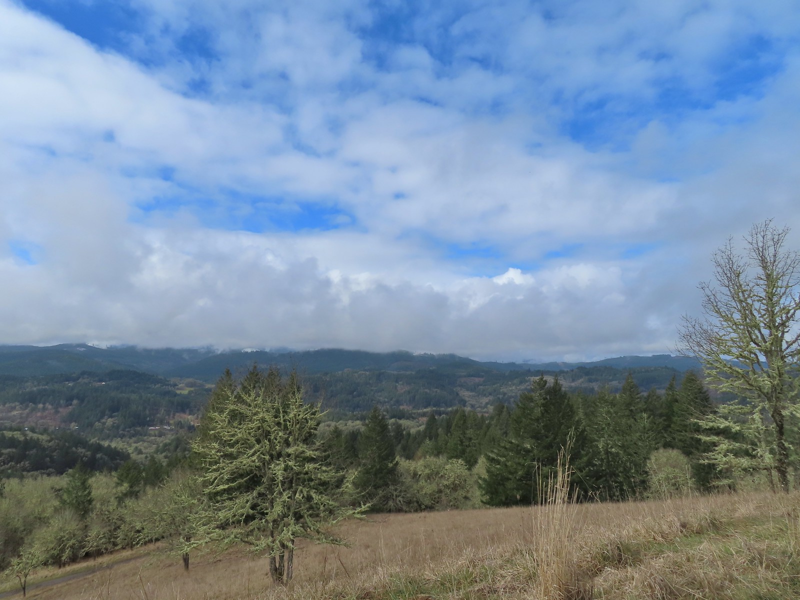 Despite the clouds breaking up we didn’t have a view of Marys Peak, the highest peak in the Oregon Coast Range (
 The trail overlooks the cities of Corvallis (to the left/east) and Philomath (straight/south).
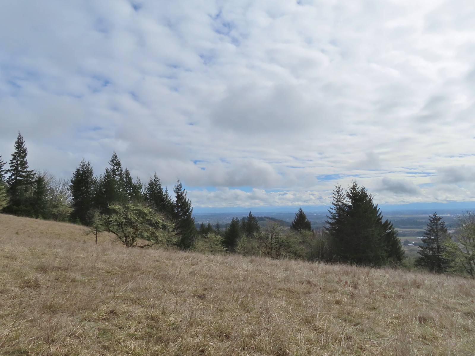 Bald Hill with Corvallis beyond from the Throop Loop.
 East toward the Coast Range.
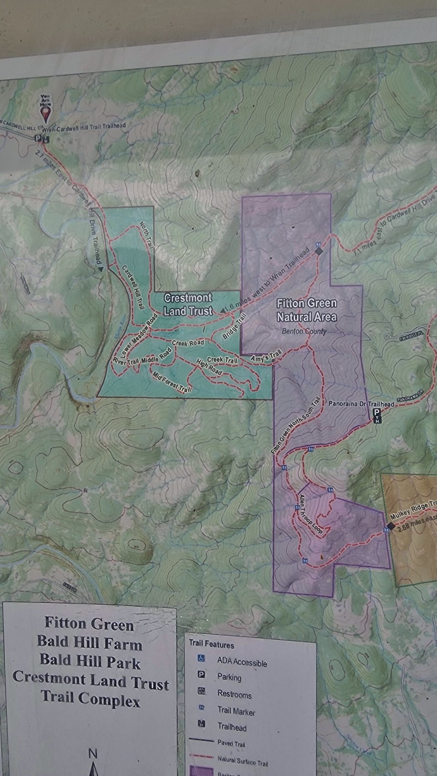
 This is the trail that connects Bald Hill with Fitton Green.
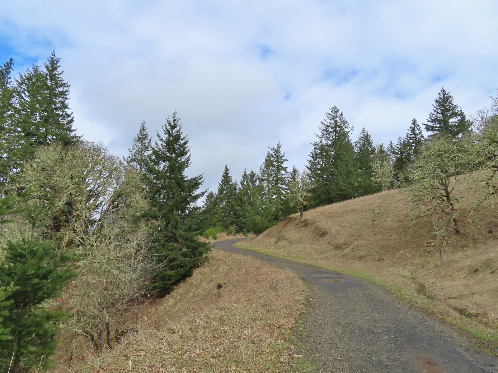 The junction from the Throop Loop Trail.
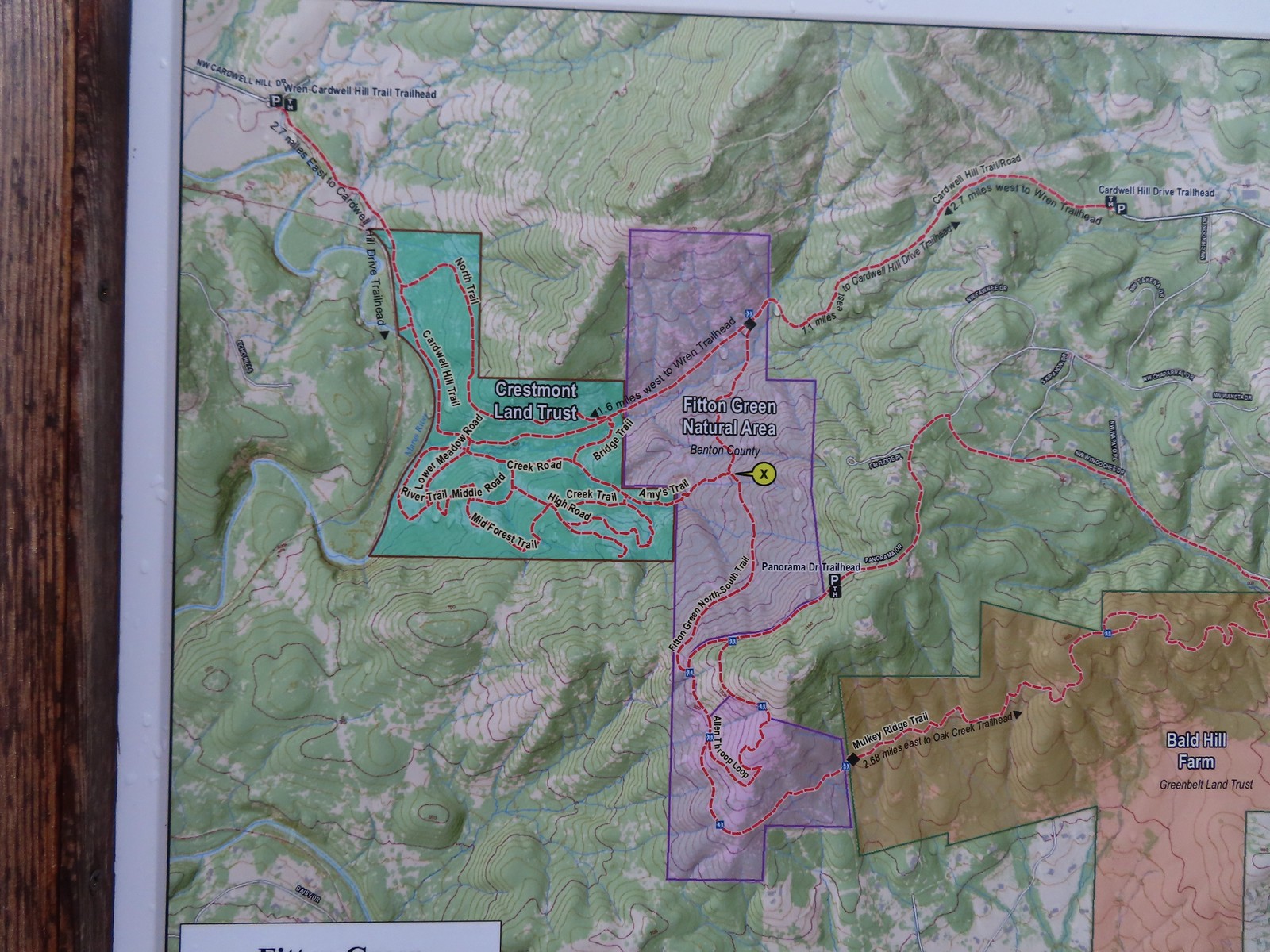 Map at the start of Amy’s Trail.
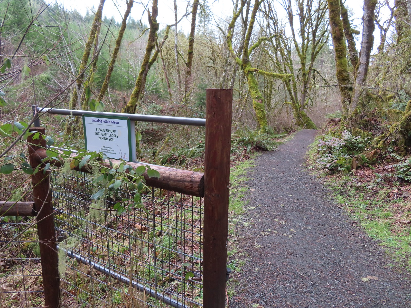 Gate at the Fitton Green-Crestmont Land Trust border.
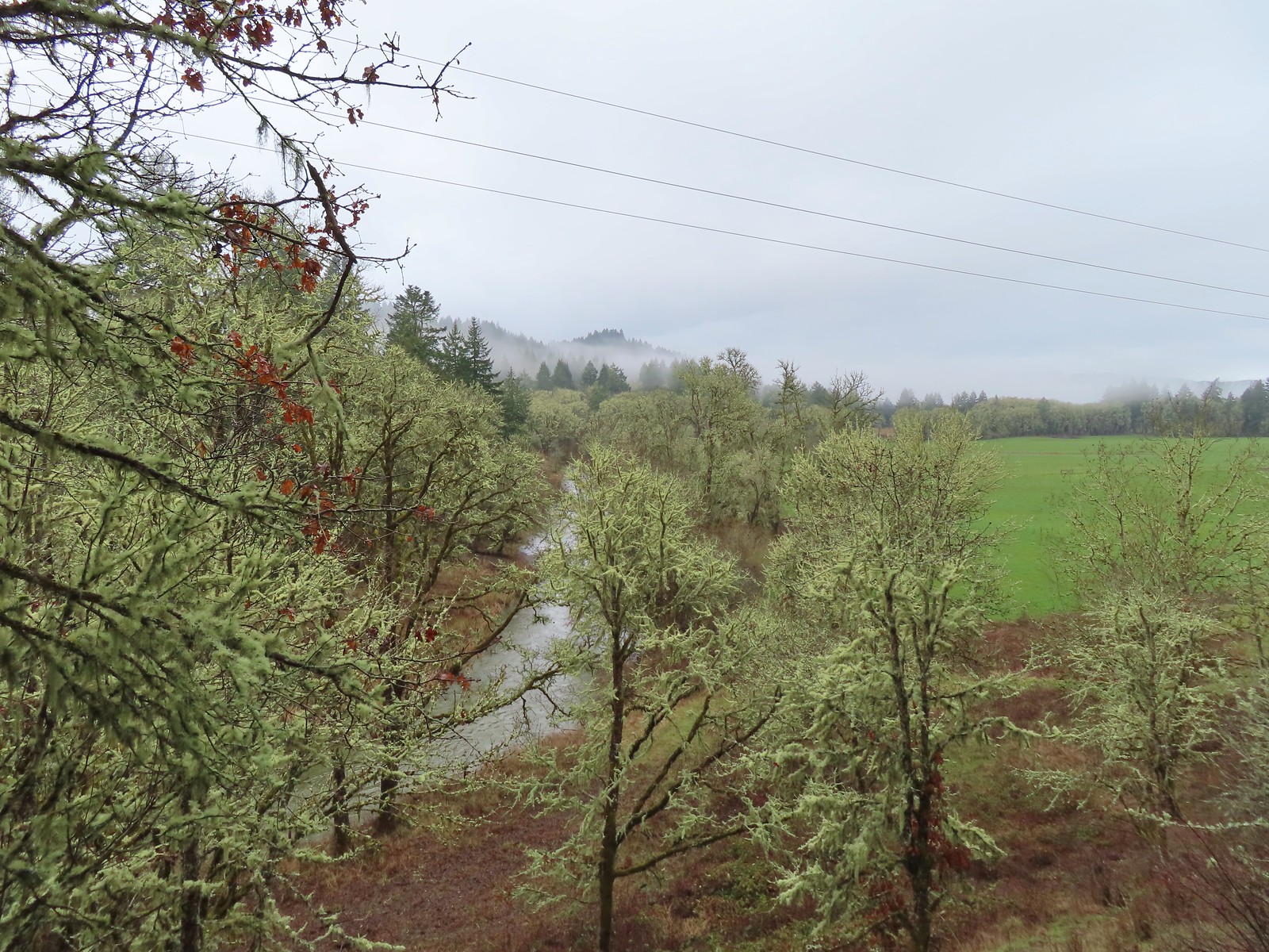
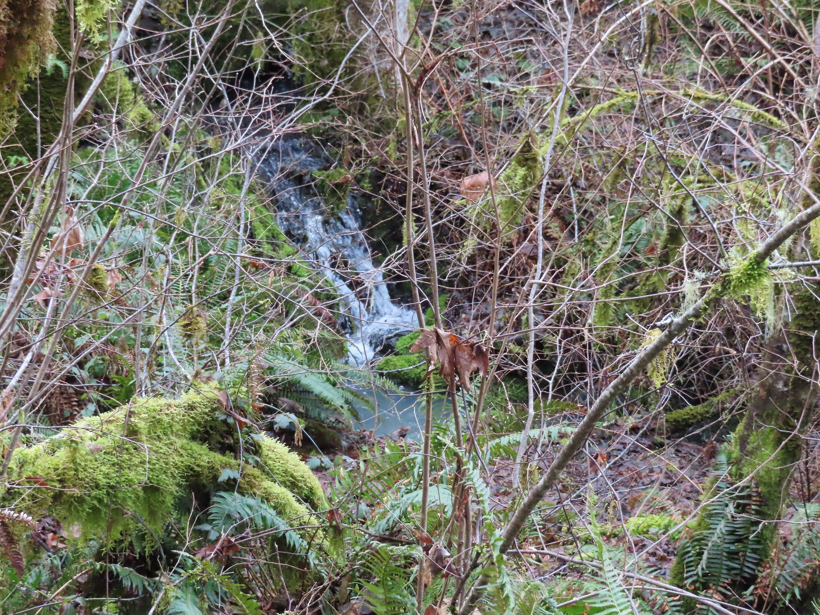 Creek along Amy’s Trail. With all the wet weather there was a fair amount of water in all the streams/creeks in the area.
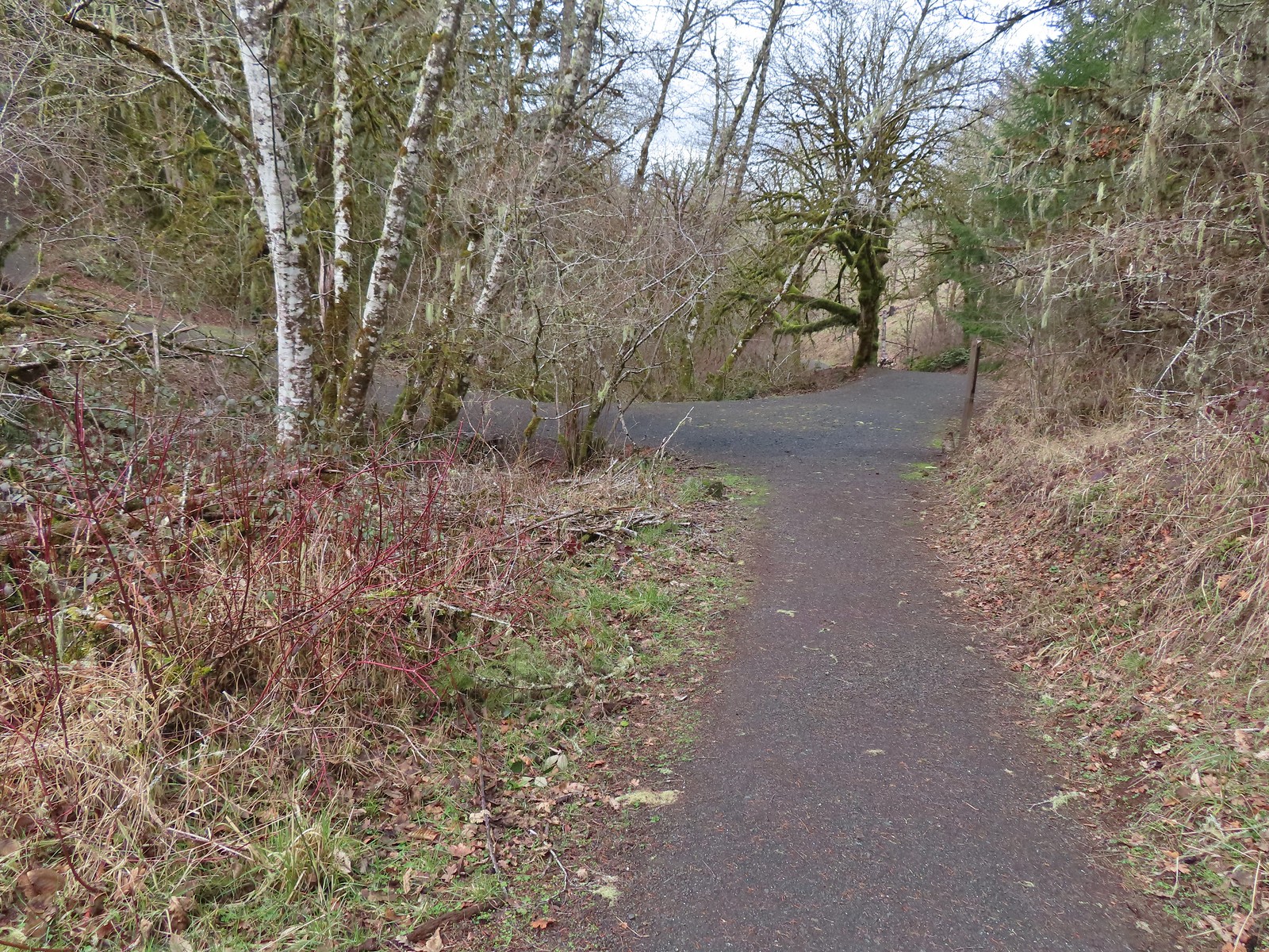

 On the hillside above the picnic table is the Creek Trail.
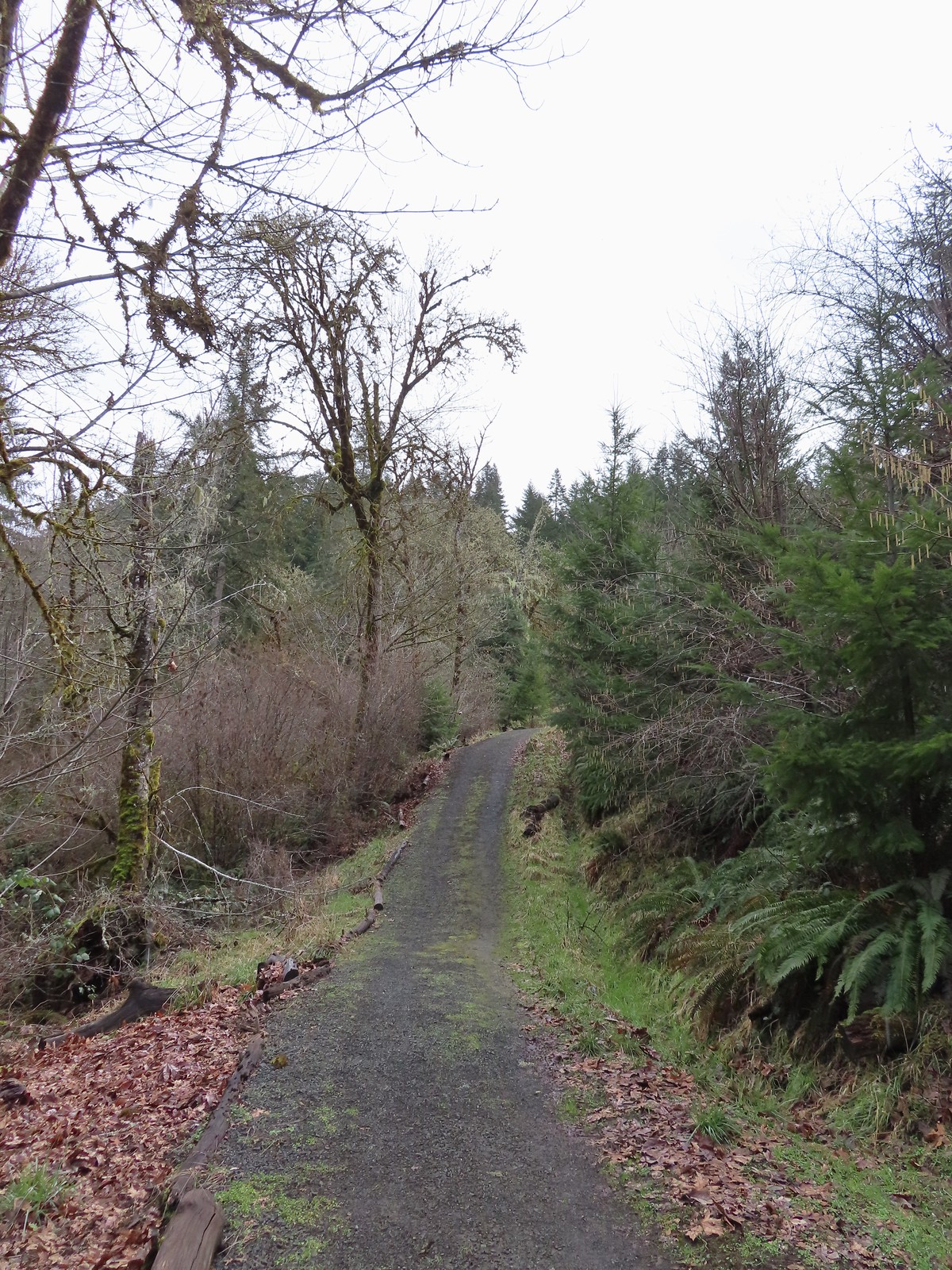
 Switchbacks along the Upper Forest Trail.
 Arriving at High Road.
 The Mid Forest Trail is hidden behind the tree on the left. To the right is the Creek Trail while High Road continues straight ahead.
 Lots of green moss along this trail.
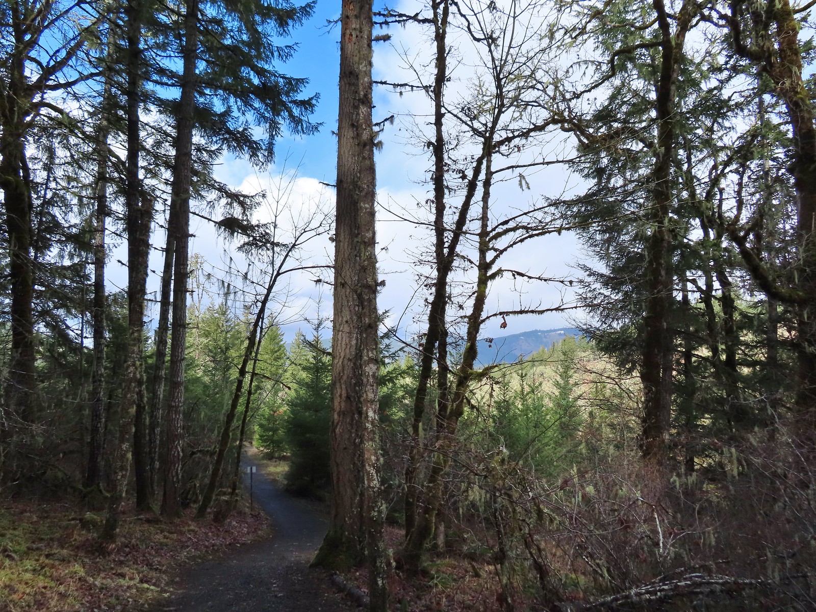 A little snow on the ridge in the distance.
 Rabbit that Heather spotted.
 The junction was at the far end of this open space.
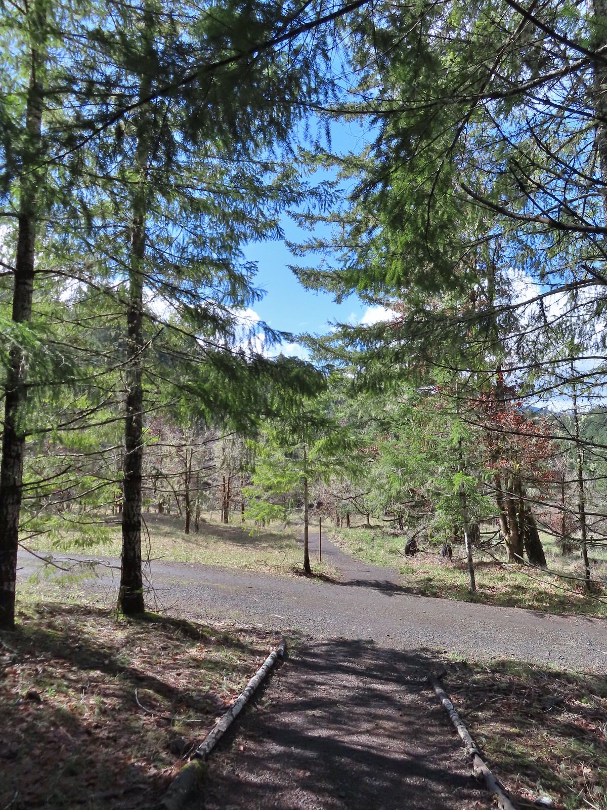 This was by far the most confusing junction we’d encountered all day. It was one of only a couple that was unsigned and none of the maps that we’d seen or had brought with us showed the road continuing to the left. Since we’d planned on staying left at all junctions except for at High Road we initially turned left here thinking it was the River Trail, but it just didn’t feel right so we turned to the Garmin which did show the road continuation. It didn’t look anything like the River Trail route so we promptly turned around and returned to the 4-way junction and took a left downhill through the meadow.
 Lower Meadow
 Gate along the River Trail just before Marys River.
 Marys River
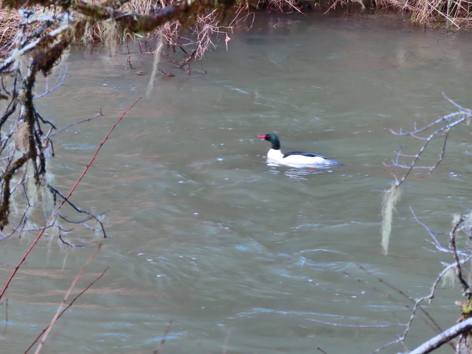 Male common merganser floating Marys River. I only had a brief second to try and get a picture as he floated by thus the poor focus.
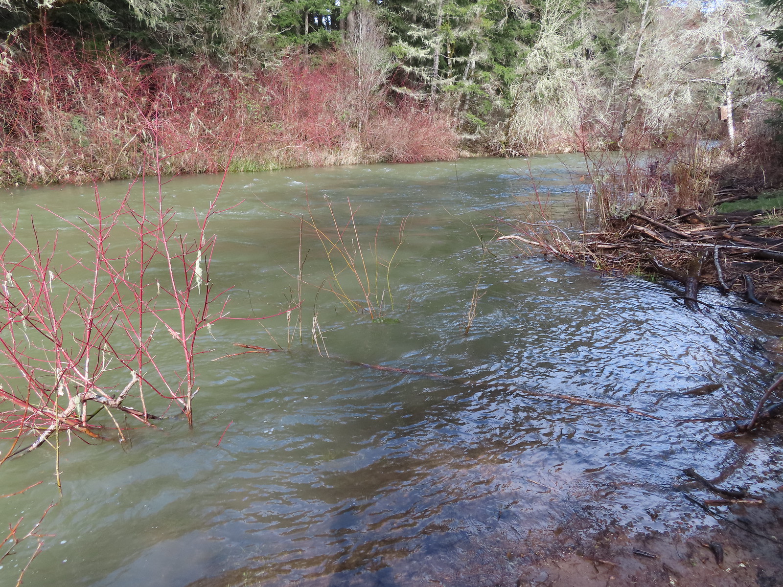 A short spur trail led down to the river bank.


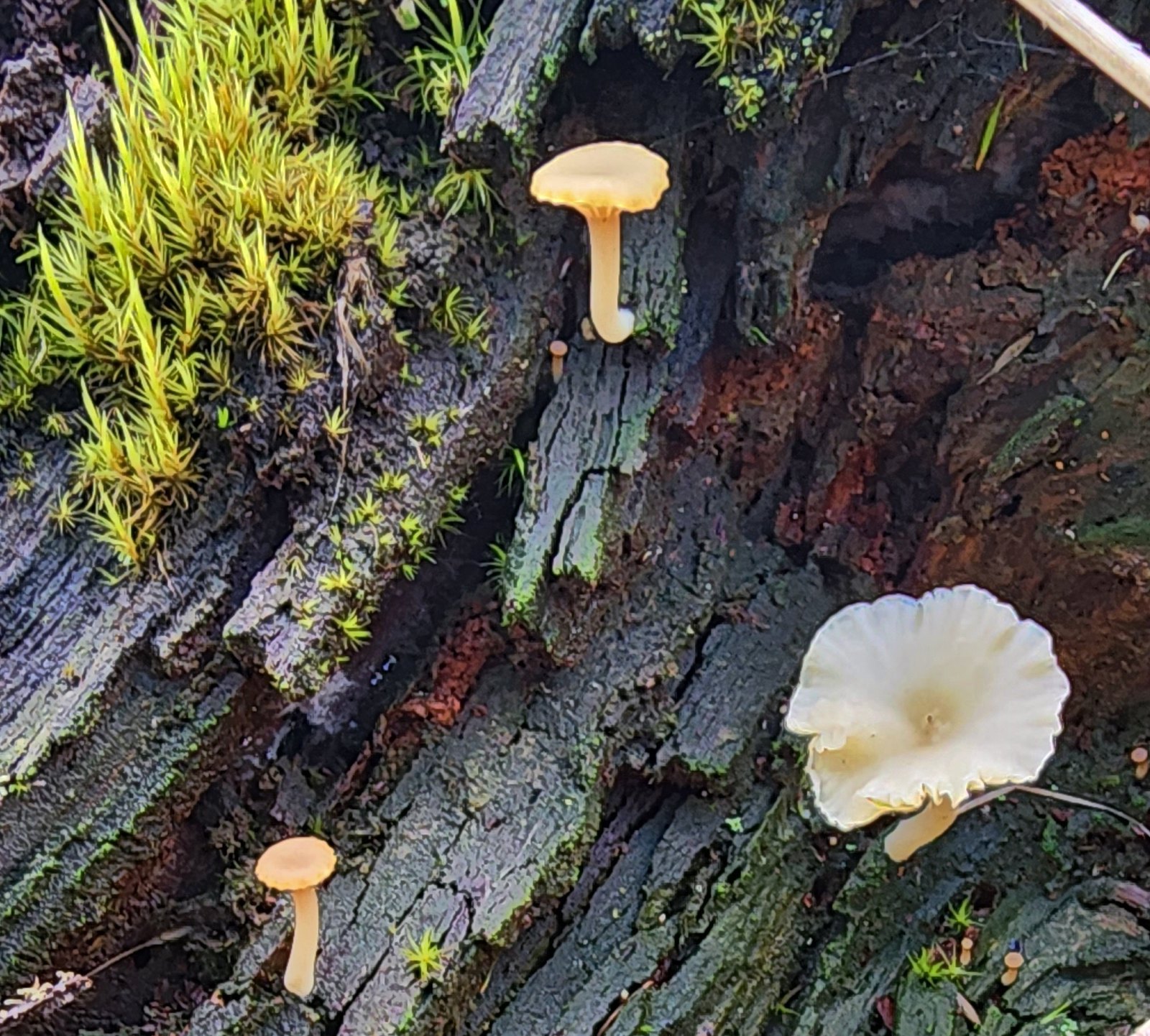 Not flowers but mushrooms are always fun to spot.
 Lower Meadow Road crossing the creek and ending at the Cardwell Hill Trail.
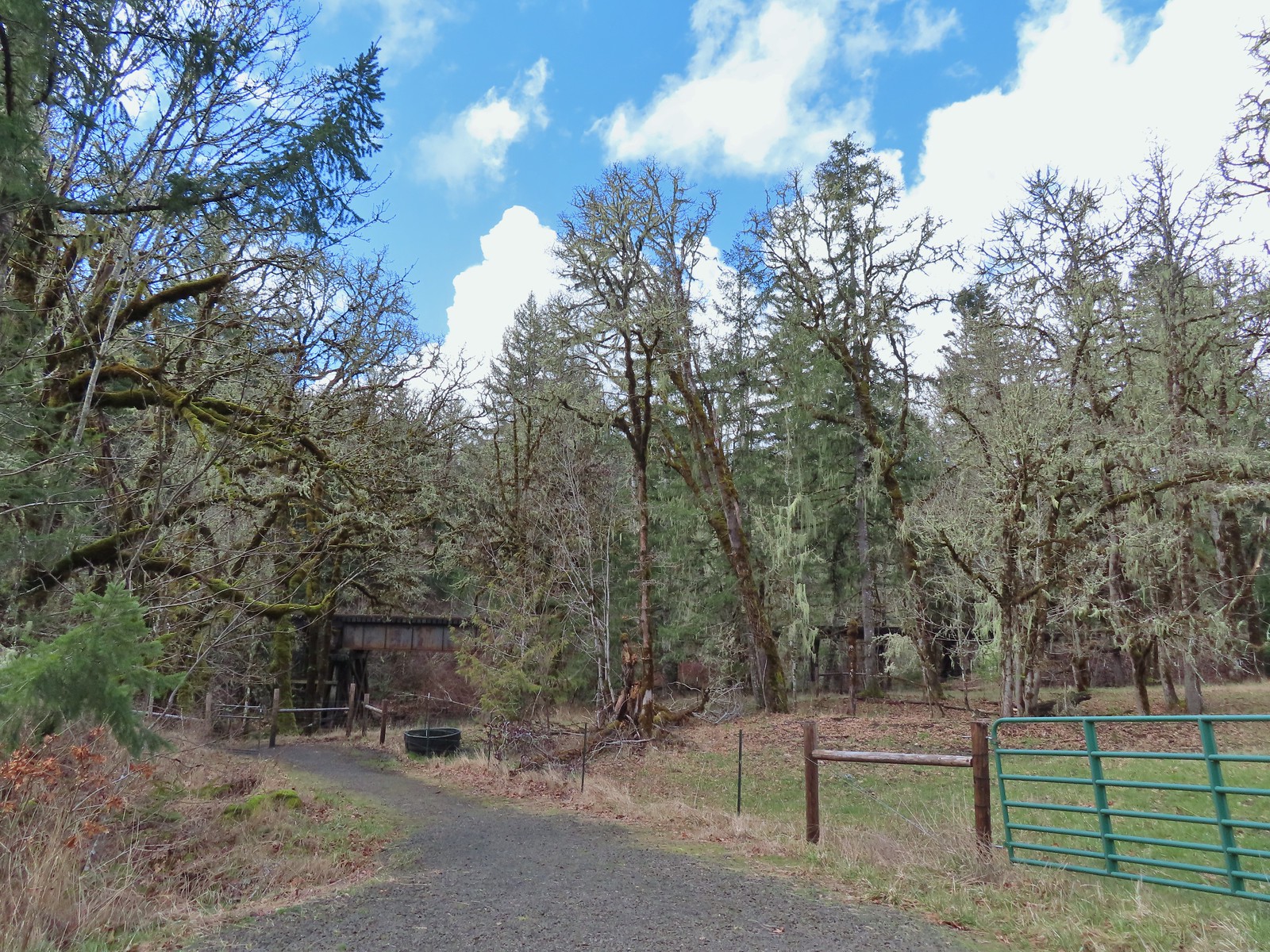 The short Trestle Extension led to a view of a railroad trestle over Marys River.
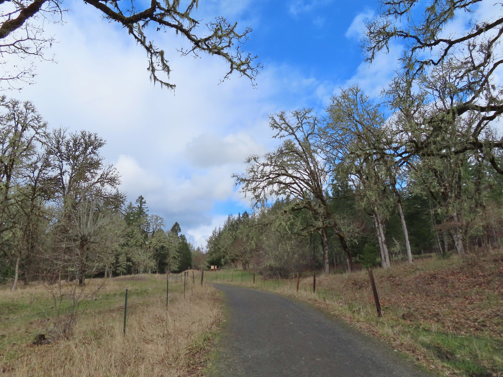 The signboards at the North Trail junction from the Cardwell Hill Trail.
 Robin near the North Trail junction.
 No more fog.